Discovering Ōamaru: Whitestone on the Otago Coast
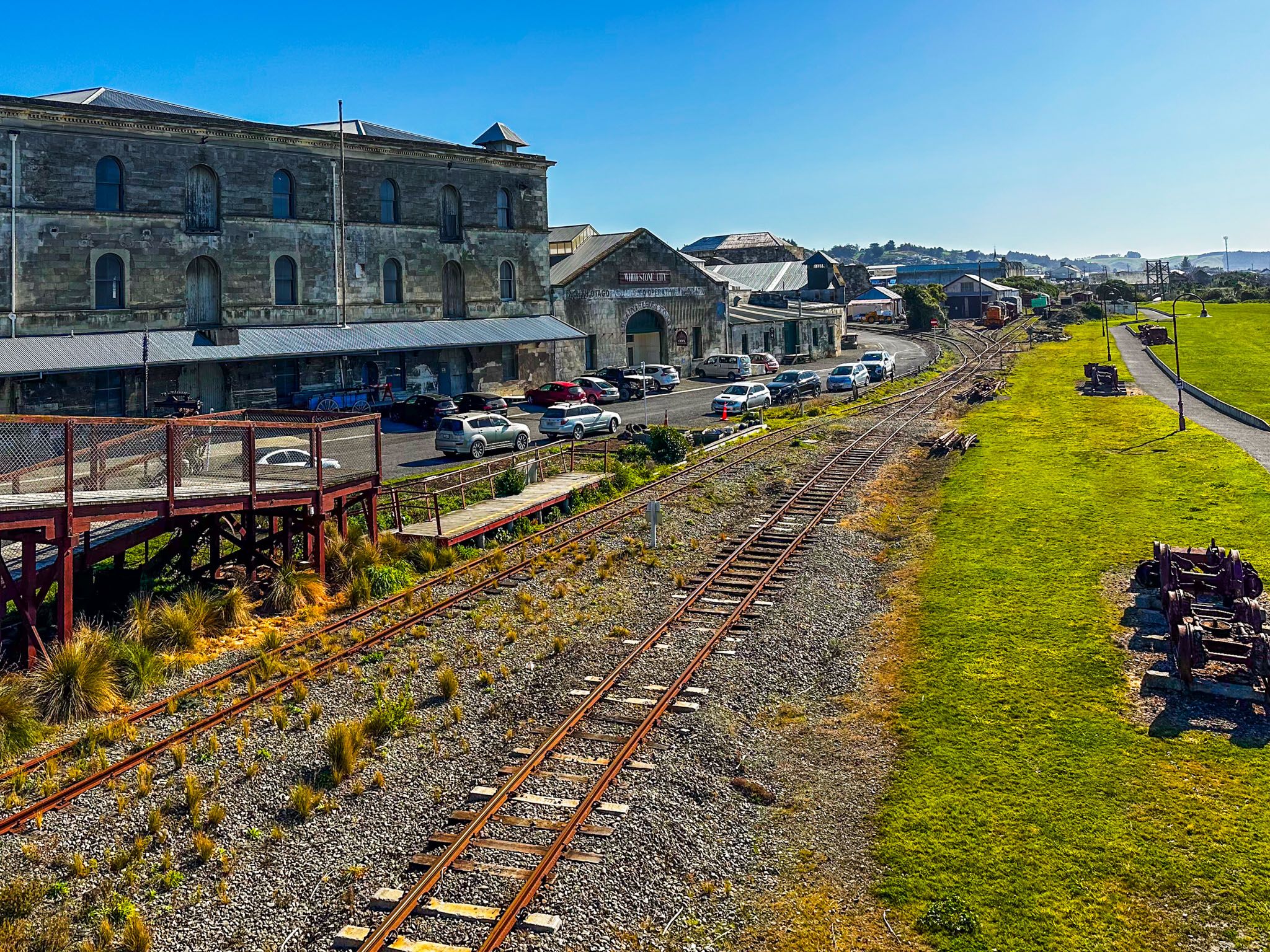
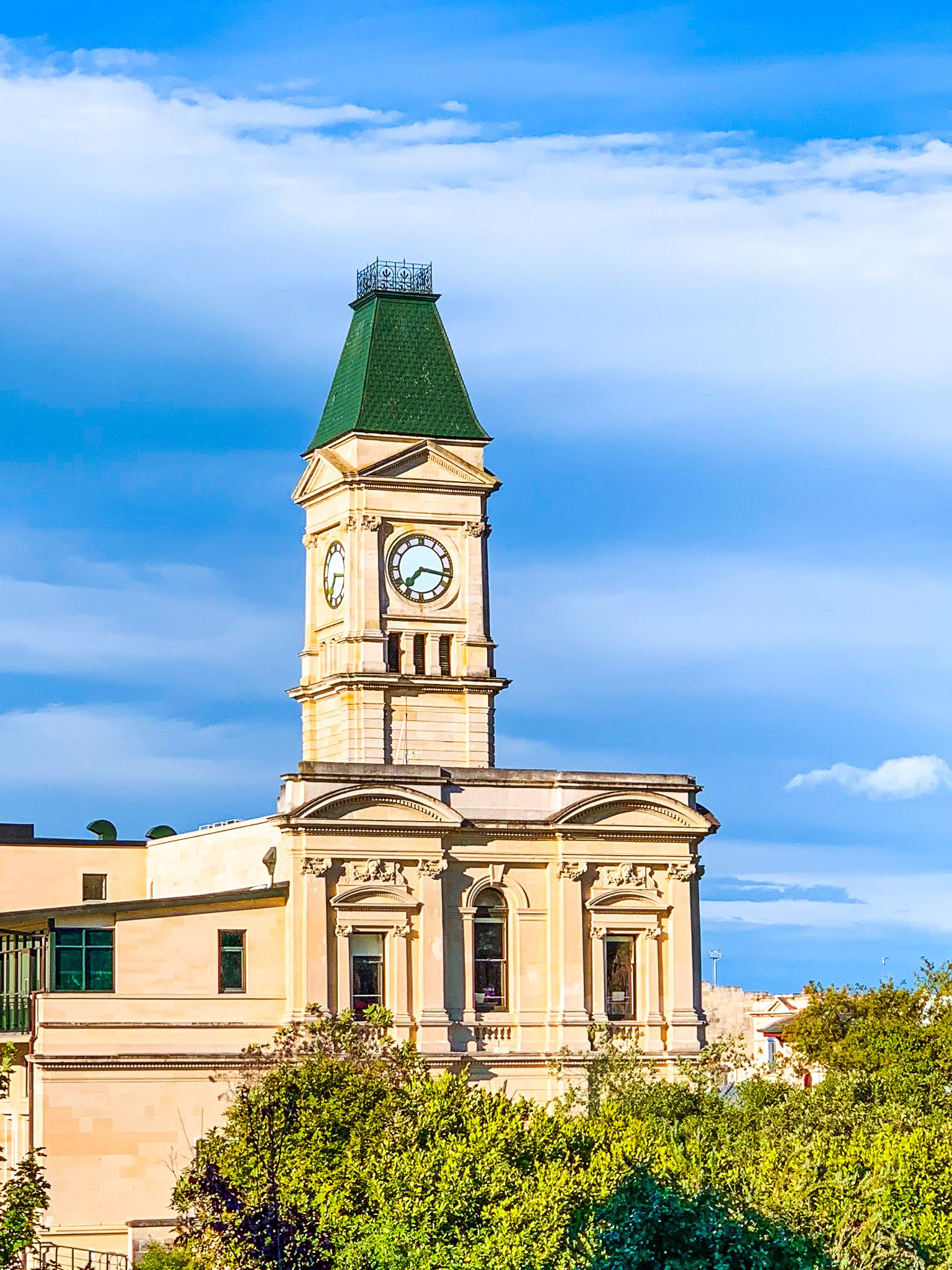
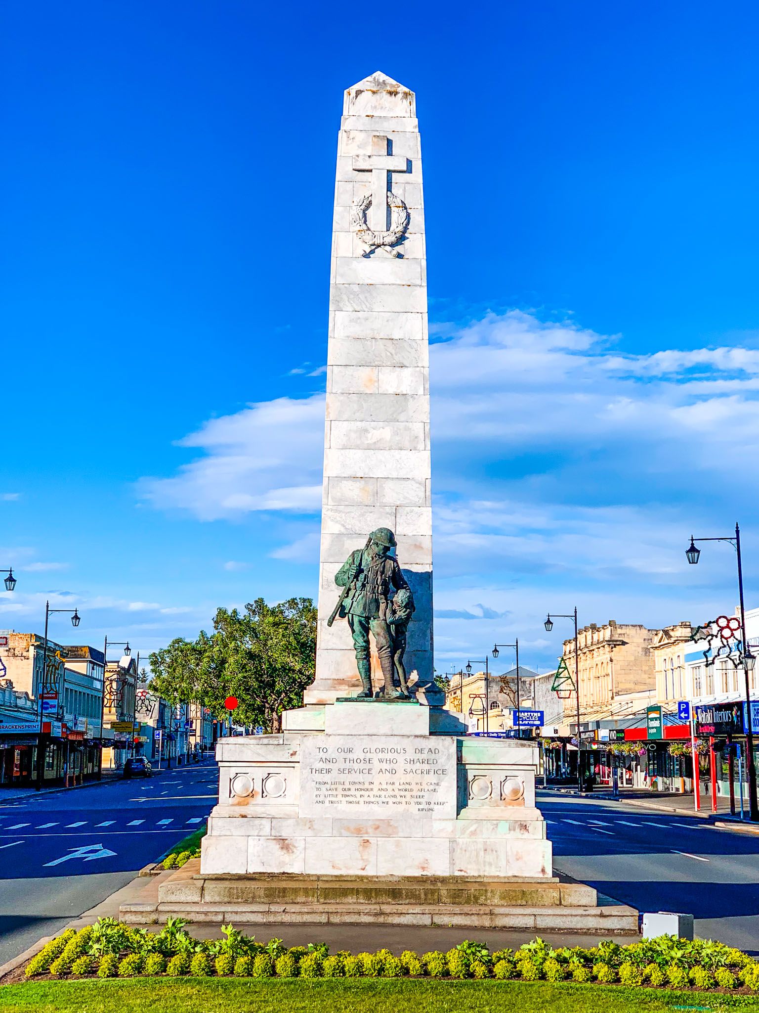
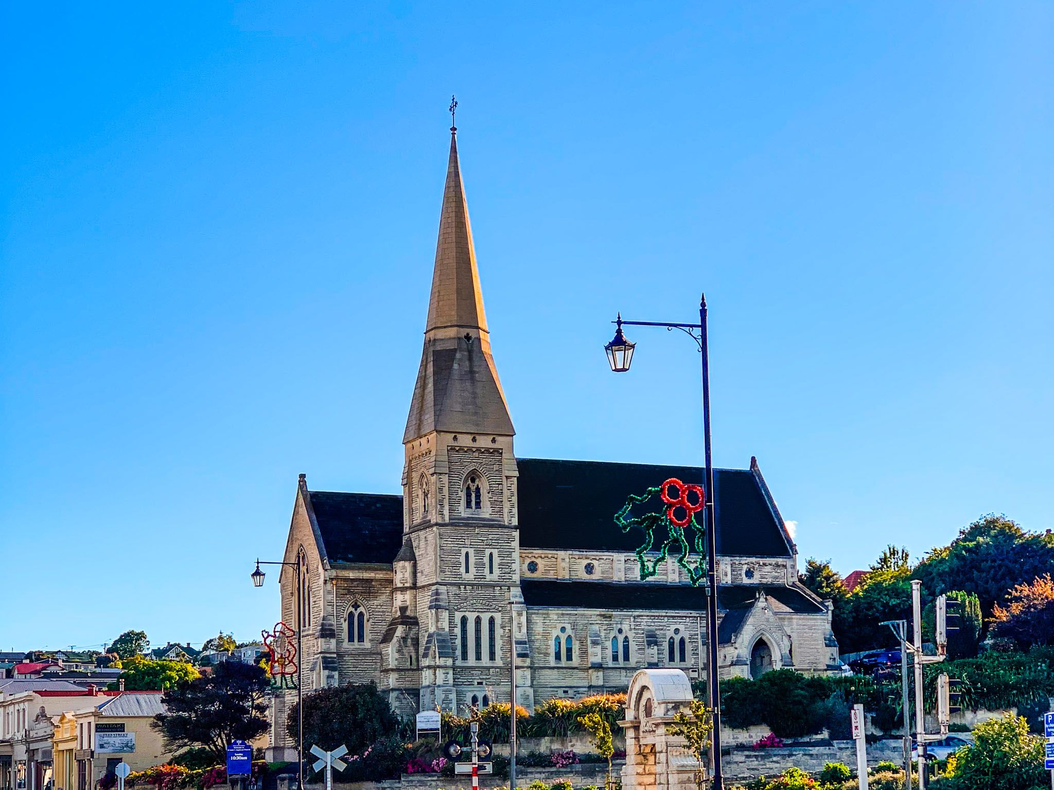
Ōamaru, located on the Otago Pacific Coast of the South Island, is a remarkable destination for travellers. With a population of around 13,900, the town is famous for its impressive Victorian architecture, crafted from locally sourced Waitaki Whitestone. This historic charm is concentrated in the town centre and harbour, where significant restoration efforts have revitalised these architectural treasures.
Victorian Heritage and Steampunk Flair
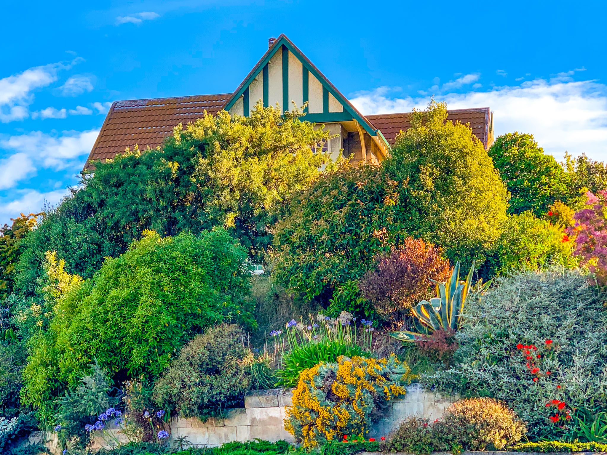
Ōamaru has embraced its architectural heritage, adopting a strong Victorian persona. The Victorian or Heritage Precinct, once a rundown Whitestone warehouse district at the south end of town near Friendly Bay, has been redeveloped to showcase this history. Each November, the Ōamaru Heritage Celebrations invite you to step back in time, complete with opportunities to learn to ride a penny-farthing bike.
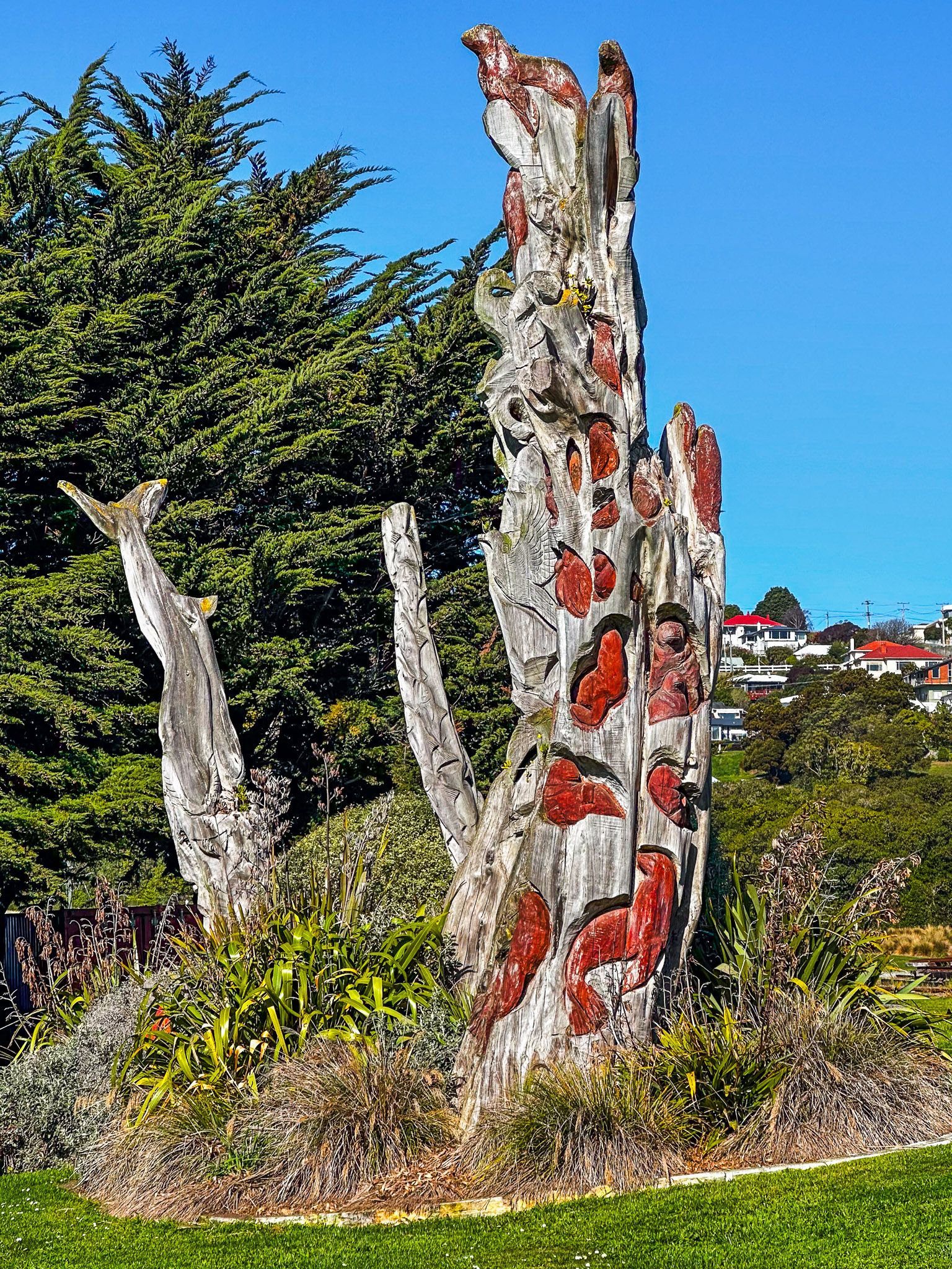
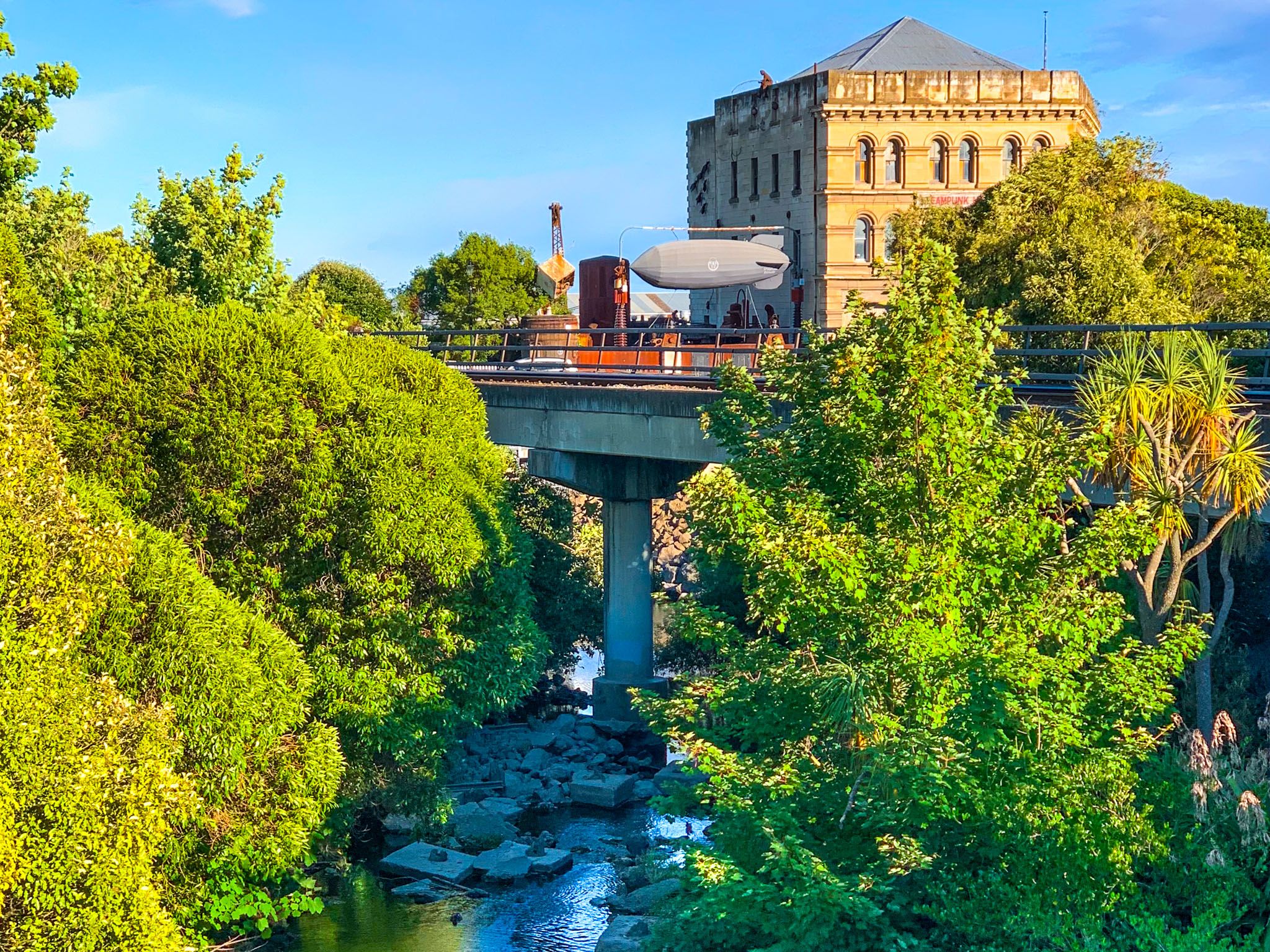
Adding a unique twist to its Victorian roots, Ōamaru is home to a Steampunk Museum. This imaginative attraction combines Victorian Gothic styles with science-fiction elements, creating an alternate future world powered by steam. Located at the north end of the Victorian Precinct, the museum is complemented by various Steampunk outdoor sculptures scattered nearby.
Blue Penguins and Natural Attractions
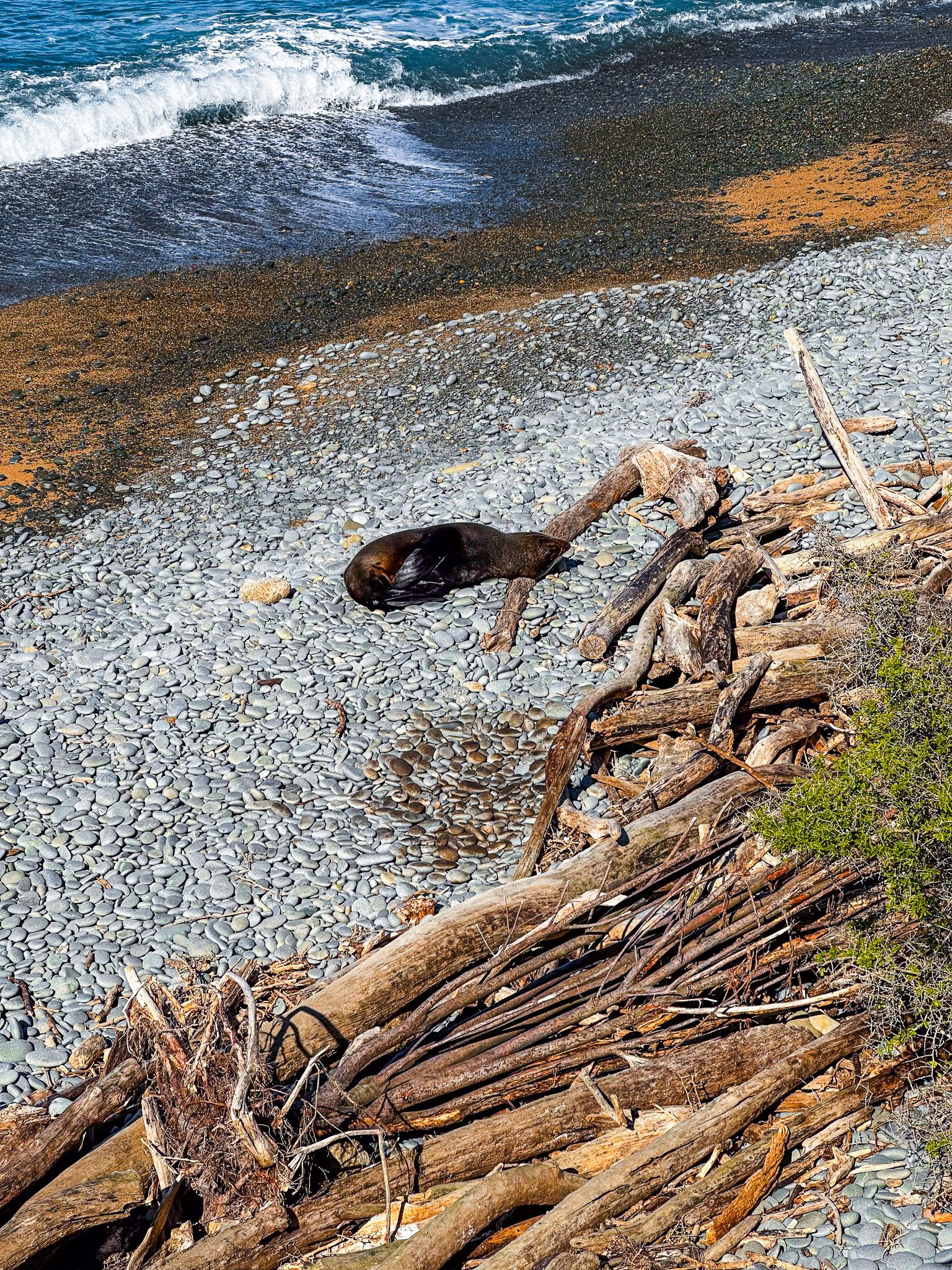
In the early 1990s, Ōamaru became home to a colony of little blue penguins in a disused quarry at the south end of Friendly Bay. Volunteers developed a breeding habitat, and today, the Ōamaru Blue Penguin Colony offers guided tours and a visitor centre with grandstands for viewing. This is one of the easiest places in New Zealand to see blue penguins, attracting around 75,000 visitors annually.
Historical Significance and Māori Heritage
Ōamaru retains its Māori name, meaning "the place of Maru," though the identity of Maru is lost to history. Before European arrival, the area along the Pacific Coast and Waitaki Valley was inhabited by Māori, who hunted moa and created rock art, remnants of which can still be found in the Waitaki Valley. Captain James Cook visited in the 1700s, and by the early 1800s, whalers and sealers were active in the region. In 1831, refugees from the attack on Kaiapoi pā settled in the area.
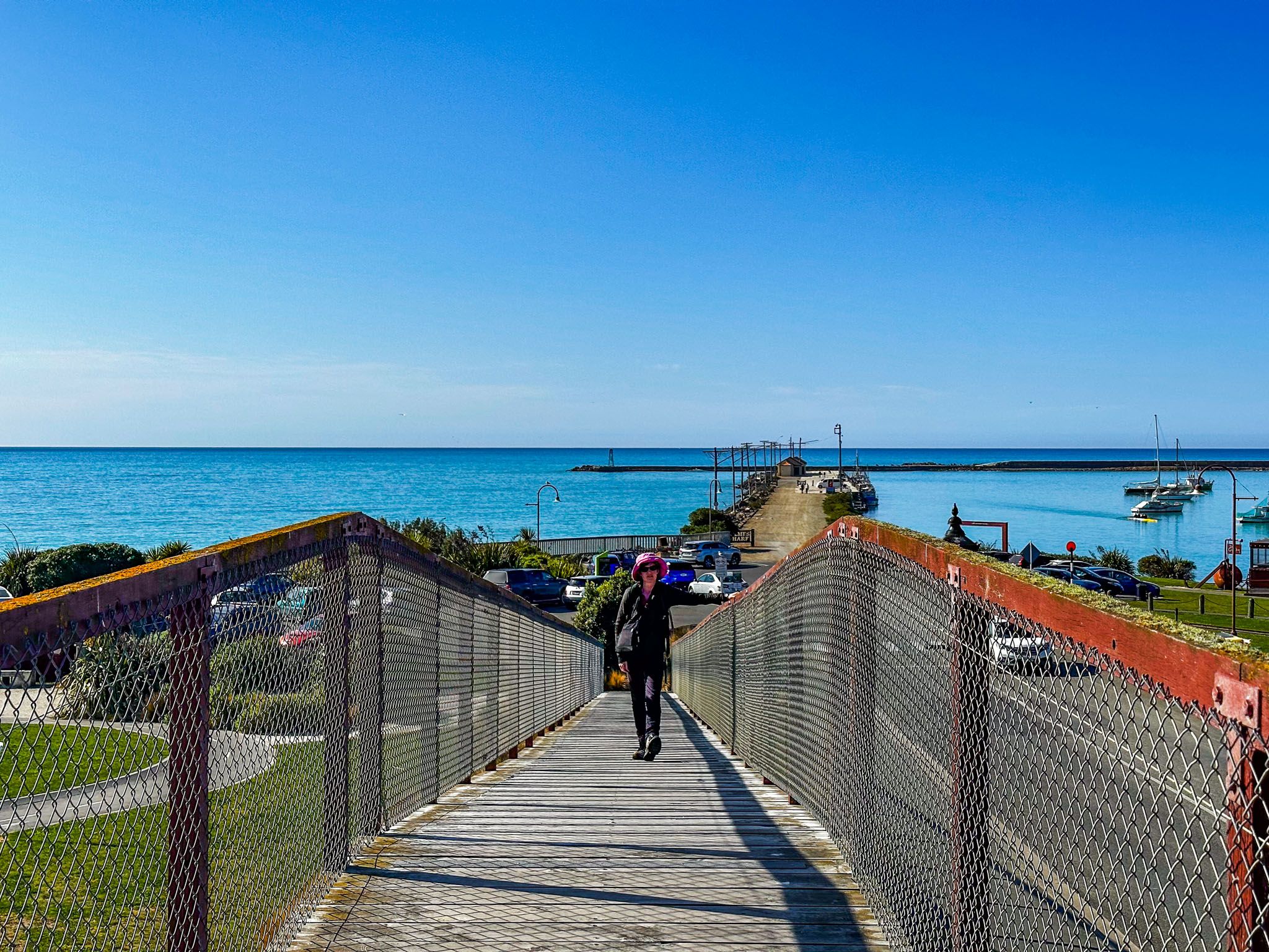
European settlement began in the 1840s when Edward Shortland first mapped Ōamaru. By the 1850s, pasture farming was established, and in 1858, John Thomson laid out the town's plan. The frozen meat trade to the UK spurred a Victorian-era boom, centred around the modest port at Friendly Bay. This was followed by a century of limited growth, preserving the town's extraordinary heritage.
How to Get There
Ōamaru is located on State Highway near the North Otago and South Canterbury border, approximately 113 km north of Dunedin and a 90-minute drive. From Christchurch, it is a 3-hour drive and 250 km.
The town is a gateway to the Mackenzie Country in the central South Island, reachable via State Highway 83, which runs along the scenic Waitaki Valley to Omarama. From there, you can easily access Wānaka and Queenstown via Lindis Pass, Aoraki Mount Cook, and Lake Tekapo. Additionally, Ōamaru is the endpoint for the Alps 2 Ocean Cycle Trail, which stretches from the Southern Alps to the Pacific Ocean.
