Exploring Wānaka and its Lake
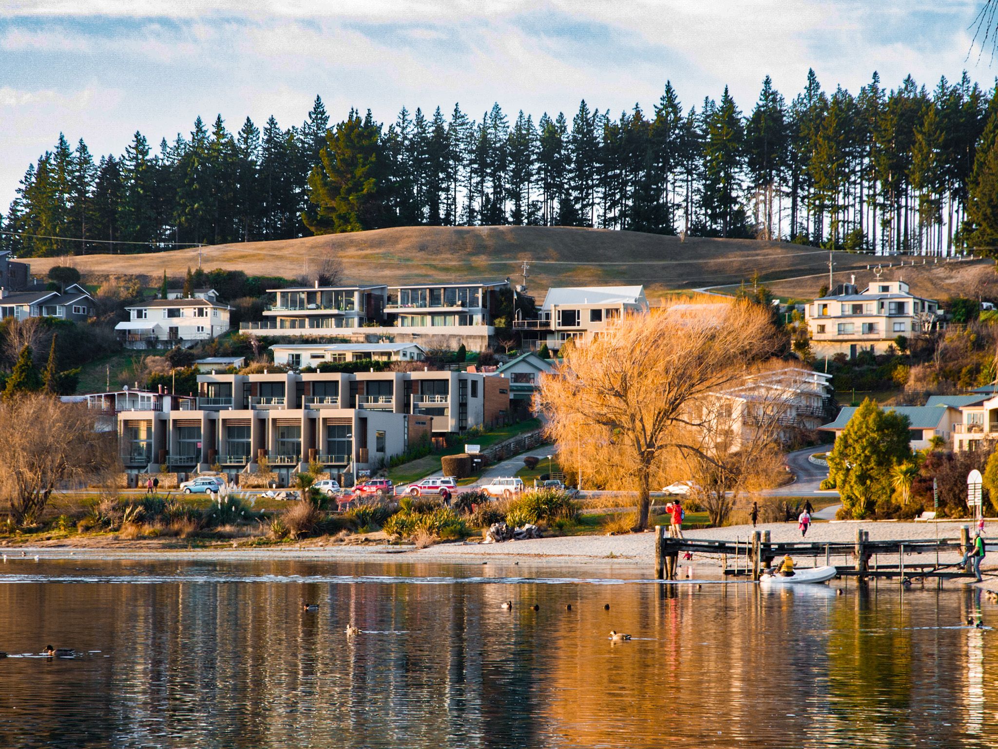
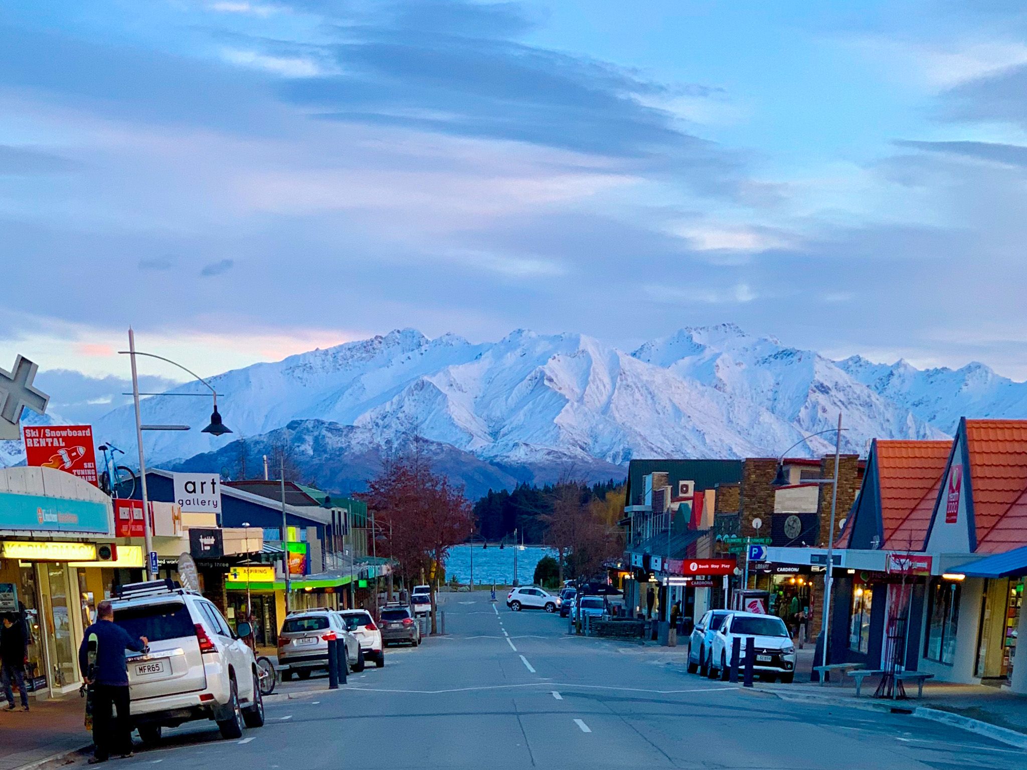
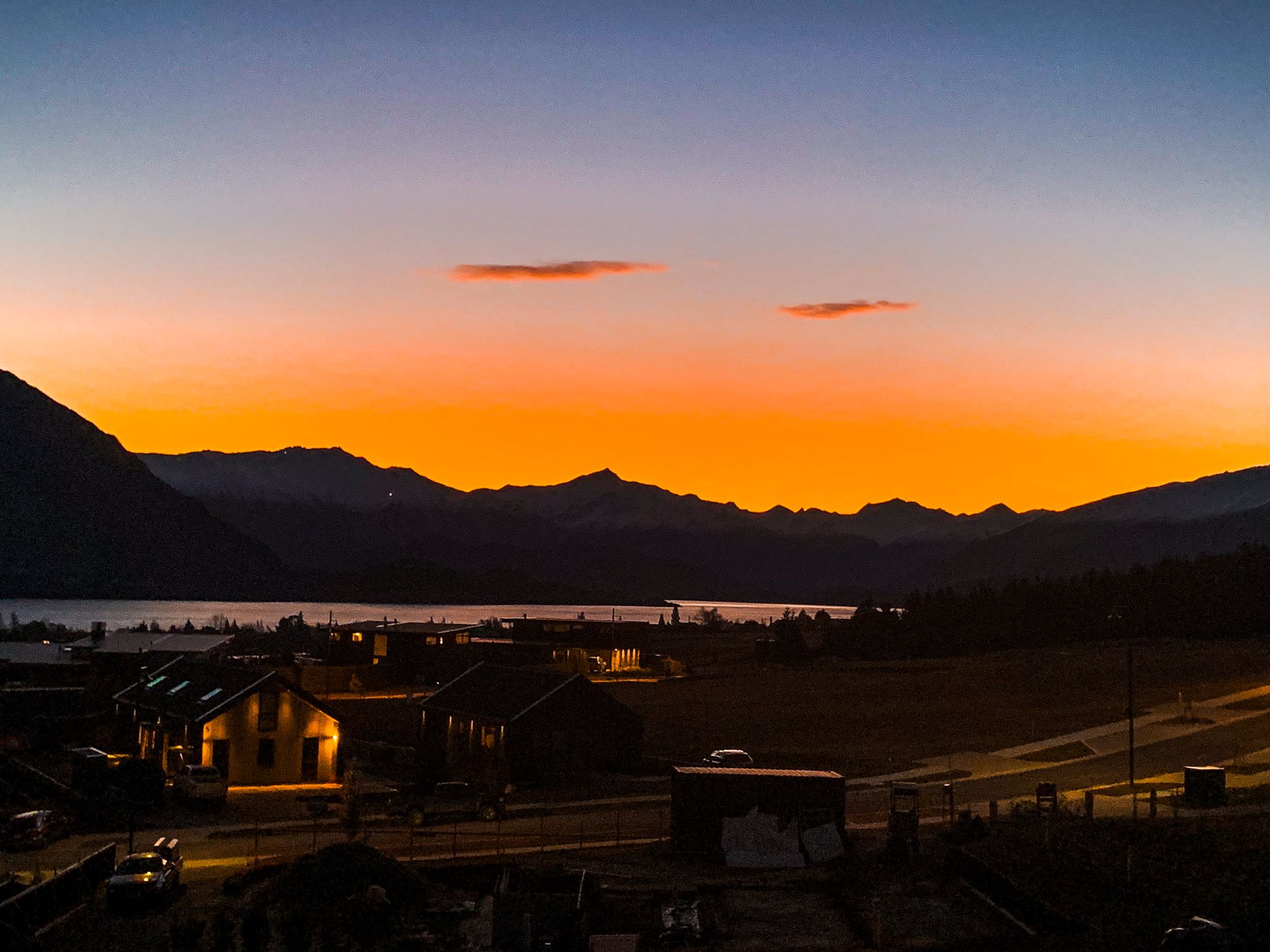
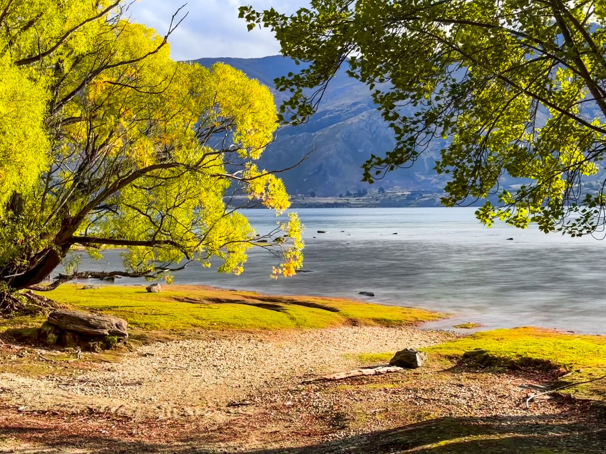
Wānaka, located beside Roys Bay at the southern end of Lake Wānaka in Central Otago, is a captivating destination known for its stunning landscapes and outdoor activities. Although it has grown rapidly over the past two decades, it remains smaller and less crowded than Queenstown. Wānaka serves as a gateway to numerous outdoor activities and adventures, allowing you to explore its natural beauty with ease, even during peak holiday seasons.
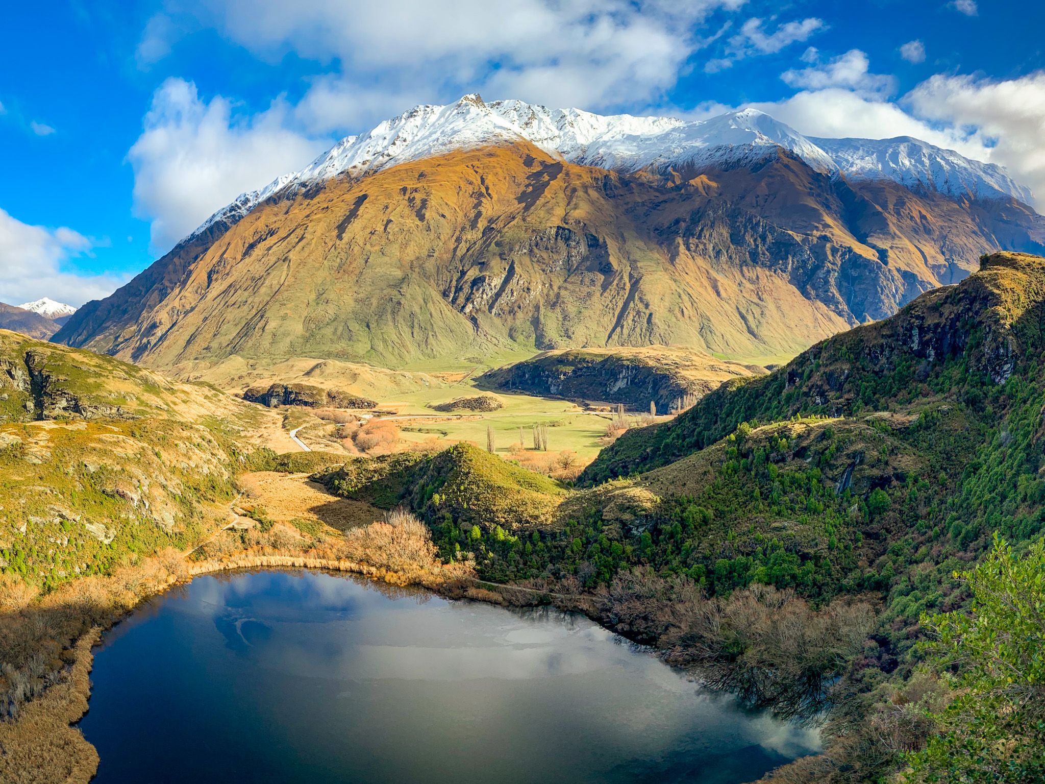
Breathtaking Surroundings
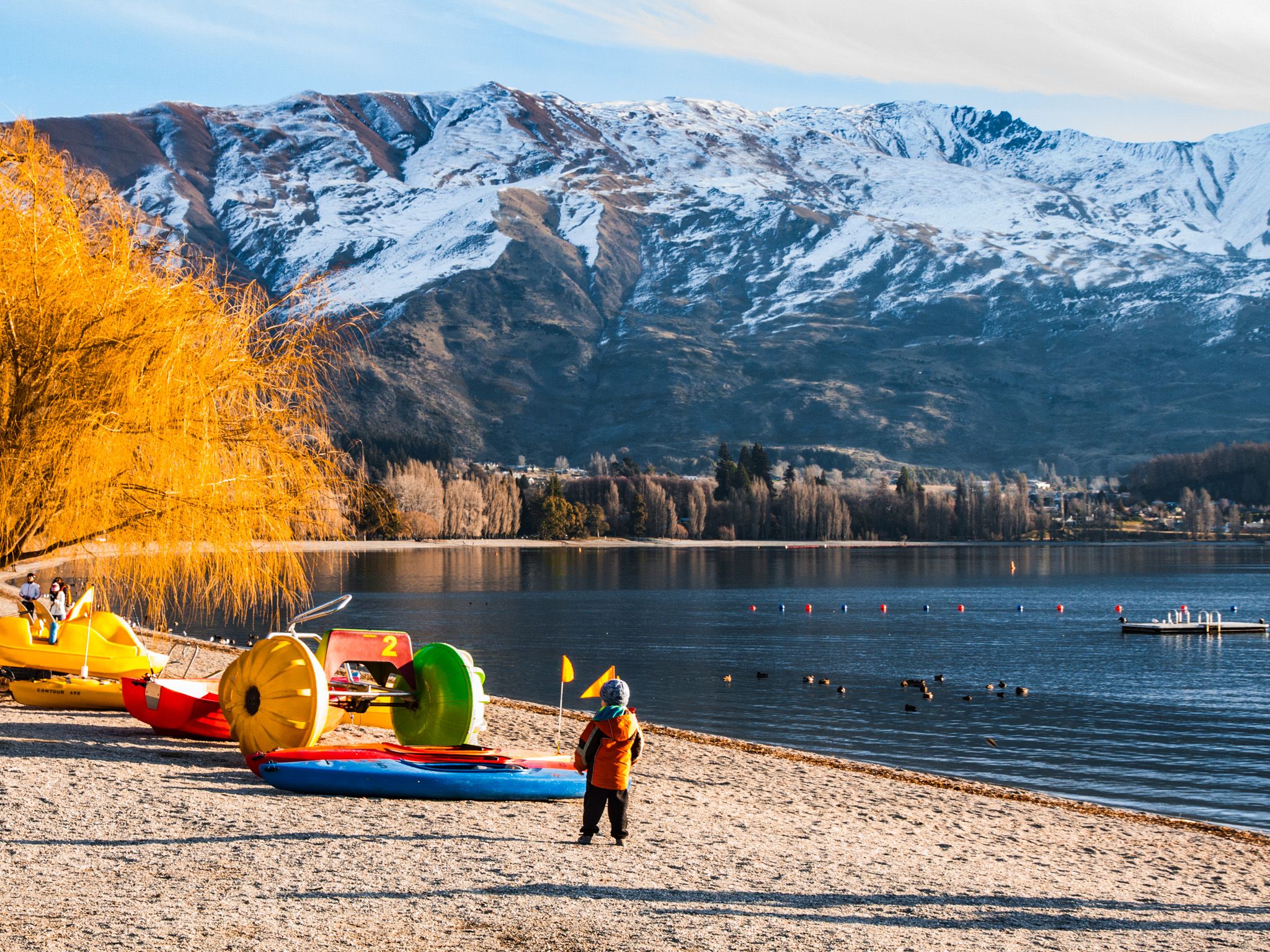
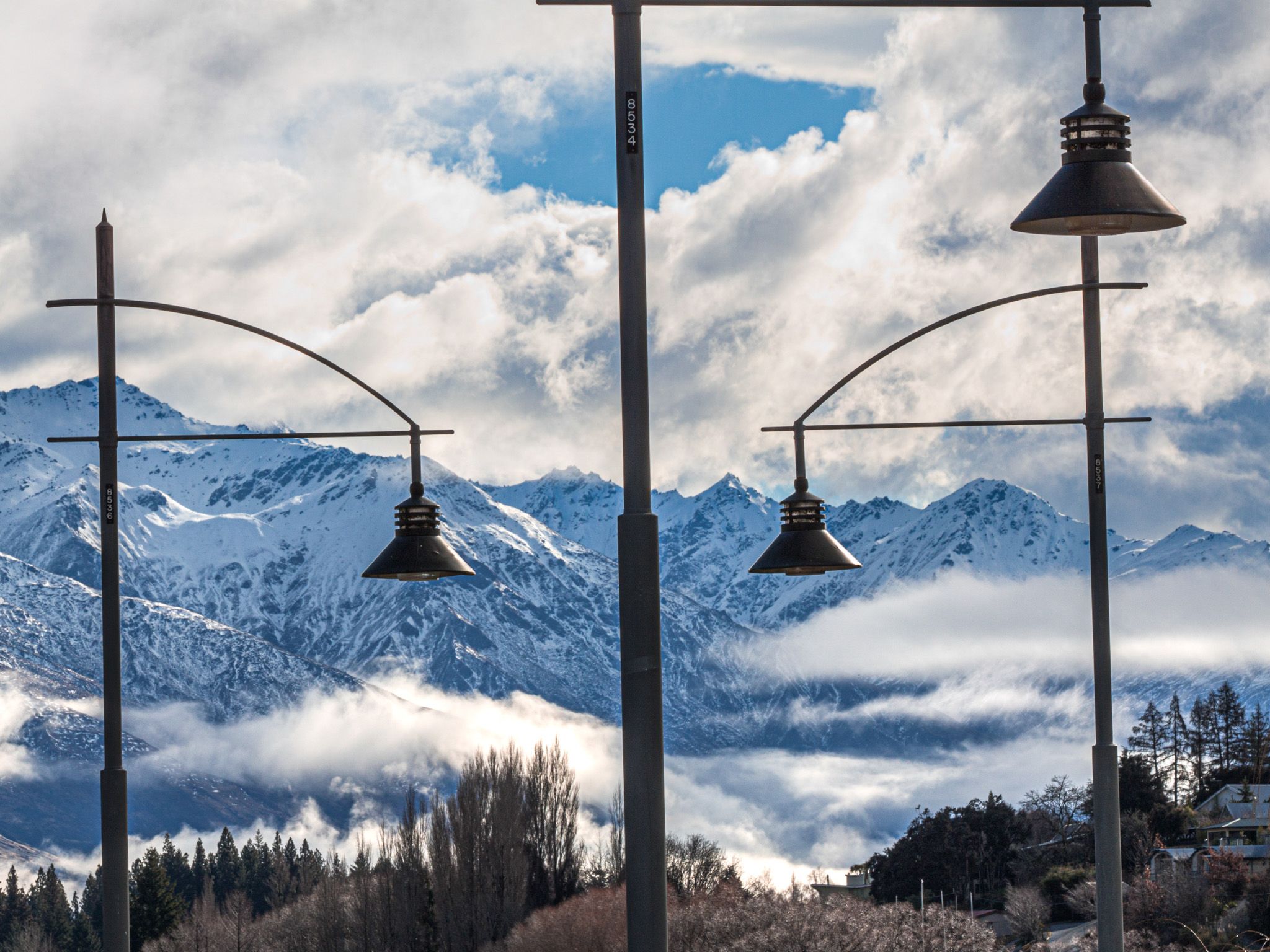
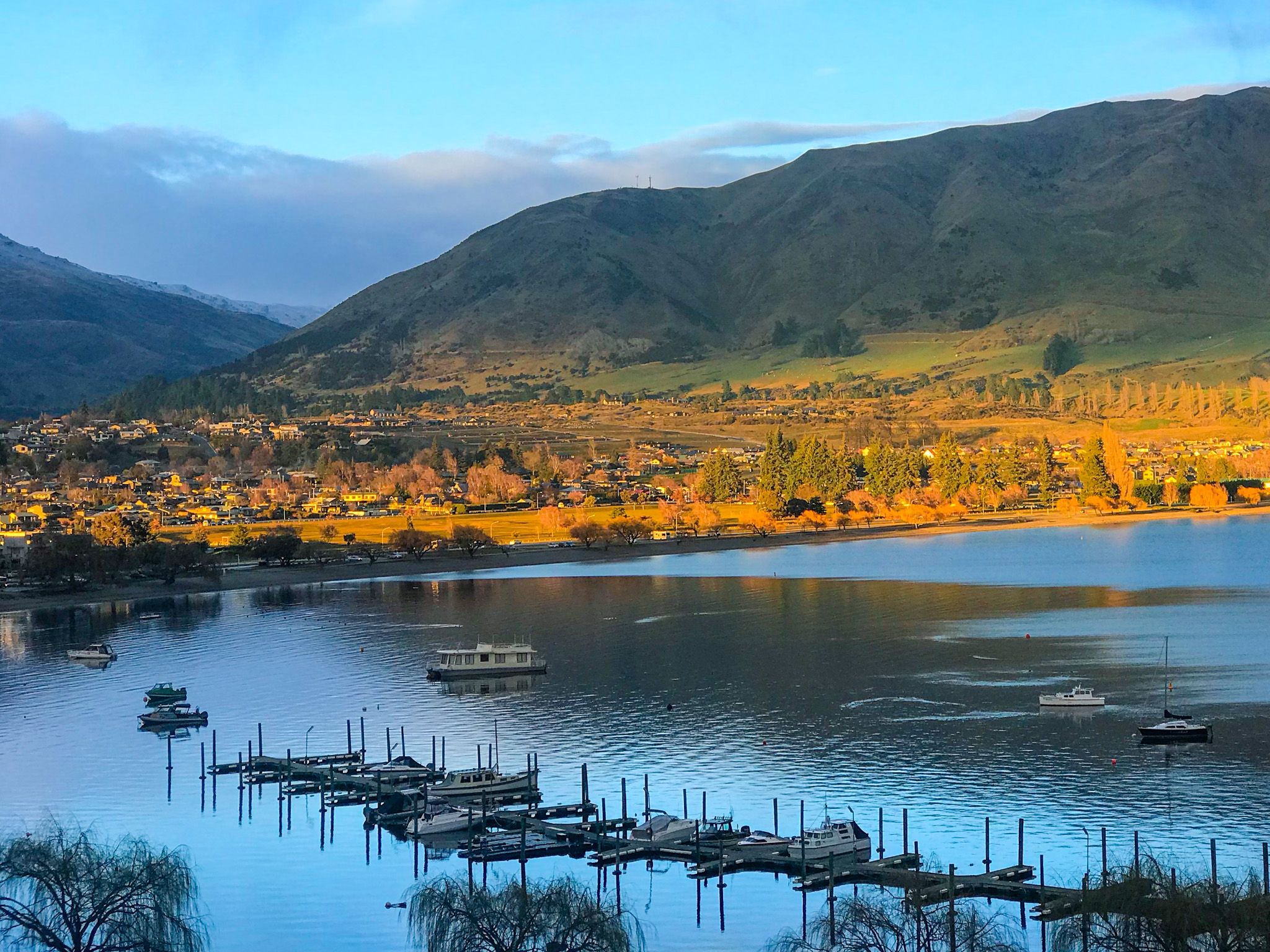
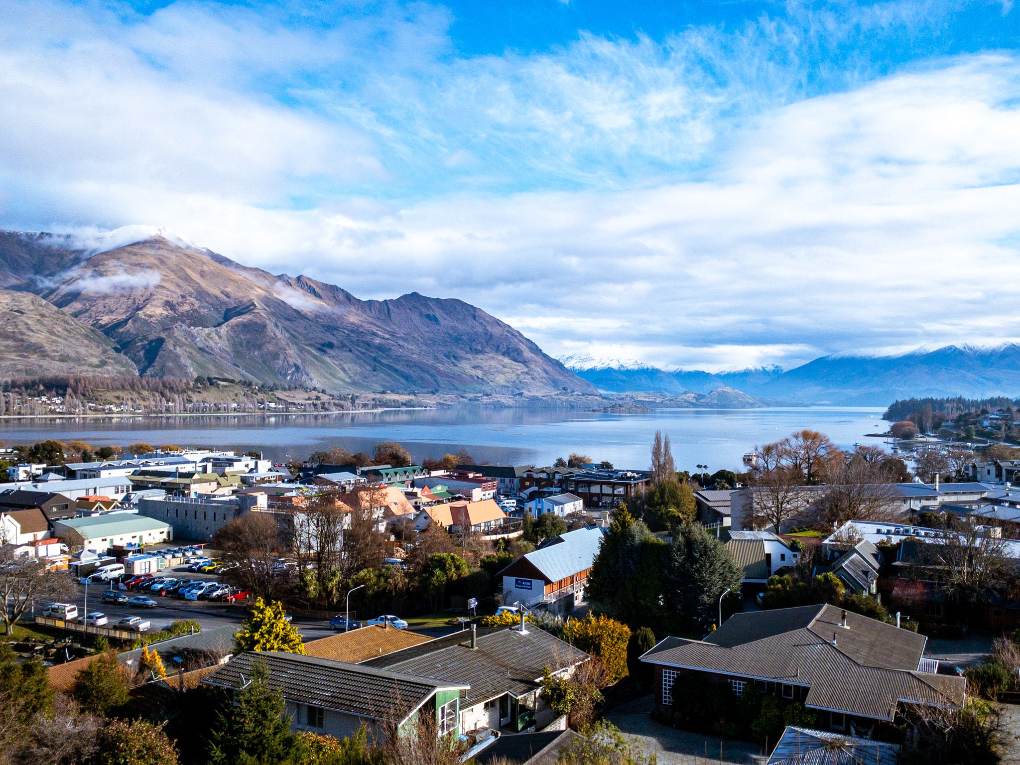
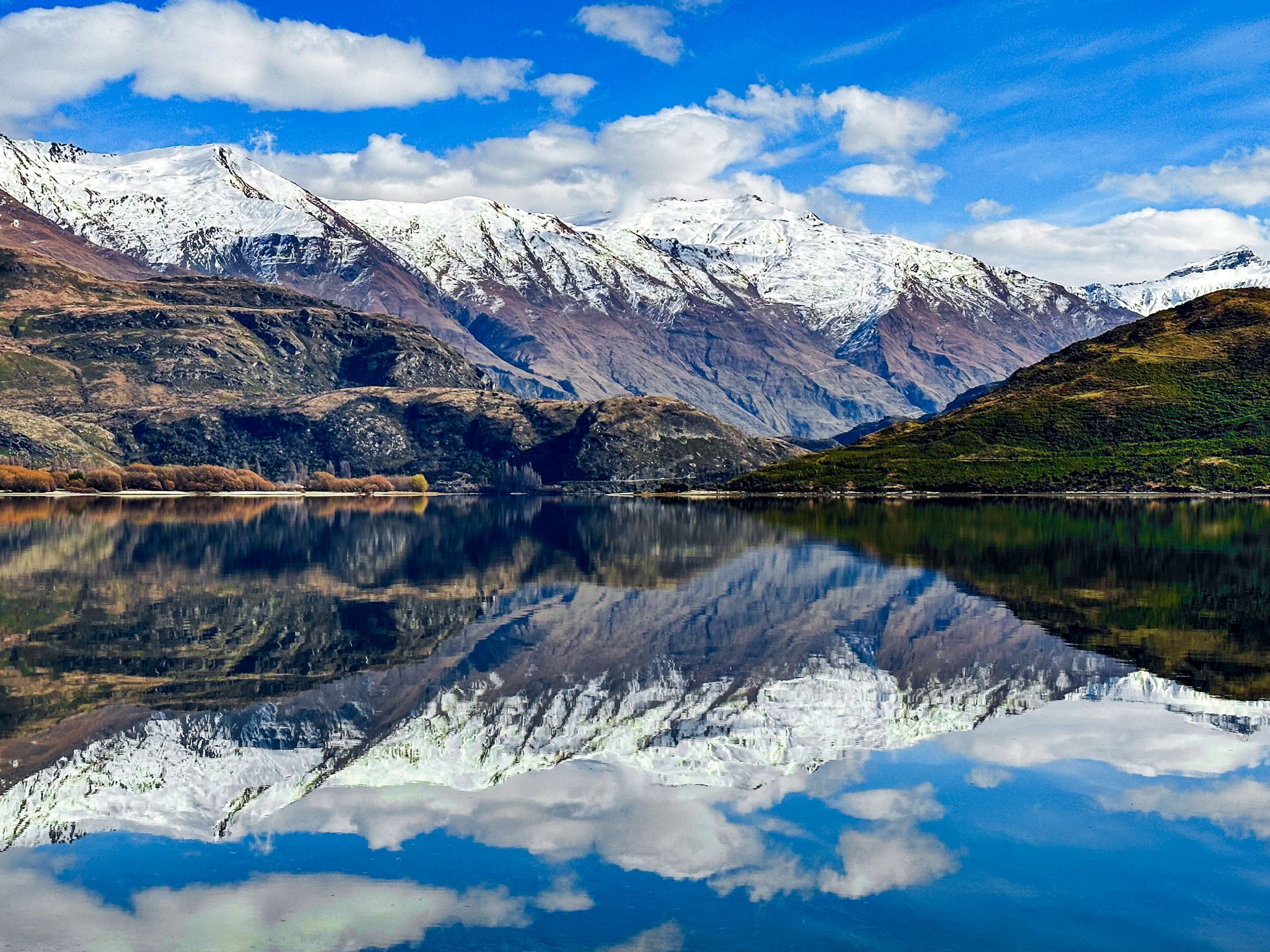
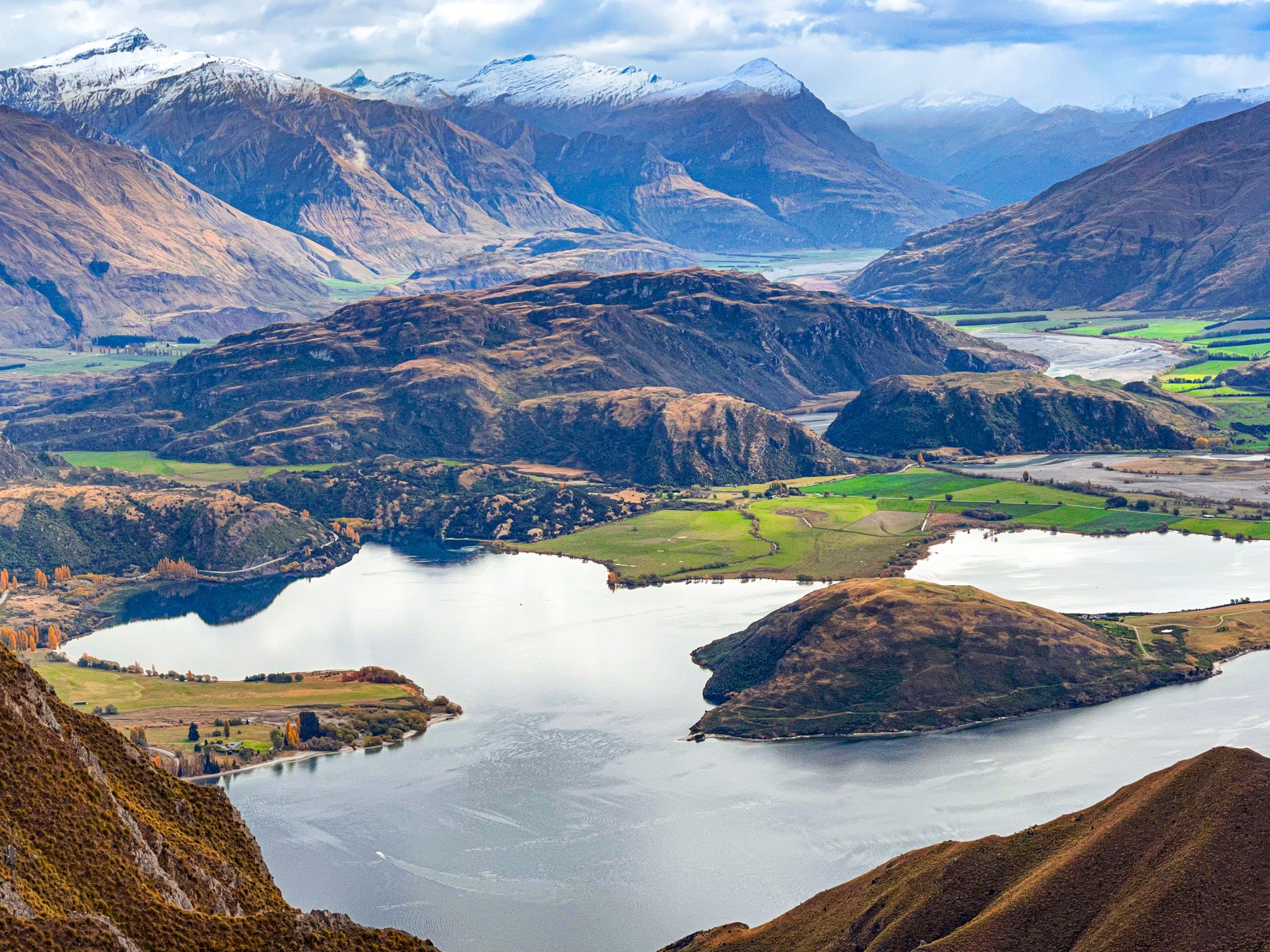
Impressive mountain ranges surround the town. To the west, you'll find peaks like Roys Peak at 1,572 metres and Mount Alpha at 1,630 metres. The Cardrona Valley lies to the southwest, nestled between Cardrona and the Pisa Range, with peaks exceeding 2,000 metres. South of Wānaka is the Criffel Range, reaching 1,300 metres.
The Clutha River / Mata-Au flows from the lake's outlet on the northwest side, running through the Clutha Valley to Lake Dunstan. Across the lake, the Buchanan Peaks rise to 2,000 metres, while the Matukituki River valley and the Harris Mountains, including Treble Cone and Black Peak at 2,289 metres, lie to the west. The snowline is around 1,000 metres, with snow covering the mountains in winter.
Outdoor Adventures Await
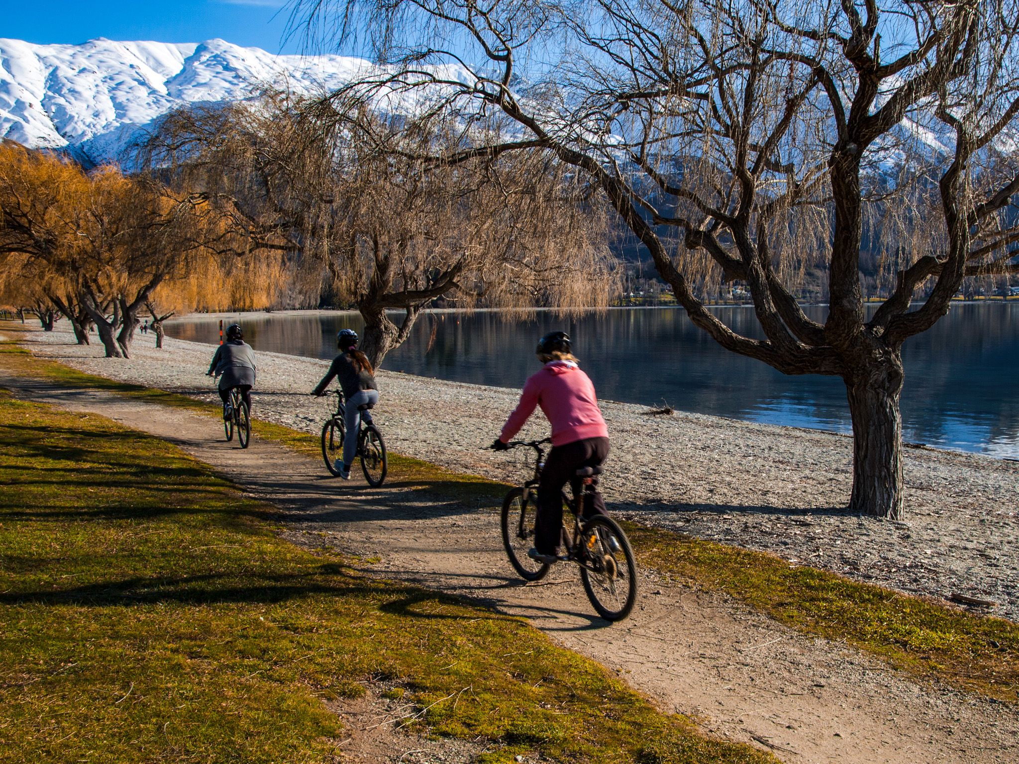
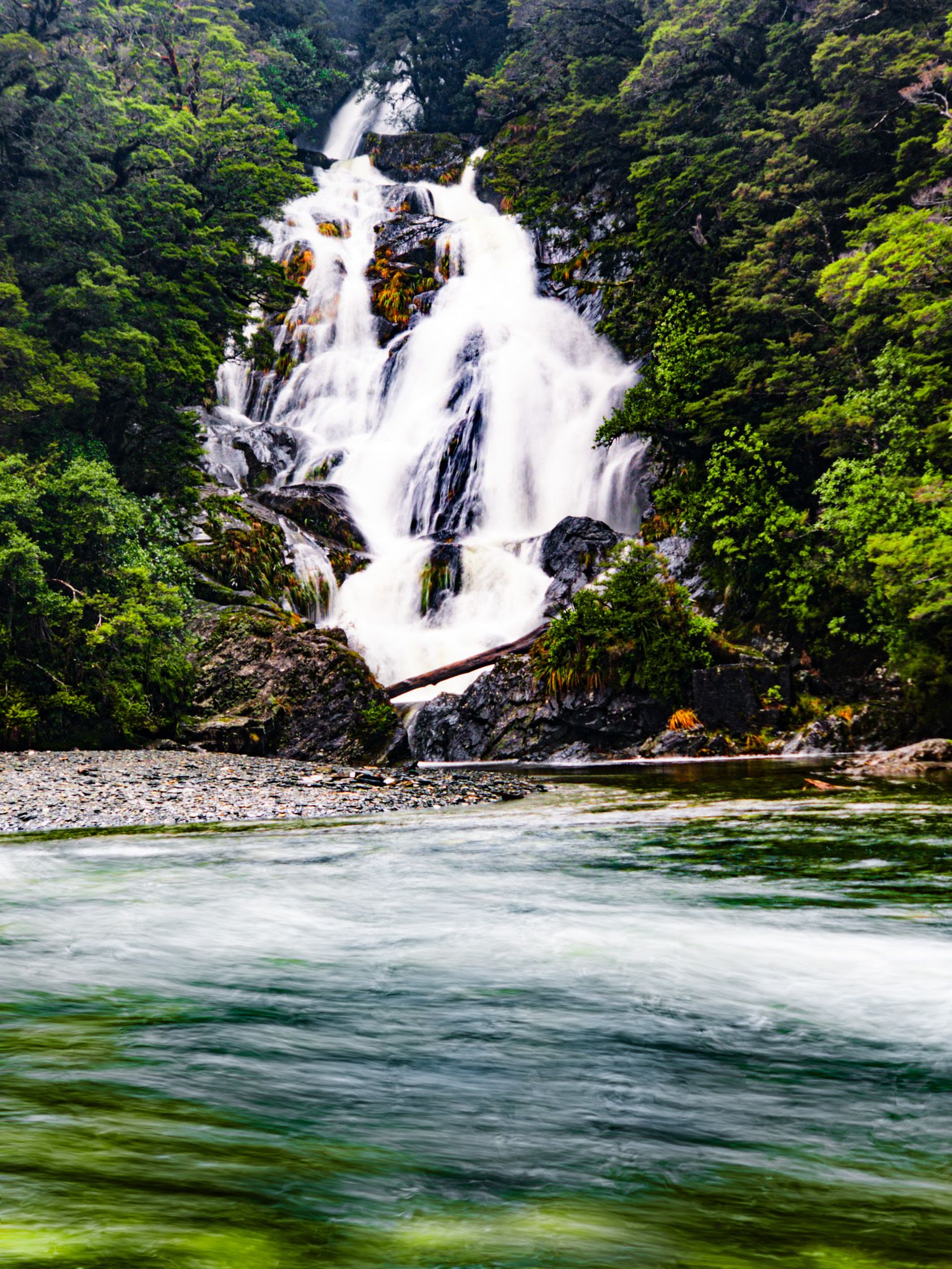
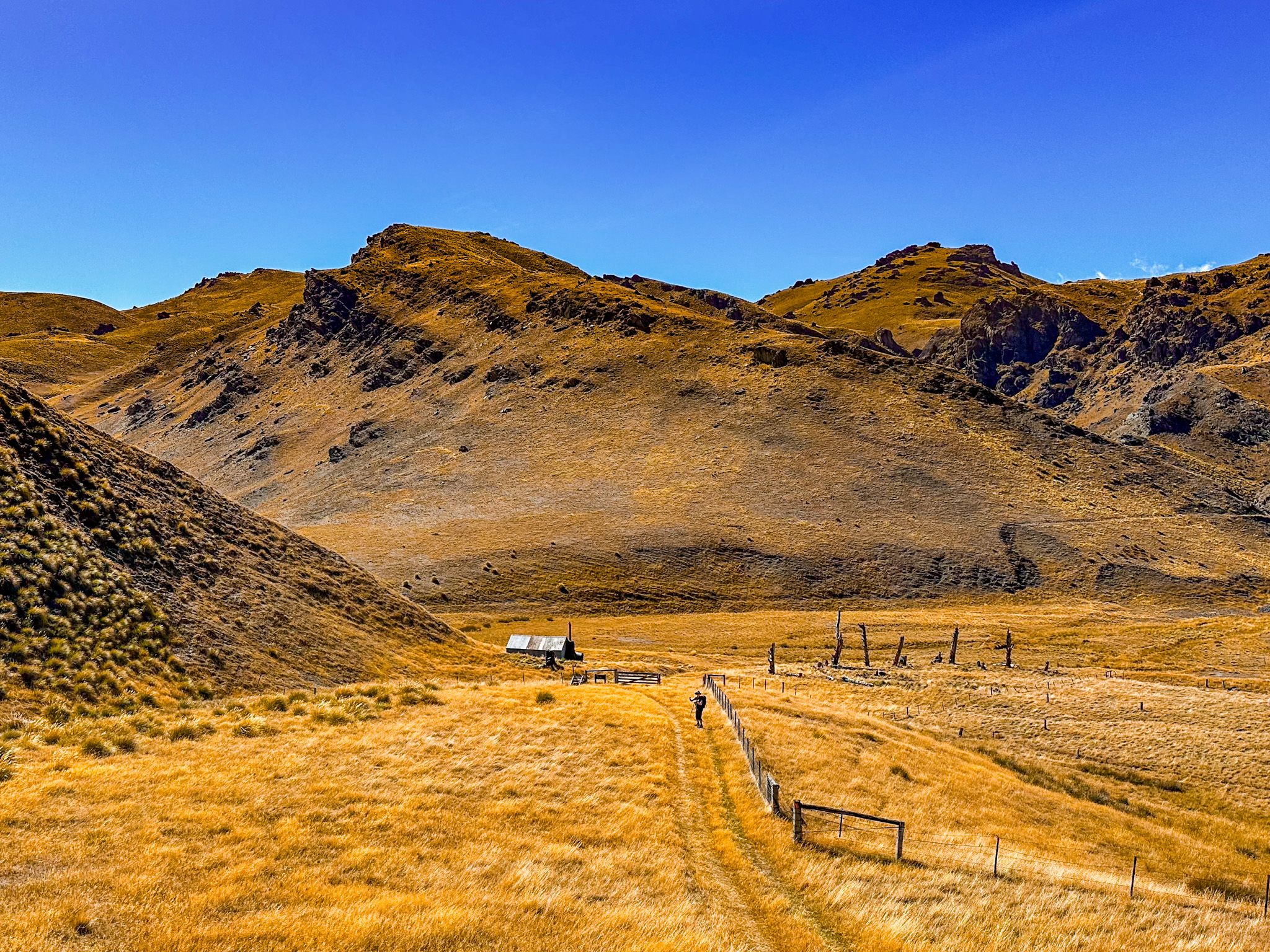
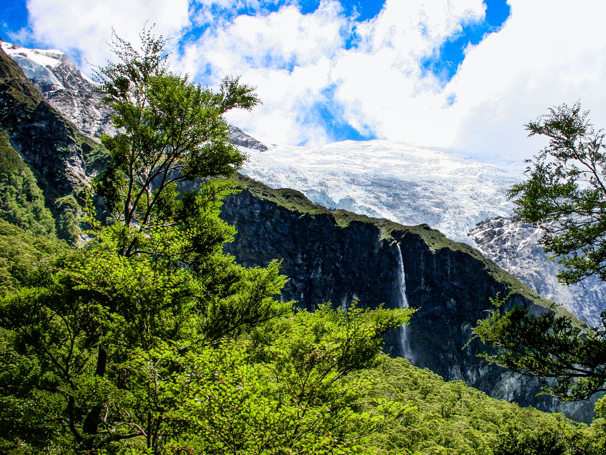
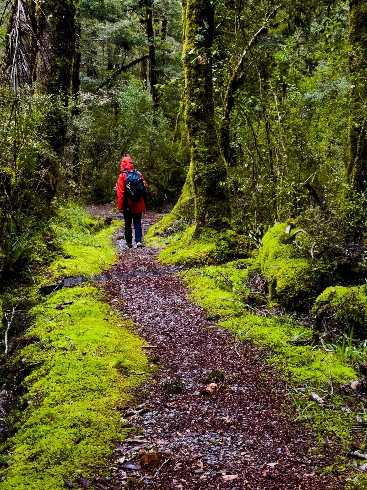
Wānaka is an outdoor enthusiast's paradise, with Mt Aspiring National Park as its crown jewel. You can access the park via the Matukituki on Mt Aspiring Road or State Highway 6 to Lake Hāwea, Makarora, and Haast Pass. The Rob Roy Glacier Track, located at the end of Mt Aspiring Road, is one of New Zealand's premier day walks.
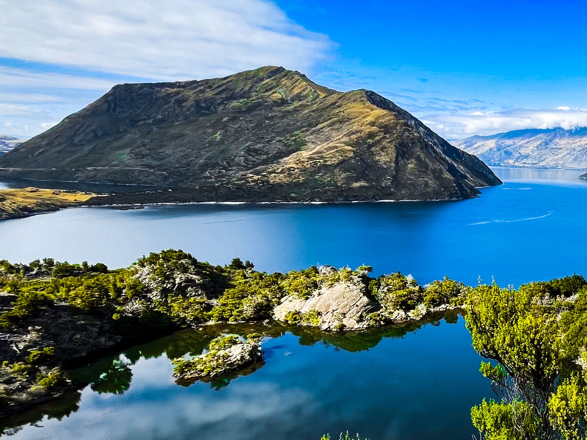
Other popular trails include the Roys Peak Track, Isthmus Peak Track, and Diamond Lake and Rocky Mountain. You can also take a boat to Mou Waho on the lake, enjoy the reflections at Glendhu Bay, or hike Mount Iron in town.
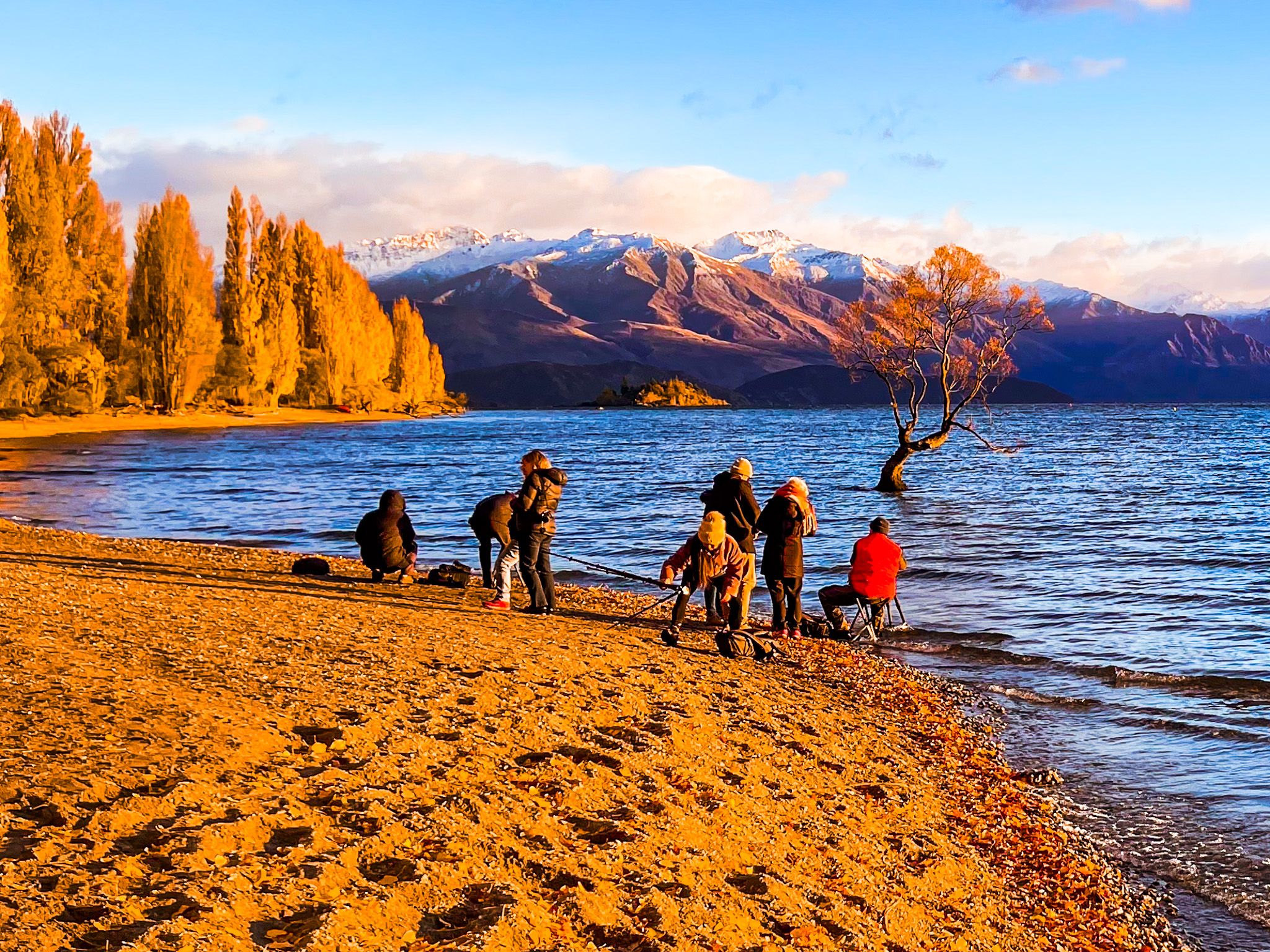
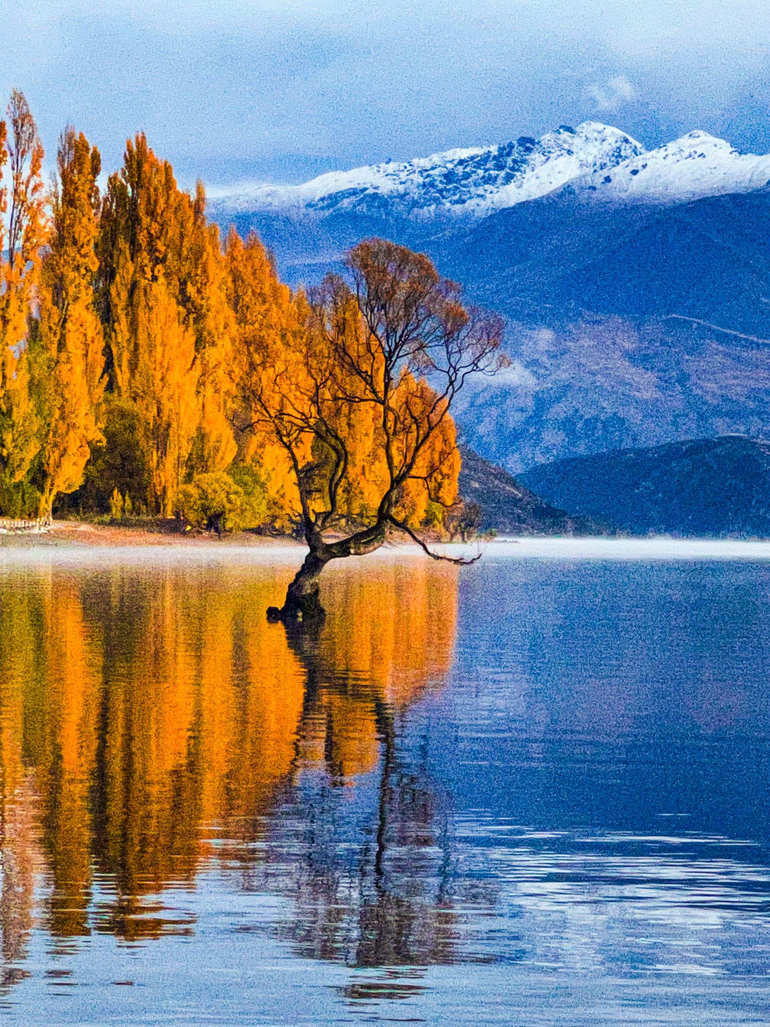
Te Araroa passes through the area, offering scenic routes of Lake Hāwea, then follows the Hāwea River Track, the edge of Lake Wānaka past the iconic Wānaka Tree, and onto the Glendhu Bay Track before connecting to the Motutapu Track to Arrowtown. Boating, skiing, fishing, and hunting are also available.
Rich Māori and European History
Wānaka's history is rich with Māori heritage. The name Wānaka is derived from wānanga, meaning “sacred knowledge” or “a place of learning”. From the 1400s, a Kāti Māmoe settlement existed at the lake's southern end, later absorbed by Ngāi Tahu. The area was a seasonal settlement and a waypoint on the pounamu route linking Otago to the West Coast via Haast Pass. Māori often travelled along the Clutha River in mōkihi, or reed boats.
During the Musket Wars, Ngāi Tahu's presence in Wānaka ended. In 1836, Ngāti Tama chief Te Pūoho led an attack on Ngāi Tahu near Wānaka, capturing ten people and cannibalising two children. This conflict ended in 1837 when southern Ngāi Tahu leader Tūhawaiki defeated Te Pūoho's forces in Southland, marking one of the last significant battles of the Musket Wars.
European exploration began with Nathanael Chalmers in 1853, followed by the establishment of a sheep station in Albert Town and the discovery of gold in the Cardrona Valley in 1862. Wānaka, initially named Pembroke, was surveyed in 1863, and the first hotel opened in 1867, attracting tourists and hosting the world's first sheepdog trials.
Modern Attractions and Events
Wānaka gained wider recognition in the 1980s, with skiing becoming a popular winter activity thanks to the development of Treble Cone in 1968 and Cardrona in 1980. Year-round attractions like Puzzling World and the Transport and Toy Museum add to the area's appeal. Major events include Rhythm and Vines, the A&P Show, and the biennial Warbirds over Wanaka.
Getting to Wānaka
To reach Wānaka, you can drive from Queenstown, which is approximately an hour and a half away via State Highway 6 via the Kawarau Gorge (111 km) or 70 minutes by crossing the Crown Range on the Crown Range Road (68 km). Both drives provide breathtaking views along the way. You can fly into Queenstown Airport and rent a car for the drive. From Christchurch, the drive is 5.5 hours and 425 km, via Geraldine and the Mackenzie Country, and from Dunedin, it is 3.5 hours (280 km).