Exploring Whatamango Bay
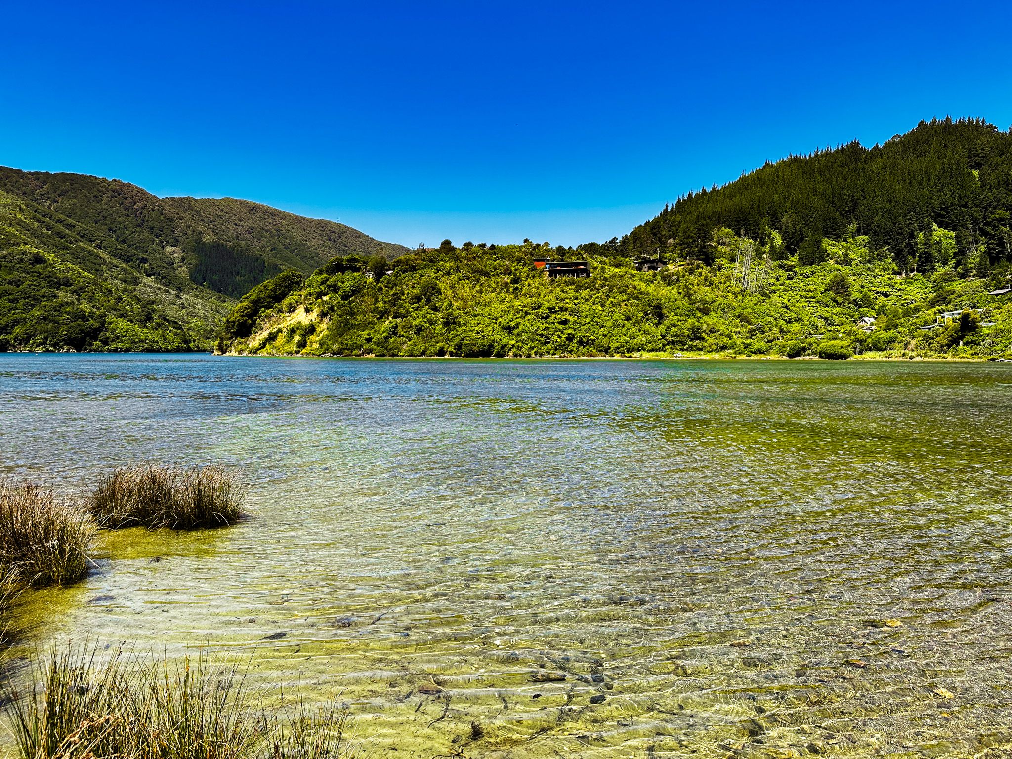
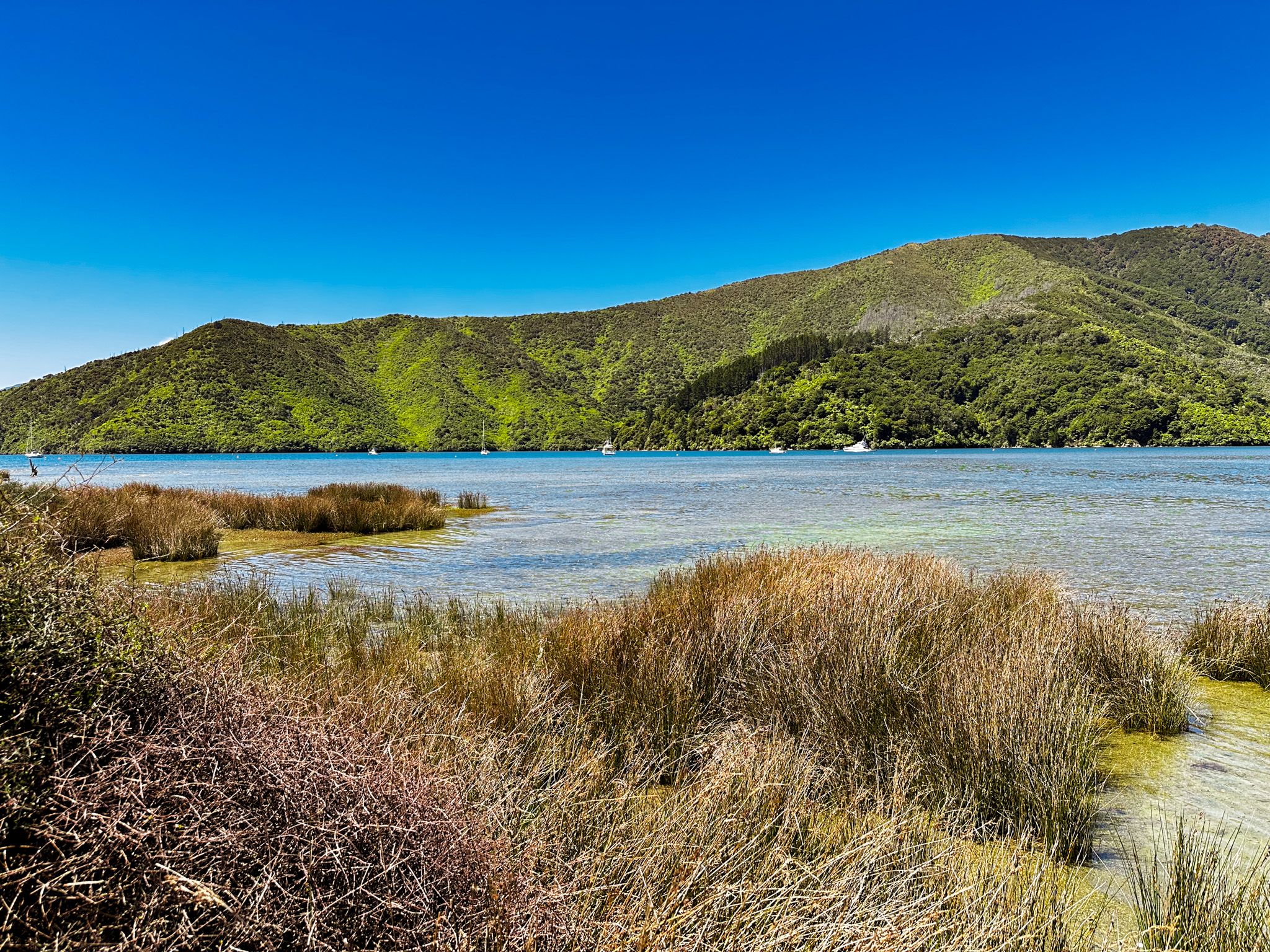
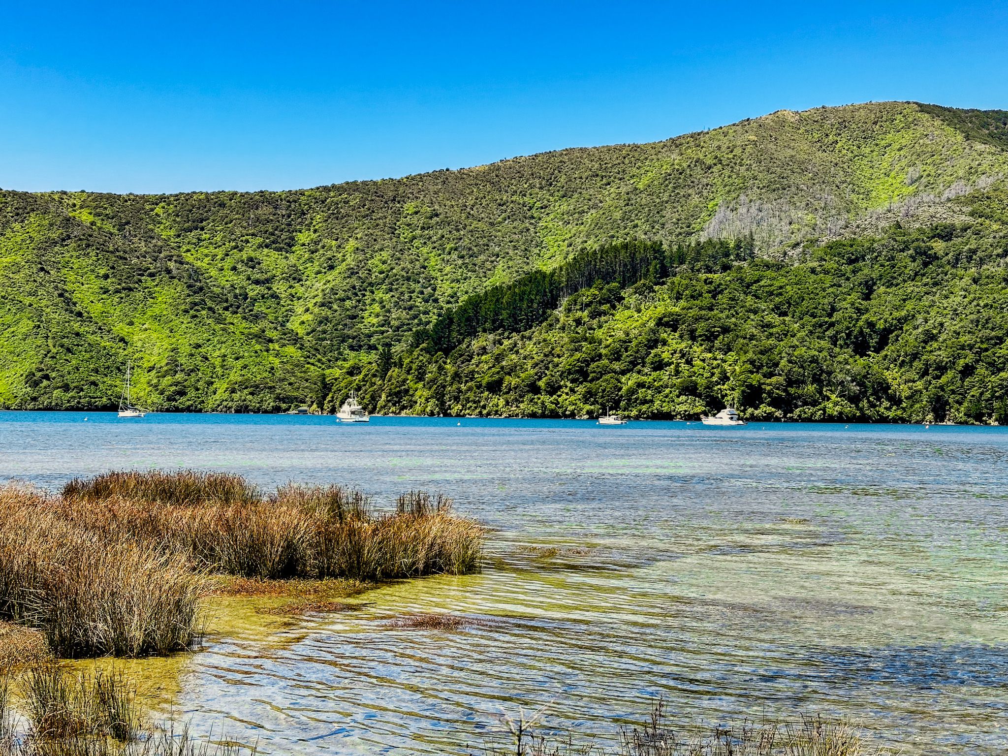
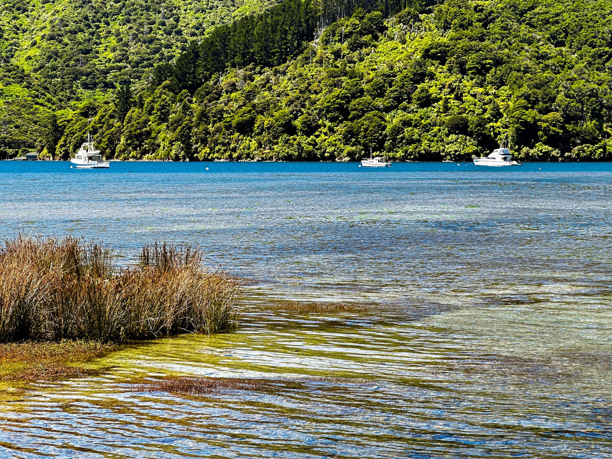
Whatamango Bay is located just 11 km from Picton, along a sealed section of Port Underwood Road. Nestled within Queen Charlotte Sound, this bay is encircled by towering hills adorned with a blend of native forest and exotic pines.
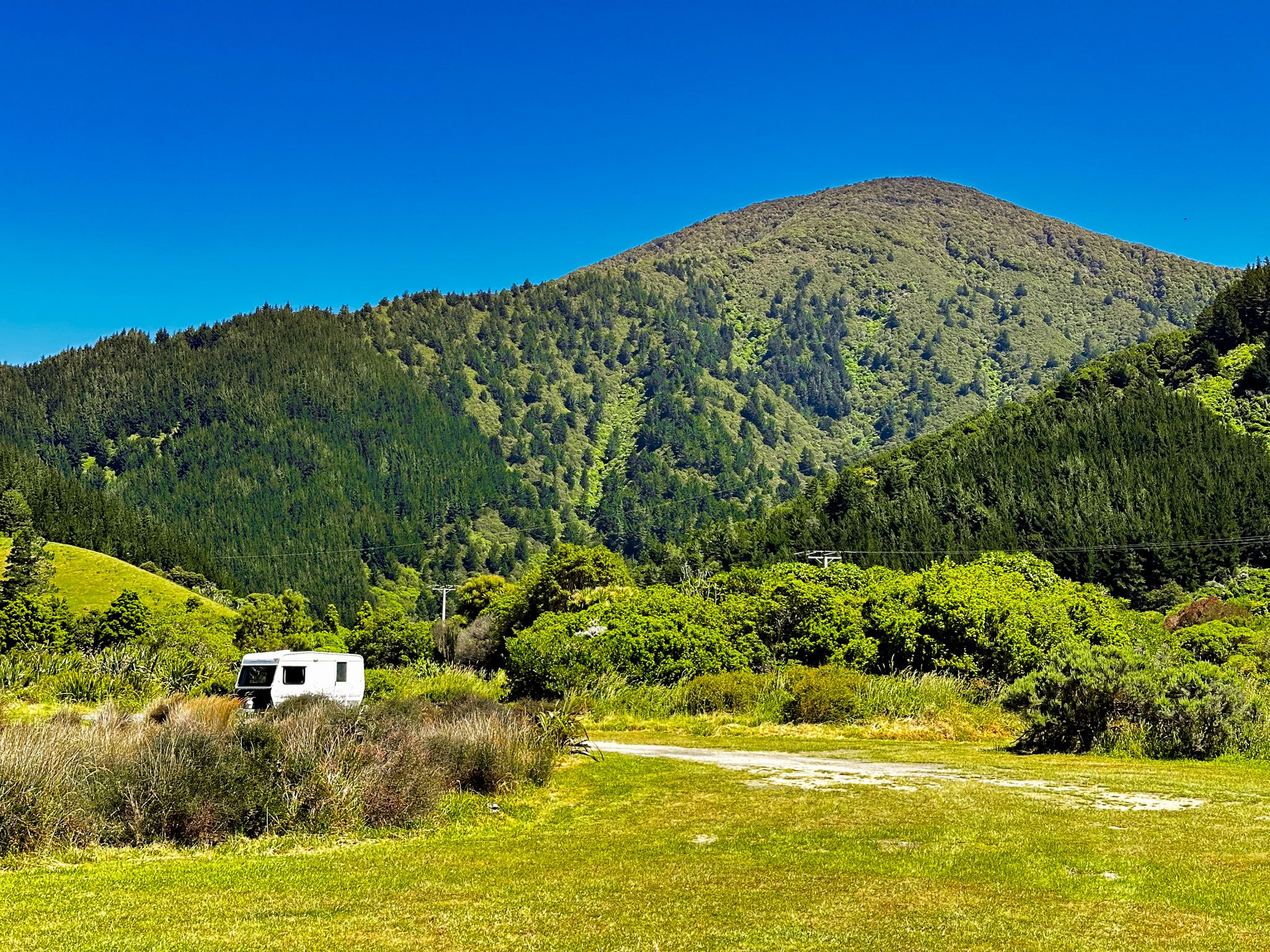
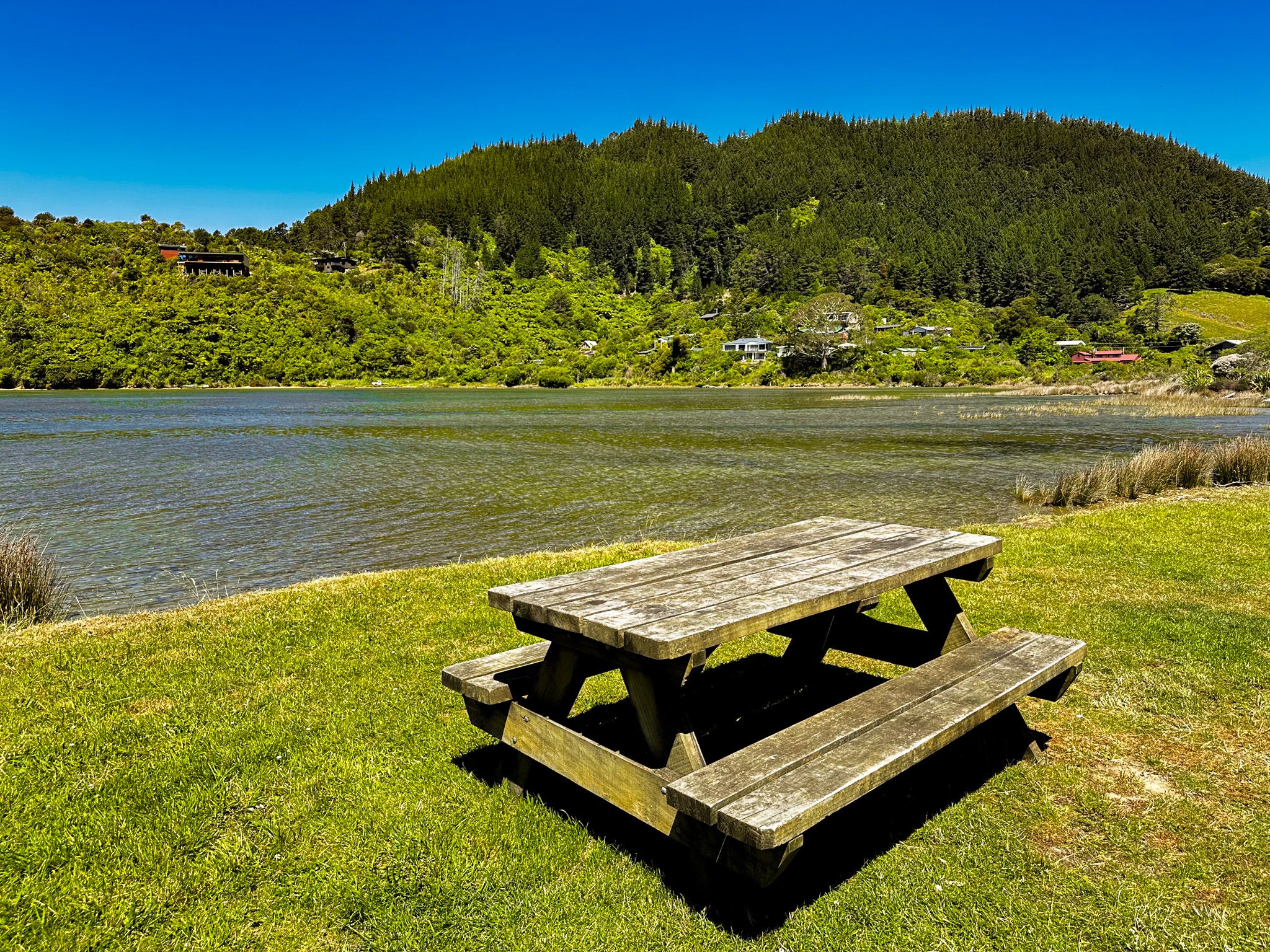
A notable feature of Whatamango Bay is its large DOC campsite, which offers a unique camping experience right by the water's edge. Although the beach area is limited, with the tide reaching up to the grassed reserve, the bay's natural beauty and tranquillity make it a worthwhile visit.
Historical and Cultural Significance
Before European settlement, Whatamango Bay was abundant in kaimoana, or seafood. The bay's name reflects its historical use as a site for a raised storehouse where shark meat was dried. Māori also harvested shark oil here, which was used to preserve wood carvings.
The bay served as a waypoint on a Māori track that connected Queen Charlotte Sound to Port Underwood. This track, which ascends to 400 metres, was historically significant for waka portage and later became the route for Port Underwood Road when it was extended to Oyster Bay.
Natural Features and Surroundings
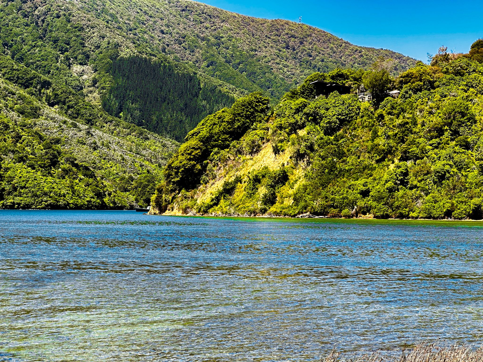
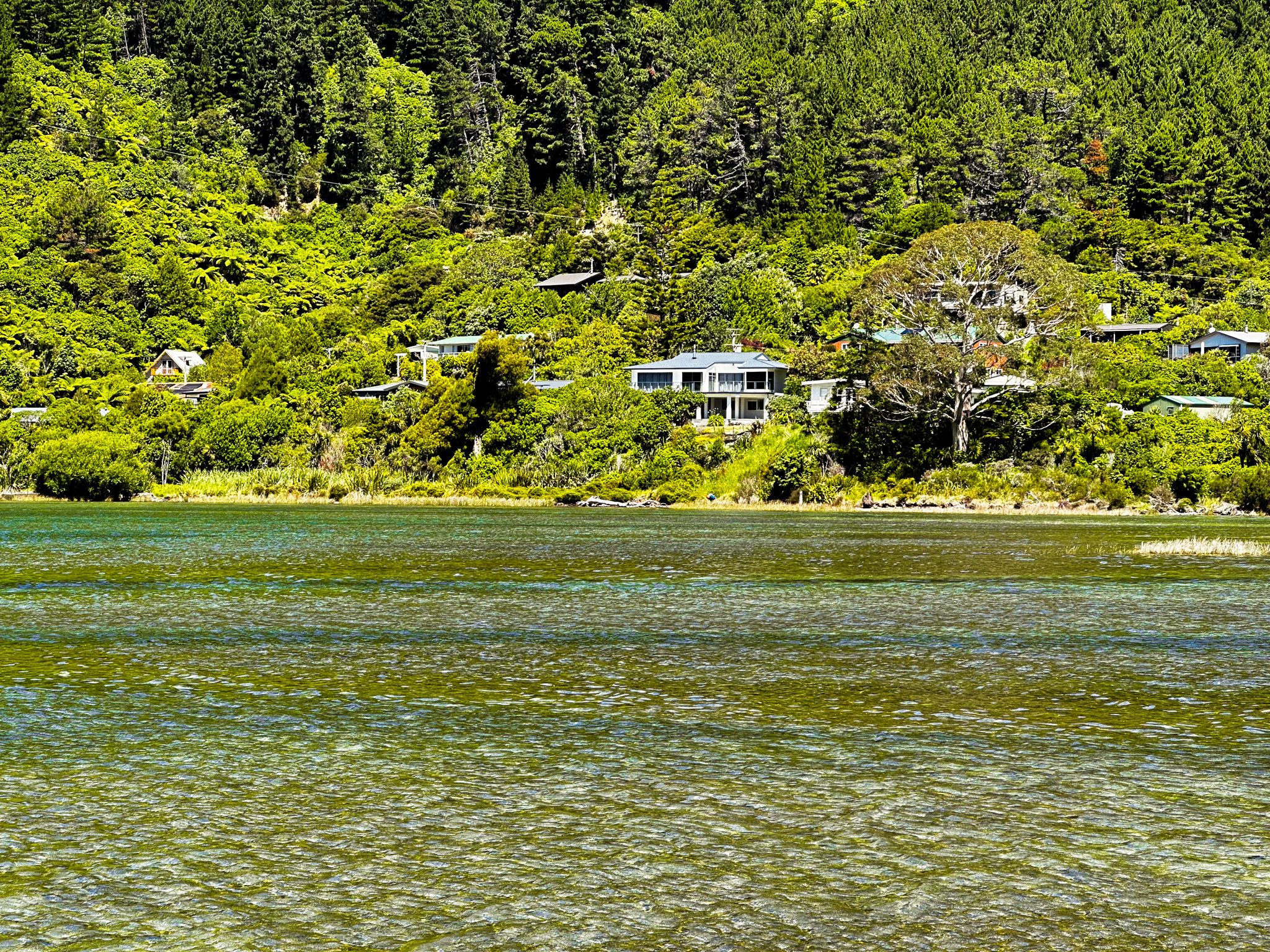
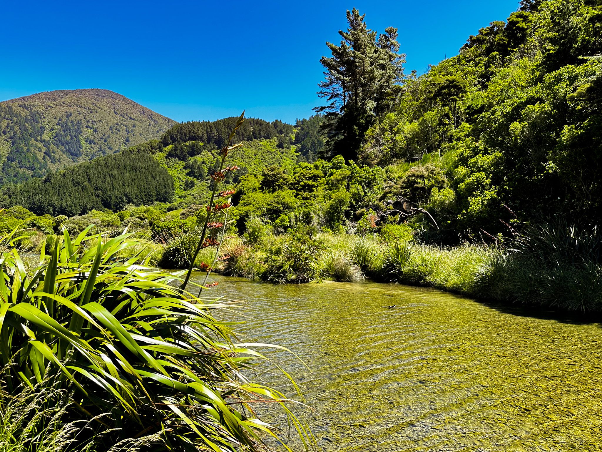
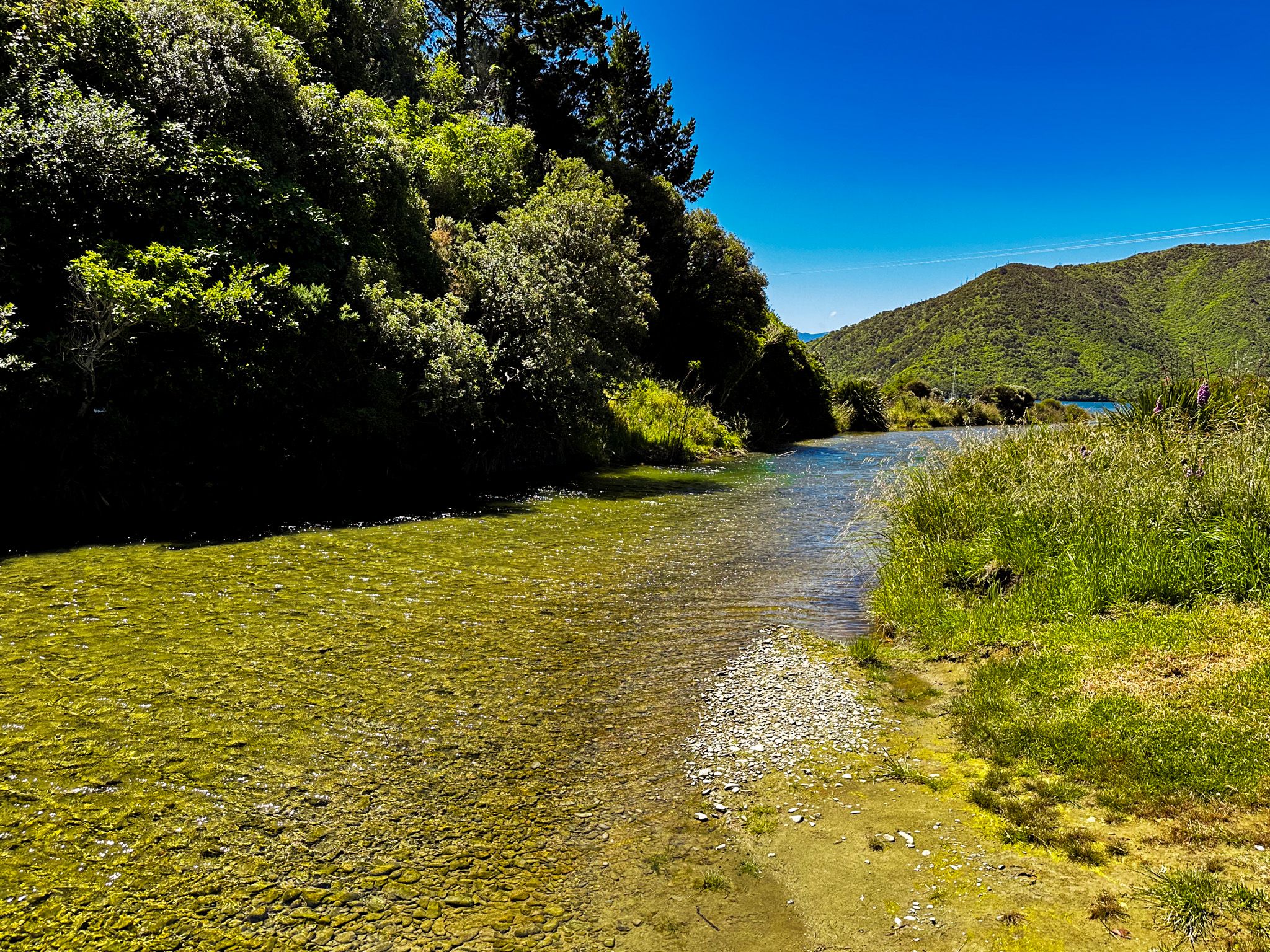
The bay is flanked by several notable geographical features. To the south lies Mount McCormick, which stands at 965 metres and is named after an early European settler from the mid-1800s. The Graham River flows through the west end of the bay, adding to the area's natural charm. The eastern end of the bay is dotted with houses and baches, providing a glimpse into the local lifestyle.
How to Get There
To reach Whatamango Bay from Picton, travel 11 km along the sealed section of Port Underwood Road. The journey offers scenic views and leads directly to the bay, where you can explore its natural and historical offerings.
Along the way, you can also visit the historic pā site at Karaka Point.