Exploring Oyster Bay
Oyster Bay, also known as Port Underwood, is situated at the northernmost tip of Port Underwood Road, within the inlet of Port Underwood. This picturesque area can be reached from Rārangi in Te Koko o Kupe / Cloudy Bay via a mostly narrow, unsealed road, or from Picton on a sealed road. It is an intriguing destination for those interested in marine activities and the rich history of the Marlborough Sounds.
Features of the Bay
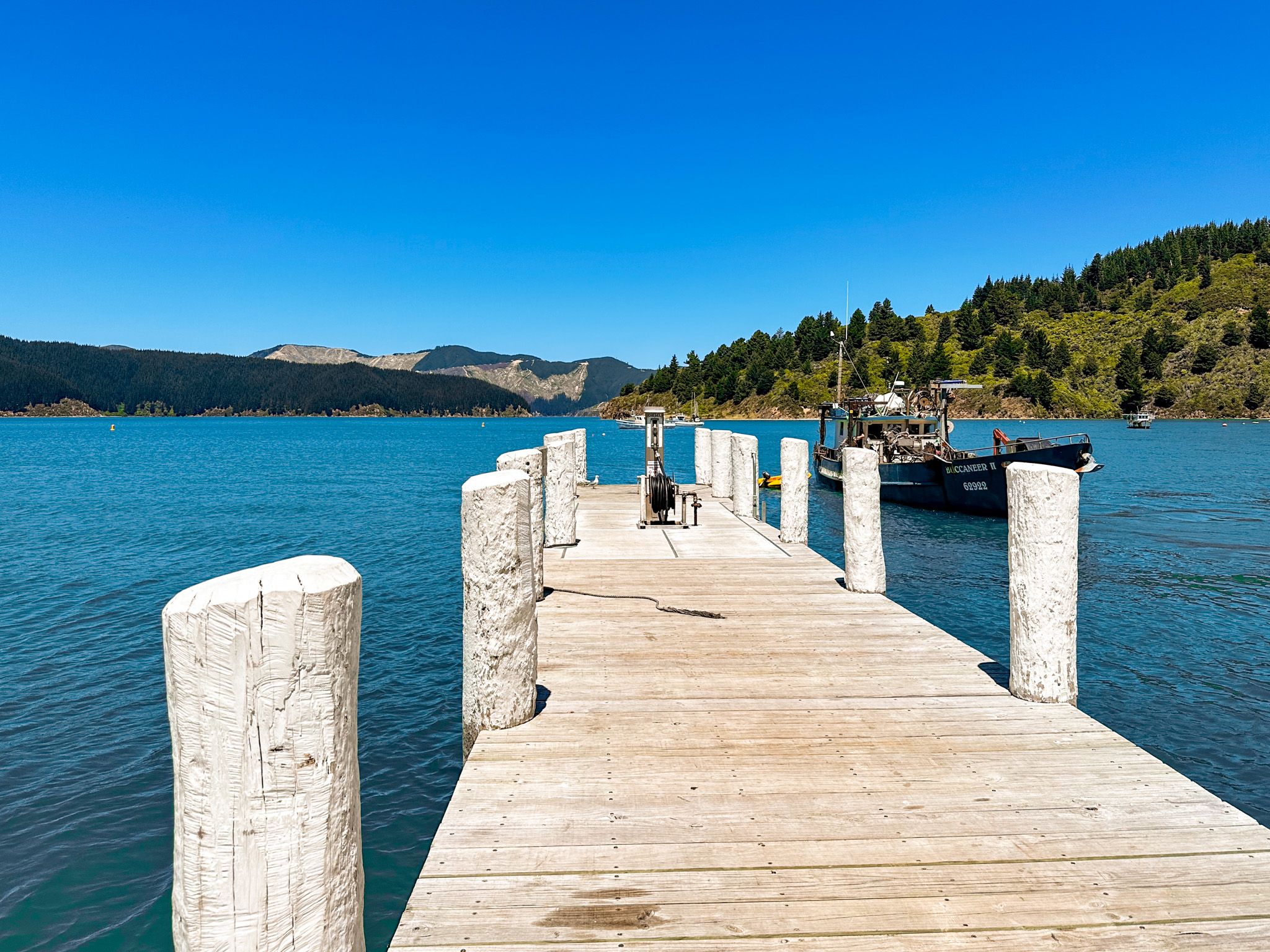
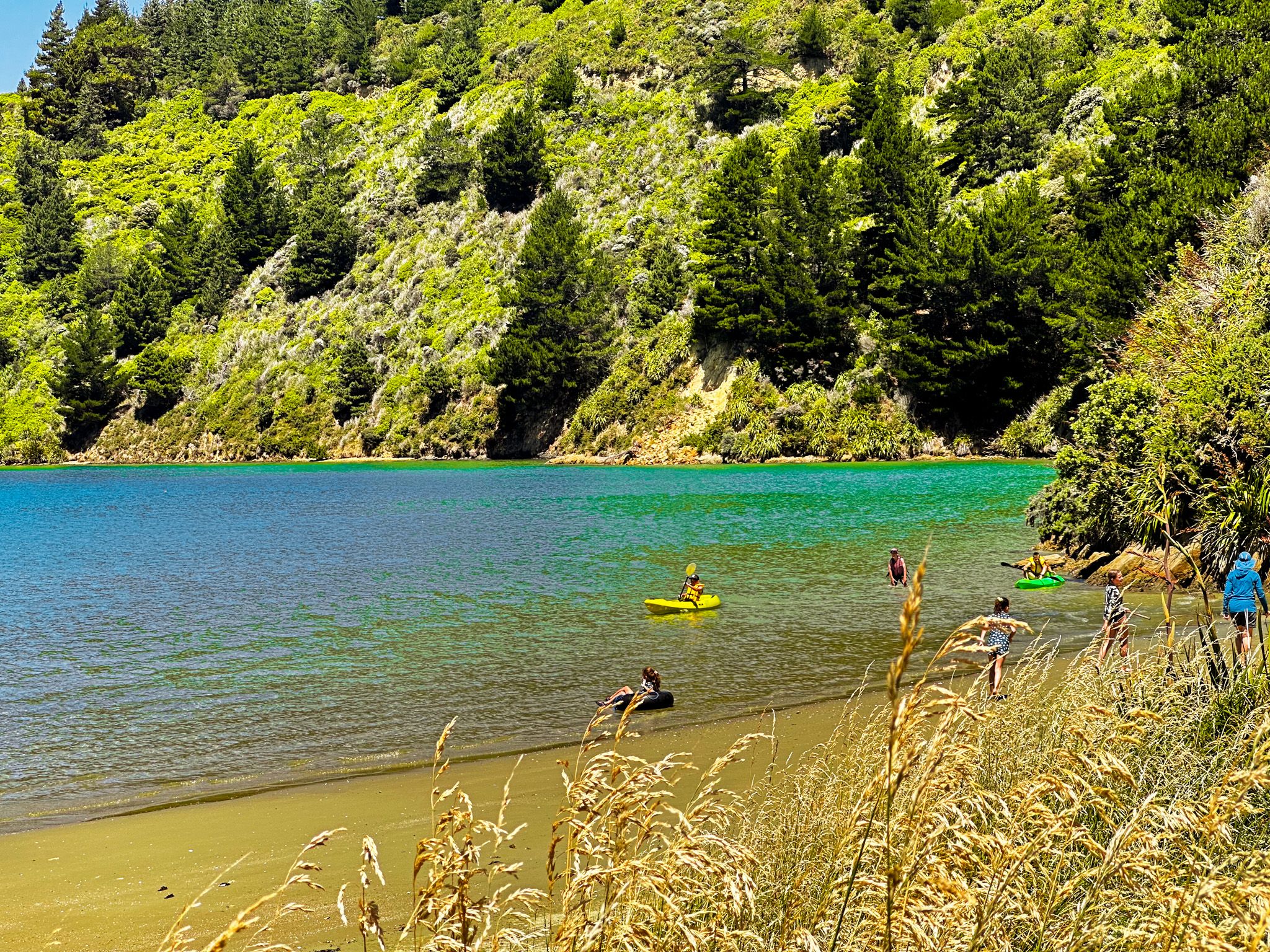
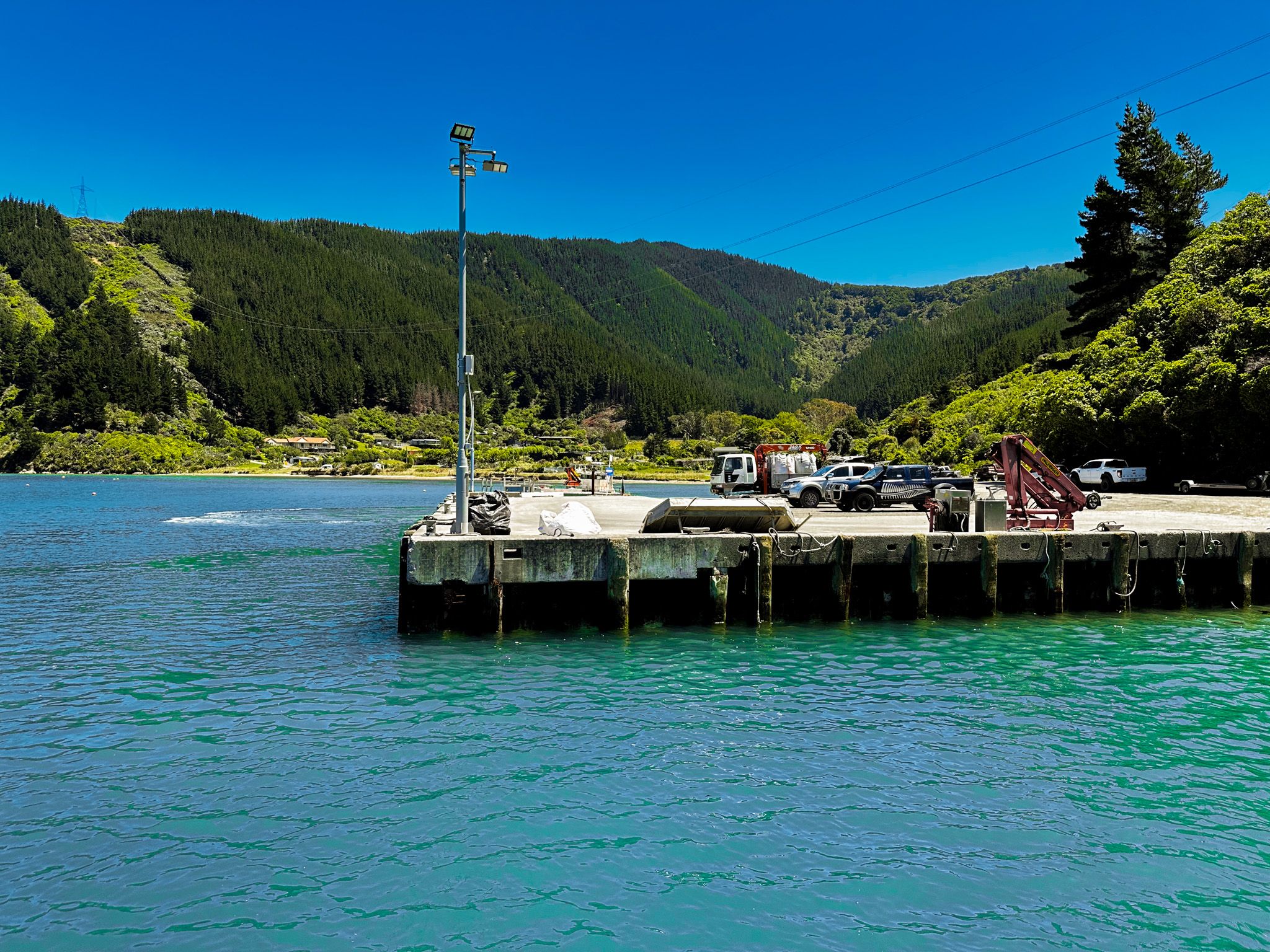
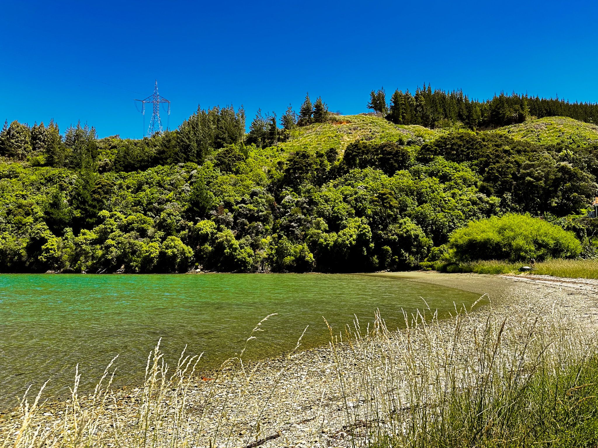
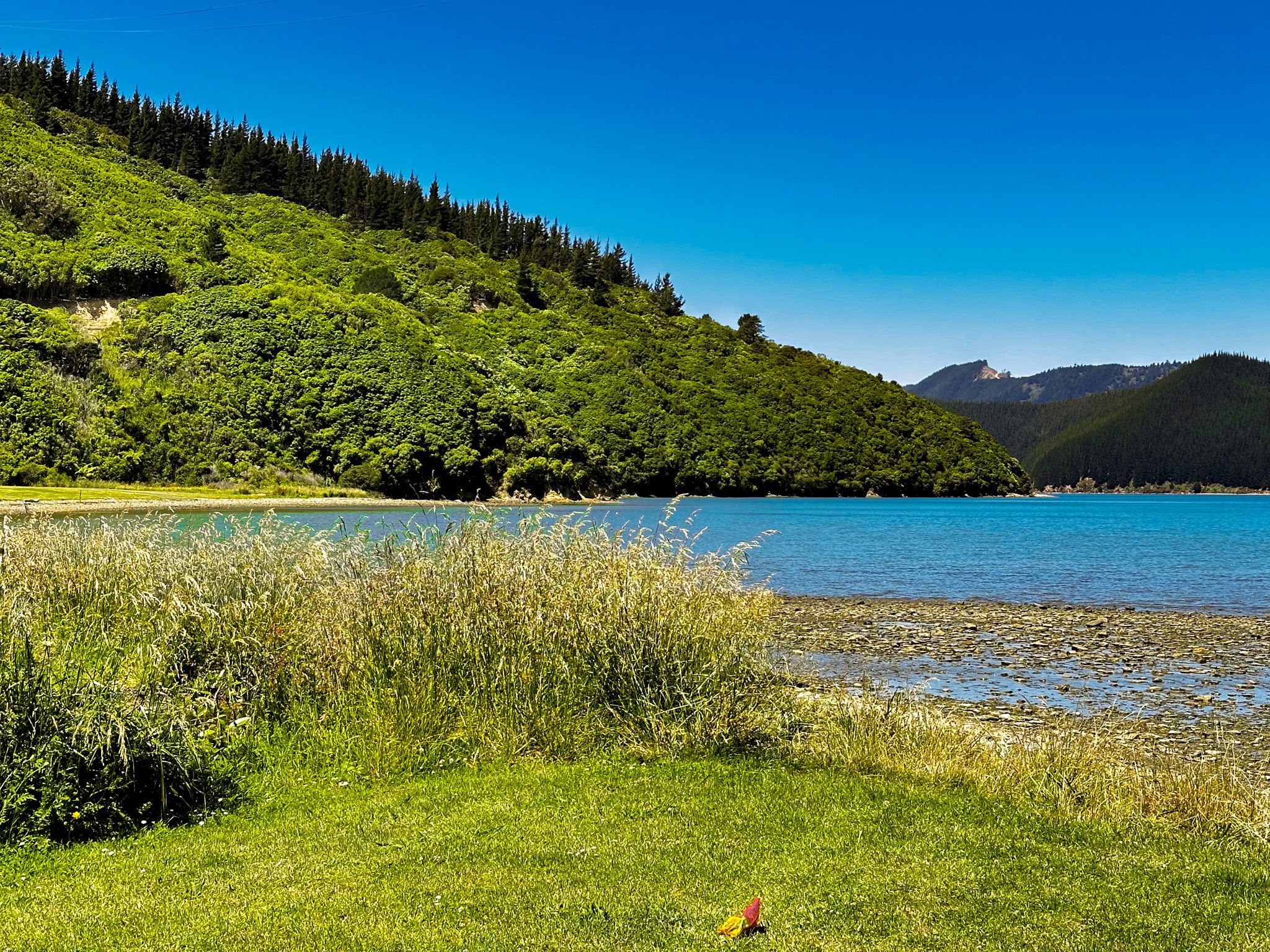
At the southern end of Oyster Bay, you'll find a sandy beach ideal for recreational activities. The northern end is home to a commercial wharf that supports marine farms and other commercial enterprises in the inlet. Next to the wharf lies Hakahaka Bay, a smaller bay with several houses. These two bays form the closest resemblance to a hamlet in the Port Underwood area.
Historical Background and Name Origins
The area was historically known to Māori as Te Toi. The European name, Oyster Bay, is a direct translation, inspired by the once-abundant oyster supply, which has now significantly decreased. The name Hakahaka Bay is believed to be named after a local chief, although it also means "flat" in Māori, accurately describing the bay's geography.
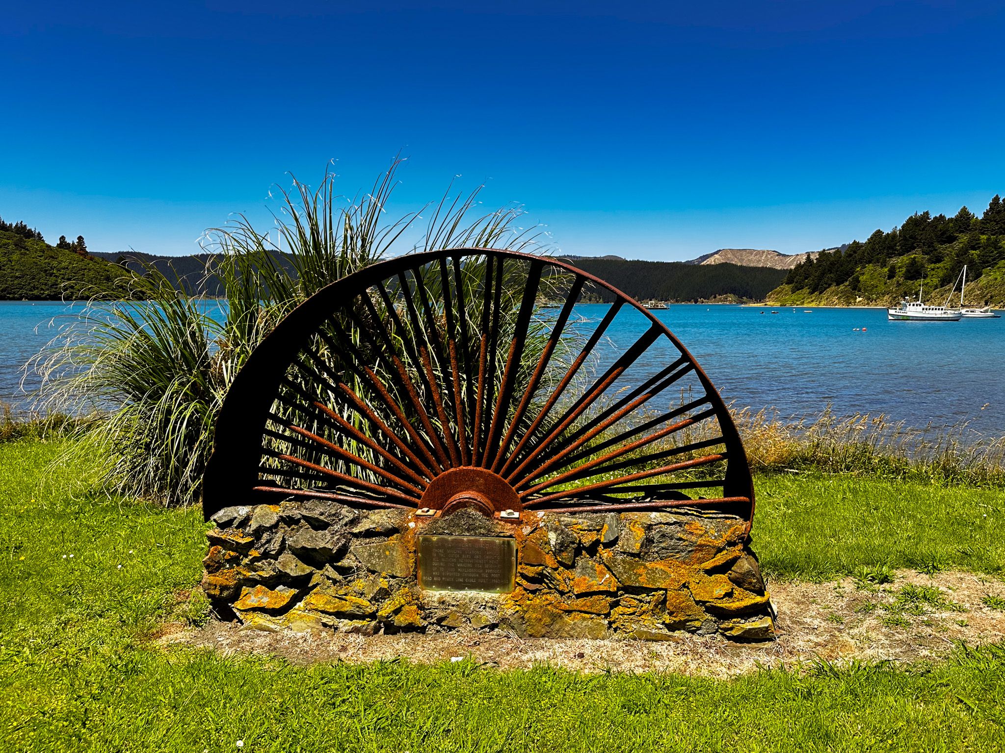
In the 1820s, Te Rauparaha conquered the area, leading to an influx of European sealers and whalers. These remote bays became vital provisioning sites for whalers. After whaling ended, the bays remained isolated until the 1960s, when Port Underwood Road was constructed, connecting them to Picton via Whatamango Bay. This development, along with the introduction of electricity, spurred commercial activities such as forestry and marine farming.
How to Get There
To visit Oyster Bay, you can travel from Rārangi, embarking on a 30 km journey along Port Underwood Road. The road is sealed up to Pukatea / Whites Bay, then becomes unsealed, narrow, and winding, so exercise caution. Alternatively, you can drive from Picton, covering 22 km on a sealed road. The route from Picton is more straightforward, while still offering a scenic drive through the region.
Along the way, there are several beautiful coastal spots to explore, including Waikutakuta / Robin Hood Bay, Ocean Bay, Tom Canes Bay, and Karaka Point.
