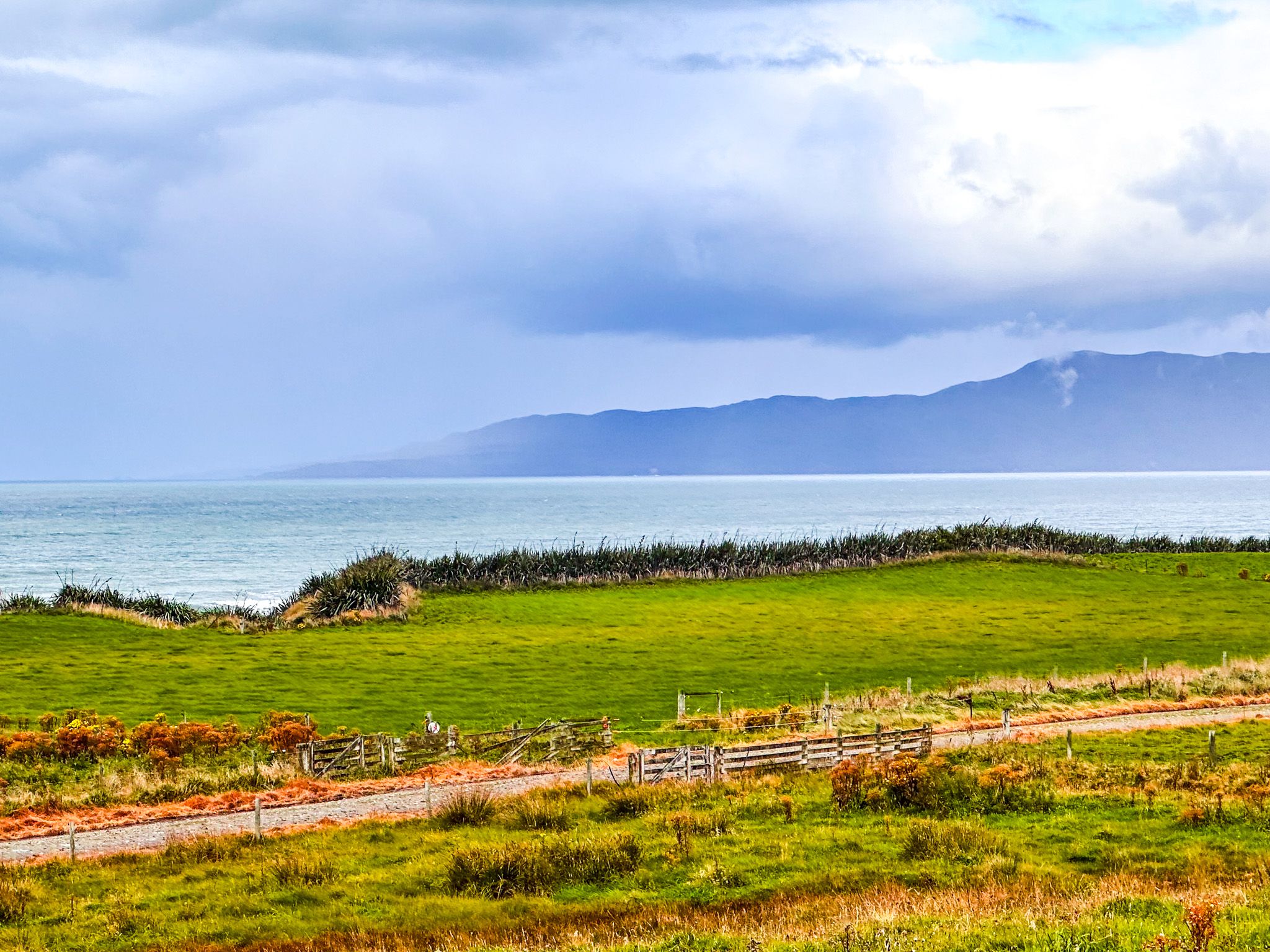
The Southern Scenic Route from Tuātapere to Riverton / Aparima is a fabulous drive, with easy access to Te Waewae Bay on the southern coast of Southland, walks in Longwood Forest and access to the multi-day Hump Ridge Track (a Great Walk) and South Coast Track in Fiordland.
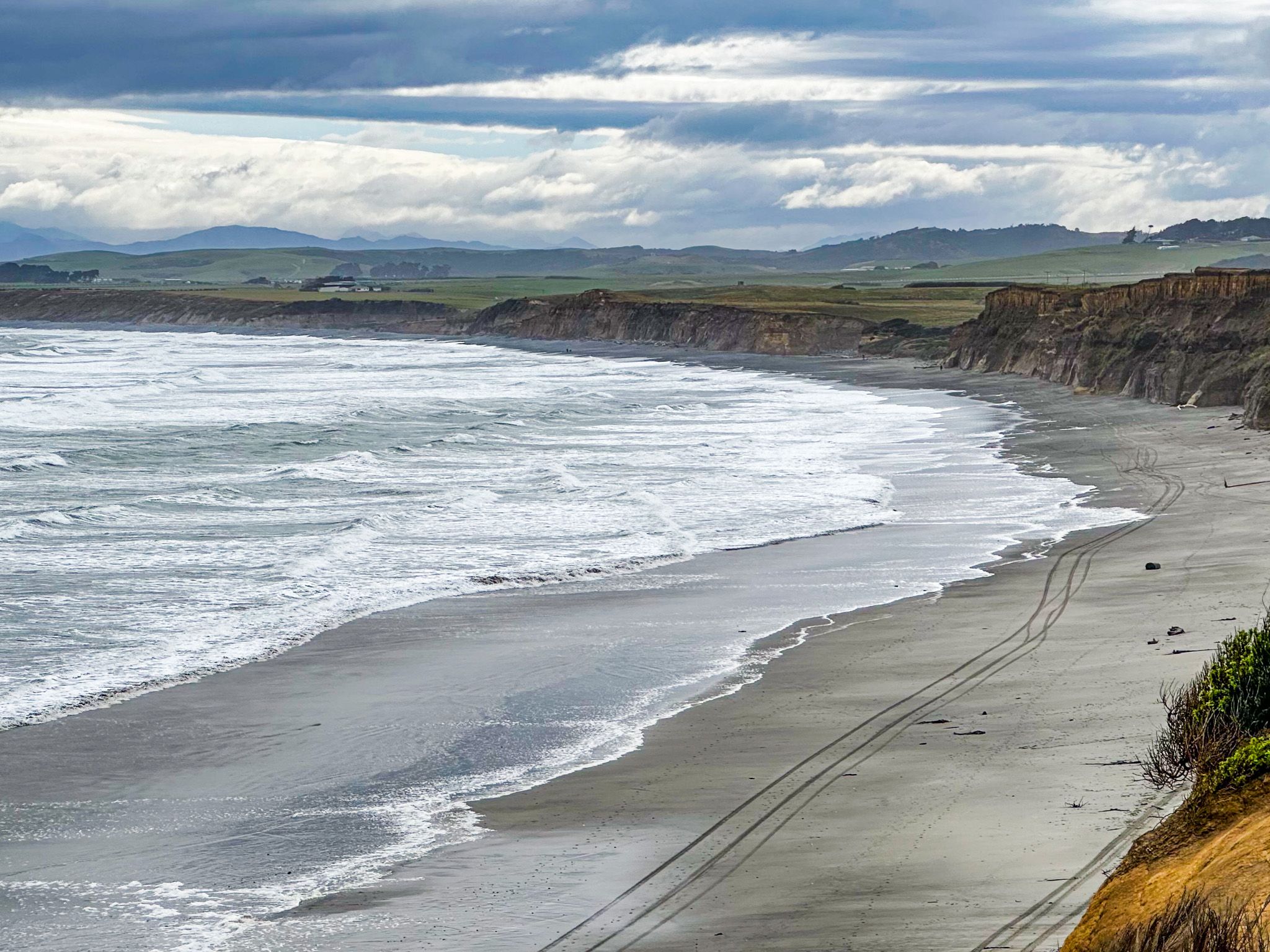
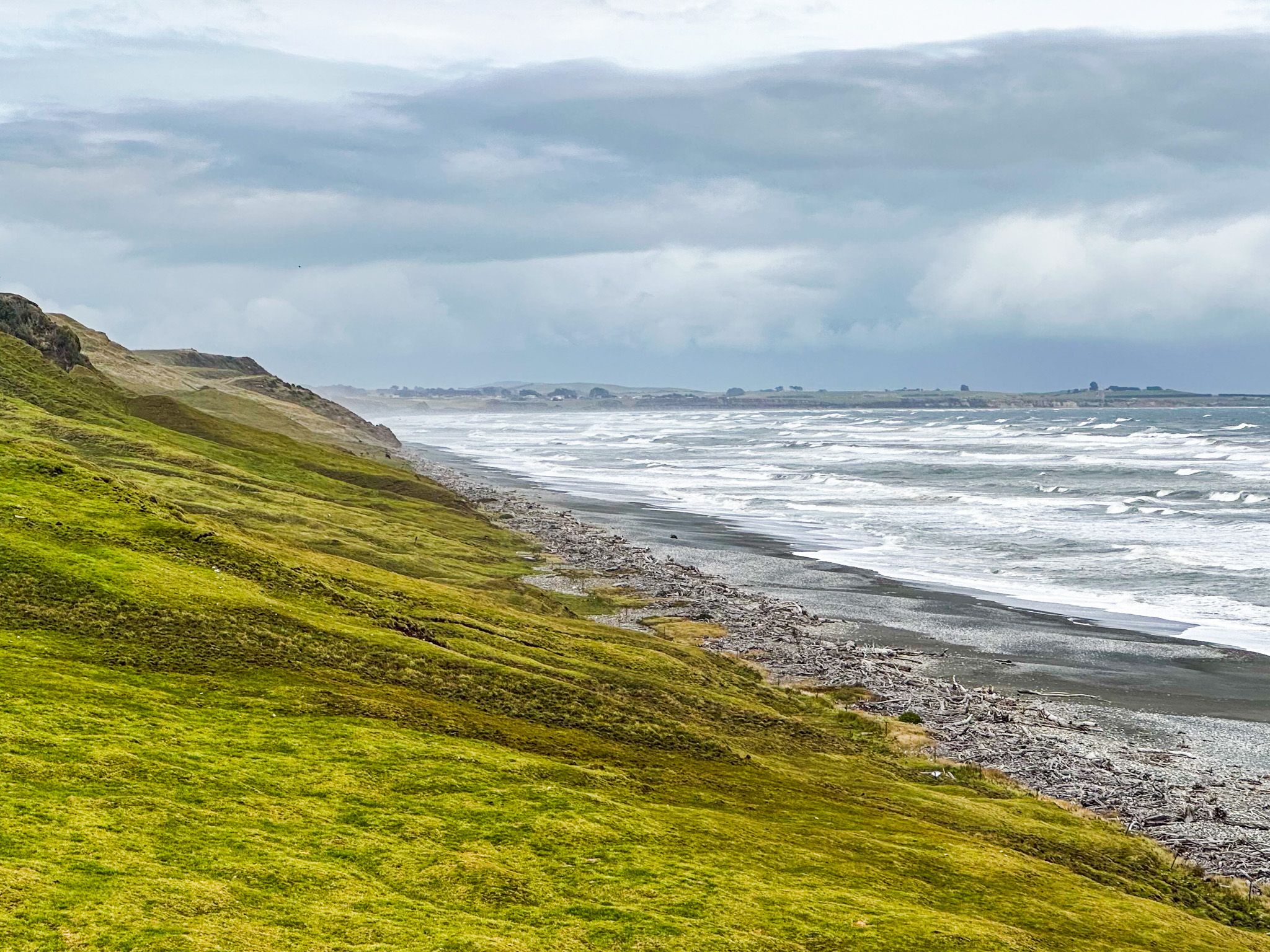
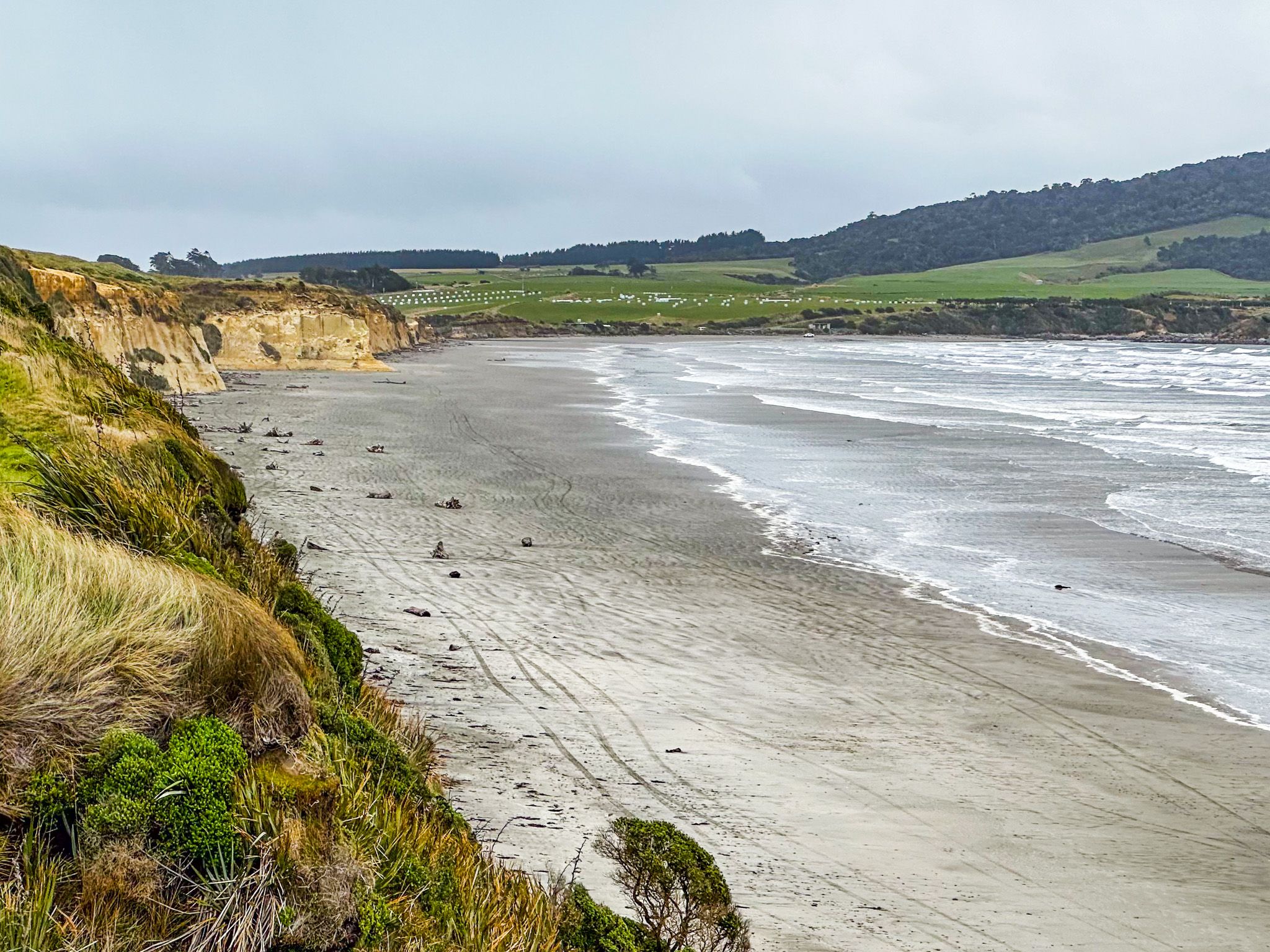
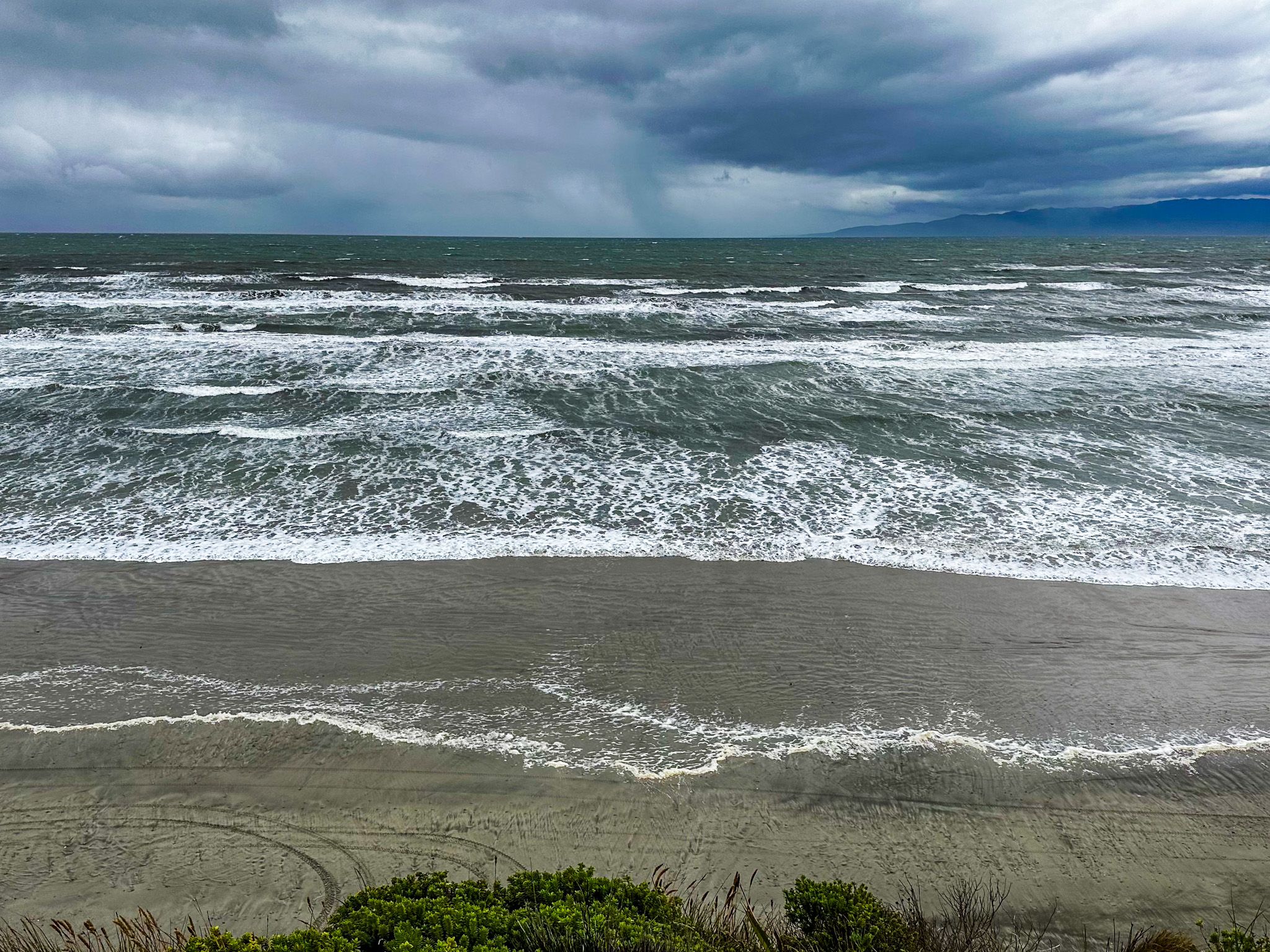
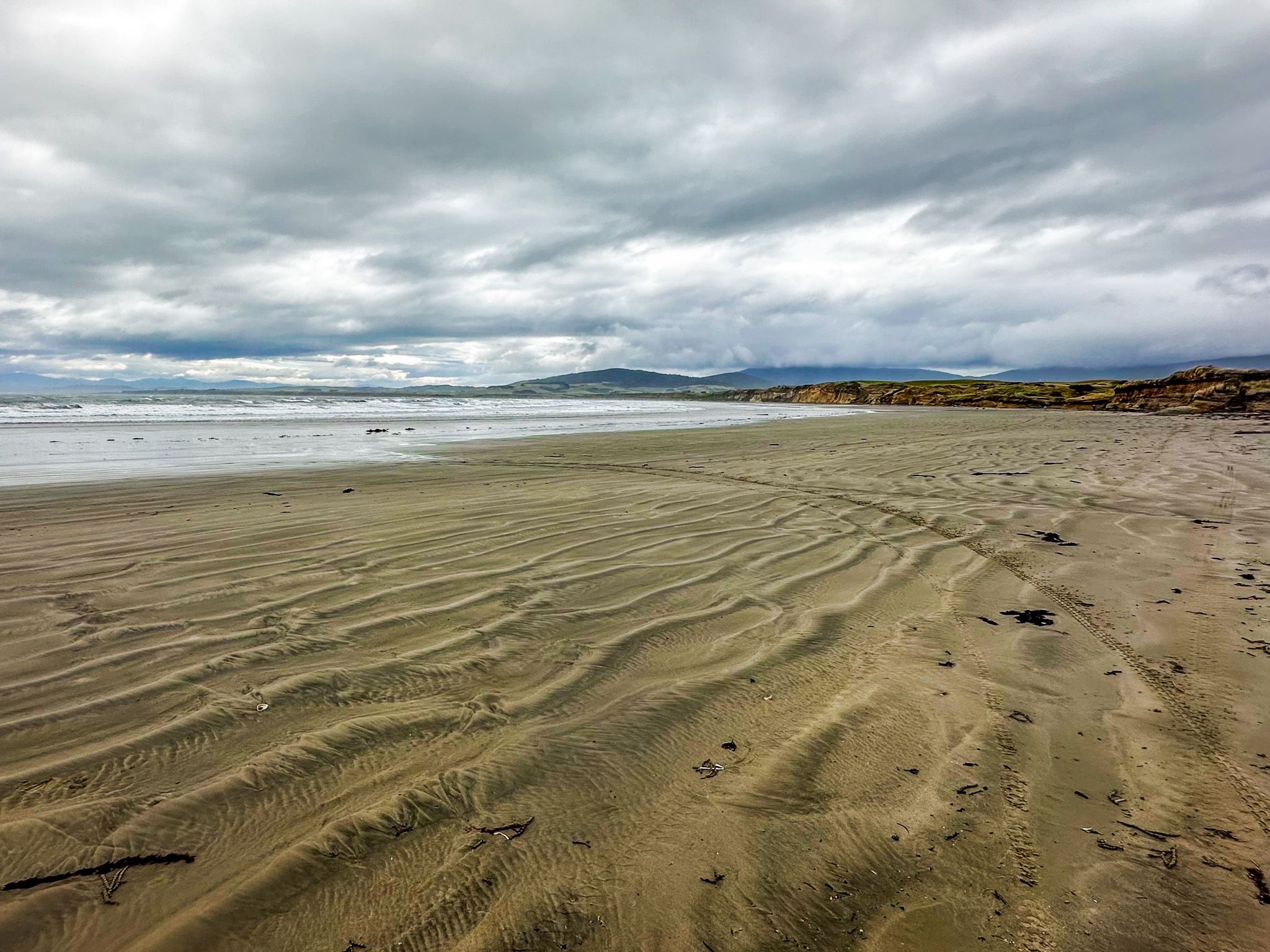
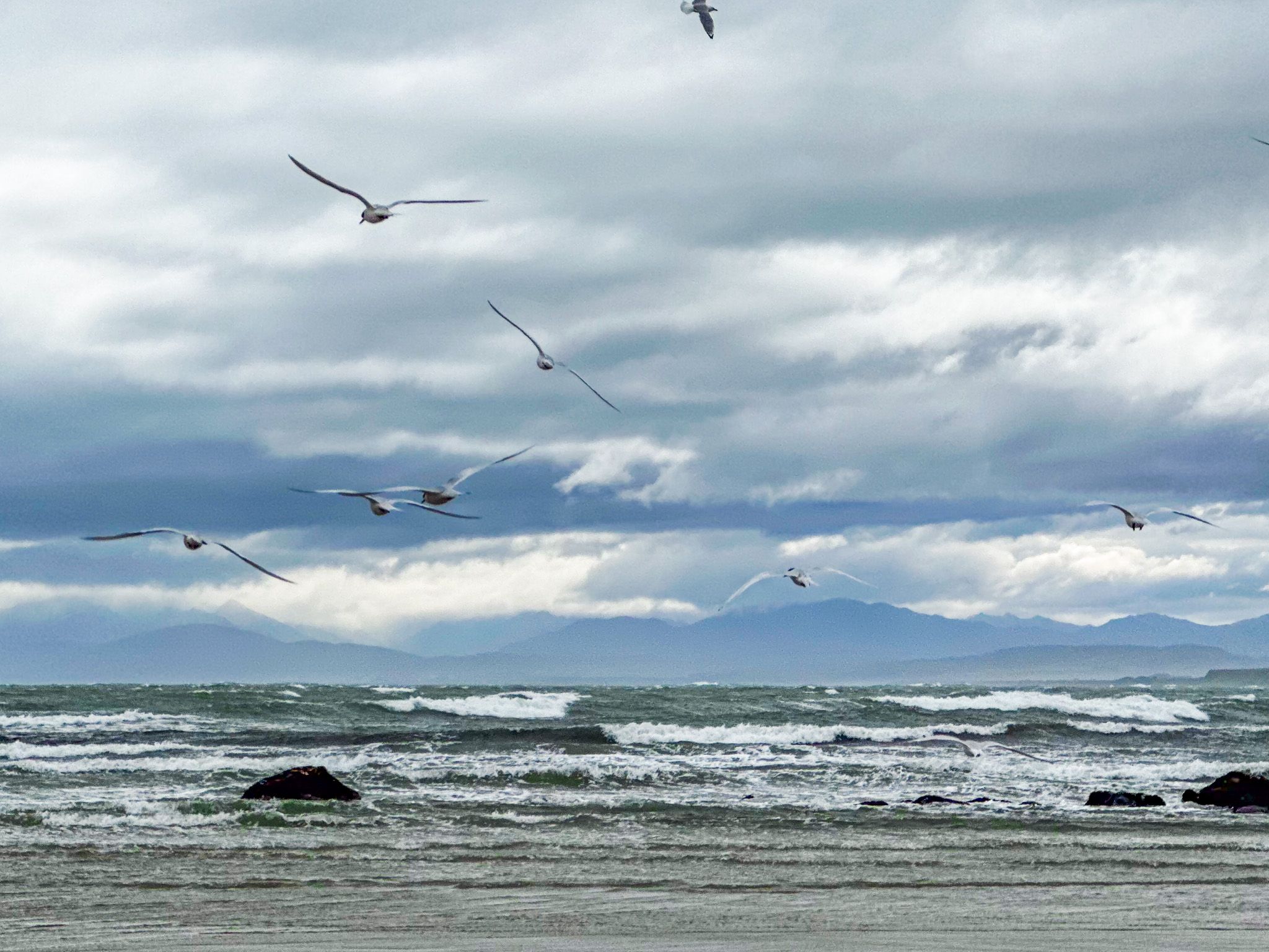
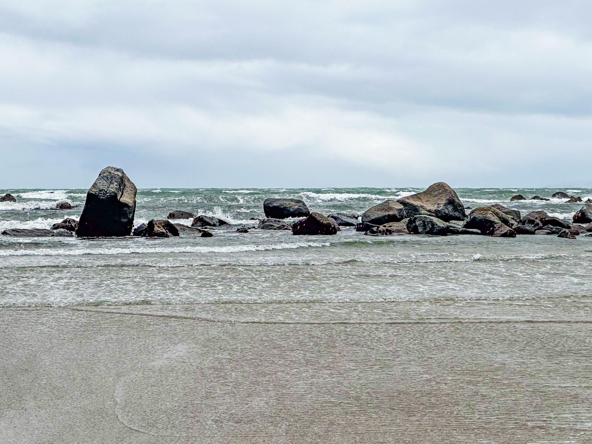
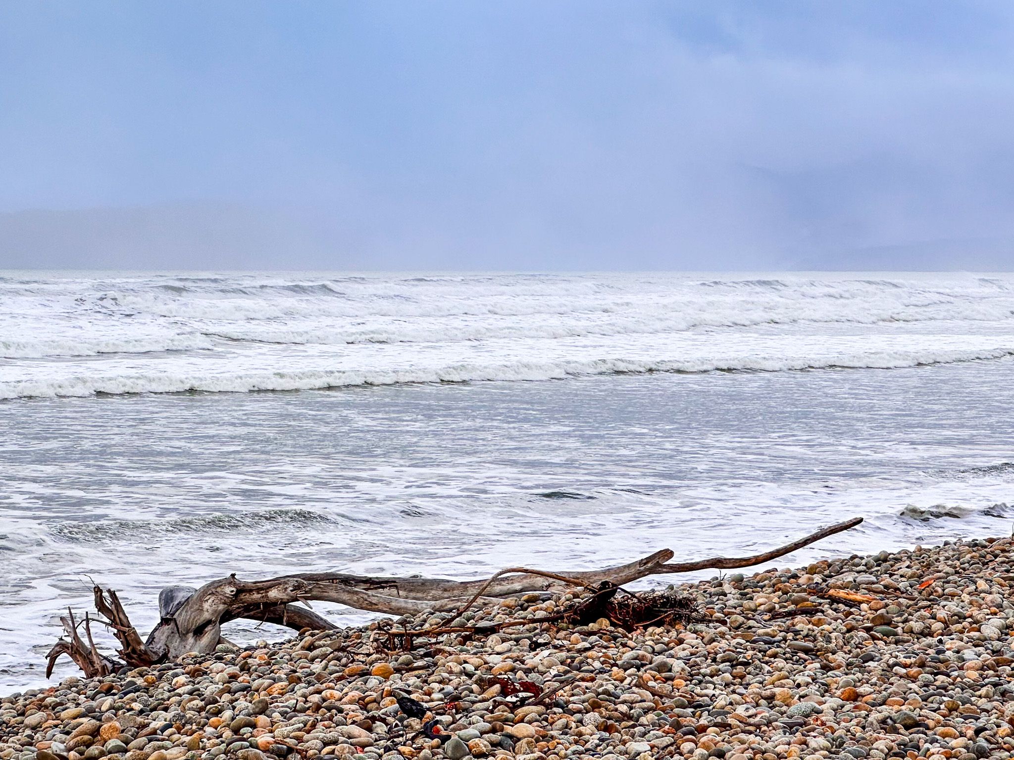
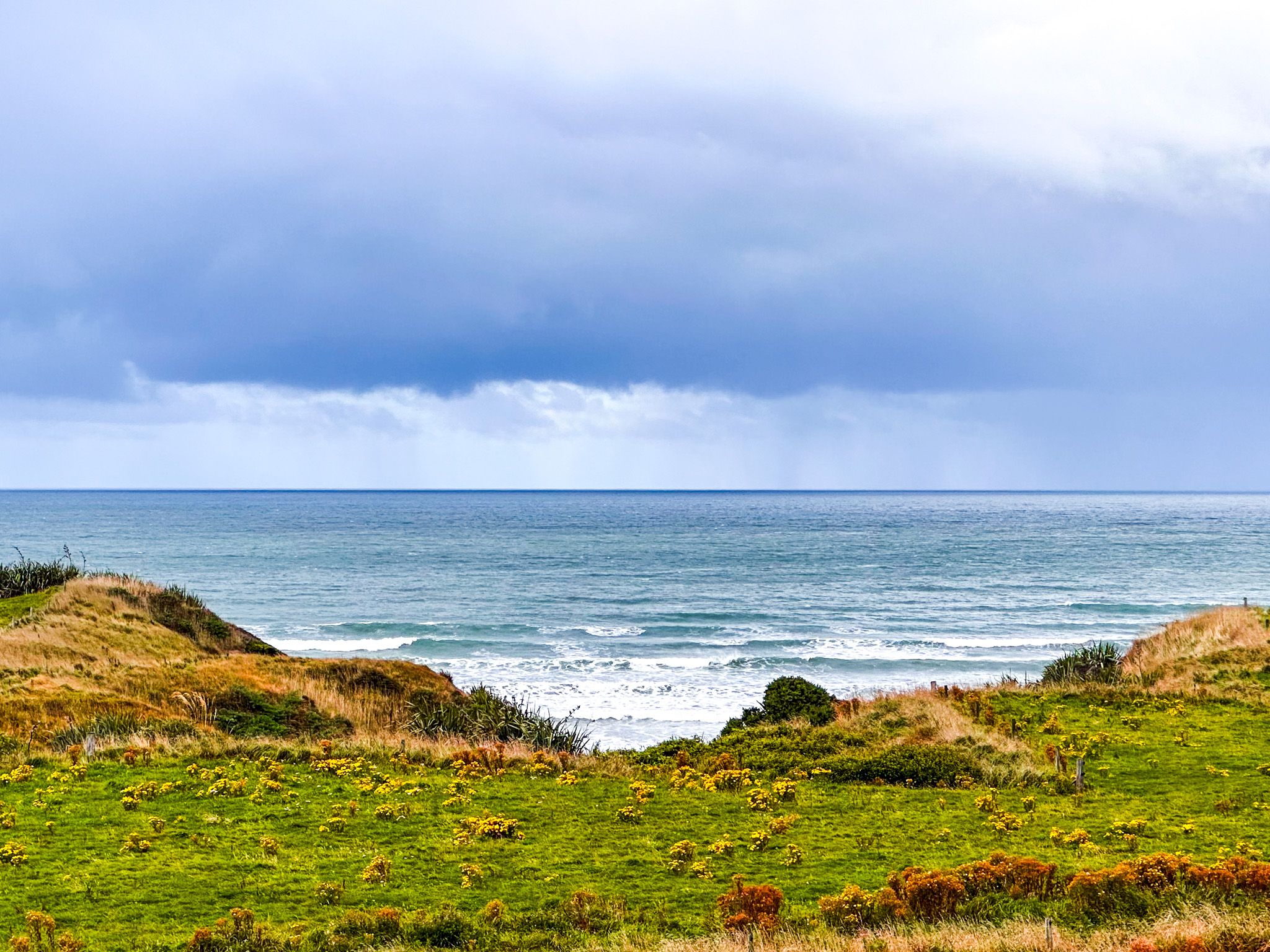
The region is a mix of attractive green rolling farmland, remote beaches and cliffs, and rugged forests. The dominant feature is the 27 km wide Te Waewae Bay, which runs from Sand Hill Point to Pahia Point. Waiau River, translated as a “river of swirling currents”, starts in Te Anau and flows through Tuātapere to the bay. The river mouth effectively splits the bay in half, with access to the western side only via Tuātapere, which straddles the river 10 km north of the bay.
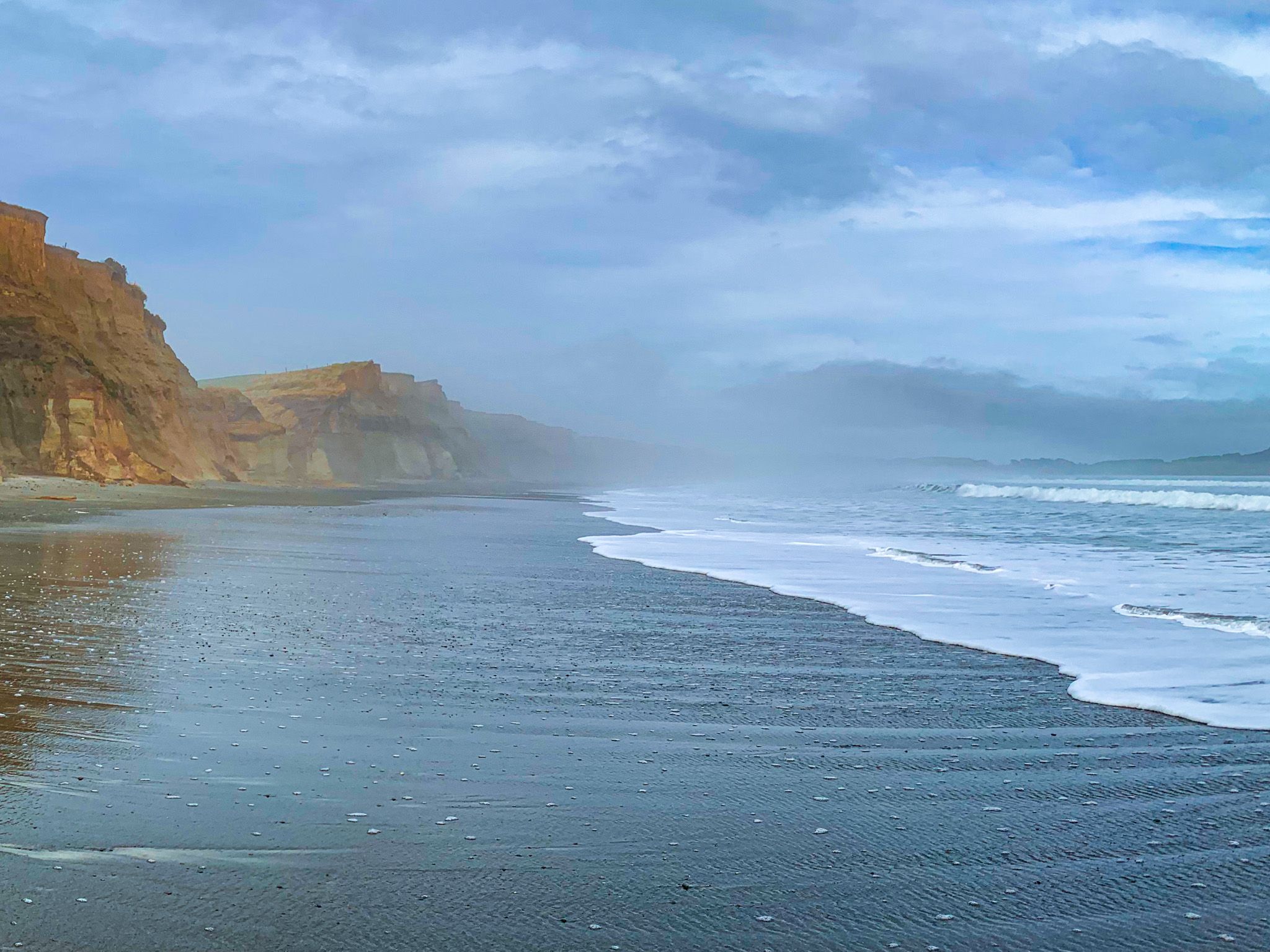
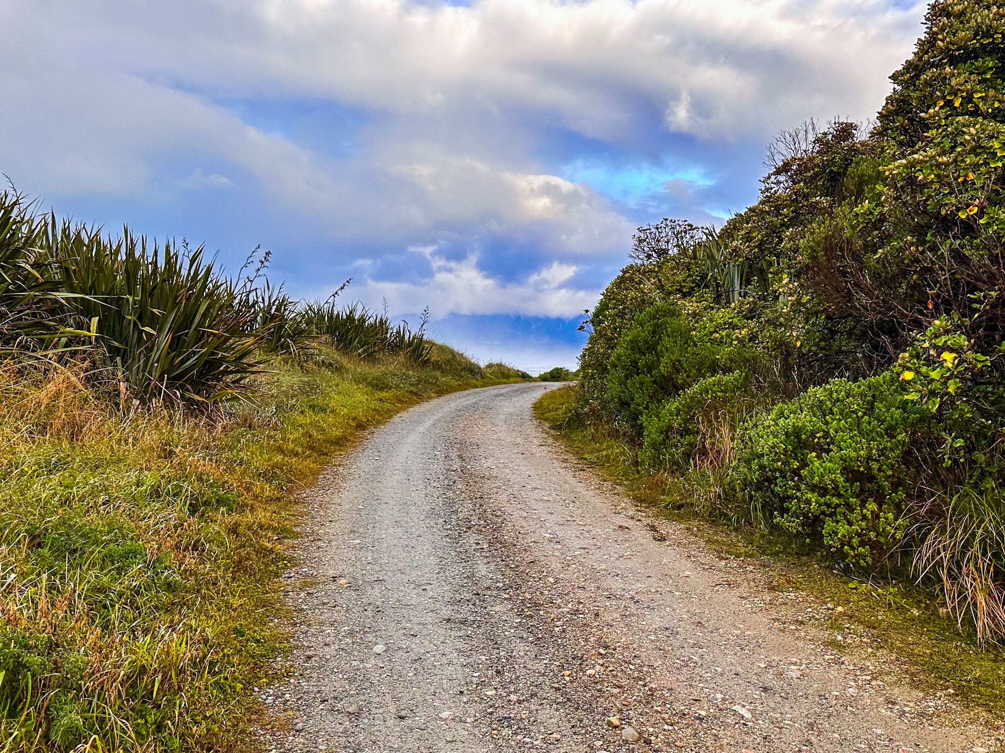
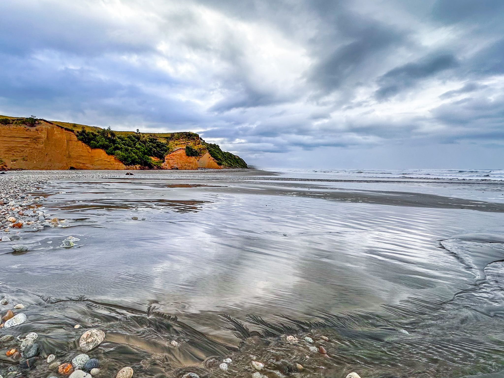
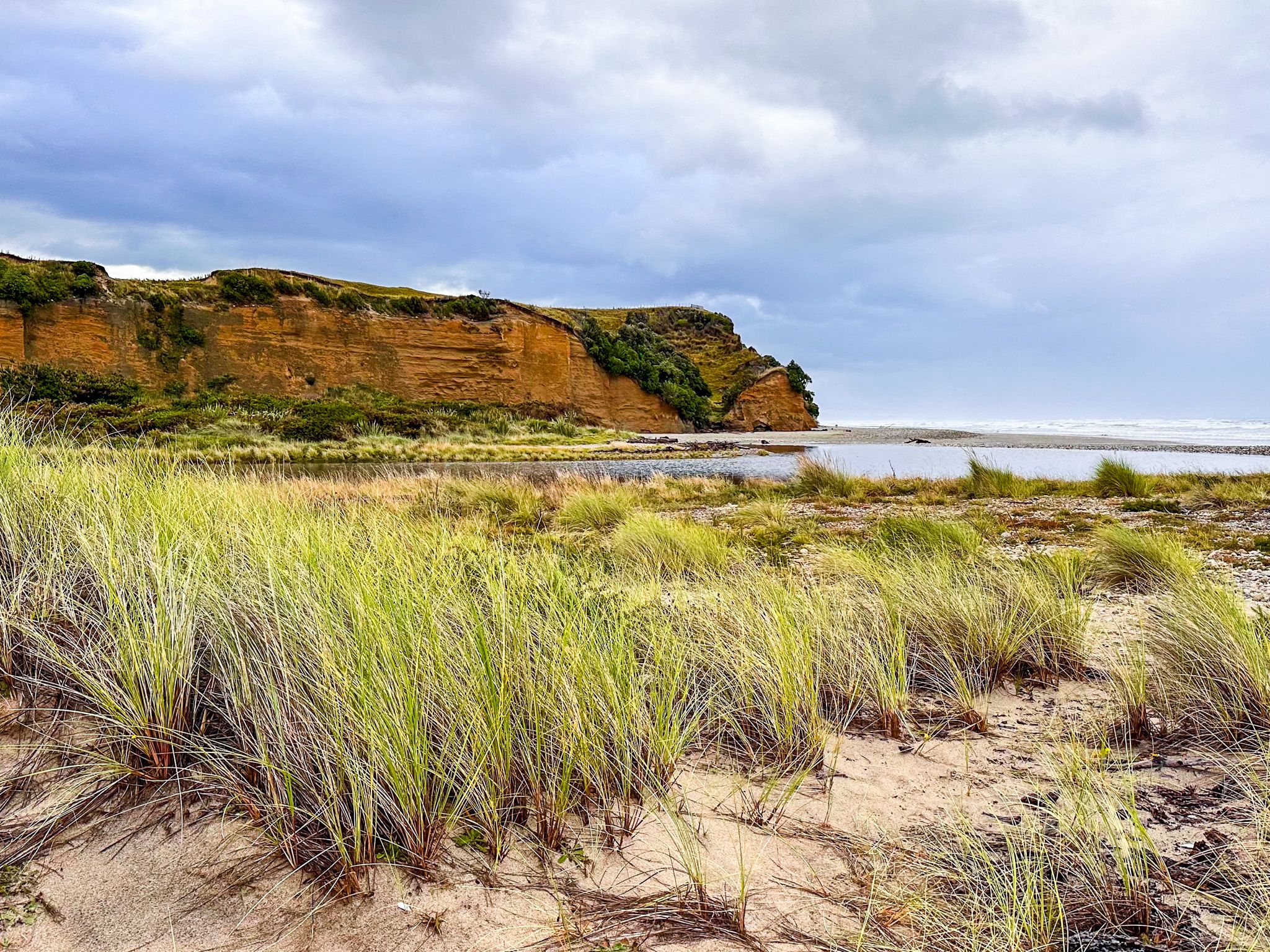
The bay west of the river mouth is accessed on Papatotara Road and Papatotara Coast Road. You can access the beach at the end of Papatotara Road. There is also a short coast road - Bluecliffs Road - and a collection of cribs. Continuing west on the gravel Papatotara Coast Road takes you to The Cliffs, a side road with several houses and a track to the beach. Continue on Papatotara Coast Road; you will reach remote, beautiful Bluecliffs Beach. The final stop is the rugged forested terrain of Fiordland National Park at the far west end of the bay. The park is accessed from the Rarakau car park at the start of the Hump Ridge Track and the remote South Coast Track along the coast into the park.
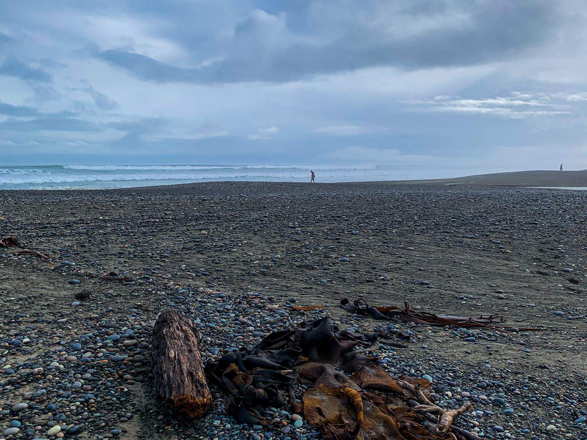
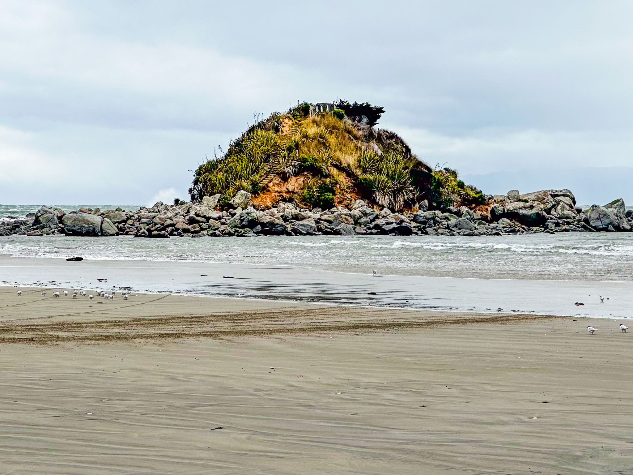
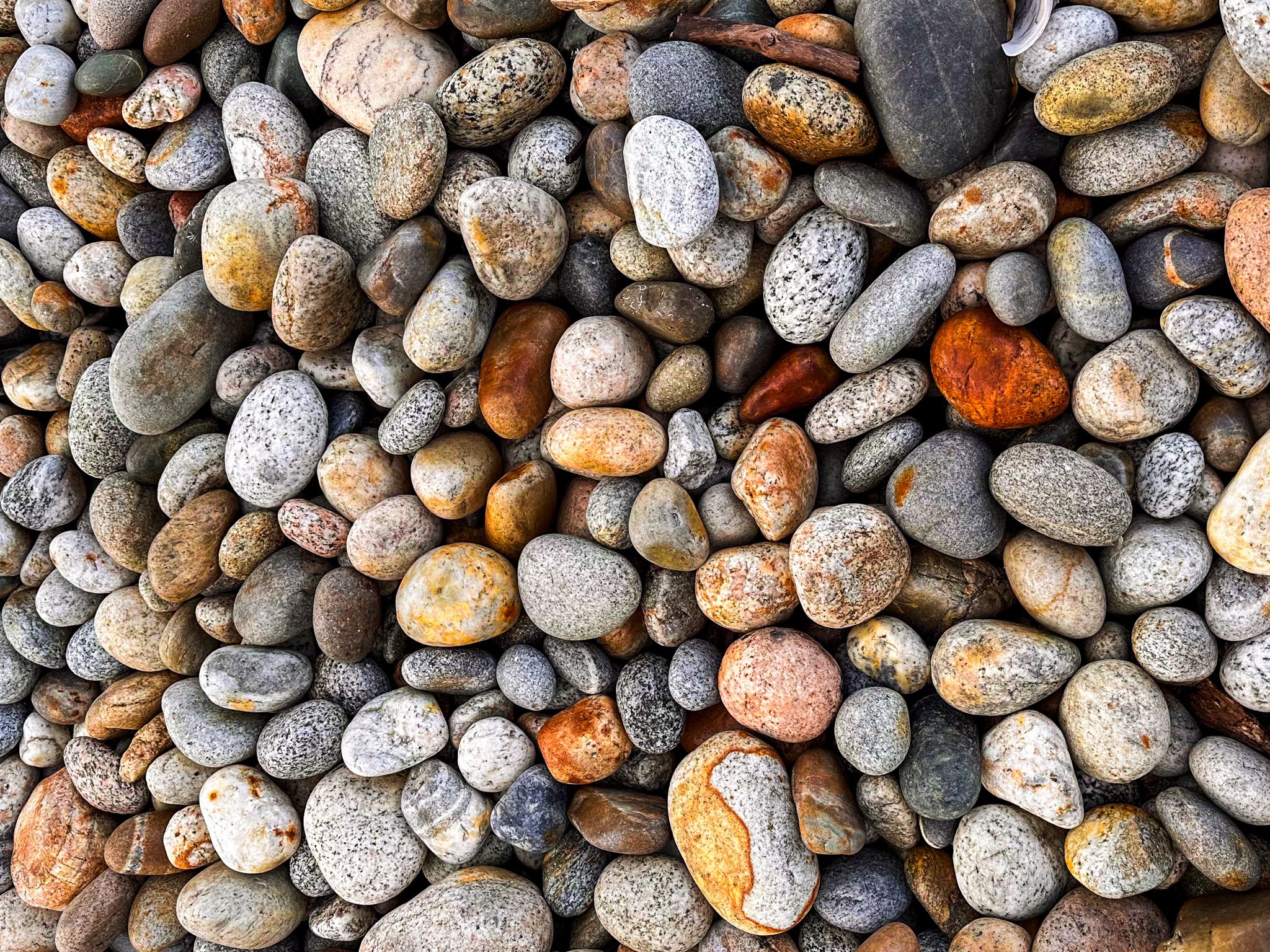
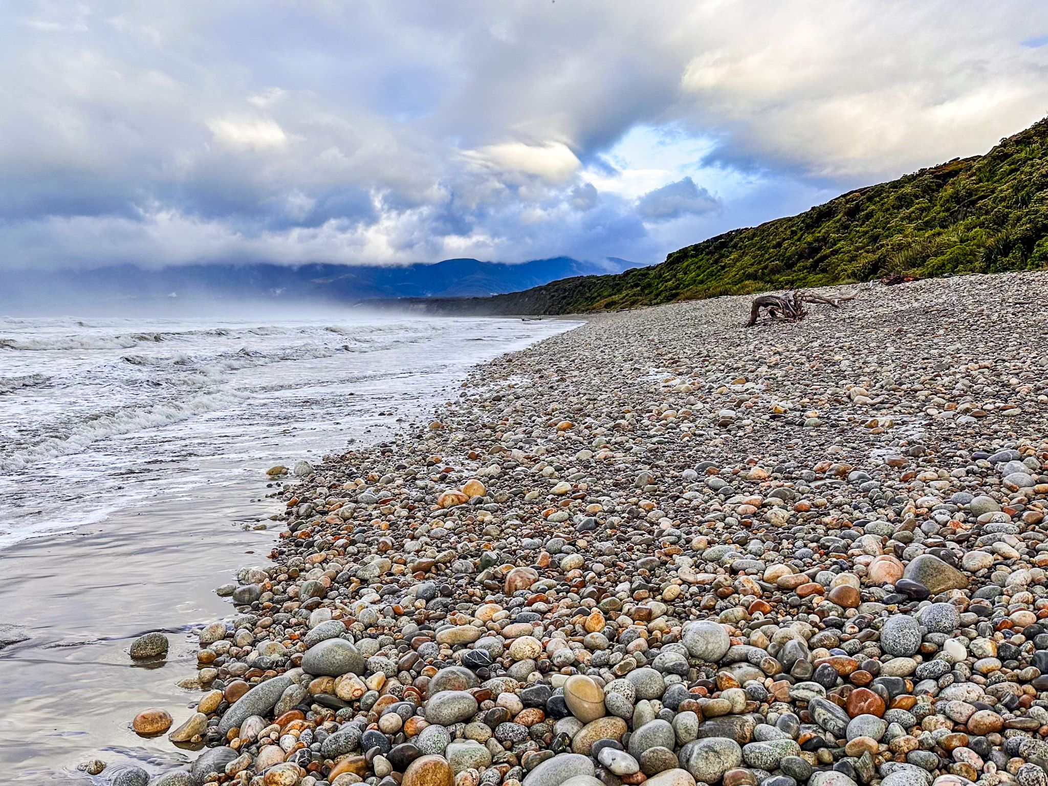
Heading east on the Southern Scenic Route from Tuāptapere towards Riverton / Aparima, Te Waewae Bay can be accessed in several locations. There is a high viewpoint over the bay at McCrakens Rest, then a well-signposted car park with a short walk to astonishing Gemstone Beach, which lives up to its name. A little further is the small community of Orepuki, with beach access and fabulous clifftop views. The oddly named Monkey Island is at the most easterly end of the bay.
After Orepuki, the Southern Scenic route crosses rolling hills to 8 km wide Colac Bay / Ōraka and Riverton / Aparima. Along the way, you can take side trips to Cosy Nook and Round Hill Walking Track on the edge of Longwood Forest. Te Araroa follows this track, then goes along Colac Bay to Riverton / Aparima.
Te Waewae Bay is believed to be named after a southern Māori chief. Due to its colder climate, Southland was not heavily populated by Māori, but there were small communities around the coast. These Māori trace their arrival in Southland to the Uruao and Tākitimu wakas. Tākitimu was wrecked near Te Waewae Bay, and the Tākitimu Mountains north of the bay represent the upturned hull. Local Māori called the lower South Island Murihiku, interpreted as the tail end of the land. Murihiku is now used as the Māori name for Southland.
Captain Cook first mapped the Southland coast in 1770, and by the 1790s, sealers, then whalers, started to appear, trading with local Māori around the bay, Cosy Nook and Aparima. Riverton was established at Aparima to support whalers during the 1830s and is one of the earliest European towns in NZ. In 1850, William Mantell, William Stephen and Charles Nairn were the first Europeans to explore Lakes Manapōuri and Te Anau by following the Waiau River inland from Te Waewae Bay.
Milling the ancient forest was established in the 1880s, leading to the establishment of Tuatapere in the early 1900s. However, the biggest curiosity is the gold mining in the Longwood Forest and Ranges from the 1860s to the 1950s. Tiny Orepuke was once a much larger town, reflecting this history.
Te Waewae Bay is also a marine sanctuary, a critical habitat for fur seals and Hector dolphins, and a breeding ground for southern right whales. There are also blue and Fiordland penguins, humpback whales, orcas, Hooker's sea lions, and leopard seals.
