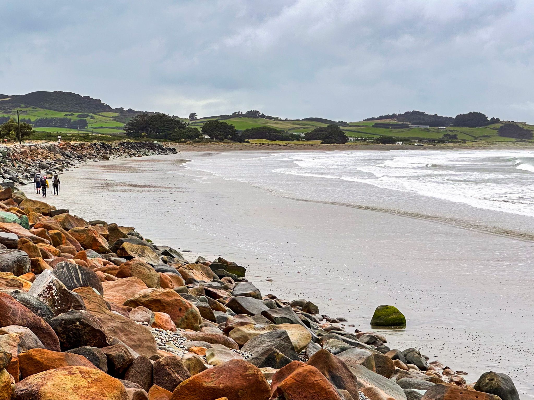
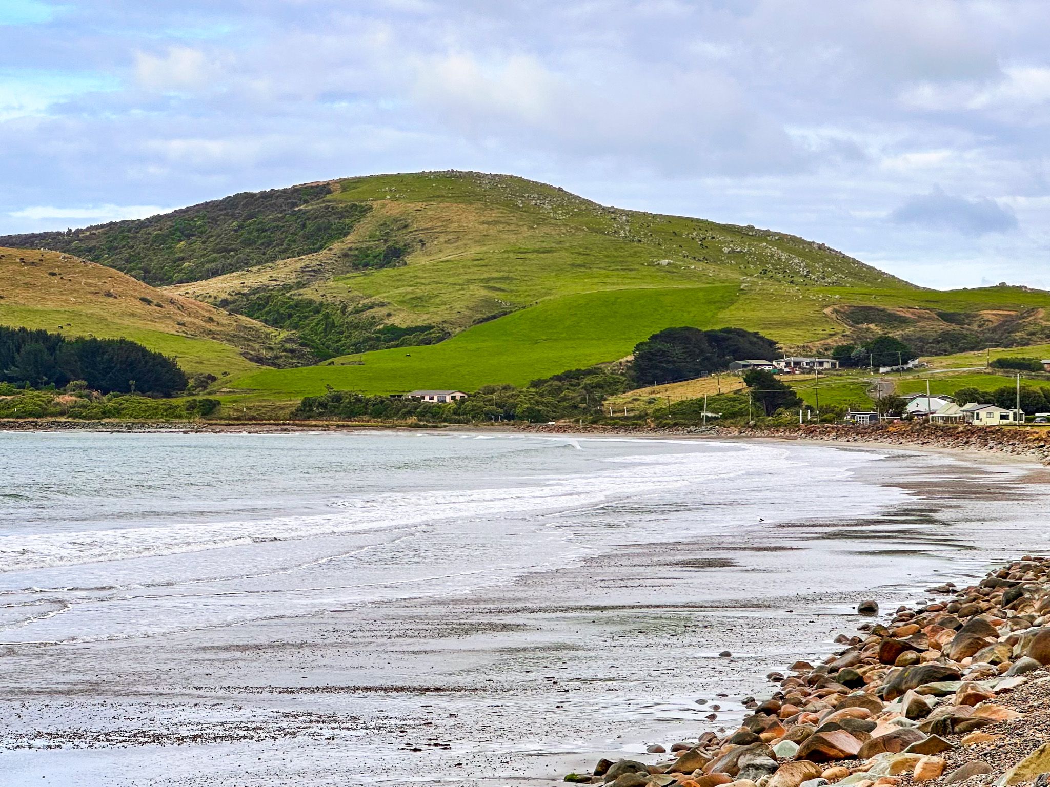
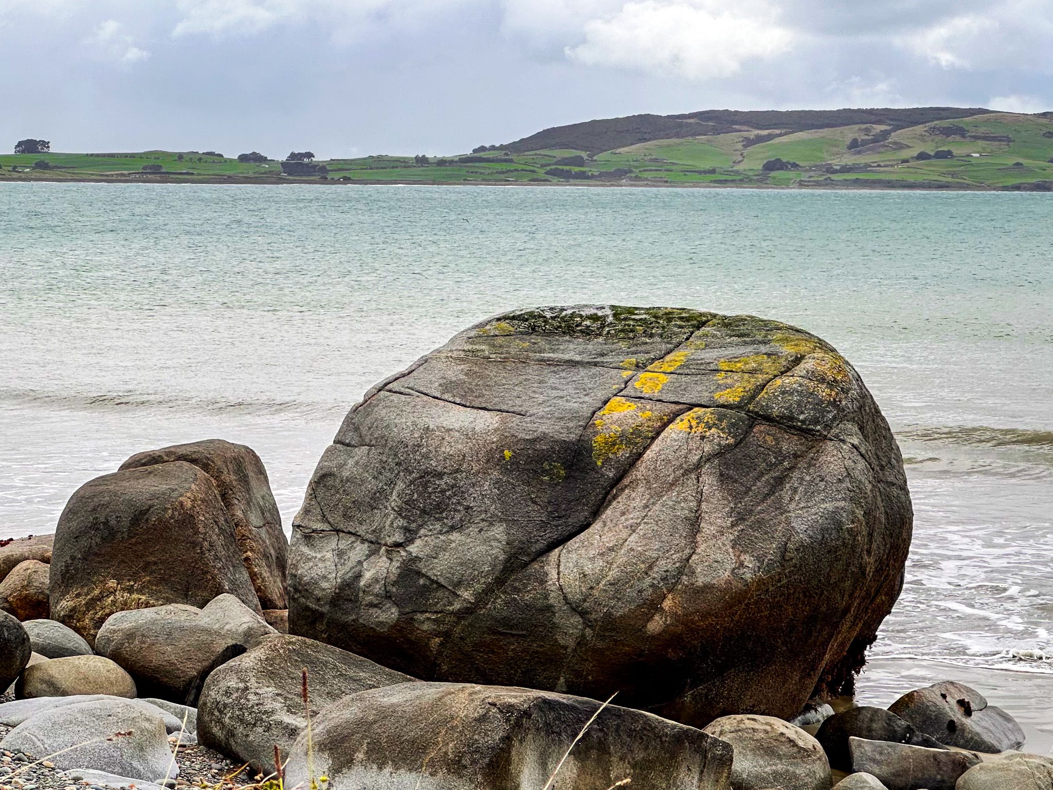
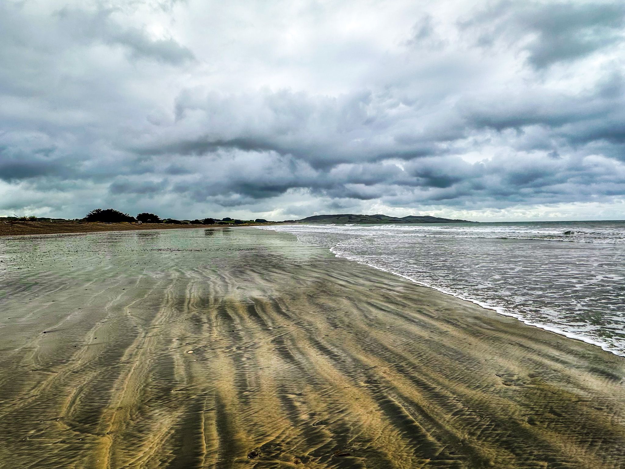
Colac Bay / Ōraka is a small coastal town on 8 km wide Colac Bay, facing Foveaux Strait. It is on the Southern Scenic Route, a 10-minute drive to Riverton / Aparima to the east and 20 minutes to Orepuki in Te Waewae Bay to the northwest.
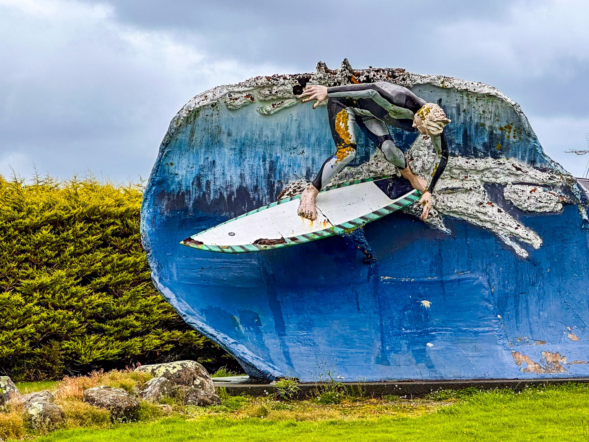
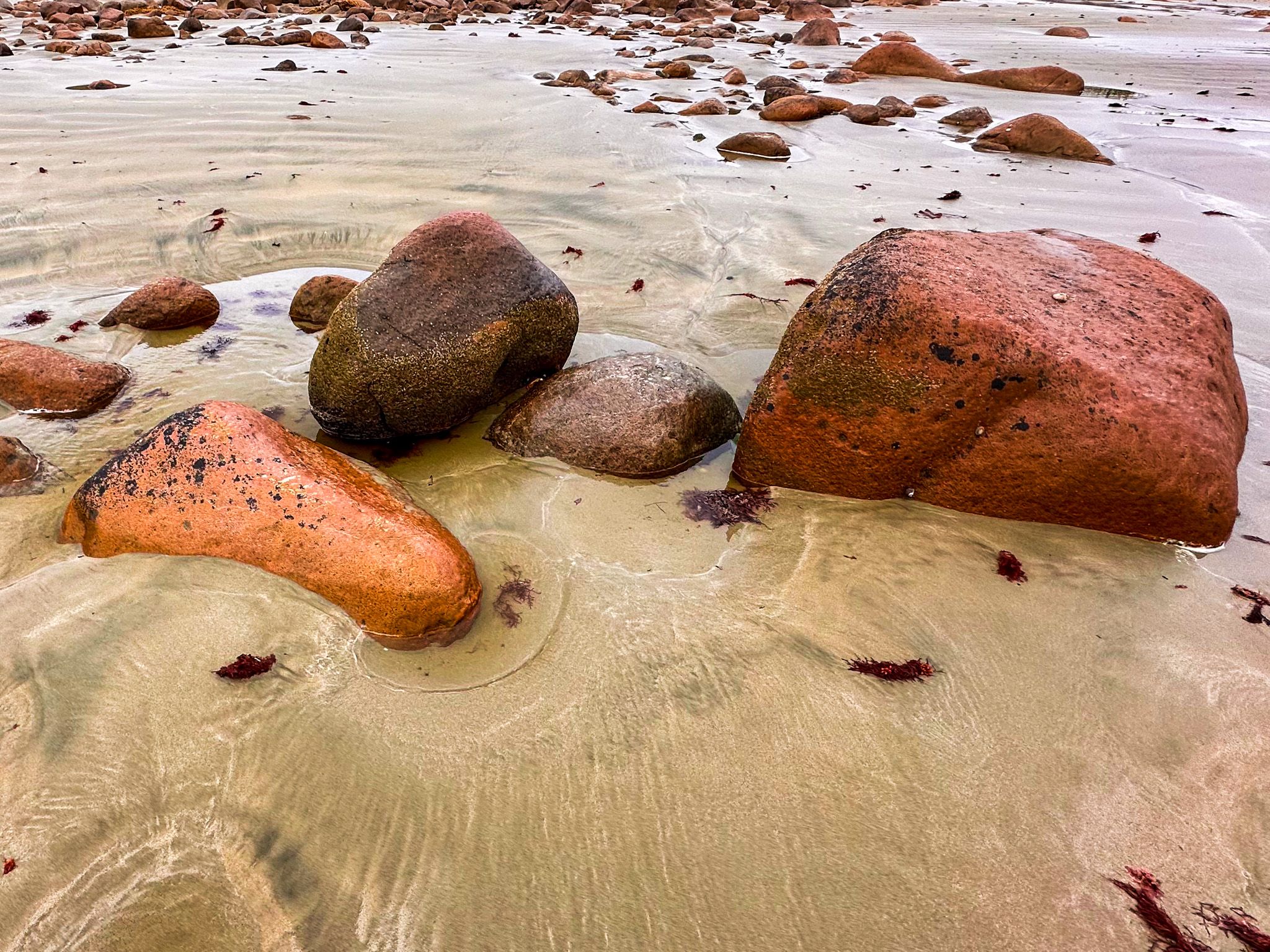
The bay has an attractive sandy beach and is well known for surfing and swimming. An often photographed statue of a surfer riding a wave stands at the town's entrance. Camping is available at the far west end of the bay. There is also a cafe and a pub, but otherwise, services are limited. Te Araroa follows the road into the town, then runs east along the beach to the east end of the bay, where it then heads north into Riverton / Aparima.
This area around the bay had several Māori settlements. The first Europeans were sealers and whalers from around the early 1800s. They interacted and traded with local Māori, and the name "Colac" was derived from a local rangatira (chief), Ko-oraka. The Europeans pronounced it like the English word "colic," which evolved into Kolluck's and then "Colac's Bay." The Ōraka reference was added to the name with the Ngāi Treaty of Waitangi Settlement in 1998.
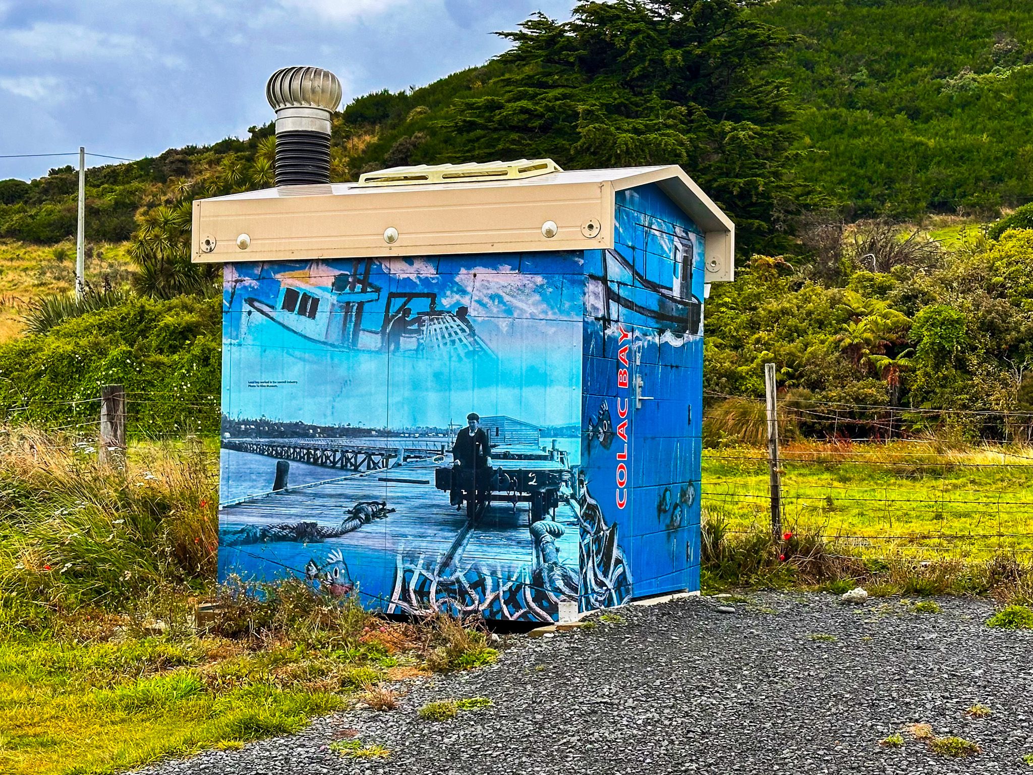
Following the whalers, the first European settlers arrived in the 1850s to mill the ancient Southland forests. Gold was discovered in Te Waewae Bay at Orepuki in the 1860s, then moved to mining at Round Hill, 7 km to the northwest, which boosted the town. In 1881, the railway to Tuātapere was pushed through, and by 1900, there were 2,000 people in the bay, as well as a Chinese gold diggings town, Canton, at Round Hill.
Today, the town has a small full-time population and some cribs (holiday homes). Farms surround it, and there is little evidence of its mining history.
