Discovering Hirakimata via Palmers Track
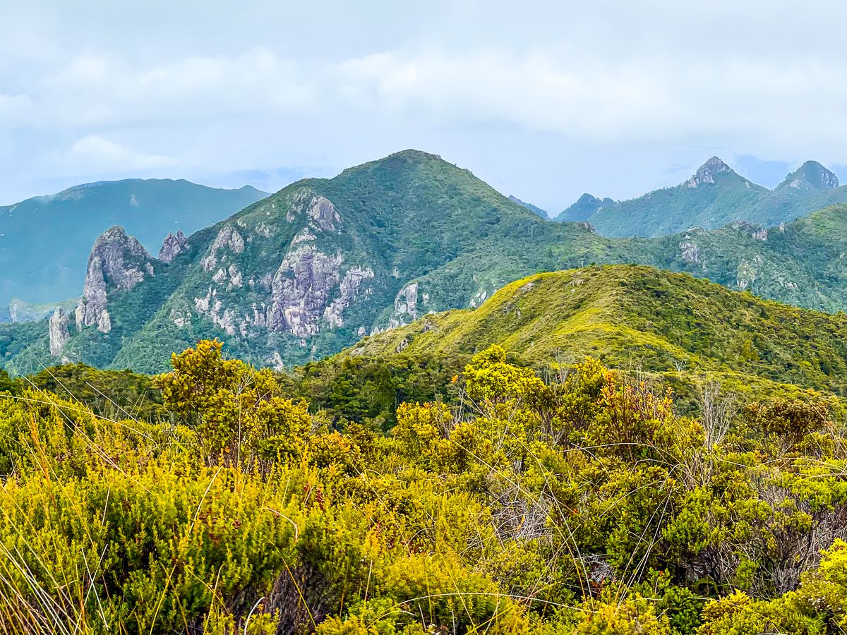
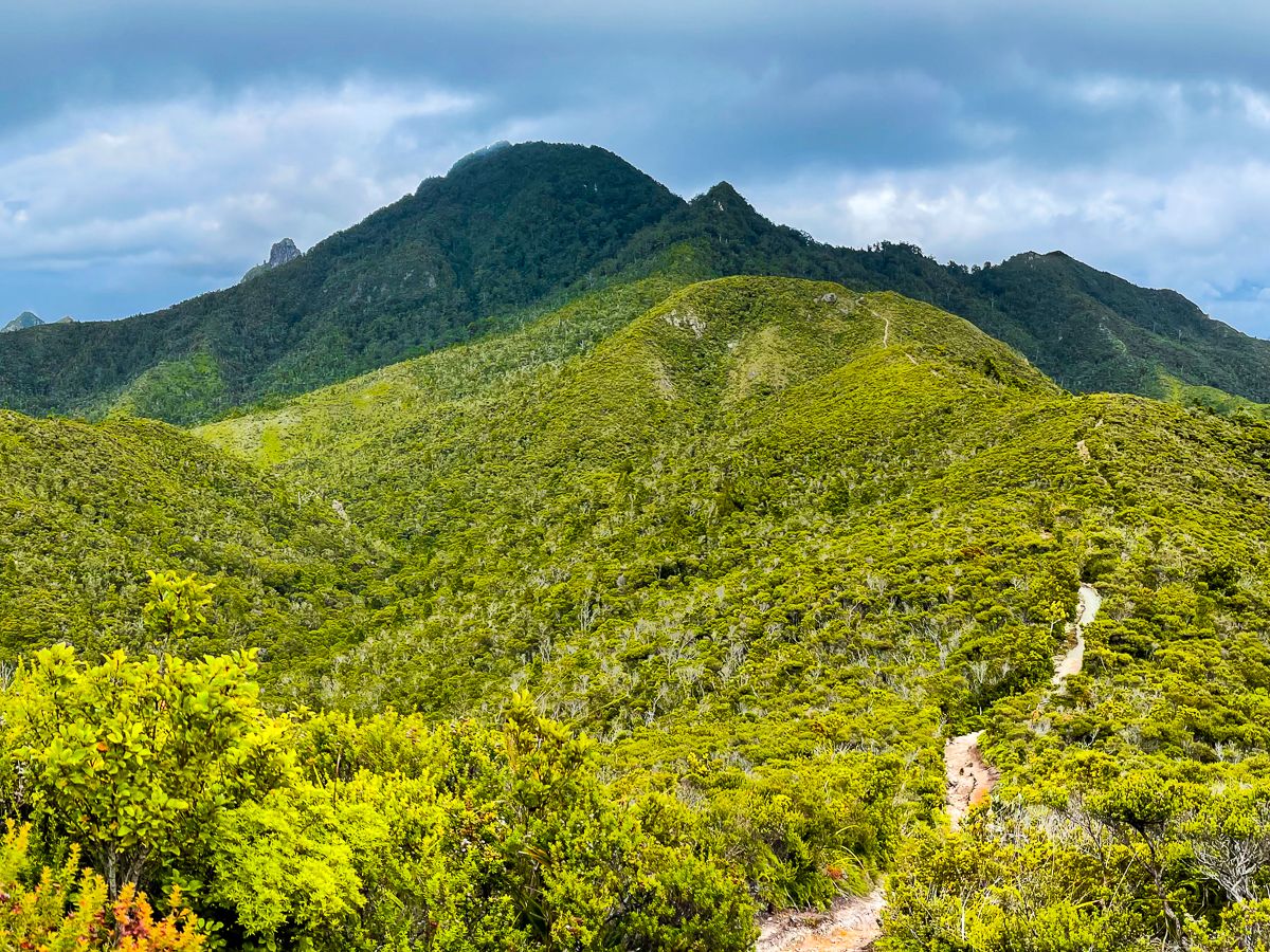
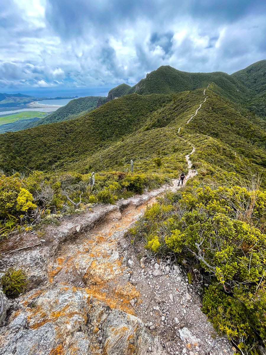
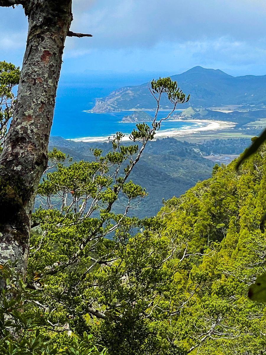
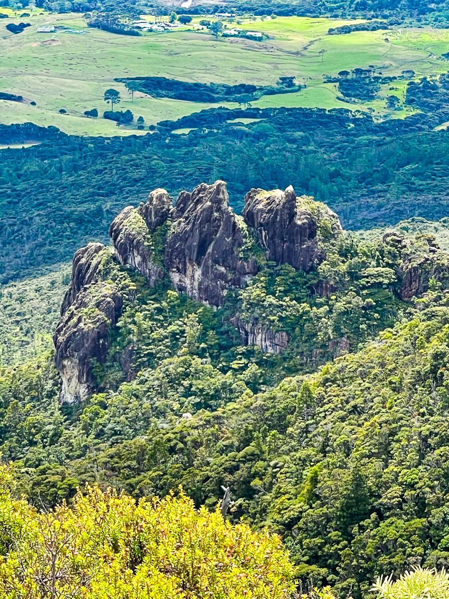
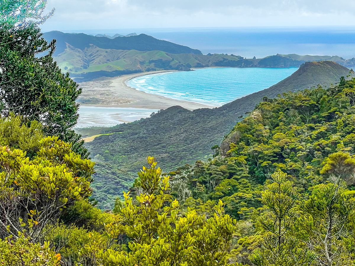
Located on Aotea Great Barrier Island, Palmers Track offers the quickest route to the summit of Hirakimata (Mt Hobson), taking approximately two hours each way. This track begins with a climb through Windy Canyon and continues over several "humps" to reach the peak. Along the way, hikers are rewarded with stunning views of Kaitoke Beach, Whangapoua, and the surrounding ridges, pinnacles, and peaks.
Historical and Natural Highlights
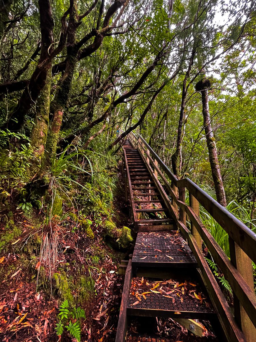
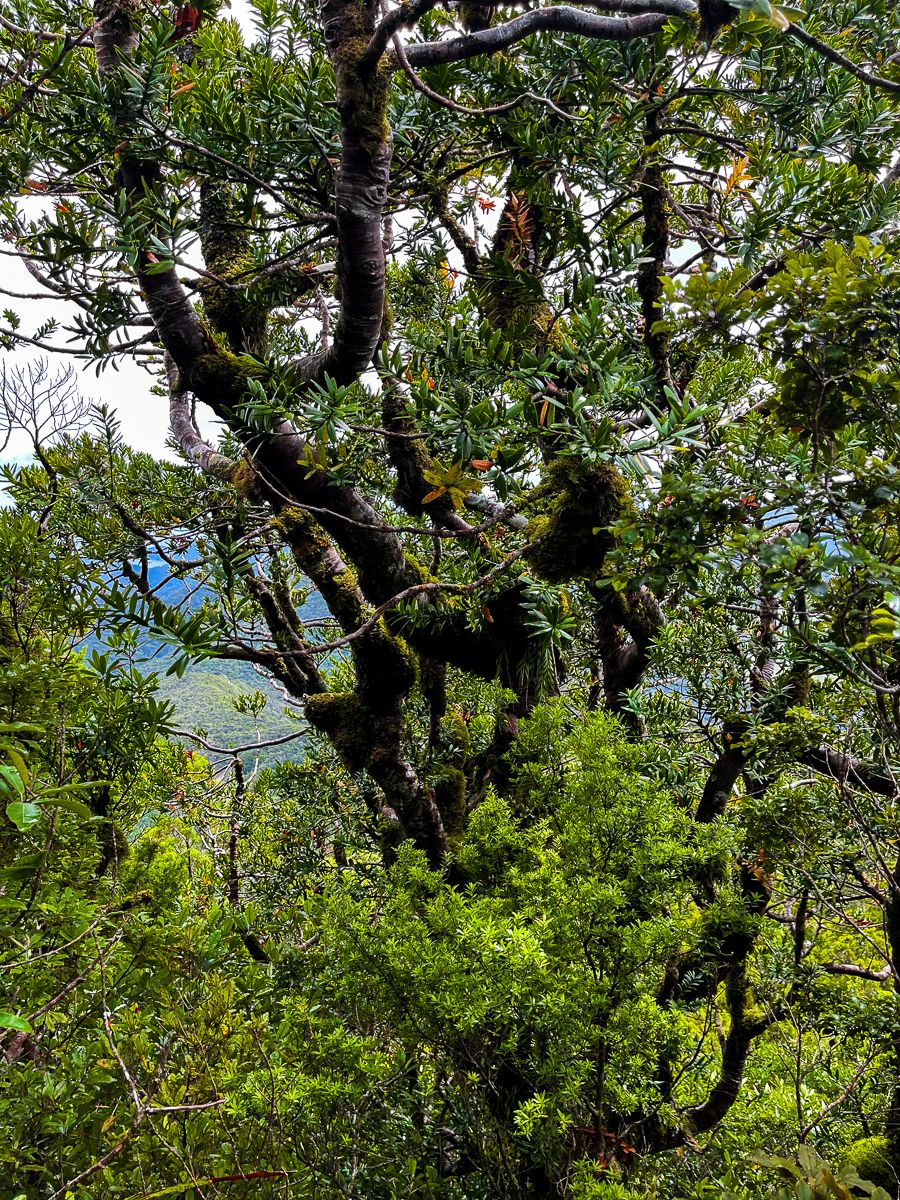
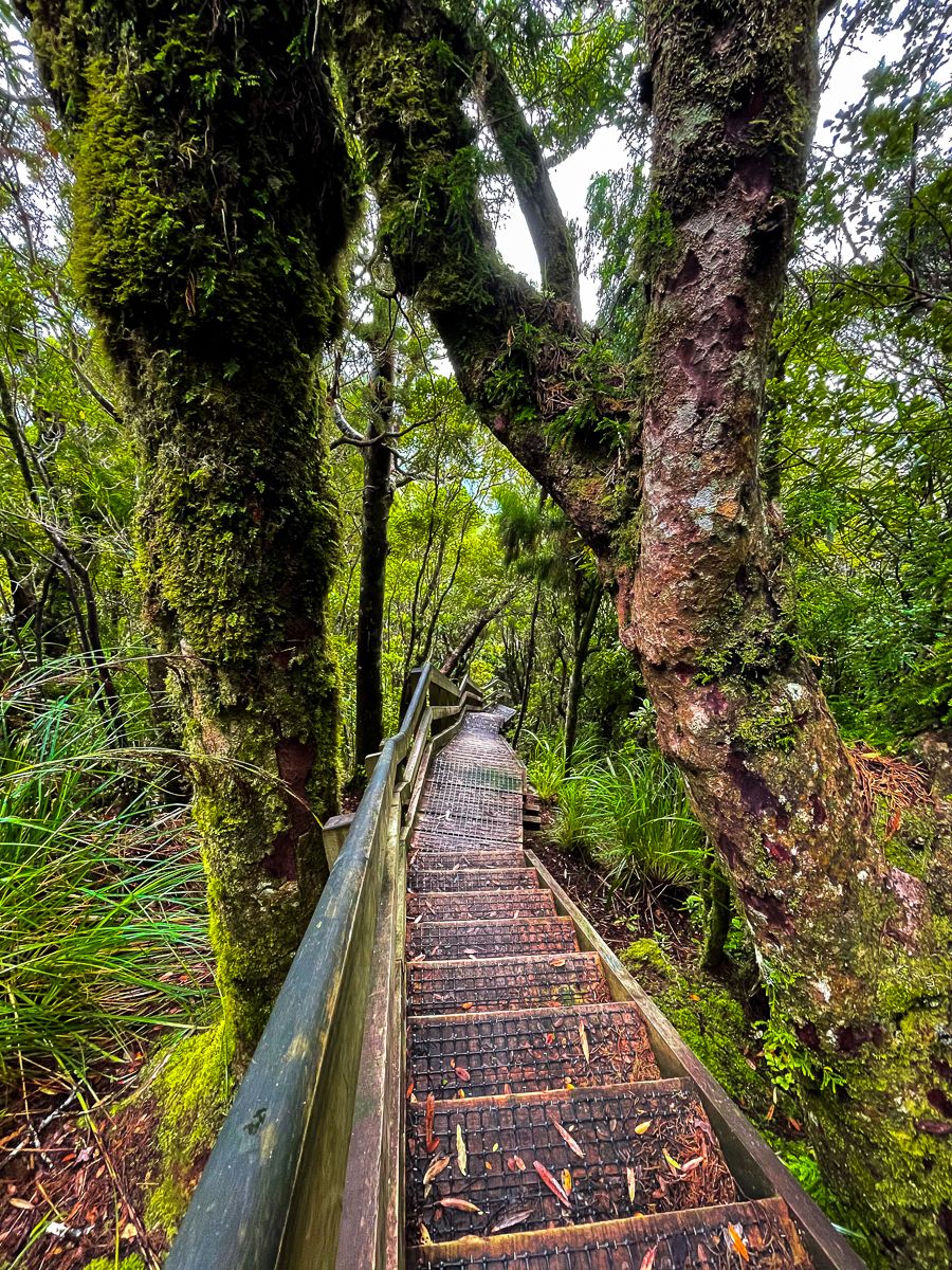
Midway through the track, you will encounter a remnant of an old hoist system once used to transport kauri logs over the ridge to Whangapoua. As you approach Hirakimata, a series of boardwalks and raised steps protect the nesting grounds of black petrels and the few remaining mature kauri trees.
Unique Flora
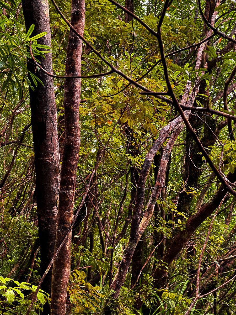
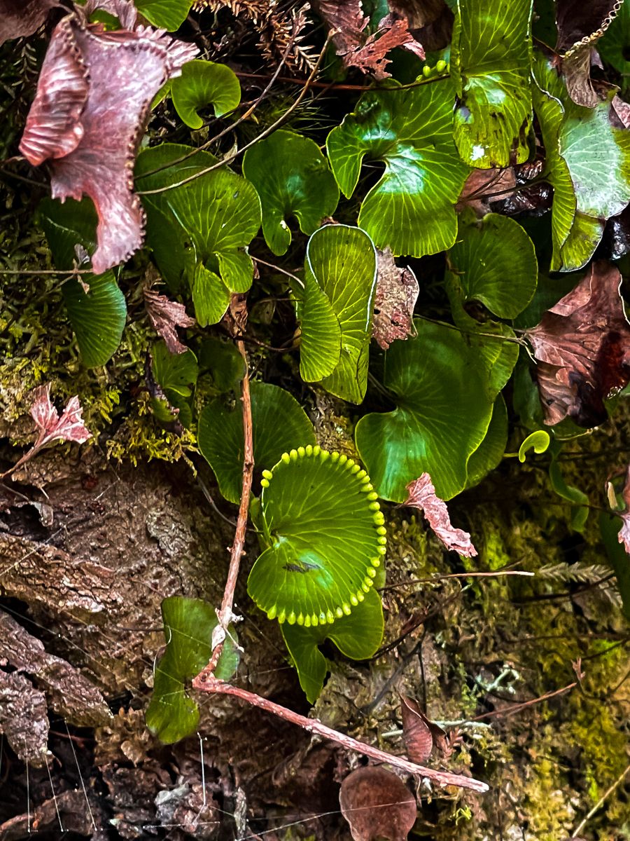
The track is home to unique flora, including native tree daisies, which bloom from March to June, and sundews, which can be seen near the peak. Additionally, the ridge is lined with dwarf kānuka, adding to the area's distinctive botanical landscape.
How to Get There
To reach Palmers Track from Claris and the airfield, follow Hector Sanderson Road north, then Gray Road, which becomes Aotea Road. Although this road is sealed all the way, it is windy and narrow in places, so take care. Windy Canyon is signposted and accessed directly from the road. From there, follow the marked path to start your ascent towards Hirakimata.
The track also connects with the Kaiaraara Track, Peach Track, and Mt Heale Hut on the Aotea Track, a multi-day 30-kilometre hike.