Exploring Lake Ruataniwha
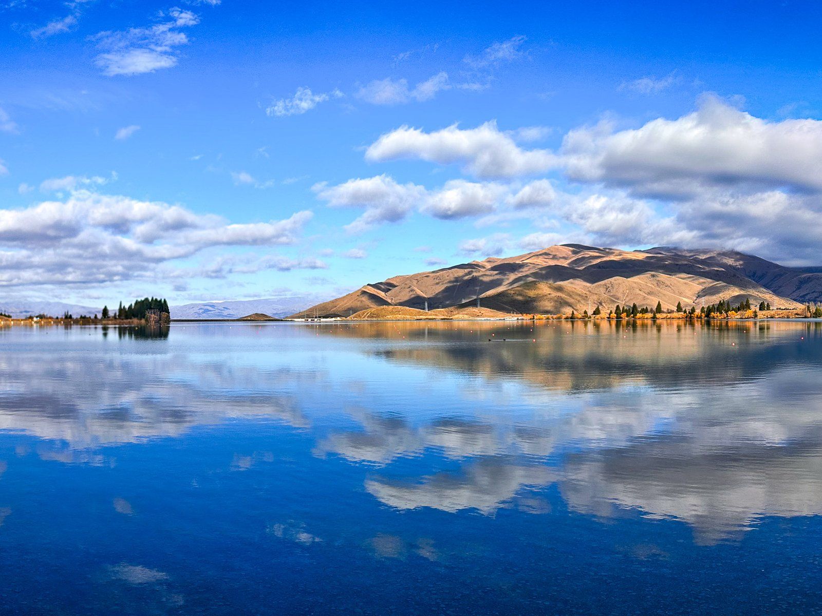
Lake Ruataniwha, located in Mackenzie Country, immediately southwest of Twizel, is a charming man-made lake, created in the late 1970s as part of an extensive hydroelectric scheme by damming the Ōhau River. The lake is primarily fed by the Pūkaki and Ōhau Canals and drains into Lake Benmore via another canal. State Highway 8 runs along the eastern end of the lake, crossing over the dam.
Recreational Activities and Rowing Hub
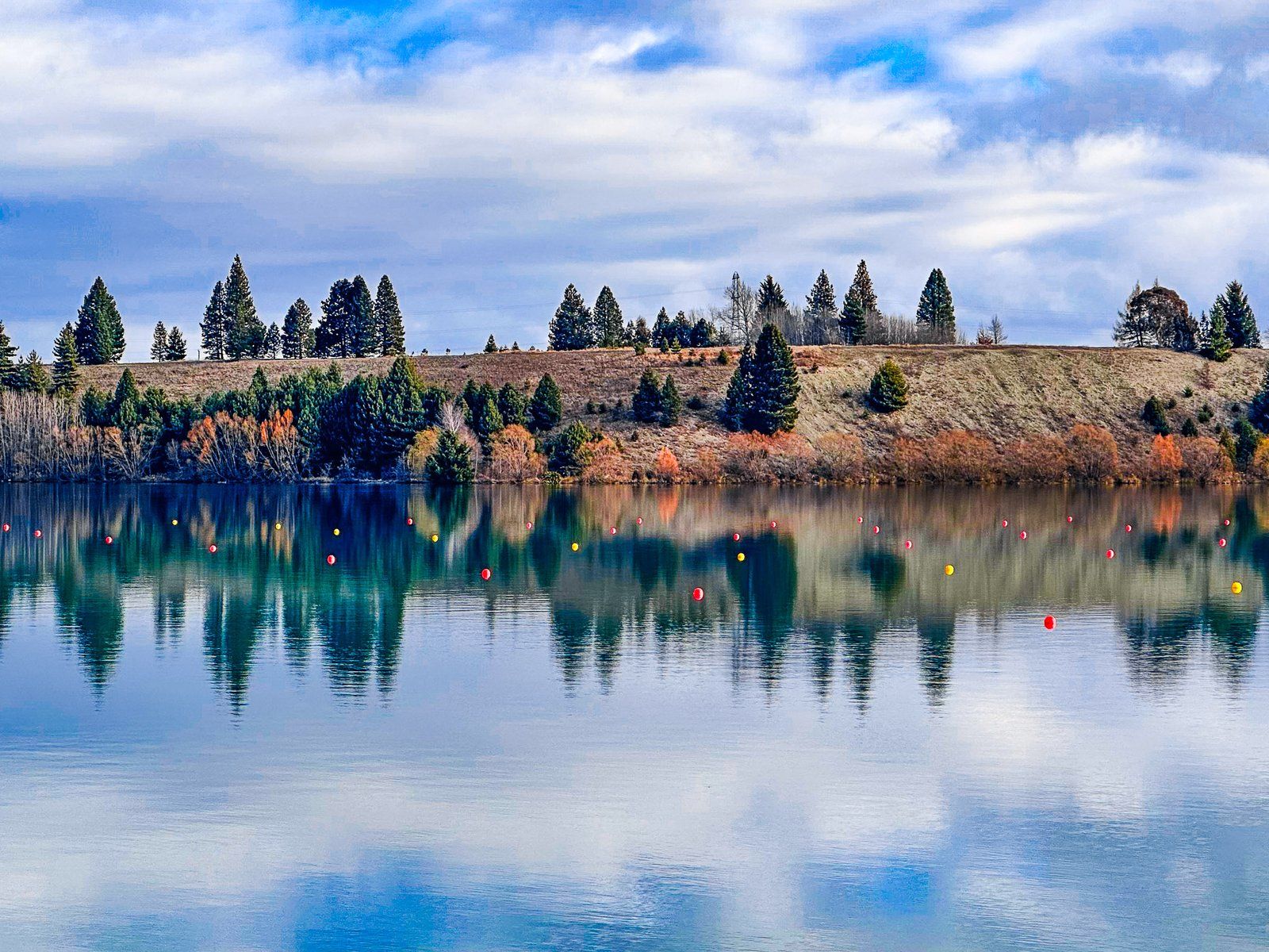
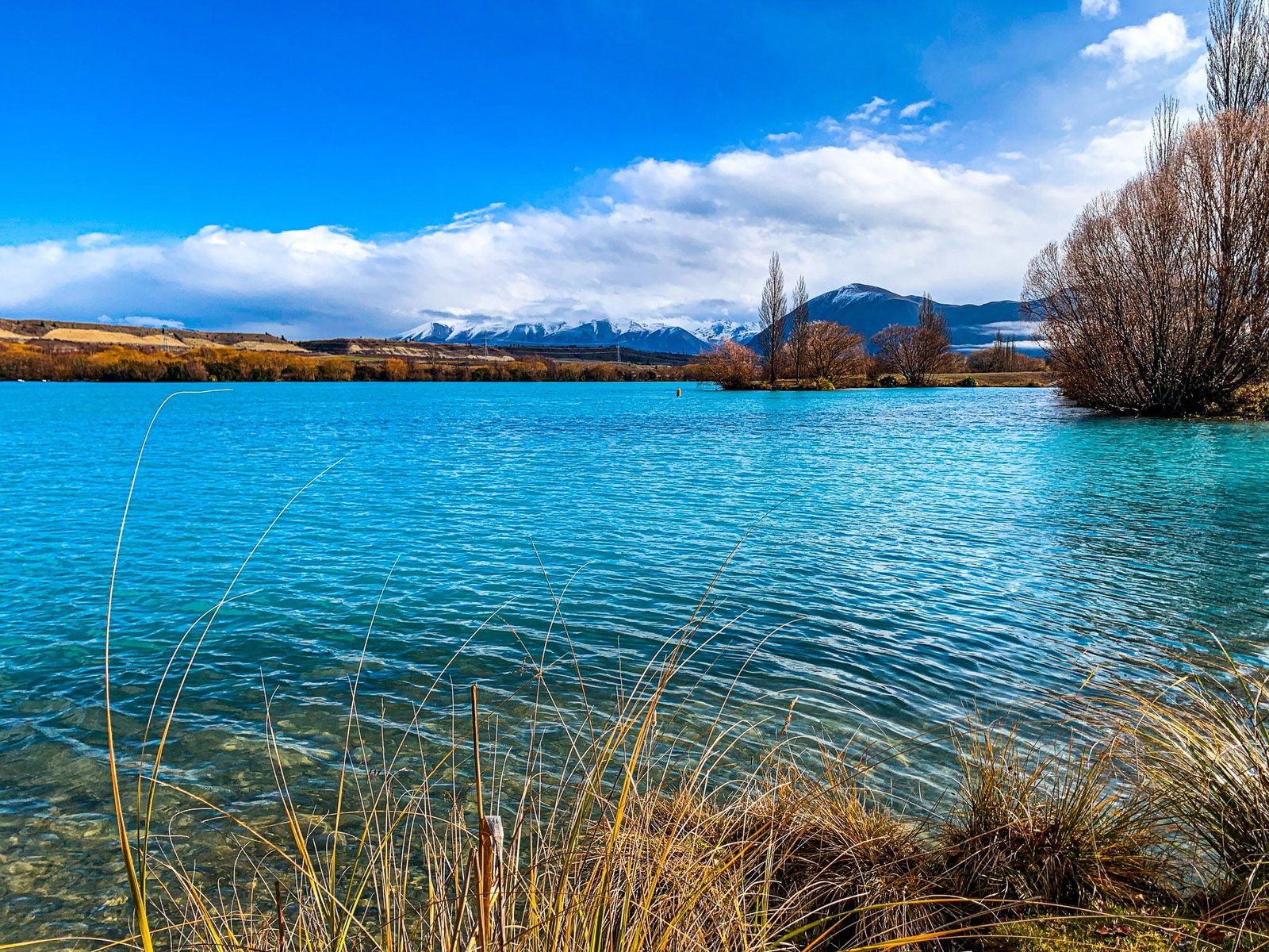
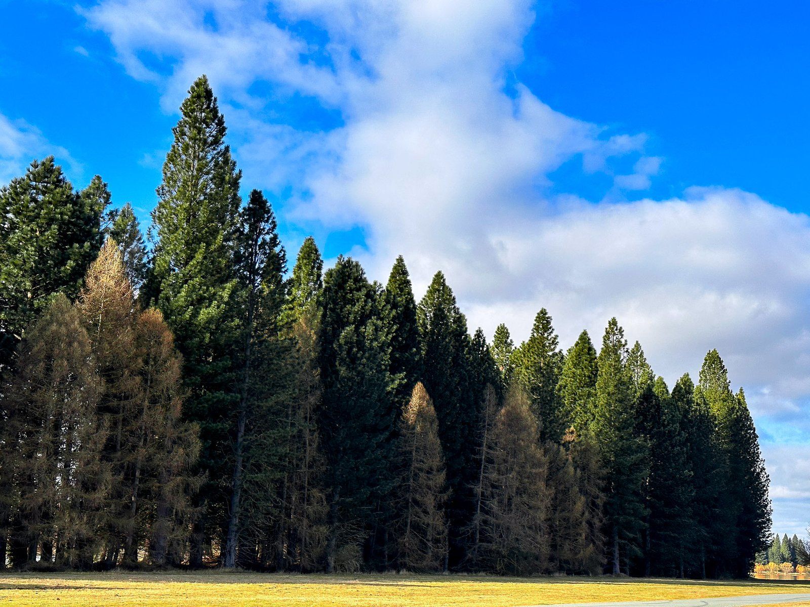
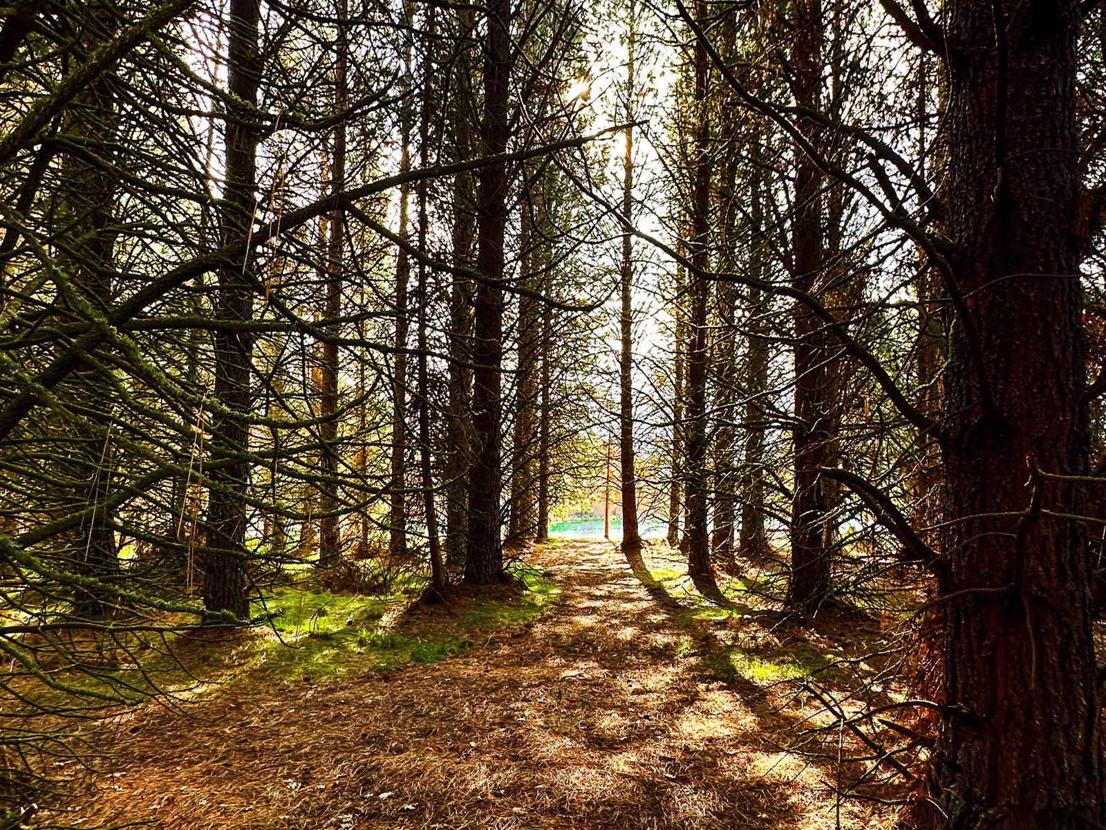
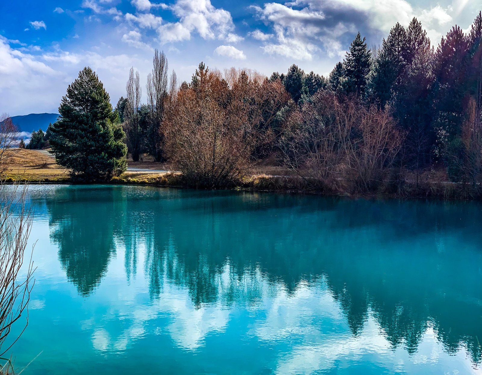
Lake Ruataniwha has become a popular spot for recreational activities. On its east side, a commercial campground is located within a small forest of exotic trees that have flourished since the lake's creation. The lake is also a key location for competitive rowing in New Zealand, alongside Lake Karāpiro in the Waikato region of the North Island. As the lake's popularity has grown, so has the nearby town of Twizel, which is expanding towards the lake.
Access and Scenic Walks
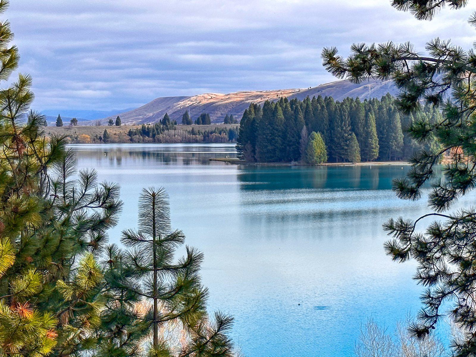
The easiest way to access Lake Ruataniwha from State Highway 8 is via Max Smith Drive. This road runs high along the north side of the lake and leads to the Ōhau B power station at the lake's head. From Max Smith Drive, you can reach the forest, the commercial campground, and a freedom camping area to the west.
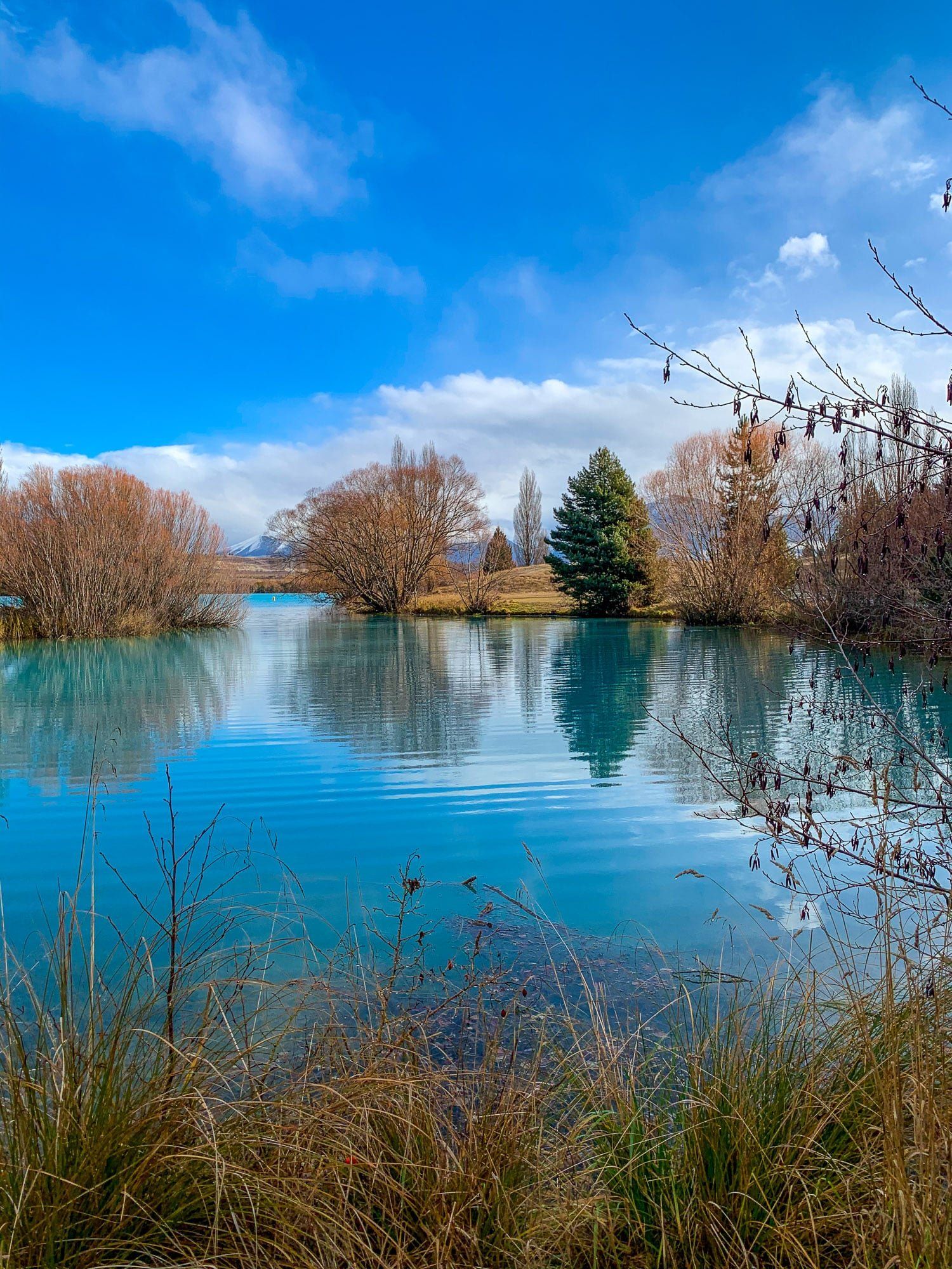
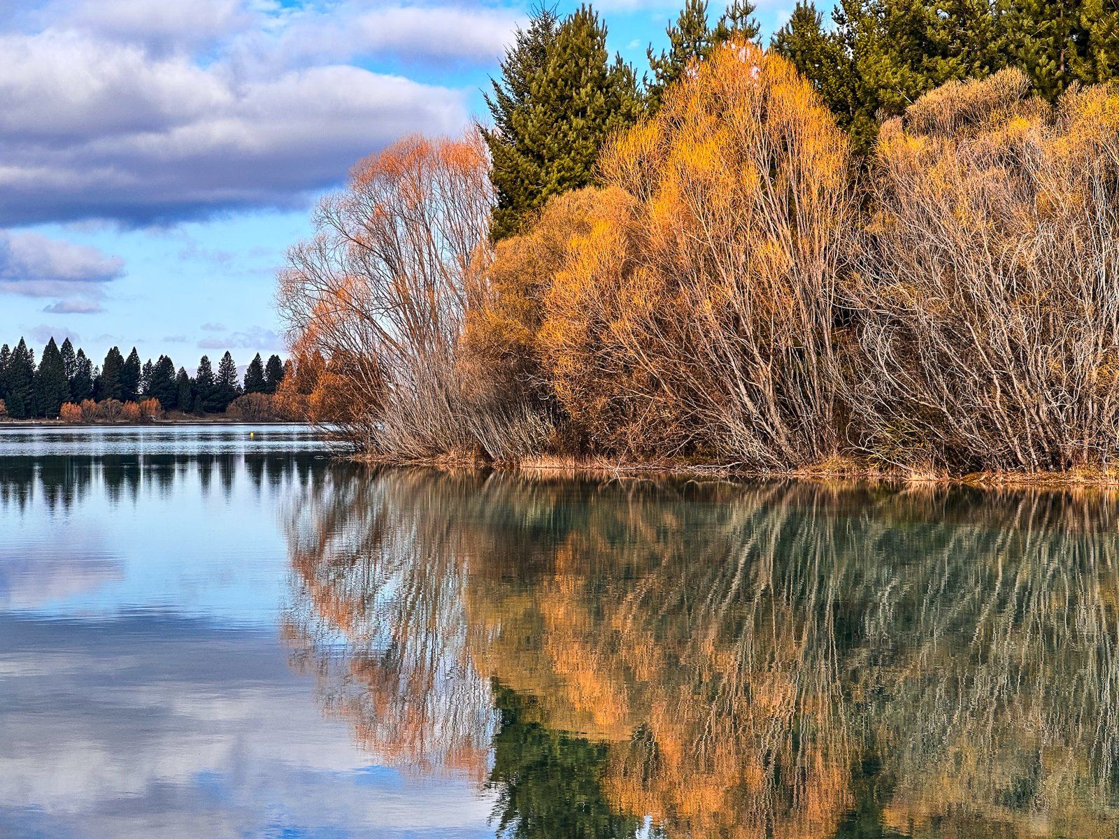
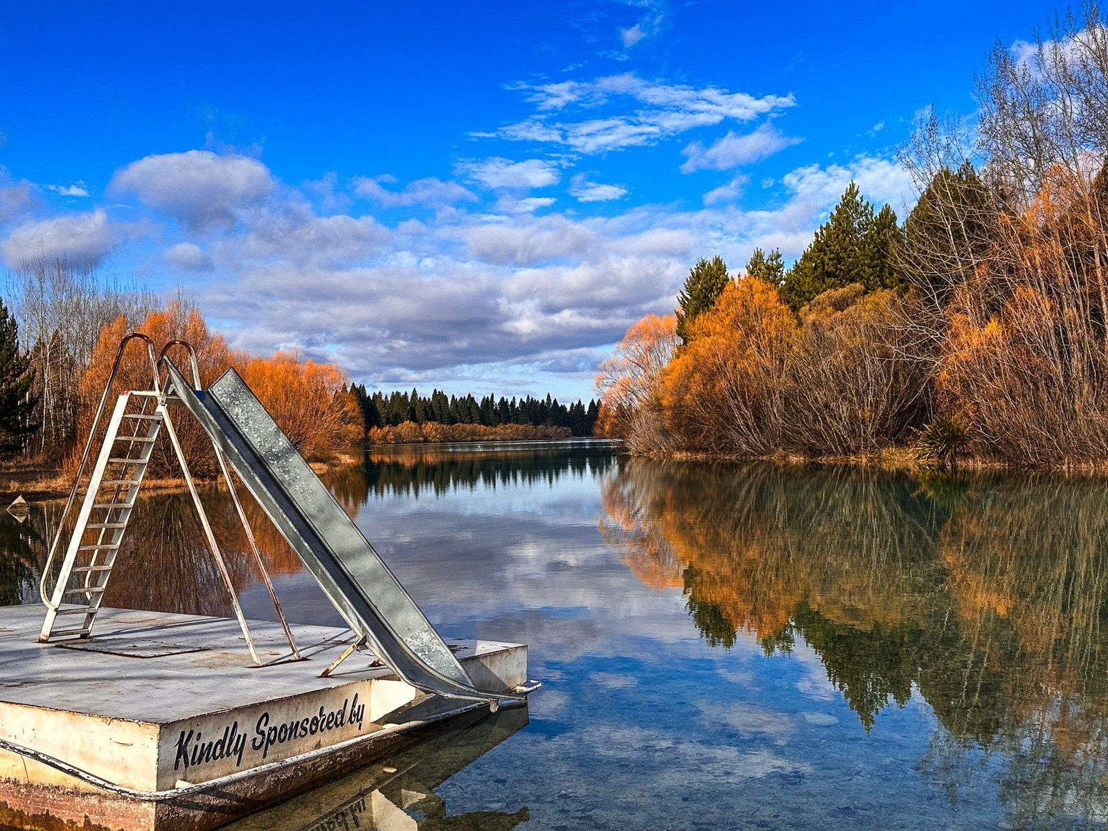
A shared track also follows Max Smith Drive and runs above the cliff northeast of the lake, with stunning views. The track descends to the exotic forest and follows the lake's edge to Lake Front Road (Kate Cameron Drive on Topo Map). Walking the track takes about two hours for a round trip and there is a small beach and playground along the way. Walking the lake edge is especailly attractive and photogenic on a calm day.
How to Get There
Lake Ruataniwha is between Twizel and Omarama on State Highway 8. From the Highway, turn onto Max Smith Drive, which provides access to the lake's north side.
Nearby, the town of Twizel has cafes and shops, while the popular High Country Salmon is on the highway south of the turnoff. A short drive also takes you to Lake Benmore, the southeast end of Lake Ōhau, Lake Pukaki, and State Highway 80 to Aoraki / Mt. Cook.