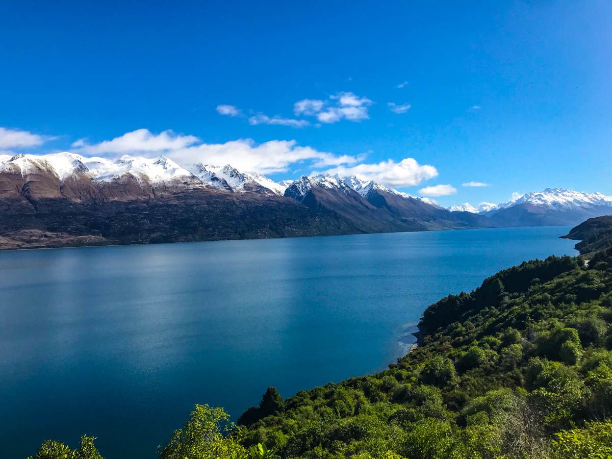
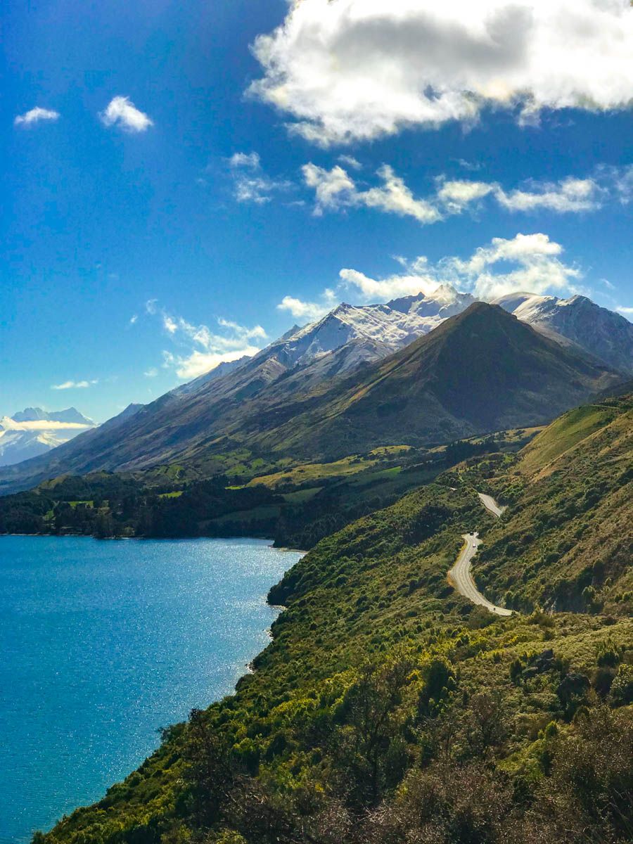
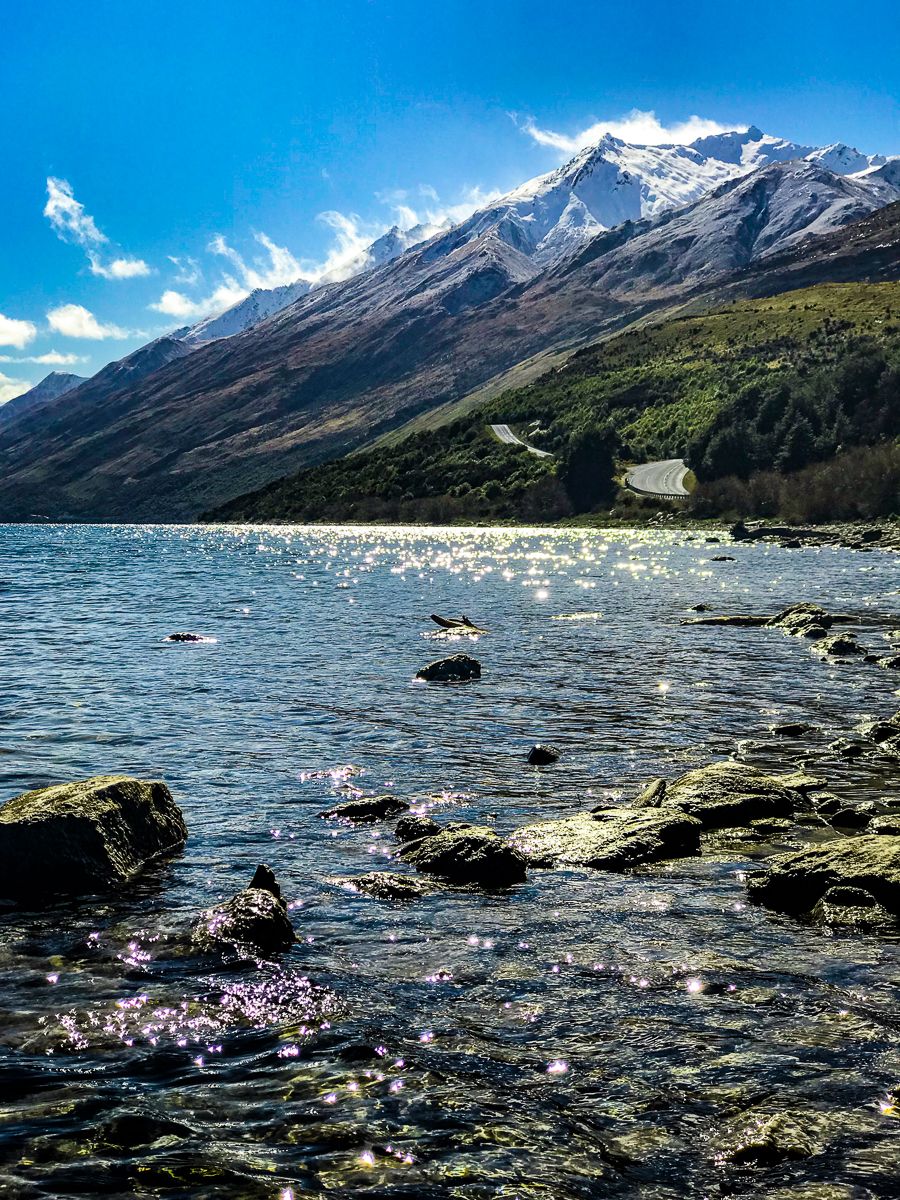
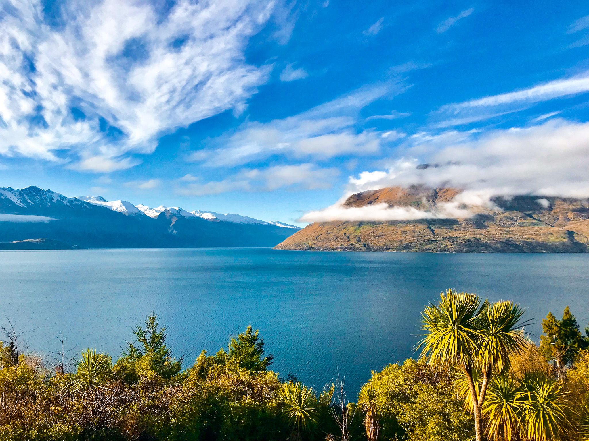
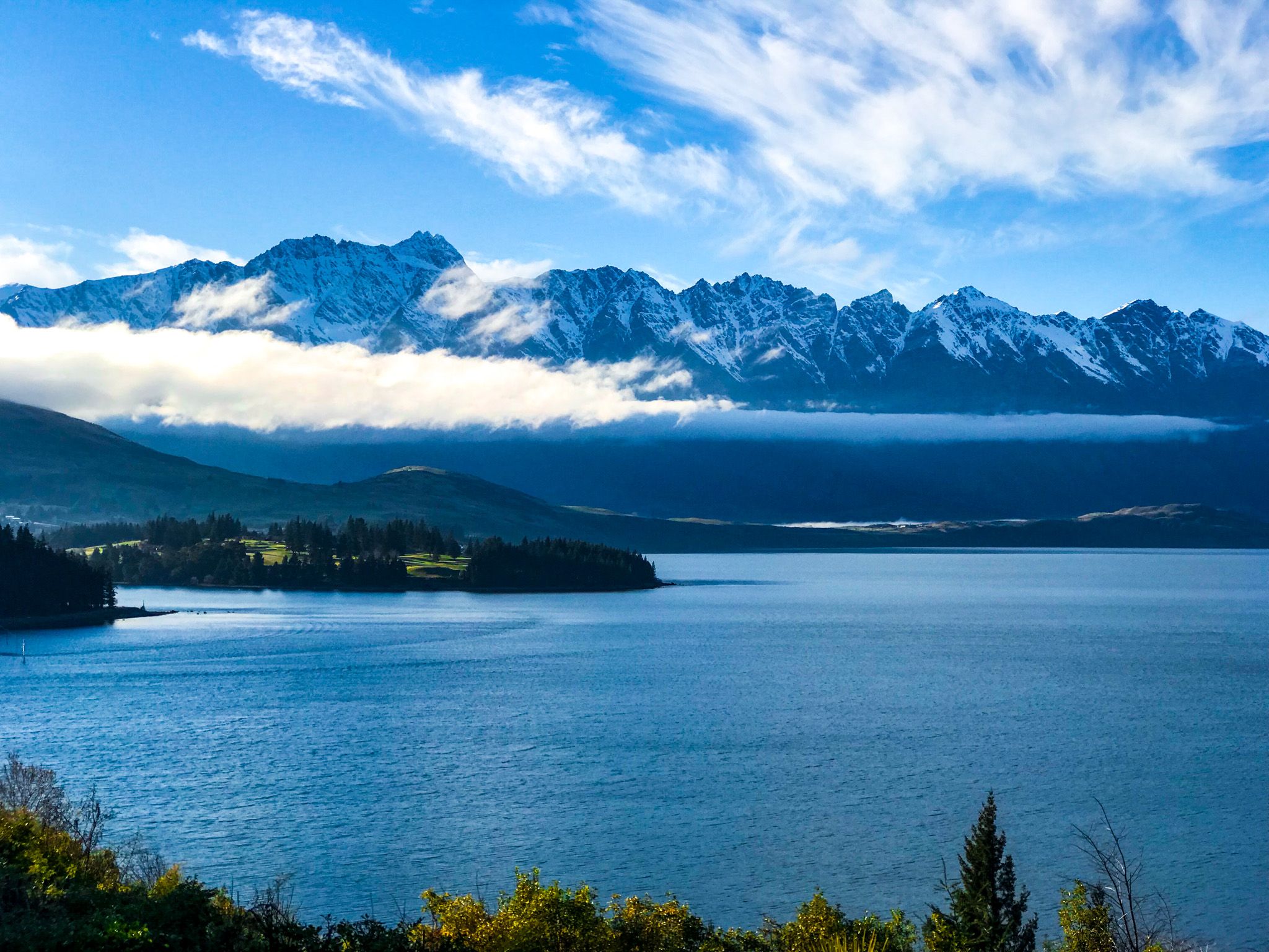
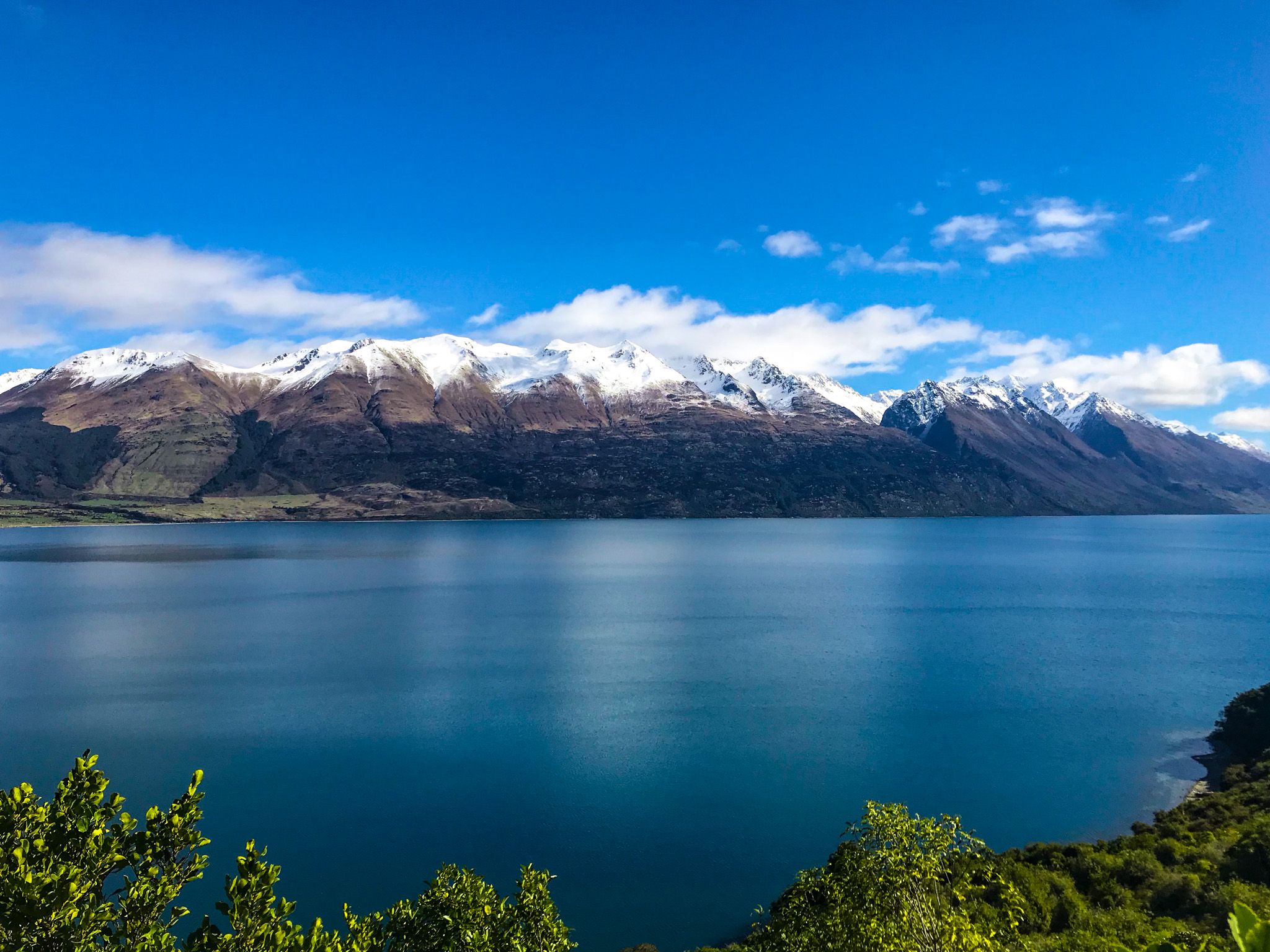
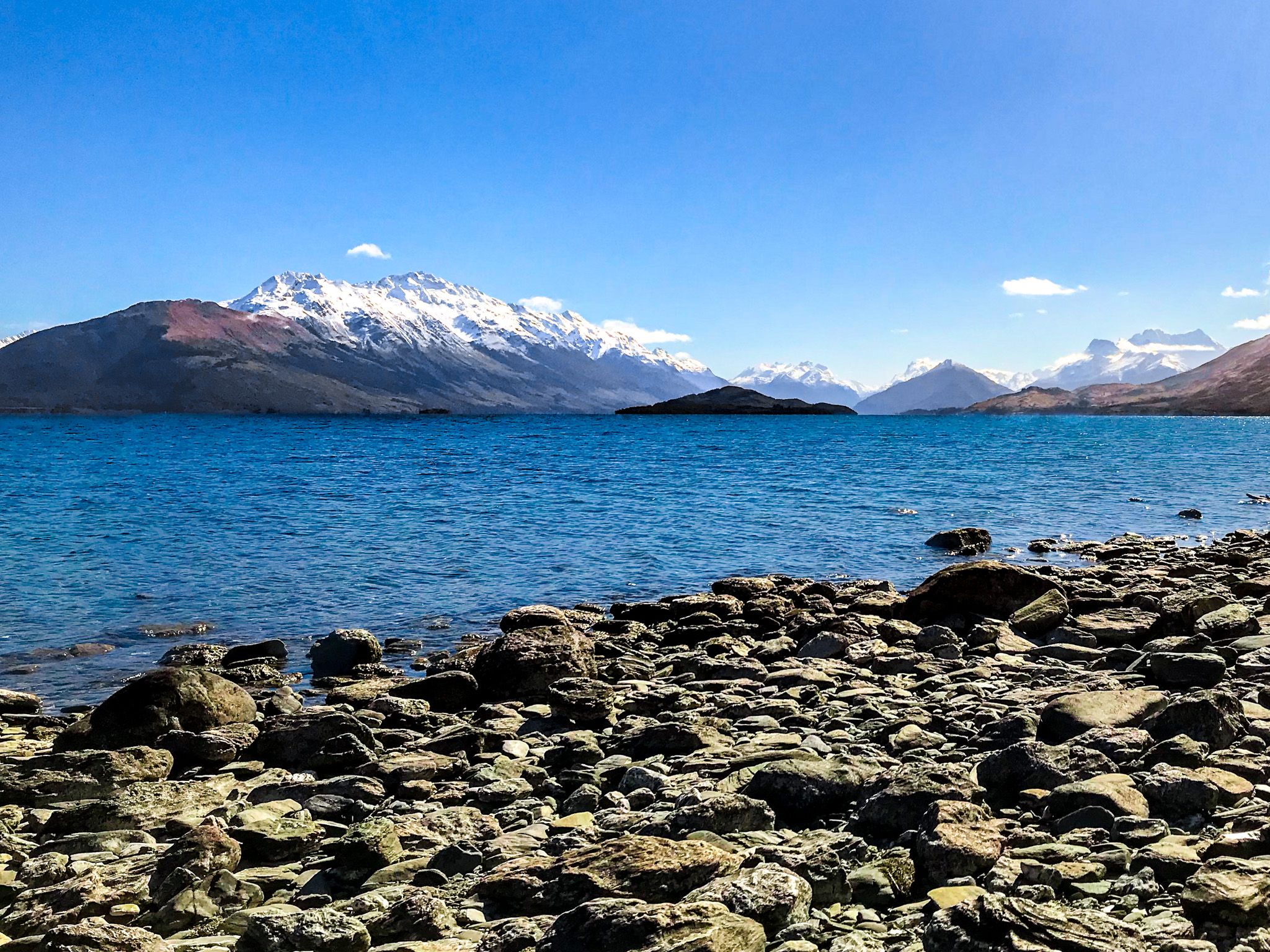
The Glenorchy-Queenstown Road is a gem among New Zealand's scenic drives. It offers a uniquely scenic journey along the edge of Lake Wakatipu. Stretching for 44 km, this road is a picturesque adventure that takes around 46 minutes to drive, excluding stops for photos and walks.
As you leave Queenstown, look for opportunities to capture shots to the south of Cecil Peak and Walter Peak and behind you to the Remarkables. Seven Mile Point is a good option, but it is not the only one. There are great views from the side of the road, as well as 12 Mile Delta and Bobs Cove.
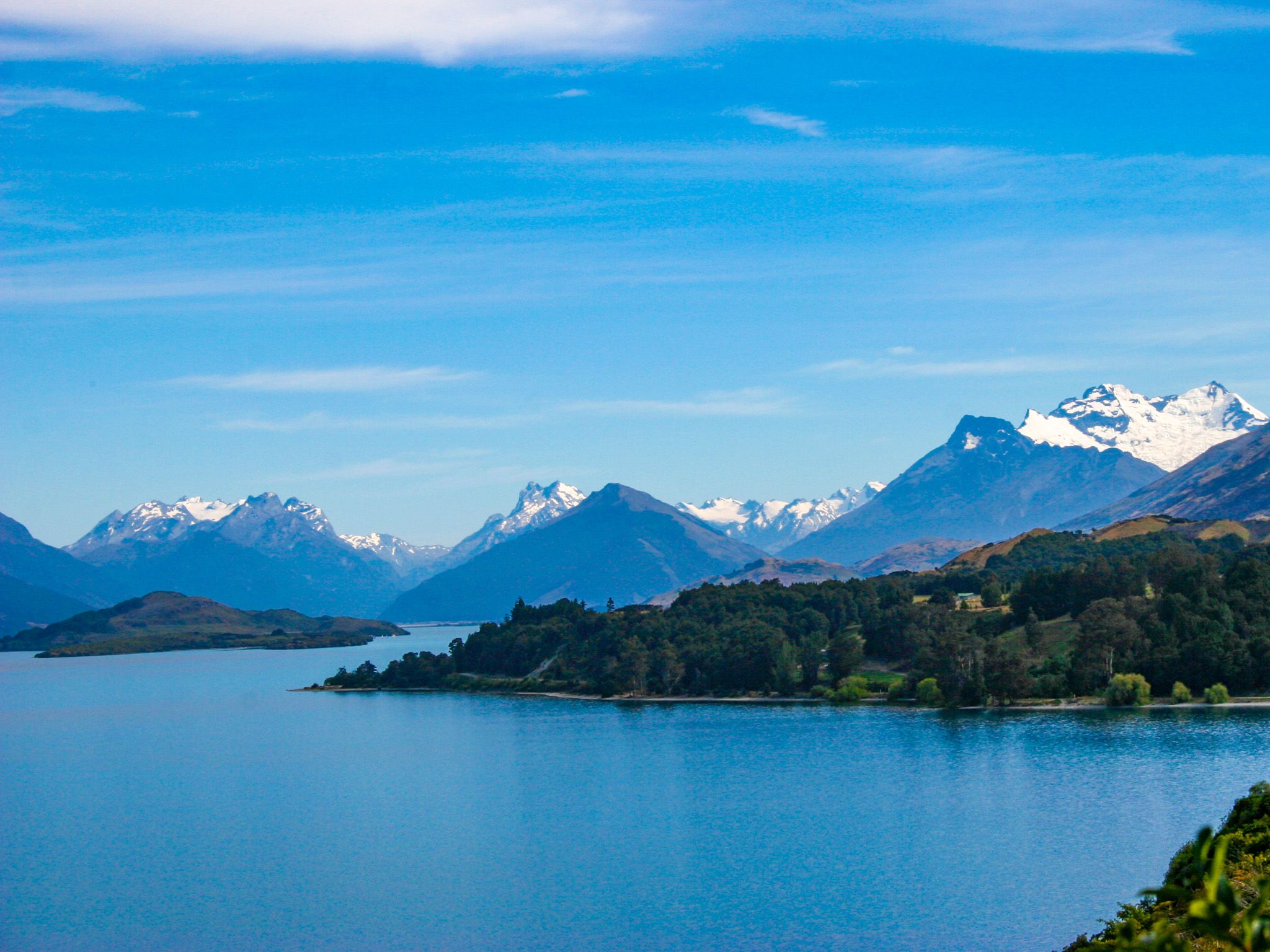
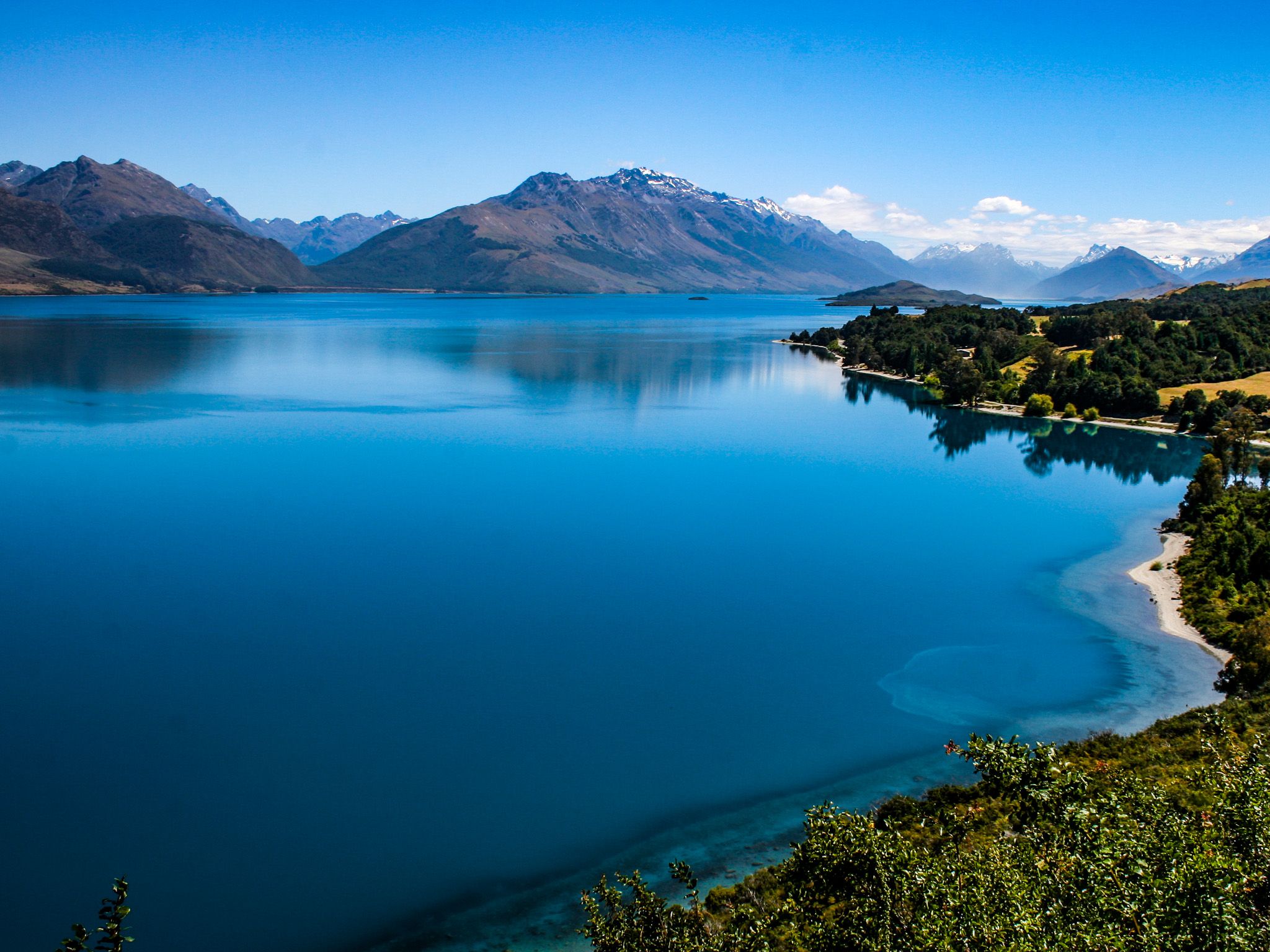
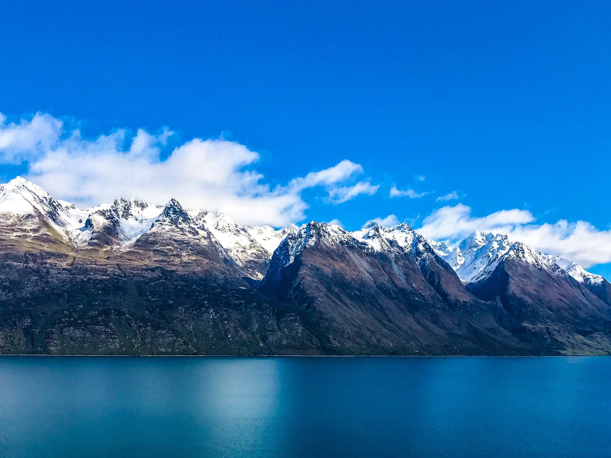
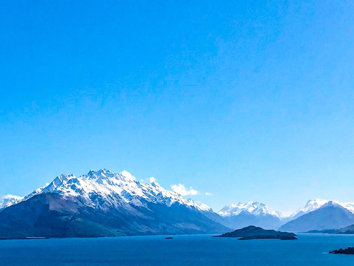
Beyond Bobs Cove, the road curves from west to north along with the lake. As it does, it climbs to around 100 meters above the lake, with steep drops and open views to the west and north. On the west side of the lake are the peaks of the Thomson Mountains (up to 2007 metres). To the north are the Humboldt Mountains, with Mt Bompland at 2,343 metres, and in the far distance Mt Earmslaw / Pikirakataki at 2,830 metres, with its large glacier. The best viewpoint is at Bennetts Bluff, but the views are excellent throughout the drive, and there are other places to stop. A fine winter’s day, with snow-capped mountains, is the best time to do the drive.
After Bennetts Bluff, the road drops back down the lake, and there are several access points. These include Meiklejohns Bay, Twenty-Five Mile Stream and Lake Face Creek Falls.
The road also provides access to several of our favourite places along the way, including Moke Lake, Bobs Cove Track, and the Mt Crichton Track.
