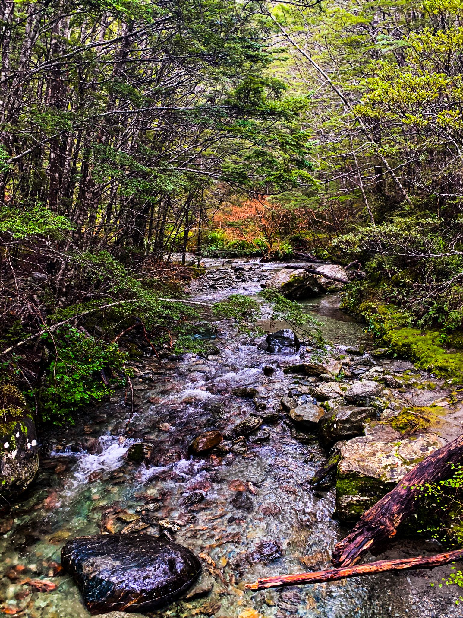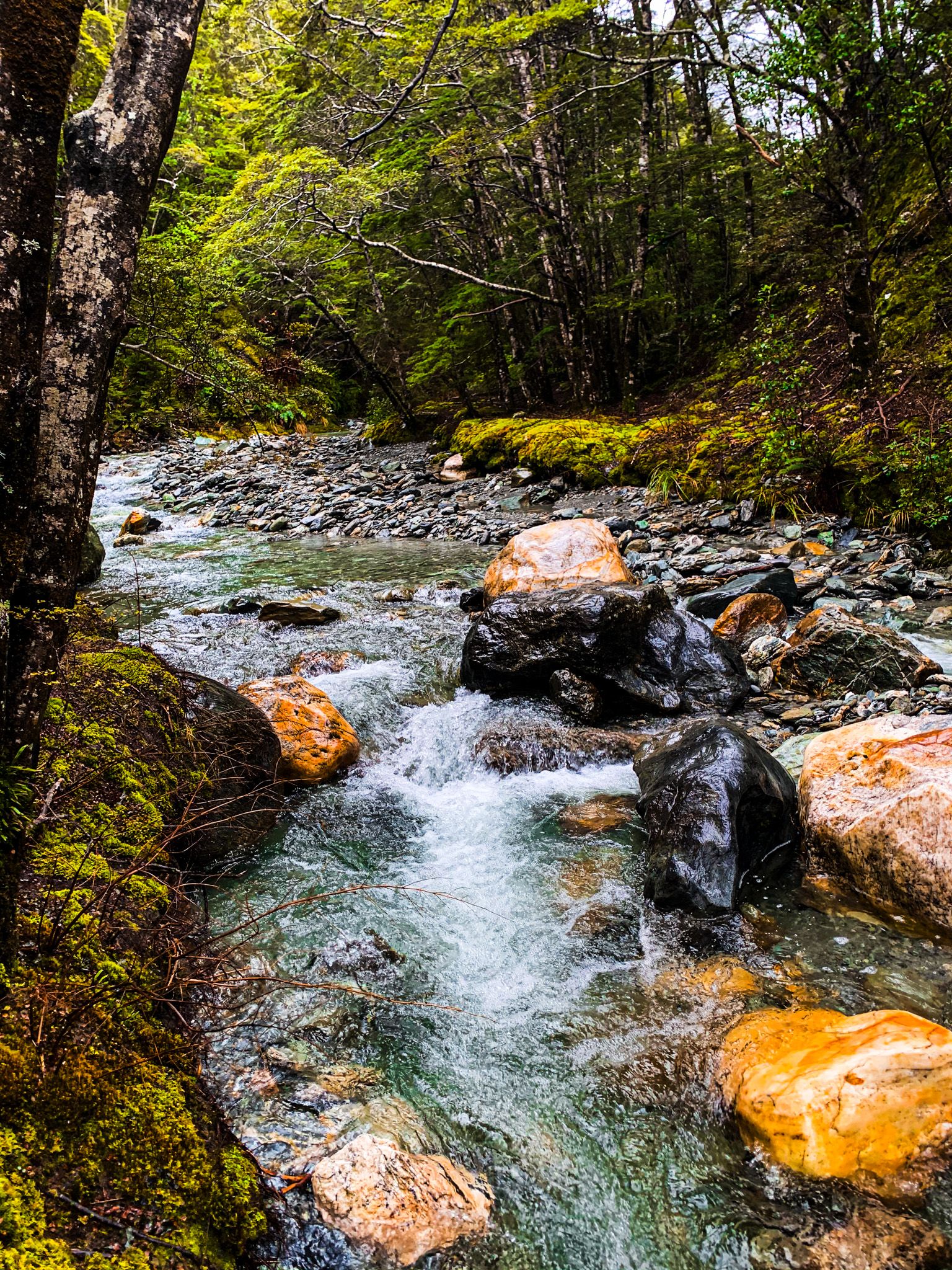
Mt Crichton Track is an easy, beautiful loop track that mostly goes through a native beech forest. The track follows 12 Mile Creek or Few Creek along the southeast side of Mt Crichton (1,870 metres). And yes, “12 Mile Creek or Few Creek” is an official name, as is nearby “Eight Mile Creek or Close Burn” and “Fortune Cove or Bobs Cove”.
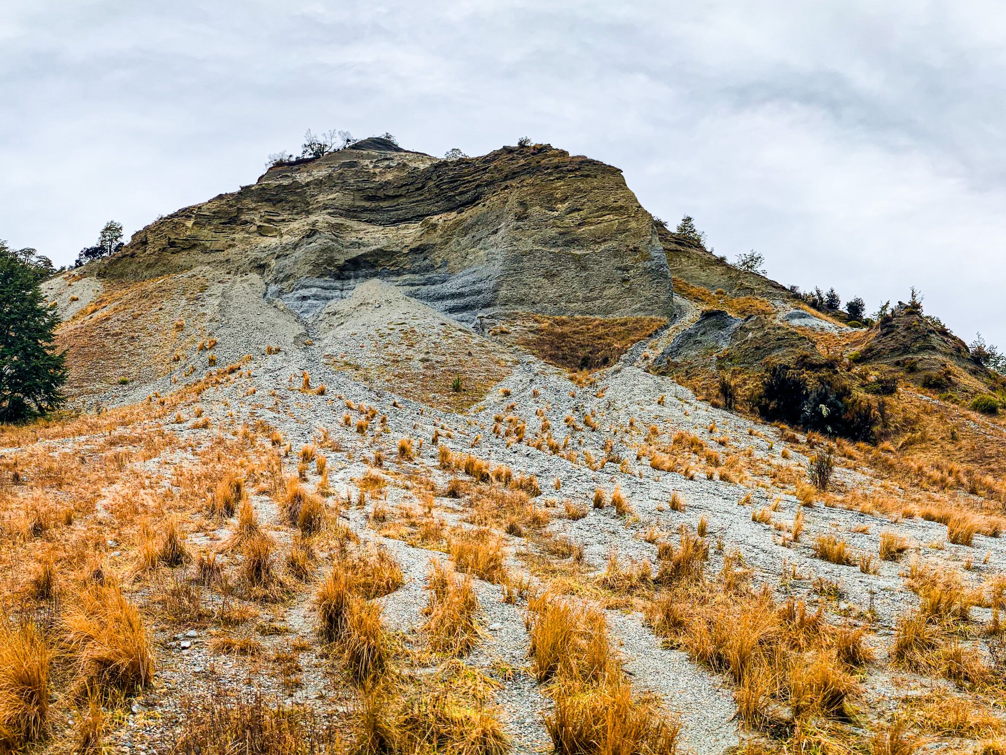
The east side of the walk is especially attractive and interesting. In addition to the attractive forest and stream, there was once gold mining about 45 minutes along the track. This section is yet to be claimed by the forest and features piles of tailings and a cliff face created by water blasting. There is also a nearby man-made slot that was used to access water from the stream. It is wide enough to investigate safely.
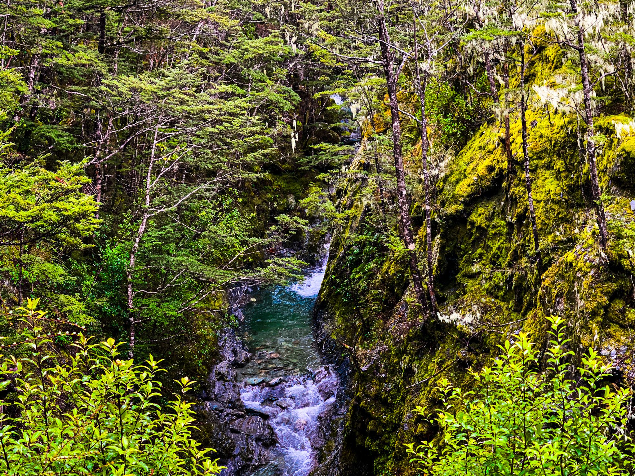
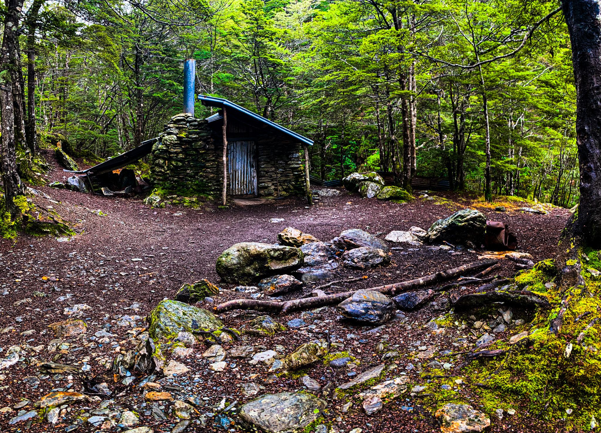
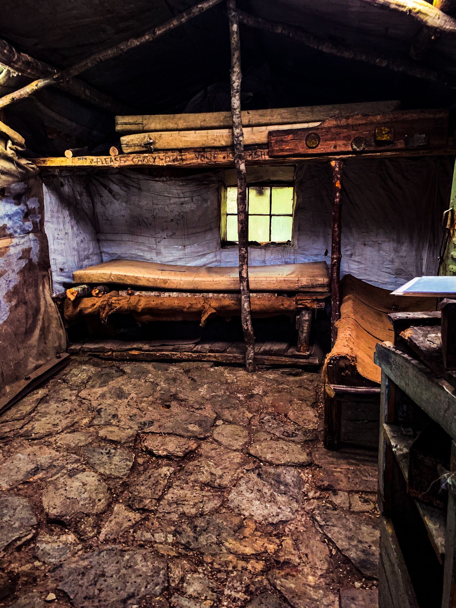
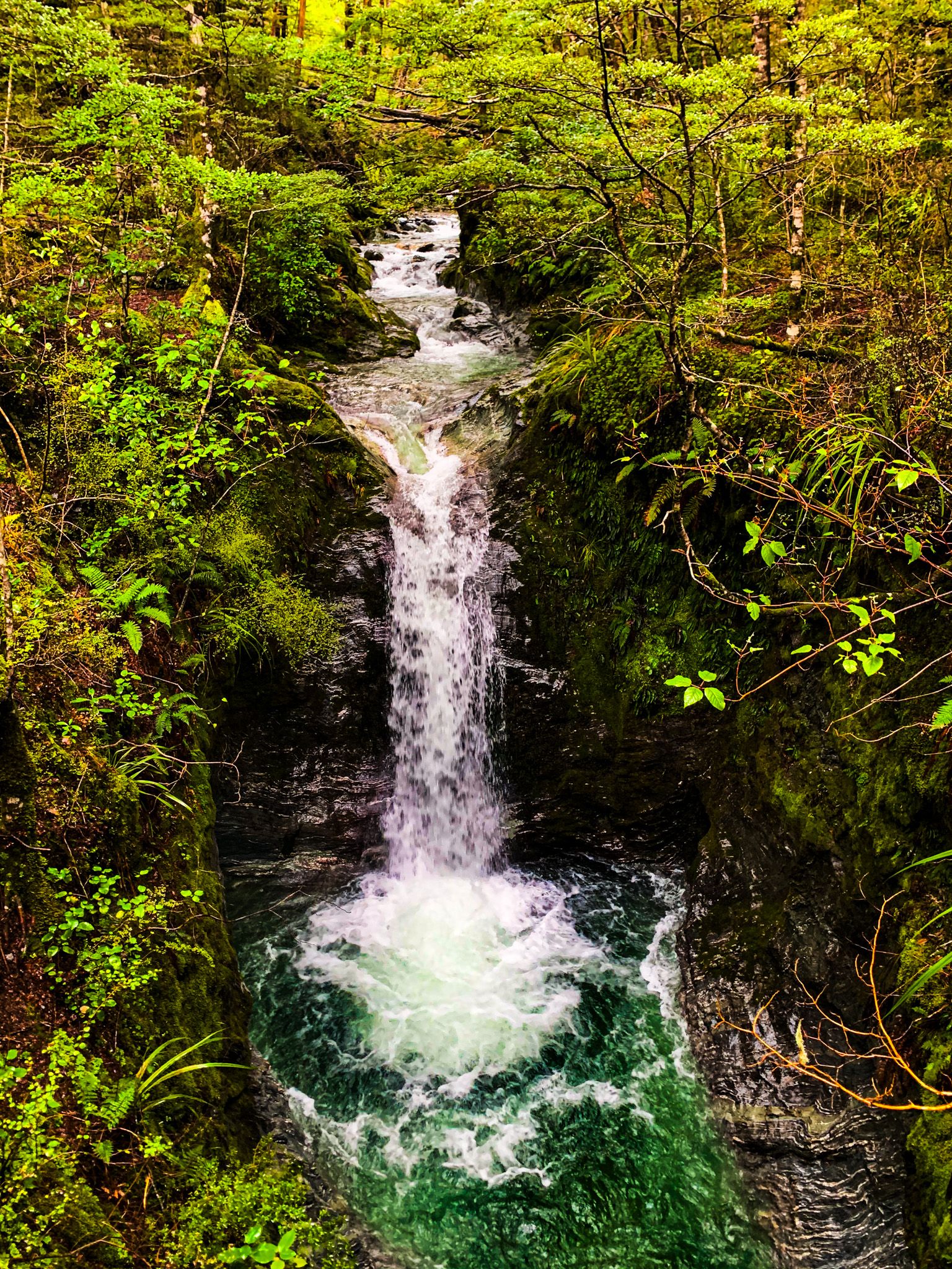
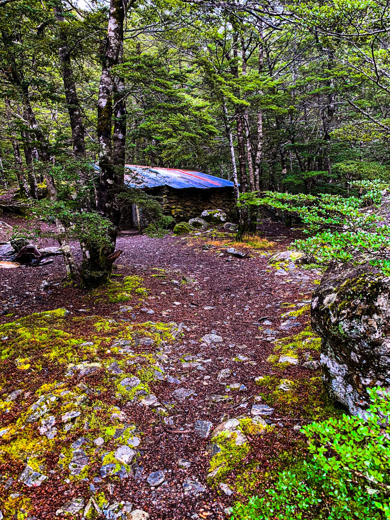
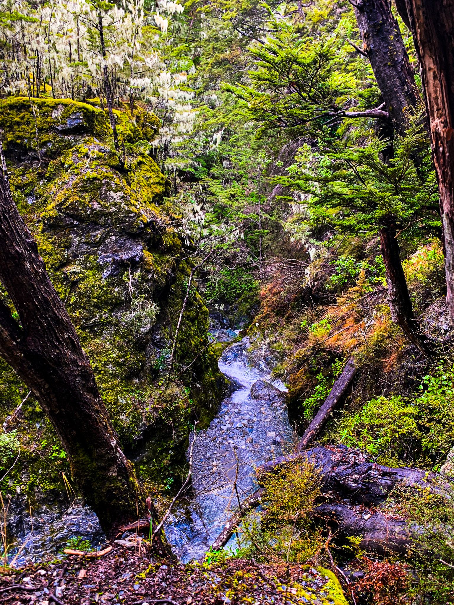
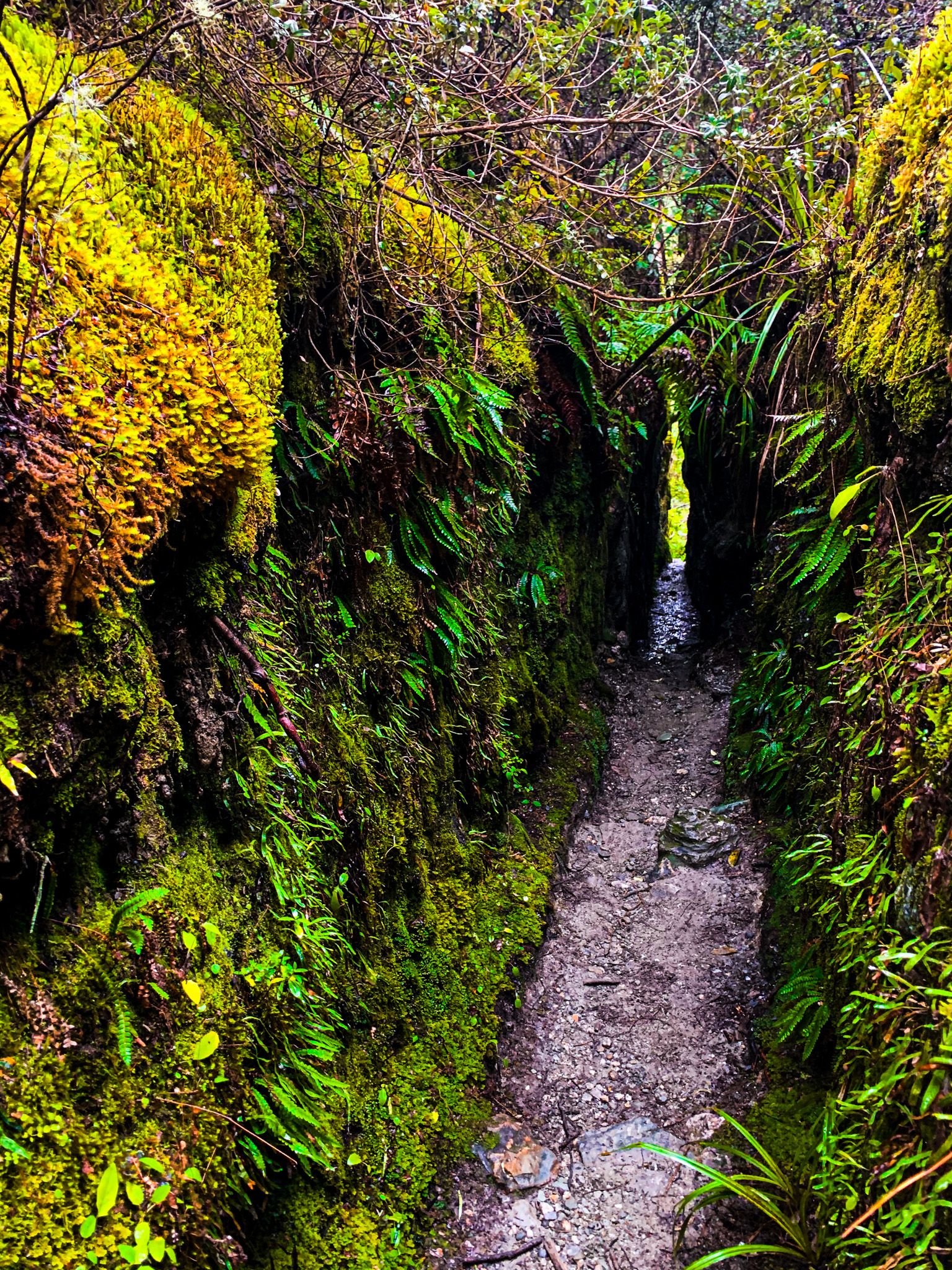
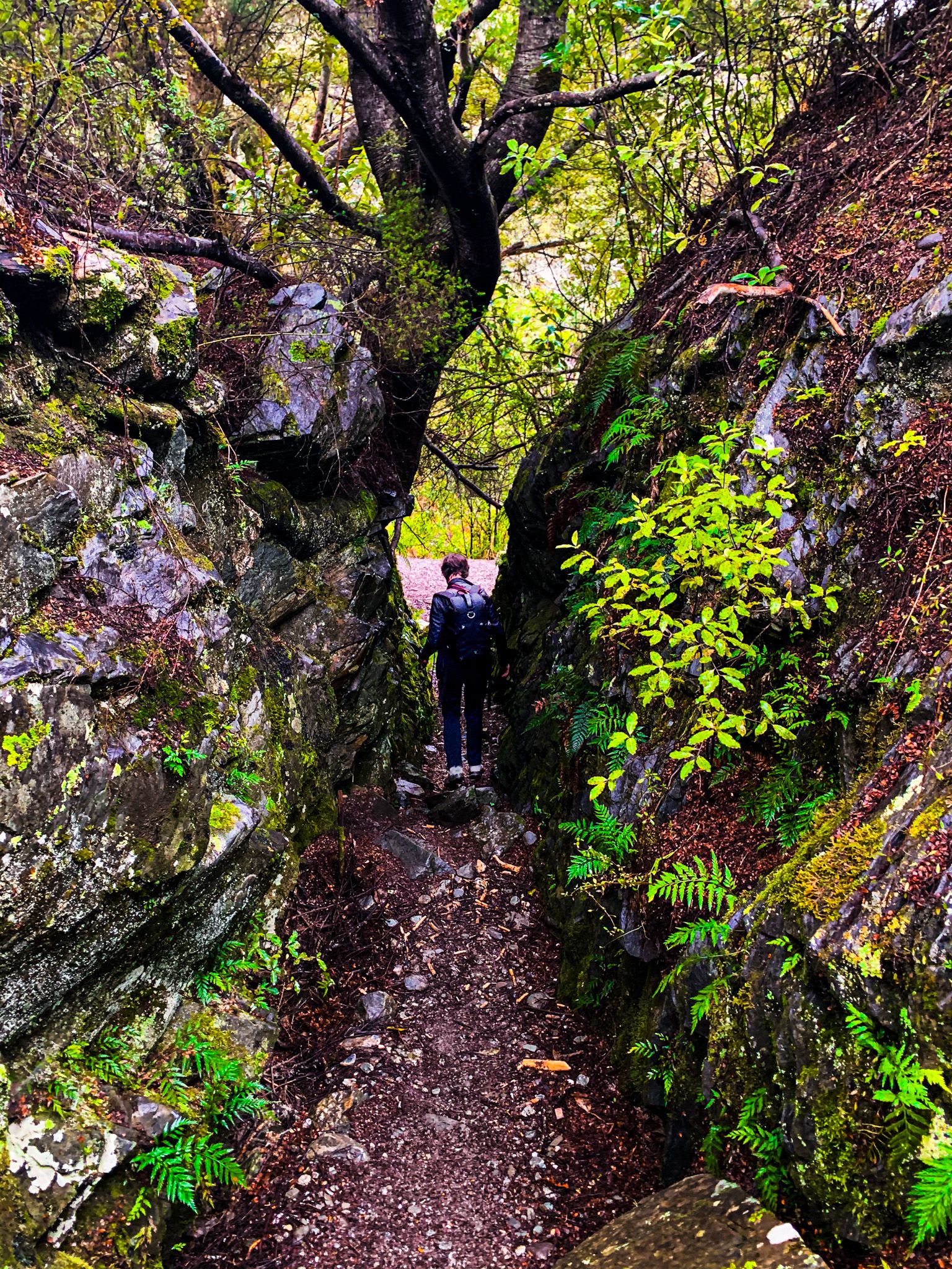
A little further on from the mine site is Sam Summers Hut. He was a gold prospector and built the hut, with his brothers, from schist and iron in the 1930s. It is an incredibly picturesque location, surrounded by beech trees with a nearby waterfall and narrow lichen and moss-lined canyons.
Sam spent the Great Depression prospecting and hunting around the creek. He also grew vegetables and strawberries, providing for a sister and nine brothers. He also saw service in WW2 but would return to the hut, walking to and from Queenstown. The hut has been regularly maintained and is only available for day use.
The track starts on Glenorchy Queenstown Road, a 15-minute drive from downtown Queenstown. The sign points to a large car park on the lake side of the road, but there is parking on the other side at the start of the track, a little further on. The loop takes about 2.5 hours and is connected to the Lake Dispute Walkway. From there, you can also walk to Moke Lake.