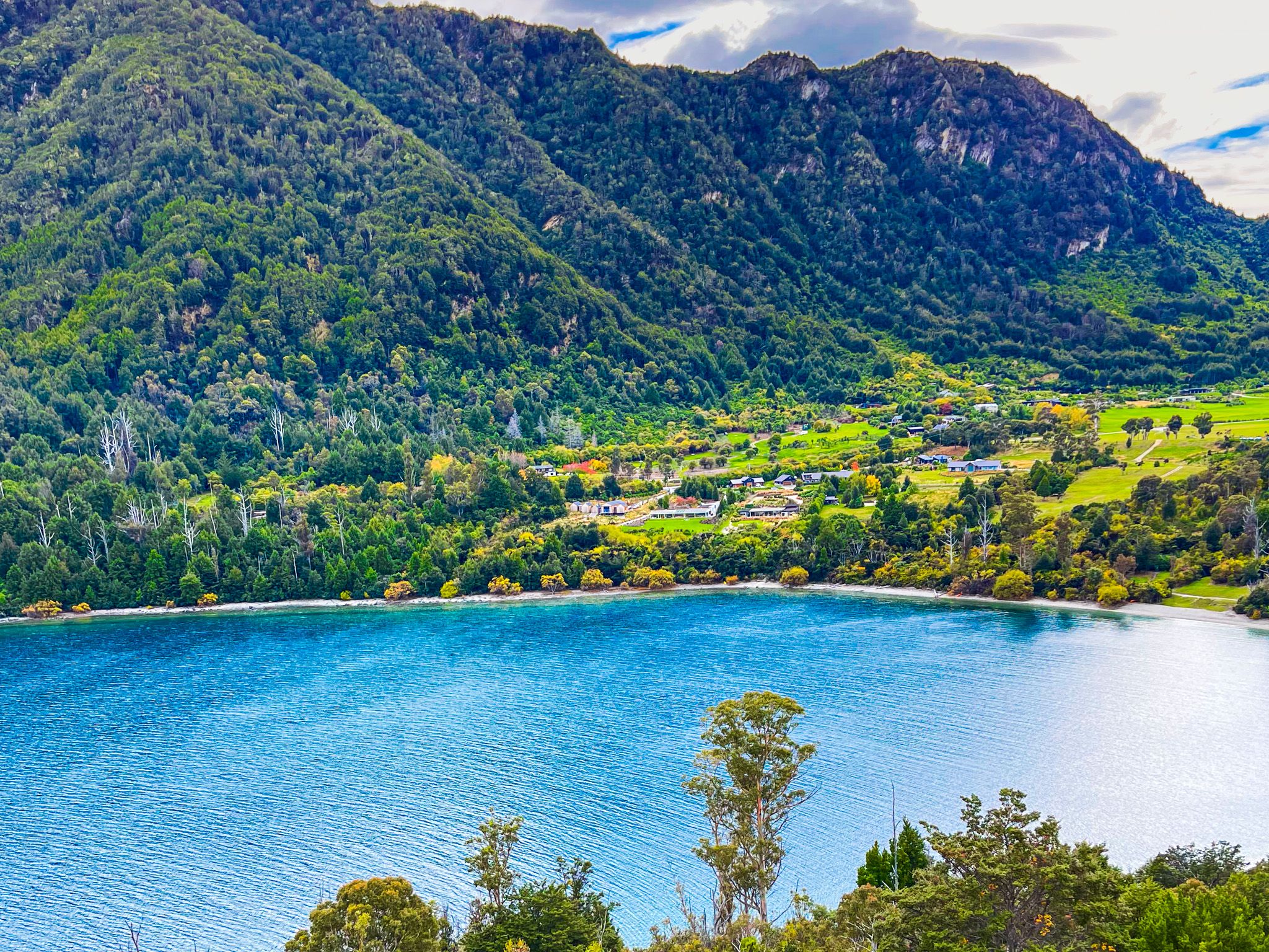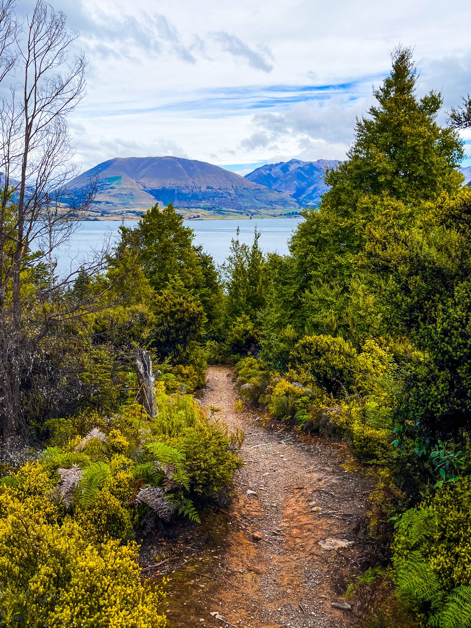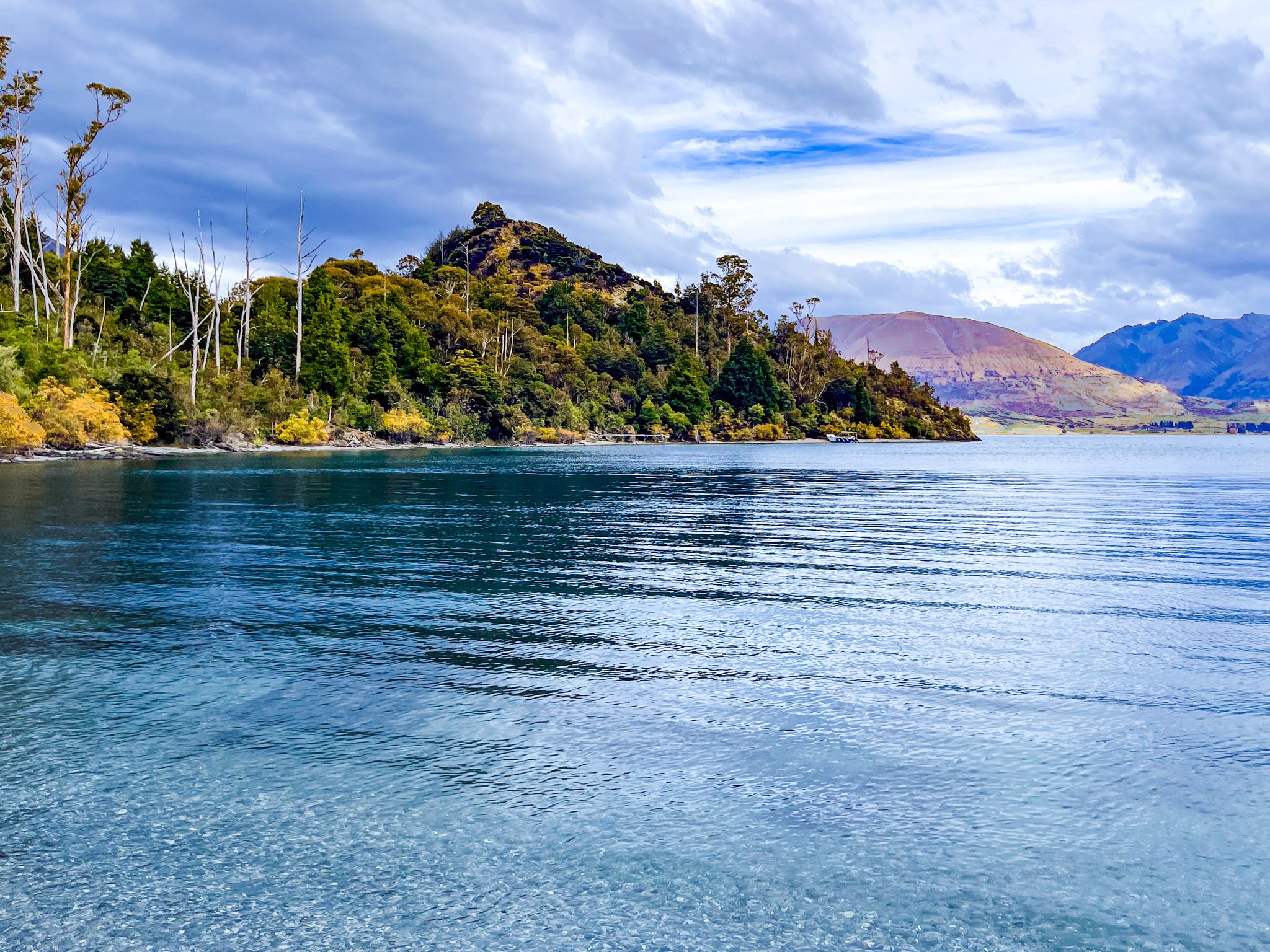
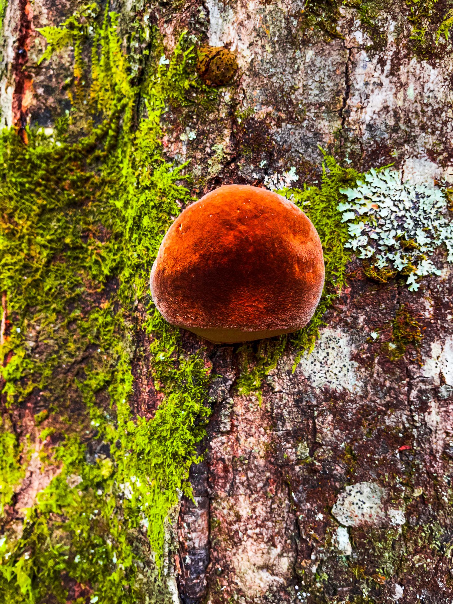
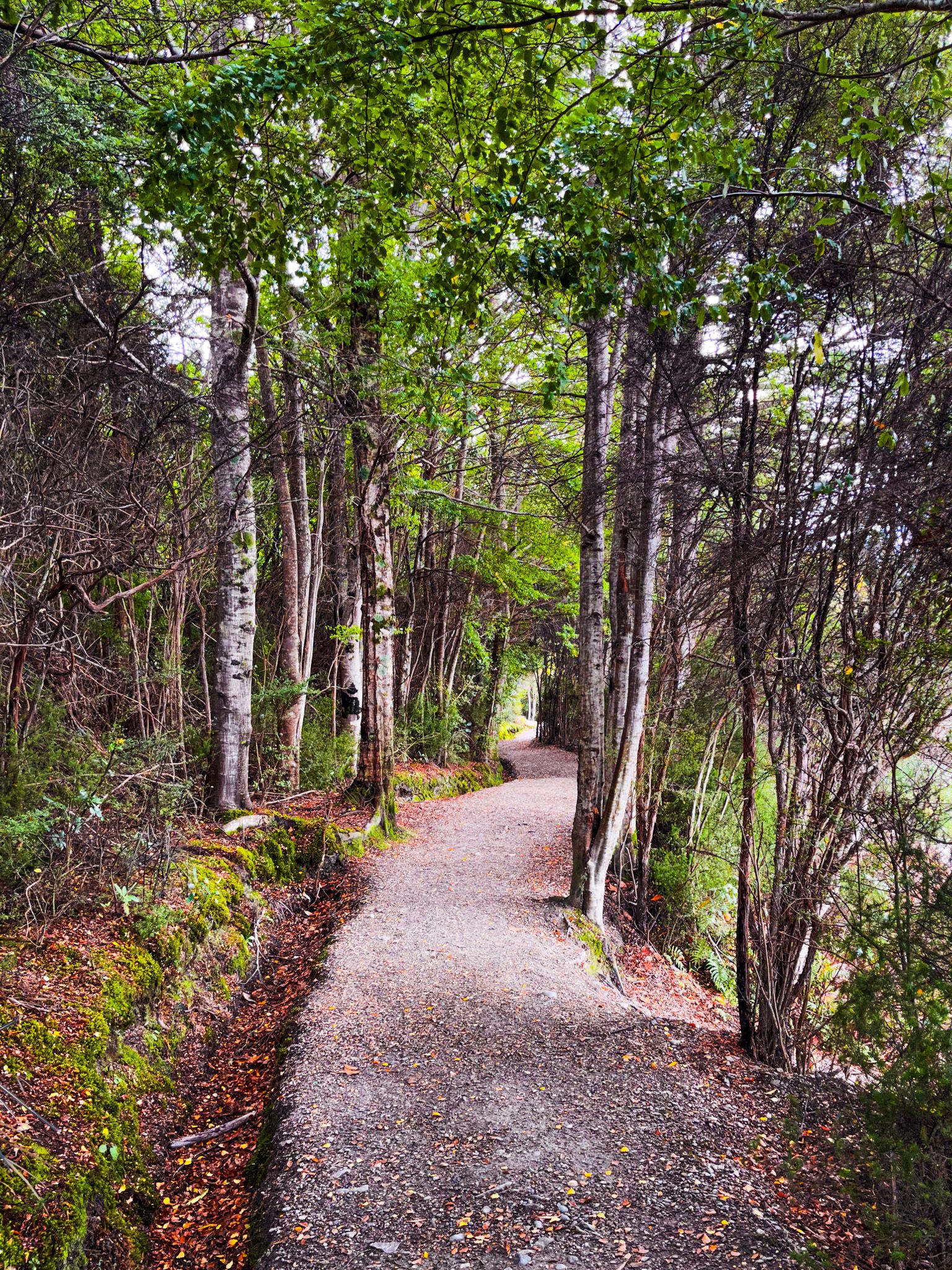
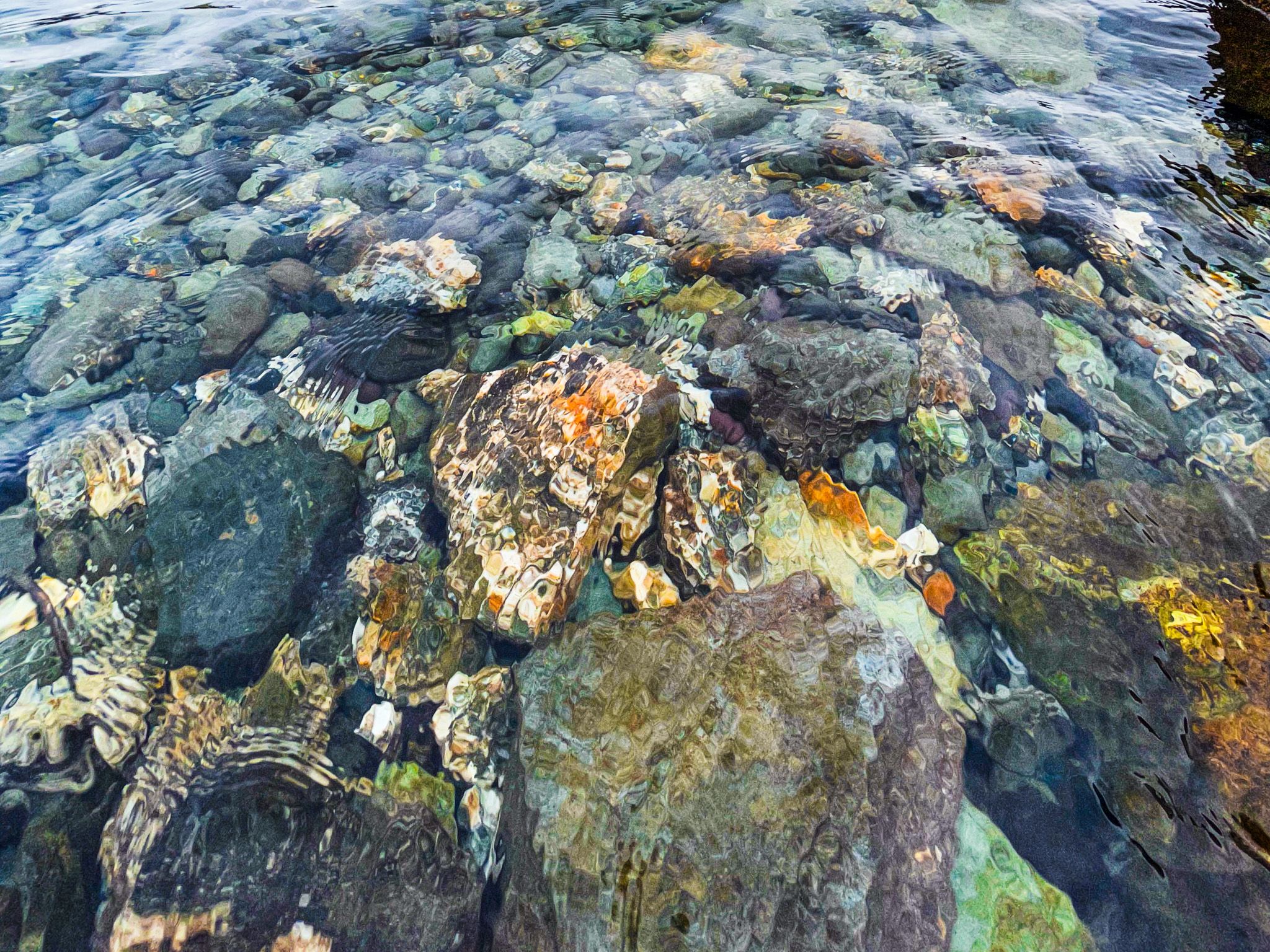
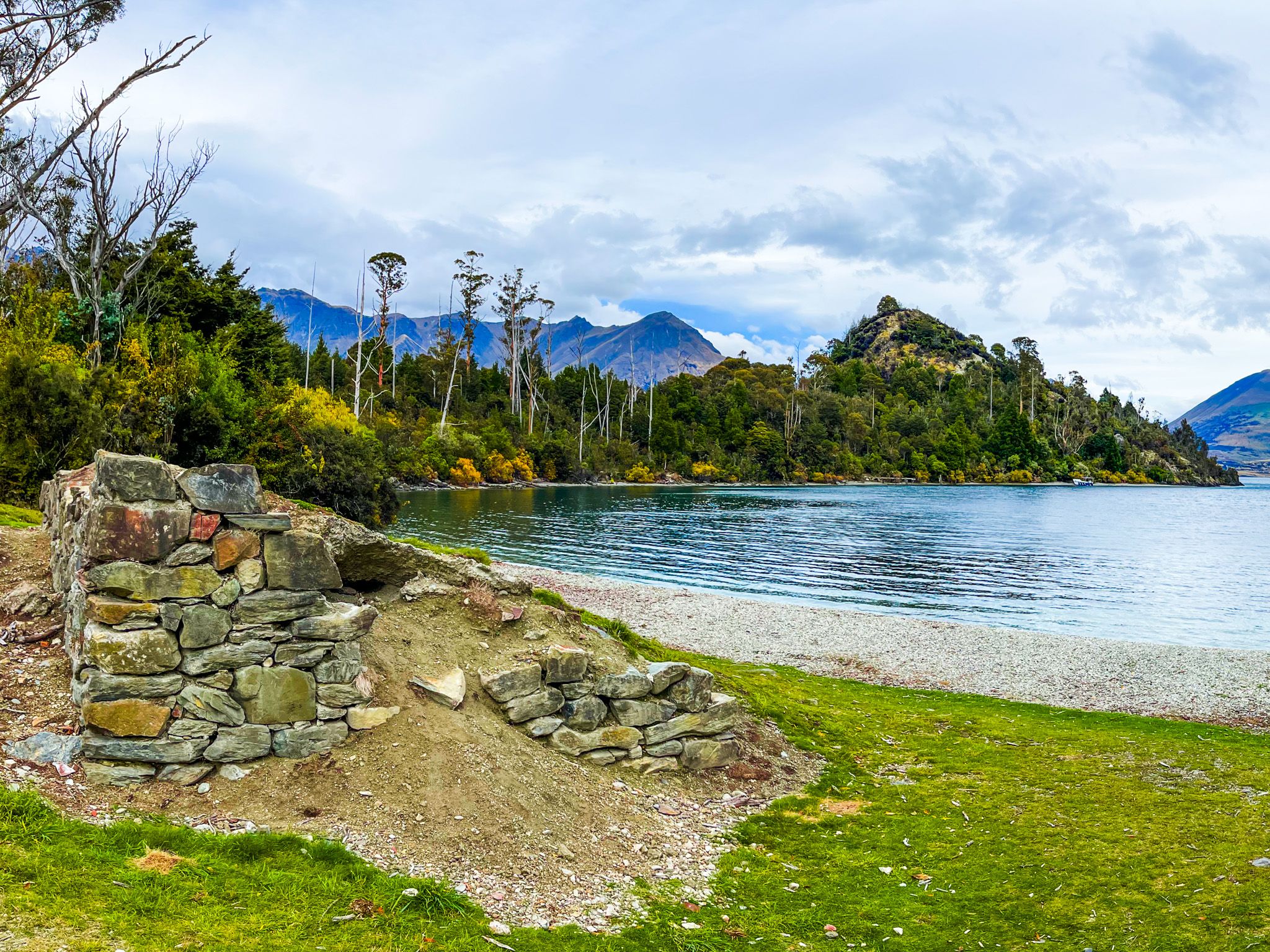
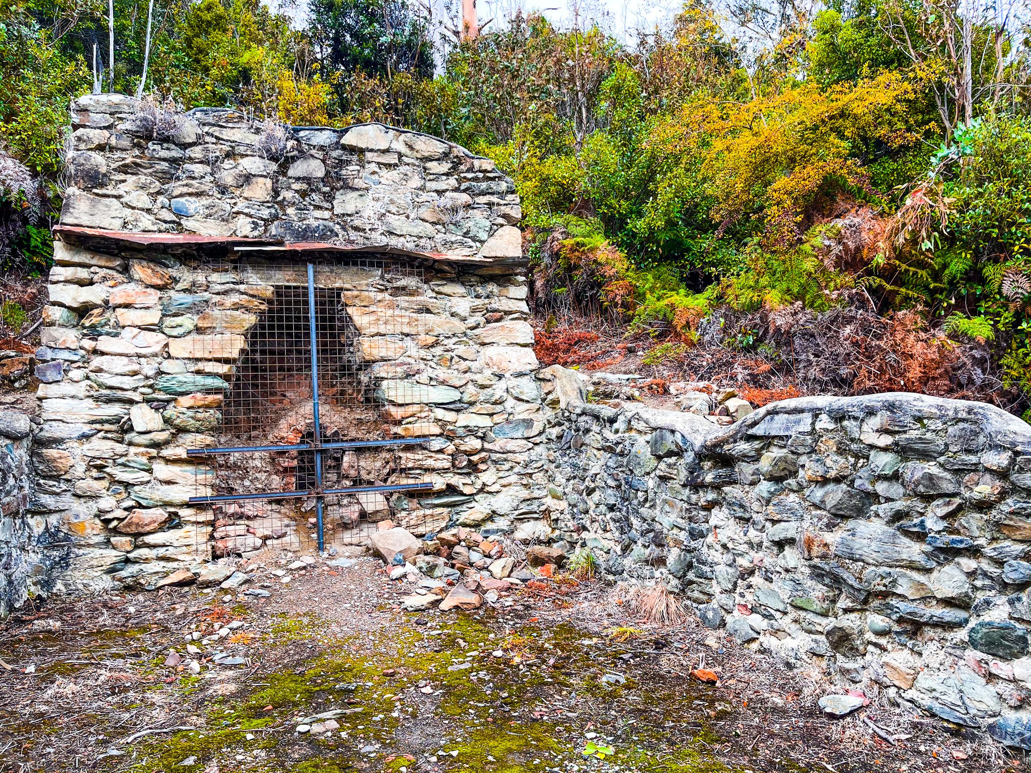
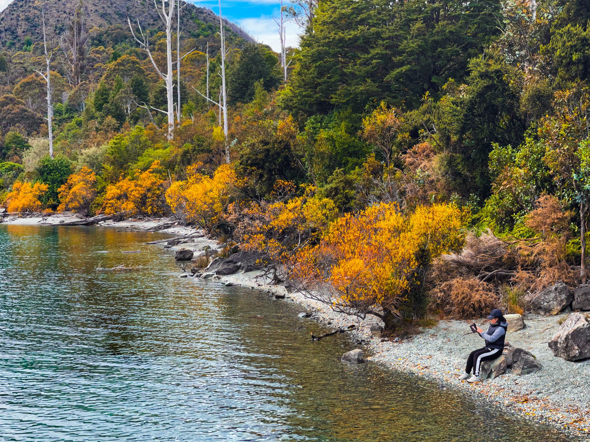
There are two parts to the 20-minute Bobs Cove track. The first section from the car park is through a beautiful section of mostly native forest, with clematis flowers in spring and red rata in summer. After a few minutes, you will reach the attractive cove on the side of Lake Wakatipu. There, you will also find the remains of the cove’s industrial past, with the remnants of a limestone kiln near the beach dating back to the 1800s. There are also some signs of an old pier near the current facility. The cove is sheltered and a popular safe palace to swim.
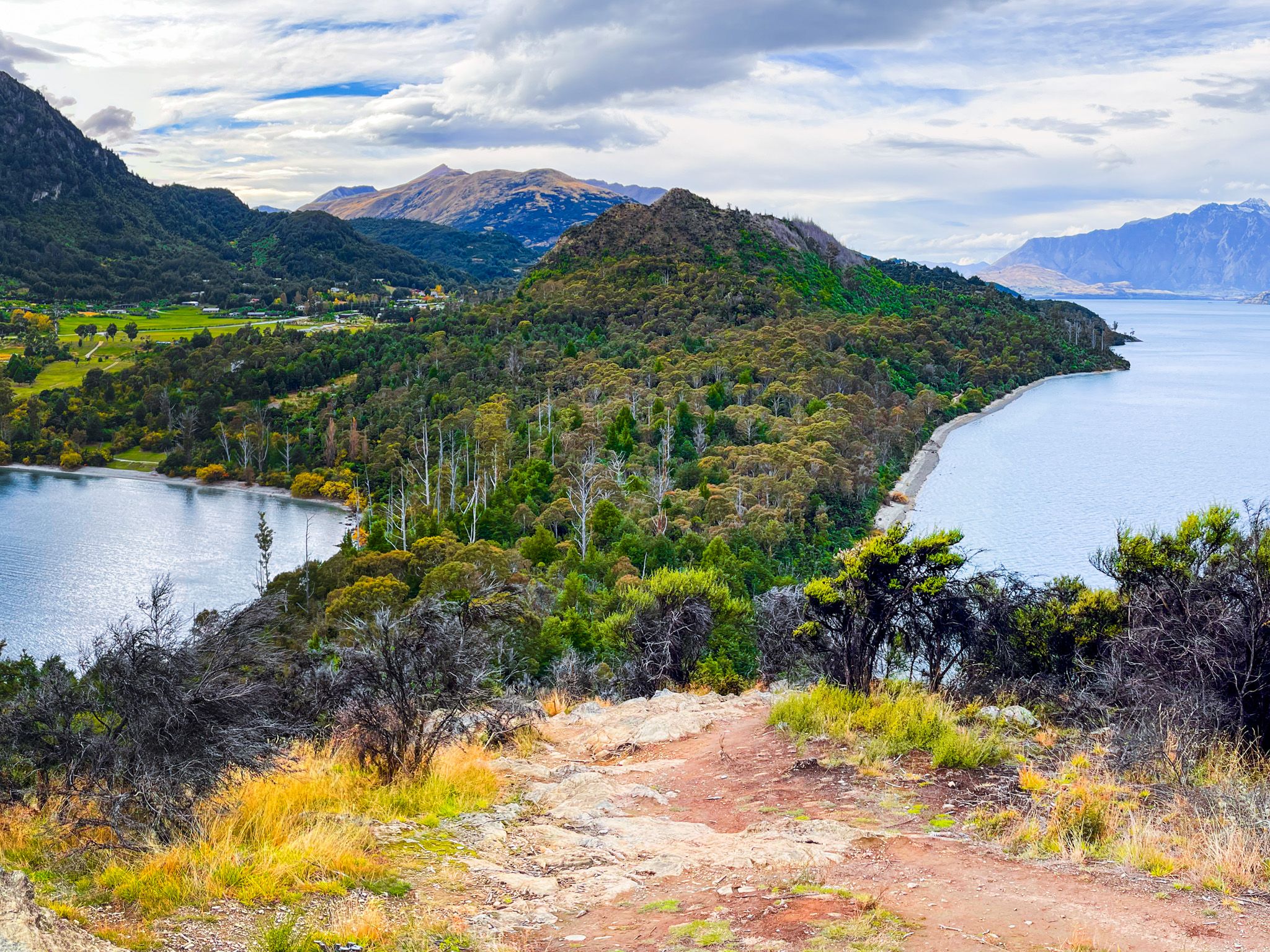
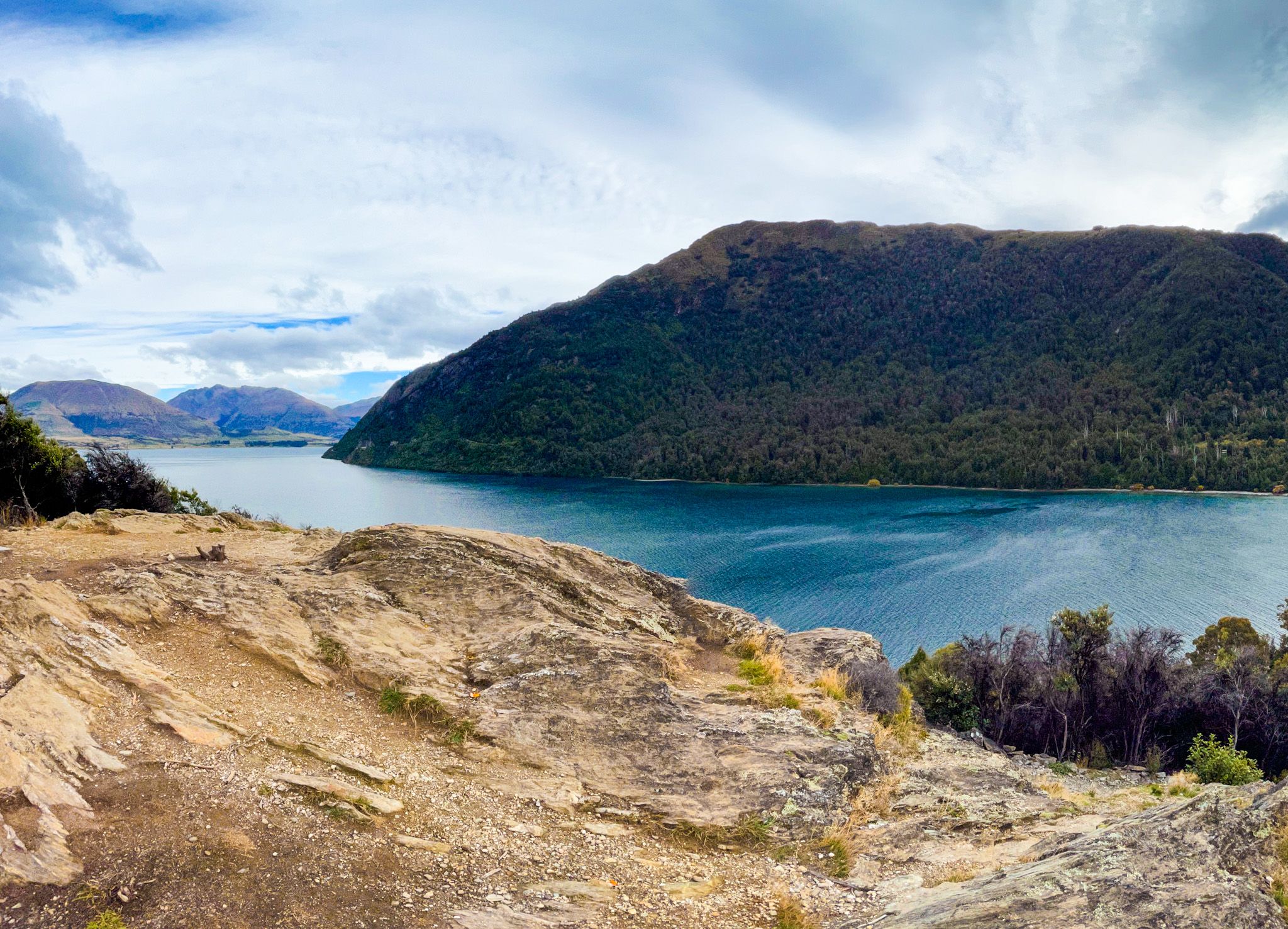
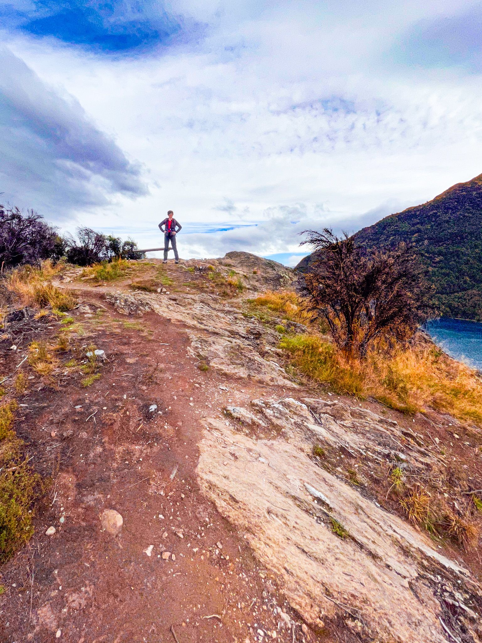
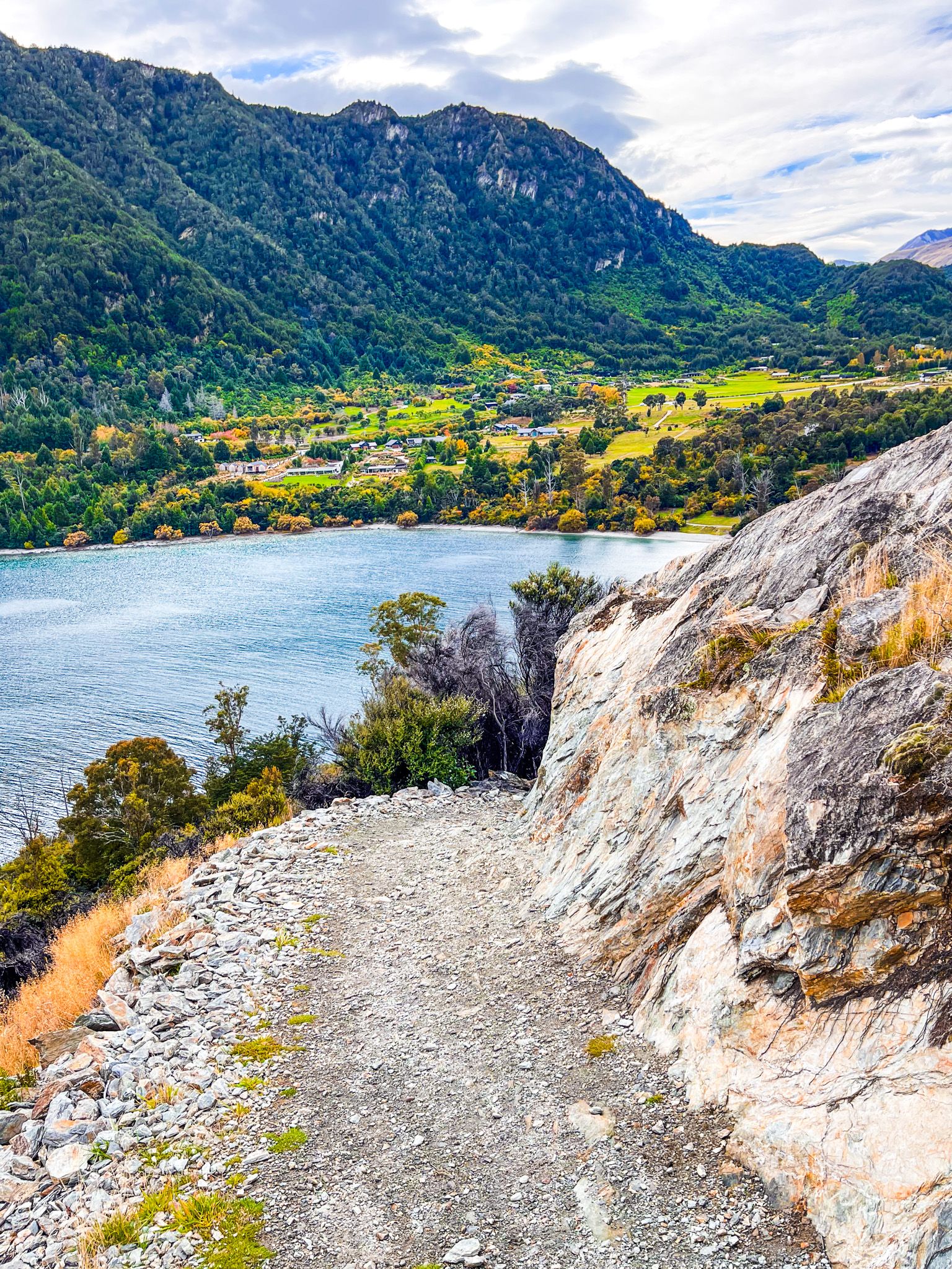
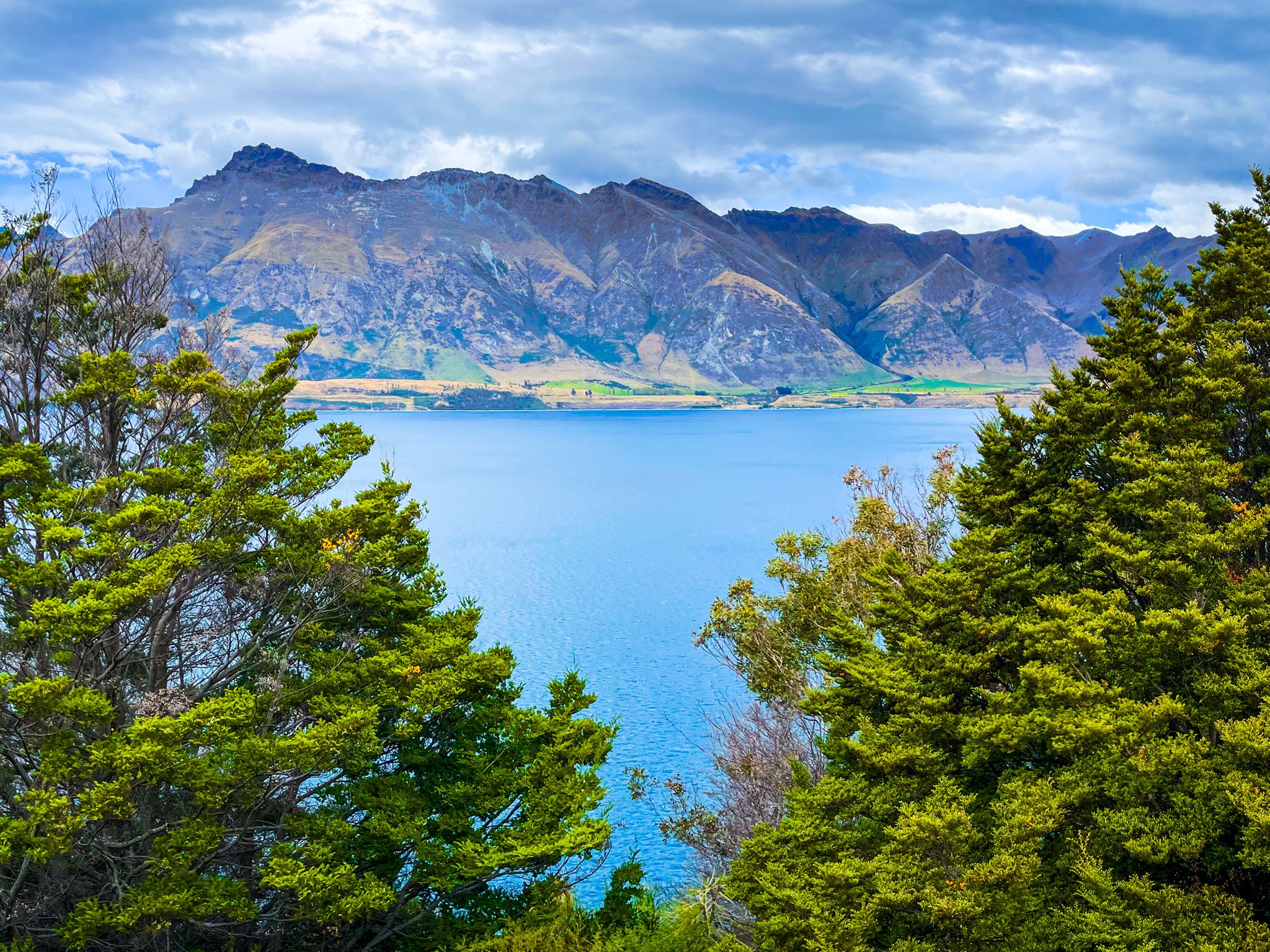
The second part of the walk is a short but steep climb to the top of a limestone promontory at Picnic Point, 67 metres above the lake. The promontory was actively quarried to feed the kilns in the cove. However, it survived, and the views from the top are superb, particularly from the rock platform, which looks across the cove and east along the lake to Cecil Peak and The Remarkables. Walk down on a short loop through more attractive native shrubs and beech trees.

The limestone at Bobs Cove is unusual in the geology of Lake Wakatipu. From 40 million to 20 million years ago, the shallow Moonlight Sea dominated the area from southern Fiordland to the lake. This sea laid down layers of fossils and limestone up to 200 metres deep. The limestone strata are visible on the side of the road along this section of the lake, while sea shell fossils can be found along the edge of the lake from the link track between Picnic Point and 12 Mile Delta, particularly at Farry’s Beach.
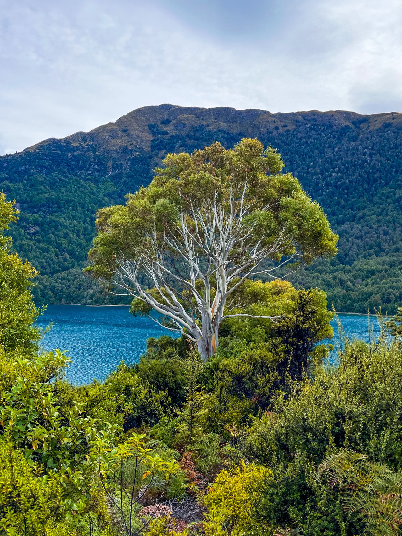
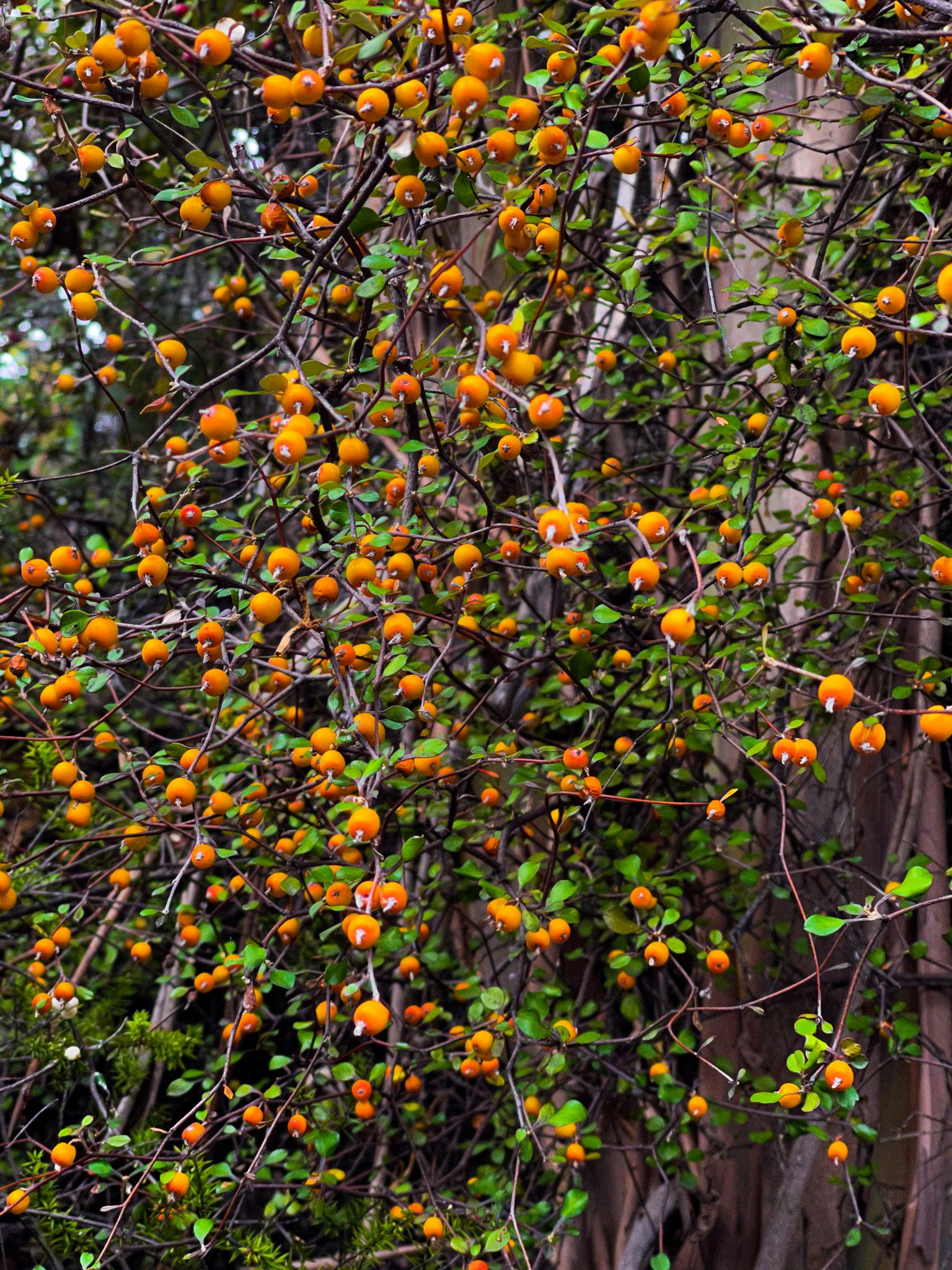
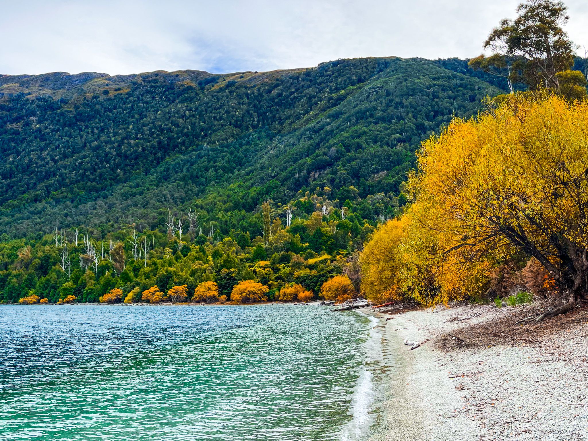
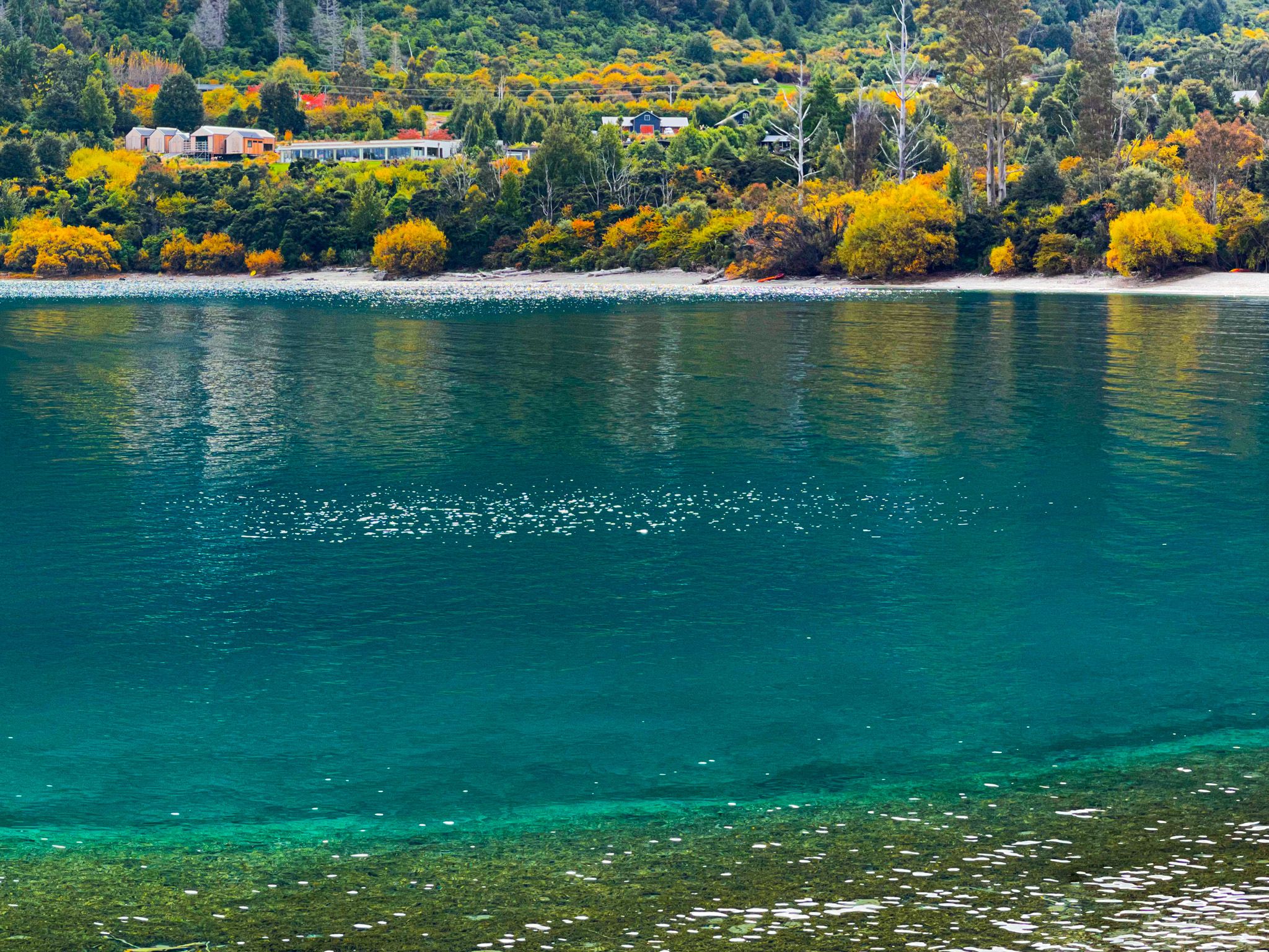
Bobs Cove was initially a popular picnic hang-out for visitors, who got there by ferry until a bridle track was established. Then, the Wakatipu Lime Company developed 7 kilns and planted eucalypt trees for fuel to provide cement for construction around the region. The business disappeared as alternative products displaced lime-based cement, and it became a reserve. The native regrowth is conquering the eucalypts, and they will eventually disappear. Various exotics, such as willows, can be seen around the cove's edge, providing some colour in Autumn.
Ngāi Tahu called the cove Te Punatapu, and it was a campsite on the pounamu trail running to the north end of the lake, over the Routeburm to the Hollyford Valley. The cove was Te Puna-tapu (the sacred pool), and the hills were Ka Puke-tapu (the sacred hills). The prosaic European name arose from Bob Fortune, who commanded a lake boat for the founder of Queenstown. Oddly, the official name is “Fortune Cove or Bobs Cove”.
Bobs Cove track access is a 15-minute drive from central Queenstown along Glenorchy Queenstown Road.