Discover Mount Donald McLean
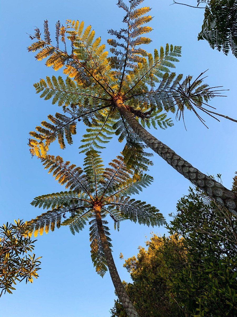
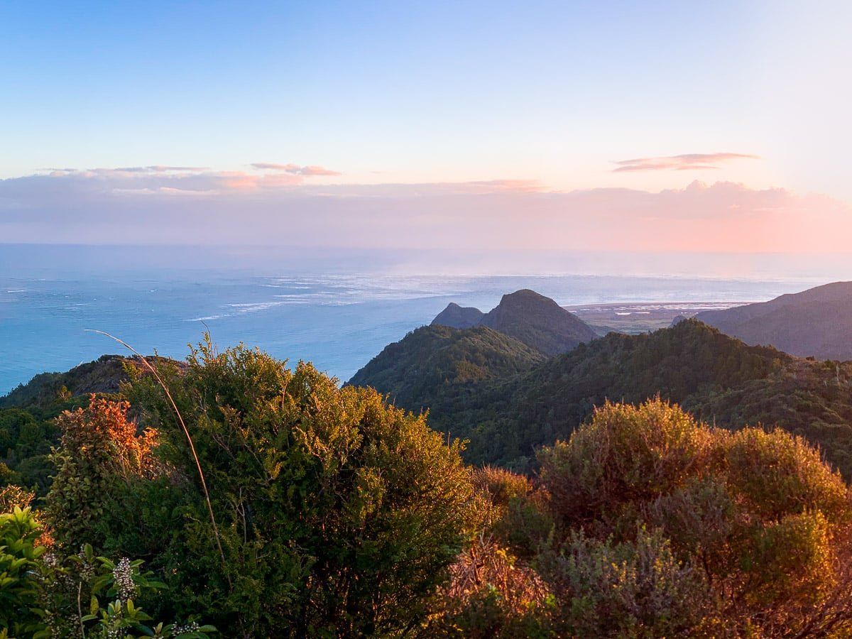
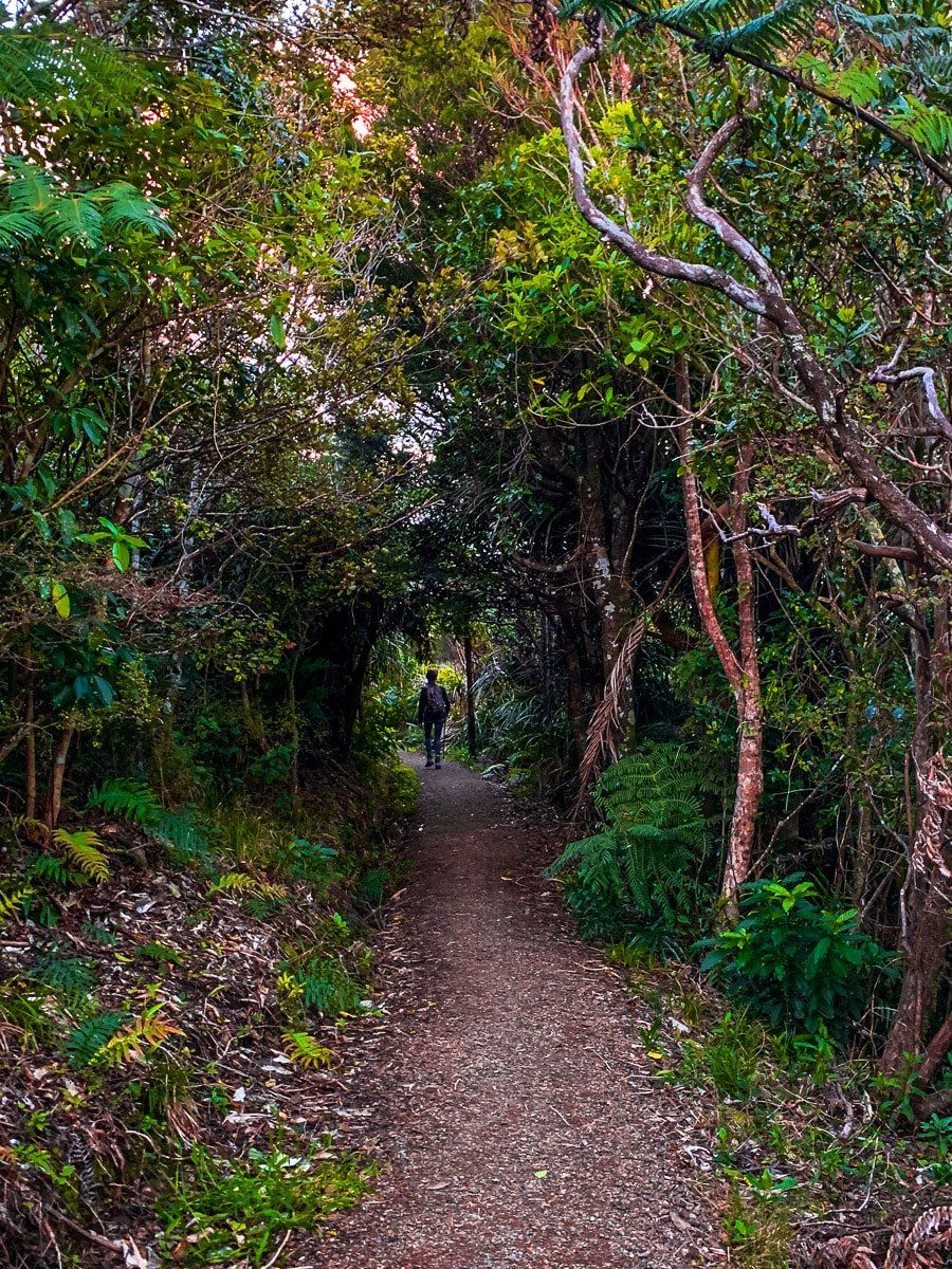
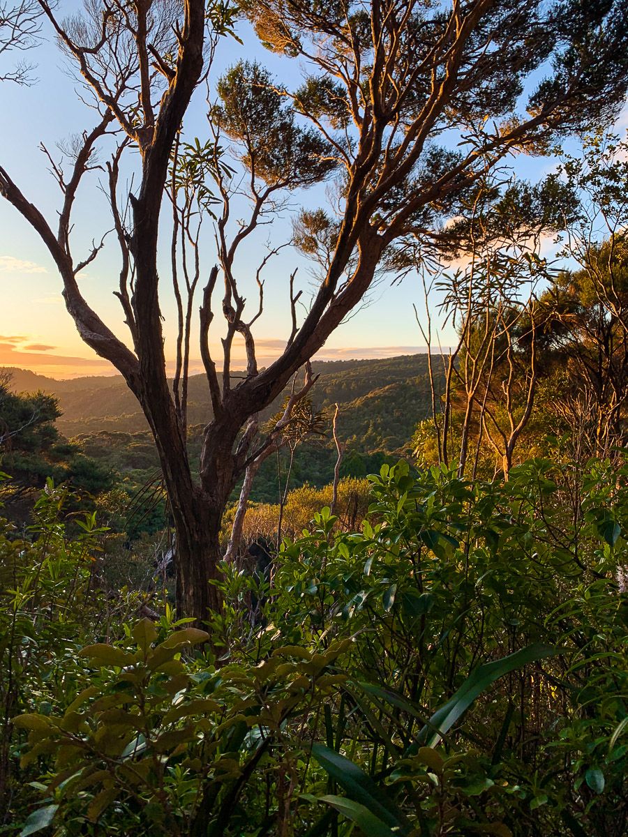
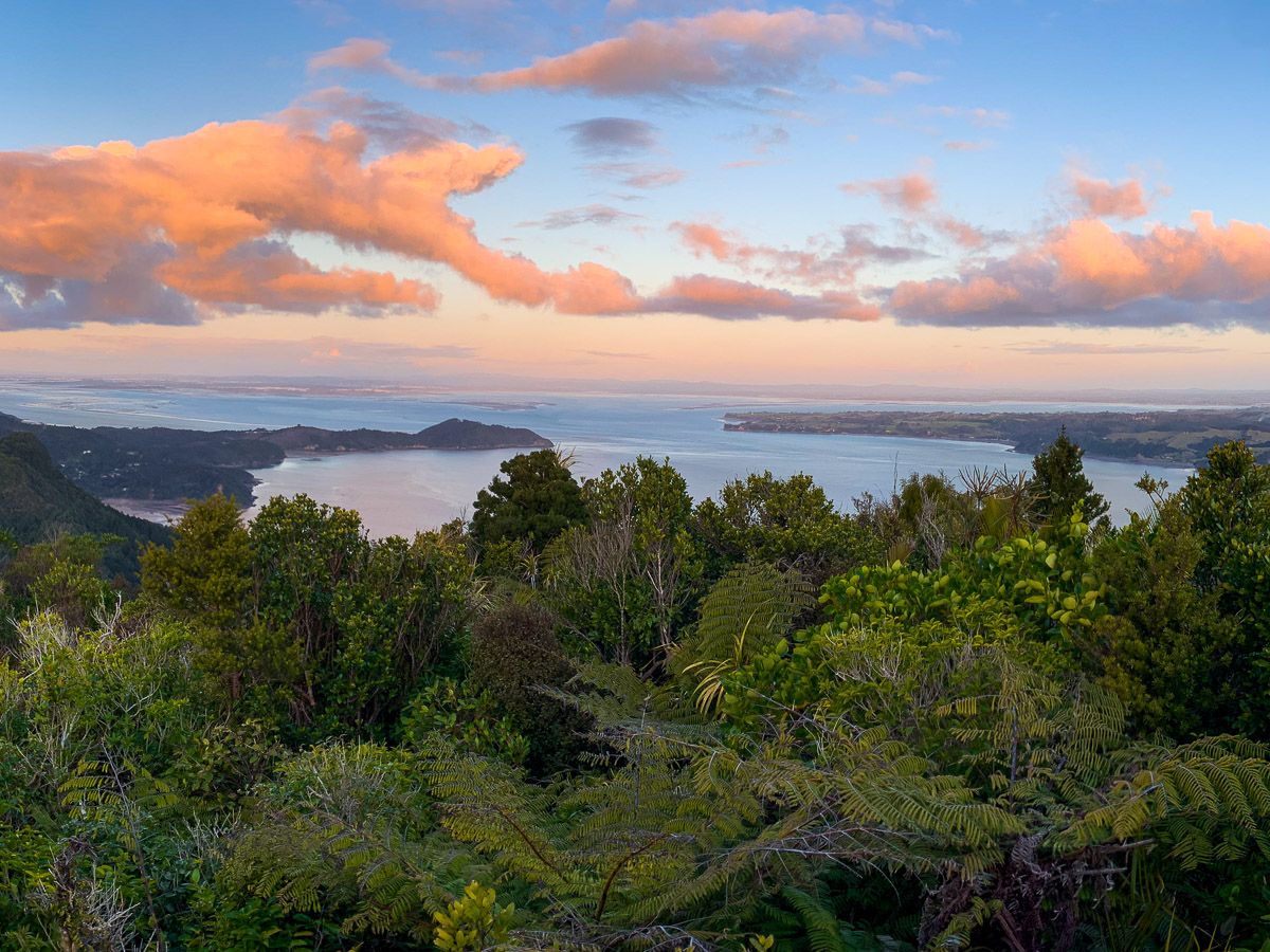
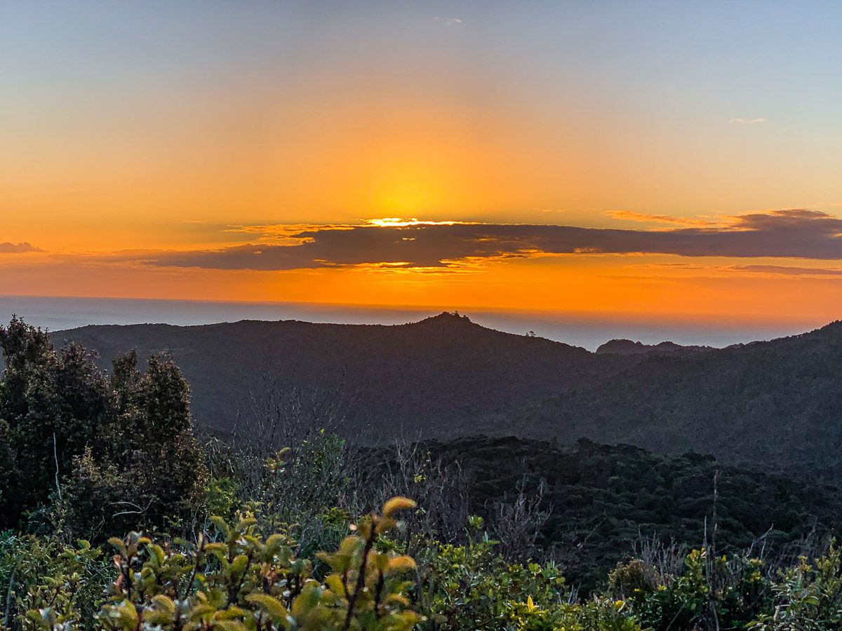
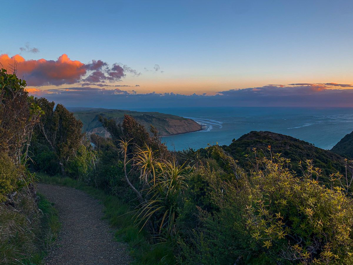
Located in the southern end of the Waitākere Ranges, the Mount Donald McLean Track is an accessible, short and rewarding hike to the summit of Te Rau O Te Huia / Mount Donald McLean. This steep but easy walk provides stunning panoramic views, especially at sunset. The Waitākere Ranges are dotted with sharp peaks, but this is one of the few accessible summits, offering exceptional vistas.
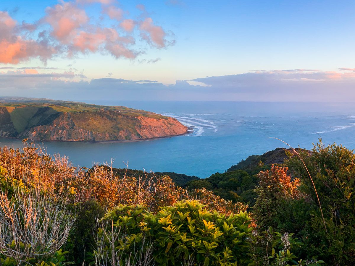
Walking to the Viewpoint
Starting from the car park, the trail ascends through attractive regrowth forest to reach a viewing platform on the summit of an ancient volcanic peak, standing 389 metres above sea level. From there, the views include the Awhitu Peninsula and the south side of the Manukau Harbour, the north side of the Manukau Heads and Whatipu.
Historical Significance
The peak was named for Sir Donald McLean, who played a leading role in negotiations with Māori throughout New Zealand regarding land acquisition from the 1840s to the 1860s. This included the acquisition of land in the Waitākere Ranges. In his later years, he was a member of parliament and introduced the law that created four Māori electorates from 1868. This was at a time when the voting franchise was tied to personal property ownership, effectively disenfranchising many Māori due to communal ownership.
How to Get There
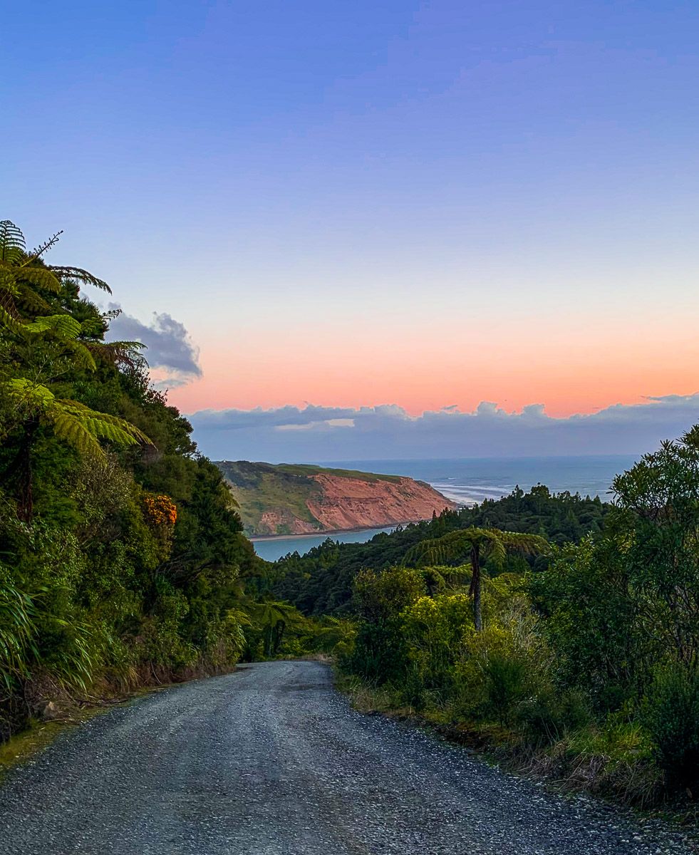
To reach the track, drive along Whatipu Road from Little Huia until the road surface changes from sealed to gravel. The car park and track is accessed via a side road shortly after this transition. You can also add the track to a hike between Whatipū and Huia via the Omanawanui, Puriri Ridge, Donald McLean and Karamatura Tracks.