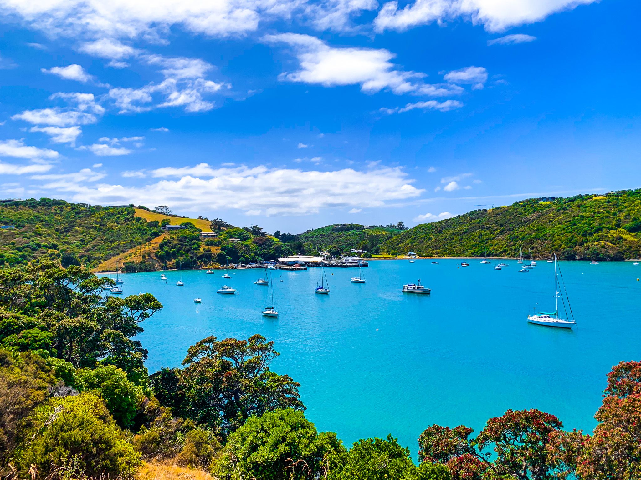
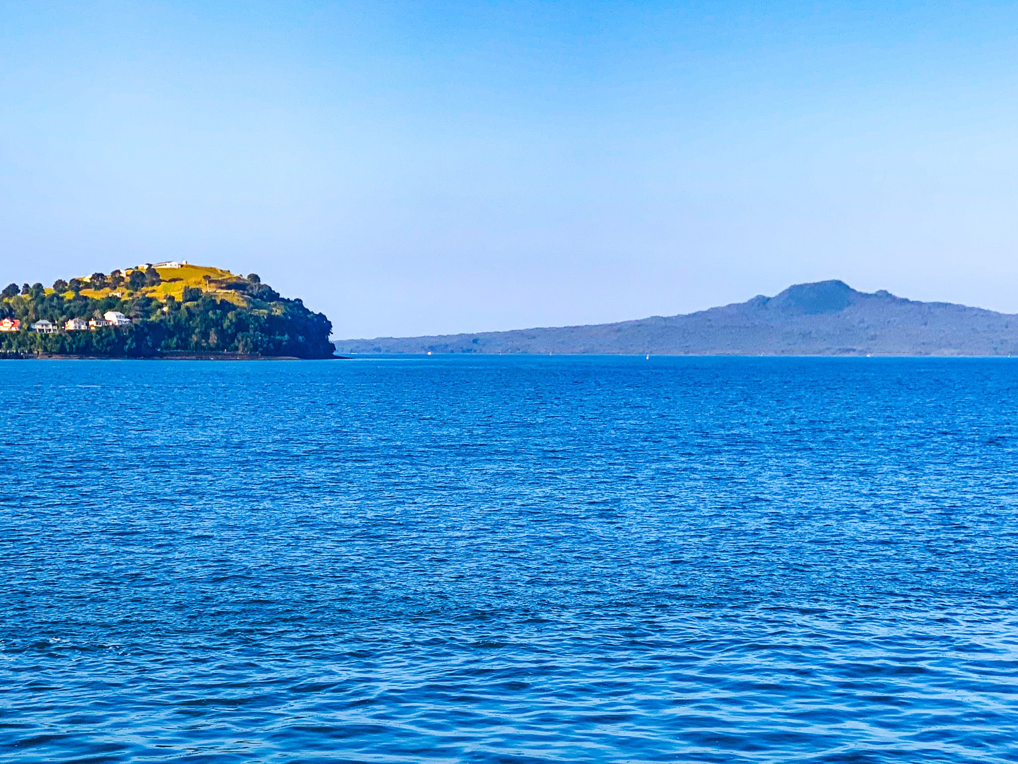
Waiheke Island is the second-largest island in Auckland's Hauraki Gulf, located east of Waitamata Harbour and Rangitoto Island. At 19 km long, it is big and close enough to sustain a substantial population and services. You can get to the island via a 35-minute ferry ride from Downtown Auckland to Matiatia Bay at the island's west end.
The island is a superb destination for travellers. It offers around 30 wineries, many restaurants and cafes for foodies, several excellent beaches, and interesting walking trails for outdoor activities. The trails include Te Ara Hura, an 87-km loop around much of the island.
An easy, beautiful introduction to Te Ara Ura is a walk from the Matiatia Bay Ferry Terminal to Oneroa, then around the northern coast to some of Auckland City's best sandy, safe swimming beaches. You can start by exploring the spectacular coast on Matiatia Bay's southwest or northwest sides. Follow Te Ara Hura walkway (“Discover the Way”) around the coast on either side of the bay for spectacular views, then walk to Oneroa and Big Oneroa Beach. You can continue on the walkway to Little Oneroa Beach, Palm Beach and Onetangi. There are eatery options in each of these locations.
It takes about 4 hours to walk from the Ferry Terminal to Onetangi on Te Ara Hura. You can also catch a bus to return or add other locations, such as Stony Batter, Whakanewha Regional Park, or some wineries/restaurants, to your trip.
Waiheke Ferry
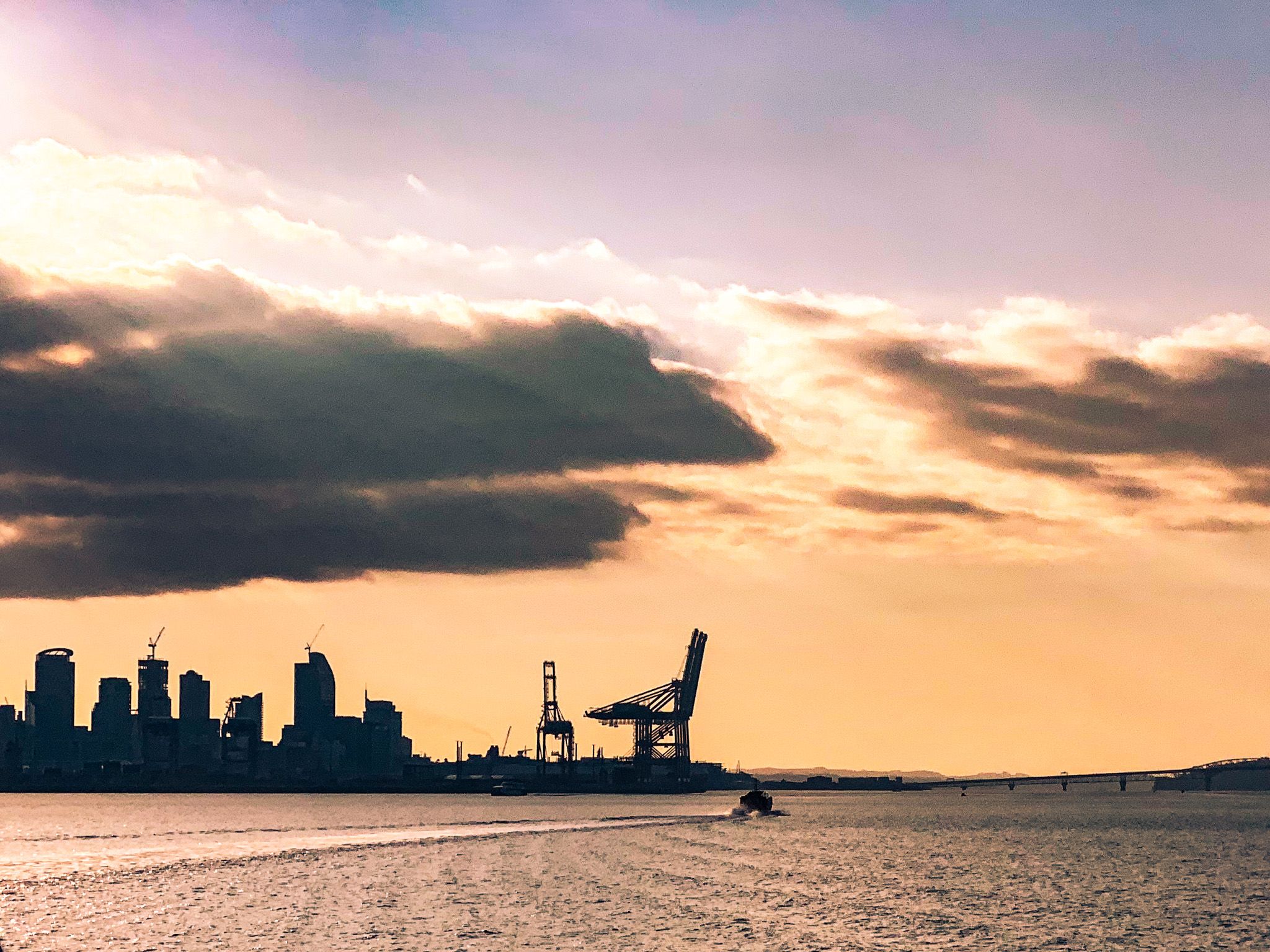
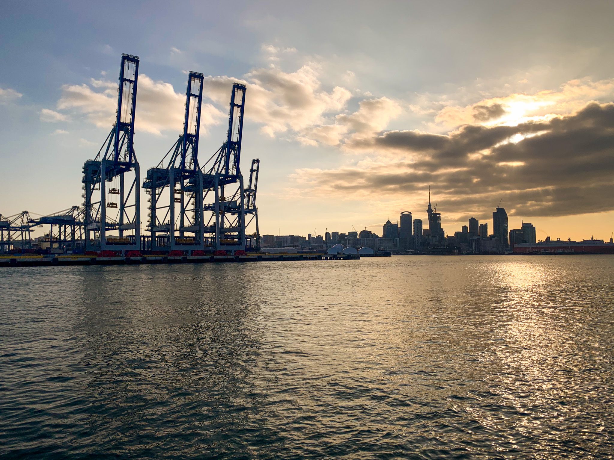
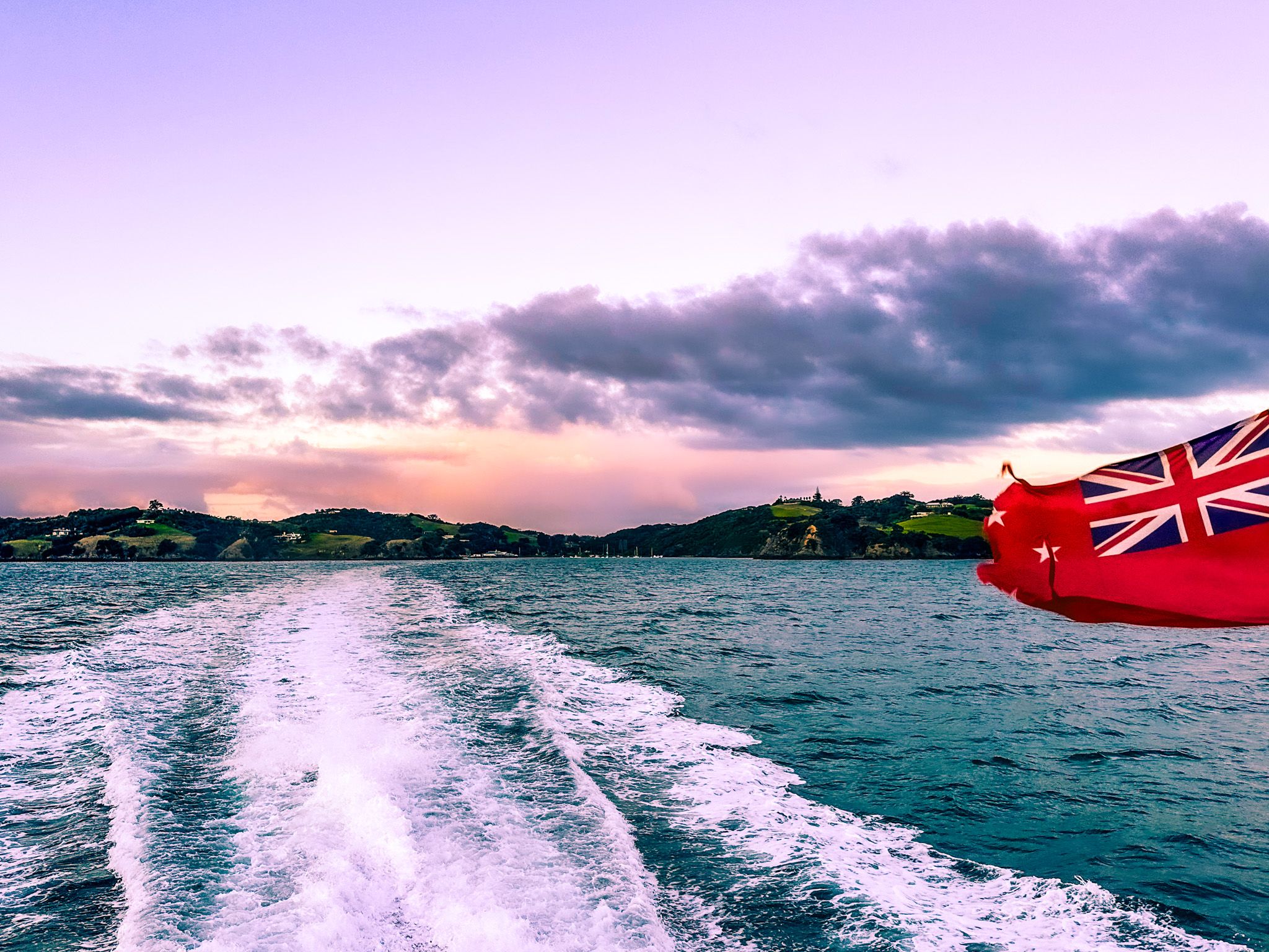
It seems odd now, but the main Waiheke ferry, which had been in operation for over 80 years, was on the Baroona, built in Australia in 1904. In 1987, fast catamaran ferries were introduced, and the 22 km trip from the Ferry Terminal in downtown Auckland to Matiatia Bay was reduced to 40 minutes.
Fullers and Island Direct operate regular services for passengers from Downtown, and SeaLink provides slower passenger and car services from Wynyard Quarter in central Auckland or from Half Moon Bay in East Auckland to Kennedy Point on Waiheke.
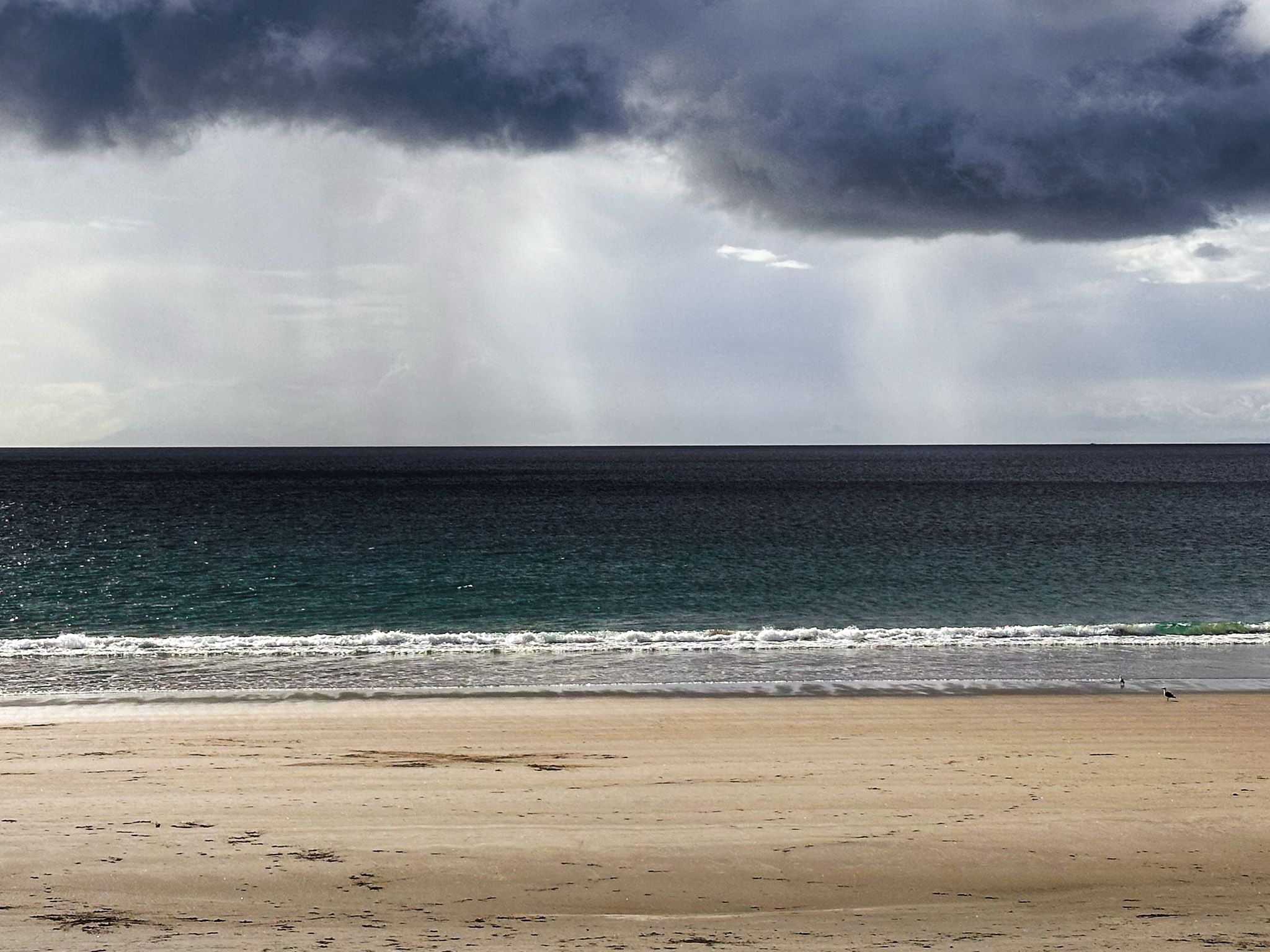
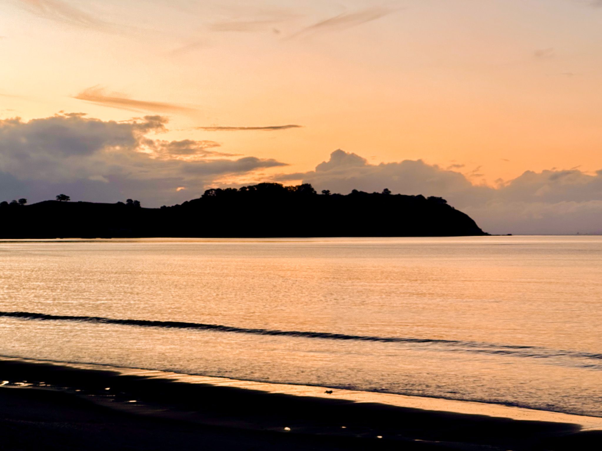
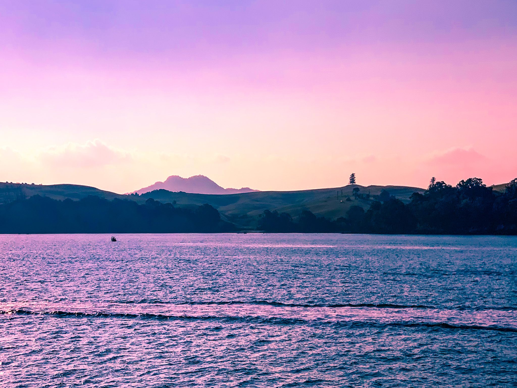
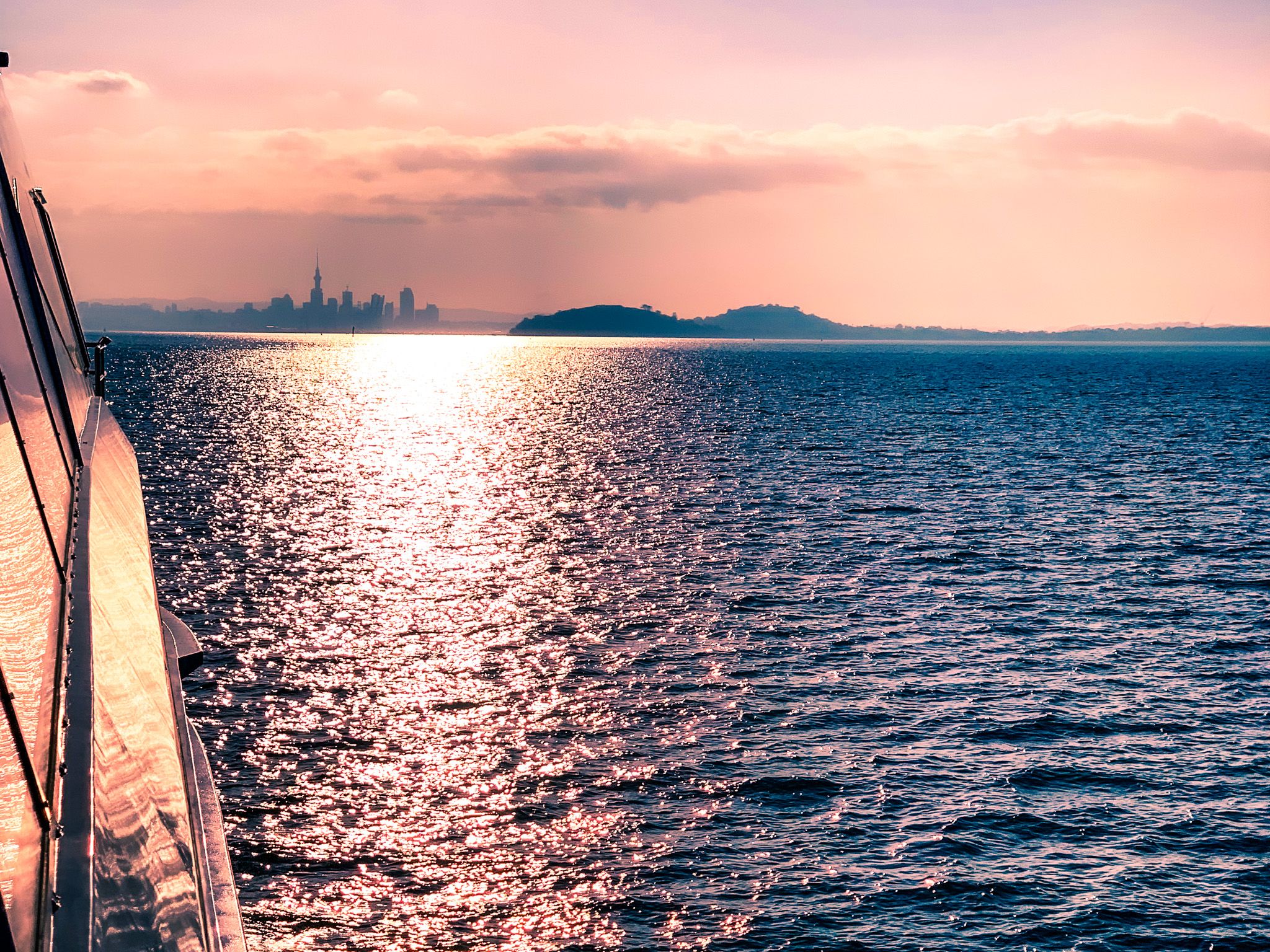
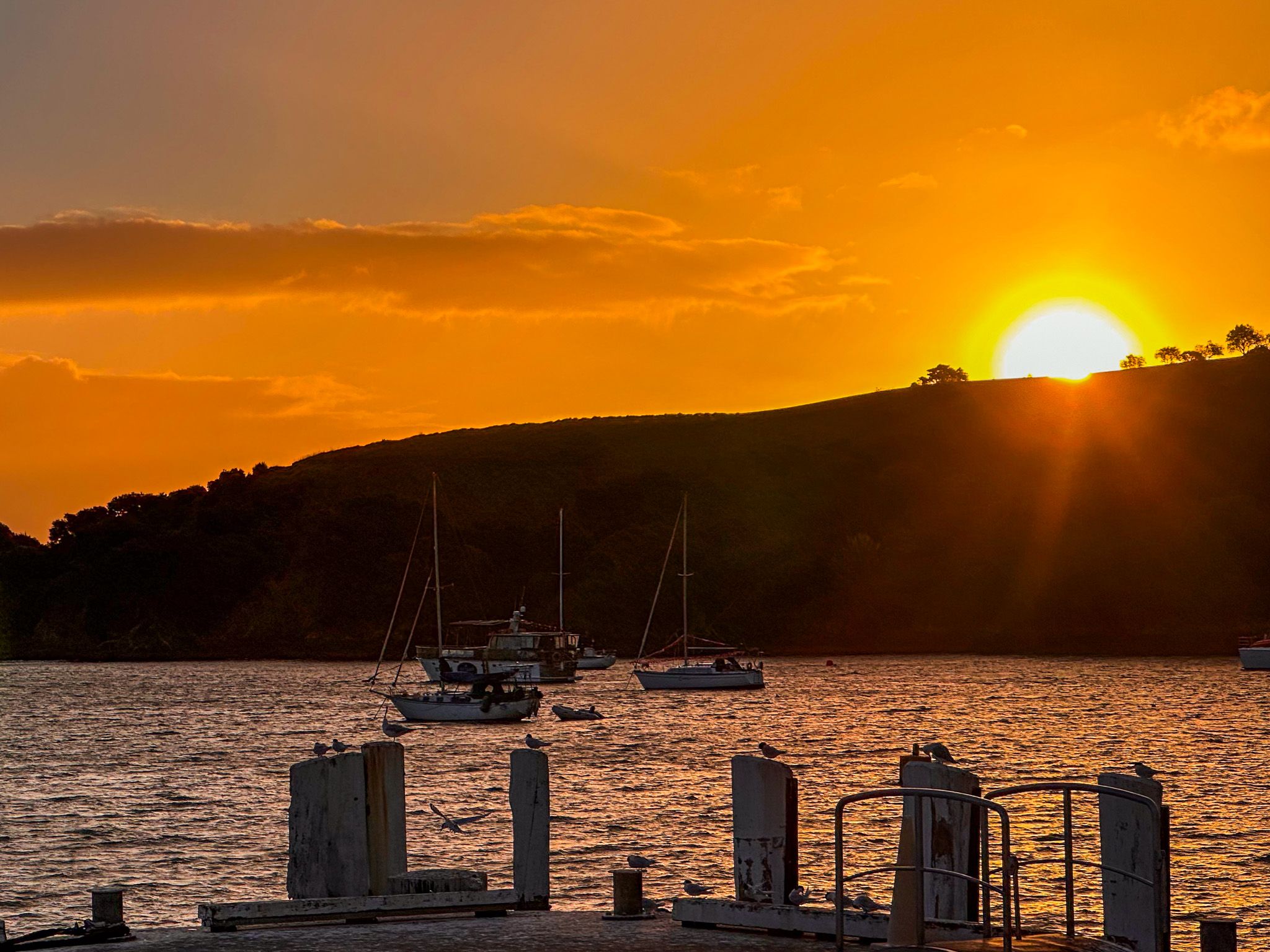
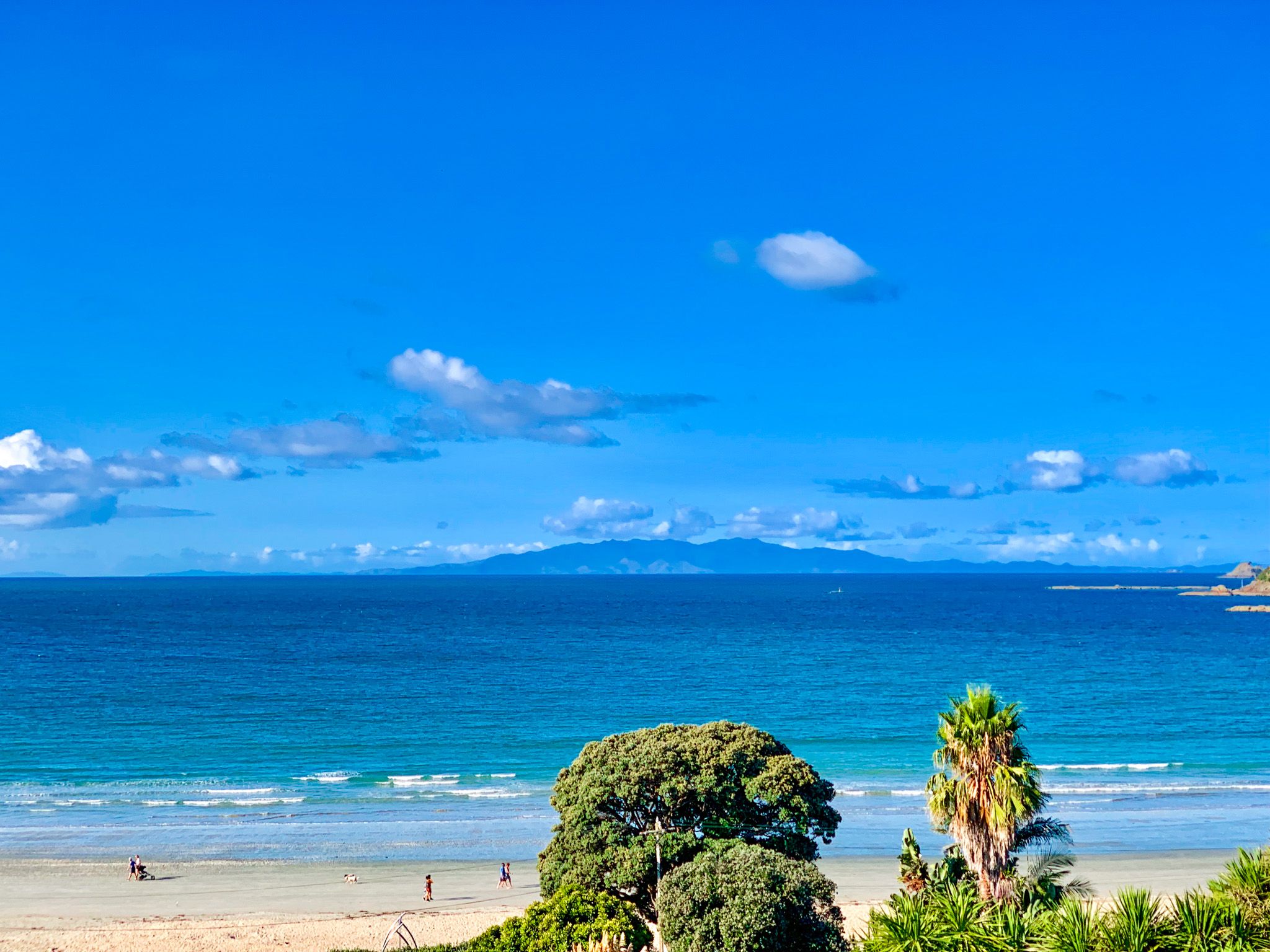
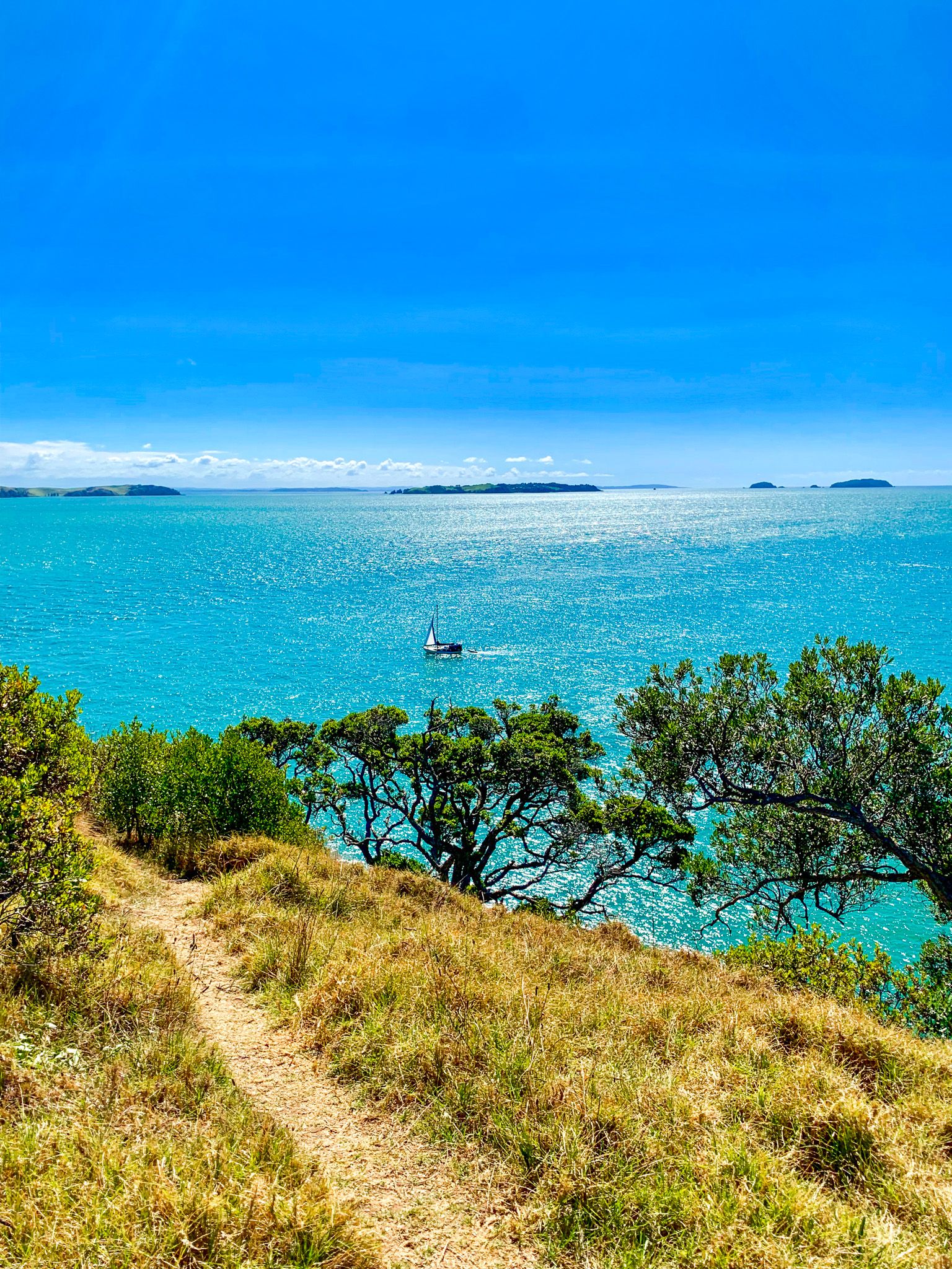
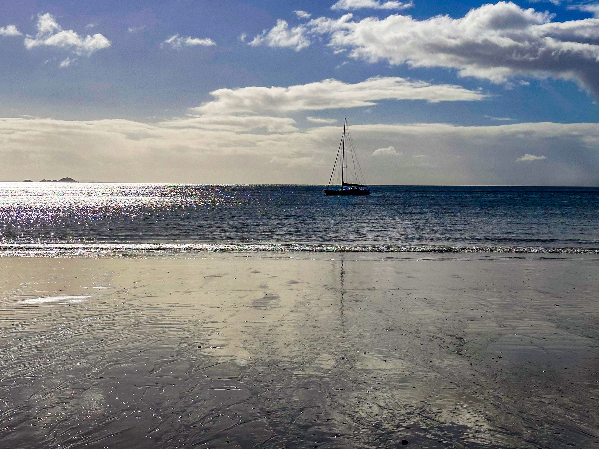
Generally, it is best to avoid the ferry during peak holiday periods and early morning rush hour due to the commuters. Otherwise, it is a quick and easy trip, with views of the city, Devonport, Rangitoto, Motutapu, Browns Island / Motukorea and Motuihe Island. Try returning to the city at sunset, as this can be spectacular!
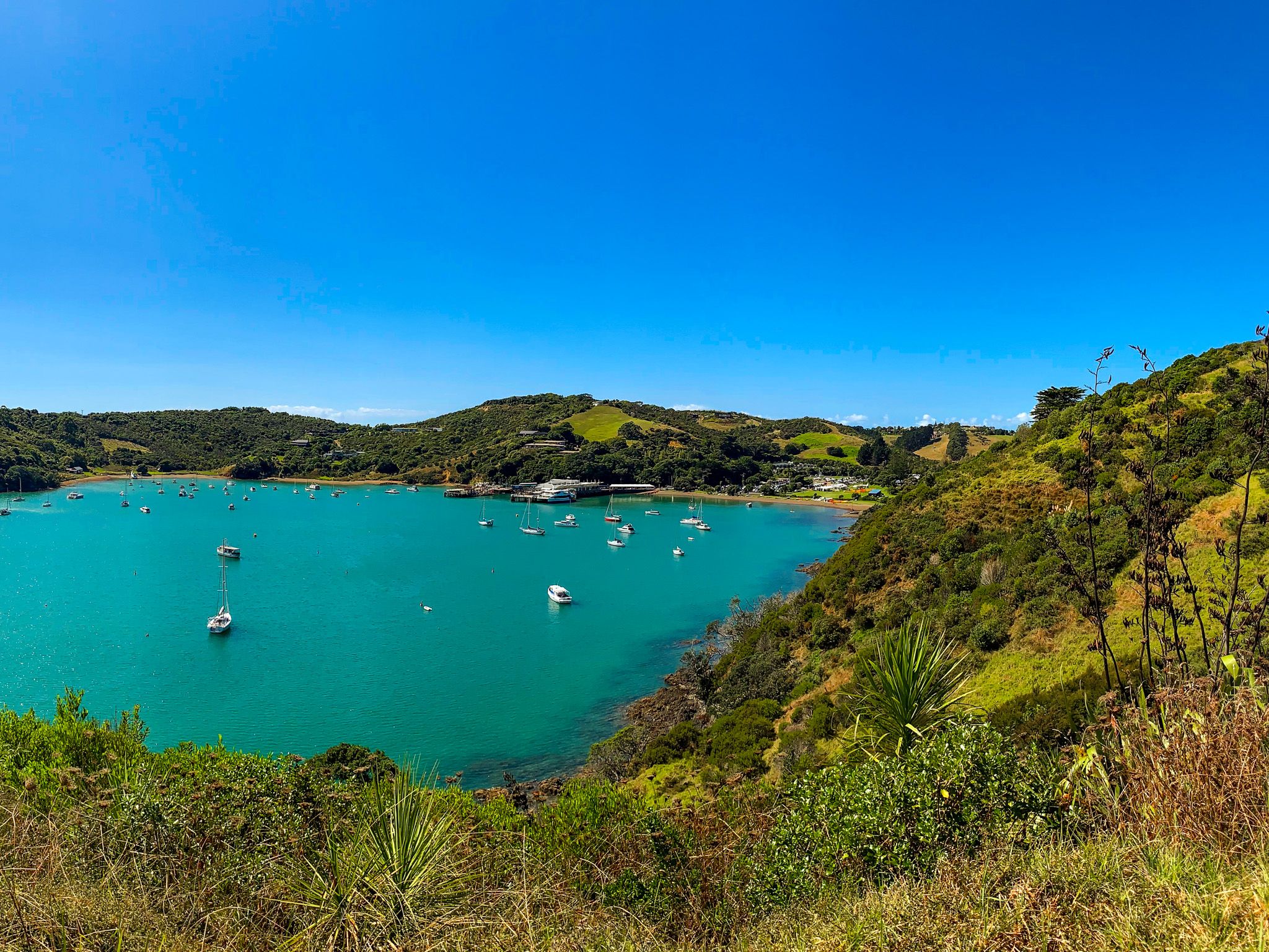
Matiatia Bay
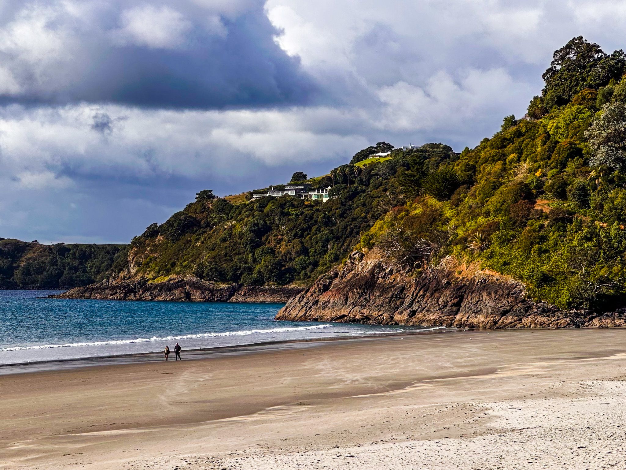
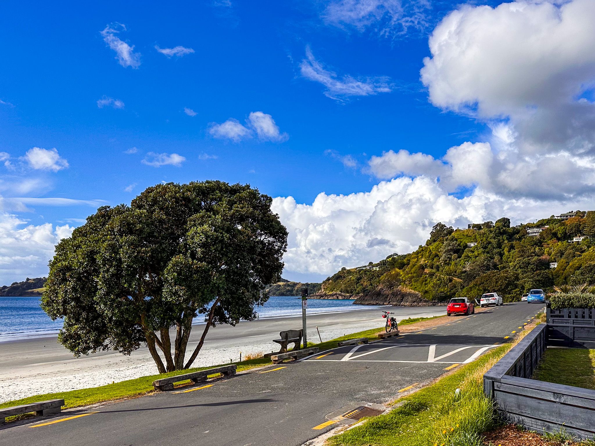
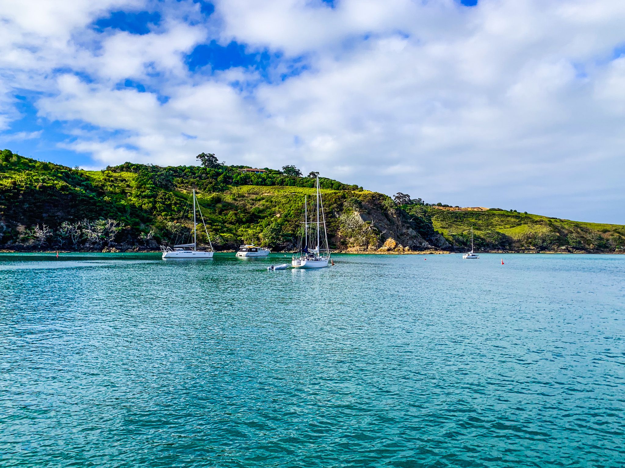
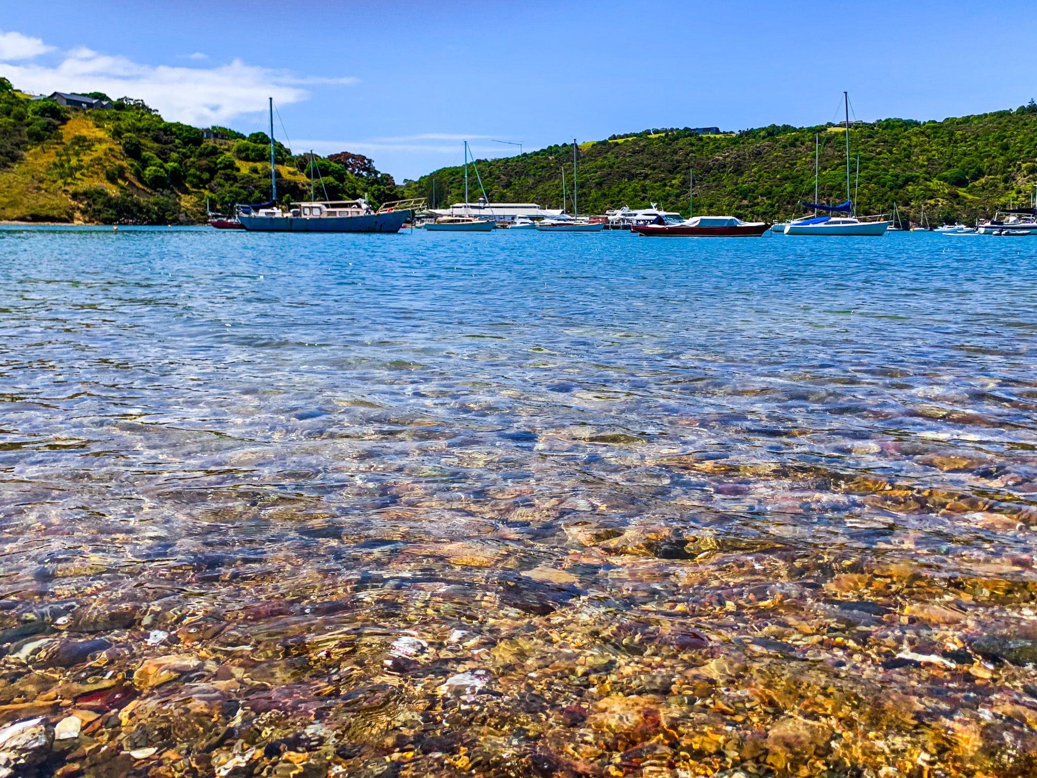
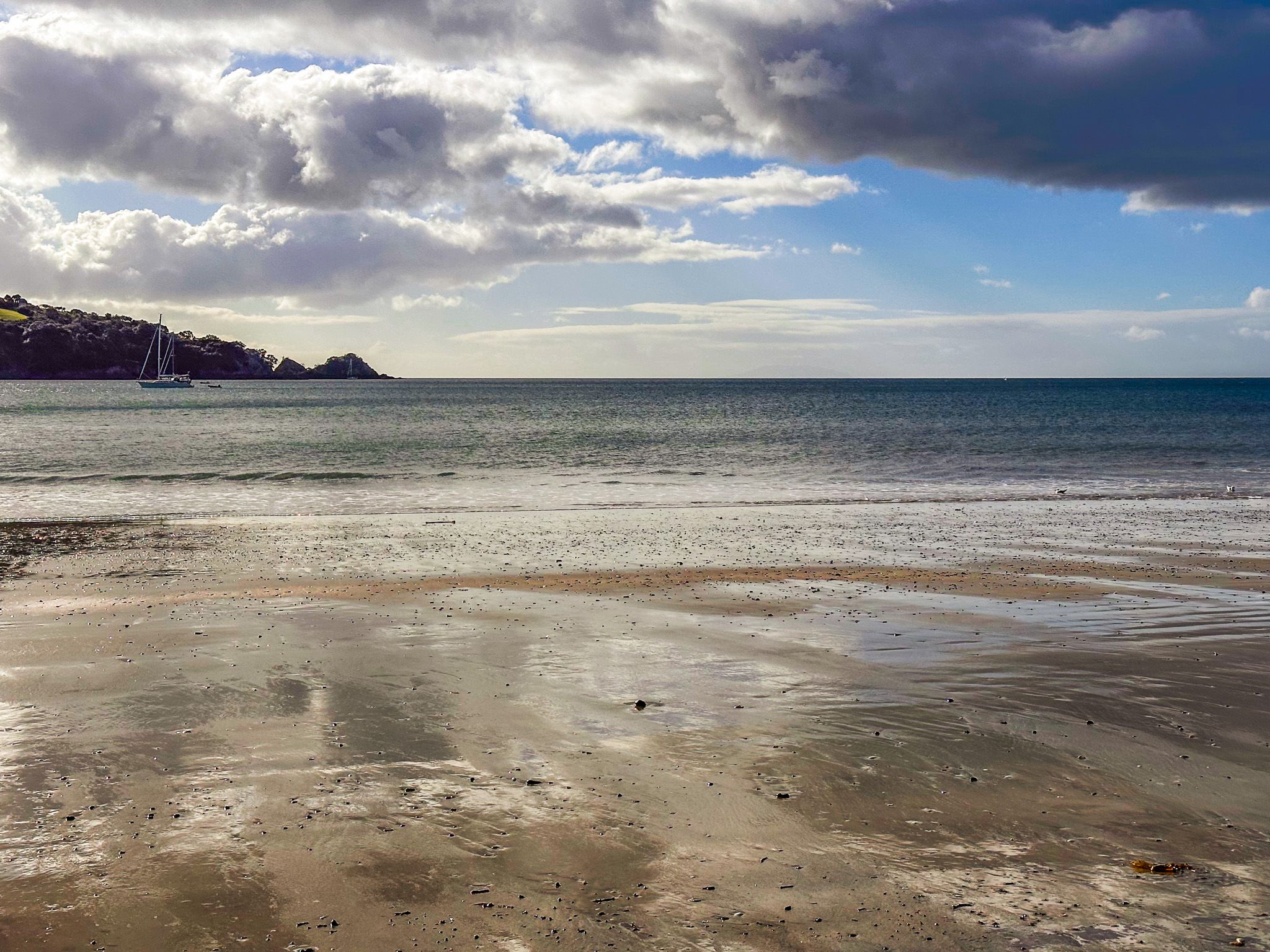
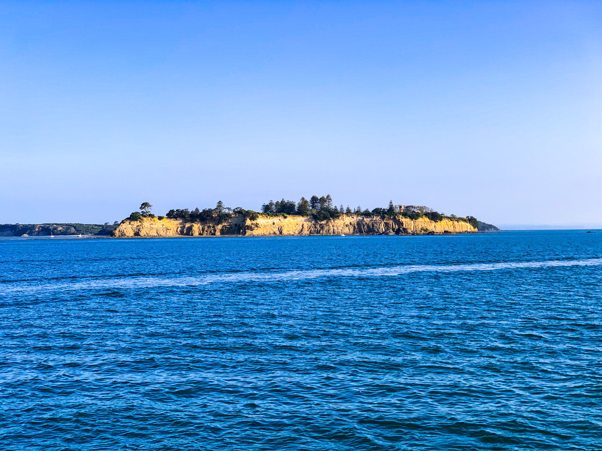
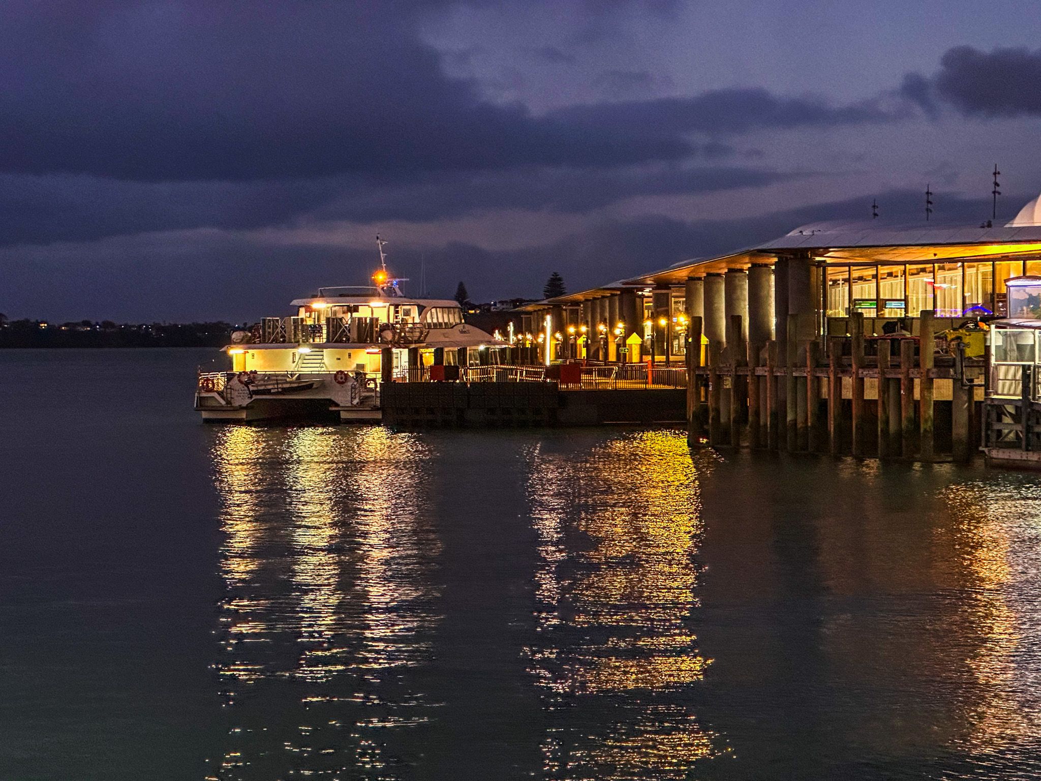
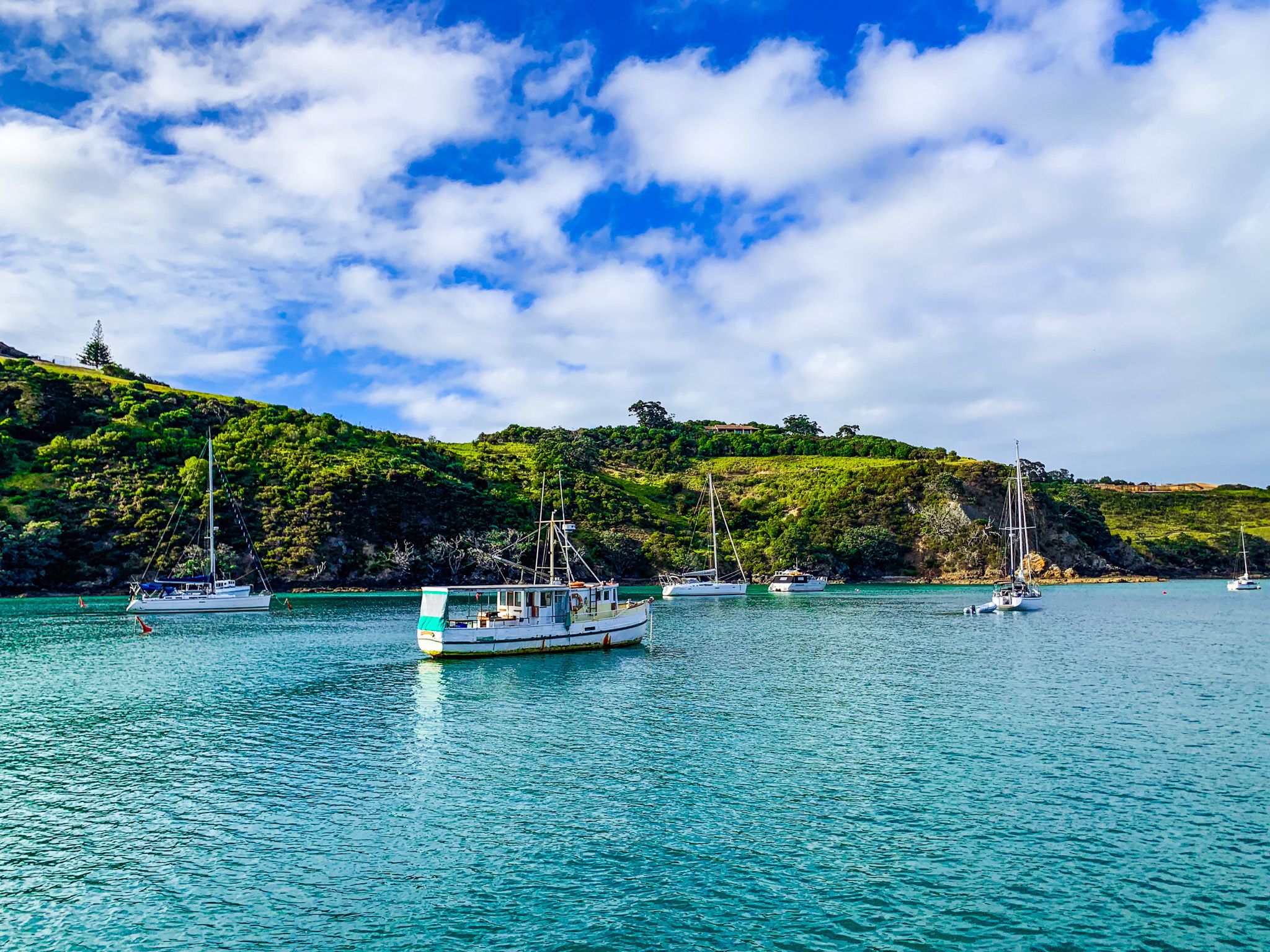
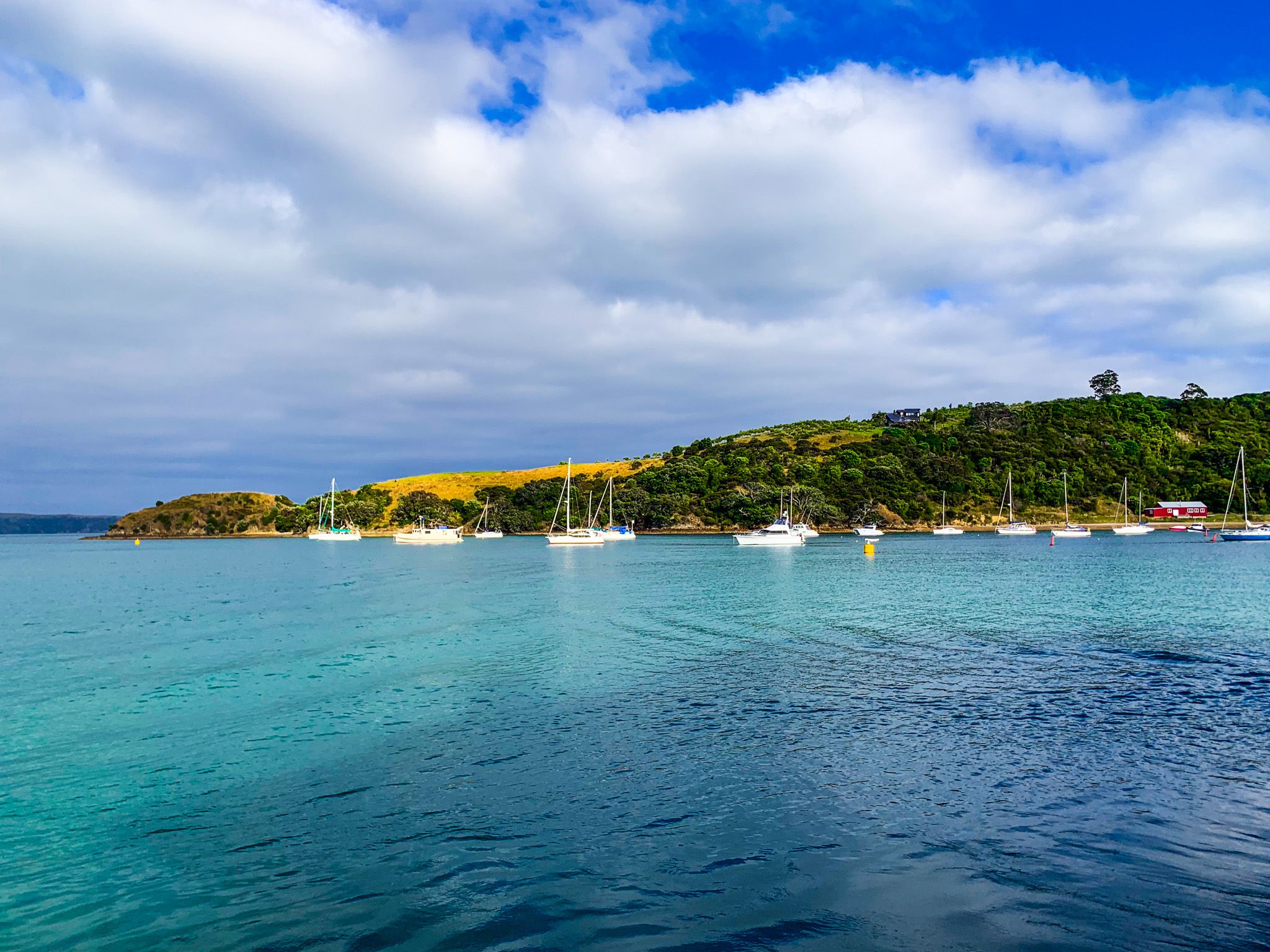
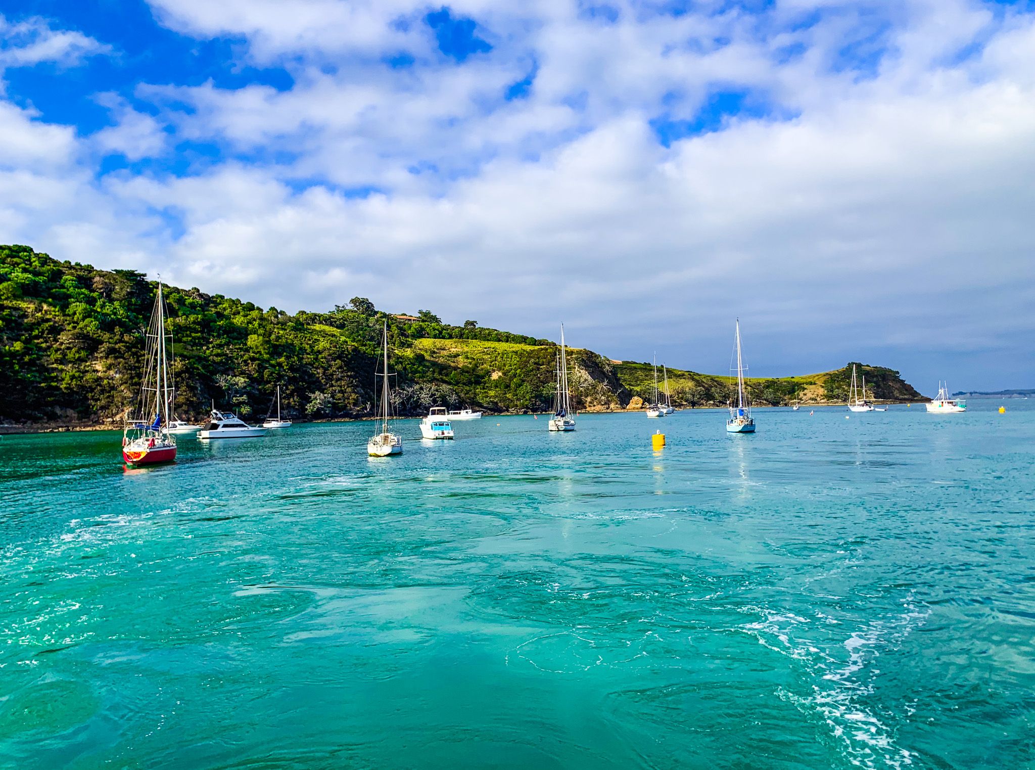
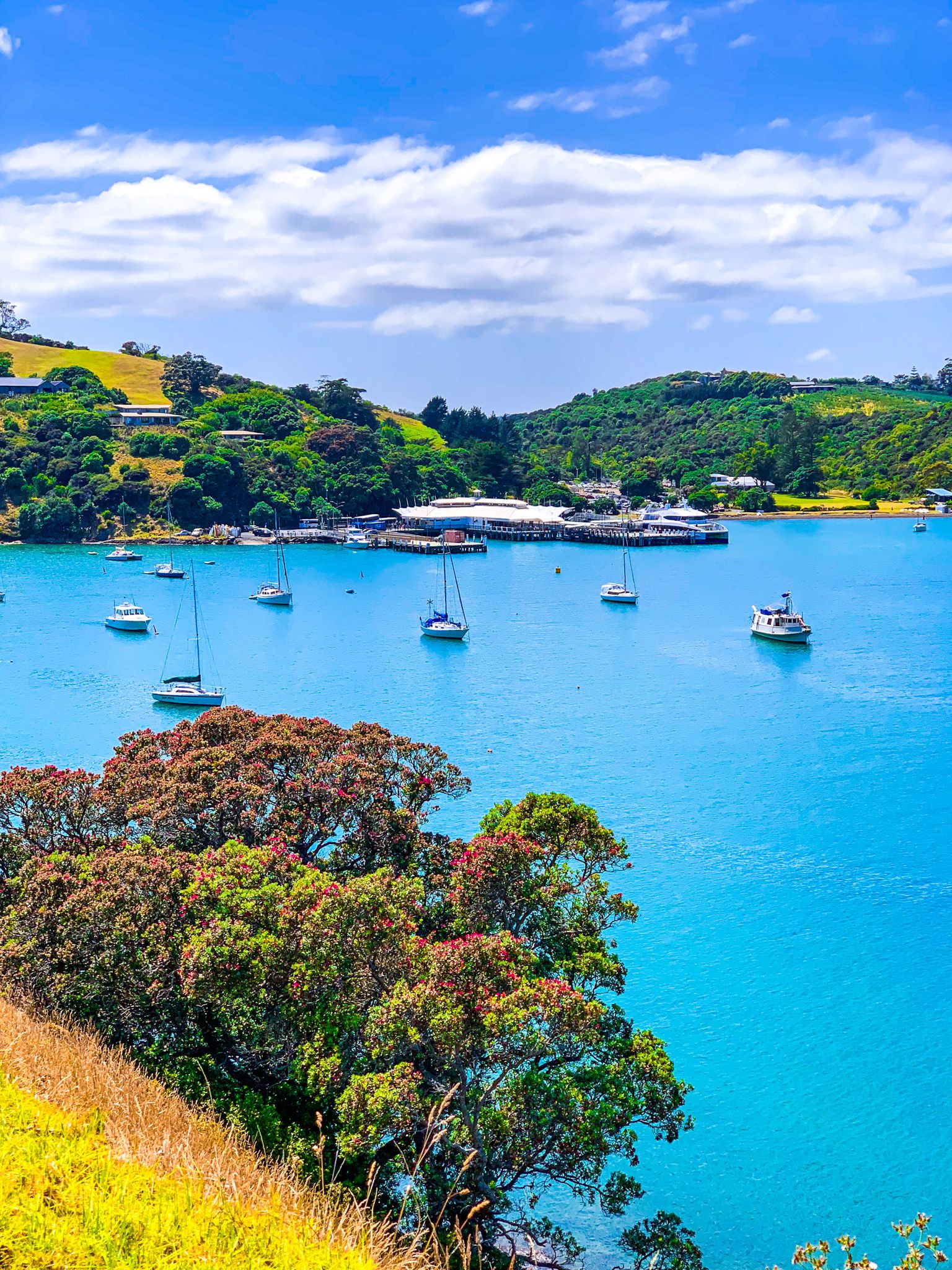
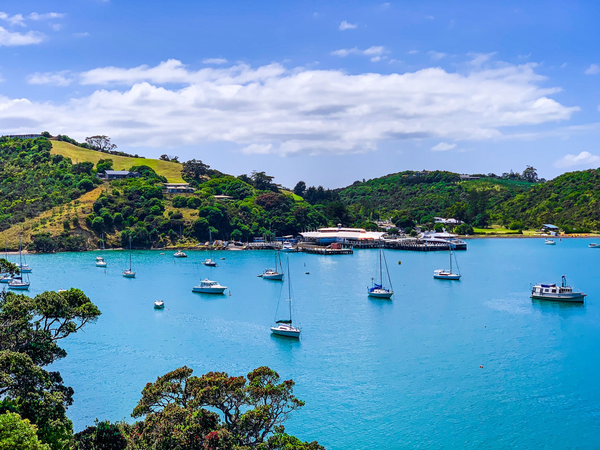
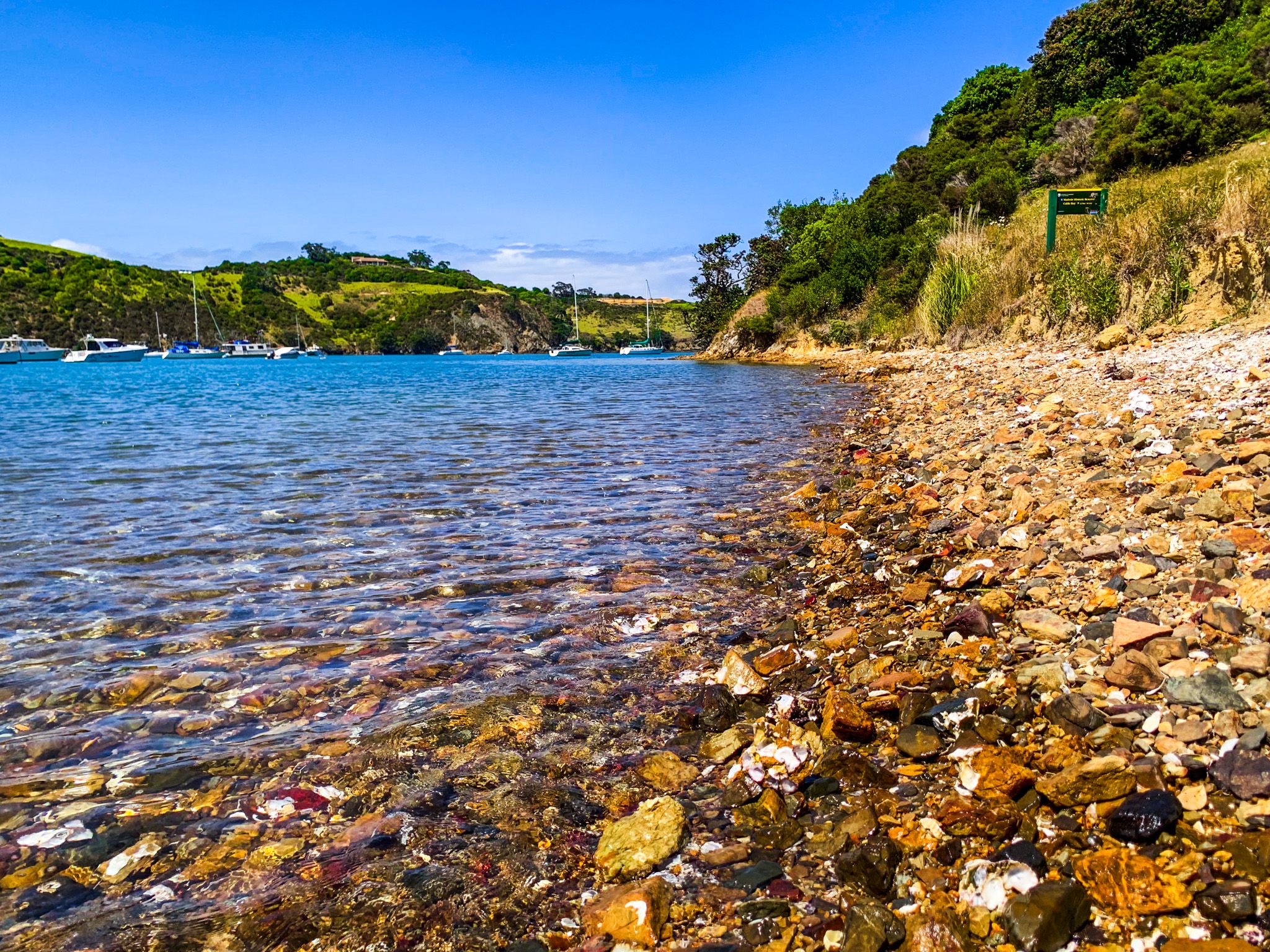
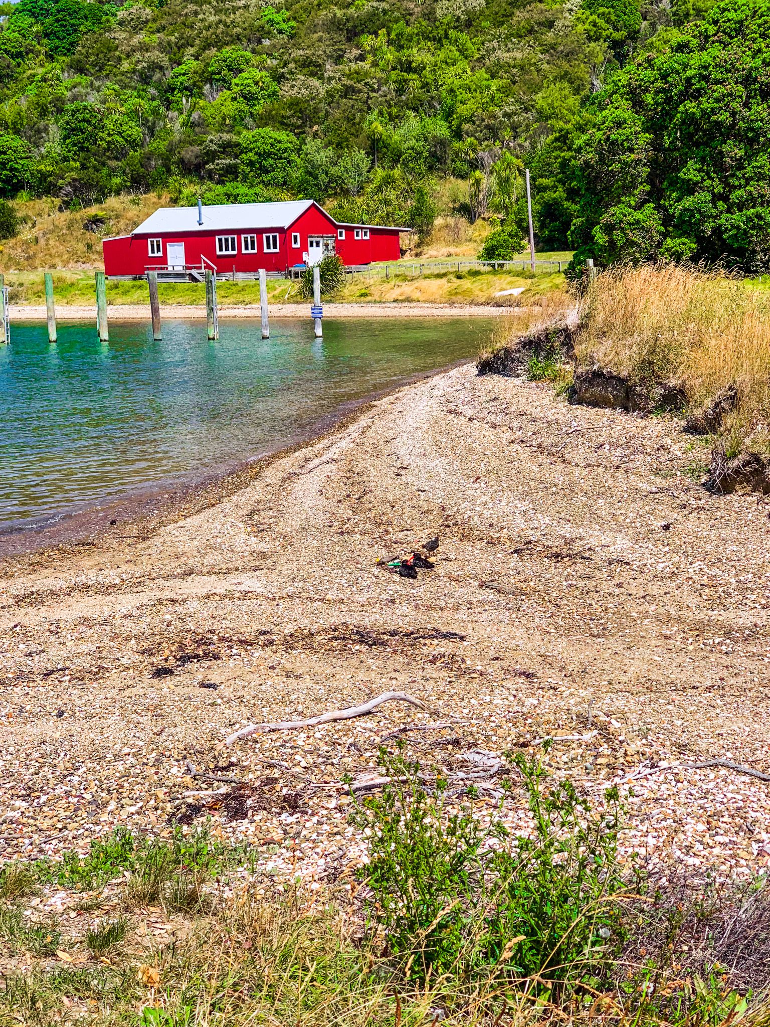
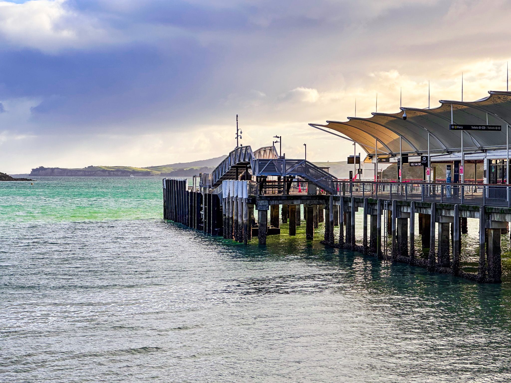
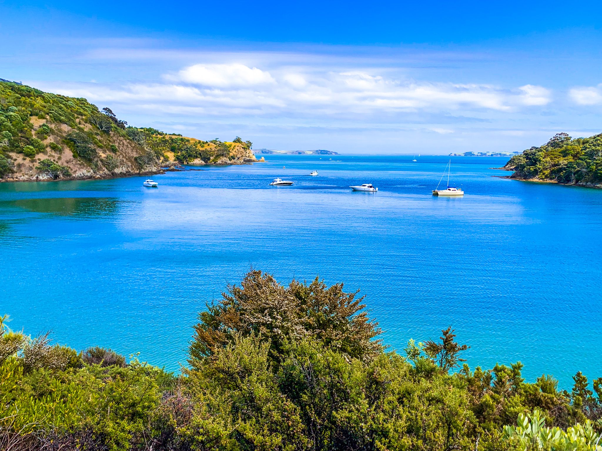
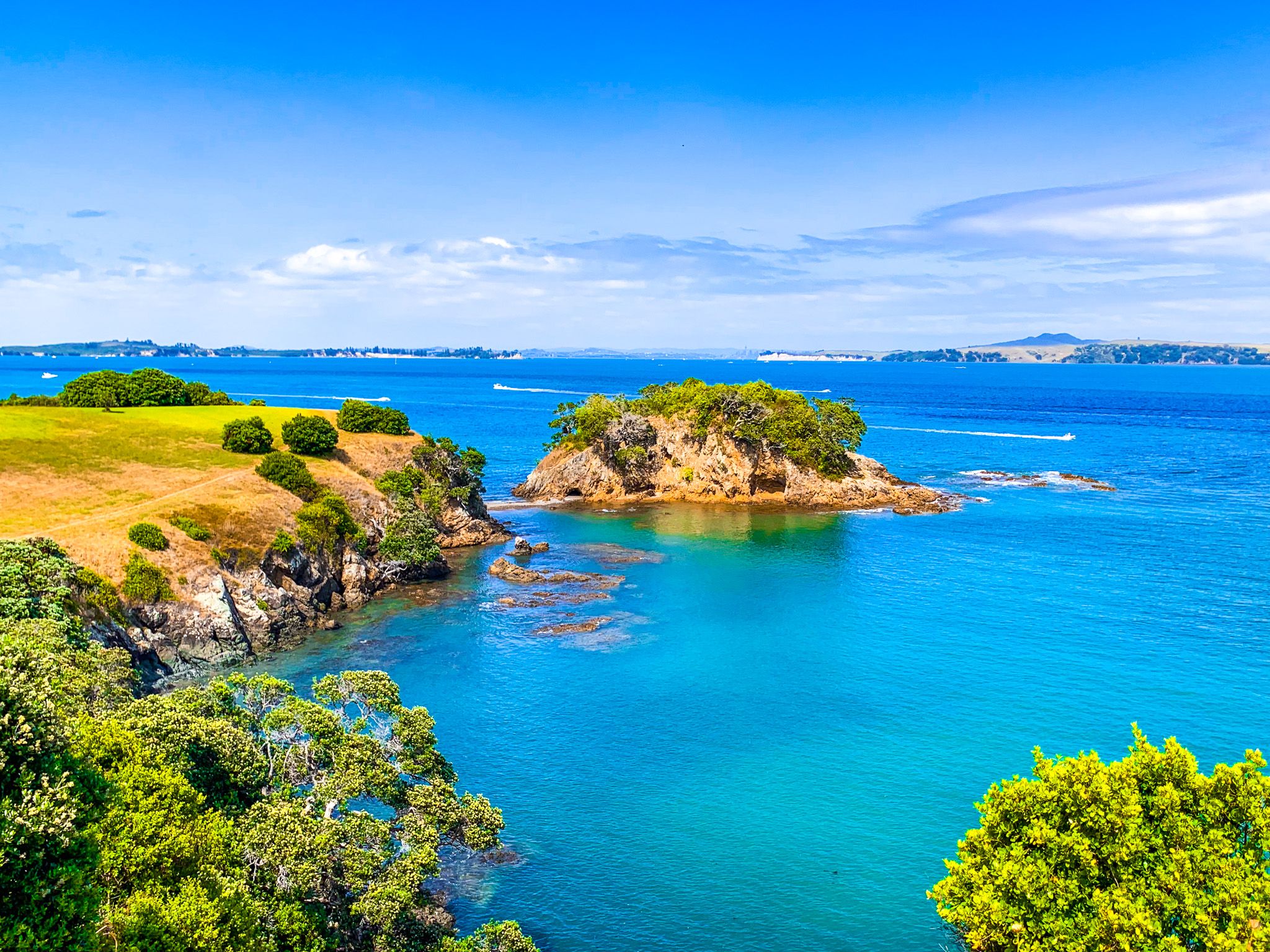
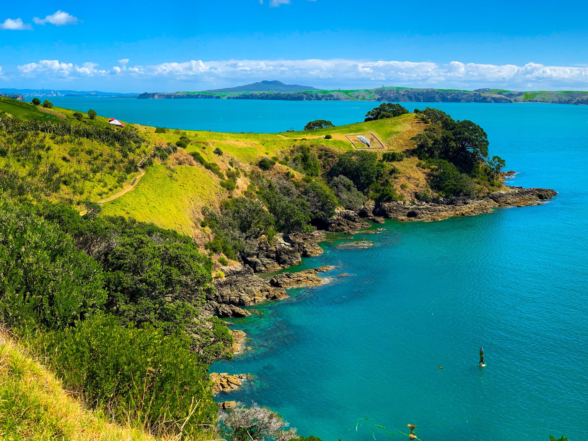
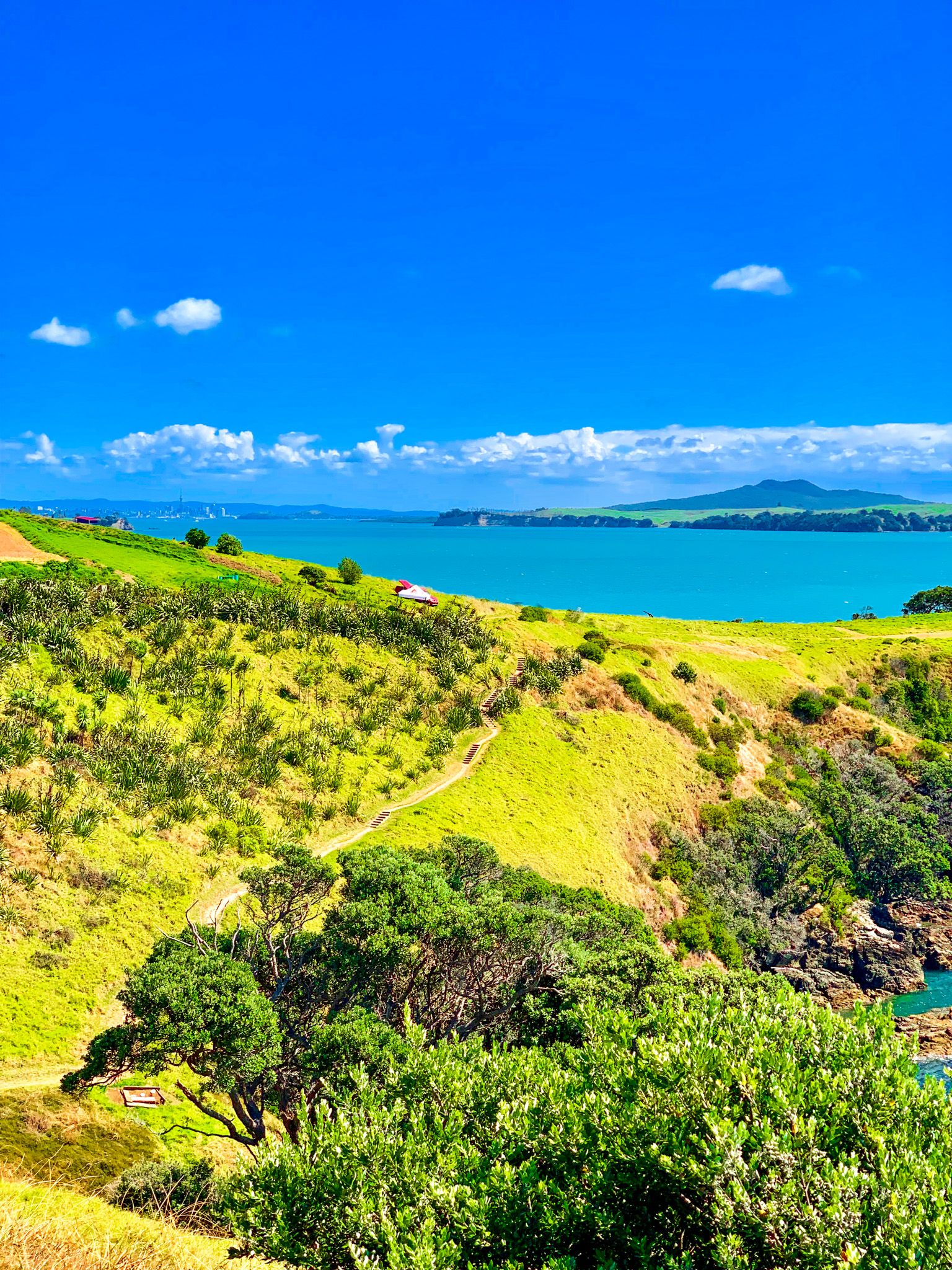
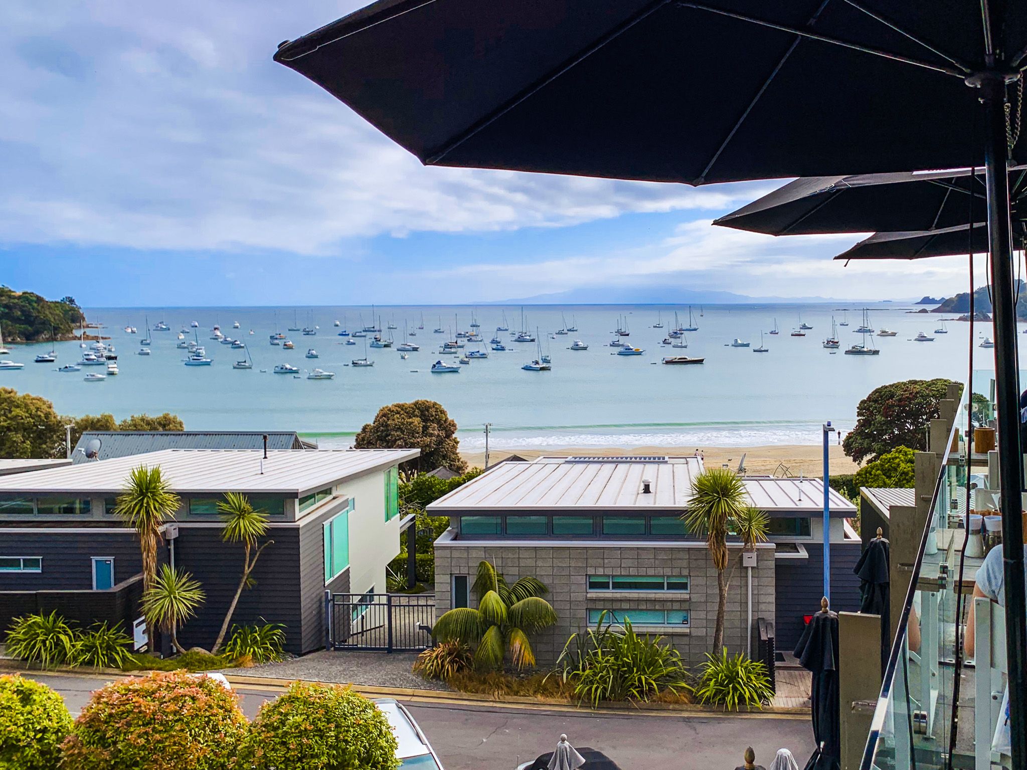
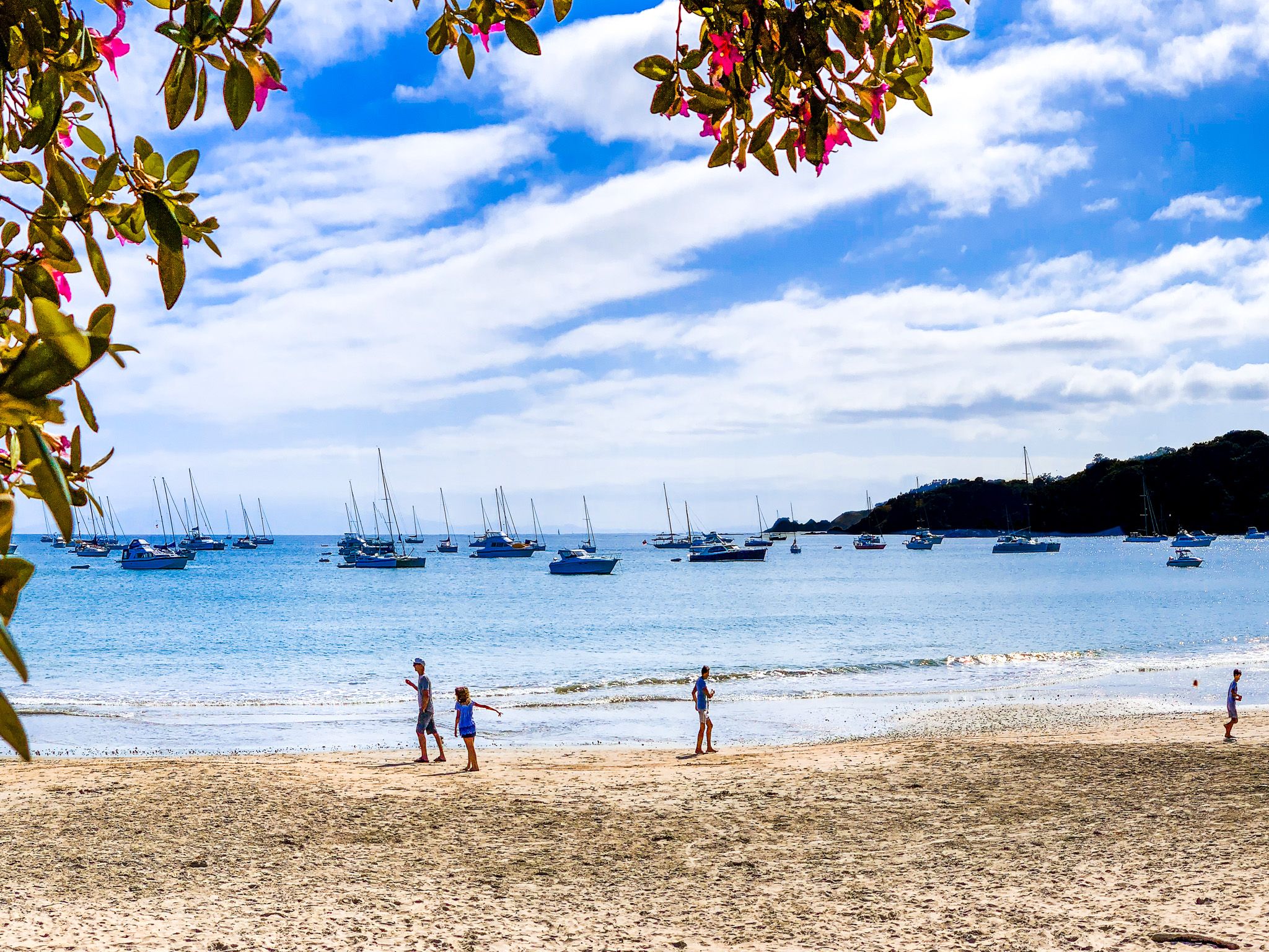
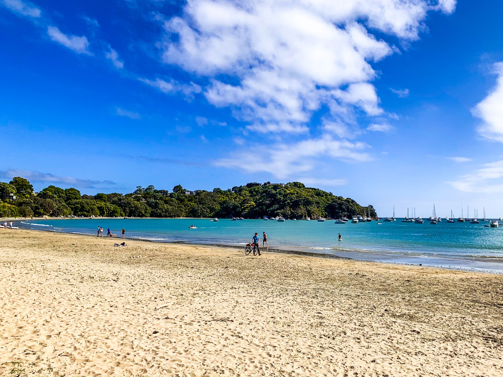
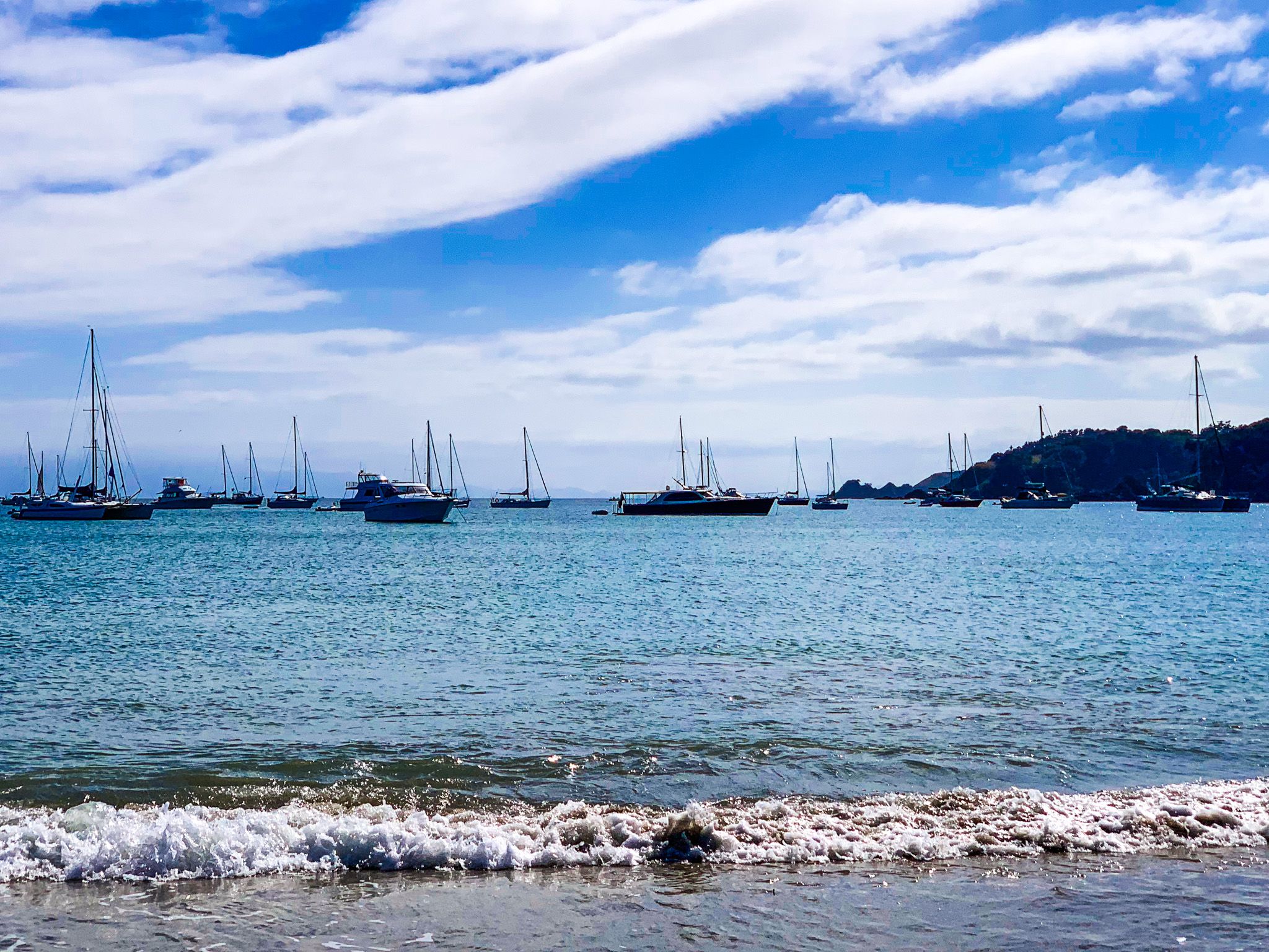
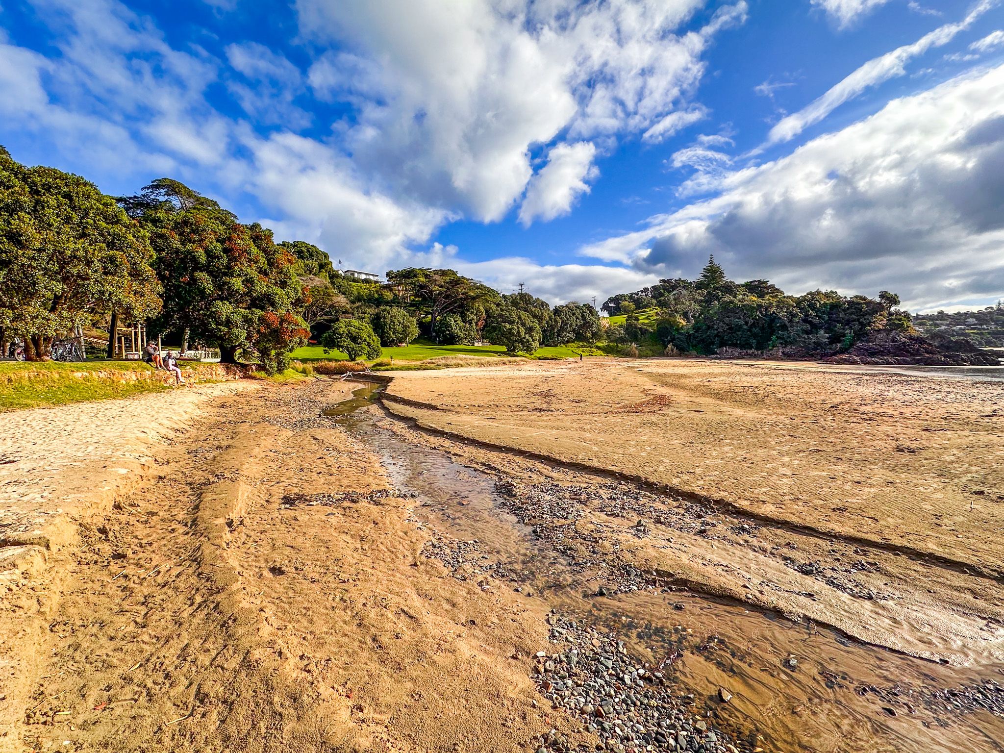
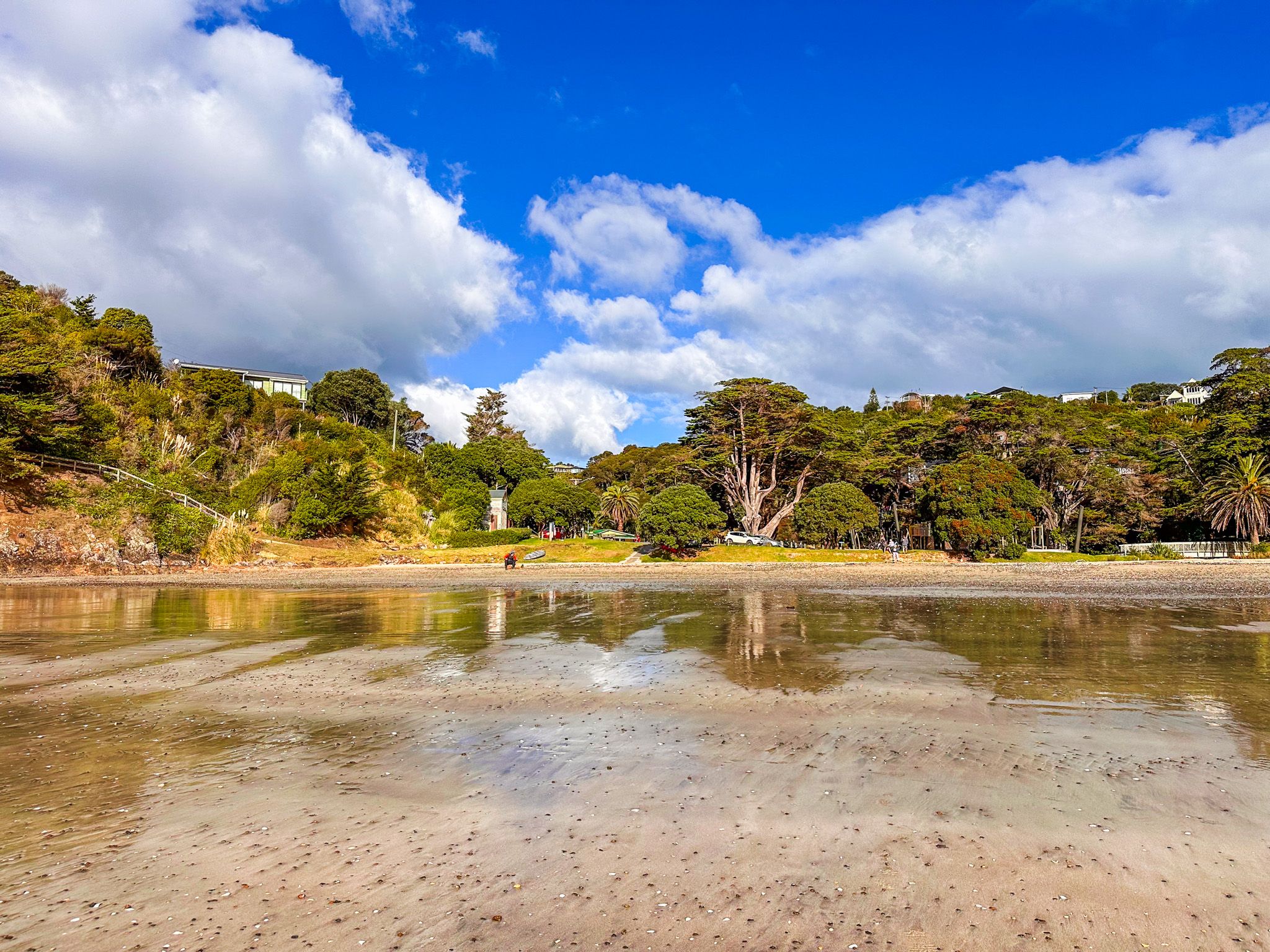
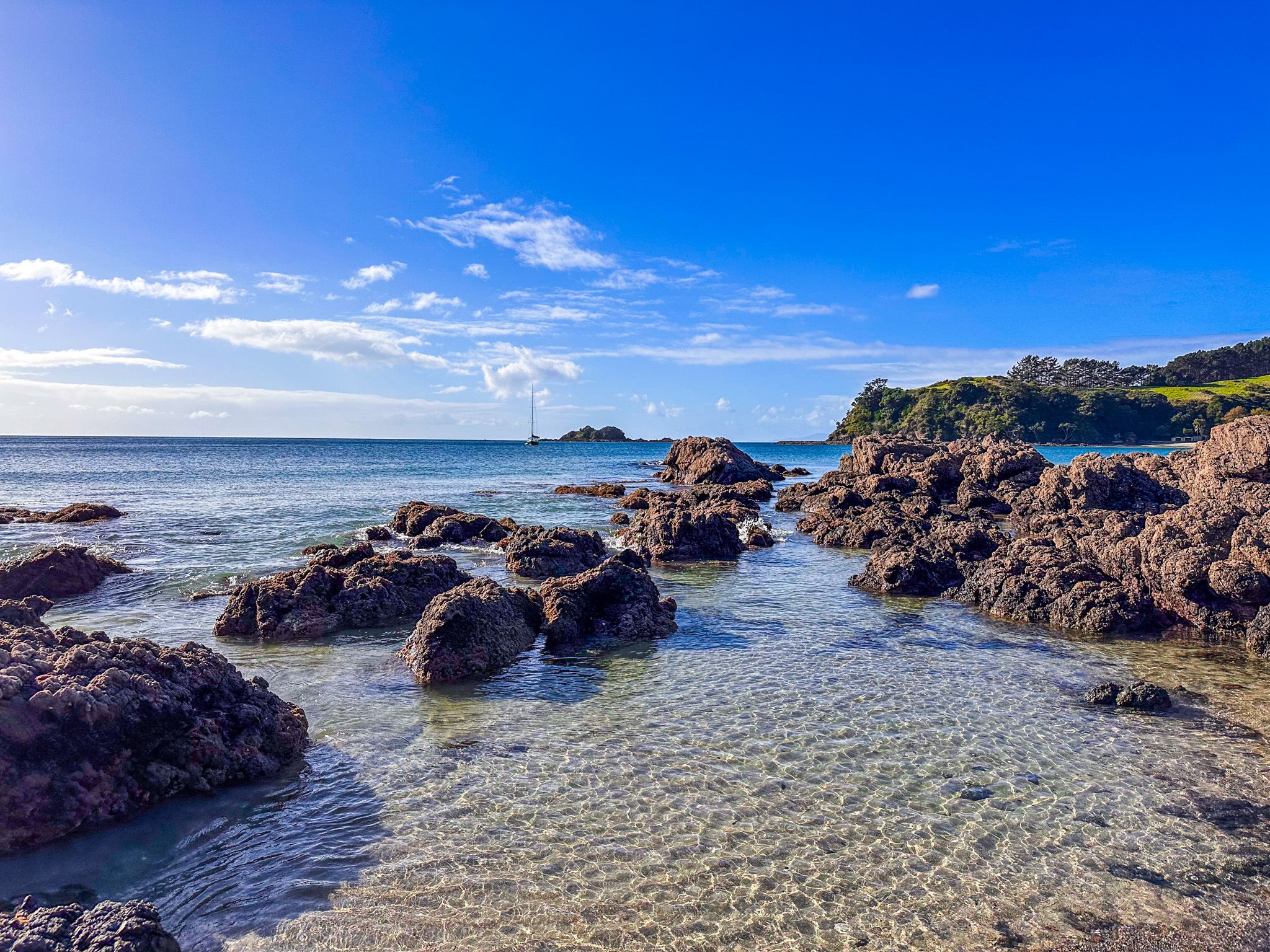
Matiatia Bay is a sheltered bay on the east side of Waiheke Island. The ferry service from downtown Auckland docks there, and there is a bus stop and car and bike rental services. To the south of the Ferry Terminal is a sandy beach, although the regular movements of people and the ferry probably make it less attractive. Both sides of the bay have steep hills up to 80 metres above the bay.
You can walk directly to Oneroa alongside the road from the Ferry Terminal or take a path through the regenerating native forest that runs south of the road. Walk through the boat trailer car park and find the sign that says Oneroa Village – scenic bush walk. Allow about 15 to 20 minutes to get to Oneroa.
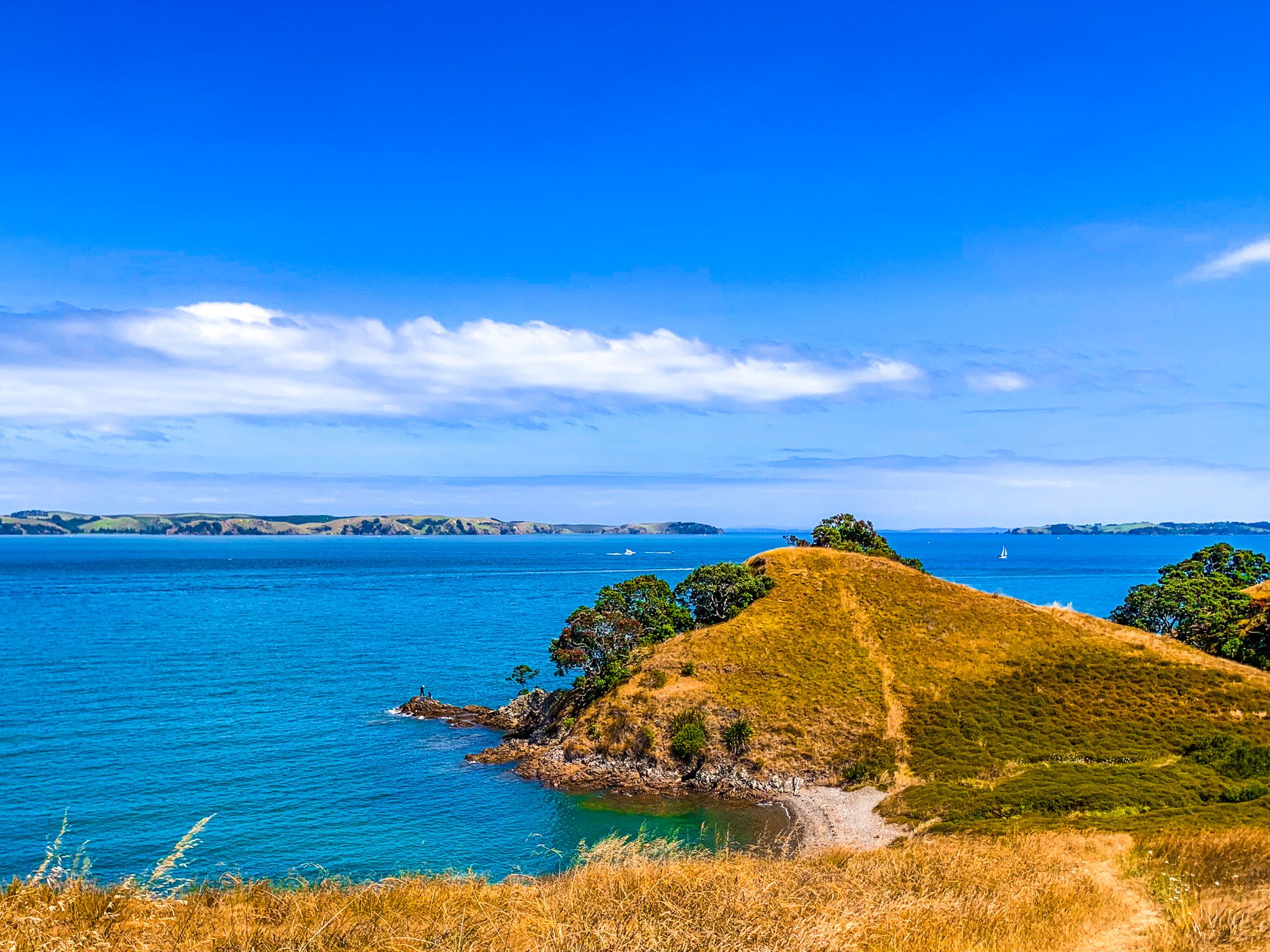
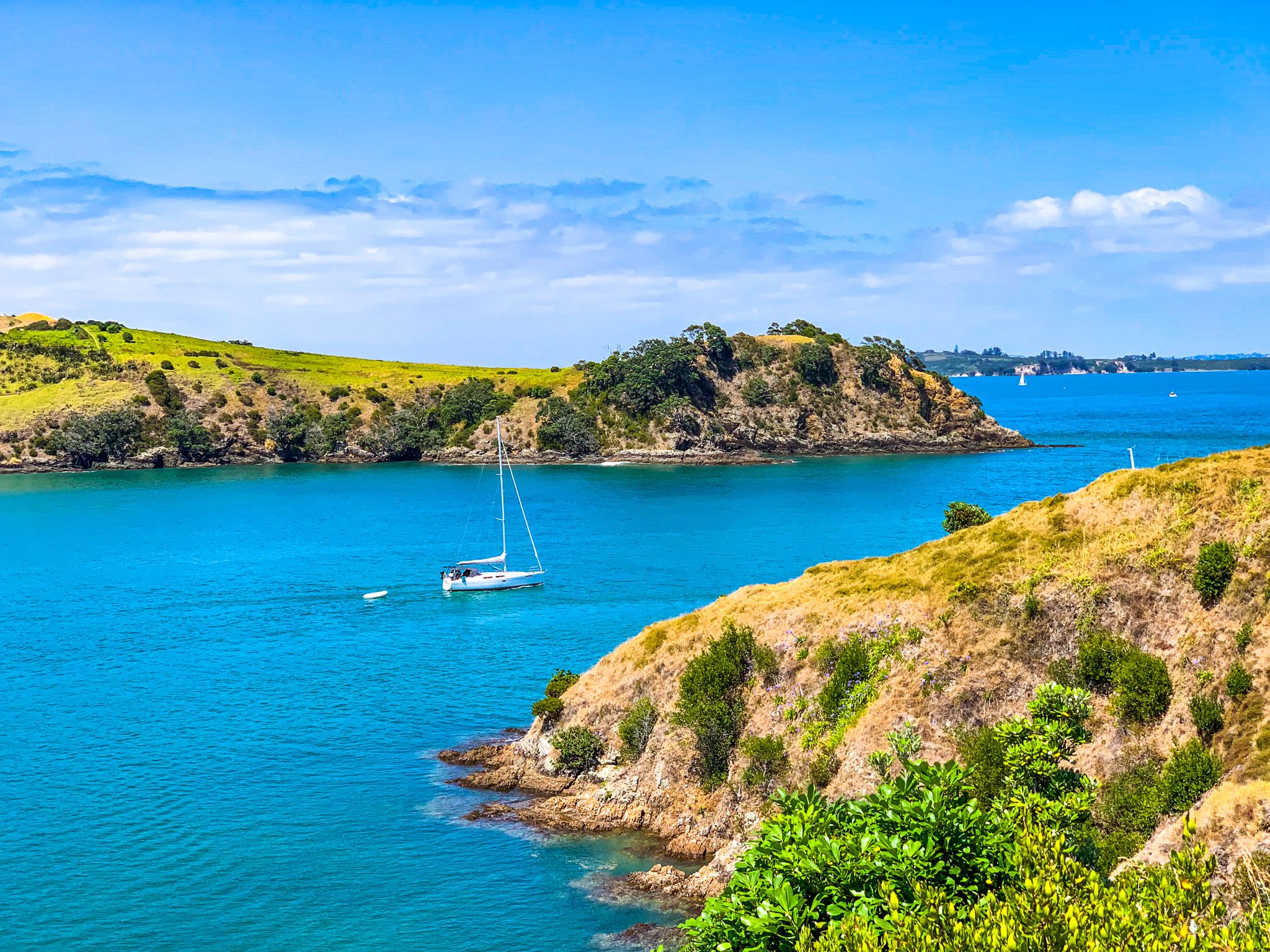
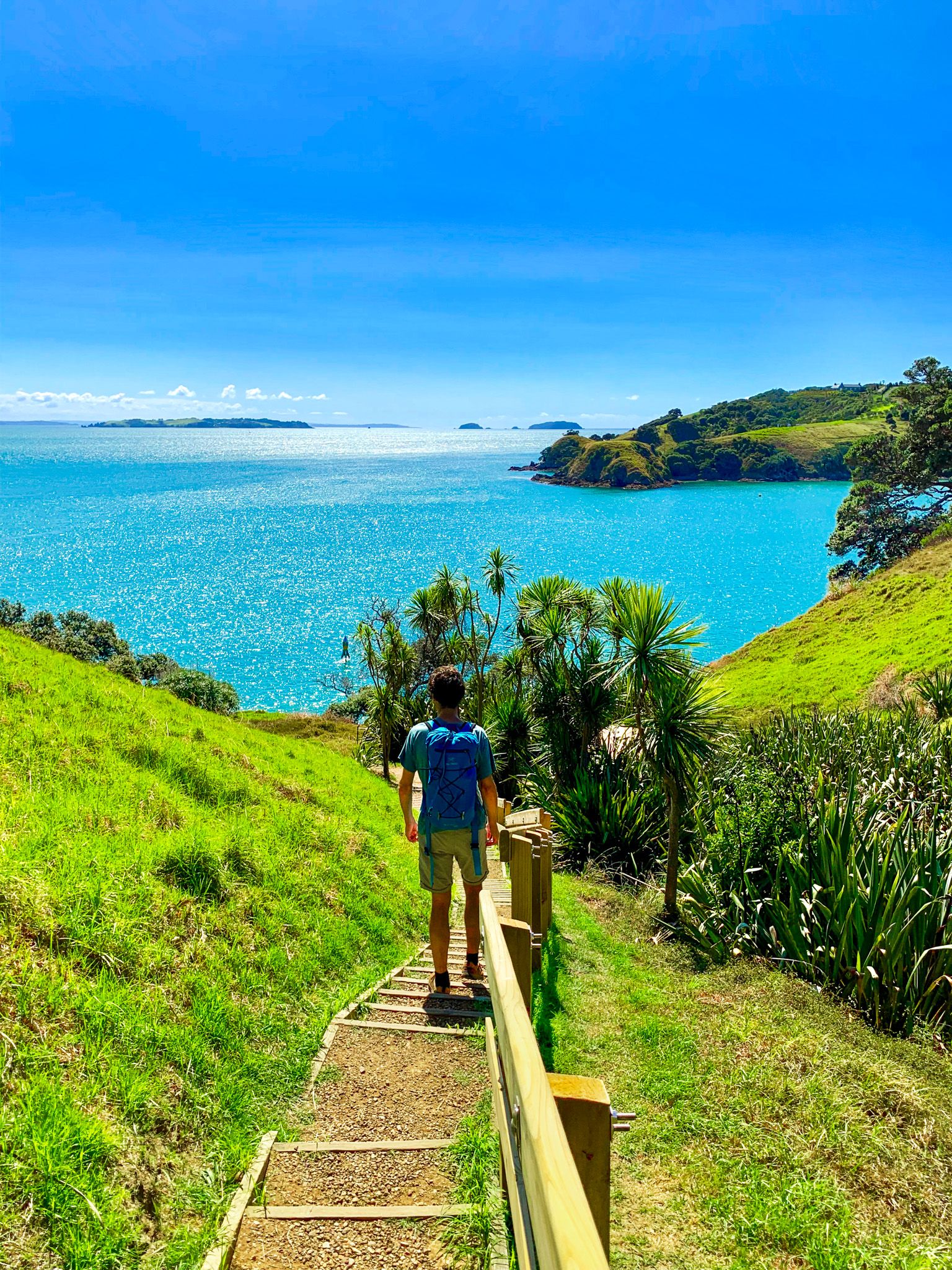
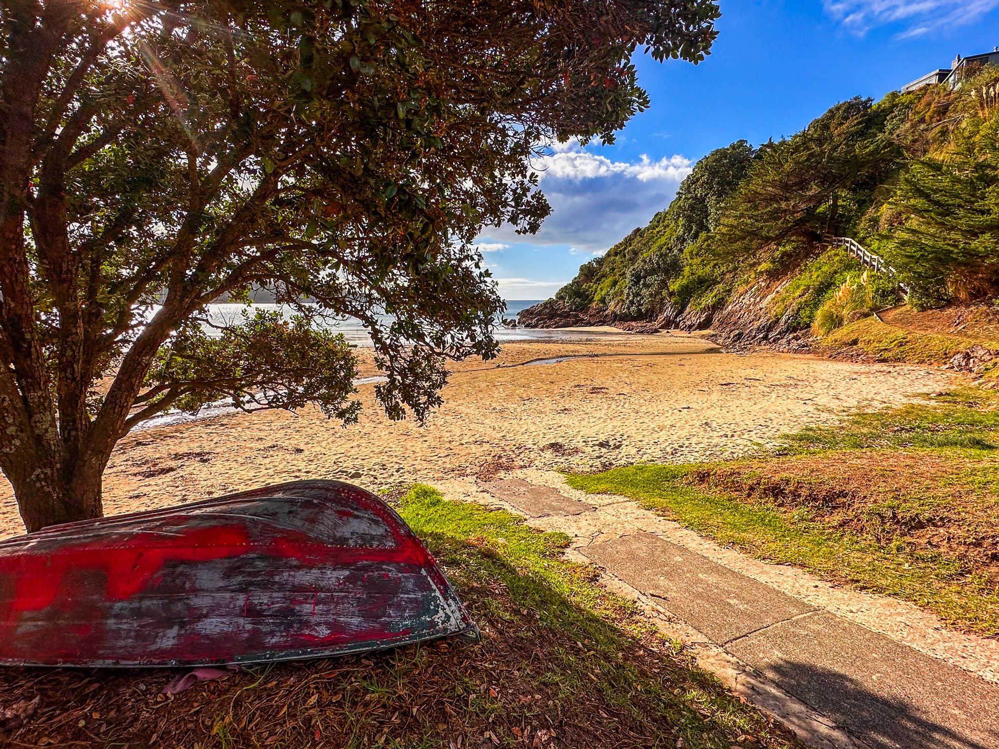
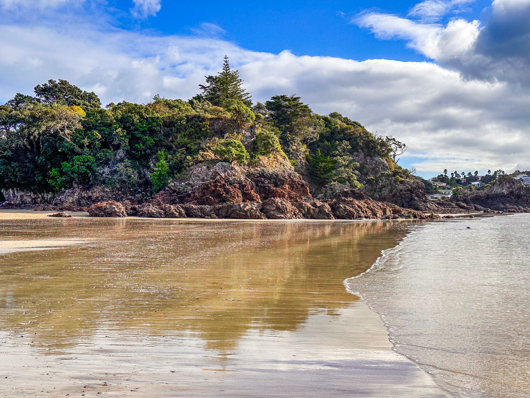
The more interesting and longer option is to walk a section of Te Ara Hura ("Discover the Way") to Oneroa. The 87-km loop track covers much of the island and starts and ends at the Ferry Terminal. To access the track, you can either head northwest from the terminal along the coast to the northern head of the bay or walk along the beach to the south and then follow the track to the southern head. With fabulous views, both tracks follow the coast before heading towards Oneroa.
Te Ara Hura, Northwest Coast to Oneroa
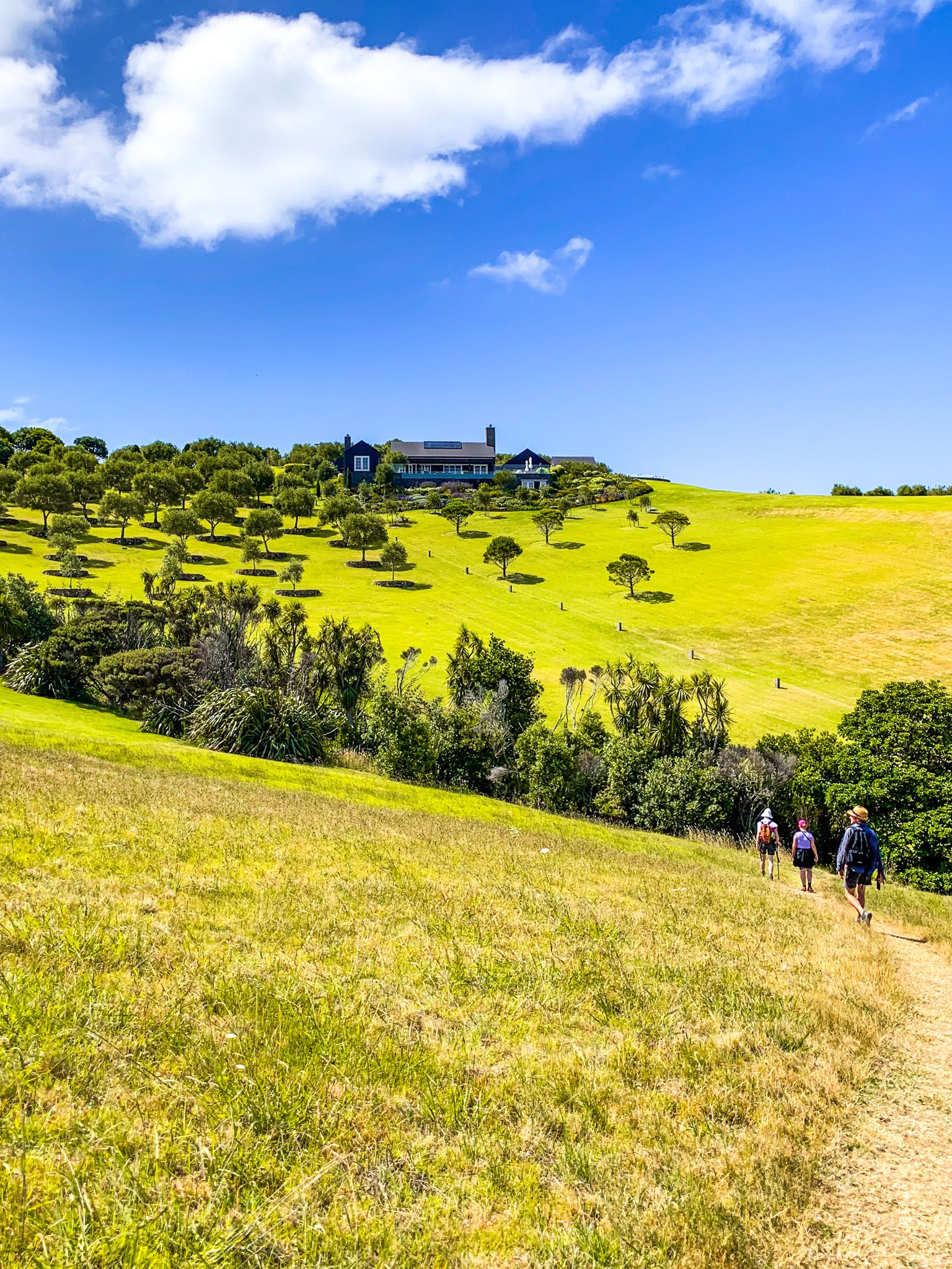
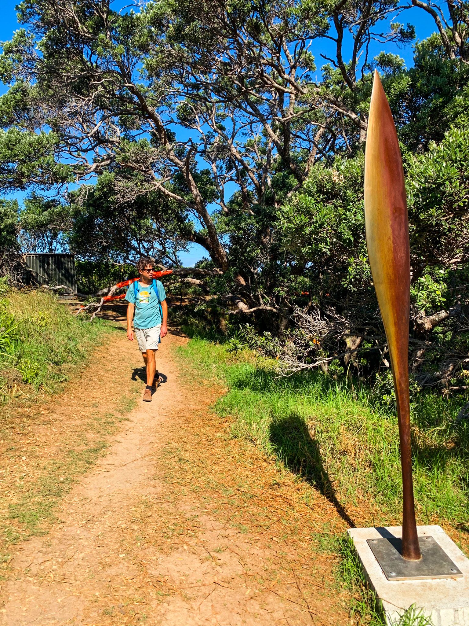
Te Ara Hura means "Discover the Way" and connects a series of walking tracks and roads, creating an 87-km loop trail around much of Waiheke Island. The entire circuit takes 4 to 6 days to walk, but there are many points of access. You can pick and choose walks of one to several hours.
Creating the trails was a local effort, and they are now among the best in the Auckland region. Plus, you can visit the odd winery, restaurant, or cafe and stay in comfortable surroundings every night!
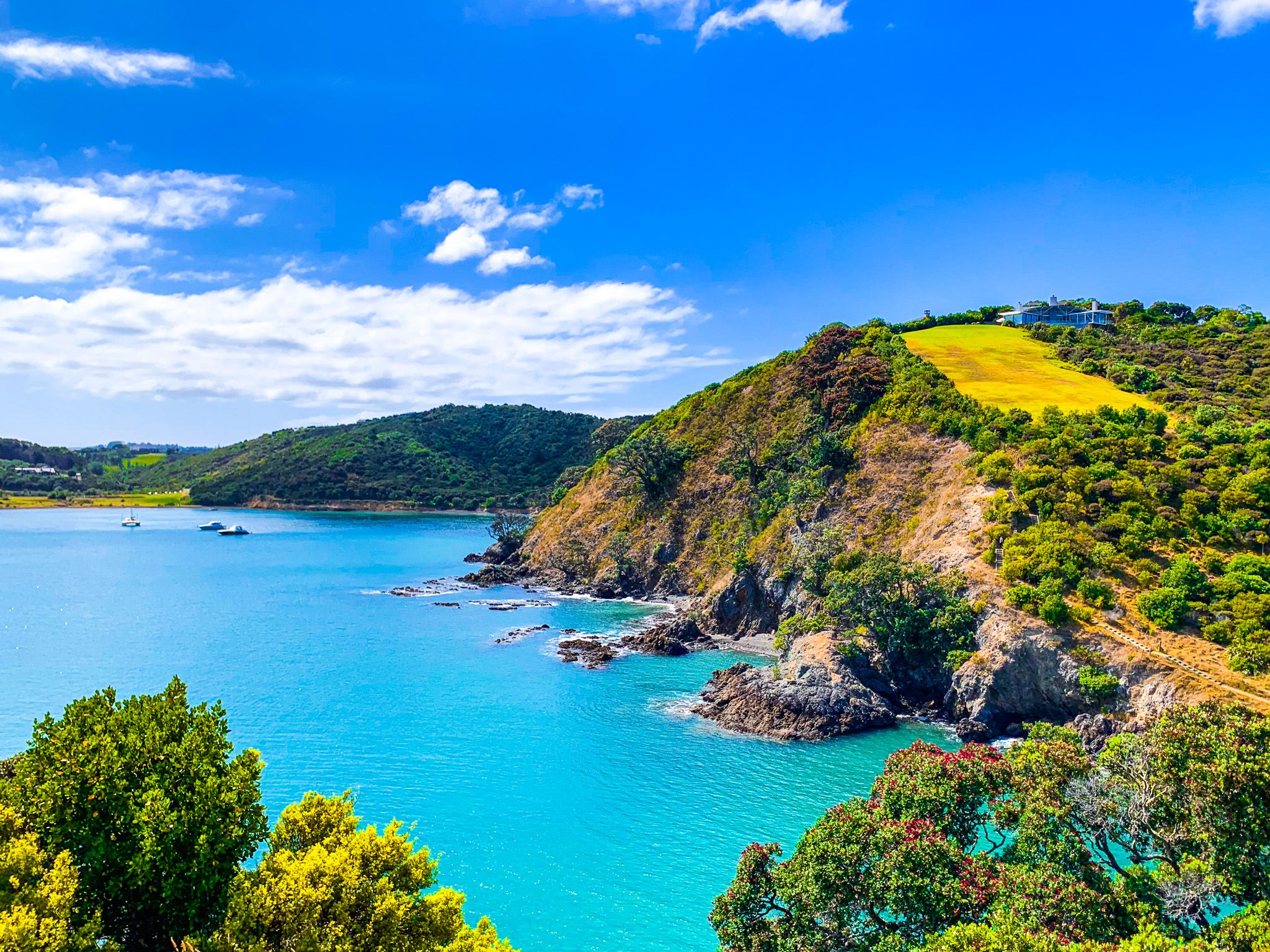
The first section of the trail starts in Matiatia Bay by the Ferry Terminal at the east end of Waiheke. From there, you can go northwest around the bay or southwest, with both tracks ultimately bringing you to Oneroa. For the northwest option, you must be at least one hour on either side of high tide.
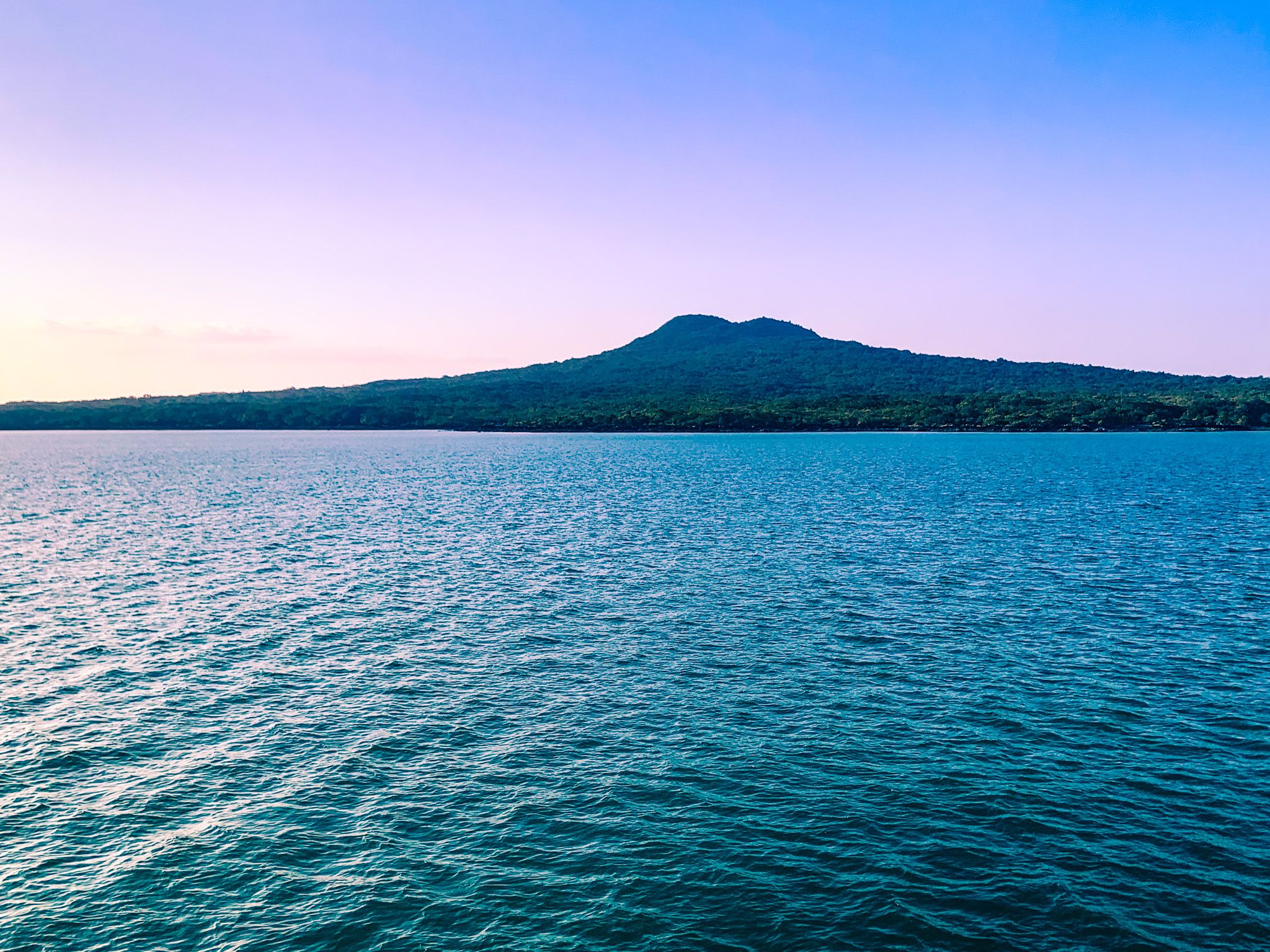
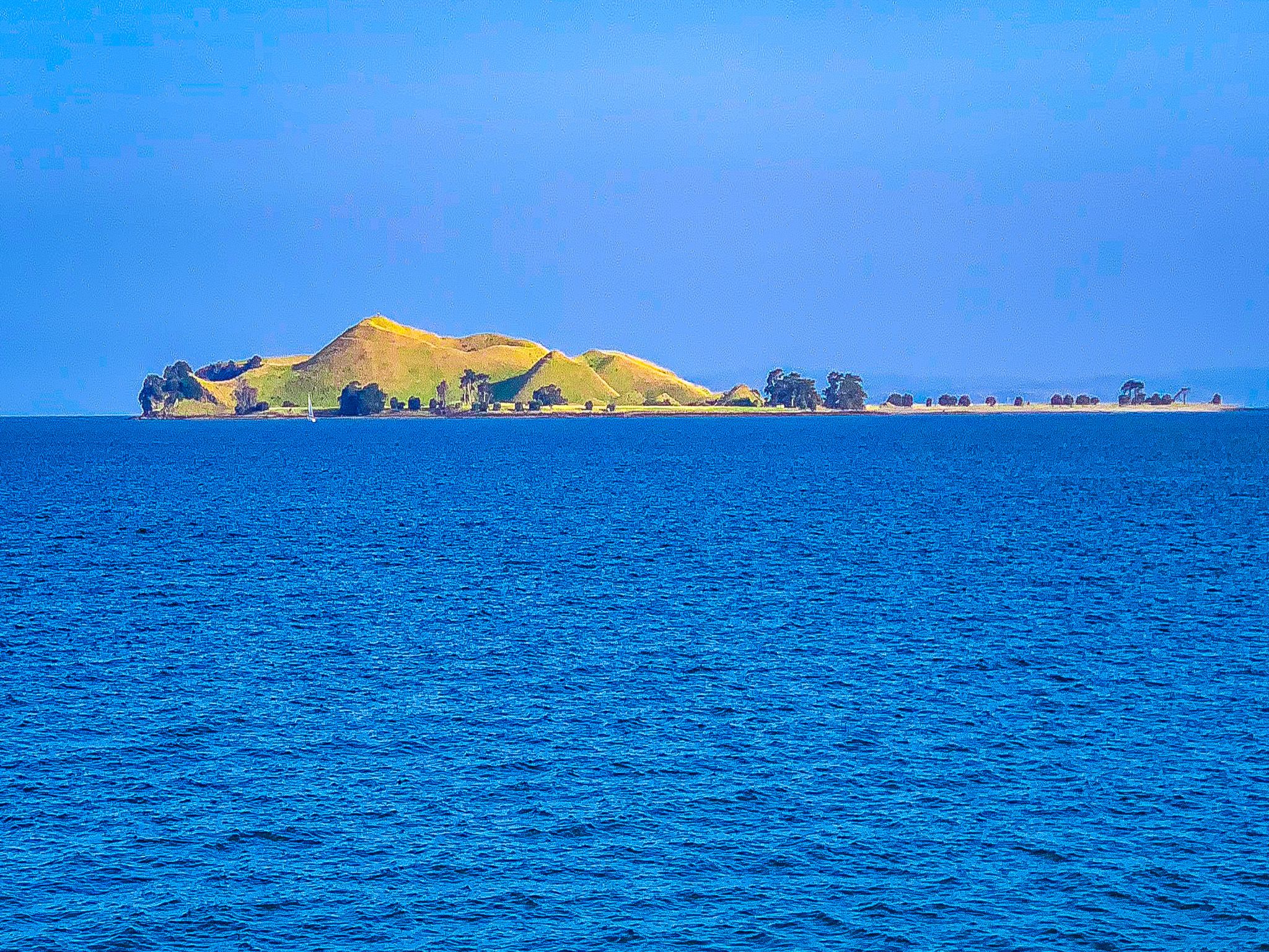
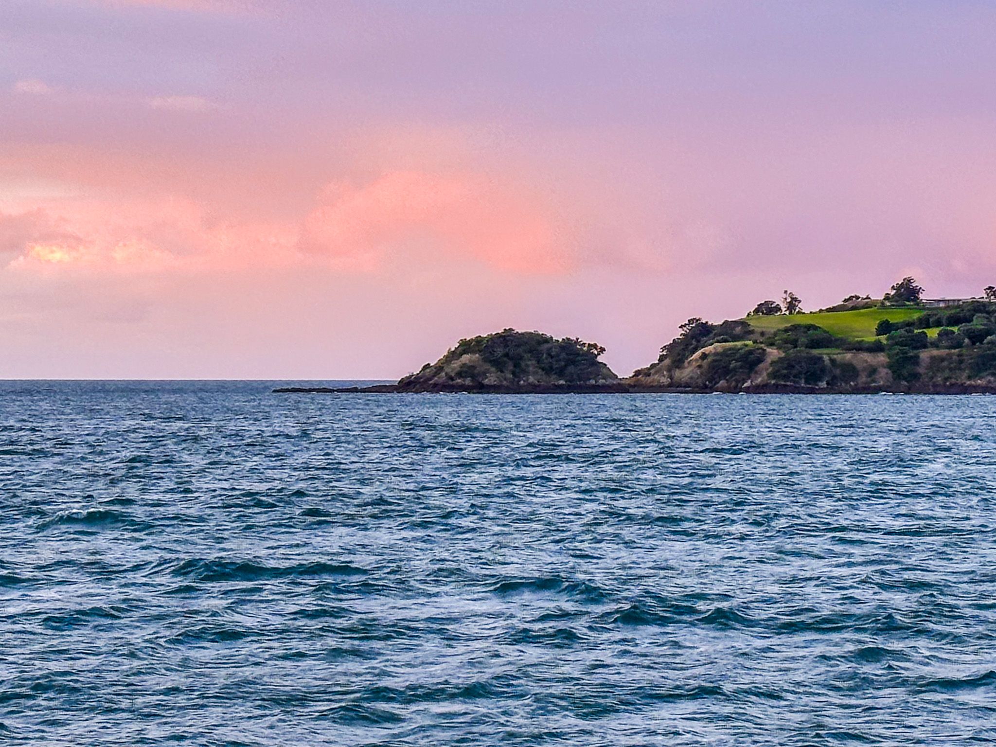
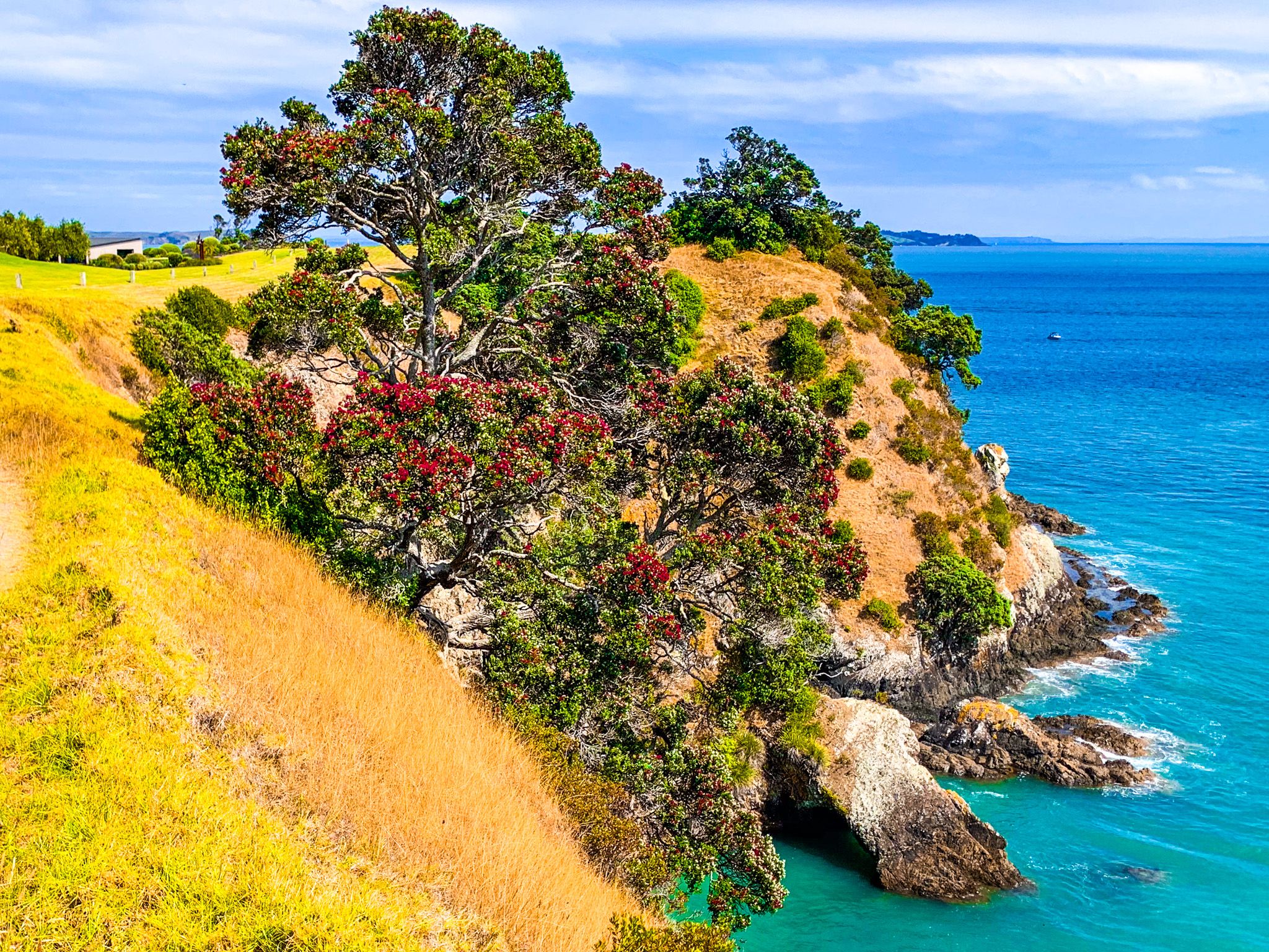
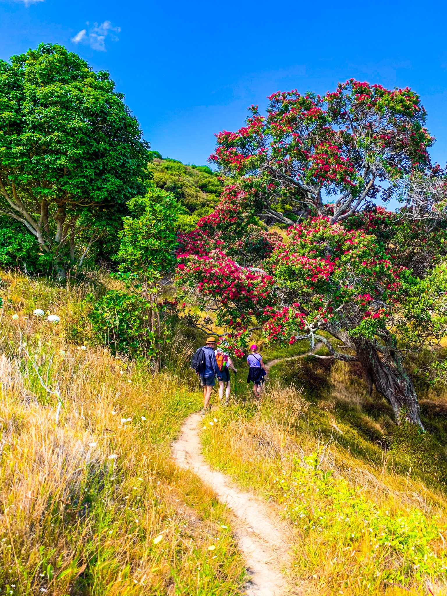
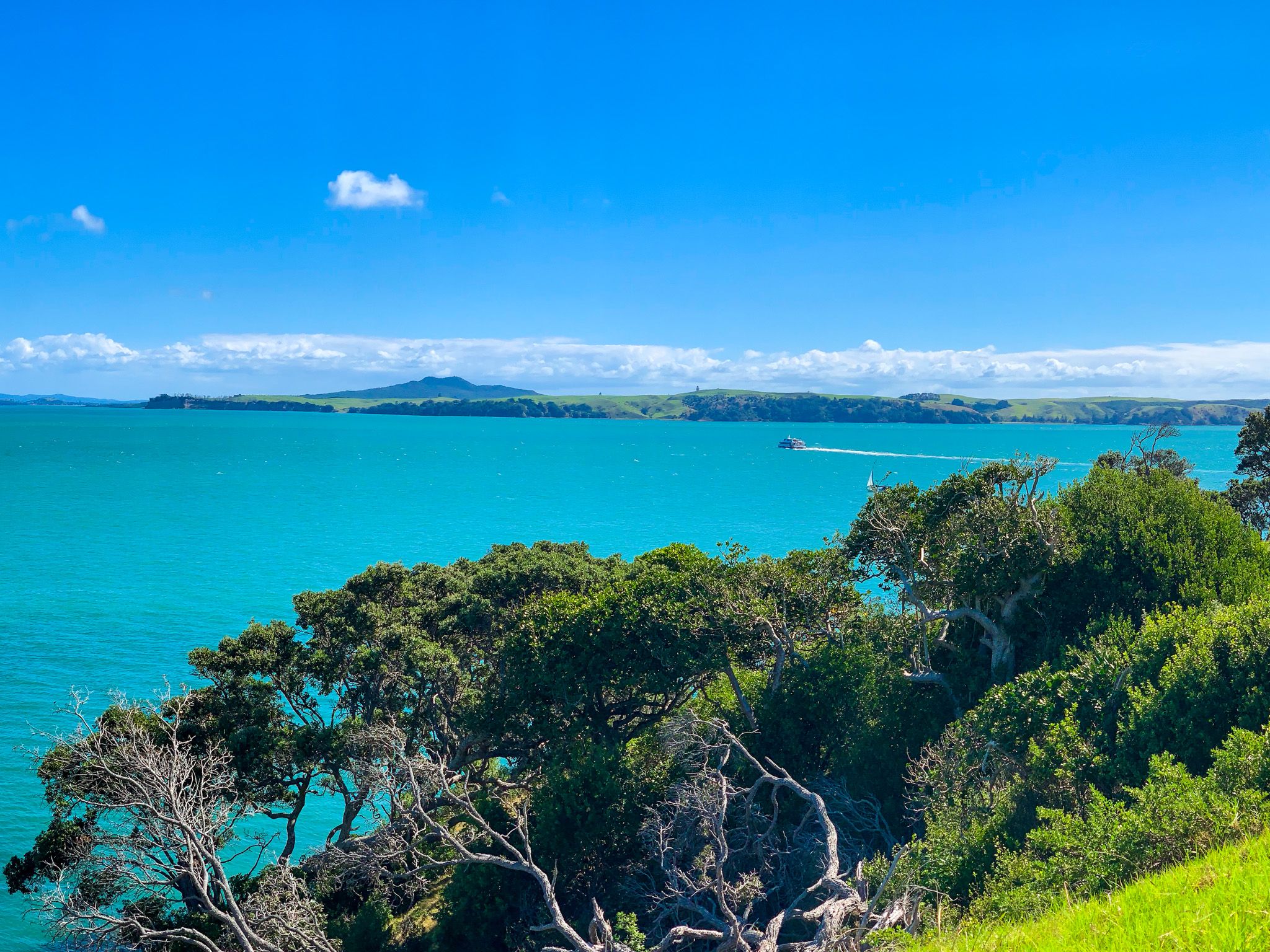
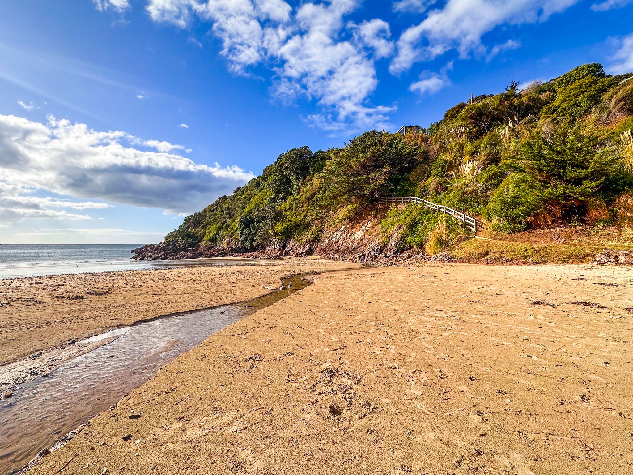
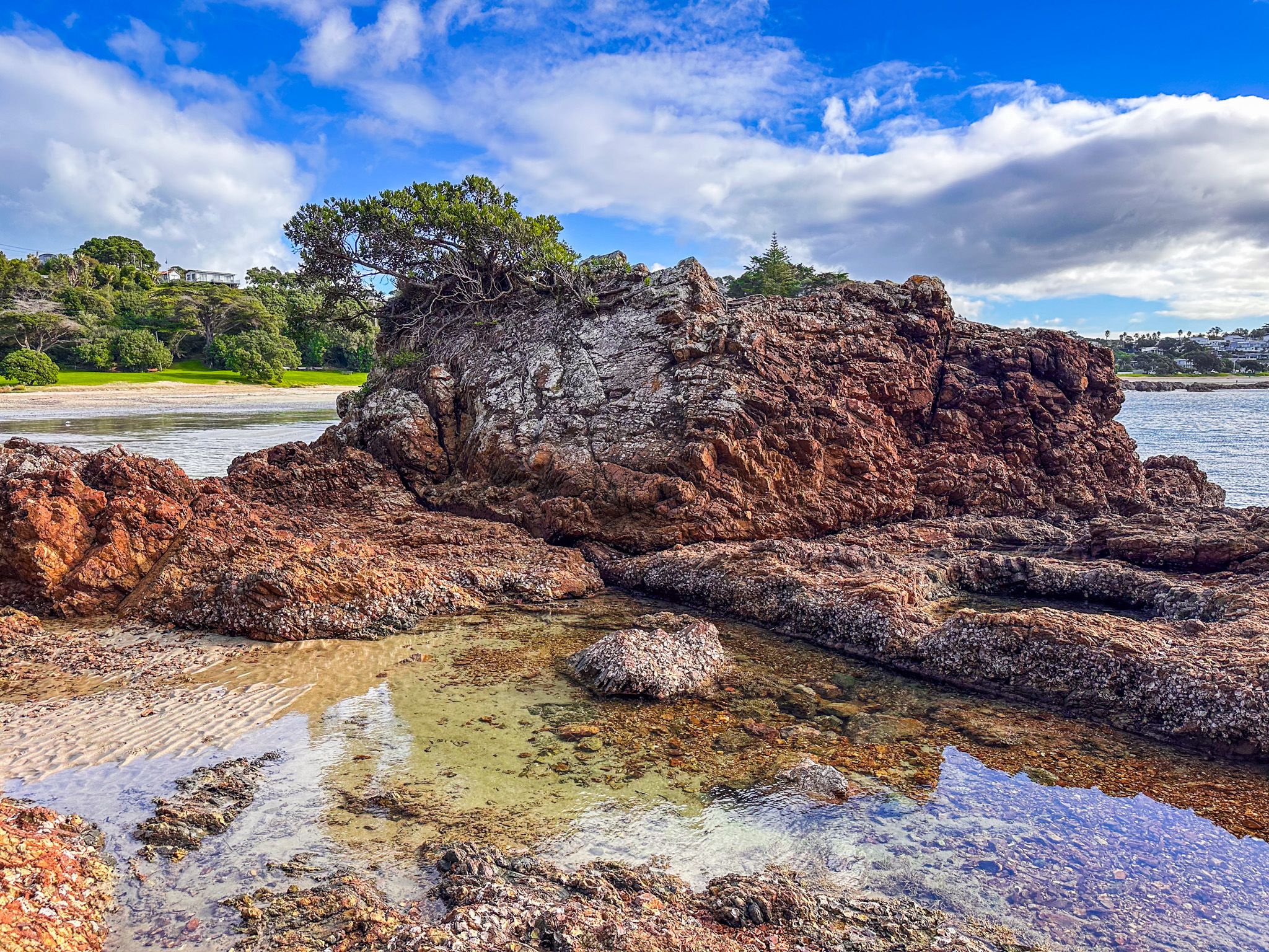
The narrow track, a mix of grass and dirt, follows the coast to the head of the bay, then turns north. There are spectacular views towards Motutapu and Rangitoto Islands to the west, Rakino to the northwest and the Noises (a group of small rocky islands) to the North. You will also pass the historic Mokemoke Pā site and several modern architecturally significant houses.
Te Ara Hura, Southwest Coast to Oneroa
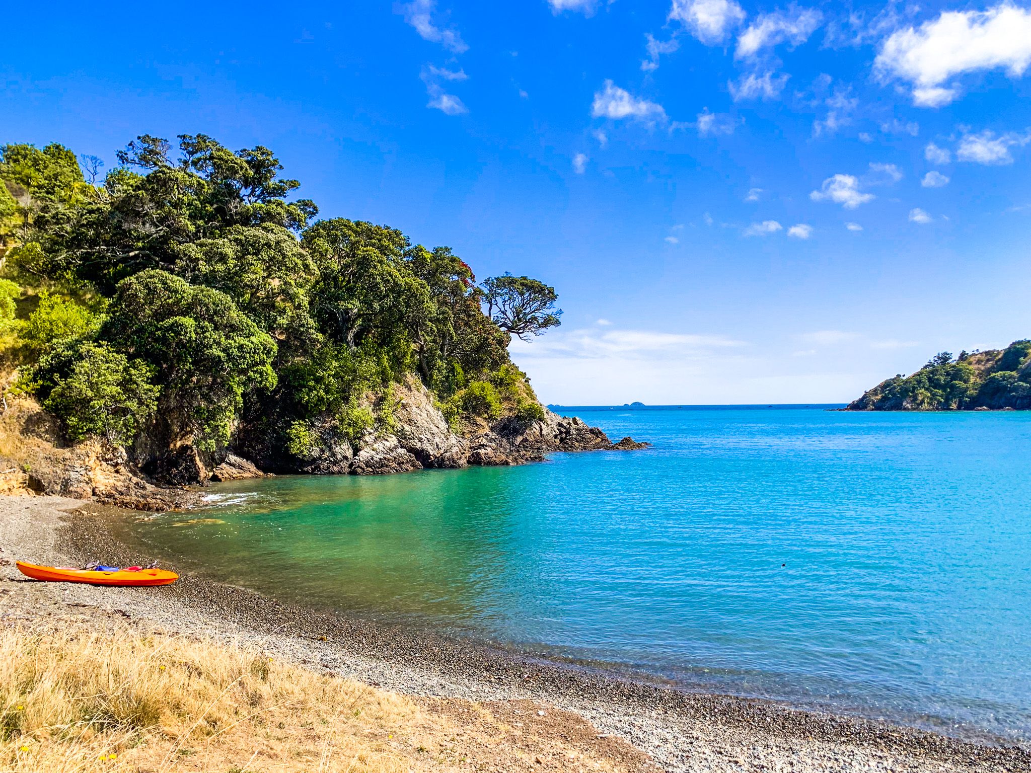
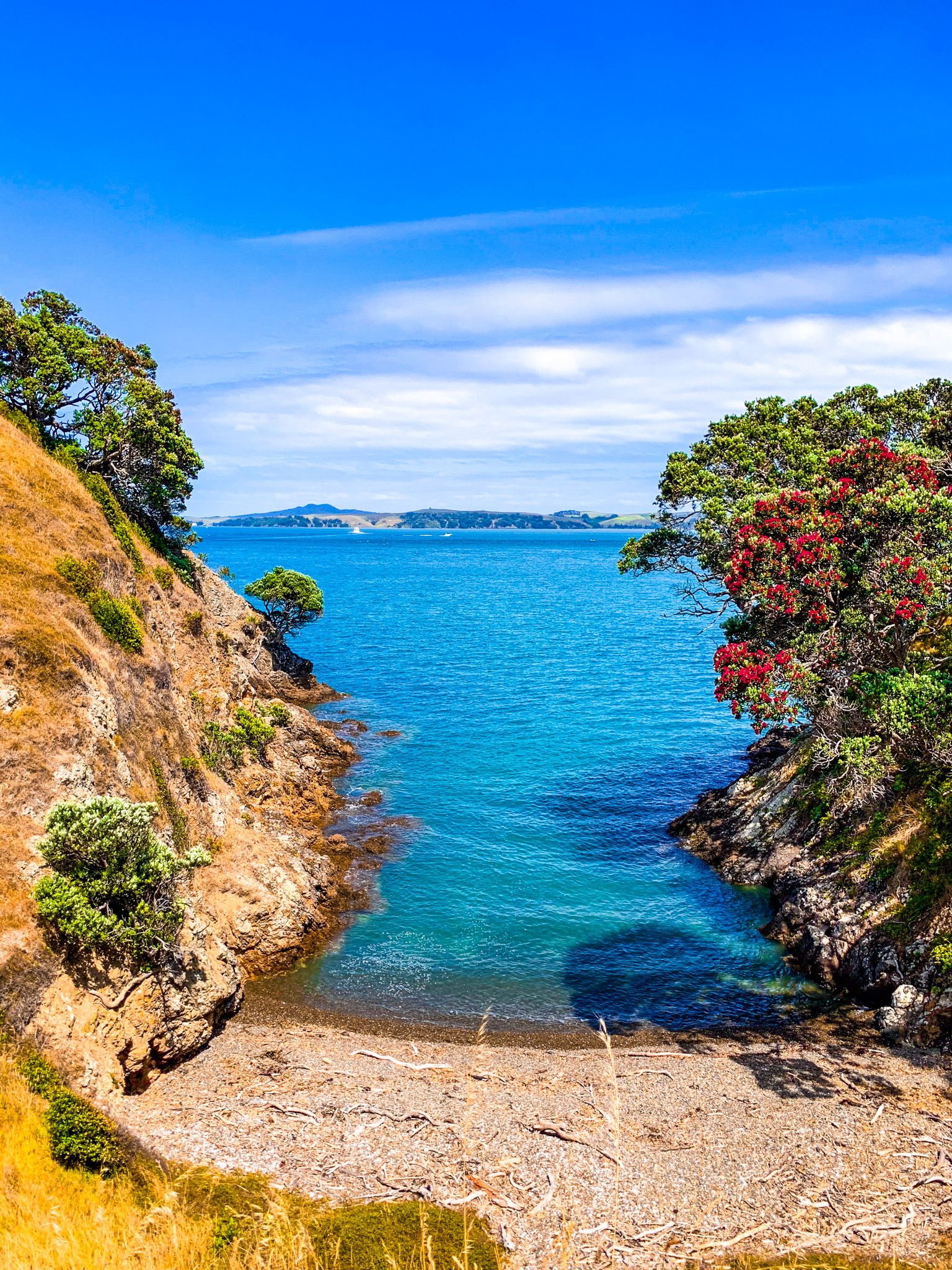
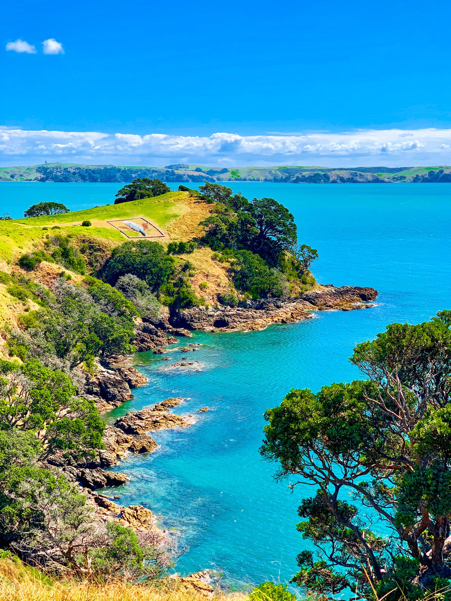
To take the southwest option on Te Ara Hura, walk along Matiatia Beach, then head west to Whutumatarau Point through the regenerating forest. Several excellent viewpoints include views of downtown Auckland, Motutapu, Rangitoto, and Motuihe Islands. The track drops towards the coastline and heads south to Te Miro Bay. You can head inland to connect with Nick Johnstone Drive, which goes to several wineries and Oneroa.
Alternatively, you can keep going south on the track to Church Bay, Cable Bay, and Park Point (Te Roreoaimaea). Due to slips, you can only get around Church Bay at low tide. From Park Point, loop north to connect with Church Bay Road, the wineries and Oneroa.
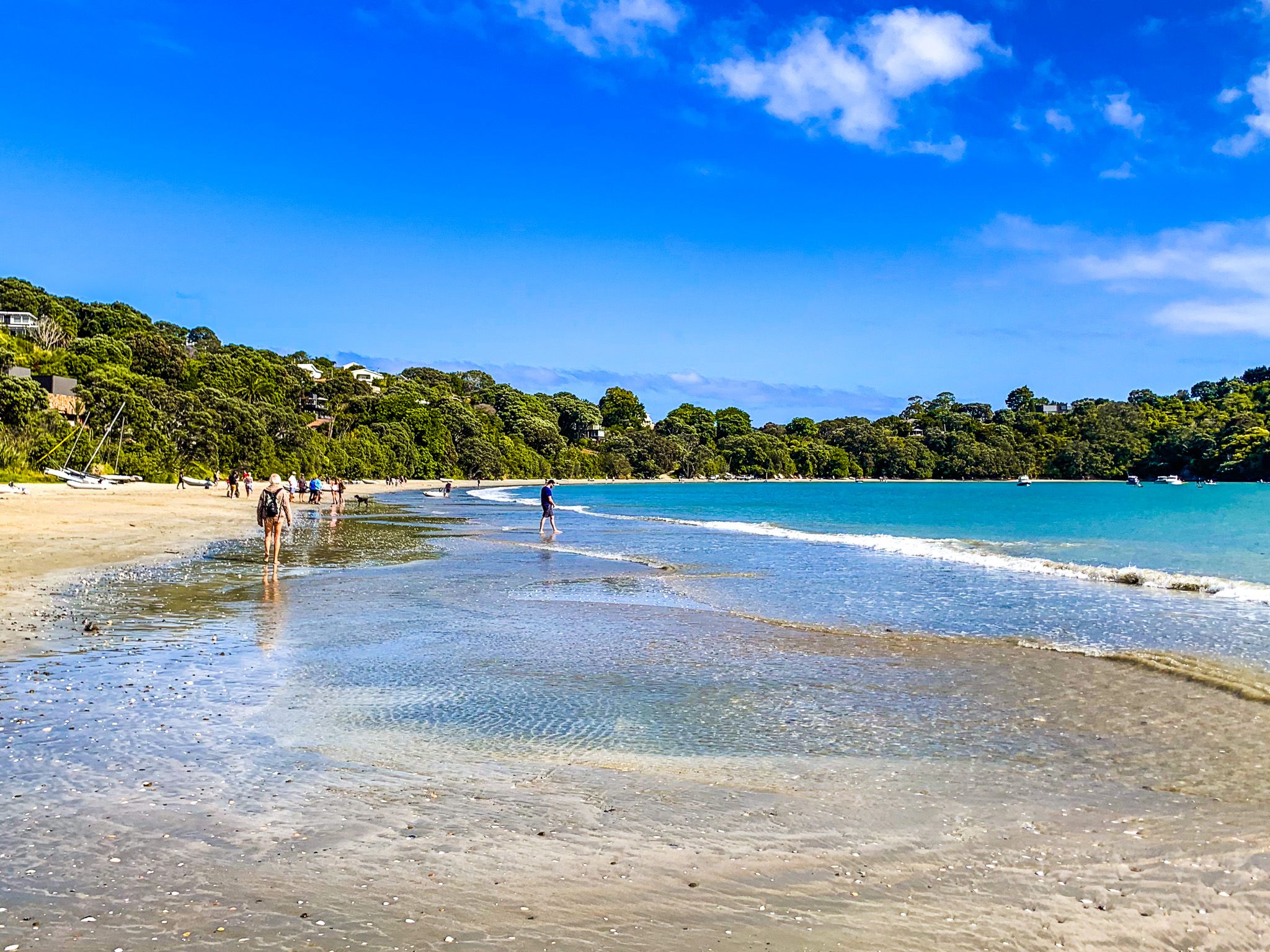
Oneroa
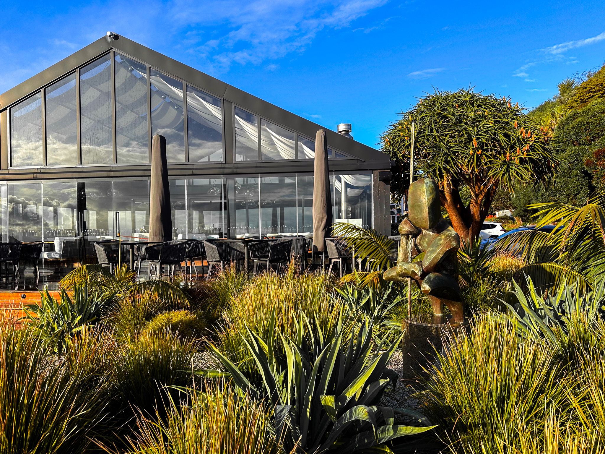
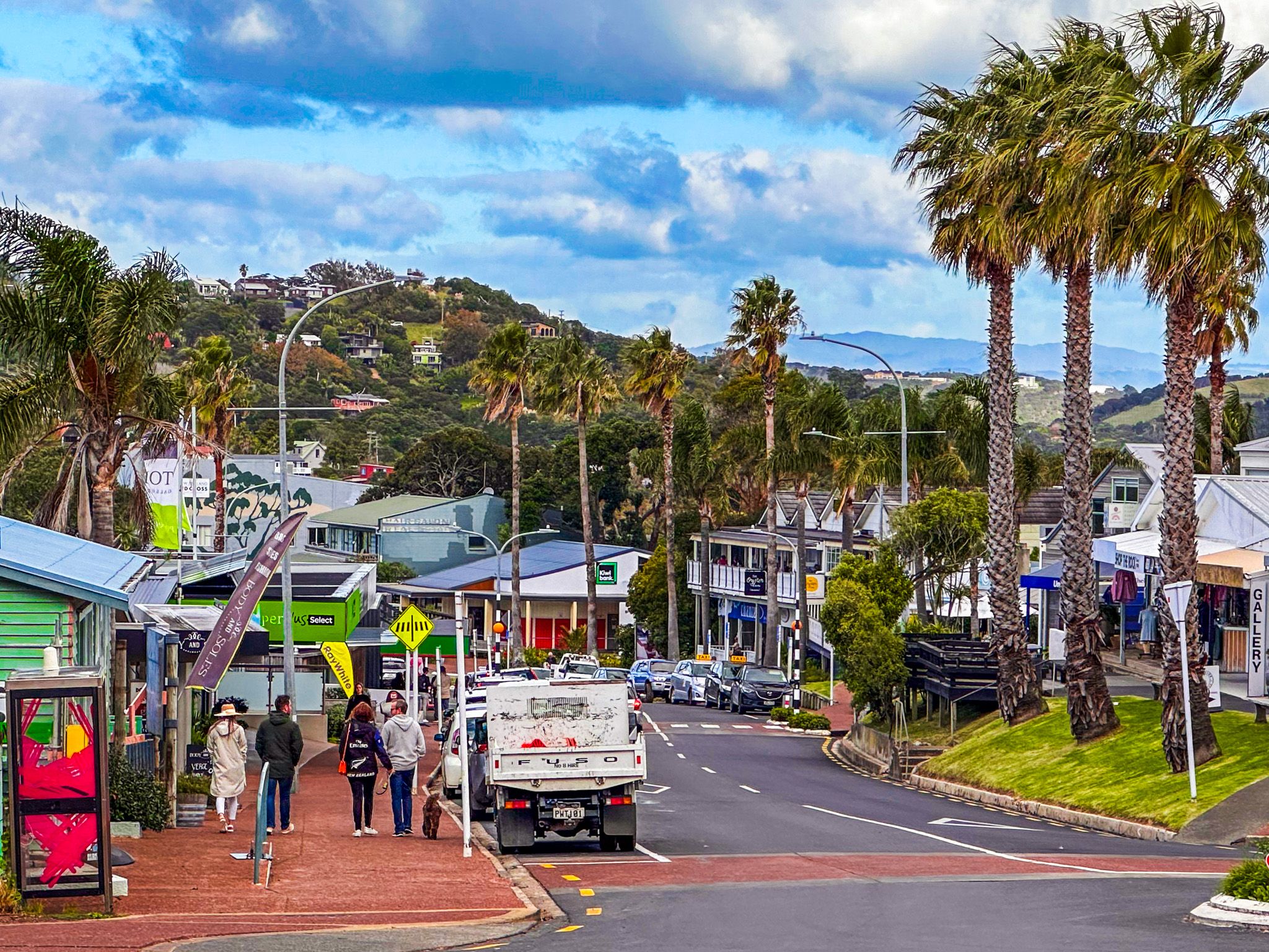
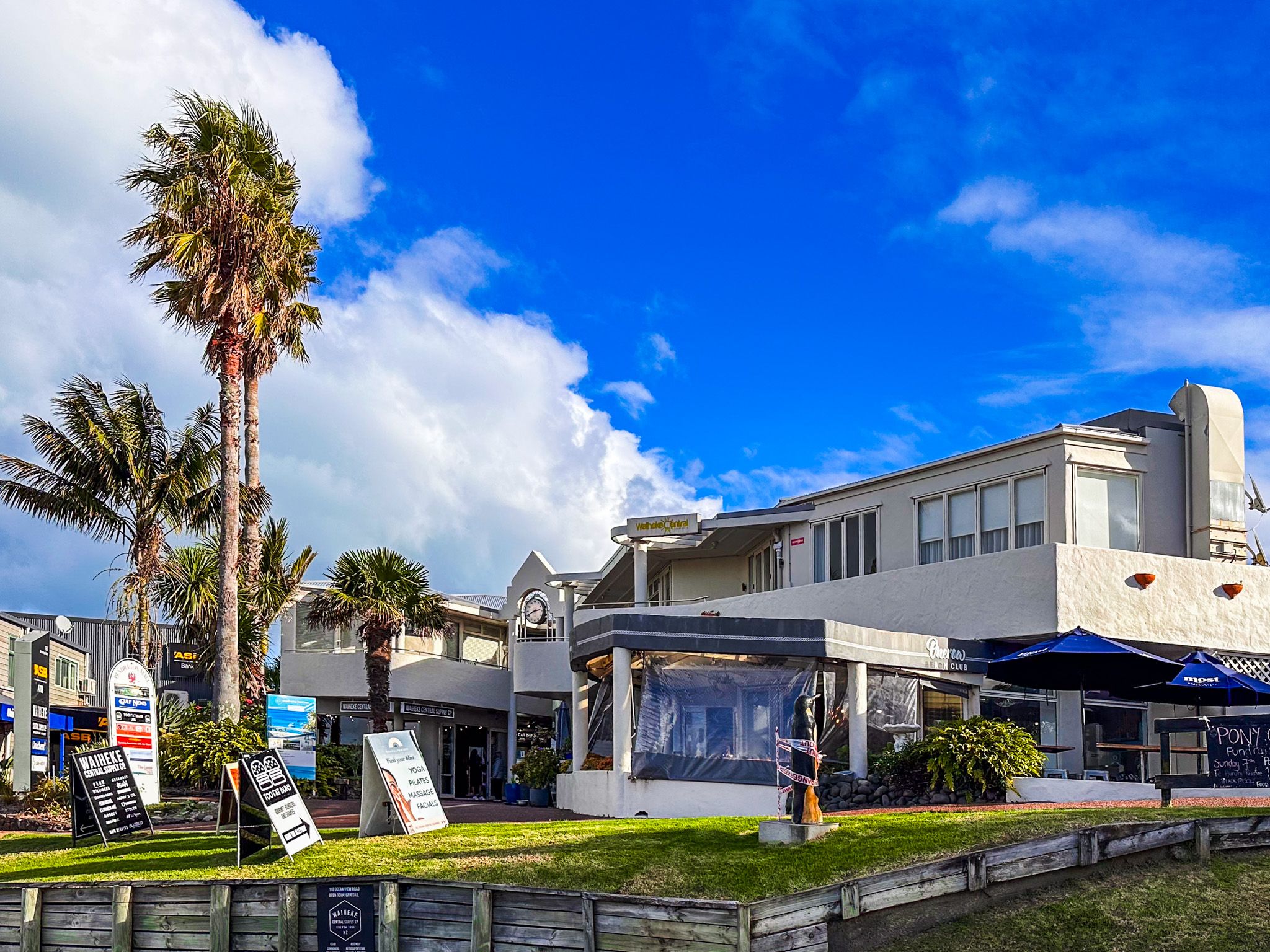
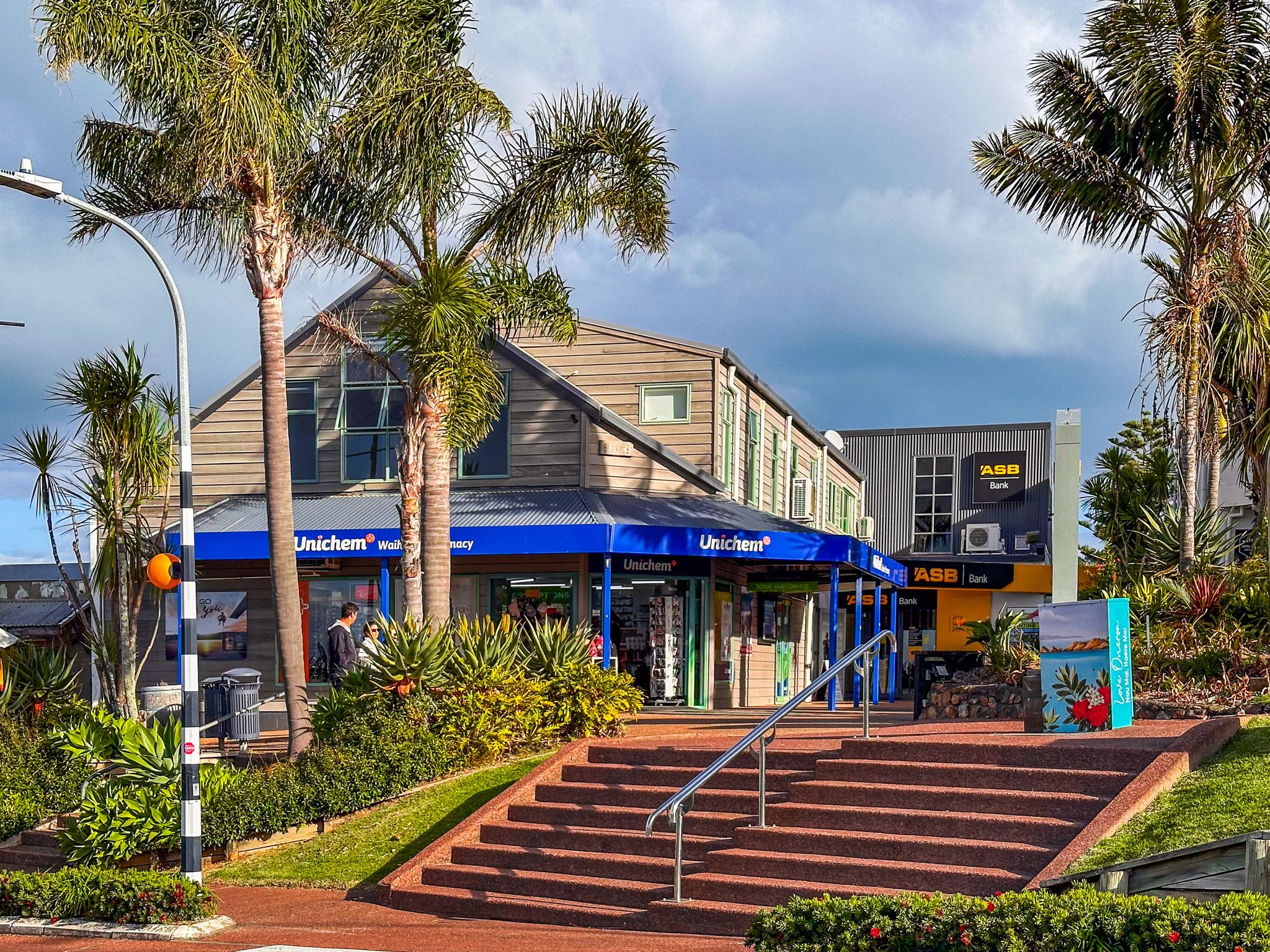
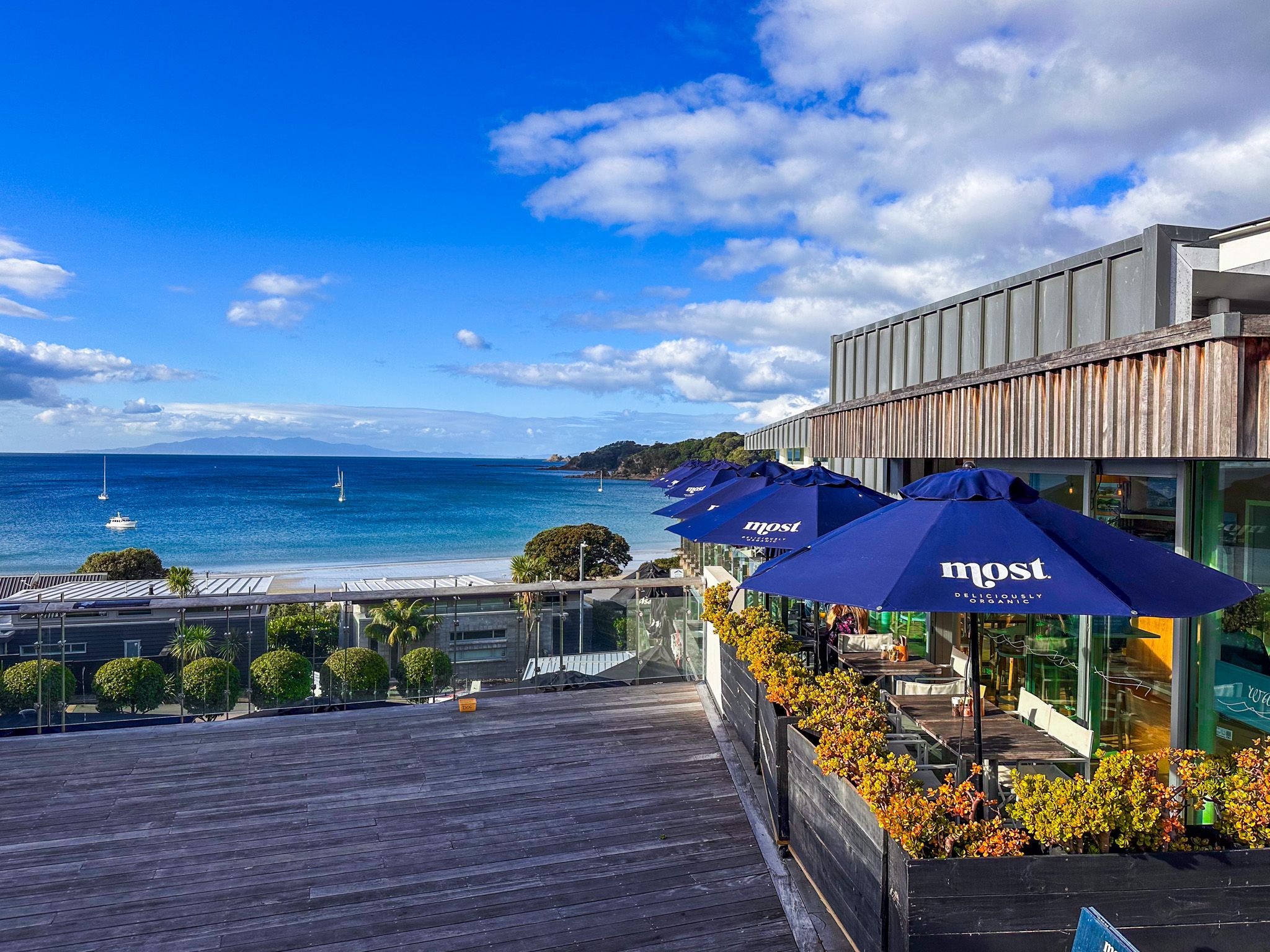
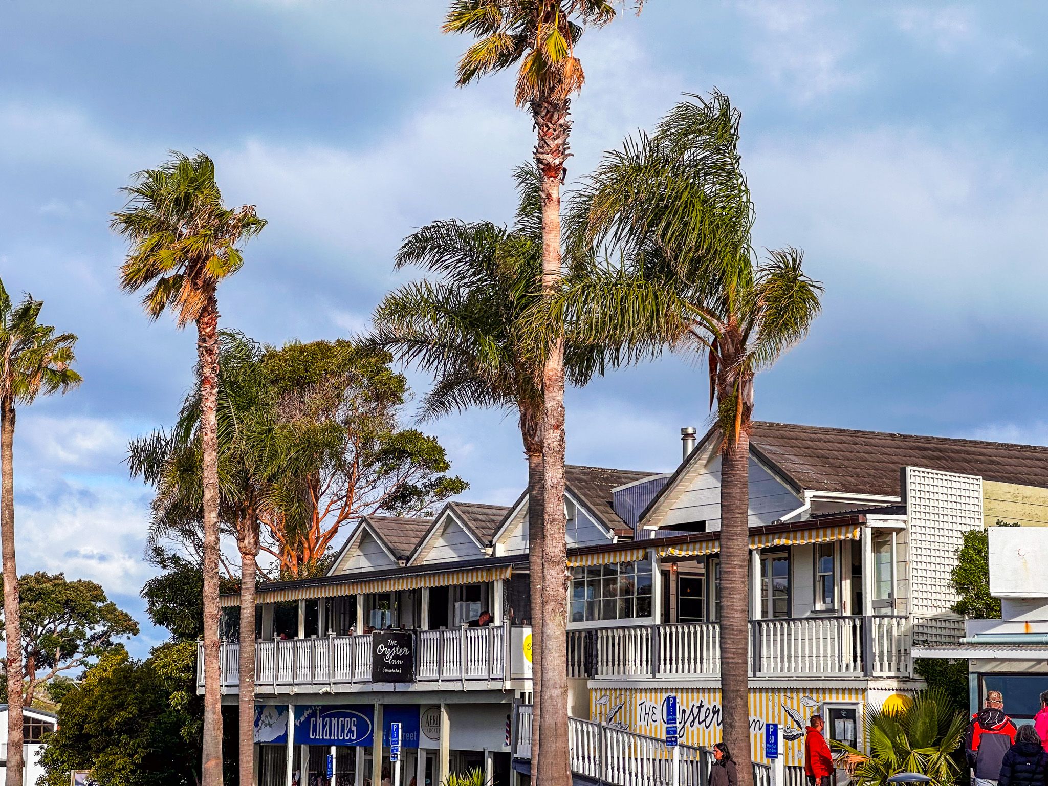
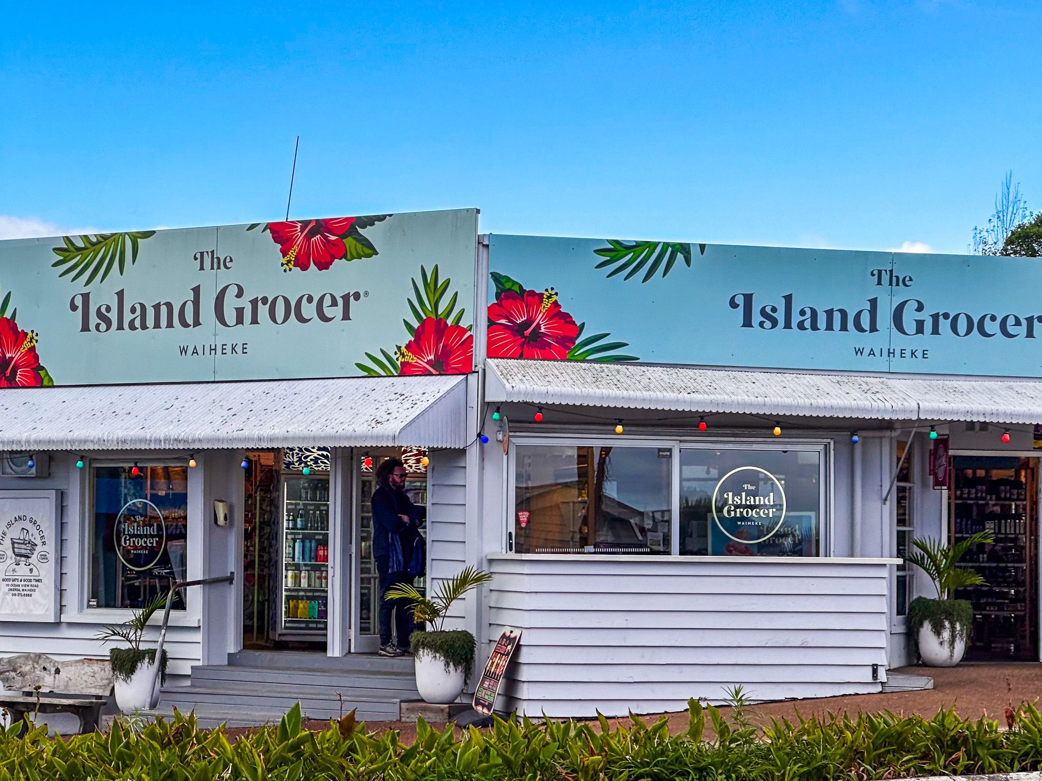
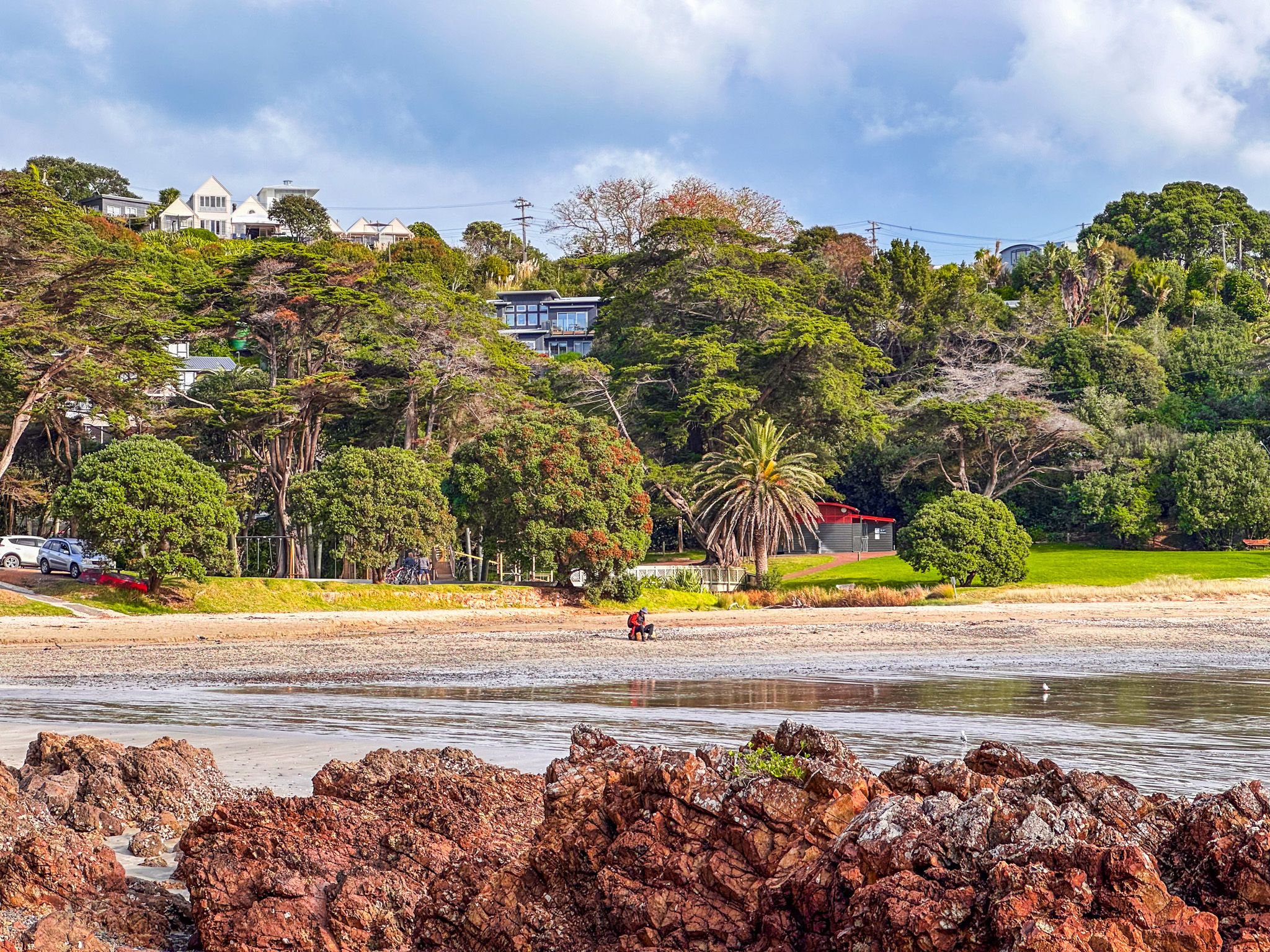
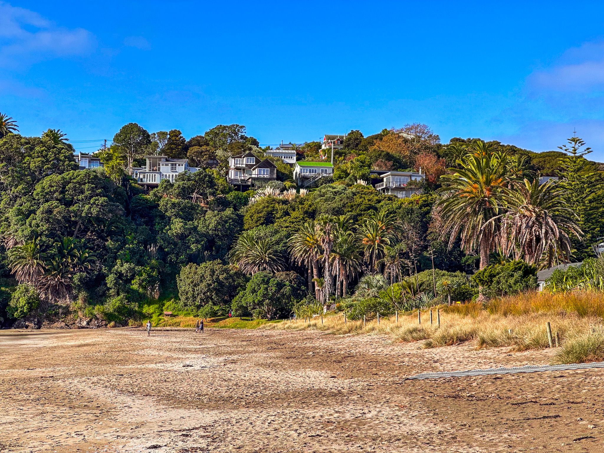
Oneroa is the largest of several small towns that have morphed into suburbs on the eastern side of Waiheke Island. It is 2 km from the Ferry Terminal at Matiatia Bay, a 25-minute walk or short bus ride. The attractive, palm-lined main street is Ocean View Road, and there are various restaurants, cafes and shops in the town centre. Several of the eateries have good northerly views over Oneroa Bay.
It is also the main centre for organising tours and a stopping point for most island visitors. This makes Oneroa a chokepoint for anyone travelling from the ferry to other parts of the island. It can be intensely busy for a small place during holidays and summer weekends.
The walk to beautiful Big Oneroa Beach is a few minutes from the main street, and Little Oneroa Beach is a 12-minute walk from the town centre on Te Ara Hura or the road.
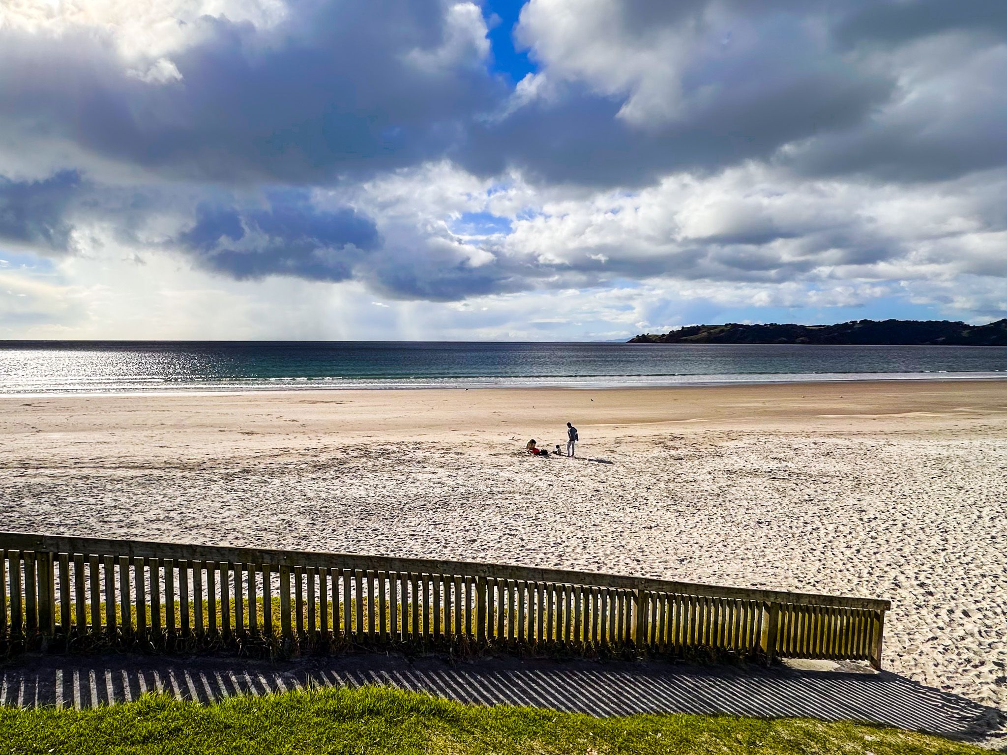
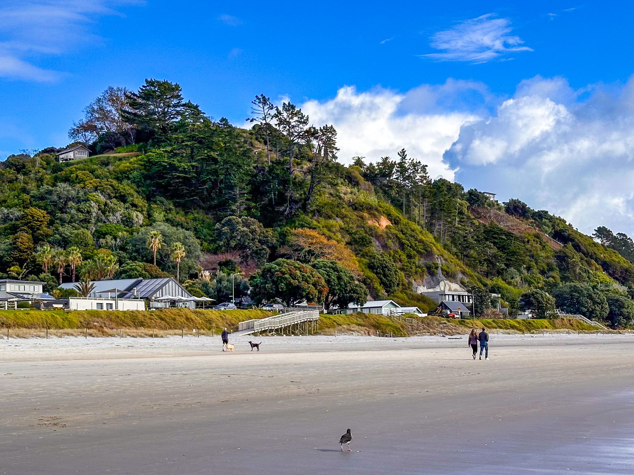
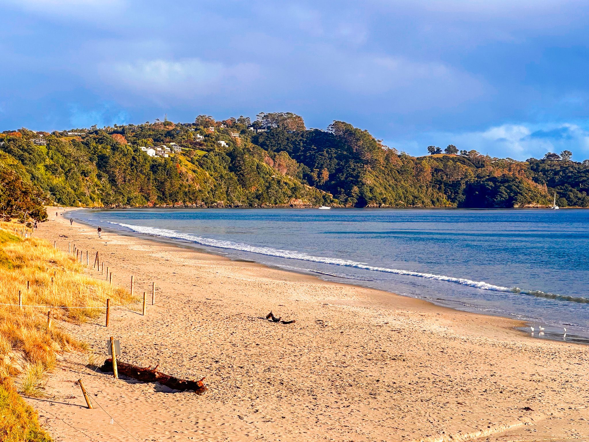
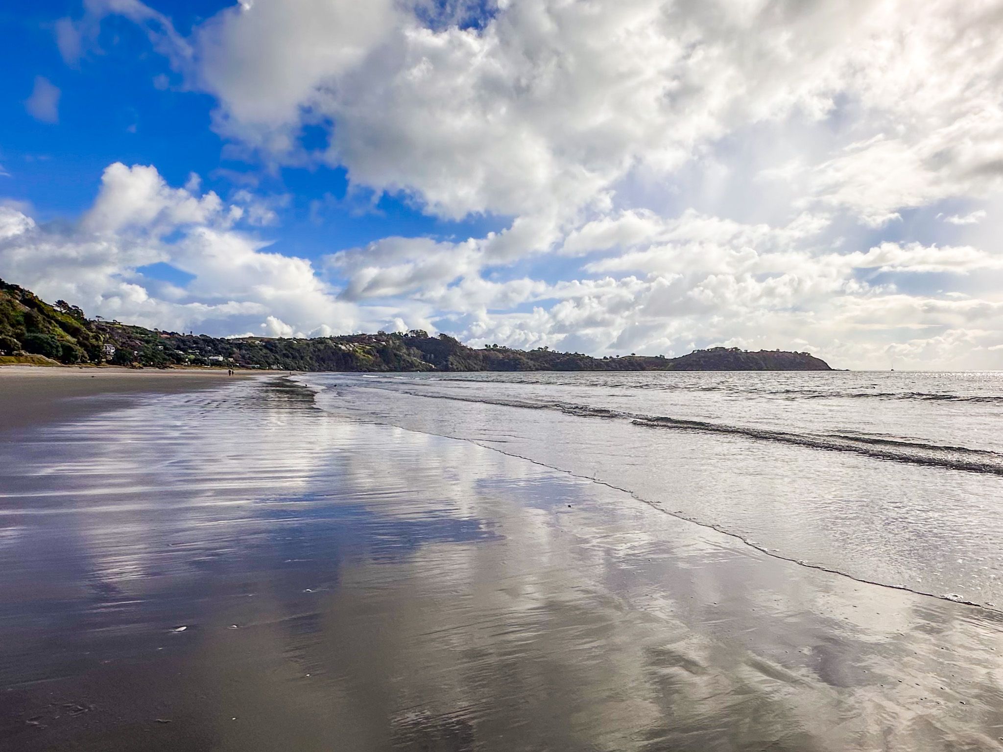
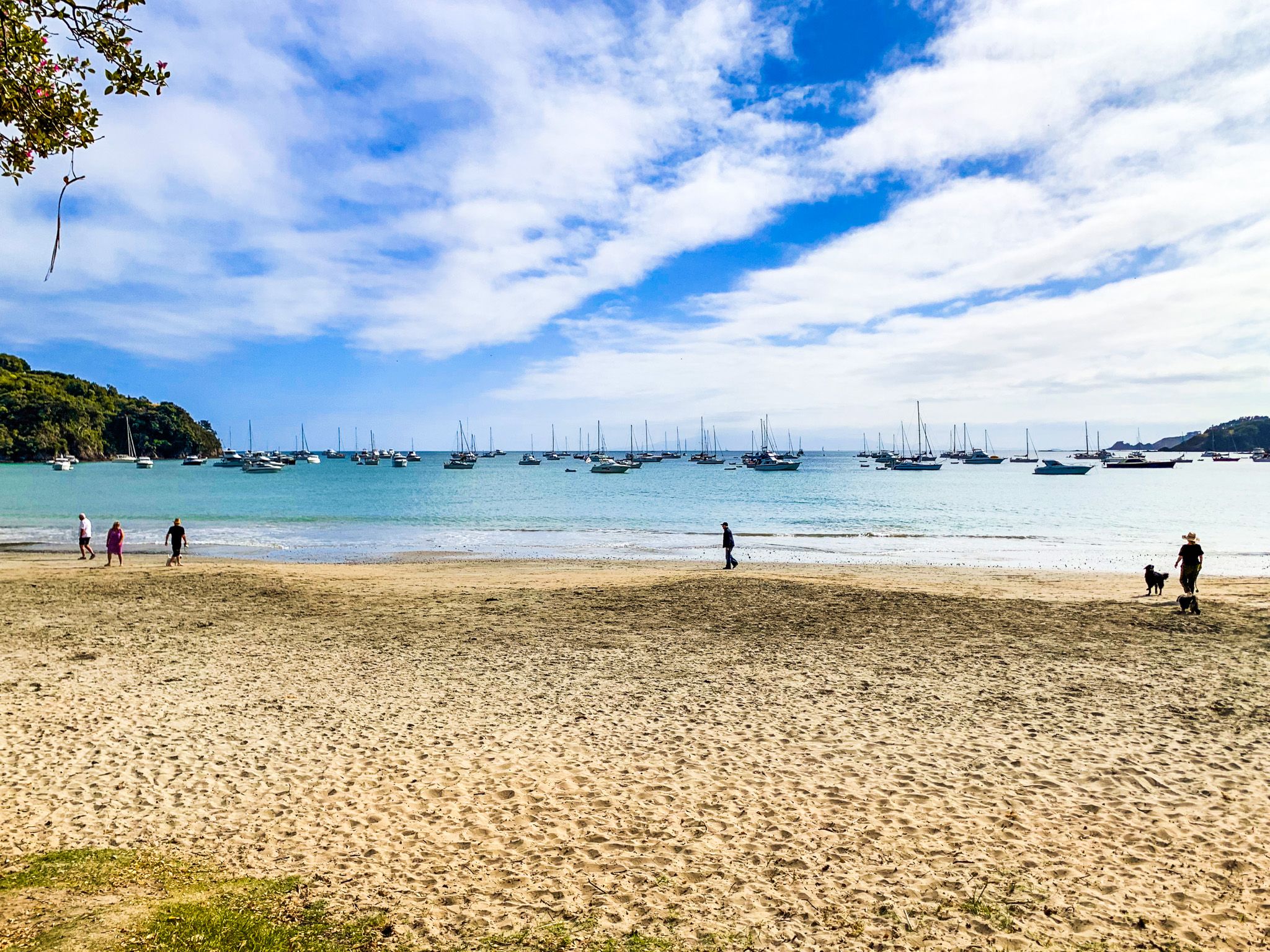
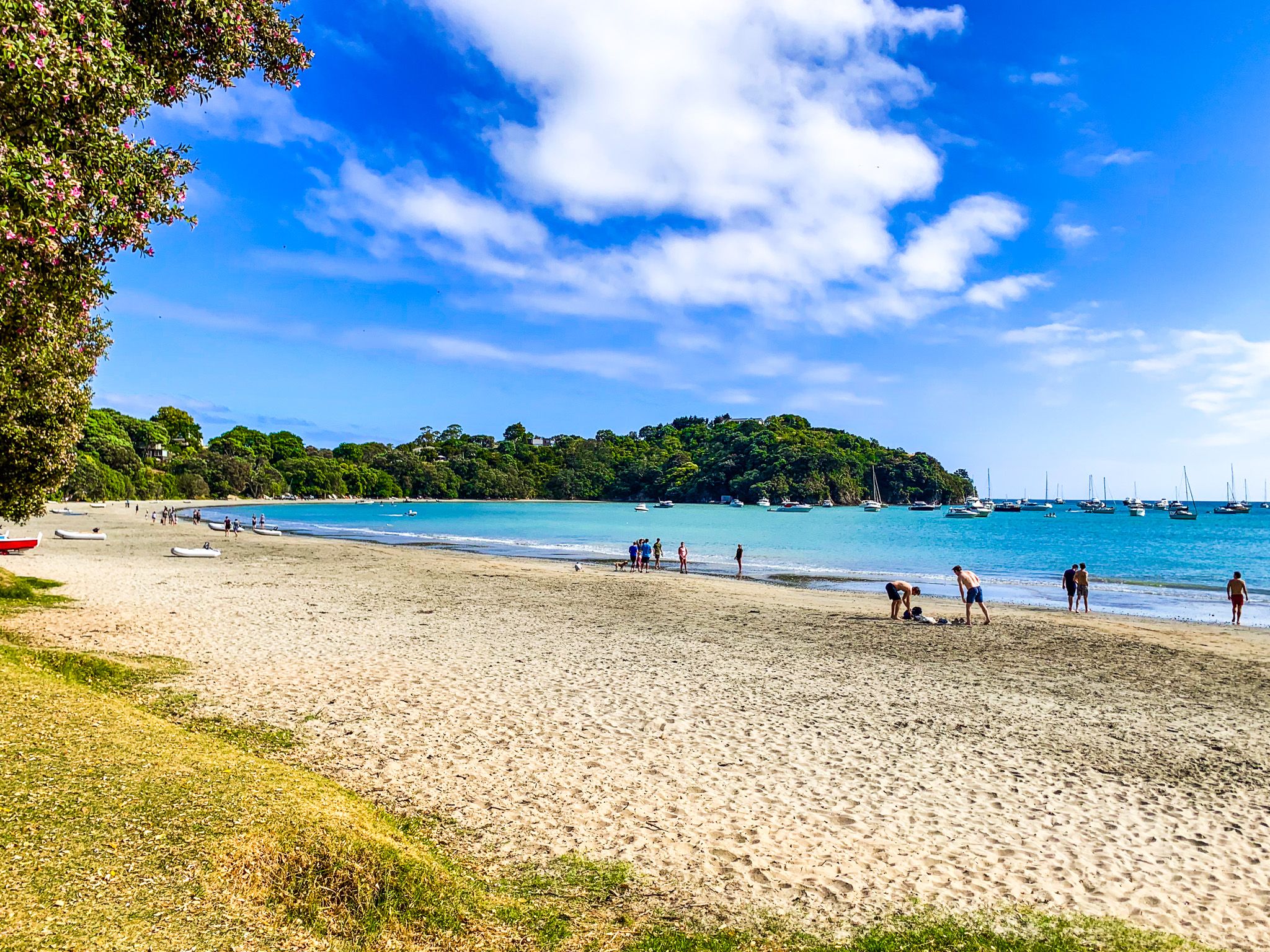
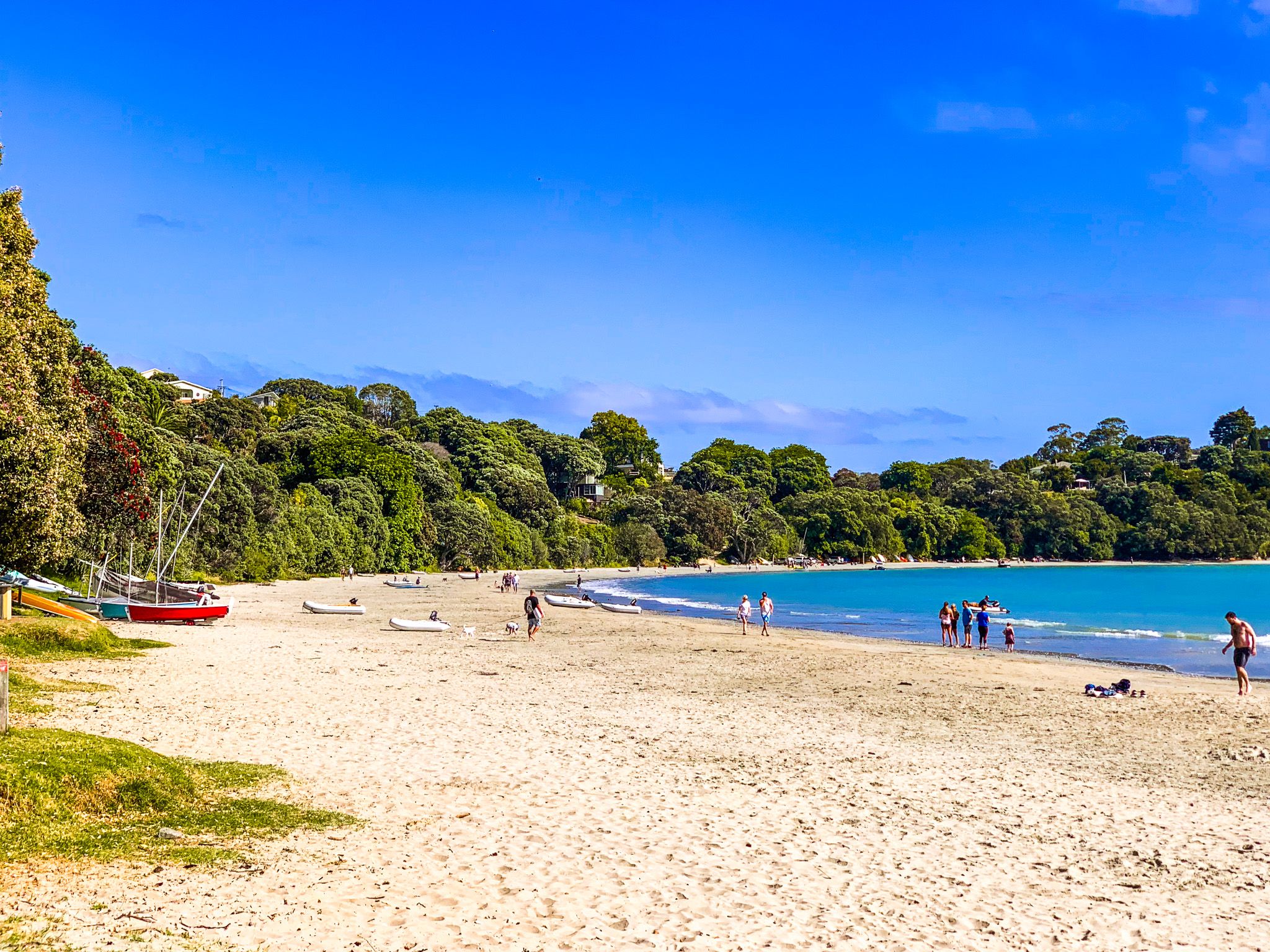
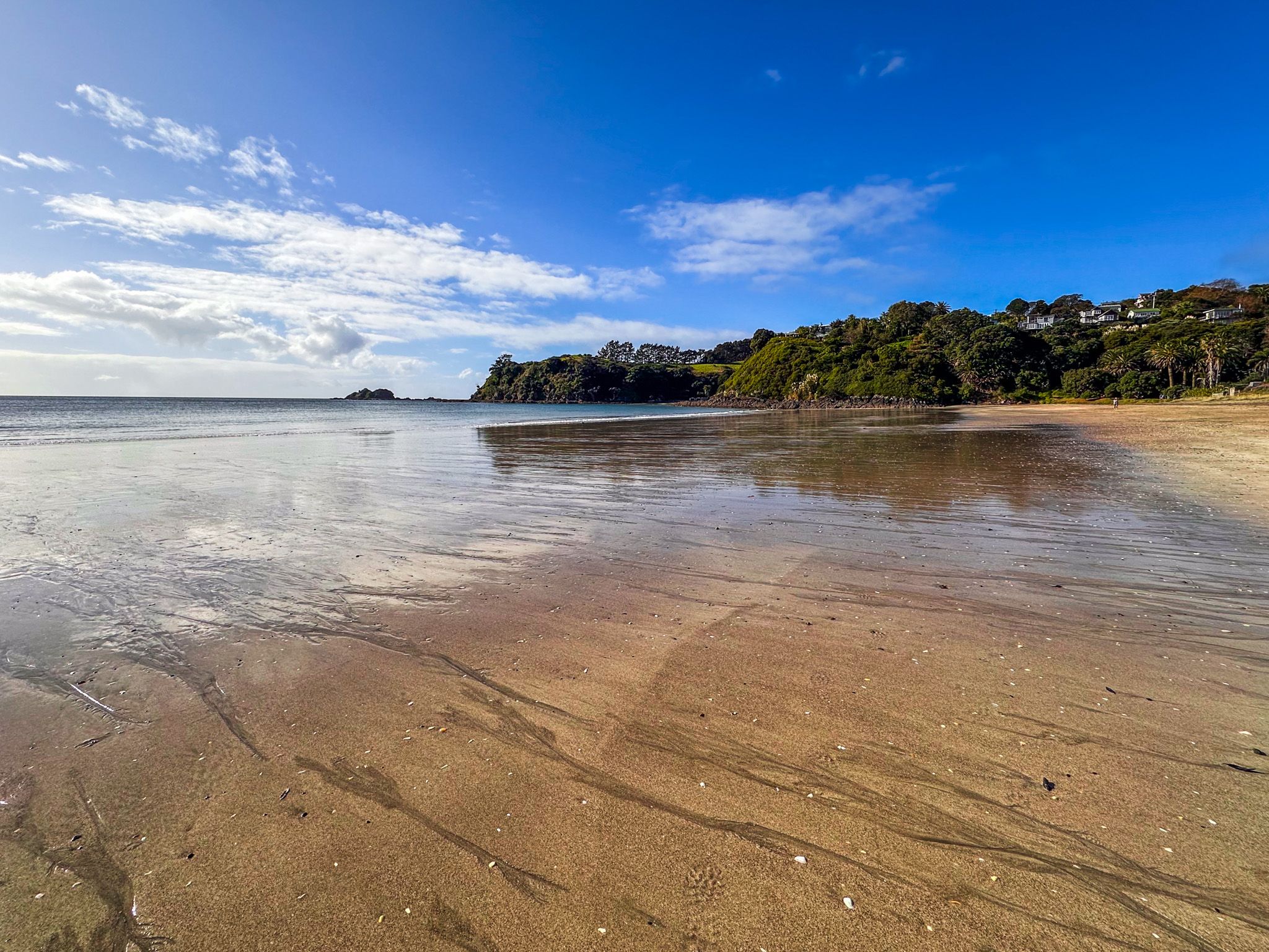
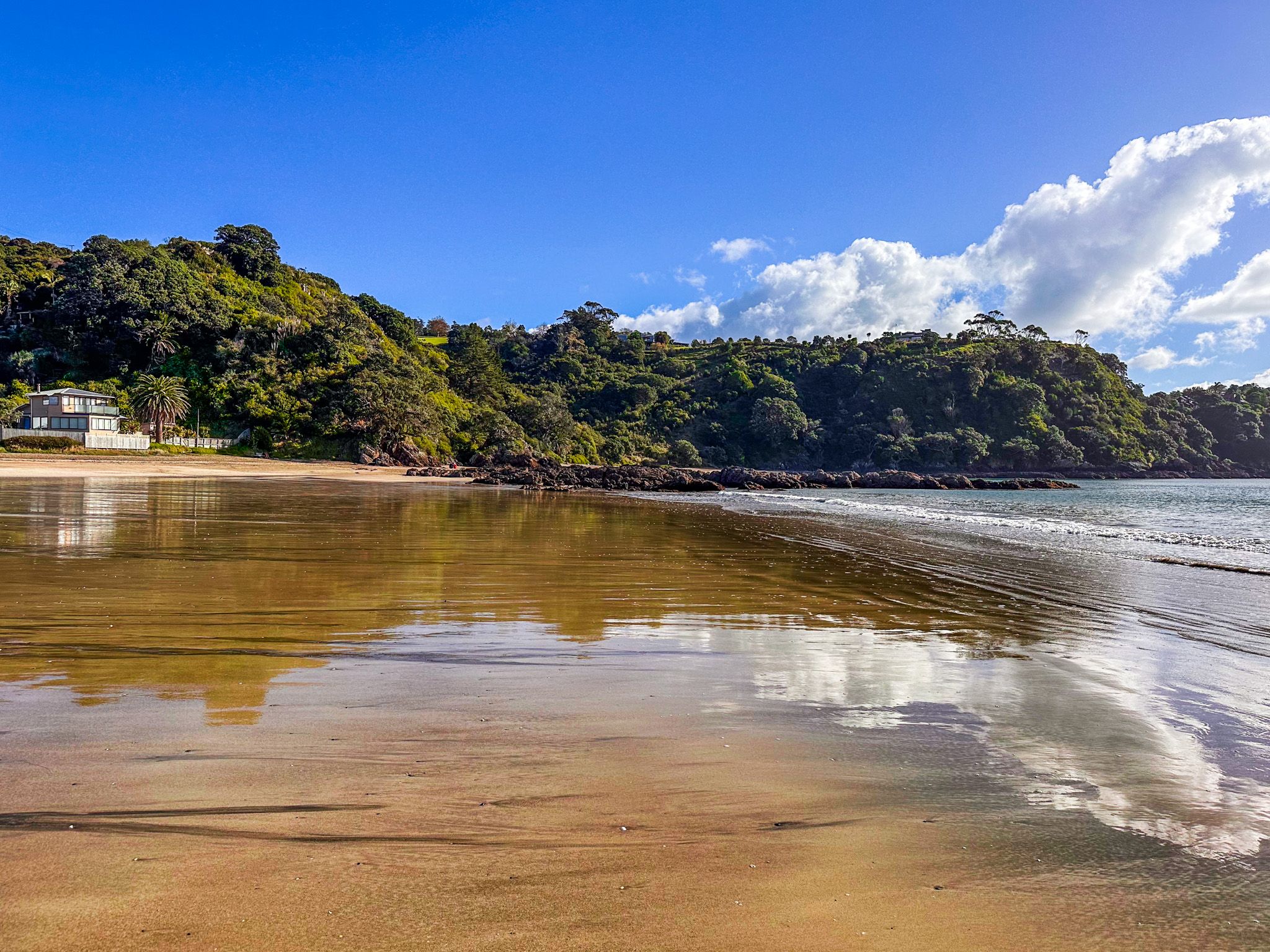
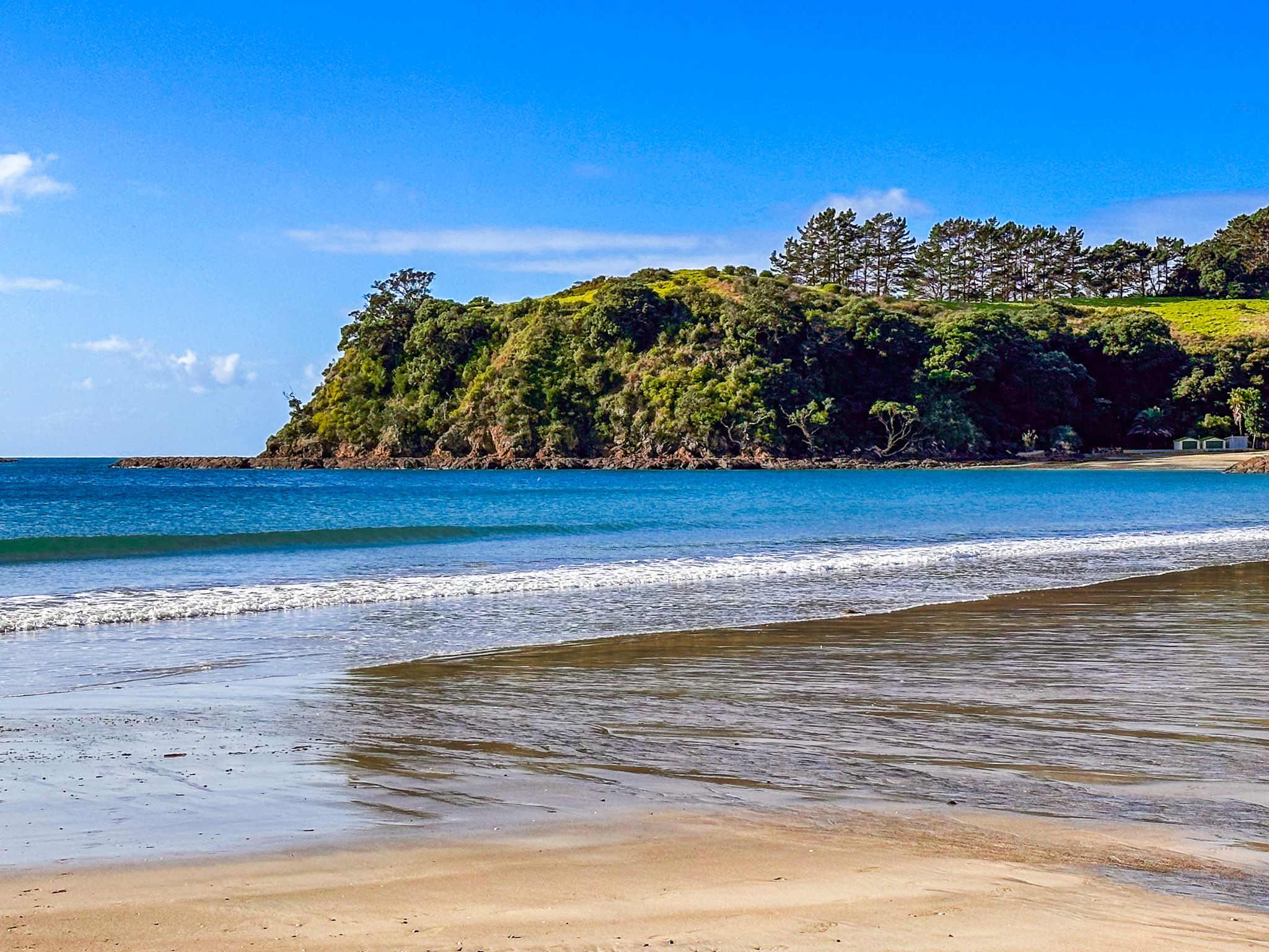
Big Oneroa Beach
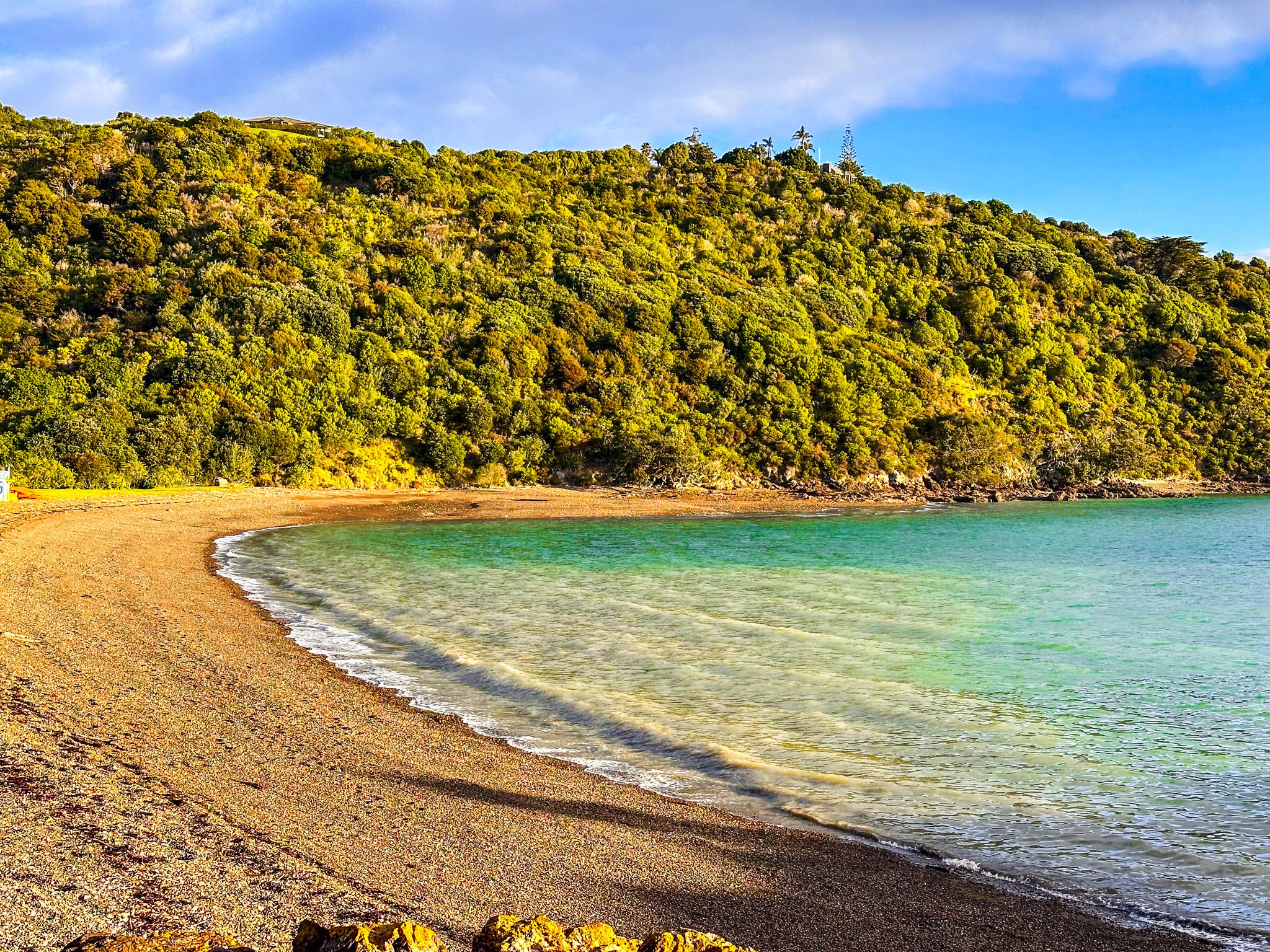
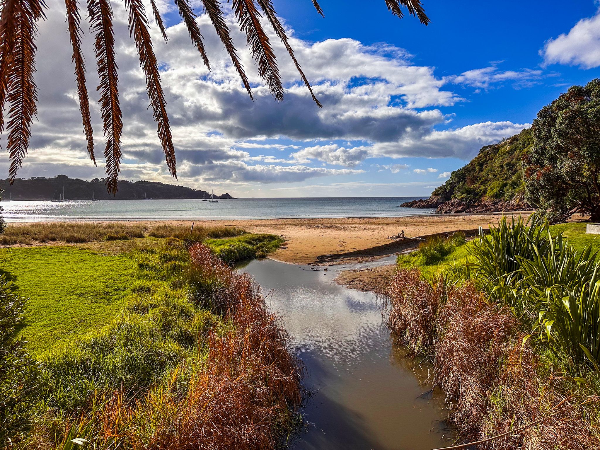
Oneroa means "Long Beach"; at 1 km, Big Oneroa Beach is quite long for Waiheke Island. This beautiful beach is immediately below Oneroa town centre. There is road access down Puriri Road to Beach Parade at the east end of the town centre and along Korora Road at the west end. Korora Road also provides boat ramp access to the bay. If you are walking, you can take one of the right of ways from the town centre.
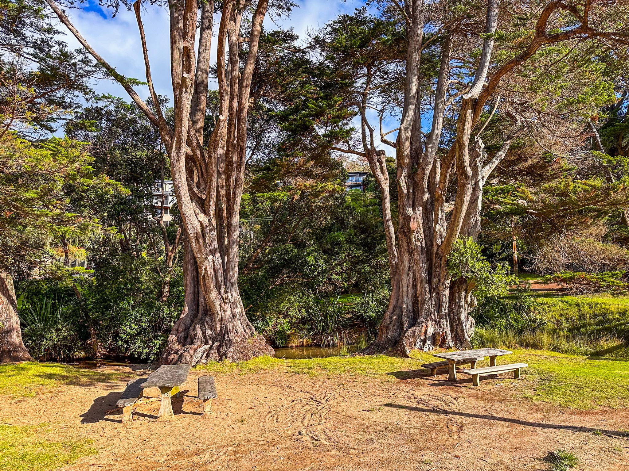
The north-facing beach has white sand and is safe for swimming. Some sheltering trees, toilets, changing rooms, and picnic tables are at the beach's edge.
At low tide, you can walk around the rocks to the smaller Little Oneroa from the east end of the beach. Alternatively, Te Ara Hura goes over the hill between the two beaches. There is a short bush walk at the northwest end of the beach.
Big Oneroa Beach will be busy on a nice summer day. Alternatives include a bus to Palm Beach or Onetangi or a walk west along Korora Road to Owhanake Bay.
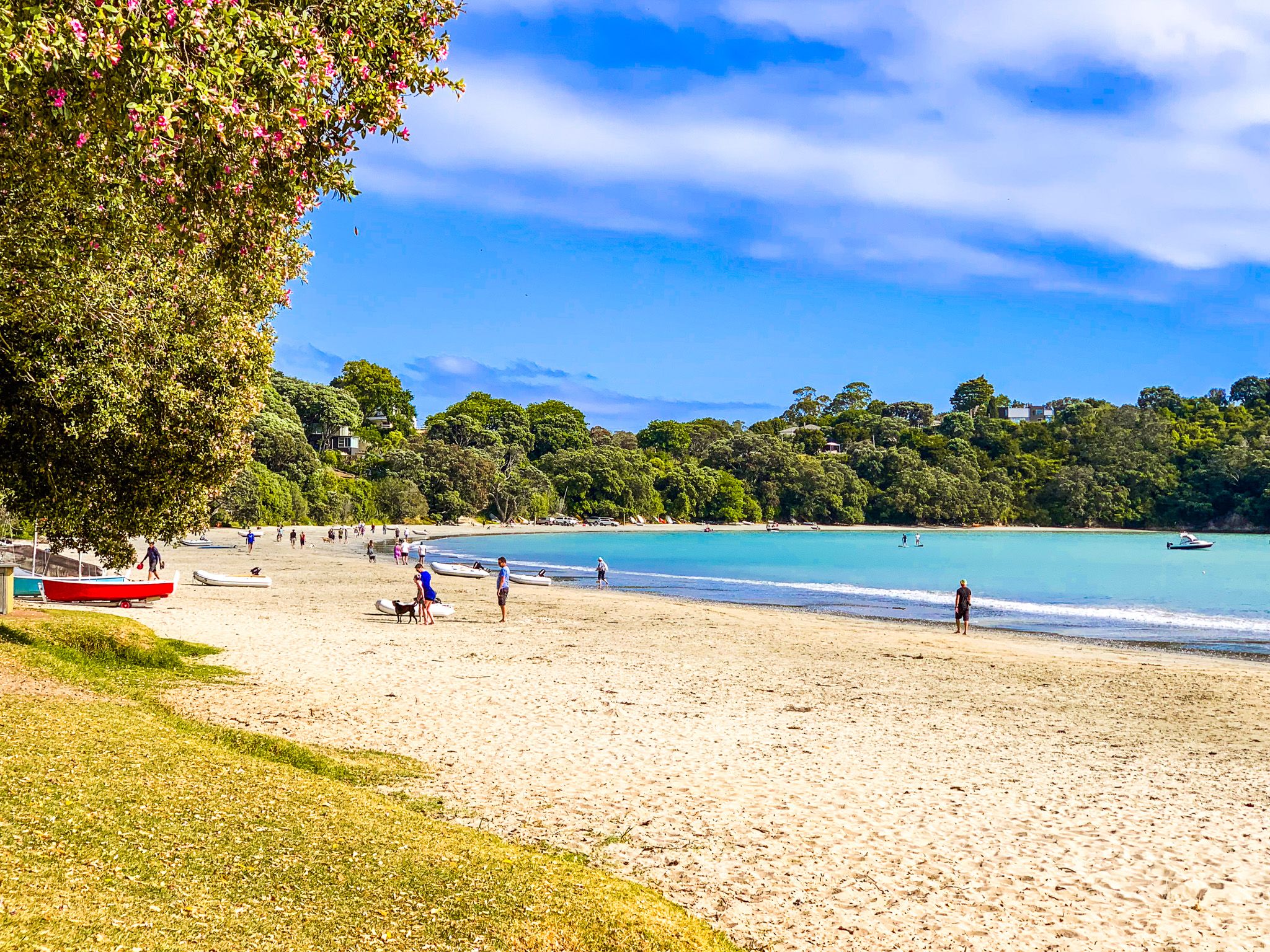
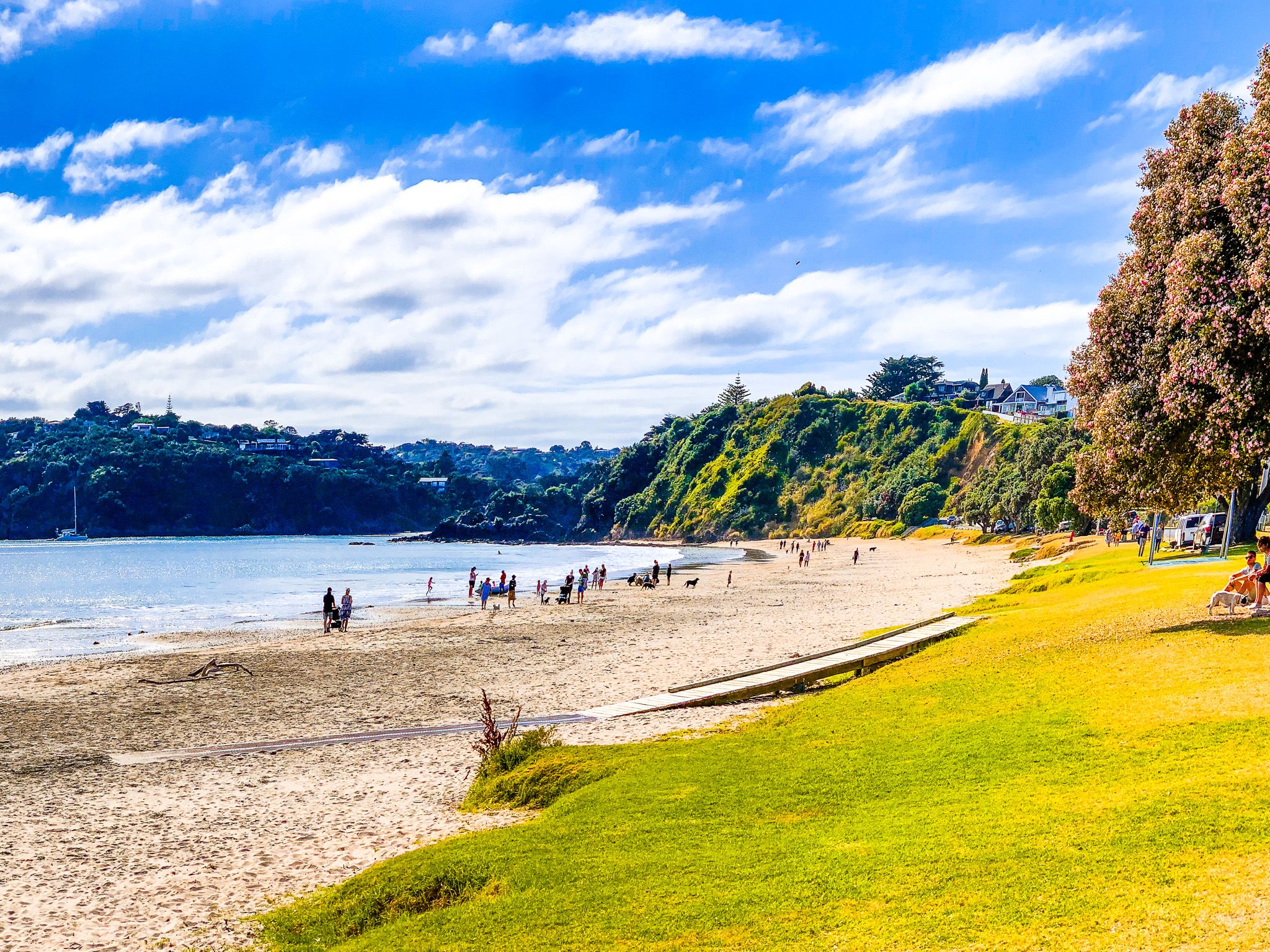
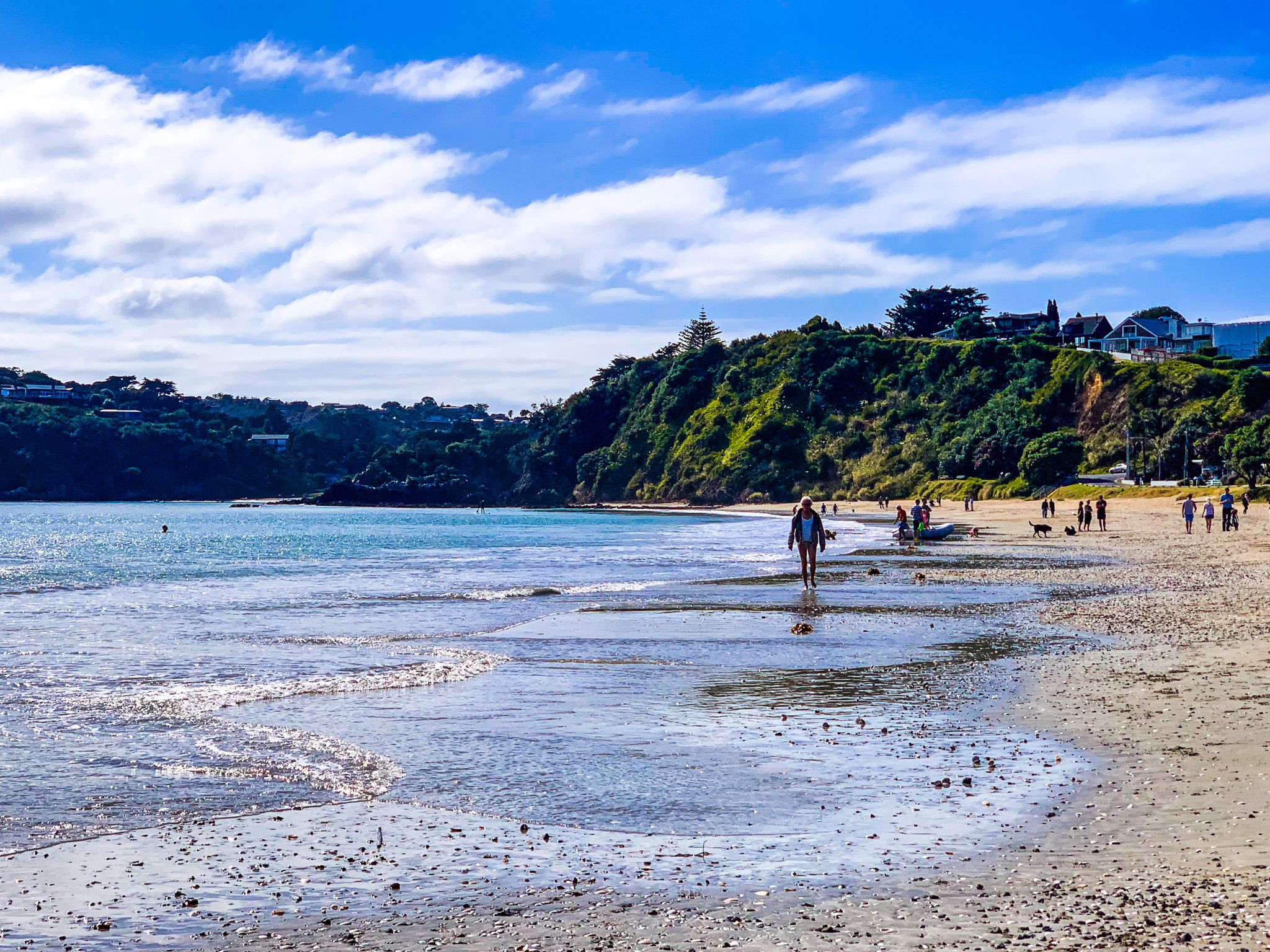
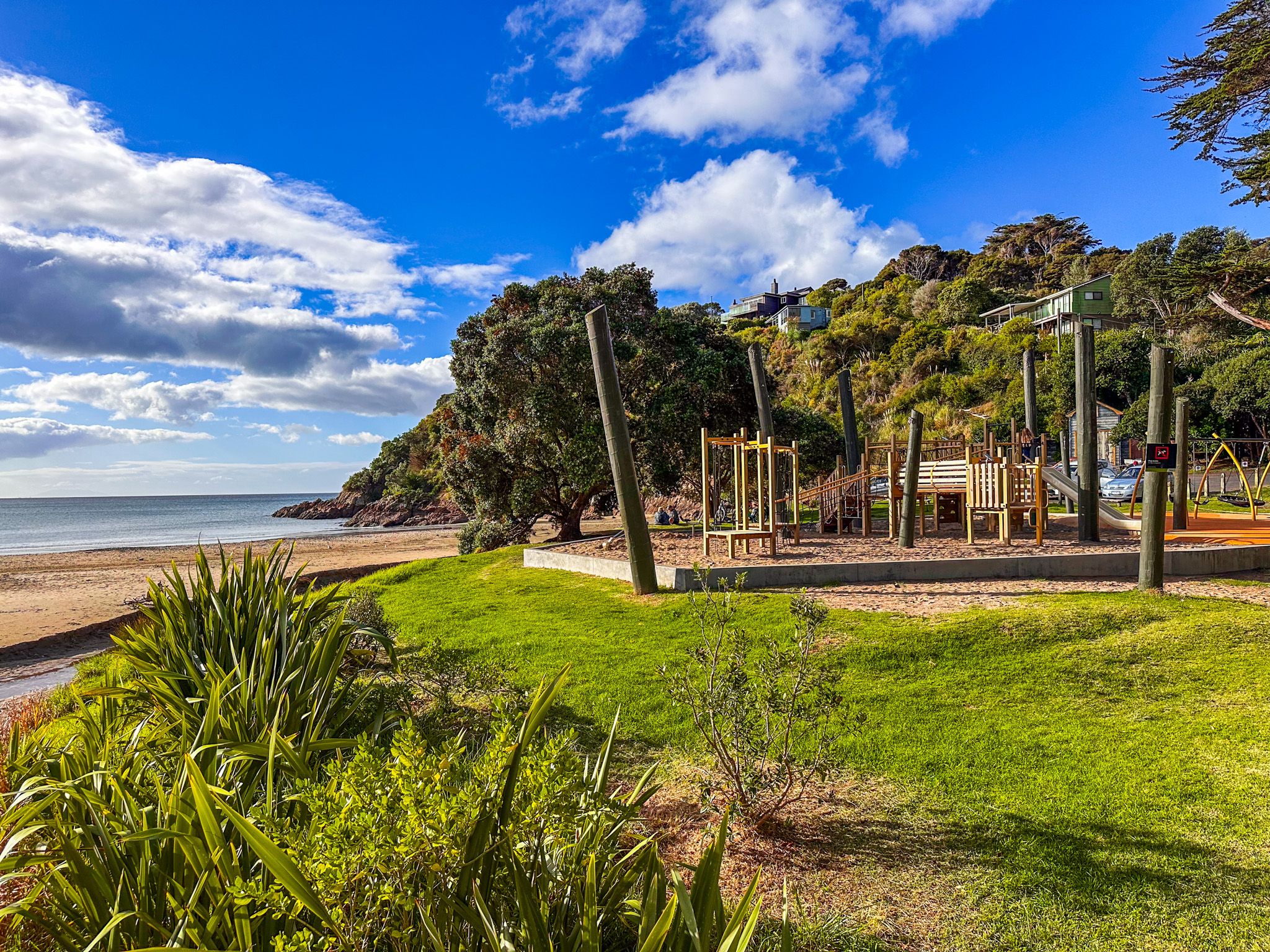
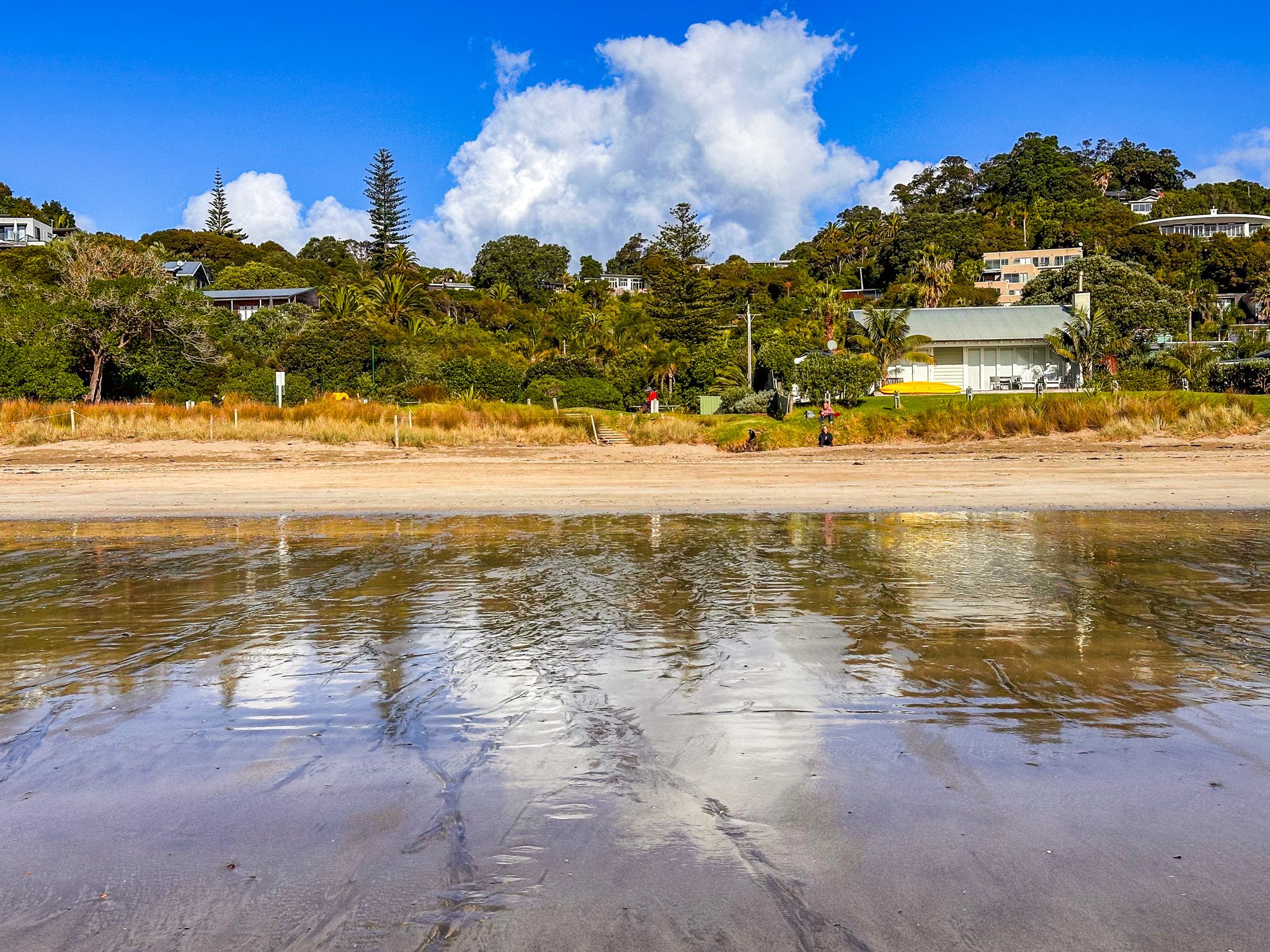
Little Oneroa Beach
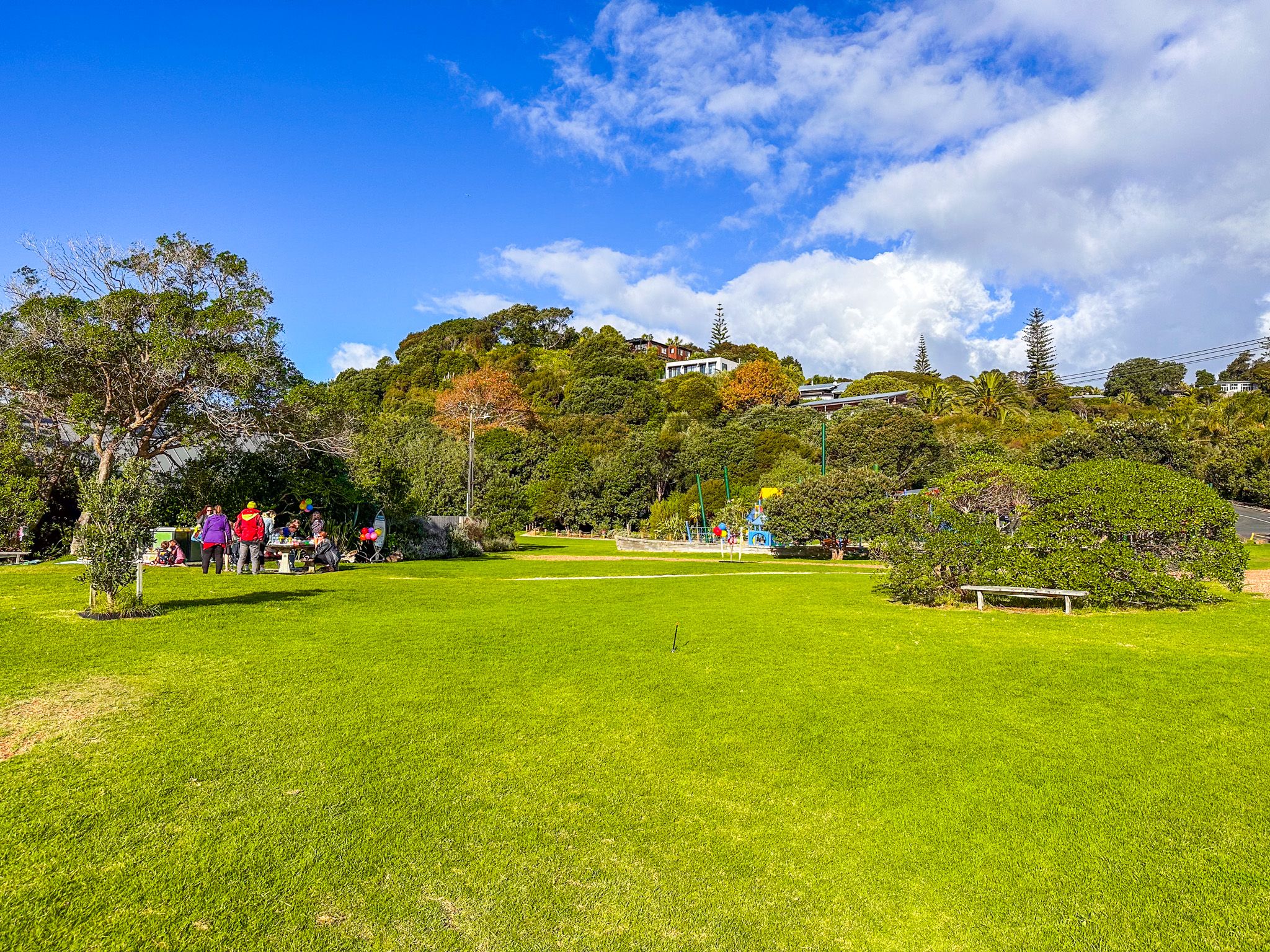
Little Oneroa Beach is a short, 12-minute walk from Oneroa town centre. It is much shorter than nearby Big Oneroa Beach, at 100 metres of white sand between the rocky point separating the beaches and the eastern cliffs of Oneroa Bay. But it is very pretty, with big sheltering trees, a playground, and a large grass reserve. It is a nice alternative when Big Oneroa Beach is busy.
At low tide, you can walk around the rocks to the smaller Big Oneroa Beach from the west end of the beach. Alternatively, Te Ara Hura runs over the hill between the two beaches. At the east end of the beach, there is a short walk to the top of the cliffs.
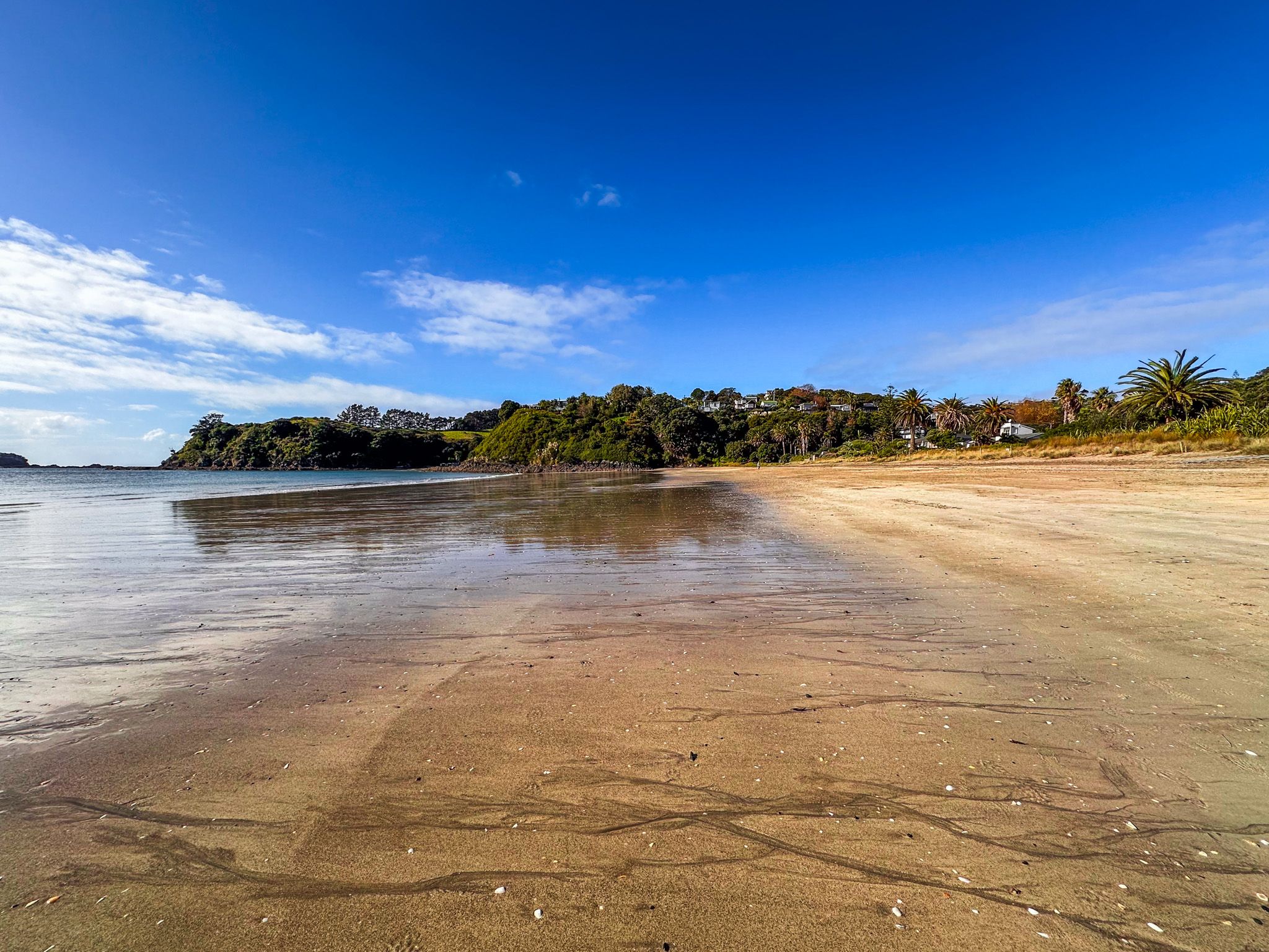
Palm Beach
Palm Beach is a beautiful, north-facing beach on Waiheke Island within Mawhitipana Bay. The adjacent suburb is also named Palm Beach. In the late 1800s, the beach was one of the places on the island that attracted day-tripping Aucklanders. Phoenix palms were planted during the first housing development in 1922, for which Palm Beach was named.
The beach is about 600 metres long, with a smaller western section separated by a large group of rocks. This section, known locally as Little Palm, is sometimes used by nudists. Cliffs and steep hills are at both ends of the bay.
The beach is safe for swimming, and there is a large grass reserve with picnic tables and a playground at the main access. There is a second picnic area at the beach's eastern end.
You can take a bus from Oneroa to get there. If driving from Wharf Road, take Bay Road, then cross Hill Road onto Palm Road. Follow this until you see the car park and reserve. There is also a nearby convenience store and cafe. Te Ara Hura also runs along the beach, entering from Cory Road and Miro Road at the west end and on Hill Road at the east end.
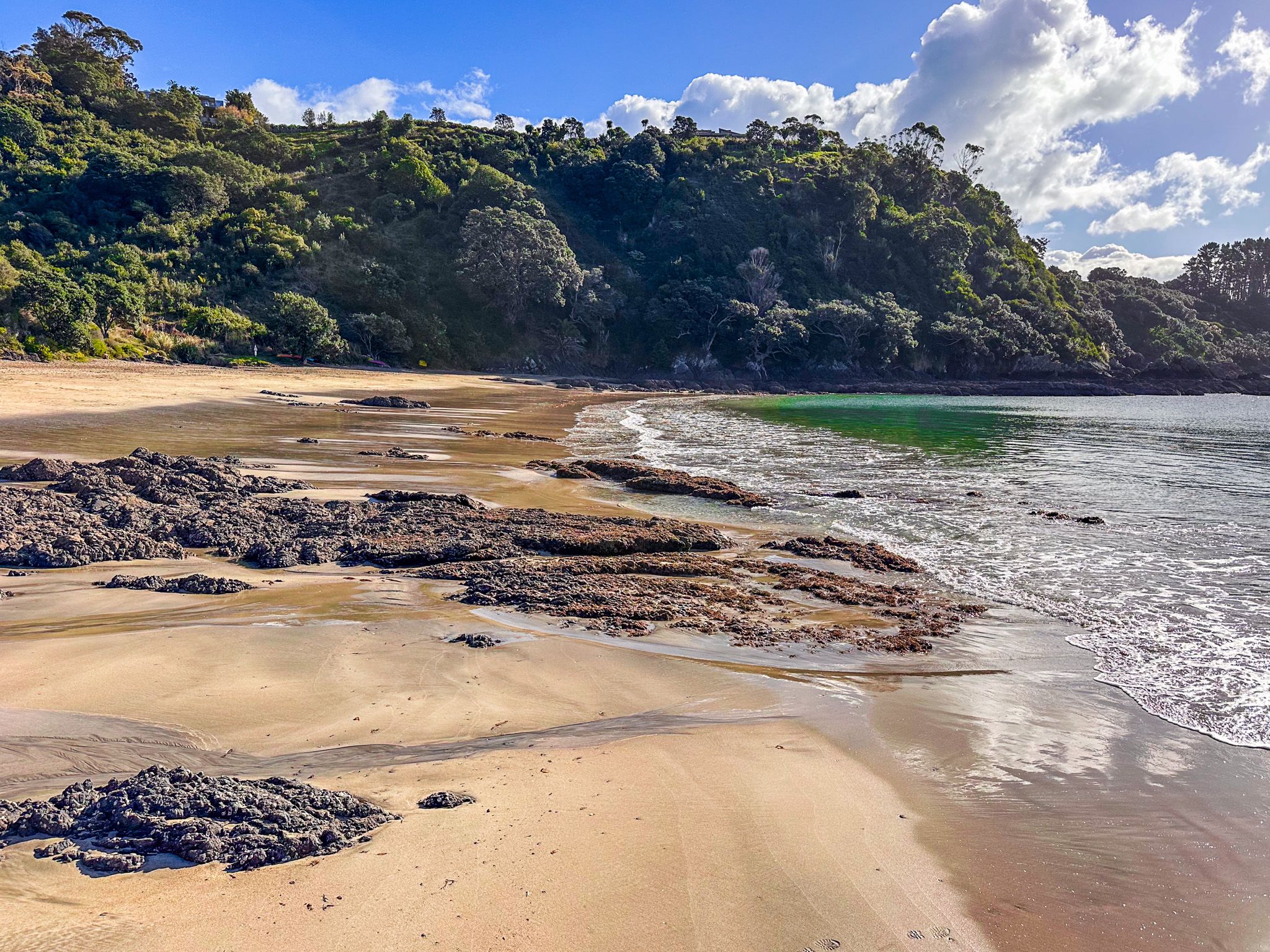
Onetangi
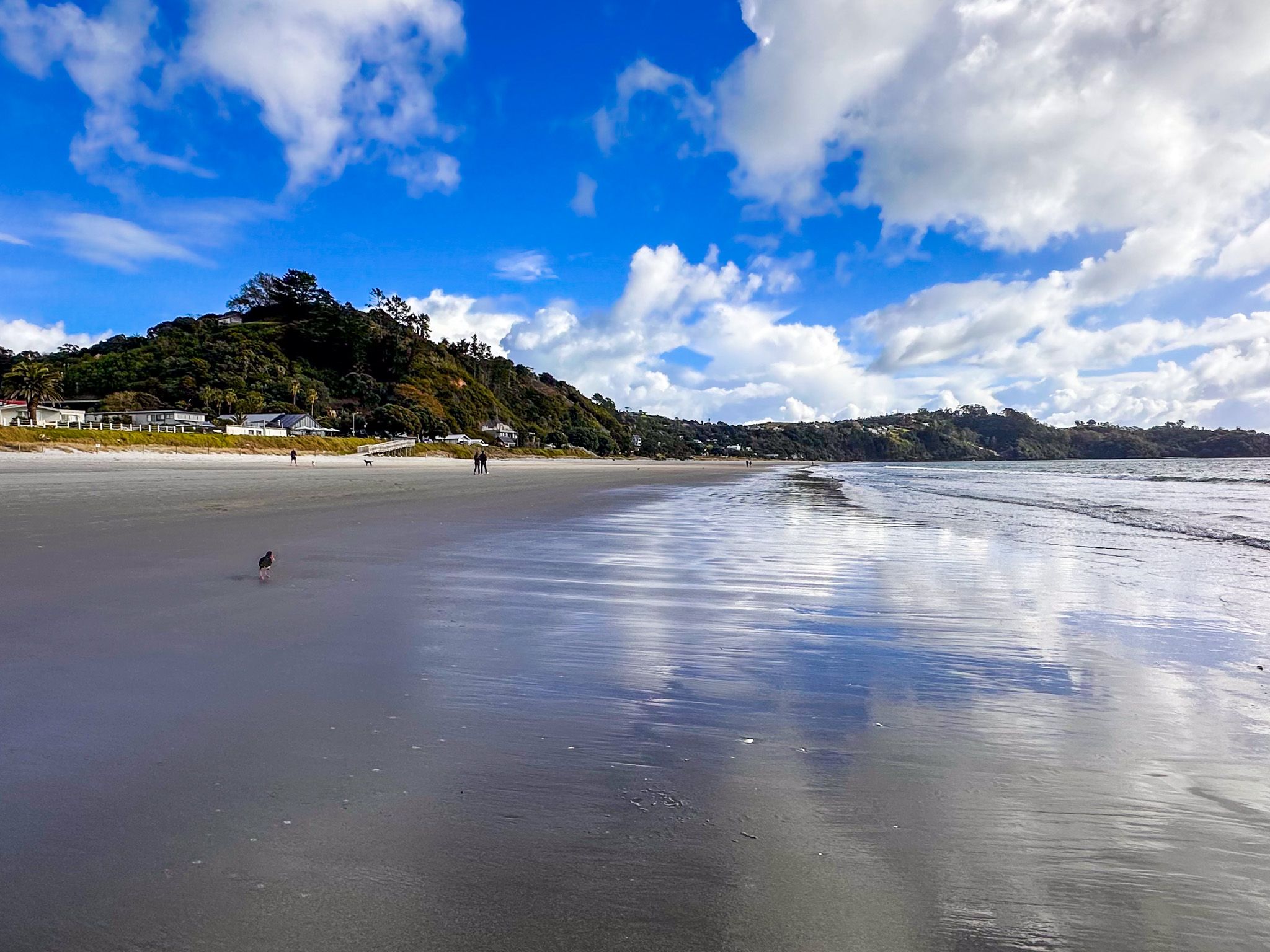
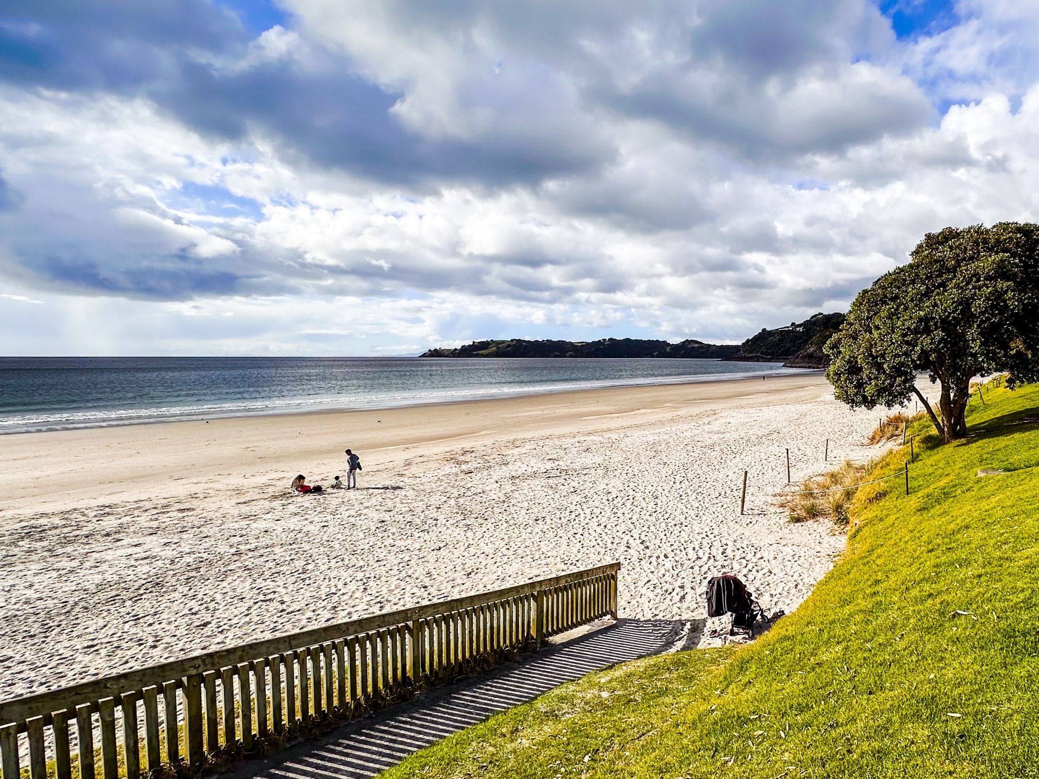
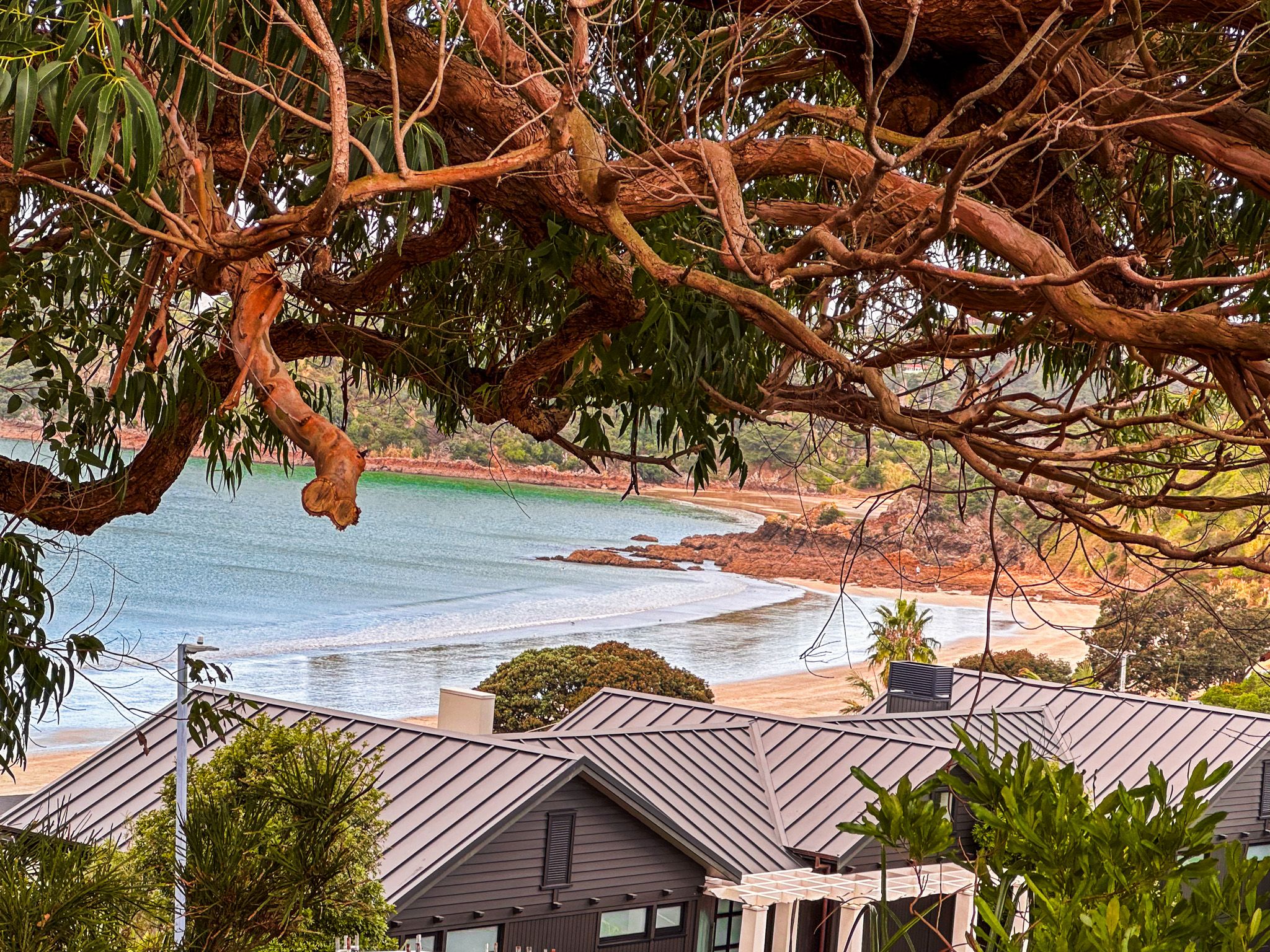
Onetangi is Waiheke's longest beach, with about 2.5 km of north-facing white sand. Despite its beauty, Ontangi has a tragic connotation, meaning "Weeping Sands". The name arose from a one-sided battle between Ngāpui, led by Hongi Hika, and the local Ngāti Pāoa iwi during the Musket Wars.
The beach is slightly less sheltered than the other north-facing beaches, so it generally has more surf. However, it is safe for swimming and surrounded by mostly steep hills and cliffs. Onetangi is also the name of the suburb that sits behind the beach. The facilities at Onetangi include public toilets, a beach store, and three cafes/restaurants.
The Strand is the main road and is several metres above the beach. There is staircase access in several locations. To get to The Strand, take Fourth Avenue from Onetangi Road and Waiheke Road. Te Ara Hura also enters the west end of the beach from Sea View Road. It runs along The Strand and exits at First Avenue. The ever-present bus service is also an easy way to get to Onetangi.
Onetangi Beach is also the location for the annual Onetangi Beach Races, held in February/ March each year.
From Onetangi, you can easily catch a bus back to Oneroa, the Ferry Terminal, or most other interesting locations on the island.