Kauri Coast
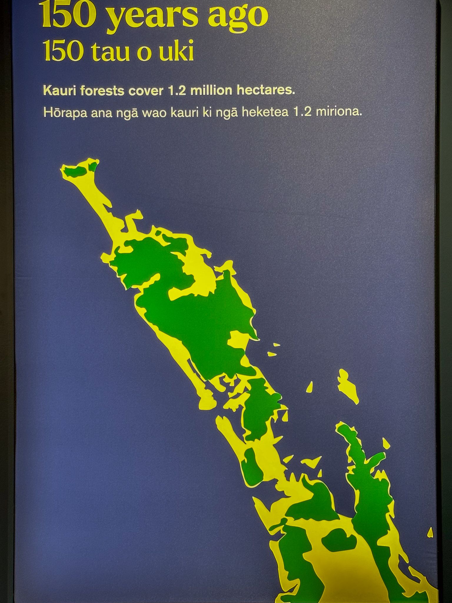
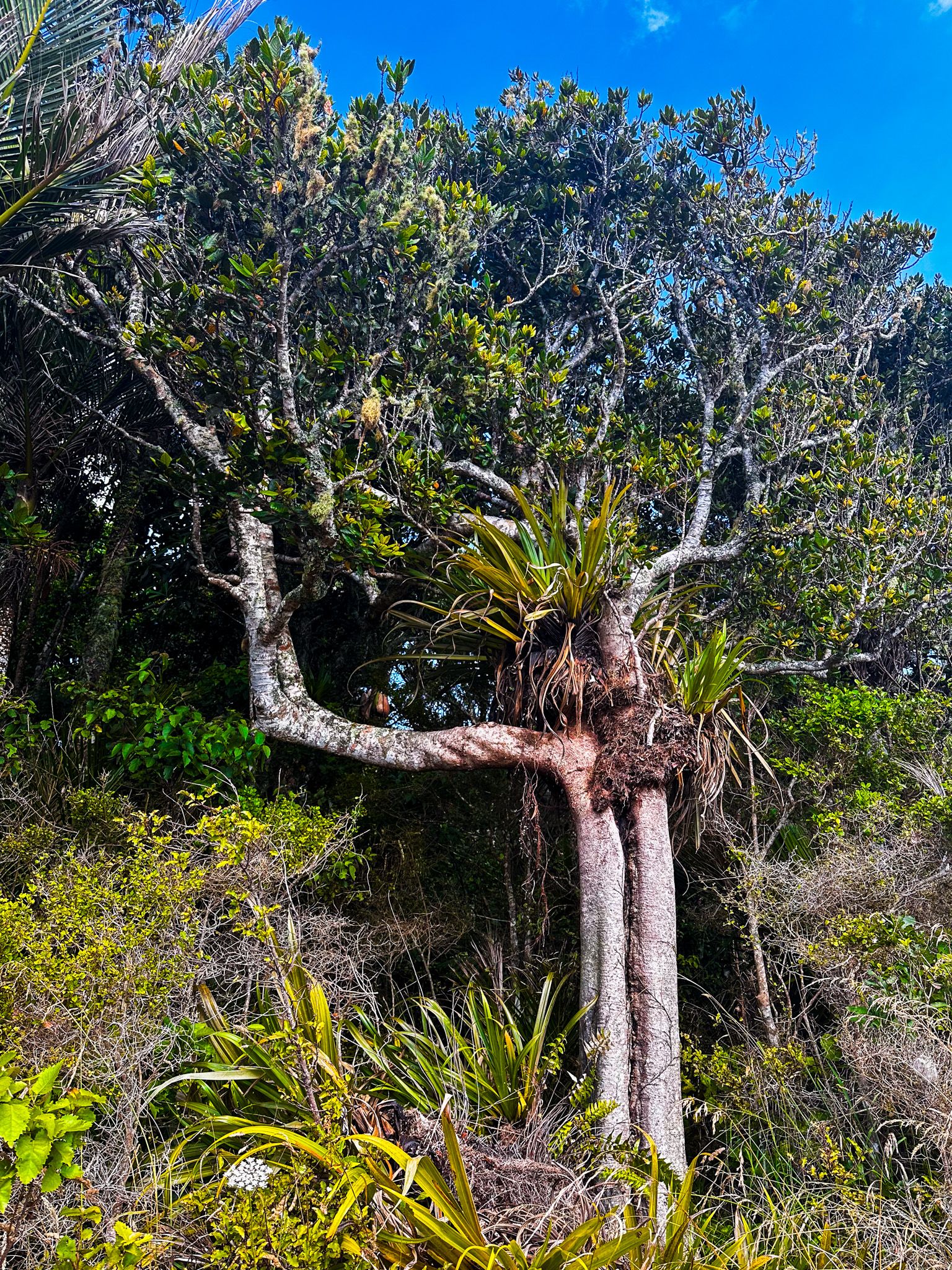
The Kauri Coast is part of the Twin Coast Discovery Highway, named after the colossal trees thriving in this area.
Our journey began in Brynderwyn, a settlement just over an hour north of Auckland. The GPS said three hours and twenty minutes to Hokianga Harbour, but with so much to explore, we decided to stretch the drive out over several days.
The Kauri Museum
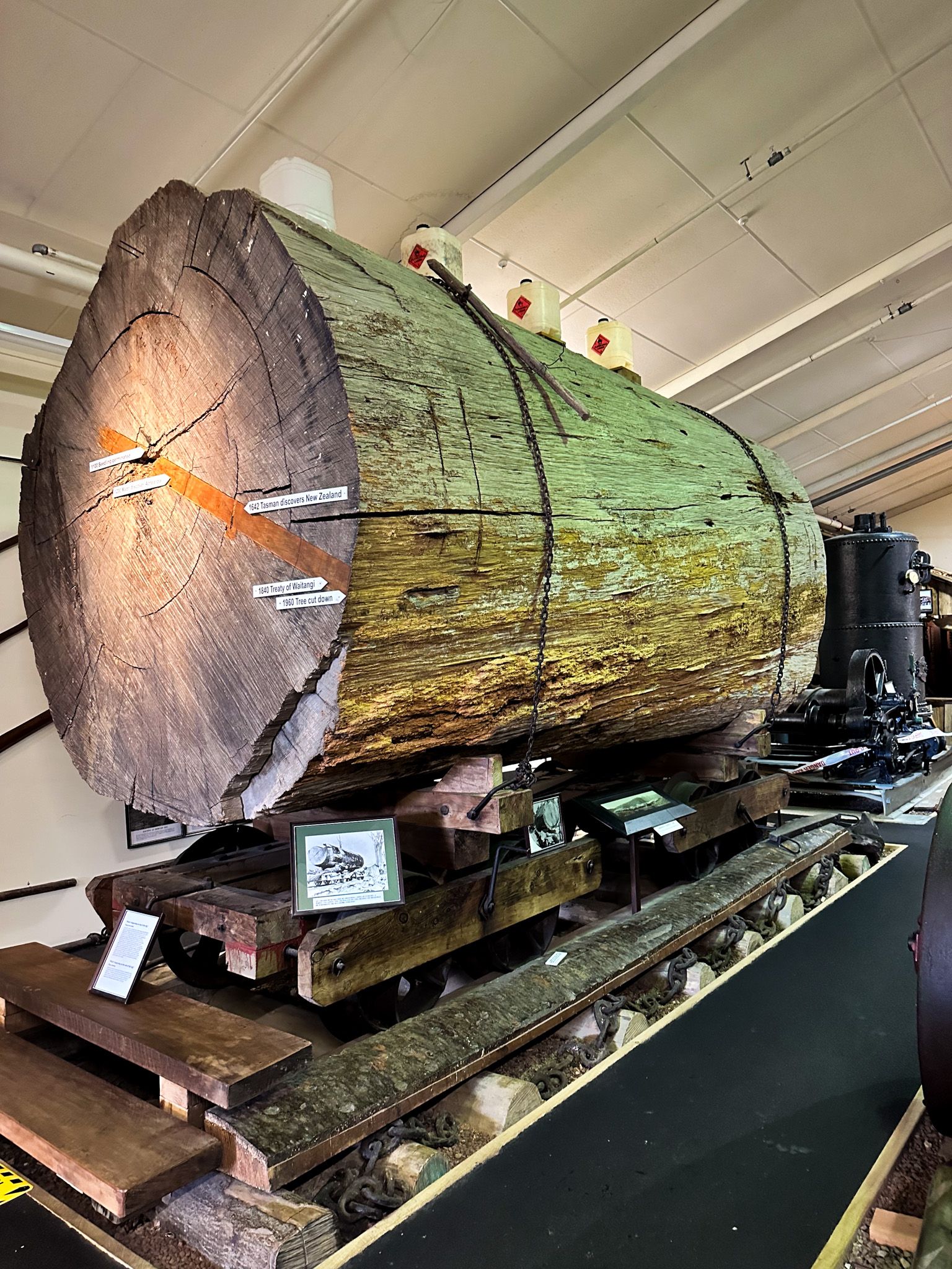
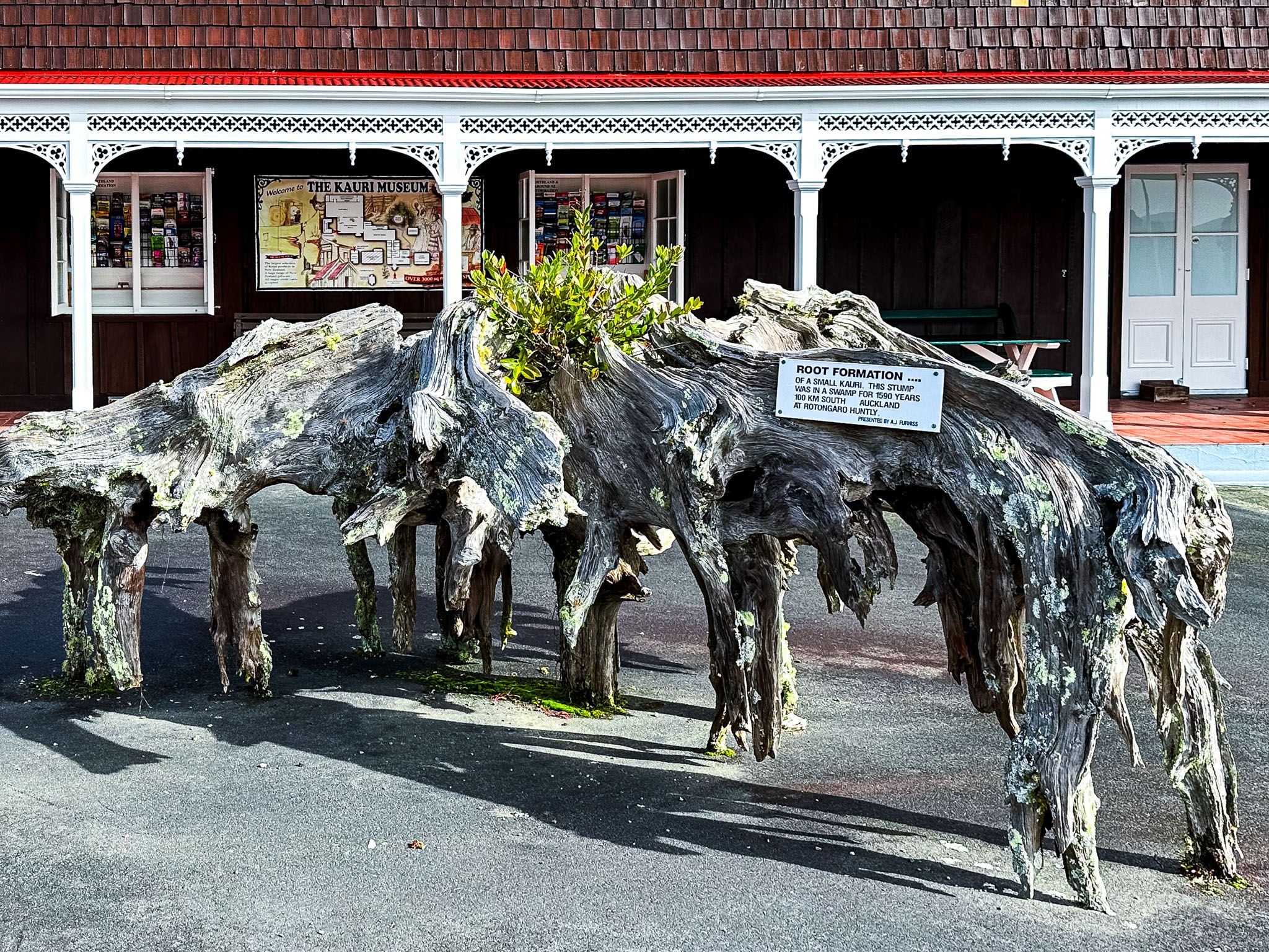
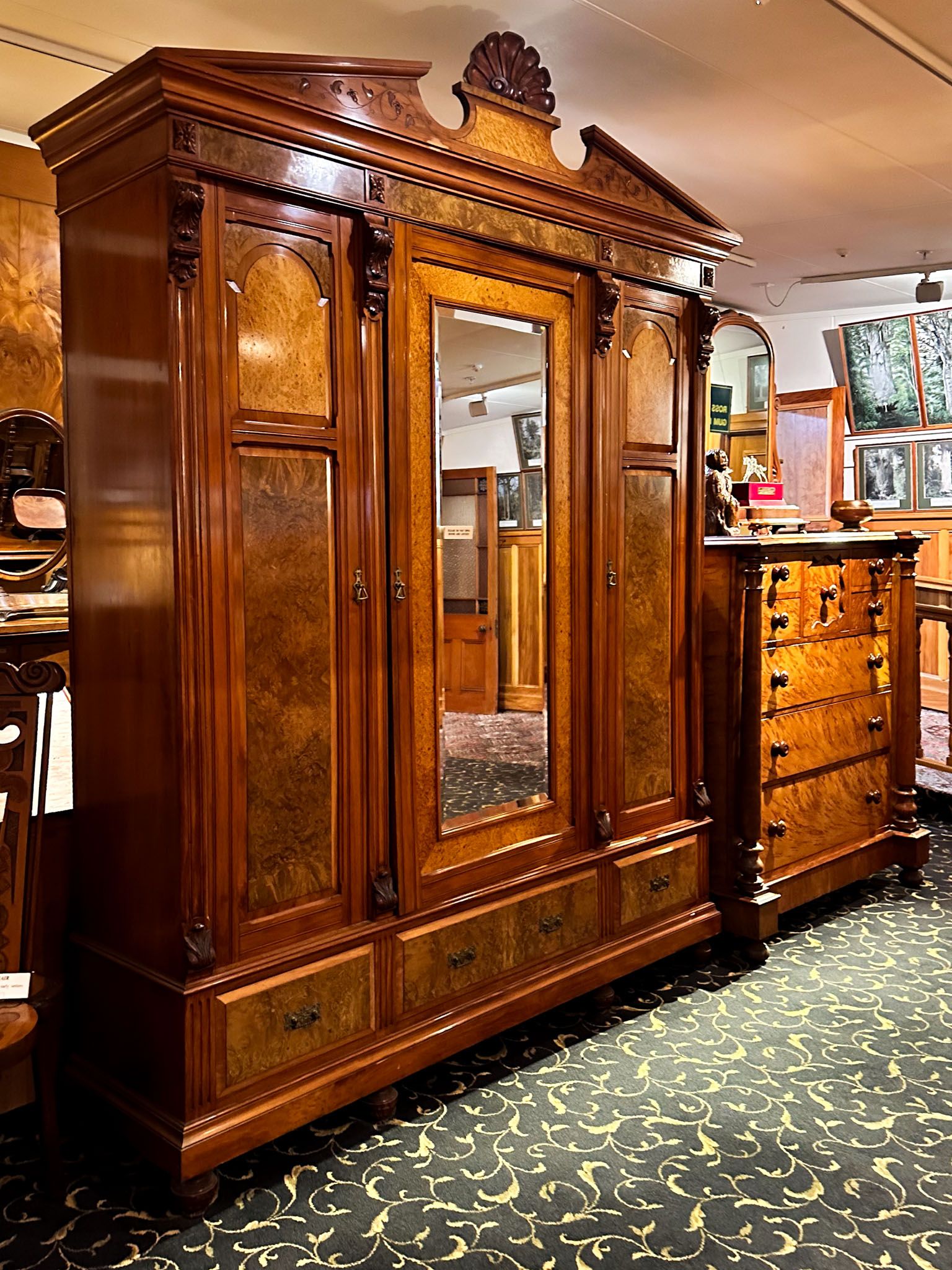
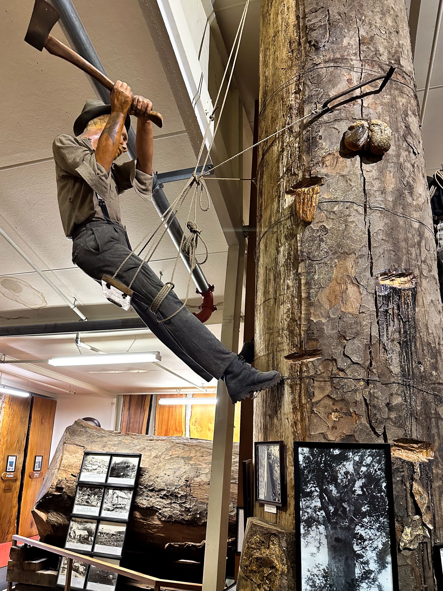
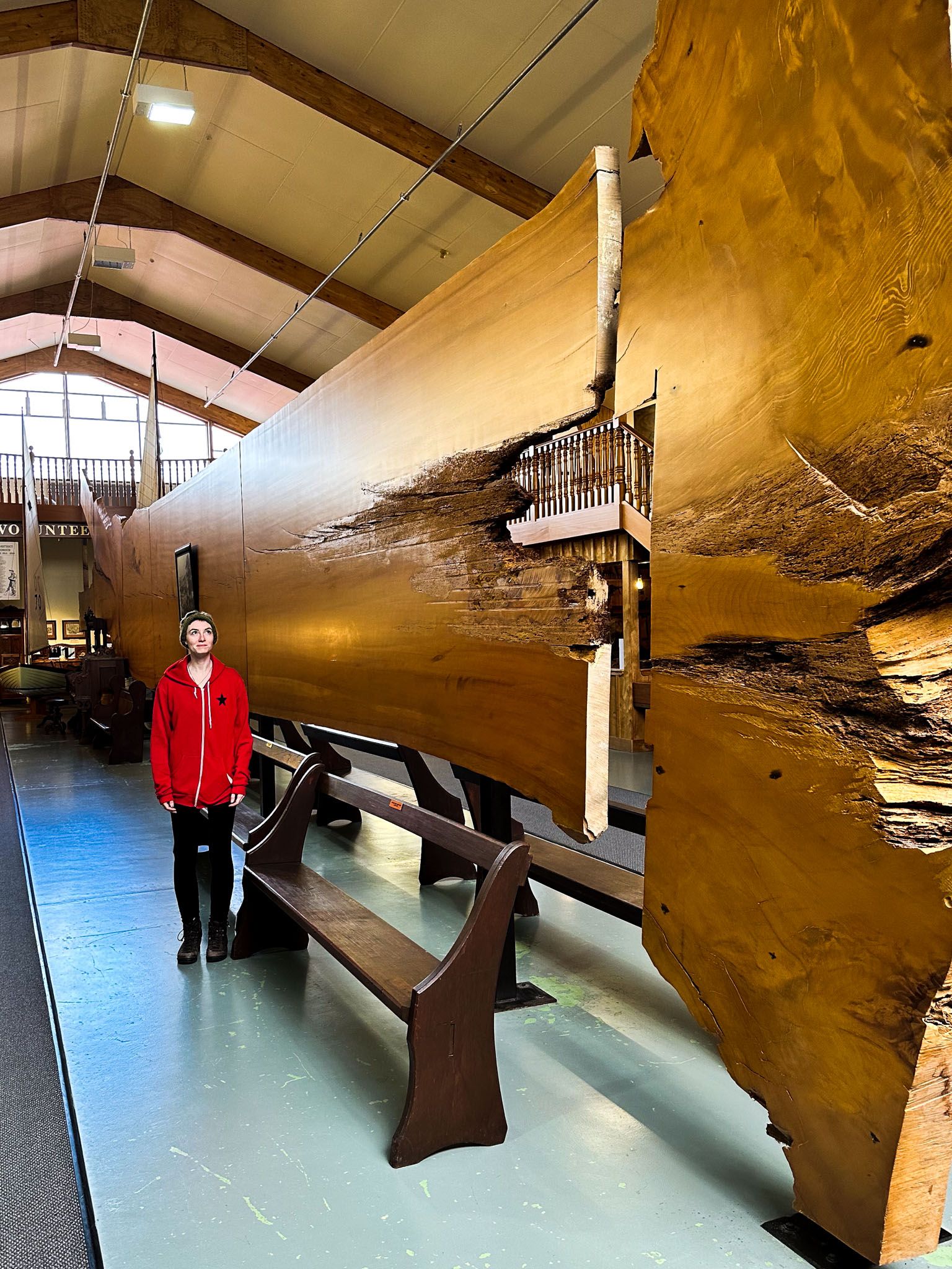
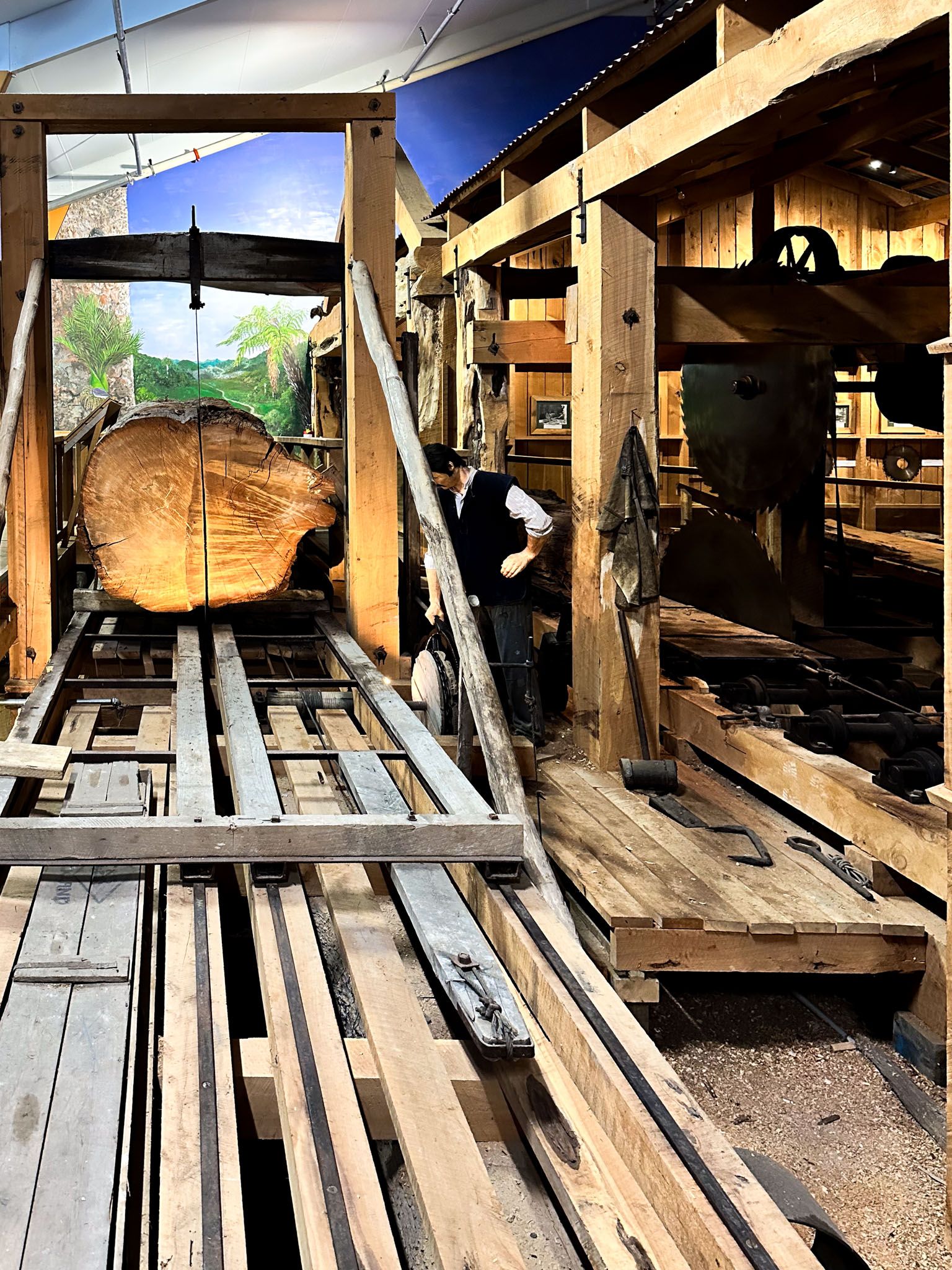
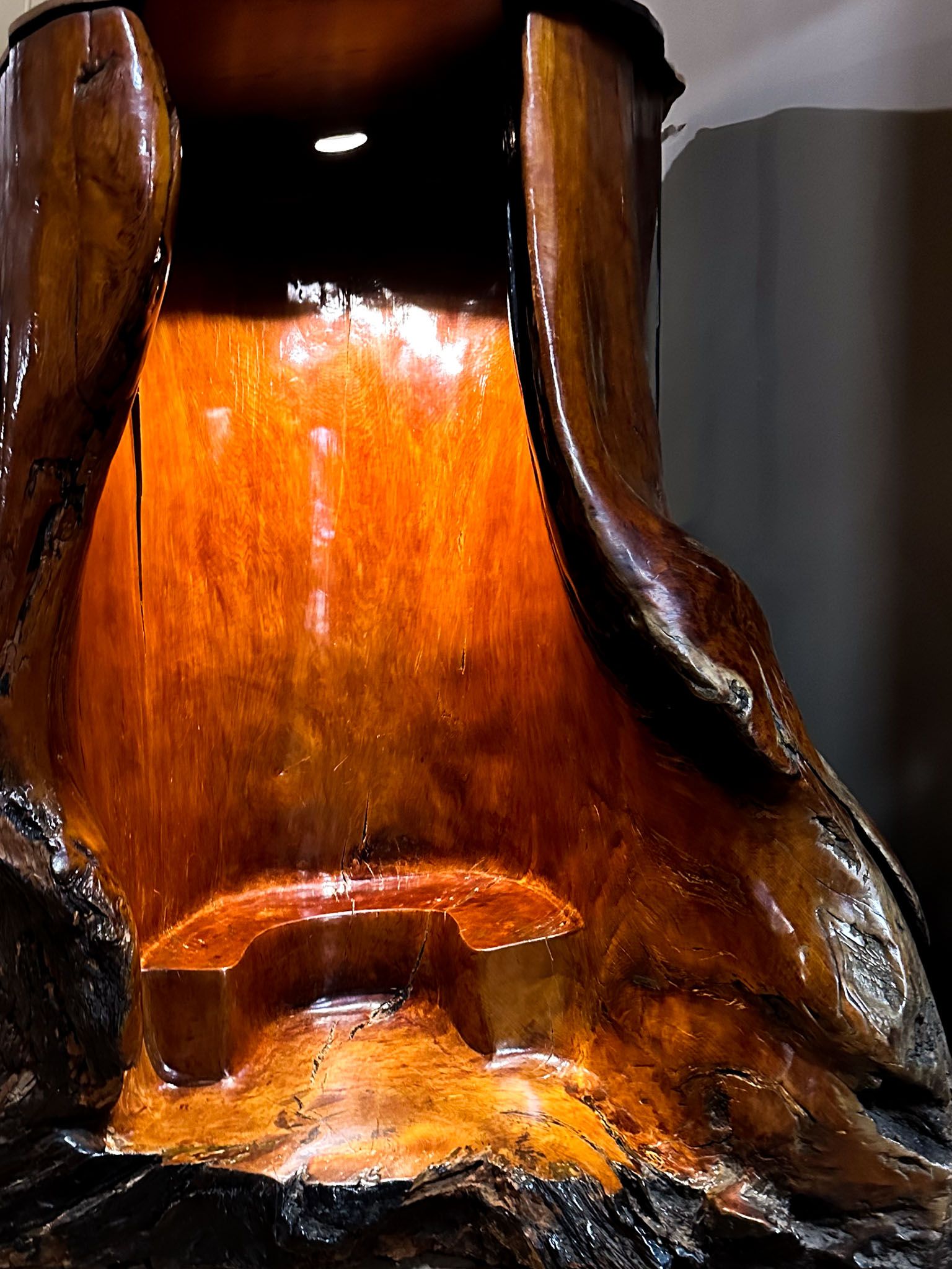
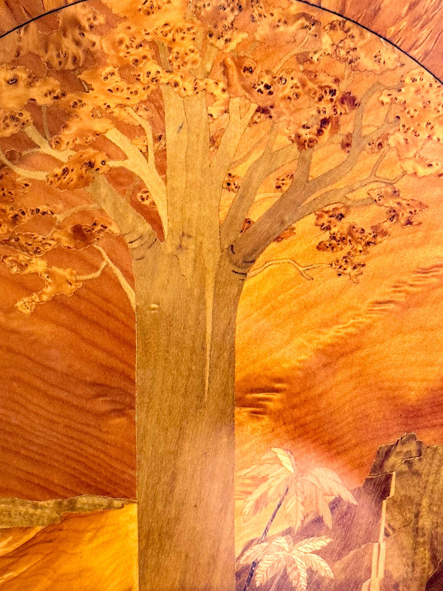
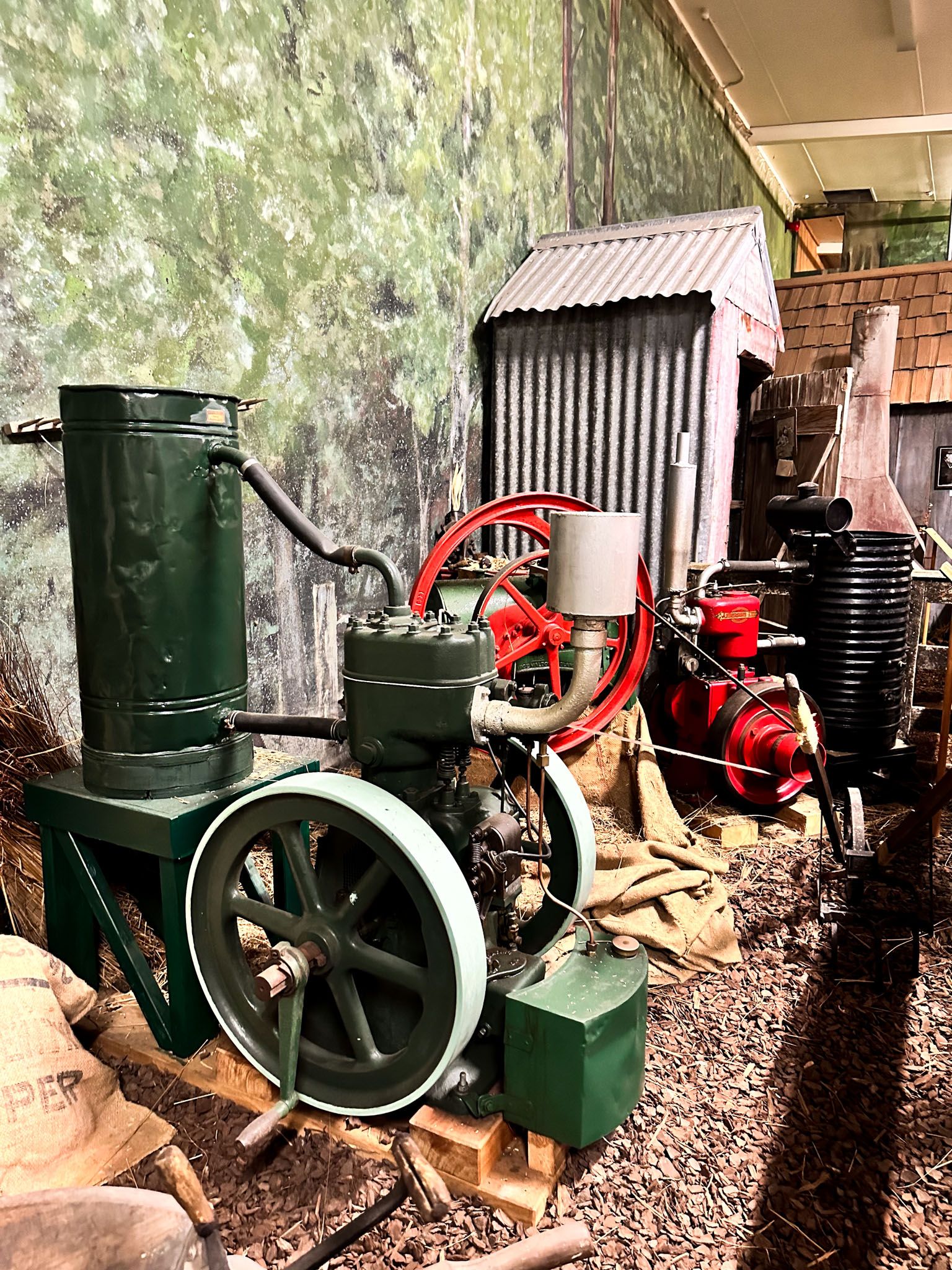
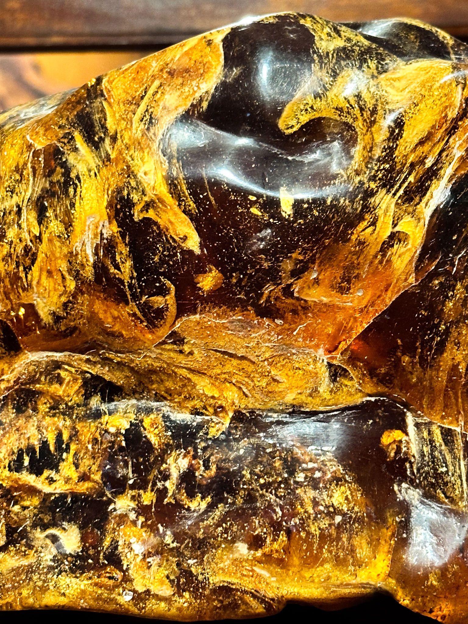
To learn more about the plight and survival of the mighty Kauri, the museum seemed like the logical first stop. to dioramas and even a life-size exhibition, the museum does an incredible job telling the story of these once sought-after, now-protected majestic trees.
We left the museum with a much better understanding of the region we were about to explore and were back on the road, headed for our first night's stay of the trip.
Dargaville
As this was the main town en route, there were plenty of places to fill our bellies and rest our heads.
Our drive was short the next day, hitting the coast within ten minutes. We were eager to bury our toes in the sand.
Ripiro Beach
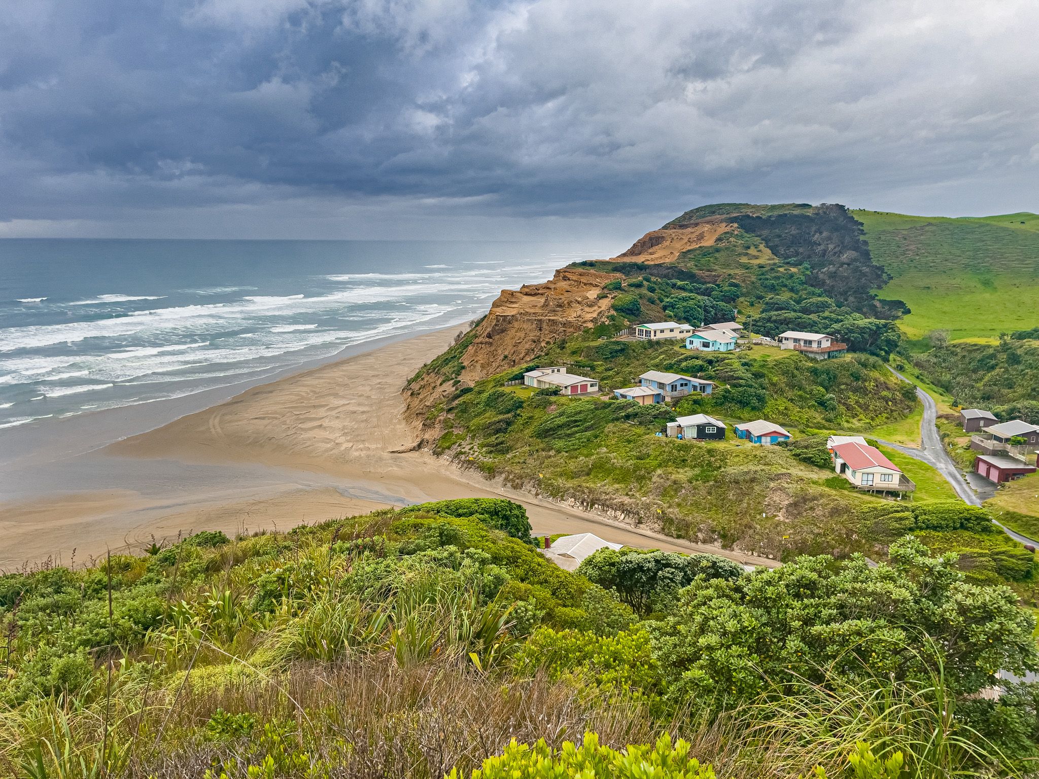
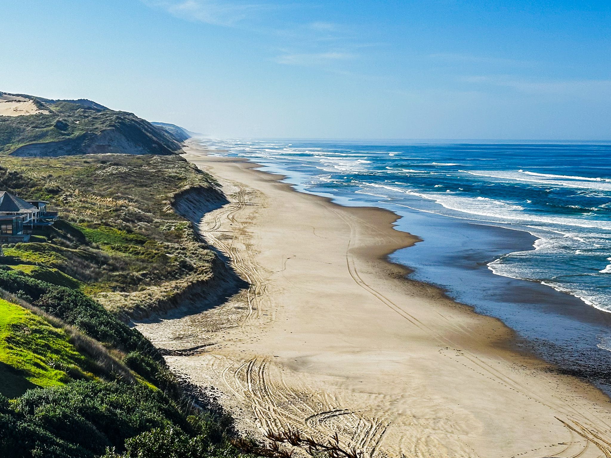
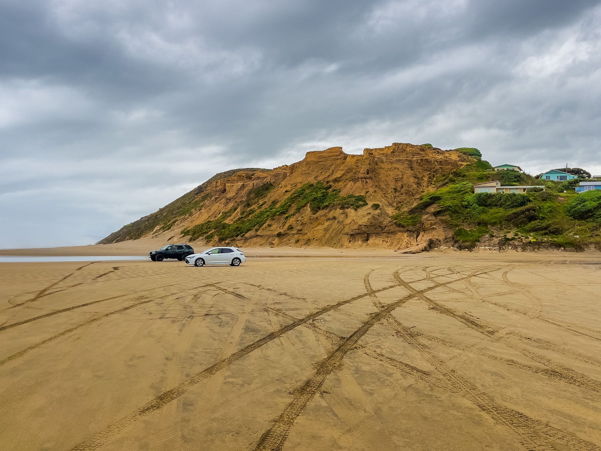
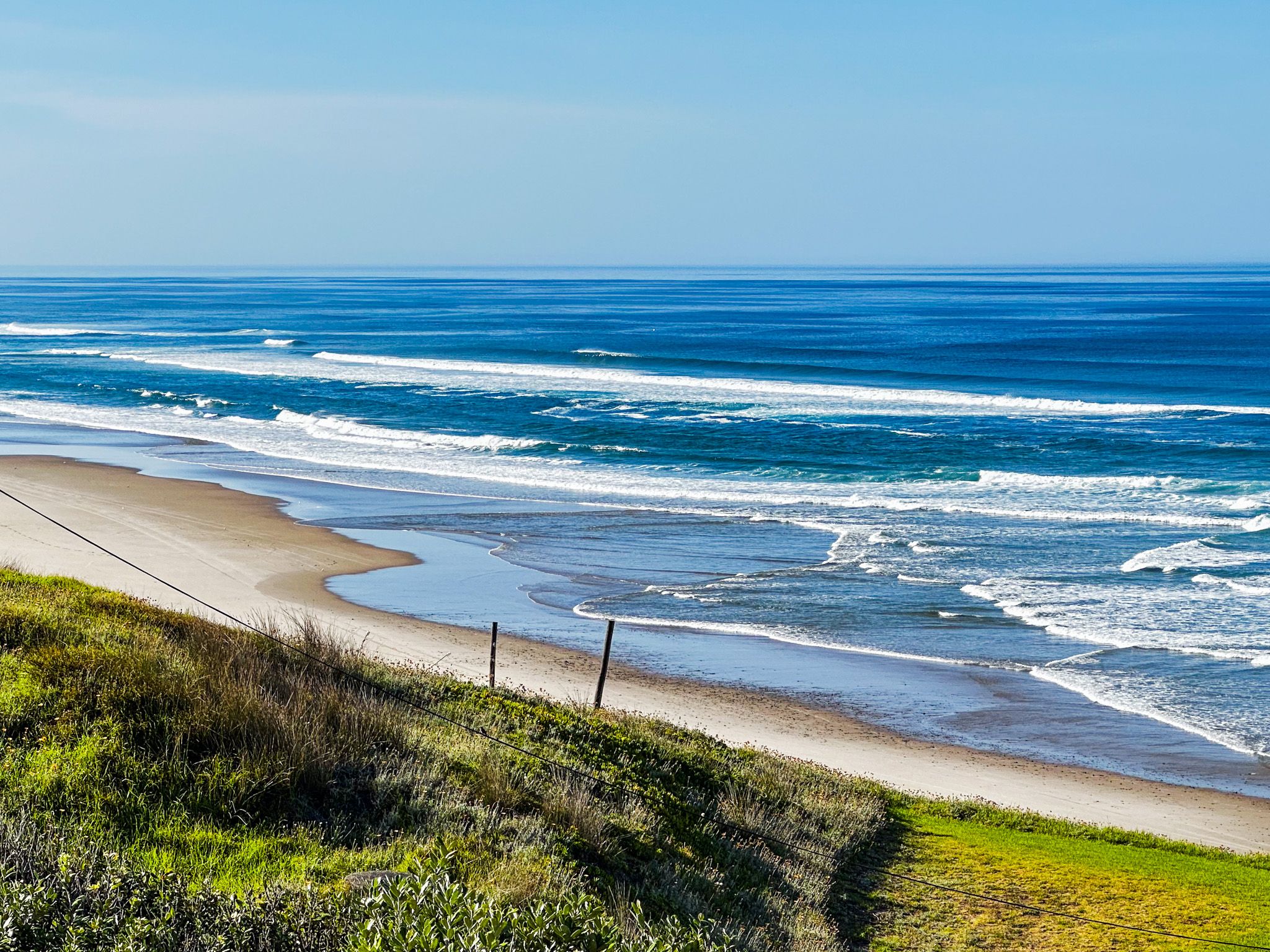
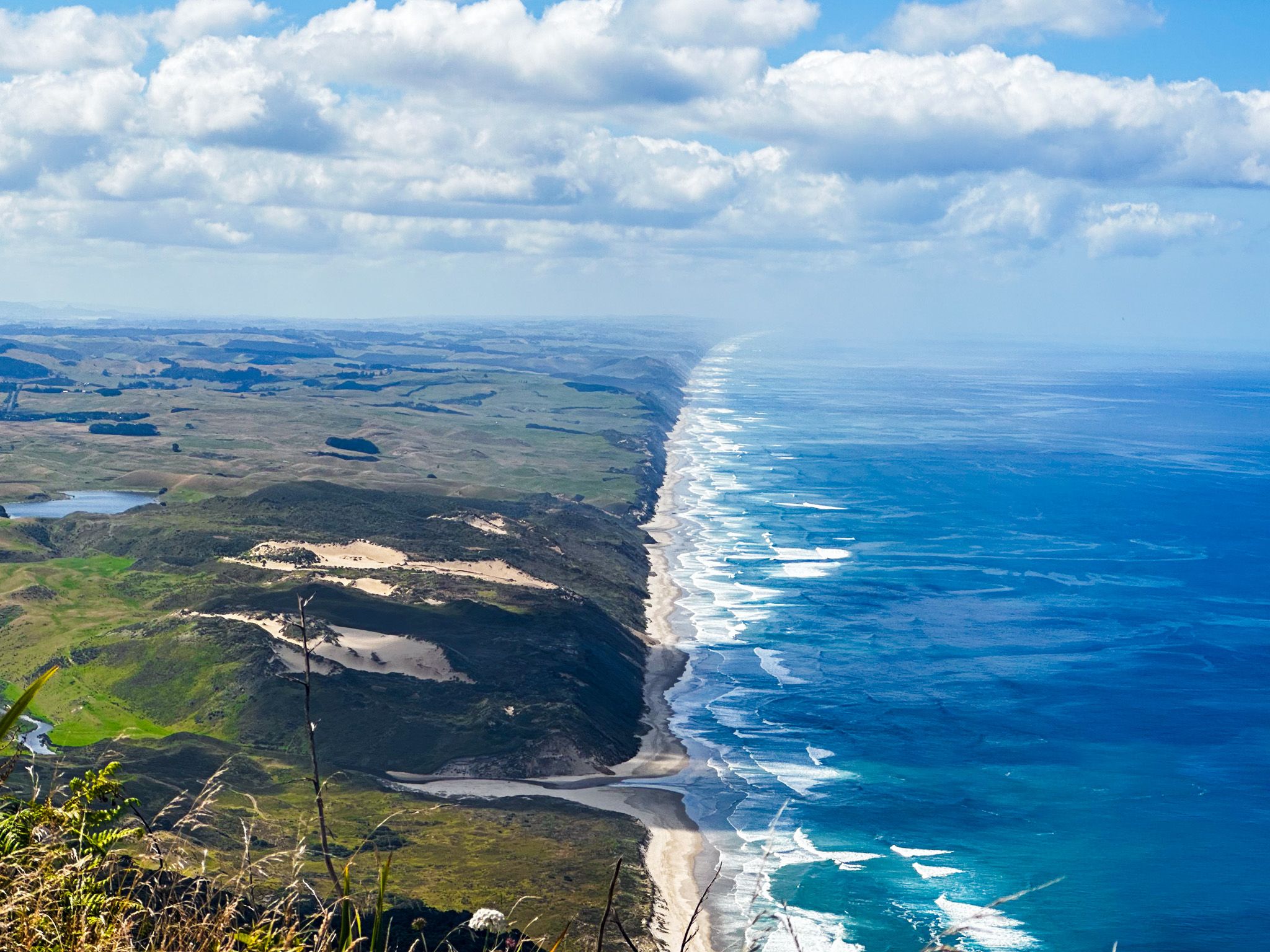
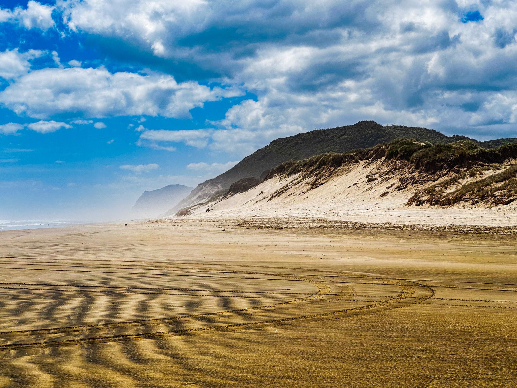
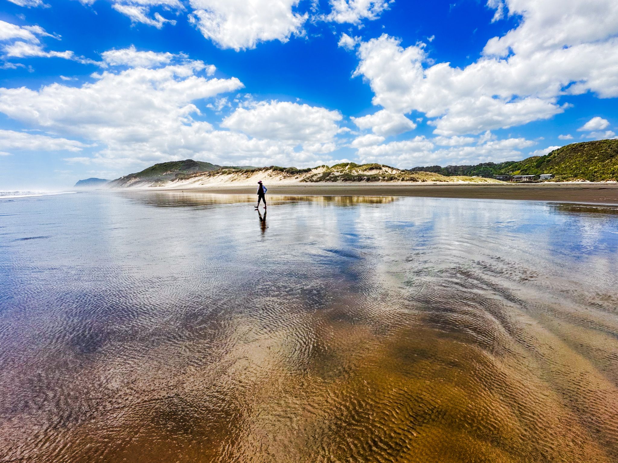
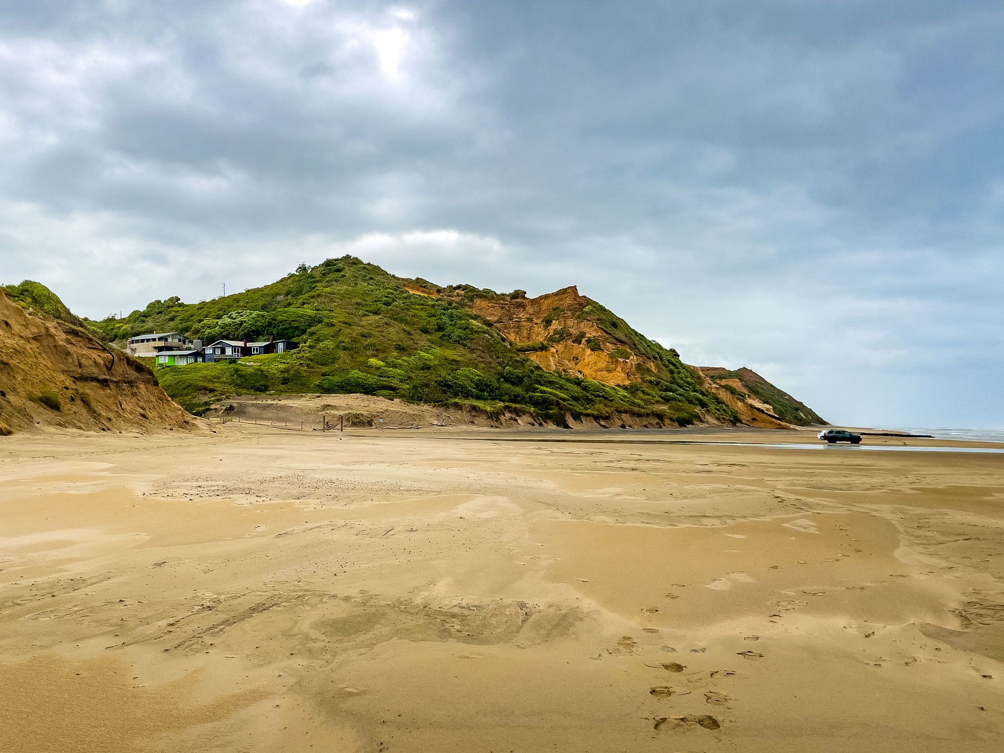
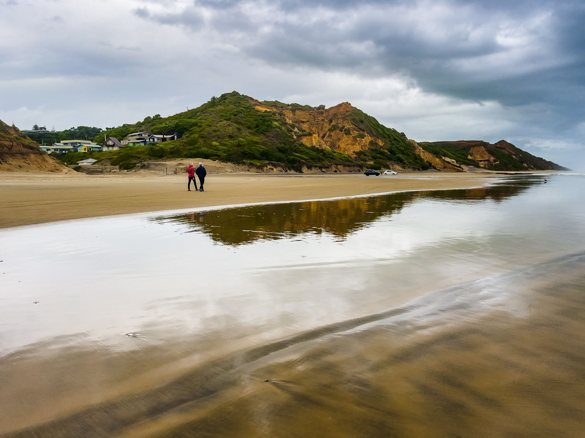
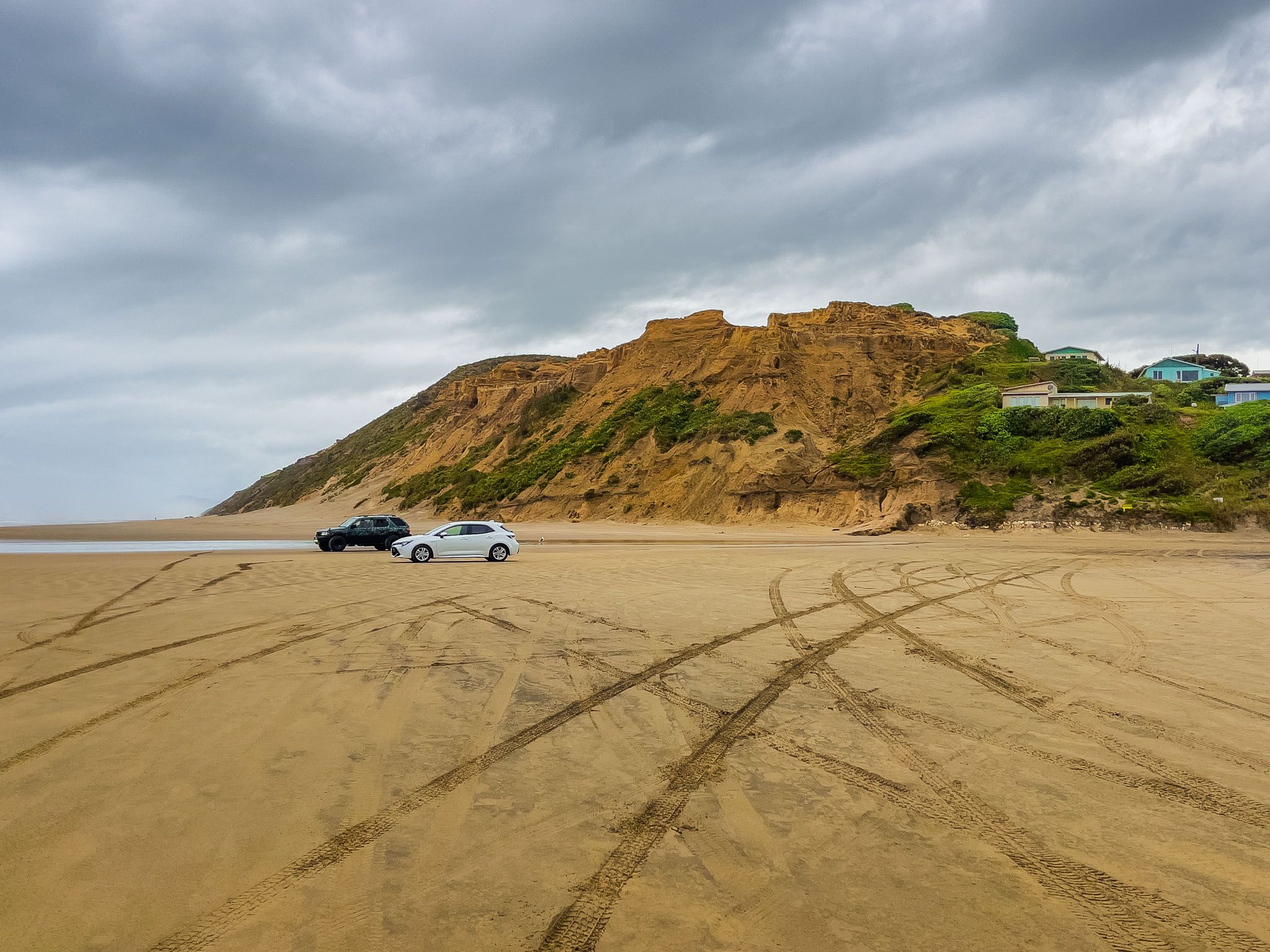
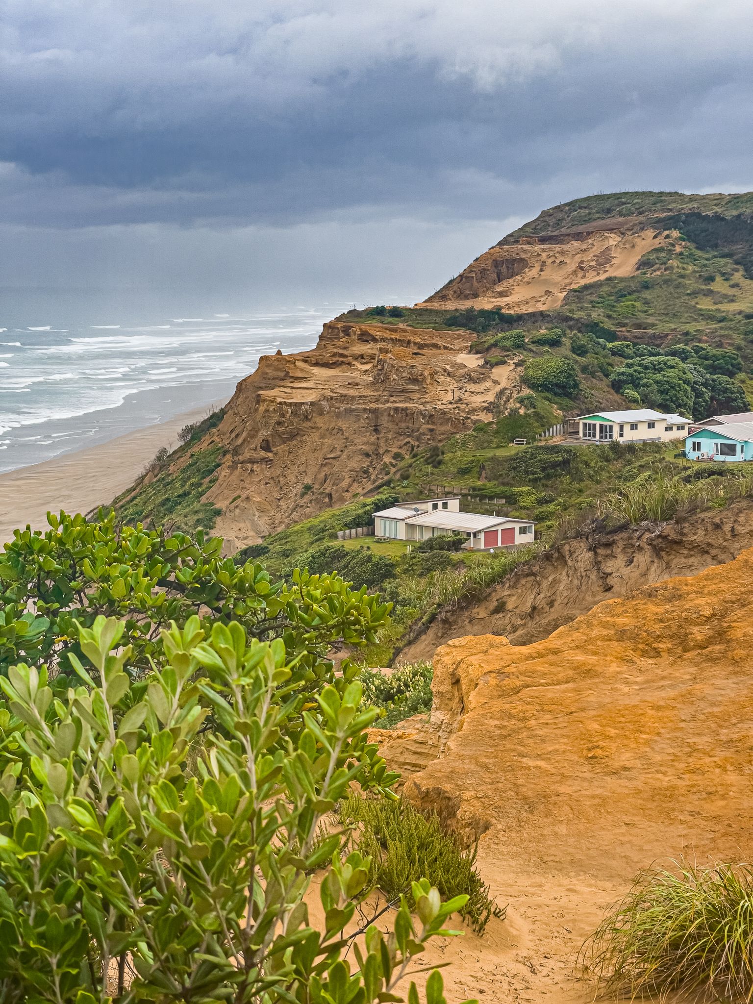
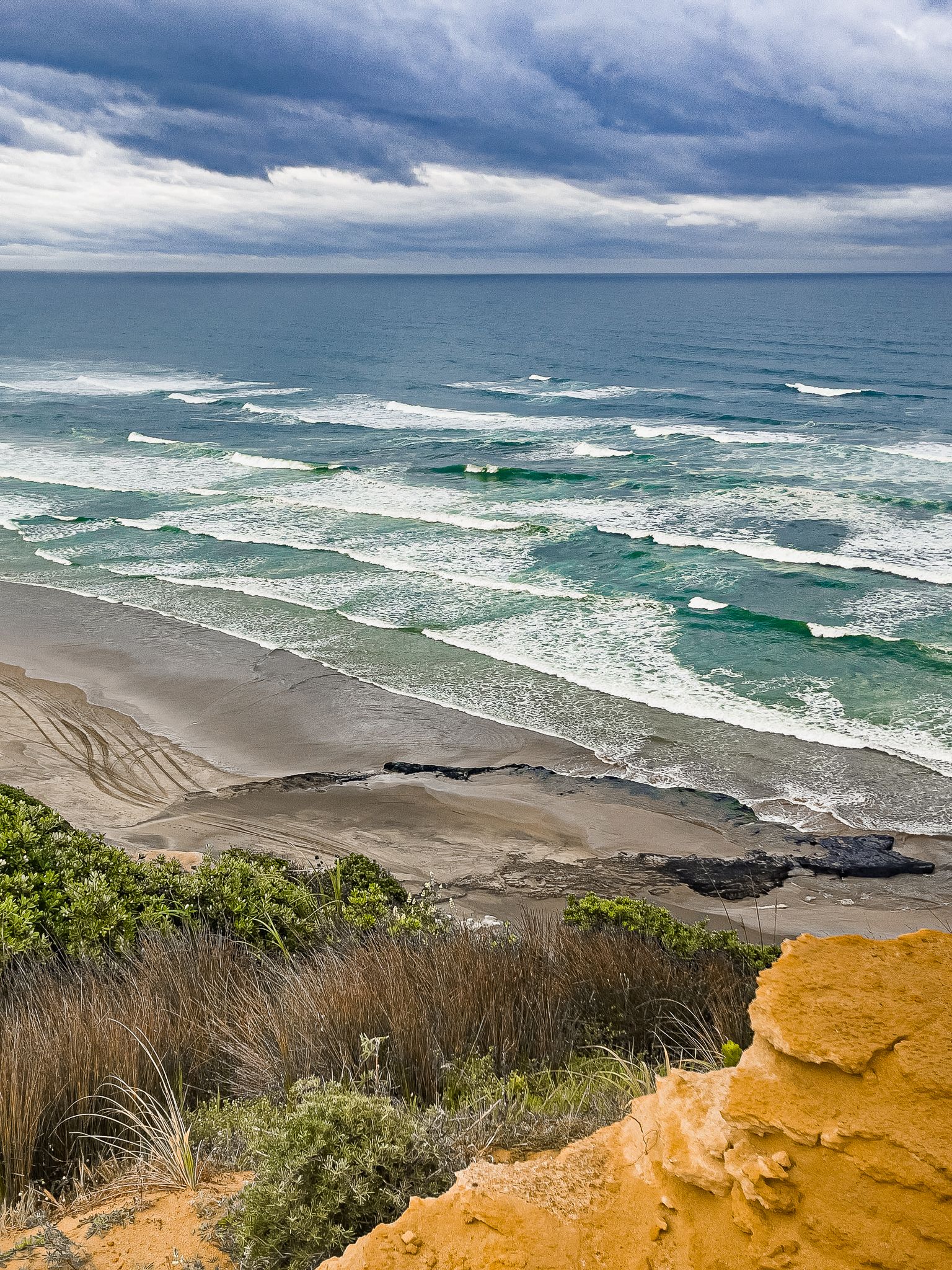
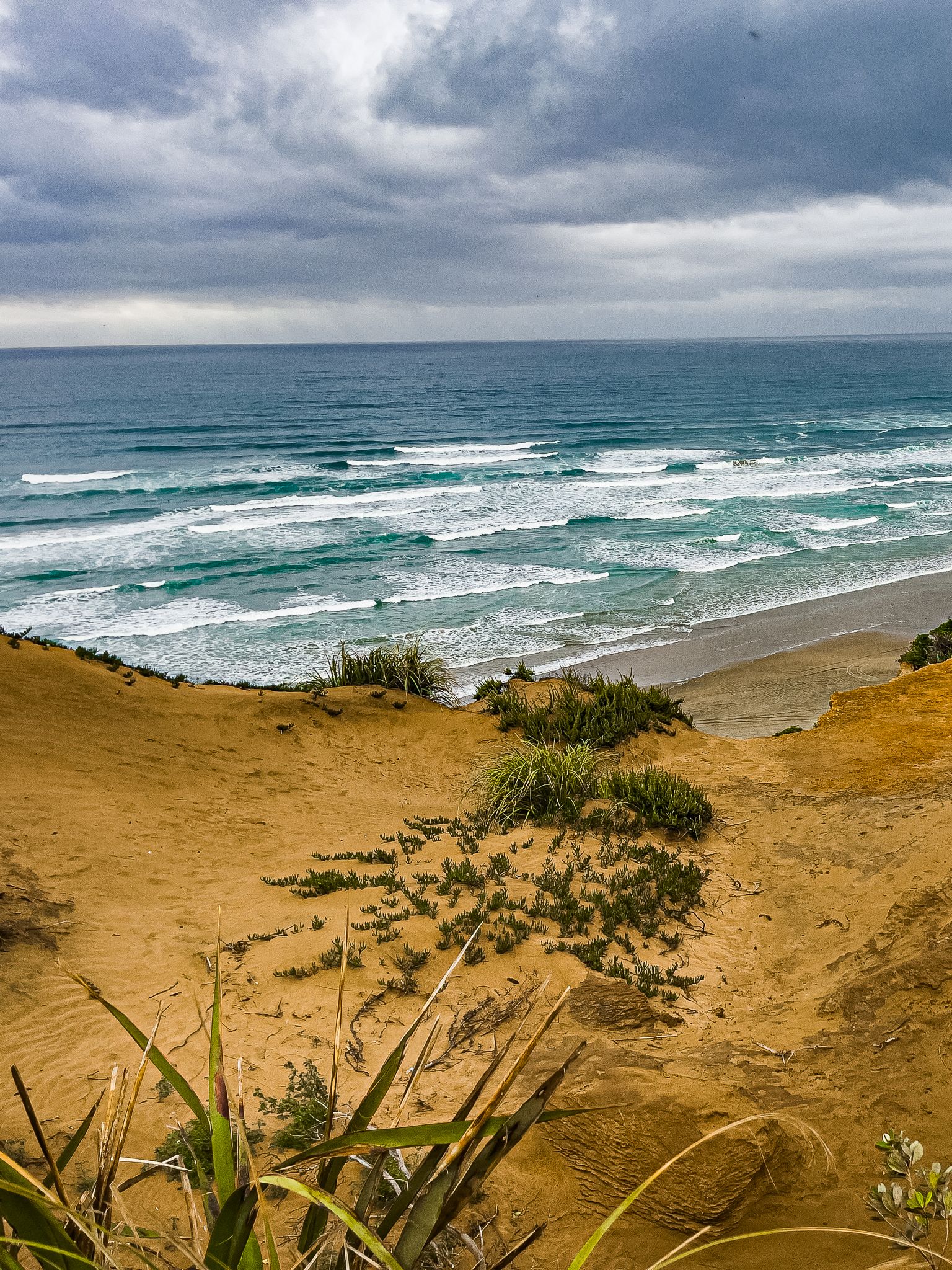
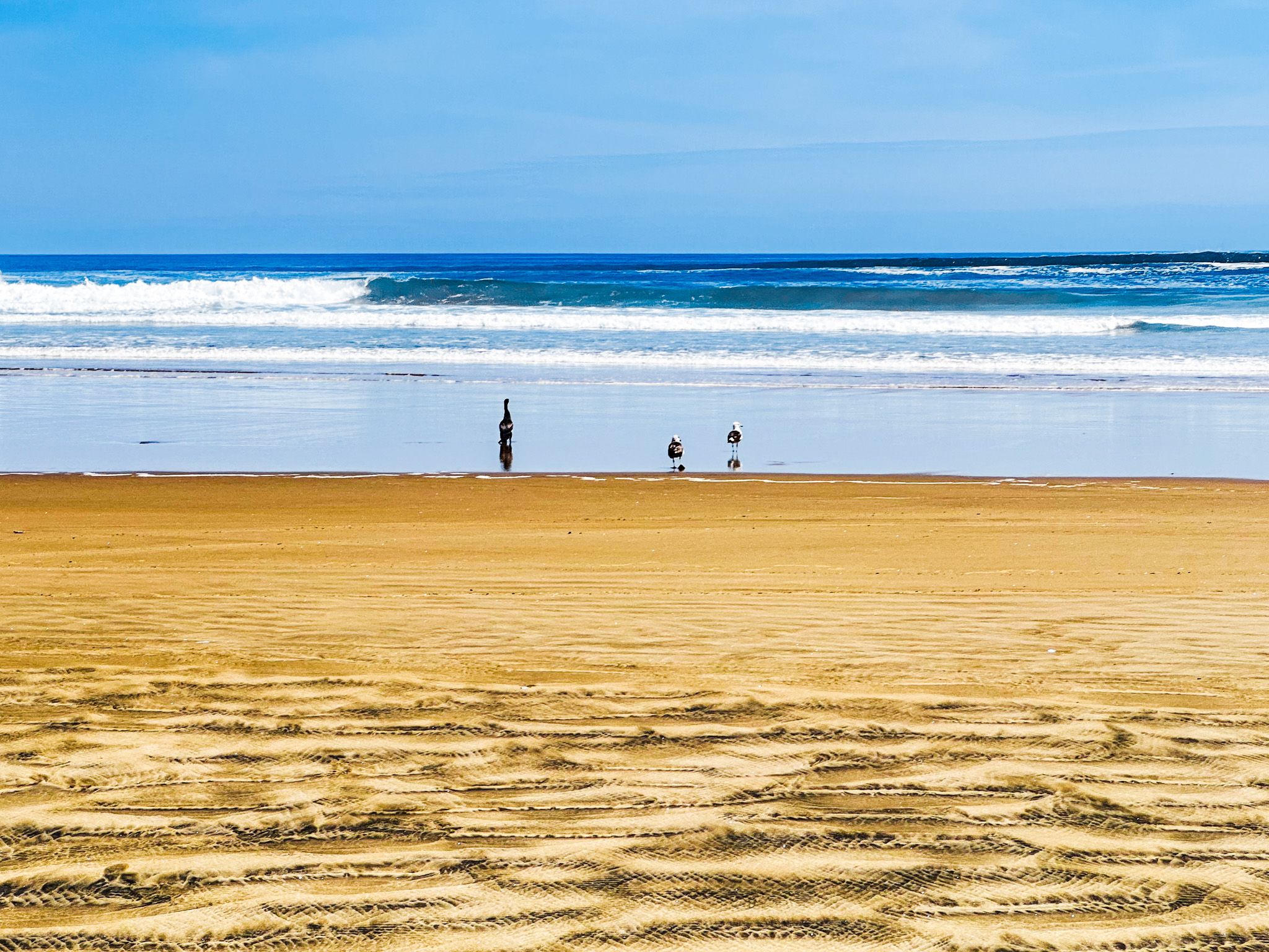
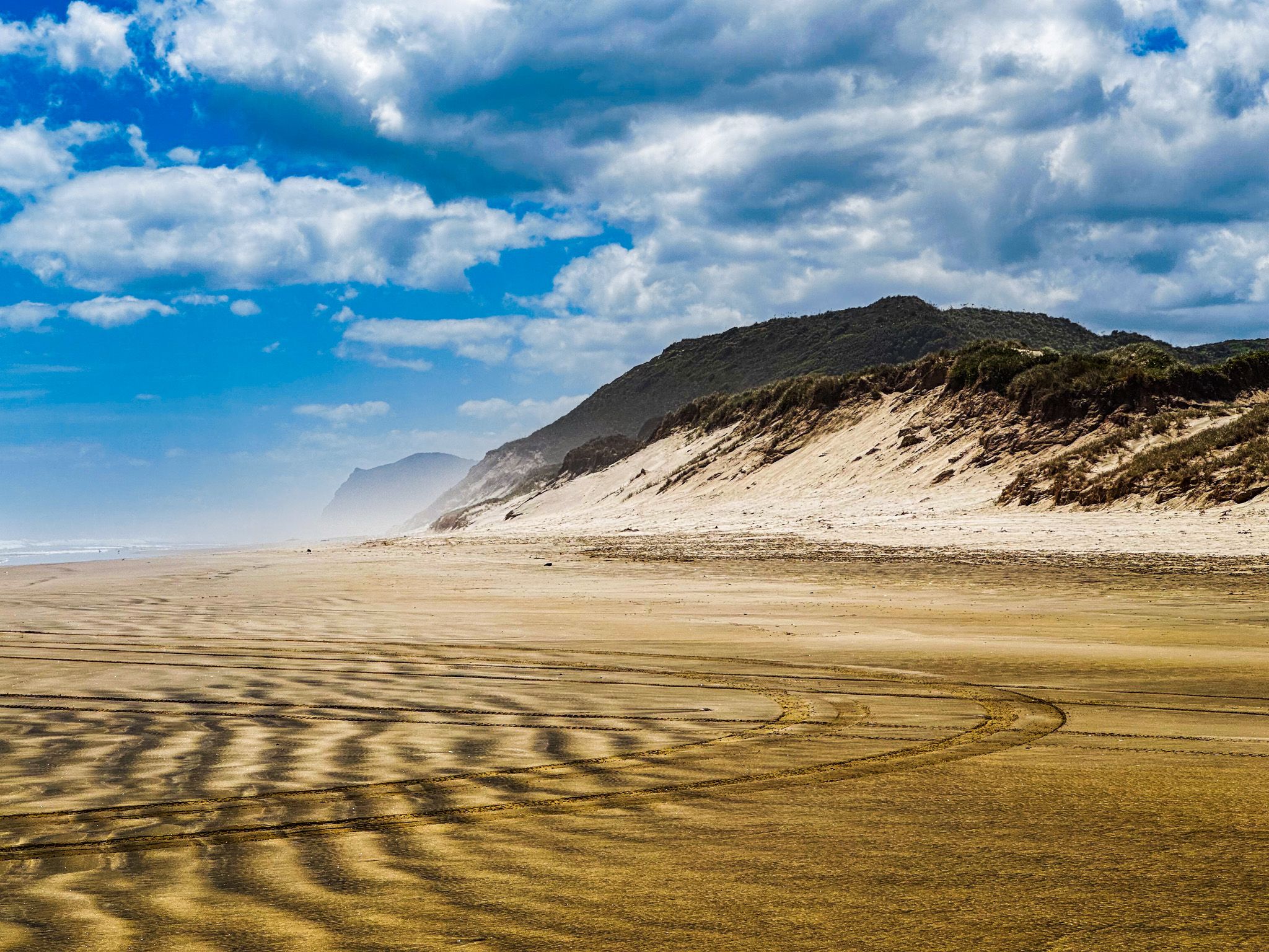
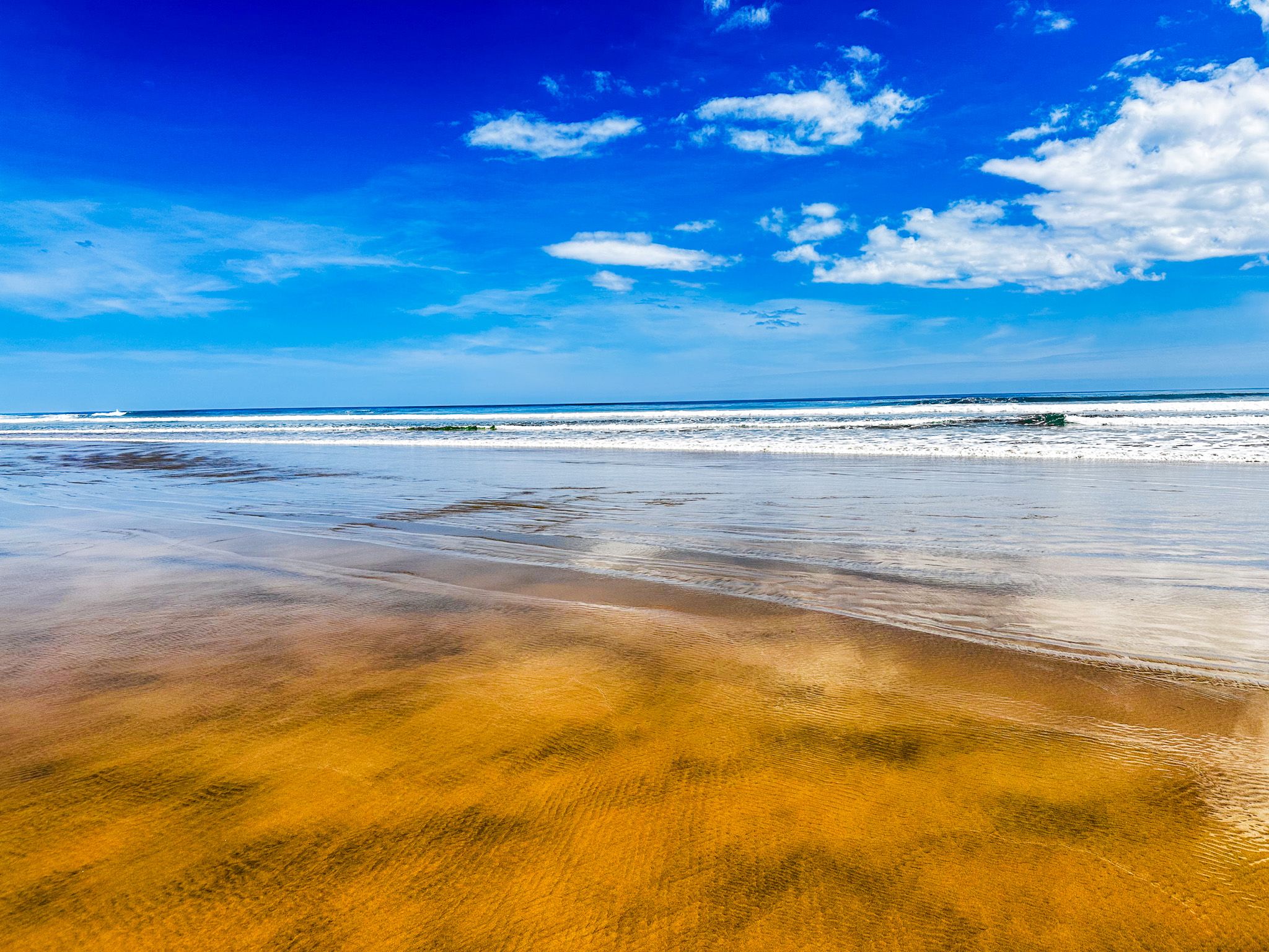
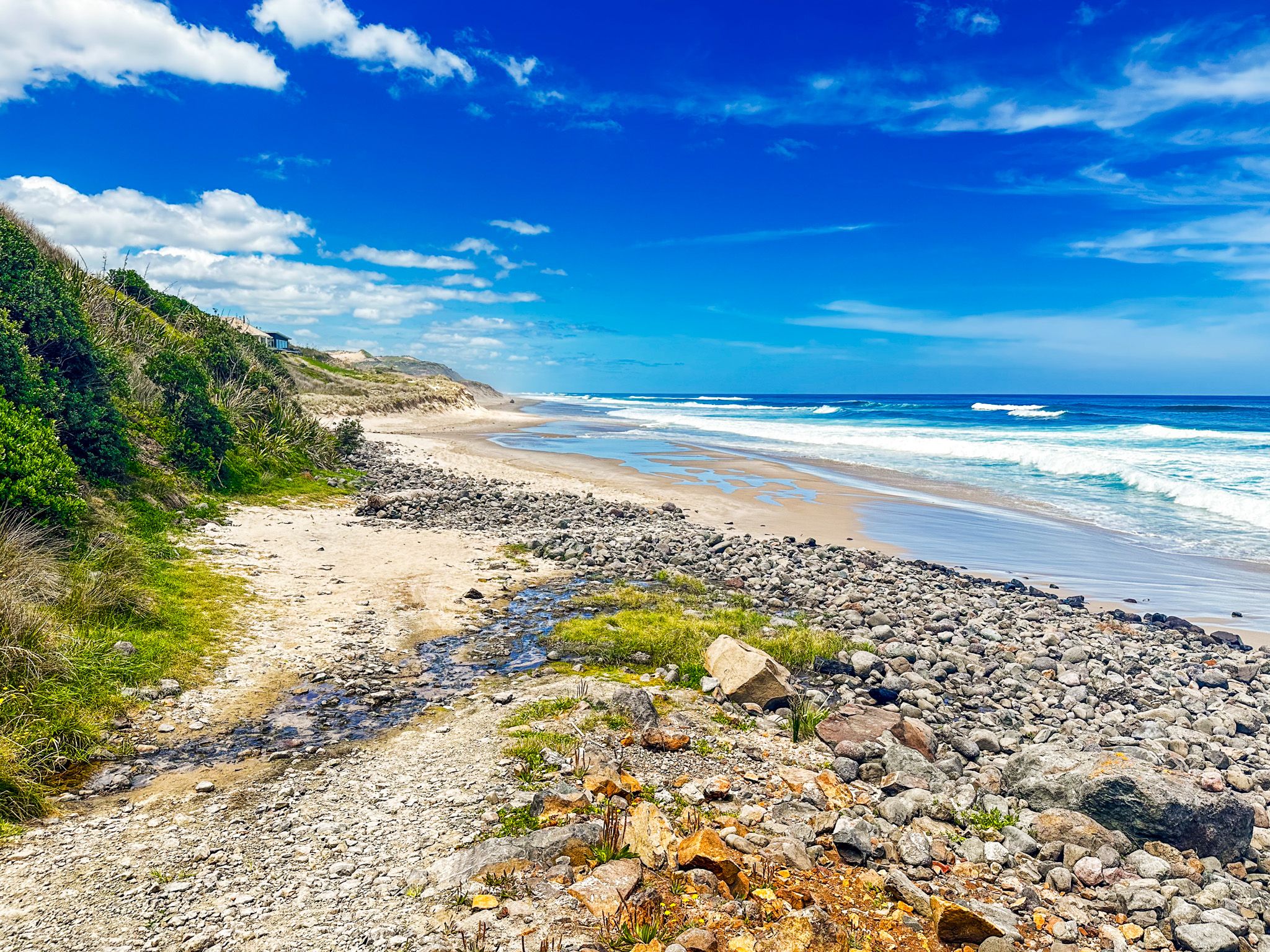
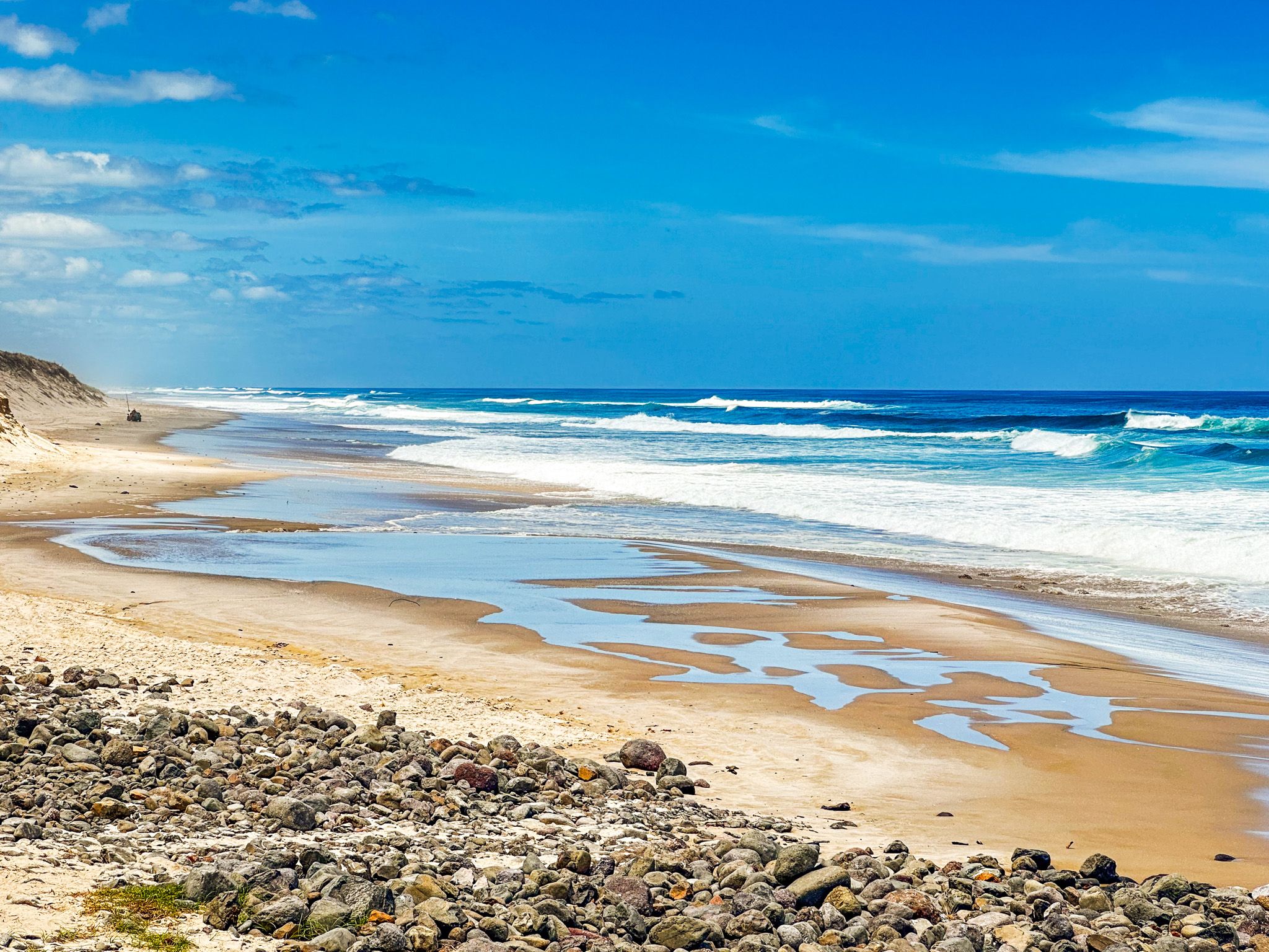
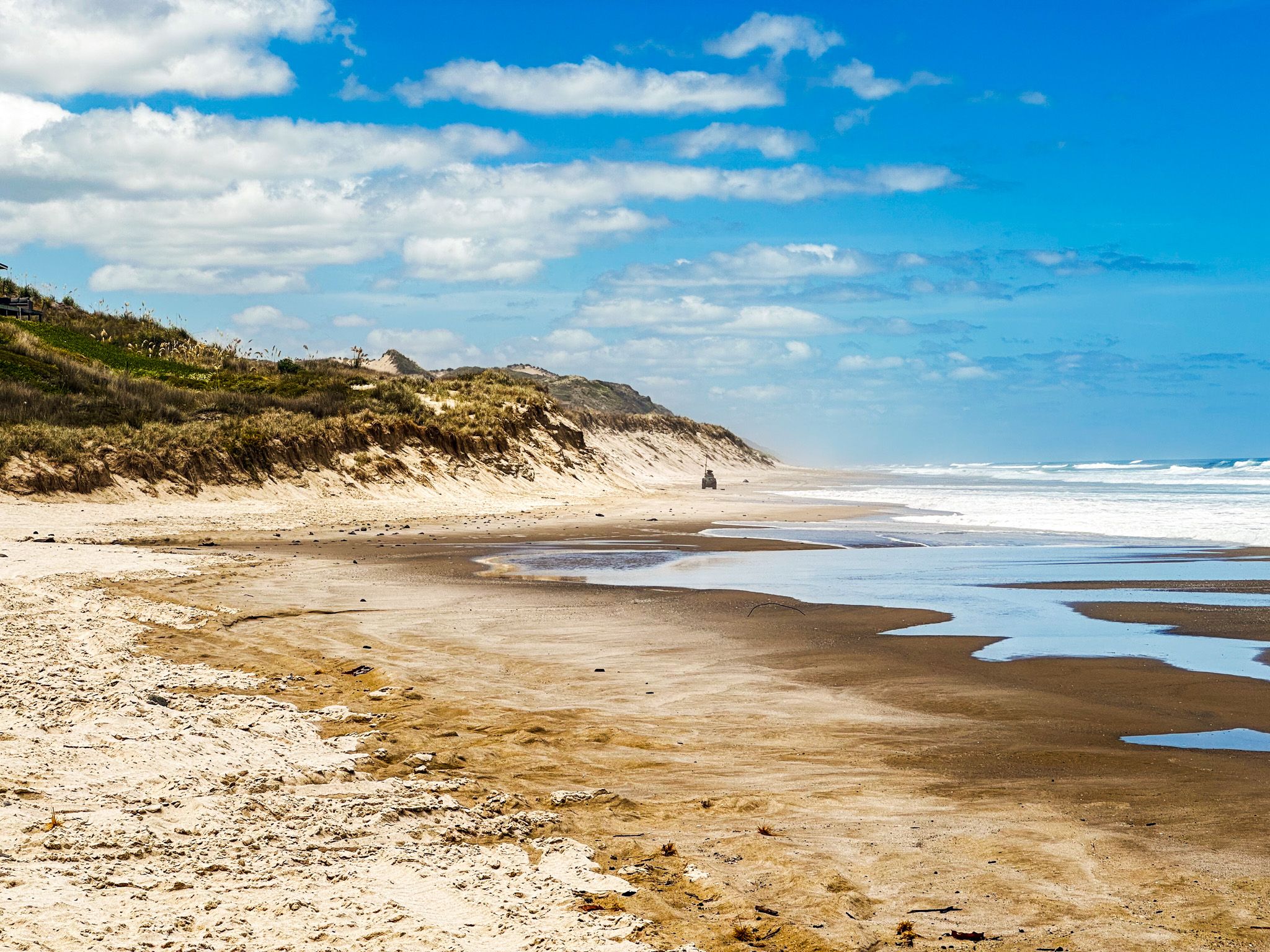
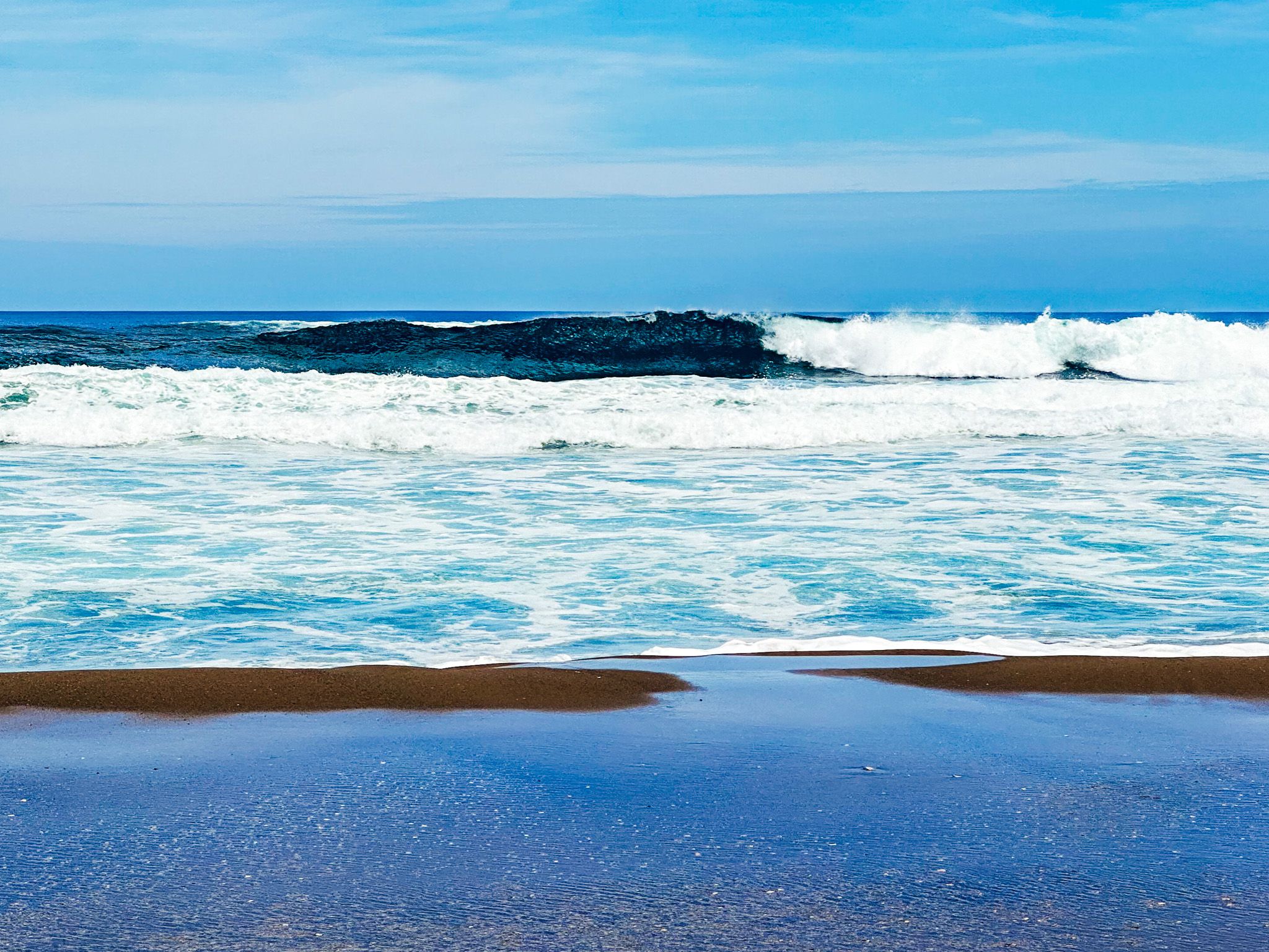
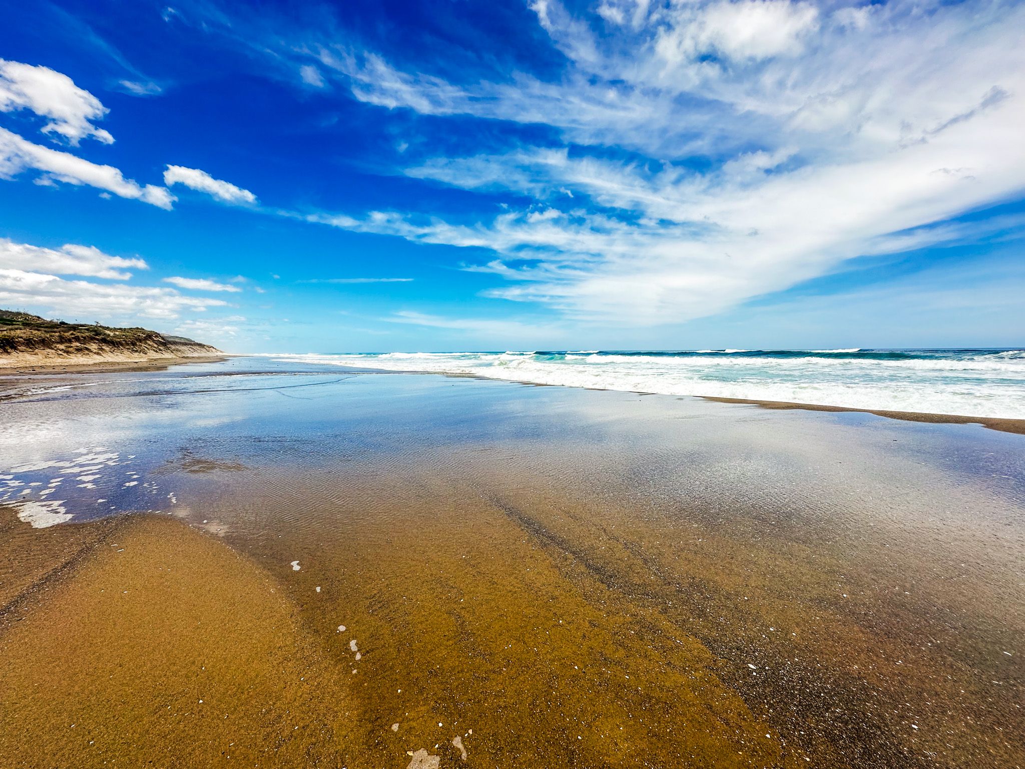
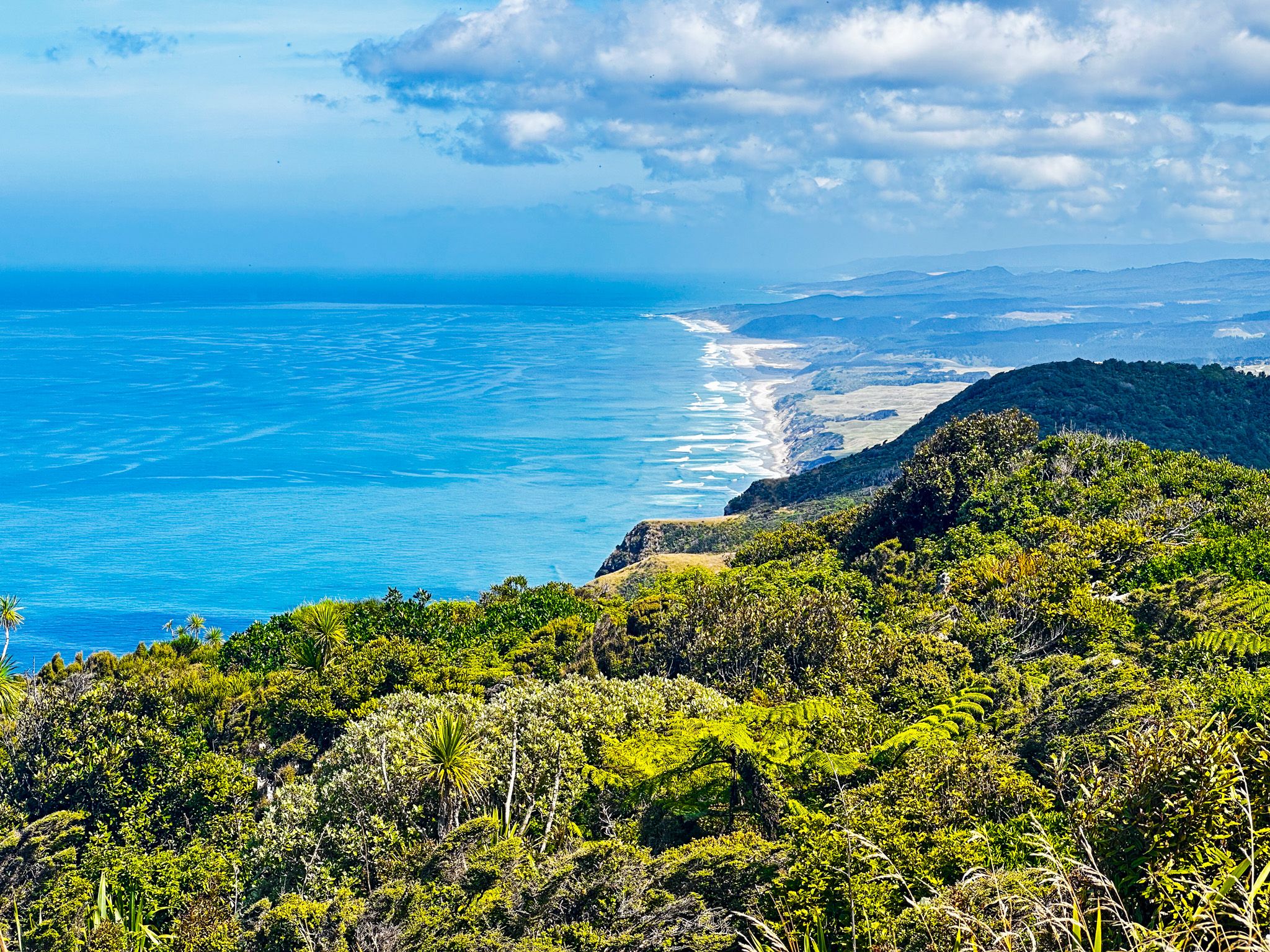
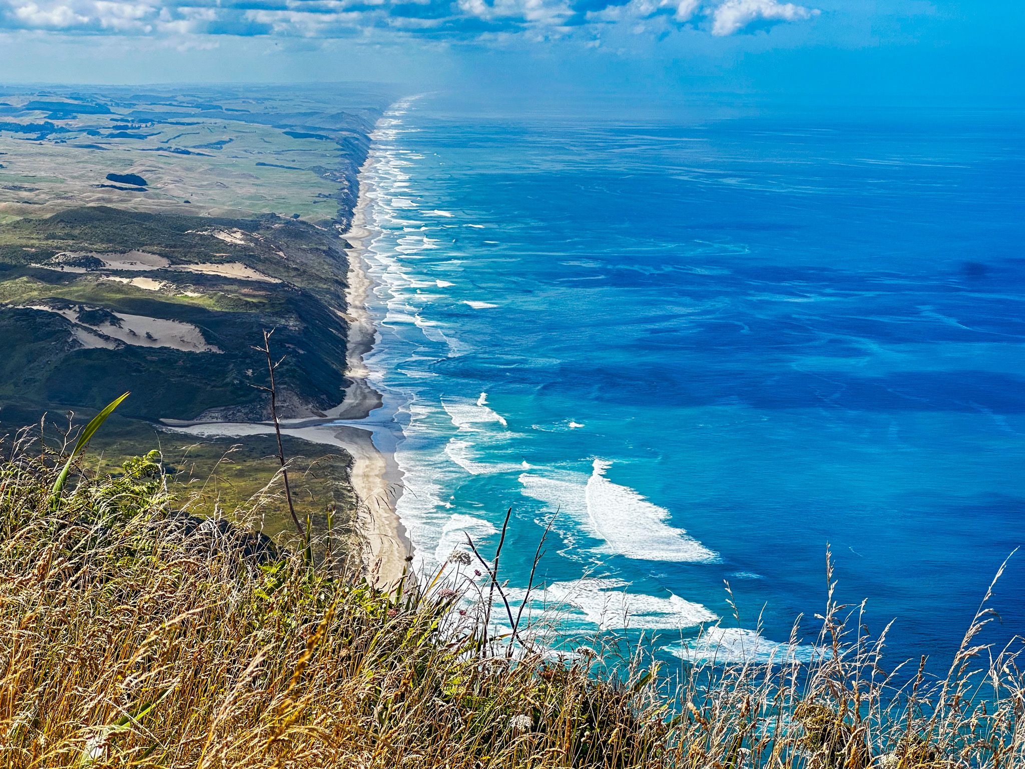
Stretching from Pouto Peninsula in the south to Maunganui Bluff in the north, Ripiro Beach is the longest driveable beach in NZ. In fact, it's used as a road for up to four hours on either side of low tide. Sand dunes, cliffs and surf spots make Ripiro Beach a prominent feature of the Kauri Coast, second only to the Kauri forests themselves.
Several coastal settlements provide beach access and places to camp. Since we weren't in a rush, we chose the place nearest to Dargaville.
Baylys Beach
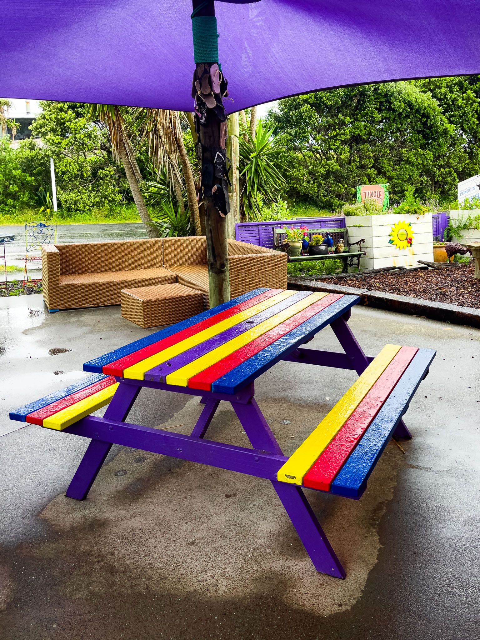
We stayed at the commercial campground instead of freedom camping, which is also allowed. Stumbling upon an all-in-one cafe, store, and takeaway place was a pleasant surprise, as was the natural beauty of our surroundings.
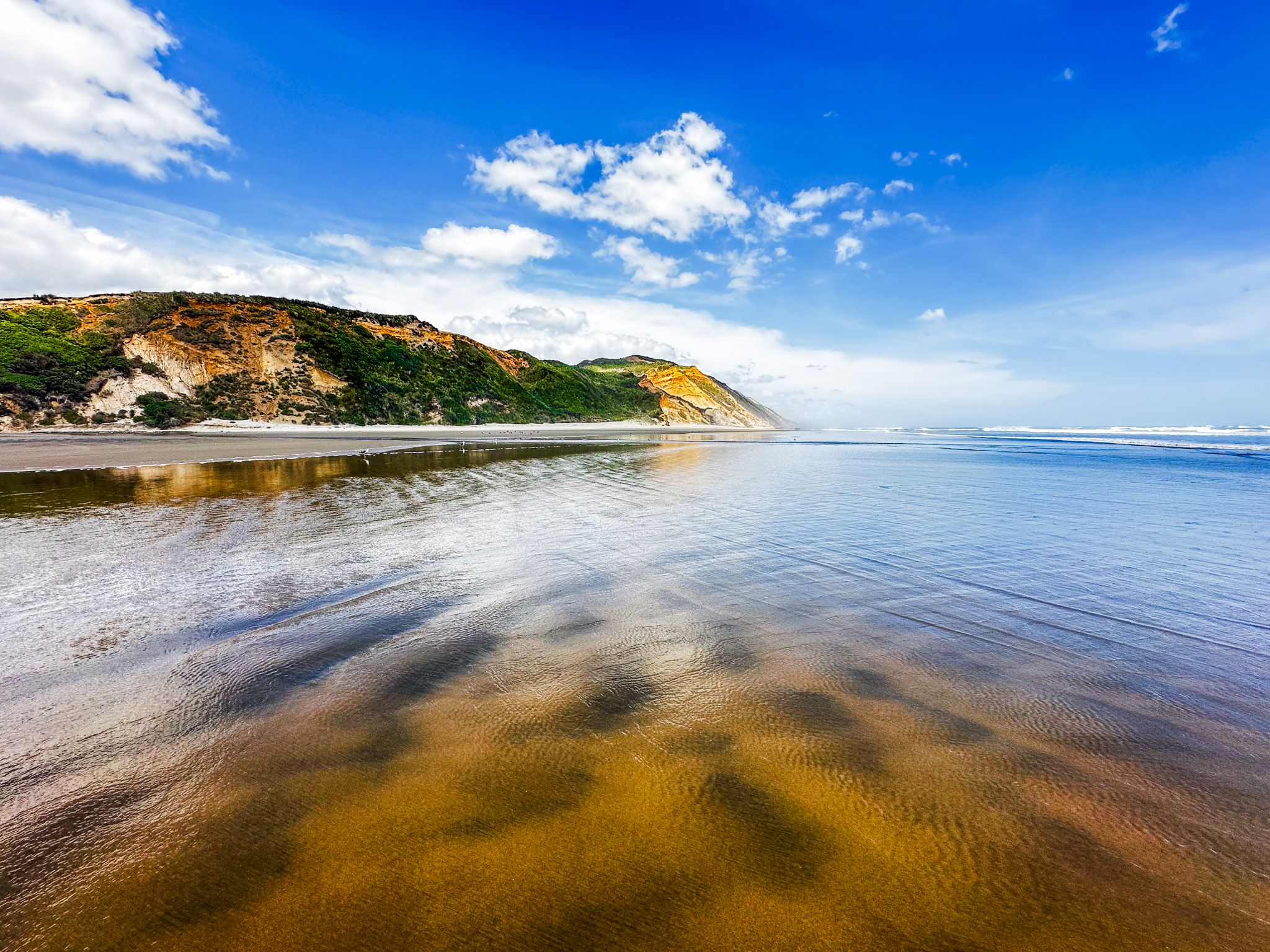
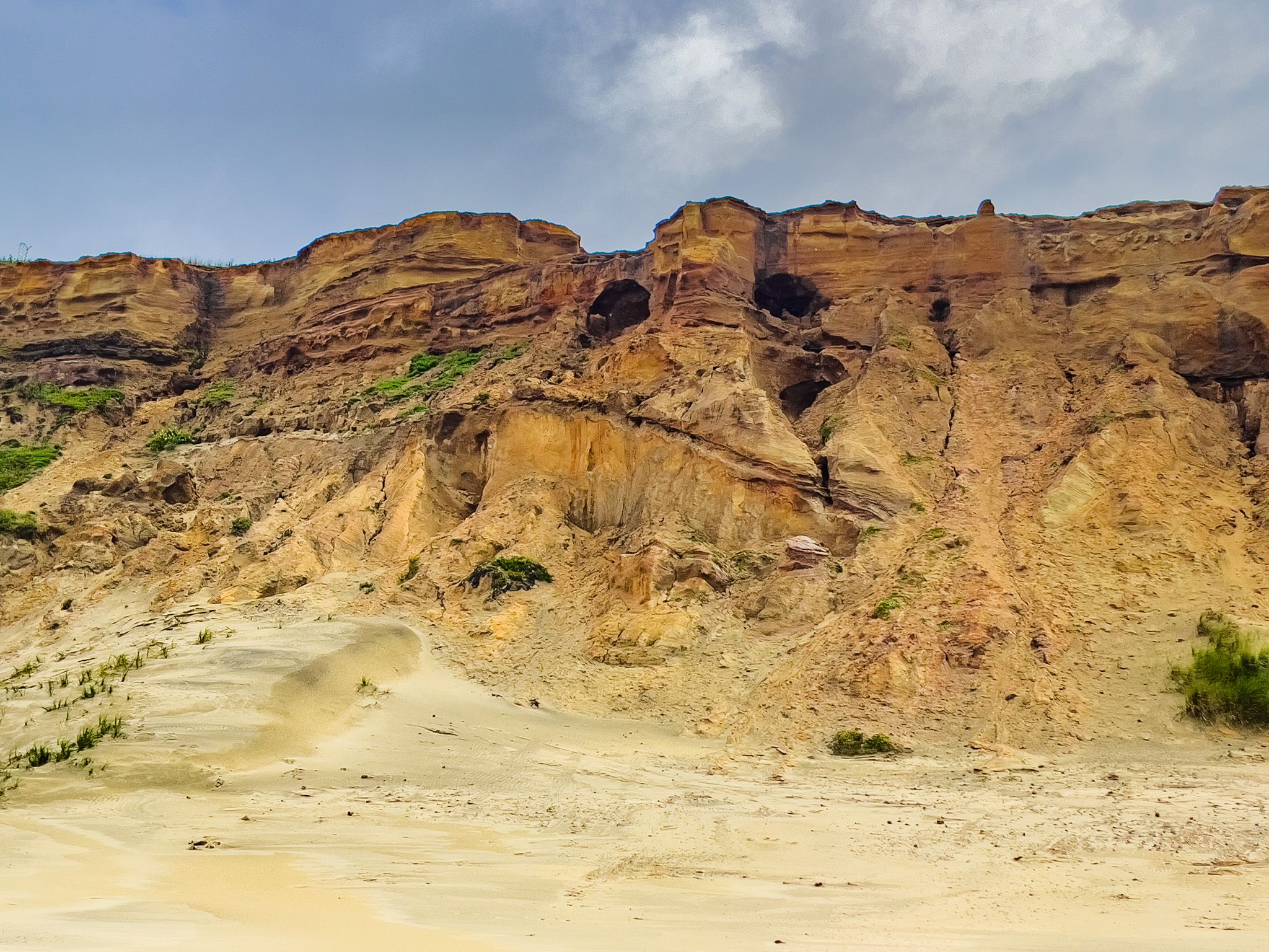
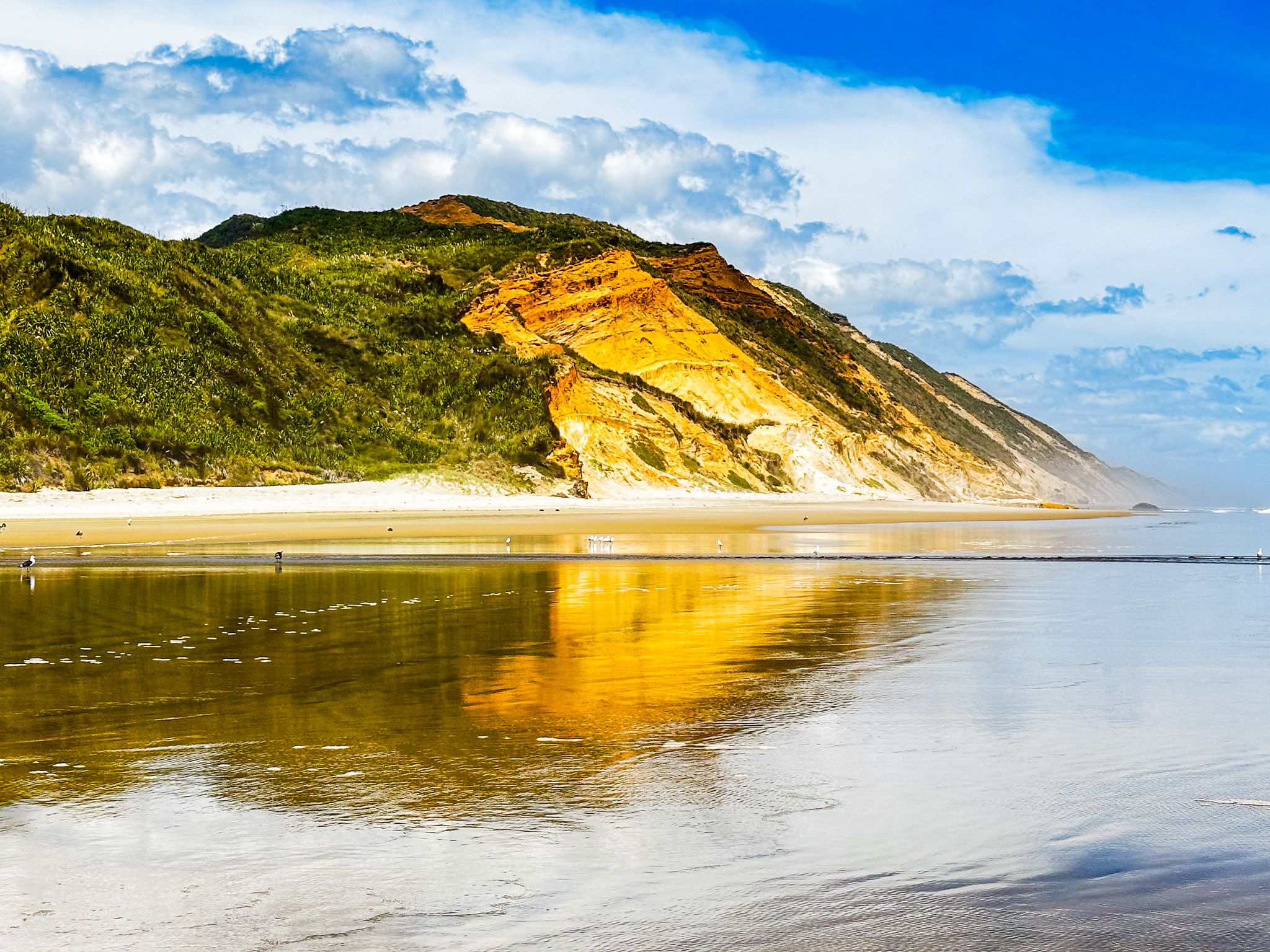
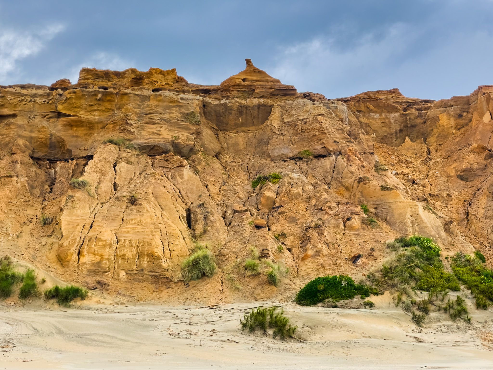
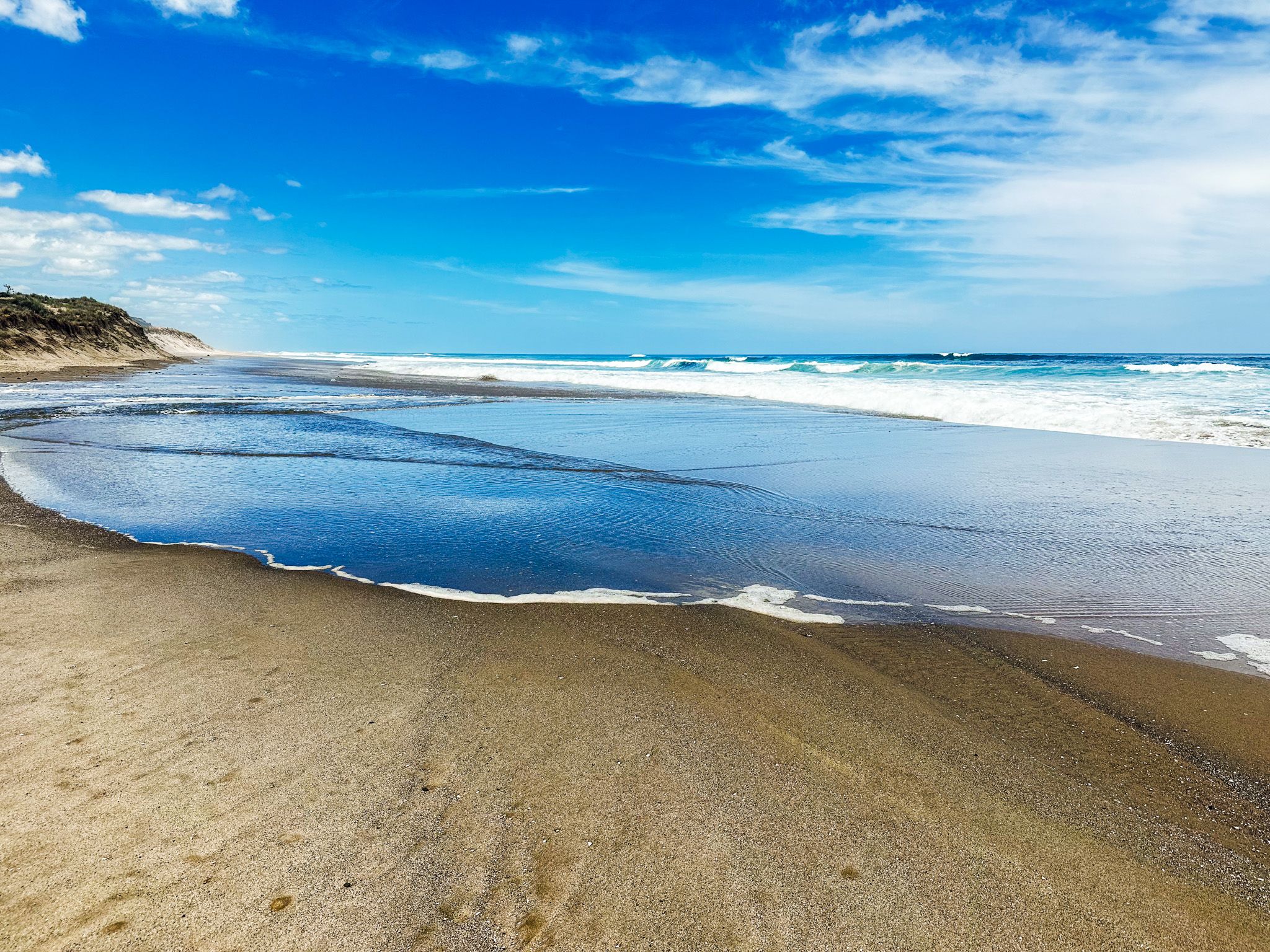
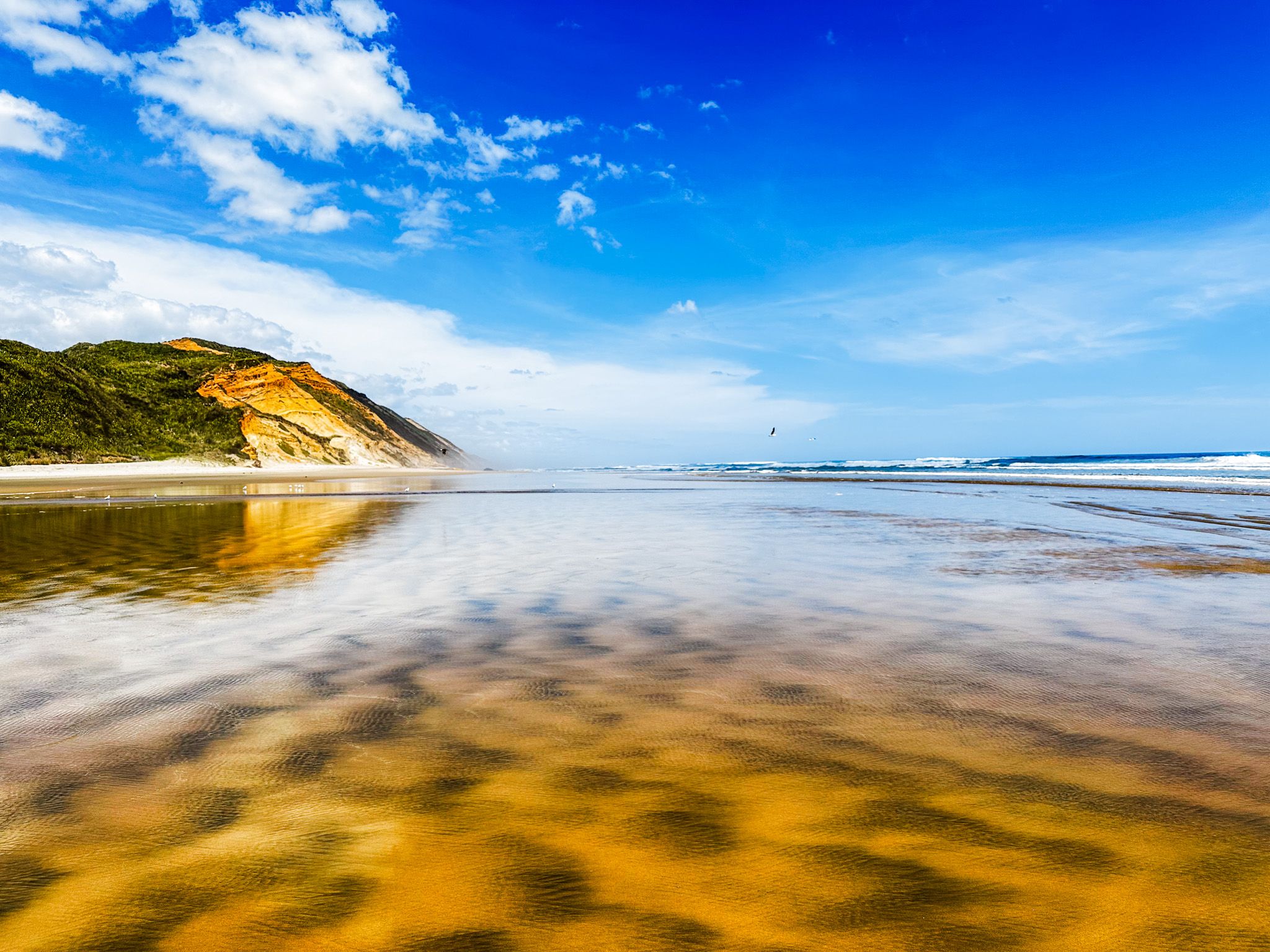
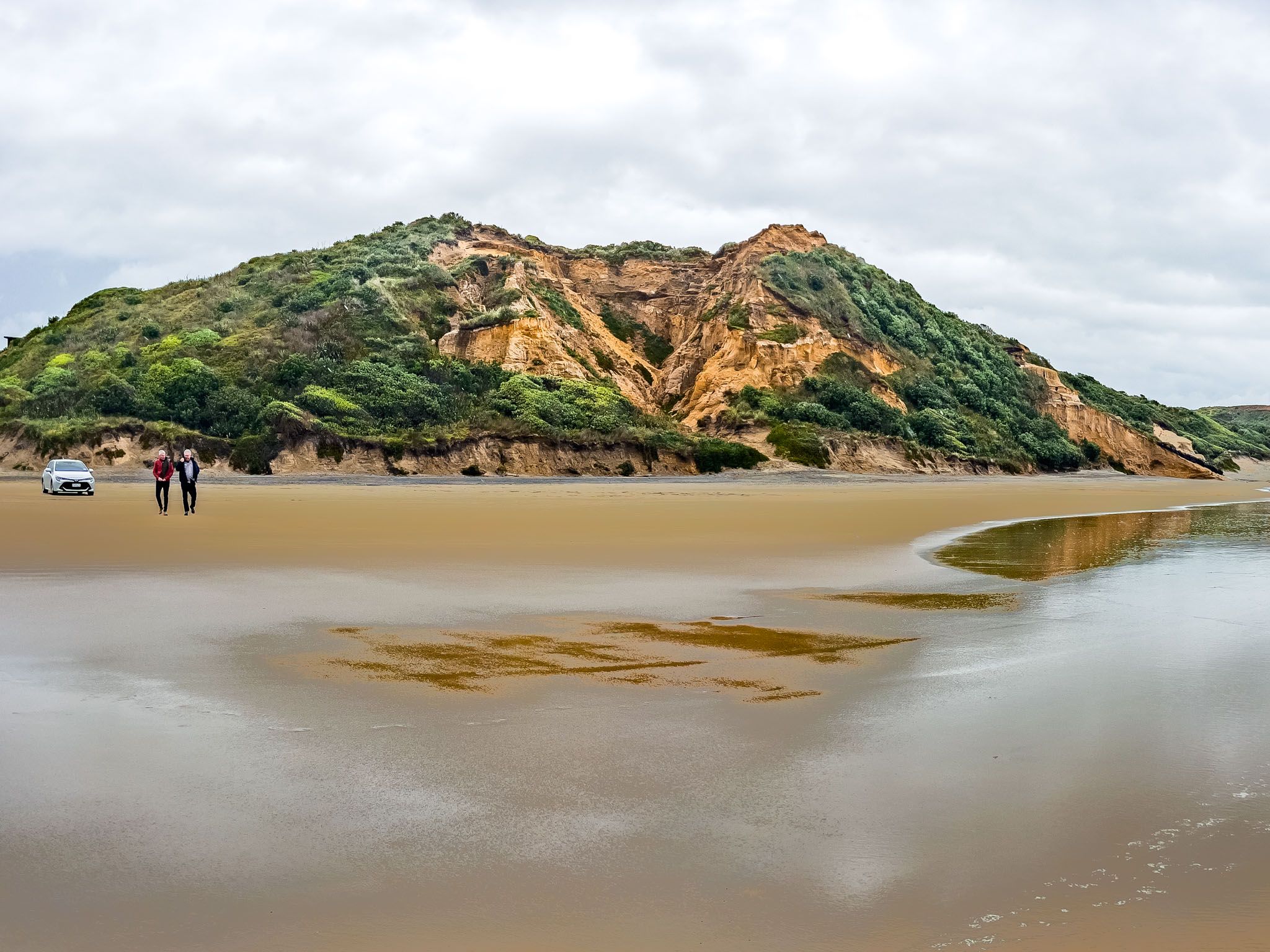
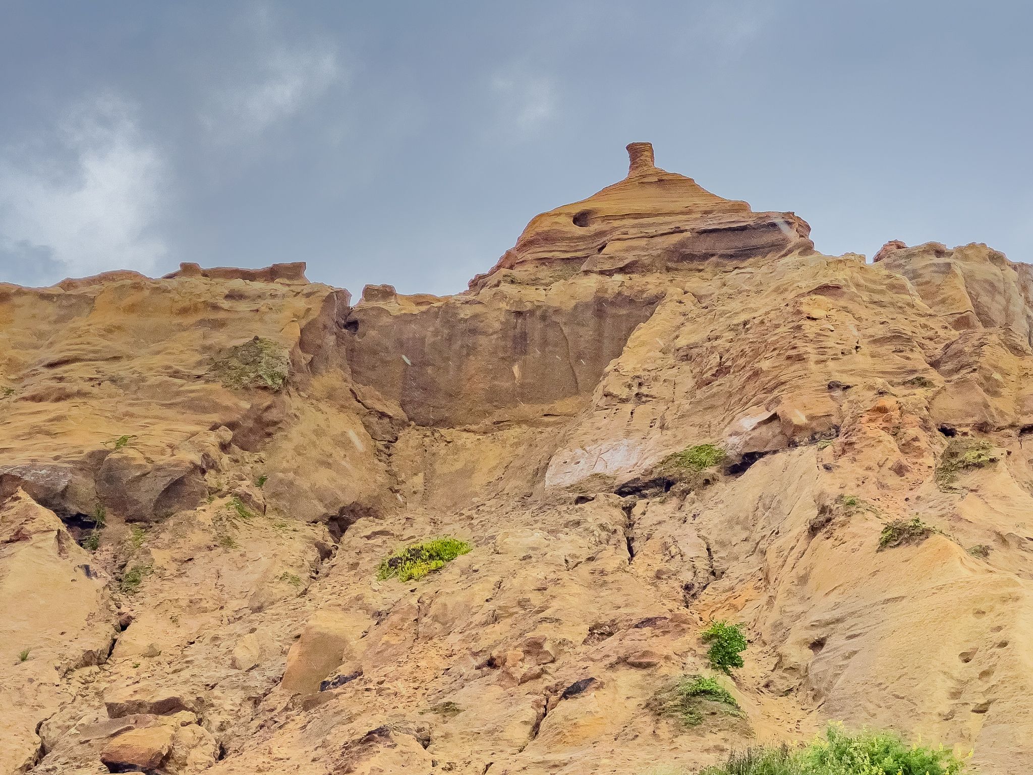
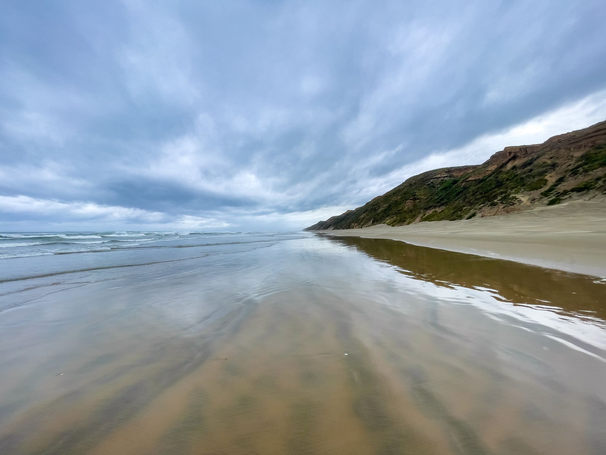
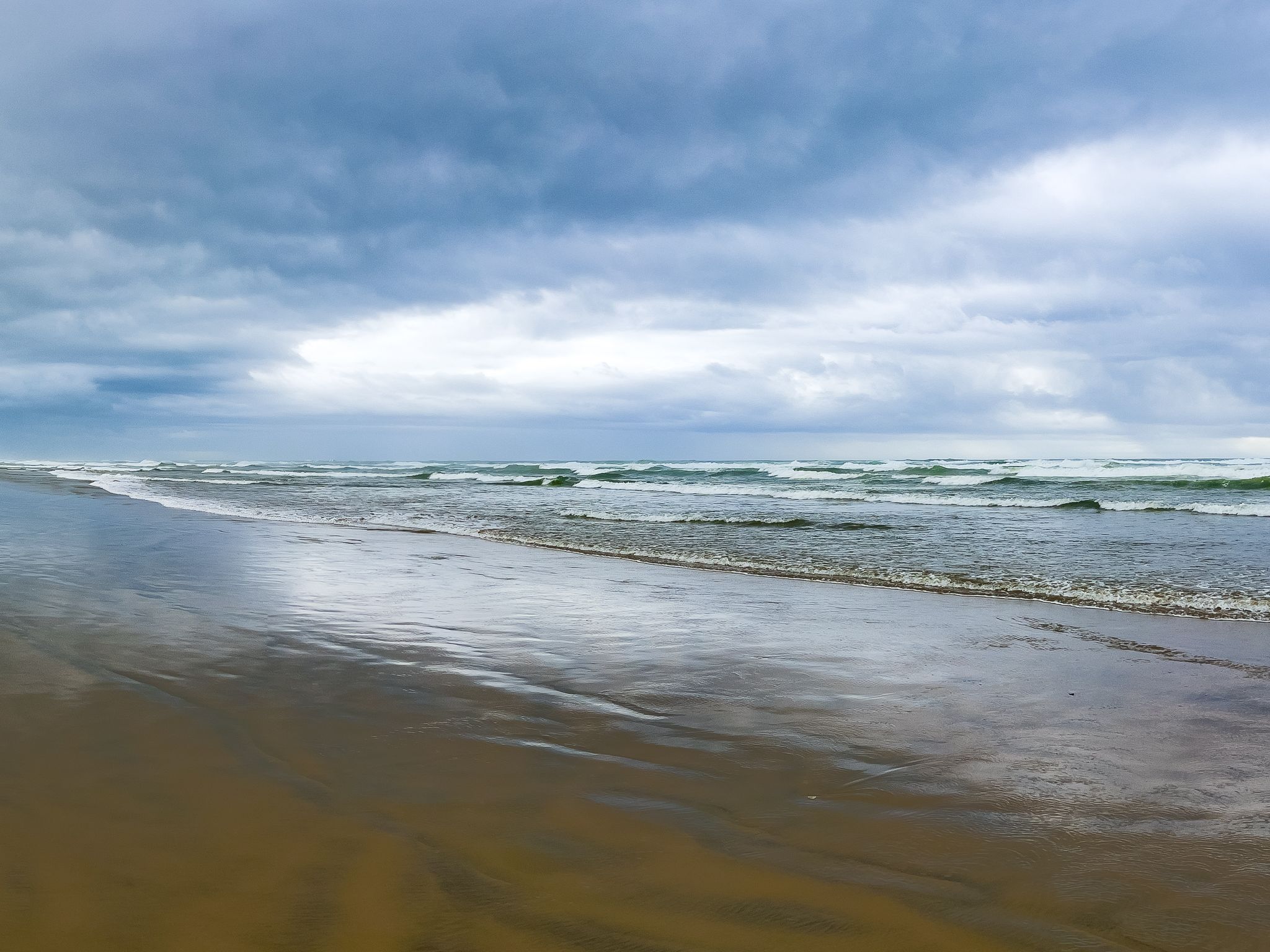
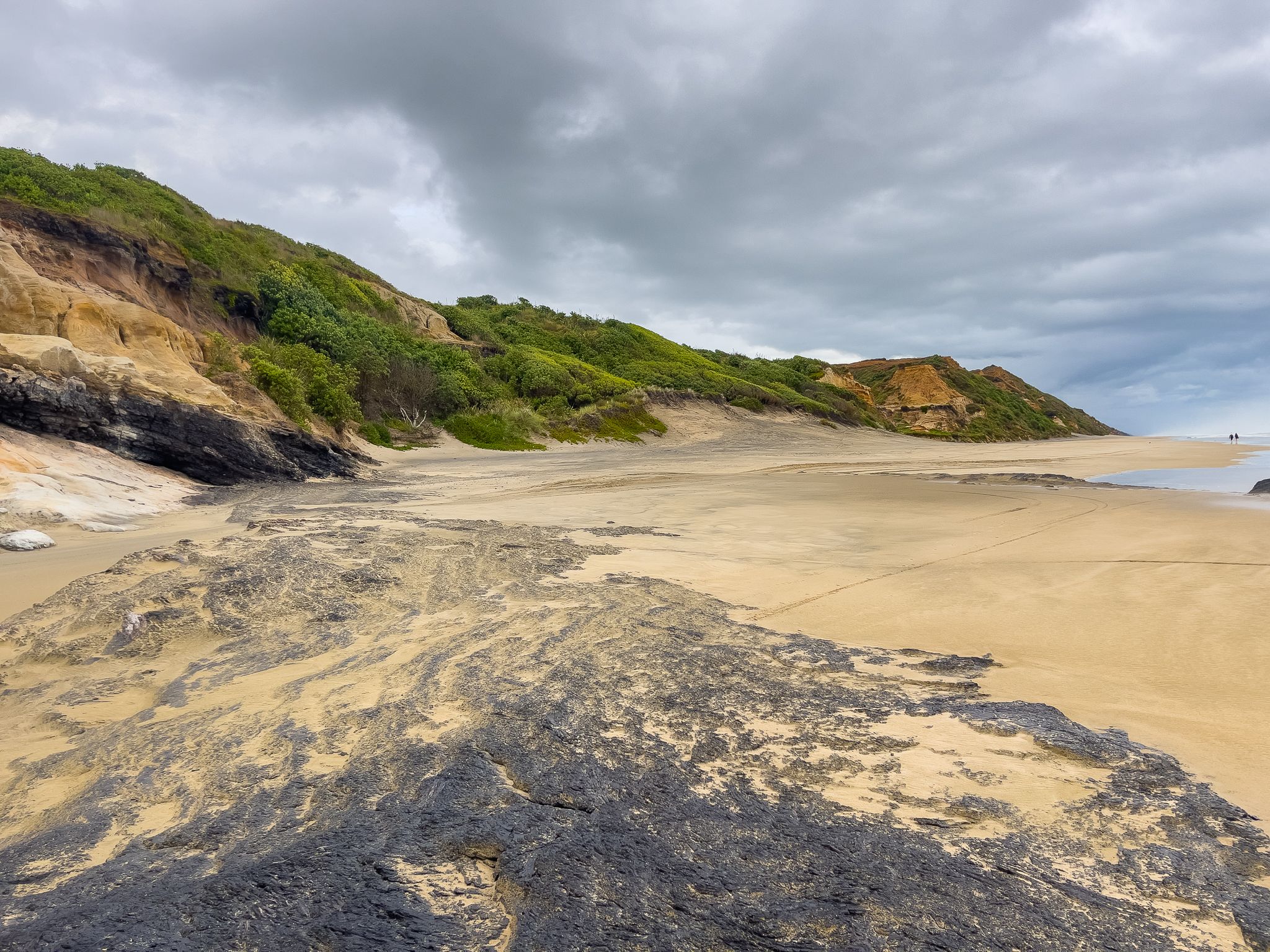
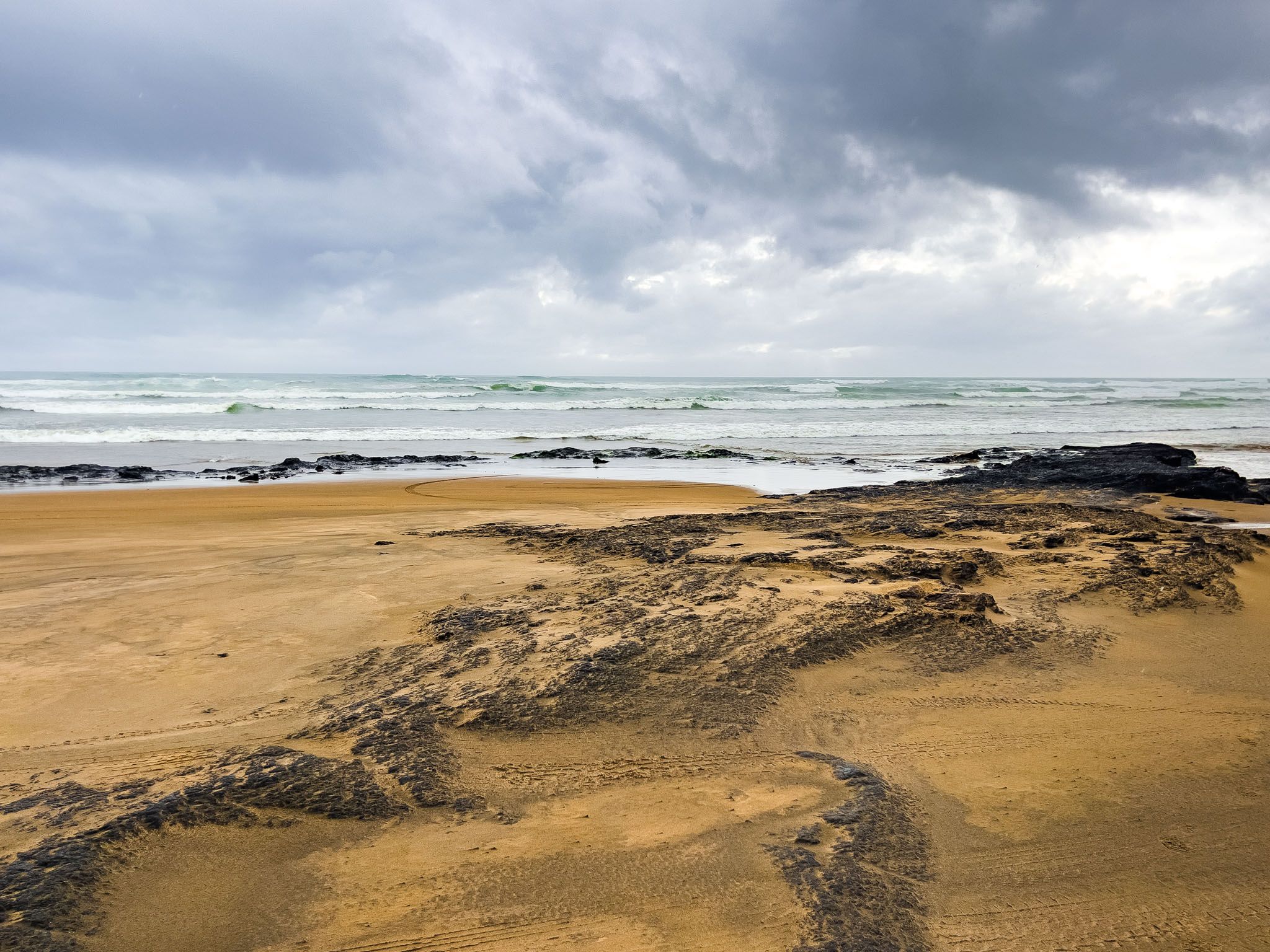
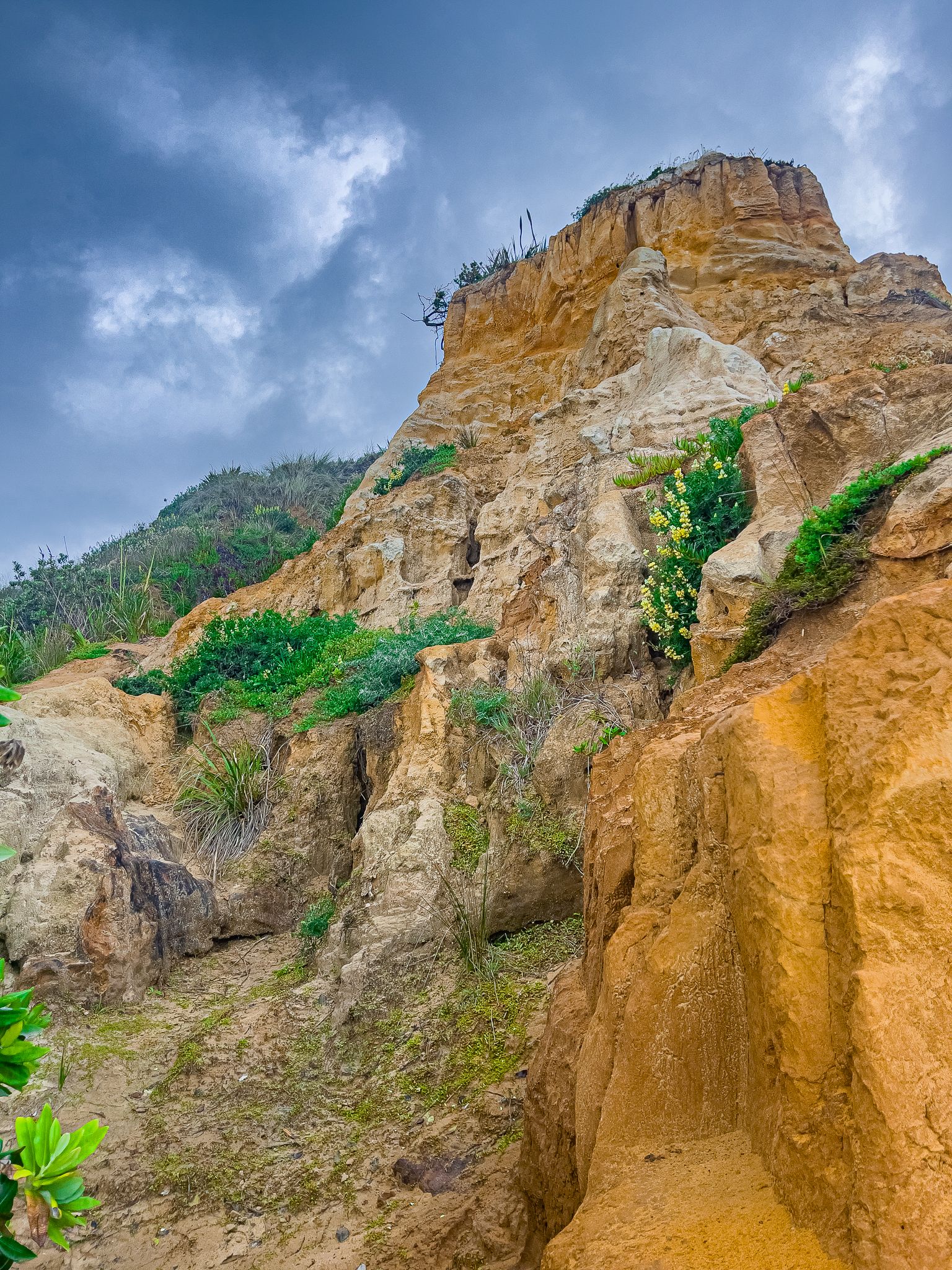
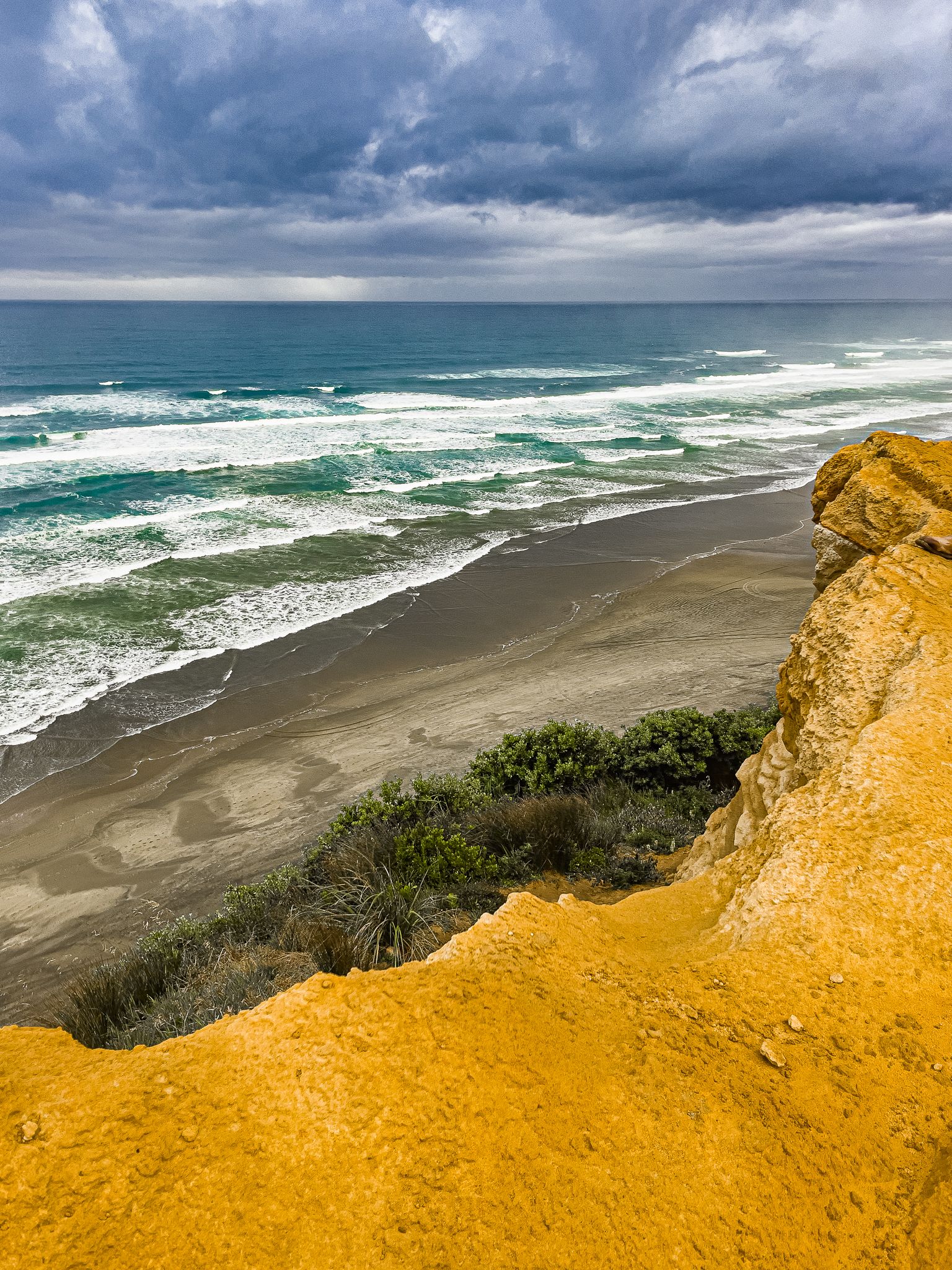
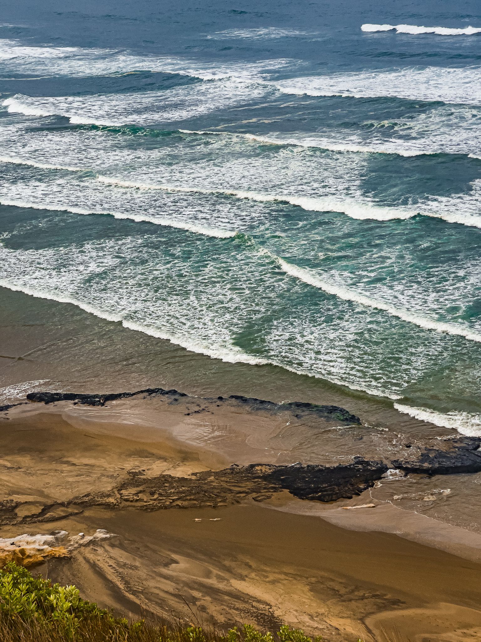
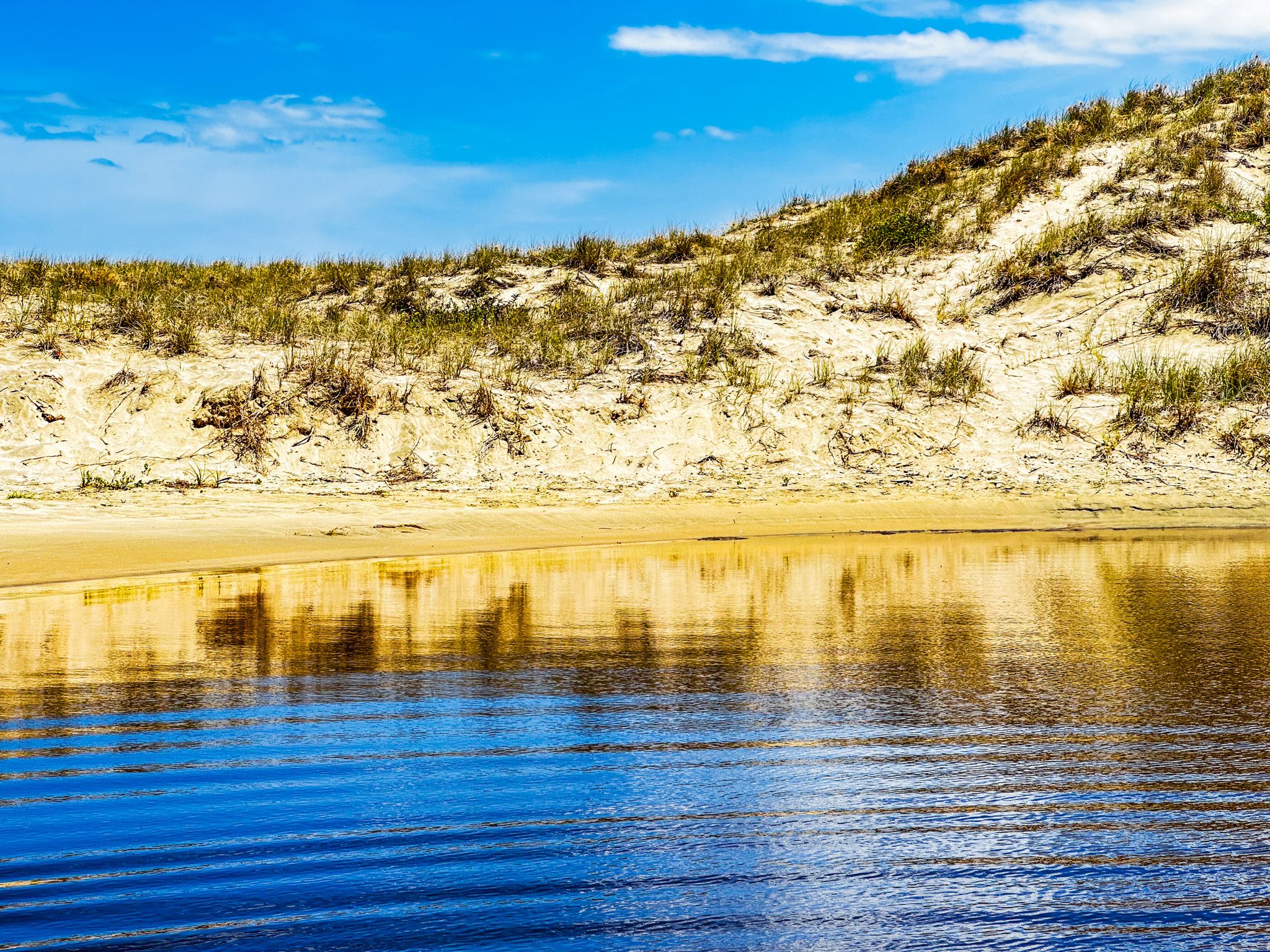
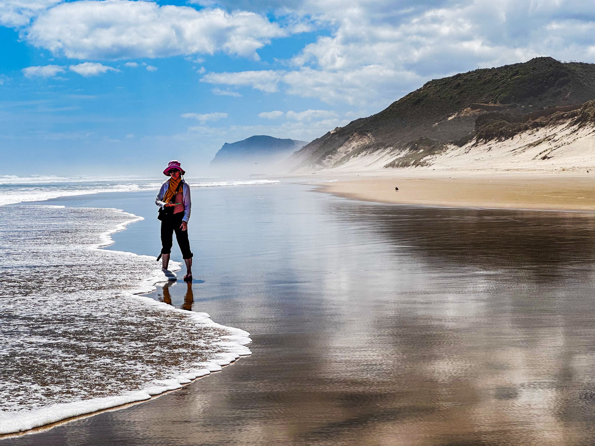
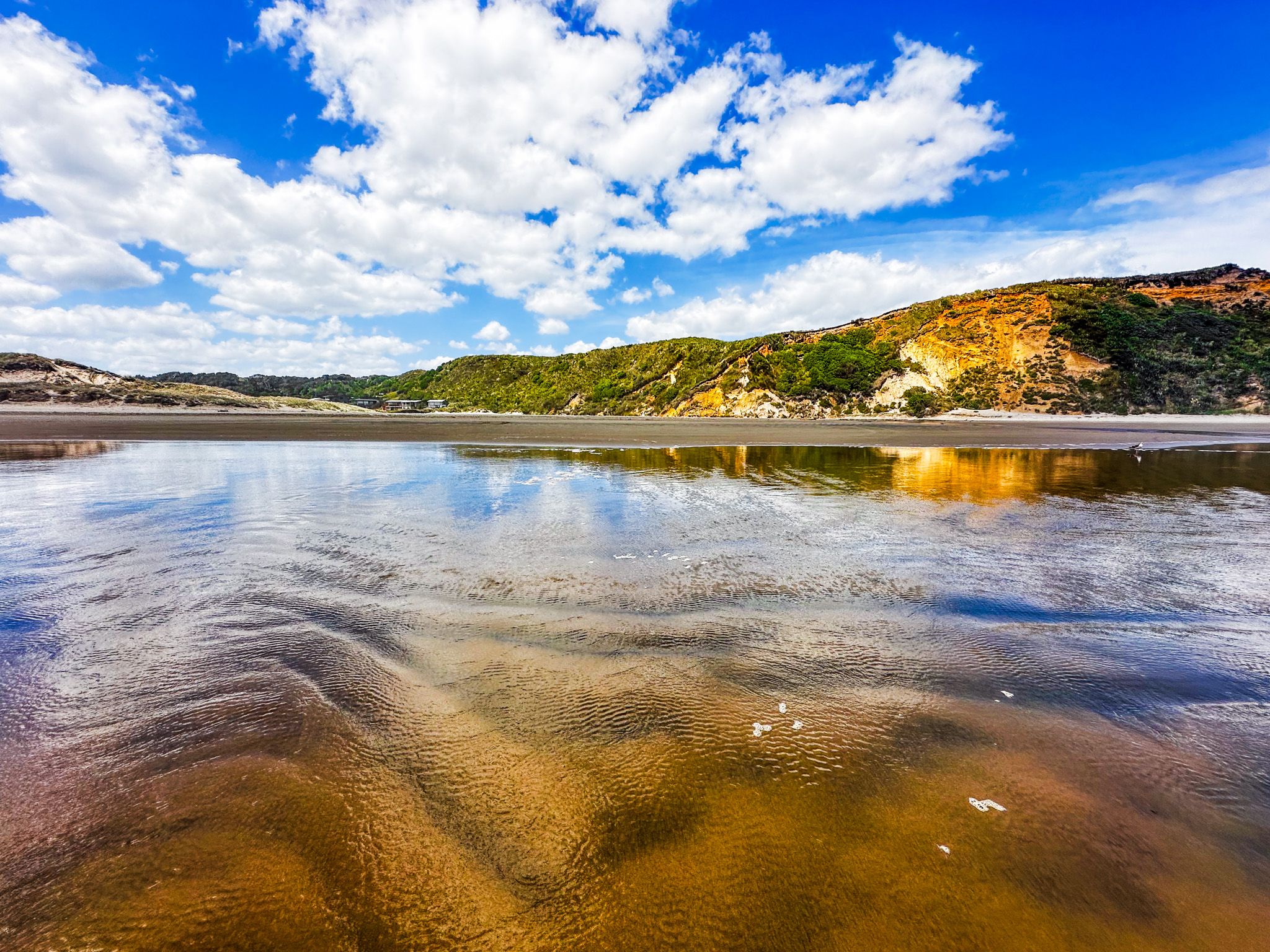
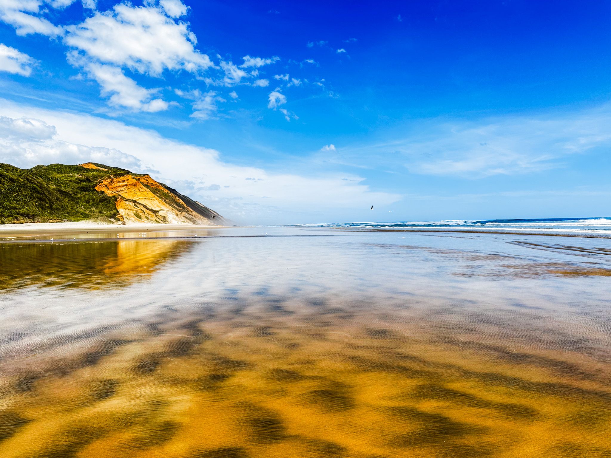
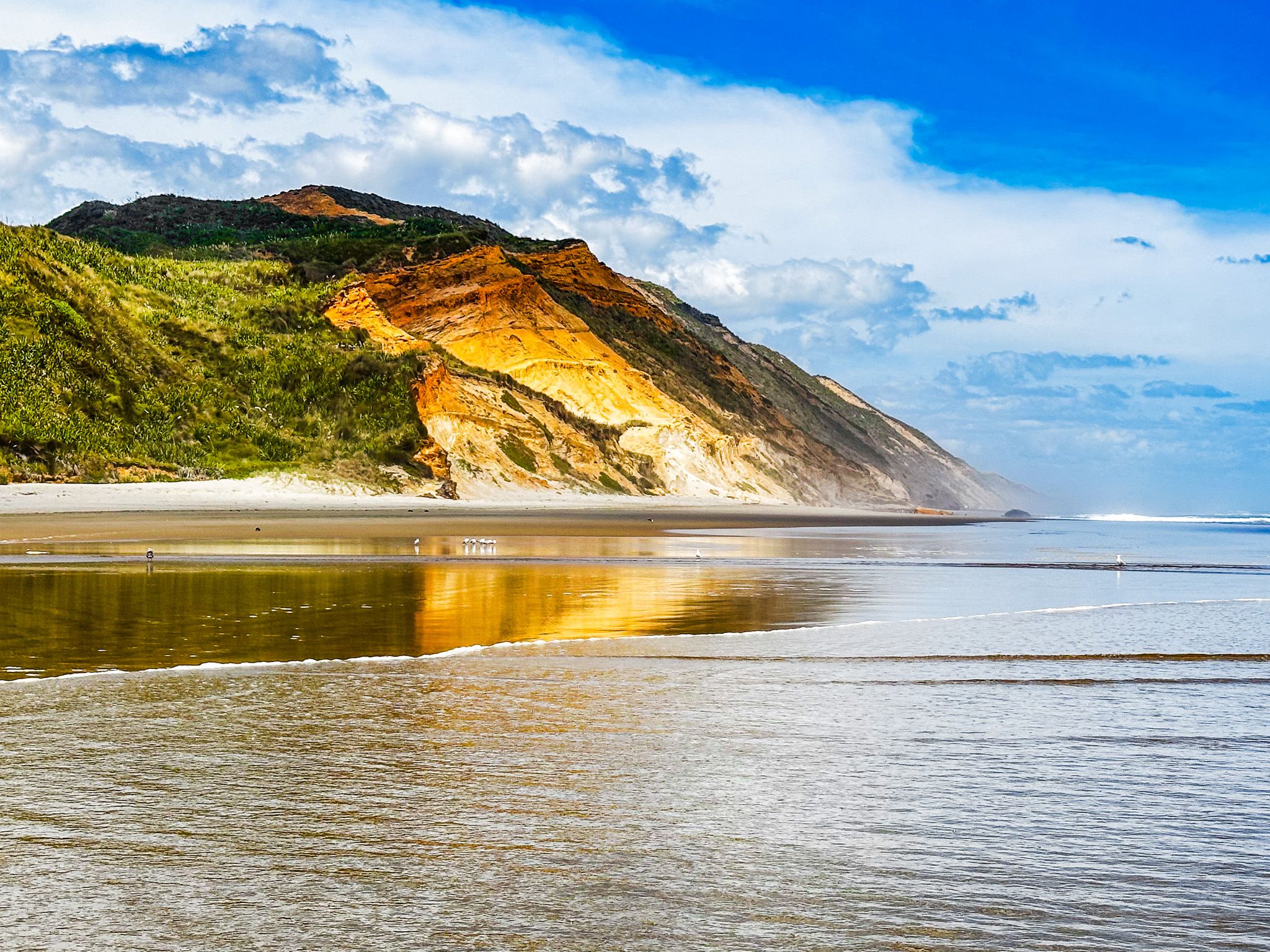
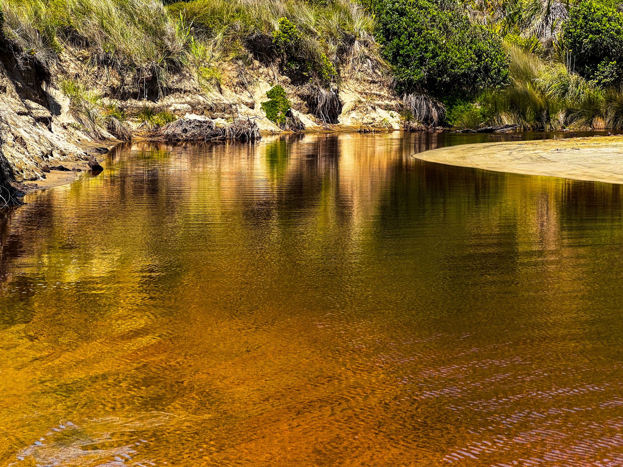
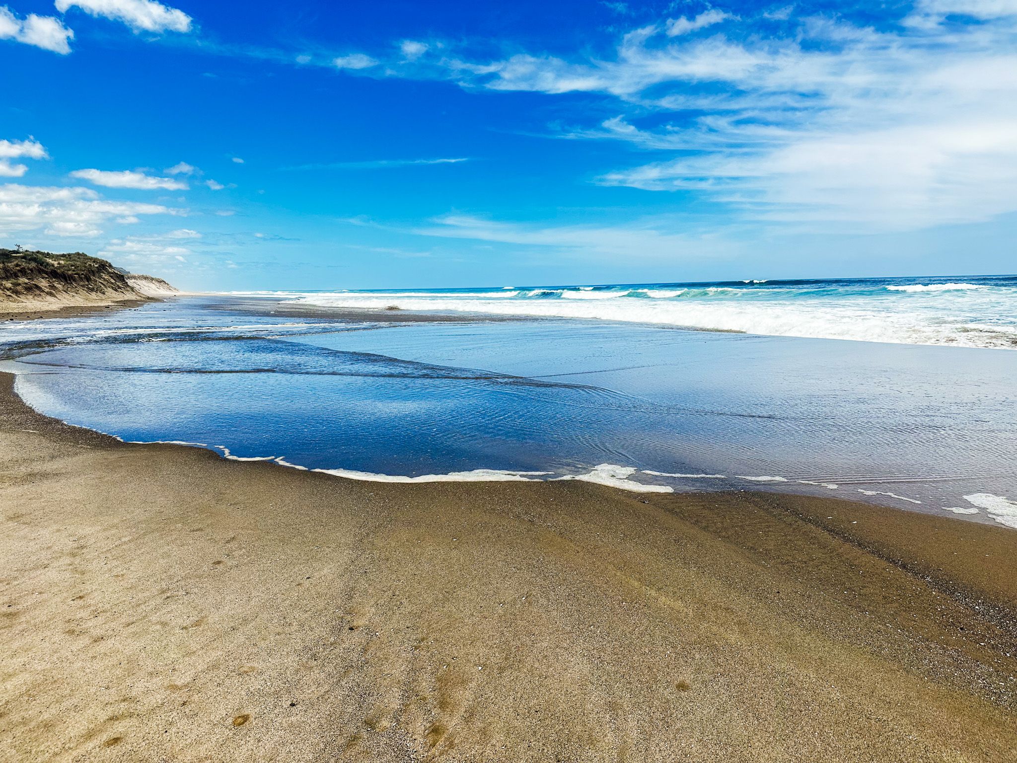
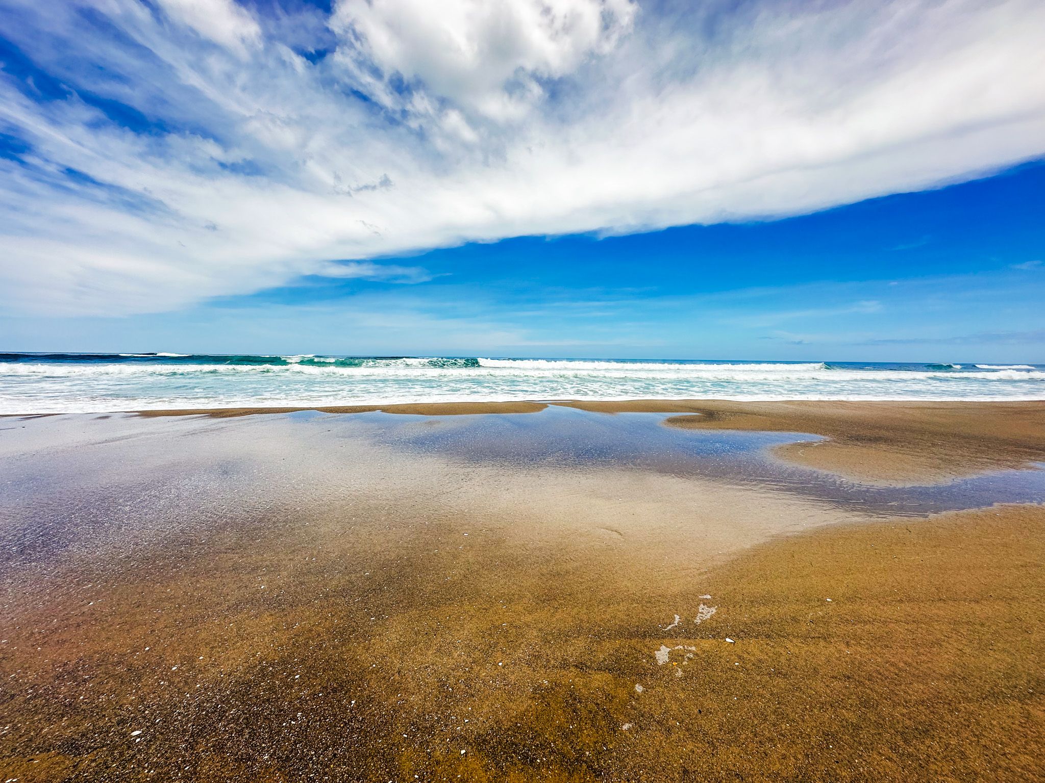
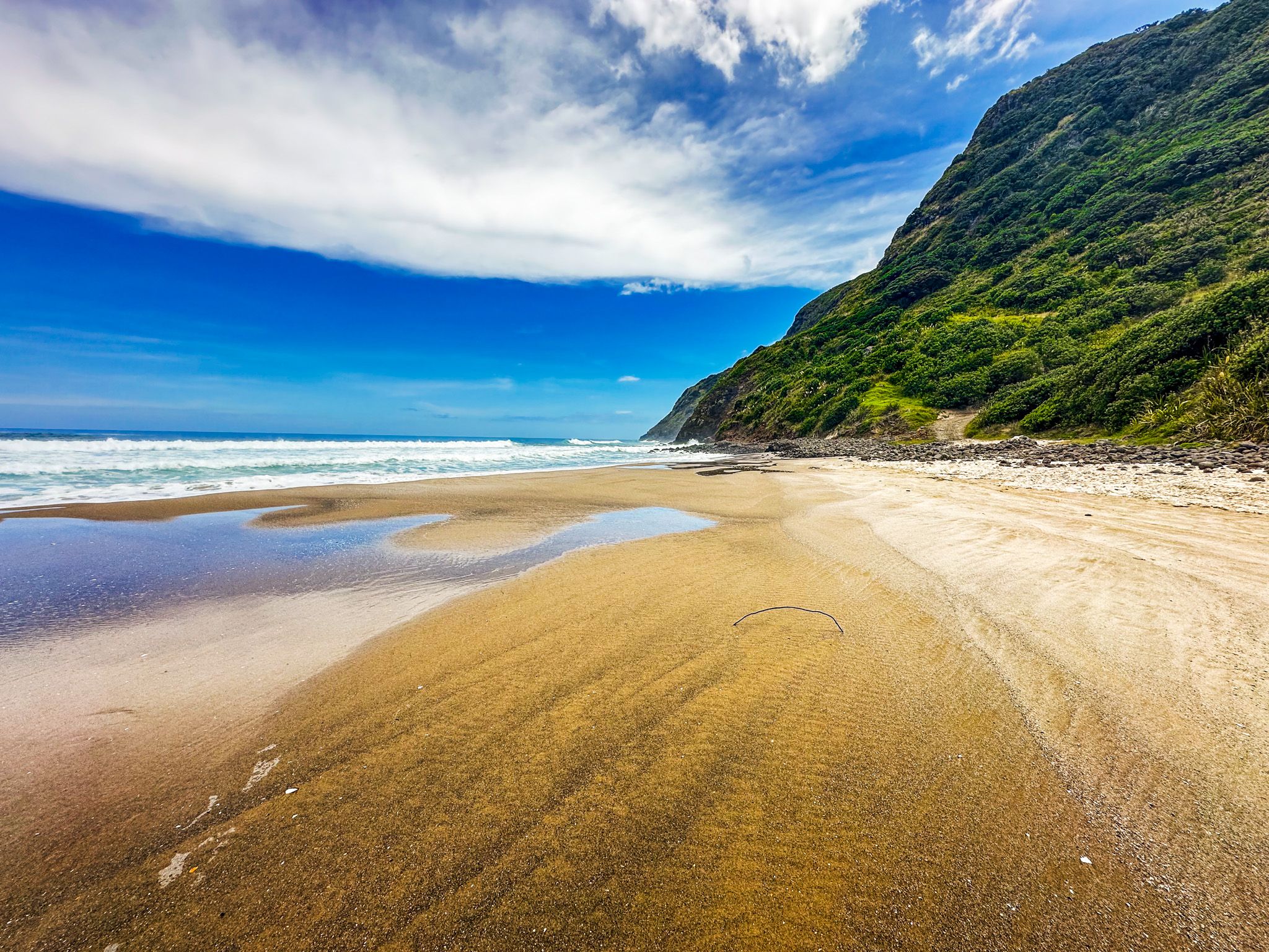
At low tide, the beach widened, unveiling an extraordinary mix of gold and black patterns, while the sandstone cliffs reflected off the colourful, shimmering sand. We were in awe, soaking up the jaw-dropping scenery as the sun set into the Tasman Sea. It was the perfect ending to our first day on the Kauri Coast. Nice and relaxing before our morning adventure.
Baylys Beach Cliff Walk
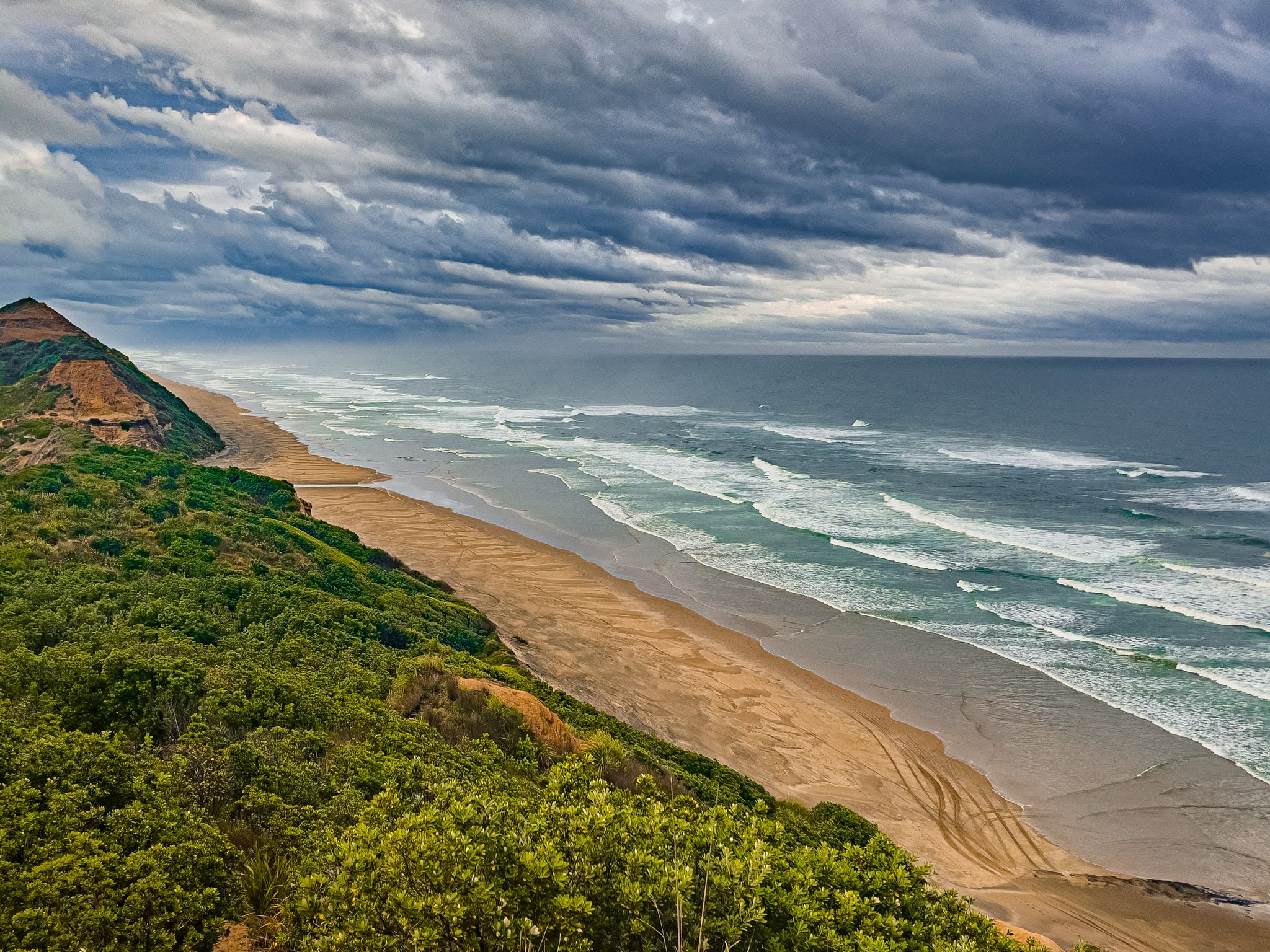
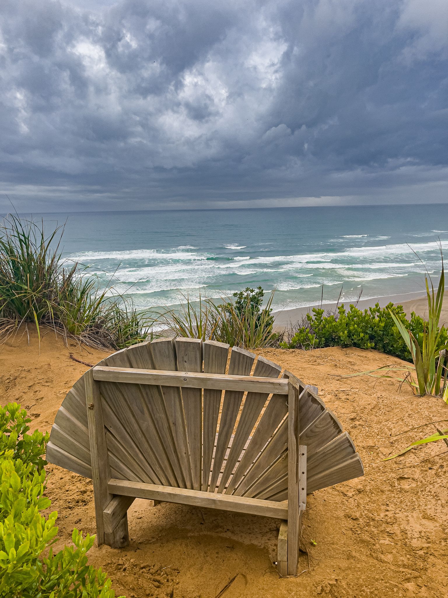
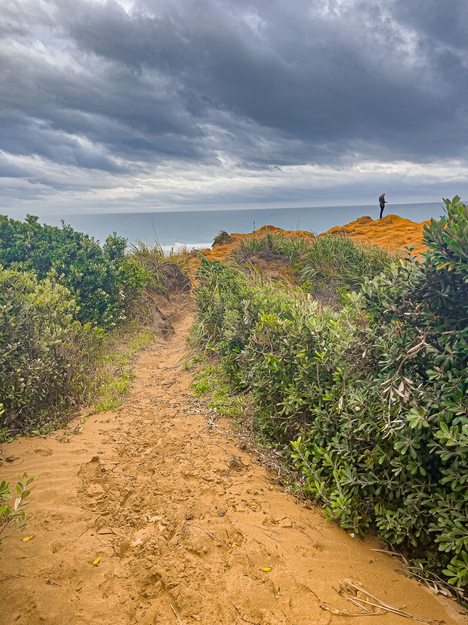
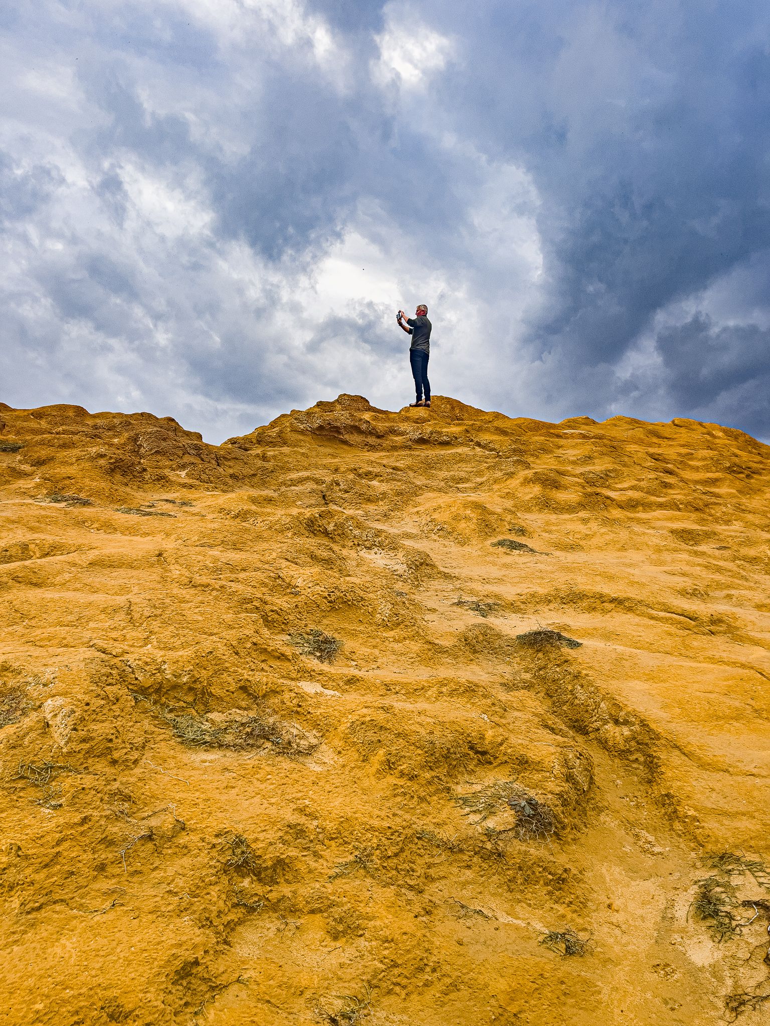
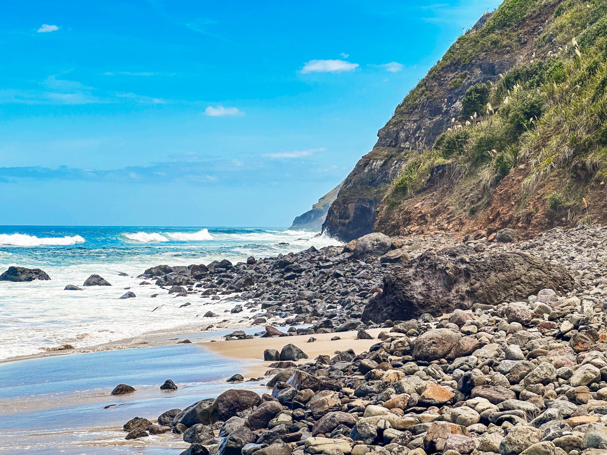
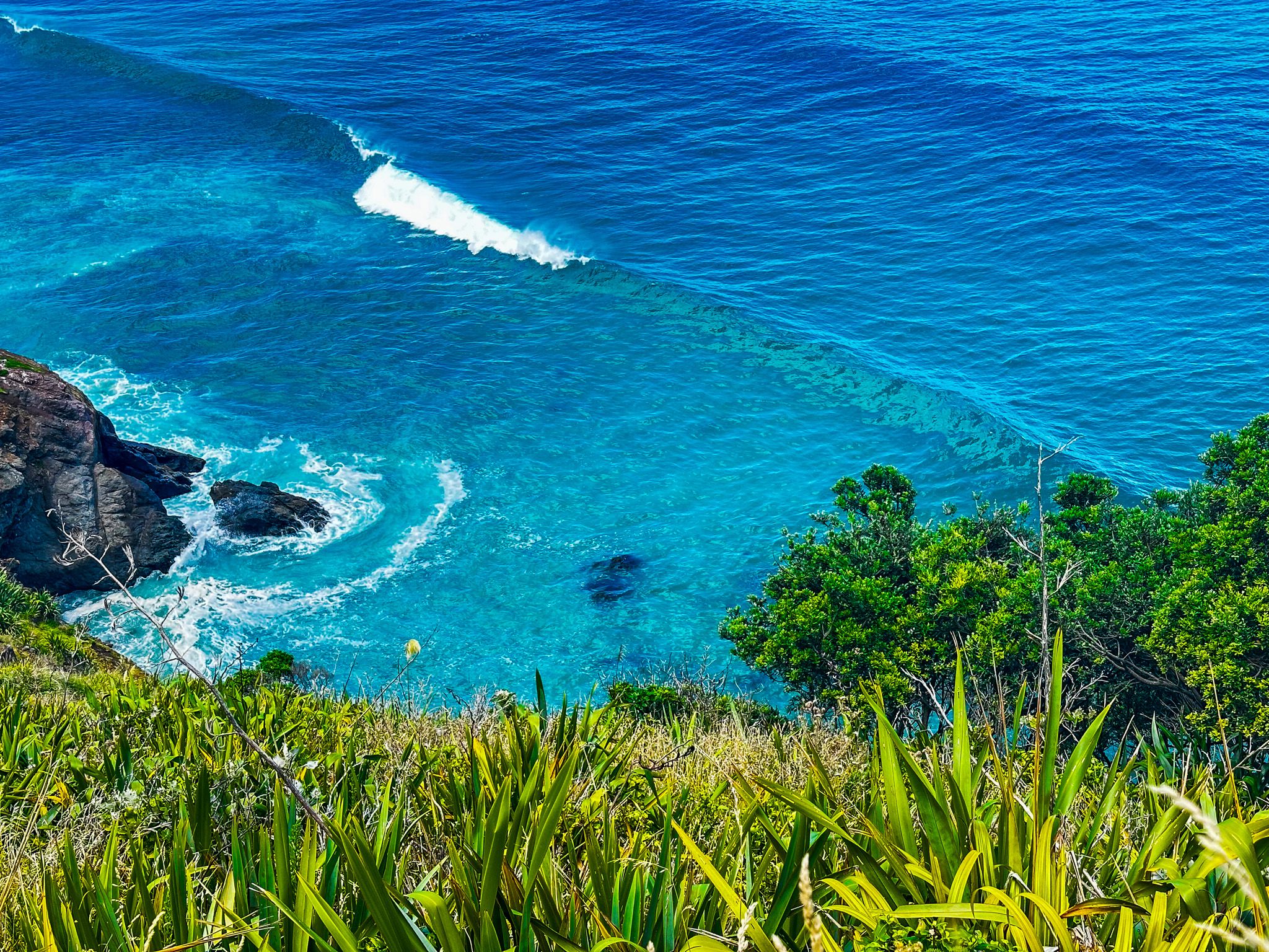
Having enjoyed the sandstone cliffs from below the previous evening, we were excited to see things from a different perspective. Following the track along the cliff tops did not disappoint, with stunning views up and down the coastline.
We timed the journey perfectly to return along the beach at low tide, checking out the exposed fossilised ancient Kauri forest on our way back to the car.
Omamari
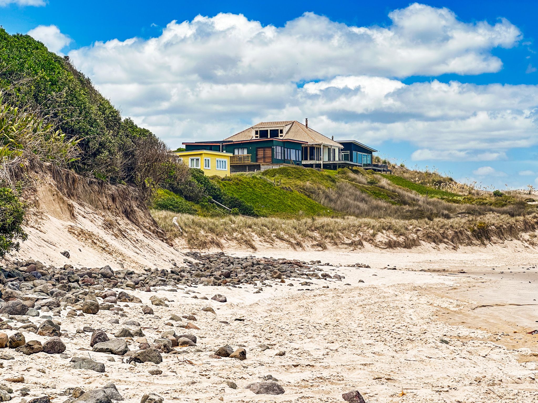
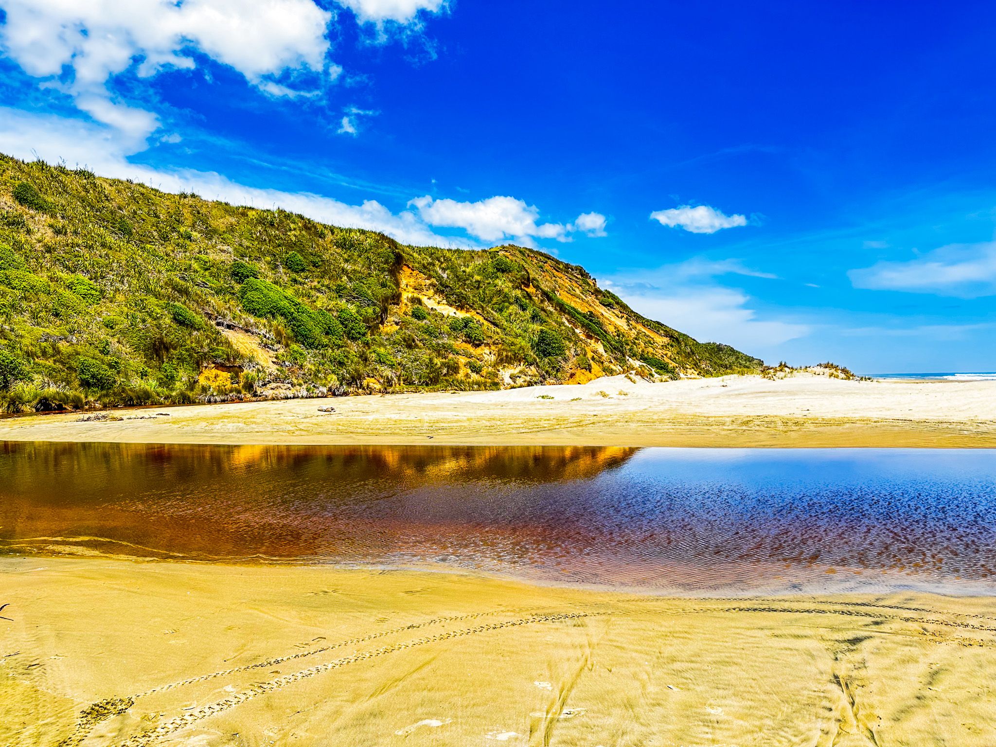
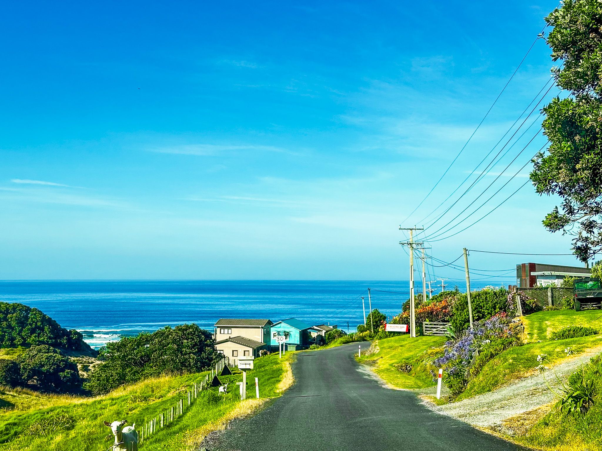
Halfway between Baylys Beach and Aranga Beach, this little hamlet sits in a gap between the dunes and cliffs, and is another access point to Ripioro Beach. This short pitstop was a great excuse to admire the colours and patterns of the sandy shoreline again.
While it is possible to drive north to Aranga Beach or south to Baylys or Glinks Gully along the beach, we chose to stick to the highway, seeing as the tide was pushing in. Also, we had other plans.
Kai Iwi Lakes
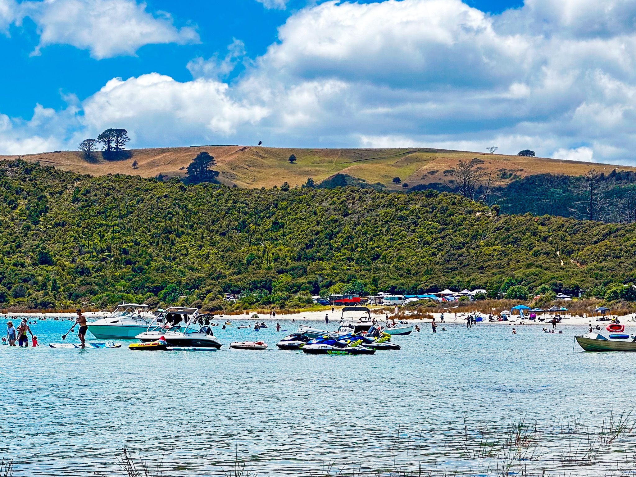
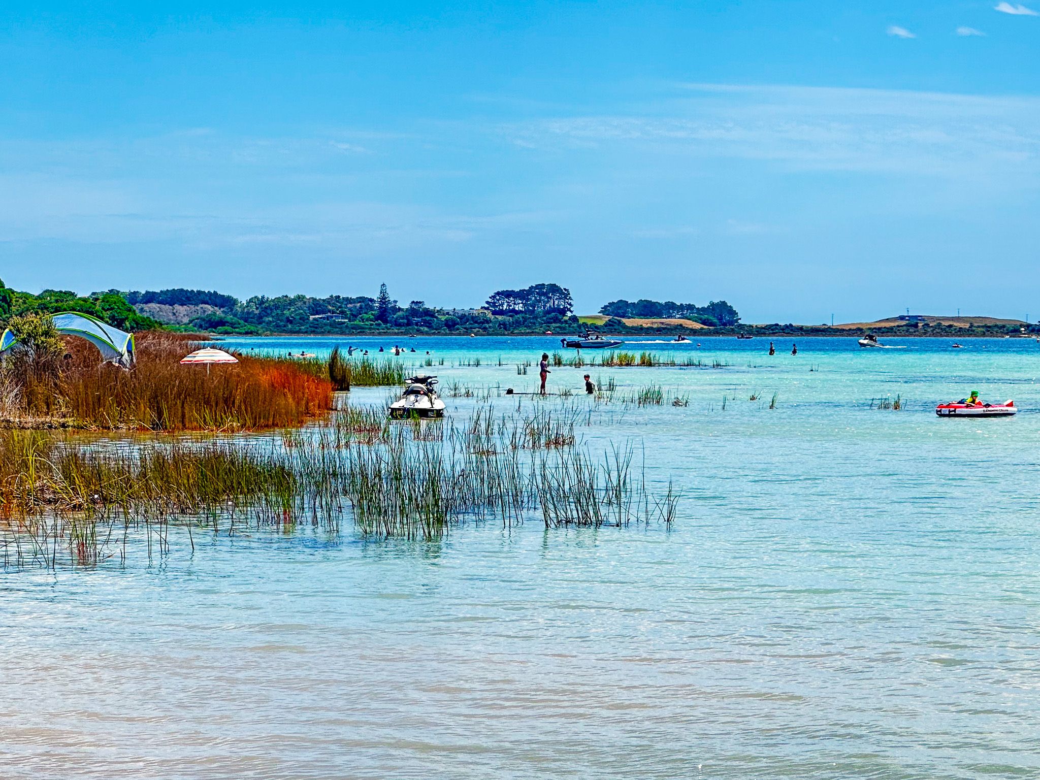
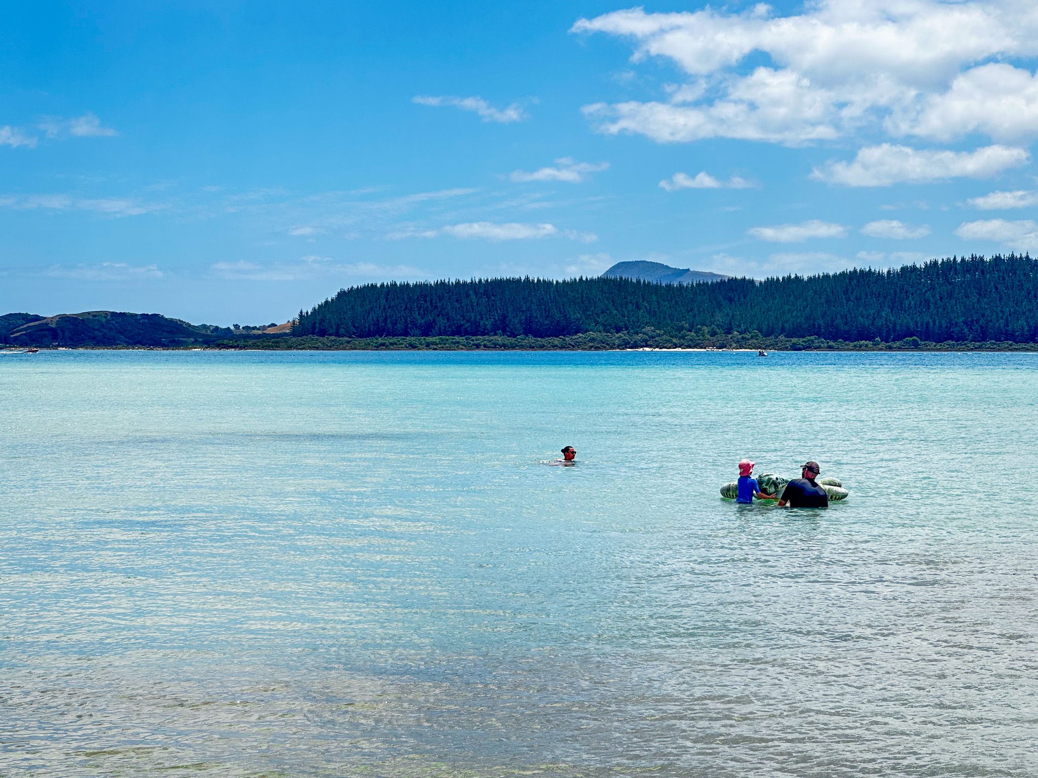
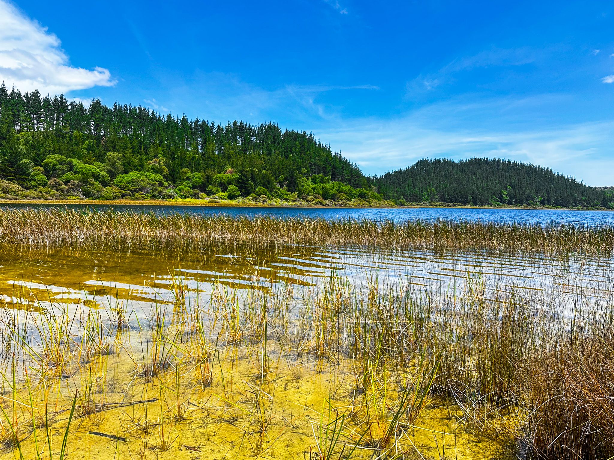
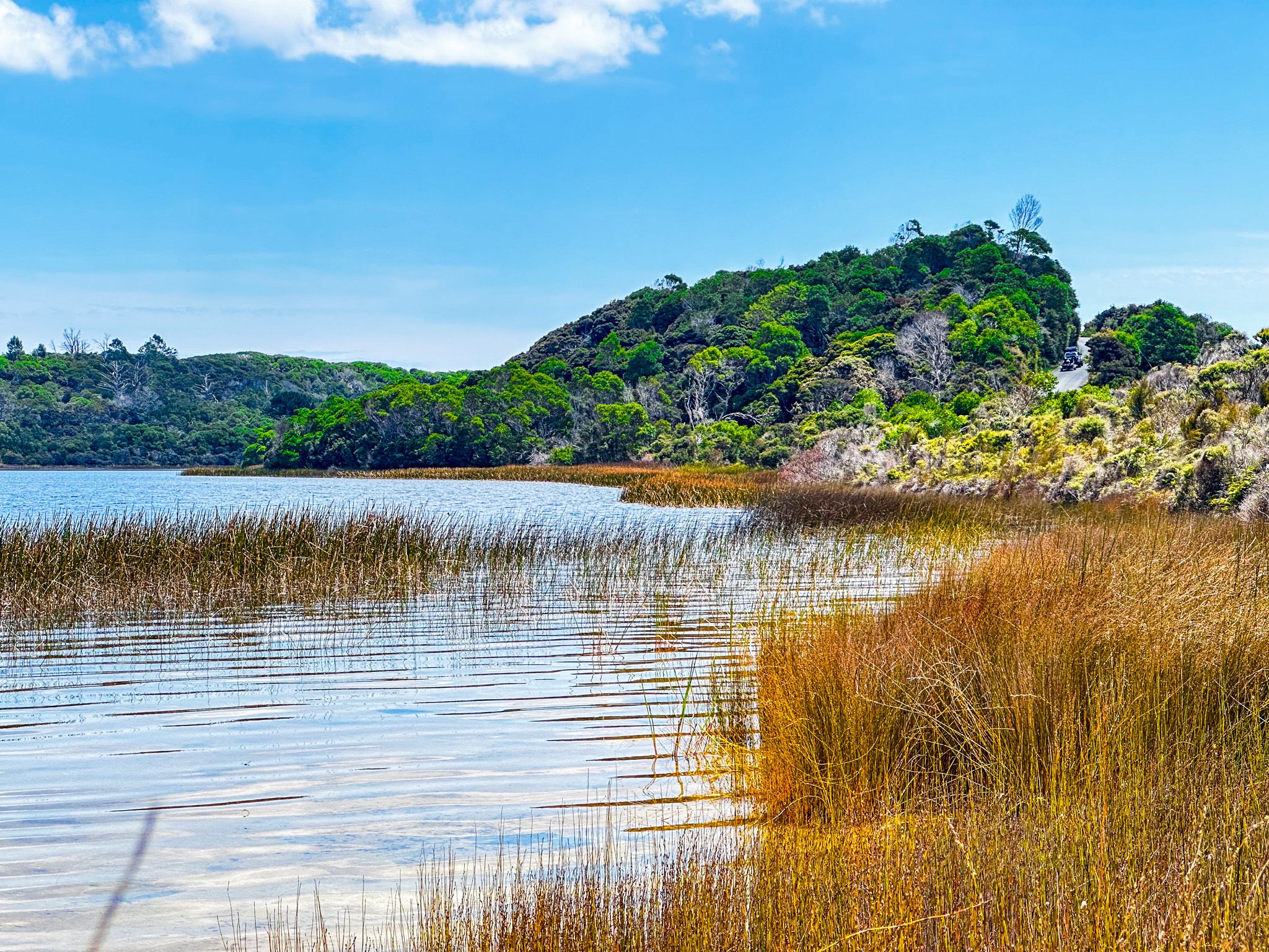
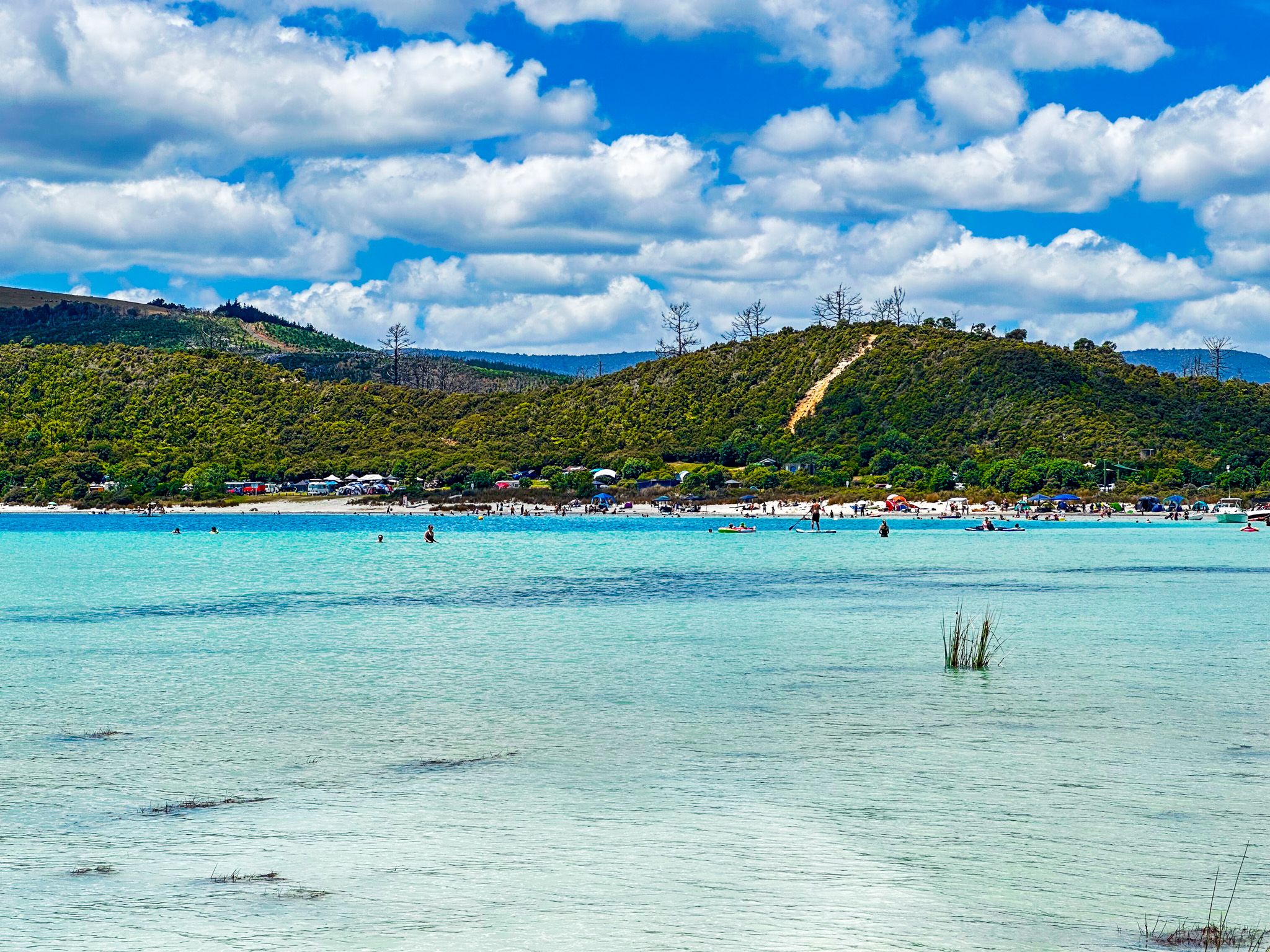
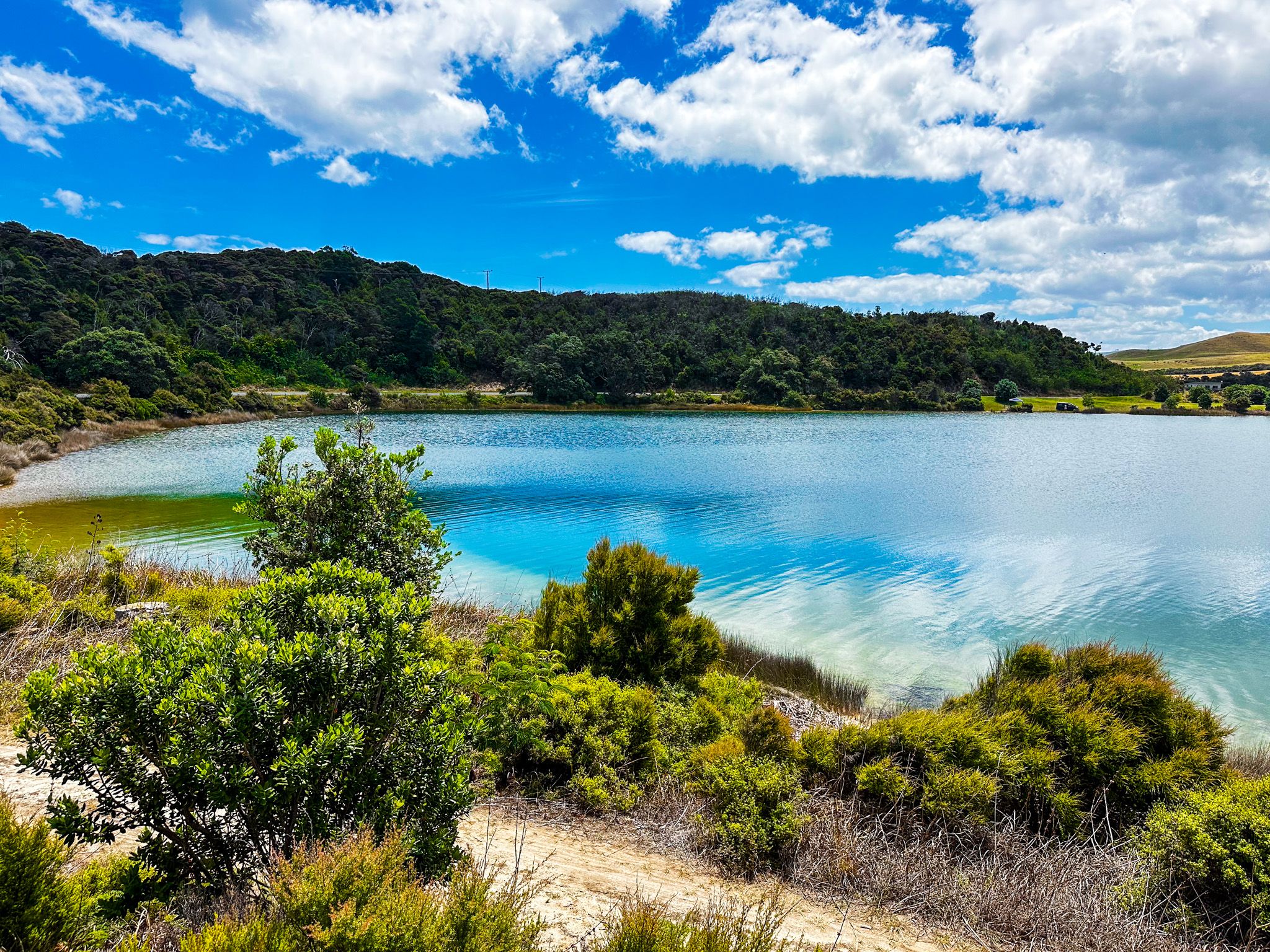
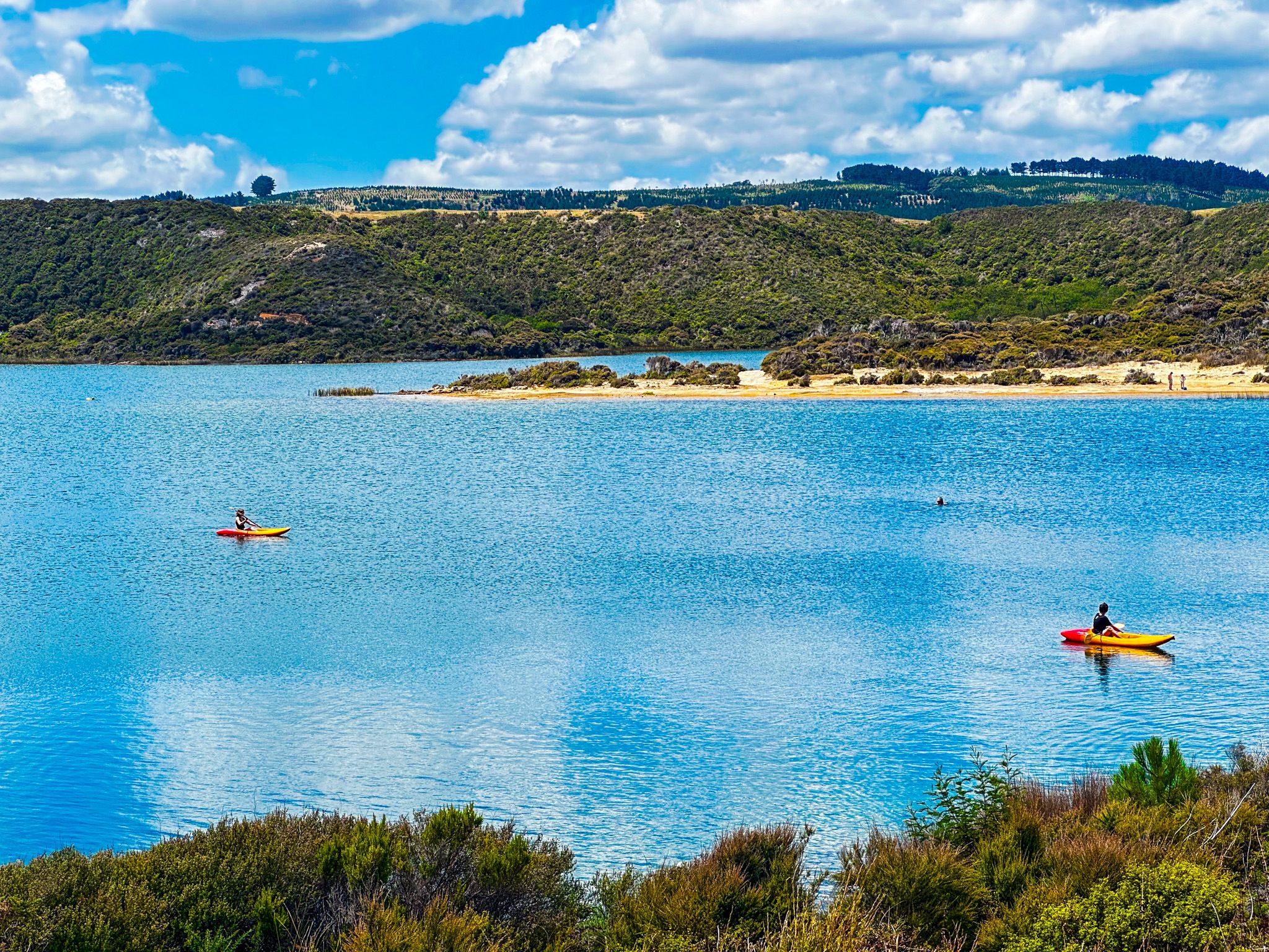
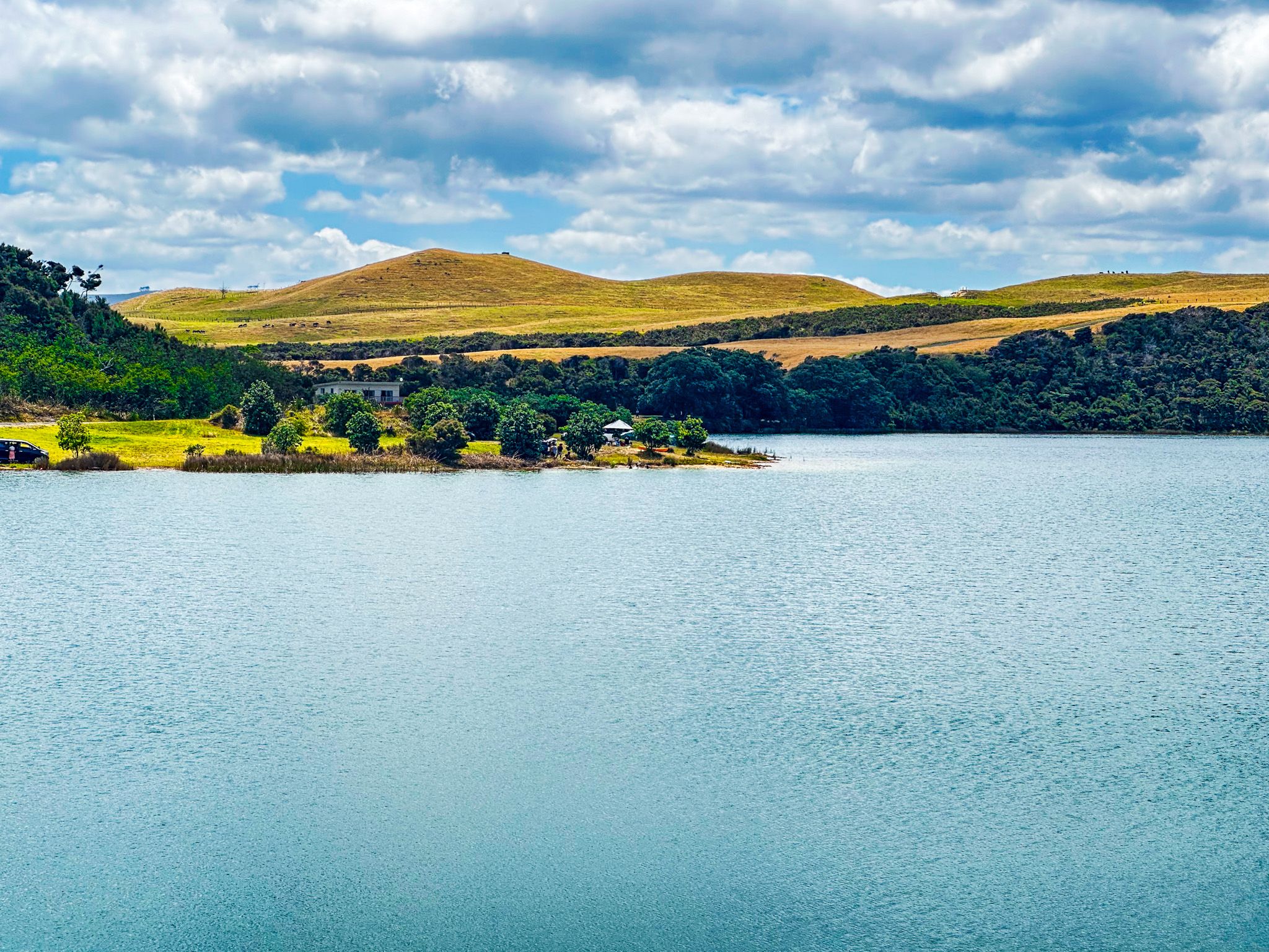
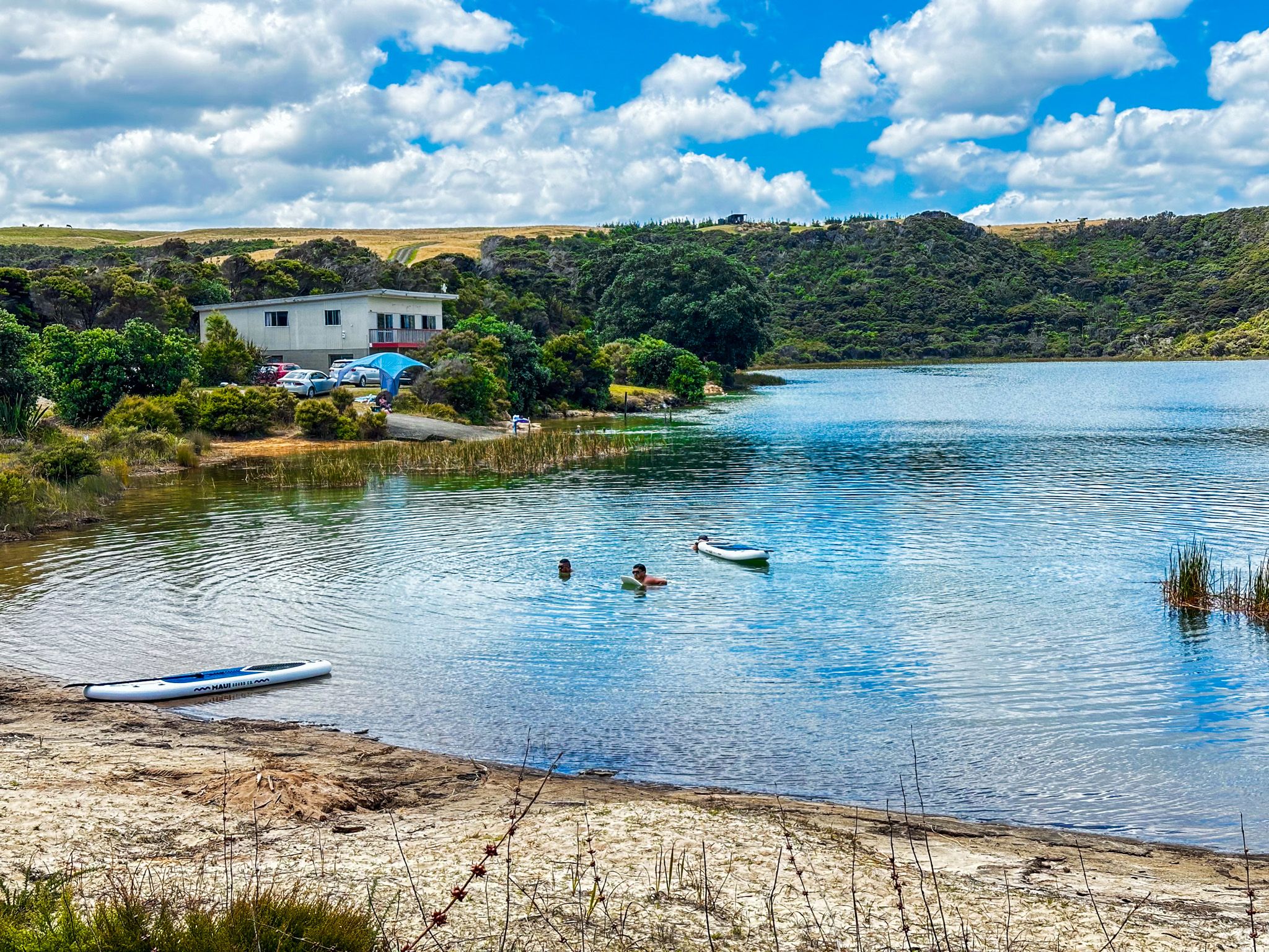
These three 1.8 million-year-old dune lakes are in an excellent location for hiking and with access to Ripiro Beach not far away. Also, their white sand and clear water make them perfect for swimming, fishing and kayaking. We settled into one of two commercial campgrounds for the night before continuing north for a walk in the morning.
Aranga Beach
Once a hub for the Kauri gum industry, this small beach community is located at the north end of Ripiro Beach. It's also located on the southern edge of Maunganui Bluff and is sometimes called Maunganui Beach.
We set up in the campground for the evening to get a good sleep. The following day, we were venturing out on our longest walk of the trip.
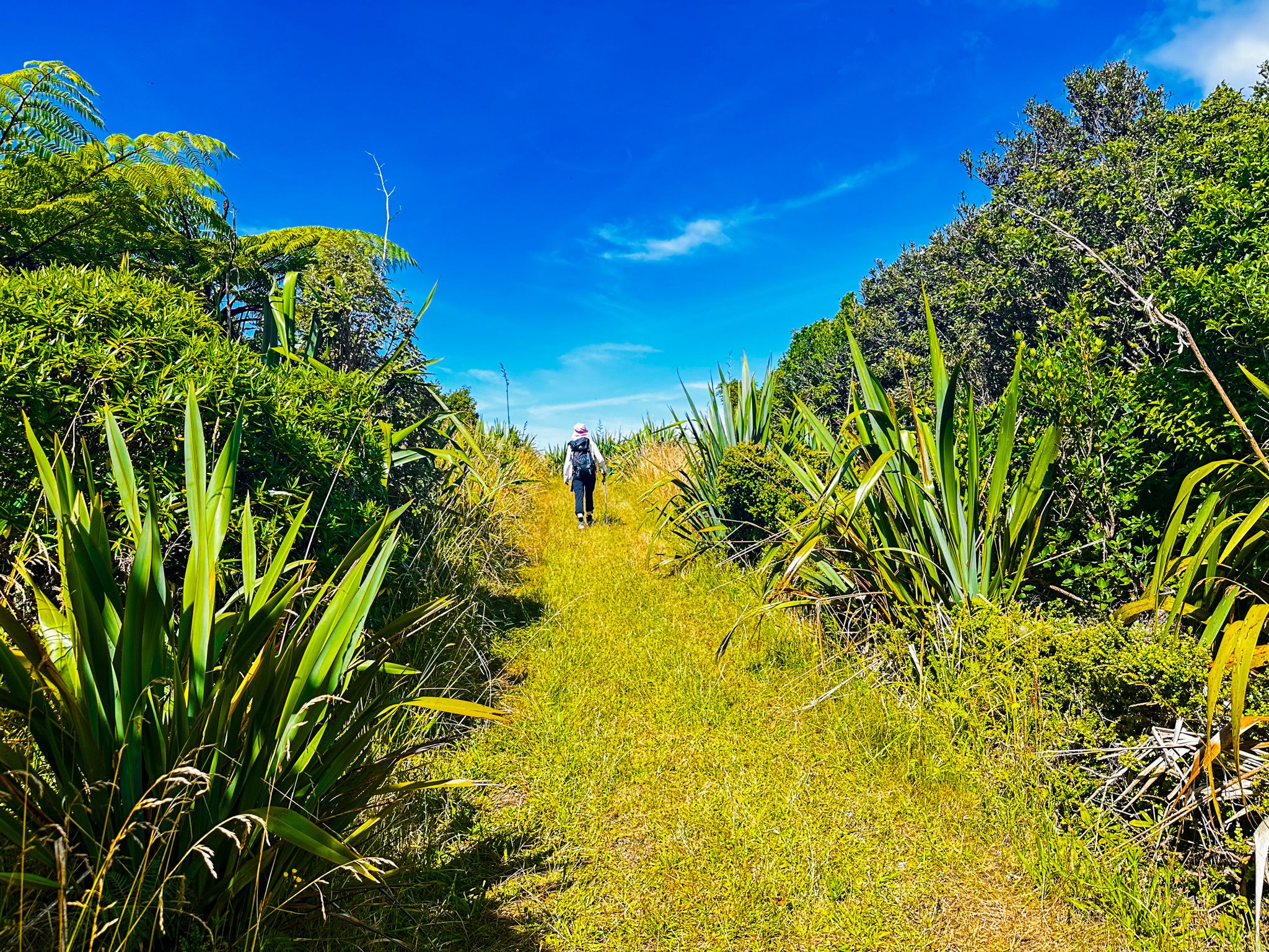
Maunganui Bluff Track
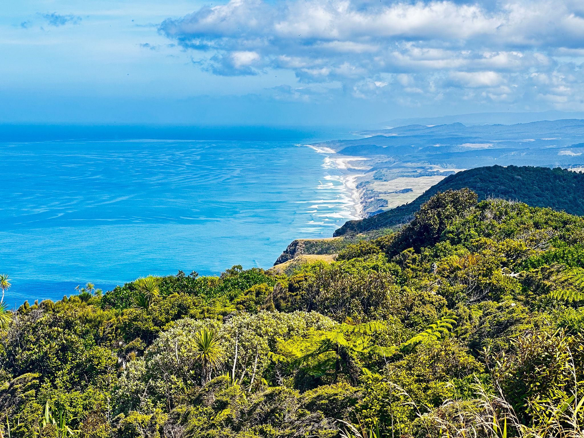
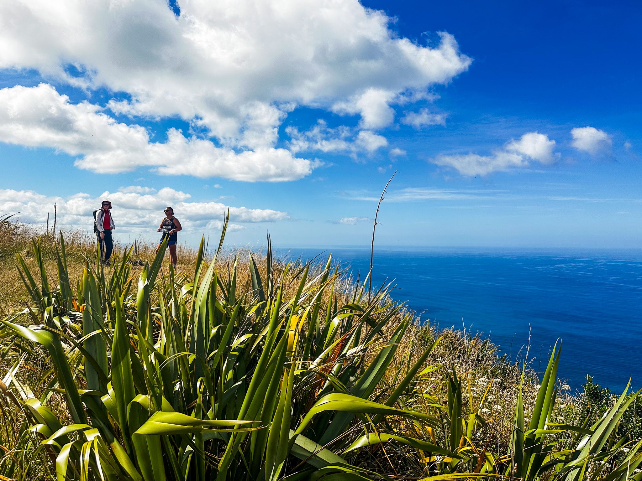
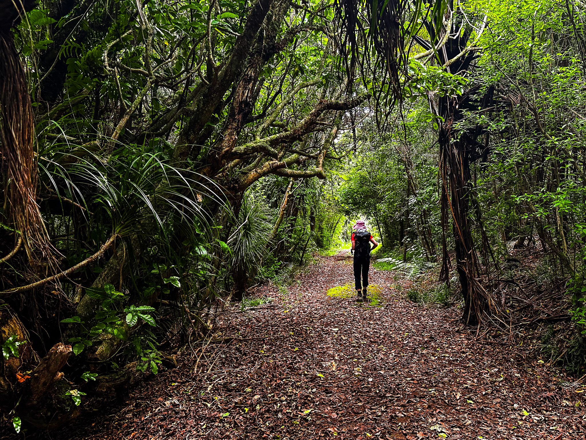
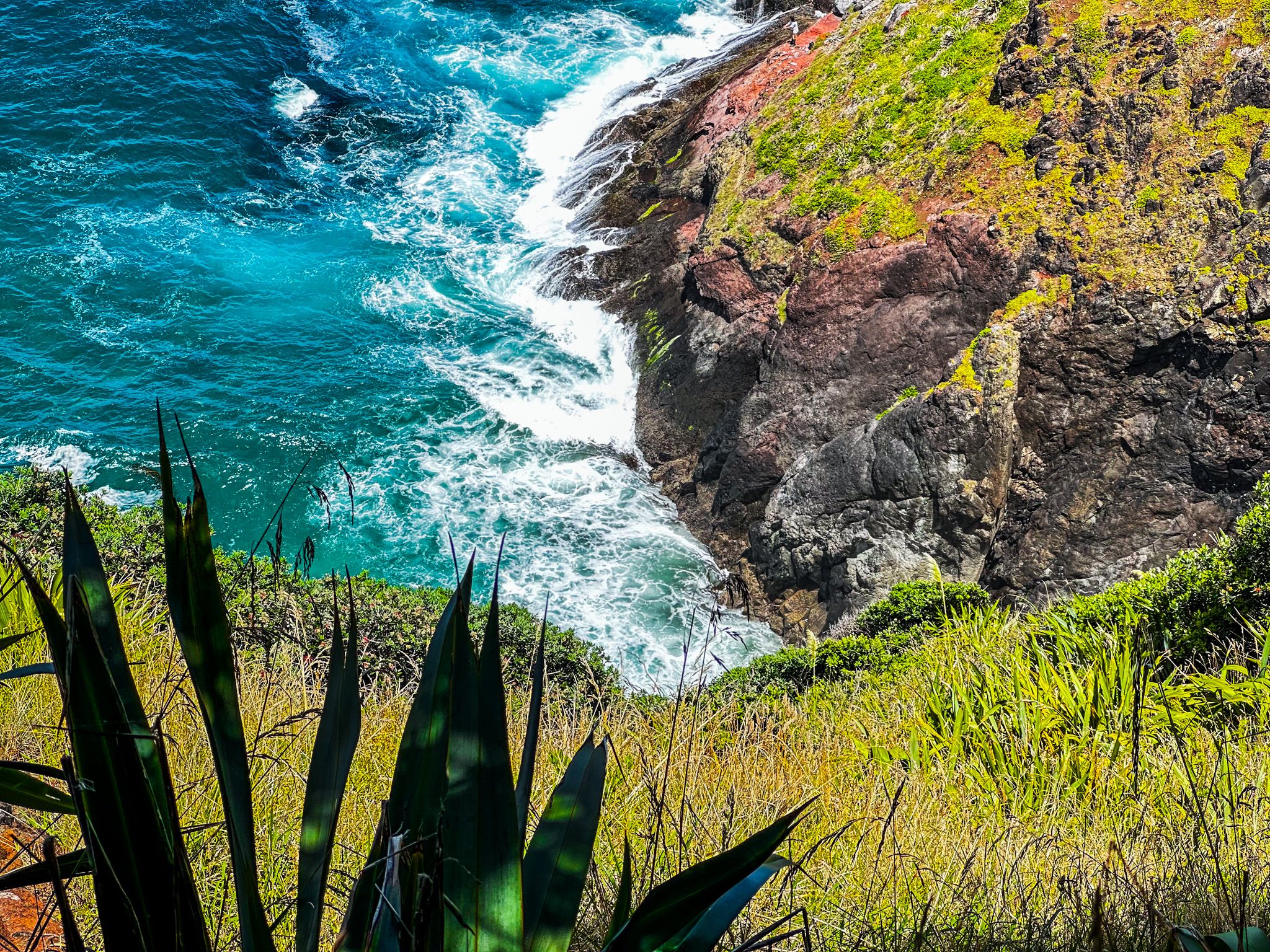
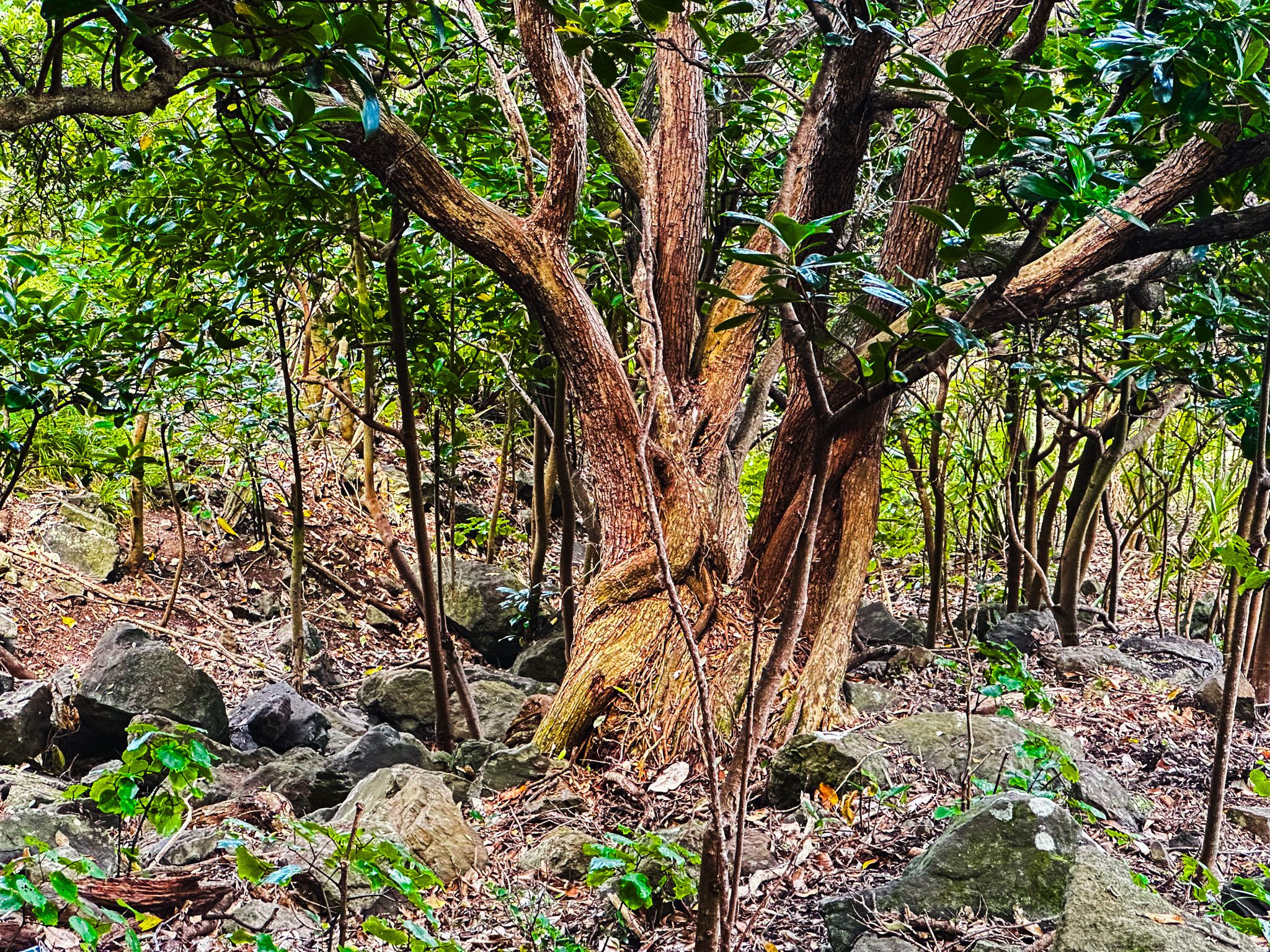
With incredible beach views, waves crashing off the bluffs, and stunning forest, each step taken was another photo opportunity.
After a picnic on the summit, we retraced our steps and returned to camp a half day after we set out. It was a tough spot to leave, but we were off to see the stars of the show in Waipoua Forest.
Interested in other trips around Northland? Discover the Bay of Islands and Hokianga with us!
