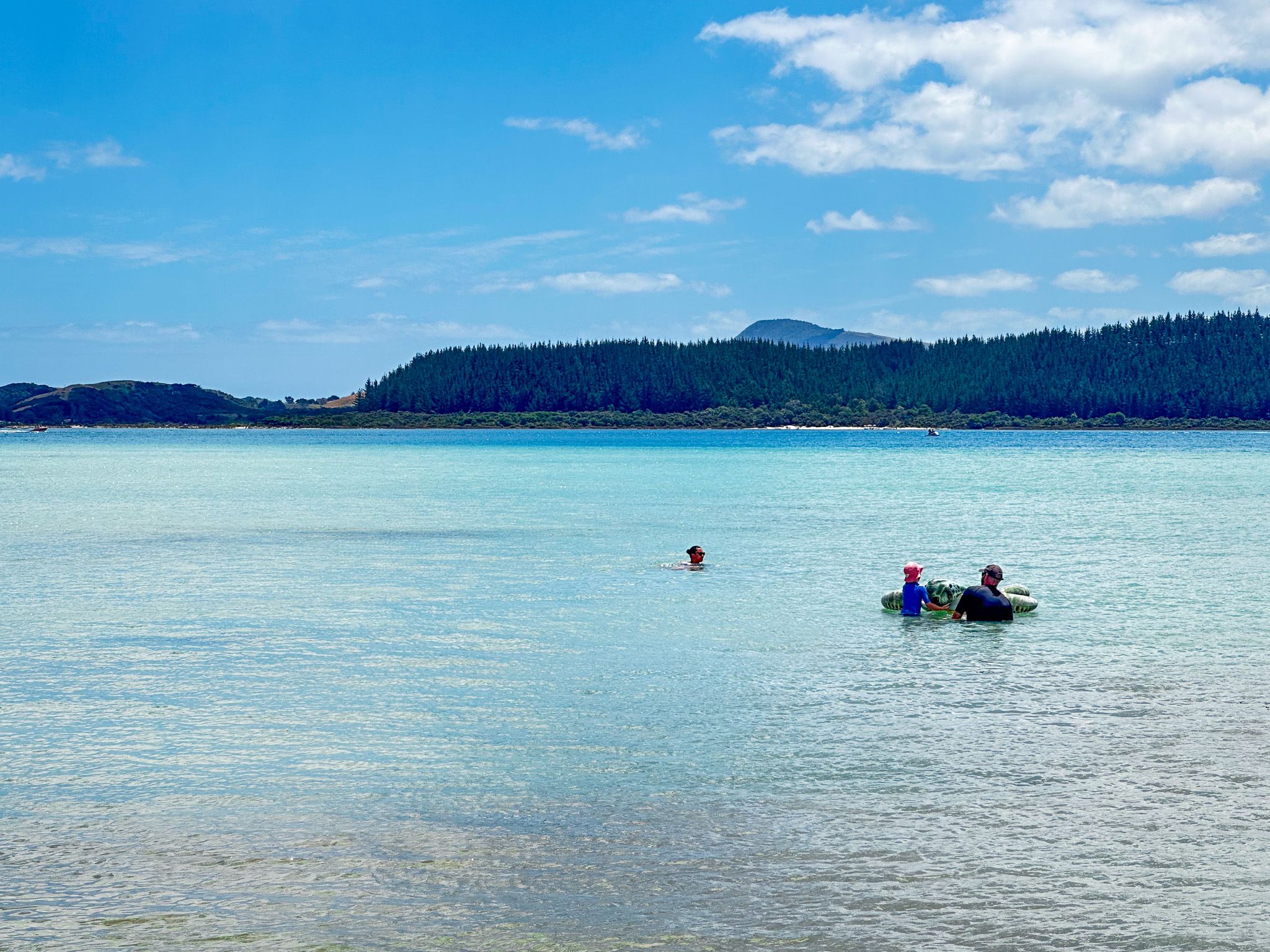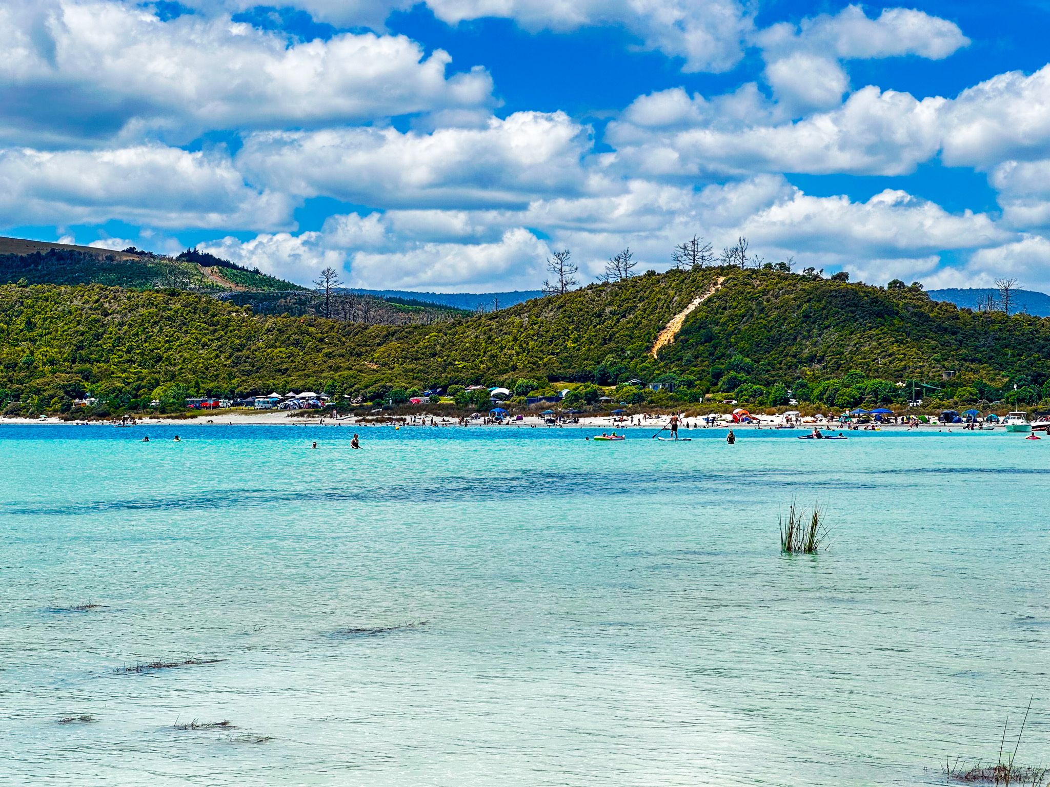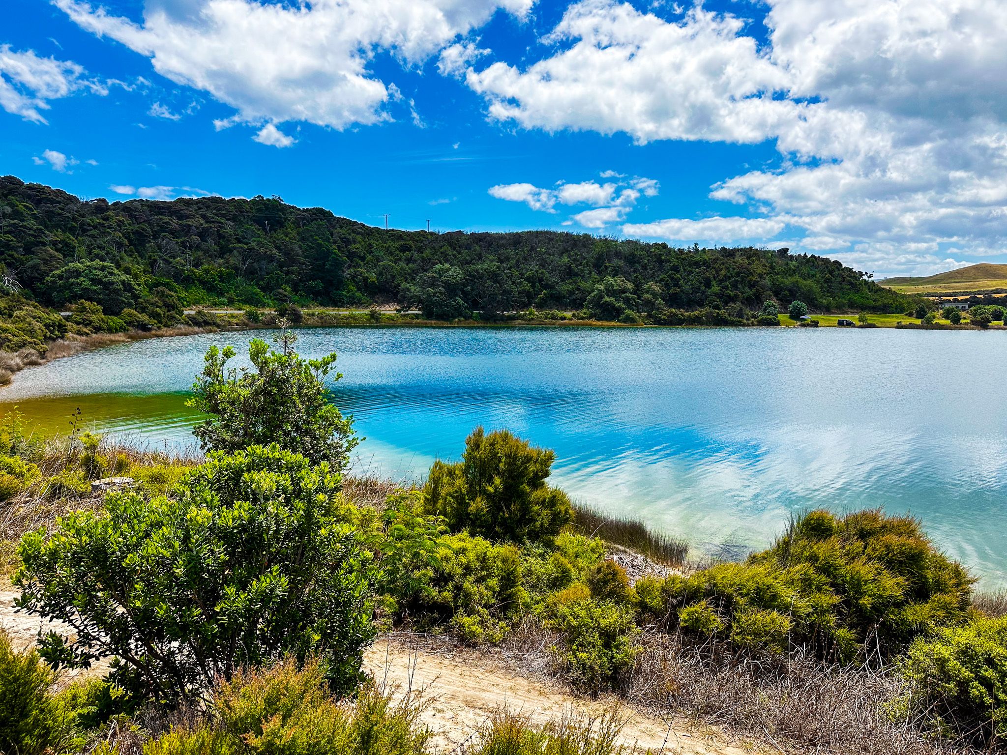
Kai Iwi Lakes: A Coastal Gem
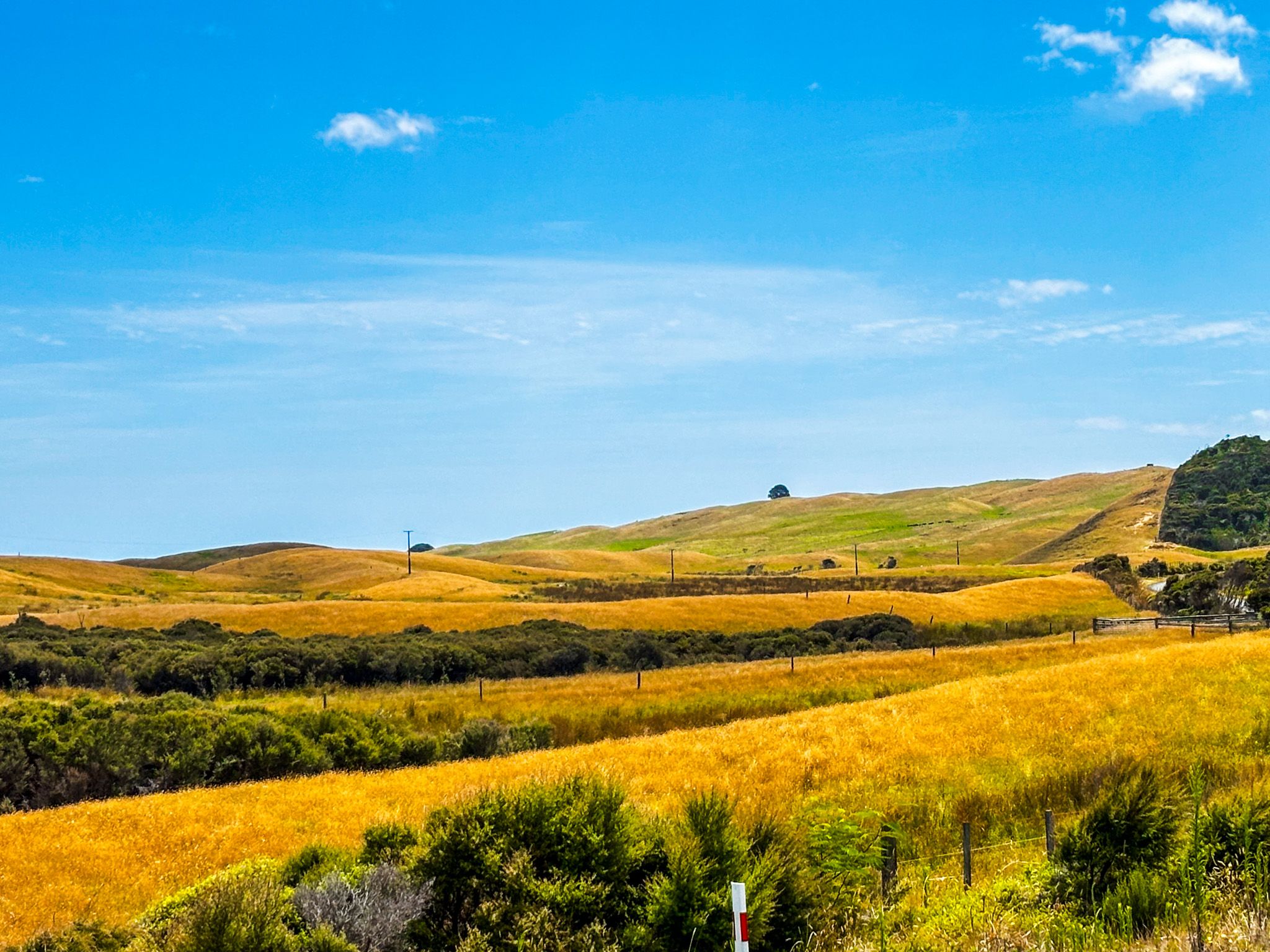
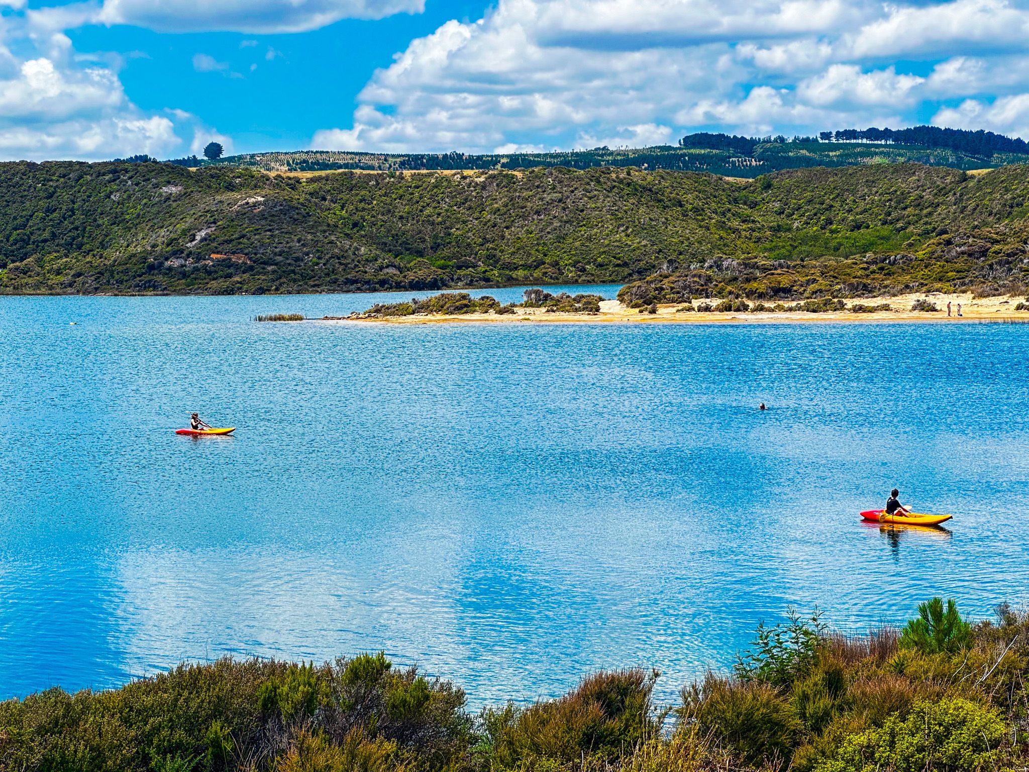
Located on the Kauri Coast, 35 km north of Dargaville, the Kai Iwi Lakes are a stunning holiday destination. The three dune lakes, formed over 1.8 million years ago, are renowned for their clear waters and white sandy shores. The lakes are ideal for swimming, fishing, and kayaking, offering a picturesque setting within the 538-hectare Taharoa Domain. A 2.5 km walkway also provides access to Ripiro Beach on the Tasman Sea coast, making it a versatile spot for outdoor enthusiasts.
The Lakes and Their Features
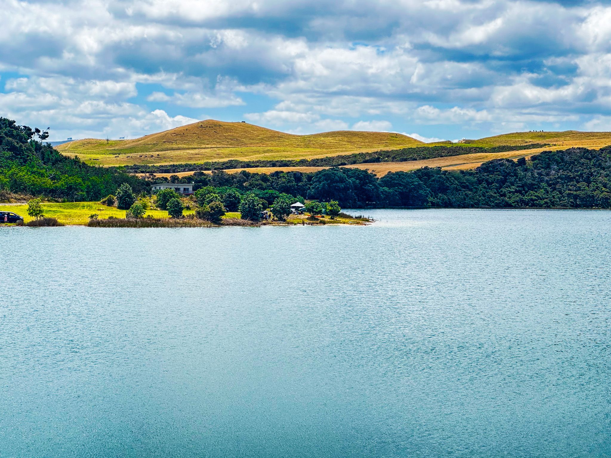
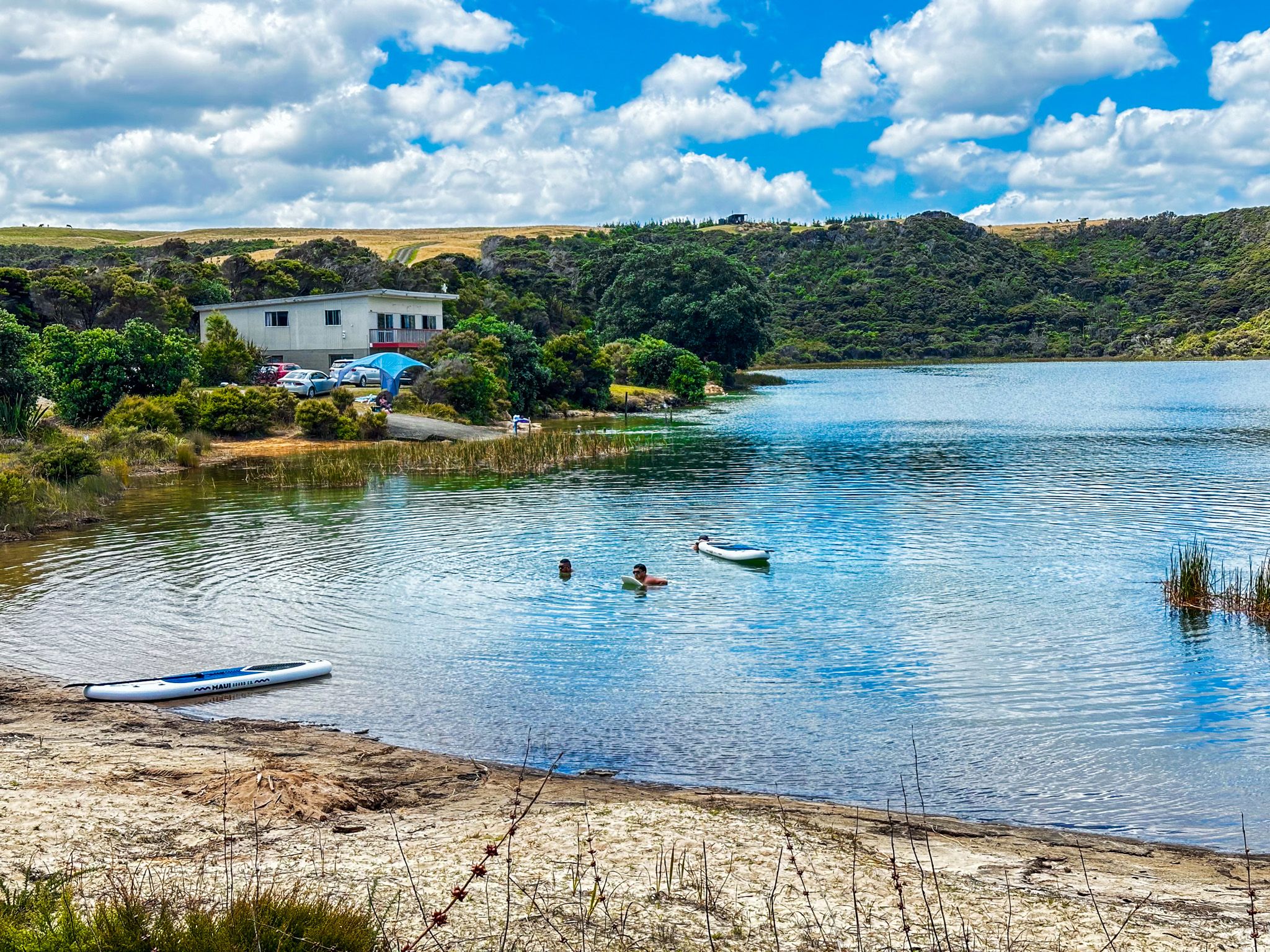
The largest of the three, Lake Taharoa, spans 240 hectares and reaches depths of up to 37 metres. It is easily accessible, featuring a large grassed reserve on its southern side and two campgrounds: Pine Beach to the east and Promenade Point to the west.
Lake Taharoa is flanked by two smaller lakes, Lake Waikere and Lake Kaiiwi. Lake Waikere, covering 35 hectares, is popular for water skiing; swimmers should be cautious of ski lane ropes. Lake Kaiiwi, the smallest at 27.6 hectares and 15.7 metres deep, is less favoured for swimming but offers a pleasant walking experience. Both Lake Taharoa and Lake Waikere are stocked with trout annually, enhancing their appeal for fishing enthusiasts.
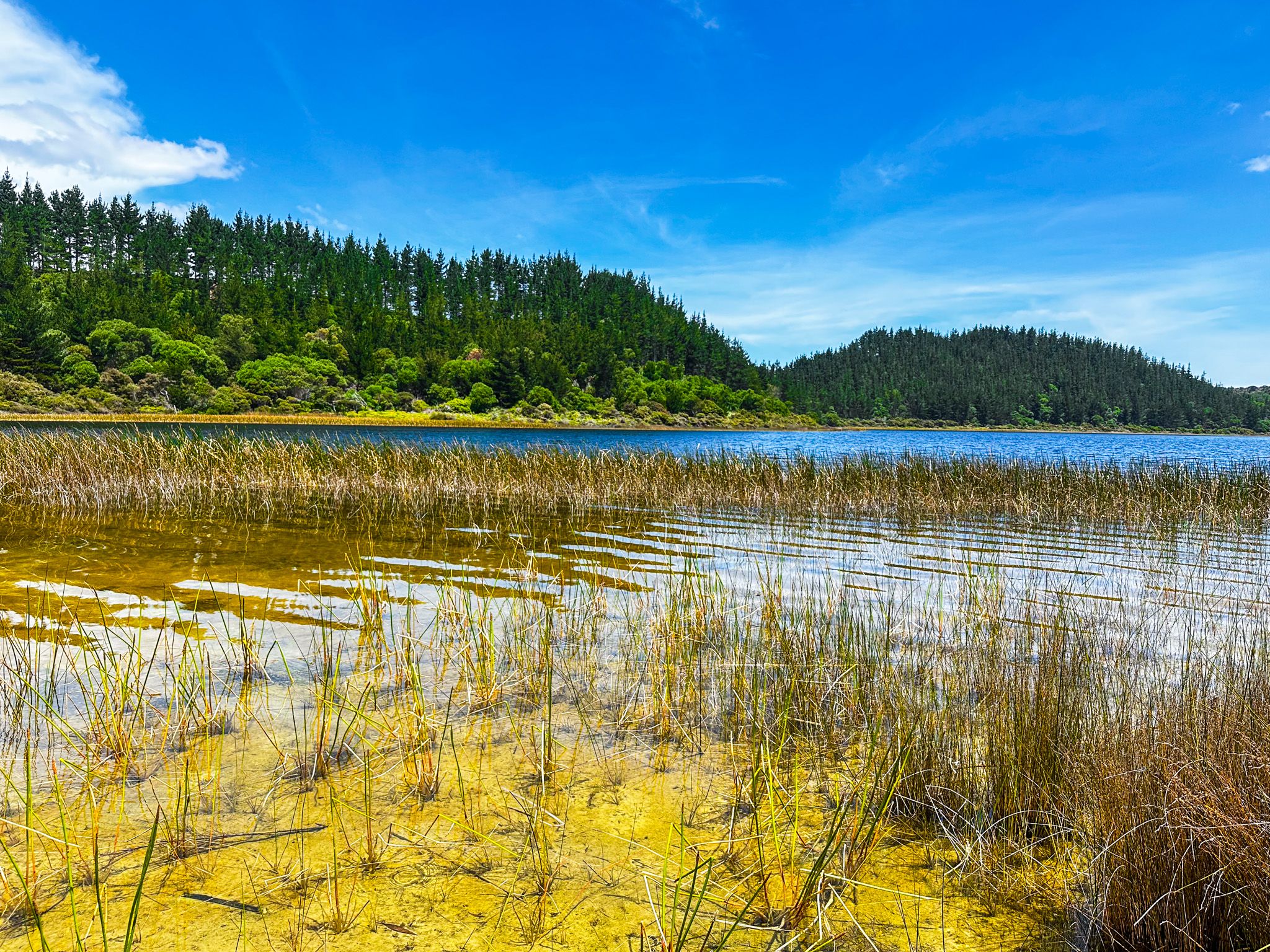
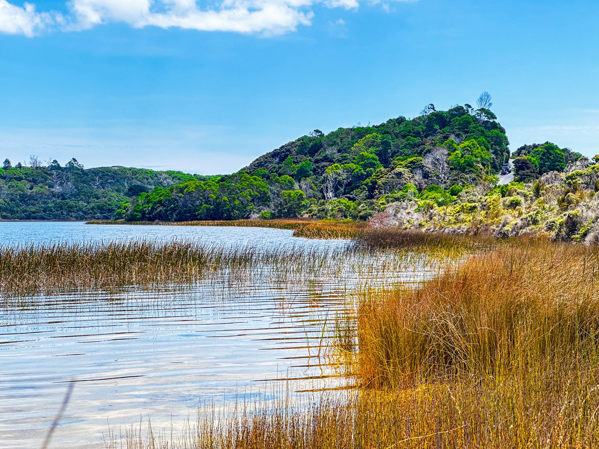
Natural Surroundings and Activities
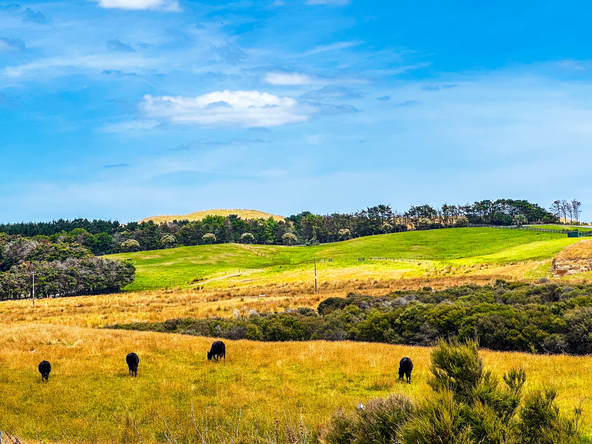
The Kai Iwi Lakes were once encircled by mature exotic pine trees, particularly around the campgrounds. These have been removed and replaced with native plantings, allowing for forest regrowth. Visitors can enjoy walks around the lakes, taking in the rejuvenating native landscape and the beauty of the area.
How to Get There
To reach the Kai Iwi Lakes from Dargaville, head north on State Highway 12. Look for the Kai Iwi Lakes sign and turn west onto Omamari Road. Follow this for 10 km, then turn north onto Kai Iwi Lakes Road.
If you continue on Omamari Road, you will also reach the holiday hamlet of Omamari, where there is access to the 120 km long Ripiro Beach. Continuing north on State Highway 12 gets you to Aranga Beach at the north end of Ripiro Beach, with the fantastic Maunganui Bluff Track, then into Waipoua Forest with its giant kauri trees.