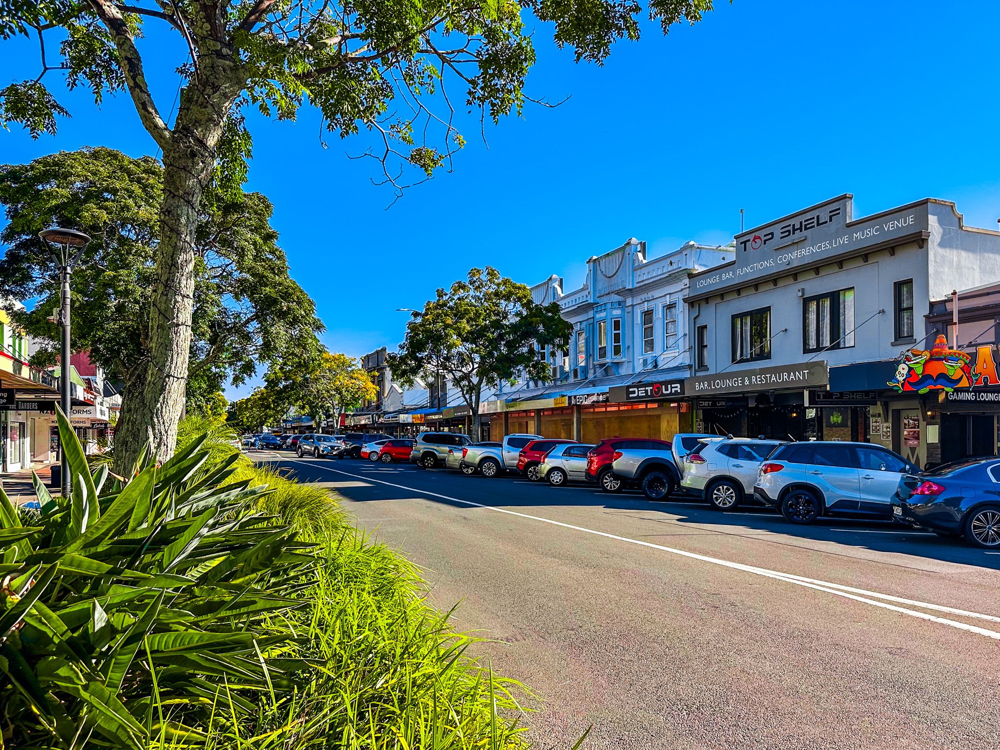
Whakatāne
Whakatāne is an attractive coastal town in the eastern Bay of Plenty, situated at the mouth of the Whakatāne River. The town has a rich Māori history, with some of the earliest settlements in New Zealand. Toi-te-Huatahi is reputed to have landed around 1150, and Kapu-te-rangi pā on Whakatāne Heads was established in the early 1200s, making it one of the oldest pā sites in NZ.
Later, the explorer Toroa arrived on the Mātaatua waka with his daughter Wairaka. When the waka started drifting out to sea, Wairaka broke the tapu that forbade women from paddling, declaring "Kia Whakatāne au i ahau" ("I will act like a man"), thus saving the waka and giving the town its name.
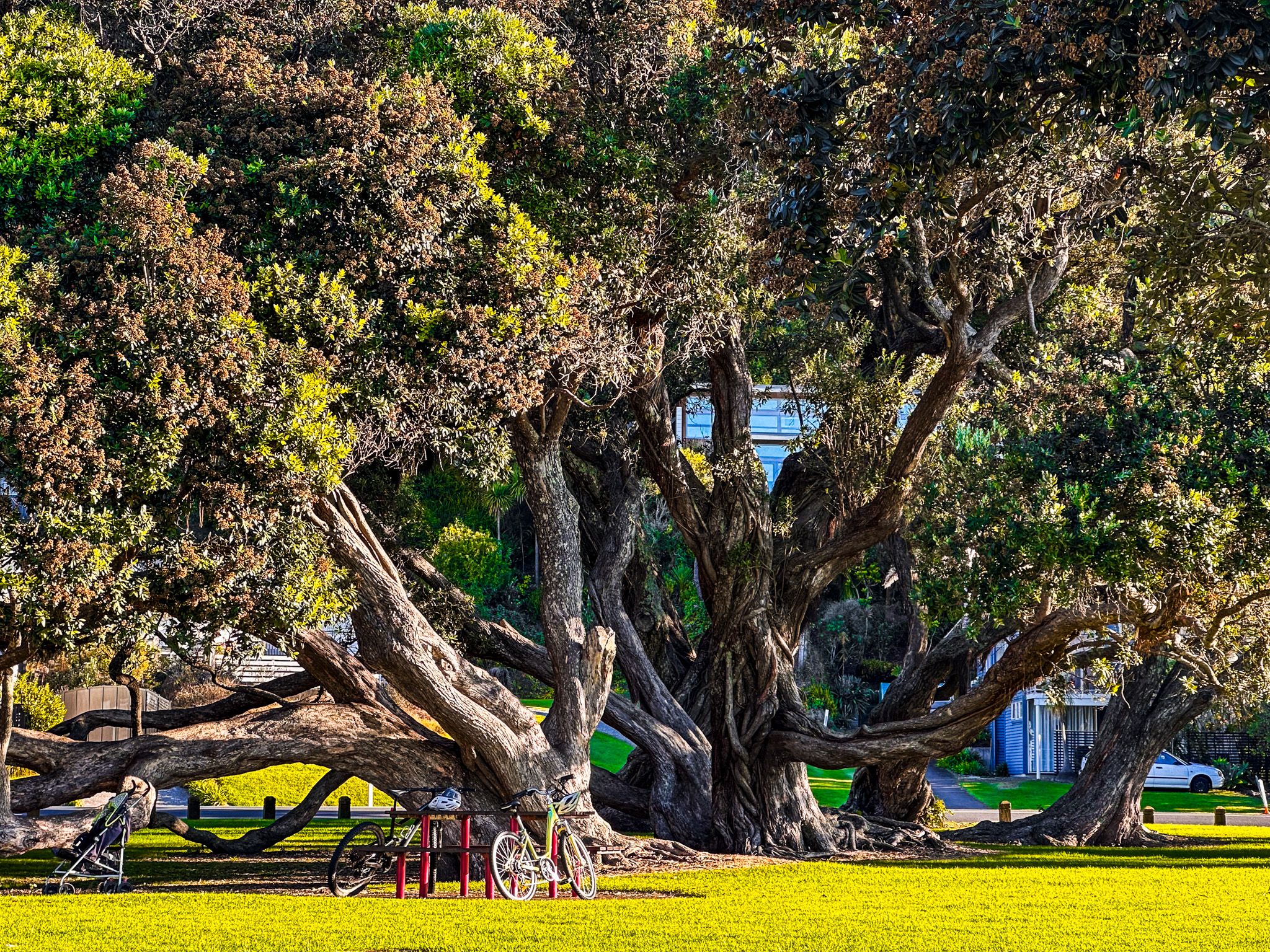
Today, Whakatāne is a popular summer holiday destination with various activities and attractions. You can walk or bike along the scenic Whakatāne River, visit the stunning statue of Wairaka at the river mouth, or relax on the superb surf beaches of Coastlands and Ōhope.
The town also serves as a gateway for trips to the remote East Cape region and the Whirinaki Te Pua-a-Tāne Conservation Park. With over 40% of the population having Māori ancestry, Whakatāne proudly acknowledges its indigenous heritage through numerous historical sites and stories around the town and surrounding areas.

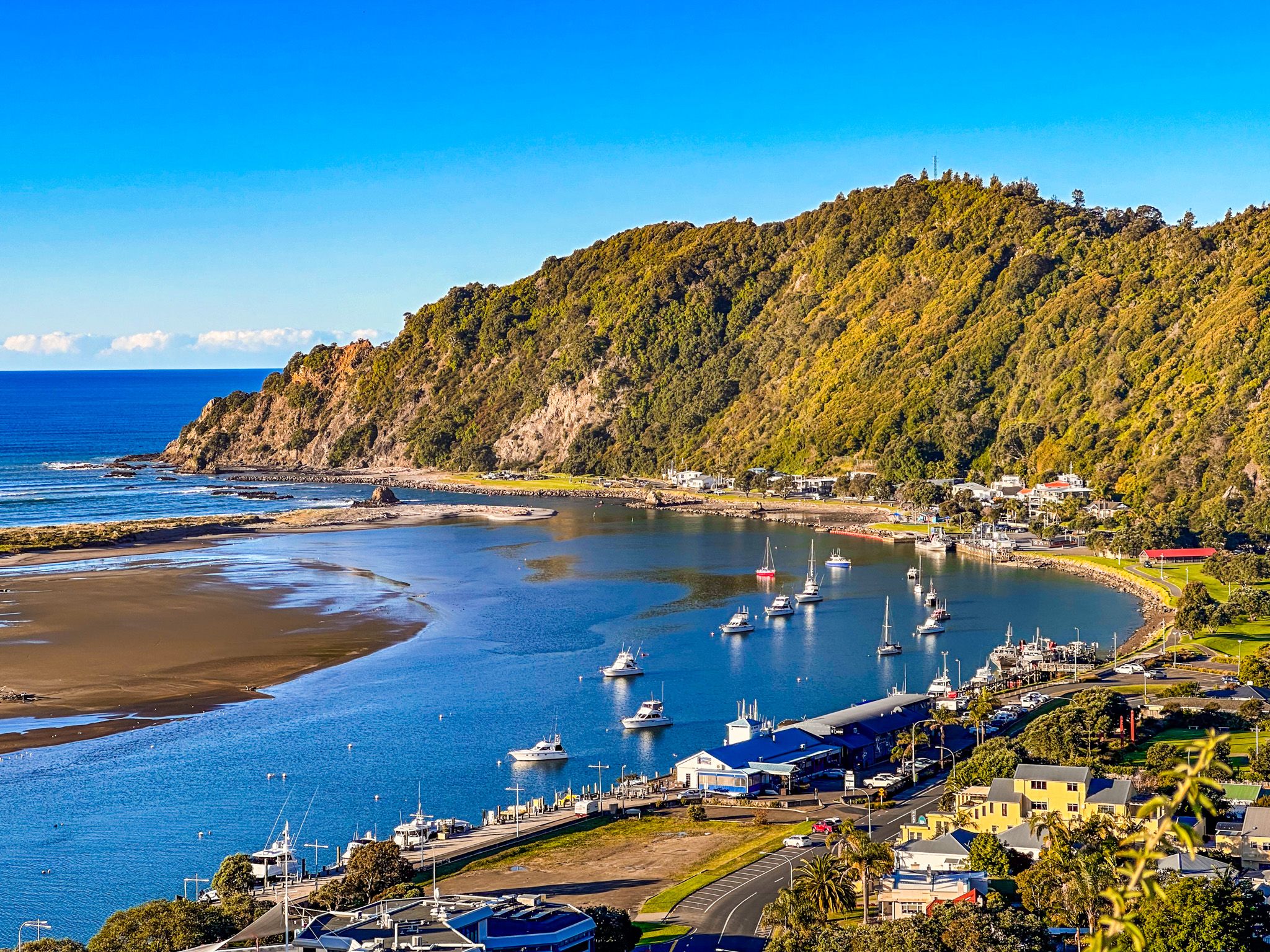
Whakatāne Harbour
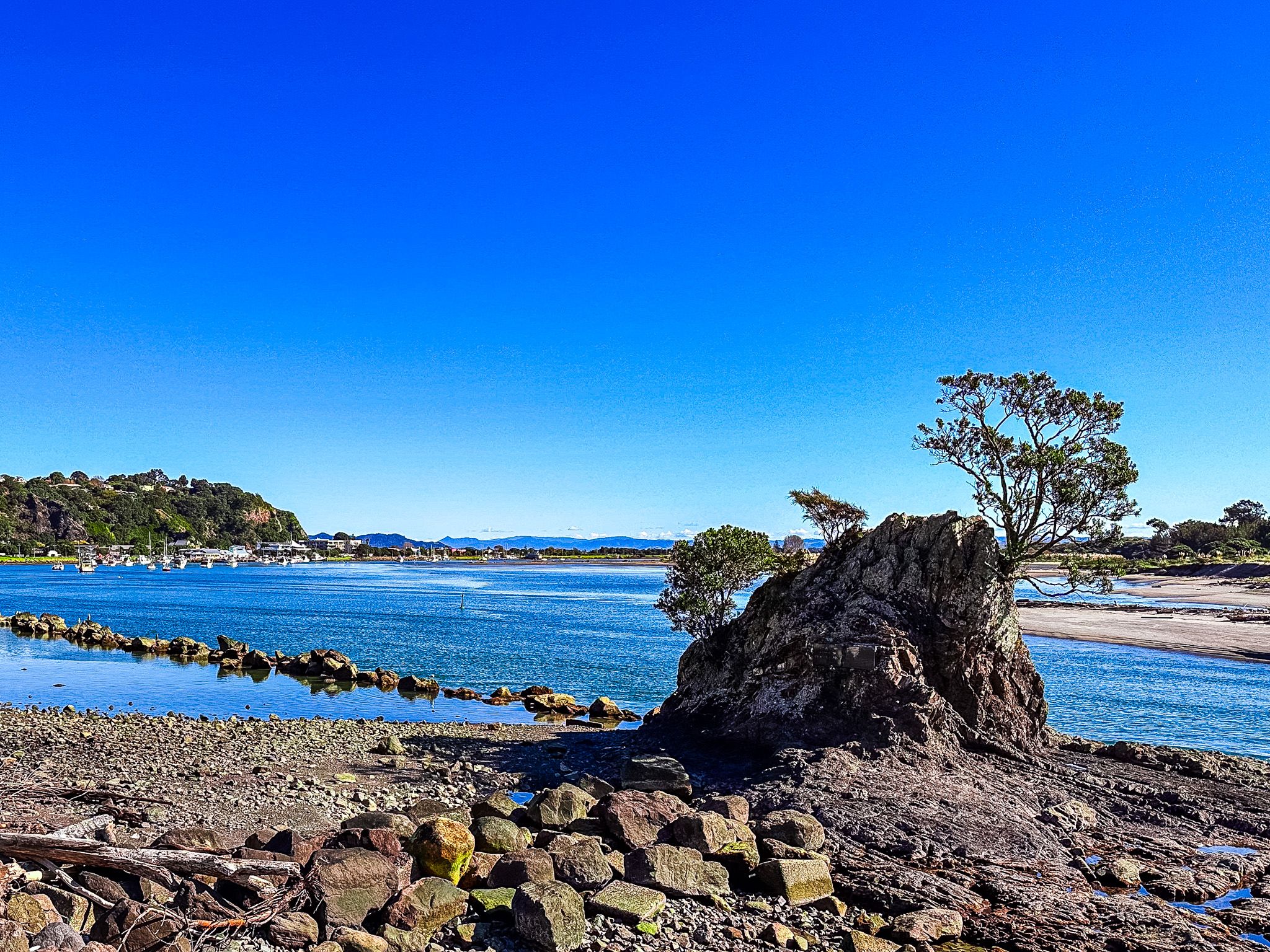
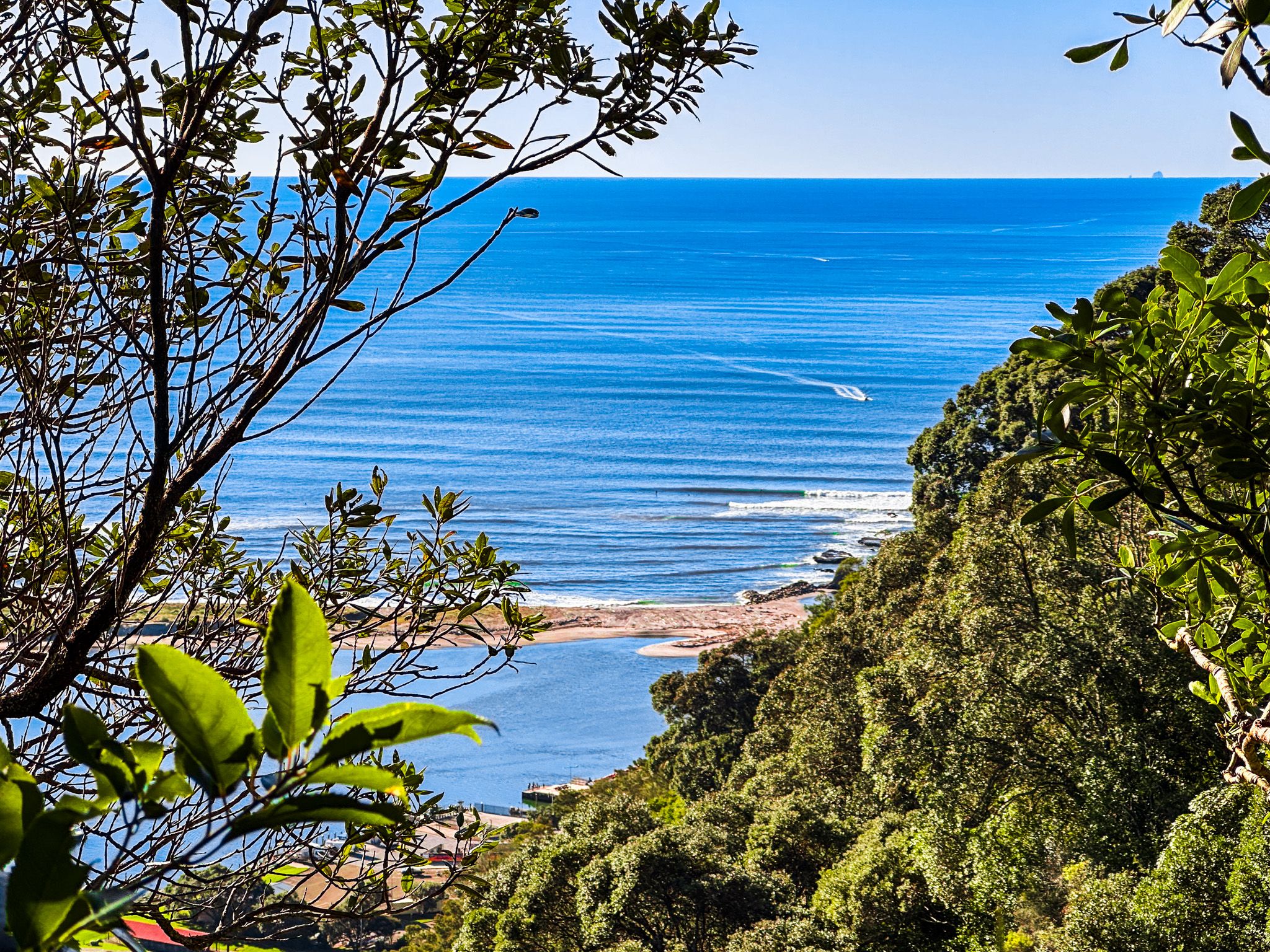
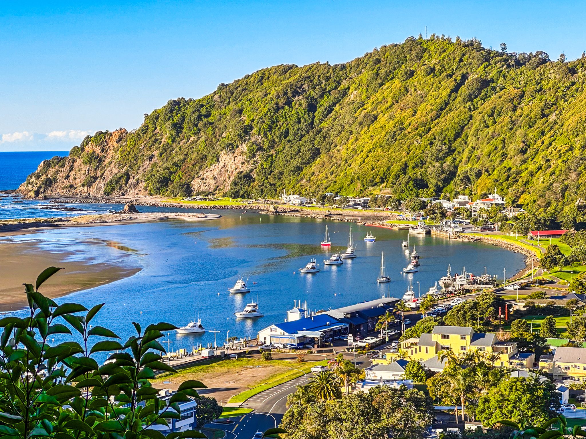
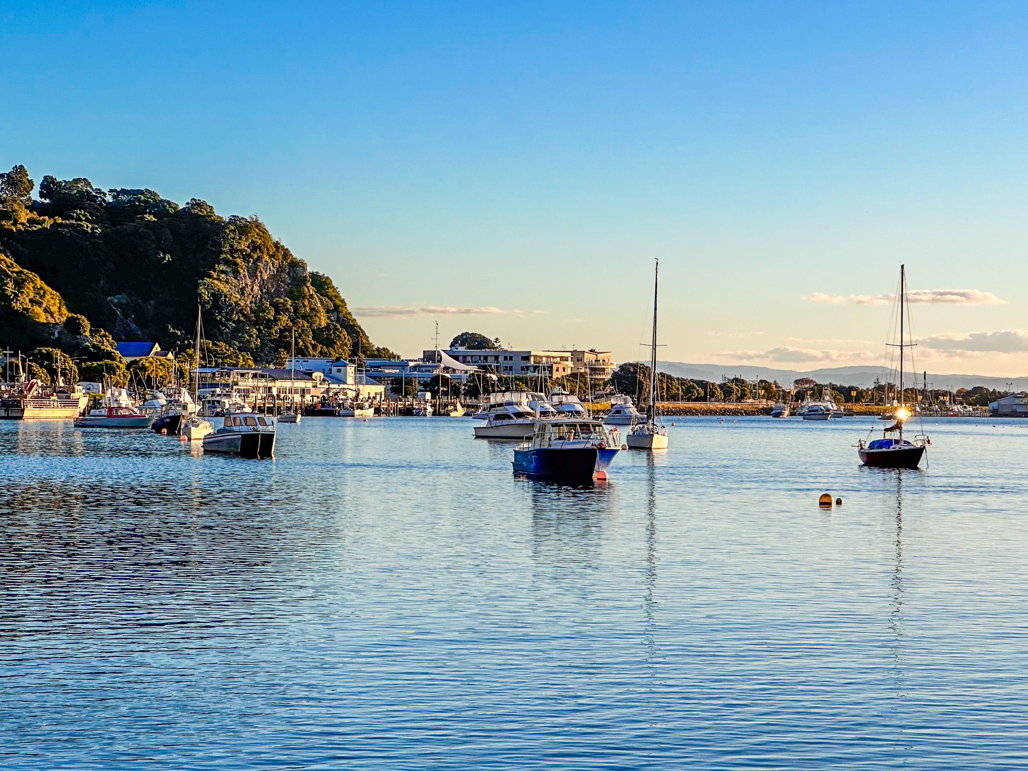
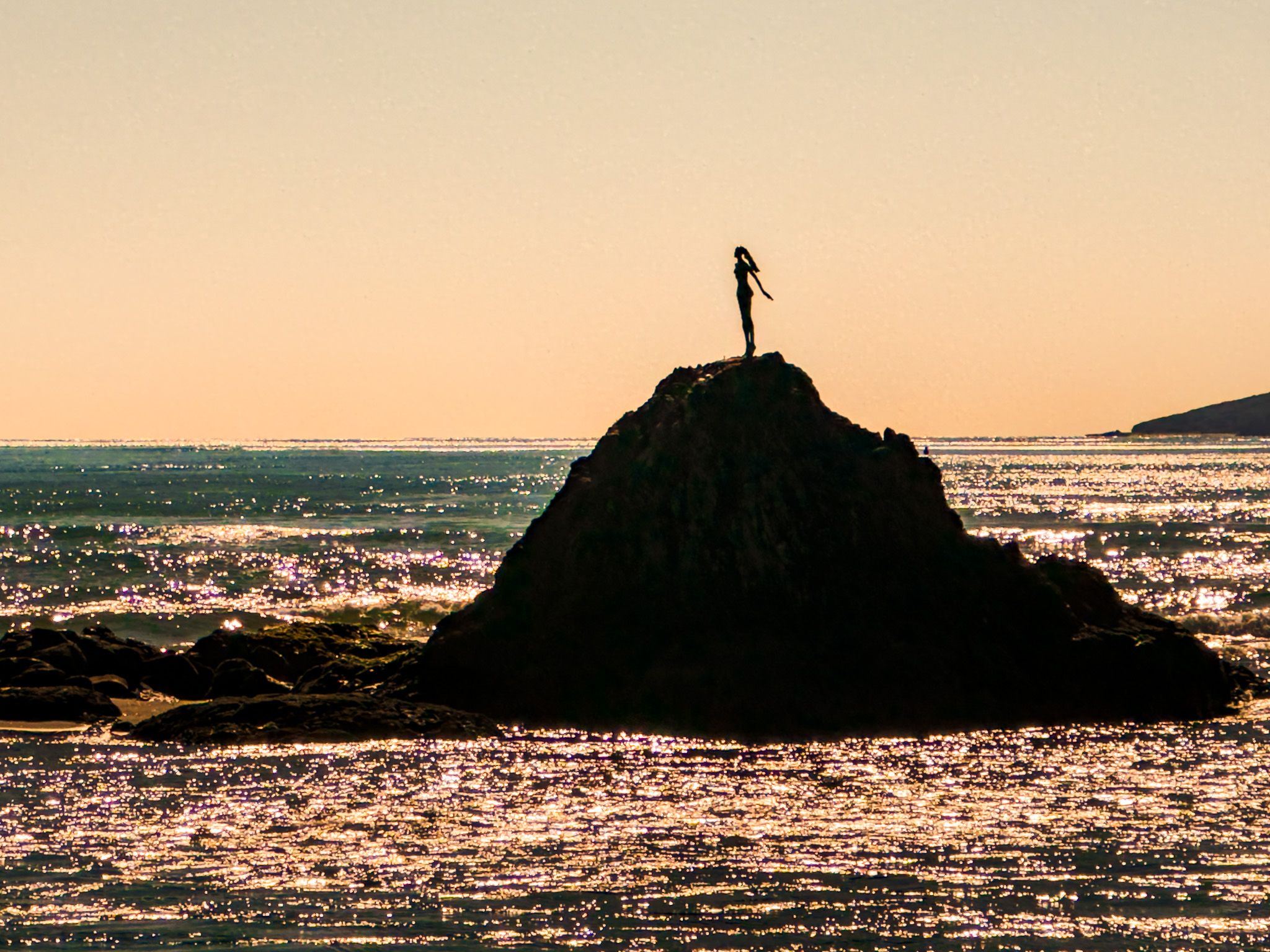
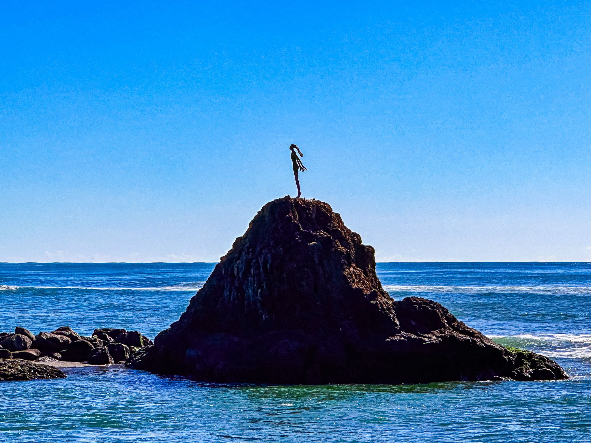
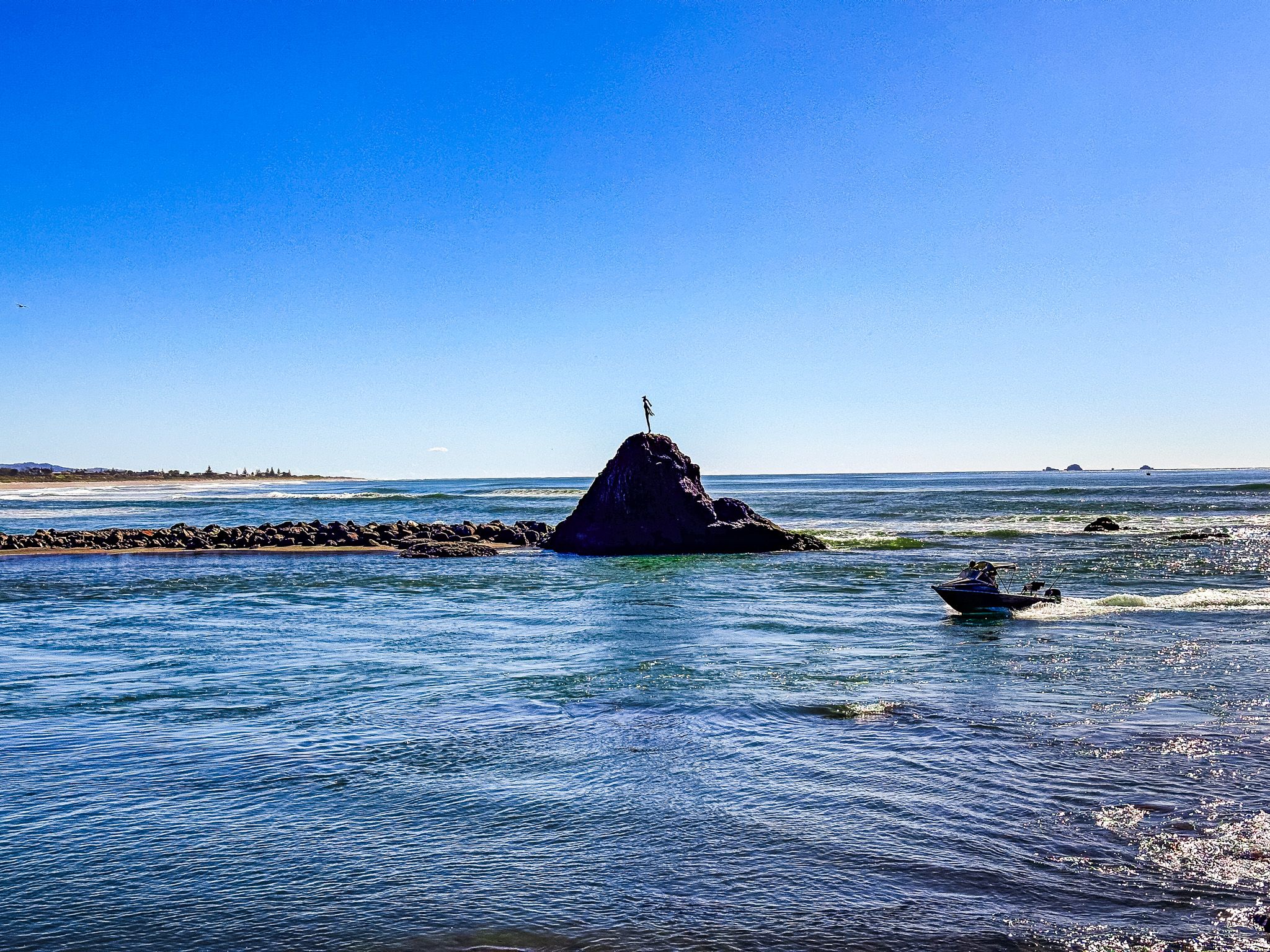
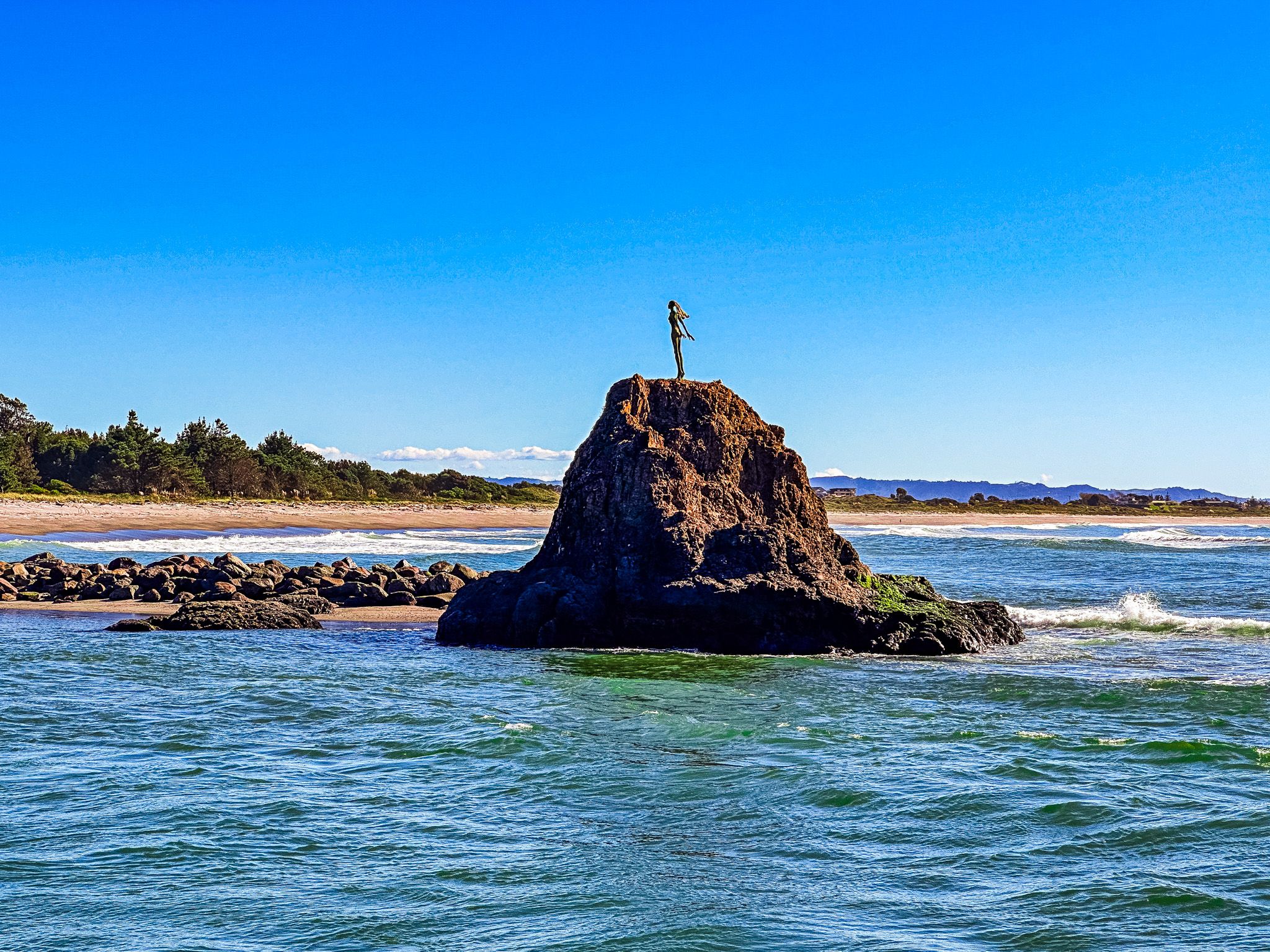
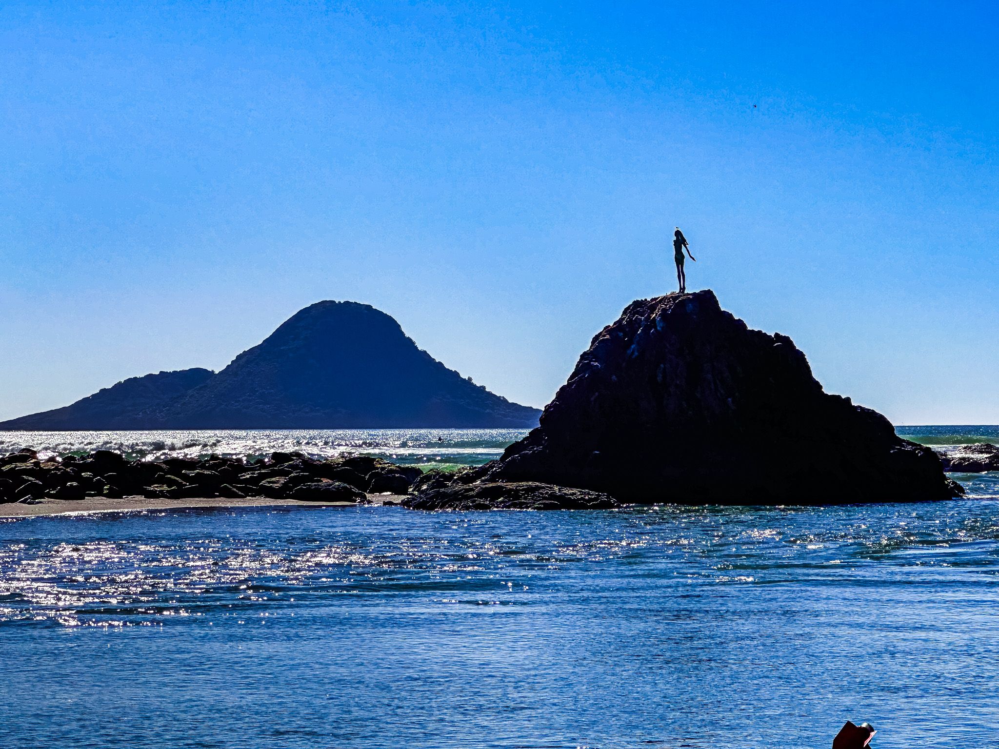
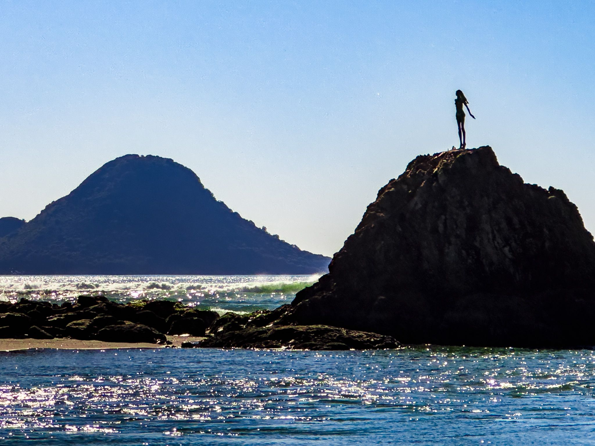
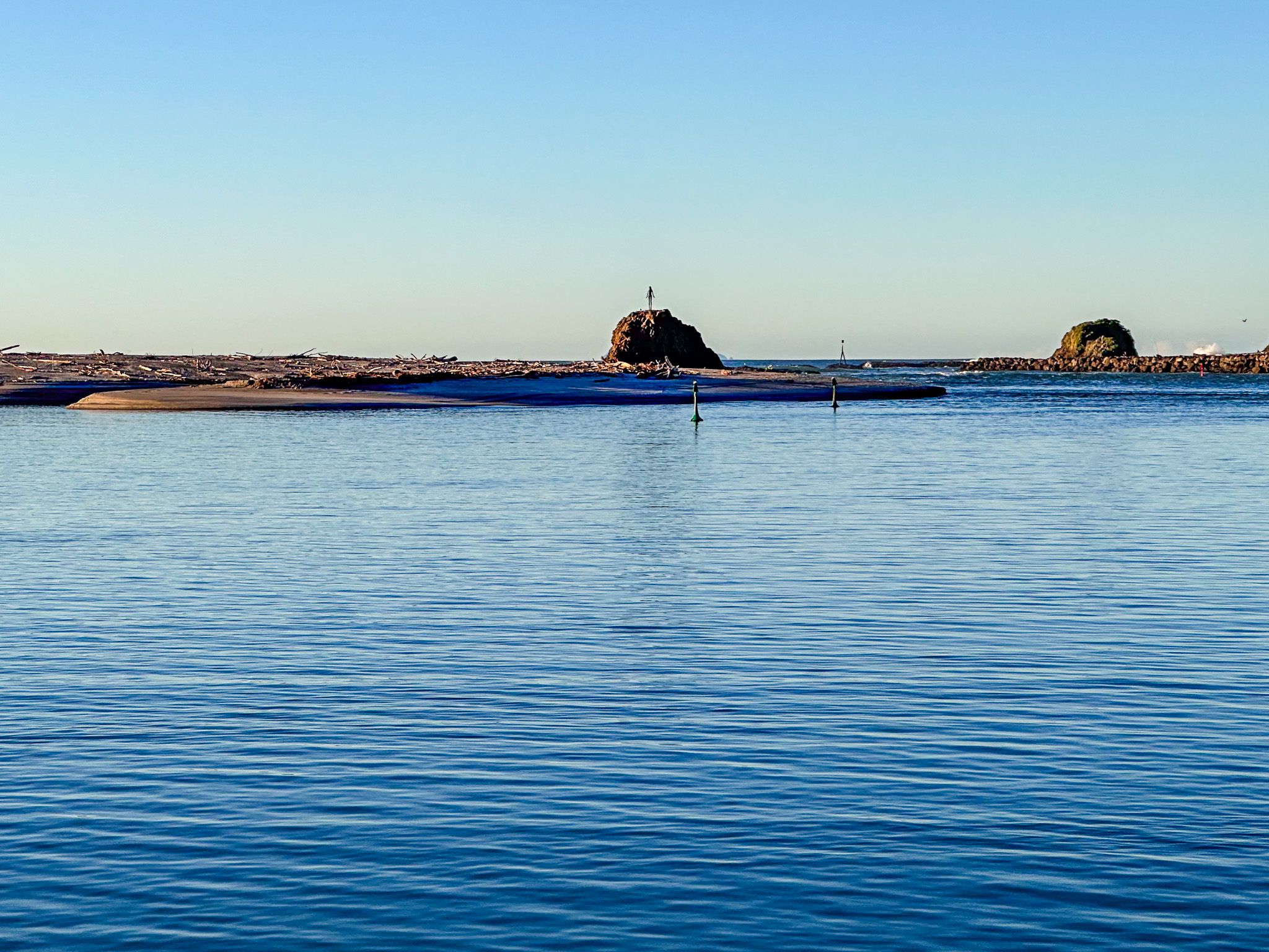
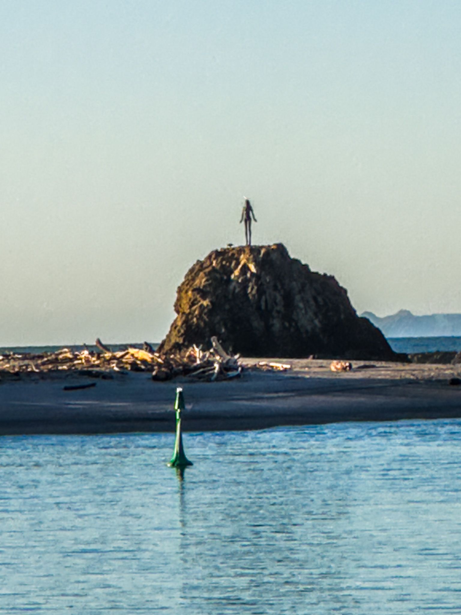
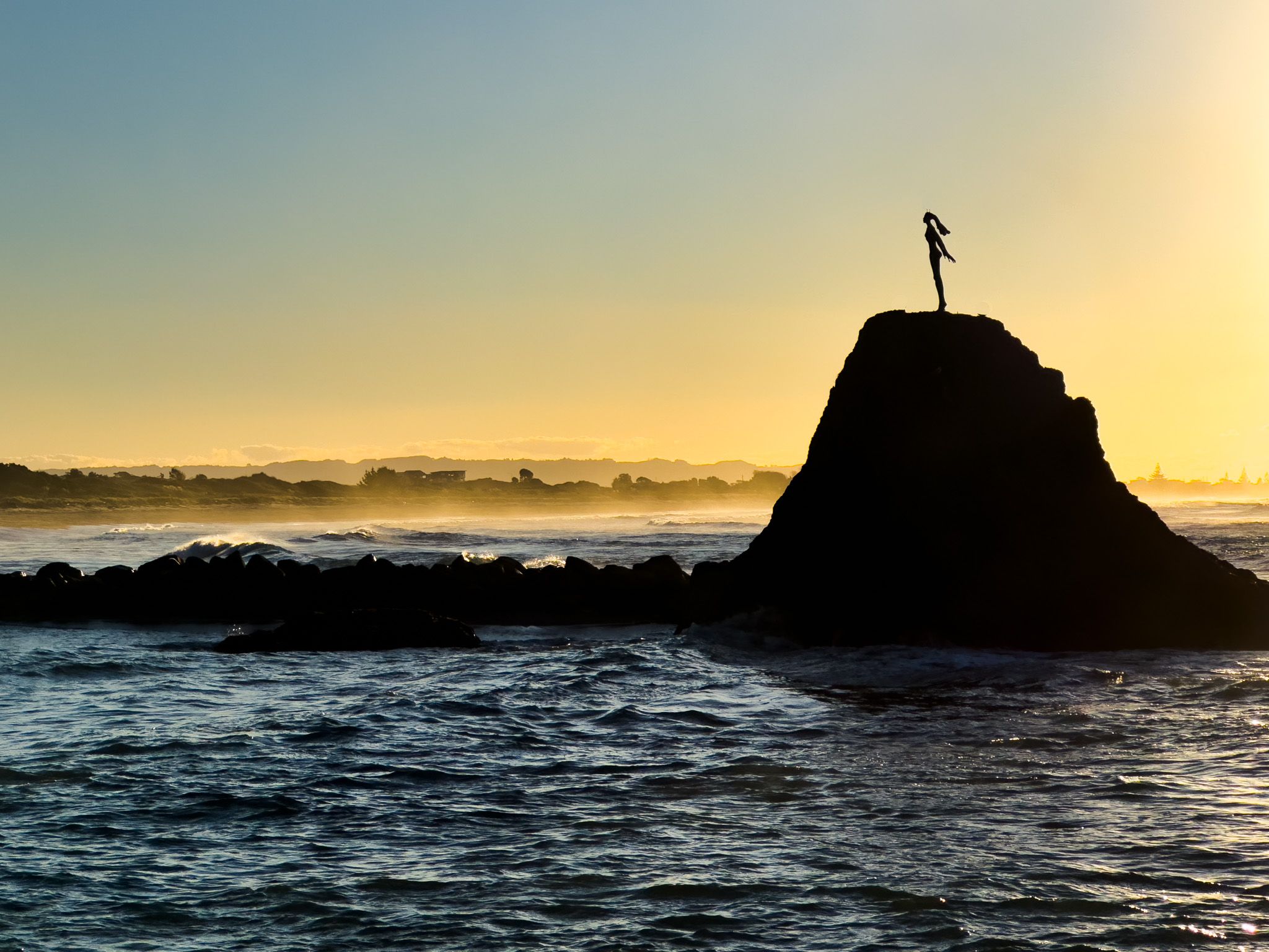
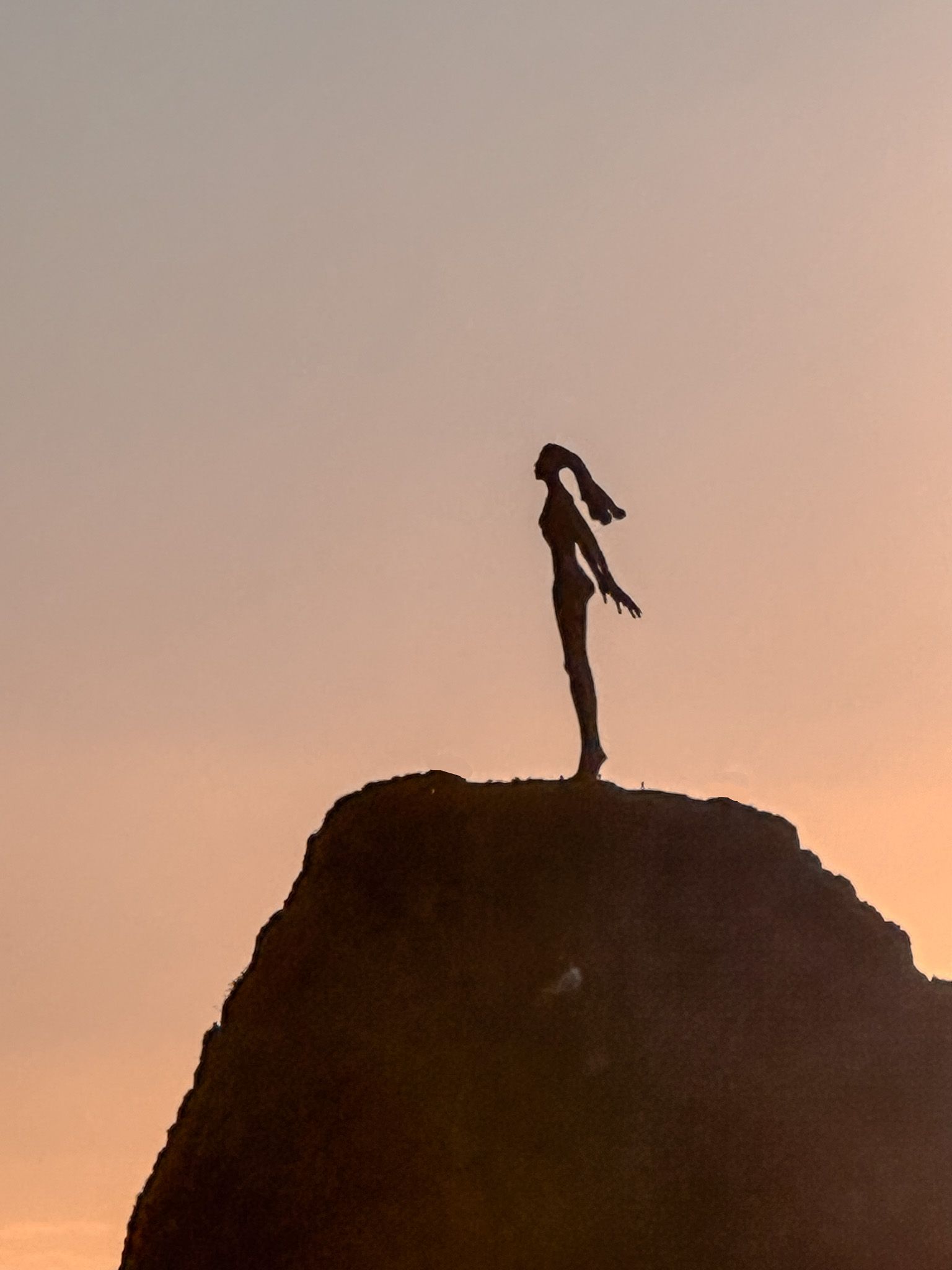
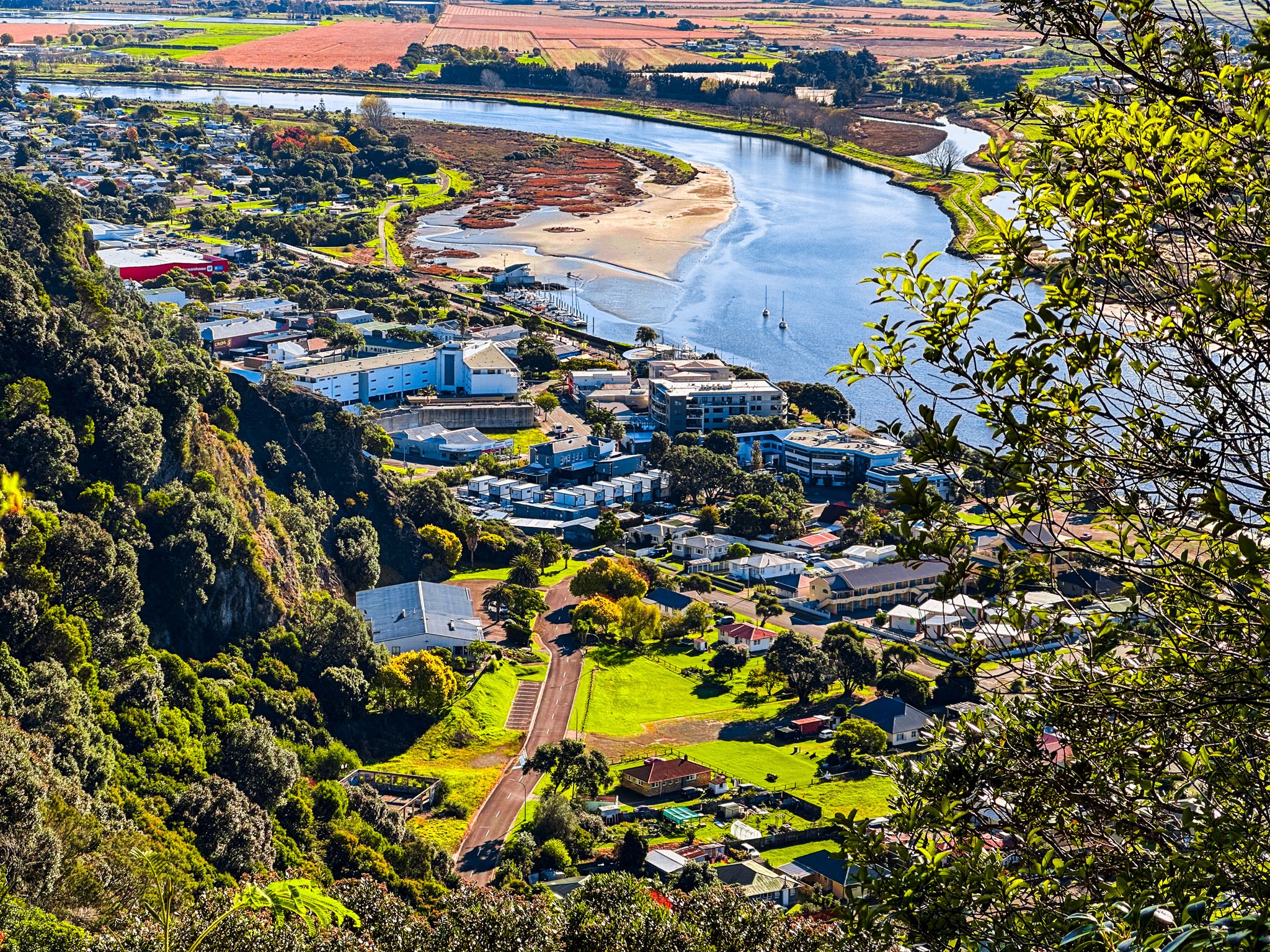
Whakatāne harbour is located at the mouth of the Whakatāne River, northeast of the town centre. The stunning cliffs and forest-clad hills of Whakatāne Heads and Kohi Point frame the harbour. The entrance to the sea is marked by the heroic statue of Wairaka atop Turuturu Roimata.
The harbour has a rich Māori history, with several significant sites nearby. Te Ana o Muriwai (Muriwai's Cave) is one of three landmarks Toroa was told to look for when the Mataatua waka arrived. Muriwai, Toroa's sister, eventually resided in this cave, which was once large enough to accommodate 60 people.
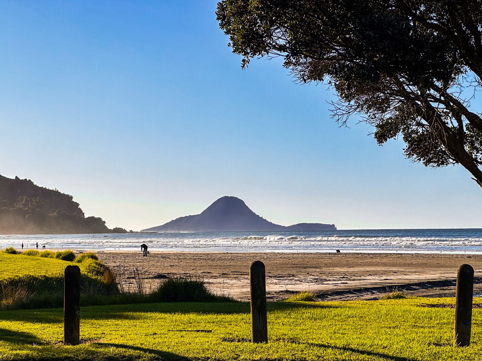
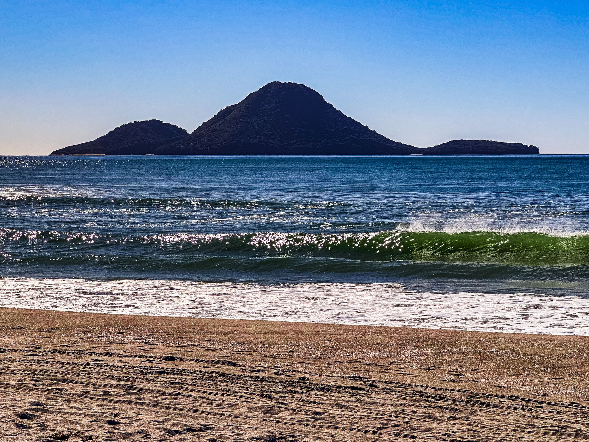
Visitors can take a boat from the harbour to Moutohora Island (Whale Island), a DOC-protected sanctuary. The Mataatua Reserve houses the waka Mataatua, named after the original vessel that brought the first Māori settlers to the area.
Wairaka Centennial Park, located near the harbour, features a large platform for jumping into the river and access to a small beach. A large rock with plaques commemorates the park's establishment and the landing of the Mataatua waka, captained by Toroa, in 1340 AD.
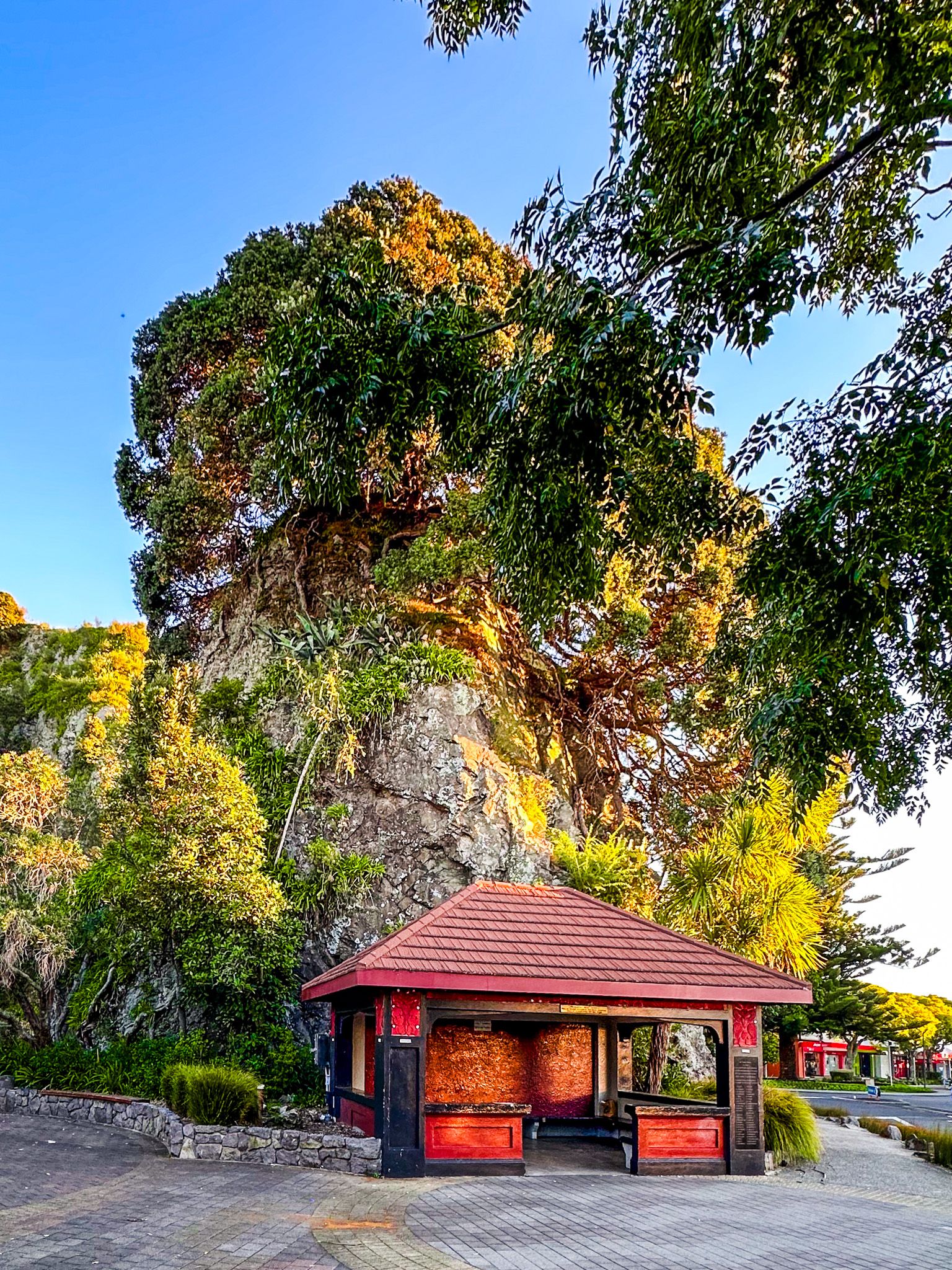
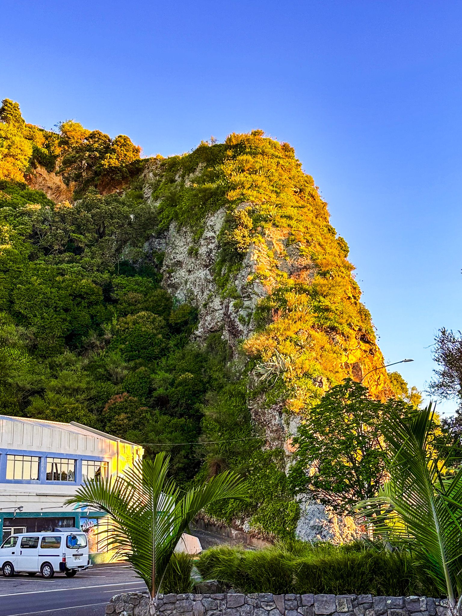
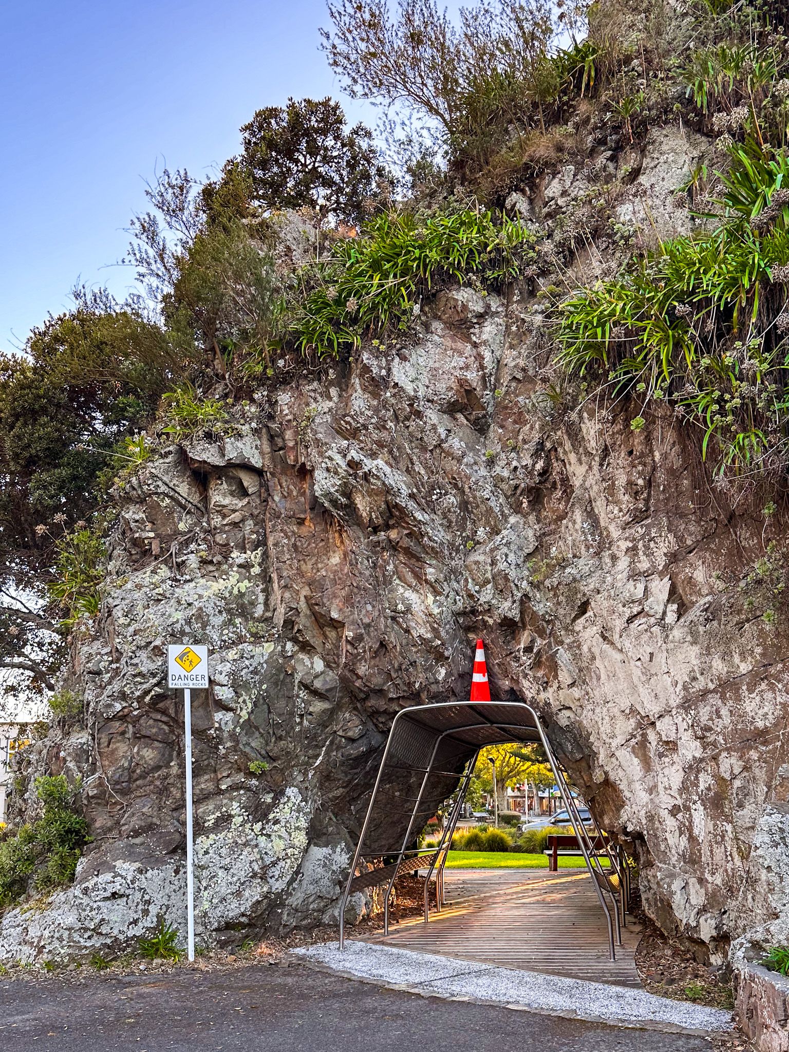
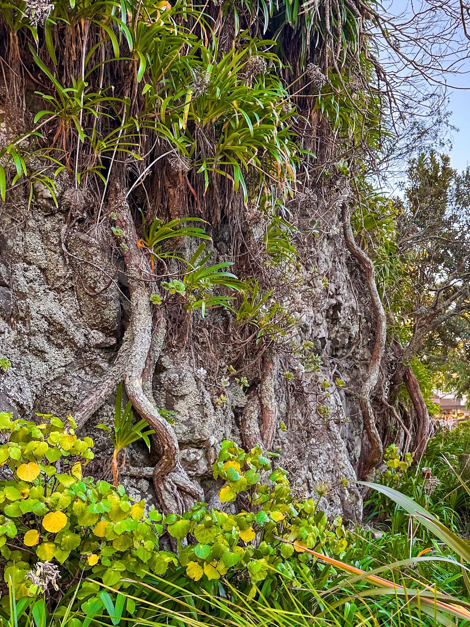
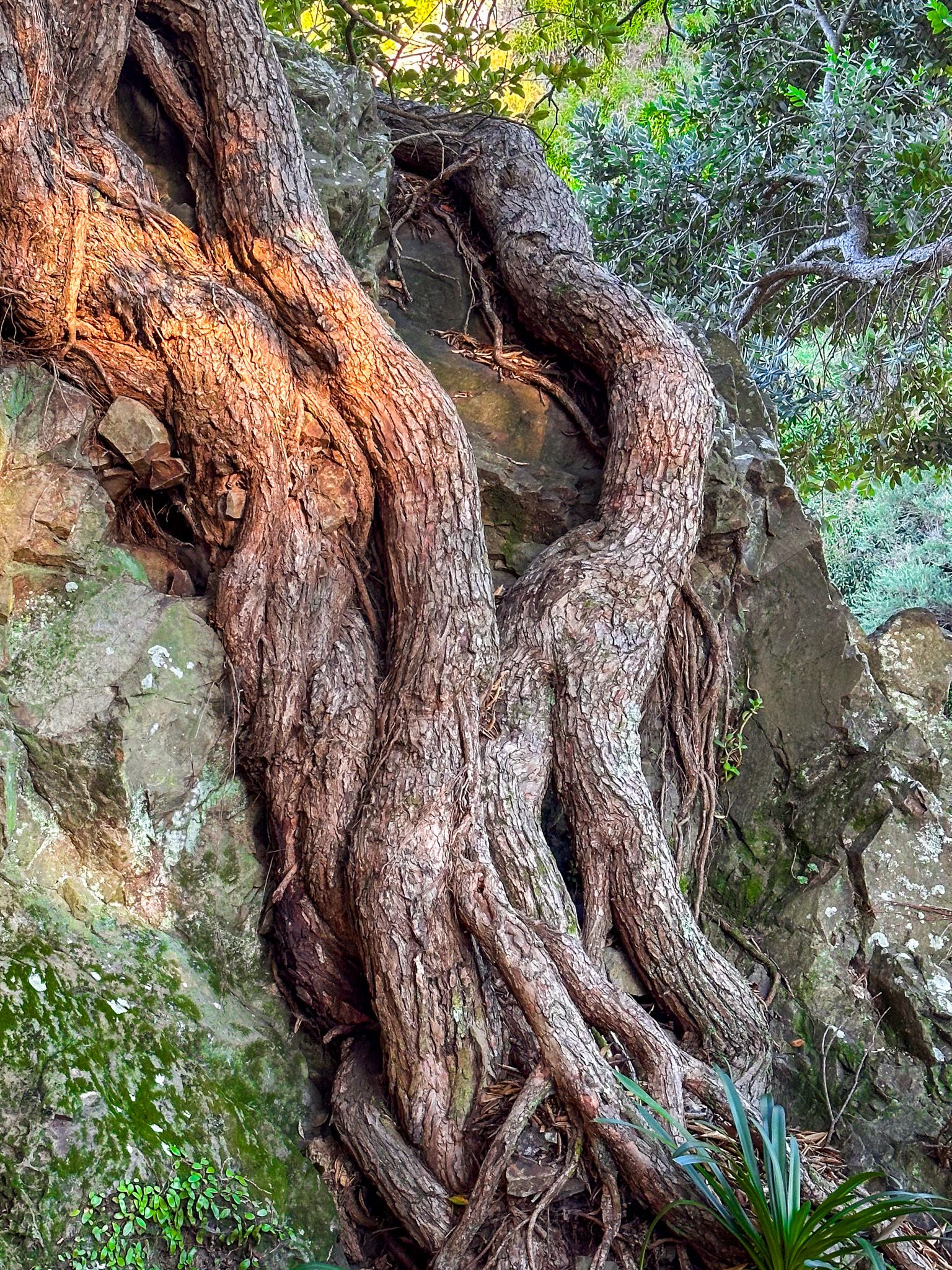
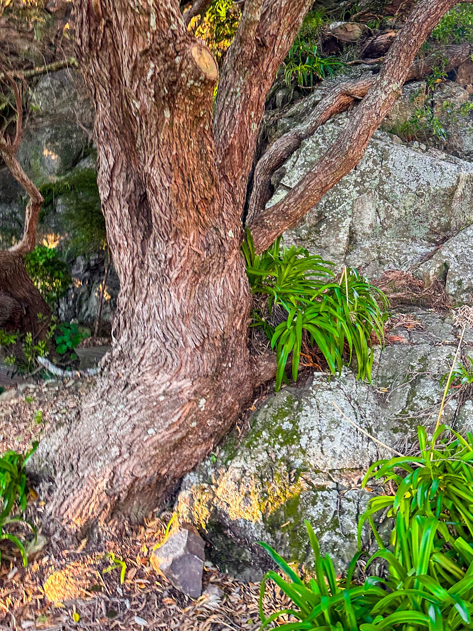
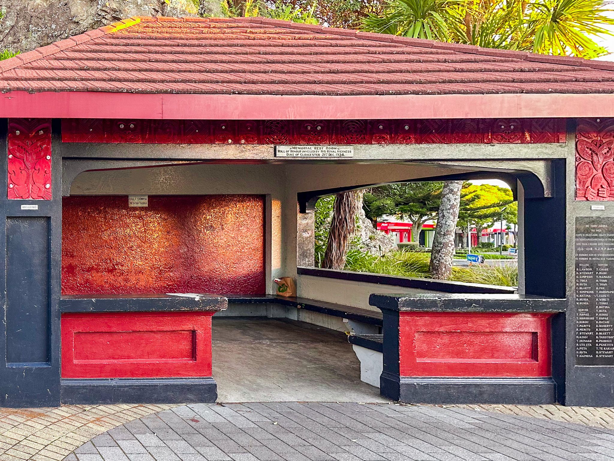
Pohaturoa Rock
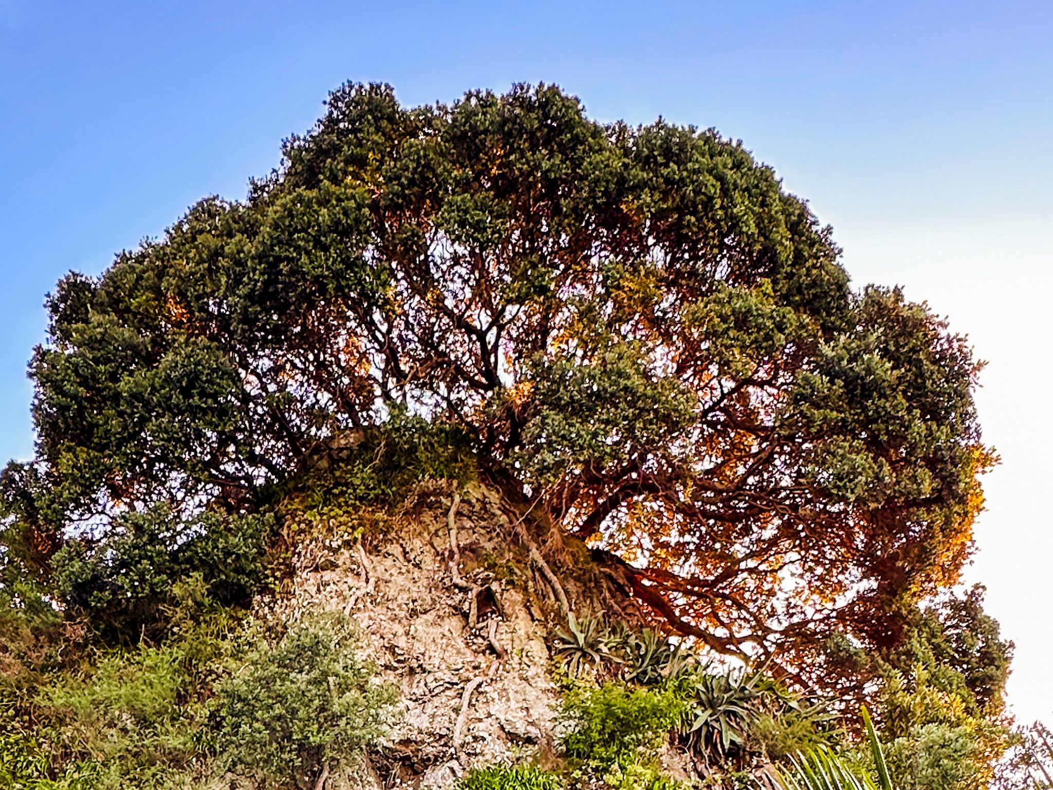
Pohaturoa Rock is an impressive rock on The Strand, the main downtown street in Whakatāne. The rock is surrounded by ancient karaka and pōhutukawa trees and features a small tunnel through one side. The karaka trees are said to have been brought to Whakatāne on the Mataatua waka.
For Ngāti Awa iwi, Pohaturoa is a highly symbolic place that connects their tangata whenua to the land. The rock was believed to have been created through the union of Tāne, the god of forests and birds, and Hinetuparimaunga. The small tunnel, called Te Arikirau, was once a cave used for sacred rituals before the arrival of missionaries and Christianity.
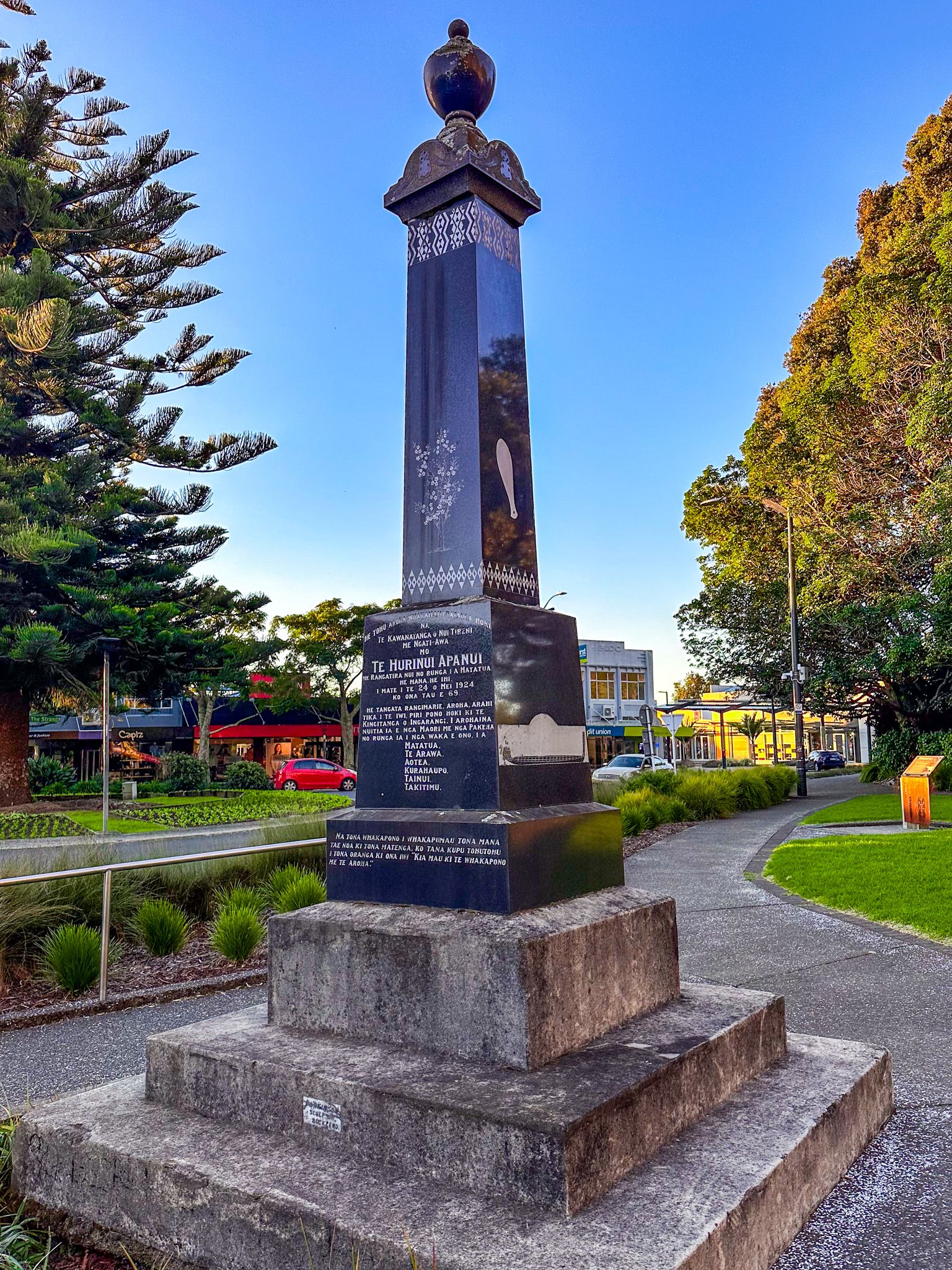
In June 1840, Ngāti Awa chiefs signed the Treaty of Waitangi near Pohaturoa, an event celebrated annually at dawn. After World War I, Pohaturoa was chosen as an appropriate site for a war memorial. It had long been associated with war-related rituals by Māori, and it was where local soldiers were farewelled before leaving for the war.
On the southwest side of Pohaturoa is a memorial for Te Hurinui Apanui, a highly respected Ngāti Awa chief who died in 1924. He worked to protect iwi interests after the land confiscations of the 1860s while cooperating with European authorities.
Wairaka
Wairaka was the daughter of Toroa, the captain of the Mataatua waka who brought his family to Aotearoa from around 1250 to 1300 AD. She is best known for her heroic act that led to the naming of Whakatāne.
When the Mataatua waka arrived in the region, the men went exploring, leaving the women and children on the waka. The waka broke anchor and began to drift out to sea. Although women were forbidden from paddling, Wairaka broke the tapu, declaring, "Kia Whakatāne au i ahau" ("I will act like a man"). The others joined her, and the waka was saved.
A stunning bronze statue of Wairaka stands on Turuturu Roimata, on the west side of the Whakatāne River mouth. The statue, commissioned by former Whakatāne mayor Sir William Sullivan, was created by sculptor Jim Allen and installed in 1965.
Wairaka is believed to have lived an extraordinary life. Before settling in Whakatāne, she spent time in Tāmaki Makaurau (Auckland). She returned to Tāmaki Makaurau around 30, explored the region and founded Te Pā o te Wairaka, naming Ōwairaka (Mt Albert). She went back to Whakatāne in old age, where she died and was buried by the Whakatāne River at Opihiwhanaungakore.
Ngā Tapuwai o Toi
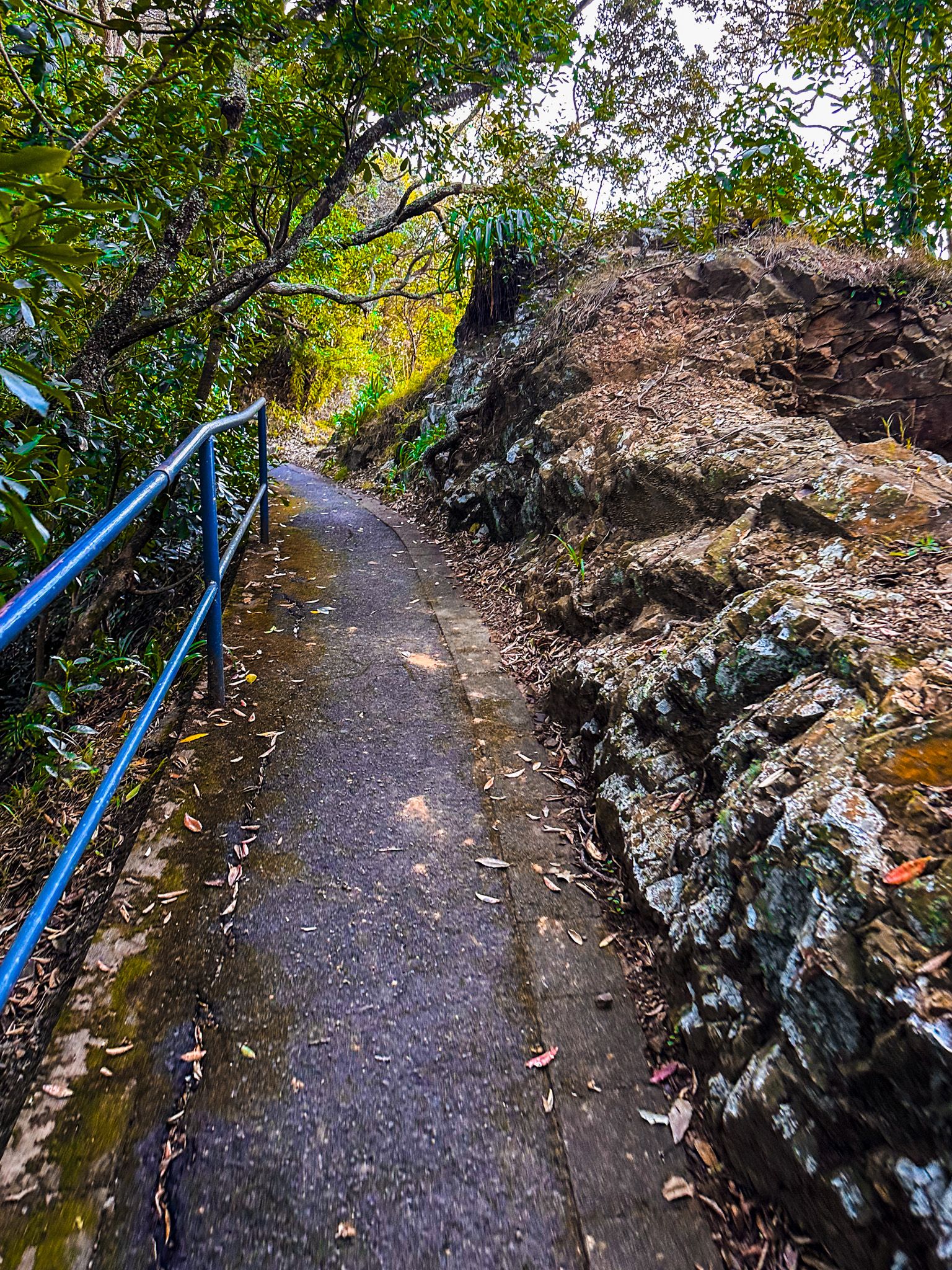
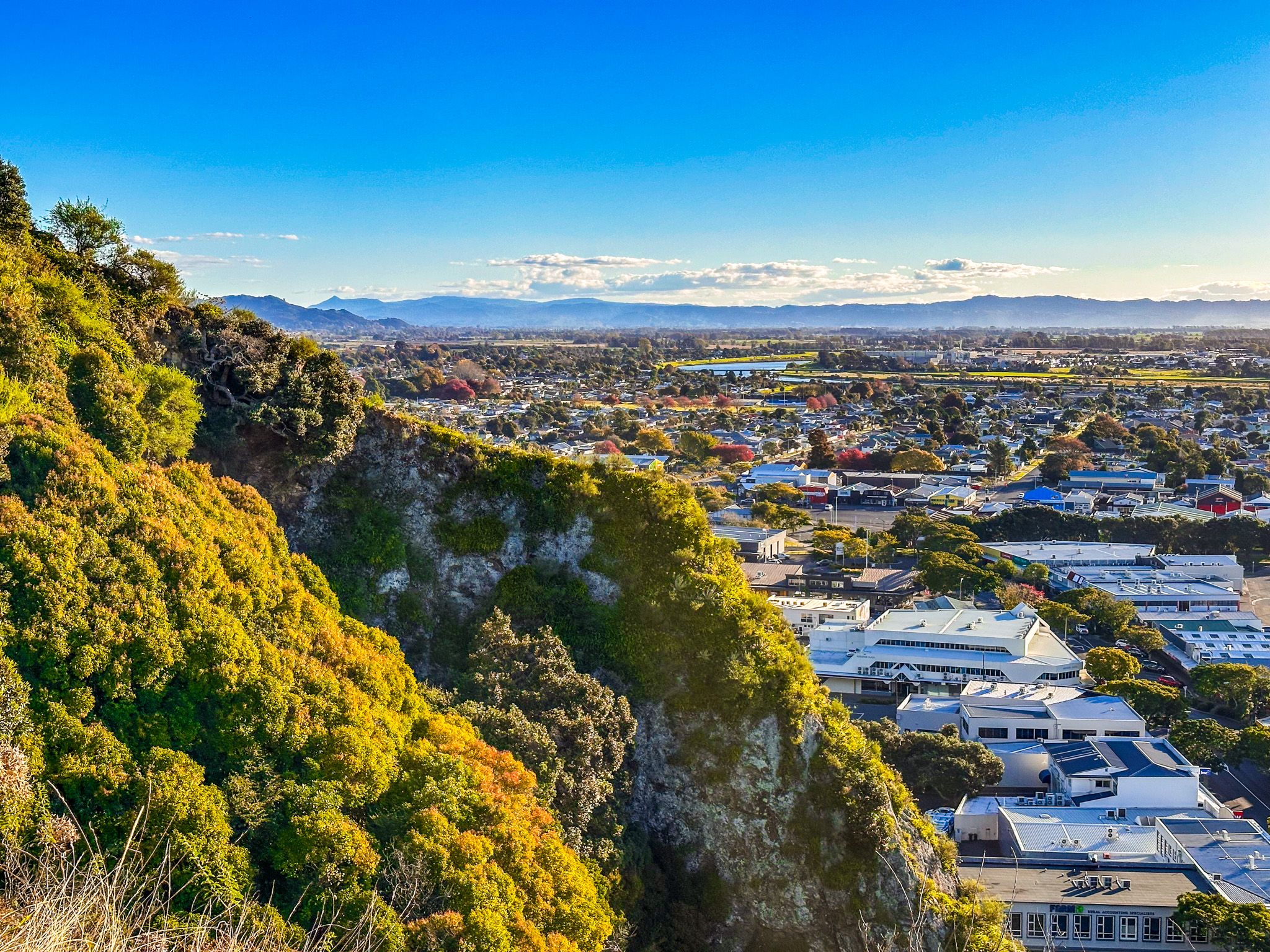
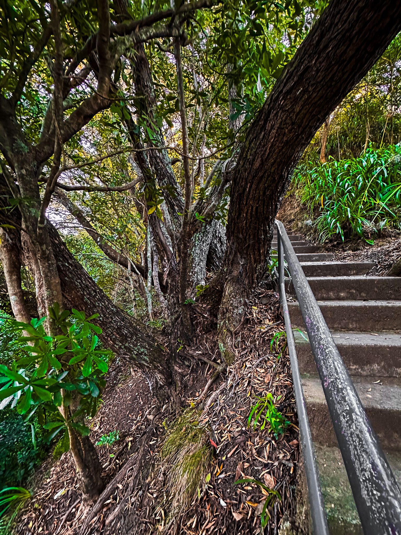
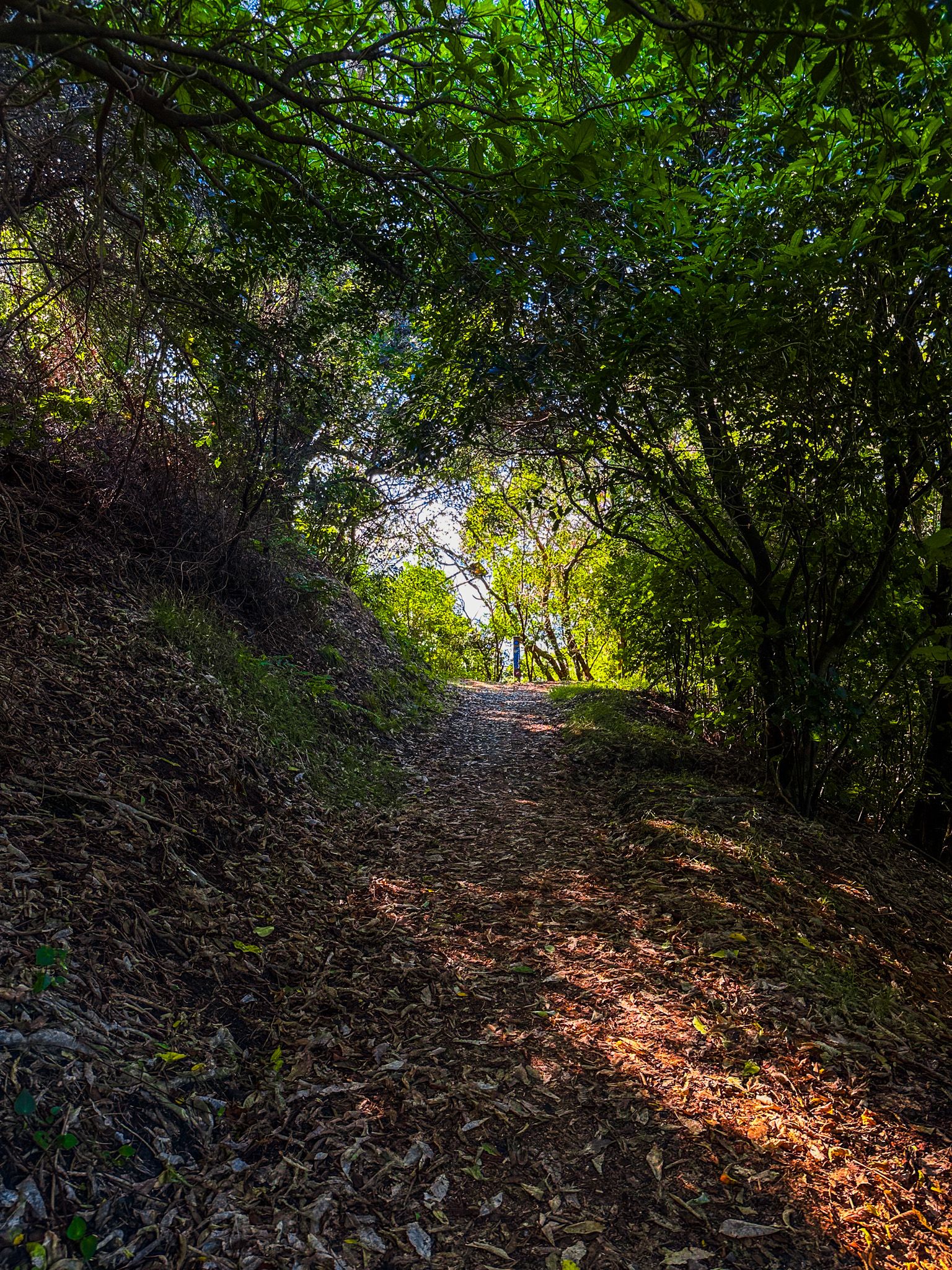
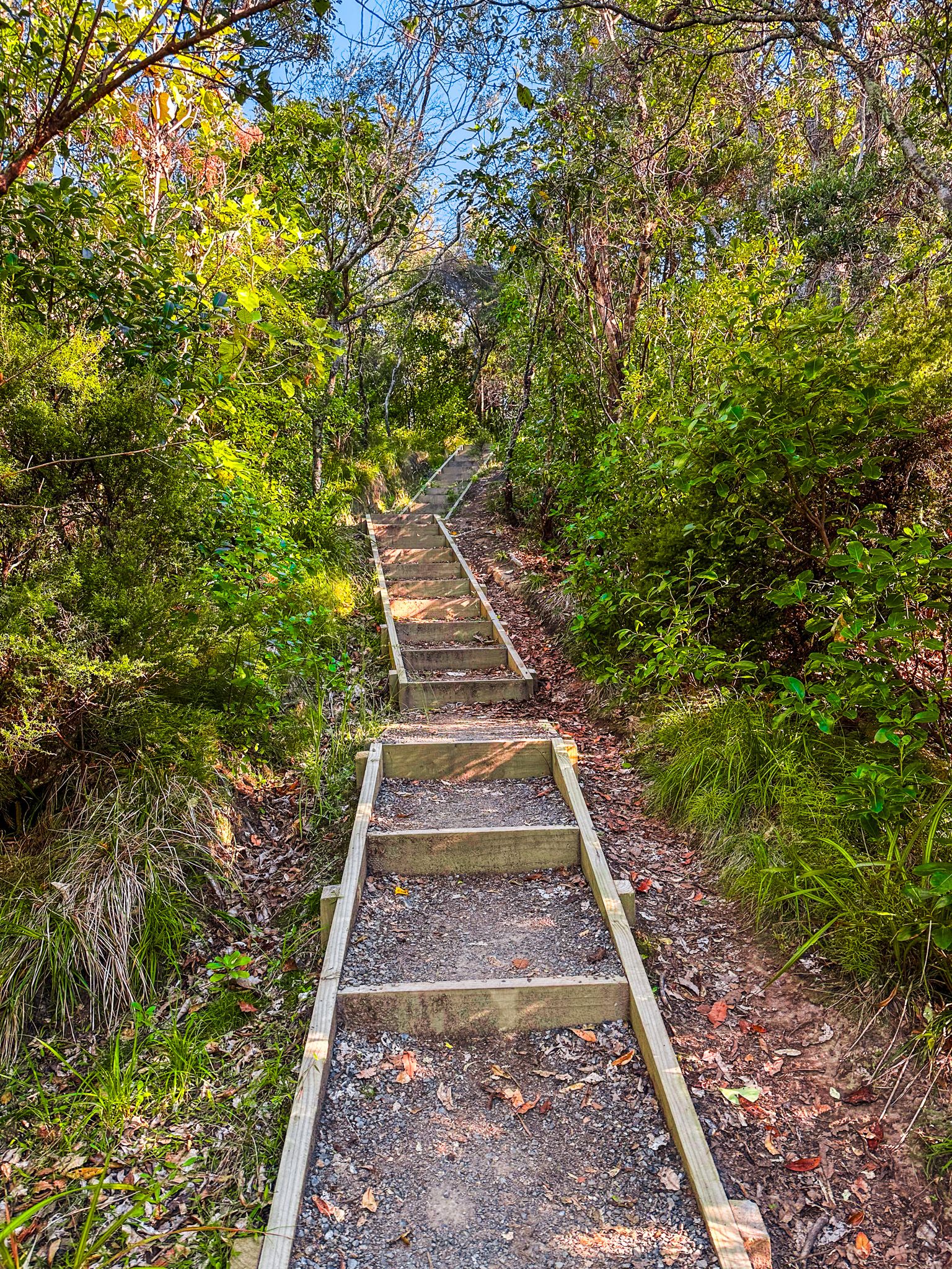
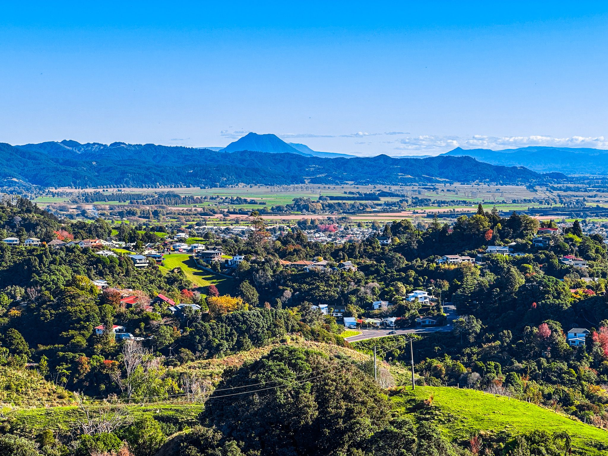
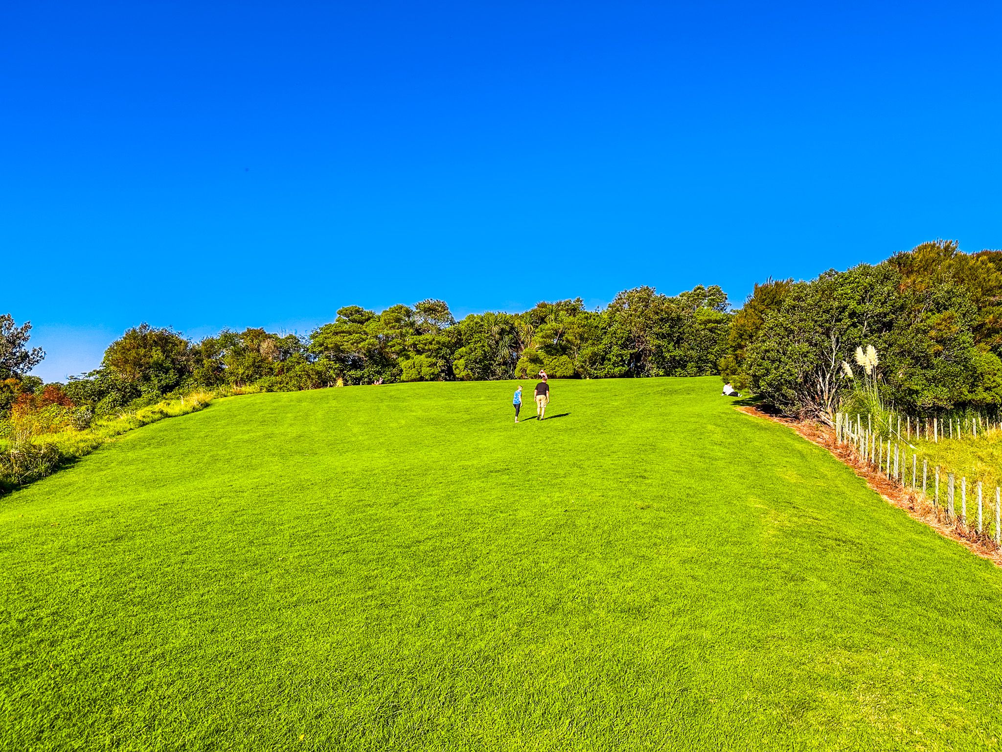
Ngā Tapuwae o Toi, meaning "the footprints of Toi", is a stunning 16 km loop walkway that follows historic Māori tracks linking Whakatāne to Whakatāne Heads, Kohi Point, and Ōhope. The track is named after Toi-te-Huatahi, who is said to have established the first pā, Kapu-te-rangi, on Kaputerangi Point overlooking Whakatāne.
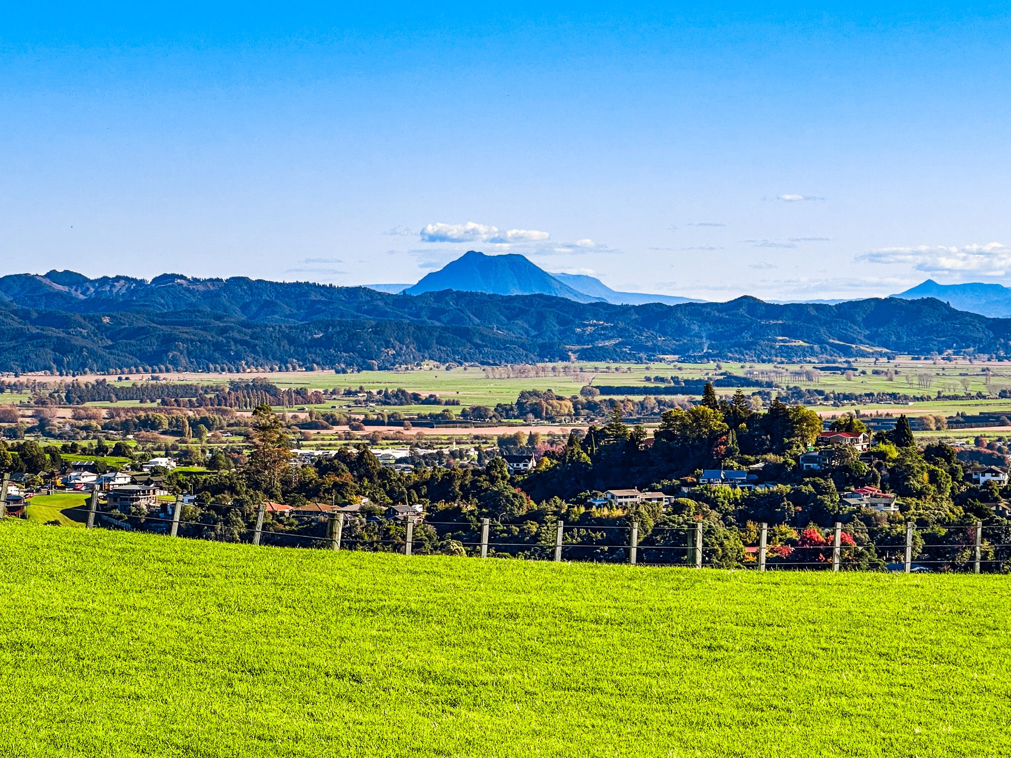
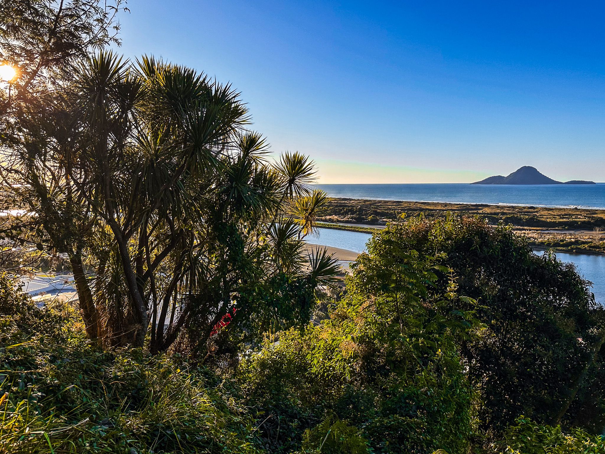
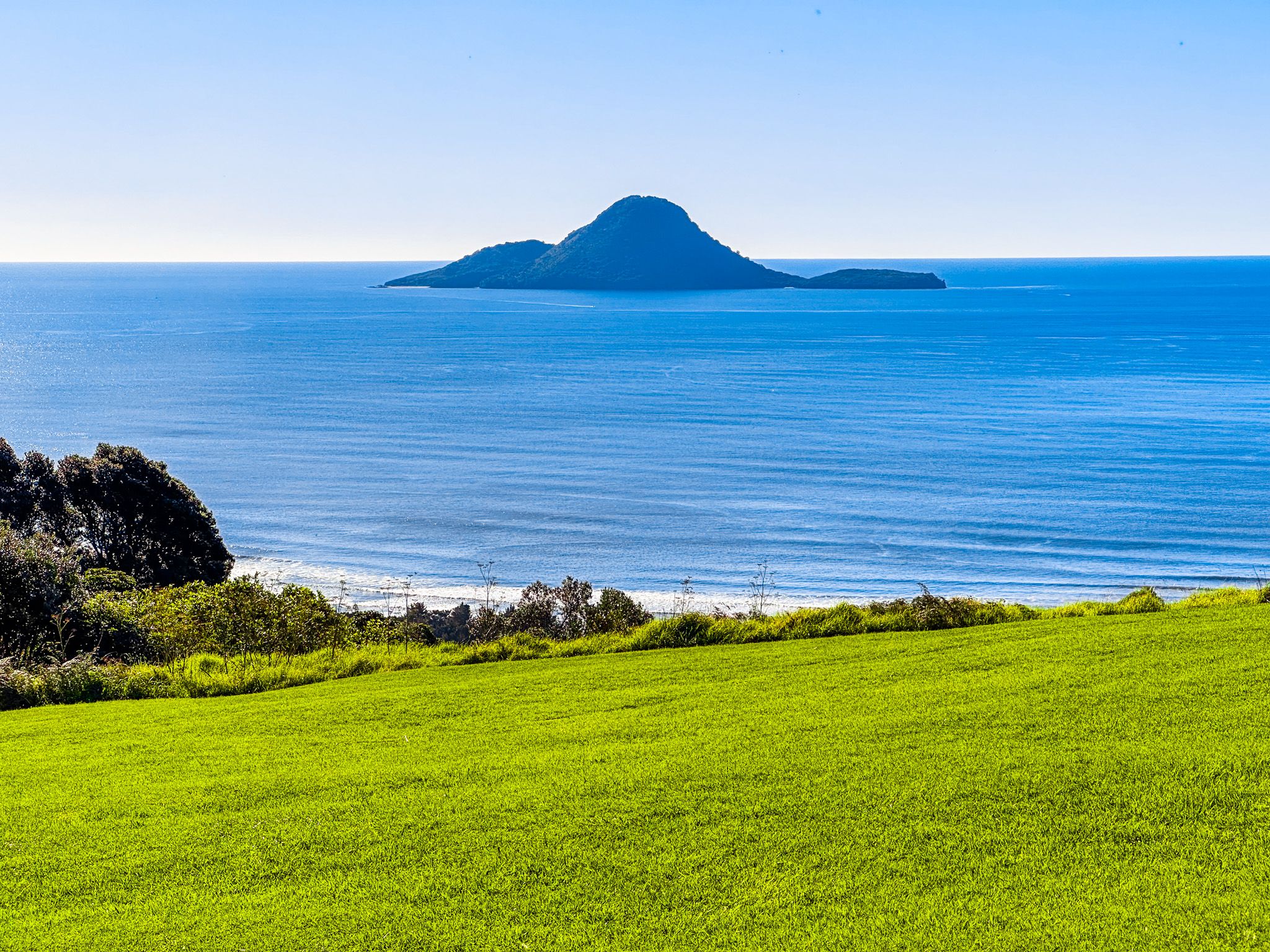
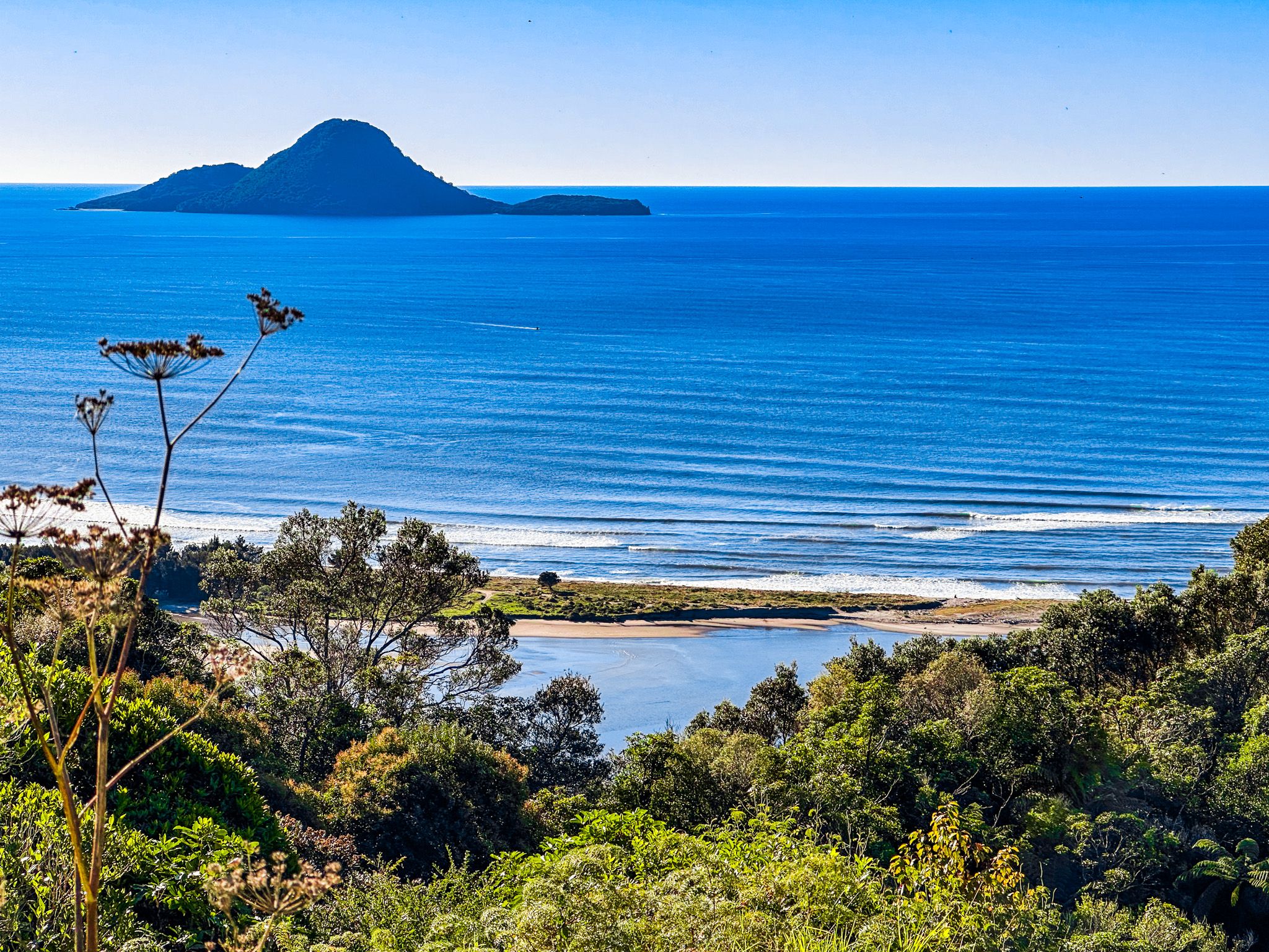
The walkway begins with a steep climb from the town centre, opposite Pohaturoa. Along the way, signposted side tracks lead to ancient cliff-edge pā sites, Te Papaka and Puketapu, offering breathtaking views of the town, coast, Moutohorā (Whale Island), and the sacred mountain Putauaki (Mt Edgecumbe).
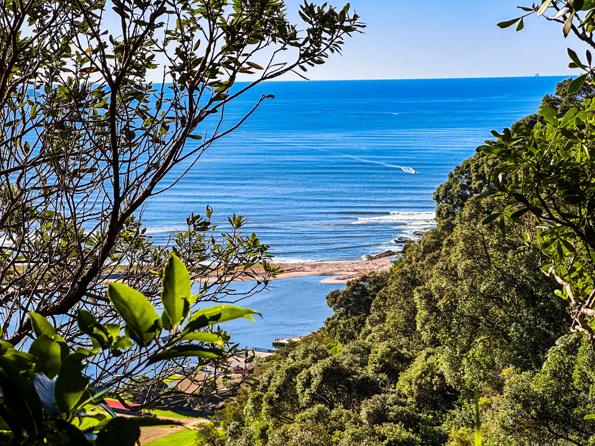
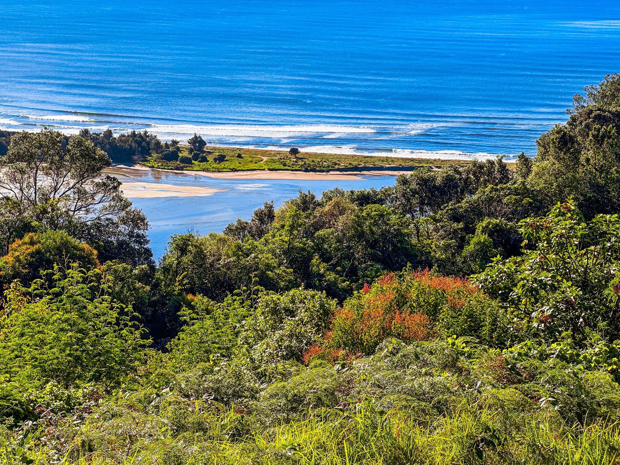
The track continues through regenerating forest along the ridgeline to Kaputerangi Lookout, where you can walk up to the 183-metre high point. From there, the trail leads to Kohi Point at the tip of Whakatāne Heads, with spectacular views of the active volcano Whakaari/White Island.
From Kohi Point, the walkway heads east towards Ōhope, passing the remote Otarawairere Bay, which can only be crossed at low tide. The track then loops back to Whakatāne through the Ōhope Scenic Reserve and Mokoroa Bush Reserve. The entire loop takes about 4-6 hours, offering a unique blend of natural beauty and Māori history.
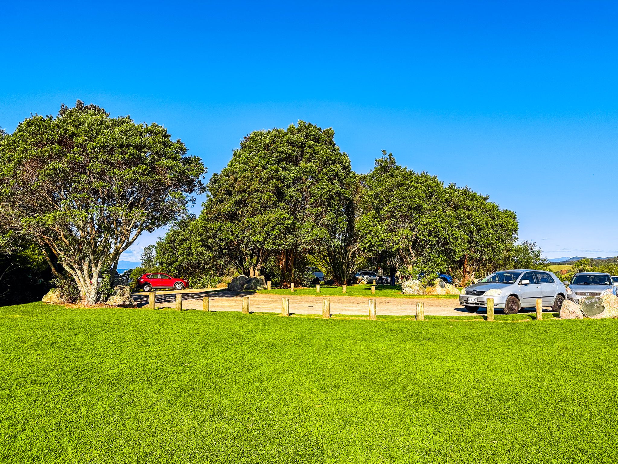
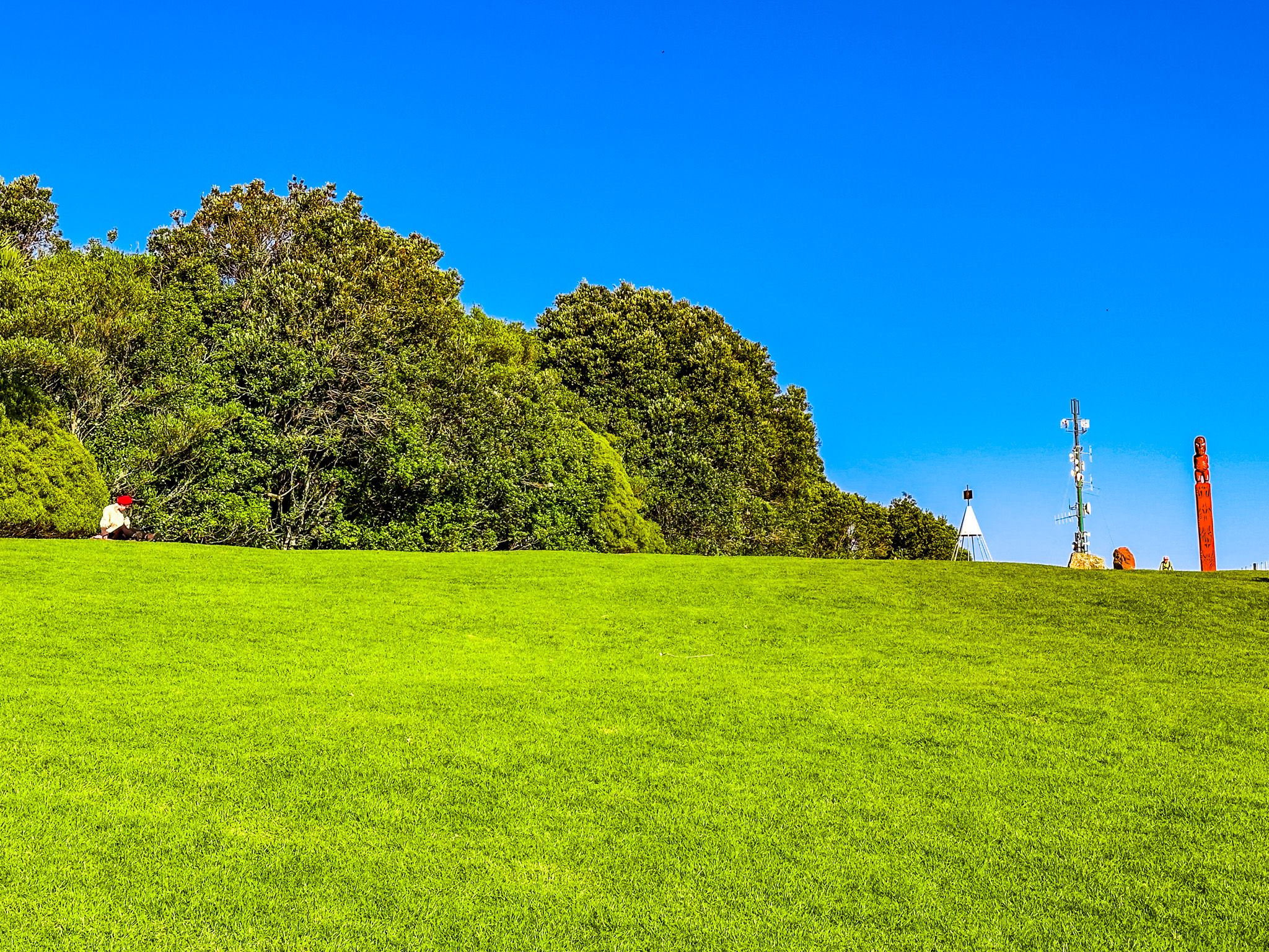
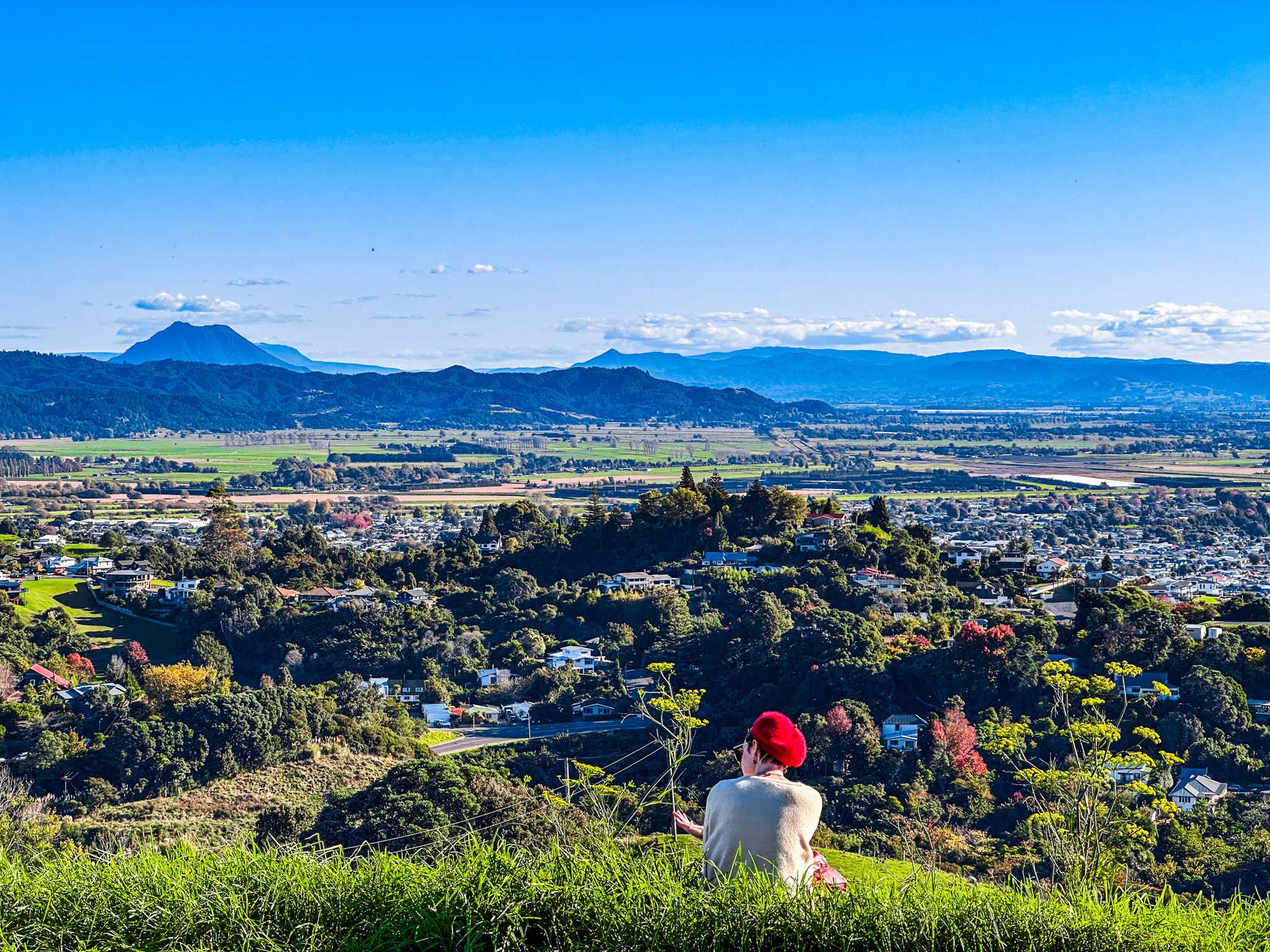
Kaputerangi Lookout
Kaputerangi Lookout is situated on the highest point of Kohi Point Reserve, accessible by hiking from downtown Whakatāne or driving up Otarawairere Road and Kohi Point Lookout Road. The lookout offers stunning views of the surrounding area, especially to the west and southwest, including Ōhope.
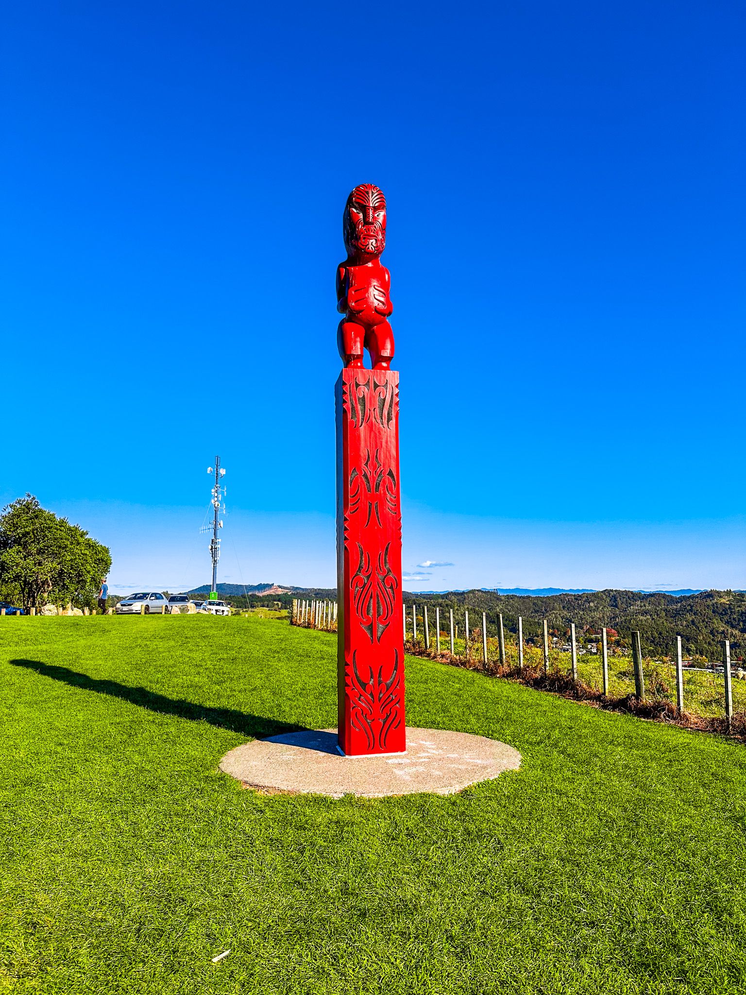
The lookout is historically significant as the site of Kapu-te-rangi Pā, or Toi's pā. It is one of the oldest known pā sites in New Zealand, linked to Toi-te-Huatahi, who is believed to have landed in Aotearoa around 1150 AD, predating the arrival of the Arawa, Tainui, and Mātaatua waka by at least a century.
Toi is an important figure in Māori history, with stories of his visits to the Auckland region, where he planted a karaka grove at Ōtara. His name is also captured in the Ngā Tapuwai o Toi Track and Te Whāiti-nui-a-Toi Canyon in Whirinaki Forest.
At the car park, visitors can find a pou and two plaques highlighting the site's historical importance and its return to Ngāti Awa as part of the Treaty of Waitangi claims settlement in 2005. From the lookout, a short walk leads down to the Ngā Tapuwai o Toi Track, connecting Whakatāne to Kohi Point.
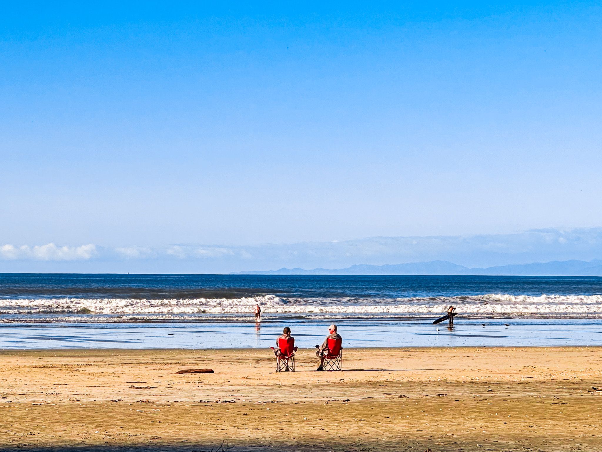
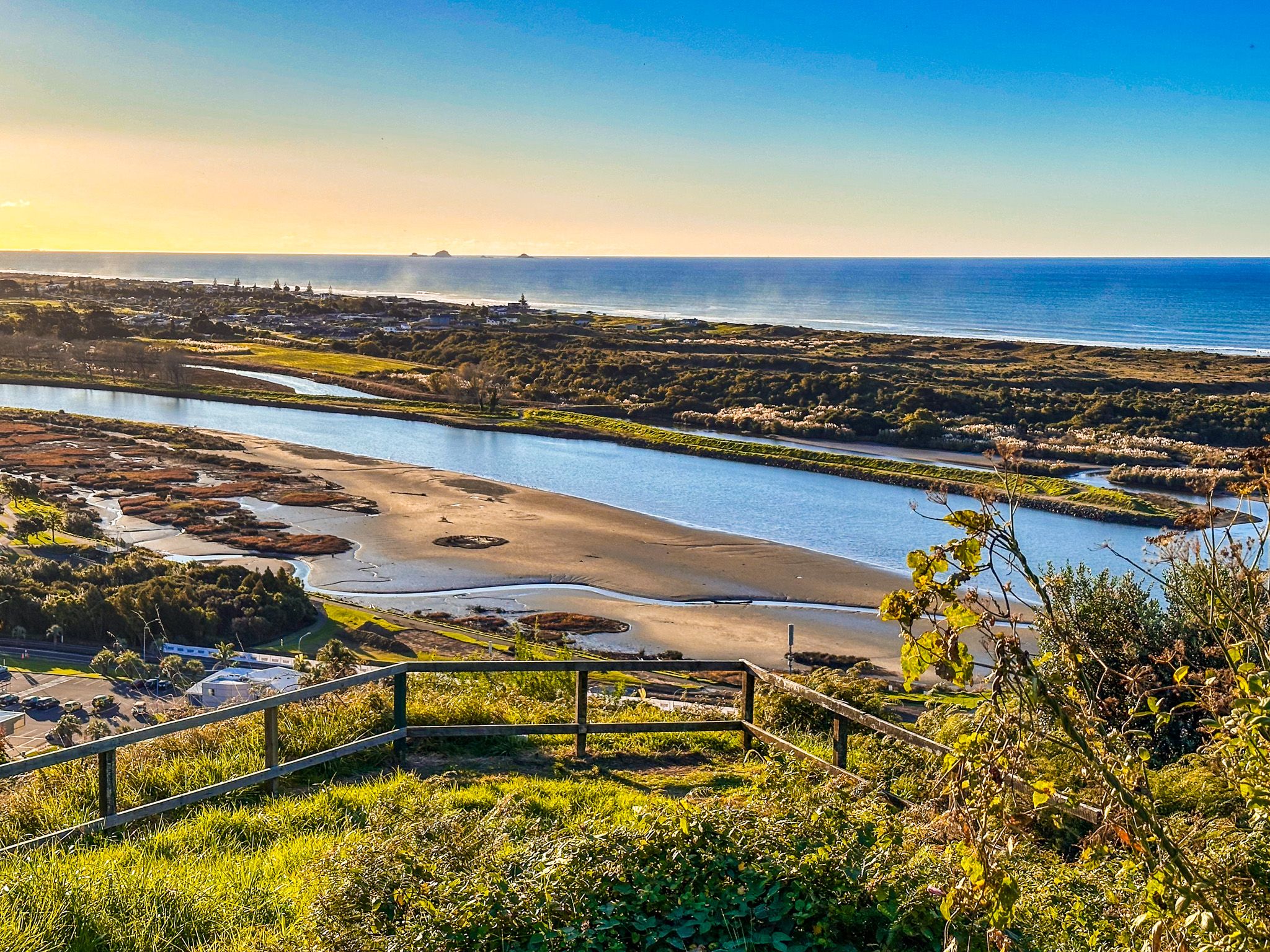
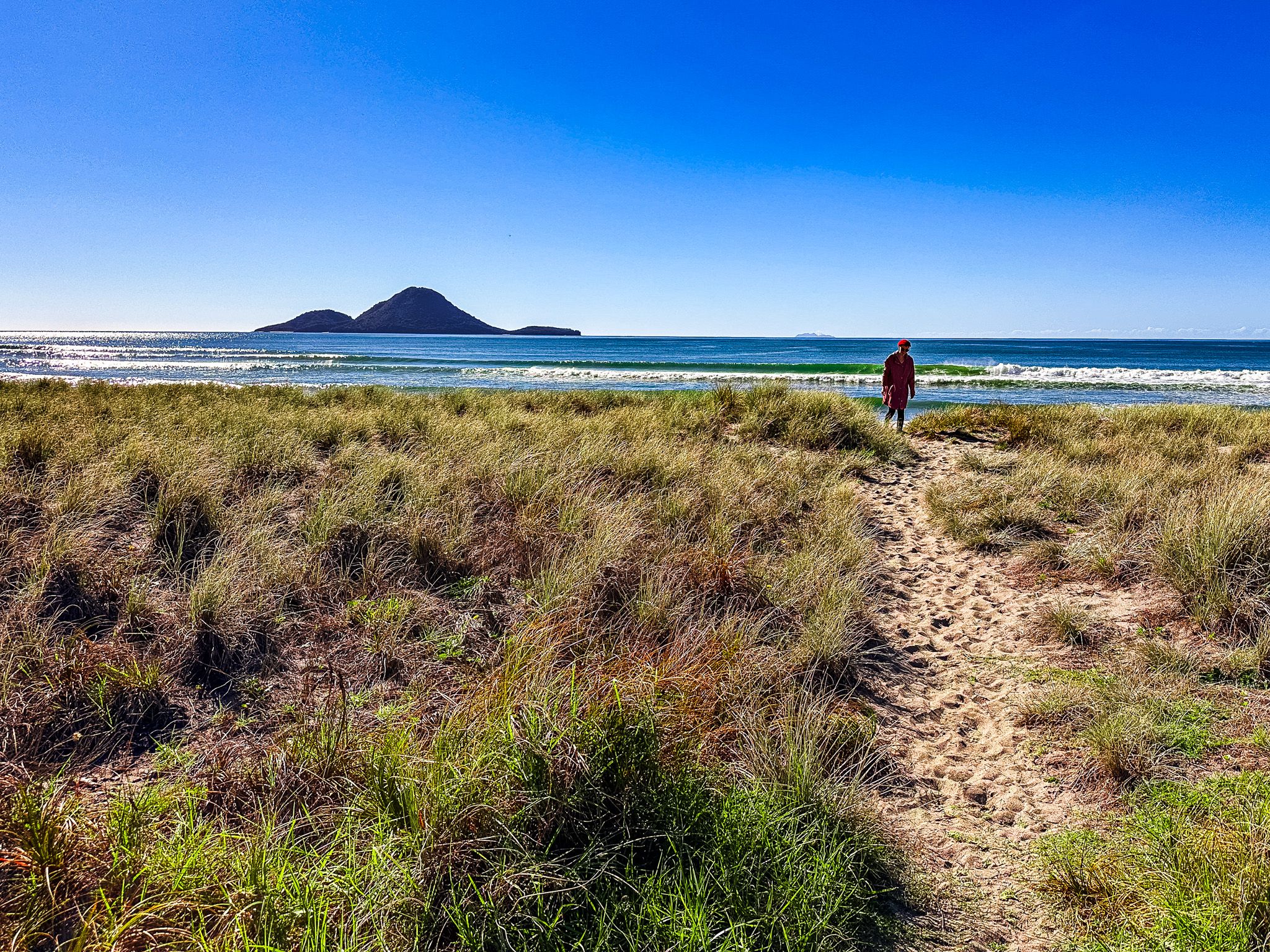
Coastlands
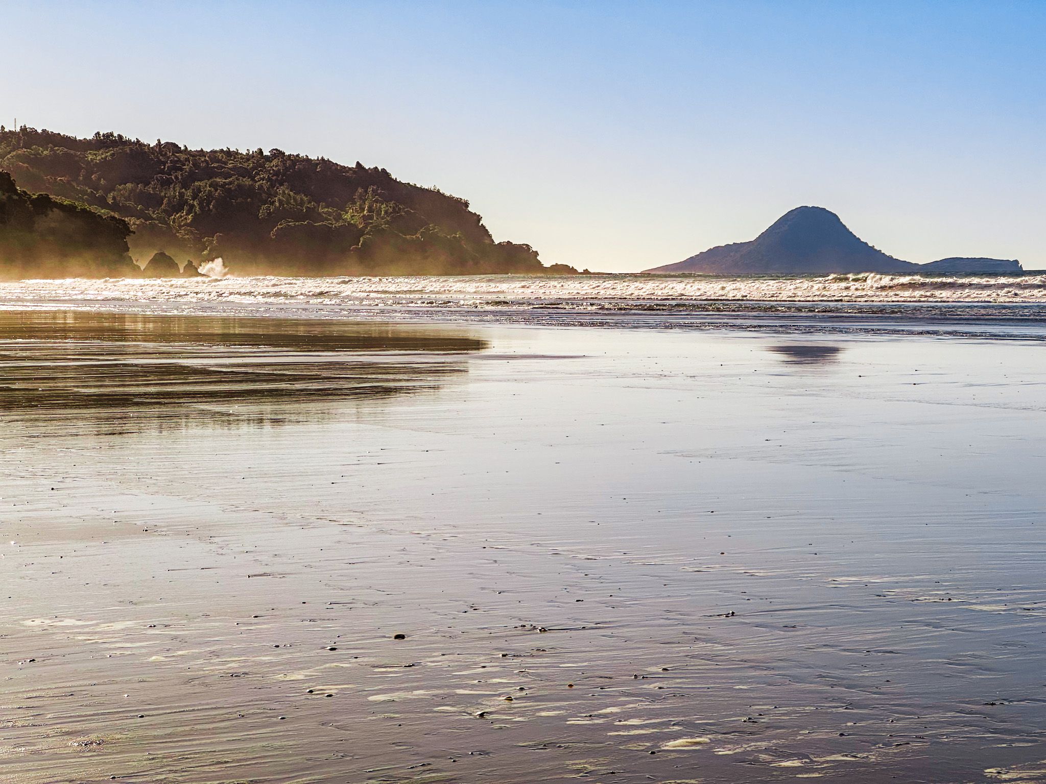
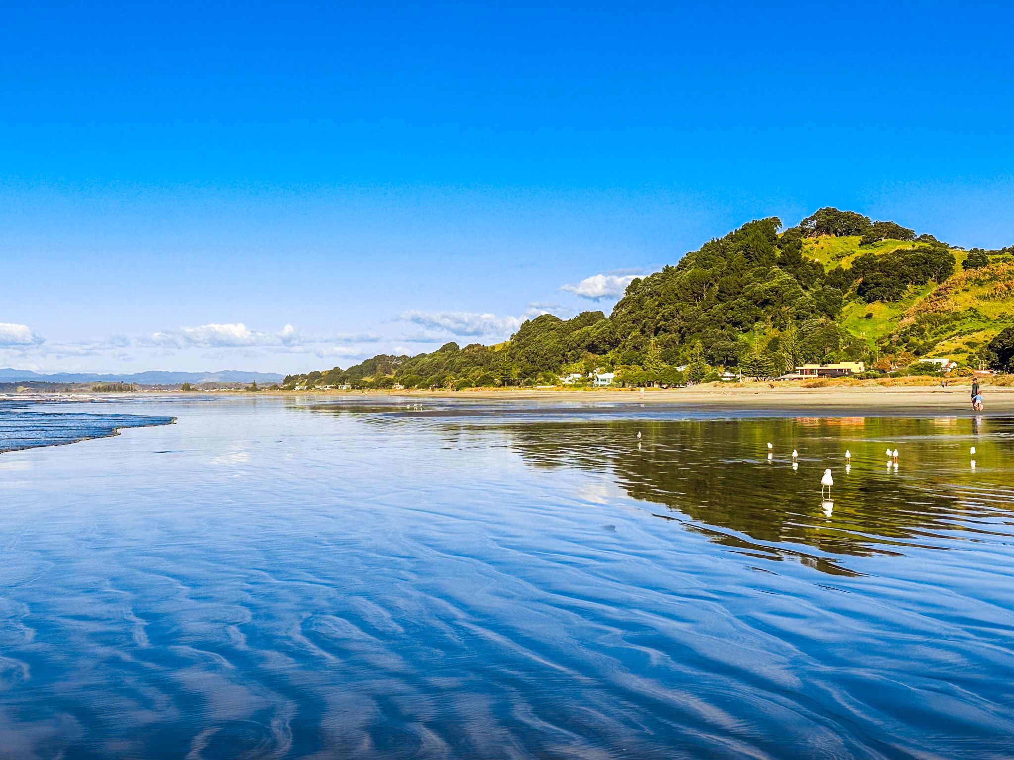
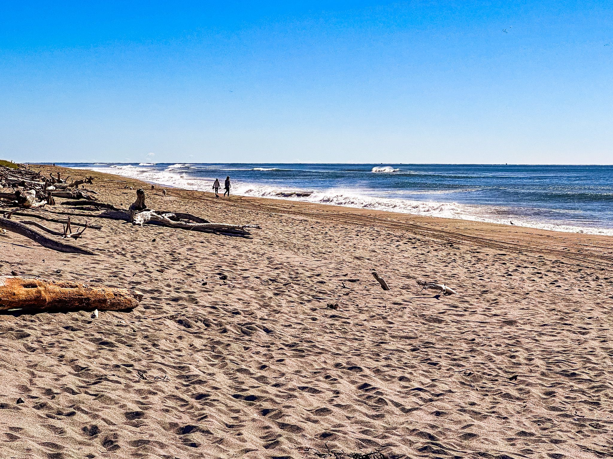
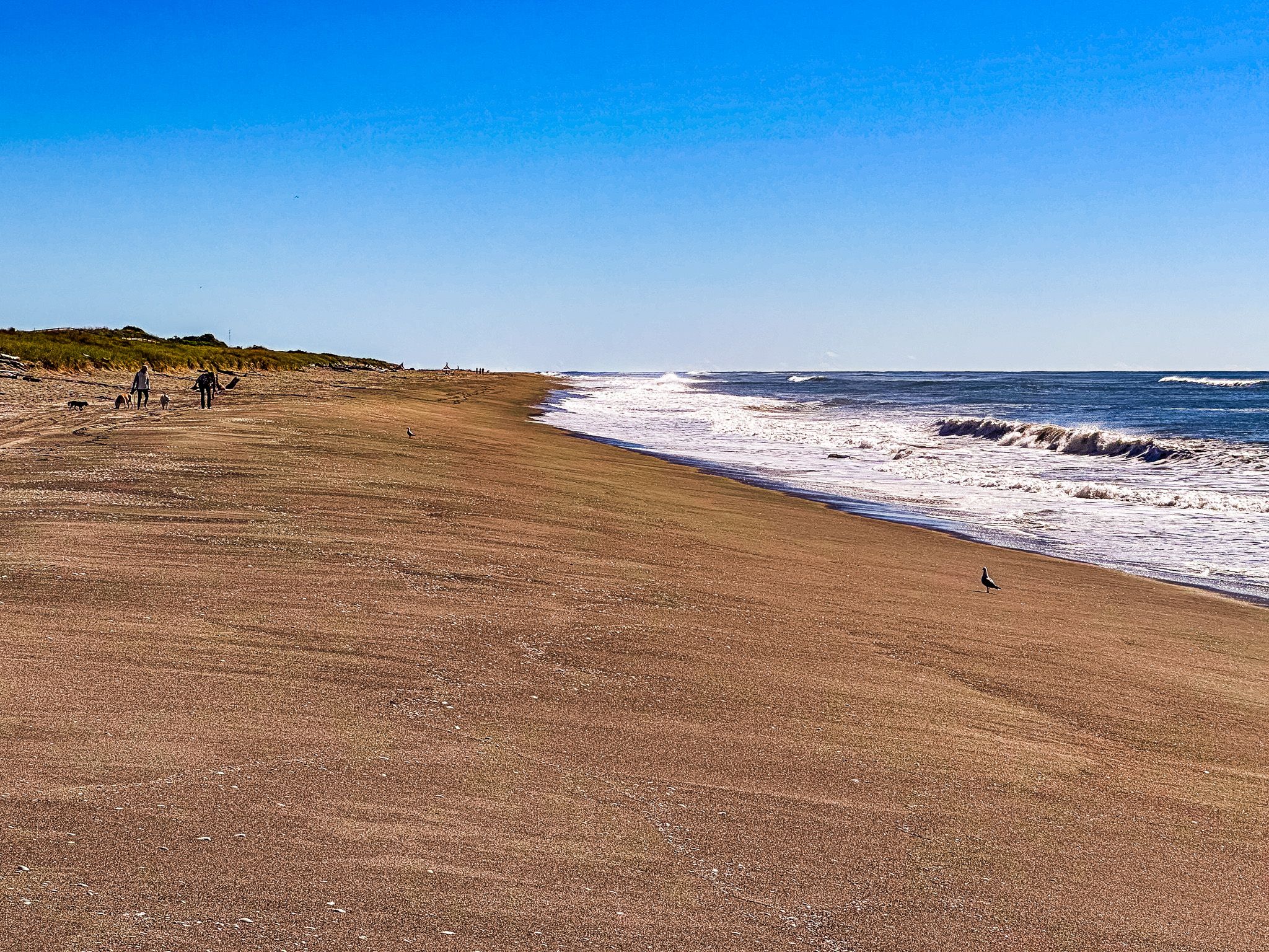
Coastlands is a modern beach suburb of Whakatāne on the west side of the Whakatāne River. The area boasts a beautiful surf beach with several access points, the easiest being Ohuirehe Road, which can be reached by taking Keepa Road from State Highway 30 and following the roundabout.
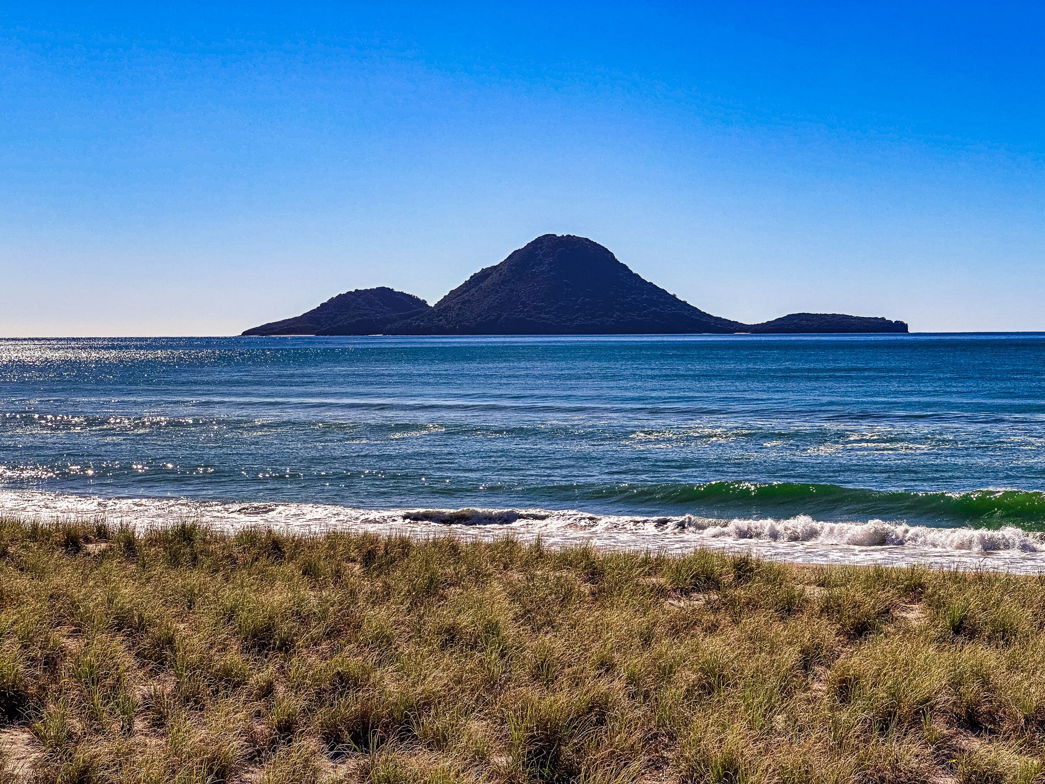
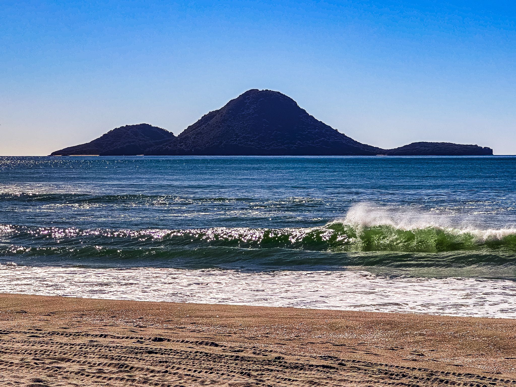
Alternatively, visitors can turn left at the roundabout onto Bunyan Road, then follow Ocean View Road to Pacific Parade. From there, a walk through the dunes offers an excellent view of the beach and Moutohora Island (Whale Island).
For those feeling adventurous, a 3 km walk along the beach to the end of the sand spit at the Whakatāne River mouth provides a close-up view of the Wairaka statue on Turuturu Roimata. However, taking a boat across the river may be easier!
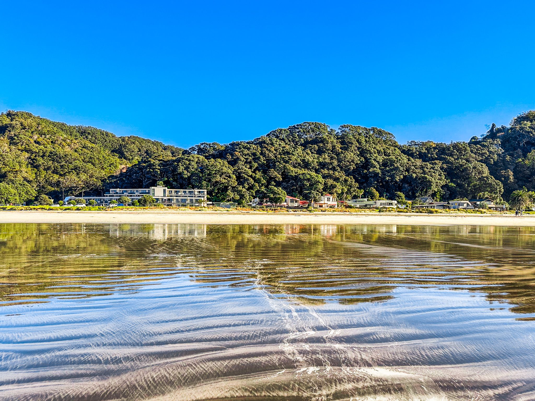
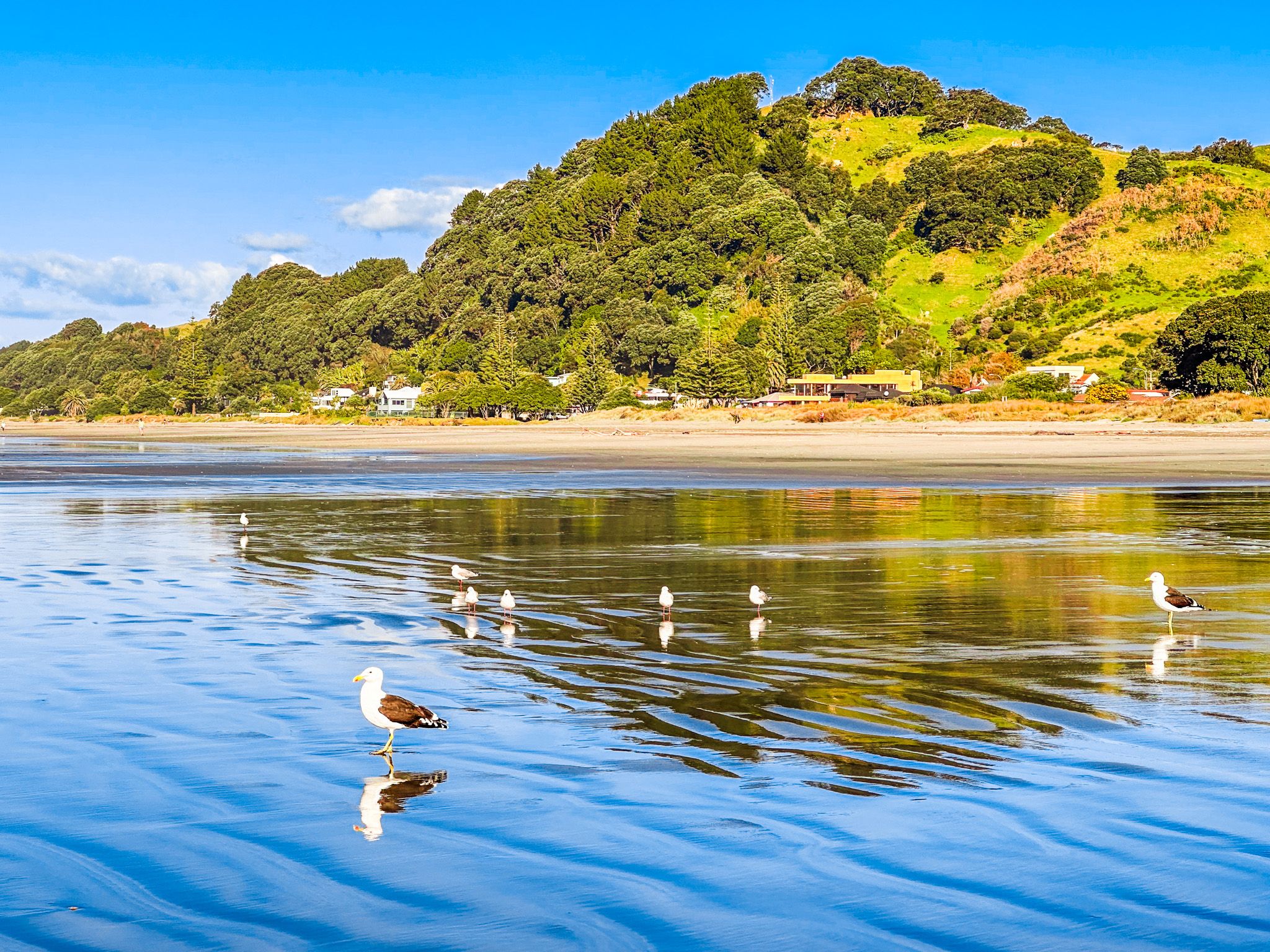
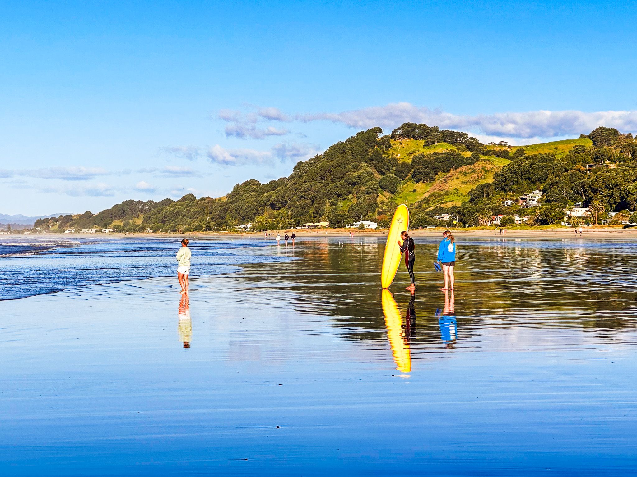
Ōhope
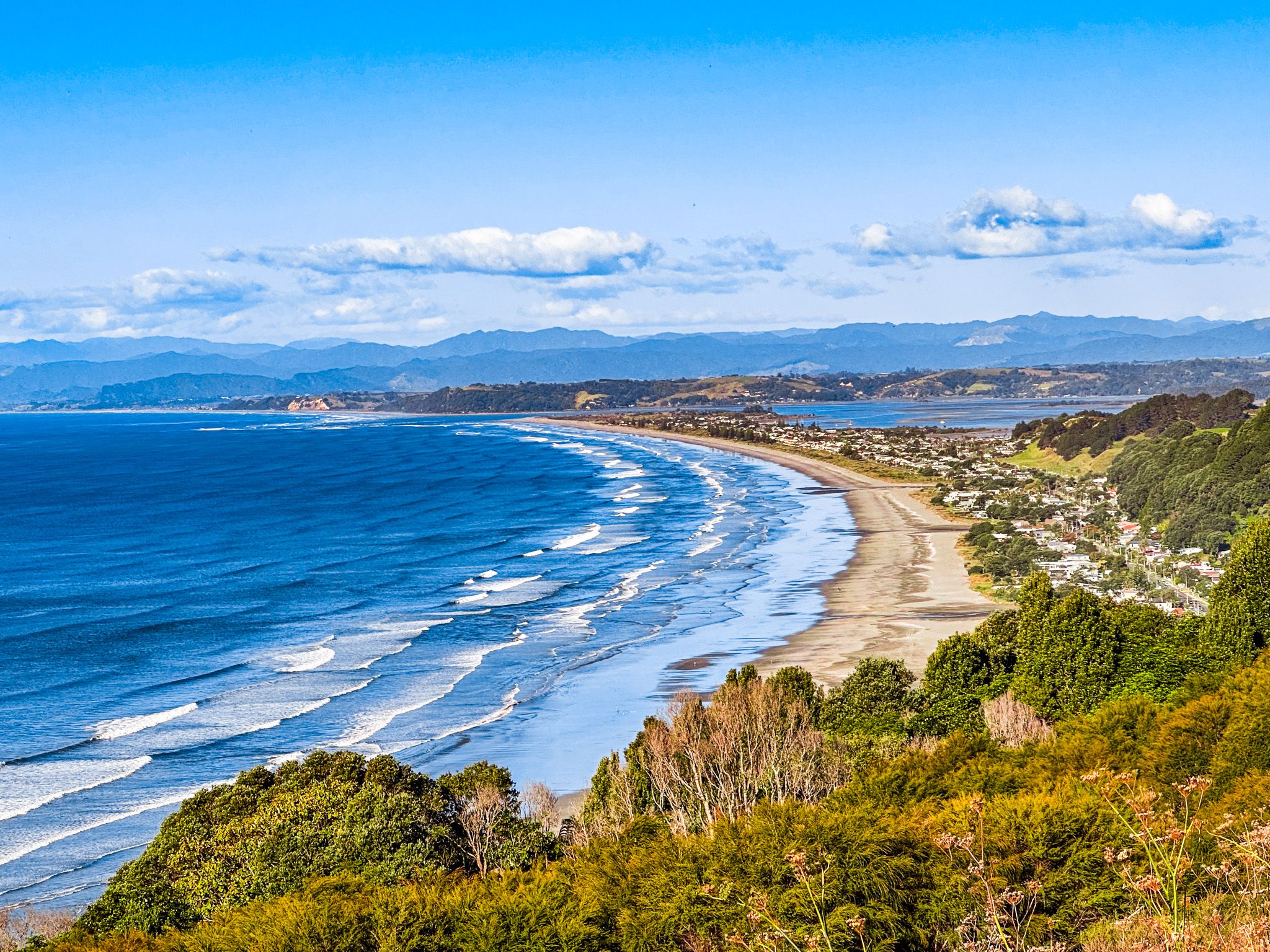
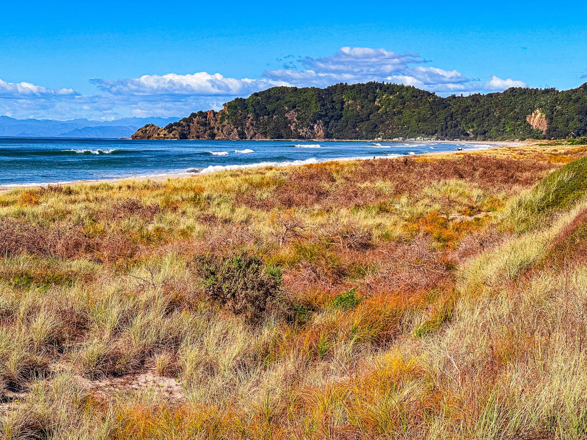
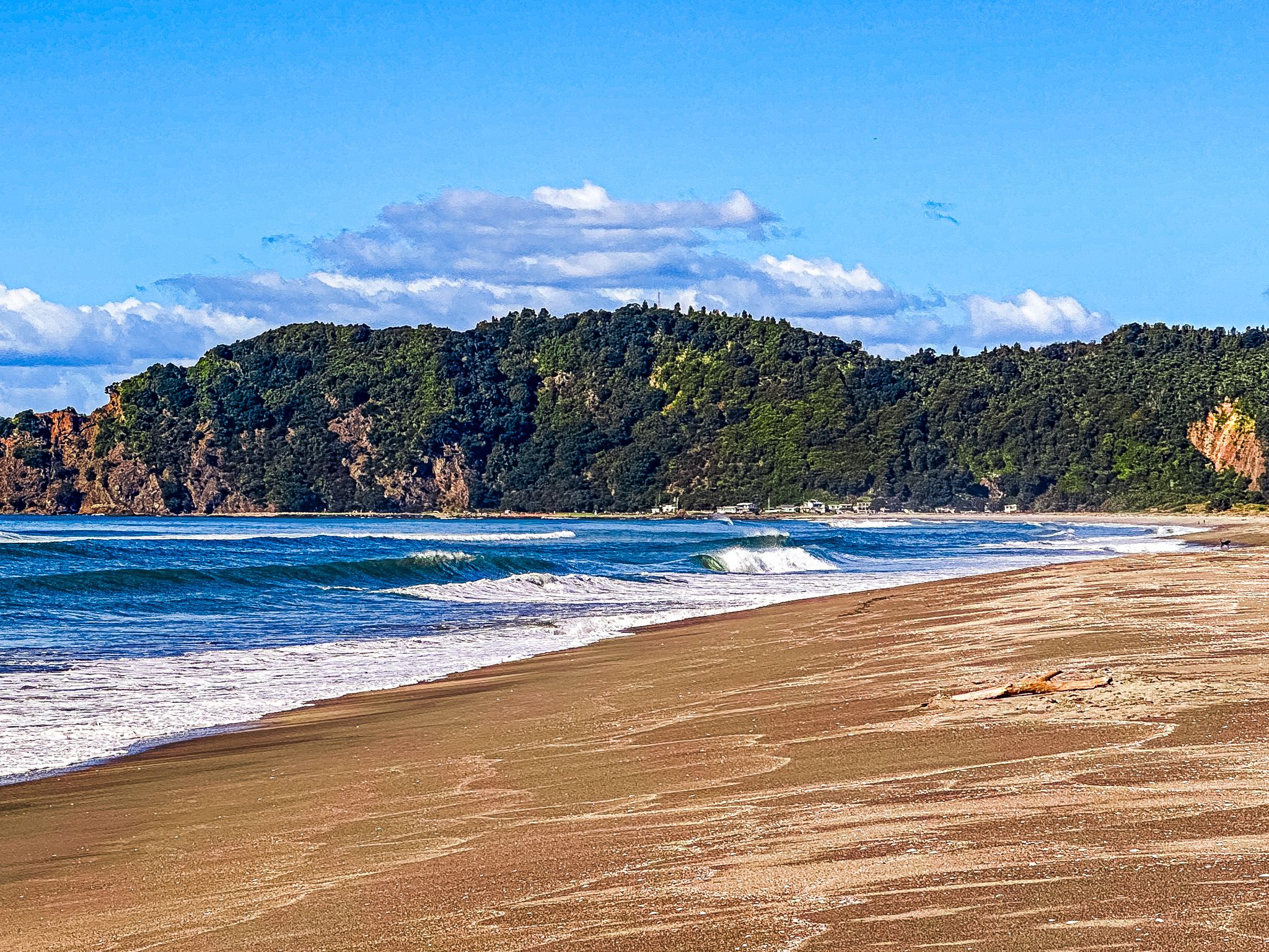
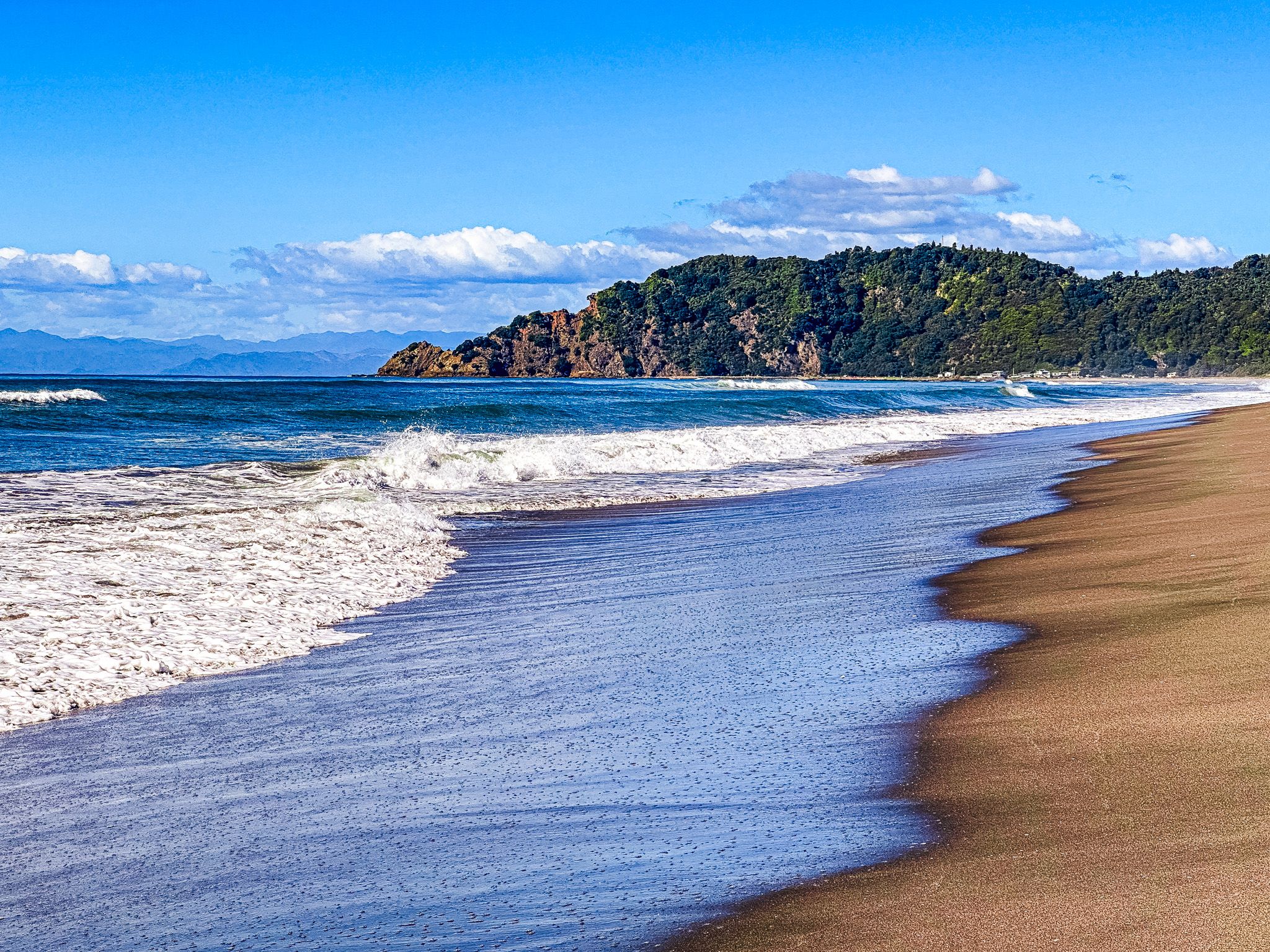
Ōhope Beach, voted the best beach in New Zealand several times, is a short drive from Whakatāne on the east side of Whakatāne Heads. The 11 km long Pacific Coast surf beach stretches to the mouth of Ōhiwa Harbour, backed by the laid-back town of Ōhope and forest-clad hills.
Despite its modern, relaxed vibe, Ōhope has a rich Māori history, with its name meaning "place of the main body of an army". The southeastern side of Ōhiwa Harbour was an early site of Māori habitation, with middens dating back to the late 1300s. The area was one of the most densely populated in New Zealand when Europeans first arrived, with over 90 identified pā sites.
Tauwhare Pā, overlooking Ōhiwa Harbour, is one of the earliest sites for kūmara planting and was the location of the last confrontation between Ngāti Awa and Whakatōhea in 1847, which was resolved peacefully. A short walk from Pacific Coast Highway leads to the pā site.
As European settlement increased, many Māori left the area as land was lost and converted to farms. Ōhope remained largely undeveloped until the late 1950s when Port Ōhope Wharf was built, and the town began to grow. Today, Ōhope is a popular holiday destination, offering a perfect blend of natural beauty, outdoor activities, and cultural heritage.