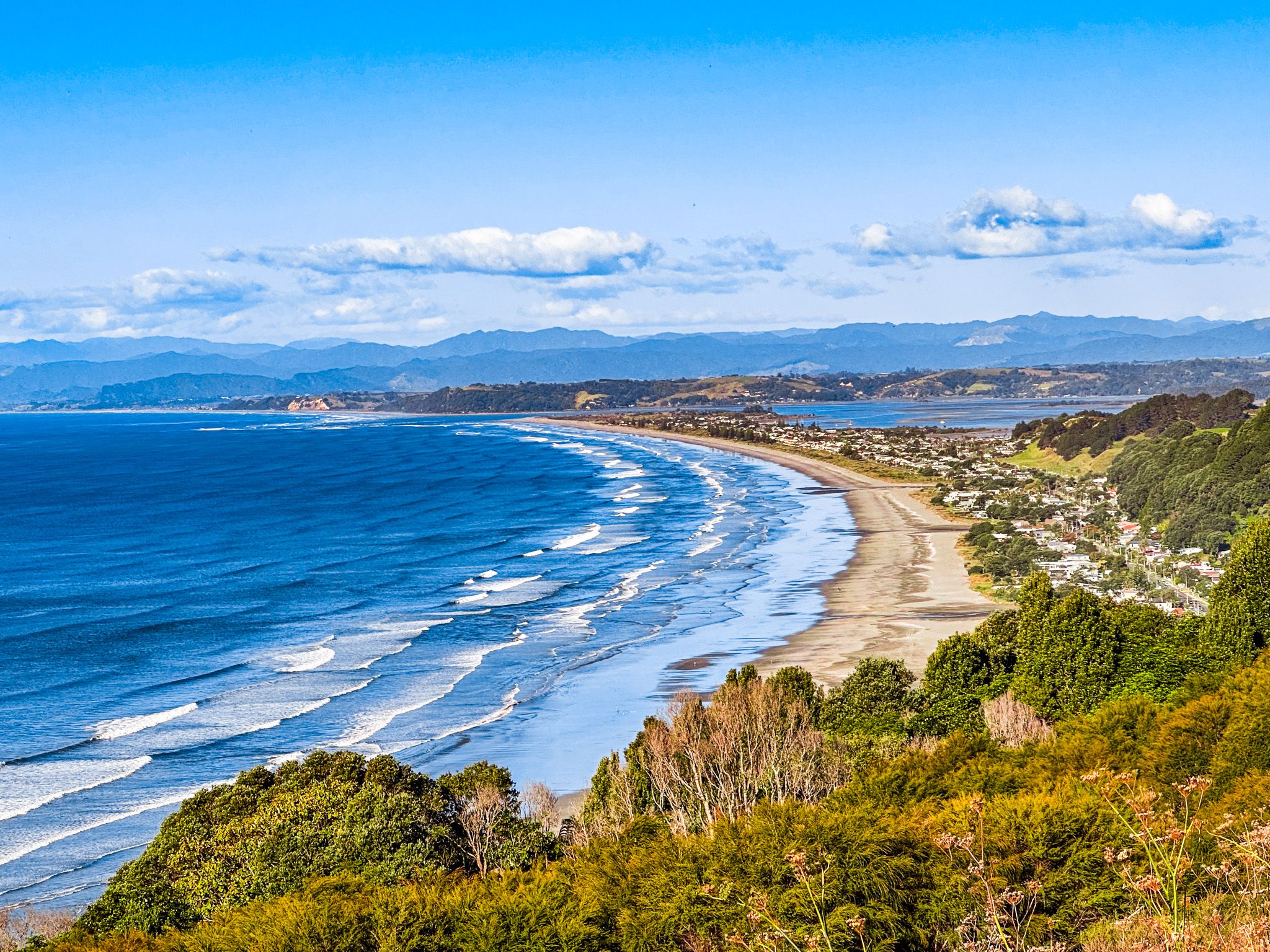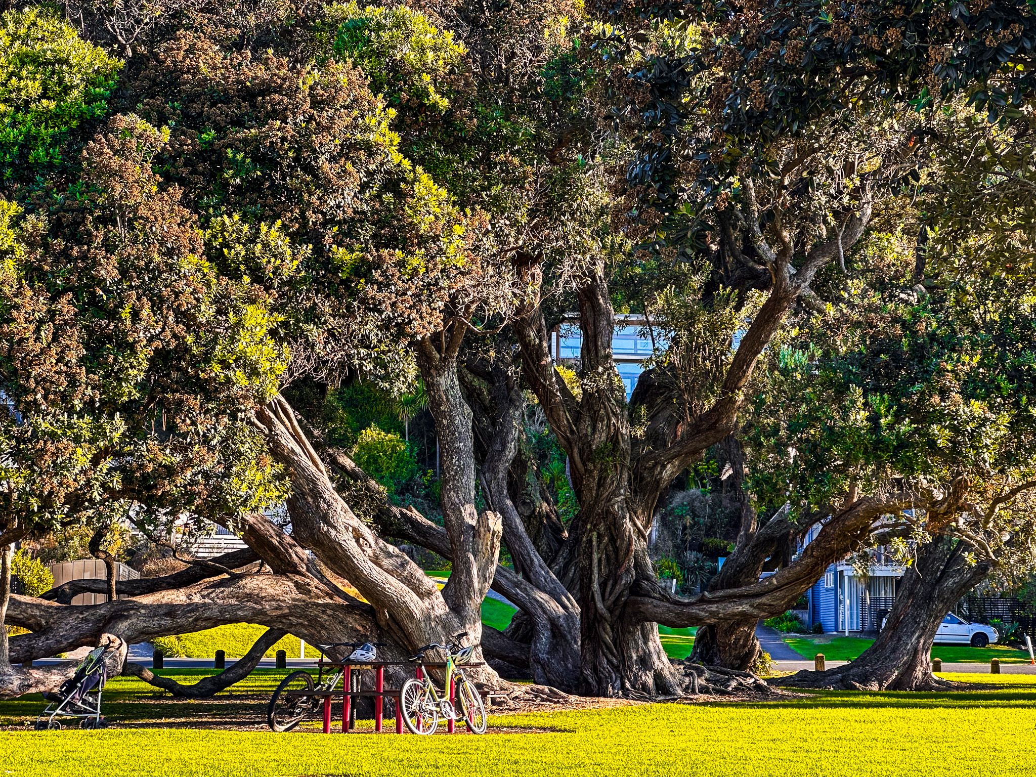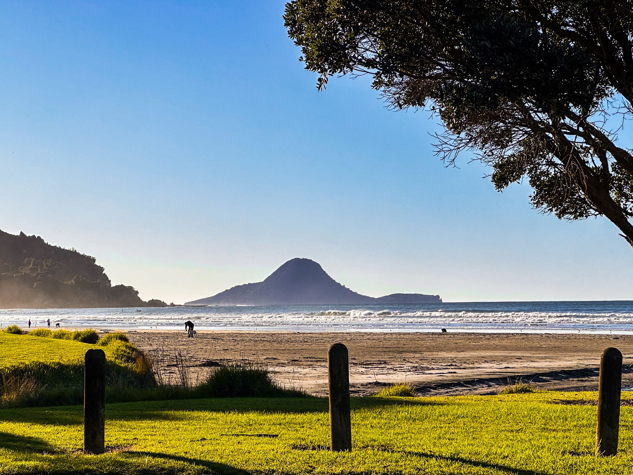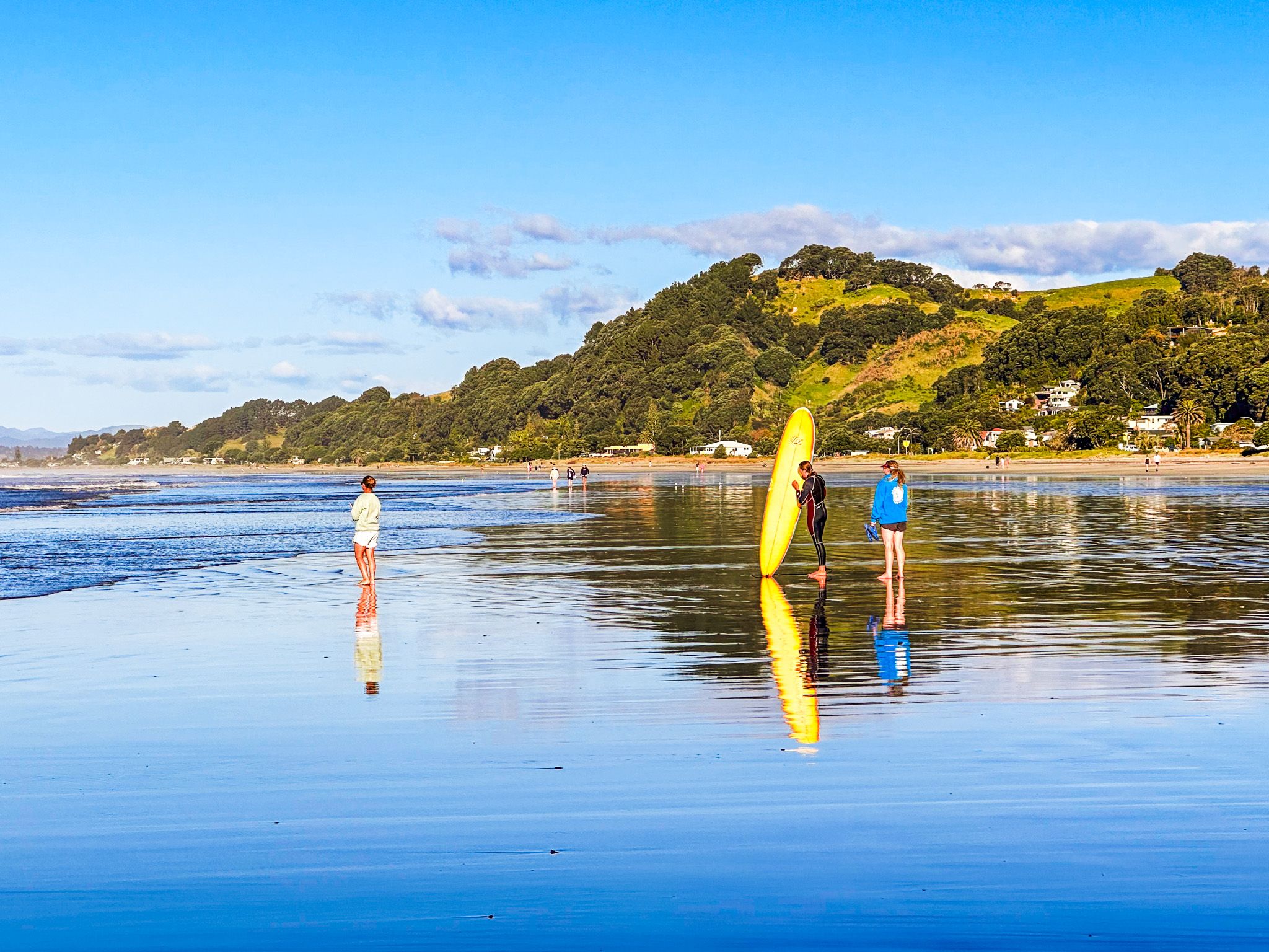
Discover Ōhope Beach
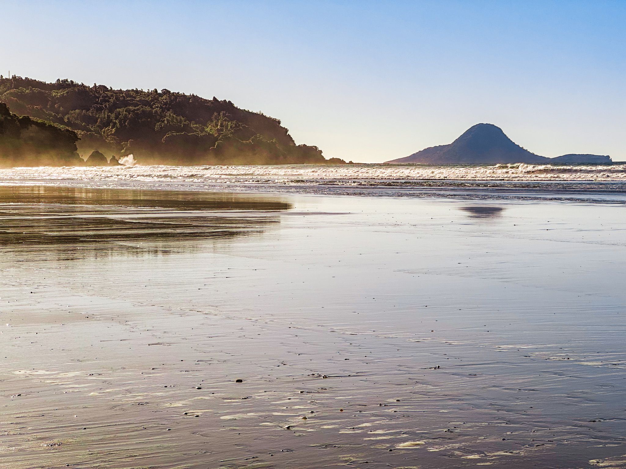
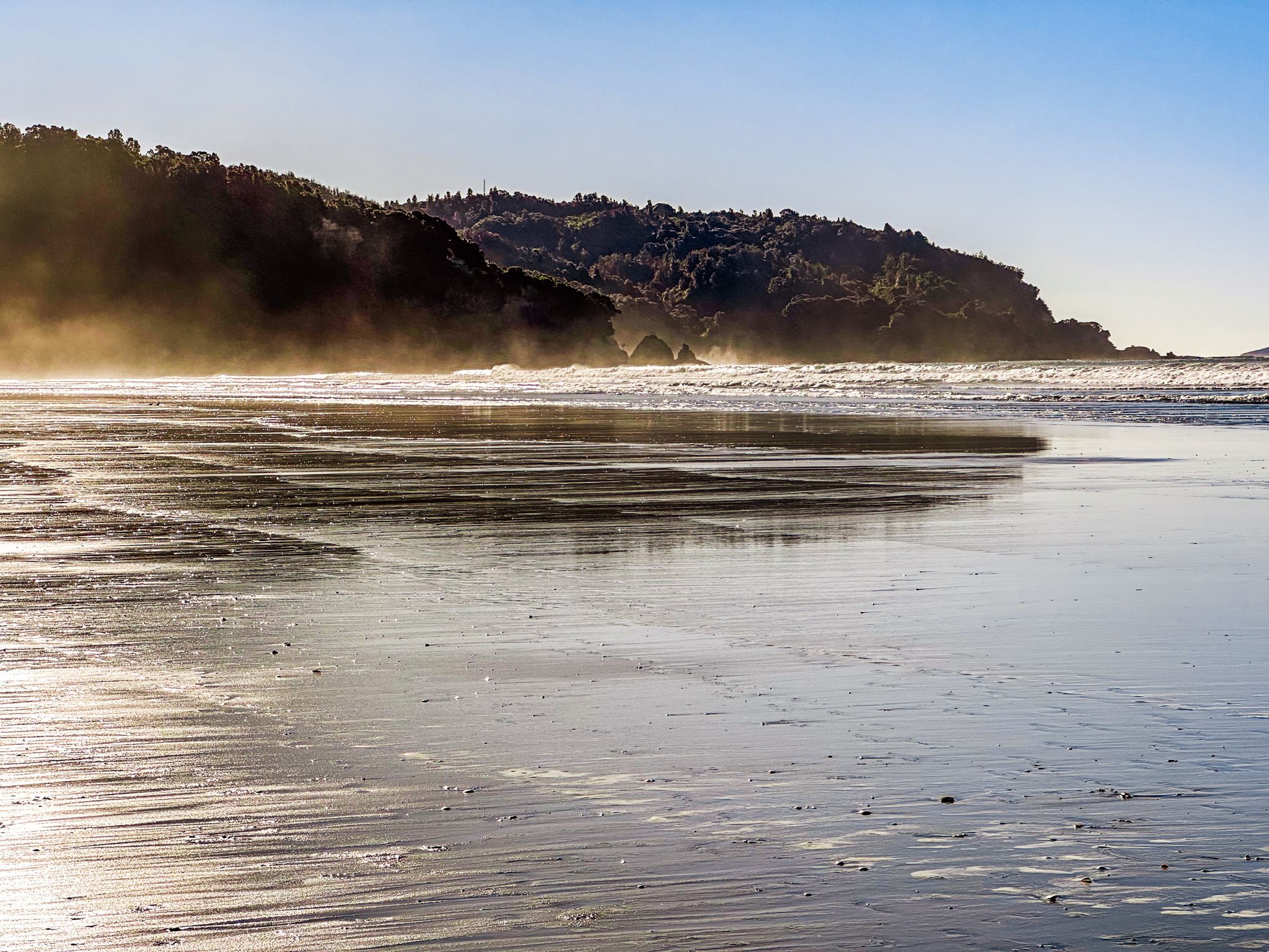
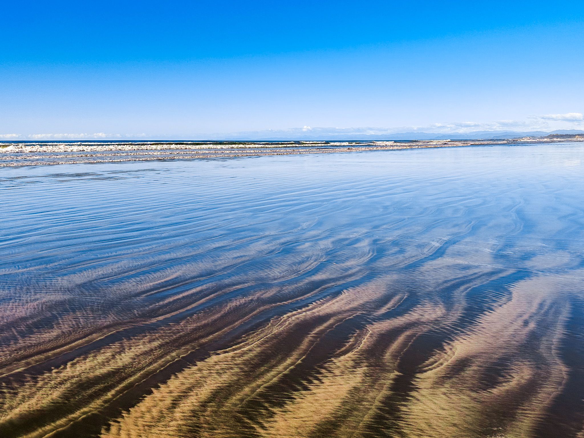
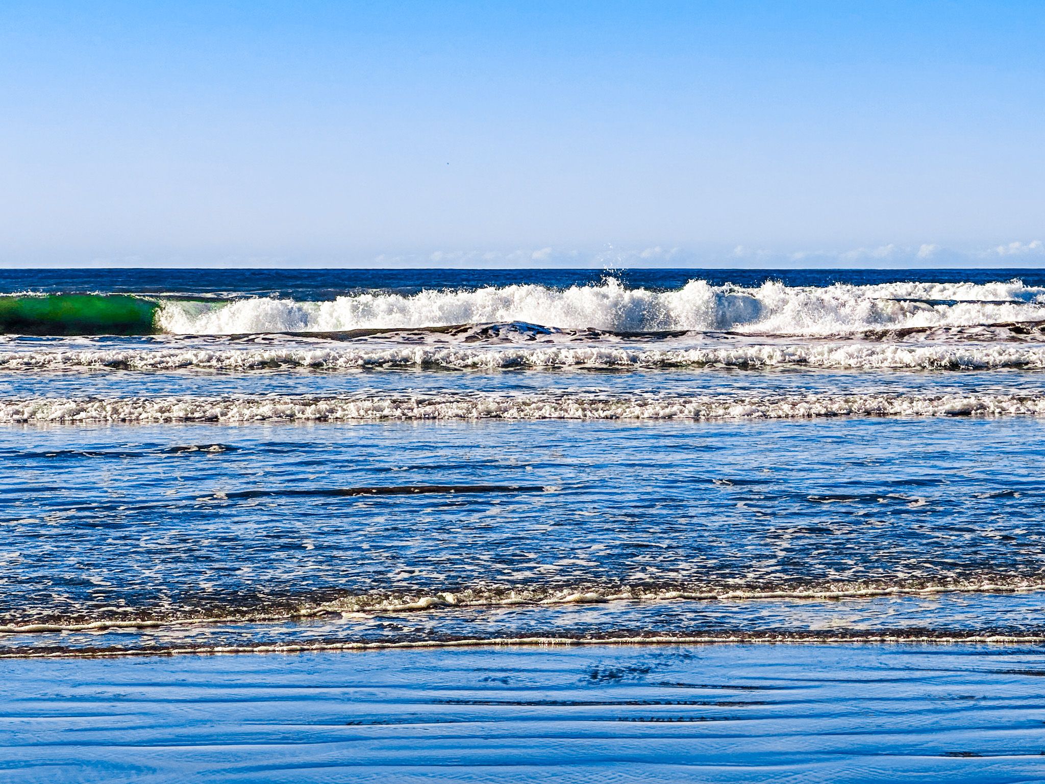
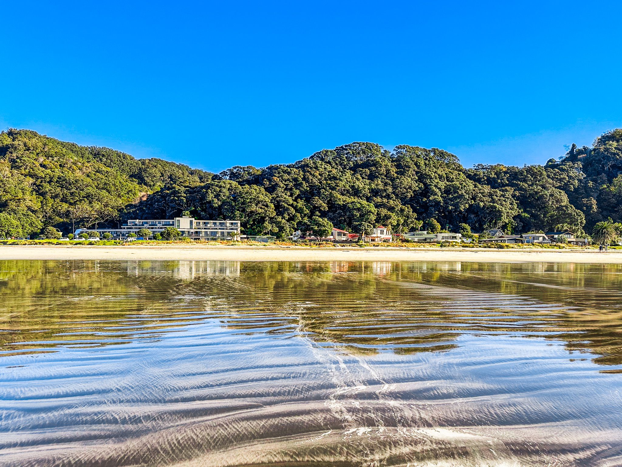
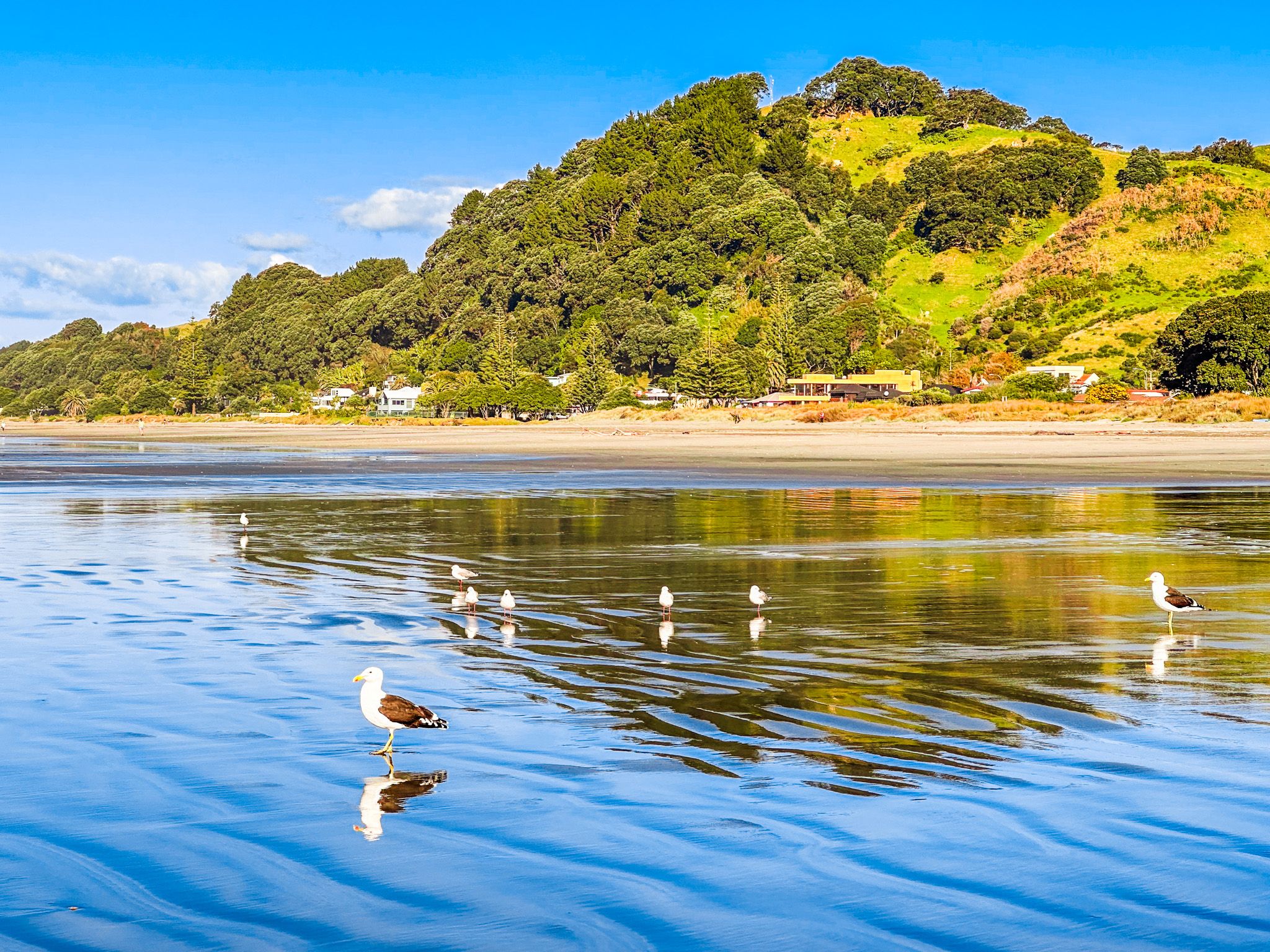
Ōhope Beach, frequently voted New Zealand's best beach, is a short drive from Whakatāne, located on the east side of Whakatāne Heads. This expansive Pacific Coast surf beach stretches for 11 km to the mouth of Ōhiwa Harbour. The beach is bordered by the charming town of Ōhope, with its backdrop of regrowth forest-clad hills.
At the eastern end, the beach forms a wide sand spit backed by Ōhiwa Harbour. West End Road, Pohutukawa Road, and Ocean Road run the length of the beach, ensuring easy access. Towards the eastern end, you'll find a commercial campground and a golf course. Boat access is available from the Port Ōhope Wharf in Ōhiwa Harbour.
Historical Significance of Ōhiwa Harbour
The southeastern side of Ōhiwa Harbour holds significant historical importance, with evidence of Māori habitation dating back to the late 1300s. The harbour and its surroundings were vital sources of seafood and birds, making it one of New Zealand's most densely populated areas upon European arrival. The iwi in the area included Ngāti Awa, Whakatōhea, Upokorehe, and Tūhoe.
The Meaning Behind Ōhope
Despite its modern, relaxed atmosphere, the name Ōhope translates to "place of the main body of an army." The area's density and resources led to conflicts, prompting the construction of fortified pā around 1500. Archaeologists have identified over 90 pā sites, with some dating as late as 1769.
Tauwhare, a significant pā overlooking Ōhiwa Harbour, is accessible via a short walk from the Pacific Coast Highway. This site was one of the earliest for kūmara planting and marks the last confrontation between Ngāti Awa and Whakatōhea in 1847, which ended peacefully.
Development of Ōhope
Following European settlement, many Māori left as land was lost and the area was converted to farmland. Until the late 1950s, Ōhope had no permanent houses, only a rough access track, and was primarily a camping area. Jim Beck was the sole permanent resident, and his whare was known as "Jim’s Camp." The development of Port Ōhope Wharf in 1957 marked the beginning of the town's growth along the spit.
Getting to Ōhope Beach
To reach Ōhope Beach from Whakatāne, take Hillcrest Road or Gorge Road to Ohope Road, which takes you to the west end of the beach. The beach is easily accessible via West End Road, Pohutukawa Road, and Ocean Road, which run parallel to the coastline.
Other nearby attractions include Kaputerangi, the Nga Tapuwae o Toi, a loop track which connects Ōhope and Whakatāne, and the statue of Wairaka at the entrance to Whakatāne Harbour.