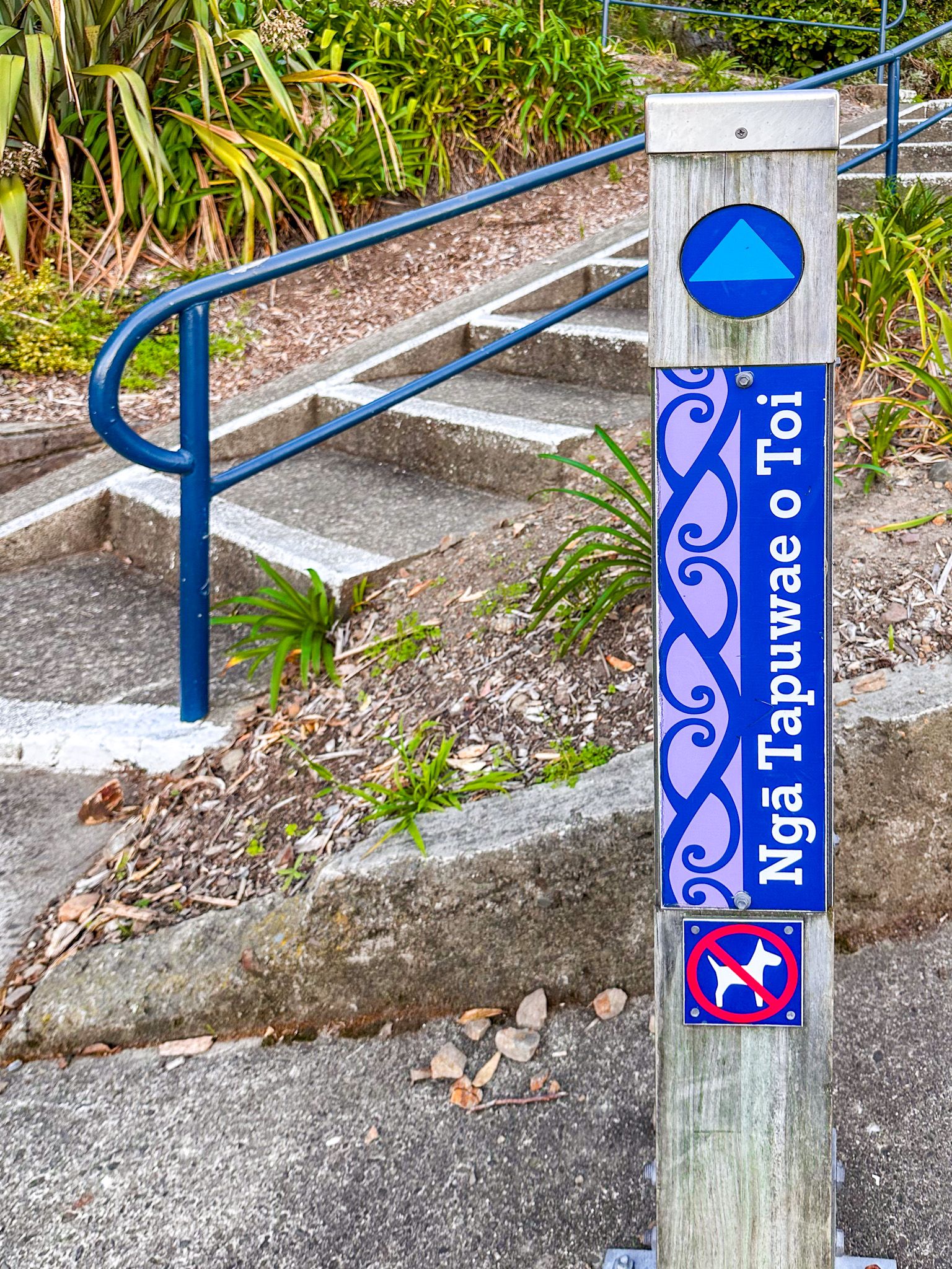
Ngā Tapuwae O Toi translates as “the footprints of Toi”. This walkway is incredibly scenic and follows historic local Māori tracks that linked Whakatāne to the Whakatāne Heads and Kohi Point, then Ōhope. The high point on the heads, Kaputerangi Point, is where Toi-te-Huatahi is reputed to have established the first pā, Kapu-te-rang, overlooking Whakatāne.
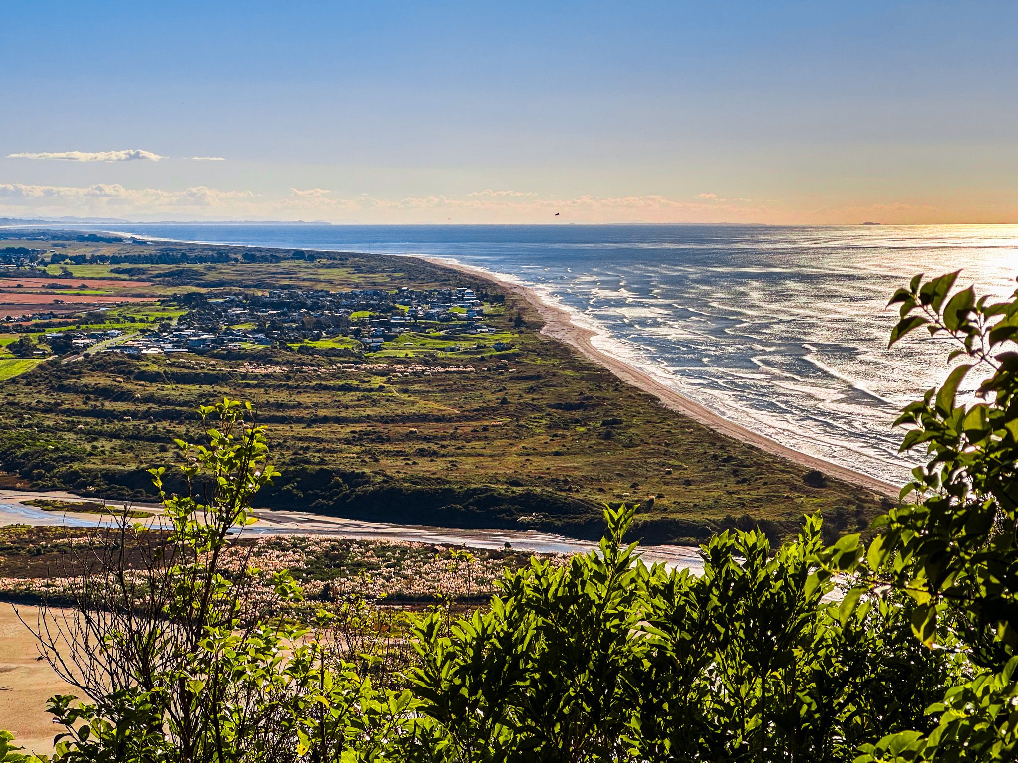
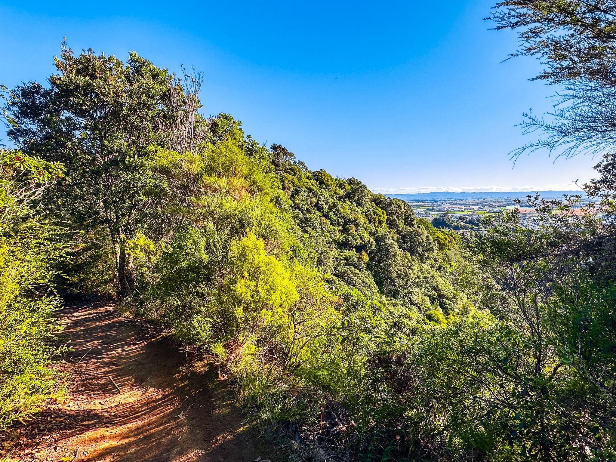
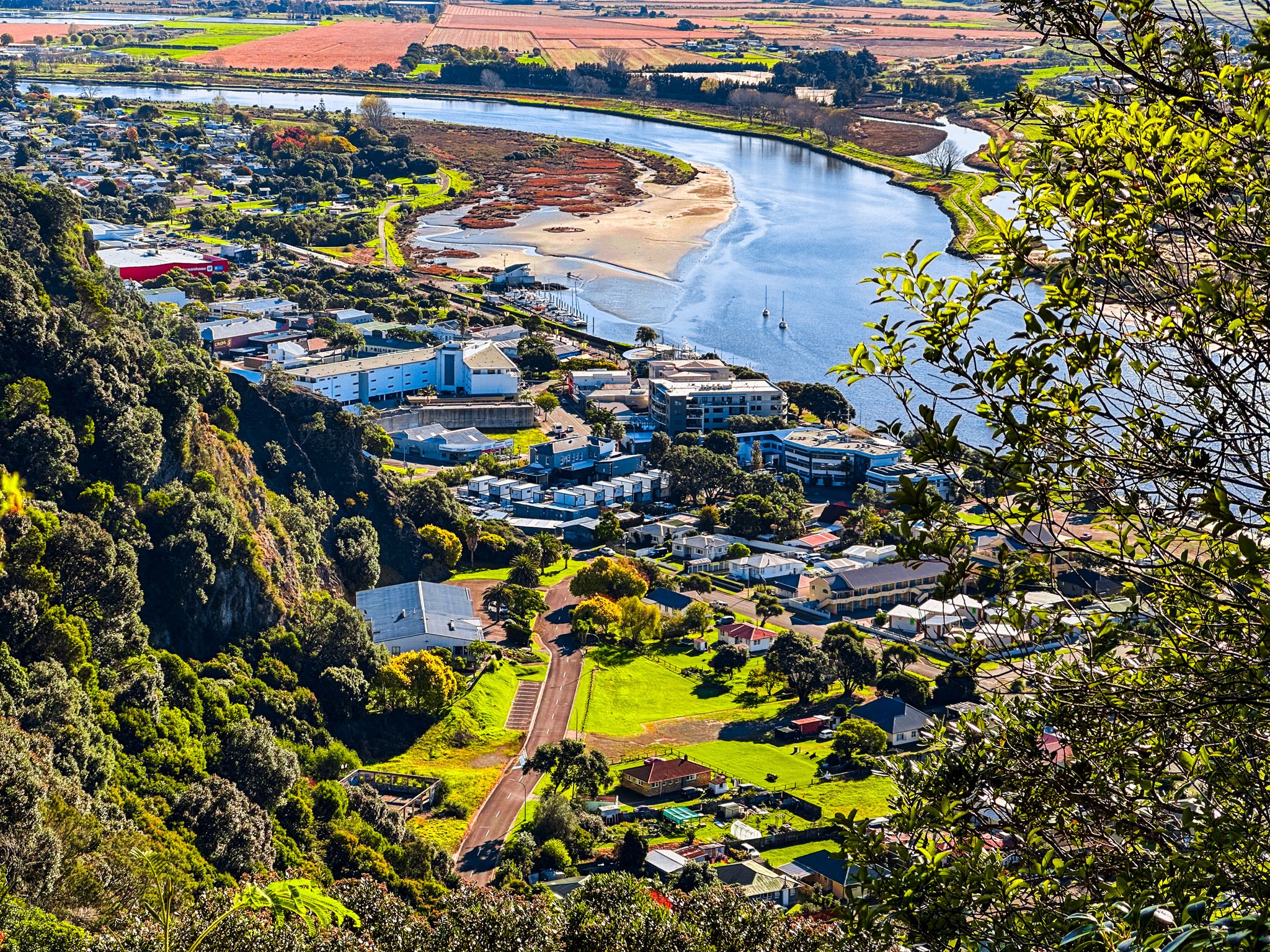
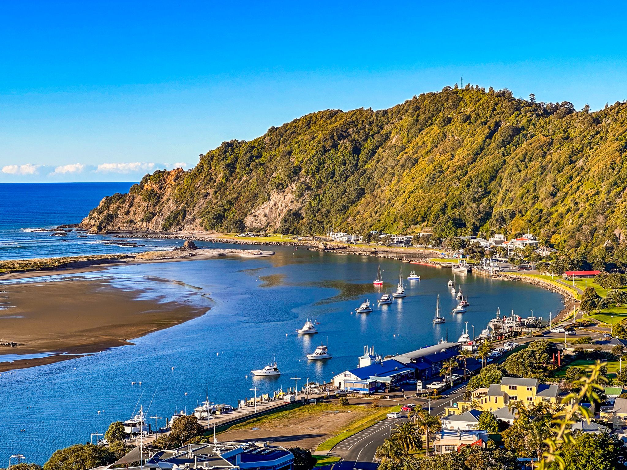
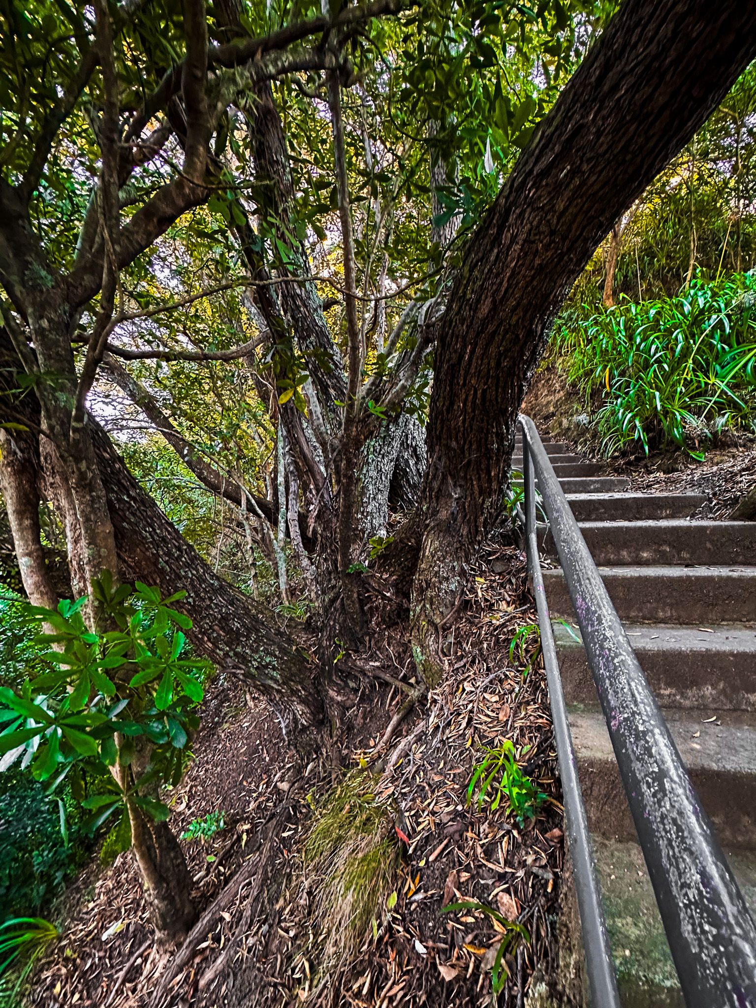
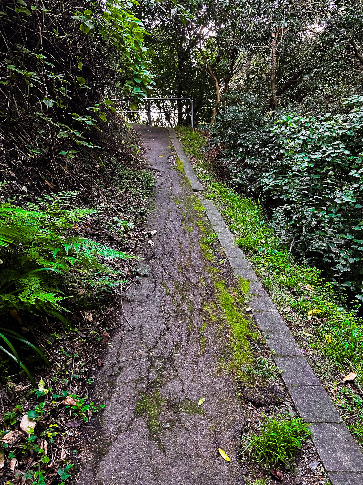
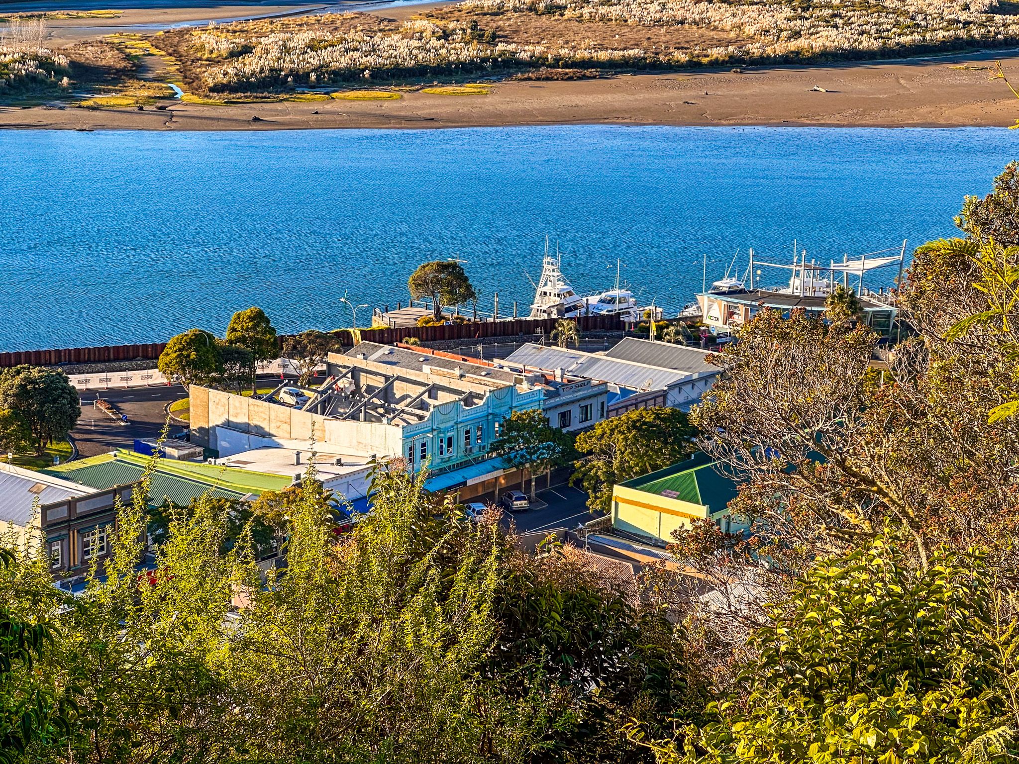
The 16 km loop walkway starts as a steep climb, with the signposted entrance opposite Pohaturoa in the town centre. After the initial climb, you reach Hillcrest Road. The views will already be spectacular, but look for two signposted sidewalks to ancient cliff edge pā sites - Te Papaka and Puketapu. The views over the town to the coast, Moutohorā (Whale Island), and along the river are superb, especially at golden hour. Also, look out for the top of Putauaki (Mt Edgecumbe) to the southwest. This mountain is sacred to Ngāti Awa.
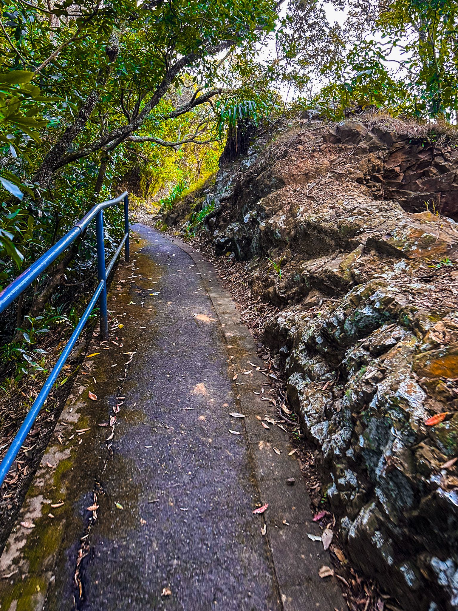


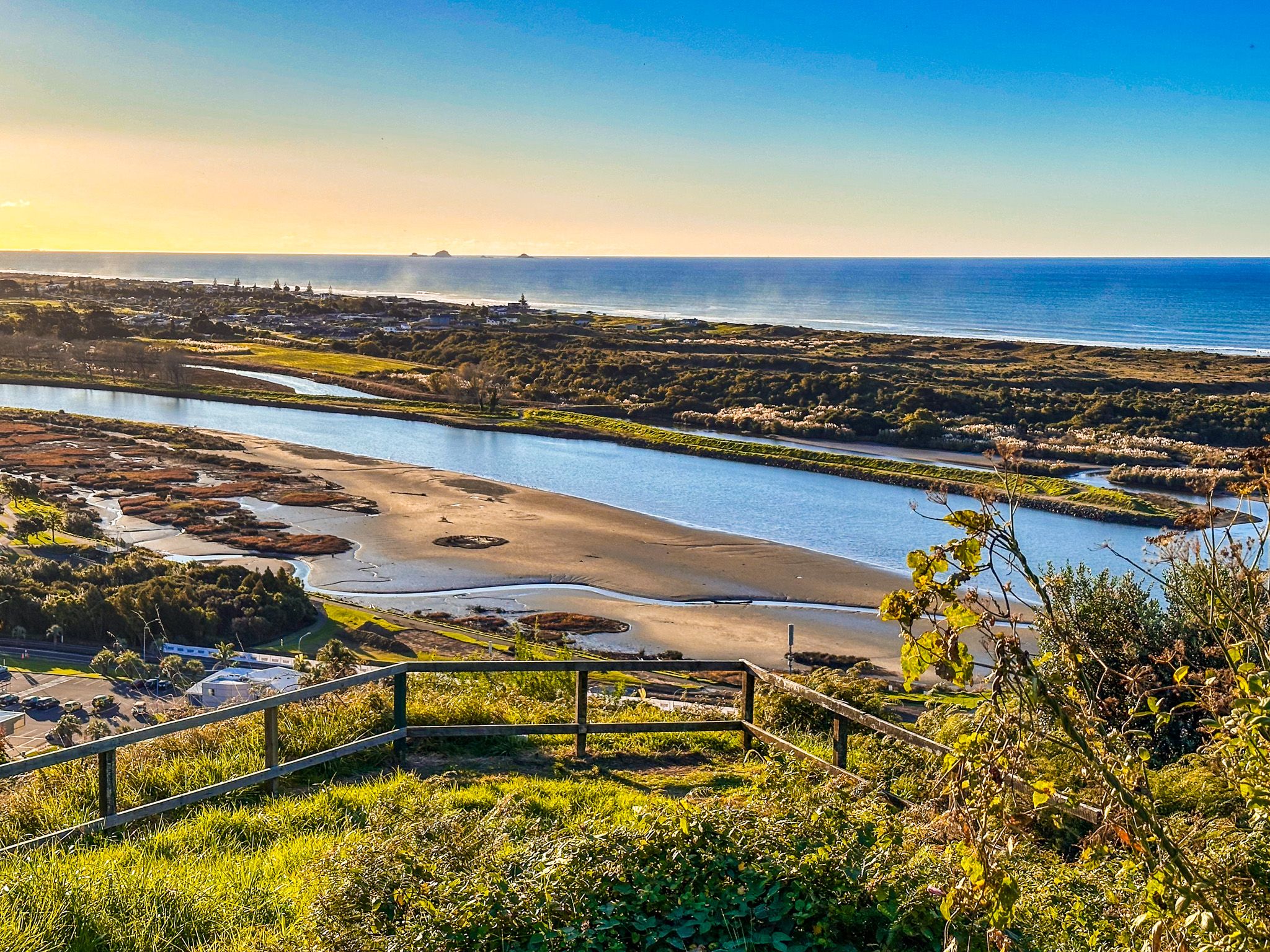
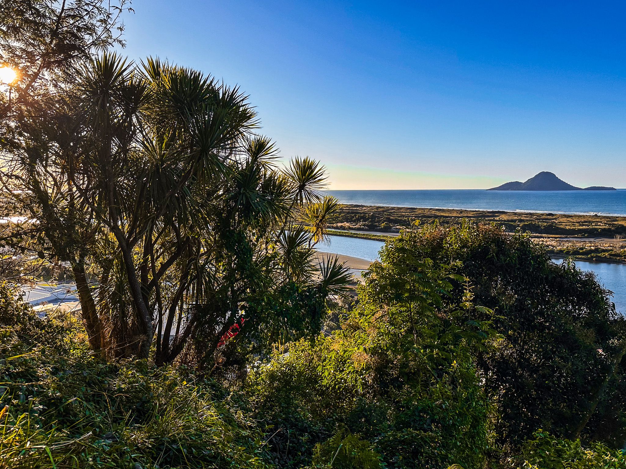
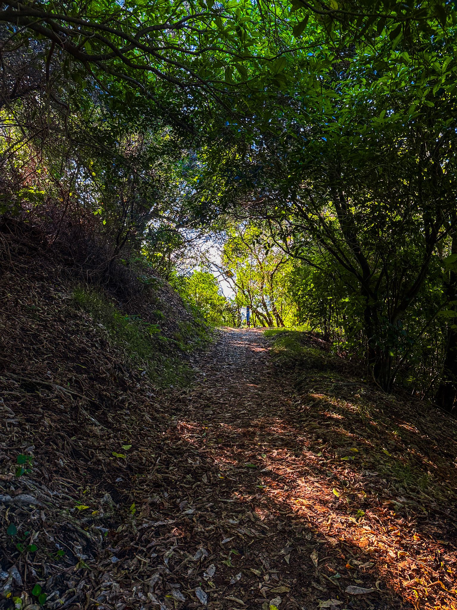
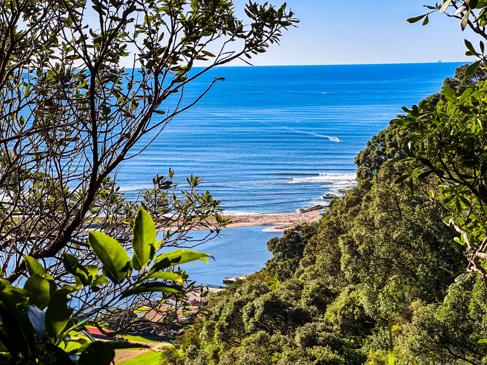
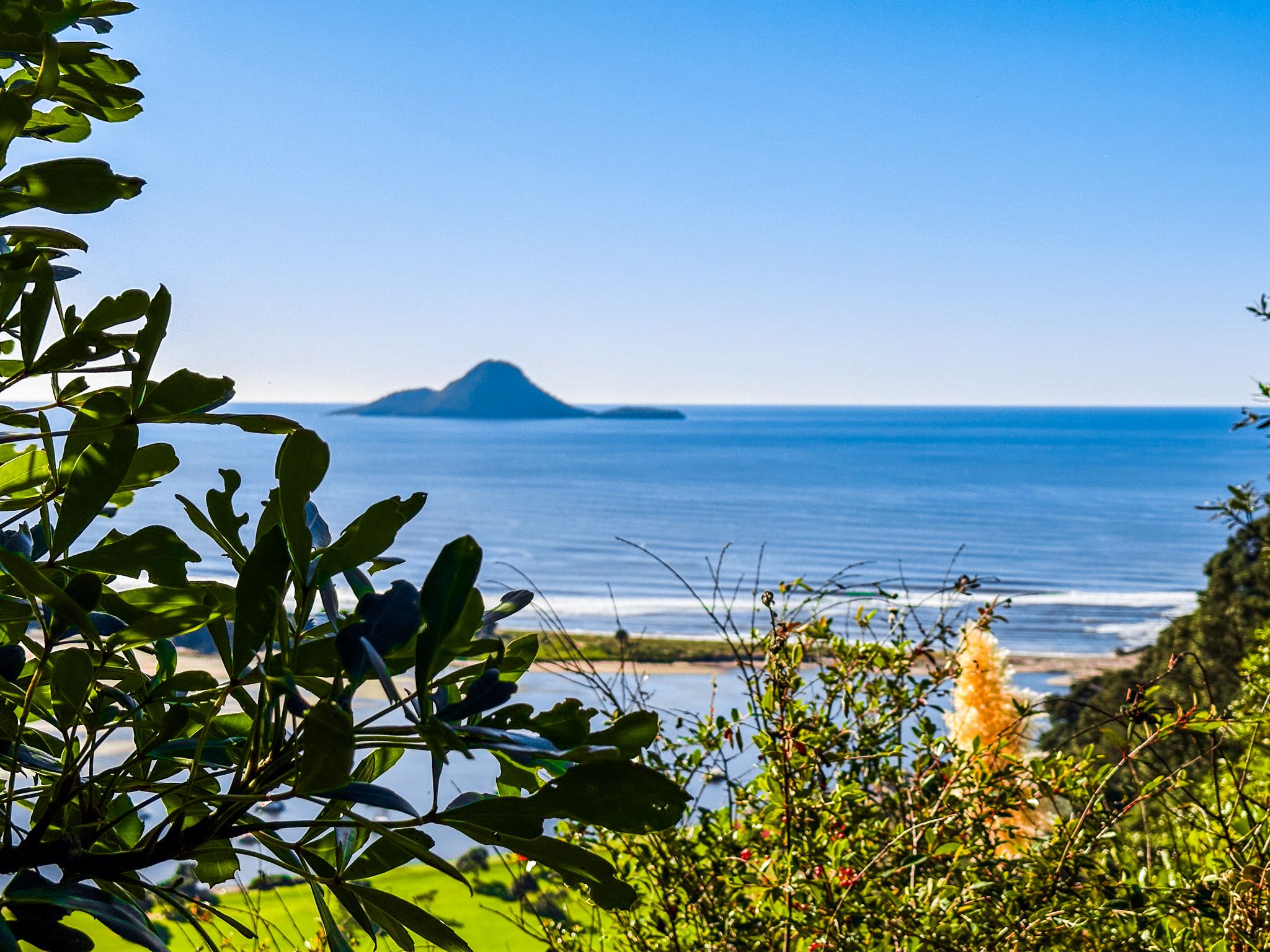
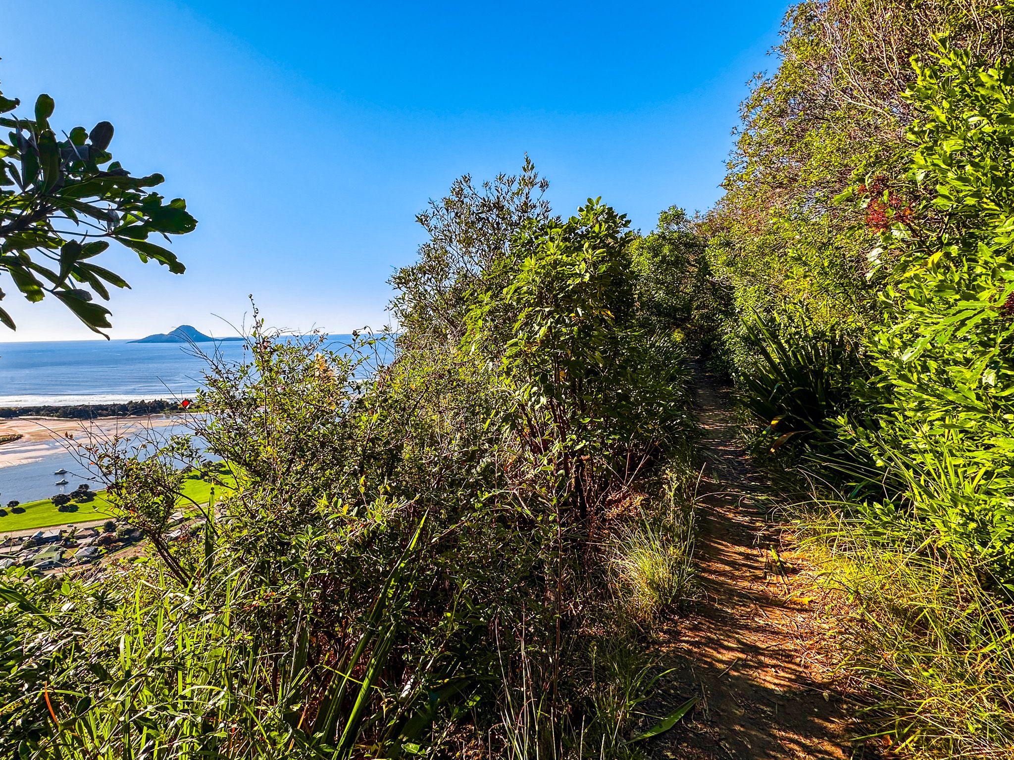
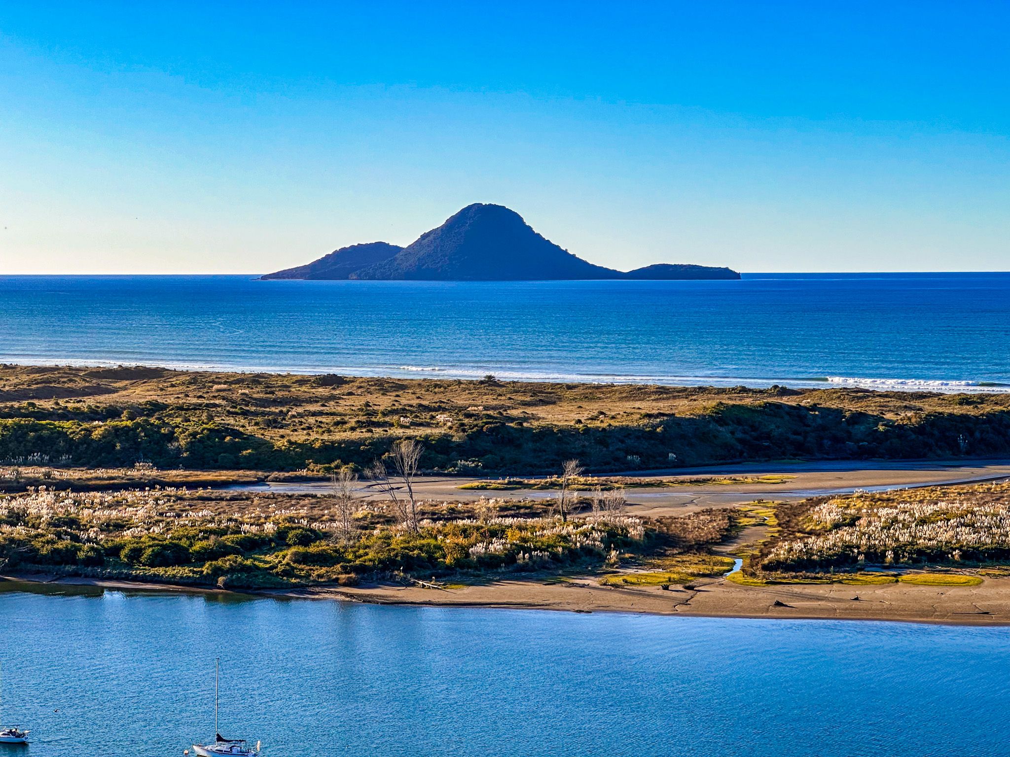
From there, follow Seaview Road a short distance to rejoin the track in the Kohi Point Reserve. The track goes through forest regrowth, following the ridge line to a grassed reserve and Kaputerangi Lookout. You can walk up the high point at 183 metres, but the main track continues north through regrowth to Kohi Point at the tip of Whakatāne Heads. There are more spectacular views, including the active Whakaari/White Island volcano. From Kohi Point, you can head east towards Ōhope. On the way, you reach remote Otarawairere Bay, which you can only cross on either side of high tide. From there, it is a short, easy walk to Ōhope, one of the most highly-rated surf beaches in the country.
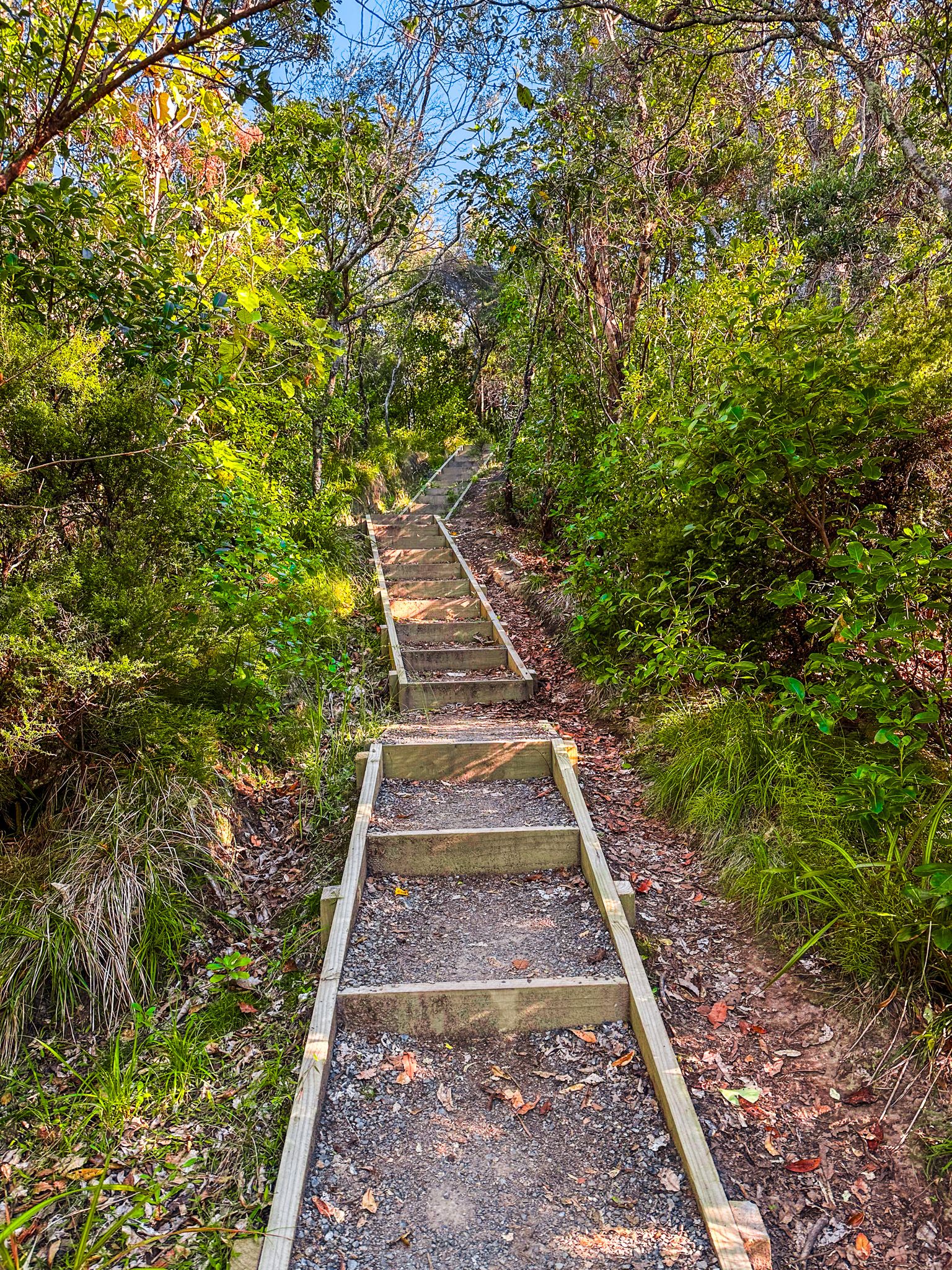
You can walk back the same way or continue on the loop trail that restarts near Ohope Road and West End Road. This section of the track climbs back into the hills behind Ōhope and runs through the Ōhope Scenic Reserve and the Mokoroa Bush Reserve. Alternatively, you can catch a bus back! Allow about 2 to 3 hours for each section of the loop.