Exploring Victory Beach
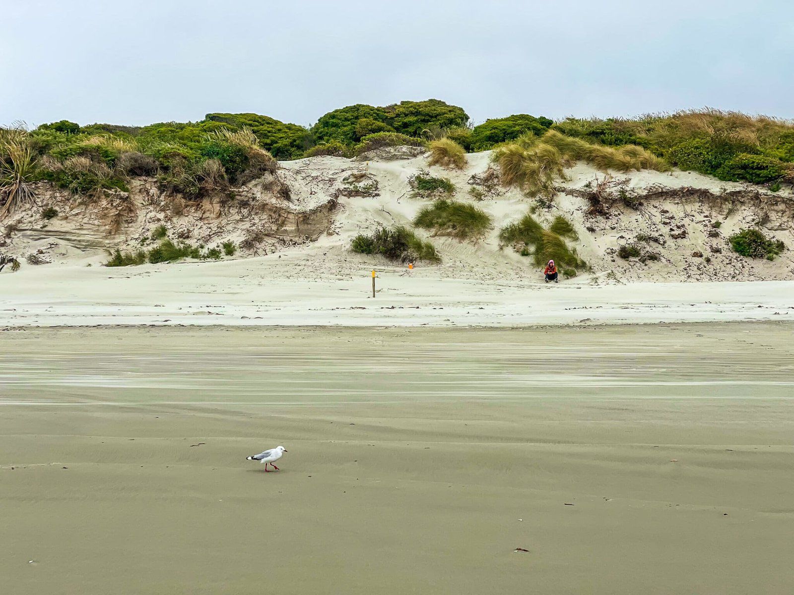
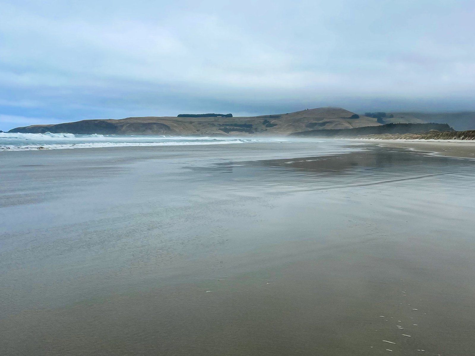
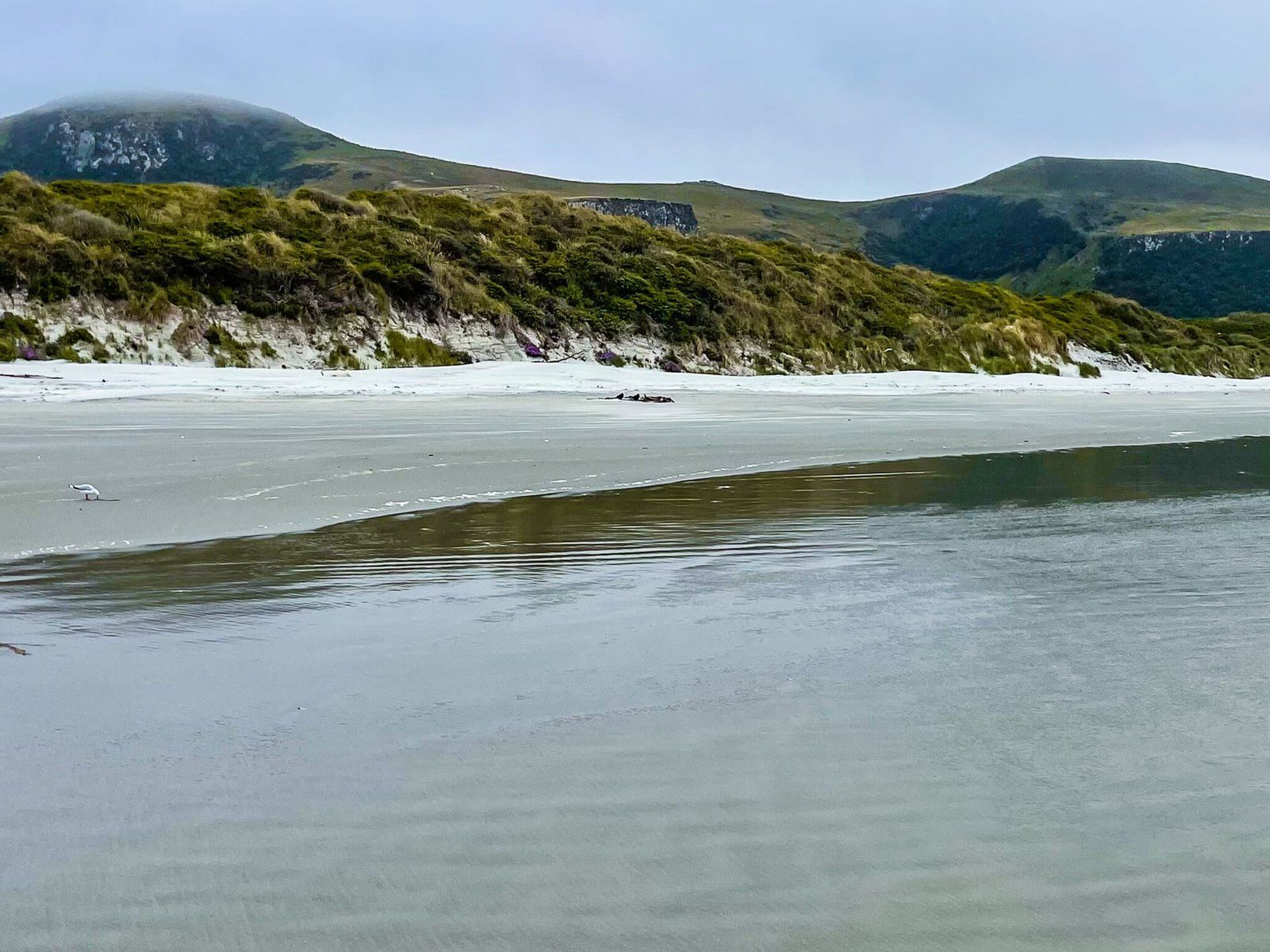
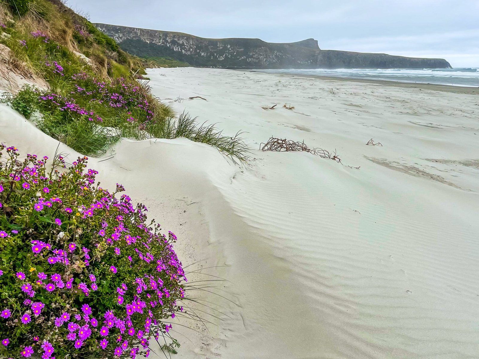
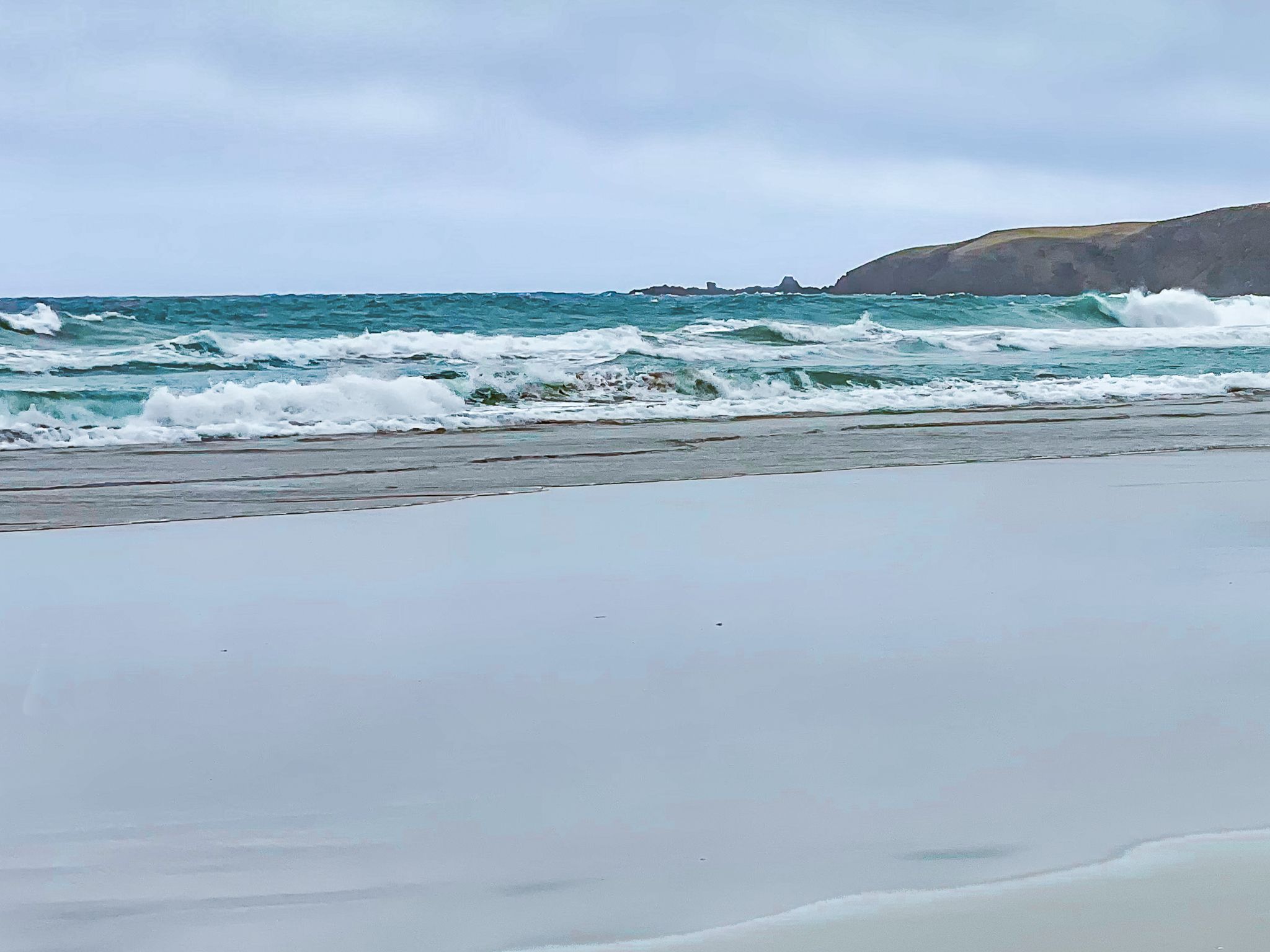
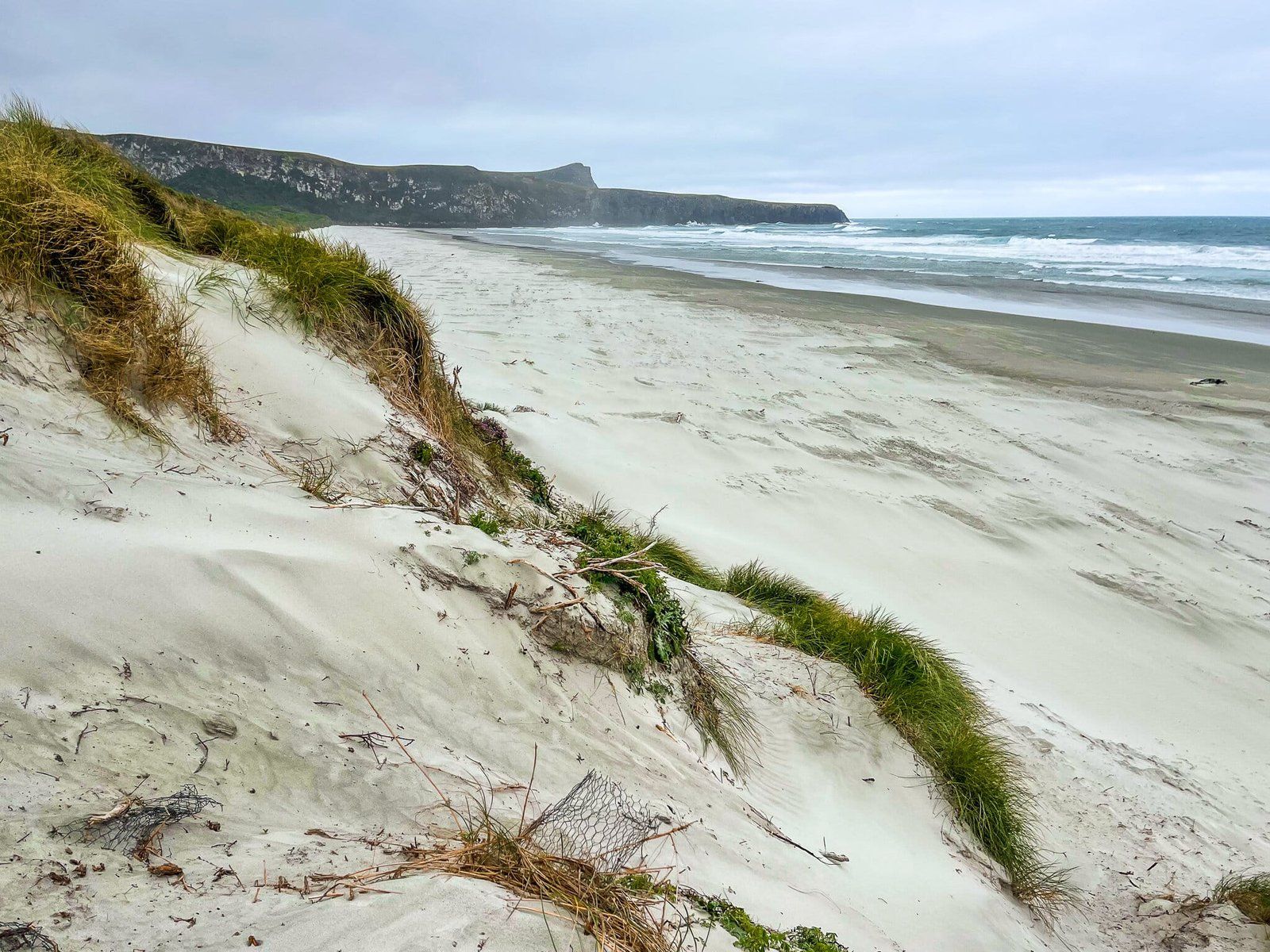
Located in Wickliffe Bay on the Otago Peninsula in Dunedin, Victory Beach is the longest stretch of white sand in the area, extending for 3 km. This remote east-facing surf beach is ideal for those who appreciate solitude and natural beauty. Named after the SS Victory, which was wrecked here in 1861, the beach offers a glimpse into history, especially at low tide when remnants of the wreck can be seen at the southern end.
Walking to Victory Beach
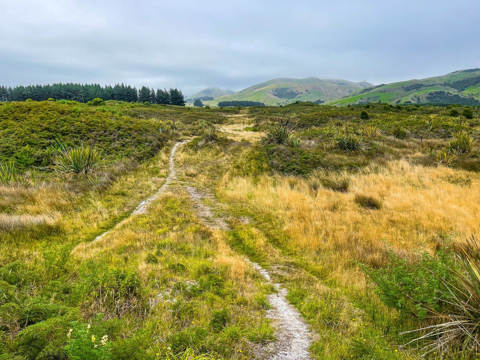
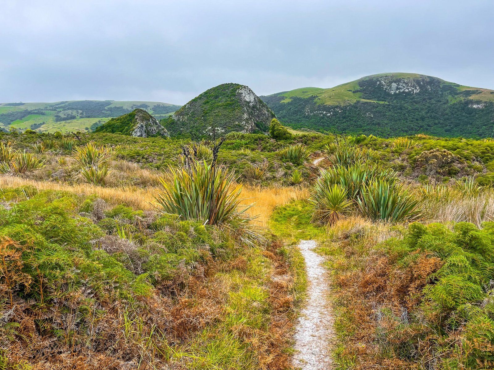
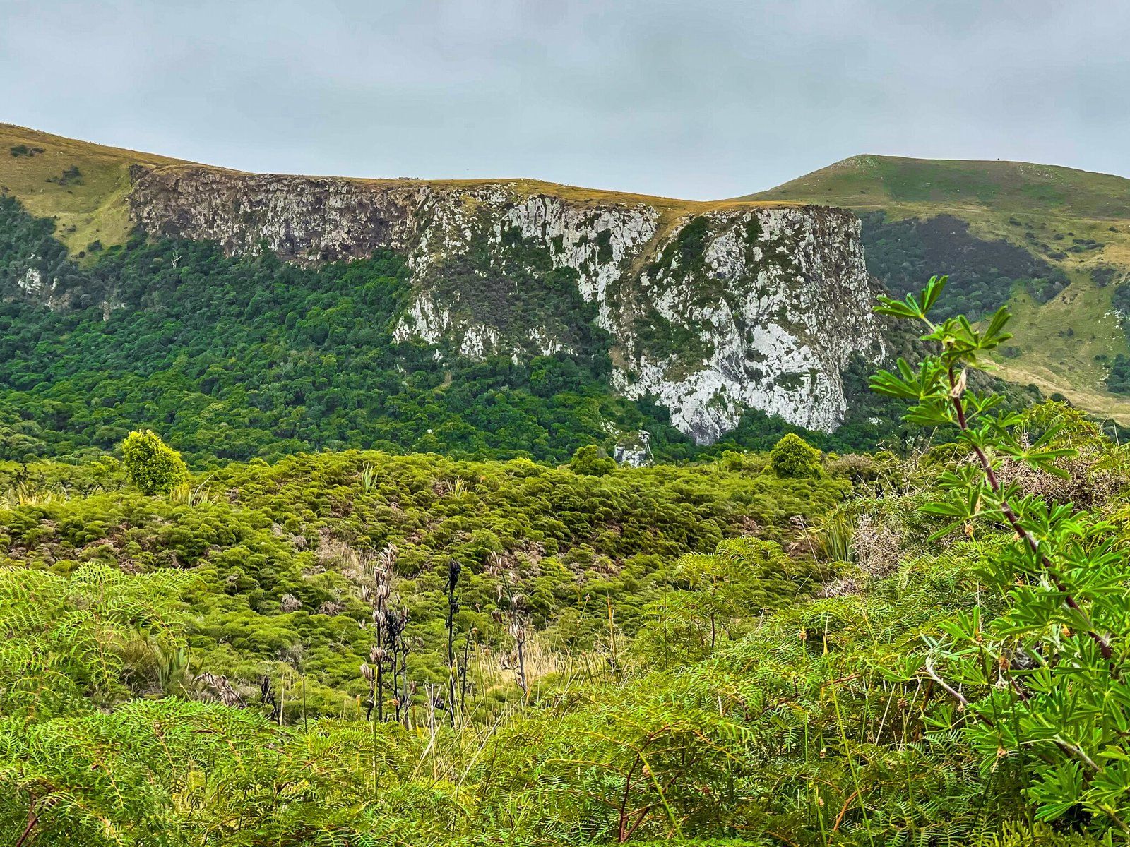
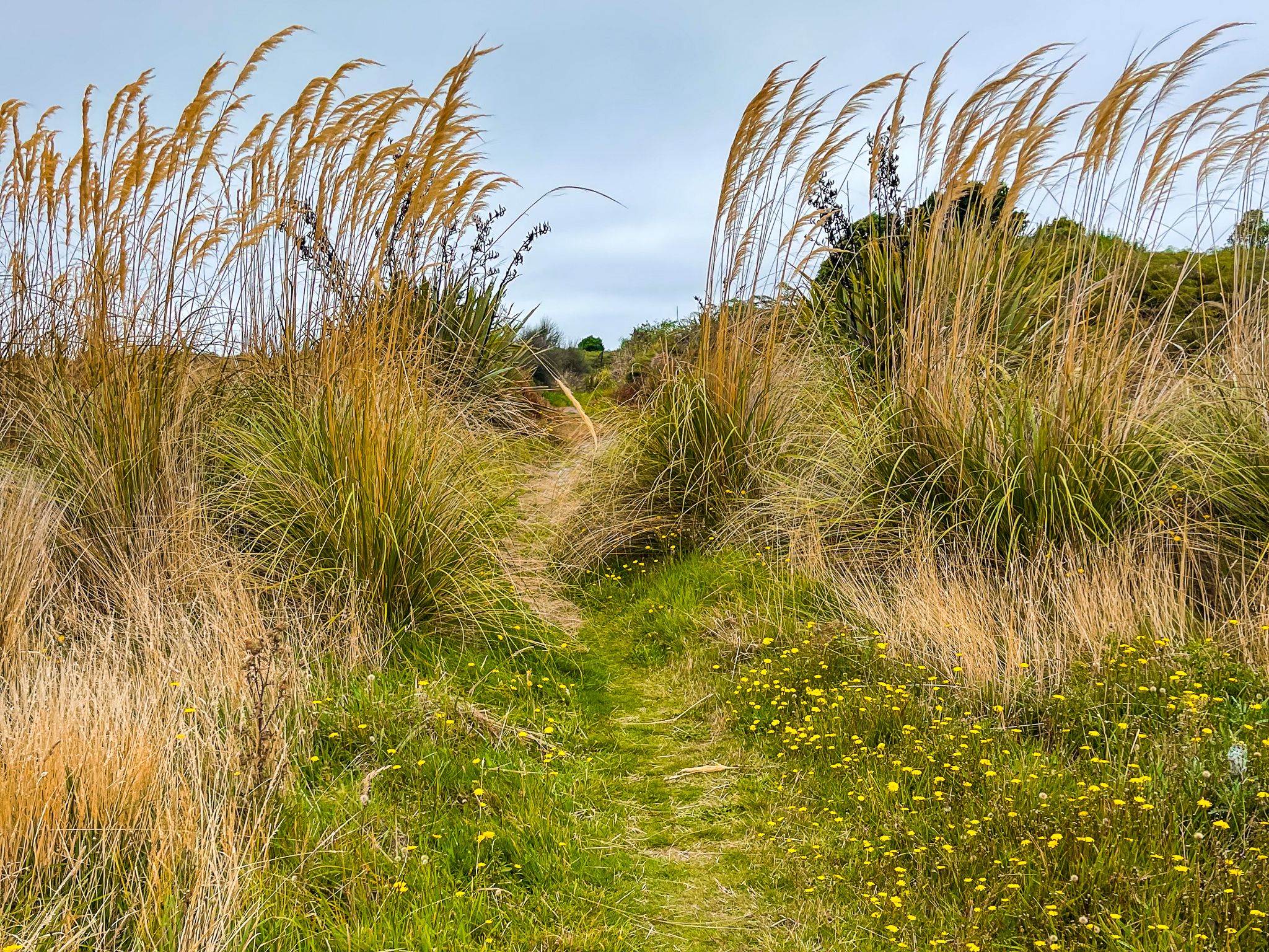
To reach Victory Beach, start at the Okia Reserve car park at the end of Dick Road. From there, it's a 20-minute walk to the Pyramids, followed by another 20-minute trek across Okia Flats to the beach. The flats are primarily scrubland, undergoing a gradual transformation as native shrubs and trees are planted. Toi Toi and harakeke (native New Zealand flax) dominate the landscape, but over time, larger trees are expected to return. Along the track, several informational boards provide insights into the area's recovery project and its pre-colonial history.
While the beach's remote location is appealing, it's best to visit on a clear day to fully enjoy its beauty. The weather can be unpredictable, so plan accordingly.
Historical Significance
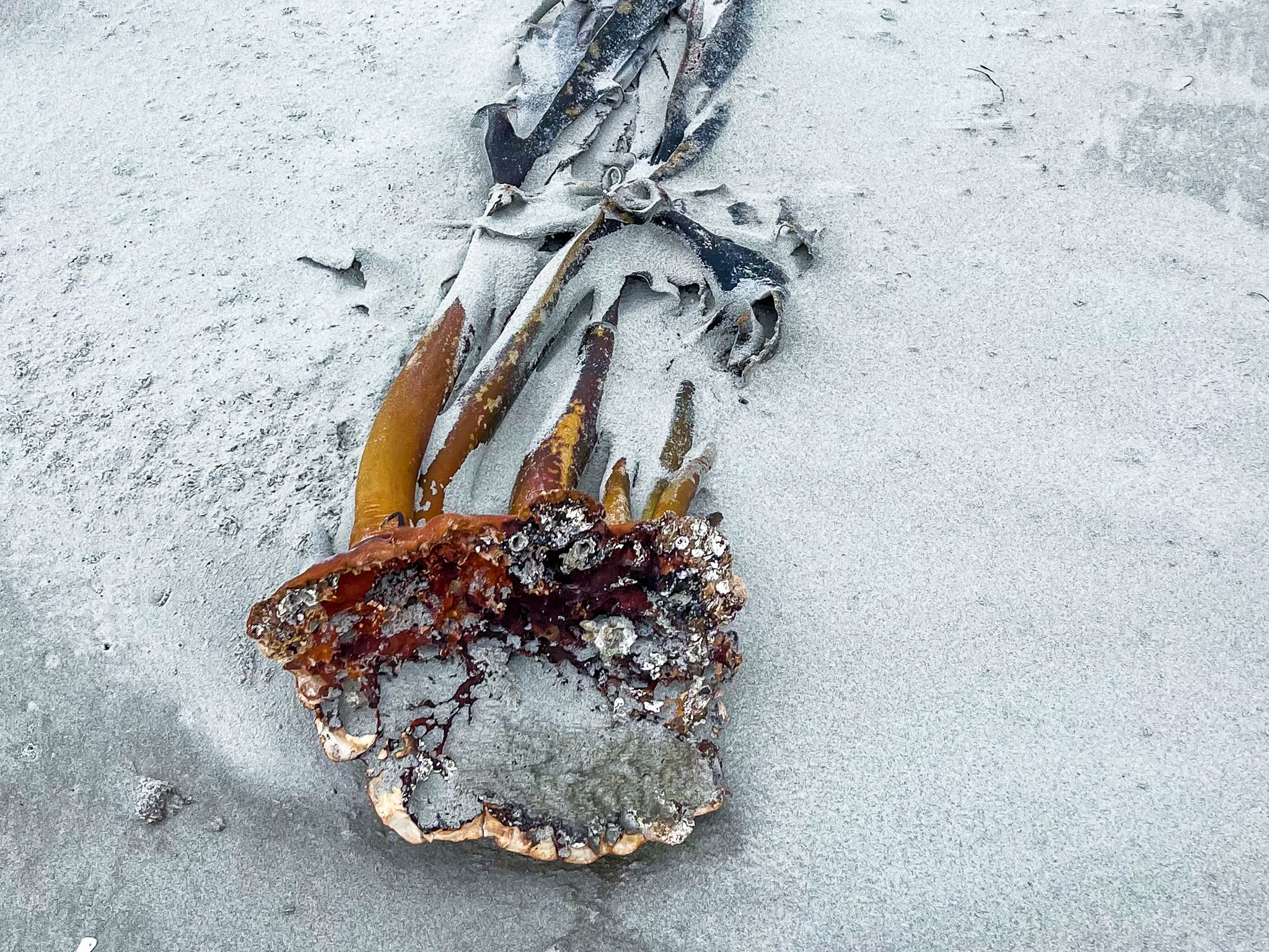
If you're interested in history, walk an extra 2 km to the south end of the beach at low tide to see the rusted remains of the Victory, mainly a large flywheel. The 501‑ton, three‑masted single‑screw steamship built in Scotland, left Port Chalmers on 3 July 1861, bound for Melbourne with passengers, mail and cargo. Just over an hour later, she ran aground in Wickliffe Bay at the southern end of what is now Victory Beach. The chief mate, George Hand, was found to have been intoxicated when the ship struck sand, and he was later convicted and sentenced to three months’ hard labour. Fortunately, no lives were lost, and passengers and mail were safely landed. However, the Victory was trapped and sold for scrap, with only scattered wreckage, most notably the flywheel, remaining as a tangible link to the incident.
Fun fact: The Victory isn’t the only shipwreck in Otago to leave its name on the landscape. The Surat, a full-rigged immigrant ship, ran aground on New Year’s Day in 1874 after striking rocks near the Catlins coast while carrying passengers to Dunedin. Despite the dramatic circumstances, all 271 people on board made it safely to shore. The spot where the shipwreck occurred is now Surat Bay.
How to Get There
To visit Victory Beach, drive to the Okia Reserve car park at the end of Dick Road. From there, follow the walking track to the Pyramids and continue across Okia Flats to reach the beach. The journey offers a chance to explore the regenerating landscape and learn about the area's history. Nearby, you can also explore other attractions on the Otago Peninsula, making it a worthwhile destination for a day trip.