Te Urewera: Remote Wilderness in the North Island
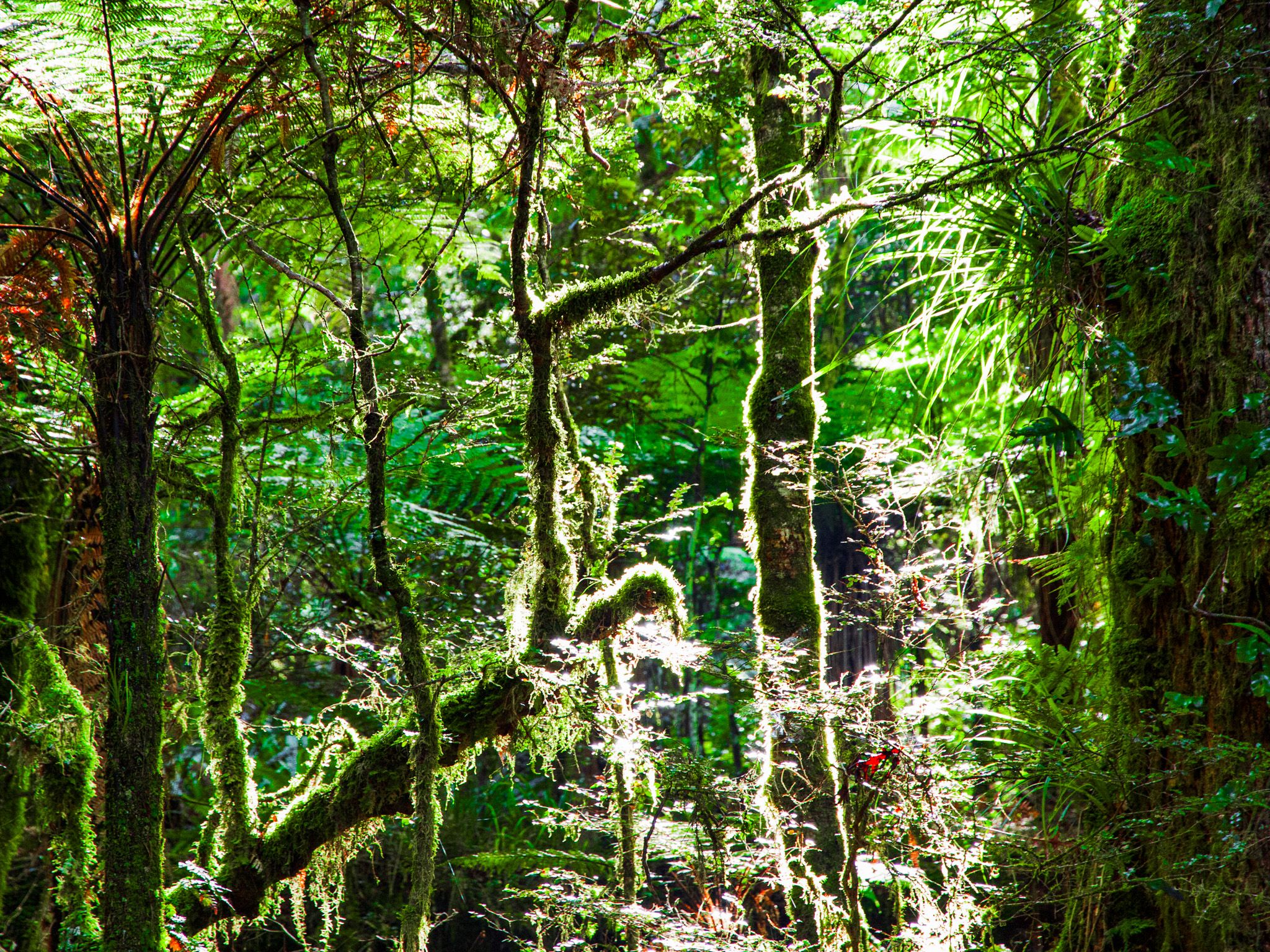
Te Urewera is a vast, rugged, and forested region located in the North Island of New Zealand. Situated east of Rotorua and Whirinaki Forest, southeast of the Bay of Plenty, and west of Gisborne, it is the historical home of the Tūhoe people, known as Ngā Tamariki o te Kohu, or the children of the mist. This remote area is renowned for its natural beauty and cultural significance.
Navigating the Remote Terrain
Access to Te Urewera is limited, with a predominantly metal 90-kilometre winding road and several hiking tracks. This road, once part of State Highway 38, stretches from Te Whaiti in Whirinaki Forest to the southeastern edge of Lake Waikaremoana. The road is no longer classified as a highway, but it remains a remote, stunning driving experience. Watch out for the free-roaming horses that inhabit the area!
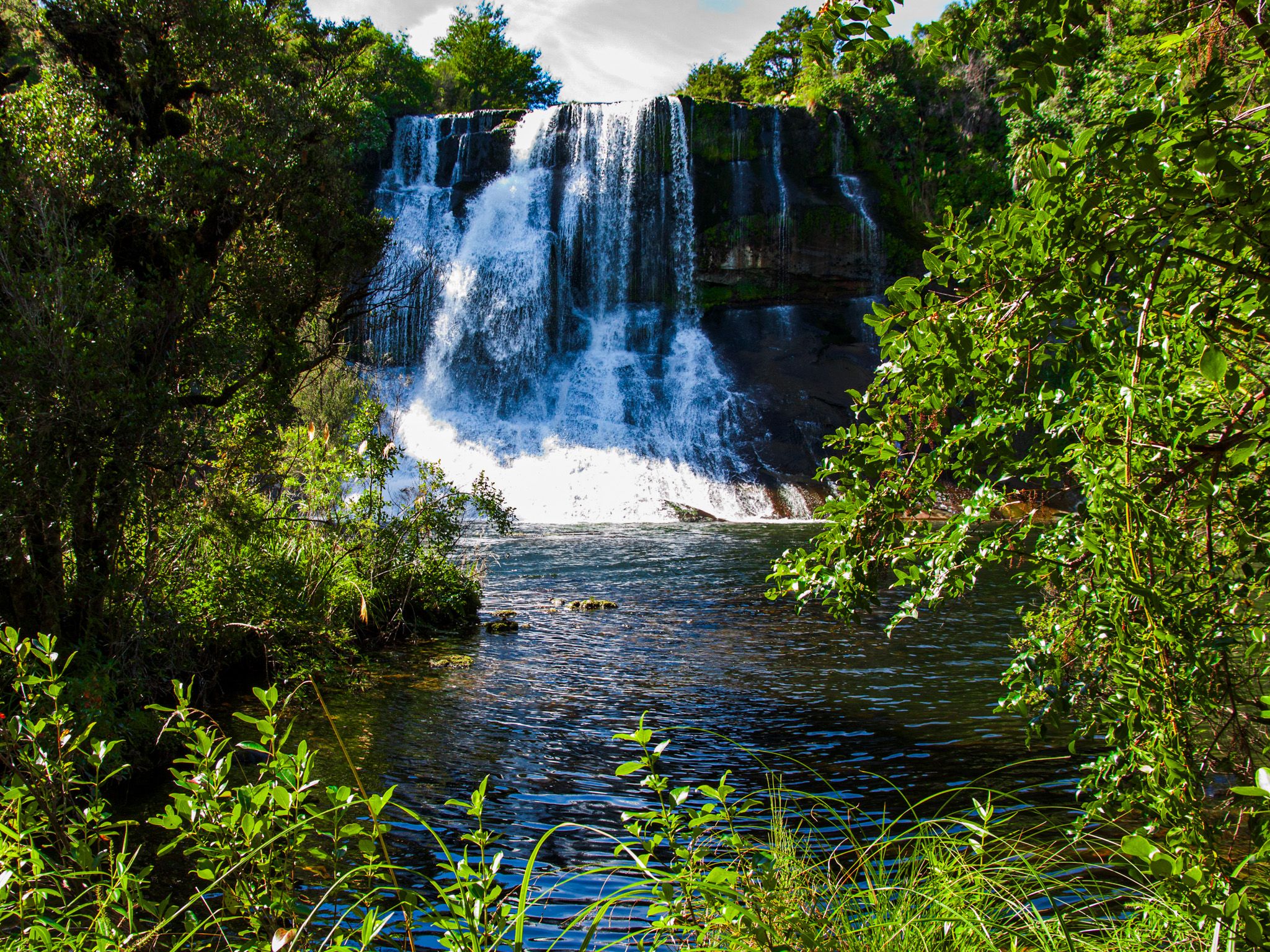
Lake Waikaremoana: A Natural Wonder
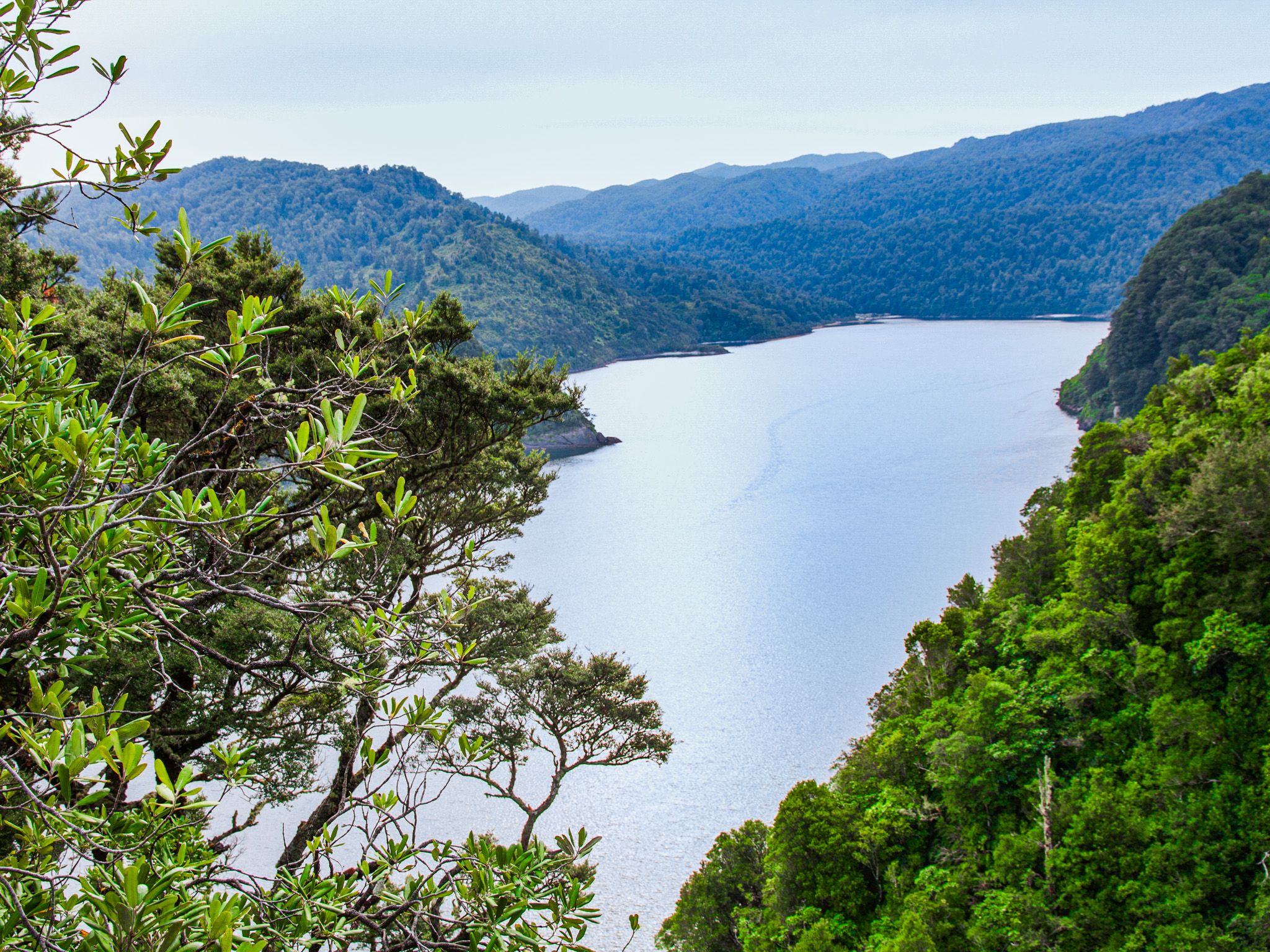
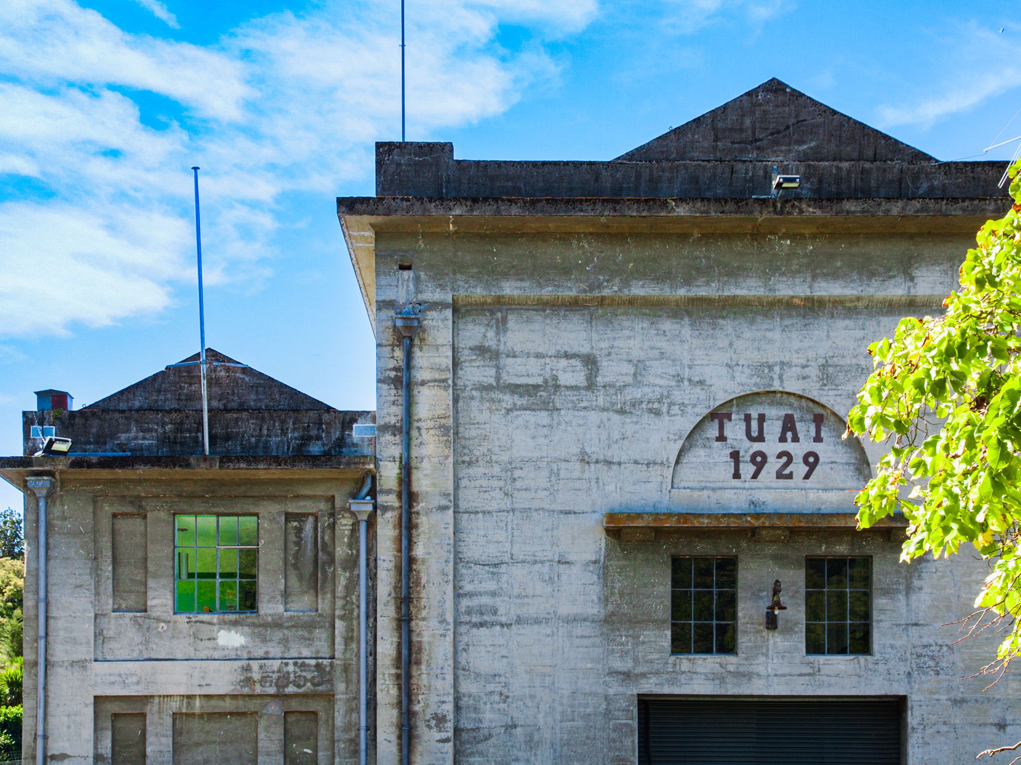
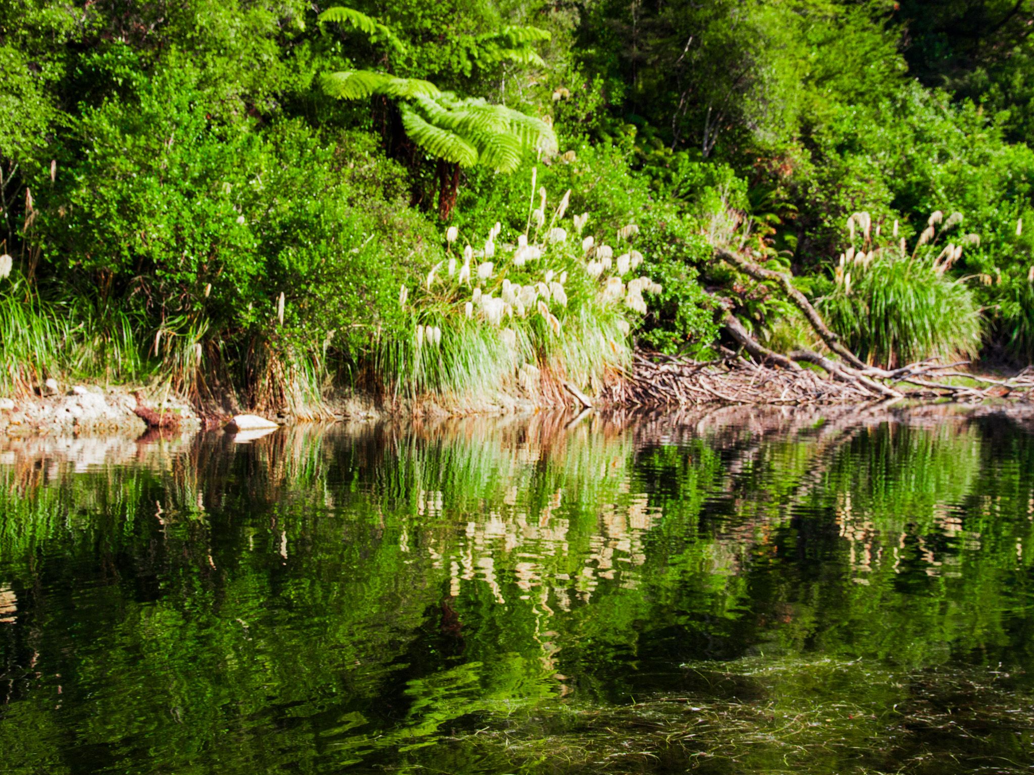
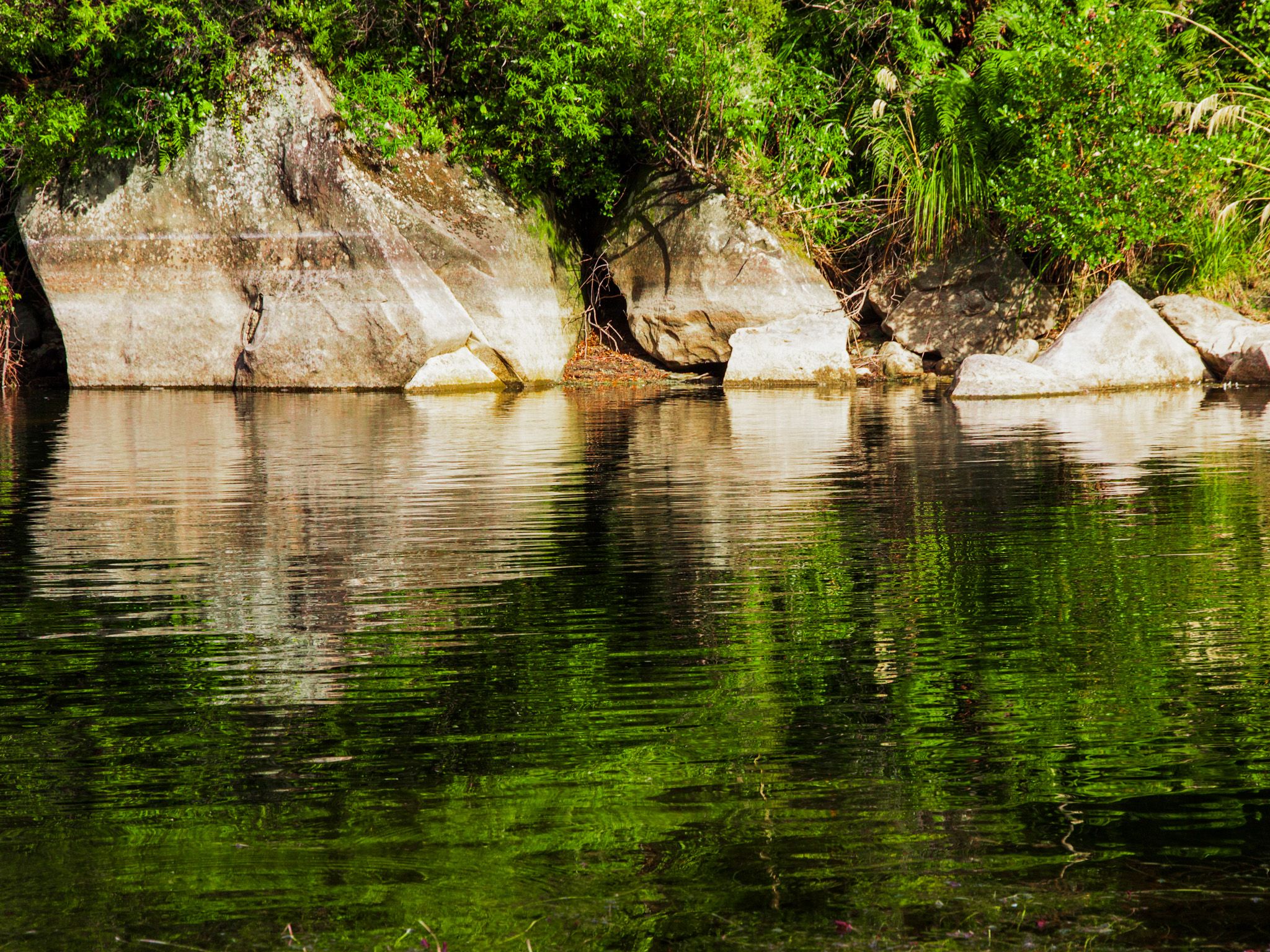
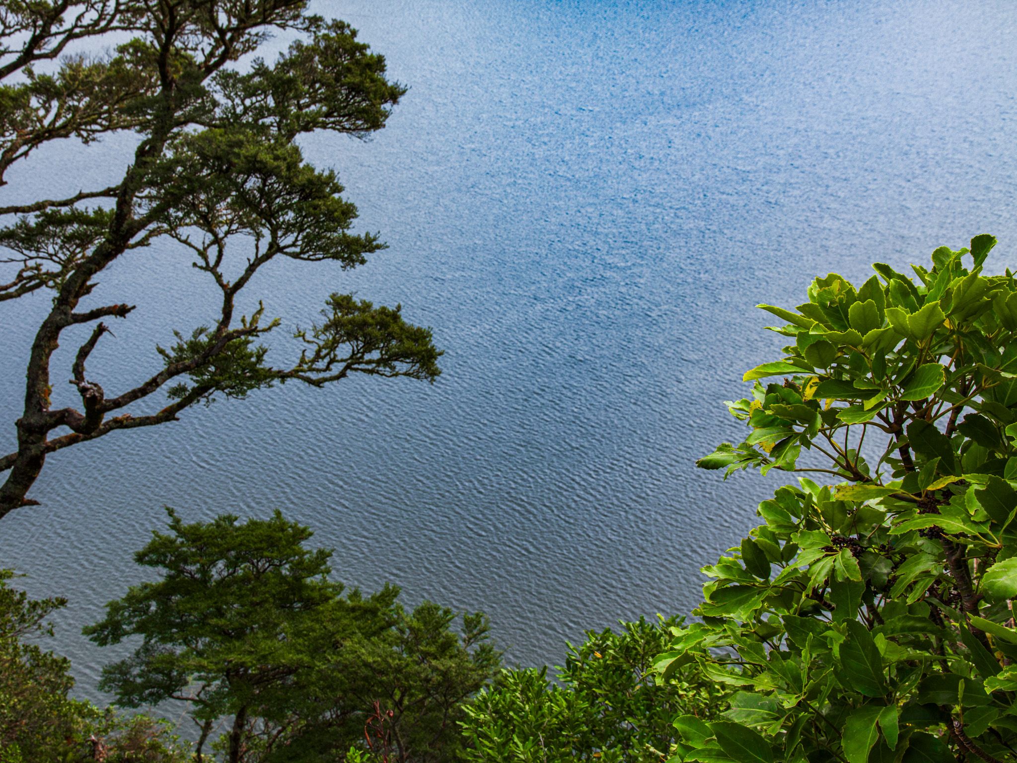
Lake Waikaremoana, meaning "sea of rippling waters," is the region's main attraction. At 256 metres deep and 600 metres above sea level, it is the deepest lake in the North Island. The lake was formed by a massive landslide, creating a natural dam that facilitated hydropower development. Small villages on the southern side support three power stations at Onepoto, Kaitawa, and Tuai.
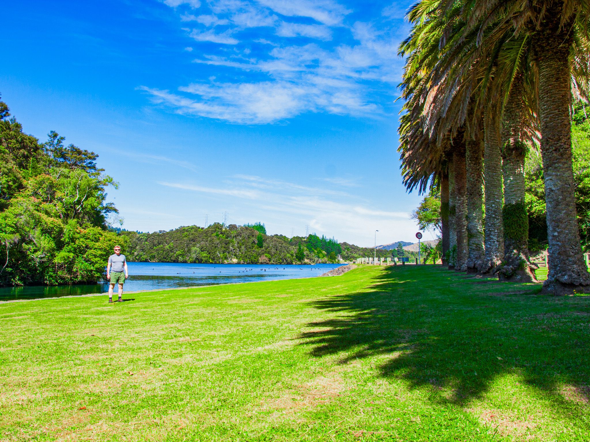
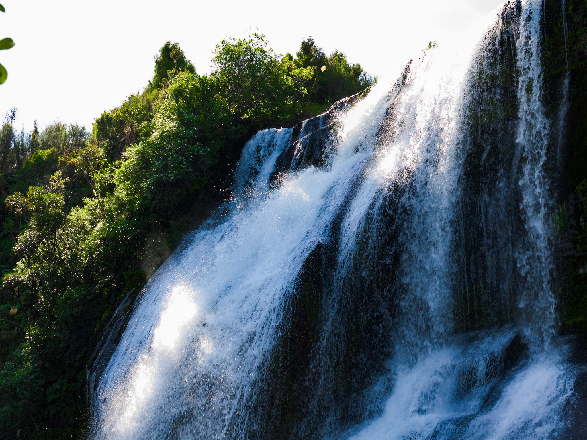
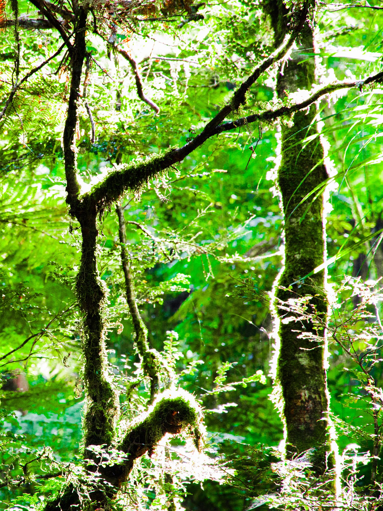
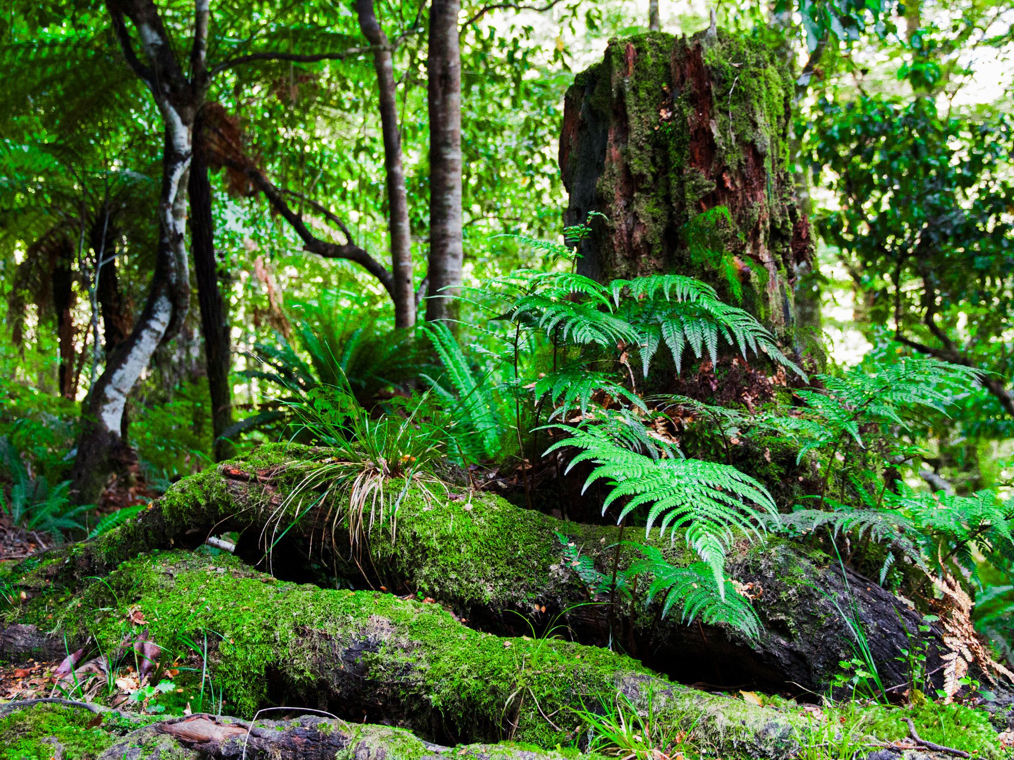
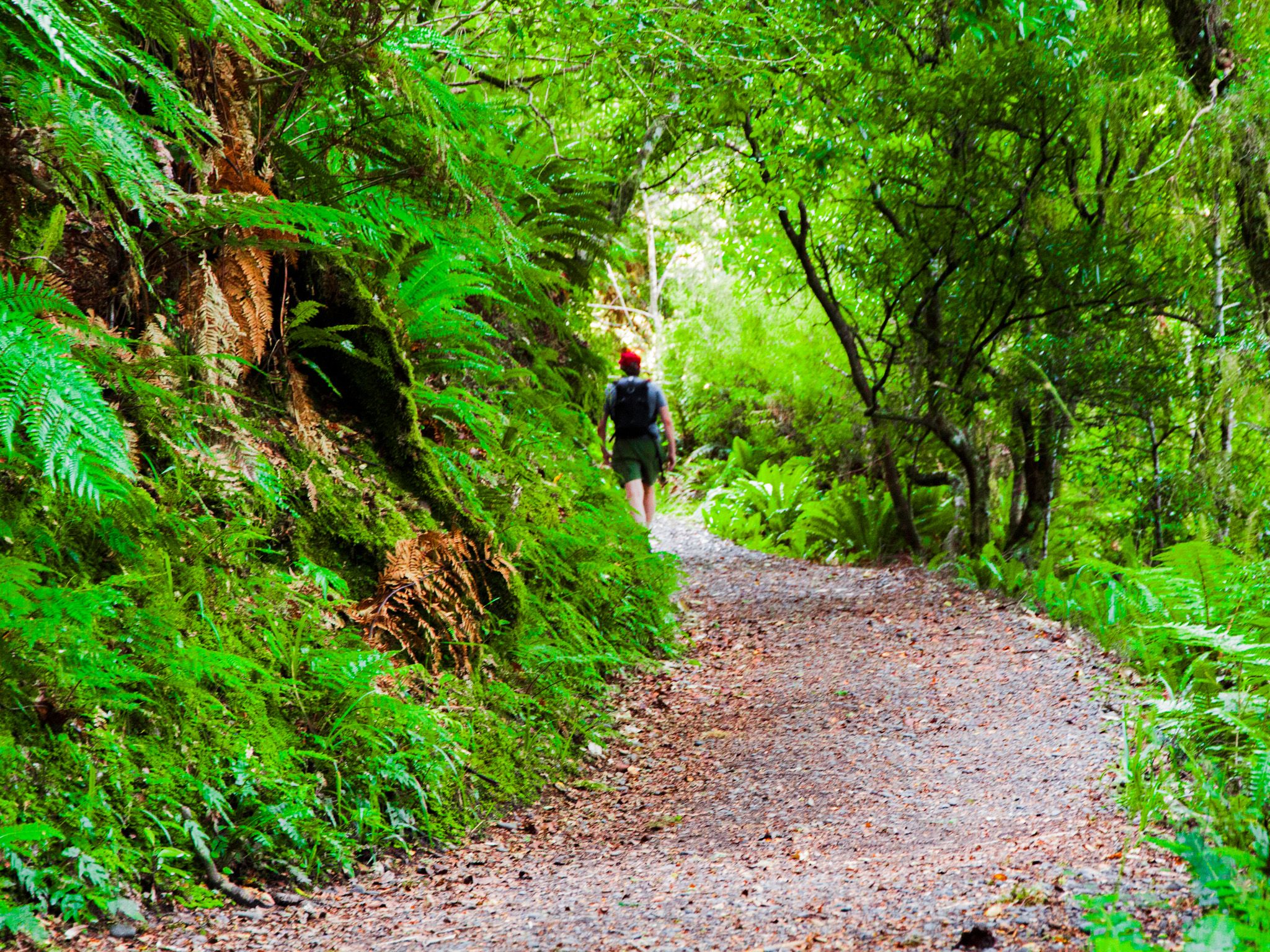
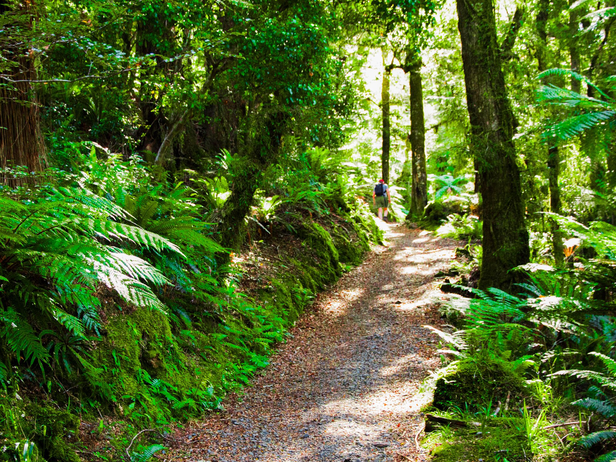
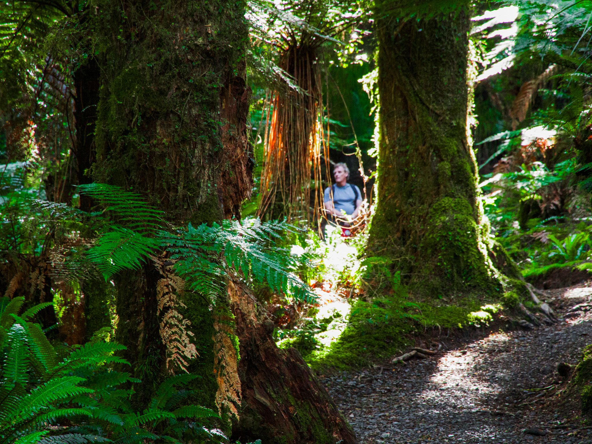
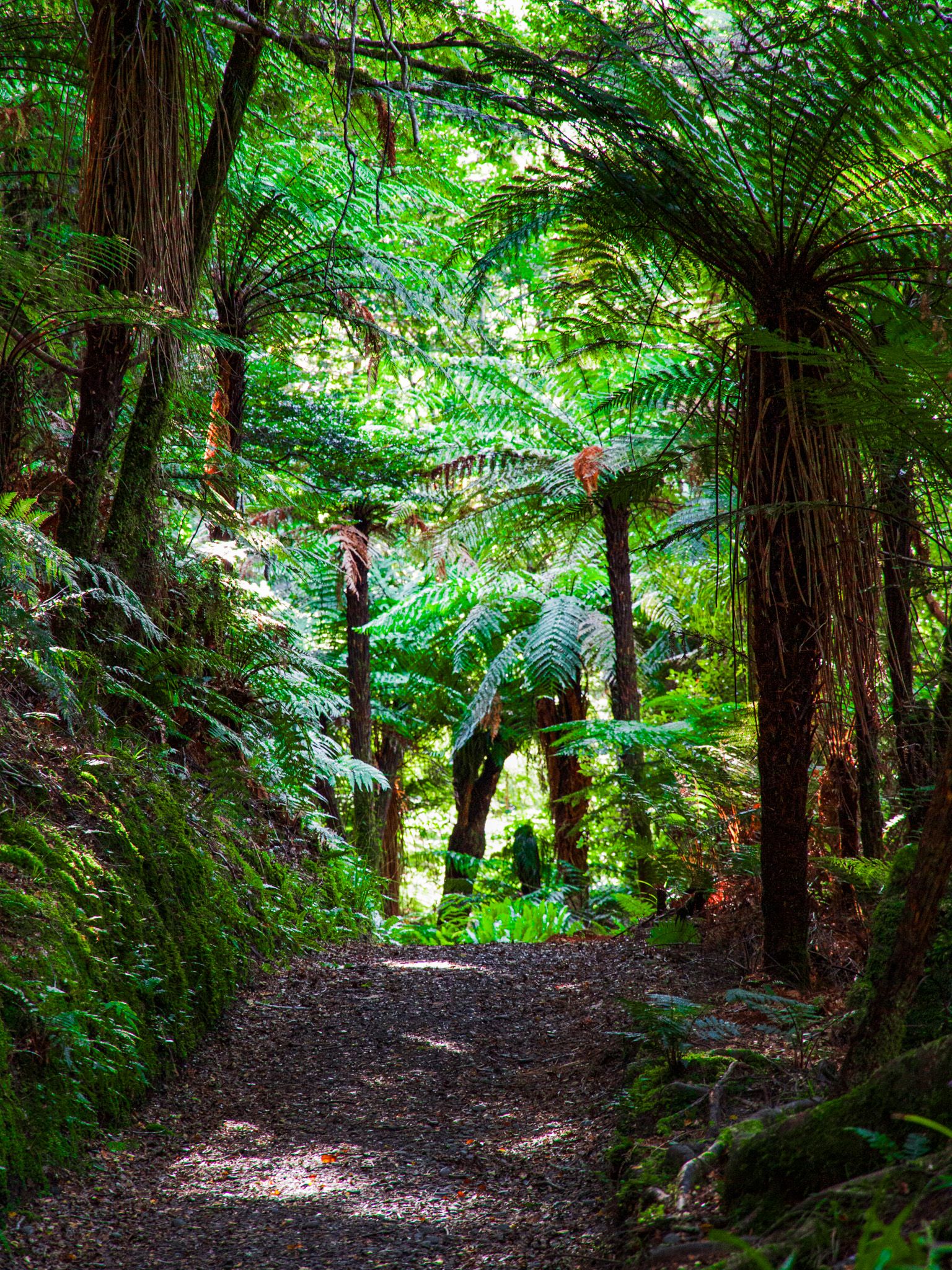
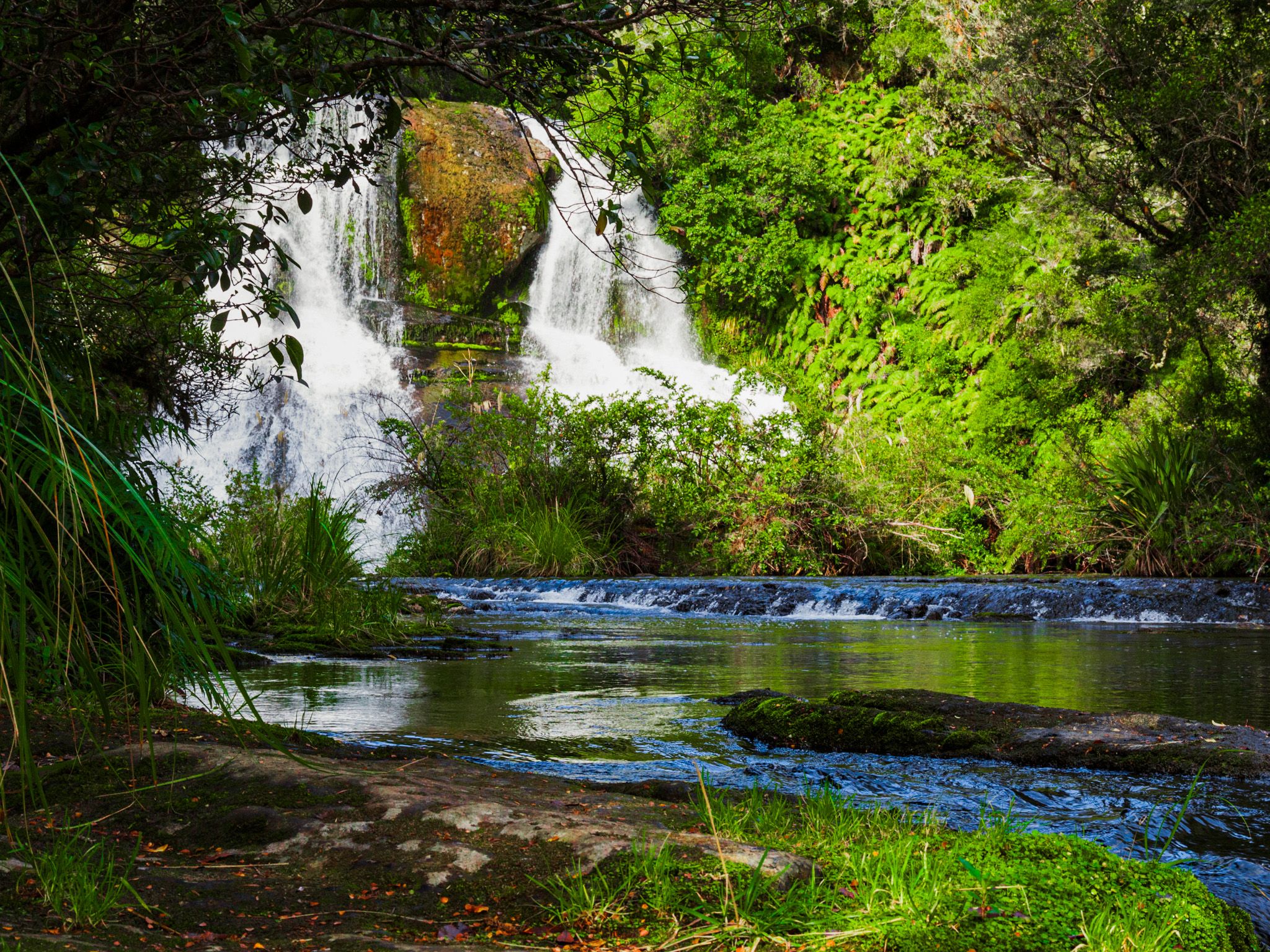
There are multiple walks, hikes and tramping tracks in the region. Lake Waikaremoana Track, a Great Walk, takes three to four days to complete. Other trails lead to waterfalls and Lake Waikareiti. Camping is available at Mokau Landing, Waikaremoana Holiday Park, Rosie Bay, and Orangihikoia, north of the lake.

Historical and Cultural Significance
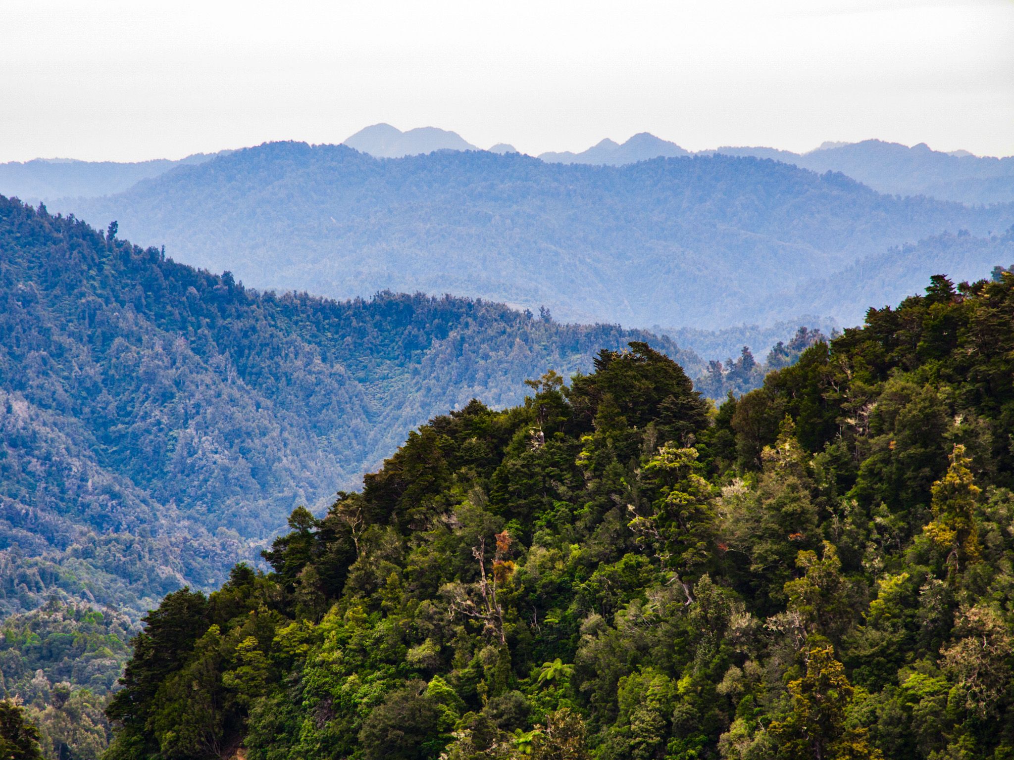
Te Urewera remained largely untouched by Europeans until the early 20th century. The Tūhoe people, who never signed the Treaty of Waitangi, were protected by the remote, hilly environment with ridgelines up to 1,100 metres and peaks over 1,300 metres. The first significant interaction with Europeans occurred during the New Zealand Wars in 1864, when some Tūhoe were encouraged by Rewi Maniapoto to fight the government.
In 1865, the government accused Tūhoe of sheltering Kereopa Te Rau, wanted for the murder of missionary Karl Volkner in Ōhope. As punishment, the government confiscated 5,700 hectares of Tūhoe’s only substantial flat and arable coastal land. In 1868, some Tūhoe sheltered Te Kooti, who had killed 54 people near Gisborne. This led to further attacks on Tūhoe, despite iwi support for the government.
In 1896, the government allowed Tūhoe to establish a self-governing reserve. However, from 1915 to 1926, the government used various means to acquire land and relocate Tūhoe to smaller blocks. In 1916, a police raid in Te Urewera aimed to arrest Tūhoe prophet Rua Kenana for sedition, a situation echoed by a similar raid in 2007.
Legal and Environmental Recognition
Eventually, the road through the region was constructed, and much of the land taken by the government became Te Urewera National Park in 1954. Despite this, the area remained impoverished. A critical Waitangi Tribunal report in 1999 led to a 2013 settlement between the government and Tūhoe, establishing co-governance of Te Urewera. Te Urewera became the first region in the world to be granted the same legal rights as a person. Today, Te Uru Taumatua, Ngāi Tūhoe’s operational entity, maintains the tracks and facilities.
How to Get There
To reach Te Urewera, you can either start the trip from Rotorua in the Bay of Plenty, taking State Highway 38 to Te Whaiti, near Whirinaki Forest, then drive the long winding road to Lake Waikaremoana. This road is partially sealed, but with many narrow gravel sections. Drive carefully. From Rotorua, it is 162 km, but it will take around 3 hours and 15 minutes. There are no services past Murupara until you reach the Waikaremoana Holiday Park.
Alternatively, a simpler drive is to start in Wairoa on the east coast, then follow State Highway 38 to Kokako near the southern end of Lake Waikaremoana. The road around the lake is gravel and provides access to the tracks and campgrounds. From Wairoa, the drive is 54 km and takes about 50 minutes.