Discover Central Otago's Mountain Ranges
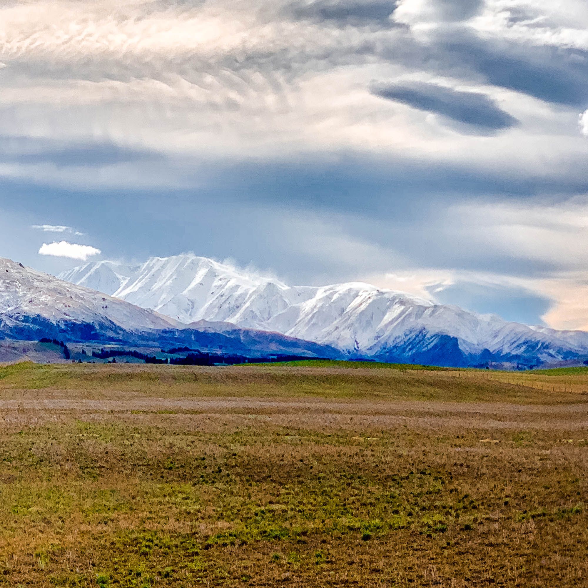
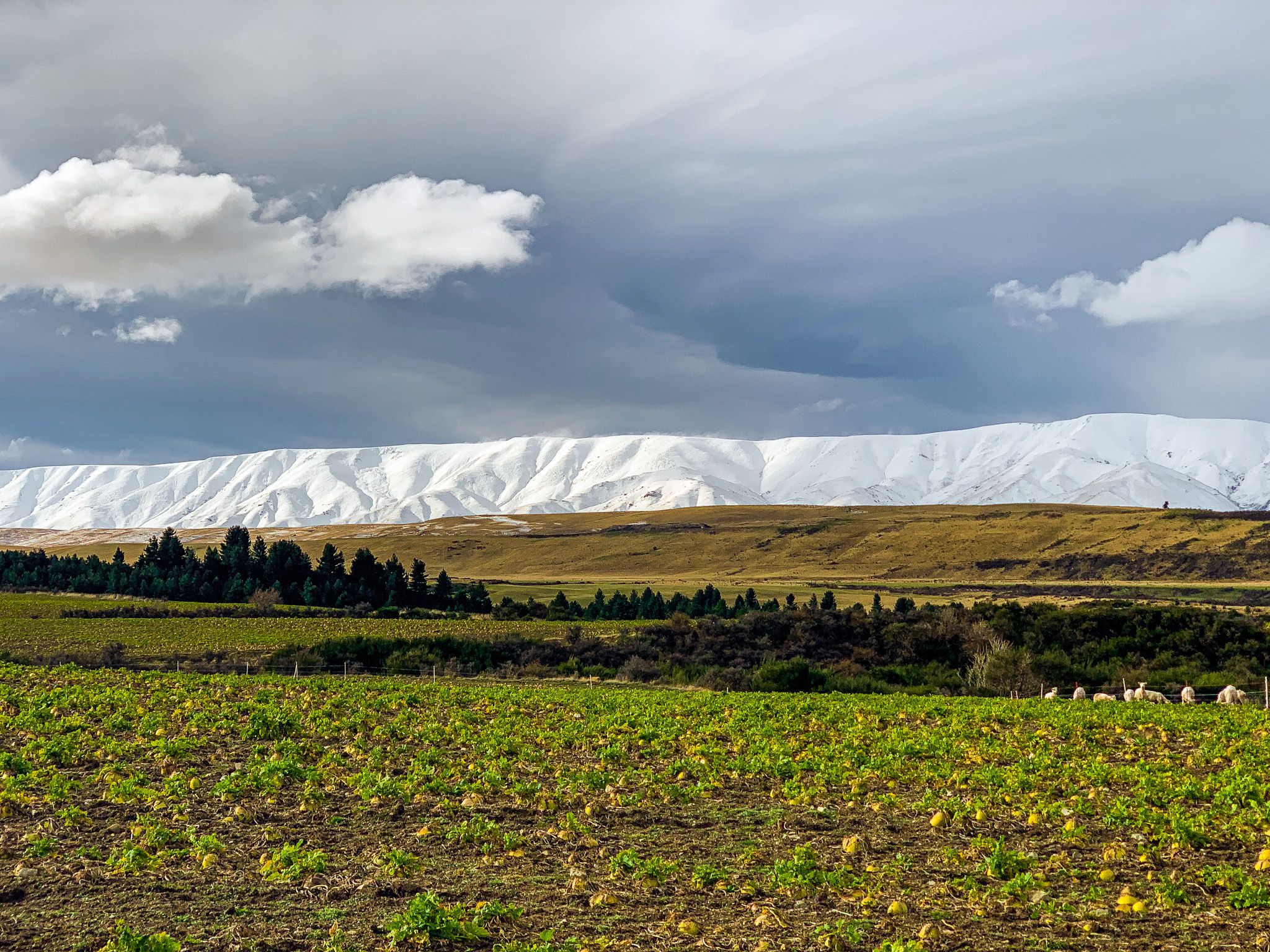
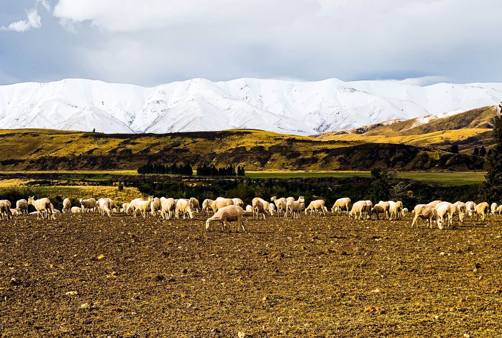
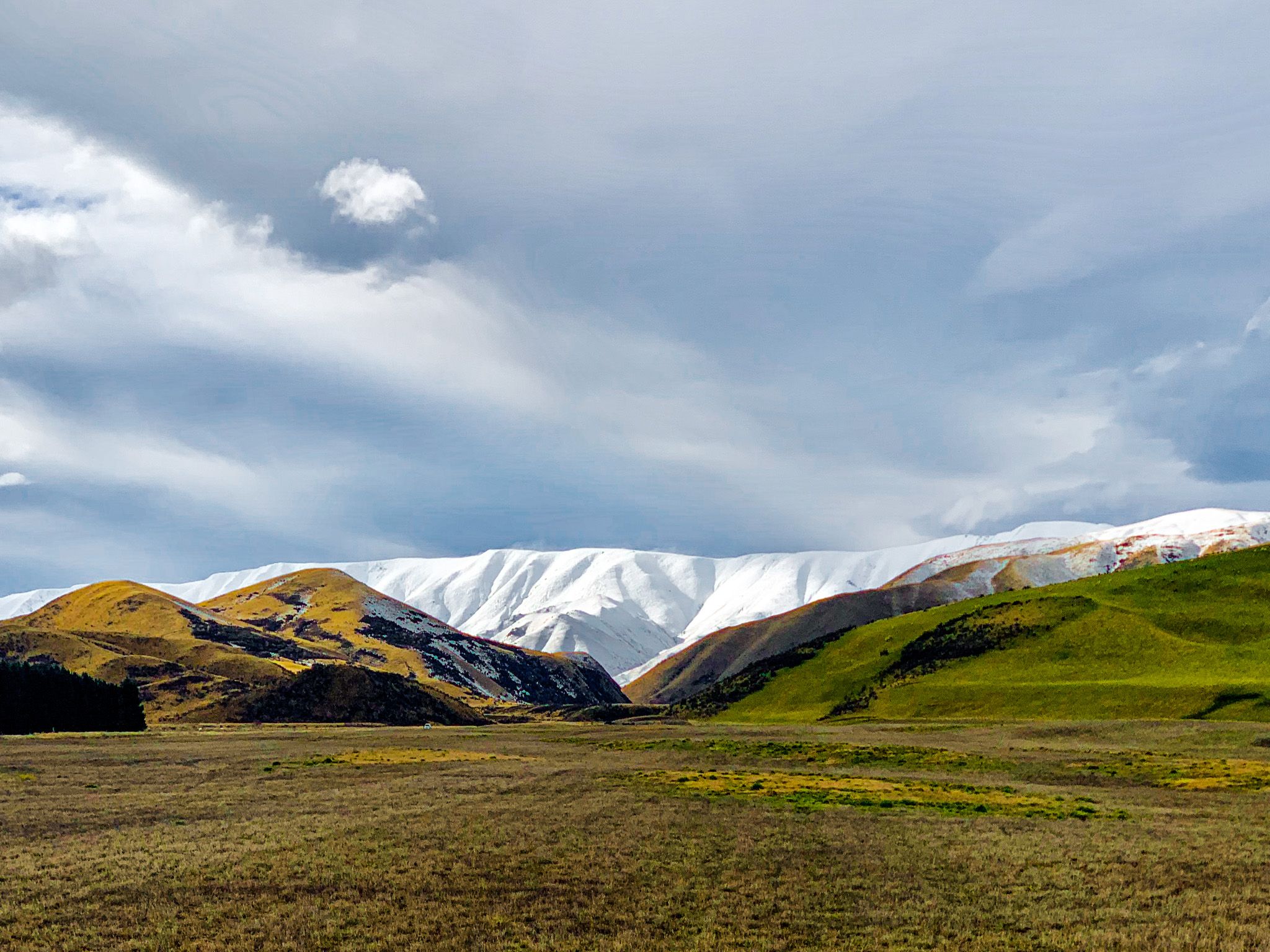
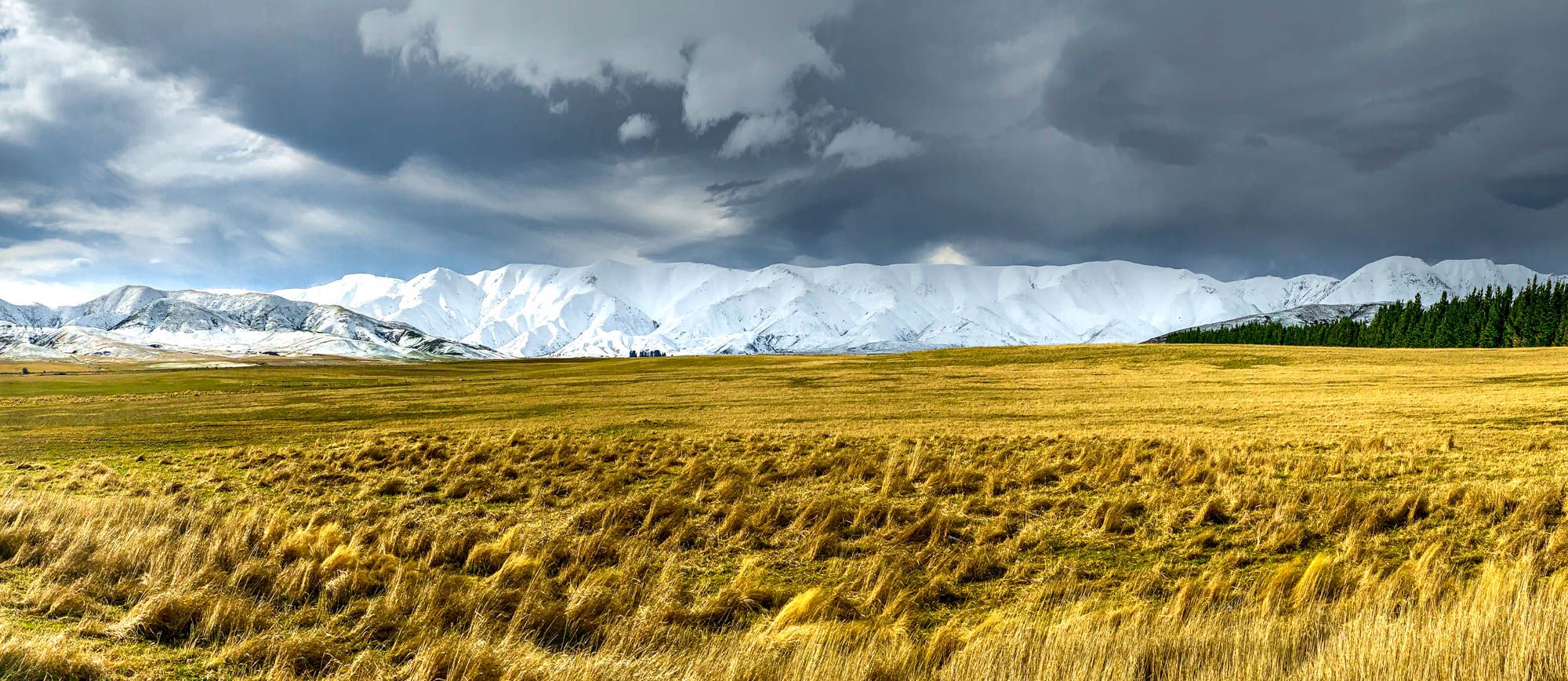
Central Otago, located in the South Island, is renowned for its dramatic and historically significant mountain ranges. Among these are the St Bathans Range, Hawkdun Range, Ida Range, and Kakanui Mountains. These ranges stretch from the northern end of the Manuherikia Valley, extending southward past the Ida Valley to the Maniototo Plain. In winter, the snow descends close to the valley floors, creating a stunning white landscape that is perfect for photography.
The Mountain Ranges
St Bathans Range
The St Bathans Range, named after the historic gold mining town of St Bathans, forms a rugged natural barrier along the eastern edge of the Manuherikia Valley. Reaching elevations over 1,600 metres, this area is noted for its colourful geology, a legacy of the ancient Otago goldfields. The nearby Blue Lake, a striking man-made lake from mining activity, reflects the mountains and is a popular spot for photographers. The range is also significant for its paleontological importance, housing the St Bathans Fauna, which includes some of New Zealand’s oldest fossilised vertebrates.
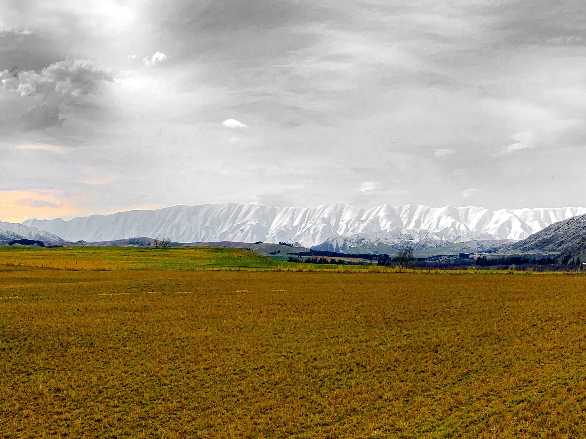
Hawkdun Range
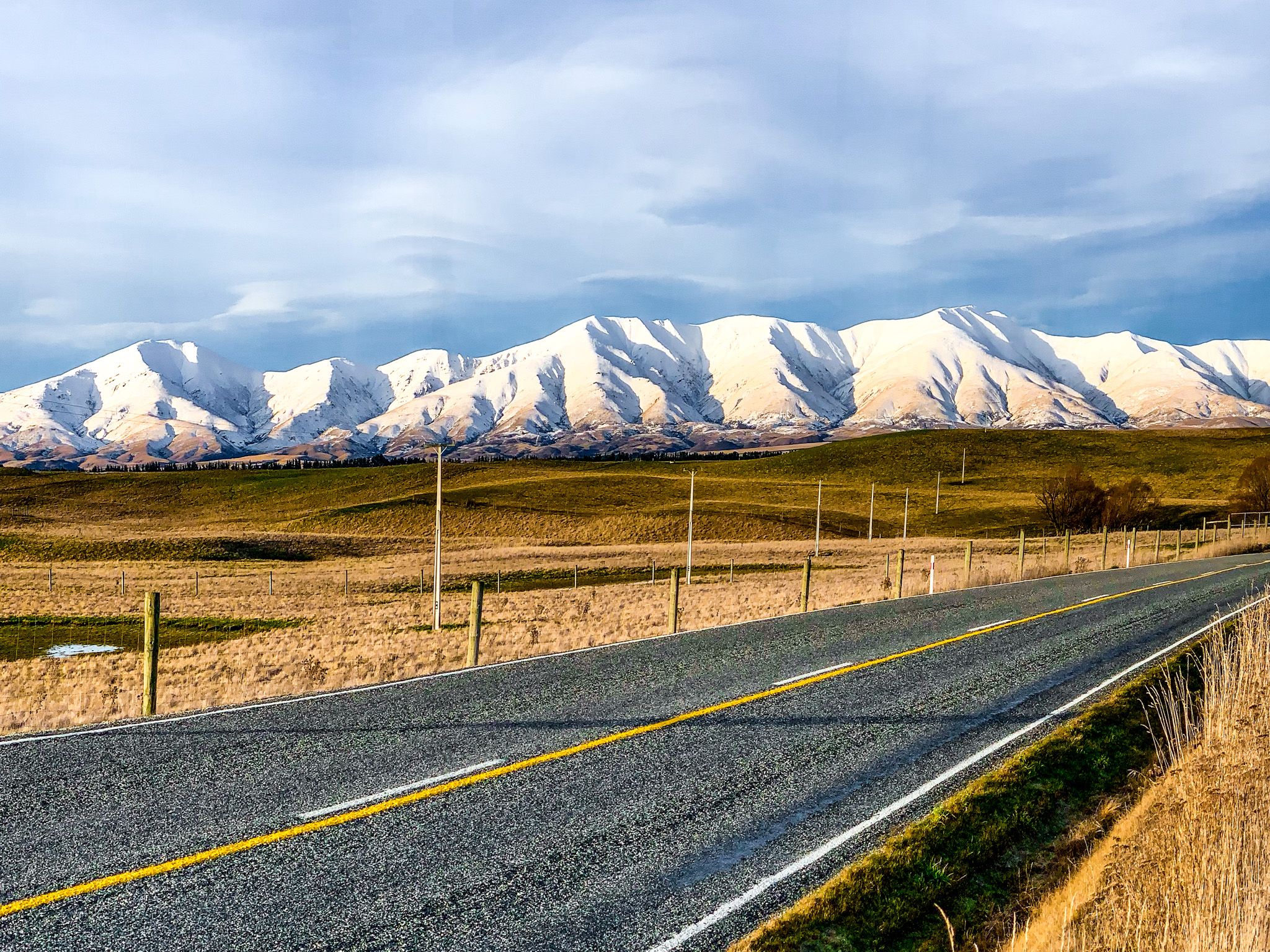
West of the St Bathans, the Hawkdun Range is one of Otago's most visually distinctive ranges. Its smooth, wave-like ridgelines stretch across the northern horizon of the Maniototo and Ida Valleys, often remaining snow-covered well into spring. The range peaks at over 1,900 metres and features broad, tussock-covered slopes. Known as one of New Zealand’s “forgotten” mountain ranges, the Hawkduns are remote and rarely visited, yet they offer haunting beauty. They are popular with trampers and mountain bikers exploring the backcountry.
Ida Range
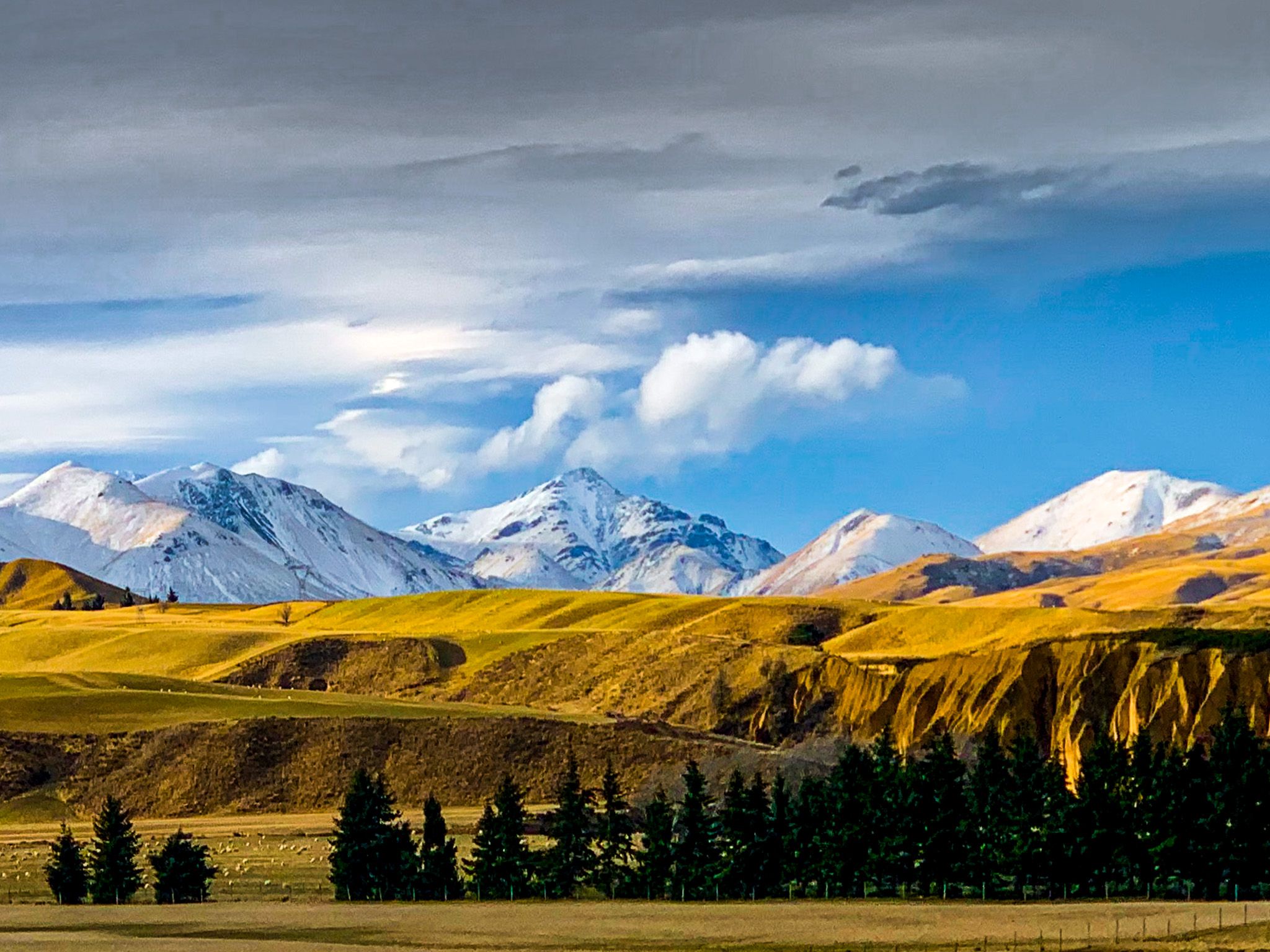
The Ida Range runs parallel to the Hawkduns, forming the eastern boundary of the Ida Valley. It features high alpine plateaus and rolling ridgelines, known for their isolation and panoramic views over Central Otago’s inland basins. The range includes Mount Ida, which stands at 1,692 metres. Historically significant for early sheep farming, the legacy of merino sheep stations is still visible. In winter, the crisp air and low sun create dramatic contrasts in the snow-dusted terrain, attracting landscape photographers.
Kakanui Mountains
Further east, the Kakanui Mountains rise steeply from the Kakanui River and extend inland from the east coast. They form part of the eastern margin of the Maniototo Plain and include Mount Pisgah and Mount Nobbler, both over 1,300 metres. The Kakanui Range is geologically older than nearby ranges and is composed mainly of schist, resulting in distinctive rock tors. These mountains are crucial for water catchment and are involved in conservation projects to protect native tussock grasslands and endemic species.
Scenic Routes and Views
For the best views of these majestic ranges, drive from Alexandra or Clyde toward St Bathans, located at the east end of the Manuherikia Valley. From there, head to Falls Dam, a reservoir beneath the Hawkduns, where the reflection of the snow-capped range on the water is particularly striking in cooler months. Continue to Naseby, a historic town known for curling and its alpine forest setting. From Naseby, take the scenic gravel roads east toward Kyeburn Diggings, which traverse open farmland with expansive views of the Kakanui Range.
You can return to the east coast via the Pigroot (State Highway 85), a winding route that skirts the Kakanui Mountains and arrives at Palmerston. This route offers dramatic views, especially in the late afternoon when the low sun casts long shadows across the range's rugged outcrops.
How to Get There
Accessing Central Otago is straightforward from Dunedin. One option is to take State Highway 87, starting in Mosgiel, which winds inland past Middlemarch and along the foot of the Rock and Pillar Range before reaching the Maniototo.
Alternatively, drive north on State Highway 1 to Palmerston, then head inland via the Pigroot. This route offers a broader view of the changing landscapes and provides access to several towns and trails along the way.