Middlemarch is a rural service town in the heart of the Strath Taieri Plain in Central Otago on State Highway 87, south of Ranfurly. For cyclists, it is the end of the Otago Central Rail Trail that runs from Clyde. The town is also overlooked by the Rock and Pillar Range to the west, with a high point just above the snow line at 1,450 metres. You can hike up – a steep 1,000-metre climb – or take a 4WD. To the northeast is the rugged Taieri Ridge, which runs towards the Kakanui Mountains.
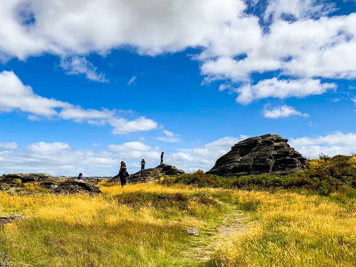
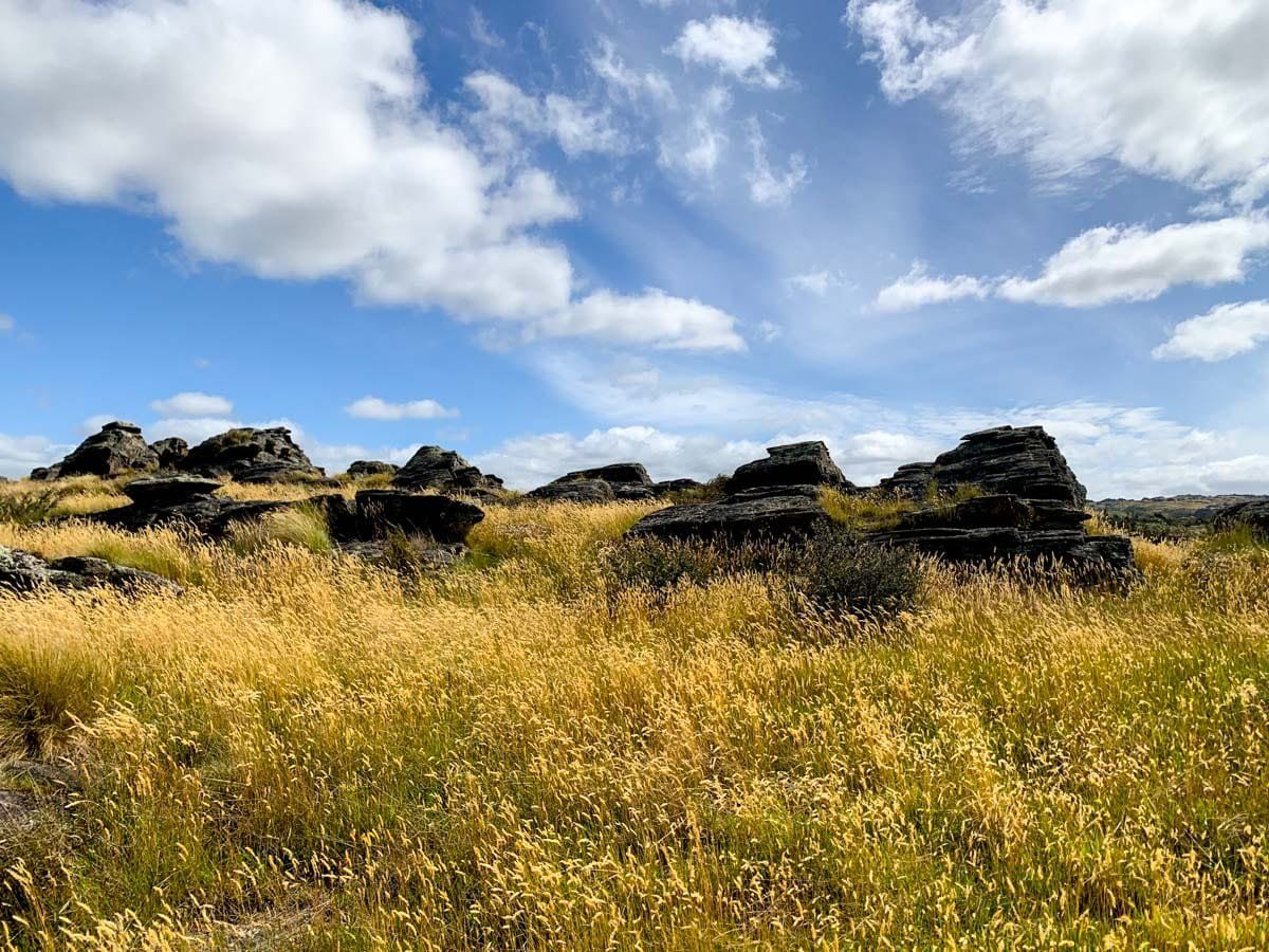
The Rock and Pillar and the Taieri Ridge are on separate fault lines and were created by uplift about three million years ago. Erosion has since carved many rock tors, a feature of the area. There are also signs of volcanic activity that go back about 20 million years.
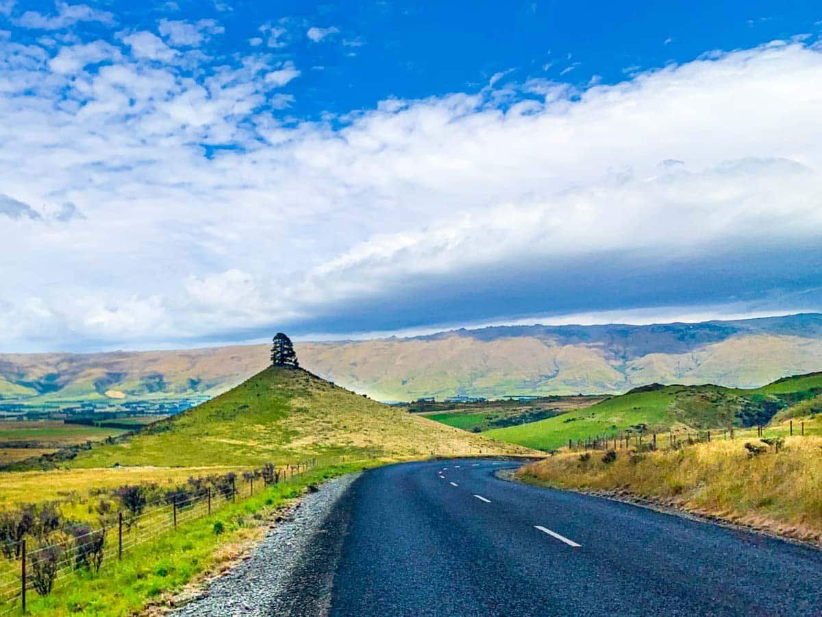
The most obvious is Conical Hill (according to Topo Map) near Moonlight Road, though locals call it Smooth Cone. Less obvious is the Redan Crater; at 300 metres wide, it is the largest in the South Island. It is high on the west side of Taieri Ridge on private land but visible on State Highway 87B north of Middlemarch. The other significant feature is the Taieri River, which runs through the plain before entering Taieri Gorge.
The town has a pub, cafe, restaurant (at least in the high season), and campground. It was also the end of the railway track once the section from Middlemarch to Clyde was closed and converted to the cycle trail. There are a few railway artefacts near the station. Take some time to explore quiet local roads with their views of rocky tors and often dry golden fields. Start on Moonlight Road in Middlemarch, head south on Mount Stoker, then Murrays Road to the hamlet of Sutton on State Highway 87. Follow the main highway of a few hundred metres, then take Kidd Road to the Sutton Salt Lake Track (an hour return).
