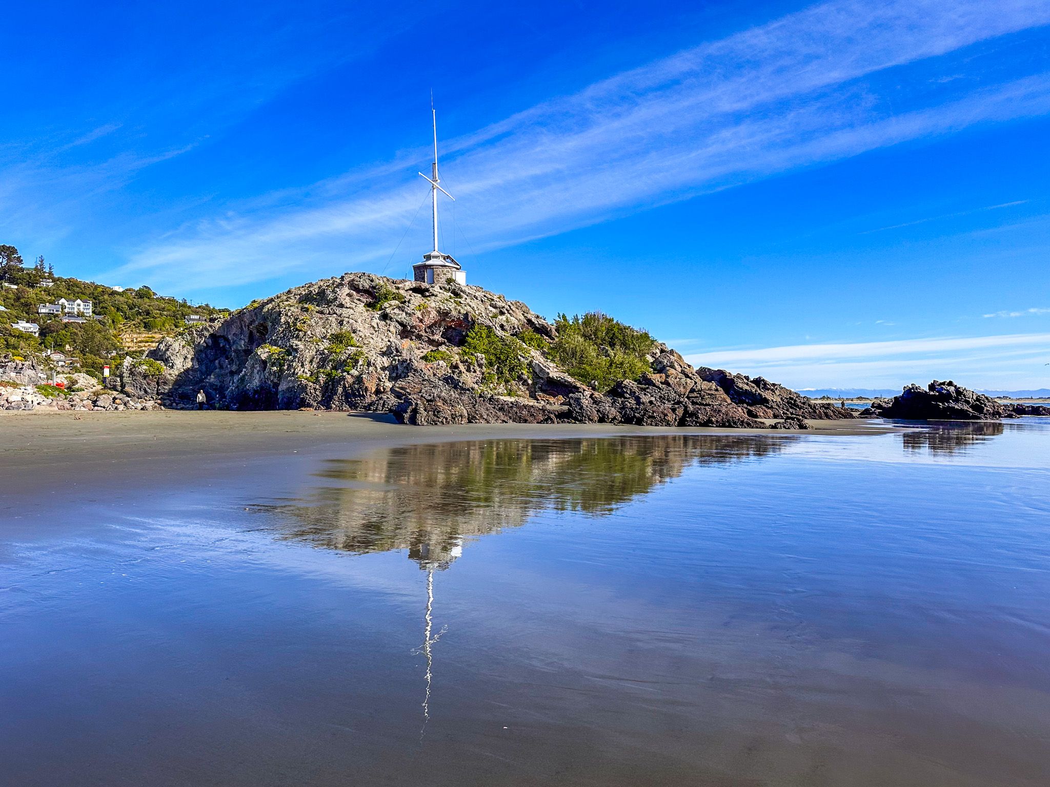
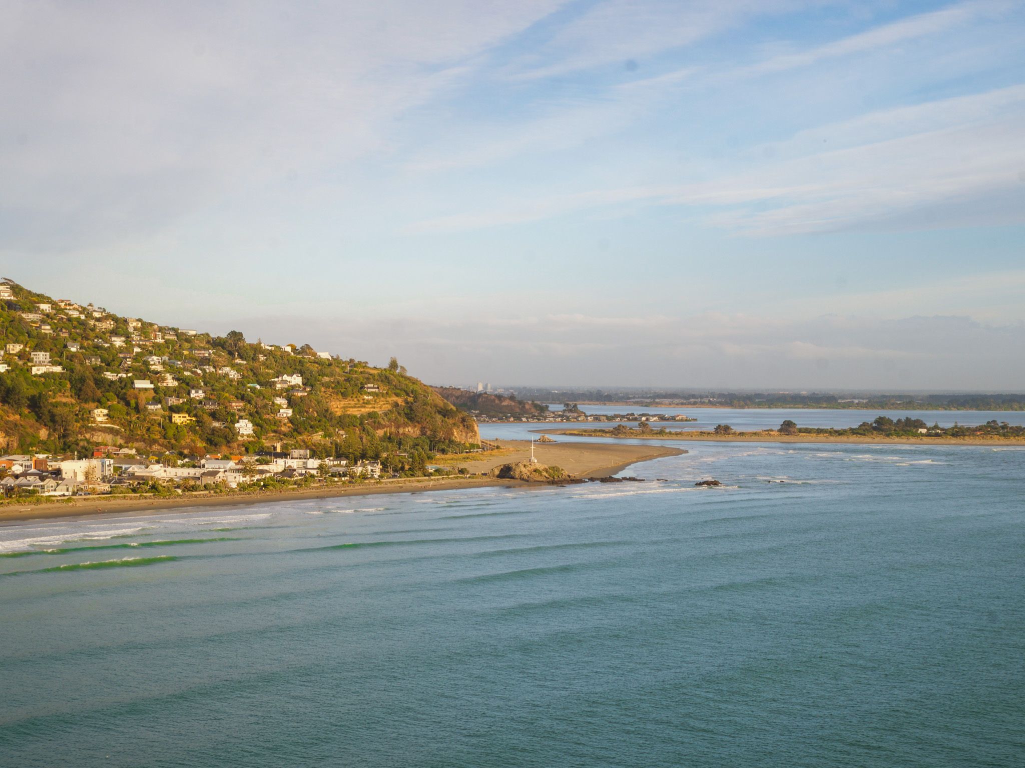
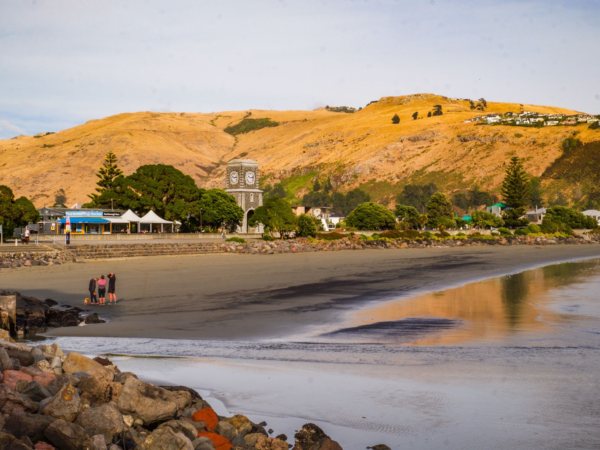
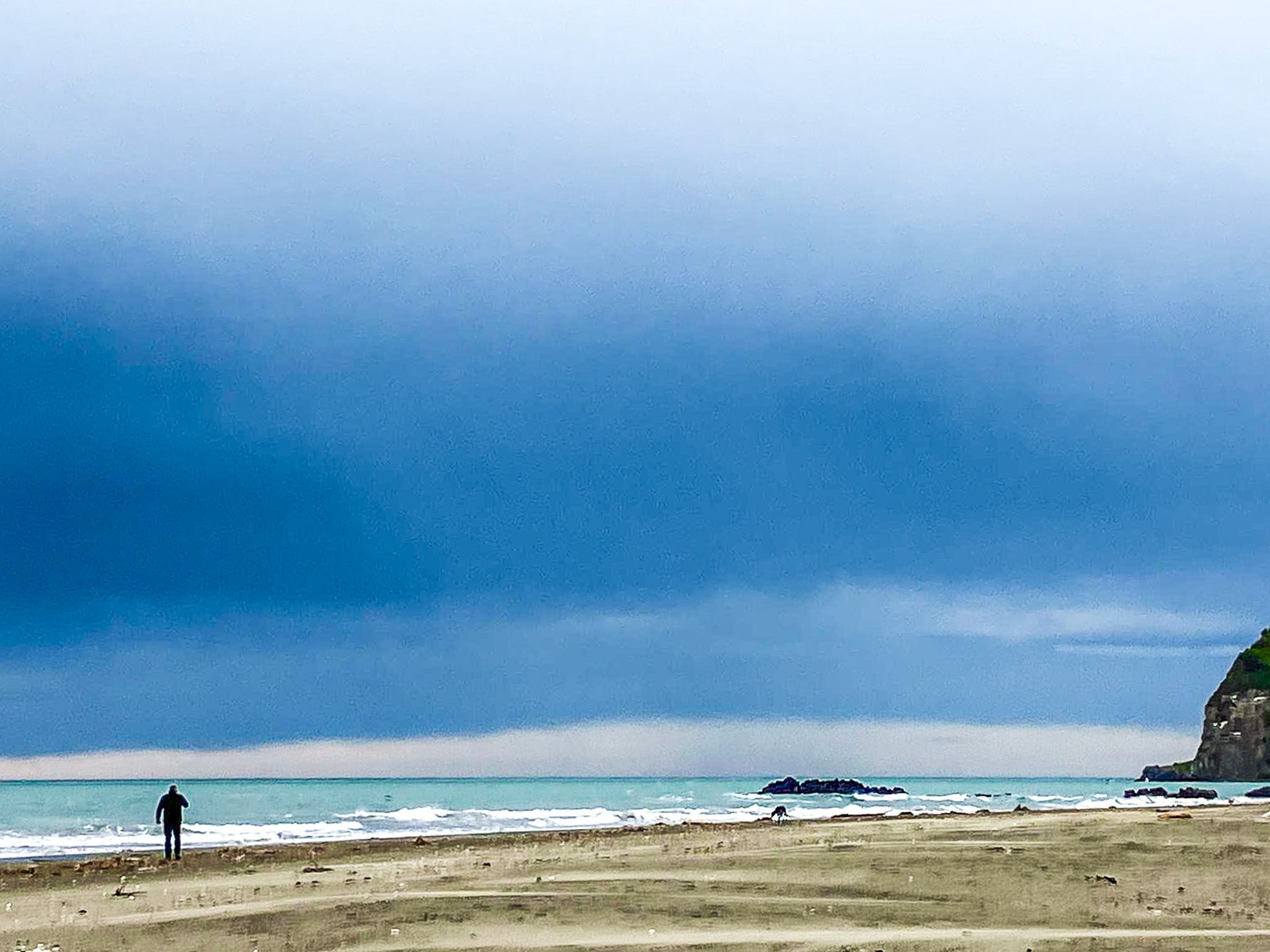
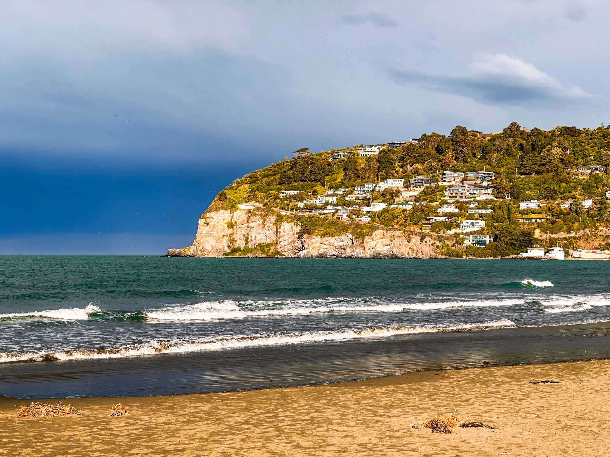
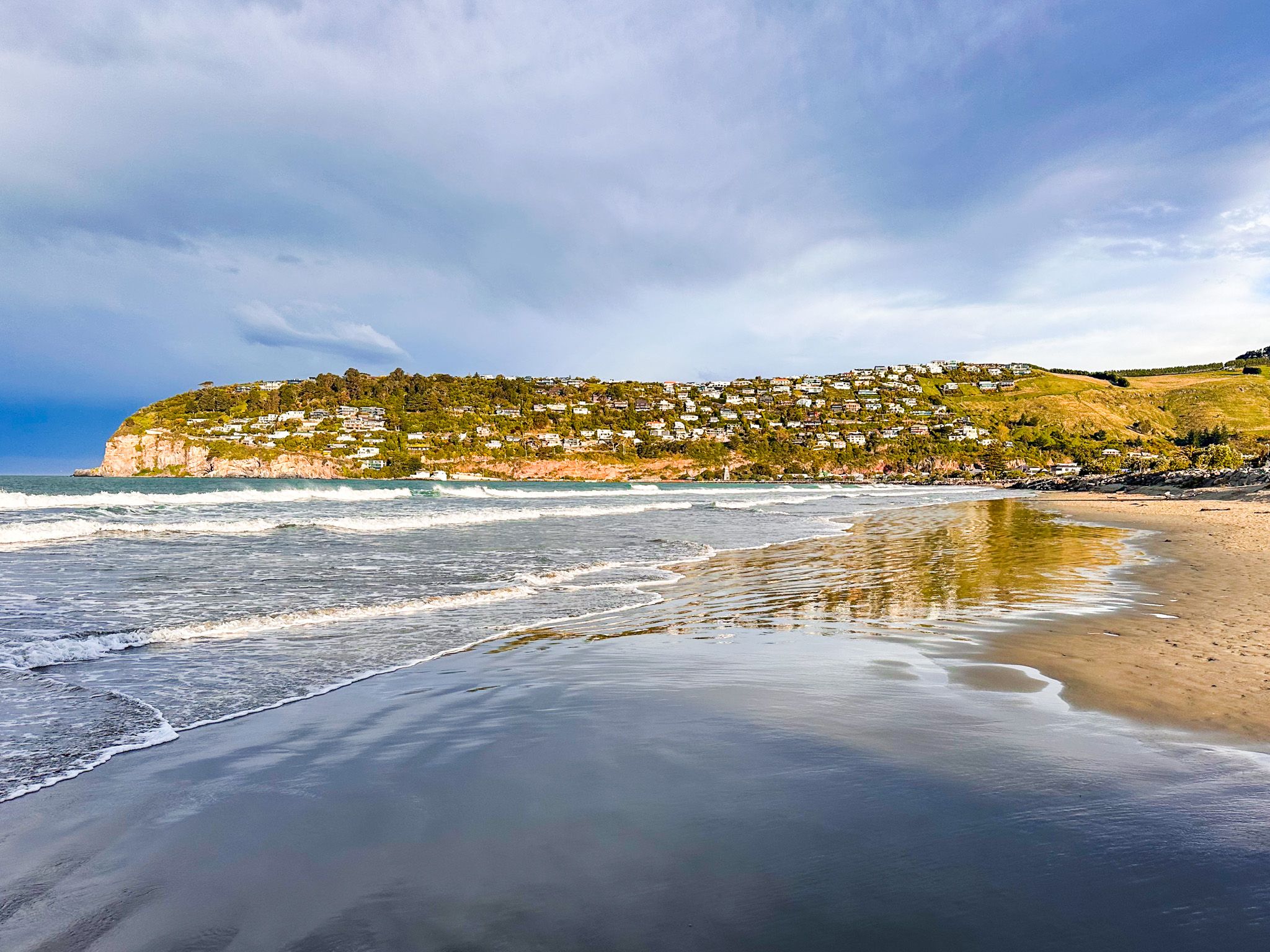
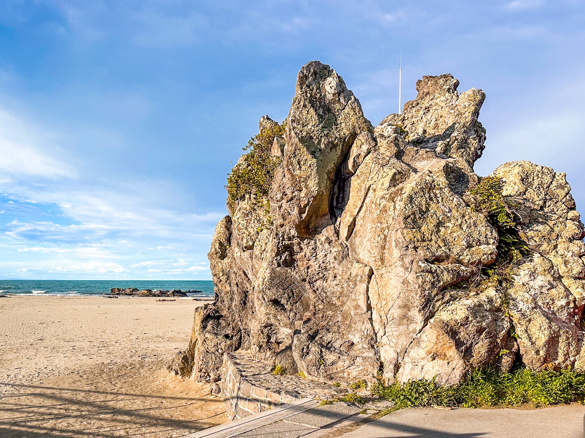
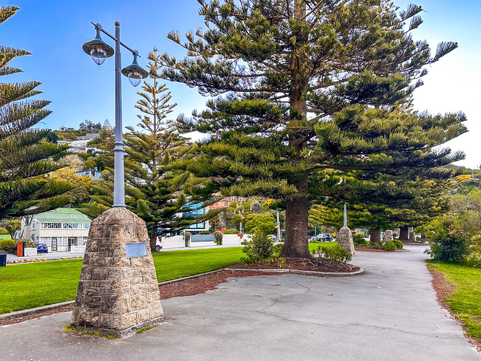
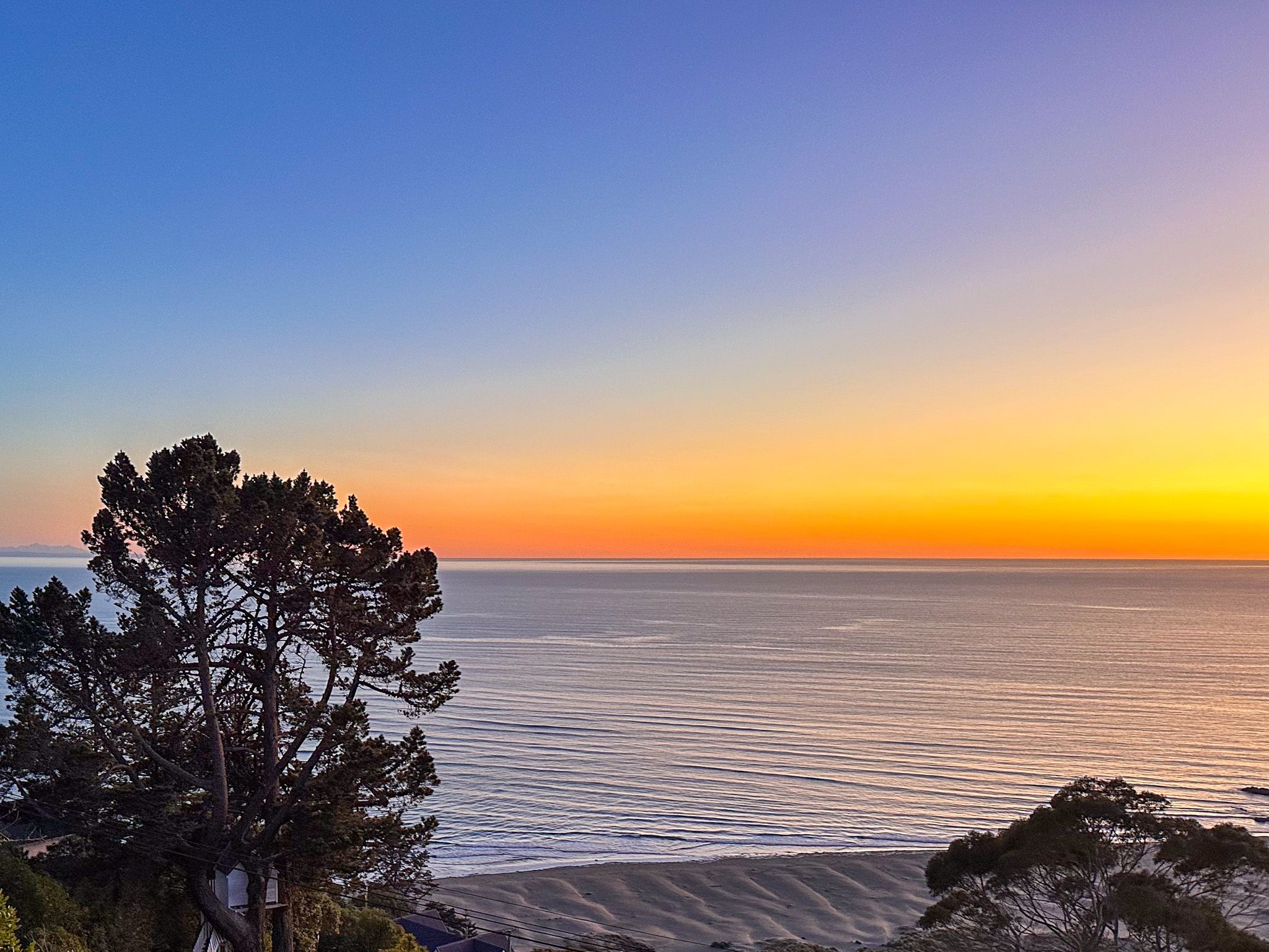
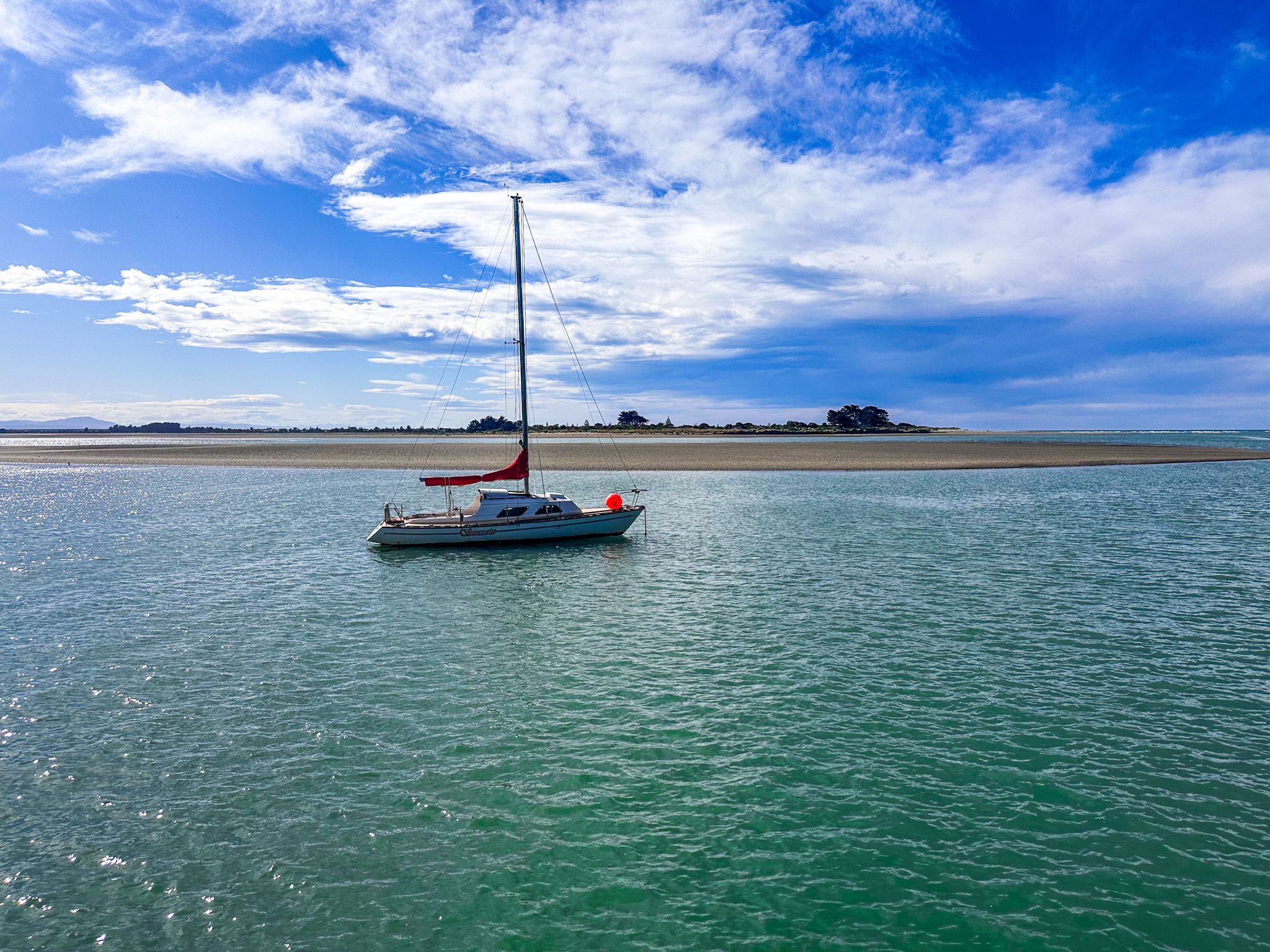
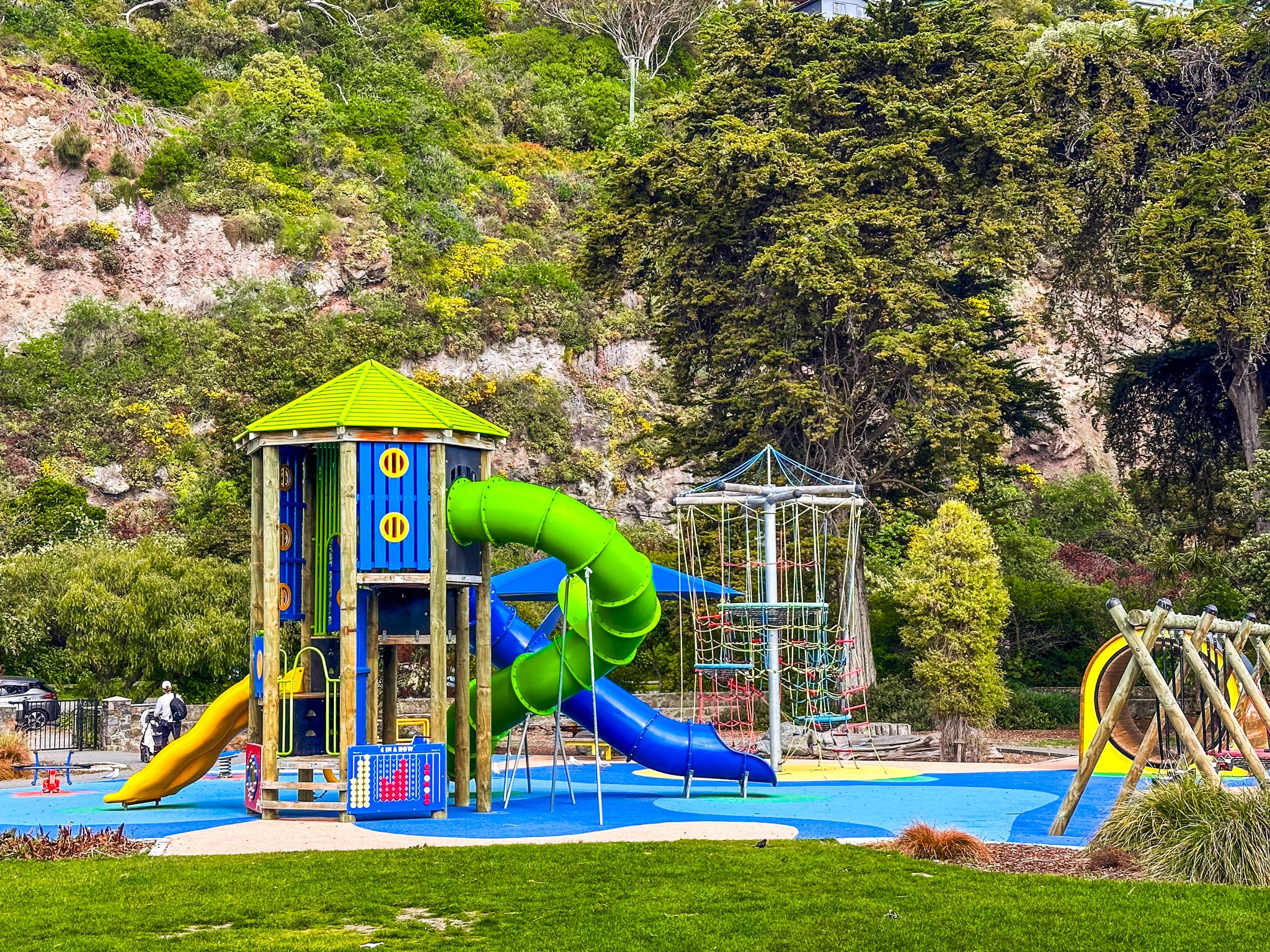
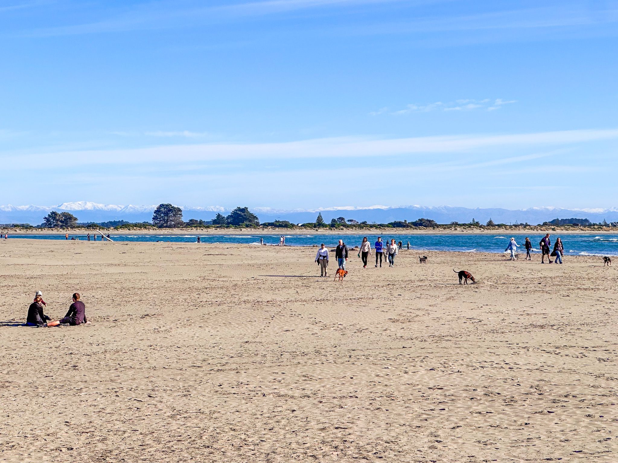
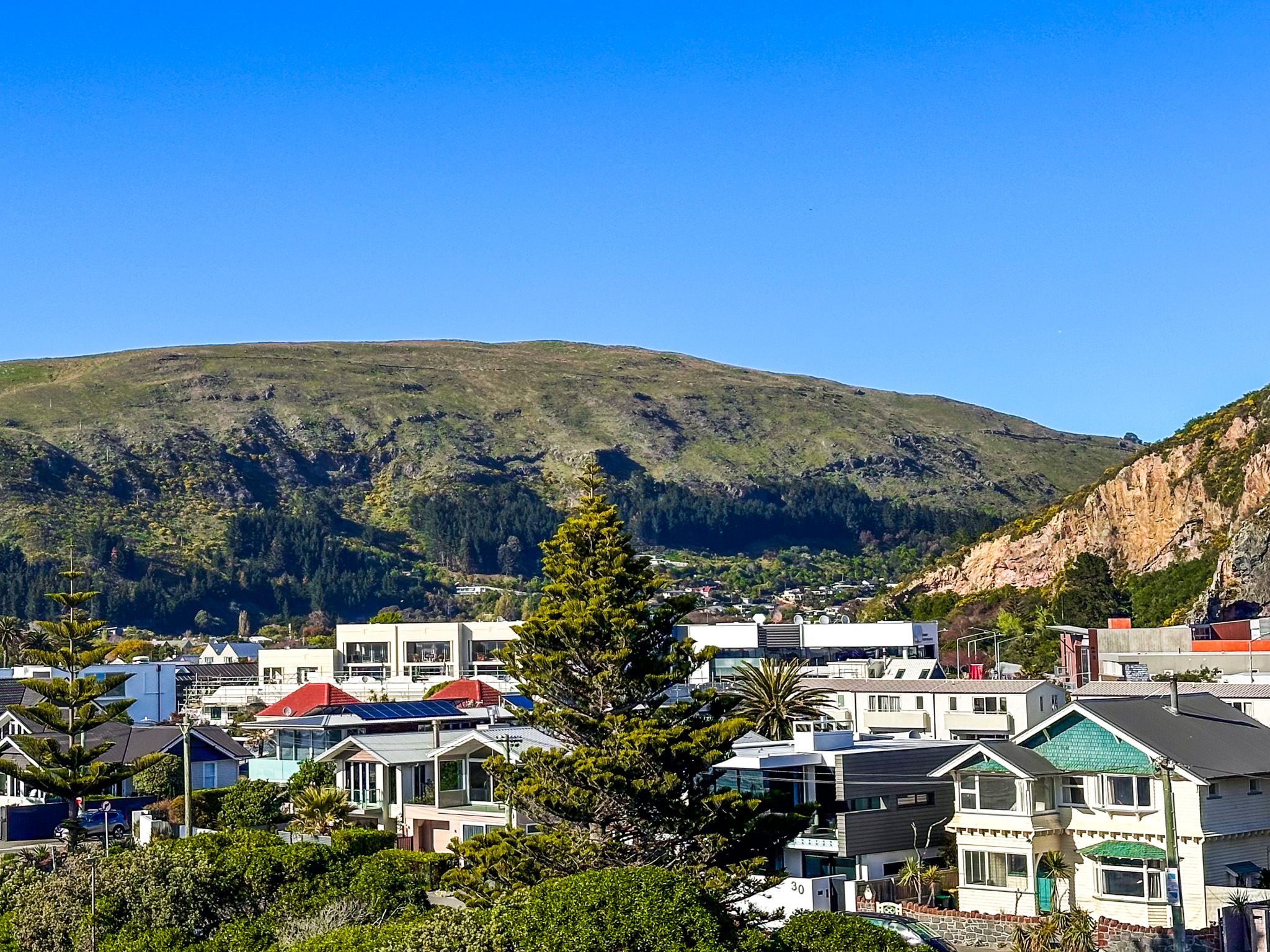
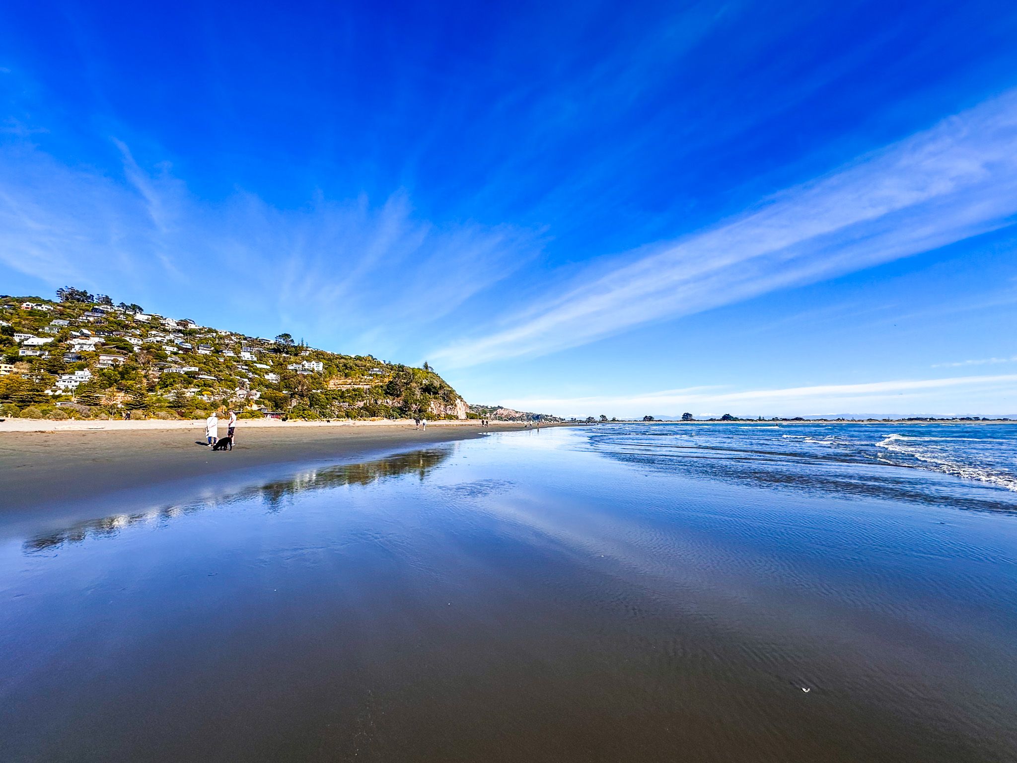
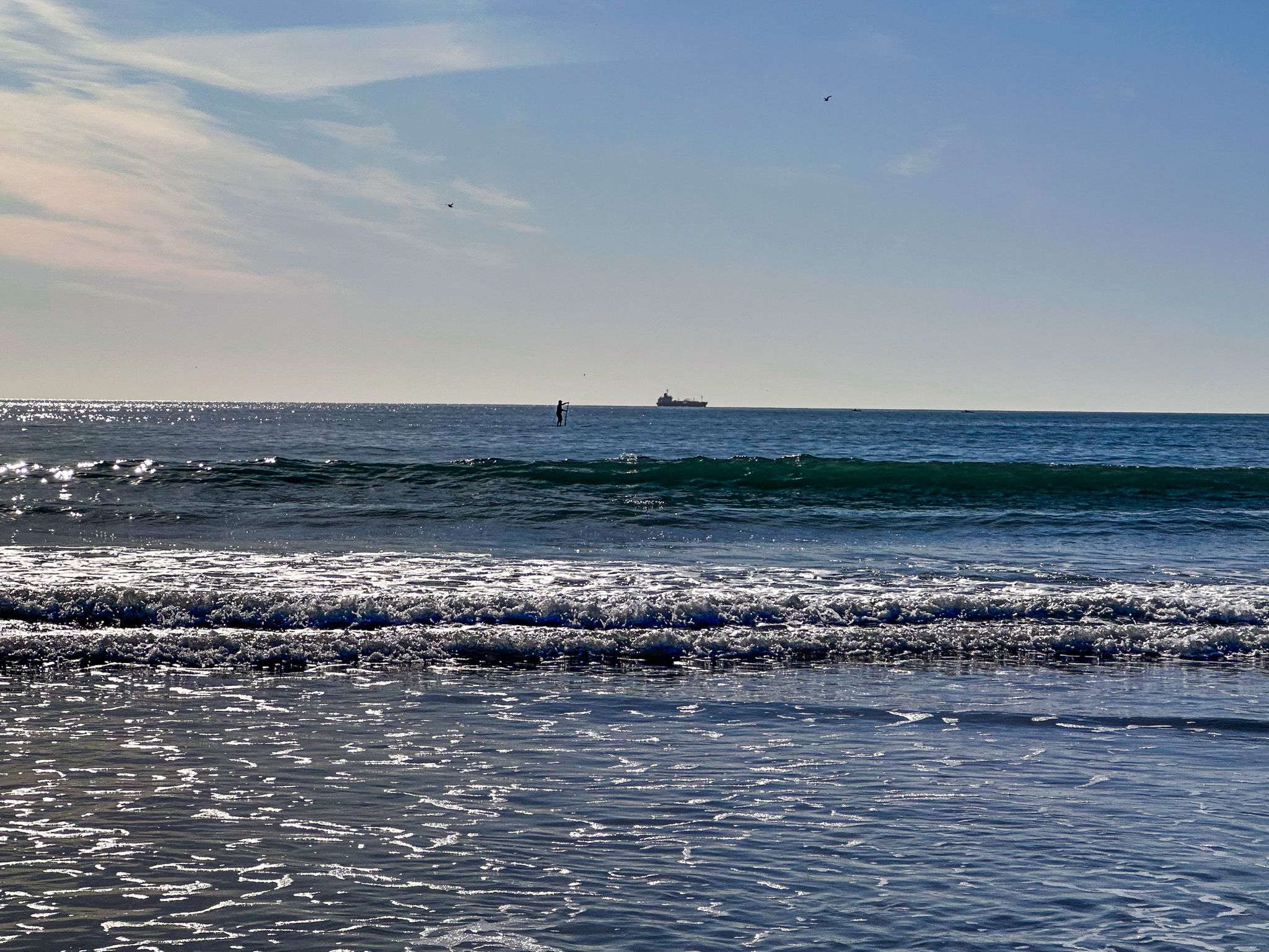
Sumner is a beautiful seaside suburb and beach located at the south end of Pegasus Bay, at the eastern end of the Port Hills in Christchurch. The beach is unusually shaped, with a flat profile between the entrance to the Estuary of the Heathcote and Avon Rivers and Cave Rock, then a curved bay to the east of the rock. The beach name changes to Scarborough Beach towards its east end.
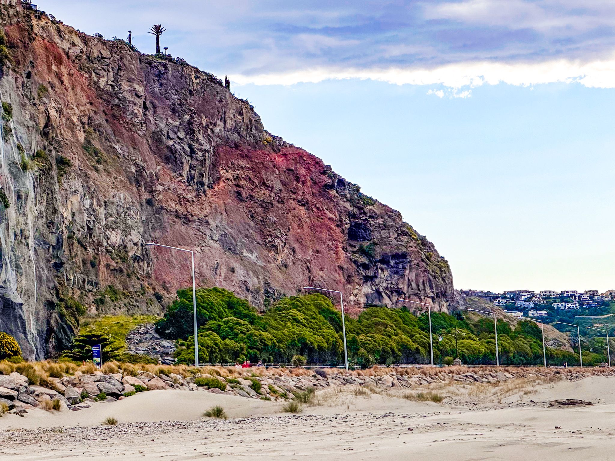
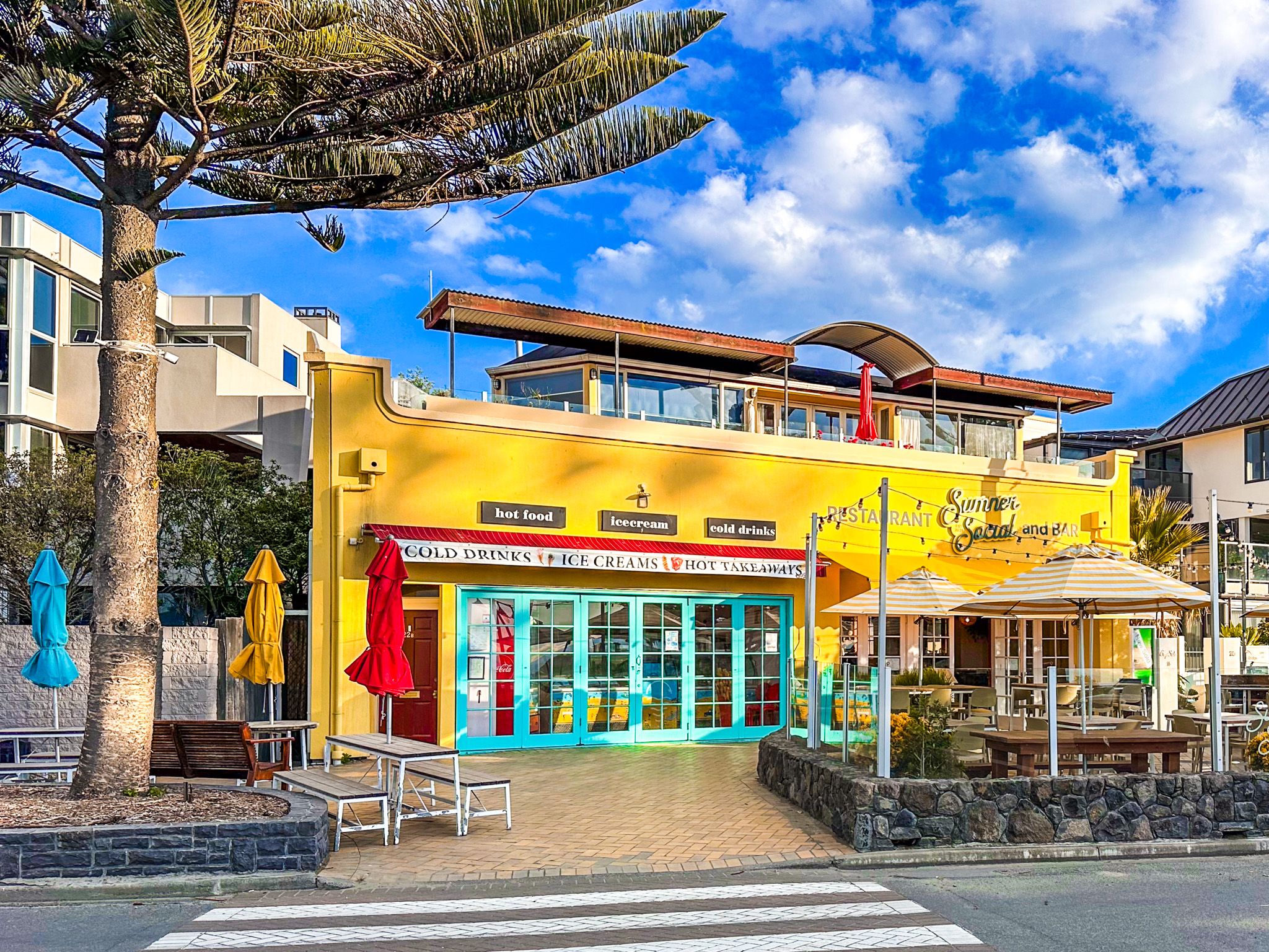
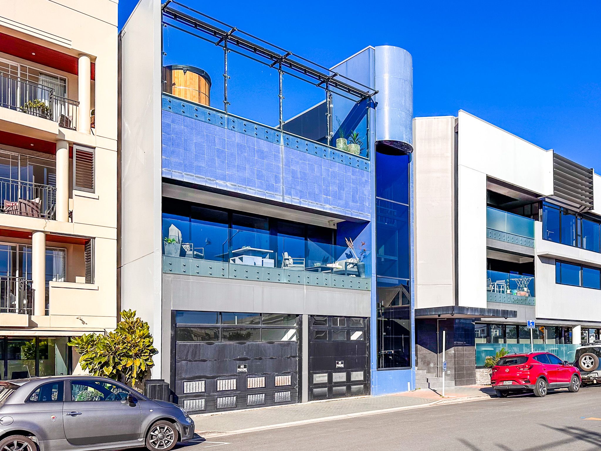
The attractive town mostly sits in a deep gully within the Port Hills. The centre is roughly in the middle, near Cave Rock. There are several cafes, restaurants, and other stores. Steep hills and red rock cliffs mark the edges of the town. The suburb of Scarborough is to the east of Sumner on Sumner Head, and Redcliffs is to the northwest on the estuary. The blandly named Main Road provides the primary access to these coastal suburbs.
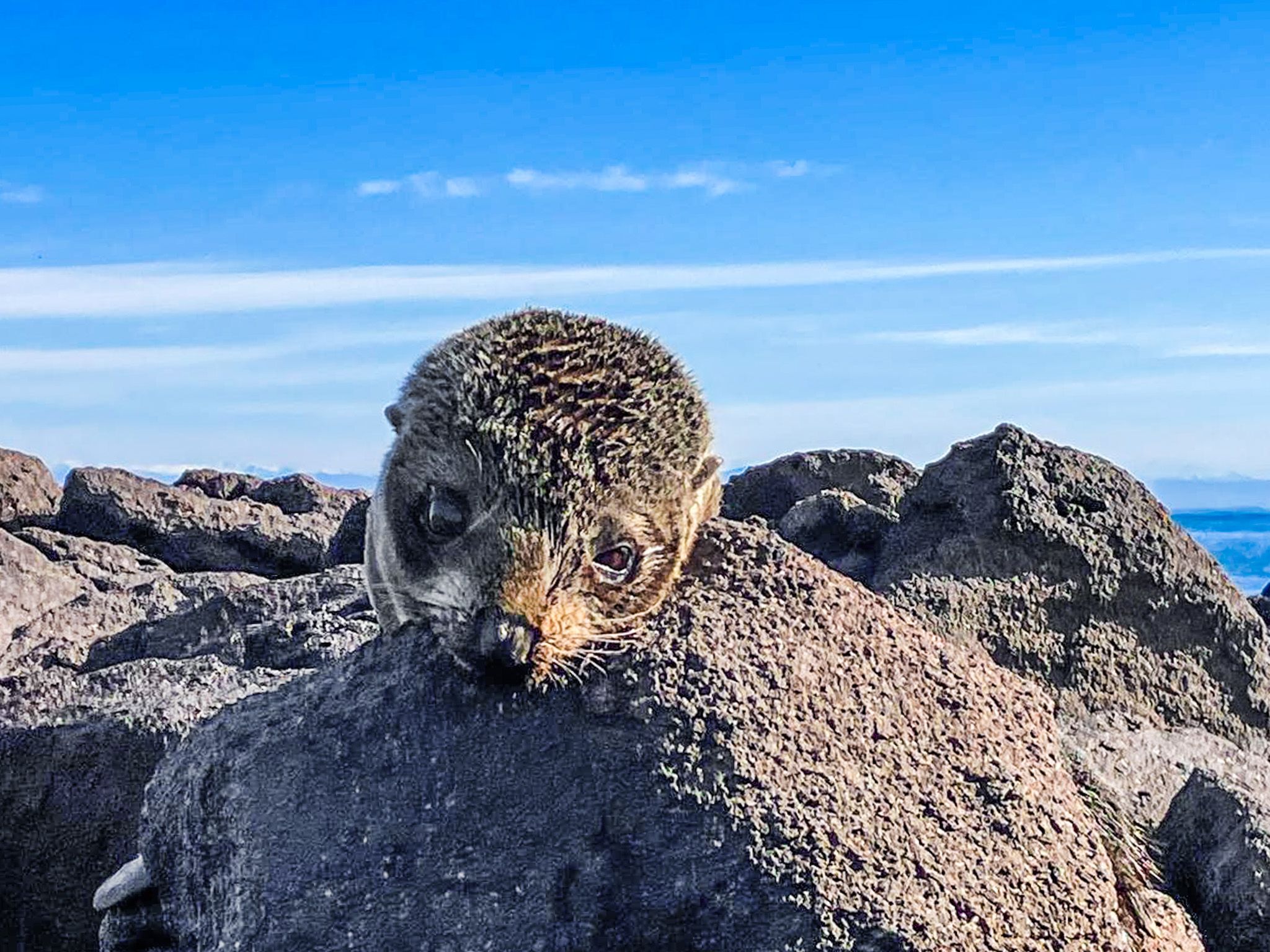
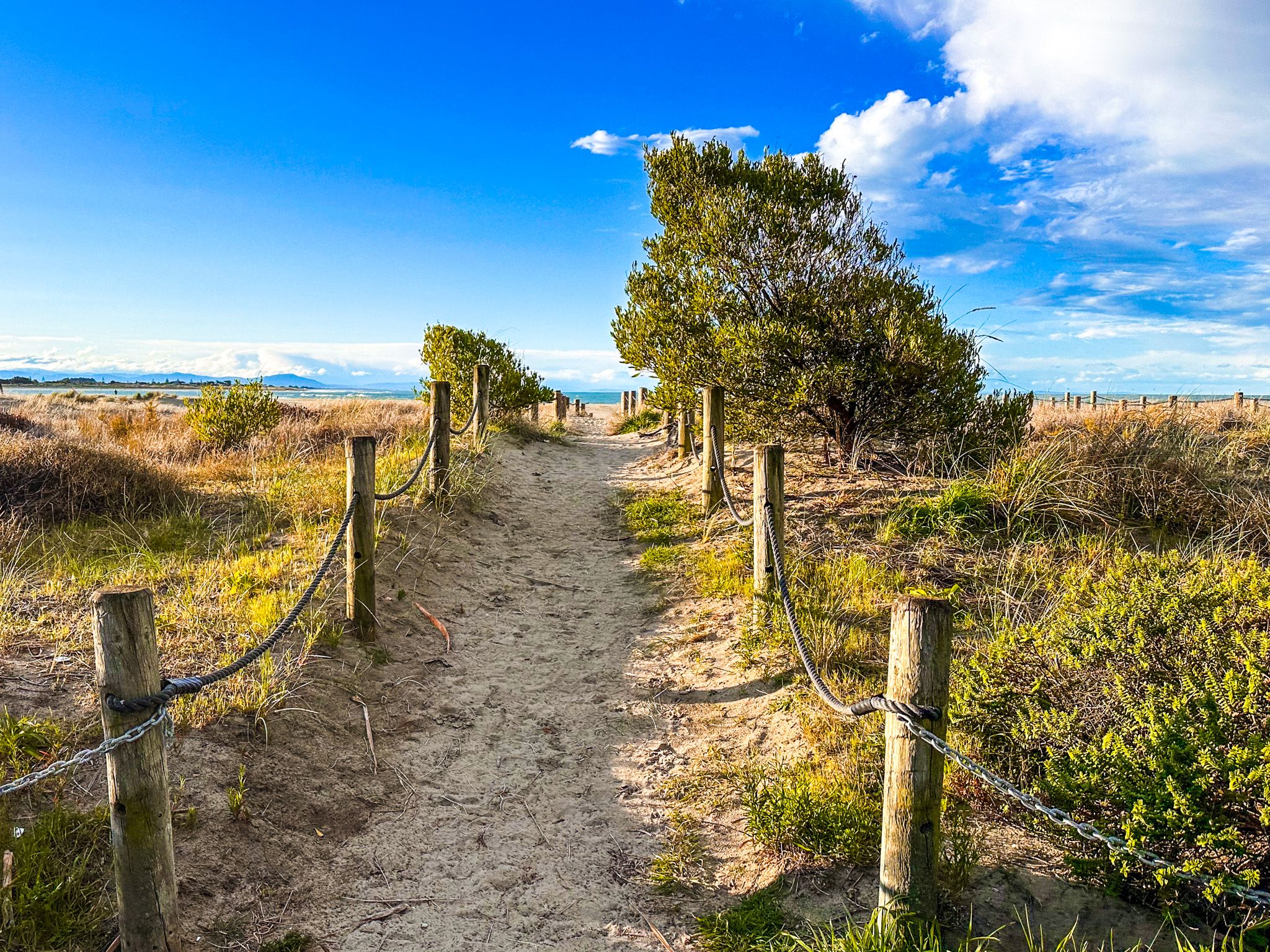
The beach is about 2.5 km long, wide and sandy, with easy parking on Main Road and the Esplanade. It is a surf beach with a surf life patrol and a flagged swimming area. The estuary mouth and Sumner Bar are at the west end of the beach. Swimming there is dangerous due to tidal flows and rips through the mouth, but it is a popular fishing spot. You may also spot the odd seal, which is well camouflaged on the rocks.
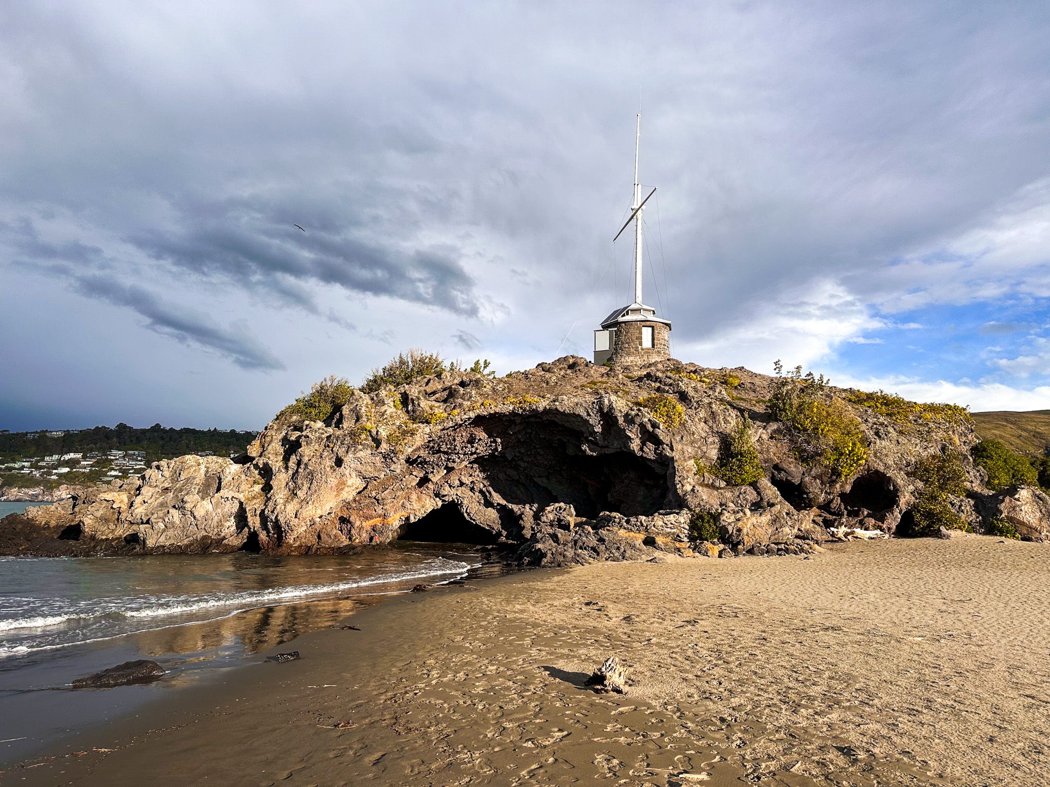
In addition to the beach, you can take the short hike through and onto Cave Rock or head up into the steep hills around the edge of the town. This includes a walkway that starts at Scarborough Beach and climbs to Nicholson Park on Sumner Head, then continues to Onepoto / Taylors Mistake and Awaroa / Godley Head at the southern end of Lyttelton Harbour. You can also take Evans Pass Road to access Summit Road, Lyttelton and Banks Peninsula. The views from these roads are superb.
Work crews building the road to Lyttelton settled Sumner around 1849. Edward Jollie also surveyed the town in 1849, and it was named after John Sumner, the Archbishop of Canterbury and president of the Canterbury Association.
From 1888, Sumner was linked to the city by tram, making it a popular resort. Cave Rock is an unusual volcanic lava deposit on the foreshore, which provided extra interest. Car access improved in 1937 when Main Road was added to the tram causeway across McCormacks Bay. This road also became the main link between Christchurch and Lyttelton until the road tunnel was built in 1964.
In 2011, the Christchurch earthquakes severely affected Sumner and nearby suburbs. Many houses and buildings were damaged and destroyed, and the fantastic red-coloured cliffs suffered slips. Several cliff areas were cordoned off with shipping containers since replaced by fences. Additionally, Shag Rock (Rapanui), at the western end of the beach, was shattered in 2011 and reduced to a pile of boulders.
The Ngāi Tahu name for the beach between Cave Rock (Tuawera) and Scarborough is Matuku Tako Tako, used by both the state primary school and the city libraries. AW Reed gives the Māori name for the area as Ohikaparuparu, but there is some debate about where this is. It may refer to the estuary shallows and mean"fall in the mud!"
