Exploring Summit Road in the Port Hills
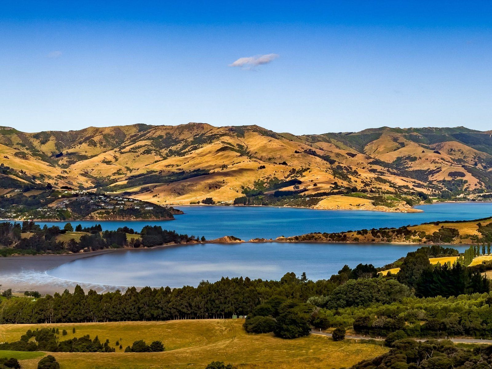
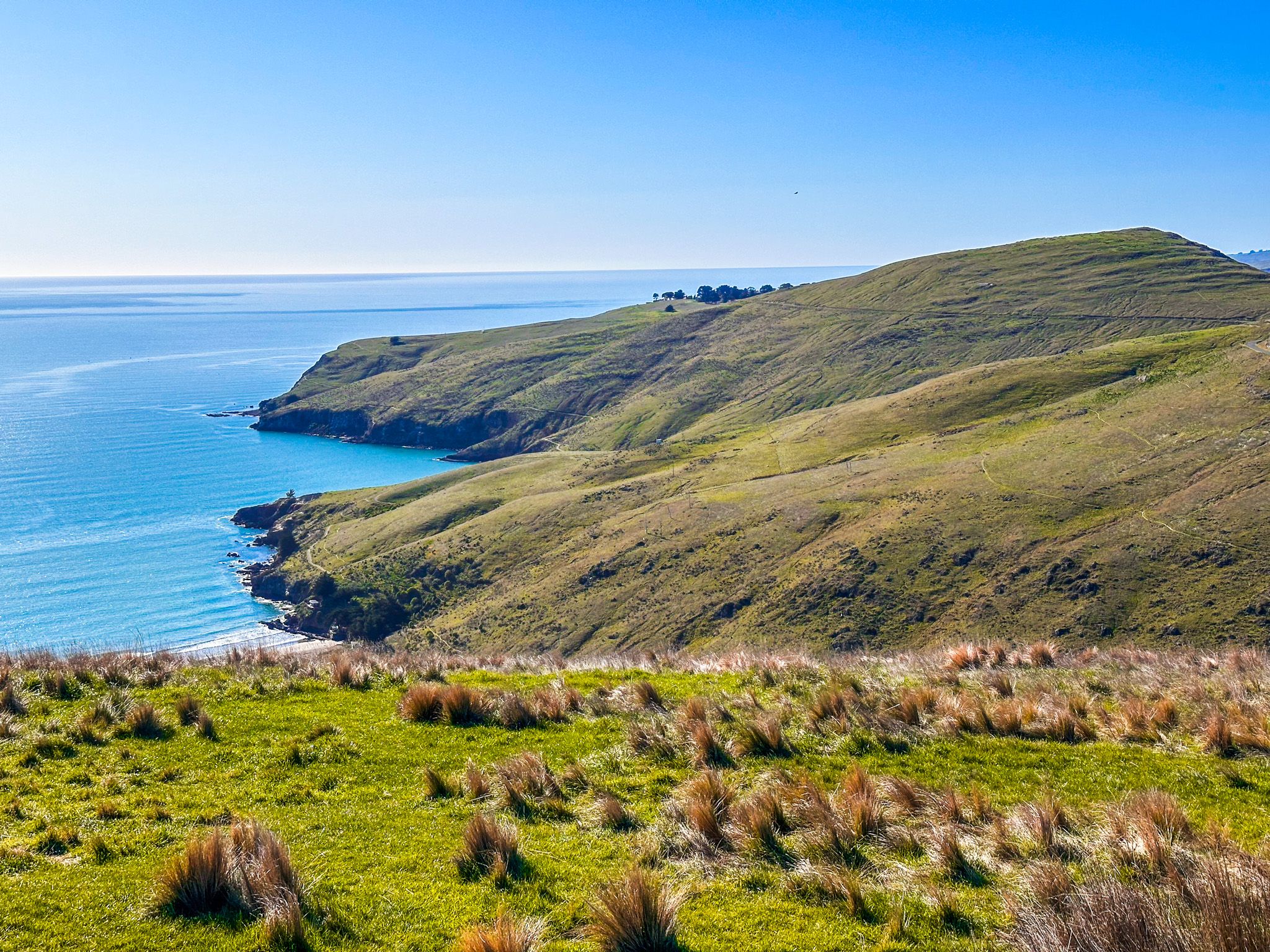
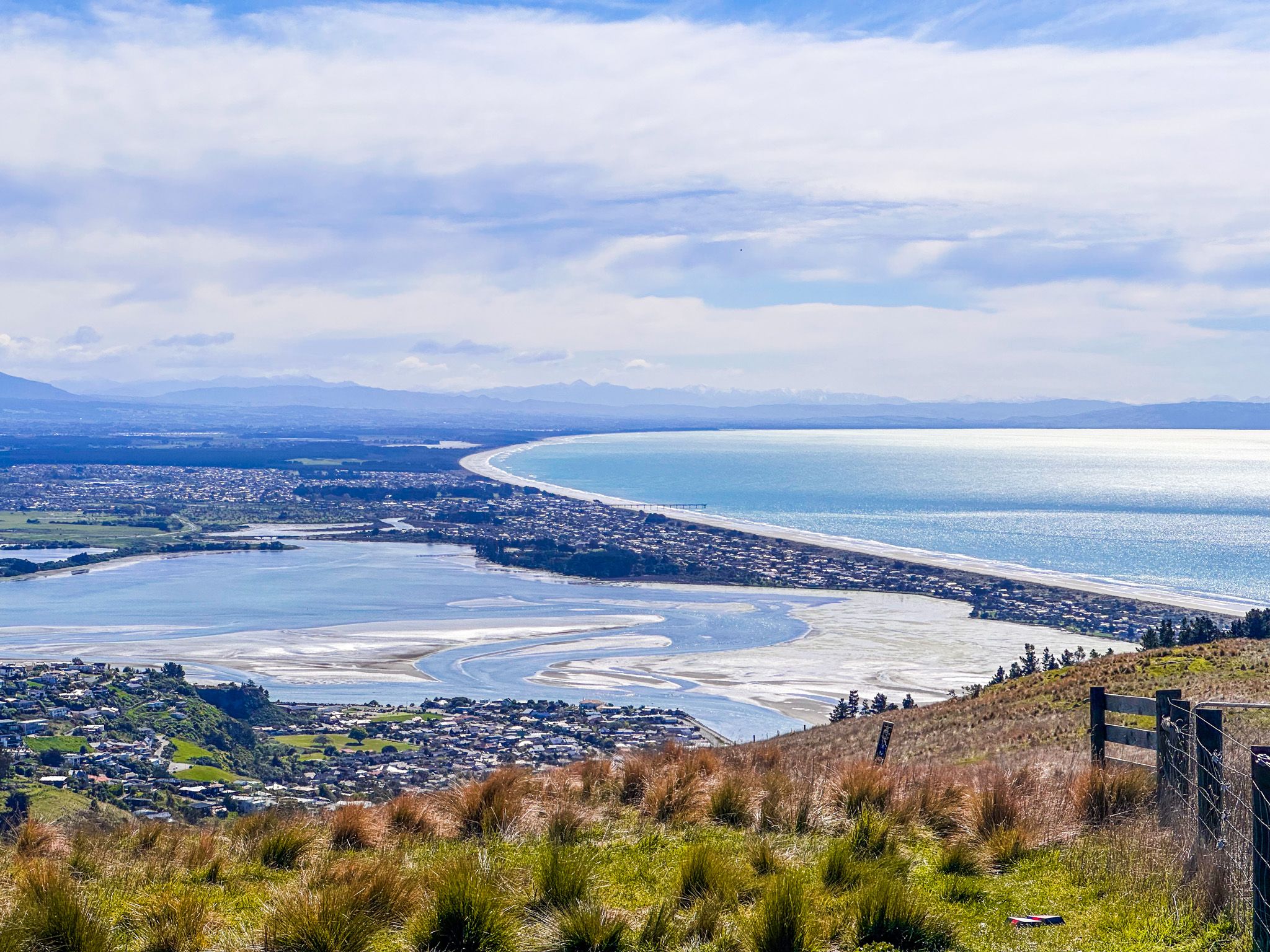
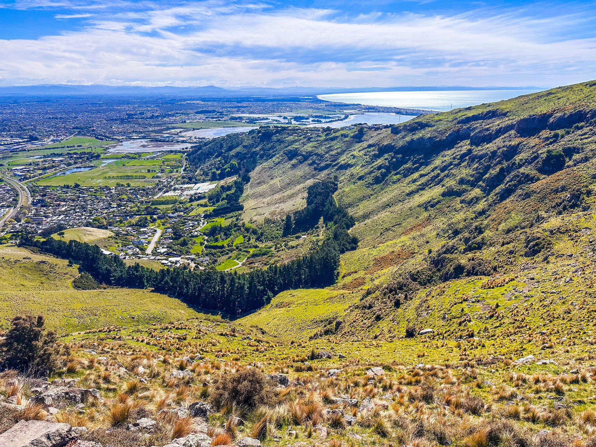
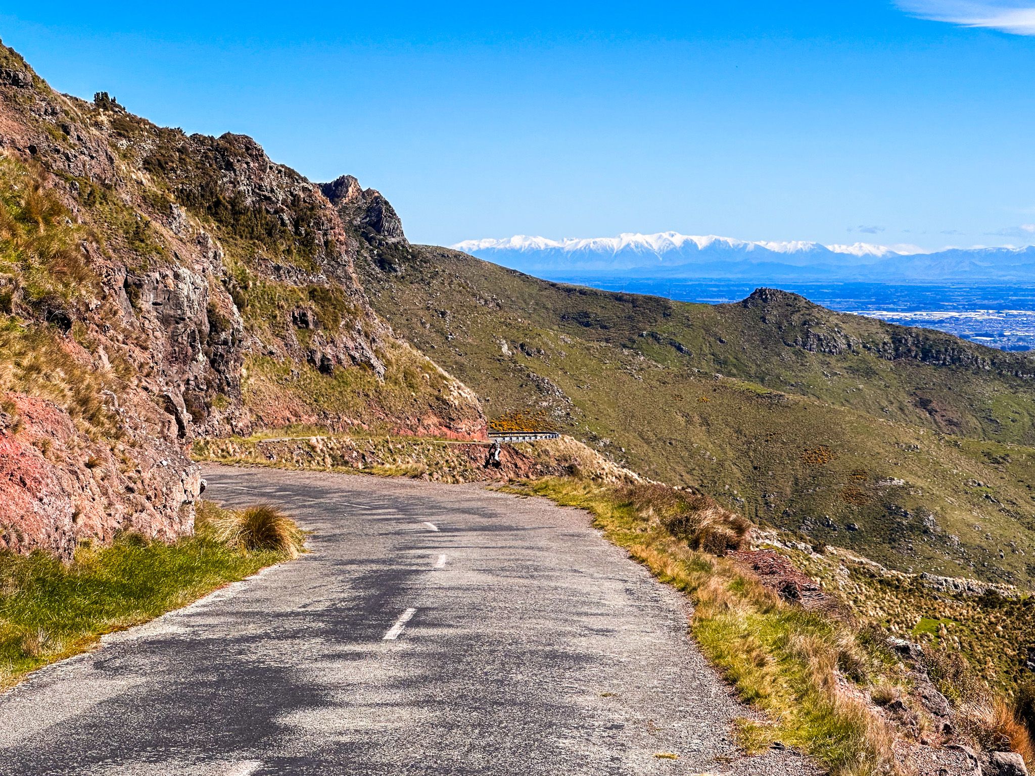
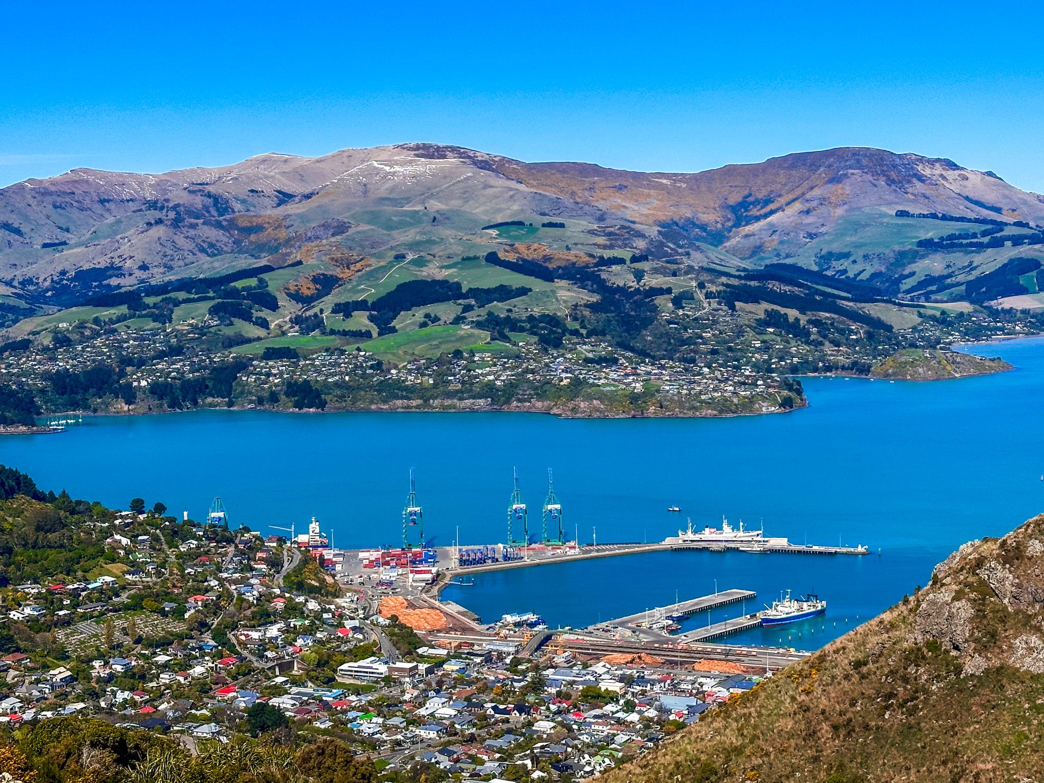
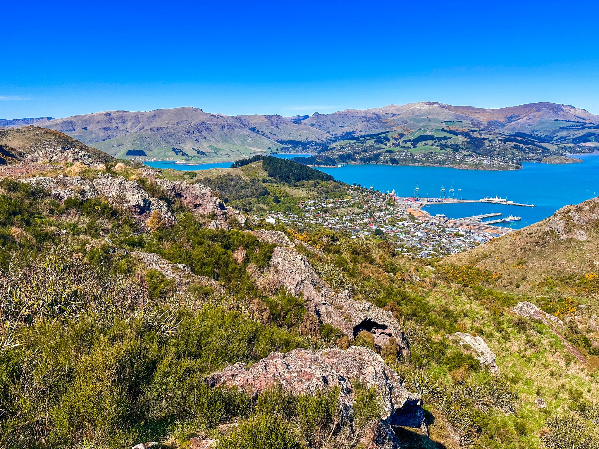
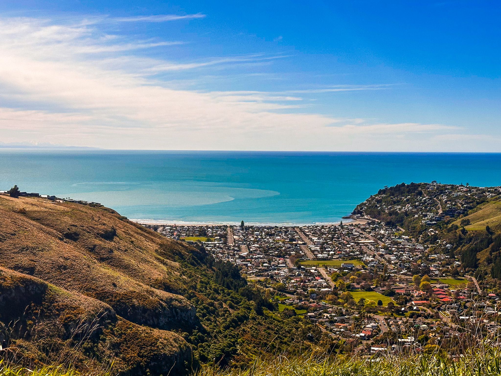
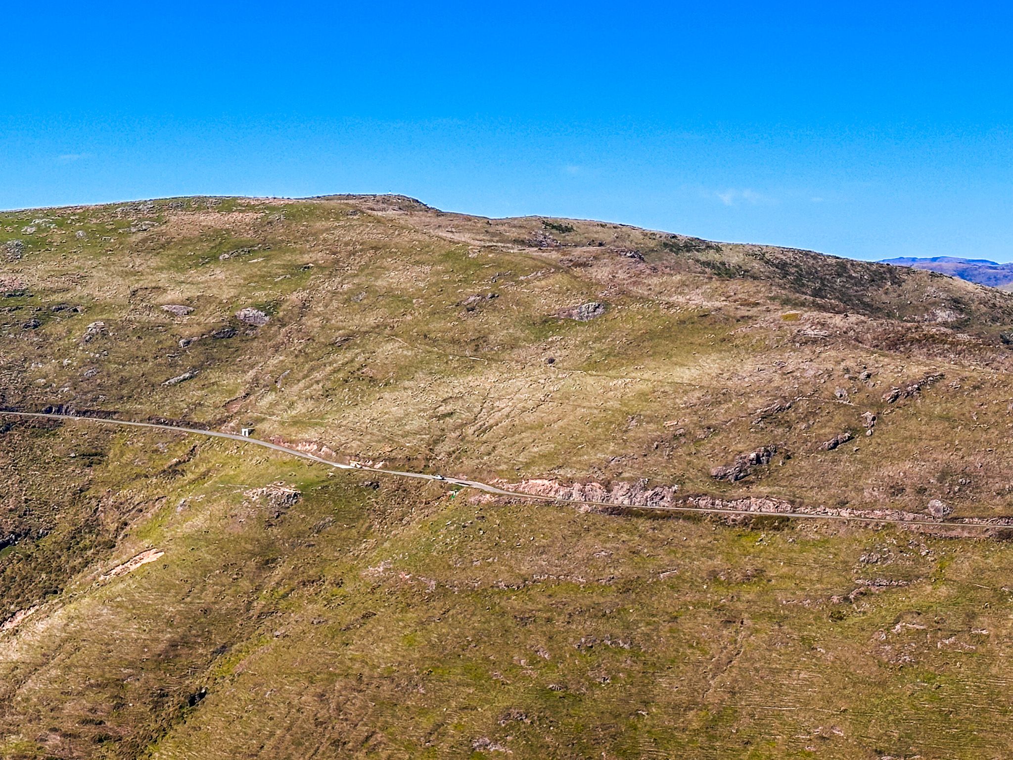
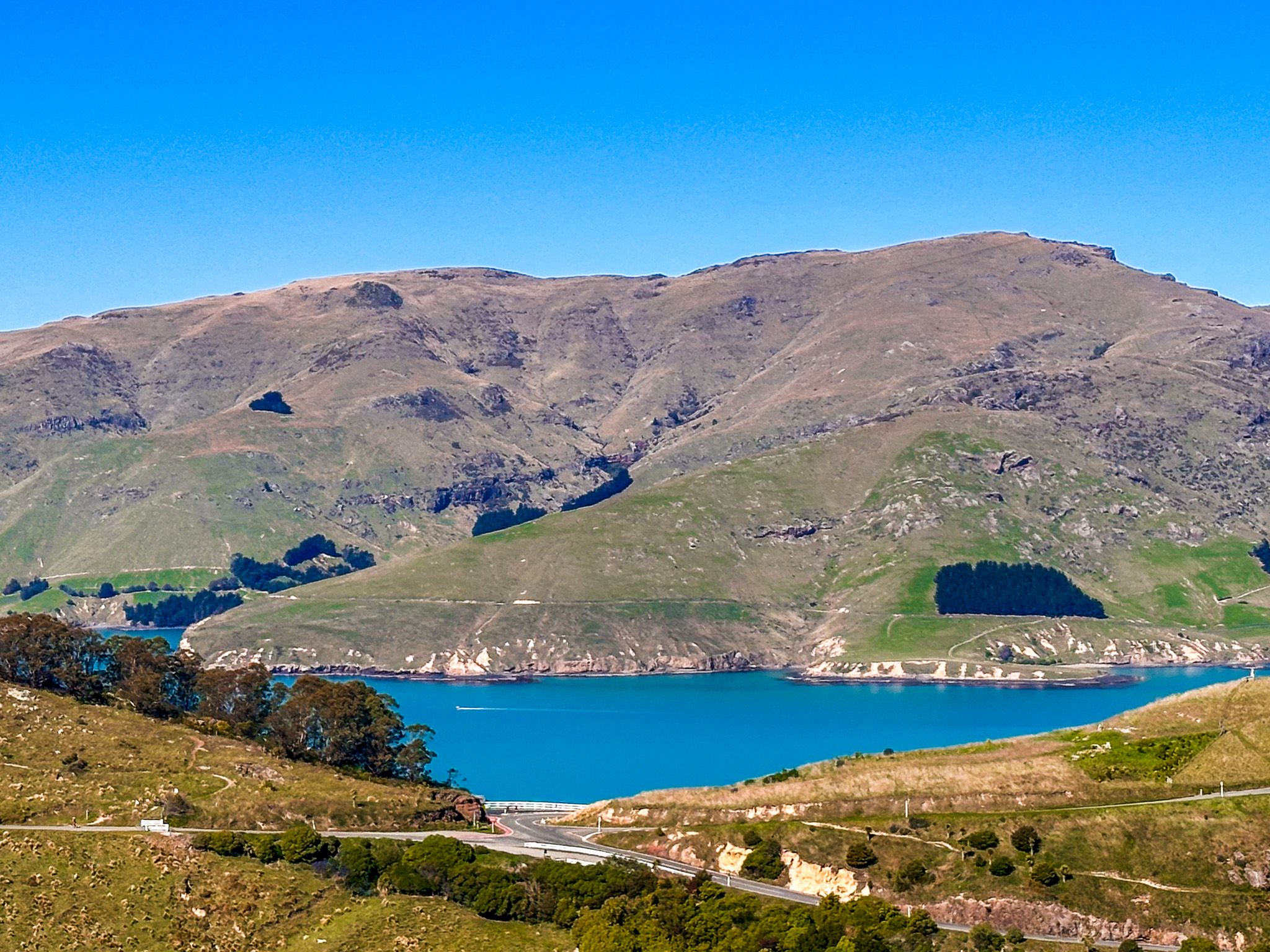
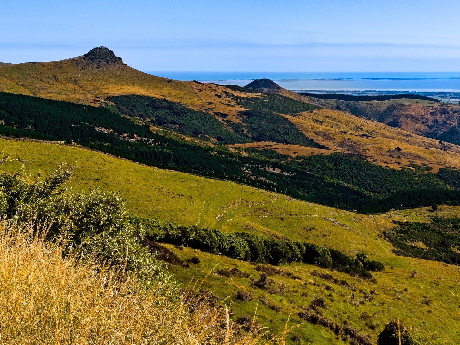
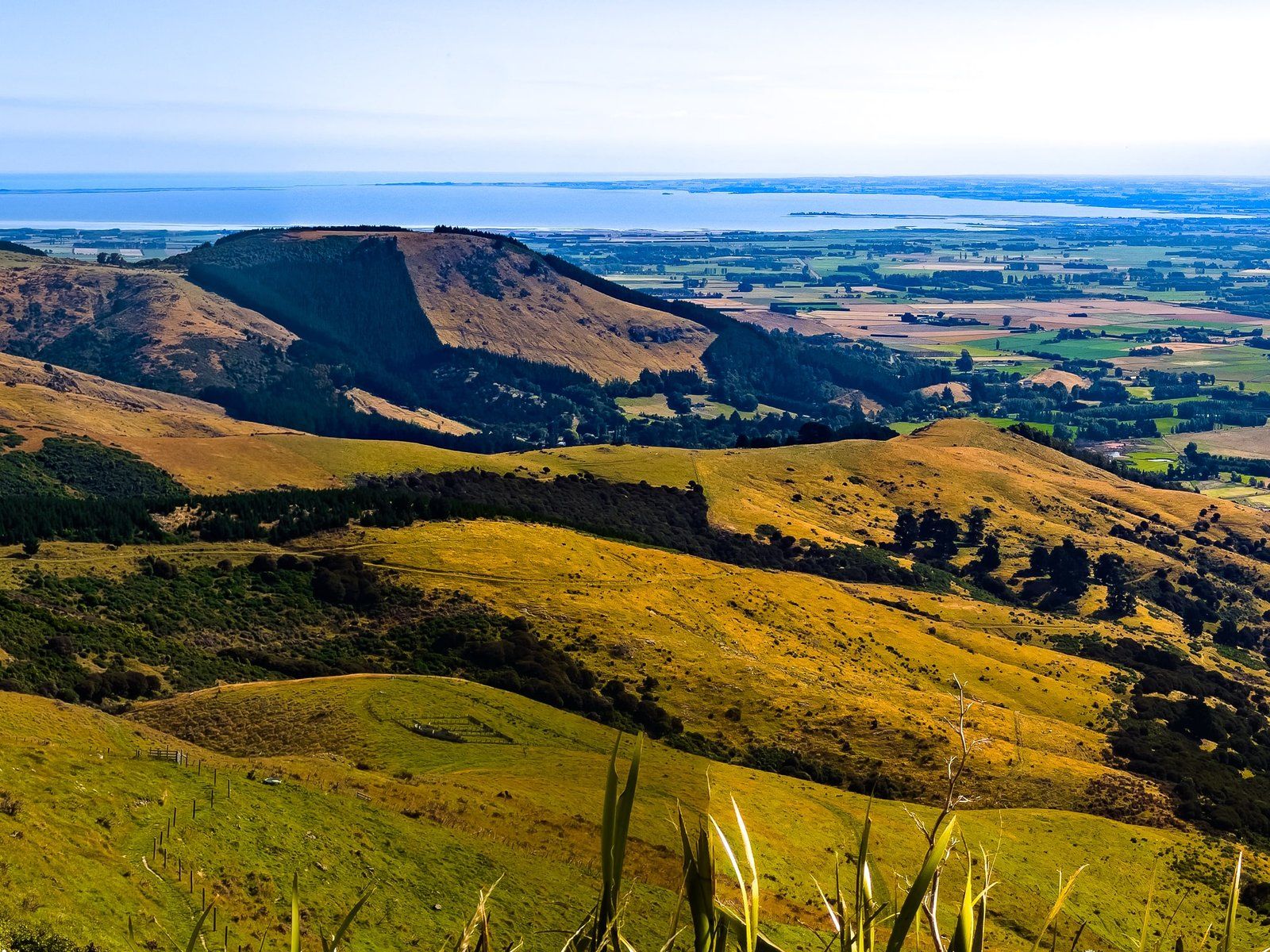
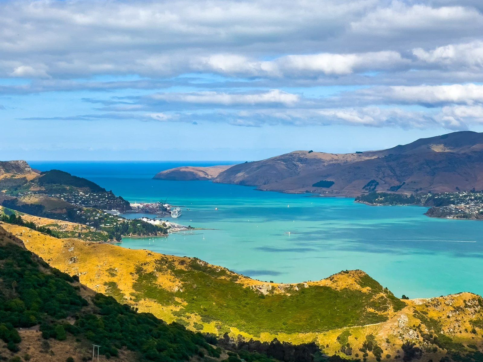
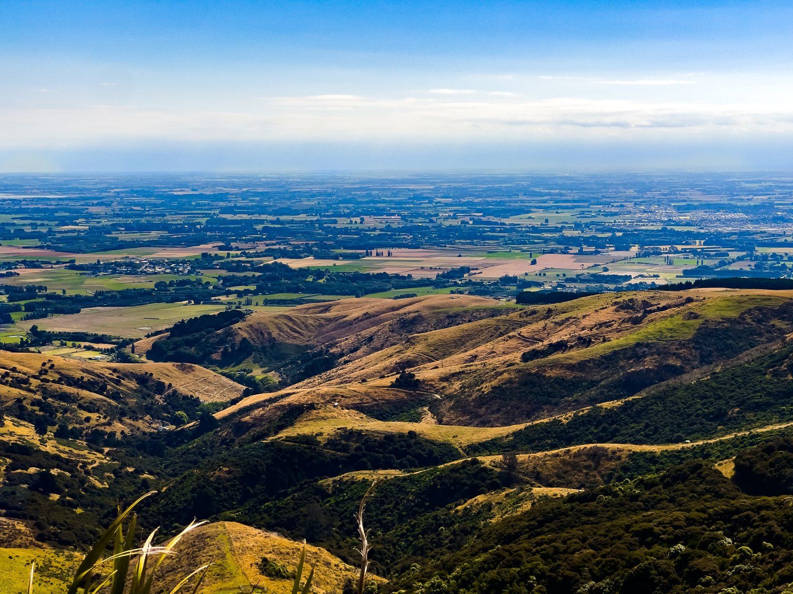
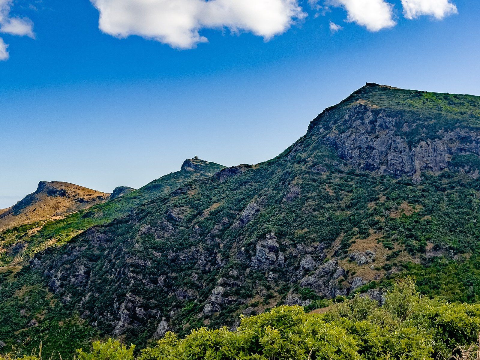
Summit Road in the Port Hills of Banks Peninsula, Christchurch, offers a remarkable journey along the Lyttelton crater rim, stretching from Gebbies Pass to Awaroa / Godley Head. This drive ascends to 500 metres above sea level, providing sweeping views of Lyttelton Harbour, Christchurch, the Canterbury Plain, and the Southern Alps.
Access Points and Route Details
You can begin your journey on Summit Road from three main access points. At the eastern end, Evans Pass Road from Sumner leads to the easternmost section of Summit Road, which continues to Godley Head. This road also connects with Sumner Road to Lyttelton.
At the western end, Dyers Pass Road from Sign of the Takahe in Cashmere takes you to Sign of the Kiwi at Pukeatua / Dyers Pass on Summit Road. From here, Summit Road extends south to Gebbies Pass, linking with Gebbies Pass Road, which heads north to the harbour and southwest to State Highway 25 towards Akaroa.
Cycling and Walking Restrictions
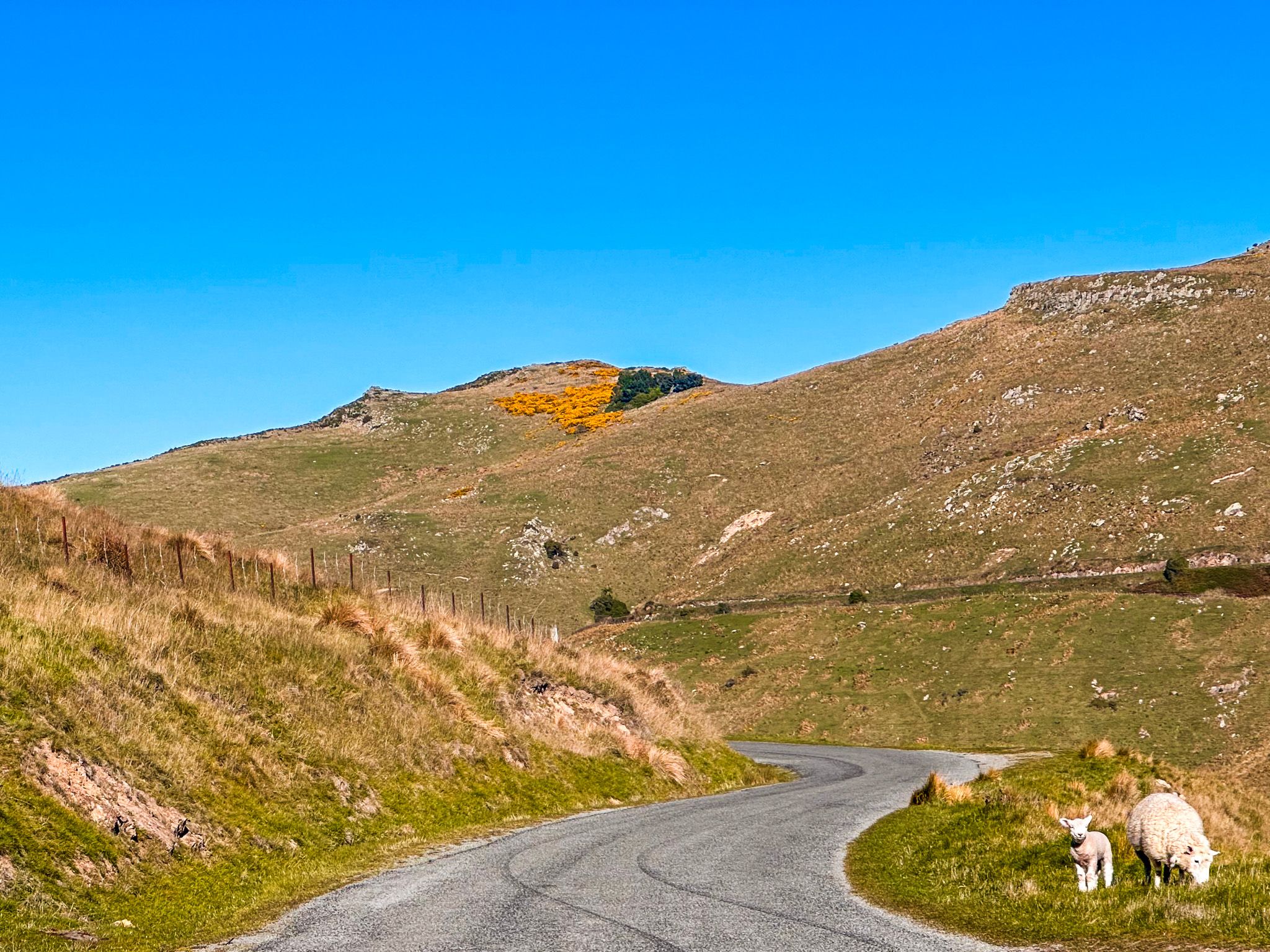
A portion of Summit Road is accessible only by bike and on foot. This restricted section lies between Te Upoko o Kuri / Witch Hill, above Cass Bay, and Mt Cavendish, above Lyttelton. The Crater Rim Walkway runs alongside the road from Godley Head to Sign of the Bellbird on the southern section, often paralleling the road. Exercise caution when driving south of this area, as walkers and cyclists frequently use the narrow, winding road.
Highlights and Activities
Summit Road is dotted with many scenic attractions. Short walks lead to Te Heru o Kahukura / Sugarloaf, Mount Vernon, Te Upoko o Kuri / Witch Hill, Mount Cavendish, and the Hornbrook Track between Mt Cavendish and Lyttelton, as well as Godley Head. For a lazy experience, you can reach the top of Mount Cavendish via a gondola from Bridle Path Road near the northern entrance to the Lyttelton Tunnel.
Historical Background
Summit Road is a relatively modern addition to the area. The older Bridle Path, which connected Lyttelton and Heathcote, remains accessible for walking and cycling. The first road over Evans Pass from Sumner to Lyttelton was completed in 1857, and the Lyttelton rail tunnel through the Port Hills followed in 1867. Evans Pass Road served as the main route for road traffic between the city and the port until the road tunnel opened in 1964.
The Vision of Harry Ell
The concept of a road along the crater rim was the brainchild of Harry Ell, who was dedicated to preserving walking tracks and establishing reserves in the Port Hills. The first scenic reserve, Kennedy's Bush, was established in 1906, covering 20 hectares.
By the 1930s, the Port Hills boasted 500 hectares of reserves. Ell envisioned the road to connect these reserves and tracks, facilitating public access. Constructed in the 1930s, the road provided employment for 1,000 people during the Great Depression. Interesting fact: the Scenic Drive in Auckland and the Milford Sound Highway were also Great Depression projects.
Unique Stone Shelters
Harry Ell also commissioned the construction of distinctive stone shelters along Dyers Pass Road and the southern route. These include the Sign of the Takahe at the north end of Dyers Pass Road, the Sign of the Kiwi at Dyers Pass, and the Sign of the Bellbird on the southern section of Summit Road. The Sign of the Packhorse, now known as Packhorse Hut, is accessible via the Kaituna Valley Packhorse Hut Track. Cafes are available at Takahe and Kiwi, and you can book an overnight stay at Packhorse. Bellbird is a simple shelter.
Getting to Summit Road
To reach Summit Road, you can start from Evans Pass Road in Sumner for the eastern section or take Dyers Pass Road from Sign of the Takahe in Cashmere for the western section. Both routes provide access to the scenic drive along the crater rim. Nearby, you can explore the Lyttelton Tunnel and the Bridle Path for additional historical and scenic experiences.
After exploring Summit Road on the Port Hills, drive towards Akaroa on State Highway 75 and take another spectacular Summit Road, this being the one around the Akaroa Harbour crater rim.
