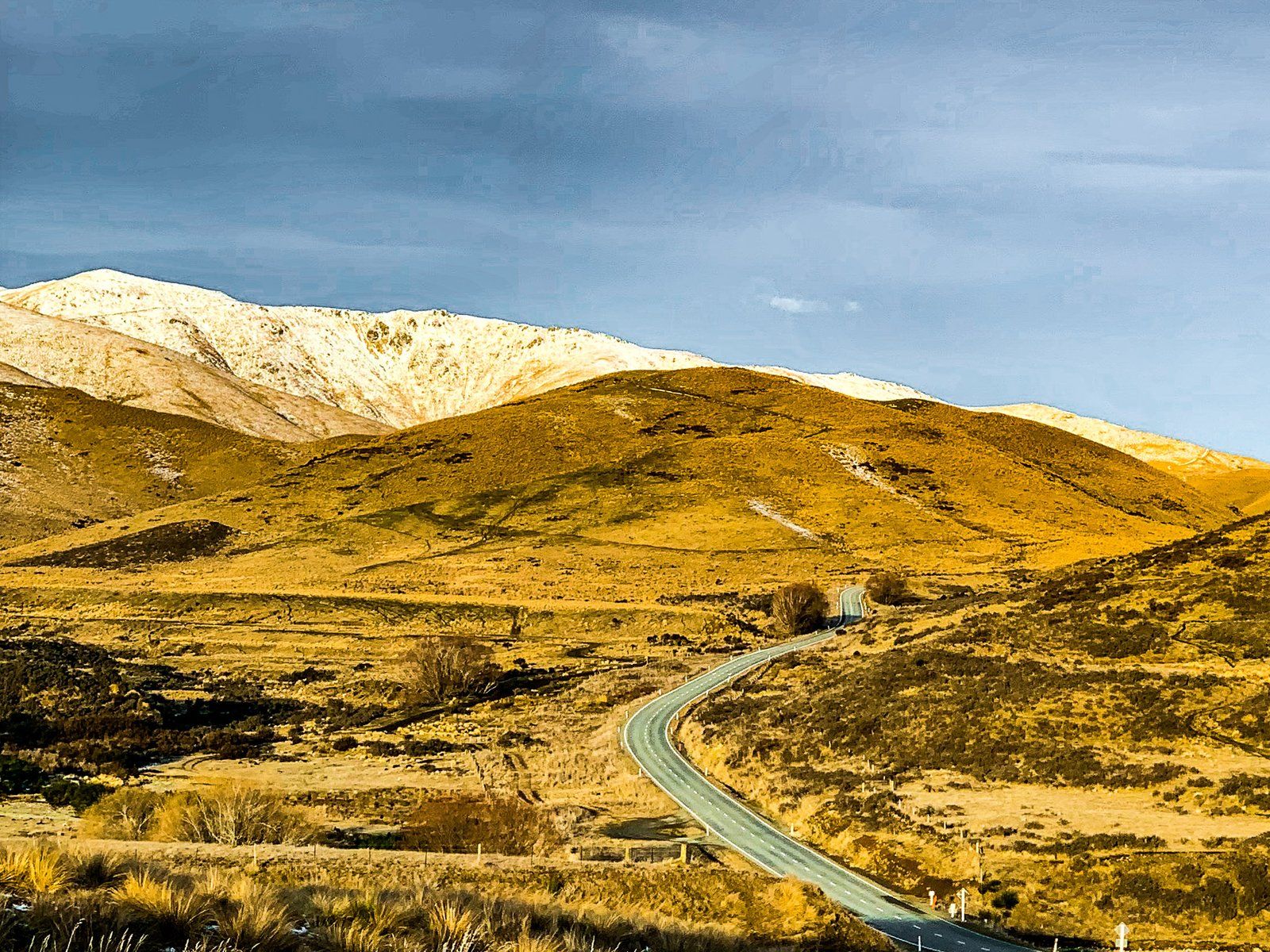
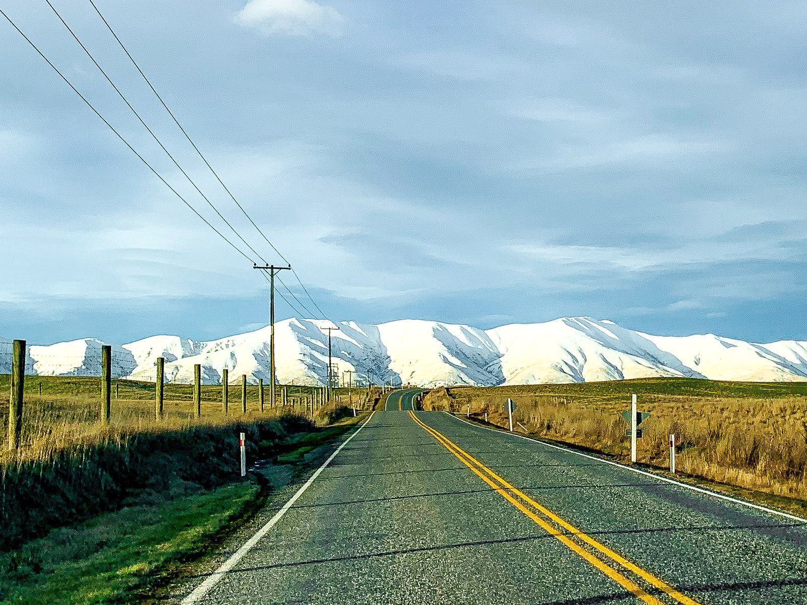
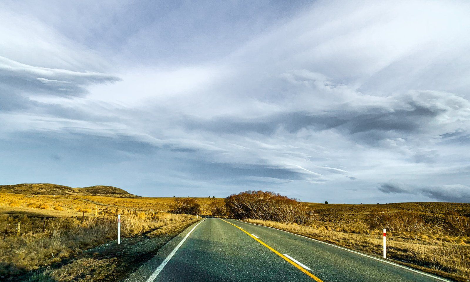
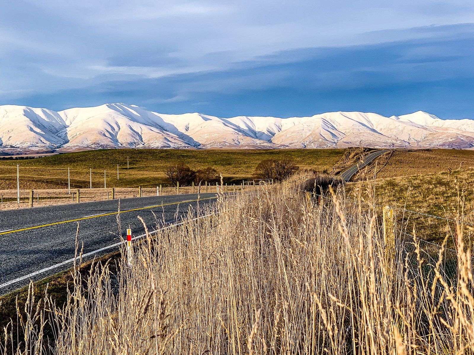
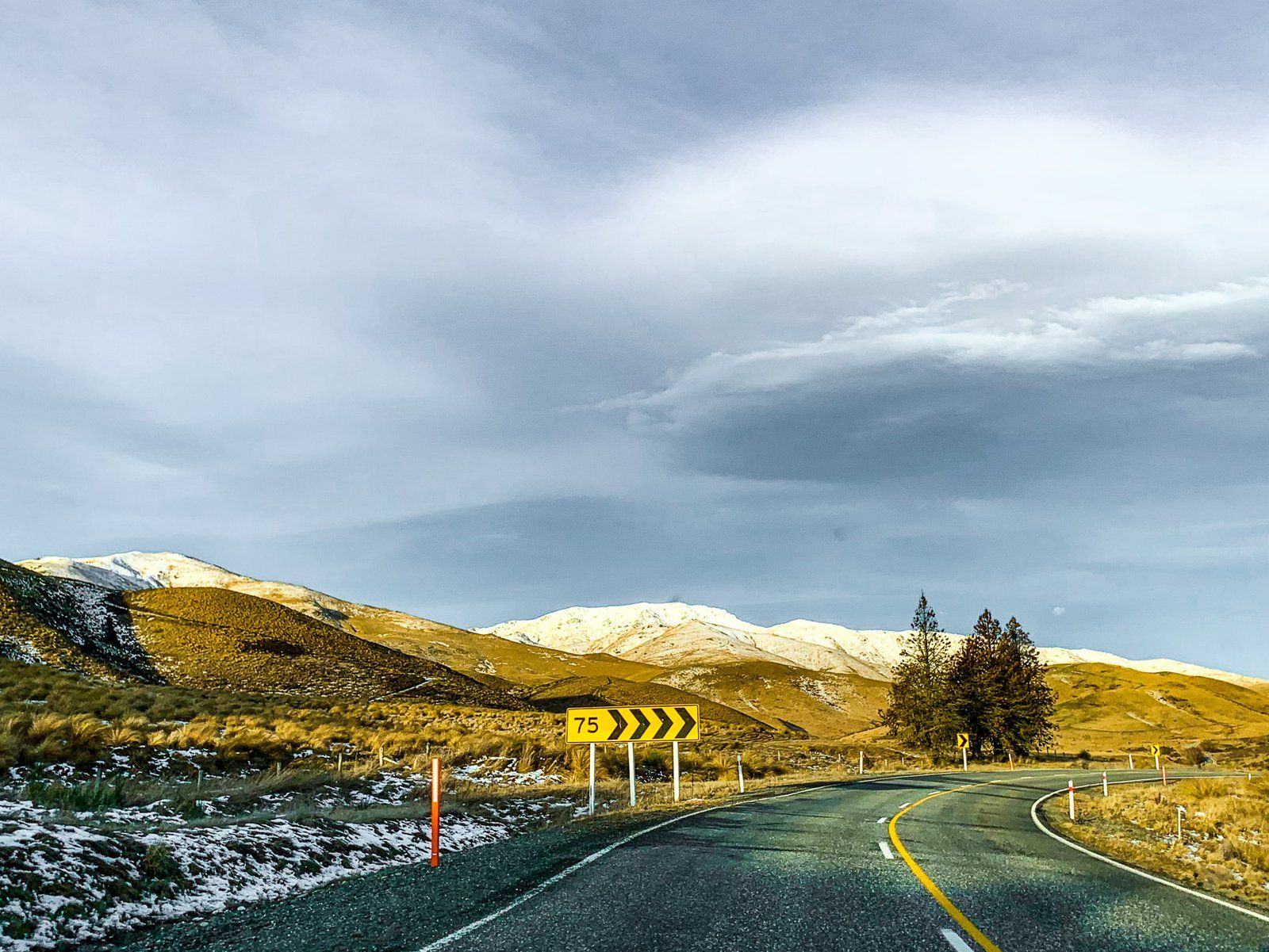
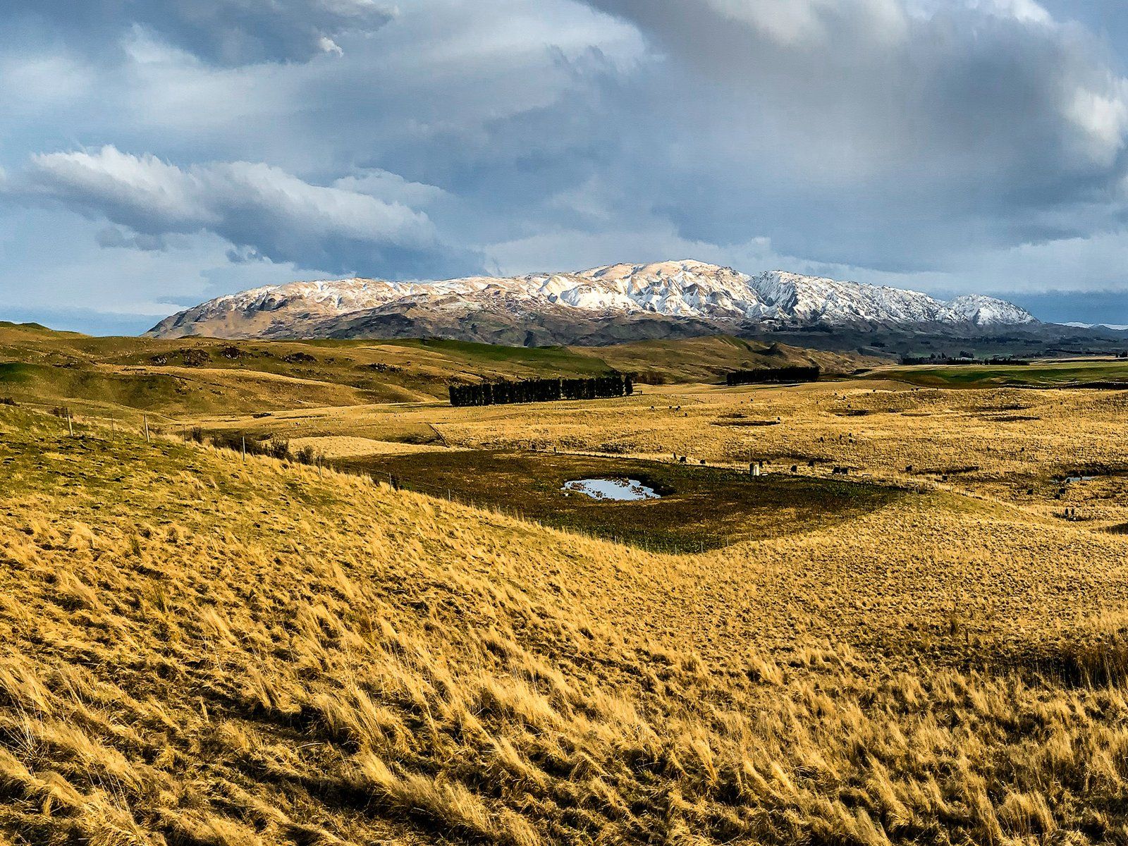
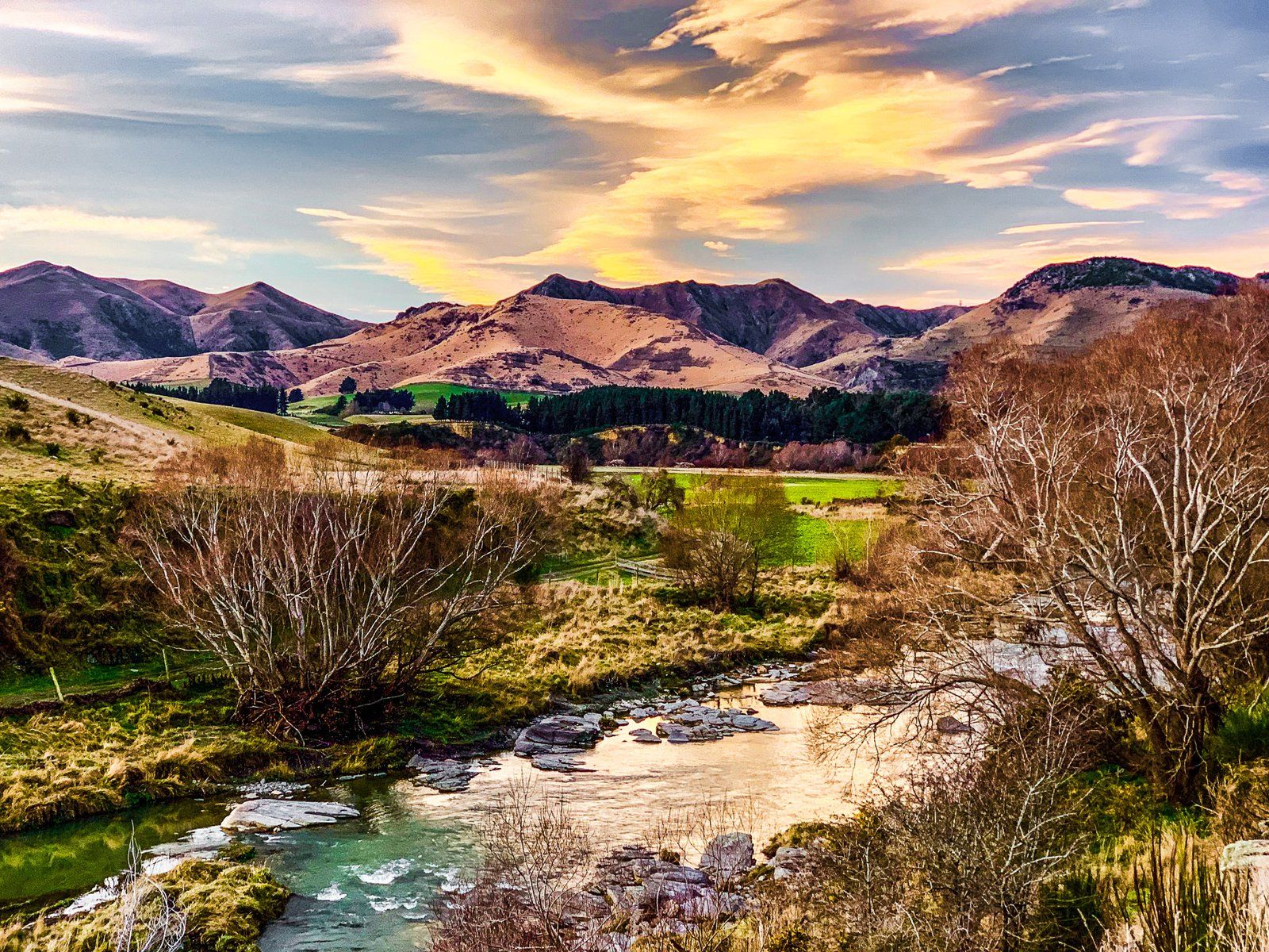
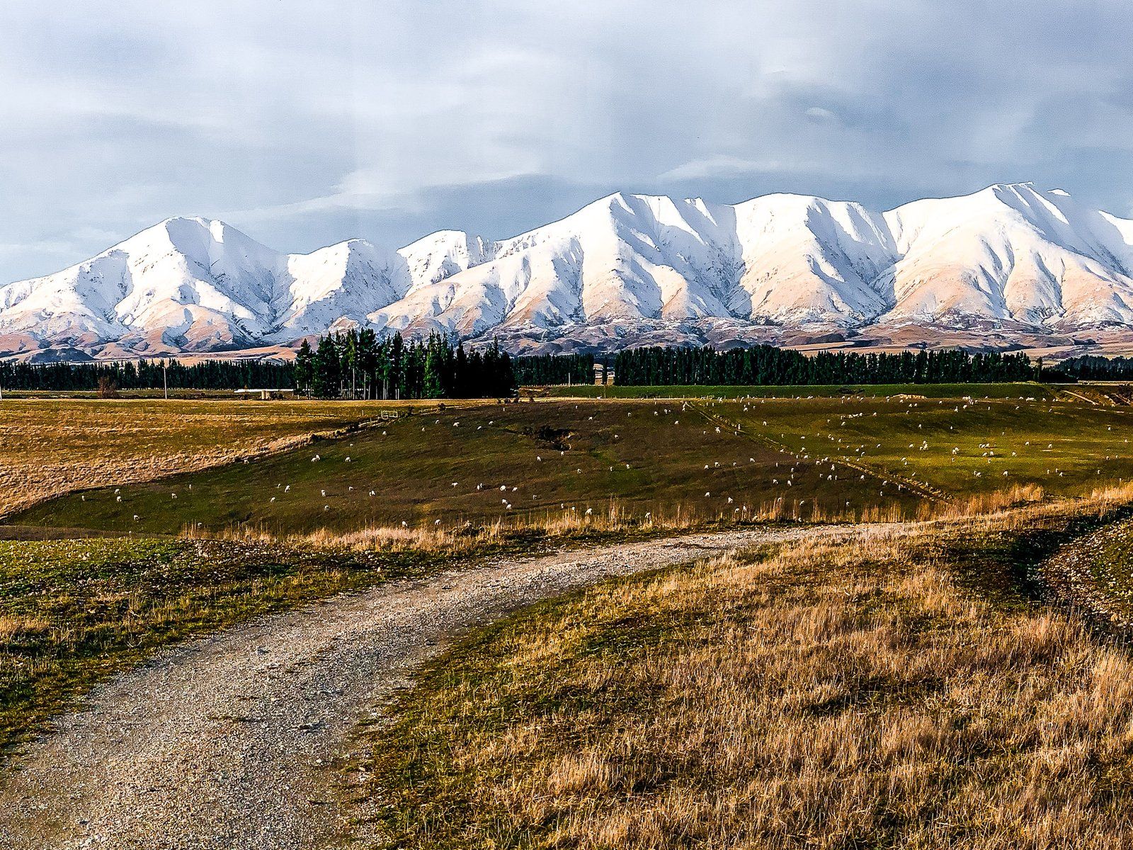
State Highway 85 is also known as the Pigroot, maybe because it was infested with wild pigs when Europeans arrived. It connects the North Otago Pacific Coast to Central Otago, terminating in Alexandra. A scenic route in the high drylands of the Maniototo, it winds from Palmerston to Ranfurly through the surrounding hills and mountain ranges.
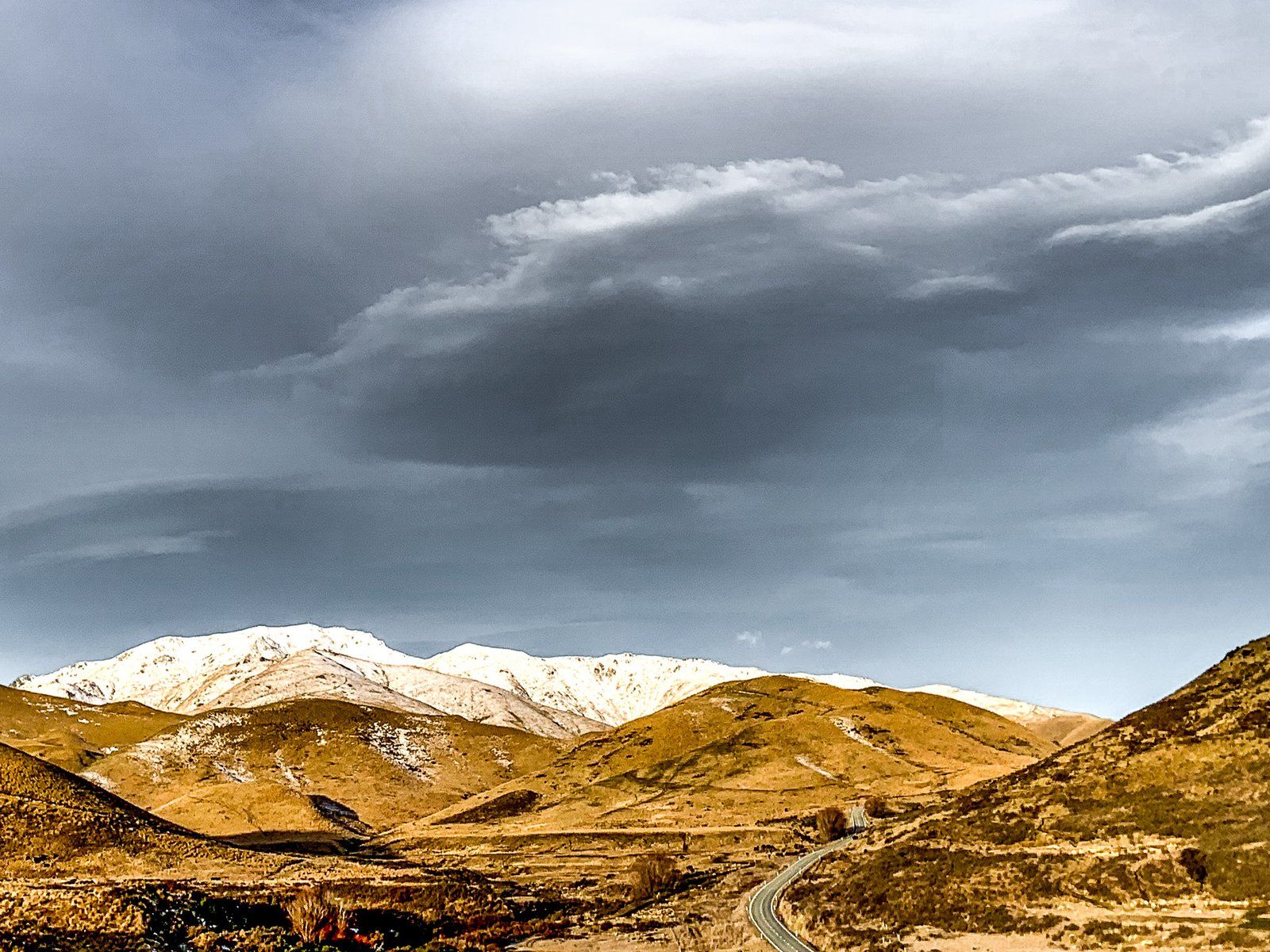
The section between Ranfurly, deep in the Maniototo, and Palmerston, a small town near the Pacific Coast, is easily overlooked and can be done as a weekend trip. Most travellers heading through the region travel to or from Dunedin via Middlemarch on State Highway 87, which connects to 85 at Kyeburn, near Ranfurly. Especially in winter, with snow on the mountains, the alternative of a drive to or from Palmerston along the coast is worth the extra time.
If you are touring the North Otago coast, State Highway 85 is the fastest way into Central Otago. From Palmerston, the highway runs near the Shag River (Waihemo) to the southwest of the Horse Range. This is a low range of mountains you can visit more closely at Trotters Gorge. As the highway continues past Inch Valley, it feels increasingly remote, especially once the Horse Range changes to the higher Kakanui Mountains. It climbs steeply around Dead Horse Pinch, passes Pigroot Hill, and then crosses over the Kakanui Mountains at Red Cutting Summit, an elevation of over 600 metres. The highway then drops gradually to the Maniototo Plain at 400 metres and continues to Ranfurly.
There are various side trips from the highway. On this trip, we did a circuit in Naseby to the north of Ranfurly, then headed down State Highway 87 to Middlemarch, then took Moonlight Road and Macraes Road. Moonlight provides fabulous views over Taieri Ridge to the Rock and Pillar Range. From there, it is a short drive to Macraes, with its large modern open-cast gold mine and mining history. From there, it is a short drive back to State Highway 85 and then to Palmerston.
