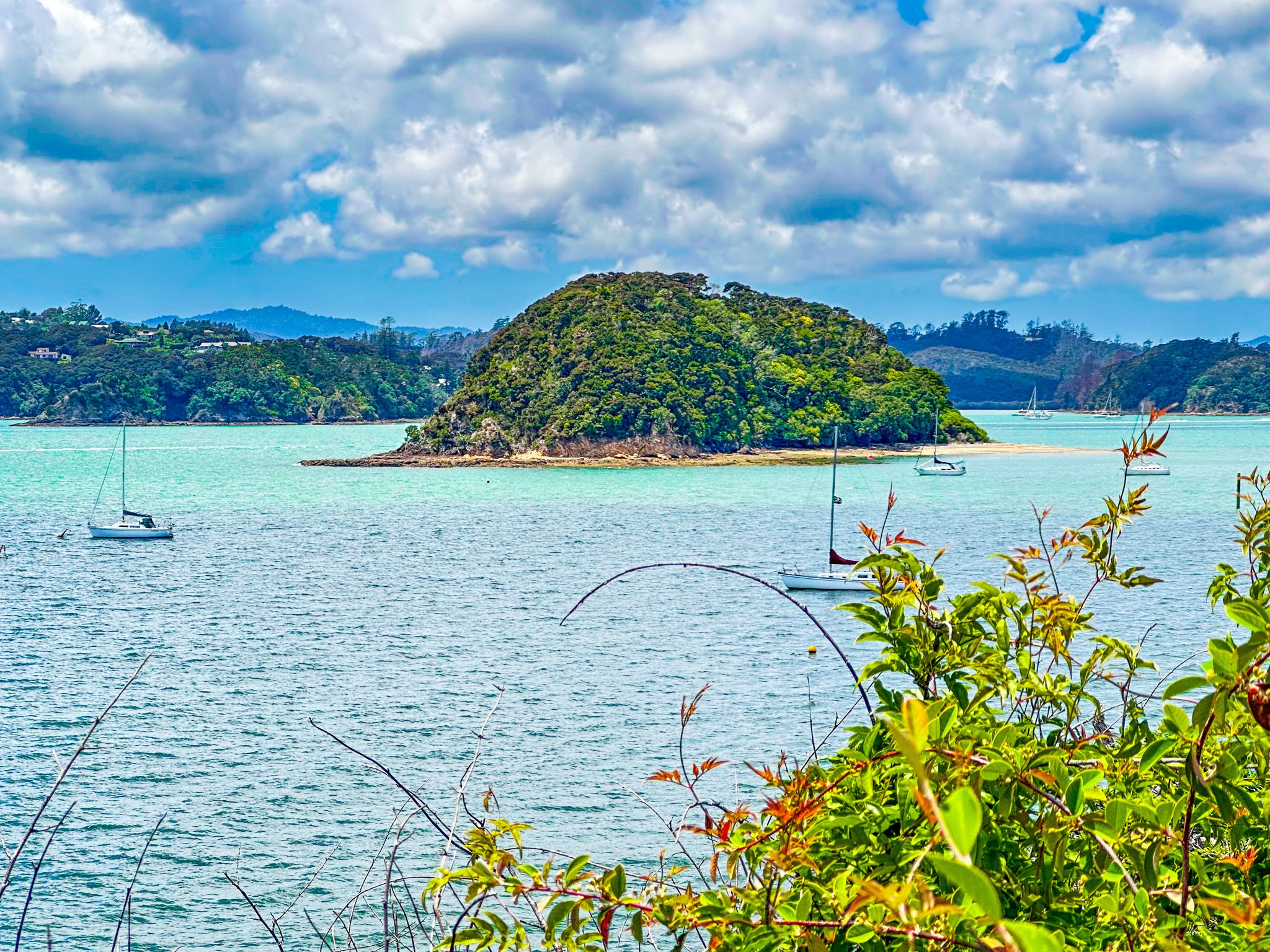
Opua, meaning “place of the flower”, is a small town on State Highway 11 at the southwest end of the series of connected waterways that comprise the Bay of Islands. Apparently, the original intent was to name it Newport when it was first laid out in the 1870s, but fortunately, this didn't happen.
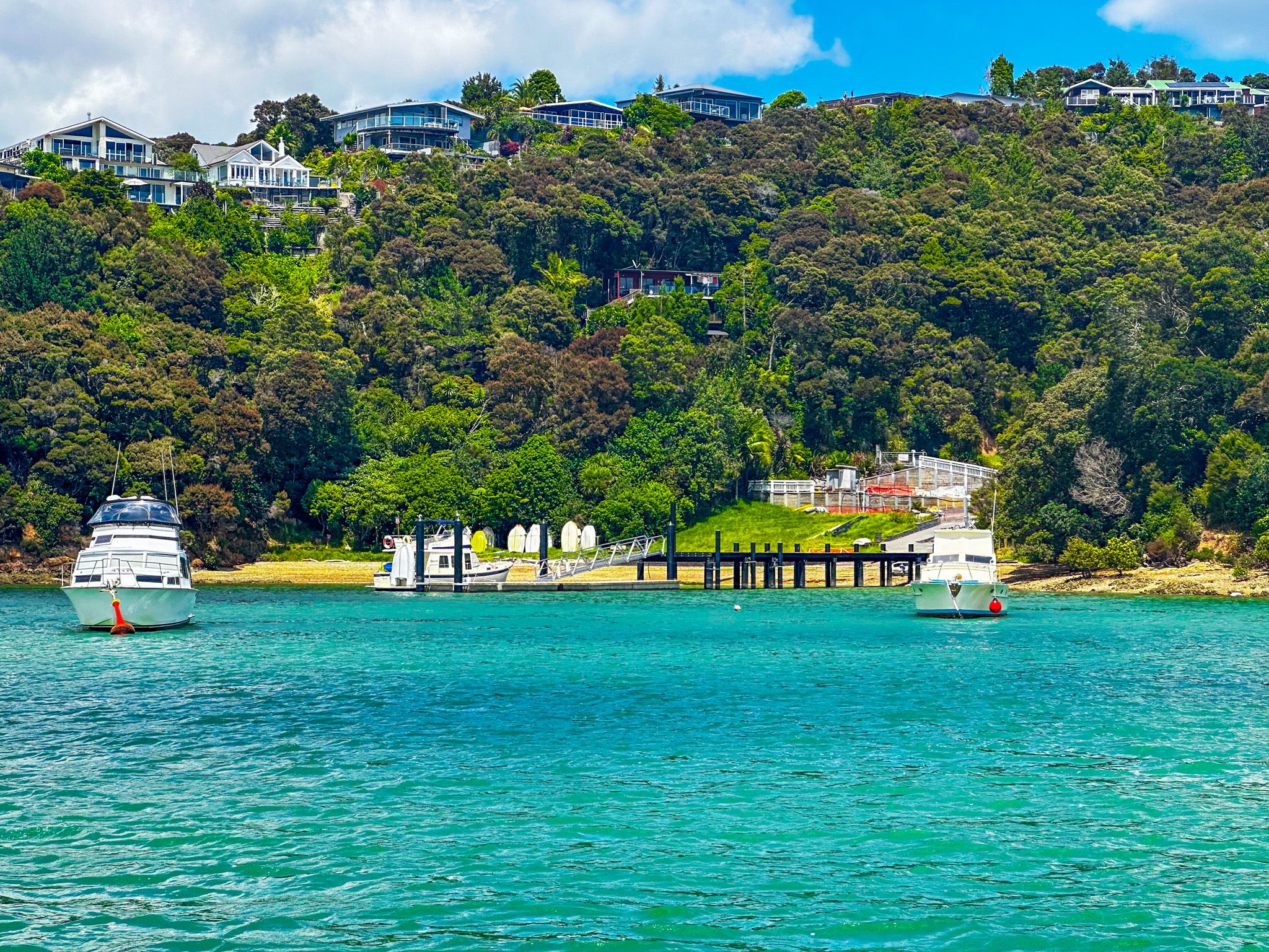
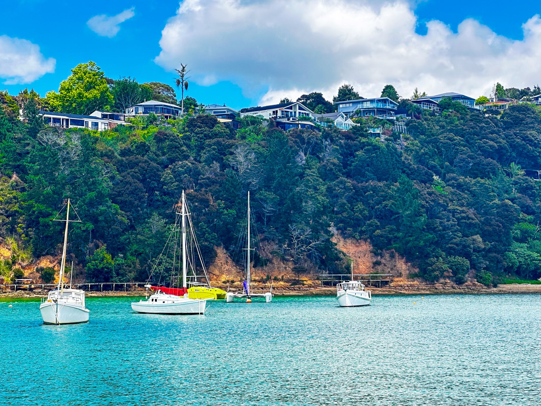
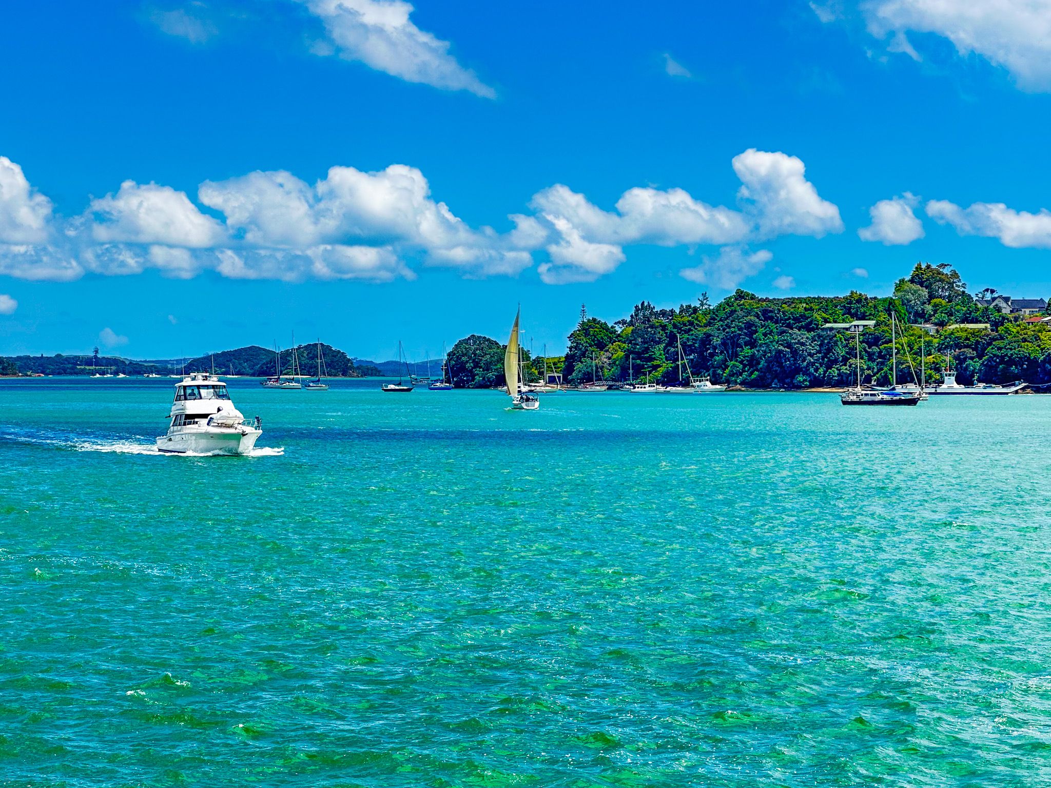
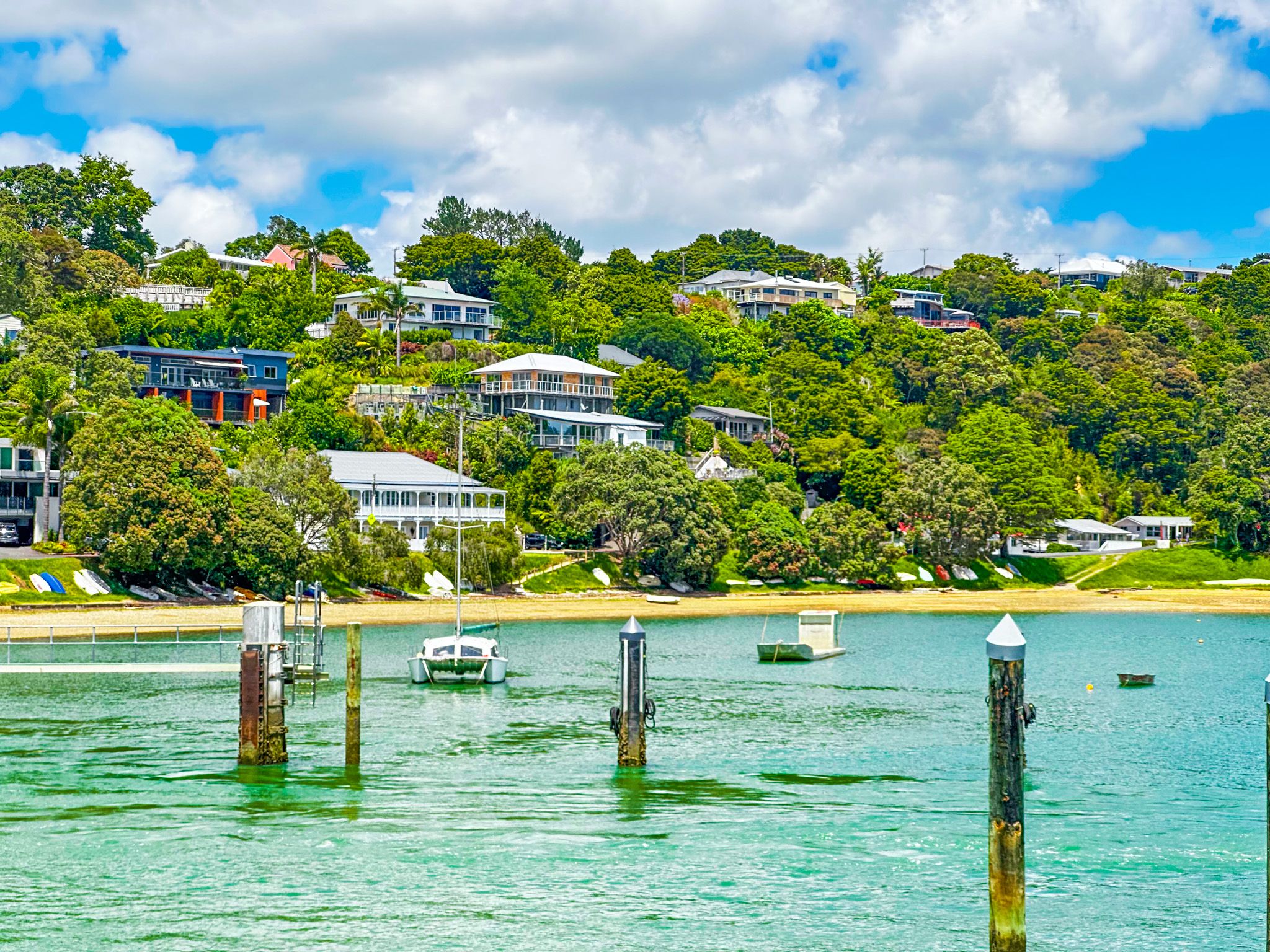
The town sits at the south end of the Veronica Channel, which connects several river outflows and the Waikare Inlet to the main part of the bay near Paihia. Most of the houses in Opua are scattered along the hilly coast on either side of the wharf and marina. A scenic walking track follows the coast north (also a section of Te Araroa) from the wharf towards Paihia, while the Twin Coast Cycle Trail follows the route of the historic Kawakawa to Opua railway line along the coast to the Kawakawa River mouth.
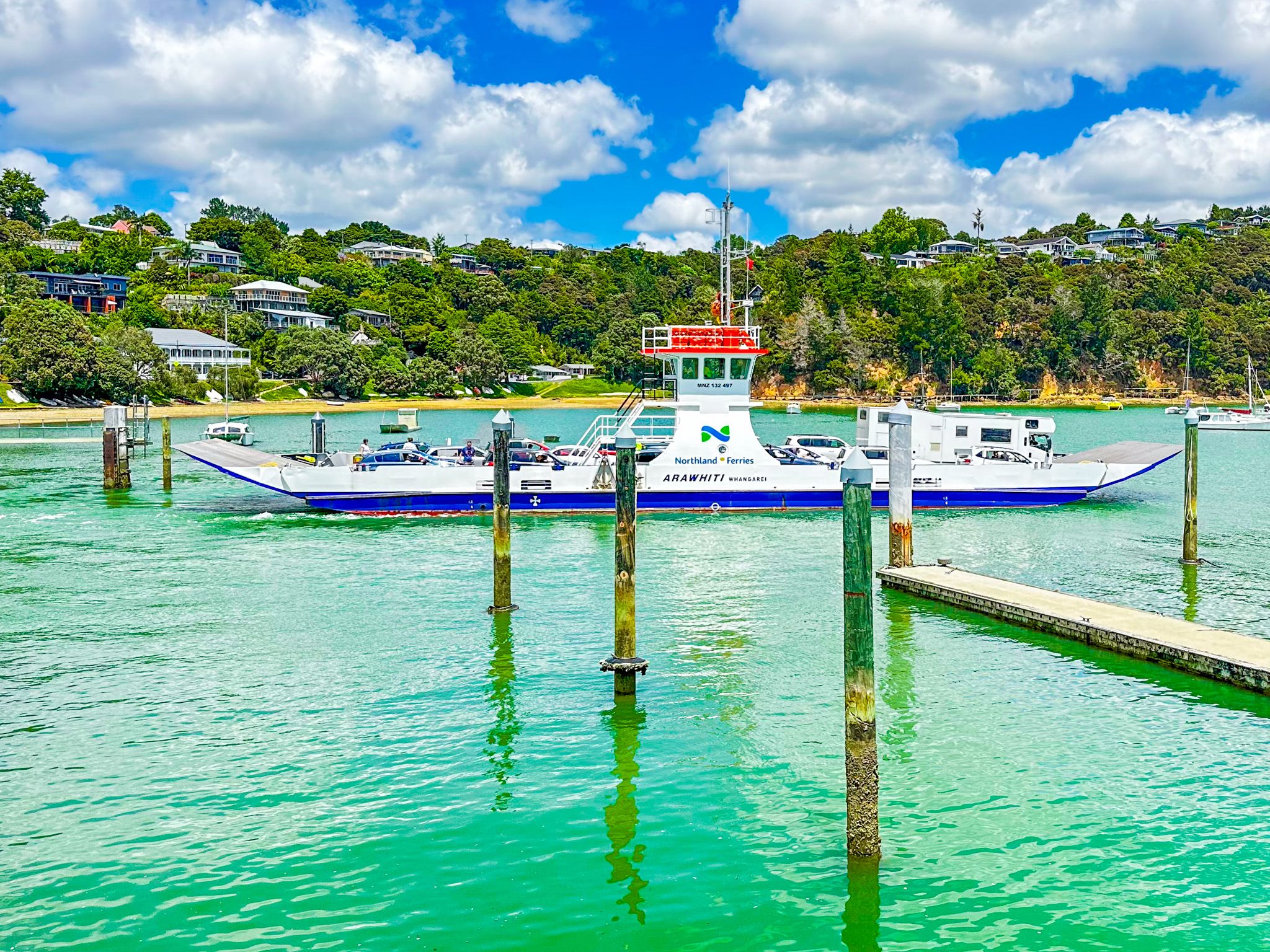
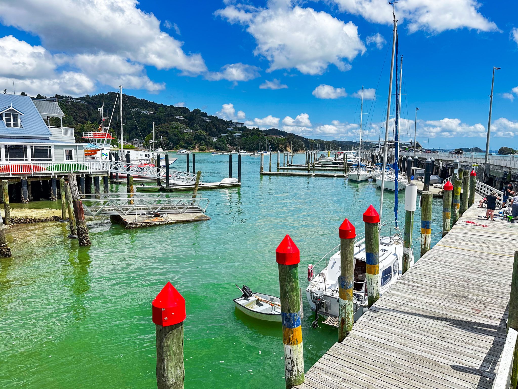
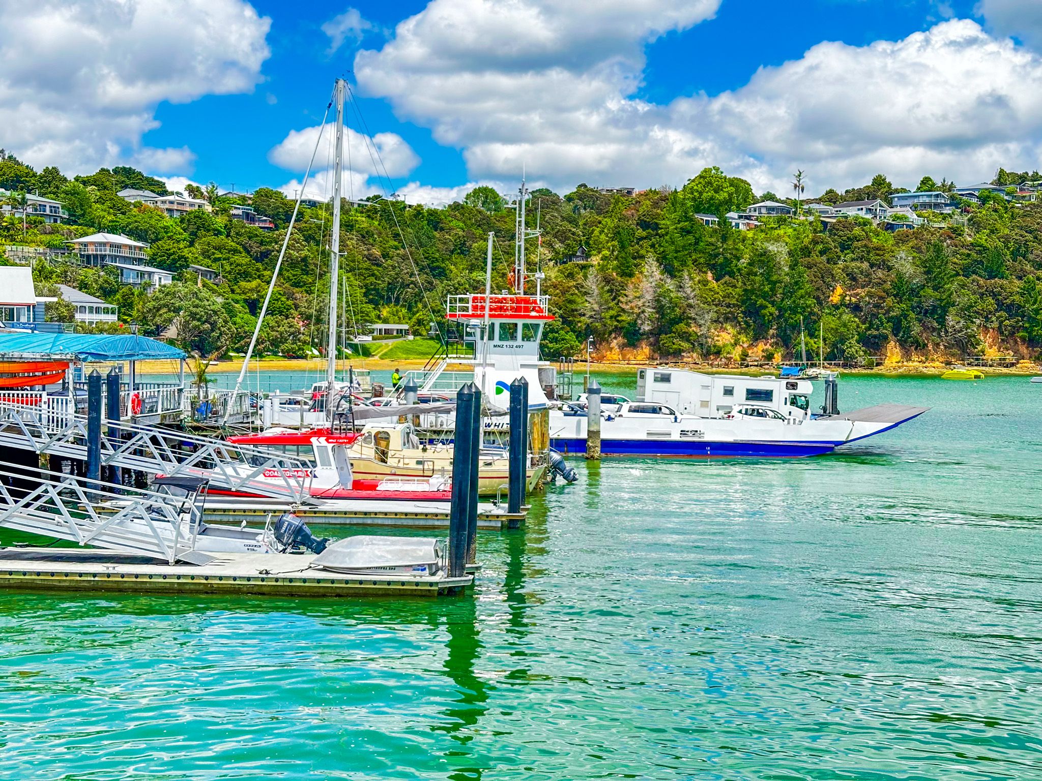
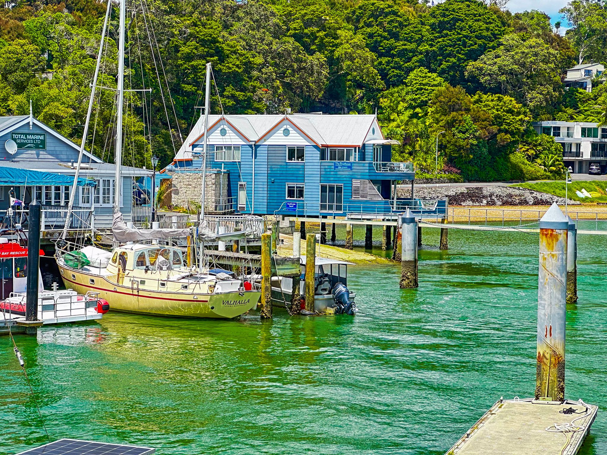
The town is probably best known for the car ferry that connects with Okiato on the north side of the channel. From there, it is a short drive to Russell. For boaties, it is best known for its large wharf and substantial marina. It is also the most northerly port of entry to NZ for ocean-going private boats, which helps to explain the diverse mix of international residents in such a small town.
