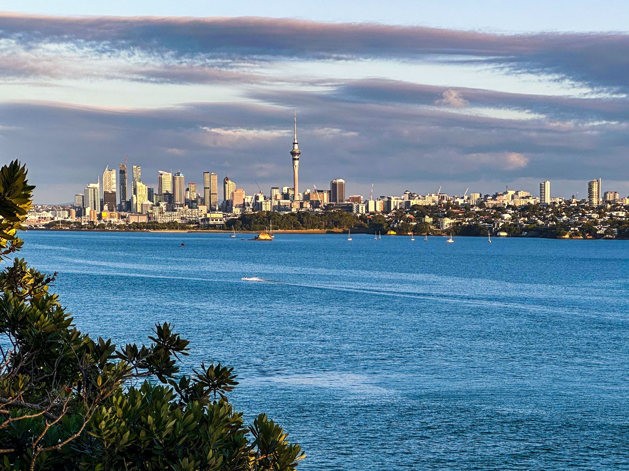
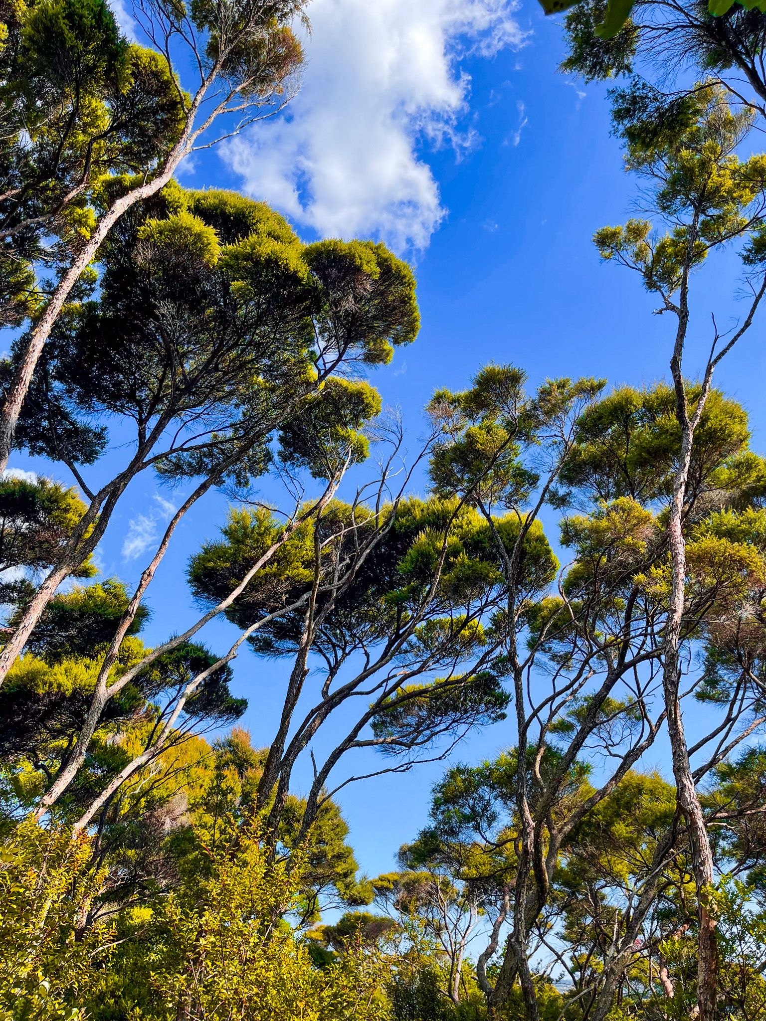
Kauri Point Centennial Park on the North Shore is beautiful. It combines a walk through a coastal forest, including some kauri regrowth, substantial viewpoints of the Waitematā Harbour and Auckland Downtown from Kauri Point / Te Mātārae ō Mana, and lovely Kendall Bay on the Waitematā Harbour. You can also combine the walk with the nearby Chatswood Reserve with its 400-year-old kauri trees and the Chelsea Estate Heritage Park.
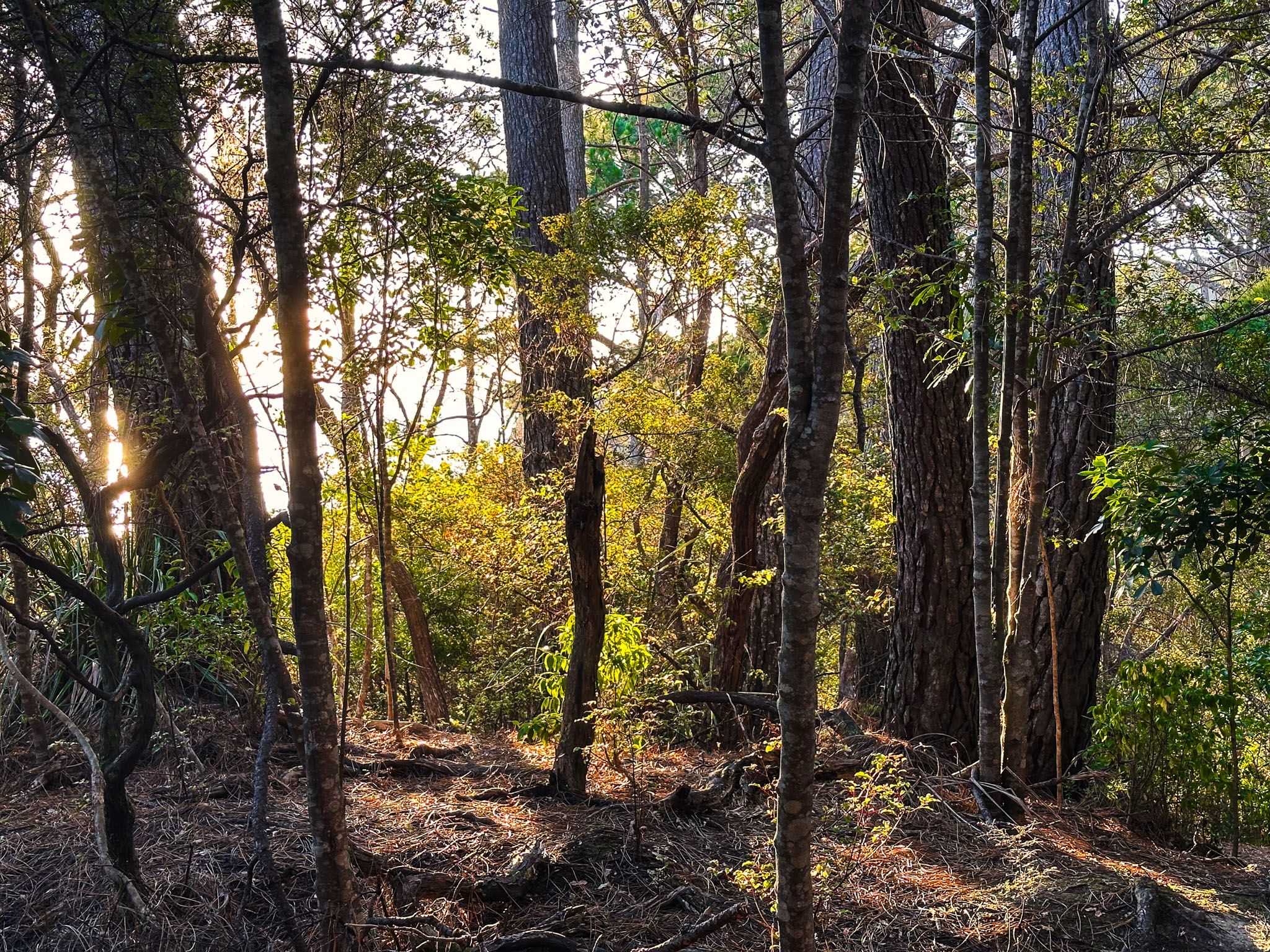
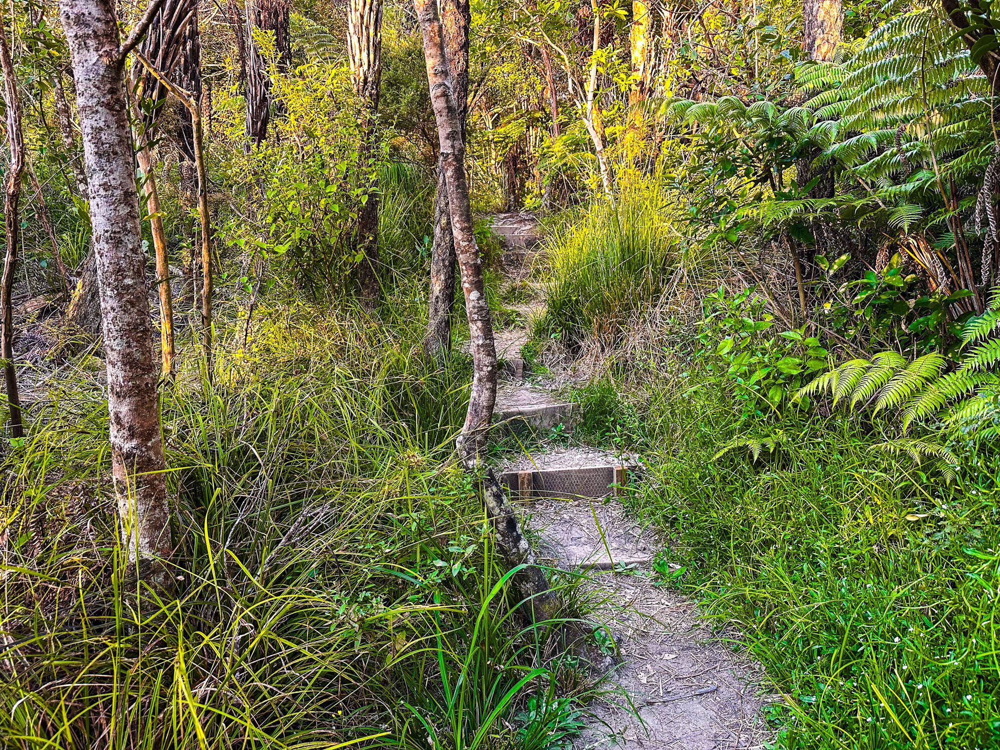
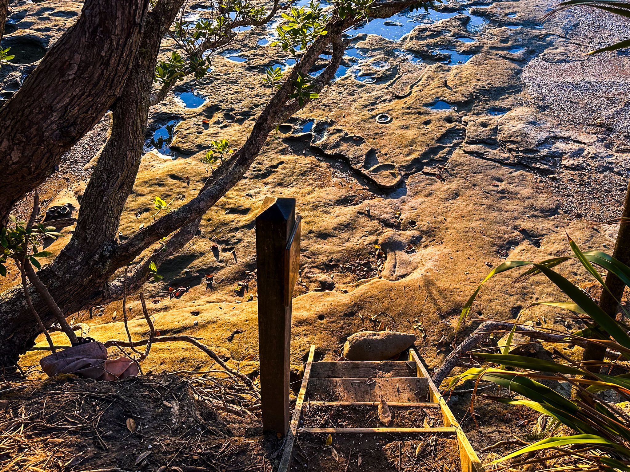
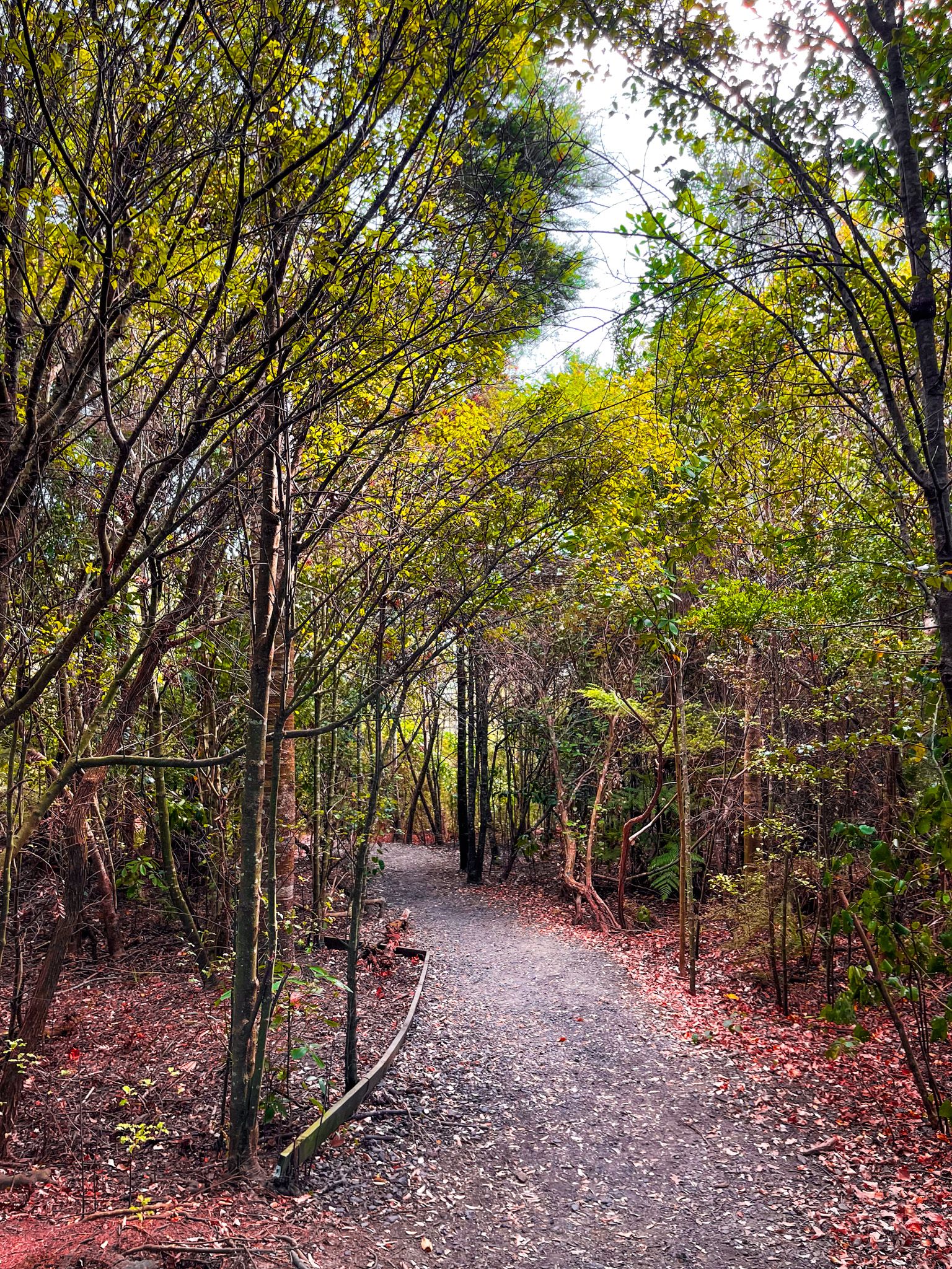
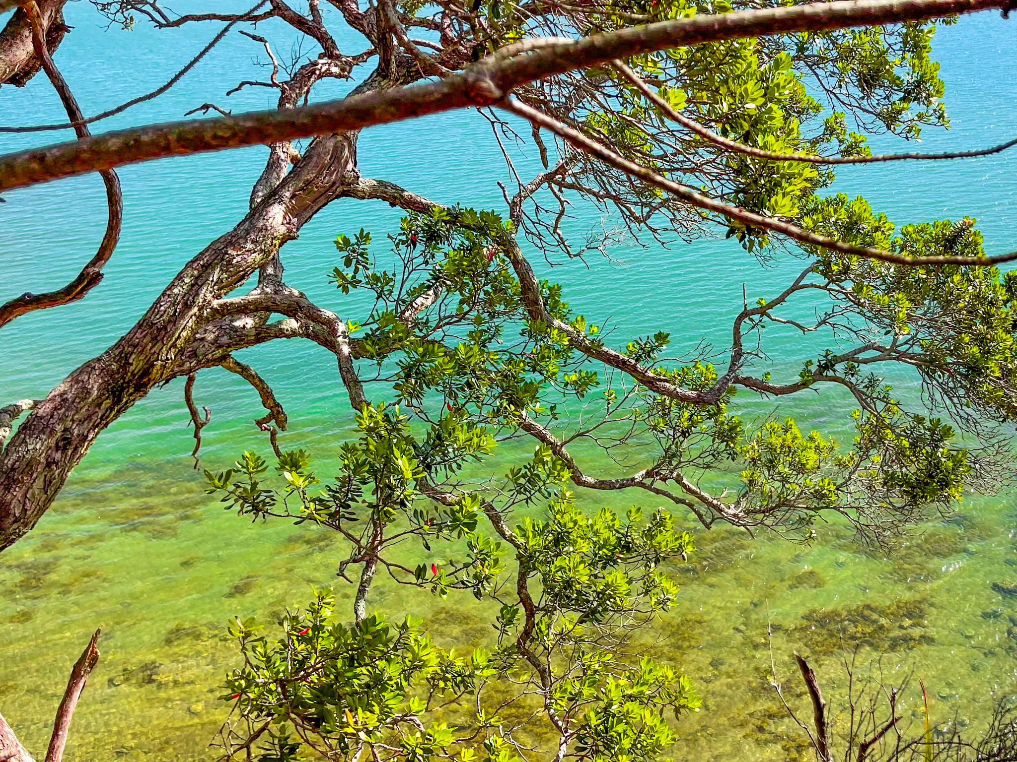
Several connected tracks start on Onetaunga Road. The most apparent entrance is for the signposted Brian Norton Track, opposite the intersection with Chelsea View Drive. This road is the primary access into the suburb of Chatswood from Birkenhead. The other entrances are short distances along Onetaunga Road. With some steep steps, Brian Norton Track heads down the hill towards Kauri Point / Te Mātārae ō Mana in a recovering forest. As the track approaches the point, it swings west along the edge of a cliff with great views and a short hike down to the beach at the western end of Kendall Bay.
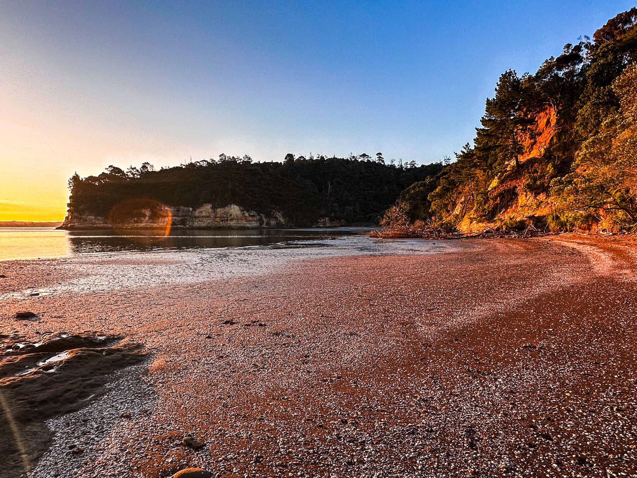
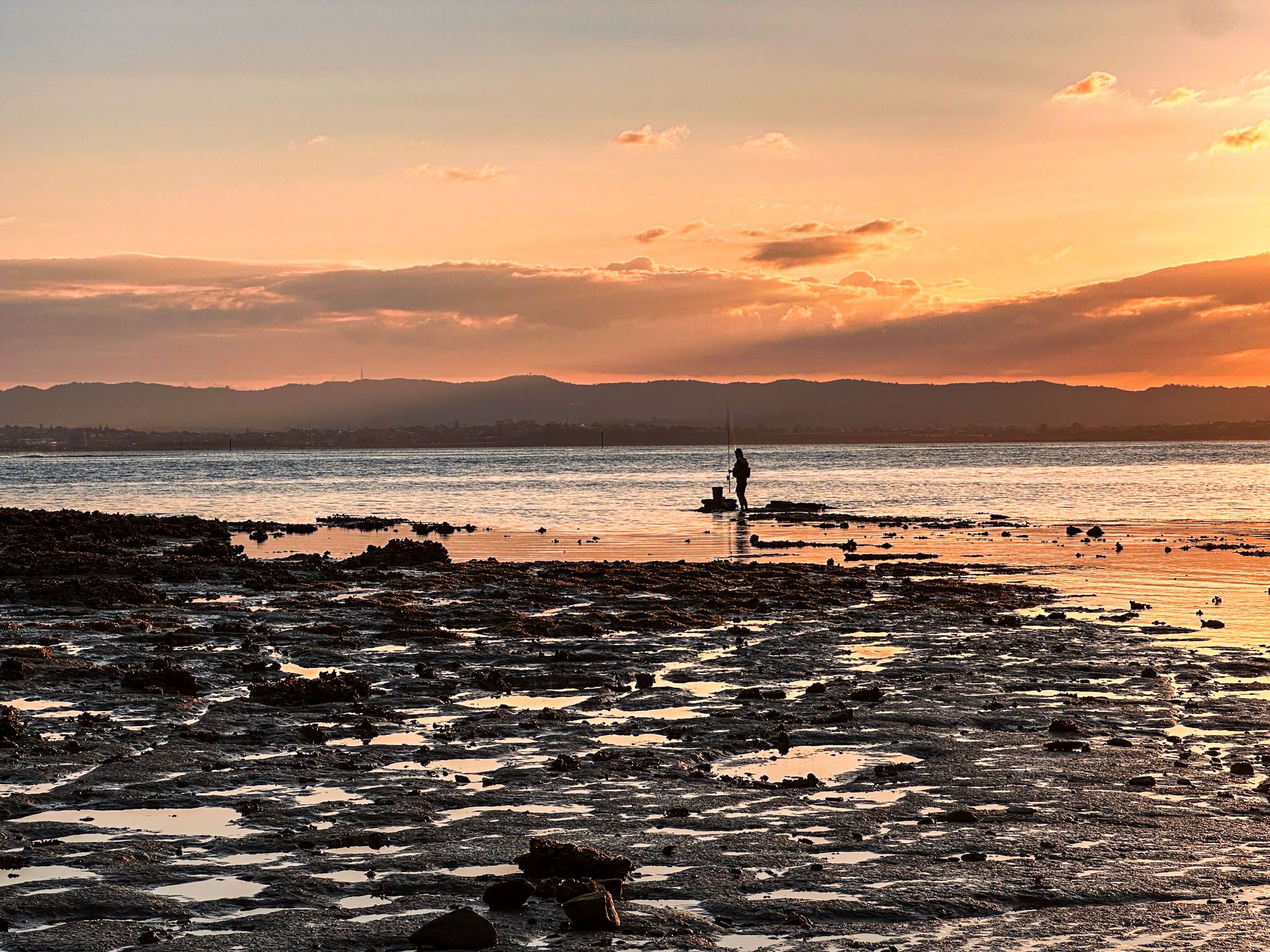
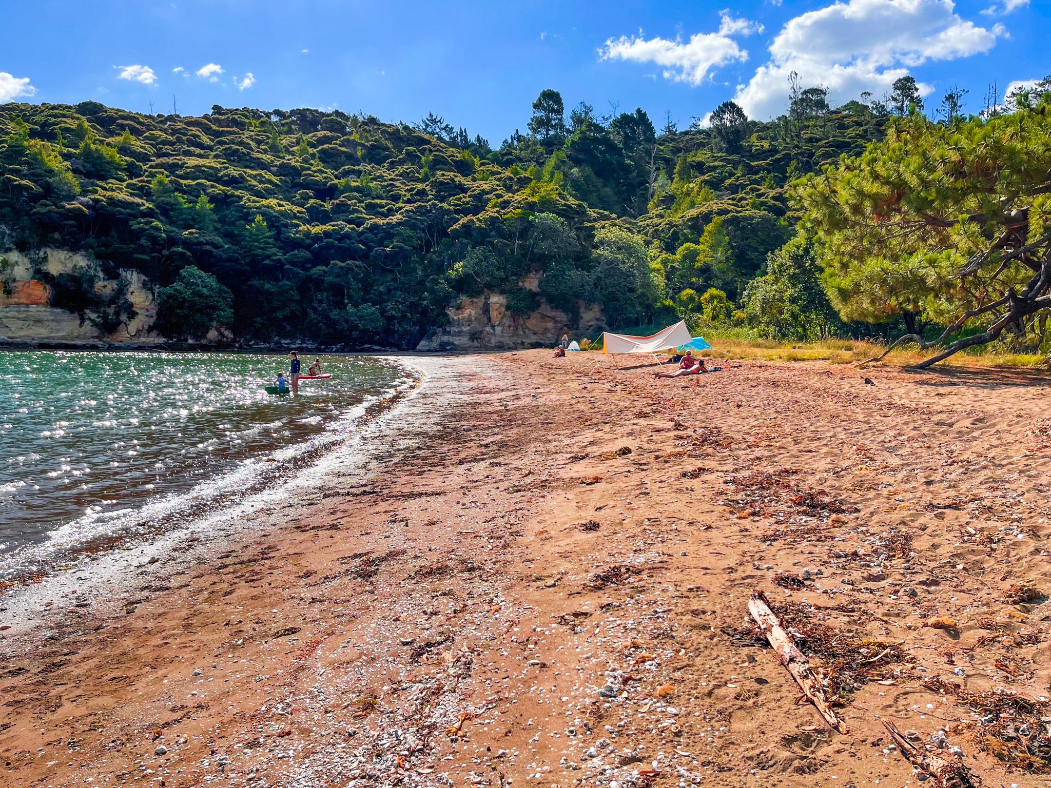
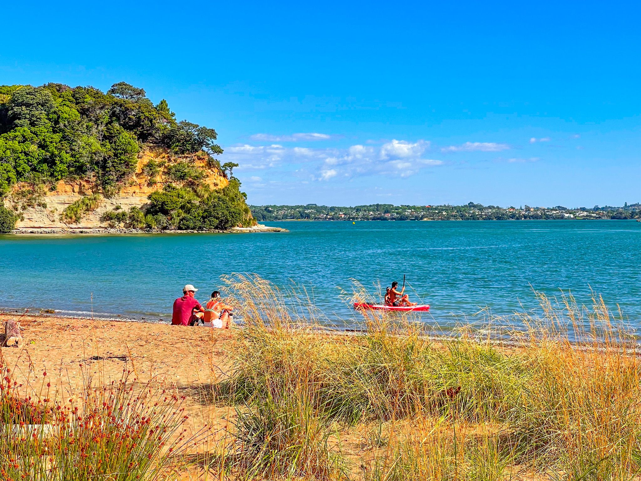
The beach is quite secluded and safe for swimming. It is also a perfect spot for a picnic or lying in the sand, with a narrow grass strip and small wetlands. Once the tide is out, you can also walk around the base of the cliffs to another smaller beach at the east end of the bay, below Kauri Point. Swimming is also easy and an option at high tide.
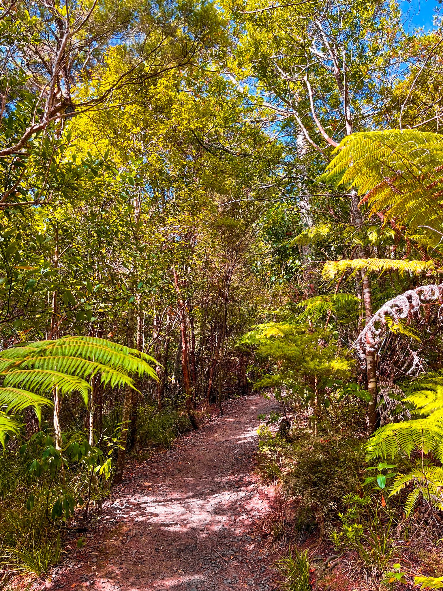
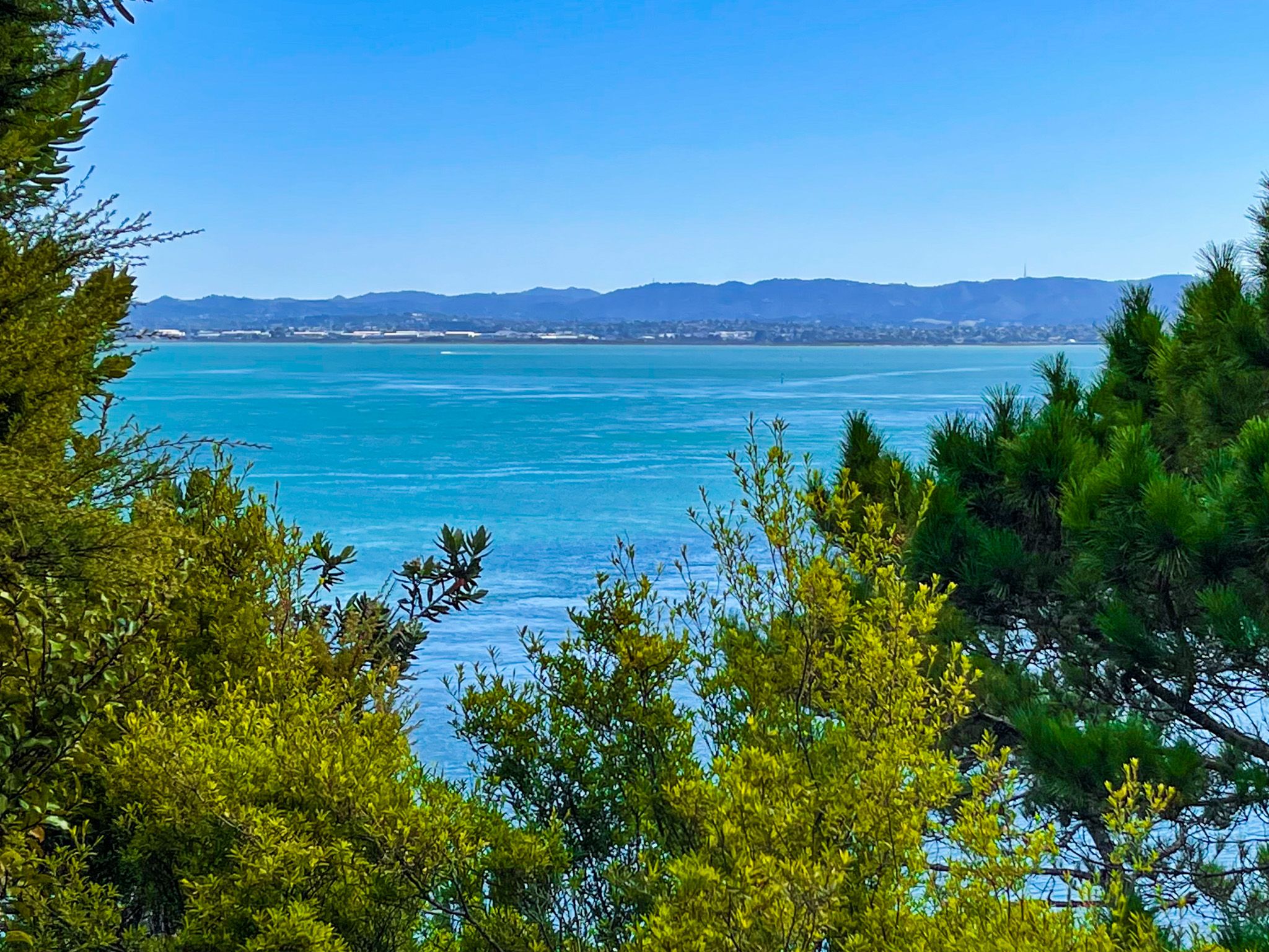
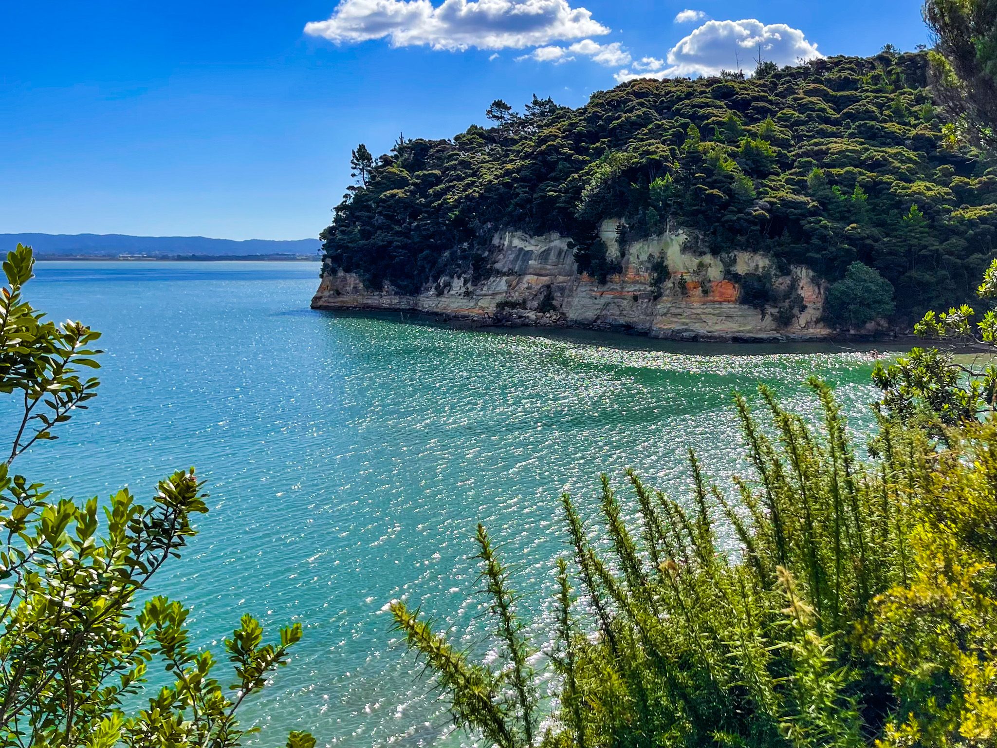
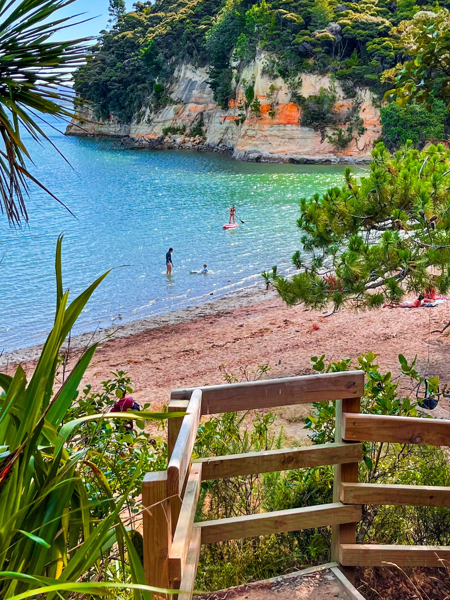

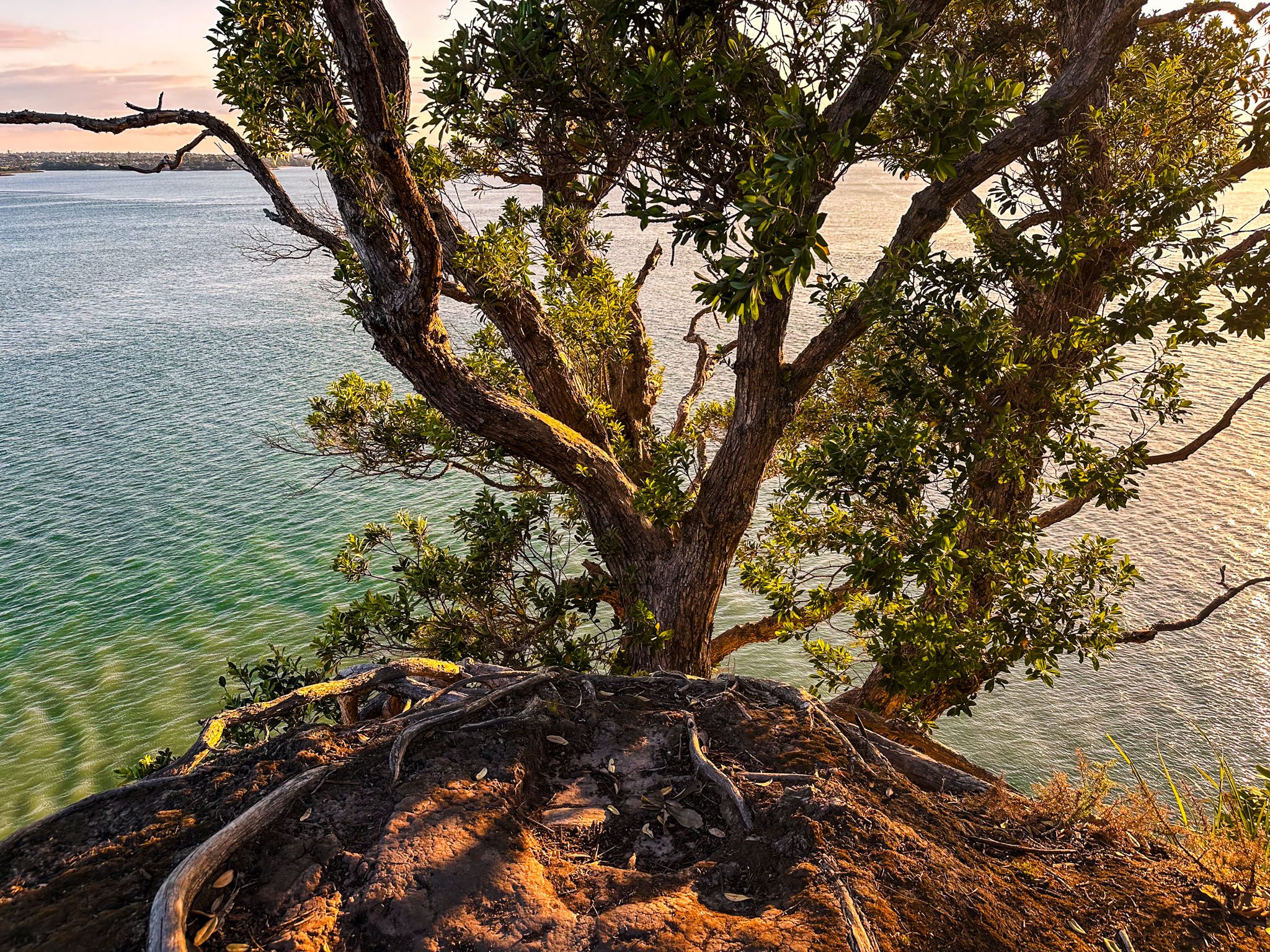
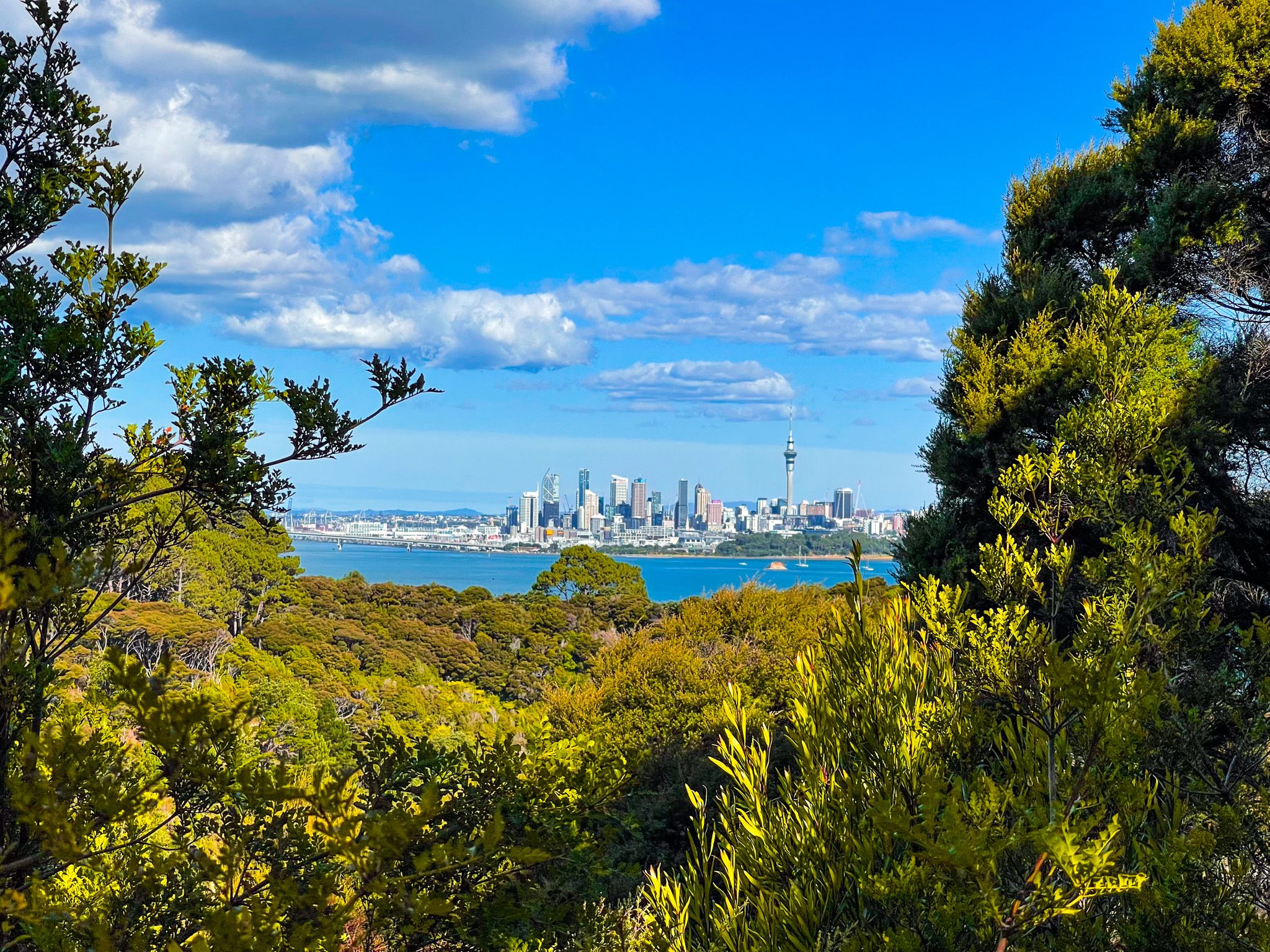
Kauri Point can also be accessed from Brian Norton Track, off the signposted Chelsea Estate Track. Walk east towards Chelsea Estate through mostly scraggly exotic pines until you see a narrow, unmarked track heading south back to the coast. This follows the ridge to the clifftop at the end of Kauri Point. The views back to Auckland City are fabulous. A short, steep side track also connects to the small beach at the east end of Kendall Bay.
At the west end of the beach, past the wetlands, you can access another track that takes you to the clifftop on the bay's west side. This is also quite rough and could be a bit muddy after rain. The views from the cliff edge also go back to Auckland, but they are more impeded by vegetation than the view from Kauri Point.
Kauri Point and the bay were occupied by Te Kawerau ā Maki iwi. Te Mātārae ō Mana, the Māori name for the point, means “the brow of mana” and was an important fortified pā on the North Shore. The surrounding land was forested, but the bay was perfect for fishing and food gathering. Watch out for the two defensive ditches on the way to the point.
After the area was acquired from Māori, Europeans logged the kauri forests and attempted to farm it. This was unsuccessful due to the low quality of the soil, and the land was eventually acquired as part of the establishment of the Chelsea Sugar Refinery. After the Harbour Bridge opened in the 1960s, the refinery released the land for development, leading to the creation of the suburb of Chatswood in the 1970s and the setting aside of the park and the nearby Chatswood Reserve for recreation.
Allow 20 minutes to walk from the road to Kendall Bay and another 15 minutes to explore each of the tracks to Kauri Point and the west side of the bay.