Discover Gills Scenic Reserve Main Loop Track
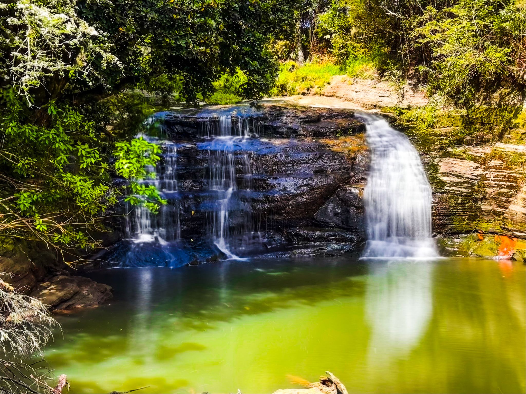
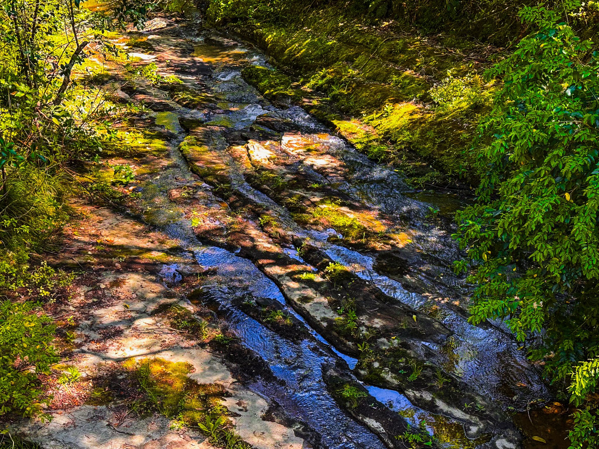
Located in Albany on Auckland's North Shore, the Gills Scenic Reserve Main Loop Track is a captivating forest walk. This short loop trail takes you from the base of a steep hill to its summit, with options for road access and parking on both sides of the hill. A highlight of the reserve is Lucas Stream, which flows through the lower section and leads to the five-metre Lucas Waterfall.
Exploring the Track
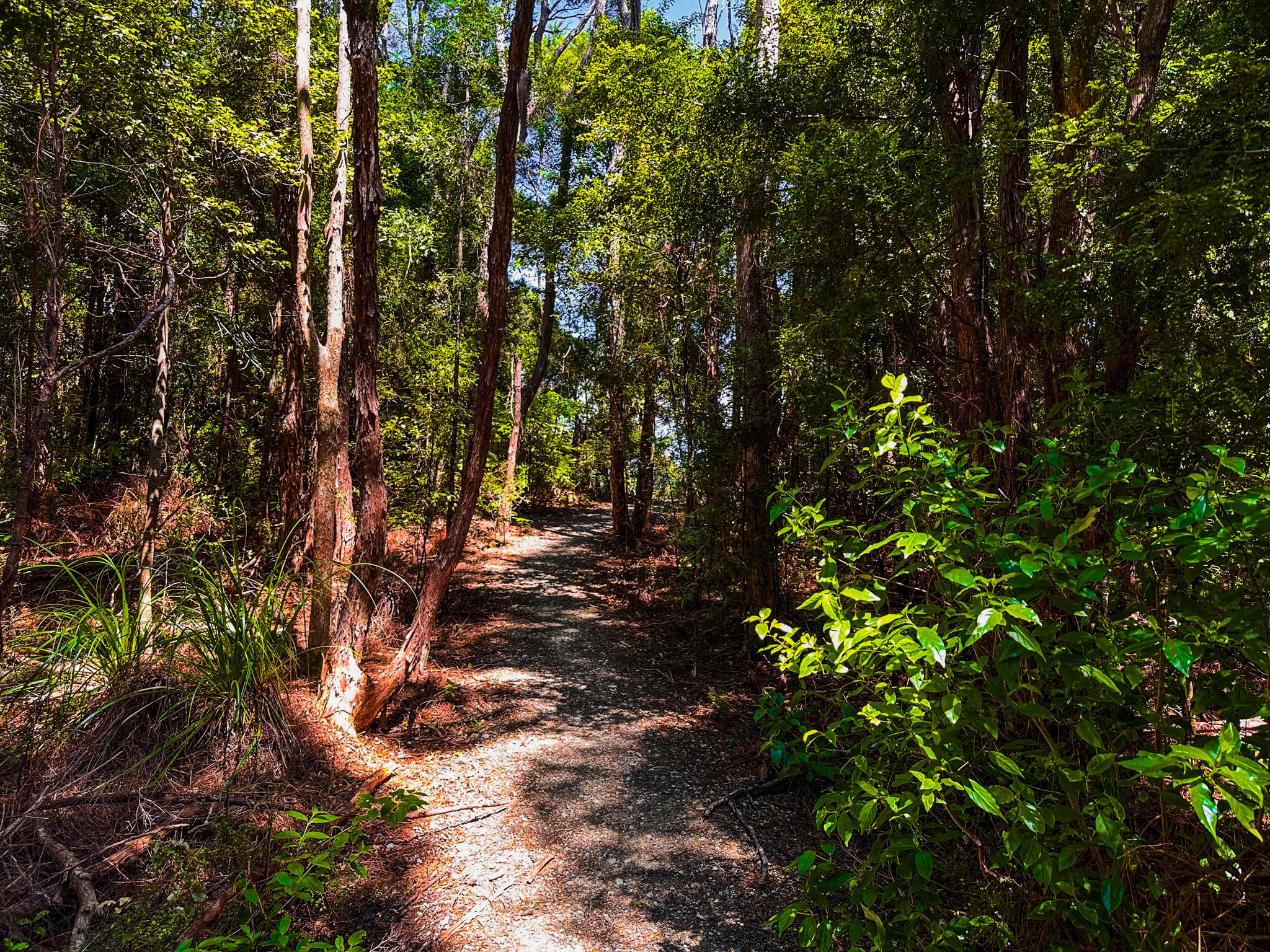
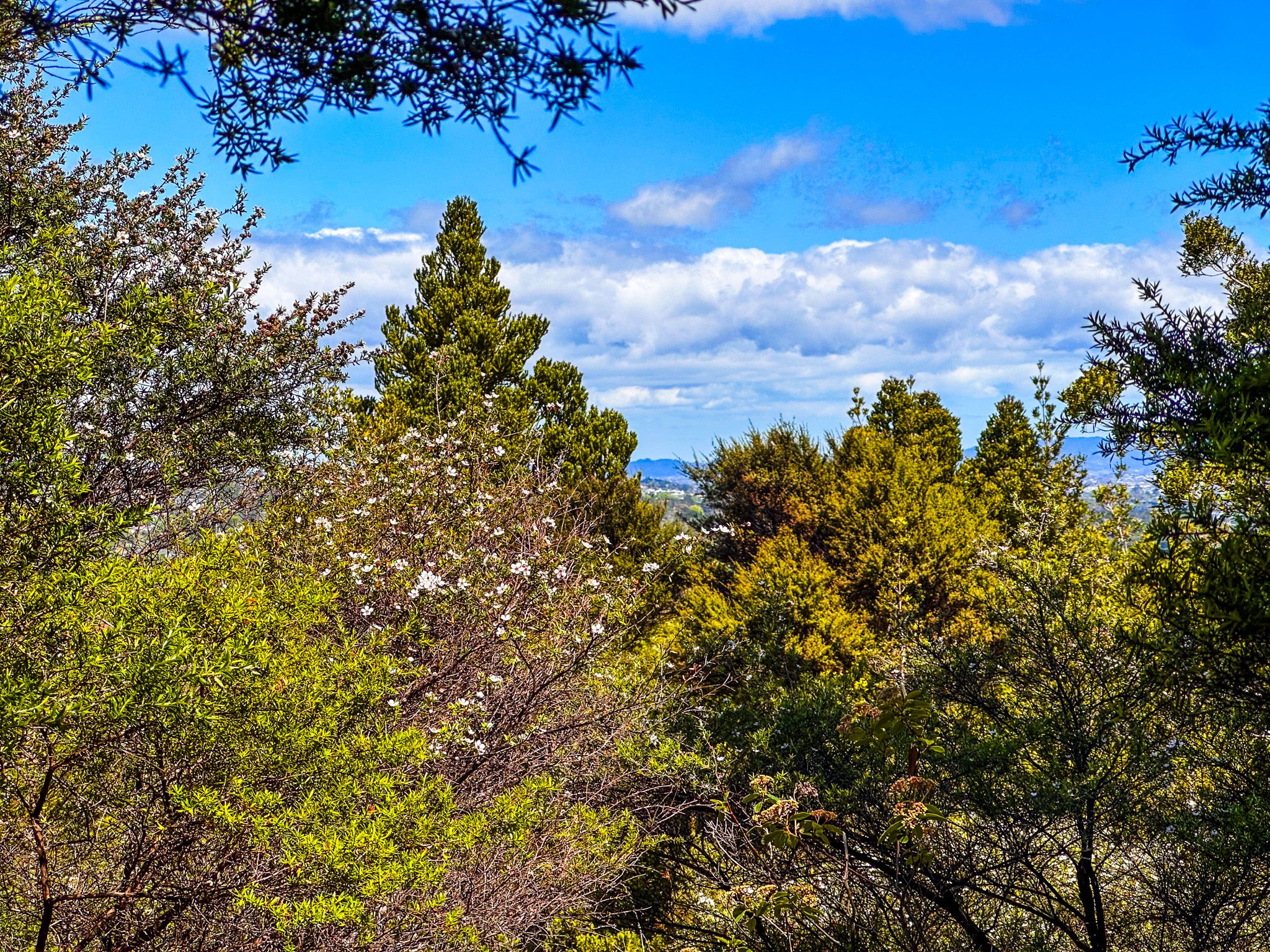
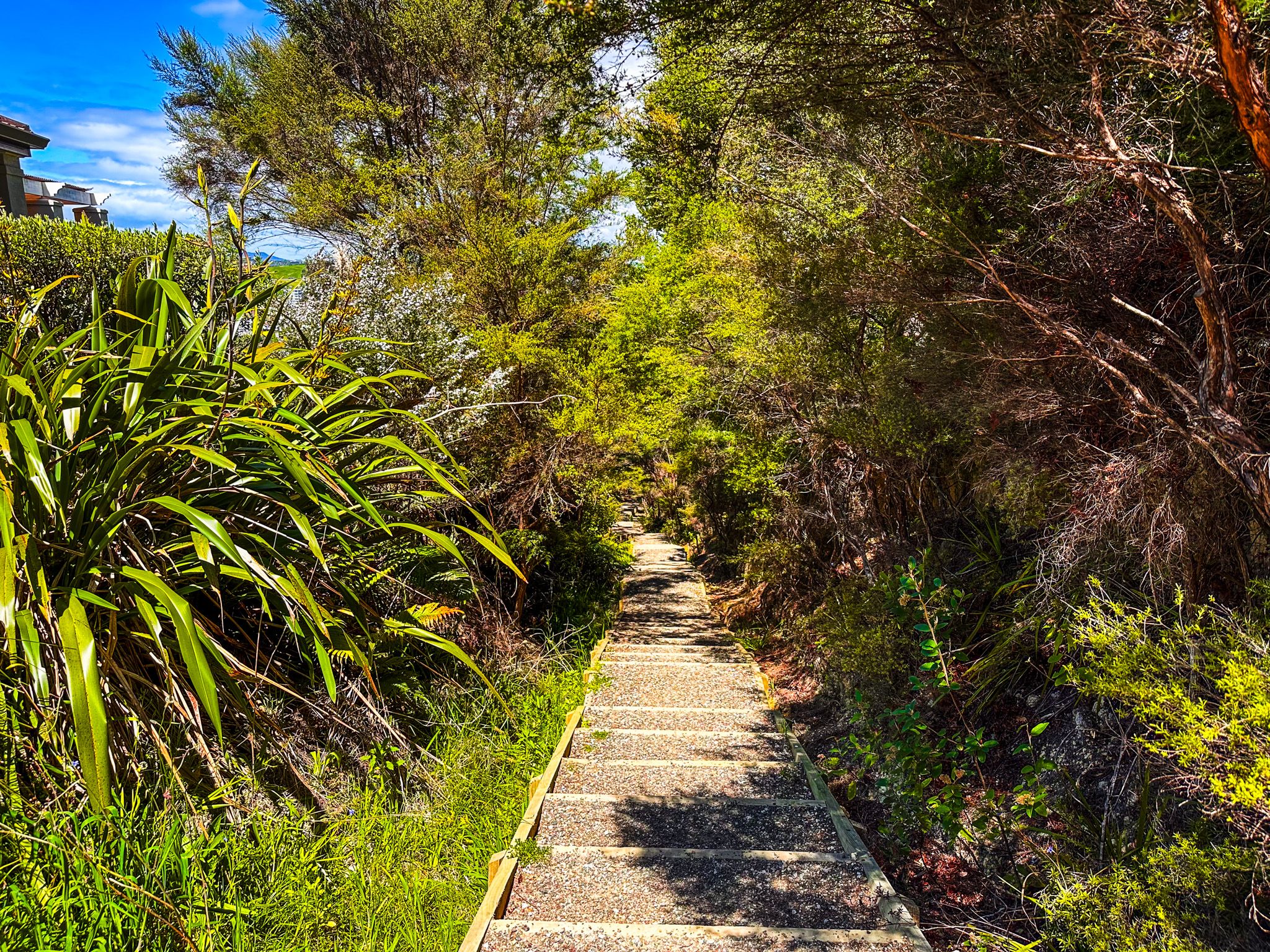
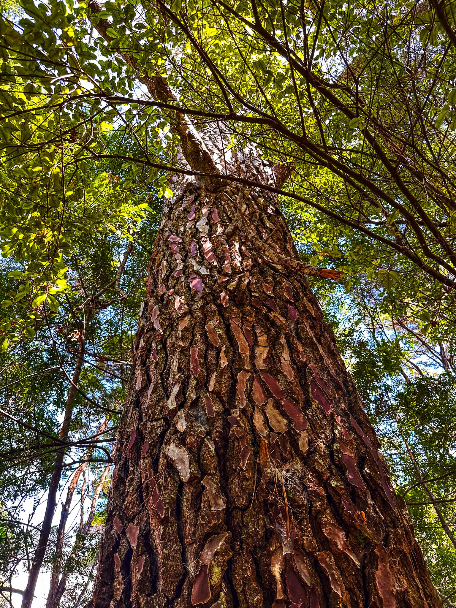
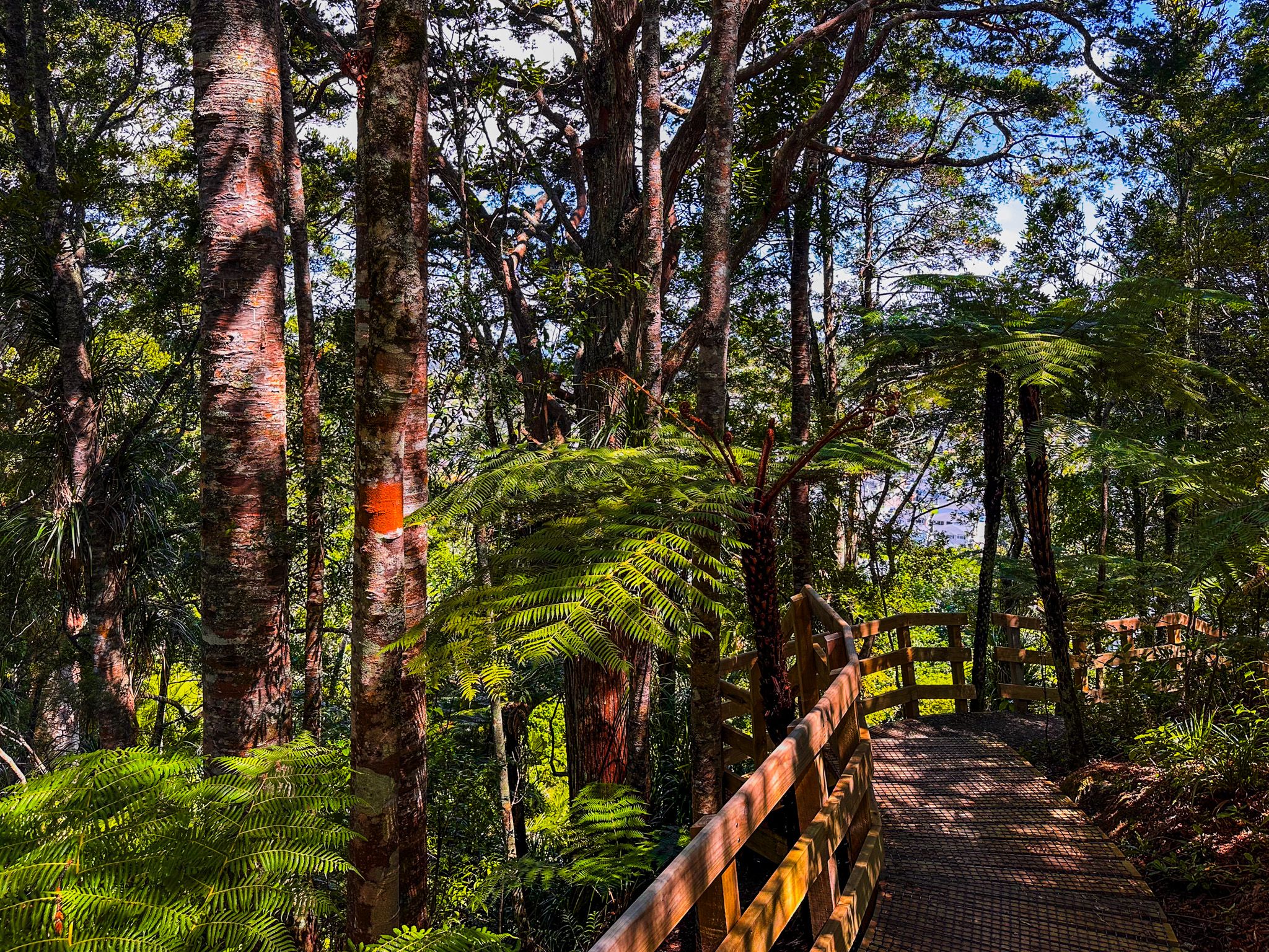
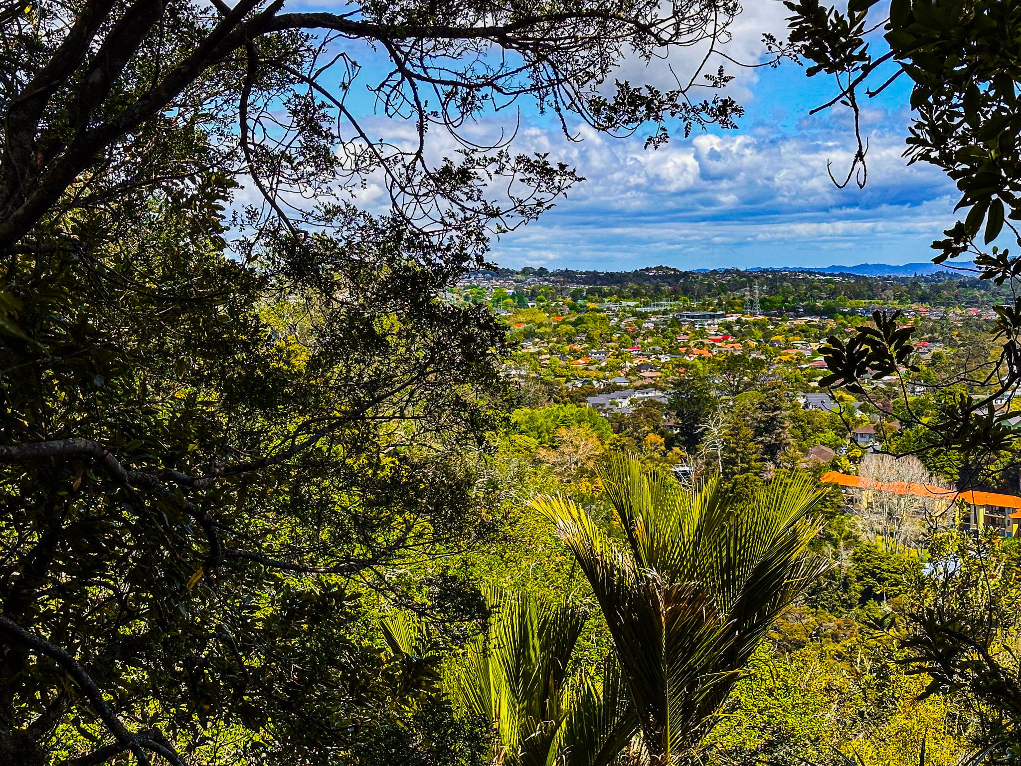
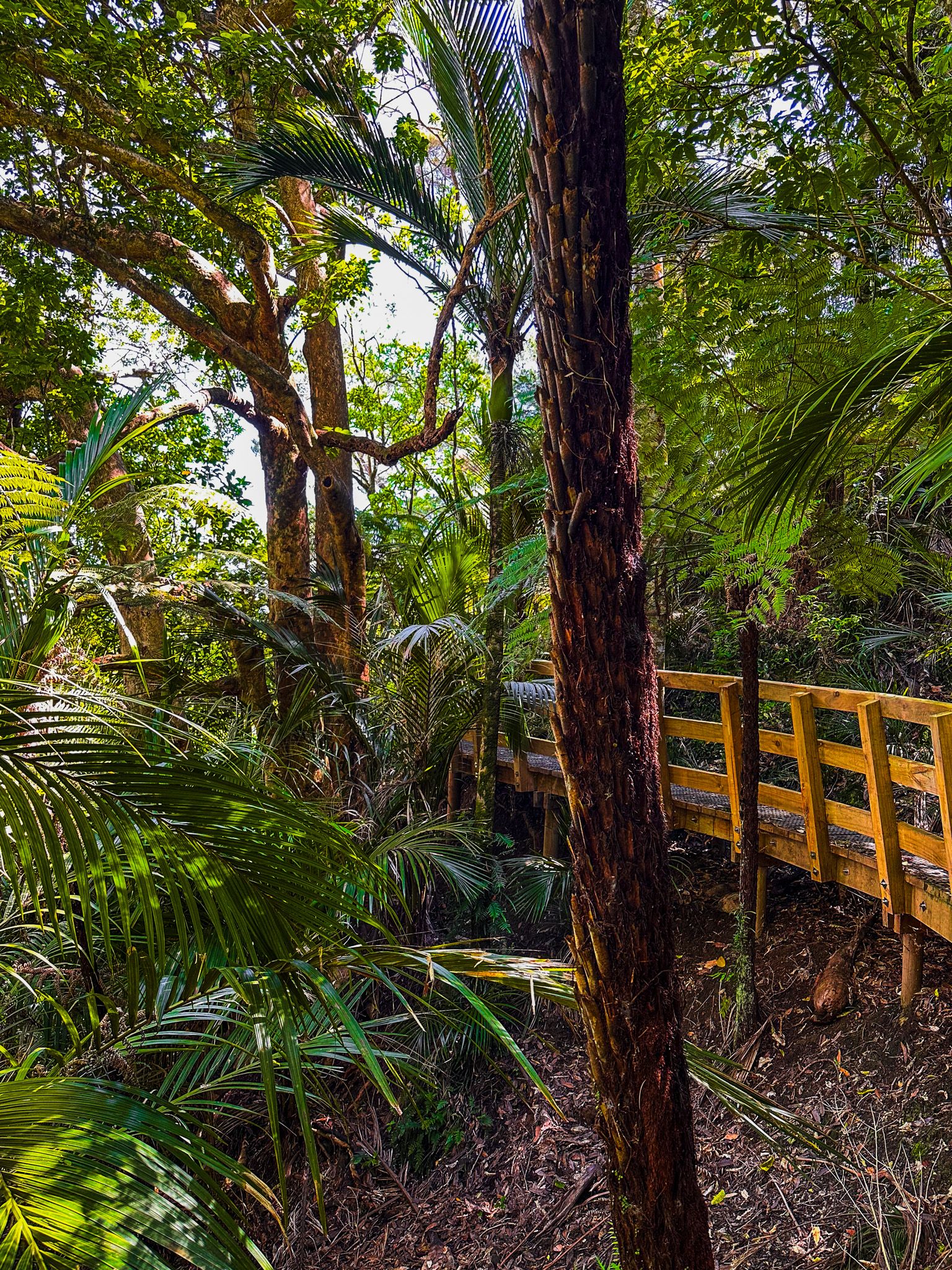
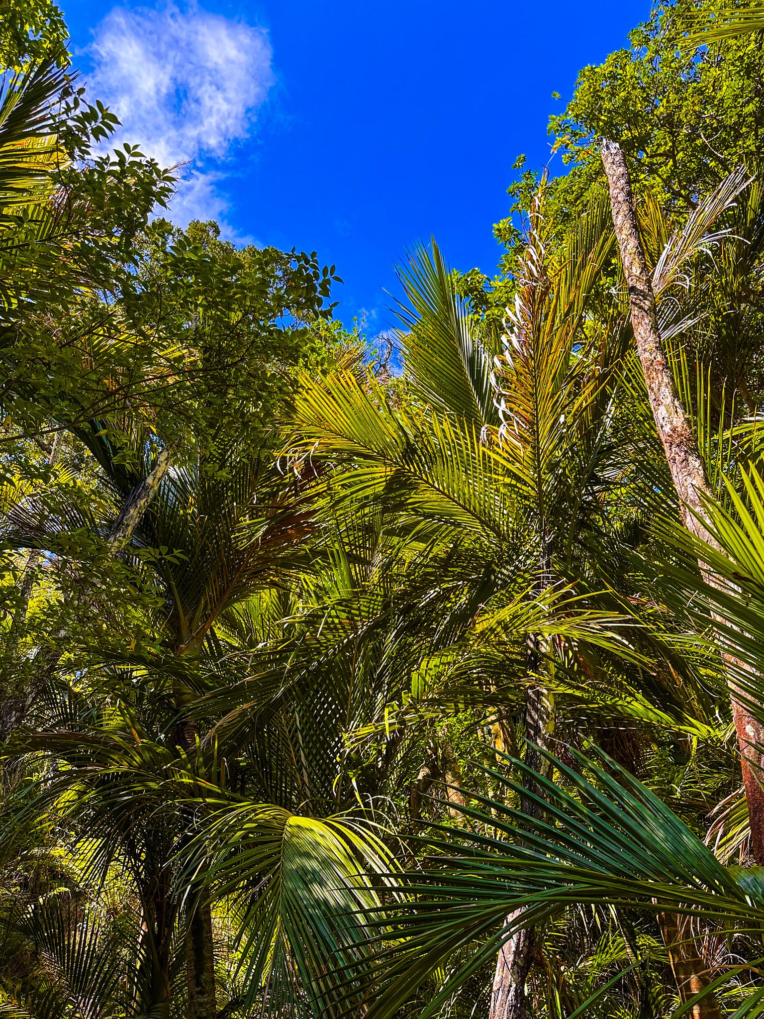
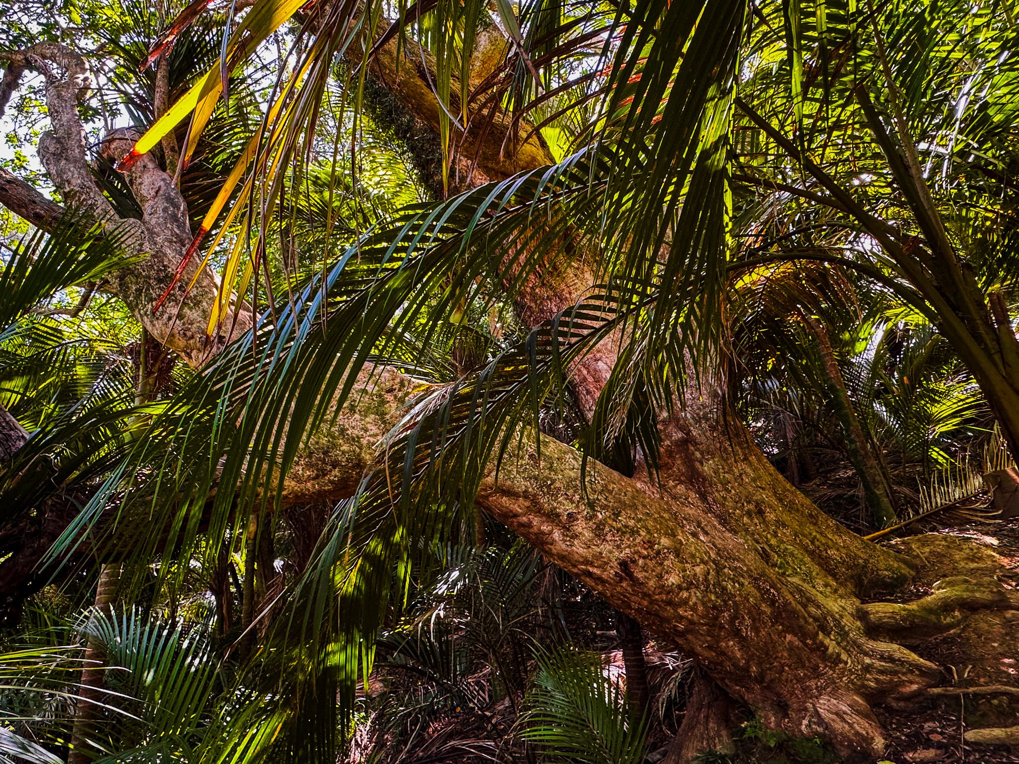
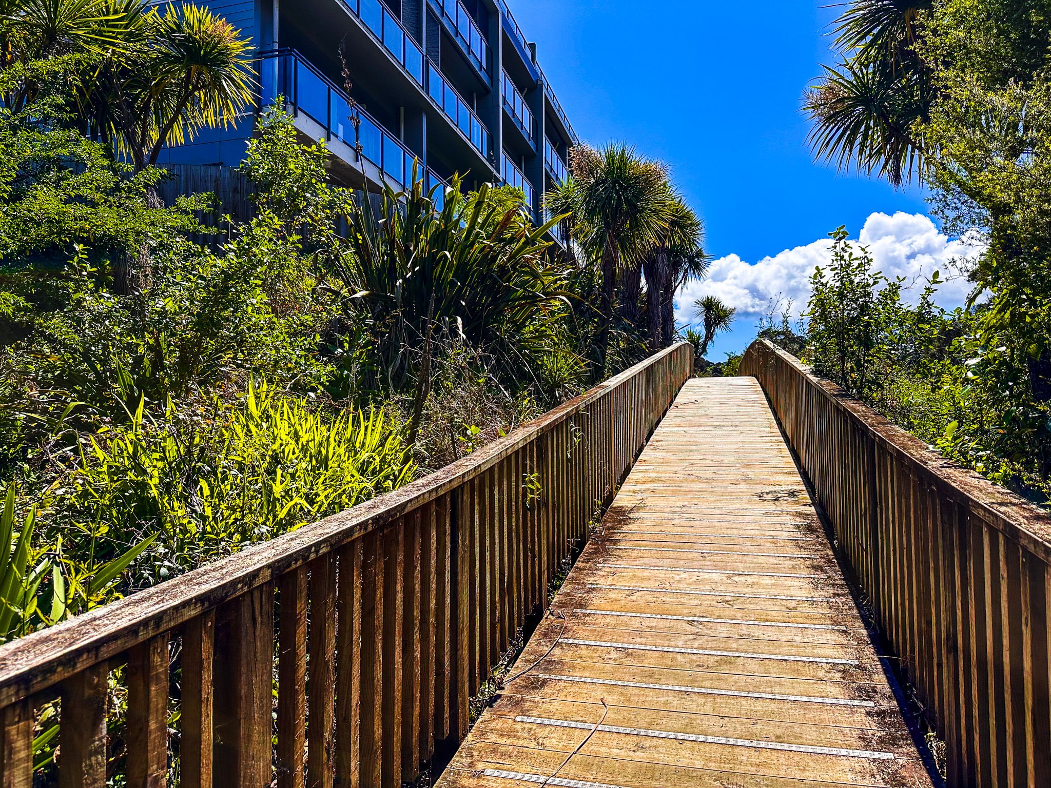
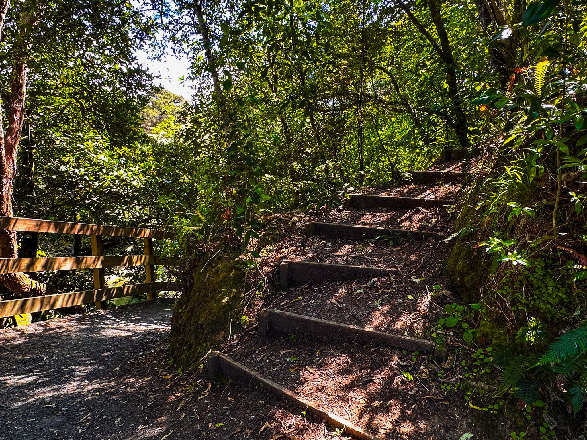
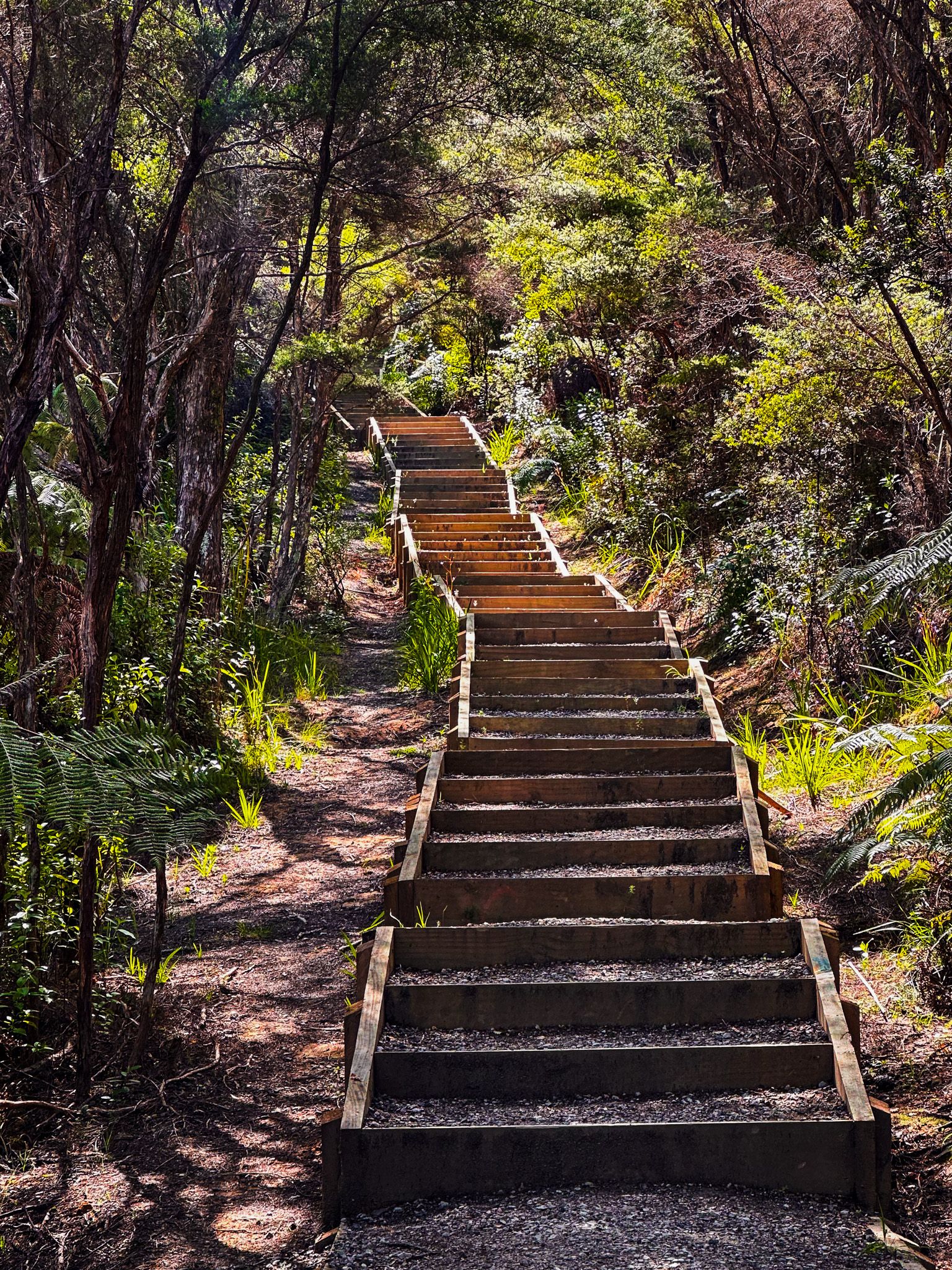
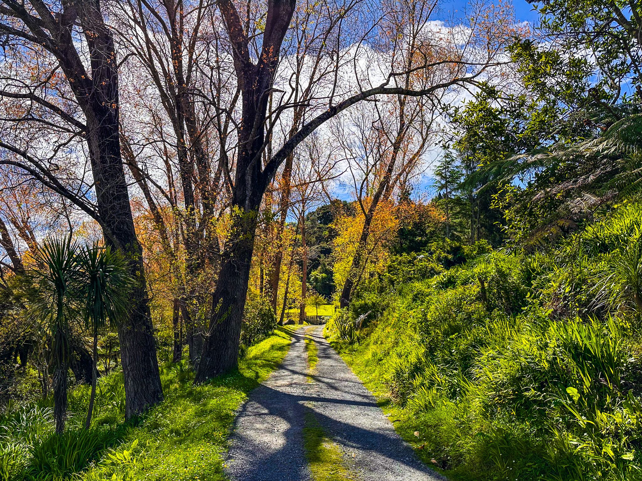
The west side of the loop is particularly impressive, featuring a zig-zagging climb enhanced by a boardwalk and steps. This path winds through a remarkable grove of nīkau palms and large, sometimes twisted pūriri trees. Along the way, you'll find viewpoints offering glimpses of the forest and cityscape. A short side track leads to a massive tōtara tree, whose canopy is easily visible, though appreciating the full scale of its trunk requires a closer look.
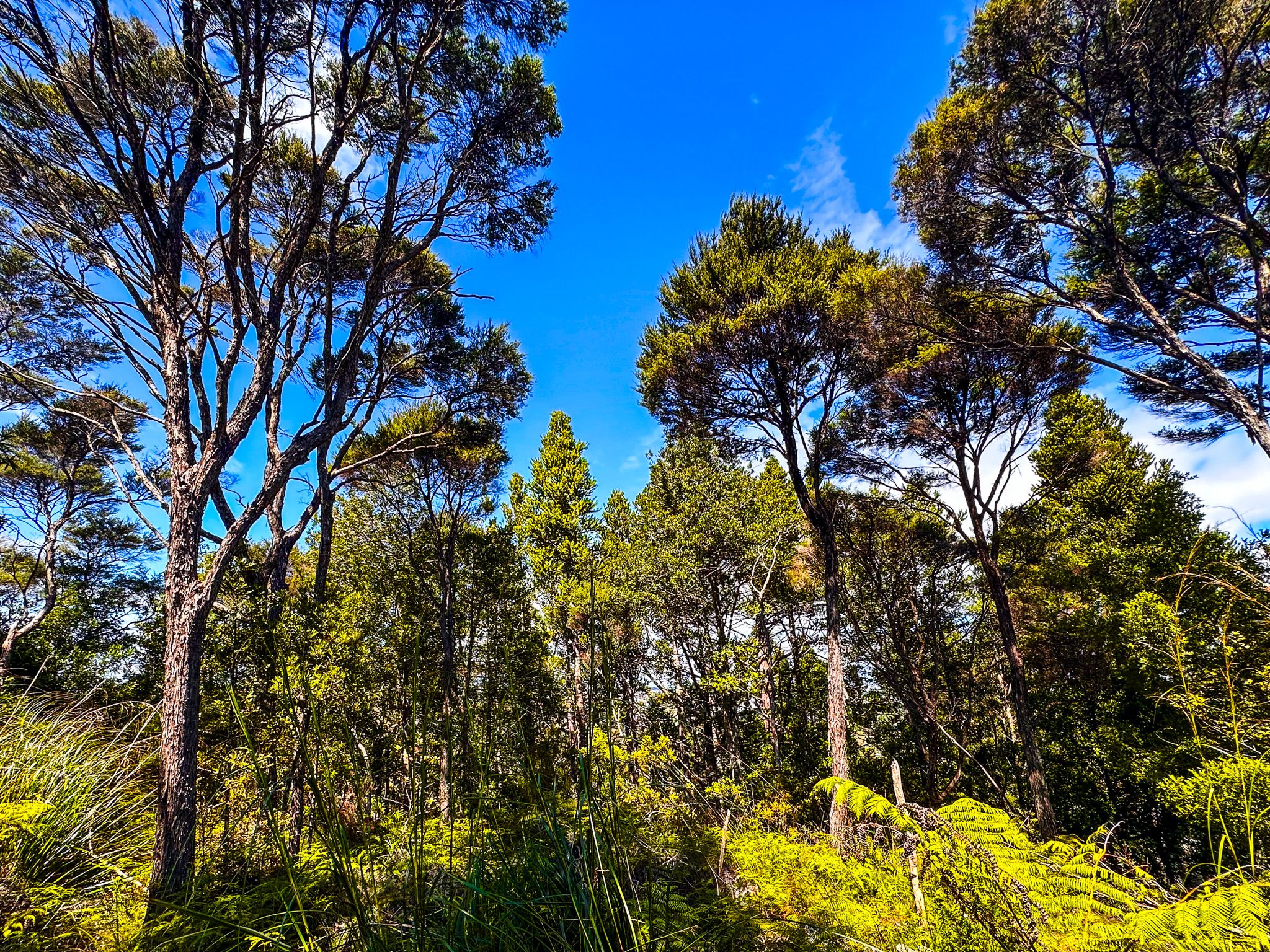
On the east side, the track meanders through regrowth native forest, interspersed with exotic pines near the top. You'll also encounter some kauri trees, and a series of steps helps to ease the ascent.
Lucas Waterfall and Beyond
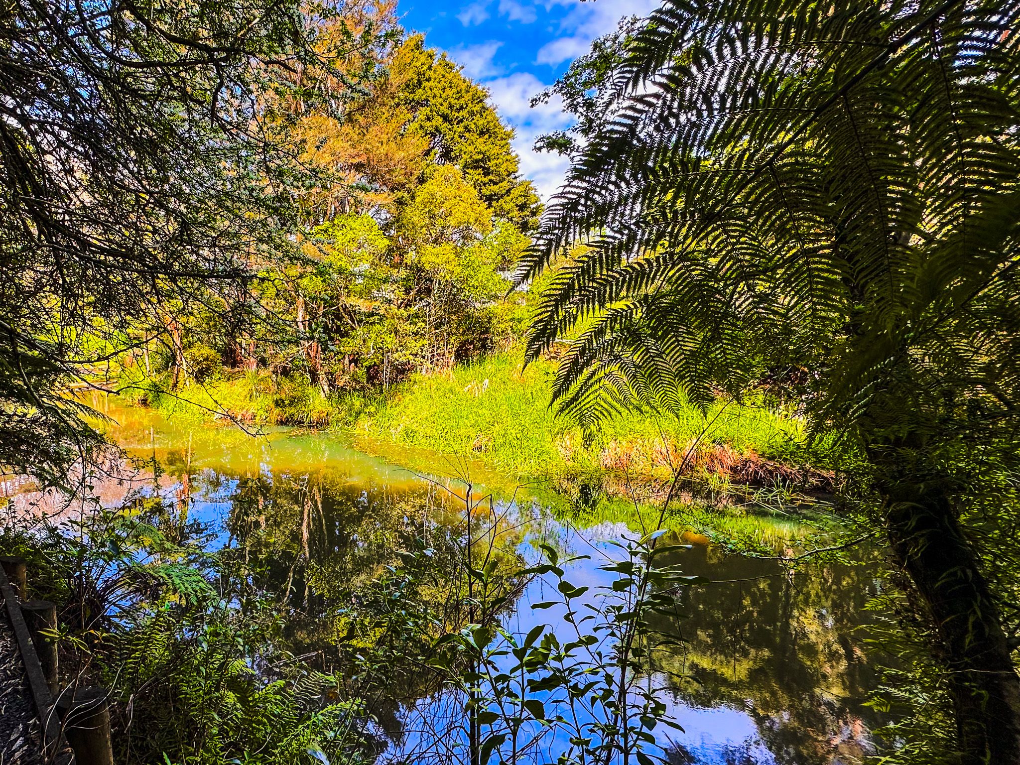
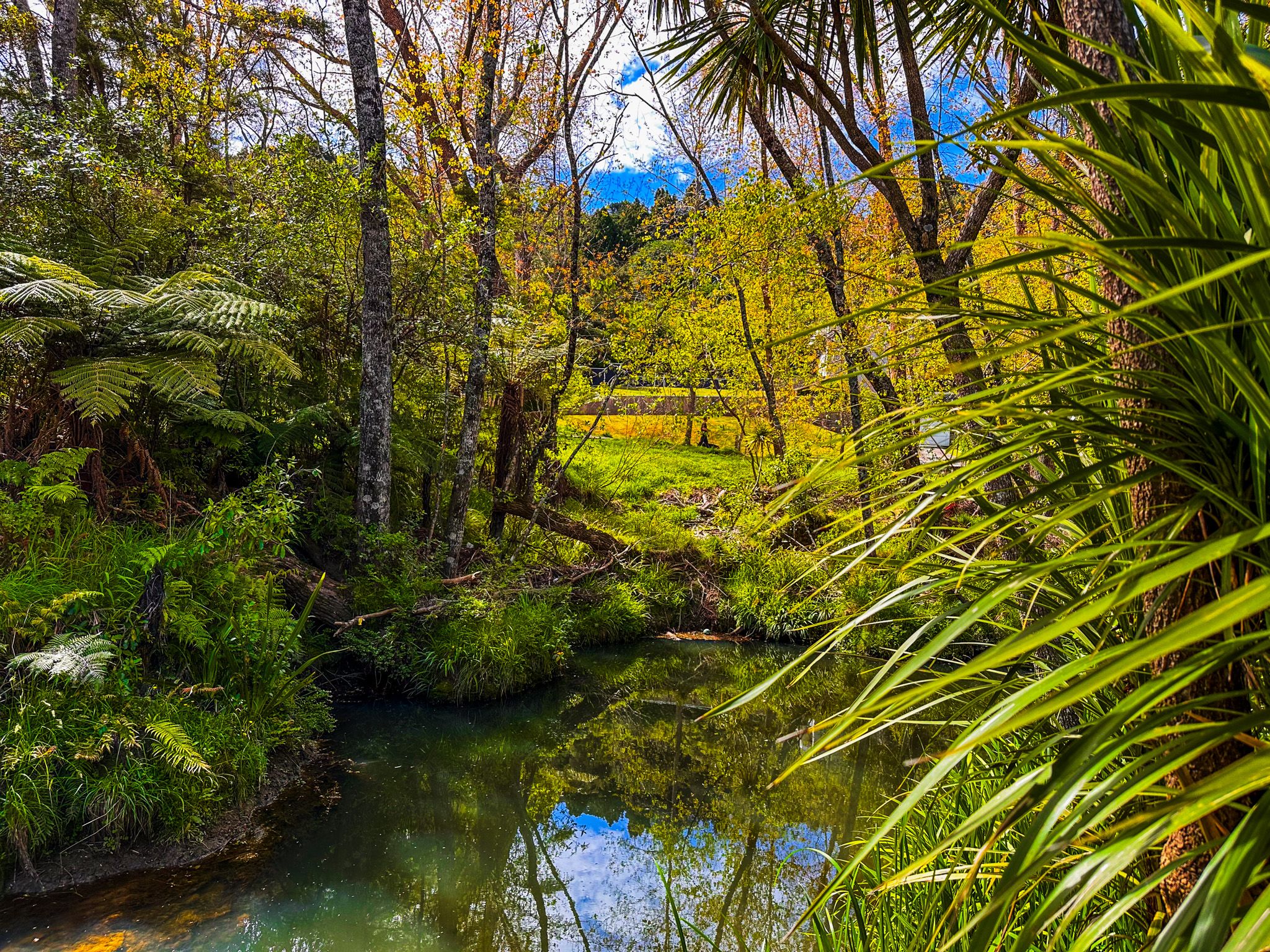
For an easy extension to your walk, follow the track along Lucas Stream for about 100 metres to reach the waterfall. The path rises above the falls before descending to the pool at its base. Although swimming is not explicitly discouraged, the water appeared murky during our visit.
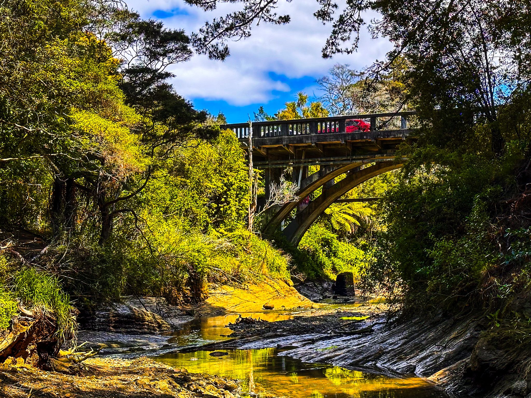
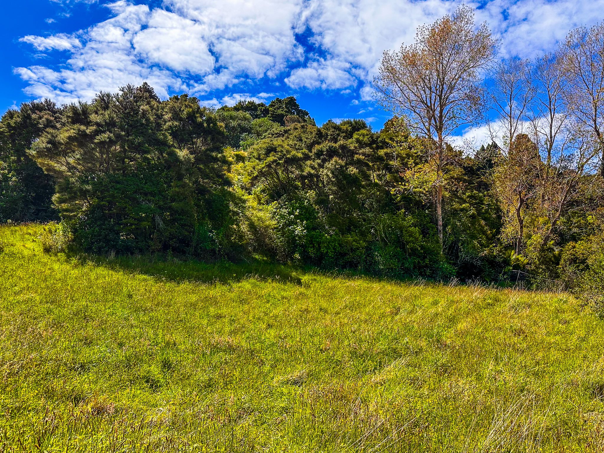
Continuing past the waterfall, you can reach a bluff with a picnic table where two streams converge. A bridge over the second stream leads around a large apartment block to Dairy Flat Highway. Keep an eye out for a side track that ascends to a large meadow, mostly hidden from the main path.
Historical Significance
Māori used Lucas Creek as a route for moving waka between the Waitematā Harbour and the upper Hauraki Gulf. Gills Reserve is also thought to be the site of Te Rere, a Māori village.
The land was acquired by the government in 1841 as part of the Mahurangi purchase. Early settlers used the creek for kauri logging and gum extraction, with a wharf built at its head. Daniel Clucas briefly operated a flax mill around 1845, giving the creek its name. Although Clucas departed within a year, a town named Lucas Creek emerged, becoming known for illegal alcohol production! In 1890, residents renamed the town Albany.
The lower reserve area was used as an orchard until the 1960s, while the steep southern face preserved the old forest. In 1964, land around Albany was earmarked for public housing but remained unused. In 1992, it was donated to North Shore City and combined with land from the Hull family estate to form the reserve. The Gill family, who advocated for the reserve, were honoured in its naming.
Getting to Gills Scenic Reserve
To reach the bottom access of Gills Scenic Reserve from Downtown Auckland, take the northern motorway to the Albany off-ramp and follow the Albany Expressway northwest to Gills Road. Drive along the road for 150 metres and park on the side of the road before the bridge. Walk along the driveway on the north side of the creek to the track entrance. Continue walking to reach the waterfall.
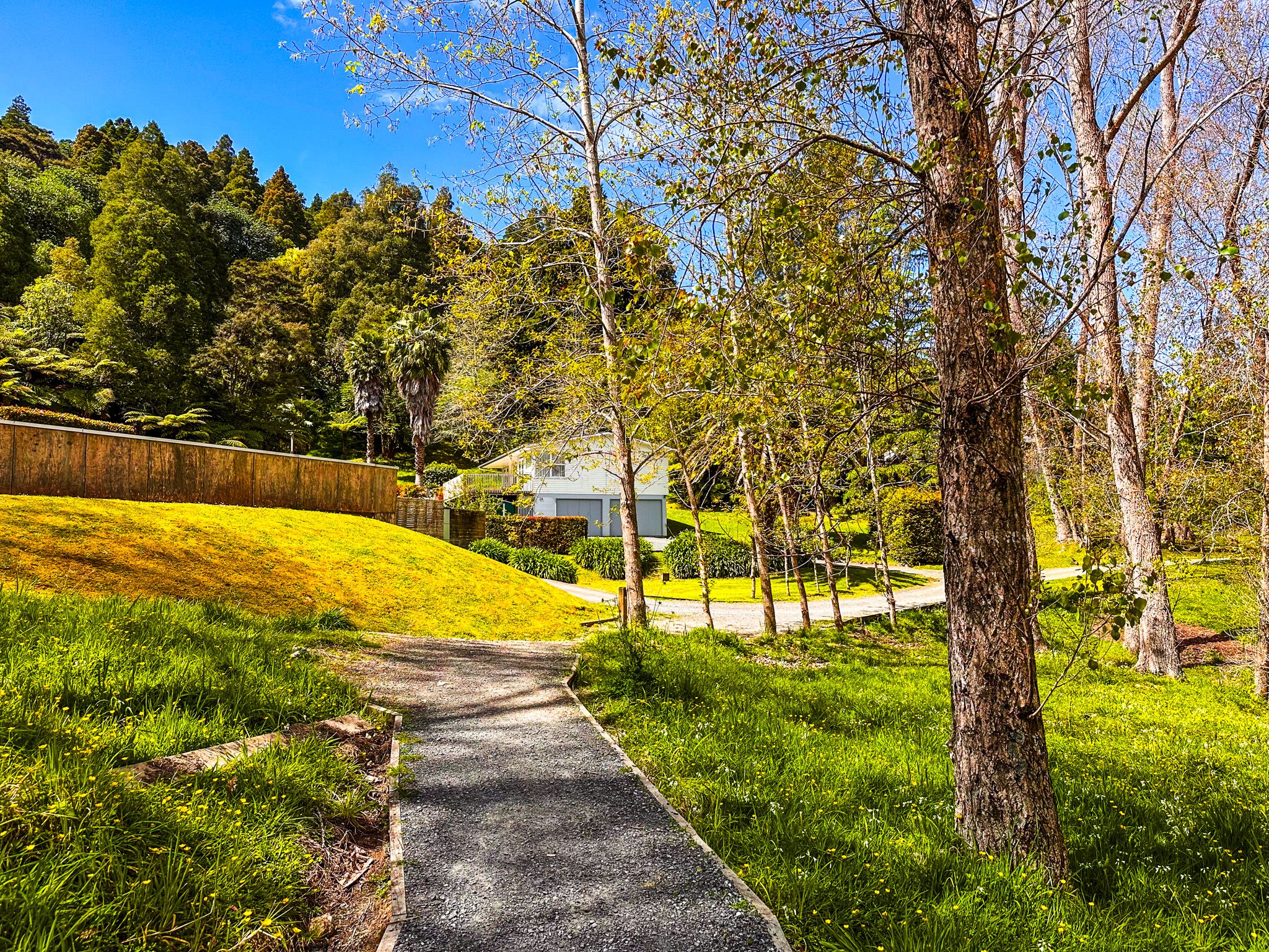
The top car park is located at the end of Carol Lee Place, accessible via Quail Drive off Gills Road.
Other forested reserves on the North Shore include Awaruku Bush Reserve, Leigh Scenic Reserve, Eskdale Reserve Network, Kauri Glen Reserve, Le Roys Reserve, Chatswood Reserve and Kauri Point Centennial Park.