Exploring Lake Ōhau
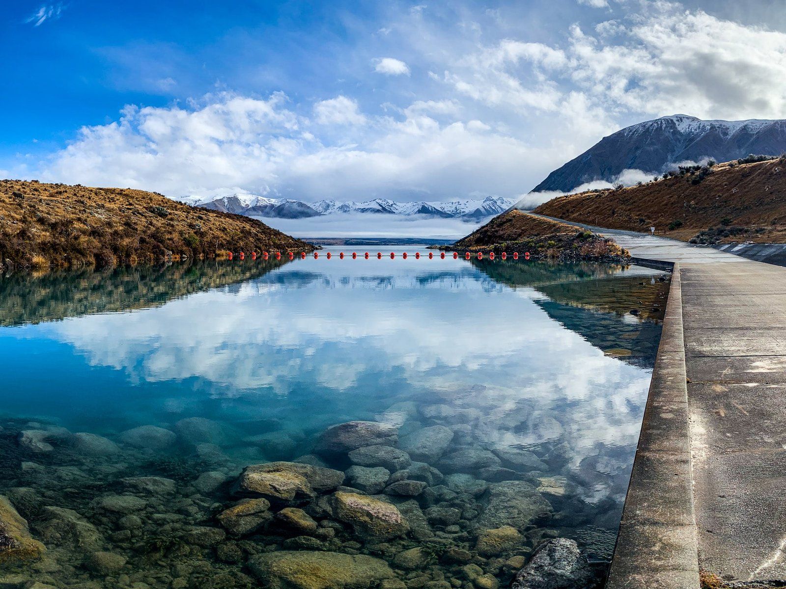
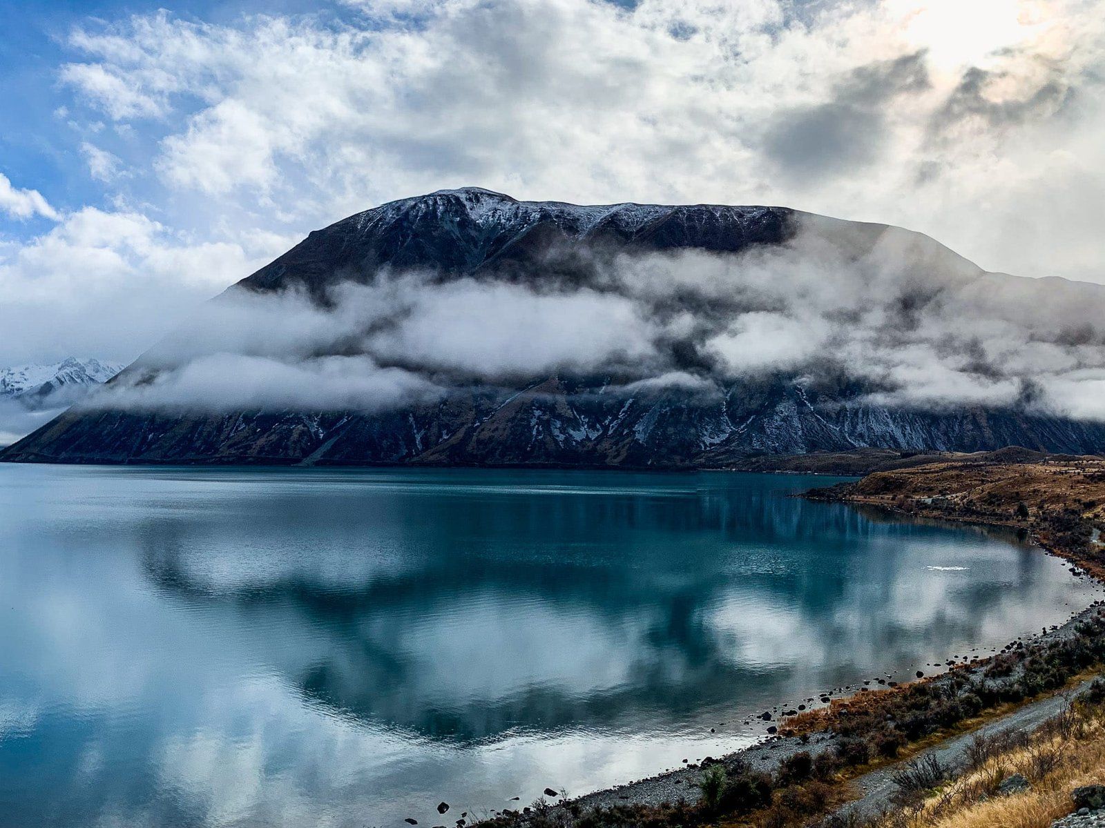
Lake Ōhau, located at the south end of the Hopkins Valley in the Mackenzie Country on the South Island, is a post-glacial lake offering a remote escape with stunning alpine views.
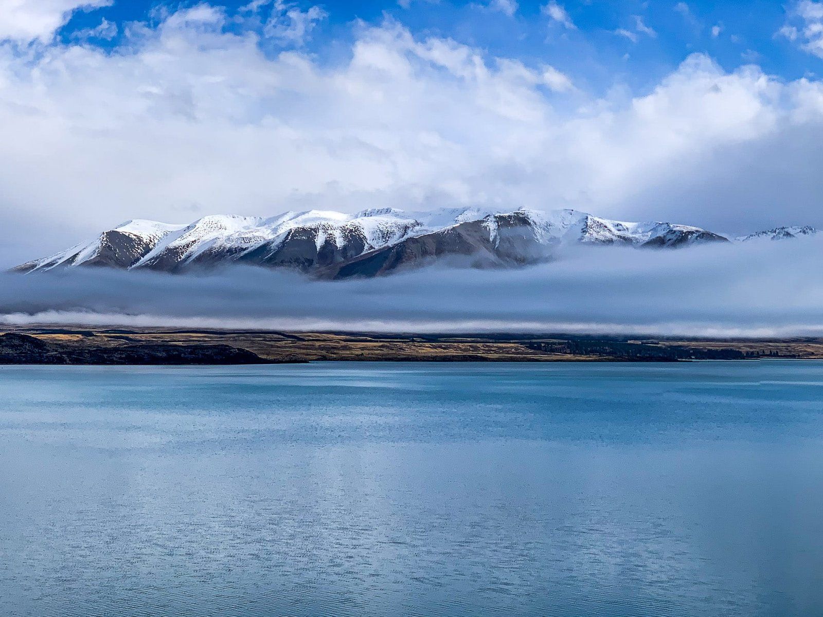
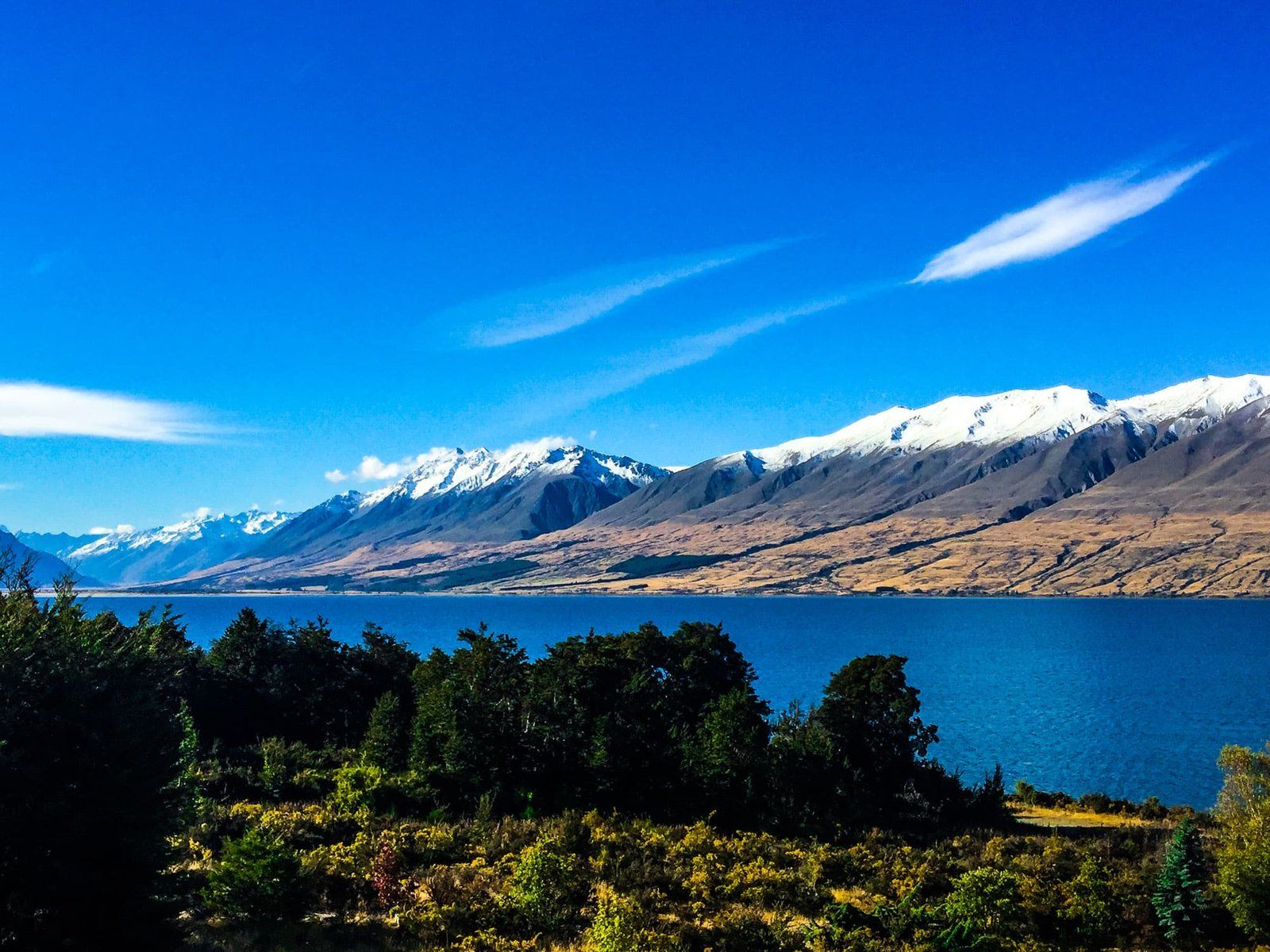
Fed by the Dobson and Hopkins Rivers, which flow south from the Main Divide of the Southern Alps / Kā Tiritiri o te Moana, the lake is surrounded by peaks reaching up to 2,600 metres. These peaks, including the notable Ben Ōhau with its rounded top and steep face, are snow-capped from autumn to spring, creating a striking landscape.
Outdoor Activities and Accommodation
Although Lake Ōhau is less frequented than the larger nearby lakes, it provides a wealth of outdoor activities. From easy hikes and bike rides to challenging alpine tramps, the area offers something for every adventurer. Tracks lead into the remote Hopkins and Dobson Valleys, providing access to some of the South Island's most secluded areas.
Accommodation options range from a holiday home in Lake Ōhau Alpine Village to the historic Lake Ōhau Lodge, located west of the lake. For those seeking a closer connection to nature, several DOC campsites are available. During the ski season, you can drive from Lake Ōhau Lodge to the Lake Ōhau Skifield.
Accessing Lake Ōhau
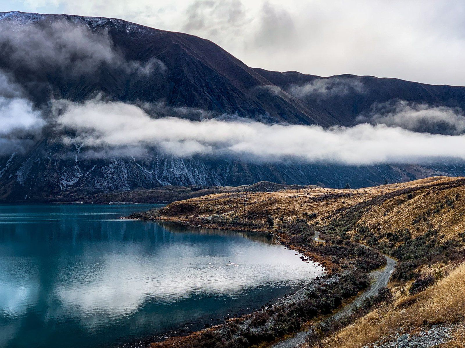
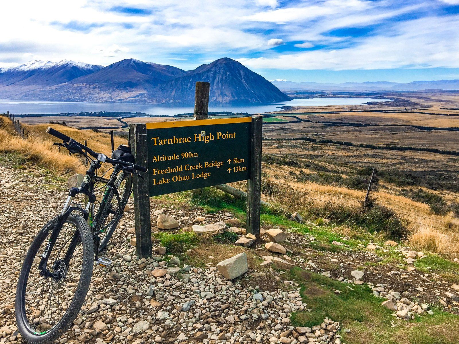
The most direct route to Lake Ōhau is via Lake Ōhau Road from State Highway 8, situated between Omarama and Twizel. This road leads to the lake's southwest end, where you can explore hiking and cycling trails near Lake Ōhau Lodge. Notable tracks include the Tarnbrae Track, part of the Alps 2 Ocean Cycle Trail, and the Freehold Creek Track, a section of Te Araroa that extends to the Ahuriri Valley. Continuing along the lake road, you'll find various DOC camping sites, huts, and tramping tracks in the Maitland, Hopkins, Temple, and Huxley Valleys.
Alternatively, you can access the lake via Max Smith Drive, passing Lake Ruataniwha. This route connects with the Ōhau Canal roads, leading to Glen Lyon Road and the lake's southeast end near the Ōhau River Outlet. Glen Lyon Road follows the lake's east side into the Dobson Valley, offering tramping options, including a 1,000-metre hike to the top of Ben Ōhau.
Cultural and Historical Significance
The easy Lake Ōhau Track links the two main access points and is part of both the A2O Cycle Trail and Te Araroa. At the west end of the track, the largest beach features boards and a pou (carved post) that recount the Ngāi Tahu creation legend of Lake Ōhau. According to the legend, the lake was dug by the Waitaha explorer Rākaihautū with his digging stick, Tūwhakaroria, alongside other South Island lakes.
Historically, Ngāi Tahu visited Lake Ōhau for seasonal food gathering, harvesting tuna (eels) and birds. In the 1870s, Europeans established some of New Zealand's largest sheep stations here, including Benmore Station and Lake Ōhau Station. These high country stations were later divided into smaller holdings during WWI, but they remain active today.
Fishing Opportunities
Lake Ōhau is renowned for trout fishing, attracting anglers seeking both relaxation and challenge. For a more remote fishing experience, head into the Dobson and Hopkins Valleys for river fly fishing.
Getting to Lake Ōhau
To reach Lake Ōhau, take Lake Ōhau Road from State Highway 8, located between Omarama and Twizel. This route leads to the lake's southwest end, offering access to various outdoor activities and accommodation options. Alternatively, you can take Max Smith Drive past Lake Ruataniwha to connect with the Ōhau Canal roads and Glen Lyon Road, reaching the lake's southeast end.
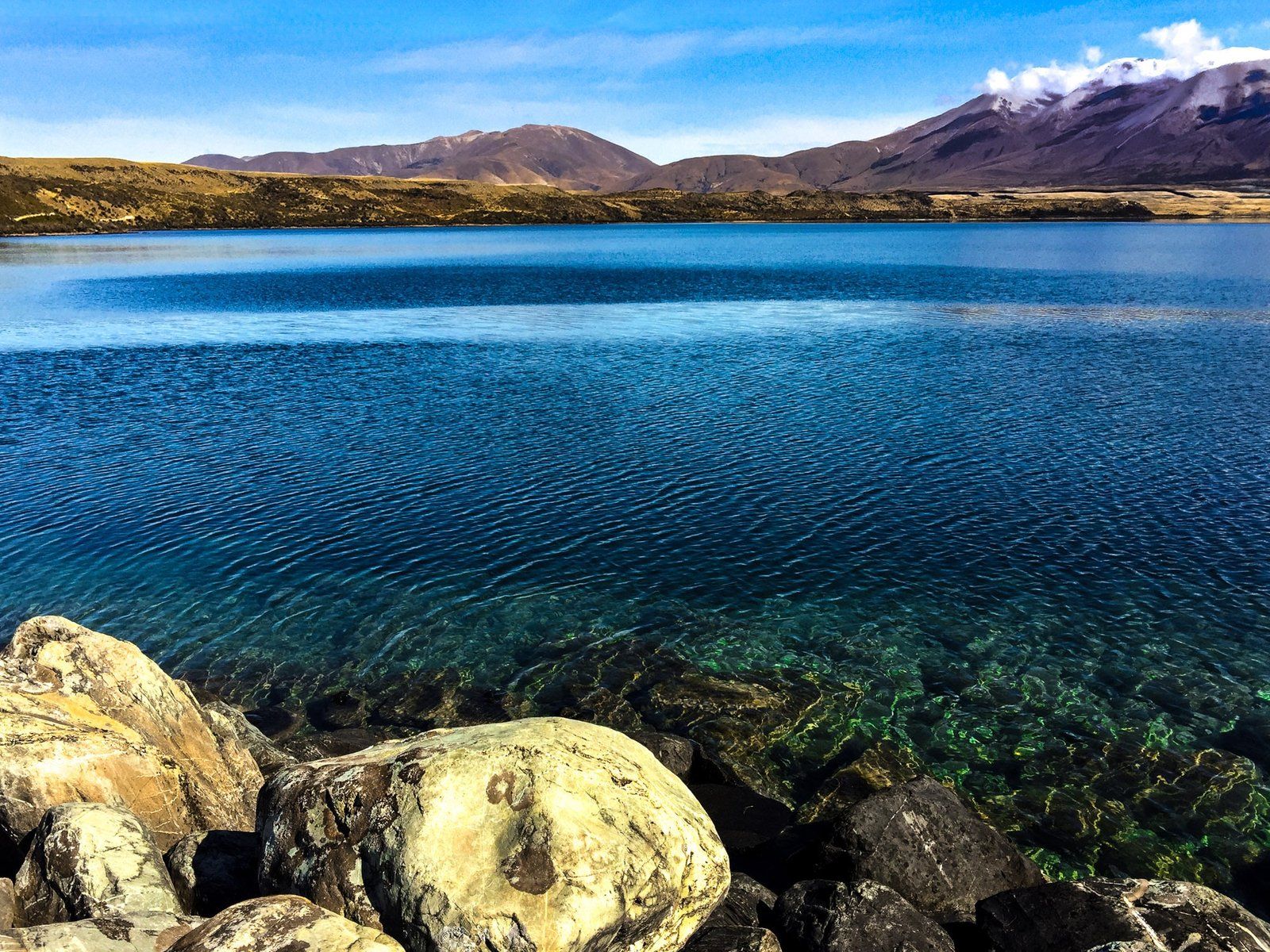
Nearby, you can also explore the scenic beauty of Lake Pukaki, Lake Tekapo and Lake Benmore.