Exploring Kitekite Falls
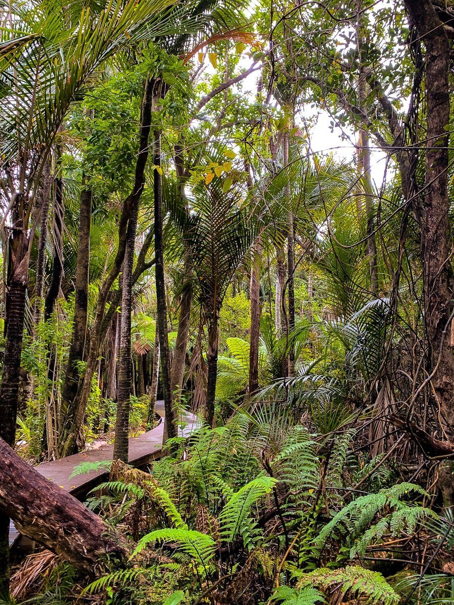
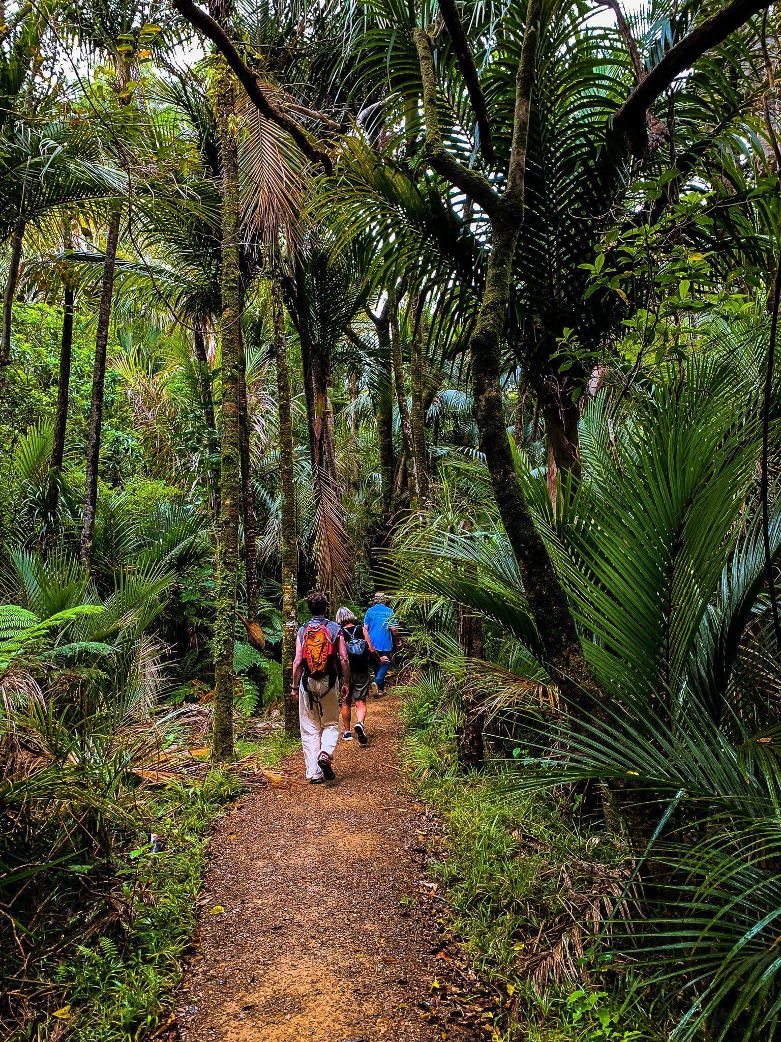
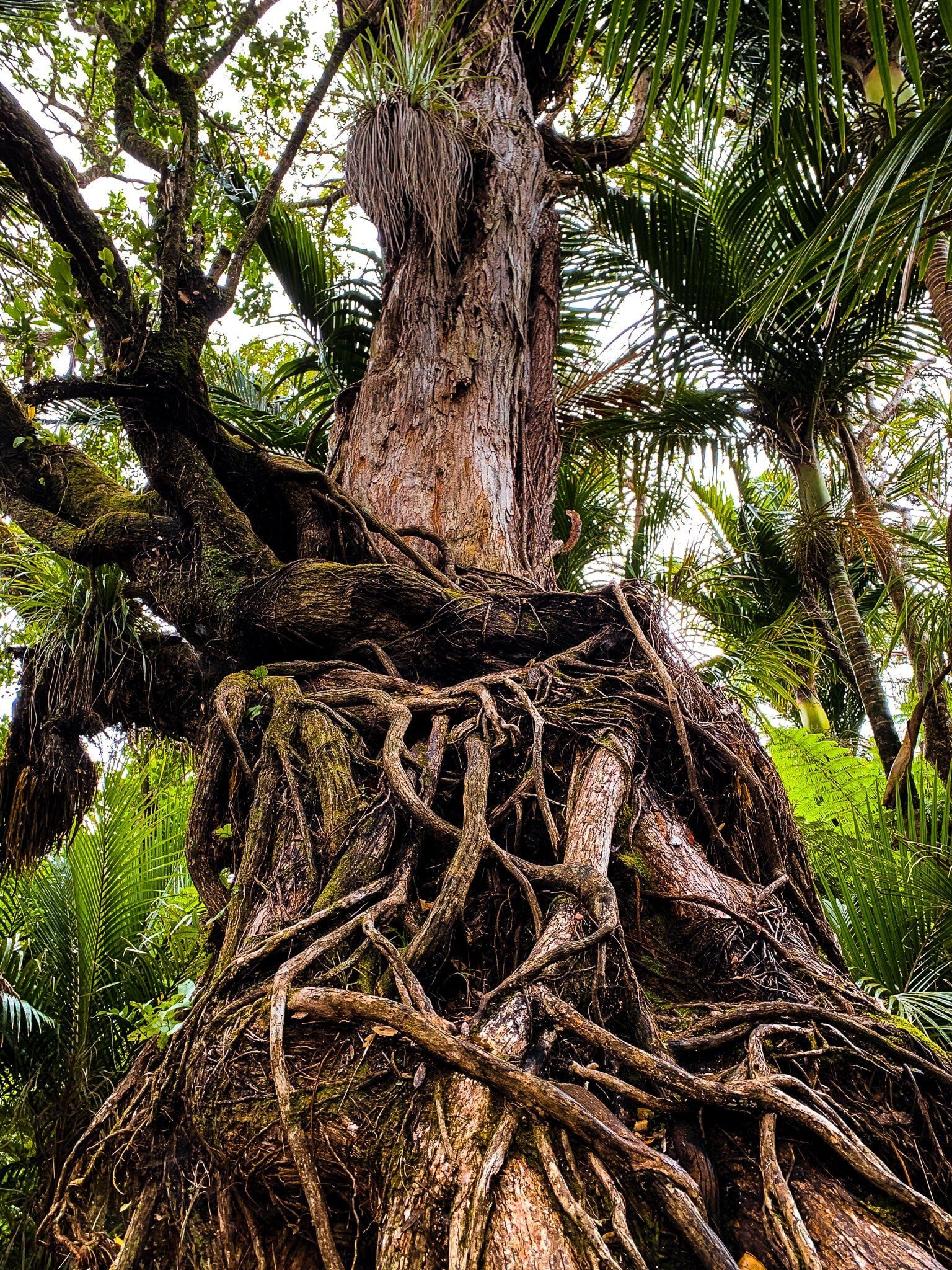
Kitekite Falls, also known as Kitakita, is located in Piha within the Waitākere Ranges of Auckland. This area is renowned for its scenic walk through native forest, featuring a single ancient rātā and an abundance of nīkau palms and young kauri trees. The walk includes a short loop near the beginning of the track. There used to be a second loop, but this has suffered extensive storm damage.
Walking the Track
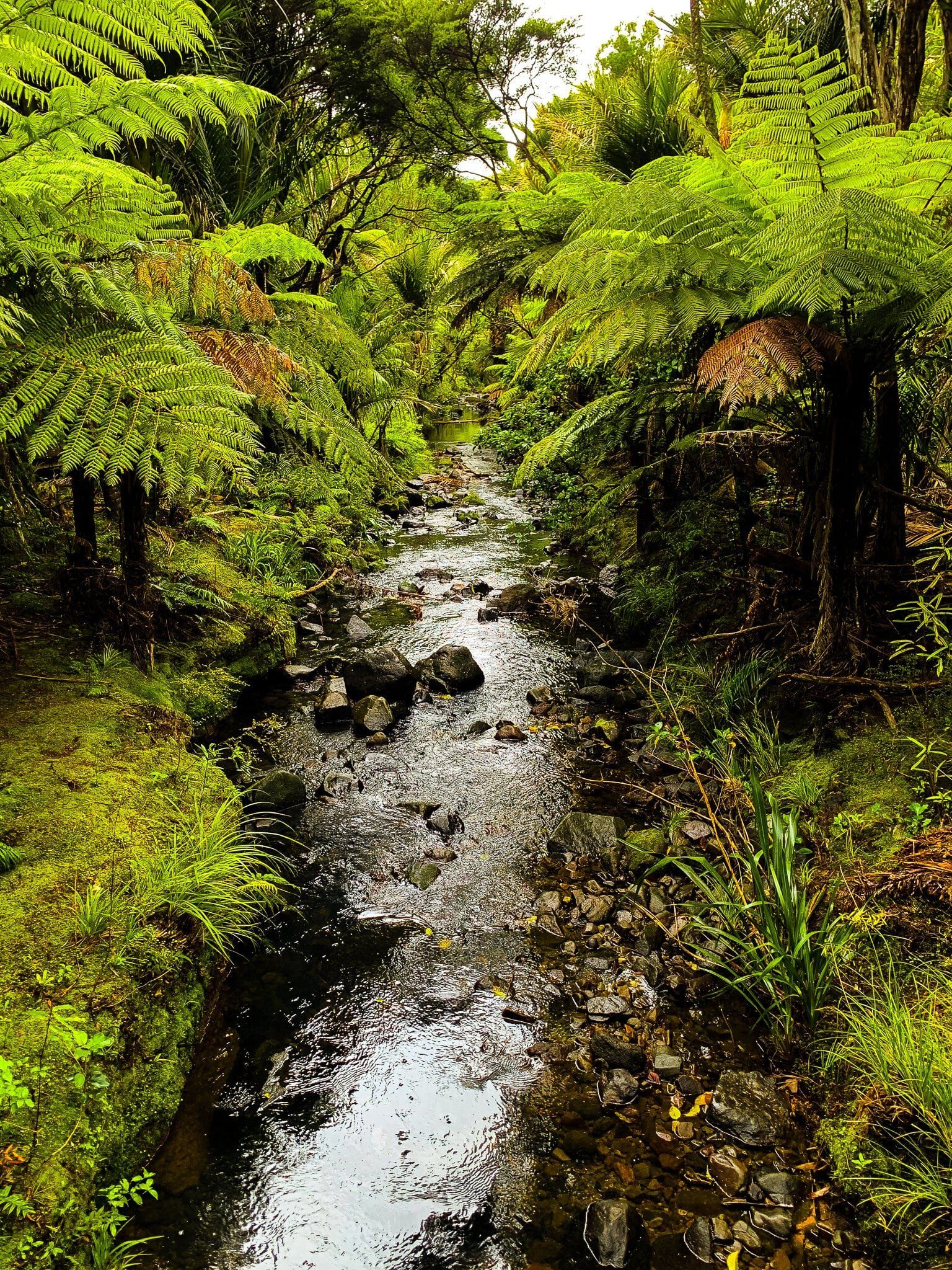
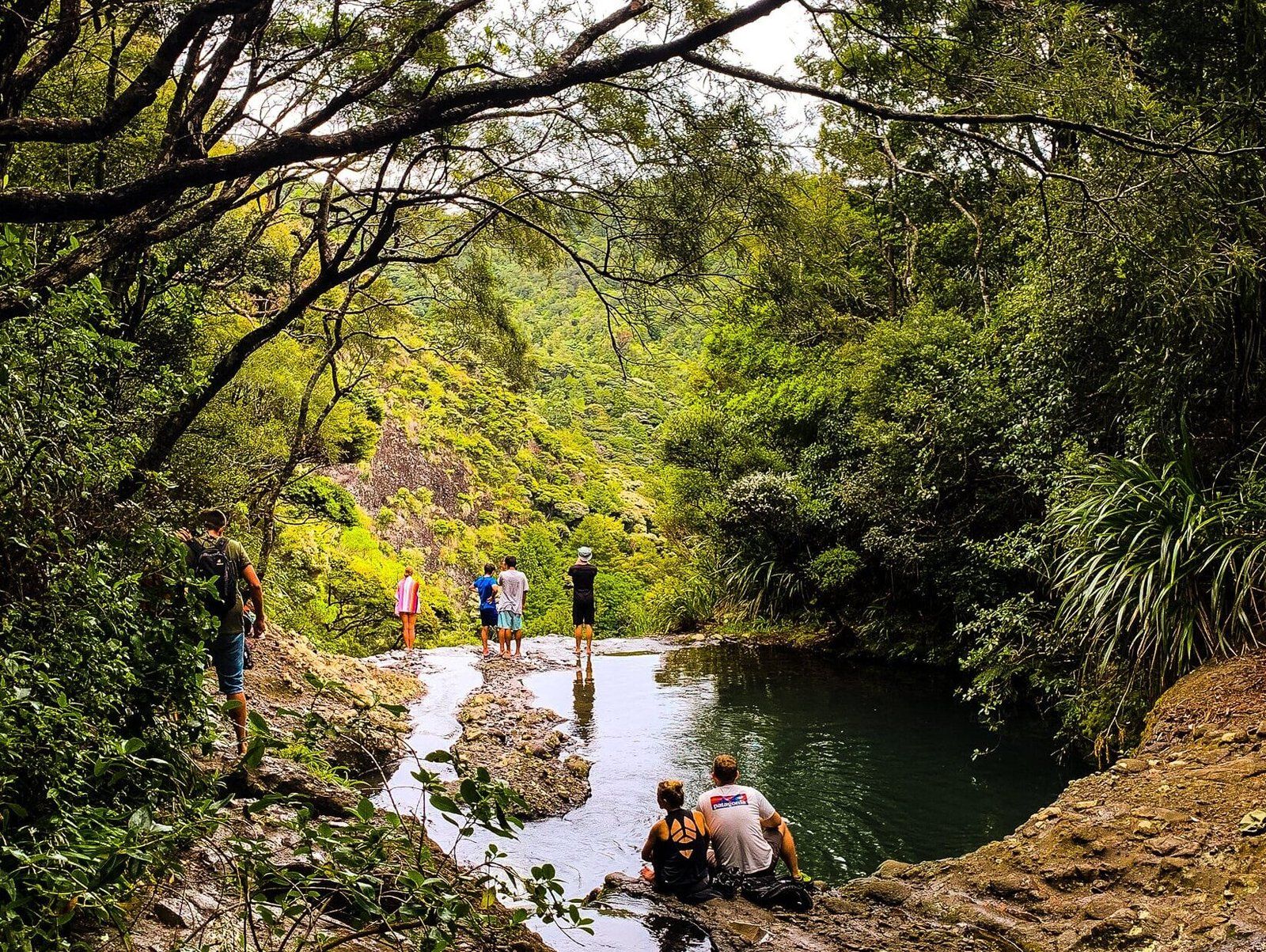
The first half of the track is flat and easy, with several panels describing the flora and history of the region, including he impact of kauri logging. This part of the track also follows an attractive stream, fed by the falls. As you continue on, you cross a big slp area that resulted from the storms of 2022, an unsubtle reminder of how tough this terrain can be.
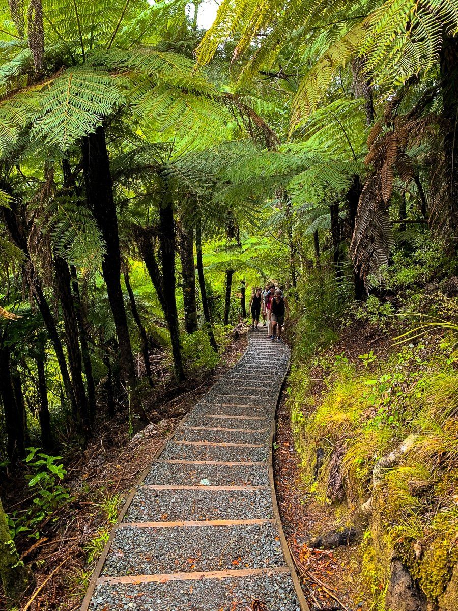
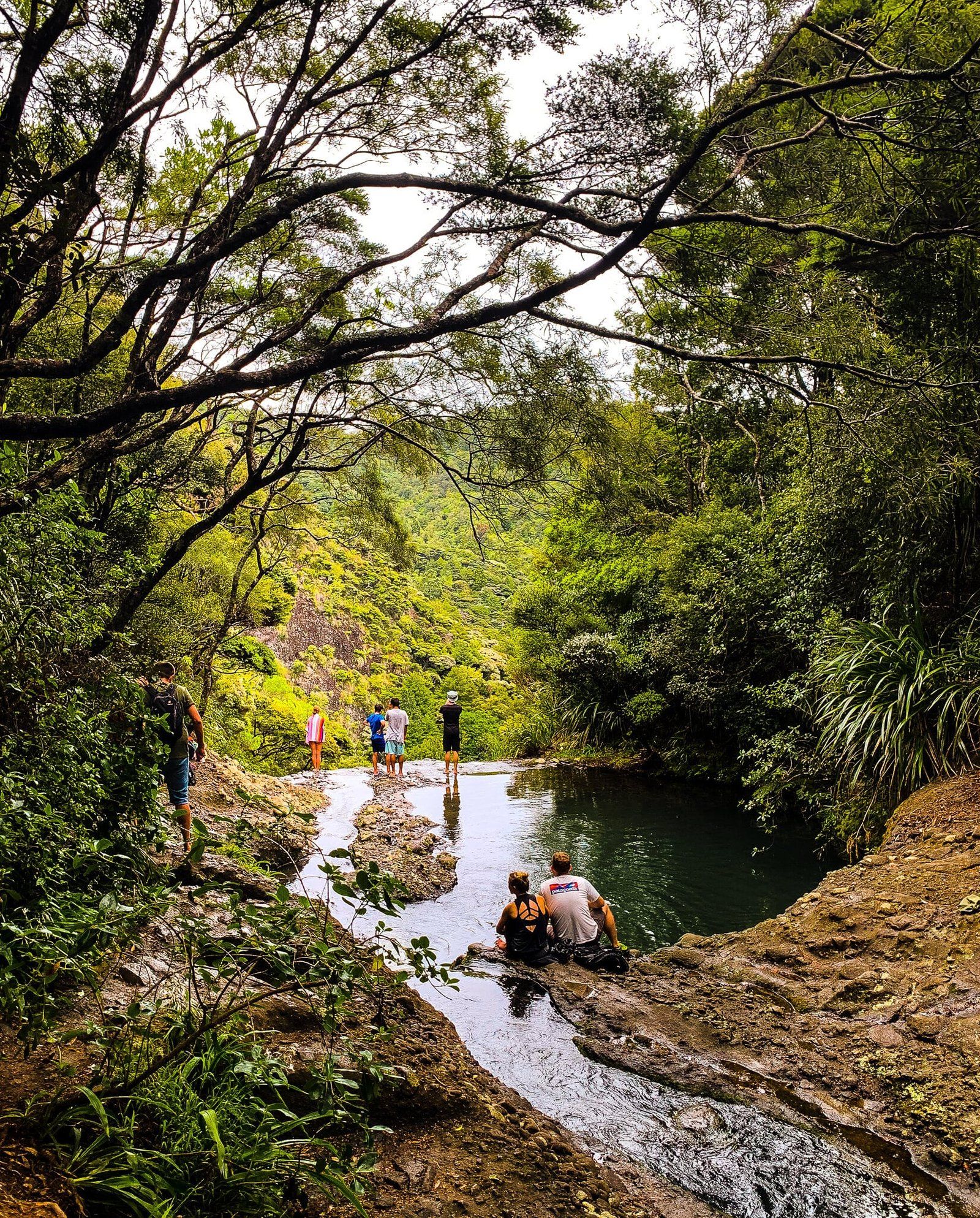
From there, you cross the stream on some rocks, then the track climbs 60 metres, with steps. As you approach the base of Kitekite Falls, a fork in the track, right next to the largest kauri on the track, provides an option for a steep walk to the top. Continuing on takes you through a rough, rocky section on the track to the falls. There, you can bathe in the pool (with eels!) and explore further around the base.
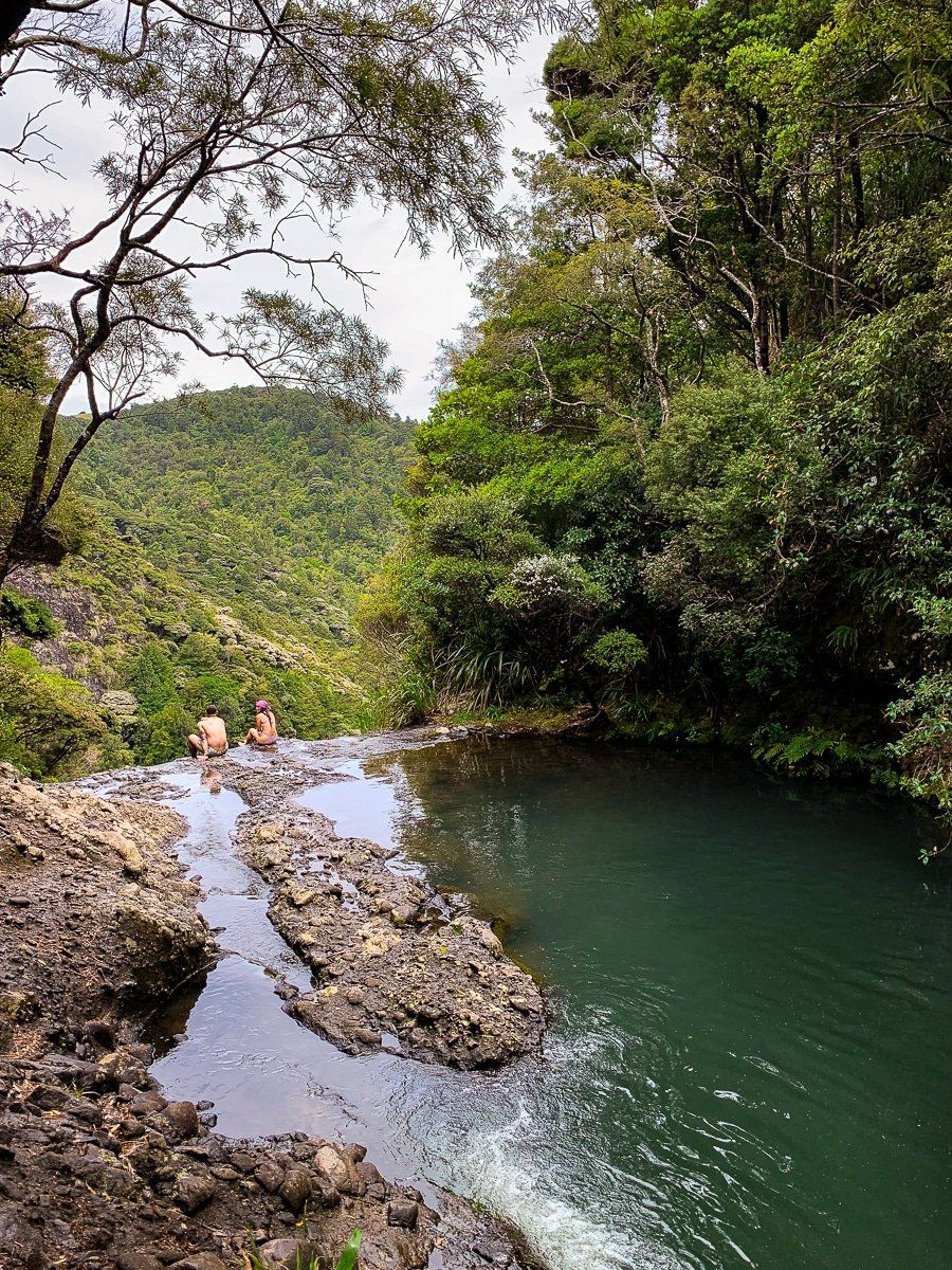
Reaching the Top of the Falls
Taking the fork results in a further 50 metre climb with steps, surrounded by young kauri regrowth. Finally, there is a short walk along a ridge, with steep drops, mostly protected by a fence, into the canyon below the falls. At the top, you'll find several pools suitable for bathing, including one perched right on the edge of the falls. The views from this vantage point are truly spectacular, providing a unique perspective of the surrounding landscape.
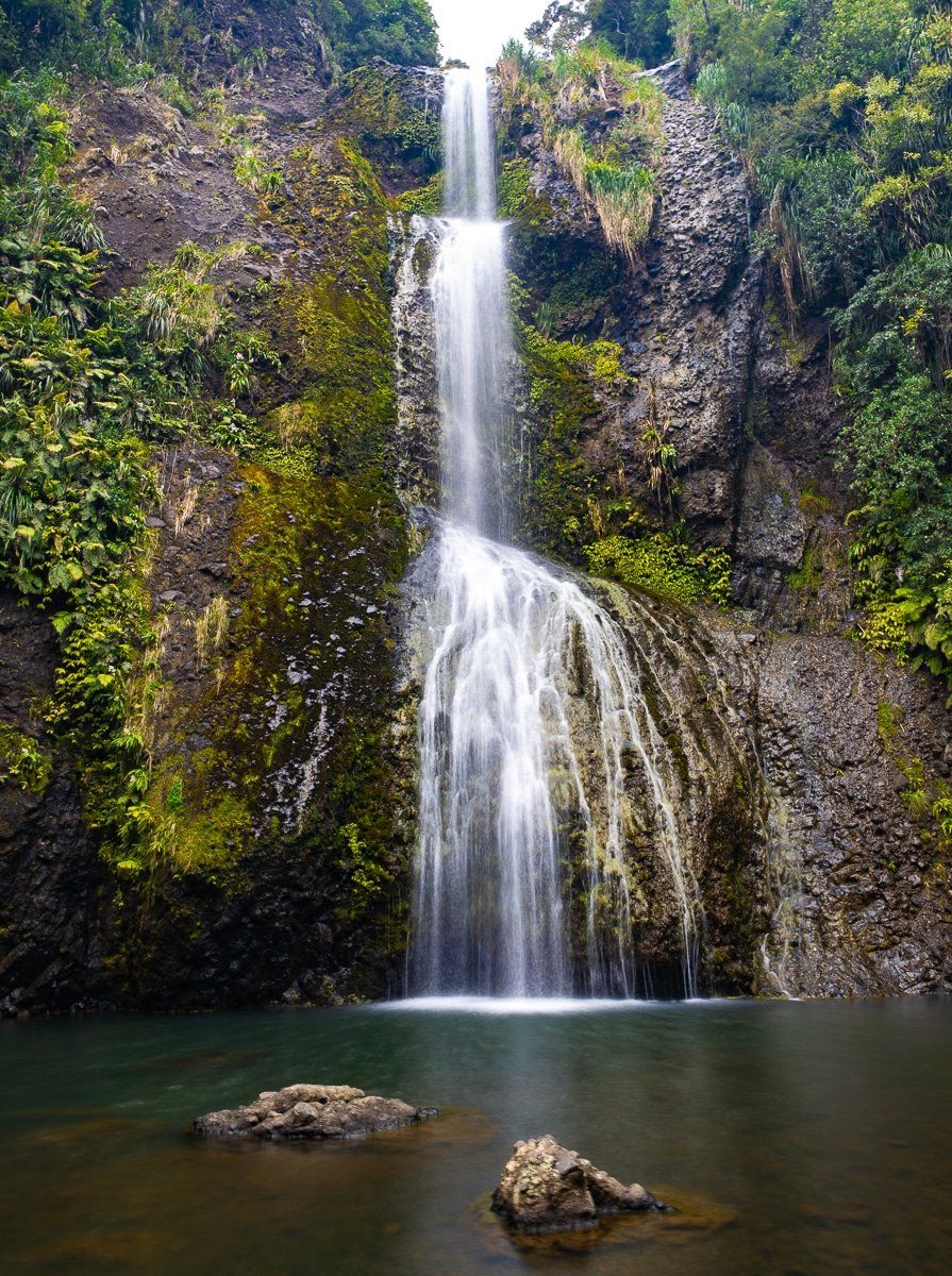
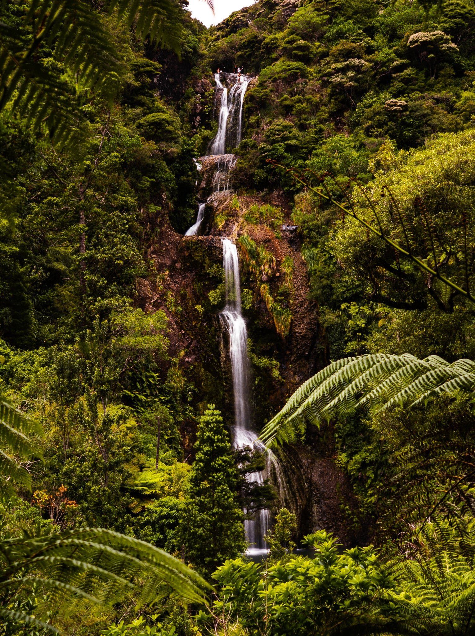
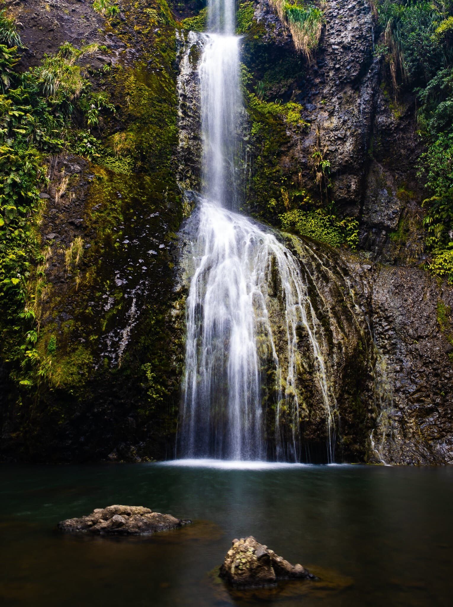
How High are the Falls?
Kitekite Falls has a series of steps from the top. From the bottom, you can only see the three main steps, which total approximately 40 meters high. You also can't see the entire falls from the top. However, including the higher pools and drops, the total height is around 80 metres.
A Glimpse into History
In the 1800s, during the era of extensive logging, a kauri dam was constructed near the top of the falls to flush kauri logs - you can spot where it was with cuttings in the rock. This was attempted only once, with few logs surviving the main 40-metre stepped drop.
How to Get There
To access the Kitekite Falls walk, from the end of Piha Road into Piha, turn right onto Glenesk Road and drive to the end. There is parking available next to the start of the track, and a sign-posted larger car park is located a bit further back along the road. Be sure to look under the bridge next to this car park, as there are bound to be eels.
Other walking options around Piha include the nearby Maungaroa Track, beach walks to the Gap and Blowhole, the caves at North Piha and White Track to Whites Beach.
.