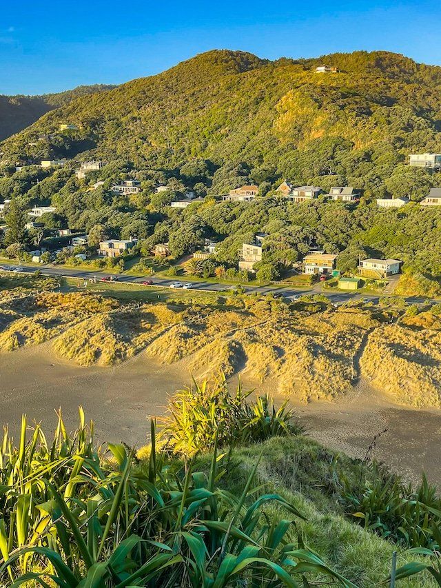
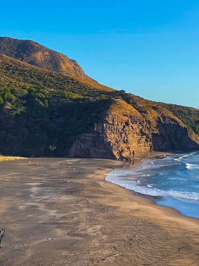
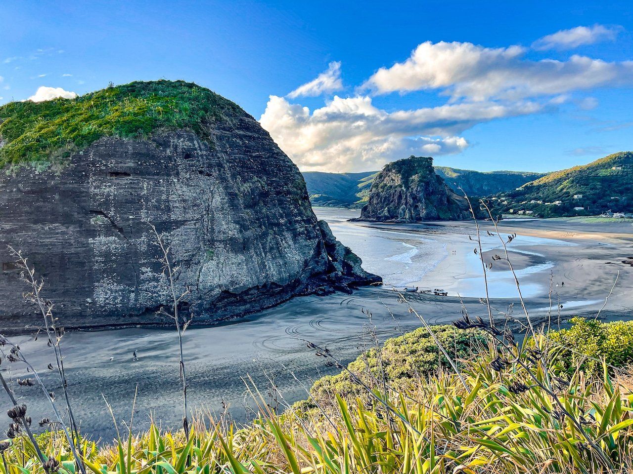
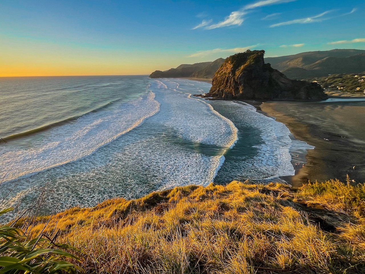
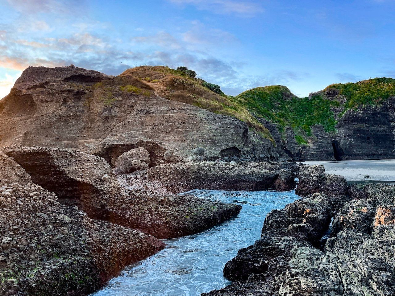
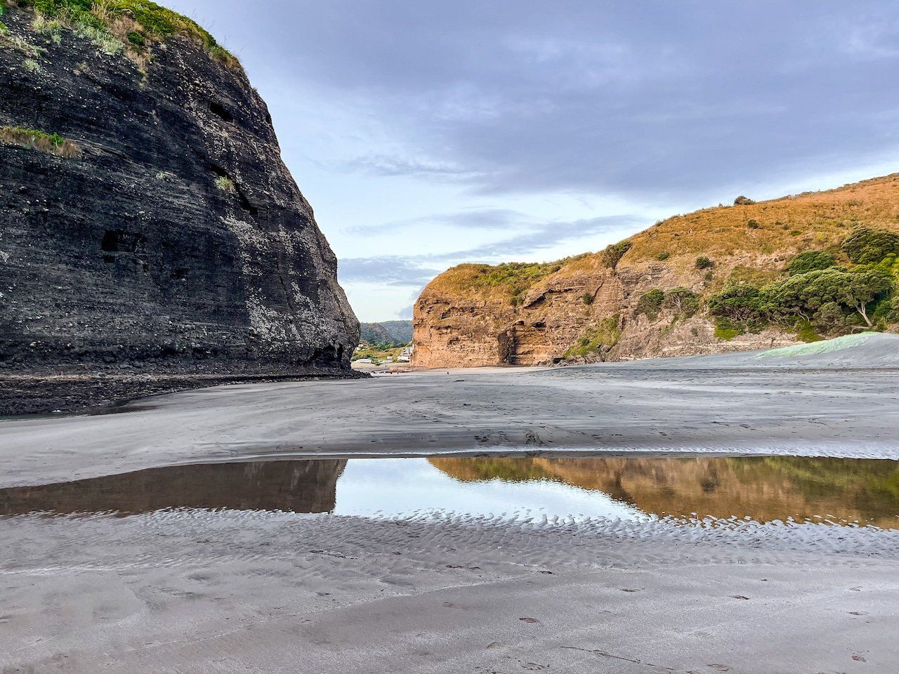
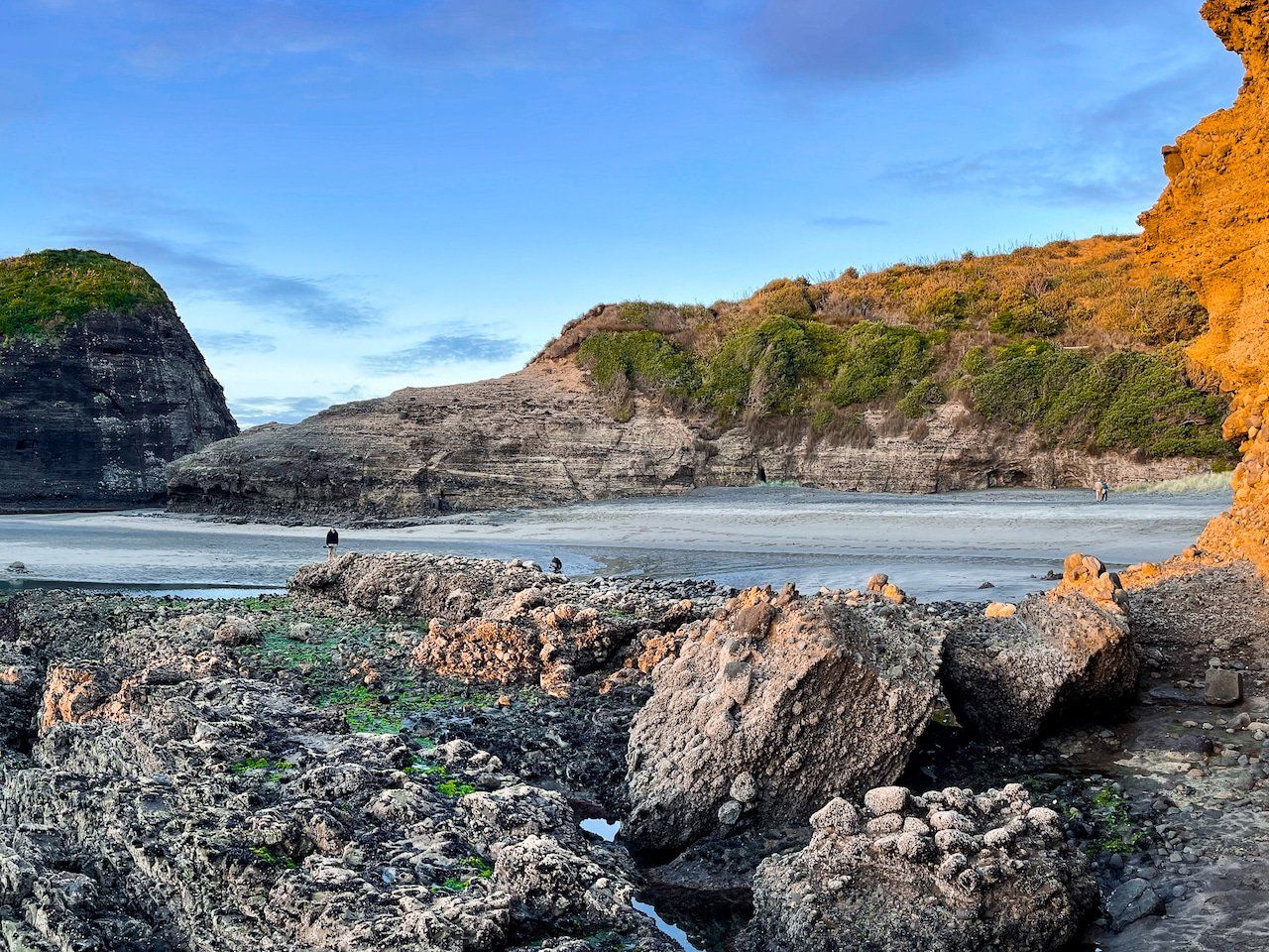
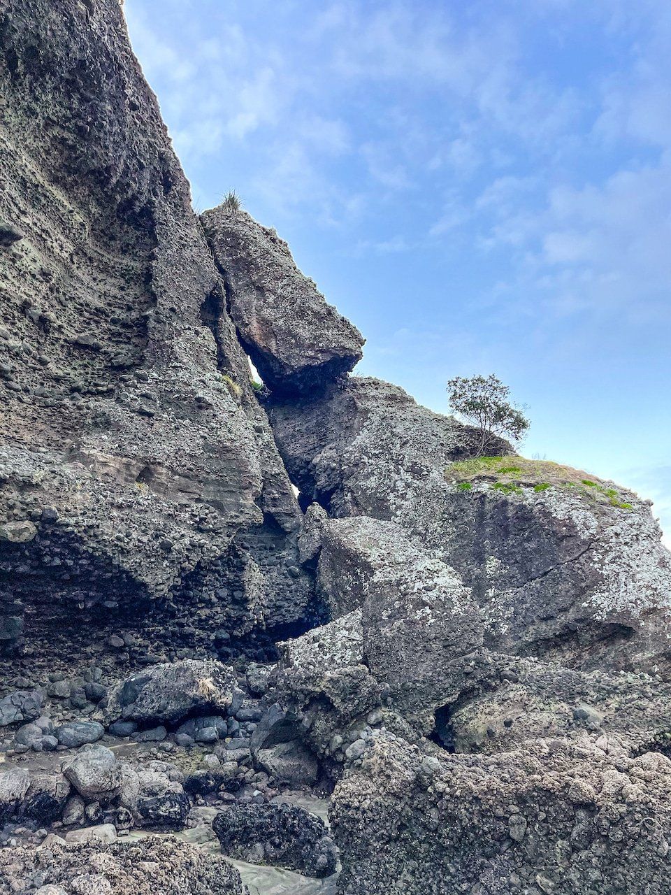
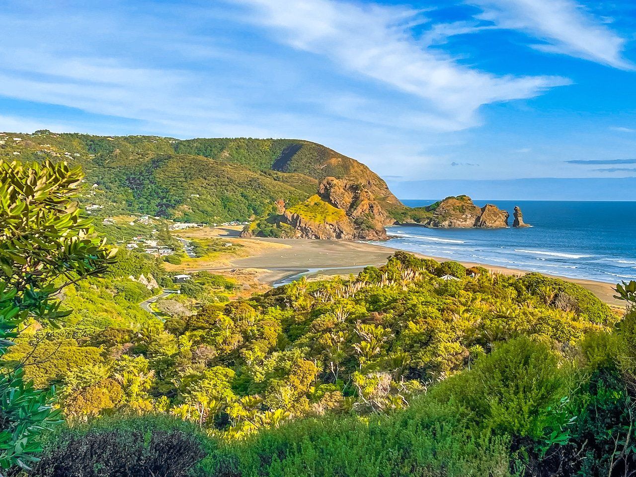
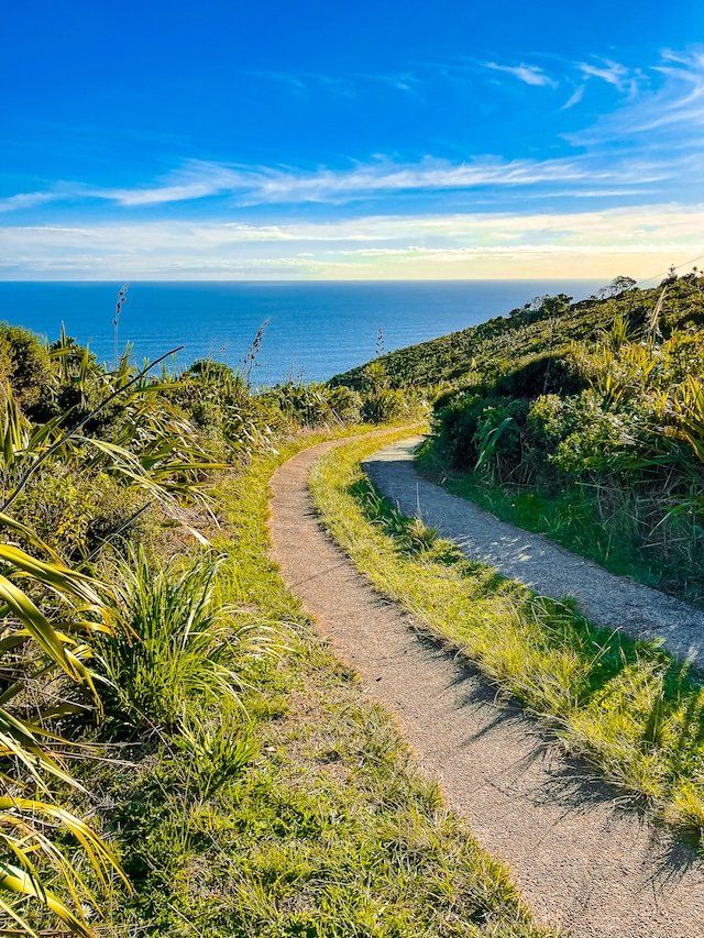
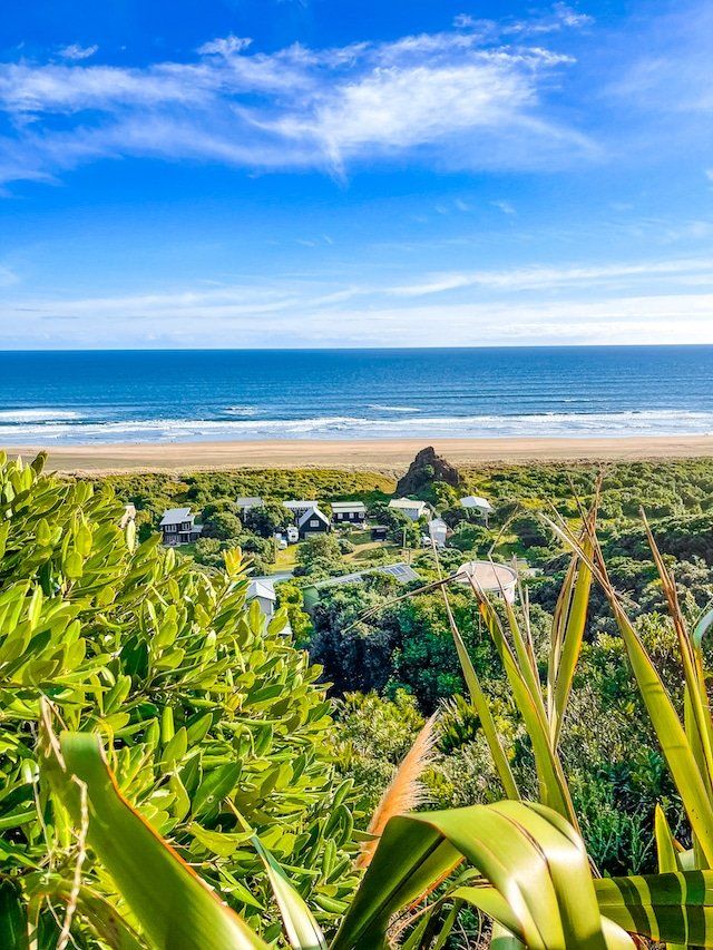
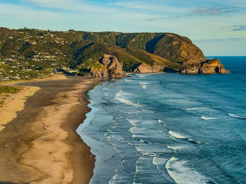
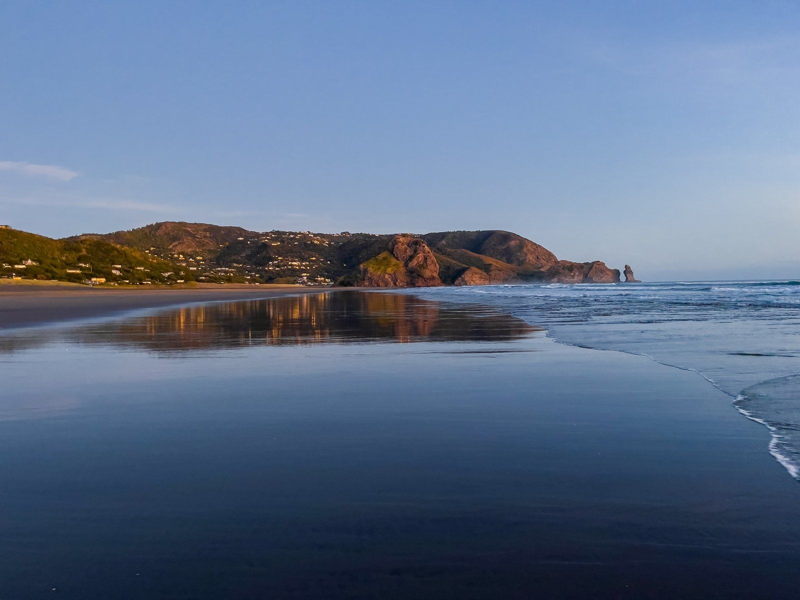
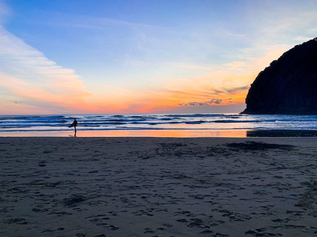
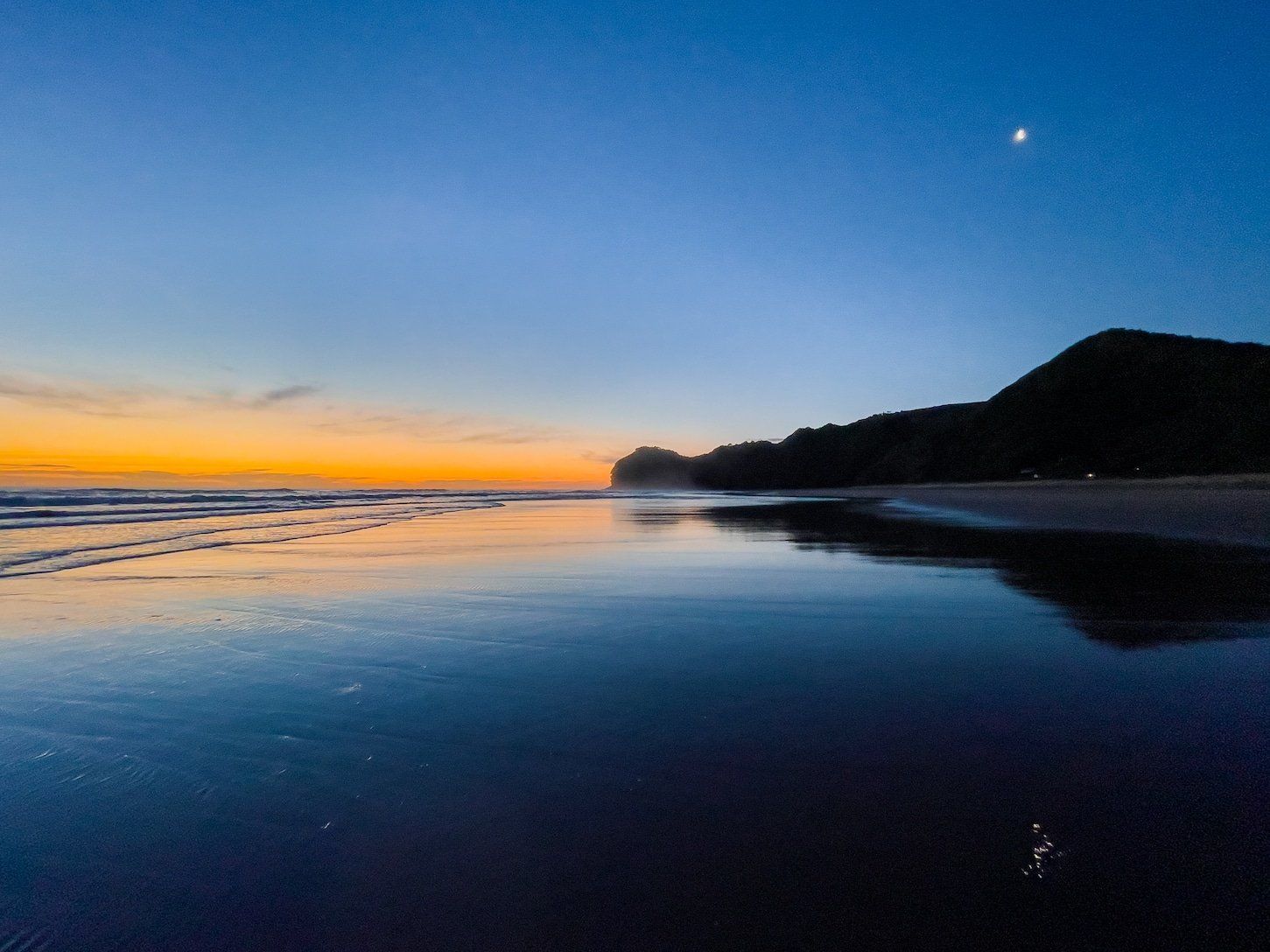
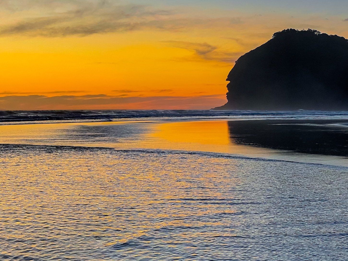
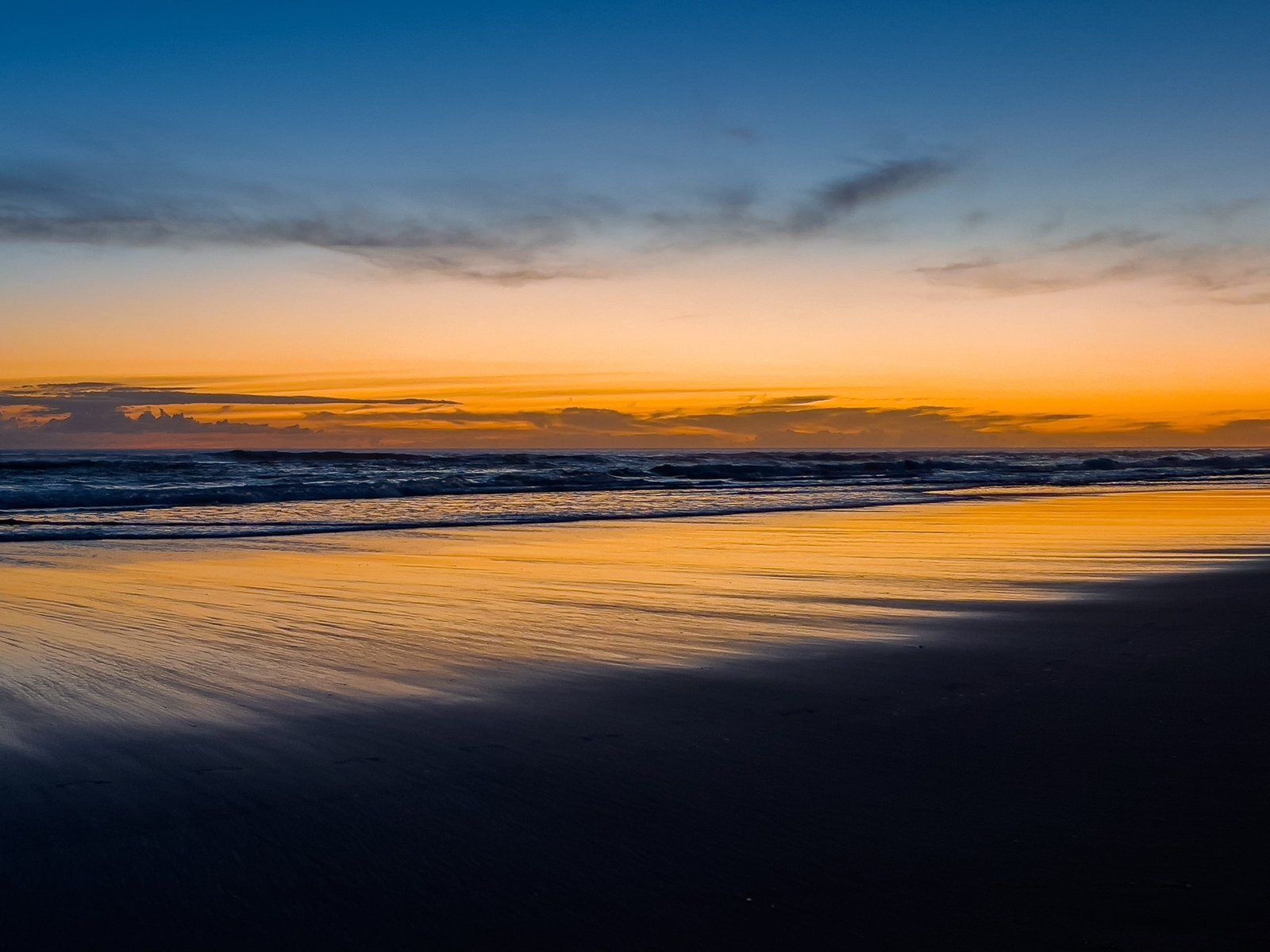
It is easy to think of Piha as a beautiful surf beach with its very prominent Lion Rock, generally photographed looking south to north along the beach. But immediately from the beach, there are some interesting short walks, including one up Lion Rock itself, over Tasman Point with its superb views of south Piha and around The Gap to the somewhat forgotten Blowhole.
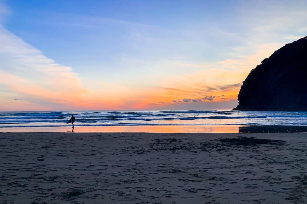
Or for a longer walk, head towards North Piha and take Marawhara Track to White Track up to Anawhata Road. Then come back down via Whites Beach to complete a loop, taking in the superb views from the top of Te Waha Point, finishing with a walk back along North Piha to the track access. Try and complete the walk as the sun sets!
Lion Rock
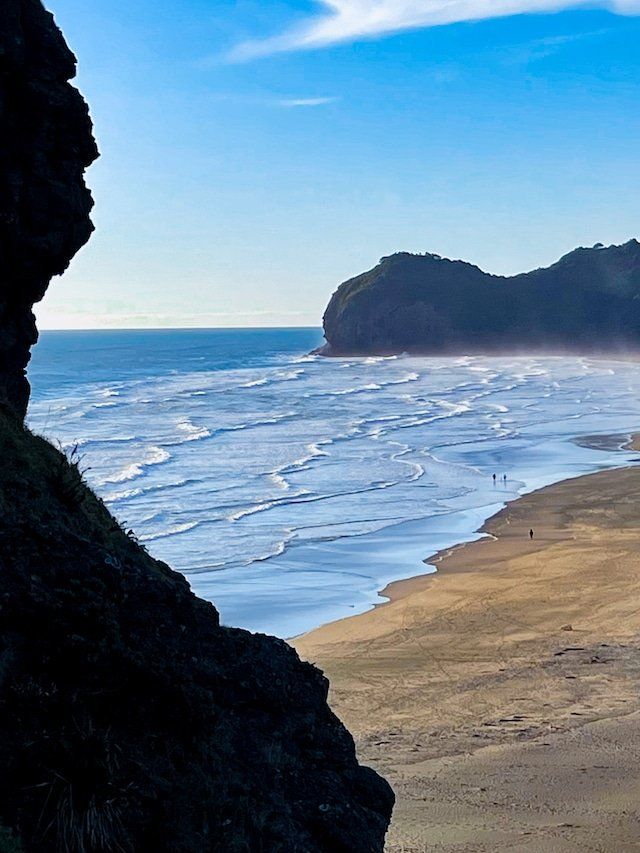
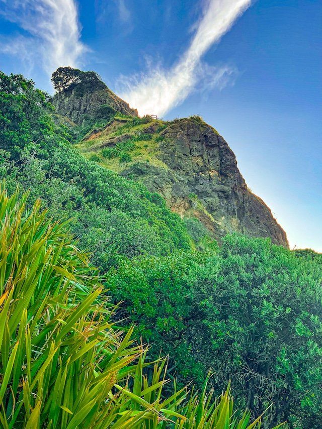
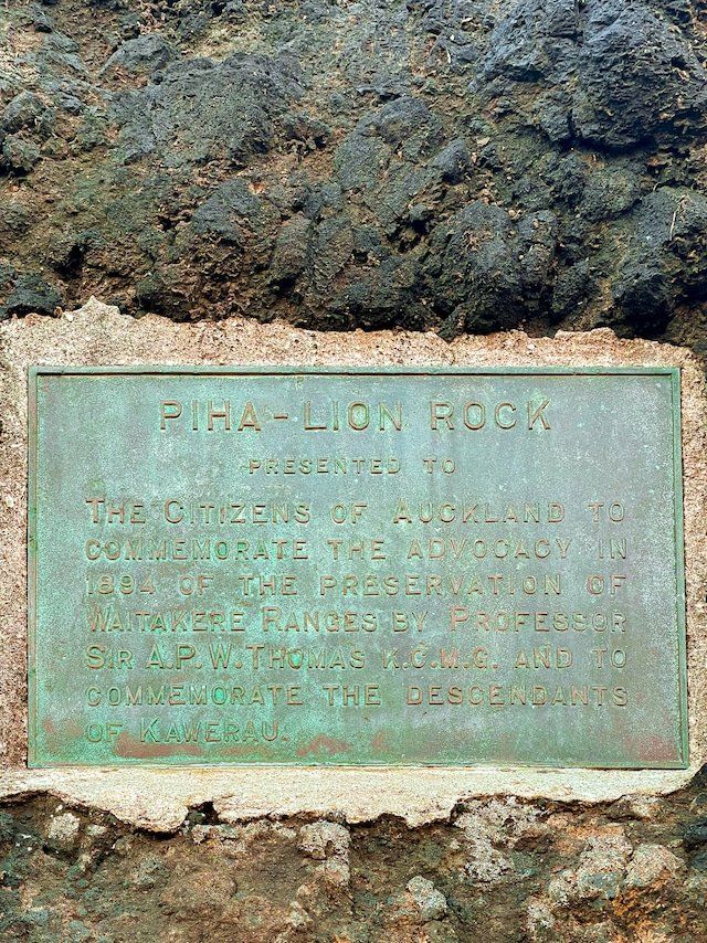
Lion Rock is one of the most prominent features in the Waitakere ranges, and most photos of Piha include its lion-like south facing side. It also provides some history. It was once a pā and according to a plaque at its base, placed there in 1894, Professor APW Thomas proposed the Waitakere Ranges be protected. This actually happened with the creation of the regional park that covers much of the ranges.
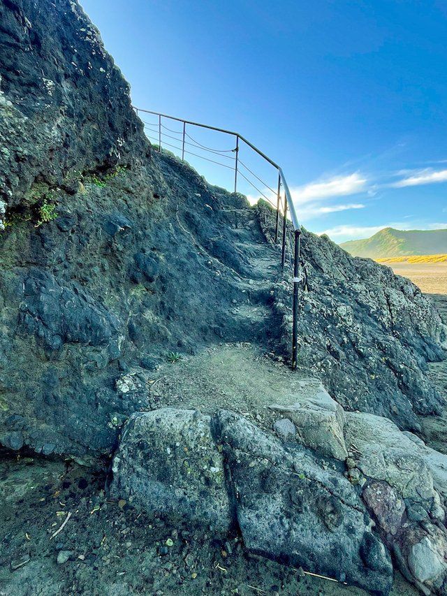
Just beyond the plaque is the access to a path that goes up the narrow spine of the lion. It used to go to the top, but a slip some years ago put an end to that. But you can still get near the top with superb views up and down the beach. Don’t worry, there is a safety rail almost all the way!
Tasman Lookout
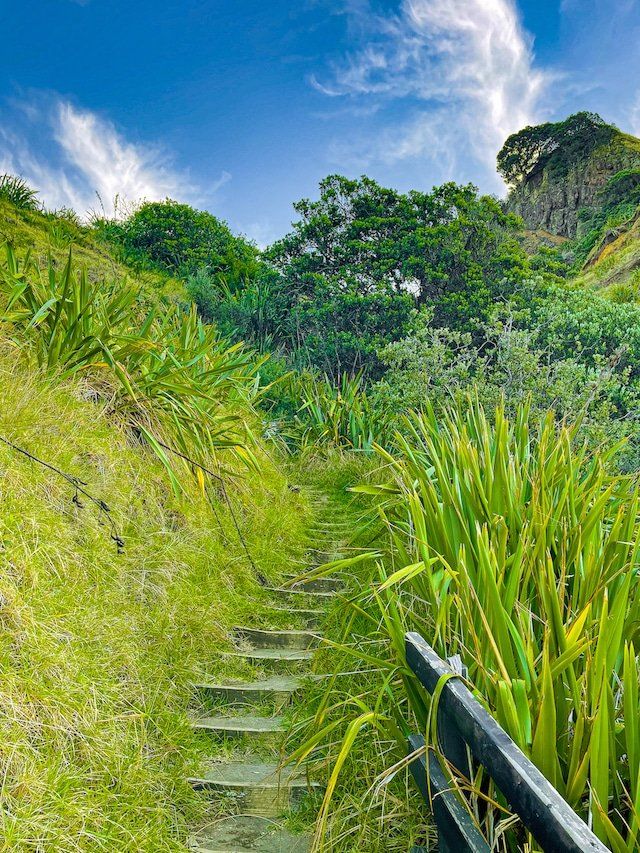
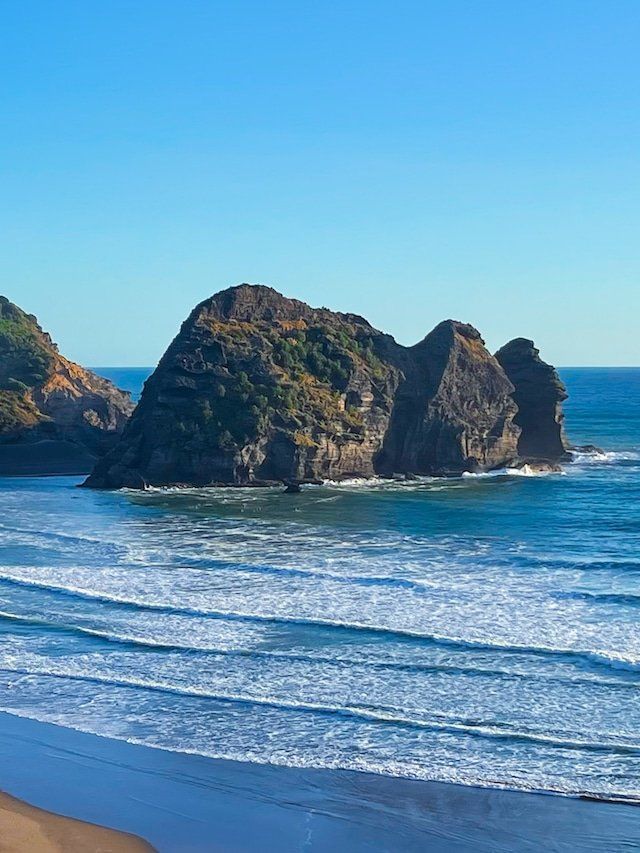
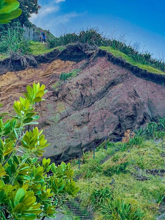
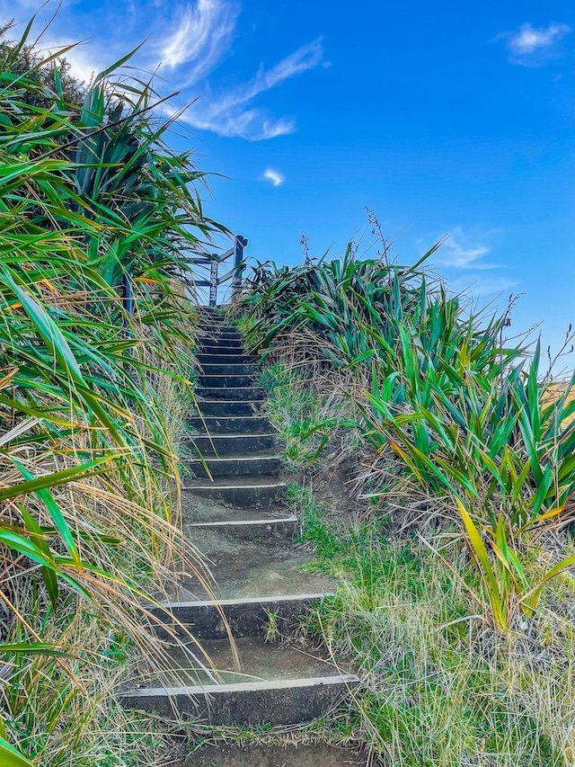
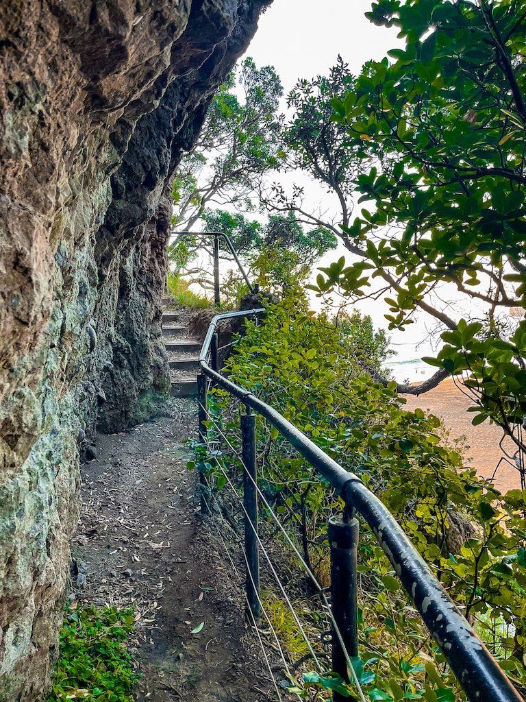
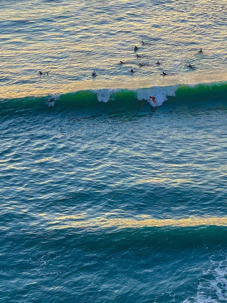
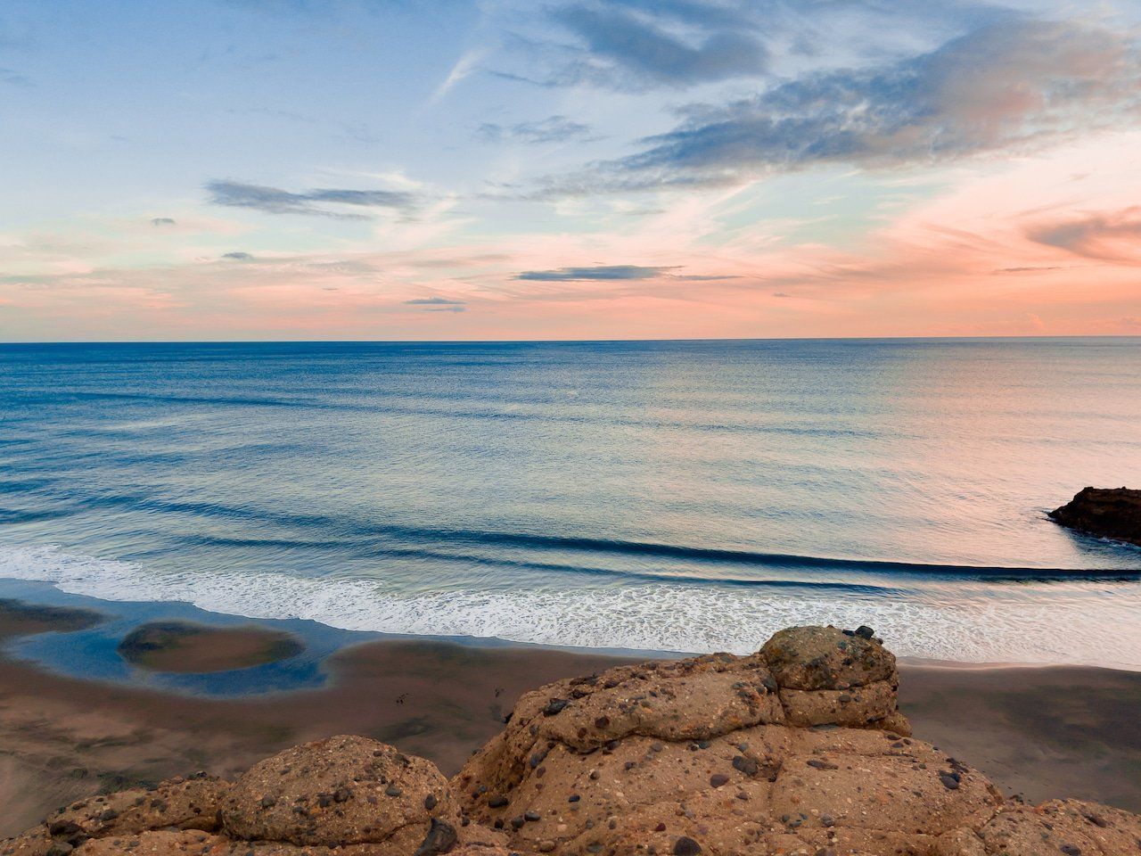
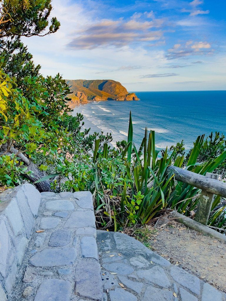
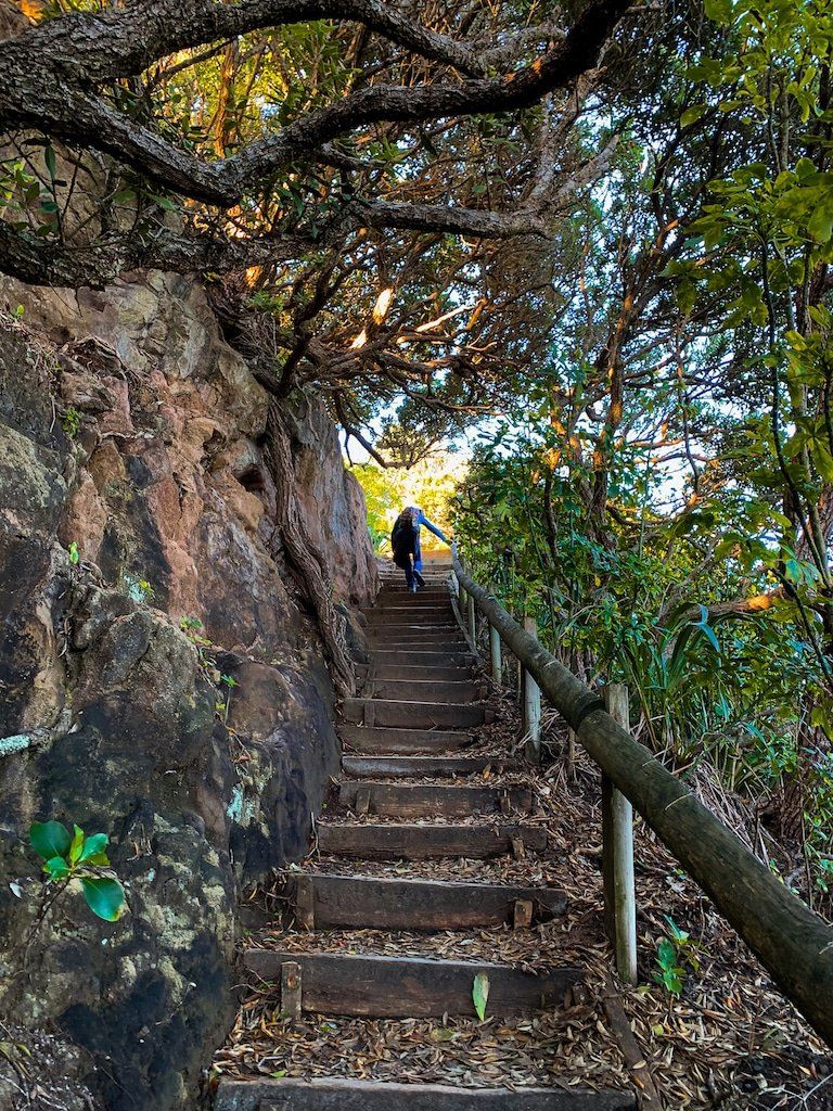
The access to Tasman Lookout Track is at the southend of Piha Beach, next to the carpark below the cliff. This is a narrow track that heads up the side of the cliff, with safety rails in one section where there is an especially steep drop. There are great views of Lion Rock as you head up, but right at the top on the edge of the cliff, there is an excellent viewpoint, with a stone wall, that looks over much of the beach, Taitomo Island and around to The Gap. A perfect place for sunset and watching surfers at the south end of the beach.
Continue along the track beyond the viewpoint to a second with a better view of The Gap and Taitomo Island. The track terminates at beach level behind The Gap and you can easily walk back around the sand between the Island and the cliff to Piha Beach as the tide goes out.
The Blowhole
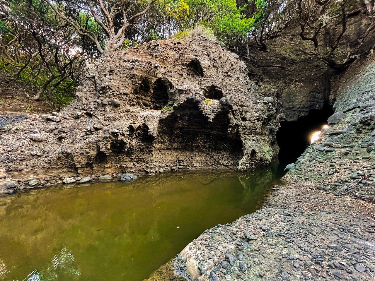
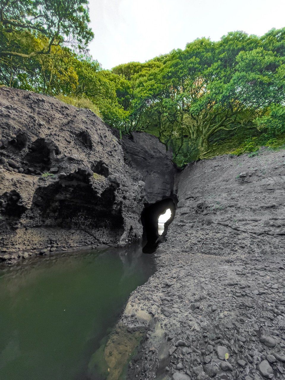
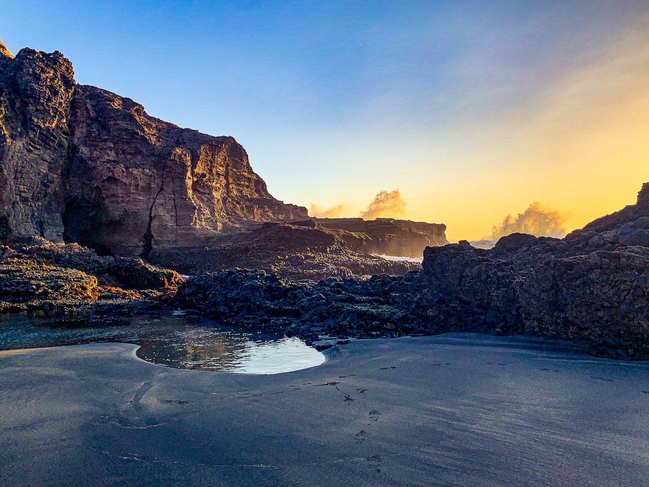
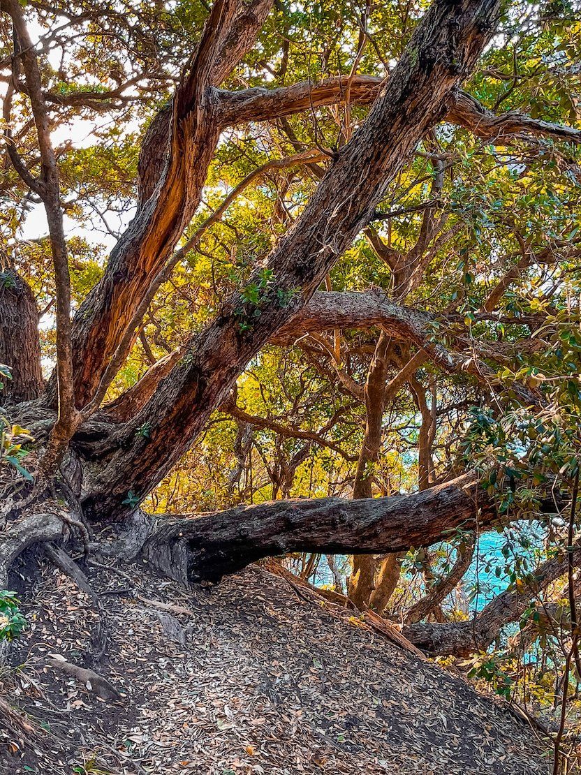
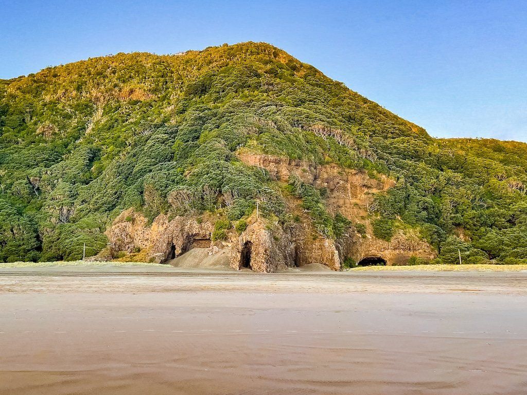
Many years ago, a visit to the Blowhole was part of the Piha experience. I remember standing on the top edge of the tunnel watching the surf blast through the tunnel into a grotto many years ago, but it seems to have been largely forgotten. Perhaps it’s because it’s not much of a real blowhole anymore and there is now much more scrub and pohutukawa growth obscuring its location, including around the cliff edge vantage points.
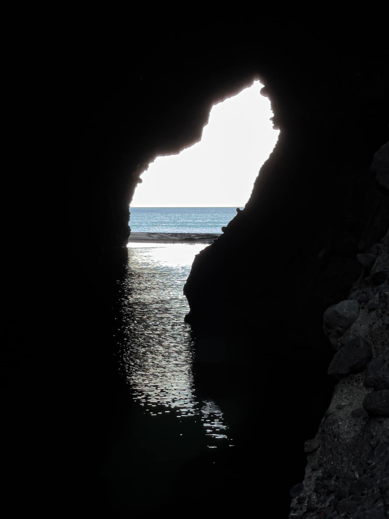
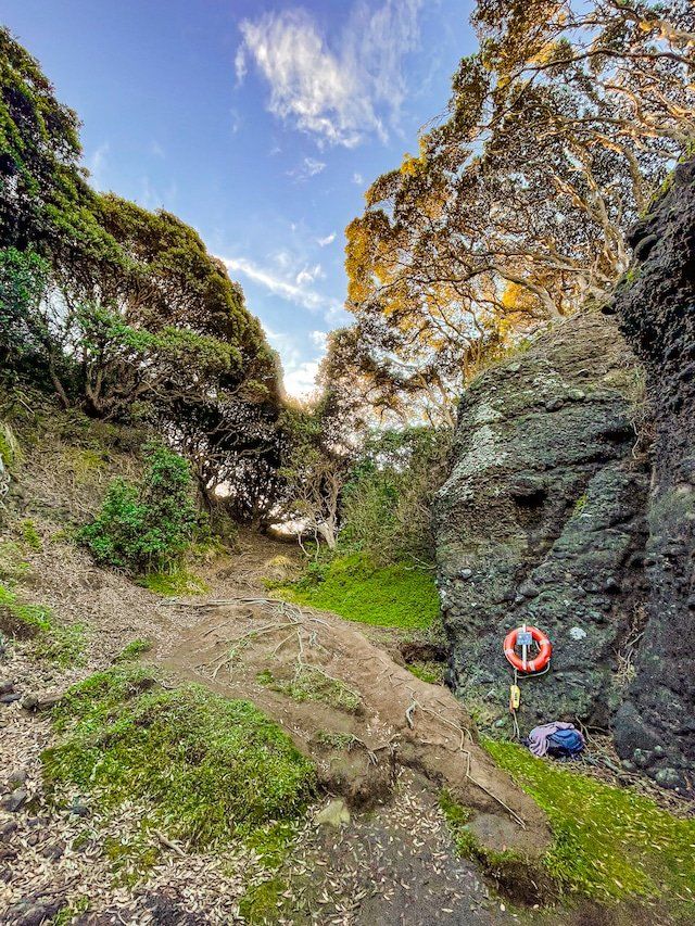
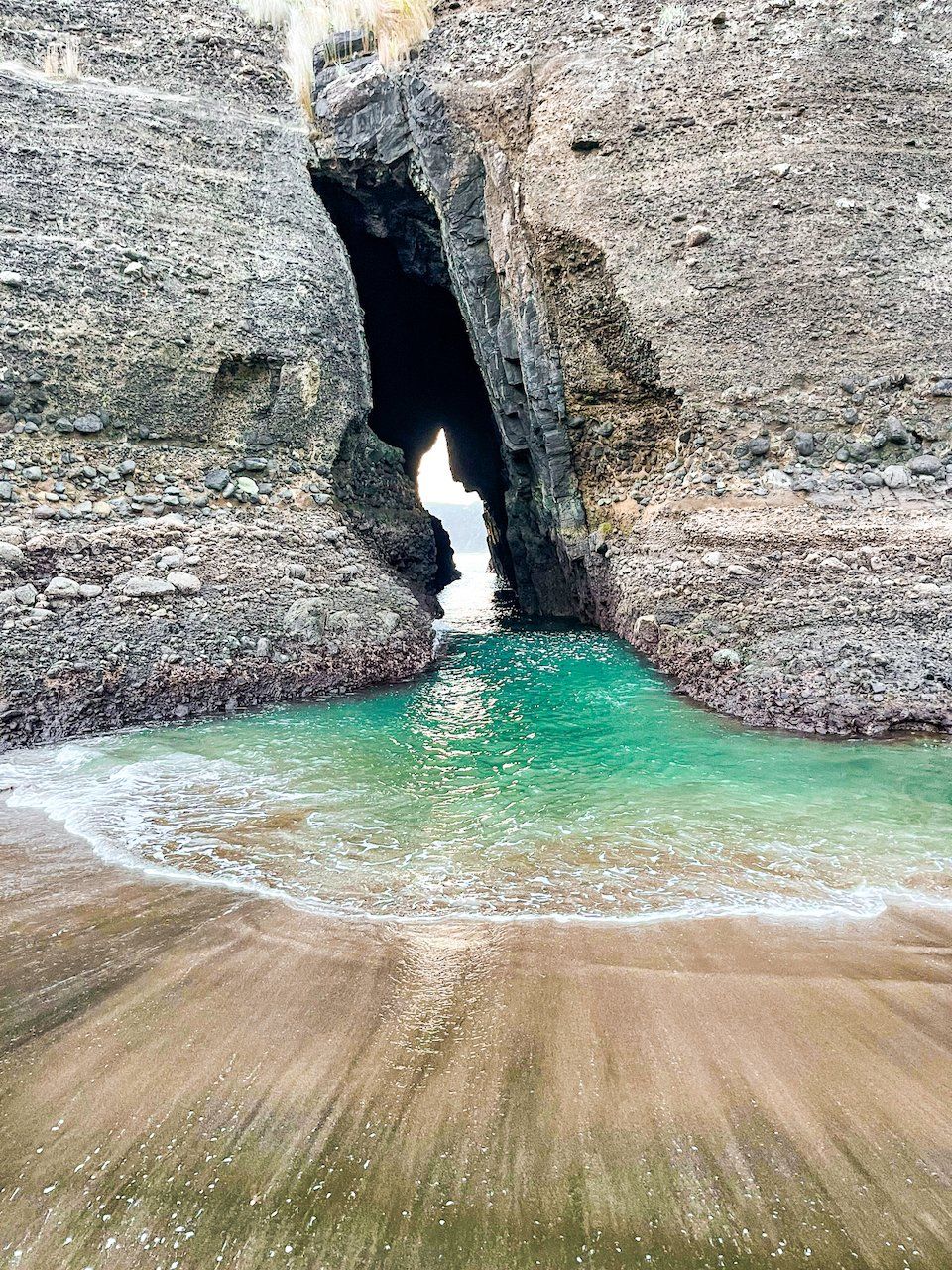
But there is a short walk down to the grotto, then you can wade and swim though to a beach on the other side of the tunnel, at least at low tide. There is even an Auckland City sign providing appropriate warnings and an accessible life buoy if you run into trouble!
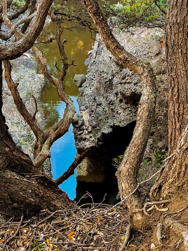
To find it, continue round from The Gap, or the end of the Tasman Lookout Track, then push into the scrub more or less where the track ends. If it takes more than a couple of minutes to find the grotto and tunnel access, you’re in the wrong place. Once you’ve found it, you should also be able to see the rather indistinct track that takes you to the cliffs above the tunnel.
The Blowhole Cliffs
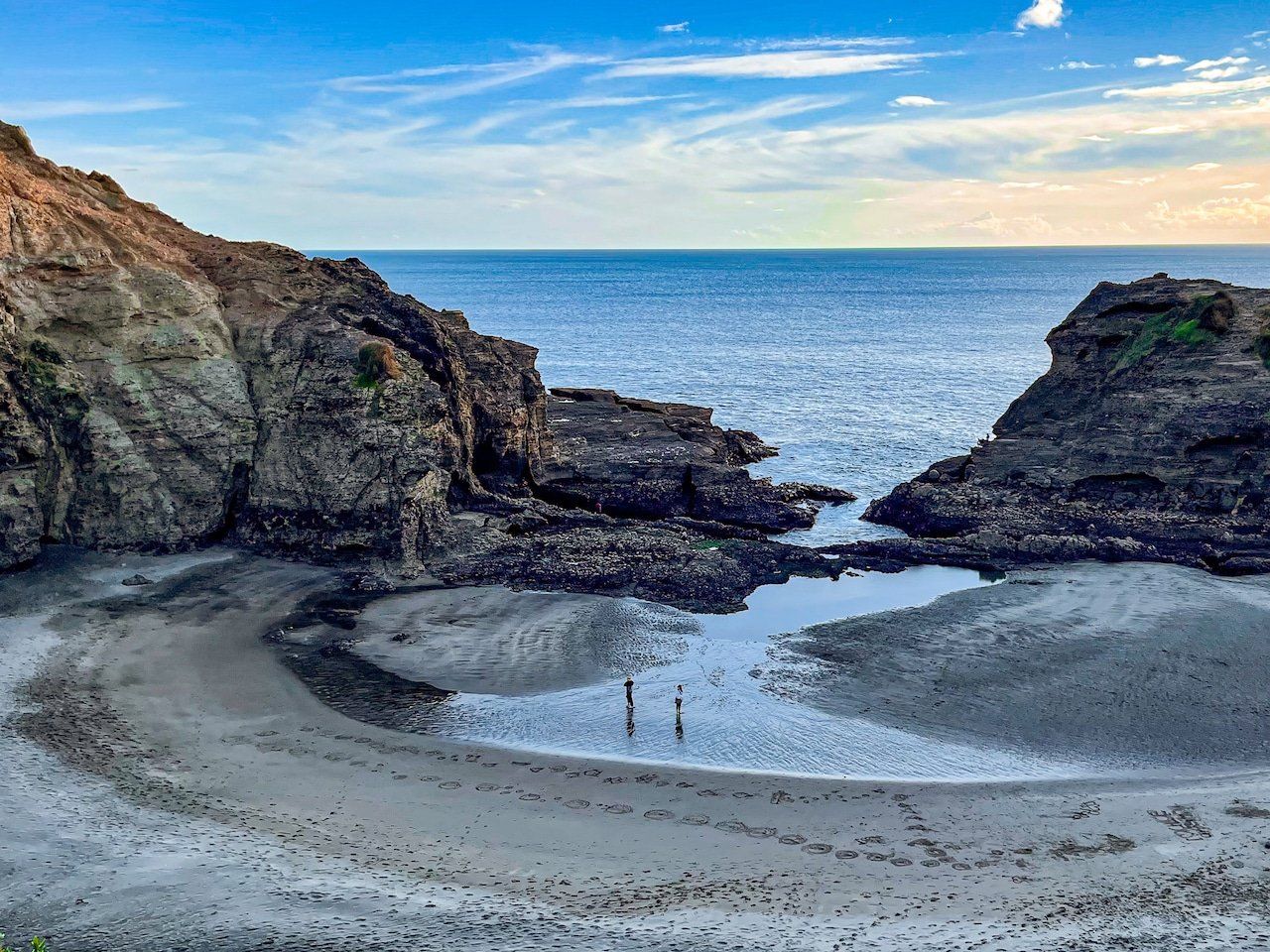
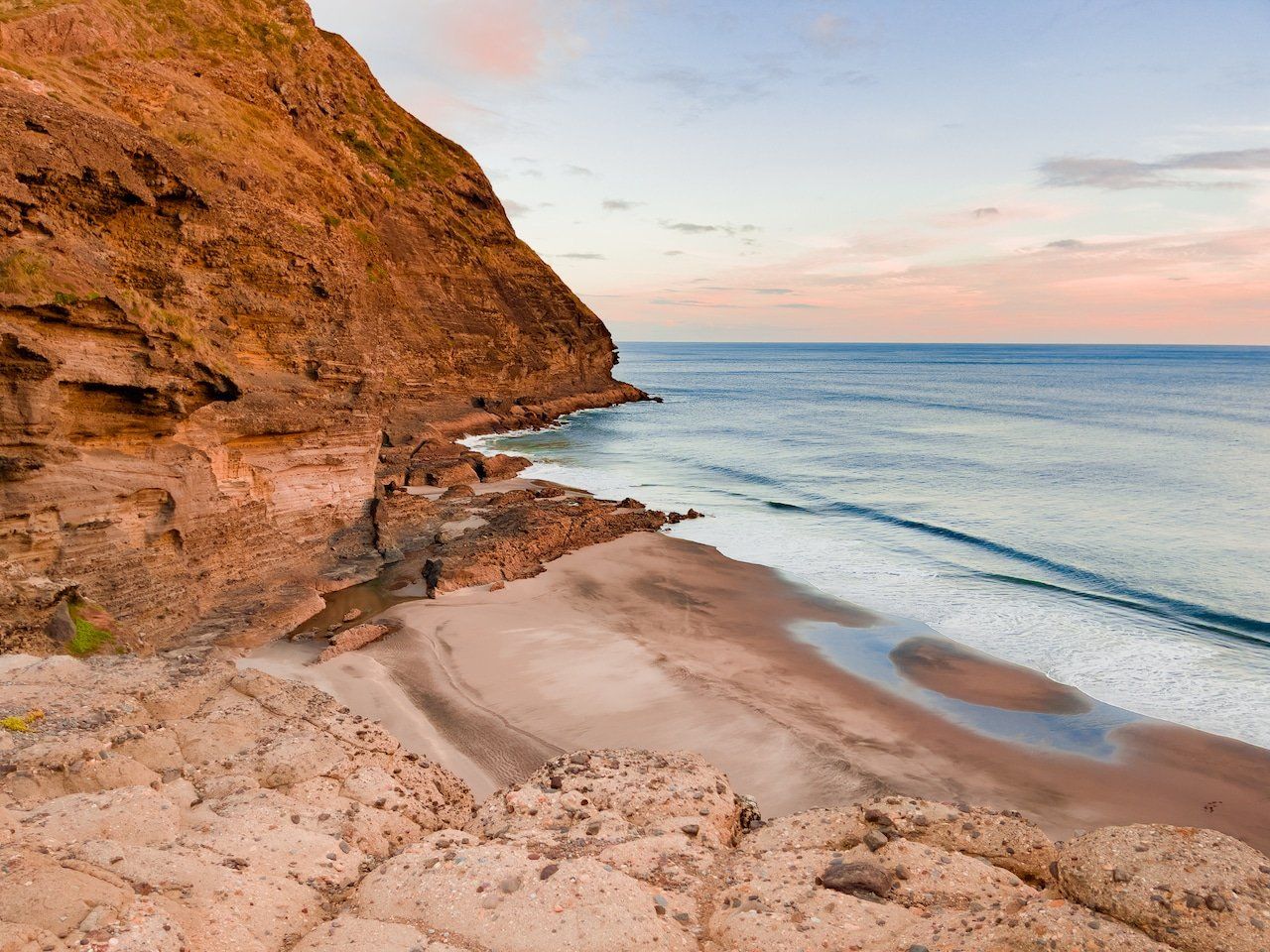
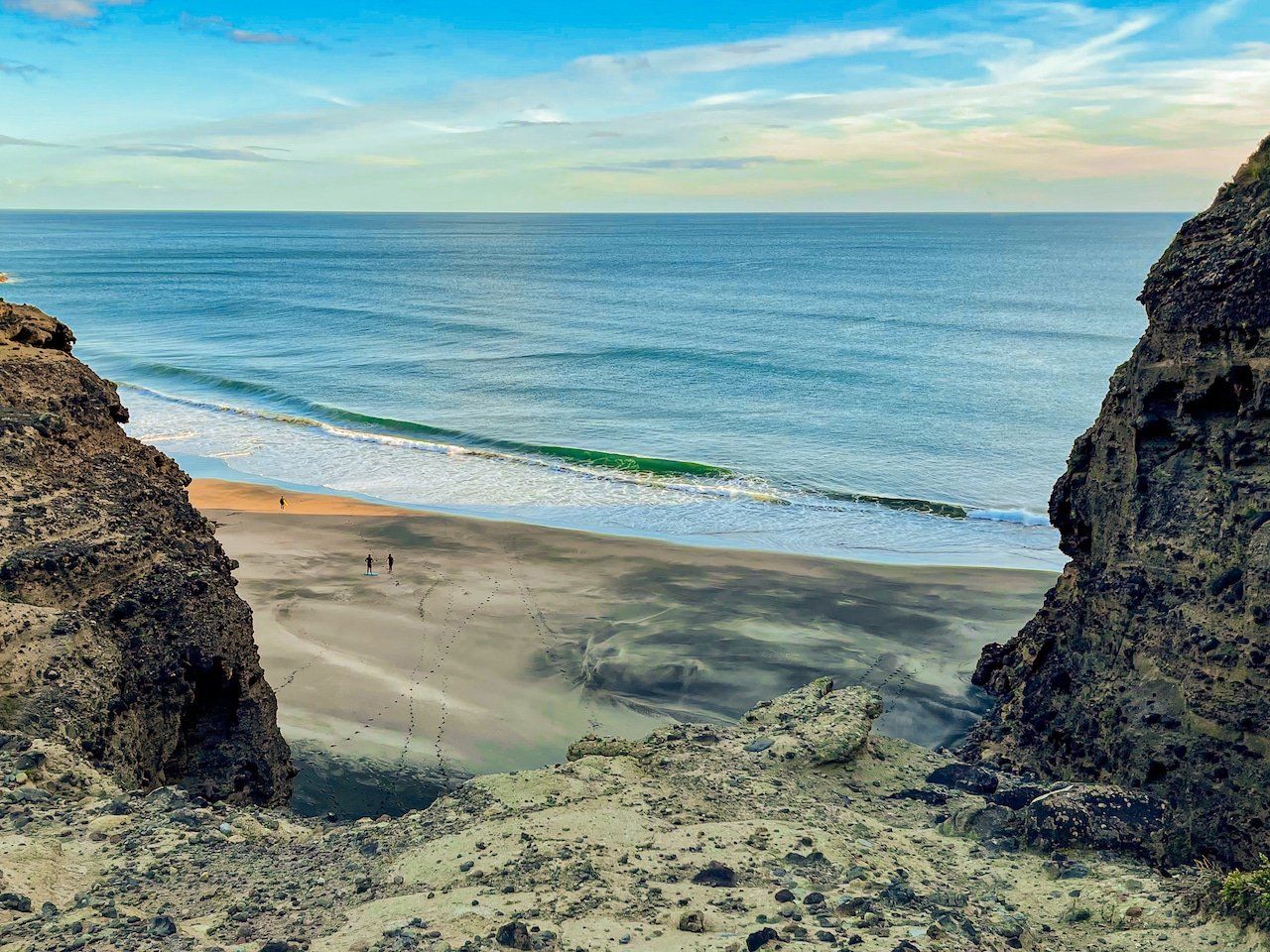
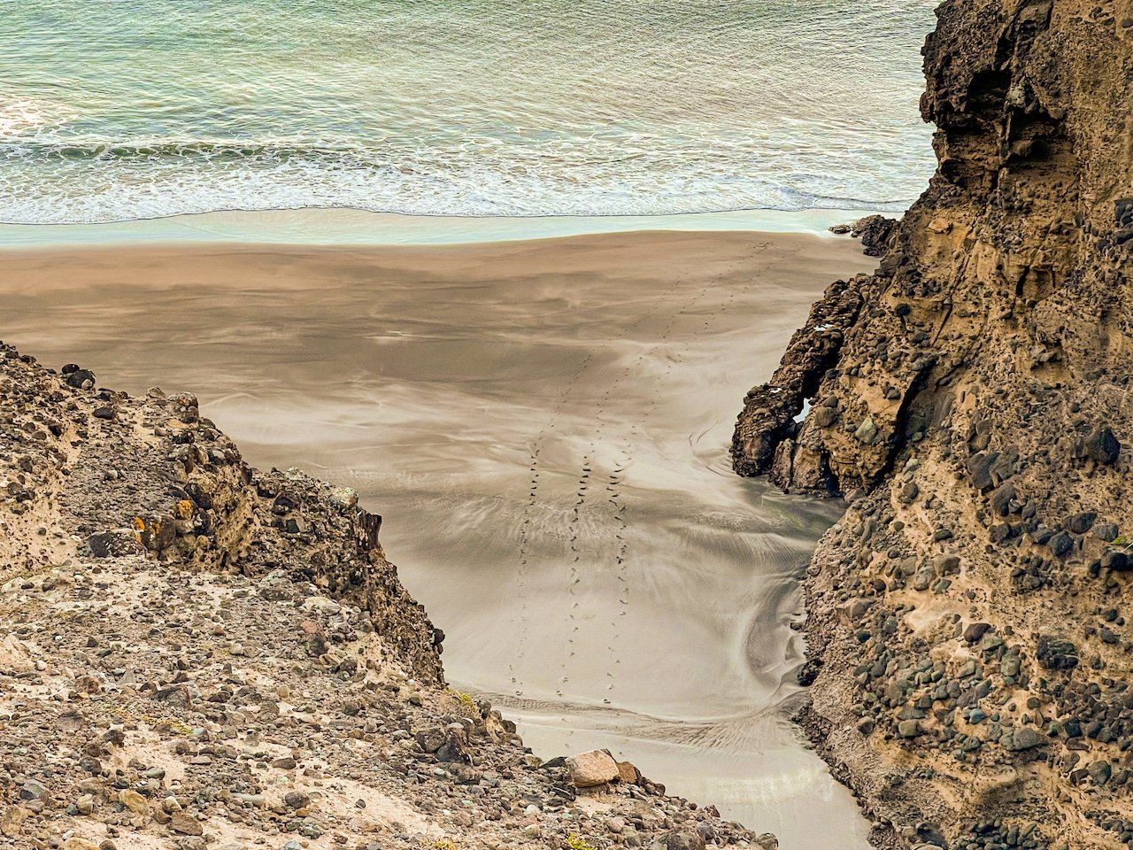
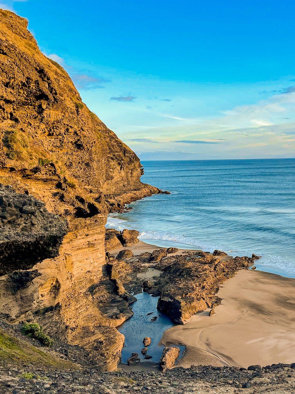
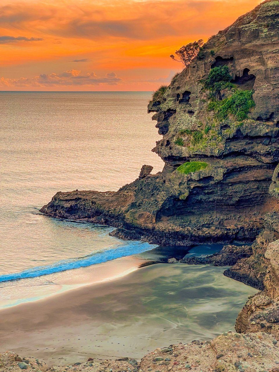
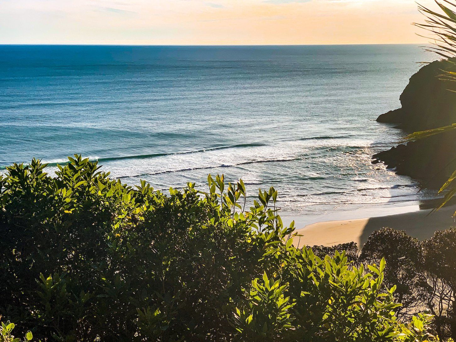
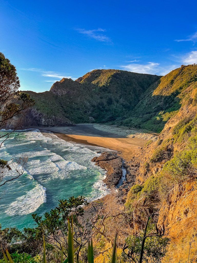
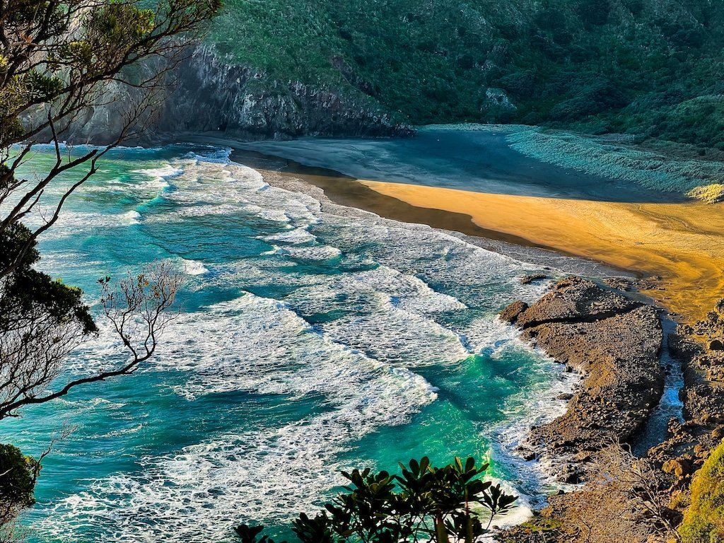
If you follow the rough track through young pohutukawa trees above the Blowhole tunnel you can reach the top of a cliff that overlooks an unnamed beach. The beach looks enticing, but to get there, you would need to wade/swim through the tunnel at low tide (see previous post).
The track comes out onto the cliff at the north end. Look closely and there is a side track that takes you to a much more open area with a better view of the beach and bay. The rock formations on either side of the beach are photogenic and there is a patch of grass perfect for a picnic.
The cliffs are quite crumbly, so take the advice on the Auckland City boards and take care near the edge.
The Gap
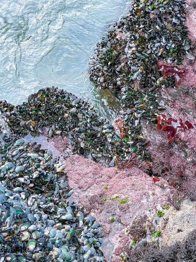
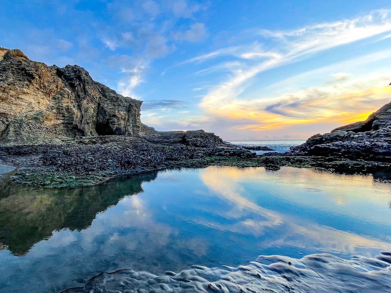
The Gap is literally a gap between the seaward cliffs of Kaiwhare Point and Taitomo Island at the south end of Piha. The surf is funneled through the gap as the tide comes in, creating a pool behind the rocks. This is safe for paddling despite the spectacle of waves crashing over the rocks. Take care that the tide is out if you clamber onto the rocks to check out the rock pools and quite extensive mussel colony.
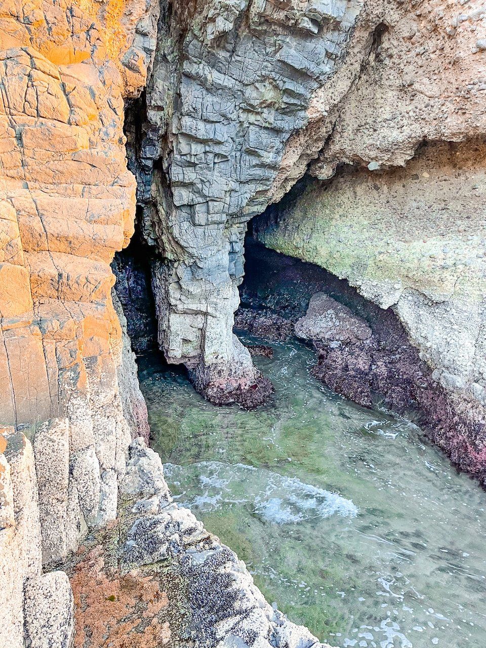
Access to The Gap is either around the base of the cliffs from the main Piha Beach as the tide goes out or over the Tasman Lookout Track. Check out the fall of enormous rocks at the north end of the island and the tunnel about halfway along. A rough track at the south end of Taitomo Island is accessible as the tide goes out, providing yet another viewpoint.
Marawhara Track
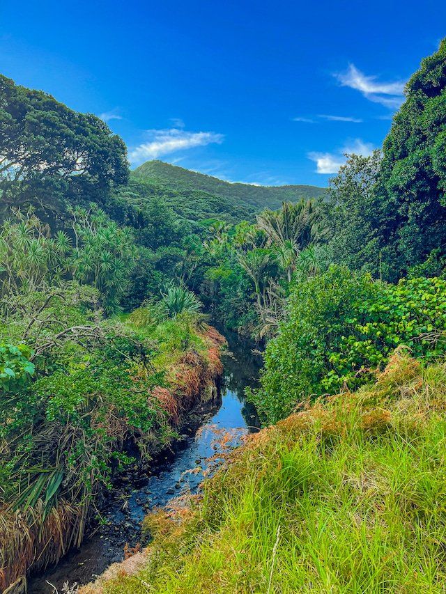
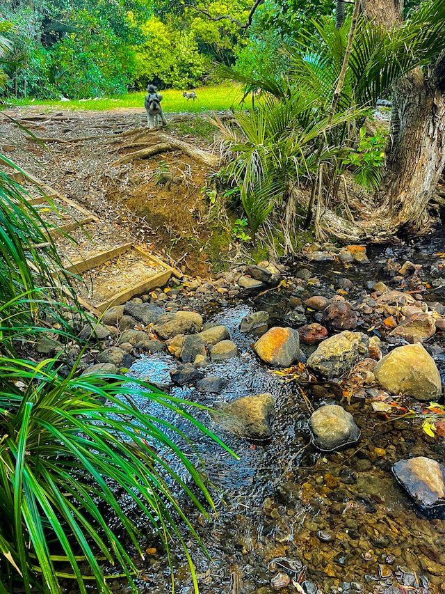
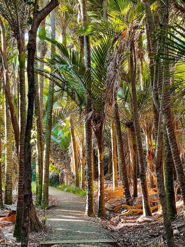
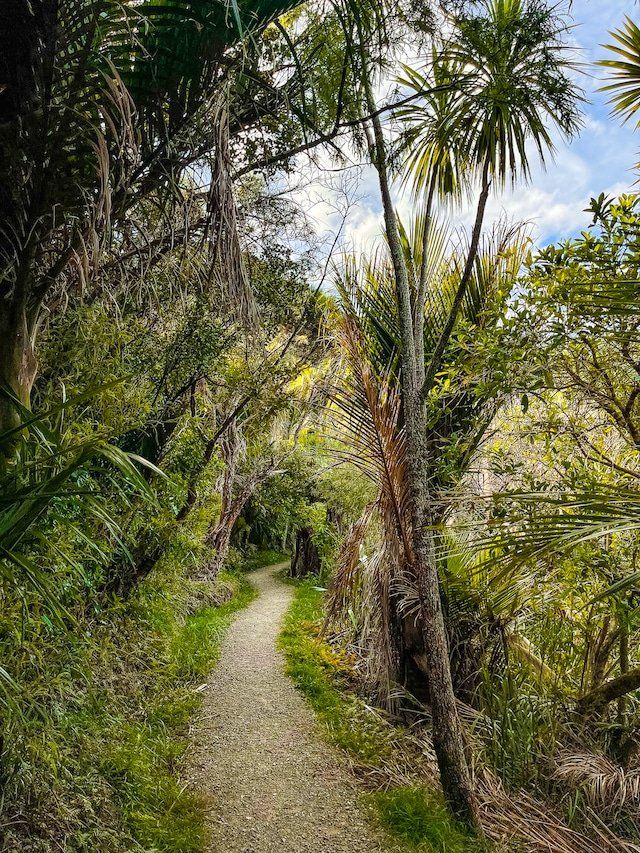
The Marawhara Track access is about 2/3 of the way along Piha Road, heading towards the north end of the beach. if you go past the North Piha surf lifesaving facility, you have gone too far. It is an easy short (few minutes) forest walk that takes you to a grassed area beside the intersection of the Marawhara and Whakatai streams, which is also the start of White Track.
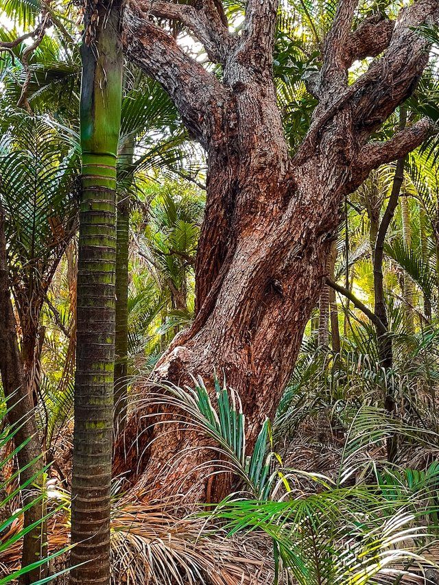
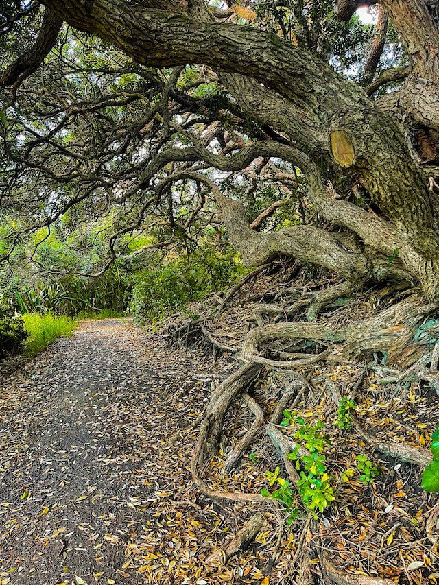
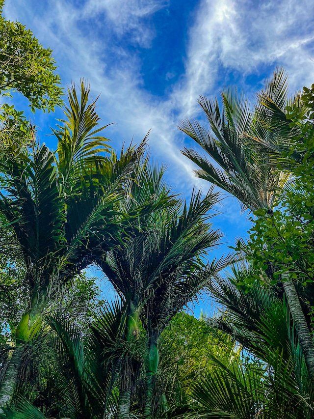
The best feature of the walk is the nikau palms that dominate this section of the recovering forest. There are also several reasonably mature pohutukawa trees.
The walk is a great option if you feel like having a picnic away from he beach. You can continue on White Track up to Anawhata Road and then down to Whites Beach, returning over Te Waha Point to North Piha.
White Track
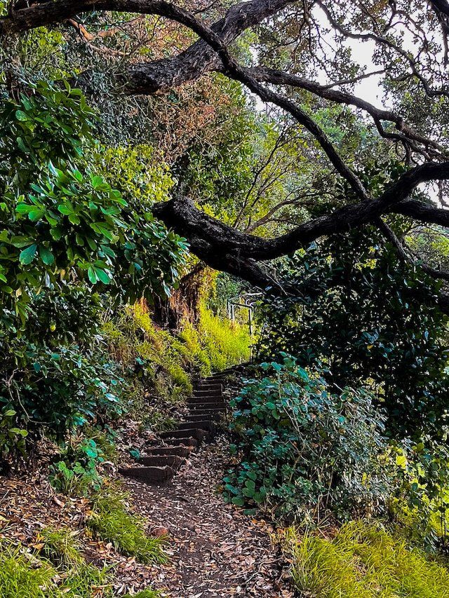
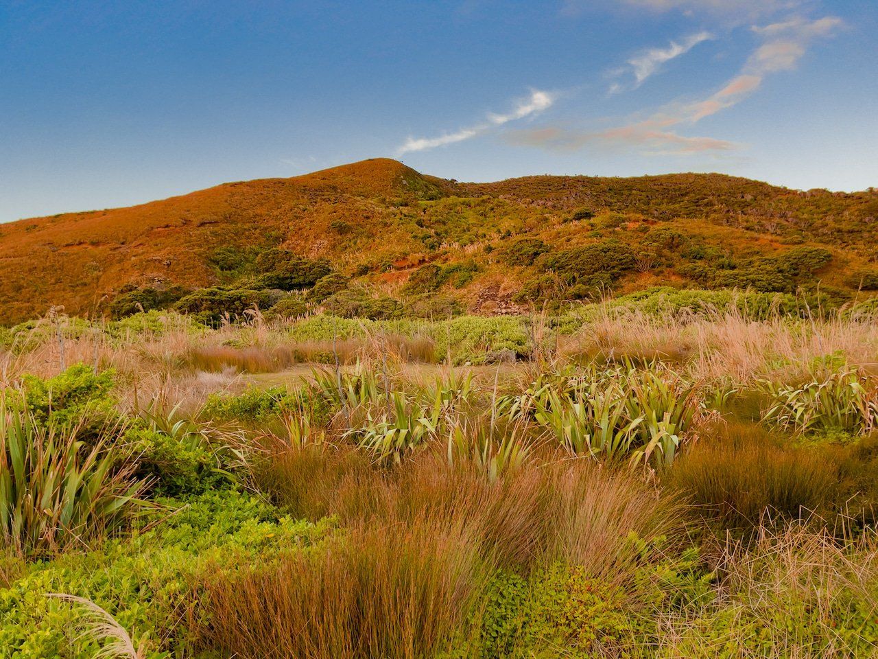
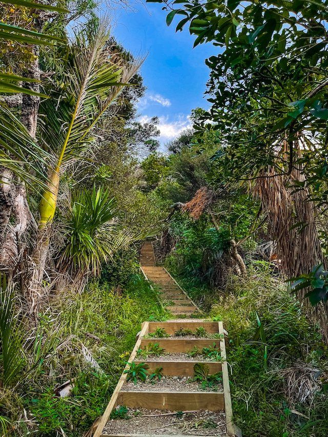
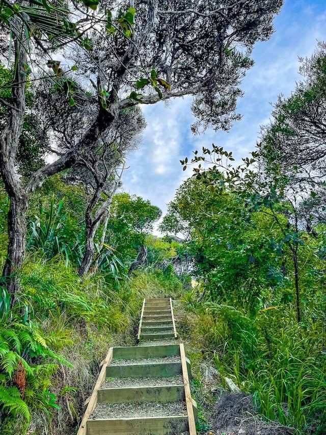
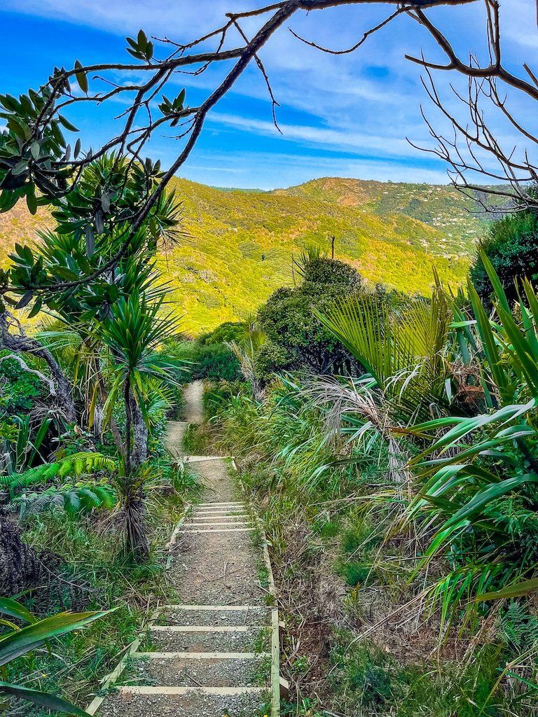
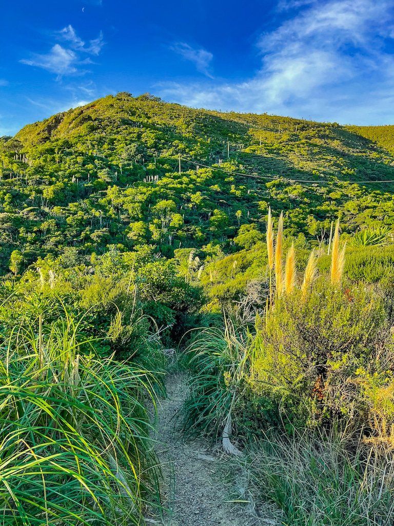
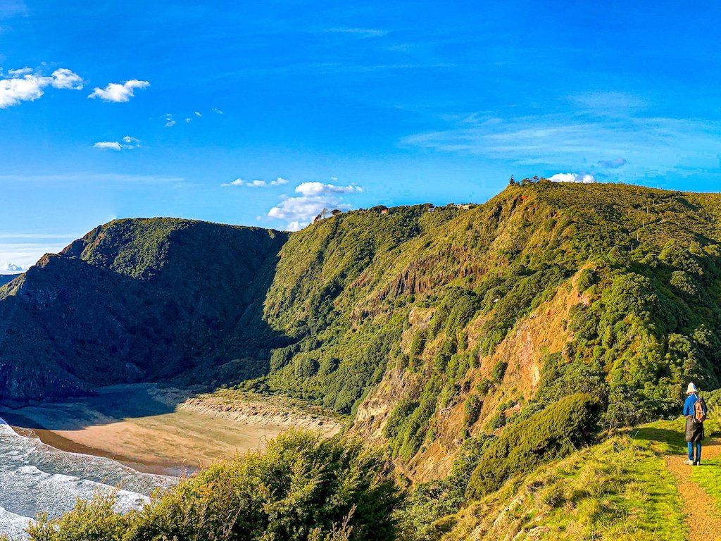
White Track rises about 200 metres up a ridge that overlooks North Piha. It starts from the end of the short Marawhara Track and takes you up to Anawhata Road. The track takes you through recovering native forest, with the lower sections dominated by nikau palms. As you get higher there are several places where it opens up with views over Piha Valley and back to the beach. There are a lot of steps, although the climb is mostly relatively gradual.
Towards the top of the ridge, take the left turn through the kauri protection cleaning station out onto the right of way to get to the road. Walk just a few metres along the road to the west to access a second right of way that takes you down to Te Waha Point between Piha and Whites Beach.
Anawhata Road to Whites Beach
From Anawhata Road, you can walk to Te Waha Point (at the north end of Piha) and Whites Beach down a steep vehicle right of way. The access is just a few metres west of the access point for White Track, which takes you down to North Piha.
The view is superb all the way down and the right of way also links White Track with Laird Thomson Track, about 3/4 of the way down. This link creates an excellent loop that starts and ends at North Piha, with Laird Thomson crossing Te Waha Point to get back to Piha. Alternatively head right to relatively remote Whites Beach.
Te Waha Point
Te Waha Point lies between North Piha and Whites Beach. It can be accessed from North Piha on Laird Thomson Track or down the Whites Beach right of way from Anawhata Road.
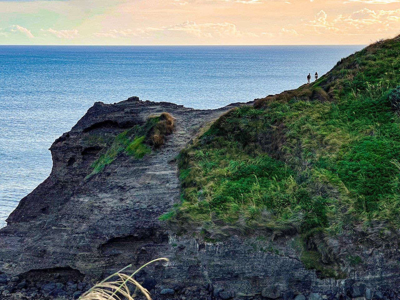
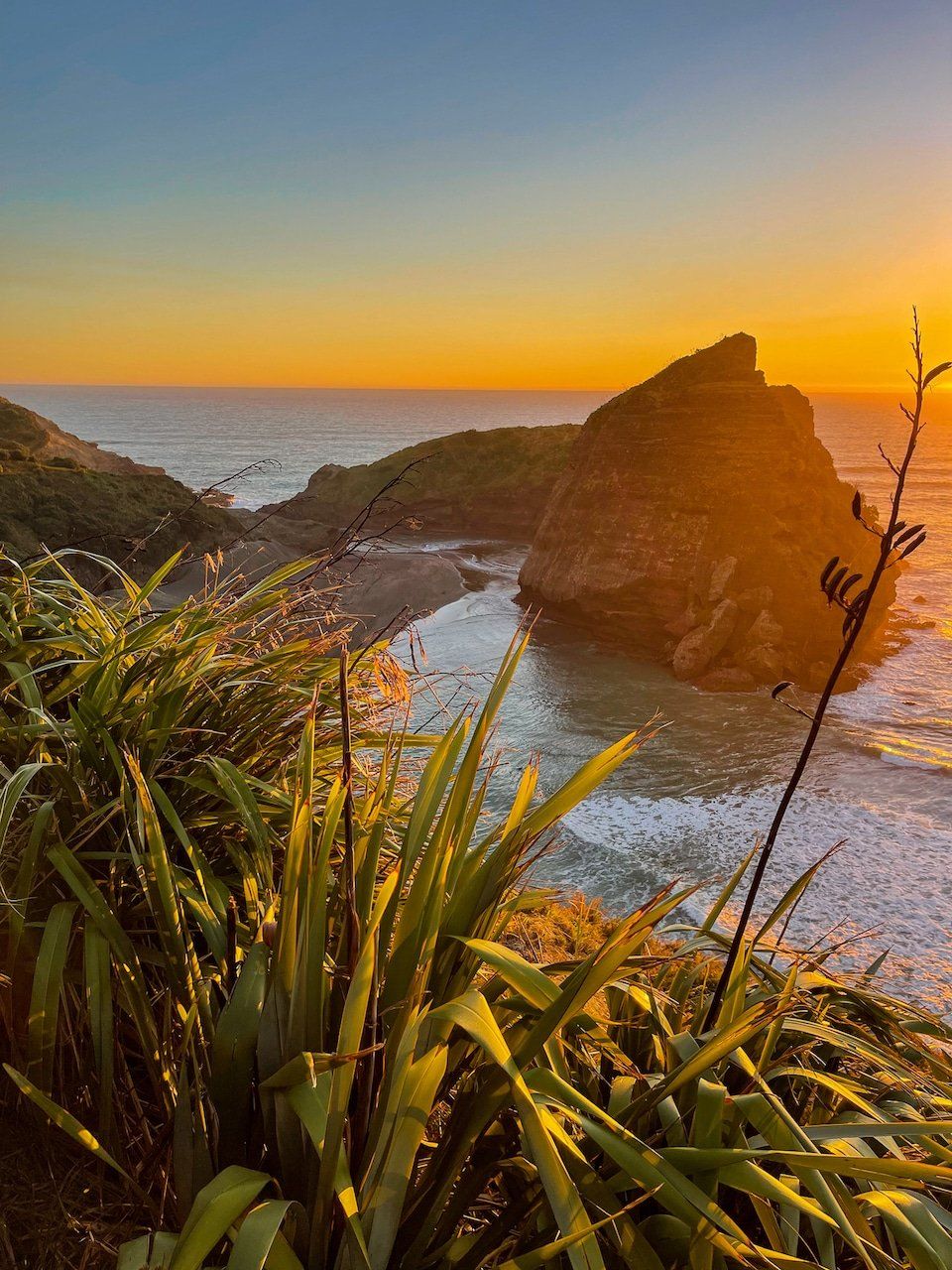
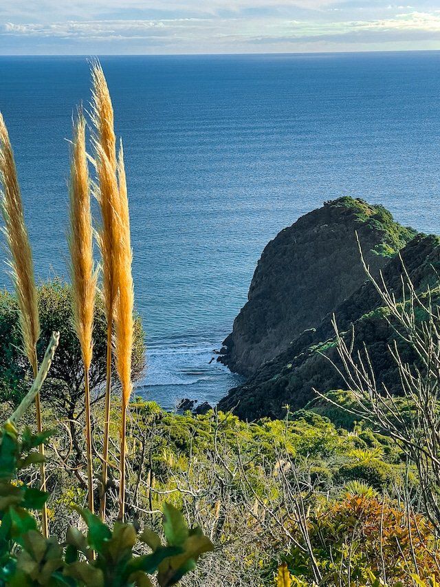
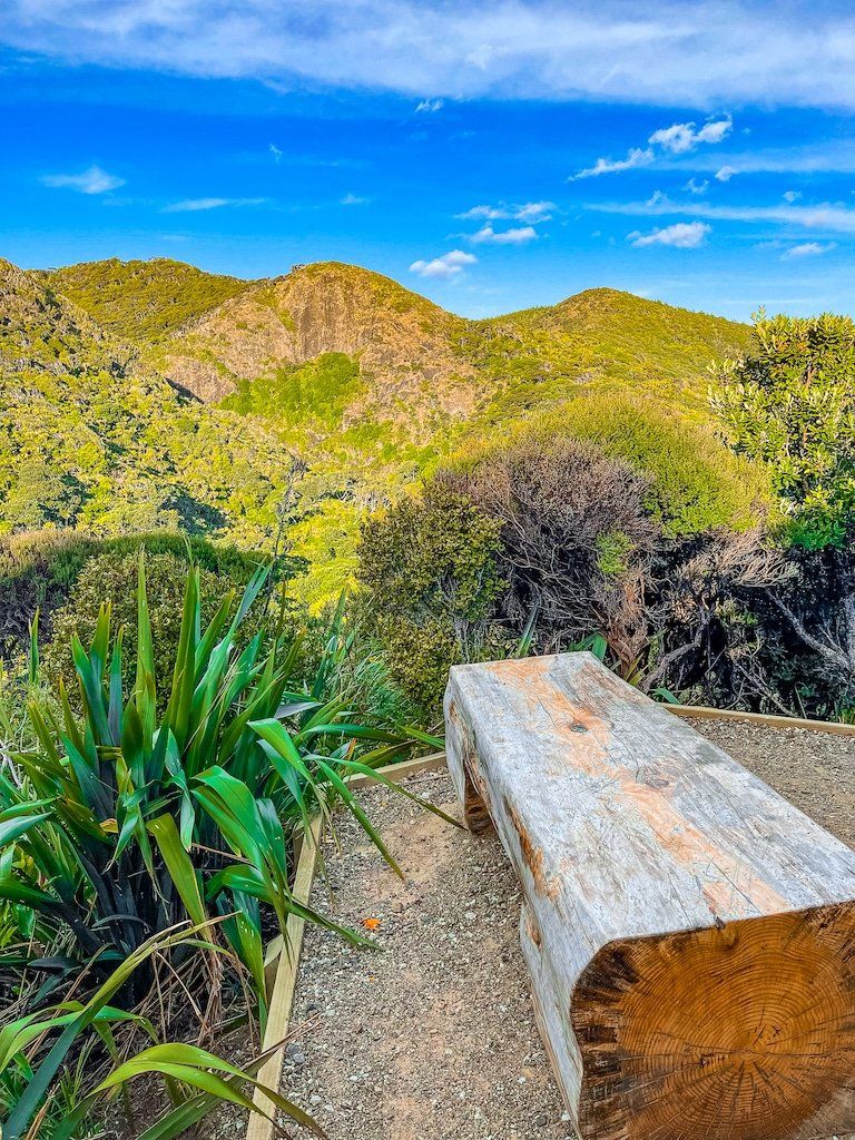
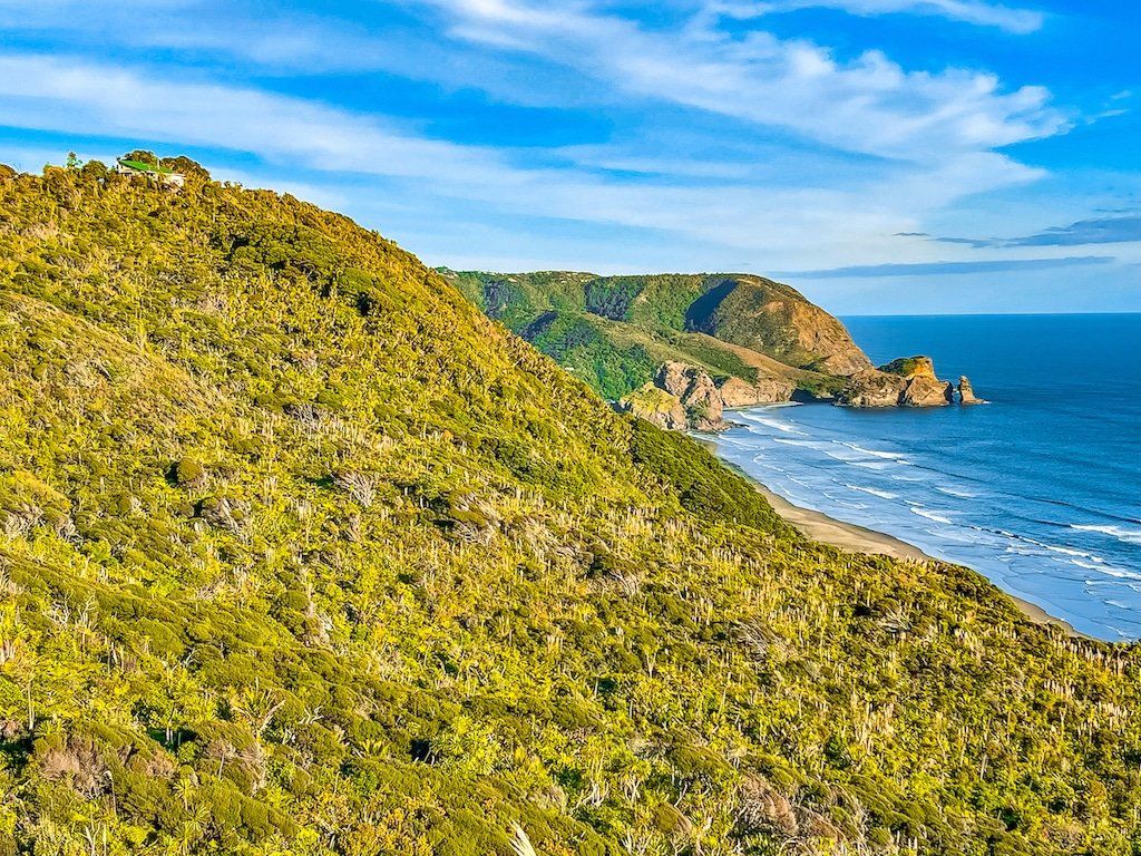
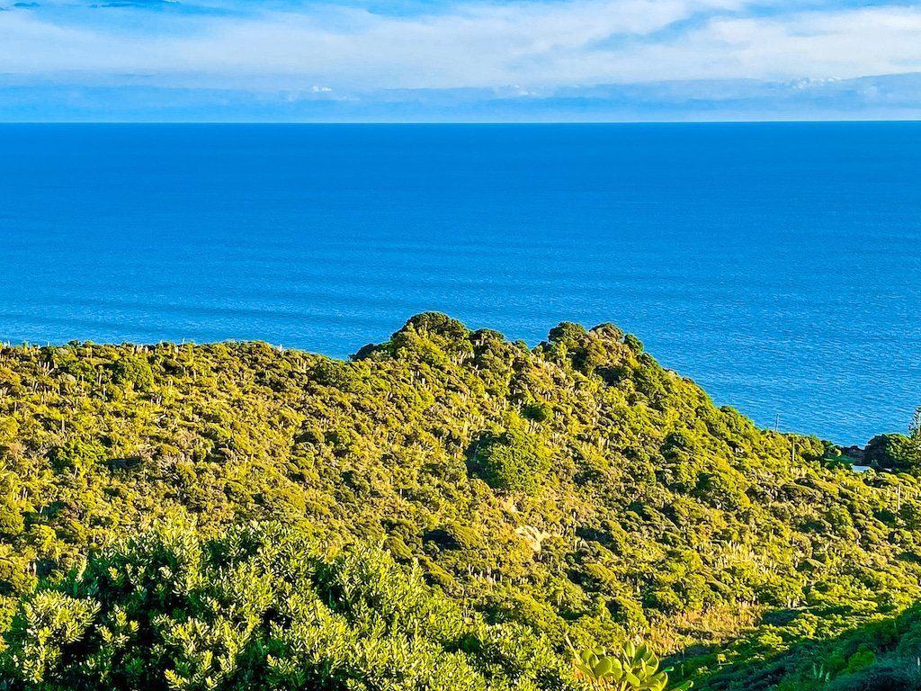
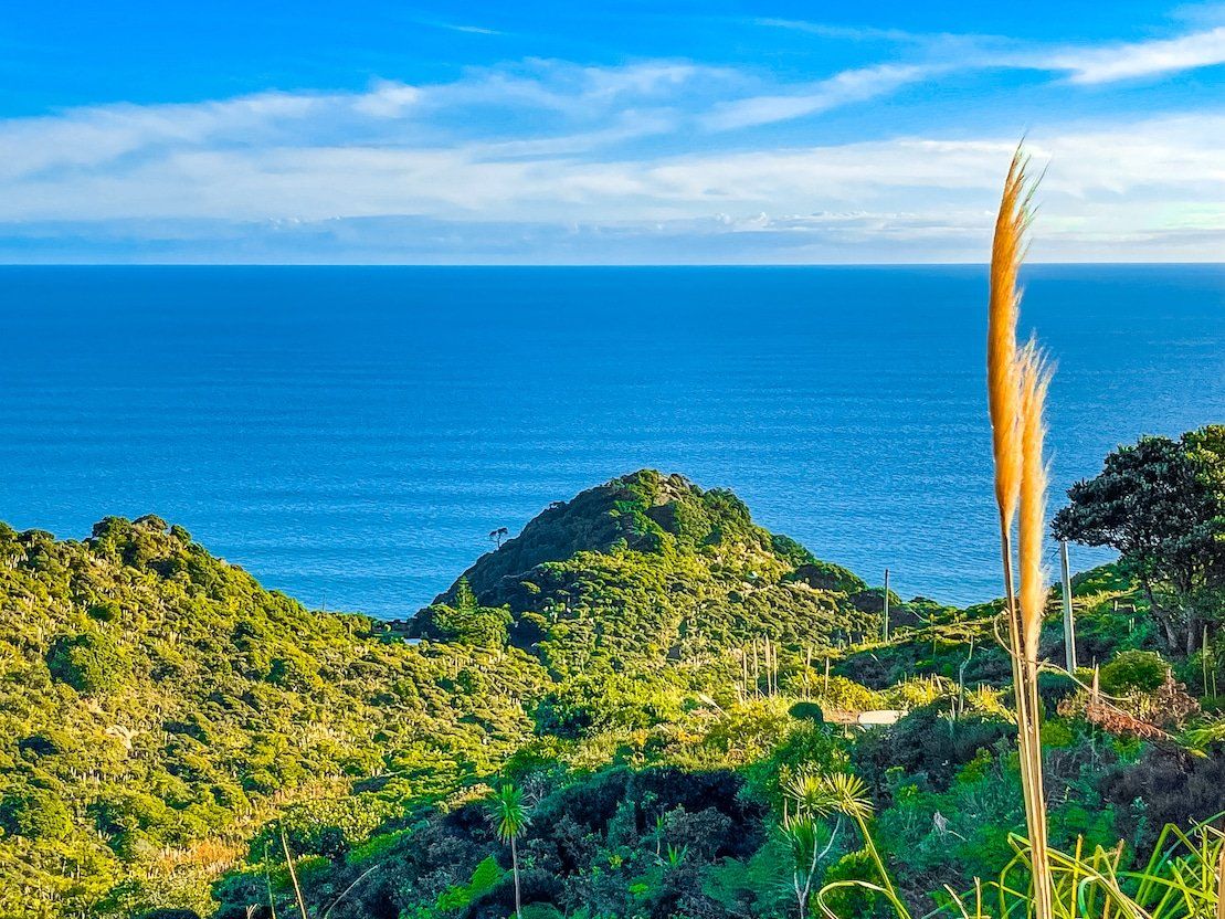
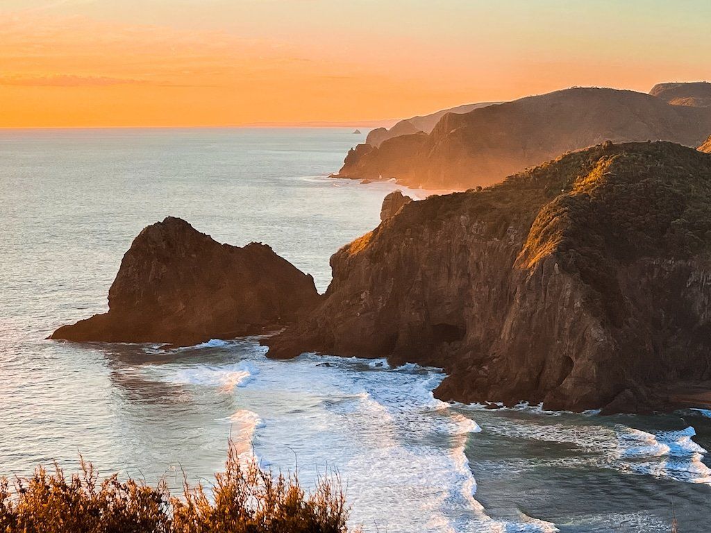
Once there it is a spectacular viewpoint. From the cliff edge stone seat immediately in front of the point, you can look directly along Piha Beach. As you walk further up the point, you will have superb views of Whites Beach and beyond towards Anawhata. Try to be there at golden hour if you can, but best not to stay too long as the track back to North Piha has a steep drop off the track and it gets dark in the trees quickly.
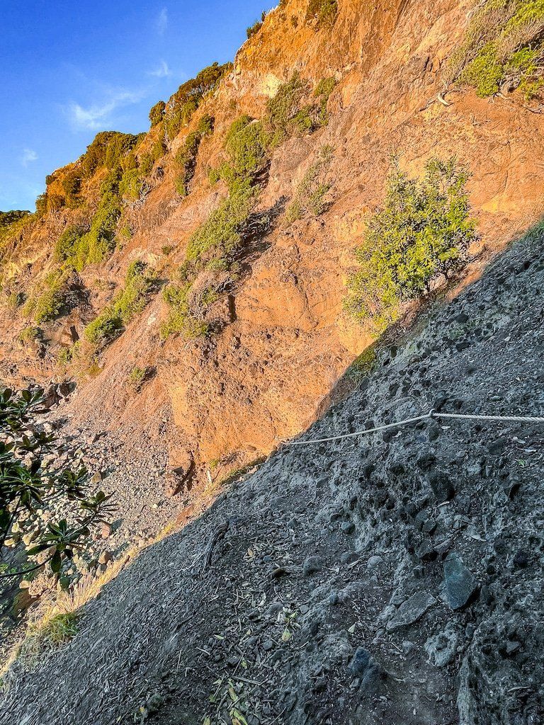
If you want a more adventurous access point to Whites Beach follow the sign immediately before the point that marks a rough track that sidles around the edge of the point then switches back through some pohutukawa trees above the cliff. Keep going until you see a rope that you can use to safely get down the rocky section of the cliff to the beach. It can be a bit slippery on this track so take care and it’s probably easier coming up than going down.
Laird Thomson Track to North Piha
Laird Thomson Track provides the quickest way to access Whites Beach via Te Waha Point and allows you to complete the White Track to Anawhata Road to Te Waha Point, then to North Piha loop. When you do this trip, try to hit North Piha beach at sunset.
If you are completing the loop, walk back along the beach until you see the North Piha surf lifesaving club building and adjacent campground. Cross over the beach past the buildings to the road and the Marawhara Track carpark will be just over the bridge. If you reach Lion Rock, you’ve gone way too far!
Want more Auckland region trip ideas?
Check out our Highlights of Auckland roundup, 5 Auckland day trips, and plenty of other Auckland options.
