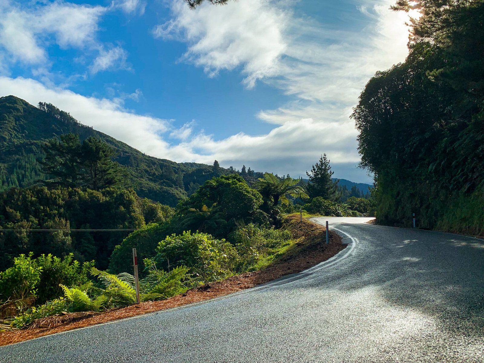
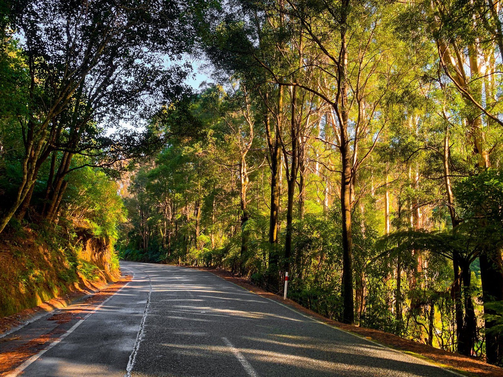
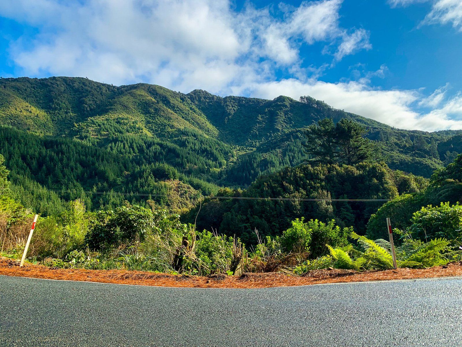
Scenic Drive Through Akatarawa Road
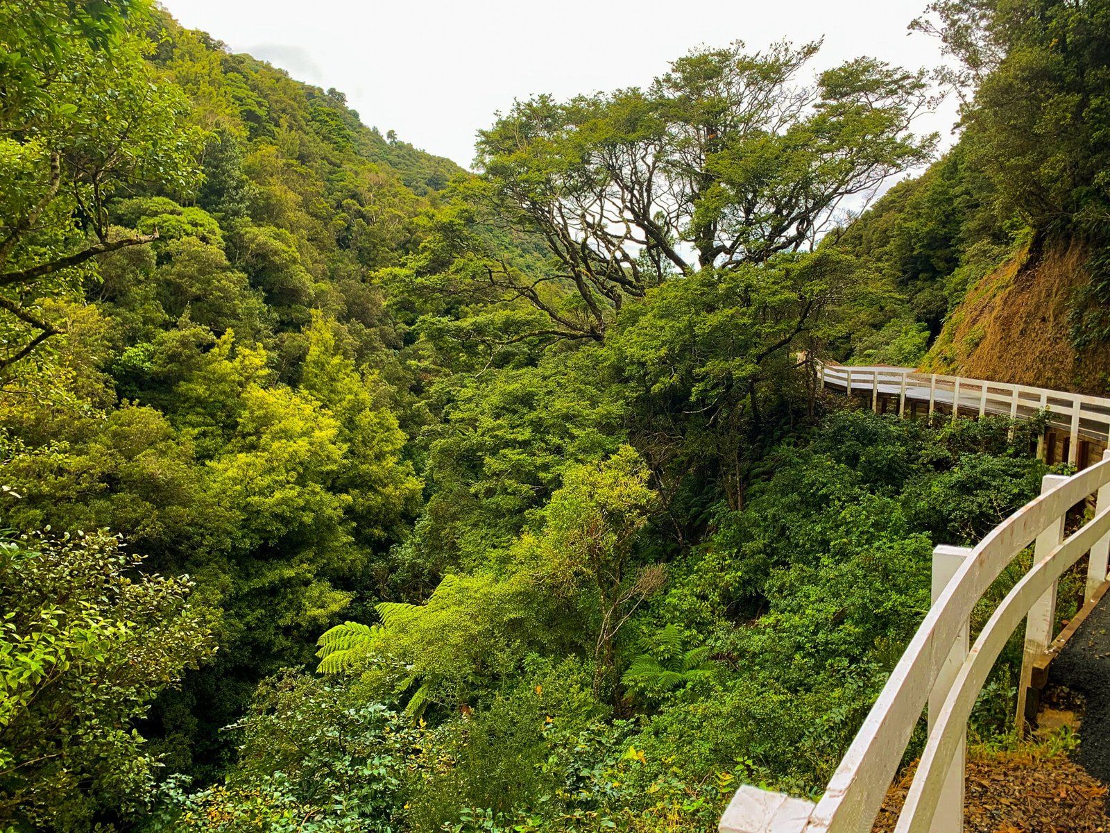
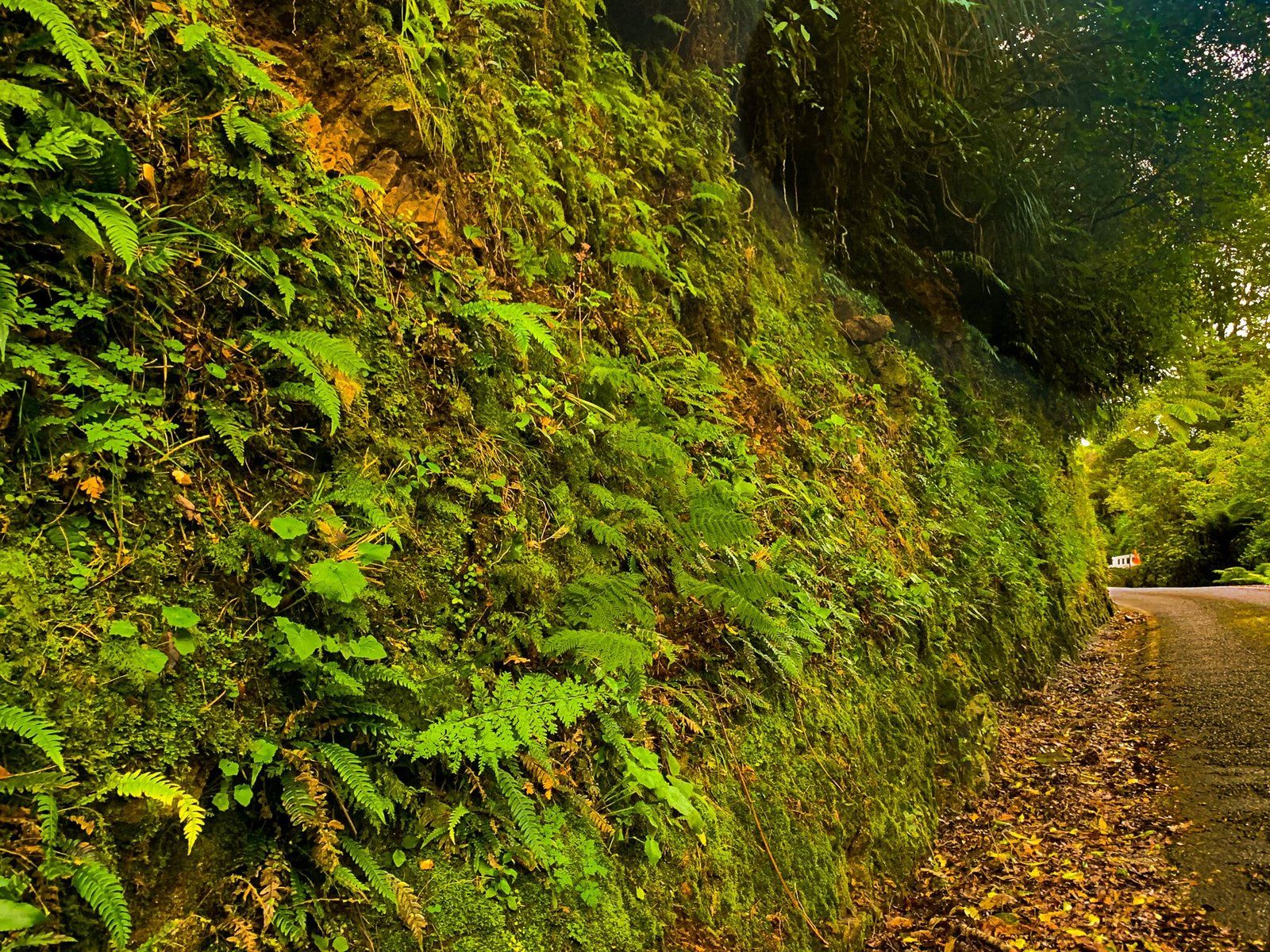
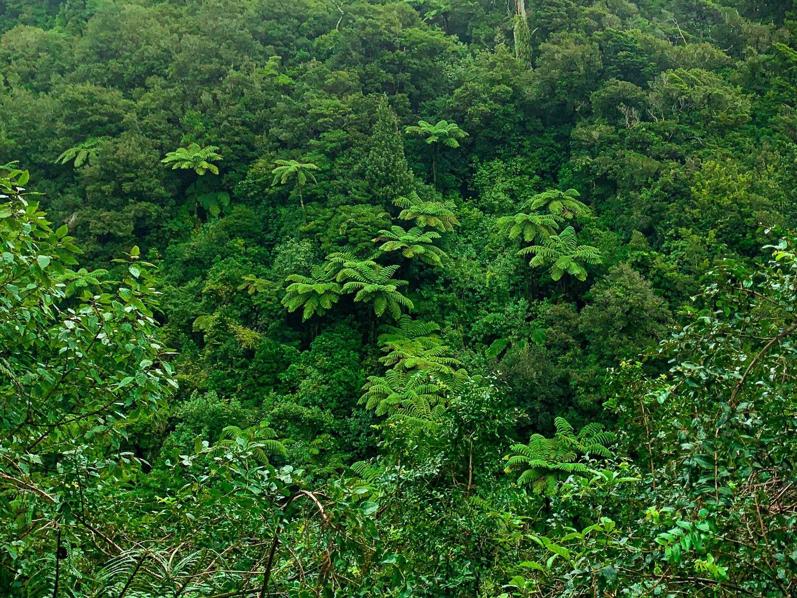
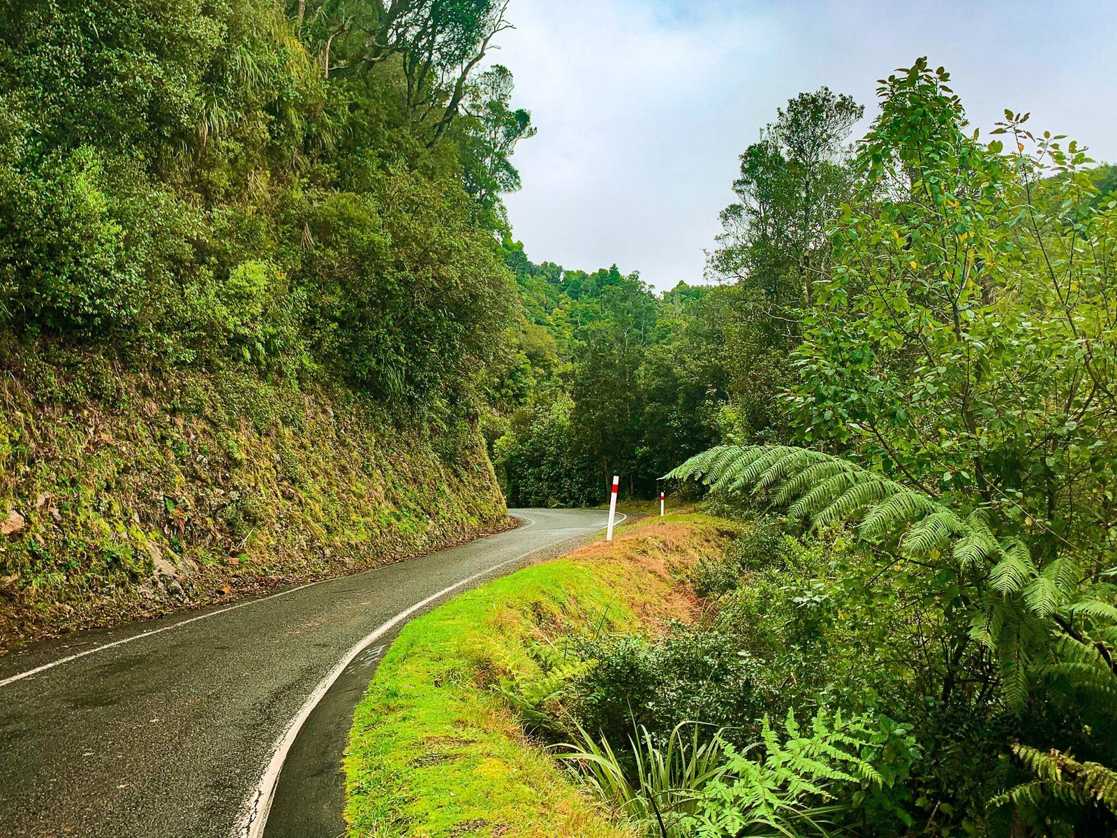
Akatarawa Road is a scenic route connecting Waikanae on the Kāpiti Coast to Upper Hutt, traversing the foothills of the Tararua Range and native forests. While the road is narrow and winding, making it unsuitable for long vehicles, it provides a picturesque alternative to State Highway 1. Although the drive requires a slower pace for safety, the views make it worthwhile.
Points of Interest Along the Route
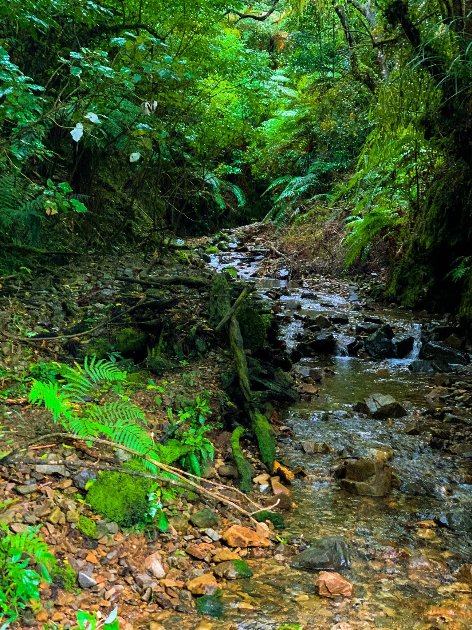
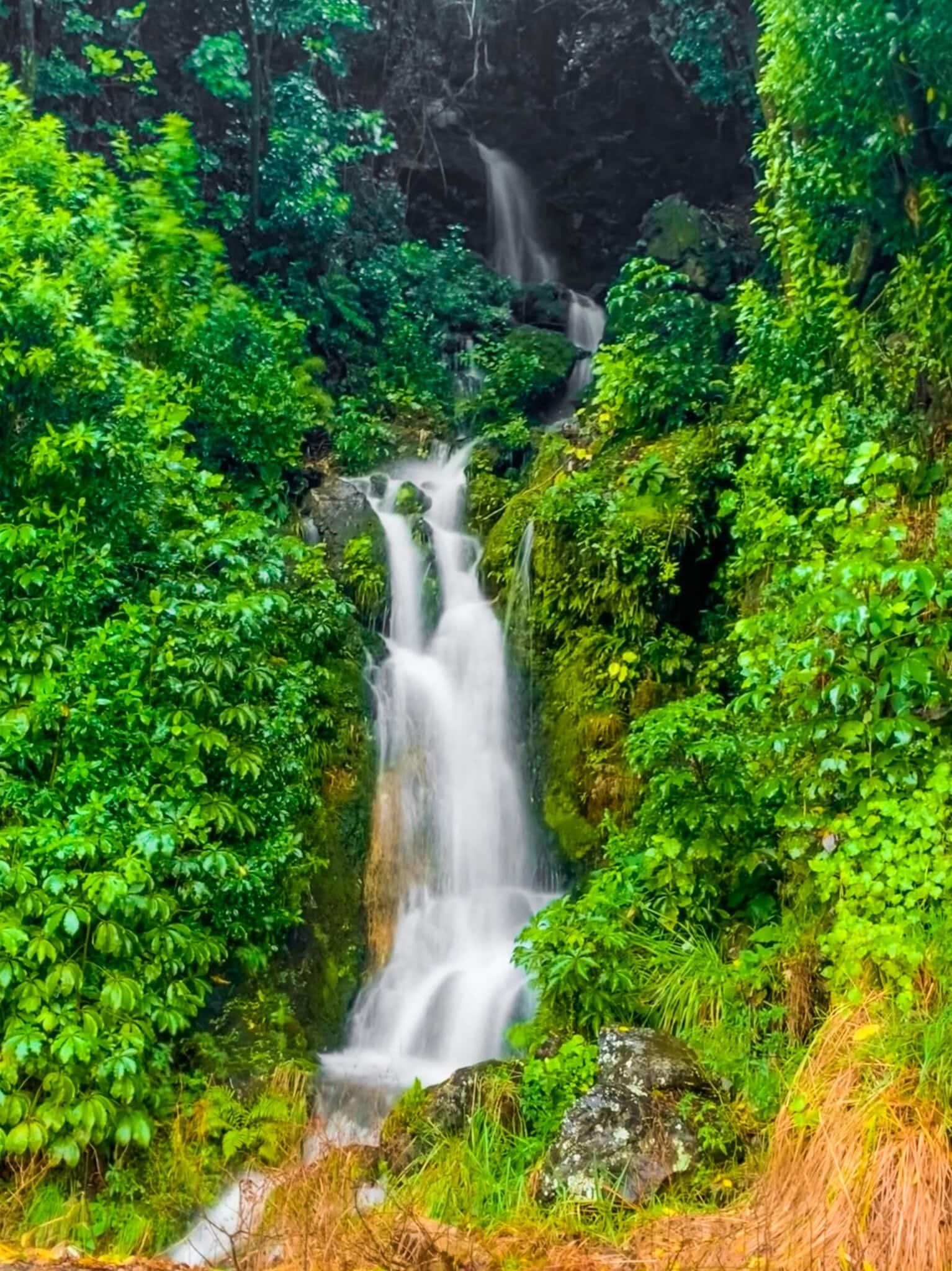
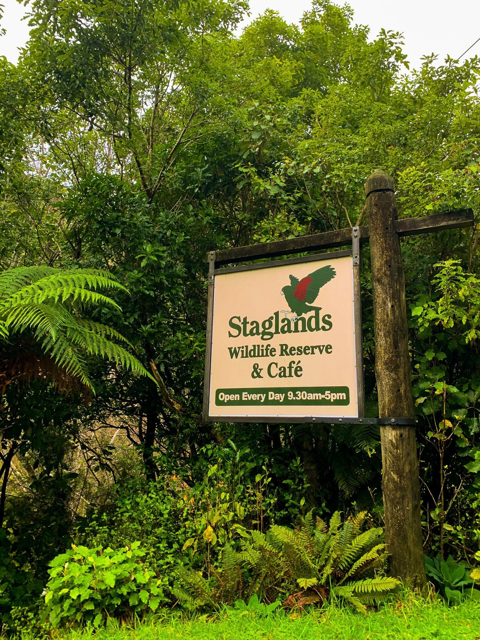
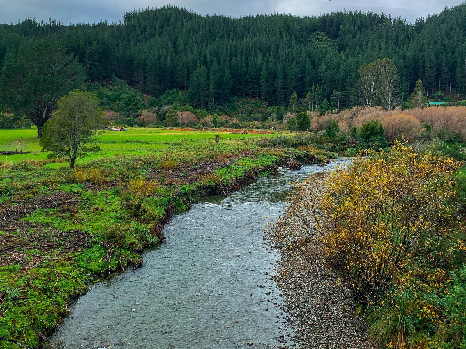
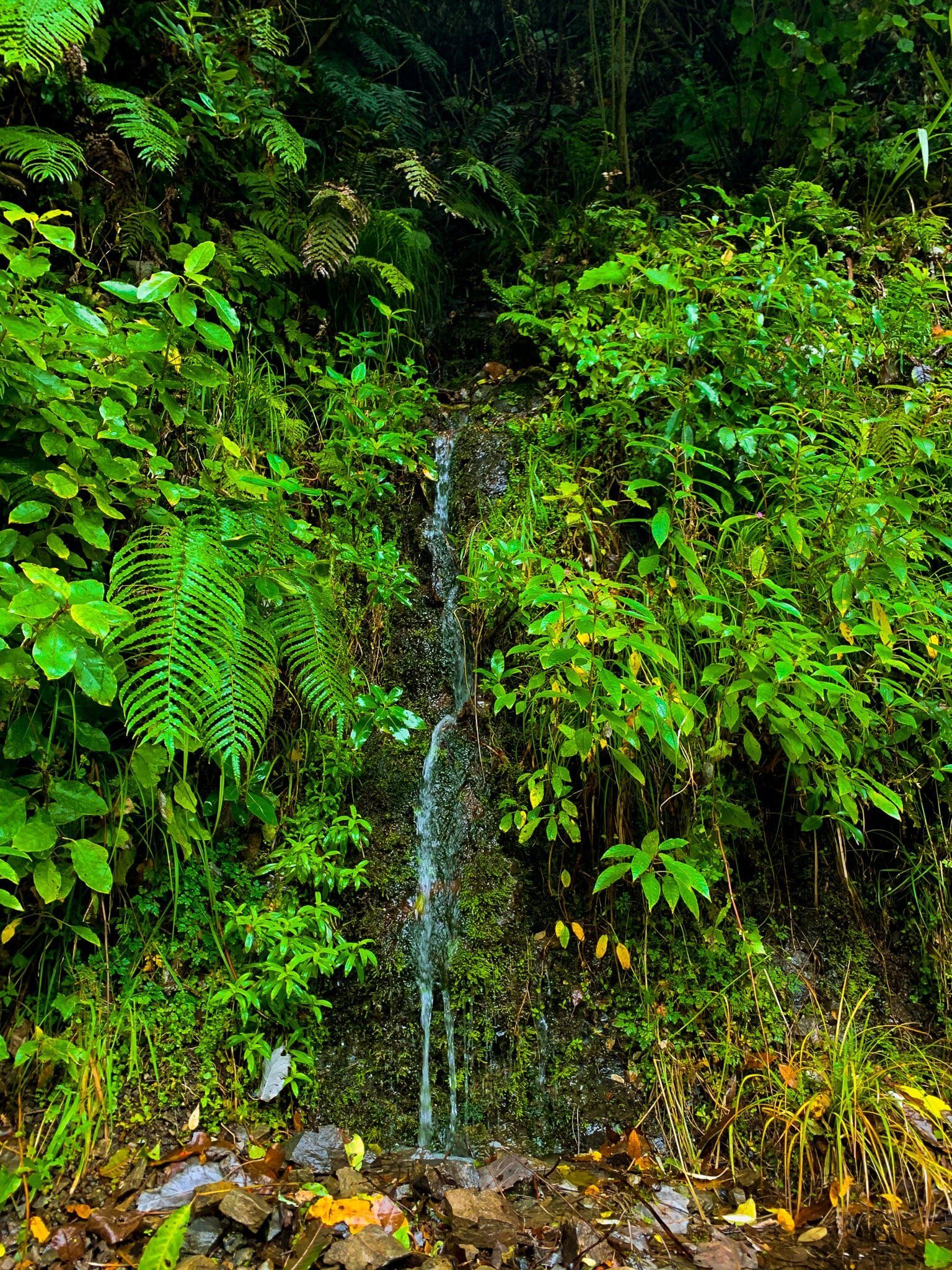
As you journey along Akatarawa Road, you'll encounter several attractions. Staglands Wildlife Reserve and Café is a notable stop. The charming Jock Atkins Waterfall is another highlight, and a perfect spot to pause and appreciate the natural beauty. The road also features multiple crossings over various waterways, adding to the scenic experience.
At the Upper Hutt end of the road, you can access Karapoti Road, which leads to the popular Karapoti Track mountain biking track. During the summer, nearby blueberry farms open their doors for berry picking, offering a delightful seasonal activity.
How to Get There
From the southeast end of Waikanae, take Reikorangi Road, which becomes Akatarawa Road. The drive from there is 30 km and takes around 48 minutes. From Upper Hutt, access Akatarawa Road from State Highway 2.
From Hutt Valley, you can access the Kaitoke Regional Park and Remutaka Rail Trail. From Waikanae, check out the Parata Track and Waikanae River Track.