Exploring Zealandia in Wellington
Zealandia Te Māra a Tāne ("the garden of Tane"), located just 10 minutes from Central Wellington in the Wellington suburb of Karori, is a world-renowned ecosanctuary and a leading example of urban conservation. It holds the distinction of being the first urban fully fenced predator-free sanctuary in the world and remains one of the few sanctuaries of its kind located so close to a major city.
A Glimpse Into the Past
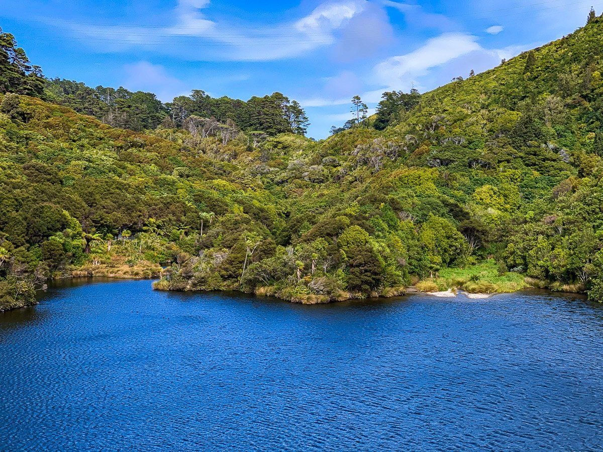
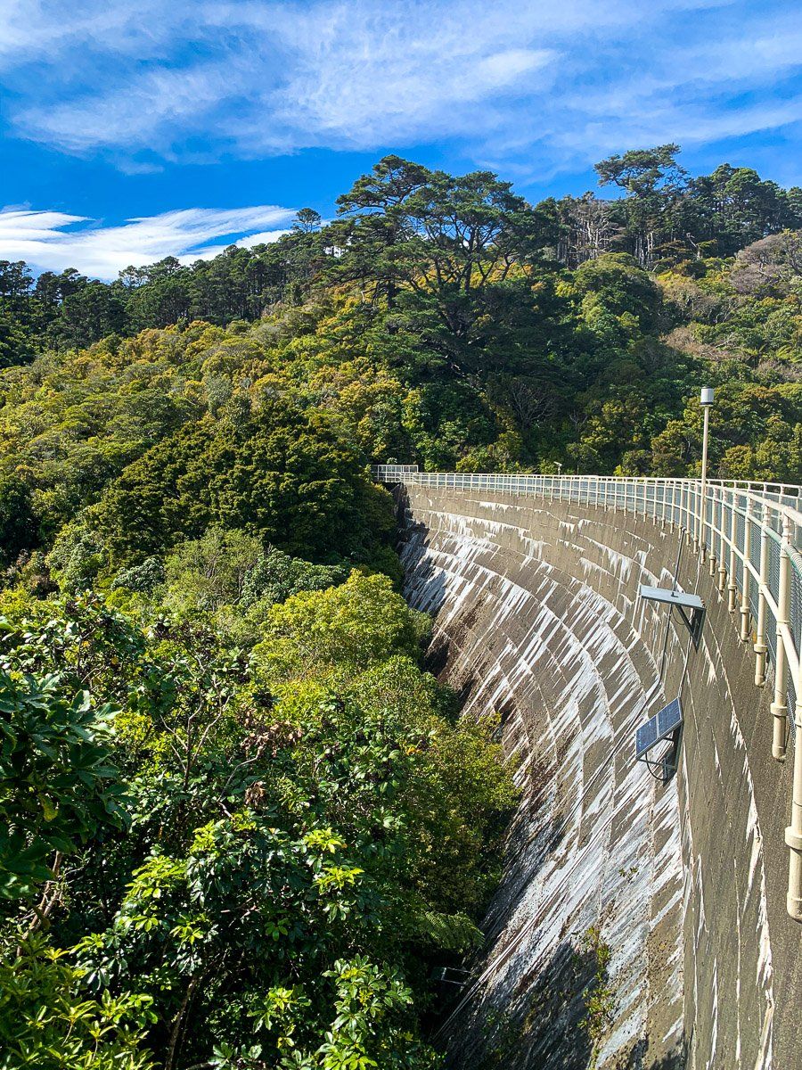
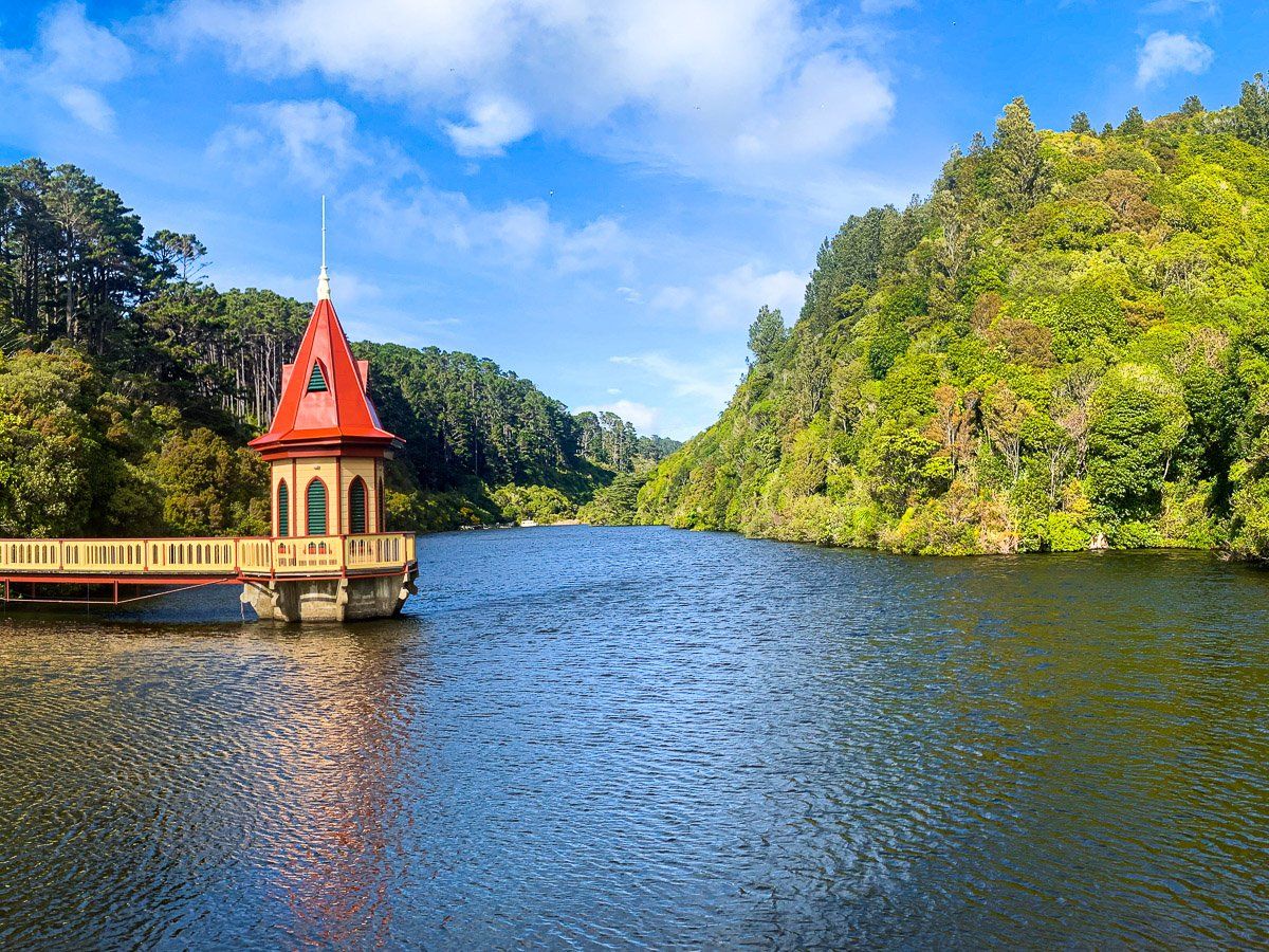
Zealandia is more than a wildlife haven; it's a journey into both natural and human history. The sanctuary is built around two heritage-listed dams, the Lower Karori Reservoir (completed in 1878) and the Upper Karori Reservoir (completed in 1908), which once provided Wellington's main water supply. The area was originally forested, then cleared and farmed in the 19th century before being repurposed for water storage. In the late 20th century, conservationists envisioned a bold project: to restore the valley to its pre-human state.
The result was Zealandia, launched in 1999 with the installation of an 8.6 km predator-proof fence, a groundbreaking move in New Zealand conservation. The sanctuary now covers 225 hectares and has become a living laboratory for species recovery and forest regeneration.
Walking the Tracks
Visitors can explore a variety of walking tracks suited to different fitness levels and timeframes:
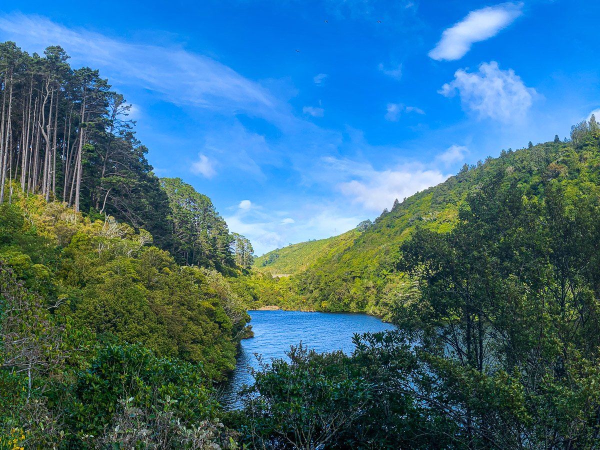
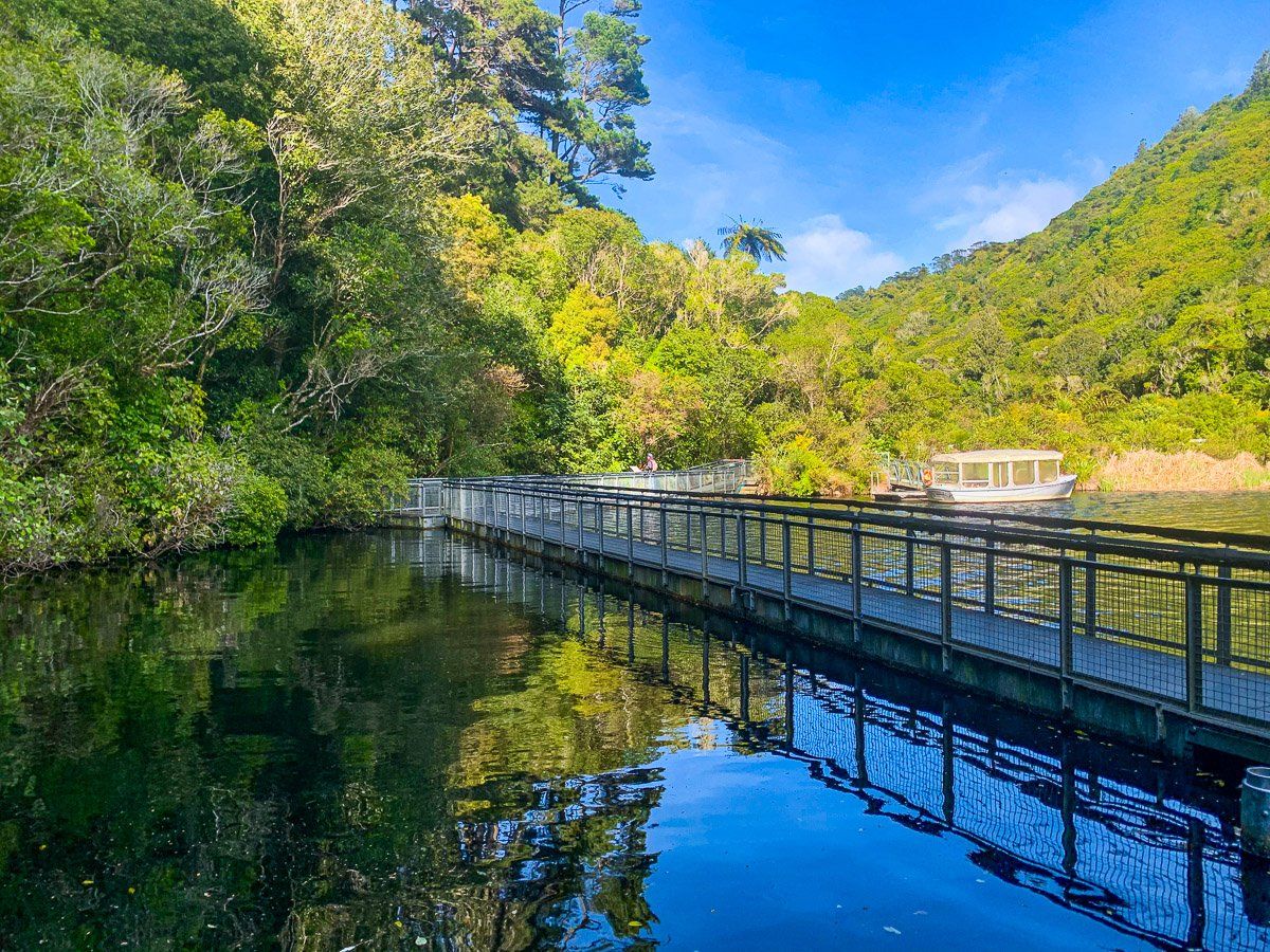
- The Lake Road Track (Loop) – This gentle loop around the lower reservoir is ideal for families and casual walkers. It provides excellent views of the water, native forest, and interpretive signs along the way.
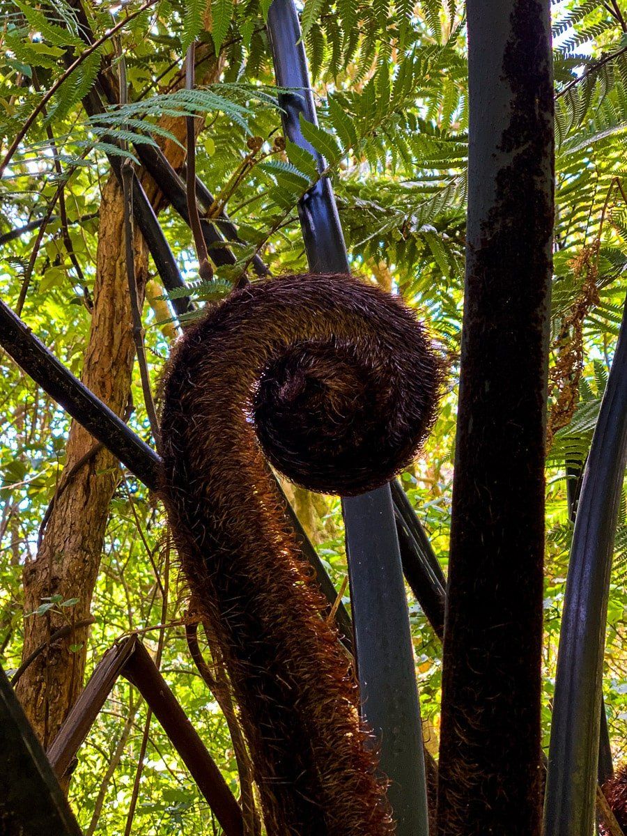
- The Round the Lake Track – A slightly longer walk that leads up through regenerating forest and loops around the upper parts of the sanctuary, with birdwatching opportunities and views of the dam.
- Fenceline Track – For those wanting a longer, more adventurous hike, this track follows the predator-proof fence and gives sweeping views across Wellington.
- Wetland Tracks – Short boardwalk paths take visitors through restored wetland habitats, where you'll find wading birds, dragonflies, and vibrant plant life.
Maps are available at the Visitor Centre, and you can also do a guided tour, including a night tour to spot kiwi.
Birds You Might Encounter
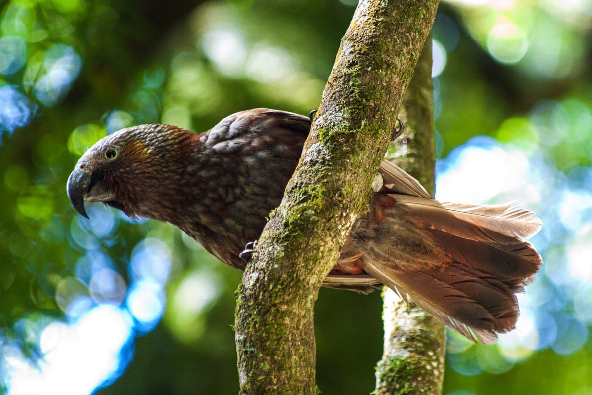
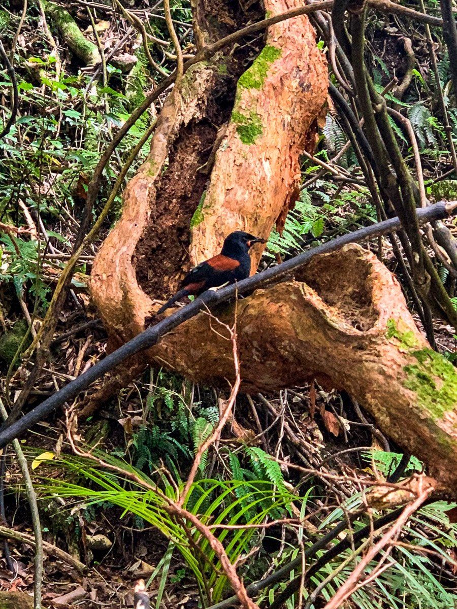
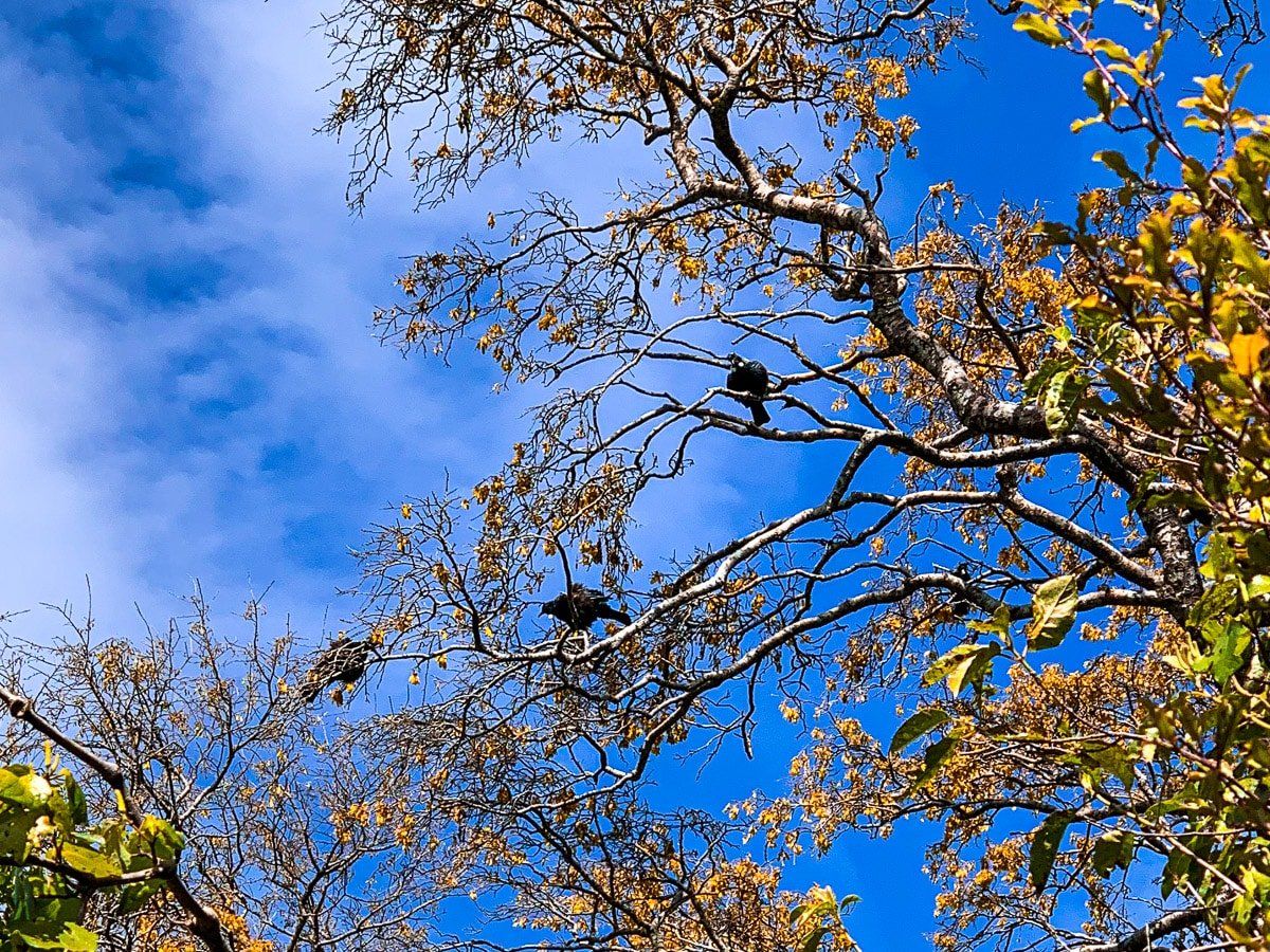
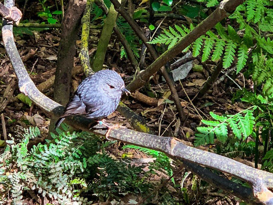
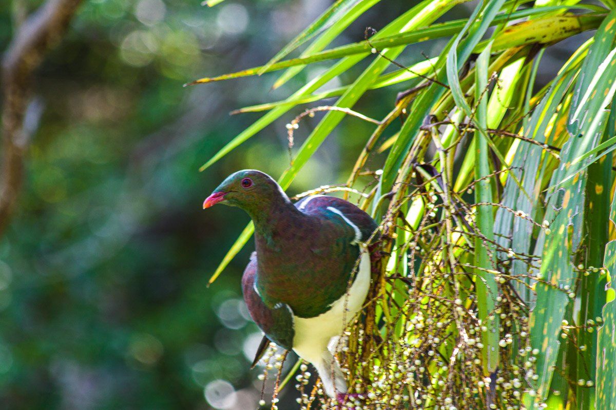
Zealandia is home to more than 40 native bird species, including 20 reintroduced species. Thanks to ongoing conservation efforts, many of these birds are now thriving in the sanctuary, and some, most famously kākā (a large forest parrot), have spread into the wider Wellington region.
Other rare and endangered birds you may see include tīeke (saddleback), tītitipounamu (rifleman), takahē, a large, flightless bird thought extinct until it was rediscovered in the 1940s, and kākāriki (bright green parakeet). Tuatara, New Zealand’s living dinosaur (a reptile, not a lizard), can be seen basking in the sun in special enclosures.
Planning Your Visit
There is an entry fee to access the sanctuary valley (discounted for locals and children), which helps fund ongoing conservation work. You can also enjoy the interactive exhibition at the Visitor Centre and the Rātā Café, which overlooks the lower lake.
Whether you're a birdwatcher, a photographer, a nature-lover, or just curious, Zealandia offers a unique chance to experience New Zealand as it once was: alive with birdsong and thriving forest.
How to Get to Zealandia
To reach Zealandia from Central Wellington, start by taking Bowen Street to Tinakore Road and head south. Tinakore Road transitions into Glenmore Street as you pass the Botanic Gardens. Continue on Glenmore Street as it winds up the hill until you reach Waiapu Road on the left. The main car park is located at the end of Waiapu Road. The journey takes about 7 minutes by car or 50 minutes on foot.
Other places to visit around the central city include the parliamentary precinct, He Tohu, the downtown harbour walk and Te Papa. Wilton Bush is the largest forested area in Wellington, a short drive from Zealandia, and next door is the Ōtari Native Botanic Gardens.