
For good reason, Aoraki, Mount Cook is one of the top destinations in New Zealand. It’s especially beautiful in winter, and one of the most scenic avenues for getting there is to drive the alpine route. The drive starts near Christchurch in Darfield, crosses the Rakaia below the gorge, runs along the edge of the Southern Alps, and passes through Geraldine and Fairlie into the Mackenzie Basin.
There are plenty of points of interest along the way, and it only takes about three and a half hours to drive from Darfield to Aoraki. State Highway 80, the section of the Alpine Scenic Route that traces Lake Pukaki, is particularly incredible on a clear winter day.
On this trip, we had enough time to make the drive to Aoraki and complete the short Tasman Lake walk before nightfall. The next day it snowed, and we walked into the magical Hooker Valley.
Alpine scenic route
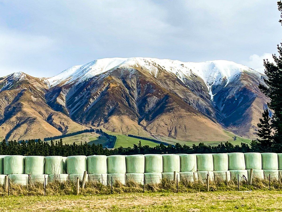
The alpine route we take to Aoraki starts with State Highway 77 in Darfield. To get to SH77 from Christchurch, head out on State Highway 73, the West Coast Highway to Darfield. From there, SH77 heads to Rakaia, then southwest towards Geraldine. Make sure to stop and admire the view around Rakaia, Mount Hutt and Mount Somers. There are several longer detours that you can take including some hiking tracks, which you can check out here.
SH 77 terminates near Geraldine. From here, take State Highway 79 to Fairlie, then State Highway 8 to the turnoff to Aoraki on SH80.
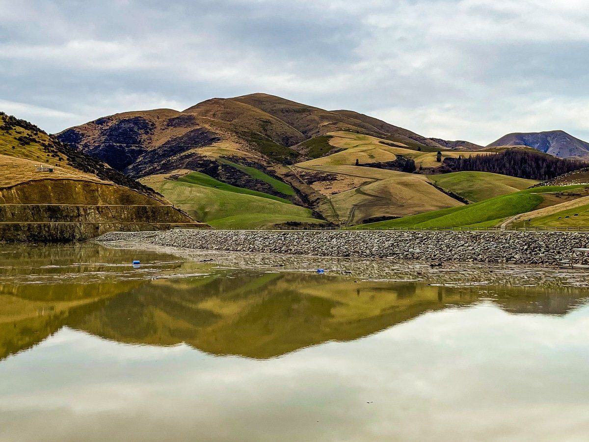
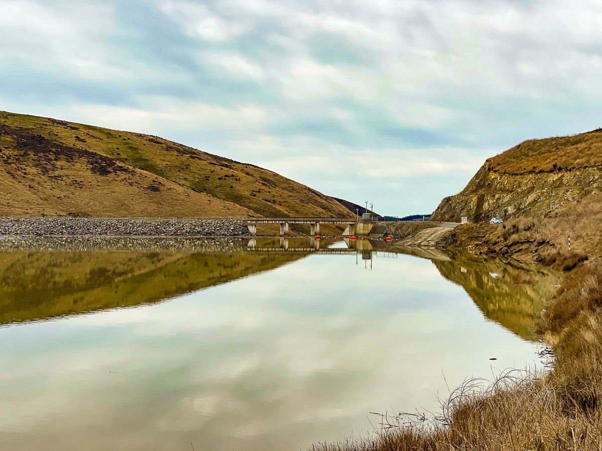
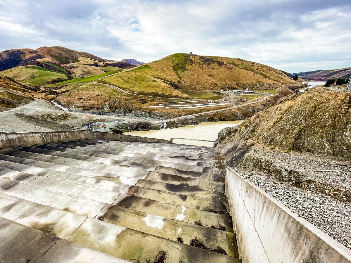
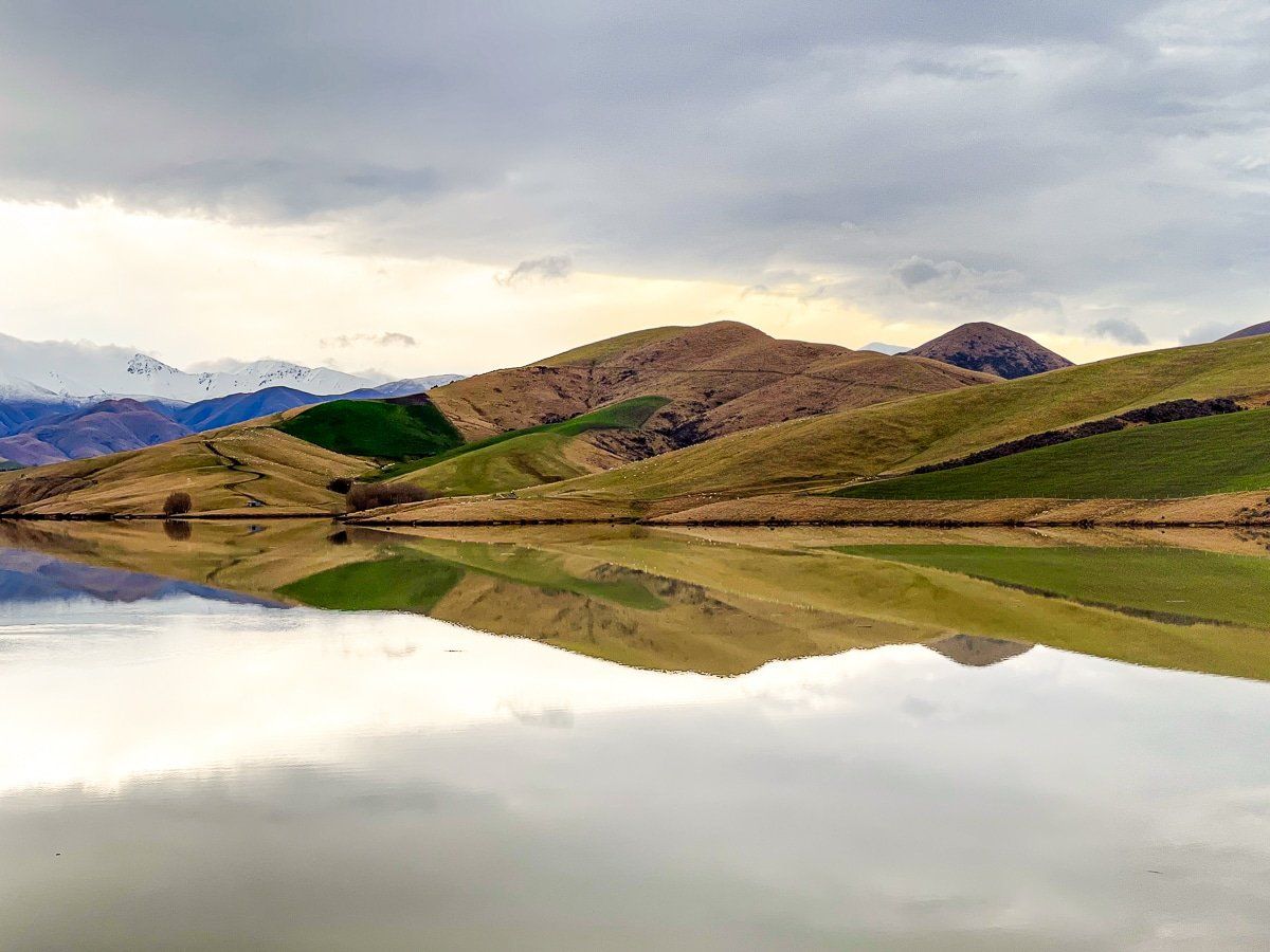
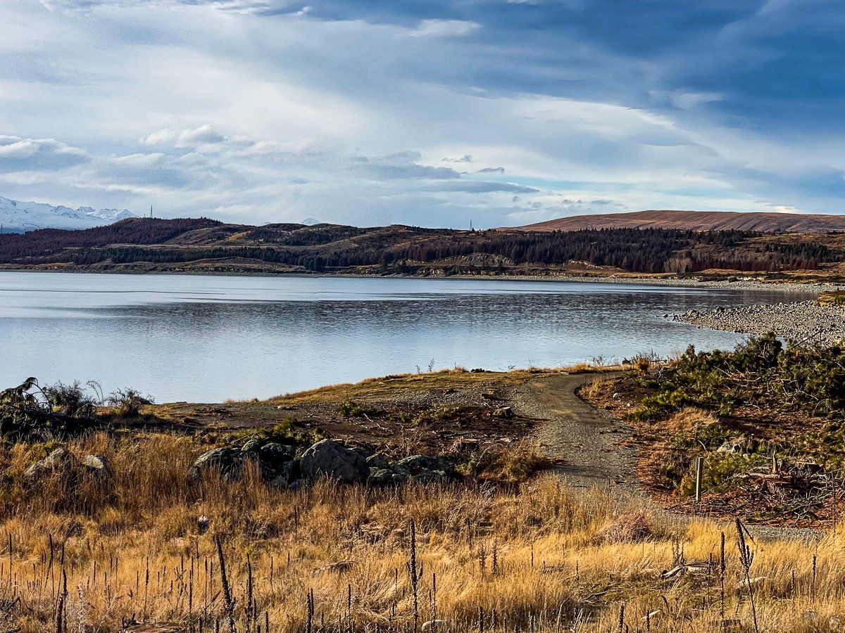
Lake Opuha
Lake Opuha is a short, worthwhile side trip to the northeast of Fairlie. The lake feels like it’s in the middle of nowhere, despite being surrounded by farms. It was created by a dam for use as a reservoir, but there’s a walking track around the south side, so you can explore.
To get to Lake Opuha, take Mt Michael Road off SH79 about 10kms before Fairlie.
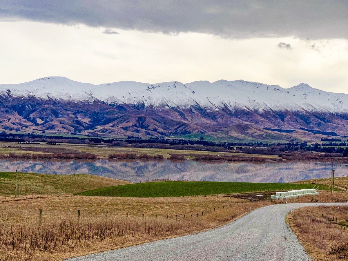
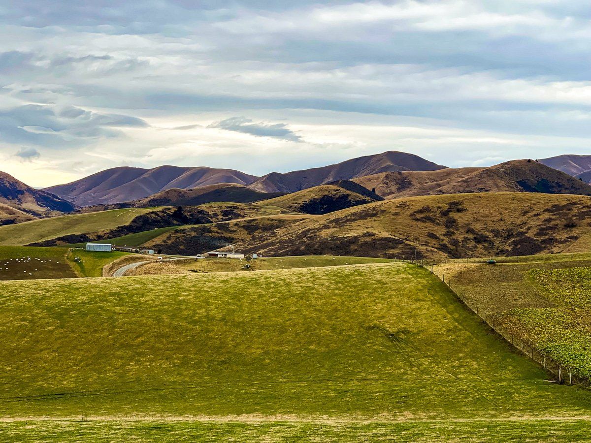
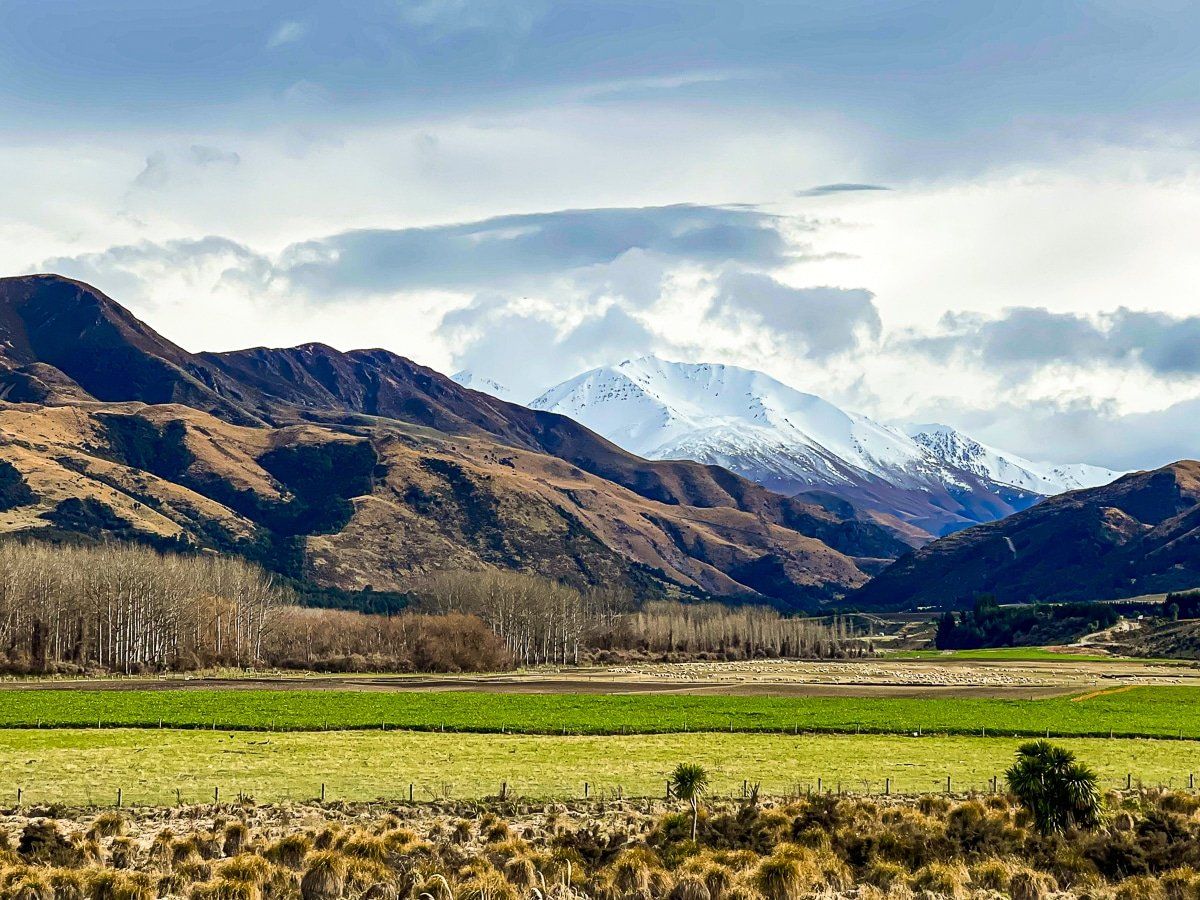
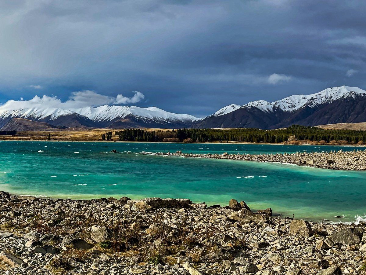
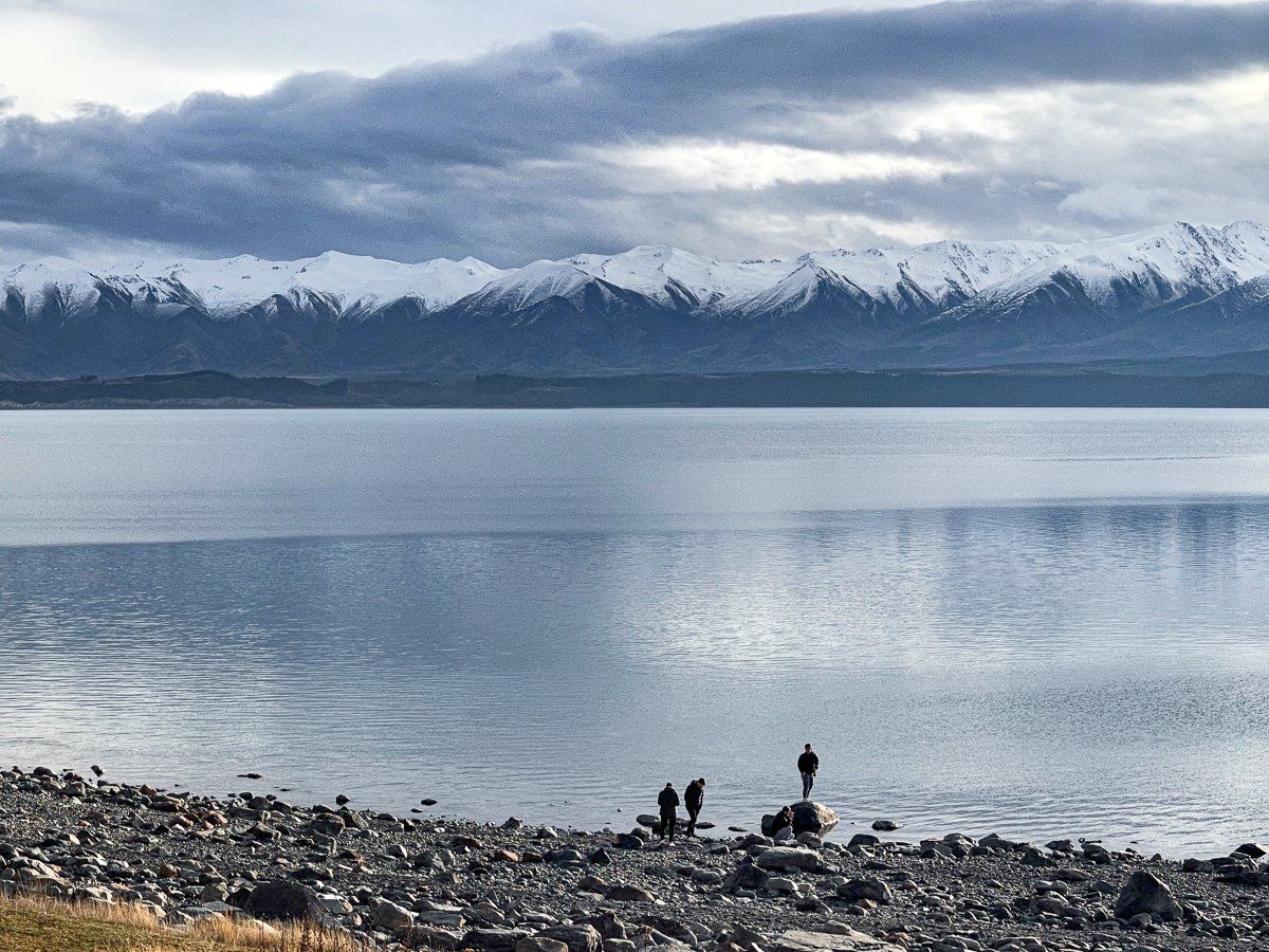
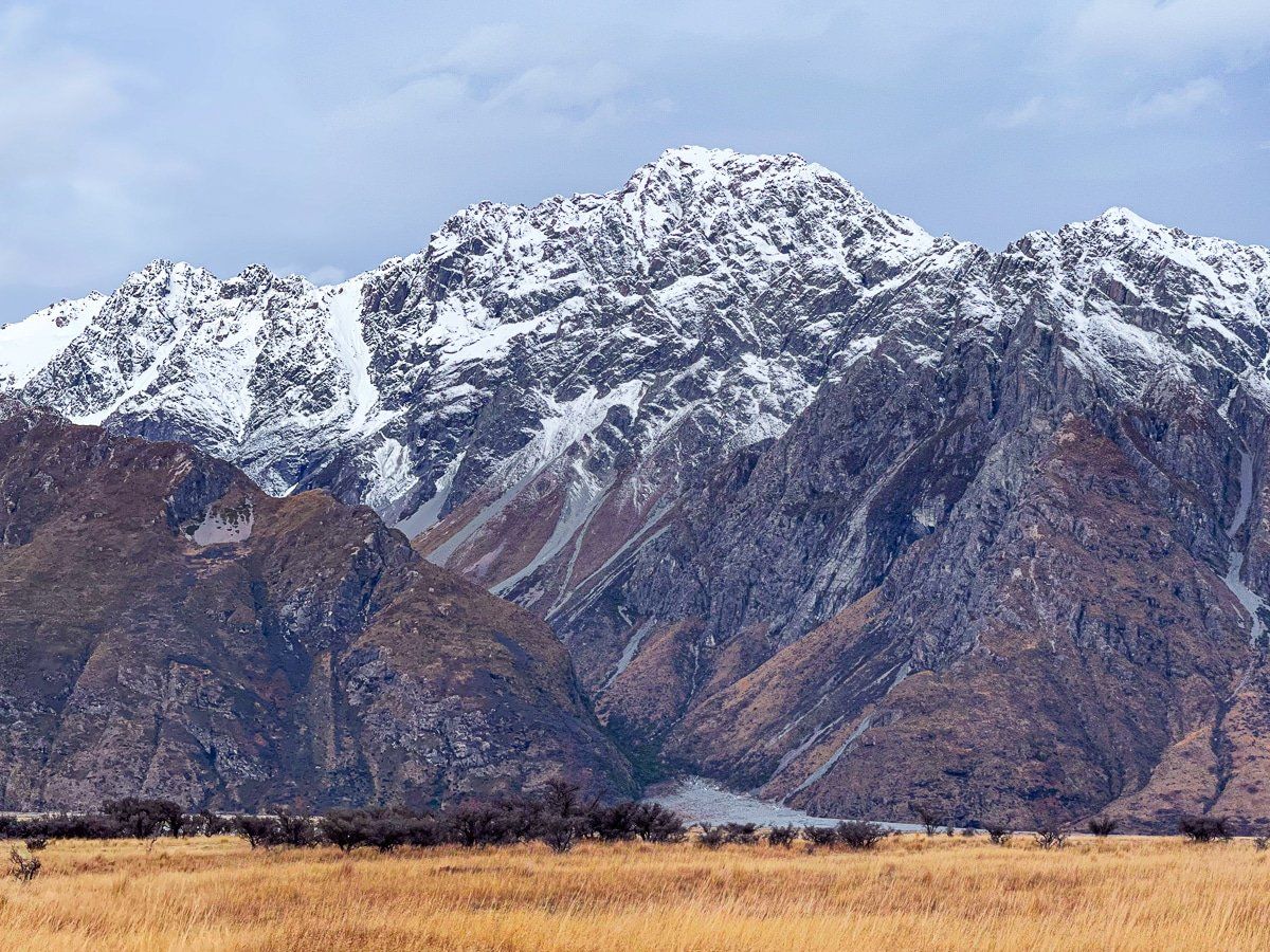
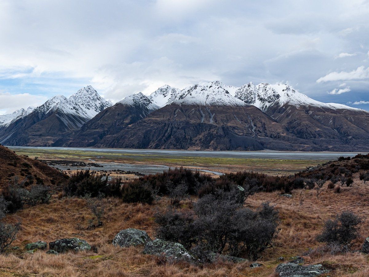
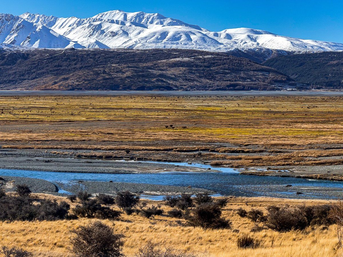
Mackenzie Basin
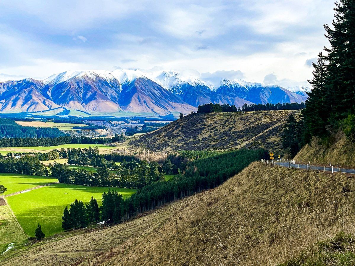
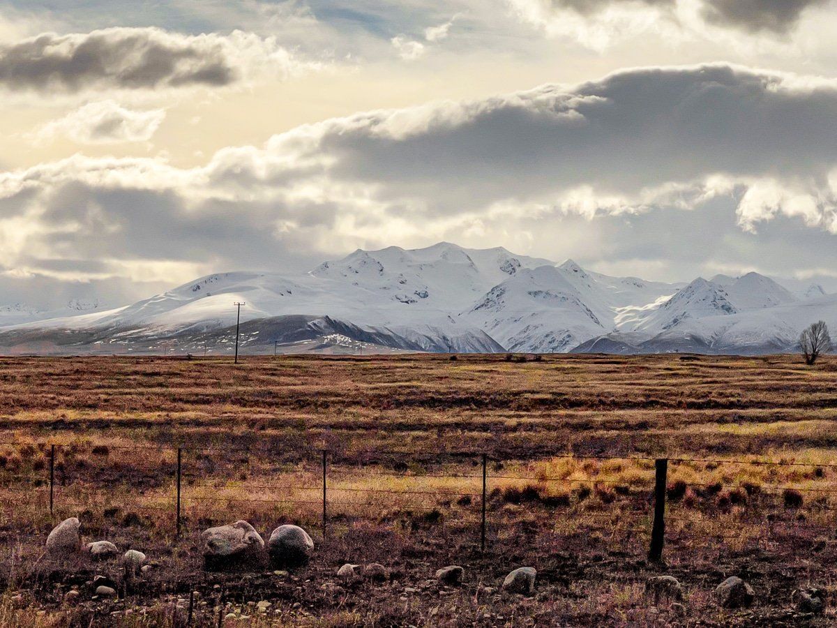
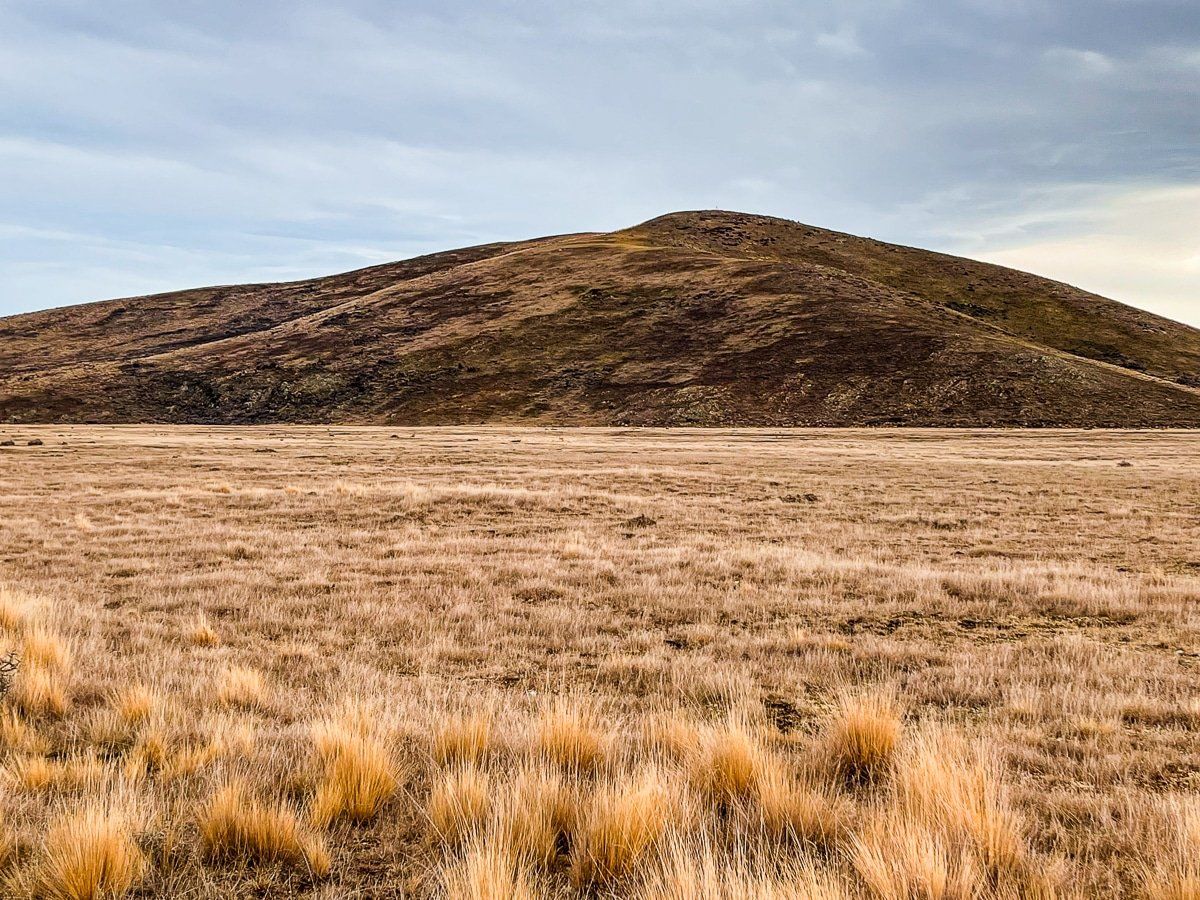
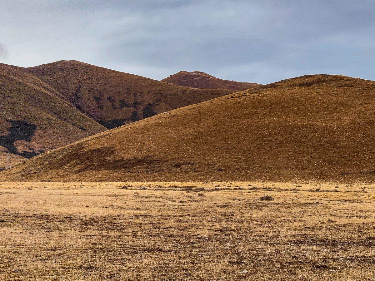
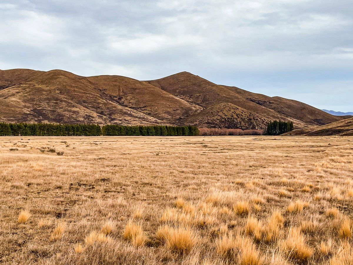
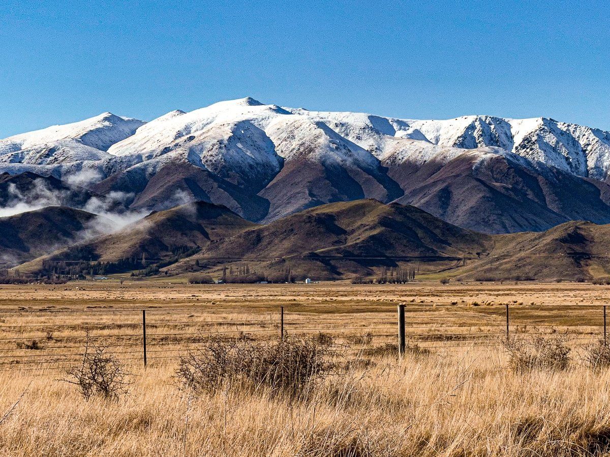
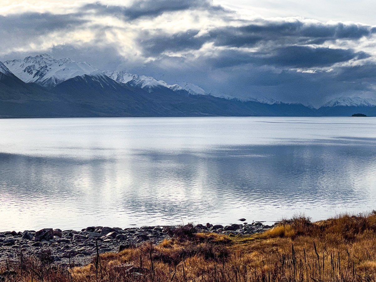
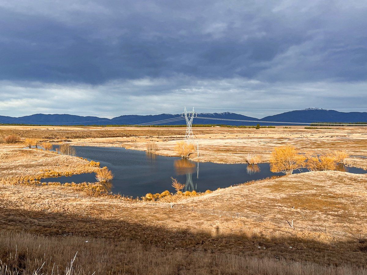
Back on the main stretch, follow SH8 over Burkes Pass and into the Mackenzie Basin. This is an arid, desert-like environment, other than areas that have been converted to intensive pastoral farming through irrigation. Last year, we drove this section in fog and hoar frost from Burkes Pass.
In winter, Mackenzie Basin is framed by snow capped mountains. There are numerous safe places to stop for taking in the views, many of which are signposted in advance.
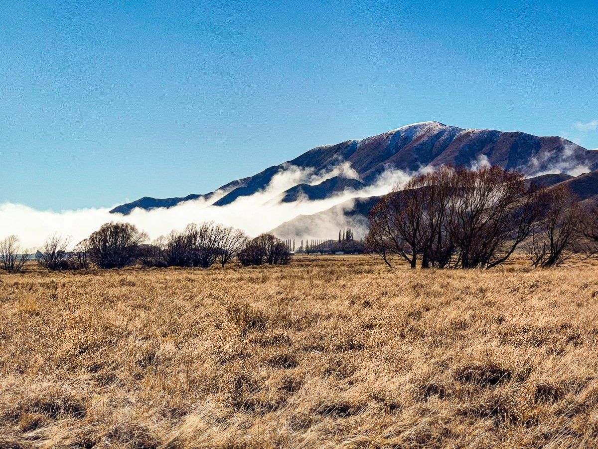
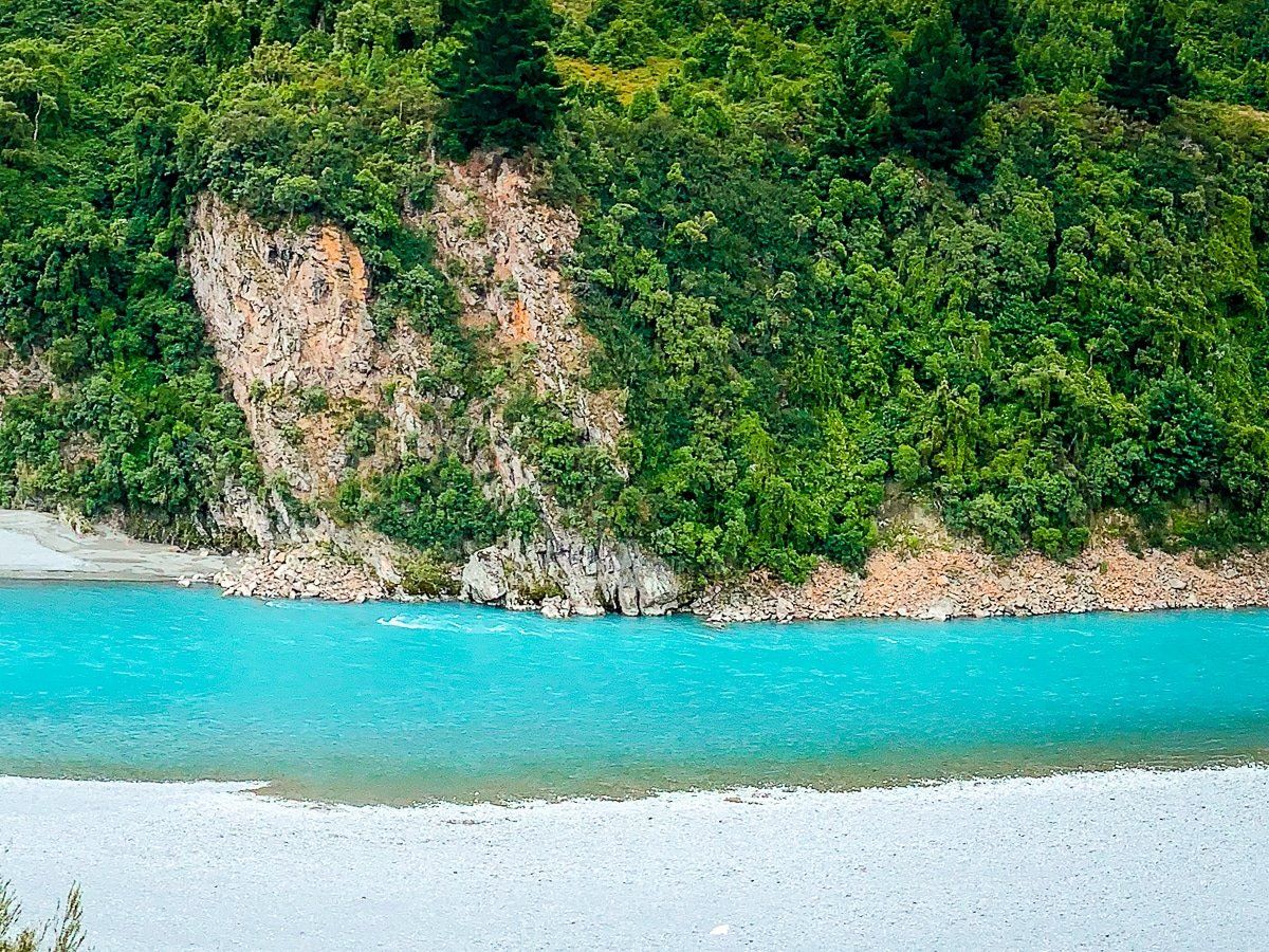
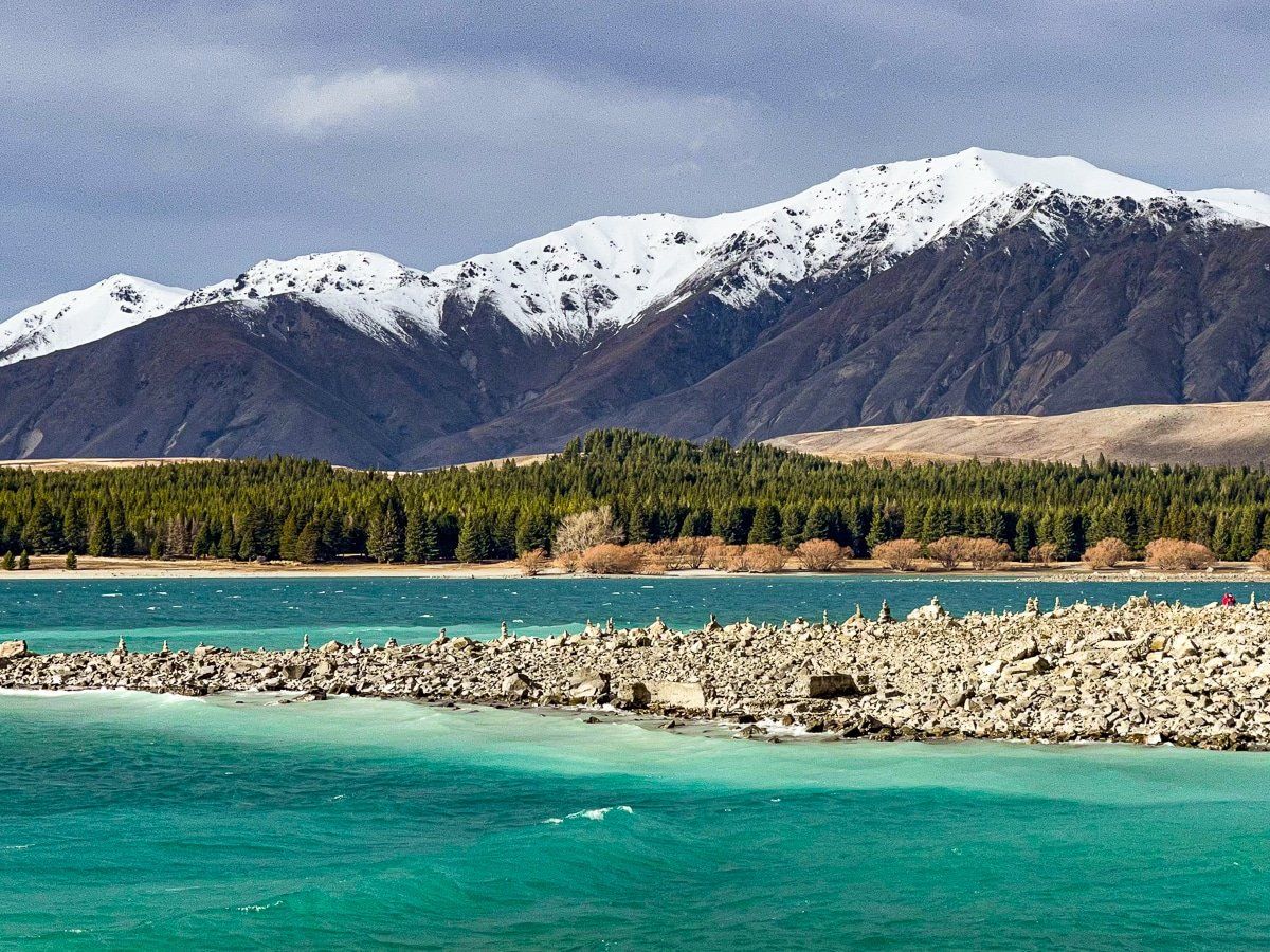
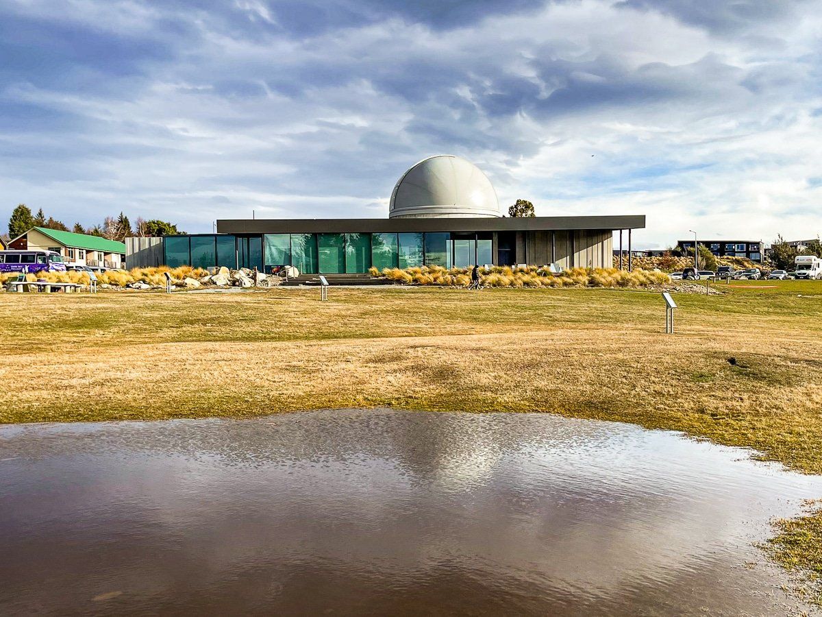
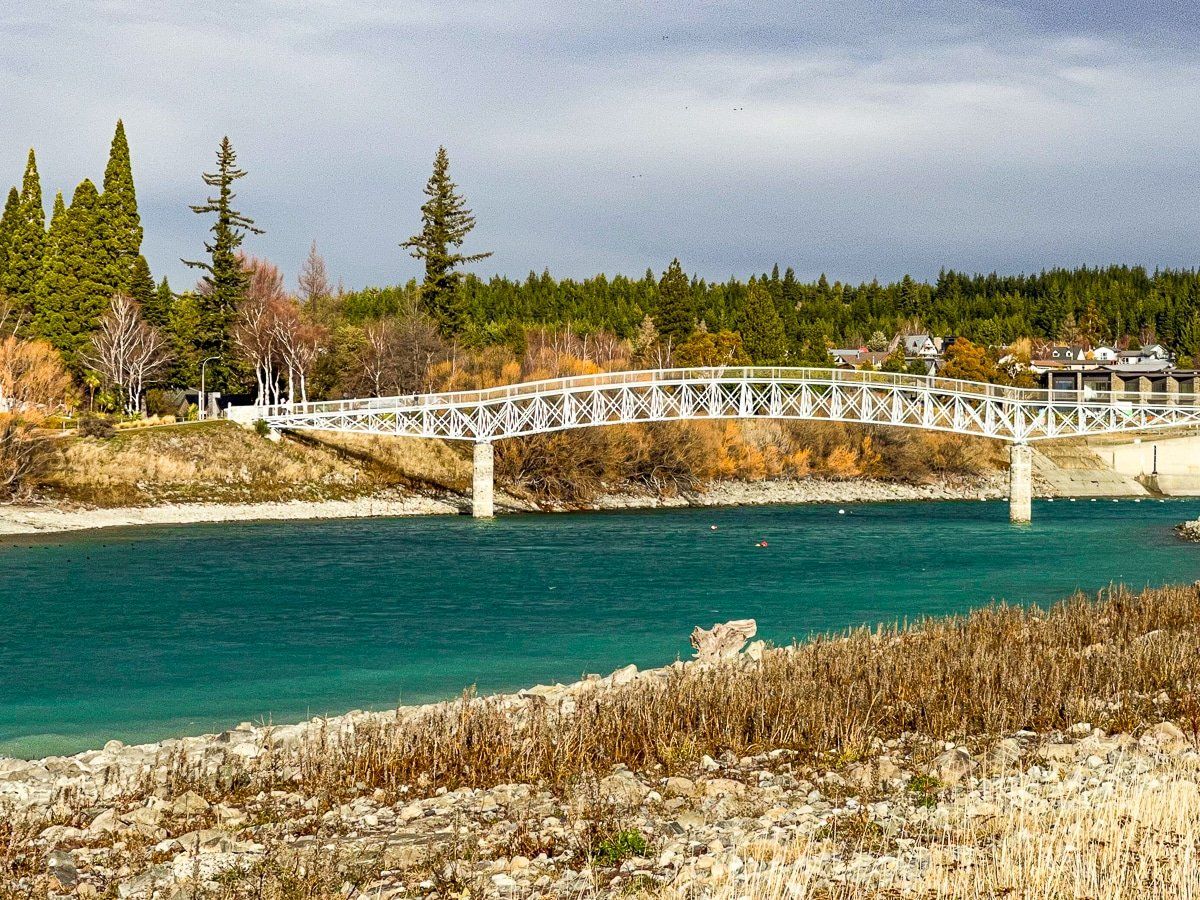
Tekapo
We chose Tekapo for a lunch break and to look at the turquoise water.
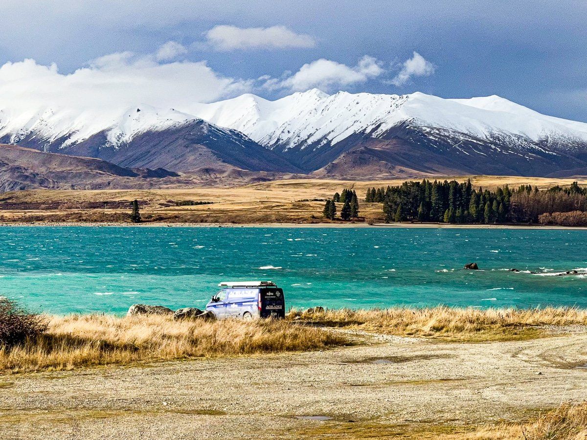
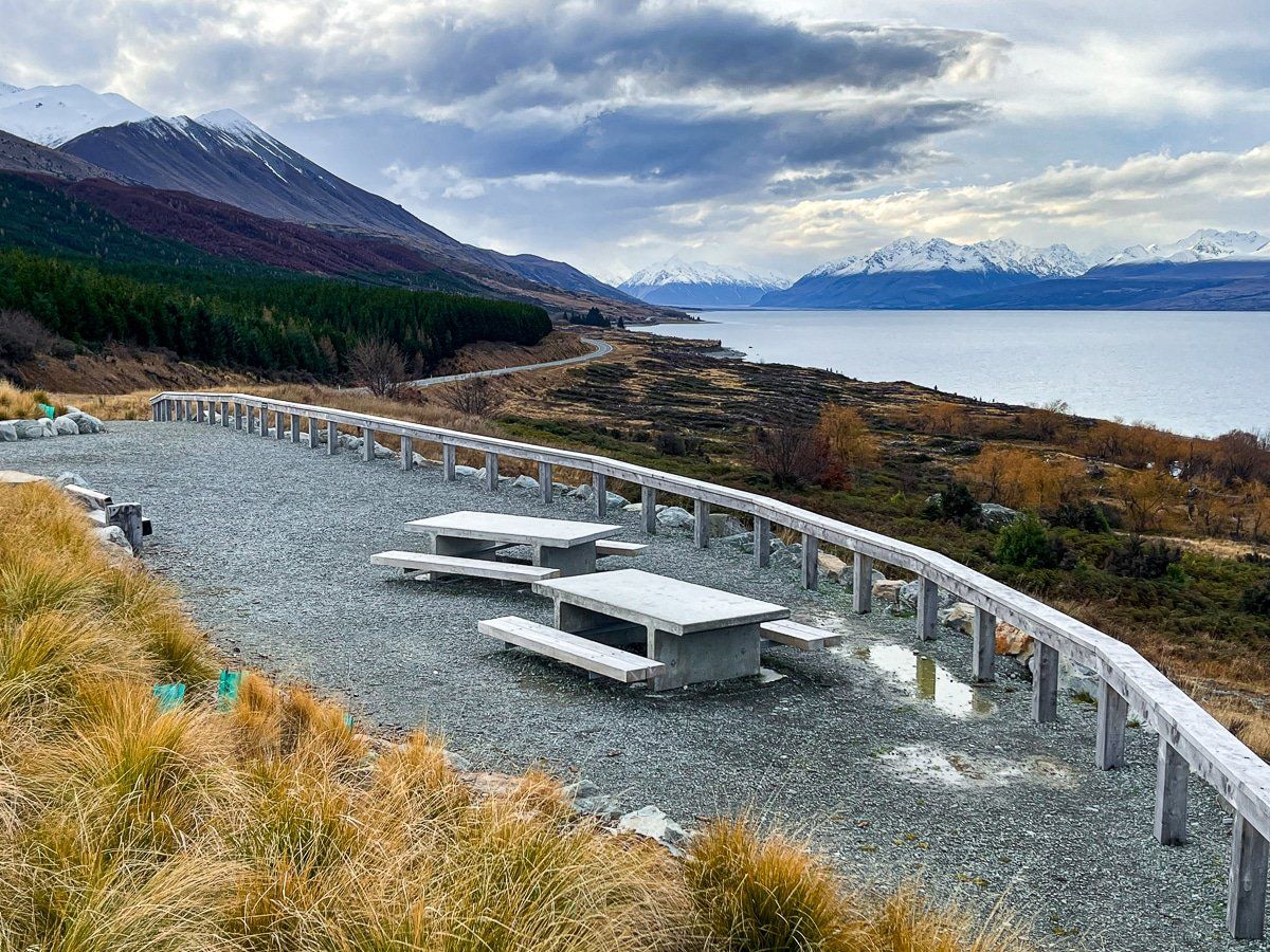
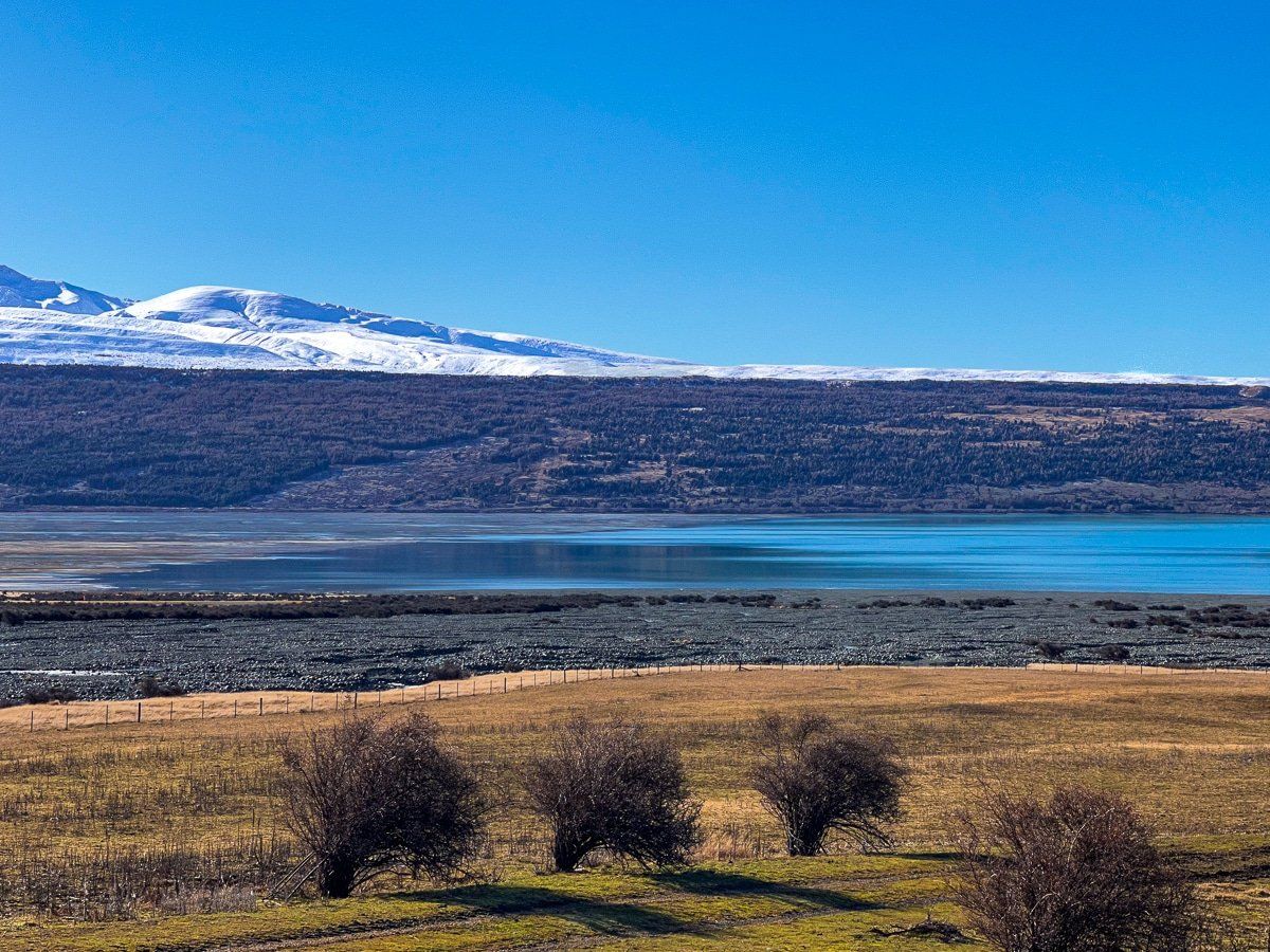
Tekapo Canal and Lake Pukaki
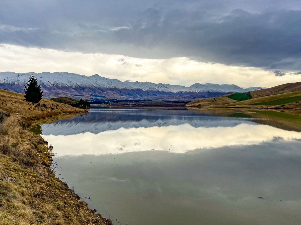
We had intended to drive along the Tekapo Canal to Lake Pukaki, however this route had been restricted to walkers and cyclists. Instead we got a nice viewpoint of the hydro canals, which are a unique point of interest in the Mackenzie Basin. They connect the natural lakes (Lake Tekapo, Lake Pukaki and Lake Ohau) to the Waitaki Valley hydro lakes, creating a very large hydro power catchment.
A bit further down the road is the first viewpoint over Lake Pukaki.
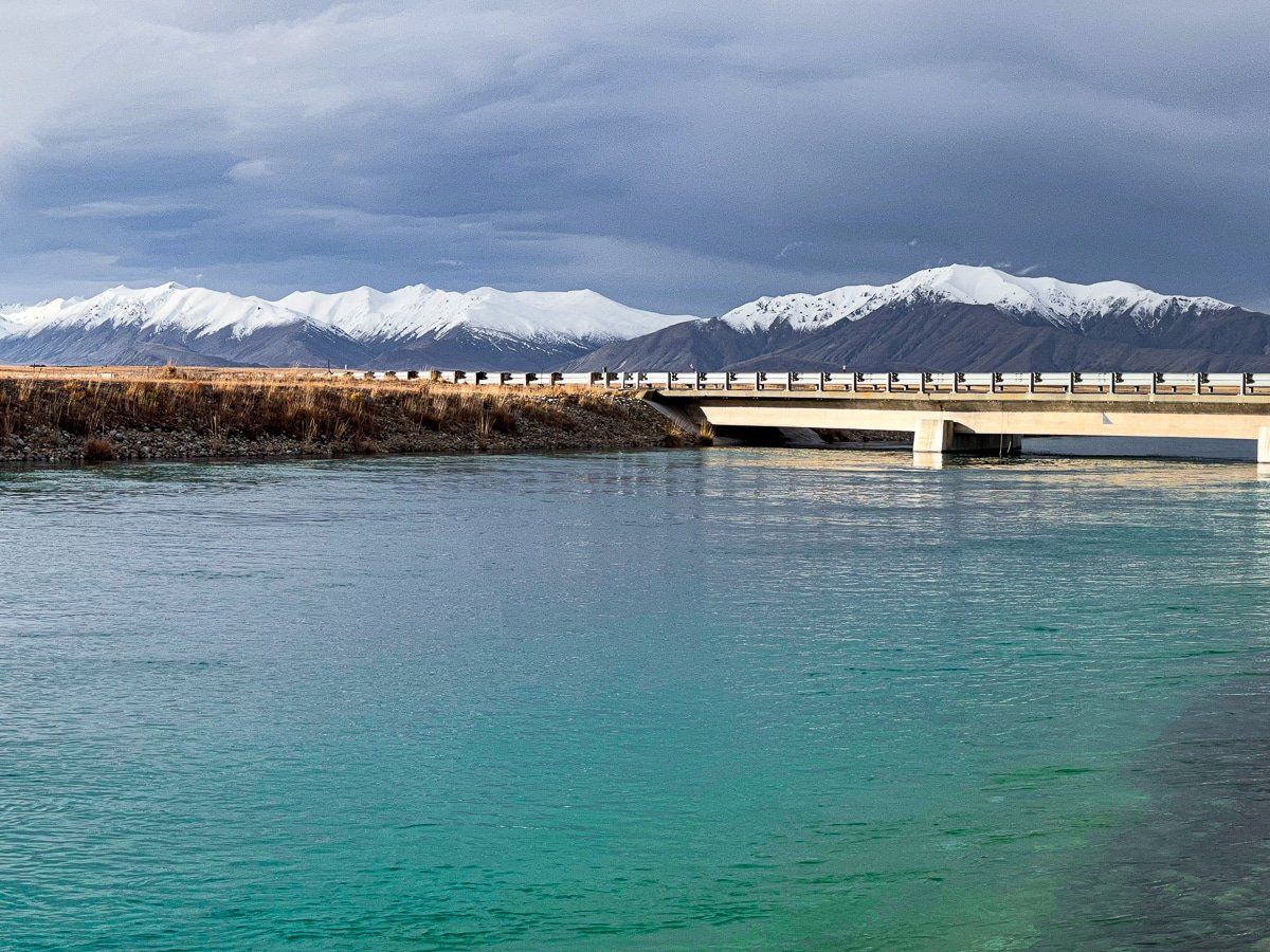
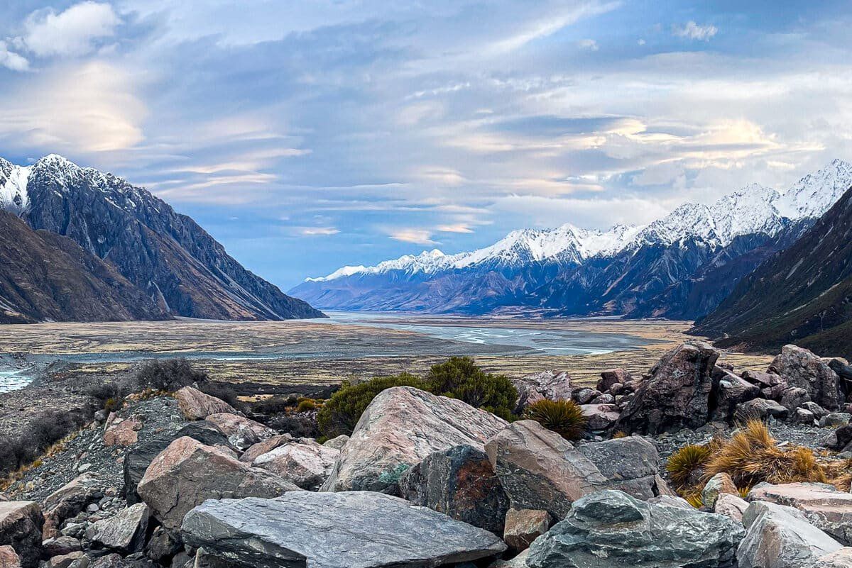
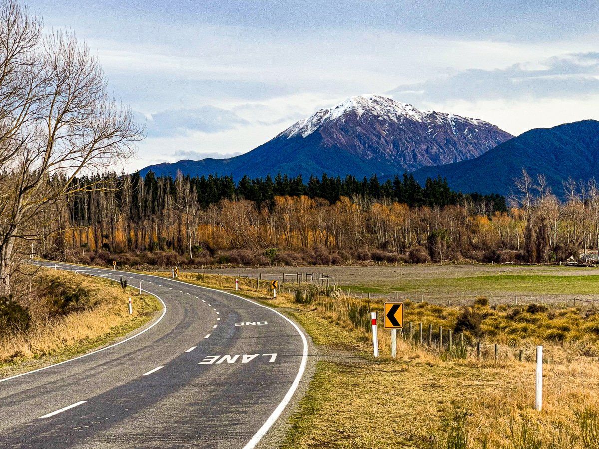
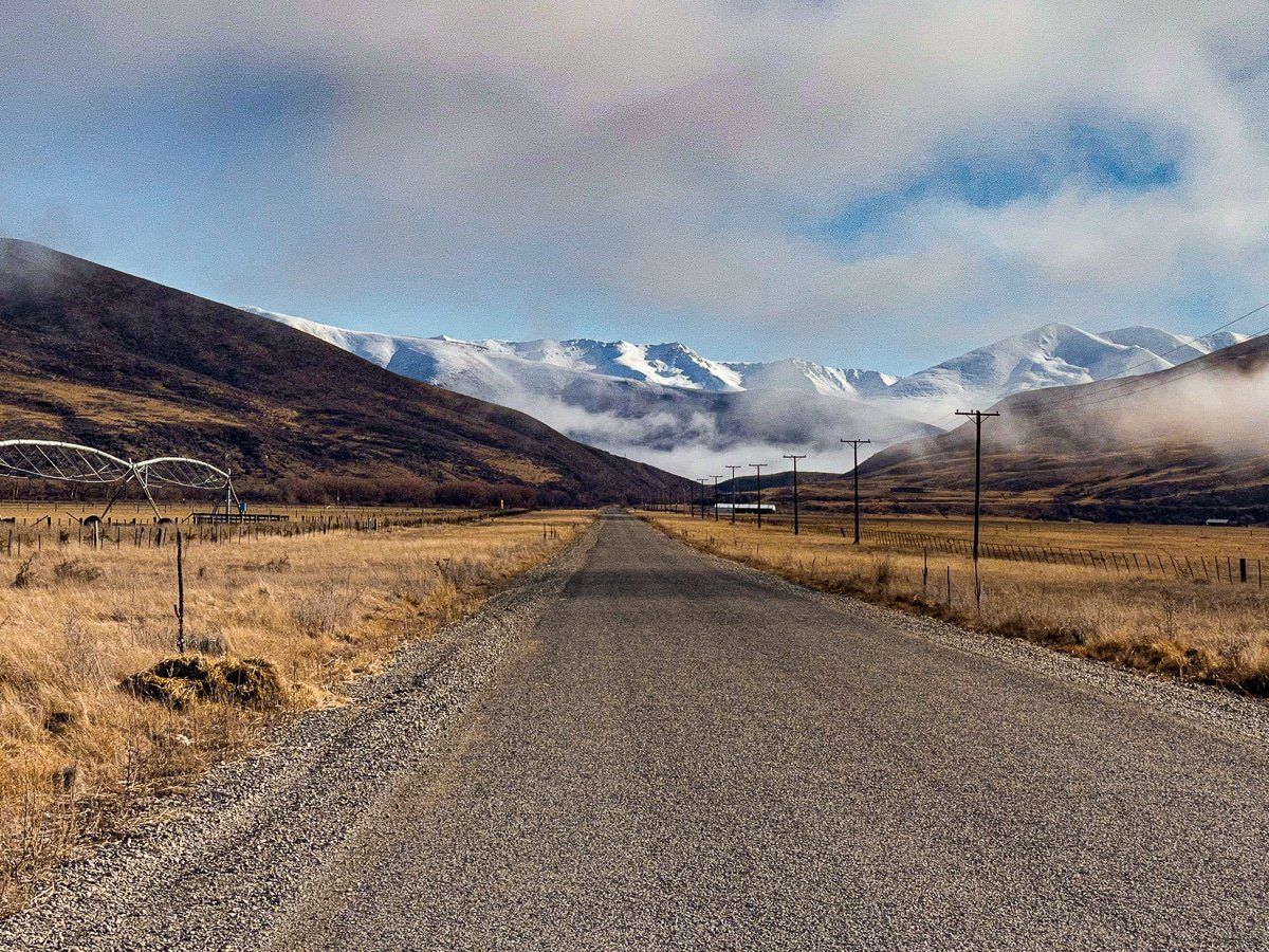
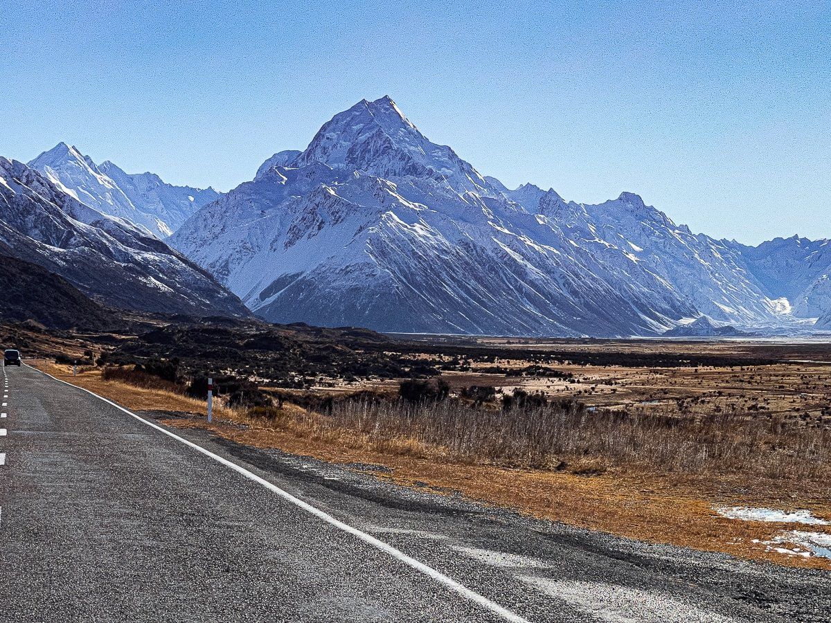
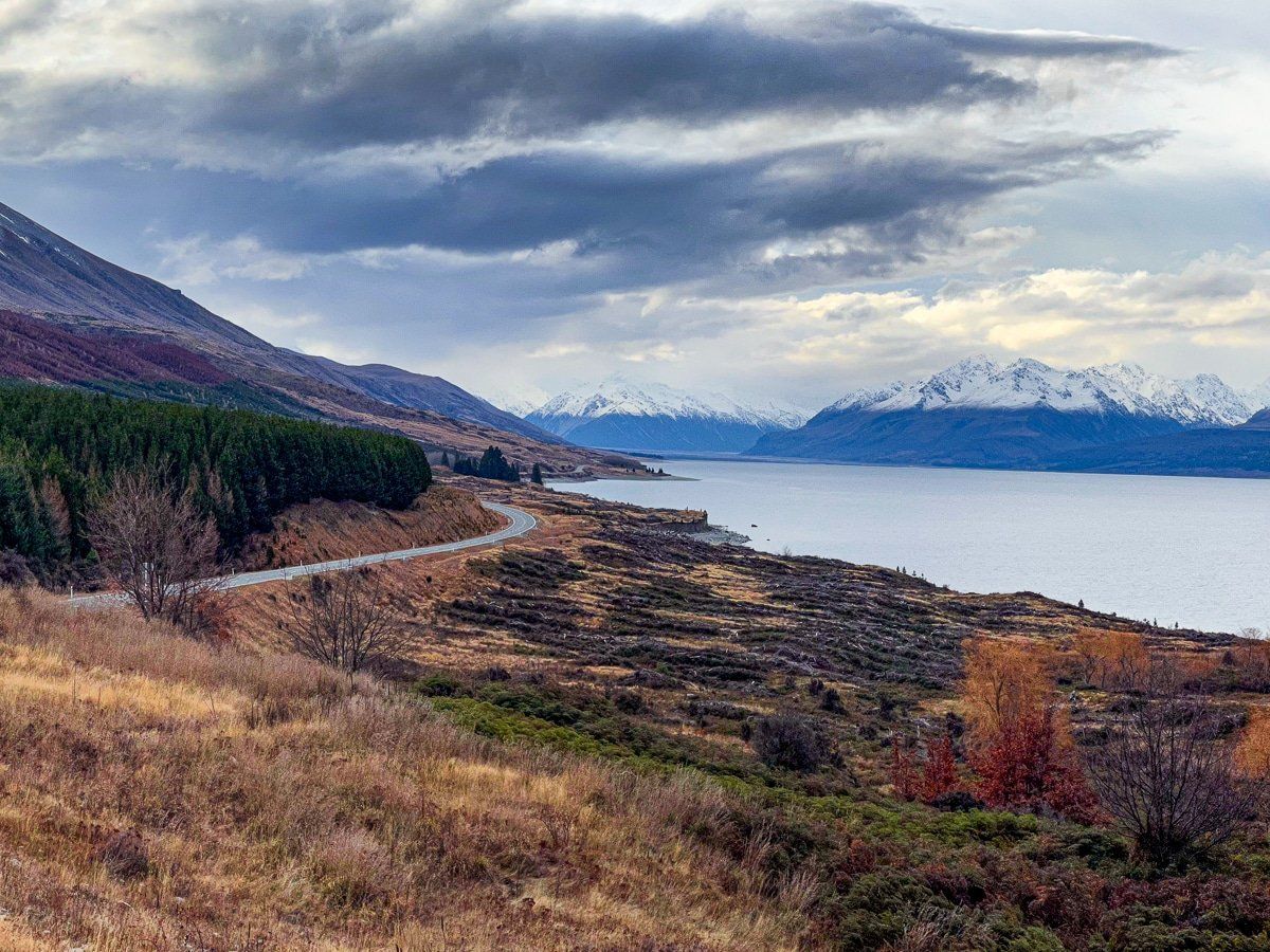
SH80 to Aoraki
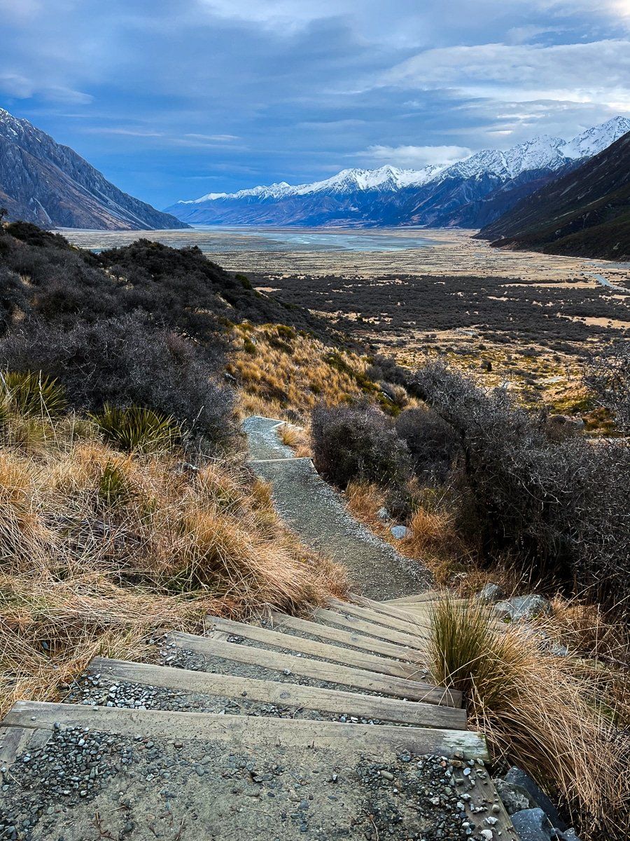
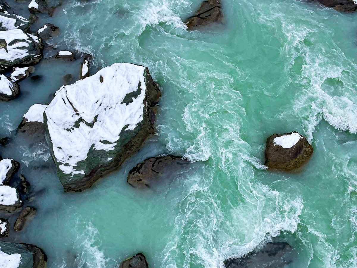
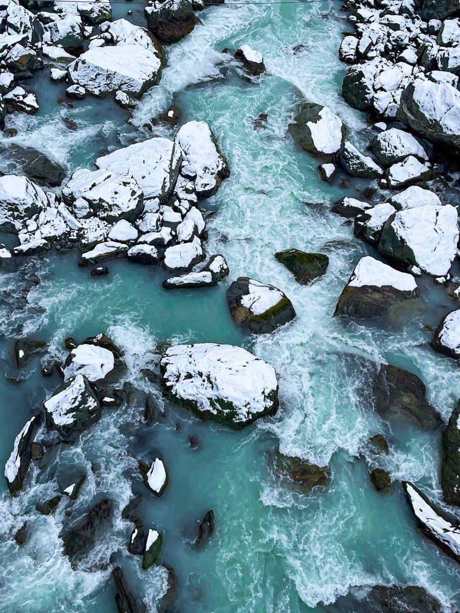
State Highway 80 runs down the west side of Lake Pukaki and the Tasman River that feeds the lake. This section of the drive takes about 45 minutes, and it’s gorgeous on a clear day.
Aoraki, Mount Cook is obviously a dominant feature, and the road has plenty of safe places to stop for photos. The flats at the west end of the lake are also colourful, and the Burnett Mountains on the east side of the valley are substantial in their own right. At the end of the highway, turn left for Mount Cook Village and the Hooker Valley, or right for the Tasman Valley.
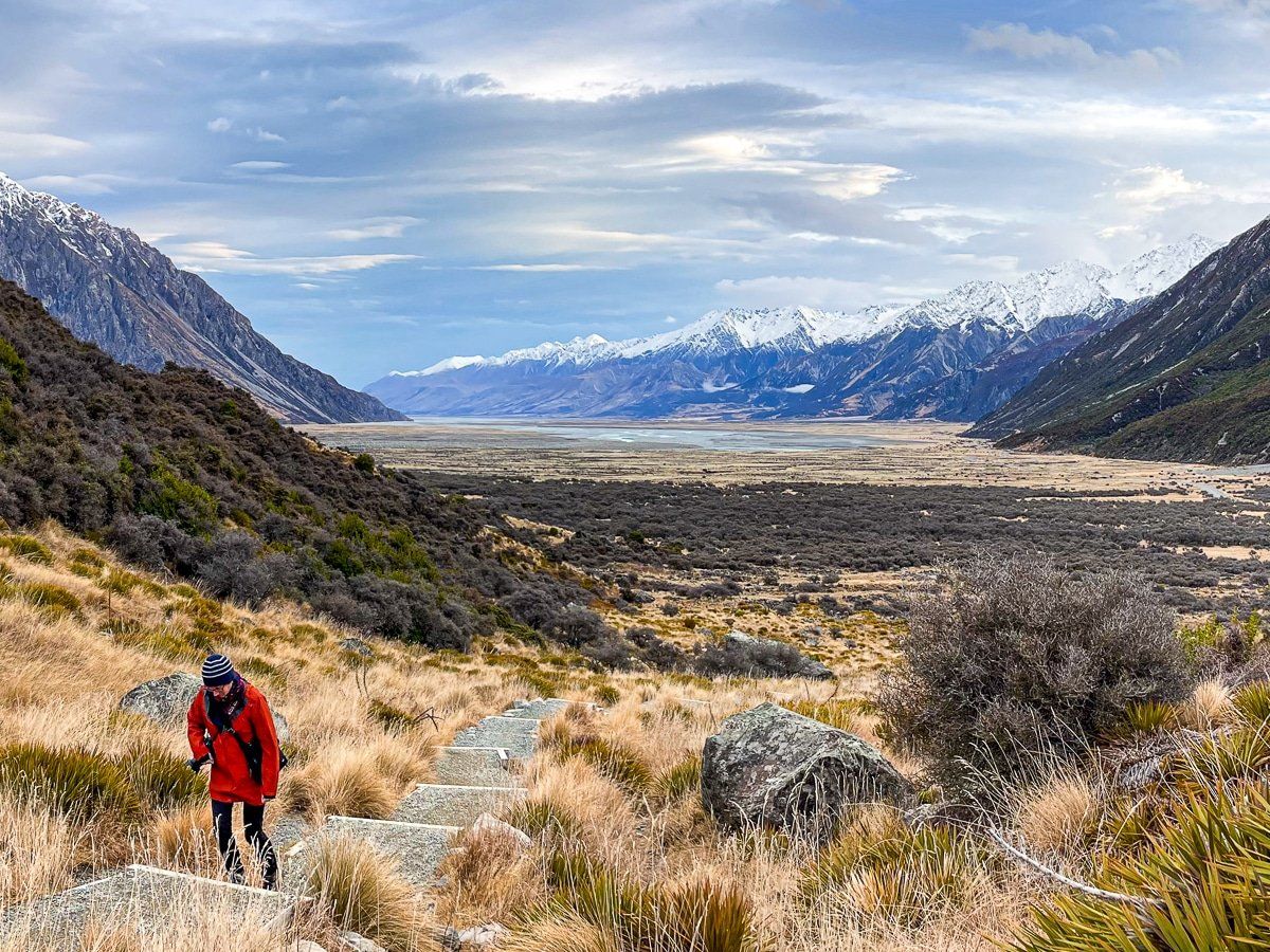
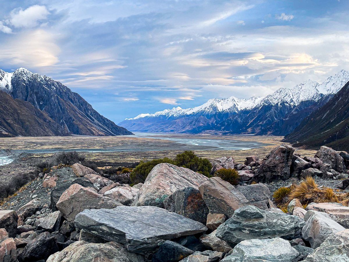
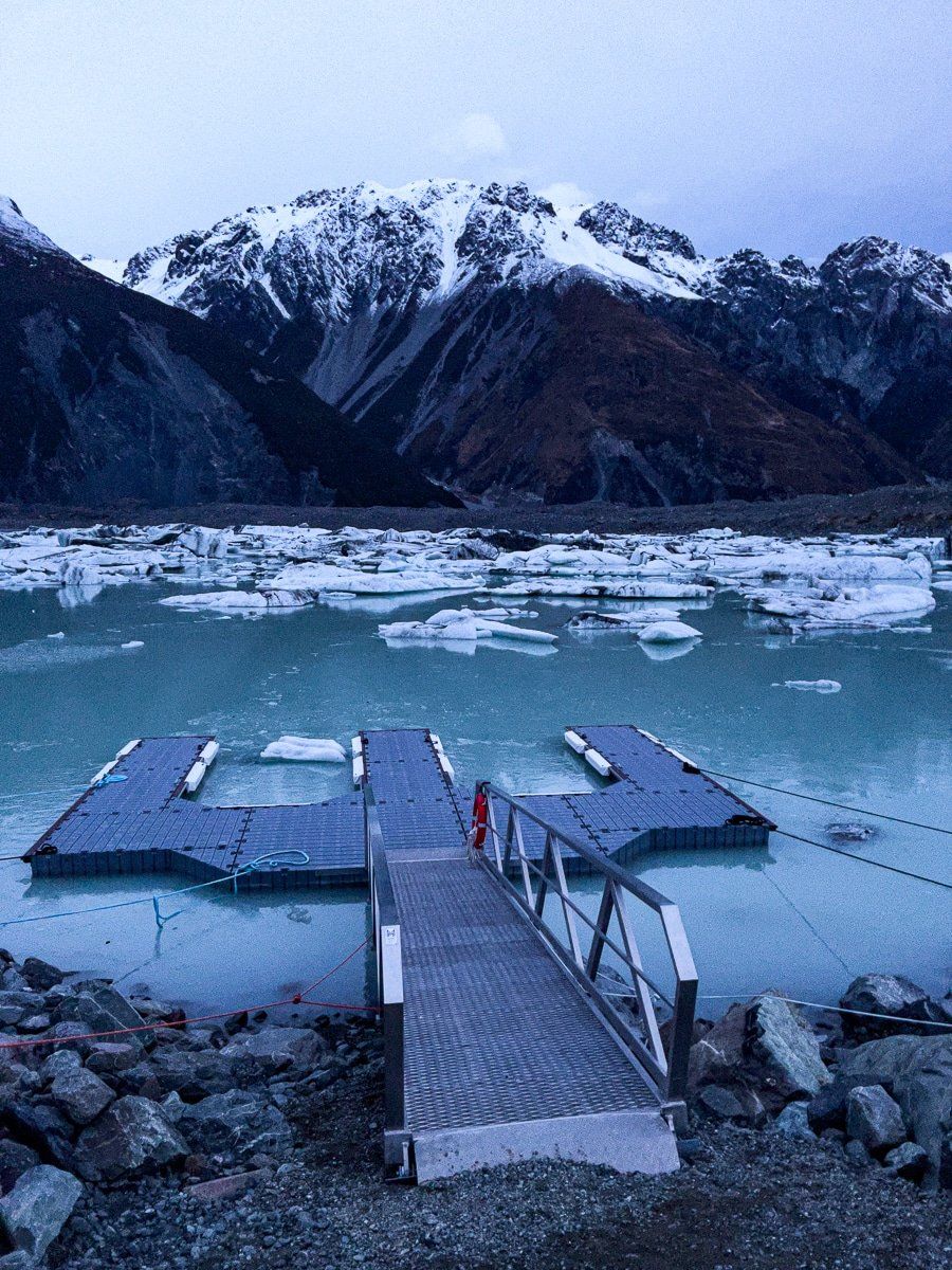
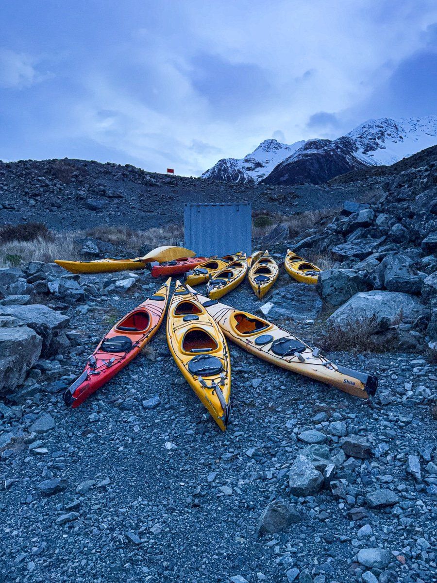
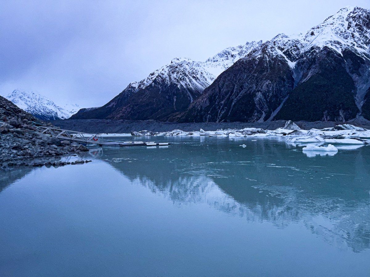
Tasman Lake Track
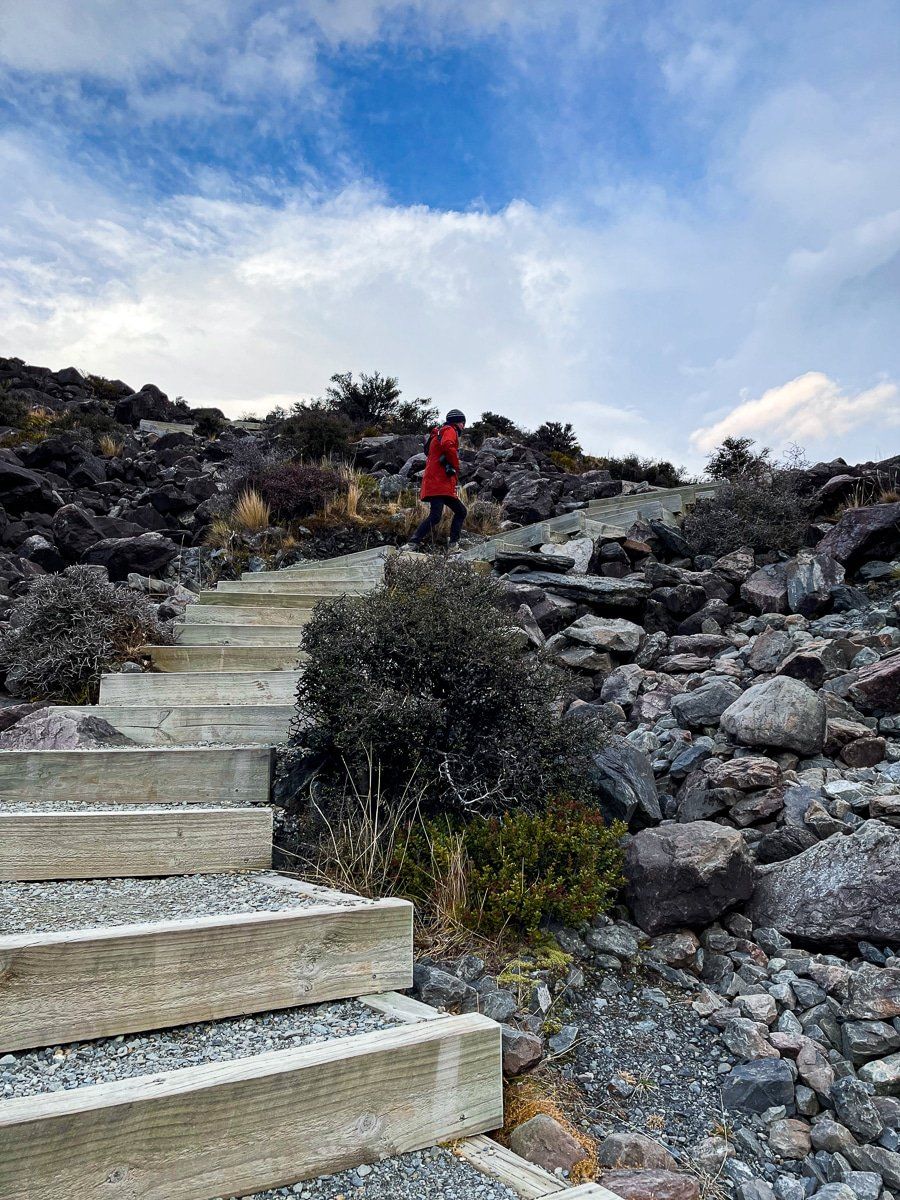
As you approach the end of SH80, take the signposted right turn to the Tasman Valley and drive to the car park at the end of the road. From there, the Tasman Lake track is only a 15 minute walk to the top of the glacial moraine that the retreating Taman Glacier has left behind.
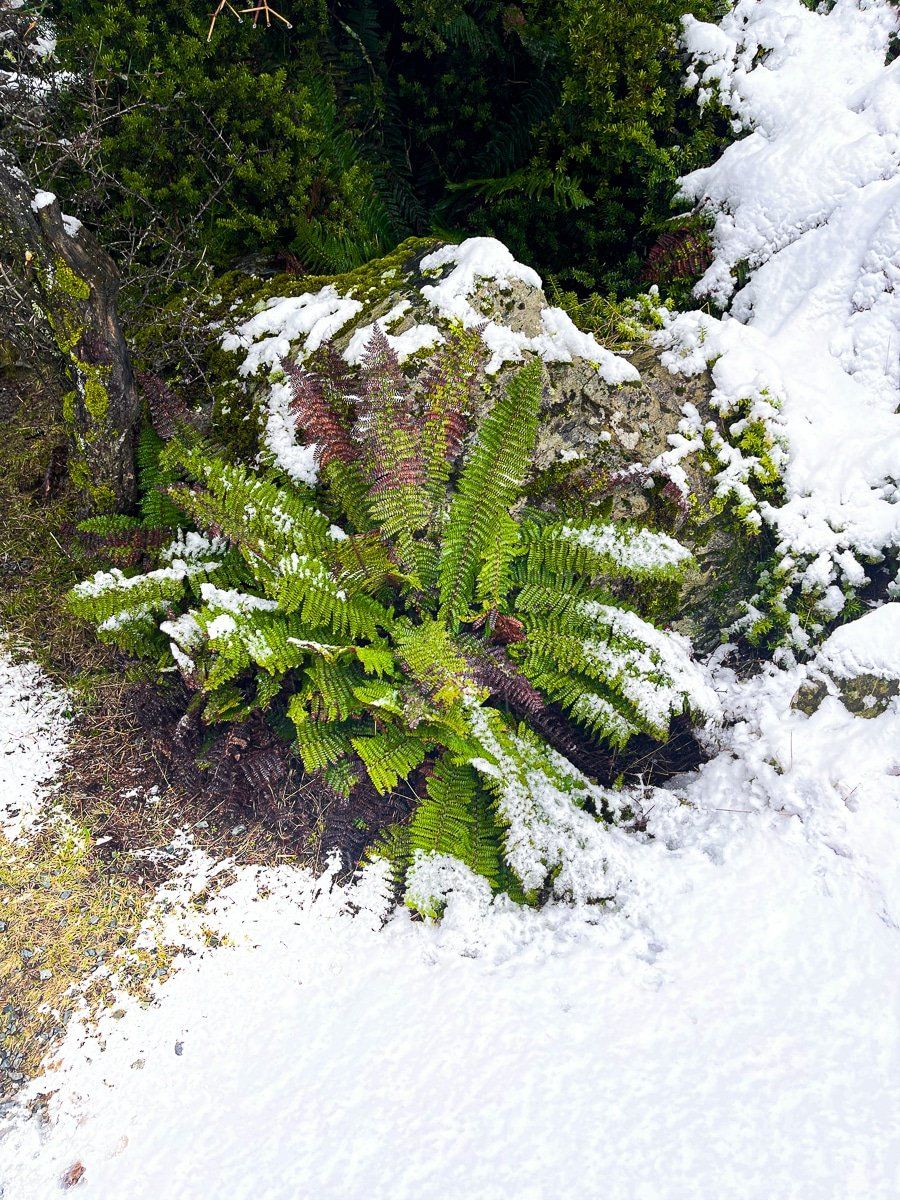
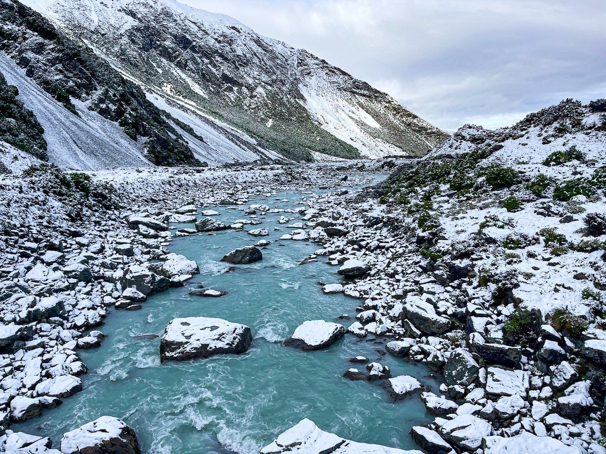
There are a couple of side tracks along the way, which go to the end of Tasman Lake and a jetty, the Tasman River, and the Blue Lakes. These walks wind through an interesting mix of alpine plants which grow amongst rocks and rubble left behind by the glacier.
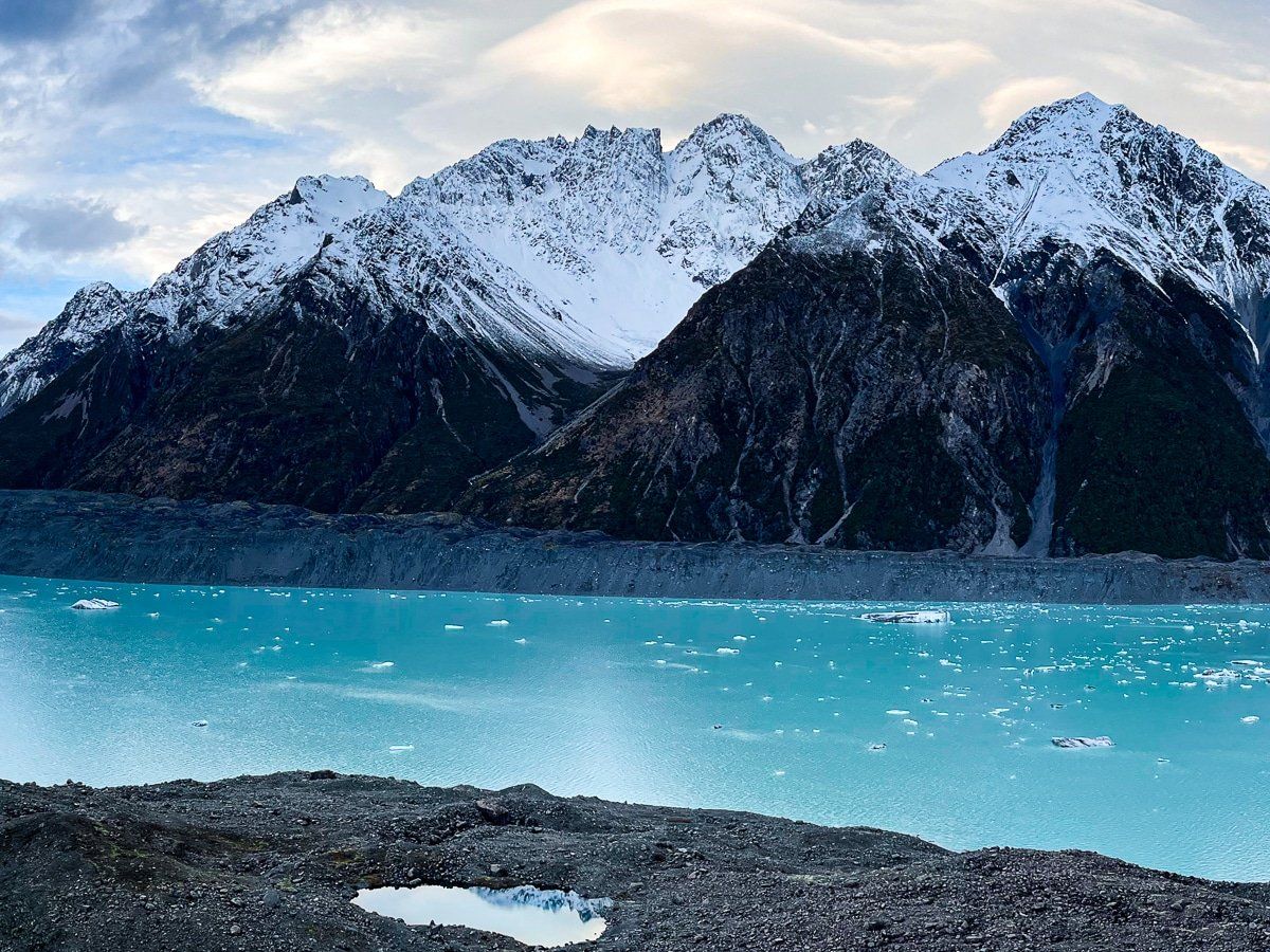
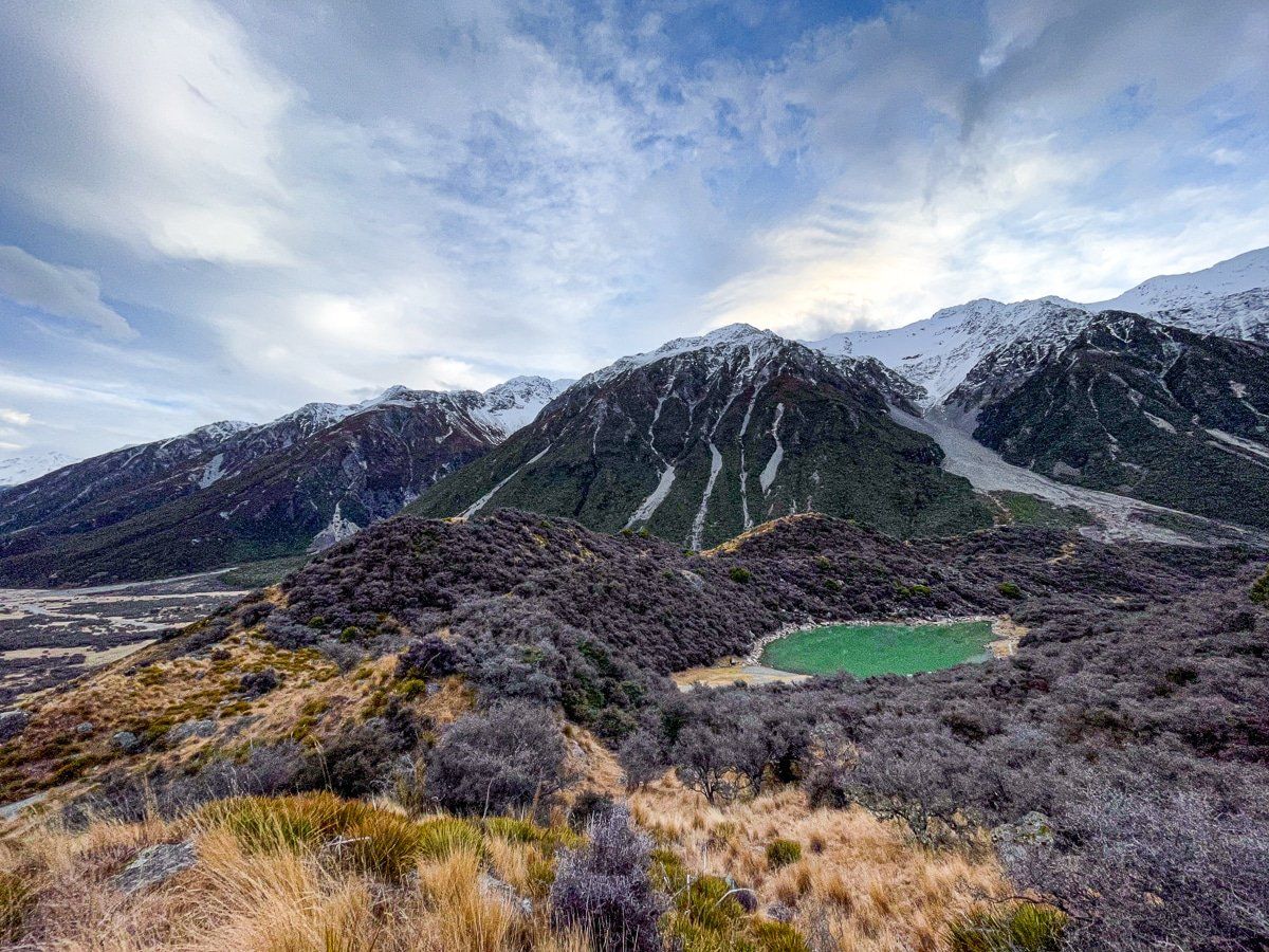
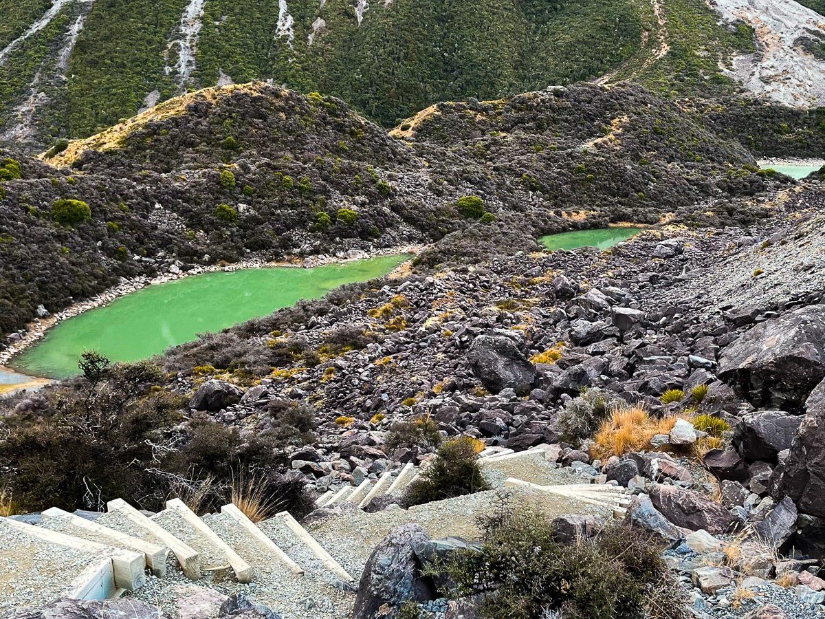
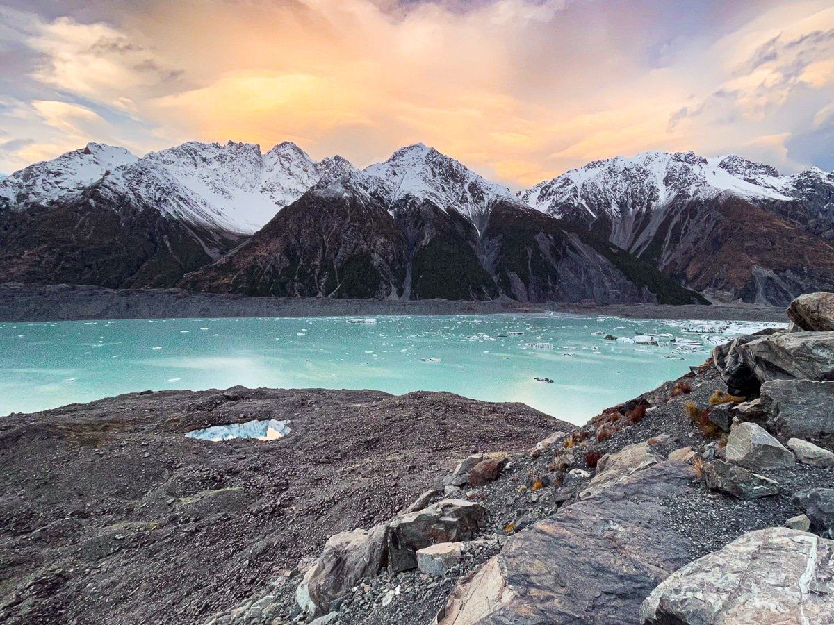
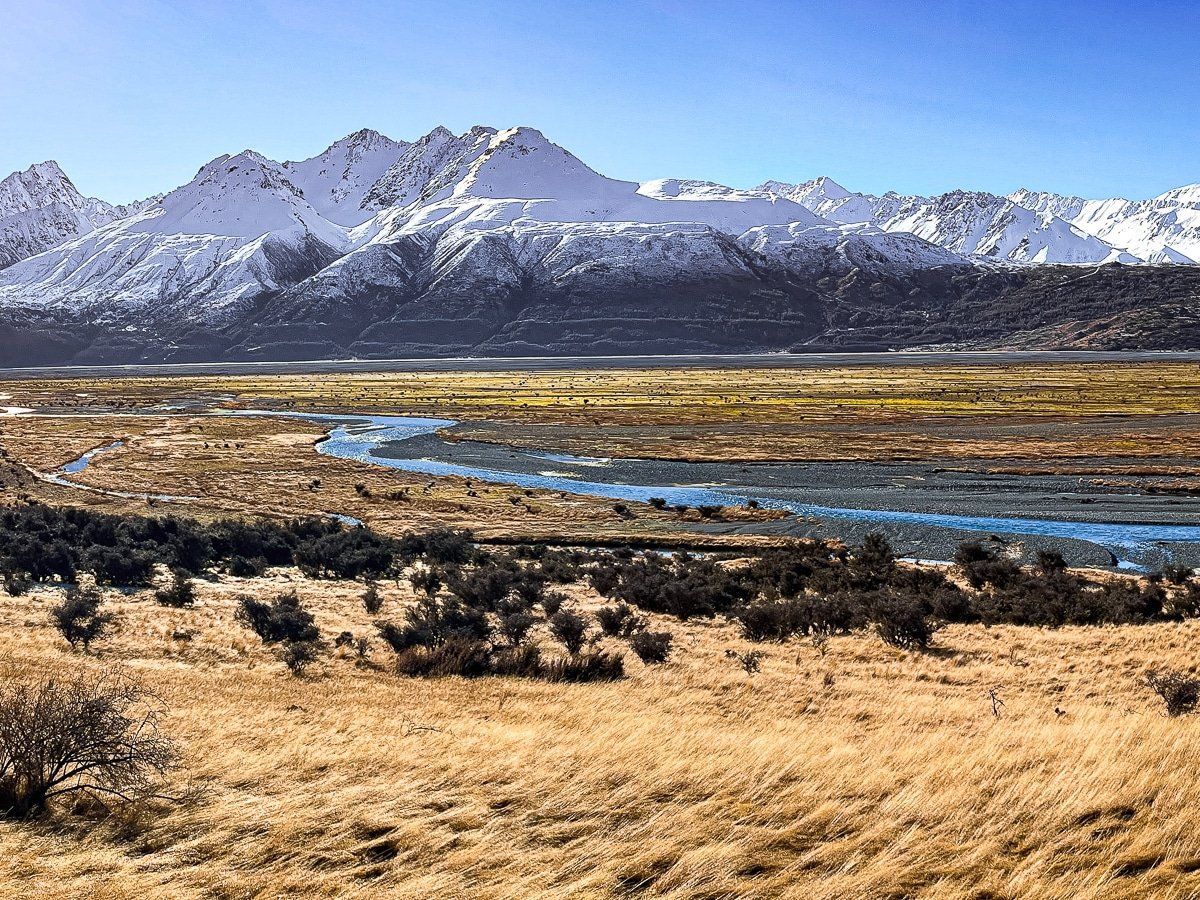
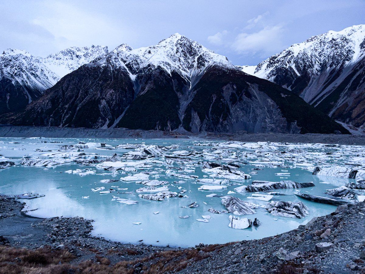
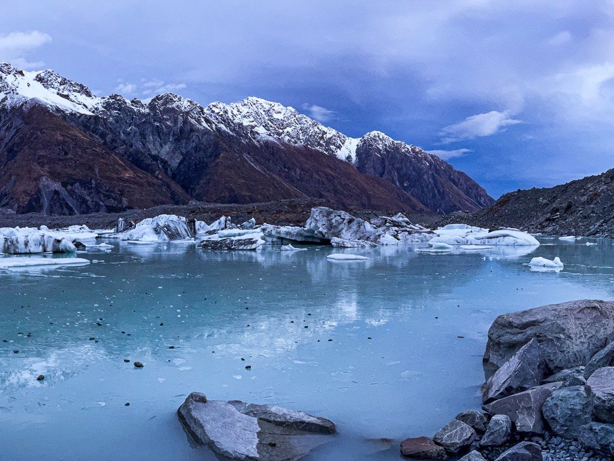
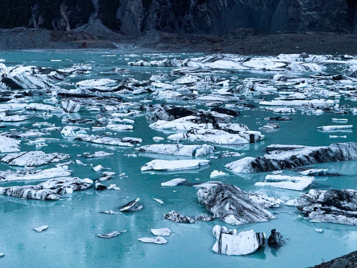
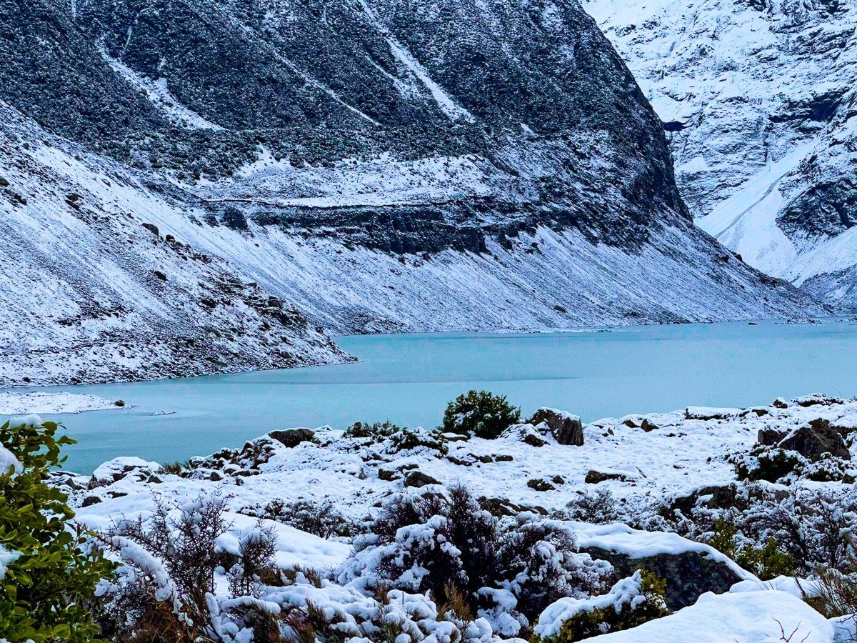
Tasman Lake
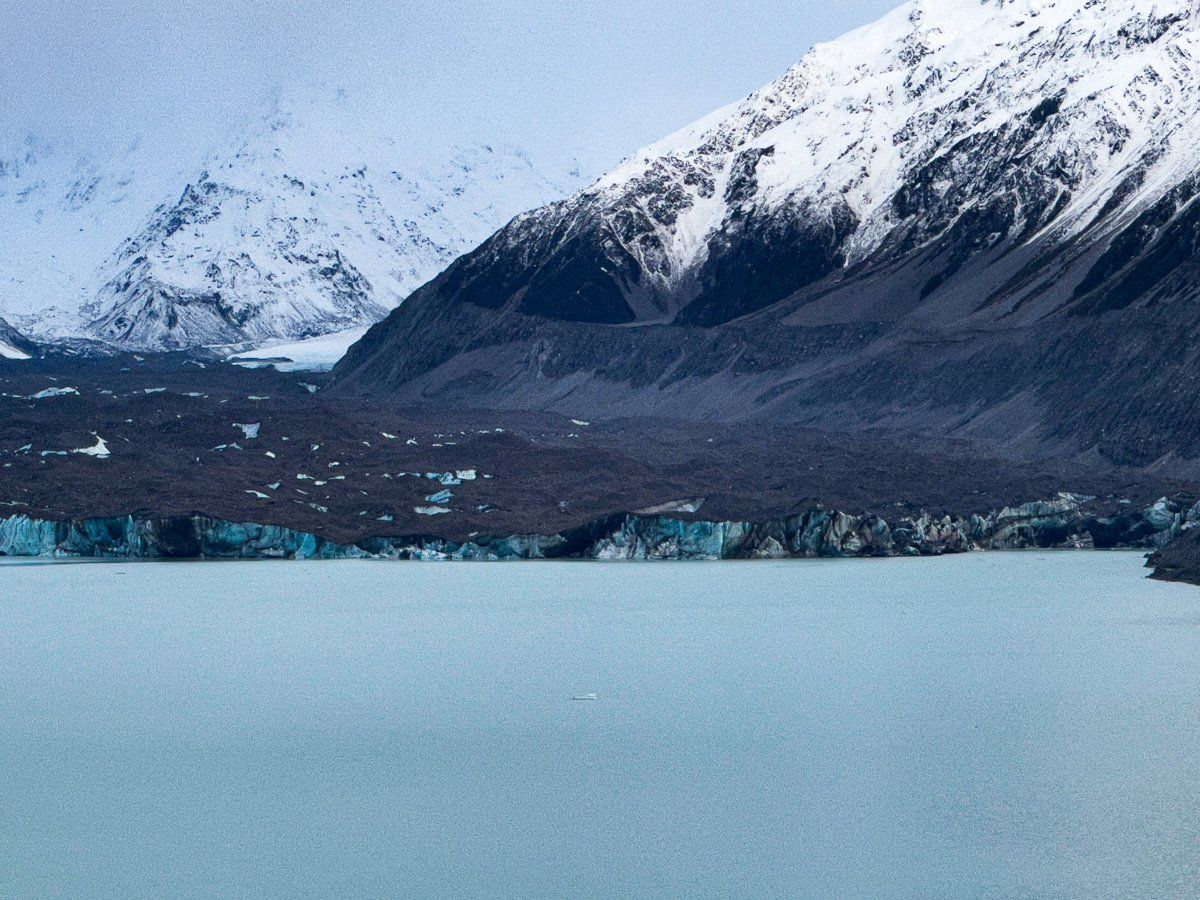
From the top of the moraine, there are spectacular views in all directions. The lake is an amazing turquoise colour, surrounded by snow capped rocky mountains. To the west of the lake, you can see the flat debris pile. With a 4WD, you can cross to the glacier face, which you can also clearly see at the north end of the lake. At the south end of the lake is a large group of icebergs, and behind you is a view back up the flats in front of Lake Pukaki.
We did the walk in approaching twilight, which added to the colour and drama. Fantastic payback for a mere fifteen minute walk!

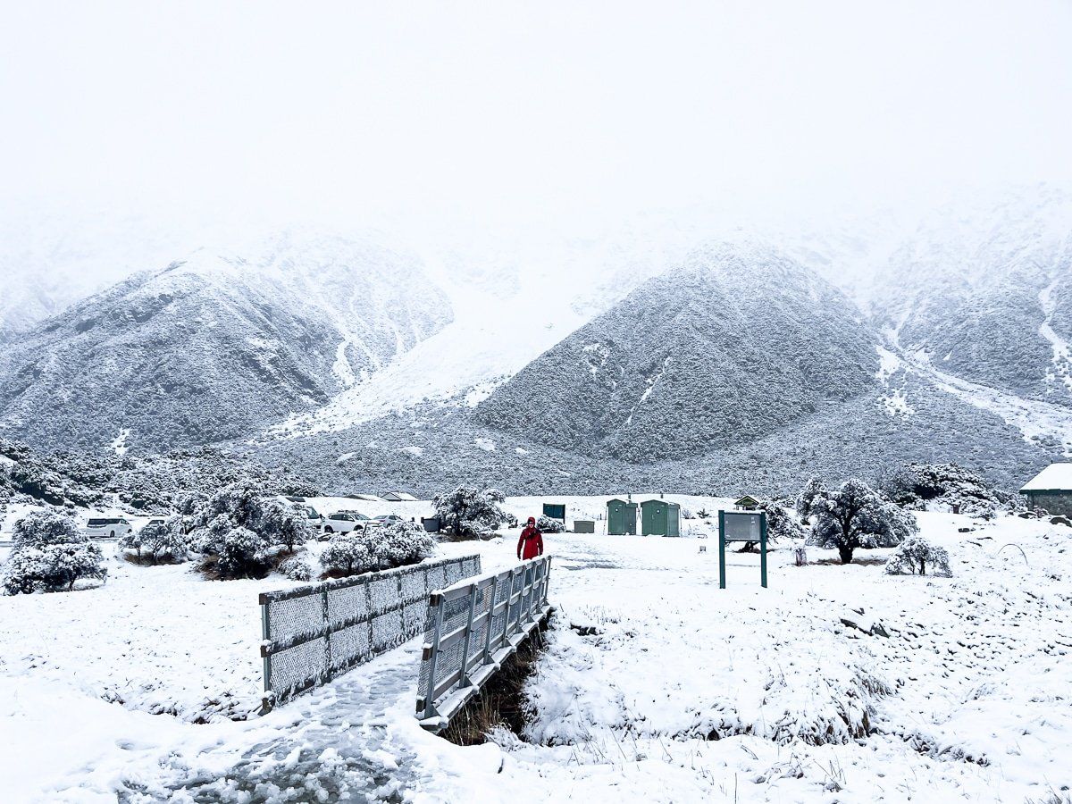
Snow day!
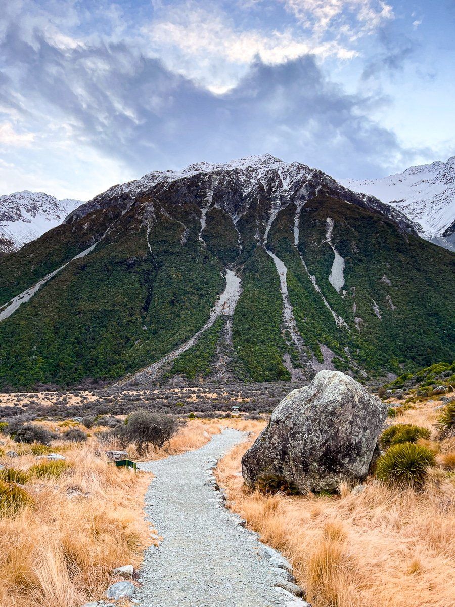
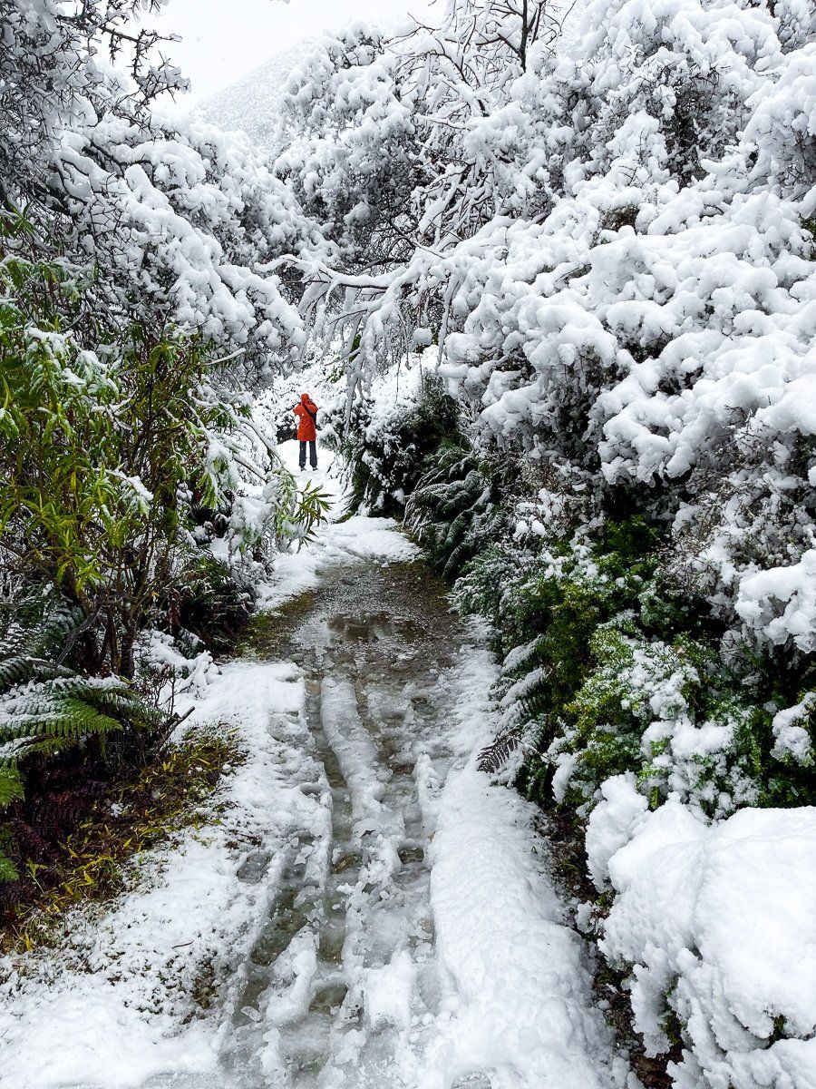
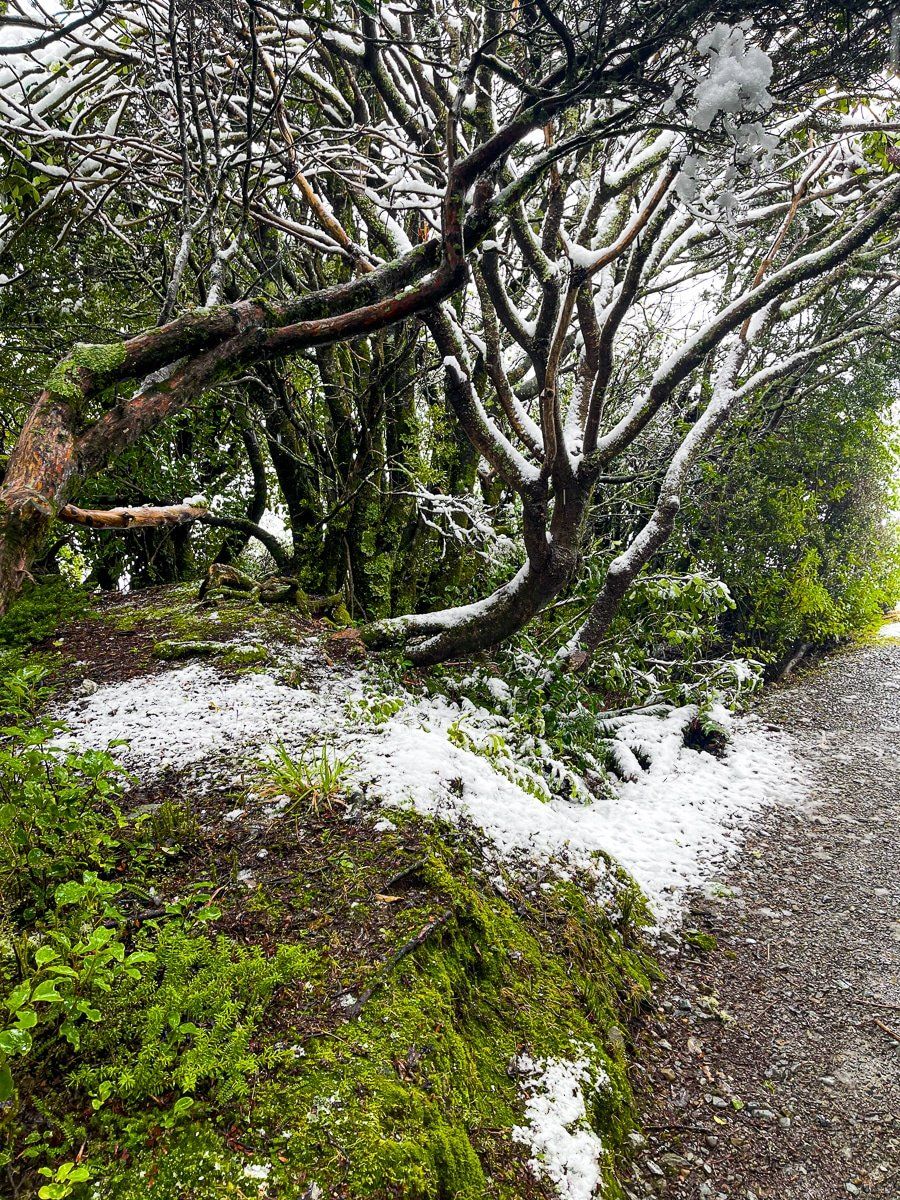
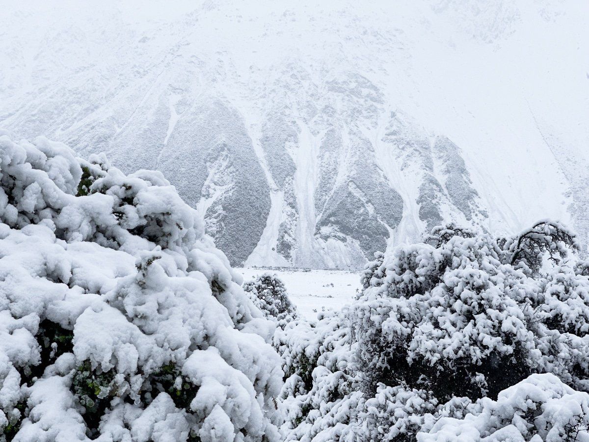
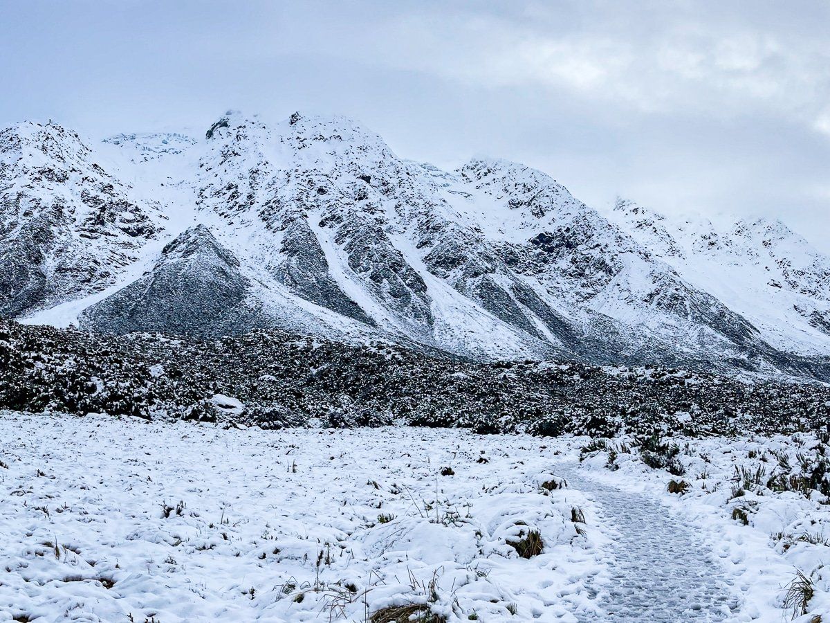
The next day it snowed. We forewent a couple of the more challenging hikes, and instead walked to the Hooker Valley. It’s quite the bonus to be in Aoraki in snow, as the village and surrounding area is slightly below the snow line. The walk through a section of native bush was especially magical, and there was no shortage of snowmen!
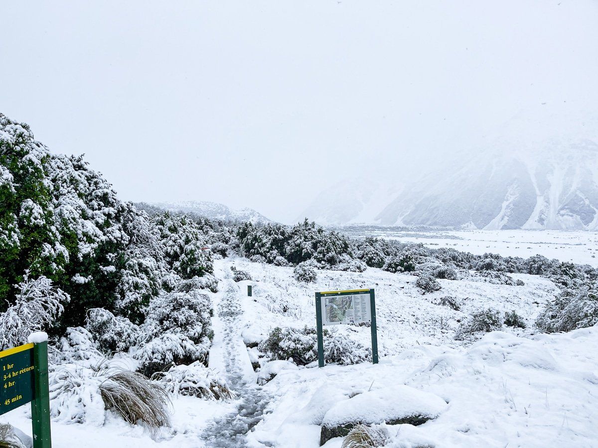
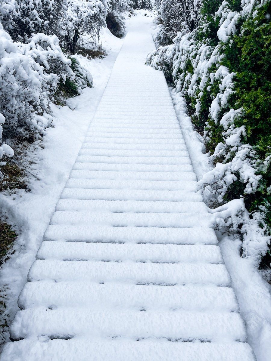
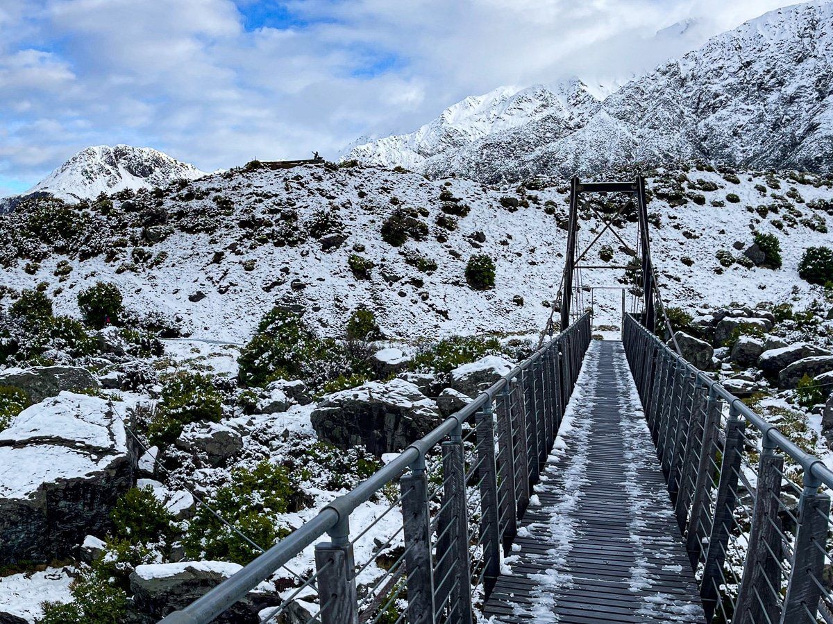
Hooker Valley Track
The Hooker Valley walking track is about three hours return in normal conditions, and it’s truly stunning.
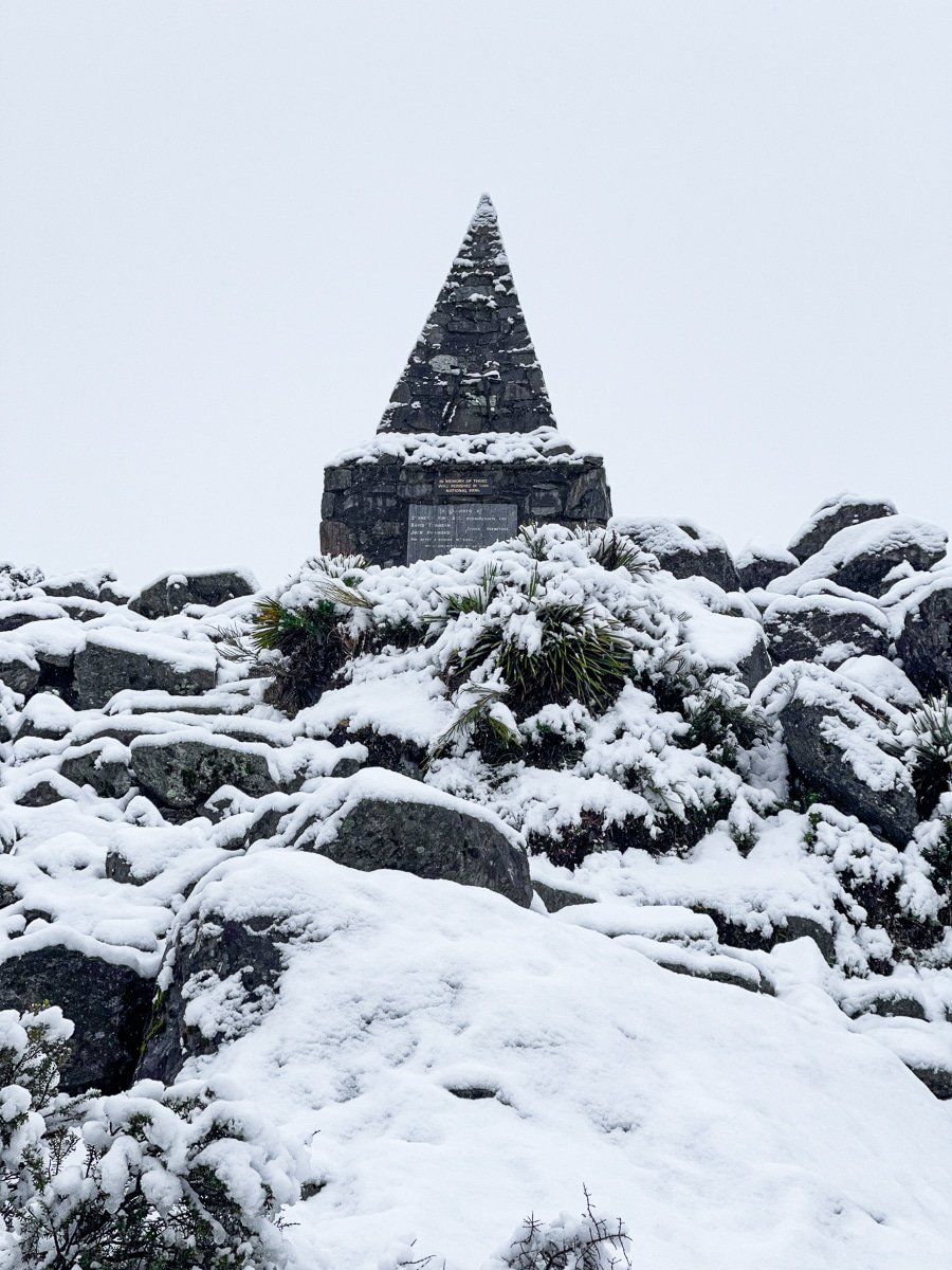
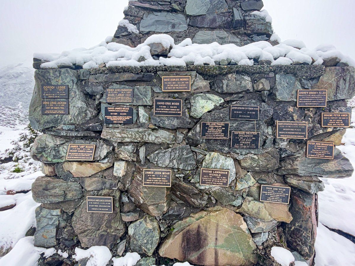
A few minutes into the walk, there’s a monument to the roughly 80 climbers who have died on Aoraki, Mount Cook. Below that is Freda’s Rock, which commemorates the first female climber of Aoraki, Mount Cook in 1910.
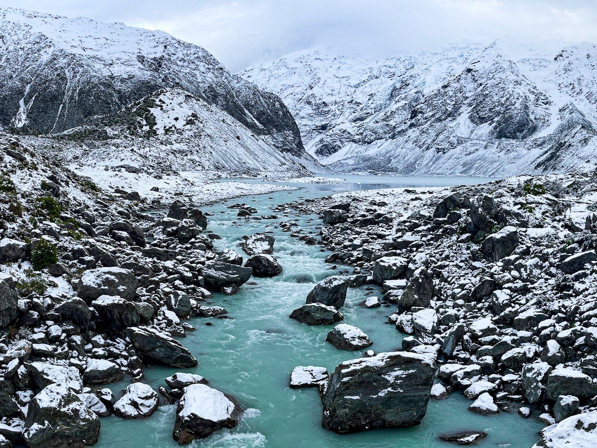
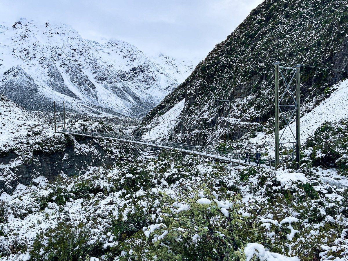
Beyond this are two fabulous high swing bridges over the Hooker River, two excellent viewpoints of the Mueller Glacier Lake, then a walk across the flats to the Hooker Lake. If the weather is right, you will also get a close up view of Aoraki Mount Cook.
Want more Canterbury trip ideas?
Check out our recent posts: Ashburton Lakes to Erewhon, Arthurs Pass to Lyndon Road, and Kaikoura to Hanmer Springs.