Whanganui is a great location for exploring the wider Whanganui region. Things to do in town are covered in another blog, so here we focus on various opportunities closer to the coast and within an hour’s drive of the town.
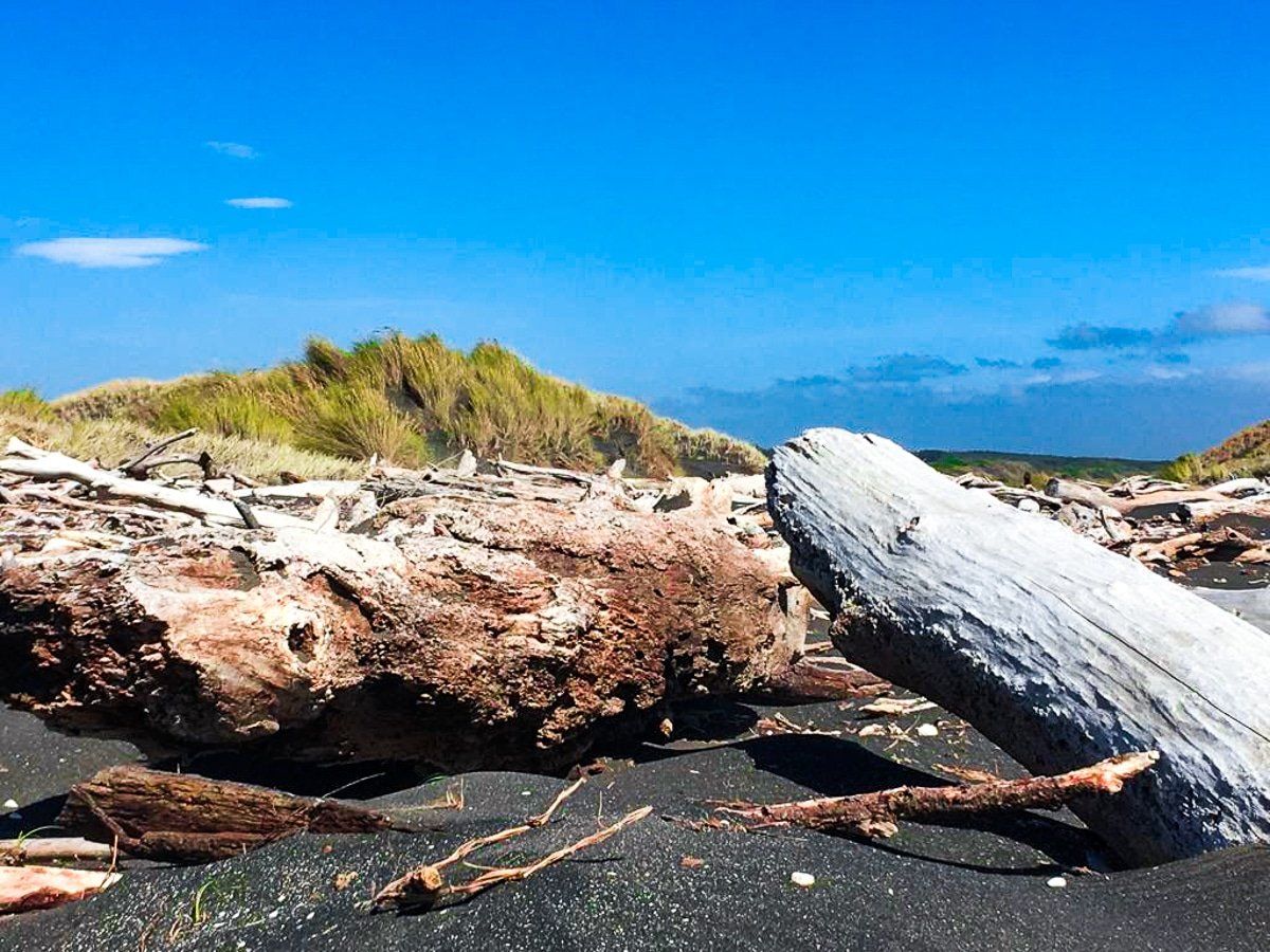
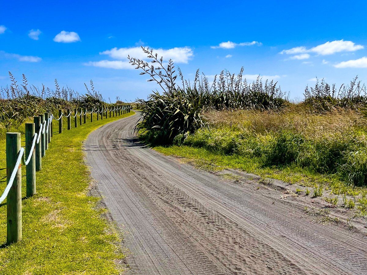
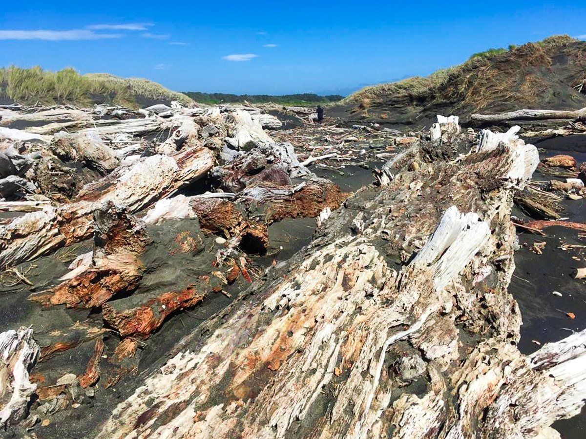
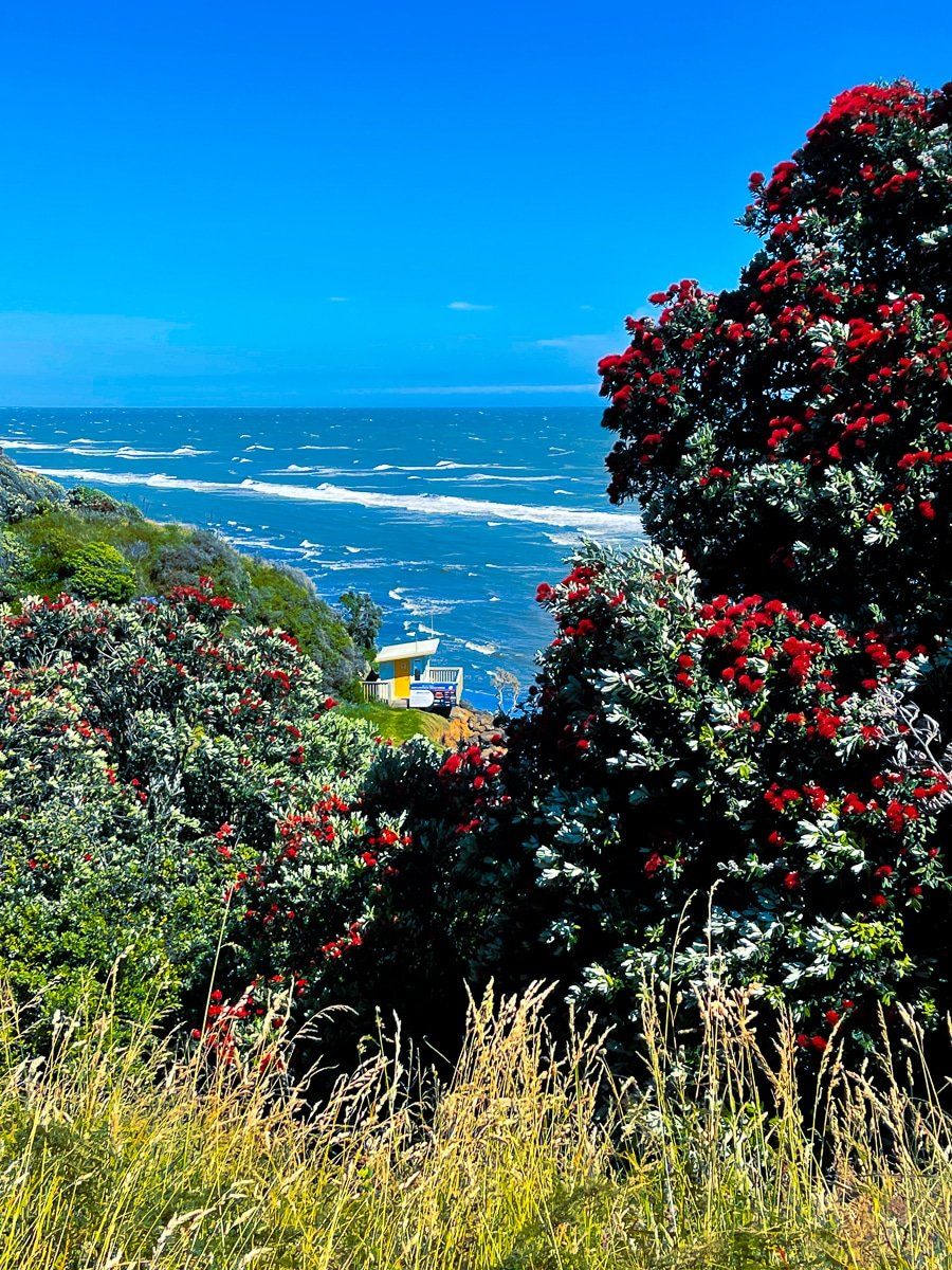
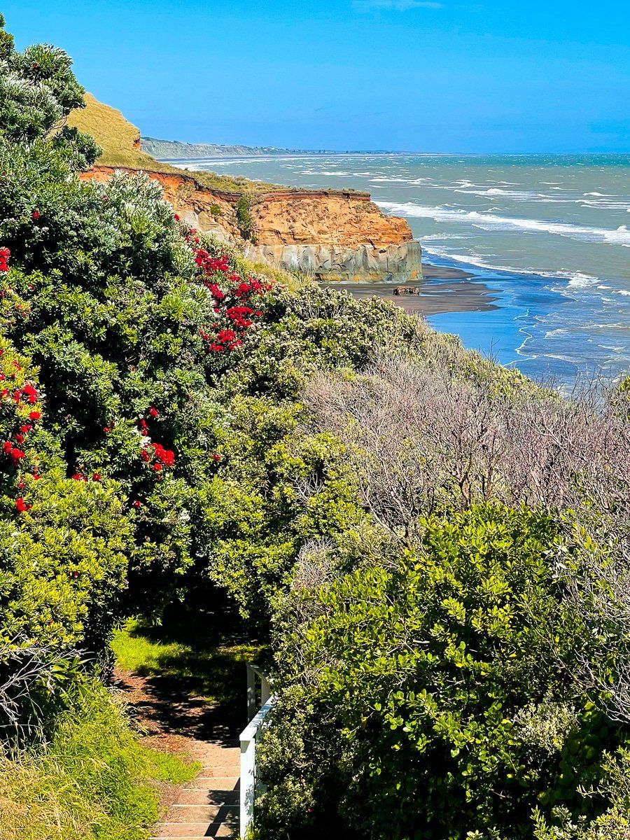
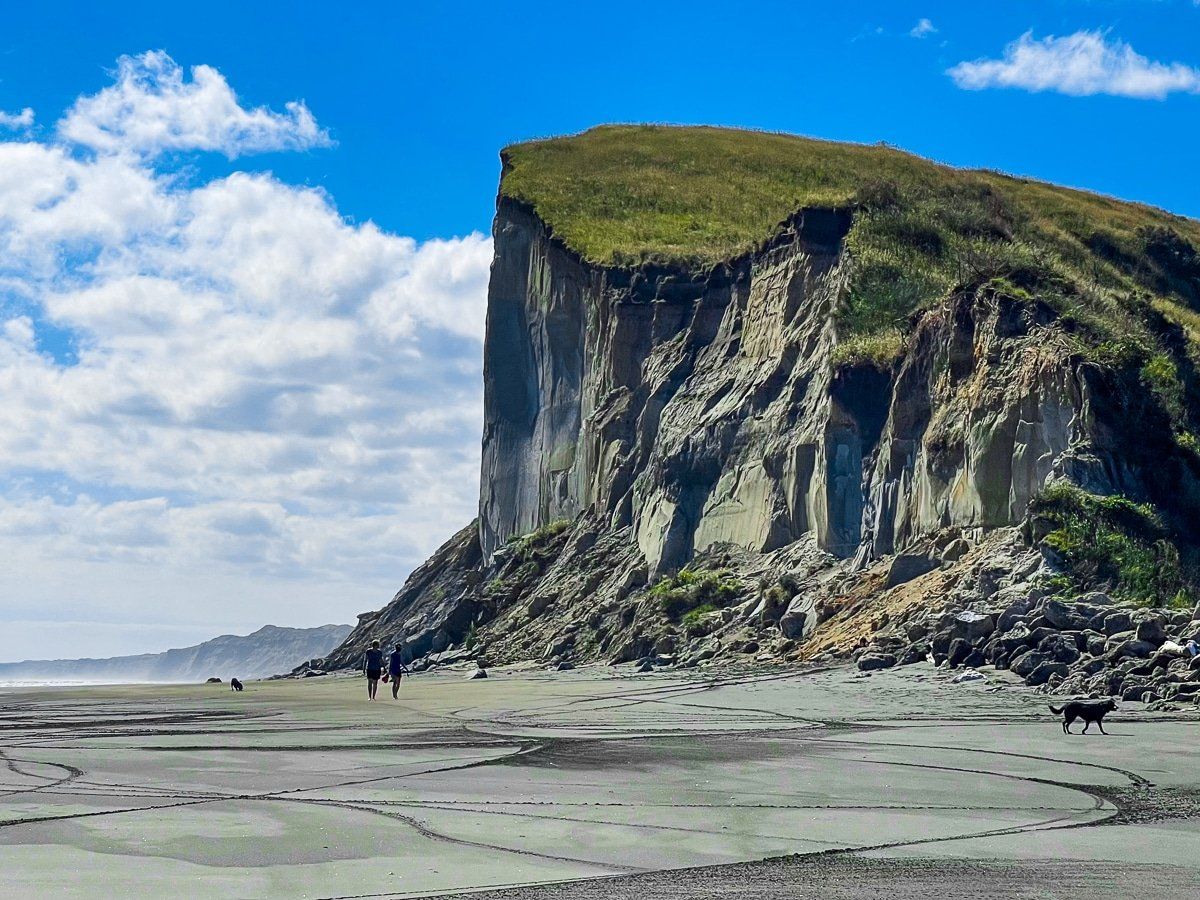
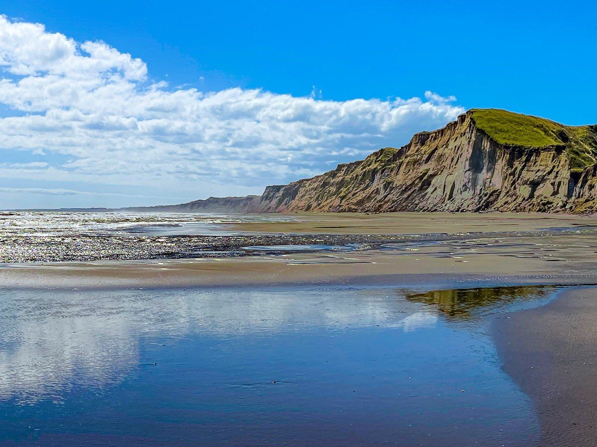
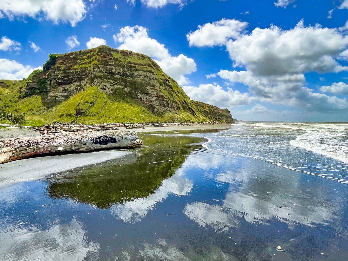
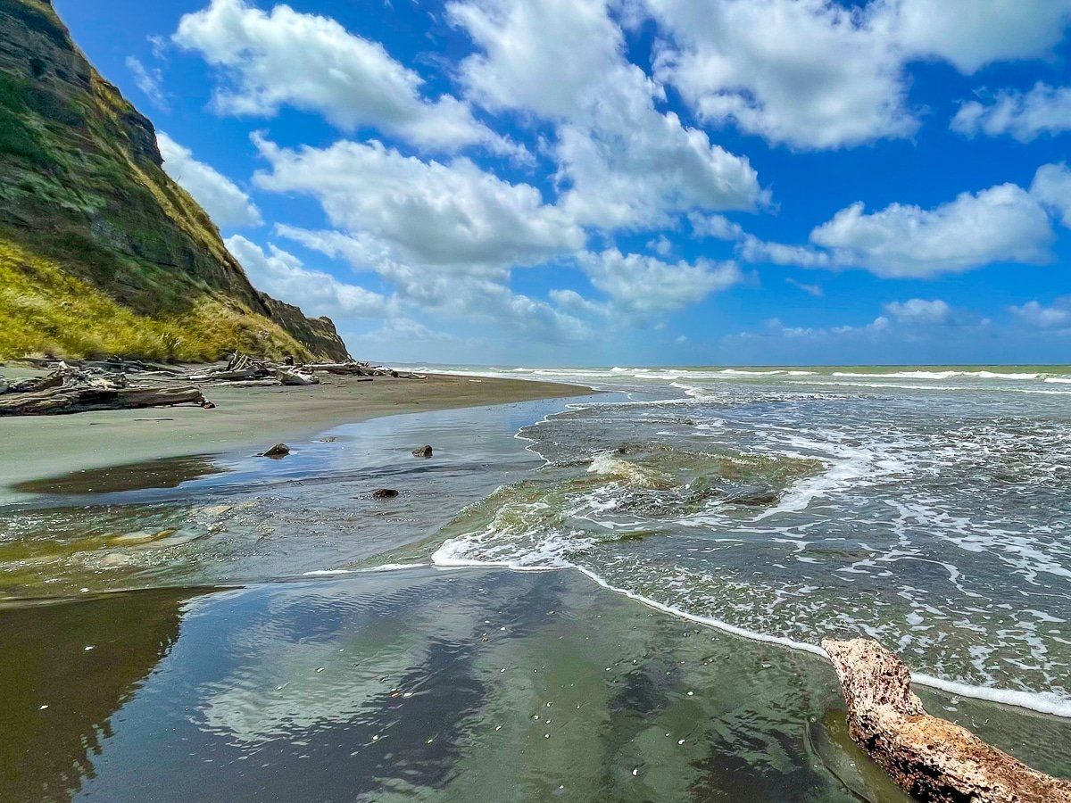
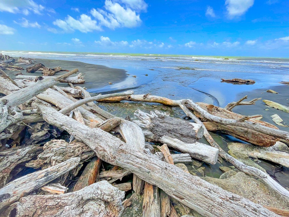
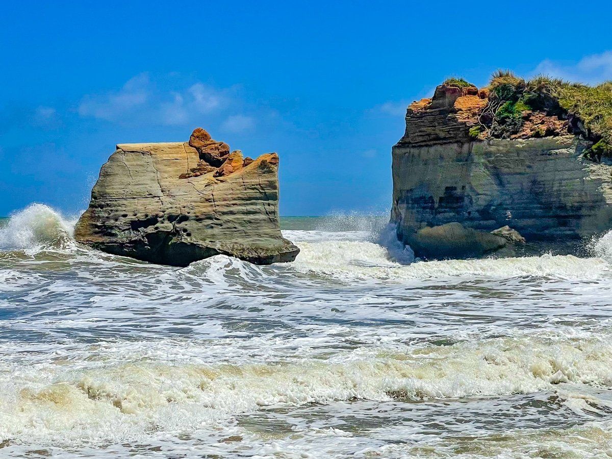
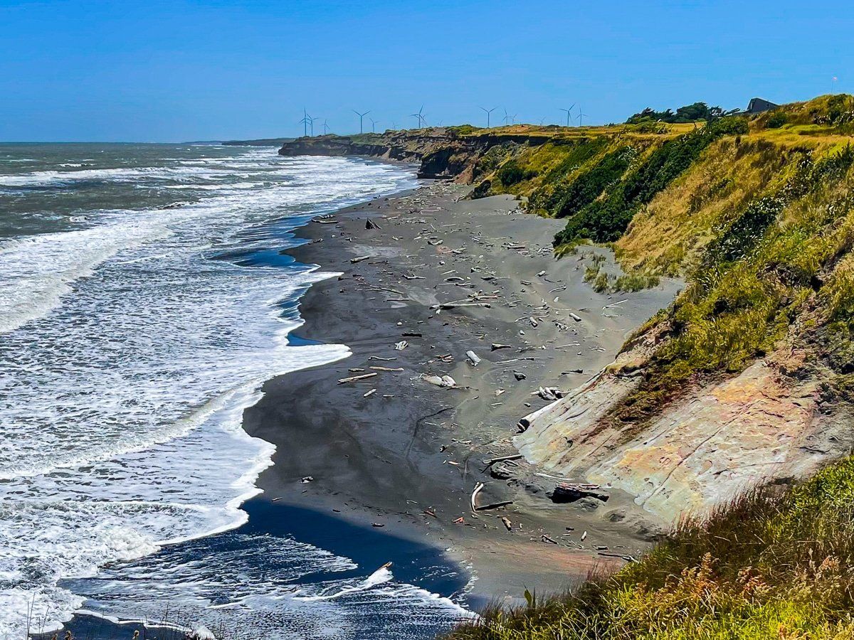
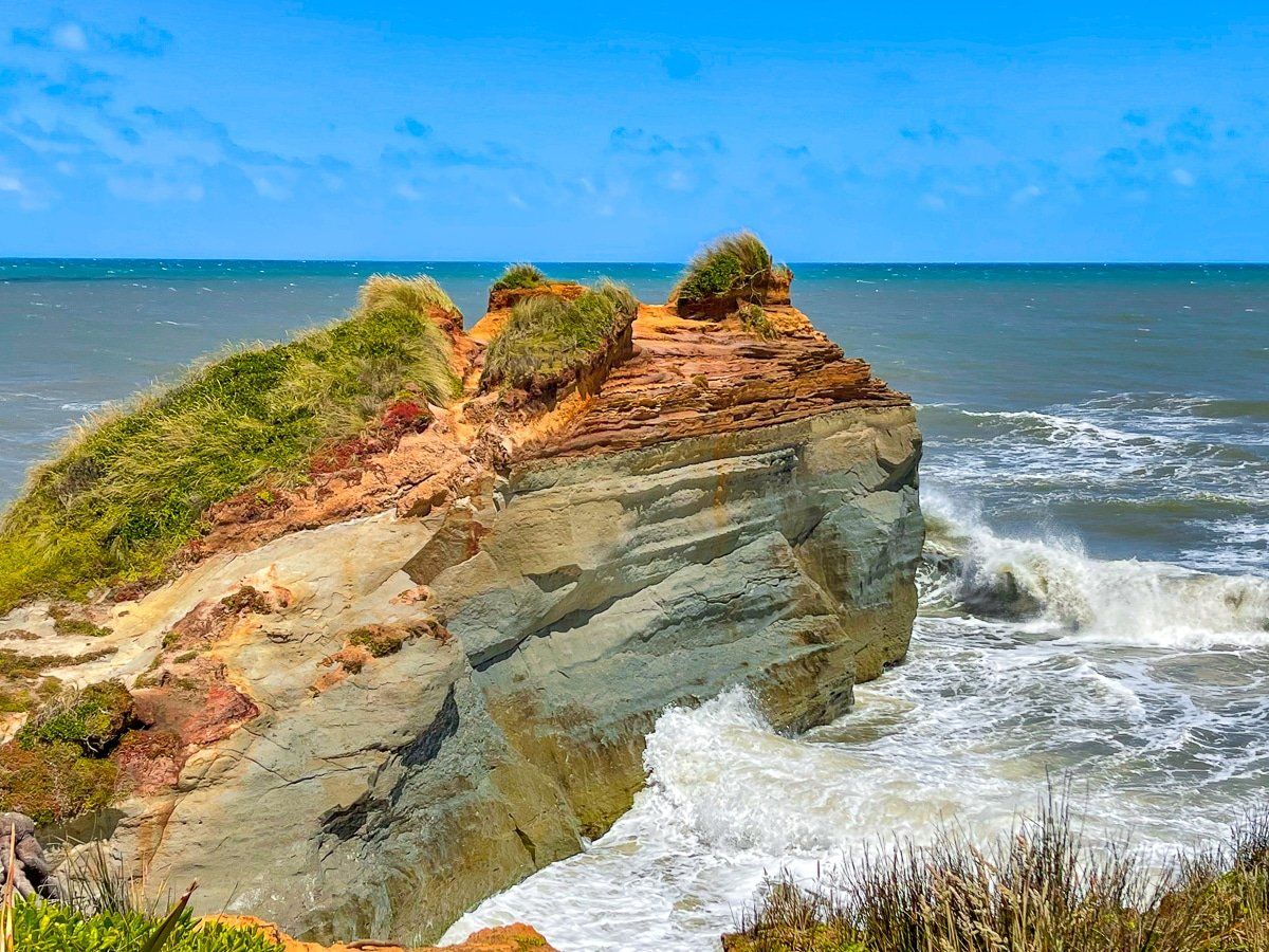
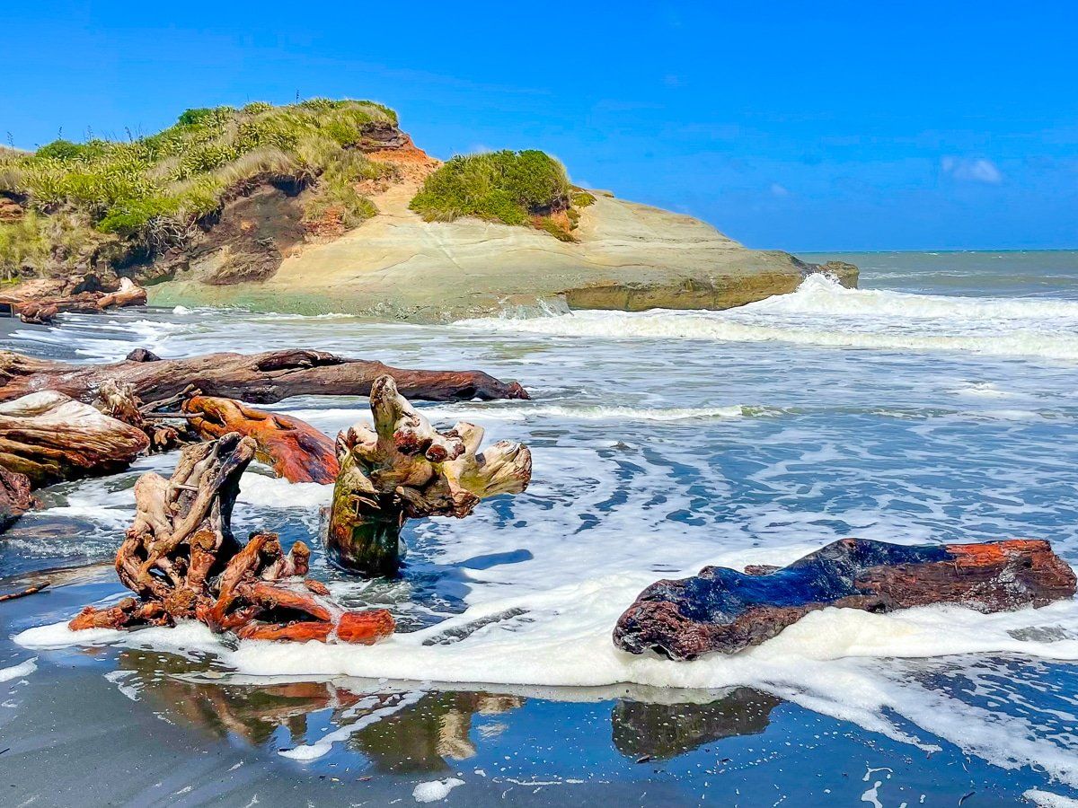
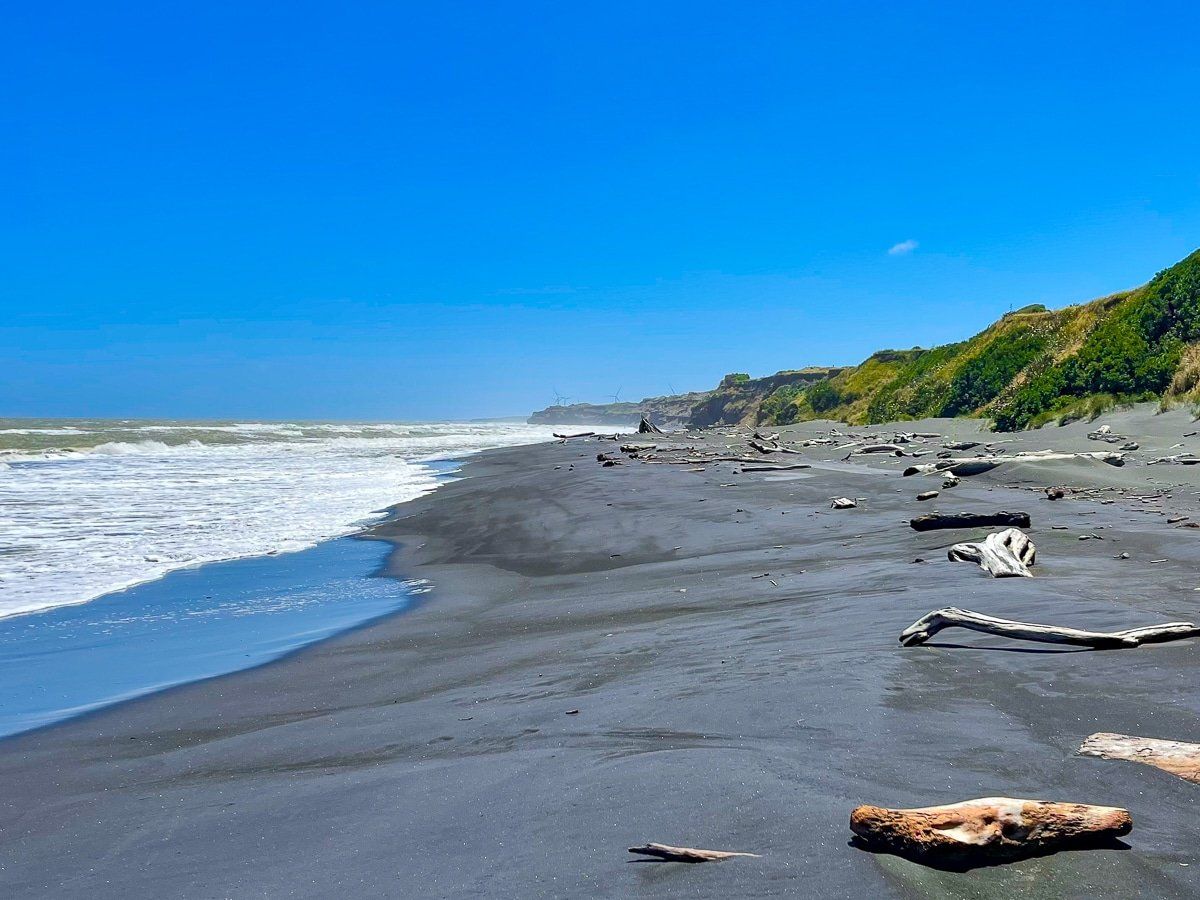
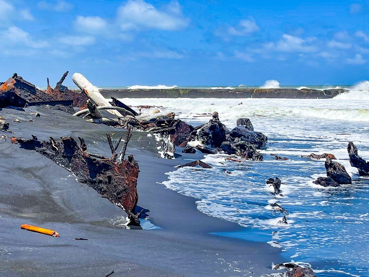
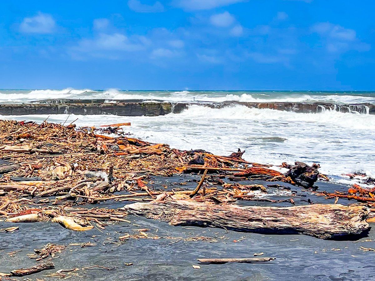
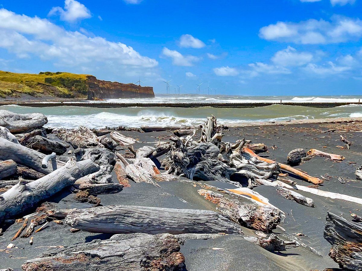
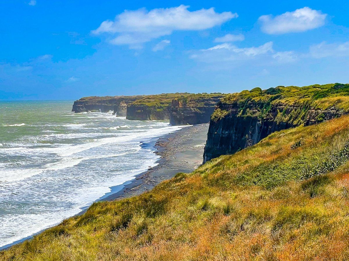
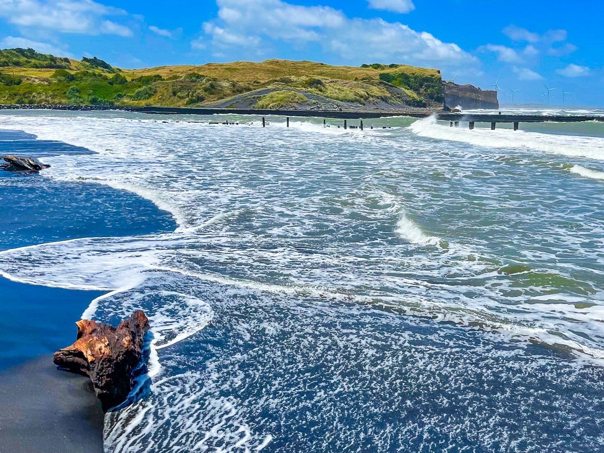
The main feature is the coast immediately to the southeast of the town and to the northwest. There are several accessible, rugged black sand beaches typical of this part of the west coast of the North Island. Some are adorned with piles of driftwood and eroding cliffs, one includes a reasonable waterfall, and even a shipwreck can be viewed at Patea.
The area around Whanganui is generally short of native forest walks without a longer trip into the Whanganui River National Park. But there are two superb short walks at Bushy Park, which is also a bird sanctuary, and at Gordon Park.
Also within a 45 minute return drive is Paloma Gardens. Make sure you take a picnic and allow 2 to 3 hours for this particular delight.
Gordon Park
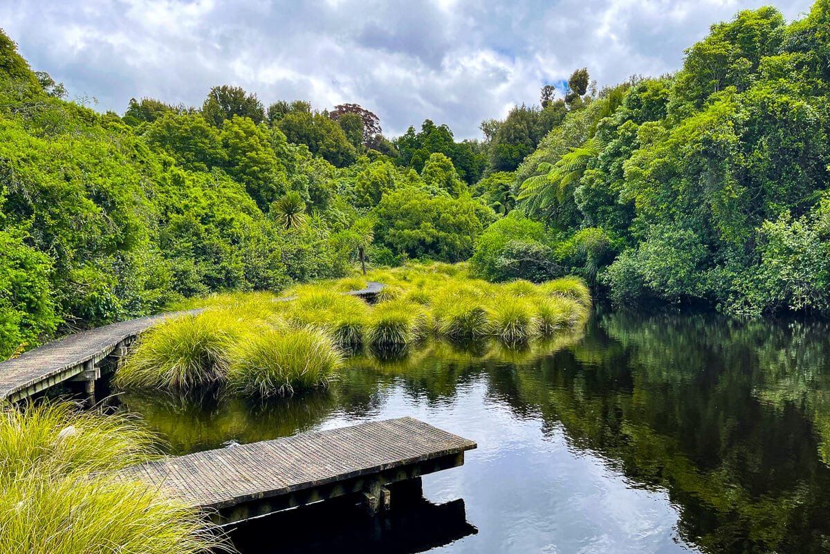
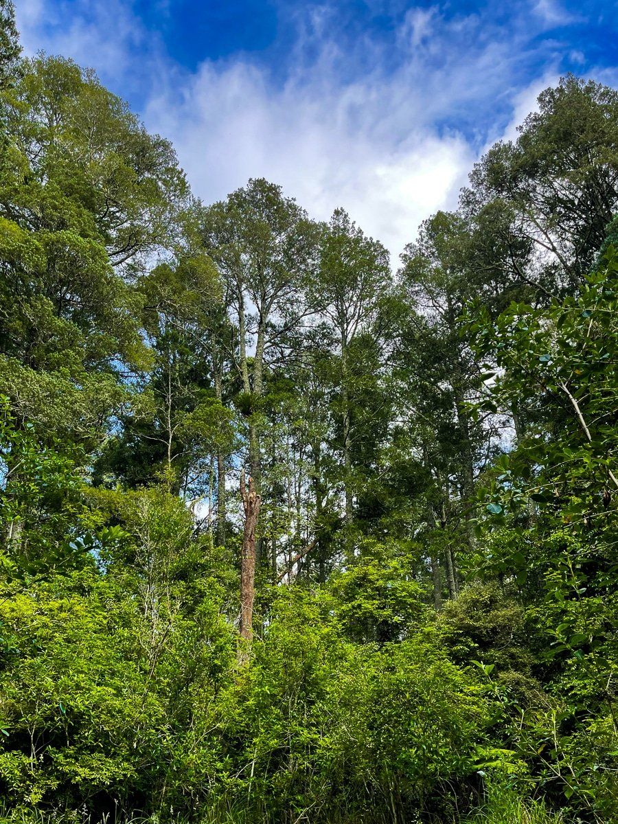
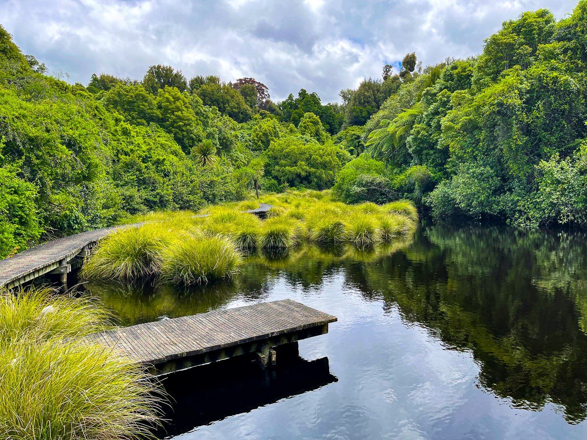
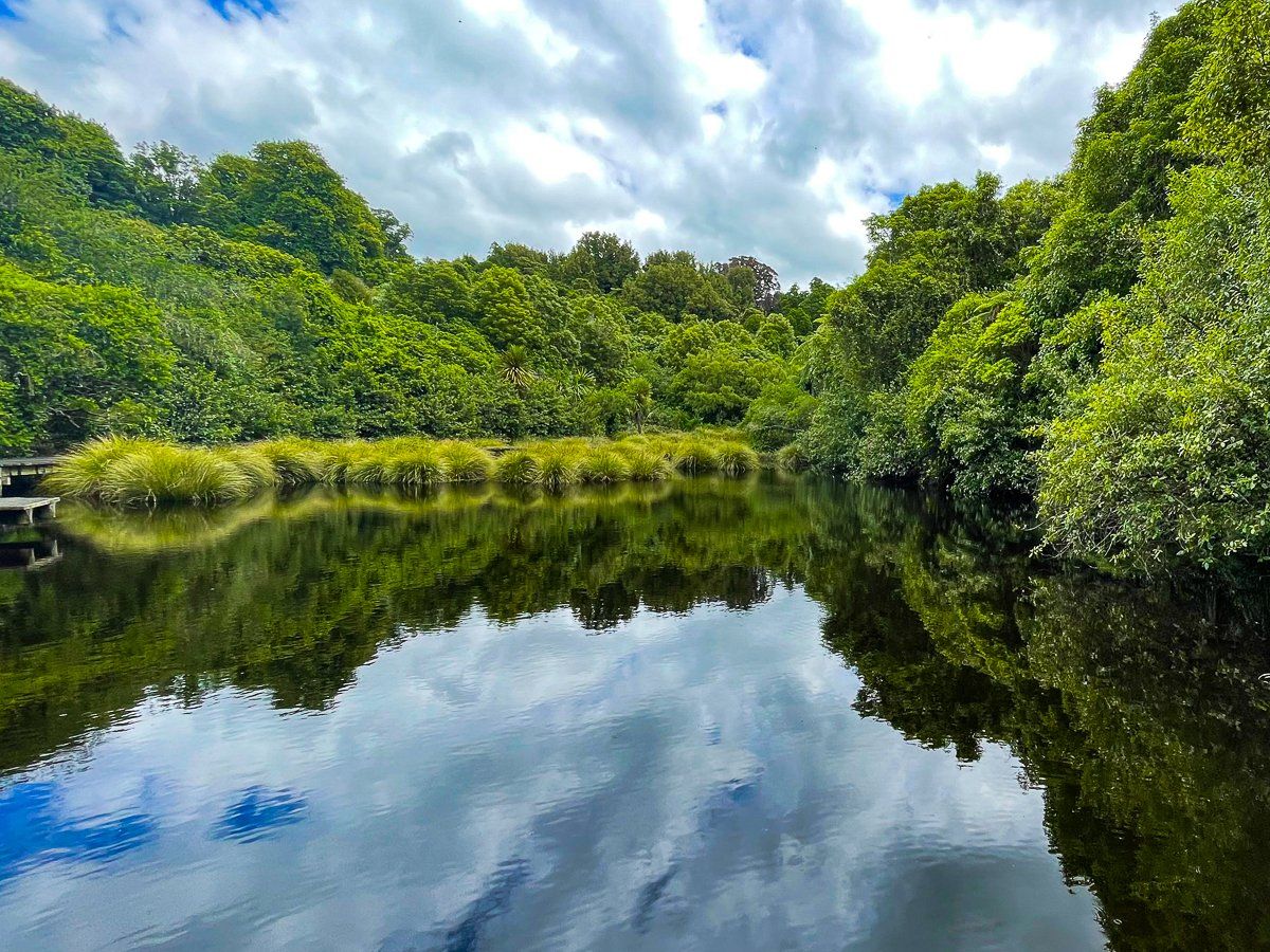
Gordon Park is a modest accessible native forest reserve just beyond the edge of Whanganui city, only about a 10 minute drive from the centre. It is not well advertised and easy to overlook, but it is an excellent example of what the region looked like before it was mostly converted to farmland over 100 years ago.
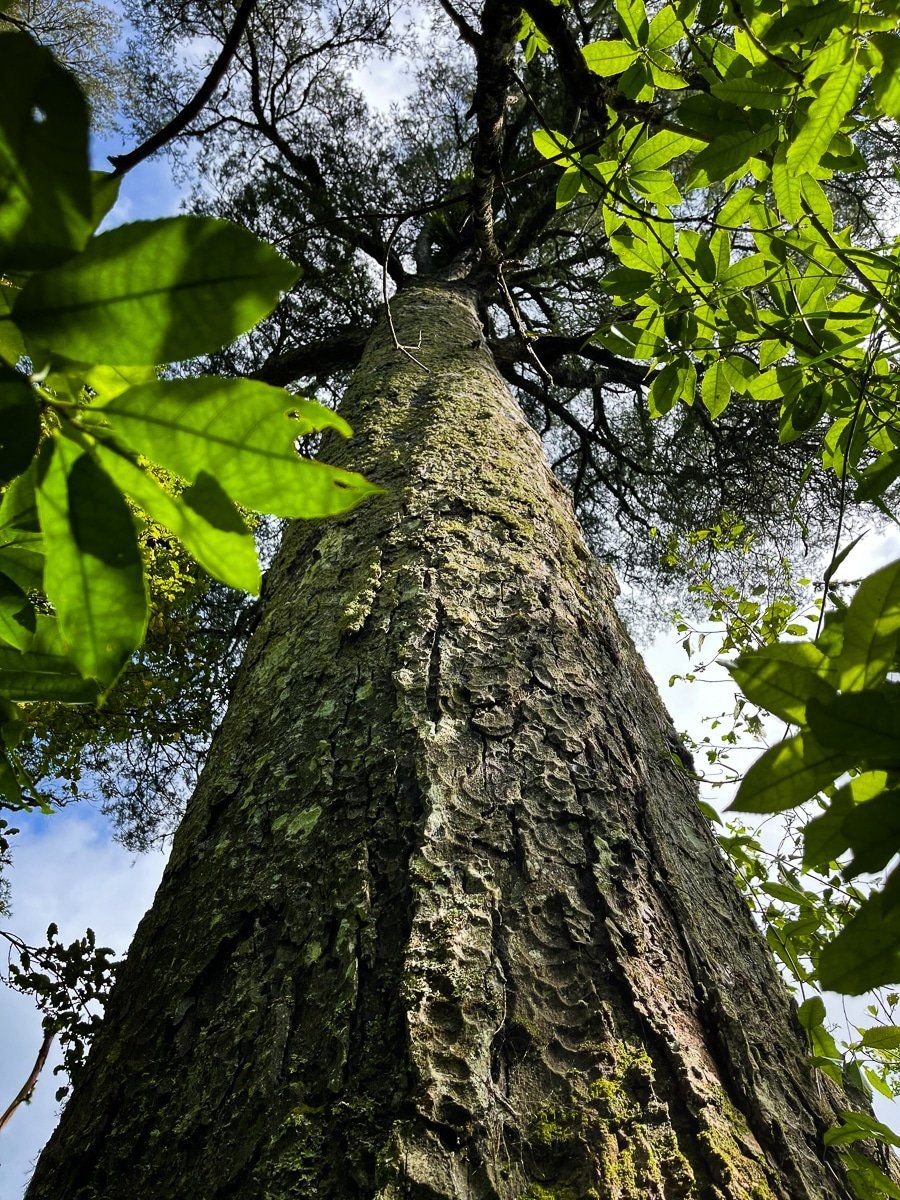
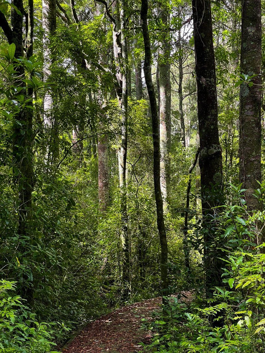
The forest is mainly mature kahikatea (white pine) growing in a remnant swamp, rich with native birds. The roughly 30 minute loop track includes a series of boardwalks above the swamp. As you wander around the reserve, try imagining when much of the lowland North Island was like this, and the rare decision it was to not cut down and drain the last remnant of forest.
To access Gordon Park, find Kaimatira Rd, off No. 3 Line, on the east side of the river. The forest is obvious (it’s the only one) and there are two entrances to the loop track – one about halfway along the forest length and one at the end with a larger car park.
Paloma Gardens
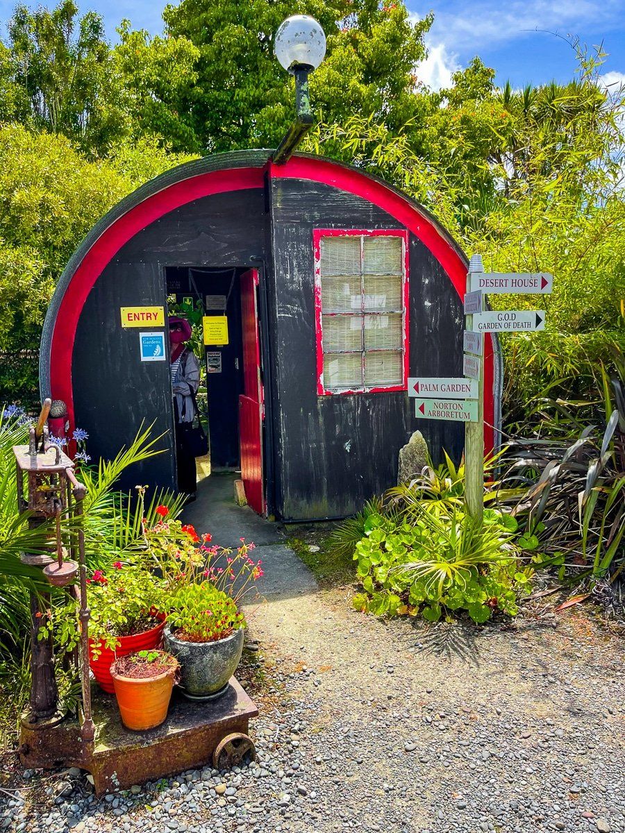
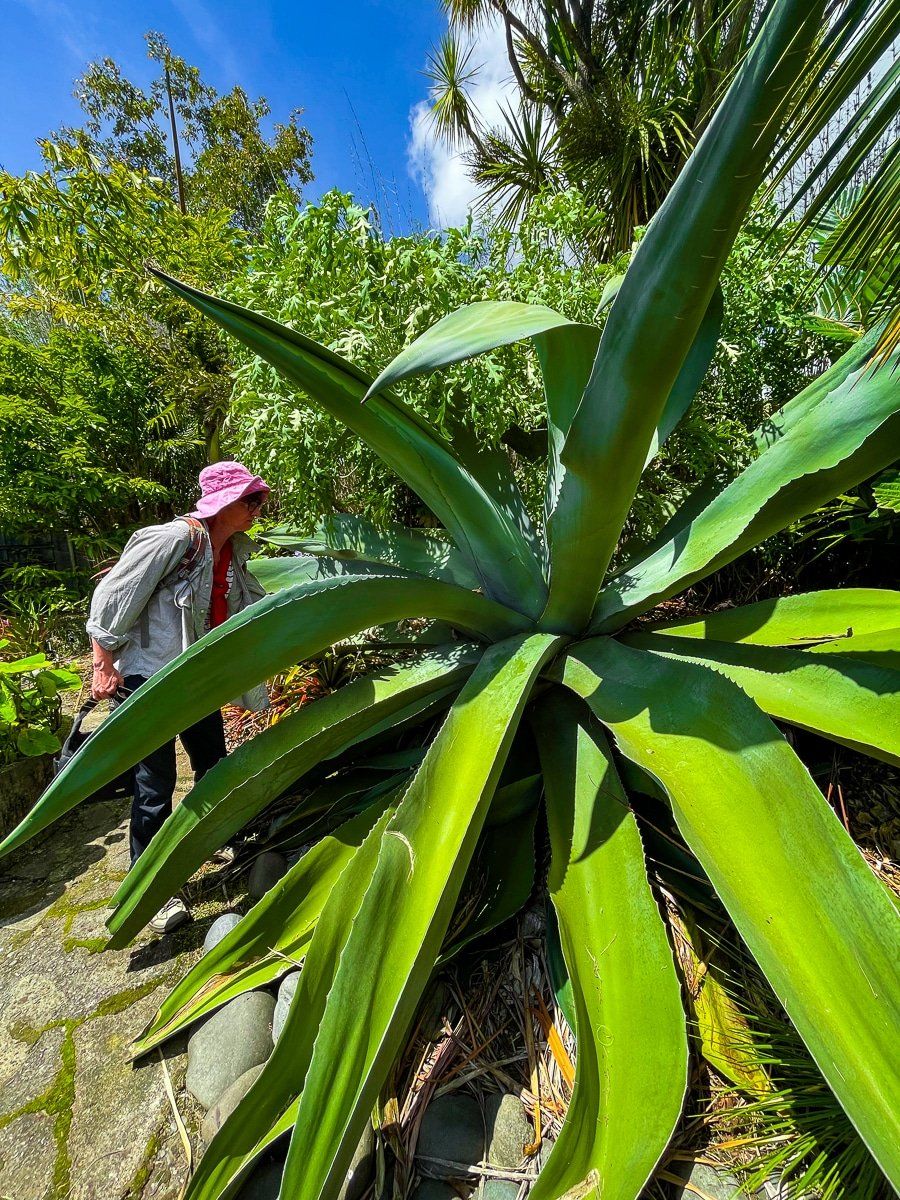
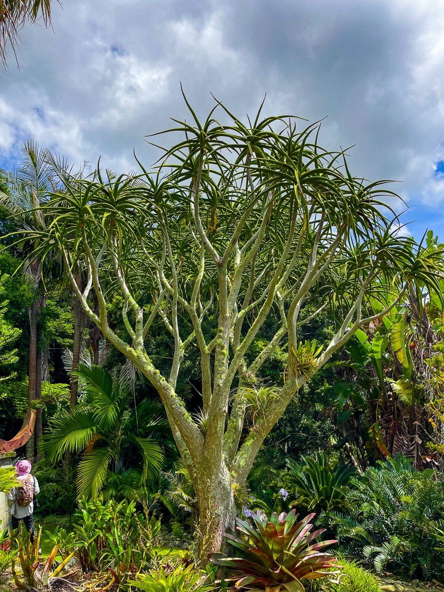
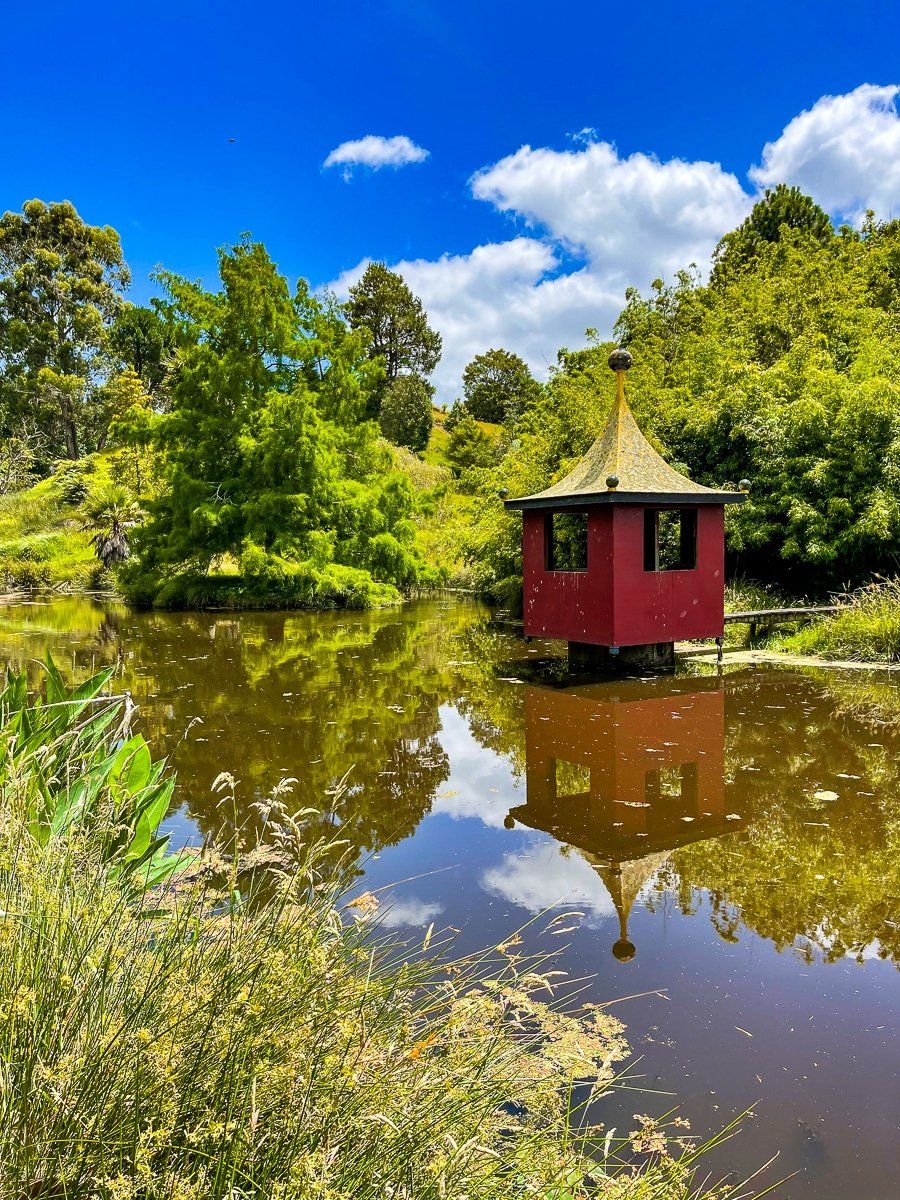
It takes less than 25 minutes to drive to Paloma Gardens from downtown Whanganui. The gardens are owned by Nicki and Clive Higgie and are nestled in the rural hinterland of the Whanganui region, surrounded by rolling farmland. As such, they are a genuine surprise, as well as being designated “a garden of national significance”.
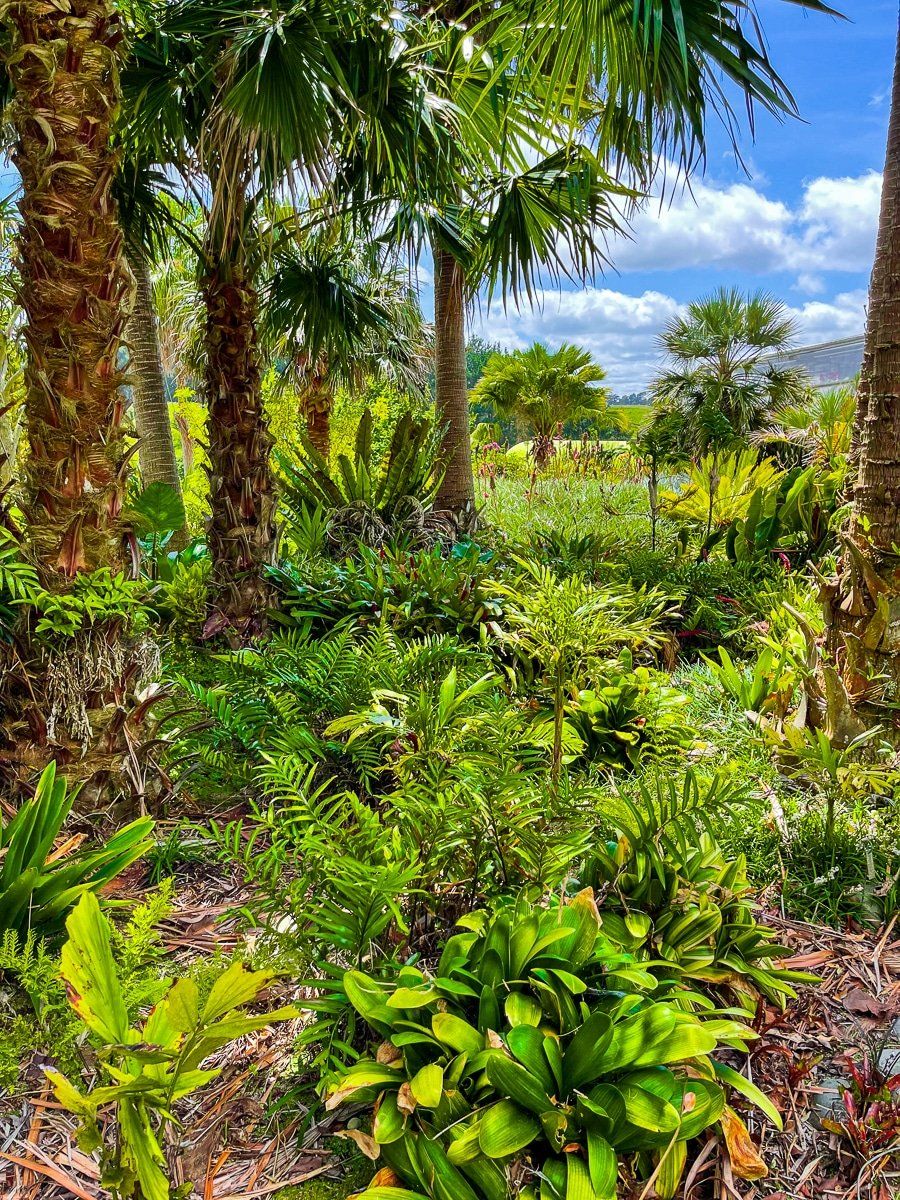
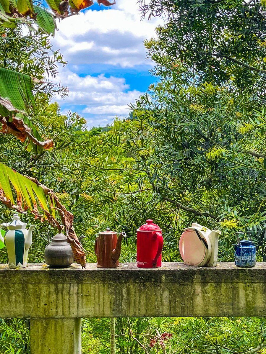
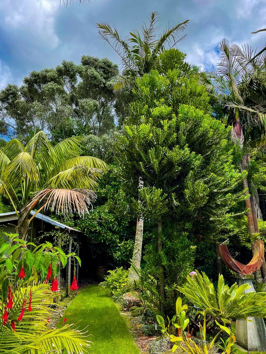
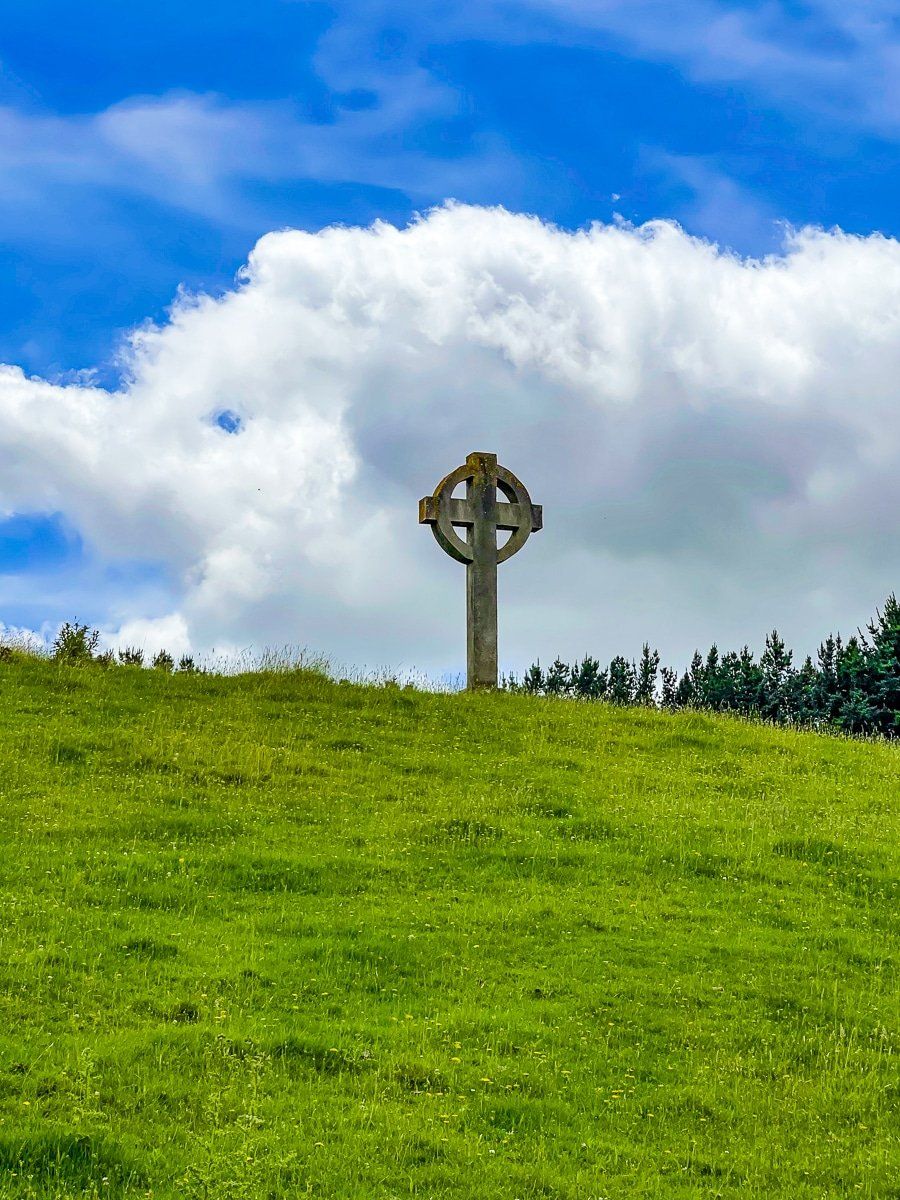
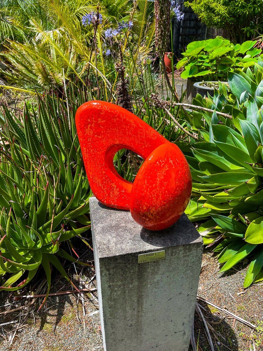
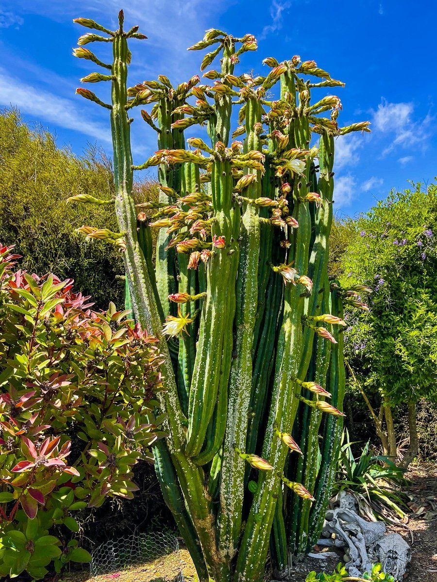
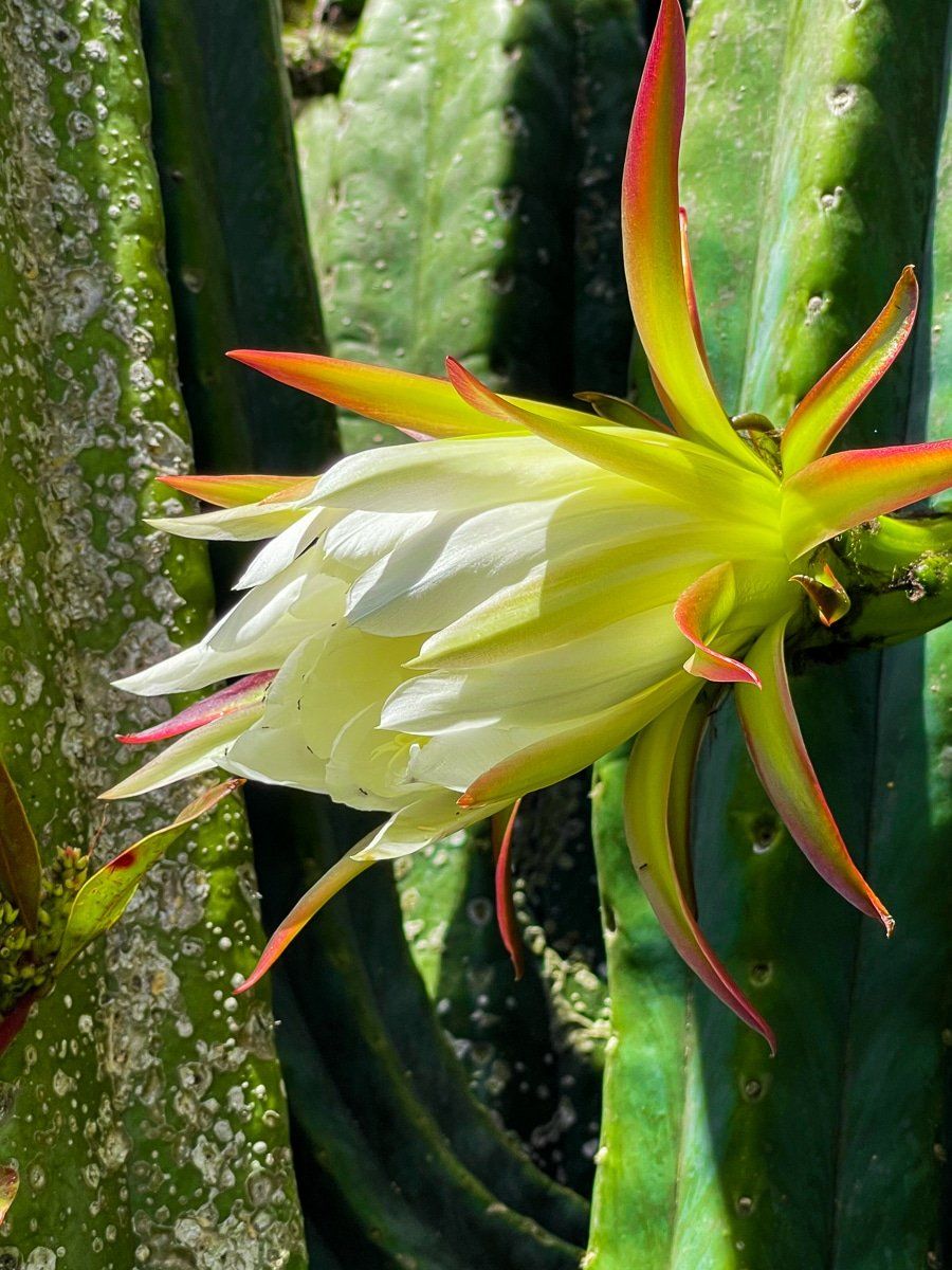
The gardens and arboreta (mostly exotics) have been worked on over decades and consequently feel well developed. They are divided into several zones, including the Palm Garden, the Desert House and the Garden of Death, along with several arboreta. There is a very wide range of international plants, including an extensive collection of cacti. It is very likely that this will be the first time you will see many of the species on display. The gardens also include a range of sculptures, mostly by Steuart Welch, Simone Jacquat and Clive Higgie.
If motorbikes are more your thing, there is also a great collection of bikes in the larger building next to the carpark.
The quickest way there is to take Portal St from SH3 to No. 2 Line, go through Fordell then take Denlair Rd. Note that there is a $10 per person charge and payment was into an honesty box in cash at the time of our visit.
Turakina Beach
Rugged and exposed Turakina Beach (and the small beach settlement of Koitiata) is to the southeast of Whanganui, about 25 minutes drive down SH3 and Turakina Beach Rd. There is a campground near the beach entrance.
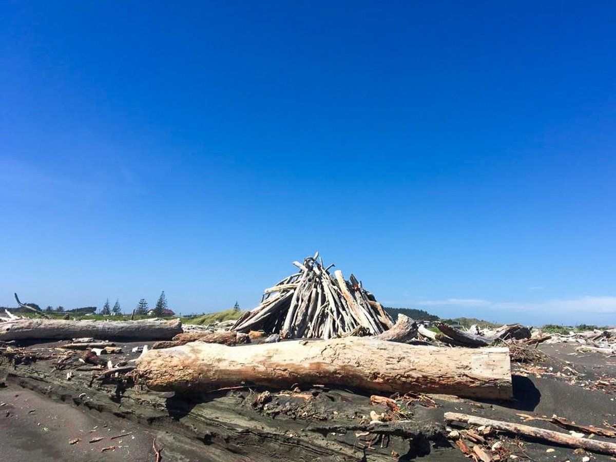
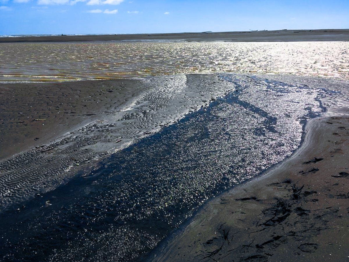
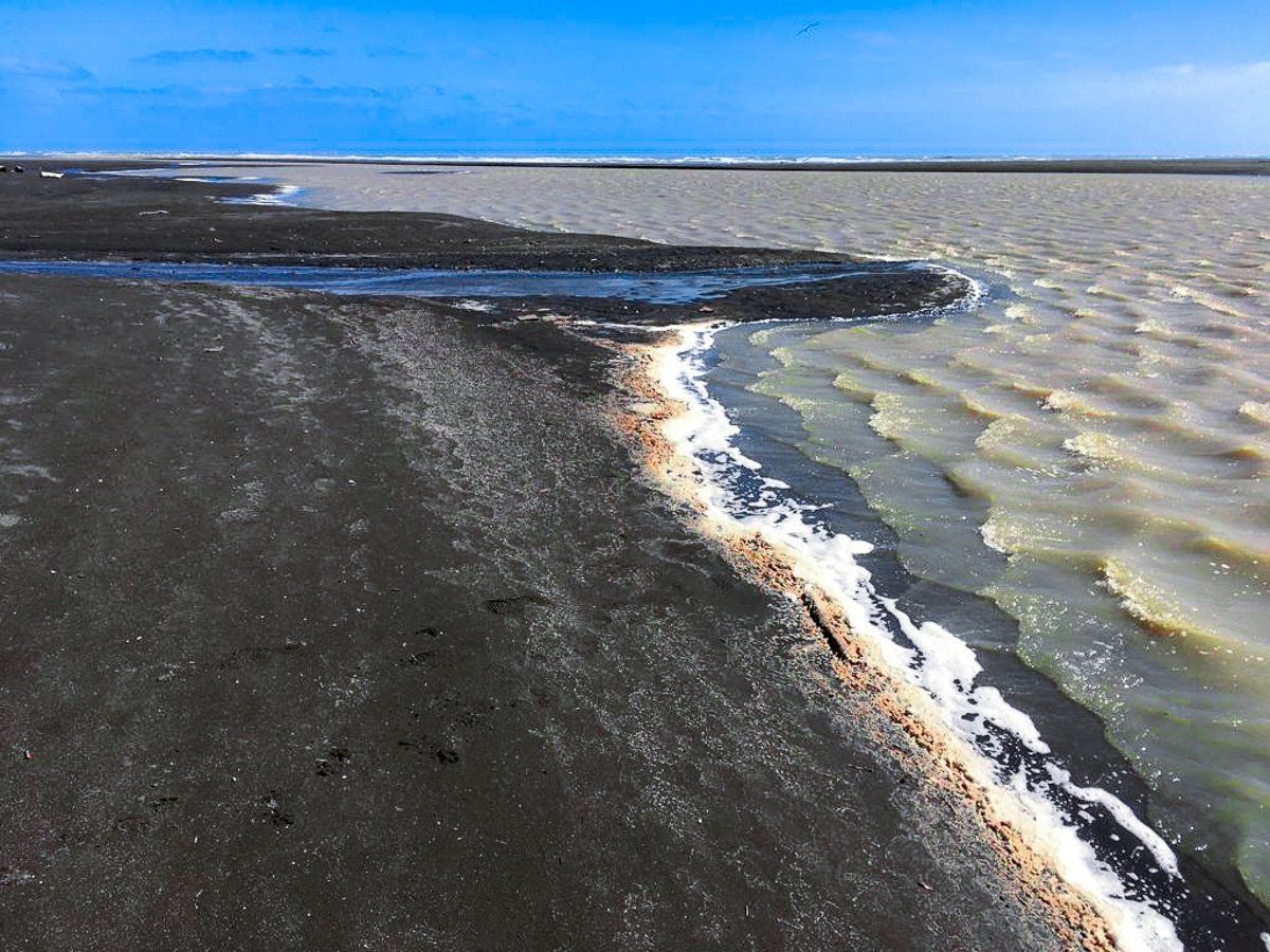
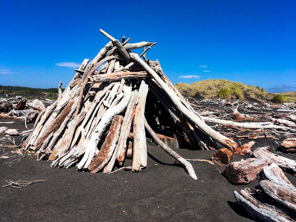
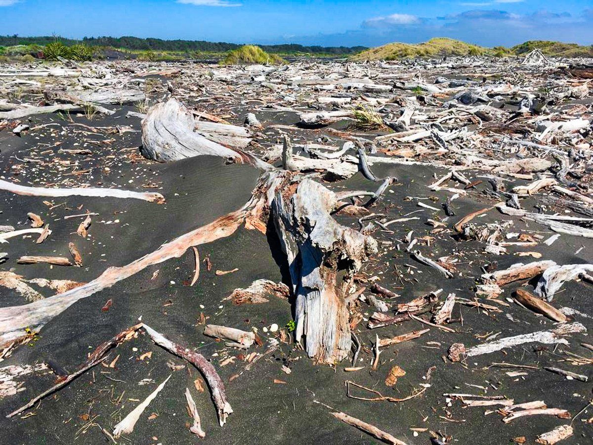
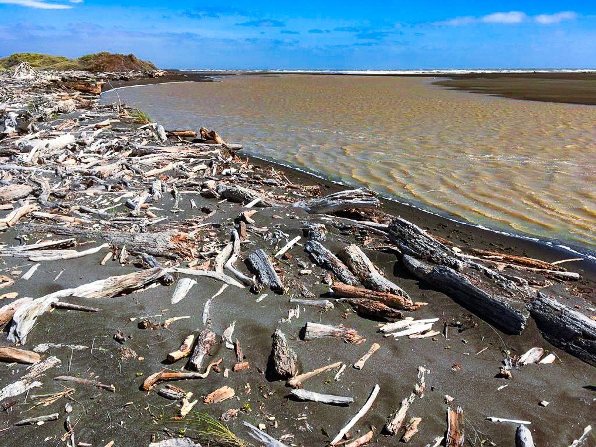
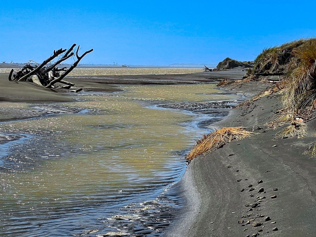
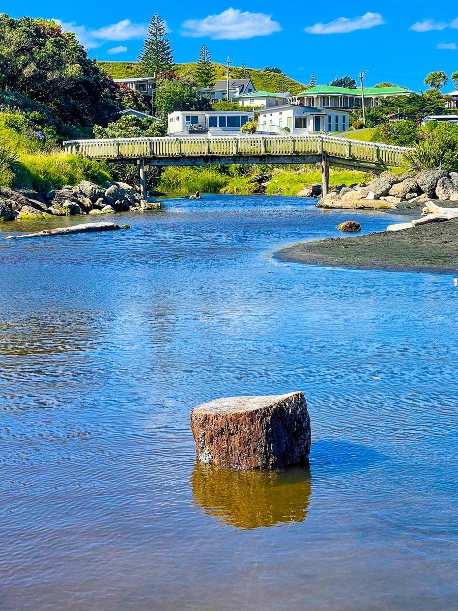
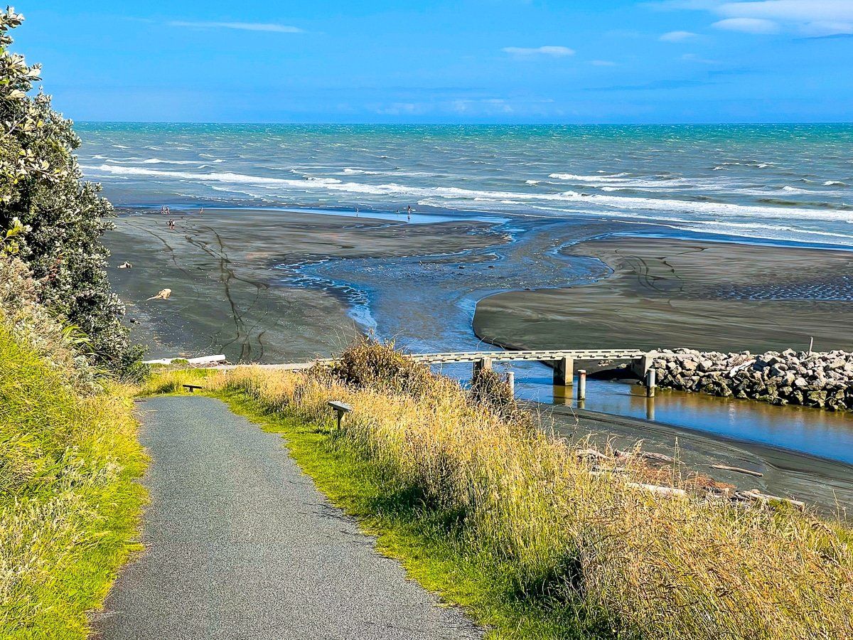
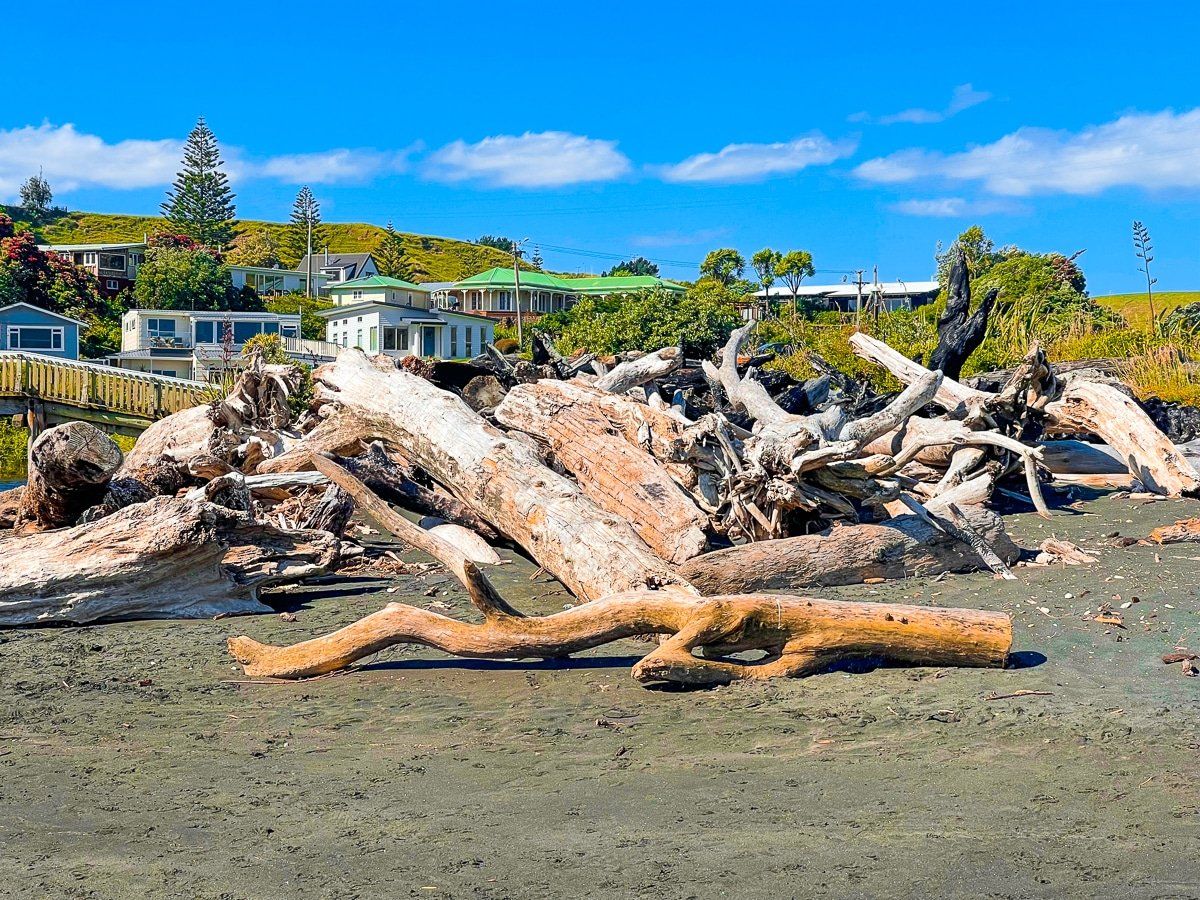
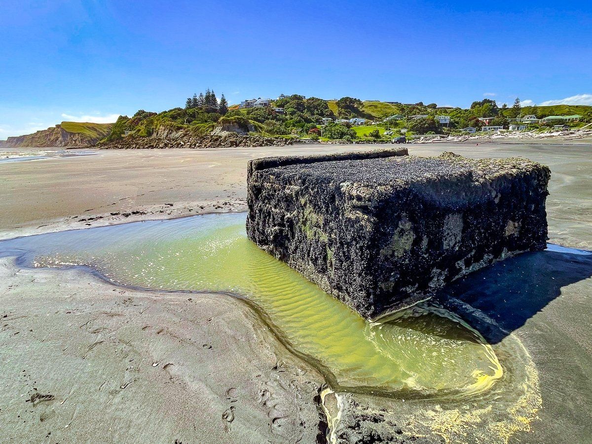
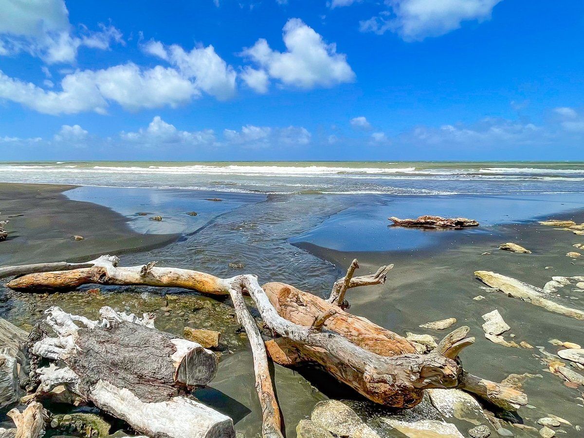
The interesting feature of this beach for a first time visitor is the walk along the Turakina River mouth and nearby lagoons. It is both picturesque in its own right and laden with driftwood, piled up in places along the edge of the river. Apparently the lagoons, exposure of driftwood, and the river mouth can vary considerably over time, depending mainly on prevailing weather.
When we visited, it took about 30 minutes to walk all the way to the beach, as we were not enticed to chance a crossing of the mouth.
Lake Westmere and Wiritoa
There are several accessible small lakes from Whanganui.
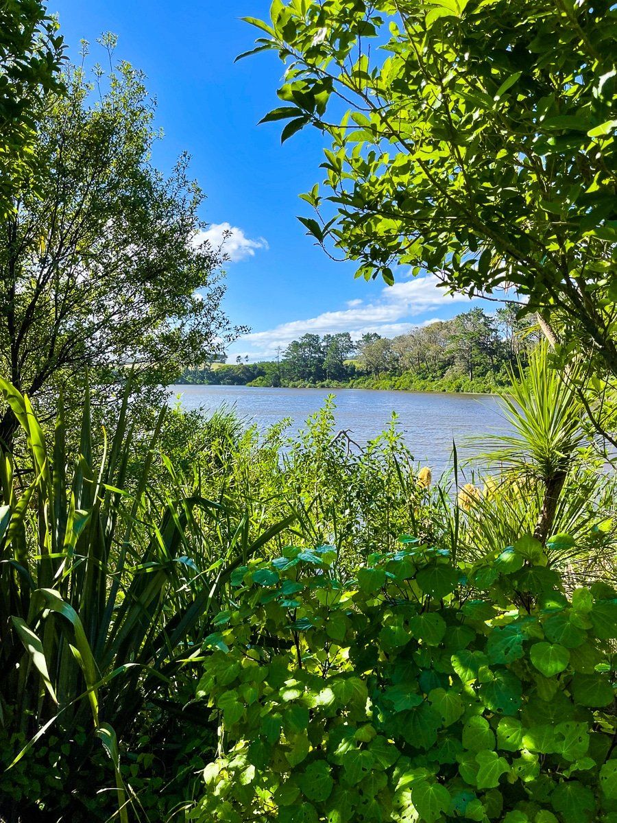
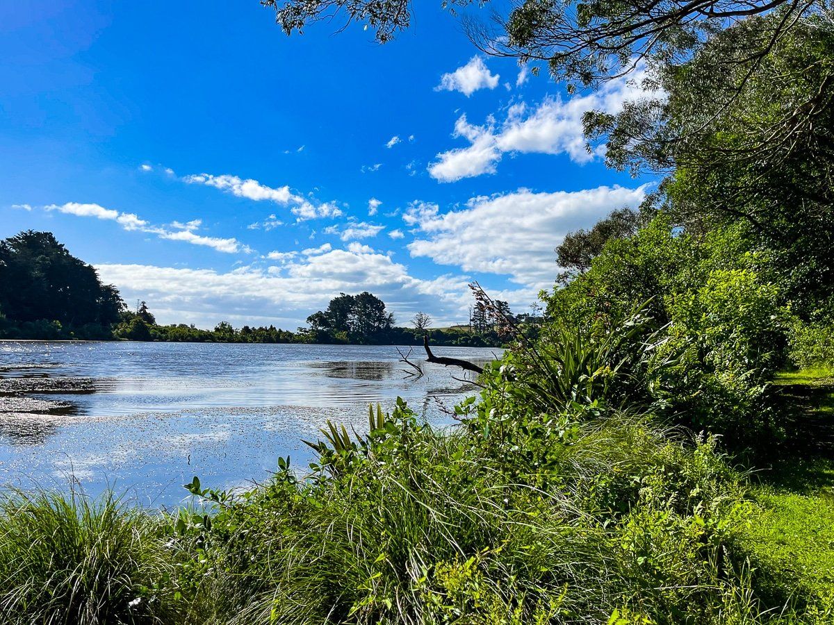
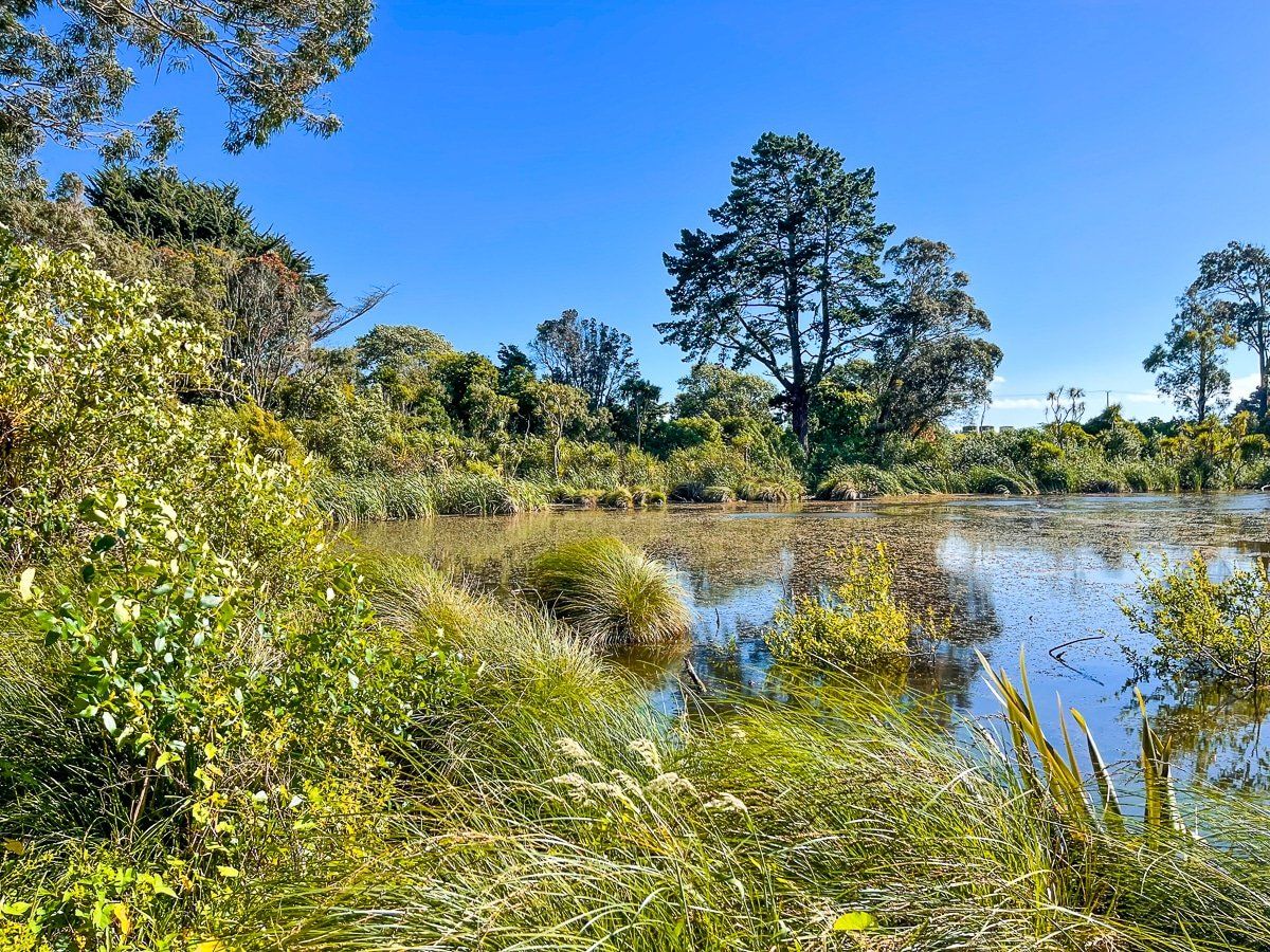
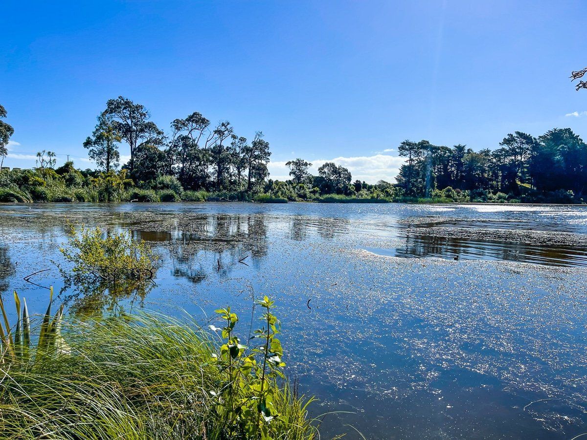
Lake Westmere is on the northwest side of the town, shortly after turning off SH3 on the road to Kai Iwi Beach. There is a loop track around the lake which has benefitted from replanting activity but is less developed than nearby Rotokawau Virginia Lake. Allow about an hour to meander around the lake.
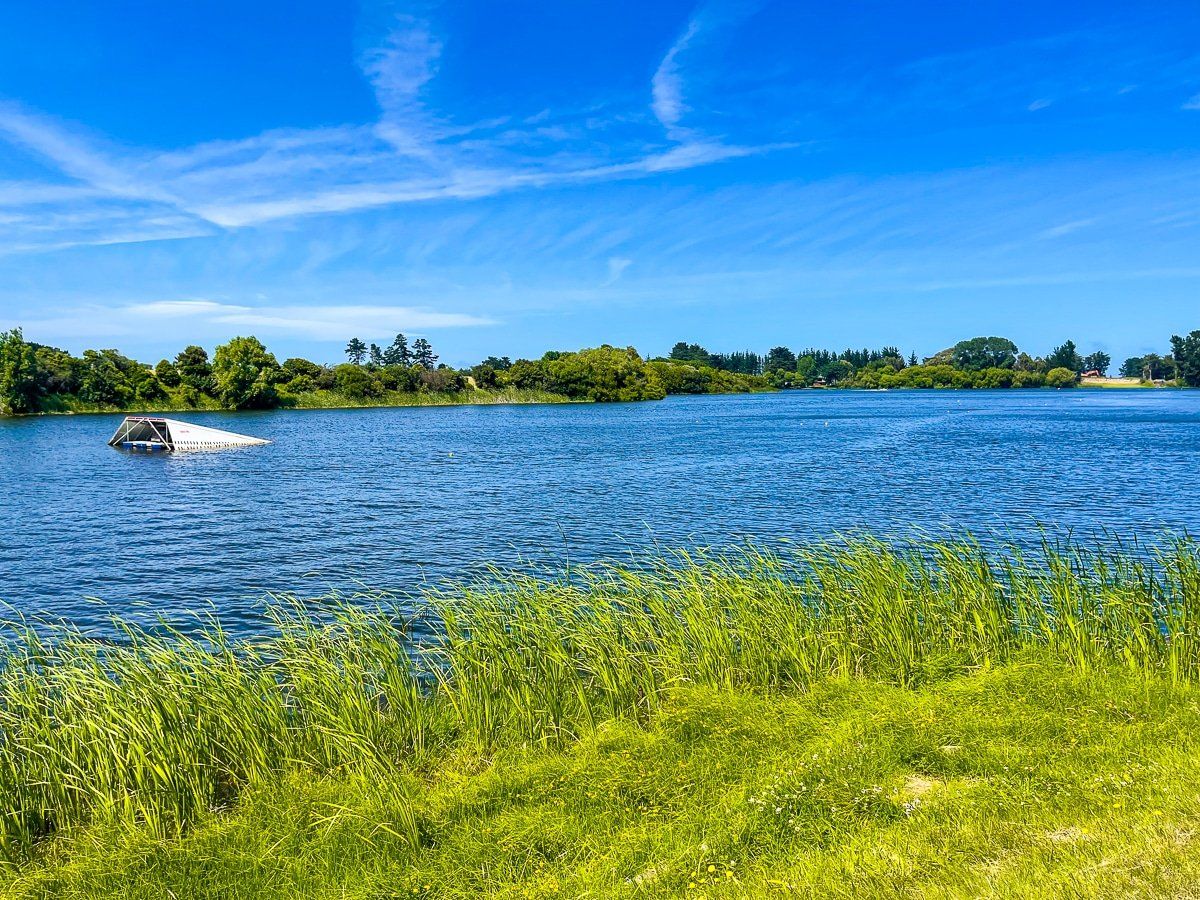
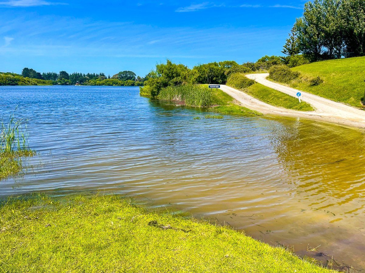
Wiritoa is a short drive from SH 3 on the southeast side of town, which includes a commercial campground. This is a popular location for water skiing, but there is a no-boat swimming area at the west end of the lake.
Kai Iwi Beach
Kai Iwi Beach, also known as Mowhanau Beach, is the next accessible beach northwest of Castlecliff. It takes about 15 minutes to get there along Rapanui Road from SH3. There is a small beach community, a nice reserve immediately in front of the main beach access, and a commercial campground. You can go up to the top of Sunset Rd for a great viewpoint.
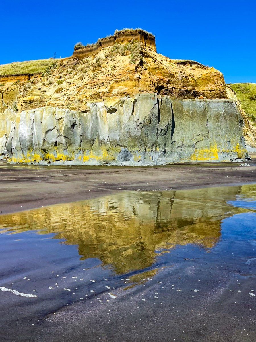
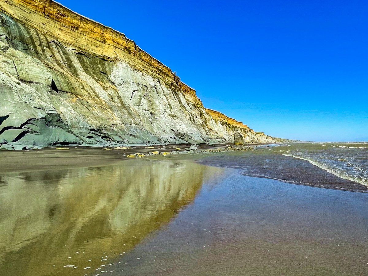
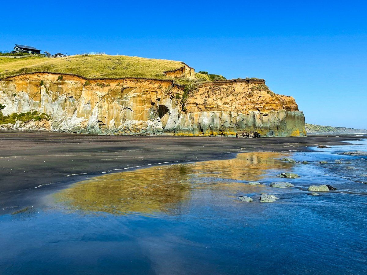
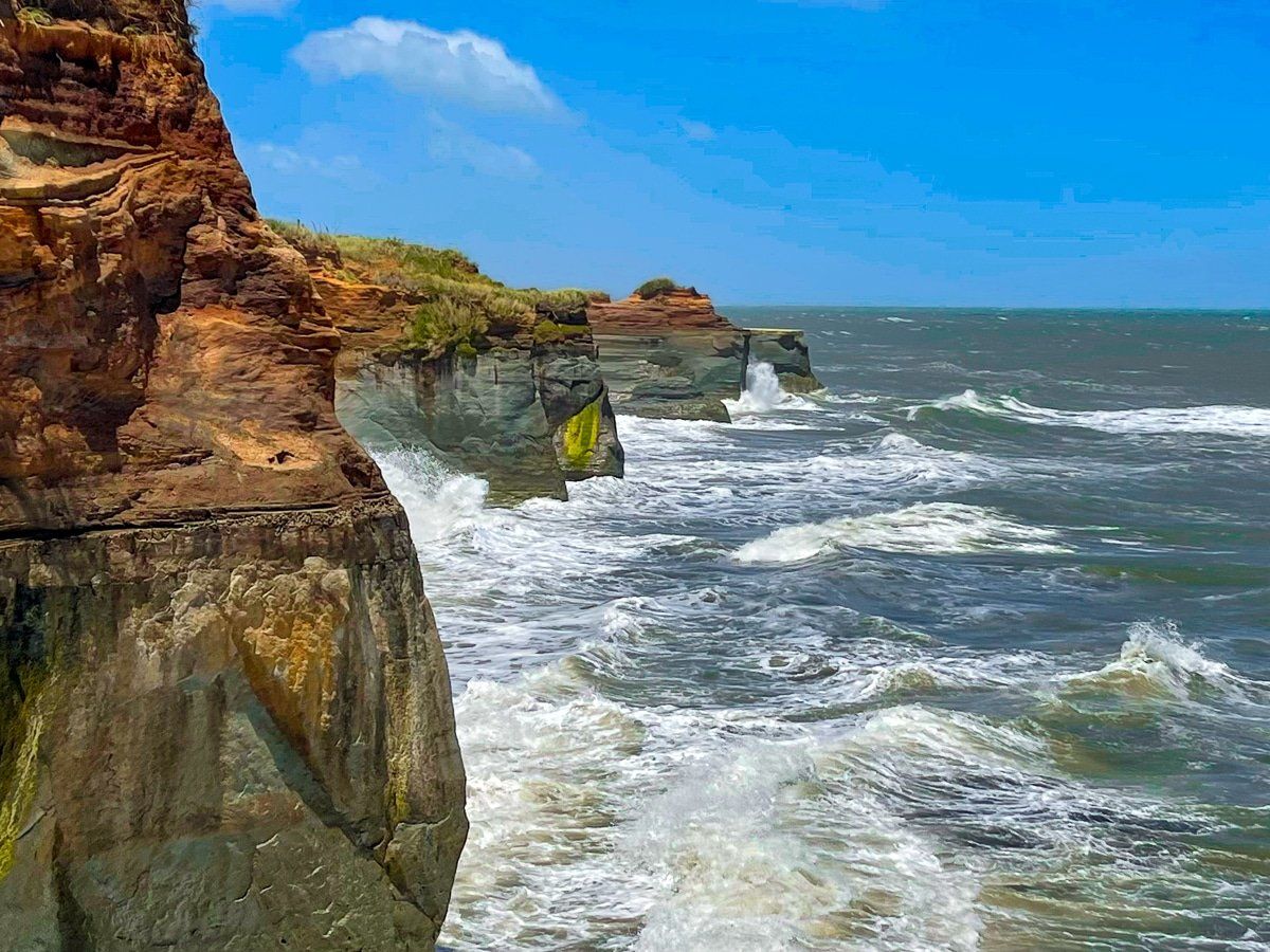
The beach is bounded by streams and stunning colourful eroding cliffs on either side. Note the warnings to not stand too close to the cliffs. To the southeast, the cliff runs all the way to Castlecliff; to the northeast, to the next accessible beach at Ototoka.
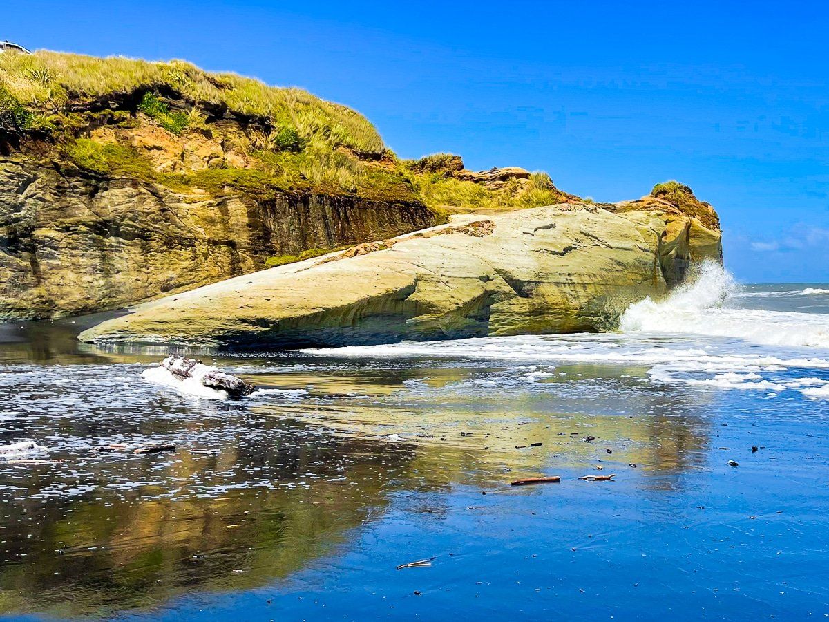
From the reserve, to the southeast you will see yet another big pile of driftwood around the stream with a small sandy bay. Once the tide is out a bit, you can easily cross the bay and then the stream and go around the southeast point, with spectacular views down the coast and a couple of odd rock formations that have survived erosion, so far.
You can also walk around the northwest side of the surf life saving club building and immediately down to the beach. This would be the safest area to swim. Walk to the southwest, across the Kai Iwi Stream to below the impressive cliff outcrop. There is a bridge back over the stream and a path that goes back up the hill to the hamlet.
Bushy Park Tarapuruhi
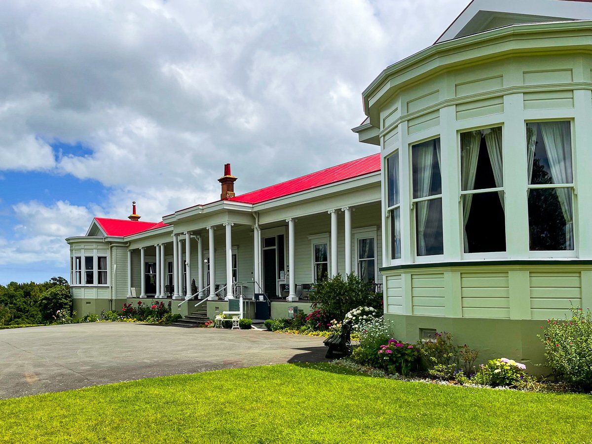
Bushy Park Tarapuruhi is a beautiful area of native forest with a bird sanctuary, maintained by a trust established by NZ Forest and Bird in 1994. There is also a large well maintained homestead next to the sanctuary car park where you can book accommodation, including B&B. The grassed area in front of the homestead is perfect for a picnic.
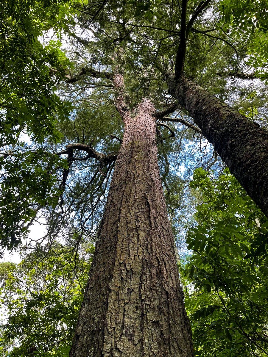
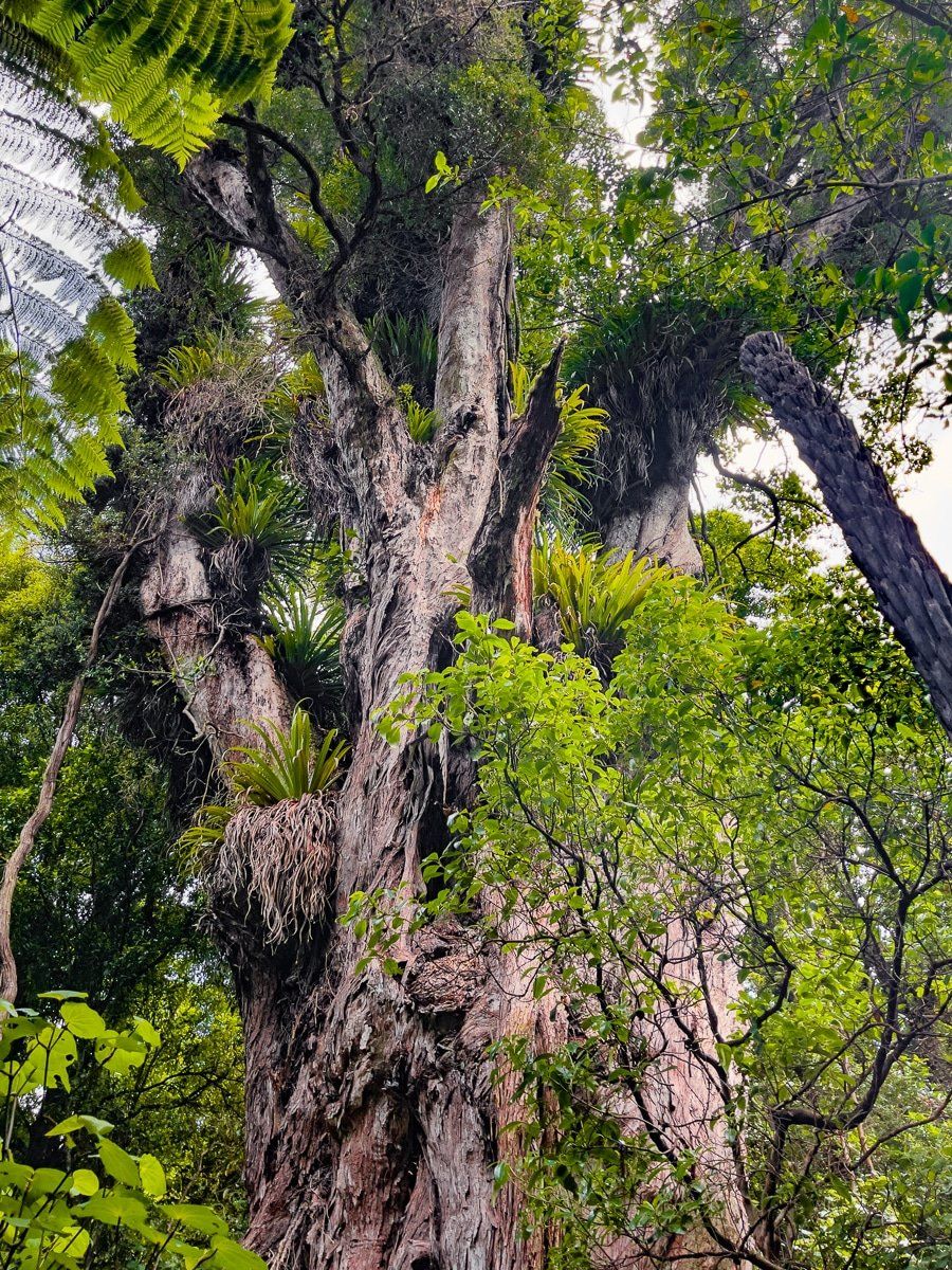
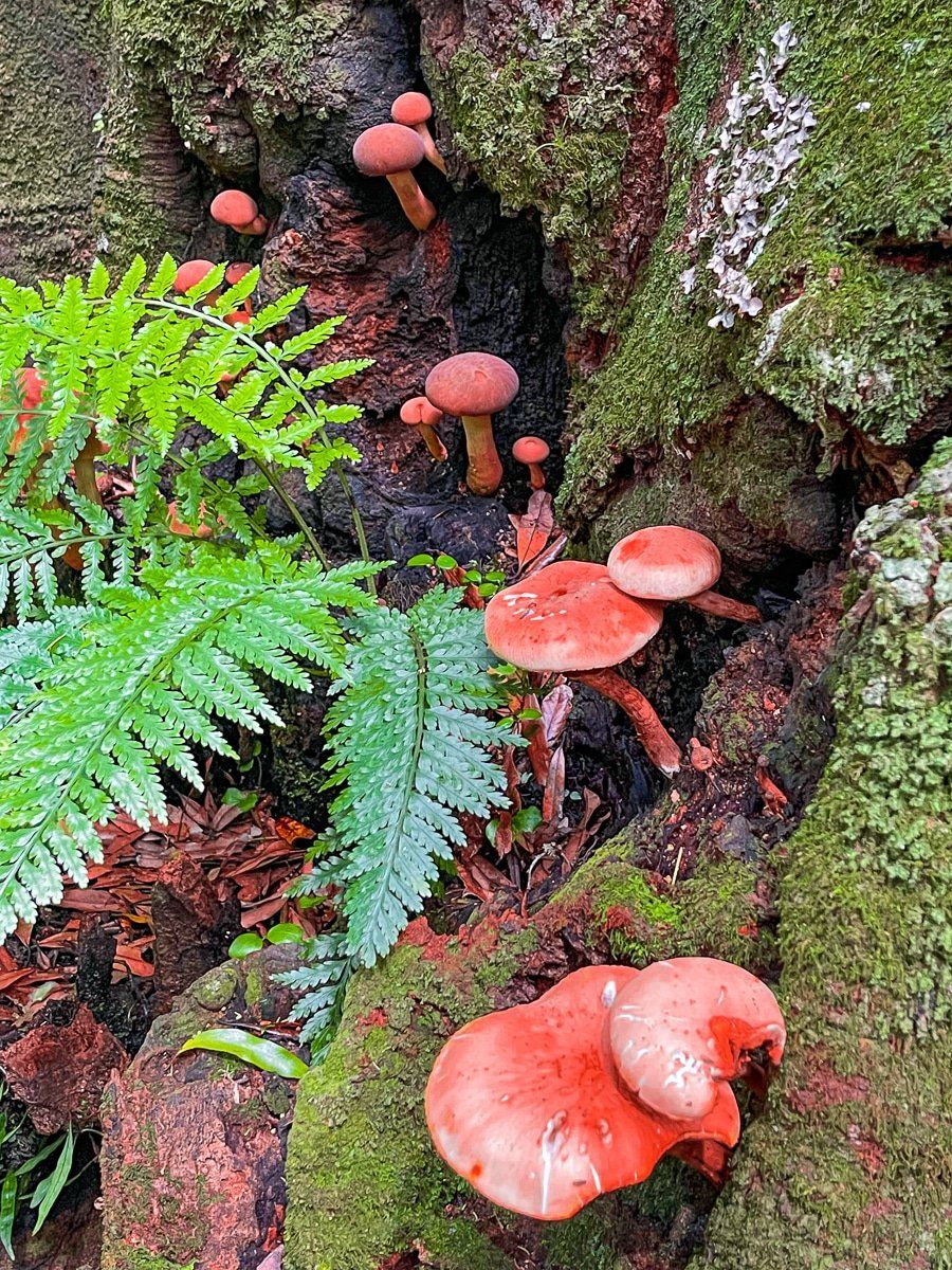
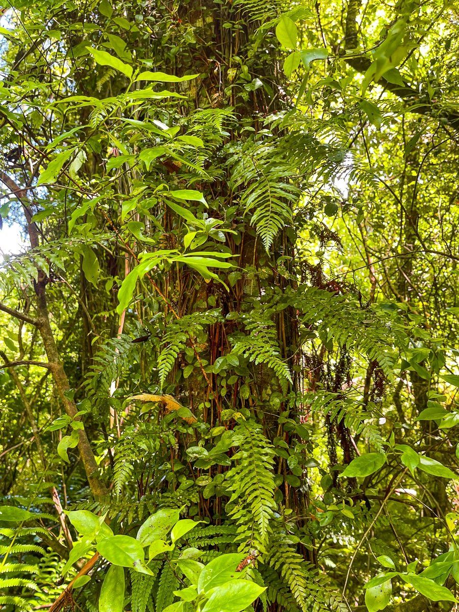
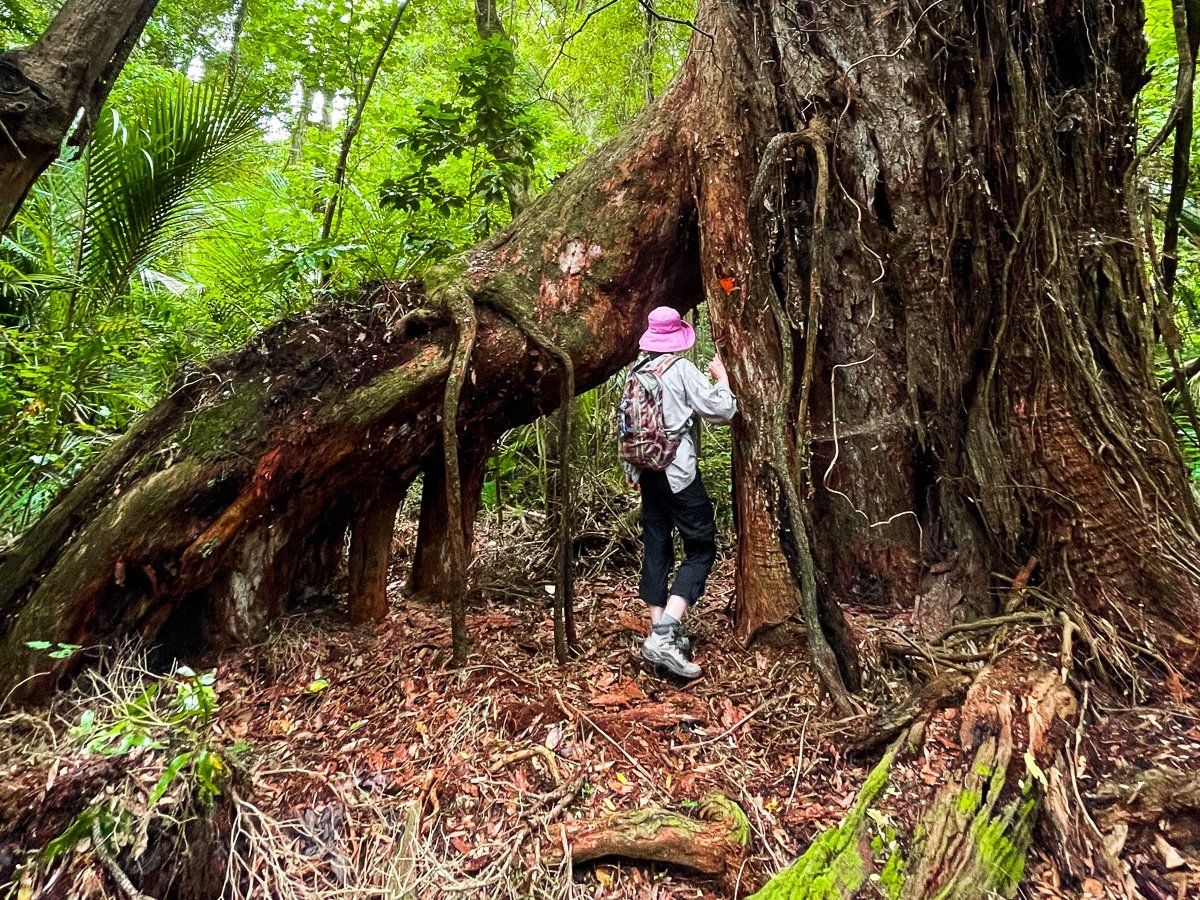
In 2005 a predator proof fence was established providing improved protection for native birds. There are several undulating connected short loop tracks around the sanctuary. These include a small exceedingly pretty wetland and trails that take you through a mix of big established trees and regenerating forest. The highlights are the several very big rata trees, including the enormous Ratanui (“Big Rata”). It is estimated to be between 500 and 1000 years old and over 40 metres high. Another nearby giant rata is particularly striking for the arch created by its roots.
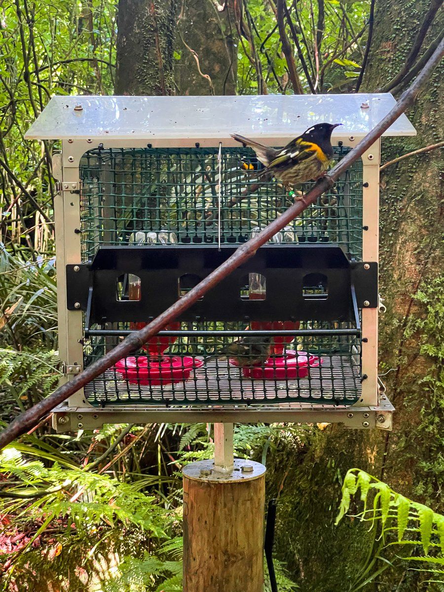
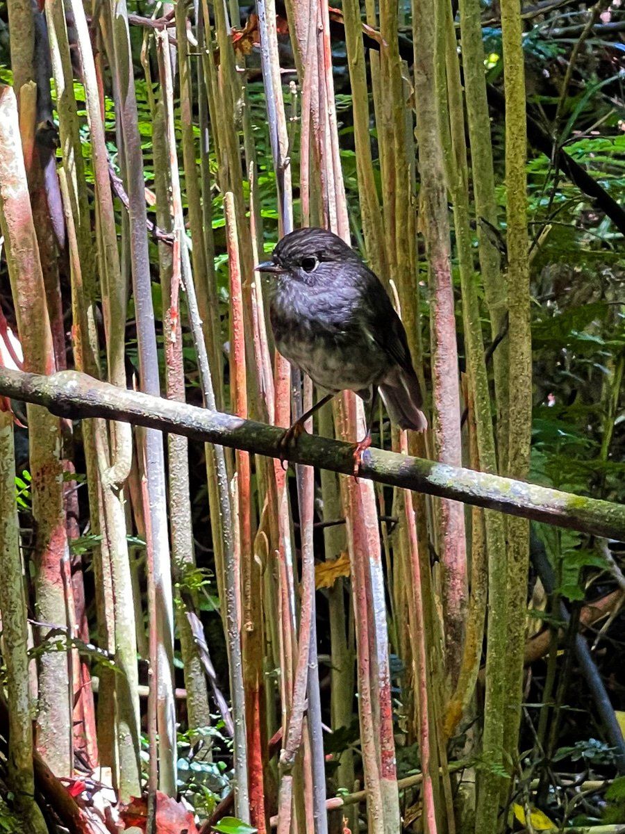
The native birdlife is also diverse and exceptional, and more visible than at many other sanctuaries. Robins are plentiful and fearless, and we also saw several tieke (saddlebacks). However, best of all were a good number of hihi hanging around the several prominently placed bird feeders.
The park is about 25 minutes from downtown Whanganui. Head along SH3 and take Rangitatua East Rd. If you continue on this road to Junction Rd, you will also find the longer hiking options at Waitinga Trails.
Ototoka Beach
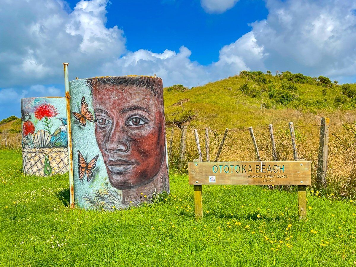
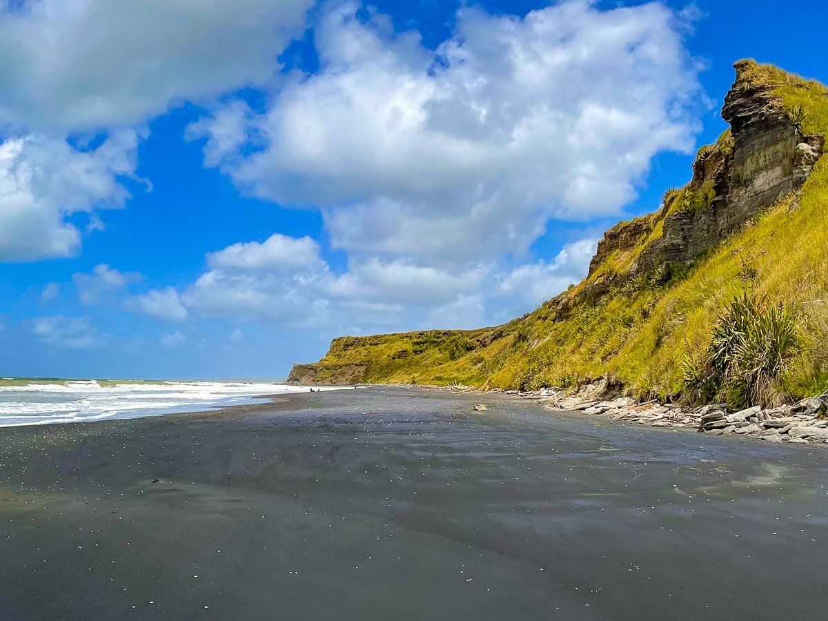
Ototoka Beach is the most remote beach on the northwest stretch of the Whanganui to Taranaki coast. You can get there from Kai Iwi by taking Handley Rd to Ototoka Beach Rd (mostly metal roads), or by taking SH3 to Maxwell Station Rd (sealed), then connecting with Ototoka Beach Rd.
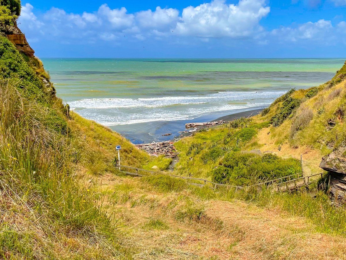
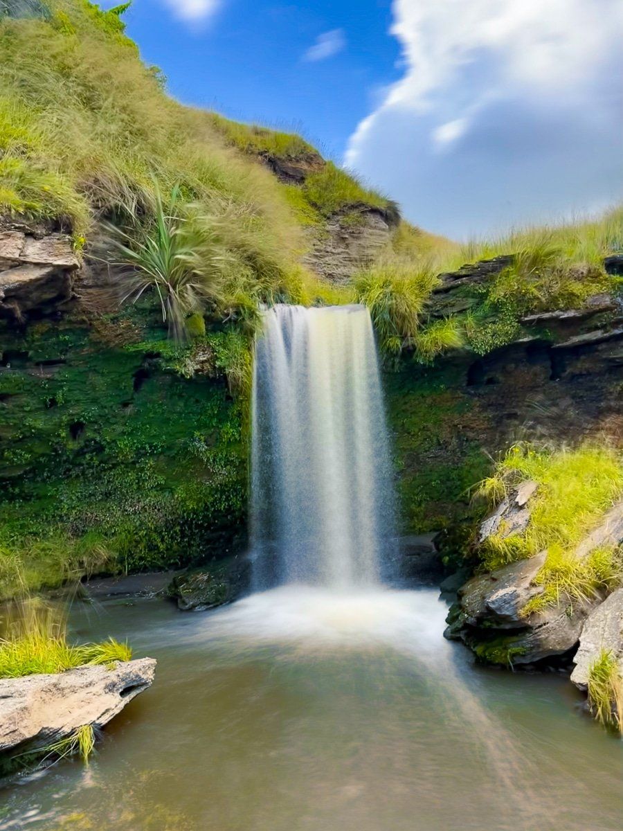
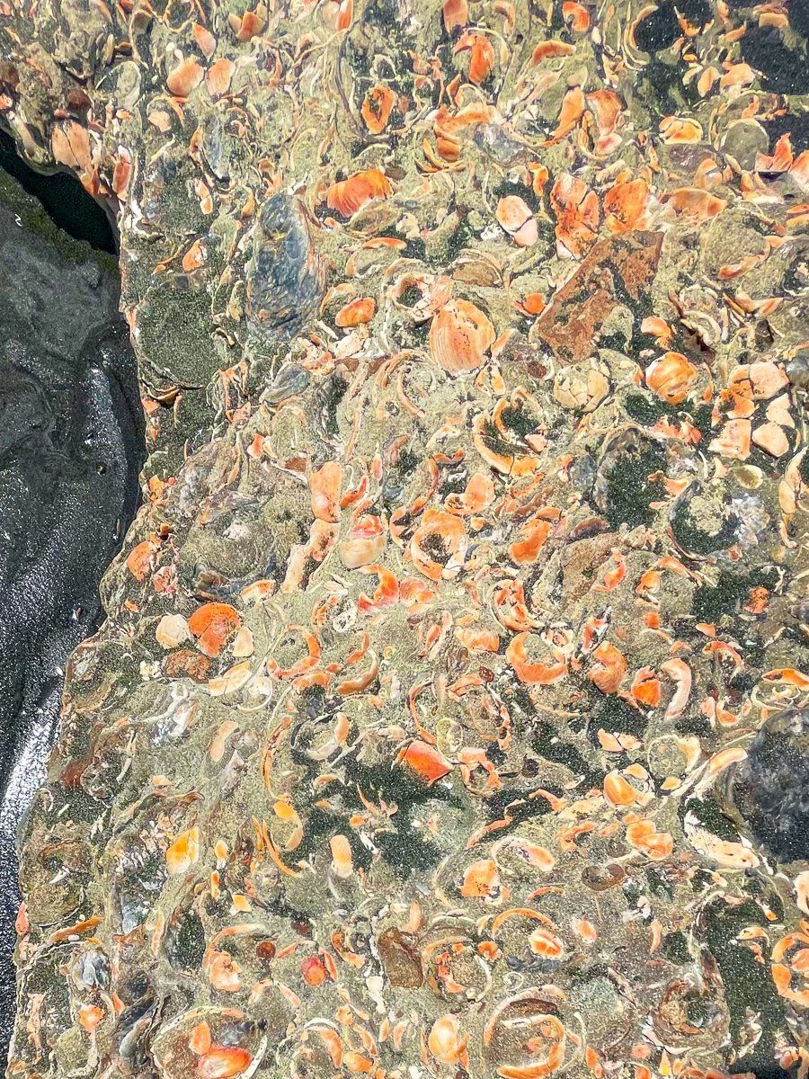
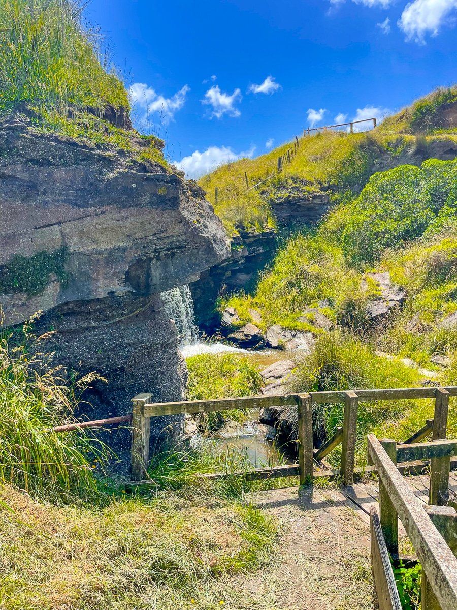
Access to the beach is through a relatively narrow gap between the cliffs that has been ground out by a stream. There is a nice view from the top of the cliff, then a short steep track from the lower car park that crosses in front of a modest but active waterfall down to the beach. With cliffs on either side, rock full of fossilised seashells and the inevitable jumble of driftwood, this is a wonderful unique remote place. But be careful if you decide to go for a swim!
Waverly Beach
If you continue northwest along the coast on SH3, you will enter the small town of Waverley, about 35 minutes drive from Whanganui. Waverly Beach Rd is about halfway through the town, then a 10 minute drive or so to the small beach settlement and access.
Parking is at the top of the cliff – go left for the access to Cave Beach and park to the right for access to Long Beach. Both access points are down rather old boat ramps. Cave Beach is small and very picturesque, with another pile of driftwood and eroded cliffs. There is also a cave but it is only accessible as the tide goes out.
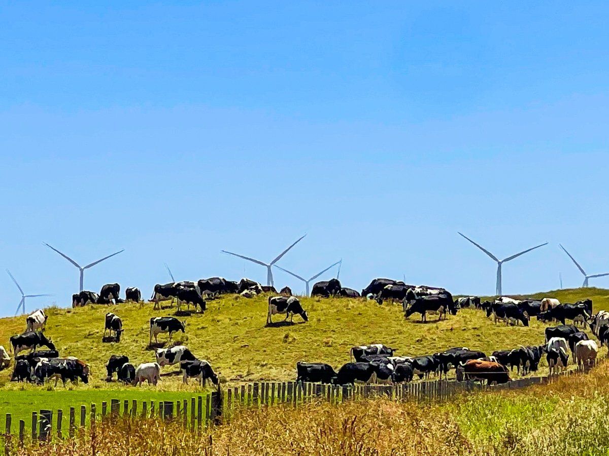
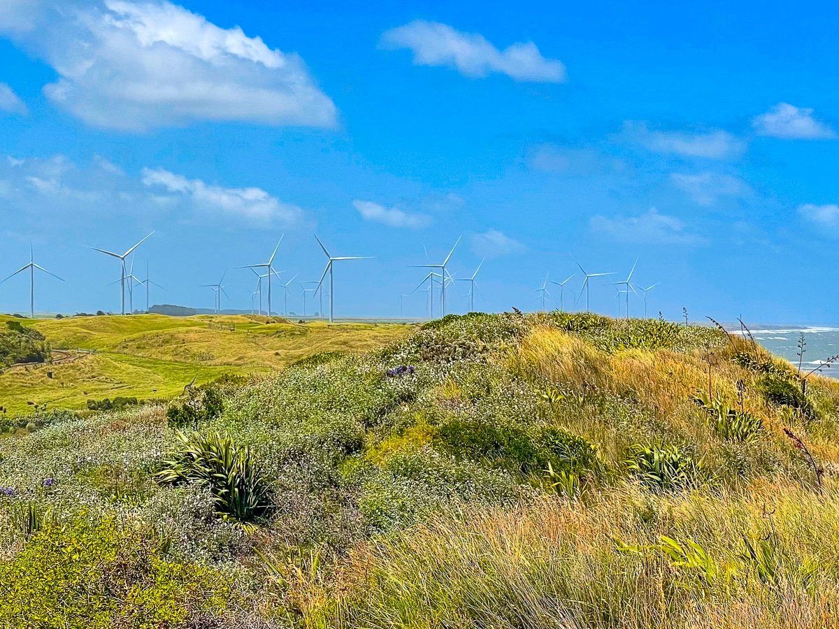
Long Beach is more substantial and there is a fabulous view in both directions along the coast from near the top of the boat ramp. Looking northwest, you can also see the wind farm that sits between Waverly and Patea.
Patea Beach
Technically, Patea is in the Taranaki rather than the Whanganui region, but at a 50 minute drive, it is closer to Whanganui than it is to New Plymouth.
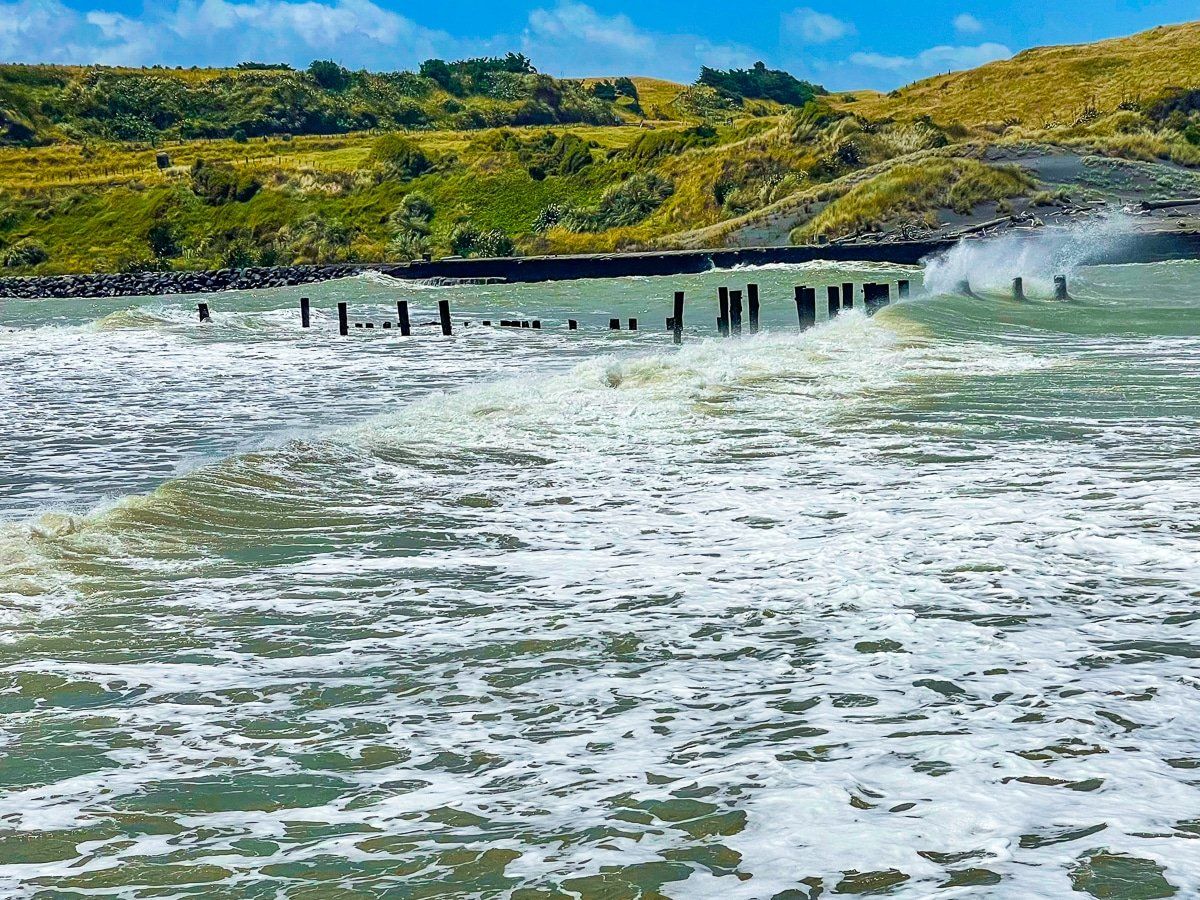
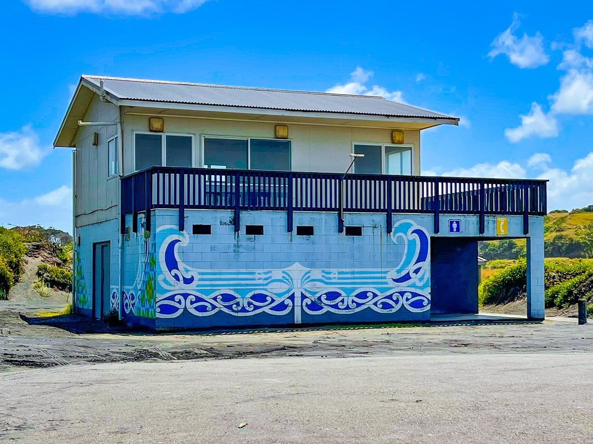
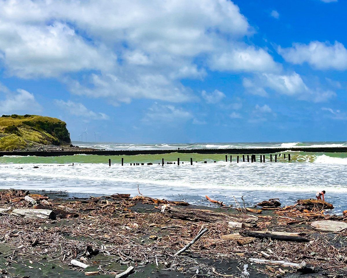
From SH3, take Kent St to Egmont St to Mana Bay, which sits on the mouth of the Patea River. There are public facilities, but the real attraction is the dilapidated north moles, surrounding cliffs, wave surges and massive piles of driftwood. Just to the right of the north mole and across the first pile at about the high tide line is the wreck of the steamship Waitangi (early 1920s). Apparently it does get covered in sand from time to time, so hopefully it will be visible if you visit.
There is also a parking area on the top of the cliffs to the northwest. This provides a particularly good view of the beach and cliffs to the northwest, as well as an access track down to that section of the beach.
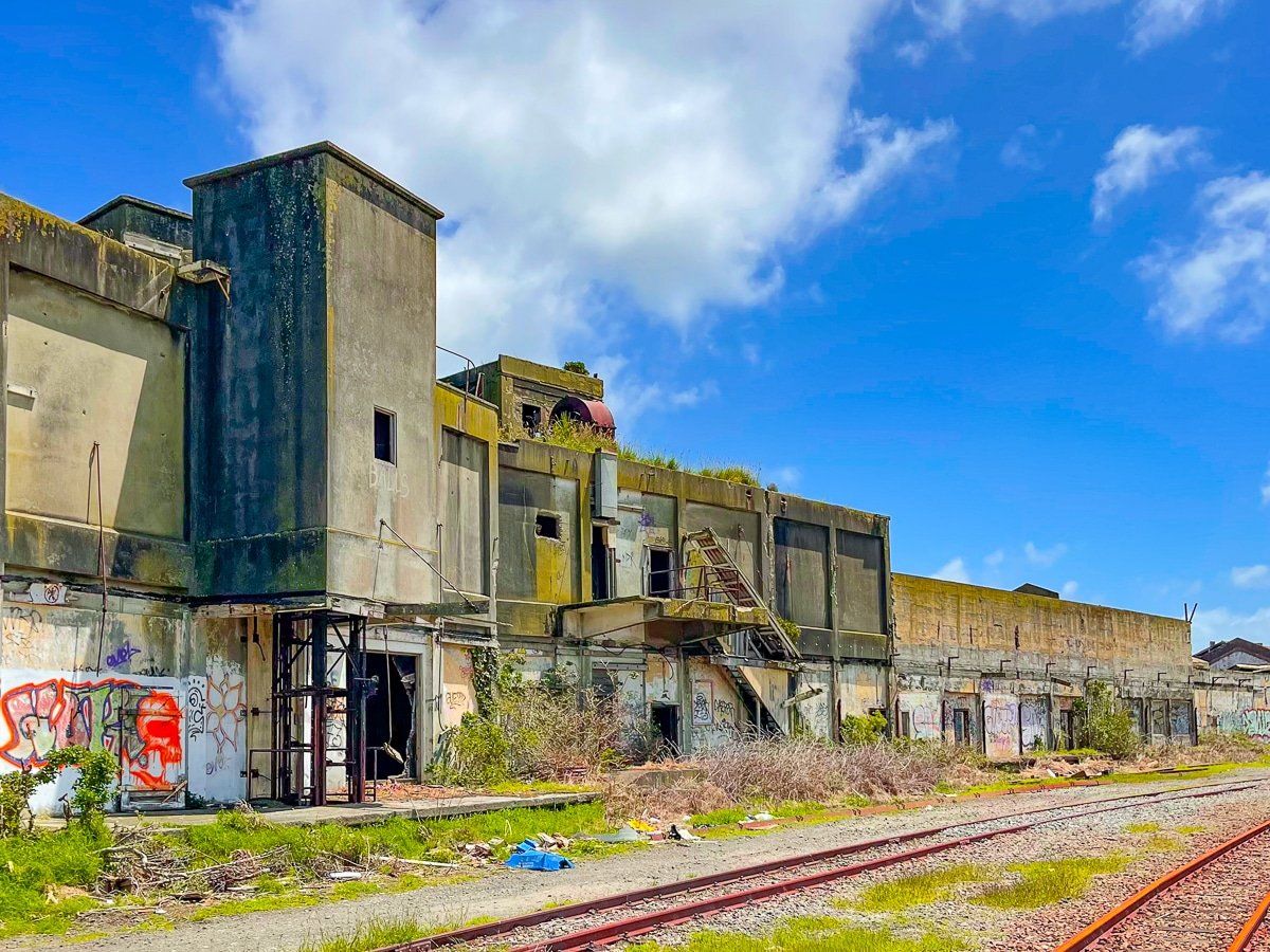
If you have had enough of beaches, take Portland Quay from SH3 immediately before the Patea River bridge (southside), then the first right over the railway track, past the piles of gravel to one of New Zealand’s few industrial ruins. It was damaged by fire many years ago and has been left to gradually rot away.
Want more trip ideas?
Check out our recent posts about Whanganui part 1, Taranaki, and Blue Duck Station.
