Exploring the Wairau Valley
Located in Marlborough, the Wairau Valley extends from Te Koko o Kupe / Cloudy Bay at the northeastern tip of the South Island to near St Arnaud in Nelson Lakes. Just an hour's drive southwest of Blenheim along State Highway 63, this valley is renowned for its world-class wine production, particularly Sauvignon Blanc, Chardonnay, Pinot Noir, and Pinot Gris. The combination of a cool maritime climate, free-draining gravel soils, and protection from extreme weather by surrounding ranges makes it ideal for viticulture.
Geographical Features and Scenic Views
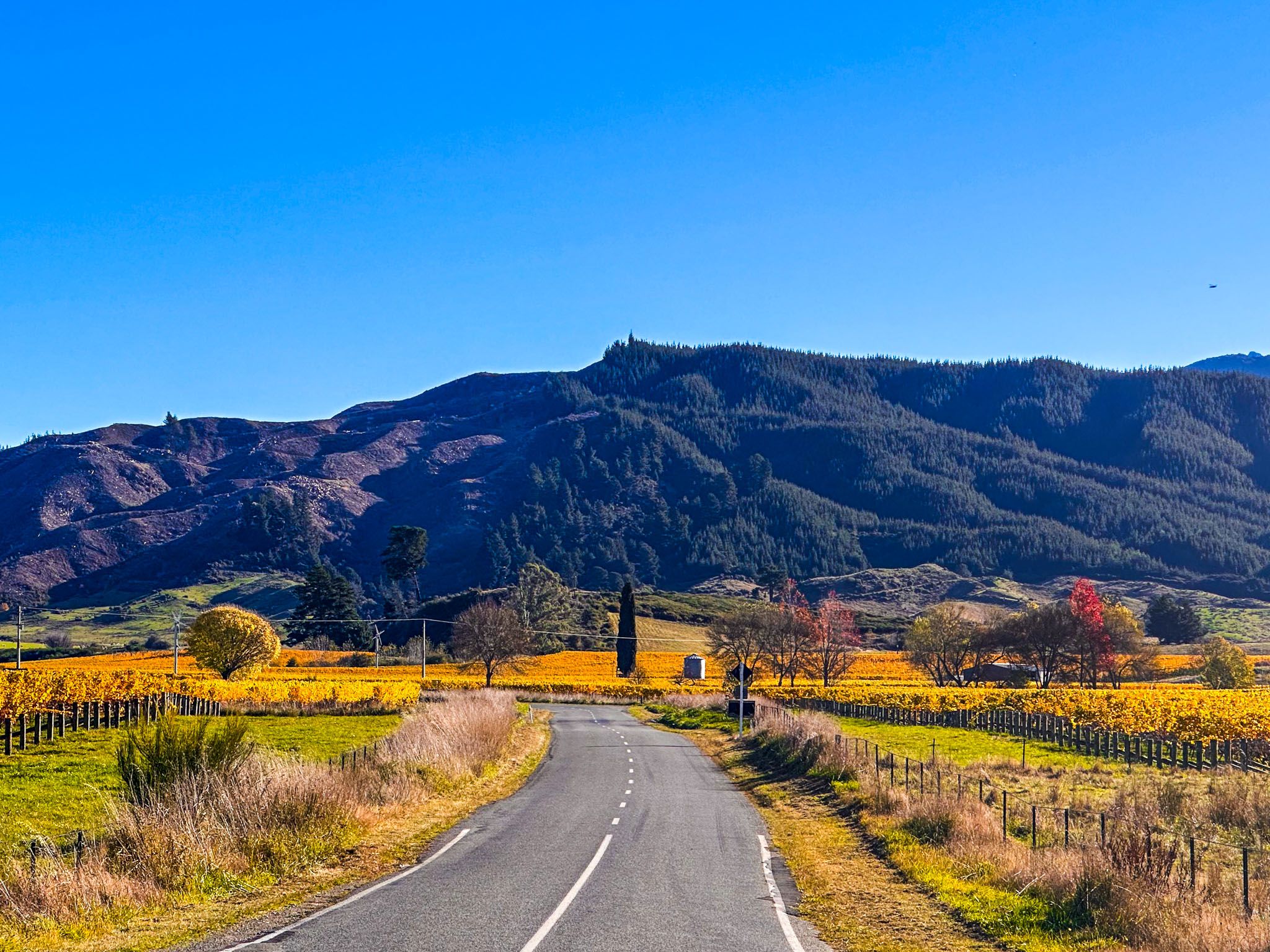
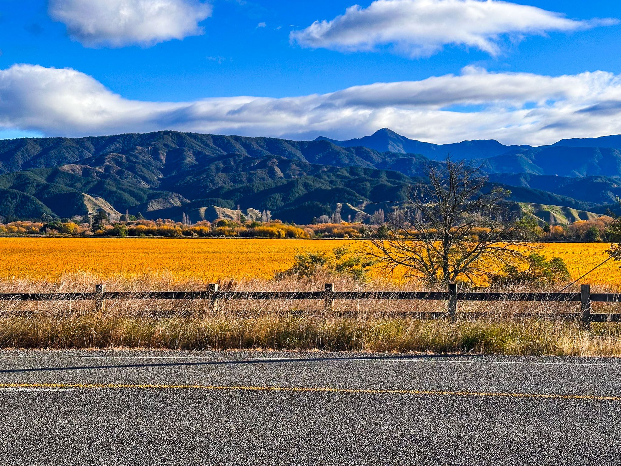
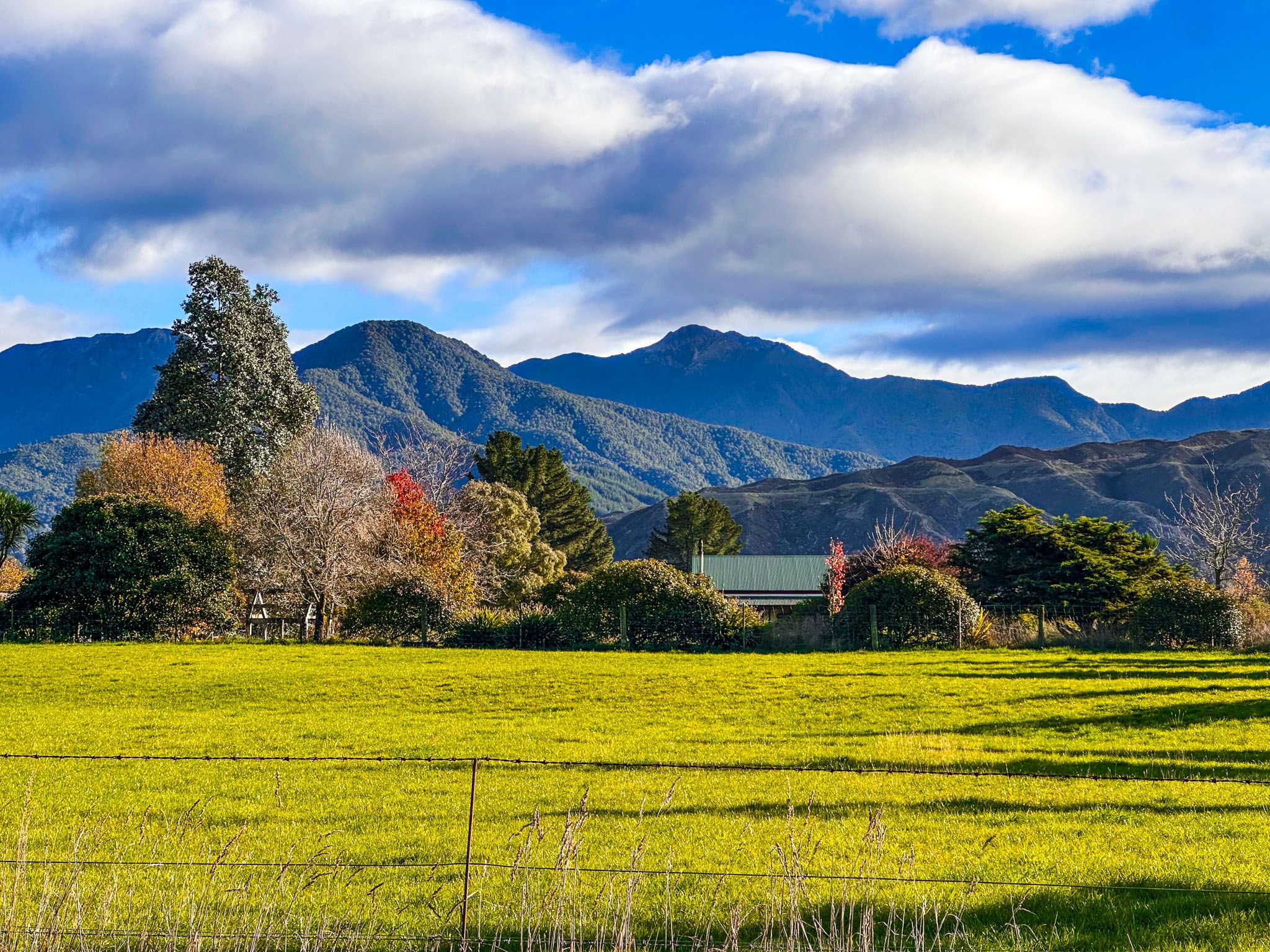
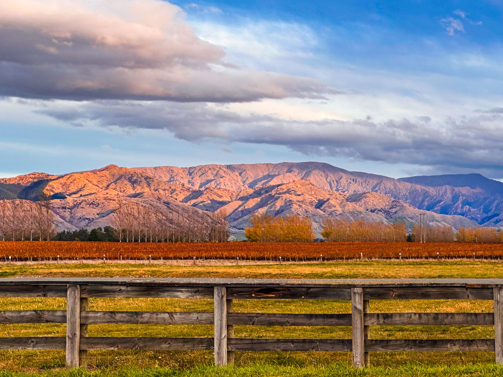
The Wairau River is a central feature of the valley, with the Richmond Range forming a striking backdrop on the west side, reaching up to 1,656 metres at Mount Patriarch. You can drive up Top Valley and take the rough forestry road, Staircase Road, to the Enchanted Lookout for an exceptional view across the valley.
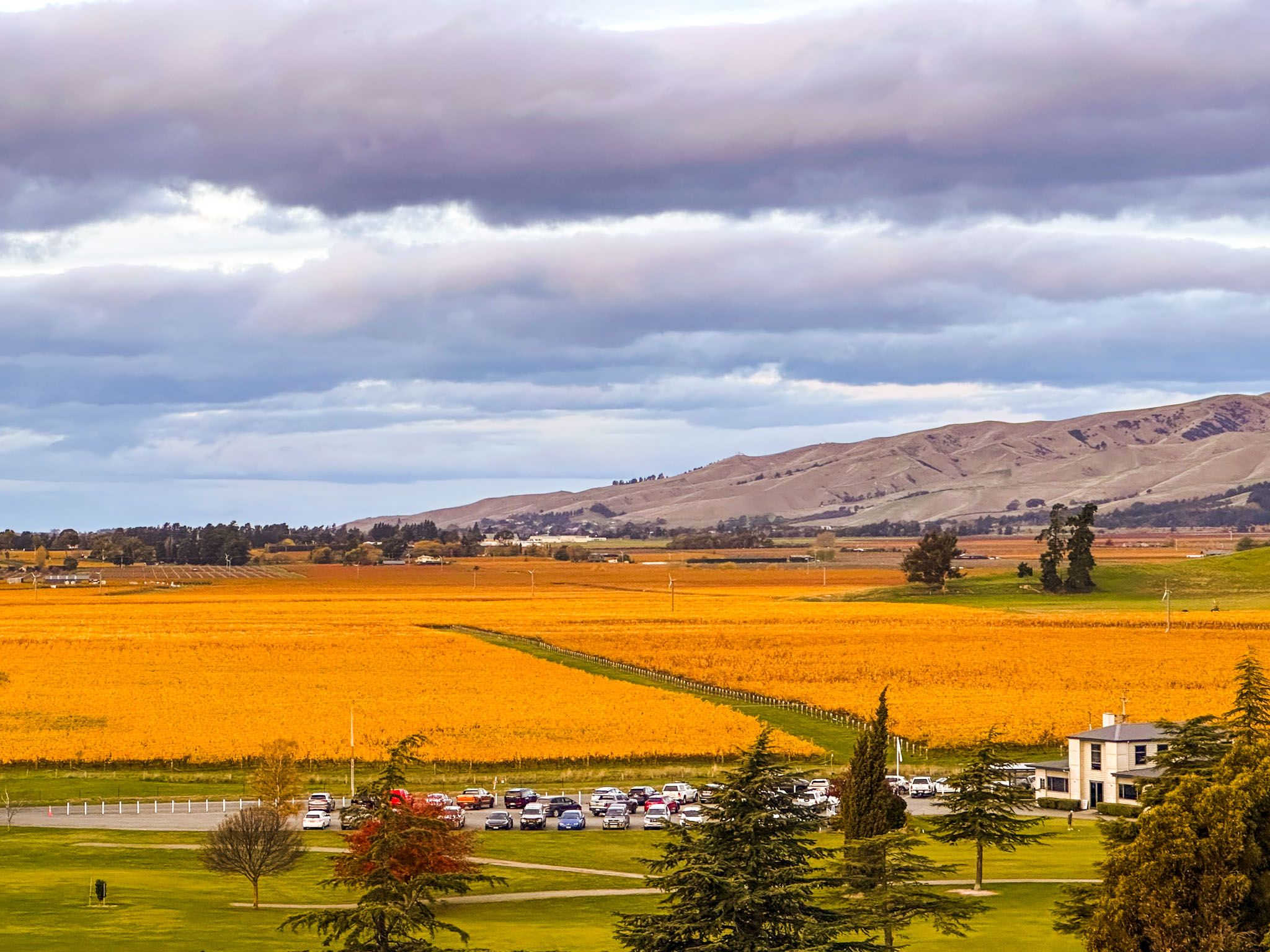
The east side is defined by dry hills that rise to 1,000 metres, backed by the distant Inland Kaikōura Range, which exceeds 2,000 metres. The Wairau Plain at the Cloudy Bay / Blenheim end of the valley spans 20 km in width.
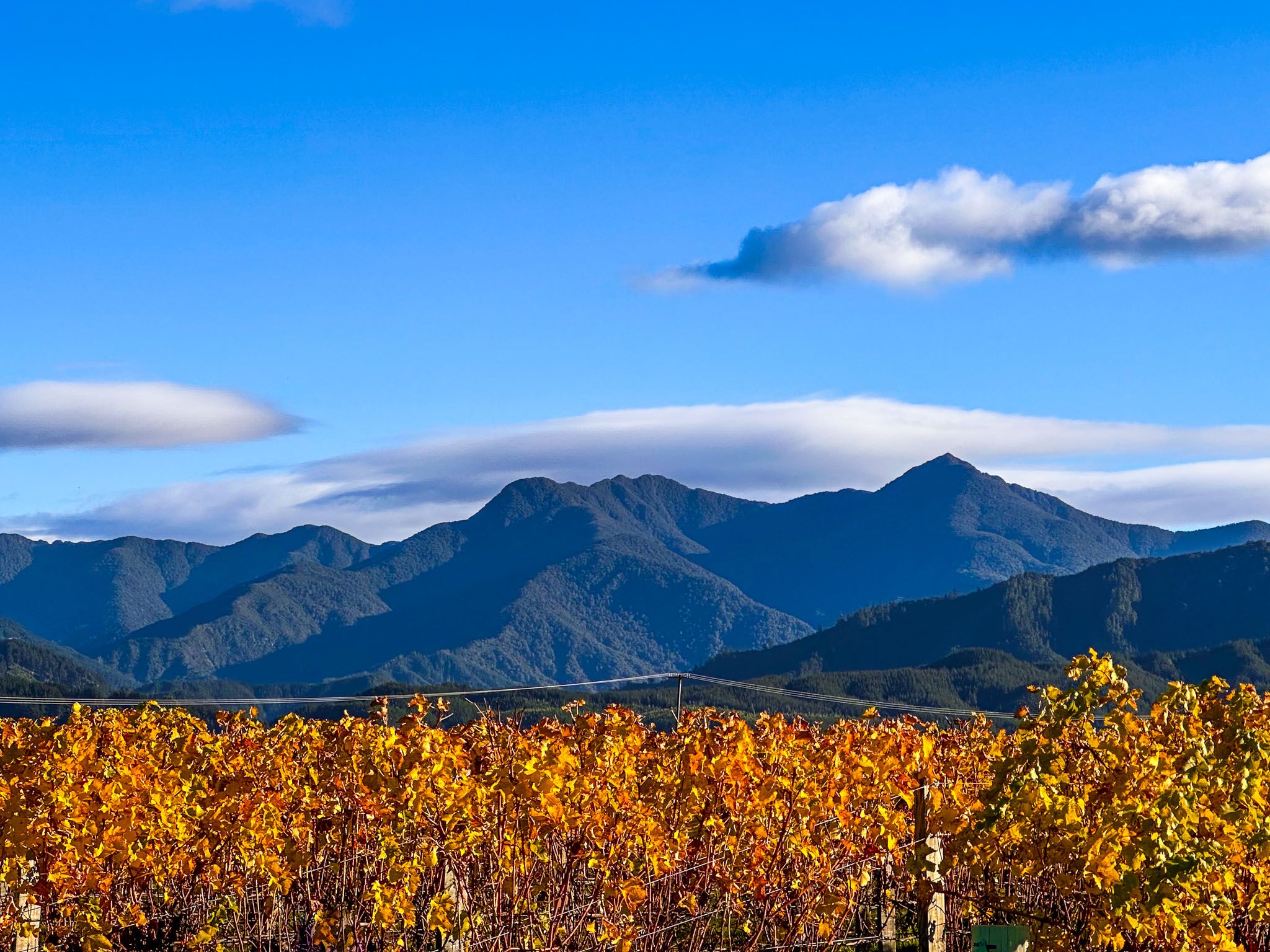
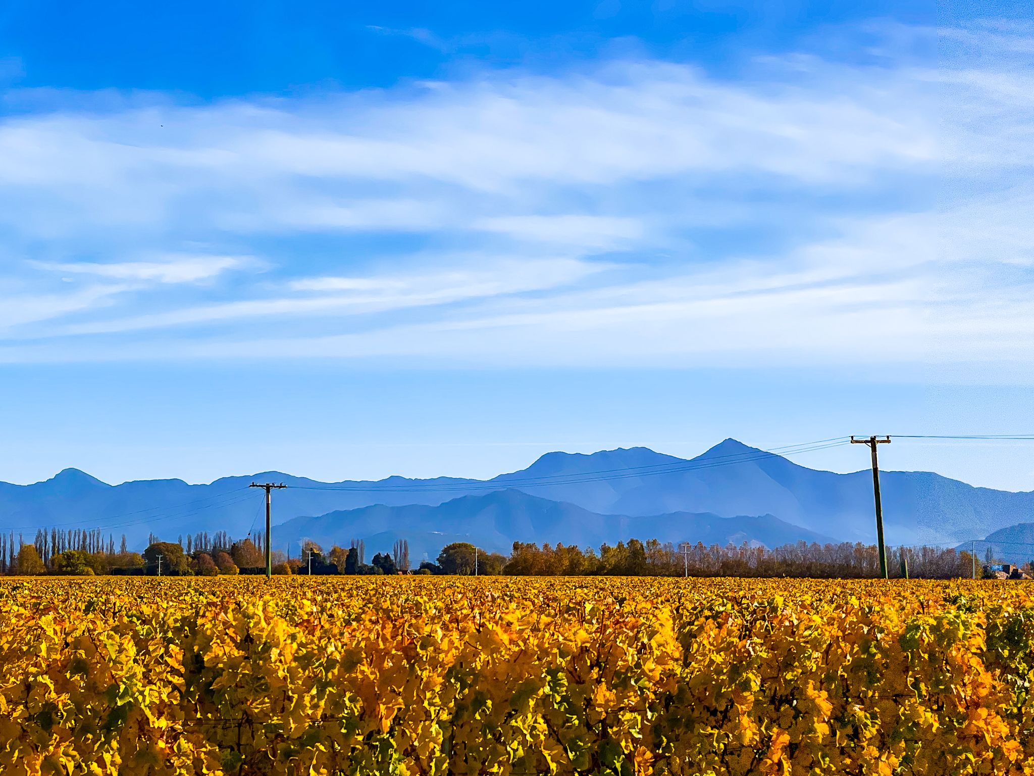
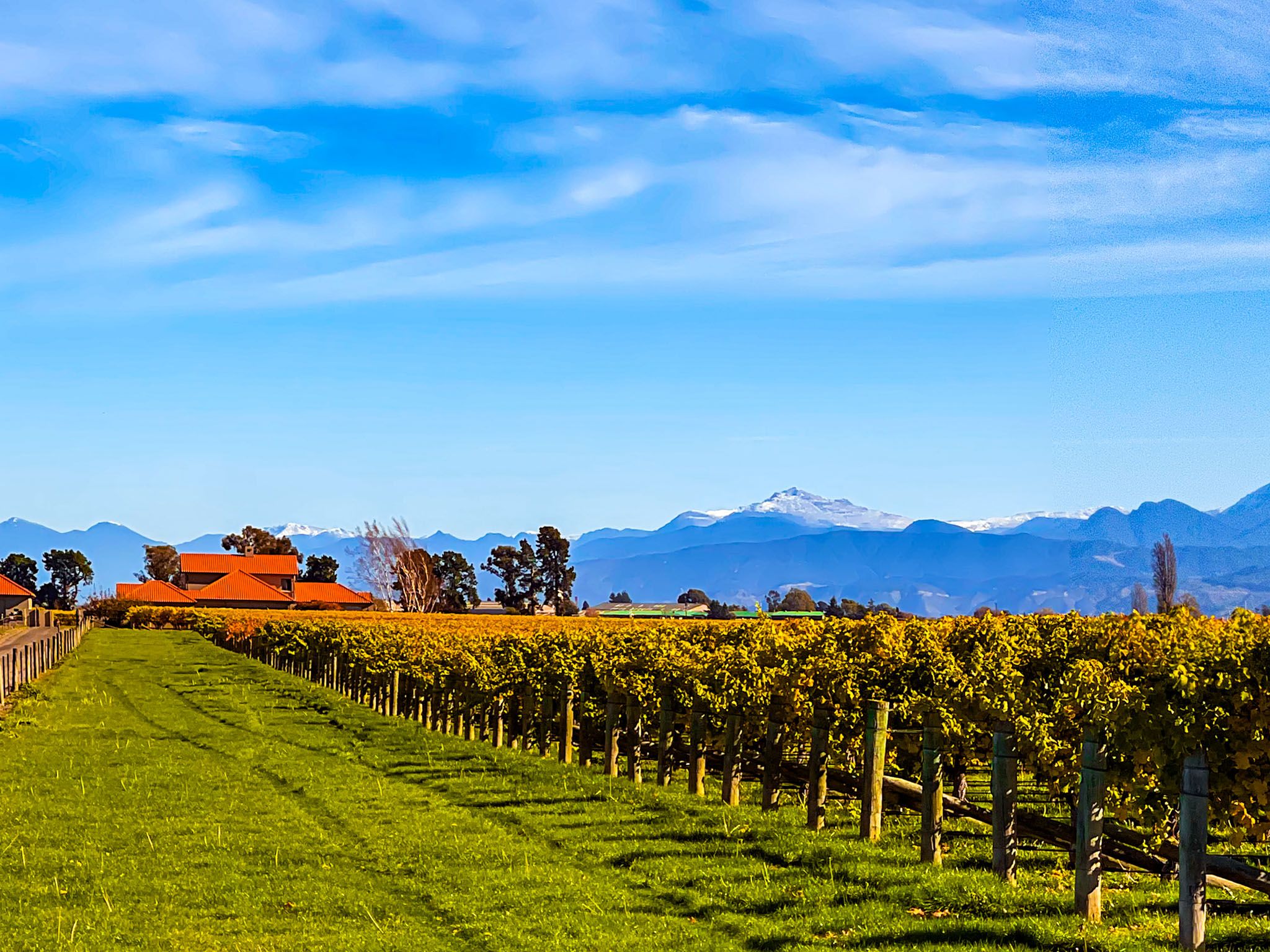
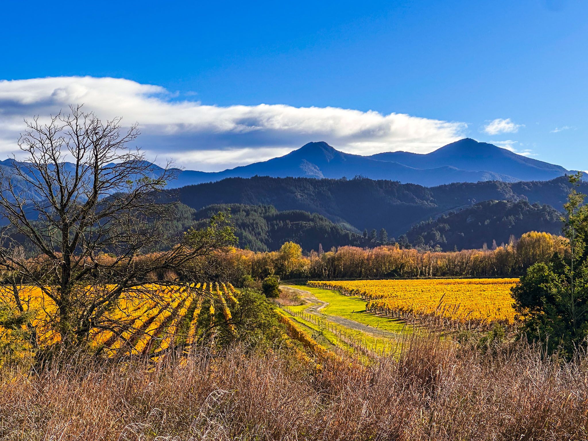
Autumn transforms the valley into a golden landscape, with excellent viewpoints of the valley, including Port Underwood Road, Tuamarina Cemetery, and walks in the Wither Hills.
History and Cultural Significance
The Wairau Valley has a deep historical significance, with early Māori settlement at the Wairau Bar, one of Aotearoa's earliest known human occupation sites, dating back to around 1280. Excavations have uncovered skeletons, tools, and moa-bone artefacts.
The valley was also a site of conflict following the signing of Te Tiriti o Waitangi / Treaty of Waitangi in 1840. The Wairau Affray in 1843, a dispute between the New Zealand Company and Ngāti Toa iwi, resulted in the deaths of 22 European settlers and 4 Ngāti Toa. Subsequent investigations found the New Zealand Company at fault, and later inquiries identified Rangitāne iwi as the true tangata whenua.
Wine Region and Activities
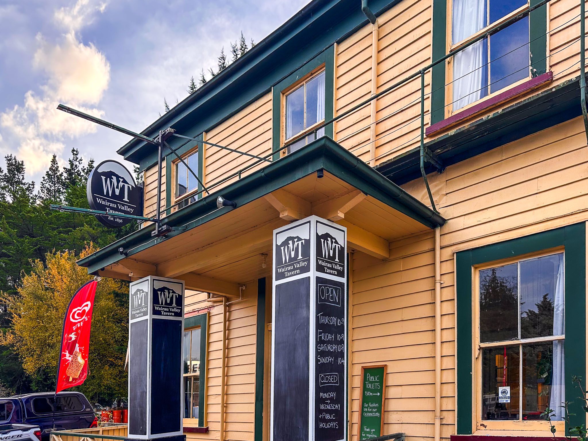
Once dominated by sheep farming, the Wairau Valley is now the heart of New Zealand's premier wine region, with over 27,000 hectares of vineyards. Around 40 vineyards are concentrated in the northern end of the valley, extending halfway to St Arnaud. The smaller Awatere Valley, running parallel to the south, hosts another 12 vineyards. Blenheim, on the south side of the Wairau River, serves as a base for wine-tasting tours by car or bicycle. The valley's vineyards are particularly captivating in autumn when the vines turn golden.
How to Get There
To explore the Wairau Valley, drive from Blenheim along State Highway 63 towards Nelson Lakes. The valley is accessible via several roads that crisscross through the vineyards northeast of Renwick.
From the valley, it is also a short drive to Picton on Queen Charlotte Sound on State Highway 1. Another option is State Highway 6 to Havelock and Pelorus Bridge.