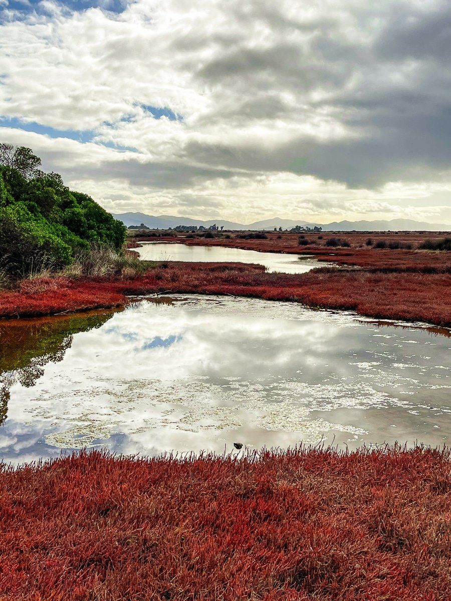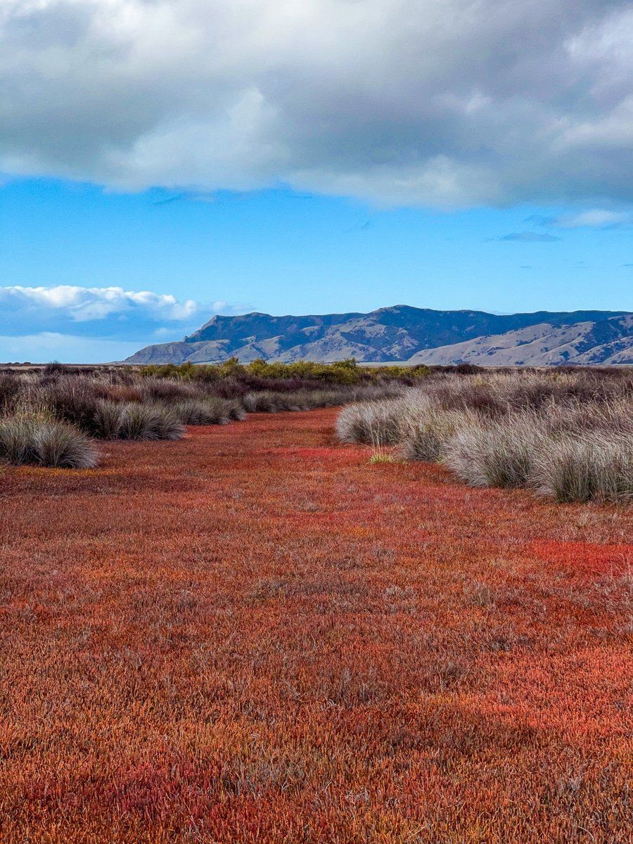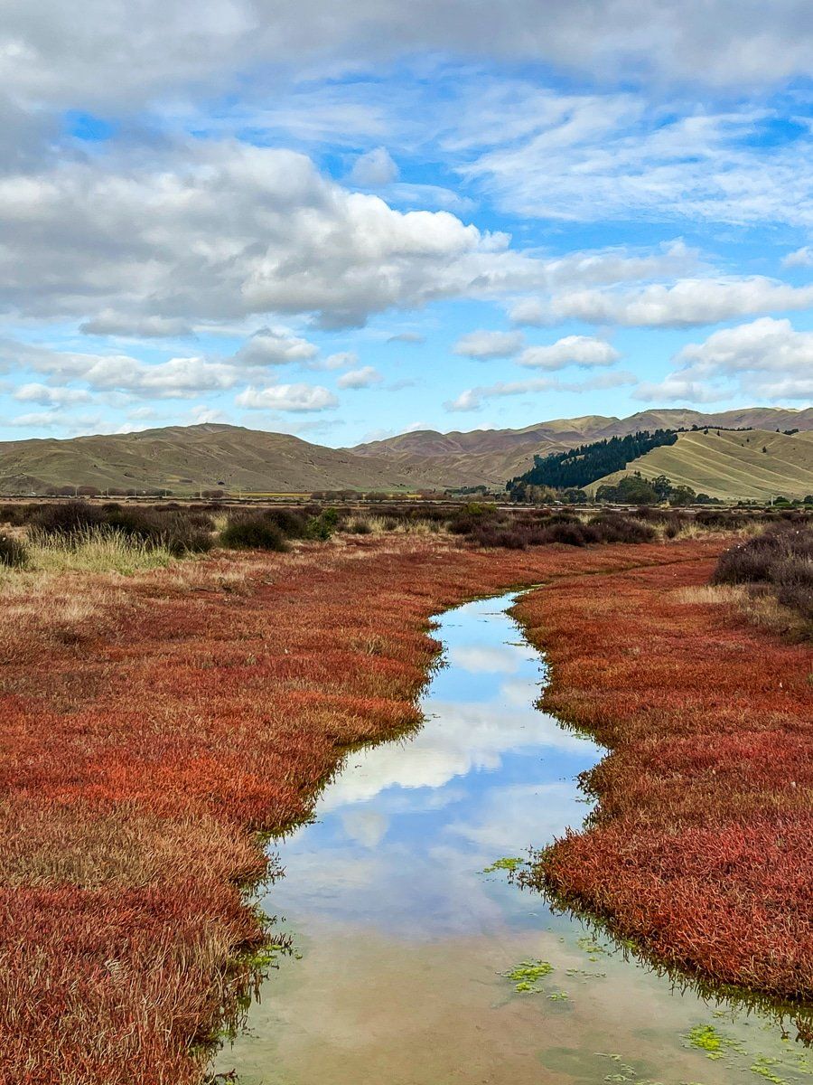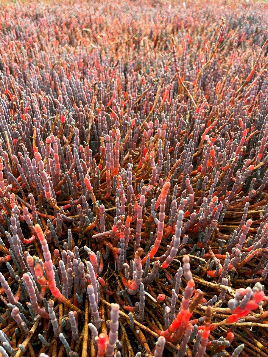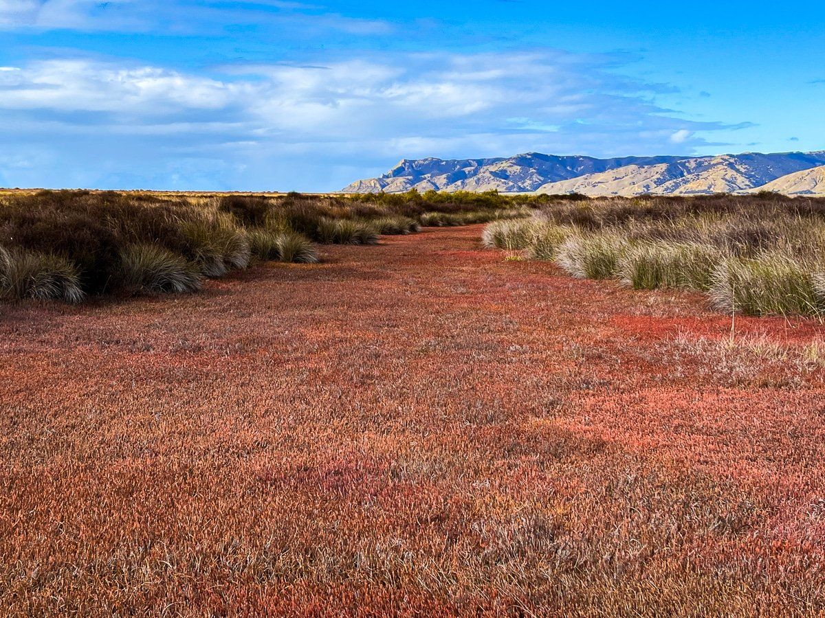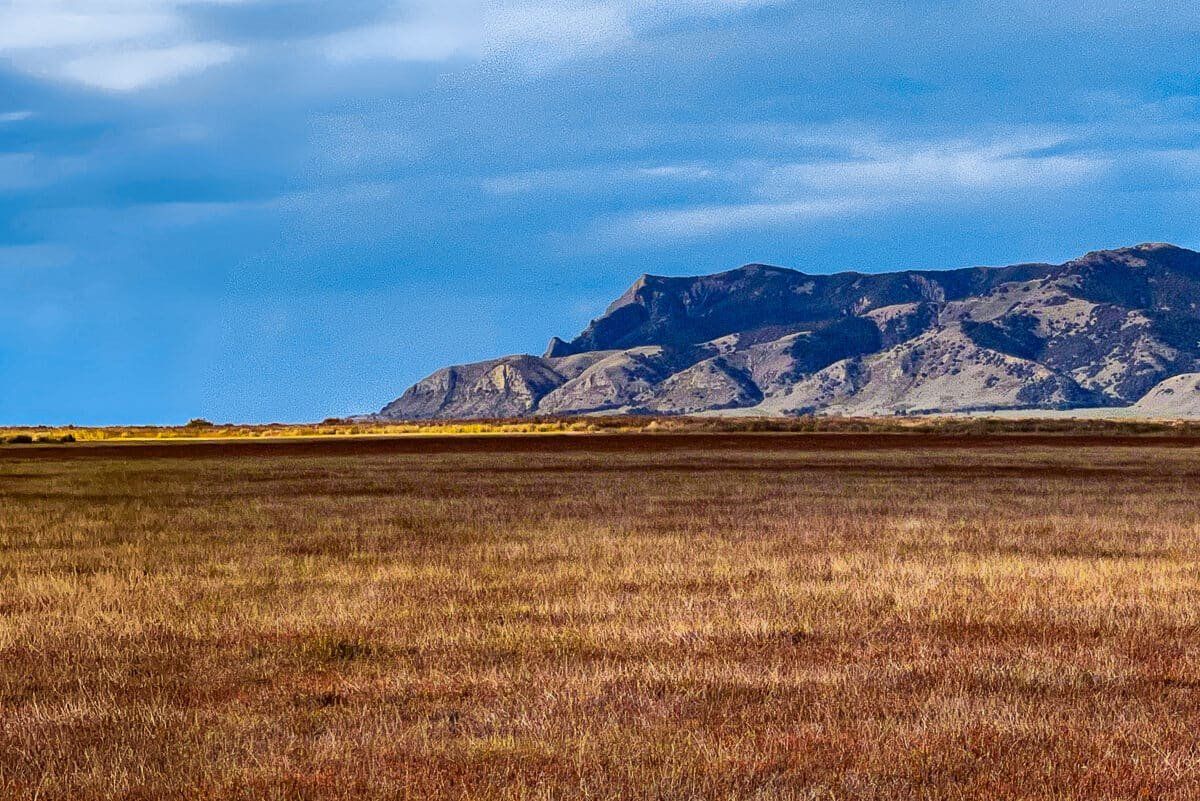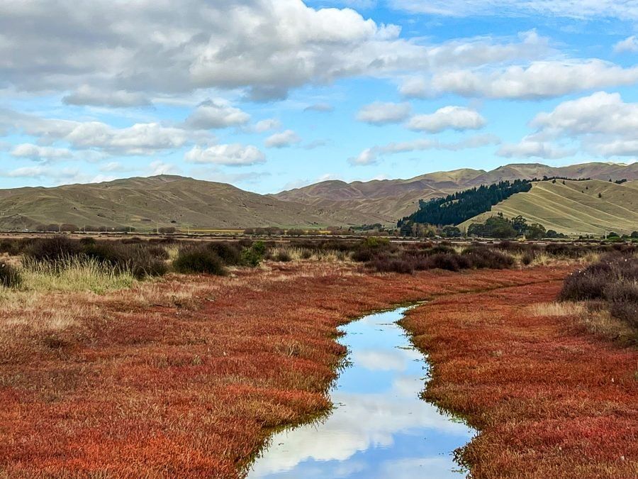
The Wairau Lagoons sit immediately on the southwest side of Te Koko-o-Kupe / Cloudy Bay, behind the ocean-facing Boulder Banks. They can be explored on the Wairau Lagoons Walkway. This is quite a different New Zealand hiking experience as the track goes through saltwater marshland dominated by a wide expanse of mostly red and orange grasswort (a low-growing succulent) and grasses.
The lagoons are east of the Wairau River mouth and consist of Big Lagoon, Upper Lagoon, Waikārapi Lagoon and Chandlers Lagoon and are east of the marshlands and loop track. An interesting feature of the lagoons is the influence of Māori on he ecosystem, predating Europeans. The area was rich in kai moana (seafood) and birds, which supported early occupation of the area, dating back to around 1300. As the population increased, Māori developed the land. In the early 1700s, canals were dug to channel water and support the farming of fish and waterfowl. Approximately 18 km of channels are known to have been excavated before the arrival of European settlers.
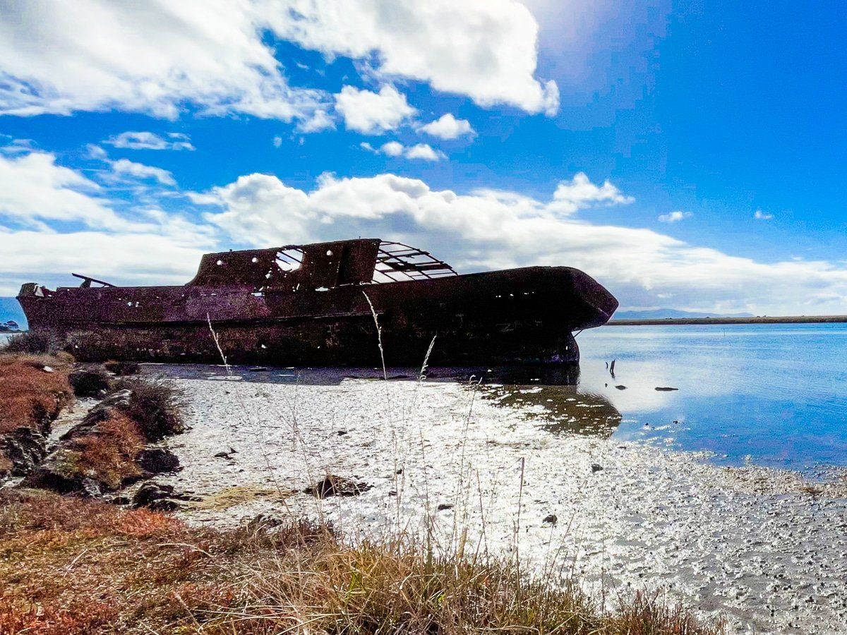
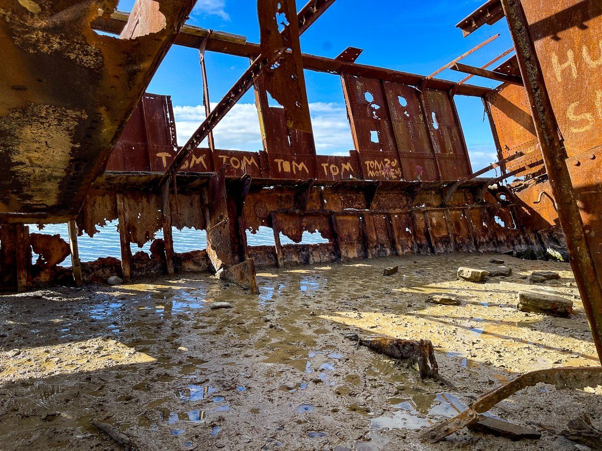
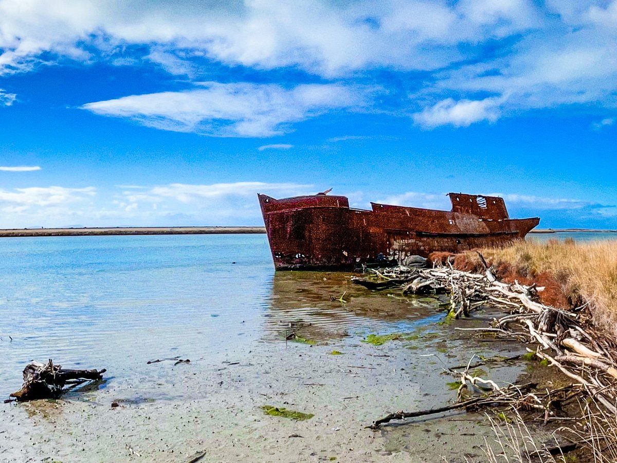
The track starts at the end of Hardings Road, crosses the middle of the marshland to the Waverley shipwreck on the edge of Te Aropipi, a channel that connects the lagoons to the Wairau River mouth. The Waverley was sunk in 1928 as part of the breakwater development at the Wairau Bar but was washed to its current position by a flood. It was replaced by the lesser-known SS Kennedy wreck, which you can see from Wairau Bar.
After visitig the wreck, you can return the same way or walk east around the edge of the channel and Upper Lagoon to loop back to the car park. Allow 2 to hours or so to do the full loop. Note that parts of the track can be very slippery in wet weather.
To get there, take State Highway 1 east out of Blenheim, heading towards Kaikoura. After a few km, take Hardings Road and park at the road end.