
Tongariro National Park, often referred to as “National Park”, is to the south of Taupō in the North Island. It was the first national park in NZ and encapsulates the area around much of the high volcanic plateau, including the three main volcanoes, Ruapehu, Ngarauhoe and Tongariro. The volcanoes were in the Ngāti Tūwharetoa tribal area and in 1887 the tribe’s chief signed an agreement with the government to protect the area. Tongariro National Park was subsequently set up in 1894.
For many first-time visitors, it is now best known for the day-long Tongariro Crossing, which has become a NZ must-do. For North Islanders, skiing at the Ruapehu ski fields of Turoa and Whakapapa are probably the main reason to visit.
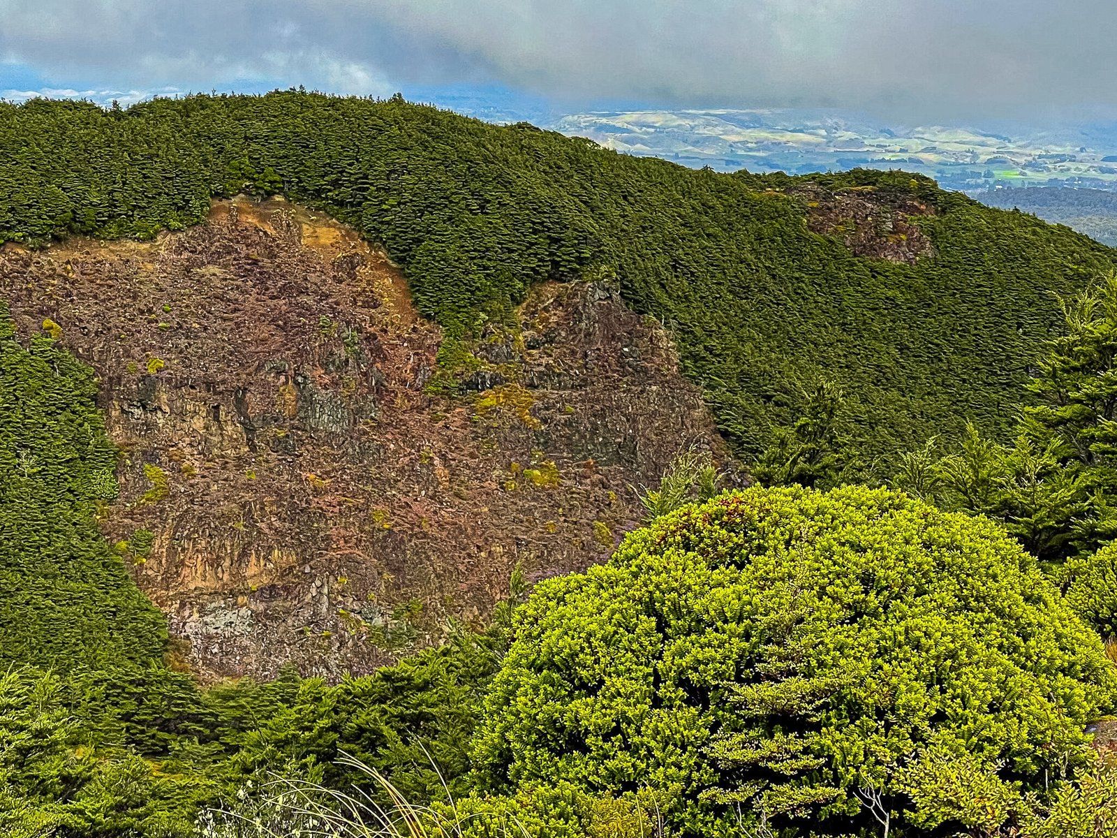
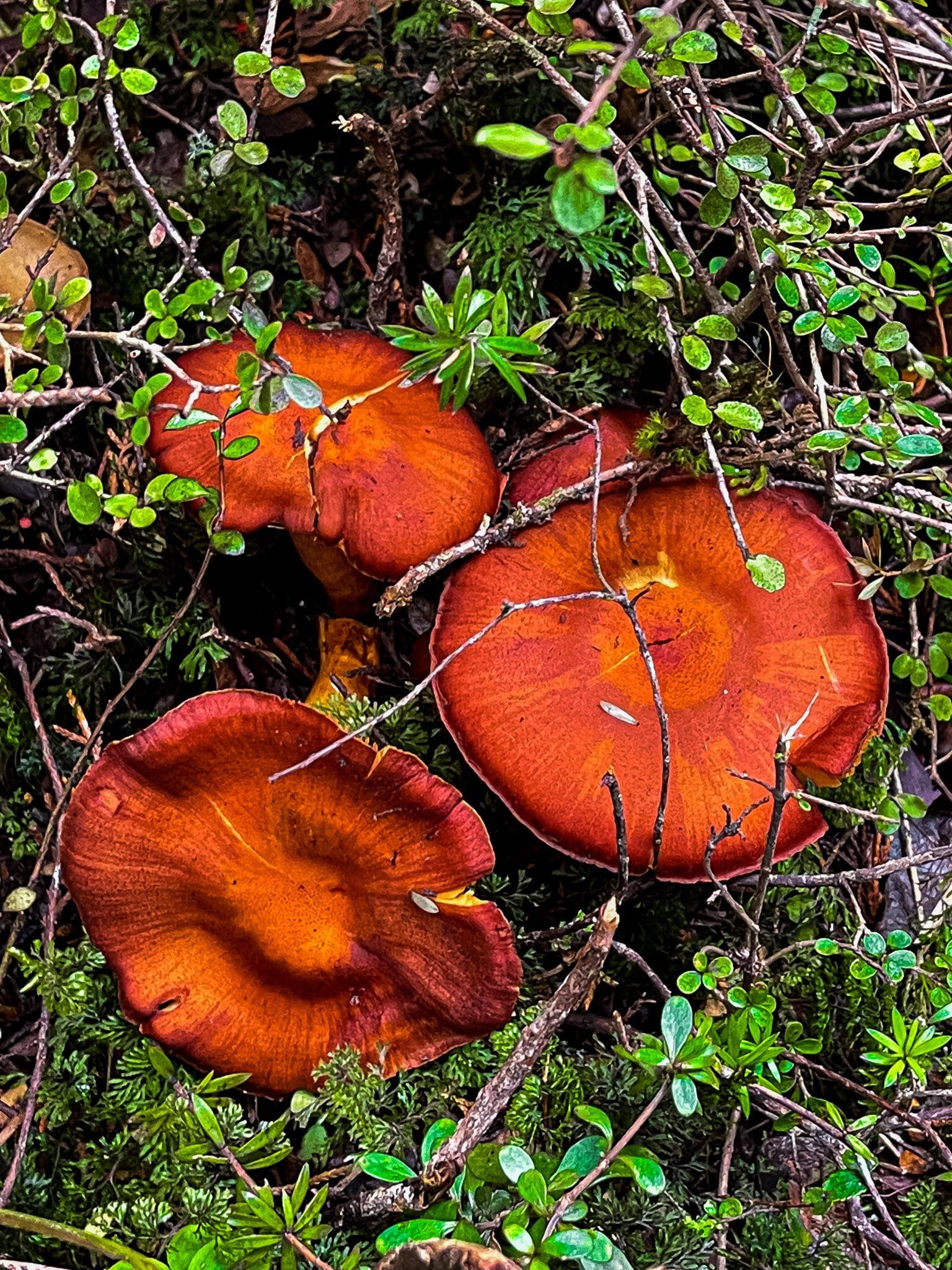
For us, it is simply an amazingly diverse place, varying from mature rainforests on its south western slopes, to desert in the northwest and eastern sides of Ruapehu, to lava fields and alpine gardens. In this blog we cover activities that are easily accessible from the two ski roads; the Ohakune Mountain Road between the town of Ohakune and Turoa Ski Field on the southwest side of Ruapehu, and the Bruce Road to the Whakapapa Ski Field on the northwest side of Ruapehu. Driving these roads and taking some of the short walks provides an immediate sense of the diversity of National Park. From there, you can move onto some of the longer hikes, or even a multi-day tramp.
Ohakune Mountain Road
The 17km Ohakune Mountain Road provides year round access to the south west side of Ruapehu from the town of Ohakune, the carrot capital of NZ! It terminates at the Turoa Ski Field car park, which is also one of the optional start points for the Mountain to Sea Cycle Track.
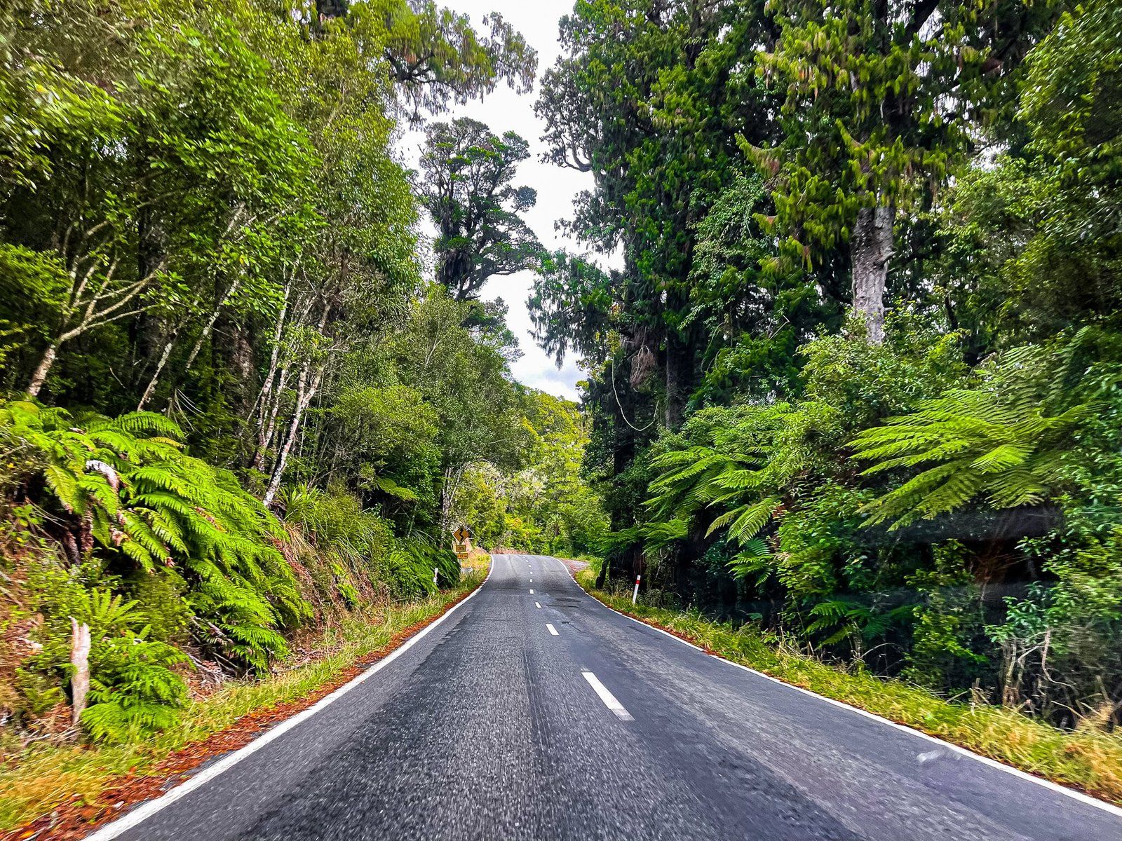
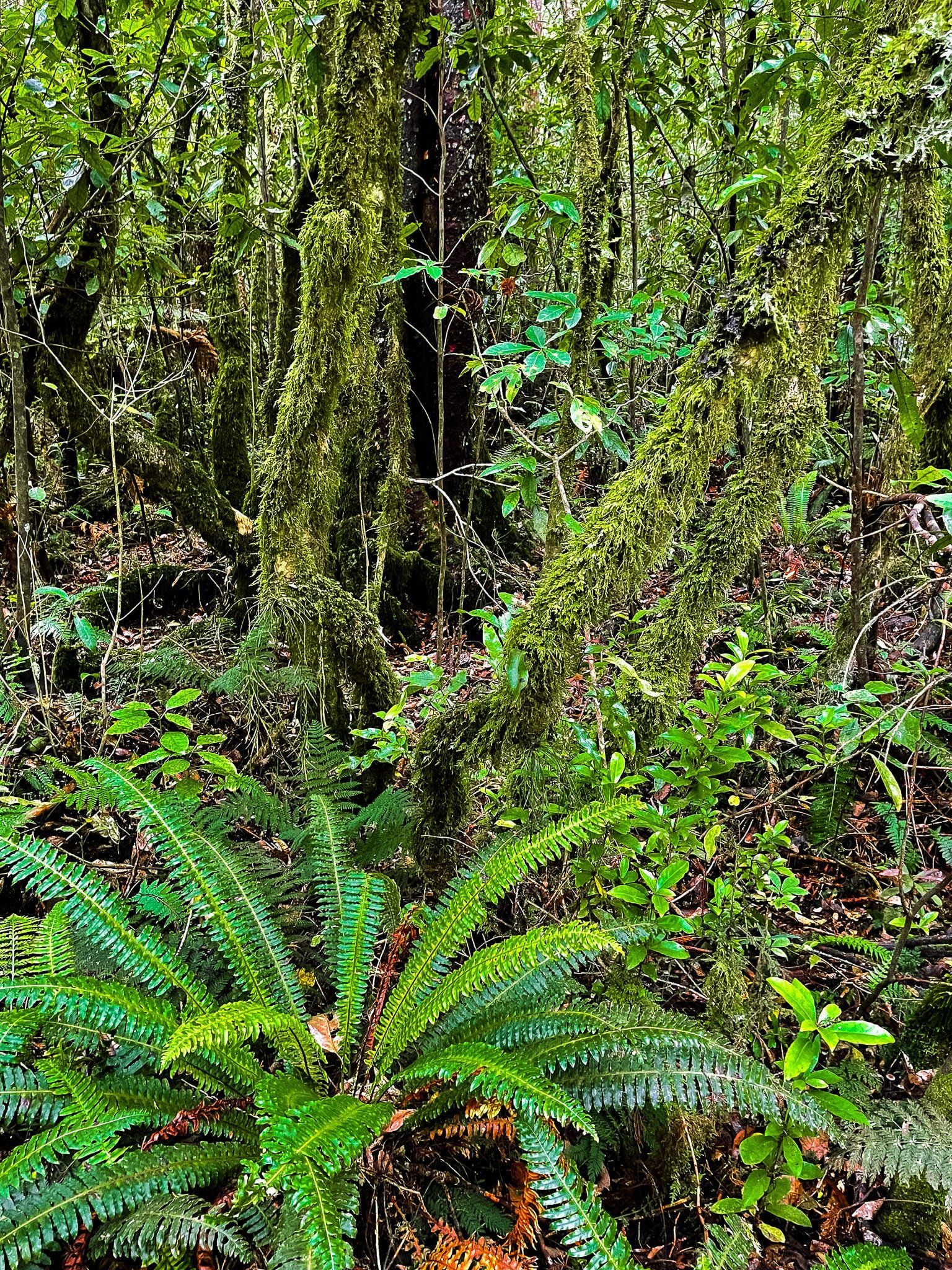
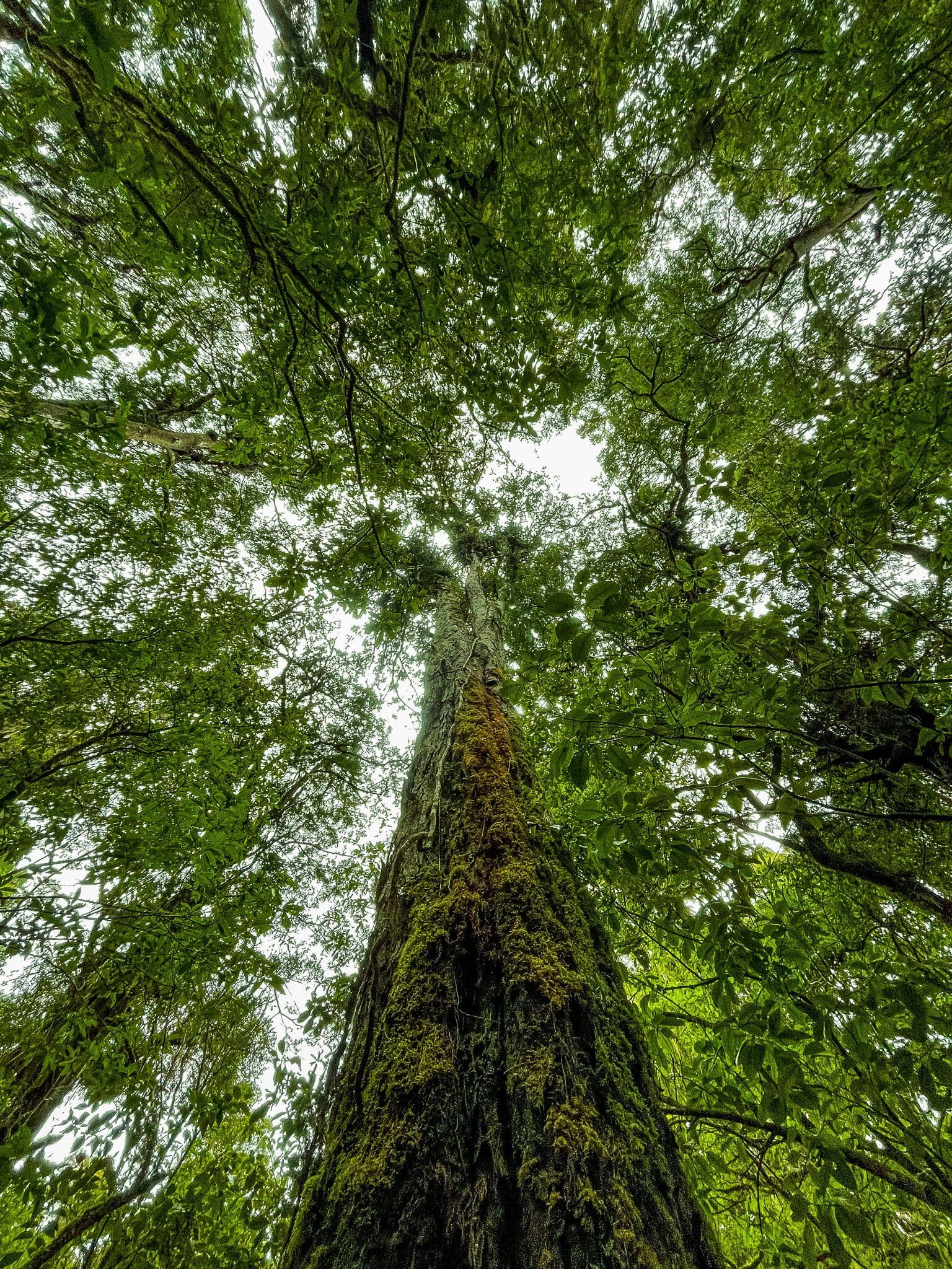
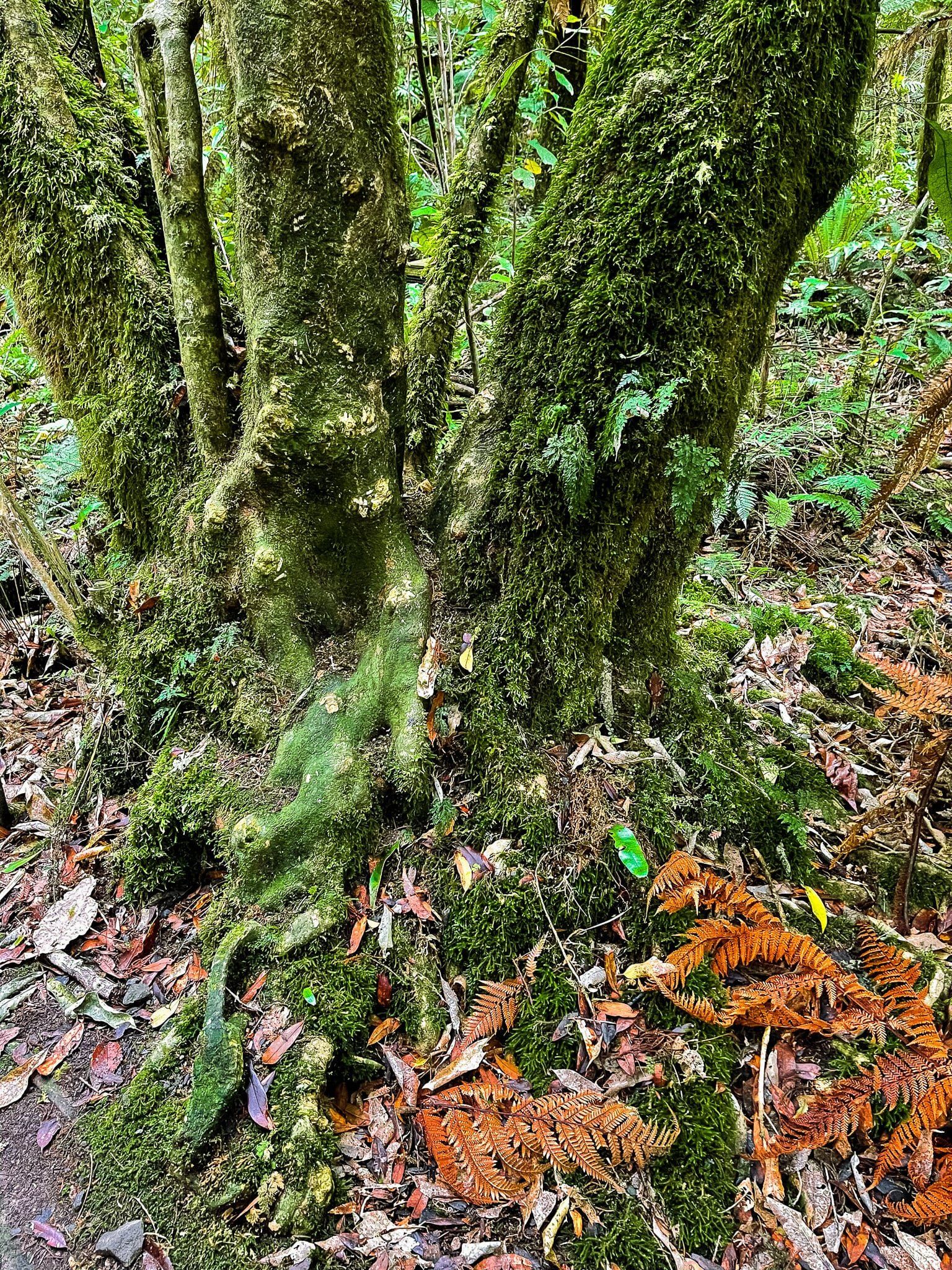
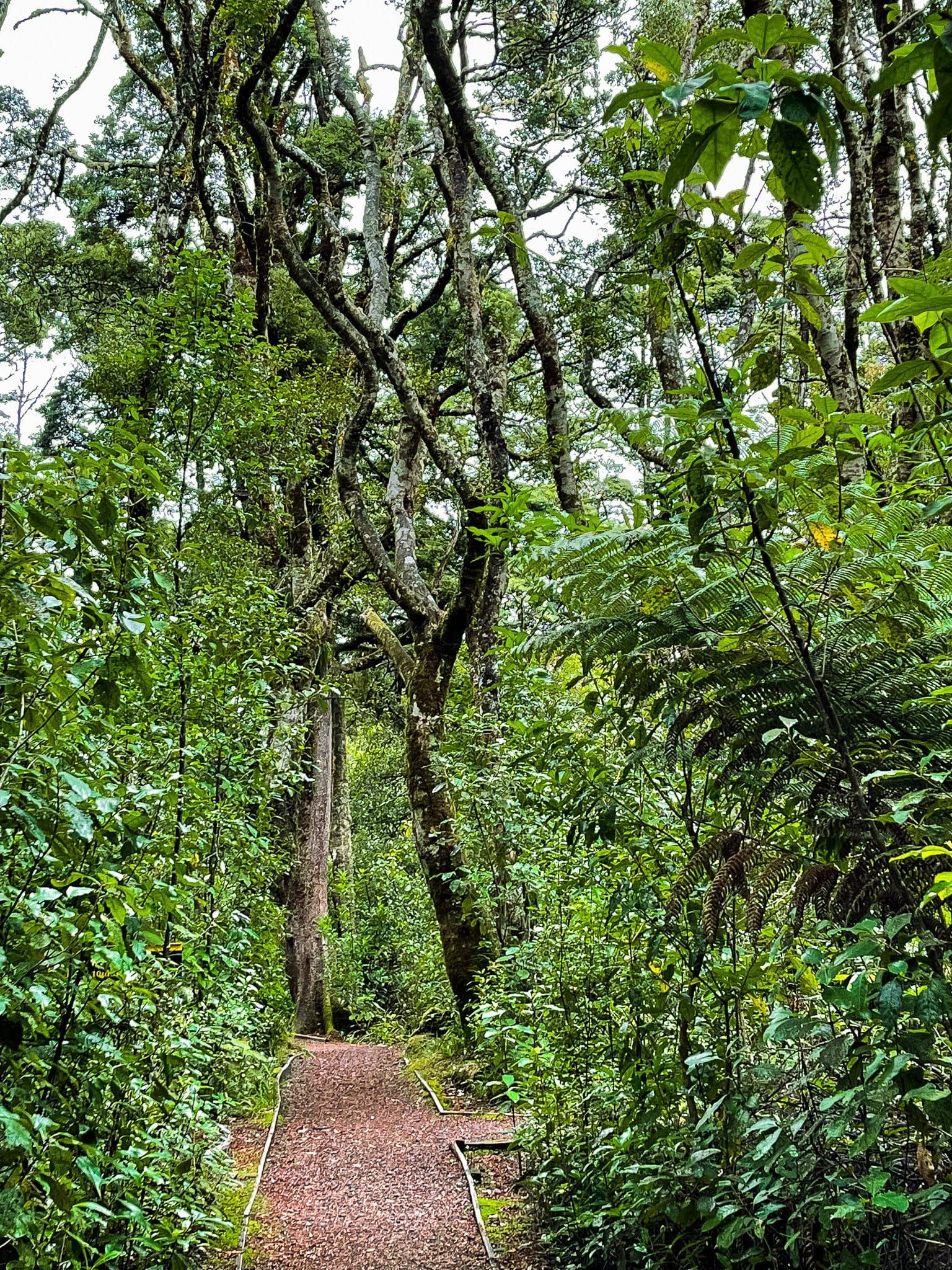
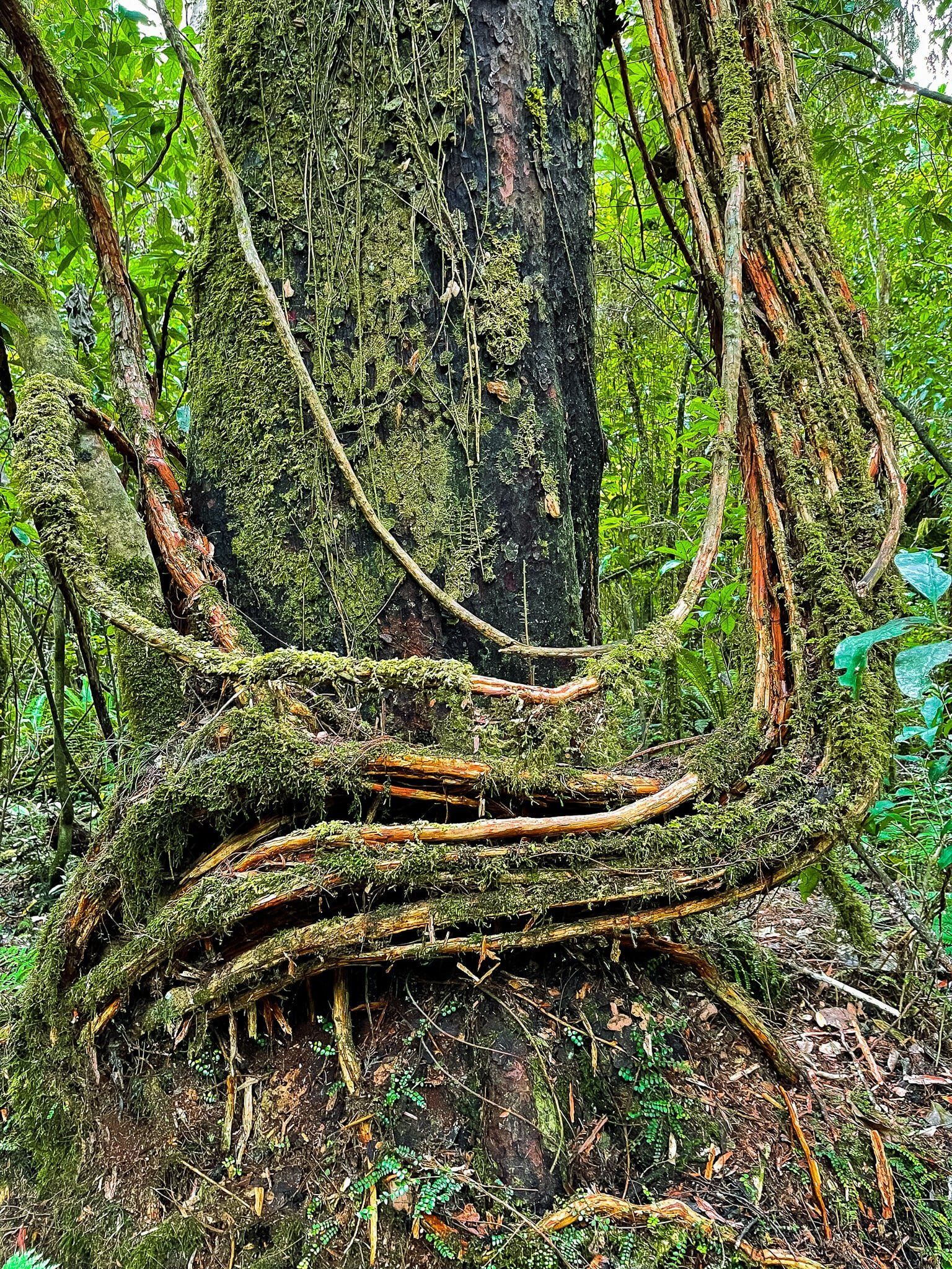
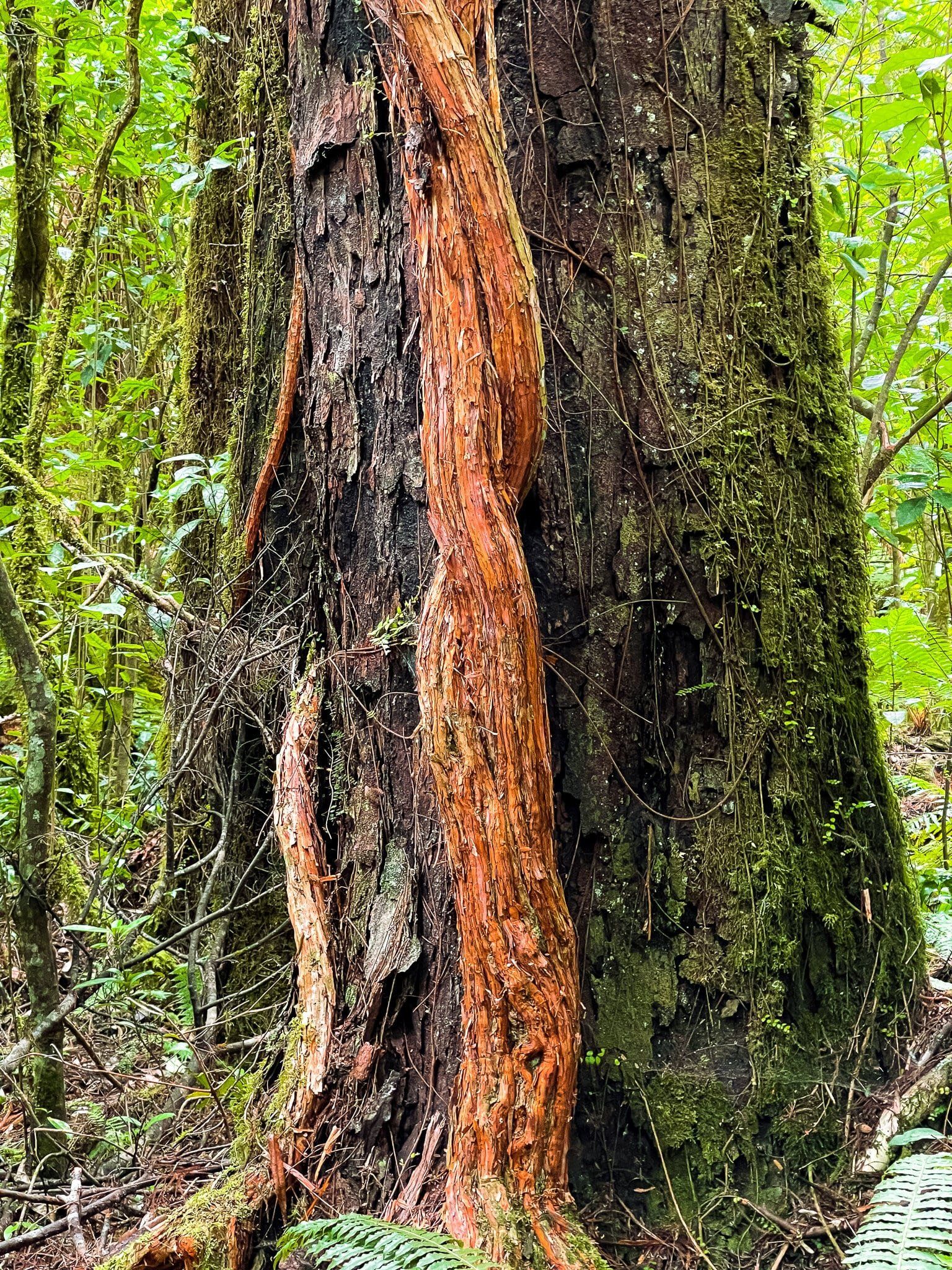
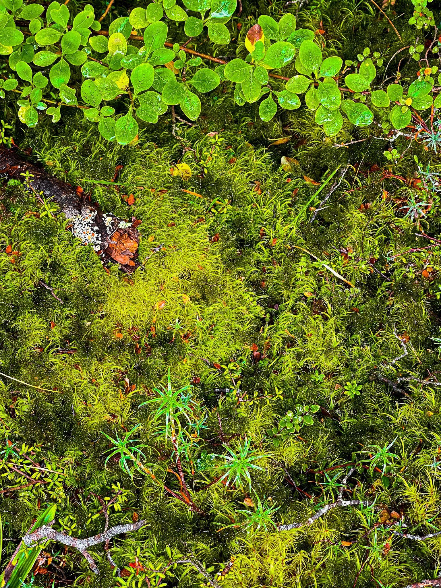
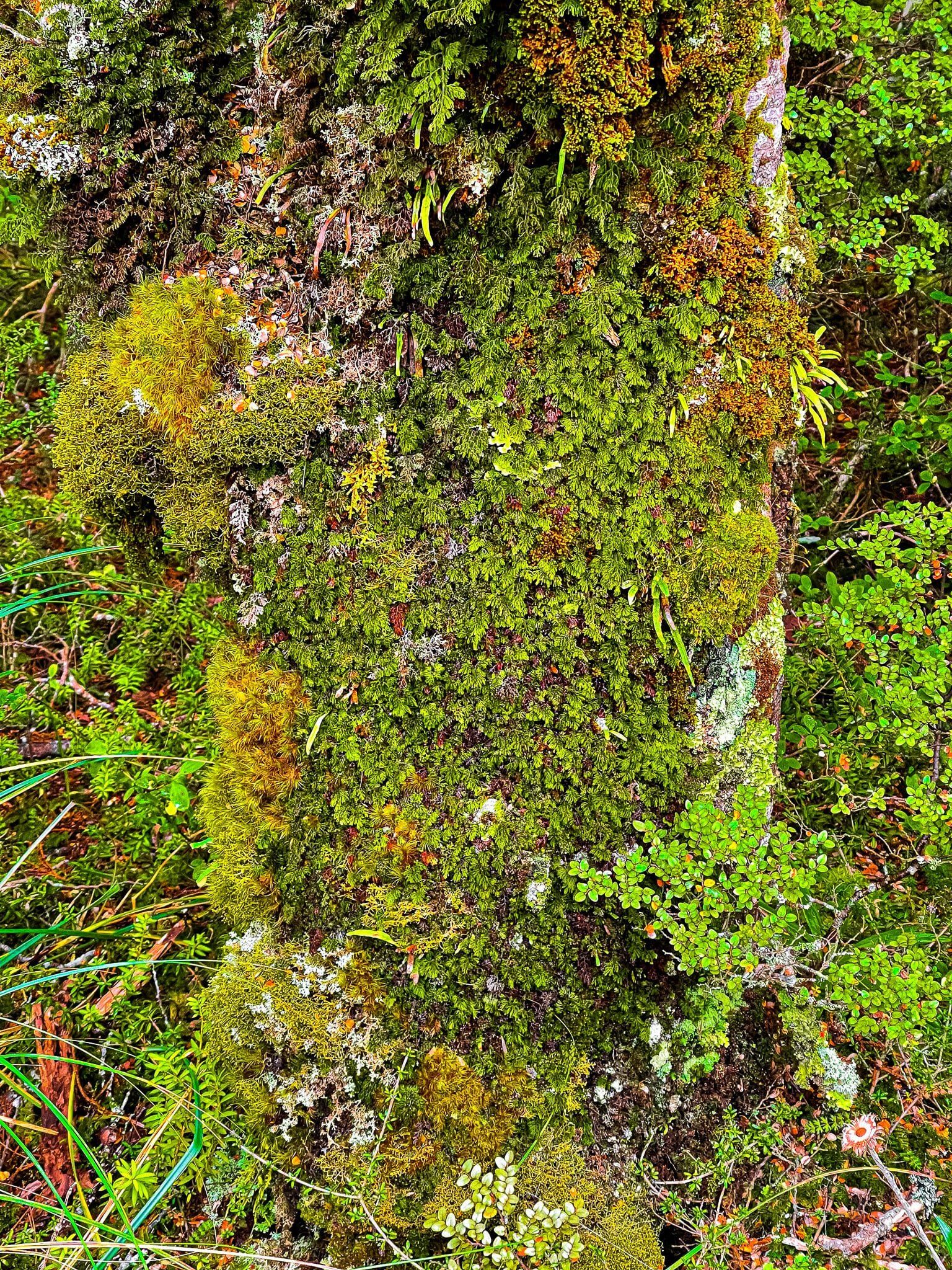
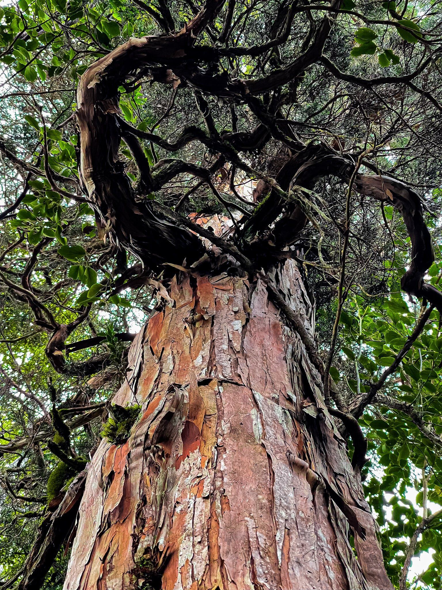
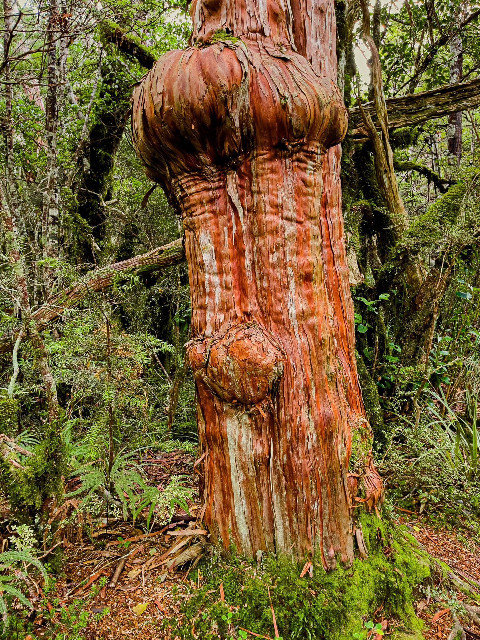
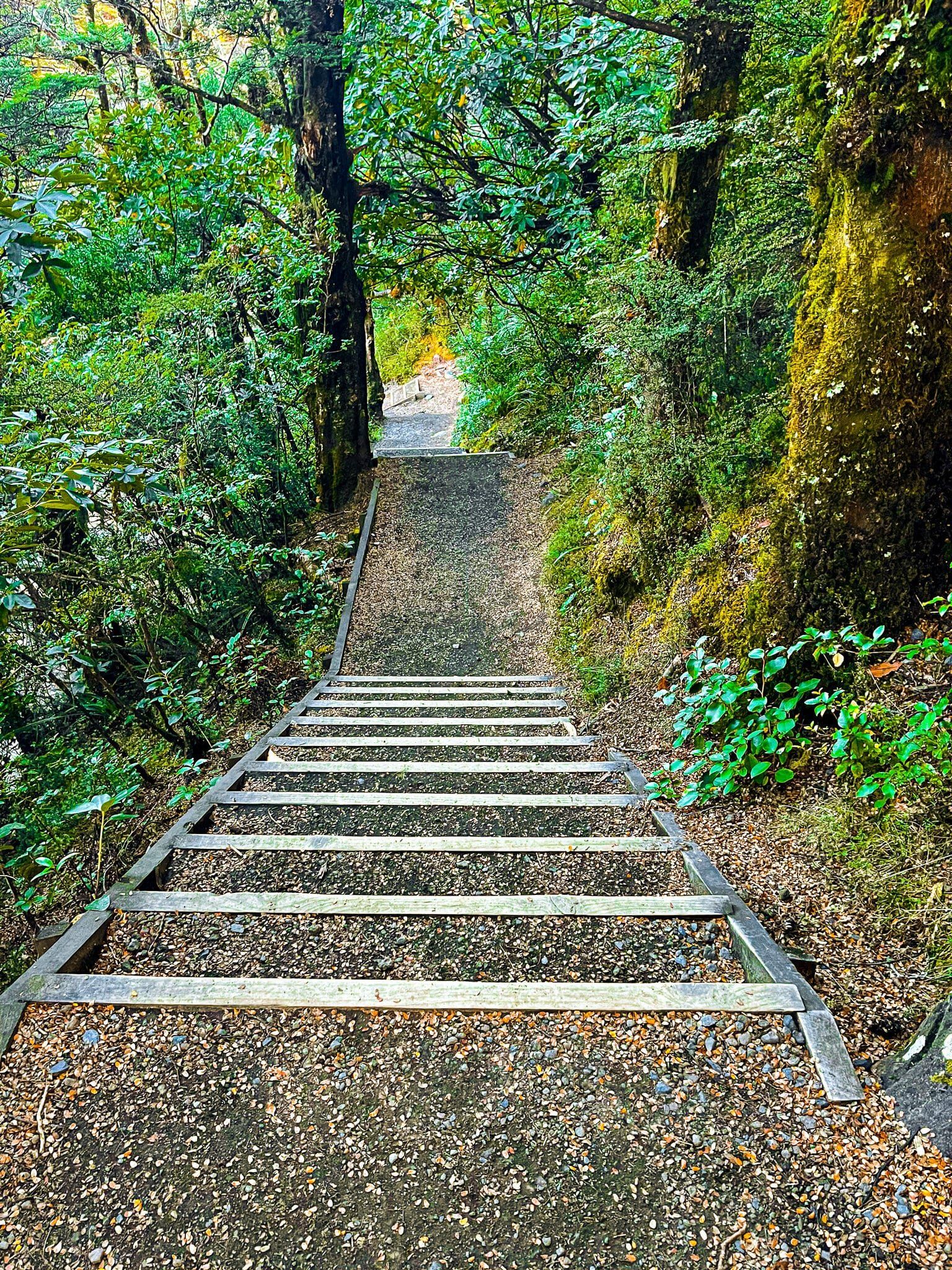
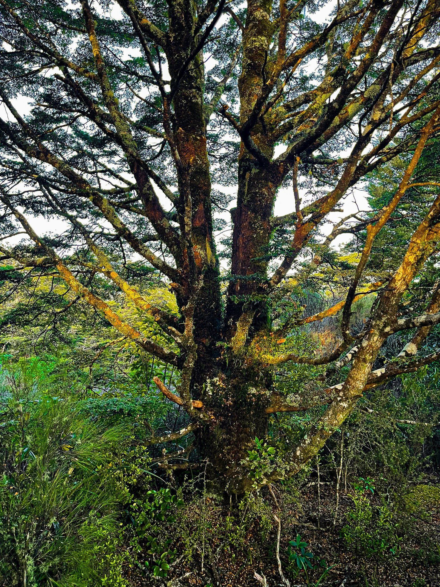
The start of the road is dominated by mature rainforest, with a good number of big trees, including rimu, mataī and kahikatea reaching 30+ metres. You will also see kāmahi, broadleaf and five finger, as well as tree ferns and tōī (mountain cabbage trees) along the edge of the road.
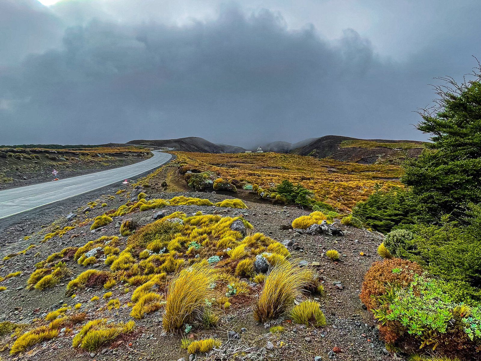
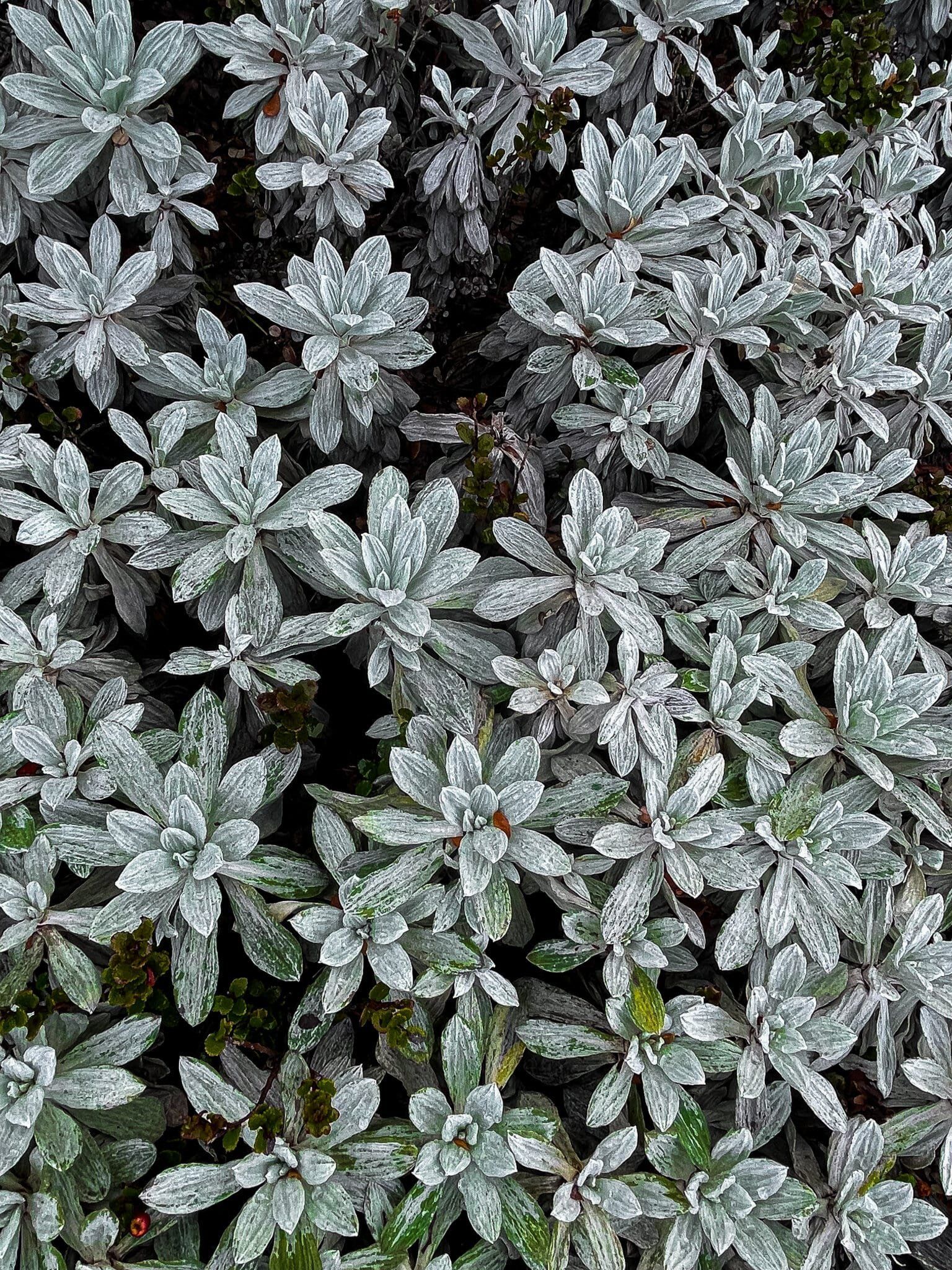
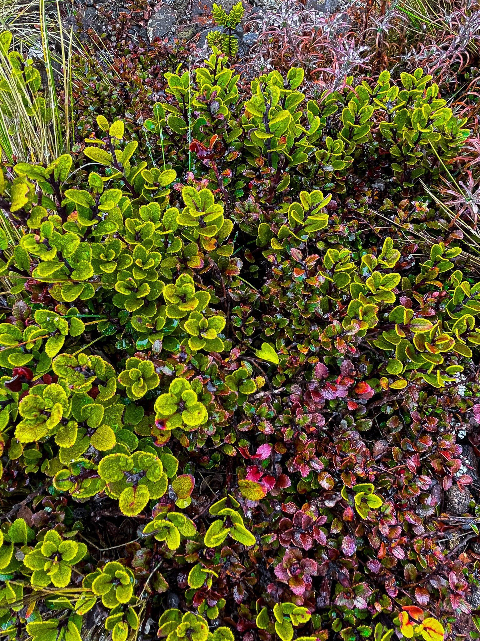
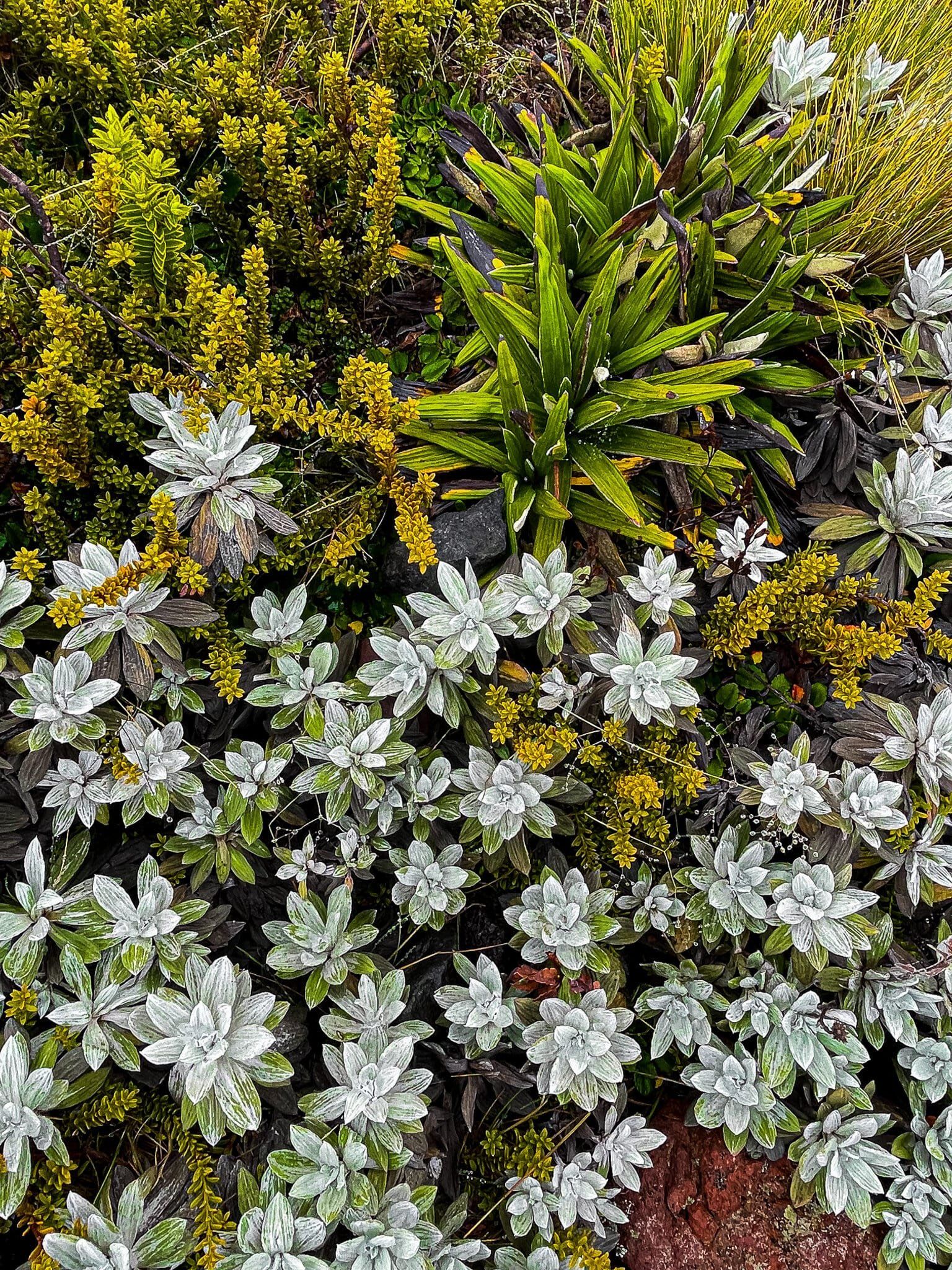
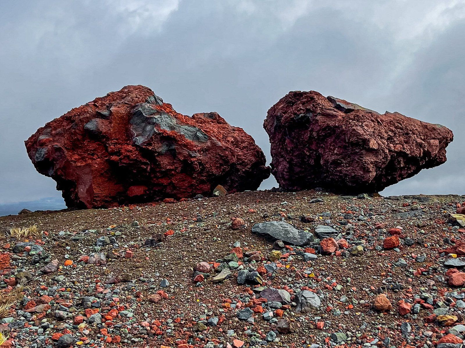
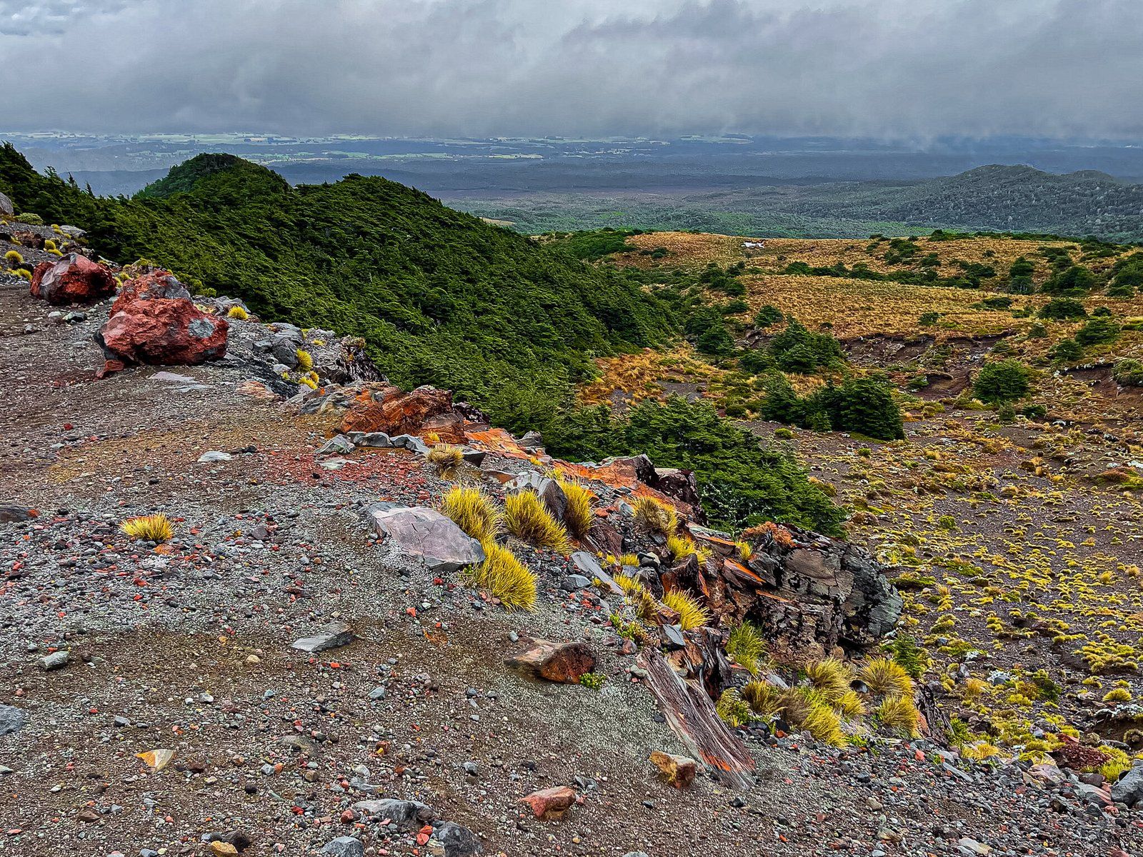
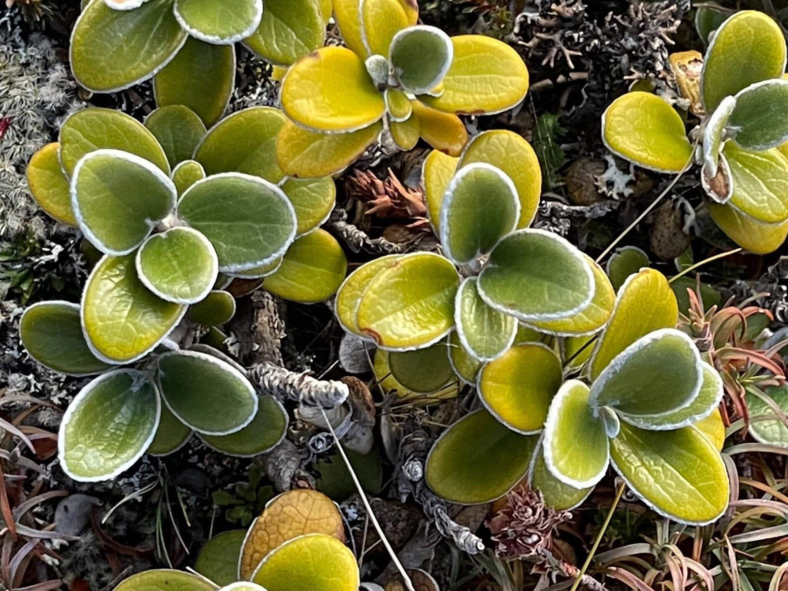
The road then gradually climbs 1000 metres. As it does so, the forest becomes dominated by beech trees, which eventually give way to more open views across the mountain, with a range of mountain shrubs and other plants around the snow line. In places, they aggregate together to make for a stunning natural garden amongst the otherwise rocky Makotuku Flat, which just below the final climb to the carpark. Keep an eye out for the two big red rocks as a marker of where to stop.
There are also several walks easily accessed and clearly signposted from the side of the road.
Rimu Walk
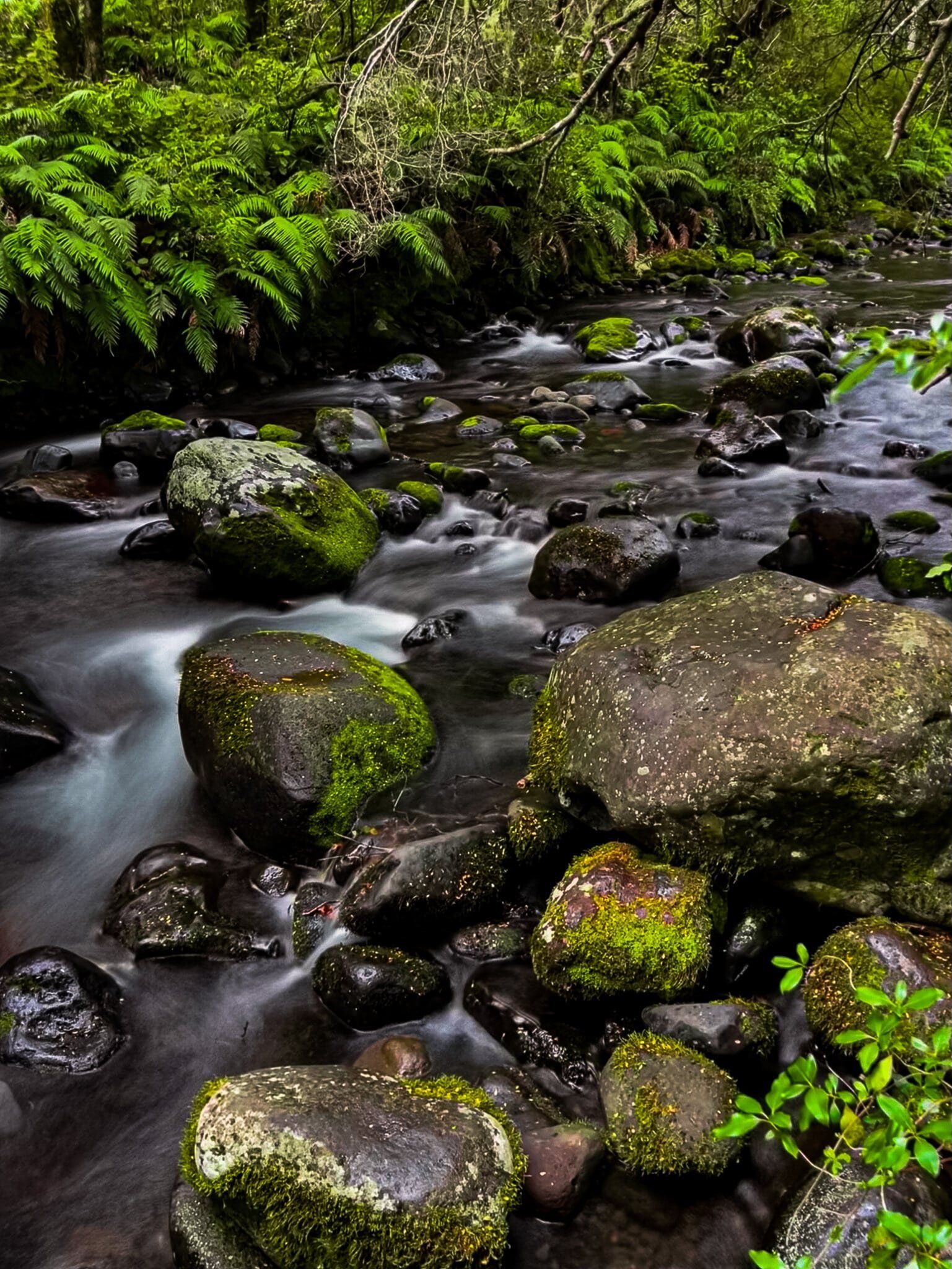
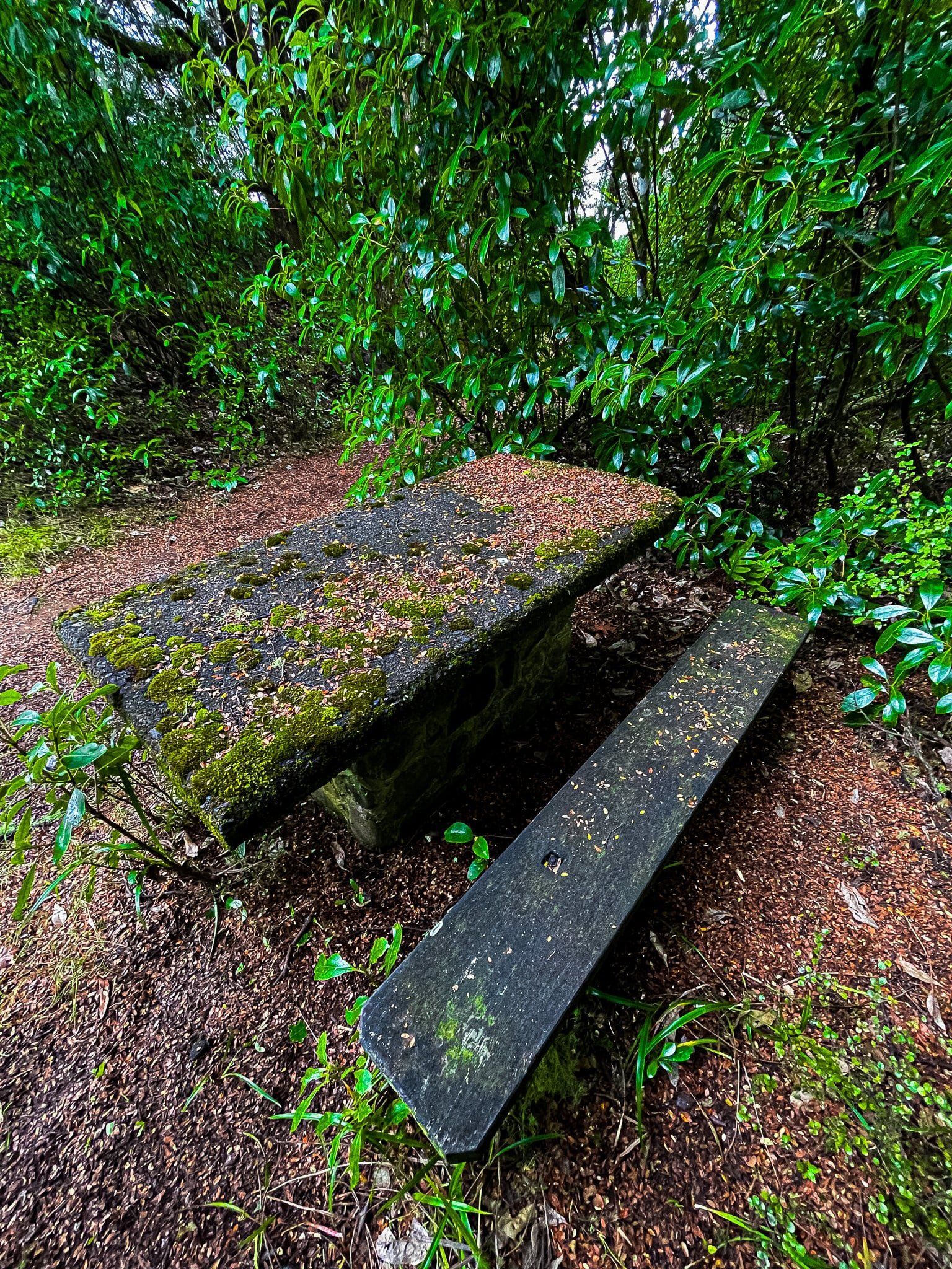
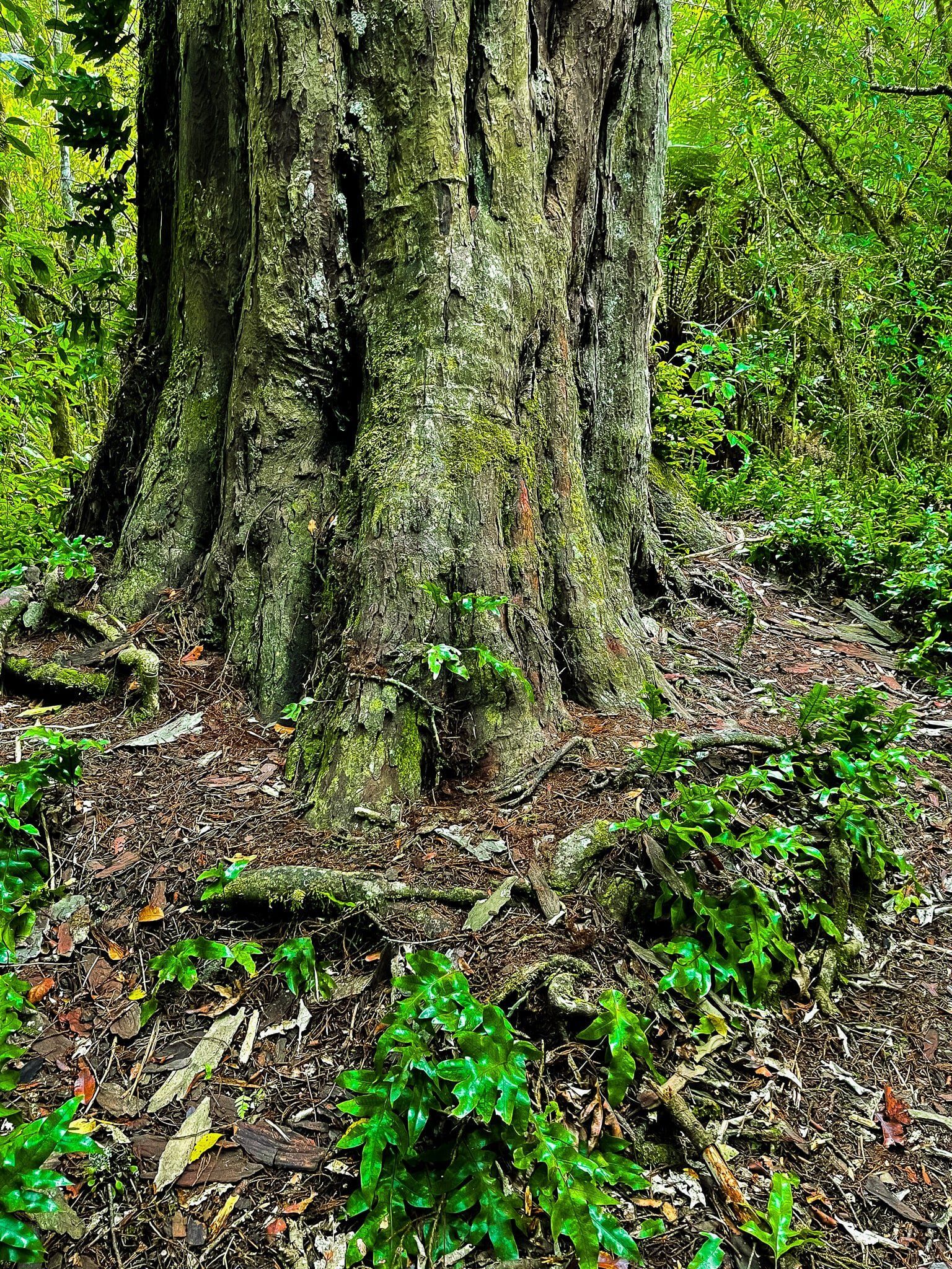
The Rimu Walk is at the bottom of the Ohakune Mountain Road, with car parking immediately on the left as you enter into National Park. Firstly, walk a few metres across the grass to the pretty Mangawhero River, surrounded by ferns and trees. Then walk up the road for a minute or so to the Mangawhero Track/Rimu Walk sign. It takes about 90 minutes to do the Track as a loop, but only about 15 minutes to do the Rimu Walk.
The Rimu Track provides a superb introduction to mature NZ rainforest, with giant rimu trees being a feature of this walk. There are also several fabulous examples of mature rata vines. Give them a few hundred more years and they will take over!

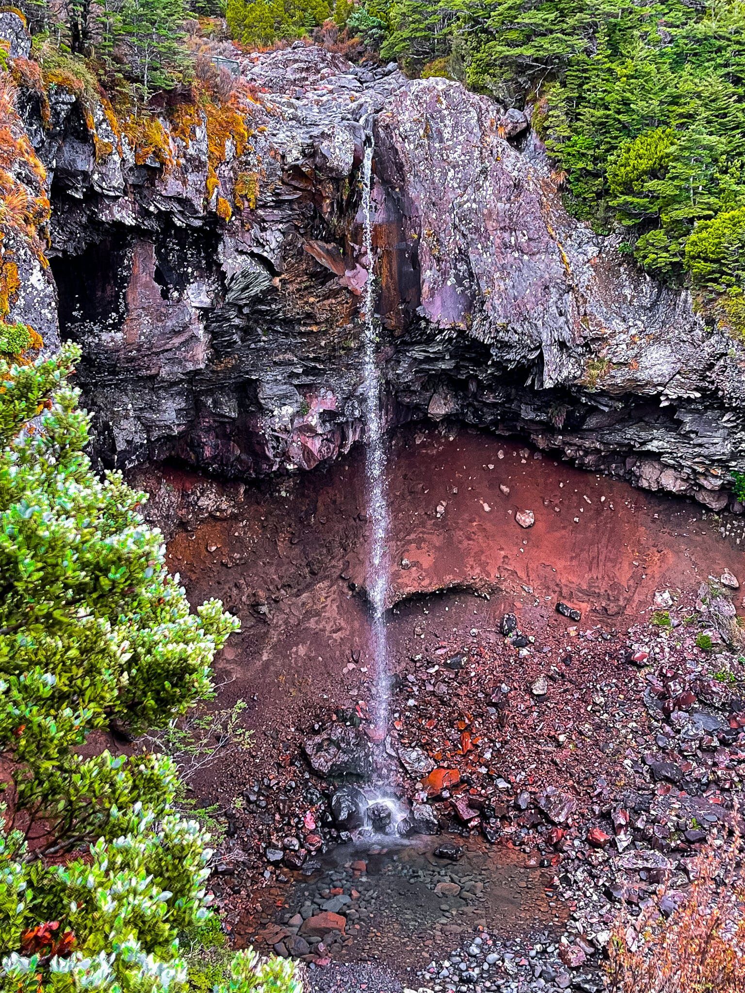
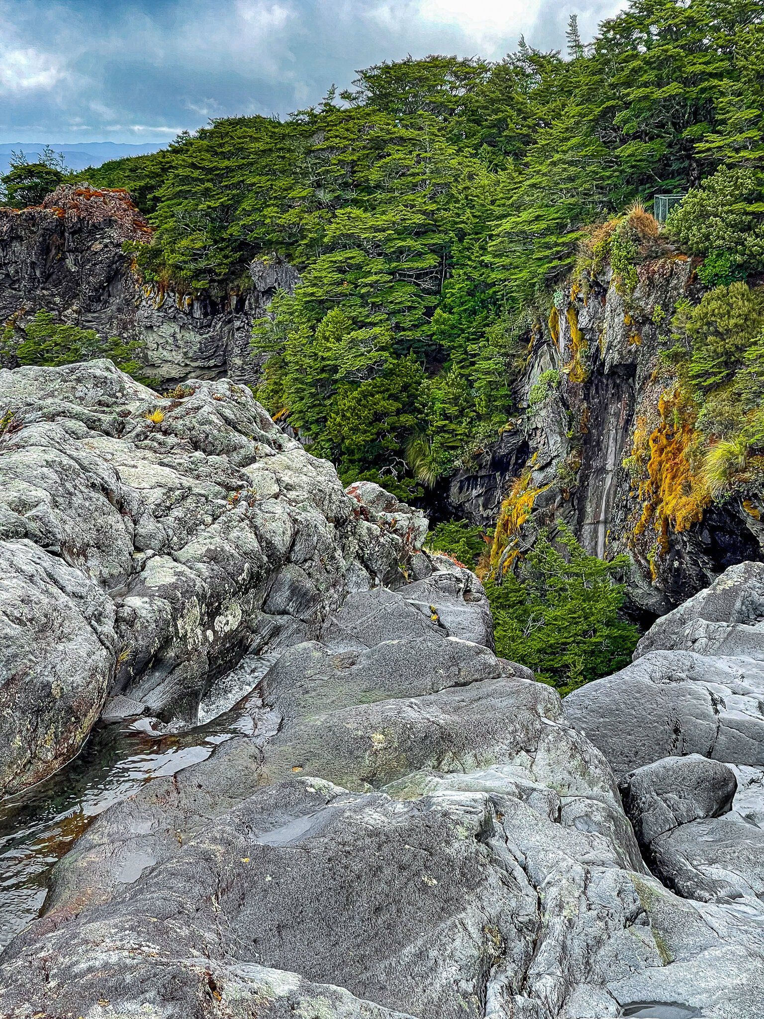
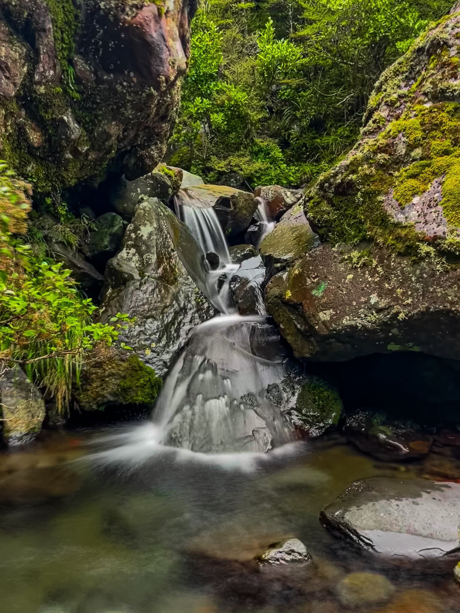
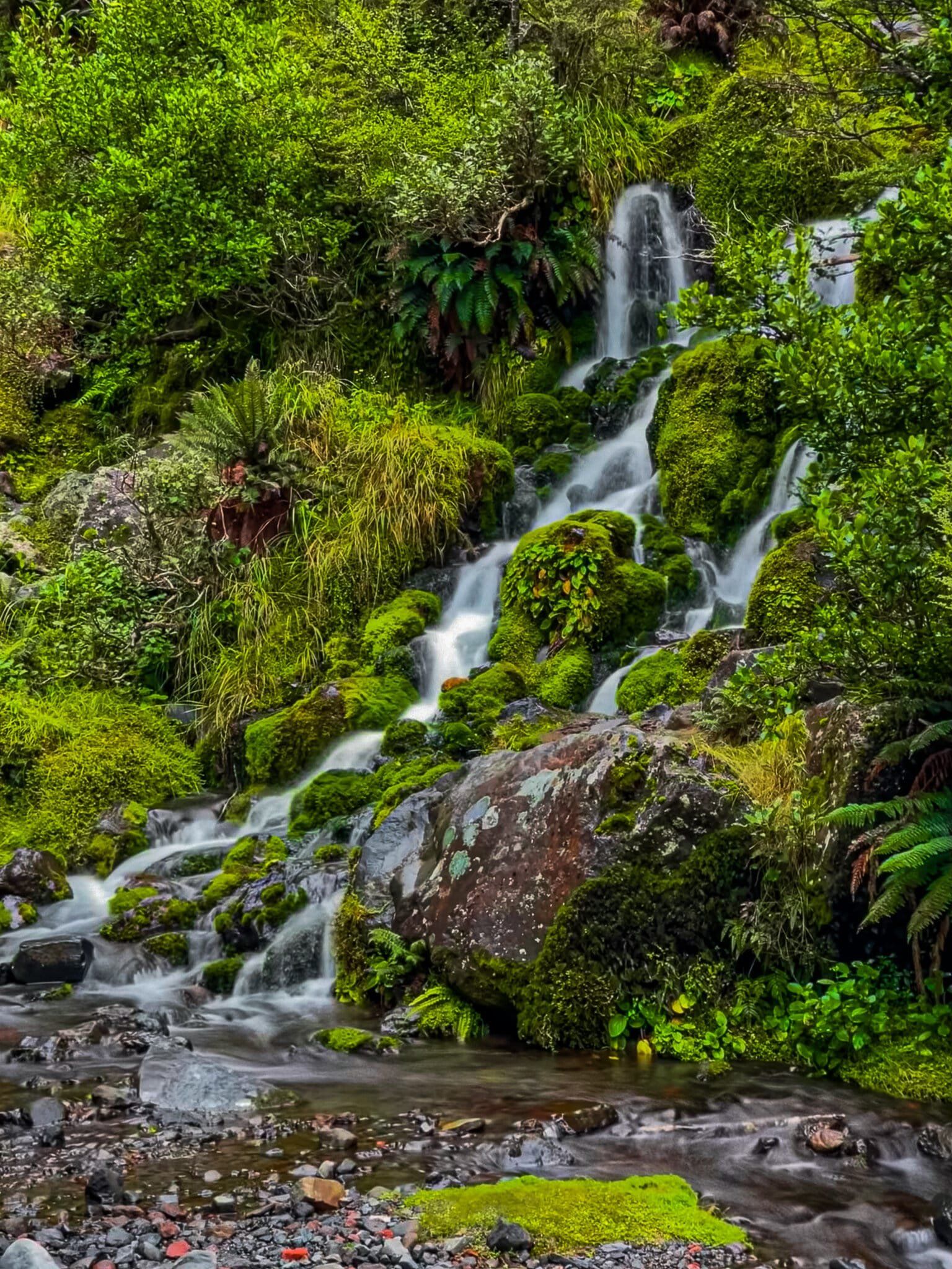
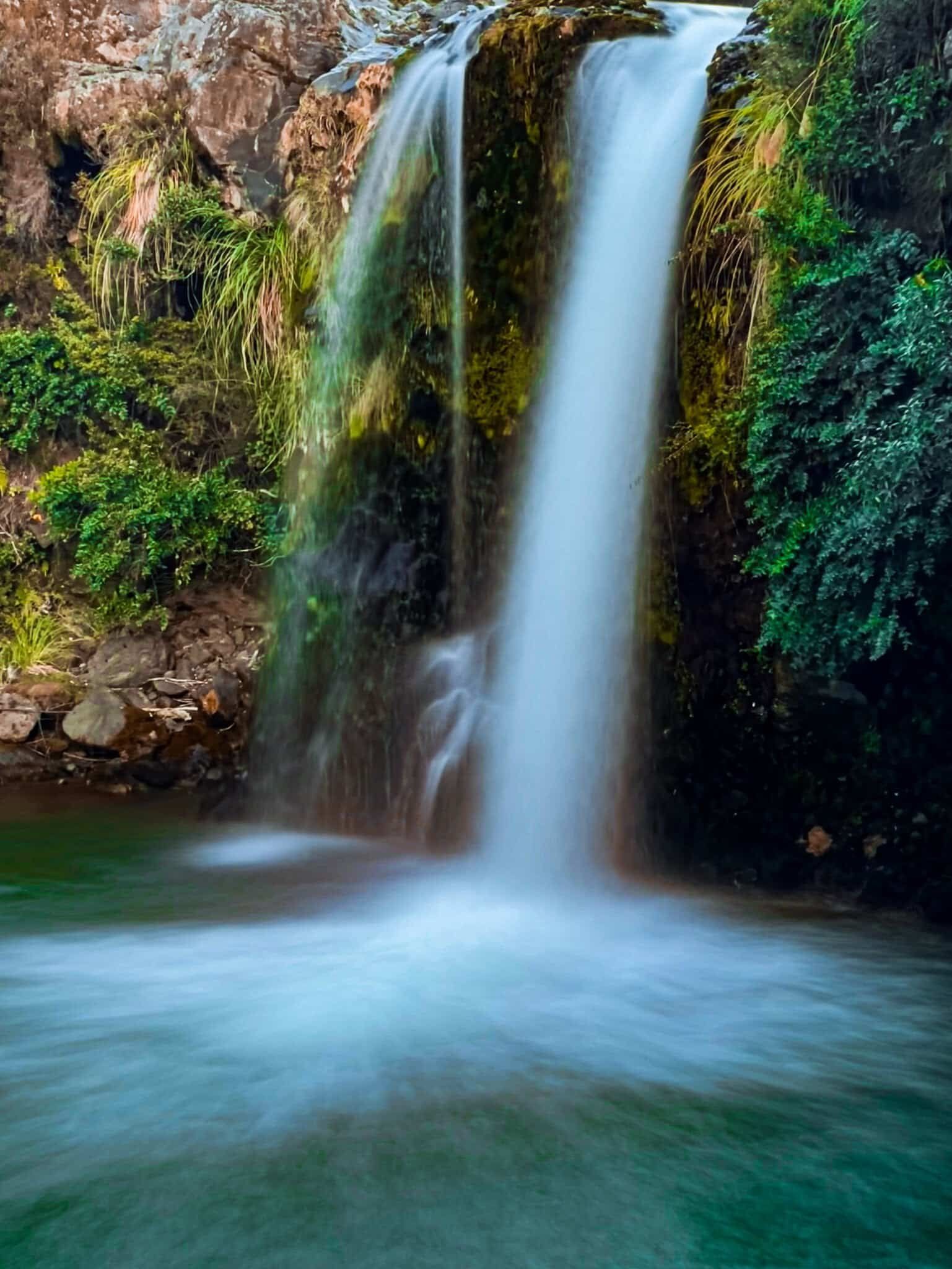
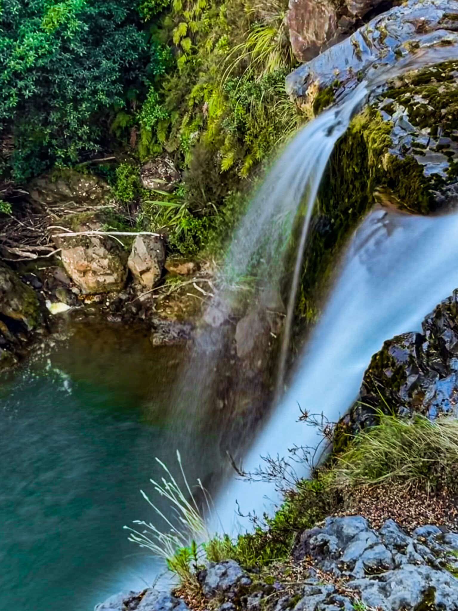
Mangawhero Falls
The Mangawhero Falls are well signposted just before you reach the forest margin. From the parking area, you can step down to the river and the top of the falls – take care near the edge as it’s a 28 metre drop. You can also walk around the cliff edge, protected by a fence and fringed by beech trees, to a viewing point looking back at the falls.
Although the waterflow for these falls is modest when it’s dry, it is a very photogenic location with the combination of cliffs, overhang of beech trees and mountain shrubs, and the red rock behind the falls. The spring melt is probably the best time to see a stronger waterflow.
For LOTR fans, the pool below the falls is also known as Golem’s Pool.
Waitonga Falls Track
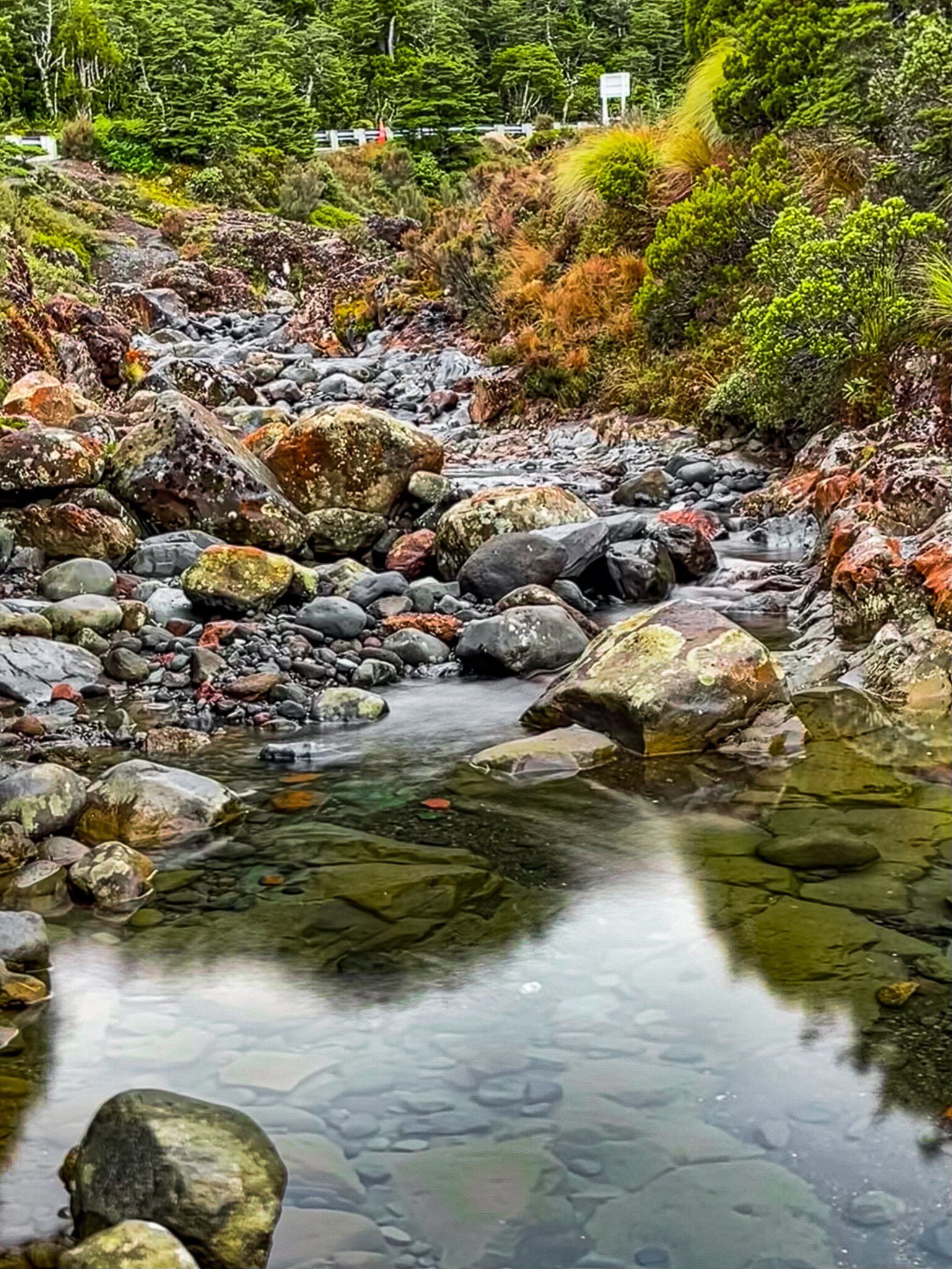
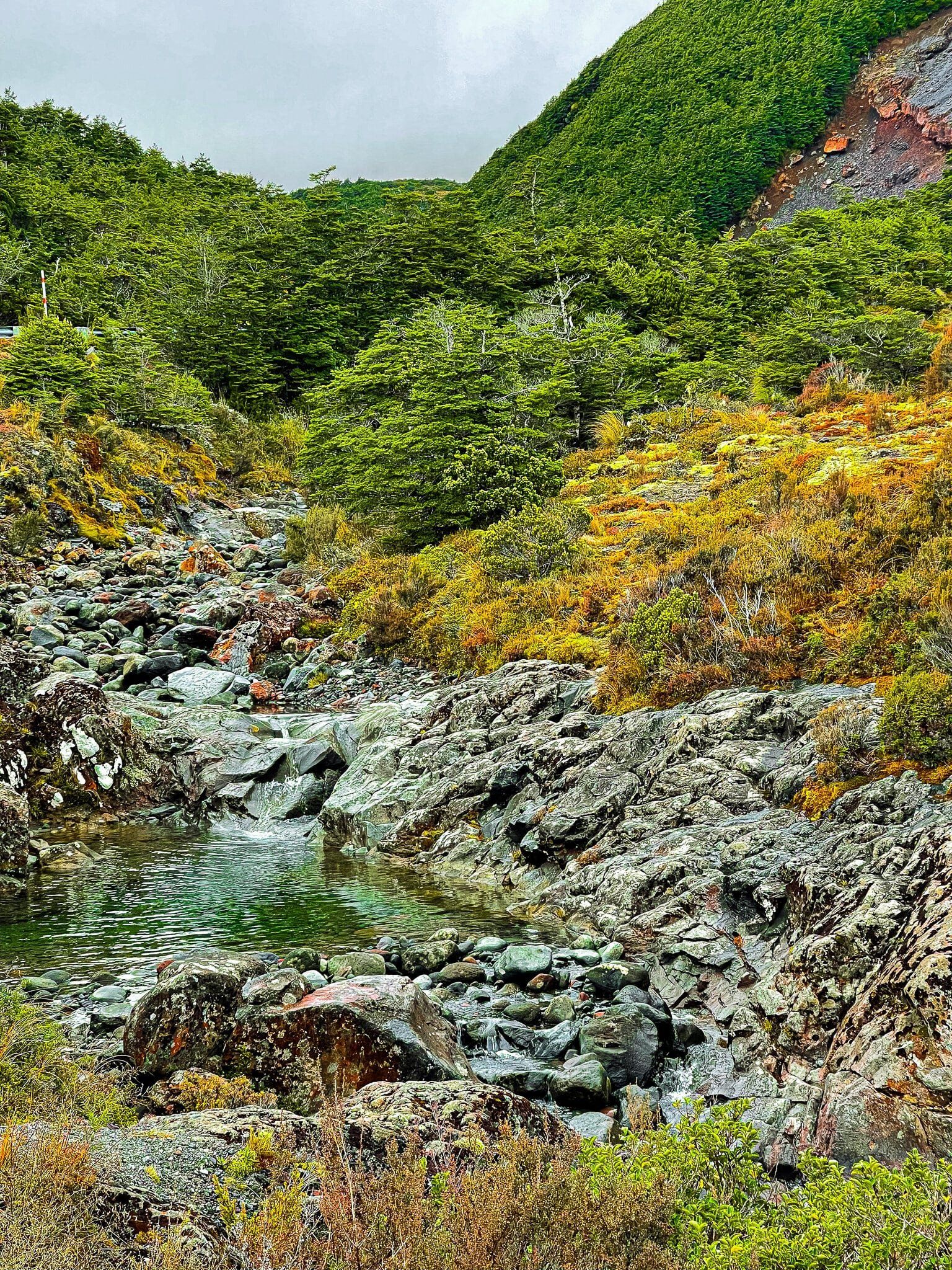
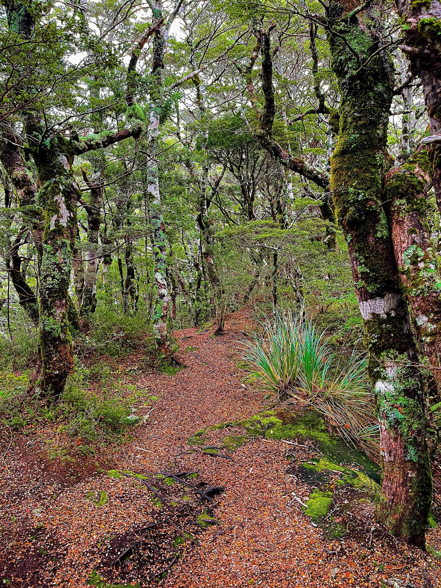
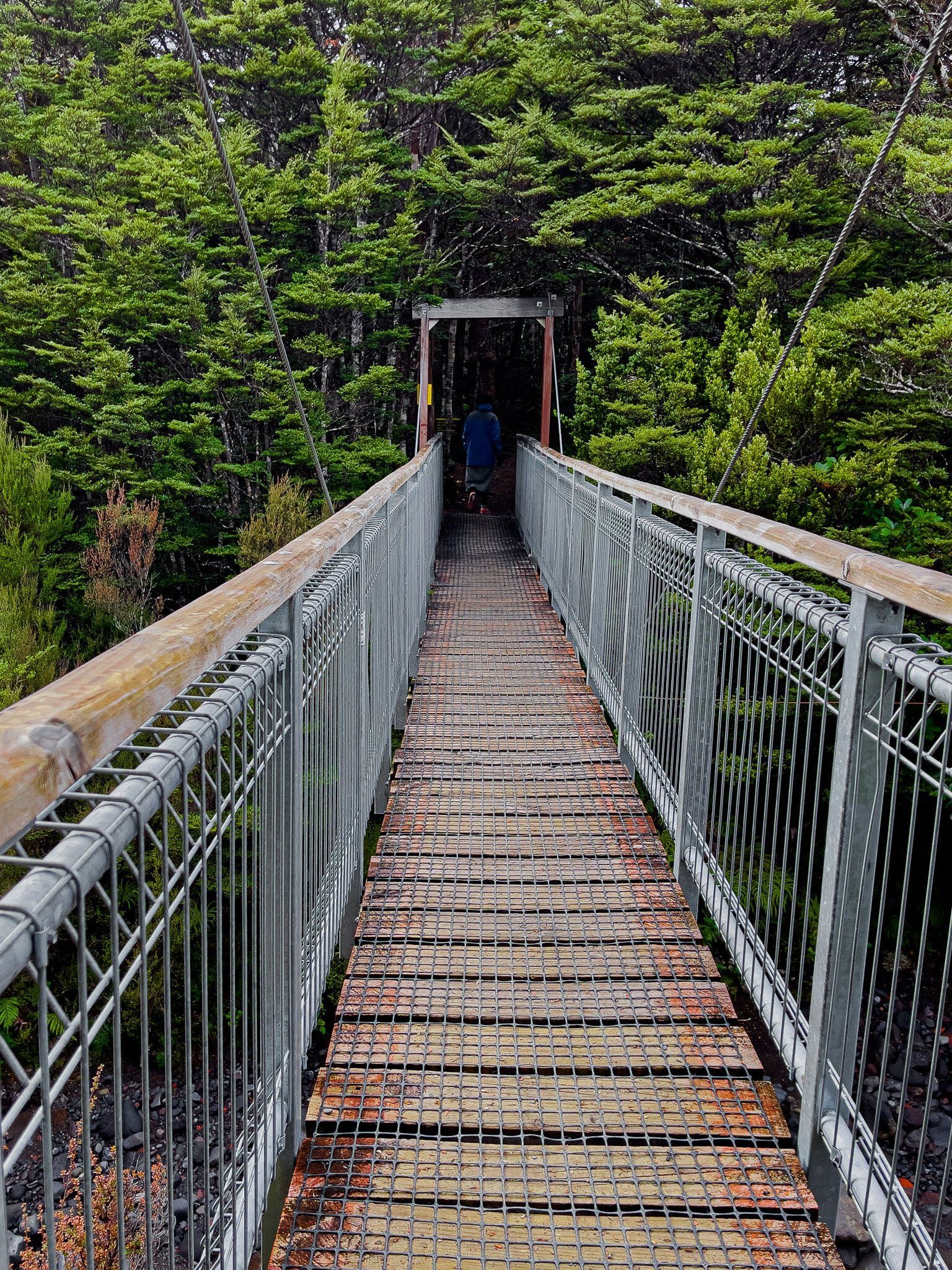
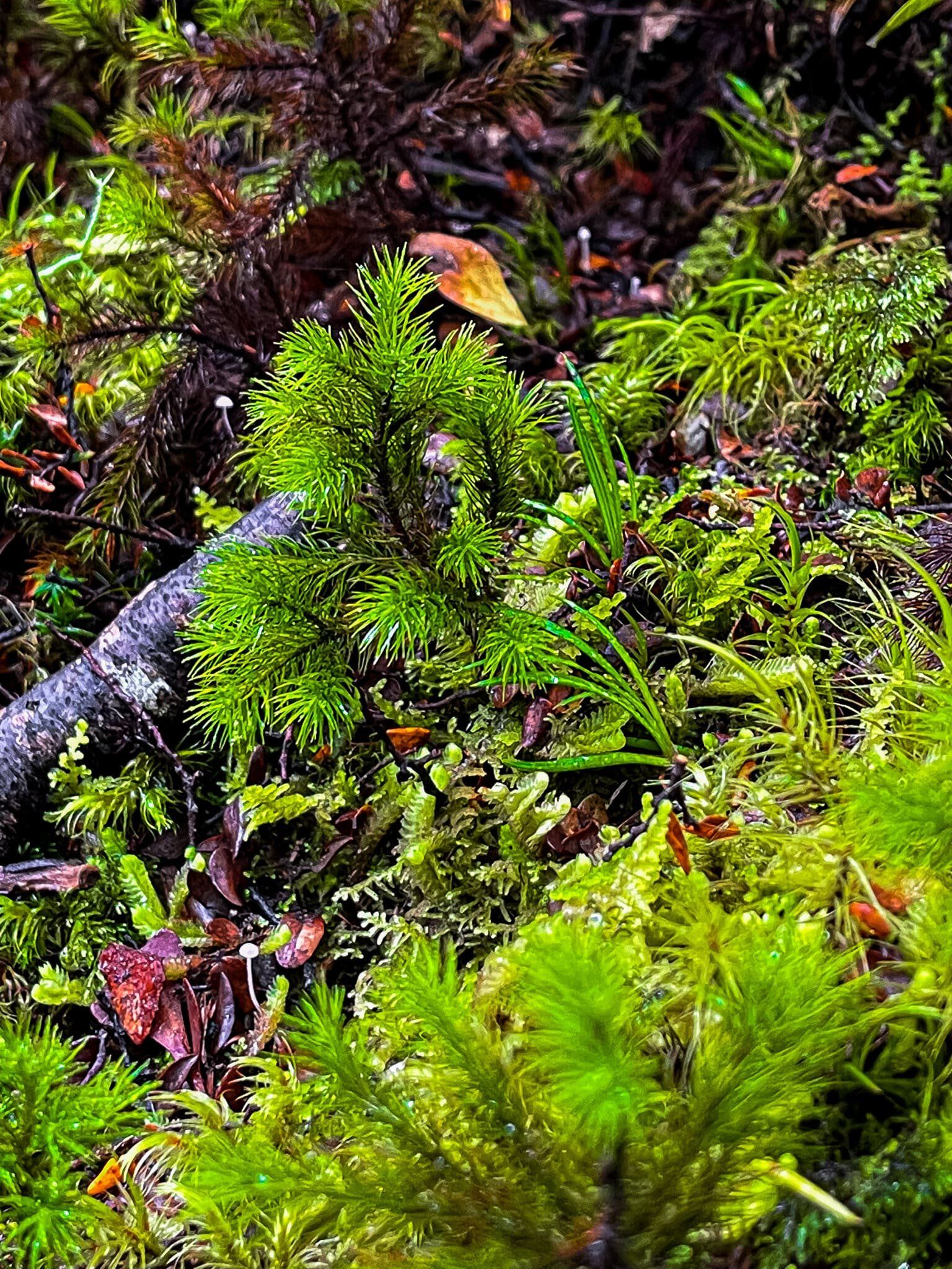
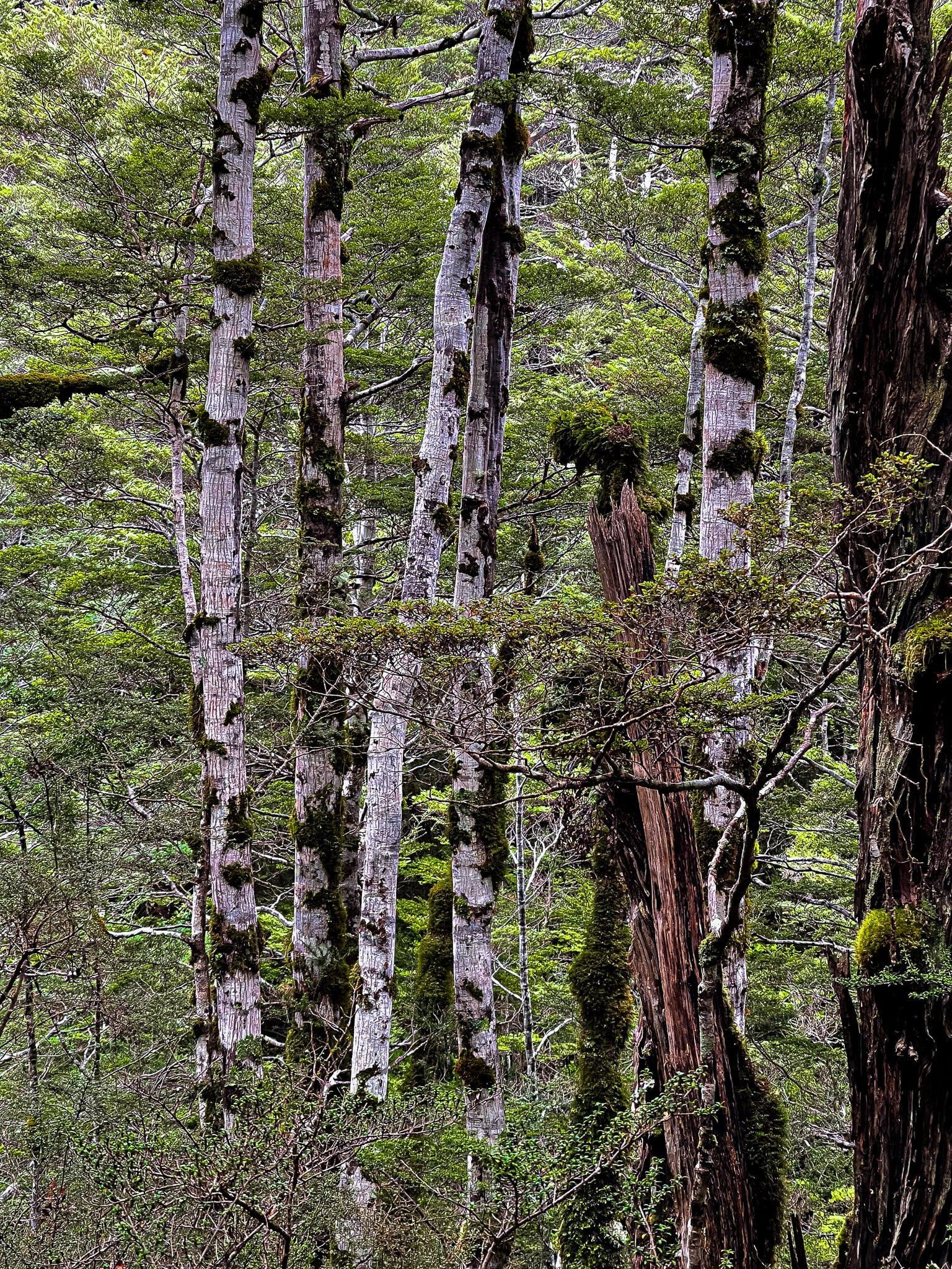
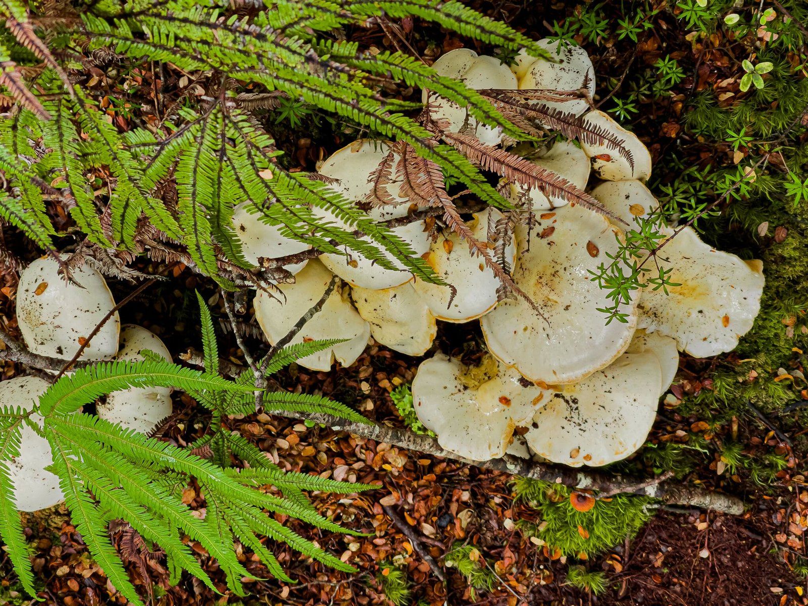
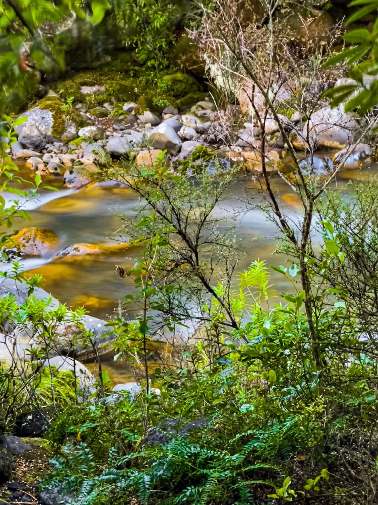
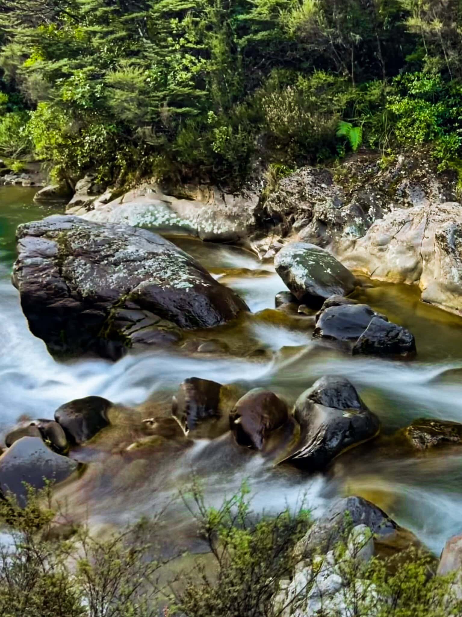
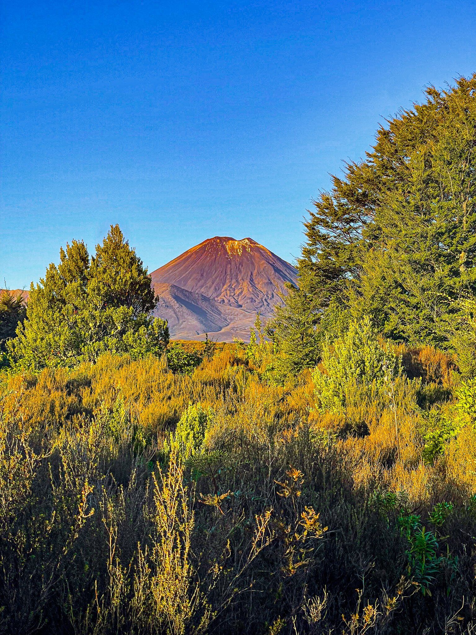
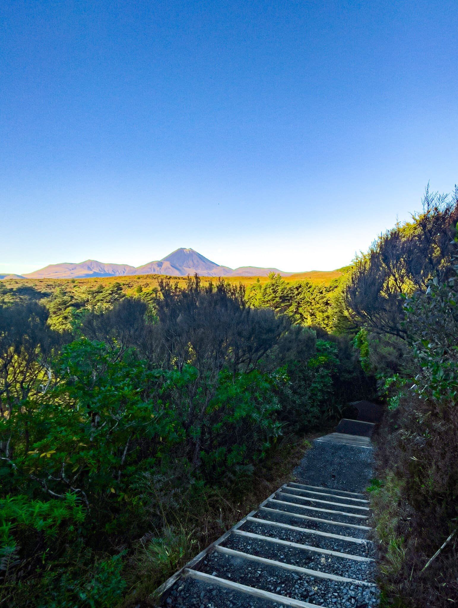
The Waitonga Falls Track starts at a car park on the side of Ohakune Mountain Road, about ¾ the way to the ski field. This is a wonderful alpine forest walk on a well-maintained track to the Waitonga Falls, at 39 metres the highest falls in National Park. The track is around 1,200 metres above sea level, almost as high up as native trees will grow in NZ. The forest is mainly a mix of mountain beech and kaikawaka (mountain cedar), with a lush rainforest feel.
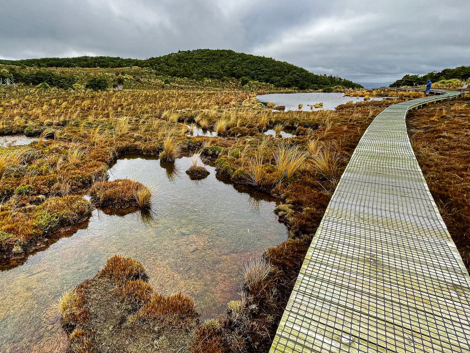
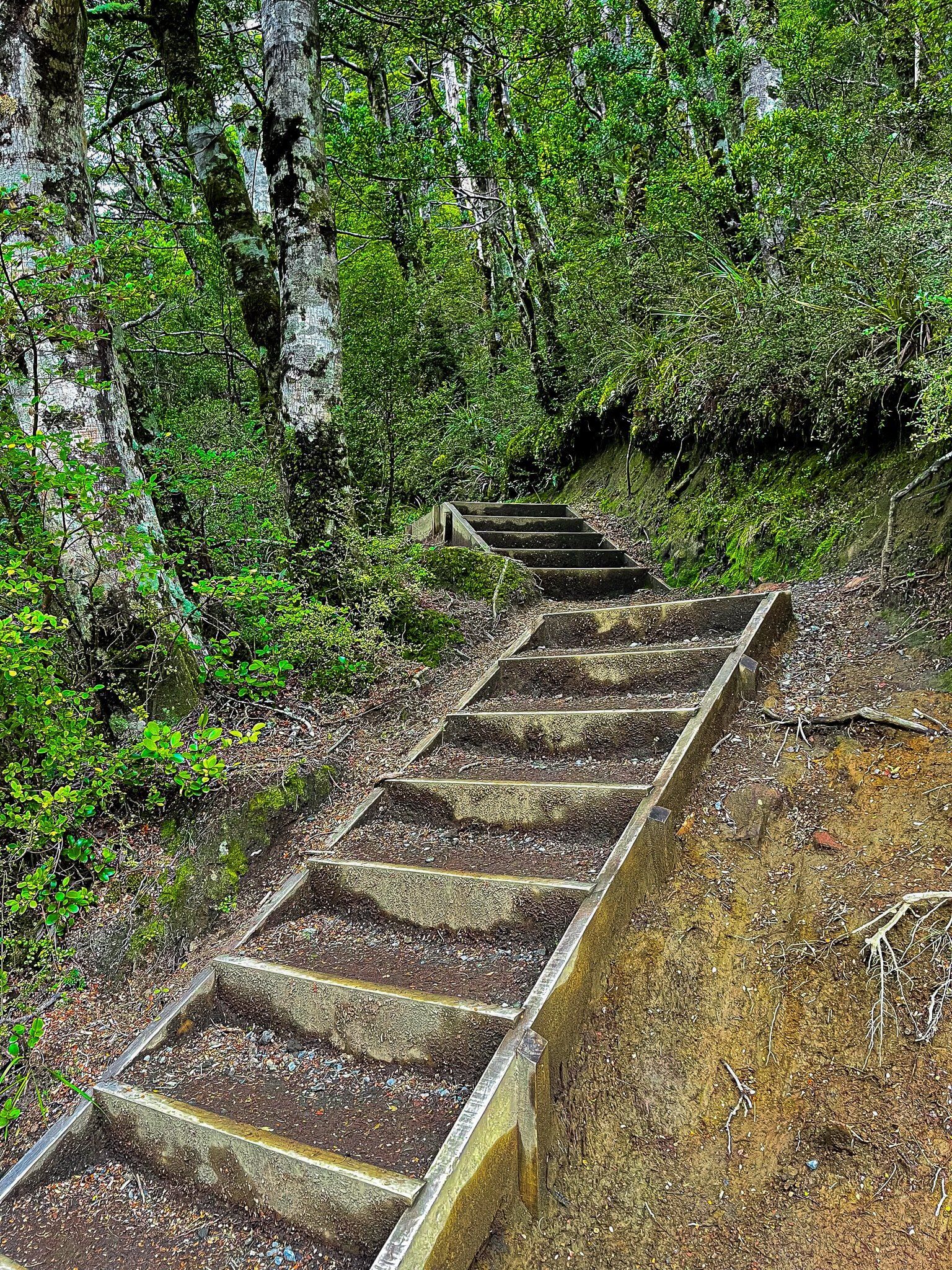
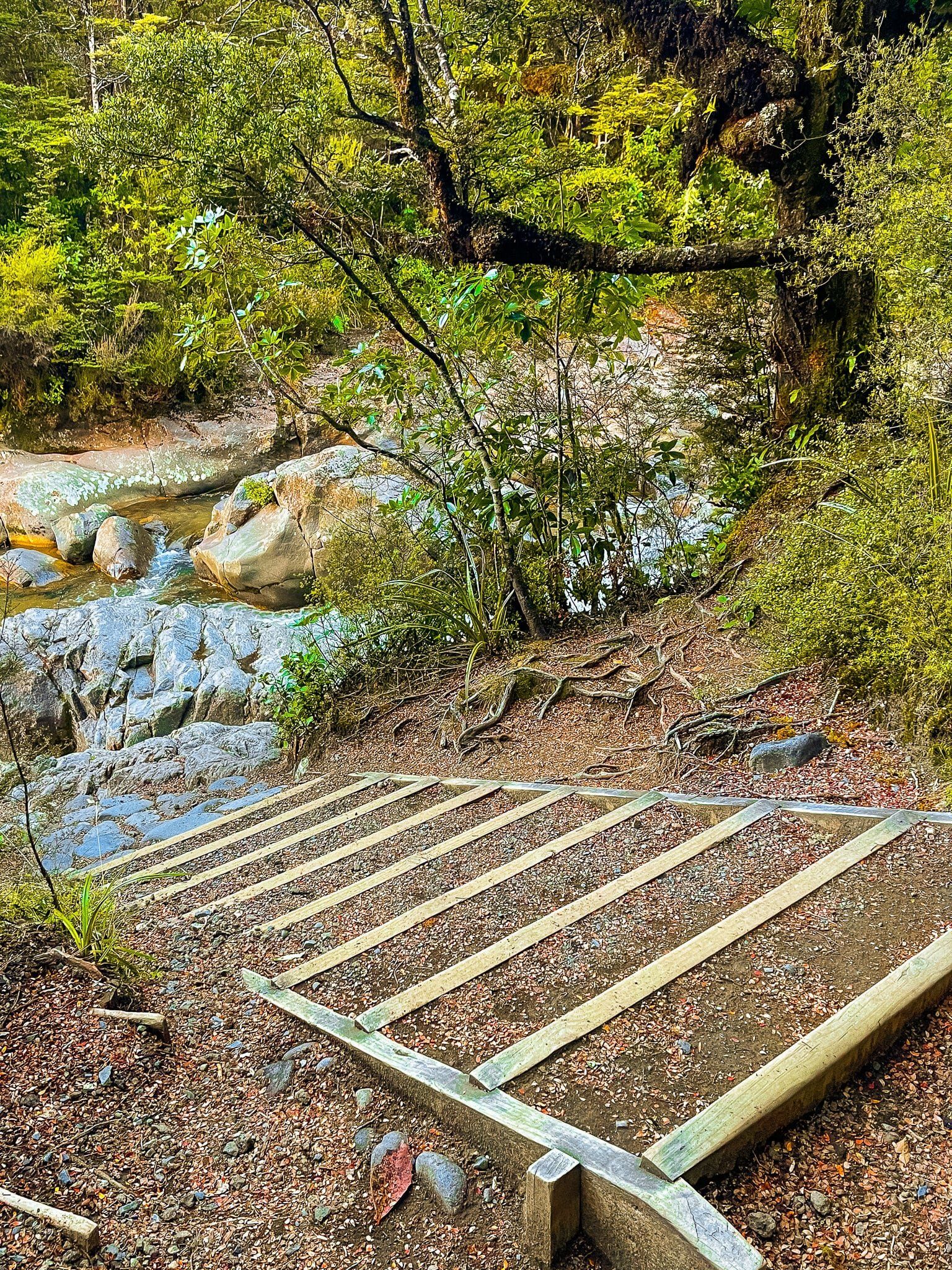
The first half of the track is easy and about halfway along, you will exit the forest onto a boardwalk that crosses a mountain wetland, including the small lake Rotokawa. On a nice day, you will see the top of Ruapehu reflected in the lake (I’ve yet to see this!). Once you reenter the forest, there is a steeper downhill section with a number of steps that takes you to the stream below the falls. You can see only one section of the top from here. To get a better sense of the falls you will need to pick your way up the side of the stream.
If you follow the path down stream, you can continue on the Round the Mountain tramping track (several days from hut to hut).
Allow about 90 minutes for the return trip to the falls at a meandering pace.
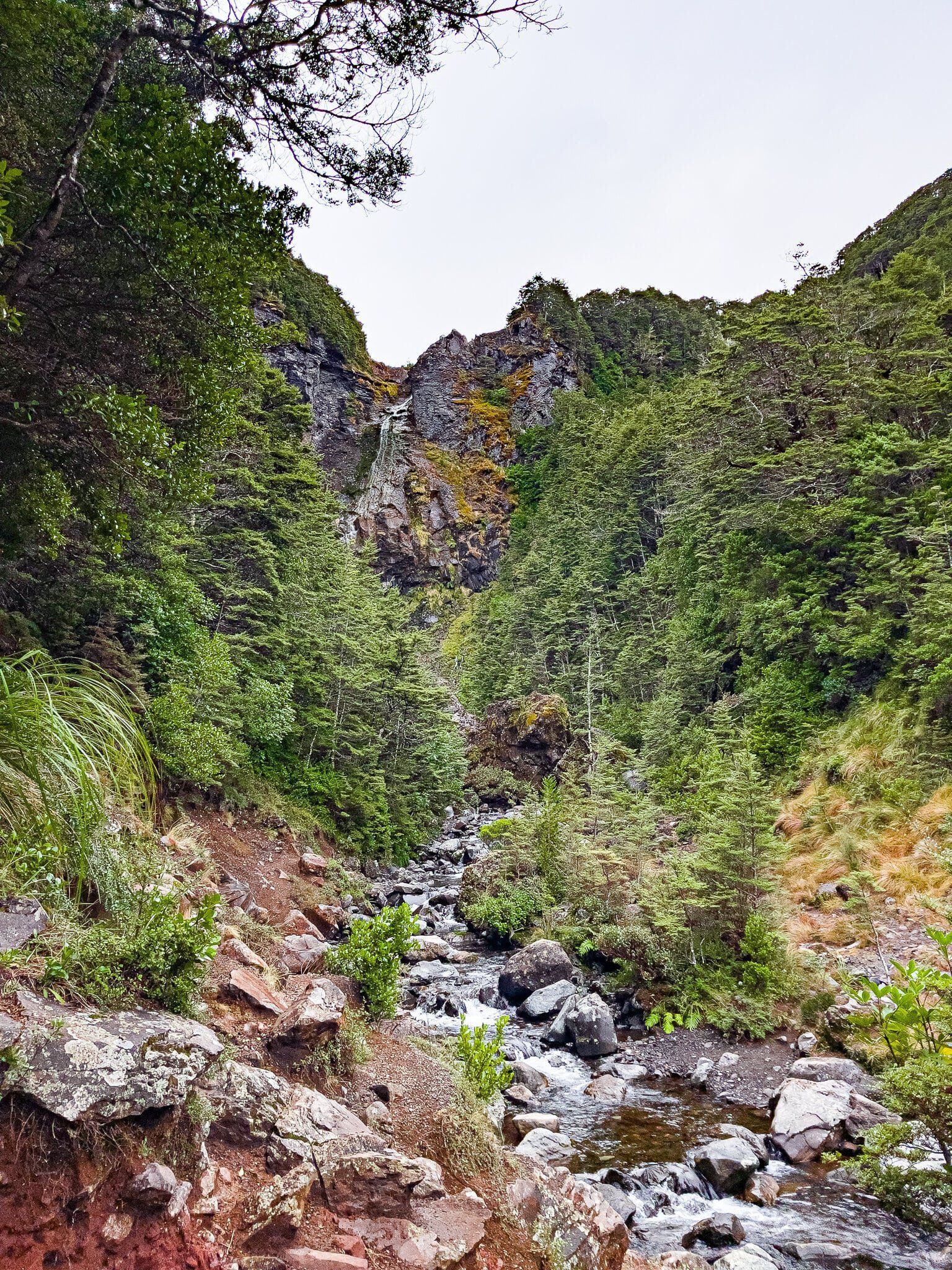
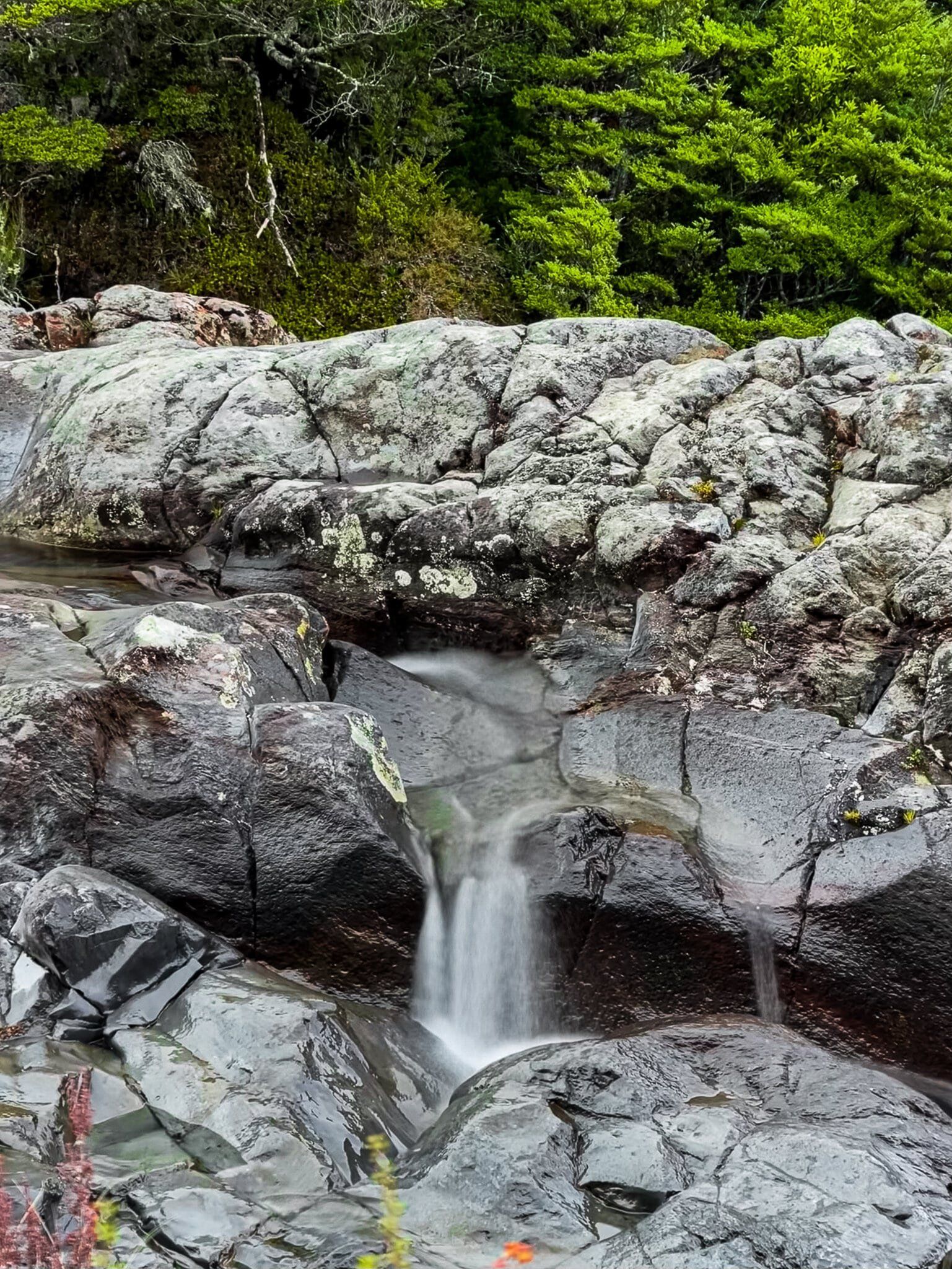
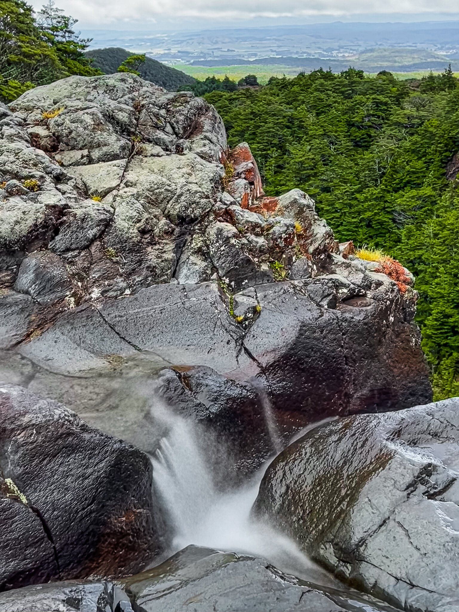
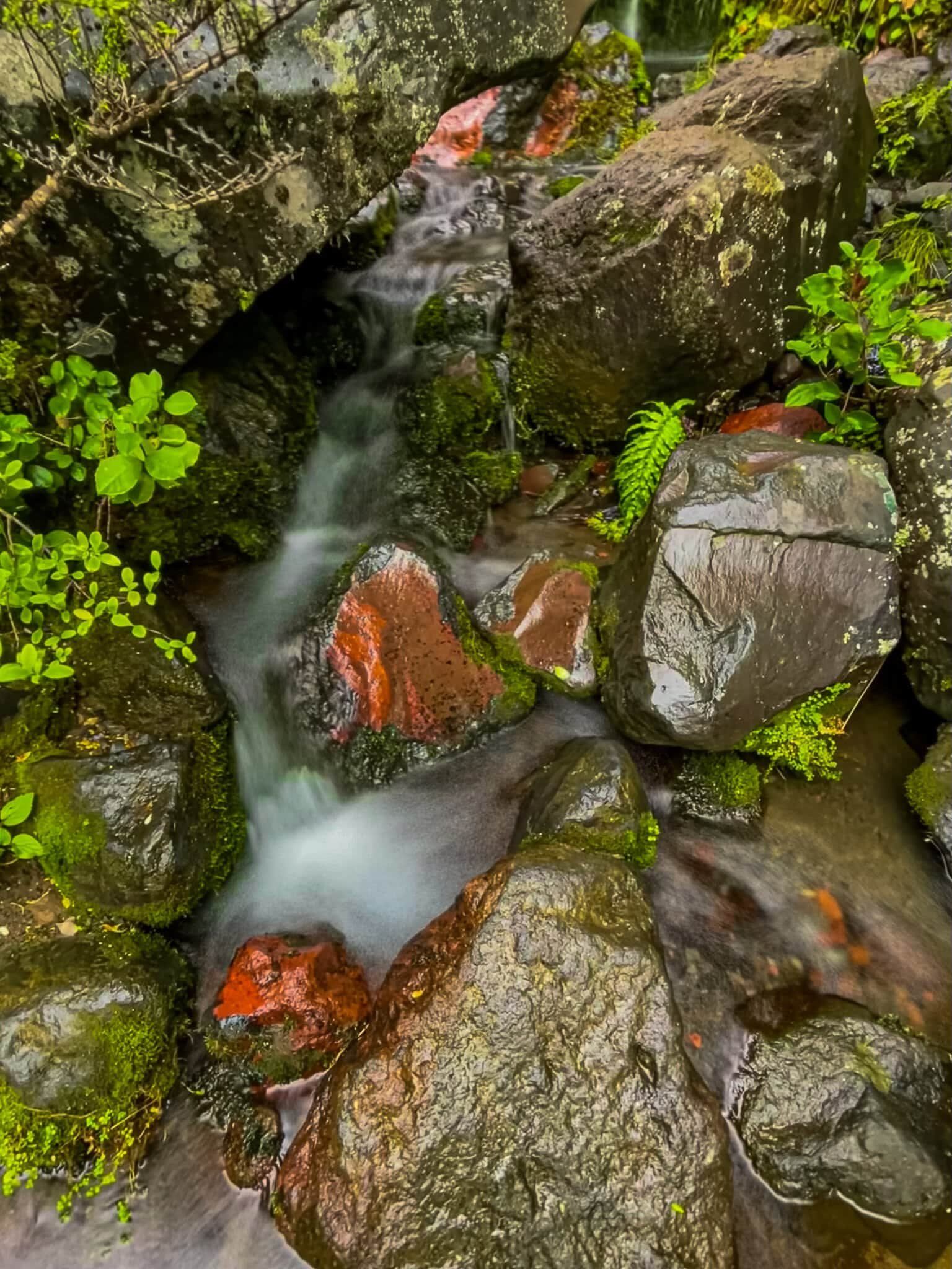
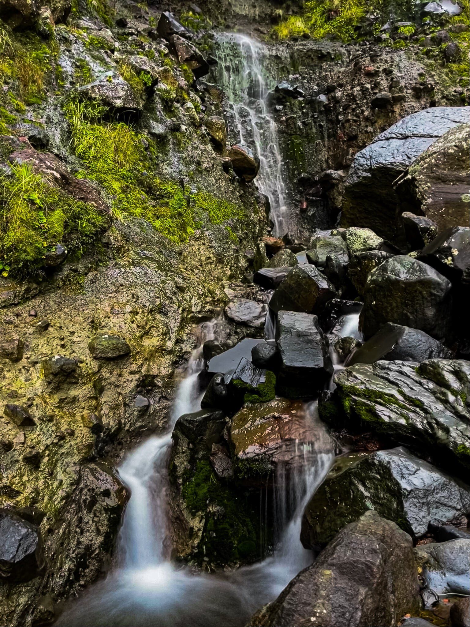
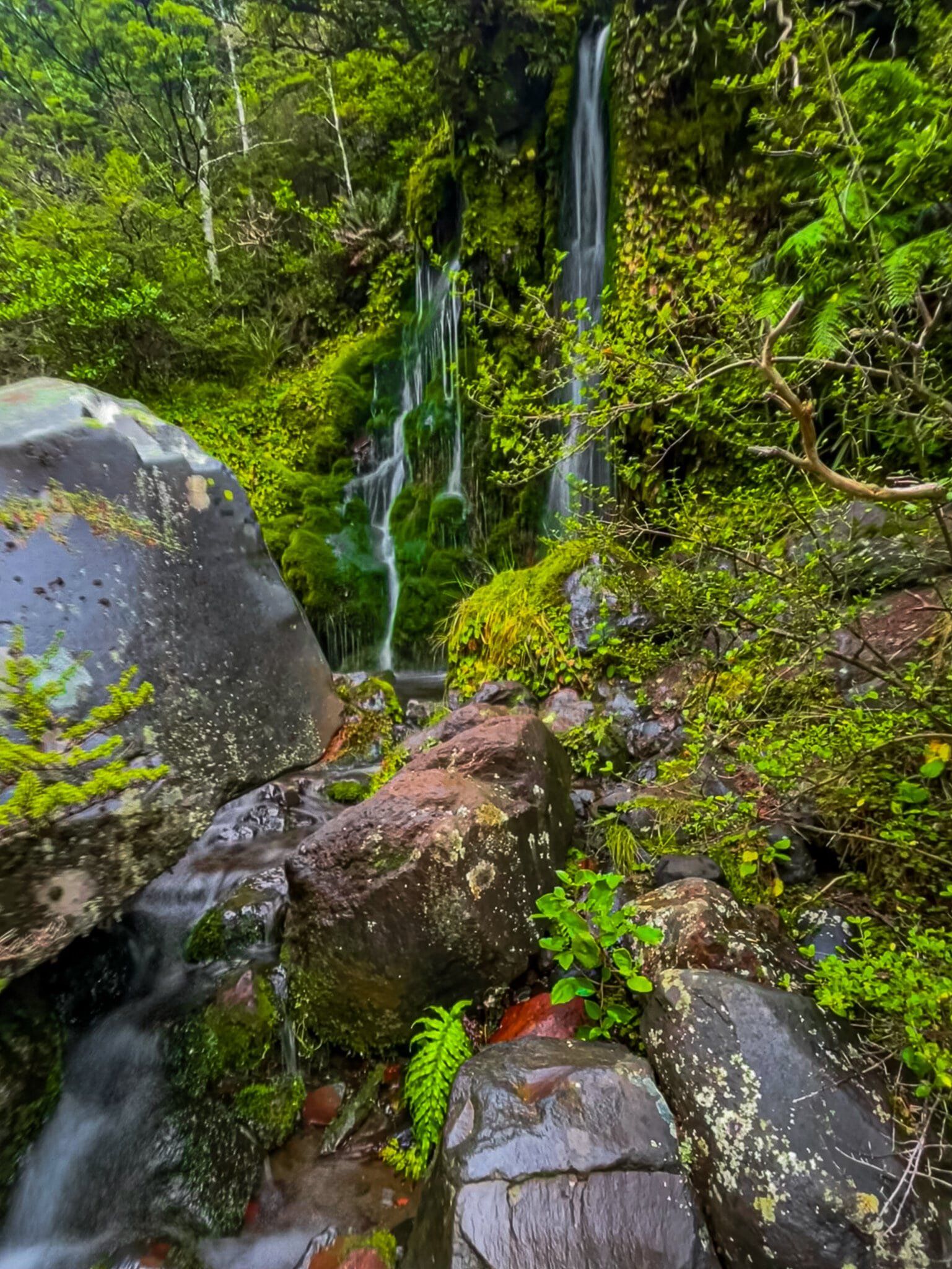
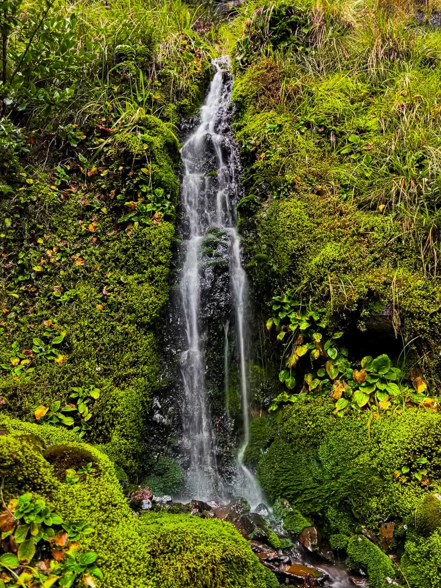
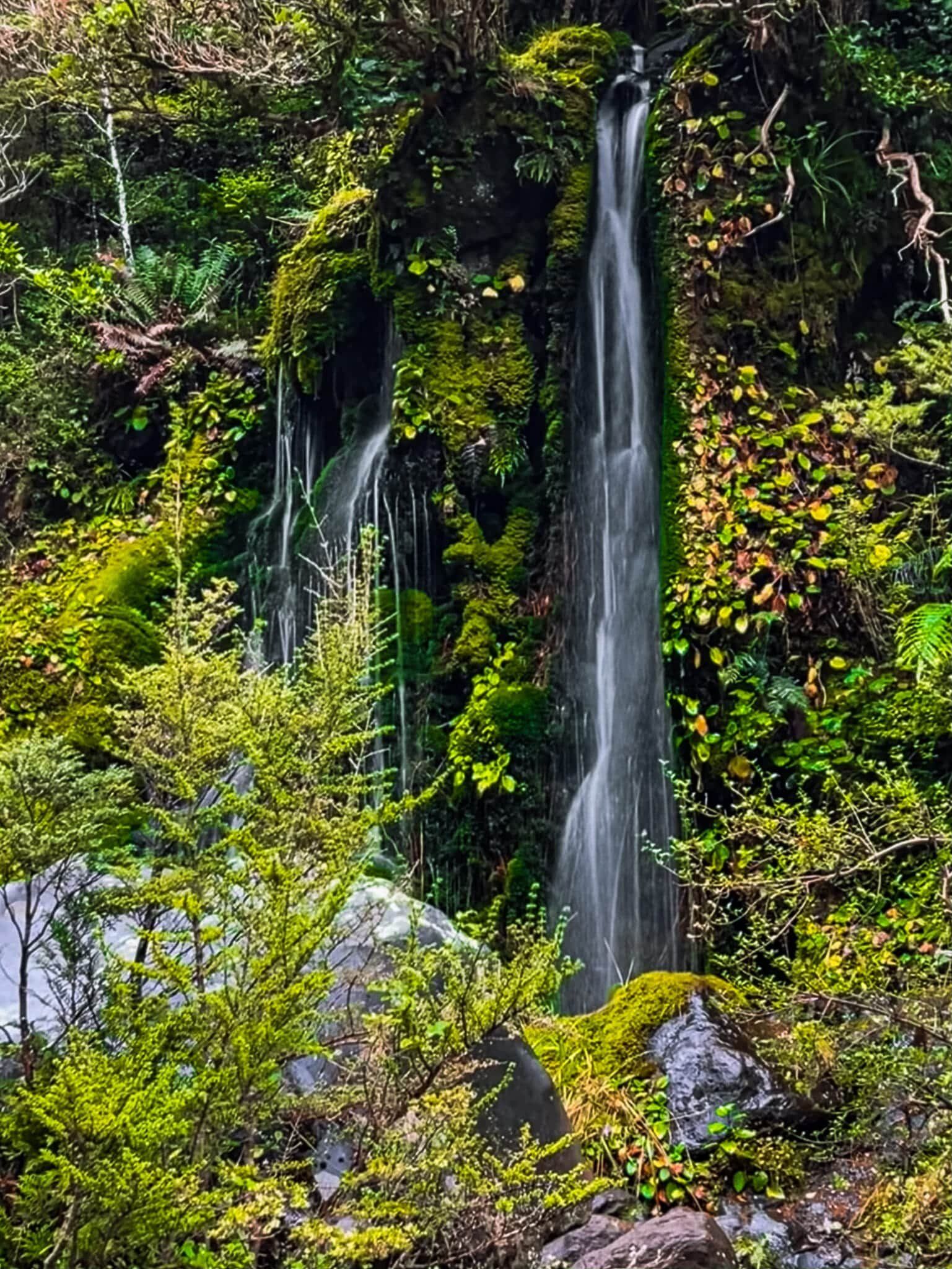
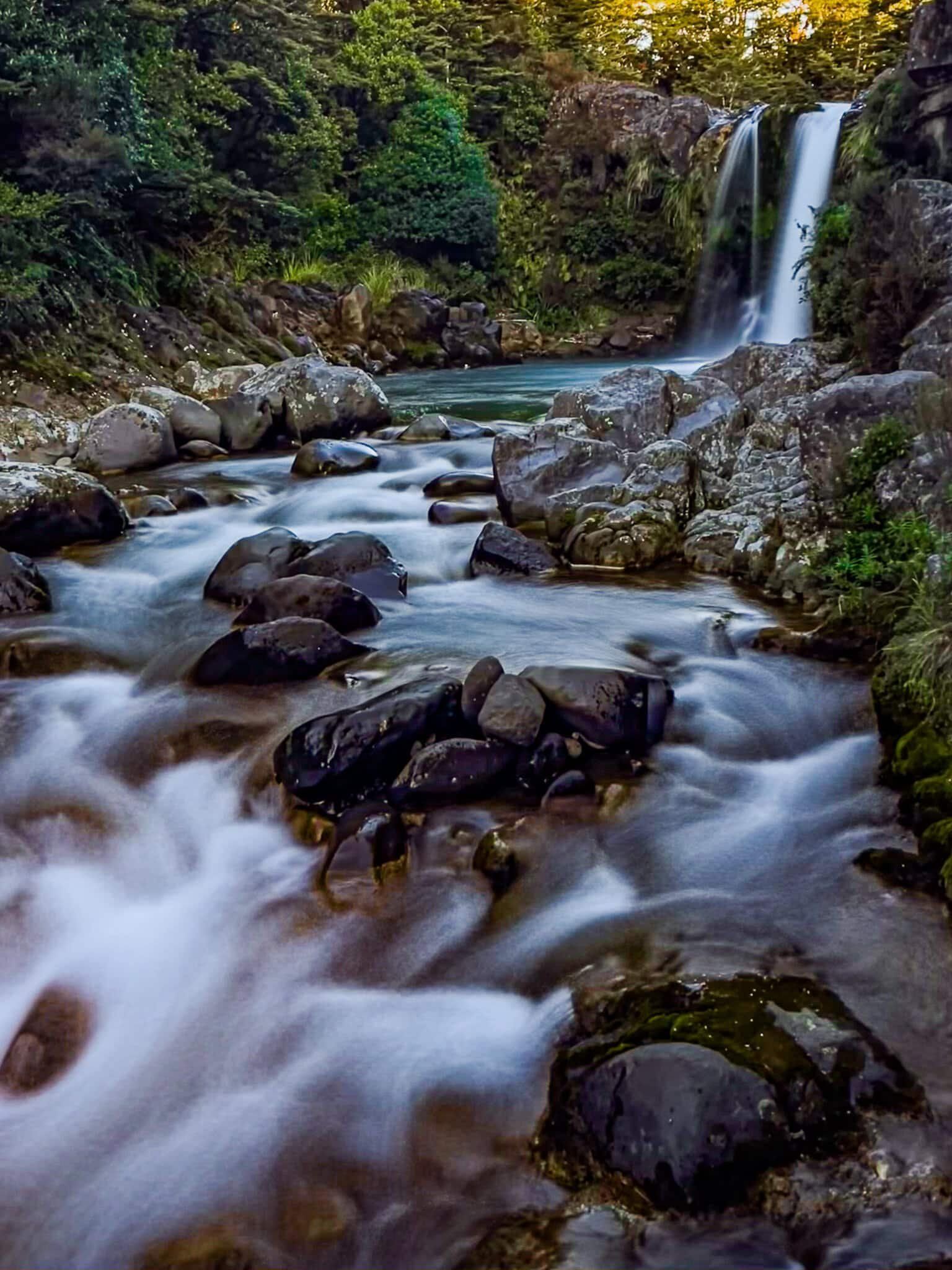
Waitonga Falls
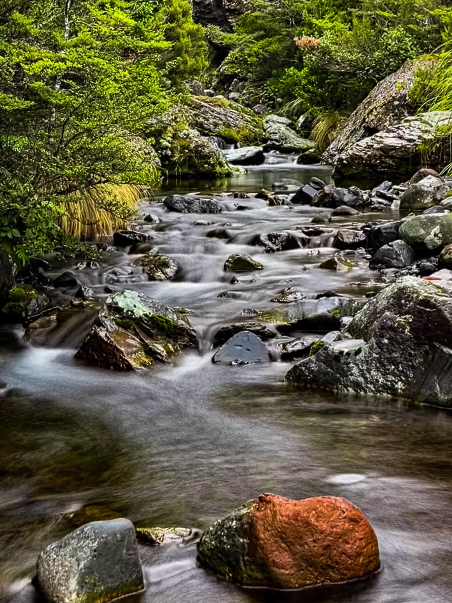
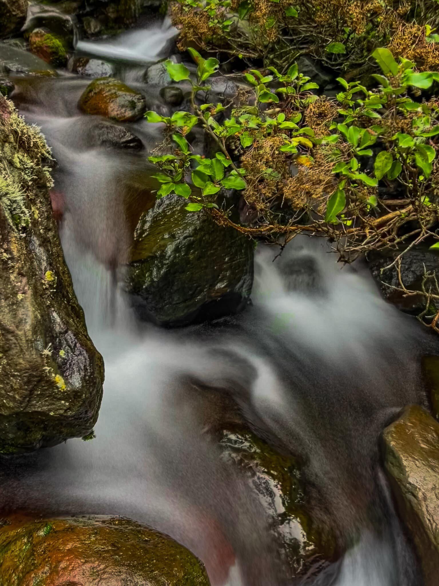
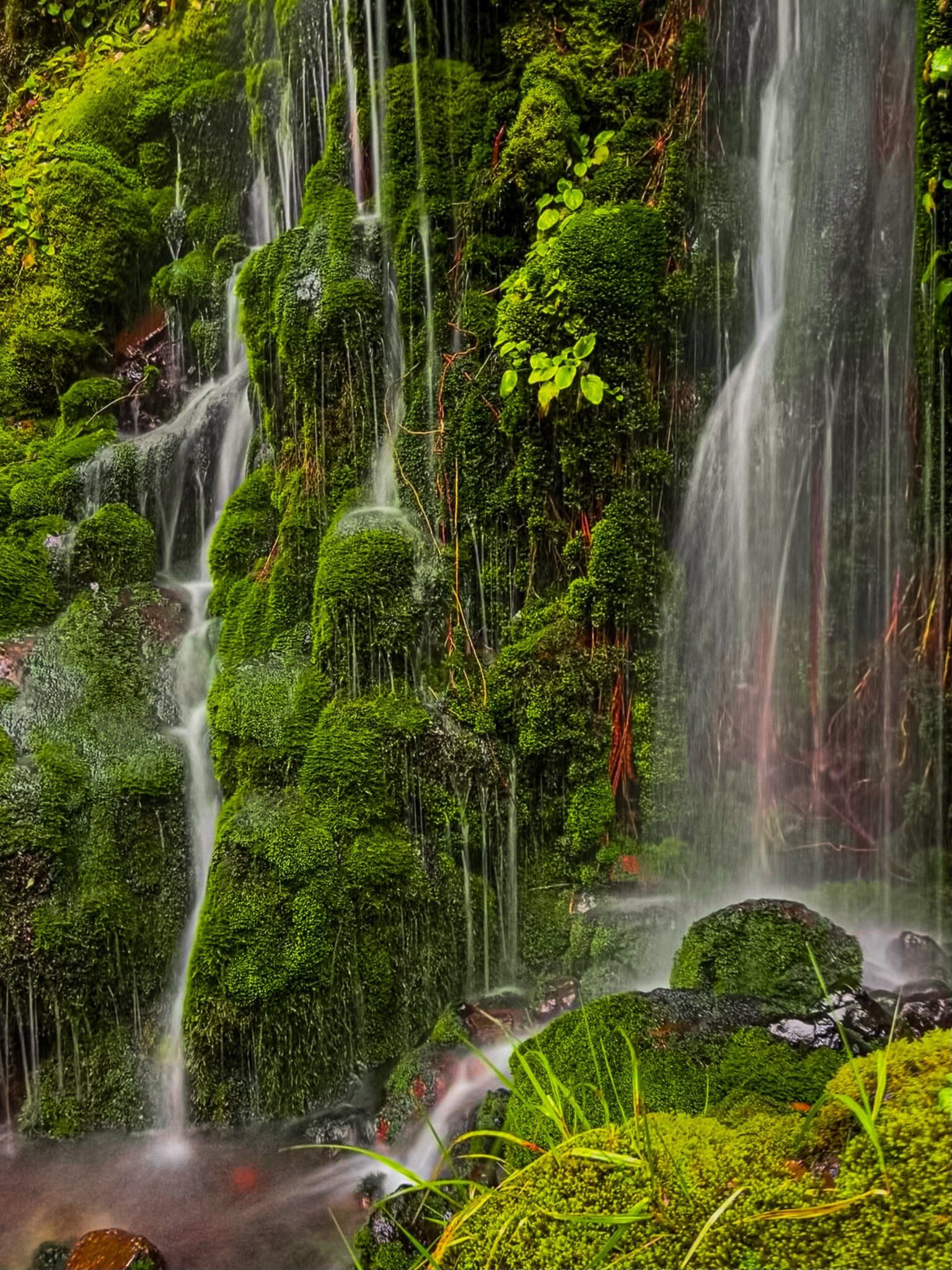
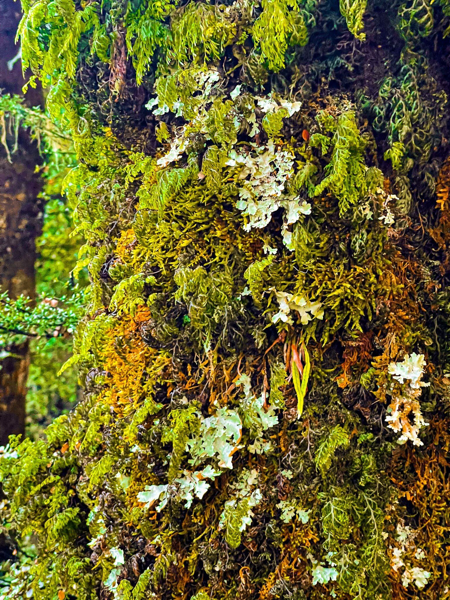
When you first see the falls from the track, they don’t look like much; just a very gentle stream of water over an impressive cliff face about 100 metres upstream. But what you can’t see is the several small but very pretty waterfalls that cascade into the large amphitheatre below the cliffs. The combination of water flowing over green moss and lichen plus the mix of coloured rock is stunning.
So, take the extra time and work your way up the stream to the large boulders. To the right you will see the first of the smaller falls with its stunning green backdrop. Then work your way around the boulders, with their own small waterfall, to get into the amphitheatre. There are at least 3 streams entering from different directions, including the main one you can see from the track.
Smash Palace
The drive from Ohakune to Whakapapa only takes about 30 to 40 minutes and skirts around the western side of National Park. It mostly passes through farmland, with some areas of native forest that run down from the side of Ruapehu to the road. Unlike the Desert Road, you don’t get a great view of the volcanoes during the drive until you get closer to Whakapapa, with intervening hills and forest blocking the view.
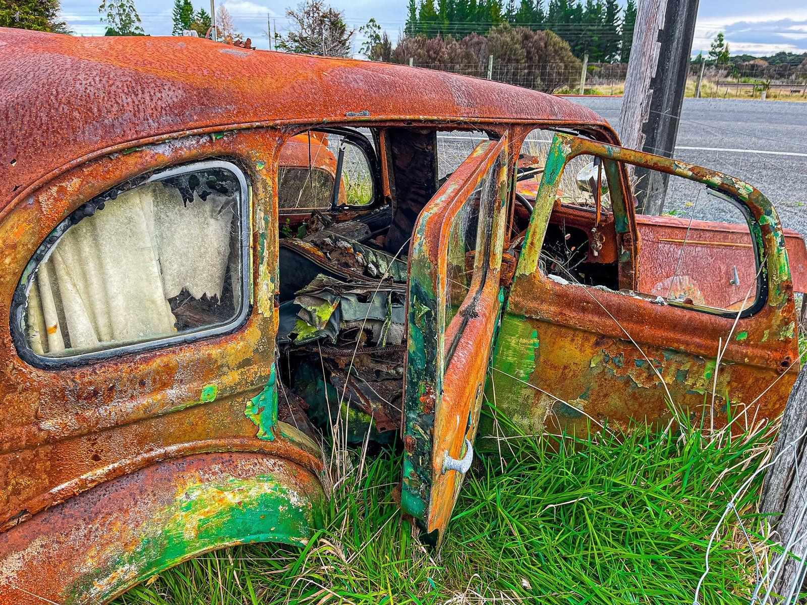
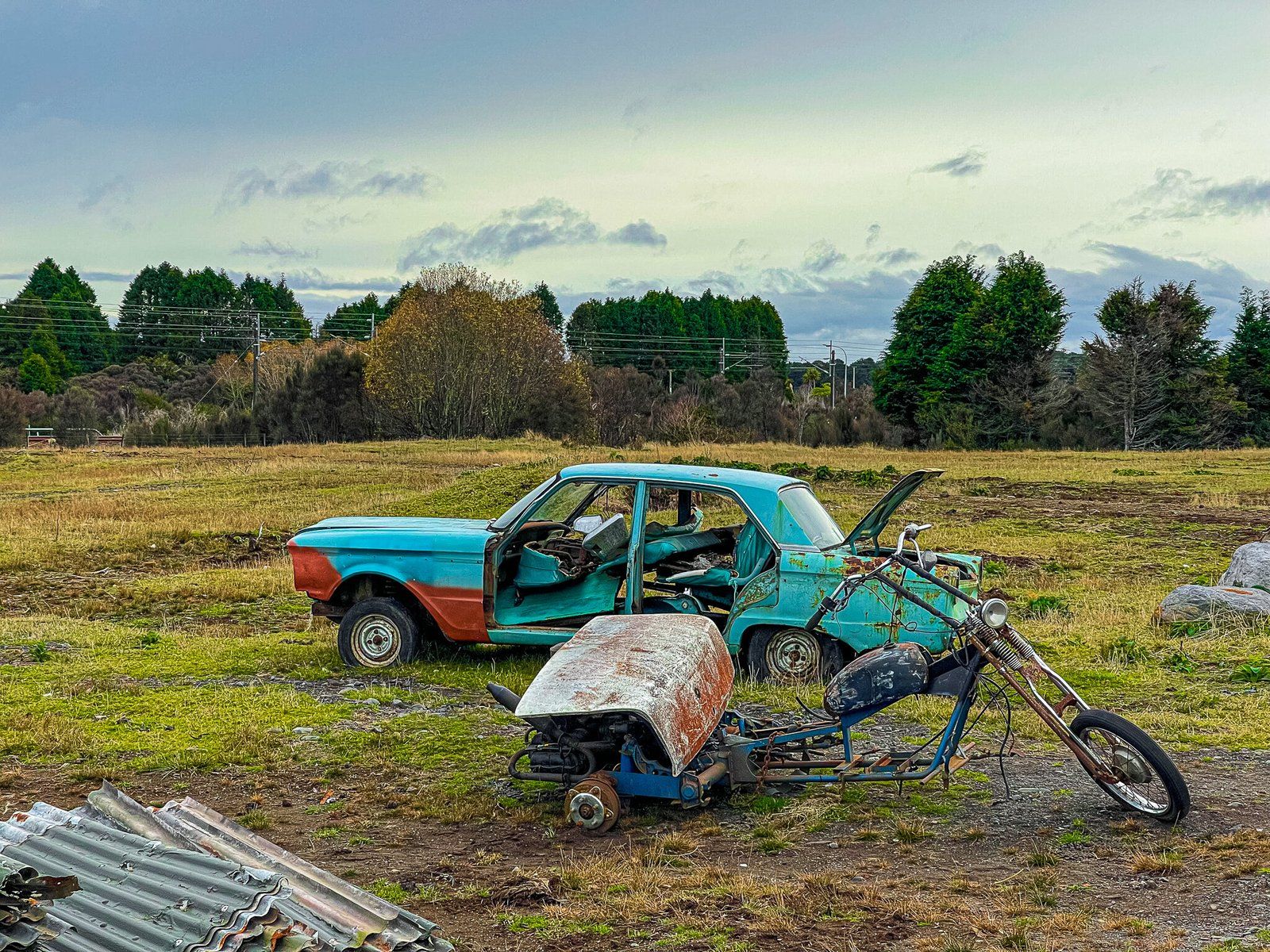
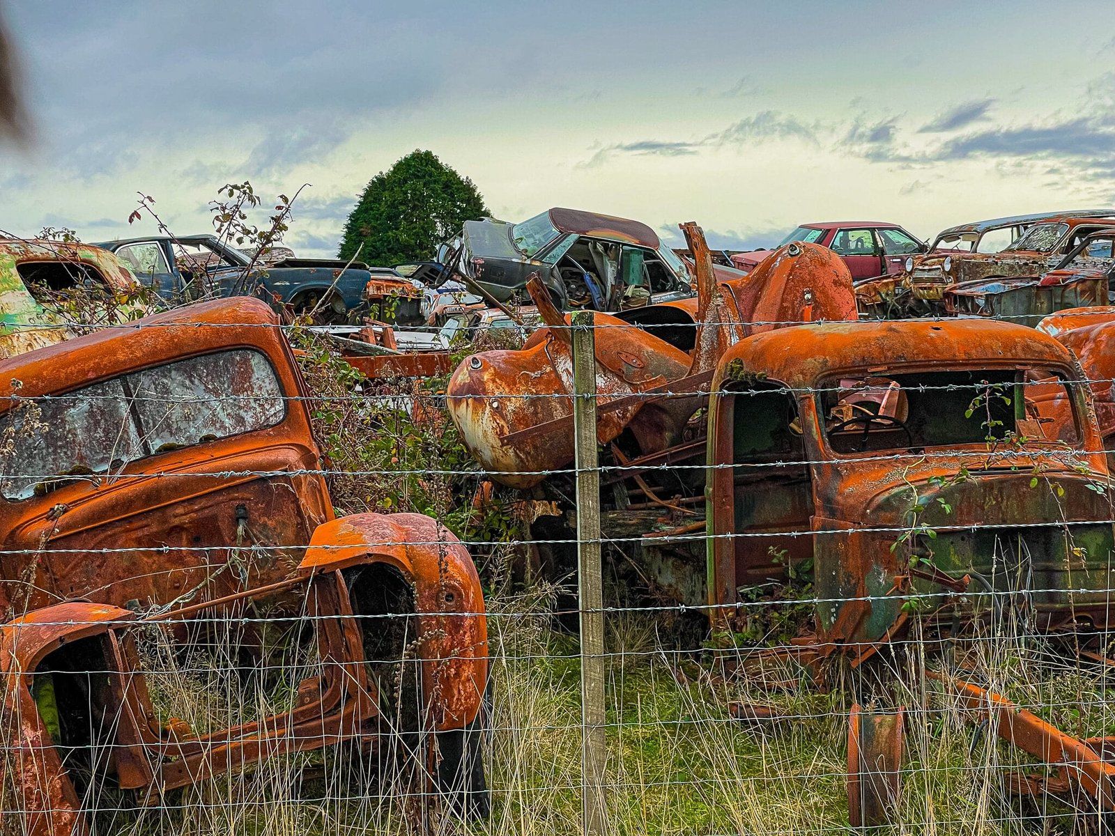
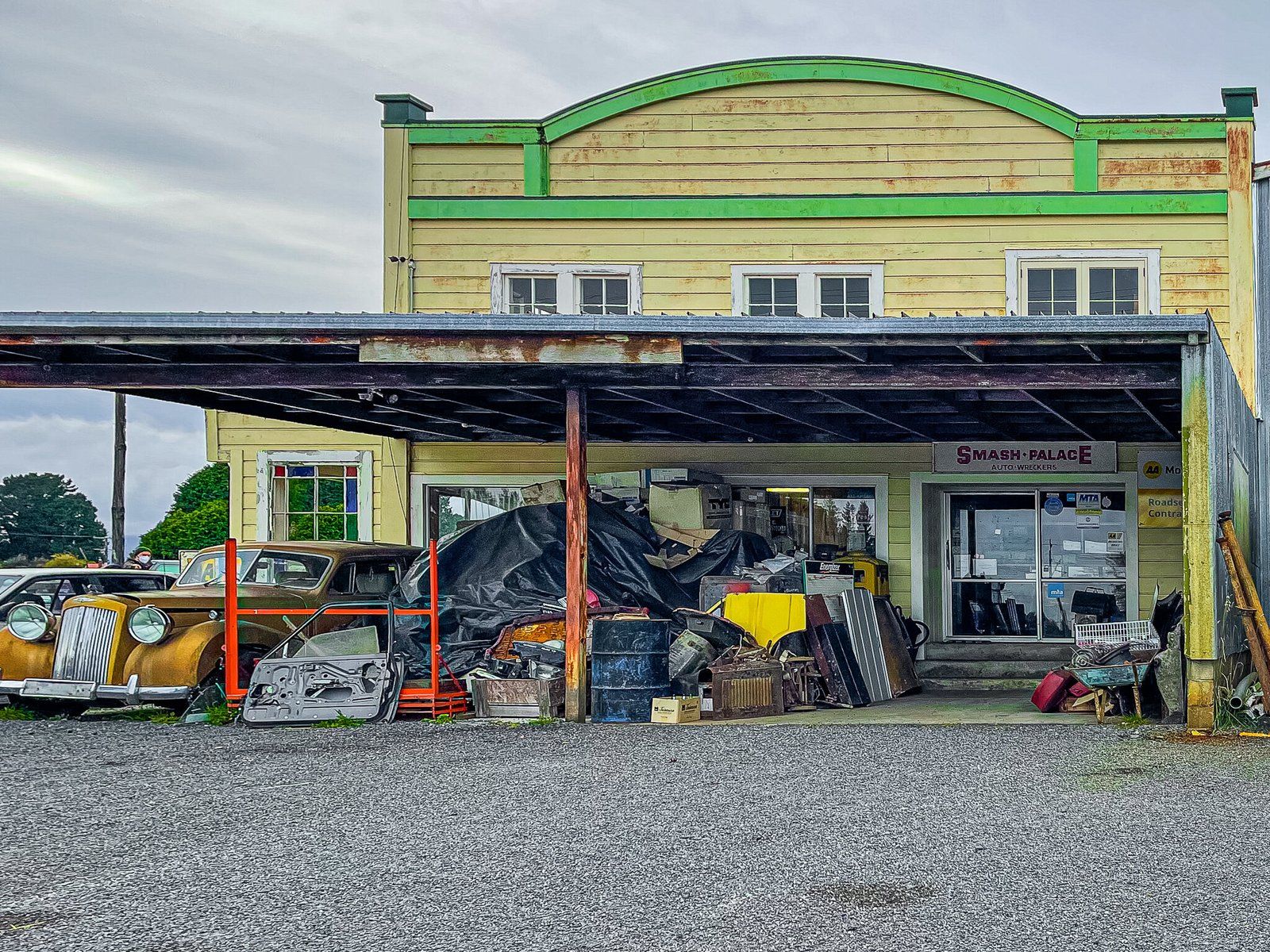
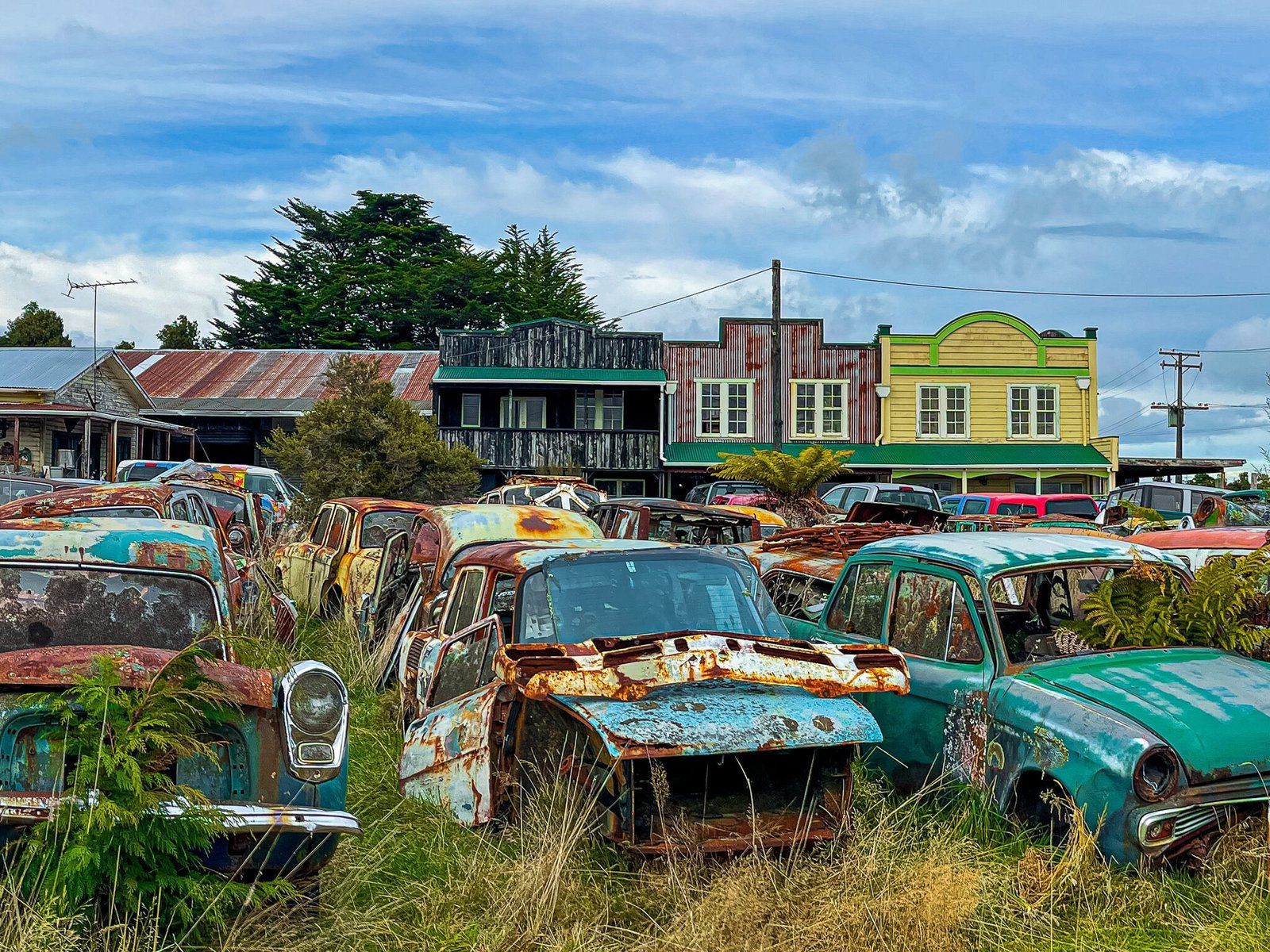
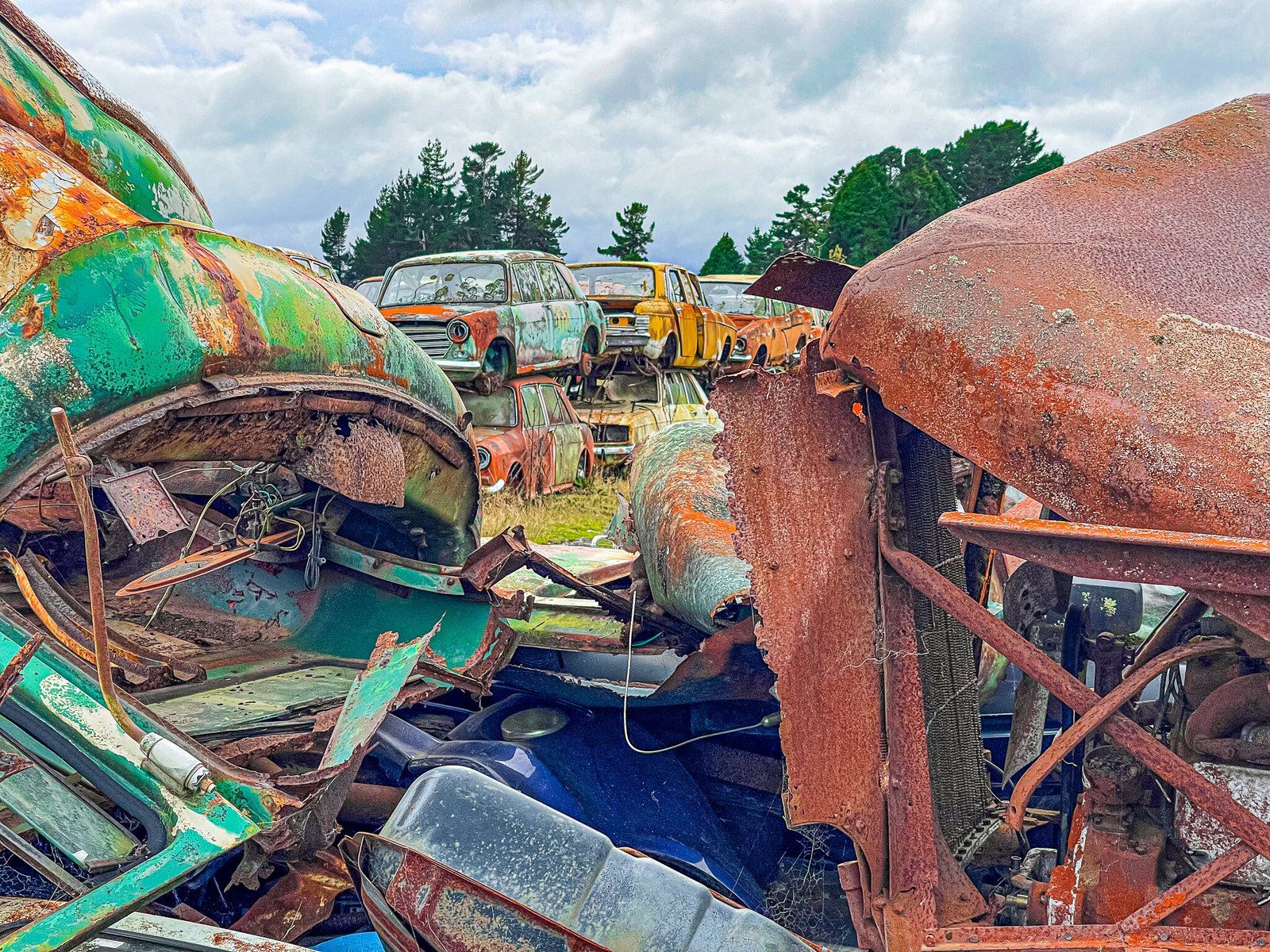
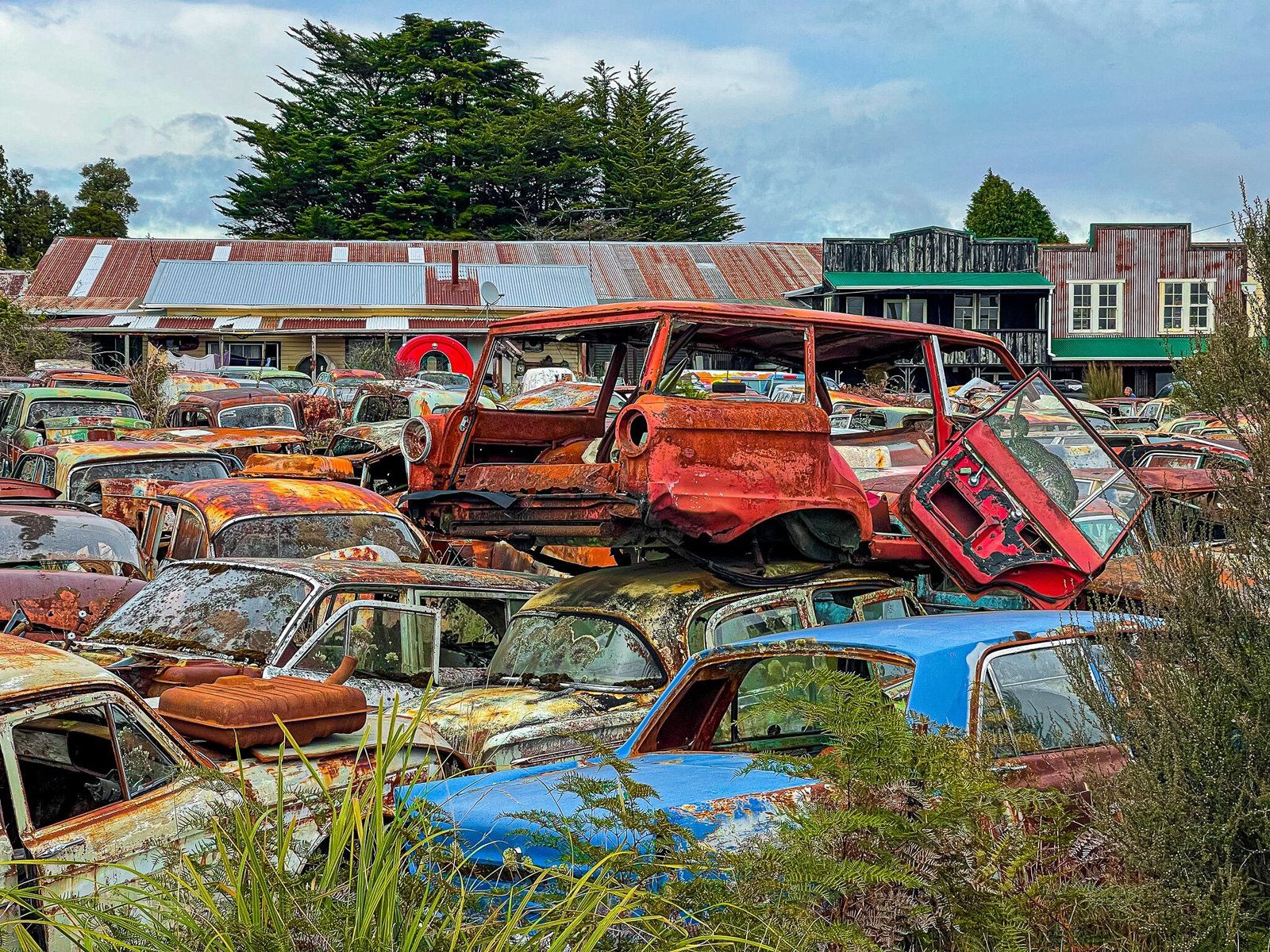
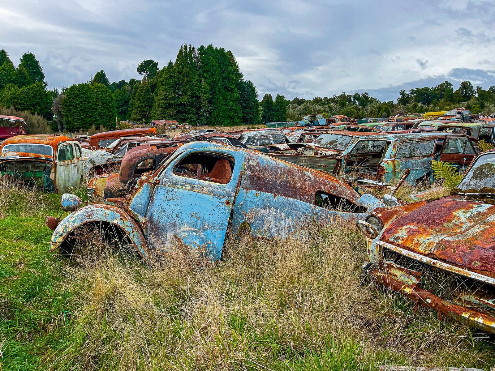
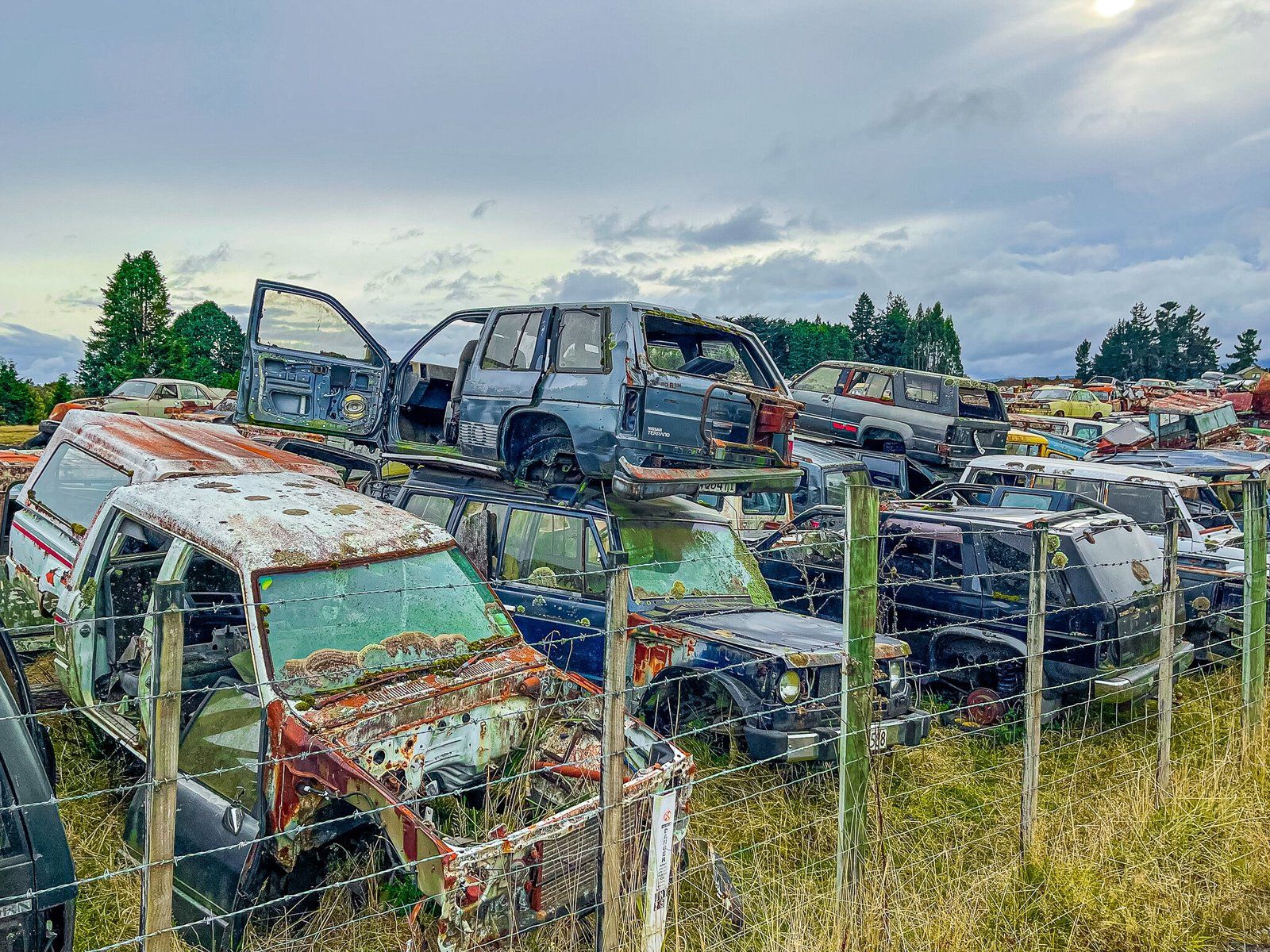
Along the way, you will see a road sign for Horopito, which is only about 1 km down a side road. This hamlet is the end of the Old Coach Road, a historic link to Ohakune and now part of the Mountains to Sea Cycle Trail. But more interesting for junk lovers is the adjacent Smash Palace car scrapyard. There are thousands of rusting cars sitting in several fields and they look as though they date back to at least the 1950s. Smash Palace was also the name of a feature film made in the early 1980s which was set around the scrapyard and surrounding area. The movie, along with several others around the same era, put NZ filmmakers on the map, so to speak.
Railway History
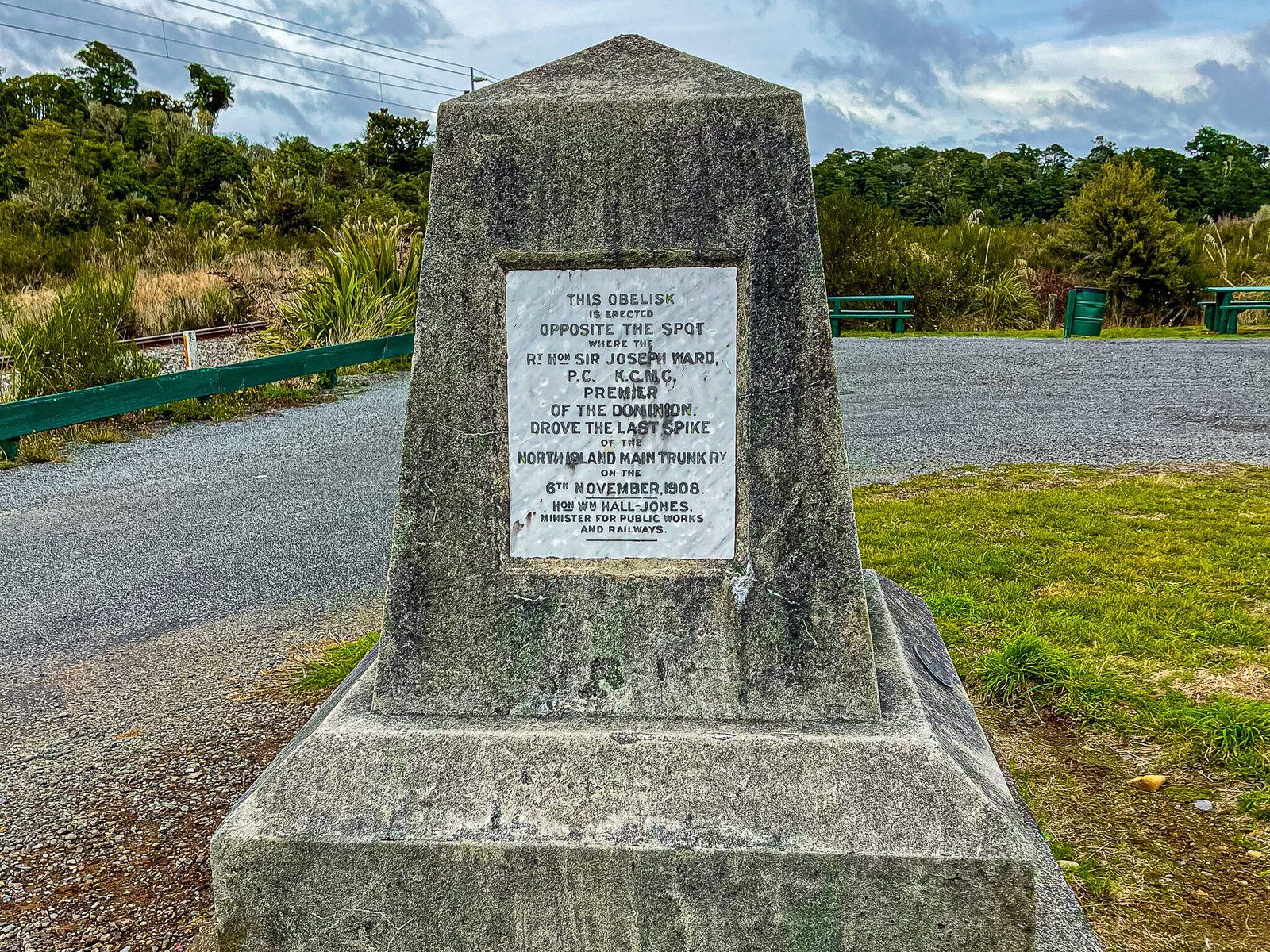
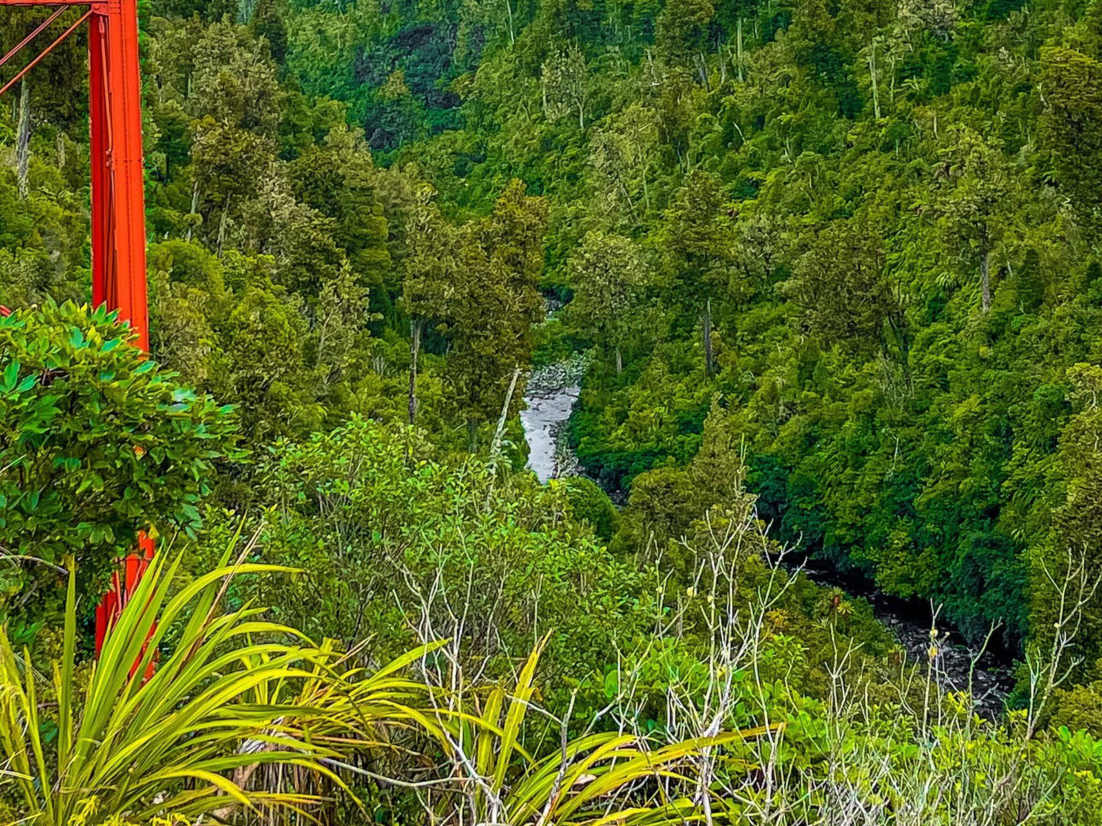
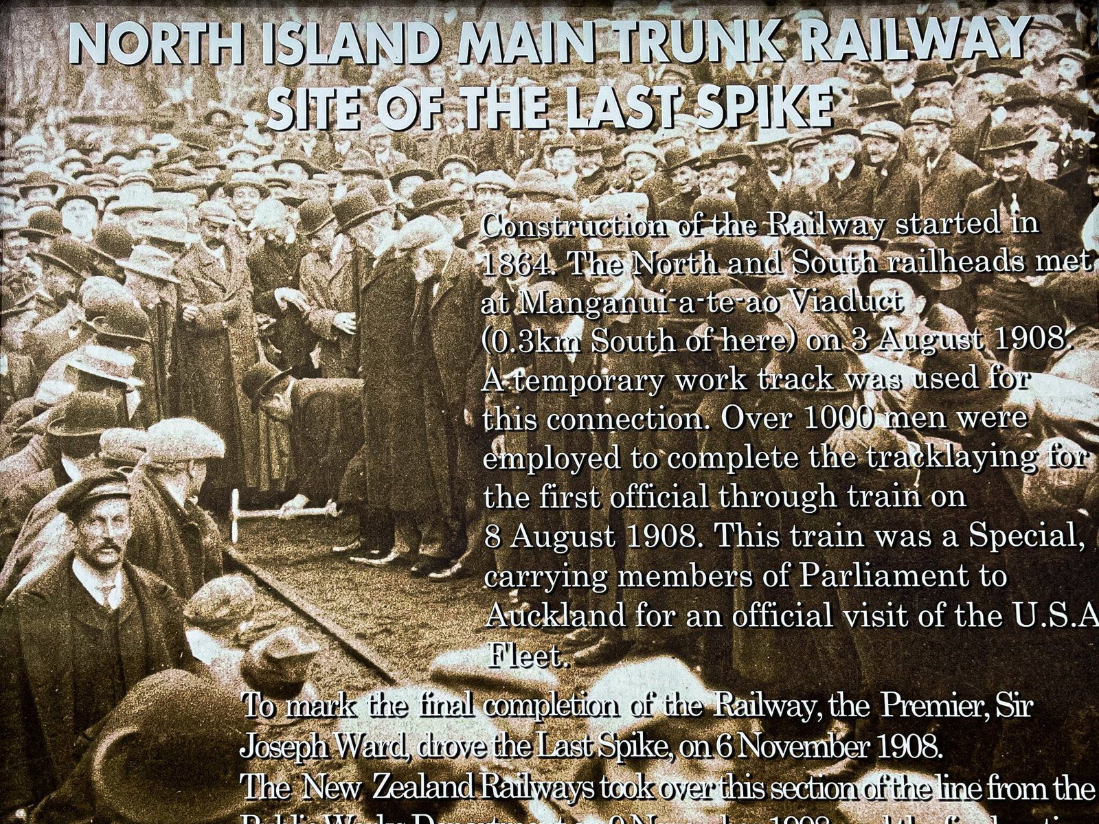
There are a couple of stopping points along the road connecting Ohakune and Whakapapa that record the construction of the final section of the North Island railway line connecting Auckland to Wellington. Construction on the line started in 1864 and was completed with the driving of the “final spike” in 1908. There is a rather dull monument to the final spike signposted along the way, but it does commemorate the construction of the North Island rail link which was a critical milestone in post-colonial development.
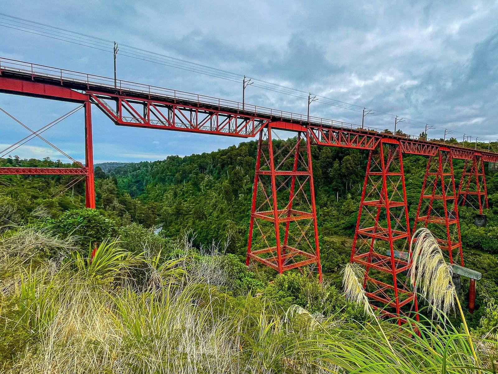
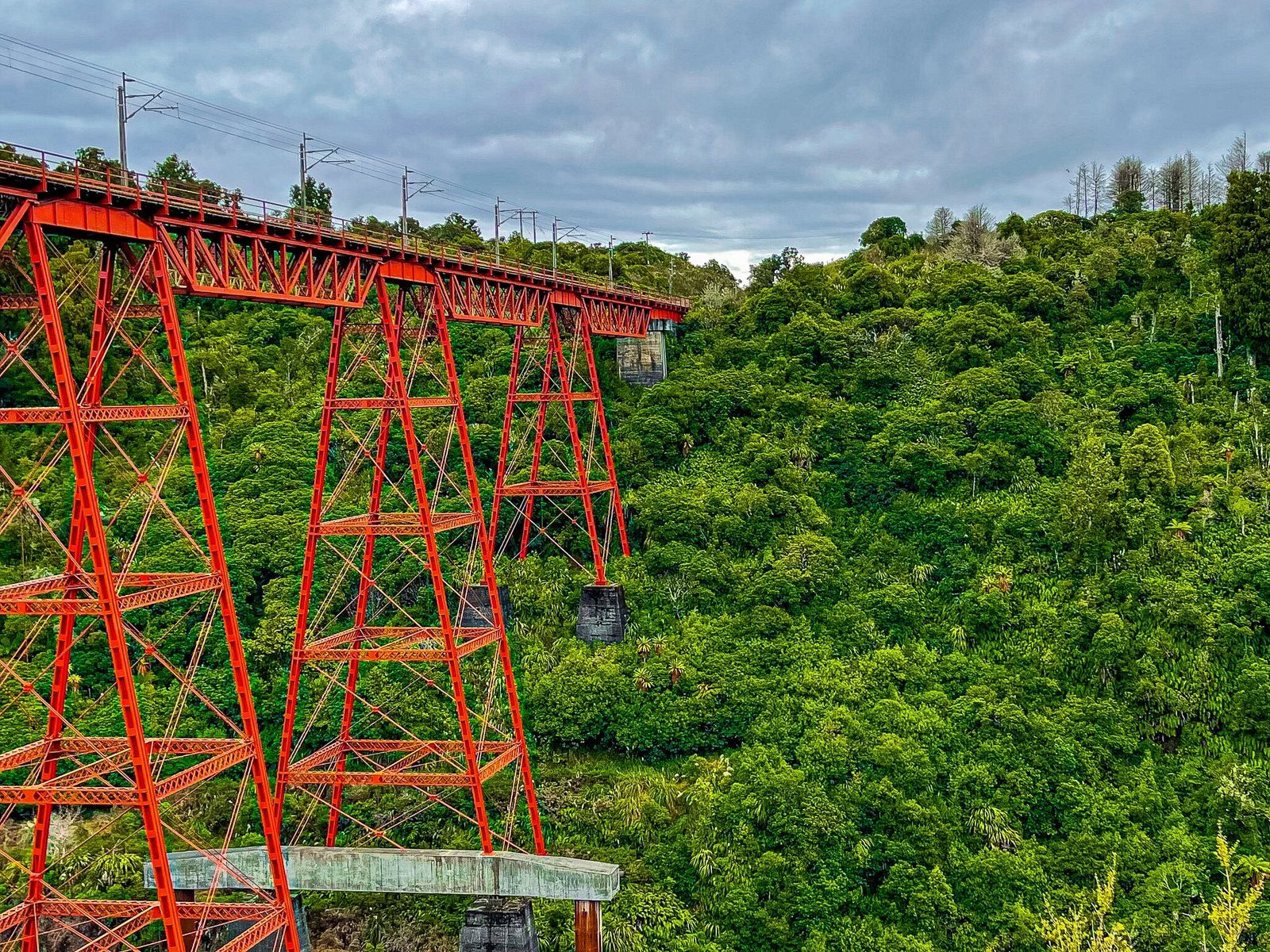
The Makatote Viaduct and viewpoint is a few minutes further along the road towards Whakapapa and quite a lot more interesting. The viaduct was the last significant construction event in the railway line, being built between 1905 and 1908. It is around 800 metres above sea level, 262 m long and 79 m high and one of 23 major viaducts and 26 bridges on the line. The development of the line is apparently a major historical engineering event and in 1997 the American Society of Civil Engineers awarded the line its 27th International Historic Civil Engineering Landmark Award. Other recipients include the Statue of Liberty, the Eiffel Tower and the Panama Canal!
Bruce Road
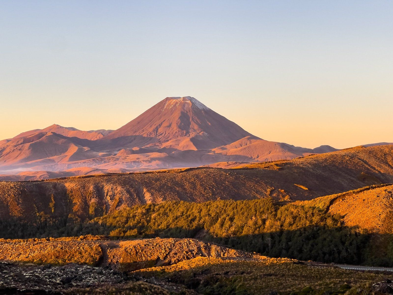
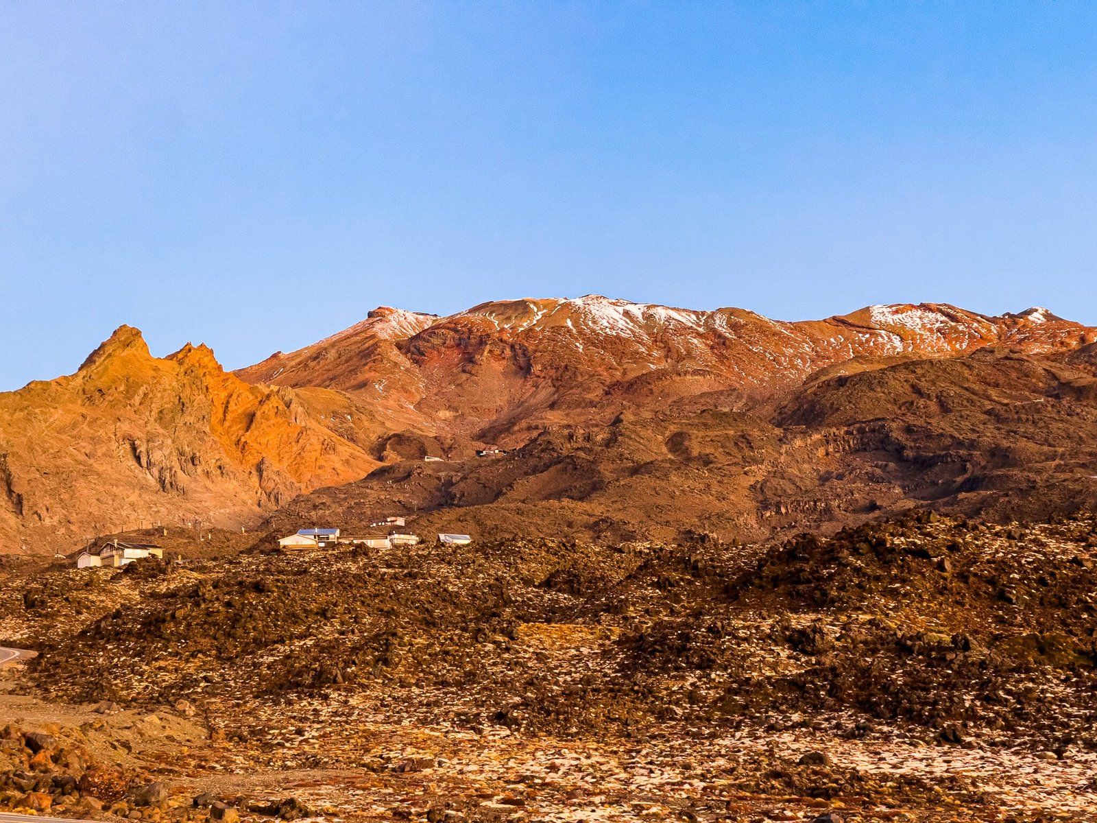
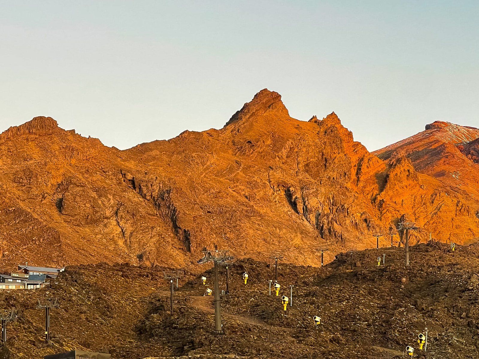
The Bruce Road provides access from the main road around the west side of National Park to the Whakapapa Ski Field on the northwest side of Ruapehu. It has the advantage of being shorter than Ohakune Mountain Road with generally much better views and more interesting and extreme volcanic rock formations.
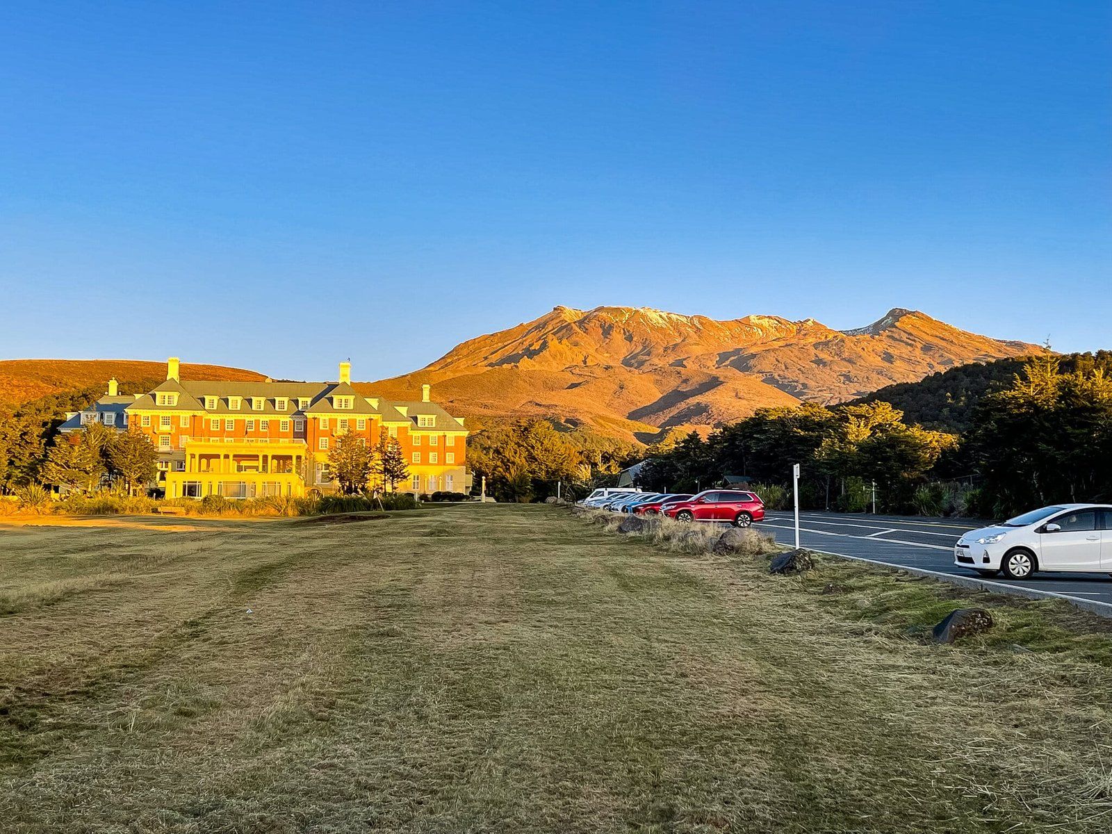
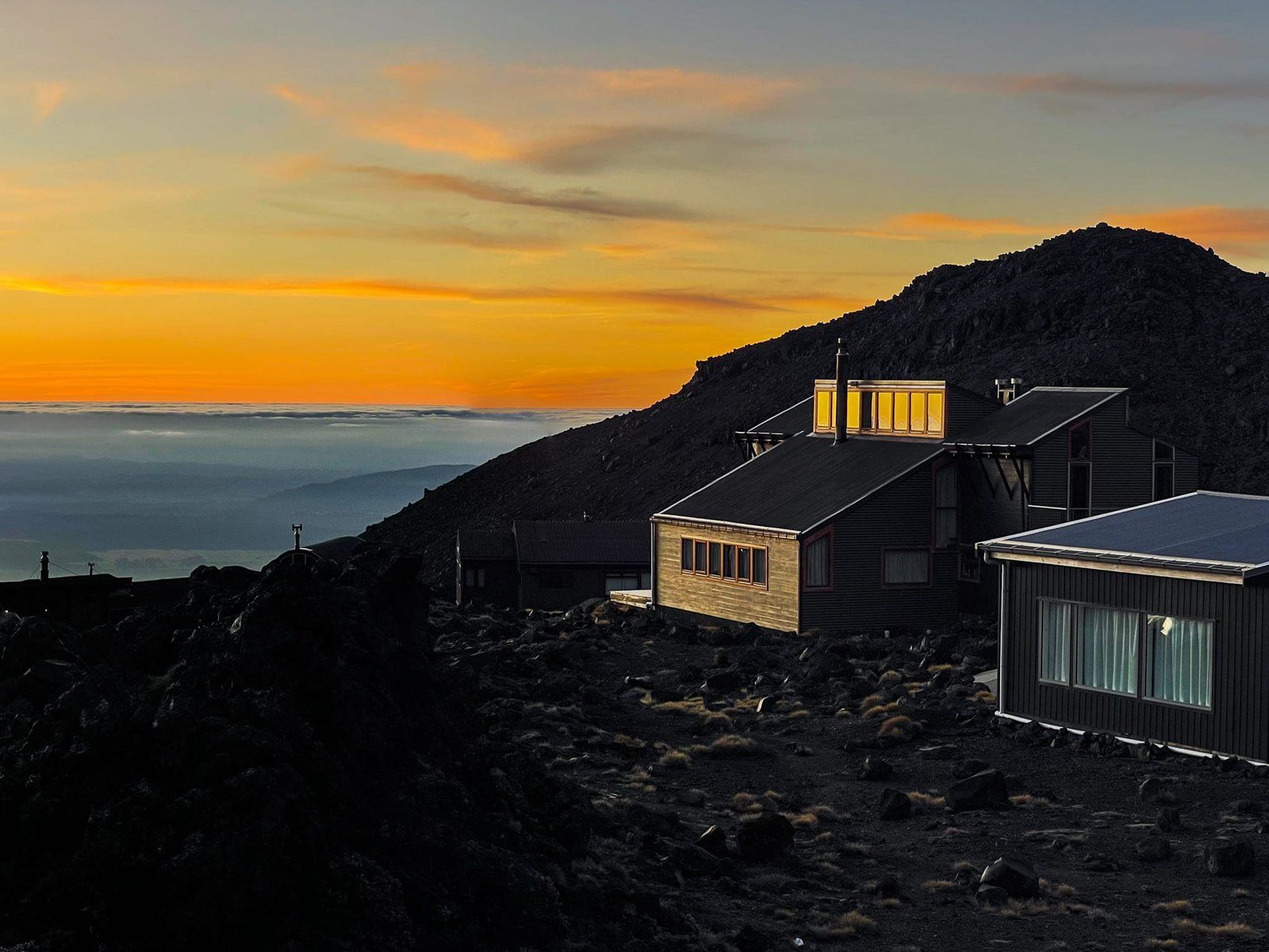
Lower down, the road is skirted by scrubby bush with some low forest, allowing superb views of Ruapehu and Tongariro/Ngauruhoe. At the base of the mountain in the Whakapapa Village is the Chateau Tongariro. This dates back to the 1920s. Along with construction of the road and the development of ski club buildings at the road end, it marked the appearance of skiing in National Park.
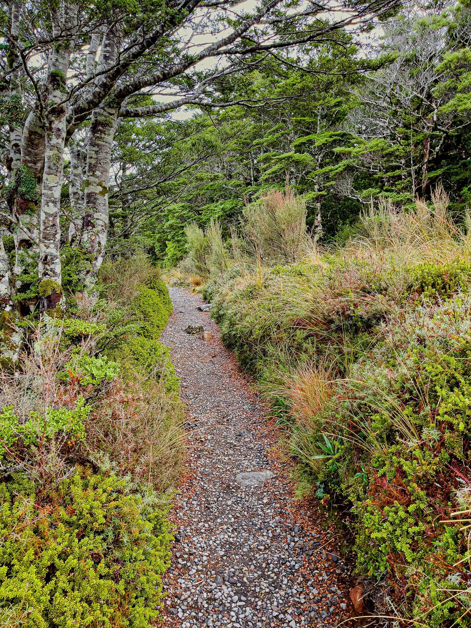
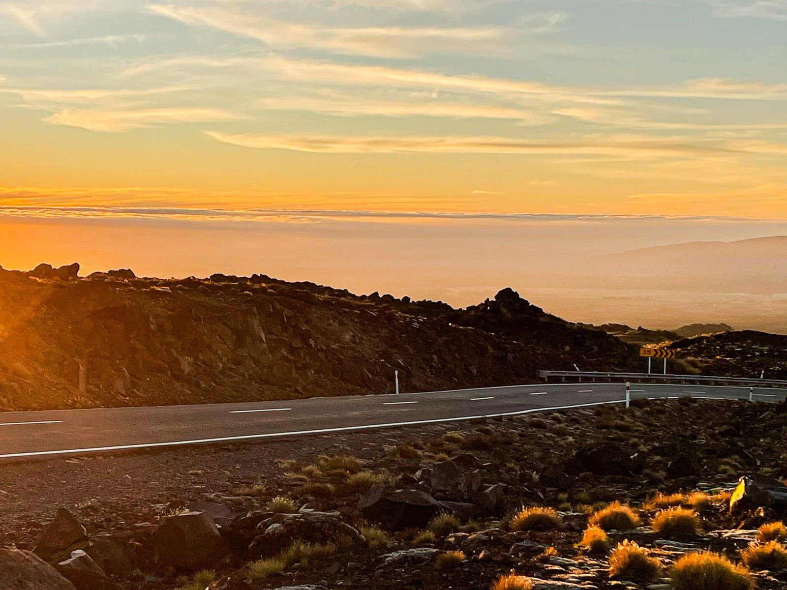
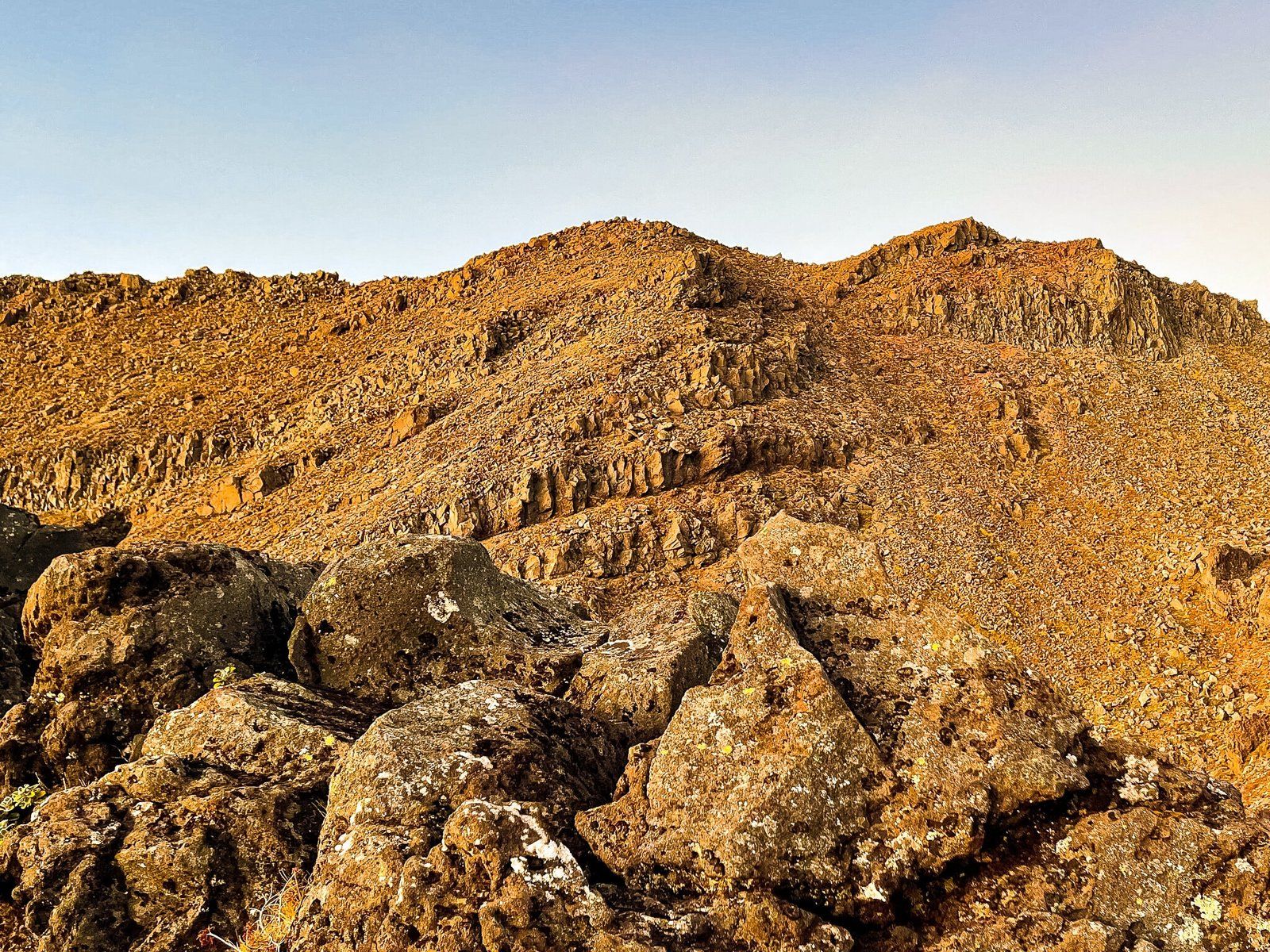
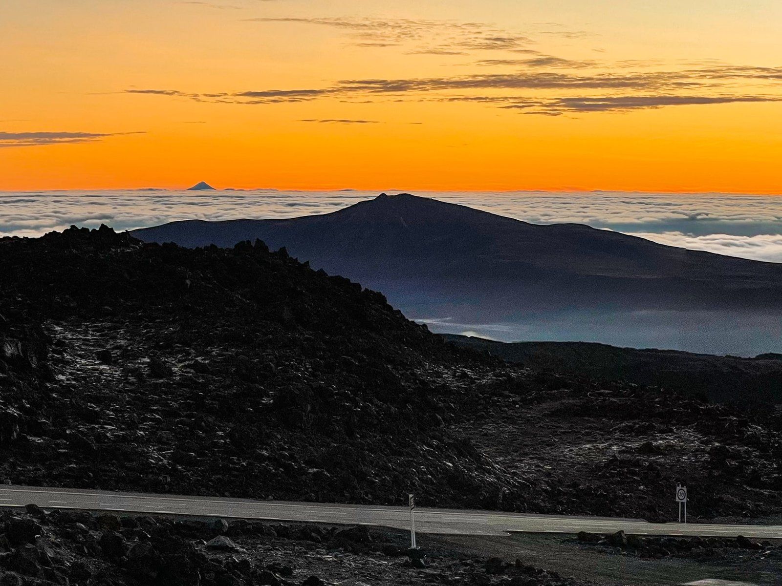
The road passes through a section of mountain forest but then quickly ascends above the tree line and up a long volcanic rock ridge to Iwikau Village at the base of the ski field. There are several safe stopping points that allow you to explore the ridge and take in the view. Try to be there during golden hour – the mountain face transitions through gold and reds, unless of course it is covered in snow!
There are several walks from the road, from a few minutes to a couple of hours, especially from Whakapapa Village. You can also access the multi-day Around the Mountain Track and the 3-day Tongariro Northern Circuit, one of the NZ Great Walks.
Tawhai Falls Walk
Tawhai Falls is one of several walks from the Bruce Road. There is a modest parking area about 2.5 kms up the road, heading towards the Chateau. From there follow the mostly flat track through mountain forest and shrubs for about 10 minutes to some stairs down to the stream. There is a view of the 13 metre falls from this point, but you can quite easily walk over the rocks back upstream to the pool below the falls.
Immediately before the stairs, there is also a short side track to a cliff edge above the falls and stream.
Tongariro Crossing
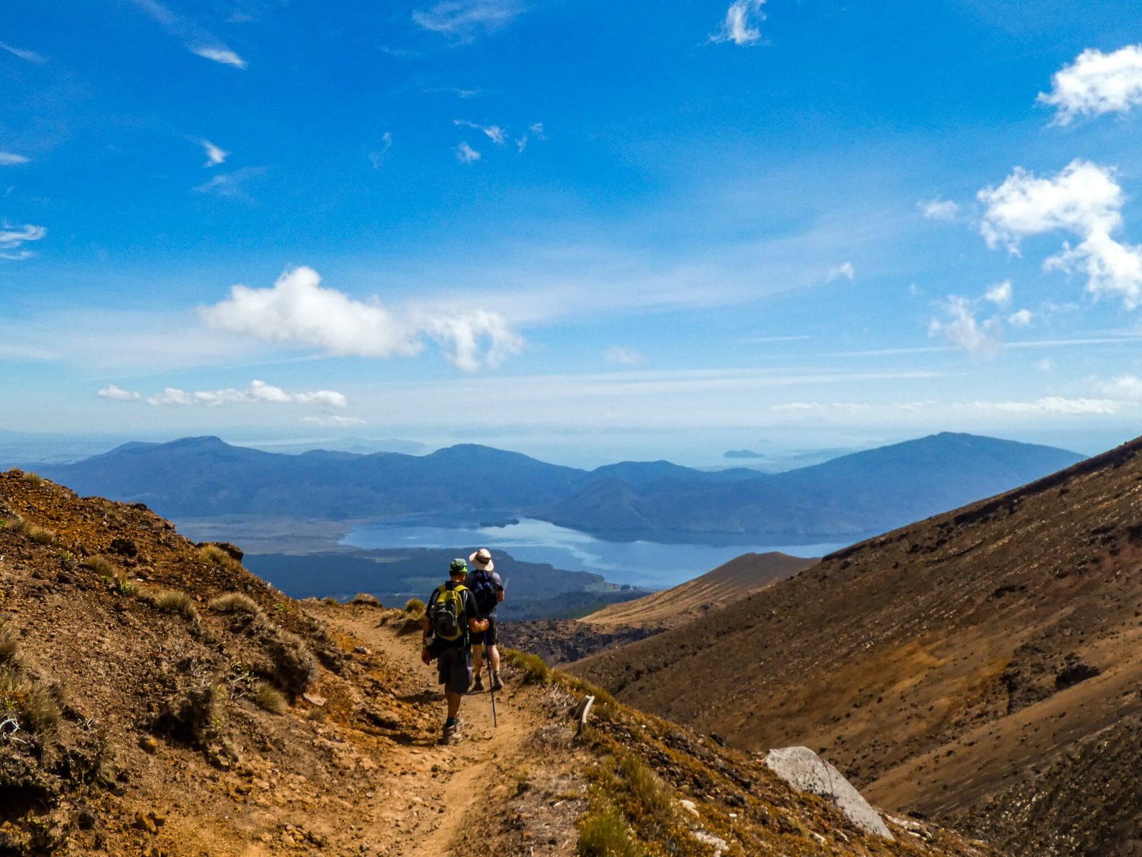
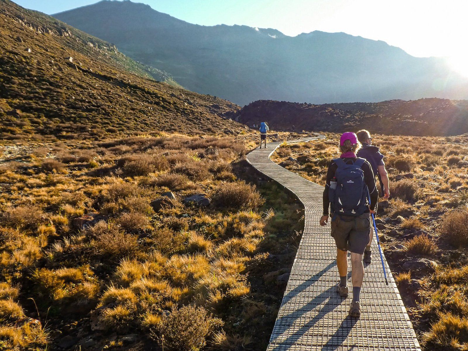
Tongariro Crossing has become one of the premier bucket list things to do for visitors to NZ, and for many locals. No doubt, being described as “one of the best mountain day walks in the world” has helped. Be warned, the walk was attracting around 120,000 people a year pre-covid, with a matching requirement for car park facilities and bus links at either end. On a nice summer’s day, you’ll probably be out there with 1,000s of others, at least once tourists start coming back.
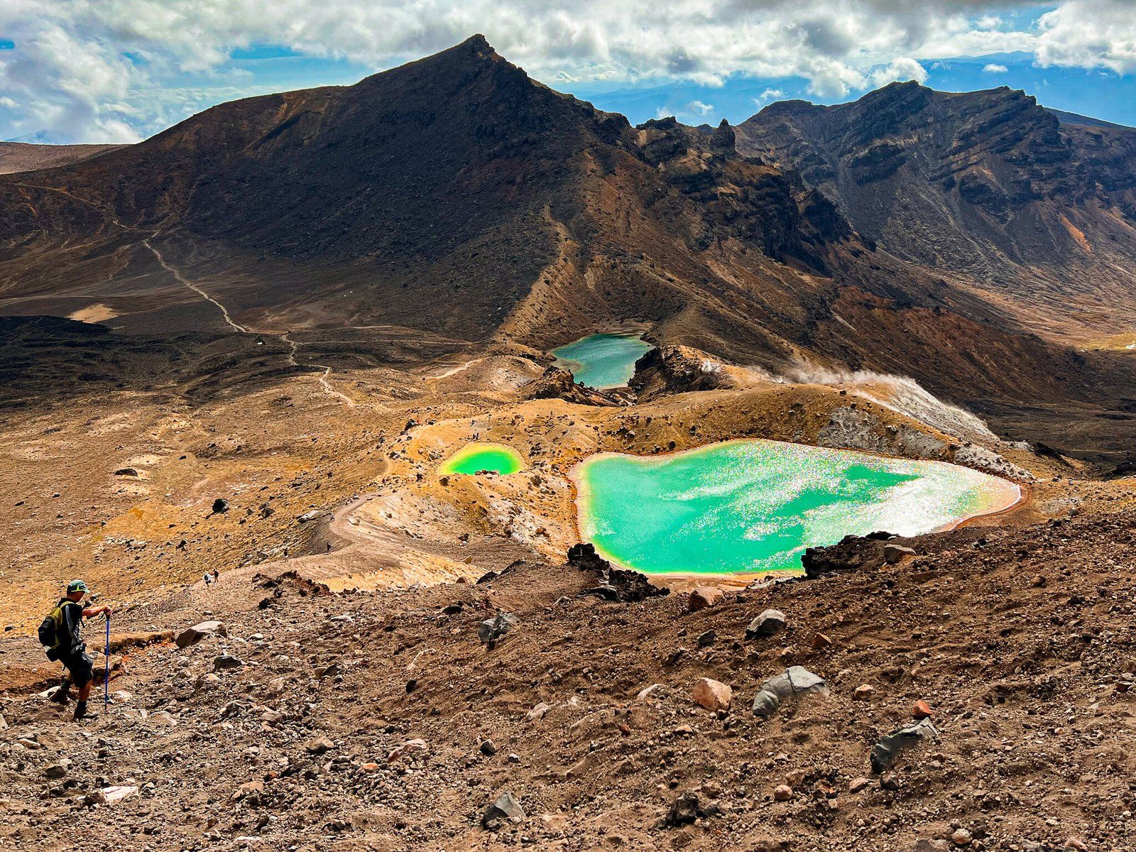
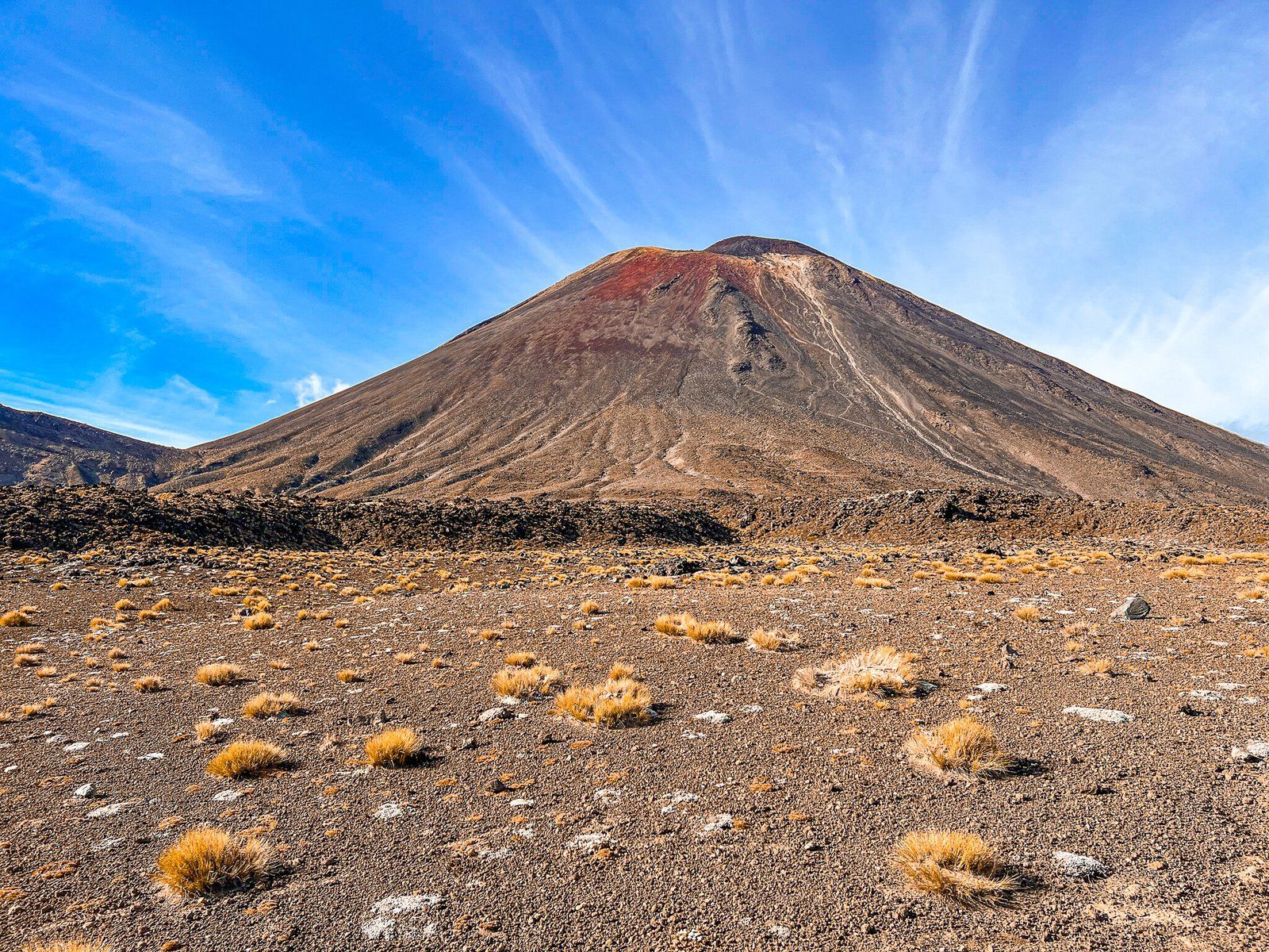
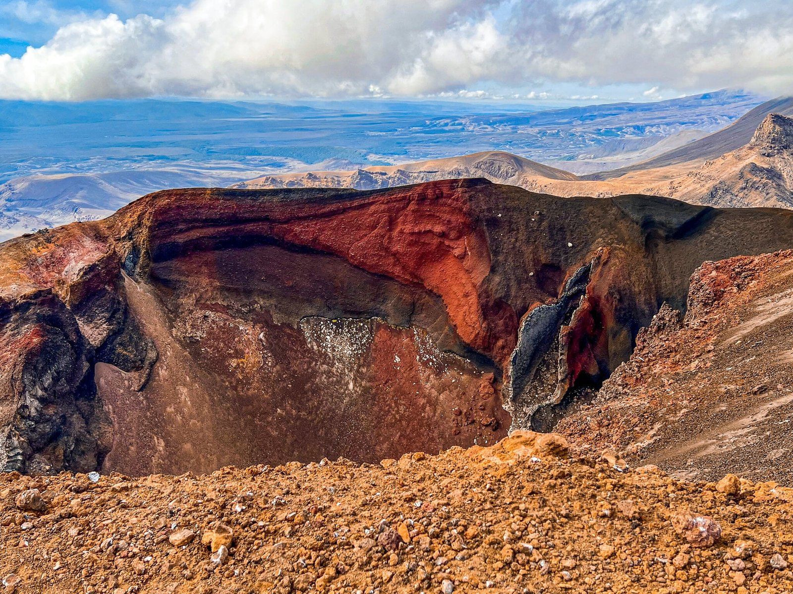
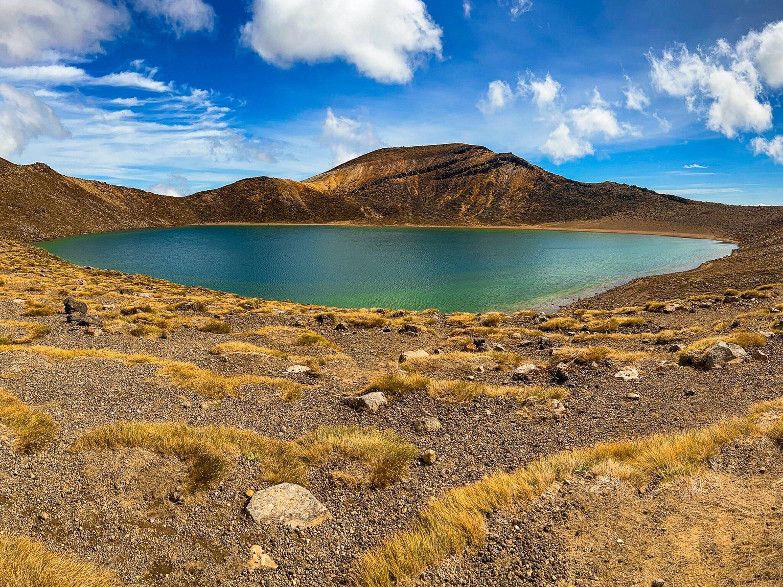
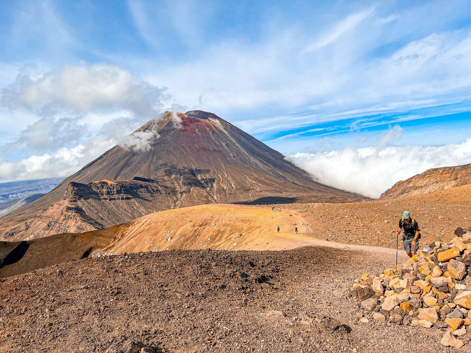
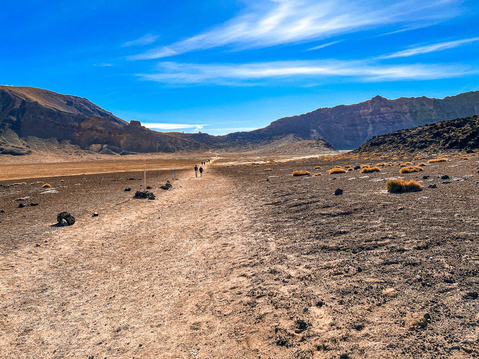
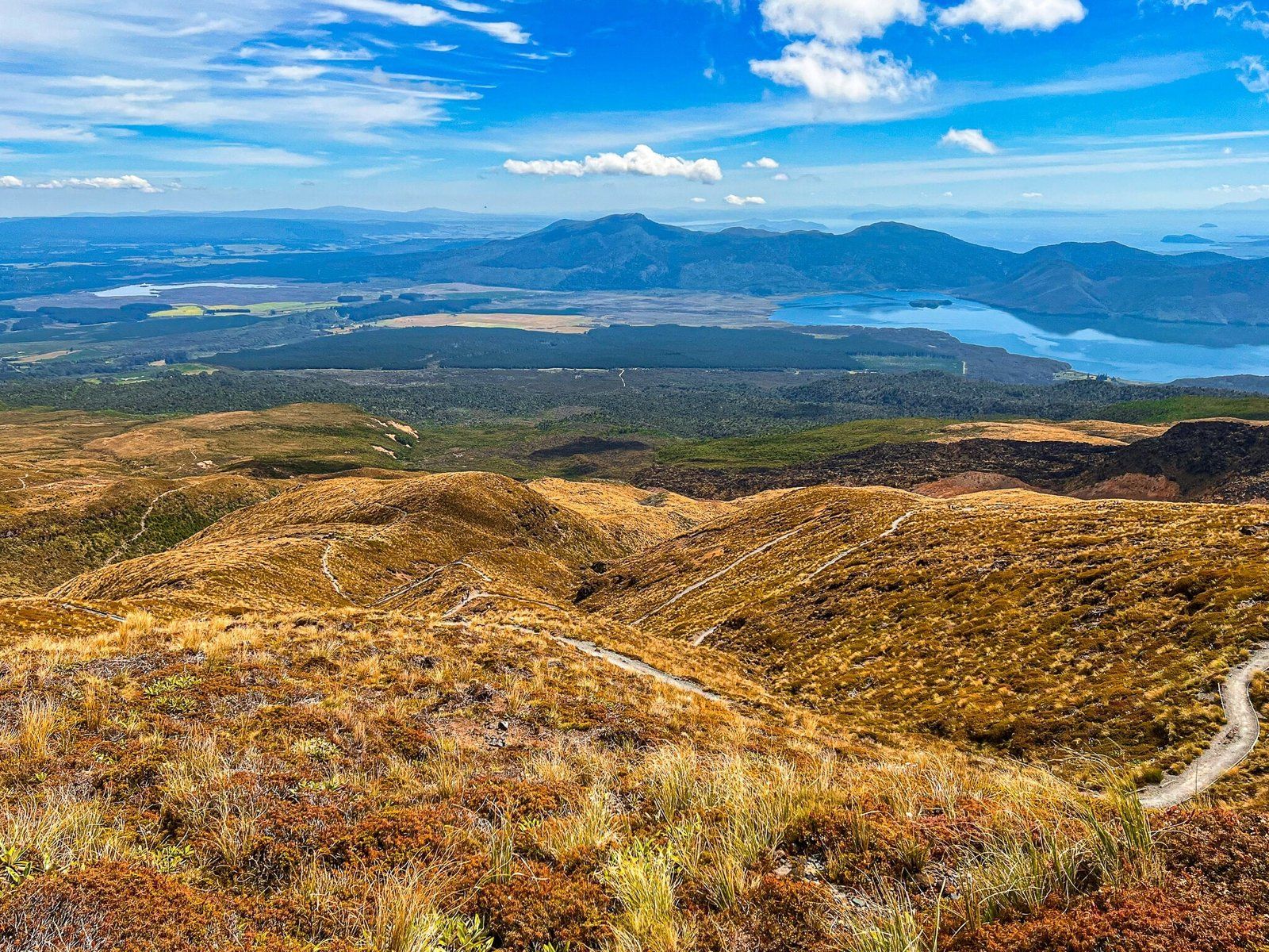
The walk itself is 19.4 kms and takes about 7 hours, starting from the end of Mangatepopo Road, accessed from State Highway 47, to the north of the Bruce Road, and ending at Ketetahi Road end. You need a car at either end, or to get a bus back to the start. The track starts at just over 1,100 metres, above the treeline, then it’s a modest climb for 5 kms to Soda Springs, then a sharp 300 metre climb onto Tongariro’s South Crater, with Ngauruhoe towering to your right. You cross flat South Crater then take another sharp hike up to the rim of South Crater and then on to the summit of Tongariro at 1,960 metres. You will (hopefully) have exceptional views over the other two craters – North and Central, the Emerald Lakes and the Blue Lake, as well as Ngauruhoe. From the rim it is almost all downhill – 1,200 metres of vertical to be exact – to the Ketetahi Road end. Walk down past the Red Crater and Emerald Lakes and then across Central Crater. From there, it is still over 7kms back to the bus. . . At the bottom there is a stretch of forest as a break from the exposed volcanic rock and scree experience.
The main walking season runs from November to May. Outside of this period, the risk goes up with a high probability of snow or ice. It is still doable, but you should take advice and arrange for a guide. Regardless when you do it, take the risks seriously. This is an exposed high mountain environment and the weather can change dramatically. Don’t try it in jandals (yes, it happens) and be prepared with clothing, food and water.
Thanks very much to the Soulsby Family for the pics, and who assure me it was one of their best walks ever!
Want more Trip Ideas?
Check out our blogs on the National Park to Kuratau roadtrip, Mountains to Sea cycle trip, and Whanganui, Part 1.