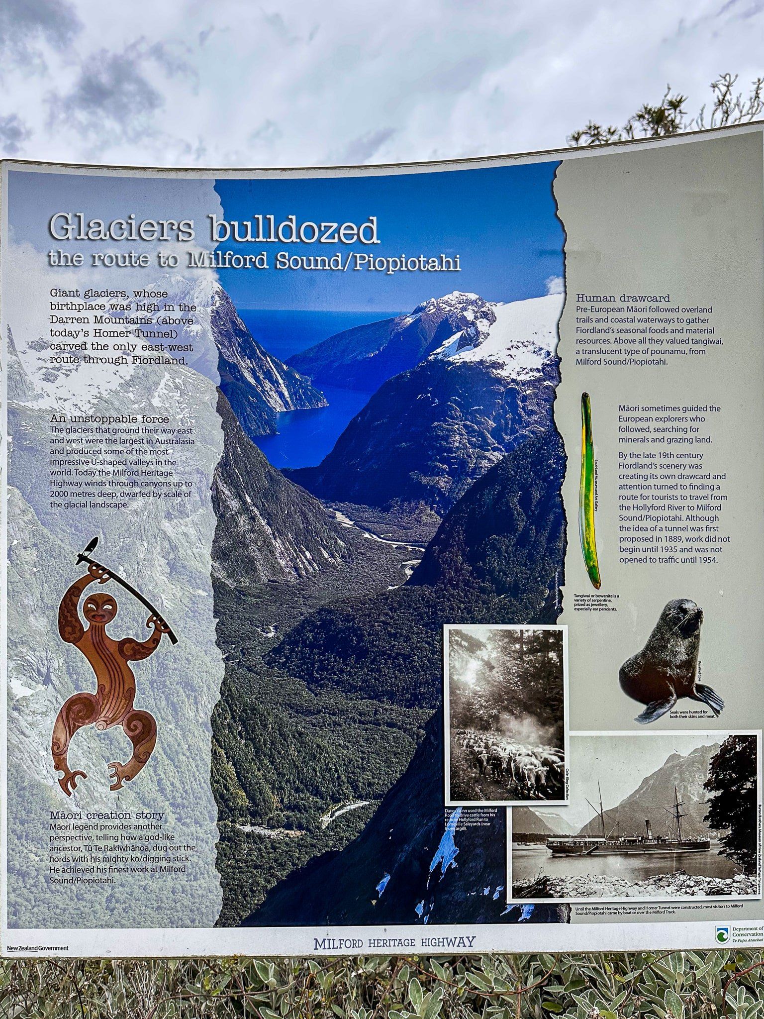
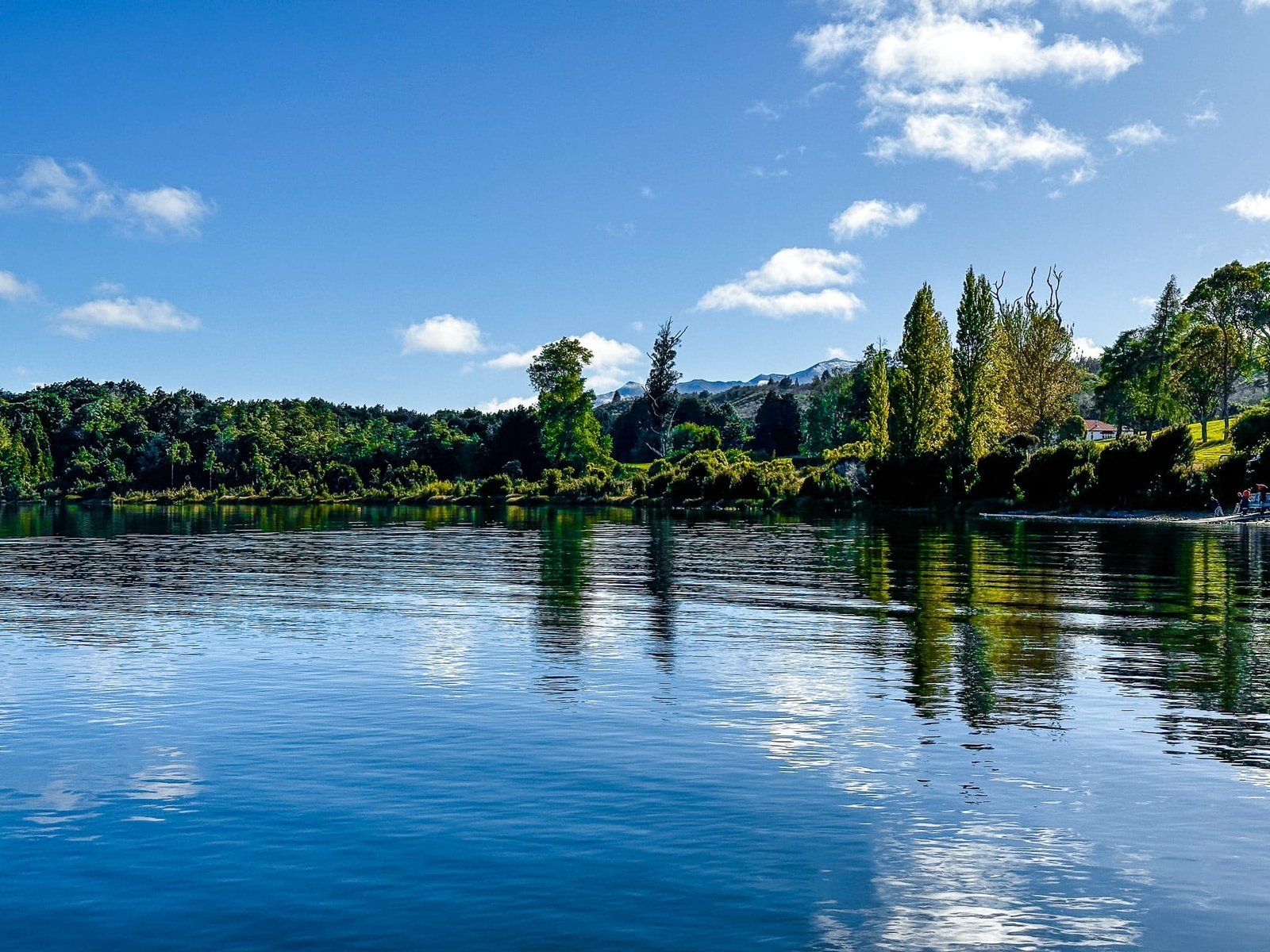
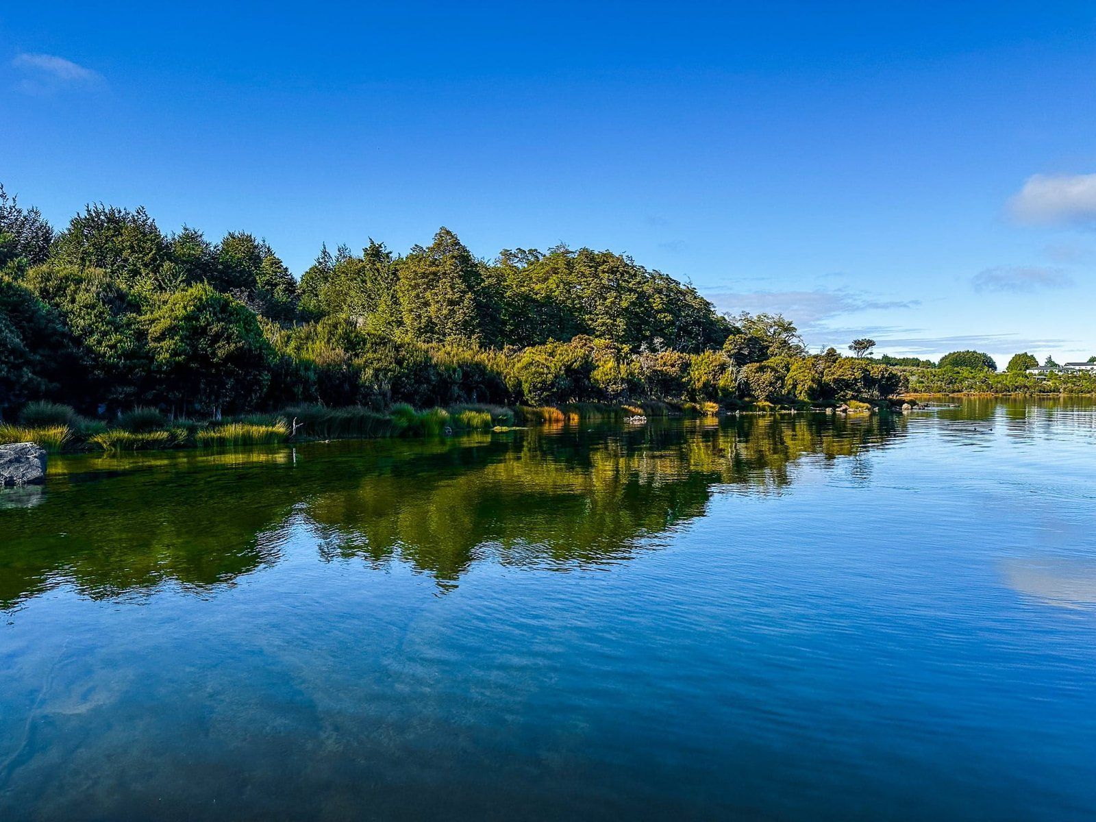
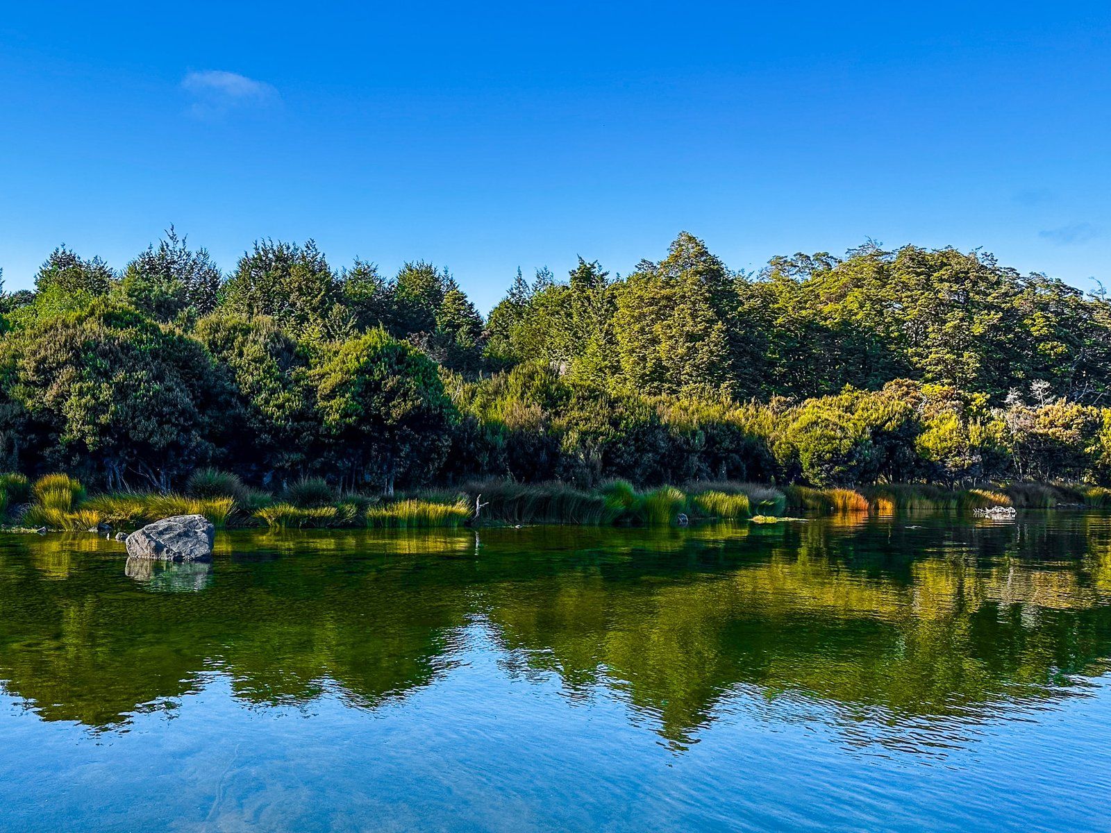
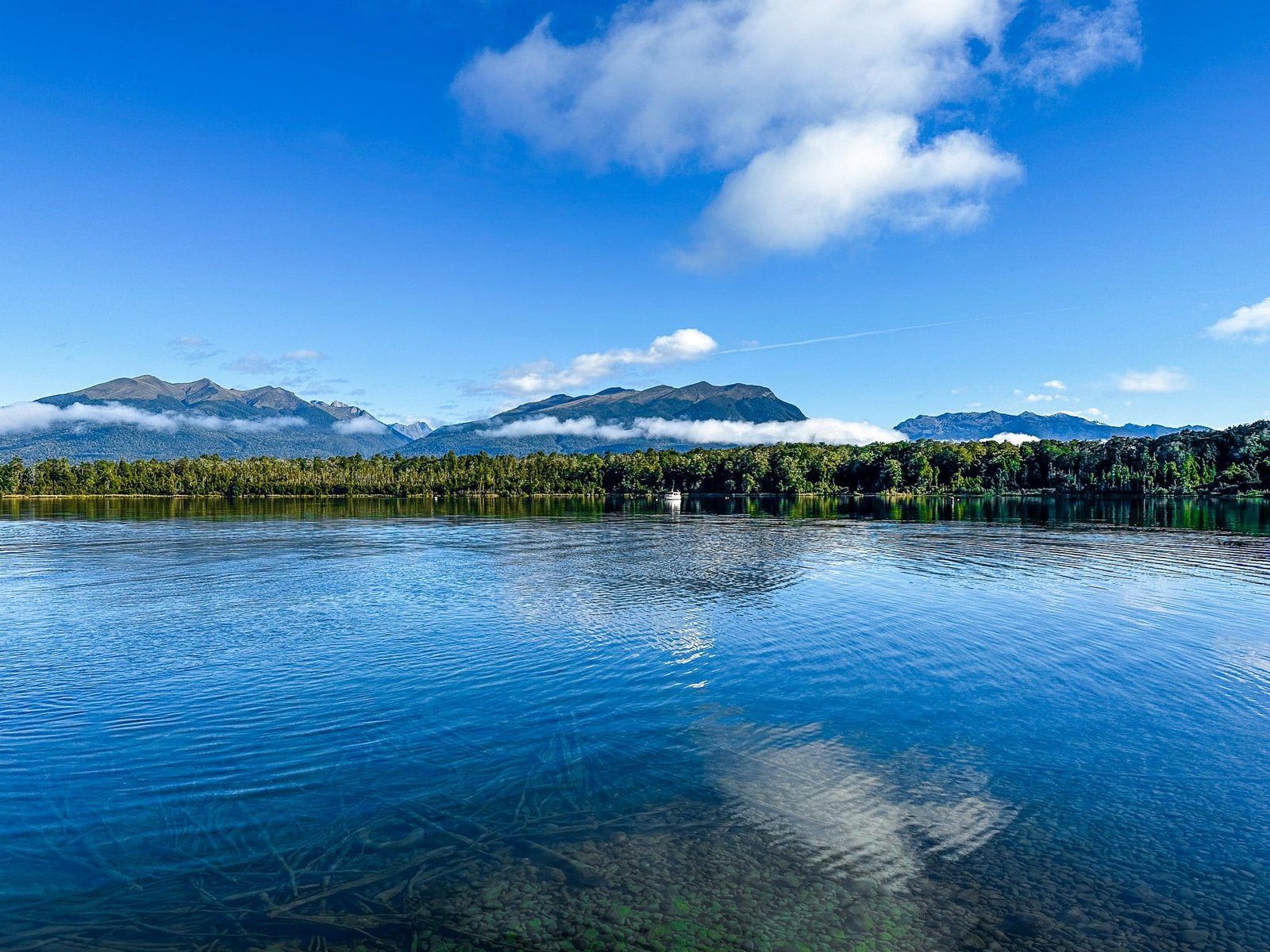
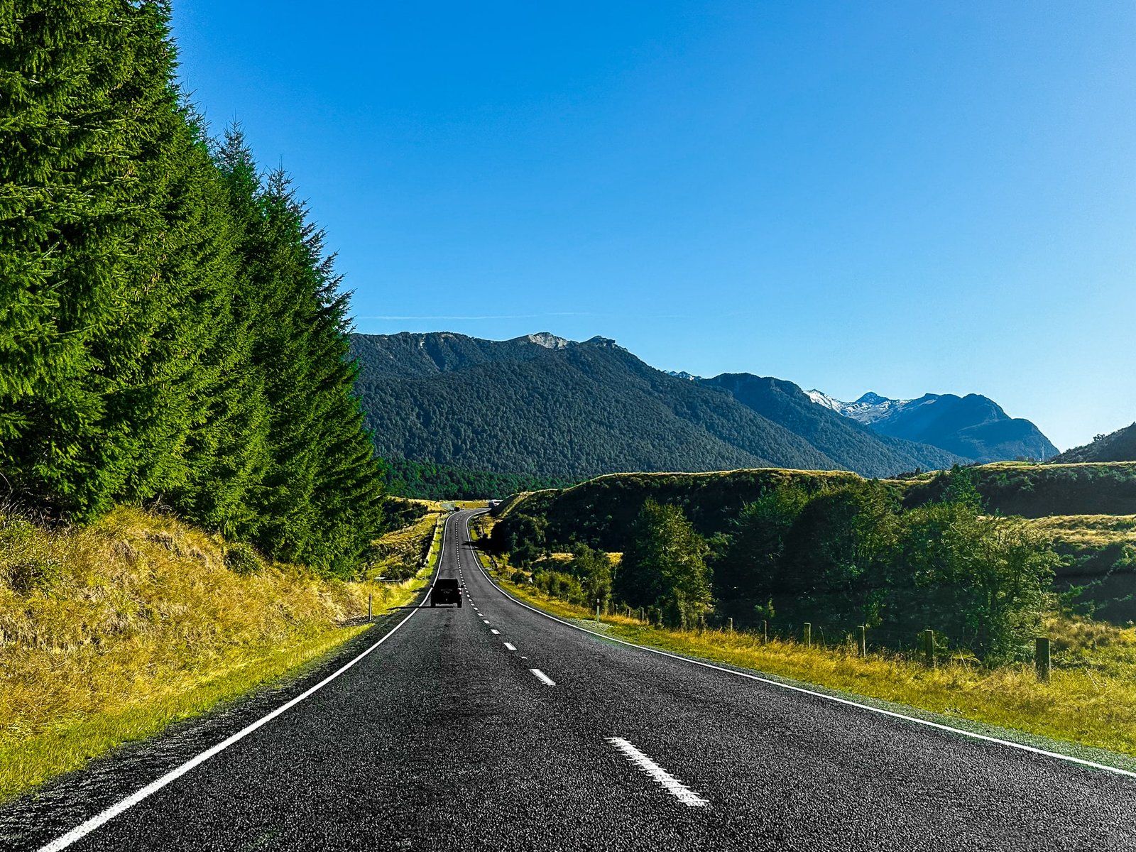
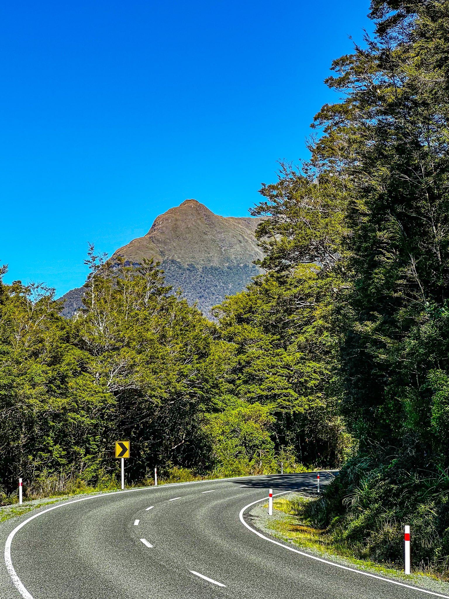
Milford Sound has long been one of the premier tourist destinations in Aotearoa New Zealand. The downside is the 3 hour 40 minute 289 kms drive from Queenstown, via Te Anau, to the Sound on the Southern Scenic Route and Milford Road. Many people do this as a bus tour, with an 8 hour return, plus 2 hours on a boat at Milford. Other visitors are focussed on the Great Walks accessible via Te Anau – Milford Track, Kepler Track and the Routeburn.
But there is more on offer from a stay in Te Anau and a more exploratory approach to the Milford Road. In this blog we cover activities around Te Anau itself and a drive up the Milford Road as far as The Divide. Taking your time allows you to do some lesser-known short walks and to take in several great viewpoints. Try to do this short trip when the weather is fine and still, which may be a challenge!
We will cover from the Divide to Milford Sound in a later blog.
From Te Anau you can also head south on the Southern Scenic Route to explore the Fiordland tracks around Manapouri, Monowai, Borland, and even remote Lake Hauroko.
Te Anau
Te Anau is the most southerly of the South Island lake towns. It long felt like a poor cousin, despite it being the gateway to Milford Sound, and three Great Walks in Fiordland National Park – the Kepler Track, Milford Track and Routeburn, plus several other lesser-known hiking and tramping options,
But over the last few years, Te Anau has developed a more substantive personality of its own, with an attractive redesign of the town centre, a shared footpath and cycleway along the lakefront, and various tourism services that will take you to a range of different walking and cycling options around Fiordland and Southland. The rather obscure Ivon Wilson Recreation Reserve is a nice surprise – most towns in NZ would rave about such a beautiful and well established park.
The buses to Milford still arrive en masse around 8 in the morning, so go a bit earlier or later to a cafe and time your own drive on the Milford Road. In any event, the town now has plenty to do to justify a stay in its own right.
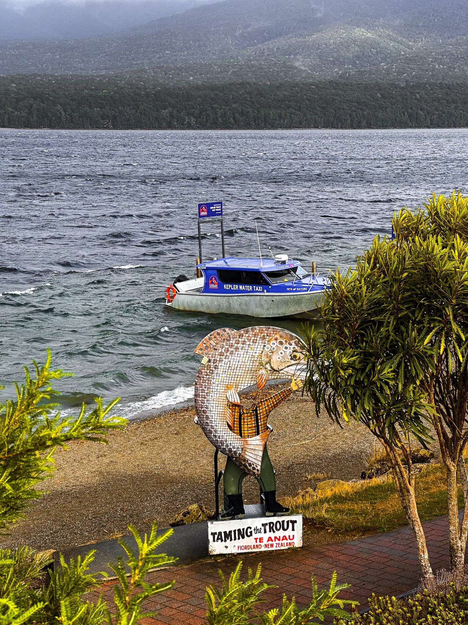
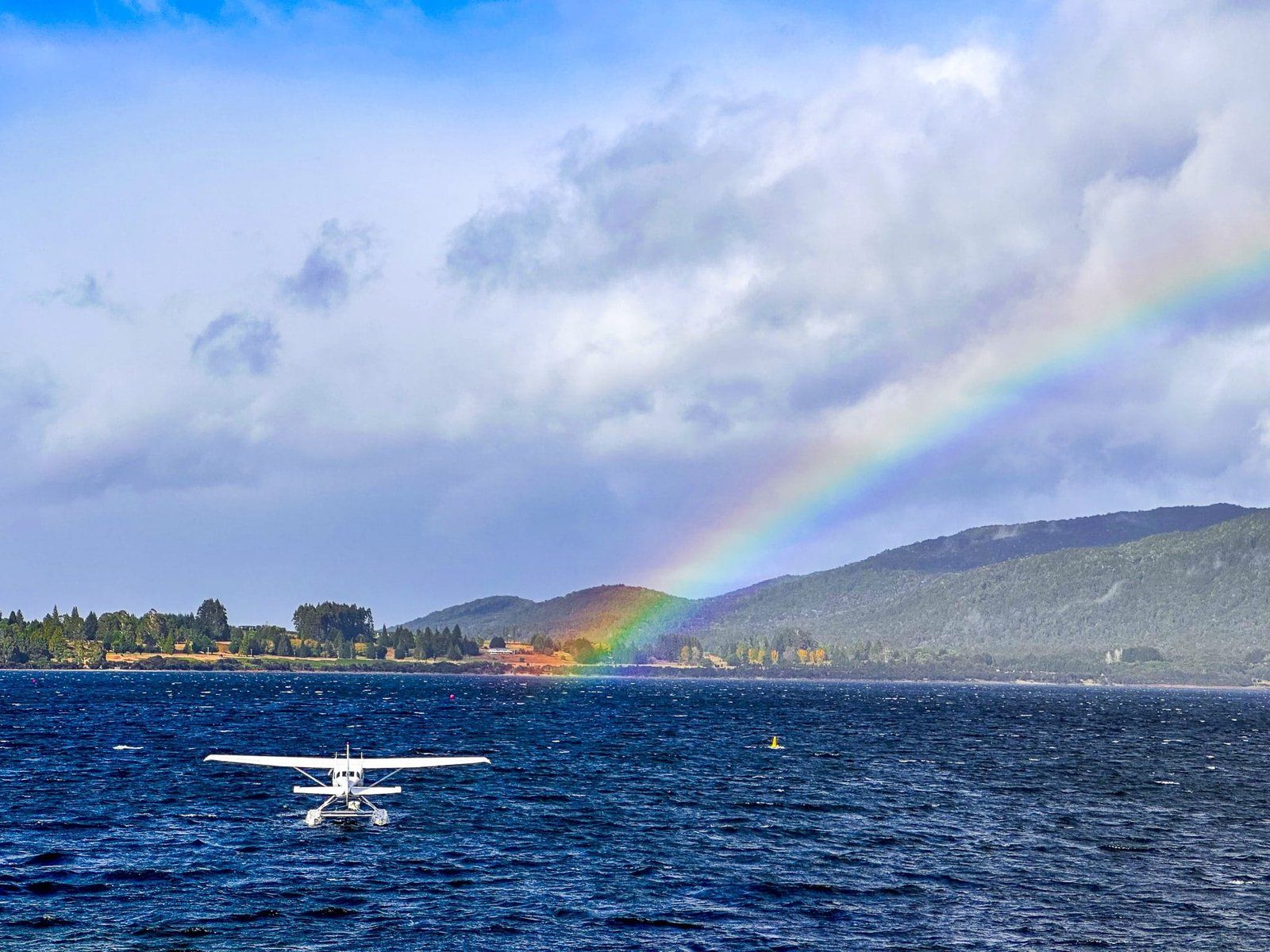
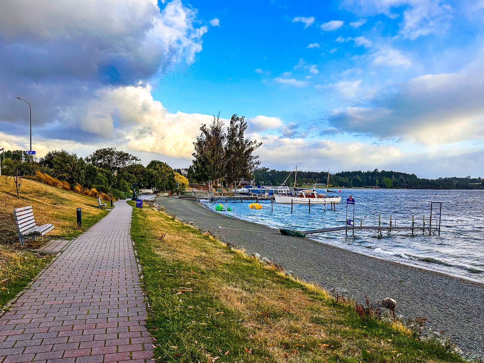
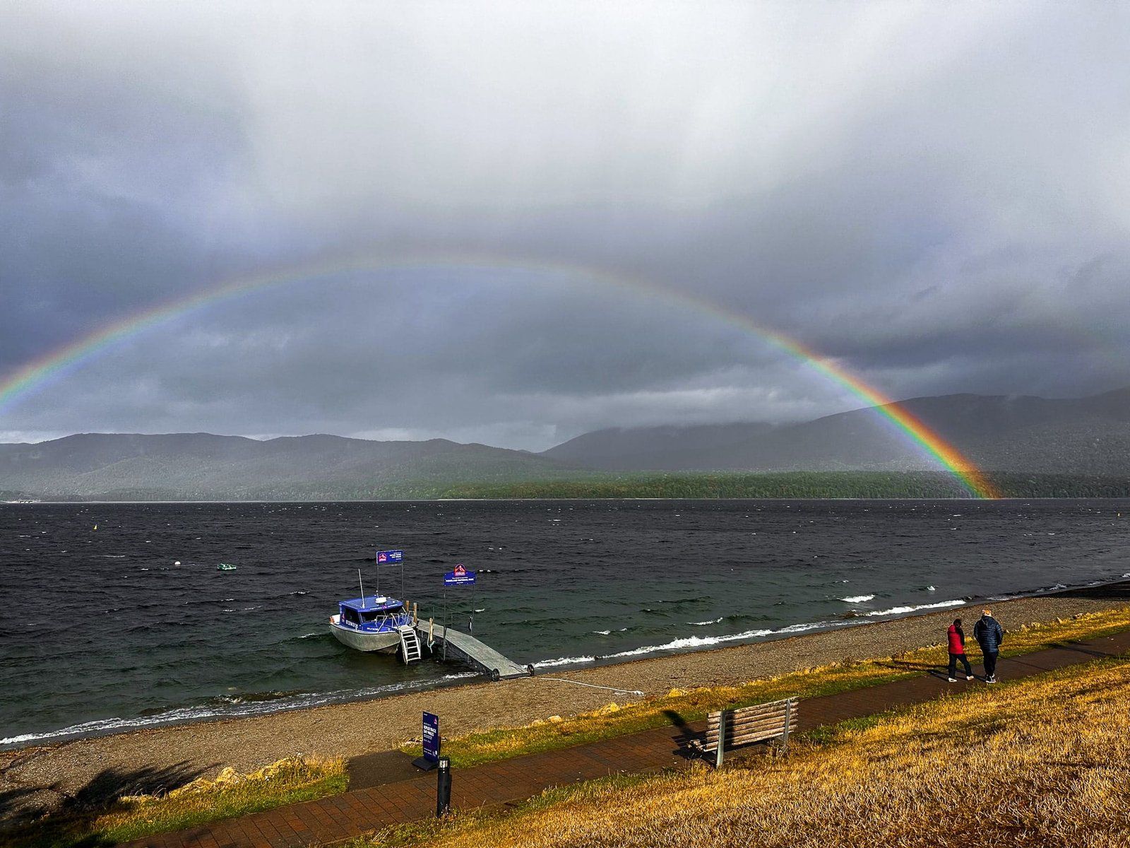
Te Anau Lakefront
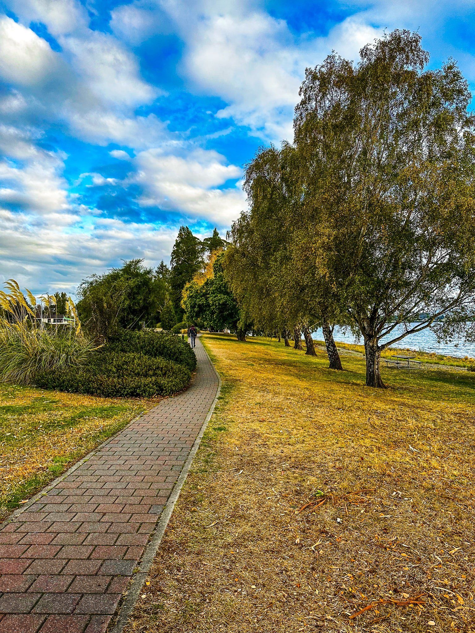
You can walk and cycle along the Te Anau lakefront from the Upukerora River mouth to the Waiau River lake outlet just north of town. This is the start of the Kepler Track, one of NZ’s Great Walks. For cyclists, the track joins with the Lake2Lake Trail, which connects Te Anau to Manapouri.
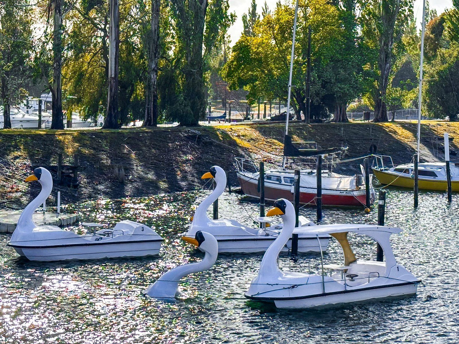
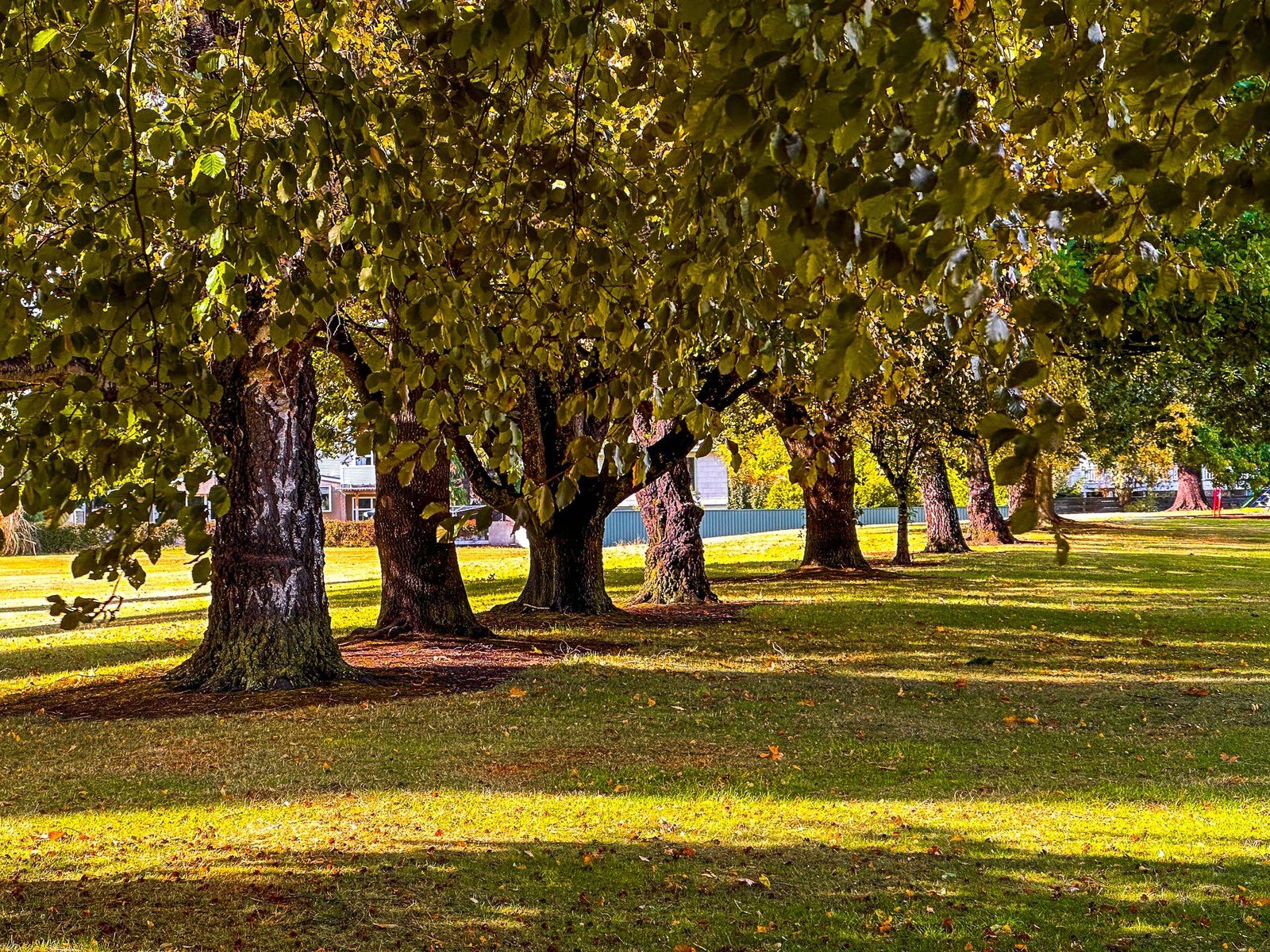
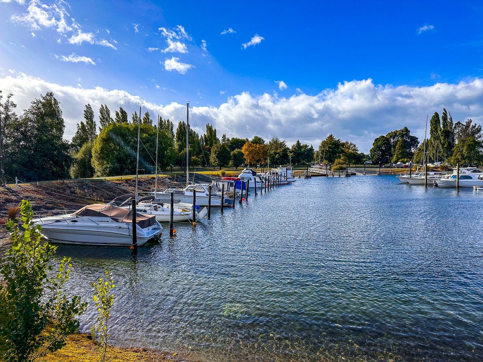
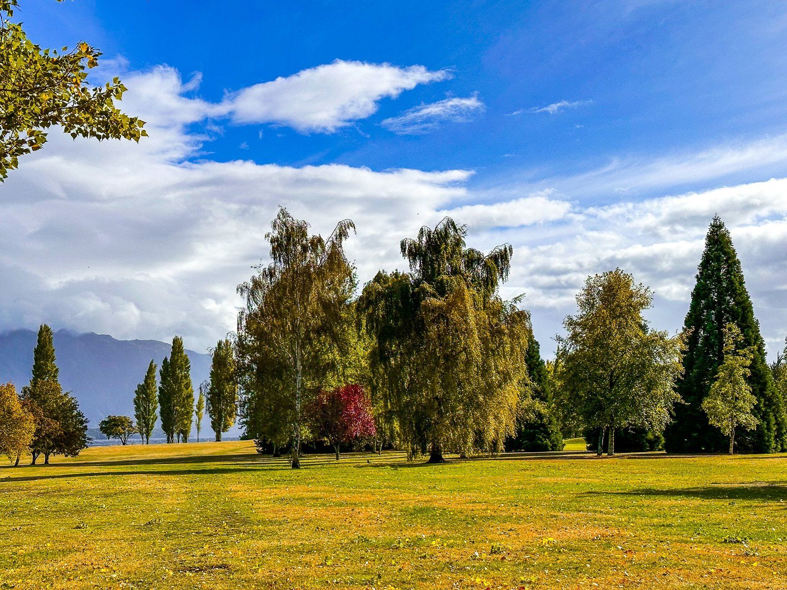
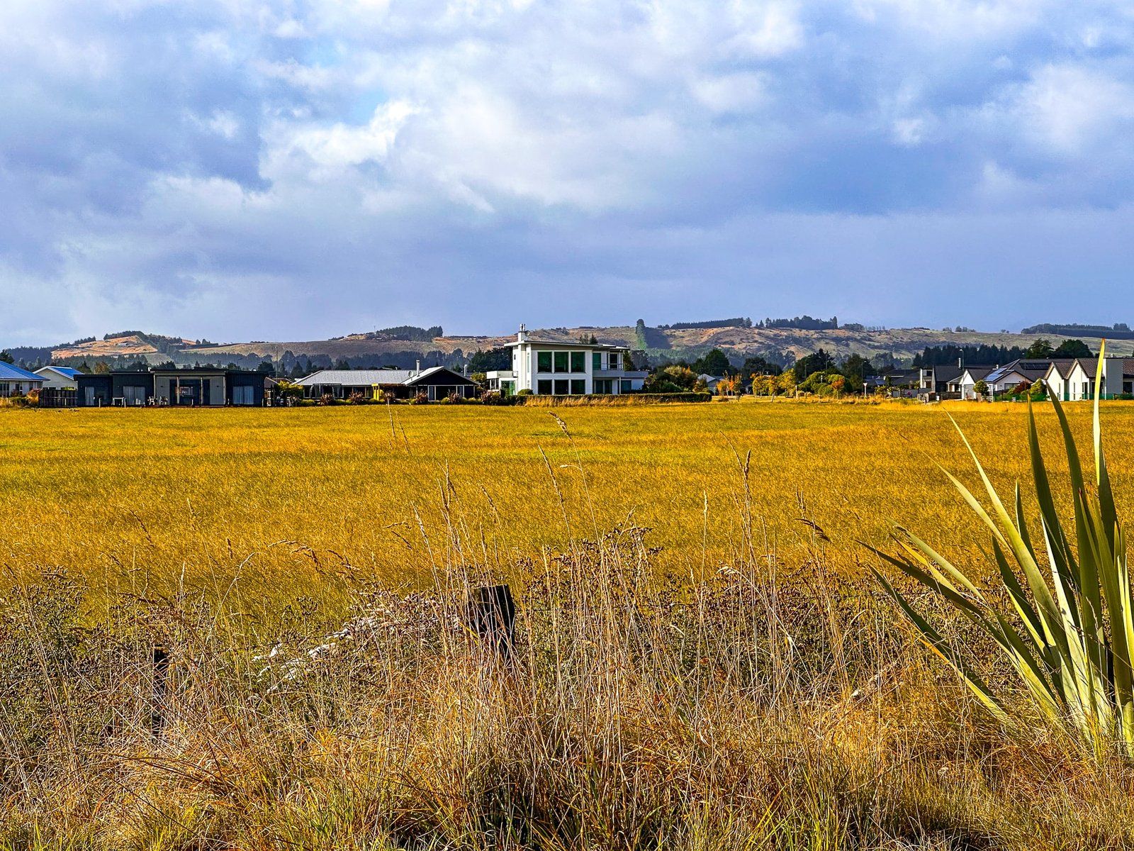
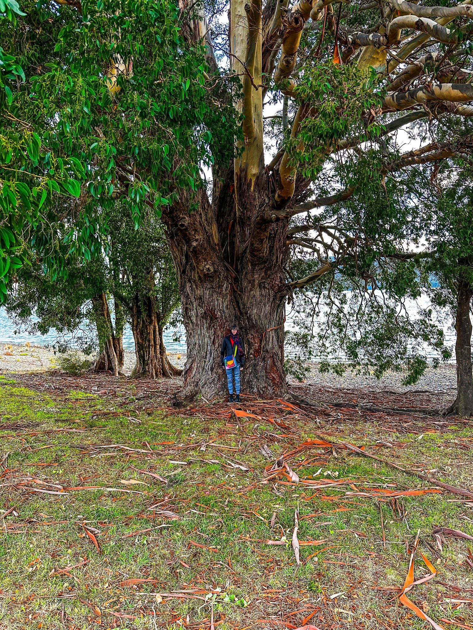
Starting from the north, the track provides views across the lake and of a developing suburb of Te Anau. As you continue south, you pass a marina (note the whacky swan boats, one of which was half drowned!). There is an adjacent park and reserve with mature exotic trees. Continuing on, the track changes from a metal road to Te Anau Terrace for cyclists and the Te Anau Waterfront Walkway for walkers. This takes you past the town centre and the various waterfront tourism service providers, with continuing great views across the lake.
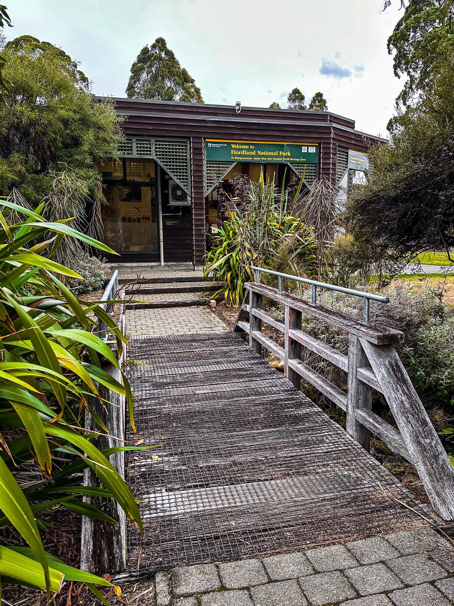
At the south end of the town the track becomes shared again. You will pass the excellent DOC Fiordland National Park Visitor Centre and then the Marakura Wharf (popular with photographers). The Punanga Manu o Te Anau / Te Anau Bird Sanctuary and the chance to see tākahe is next. You can also walk through the sanctuary and across the main road to the Ivon Wilson Recreation Reserve and Lake Henry, or continue around the lake to the Lake2 Lake and Kepler tracks.
Ivon Wilson Reserve
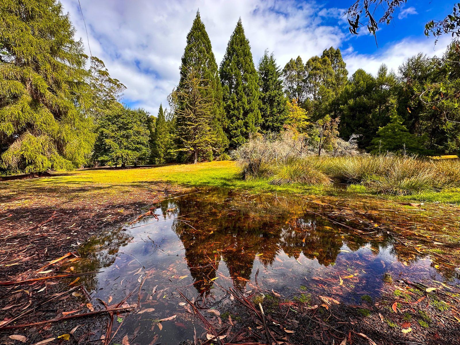
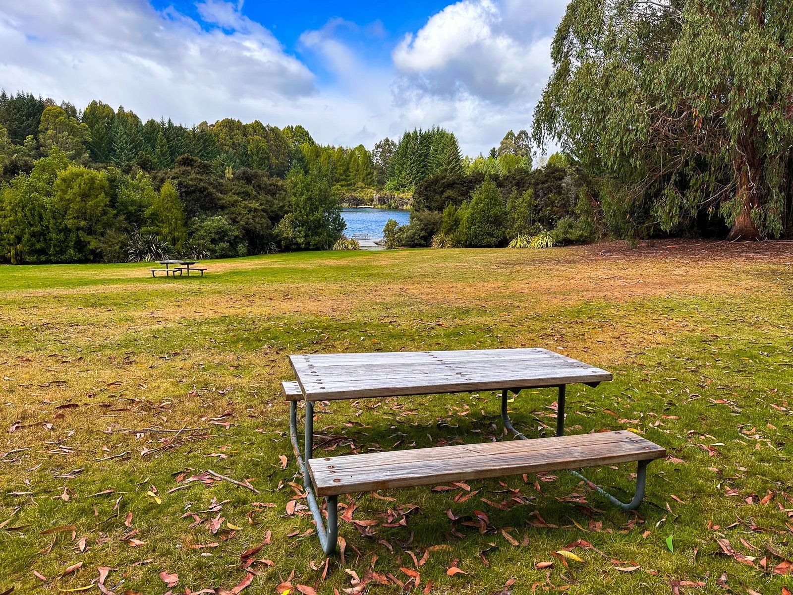
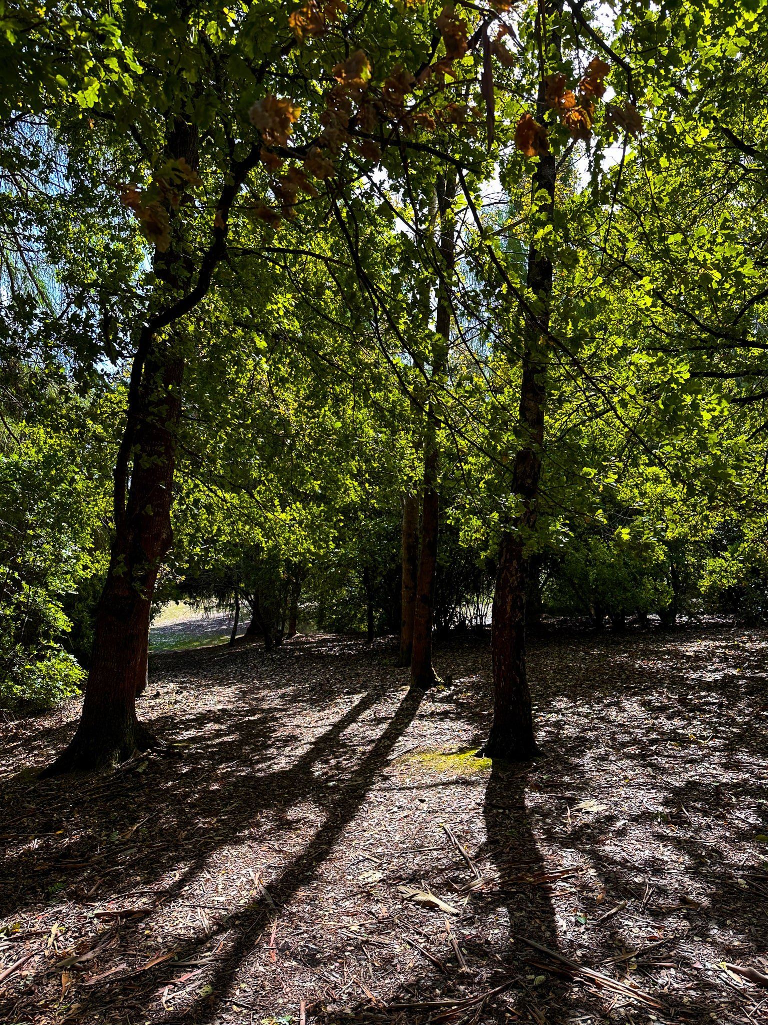
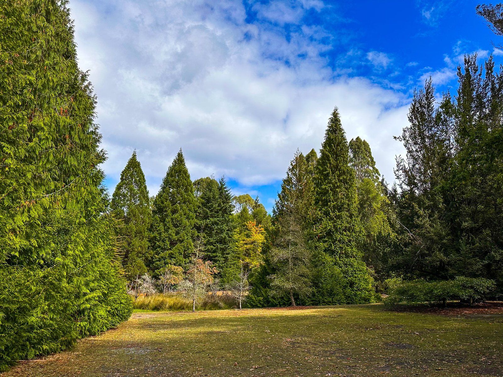
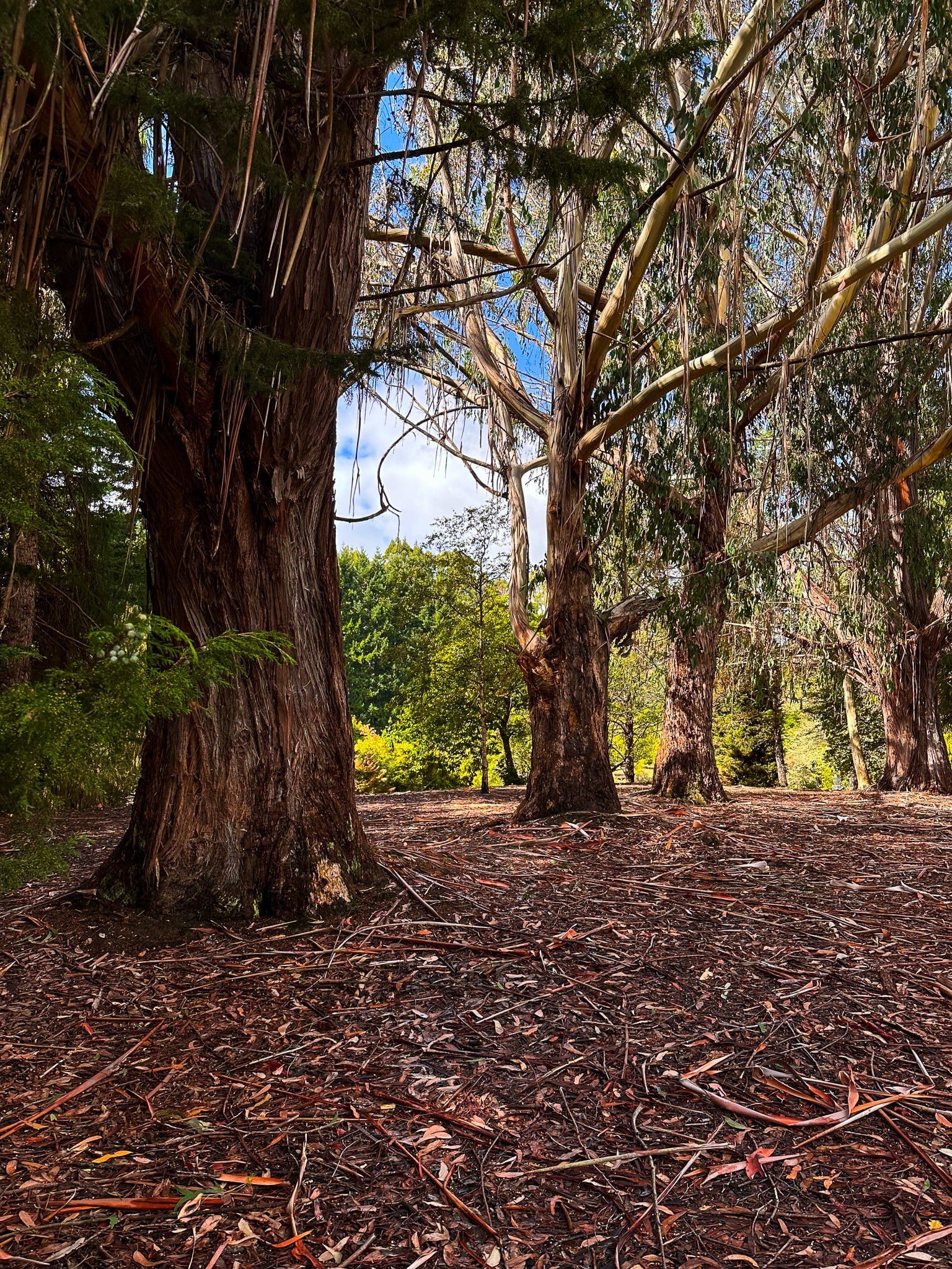
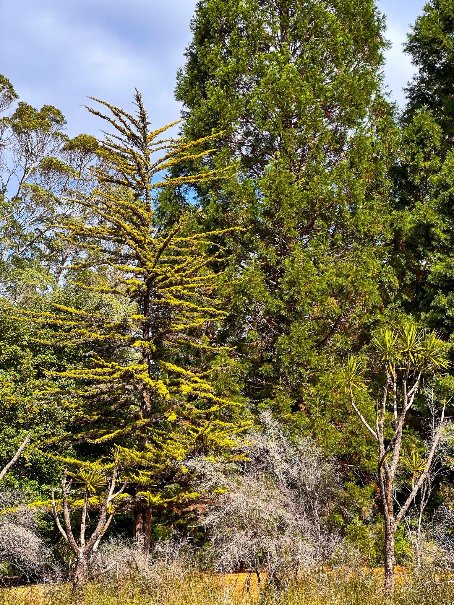
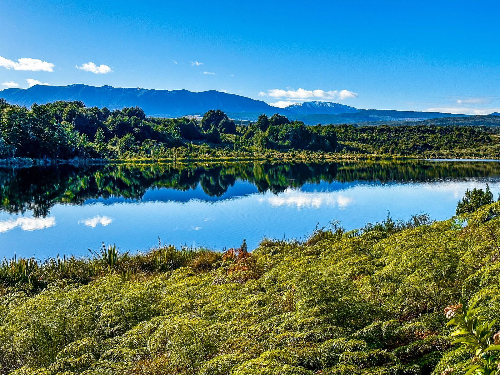
Ivon Wilson Reserve is a beautiful 35 hectare park with many mature exotic trees, centred on pretty Lake Henry. It almost feels wasted on Te Anau. Anywhere else, it would be a major public asset but here it feels overshadowed by the many other attractions of Fiordland. Even the sign to the park is nondescript and easy to miss! We only went there out of excess curiosity as we drove past the bland entrance.
In any event, the access is opposite The Punanga Manu o Te Anau / Te Anau Bird Sanctuary with a large parking area surrounded by beautiful deciduous trees. There is a map of the park and a brief history of Lake Henry on a board beside the car park. It was once attached to Lake Te Anau but separated as lake levels fell following glacial retreat about 14,000 years ago. More recently, it was used as a trout hatchery but is now designated as a children’s fishery. This means that children can get a fishing licence for free from the nearby DOC visitor centre.
The lake is surrounded by a thicket of bushes and trees and there are just two access points, but these are easy to find from the main walkway around the park. The pretty walkway meanders between rolling open grasslands, wetlands, exotic pines and deciduous trees. Young native plantings are close to the lake.
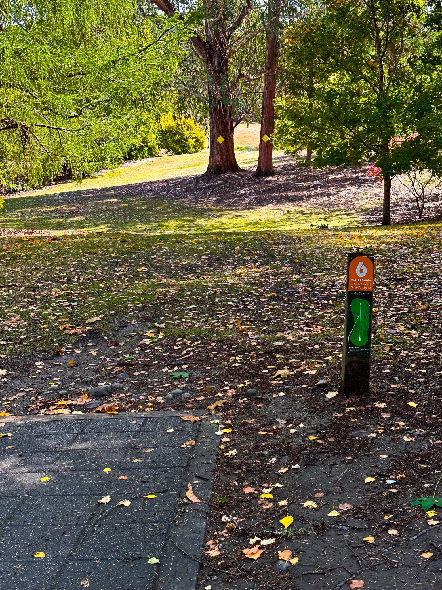
There is also a disc (frisbee) golf course, which explains the odd baskets and start points scattered around the trails. Another sign explains the rules.
Allow about an hour to wander around the park, or take a picnic. With the preponderance of deciduous trees, autumn is probably very colourful.
Te Anau Downs and Boat Harbour
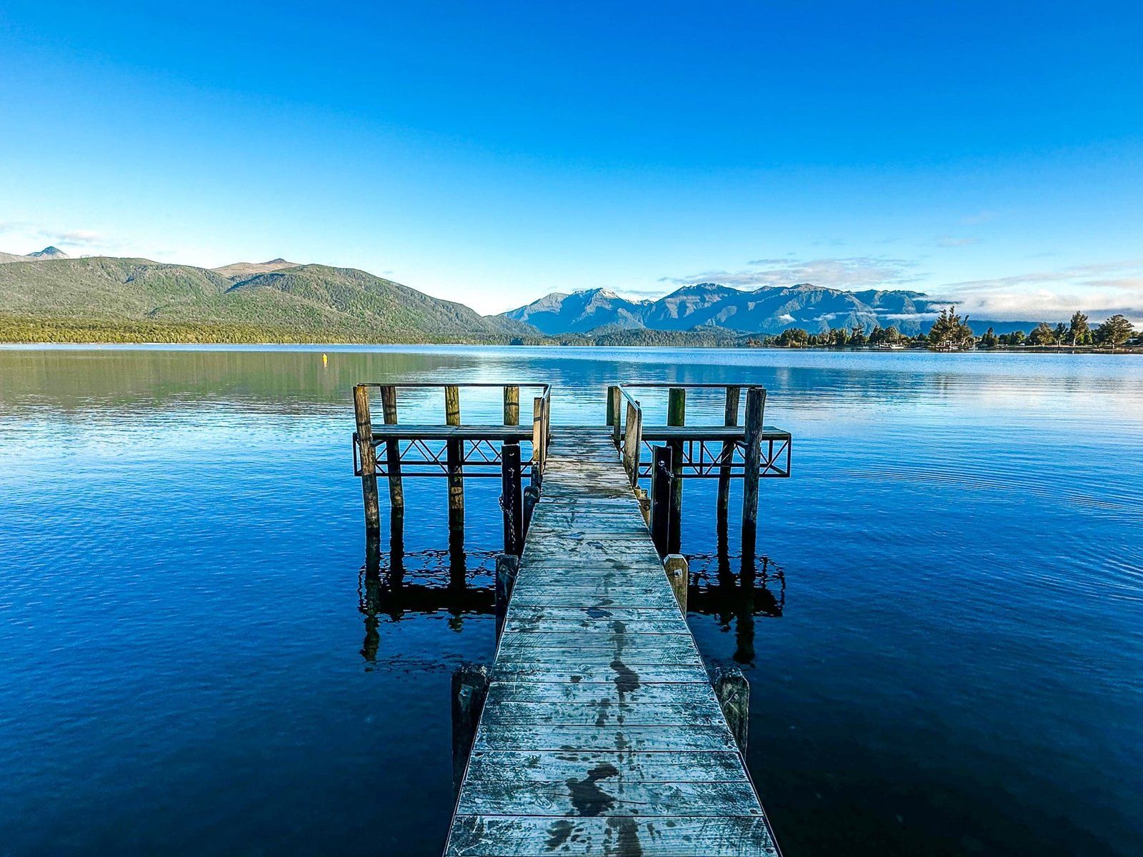
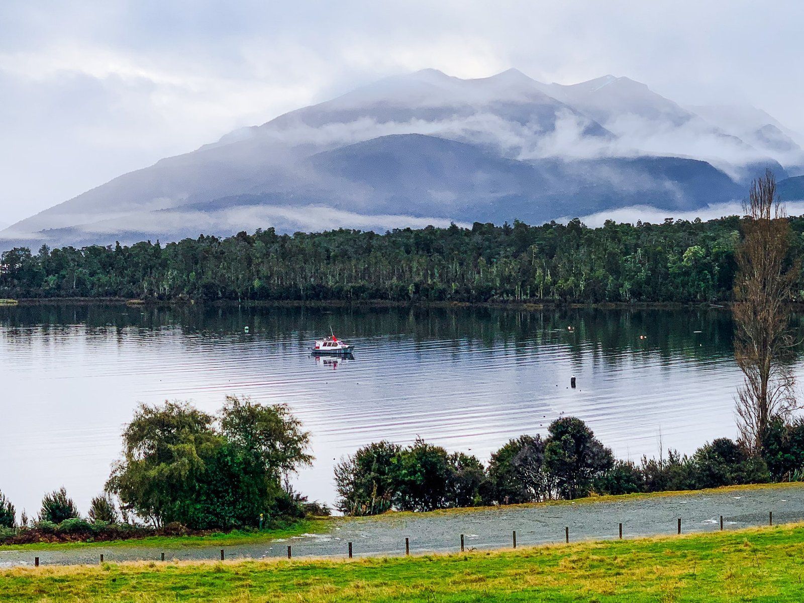
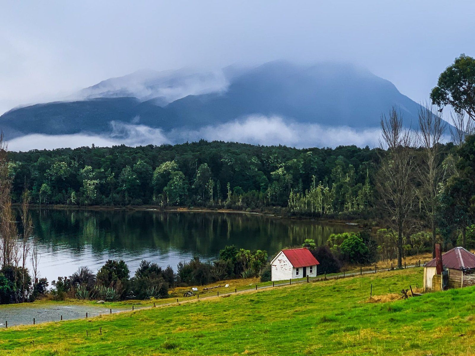
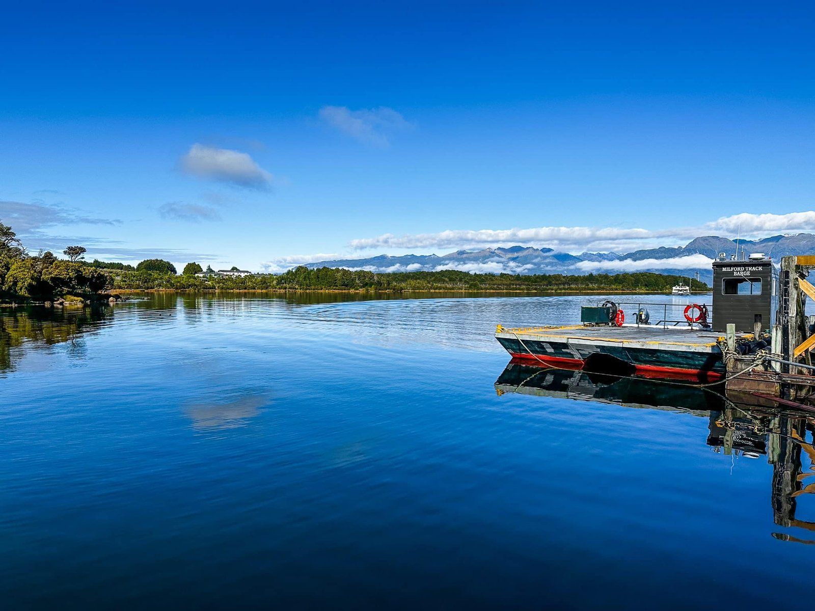
Te Anau Downs is at the north end of Lake Te Anau and is the main access point to the Lake after leaving Te Anau on Milford Road. It is probably best known as the access point, by boat from Boat Harbour, to the Milford Track. There is a series of panels by the main car park that describe the development of the region, including the tourism industry based around the track and access to Milford Sound.
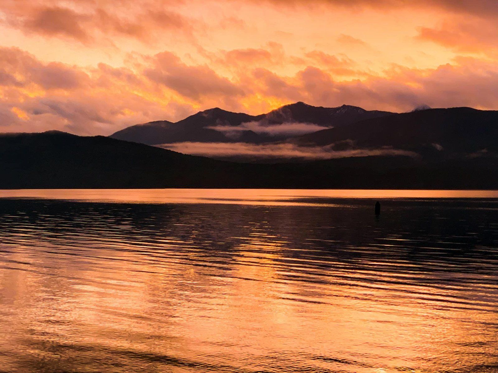
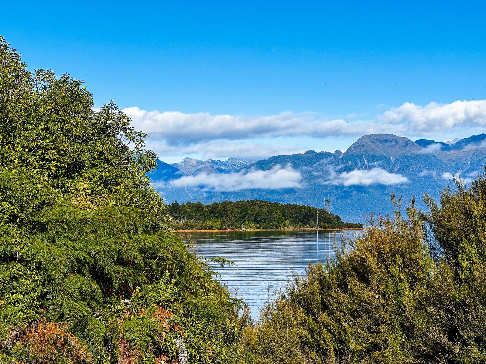
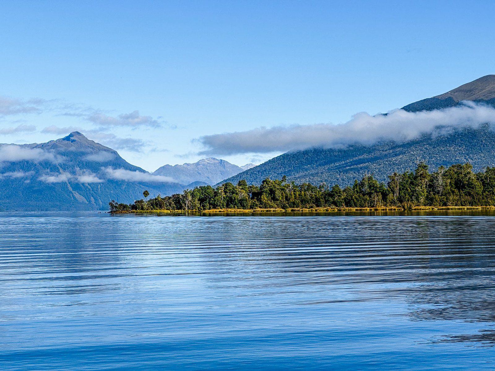
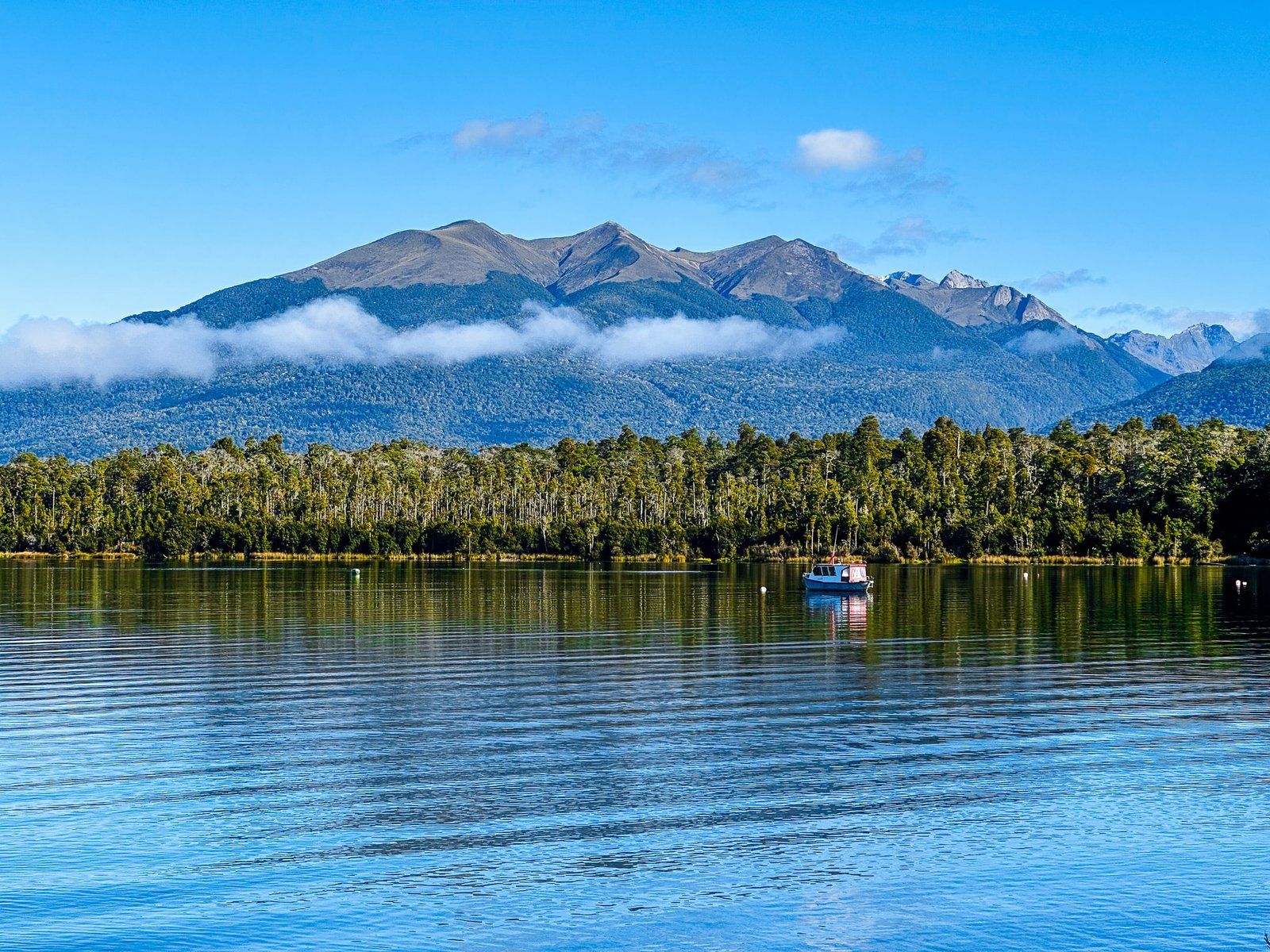
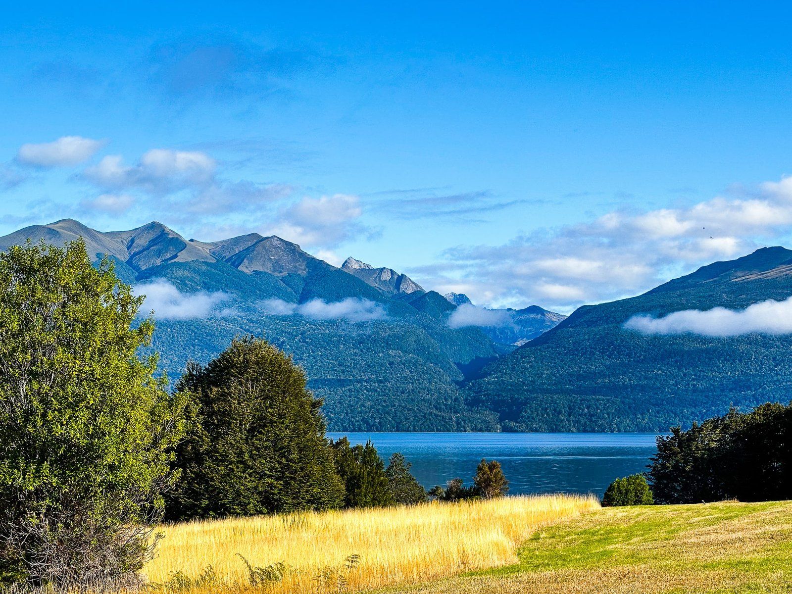
It is also a very photogenic spot when the lake is calm, with views across the lake to the Murchison and Stuart Mountains. Try to arrive early in the morning before the breeze kicks in.
Lake Mistletoe
The Lake Mistletoe car park is on the right side of Milford Road, heading north and just before Te Anau Downs. This is another relatively obscure short walking track, although better signposted than Ivon Wilson Reserve and Lake Henry near Te Anau.
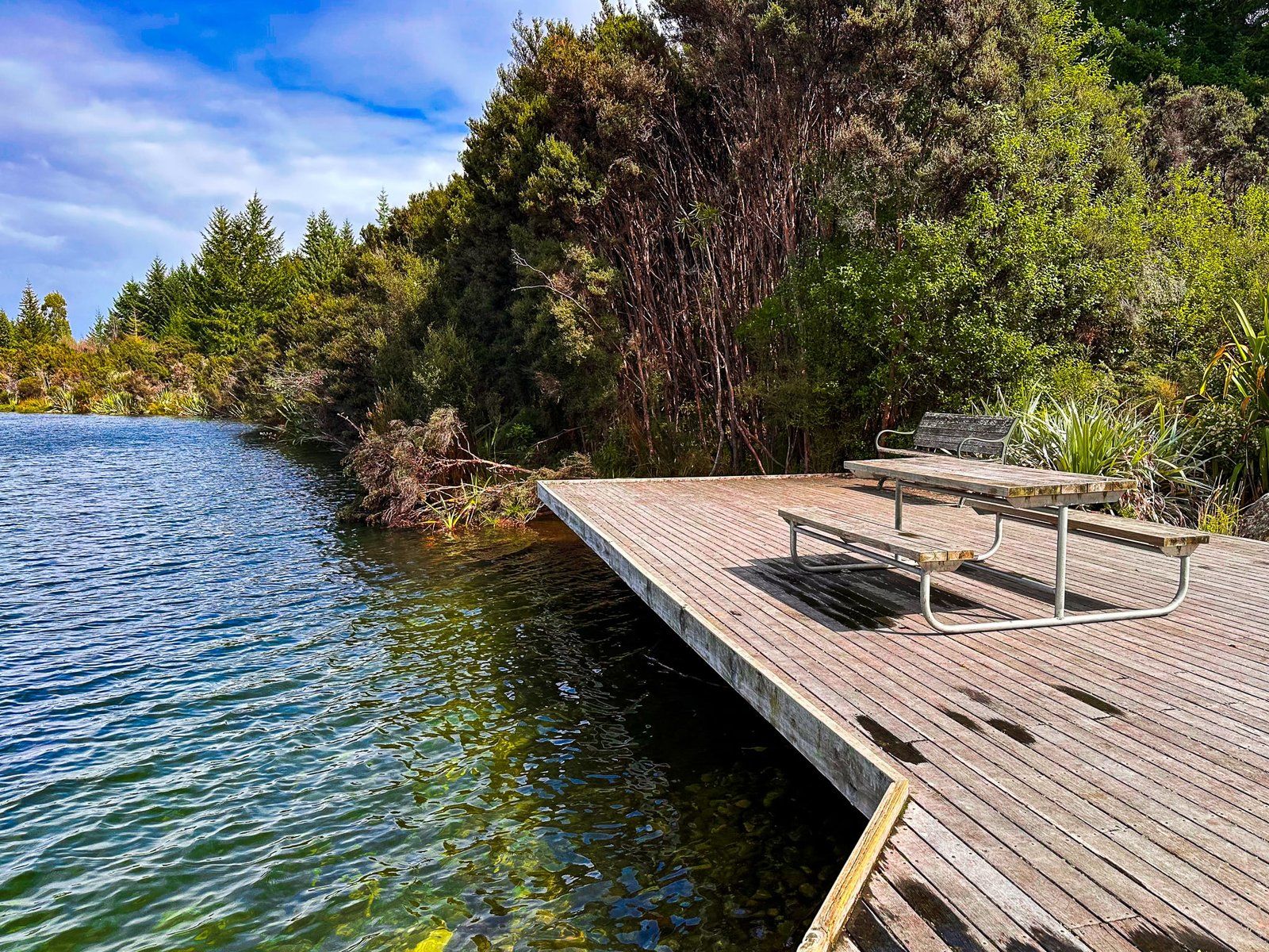
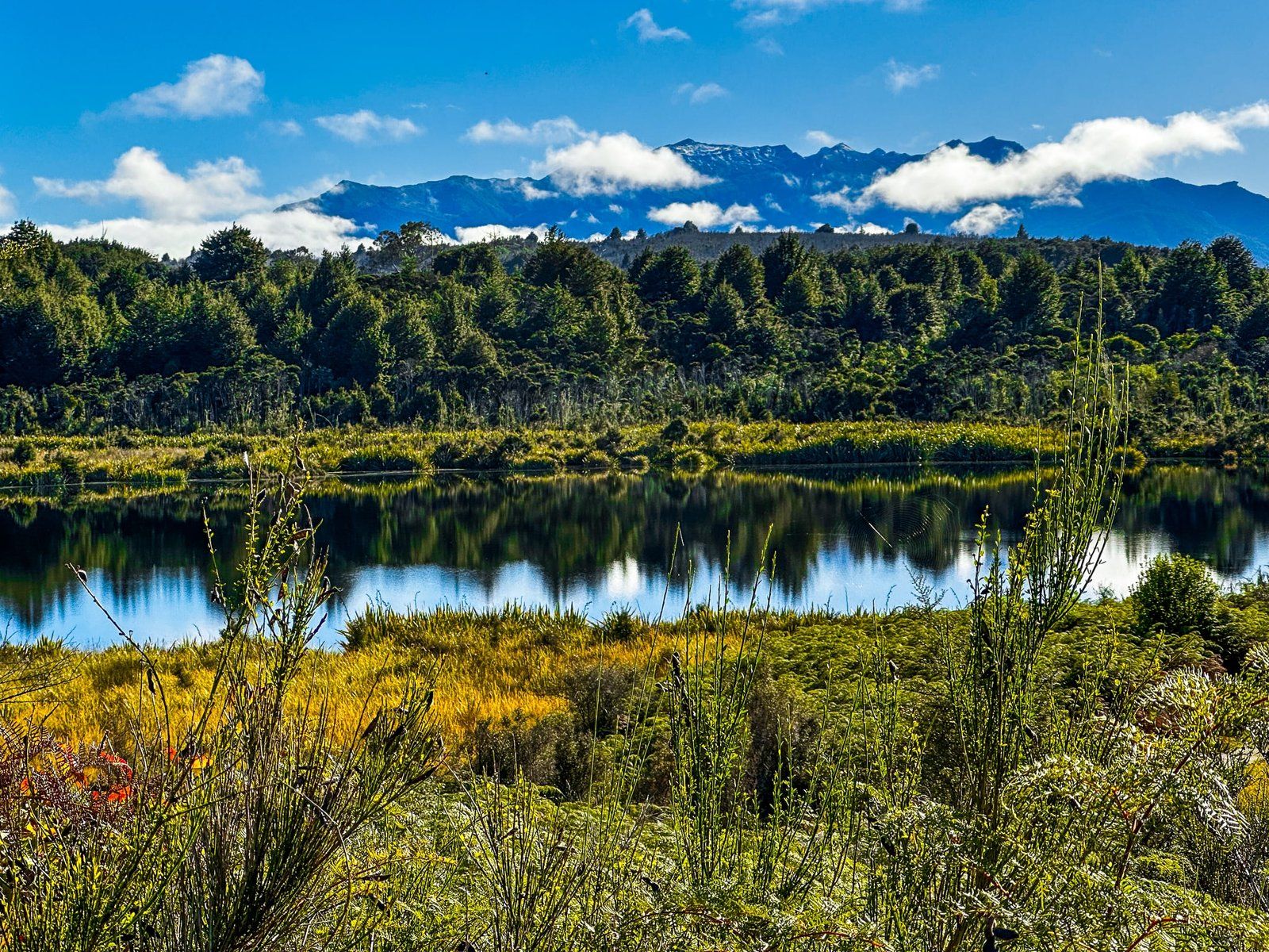
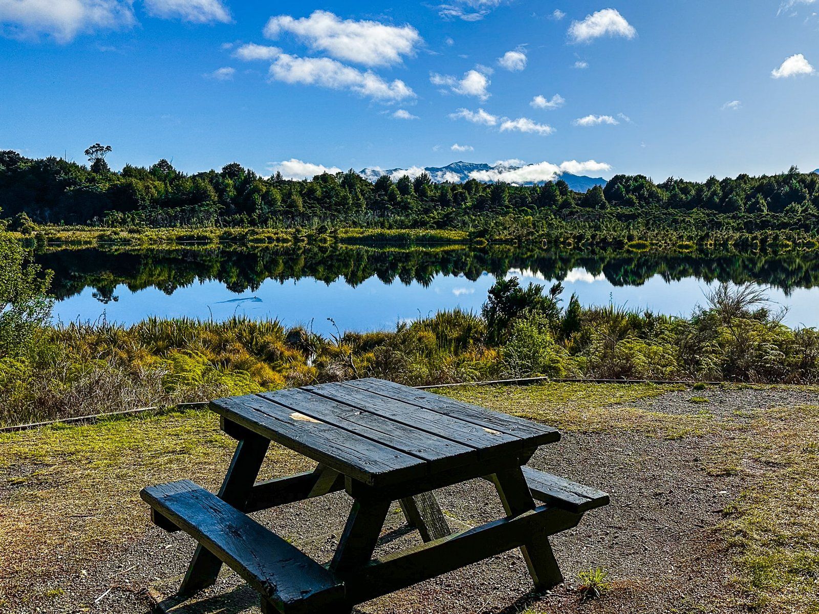
You can do this as a short walk (20 minutes return) to a viewpoint above the lake or as a longer, 40 minute walk and return that includes a secondary wetland. From the car park, the walk first passes through beech forest and then through native scrub to a nice viewpoint with a picnic table above the small lake. There are likely to be native scaup (pāpango, a small diving duck) present on the lake.
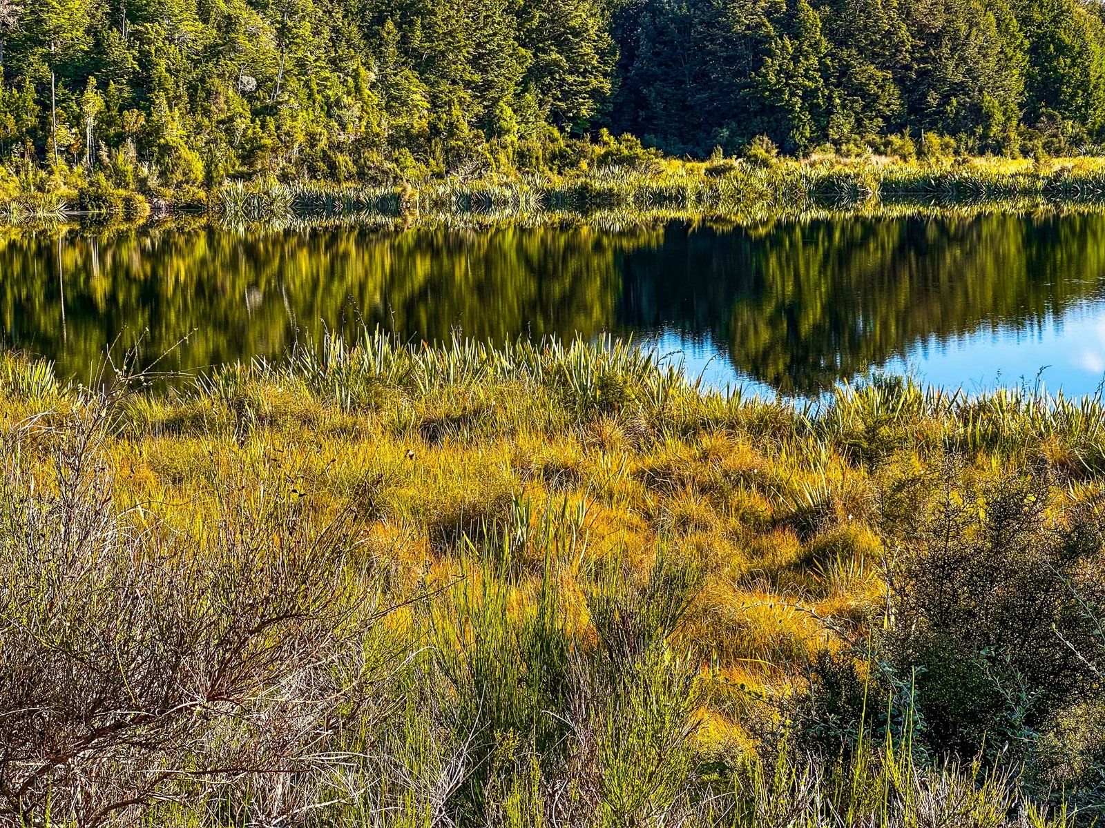
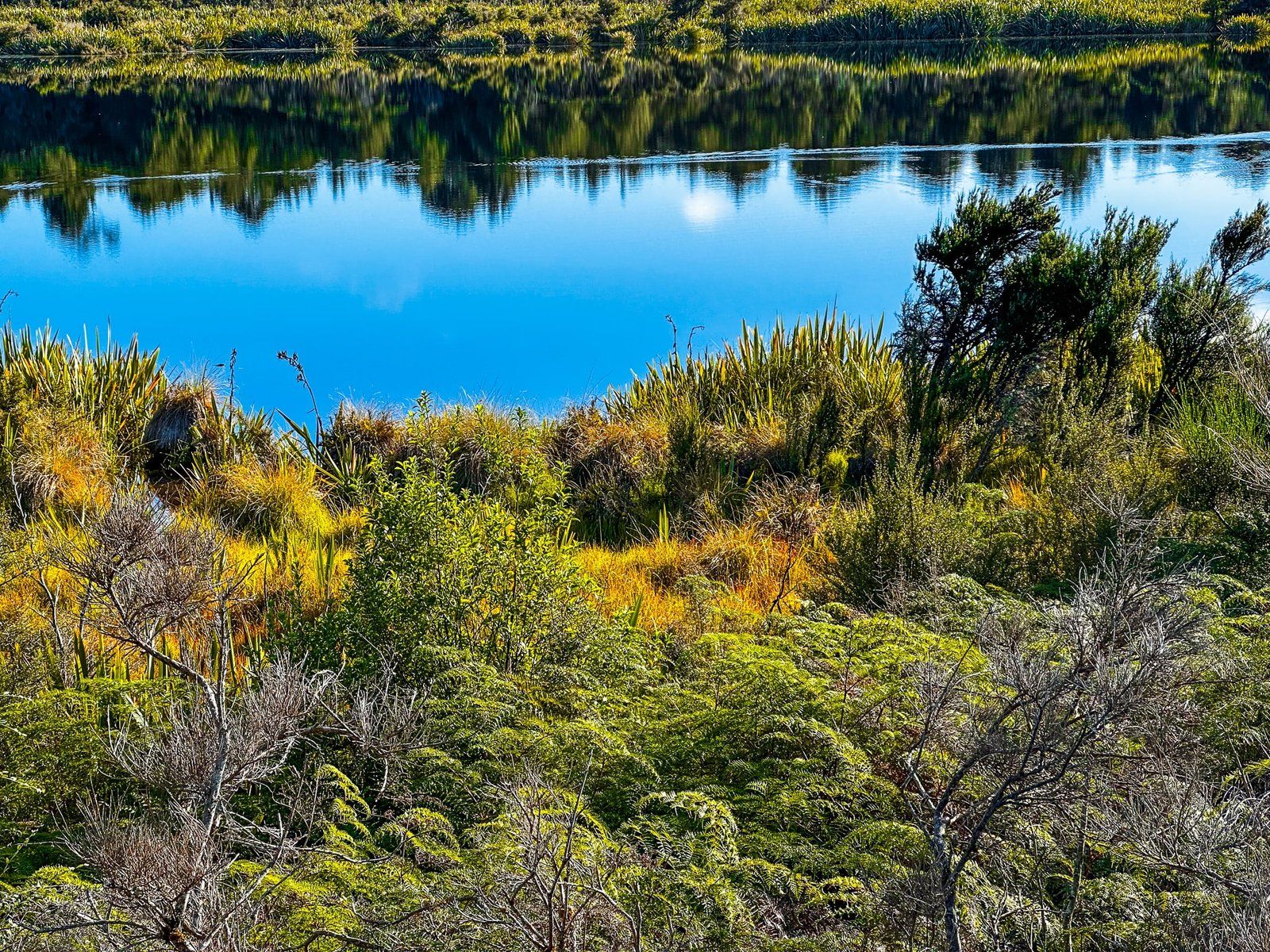
It is a sheltered area, so there is a good chance it will be calm with some reflections. A nice spot to take the edge off the drive.
Milford Road to The Divide
From Te Anau Downs, the Miford Road climbs towards the Eglinton Valley and the entrance to Fiordland National Park. The park is also part of the much larger Te Wahipounamu World Heritage Area.
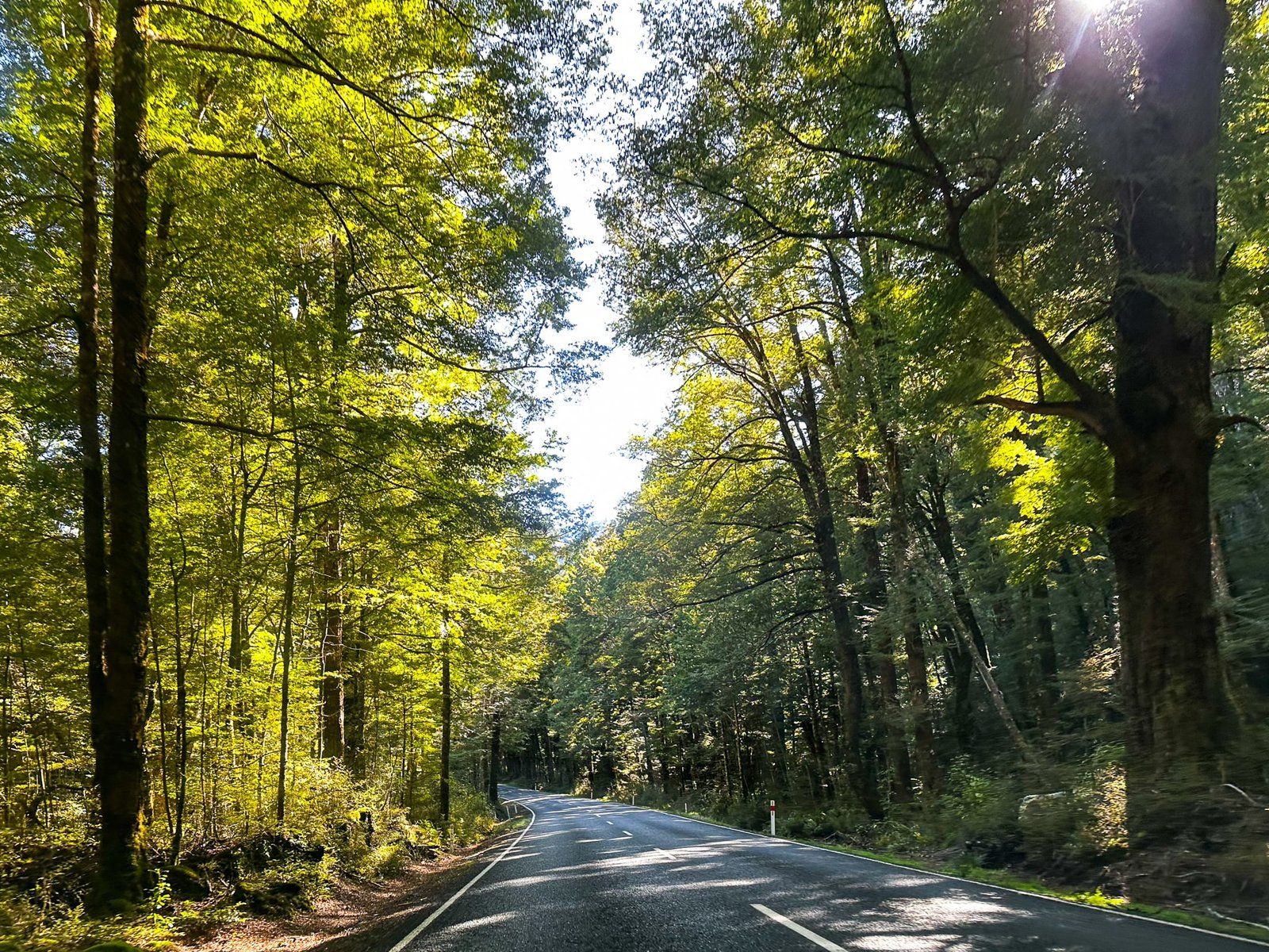
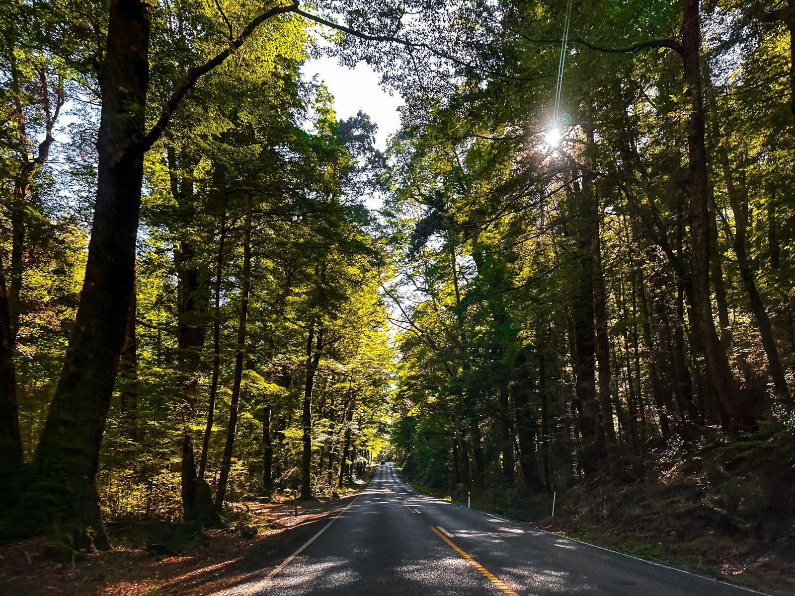
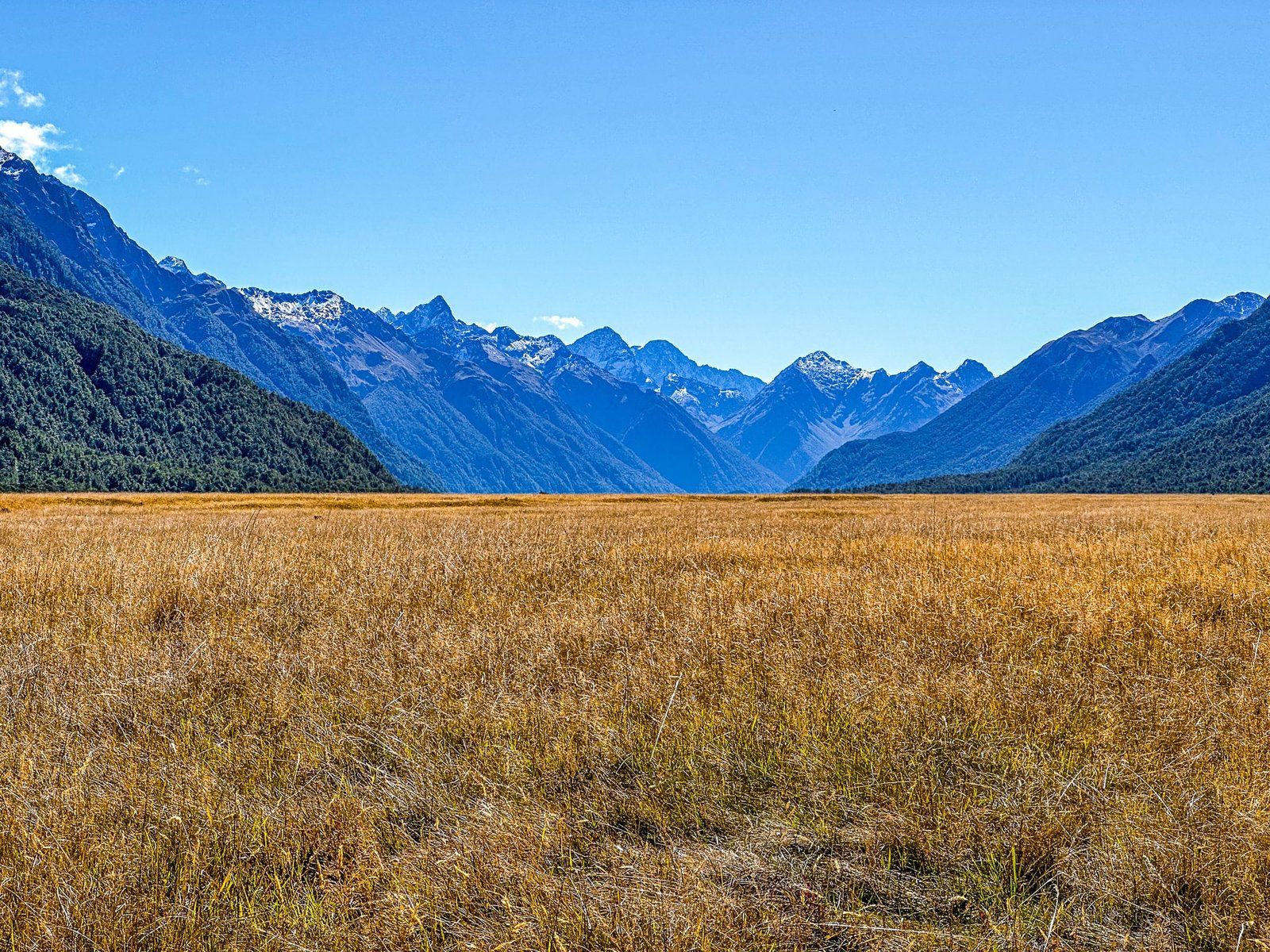
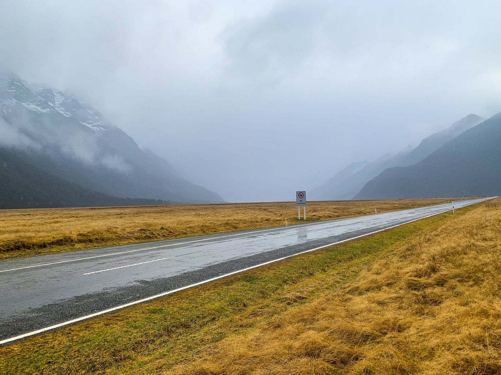
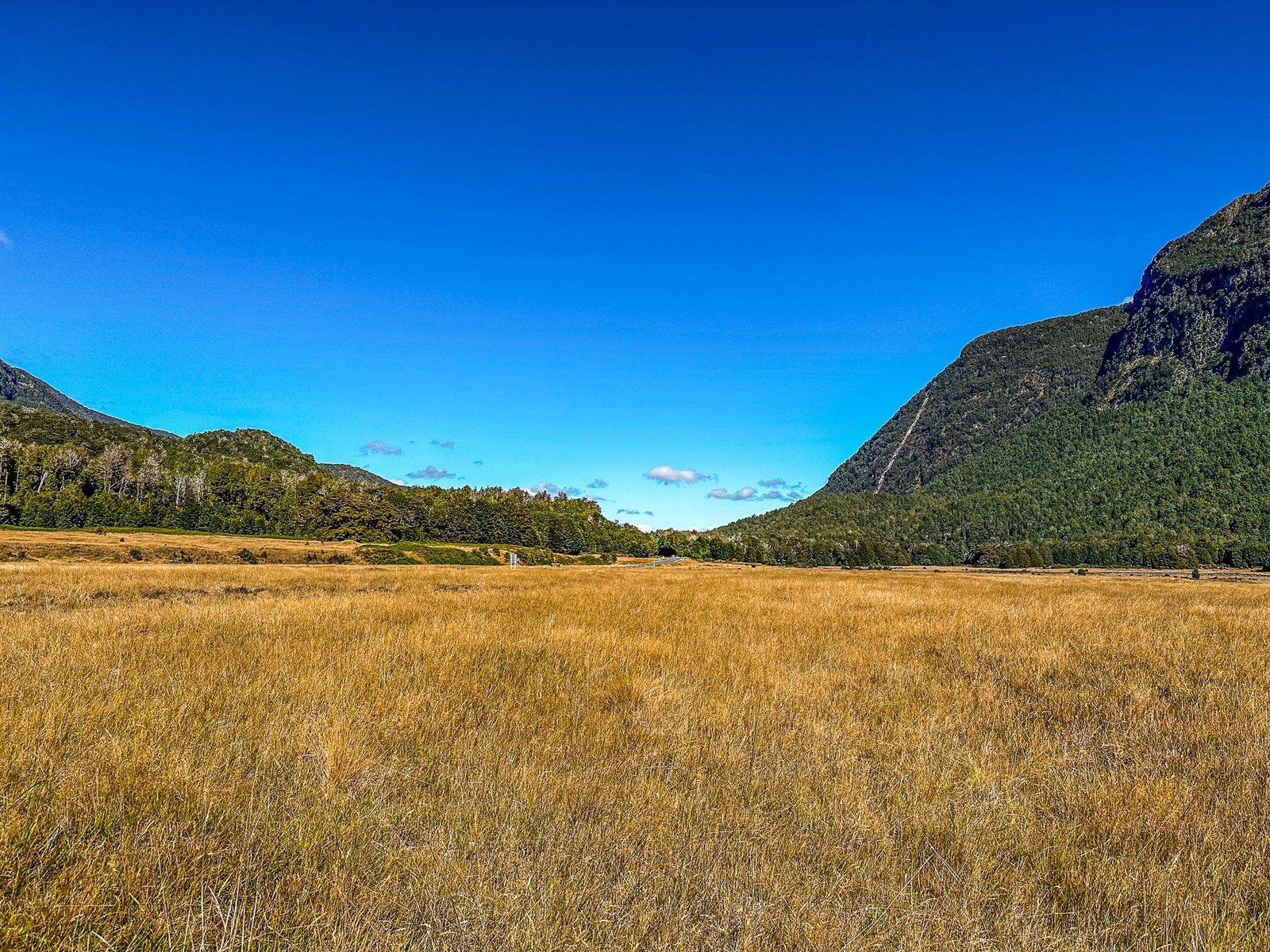
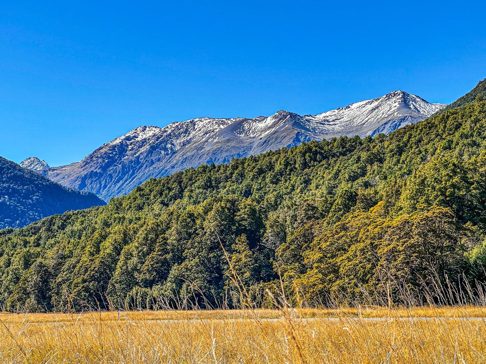
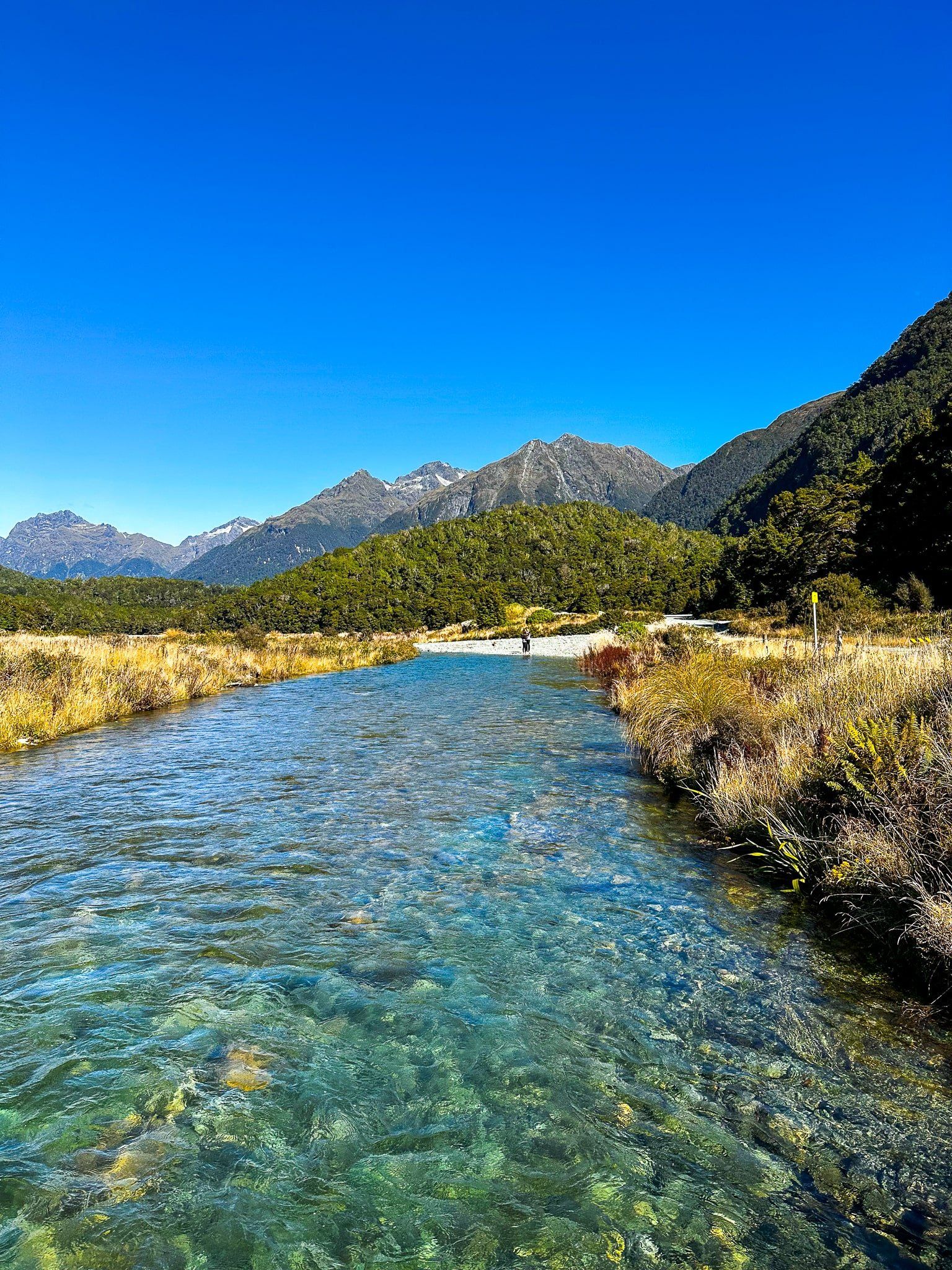
Eglinton is particularly beautiful to drive through, with sections alongside the river, through the beech forest and across wide golden tussock grasslands. There are multiple options for stops before you get to the several lakes at the end of the valley and the Divide. Try not to rush, especially on a nice day!
Eglinton Valley
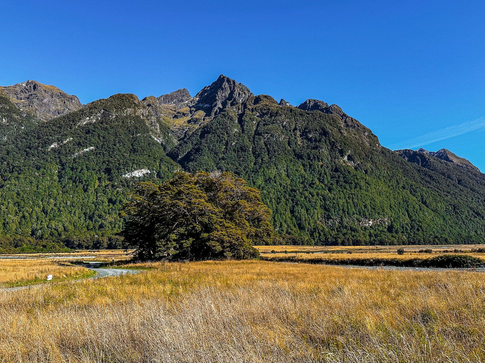
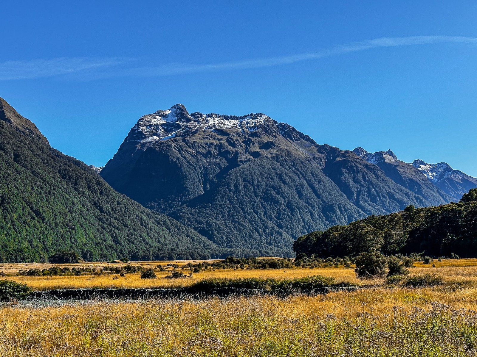
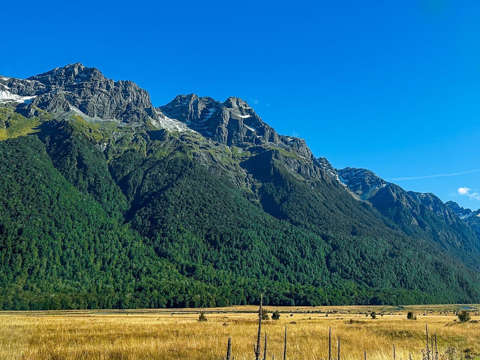
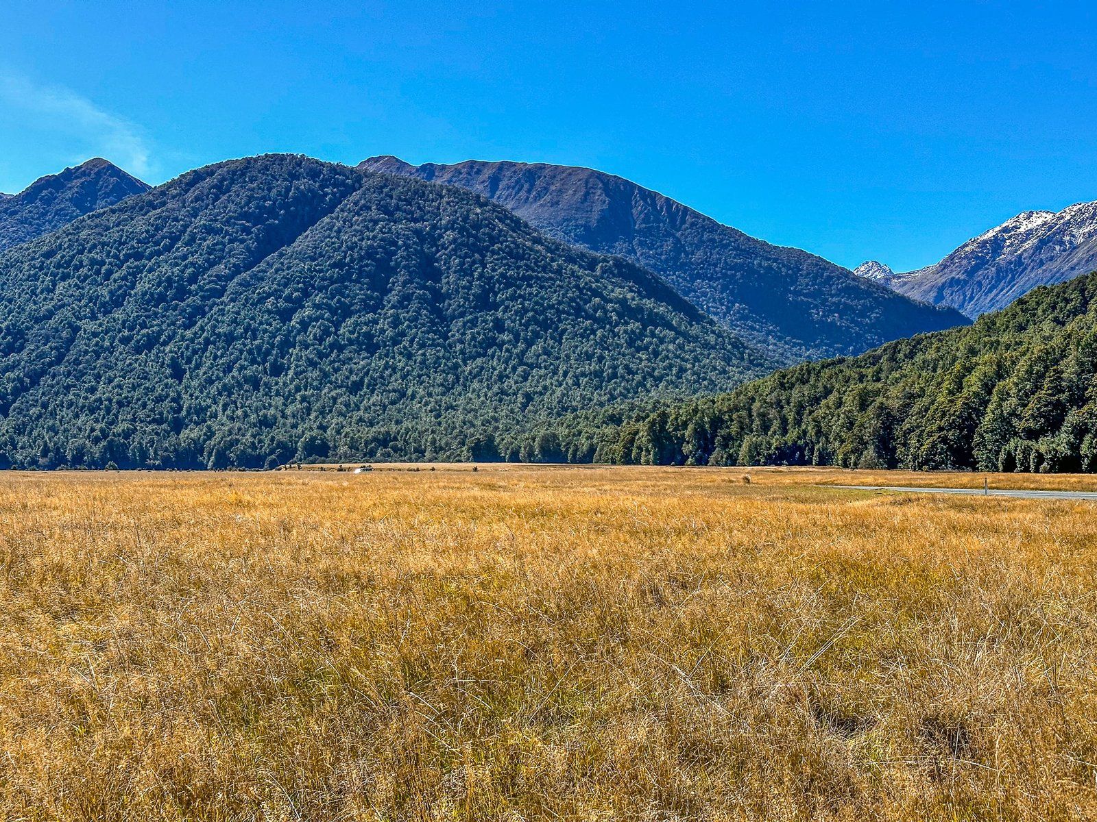
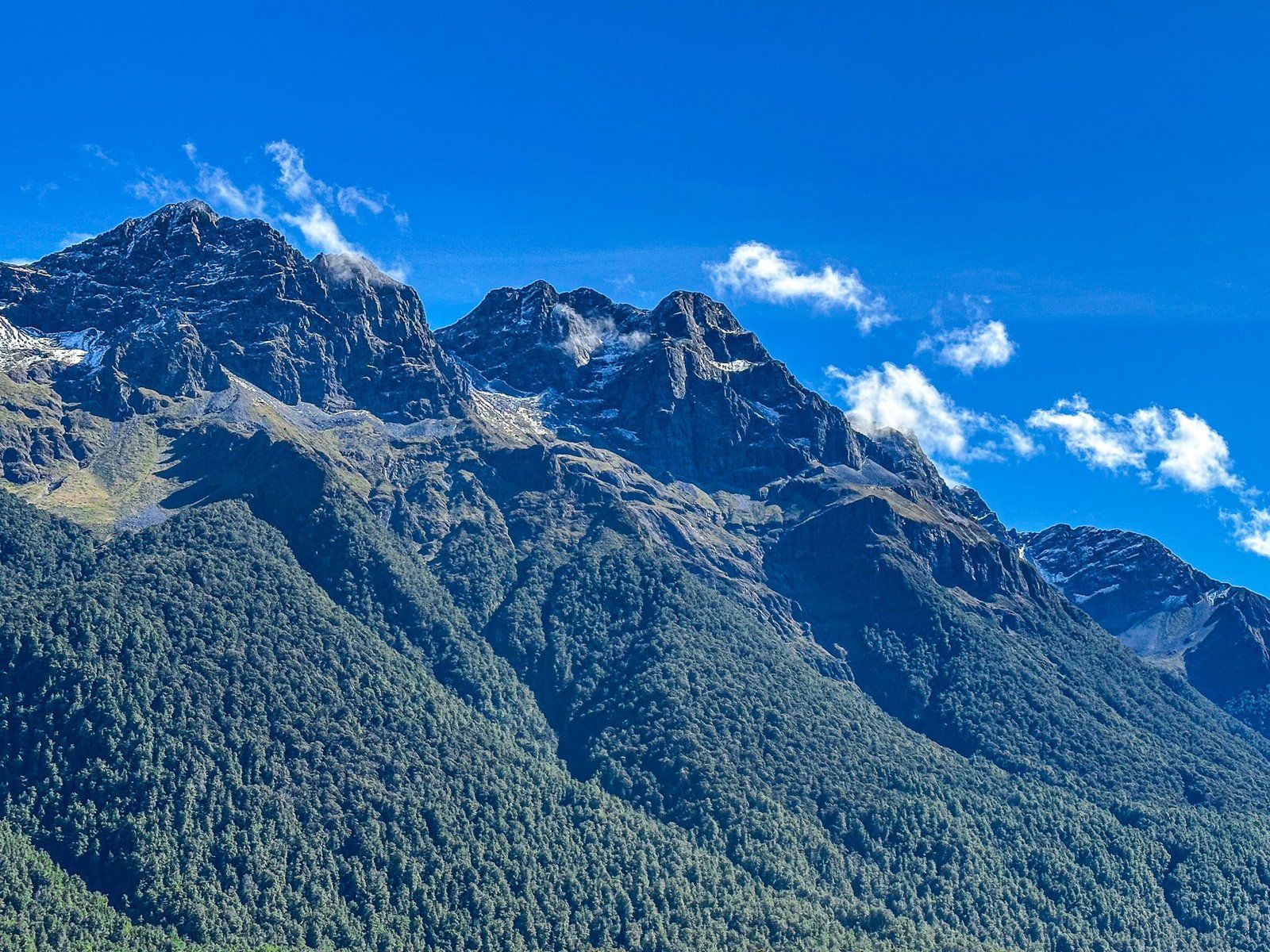
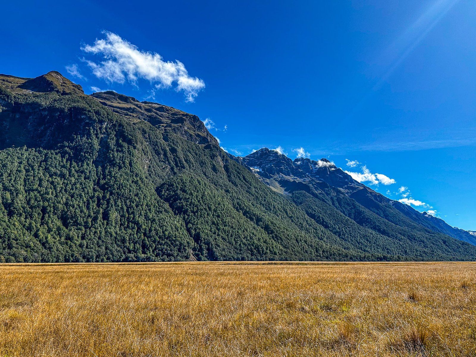
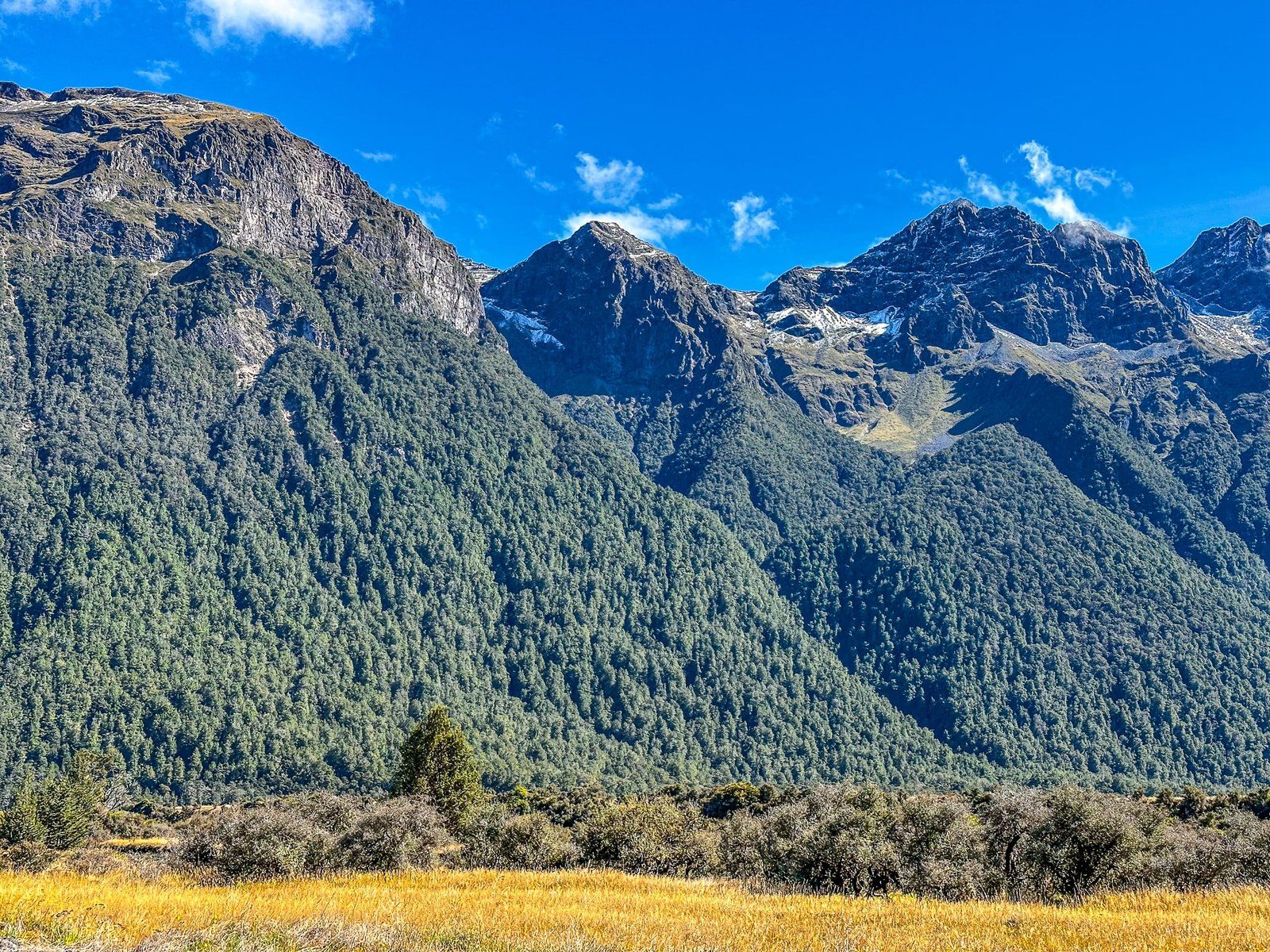
Eglinton Valley is the only substantial post-glacial river valley you can drive along within the Fiordland National Park. It sits between the steep beech-covered Earl Mountains to the west and Livingston Mountains to the east. The valley is one of a few large areas of lowland beech forest and there are more than 30 rare or endangered species of flora and fauna. Restoration of rare mohua (yellowhead birds) and pekapeka (short-tailed bats) have been major projects.
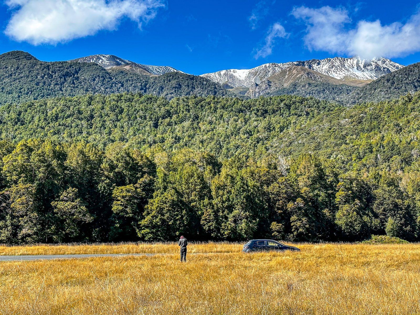
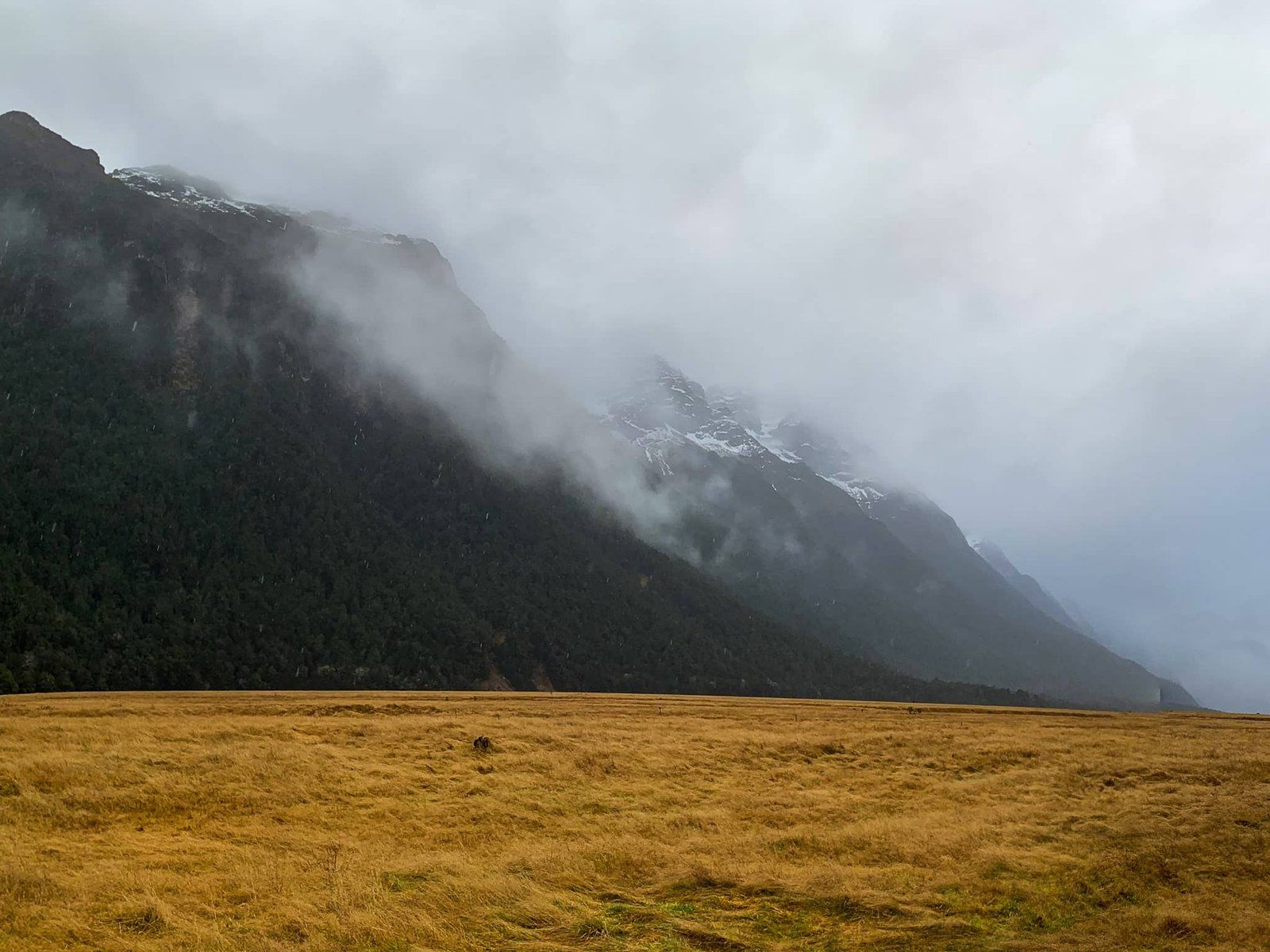
The beech trees extend down to the Eglinton River and road in places. But it is the open-sided flat valley sections, covered in golden tussock grass and surrounded by mountains, that are the most spectacular.
There is one particular golden tussock area that is the most popular place to stop, including for the tour buses heading to Milford. Even with the buses, there is plenty of space and you can easily wander off into the tussock for a quieter experience.
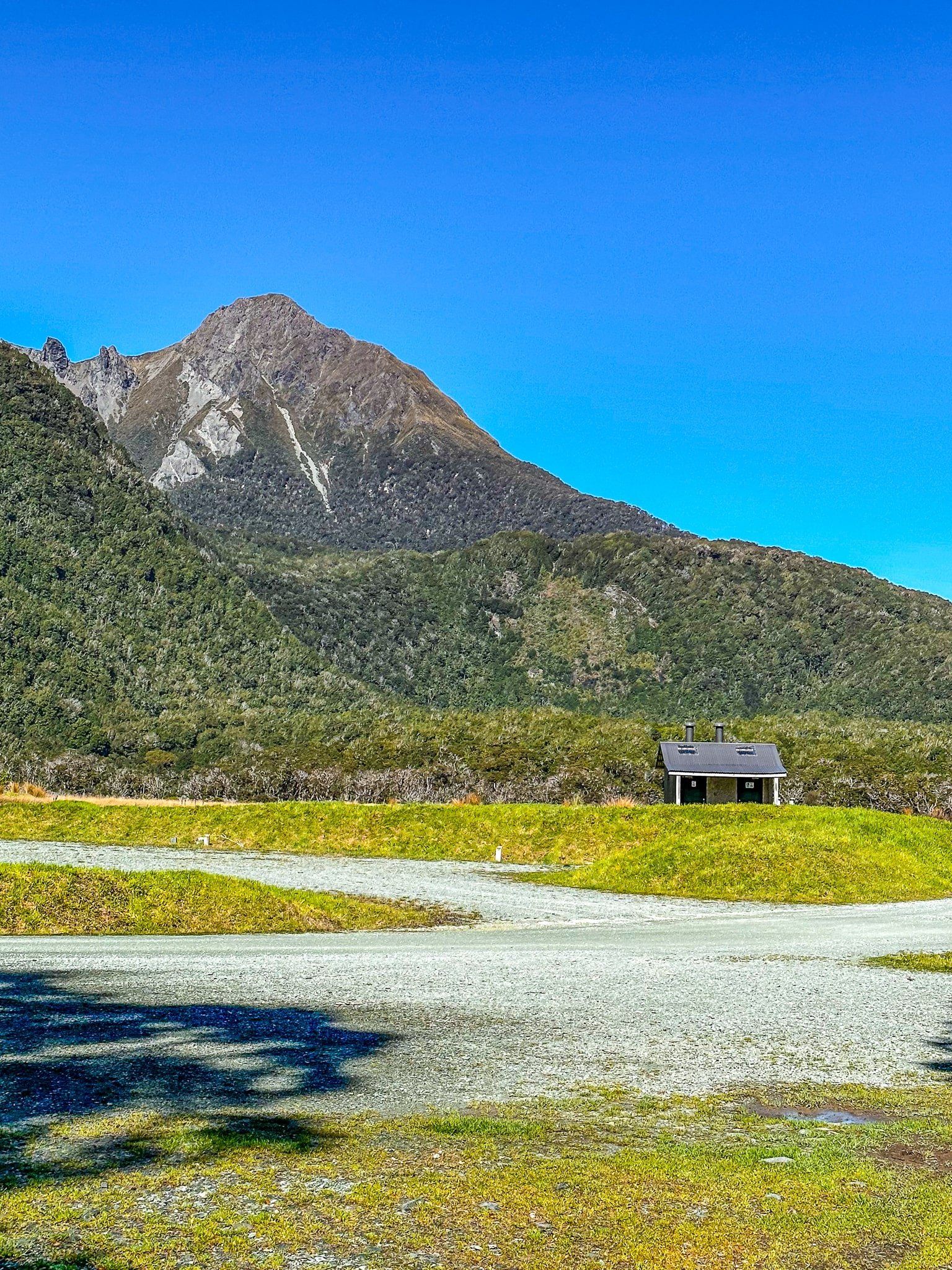
There are also other options to pause and stretch out in the valley – Knobs Flat with the last flush toilets before Miflord, the Lake Gunn Nature Walk at Cascade Creek, and with a number of other DOC campgrounds. At the north end of the valley before the Divide are several lakes, including Lake Gunn.
For LOTR fans, the Earl Mountains represented the Misty Mountains in the Fellowship of the Ring.
Mirror Lakes
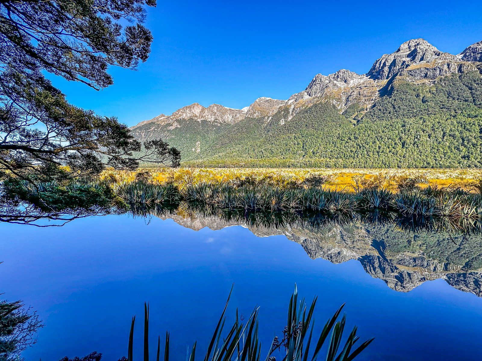
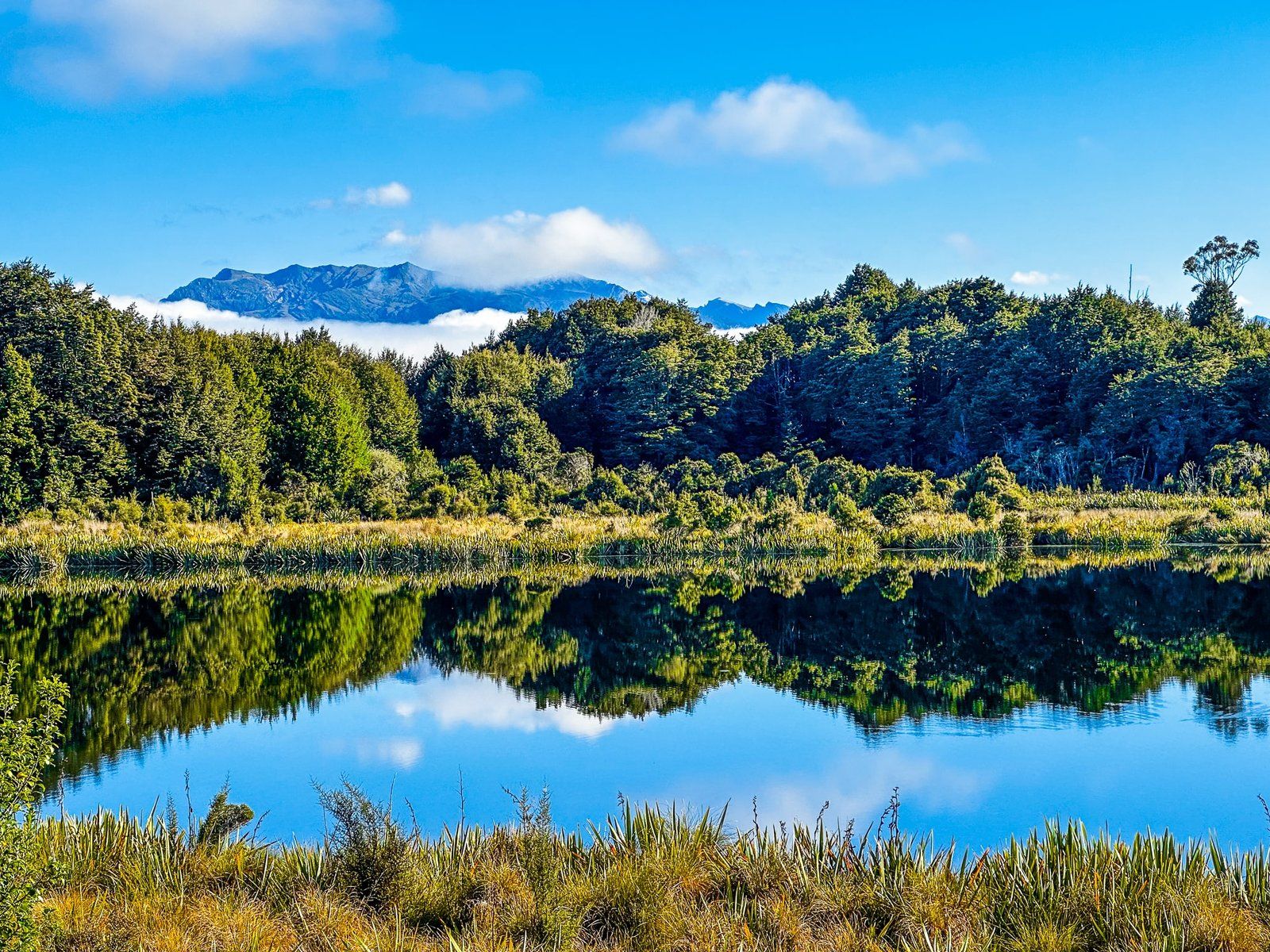
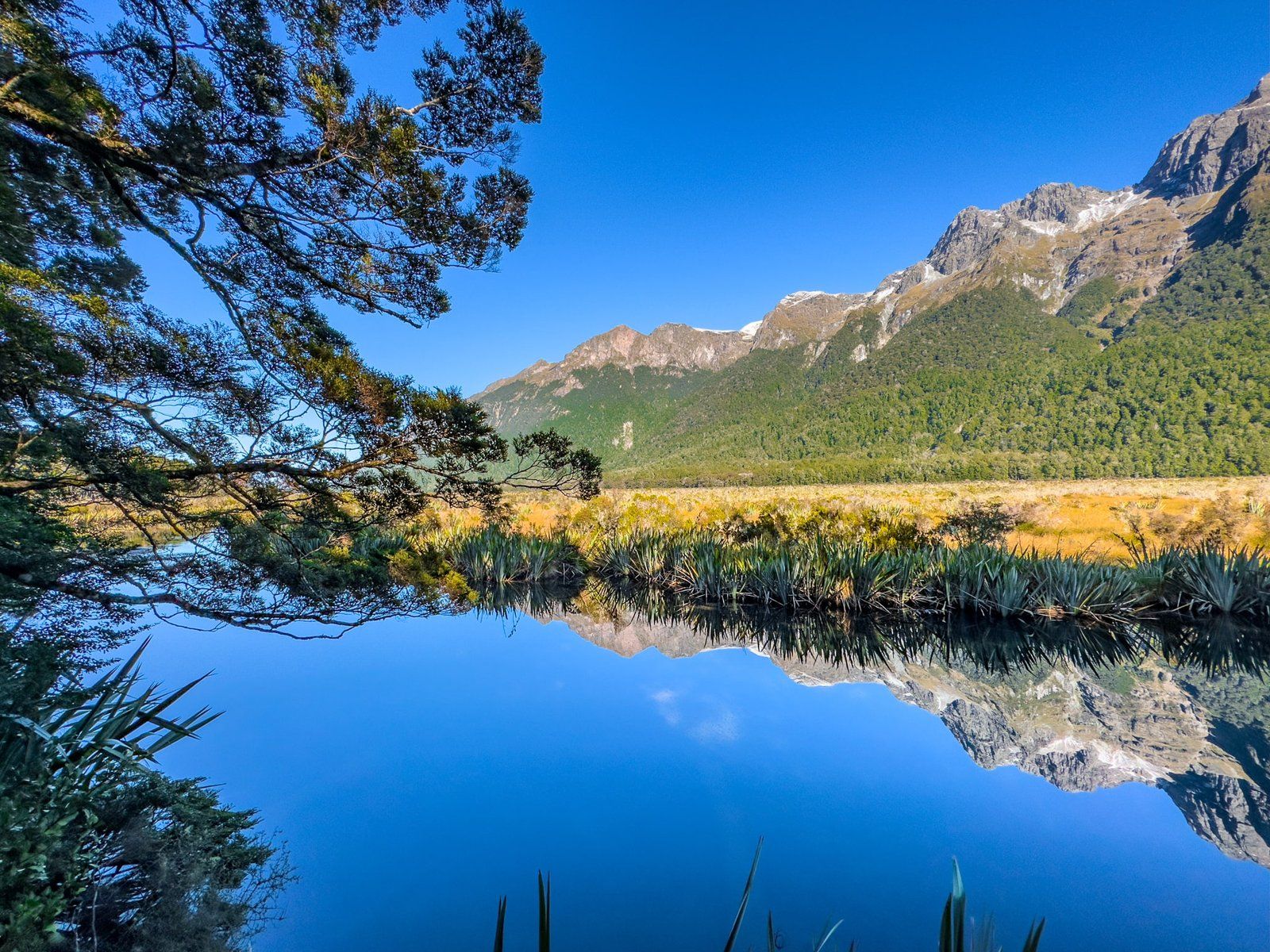
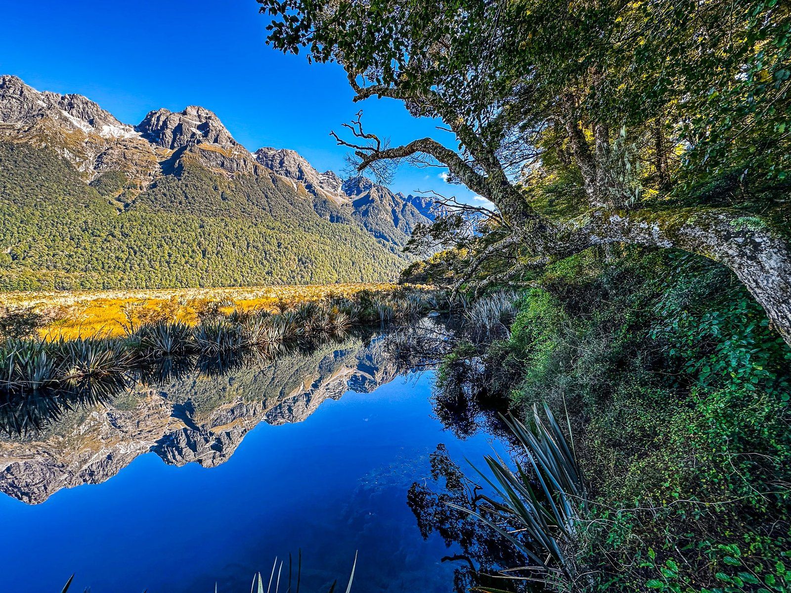
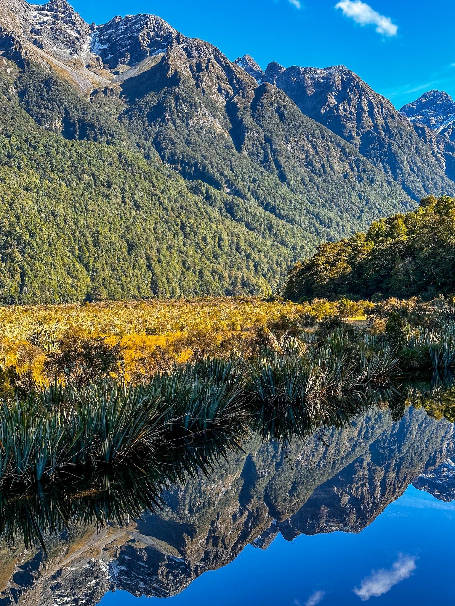
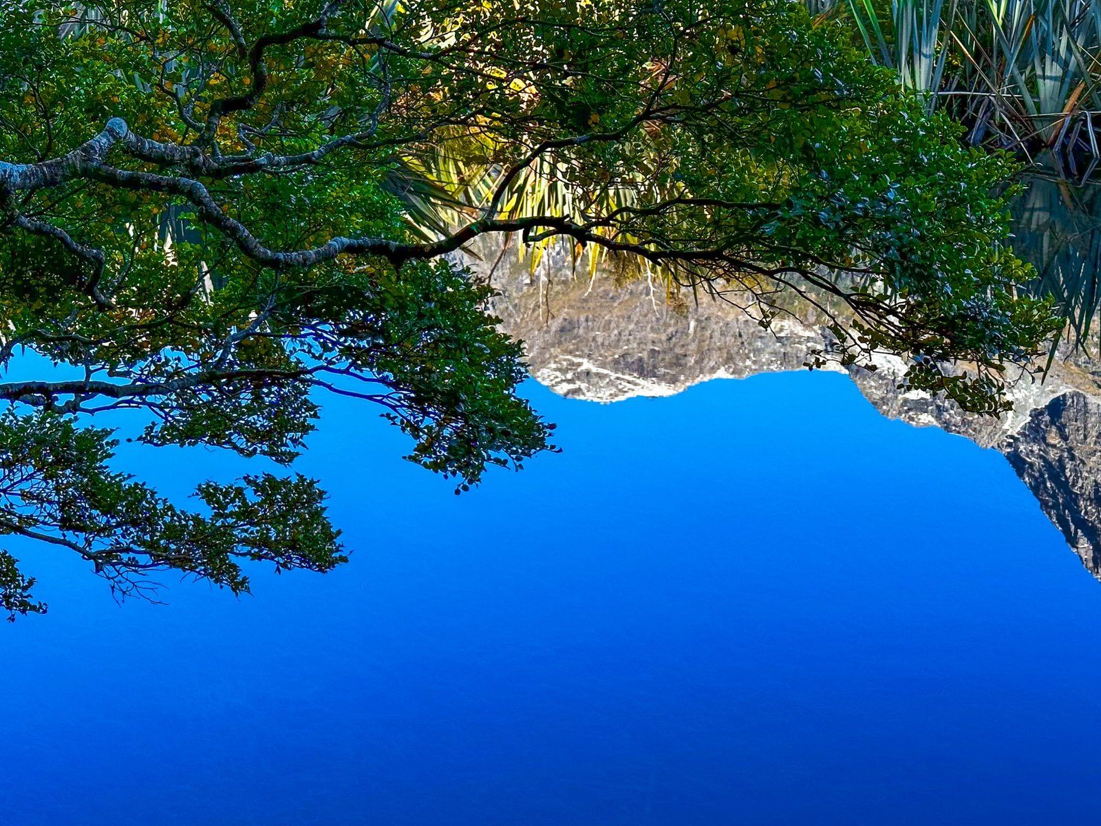
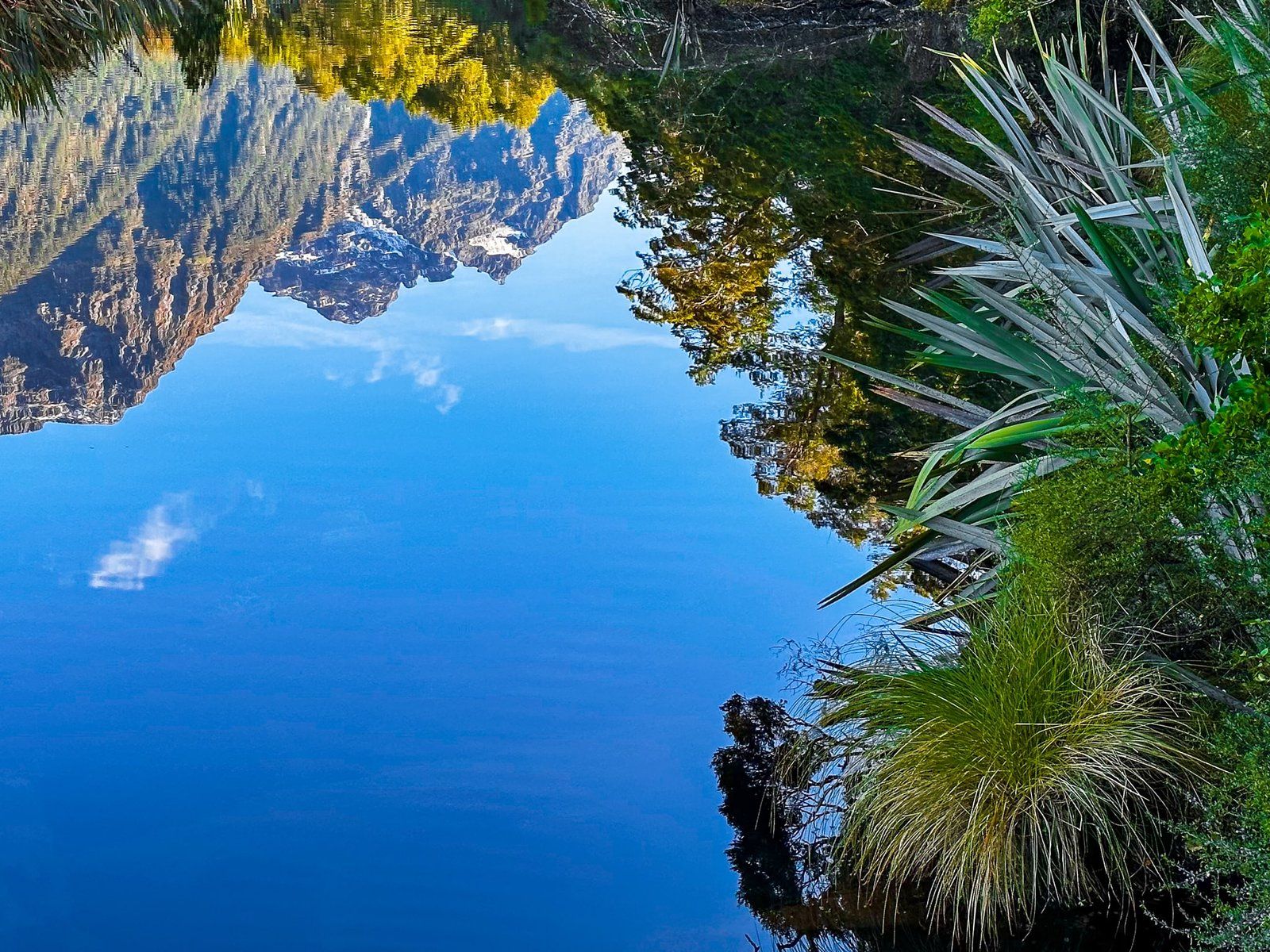
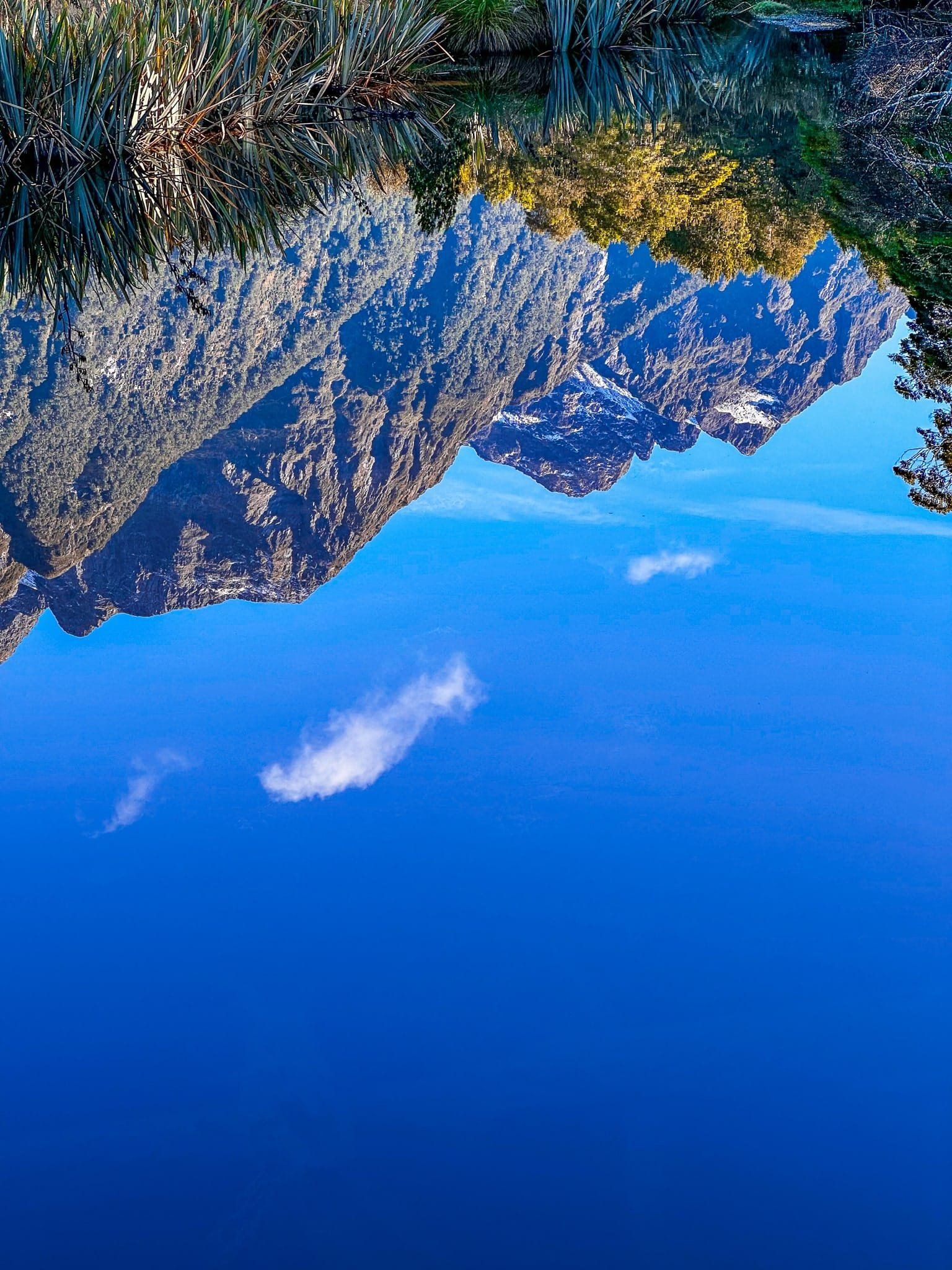
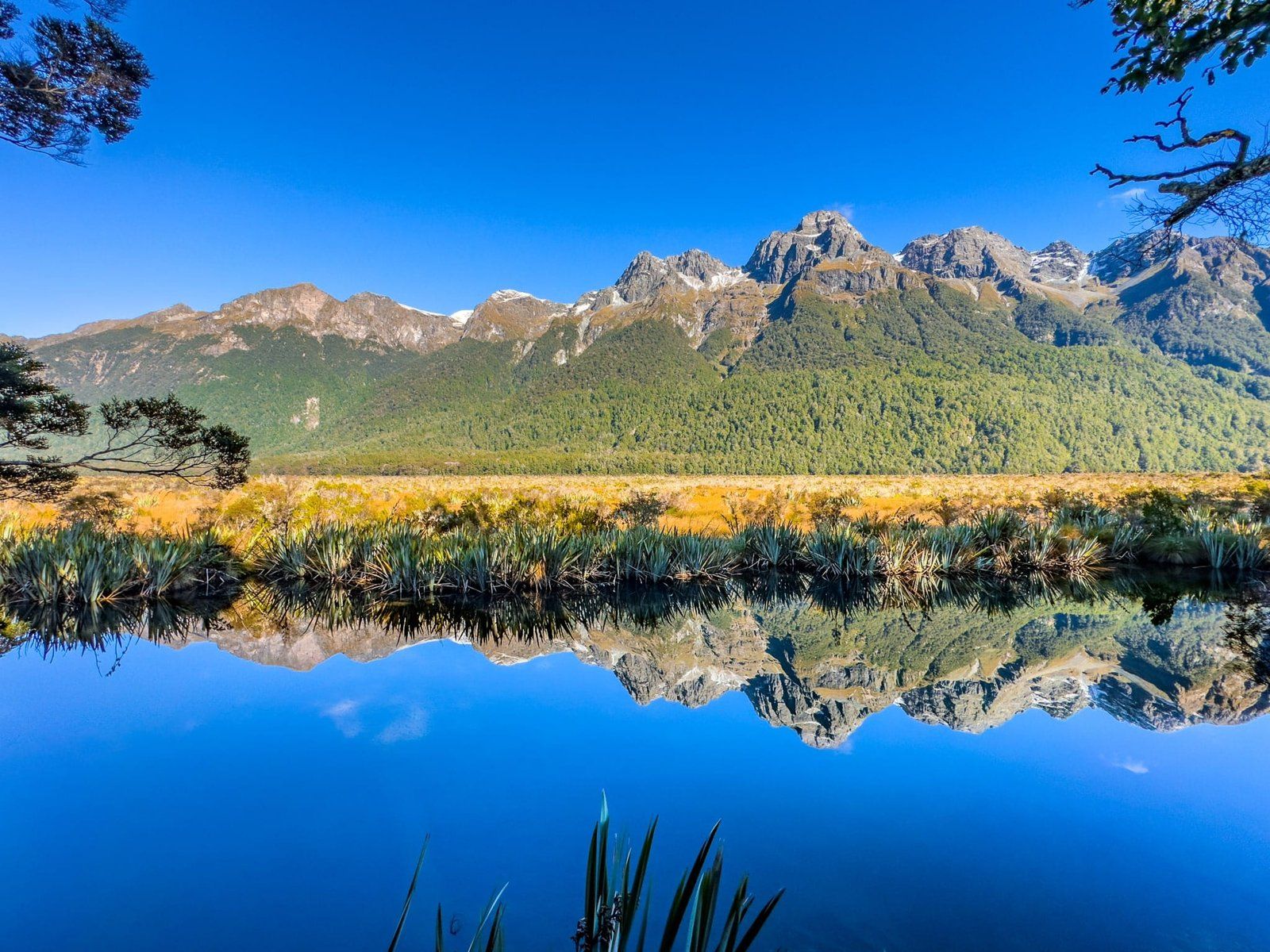
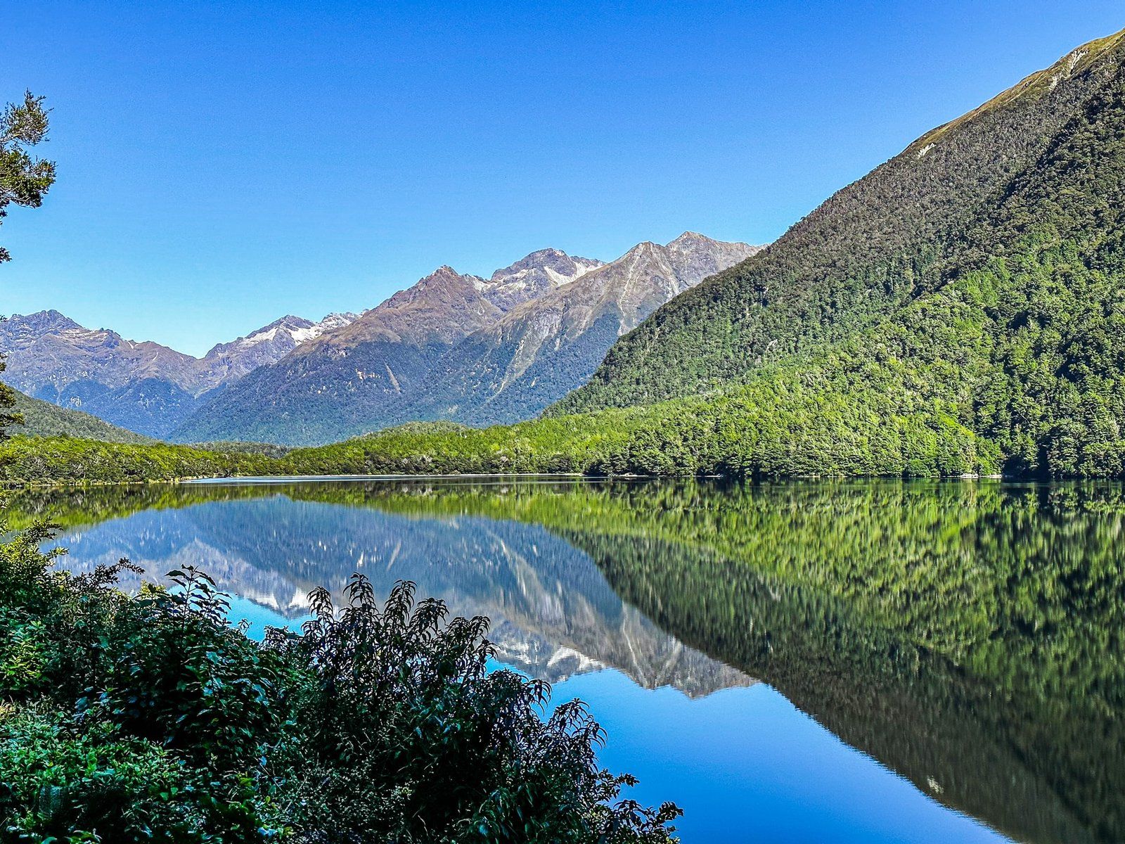
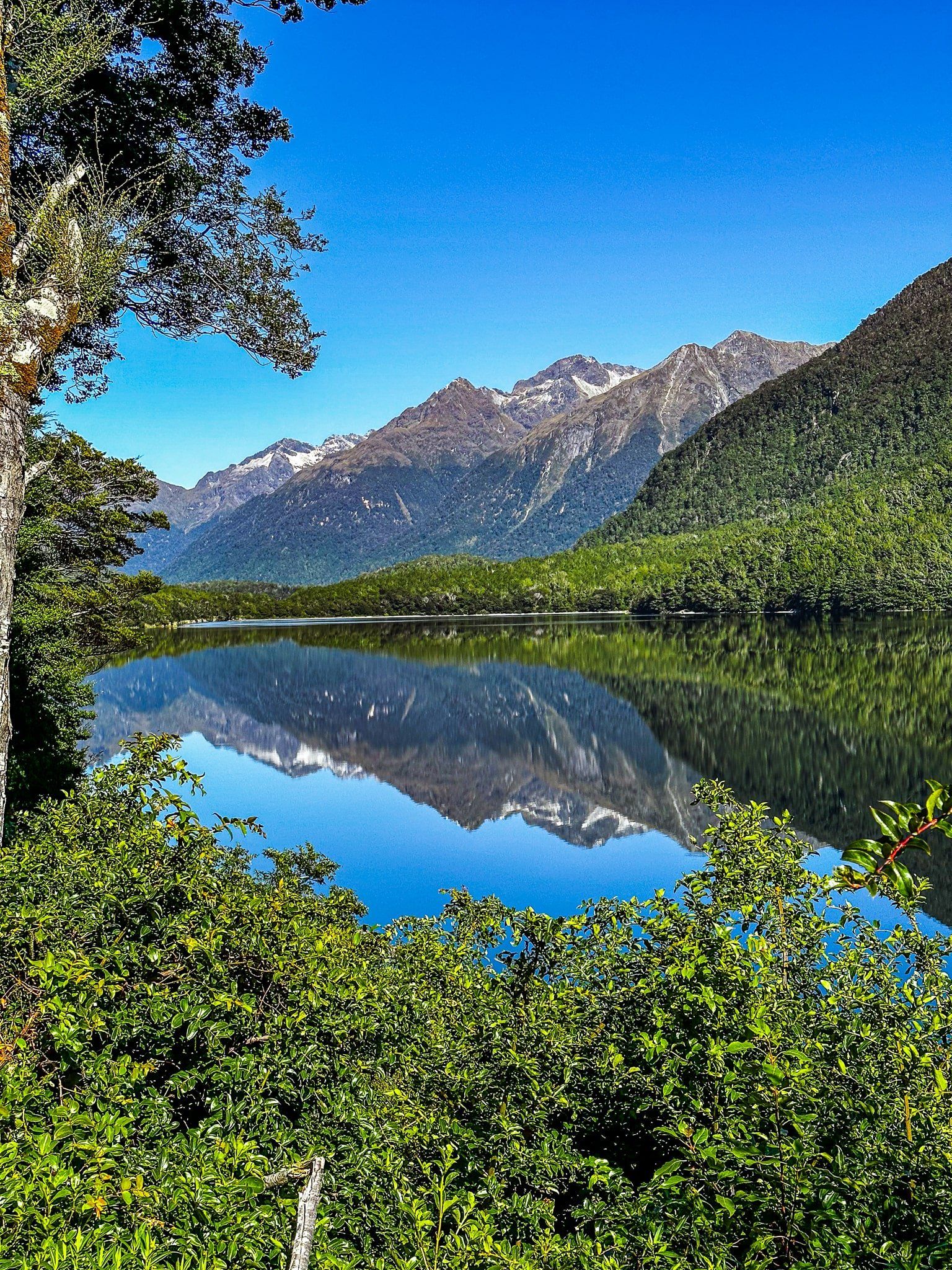
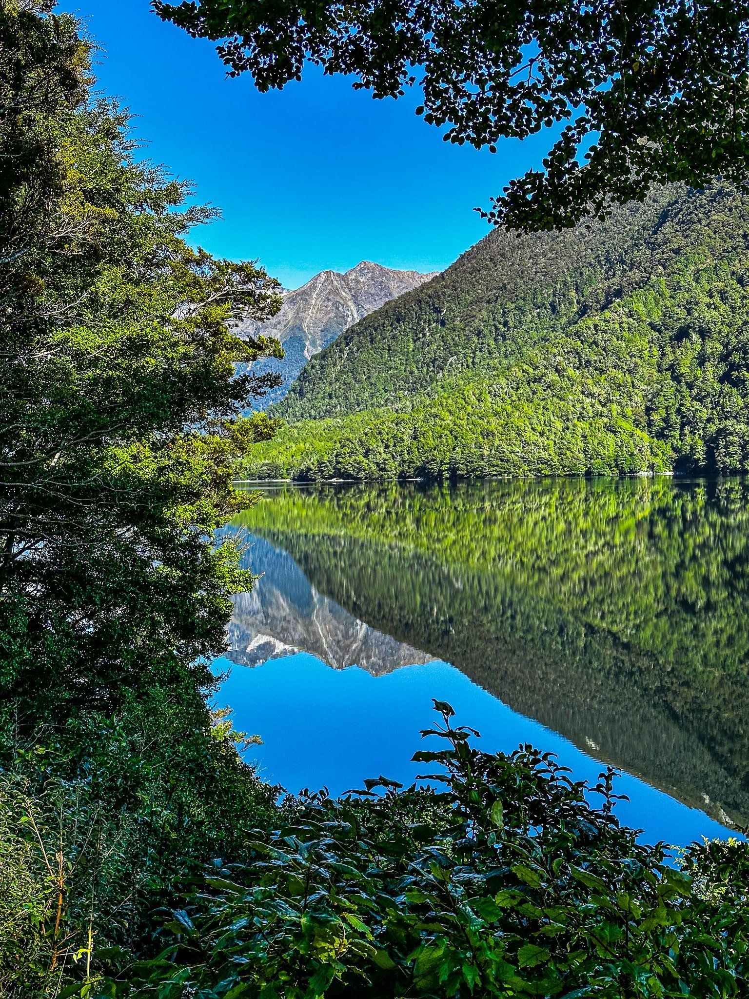
On a calm day, the Mirror Lakes are a highlight of Milford Road. The lakes are small (marked but not named on Topo Maps NZ) but well signposted with an unmissable parking area on the side of the road, shortly after the popular stop in the Eglinton Valley.
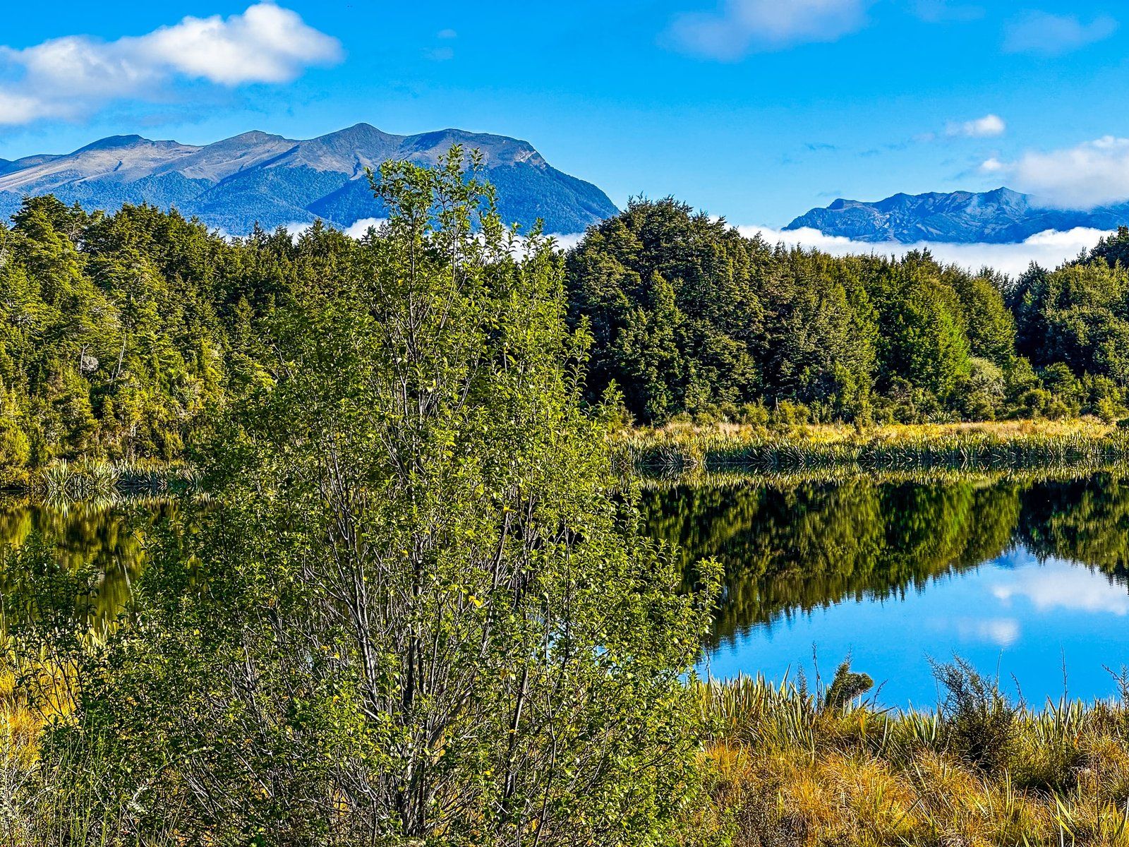
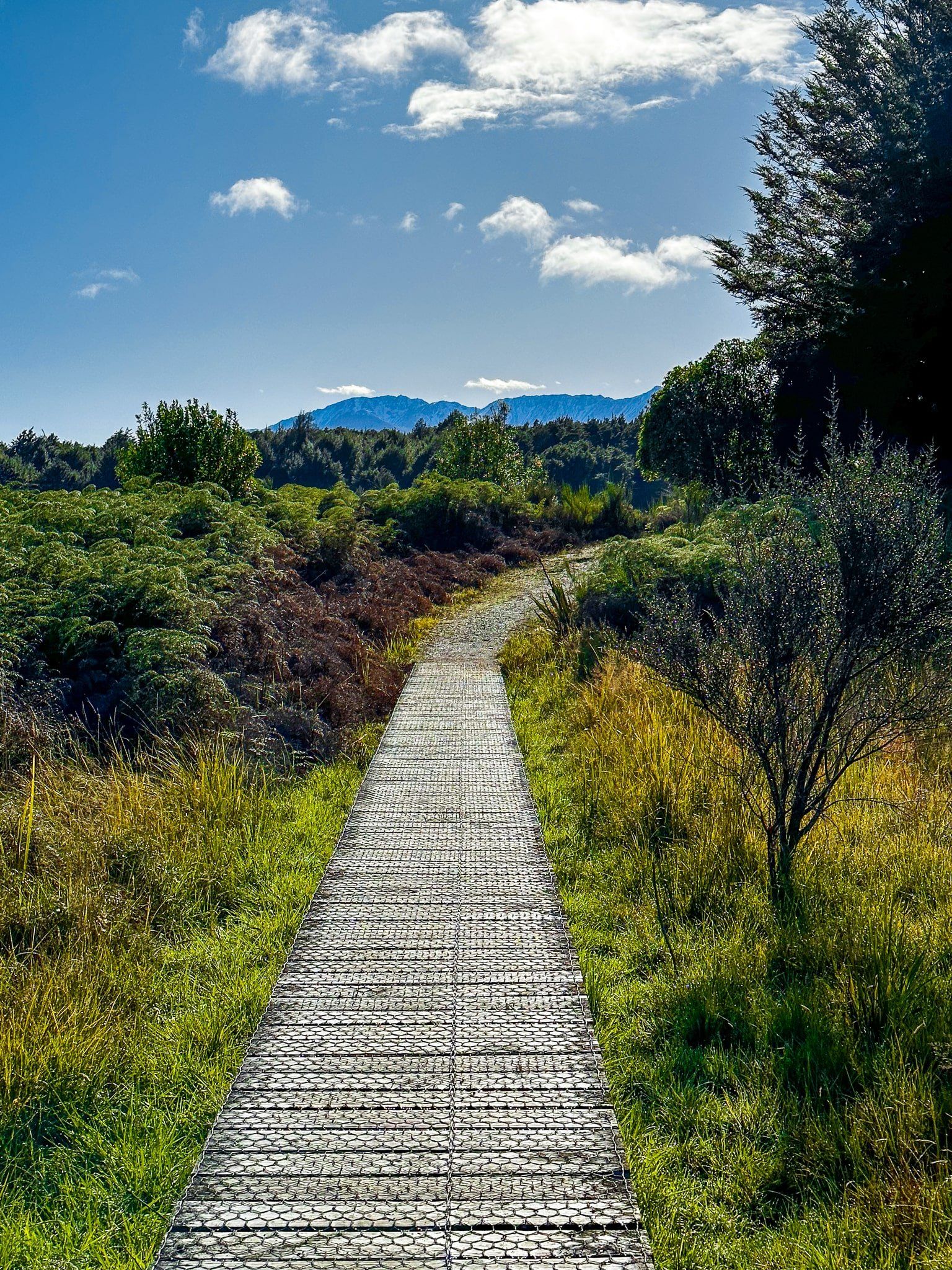
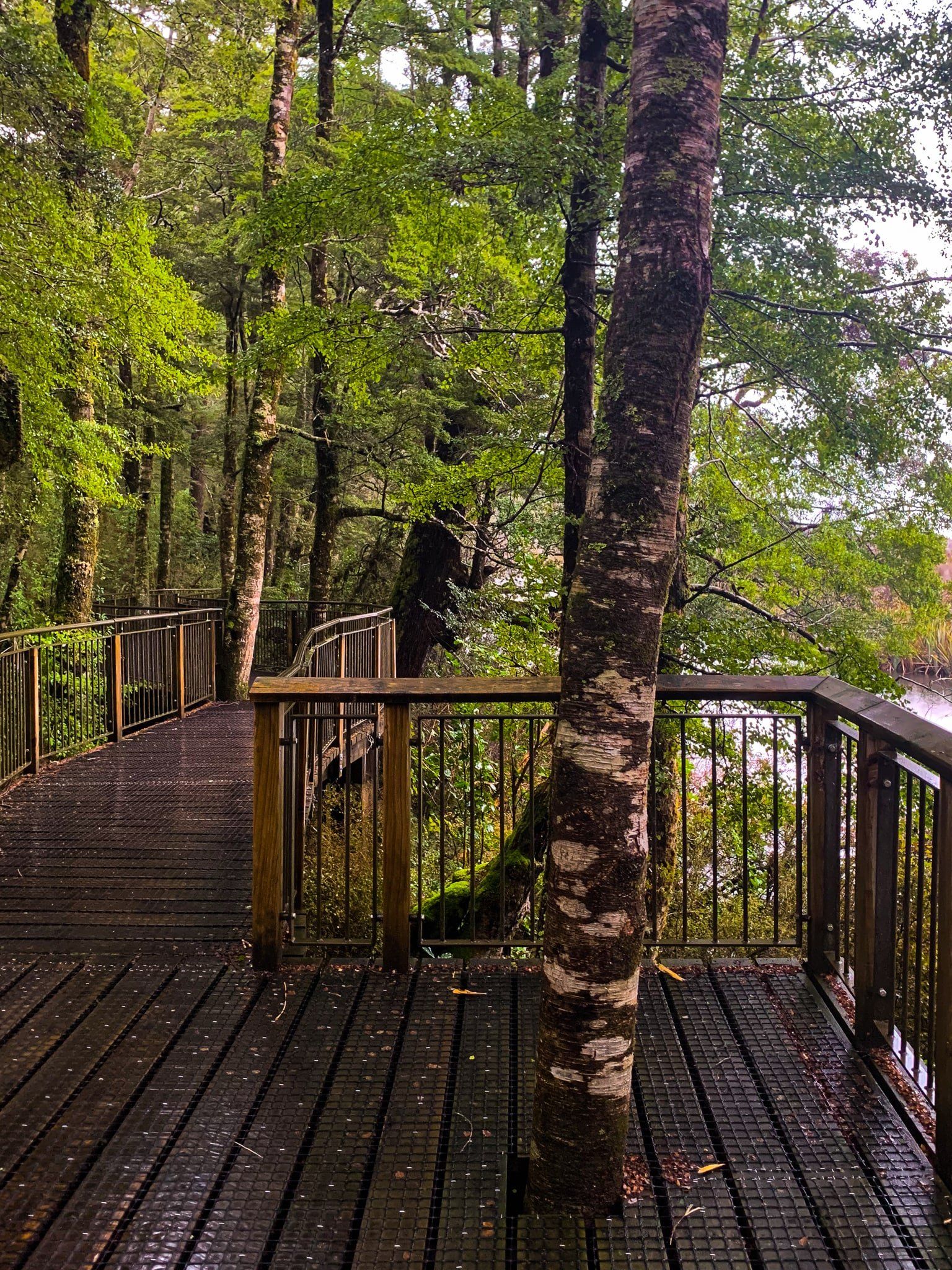
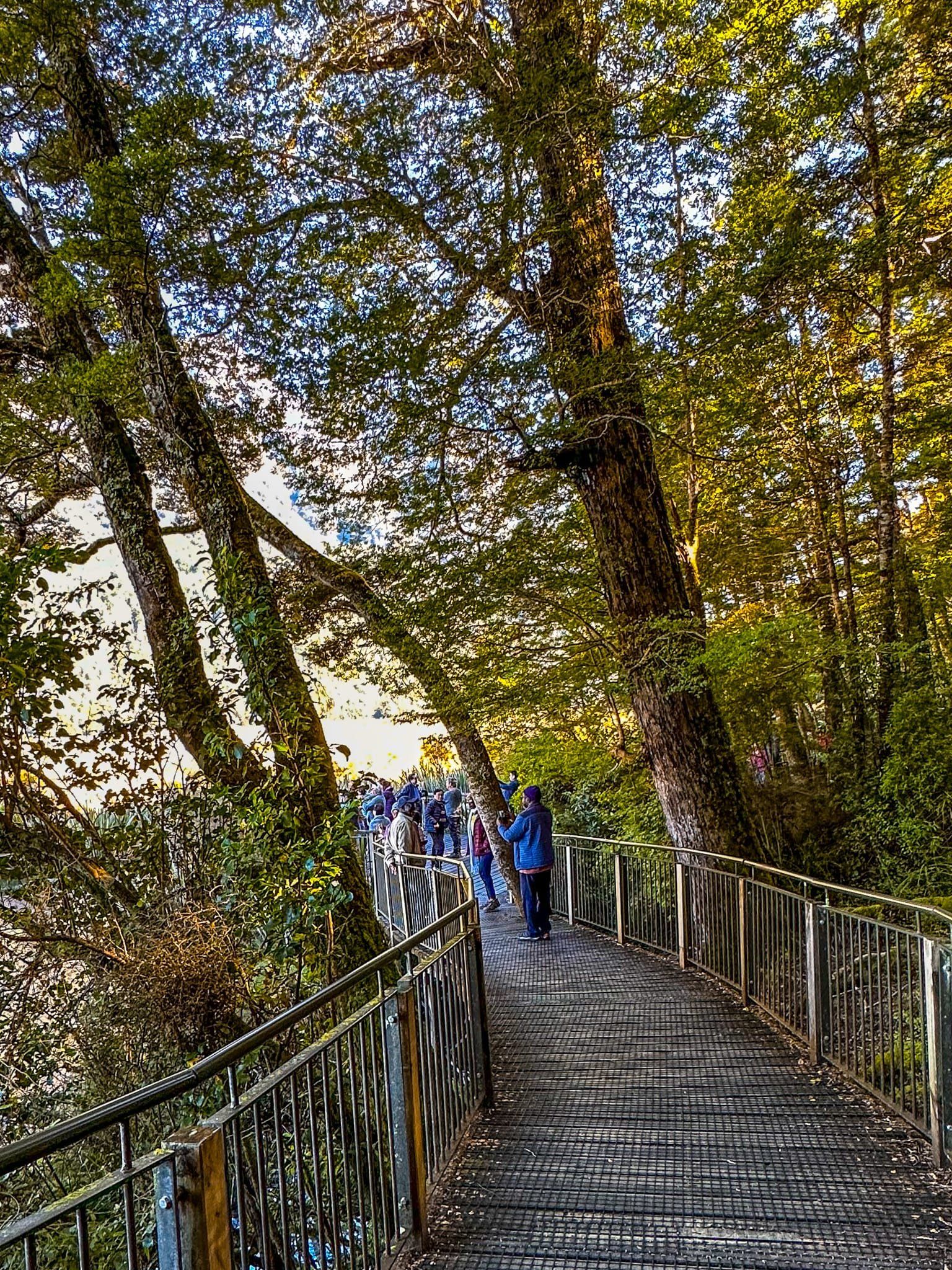
There is a short boardwalk through a pretty section of beech forest to several viewpoints above the lake. As the name suggests, it’s all about the reflections of the Earl Mountains, including the highpoint of Eglinton Mountain, in the lake.
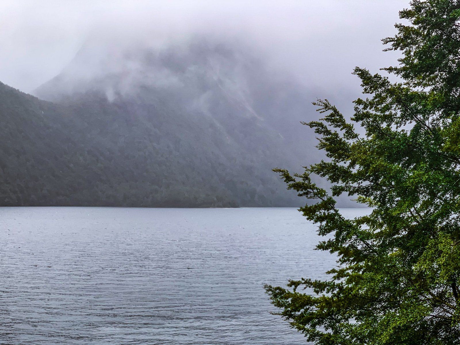
Unfortunately, there is a good chance it won’t be as nice a day as the pics here were taken on, but it has its own dark murky attraction on a rainy day.
Cascade Creek
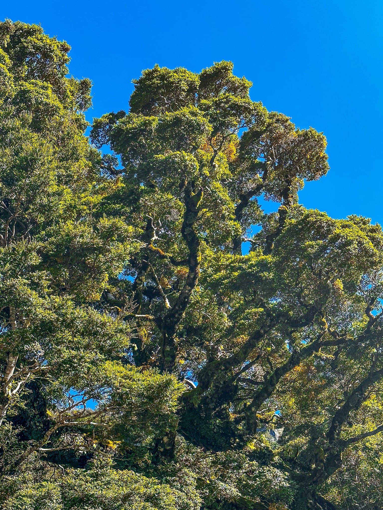
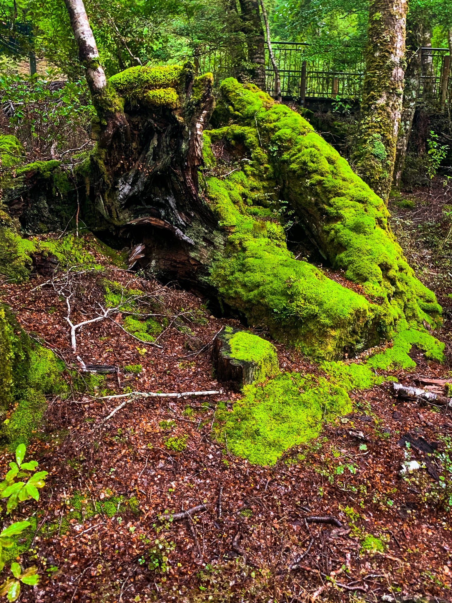
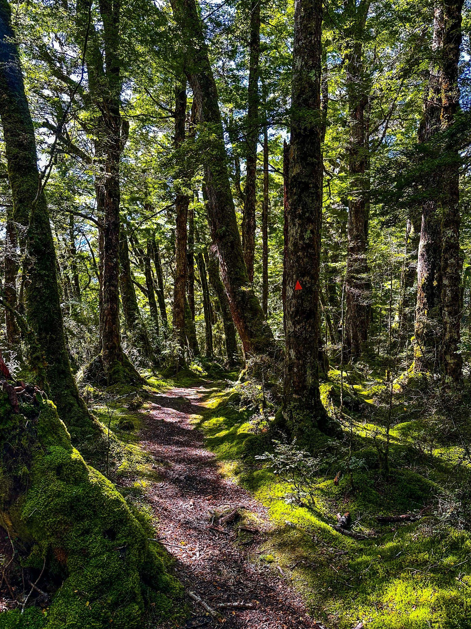
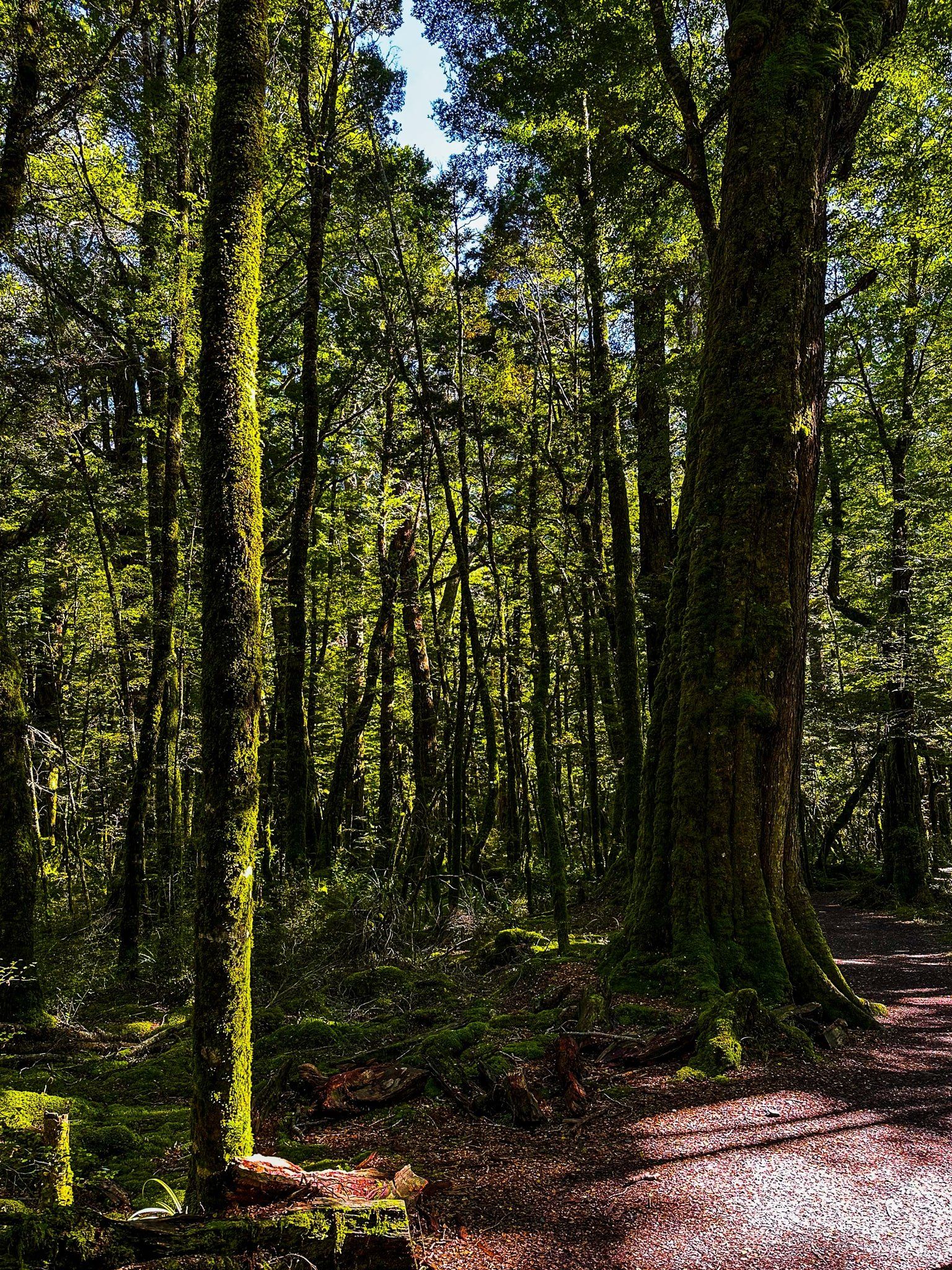
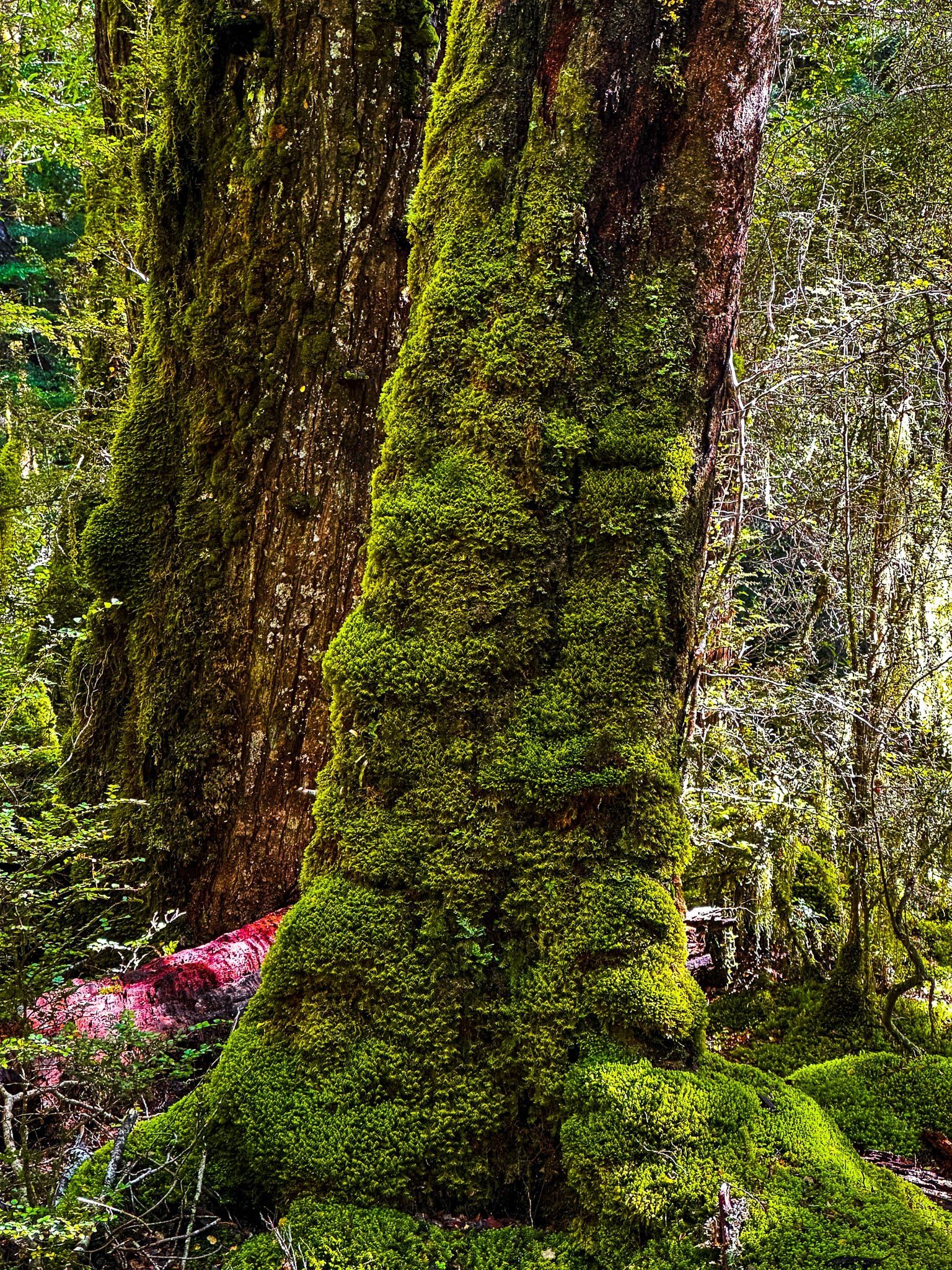
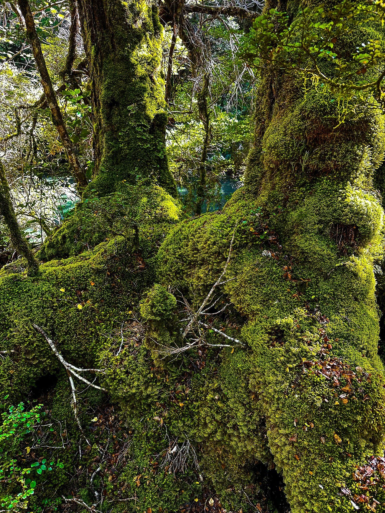
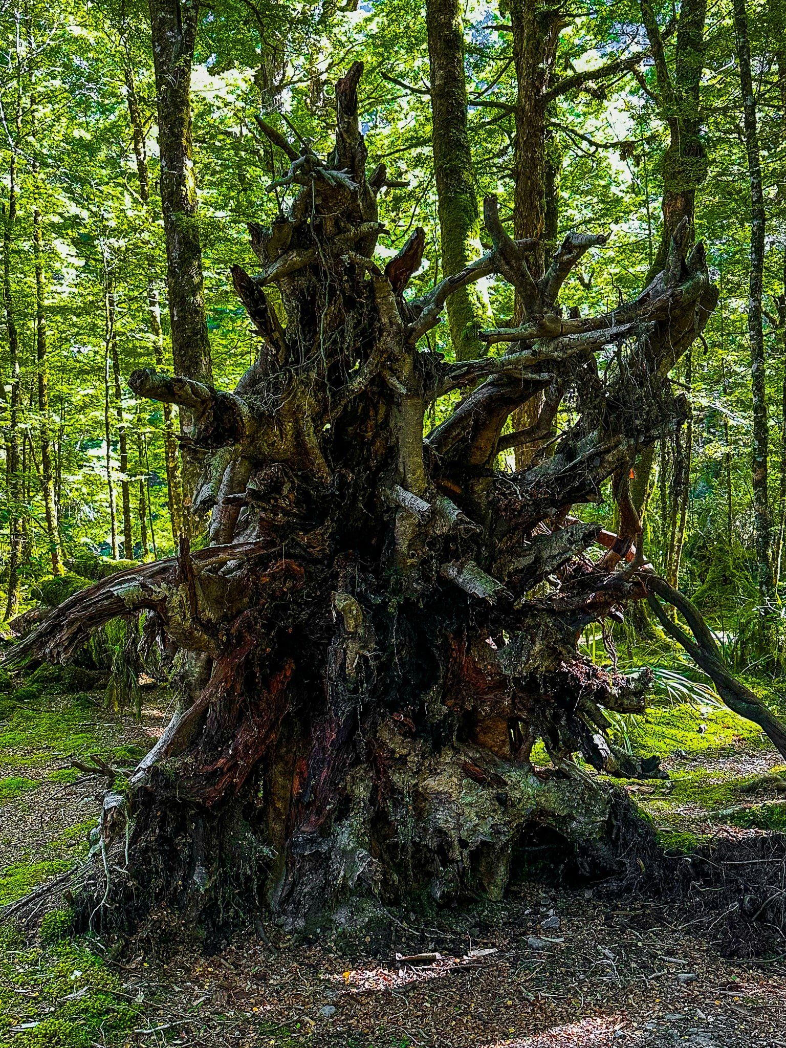
Cascade Creek campground (DOC) and the Lake Gunn Nature Walk can be found at the north end of Eglinton Valley on Milford Road, shortly before Lake Gunn. This is an easy 30 minute, very beautiful short loop walk through mature beech forest, with rainforest overtones, to the creek and edge of Lake Gunn. It is probably the best place to stop in the valley for an experience of the beech forest. From the forest edge, there are also nice views across the campground grasslands to the surrounding mountains.
For track access, there is a car park almost immediately off the road with access to the loop trail, or you can continue on and drive through the large campground, staying on the northside access road. Park near the bridge over the creek. There is no marked track entrance by the beech trees, but it is easy to find near the creek.
Lake Gunn
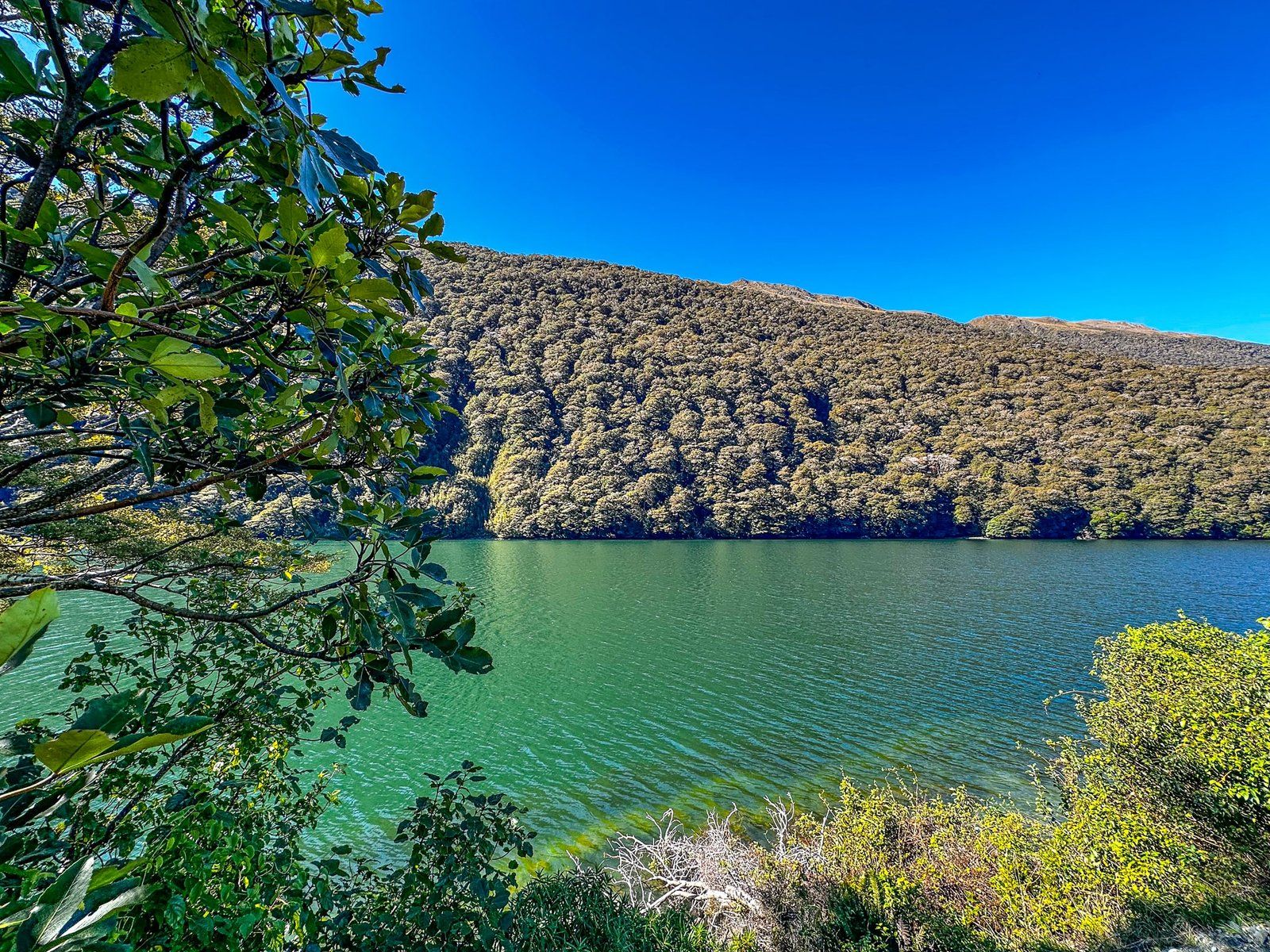
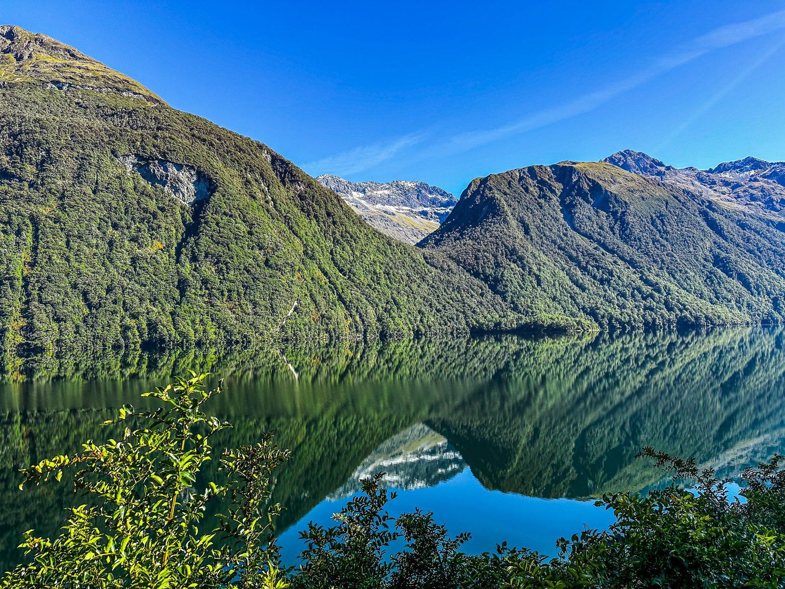
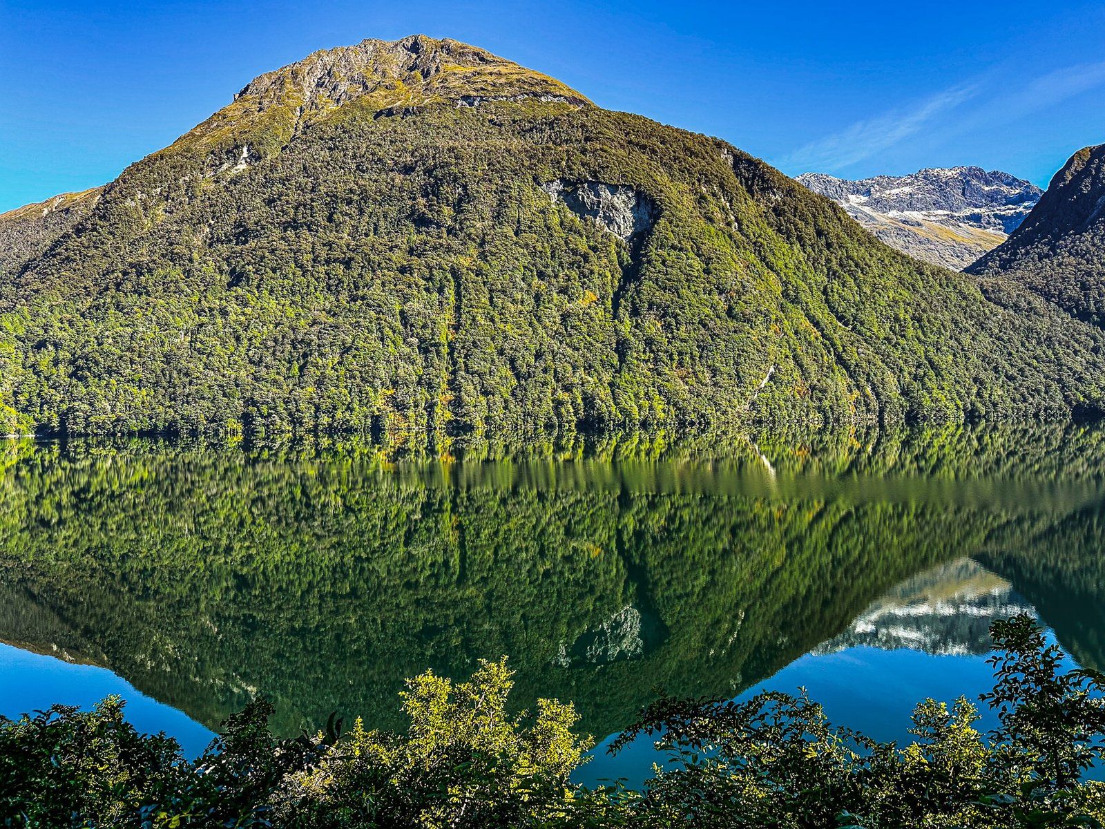
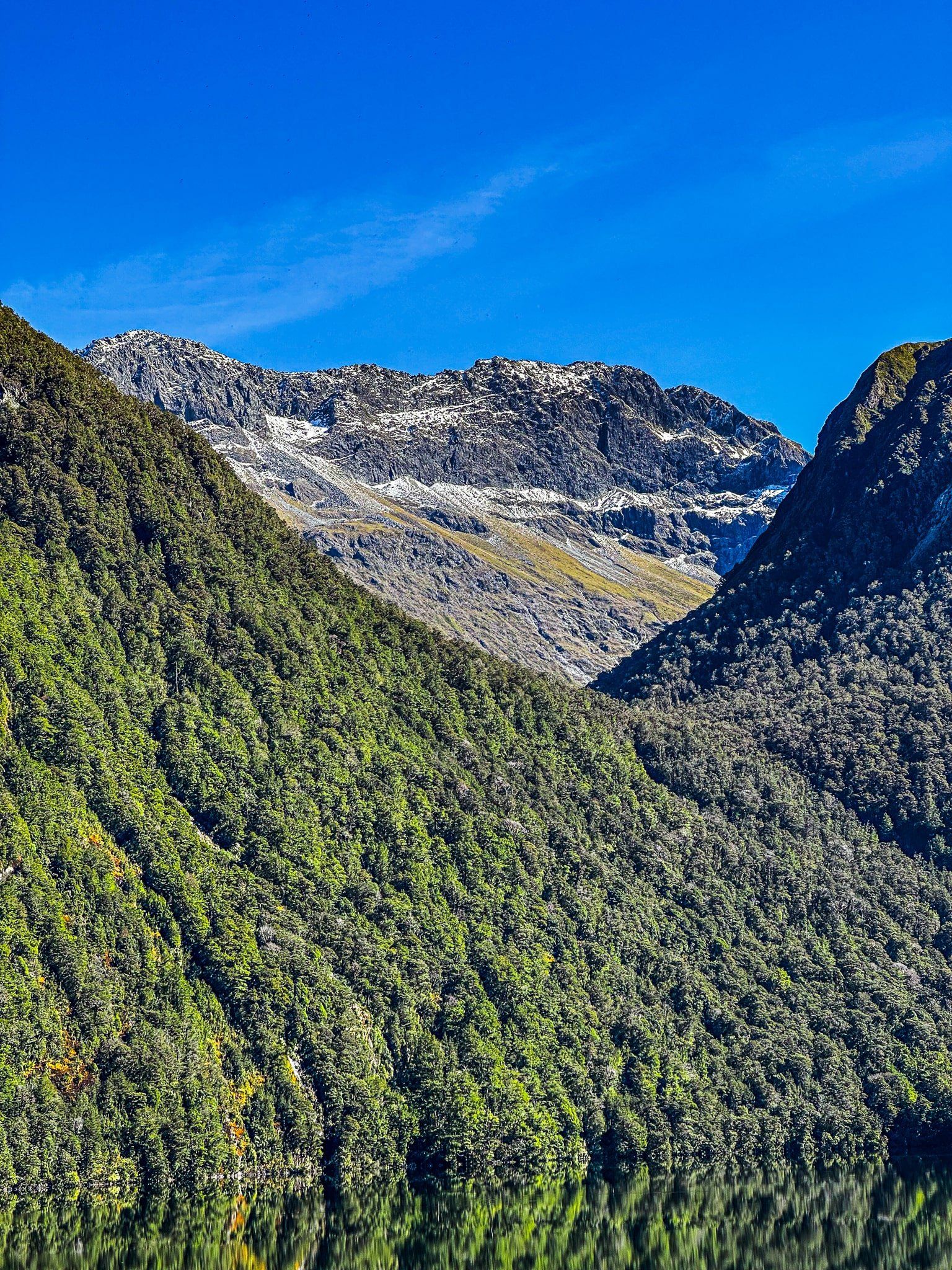
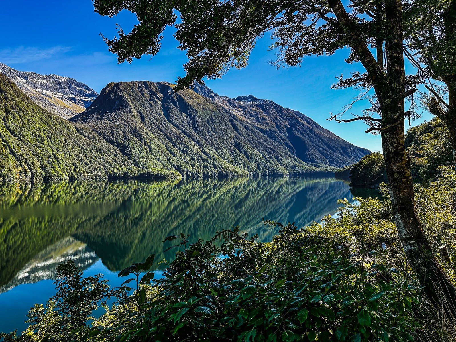
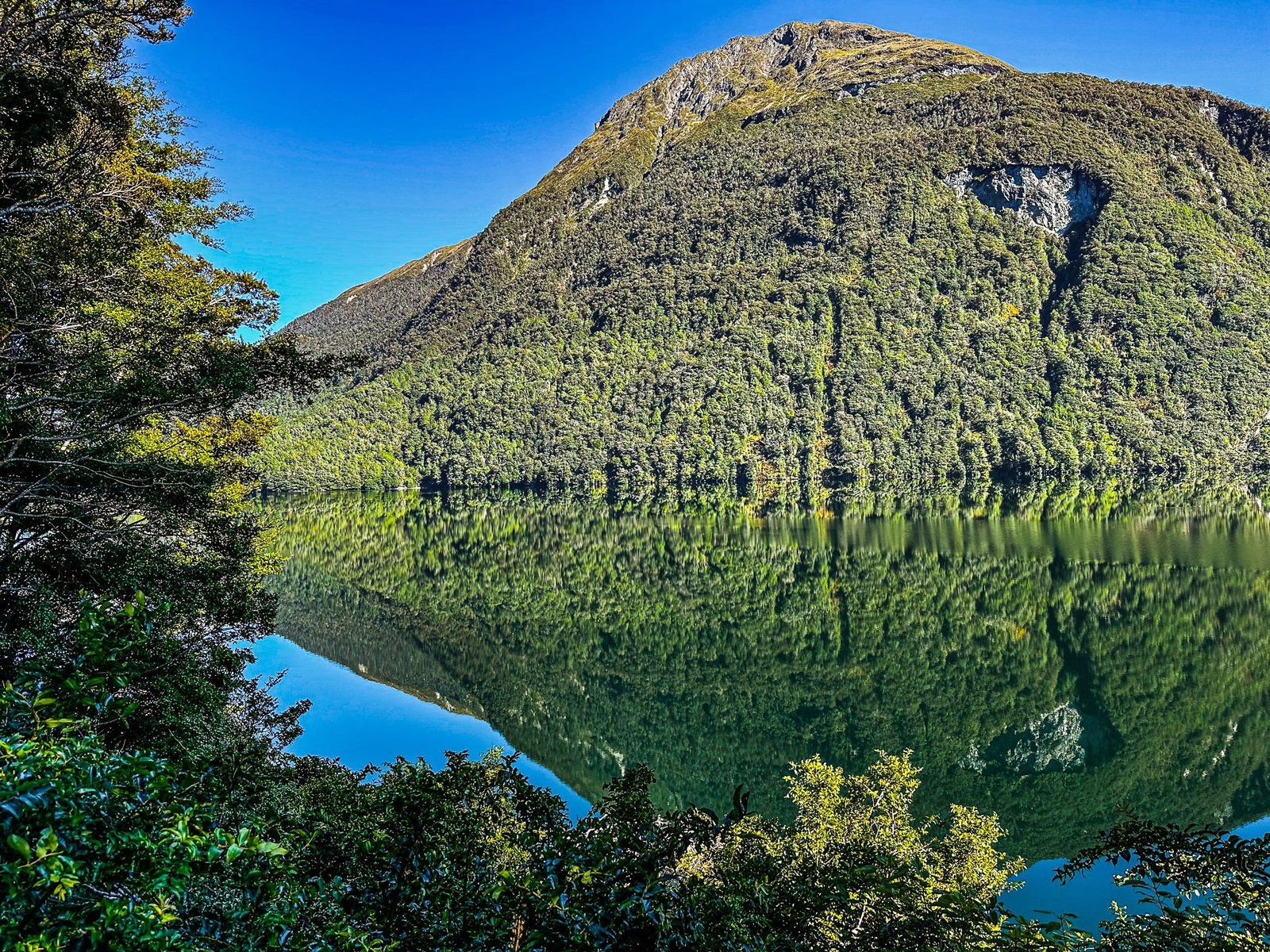
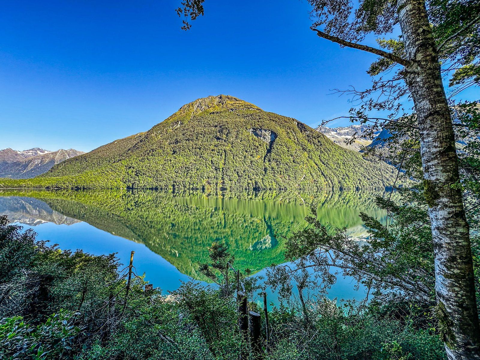
As you approach The Divide, there are several small post-glacial roadside lakes, Lake Gunn being the largest, then Lake Fergus on the right and finally tiny Lake Lochie. From a car, views of the lakes are limited by surrounding beech forest and shrubs. But there are some formal and informal roadside access- and view-points.
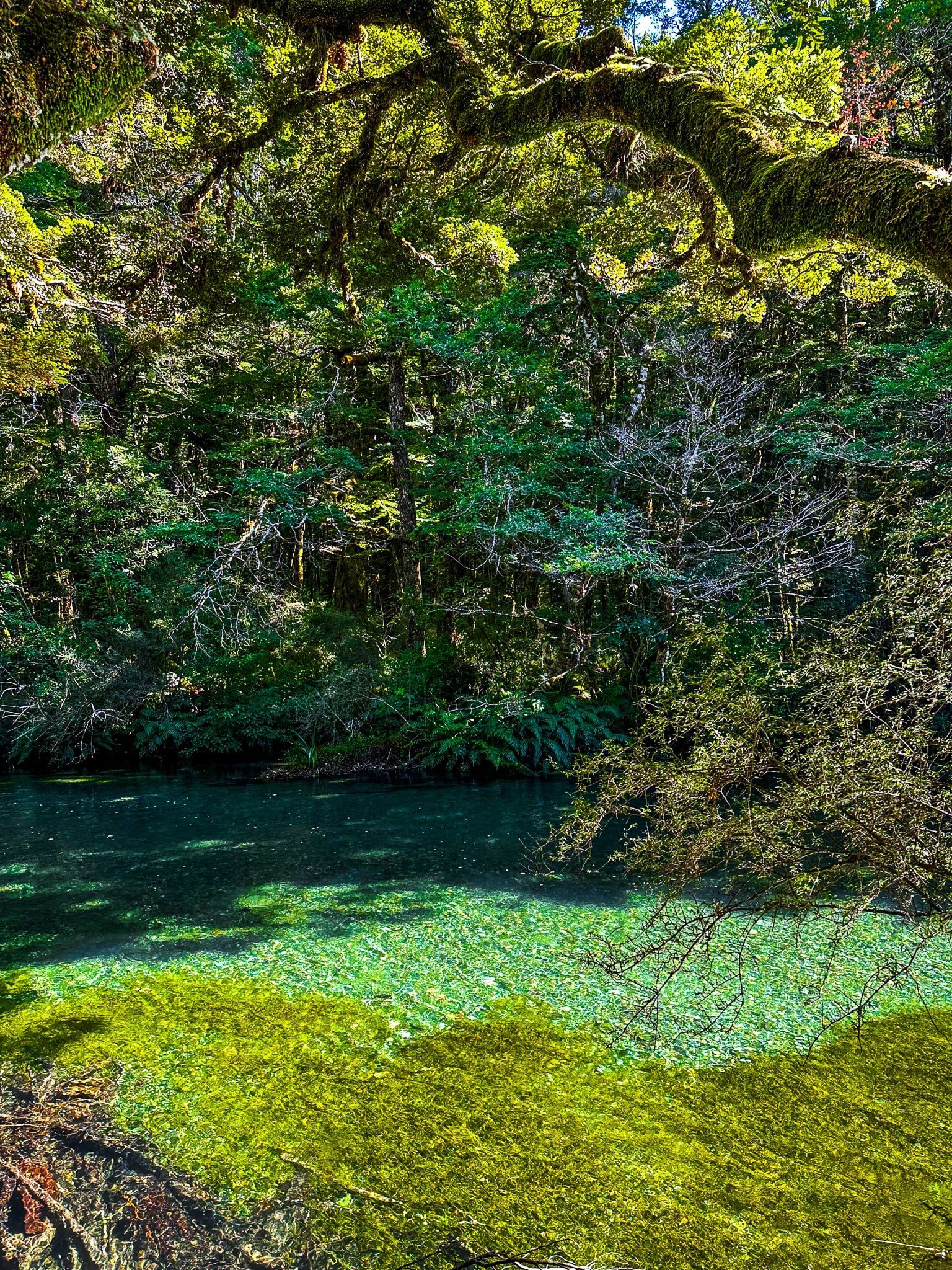
The best place to access Lake Gunn is at the Cascade Creek DOC campground. But if it is a calm day, look out for a couple of informal stopping places, with clear lake views, as you go along the lakeside. Apparently, a completely still and cloudless day, as we had, is very unlikely – but you never know your luck!
From there, it is a short distance to the Divide where the road turns west into the mountains for the spectacular 400 metre climb to Homer Tunnel.
Want more Trip Ideas?
Check out our first blog in the Stunning Southern Scenic Route series – the Best of Fiordland, or, for an even more southerly trip, check out Rakiura Stewart Island.
