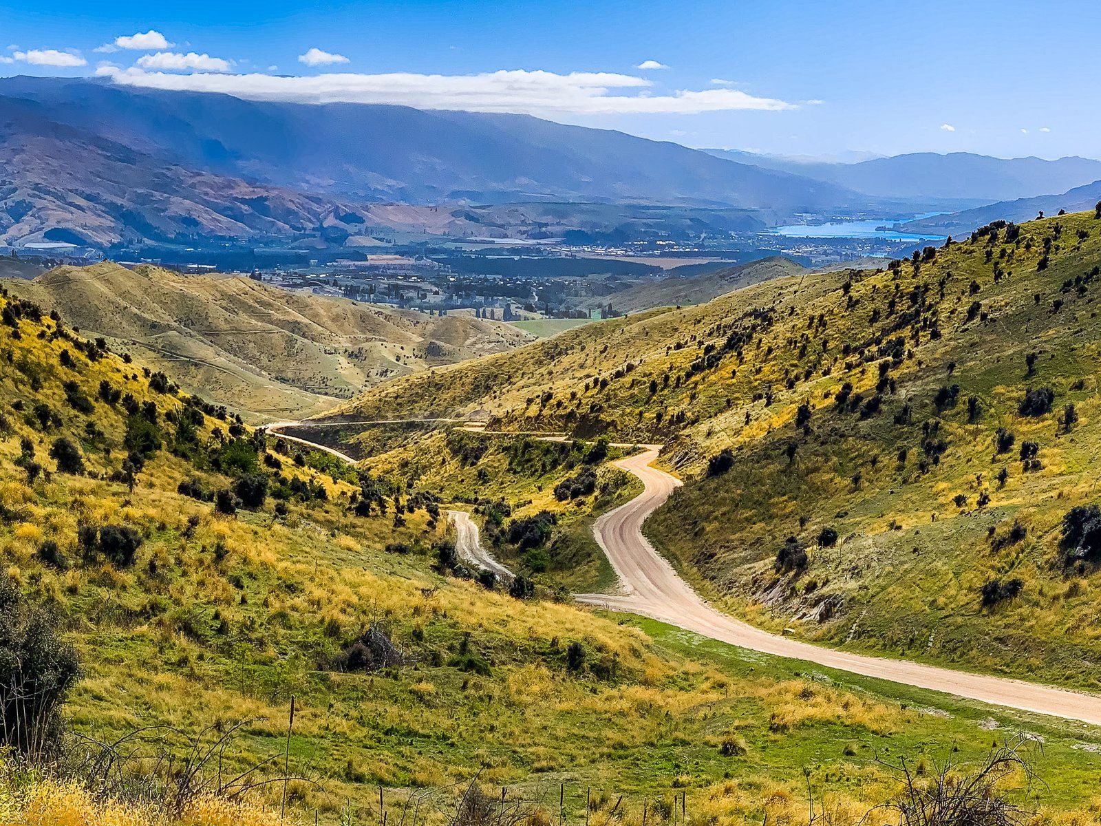
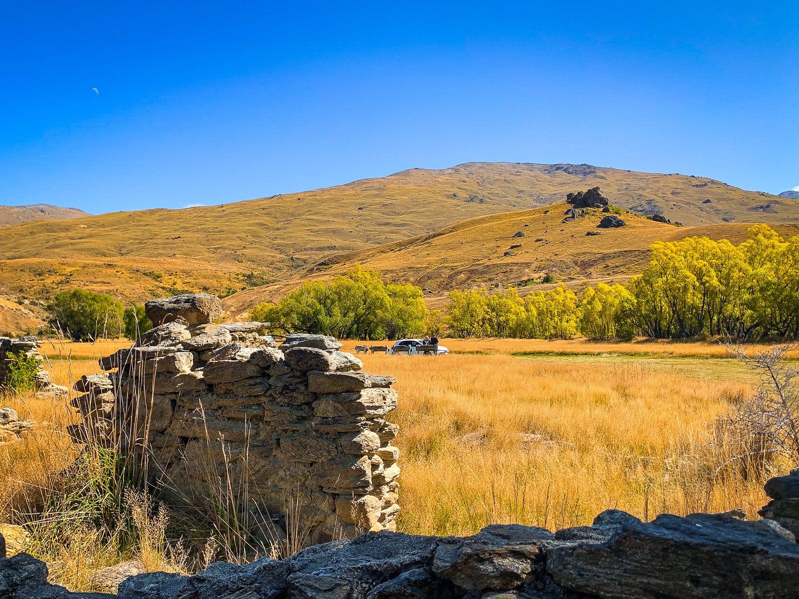
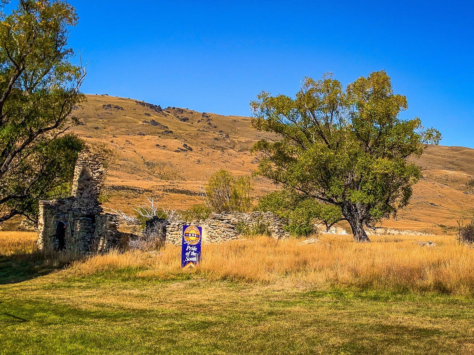
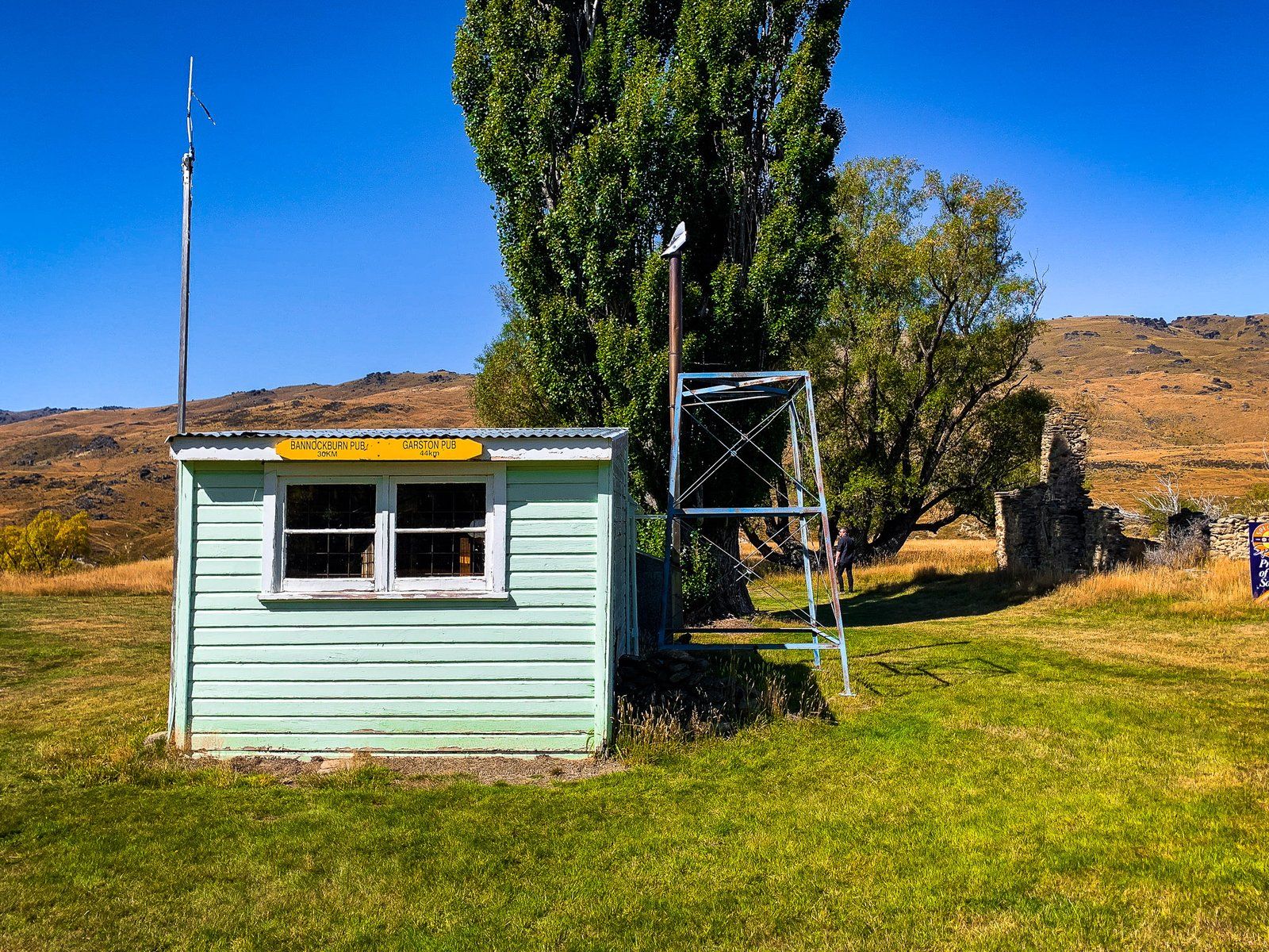
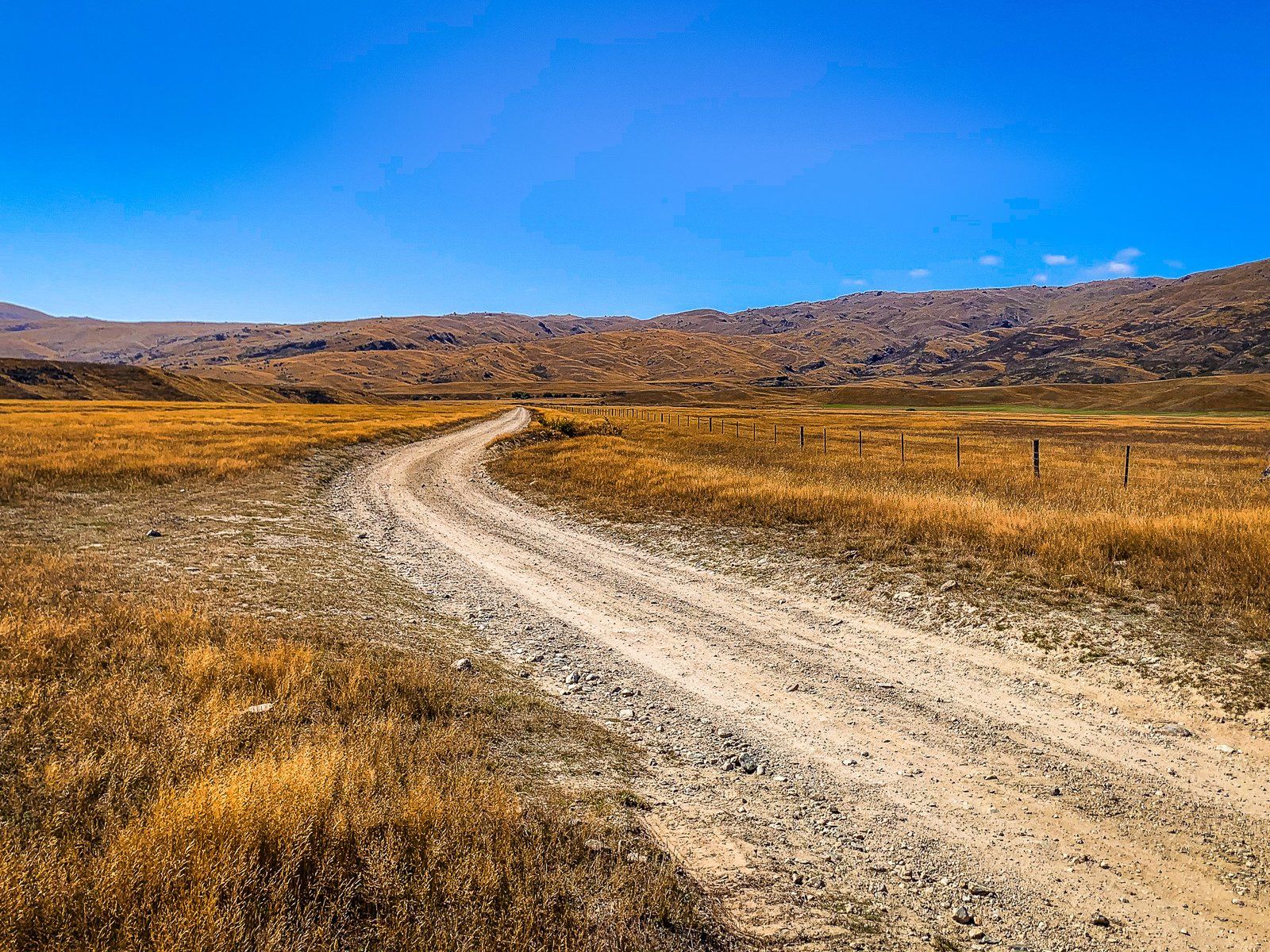
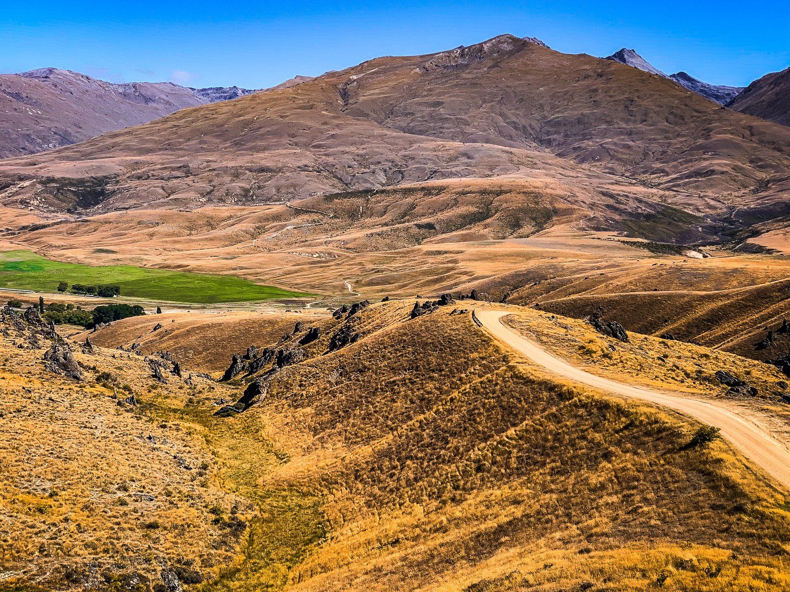
Nevis Road is a remote Central Otago metal and dirt road that links Bannockburn with State Highway 6 near Garston. It was originally a Māori trail that Europeans repurposed to access the Nevis Valley. The valley hosted a sheep station despite its height of 800 m and the remote location between Tapuae-o-Uenuku / Hector Mountains and the Garvie Mountains. In 1862, gold was discovered in the area. This lead to a gold rush and a small town being developed in the Valley. Today, there are a few stone ruins and relics, but the area continues to be farmed by Ben Nevis Station.
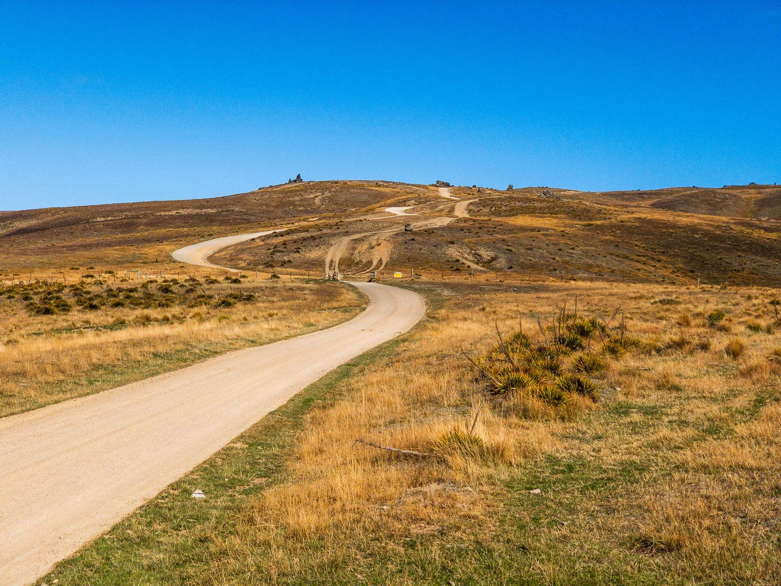
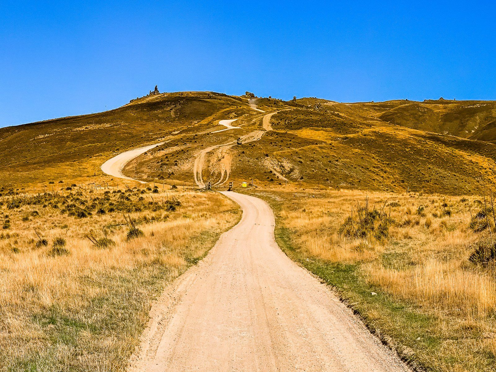
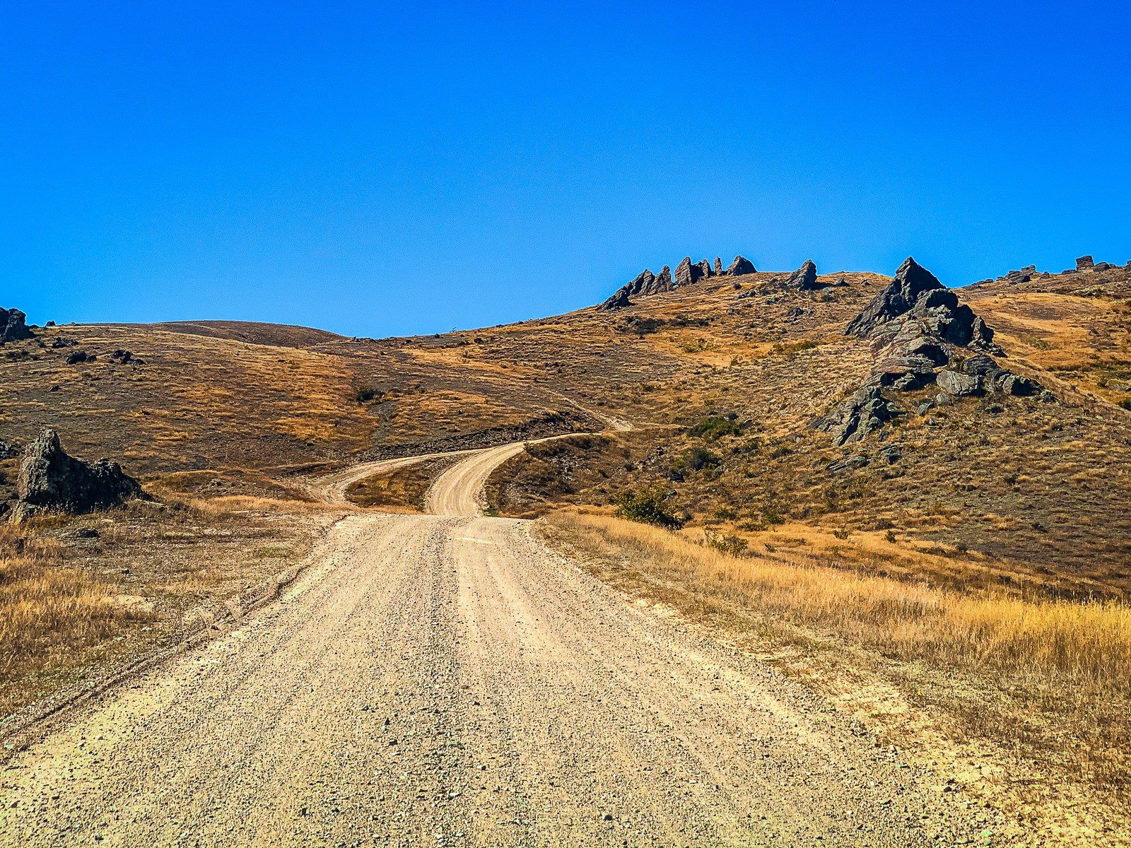
Much of the road is accessible in a standard car, but a section is only suitable for a 4WD. As it is high, it can also be affected by snow and ice in winter and may be closed. From Bannockburn, take Bannockburn Road south. At the intersection with Hawkburn Road, continue straight ahead on unsealed Nevis Road.
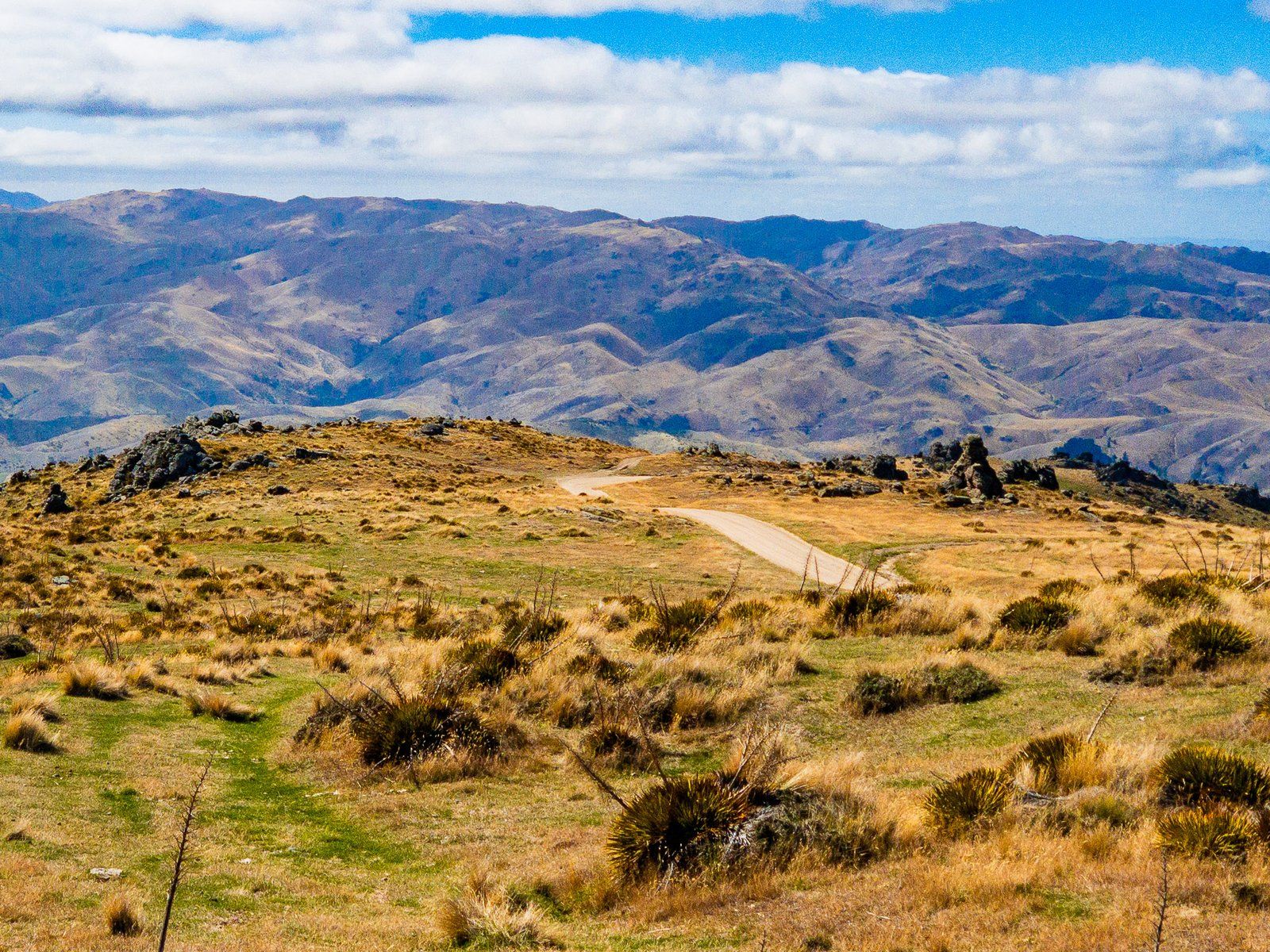
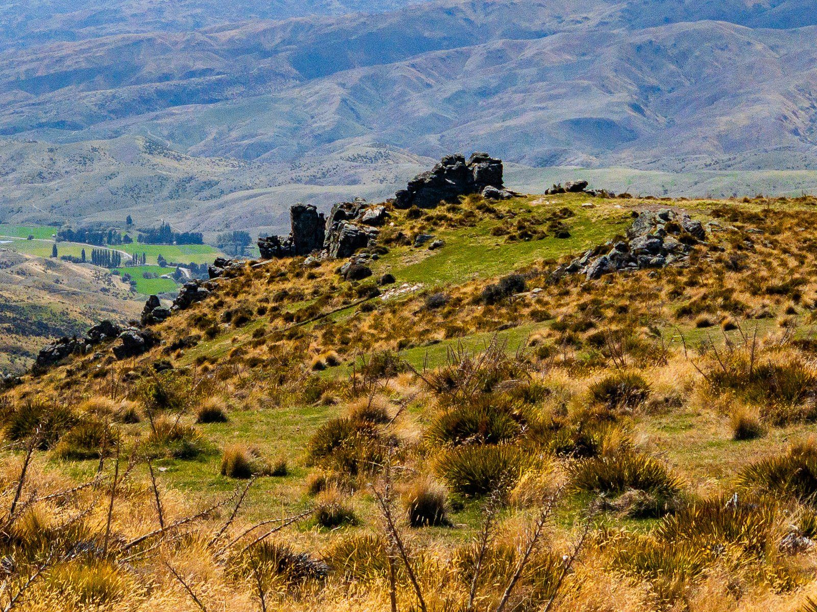
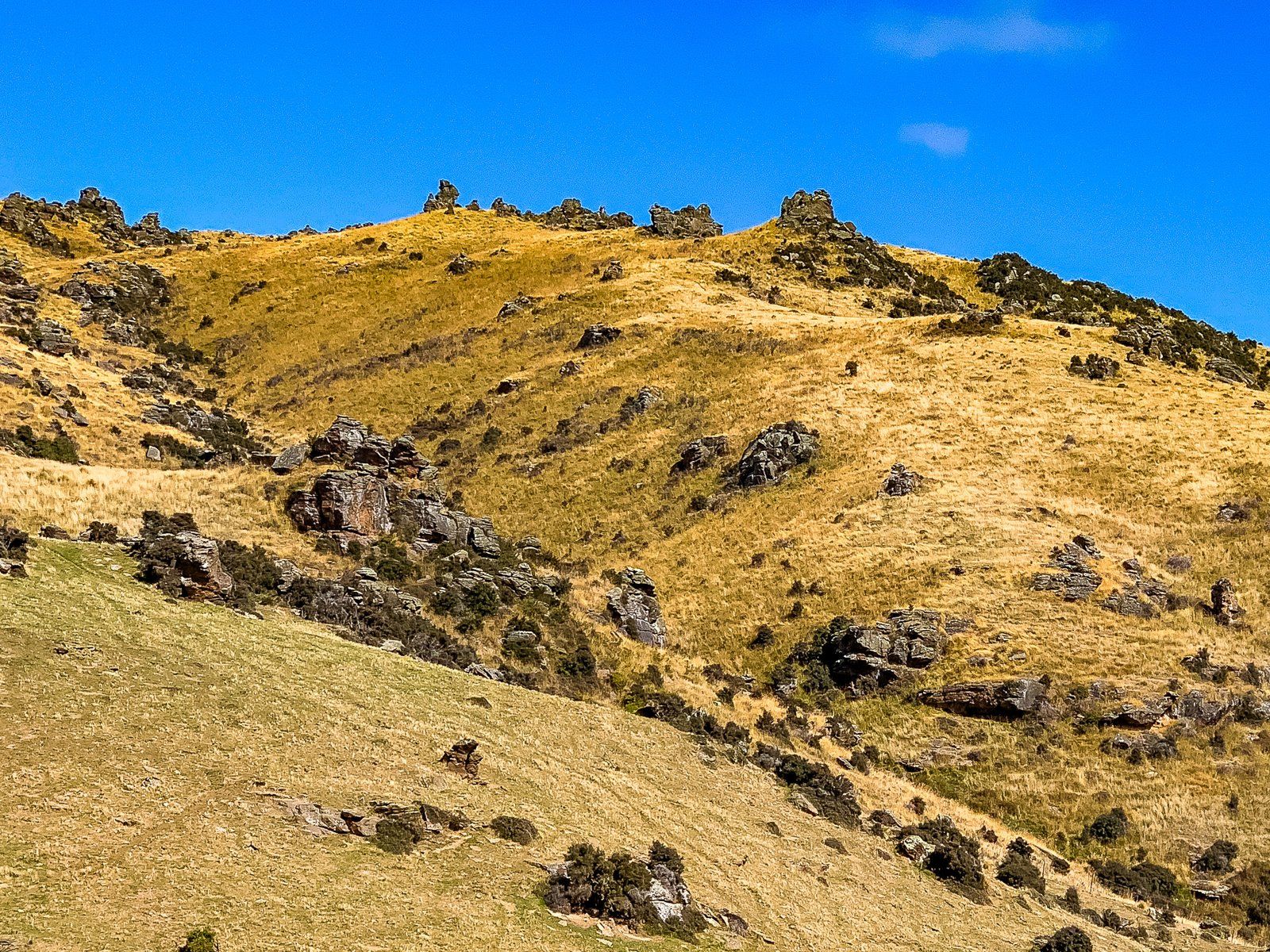
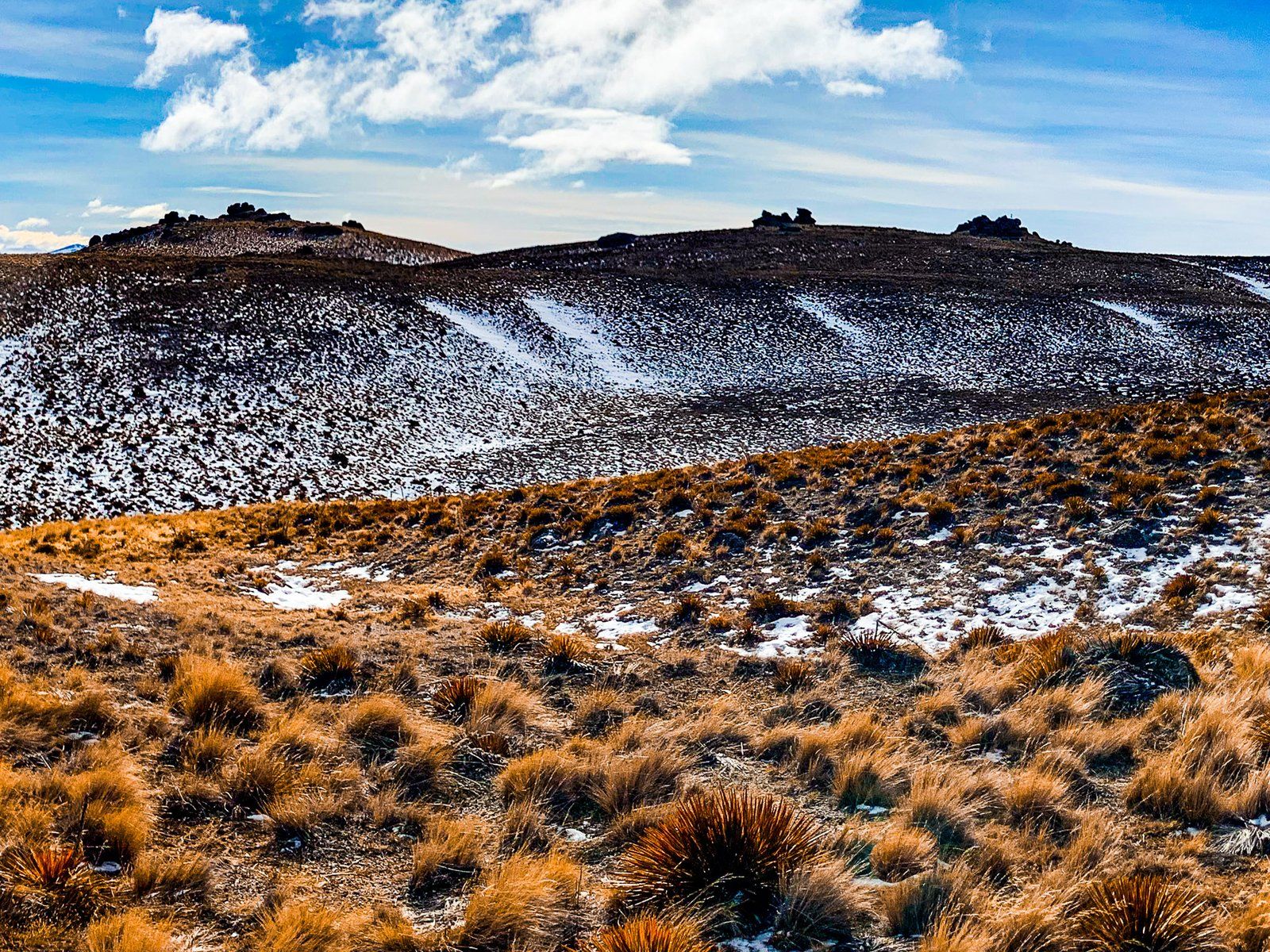
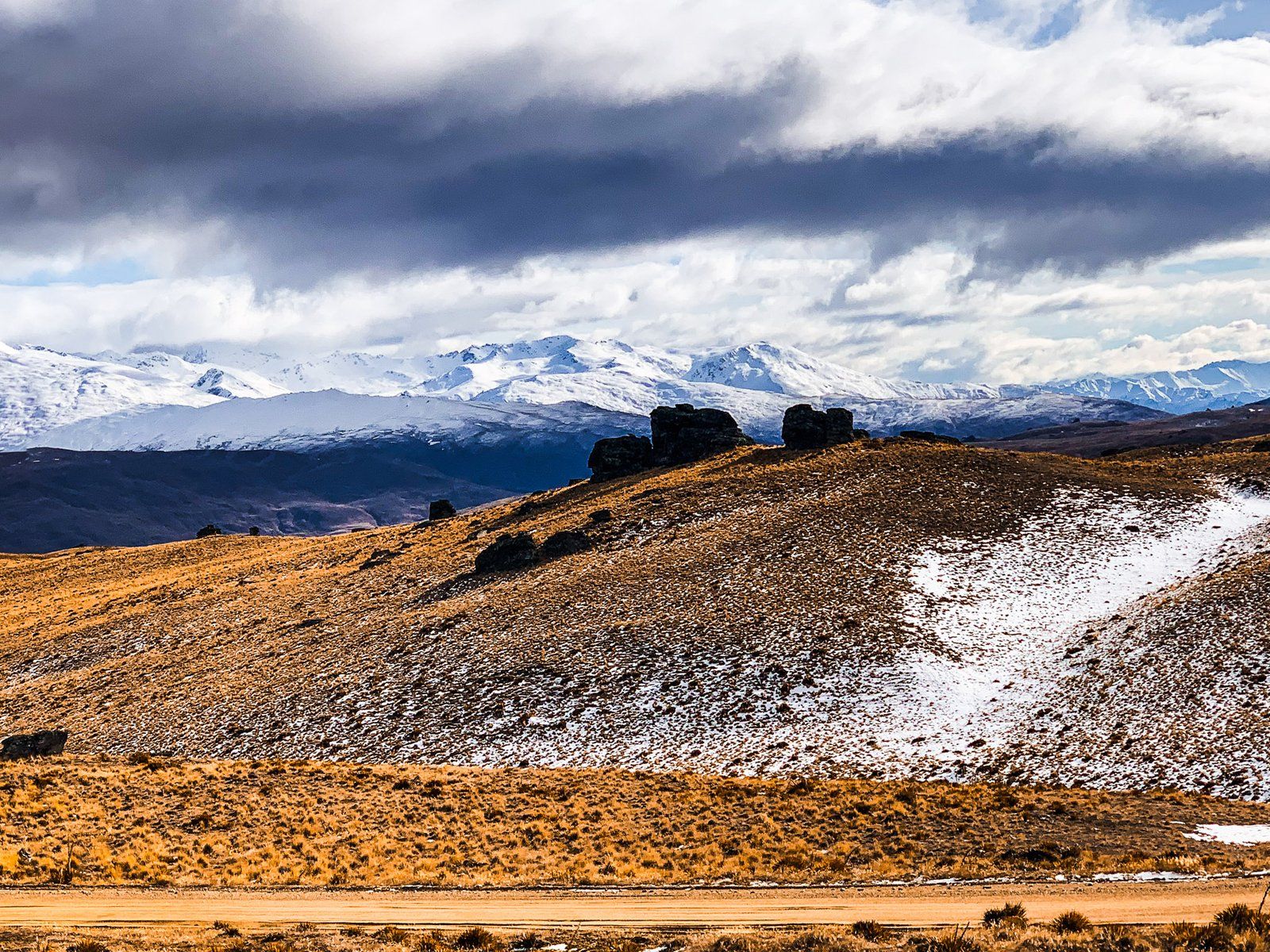
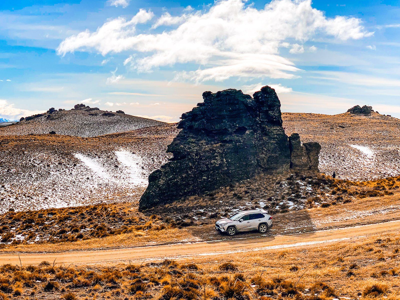
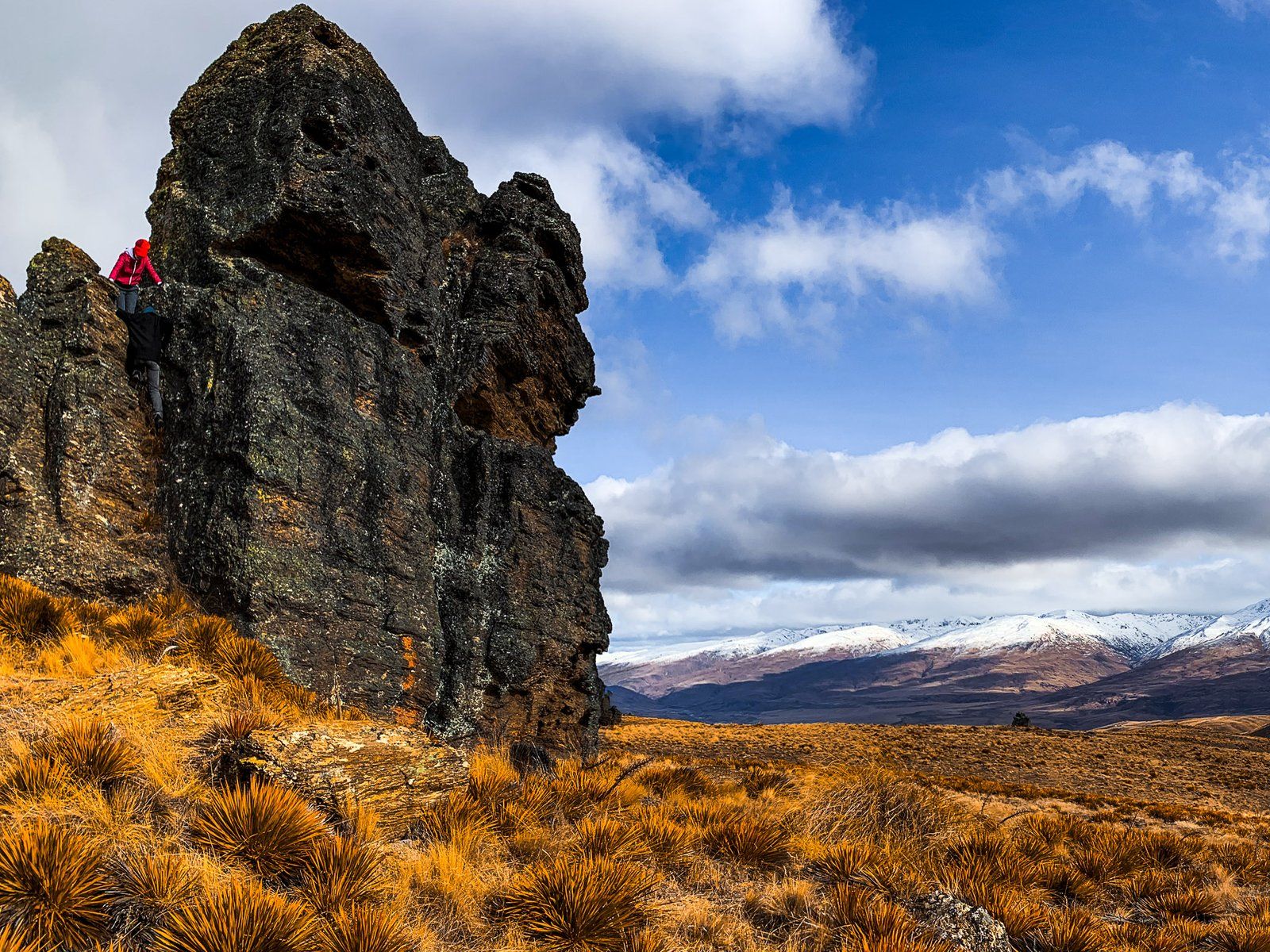
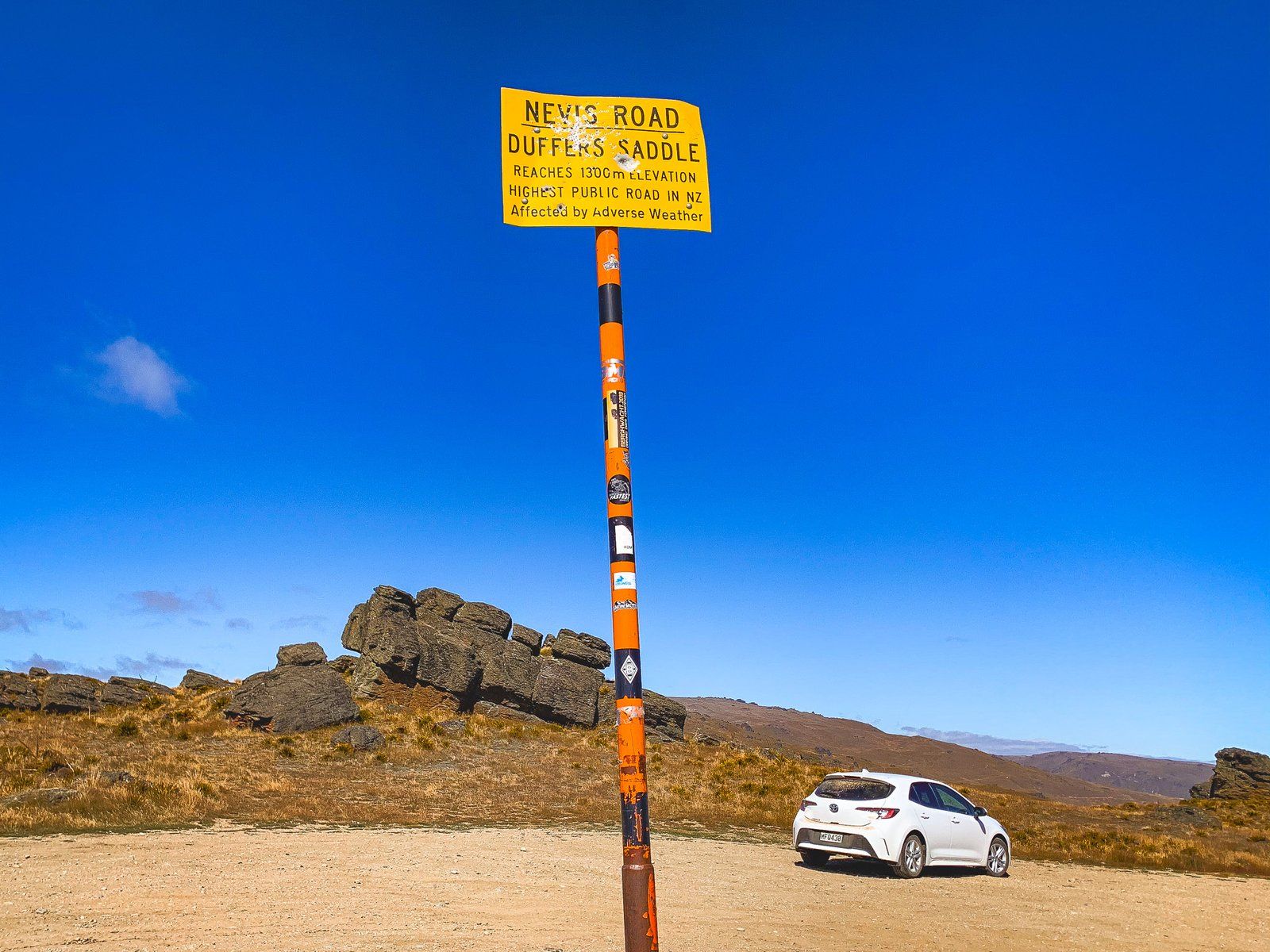
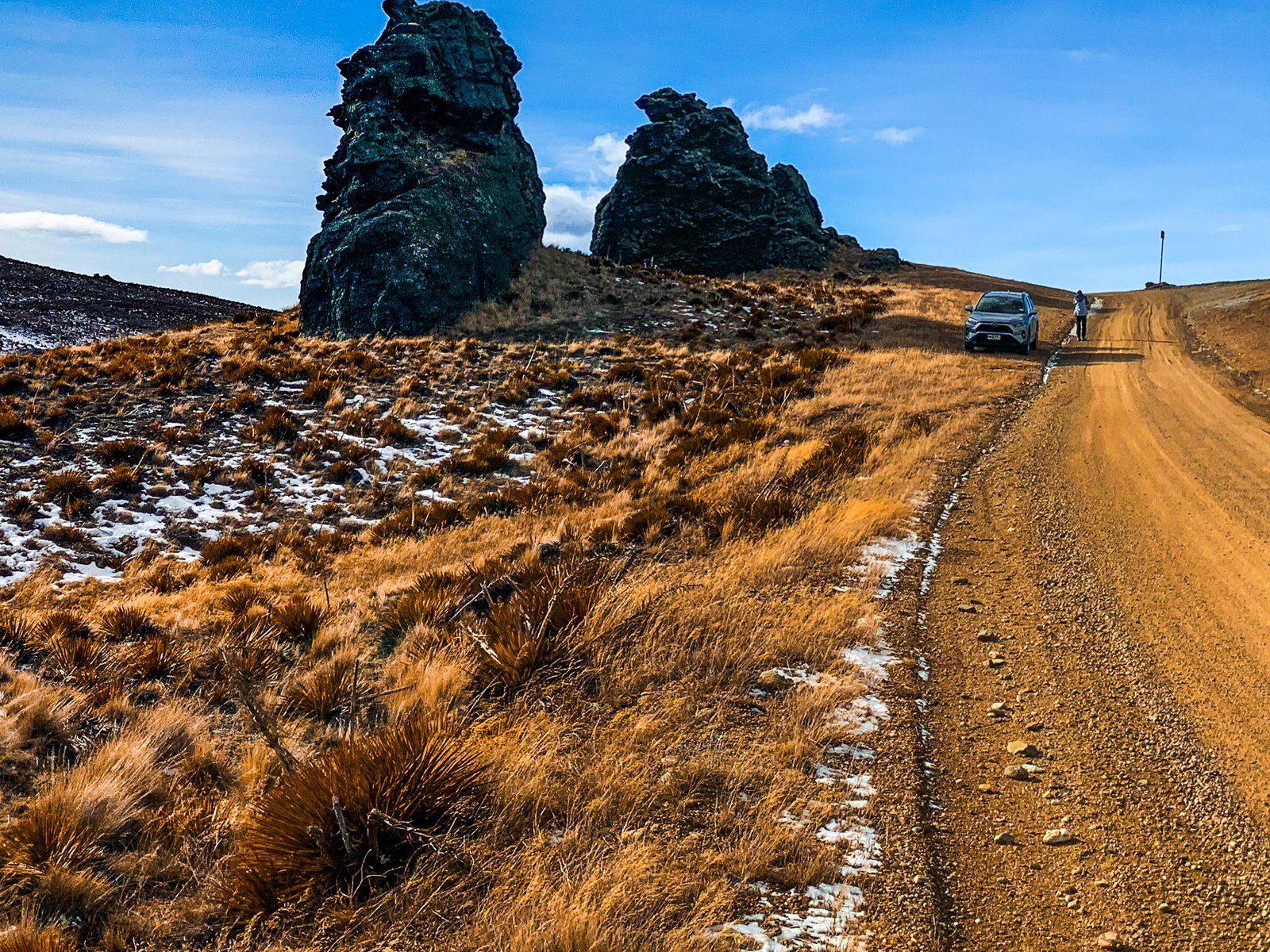
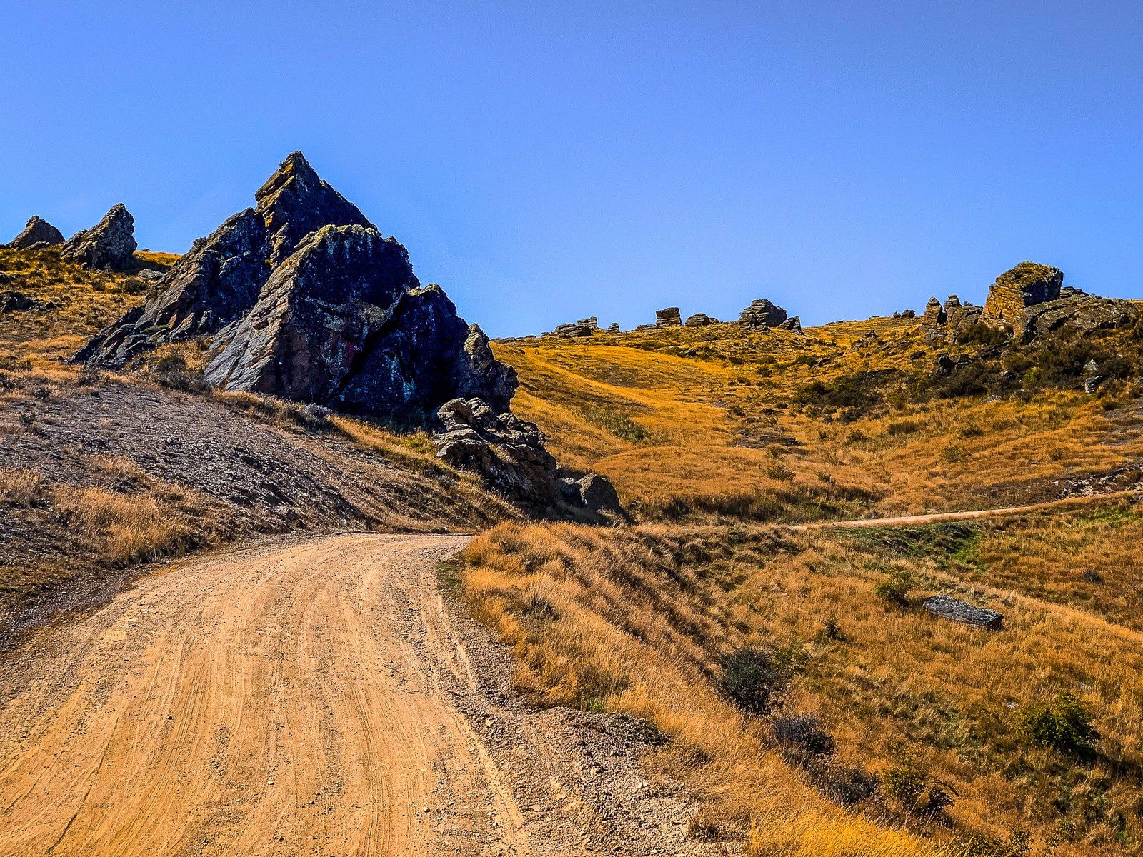
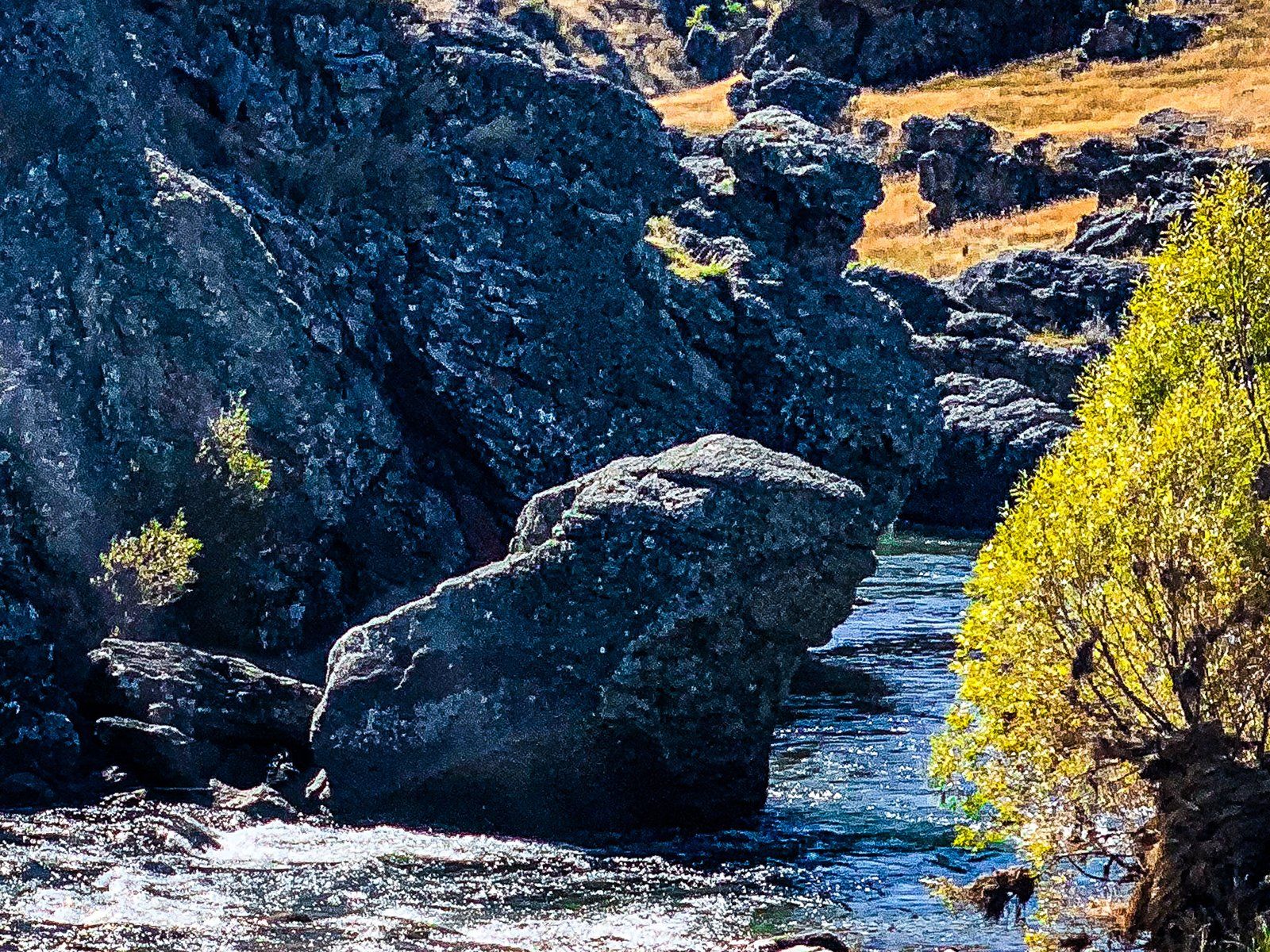
The road climbs from 460 metres to a high point of 1,275 metres at Duffers Saddle. Here, the rugged terrain changes from tussock and grass to arid high country semi-desert. Rock Tors are a feature of this landscape, and Duffers is the highest point on any public road in NZ. It lies between the Carrick Range to the North and the Old Woman Range to the South. Several tracks are accessible near the saddle.
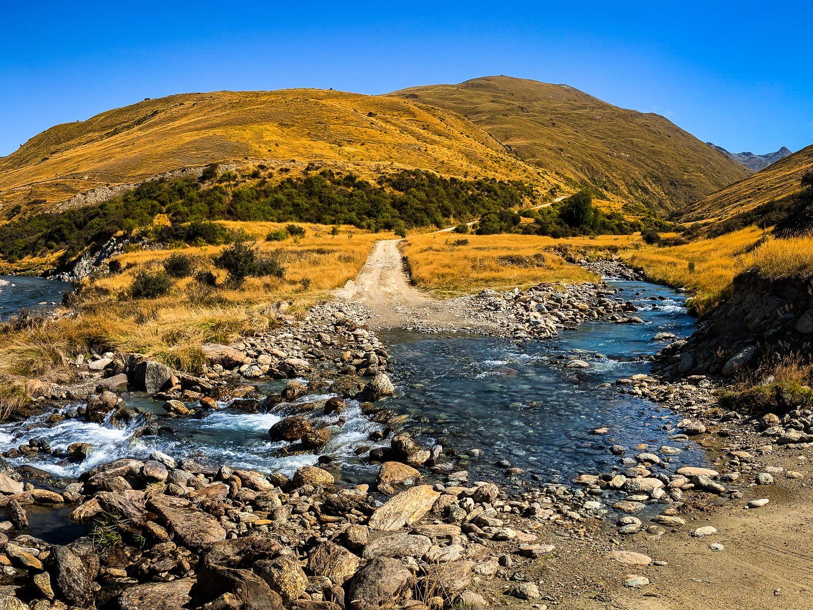
From Duffers Saddle, the road remains reasonably well maintained as it heads west and down towards the Nevis Valley. After crossing the River at Nevis Crossing, the road swings south into the valley and runs for 12 km to Lower Nevis. Here, Commissioners Creek crosses the road just above the River, making for a significant ford.
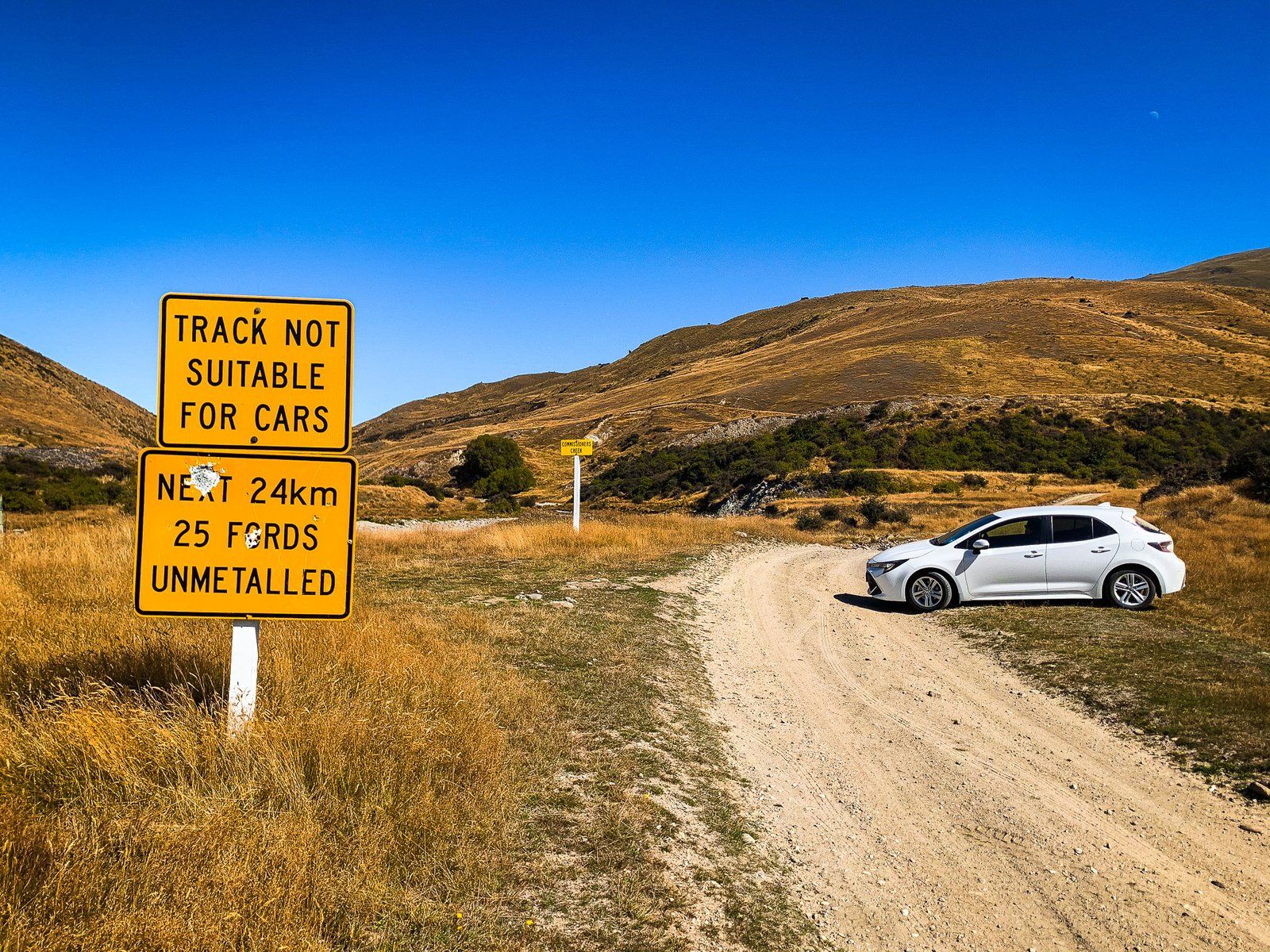
There is a 4WD-only warning sign, with another 20+ fords to go! If you have a 4WD and feel confident, continue into the Nevis River Gorge. After ten km or so, the road crosses over the south end of the Hector Mountains at 1,100 metres. It then heads down to Garston, where the historic Garston Ski Hut and the Roaring Lion Track huts are accessible.
Duffers Saddle
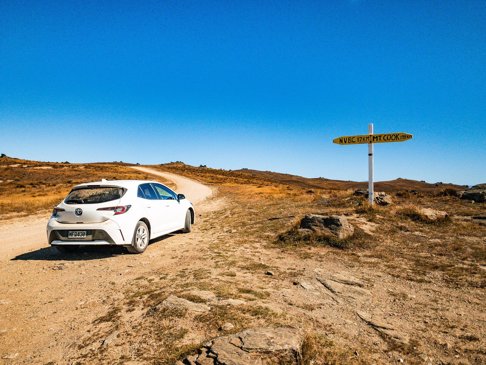
Duffers Saddle is on the Nevis Road, which connects Bannockburn to the Nevis Valley and then to Garston. At 1,275 metres, it is the highest point on a public road in NZ. The saddle sits between the Carrick Range to the north and the Old Woman Range to the south. There is a DOC information board at the head of the Young Australian Historic Reserve Road (4WD and walking). About 150 metres later, opposite two spectacular large tors, you will find the signpost.
The Carrick range is relatively low and flat, and it is easy to walk to the high point at just over 1,300 metres up the Young Australian Historic Reserve Road. Follow the 4WD track north for a few hundred metres towards two large tors, the first of which is known as Watts Rock. You can continue along the Carrick Range ridge to the historic gold mining areas – the Young Australian Water Wheel Track, at four km one way. From there, you can go all the way to Bannockburn.
The Old Woman Range on the south side of the saddle is also accessible via a 4WD road to the west of the saddle. The first section of the road to the DOC Old Woman Hut at 1,430 metres is relatively easy.
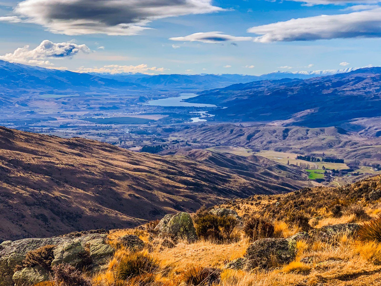
Continue west from the saddle for about three km to the start of the Upper Potters Creek Track. A short walk takes you to an excellent view of the Valley and the Hector Range to the west, with peaks up to 2,300 metres.
Nevis Valley
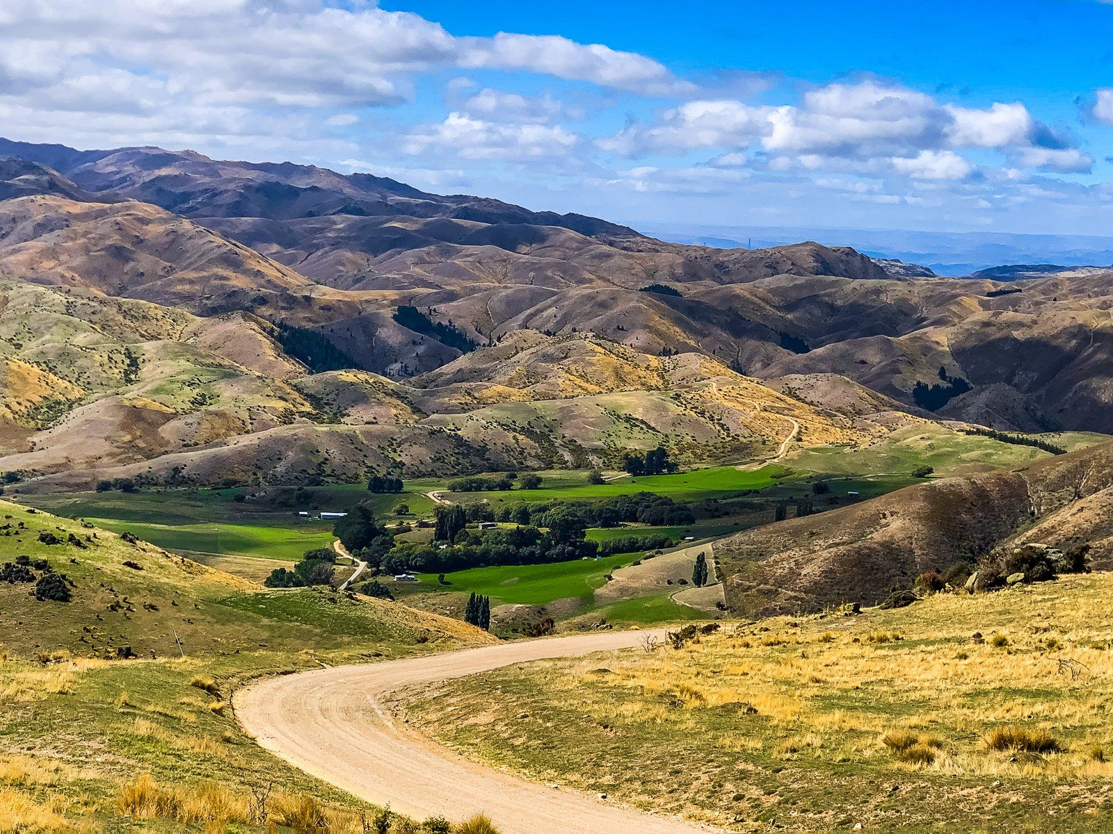
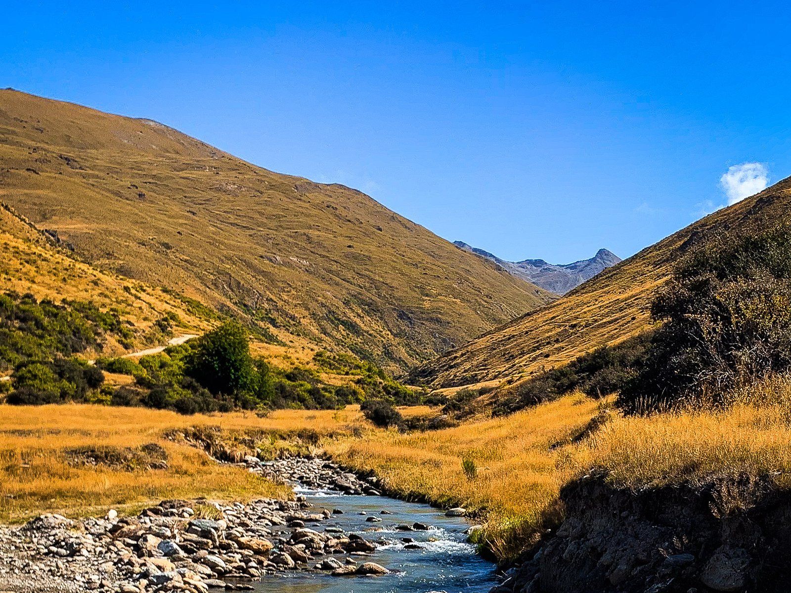
The Nevis Valley lies between the Tapuae-o-Uenuku / Hector Mountains to the west and the Garvie Mountains to the east. It is accessed on the Nevis Road from Bannockburn, over Duffers Saddle. From the saddle, the road drips over 400 metres to the west, then turns south into the valley after crossing the Nevis River at Nevis Crossing. There is an area to park by the river just before the bridge.
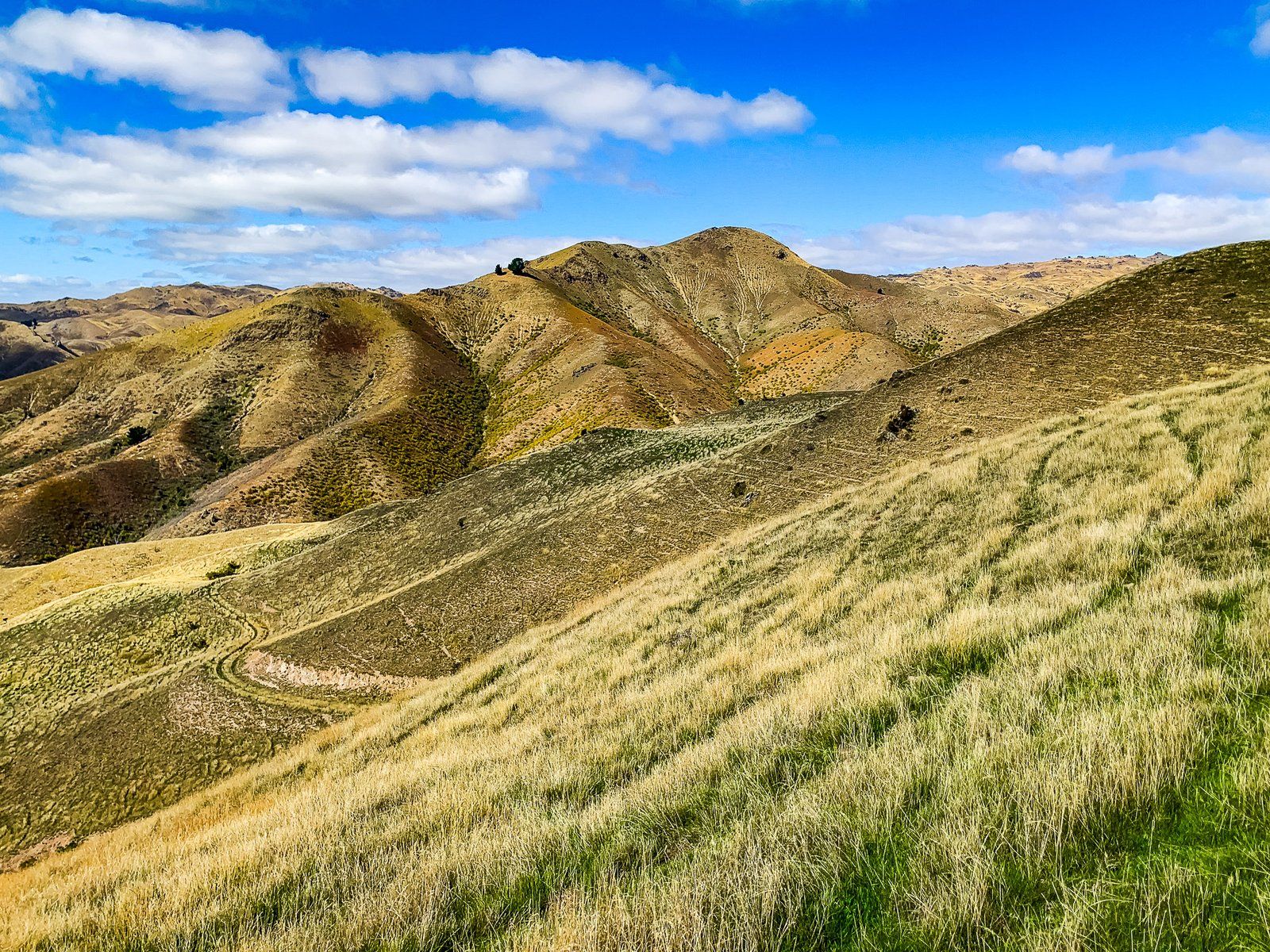
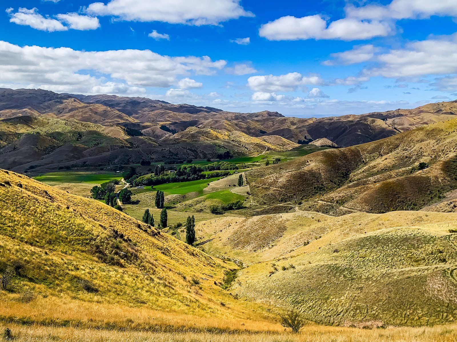
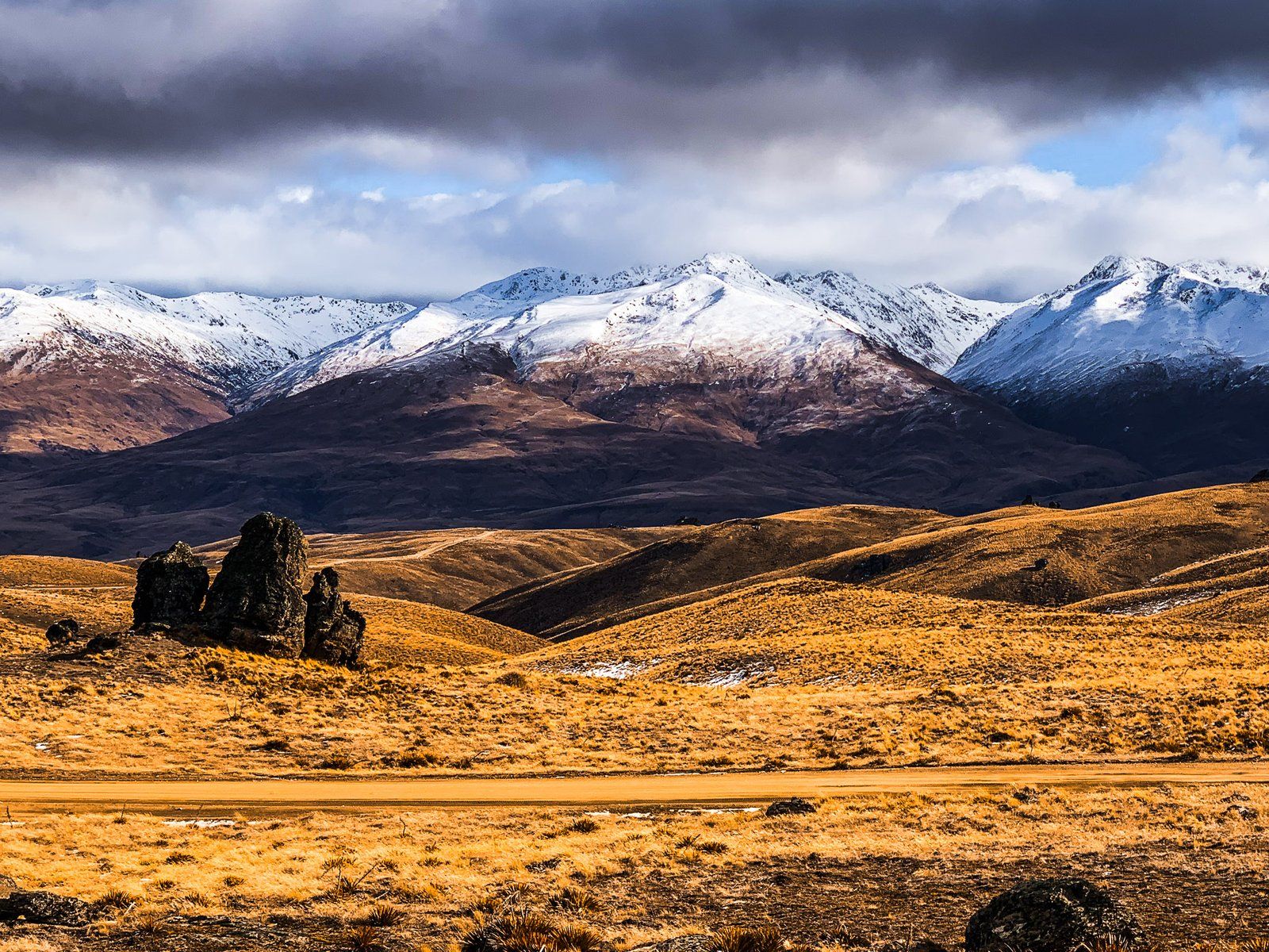
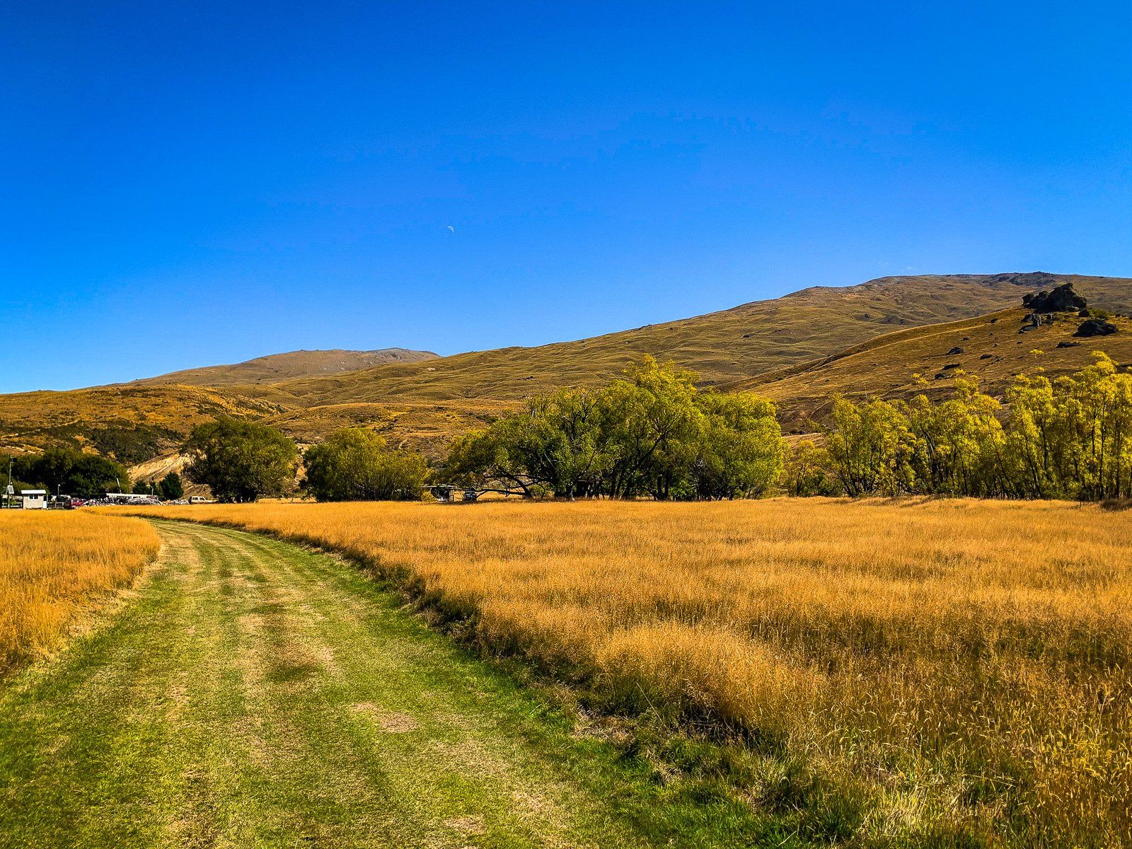
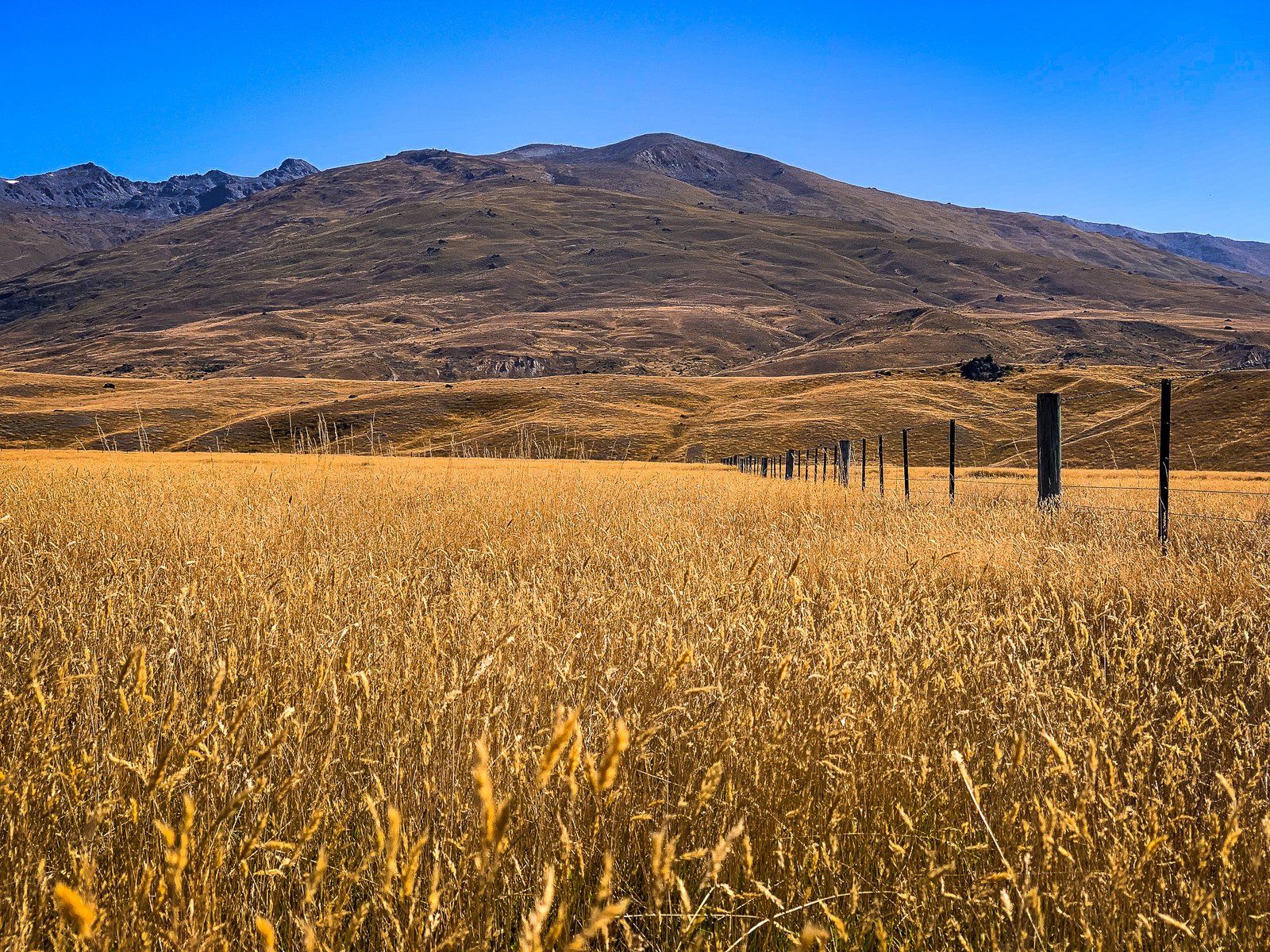
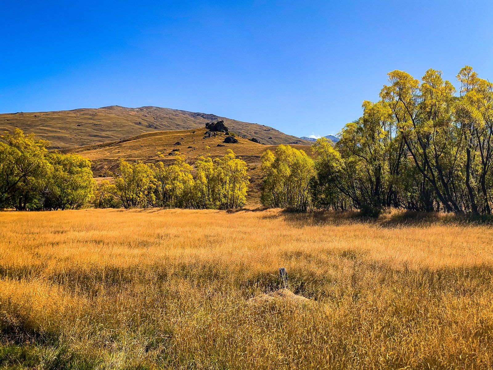
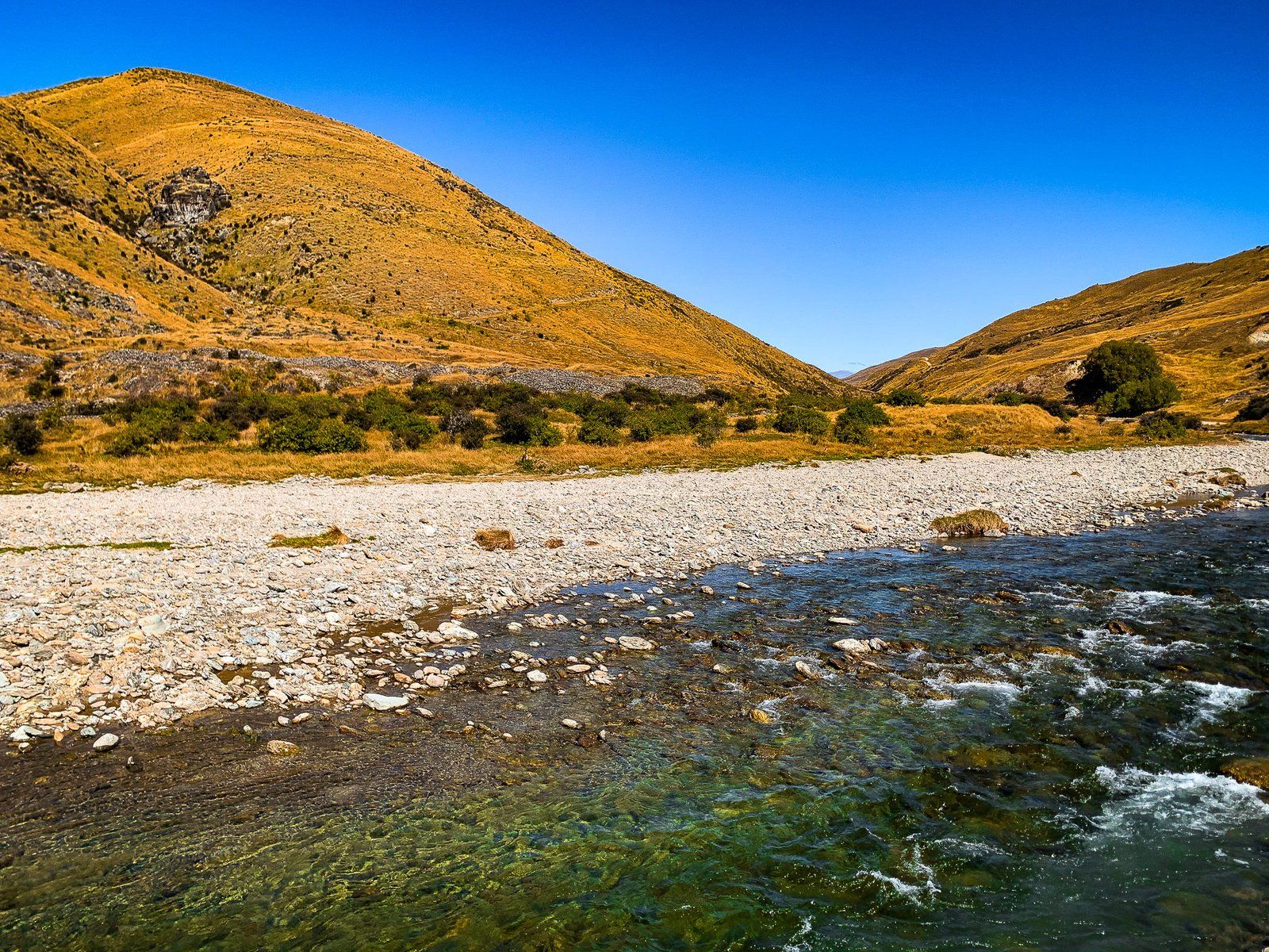
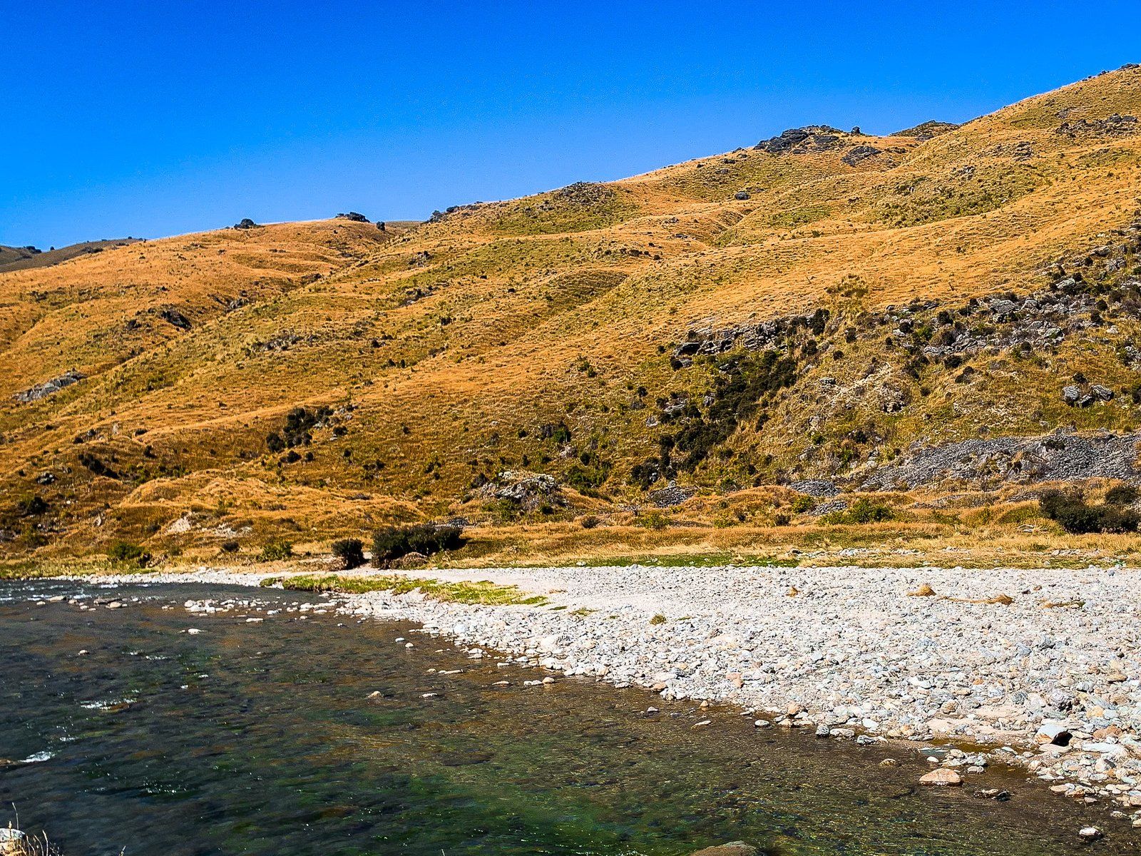
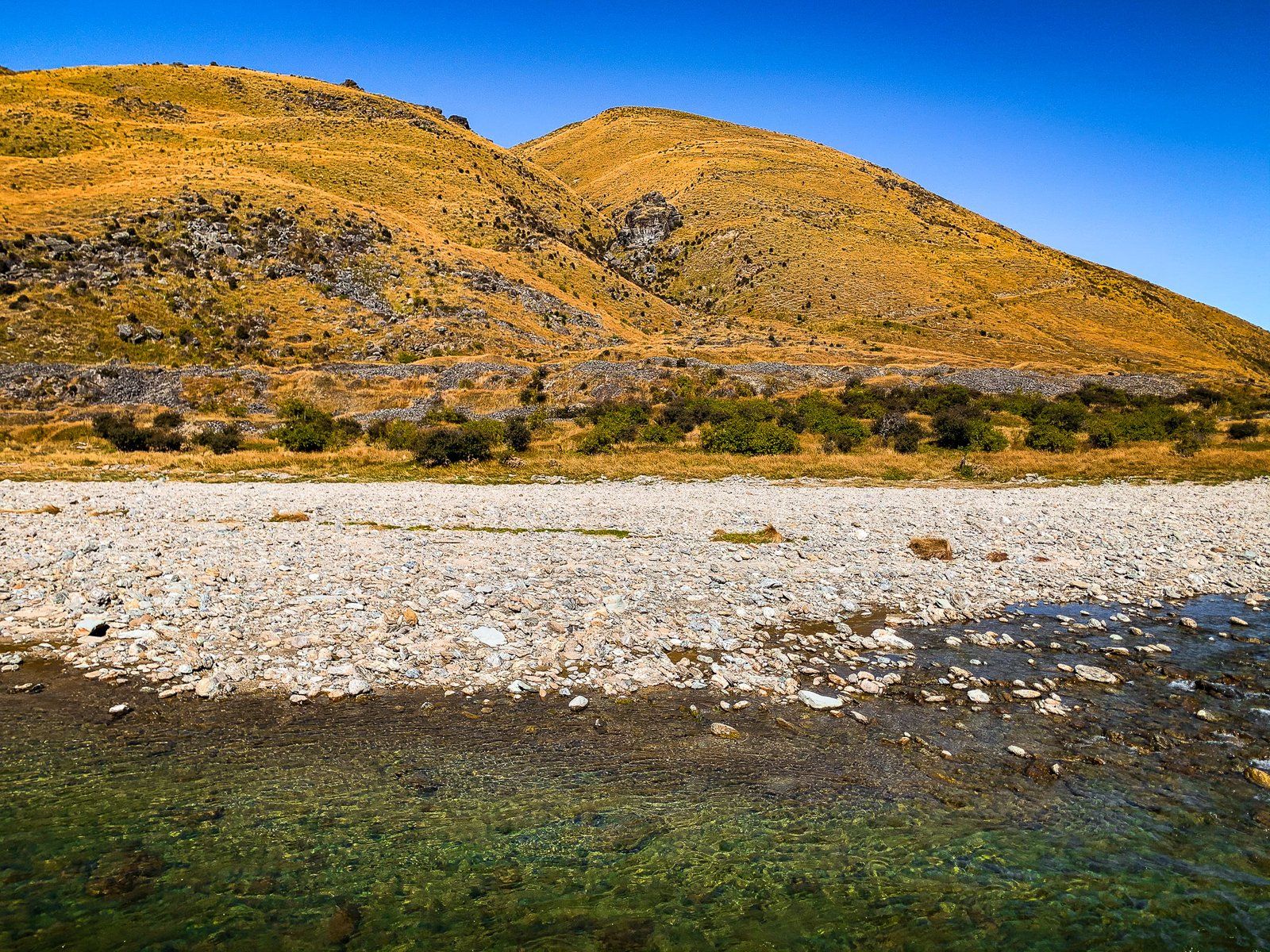
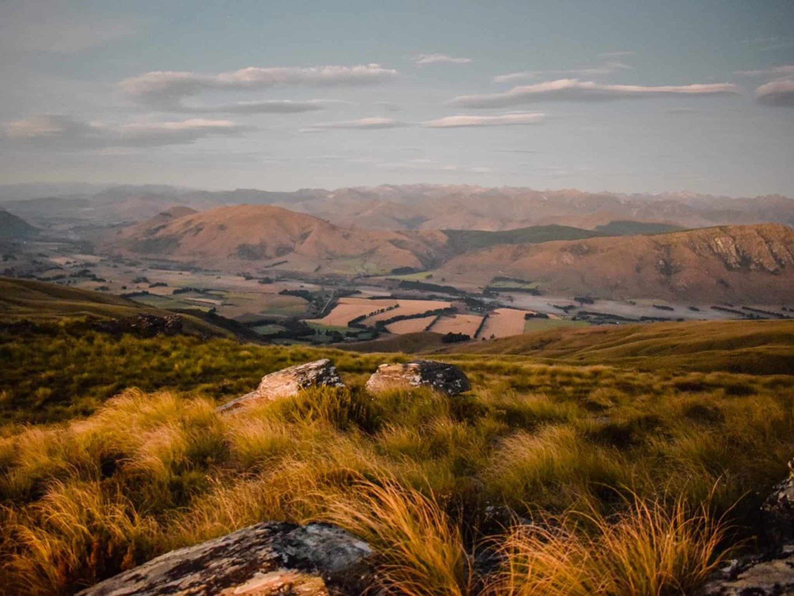
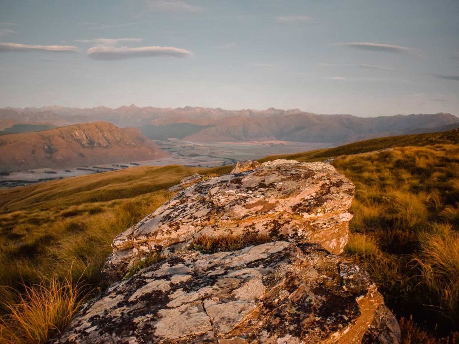
The valley is 800 metres above sea level, flat and wide, with grass and tussock-clad mountains on either side. It is also mostly dry in the absence of irrigation and tends to have amazing gold to orange colours. About two km from the Crossing, you pass Ben Nevis Station, and after seven km or so, you reach Schoolhouse Flat, where the valley widens significantly.
A bit further on is access to the historic cemetery on the west side of the valley, then the valley contracts at Lower Nevis. This was the centre of gold discoveries in the area in the early 1860s. There are several ruins from the Nevis mining village near the road and a collection of modern buildings that are part of Ben Nevis Station. Exotic trees planted by farmers and miners in an otherwise dry, golden, treeless environment are a feature.
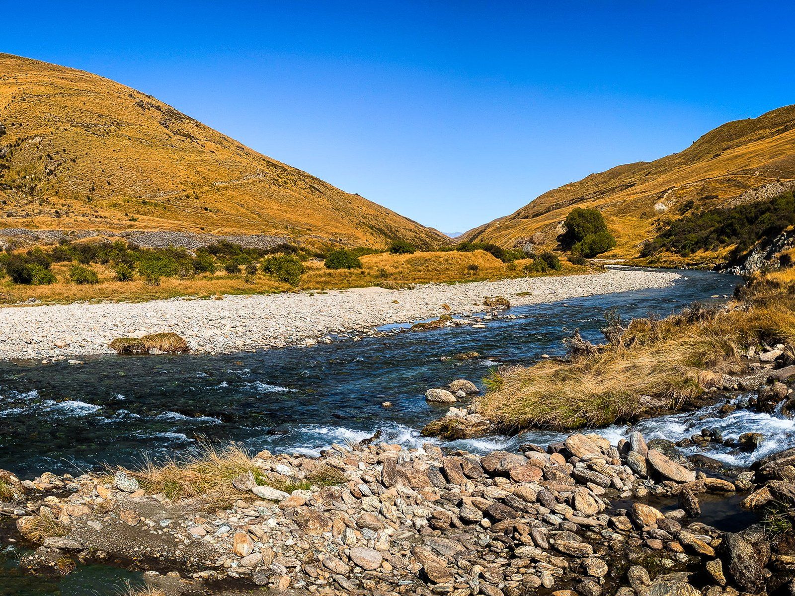
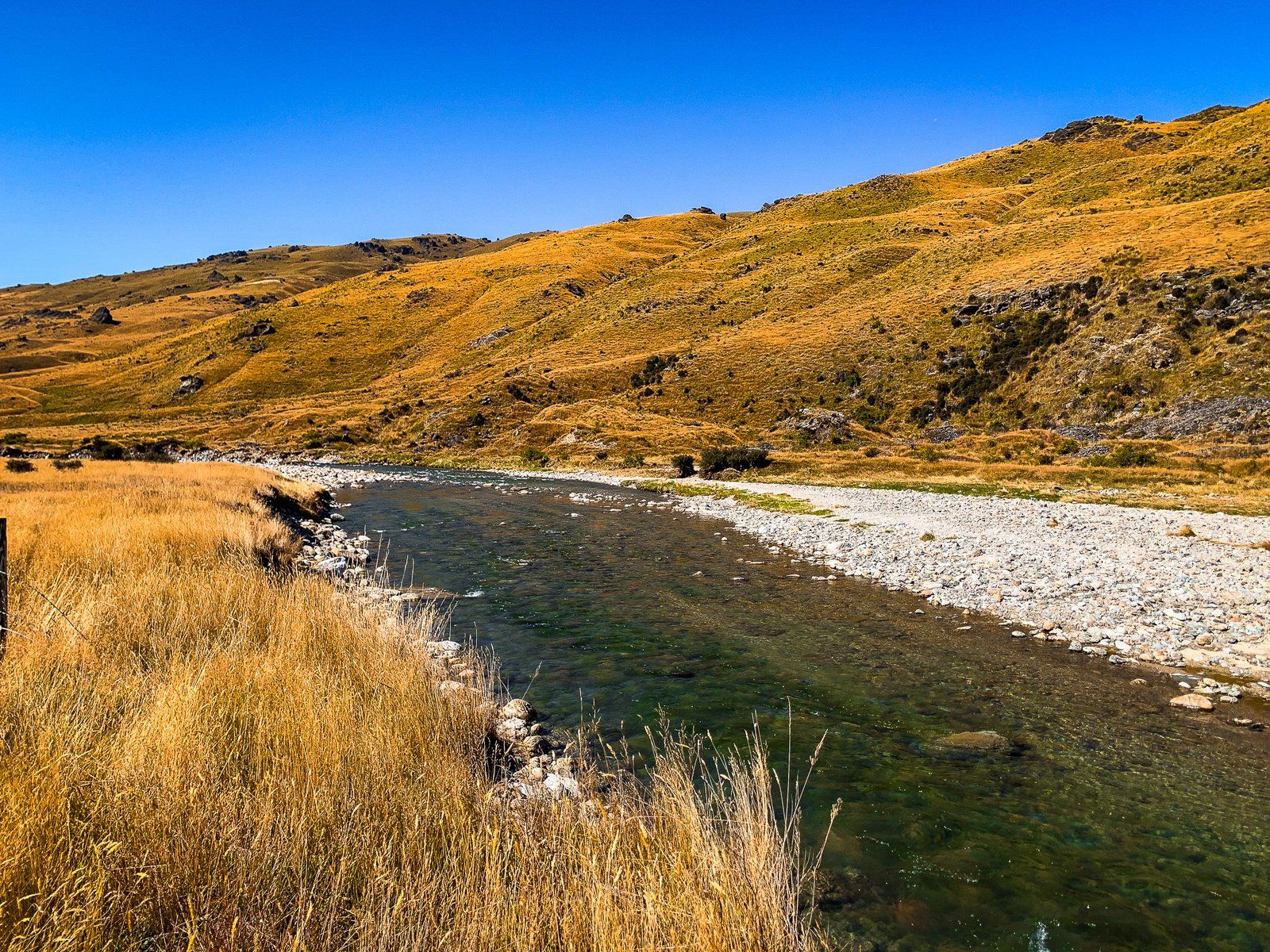
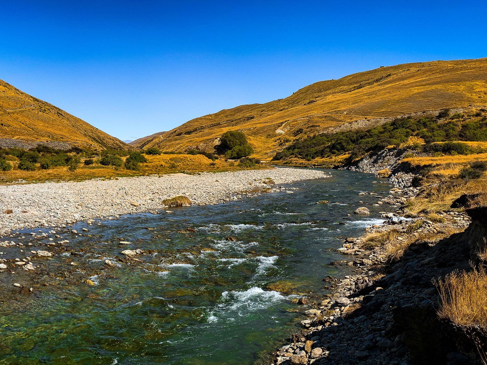
Just beyond Lower Nevis, the river is more accessible, with a gravel beach next to the road. Unless you have a 4WD, continuing beyond the road warning sign across Commissioners Creek into the Gorge is not advisable.
During winter, accessibility depends on snow and ice conditions on the road, especially around Duffers Saddle. However, be mindful that it is exceptionally cold in the valley, even if you can drive through.
Nevis River
The Nevis River at the centre of the Valley of the same name is a feature of a drive through the region. It is fed by mountain springs over 35 km as it runs through the Nevis Gorge from the southern end of the Hector Mountains to the north end of Nevis Valley. At this point, it heads into another lengthy gorge between the Carrick Range and The Horn Range. It flows north into the Kawarau River, just before the Victoria Bridge. Until 2014, there was a possibility that the river would be dammed for hydroelectric production. Nothing came of this, and its natural state is now protected.
If you’re coming from the Bannockburn end of Nevis Road, the best places to access the river are at Nevis Crossing and Lower Nevis. From the Garston end, the river headwaters appear shortly after the Roaring Lion Trail northern access on Nevis Road. Although you can’t see it, there is a large alpine bog, the Nokomai Mire, over 1300 metres on the Garvie Mountains, which feeds the Roaring Lion Creek, a major tributary of the Nevis River. Getting to that point, however, entails several stream fords and a 4WD.
For a more spectacular river experience, check out the AJ Hackett Nevis Swing!
Roaring Lion Trail
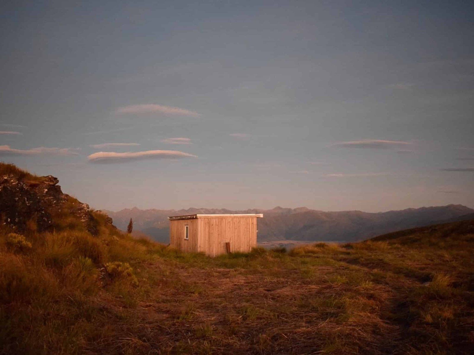
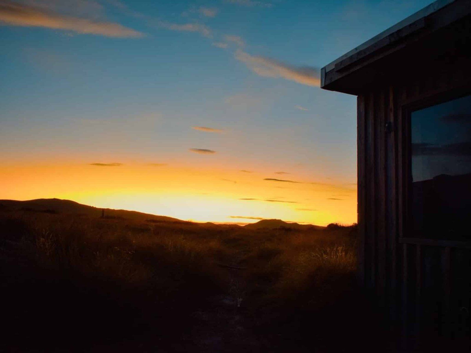
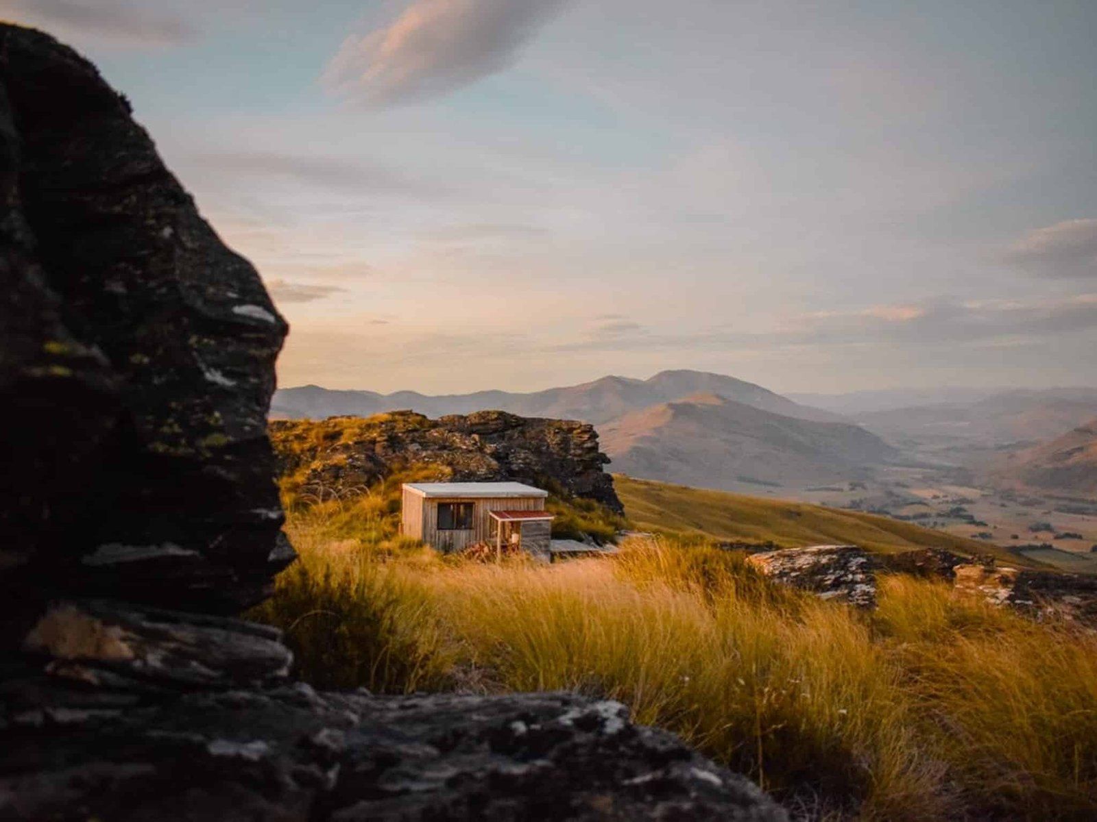
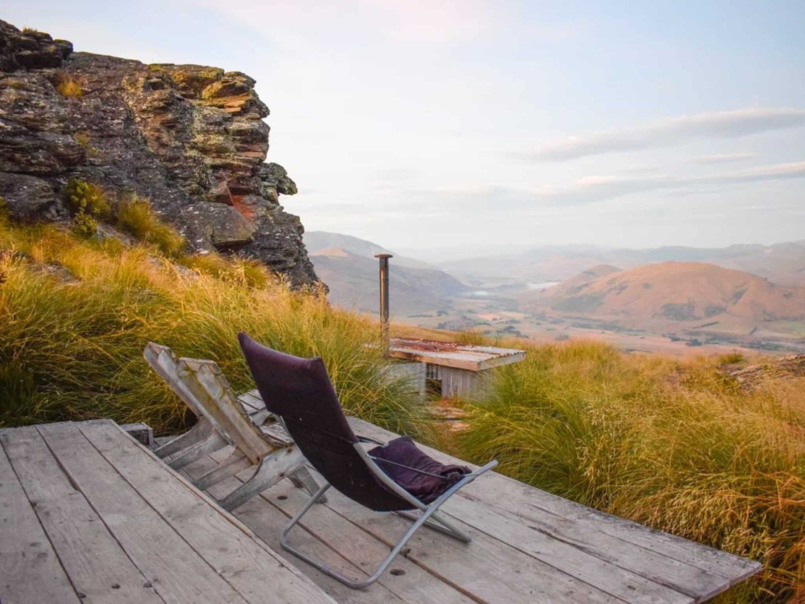
Georgia (@the_cornishpixie) kindly provided us with some pics from a recent visit to the Slate Hut on the Roaring Lion Trail.
The Roaring Lion is a private trail established by Tom and Katie O’Brien around 2013, managed by their business Welcome Rock. It was hand-built by Tom on high country land that had been part of the family station since 1911. The land was later placed under a conservation covenant by Tom’s parents.
The trail runs for 27 kms, mostly through highland tussock. Stretches follow the Roaring Lion historic water race, developed to move water to the gold mining activities in the Nevis Valley. The last section is seven and a half km along the Nevis Road to complete a loop back to the ski hut.
There are three huts on the trail that you can book on the website, accommodating four to six people each. The Slate Hut, which sits at the Welcome Rock high point (1,130 metre), features in Georgia’s pics. Otherwise, it is a modest day fee to walk or bike the trail (allow eight hours to walk).
The trail is accessed from the south end of the Nevis Road, off SH6 near Garston. It is about a 45-minute drive from Queenstown. This road climbs to 980 metres at the Historic Garston Ski Hut parking area.
Want more remote backroad NZ Trip Ideas?
Check out our blogs on Pigroot to Macraes: Remote Drives in Central Otago, Remote Explorations in the Wairarapa, Remote Beauty of Otago Peninsula.
