
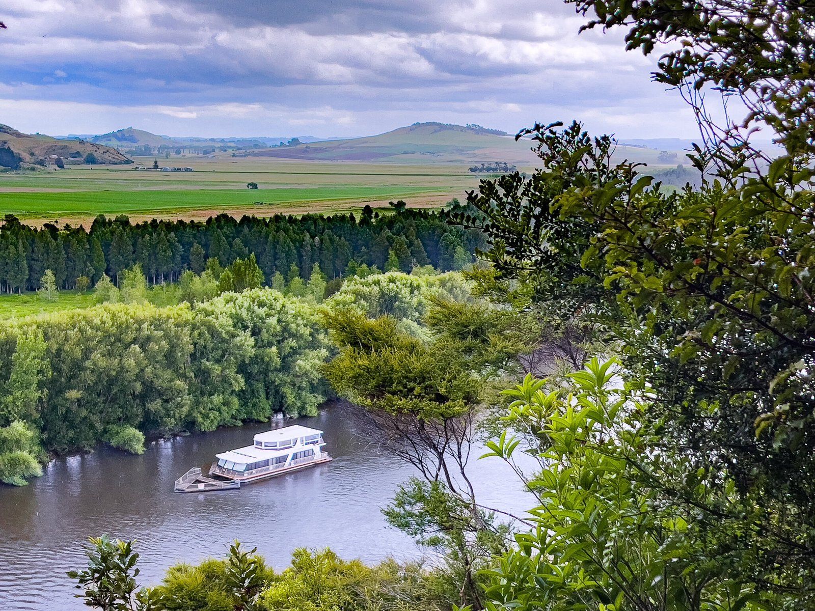
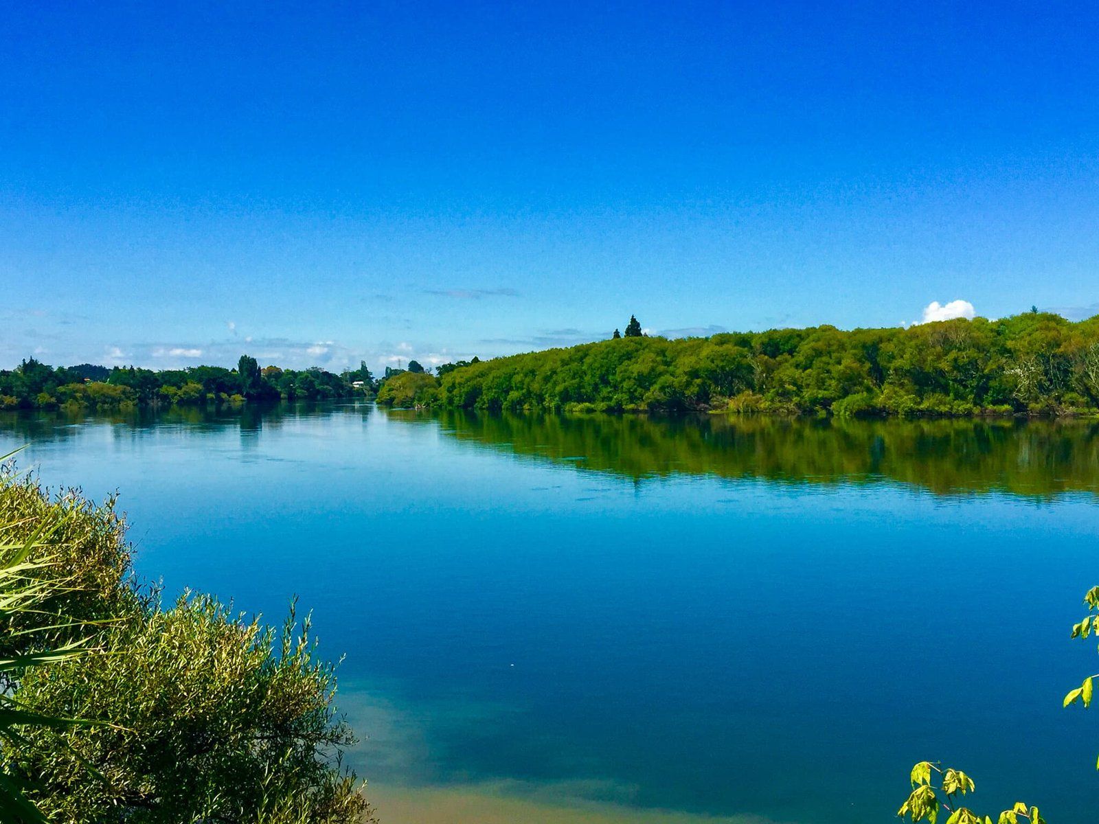
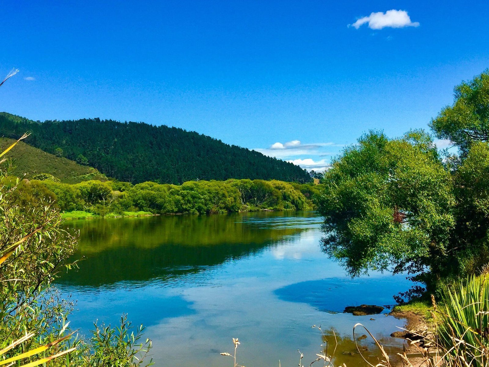
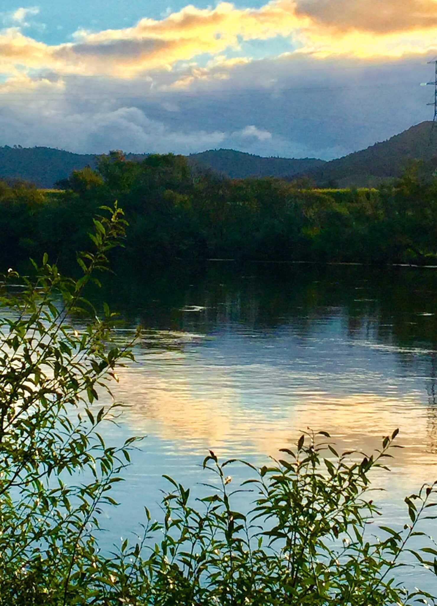
Accessible from State Highway 1, Northern Waikato offers a great introduction to the history of the New Zealand Wars. The Waikato Expressway, a four-lane section of motorway that connects through to Cambridge, makes a number of important historical locations relatively easy to get to by car. The dominant feature of a trip on the northern part of the Expressway is the Waikato River, control of which played a major role in the 1863 military invasion of the Waikato by government forces.
The government justified its action by claiming Waikato Māori (mainly Tainui) were in rebellion, but the resulting land confiscations were obviously designed to reduce the Māori population in the one of the best farming regions of NZ and to open the way for widespread European land purchases and occupation. Substantial compensation for this mass land expropriation was finally agreed in the 1990s, and the government apology included the comment that “Waikato-Tainui, far from being in rebellion, were in fact defending hearth and home”.
There are several historic sites on and near the route which describe key events, the most important being Rangiriri, the site of the main battle in the northern region. In addition, Ngāruawāhia, a small town on the river north of Hamilton is the home of the Kīngitanga (Māori King) movement, whose defeat was a stated goal of the invasion.
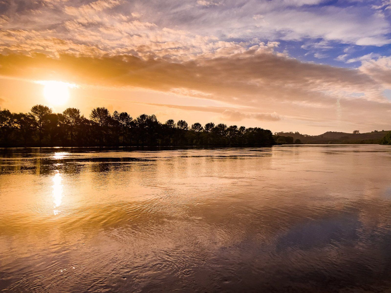
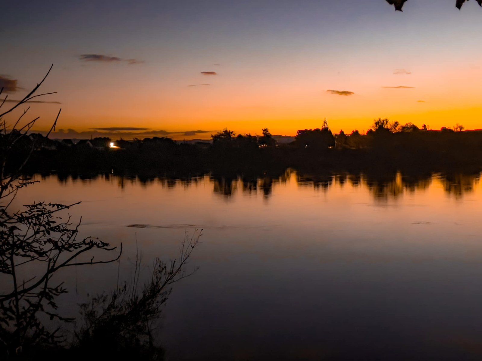
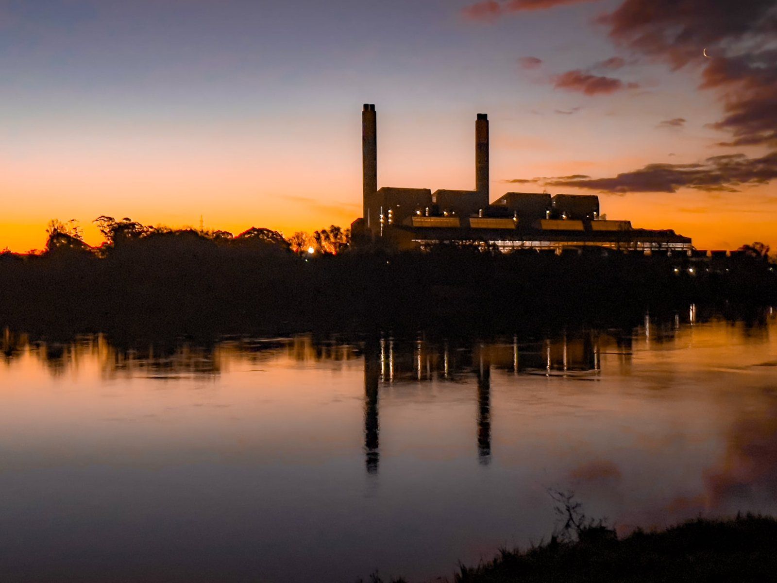
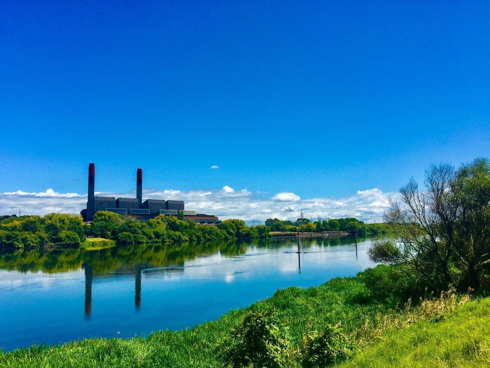
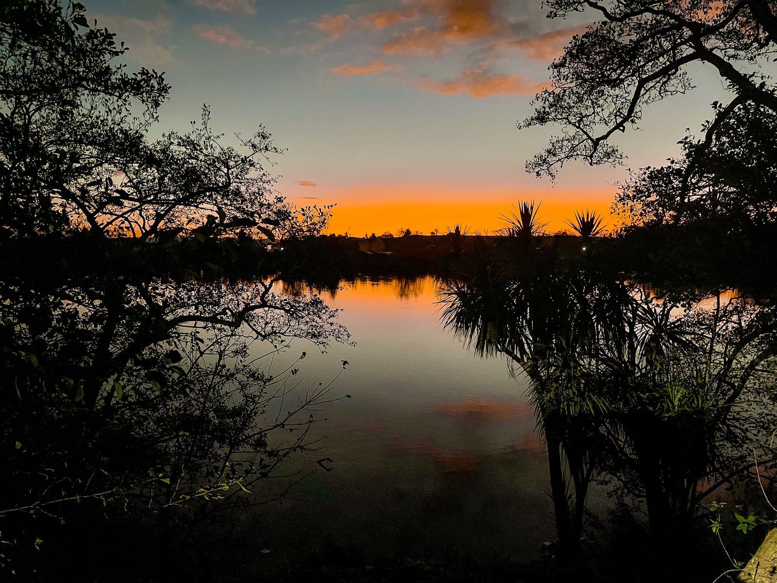
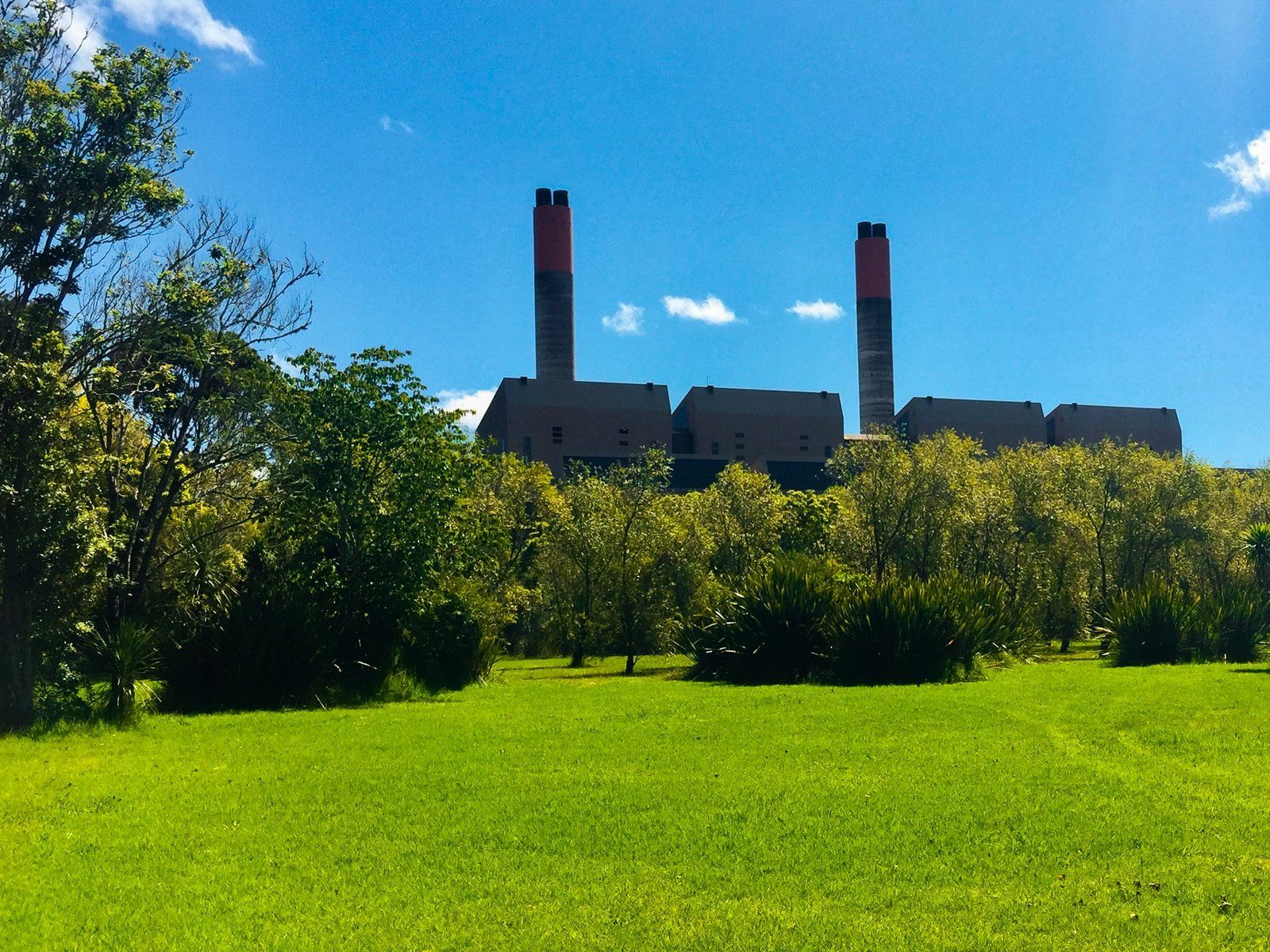
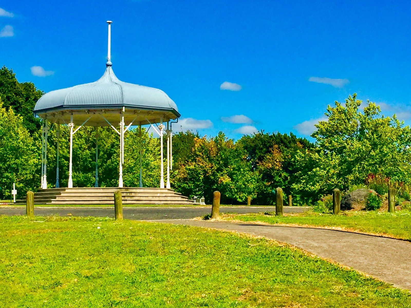
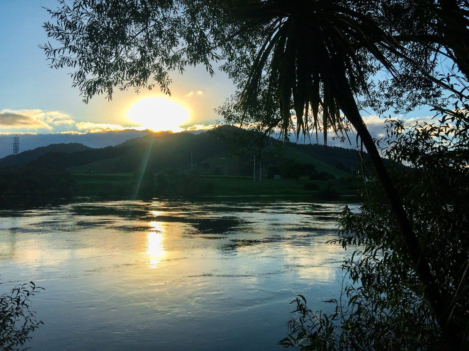
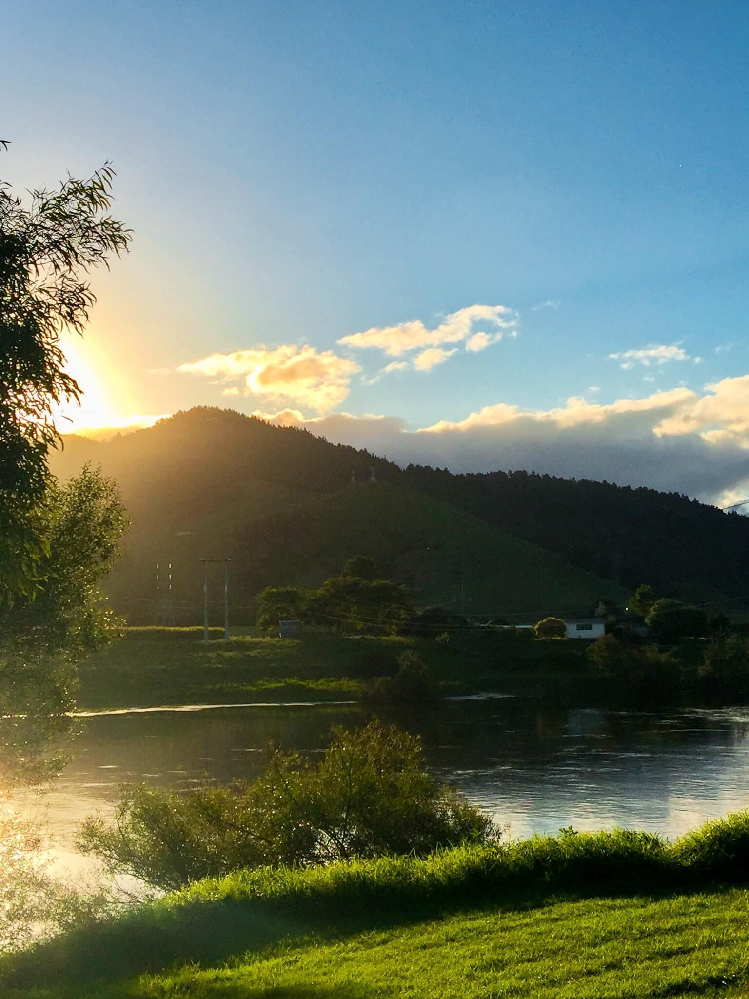
Between Rangiriri and Ngāruawāhia is Huntly. This was initially a government military post but is now better known for its coal mining history and the only remaining large thermal power station in NZ. A drive on the old pre-Expressway SH1 route through the town provides great views over the river to the power station, especially at sunset, plus access to some interesting sculptures in a park between the power station and the River.
Alexandra Redoubt
Leading up to the invasion of the Waikato in 1863, the government extended the Great South Road over the Bombay Hills to provide easy military access to the region and developed a string of redoubts (small temporary fortresses) more or less along the boundary of the Auckland region.
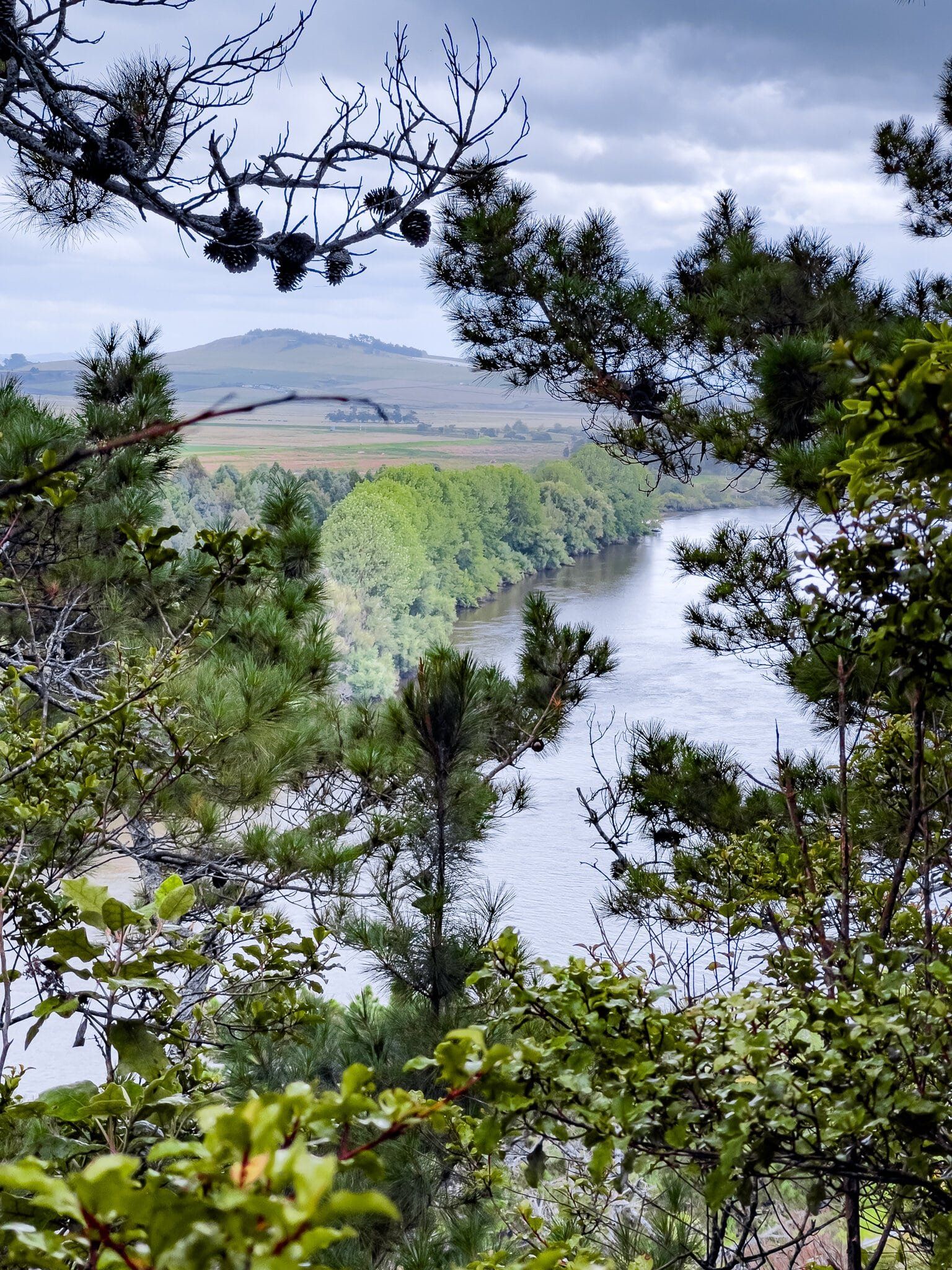
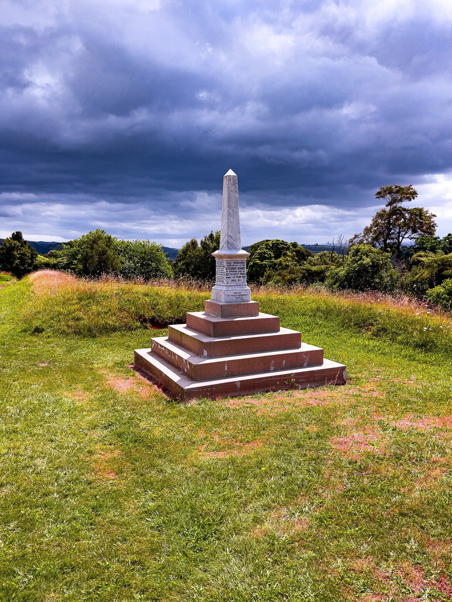
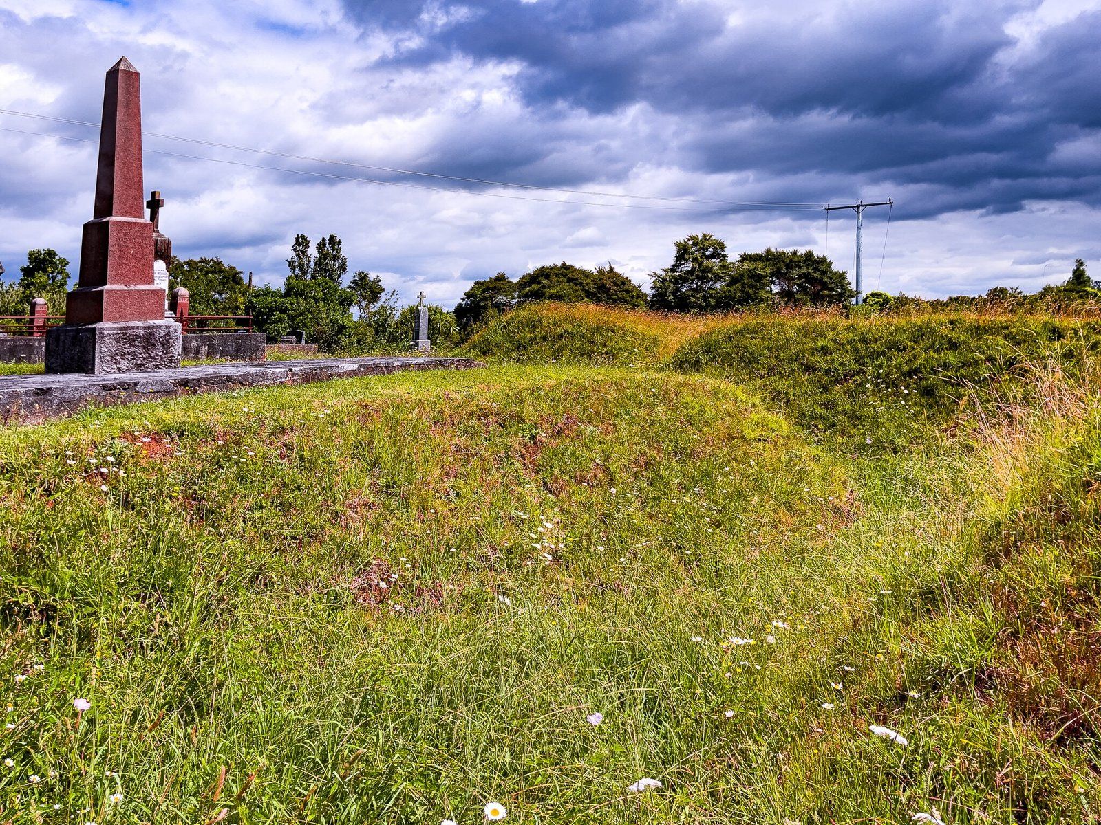
The best preserved of these is the Alexandra Redoubt which is high above the Waikato River between Tuakau and Tuakau Bridge on the way to Port Waikato. This was a key strategic location as it protected part of the government’s supply route from Port Waikato to Pōkeno. A significant early skirmish with Kīngitanga forces occurred nearby and the modest obelisk at the front of the redoubt is dedicated to the government soldiers who died in the area throughout 1863–64.
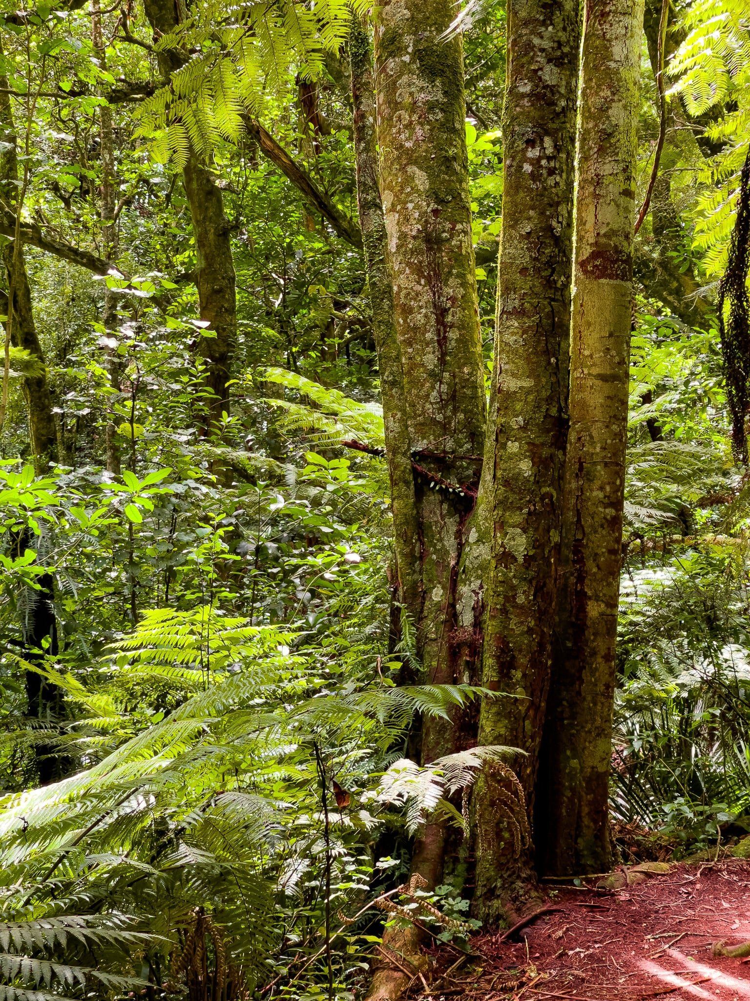
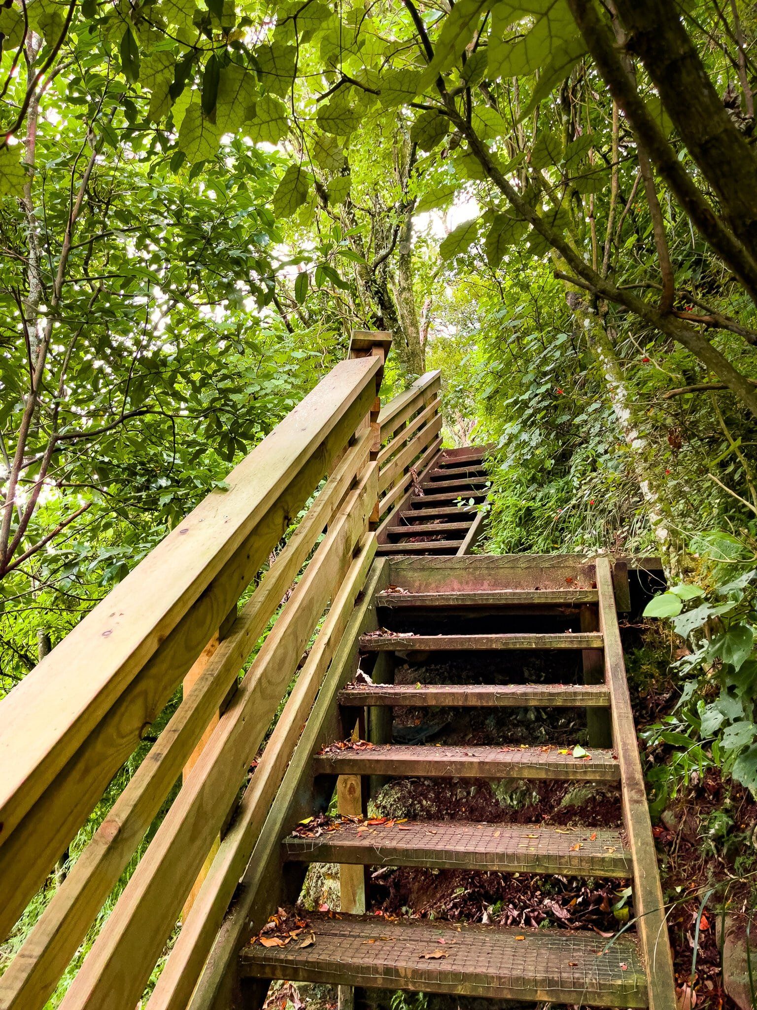
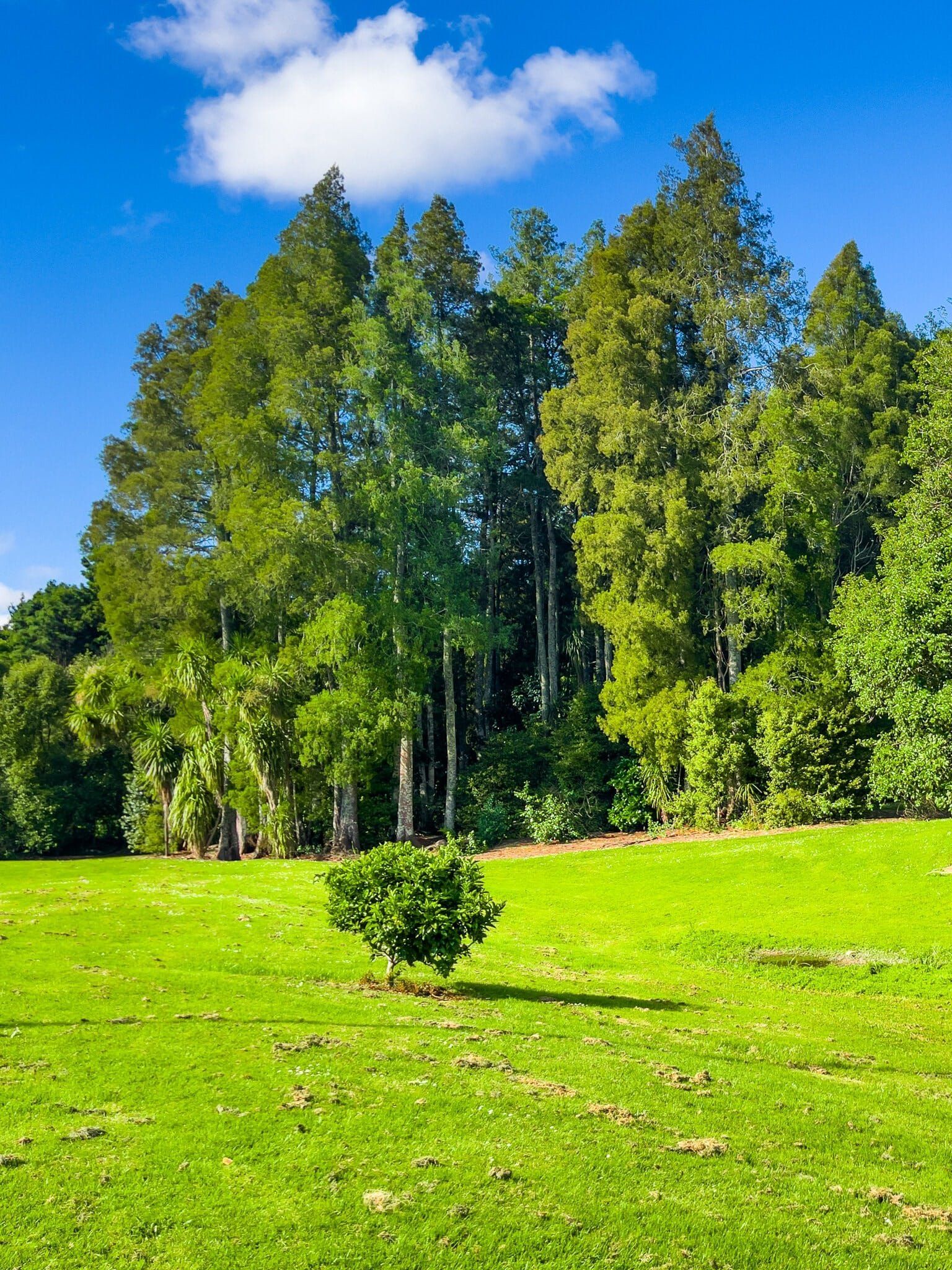
Below the small historic cemetery, there is a good native forest loop walk featuring a number of big rimu trees. This walk also has a good viewpoint over the River and only takes about 30 minutes.
From the Waikato Expressway, take the turnoff to Pōkeno, then find and head west on Pōkeno Road, linking to Whangarata Road then River Road to the south of Tuakau. Alexandra Redoubt Road is almost immediately on your left – drive to the very end. The redoubt is to the right of the car park, partly surrounded by the cemetery. On the left side of the cemetery is a viewpoint to the River.
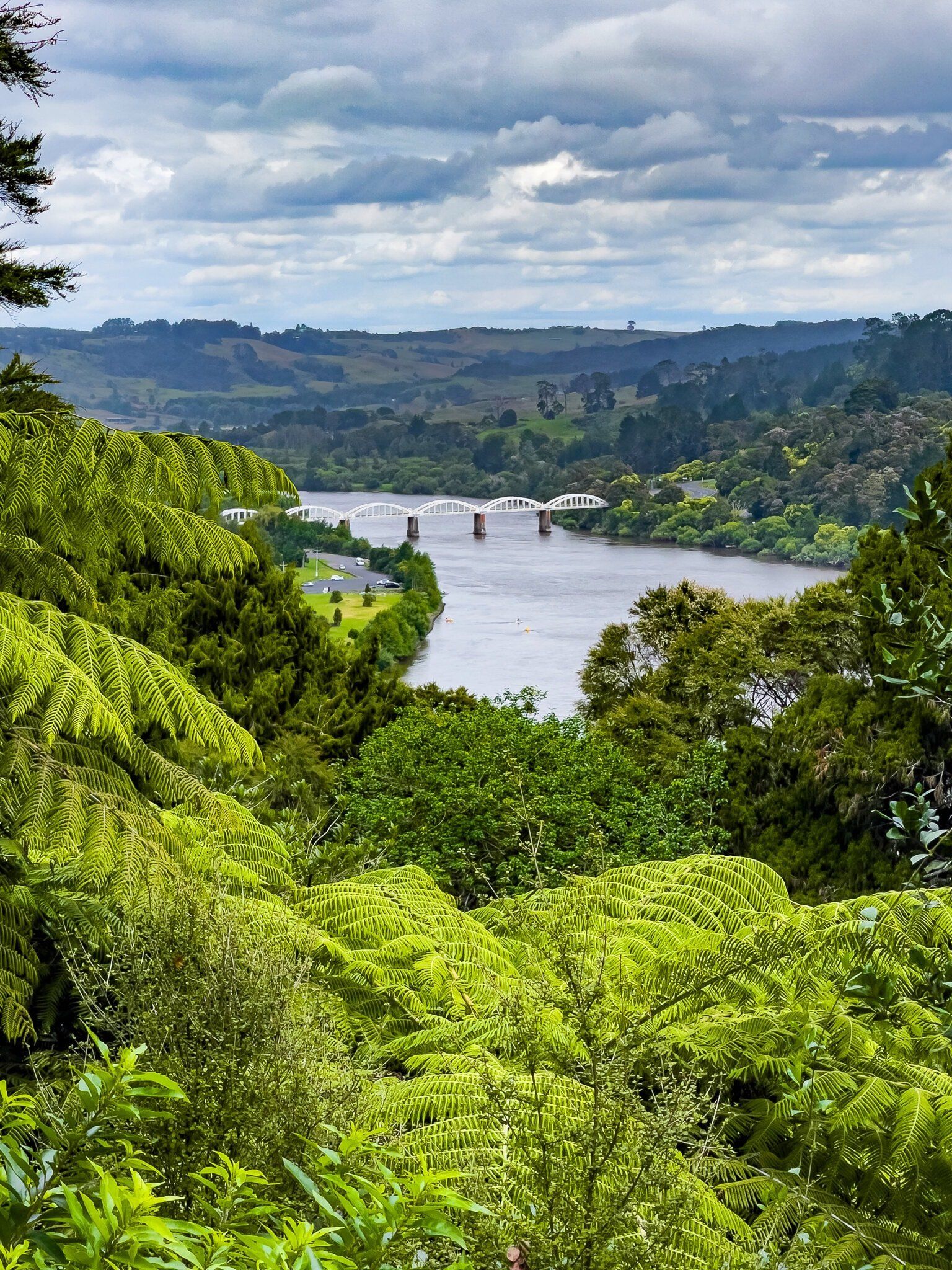
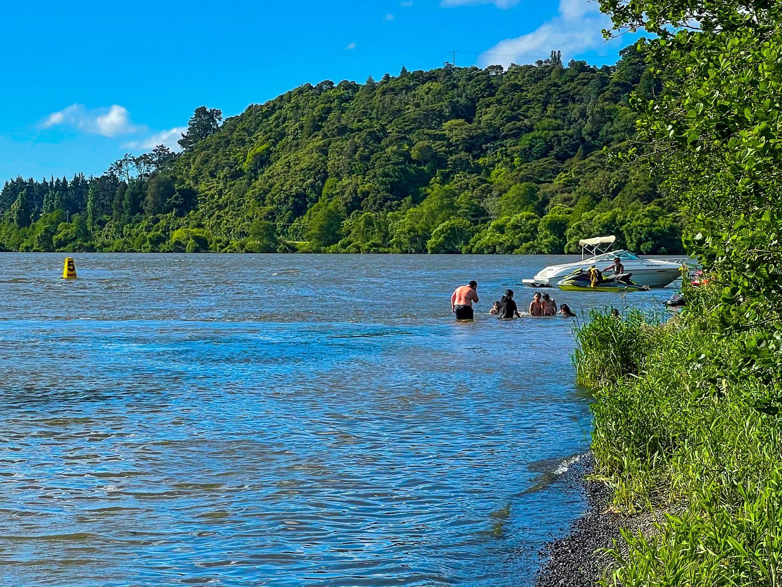
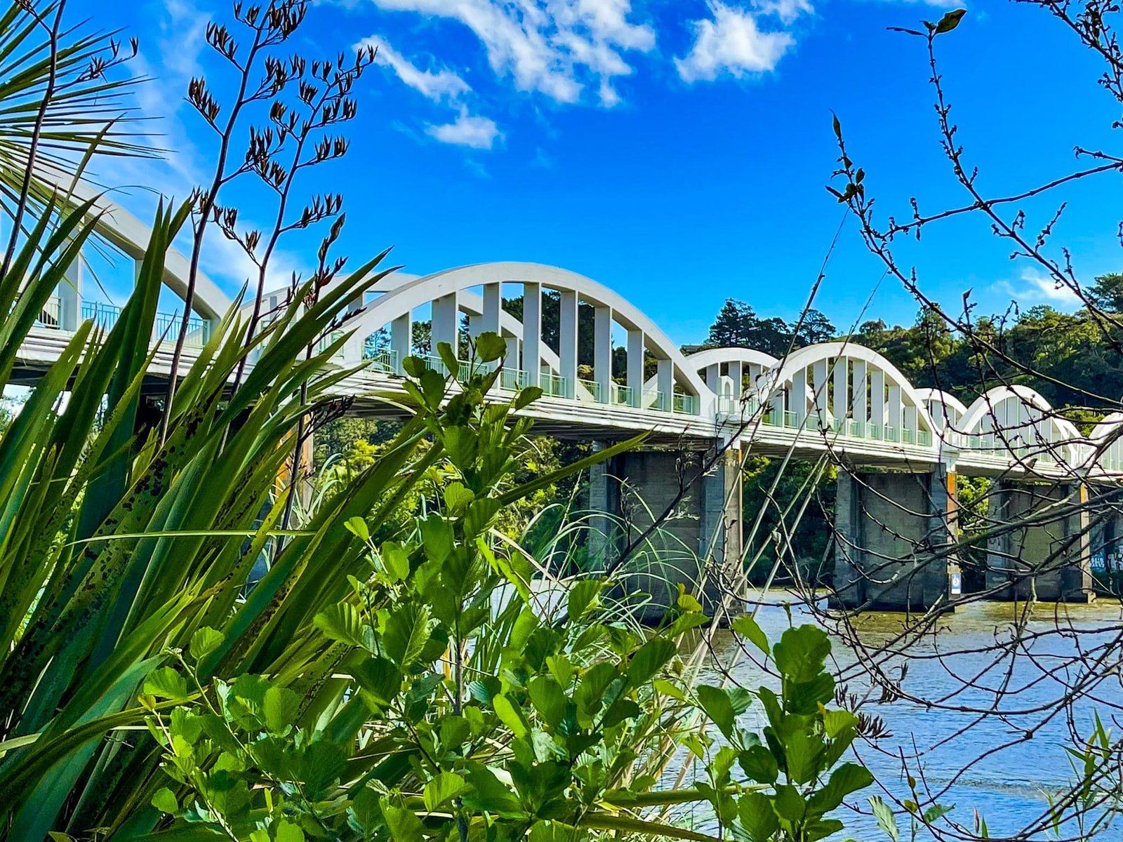
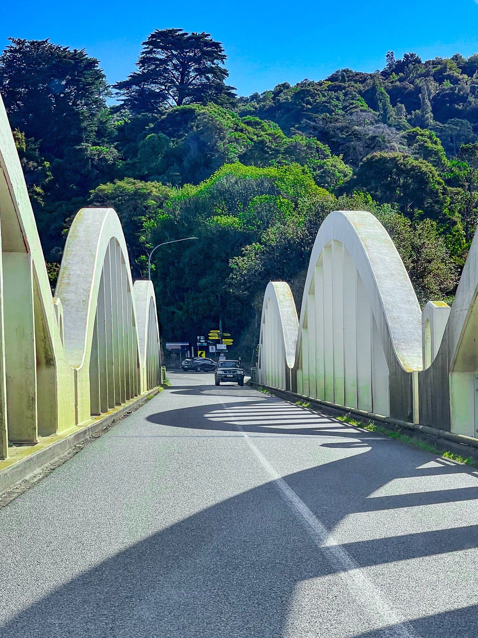
Tuakau Bridge and Les Batkin Reserve
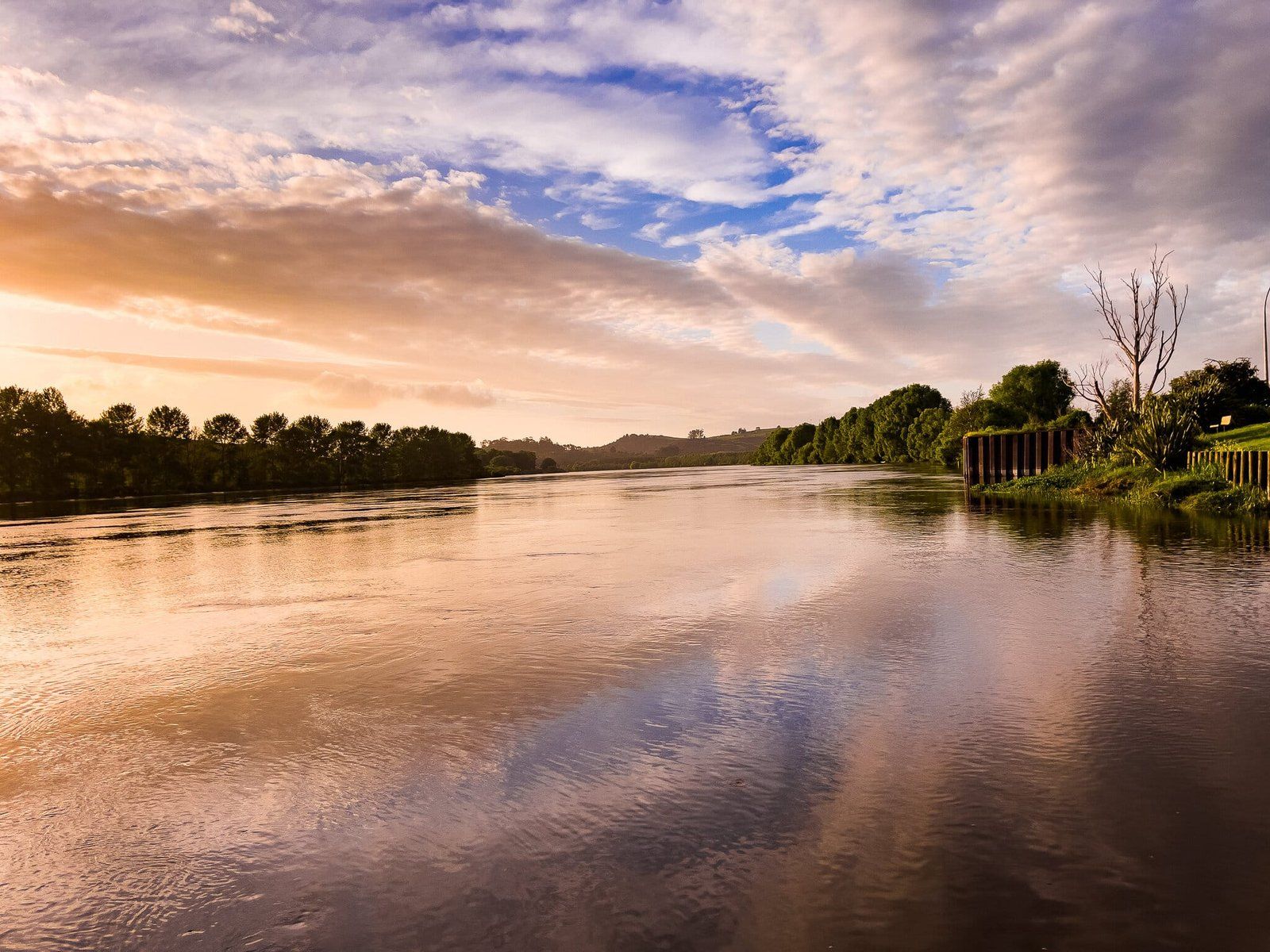
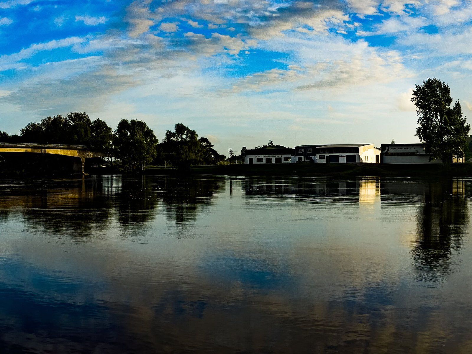
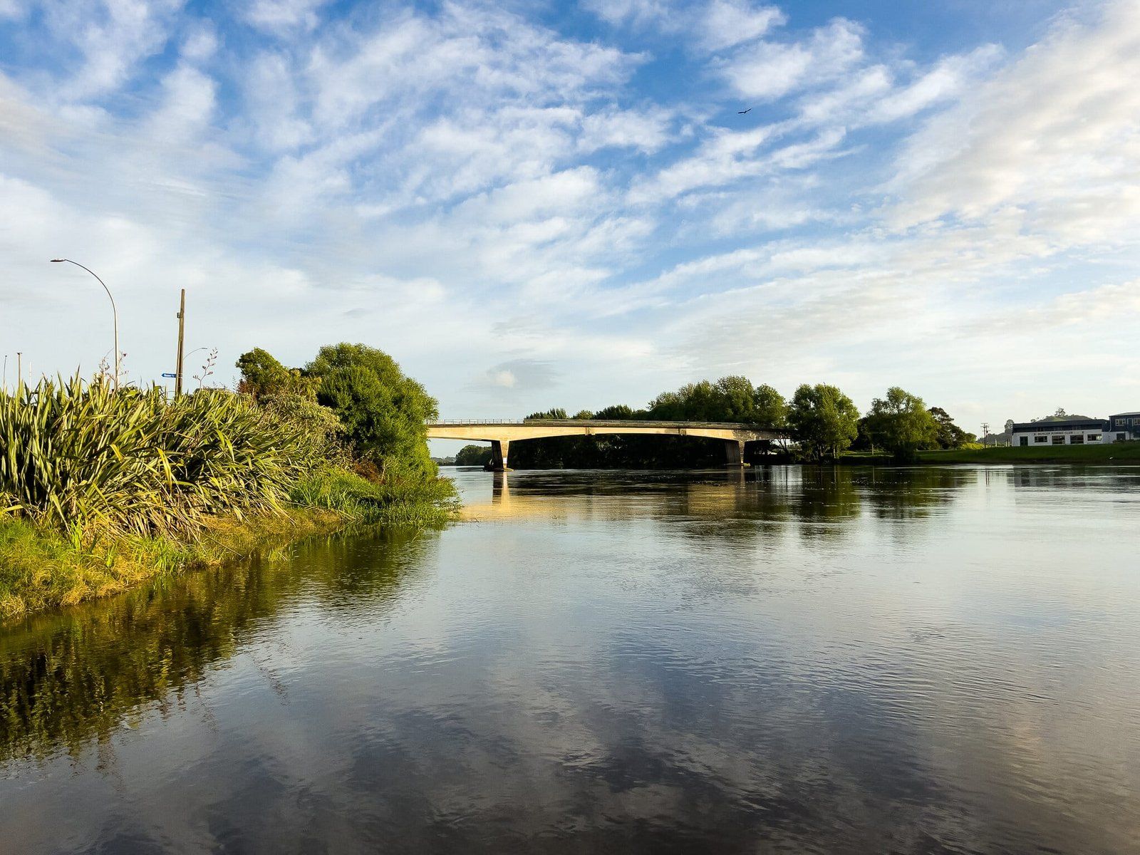
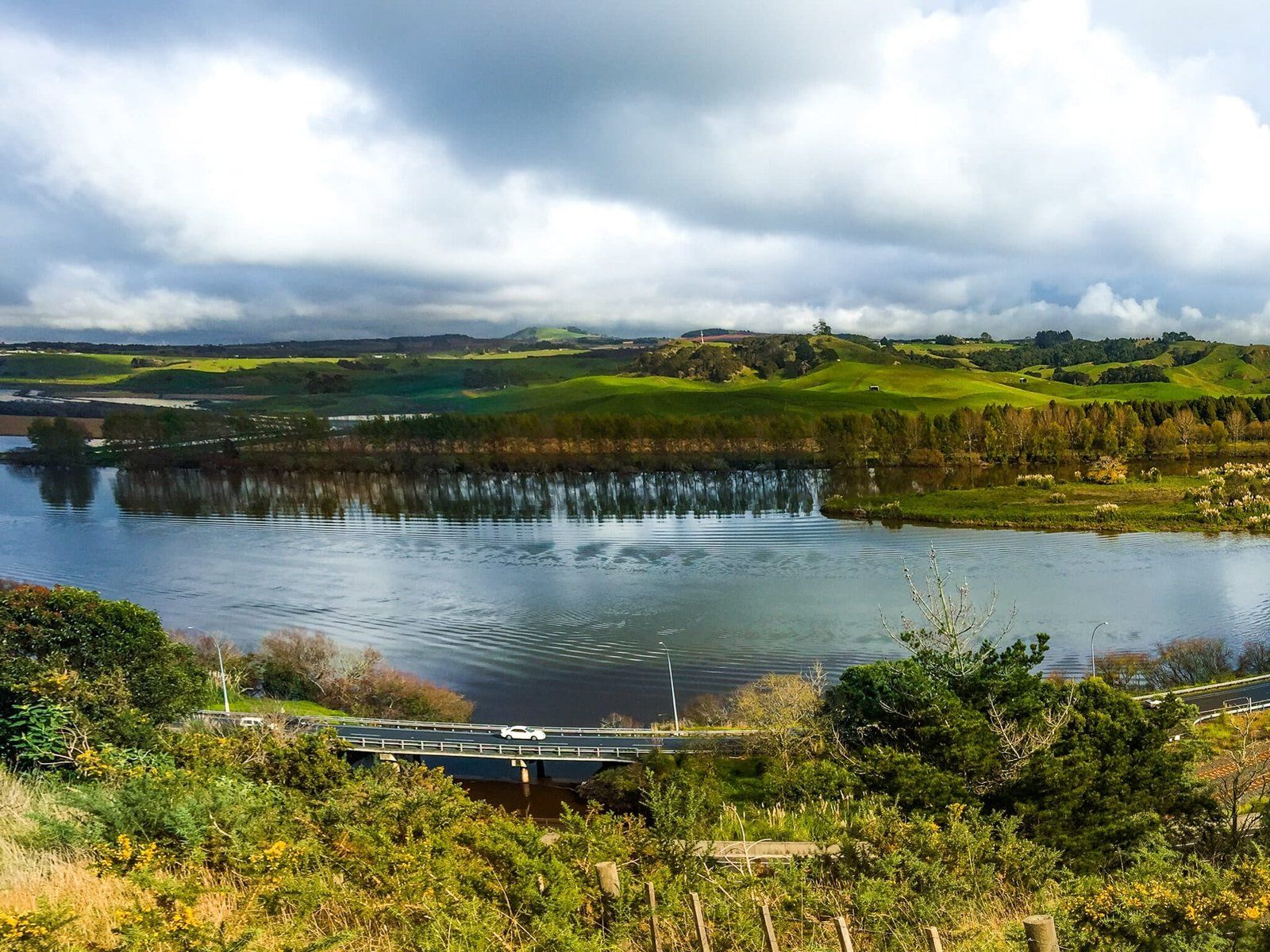
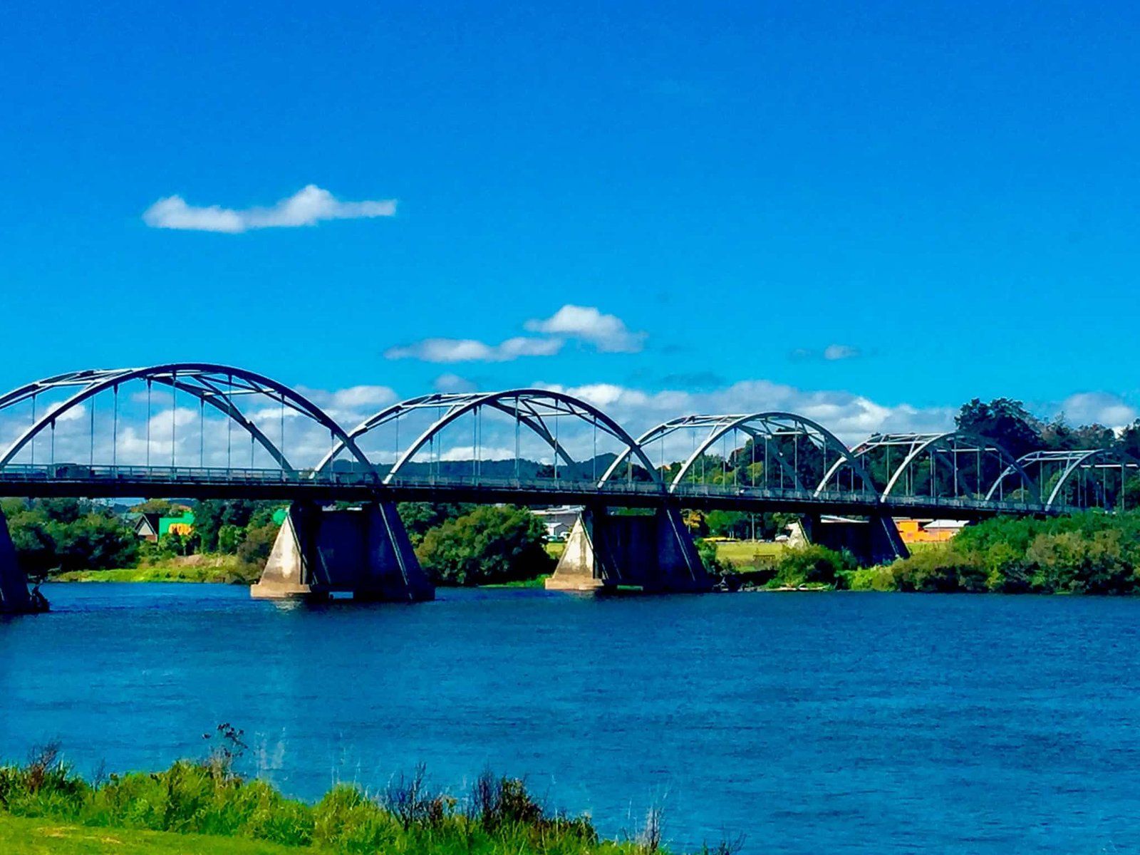
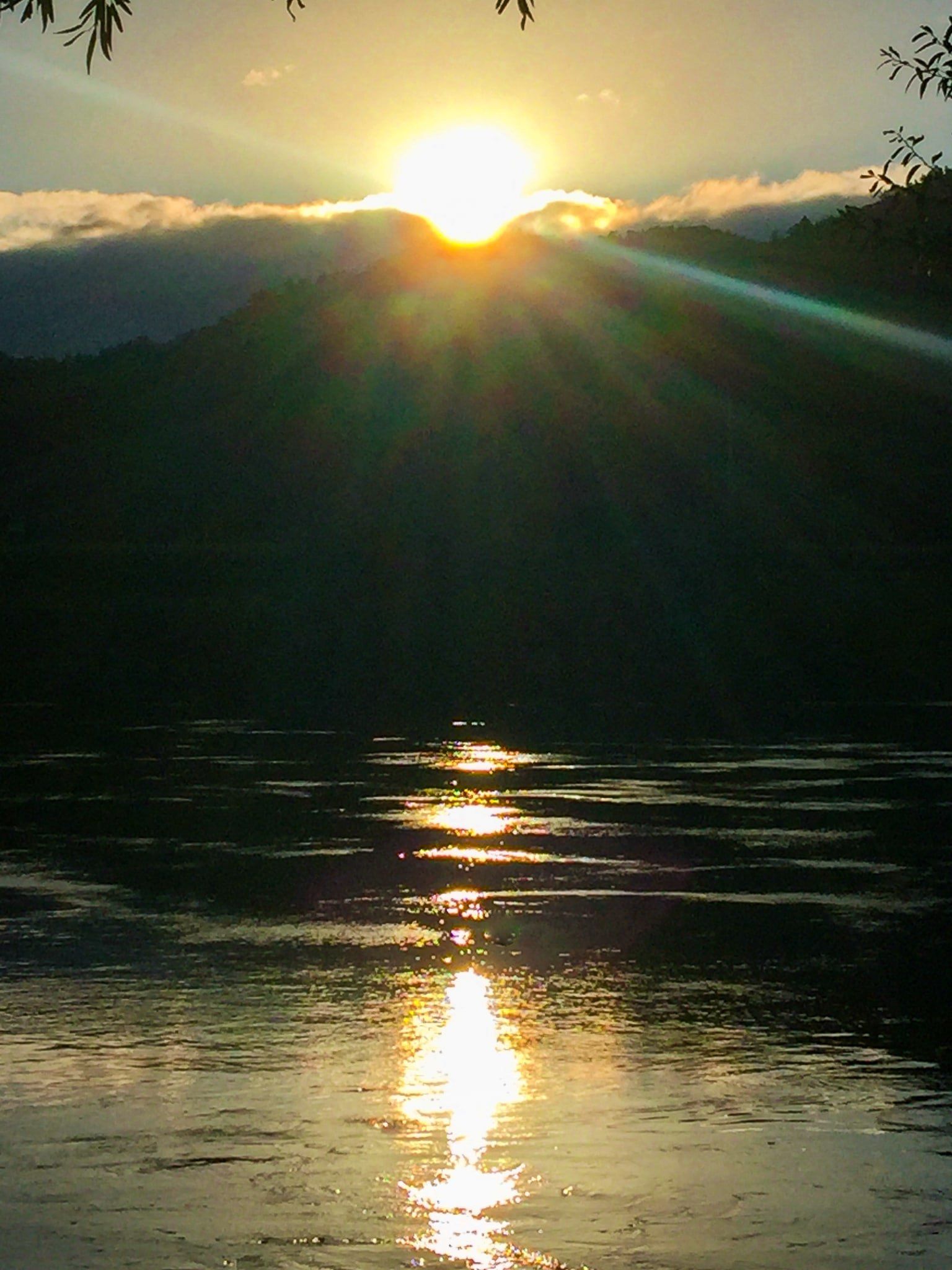
Tuakau Bridge is 230 metres long and was built over the Waikato River in the early 1930s, replacing an earlier wooden bridge. It can be found to the south of the town of Tuakau, below the cliff at the top of which sits Alexandra Redoubt. It is the more westerly of the two northern bridges over the Waikato River, the other being at Mercer, just off the Waikato Expressway. The design of the bridge makes it photogenic, and sunset would be a good time to snap some pics.
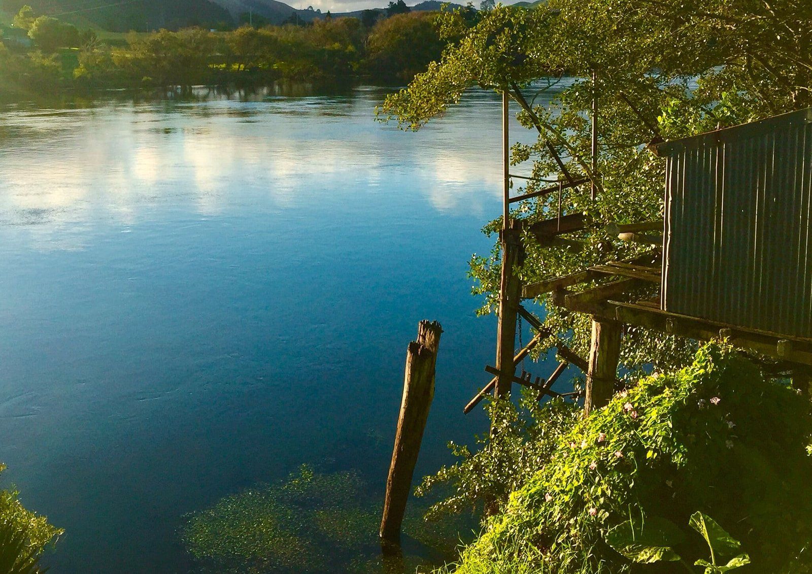
Immediately next to the bridge on the northeast side is the extensive, mostly grassed, Les Batkin Reserve. The park provides river access for boats, a children’s playground, and plenty of room for a picnic or a game of cricket by the Waikato River. There is also a motor camp just along the road from the reserve. Apart from Port Waikato, this is probably the best public access point on the northern section of the river.
Once you cross the bridge to the south, turn west for Port Waikato or east for Mercer. Heading east, following the metal Murray Road is a more interesting route. The River is on the left and on the right are a number of old surviving kahikatea trees in a paddock that would once have been a swamp. The road then connects with sealed Mercer Ferry Road which takes you across the bridge to Mercer and back to the Waikato Expressway.
Mercer
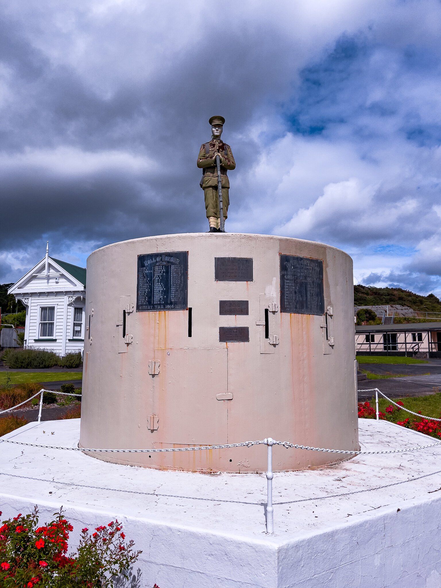
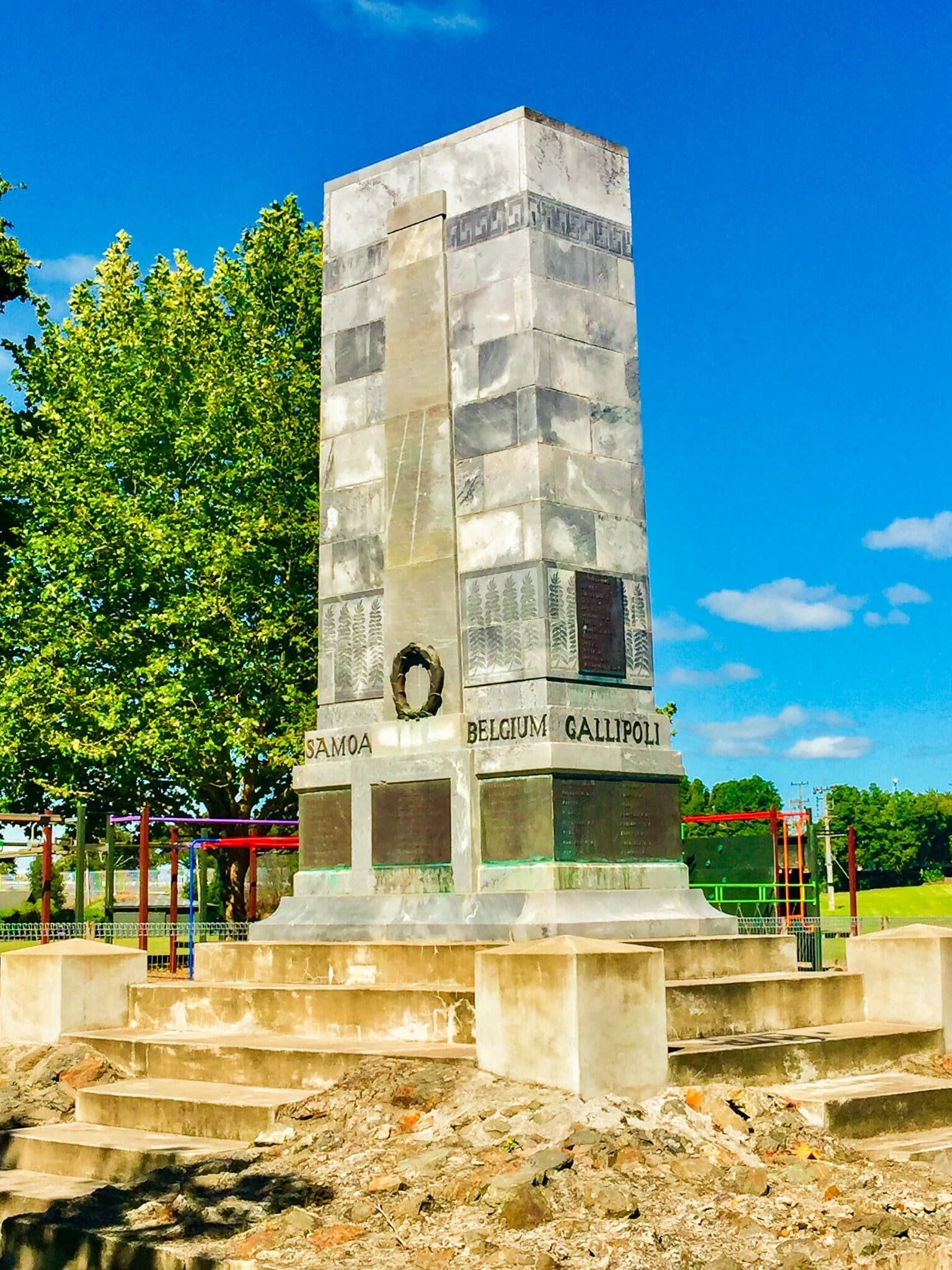
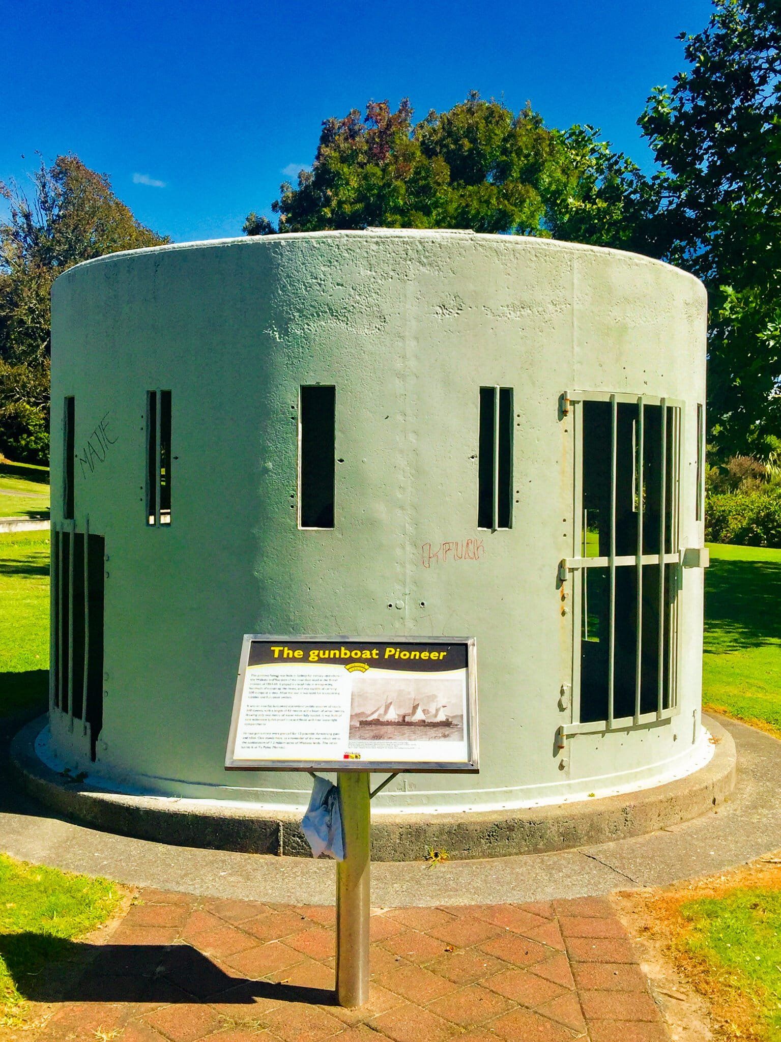
Mercer is a small town on the Waikato Expressway and next to the Waikato River, just after the river curves from west to the south. As such, it was another key location on the river during the government invasion of the Waikato and on 17 July 1863, 15 Māori defenders were killed at the nearby Koheroa highpoint. The town was named after Captain Henry Mercer, who was killed at Rangiriri later in 1863.
In 1866 one of the navy river gun-boats, Pioneer, sank at the entrance to the Manukau Harbour – one of the gun turrets now forms part of the Mercer war memorial. The original post-invasion memorial inscription refers to the “Māori Land Wars”, a pretty clear message from the past.
Apart from the gunship turret, there are no other signs of the invasion. In any event, the town is now best known as a refuelling and food stop with an attractive river frontage. A perfect spot to take a break from an extended drive on the main highway.
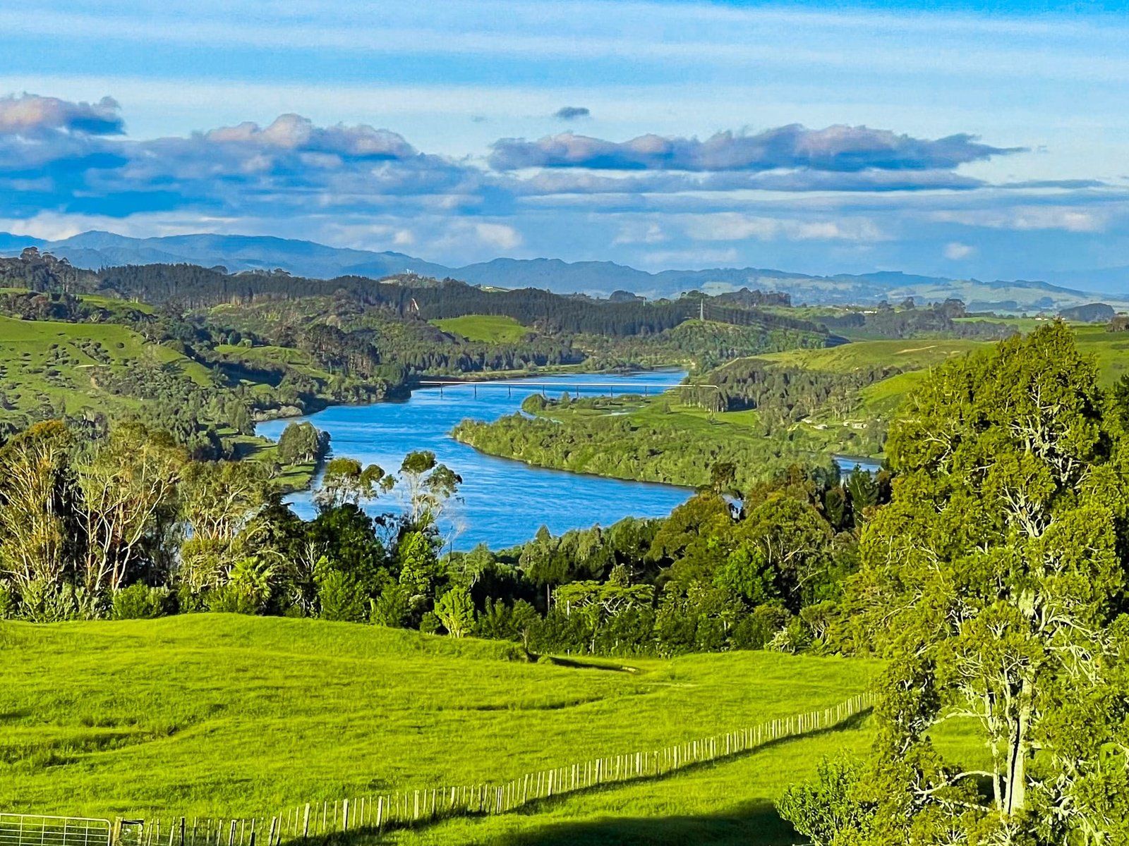
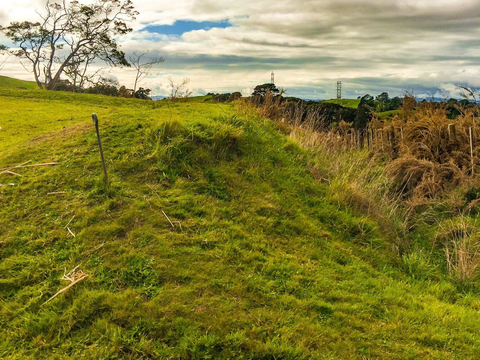
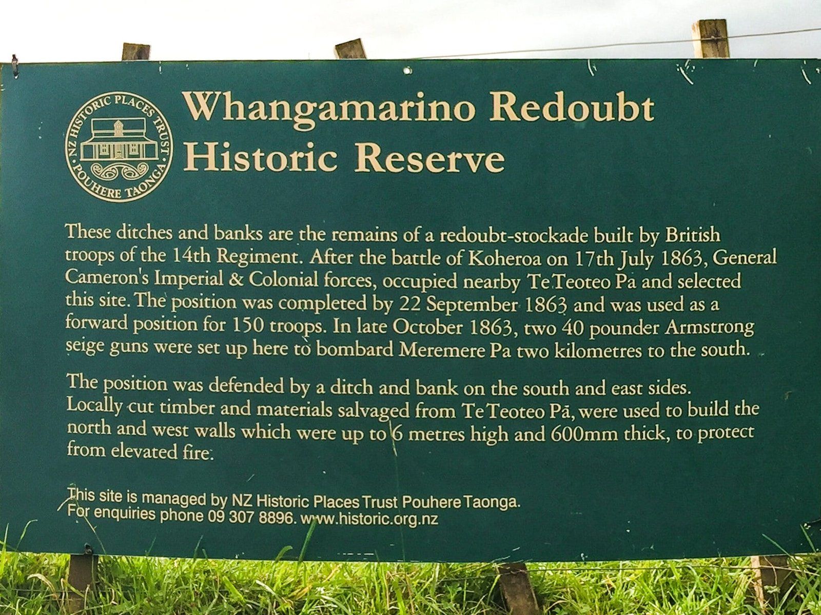
Whangamarino Redoubt
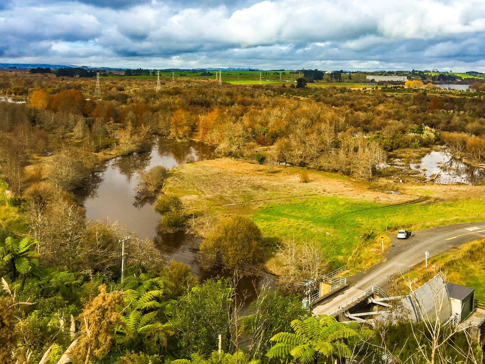
Whangamarino Redoubt gives more of a sense of the Waikato invasion. Along the northern part of the River, a goal for both sides was control of key highpoints, and Whangamarino was one of these. After the battle near Mercer, the Kīngitanga forces, about 1000 strong, reassembled 6 kms to the south at a fortified pā on the dominant hill in Meremere, overlooking the river.
The British occupied another pā on a high point, where they built the Whangamarino Redoubt. Eventually, they installed two 40-pounder Armstrong canons to bombard the Māori at Meremere, who were initially protected from direct land assault by the then more extensive Whangamarino swamp.
The Kīngitanga force had acquired three small ship cannons which they used to fire at the river gunboat Pioneer, which was supporting the government forces, although this was ineffective due to poor quality ammunition. In the end, the government forces had a bloodless victory. After several days of shelling, they bypassed Meremere in their gunboats and landed upstream, outflanking the pā. But the defenders, aided by spring floods, paddled away to fight another day. The government soldiers then built a redoubt on the pā site, which unfortunately is presently not easily accessible.
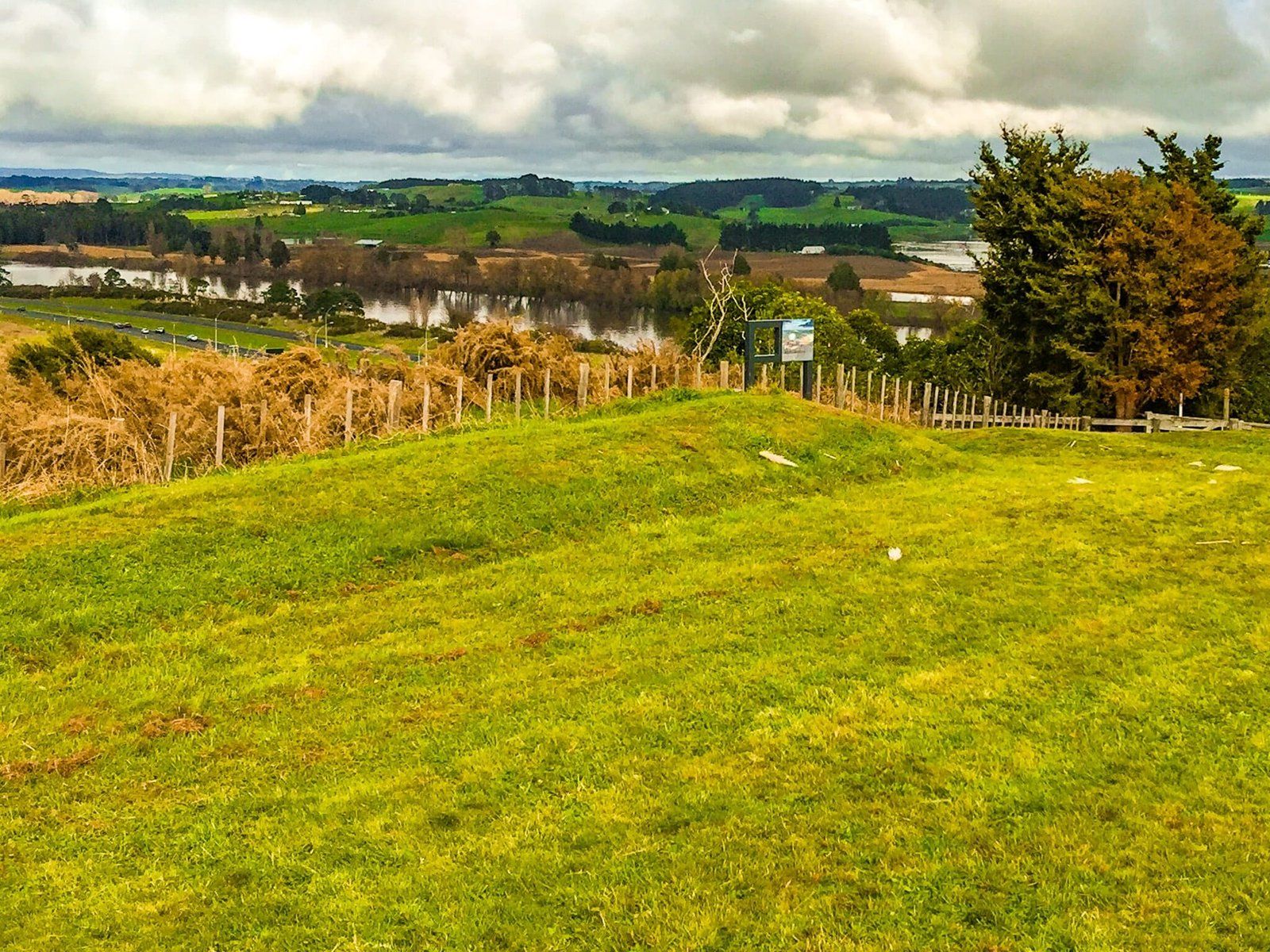
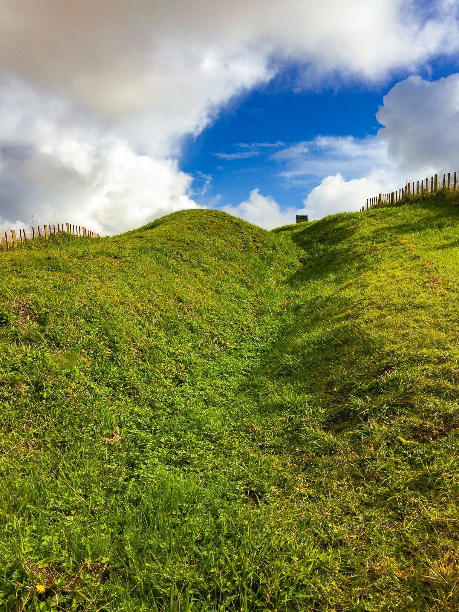
Look out for the road sign for Whangamarino Redoubt as you head south along the Waikato Expressway. The car park is just after you exit with a marked short but steep track to the top of the hill and remains of the redoubt. Even if military history is not your thing, it is a great view over the River and south to Meremere.

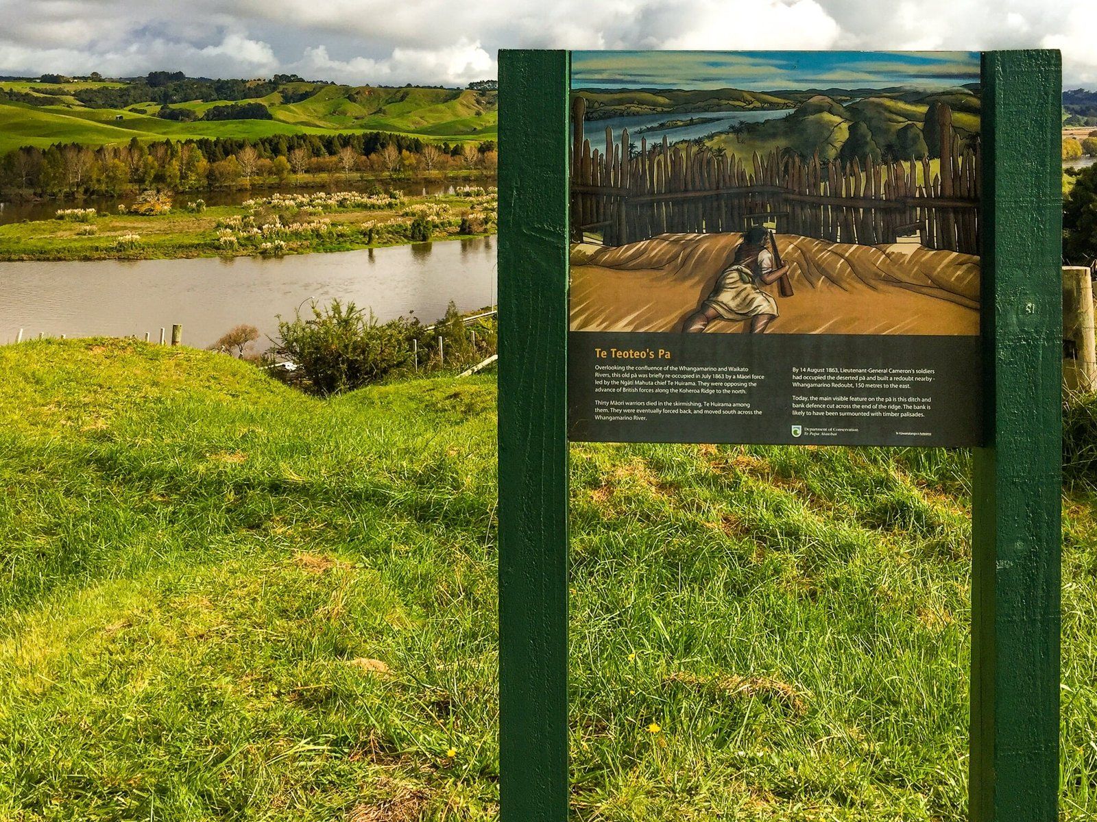
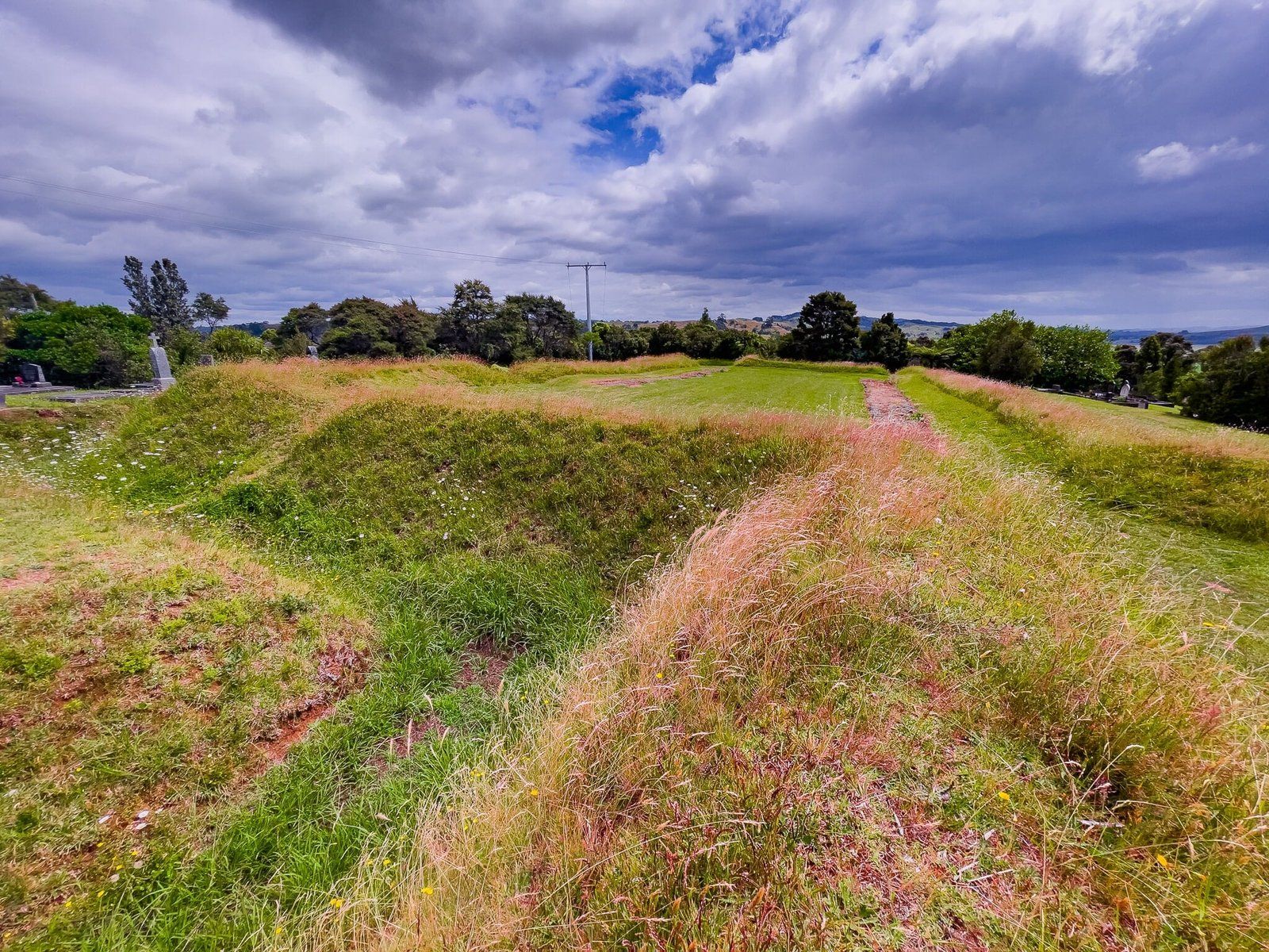
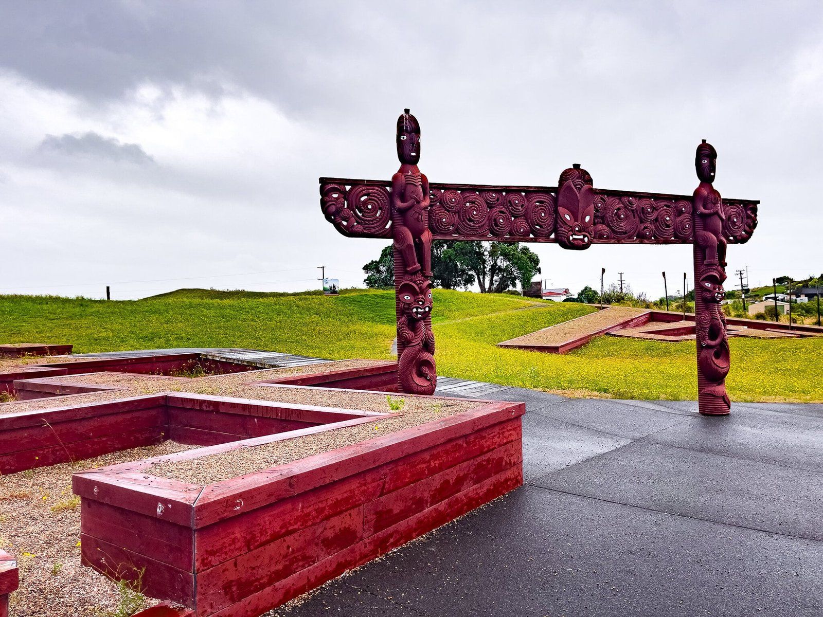
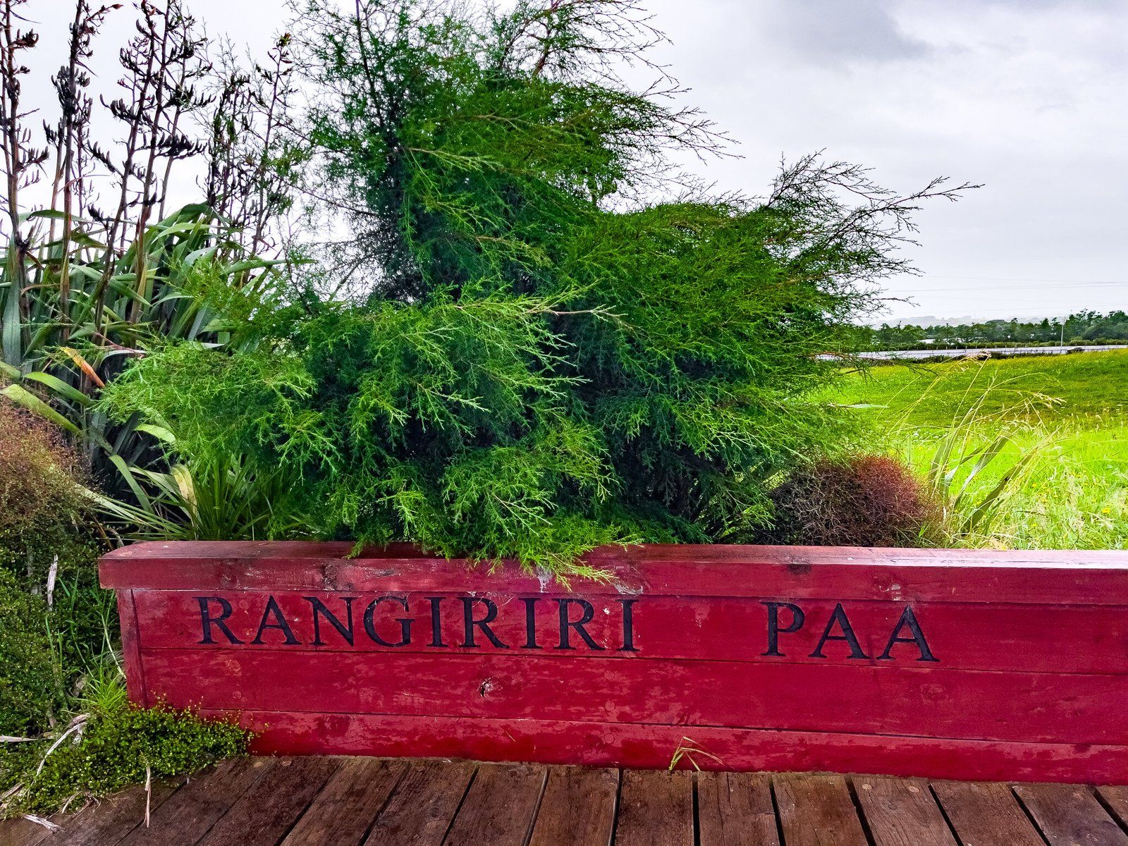
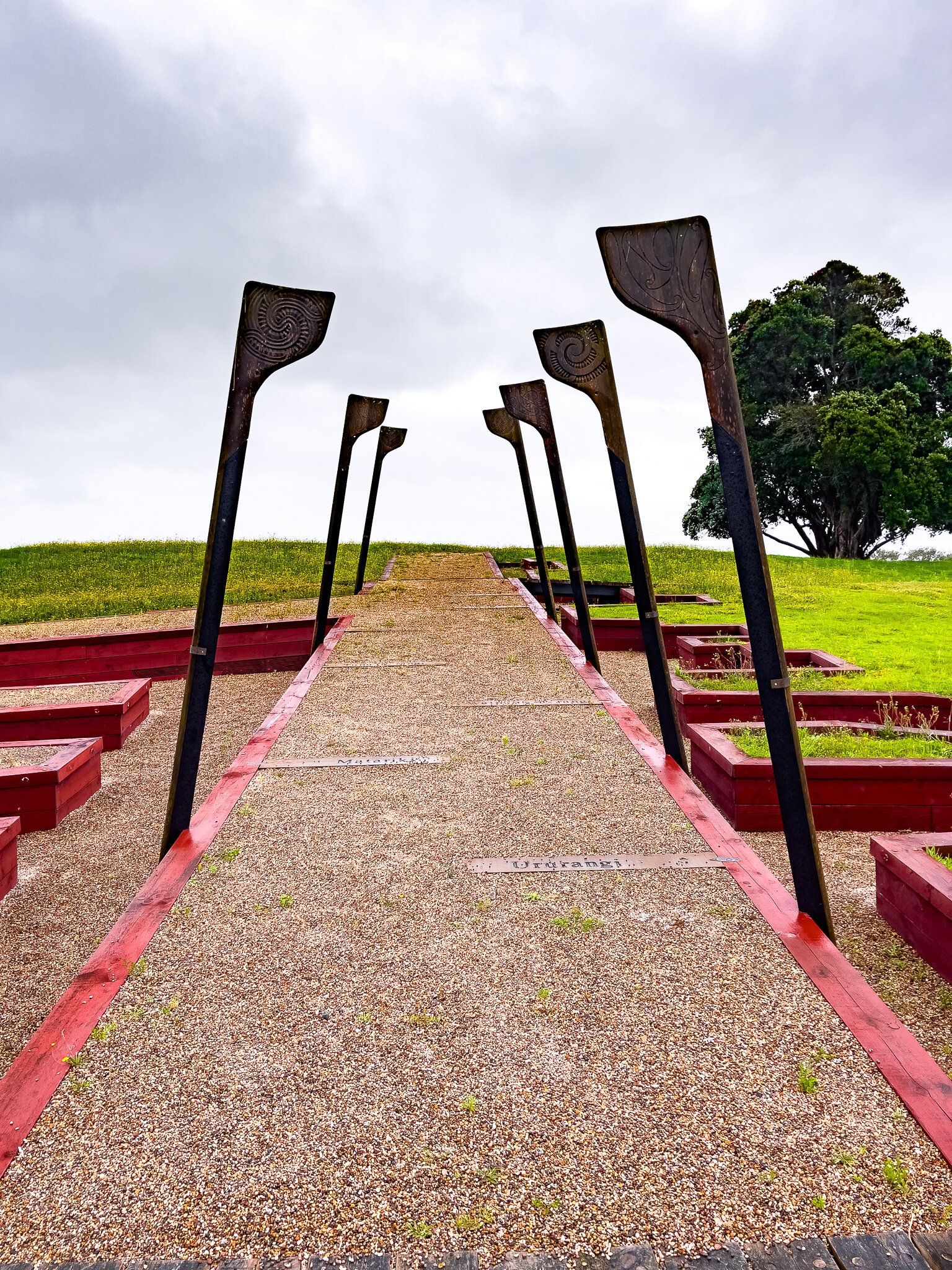
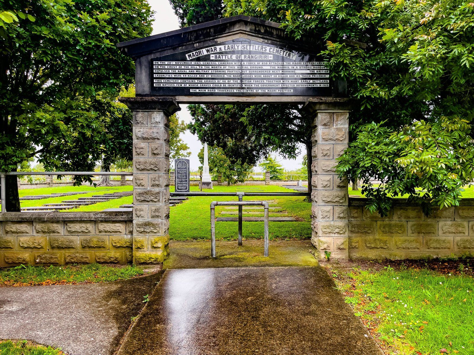
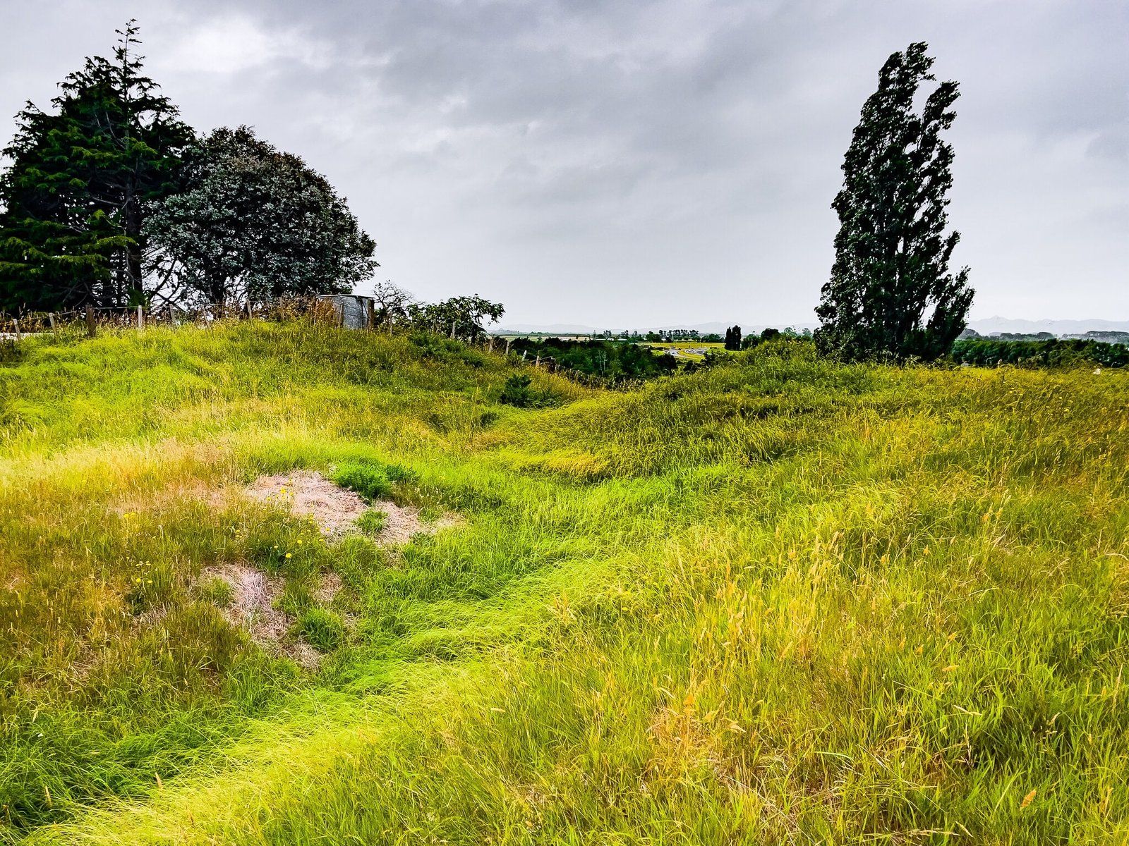
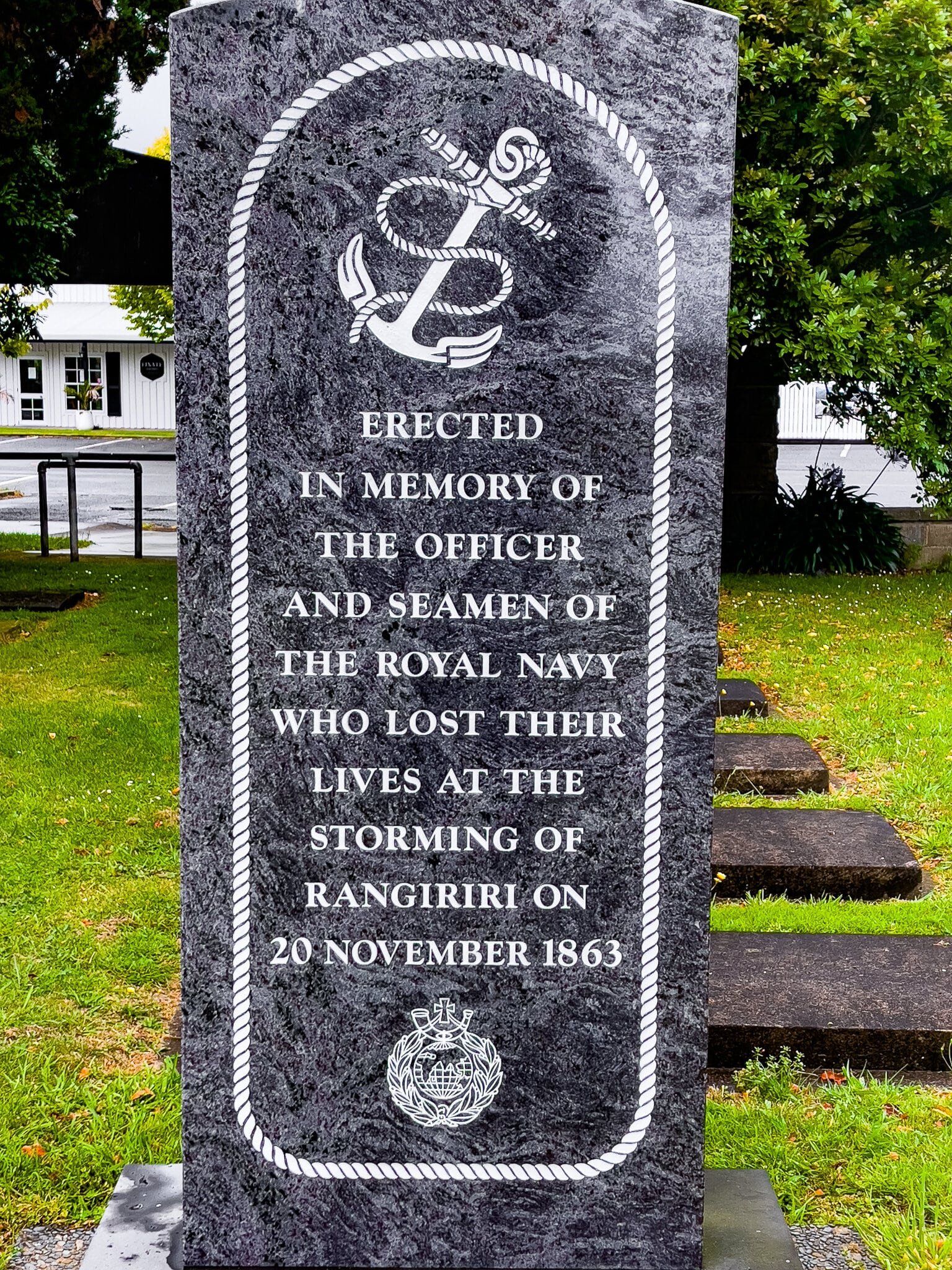
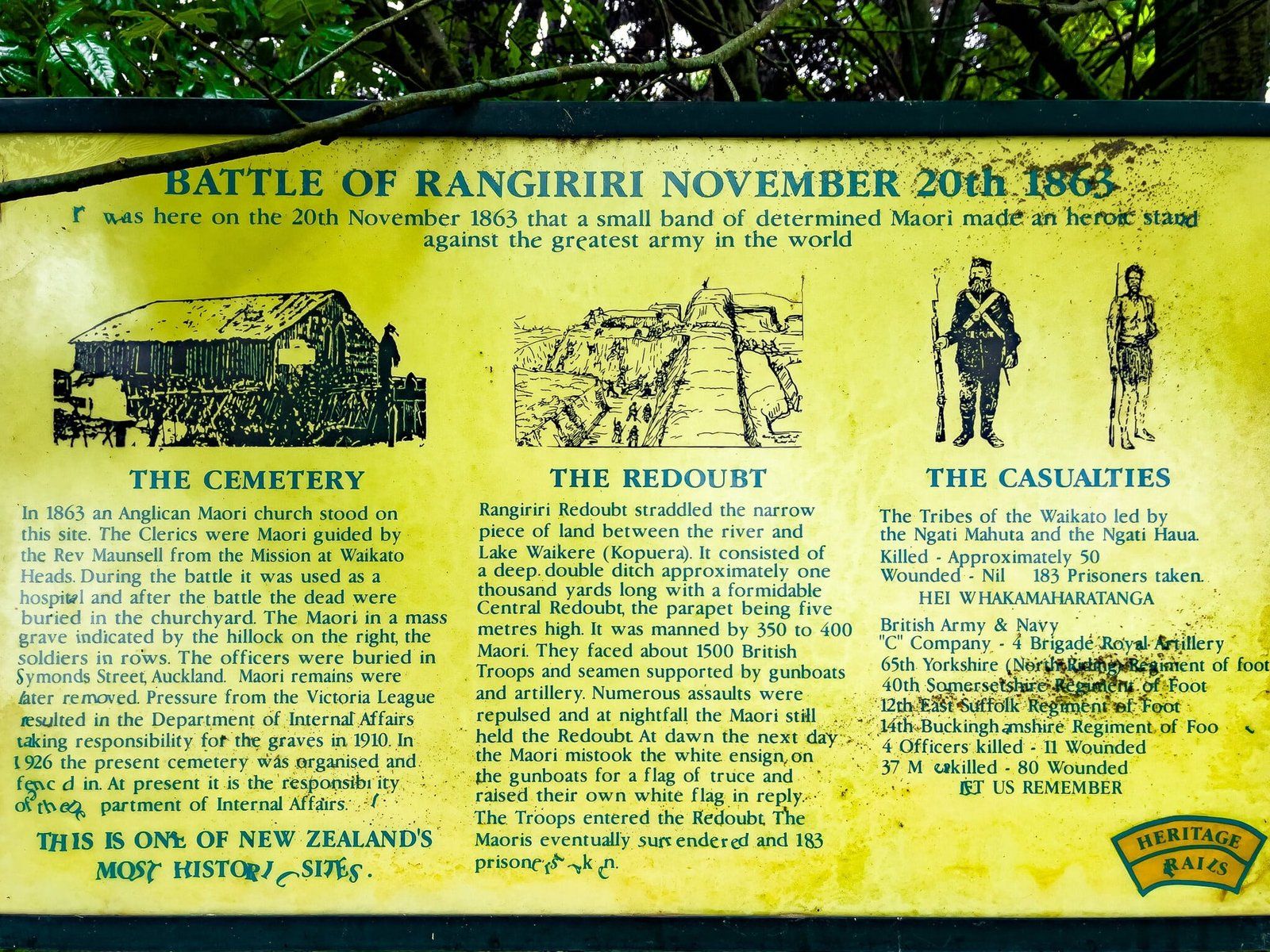
Rangiriri Paa
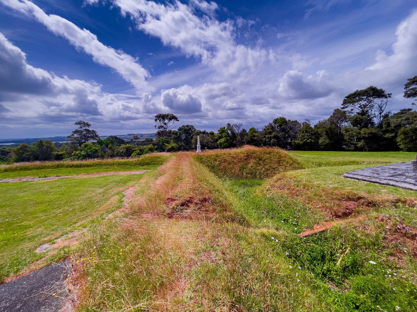
Rangiriri Paa was the decisive battle for the northern Waikato in November 1863. A Kīngitanga force constructed a defensive line along a ridge between the River and Lake Waikare, including a high-sided central redoubt.
Compared to Meremere, Rangiriri was undermanned, with only several hundred fighters as the planting season reduced the available manpower. On 20 November the government assembled almost 1500 men with artillery and gunboats. Ultimately, the entire government force, including artillerymen and naval personnel, participated in the final assaults on the central redoubt. But despite their advantage, these all failed and overnight many Māori were evacuated, including King Tāwhiao and mortally wounded Pene Te Wharepu (architect of the redoubt) across Lake Waikare. In the morning the remaining Kīngitanga force surrendered, although there is a dispute about the actual events, with the defenders claiming they waved a white flag as an offer to parley.
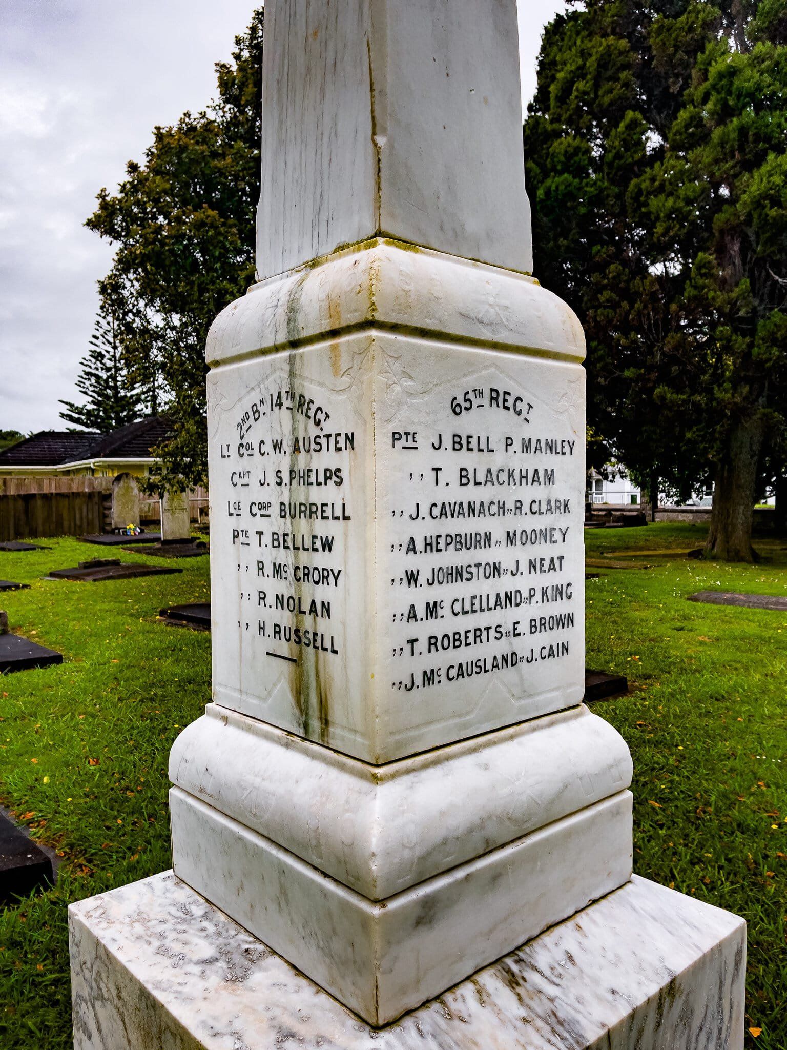
Casualties at Rangiriri were high by the standards of these battles – 45 government soldiers were killed with 85 wounded. About 35 Kīngitanga Māori were killed with an unknown number wounded. The 183 Māori captured at Rangiriri were held on Kawau Island in Auckland’s Hauraki Gulf, but they escaped in September 1864.
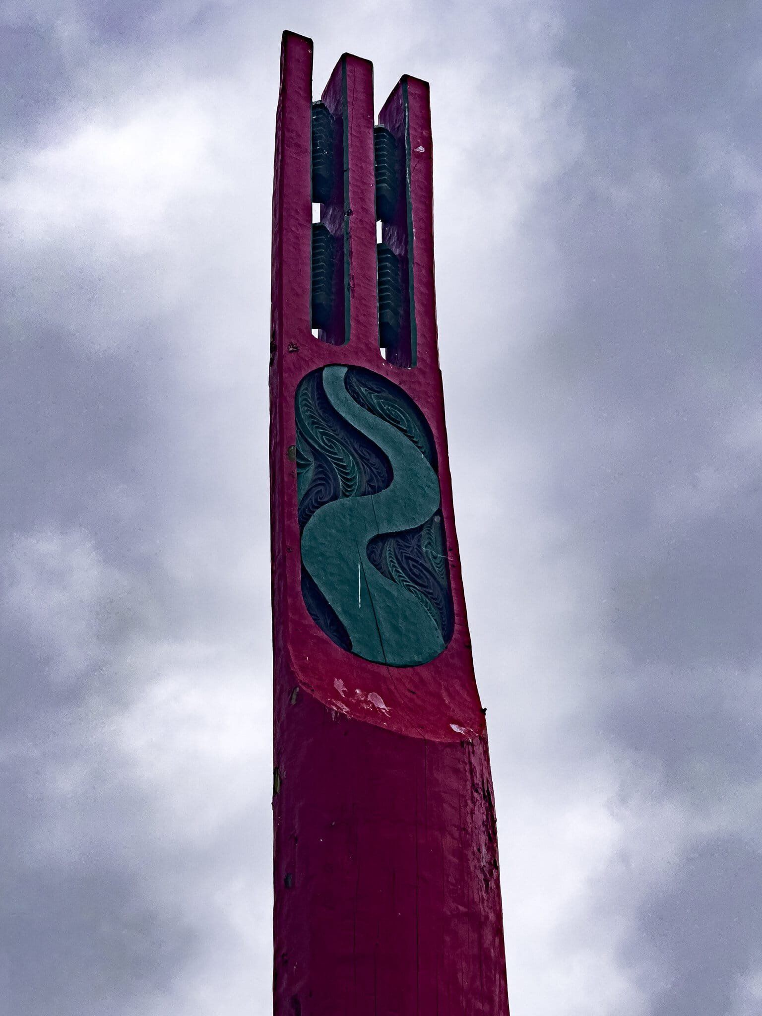
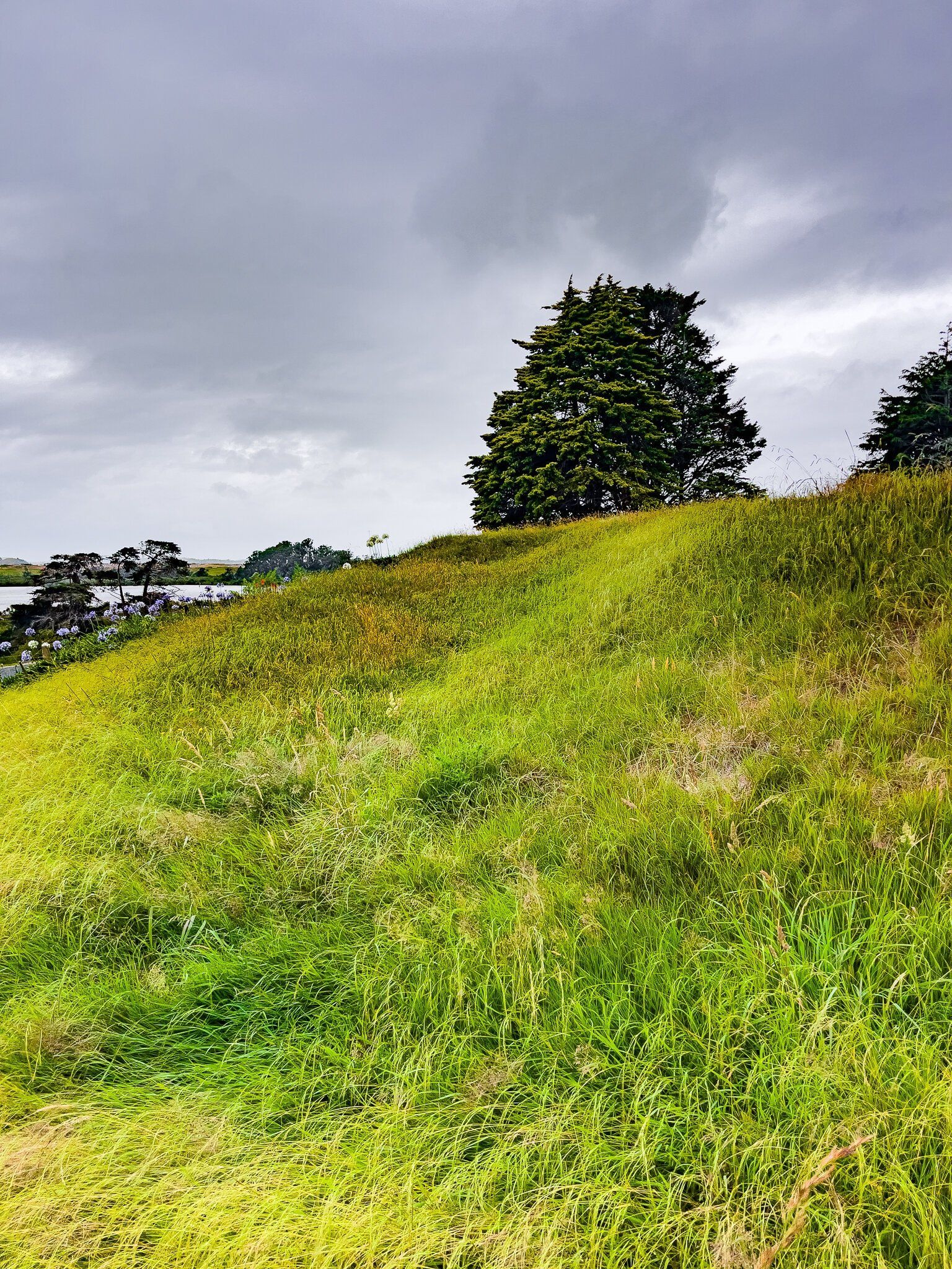
For a long time, the site of Rangiriri Paa was barely noted. But today, you can’t miss the battlefield as you drive along the Waikato Expressway. It is back in the hands of Tainui and clearly marked out by two lines of pou (engraved posts of significance) to the east, just before the offramp. It is easy to drive to the top of Rangiriri Paa, from which you can walk down over the remnants of the redoubt and trenches, with several explanatory panels. If you want to connect to our past to better understand our present, this is a must-do.

Rangiriri and Te Wheoro’s Redoubt
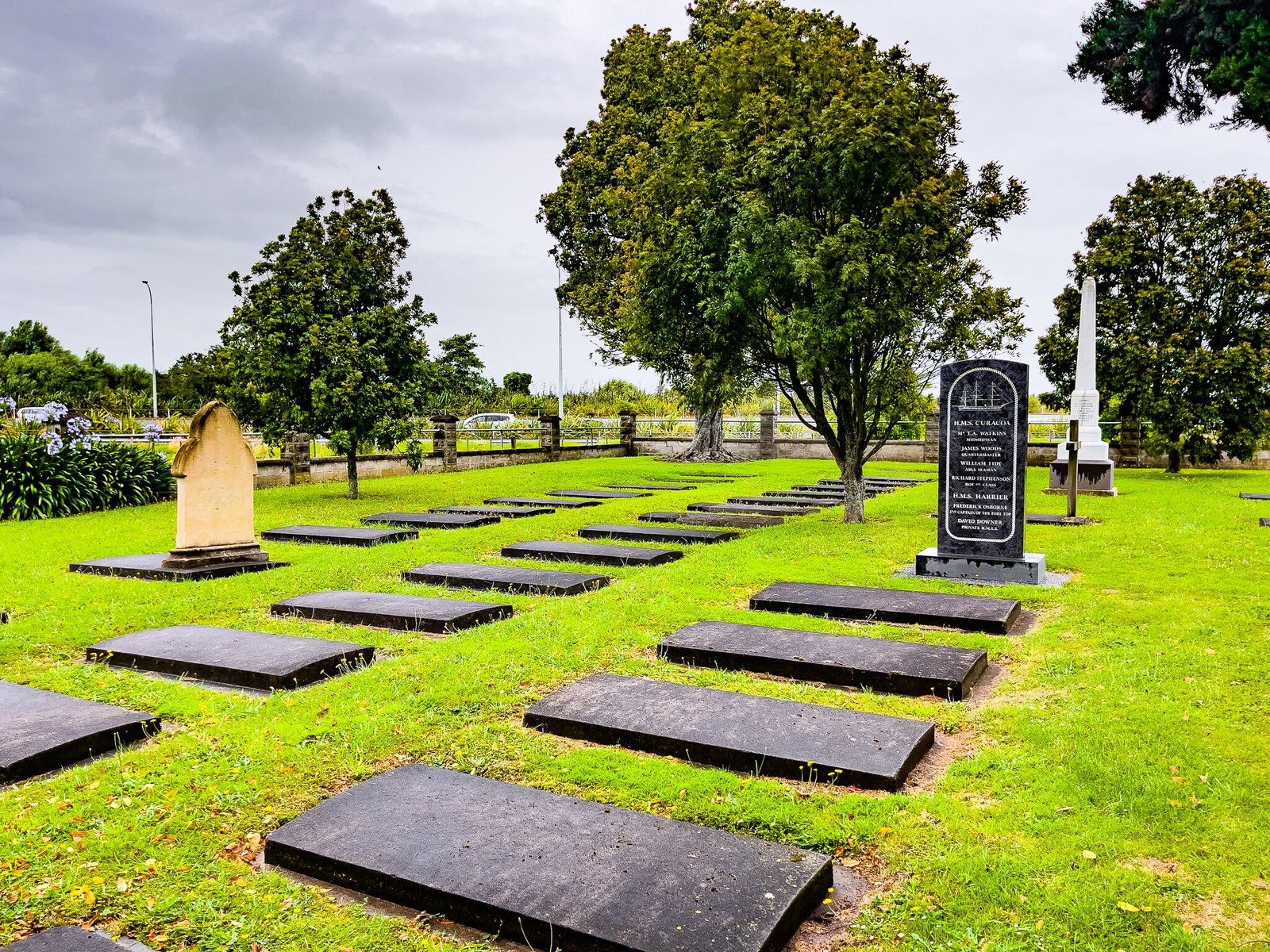
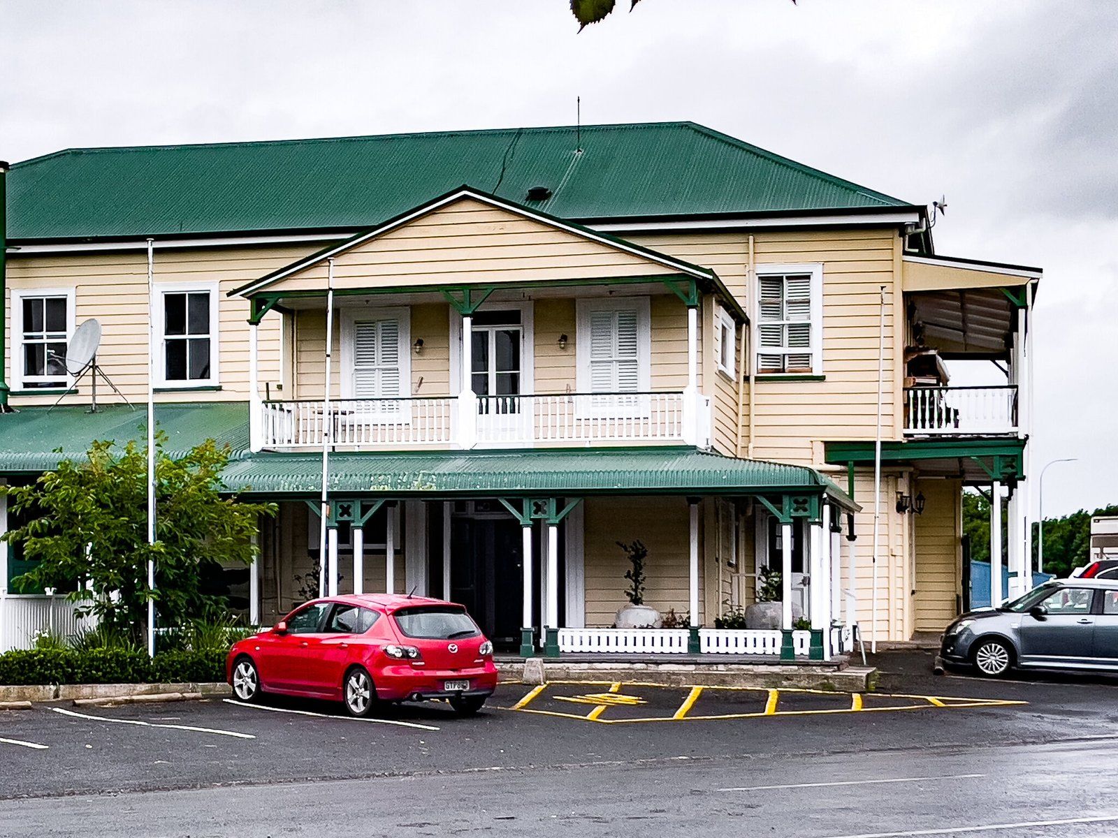
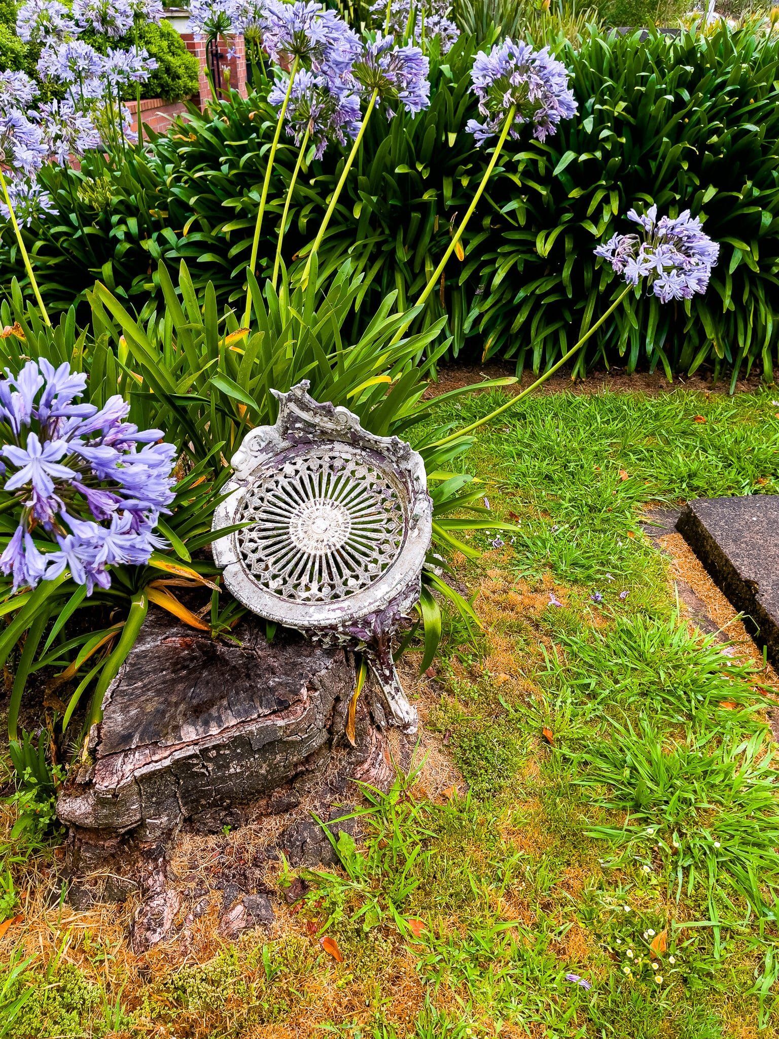
Down the hill from Rangiriri Paa, and right next to the Expressway off-ramp, are two other historic features of Rangiriri – the local pub, which has long been a popular stop, and the historic cemetery, where the government soldiers killed at Rangiriri Paa were buried. Māori dead were also buried there in a mass grave but the bodies were removed in the 1920s. The signage at the cemetery provides further details on the battle.
If you go up Rangiriri Road from the cemetery, you will see Talbot St, at the end of which is Te Wheoro’s Redoubt. This is another high point which had a small redoubt named for a Ngāti Naho chief, Te Wheoro. Not all Waikato Māori supported Kīngitanga or war with the government. Te Wheoro actively allied with the government but also tried to act as a diplomatic interlocutor between the parties to bring about a peaceful settlement. In the late 1860s, he twice occupied the redoubt to deter any further conflict from breaking out. But as time went on, he became a fierce critic of the government confiscations and a general policy of favouritism towards Māori who were predisposed to sell their land. In 1879 Te Wheoro was elected to parliament where he continued to act as an opponent to government land policies.
Huntly
Huntly lies on the Waikato River between Rangiriri and Ngāruawāhia and was initially a government military encampment. But then coal was discovered and it all changed with several mines and NZ’s only remaining thermal power plant right next to the River. For a long time, the town felt like a post-industrial backwater, but the coal and thermal plant will come to an end and it is changing for the better.
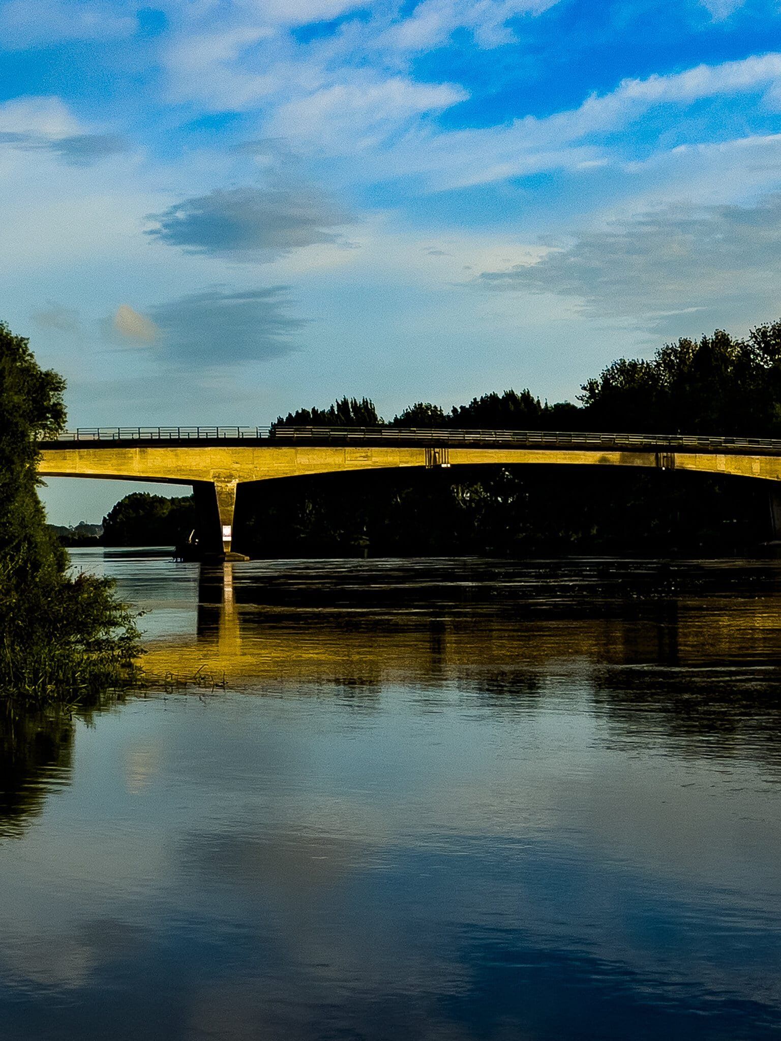
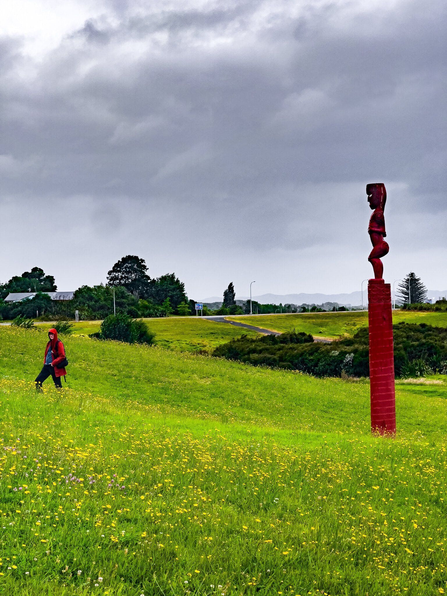
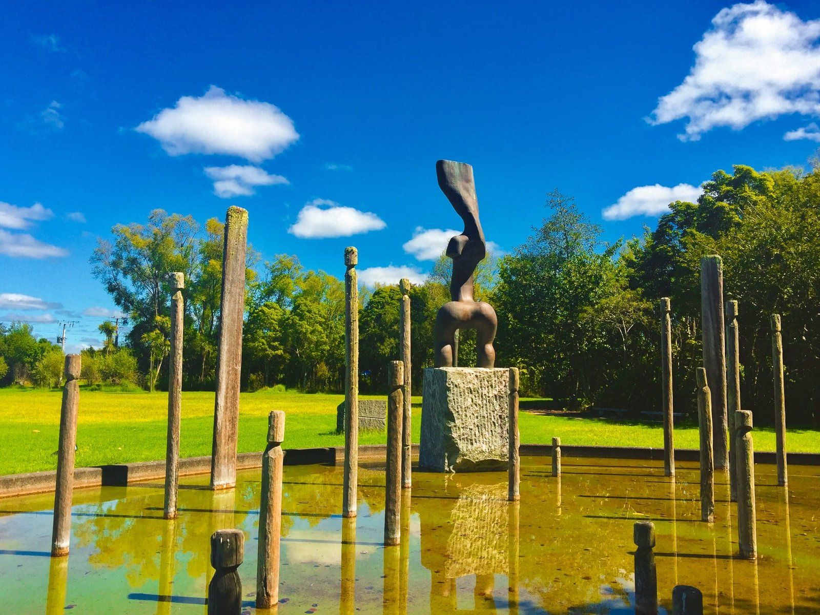
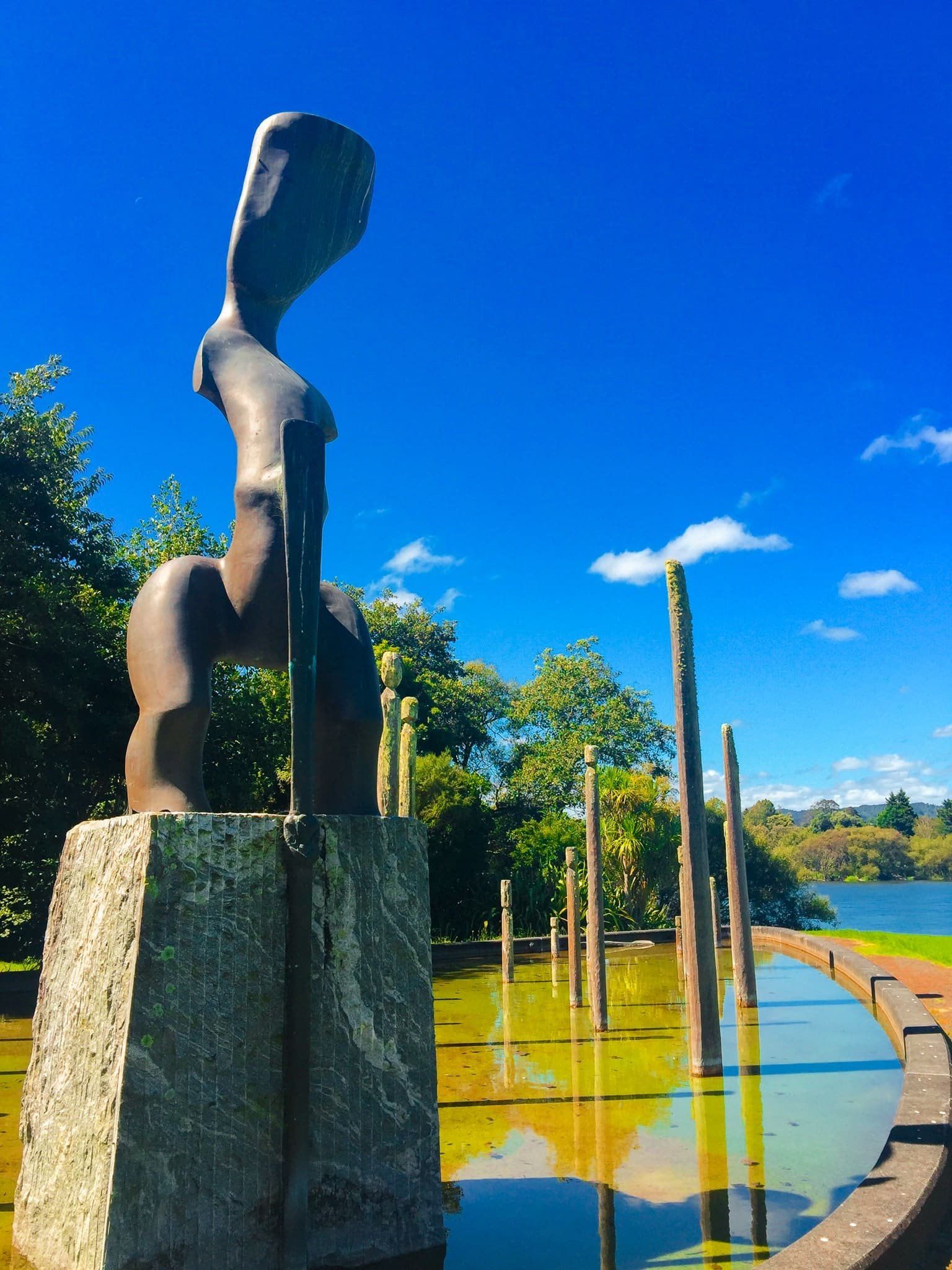
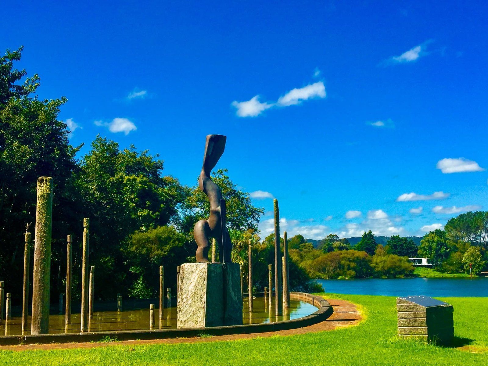
Instead of staying on the Waikato Expressway, take the offramp to Huntly and follow the old State Highway 1 route into the town. There are multiple places to stop along the river, with reflective views of the power plant, especially with sunsets. Cross Tainui Bridge over the Waikato River and turn right onto Harris Road, then continue along this to Te Araroa – the Long Pathway Park, in front of the power station. As you may guess, this is a part of Te Araroa (the walking trail running the length of NZ) which goes alongside much of the northern Waikato River.
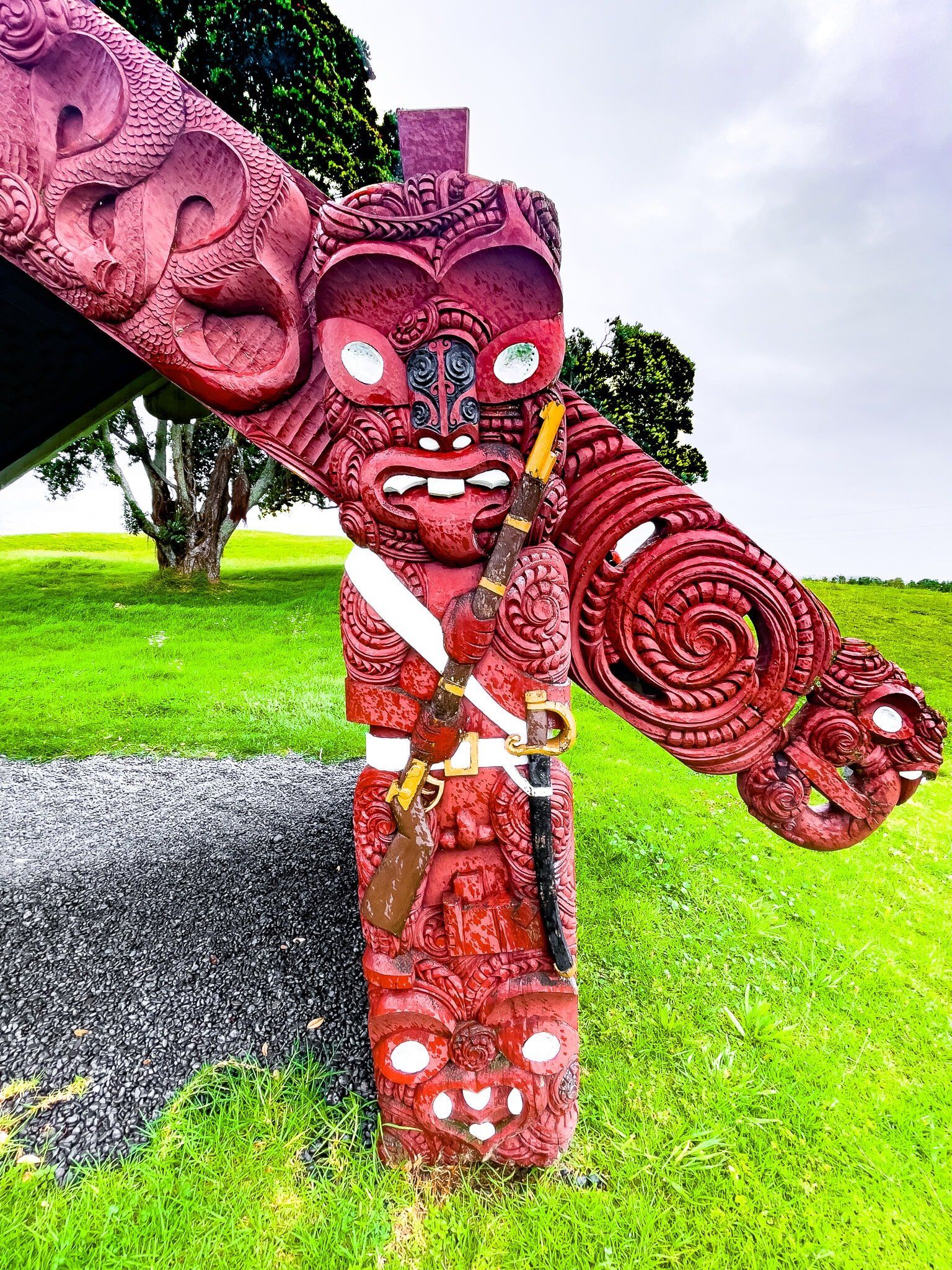
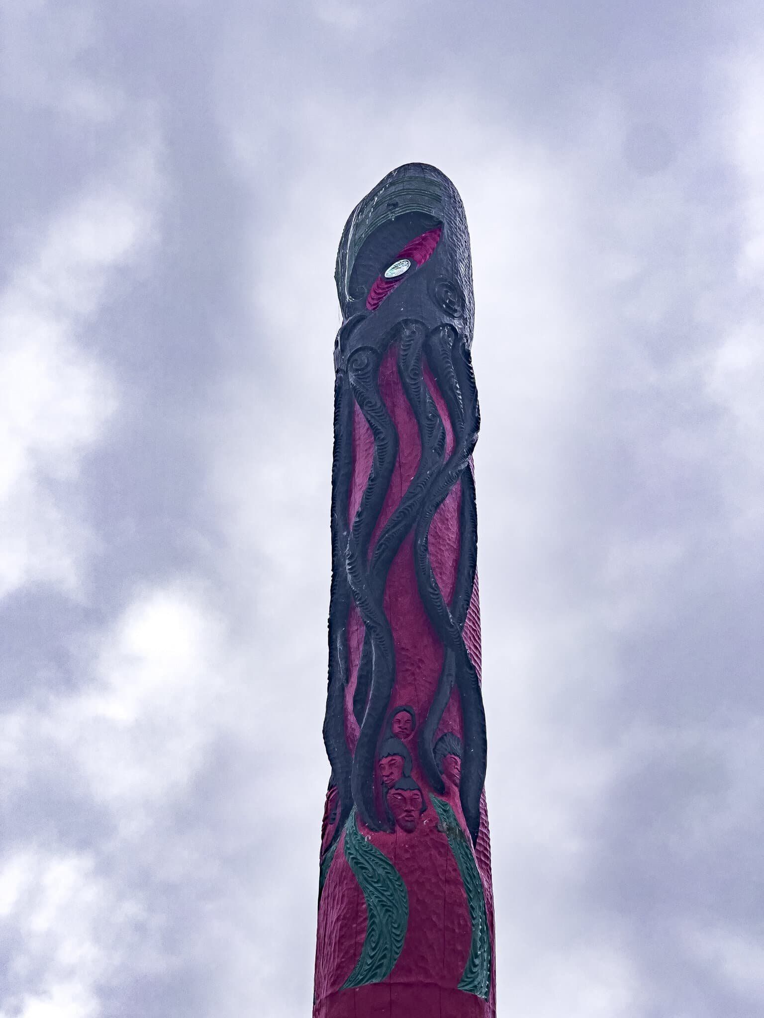
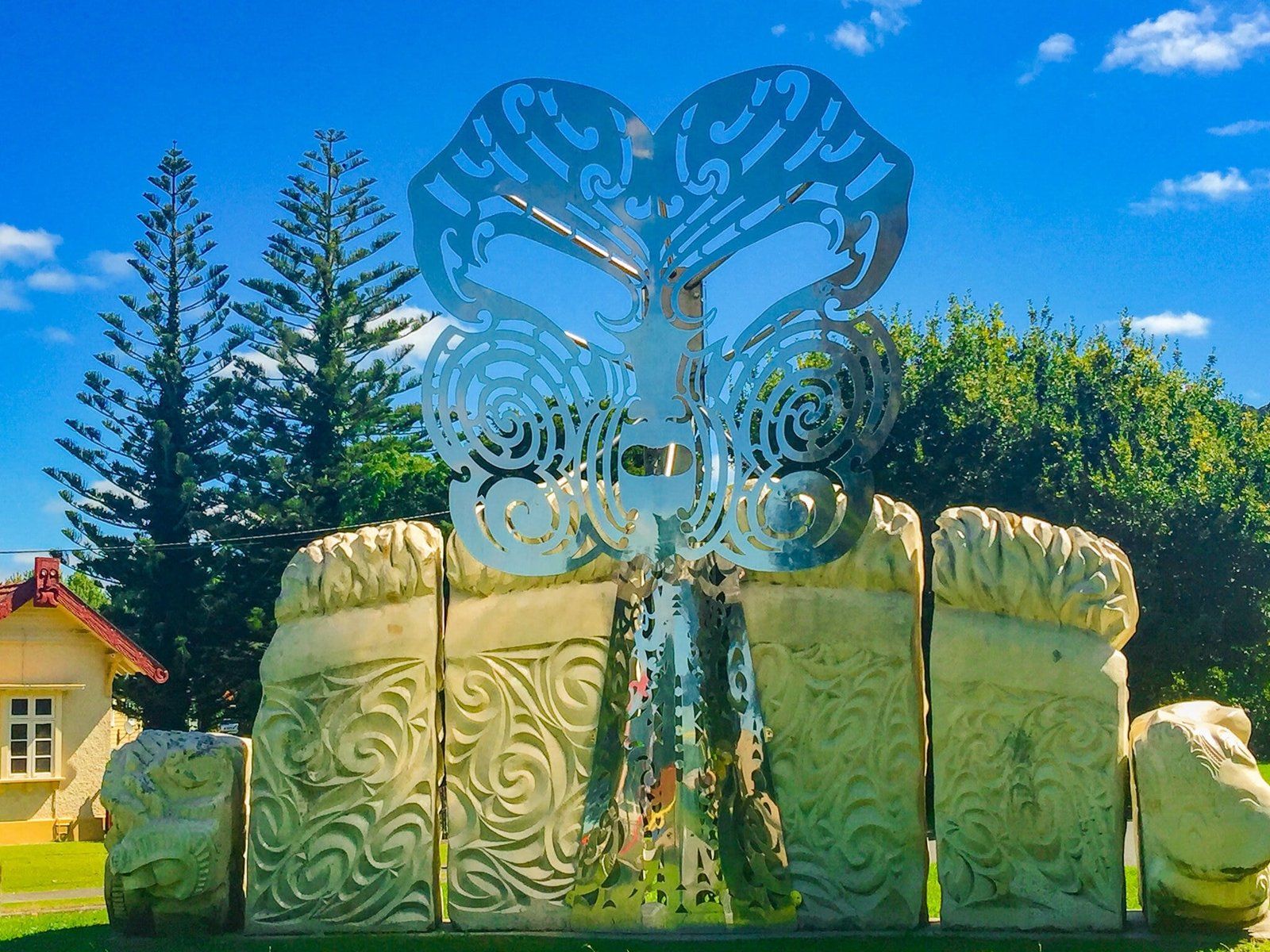
In the park, there is a wonderful Māori sculpture with the inscription, in Te Reo Māori and English, that reads “Within this area and near our treasured River this Taonga (treasure) is erected to nurture, care and watch over those that frequently visit this land – Good tidings.”
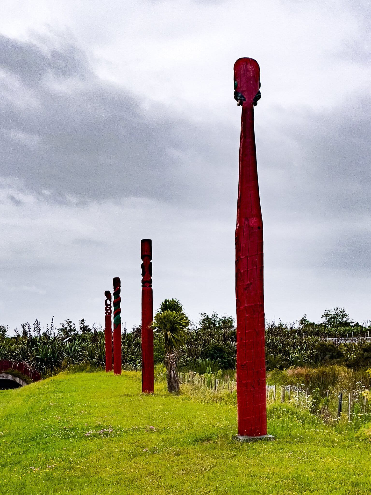
Next to the park is a series of sculptures, Te Ahurei O Waikato, created by Lyonel Grant. The central figure is thrusting a sacred stake into the land confirming that it belongs to the people of the Waikato and they to it. The water feature represents the life forces of the Waikato River and the canoe shape links the Iwi to their ancestors in the Tainui canoe that brought them from Hawaiki. The other posts represent Waikato hapū (sub-tribes).
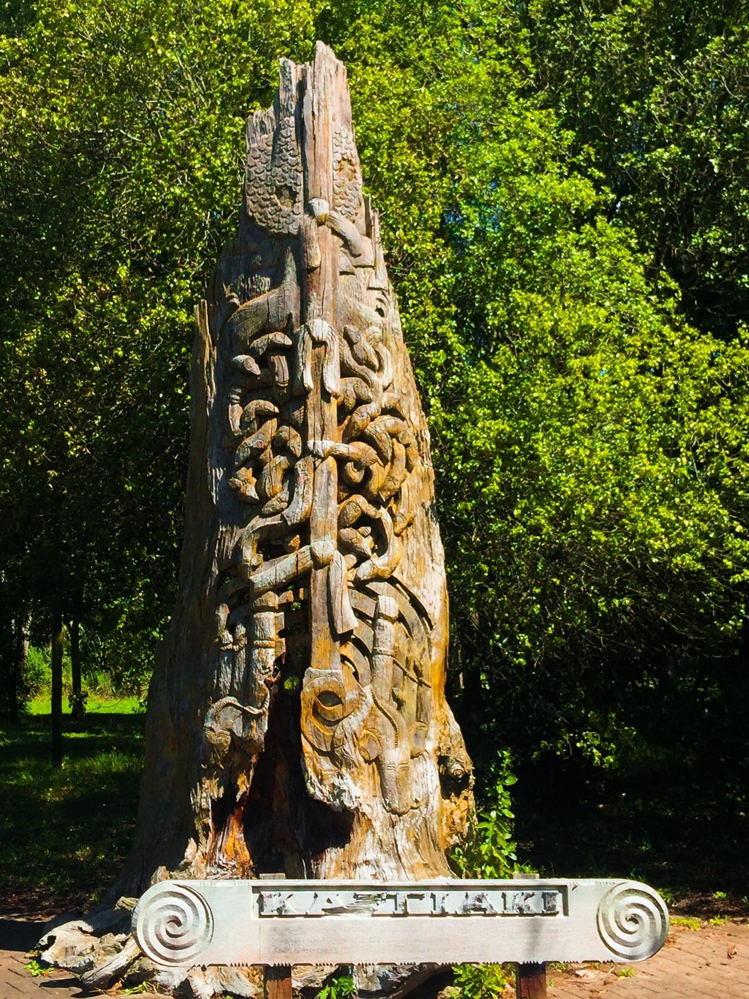
There are also some lake walks around Huntly, which we will cover in another blog post.
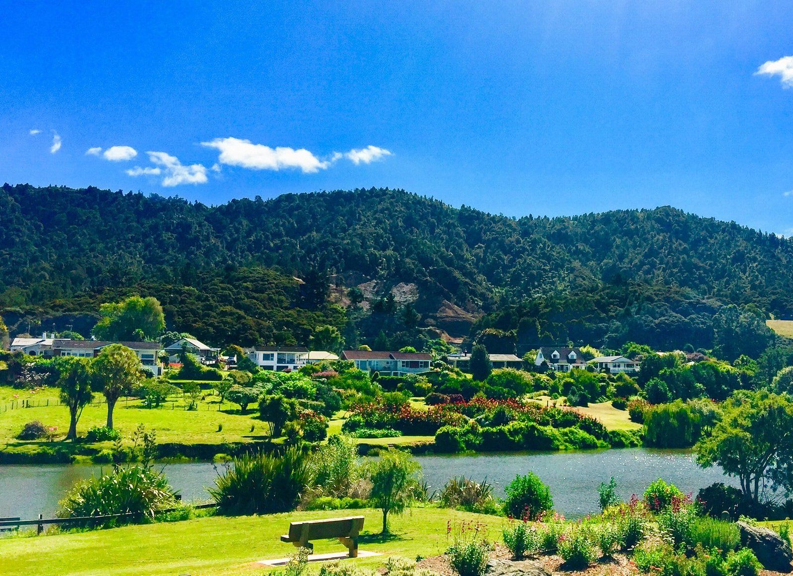
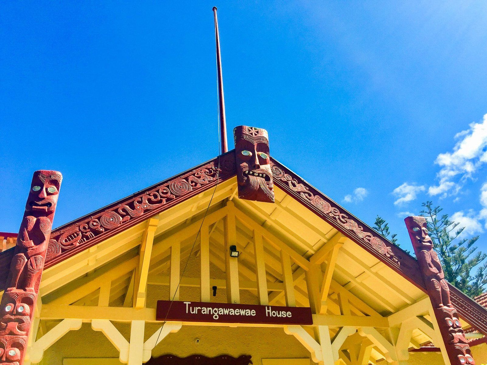
Ngāruawāhia
From Huntly, drive south on either side of the Waikato River to Ngāruawāhia.
The government victory at Rangiriri led directly to the occupation of Ngāruawāhia, the capital of Kīngitanga, bringing this stage of the War to a close. King Tāwhiao and his followers retreated into Ngāti Maniapoto territory (which then became known as the King Country). Kīngitanga and their allies were effectively left to self-govern until a settlement allowing government access to the region was reached in the early 1880s. In the meantime, the central Waikato was captured by government forces and the process of confiscation (500,000 hectares) and sale to settlers reshaped the region. Despite these events, Ngāruawāhia continued to be a focal point for government interaction with Kīngitanga and Tainui.
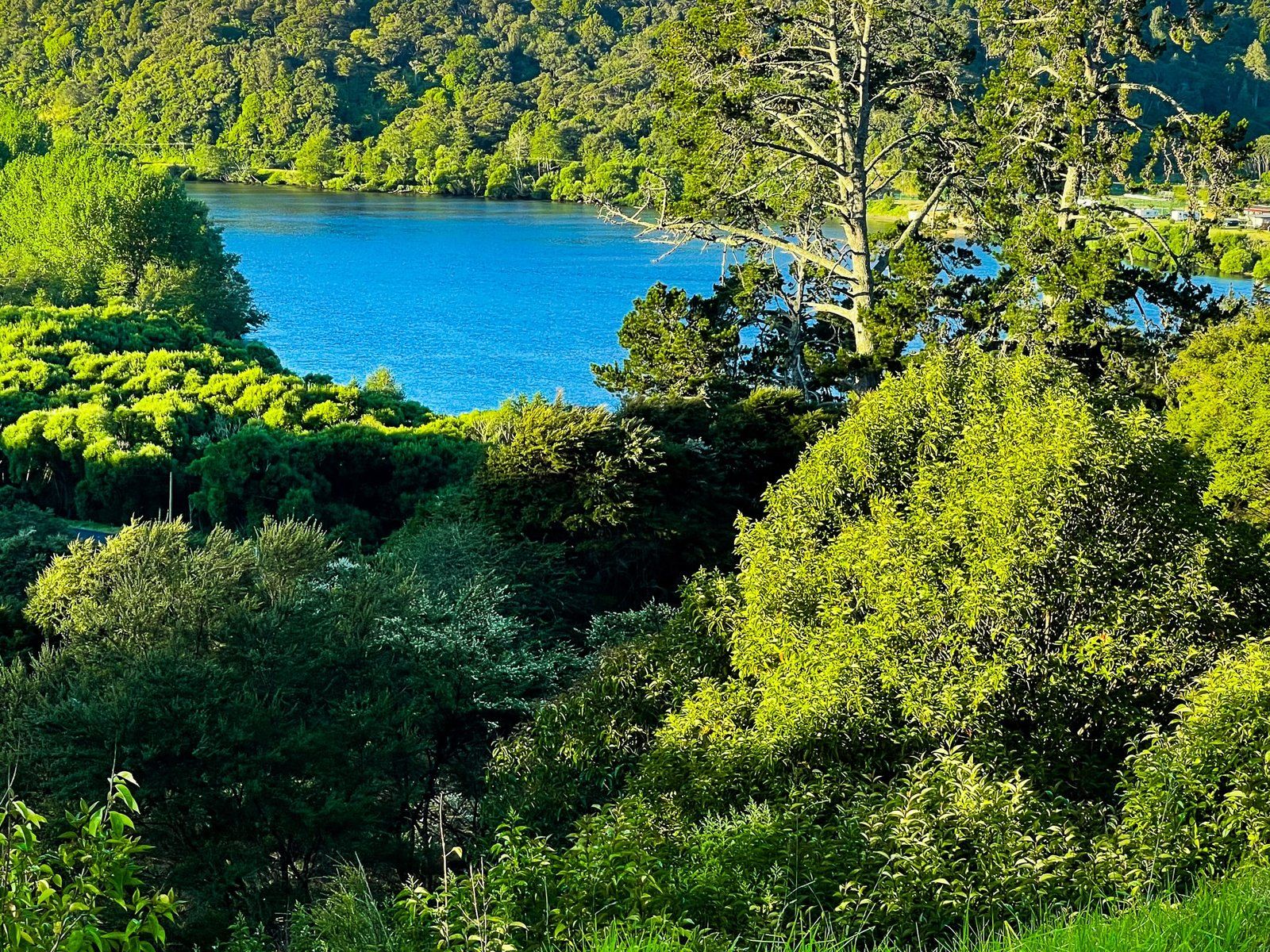
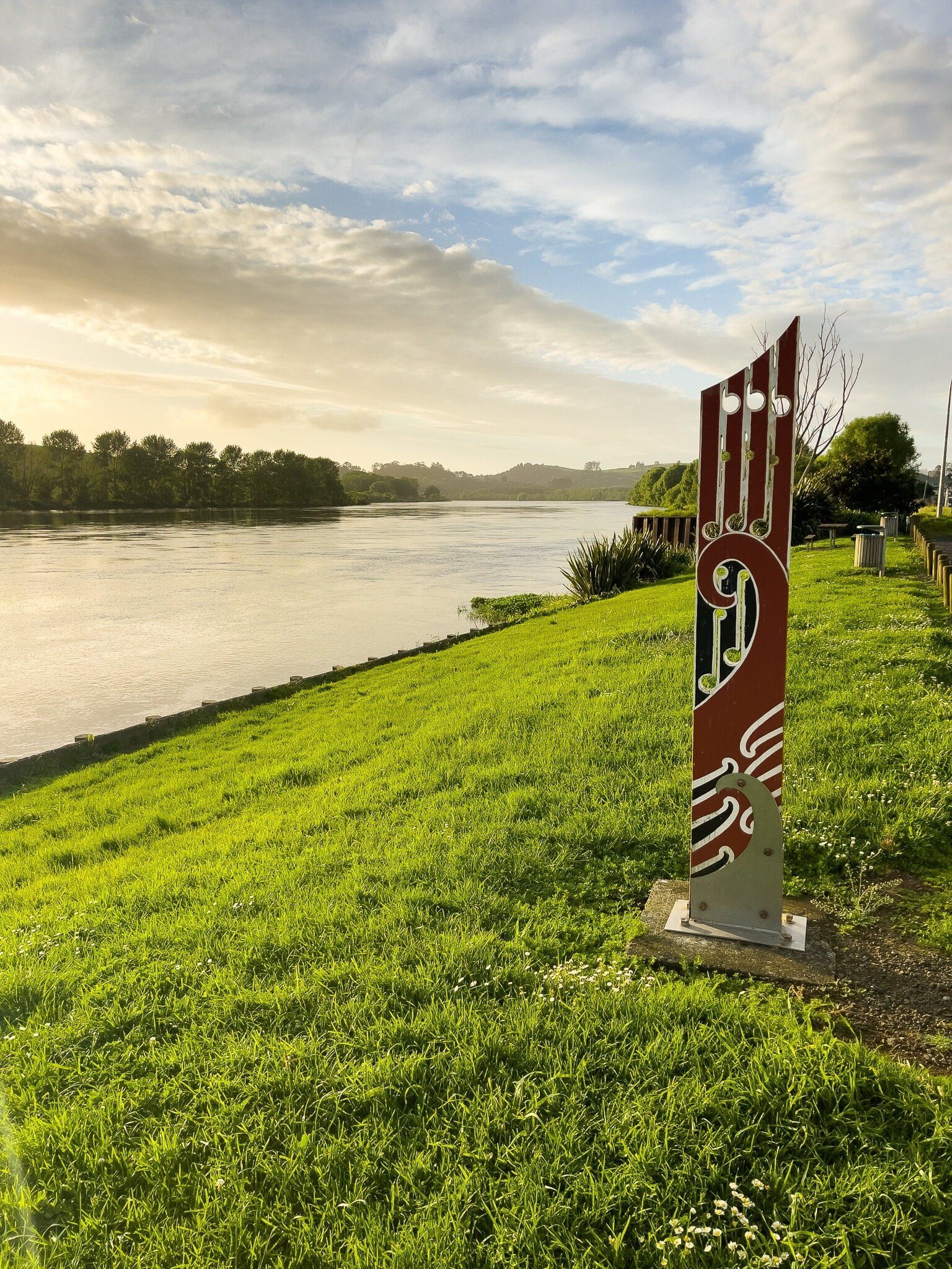
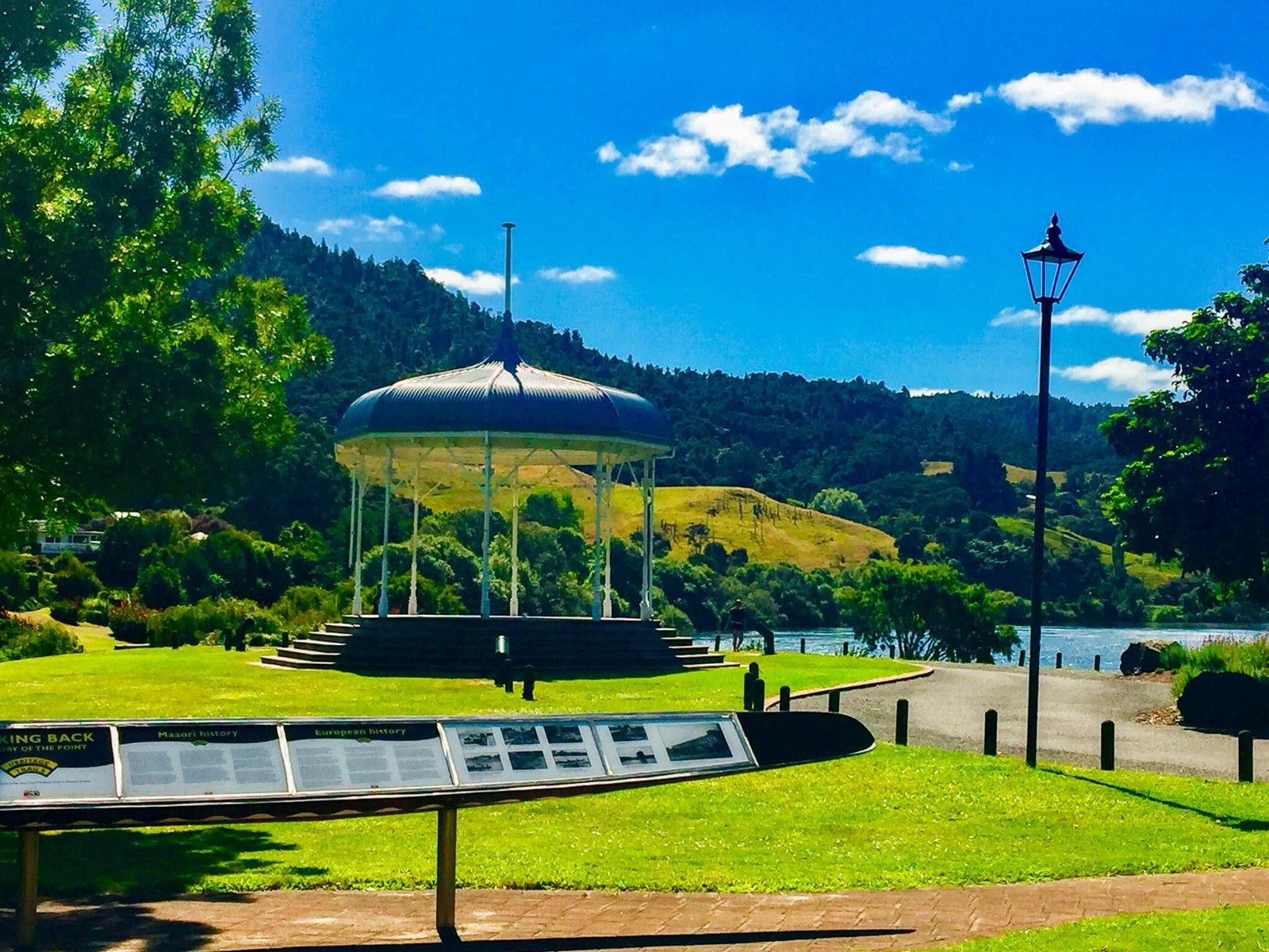
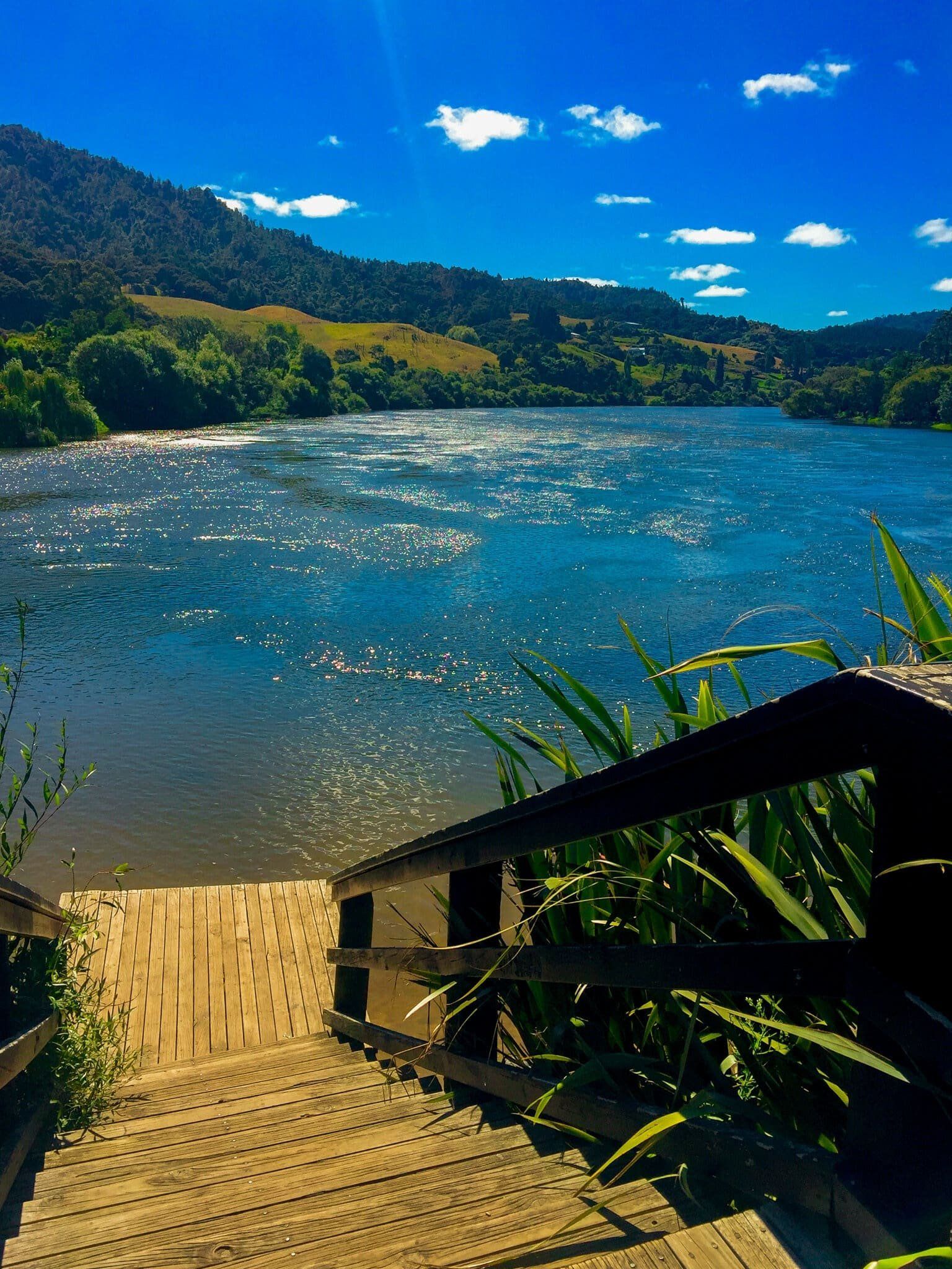
In Ngāruawāhia, visit the Point which sits between the confluence of the Waipa and Waikato rivers. It is both a beautiful and historic location with several excellent panels and sculptures. Just behind the Point is the centre of Kīngitanga, marked by a stunning polished metal sculpture in front of the residence and one of the most historic locations in the central North Island.
The Point is also the start of Te Awa River Trail. This runs over 20 kms along the Waikato River to the south end of Hamilton and can be accessed from multiple locations for walking and cycling.
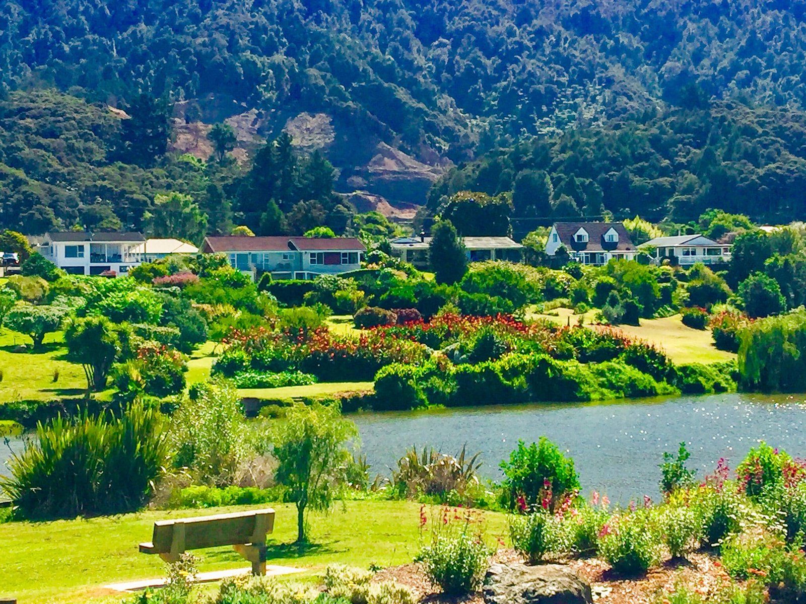
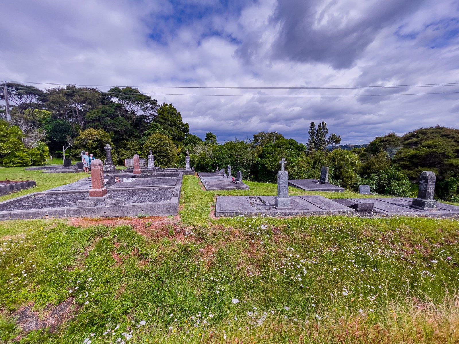
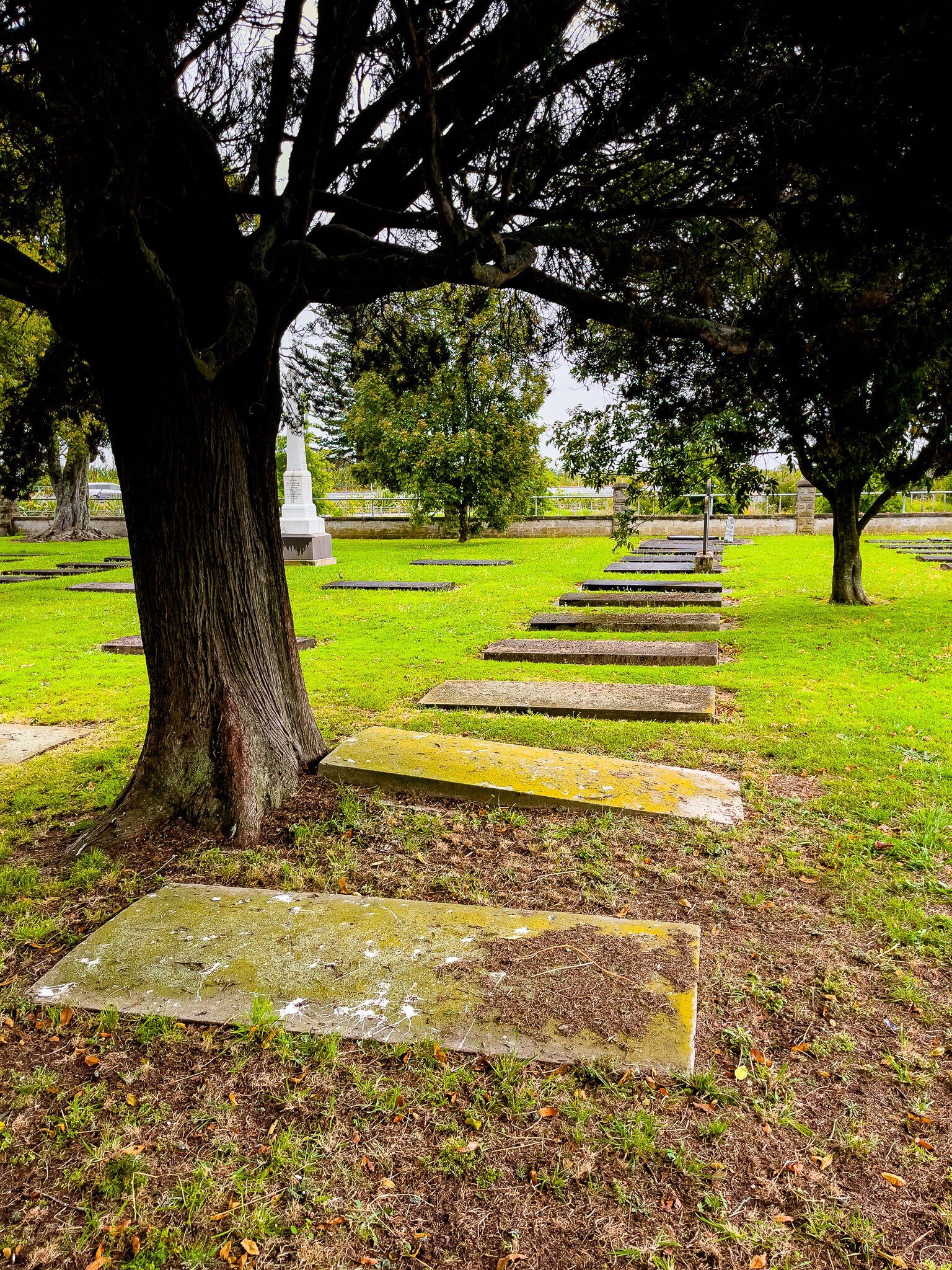
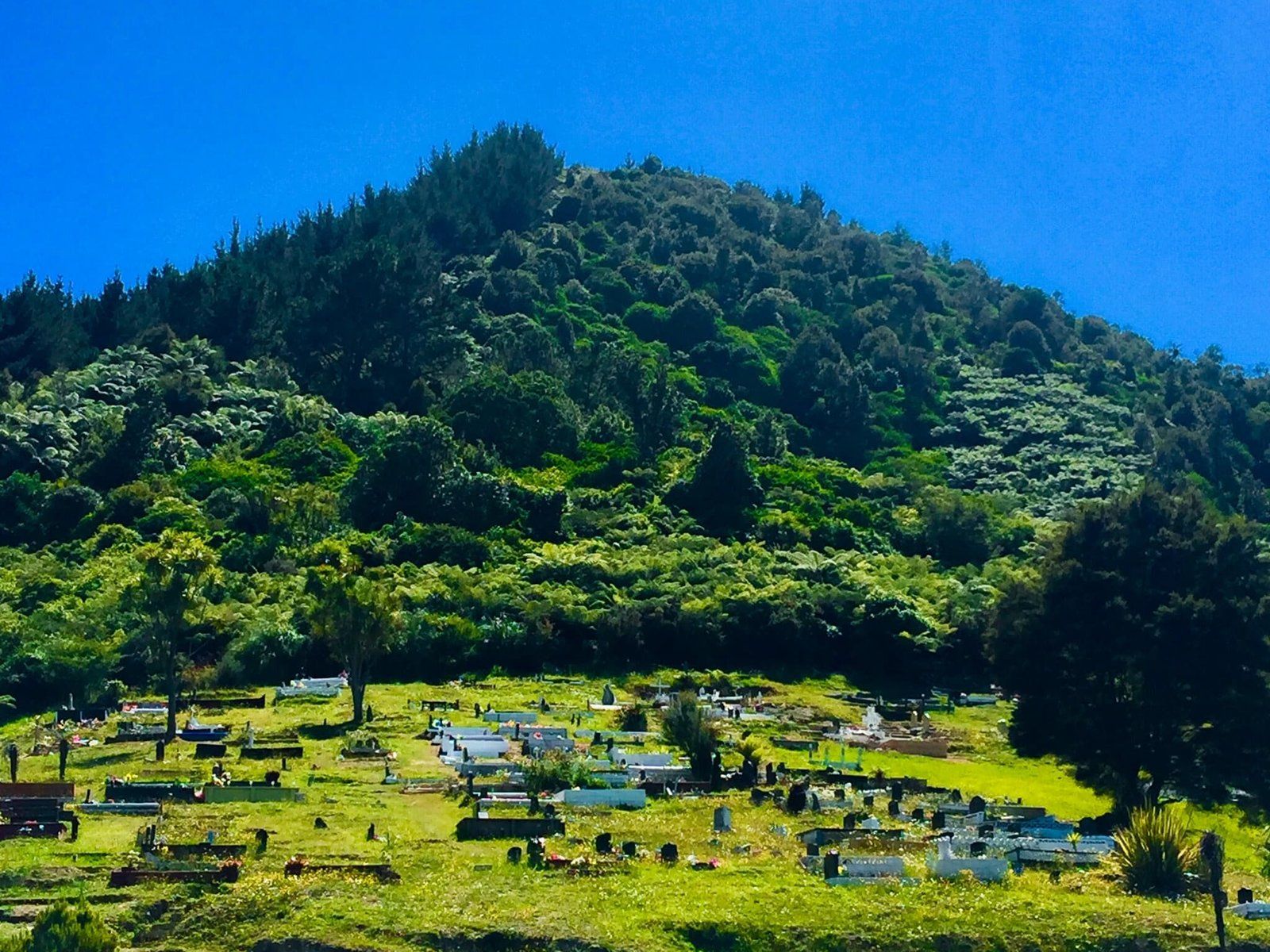
Taupiri
Taupiri is a small town on the east side of the Waikato River between Huntly and Ngāruawāhia. It sits below Taupiri Maunga, also known as Taupiri-Kuao – the embracing mountain. This mountain is sacred to Tainui and is the burial location for the Kīngitanga Royal Family, plus many other prominent Māori. It has been a tapu burial ground for Tainui since the death of Chief Te Putu, who built Taupiri Pā on the summit of a spur of Mt Taupiri in the 1600s. Today, the cemetery on the side of the Maunga is probably one of the most scenic in the country.
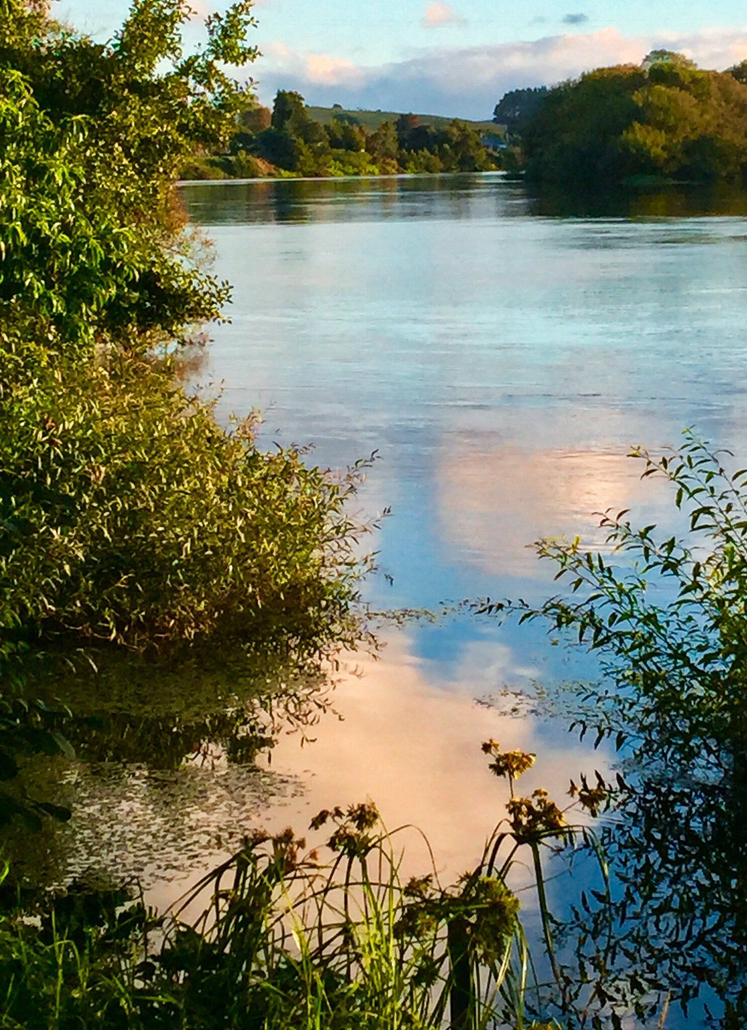
Opposite the cemetery, there is a good parking area beside the Waikato River, or you can drive into town and park by the local cafe to enjoy a coffee by the river.
Want more Trip Ideas?
Check out our blogs on The Mighty Waikato: Port Waikato, Te Henga Coastline, and Exploring the Wairarapa.