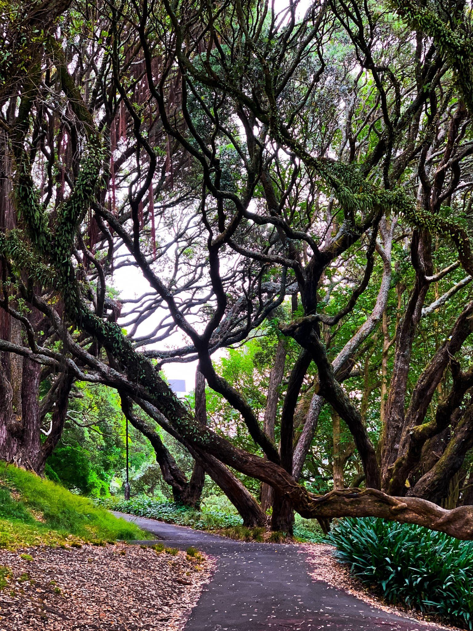
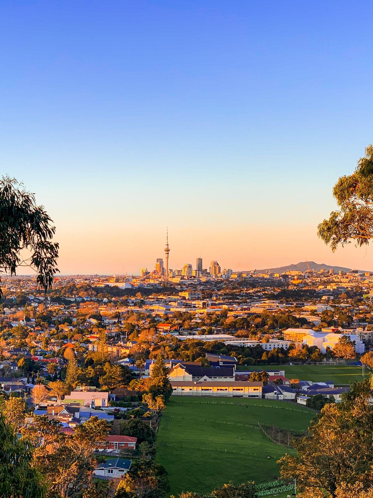
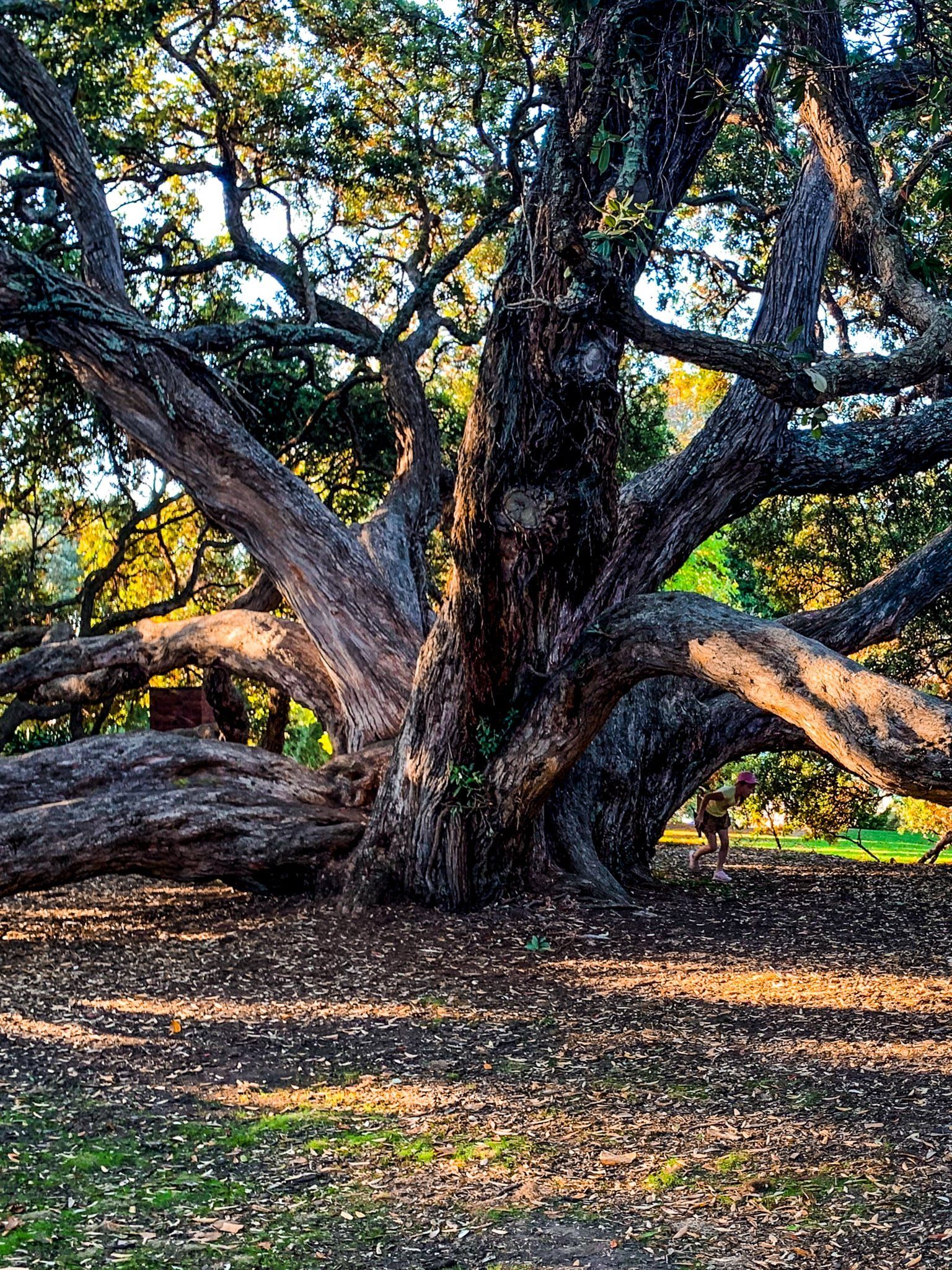
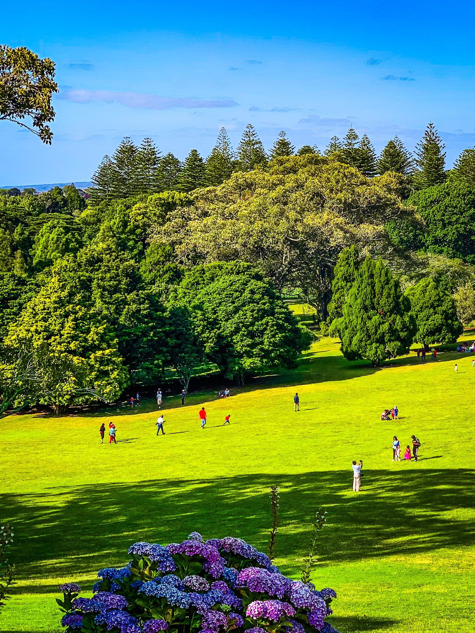
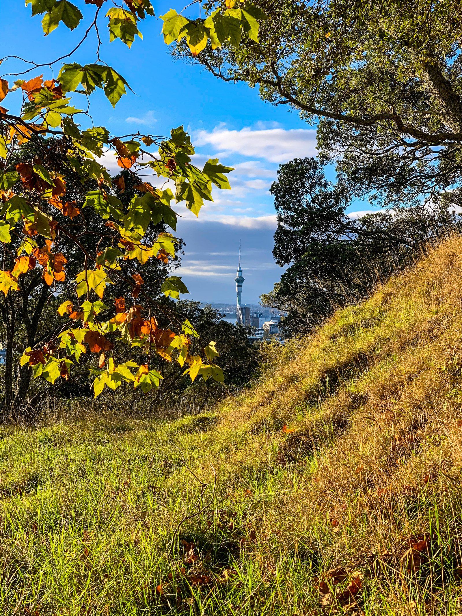
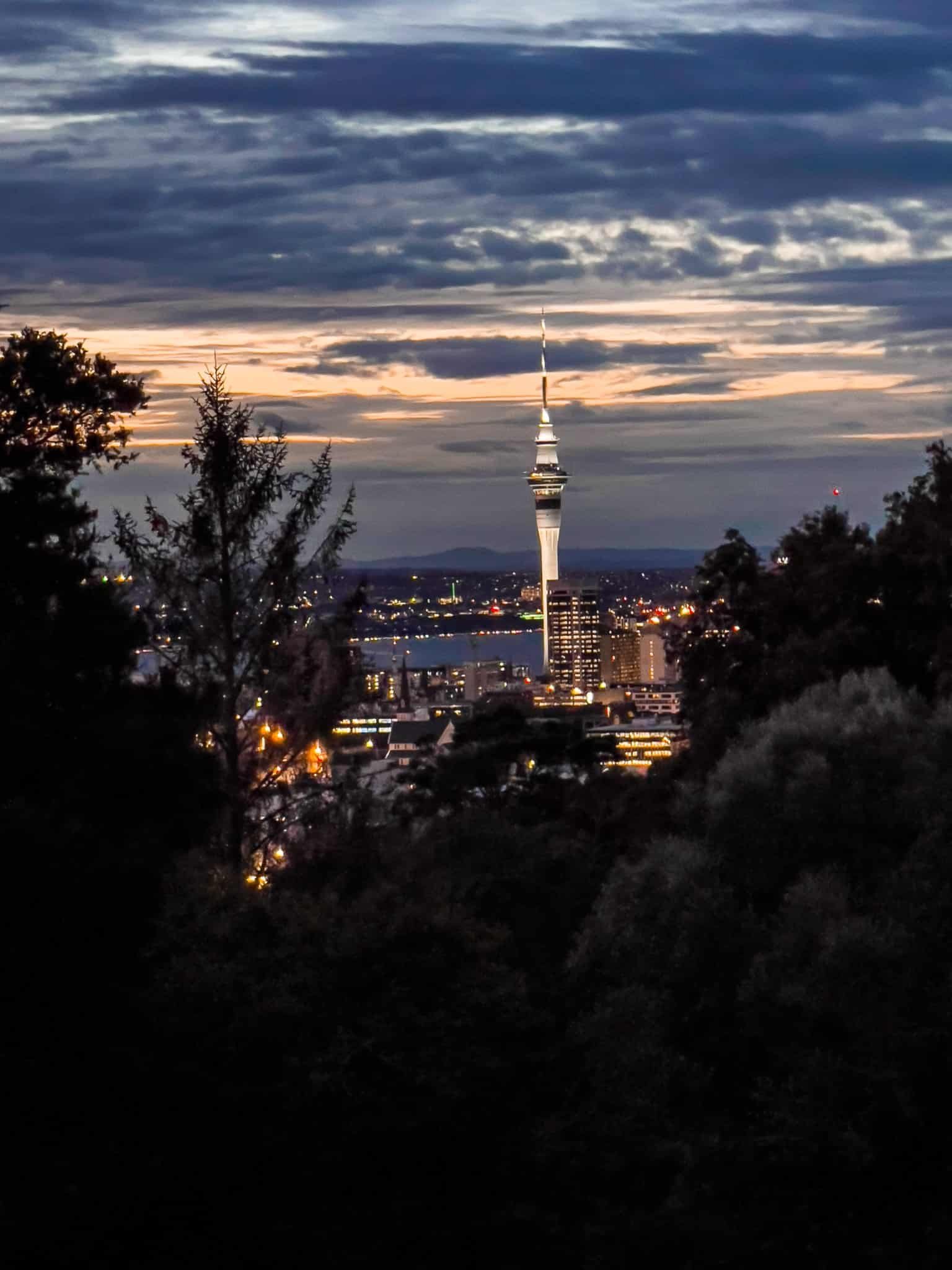
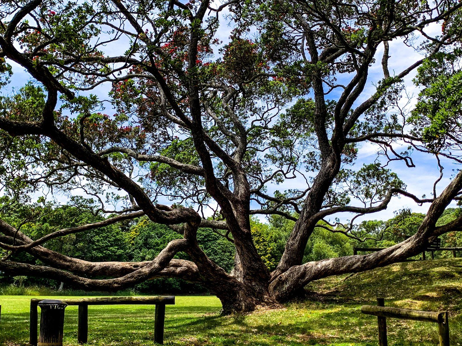
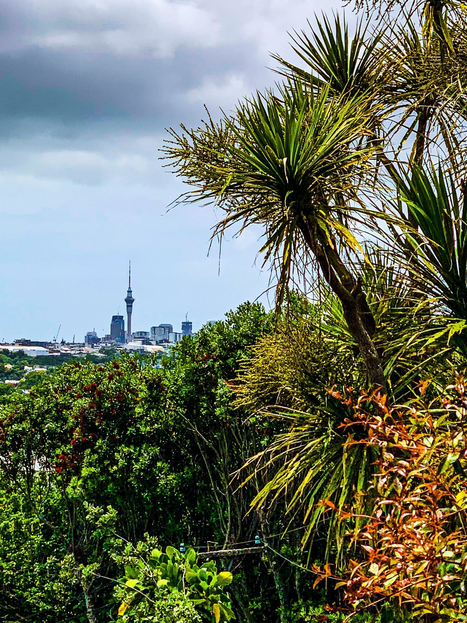
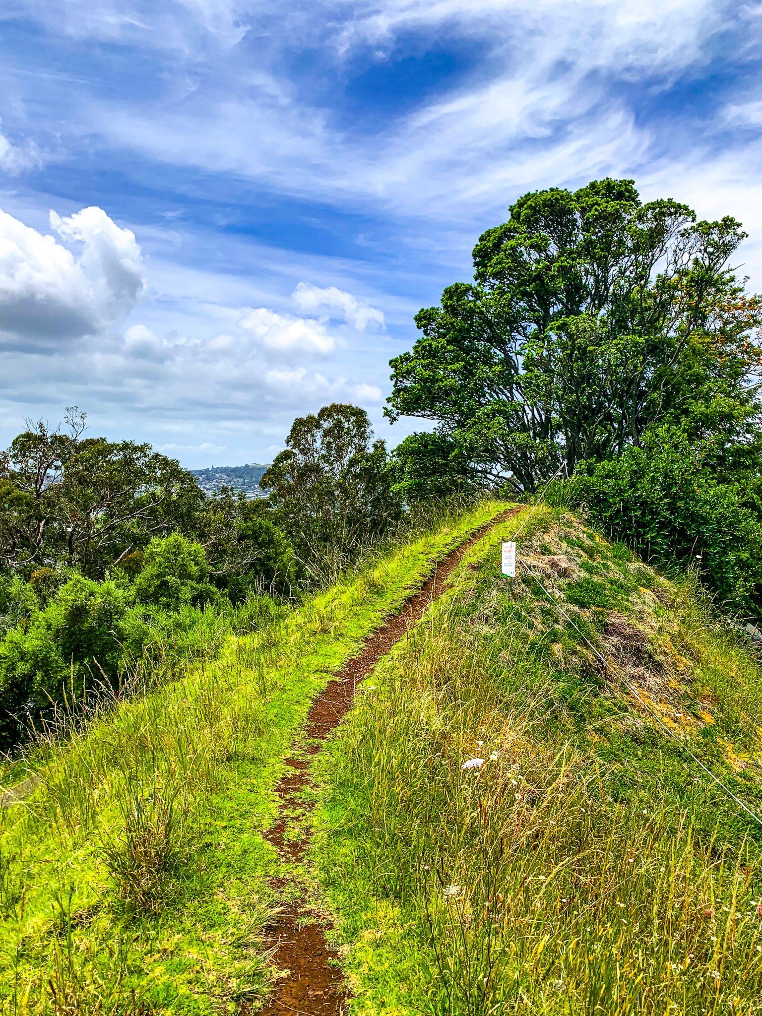
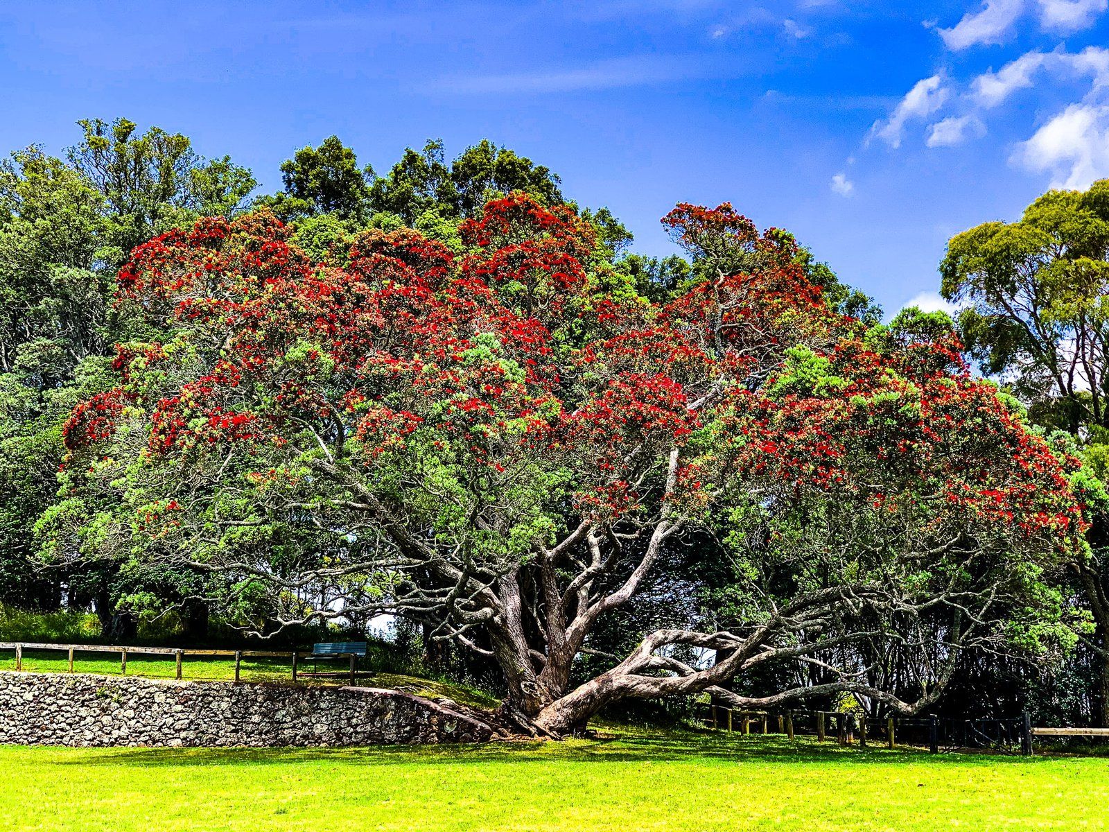
Auckland Tāmaki Makaurau is best known as the city of sails. Still, it could equally be the city of parks. There are over 4000 parks in the city. Some are very substantial, such as the 28 regional parks on the coast at the rural fringe of the city. Within the city, several sizeable parks, such as Albert Park and Maungawhau, provide unique insight into the history of Auckland and local recreational opportunities. This article focuses on nine central Auckland parks on the isthmus. They are all within a 15 minute drive of downtown.
Several parks are based on maunga (mountains) created over the last 200,000 years by volcanic activity on the Auckland Isthmus. There are 53 extinct volcanoes, though some of the craters and peaks have been destroyed by urban development. However, the larger ones were protected from excessive development in the nick of time by the late 1800s.
The maunga and ridges of the Auckland Isthmus are volcanic. From the late 1600s until the mid-1700s, there was a substantial presence on the major maunga by a group of affiliated iwi known as the Waihoua Confederation. Man-made terraces and pits for refuse or oumu (ovens) are apparent today. The centre of the confederation was Maungakiekie.
In the mid-1700s, Te Waihoua were attacked from the south by Ngāti Pāoa and by Ngāti Whātua from the north. This led to the sacking of the maunga pā sites and substantial migration to the Waikato from the Auckland Isthmus. Māori activity on the isthmus recovered but was disrupted again by the inter-iwi Musket Wars of the 1820s and 1830s.
The development of Auckland following the Treaty of Waitangi provided security. However, Māori with Waikato links were victimised by the government’s land confiscations during the invasion of the Waikato in the 1860s. In 2014, as part of a Treaty of Waitangi settlement, ownership of the 14 major maunga, the Tūpuna Maunga of Auckland Tāmaki Makaurau, was vested in Ngā Mana Whenua o Tāmaki Makaurau, a collective of Auckland iwi and hapū. These maunga are now held in trust for the benefit of all the people of Auckland and include Albert Park, Mt Eden Maungawhau, Auckland Domain Pukekawa, Mt Albert Ōwairaka and Cornwall Park Maungakiekie.
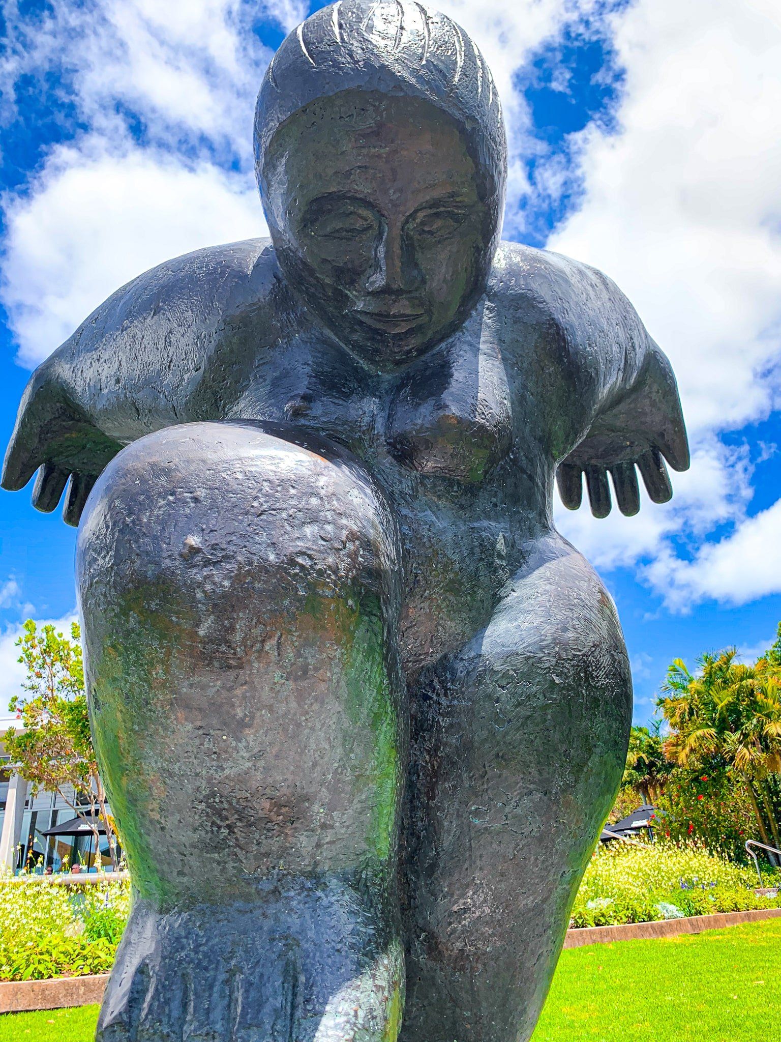
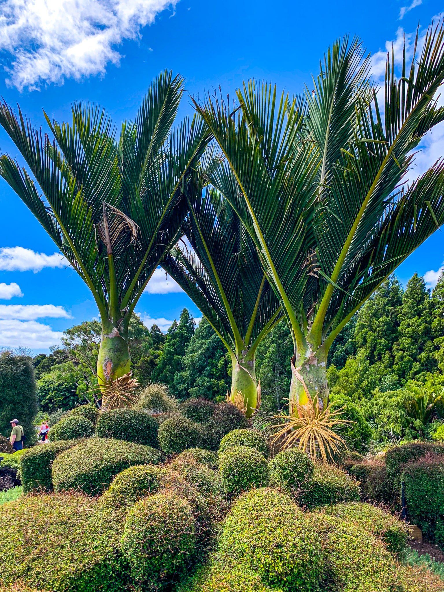
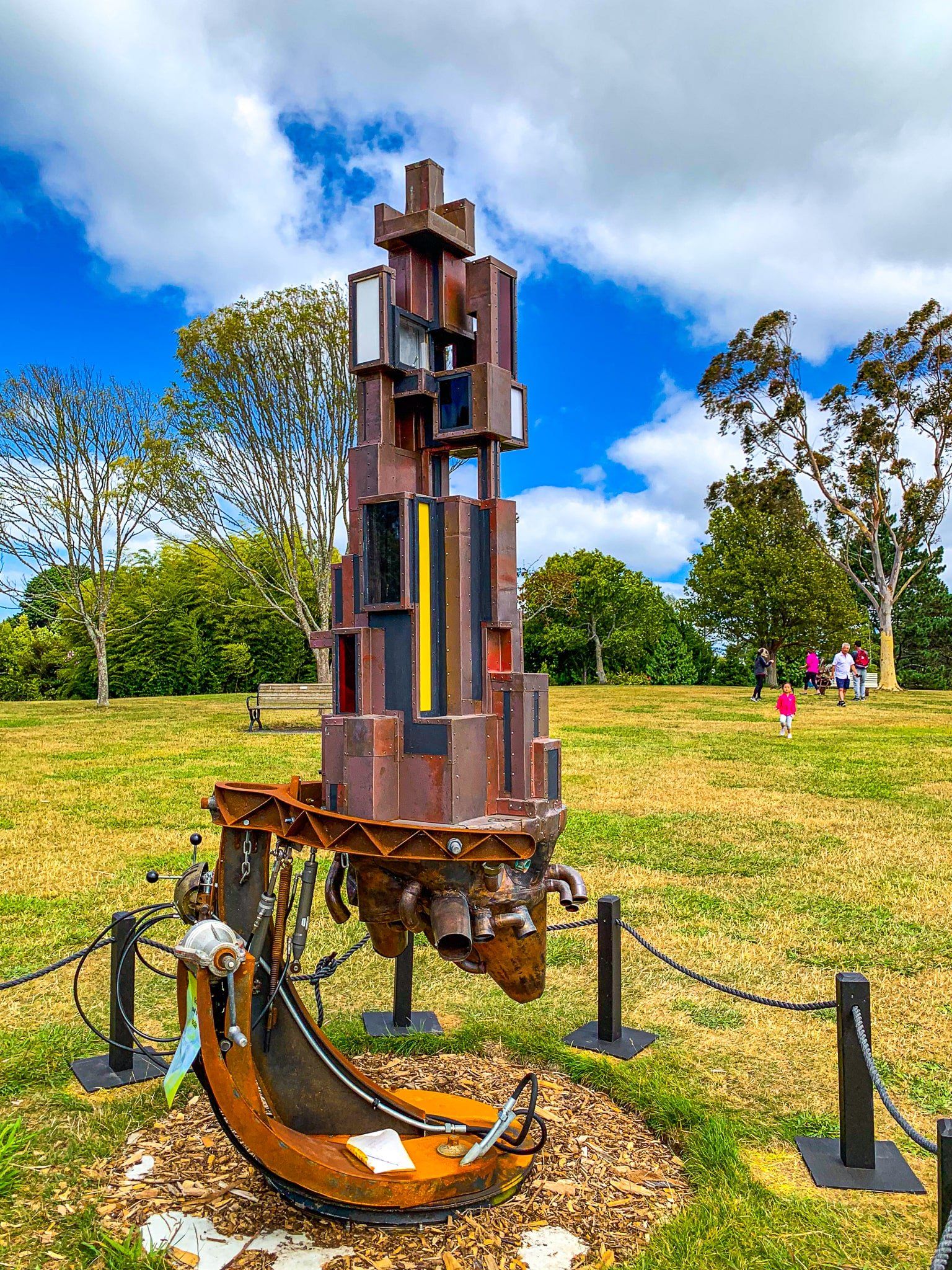
There are several other substantial parks on the Isthmus. West of downtown is Western Springs, which was once the main water source for Auckland. Southwest of Cornwall Park is Monte Cecilia Park, next to the Pah Homestead and art gallery. Orakei Basin, a low-lying crater lake, is east of downtown. Right on the edge of the isthmus to the south is the Auckland Botanical Gardens. This park combines a wide range of native and exotic planting with outdoor sculptures.
If you want to read further on the topic, we recommend Shifting Ground by Lucy Mackintosh and Volcanoes of Auckland by Bruce W Hayward.
Albert Park
Albert Park sits on a ridge overlooking downtown Auckland. It sits between Auckland University’s city campus, the Auckland Art Gallery Toi O Tāmaki, and downtown. The park is adjacent to the Albert Park Volcano, which erupted 145,000 years ago. It was an area of Māori settlement with a pā on the northwest corner. This was abandoned in the mid-1700s following invasion by Ngāti Whātua from the north.
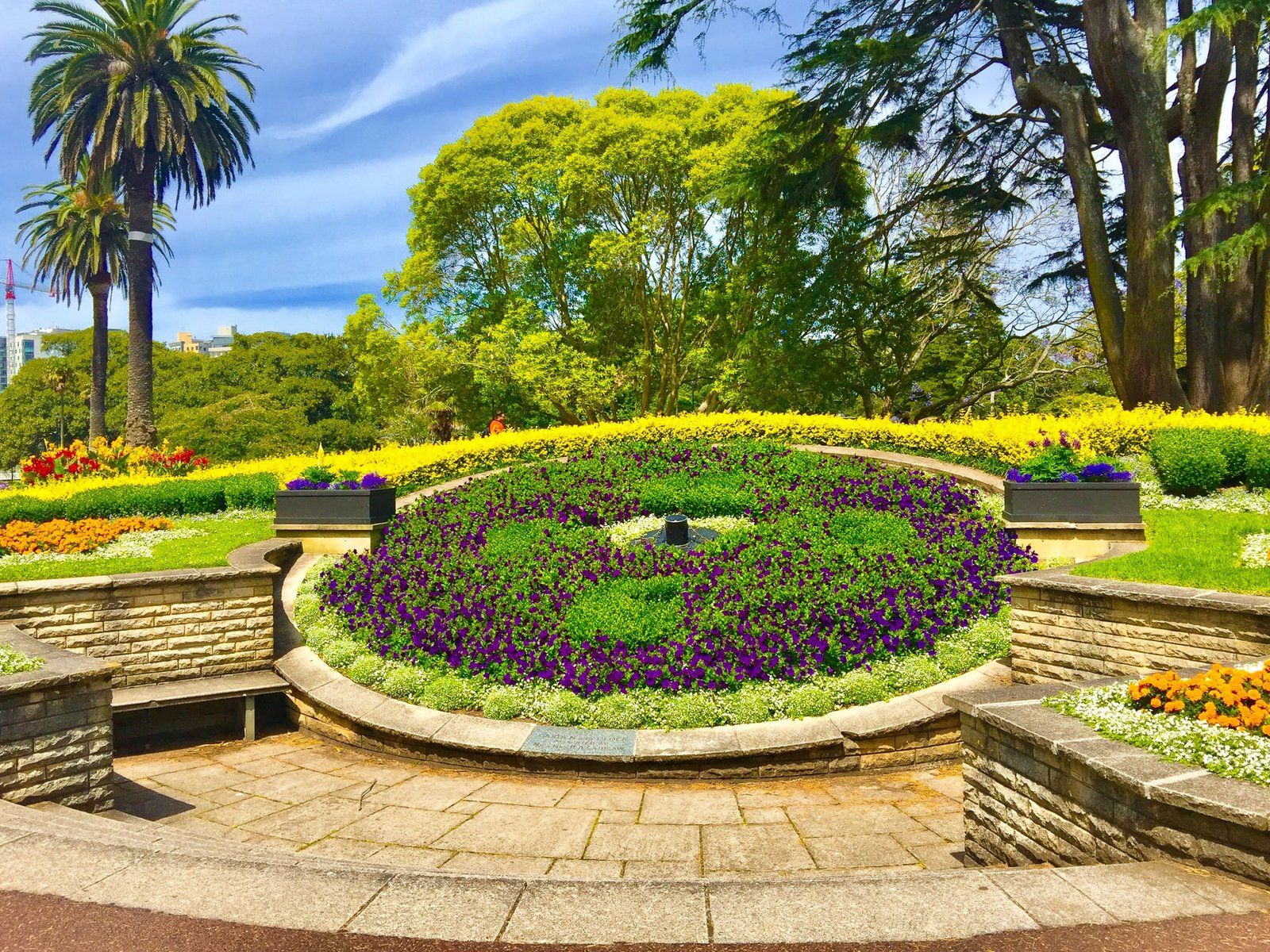
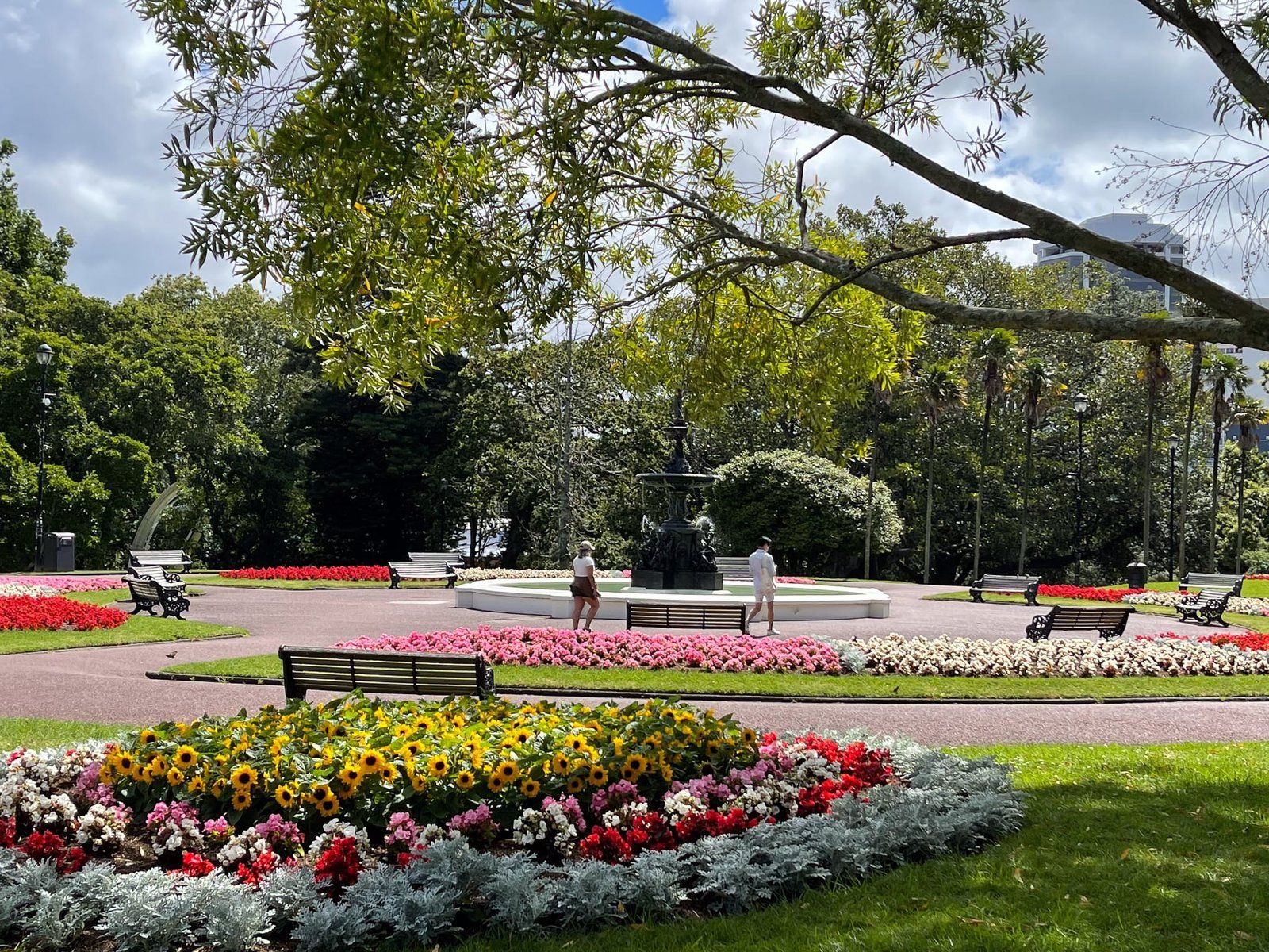
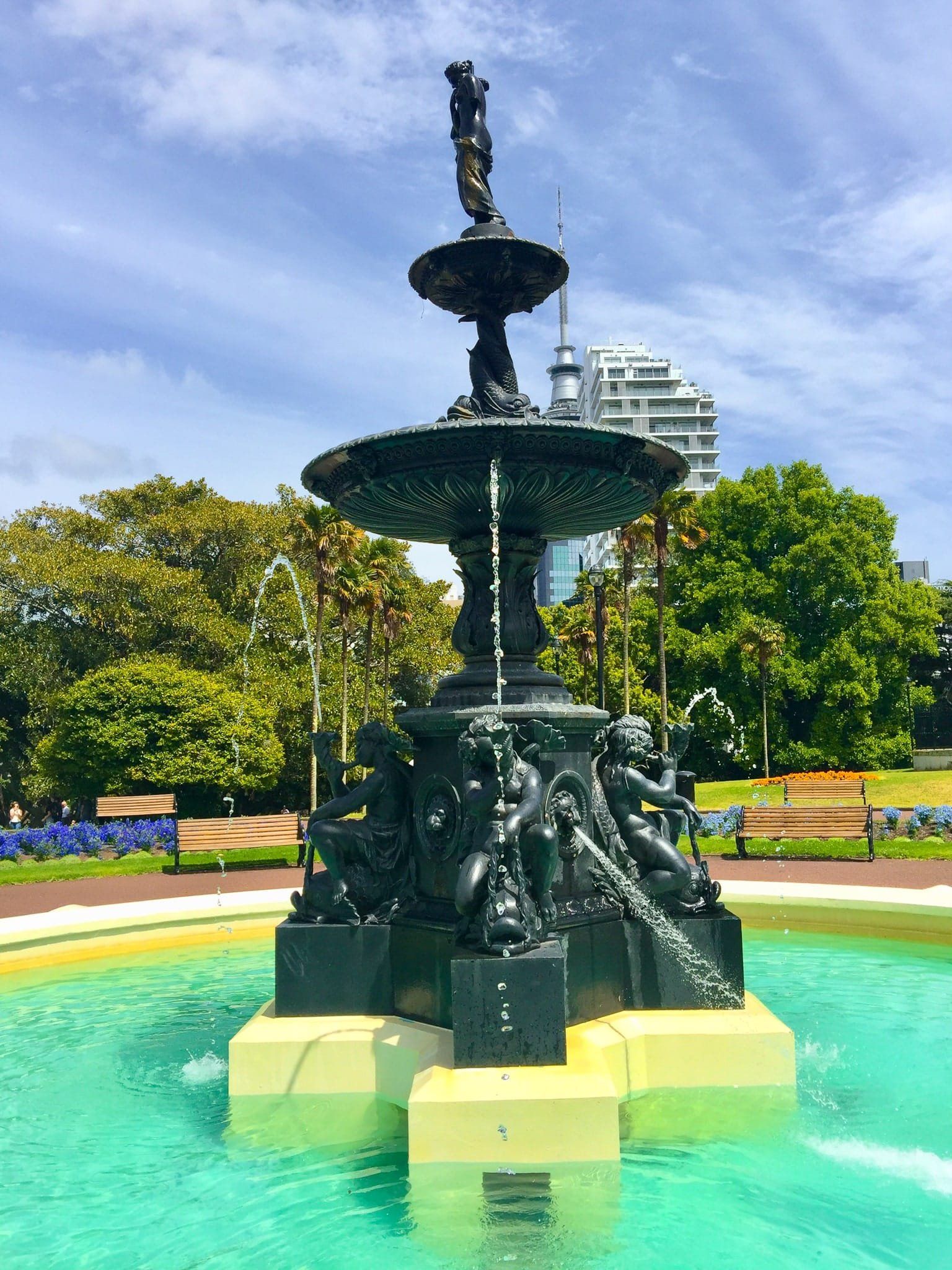
In the 1840s/50s, the Albert Barracks was located on the site. Part of the stone fortifications can be seen on the University grounds. In the 1880s, the park was developed following a design competition. The layout is typical of the period. On the higher flat section is a statue of Queen Victoria, a bandstand and a large fountain, topped by Aphrodite, as the centrepiece. Formal flower gardens are maintained in front of the fountain.
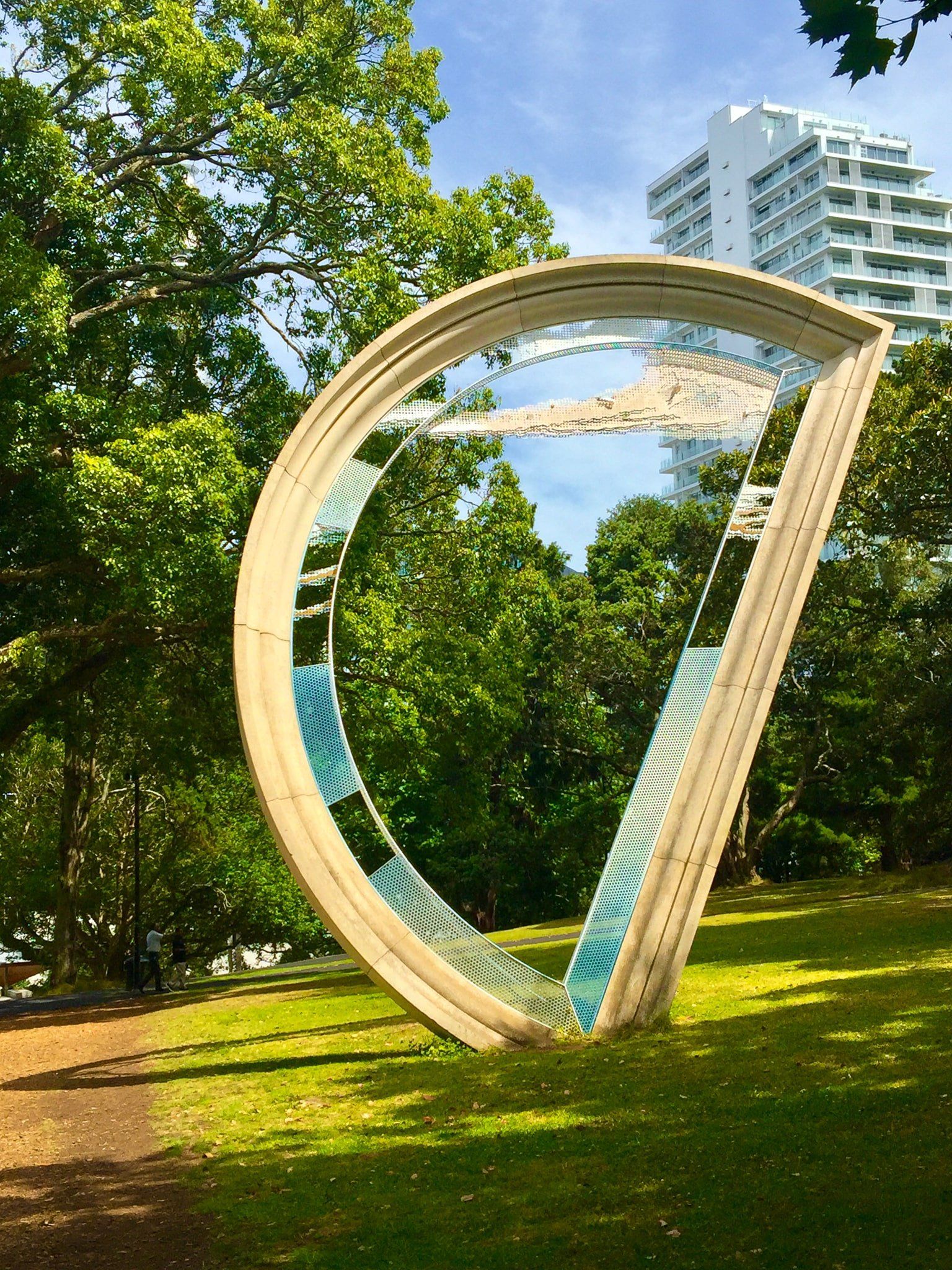
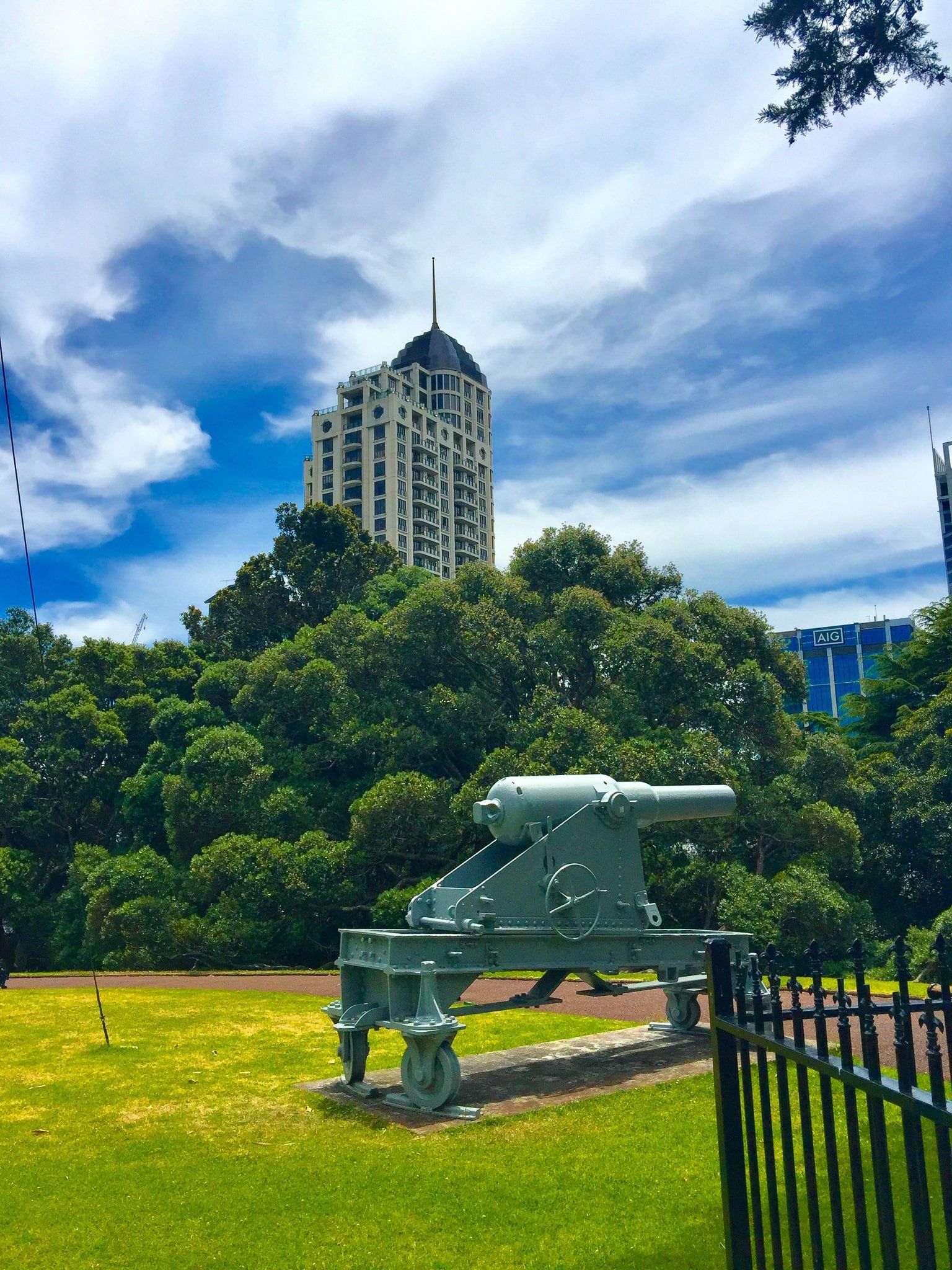
Several other statues and monuments exist, including Andrea Carlo Lucchesi’s 1900 Love Breaking the Sword of Hate. Walking towards the Art Gallery, there is a large tilted “D” dating to the 1990s. It is called ‘Tilt’! Field guns that were part of the defences set up during the Russian Scare of the 1880s and a Boer War Memorial are north of the fountain.
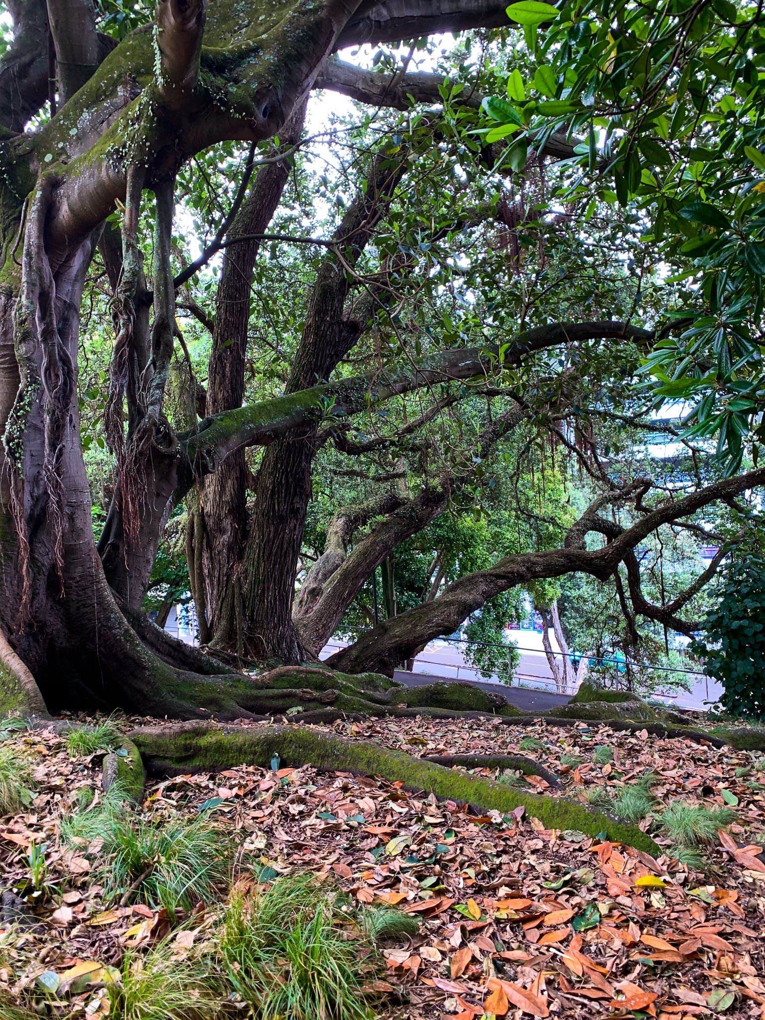
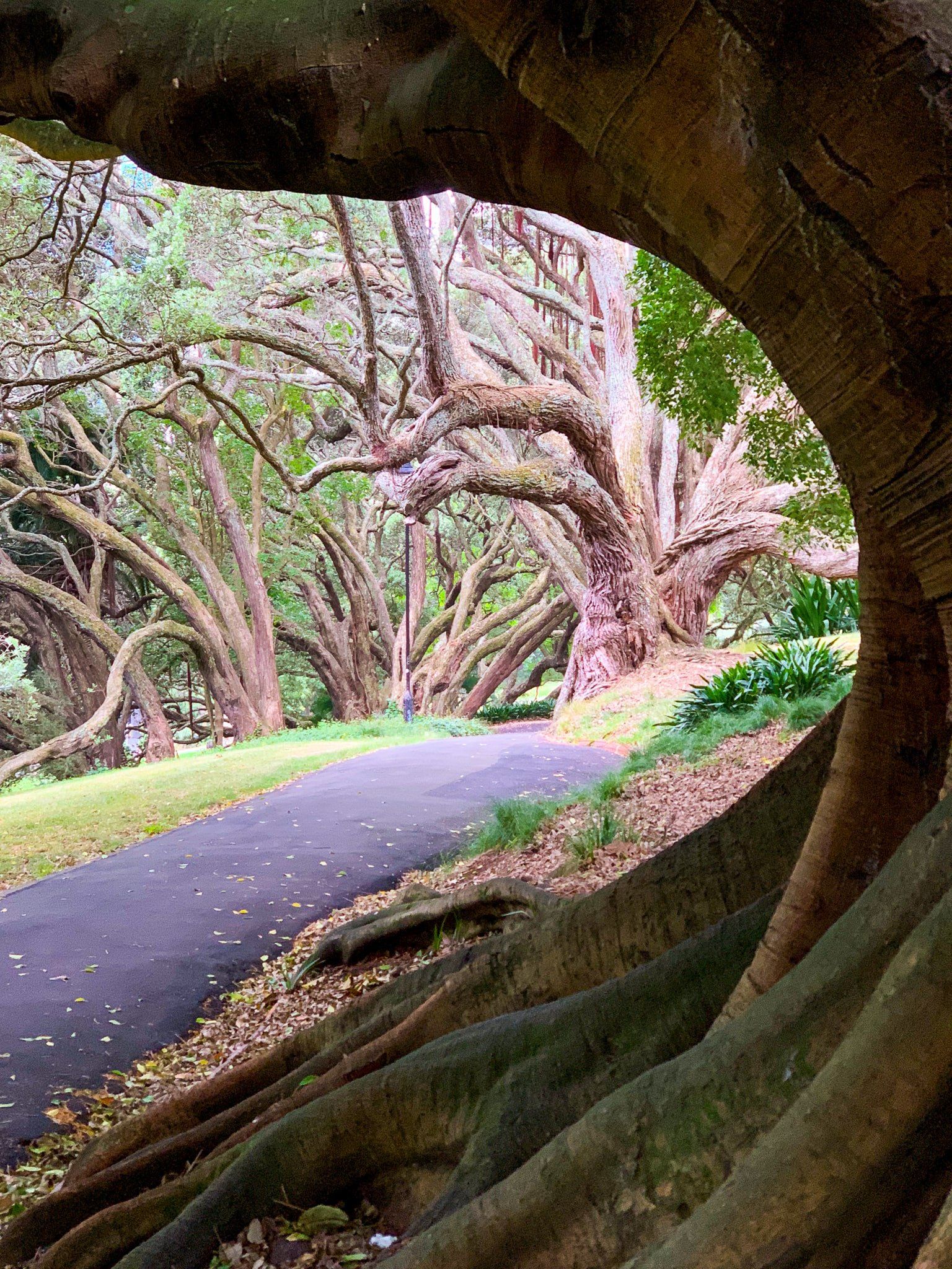
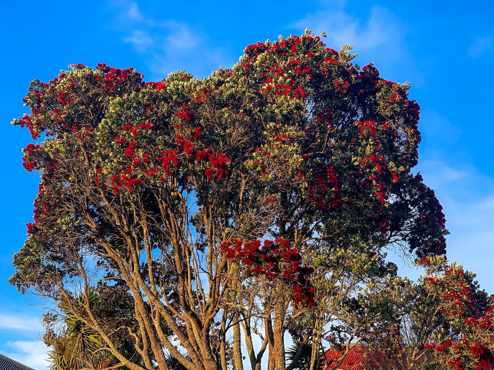
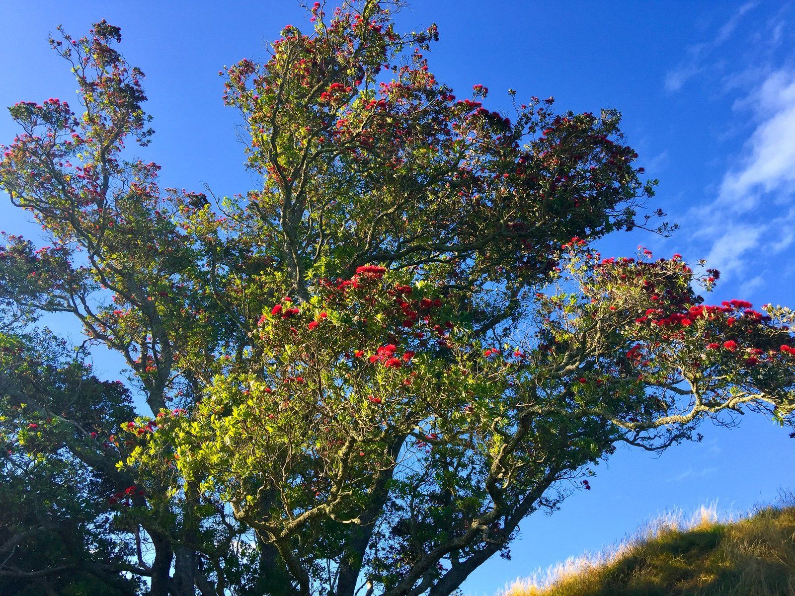
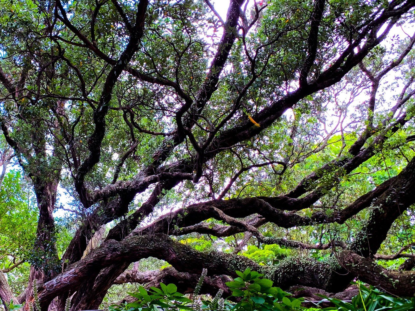
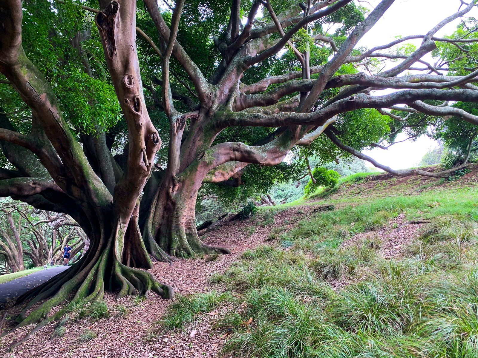
Albert Park originally looked out over the city and harbour, but this has long been obscured by office buildings, with their own sensibility. Today, a feature of the park is the large mature trees planted along the paths down the slope between the 1880s and WWI. These consist of natives, especially pōhutukawa, and exotics, including magnolia trees.
The park can be accessed from the adjacent streets, but Princes Street on the ridge is easiest. It is a steep walk up from Wellesley Street East, Bowen Avenue and Kitchener Street.
Mount Eden Maungawhau
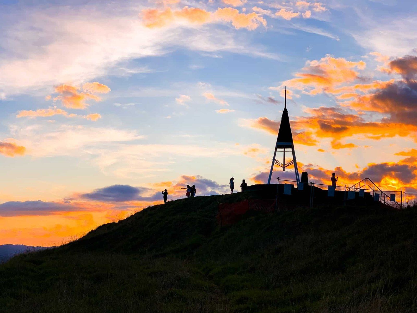
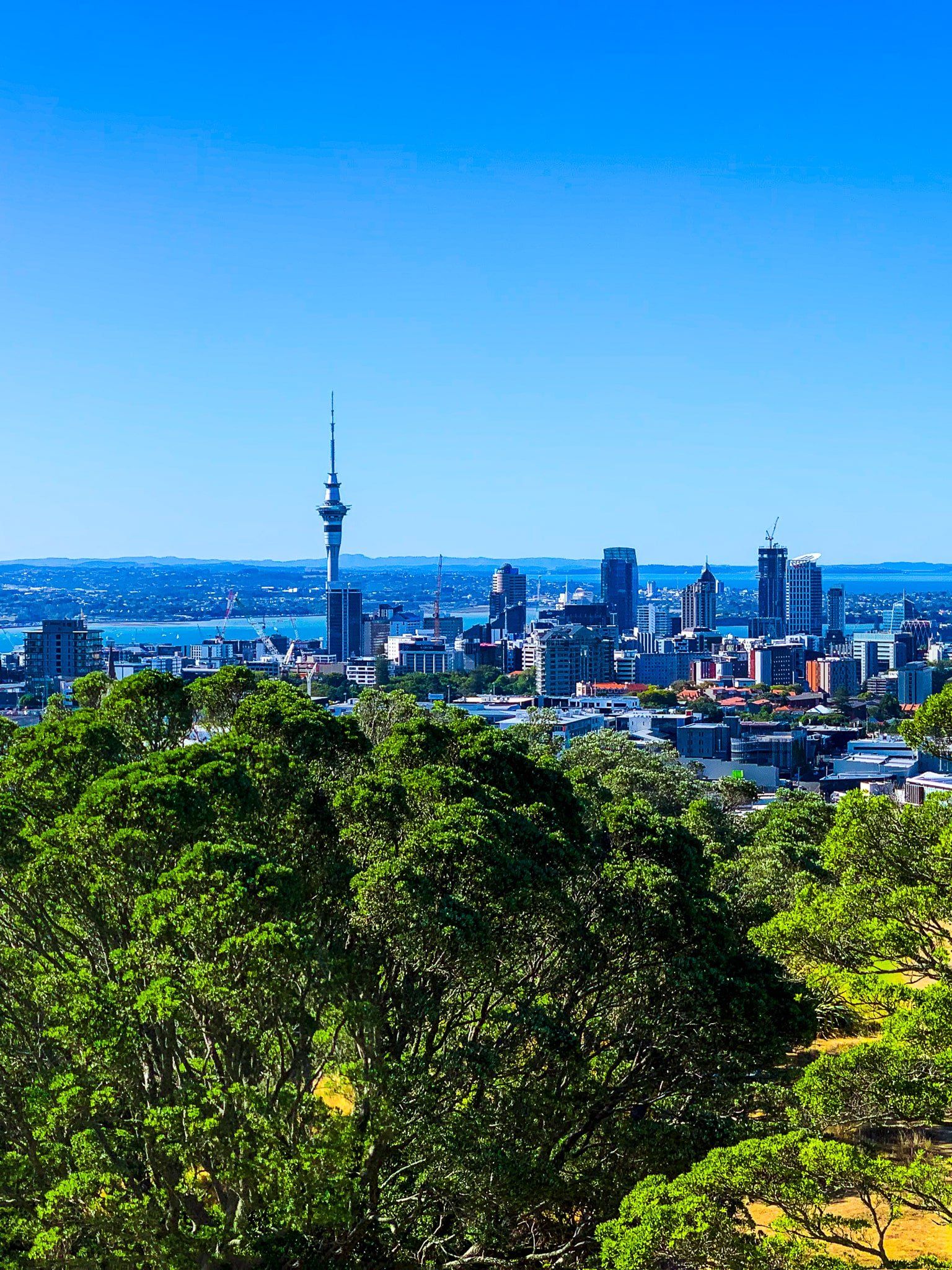
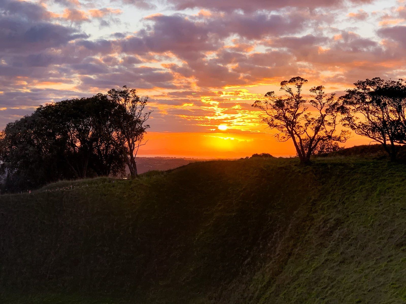
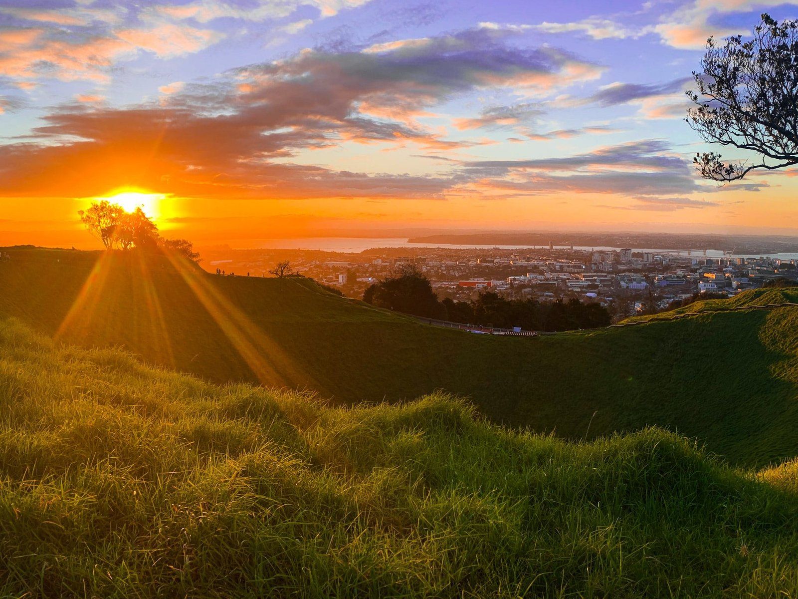
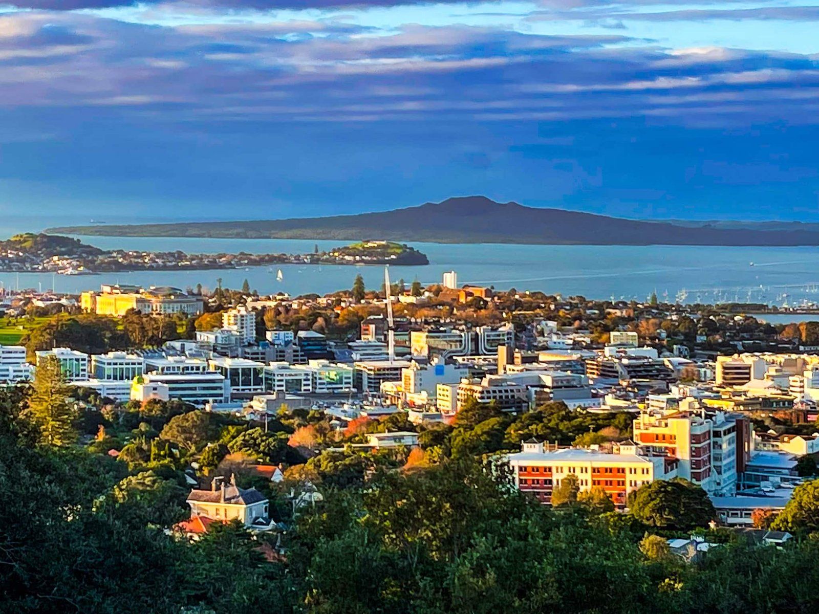
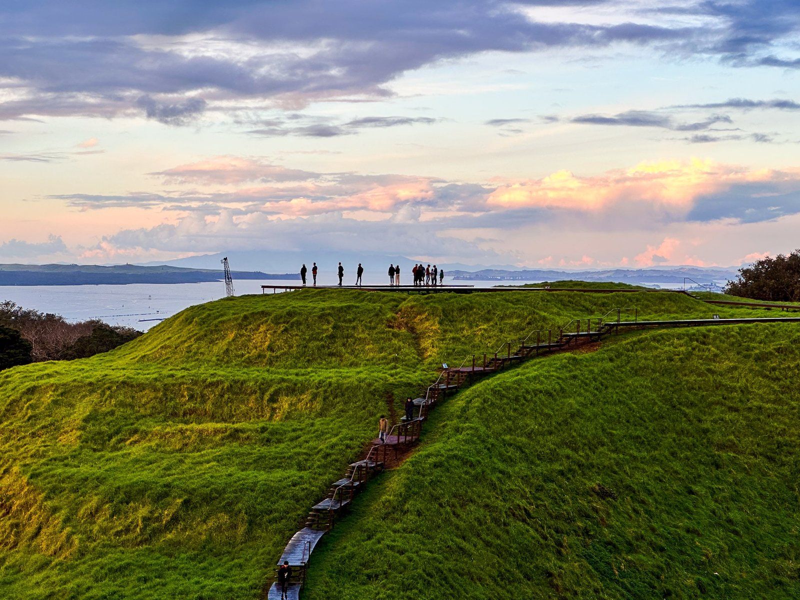
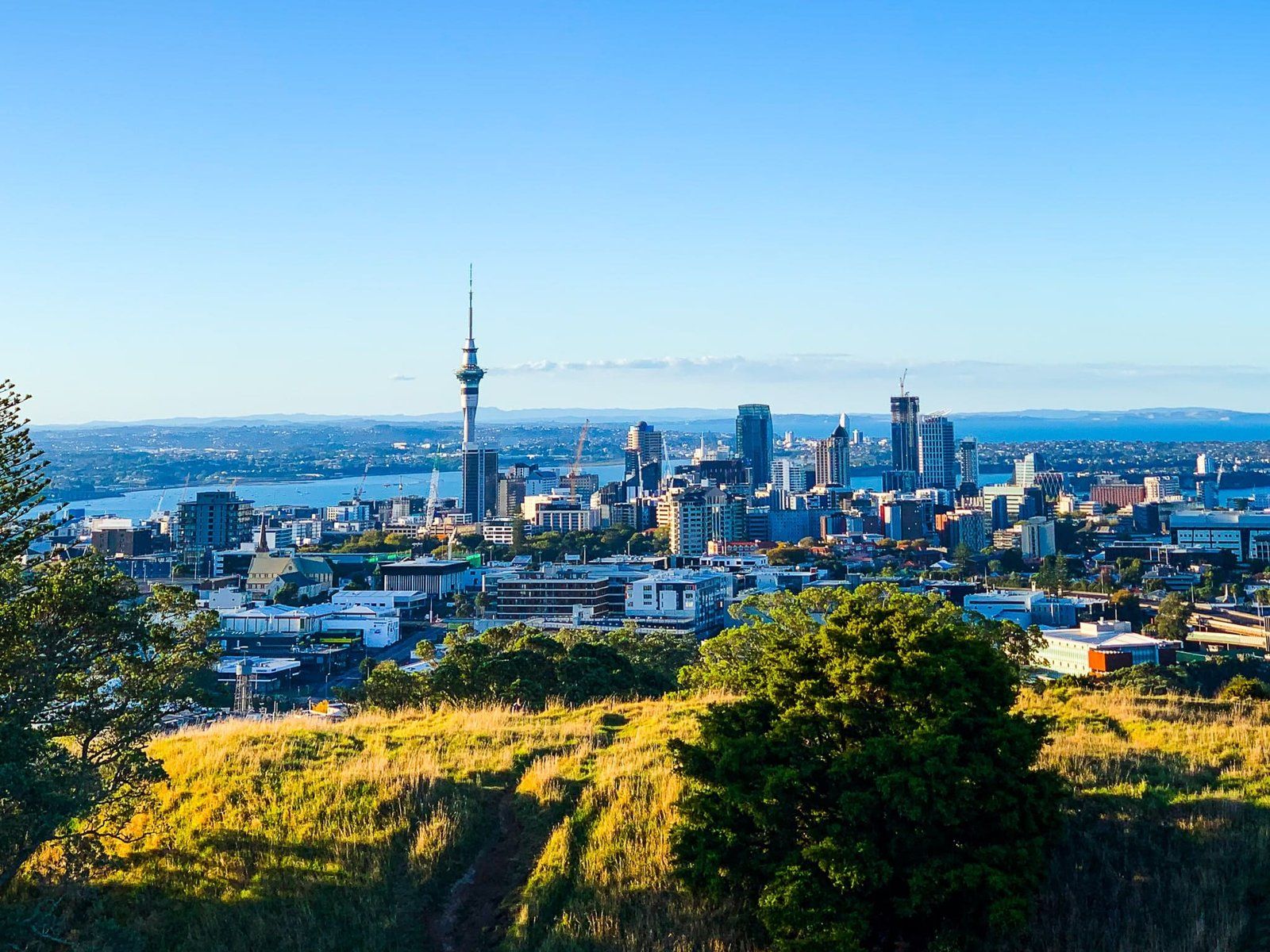
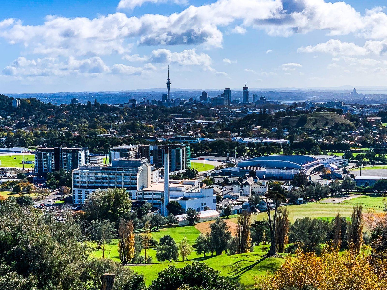
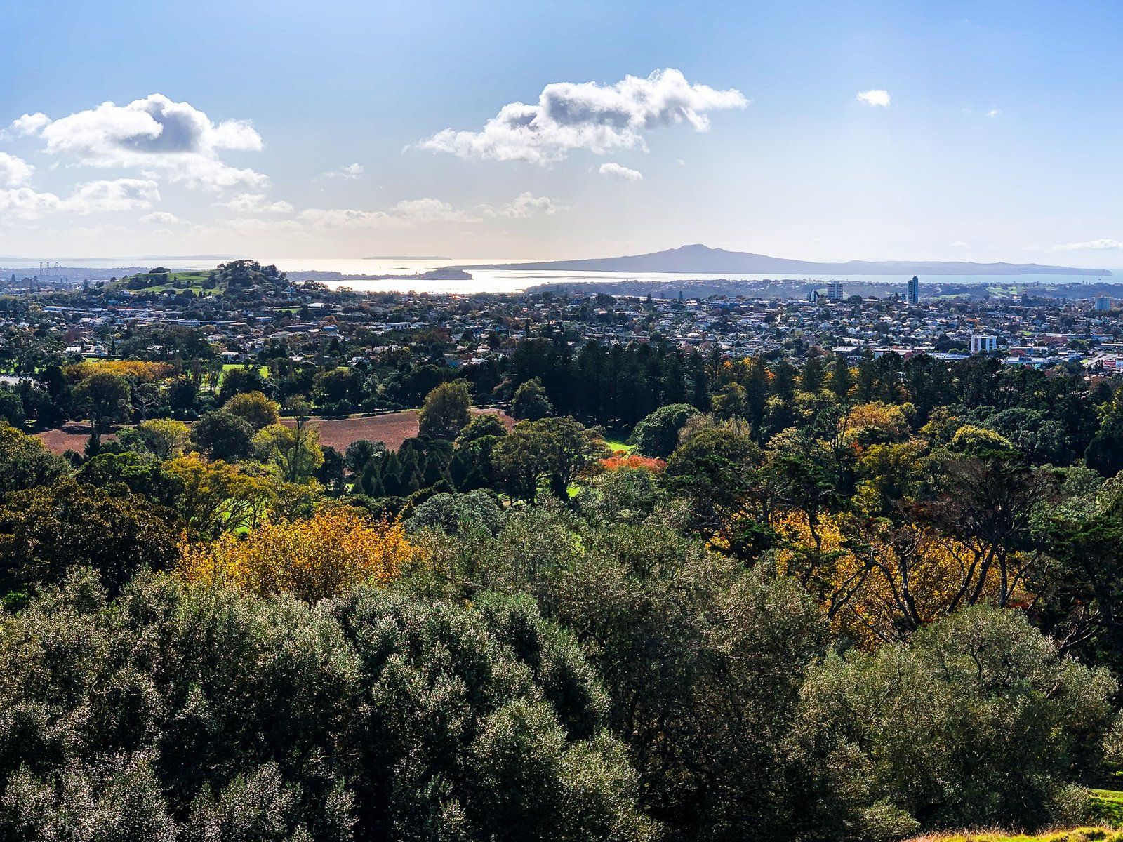
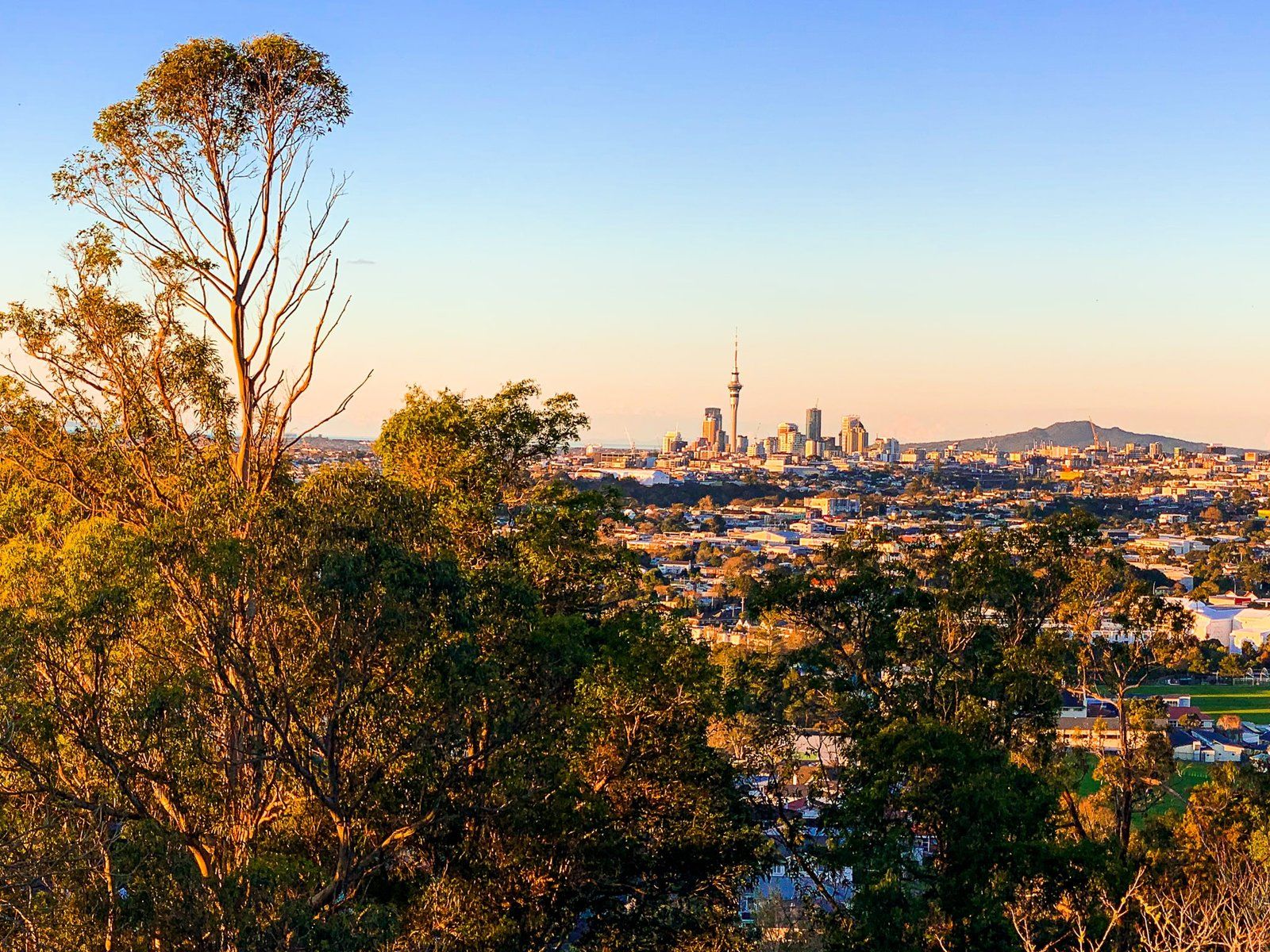
If you are new to Auckland, we recommend a walk up Mt Eden Maungawhau on your first day. It is the highest point on the Auckland Isthmus at 196 metres, only two km south of downtown and has 360-degree views from the top. The Coromandel Peninsula is visible on a clear day. Mt Eden Maungawhau is also a fantastic introduction to the volcanic maunga of the isthmus, with a 28,000 year old, 50 metre deep crater below the peak. There were originally two other craters to the north, where there is now a buried water tank and a flat grassed area.
When Europeans arrived, the maunga was in scrubland, including the whau bushes for which it is named in Te Reo Māori. It was initially farmed. But in 1879, as the suburb of Mt Eden developed, the maunga was set aside as a reserve. Both native and exotic trees were planted, mainly around the south-southwest side. This reserve status was only partially protective. The water tanks were developed in the 1870s, and quarrying in the early 1900s. A loop road was built to access the peak, and cows grazed on the maunga until 2009.
In the last 15 years, the number of visitors has boomed, and the focus has been on the physical protection of the maunga and enhancing walking access. There is a good exhibition about the 14 Tūpuna Maunga at the cafe on the west side, and most of the road has been closed to vehicles. The walking tracks have been massively upgraded to prevent erosion, and native plantings are extensive around the south and west side of the maunga.
To access the maunga, there is a vehicle entrance off Mt Eden Road and walking track entrances from several adjacent suburban streets. Watch out for the flowering whau trees in spring on the south side of the maunga.
Auckland Domain Pukekawa
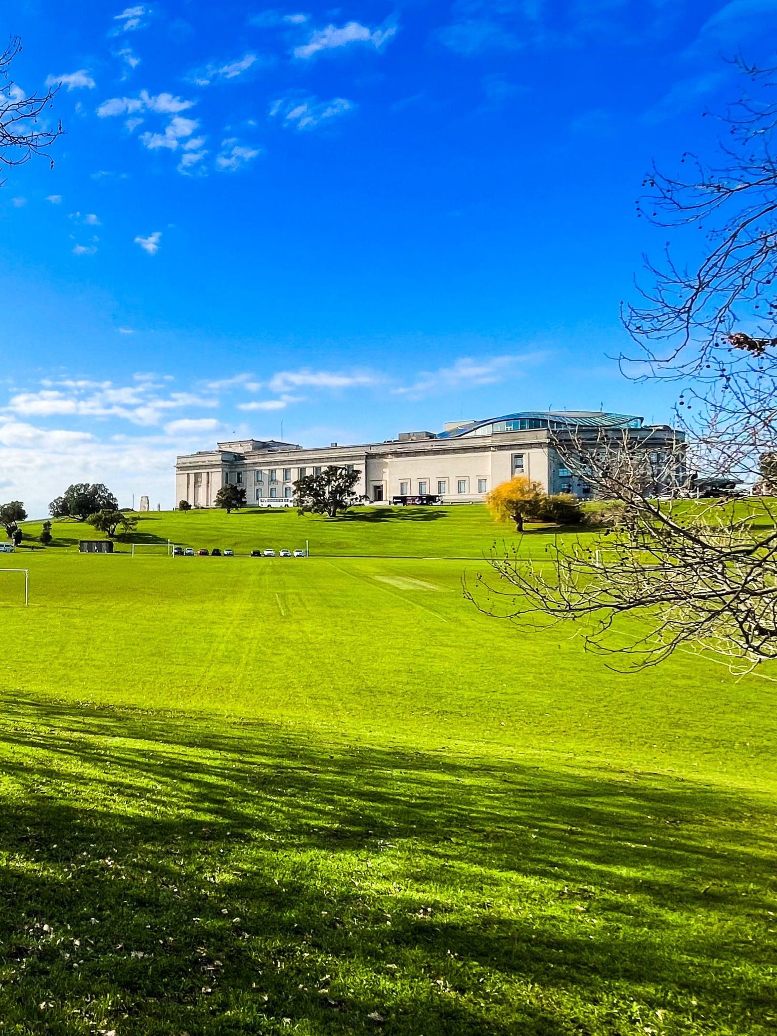
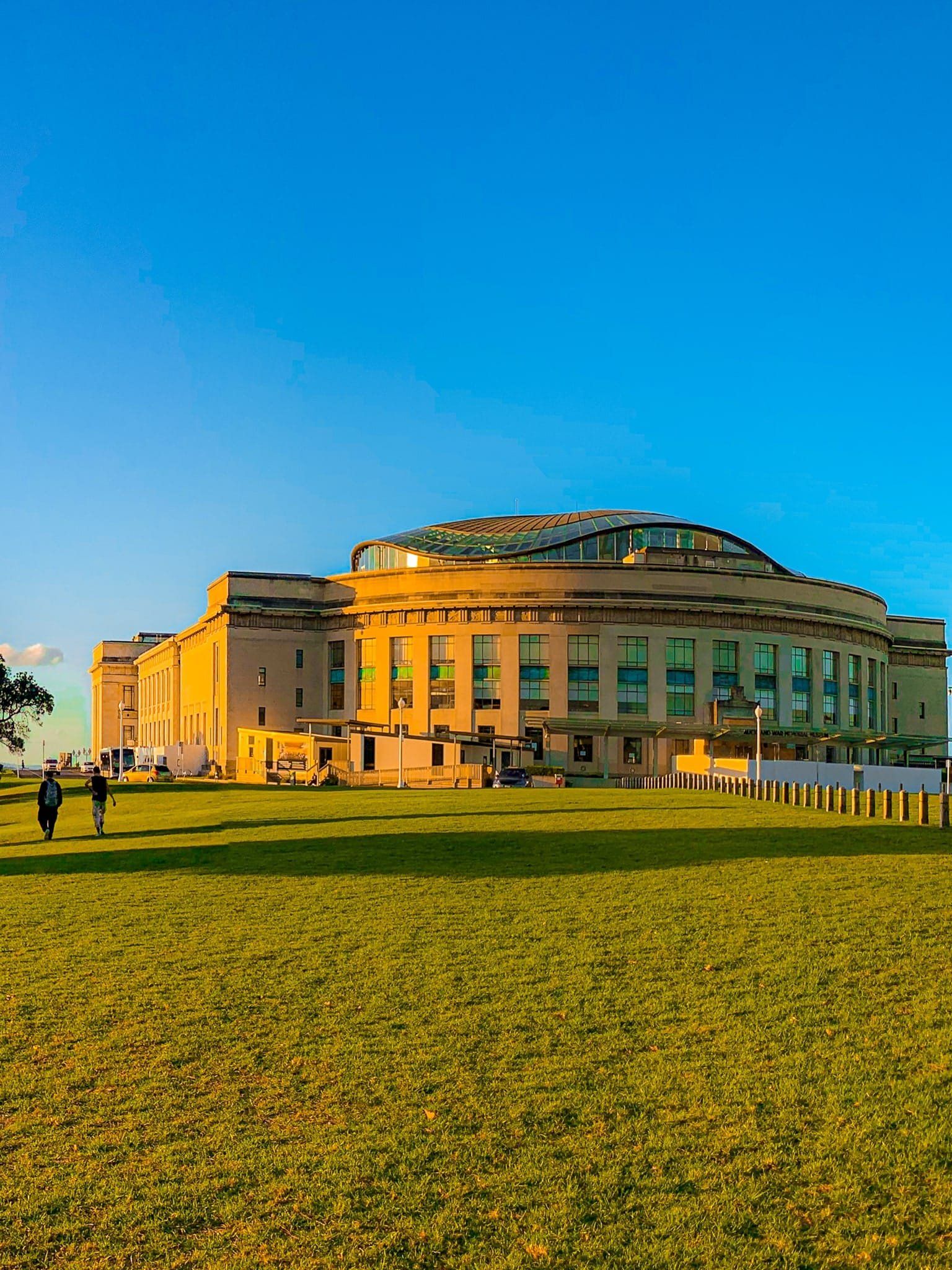
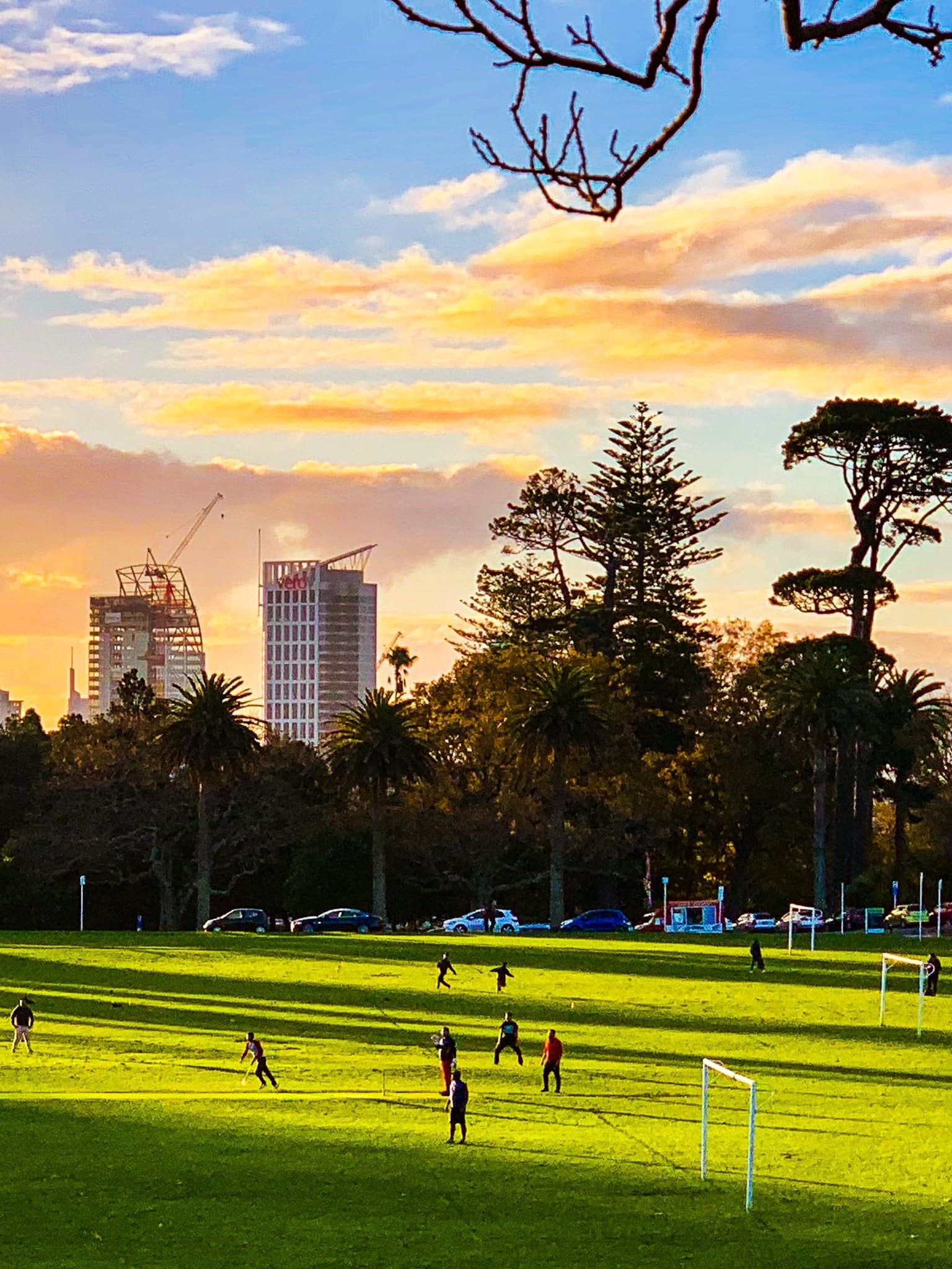
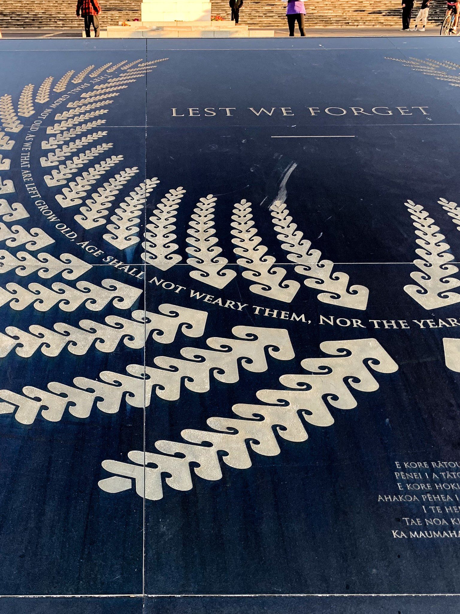
Auckland Domain Pukekawa (commonly “the Domain”) sits on the east side of Grafton Gully and downtown Auckland. It is one of the largest parks in central Auckland at 75 hectares and the oldest, established in the 1840s. It is based around the large Pukekaroa explosive volcanic cone. This is 100,000 years old, and the circular ridge around the playing fields clearly marks the edge. A second crater is now effectively disguised by the duck pond and surrounding development. Auckland War Memorial Museum is on the northeast side of the ridge.
The derivation of the Māori name, Pukekawa is a bit unclear. It means ”bitter hill”, which may refer to poor kumara growth conditions or pre-European battles fought between Ngāpuhi and Ngāti Whatua. A sacred tōtara tree on the north ridge signifies the loss and subsequent peace between the iwi.
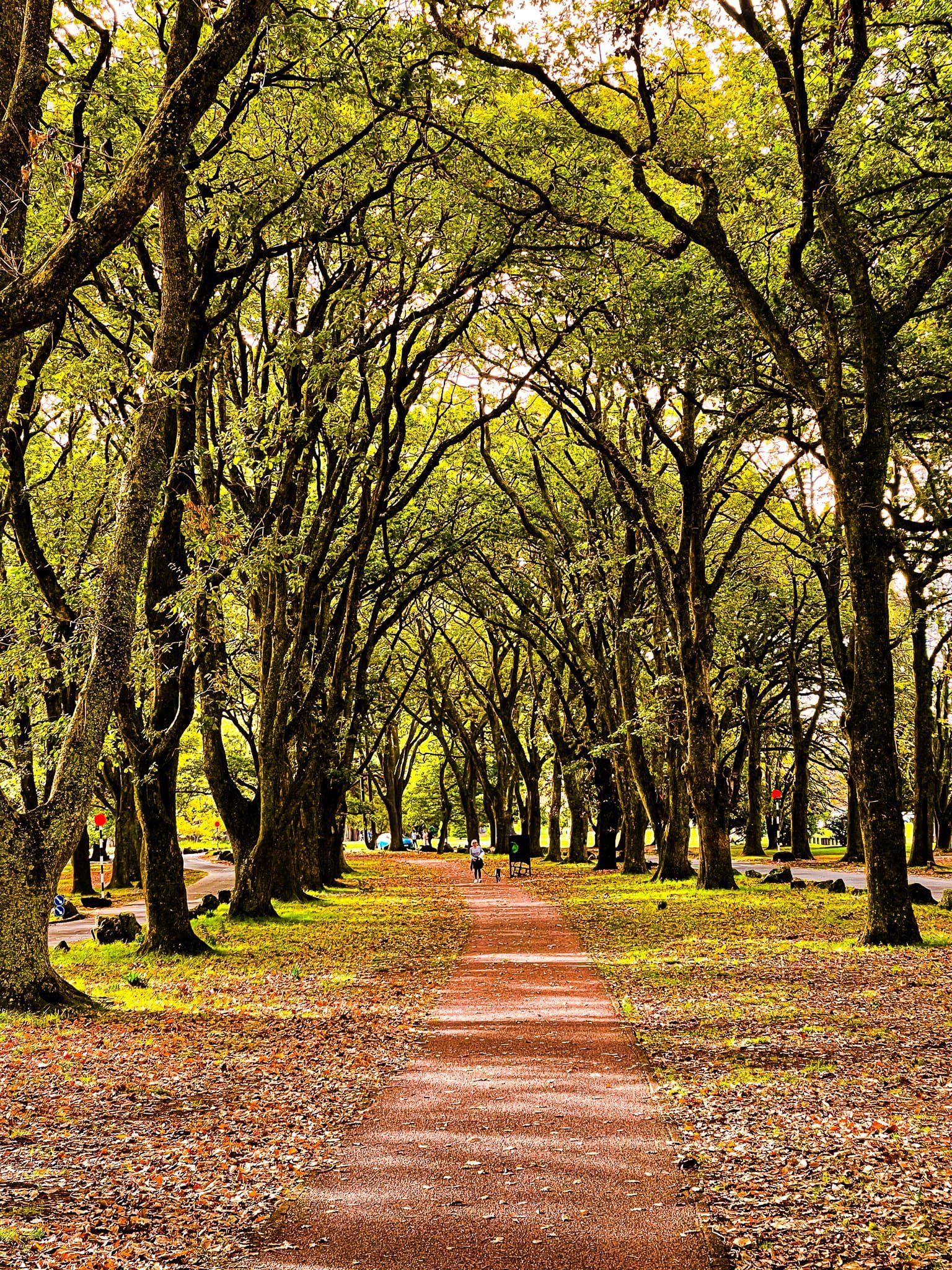
The park is an eclectic mix of influences. The location was chosen because it had one of the few remaining stands of trees on the isthmus when Europeans settled in Auckland. This forested area runs around the park’s northern edge and has several easy walking tracks. Subsequent Victorian-era planting focussed on exotics. Today, mature oak trees line the south-southwest park border, and big exotics are scattered throughout the park. On the west side, a cherry grove runs down into Grafton Gully.
Over time, architectural features have included the neo-Greek Museum, the Arts and Crafts-style cafe next to the duck ponds and the art deco entrance to the Wintergarden. The Wintergarden also has a colourful range of flowering plants, while the next-door fernery shows off a wide range of native ferns.
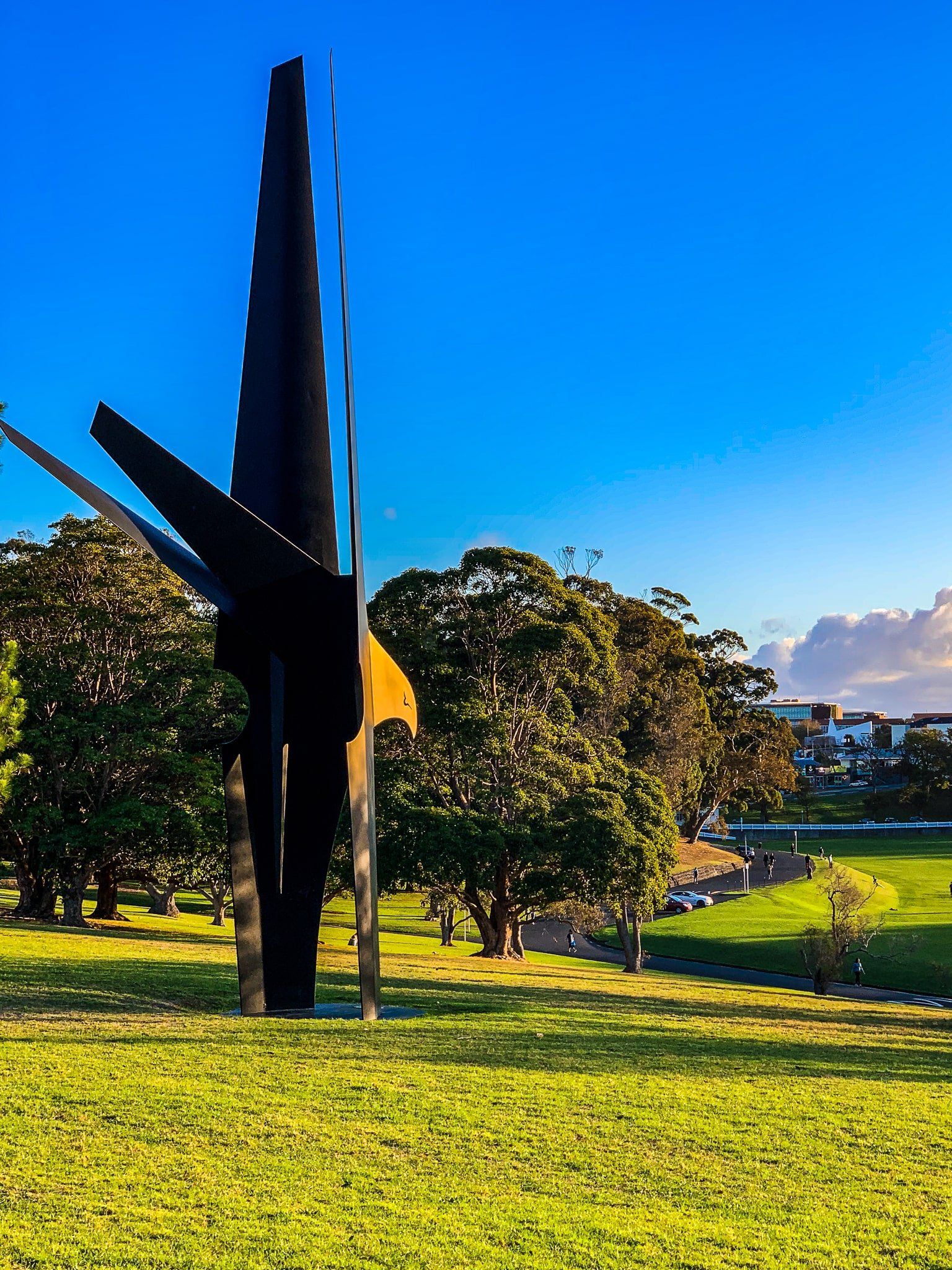
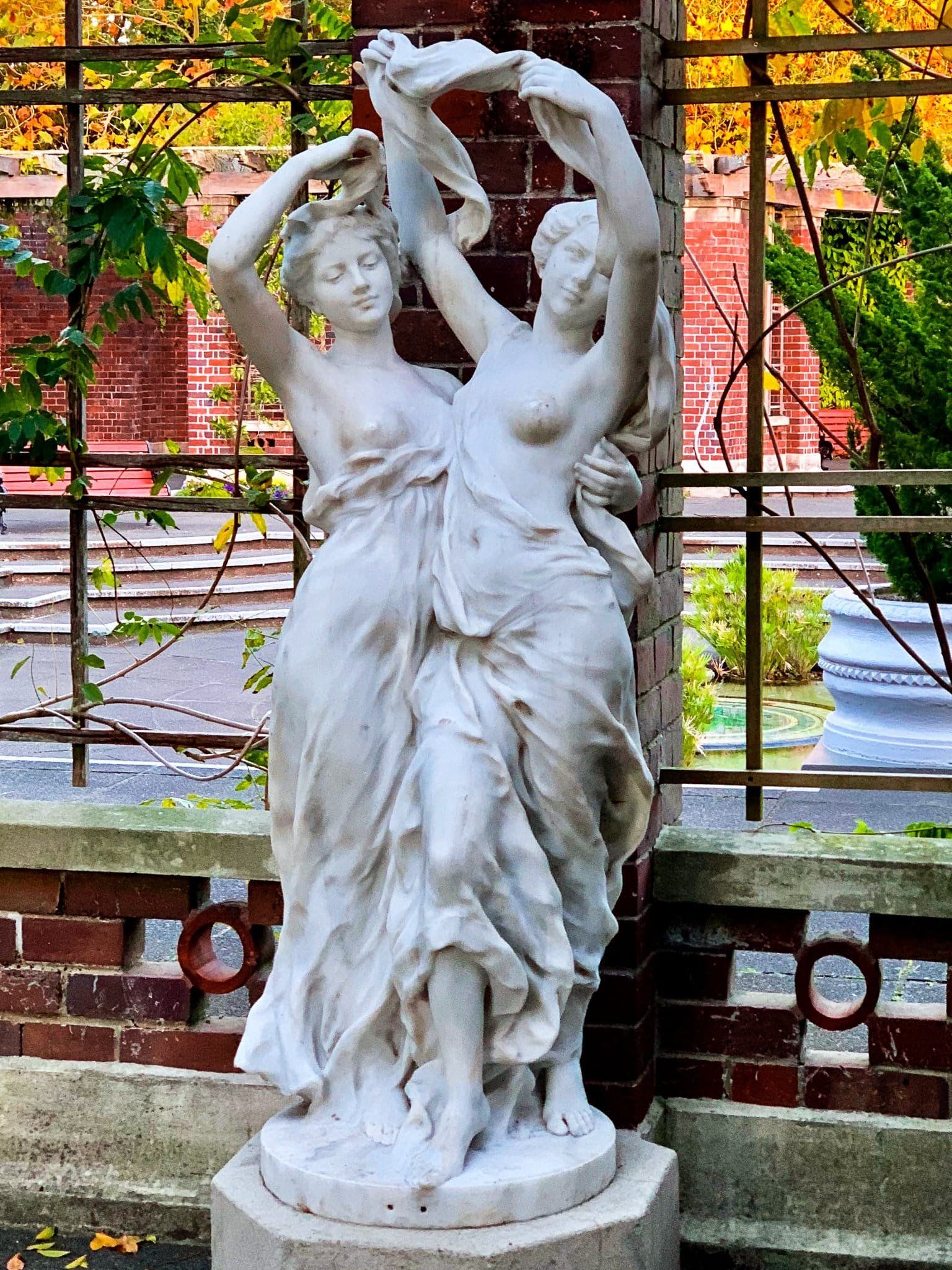
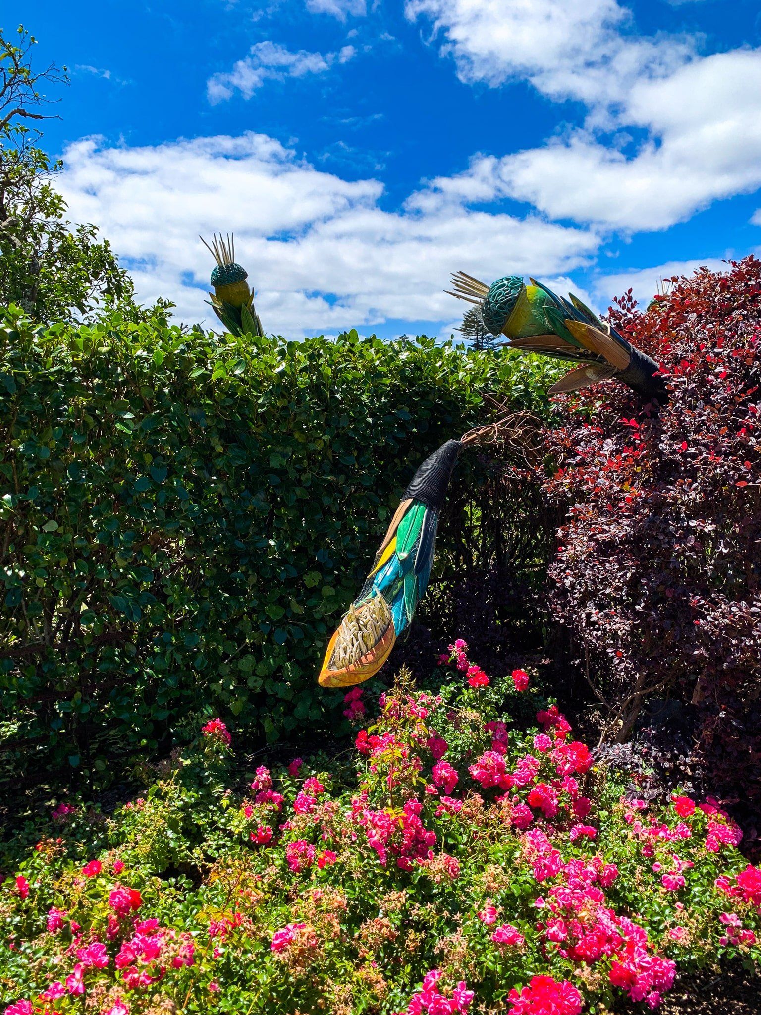
There are several Greek-style marble sculptures next to the Wintergarden and on the north side of Domain Drive, more or less opposite the duck pond. These were donated in the 1930s by William Elliot, an Auckland businessman who also helped fund the Wintergarden completion. More recent modernist statues include the giant metal kererū on the east side of the crater rim.
The main access to the Domain is from Domain Drive, Lower Domain Drive and Carlton Gore Road. It is one of the best places for an easy wander and a picnic in the city. The views from the ridge near the Museum and the front of the Museum are also excellent.
Cornwall Park Maungakiekie
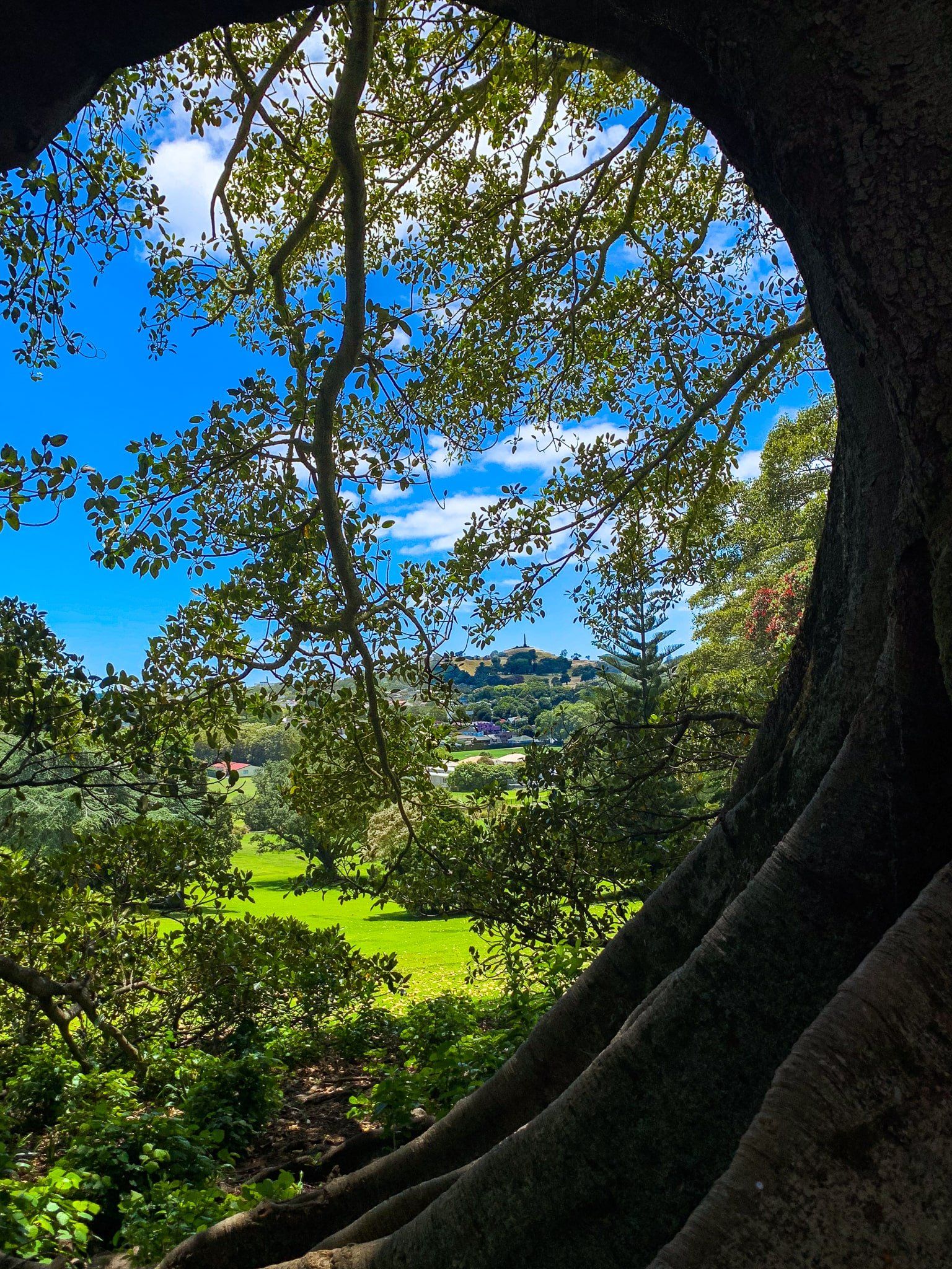
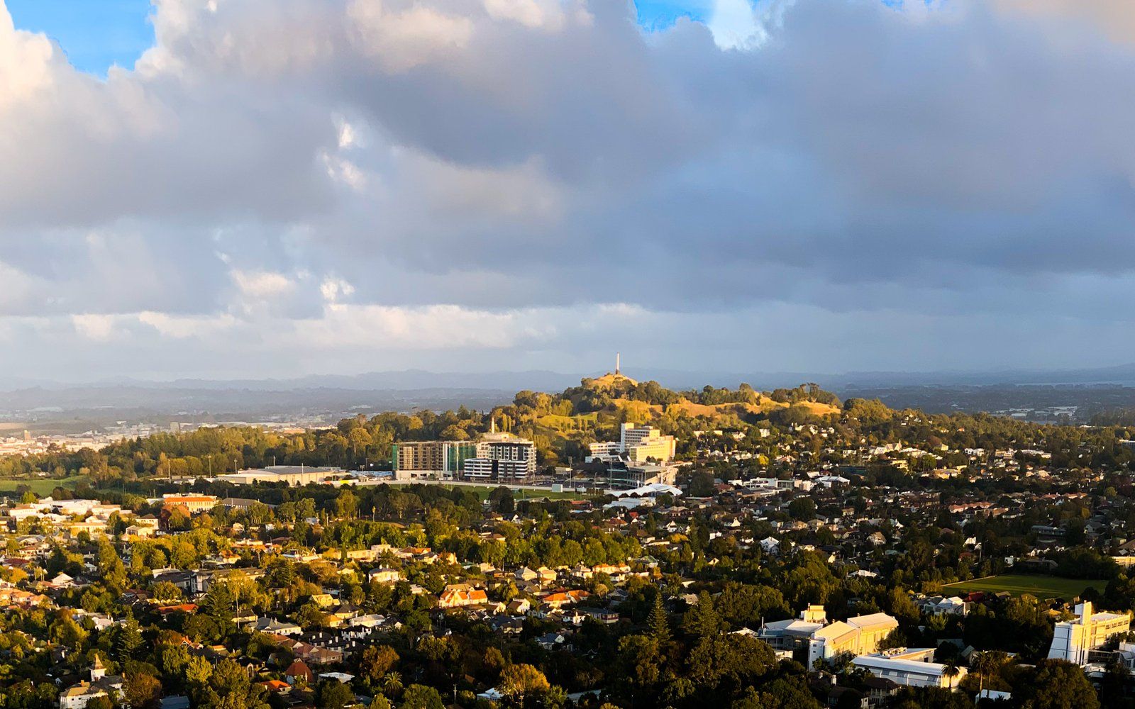
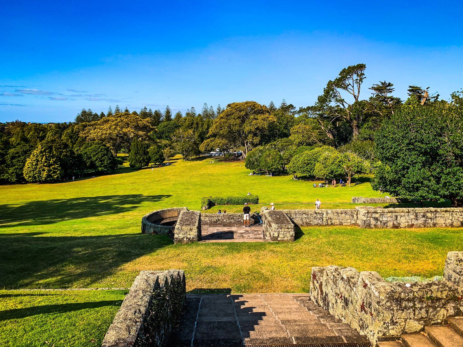
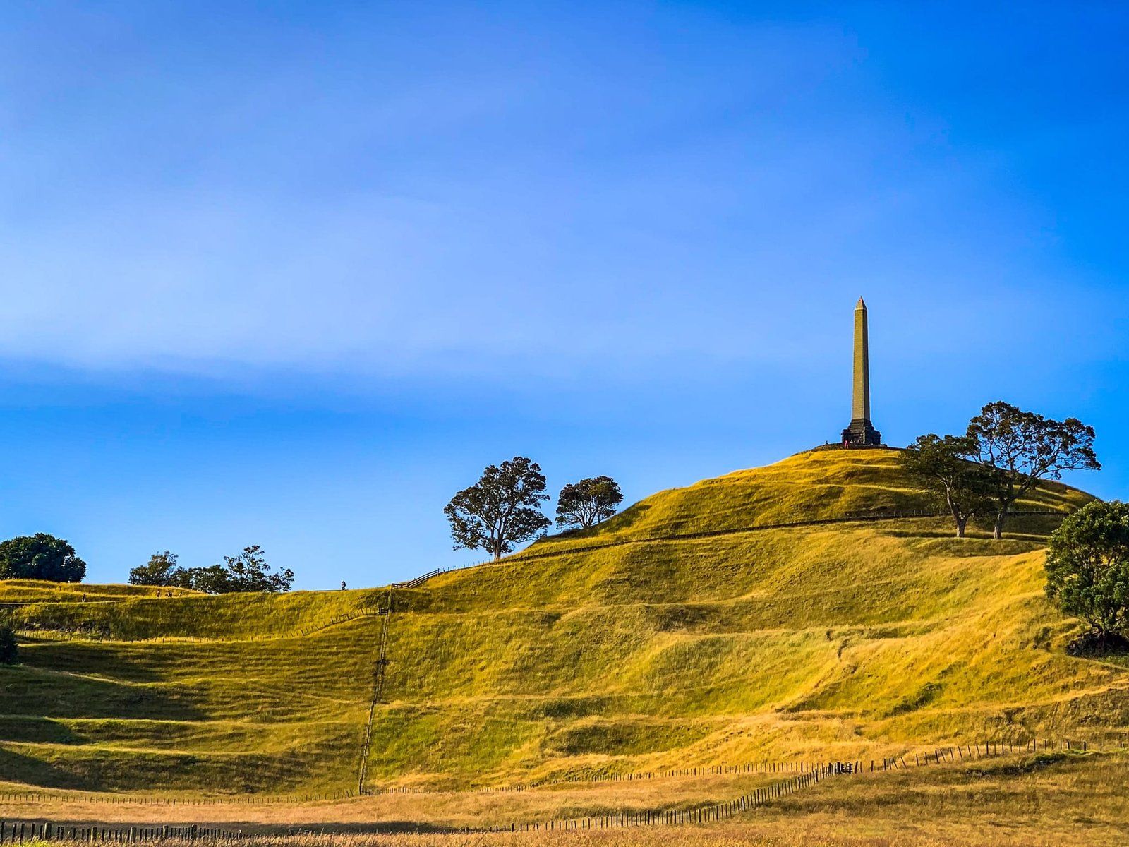
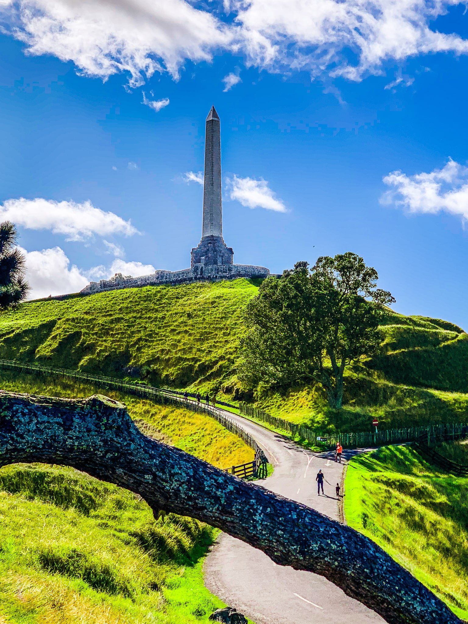
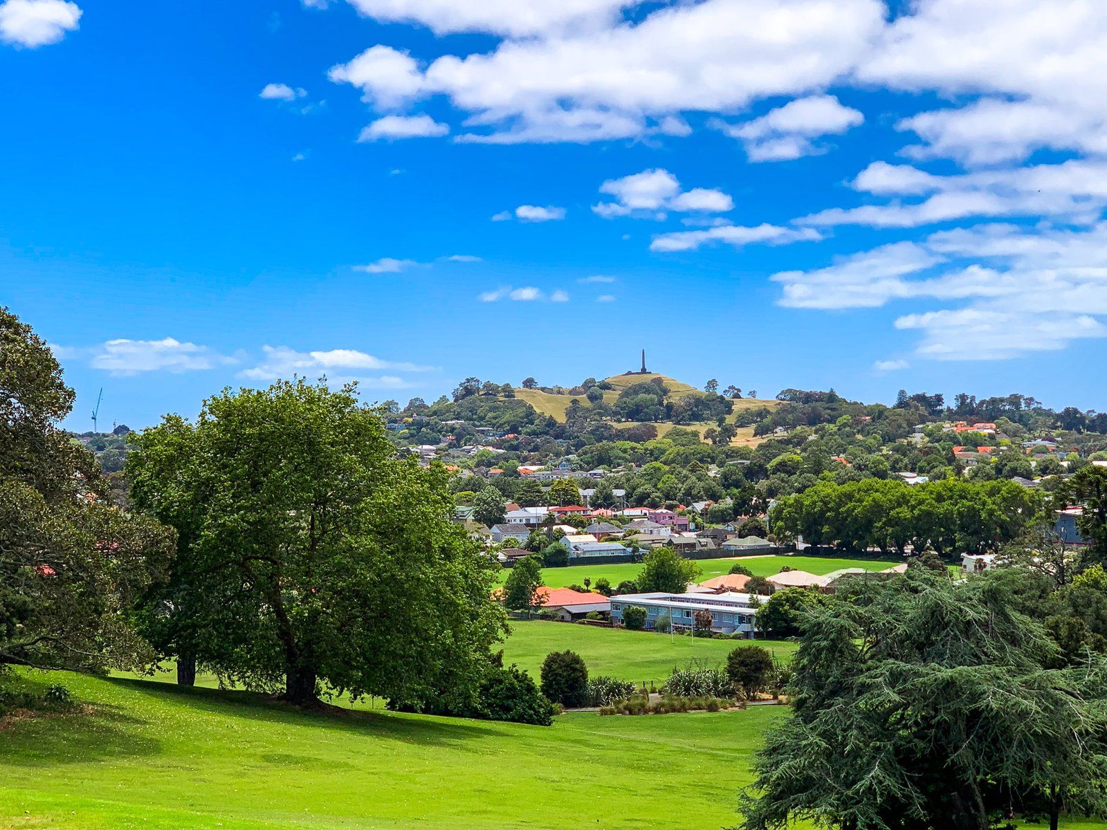
Cornwall Park Maungakiekie combines two parks into the largest park on the Auckland Isthmus, at 220 hectares. It sits between the suburbs of Epsom, Royal Oak, One Tree Hill and Greenlane. The 67,000 year old, three-crater volcanic maunga of Maungakiekie (One Tree Hill) is the dominant feature. Cornwall Park is a flatter area on the ancient lava flow owned by the Cornwall Park Trust.
Maungakiekie means the mountain of the kiekie, a native vine. Up until the mid-1700s, it was the centrepiece of the Waiohua Confederation that dominated the Auckland Isthmus. The terracing was developed in the 1600s, and substantial kumara gardens existed. As with other maunga pā, Maungakiekie was largely abandoned following the invasion by Ngāti Whātua in the 1740s. Ngāti Whātua preferred other areas around the isthmus. Ngāti Whātua sold the maunga and surrounding land to Thomas Henry In the 1840s. In 1847, Auckland City took possession of the maunga from Henry, and it became One Tree Hill Domain.
John Campbell and a business partner acquired the remaining Henry land In 1853, which was farmed for 20 years. In 1874, he bought out his partner to establish a mansion for his family. But his wife disliked the location, and ultimately, he gave the land to the public. In 1901, the Cornwall Park Trust took possession.
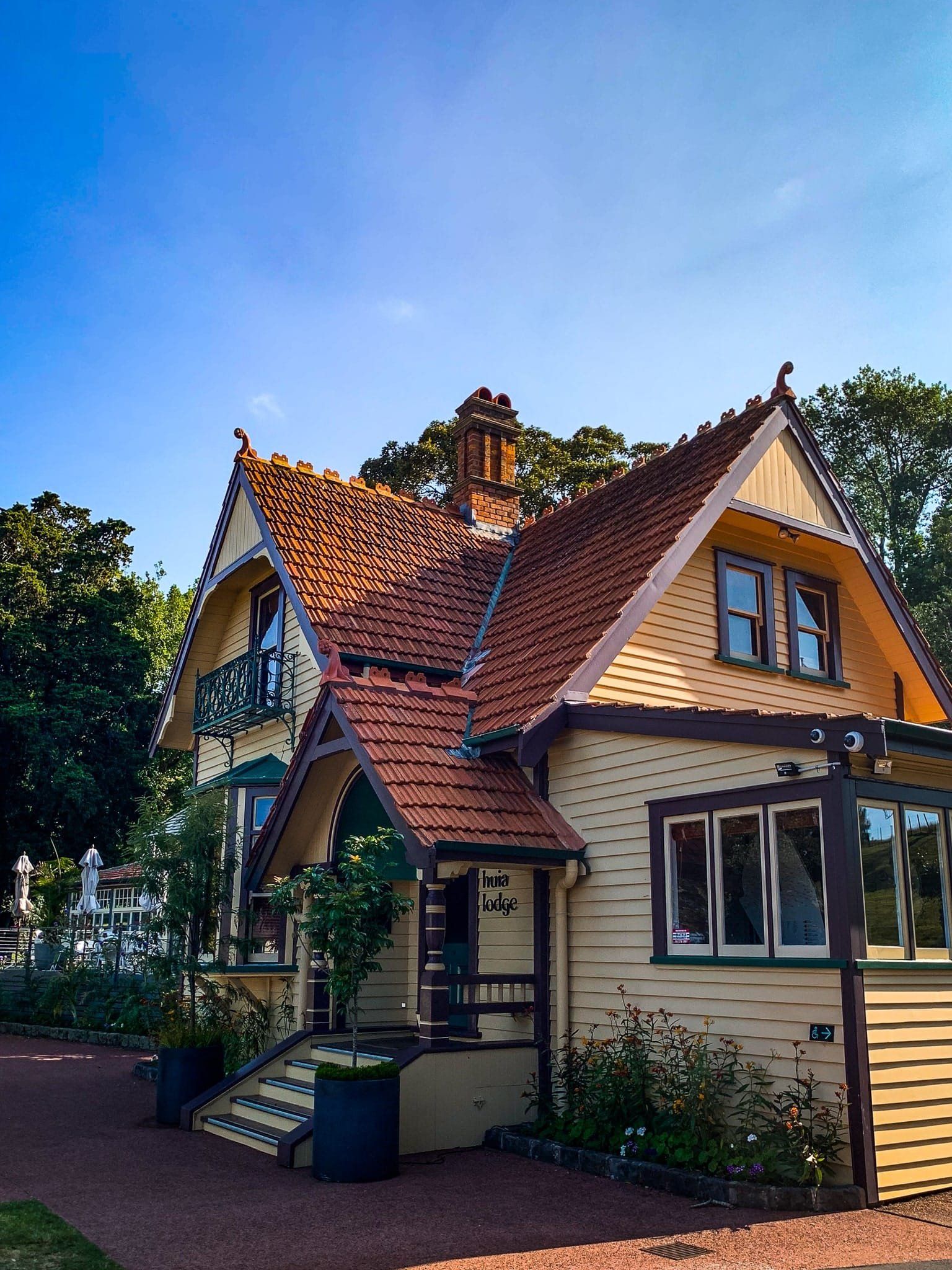
Much of the park reflects this legacy, including the mature trees planted along the access roads, the first olive grove in NZ on the west side, and Huia Lodge. Today, there are more than 350 species of trees plus substantial flower gardens. The park has also been continuously farmed with sheep and cows. In September, lambs and calves are a common sight.
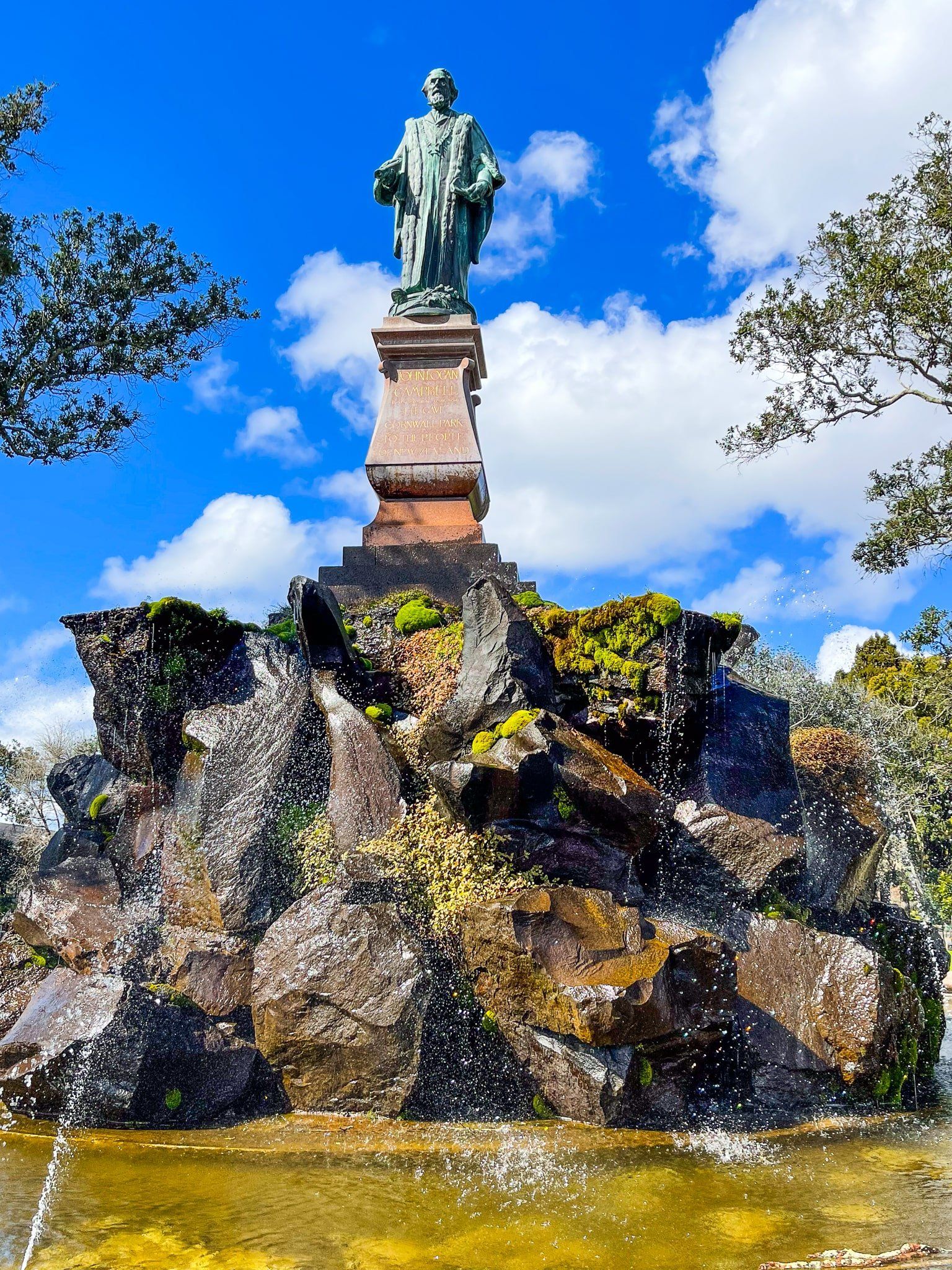
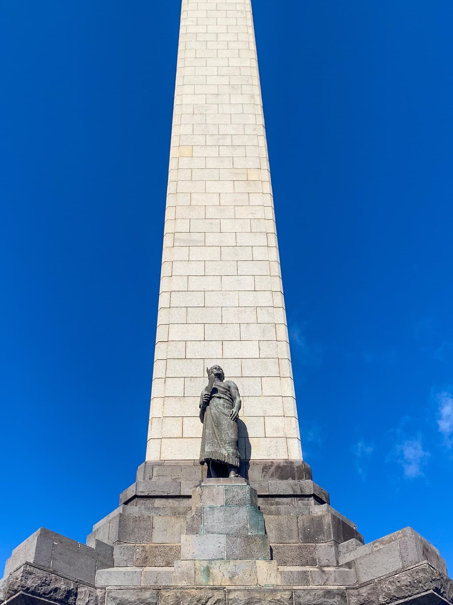
The obelisk on the top is more recent, dating to 1940. When (by then) Sir John Logan Campbell died, he was buried at the top of Maungakiekie. He also allocated funds to build a personal tribute to the Māori people in recognition of their “character and achievements”. A substantial statue of Campbell can be seen between Manuaku Road and the entrance to Puriri Drive.
The One Tree also has a history. There was a single tōtara tree on the summit at the time of the Waiohua Confederation. By the time Auckland was established, there was a single pōhutukawa, hence One Tree Hill. But this was destroyed by a colonist in the 1850s. John Campbell planted some trees in 1875, but only 2 Monterey pines survived. A vandal in the 1960s destroyed one, and a Māori protestor damaged the second beyond repair around 2000. Today, several native trees are growing on the top, and the strongest will be kept.
The main entrances to the park can be found on Greenlane Road, Campbell Road and Manukau Road. There are two cafes, and you can walk everywhere in the park. Check out the observatory near Manukau Road for night sky viewings.
Western Springs
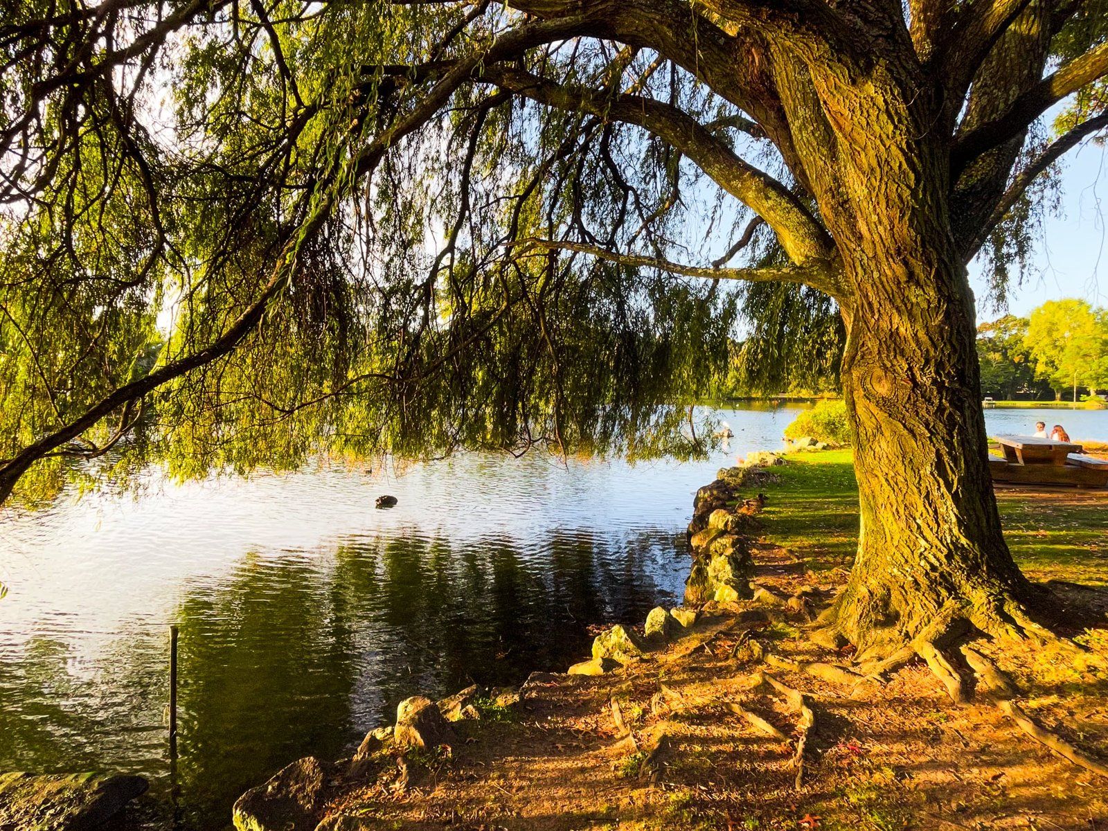
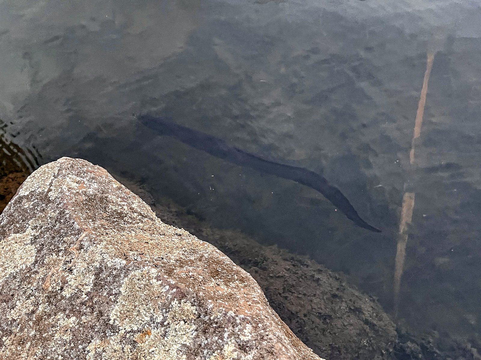
Western Springs Reserve (also Western Springs Lakeside Te Wai Ōrea) is on the west side of downtown and is one of the more recent parks in central Auckland. Historically, it was one of two major freshwater sources and wetlands on the Isthmus. The Māori name of Te Wai Ōrea means the water of eels and denotes its pre-European importance as a food source.
The water flows through cracks in basalt lava from Te Tātua a Riukiuta / Big King, one of the 14 Tūpuna Maunga, in the suburb of Three Kings to the southeast. The natural filtering assured its freshness and supported a lava rock forest ecosystem. This rare ecosystem consists of plants growing in minimal soil amongst rock and leaf humus. A surviving example can be seen at Gribblehurst Park in Sandringham, Auckland.
In the 1870s, Auckland needed a new freshwater supply and a dam was constructed to create an artificial lake. The lake remained the source of the city’s drinking water for 30 years. The European name of Western Springs was adopted to differentiate the springs from those at Auckland Domain Pukekawa, Auckland’s previous major water source. In 1928, Western Springs was replaced by new reservoirs in the Waitākere Ranges.
After this, the lake was somewhat ignored, but Auckland Zoo opened on the north side in 1922, and Western Springs Stadium opened to the east in 1929. There was a suggestion of an amusement park in the 1950s, but no money to do it. Then, in 1961, Auckland City began administering it as a reserve. The adjacent Museum of Transport and Technology opened in 1964, and in 1977, Western Springs was finally made a public park.
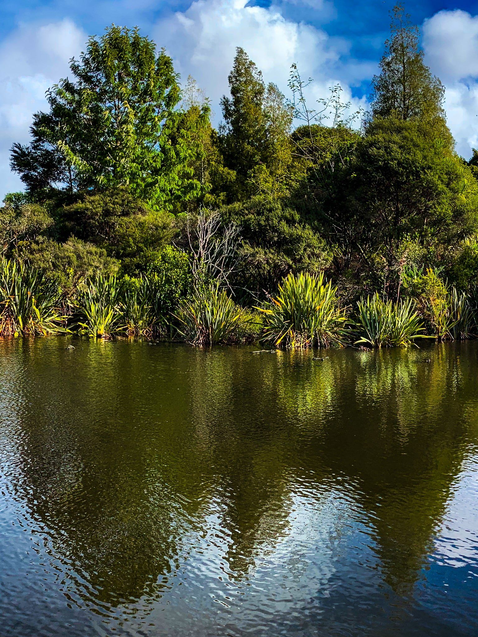
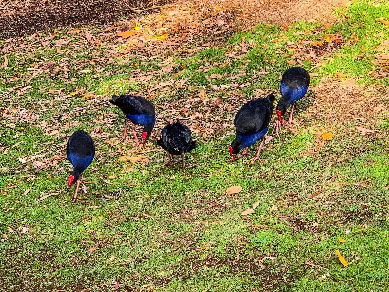
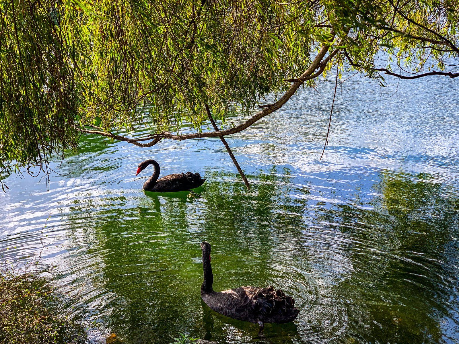
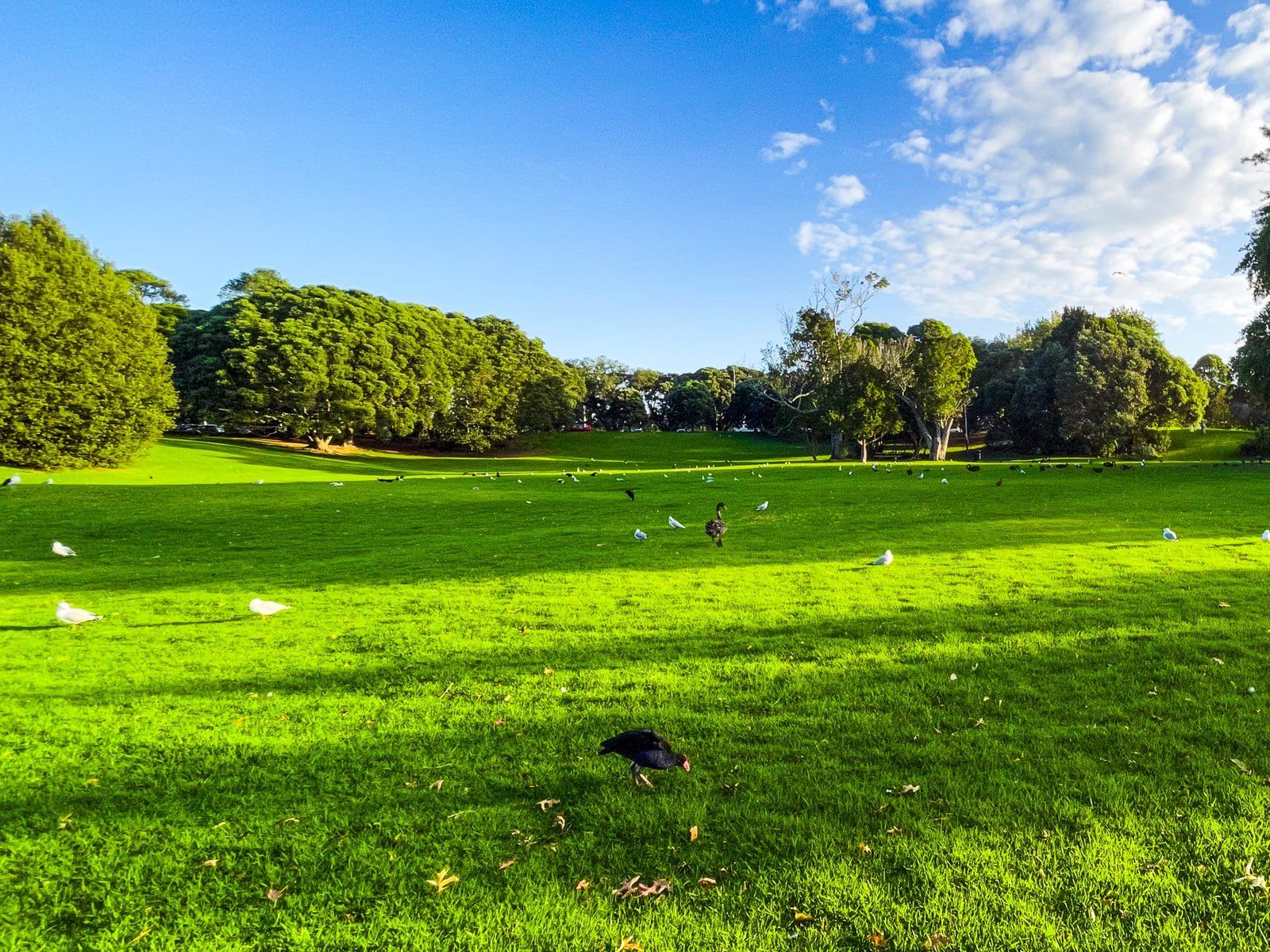
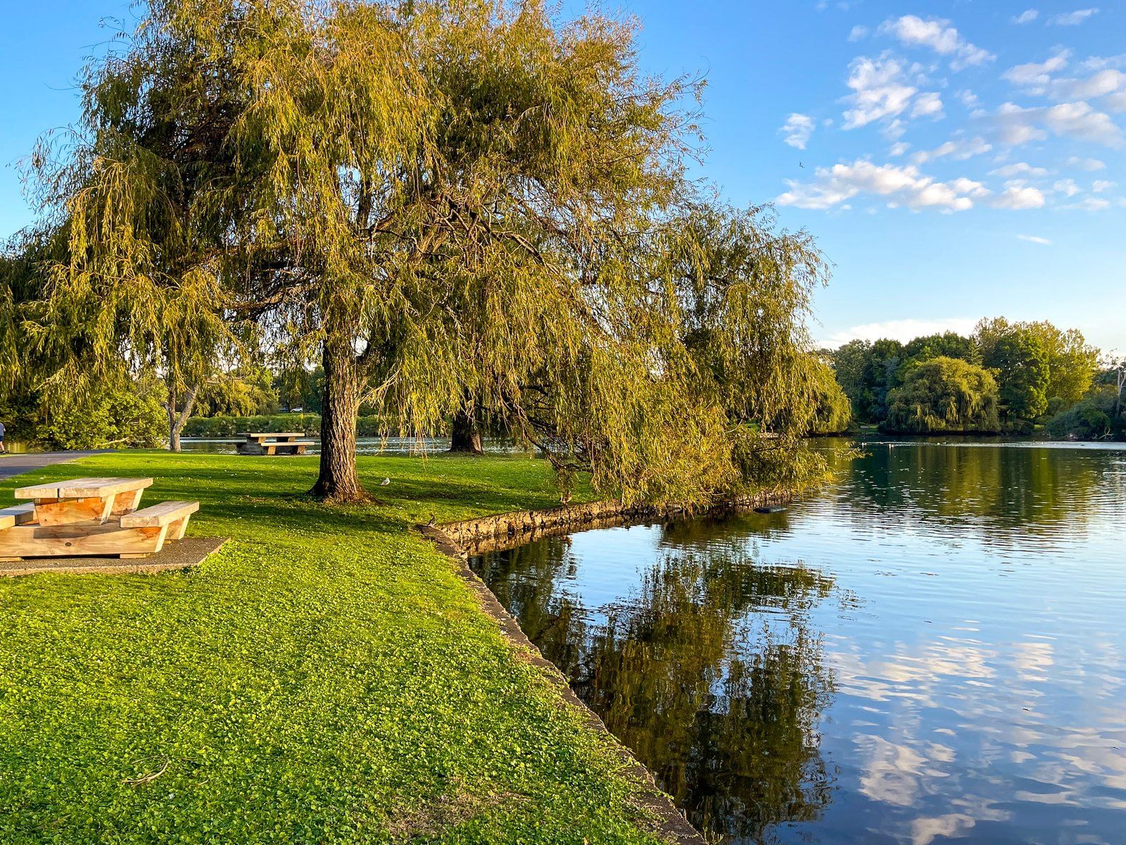
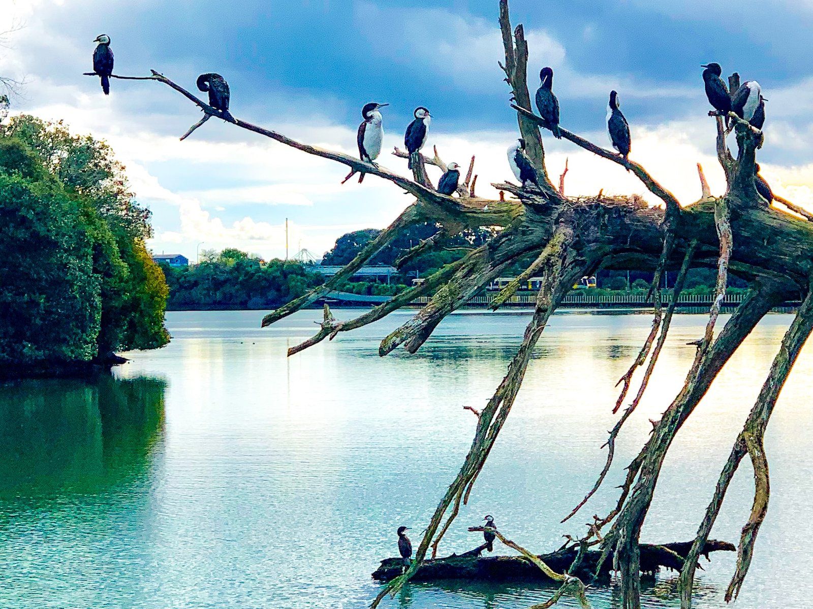
Today, there is an easy loop track around the lake with a reasonable amount of wetland recovery growth at the west end, crossed by bridges. The bridges are the best location to spot eels. The park is also rich in bird life. Native pukeko have become abundant, but there are also large numbers of ducks, swans and gulls. The swans are generally pretty tolerant of people, but watch out in Spring! The most interesting birds are a colony of royal spoonbills (kōtuku ngutupapa). These are relatively recent arrivals, having first flown over from Australia in 1861, and may be seen towards the southwest end of the lake.
Monte Cecilia Park and Pah Homestead
Monte Cecilia Park and the Pah Homestead are located in the Auckland suburb of Hillsborough. The park is one of the younger major central city parks, established after 2002. The Homestead is on a ridge at the west end of the park. It is believed a pā was located there during the 1600s and 1700s.
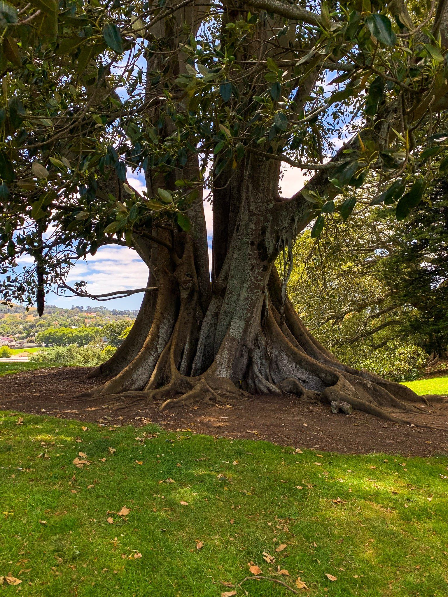
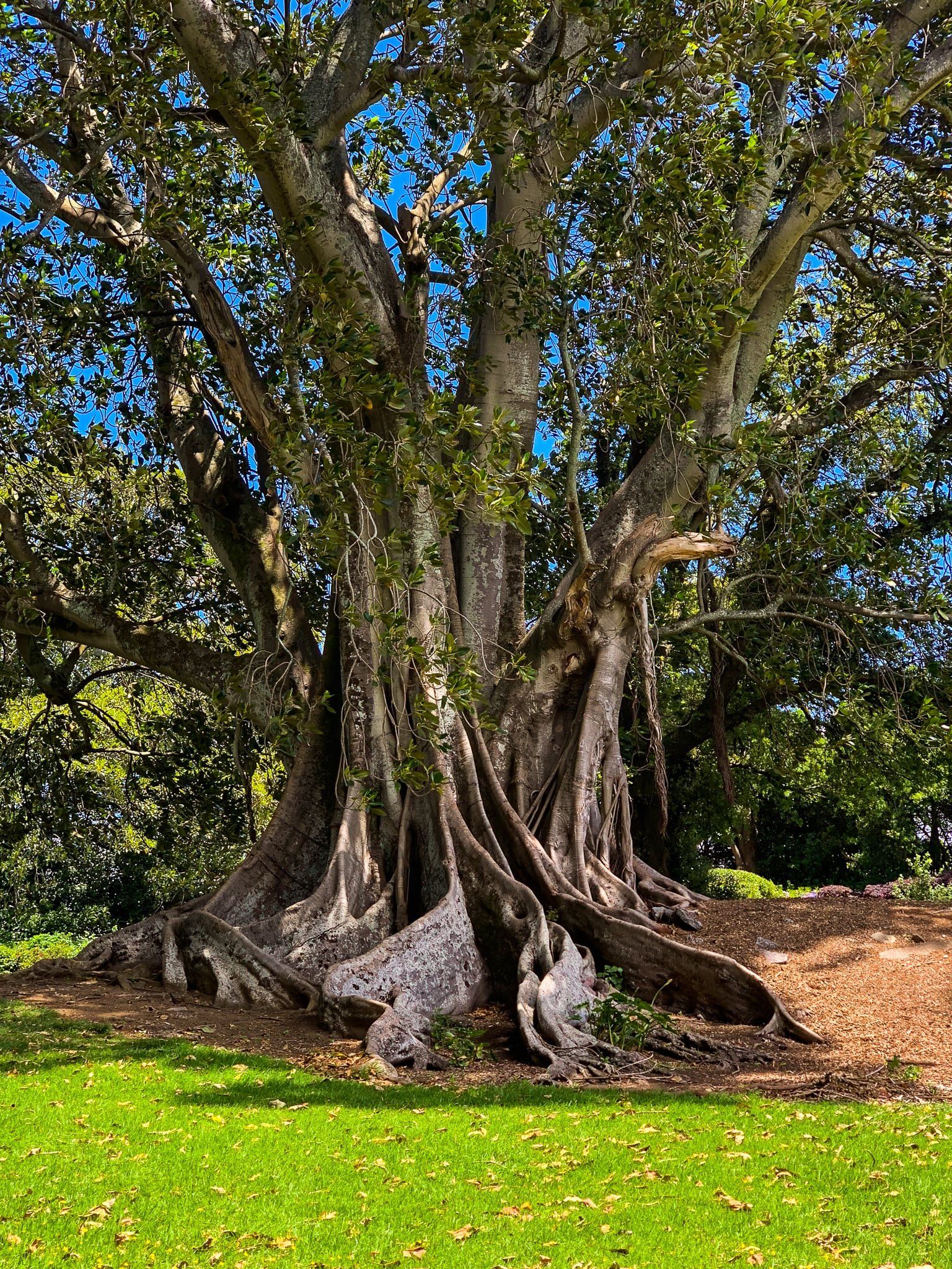
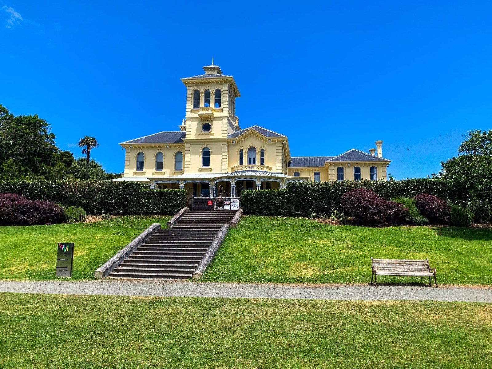
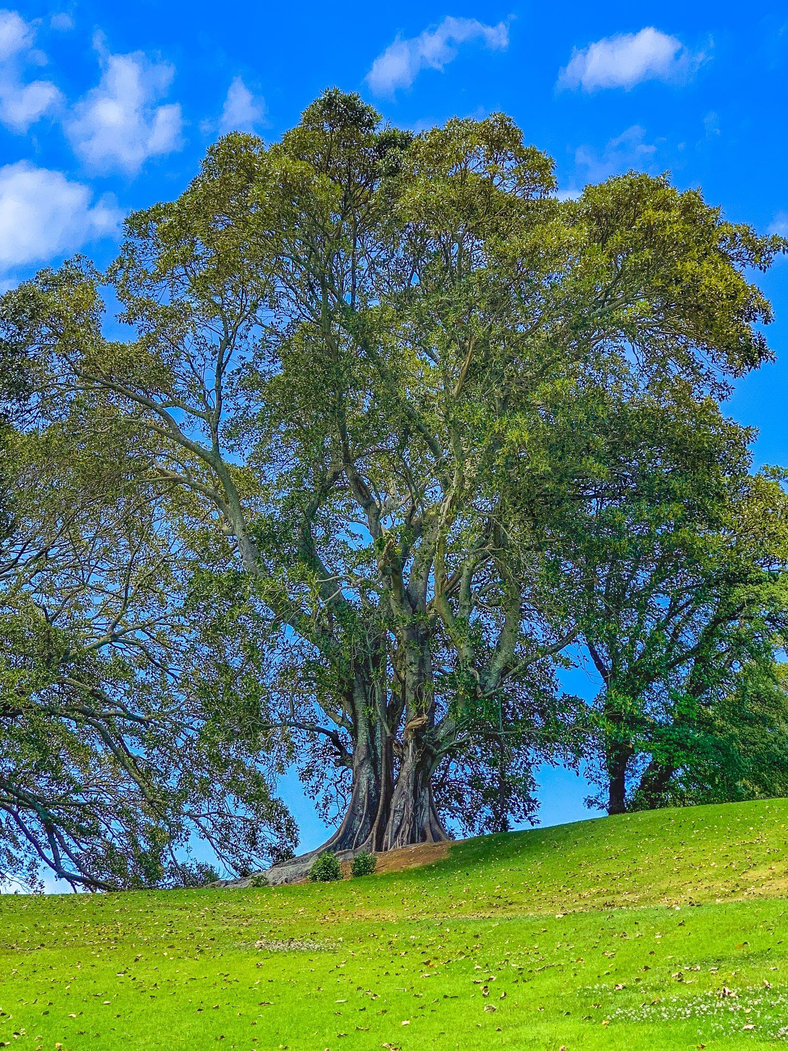
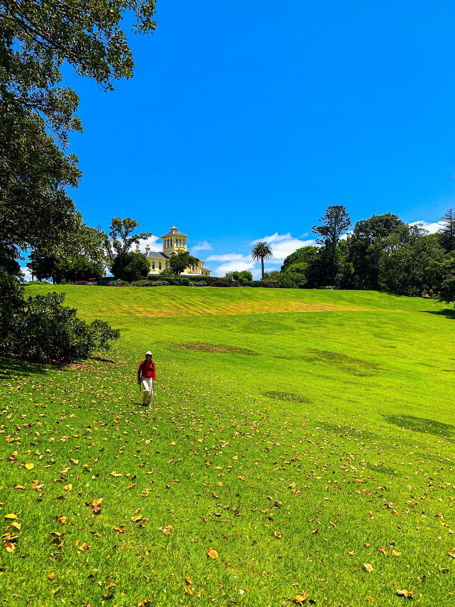
In 1844, William Hart purchased much of the area around the current park from Ngāti Whātua. He built a Regency-style villa and then sold this and the land to James Williamson in the 1870s. Williamson wanted to create one of the finest homes in NZ, so he pulled the villa down and built the current homestead in Italianate style. The design was based on Queen Victoria and Prince Albert’s Osborne House on the Isle of Wight. Much of the surrounding land was farmed, but Williamson also planted many exotic trees. Today, these trees include the largest hoop pine and Morton Bay fig in New Zealand.
Williamson was forced to sell off much of the land immediately before he died in 1888. The remaining property was taken over by the Bank of New Zealand, leased to the Anglican church and then purchased by the Sisters of Mercy for use as a convent in 1913. The homestead was renamed for Cecilia Mahler, the first of the order to come to NZ in the 1850s.
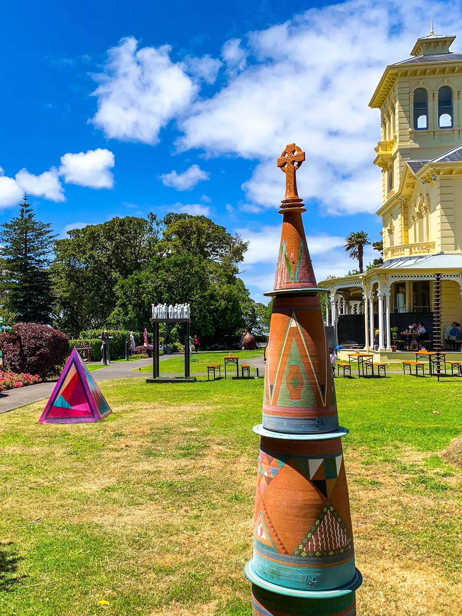
From 1982, the order used the homestead as emergency housing for low-income families and immigrants. In 2002, Auckland City purchased it for development as a park and refurbishment of the homestead as an art gallery. Today, this includes a sculpture garden and cafe, and it is now one of the best suburban locations for visitors to the city.
Access to the Pah Homestead is along Delargey Avenue from Hillsborough Road on the park’s west side, with plenty of parking space. Monte Cecilia Park is also accessible by foot from Herd Road and Mount Albert Road. From the top of the ridge at the west end near the Homestead, there are excellent views of Cornwall Park Maungakiekie and towards Manukau Harbour and Mangere Mountain.
Mount Albert Ōwairaka
Ōwairaka / Mount Albert is a 120,000 year old and 135 metre high volcanic maunga and park in the southwestern Auckland suburb of Ōwairaka / Mount Albert. It is also known as Te Ahi-kā-a-Rakataura and is one of the 14 Tūpuna Maunga of Auckland Tamaki Makarau.
The Māori name of Ōwairaka means “Place of Wairaka”. Wairaka was the daughter of Toroa, who commanded the waka Mātaatua on its migratory voyage to Aotearoa. She named Whakatāne in the Bay of Plenty and saved the waka from drifting out to sea. Wairaka moved to Tāmaki Makaurau to avoid an arranged marriage and established the pā at Ōwairaka. She is commemorated by the stunning Statue of Wairaka at Whakatāne Heads.
To confuse matters, the maunga is called Te Ahi-kā-a-Rakataura, or ‘the long-burning fires of Rakataura’. This refers to its occupation by Tainui explorer Rakatāura. Recently, it has been suggested that Ōwairaka was derived from the name of the wetlands around Oakley Creek. But the Wairaka story is our favourite!
Pre-European, it was a leading pā on the Auckland Isthmus, peaking with the Waihoua Confederation in the 1700s. As with other maunga pā, it was largely abandoned after conflict with Ngāti Whātua in the mid-1700s. The government bought the maunga and surrounding area from Ngāti Whātua in 1841 and subdivided it into small farms.
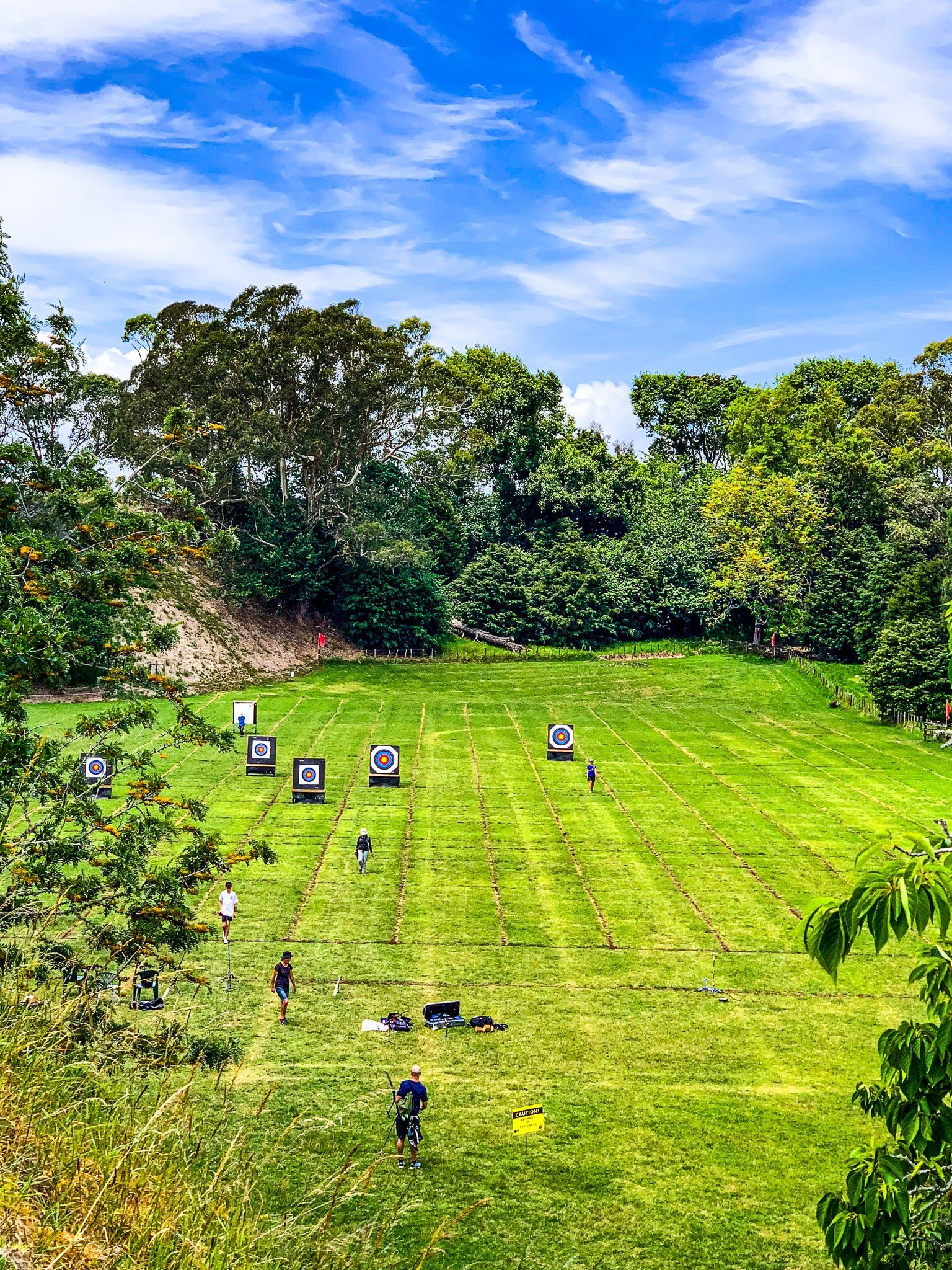
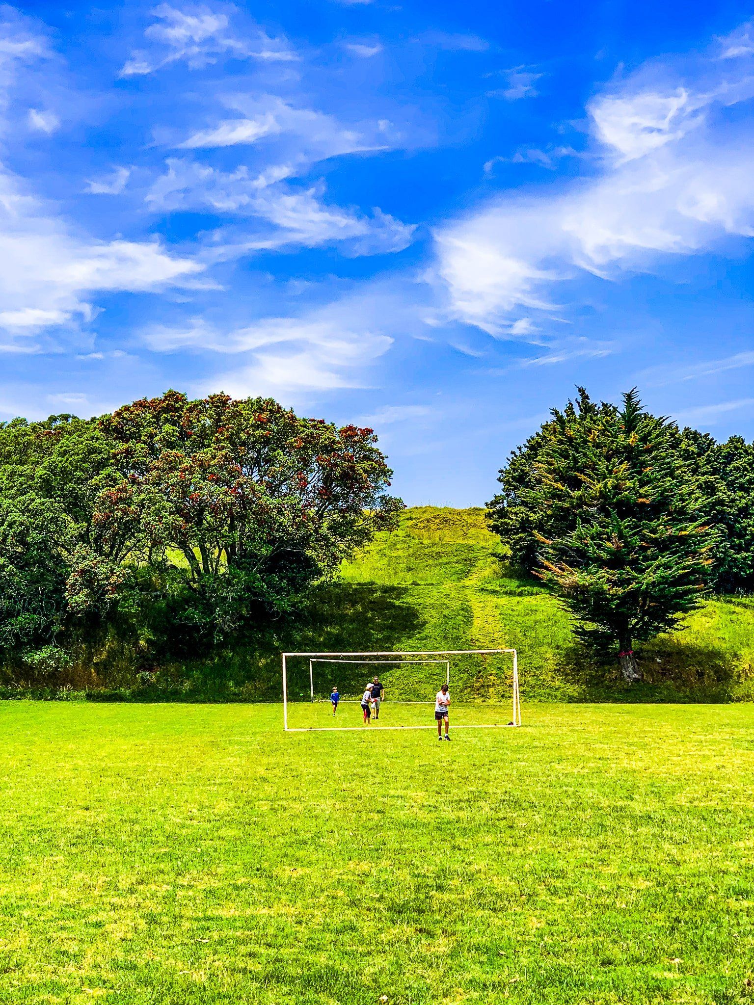
From the outset, Ōwairaka / Mount Albert was treated as a commercial resource, with extensive quarrying for scoria rock reducing the height by 15 metres and the total mass of the maunga by half. There were originally two craters. One flattened into playing fields in the early 1900s, while the second added a water tank in the 1940s. Quarrying finally ended in 1928 in an attempt to protect defensive trenches from its time as a pā, which had been influential in trench design in WWI. The quarry is now the site of an archery range.
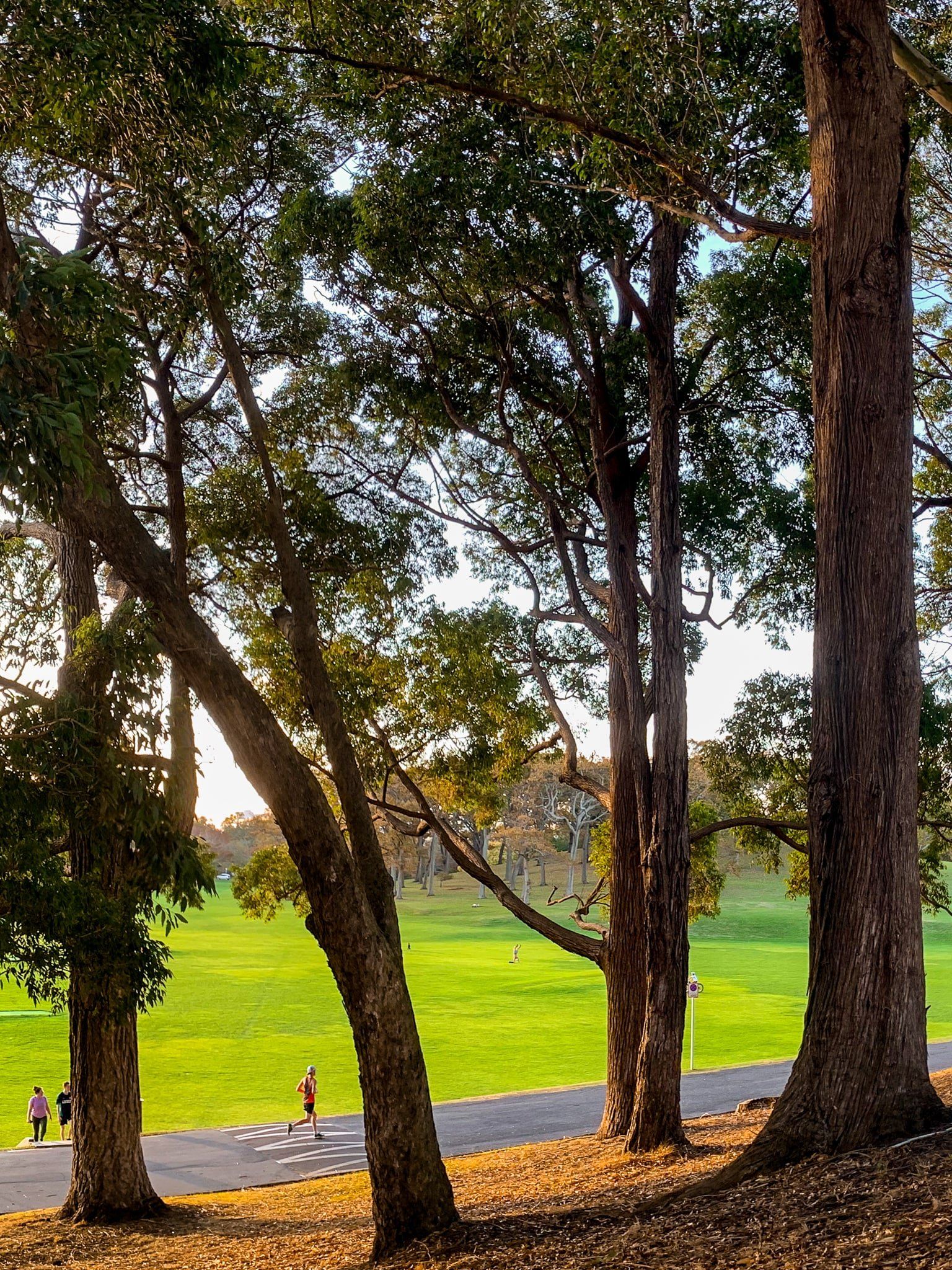
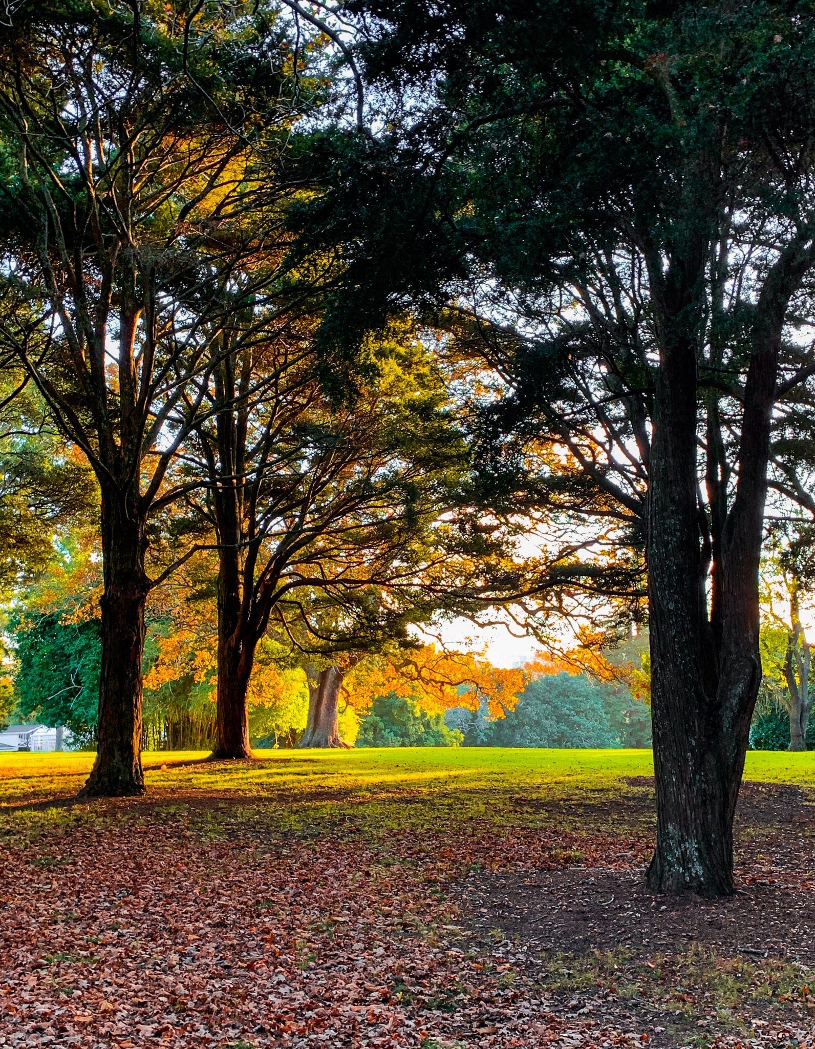
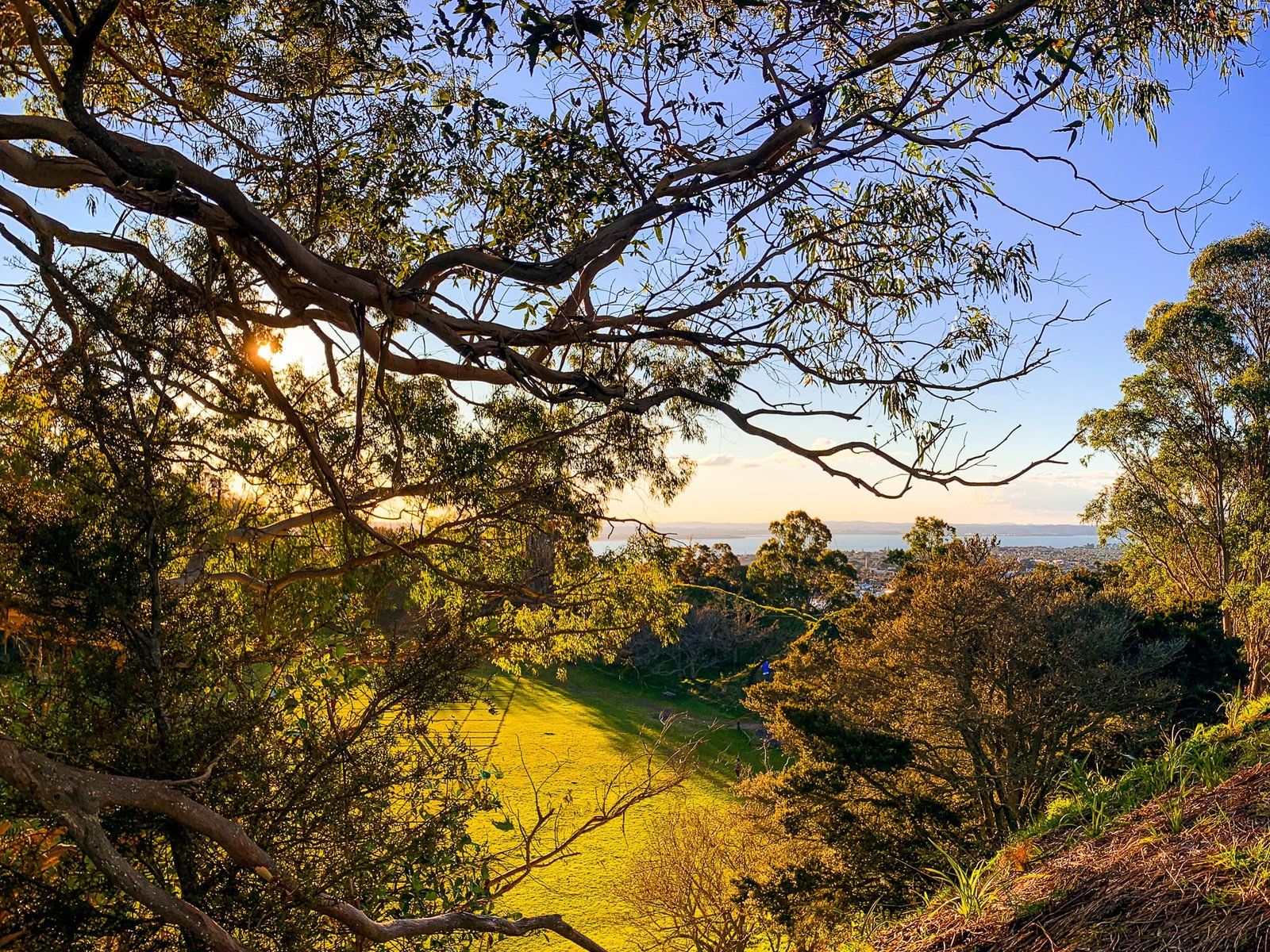
Throughout the period, many exotic trees were planted around the maunga. The trees have become a major local political issue with a proposal to replace 350 mature exotics with large-scale native planting. In the meantime, the trees are particularly attractive during the golden hour in autumn.
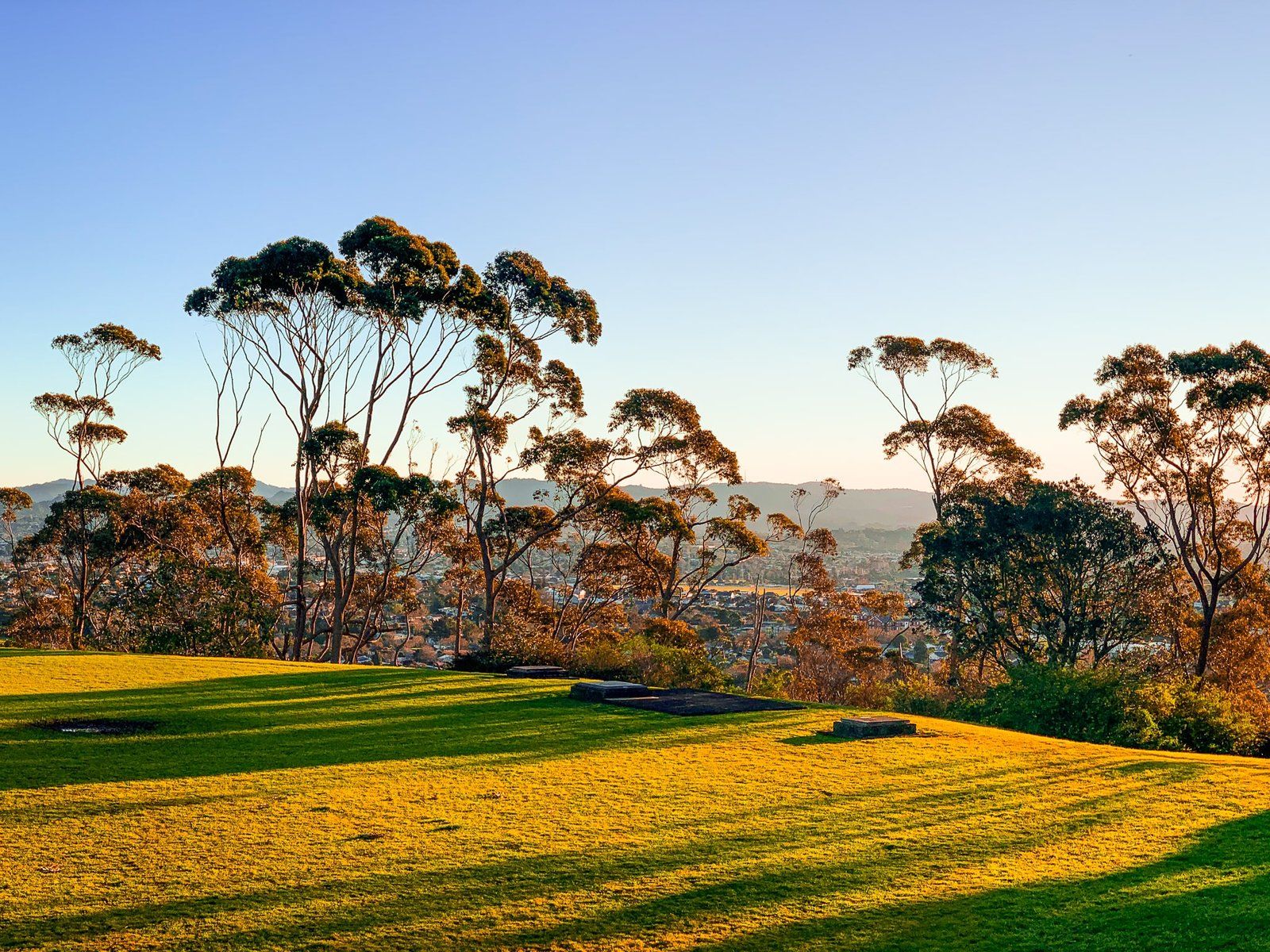
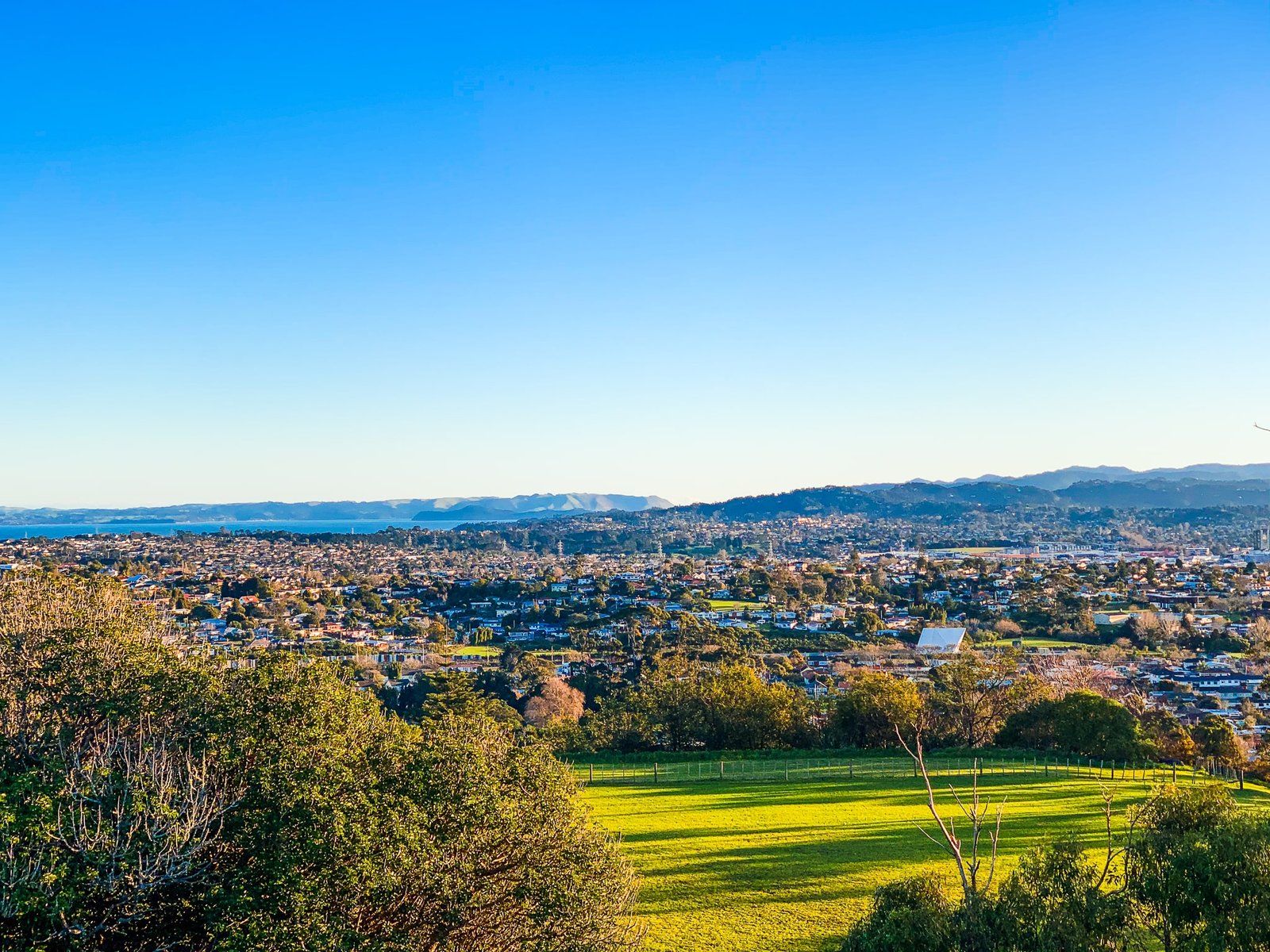
The best access is from Summit Drive, off Mount Albert Road, with parking near the base. The access road on the maunga is closed to cars. There is also foot access from several suburban side streets. An interesting loop track runs around a ridge left over from the quarry and over the peak. There are great 360-degree views from the top.
Ōrākei Basin
Ōrākei Basin is 83,000 years old and one of the 53 volcanic maunga and craters in the Auckland volcanic field. It is an explosive crater and one of the widest at 700 metres. The surrounding tuff ring is obvious, especially on the south side, steep and up to 40 metres high. The basin is in the Auckland suburb of Ōrākei, southeast of downtown.
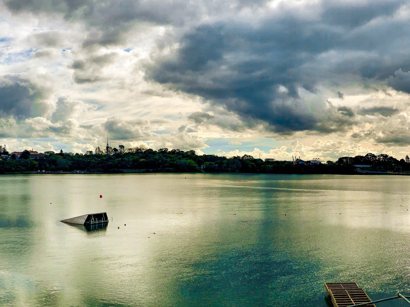
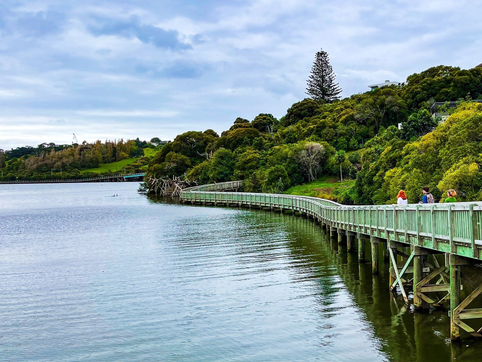
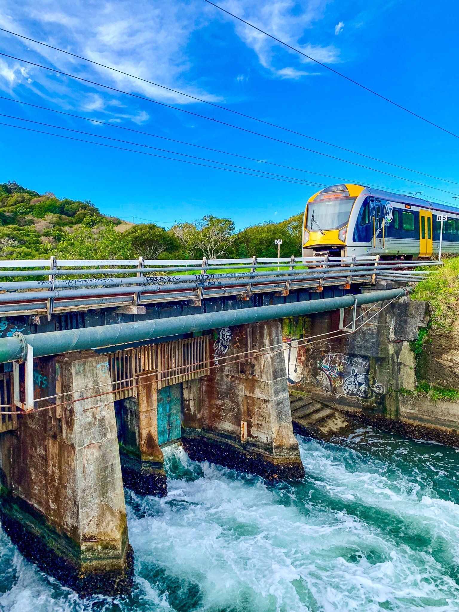
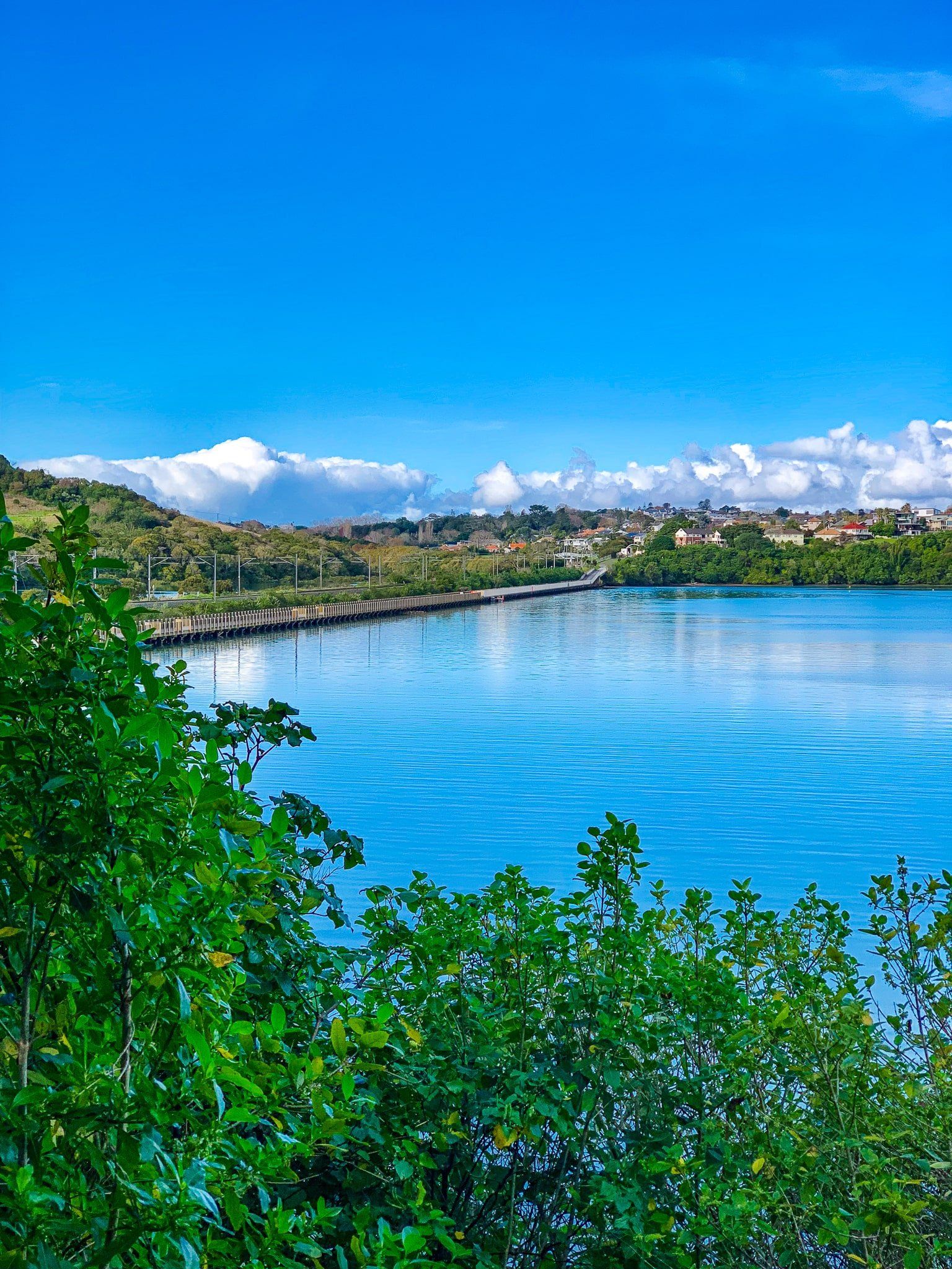
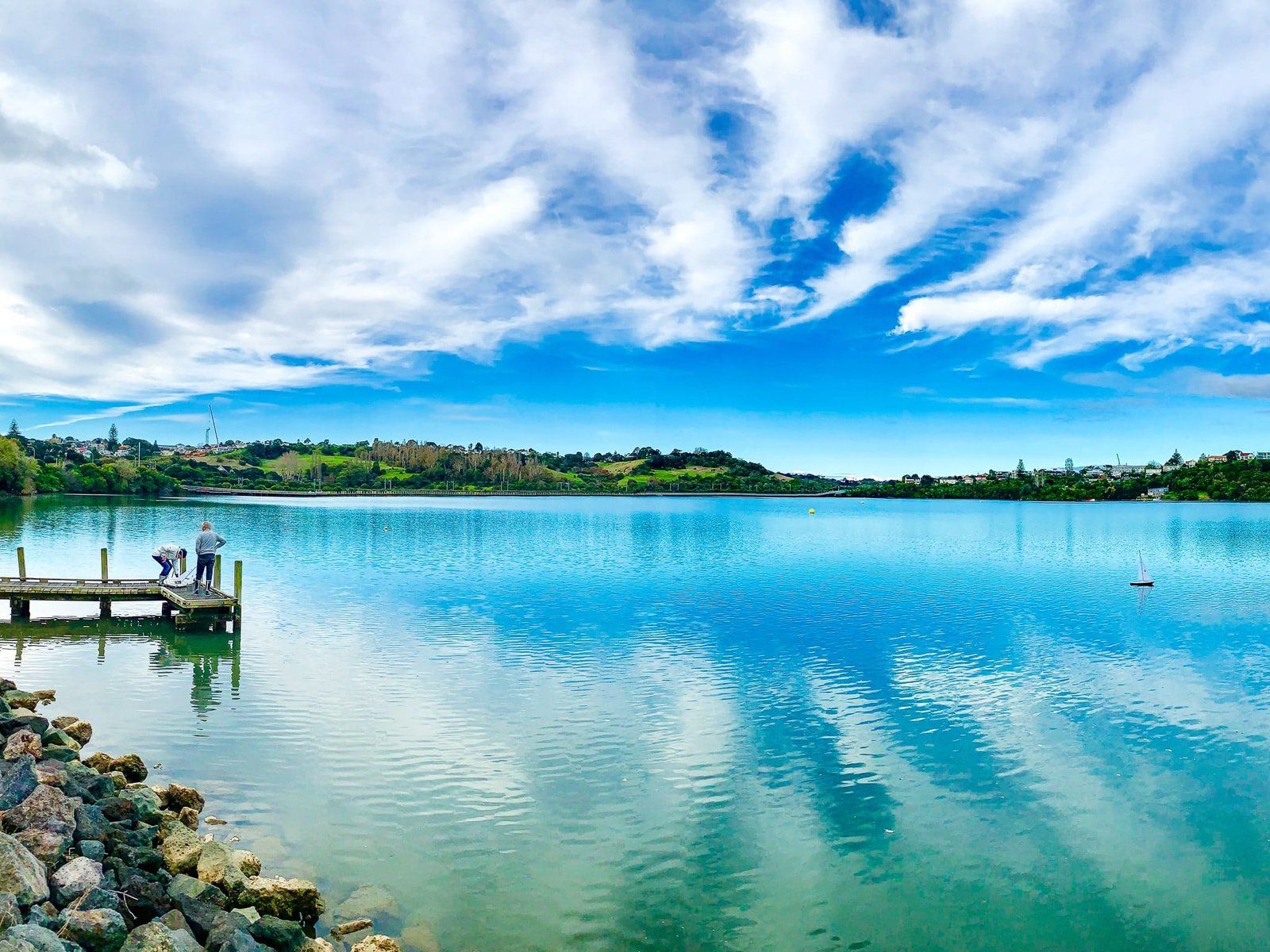
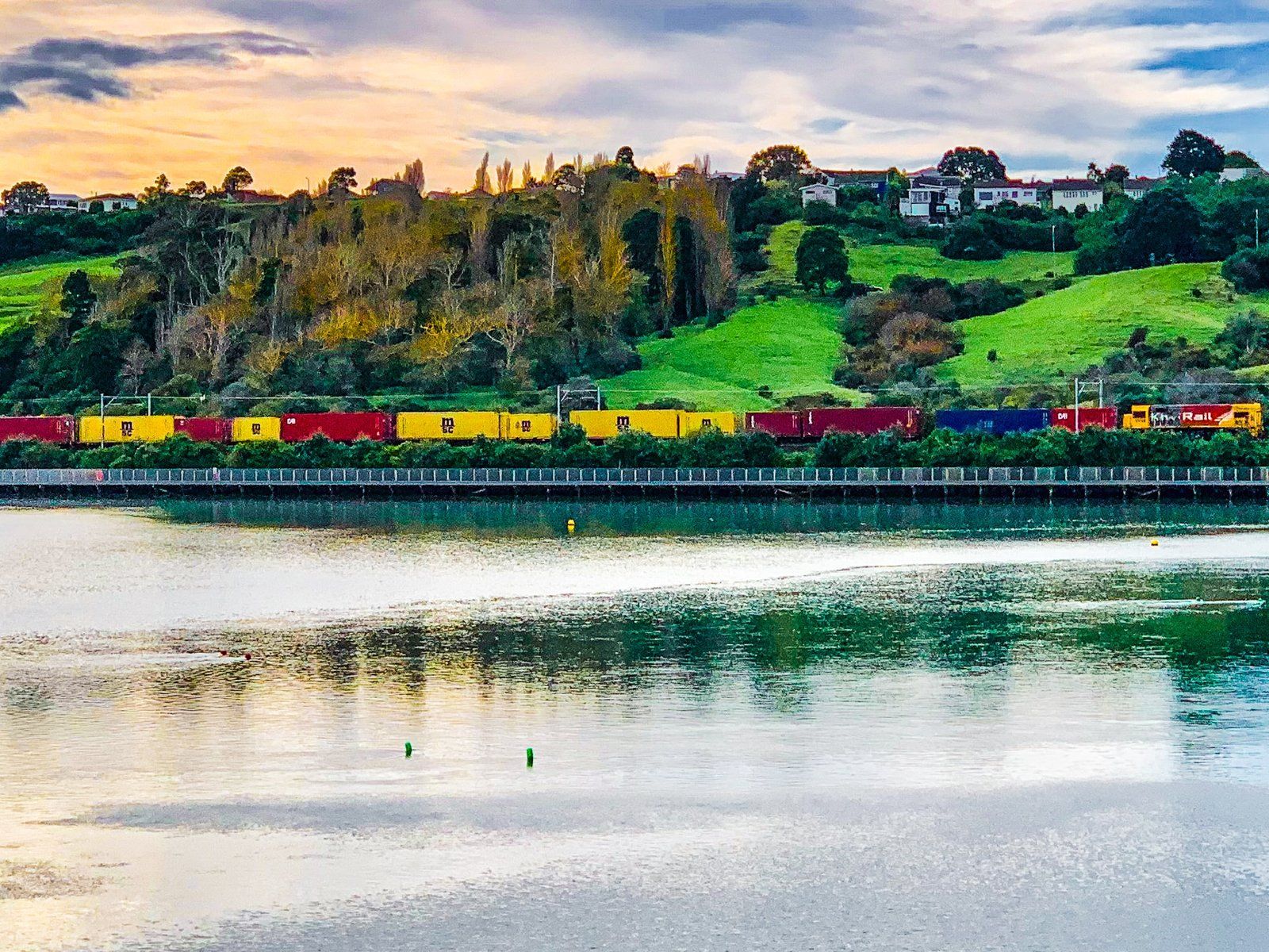
The crater was once a freshwater lake and swamp. At the end of the last ice age, the sea level rose about 90 metres, and the Waitemātā Harbour encroached on the lake, making it part of the Hobson Bay tidal lagoon. In the 1920s, a causeway with a control gate was constructed on the north side of the basin to support a railway line. This allowed the separation of the lagoon from the basin, recreating the lake while allowing flushing and refilling as required. At the east end of the basin, there is also a picturesque inlet to the basin, with houses and bush around the edge.
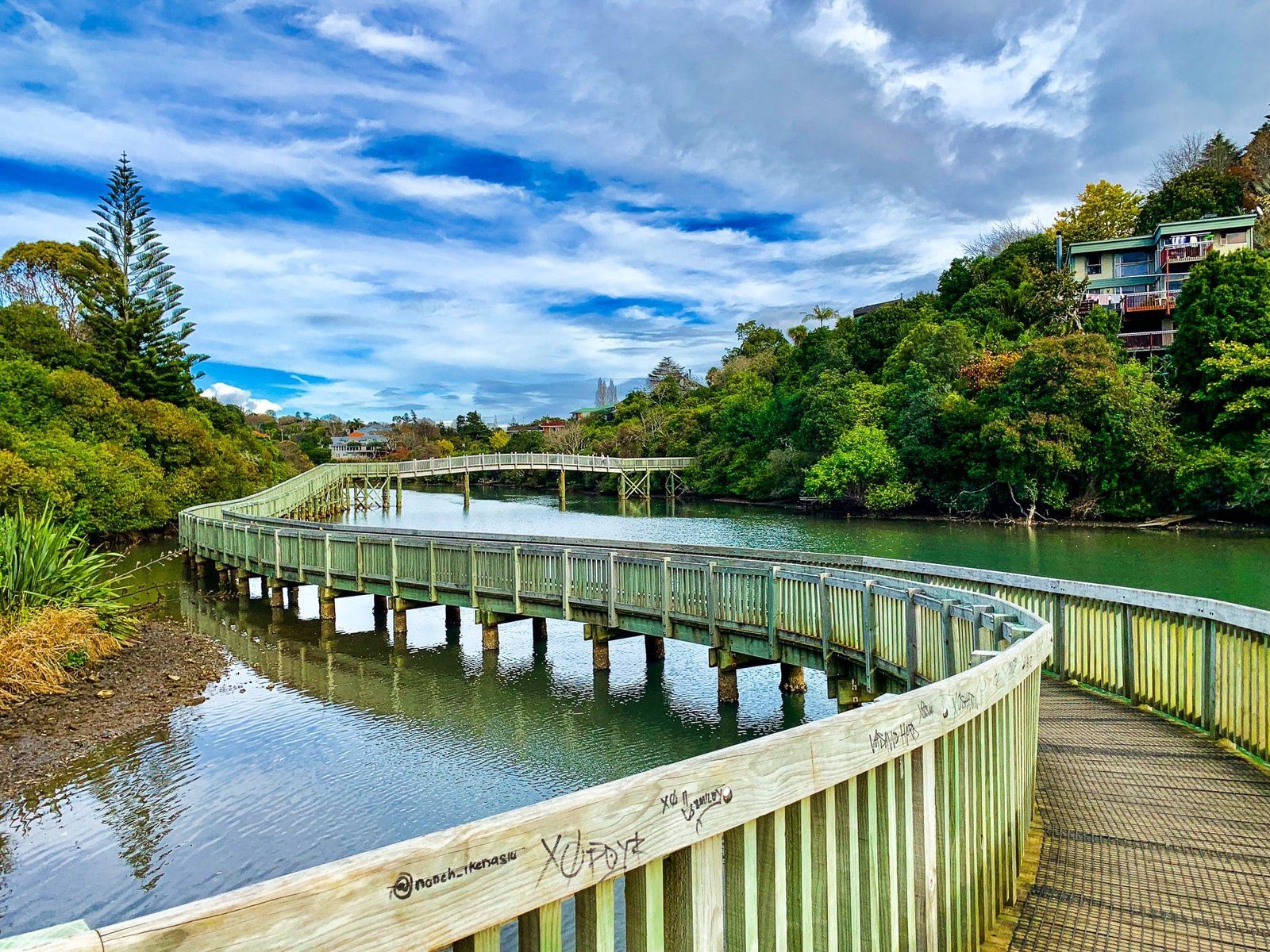
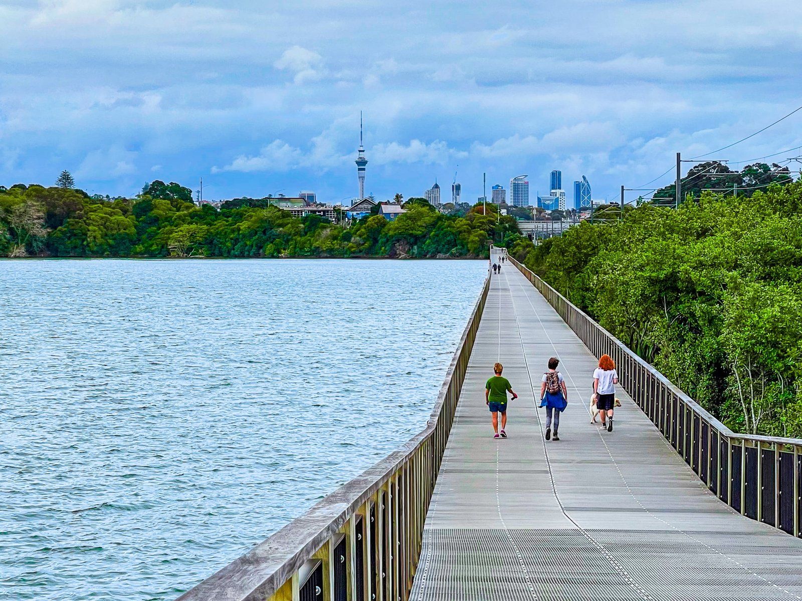
The lake is used for water recreation, including water skiing. But the best feature is the walking loop. This includes a long boardwalk above the lake on the north side, then a curved bridge over the inlet. This is followed by a climb onto the crater edge, with views back to downtown. There are also short sections of native forest before the southside walk around the lake’s edge.
Road access is signposted on Ōrākei Road. Note that the access road is very narrow in places and the main car park is at the end of the road.
Auckland Botanic Gardens
An oddity of Auckland City was the absence of formal botanic gardens for much of its history. This is especially weird given the interest of Kiwis in gardening and that such gardens are a feature of other cities and towns in NZ. Perhaps it was because there were so many other easy options for parks and recreation. But It also seems to have been a case of procrastination. The Auckland Botanic Gardens were first envisaged in the mid-1920s but were not opened in Manurewa until 1982!
From the 1920s, various sites were considered, including the Auckland Domain, Churchill Park in Glendowie, and land owned by Auckland University in East Tamaki. Nothing came of any of these suggestions. Then, in 1968, Auckland City acquired 40 hectares of land from the Nathan family that had been farmed and was affected by motorway development and suburban expansion. Soil testing proved the land was perfect for a botanic garden, and a plant nursery was established. It took another ten years for the park to open in 1982, with a further expansion of 22.7 hectares.
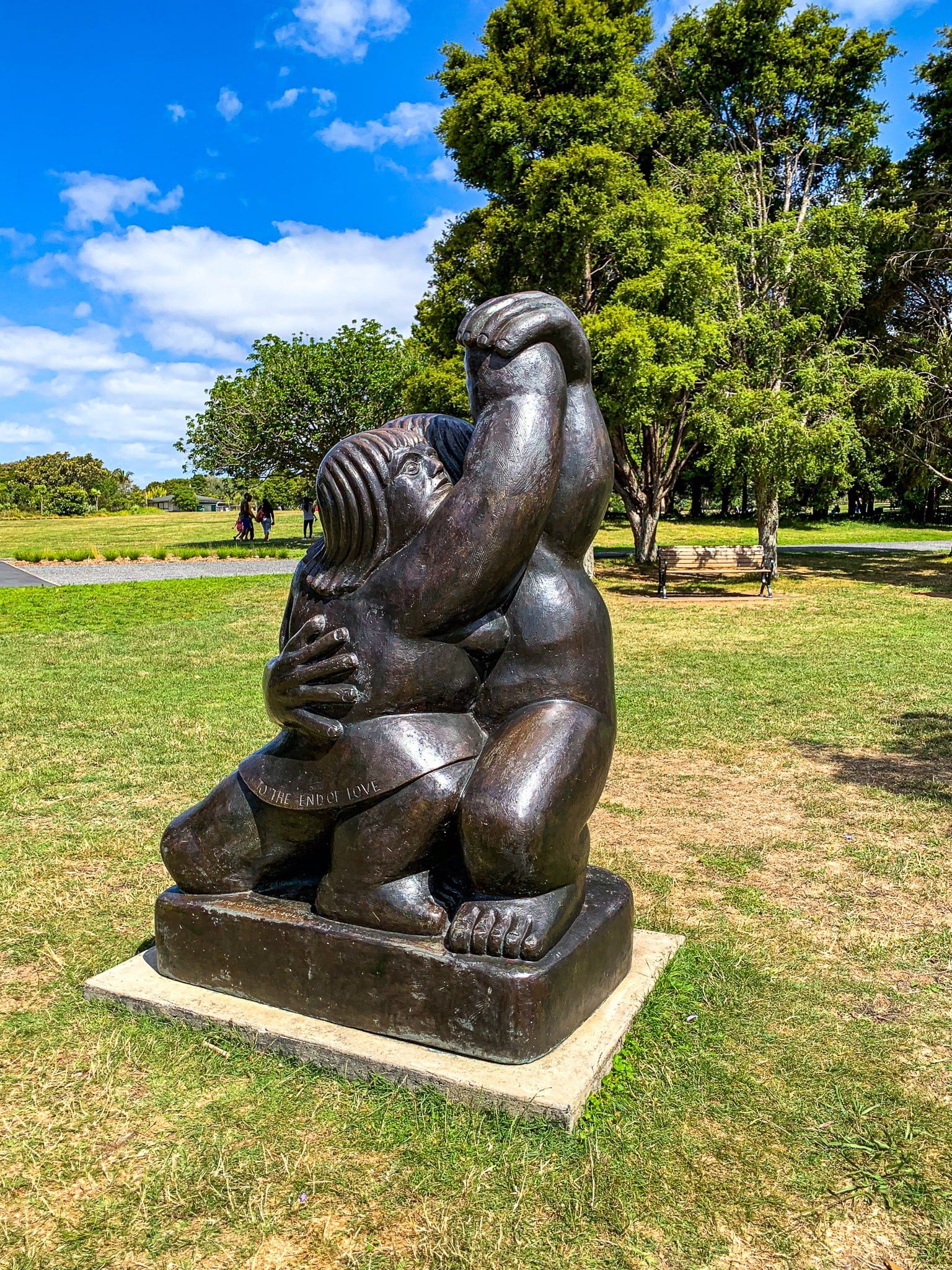
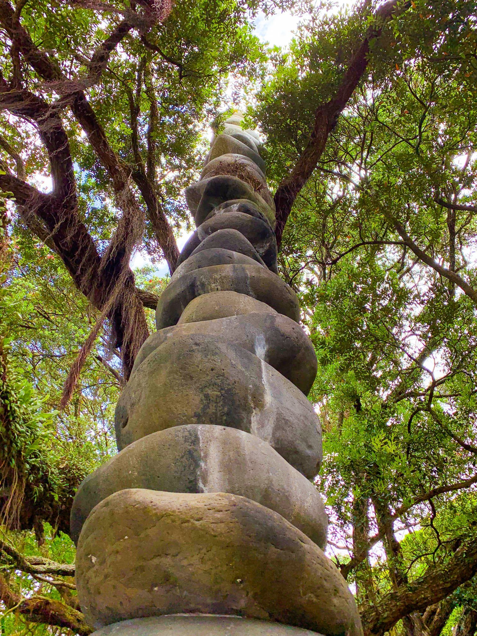
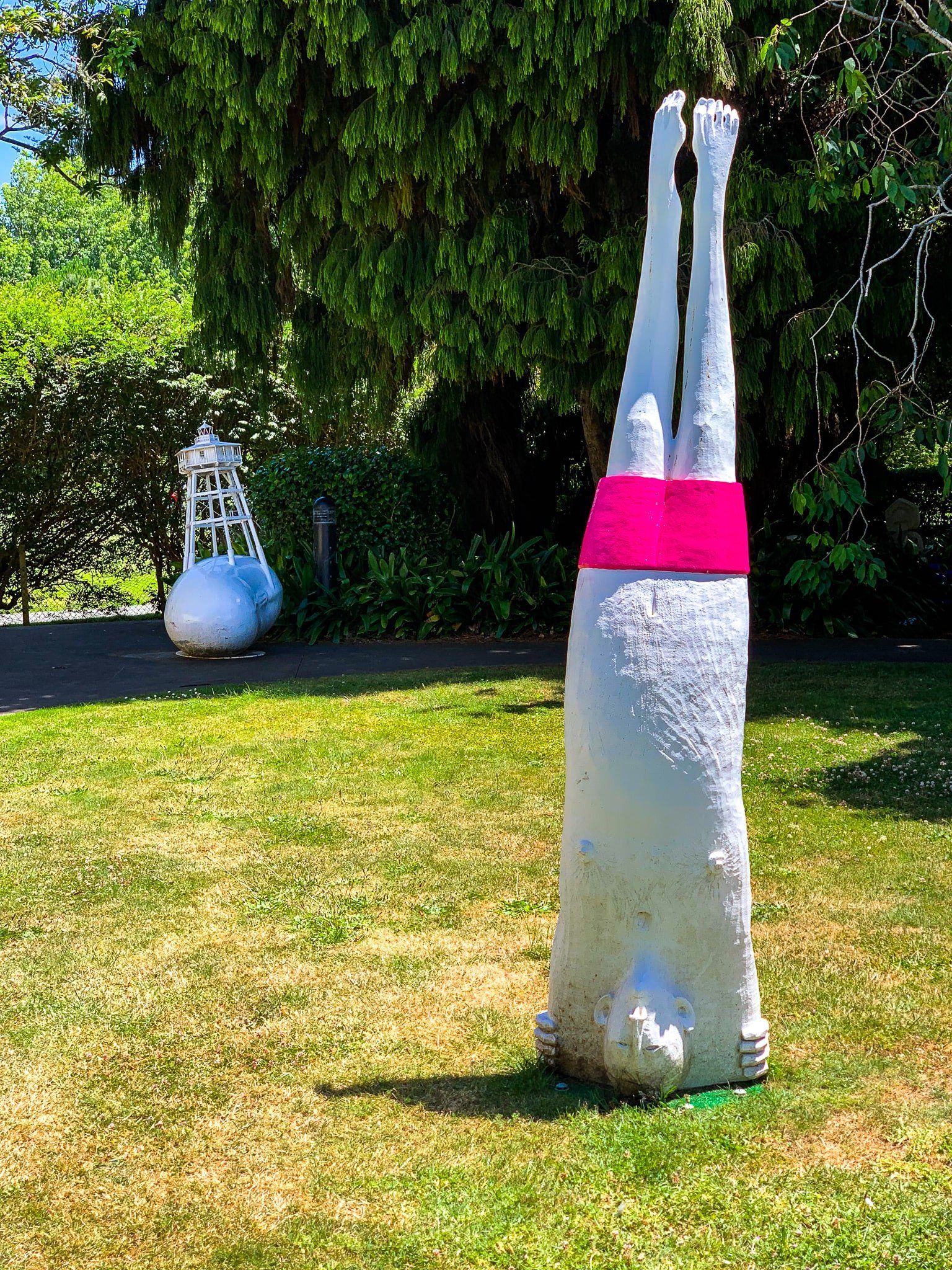
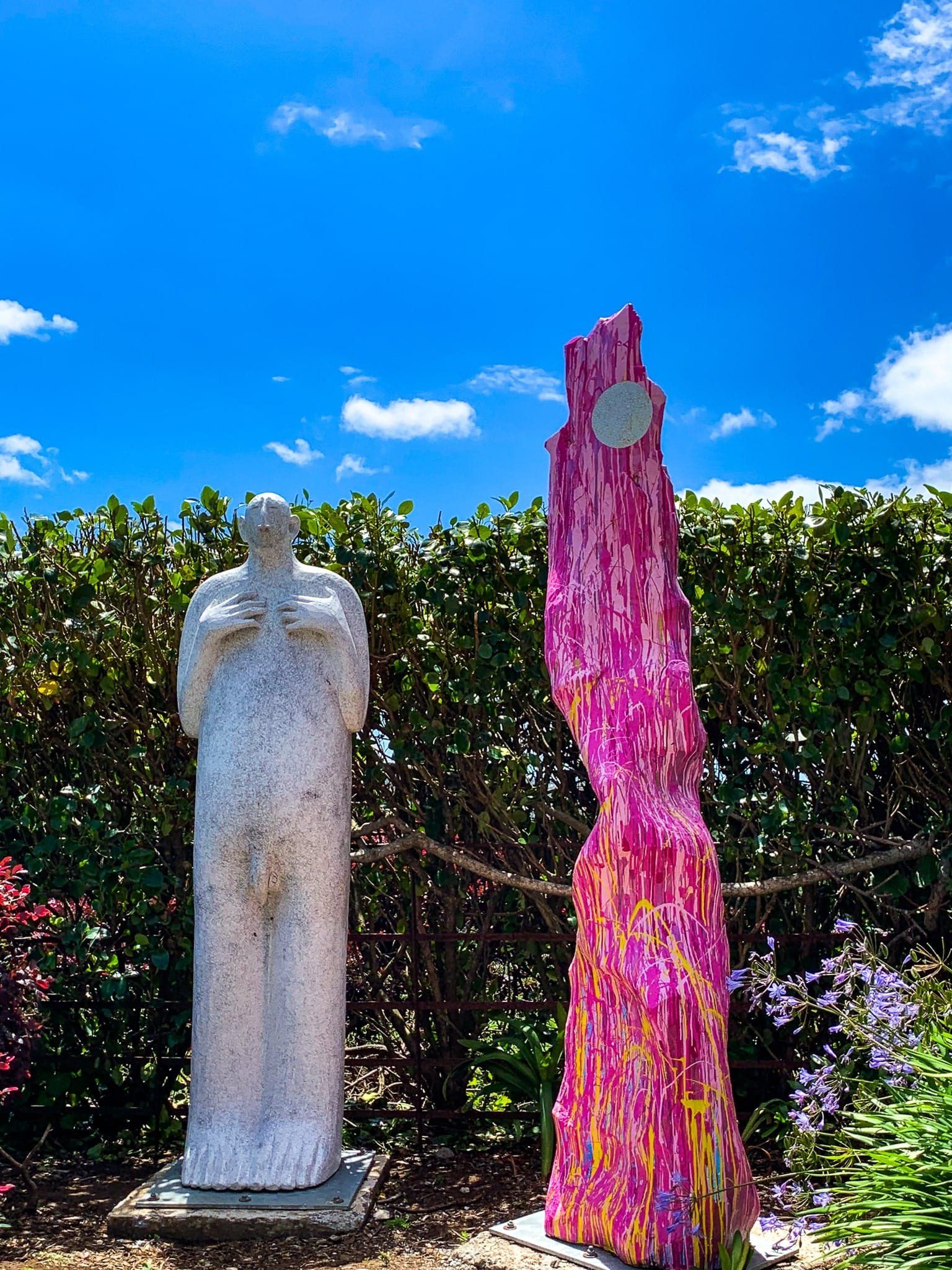
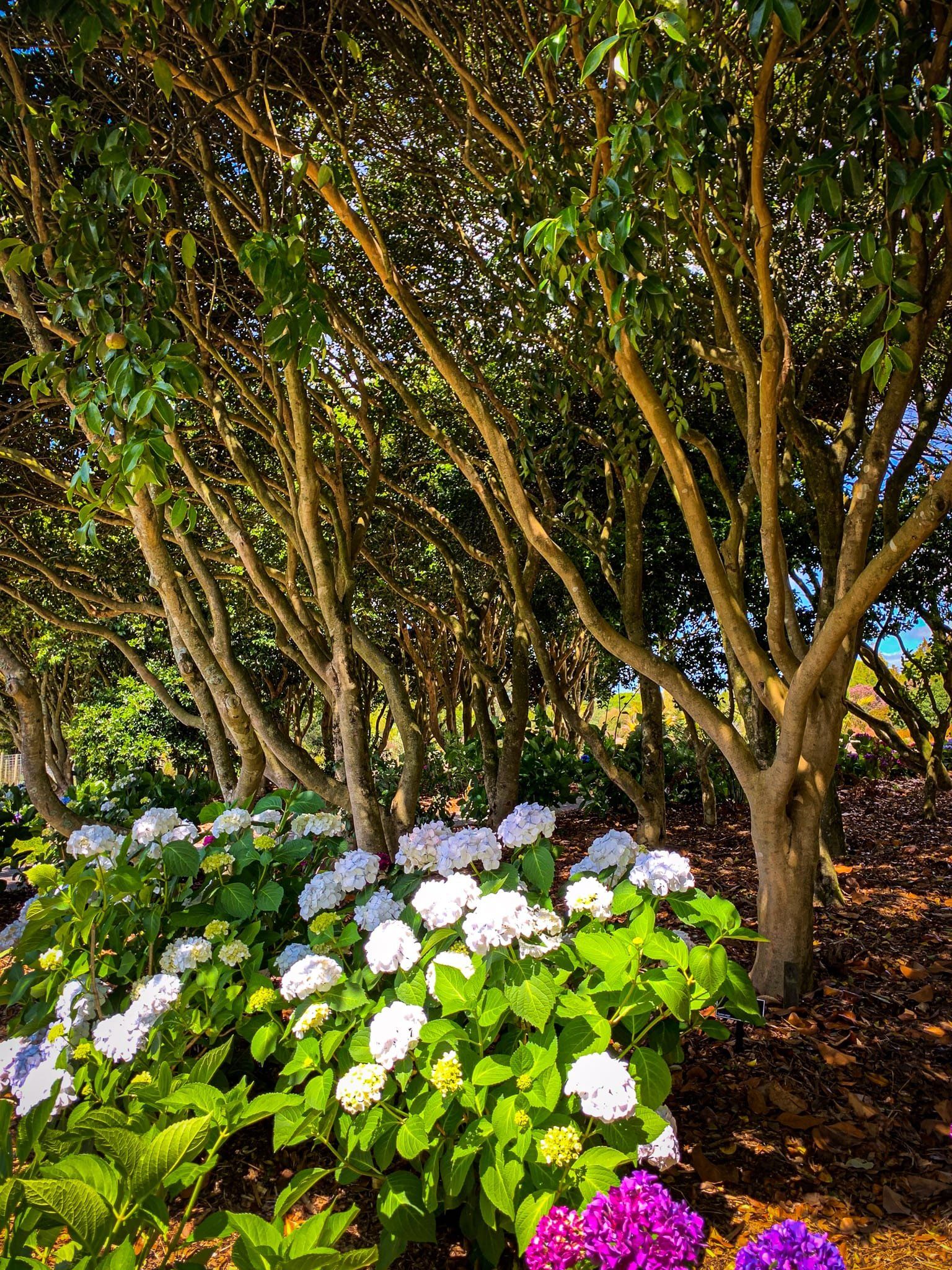
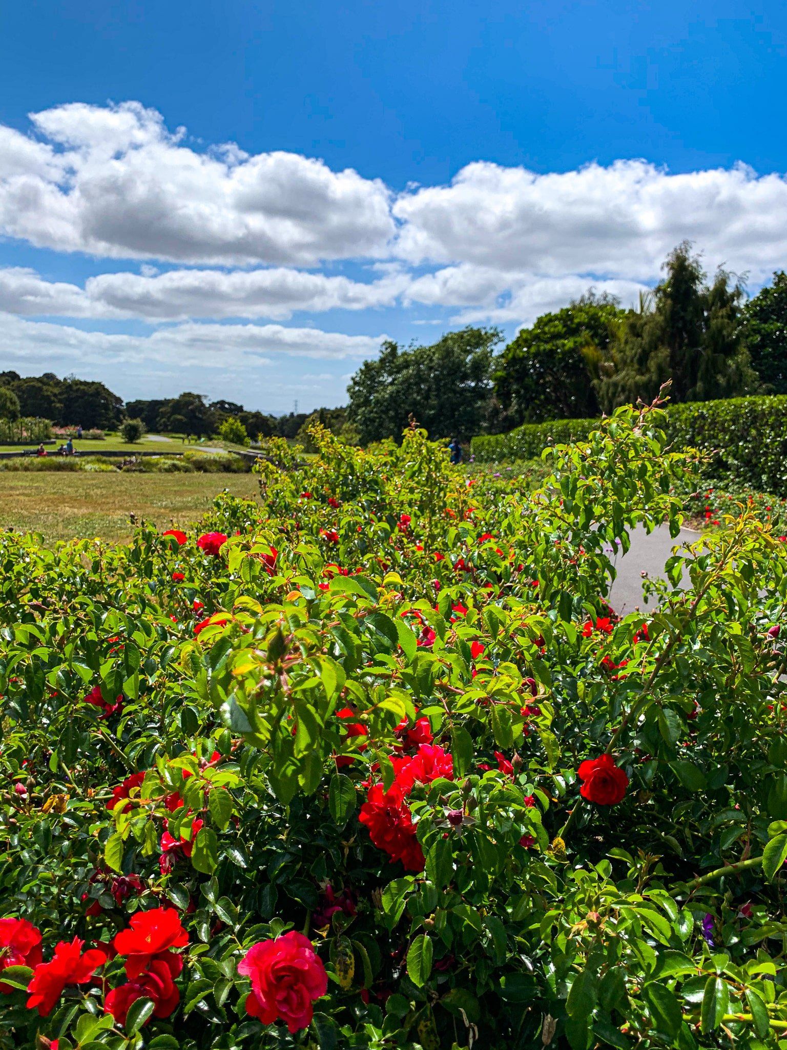
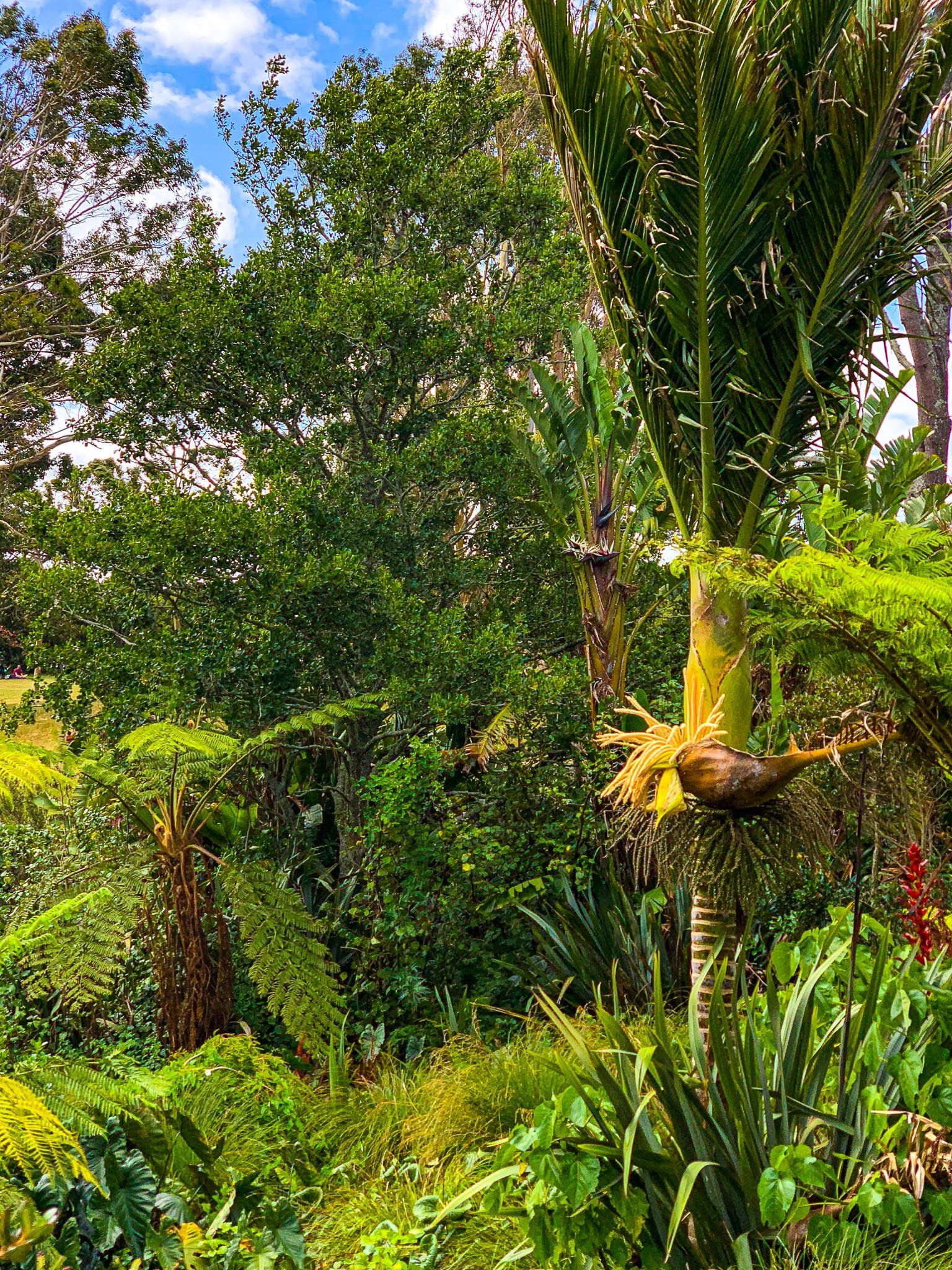
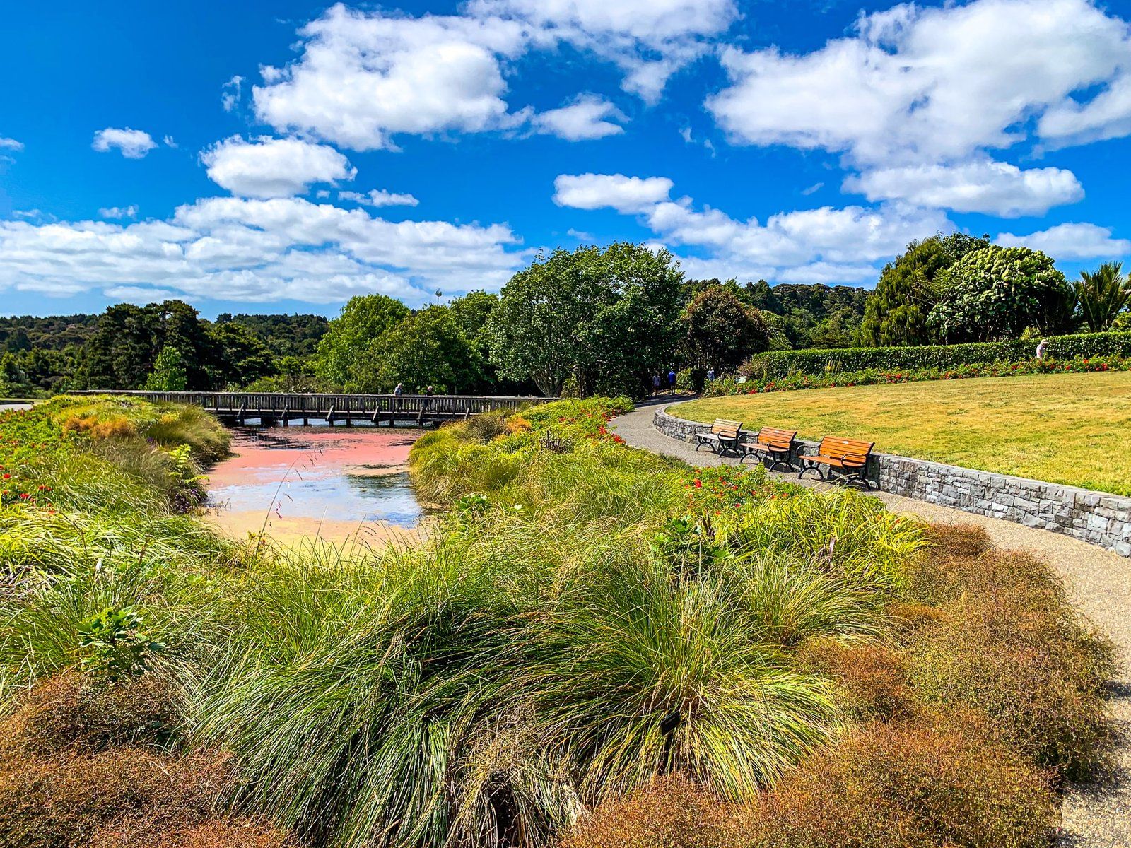
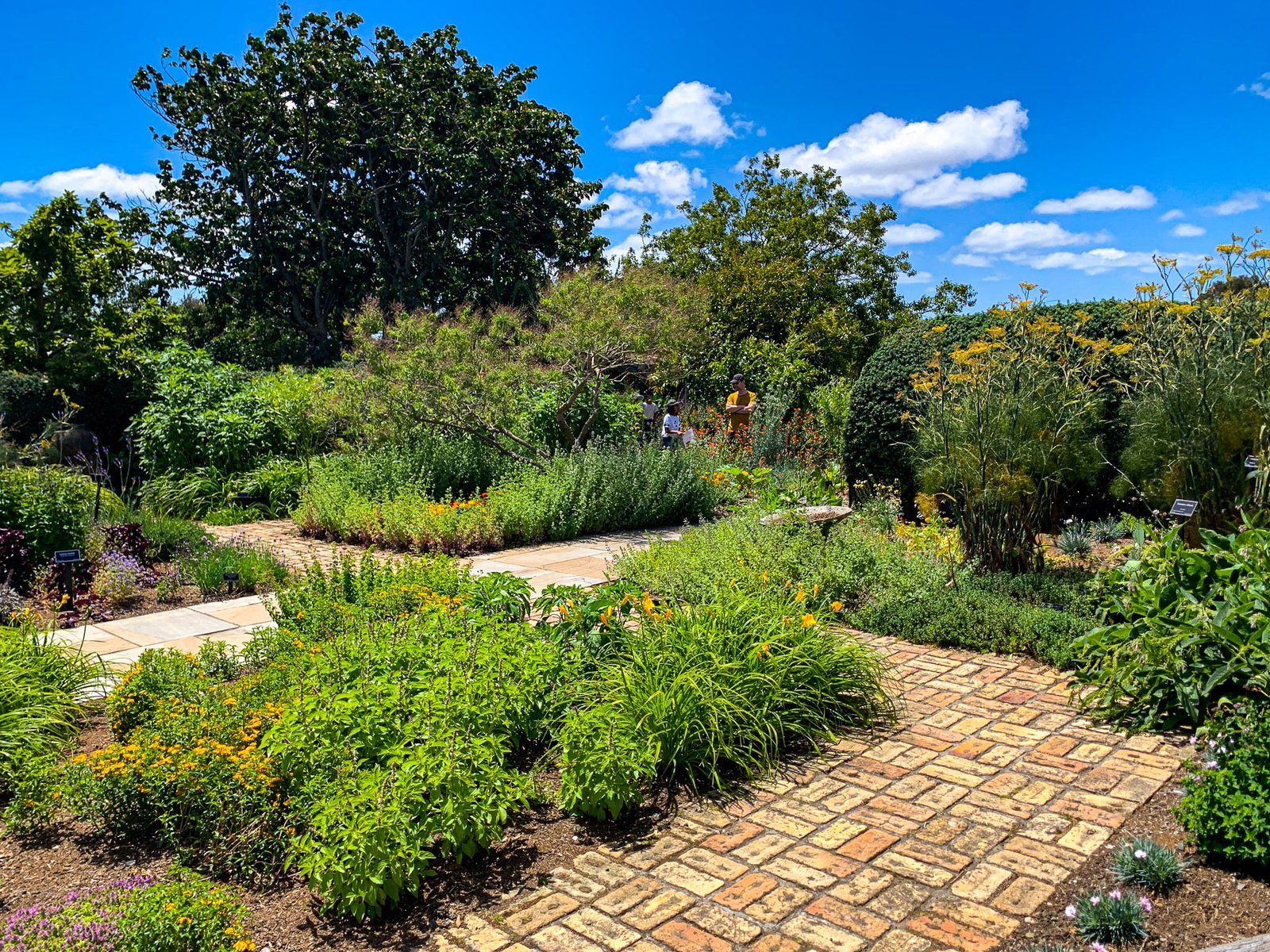
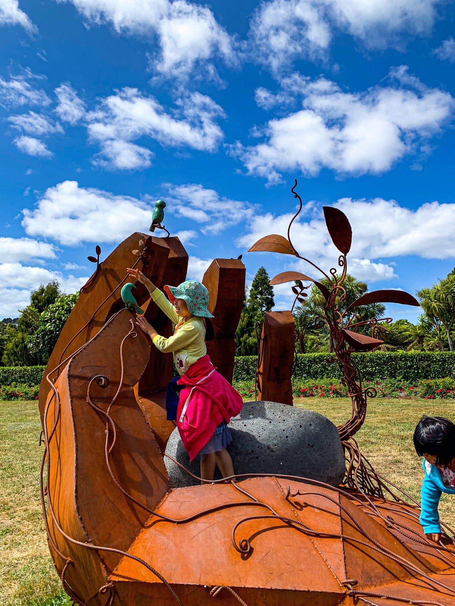
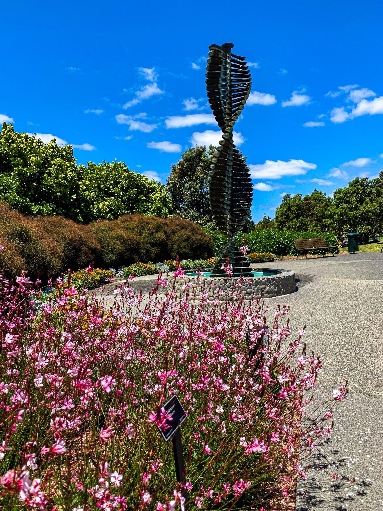
Since then, there have been many improvements, and the Gardens have succeeded. There are numerous interesting and walkable plantings, from natives to unusual exotics. Rare and endangered plants are a particular focus. The Gardens have also developed as a sculpture park, with sculptures scattered around much of the area. The entrance building is also spectacular and has a good cafe. We may be slow, but we get there in the end!
The main entrance is signposted on the Southern Motorway. Take the Hill Road off-ramp heading south and head north on Hill Road. The entrance is almost immediately on the left. Avoid fine weekends and school holidays – the gardens get about one million visitors yearly.
Want more Trip Ideas for Auckland Tāmaki Makaurau?
Check out our blogs on Tāwharanui, the Parks and Trails of South Auckland, and South Auckland’s Waterfalls.
