
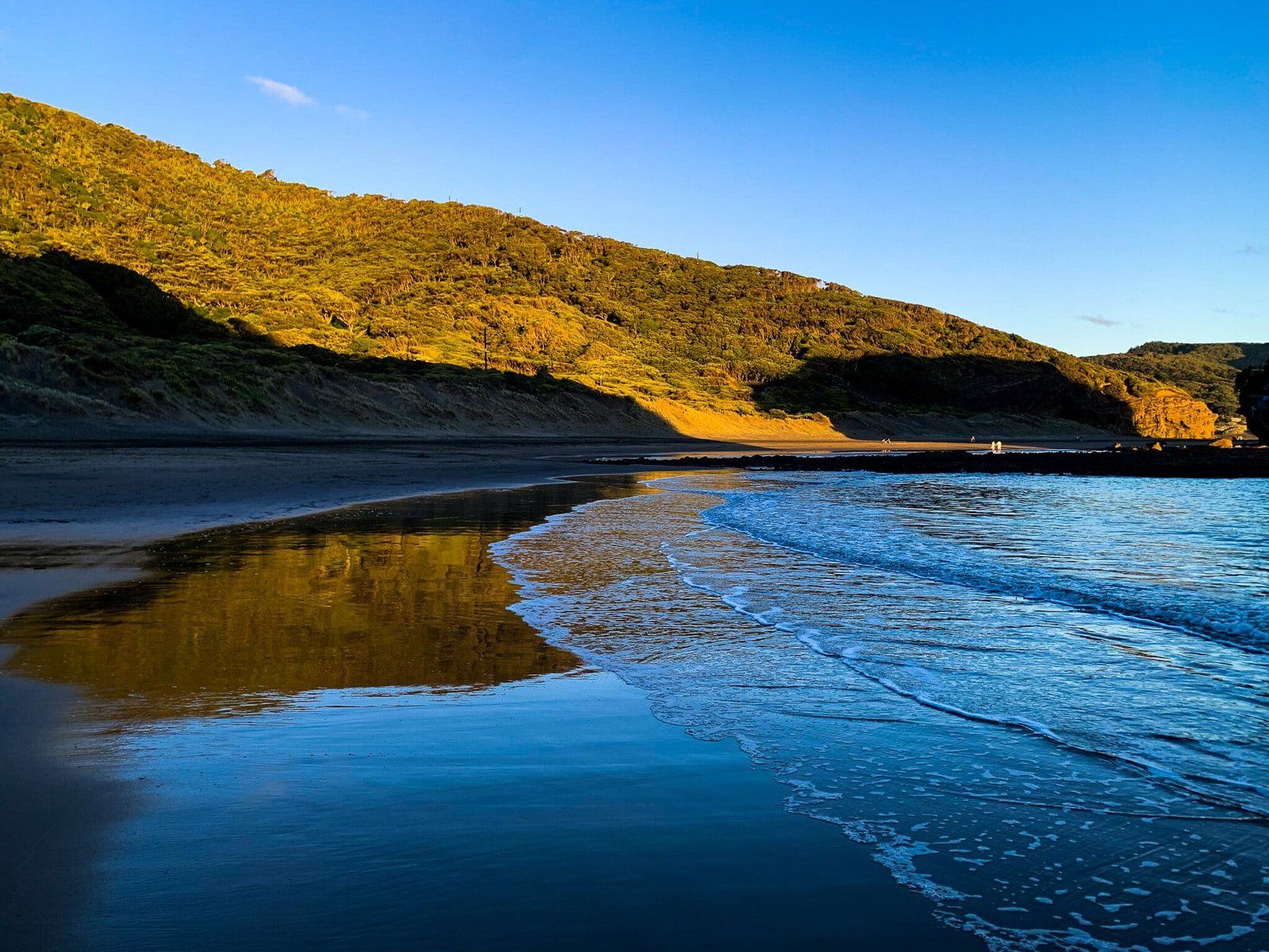
Te Henga on Auckland’s west coast is best known for its long, black-sand surf beach. It is popular with locals, with a modest number of houses set well back from the beach.
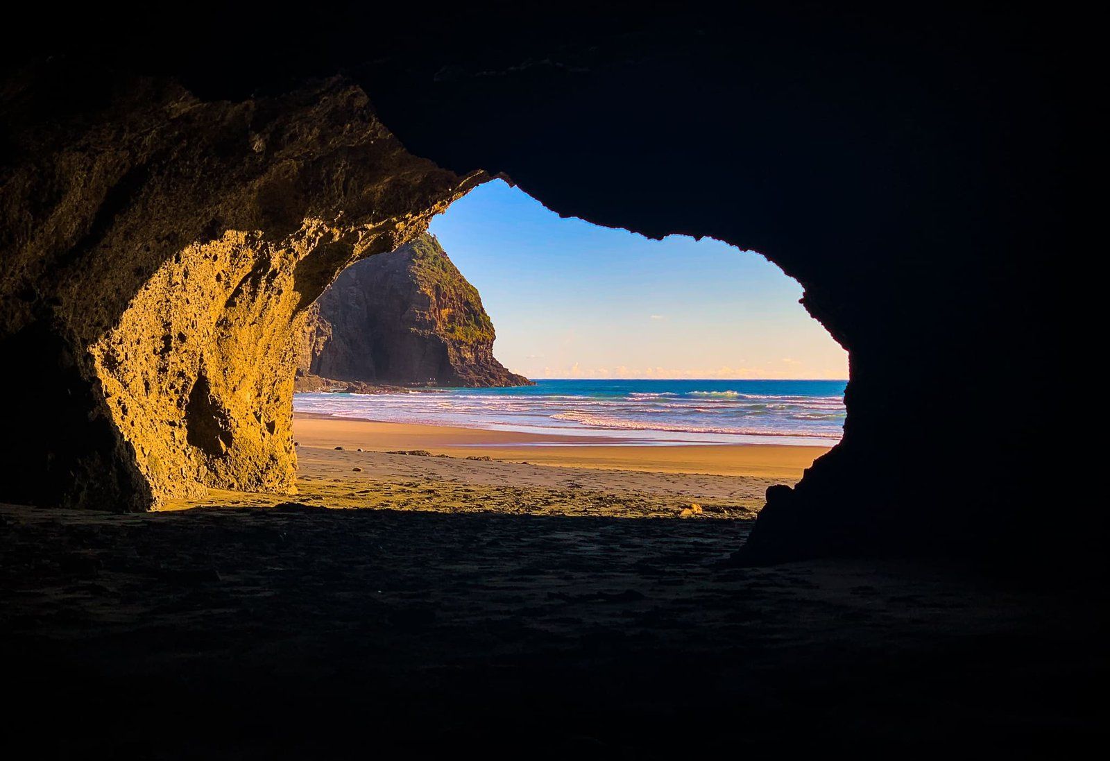
The beach is scenic and has patrolled swimming, but once you reach the shore, there is a lot more to explore. You can walk south to the large well-known sea cave. From there, at low tide, you can walk around rocky Raeakiaki Point to the beach below the cliffs at Wigmore Bay and then on to Momori Point. You probably won’t see anyone most days, apart from the odd surfer.
Heading north from the beach, you can cross the Waitākere River (feet wet) past Ihumoana Island to small Waitākere Bay. At low tide you can explore the lesser known caves and tunnels under Kotau Point. From there, continue up and over the sandhill behind the point to spectacular O’Neill Bay. It’s better known and more accessible than Wigmore, but there won’t be many people. It is worth taking the time at low tide to walk all the way to the end of this bay with its superb rock pools.
There is also a short track from O’Neill Bay through the dunes behind the beach to the south end of Te Henga Walkway.
Te Henga Bethells Beach
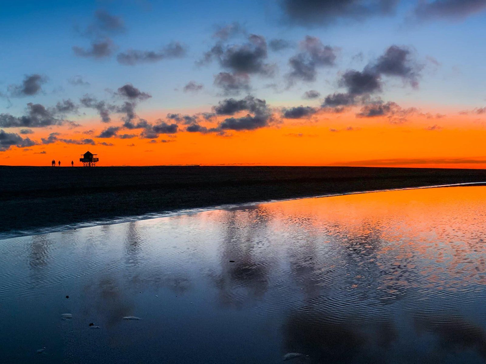
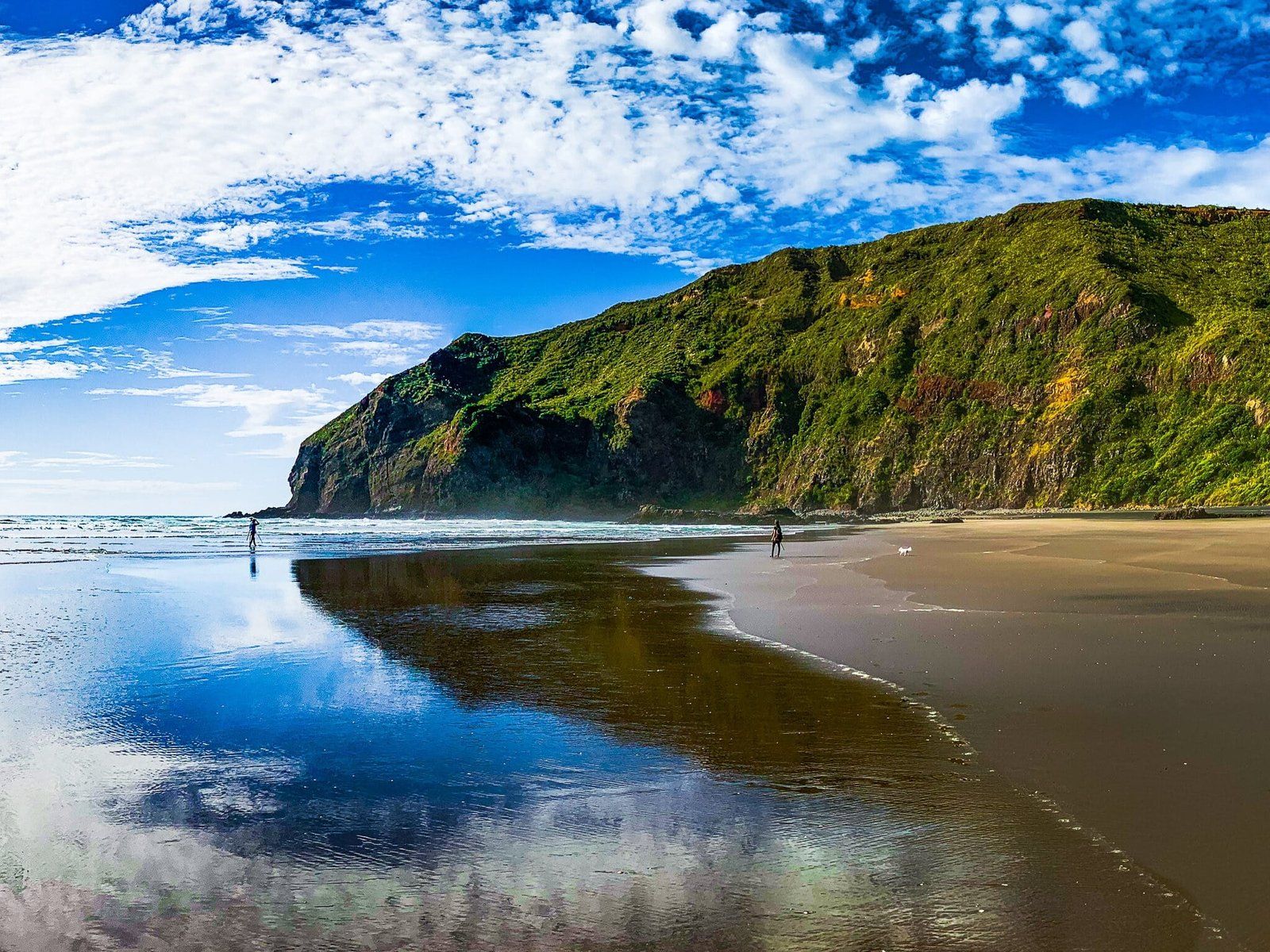
Bethells Beach Te Henga is a wide and long beach. Access is along Bethells Road from the northwest end of Scenic Drive. There is a reasonable amount of accommodation around Te Henga but no camping.
From the carpark at the end of Bethells Road, it’s about a 500 metre walk alongside the Waitākere River outlet to reach the beach, which makes it a bit less busy than the more accessible Piha and Muriwai Beaches. Services are also more limited, with just a (good) caravan shop and cafe at the end of the car park.
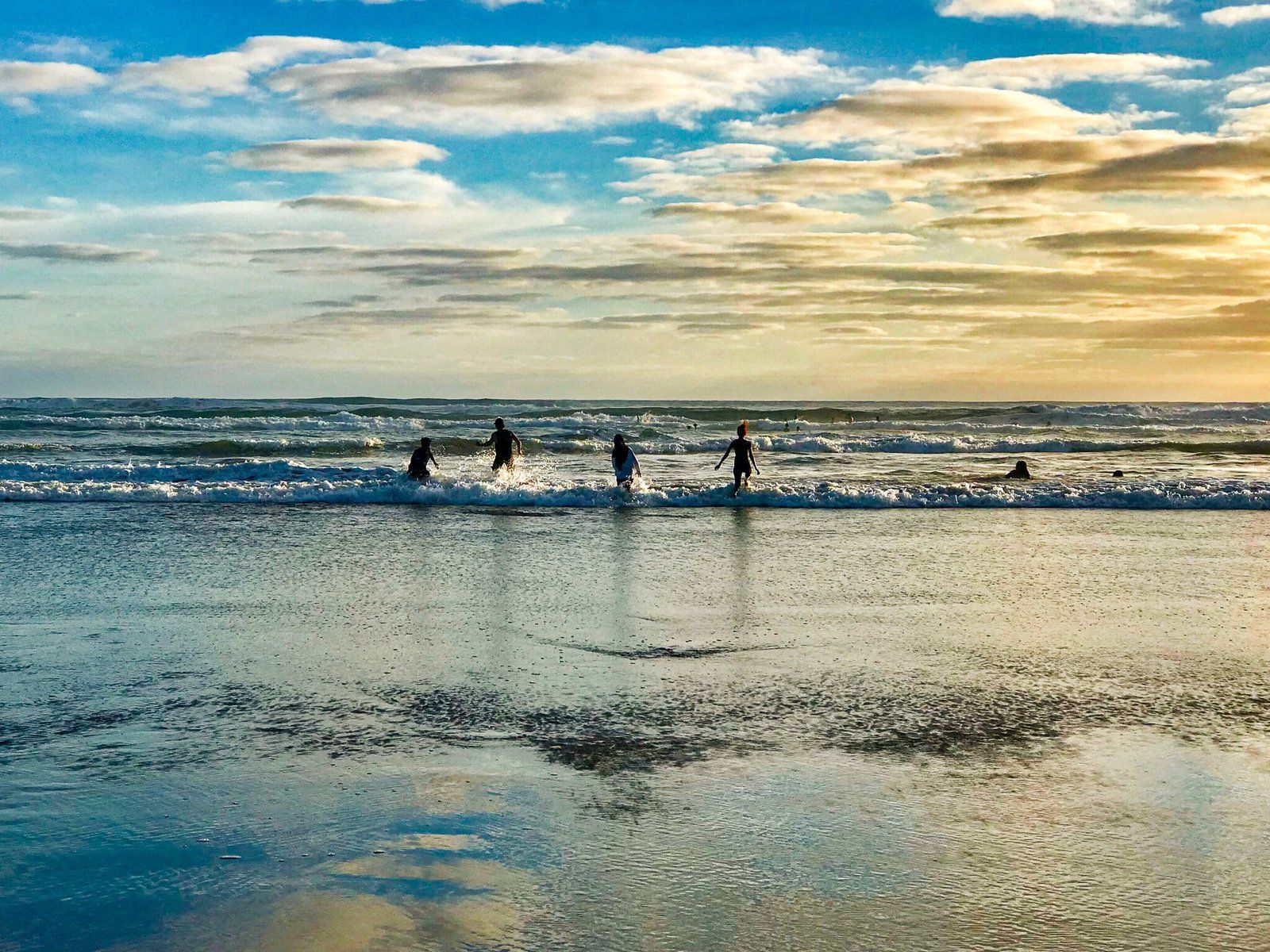
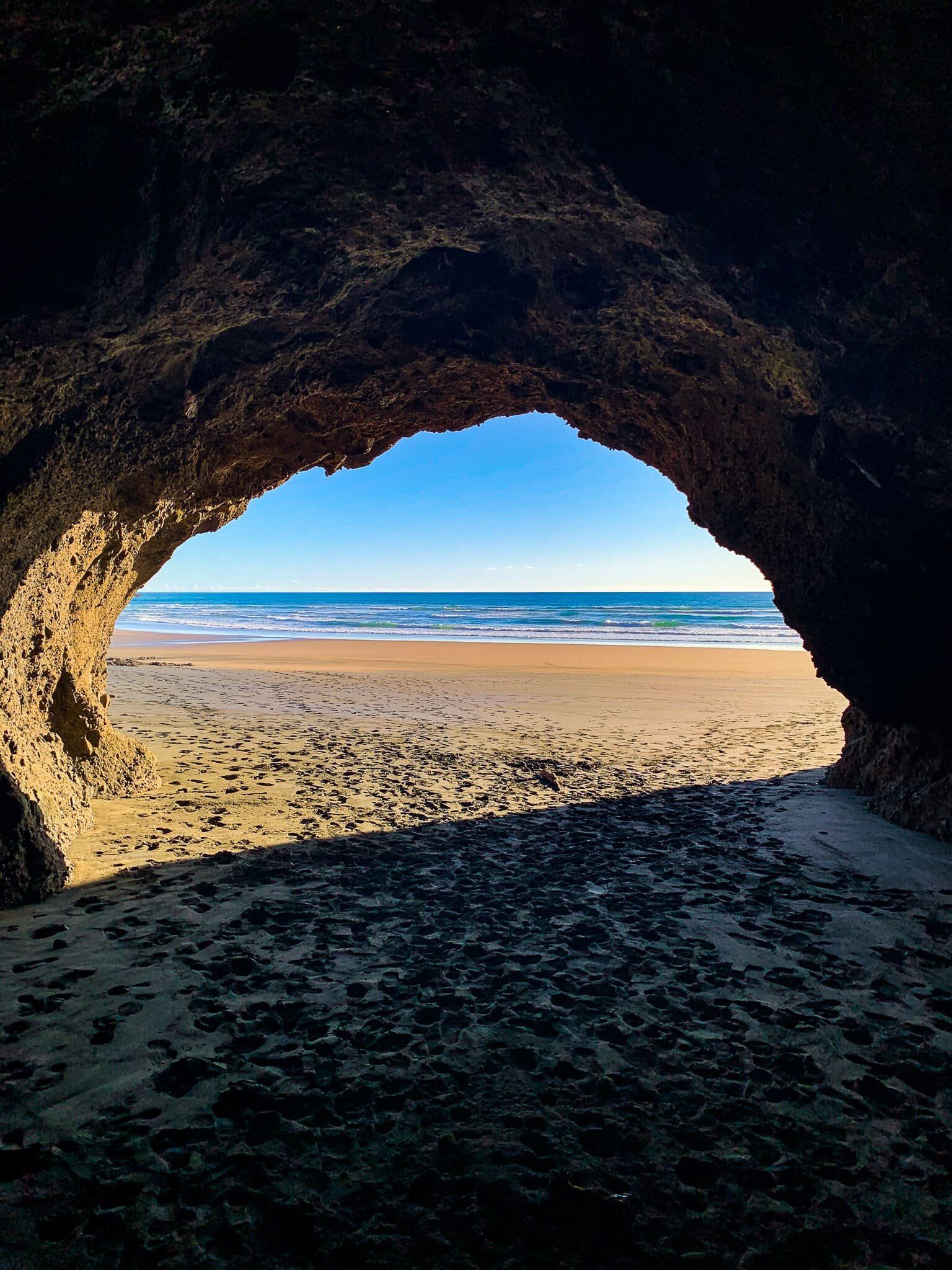
There is patrolled swimming immediately to the south of the Waitākere River outlet to the sea. At the south end of the beach is a large sea cave and the north end has access to some more interesting walking and exploration options.
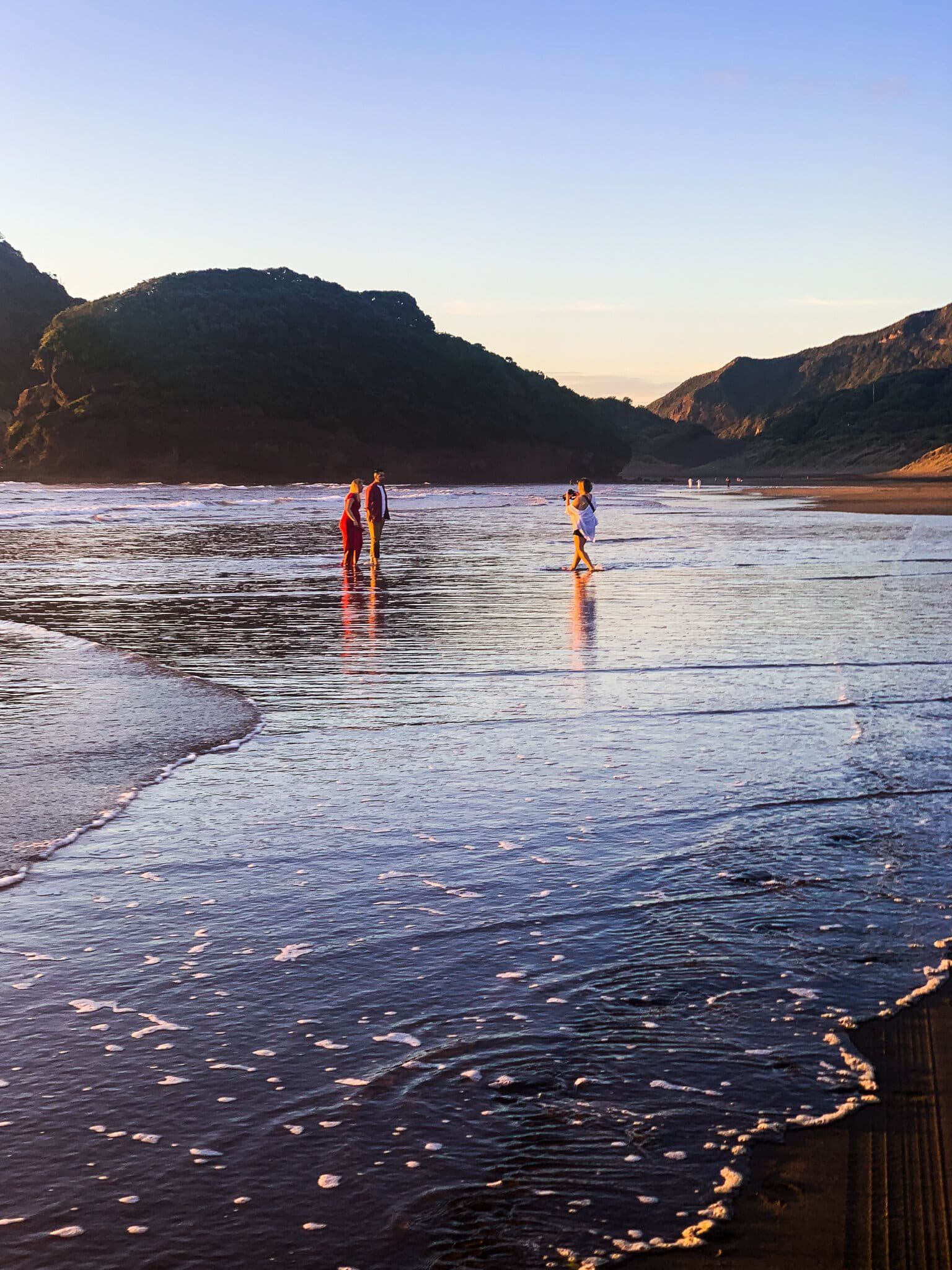
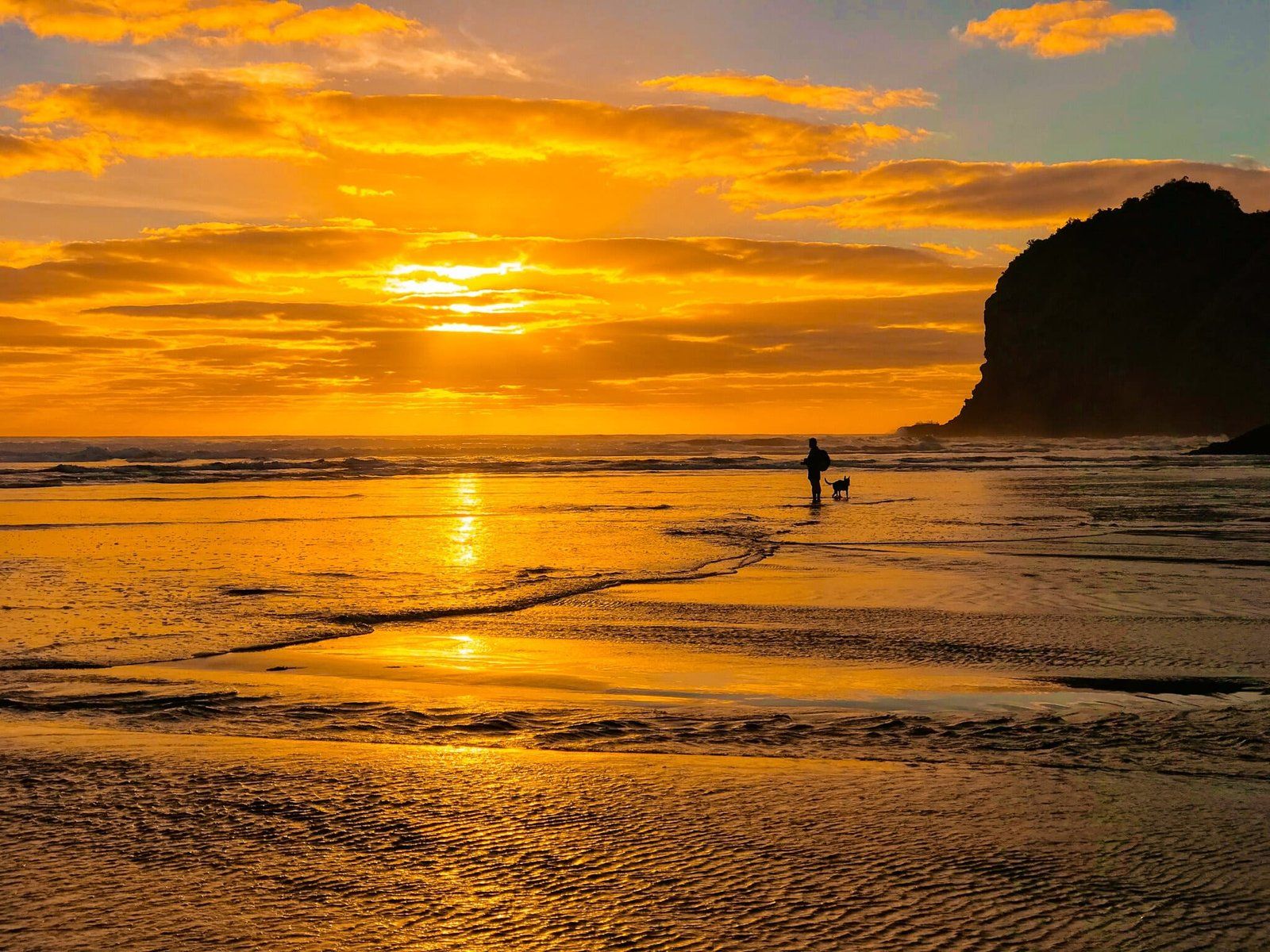
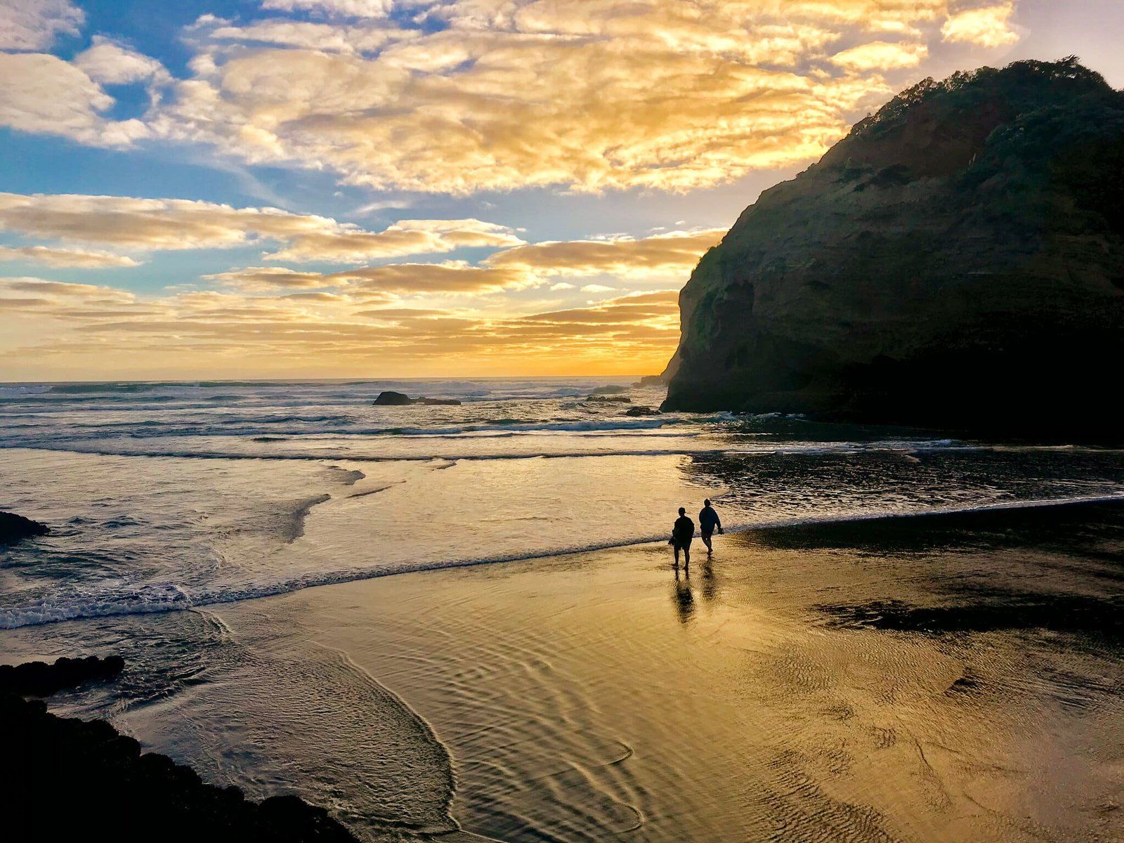
The obvious thing to do once at the beach is to go for a swim, surf or beach walk. The beach is also very photogenic, especially at golden hour, and is popular with professional wedding photographers aiming to get that perfect romantic shot.
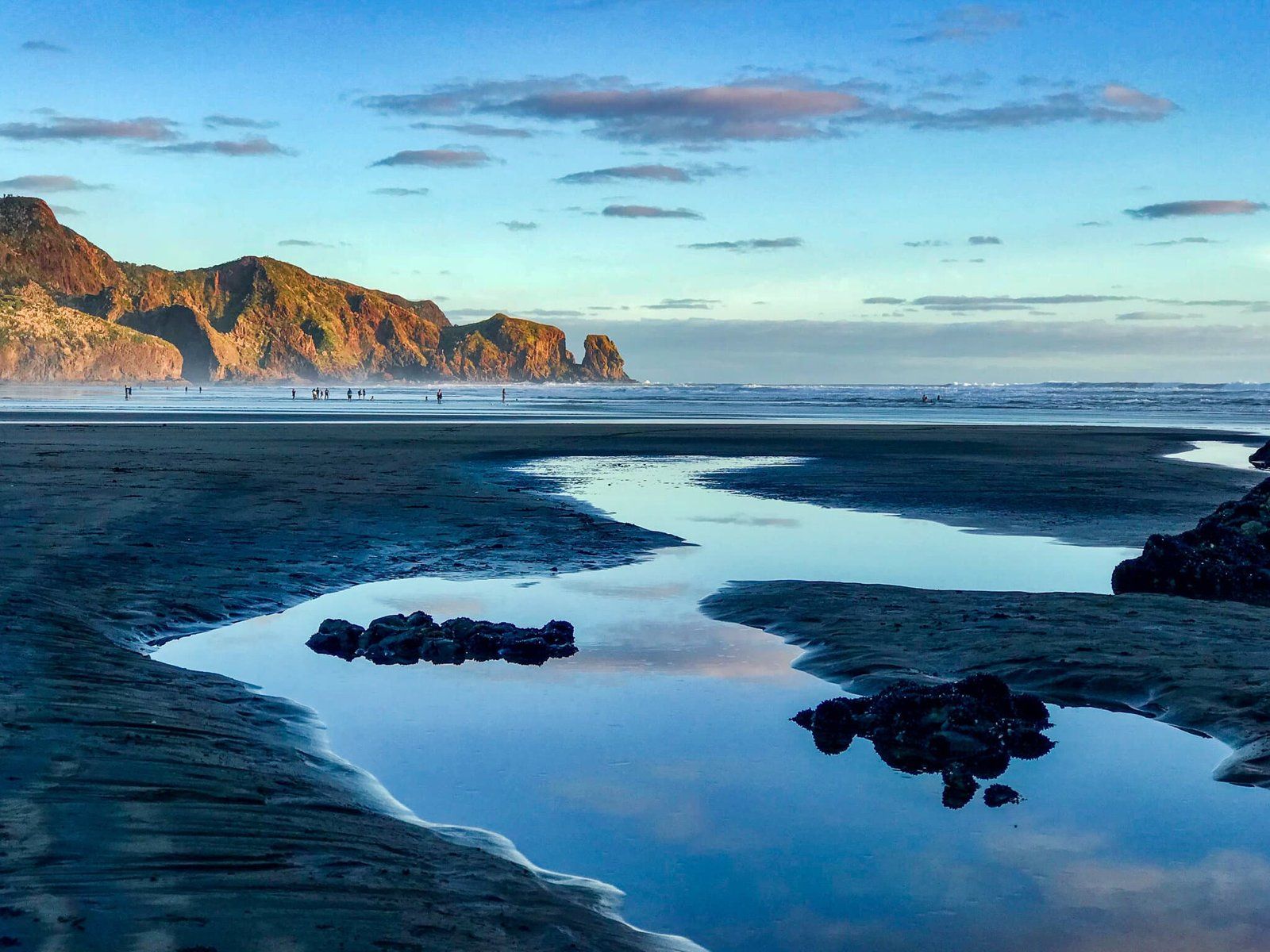
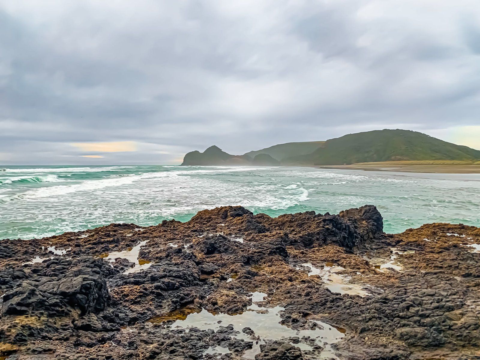
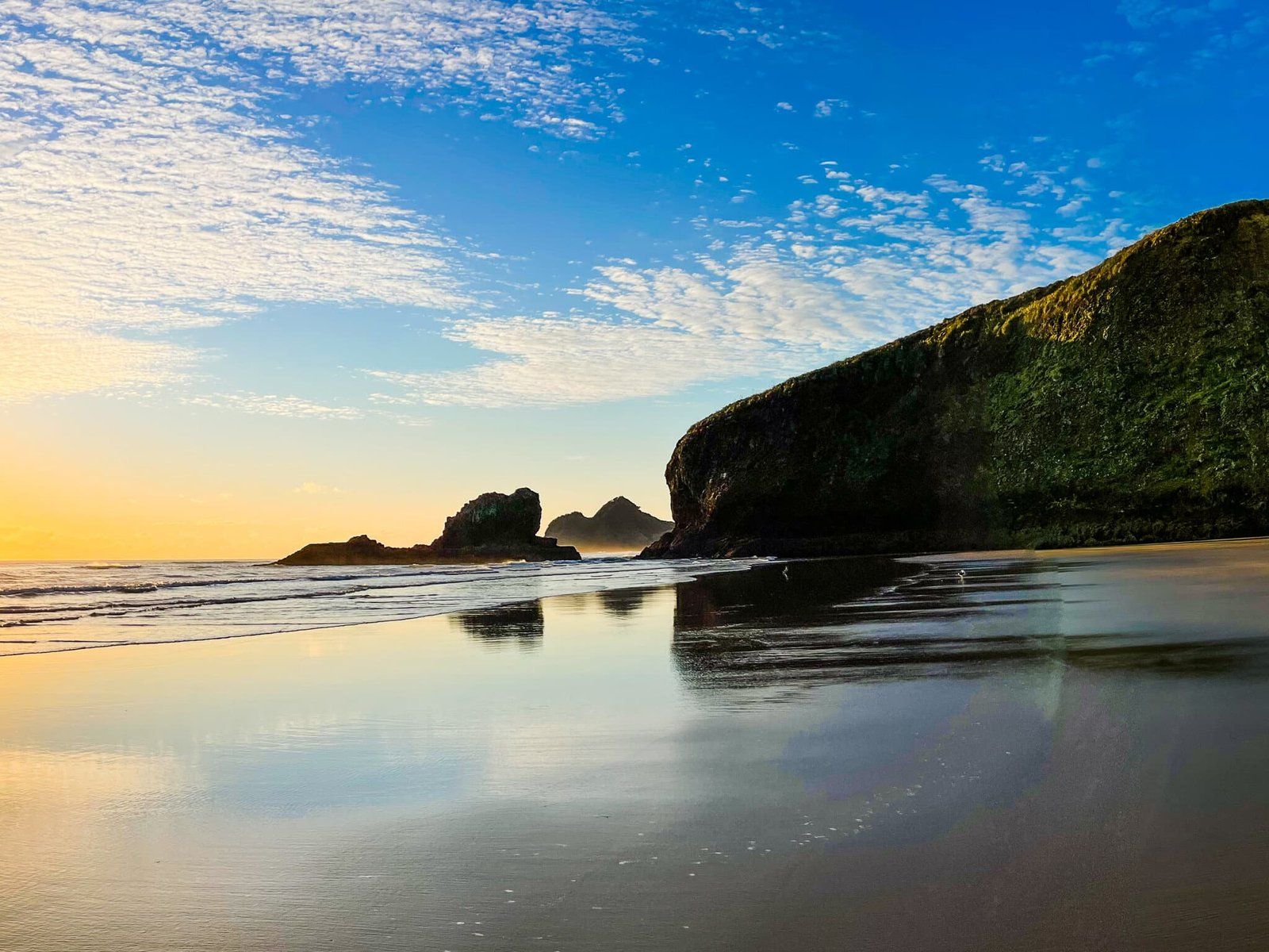
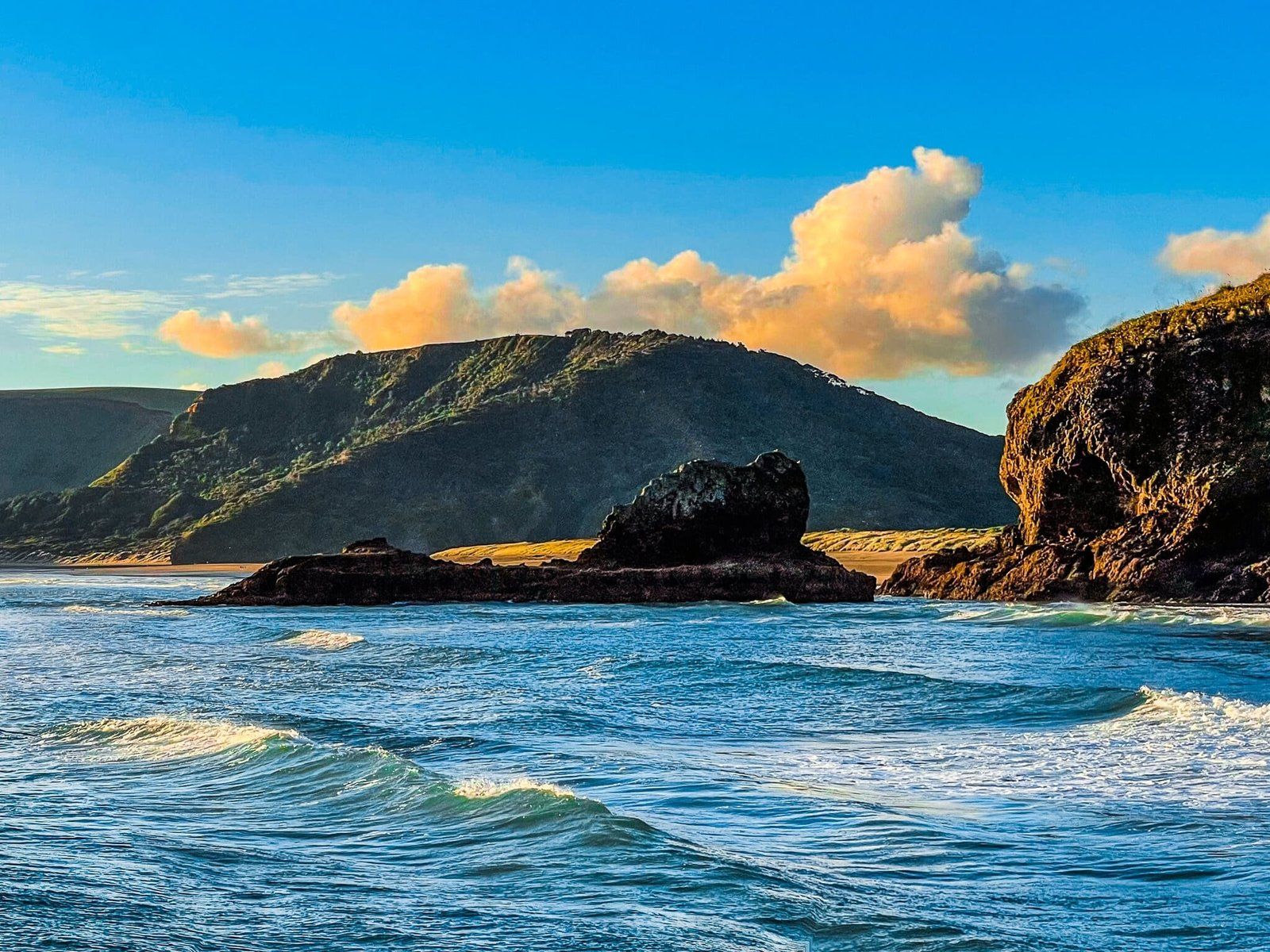
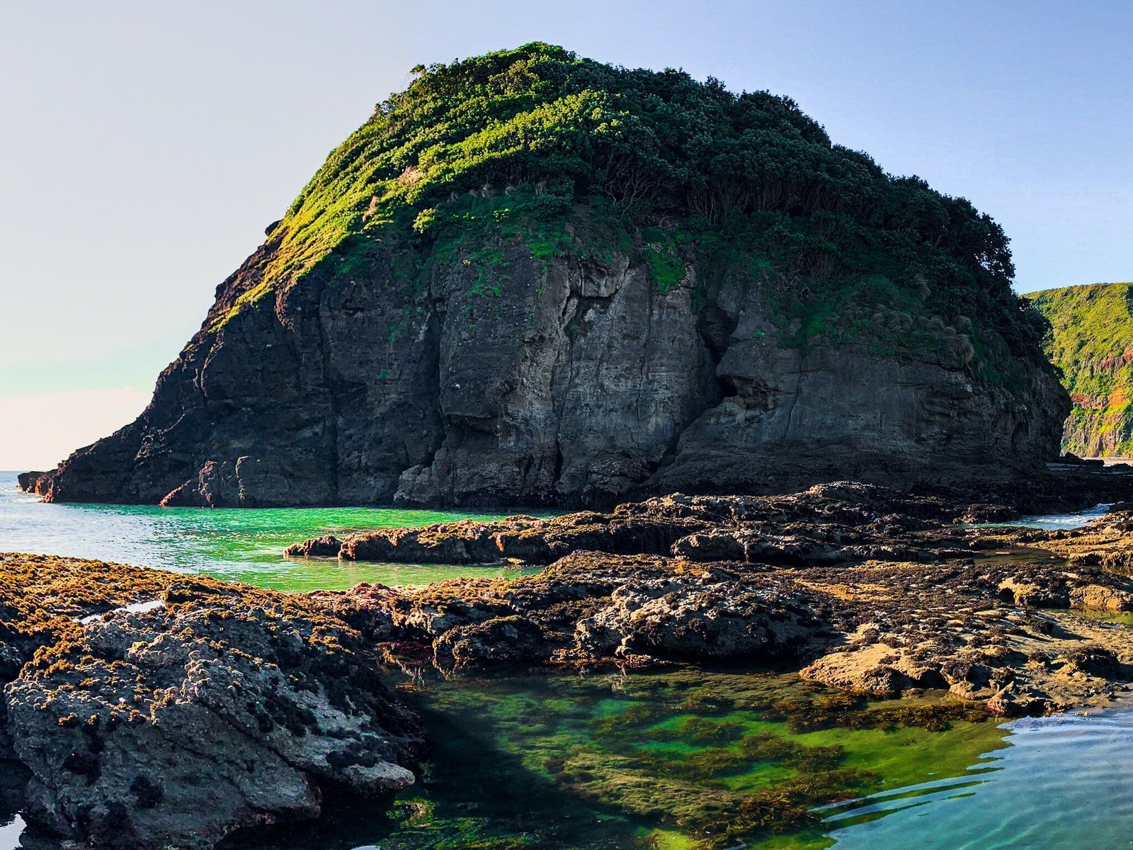
Raeakiaki Point
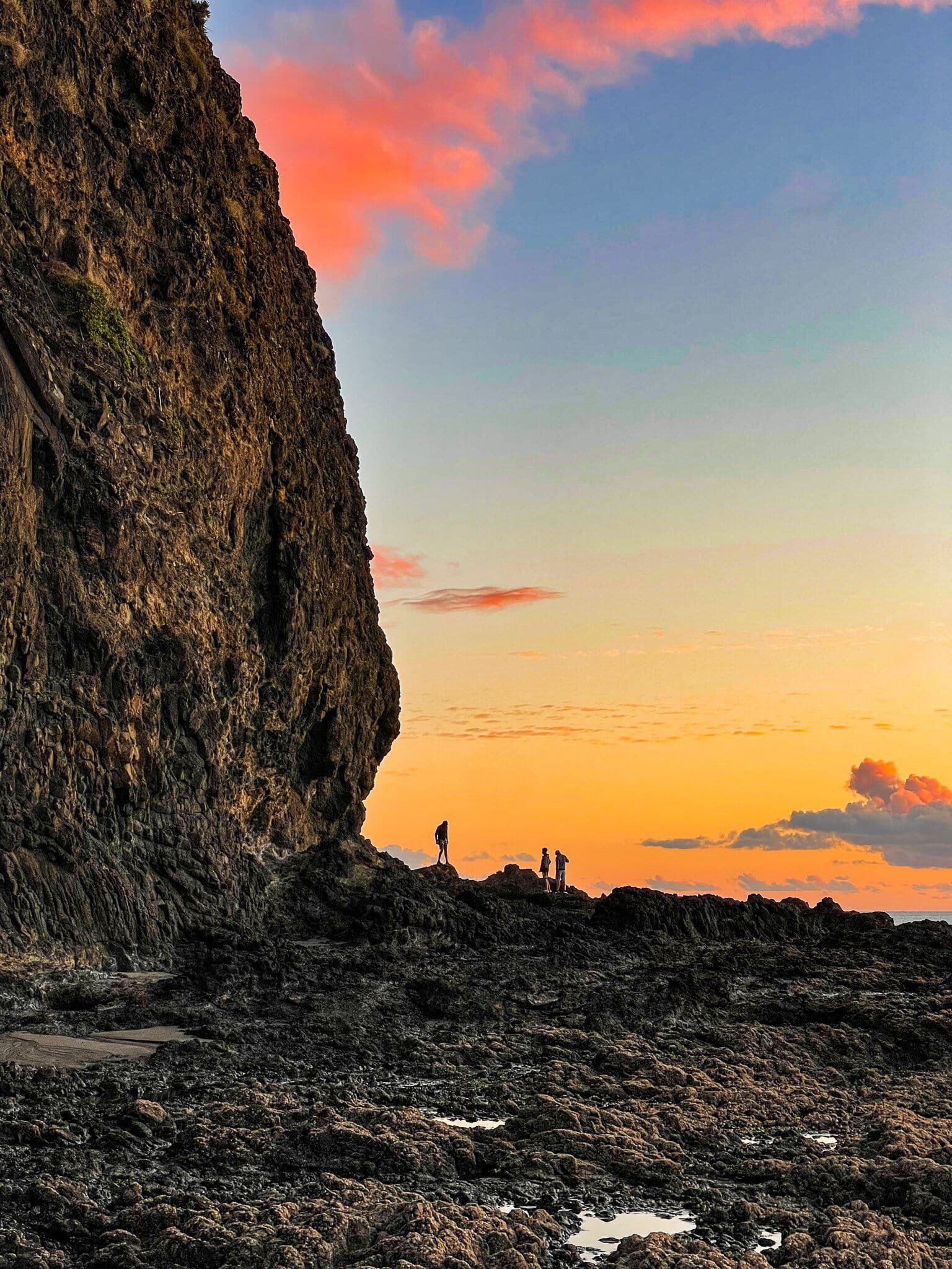
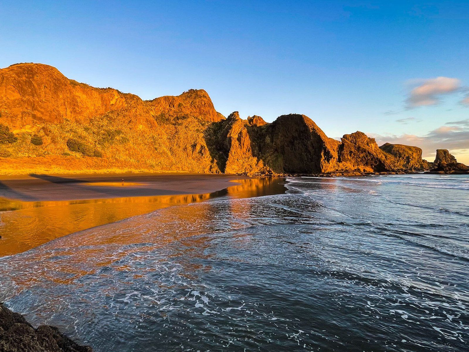
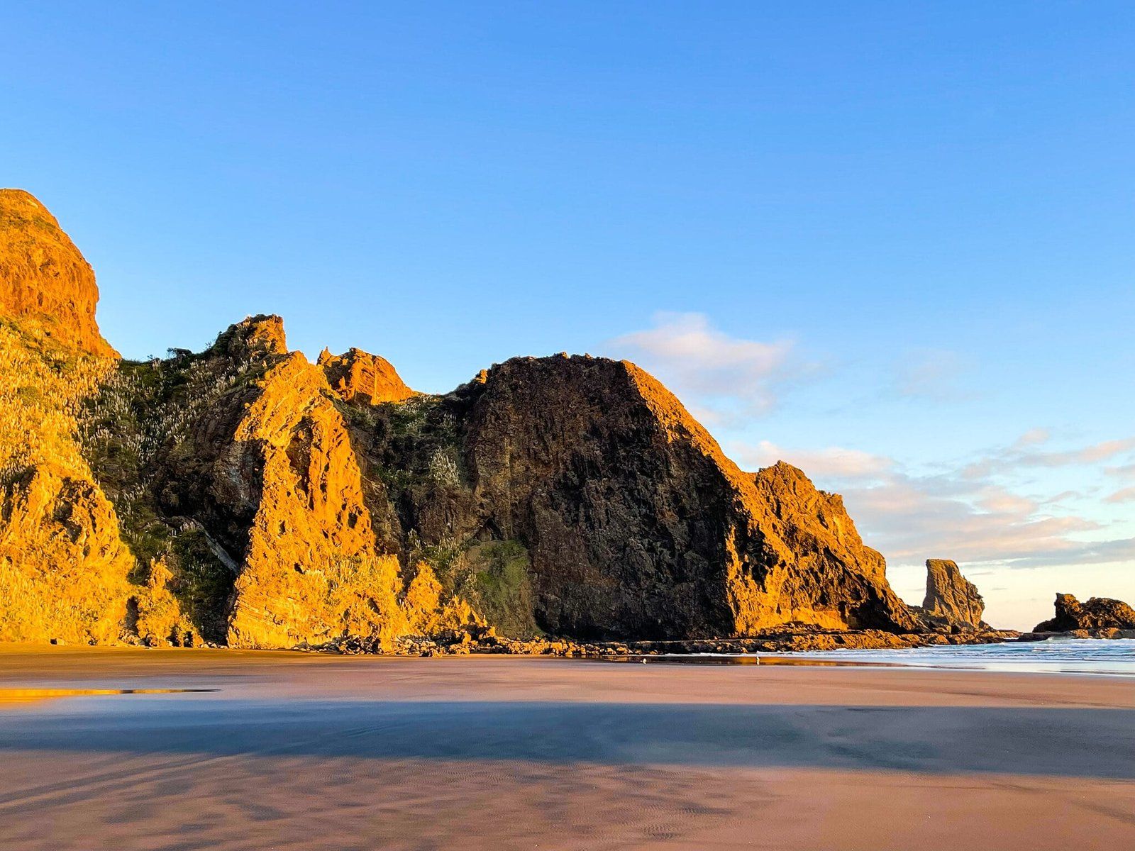
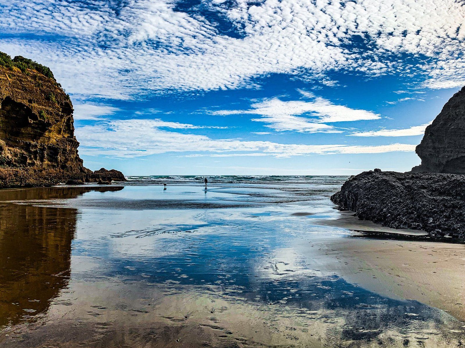
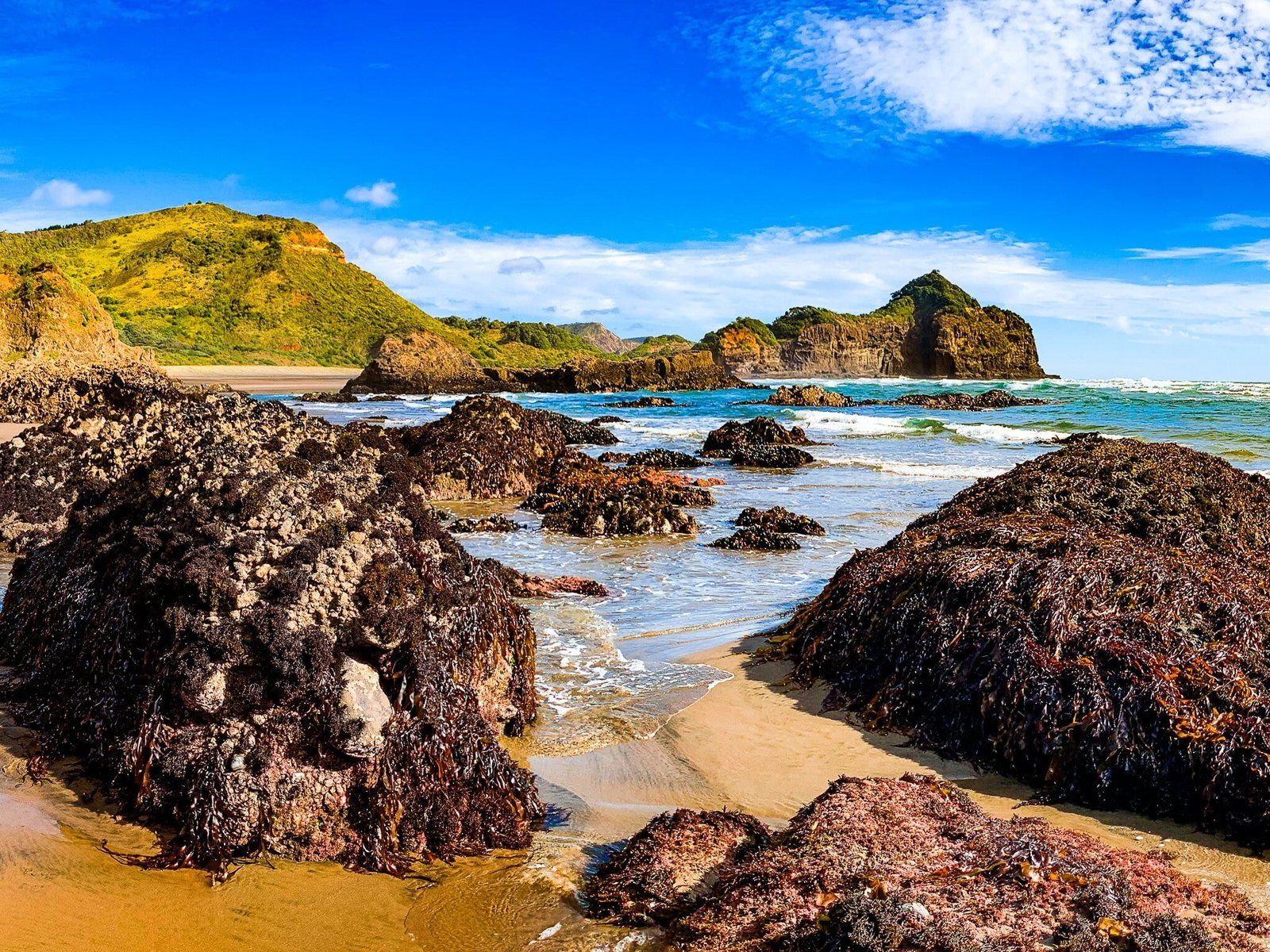
Raeakiaki Point is at the south end of Bethells Beach Te Henga and separates Bethells from Wigmore Bay. It takes about 20 minutes to walk down to the point from the surf club observation building. As the tide goes out, you can access the sea cave at the beach end of the point and then get onto the rocky platform that runs around the base of the cliff to the far side of the Point. From there it is a modest amount of clambering down the rocks to the beach at Wigmore.
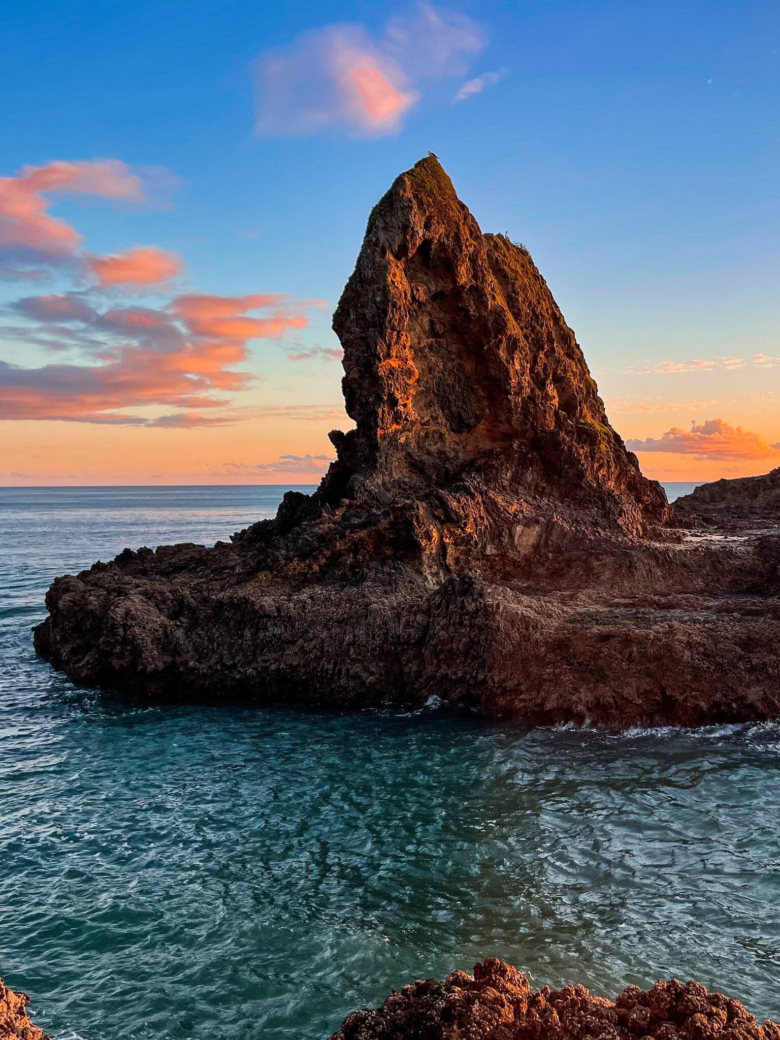
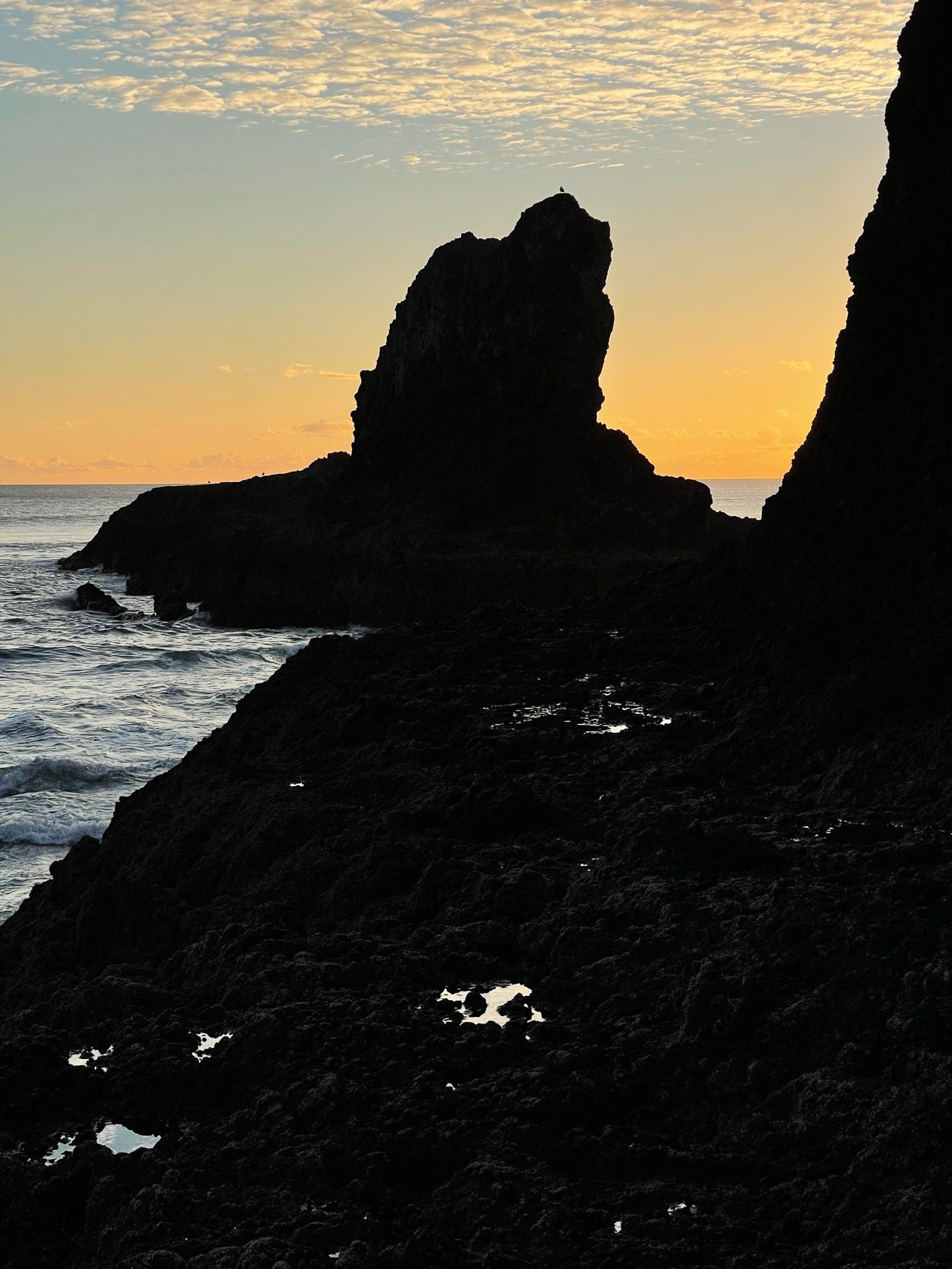
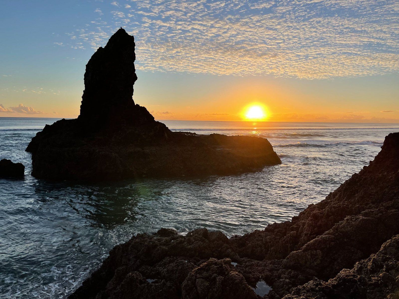
The Point is inherently interesting with rock pools and great views to the north and south. As you round the Point, there is an interesting small island with an upward-jutting rock formation that changes shape dramatically depending on the angle from which you view it.
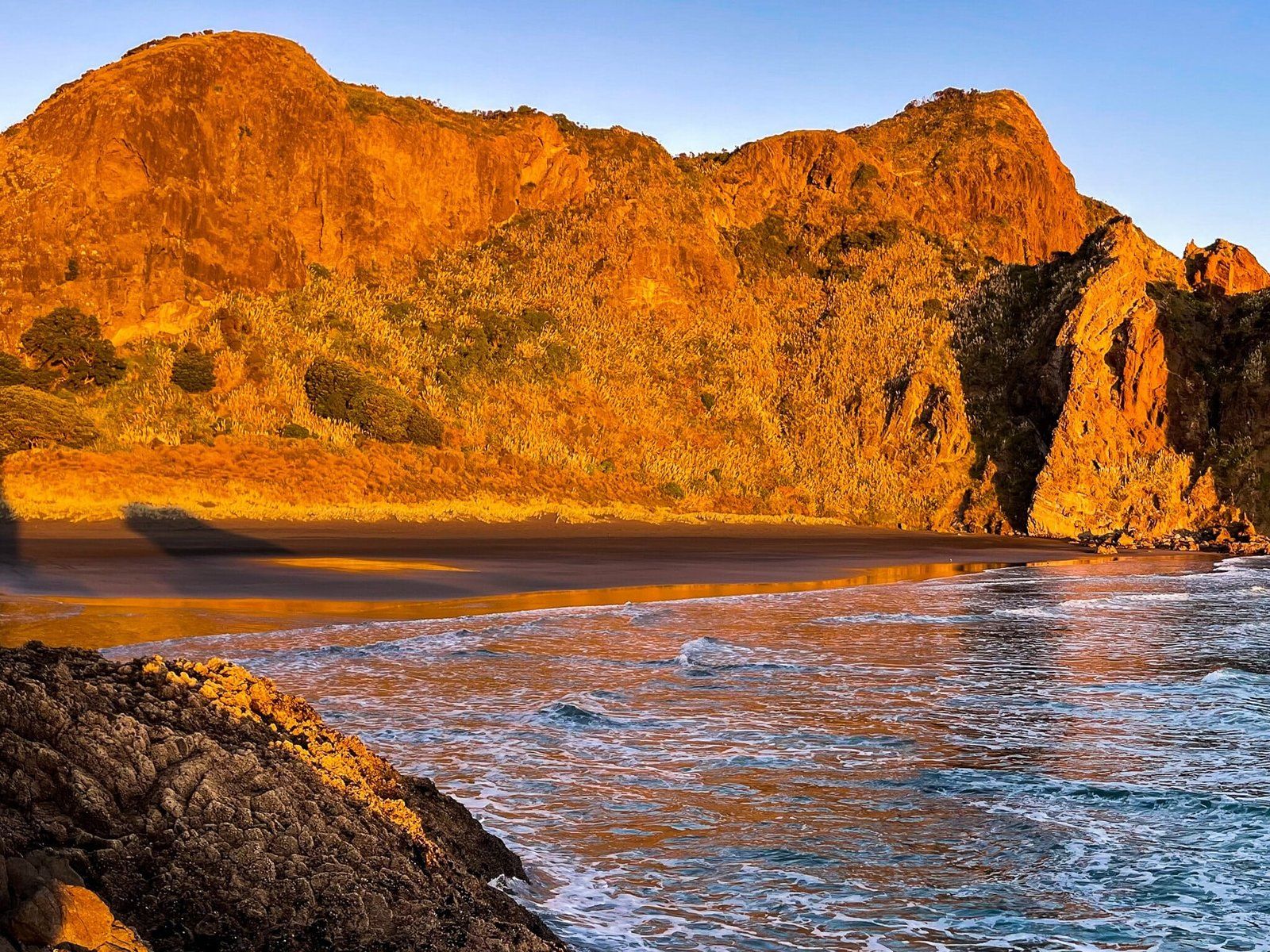
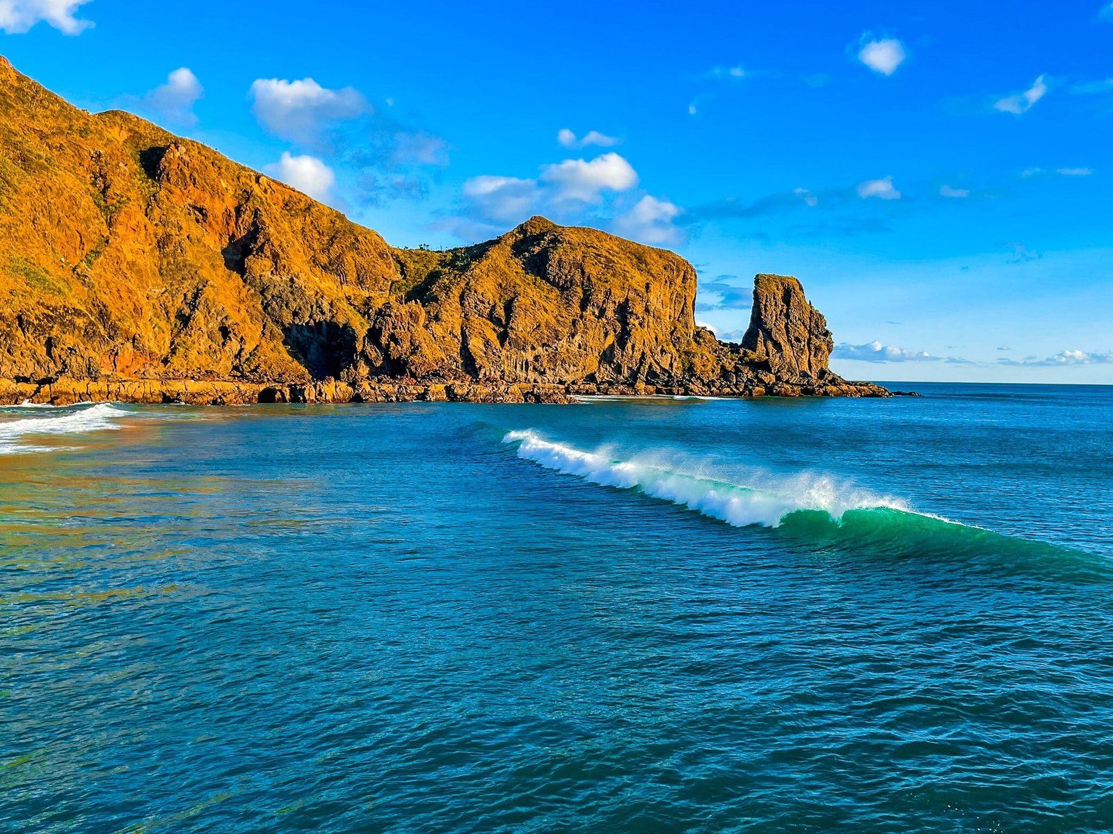
Wigmore Bay
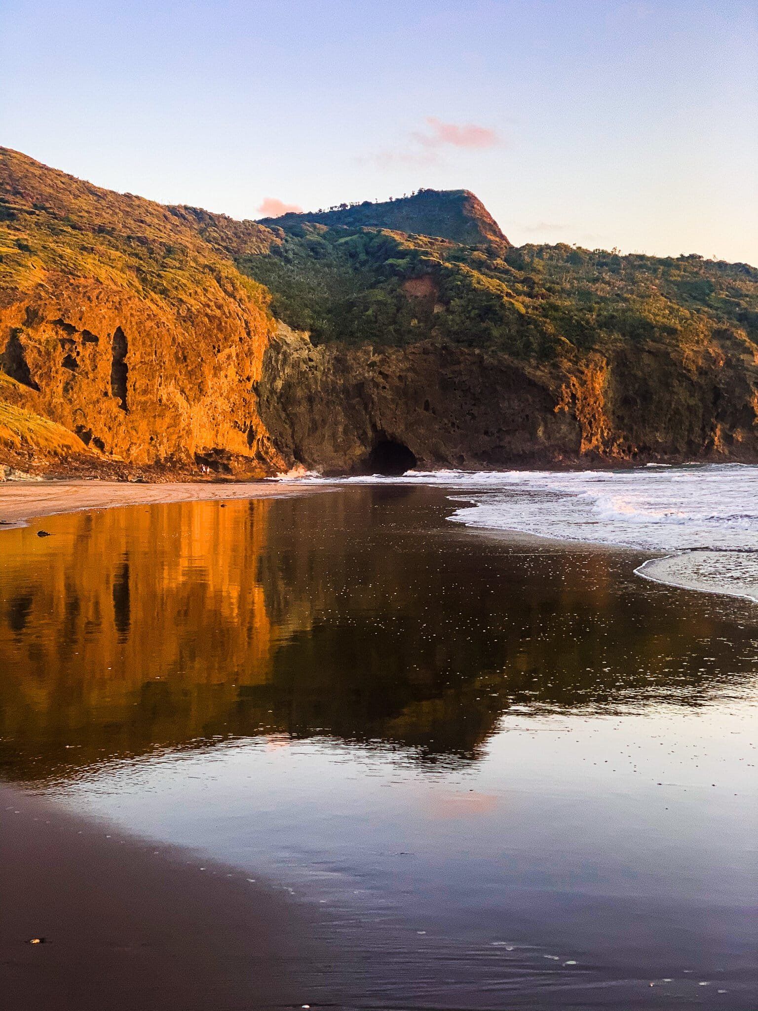
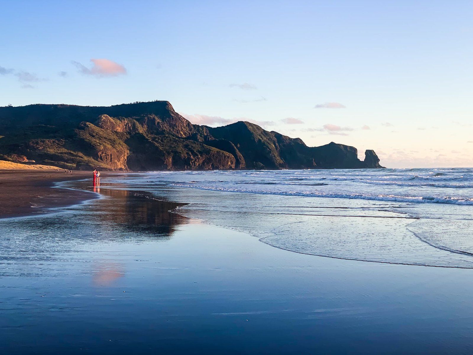
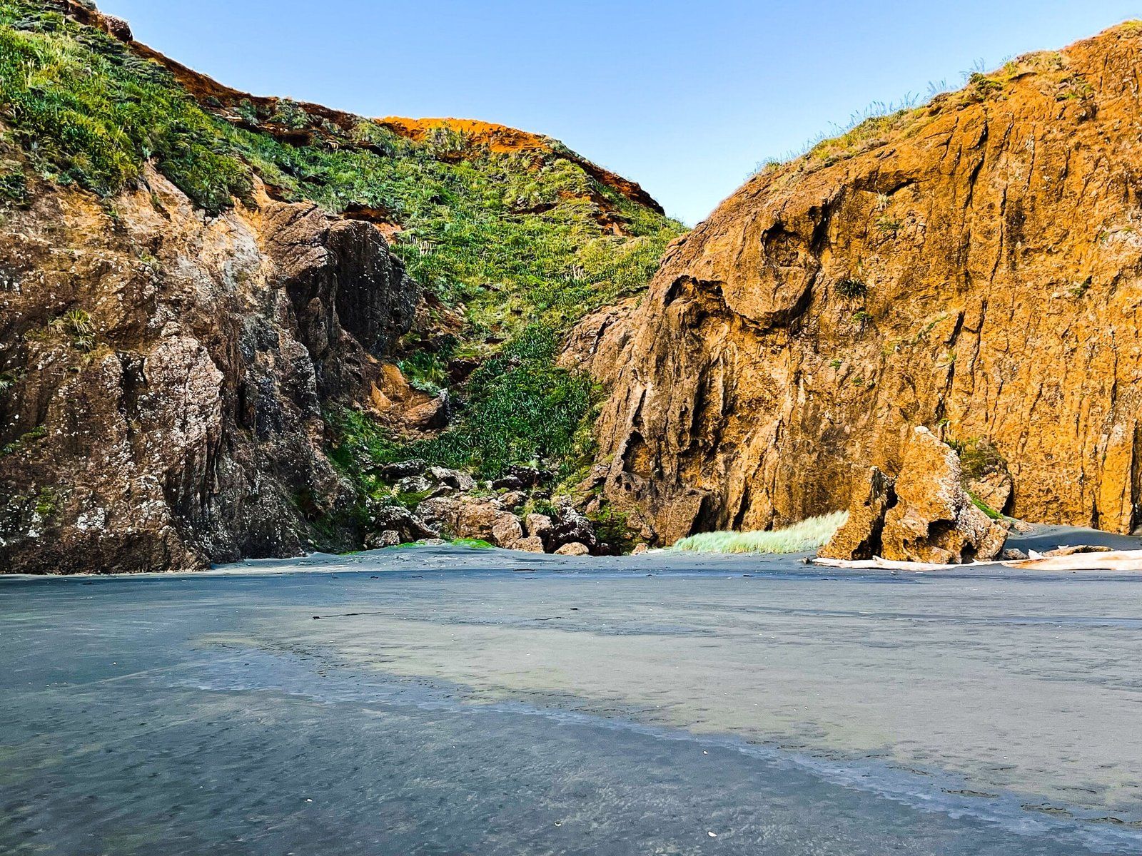
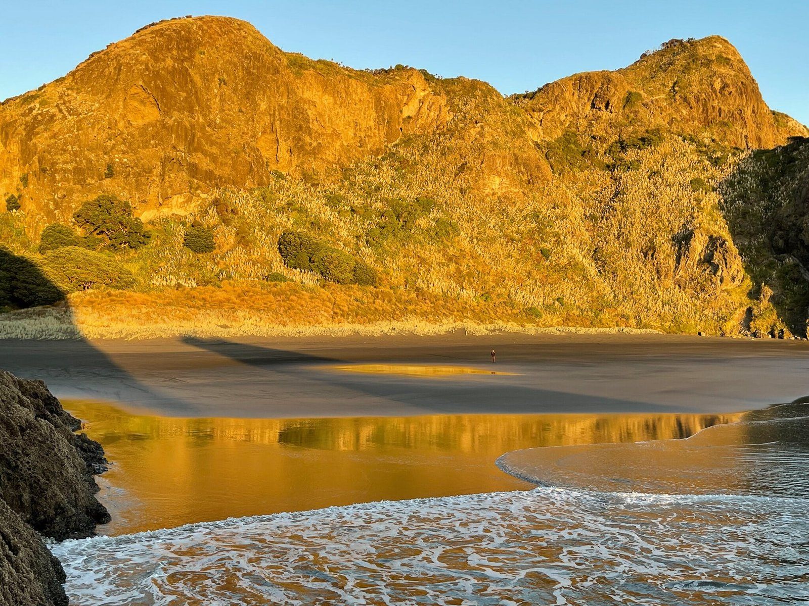
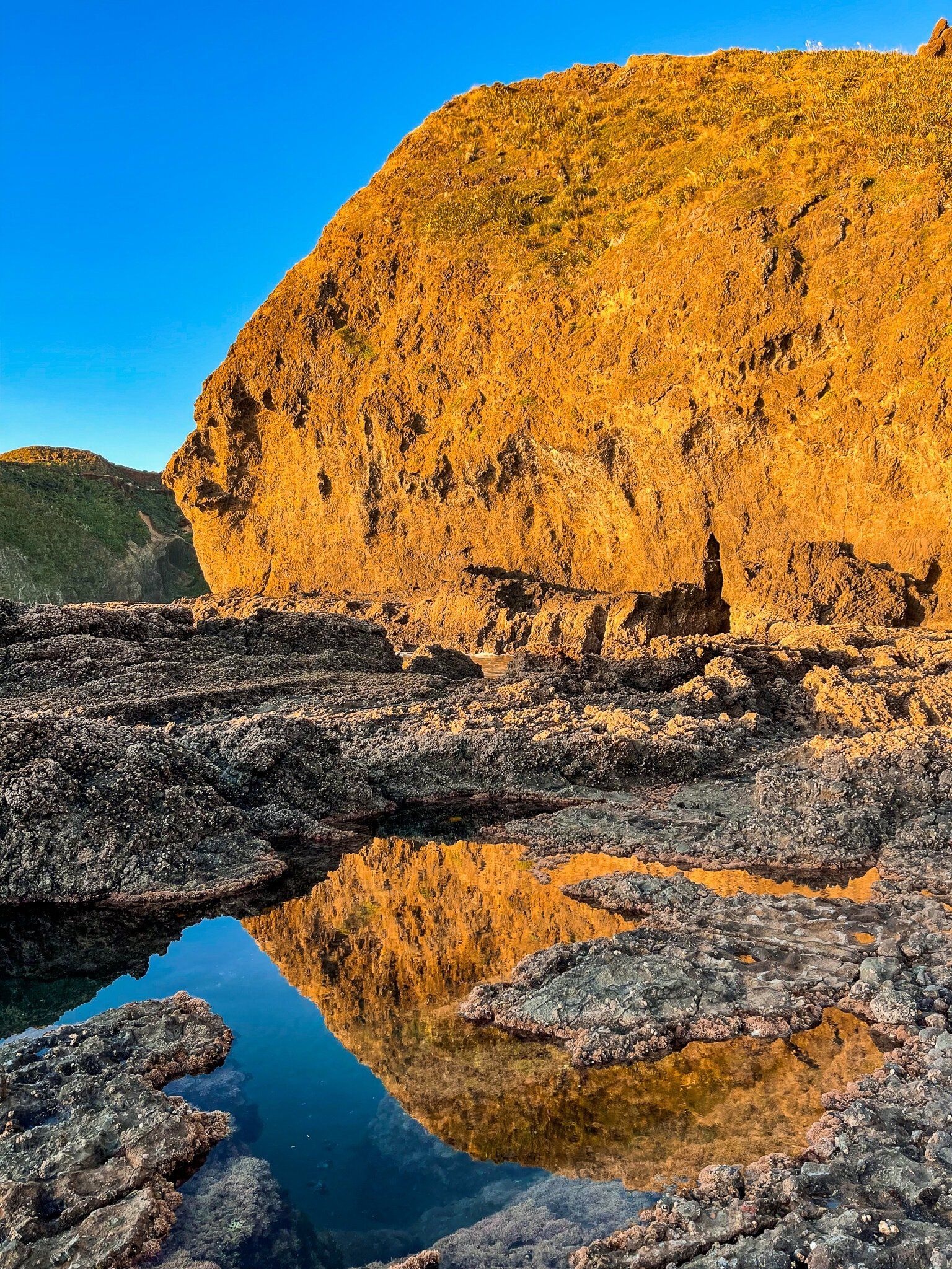
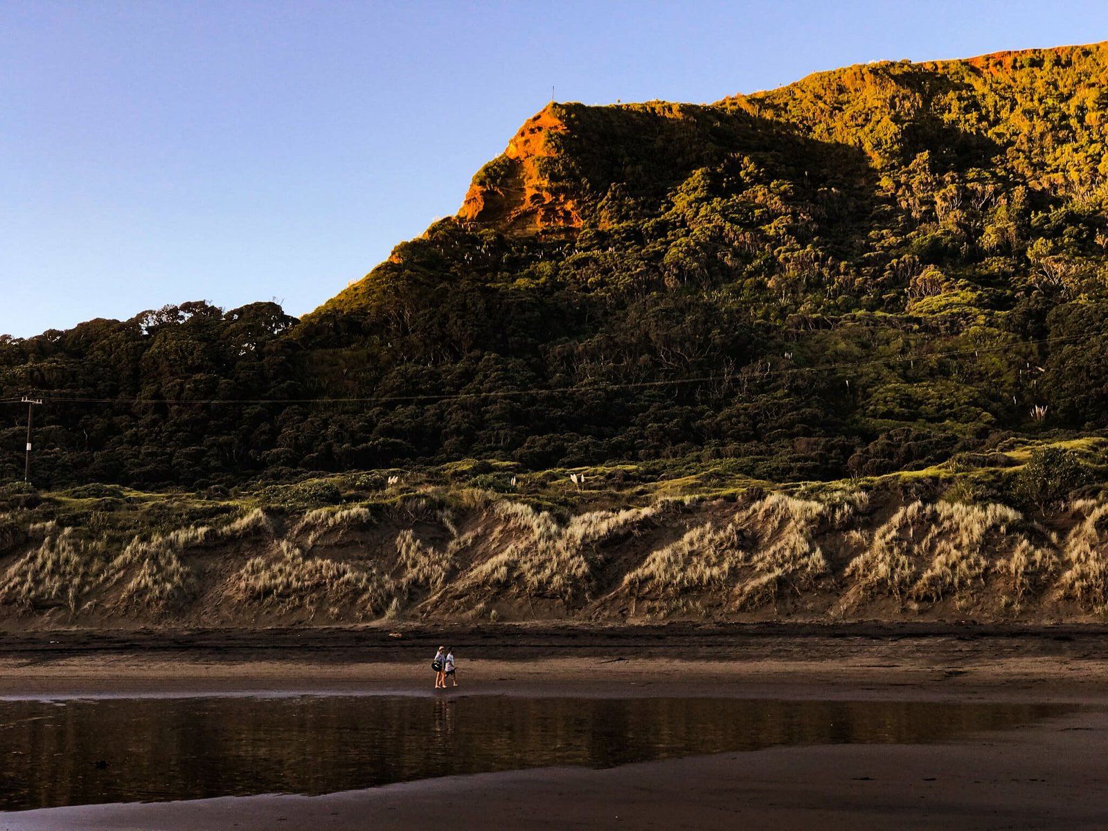
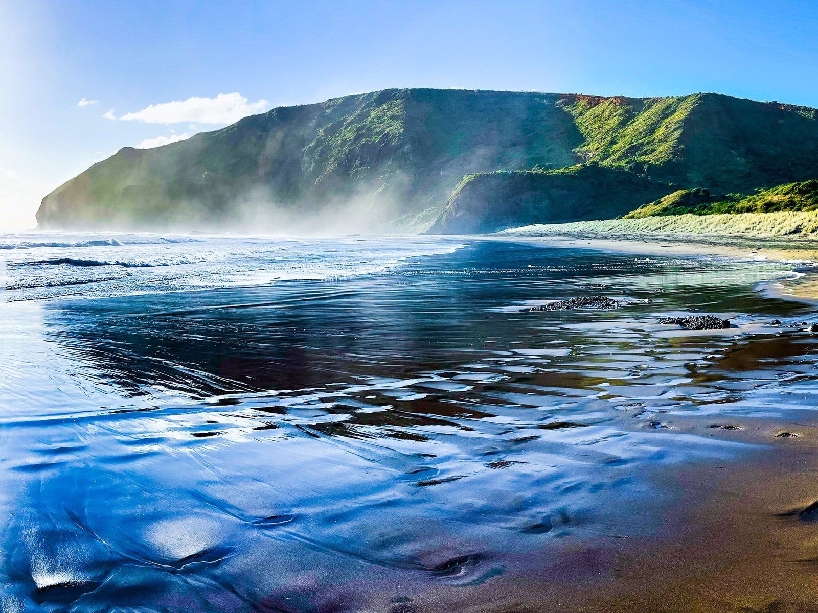
Wigmore Bay is accessed to the south of Bethells Beach Te Henga by crossing round the base of Raeakiaki Point at low tide. The modest sized beach is mainly surrounded by spectacular high cliffs that glow orange at golden hour.
The beach is a lot more secluded than Bethells Te Henga. In part, this is because you can’t see it till you get around the point and you can only access the point as the tide goes out.
A nice semi private alternative to most of the other West Coast beaches.
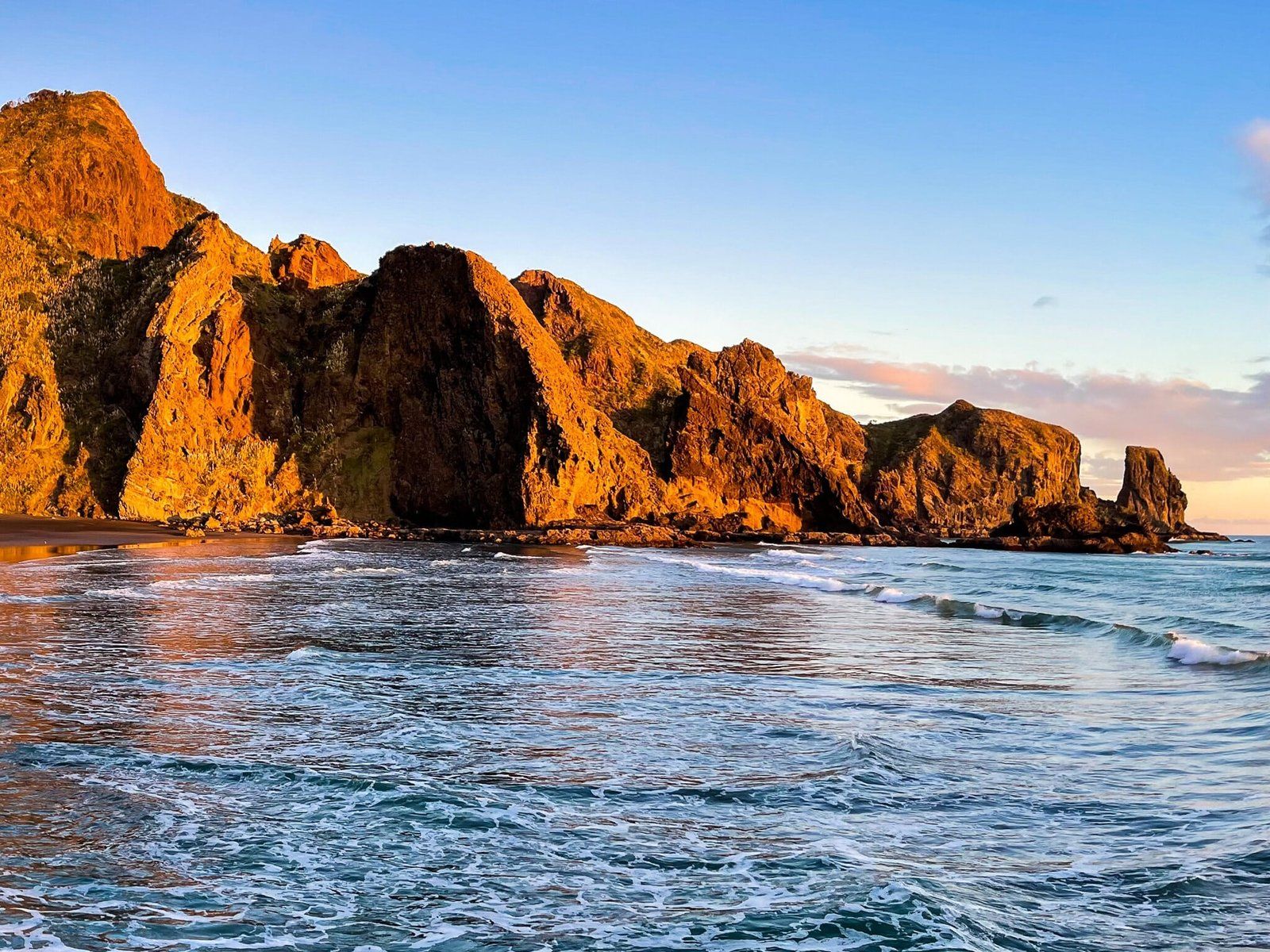
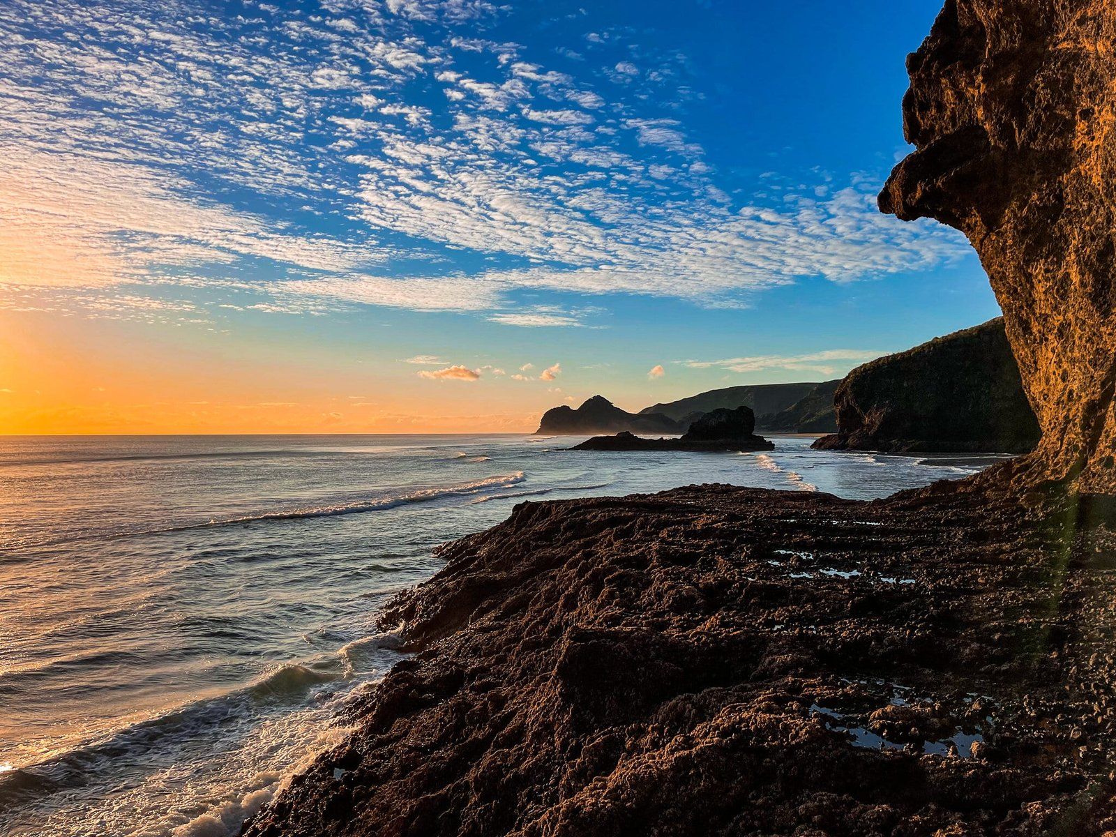
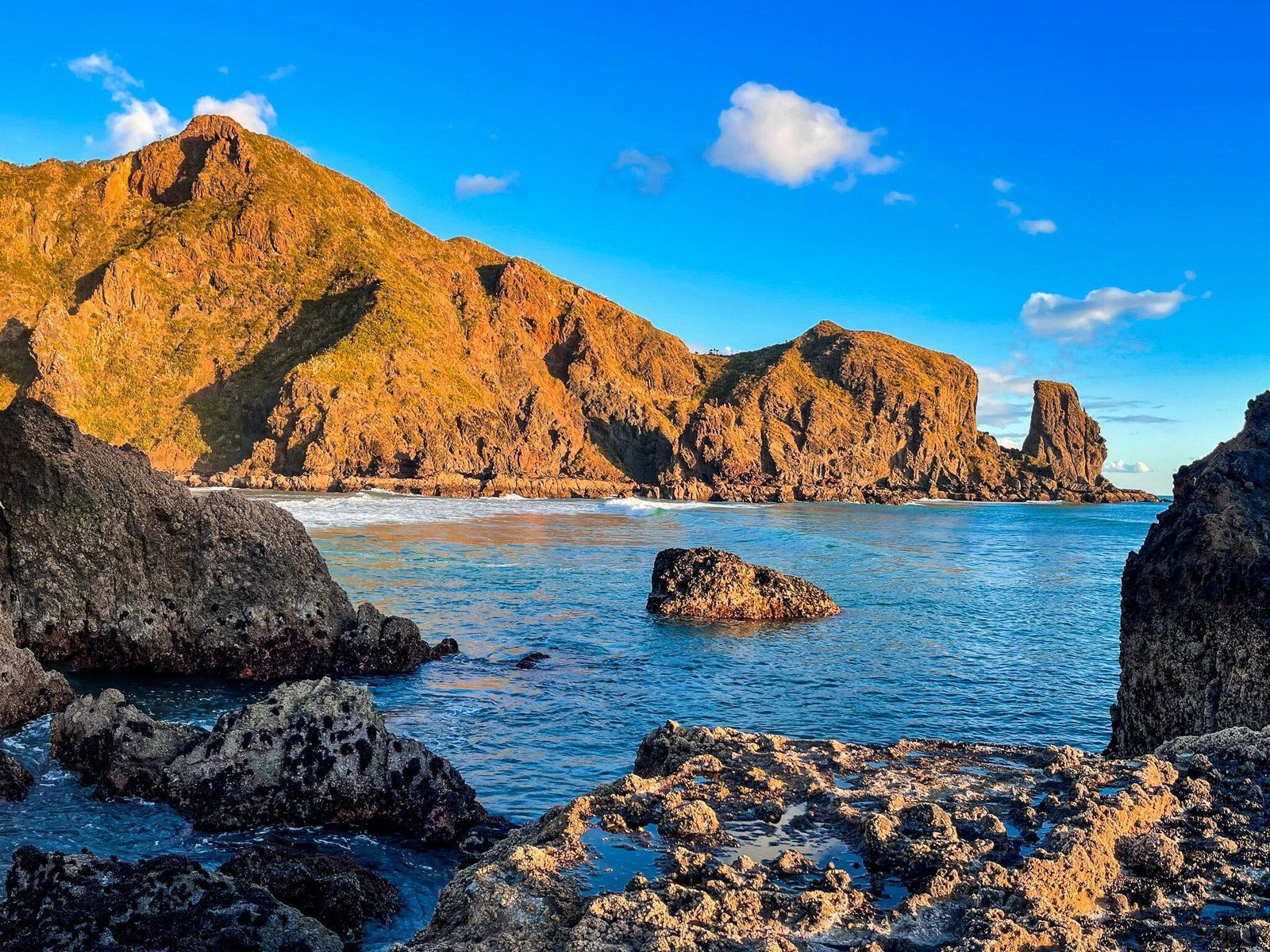
Momori Point
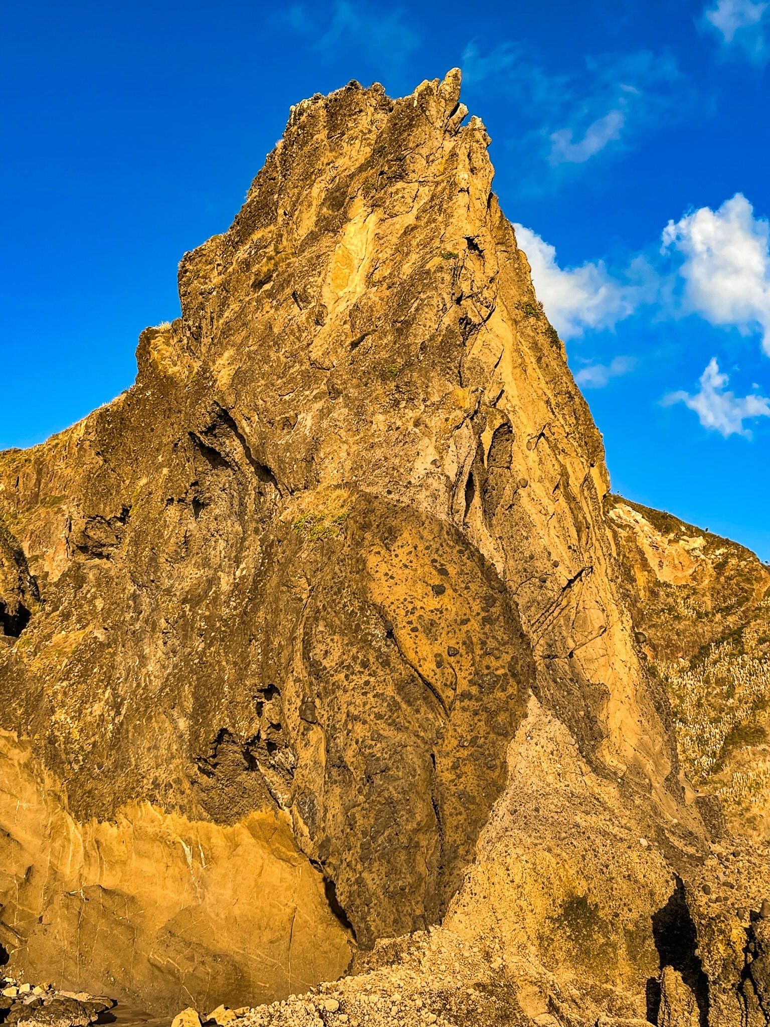
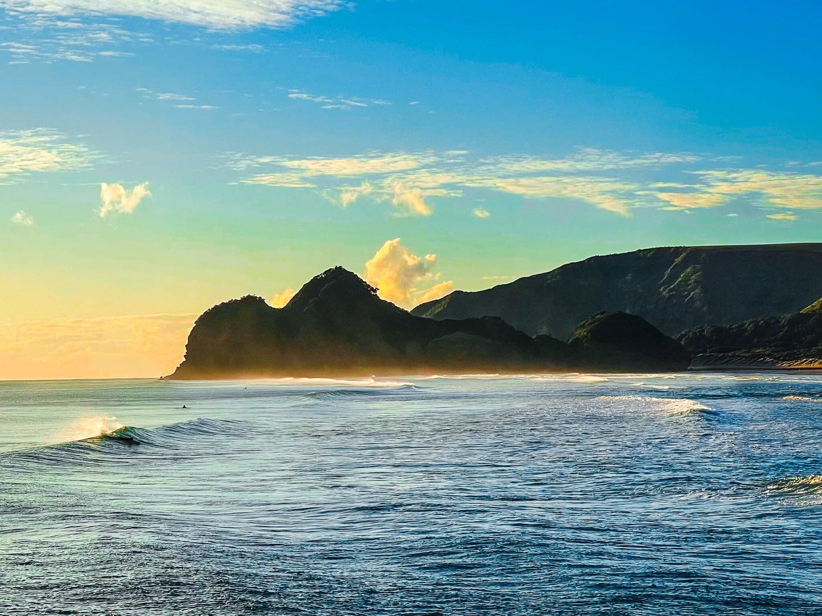
Momori Point is at the south end of Wigmore Bay. To get on to the point, you need to be there very close to low tide. There is a small cave as you round the point, then you can climb up onto a rocky outcrop at the very end of the point. This gives you a view into the next bay, Wahirua, as well as back towards Wigmore and Te Henga. You may also see a few surfers.
Looking across Wahirua Bay, you will see Pukekowhai Point, with its large jutting rock. You can actually see this rock all the way from the north end of Bethells Te Henga! It’s not easy to go further than Mormori Point as the cliffs drop almost directly down to the sea at low tide just beyond the point.
Waitākere Bay
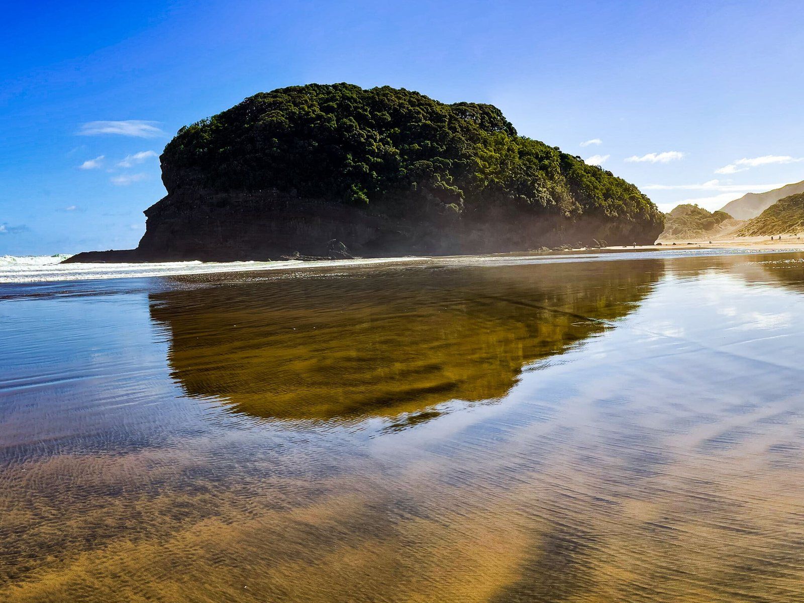
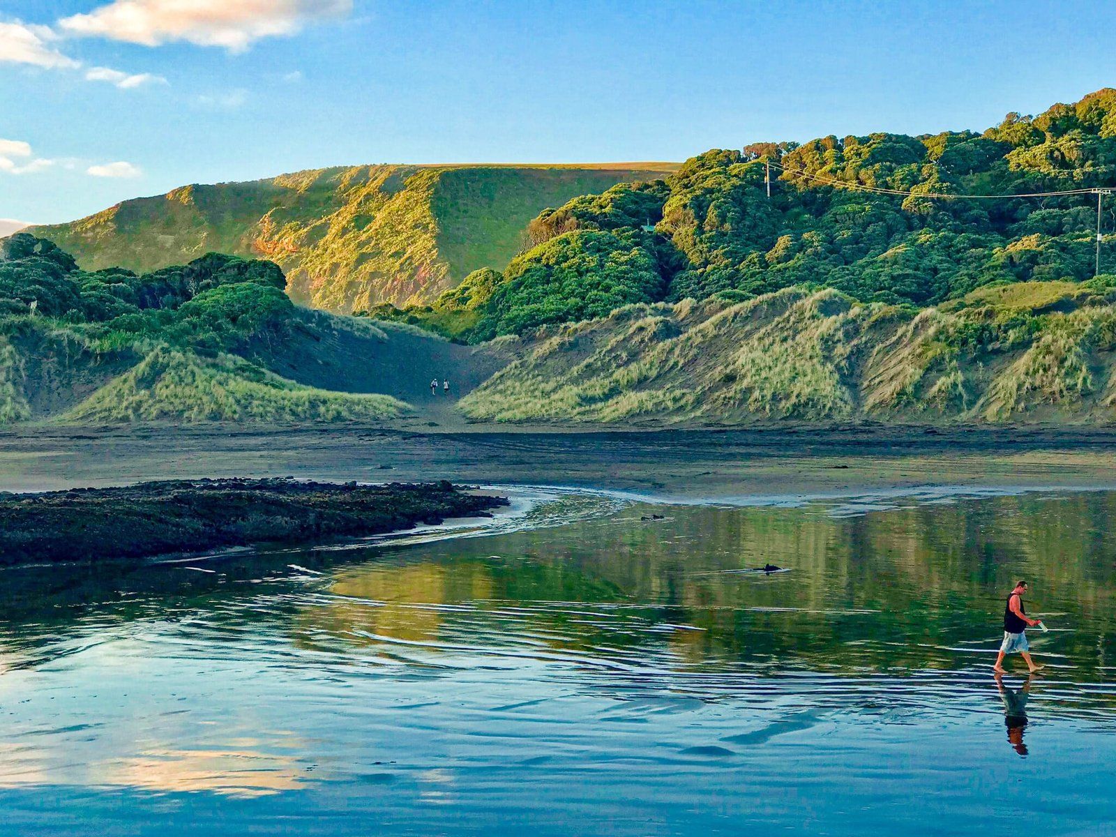
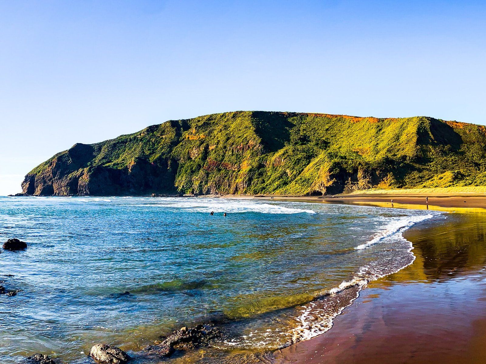
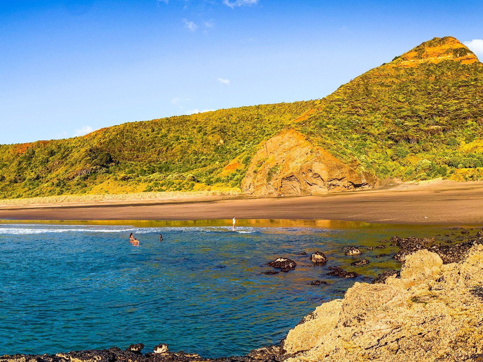
Heading north over the Waitākere River from Bethells Te Henga takes you between conical Ihumoana Island (actually connected to the beach at low tide) and Taumaiti (the cliff to the east) into small Waitākere Bay. Kotau Point marks the north end of the bay. Erangi Point is bigger than Kotau and sits just behind Kotau Point, both of which also have conical shapes. The two points are linked to the mainland by a high sand dune and crossing this takes you to O’Neill Bay.
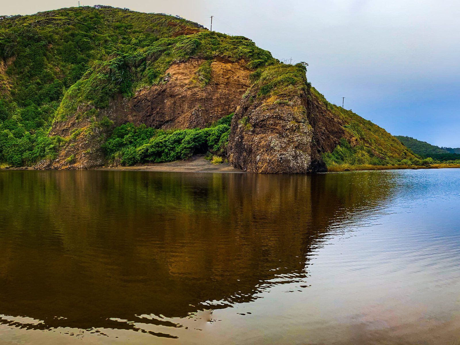
The island is a bird sanctuary and there is no access. But you can scramble onto the top of Kotau Point from the sand dune that rises up behind it. Access to Erangi Point is restricted by private property. But the most interesting features of the bay are the natural tunnels under Kotau, accessible from the northmost end of the bay at low tide.
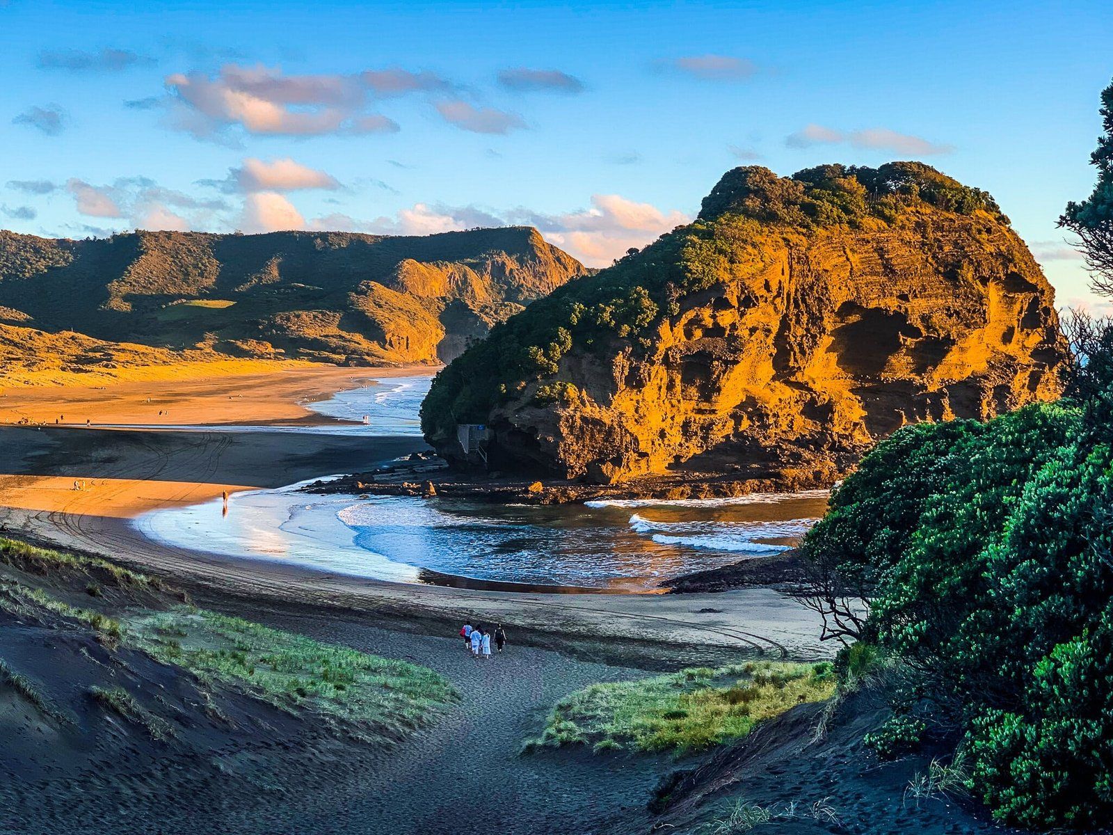
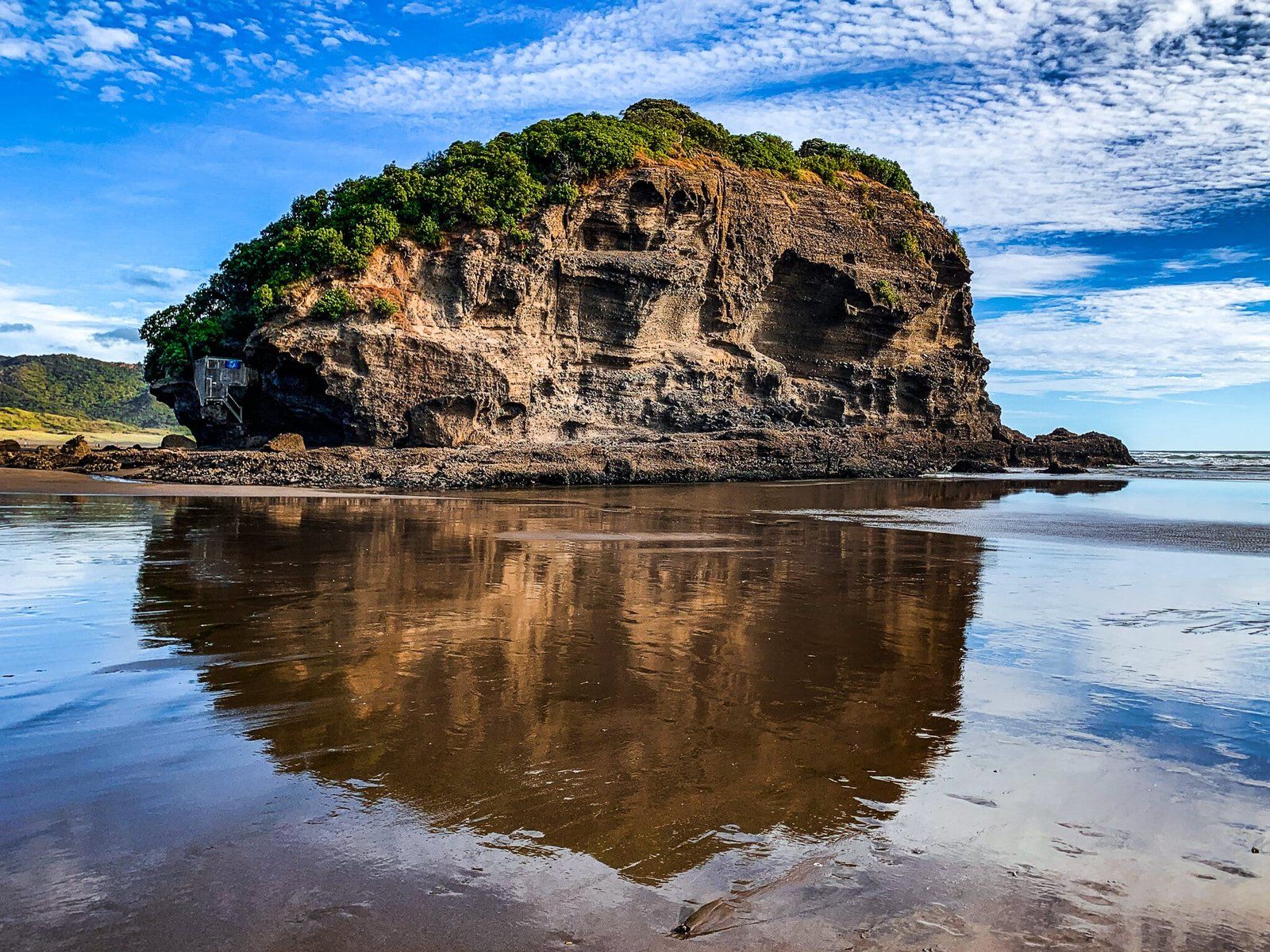
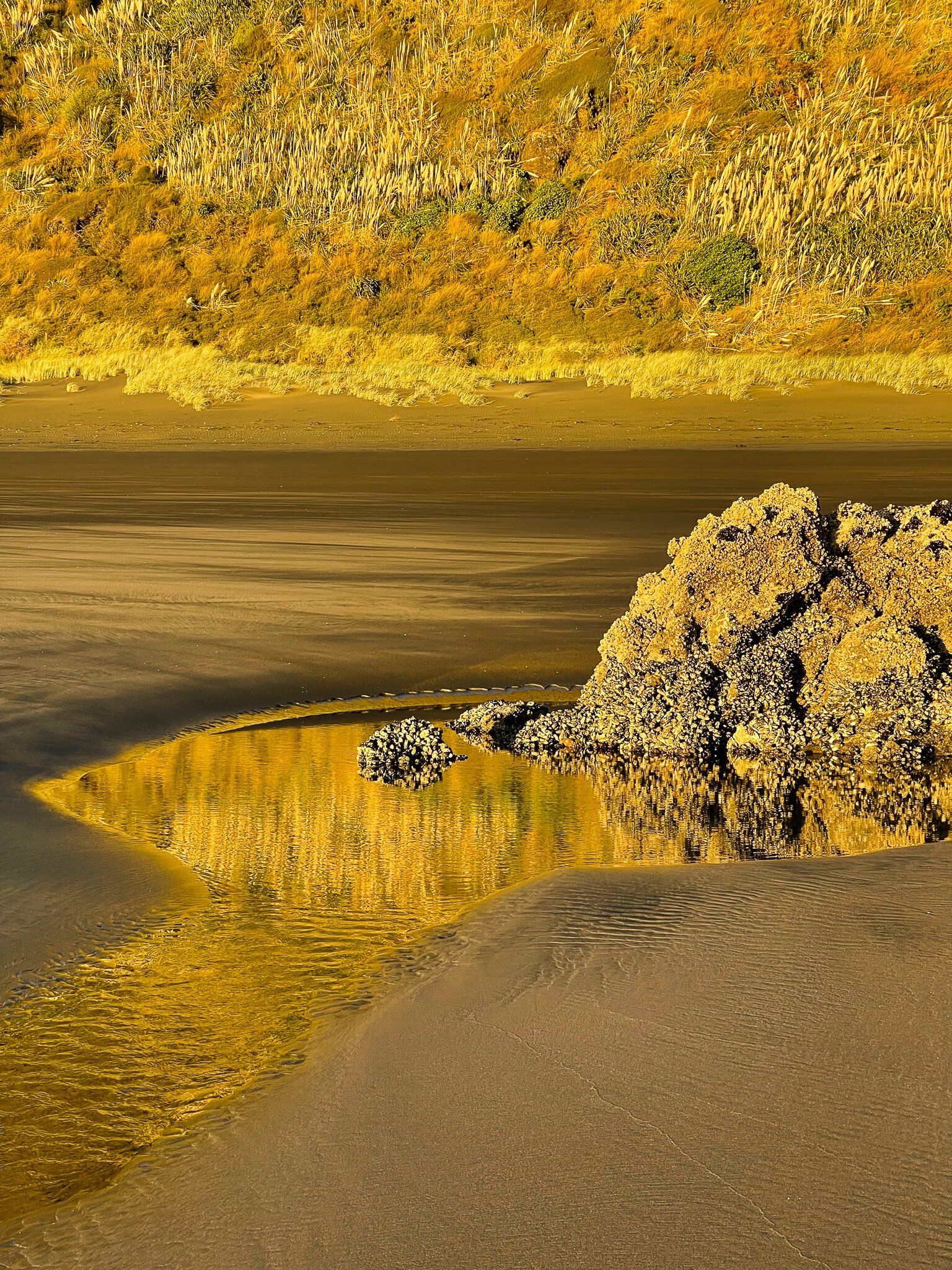
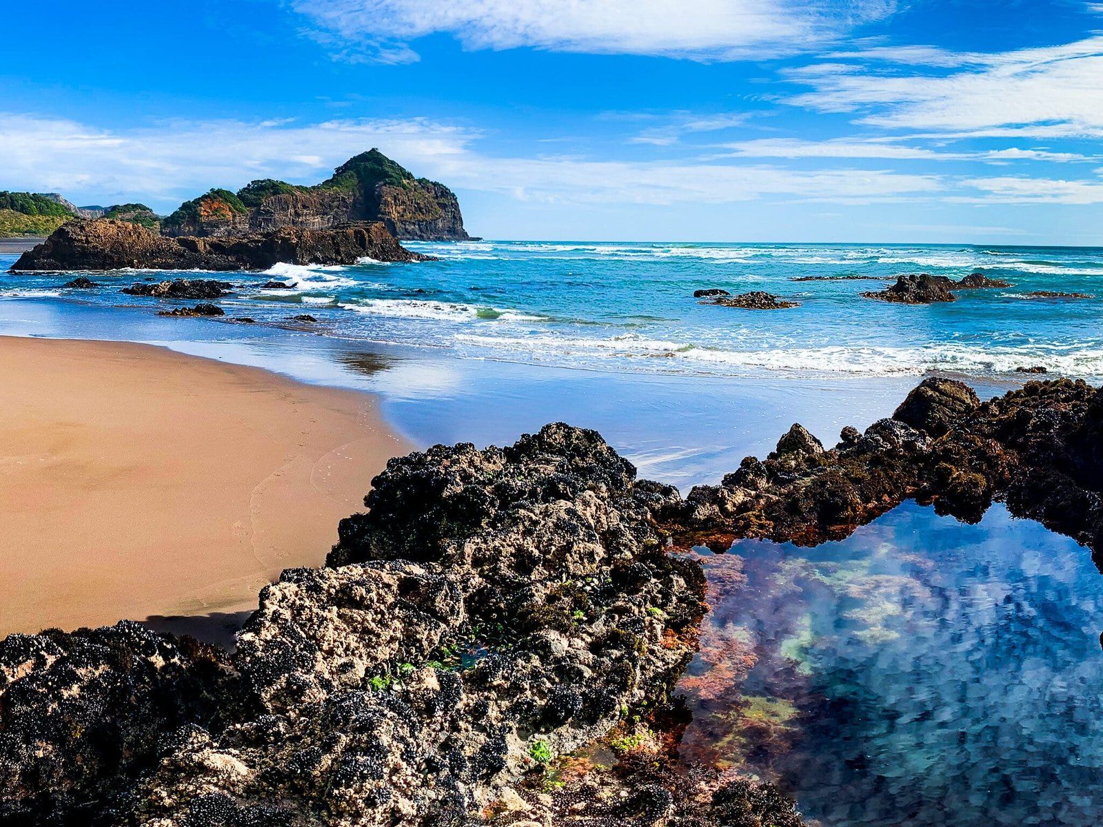
O’Neill Bay
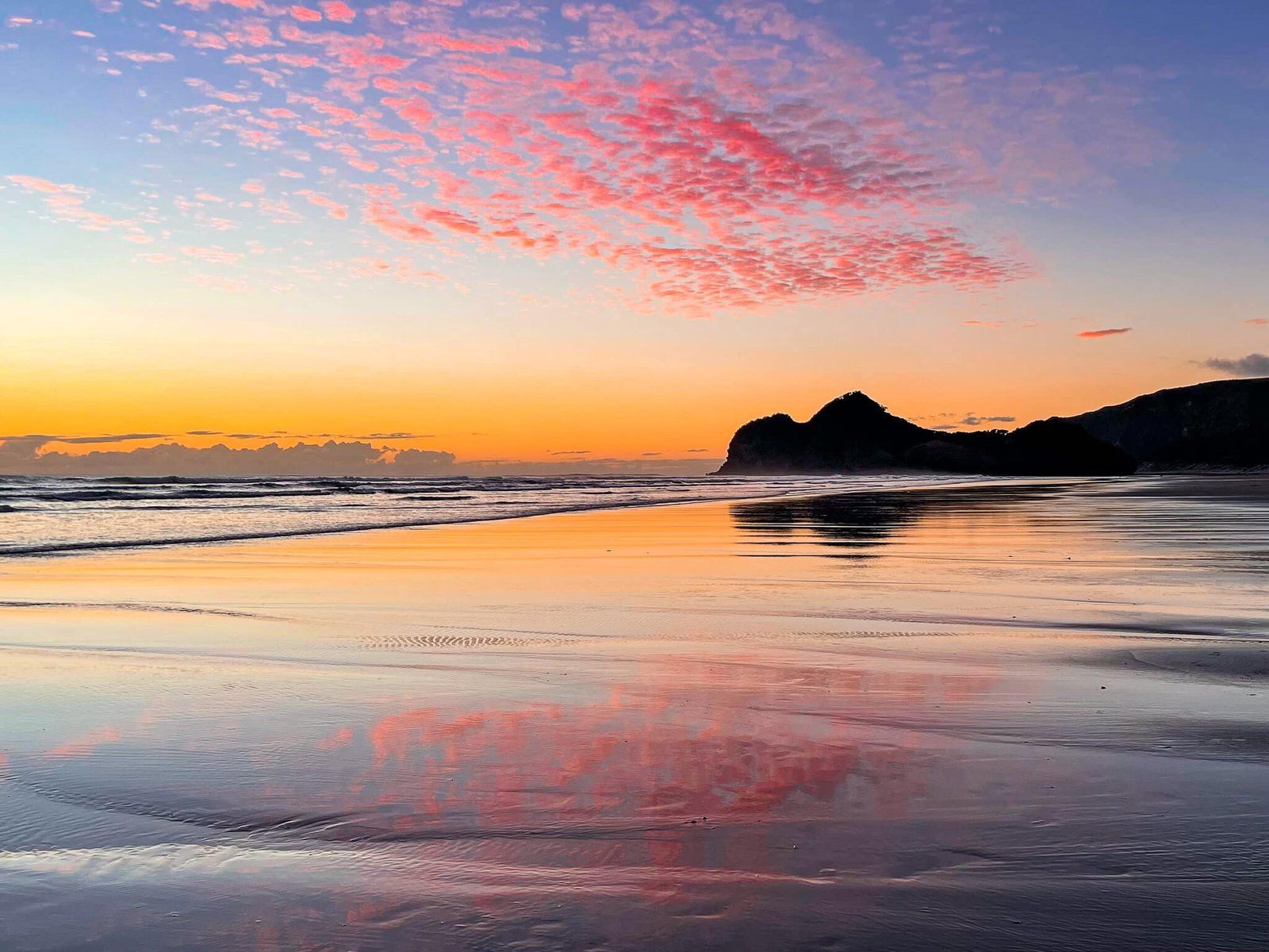
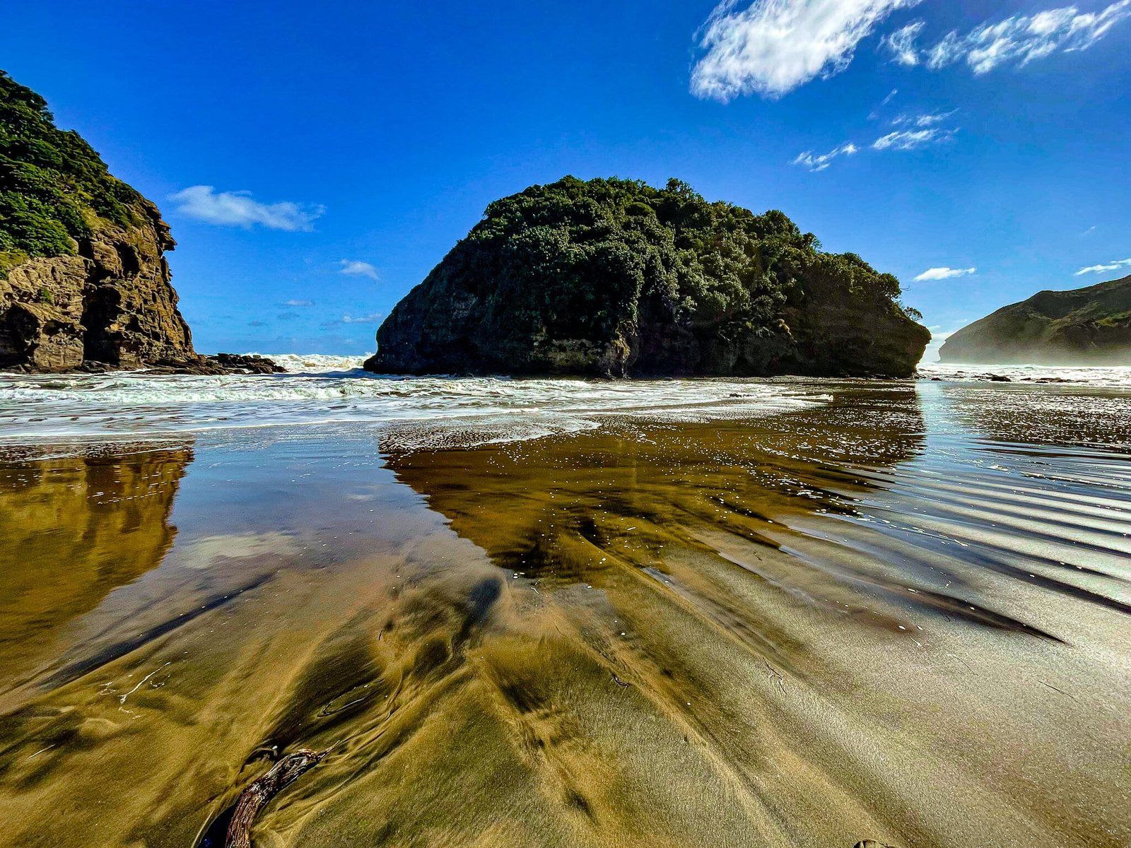
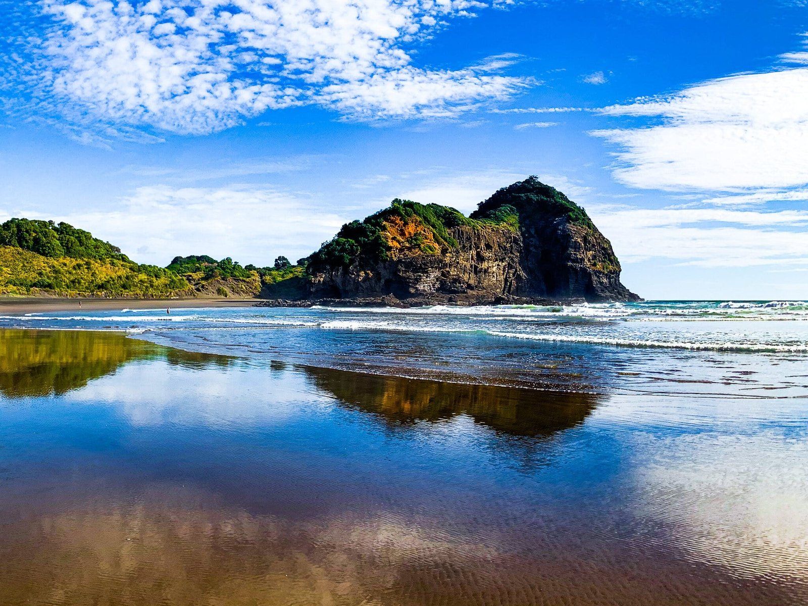
Continue past Waitakere Bay over the sand dune to get to O’Neill Bay. Immediately in front of you is another conical island connected to the beach – Kauwahaia Island. After that is the main section of the beach.
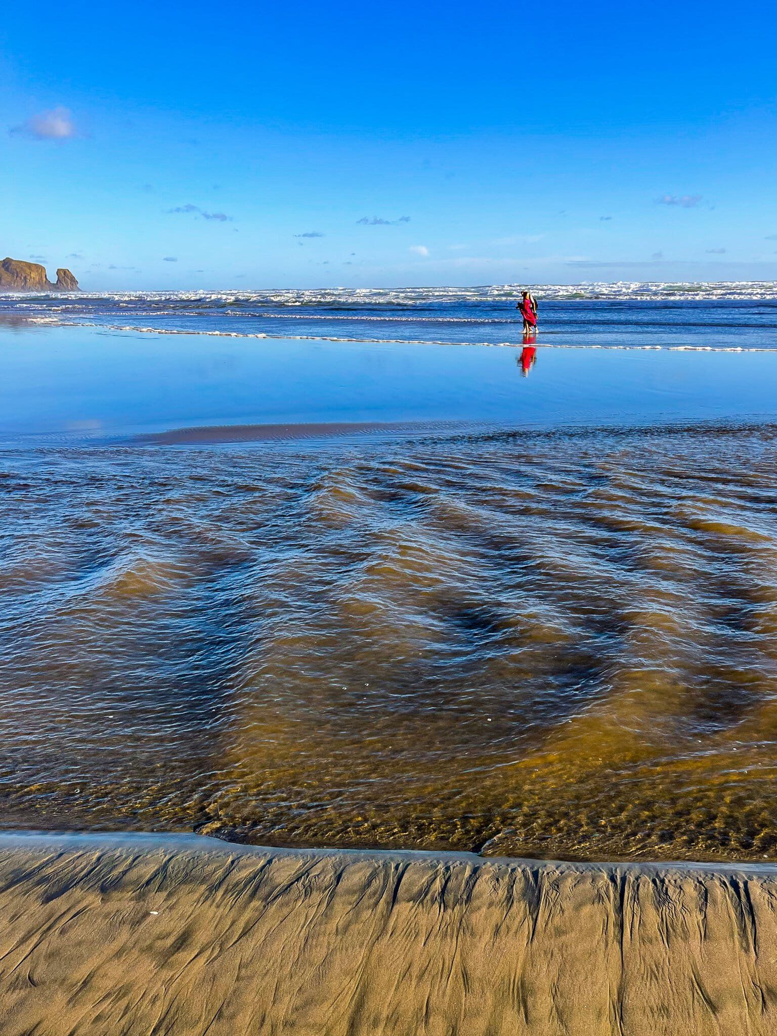
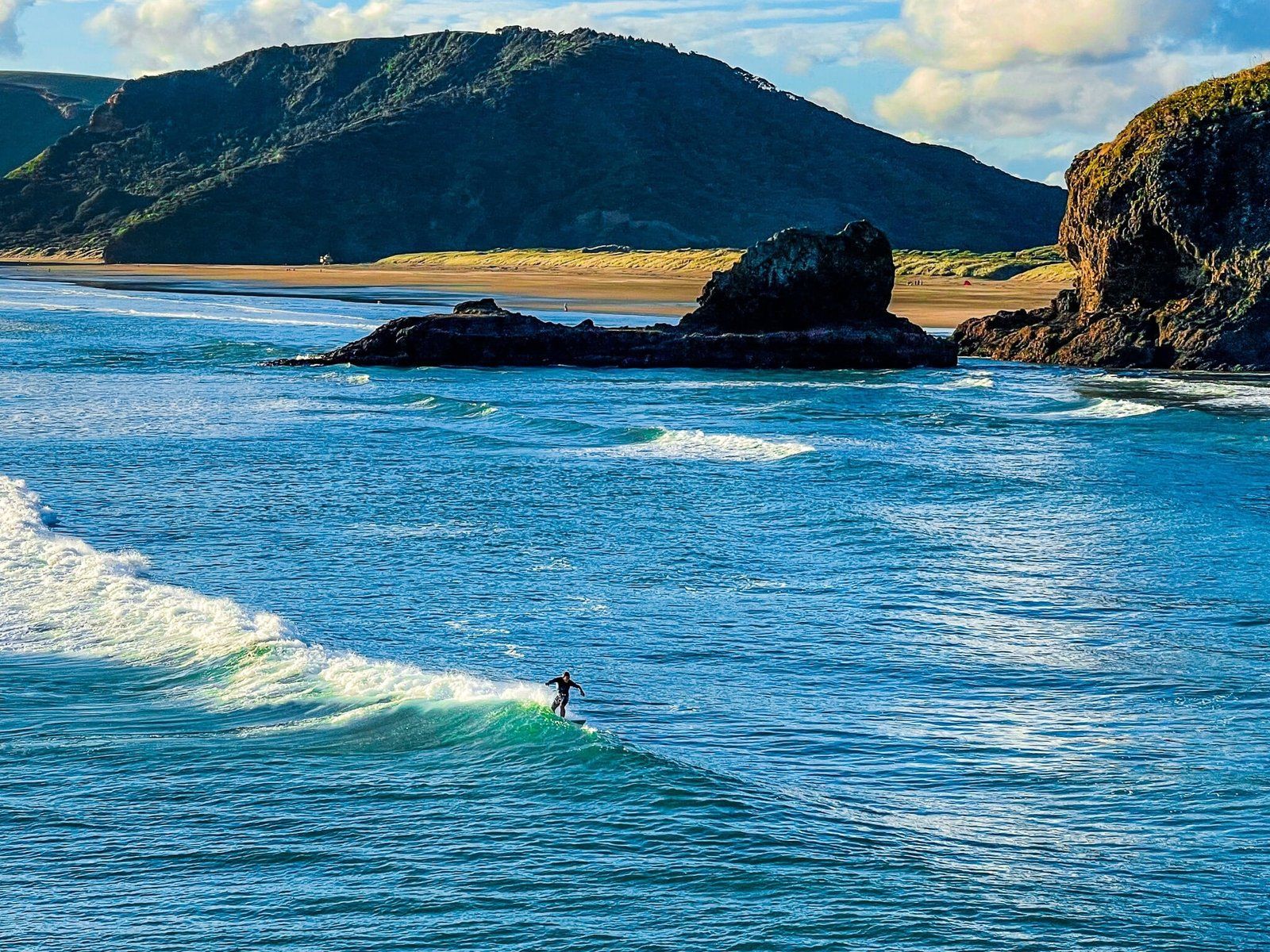
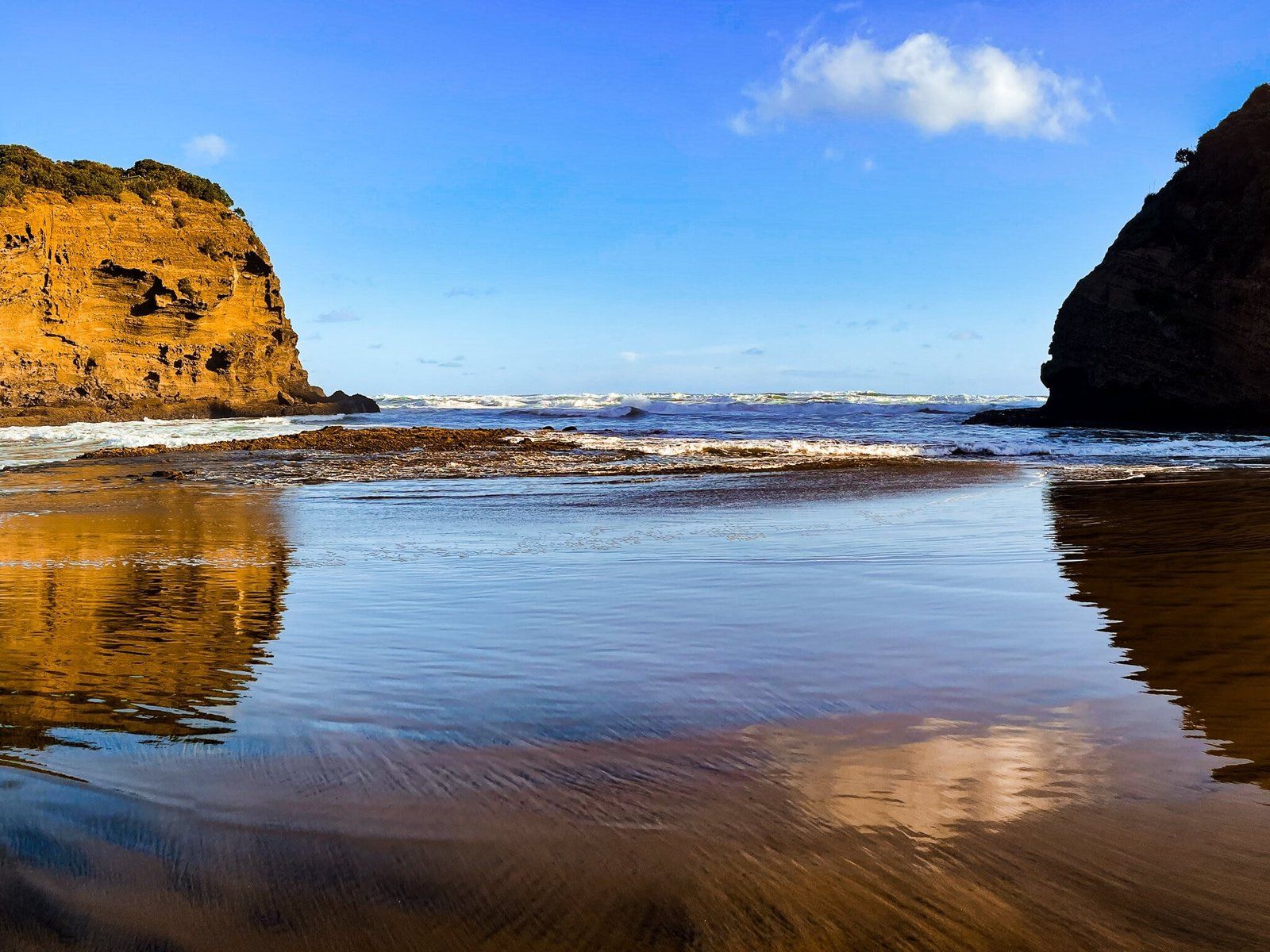
This is one of the prettiest beaches on the west coast, bounded by spectacular Raetahinga Point to the north and bush covered dunes backed by orange rock-topped cliffs. You may also notice that it is a particularly good beach for reflection shots, as there is a large relatively flat section in the middle of the beach. It will be especially tempting to go for a swim. But take care as it is not patrolled and like all these surf beaches can be dangerous, especially as the tide goes out.
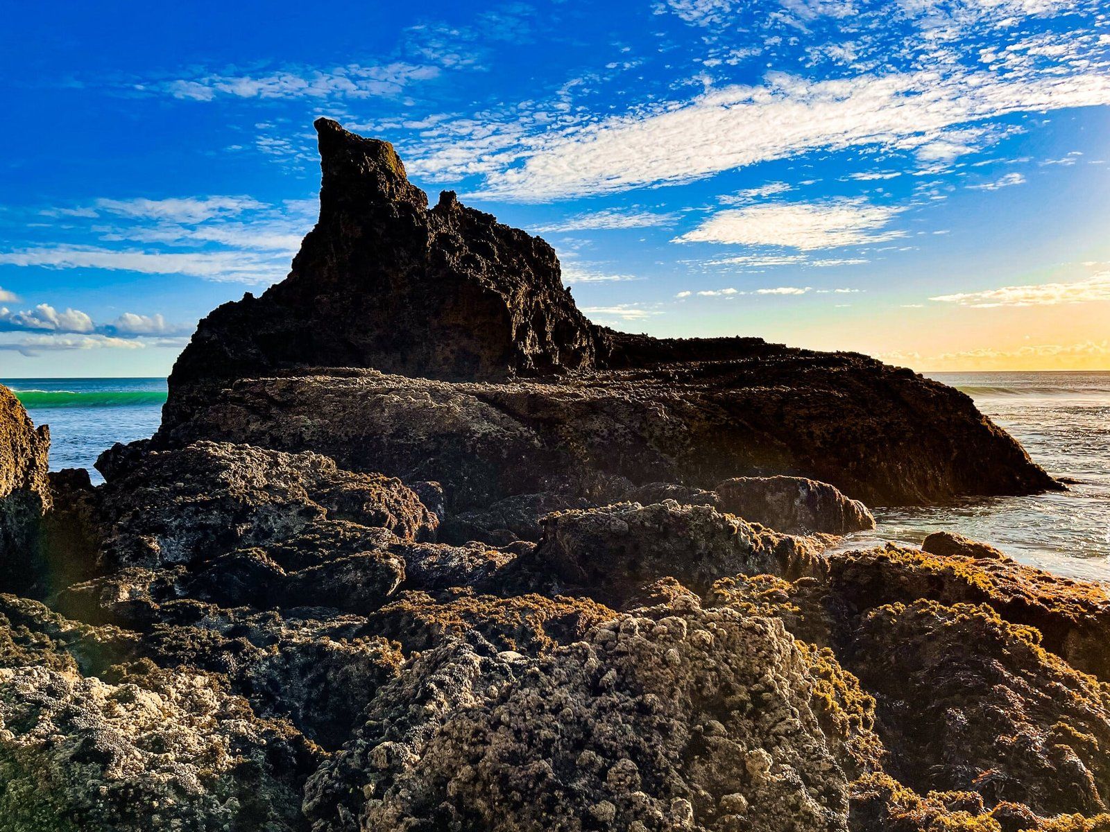
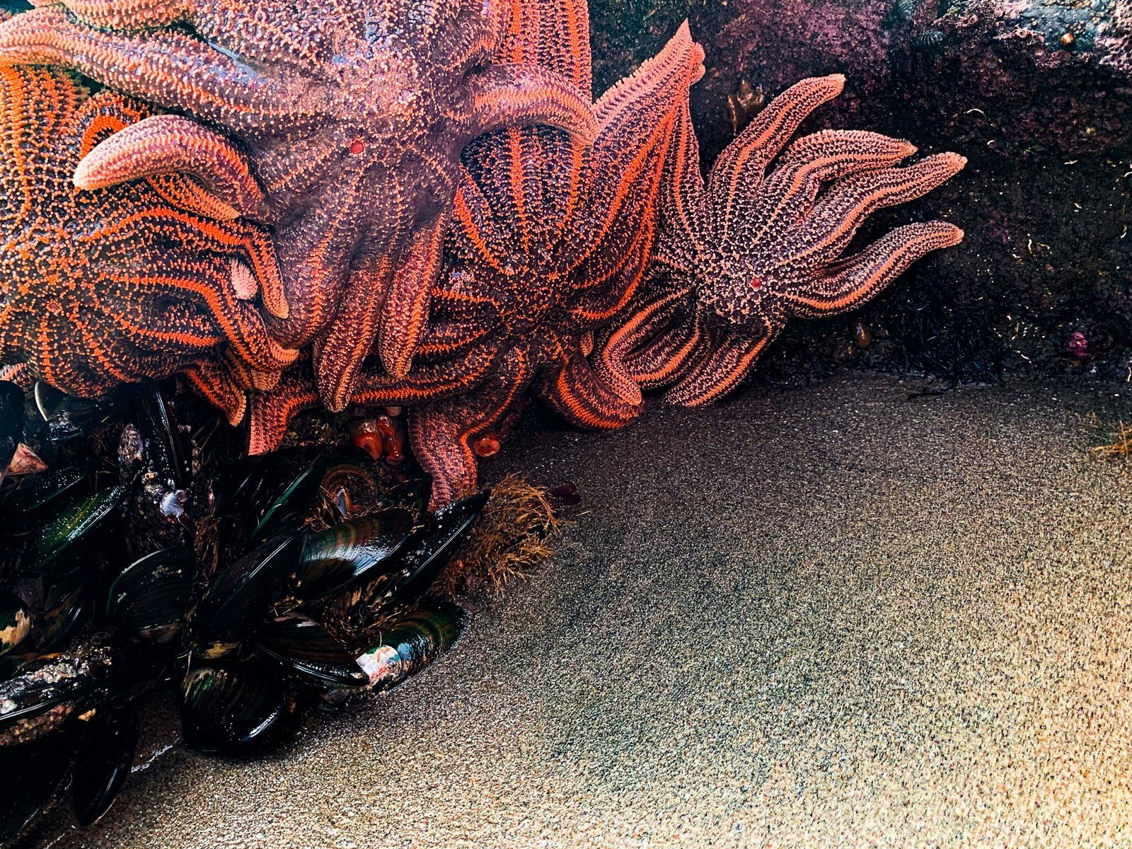
Walk along the beach towards the far end. About two thirds of the way along, you will pass a rocky outcrop called Tangihau Point. This has quite a large cave, with a small exit to the rear. Keep going to the rocks below Raetahinga Point and start poking around (best done at low tide). You’ll probably be delighted at what you find and can even collect a few legal sized mussels.
You can also access Te Henga Walkway from O’Neill Bay, with a marked short access track through the dunes just beyond Kauwahaia Island.
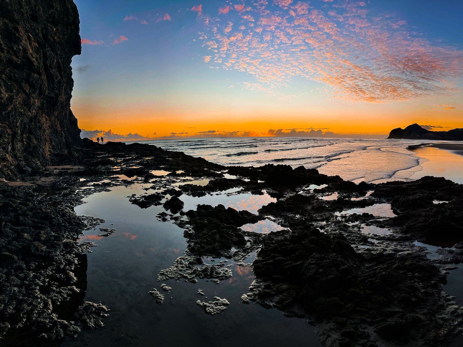
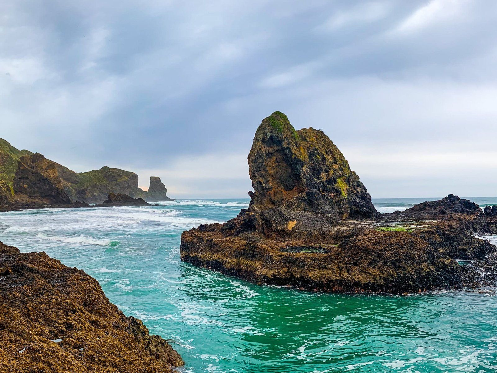
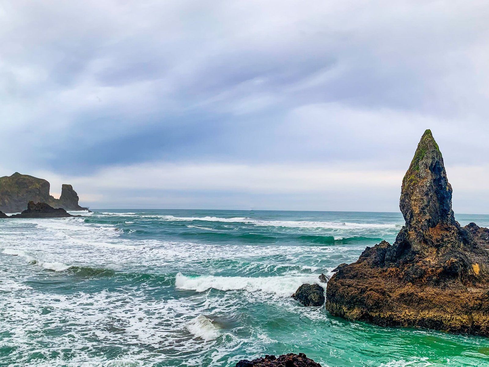
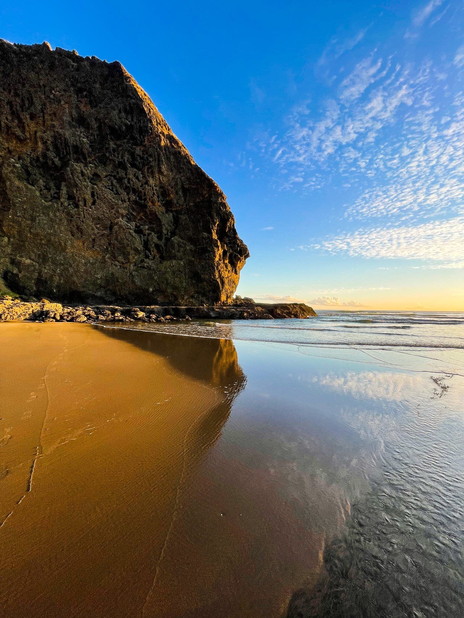
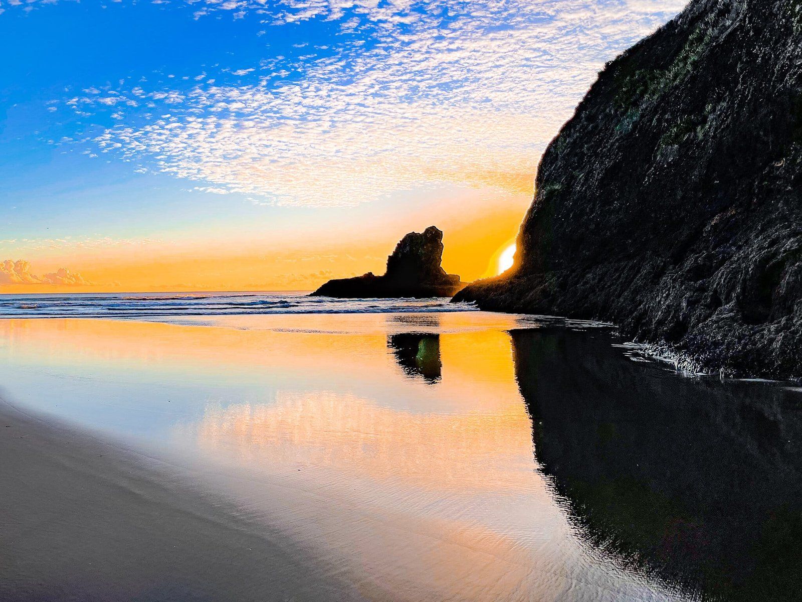
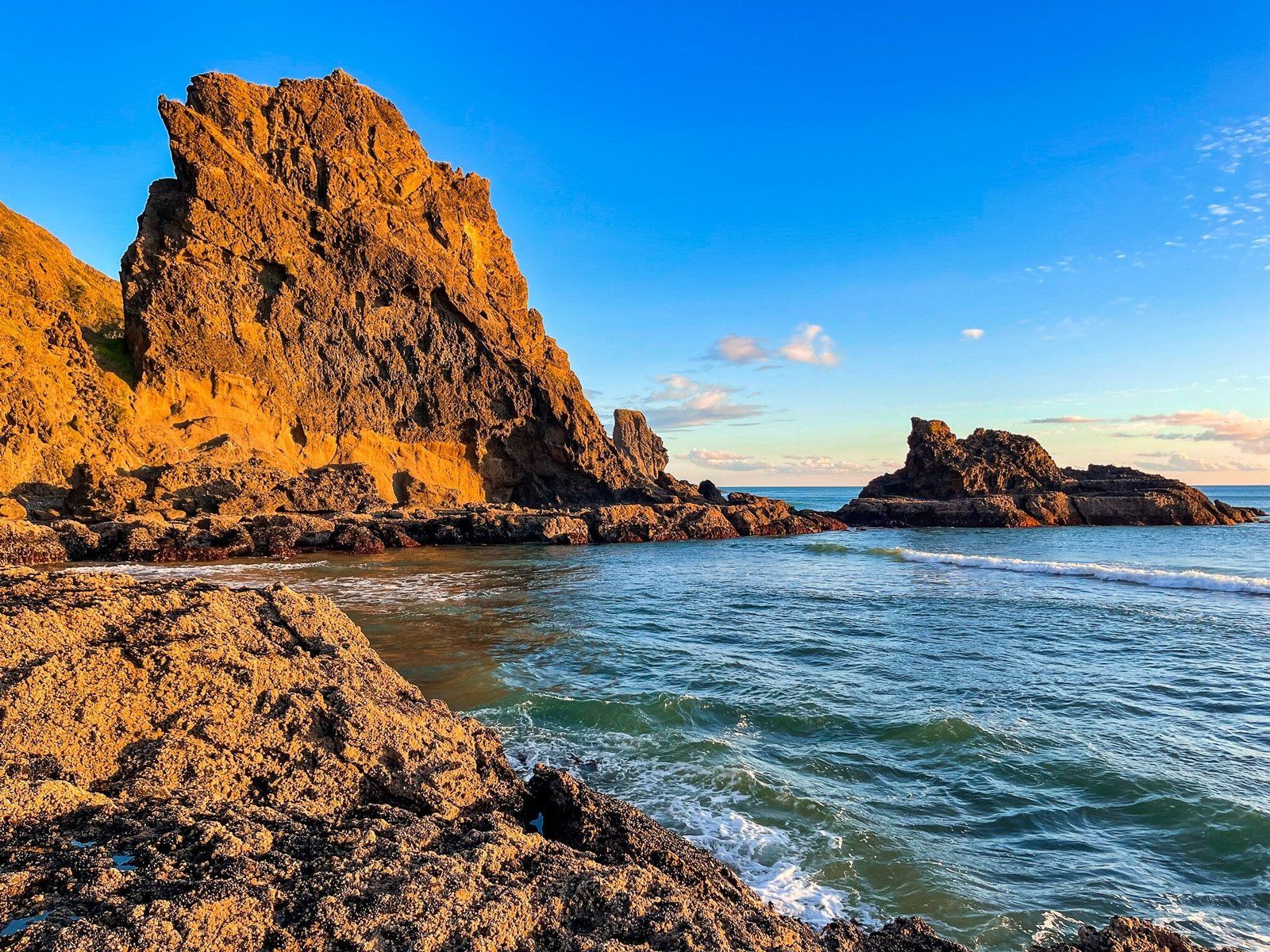
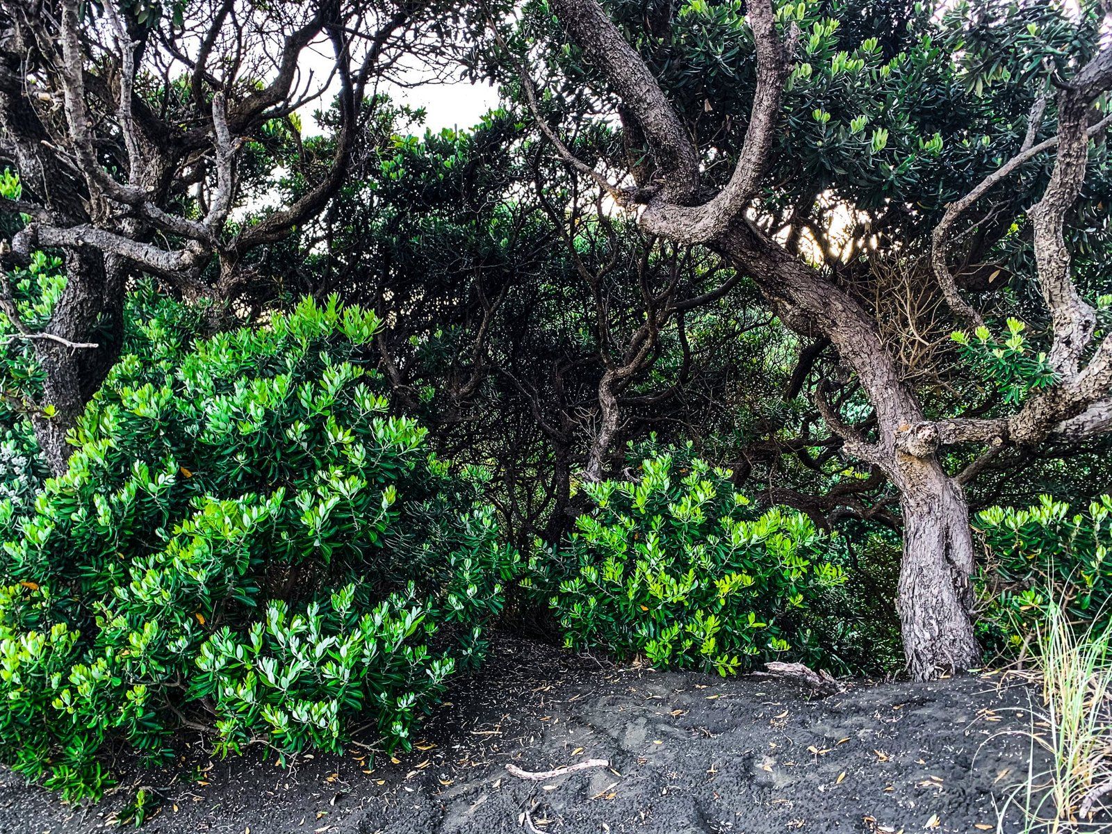
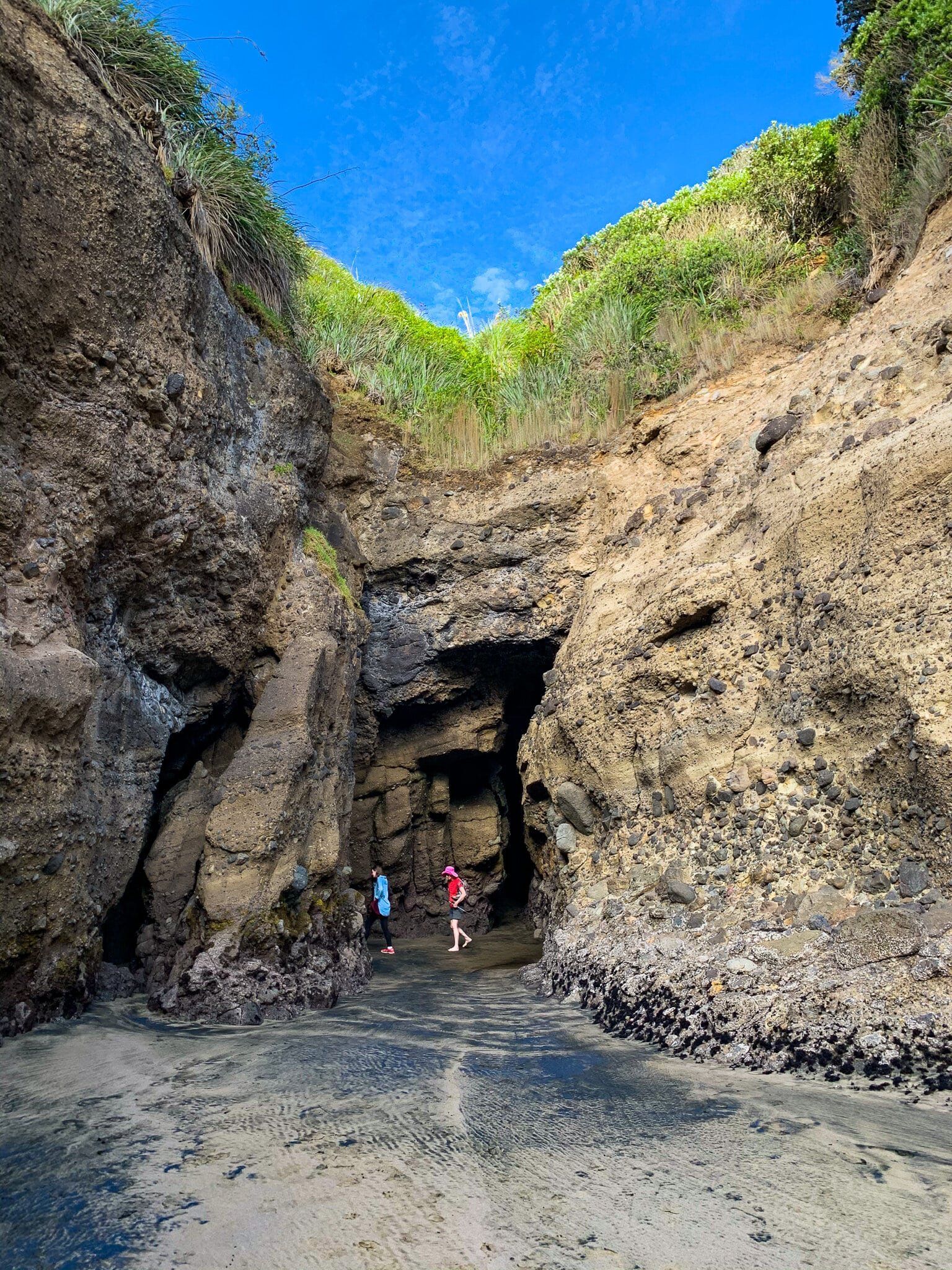
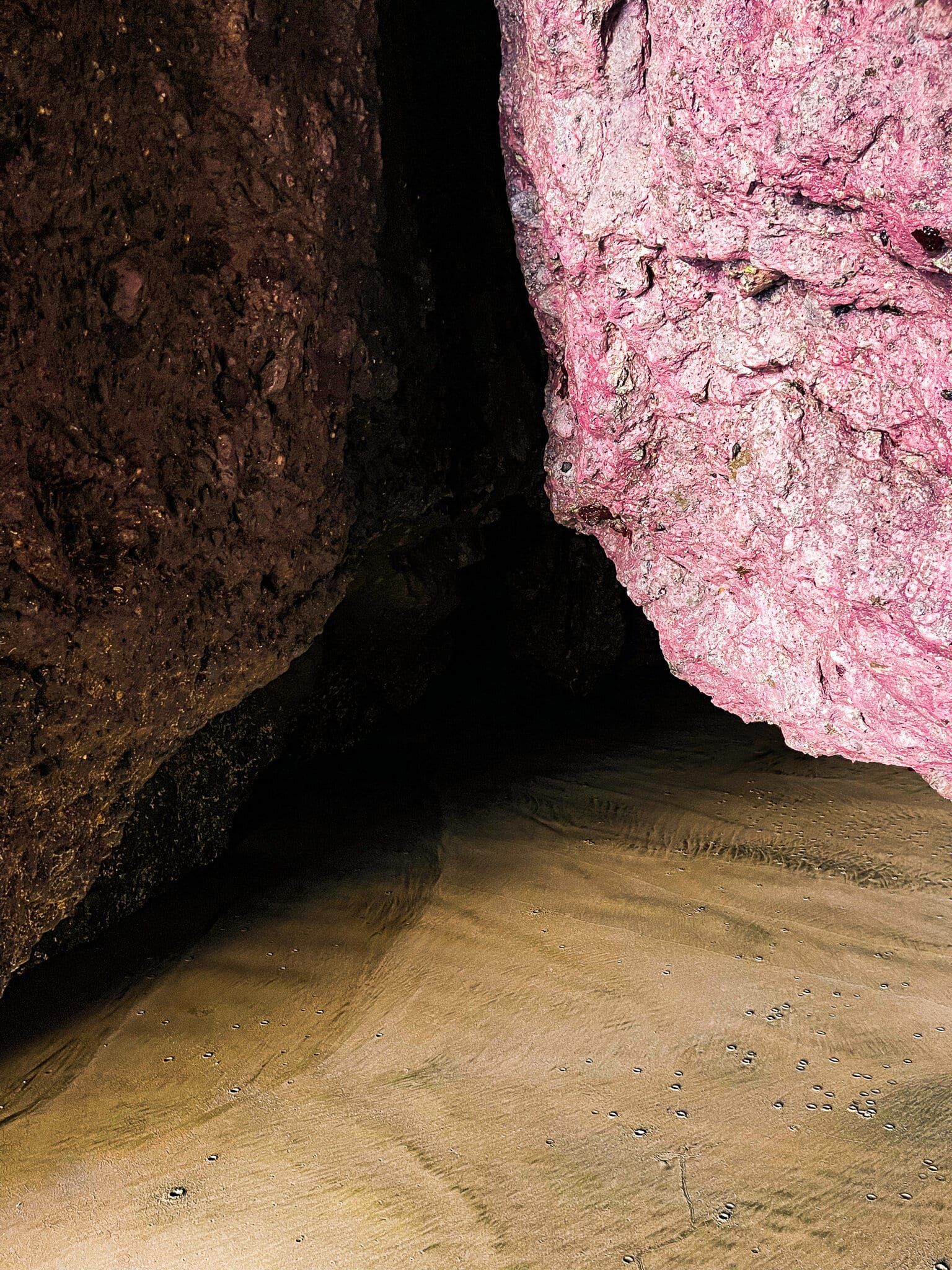
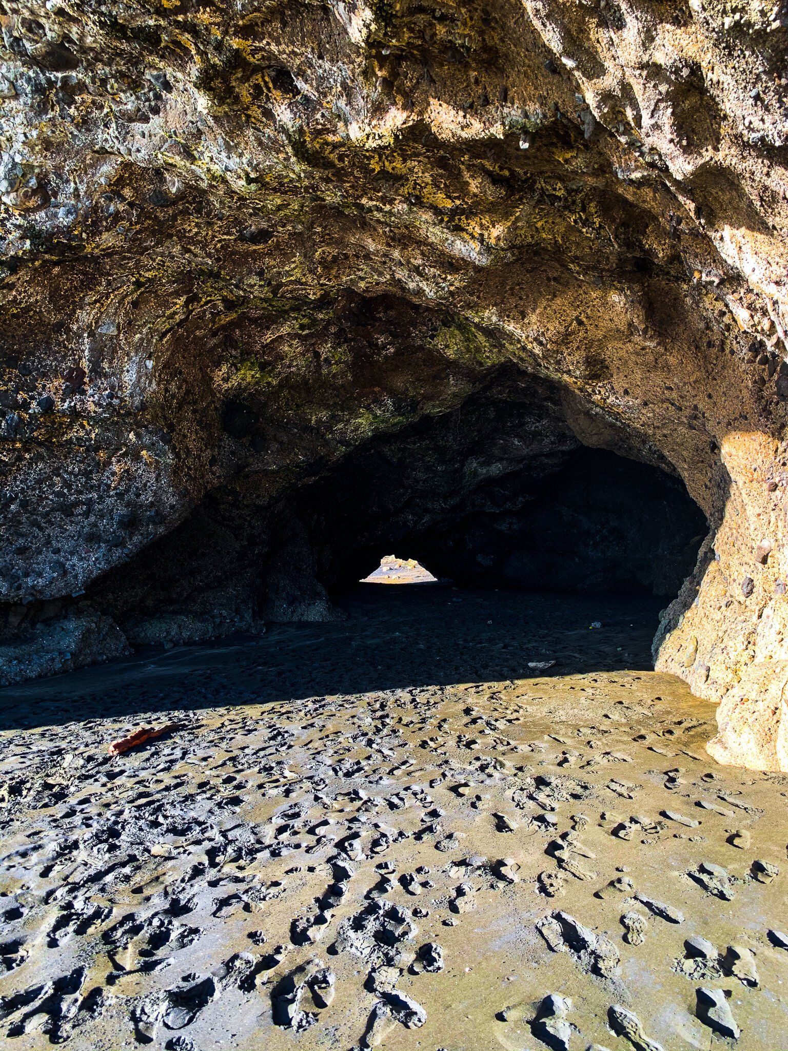
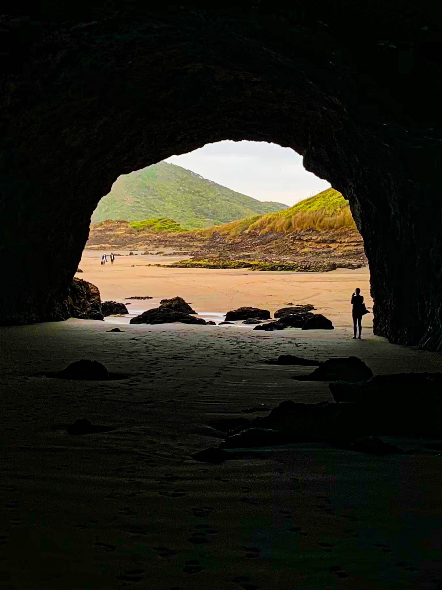
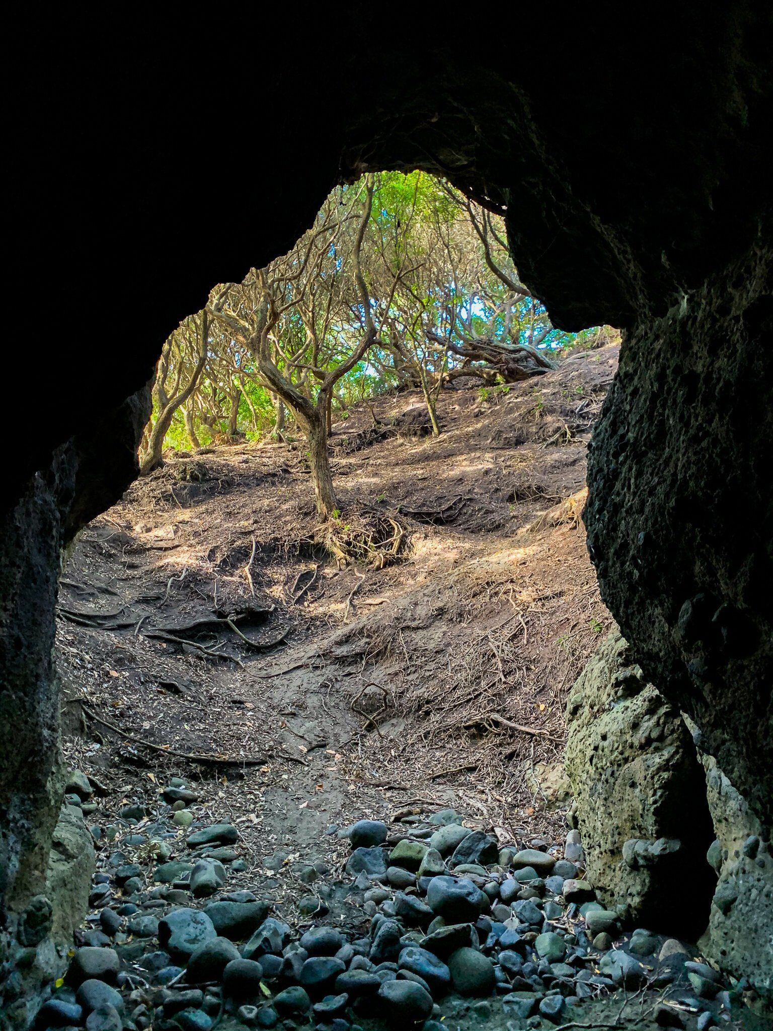
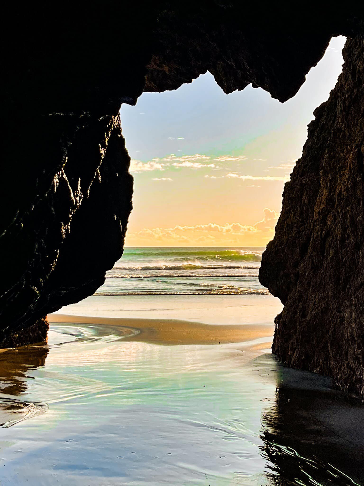
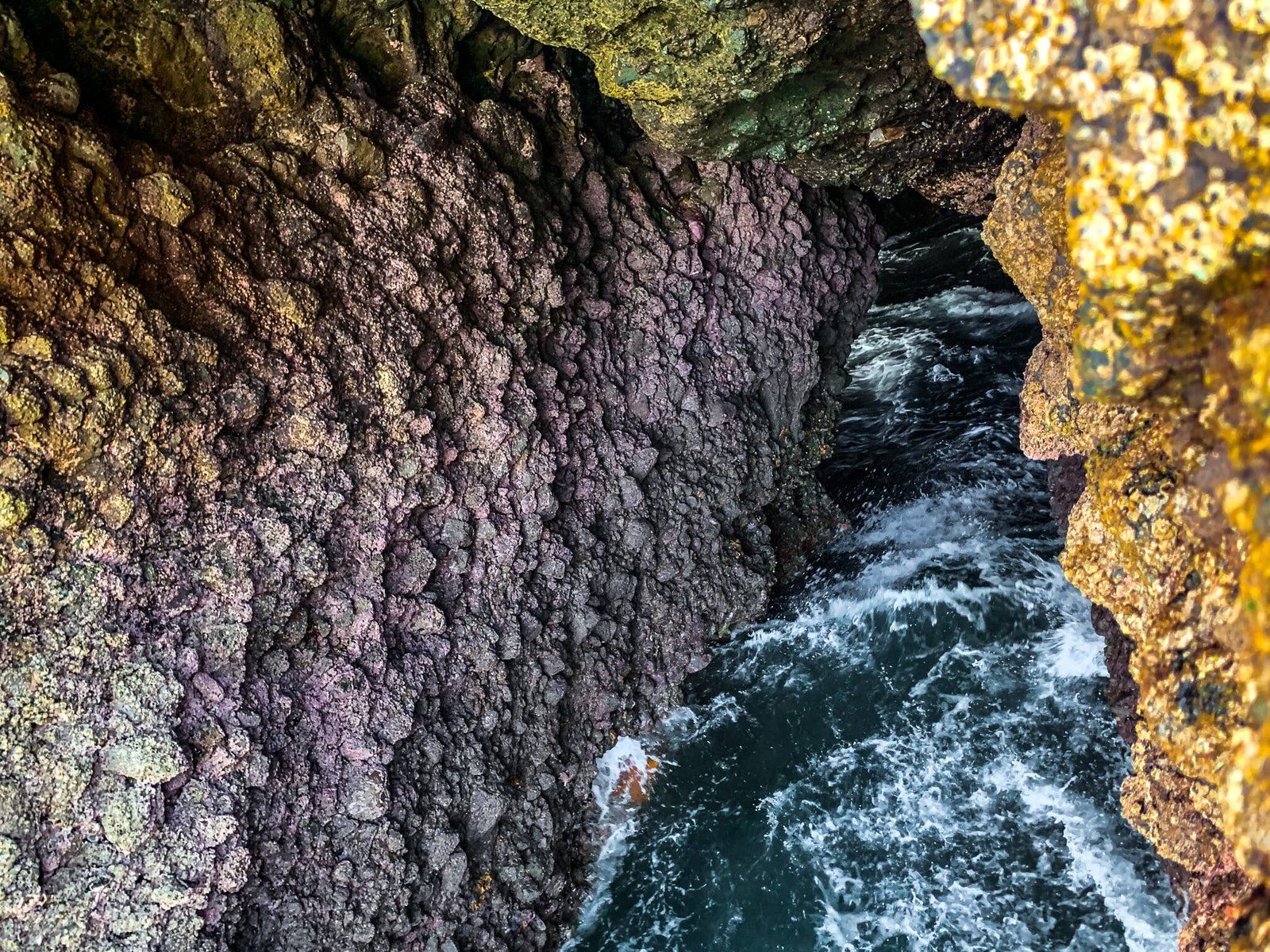
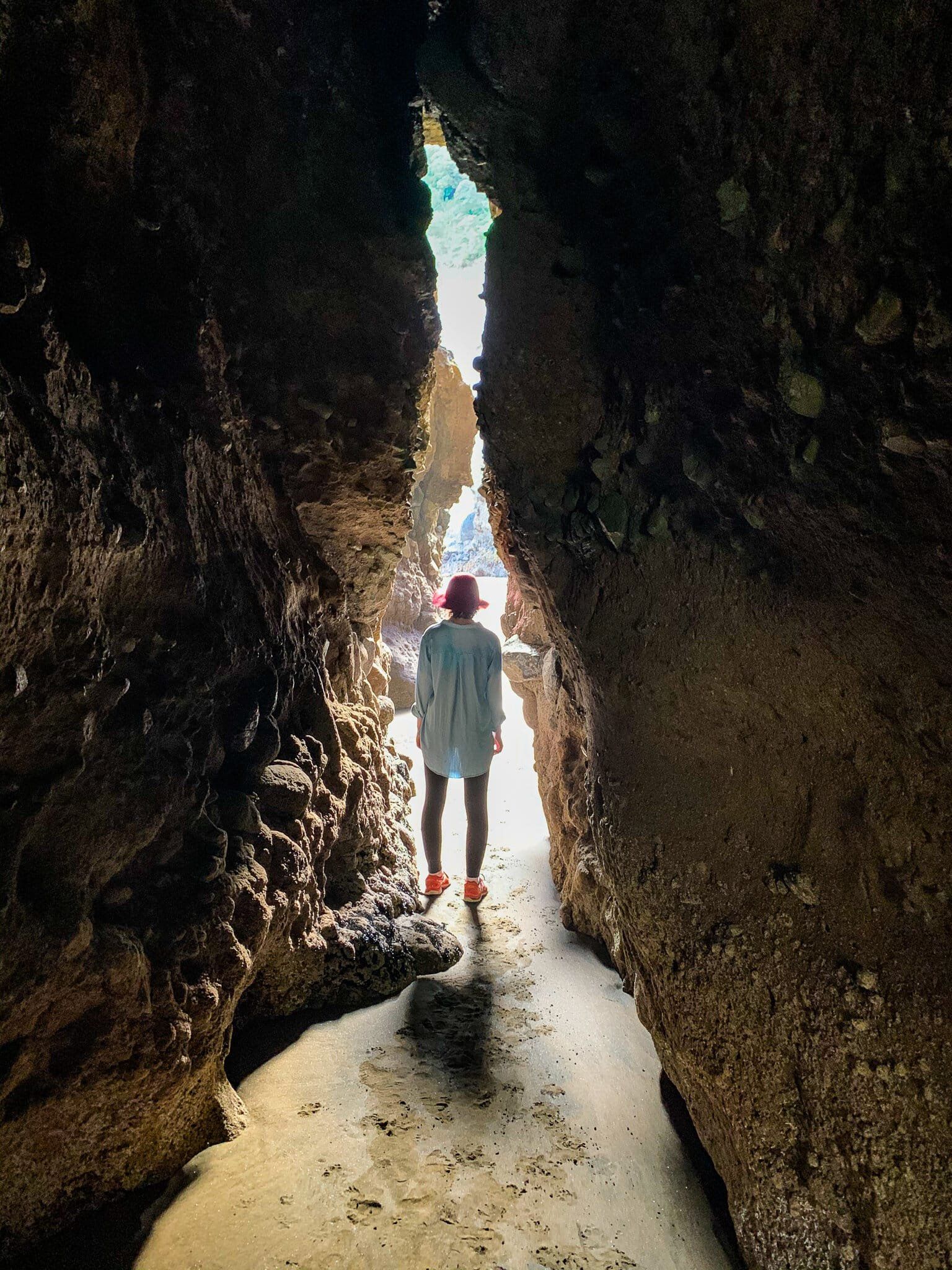
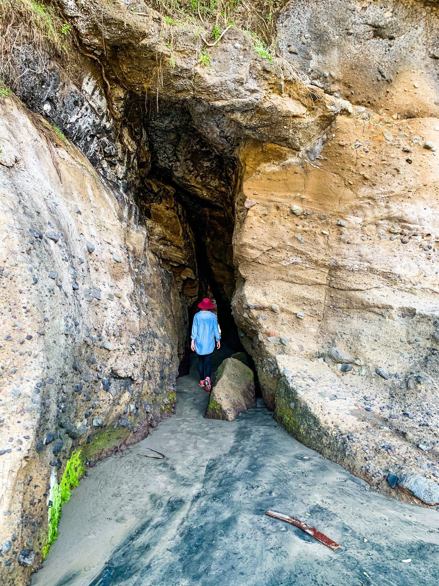
Te Henga Caves
Sea caves, tunnels and arches are a feature of all the Waitākere west coast beaches. Here are a few shots from around the wider Te Henga coast.
Want more West Auckland Trip Ideas?
Check out our blogs on the Hillary Trail Te Ara Tūhura Part 1 and Part 2.