
By NZ standards, it is quite a long way to drive down the North Island on SH1 from Auckland to Wellington, at about 8-9 hours. It is so much better if you spread it over two days and take some time out to do some wandering. There are plenty of options – from short deviations from the main highway to longer walks of up to two hours.
This week, I am covering several places visited over two weekend drives. Some are obvious, like Huka Falls north of Taupō. But most fall into the less visited category, for one reason or another. For example, why not visit one of the Hakarimata walks near Ngaruawahia, or the 150 metre long Arapuni Suspension Bridge? Further south, try one of the short walks around Pureora Forest. At the north end of Tongariro National Park there is the fabulous Lake Rotopounamu Track, and access to Kaingaroa Forest at the northern end of the Desert Road.
Heading into the Manawatu, it is a short but interesting rural drive to Whitecliff Boulders from the main highway, then only a 20 minute walk (but rather steep!) to one of the best “fairylands” in the North Island. As you reach the Kapiti Coast, there are several beach options, but on this occasion I chose Waikanae.
Hakarimata
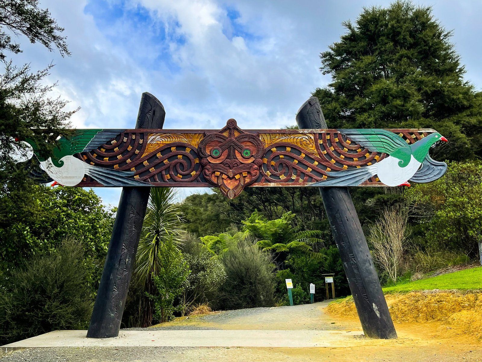
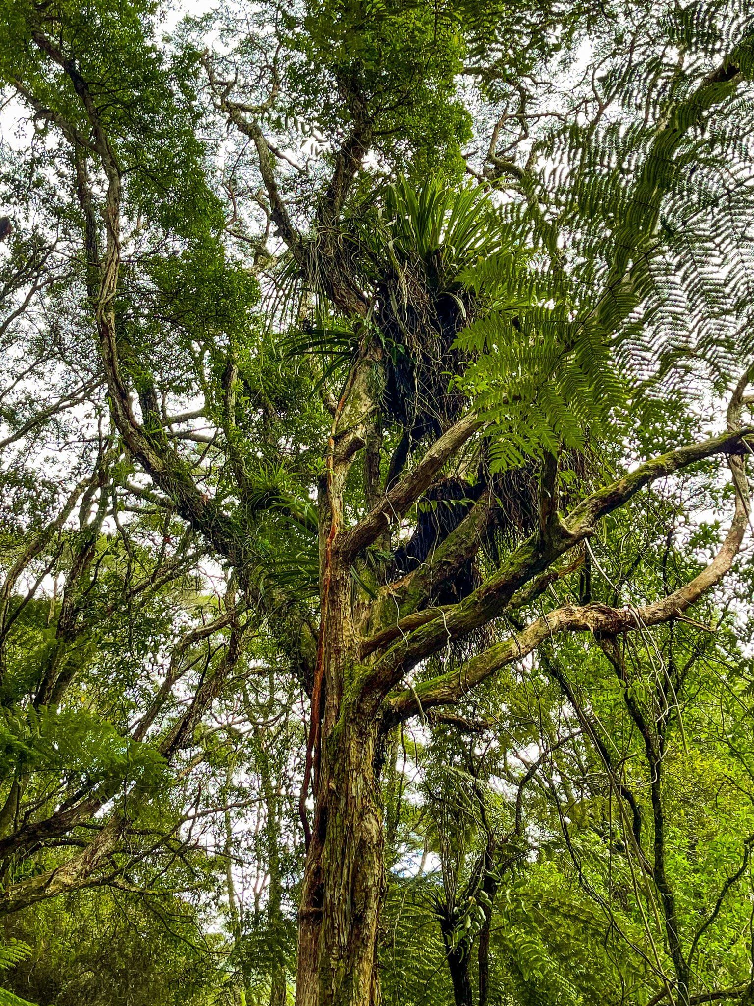
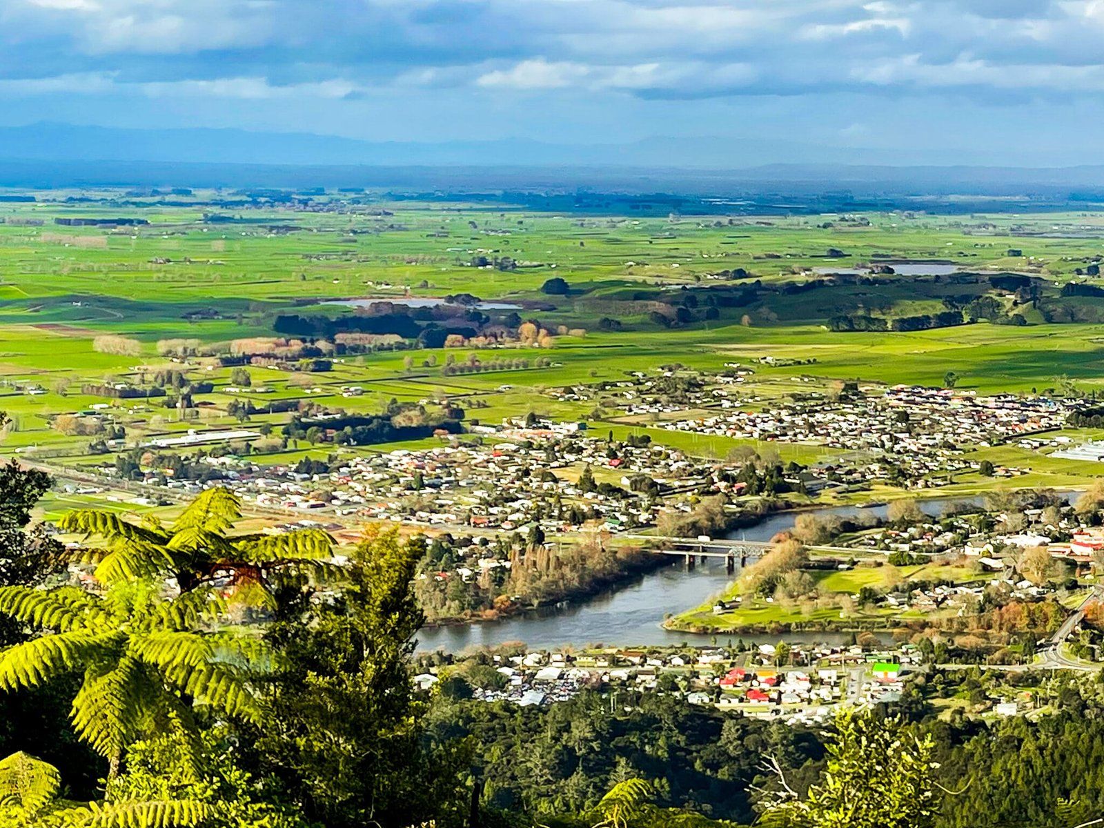
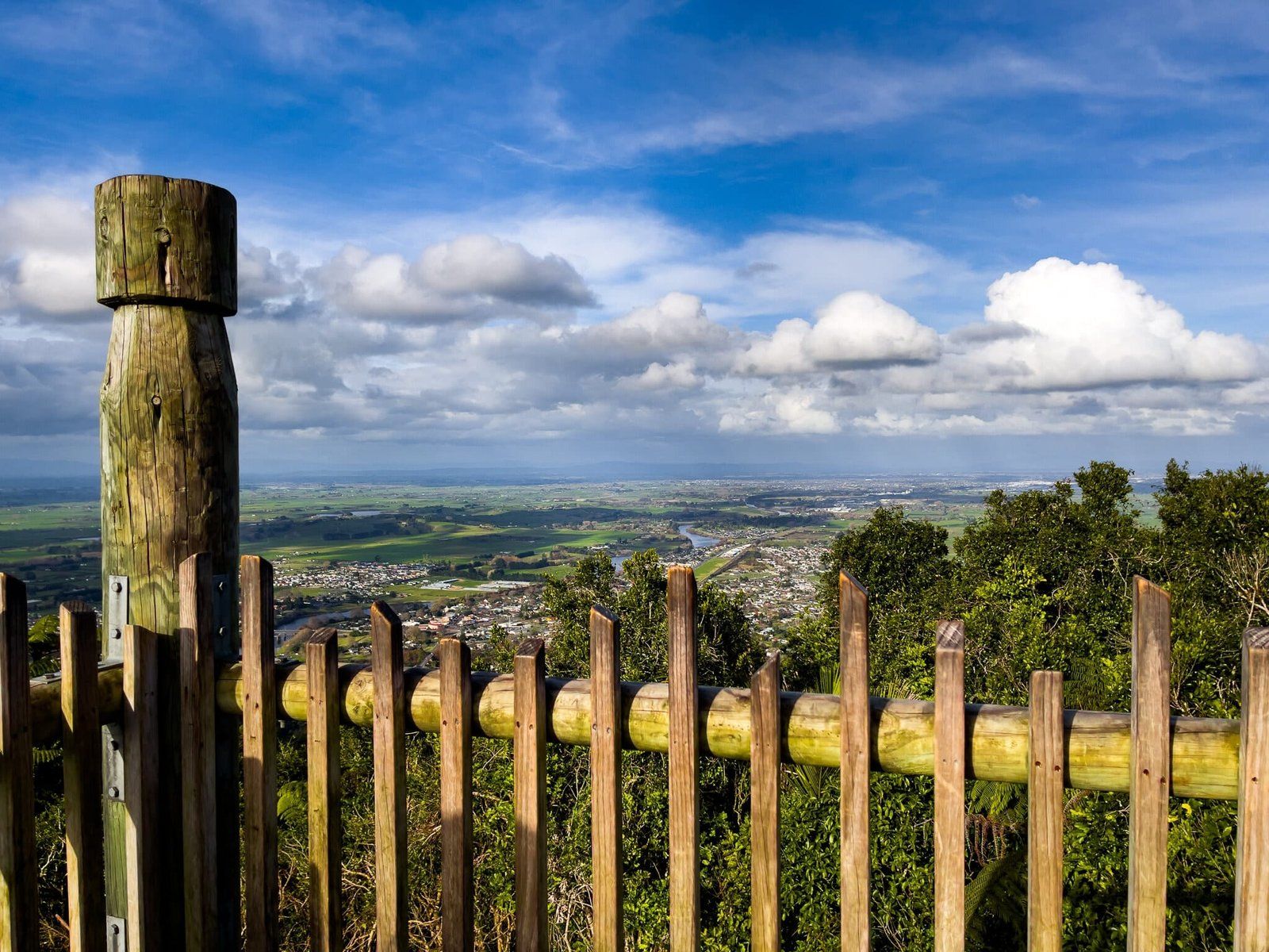
Hakarimata is a range of high hills to the northwest of Ngaruawahia overlooking the confluence of the Waikato River and Waipa River. It is a short drive from the SH1 off ramp at Taupiri to the track access on Waingaro Rd on the west side of the Waipa.
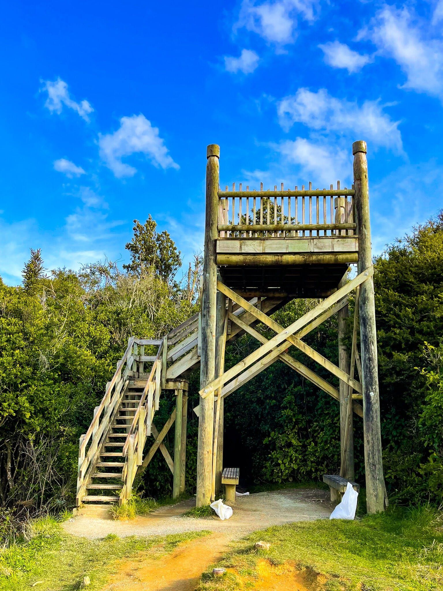
Te Araroa runs along the over 300 metre high ridge of the range for about 10kms, but the Waterworks Walk gives you access straight up the side to a high point with a viewing tower. It is steep with a lot of steps, but can be done in about 90 minutes or so.
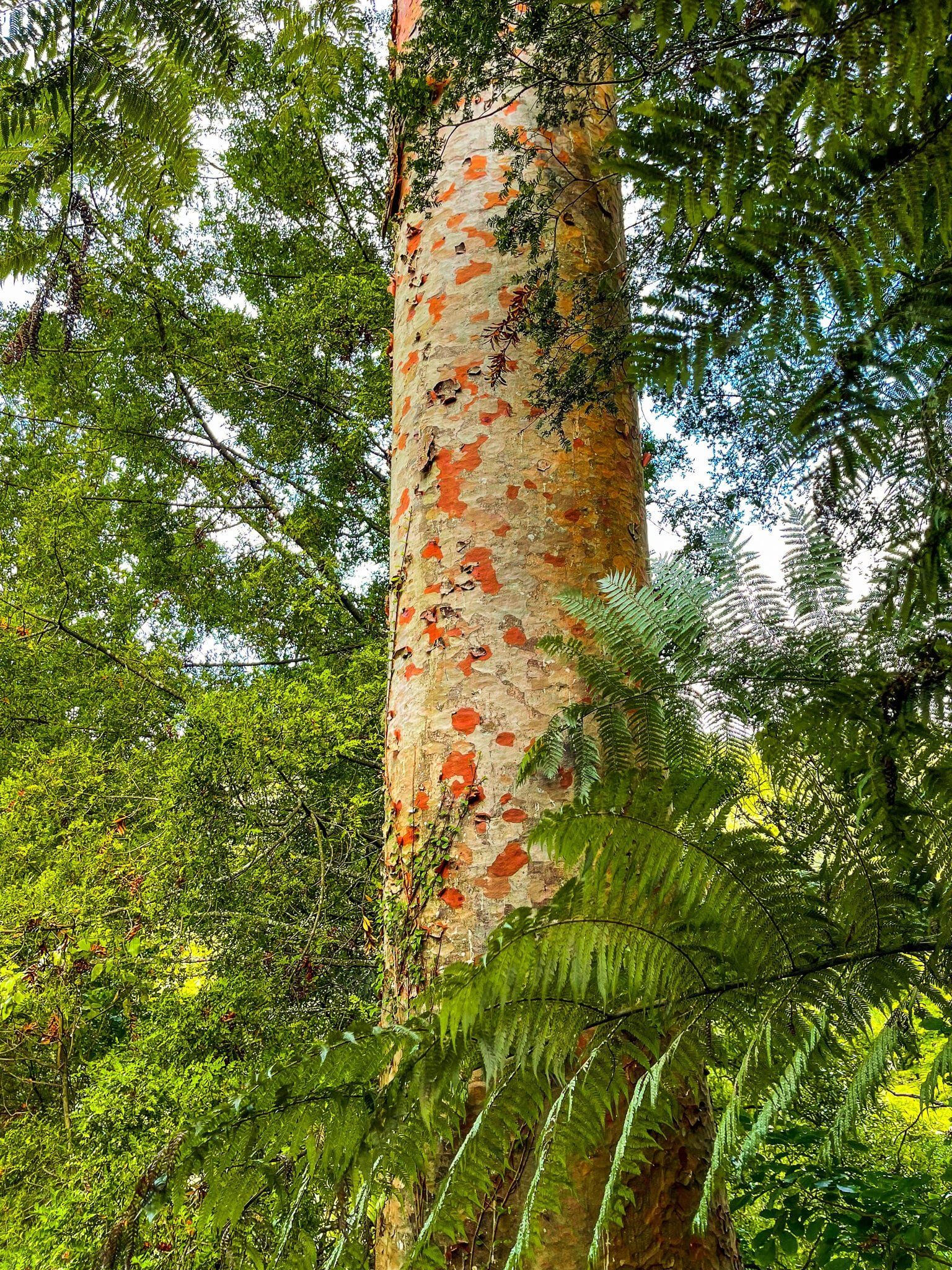
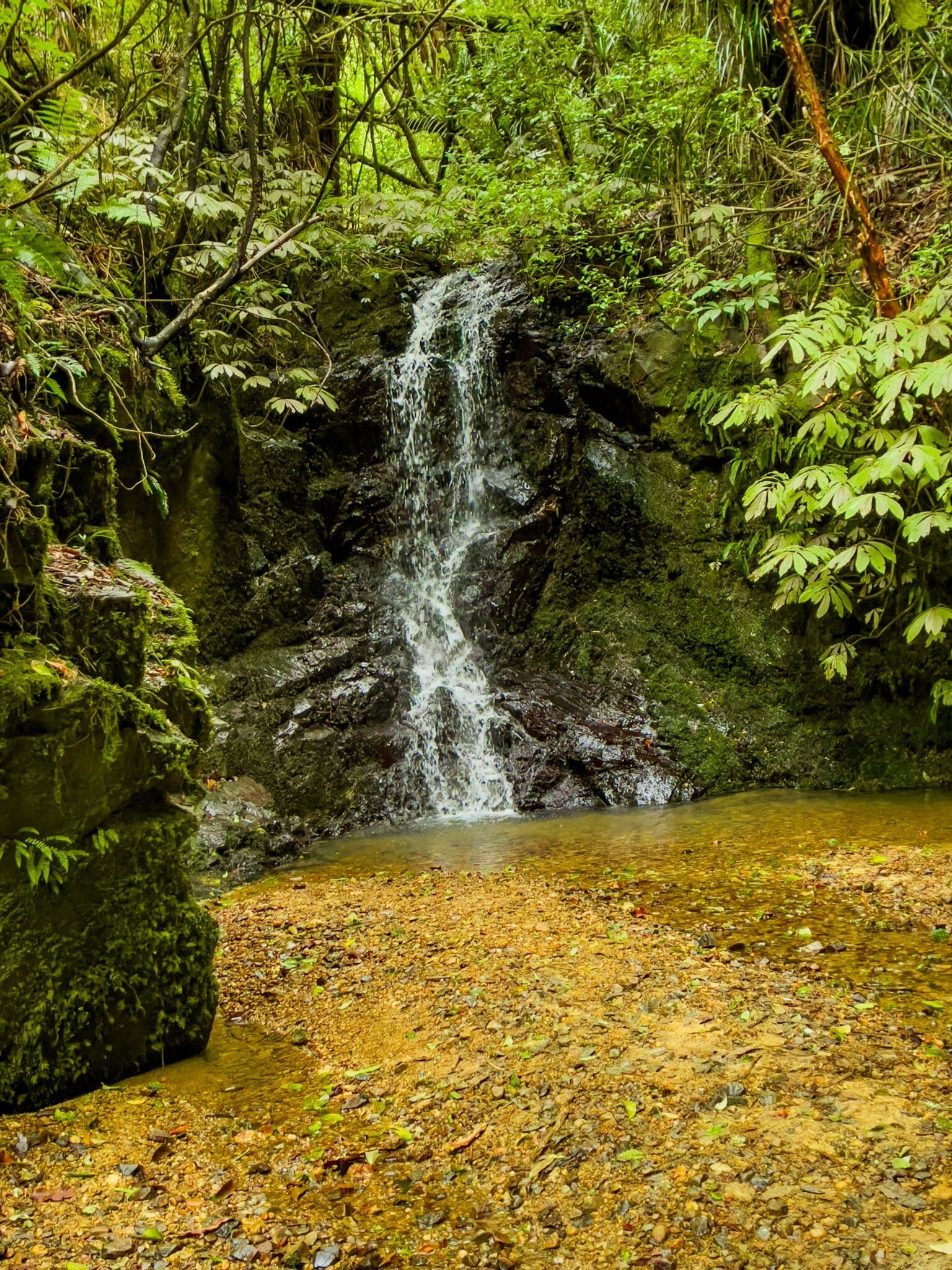
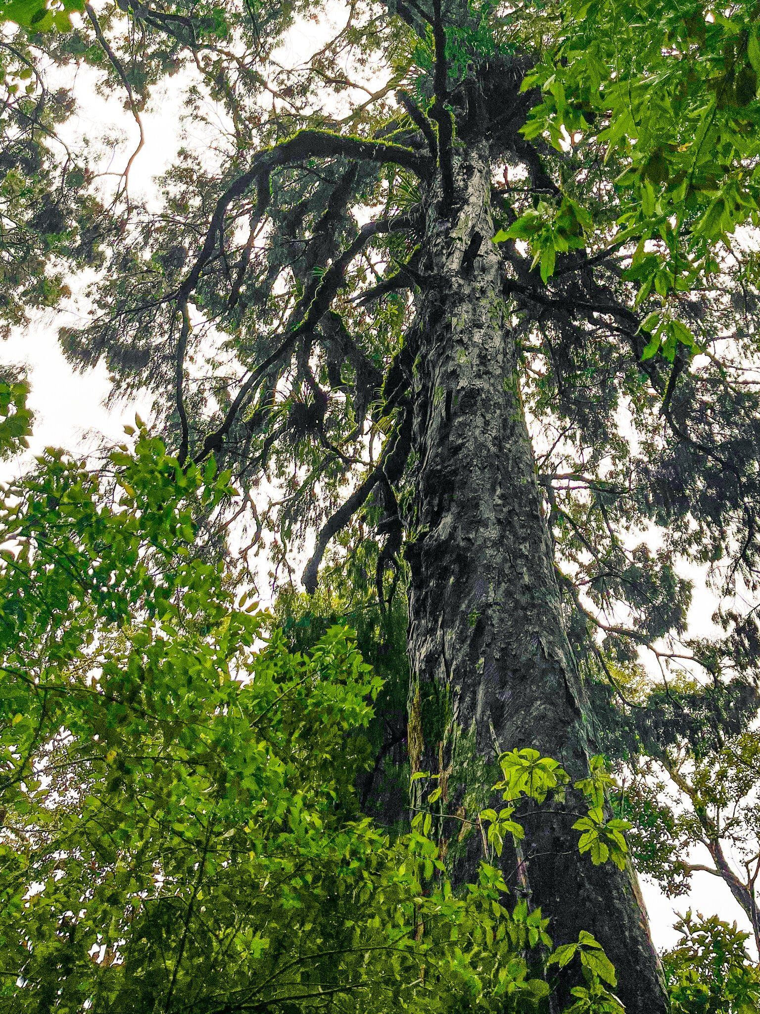
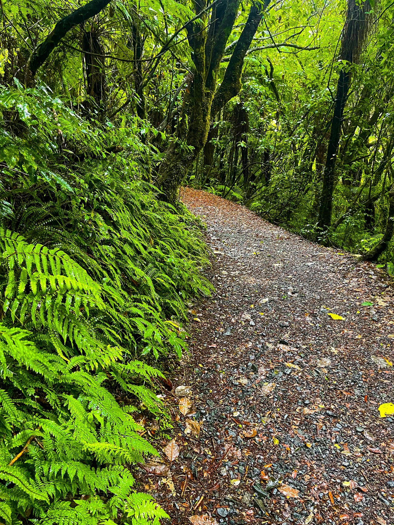
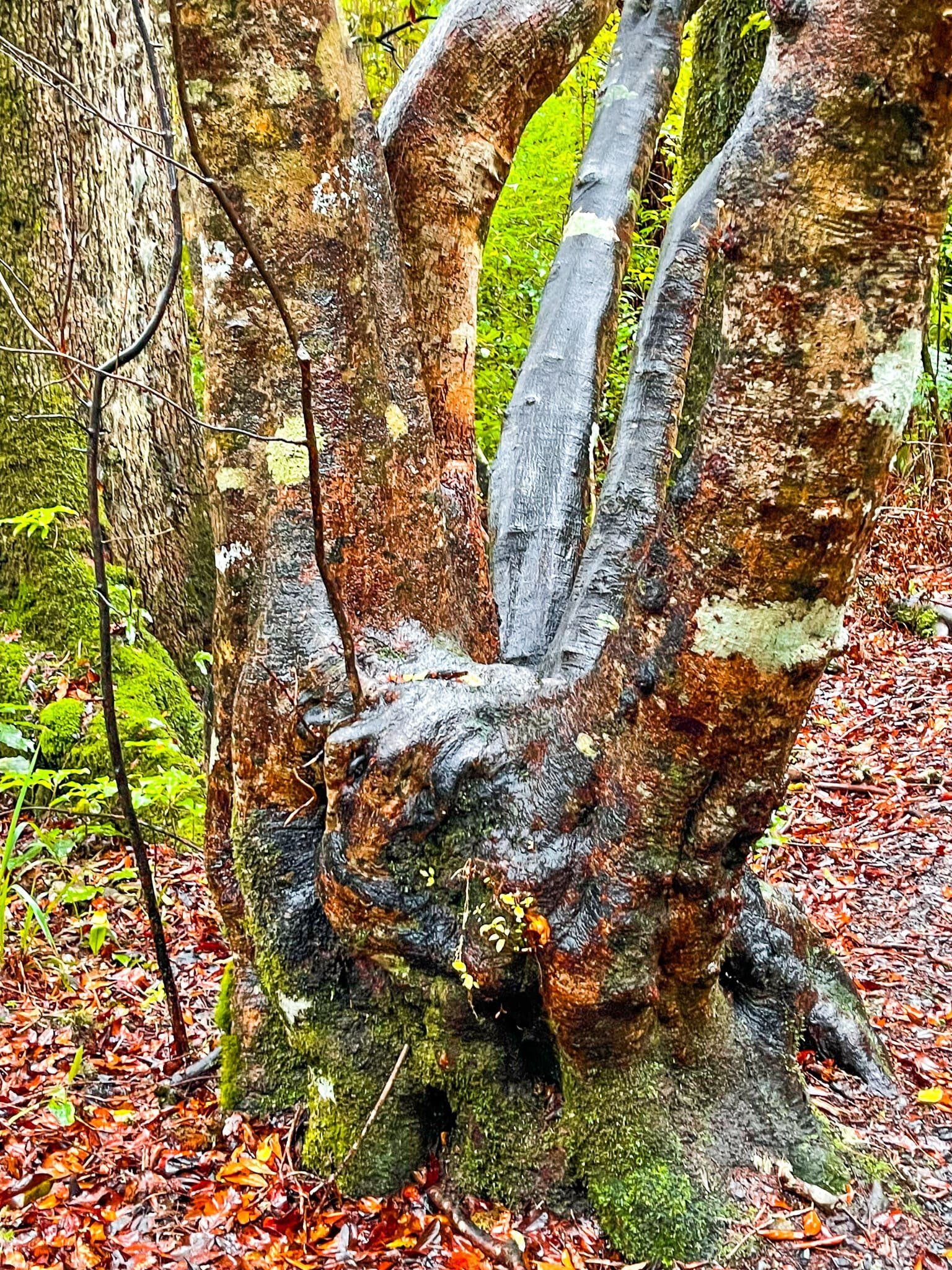
This walk is one of the best pockets of native forest in the north Waikato and includes some of the most southerly naturally occurring kauri trees. The first half is easy and follows a stream that runs from a small derelict dam about halfway to the ridge. You can walk up to the top of the dam, or bypass it. The second half has all the steps and quickly rises about 300 metres. The payoff is the view from the tower at the top.
If you are short of time, just do the short trip to the dam, or consider the shorter and easier Kauri Loop Track at the north end of the range.
Arapuni
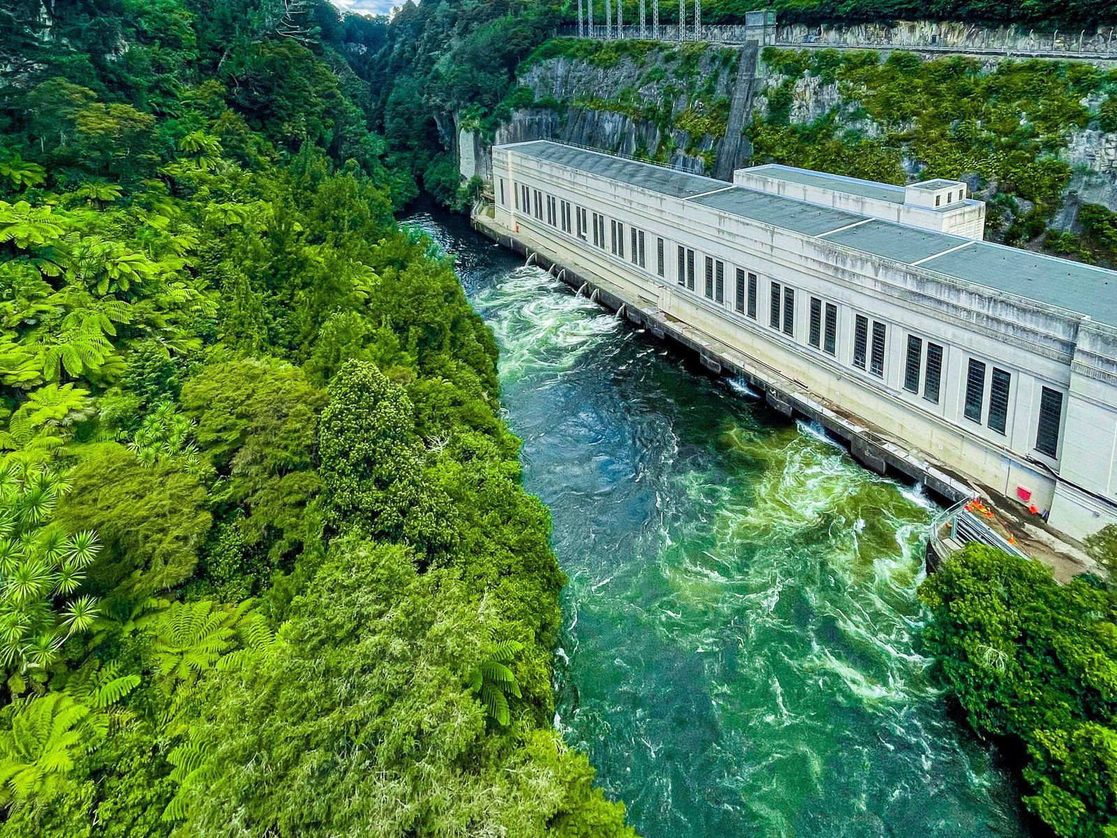
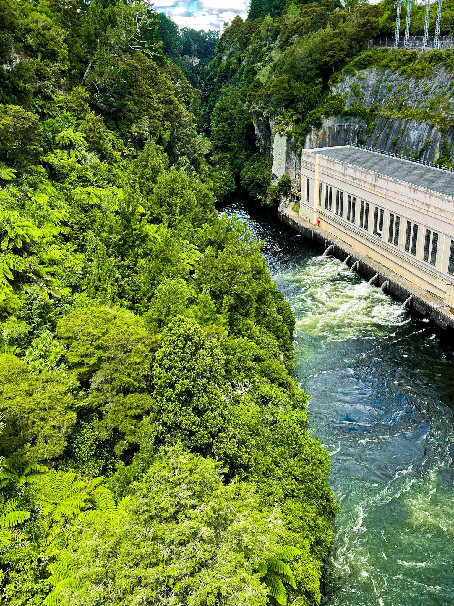
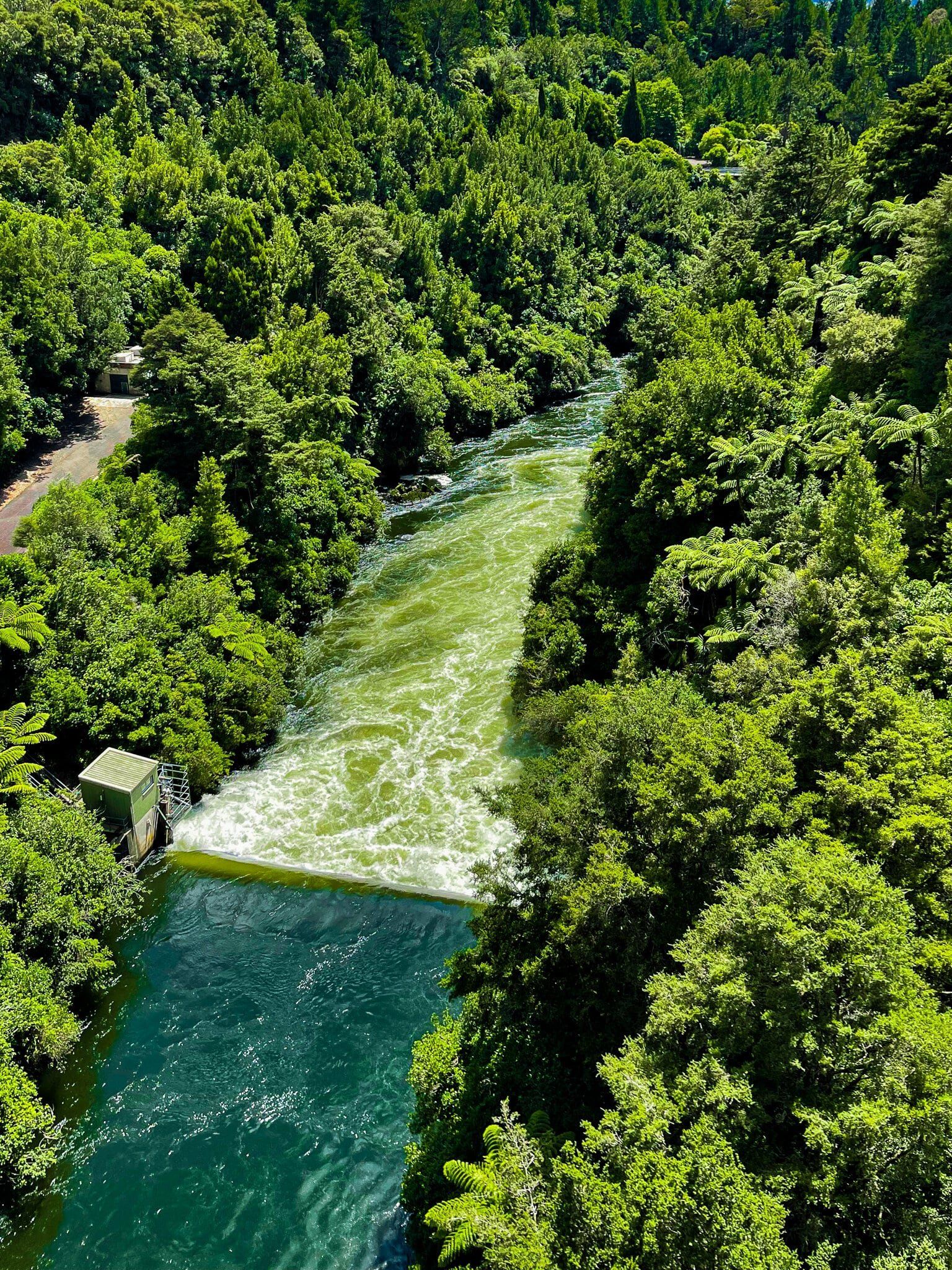
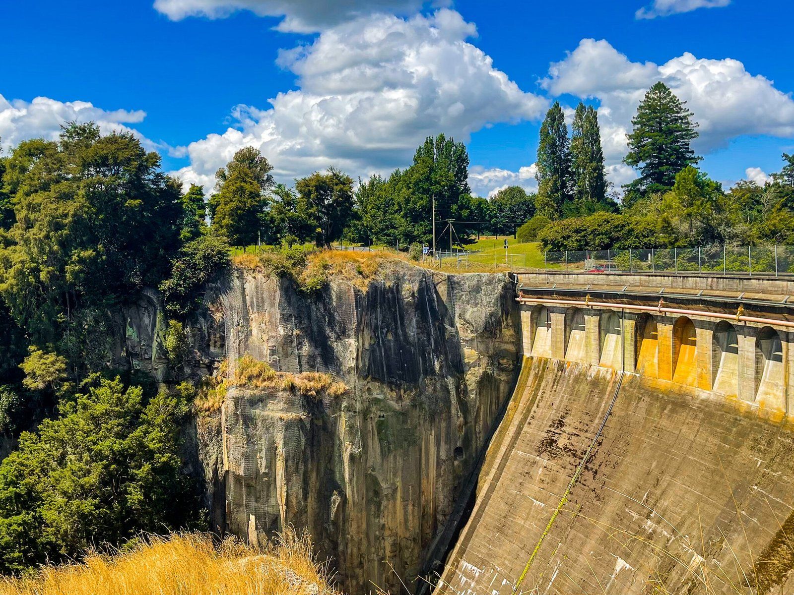
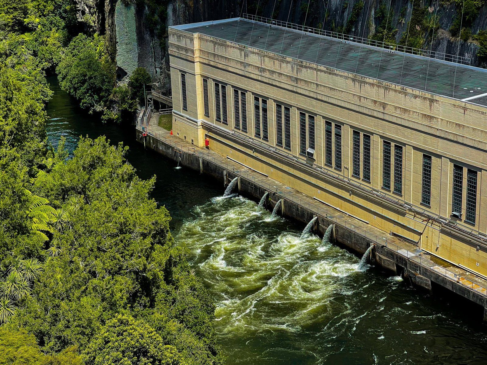
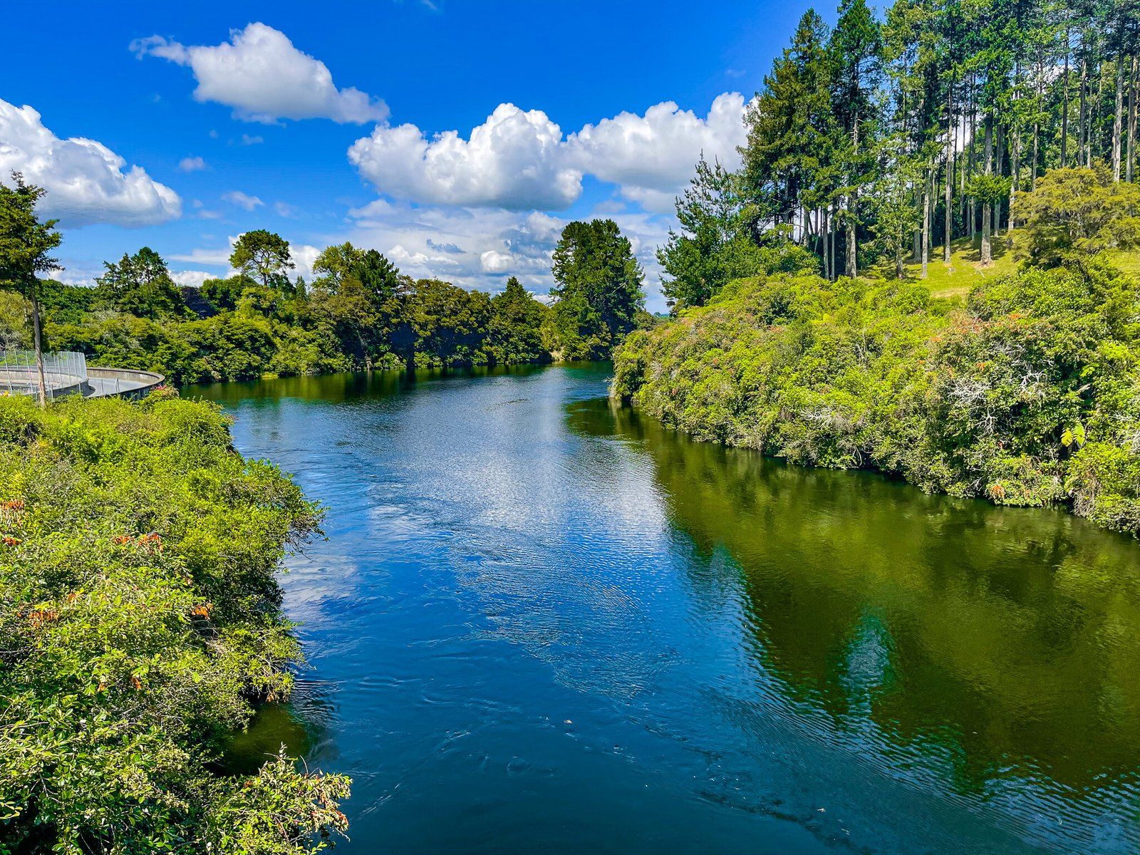
As you head down SH1 from Cambridge towards Putaruru, keep an eye out for a right turn onto Horahora Road to Arapuni. This follows the Waikato River, with several good viewpoints, but the main attractions are the Arapuni suspension bridge, powerstation, dam and lake. This section of the extensive Waikato River hydro scheme was developed in the 1920s.
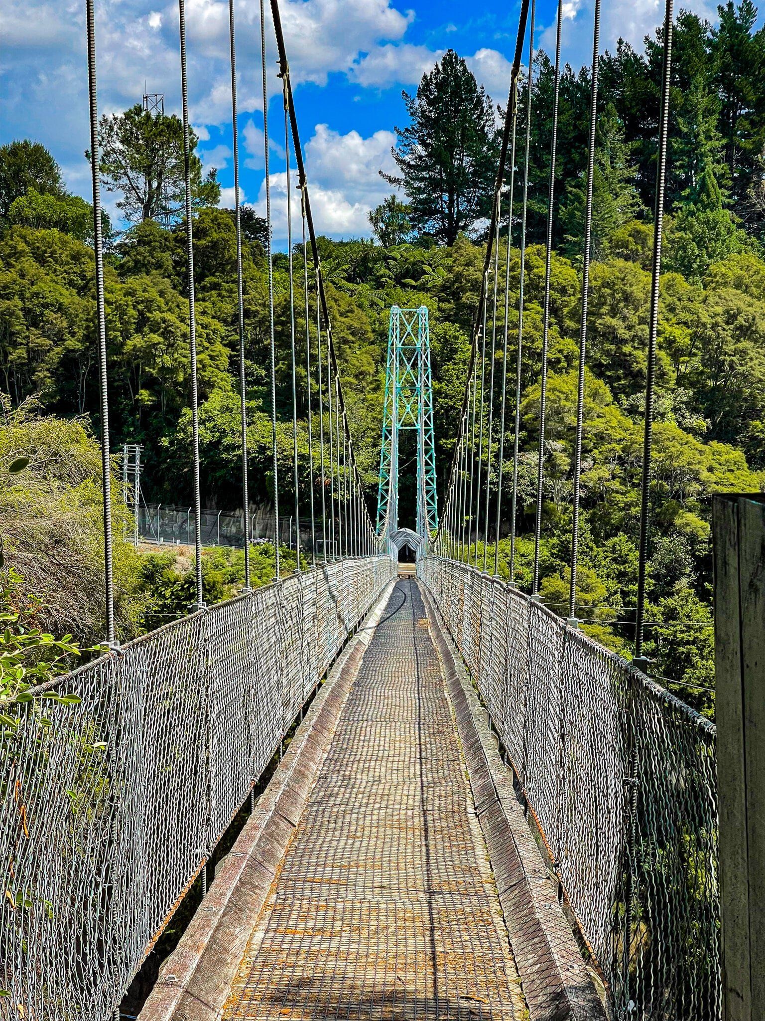
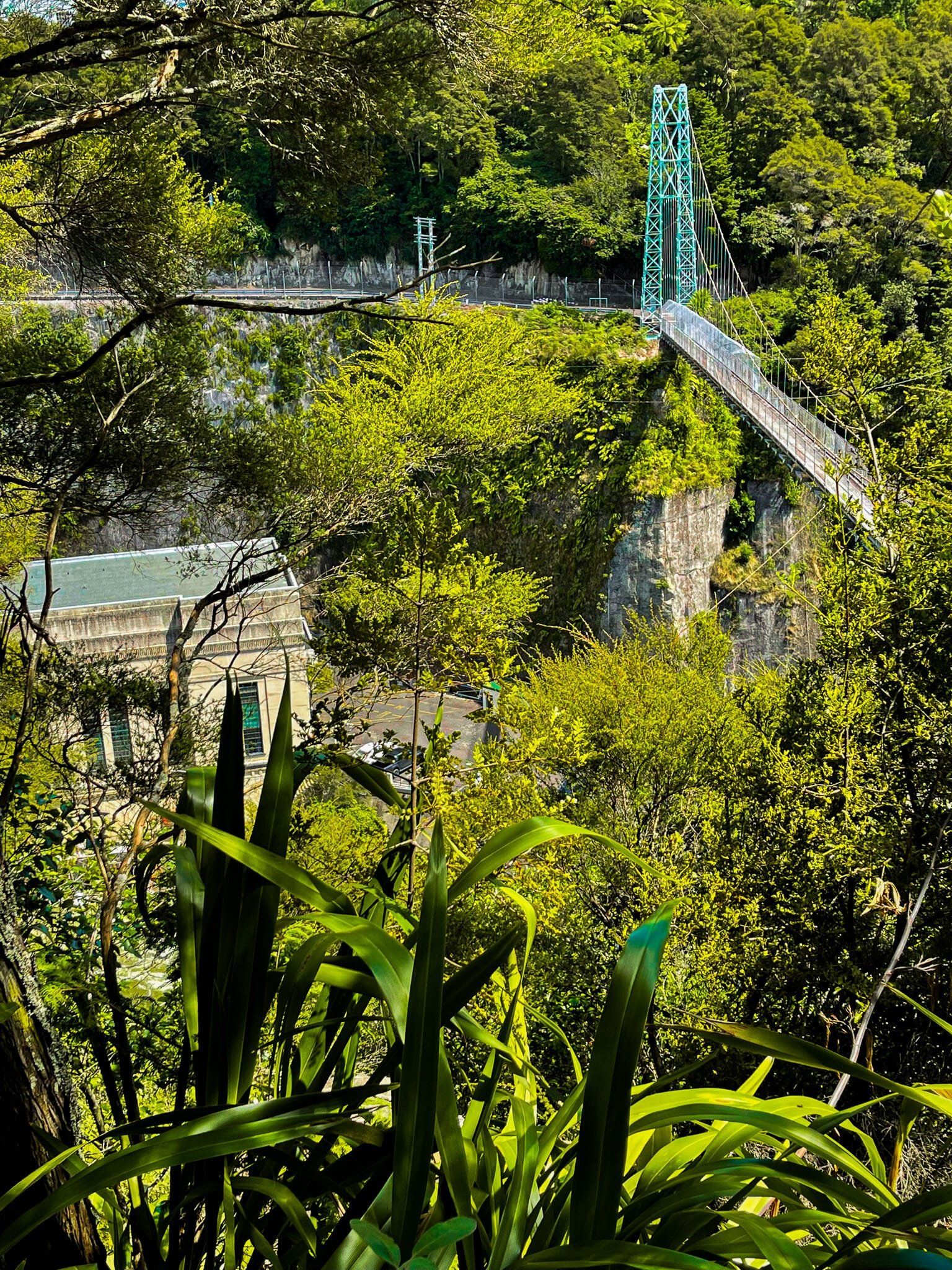
Access to parking for the walkway suspension bridge is signposted in the town. The high 152-metre suspension bridge crosses a high sided and bush-lined gorge with stunning views to the power station on one side and the river on the other. It was built in the mid-1920s to allow workers from Arapuni to access the power station construction site. Although it is high and long, and looks like a swing bridge, it does feel stable when you’re out in the middle.
The bridge is 1.5 kms north of the Arapuni Dam. You can walk over the bridge and south along the access road to reach the reserve near the dam, or drive through Arapuni to the dam. If you have more time, the easiest access to the lake is along Lake Arapuni Road to Jones Landing on the eastern side.
Walking over the bridge offers a superb view of the power station and further south to the dam.

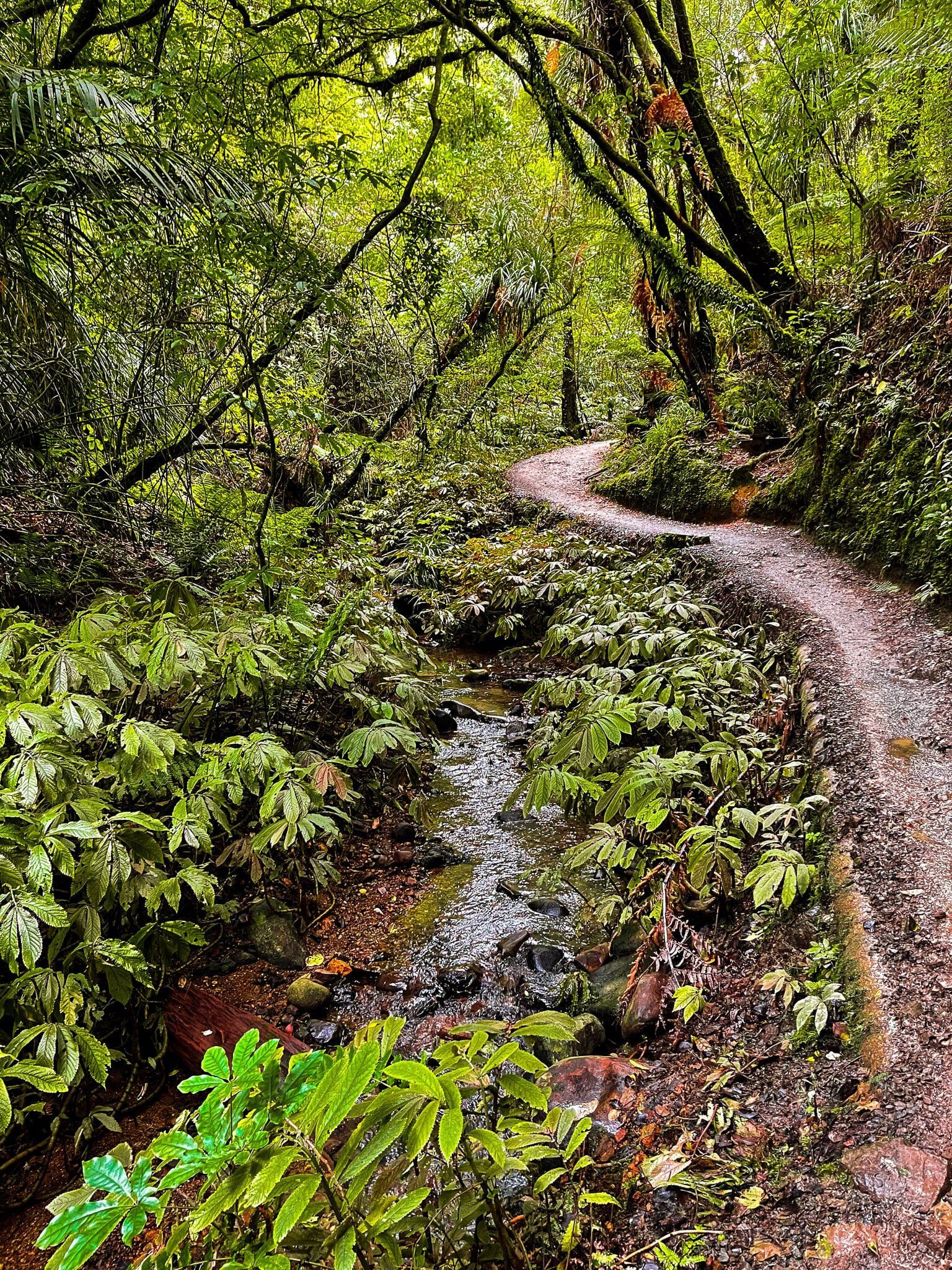
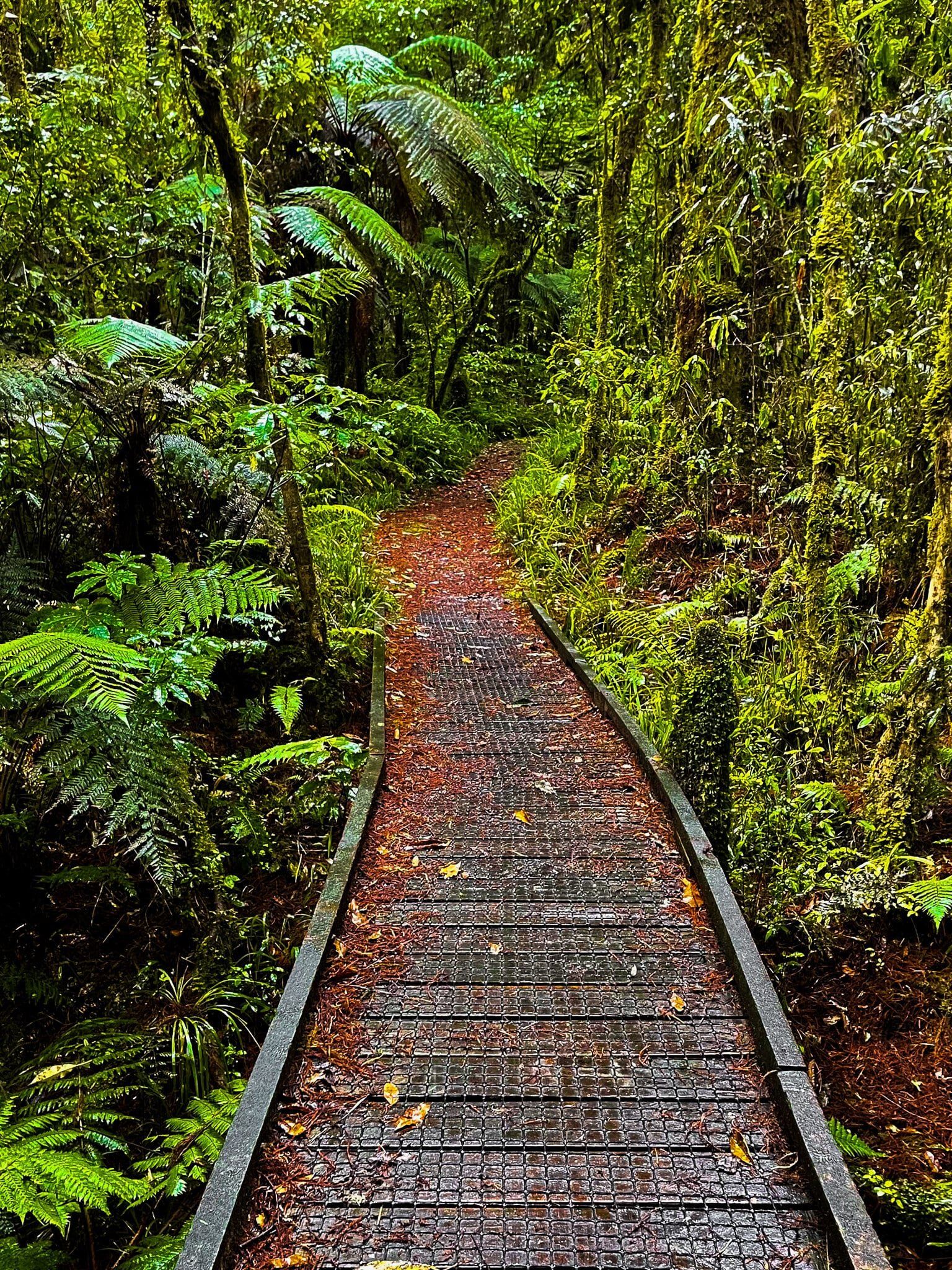
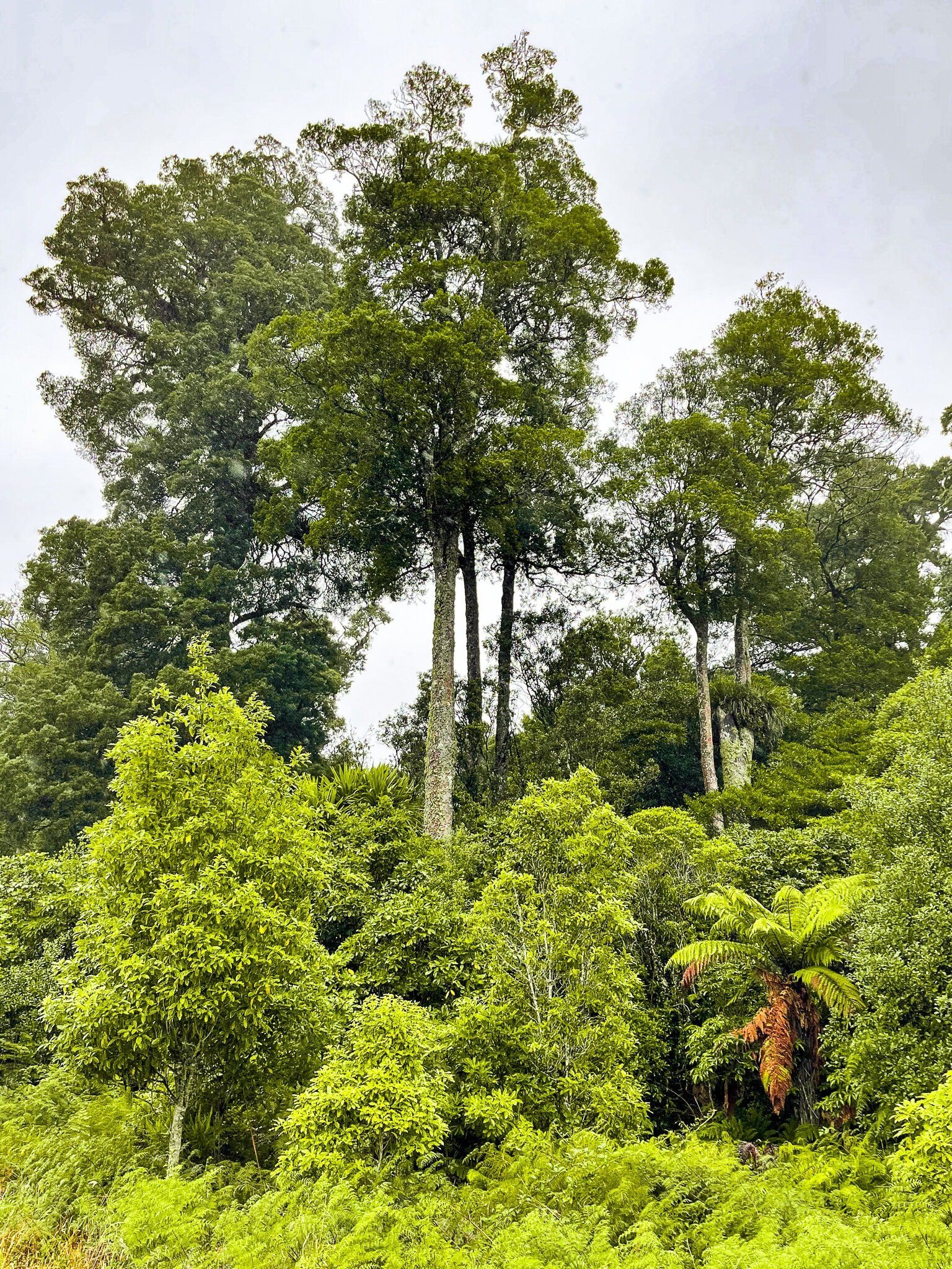
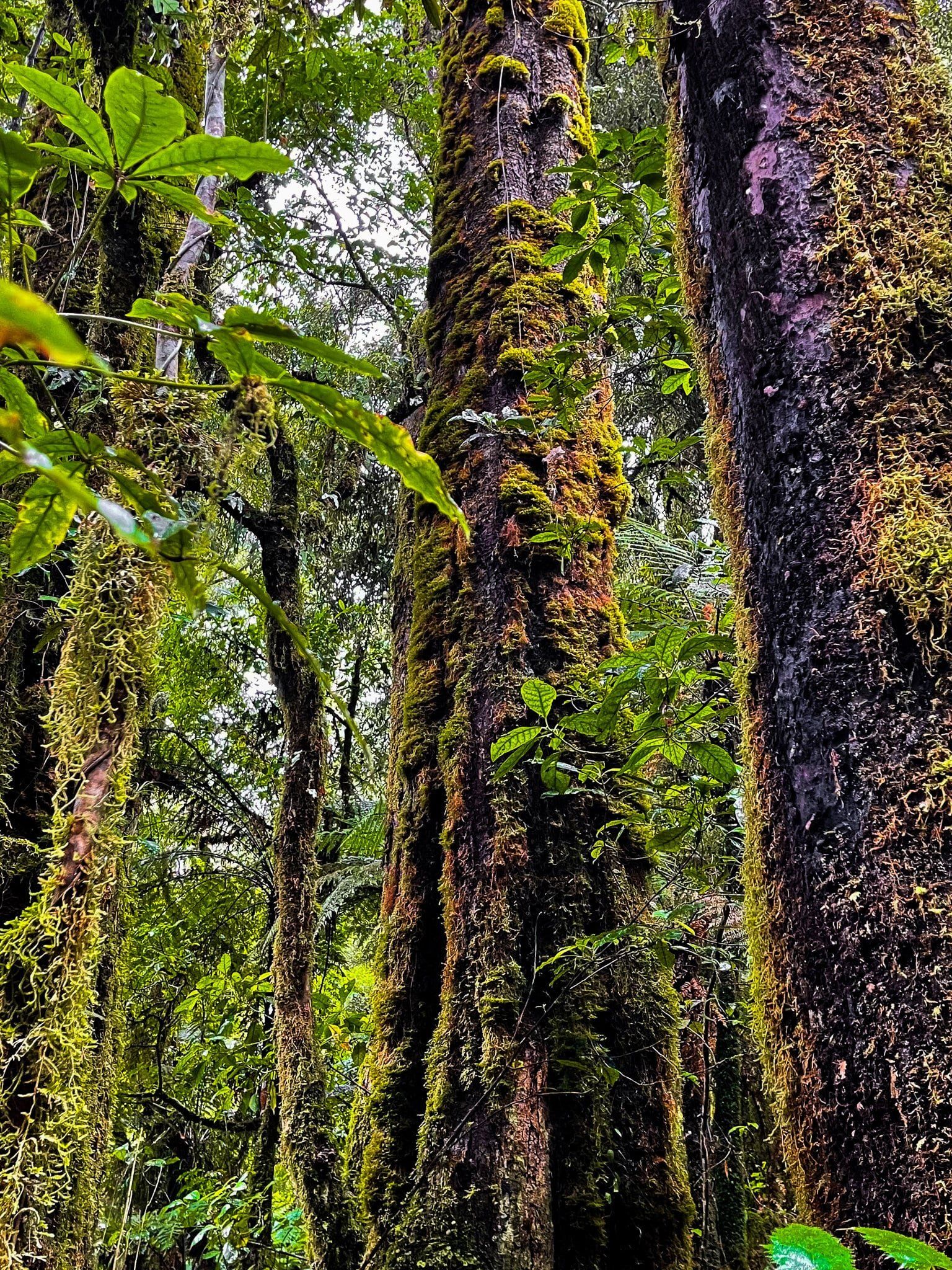
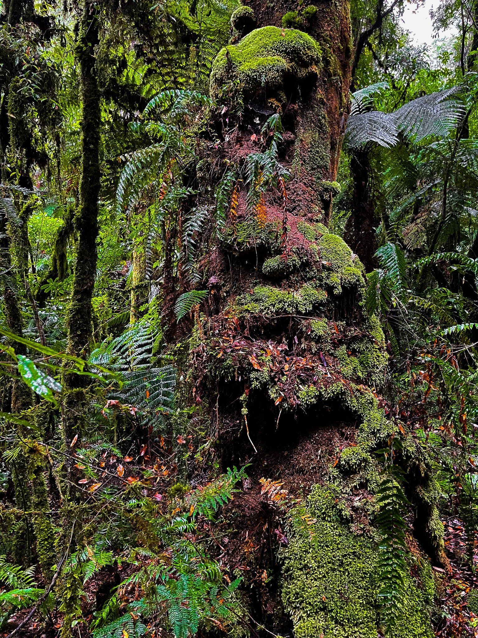
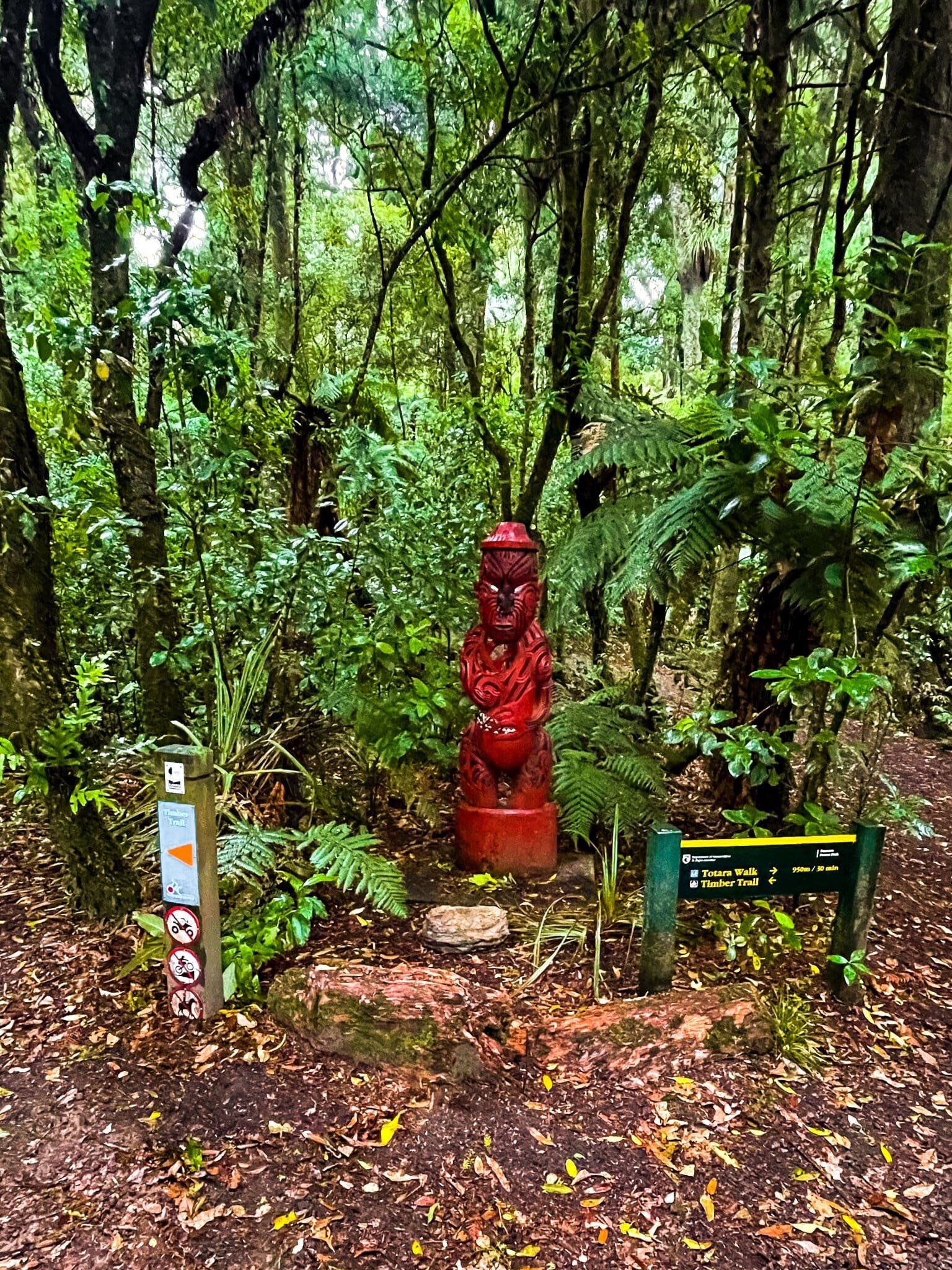
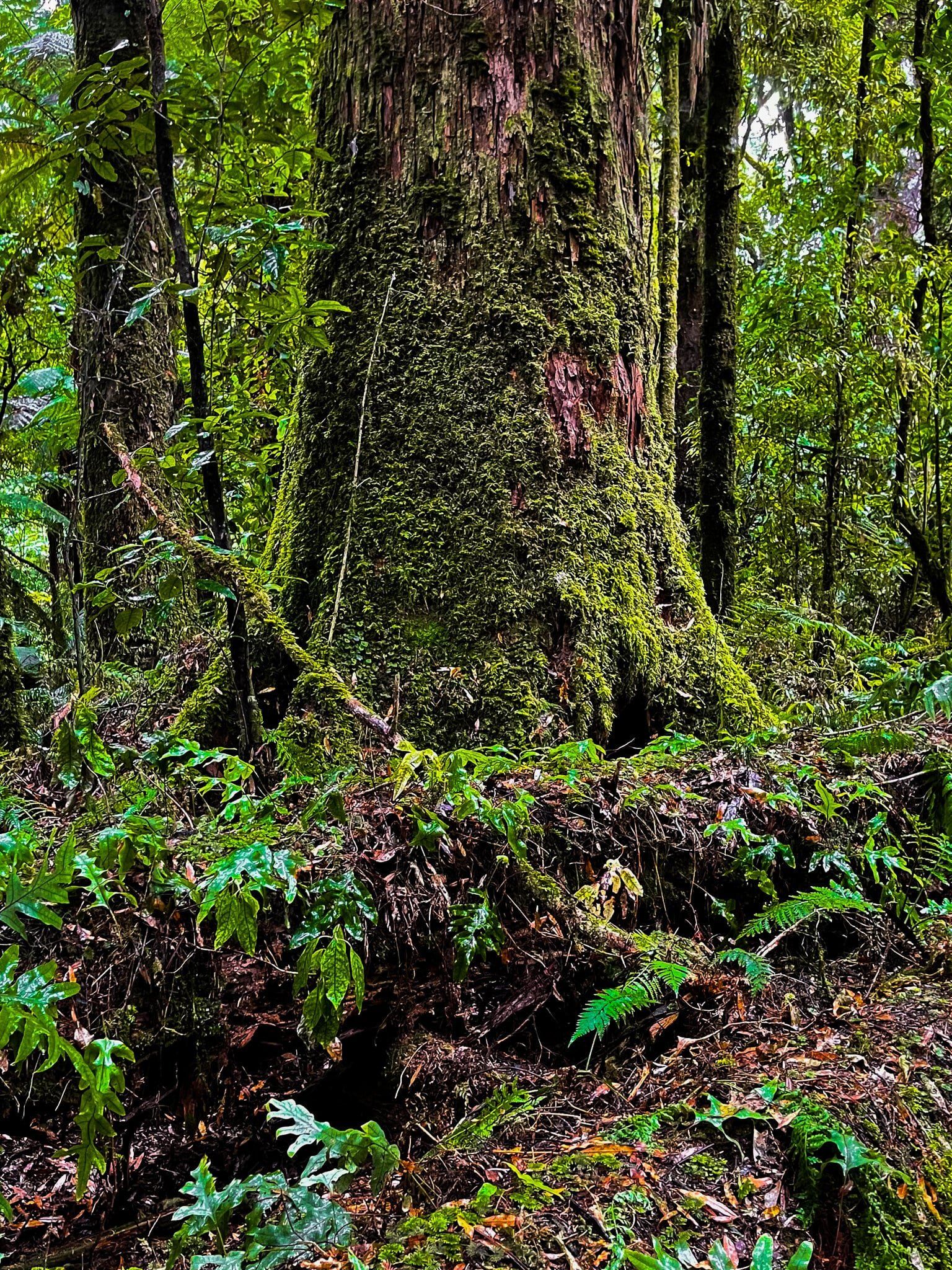
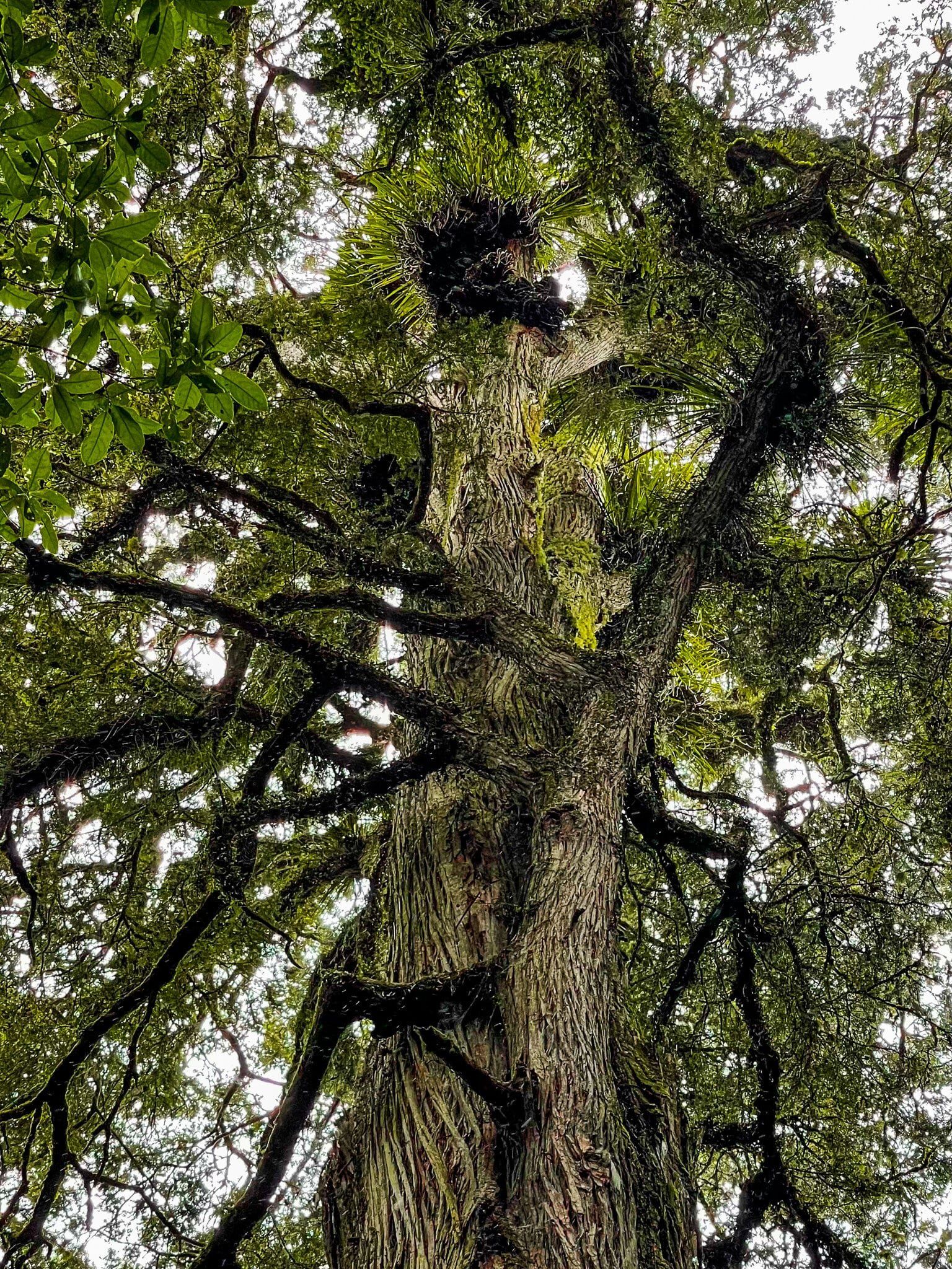
Pureora Forest
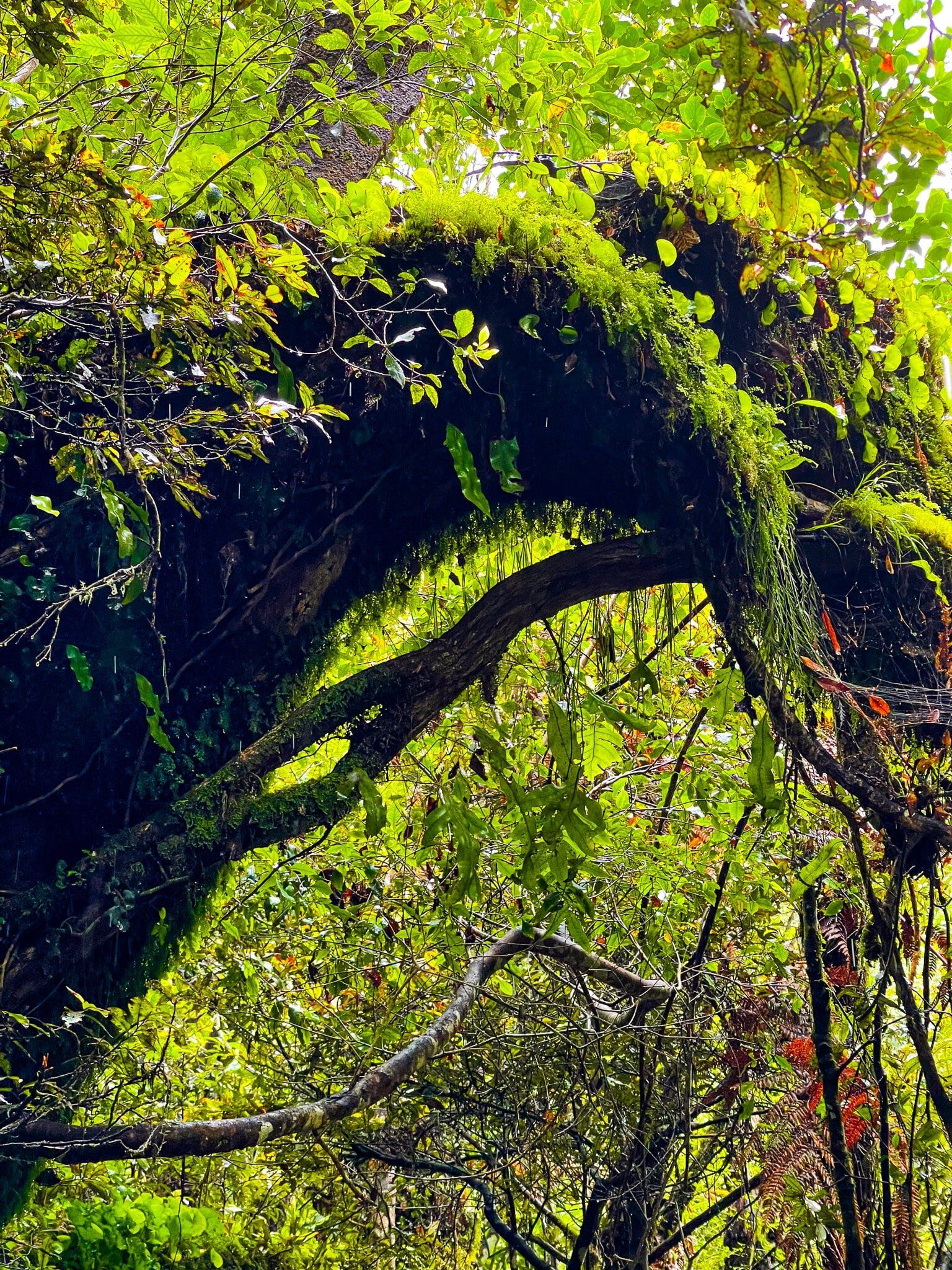
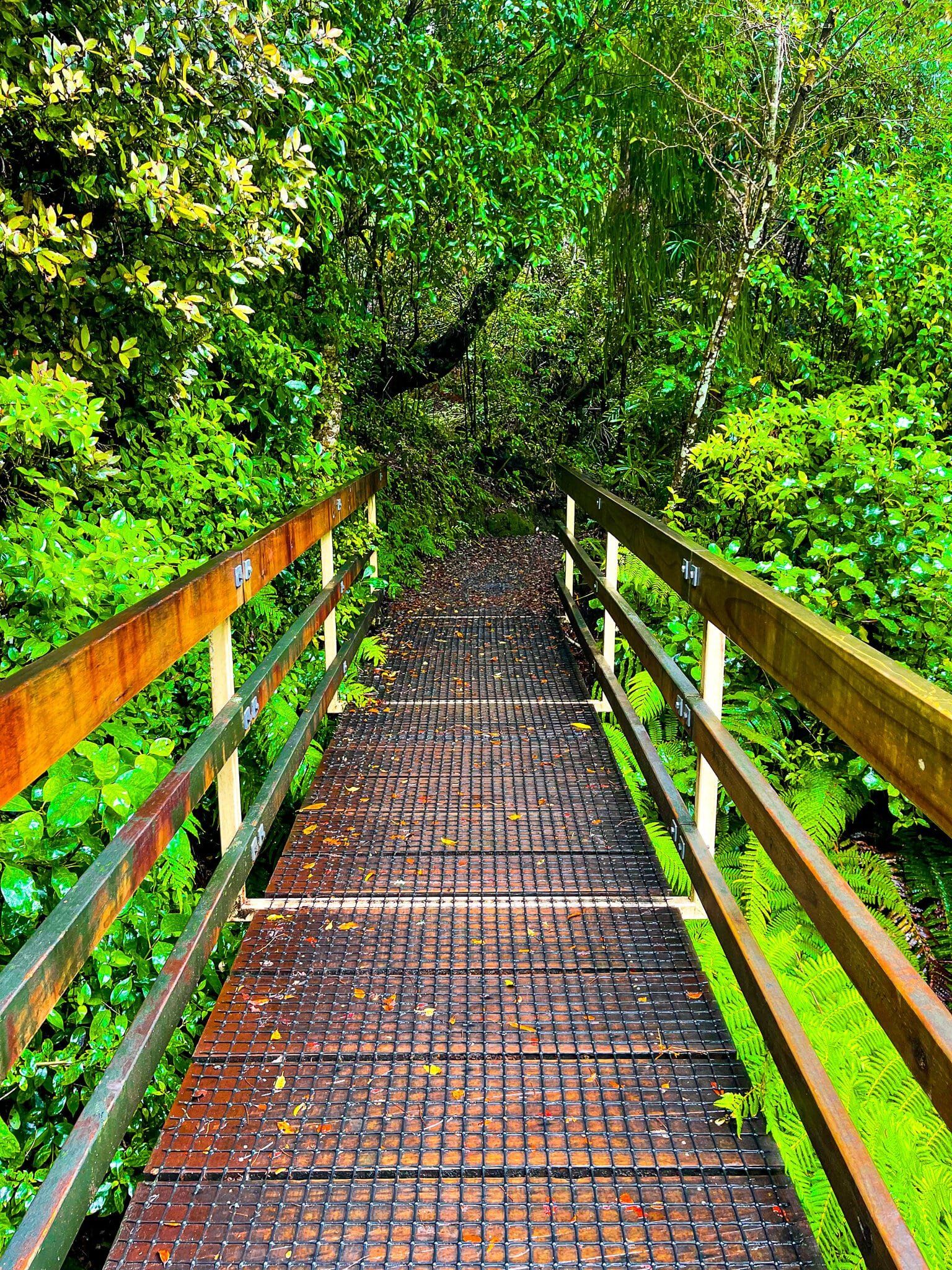
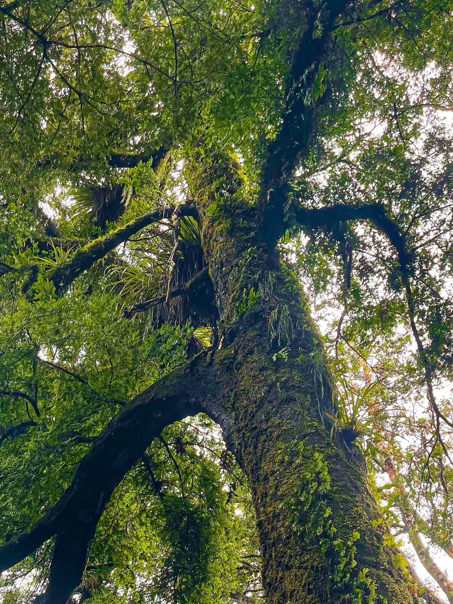
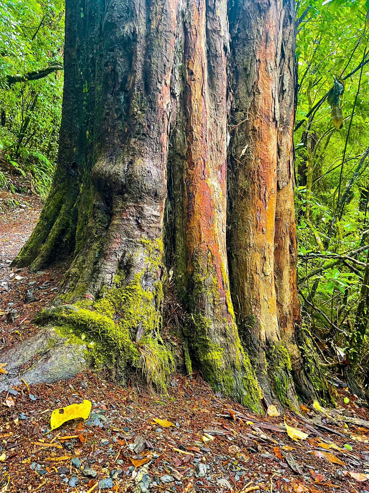
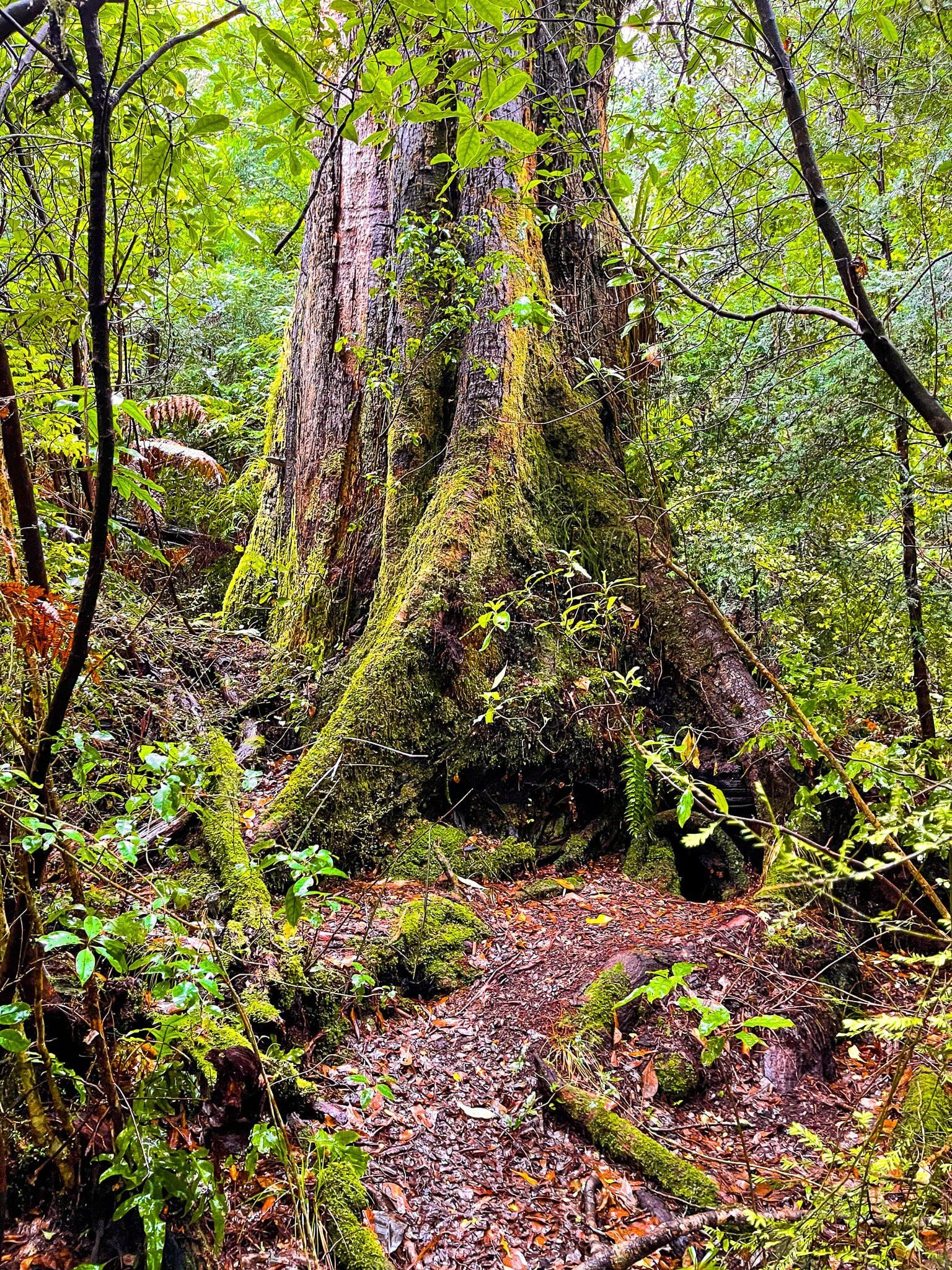
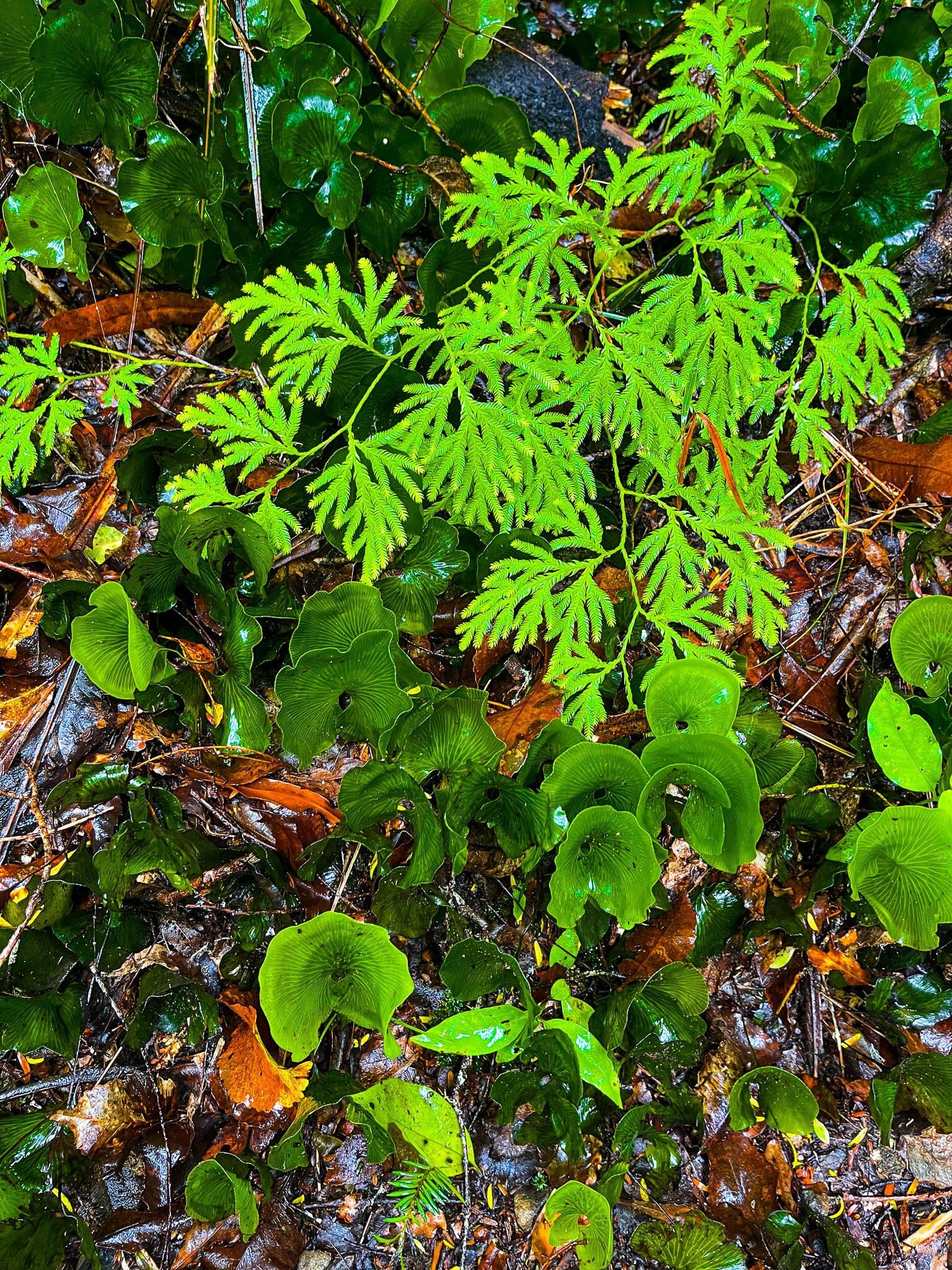
Pureora Forest is a superb choice for a short walk in a thousand-year-old rain forest on a drive through the centre of the North Island. There are several short and long walk options starting on the north and south sides of the forest. I chose the short Totara Walk that starts beside the northern end of the Timber Trail (cycling). This walk is simply amazing and is a stunning introduction to what much of the North Island once looked like.
The forest is considered one of the best rainforests in the world and its establishment was a watershed moment in the history of NZ forest conservation. By the 1970s, the forest was one of the few large remaining native forests in the North Island, but despite this, the intention was to cut it down and replace it with radiata pines, the most common exotic commercial tree in NZ. After a series of protests and tree sittings, the government agreed to establish a park to protect the forest in 1978.
The north side of the forest can be accessed from either of the two main routes heading south; either south on SH30 from Te Kuiti or south on SH32, connecting to SH30 from Tokoroa – the northern access to the forest is about halfway between the two towns. You need to allow about 40 minutes or so of extra drive time.


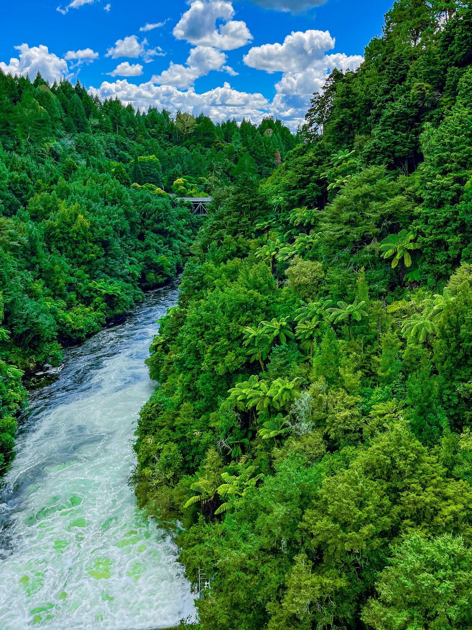
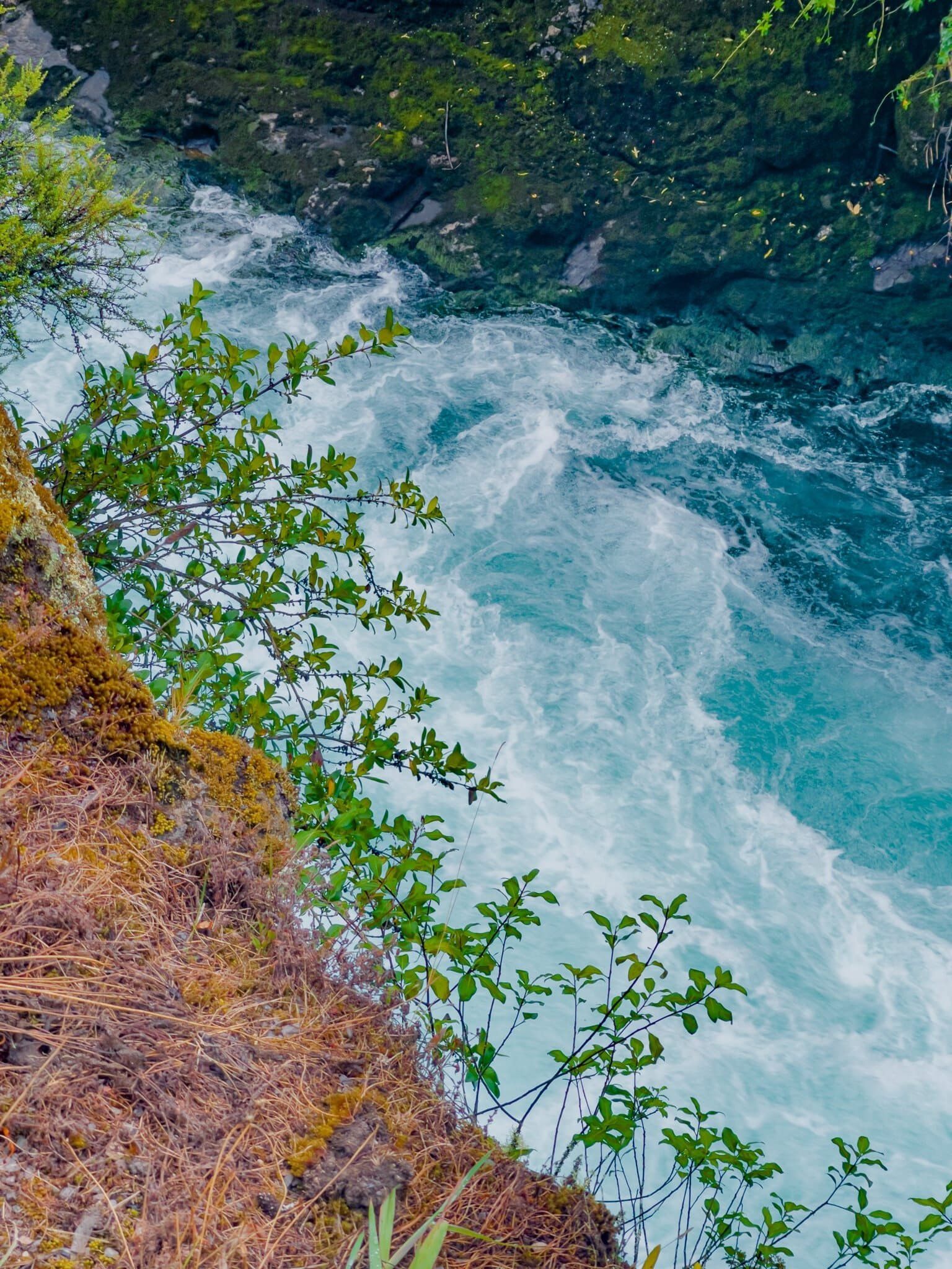
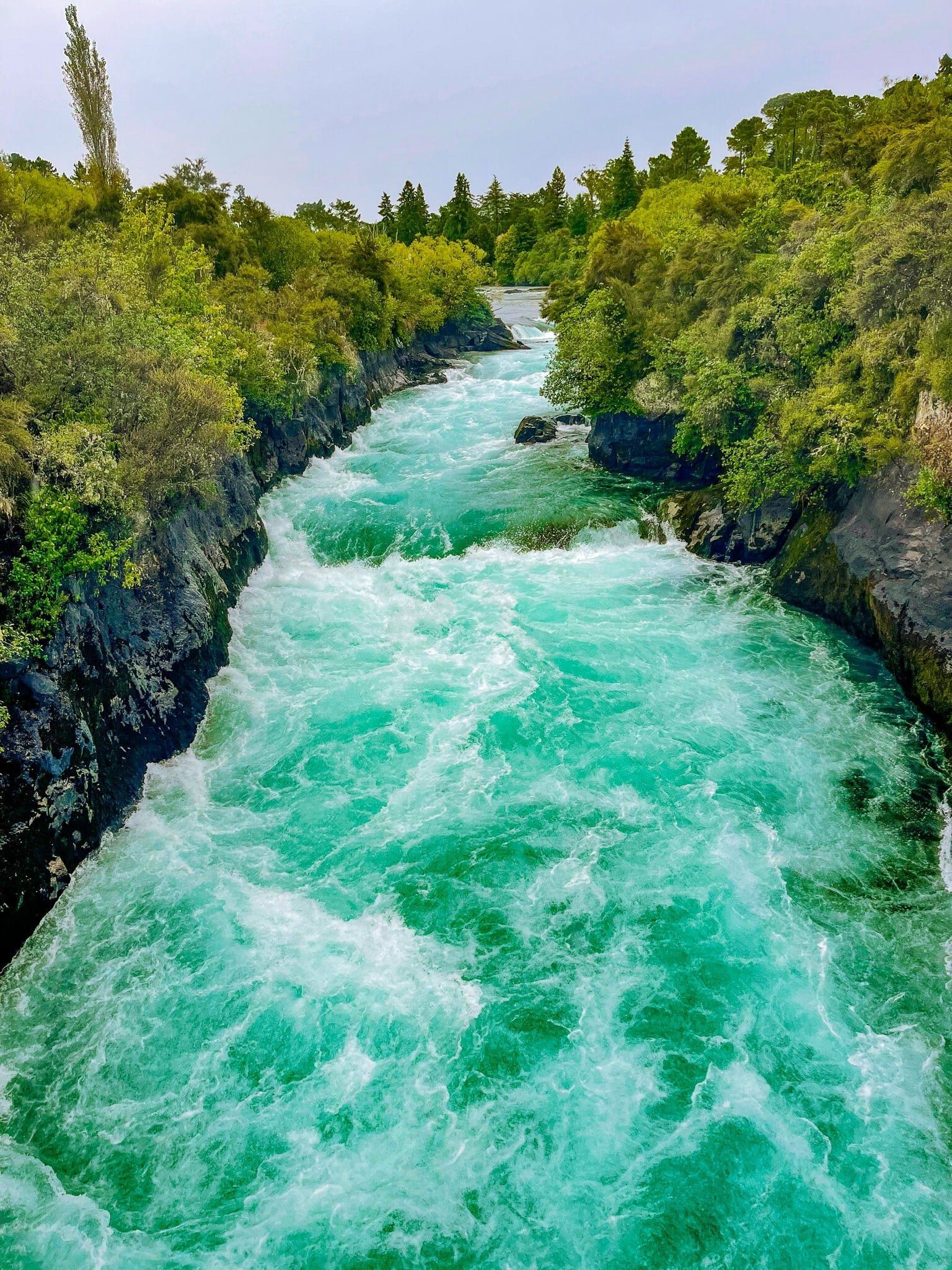
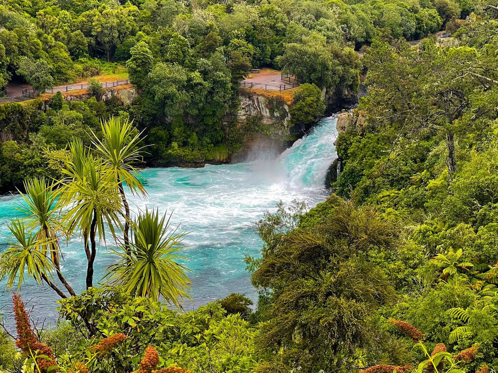
Huka Falls
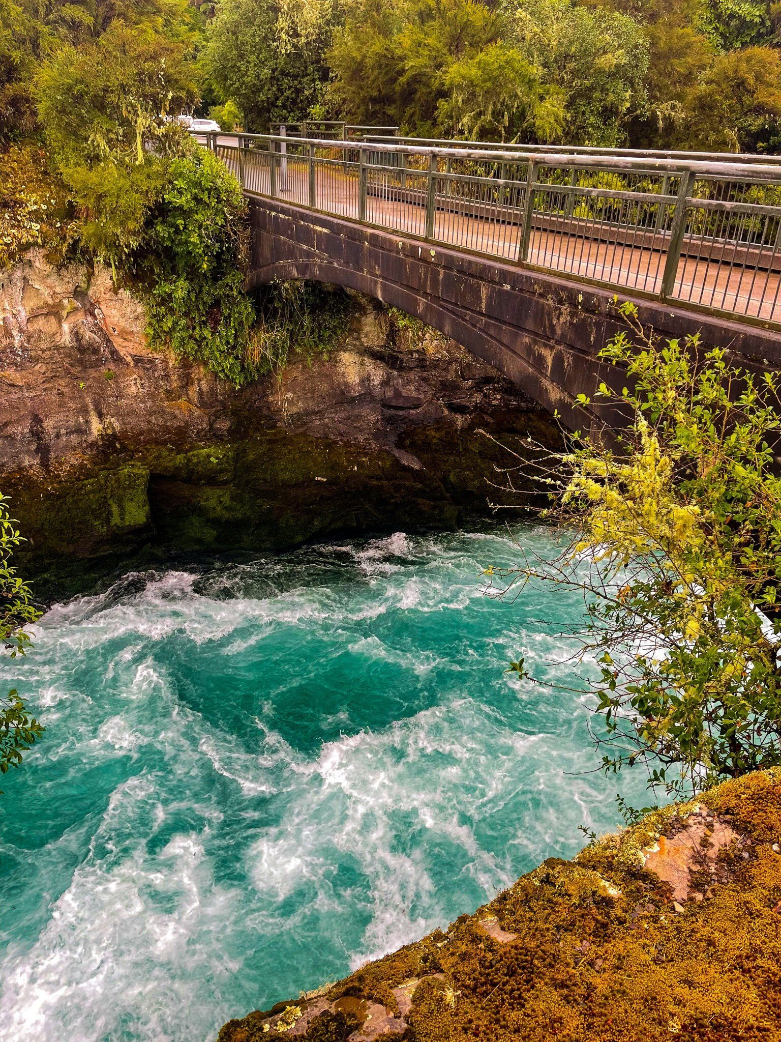
Huka Falls, just north of Taupō, is an easily accessible and very popular destination. Coming from the north, it is clearly signposted from SH1 onto Wairakei Drive, then Huka Falls Road. Take the side trip on Huka Falls Loop Road for an excellent viewpoint of the falls before you get to the main car park.
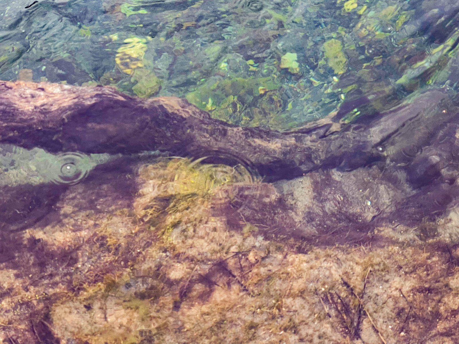
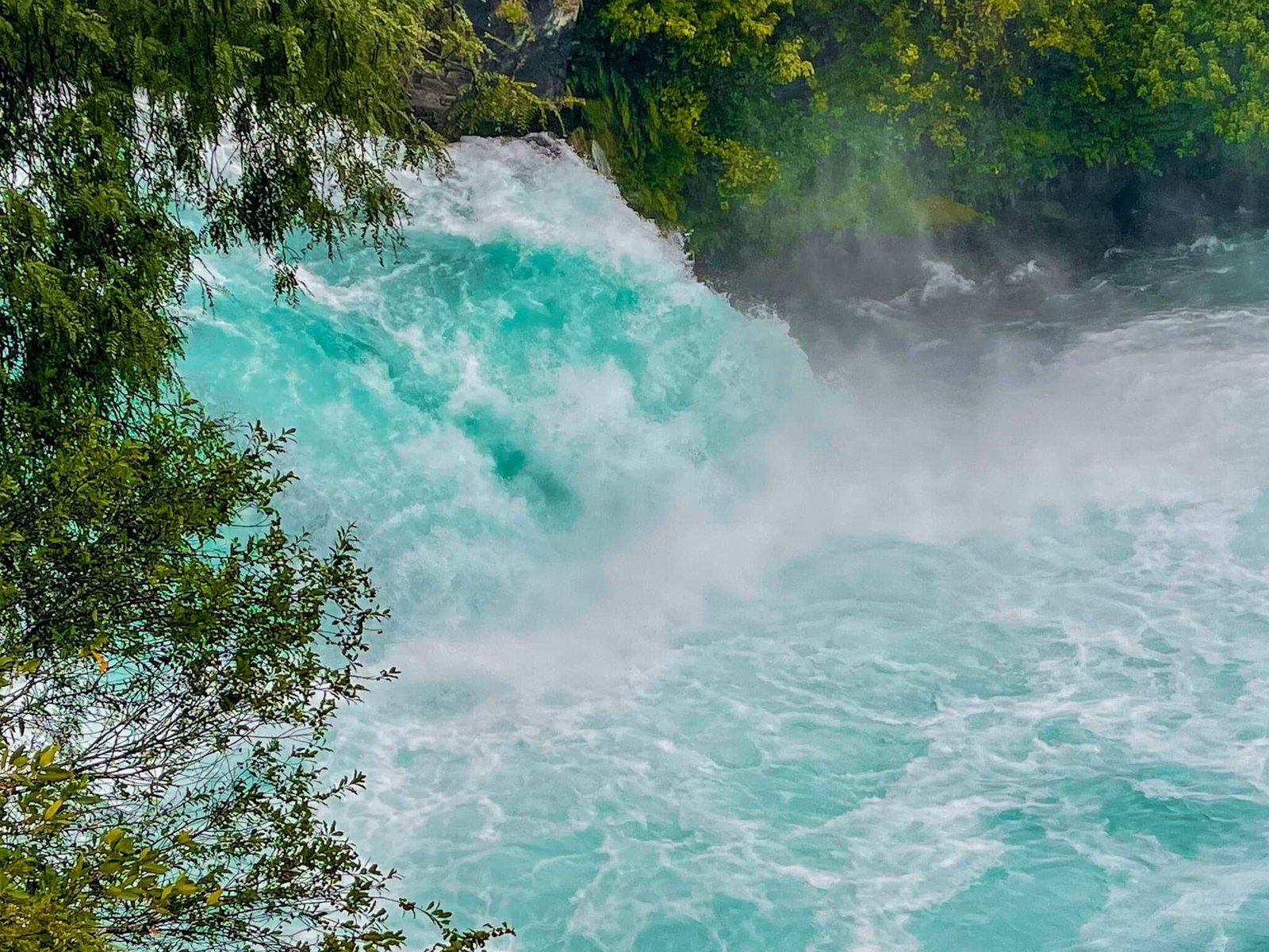
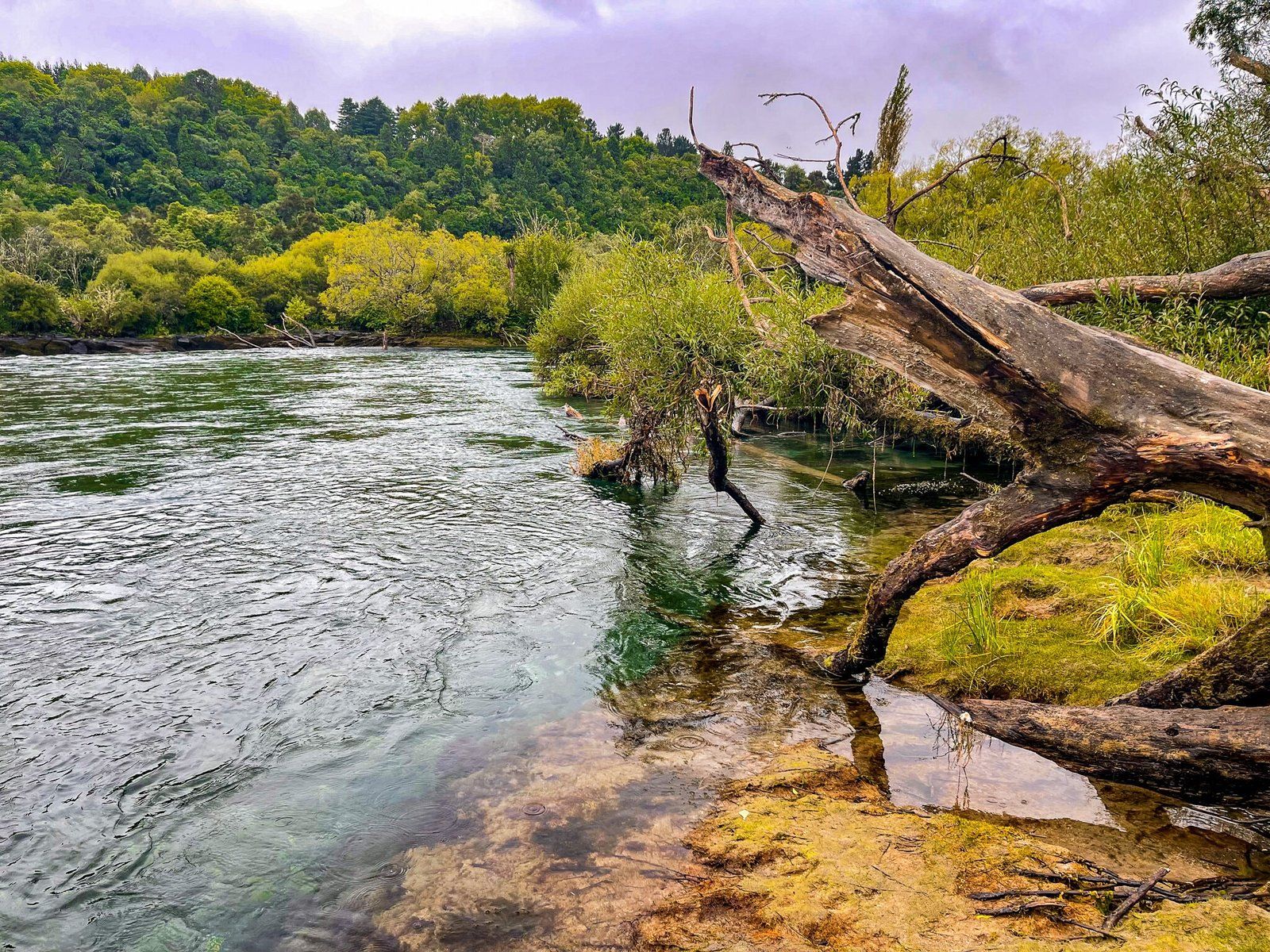
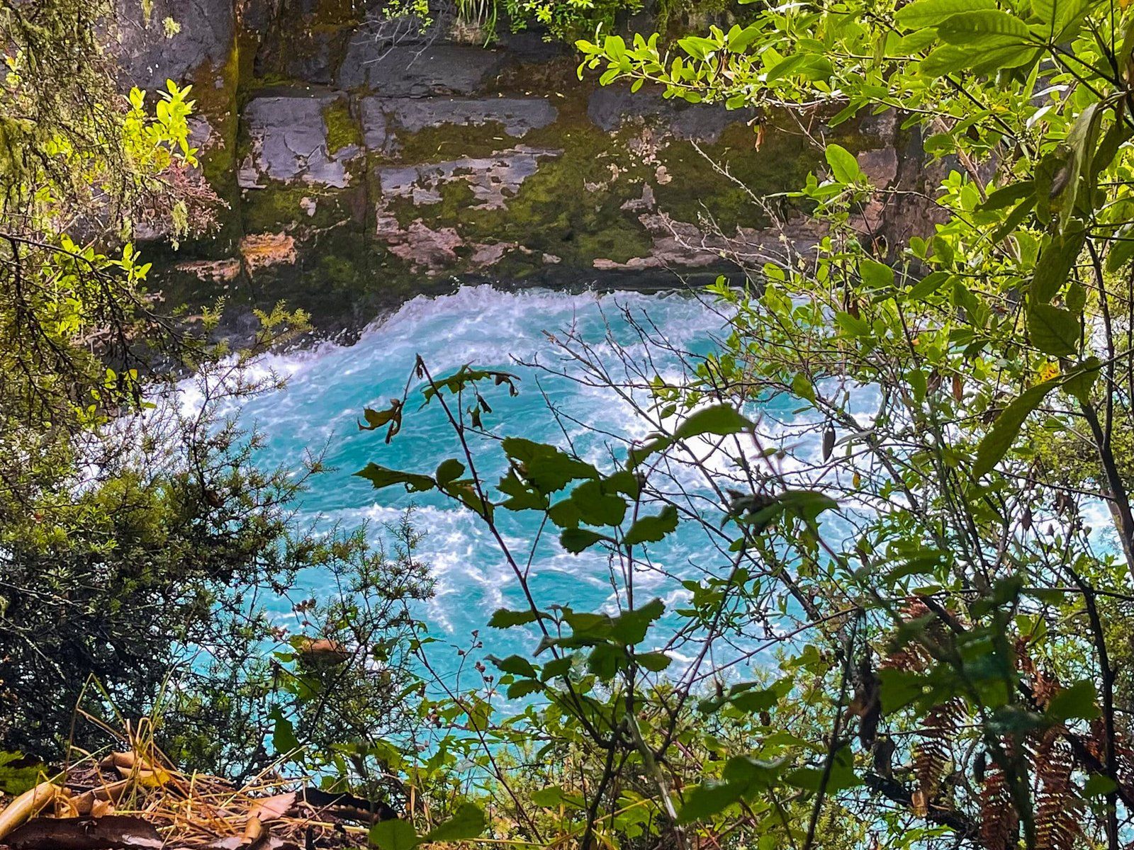
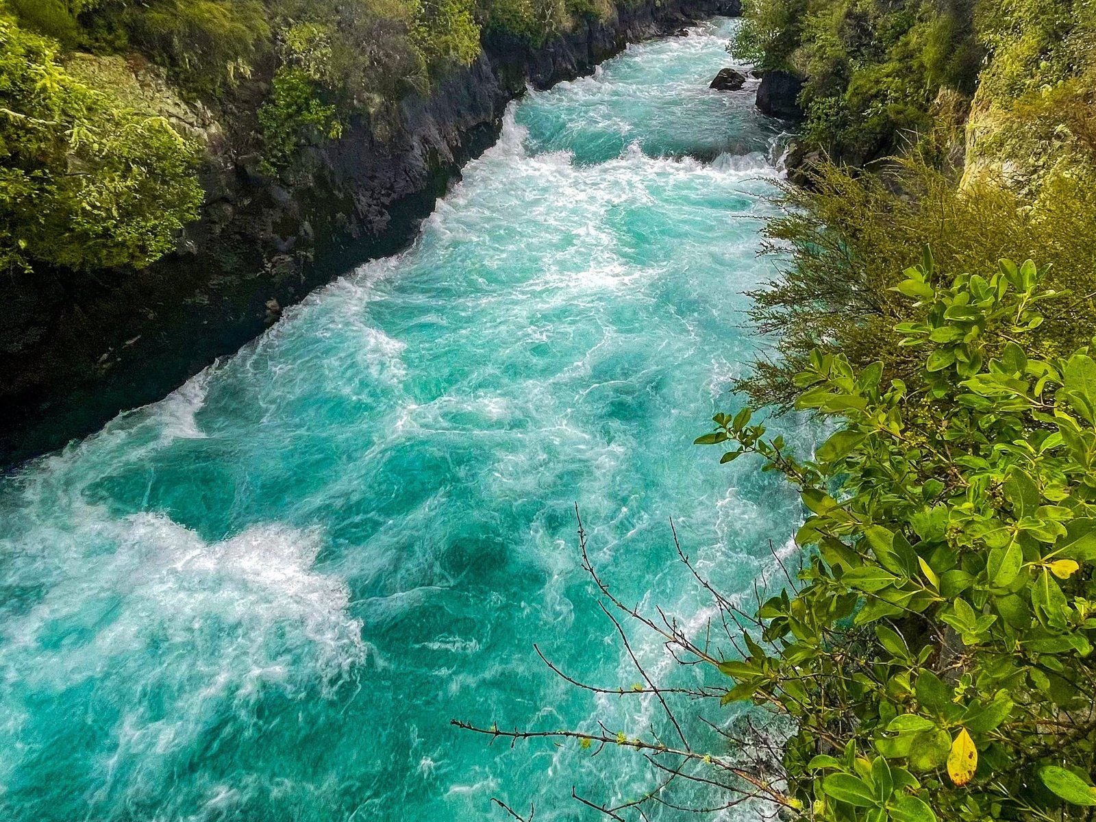
From the carpark, head to the footbridge over the Waikato River. This is the best view of the river accelerating along the narrow gorge above the falls. The amazing water colour is created by the mixing of air with the water as it tumbles around. You can continue to walk north, stopping at several viewpoints as you go. The last two give you a direct view of the falls. Although they’re not very high, it is an enormous volume of water that drops every second.
The path continues both north to the Aratiatia hydro lake and rapids and south to Taupō.


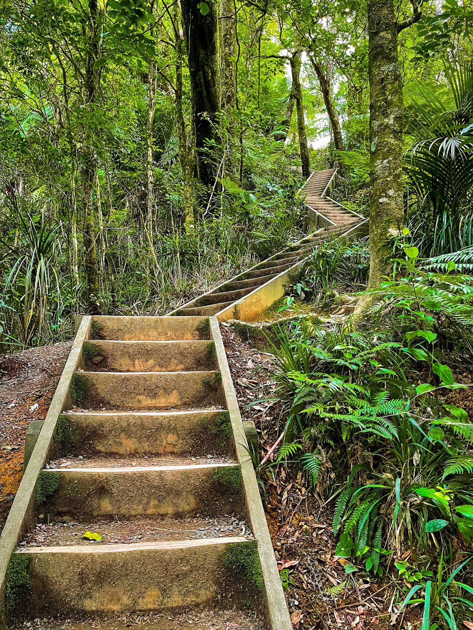
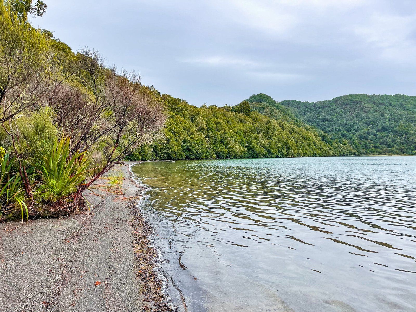
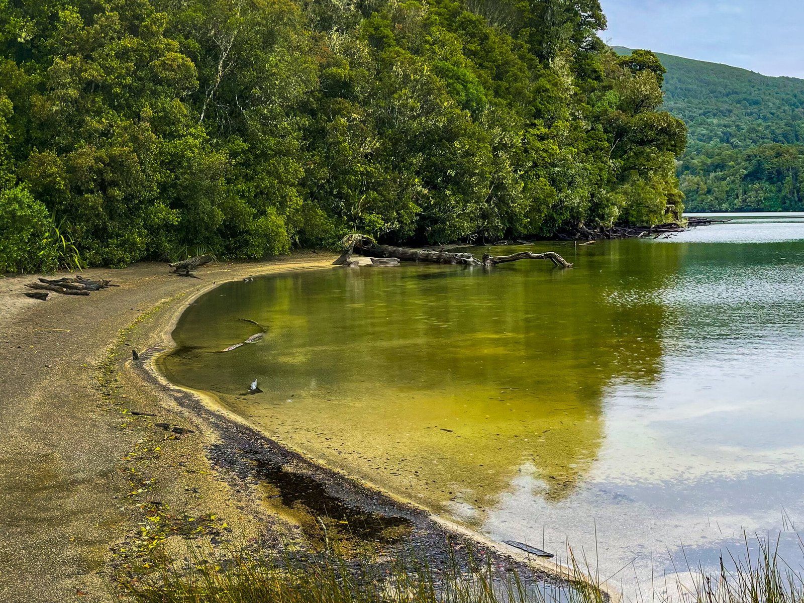
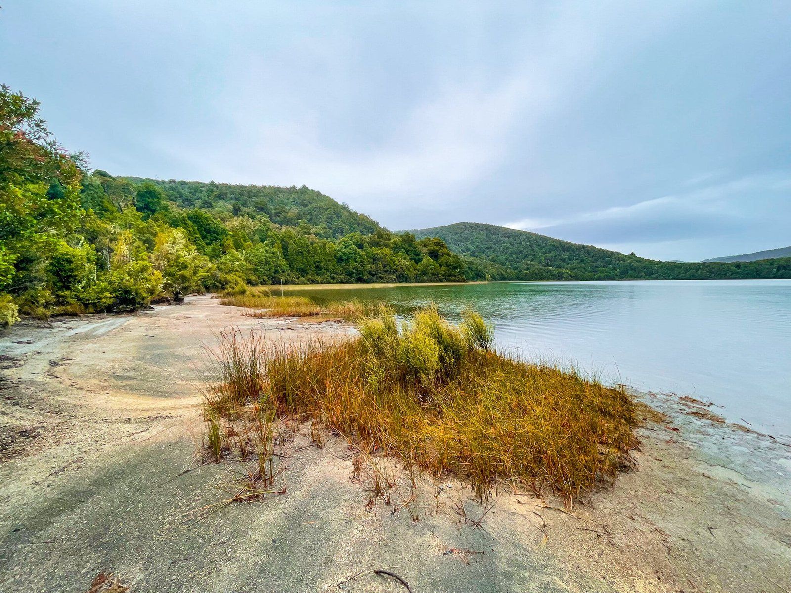
Lake Rotopounamu Part 1
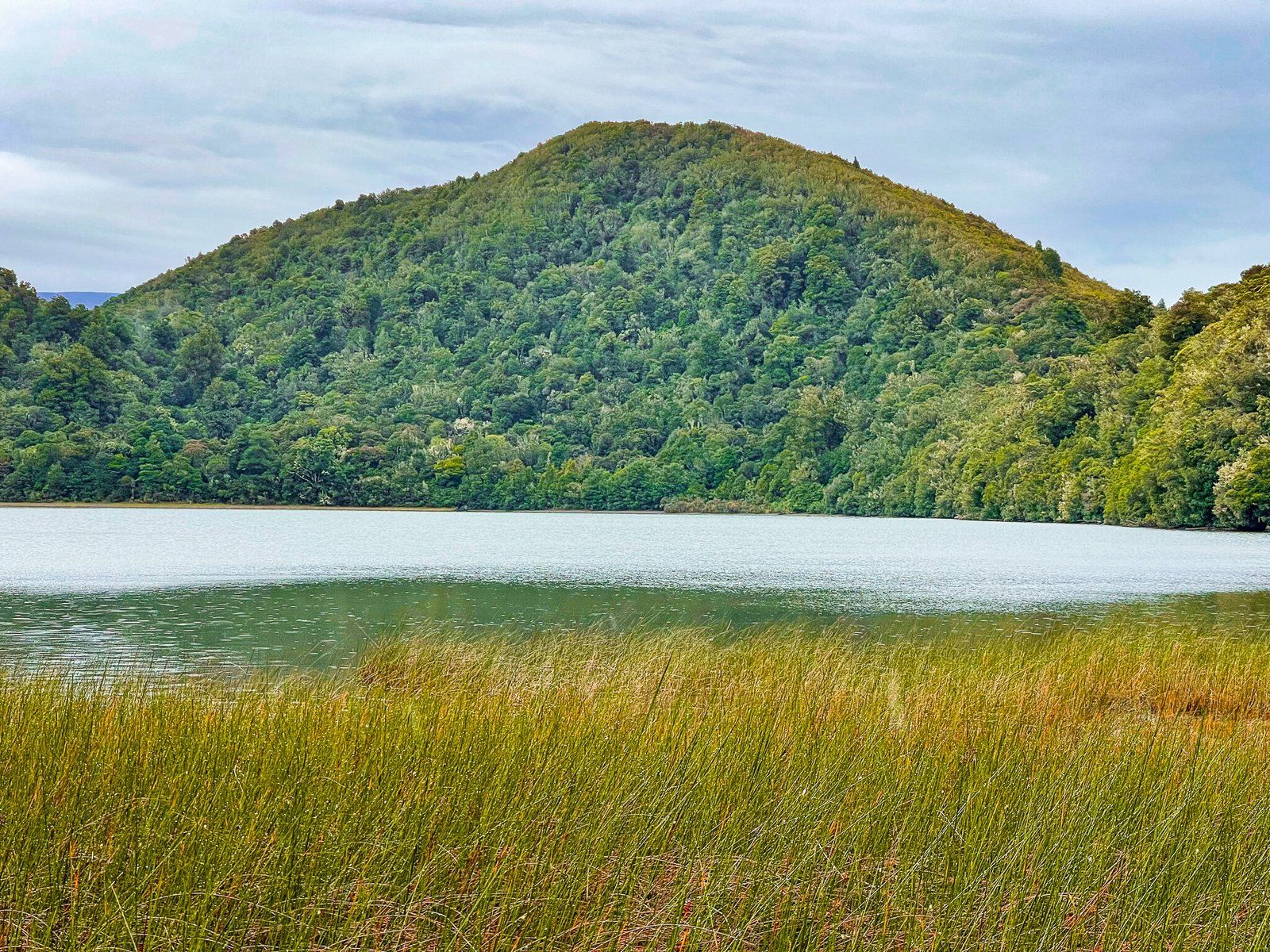
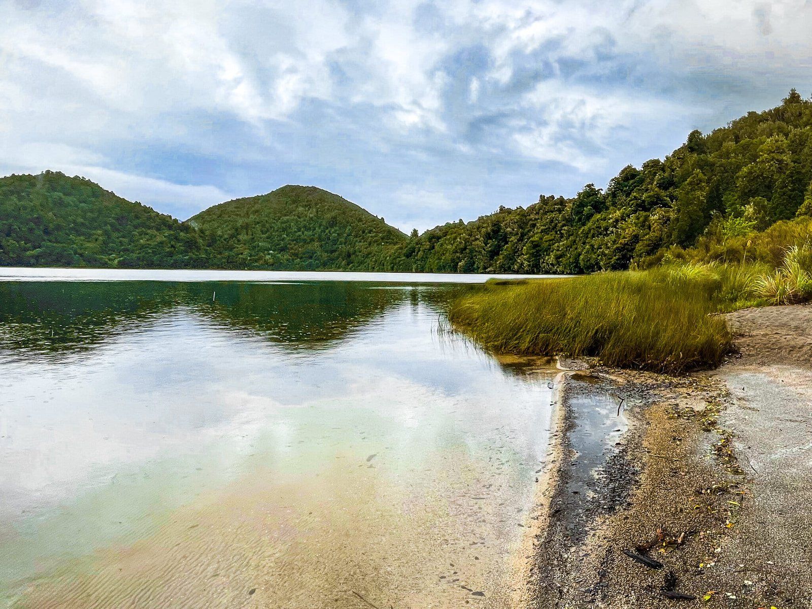
Lake Rotopounamu is to the north of Tongariro National Park, just a few minutes drive from Turangi up to a high point on State Highway 47. You can’t miss it – there is a long parking area opposite the access track on the side of the road.
The modest but very picturesque lake sits below Pīhanga, which at 1,326 metres high is a smaller sibling of the better known volcanoes in National Park. In Māori mythology, Pīhanga was the female mountain whom Taranaki and Tongariro fought over. Taranaki lost and ran away to the southwest where it is today.
You can do this as a relatively short walk with a 120 metre climb to the lake at over 700 metres above sea level. The walk is through a stunning section of native rainforest but at the fork, keep going ahead down to a lakeside beach, then return the same way. This takes about 40 minutes, but you may want to take a picnic and have a dip if the weather is warm.

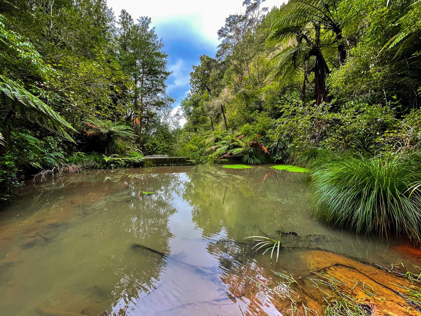
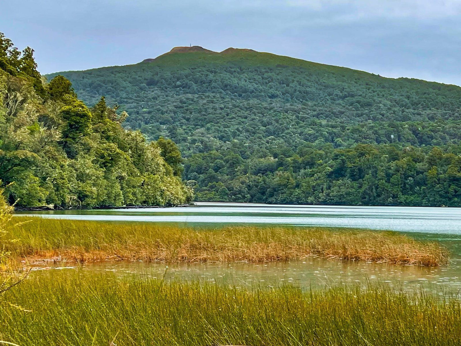
Lake Rotopounamu Part 2
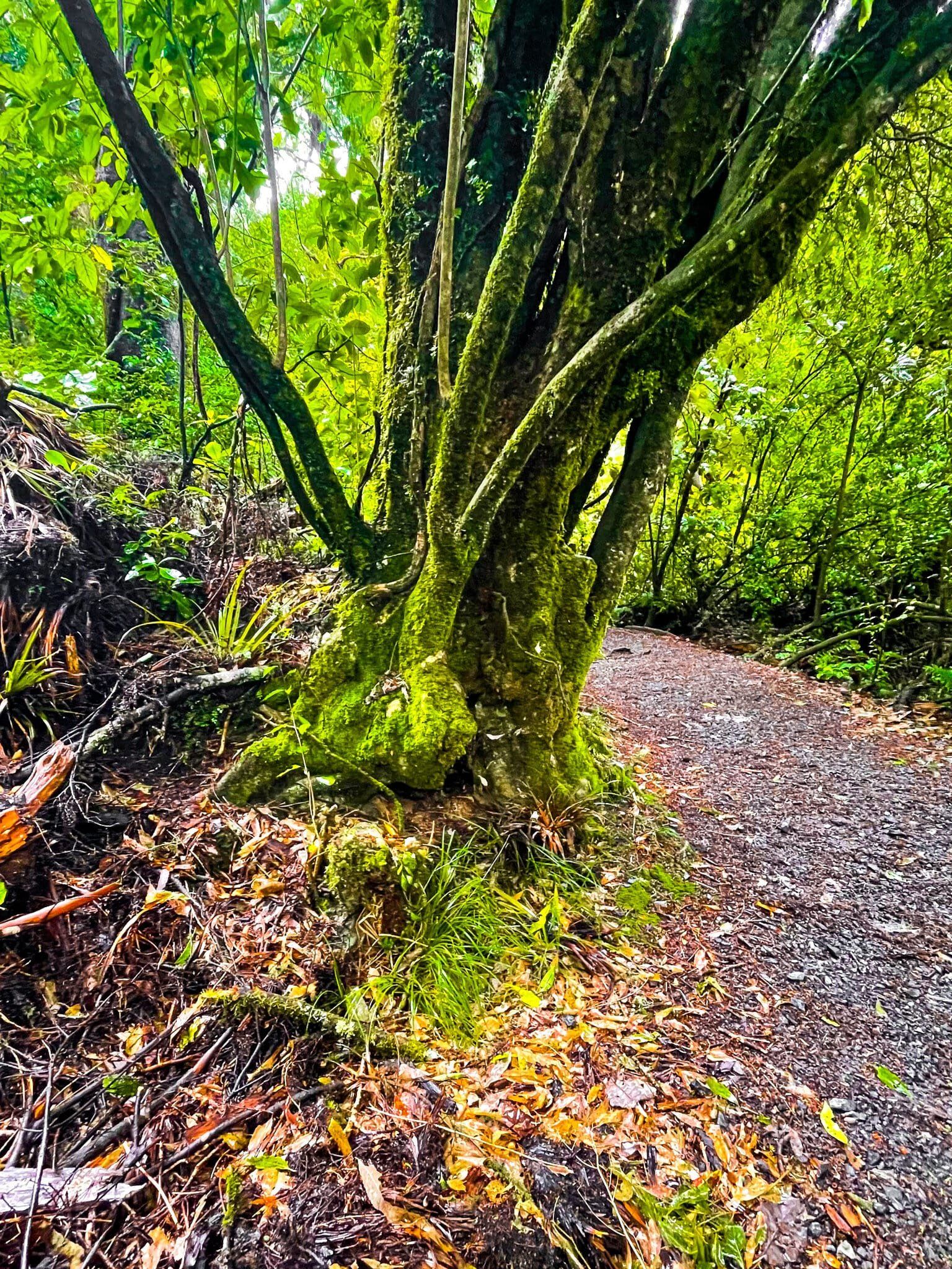
You can also do a circuit of the lake, which takes about 2 hours in total. There are several beaches along the way as well as several rainforest sections.
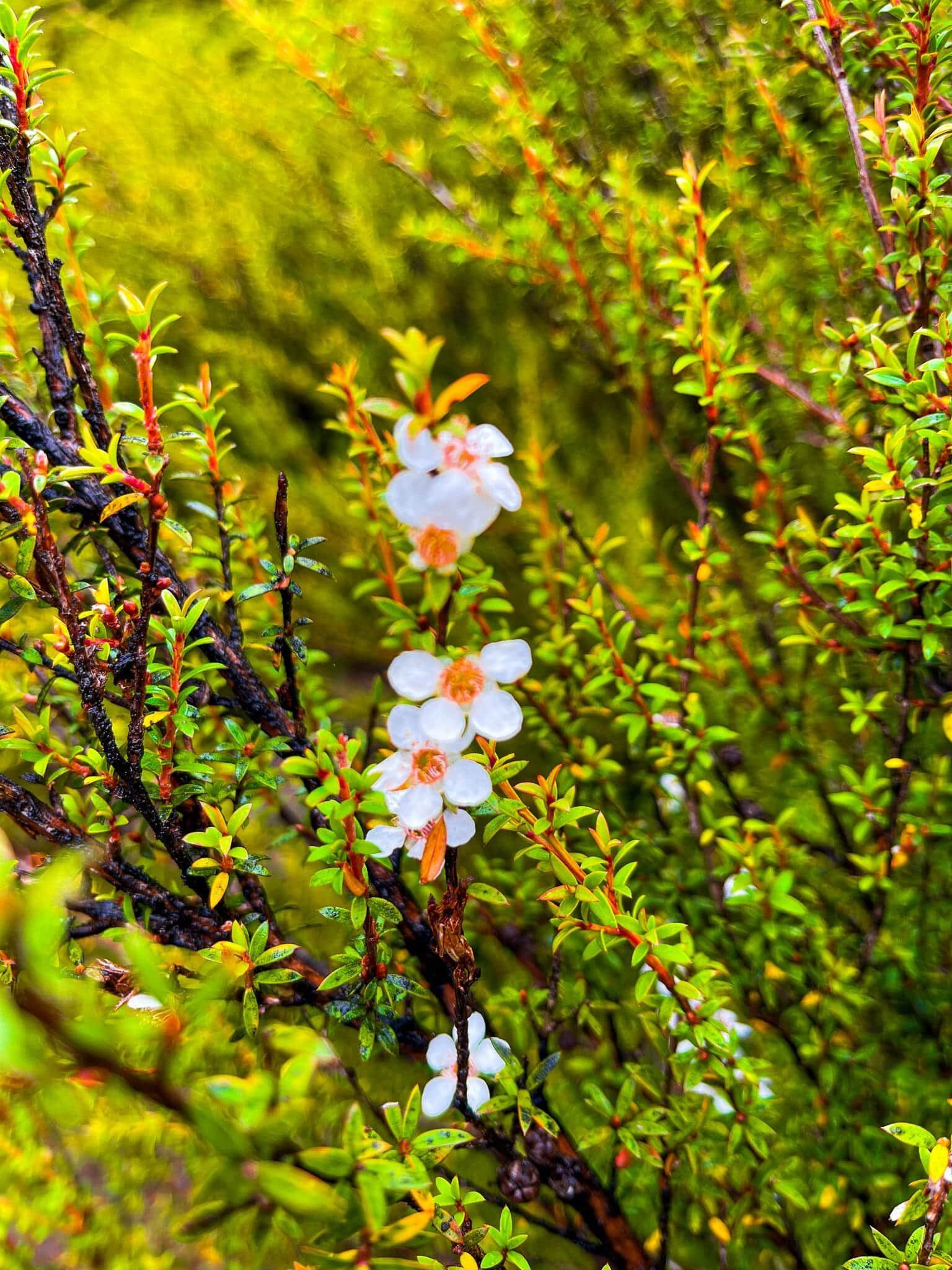
Some of the forest sections have excellent native plant signage. The reference to Pahau Kakapo is especially delightful – at 40 to 50 m high it is the tallest growing moss in the world! In any event, this is a superb walk and a great way to break up a long drive.

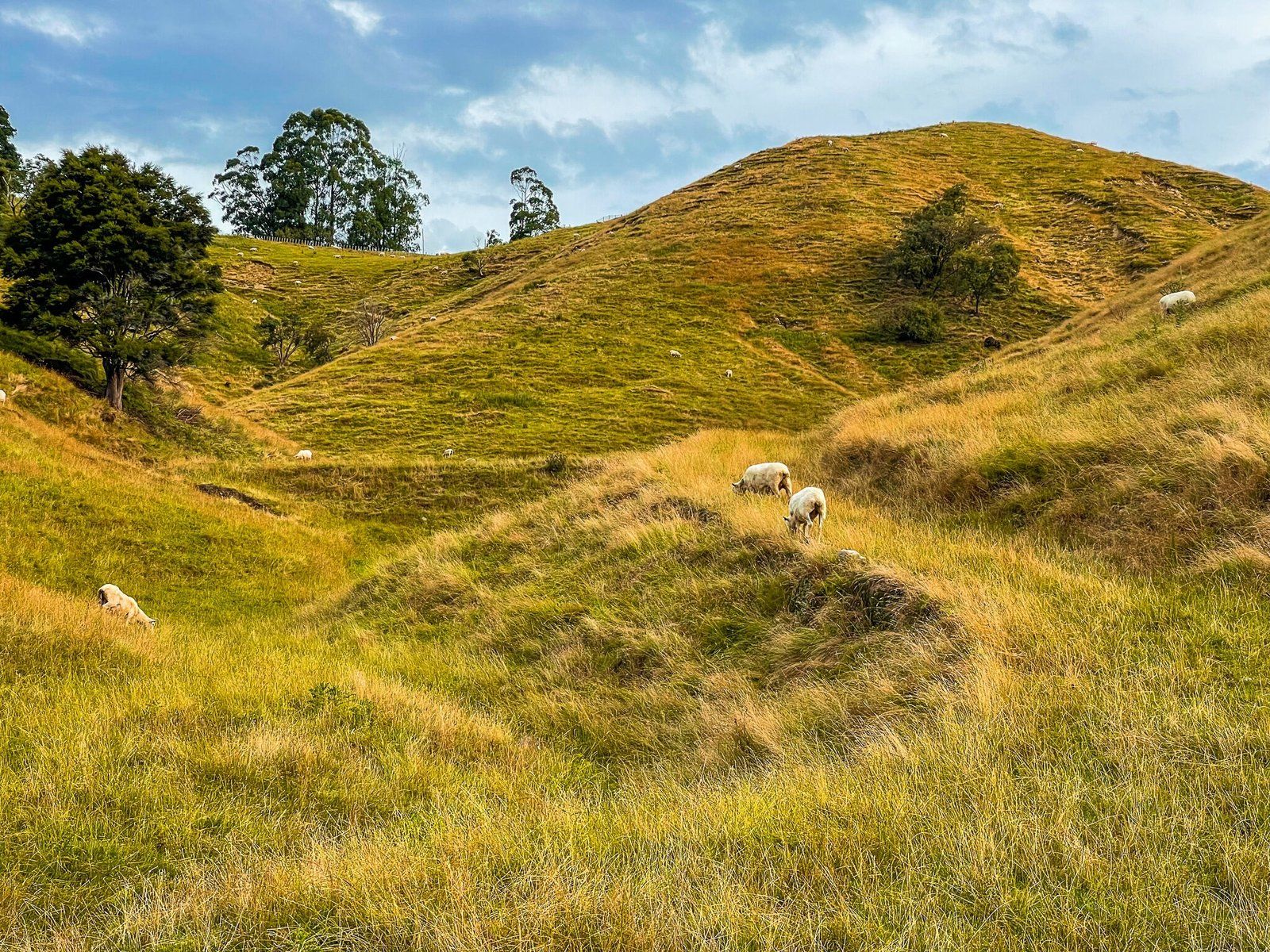
Whitecliff Boulders Track
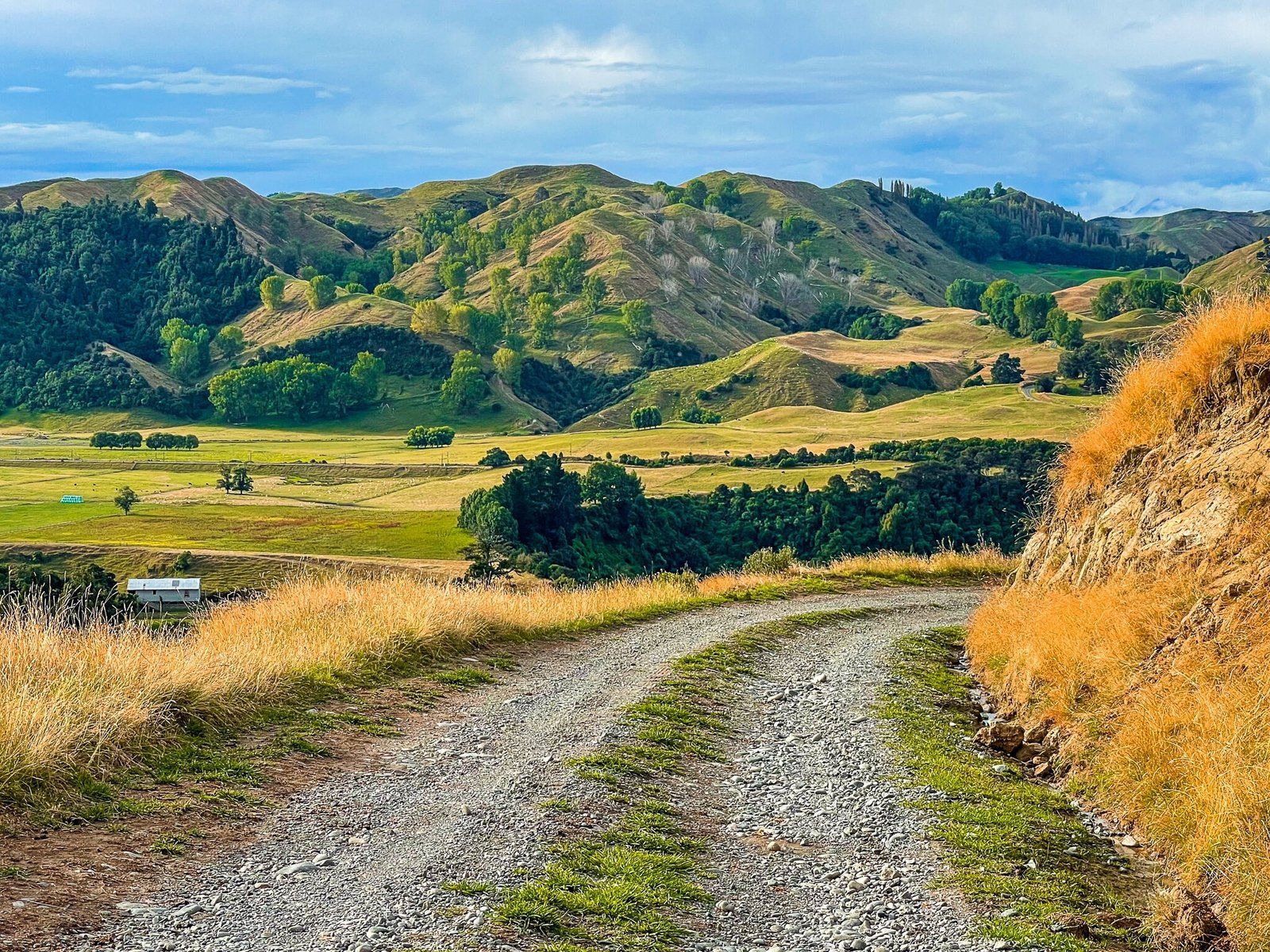
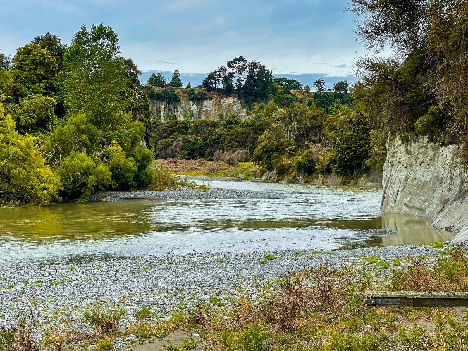
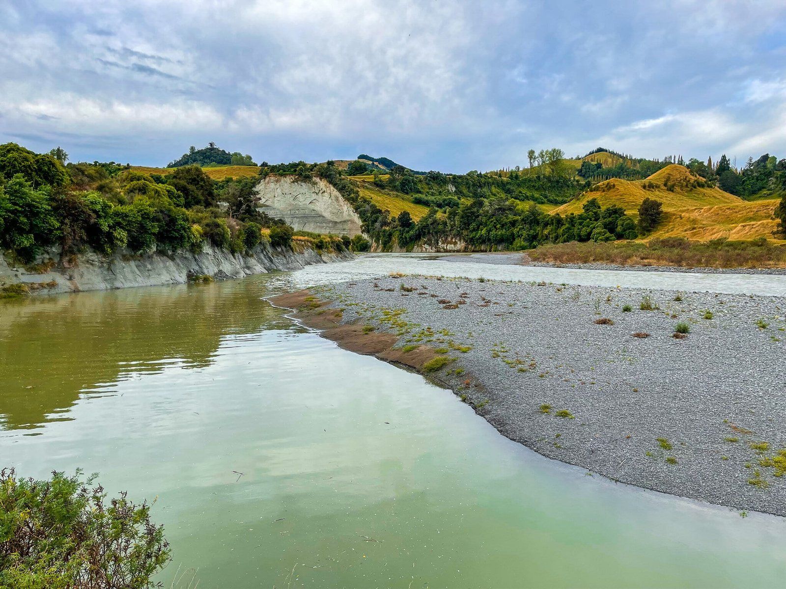
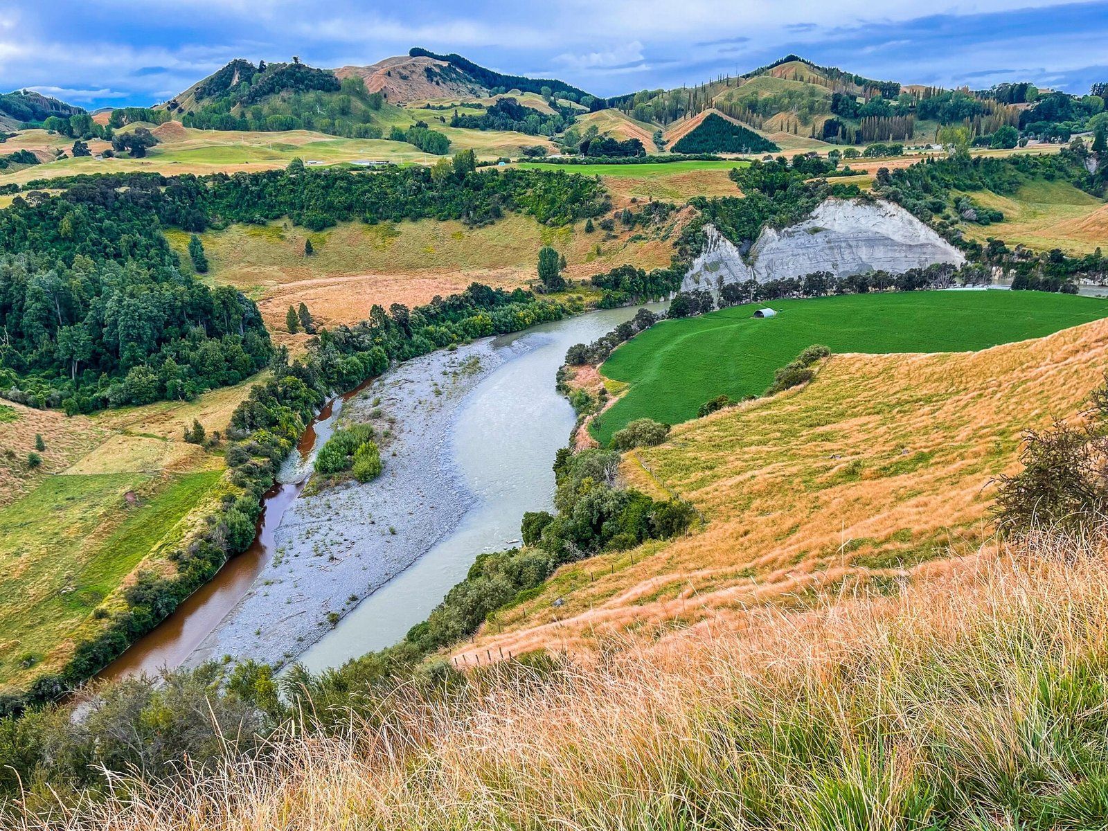
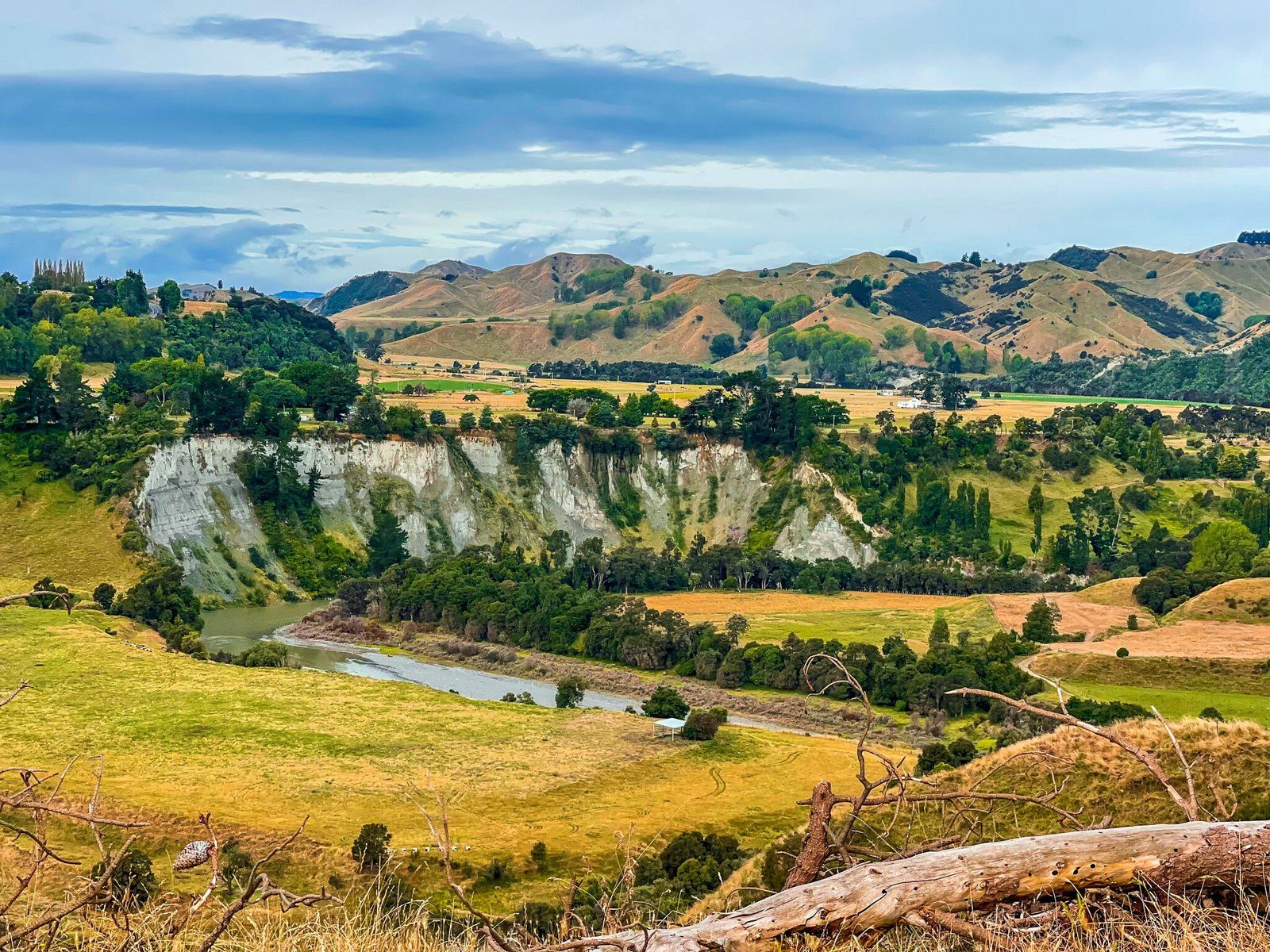
The drive through Manawatu on State Highway 1 is quite spectacular. About halfway between Taihape and Mangaweka, the road roughly tracks the meandering Rangitikei River, which has carved a channel through the massive, blue-grey-white mudstone, resulting in a series of high cliffs.
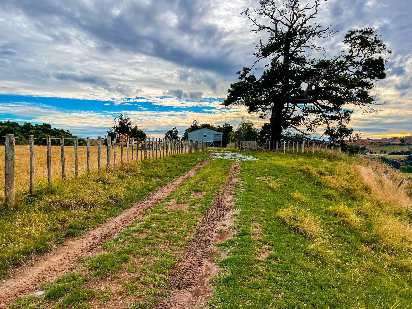
With a visit to Whitecliffs Boulders you can experience both the cliffs closer up and see a North Island variation on the Moeraki Boulders. Continue south of Mangaweka for about 10 km or so, then turn east onto Otara Road and take the bridge over the river. Shortly after, you will come to Peka Road. This is very rural and feels like nowhere, but keep going to the very end, including a steep hill climb, a farm gate, then a steep rough downhill to a carpark.
From the park it’s about a 20 minute walk to the boulders. Although the boulders are the highlight, the walk is superb; follow the orange markers across farm paddocks high above the river, with a steep drop down to the river below the main series of cliffs. Note there is no shelter on the walk so I would avoid a very hot day or especially bad weather. There is a also a small honesty box fee so try to remember to take a bit of cash.

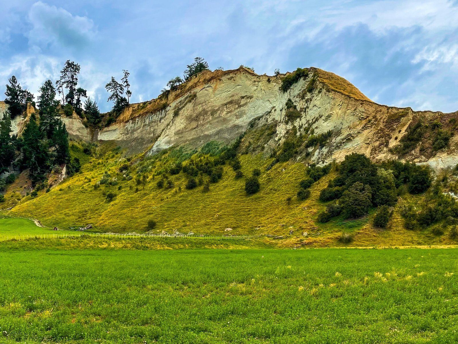

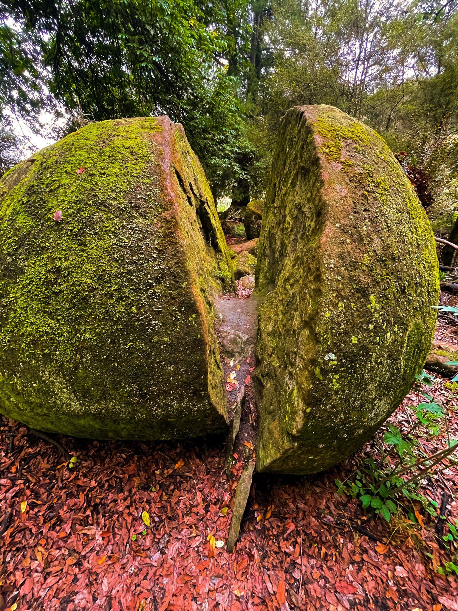
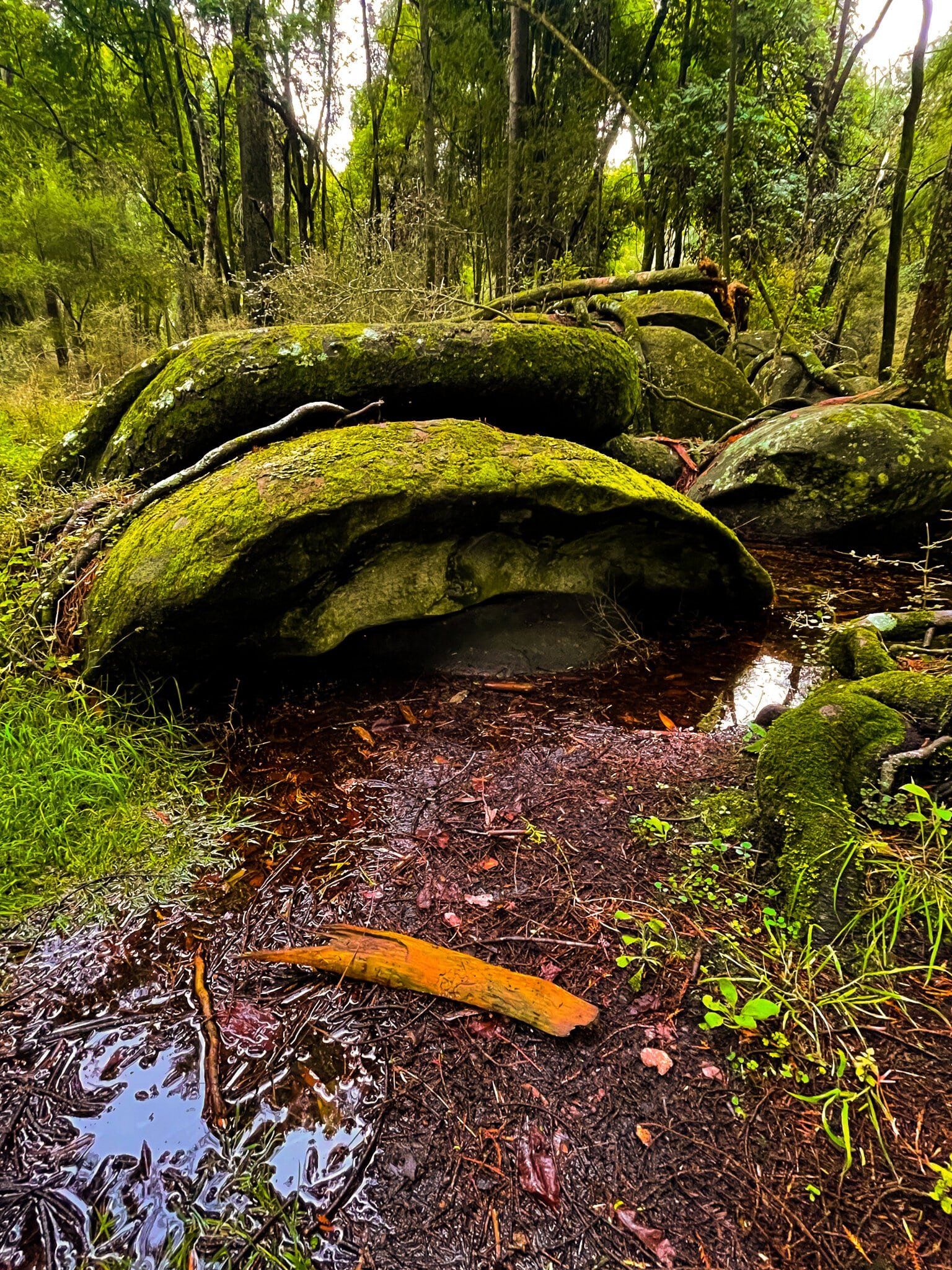
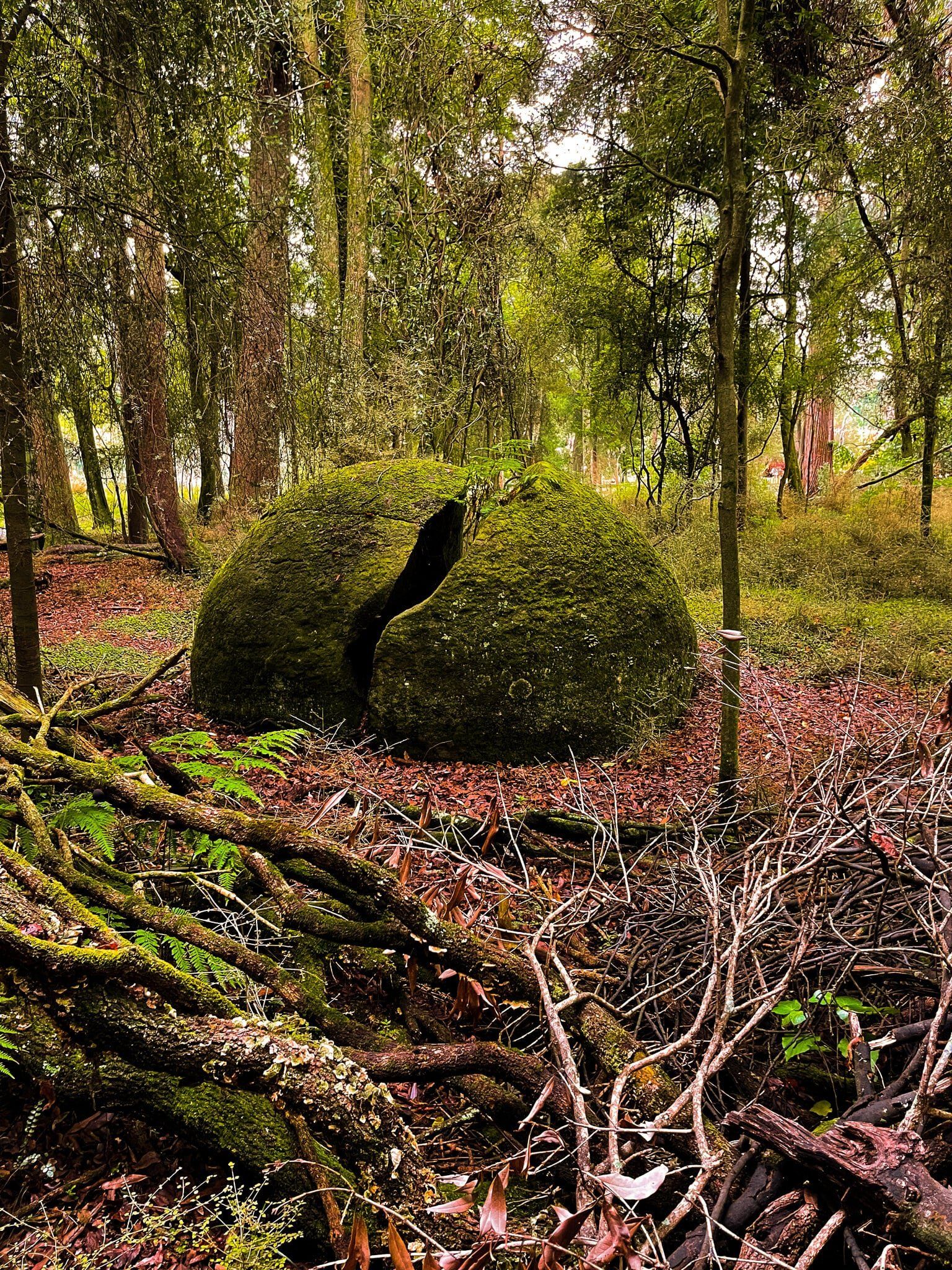
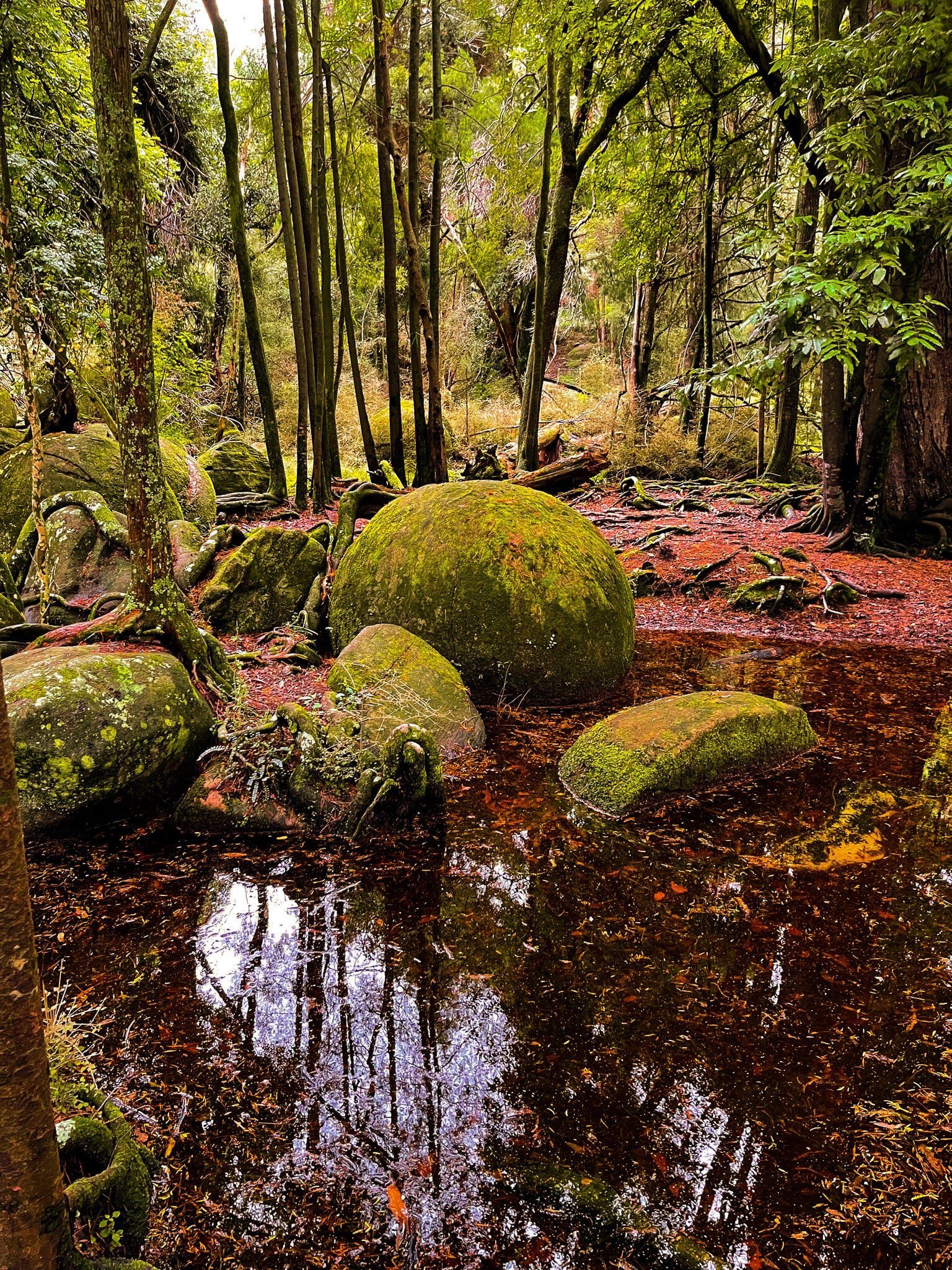
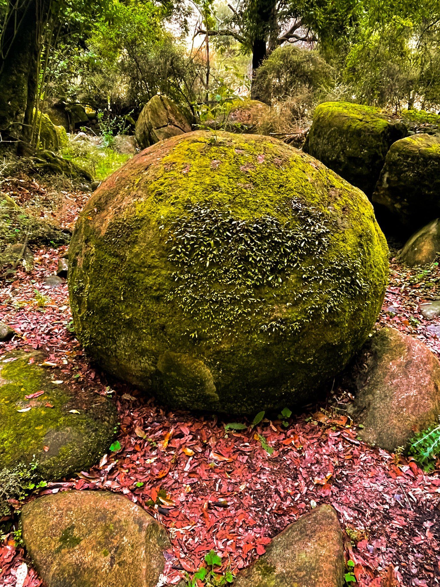
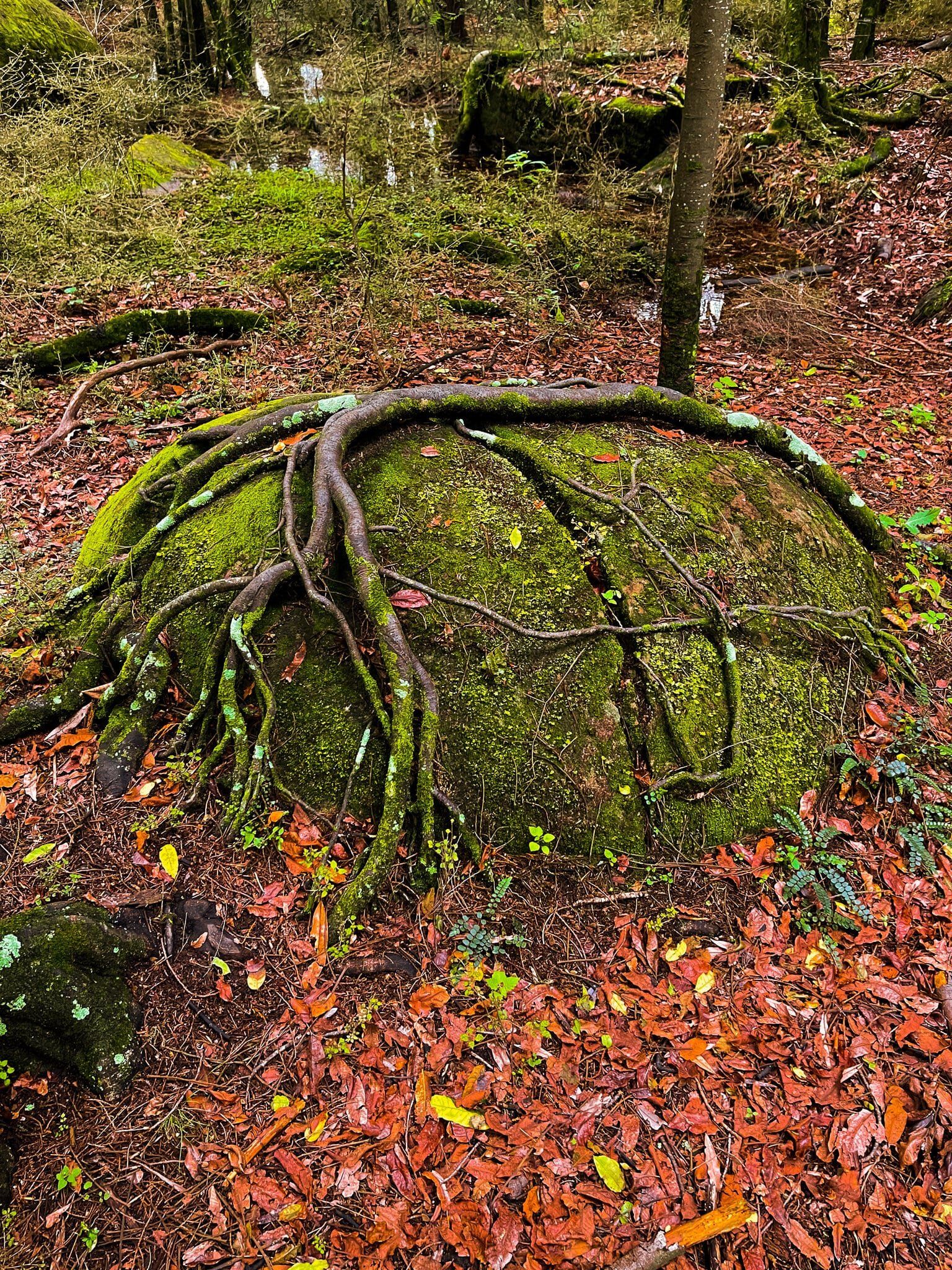
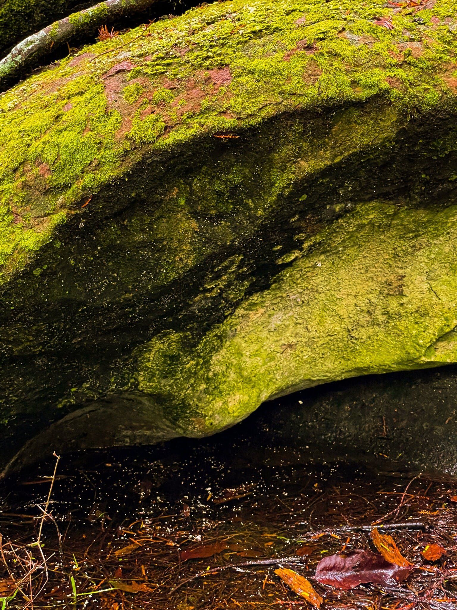
Whitecliff Boulders
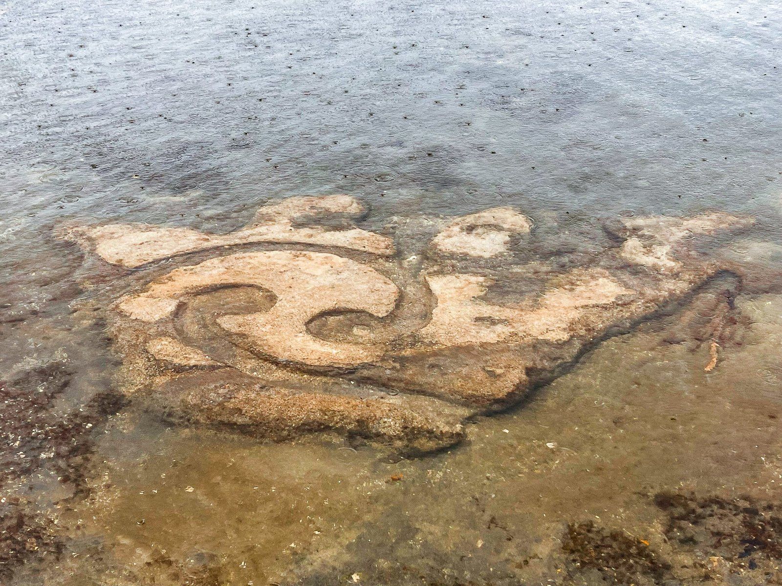
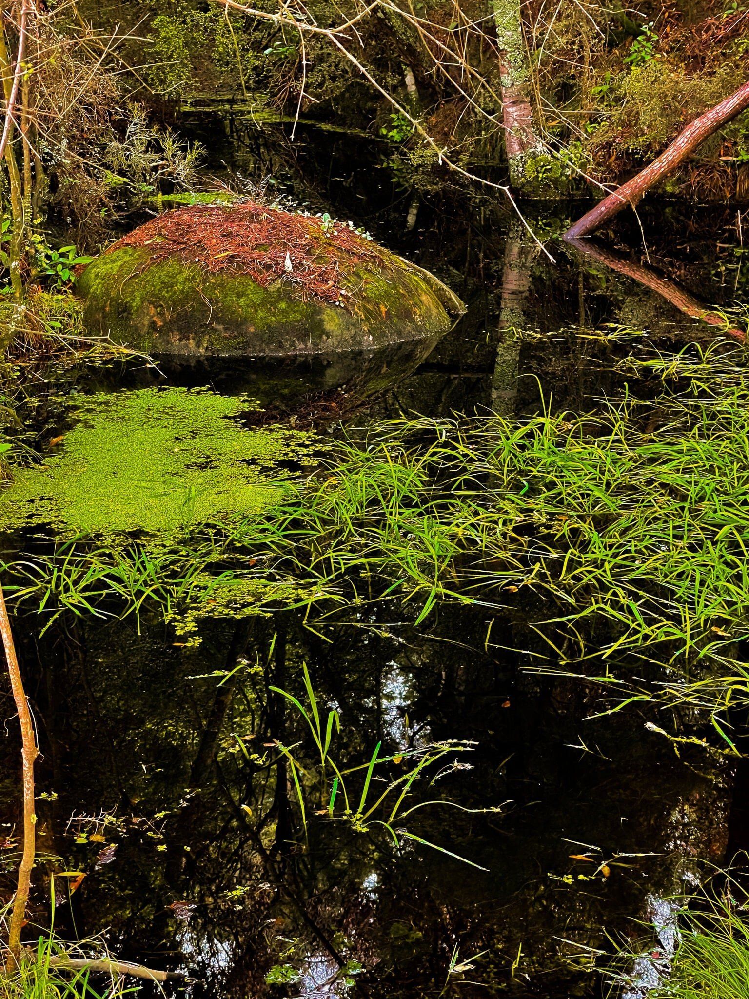
Whitecliff Boulders is a magical, even wondrous experience; a large number of mostly big round boulders in a small forest, covered in bright green moss and, in some cases, tree roots.
The boulders are geologically the same kind of thing as the Moeraki Boulders. The main differences are the quantity of the boulders, with more at Whitecliff, and the environment. Whereas Moeraki boulders are borne from coastal cliffs and tumble onto the beach, Whitecliff boulders have come from the cliffs carved out by the Rangitikei River and ended up in a section of moderately swampy rainforest.
Like Moeraki, the Whitecliff Boulders are spherical ball concretions made from mudstone. It is believed that organic material buried millions of years ago creates a node around which natural forming cements can aggregate and solidify. The cement in this case is calcium carbonate.
Access is via a private farm track, with a steep section, from the end of Peka Road.


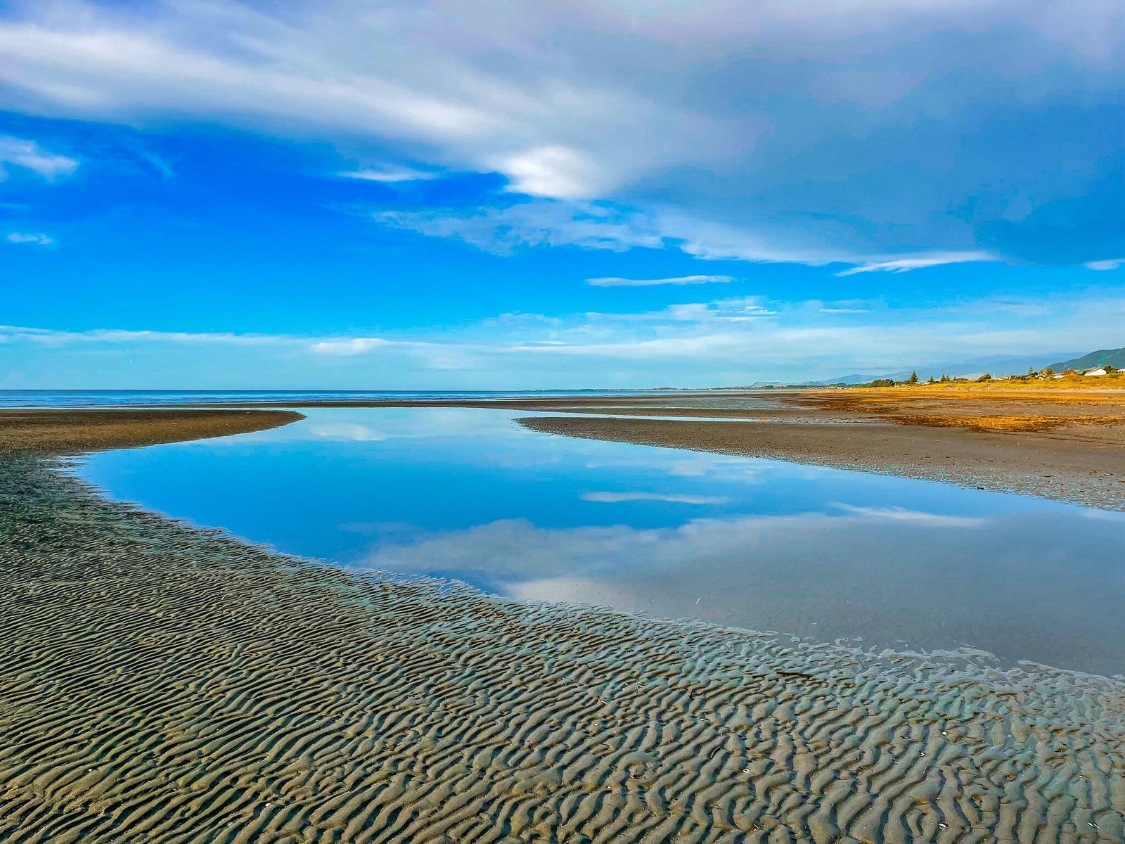
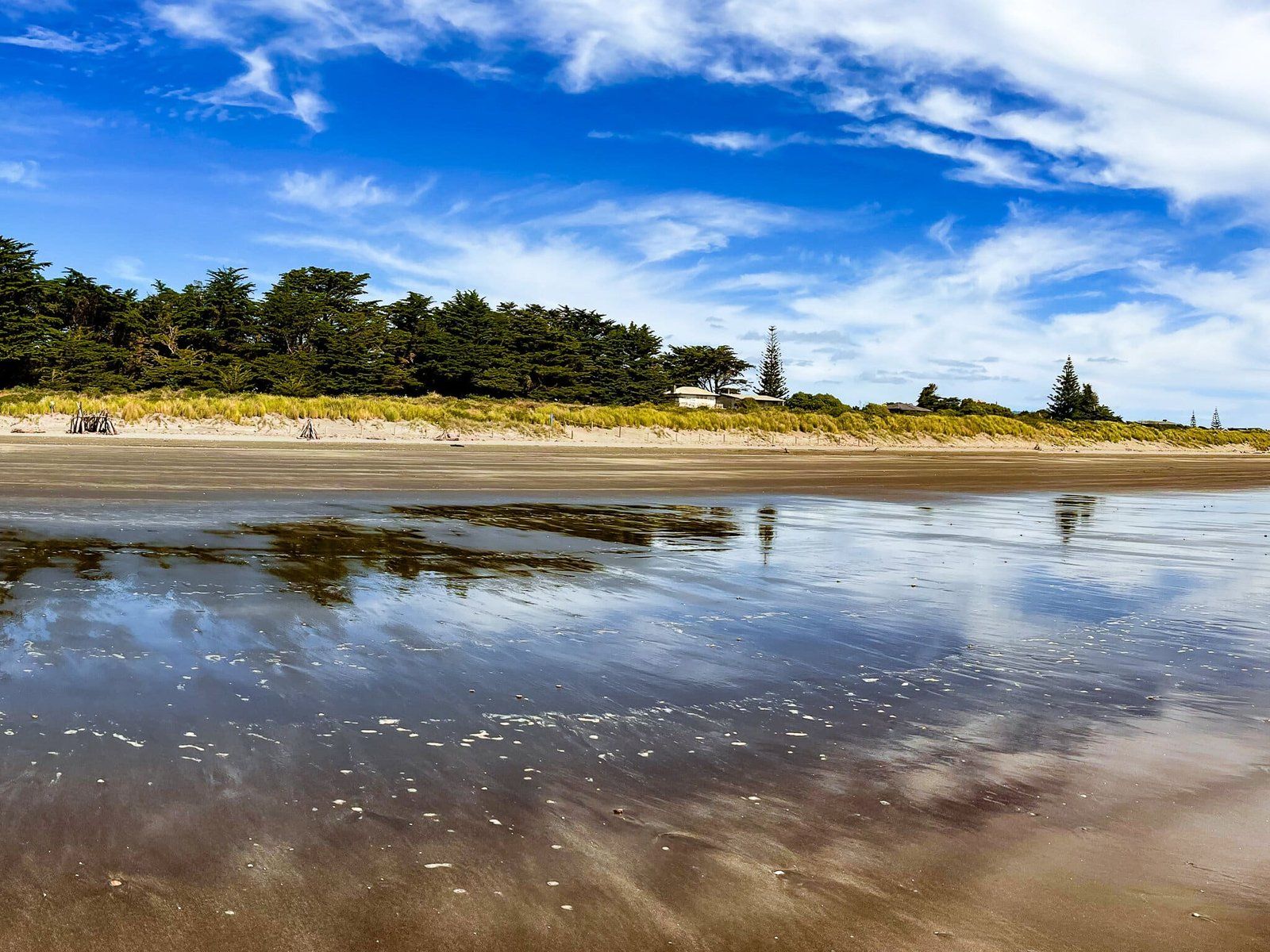
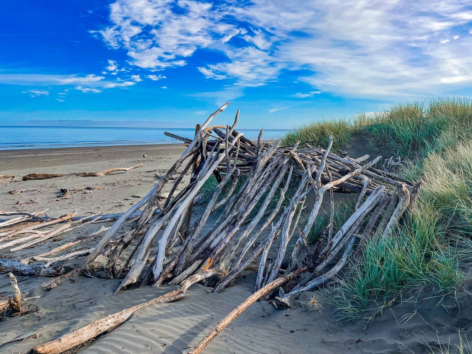
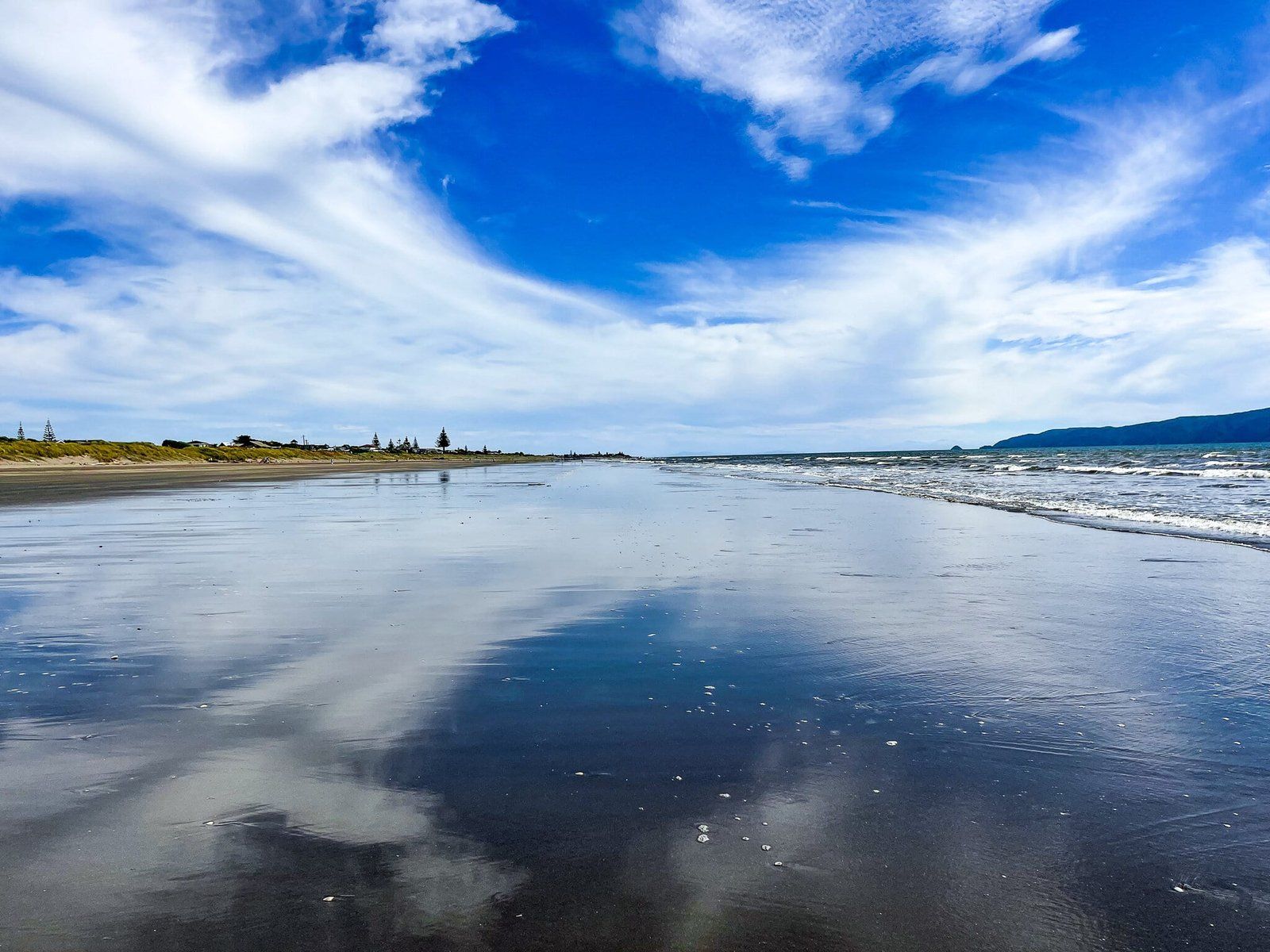
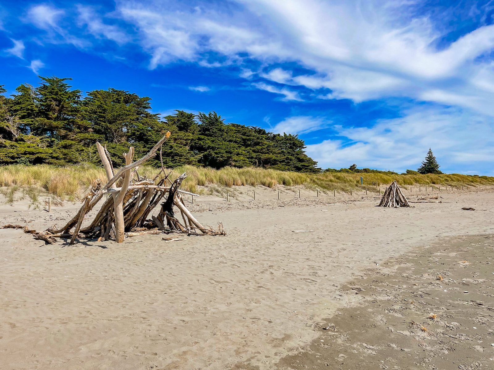
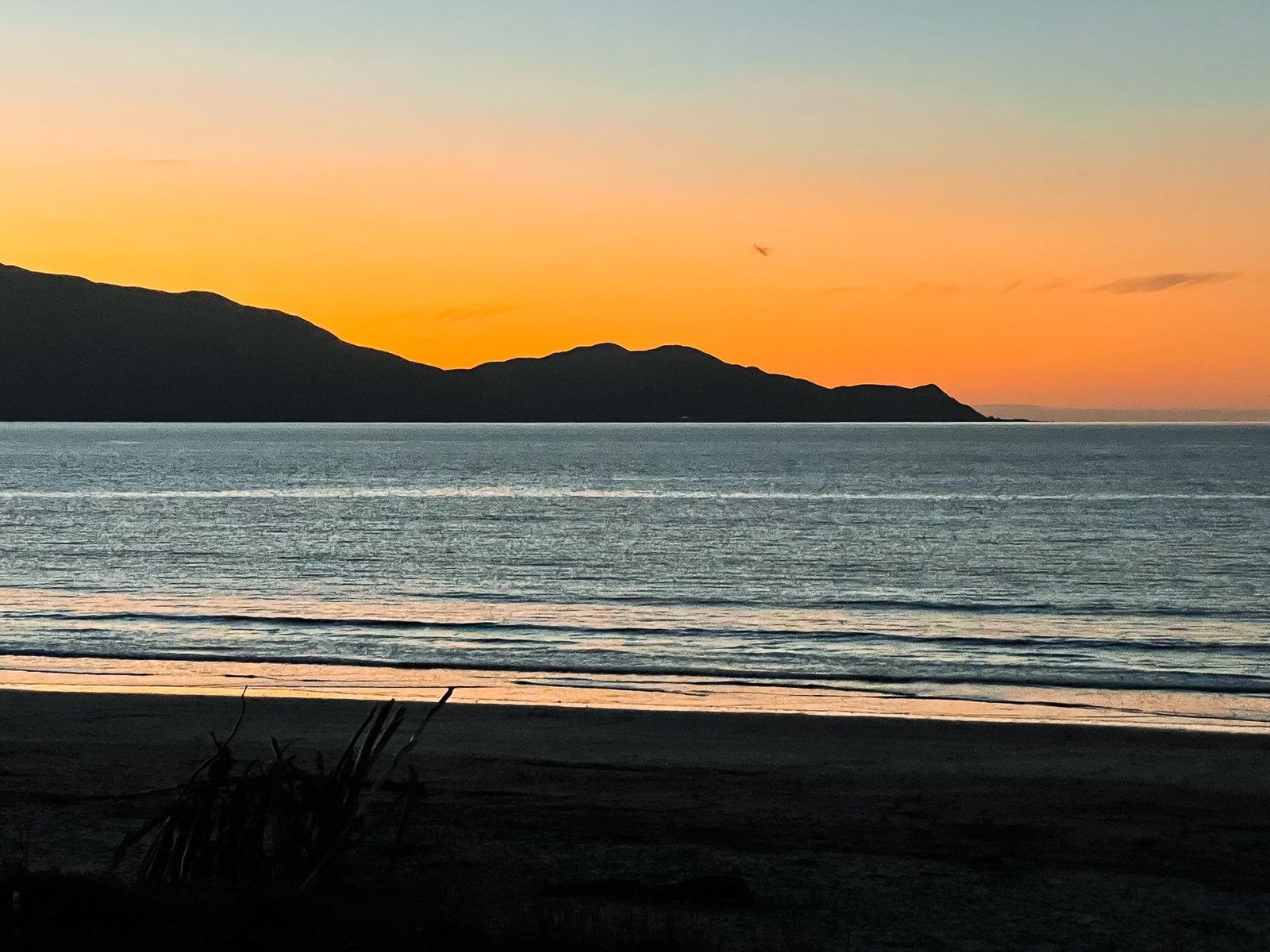
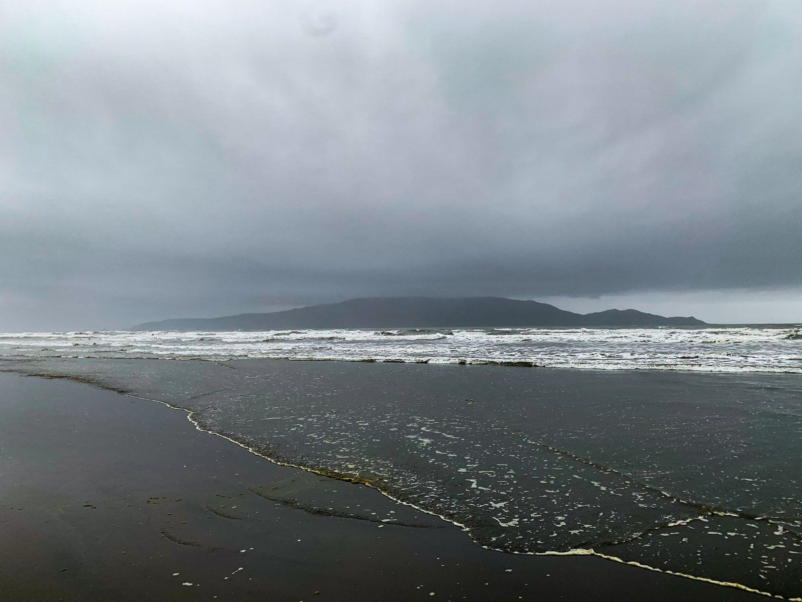
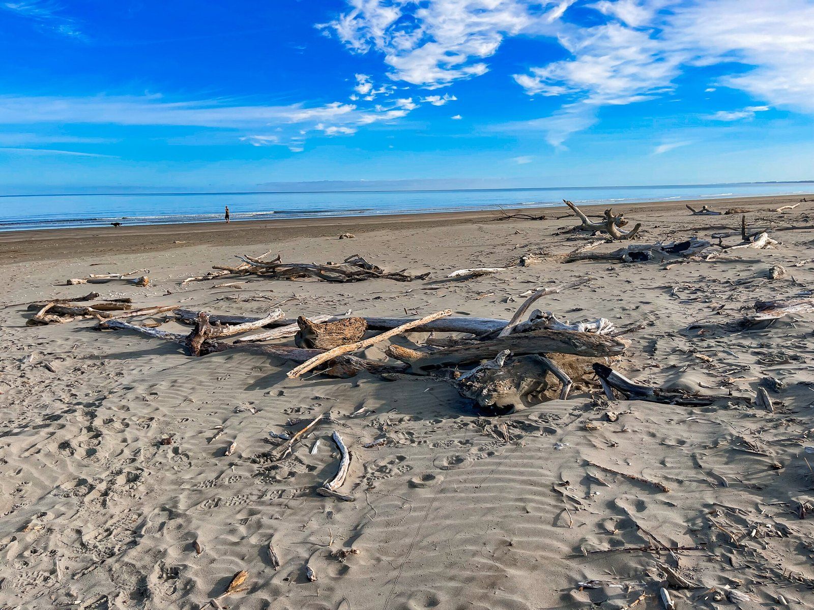
Waikanae
There are several great beaches to stop at on the Kapiti Coast, all easily accessed from SH1. On this trip I chose Waikanae, a wide long beach to the north of Paraparaumu and bounded at its southern end by the Waikanae River estuary and lagoon. It is backed mostly by sand dunes and you can find plenty of driftwood, especially around the sand spit next to the river mouth. This sand spit and around the estuary is also a significant hangout for seabirds.
To the north the beach is a long continuous stretch of sand for about 15 kms, until you reach the Otaki River mouth. The name changes firstly to Peka Peka Beach then Te Horo Beach.
There are also a couple of good eateries, about halfway along the main road behind the beach. There is an easy access point immediately though the park over the road.
Want more Trip Ideas?
Check out our blogs on the North Shore Coastal Walk, Aotea Great Barrier Island, and Tongariro National Park.