Discover Scenic Drive in the Waitākere Ranges
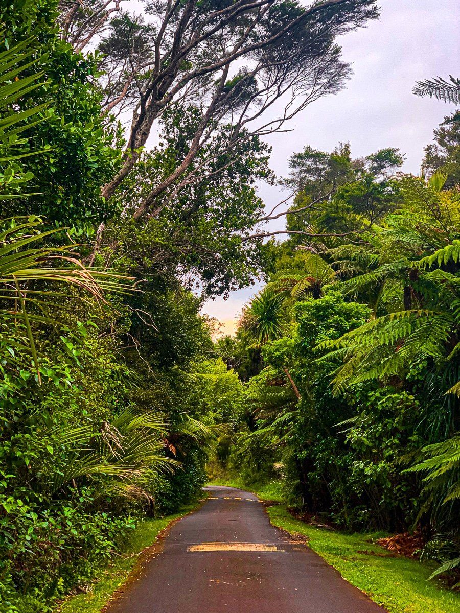
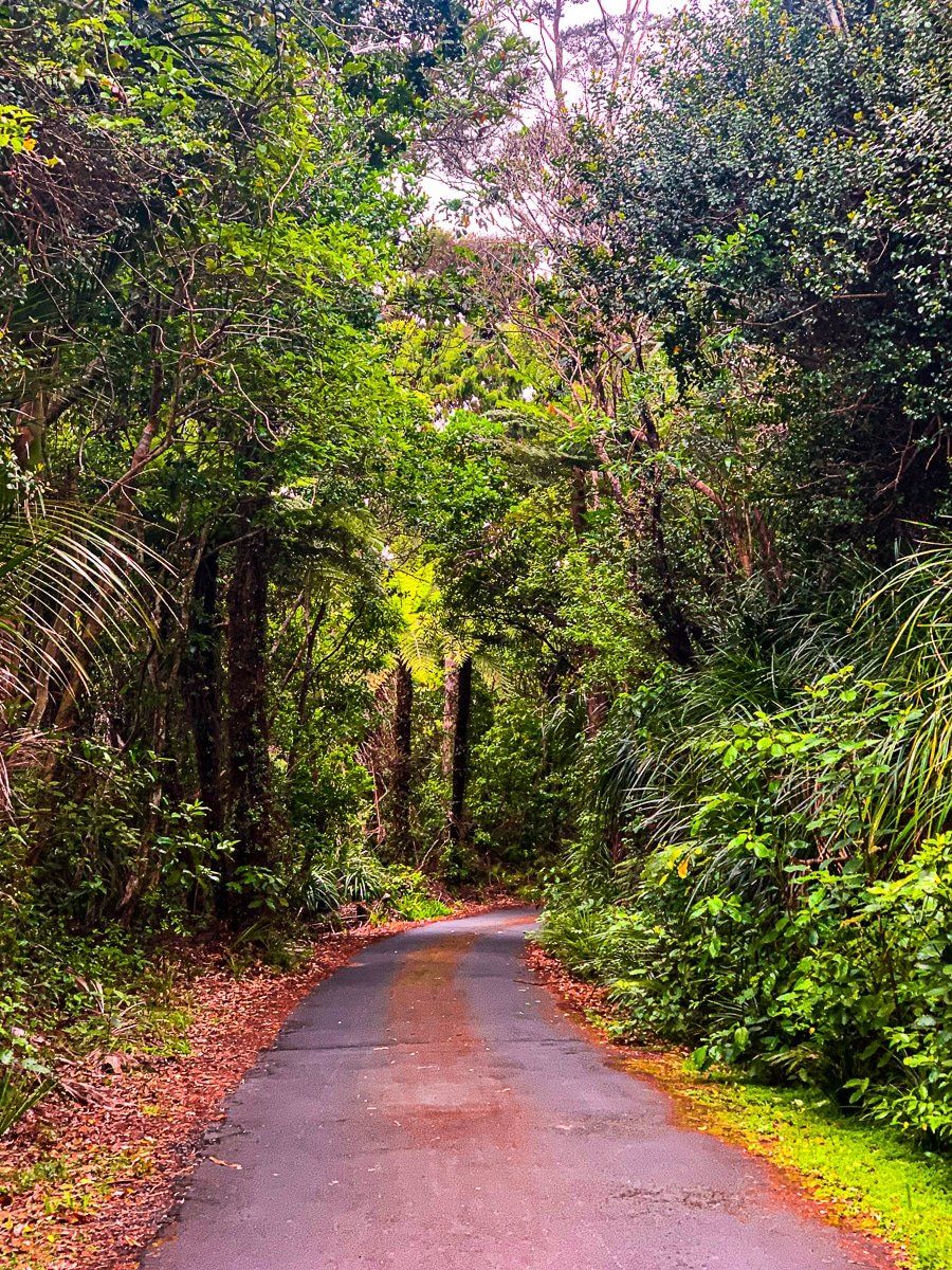
Located on Auckland's northwestern coast, the Waitākere Ranges are a highlight of New Zealand's North Island. Scenic Drive serves as the main route through this region, providing access to various beaches and forest tracks. This road begins in Titirangi Village, known as the "fringe of heaven," and extends to the intersection of Waitākere Road and Swanson Road. Along the way, you can explore side roads leading to Huia, Whatipu, Piha, Karekare, Anawhata, and Te Henga Bethells Beach. Scenic Drive itself is a worthwhile journey, offering winding roads, native forests, and stunning viewpoints. If you're new to Auckland and pressed for time, this drive, along with some shorter walks, offers a great introduction to the native forests of the upper North Island.
Scenic Drive's Route and History
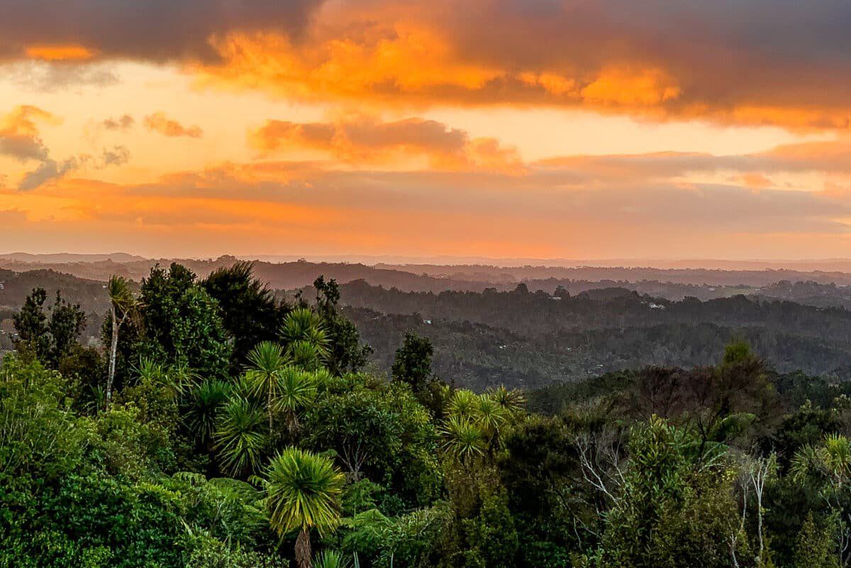
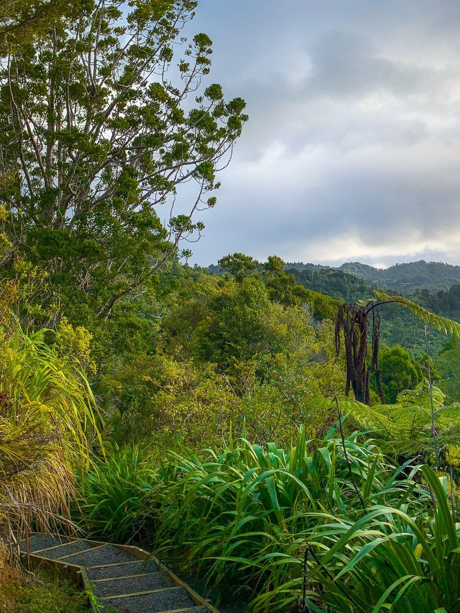
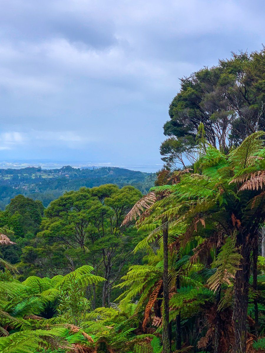
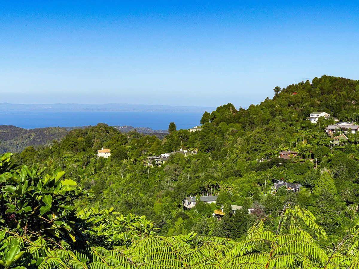
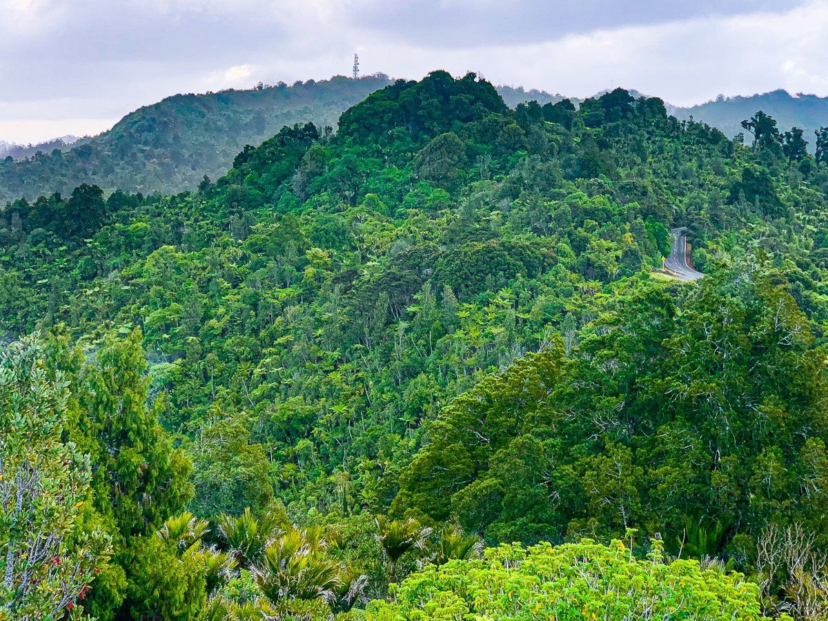
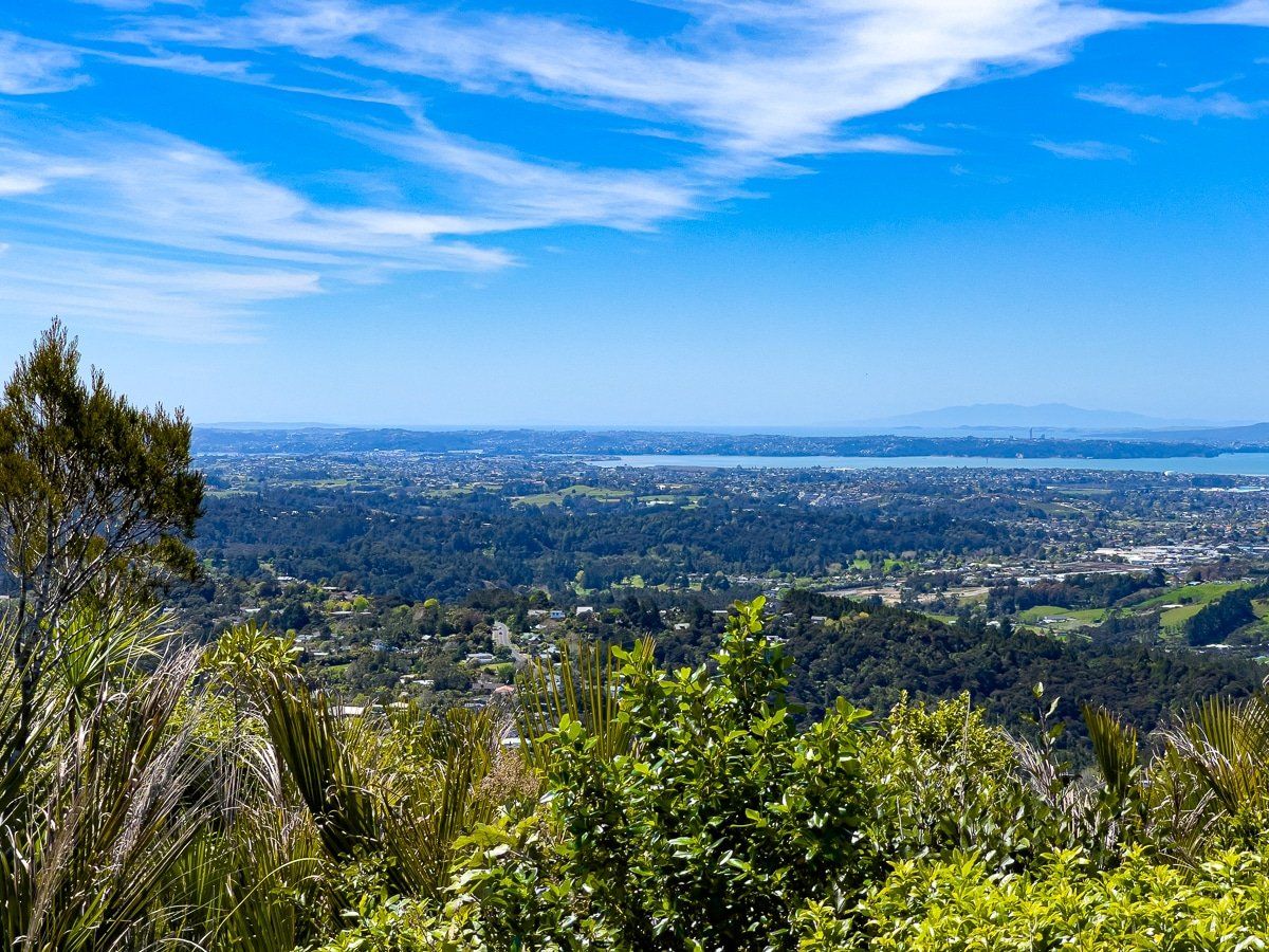
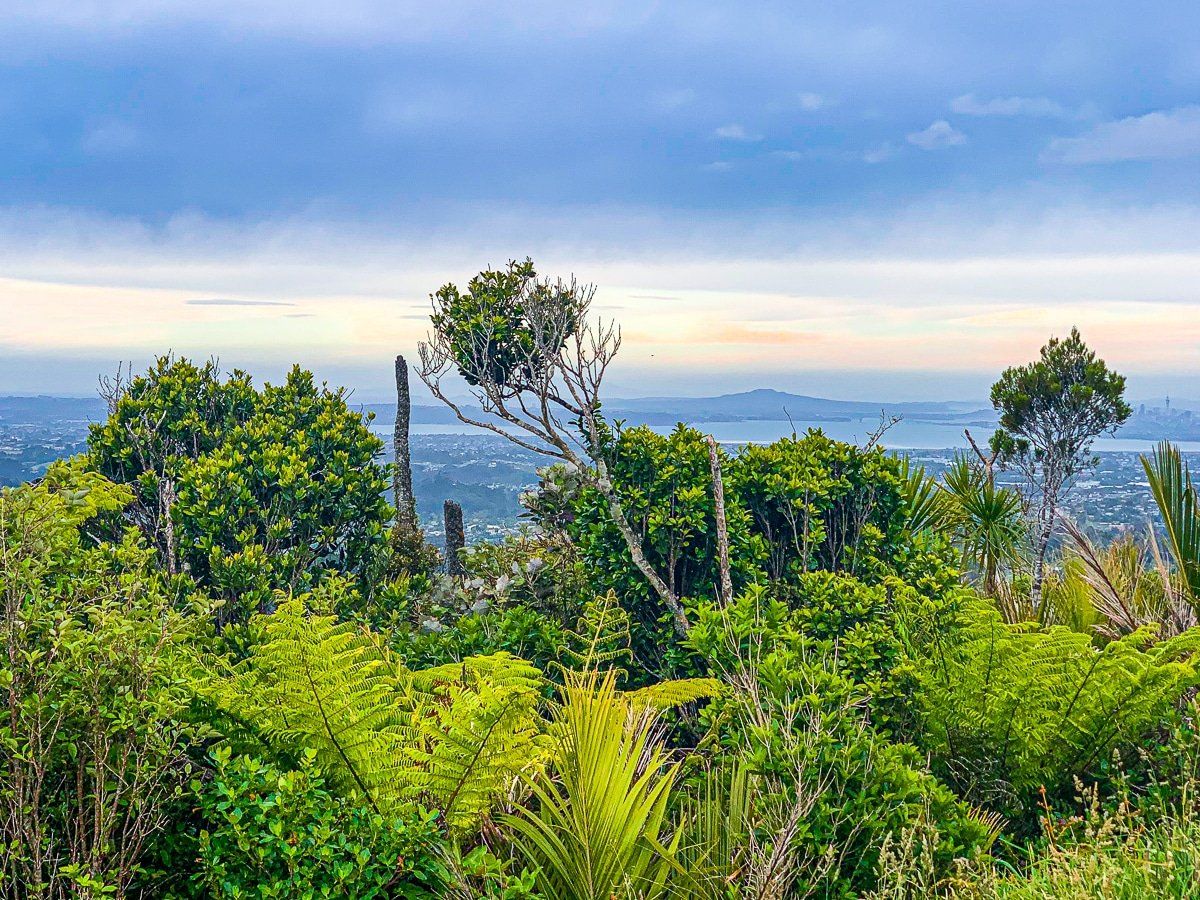
Scenic Drive follows a main ridge line of the Waitākere Ranges, running from about 200 to 400 metres above sea level before descending at Swanson. Constructed in the 1930s, the road was built during a period when much of the native forest, including ancient kauri, was lost to logging and farming. Fortunately, efforts to convert the area into parks began around the same time, leading to significant forest recovery. Today, Scenic Drive offers a glimpse into the region's colonial history, rugged terrain, and native forests, with views stretching back to downtown Auckland and out to the west coast. To reach Scenic Drive from downtown Auckland, head to Titirangi Village, approximately a 20-minute drive, avoiding rush hour traffic.
Arataki Visitor Centre
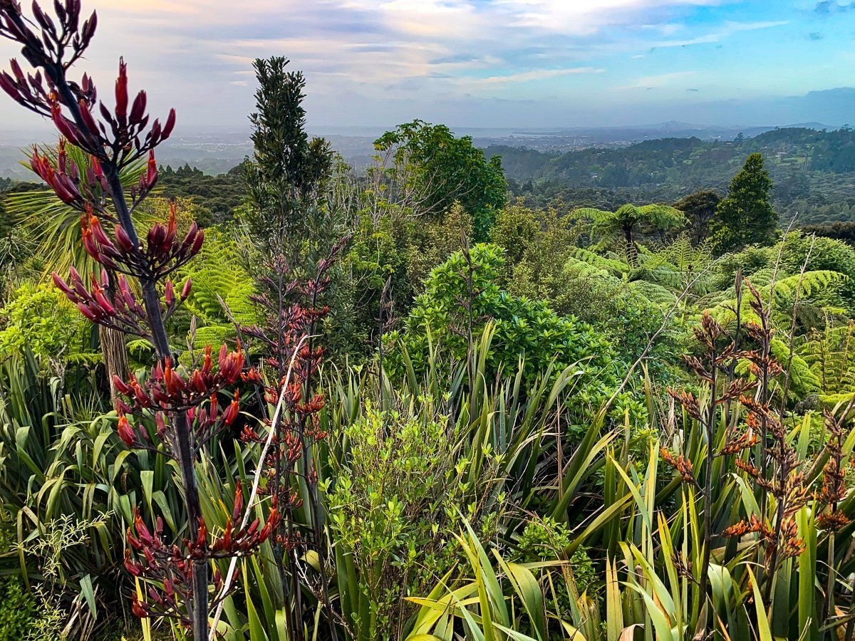
About 7 kilometres along Scenic Drive from Titirangi, you'll find the Arataki Visitor Centre. This facility offers ample parking, including space for campervans, and provides insights into the history and outdoor activities of the Waitākere Ranges. A short walk from the centre leads to a viewing platform with 270-degree views over the range, coast, and north. Arataki is also the starting point for several forest walks and the multi-day Hillary Trail, although the trail is currently closed.
Arataki Nature Trails
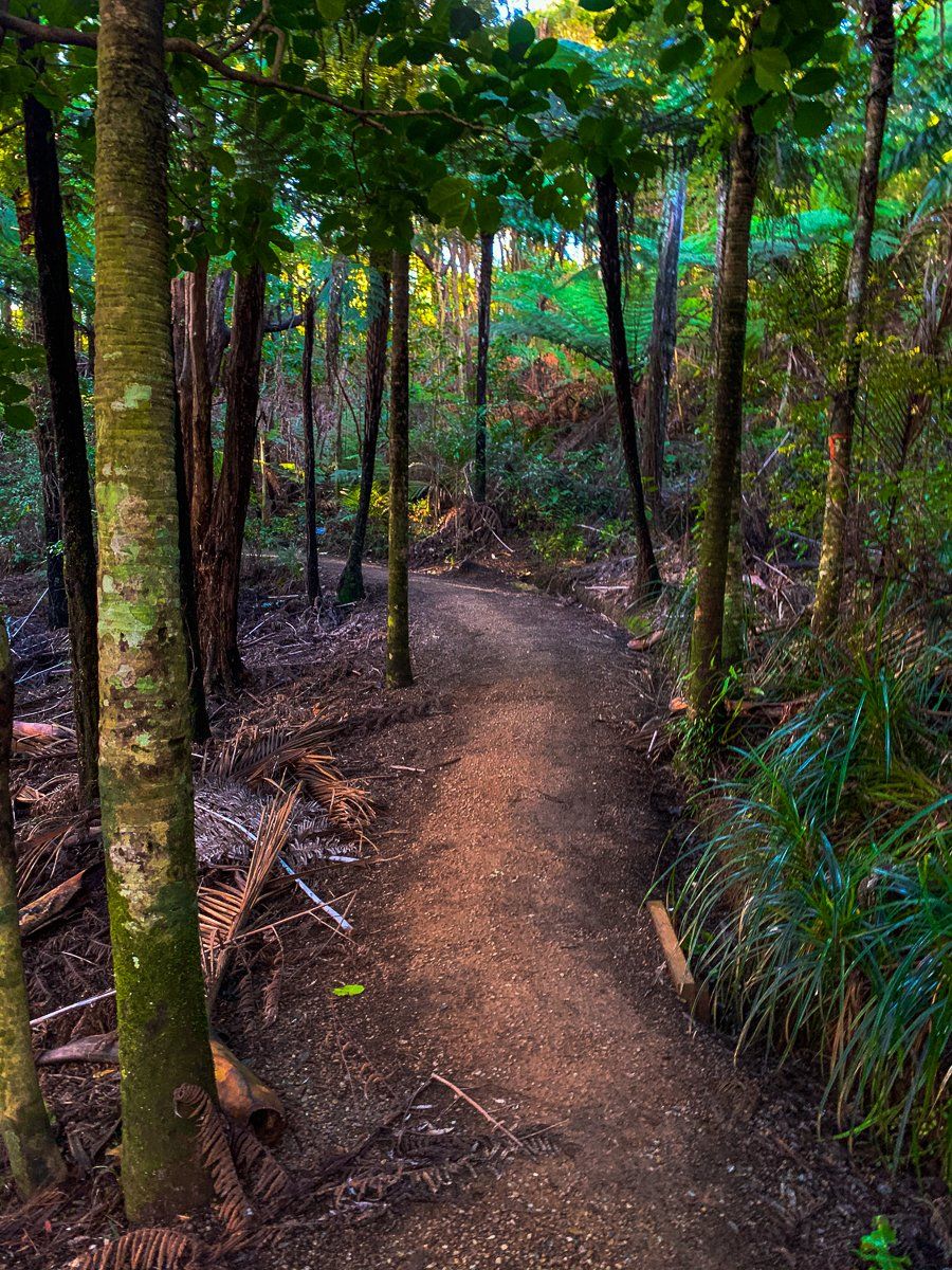
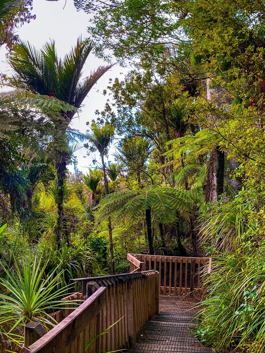
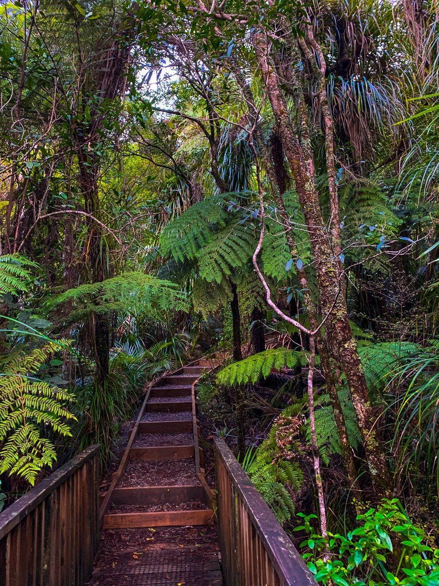
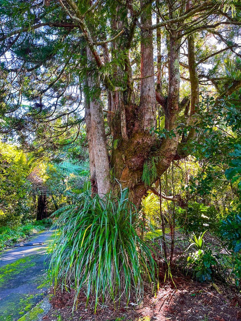
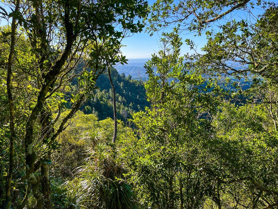
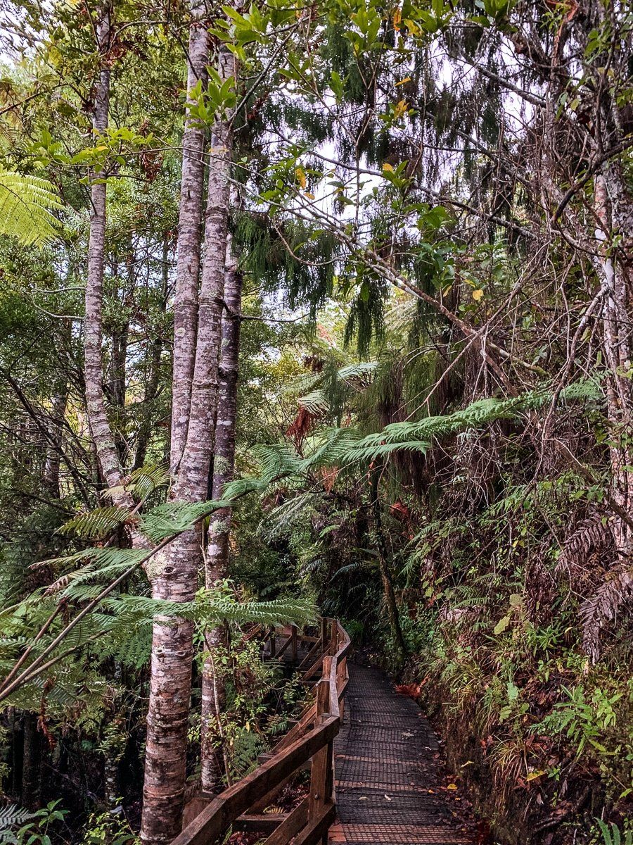
From the Visitor Centre car park, a tunnel beneath Scenic Drive leads to the Arataki nature trails. This leisurely walk takes less than an hour and showcases native forest, viewpoints over the canopy, and a loop with name tags to identify native trees. At the trail's end, you'll find a group of mature kauri trees, the only publicly accessible survivors from the destruction of the Waitākere kauri forests over a century ago.
Rose Hellaby House
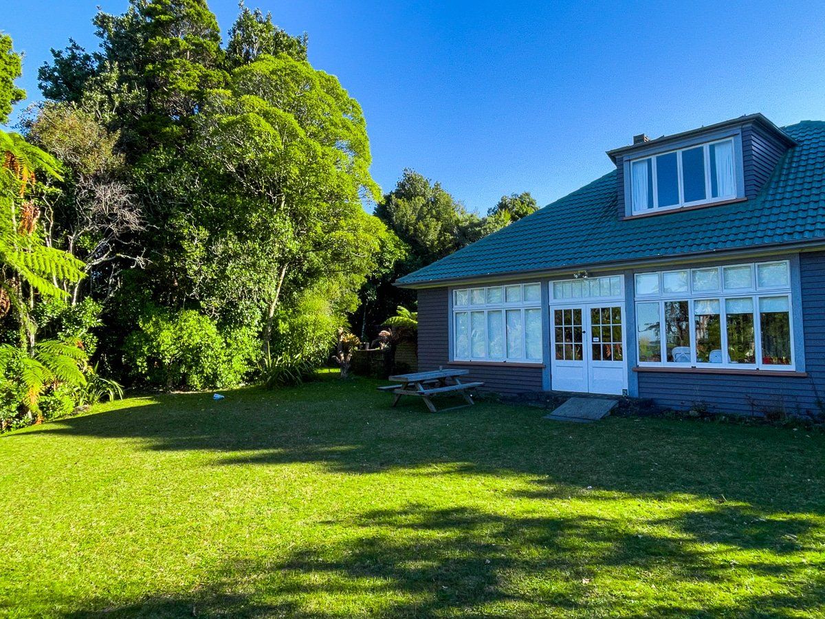
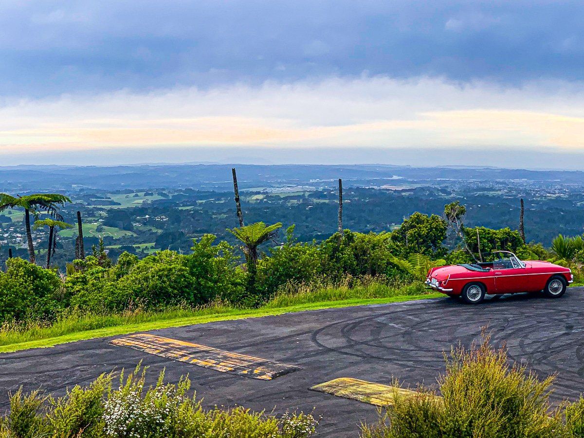
Continuing along Scenic Drive past the Piha Road turnoff, you'll see a sign for Rose Hellaby House. Nestled in the forest, this modest house was owned by Rose Hellaby from the 1930s until she gifted it to Auckland City in the late 1960s. The house offers one of Auckland's best views, with a steep drop to the northeast and vistas extending to downtown Auckland and the Waitematā Harbour.
Parkinson Lookout
Just after Rose Hellaby House, Parkinson Lookout is signposted on Scenic Drive. A short forest walk from the road leads to another viewpoint, ideal for a picnic or as an alternative if access to Rose Hellaby House is restricted.
Large Kauri Tree
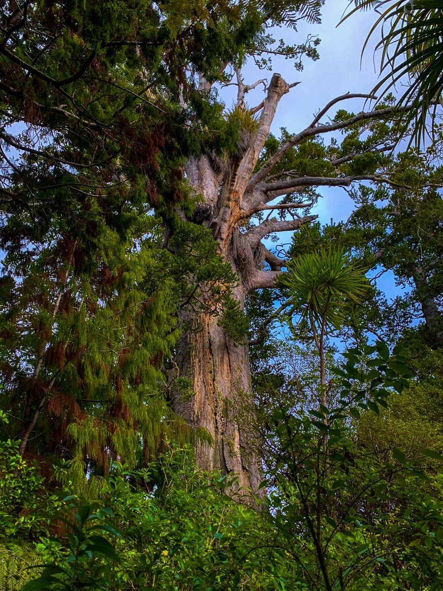
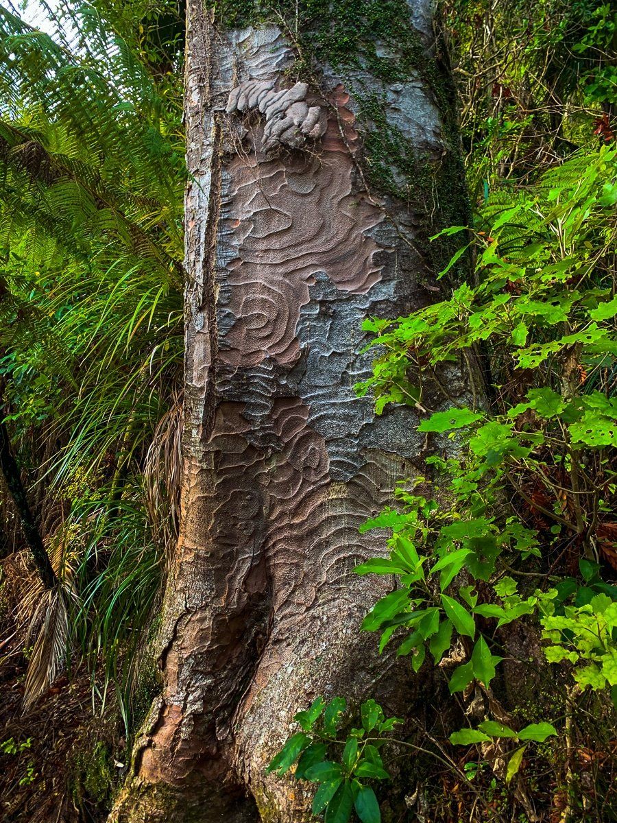
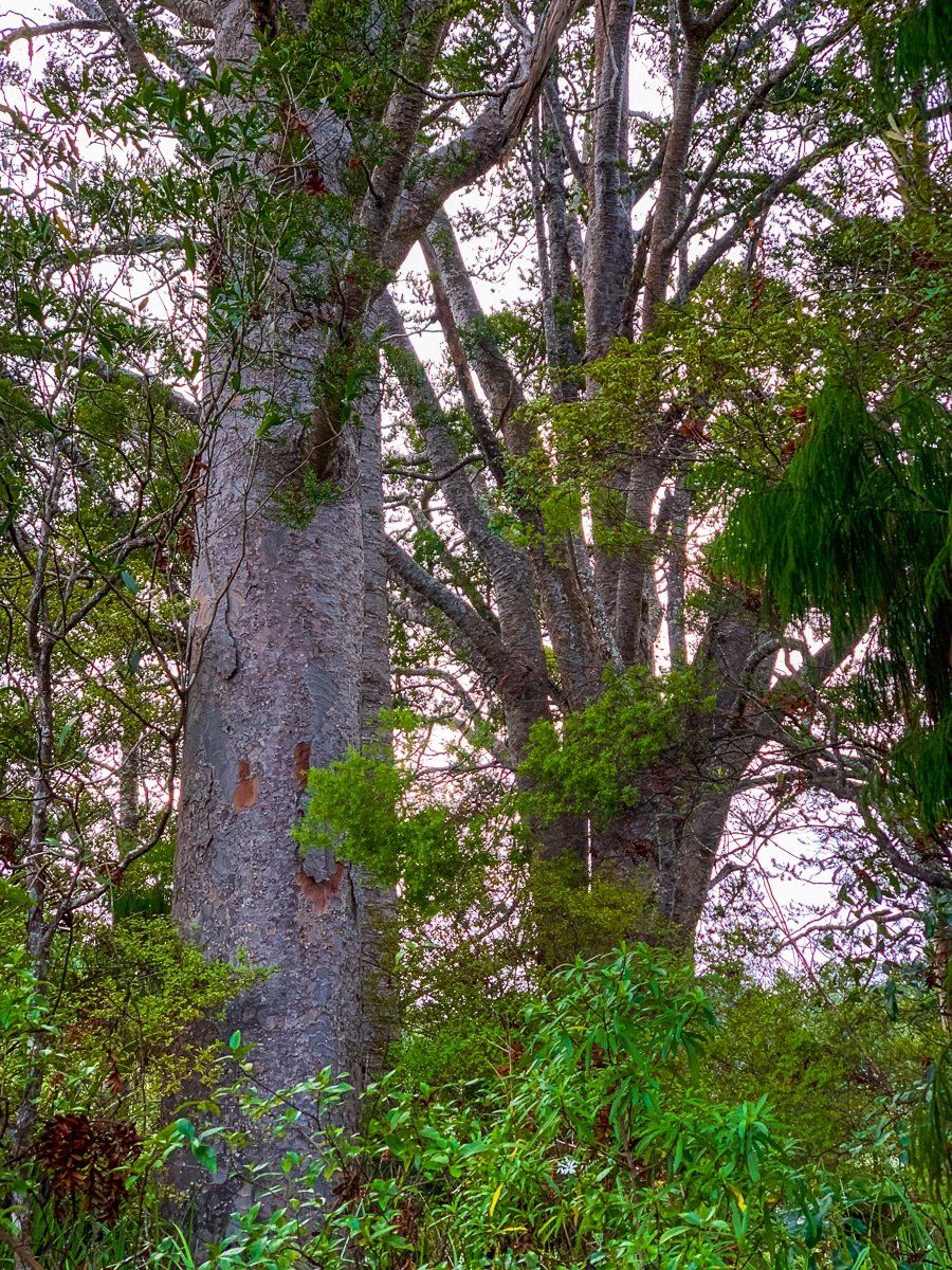
Further along Scenic Drive, a sign marks the "Large Kauri Tree." A short walk brings you to an ancient kauri, more mature than those on the Arataki Nature Trail. This is the only ancient tree currently accessible in the Waitākere Range, as others remain closed due to kauri dieback disease.
Spragg Track
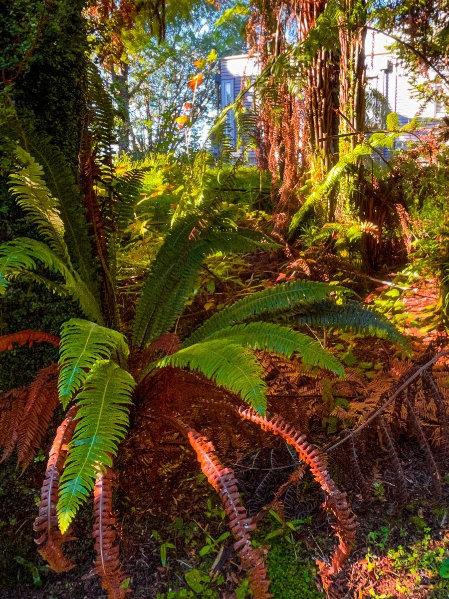
About 5 kilometres from Parkinson Lookout, Spragg Track offers an excellent introduction to the Waitākere Ranges. Two track entries on Scenic Drive are easy to miss, with parking available at both. The interconnected tracks are relatively flat and take about an hour to explore. The forest walk features mature native trees and jungle-like regrowth, with prominent kiekie climbing shrubs. You'll also find three mature kauris, one particularly large and close to the track. A modest white picket fence enclosure marks the area's first cemetery, now overtaken by regenerating forest.
Pukematekeo
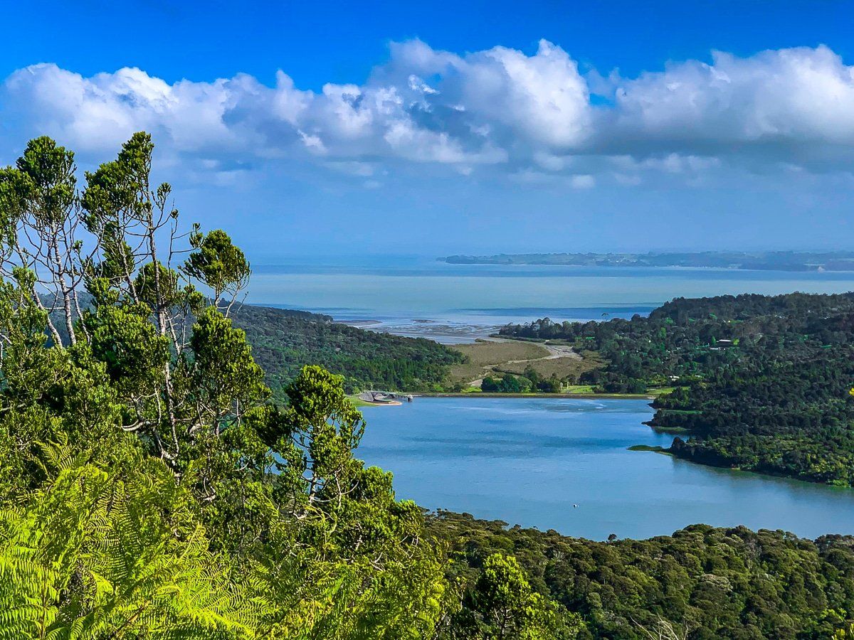
A kilometre further, you'll find the one-way access road to Pukematekeo, one of the highest points in the range. The road leads to the peak, where a large grassed area offers near 360-degree views across the range and back to Auckland city. Looking south, you can spot the Waitākere Reservoir Dam and the 95-metre Waitākere Falls, the highest waterfall in the range. While the extensive track system linking the reservoir to Pukematekeo is closed due to kauri dieback, this viewpoint offers the best view of the falls.
Getting to Scenic Drive
To reach Scenic Drive, head to Titirangi Village from downtown Auckland, a journey of about 20 minutes. Avoid rush hour for a smoother trip. Once on Scenic Drive, you'll have access to various attractions and trails in the Waitākere Ranges. For more Auckland adventures, consider exploring Muriwai, the North Shore Coastal Walkway, and other Waitākere walking tracks.
