Hydropower, Fruit and Trails in Central Otago
Roxburgh Dam sits on State Highway 8, south of Alexandra and north of Roxburgh in the Teviot Valley in the heart of Central Otago. As the first major hydro dam on the Clutha River / Mata‑Au, it's both an engineering landmark and a scenic access point to some of the region’s best cycling and fruit-growing country. The surrounding Teviot Valley is known for its stonefruit orchards, riverside trails and striking schist outcrops.
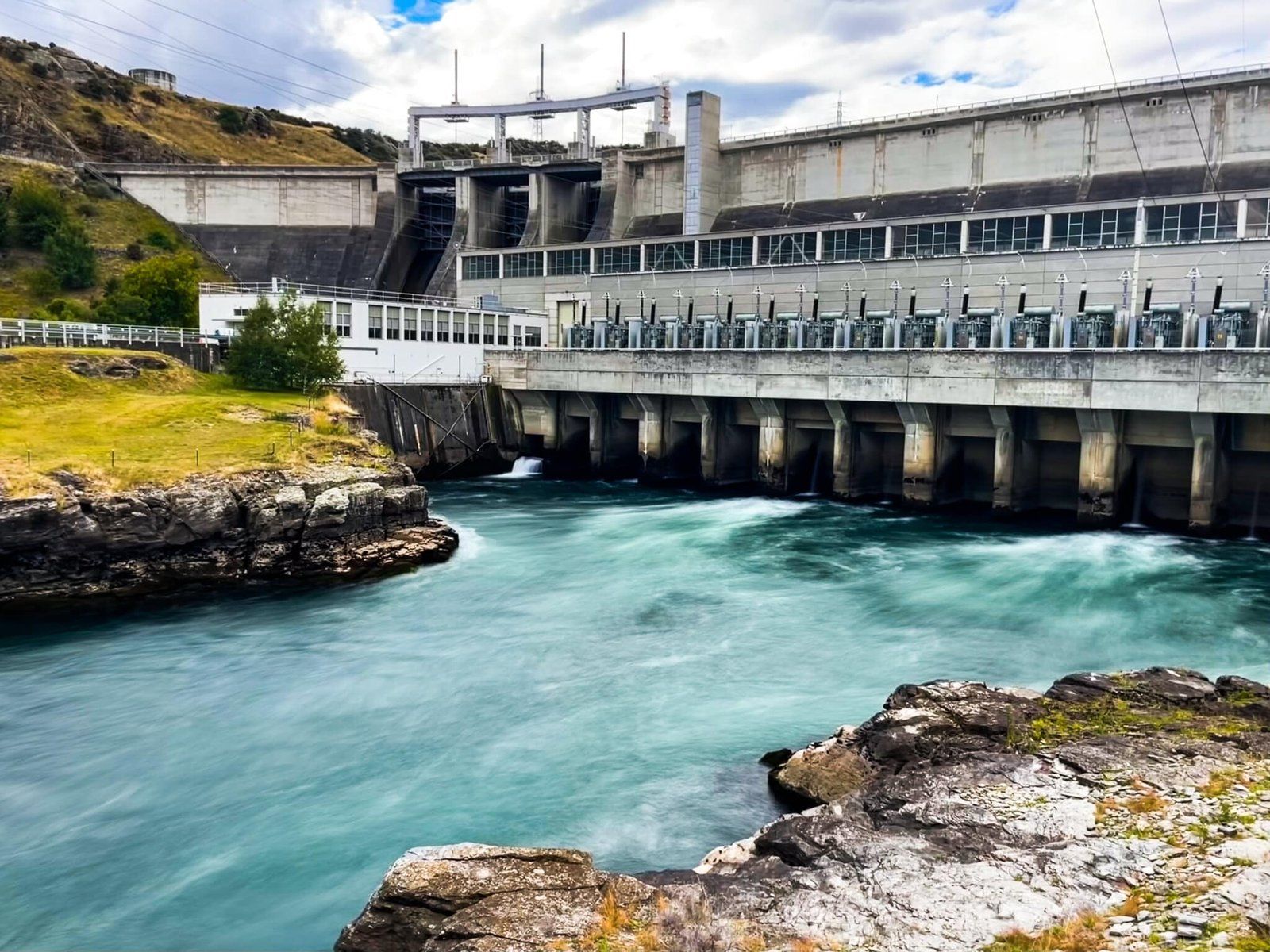
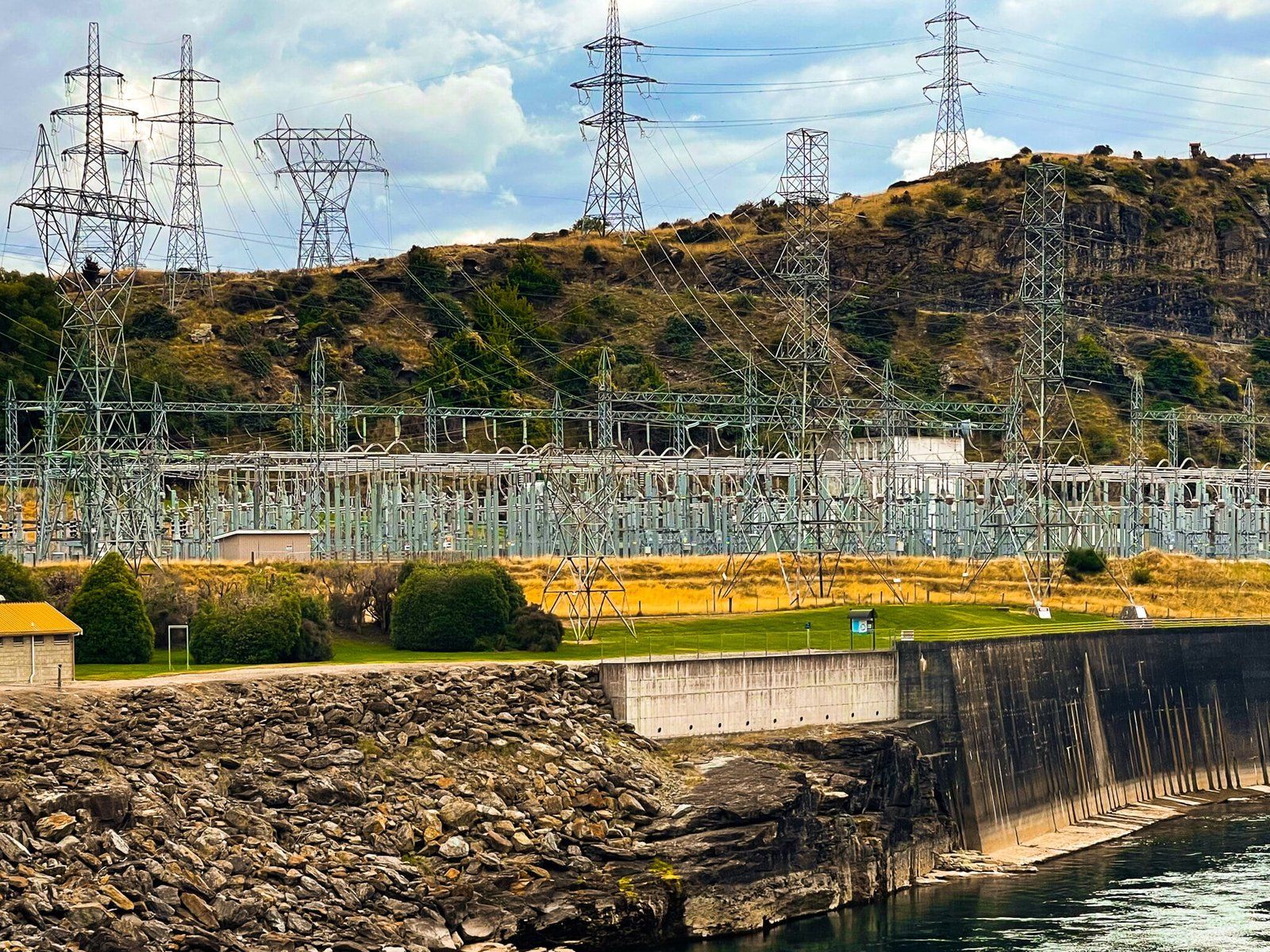
Lake Roxburgh and the Clutha Mata‑au
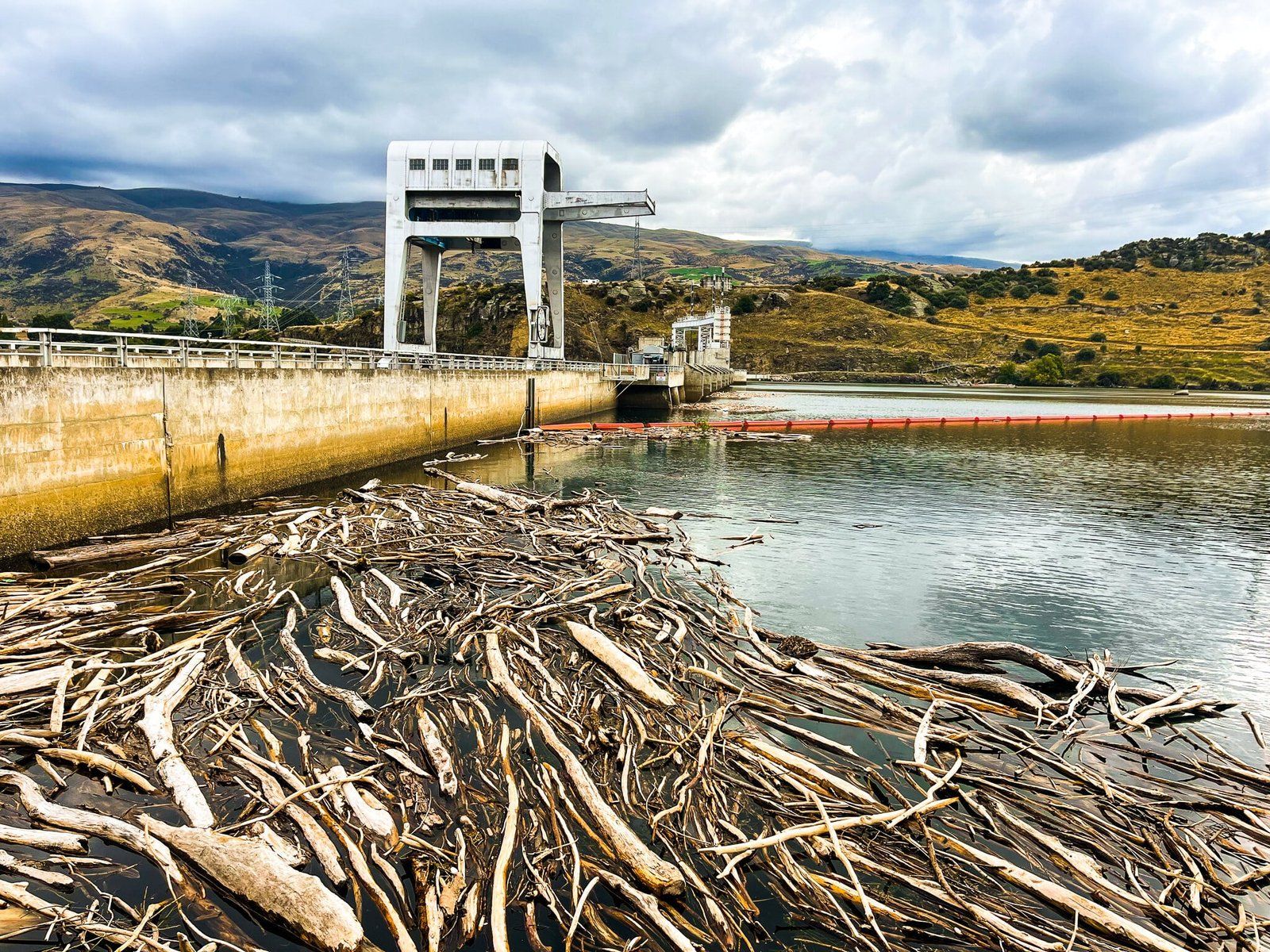
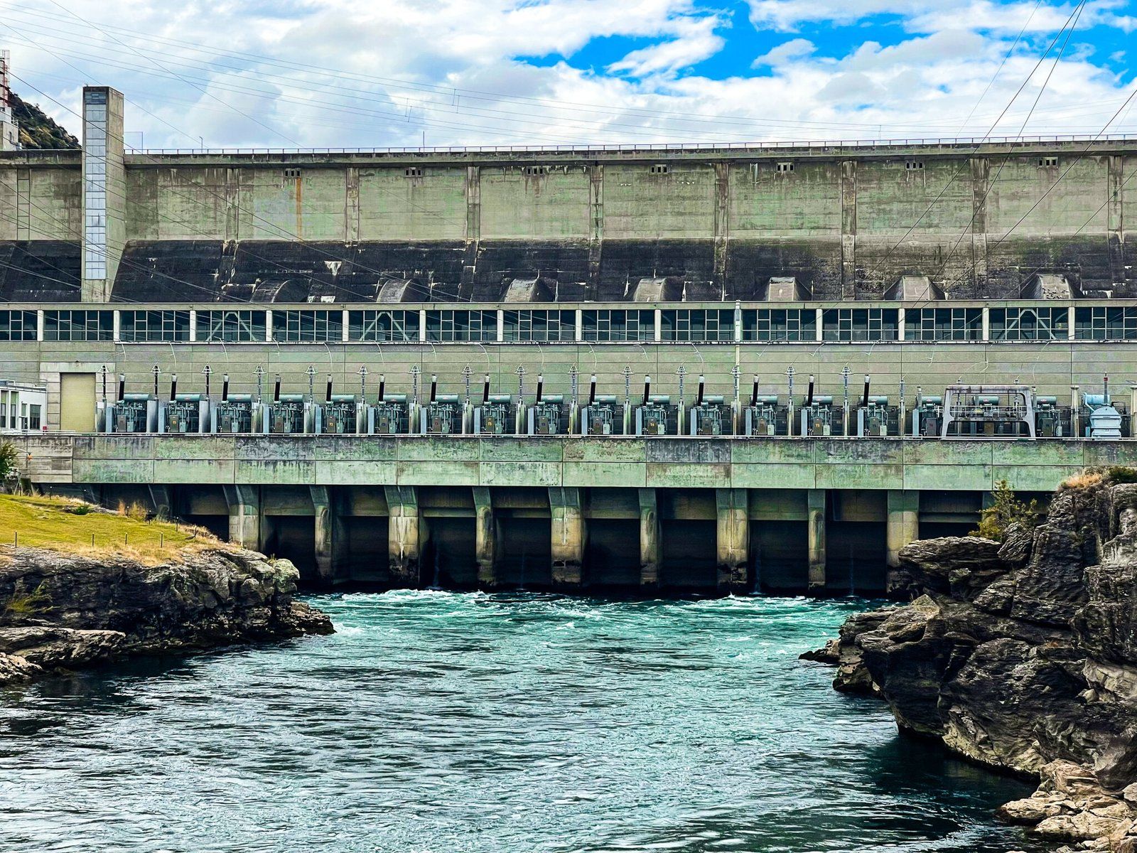
Constructed between 1949 and 1956, the dam created Lake Roxburgh, a narrow man-made lake extending upstream toward Alexandra. The 358-metre-long concrete gravity dam holds back the powerful Clutha / Mata‑Au, and supplies electricity from its eight turbines. Above the dam, the lake cuts through steep gorge walls, while below it, the river flattens into farmland near Roxburgh township.
The Roxburgh Dam was built during a period of urgent power shortages in the South Island, and remains one of the country’s major hydro stations, producing around 1,650 GWh of electricity annually. Early challenges included major flooding, political delays and logistical hurdles, but the dam ultimately became a symbol of post-war infrastructure achievement in Aotearoa.
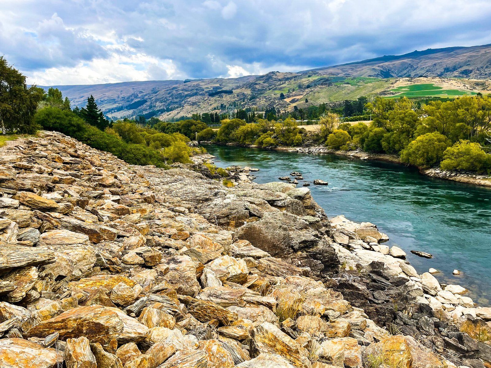
Riding the River: Roxburgh Gorge Trail
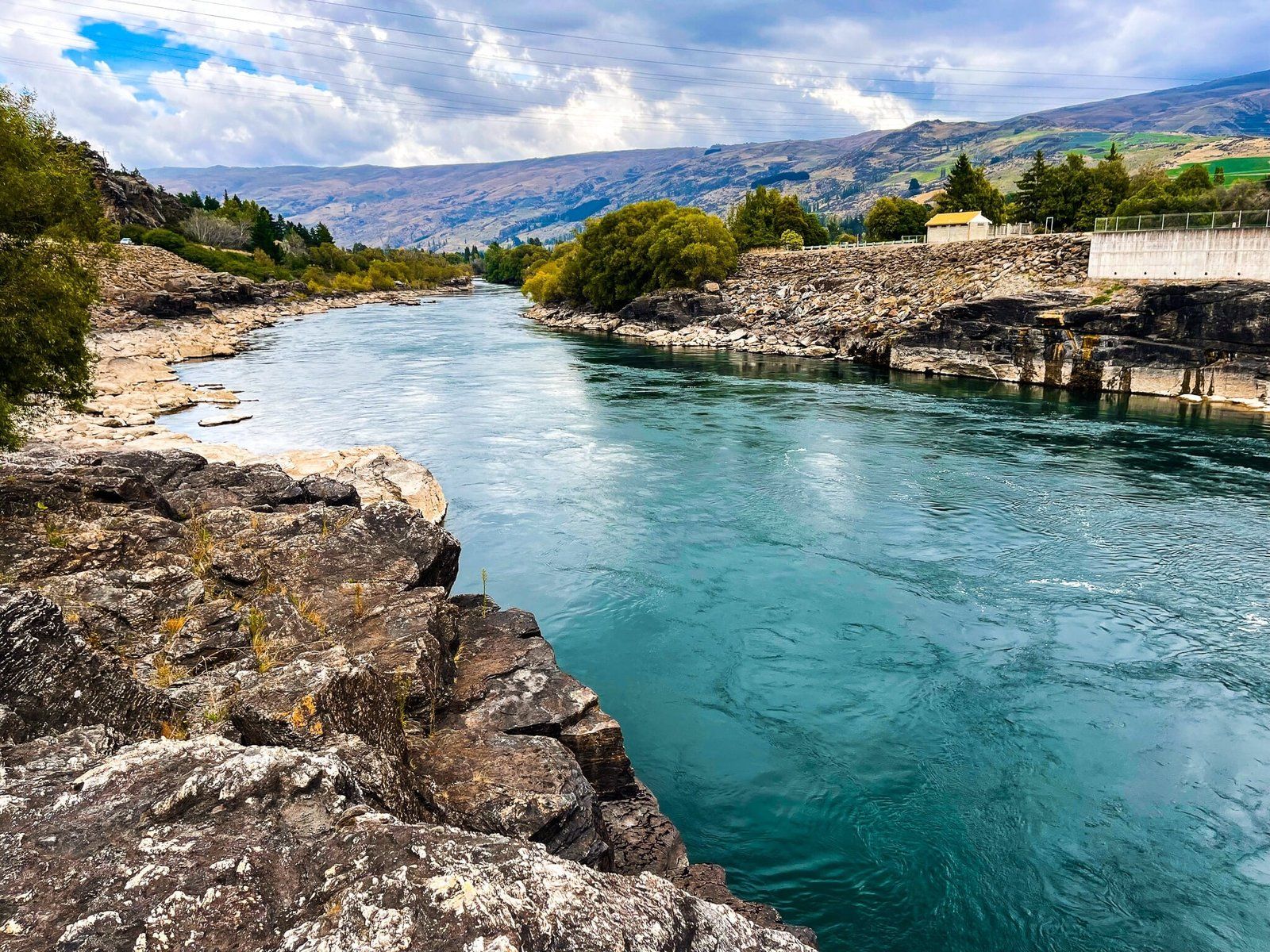
A key way to explore the dam and surrounding valley is the Roxburgh Gorge Trail, a 34 km ride from Alexandra to Lake Roxburgh that includes a 13 km jet boat section through a rugged, otherwise inaccessible section of gorge. The ride weaves between schist cliffs, old gold-mining huts and riverside farmland, and connects seamlessly with the Clutha Gold Trail at the dam, heading south toward Roxburgh and on to Waihola. The ride takes 4–6 hours and is best booked through local operators if you want to do the boat ride.
Roxburgh and the Teviot Valley
The nearby town of Roxburgh offers a relaxed base for exploring the valley. In season, roadside stalls overflow with nectarines, apricots and cherries; cafés and shops cluster around the small town centre. Further south, the valley follows the river toward Millers Flat and Beaumont, with riverside reserves, campgrounds and heritage bridges dotted along the way, all connected to State Highway 8 and the Clutha Gold Trail.
How to Get There
From Dunedin, head northwest along SH8 through Lawrence and Beaumont to reach Roxburgh in about 2 hours (160 km). From Queenstown, take SH6 to Cromwell, then SH8 through Alexandra, 100 minutes and 125 km. teh dam is accessed from the highway on Roxburgh East Road. Parking areas are located above the dam and at river level.
Other nearby places to visit include Michells Cottage and the Obelisk Conservation Park to the north. For the adventurous, you can also take Lake Onslow Road to Lake Onslow.