
From Reefton, the most common road trips are north to the Buller Gorge and Westport, or southwest to Greymouth. However, you can also spend a day or two travelling off the beaten track to the south past Moana Lake Brunner to Arthur’s Pass.
This drive passes gorgeous South Island landscapes with lakes, river valleys, gorges and mountains, and also some interesting pieces of New Zealand history; a collapsed goldmine at Waiuta, the role of Blackball in the labour movement in the early 1900s, and the difficulty of developing and maintaining a road over Arthur’s Pass.
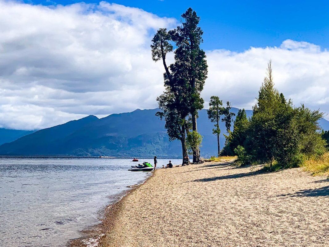
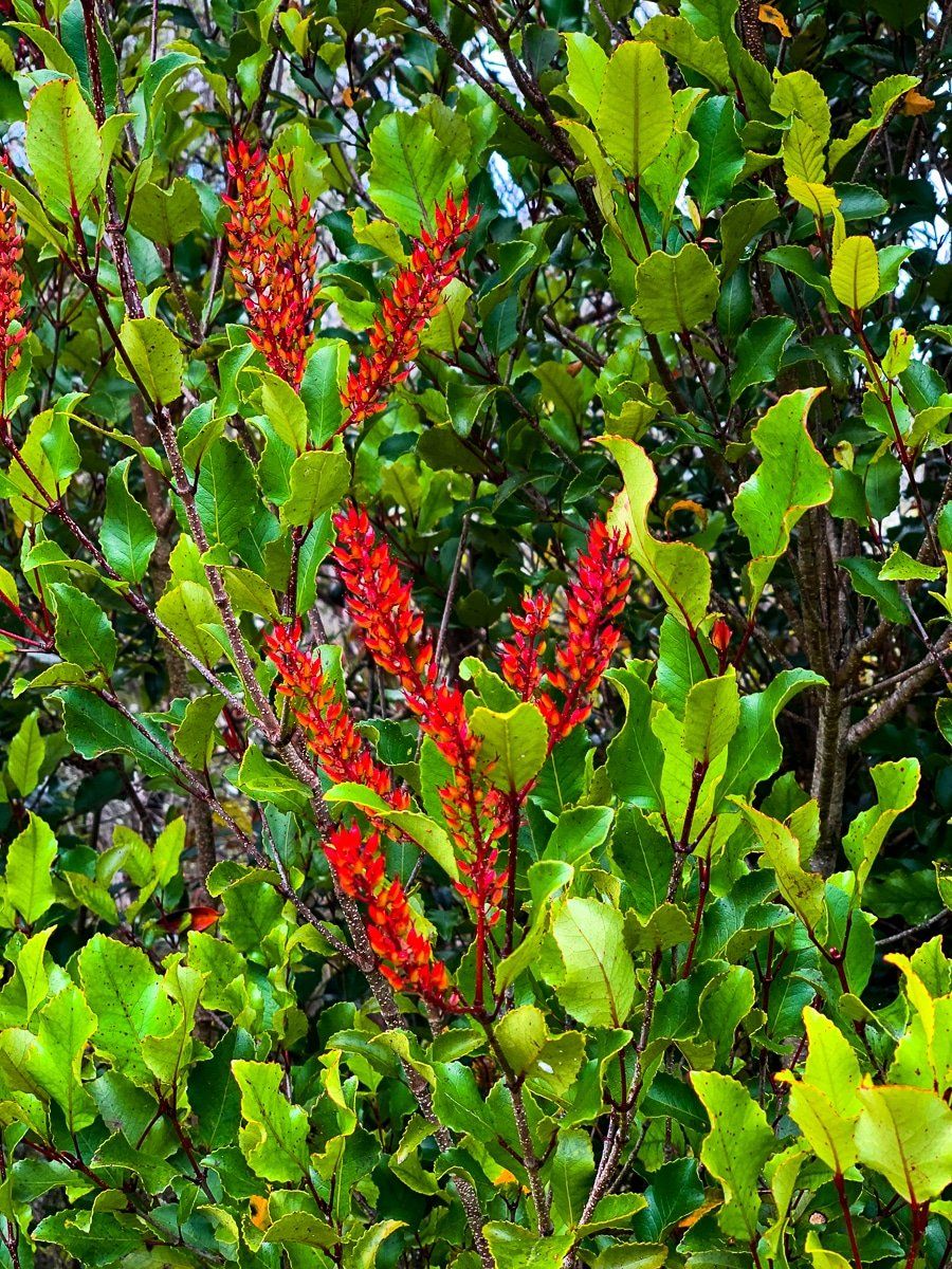
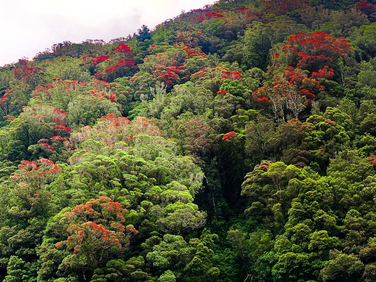
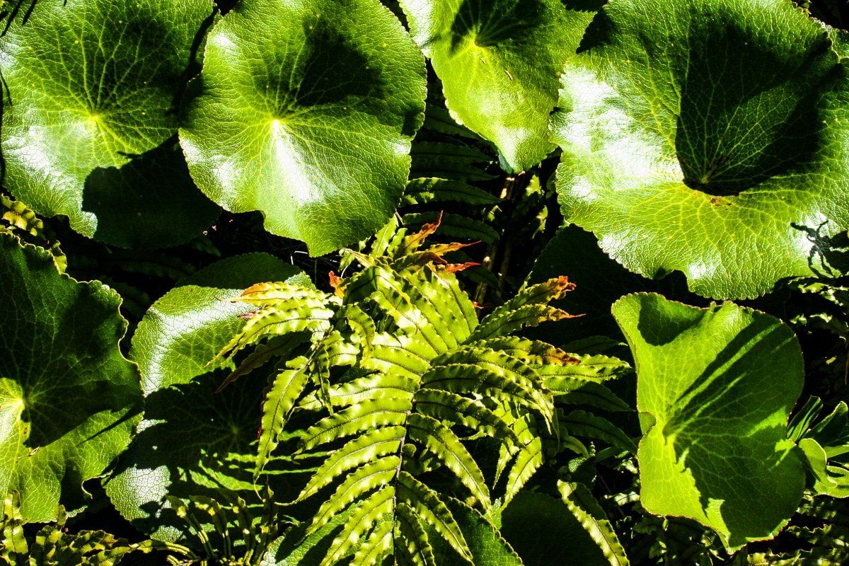
If you can, travel up the Otira River Valley in January when the rata forest is flowering. This is also a beautiful time of year to hike around the Arthur’s Pass area.
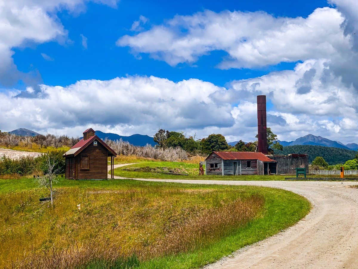
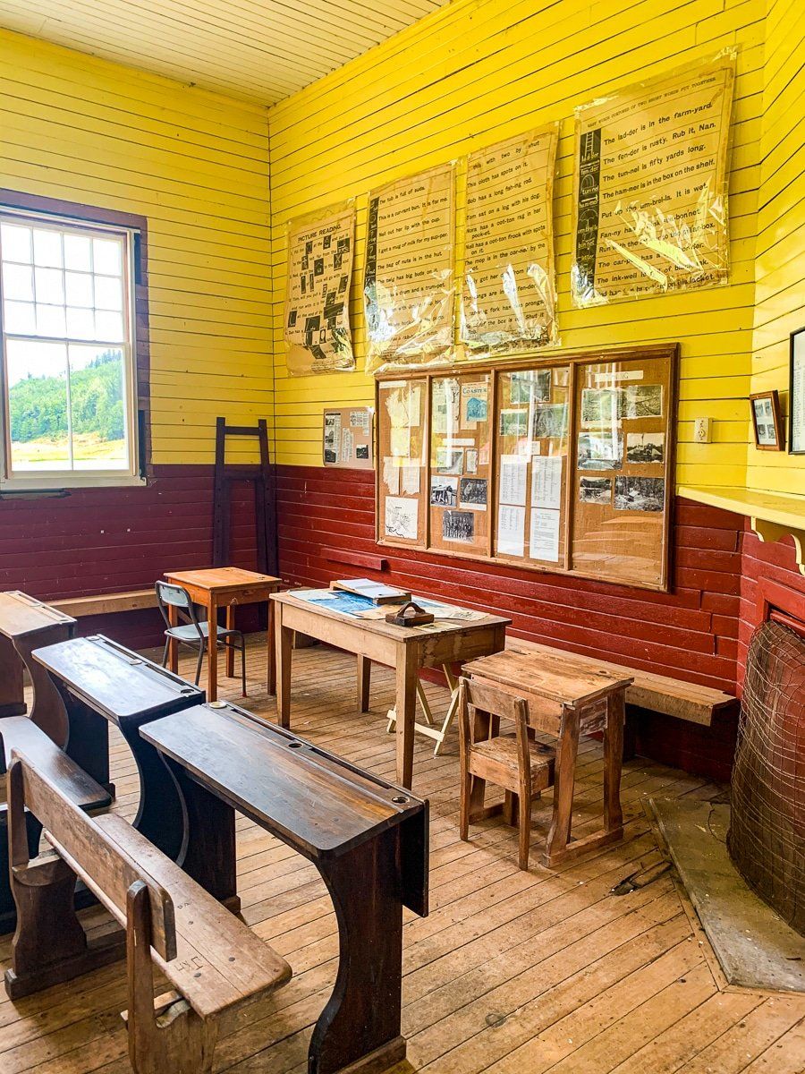
Waiuta ghost town
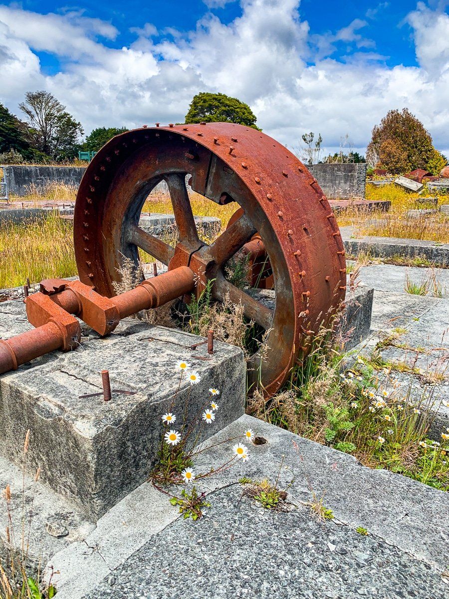
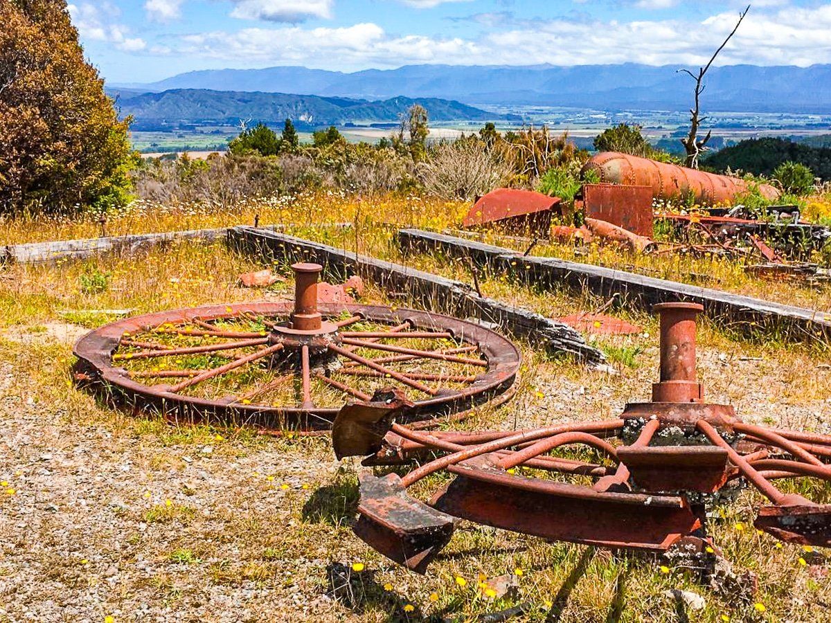
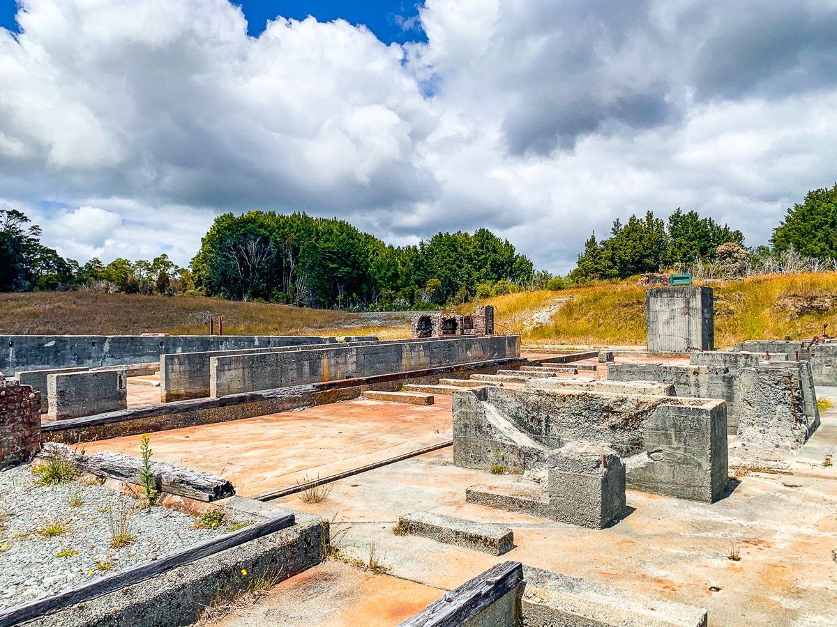
From Reefton, take State Highway 7 southwest for about 20kms until you reach Waiuta Road. About 17kms down the road is Waiuta ghost town, an old gold mining town which was abandoned in the 1950s when one of the two main mine shafts collapsed, and it was deemed uneconomic to reopen the mine. The 600-odd people who lived there simply drifted away. Now it’s a conservation park, with relics, ruins, old buildings and camping, however there’s an estimated $1 billion of gold still there, so there are plans to reopen the mine – without affecting the park.
You can drive or walk around the historic settlement loop road and up to the Prohibition Shaft. We did this in January and a real surprise was the beautiful array of rata, manuka and other wild flowers below the mine tailings.
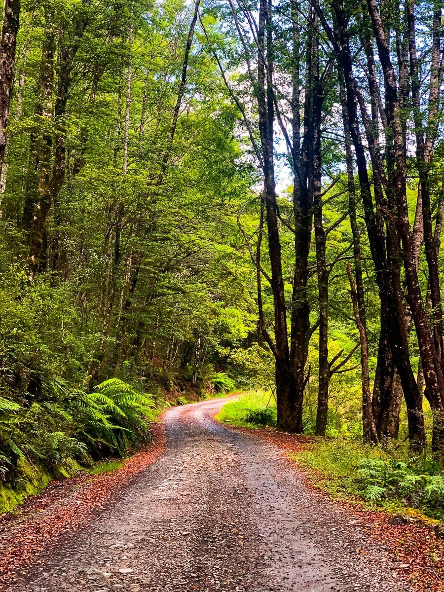
You can also hike to the historic Big River gold workings, then onto the Inangahua Swingbridge. A shorter option is the Snowy Battery Walking Track loop at the south end of Waiuta, or if you have a 4WD, drive from Reefton along Soldiers Big River Road as far as Big River, then wander further on foot.
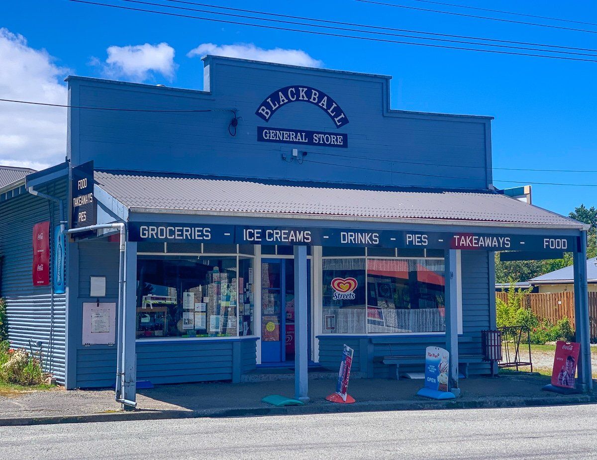
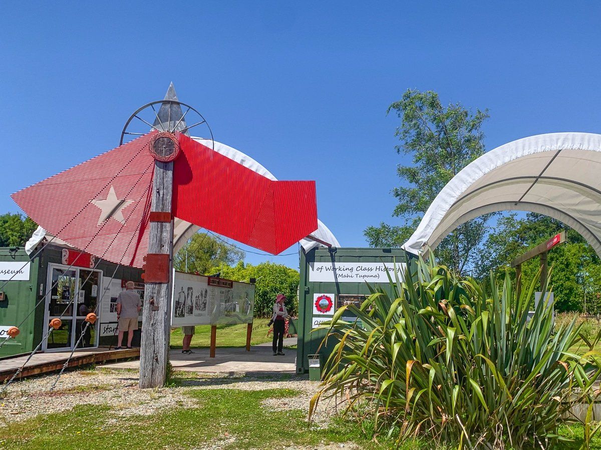
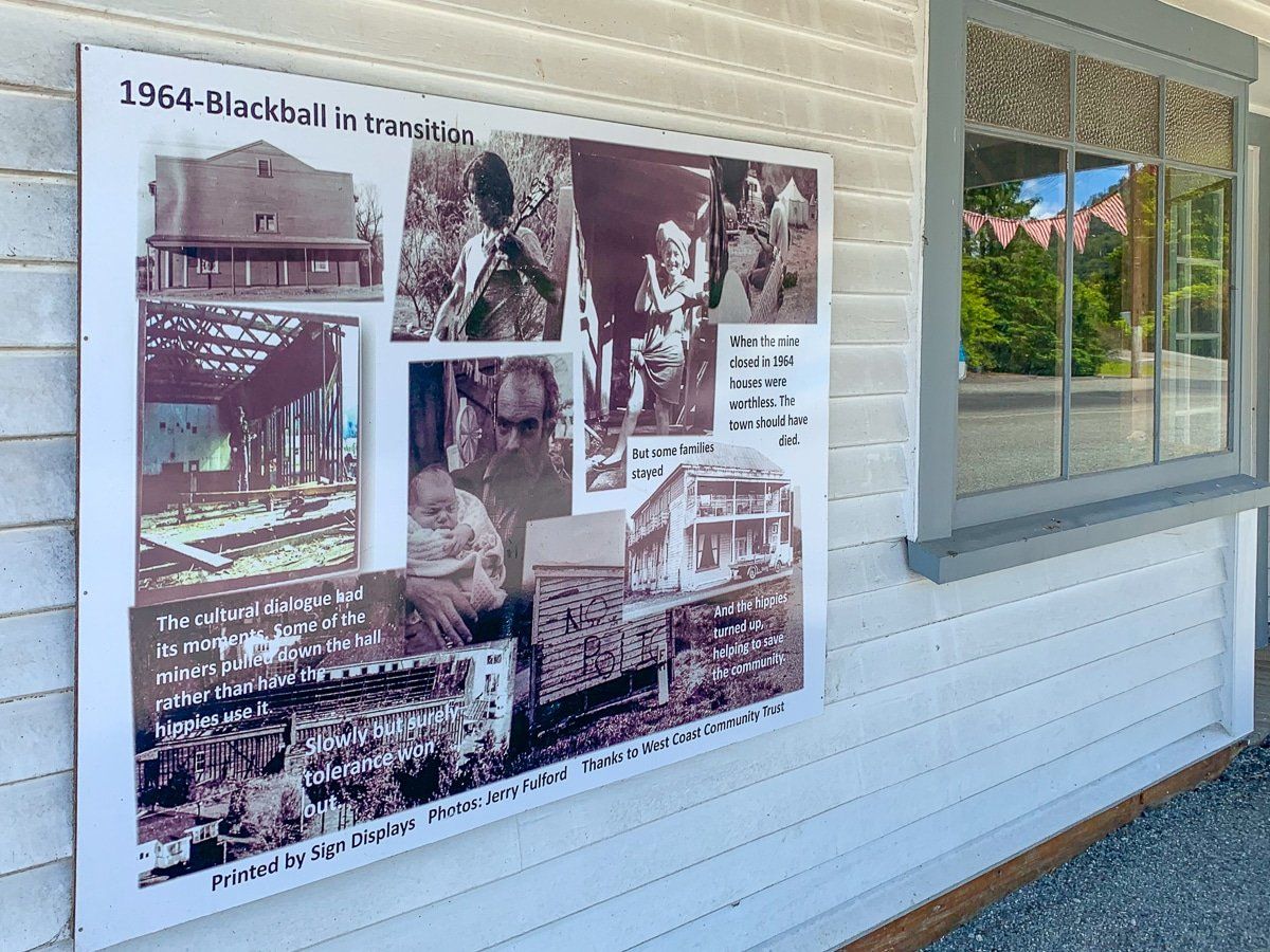
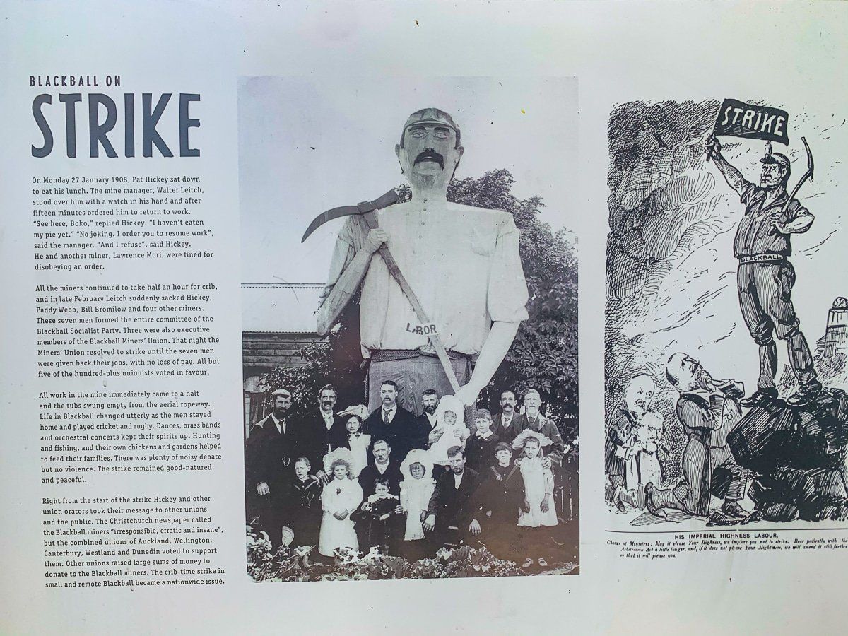
Blackball
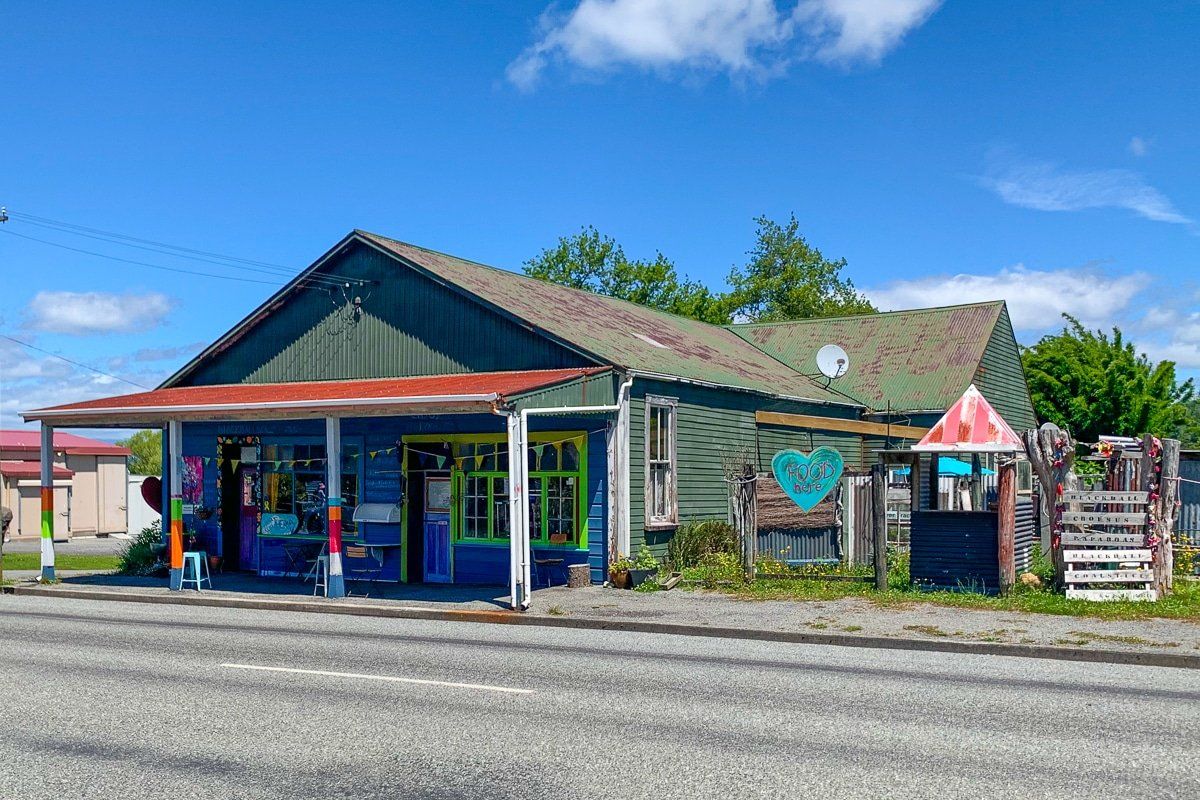
When you reach Ikamatua on State Highway 7, turn right onto Atarau Road and head to Blackball. This small town has done a fabulous job over many years of staying alive while many other small ex-mining towns have wasted away. The Blackball Hotel and the salami maker probably got the ball rolling – the hotel was named the Hilton until the actual Hilton threatened to sue, proving that all publicity is good.
In addition, the town now promotes its importance to the development of the labour movement and Party in the early 1900s and tells the story of how life in Blackball has evolved post-coal mining. The town is also an endpoint to New Zealand’s newest Great Walk, the Paparoa Track – and there’s cool wall art around the town swimming pool.
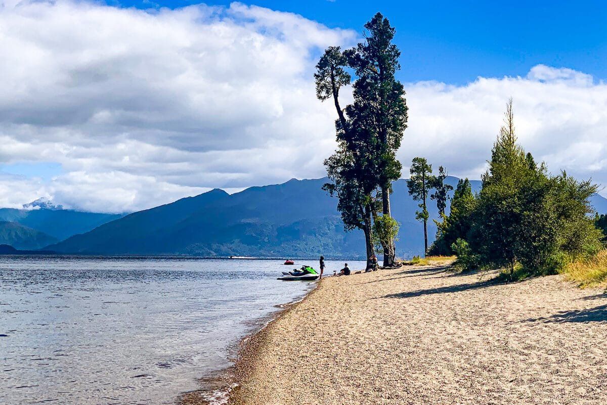
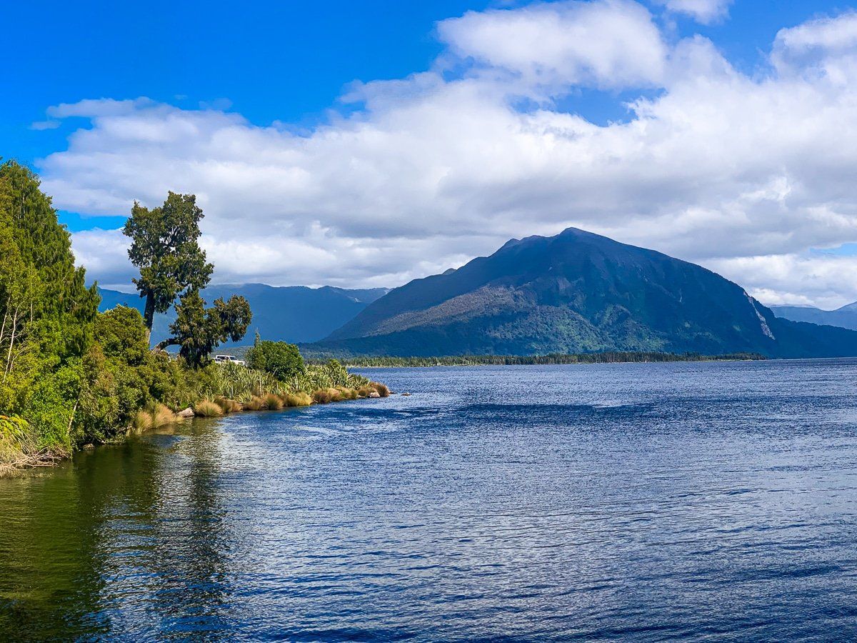
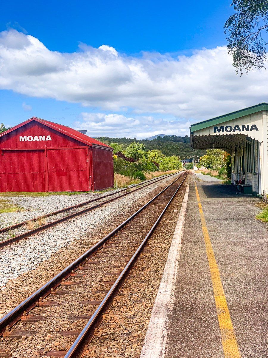
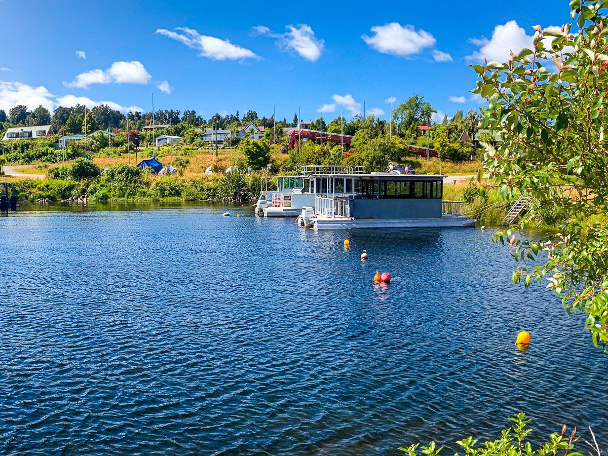
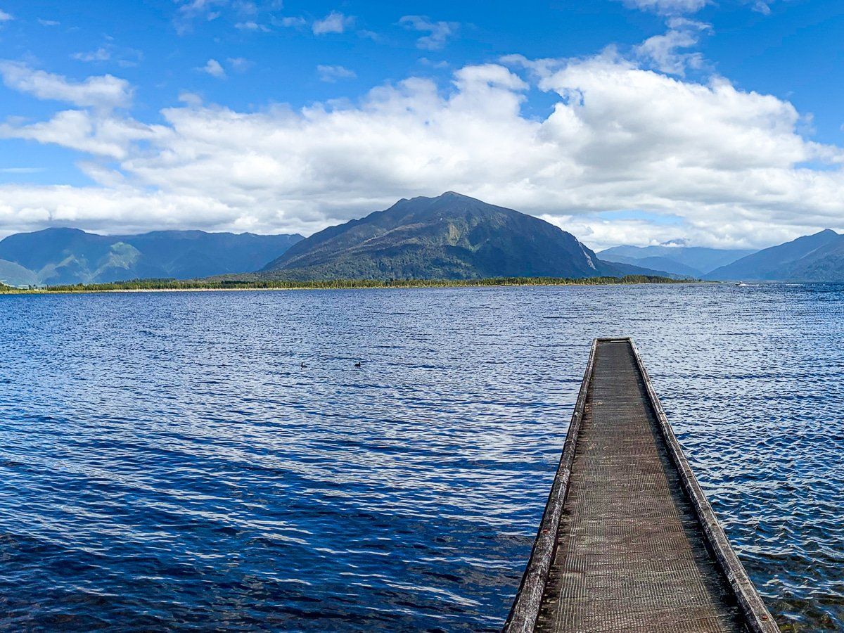
Moana Lake Brunner
Moana Lake Brunner is an attractive lake southeast of Greymouth. From Blackball, head Southwest on Taylorville Blackball Road, then cross the bridge over the Gray River and take Arnold Valley Road to Moana Lake Brunner. Along the way, you can also take a short detour to the Arnold dam and track.
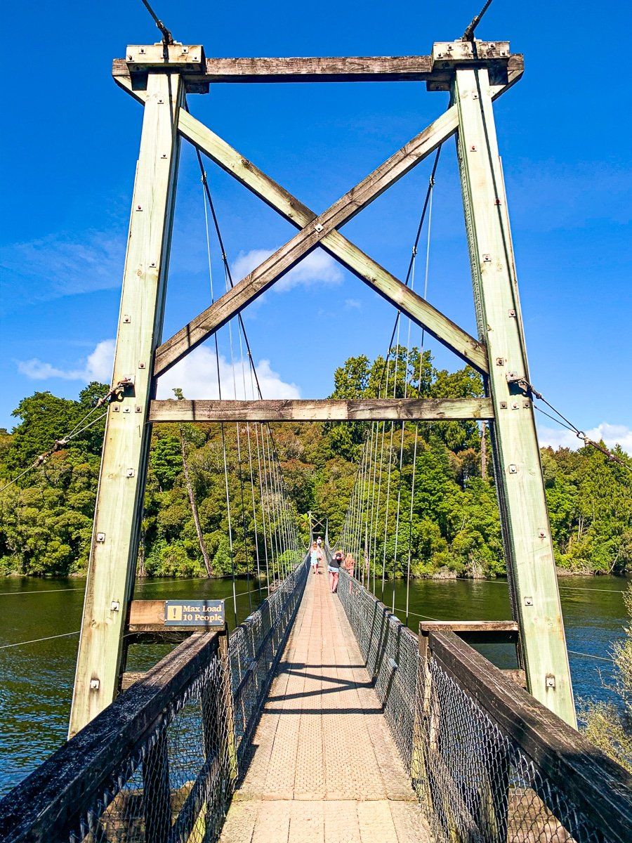
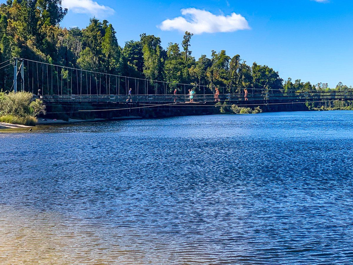
Moana is a surprisingly large town, with a range of accommodation options and services. If you have limited time, your best option is to take the main road into the town and drive to the reserve where the Arnold River exits the lake. There’s a long swing bridge across the river that takes you to a pretty lakeside beach and the Rakaitane loop walk, which is well worth doing – the unusually shaped kamahi trees are an interesting feature amongst the rimu and kahikatea.
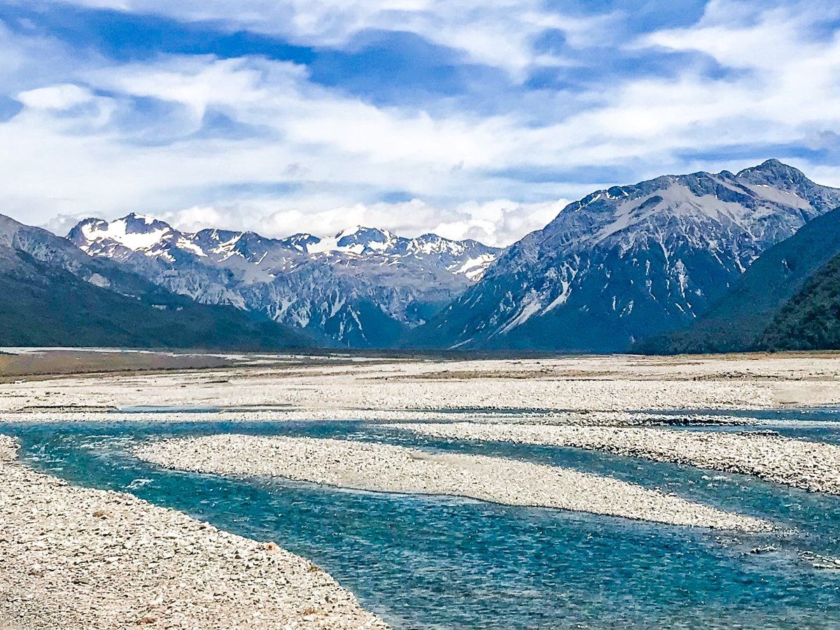
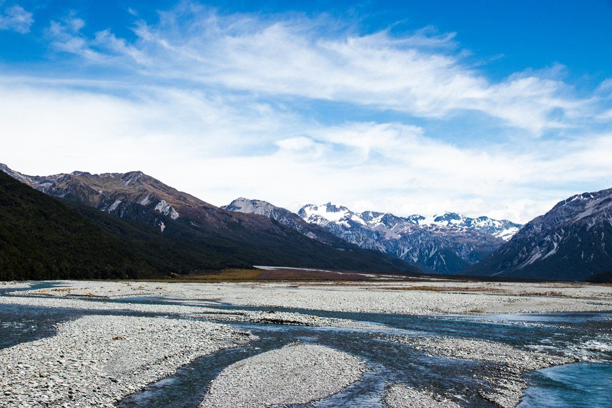
Lake Brunner Road and Taramakau River
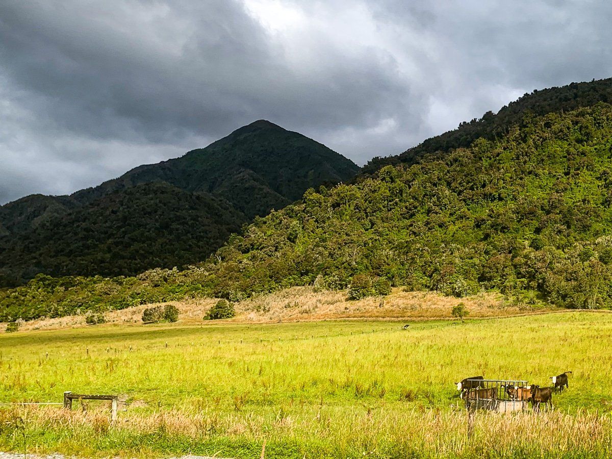
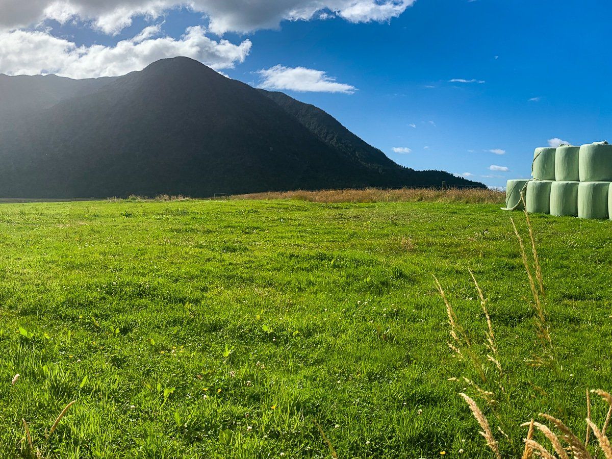
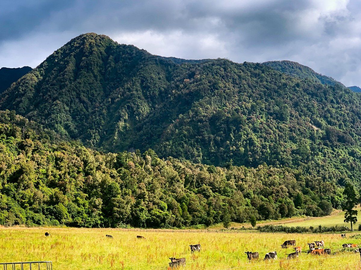
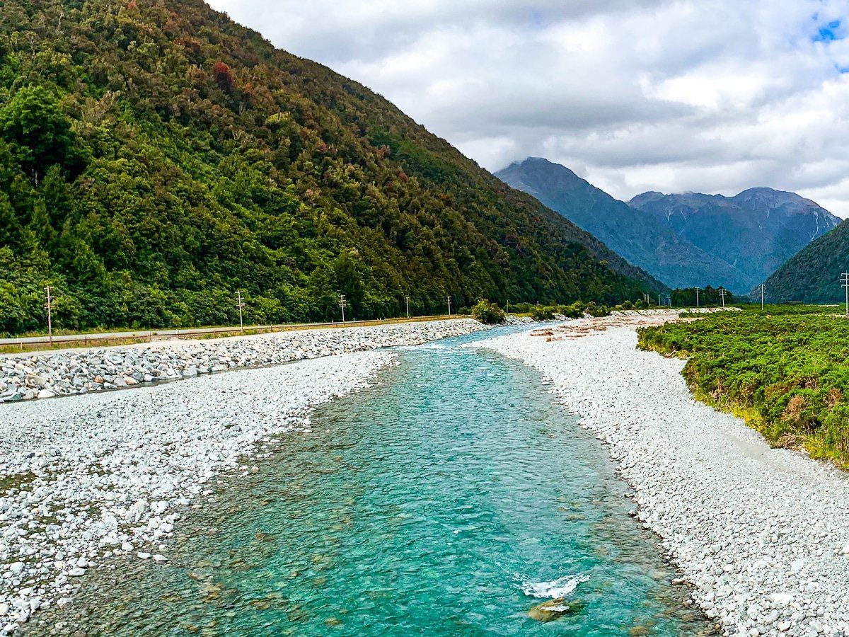
Continue south from Moana to the intersection with State Highway 73. This drive is classic New Zealand – farms on the flats and native forest up the mountain sides. You will cross over the Taramakau River and then head east towards Otira at Jacksons. This section of the highway has several fabulous viewpoints looking up and down the river.

Otira
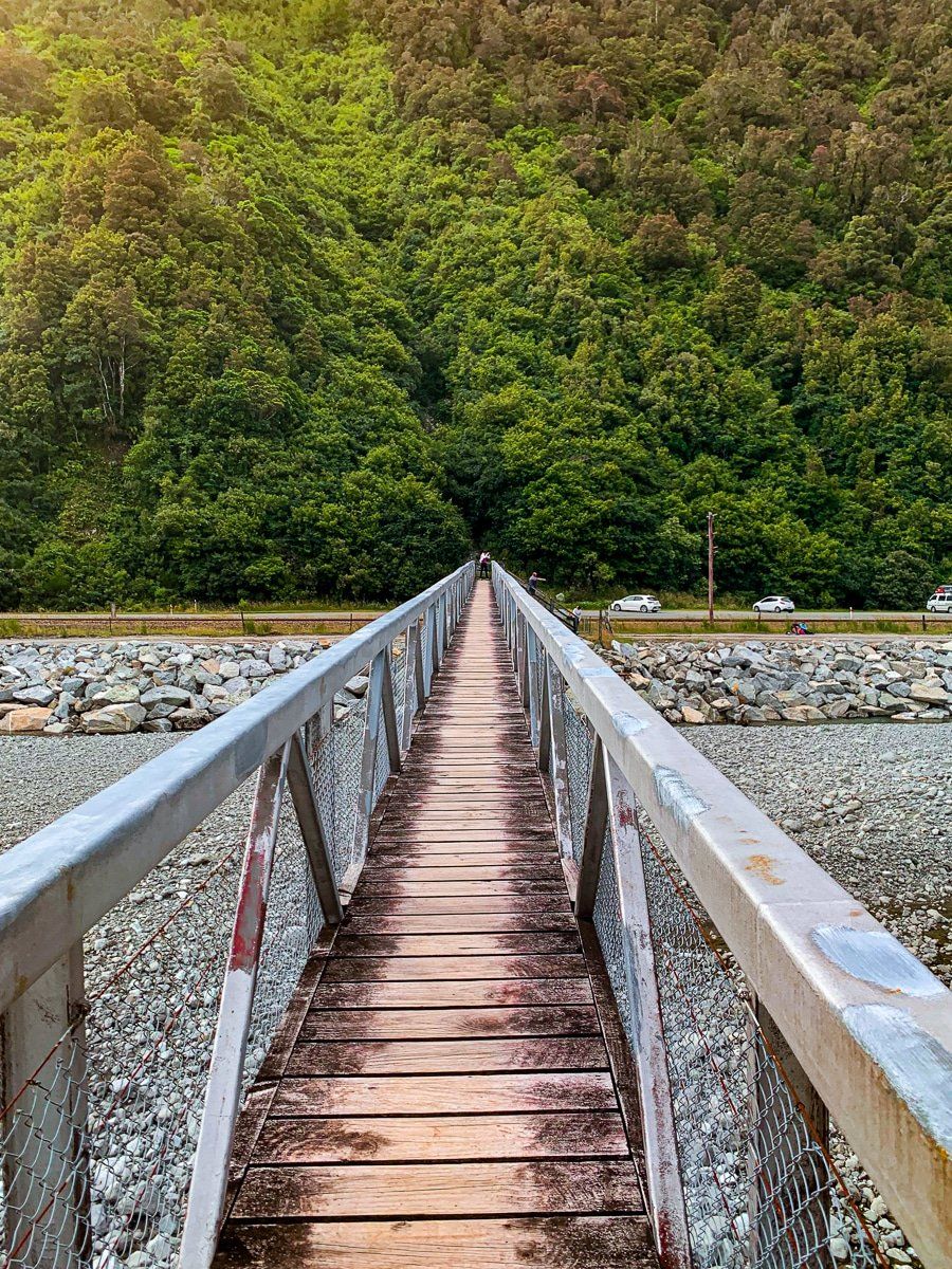
State Highway 73 swings from the Taramakau River valley into the Otira River valley. About 4kms in, you’ll see the Morrison Footbridge. You get great views up and down the valley from this bridge, which is also the southern end of the Harper Pass section of Te Araroa, which connects back to the Lewis Pass Road near Lake Sumner.
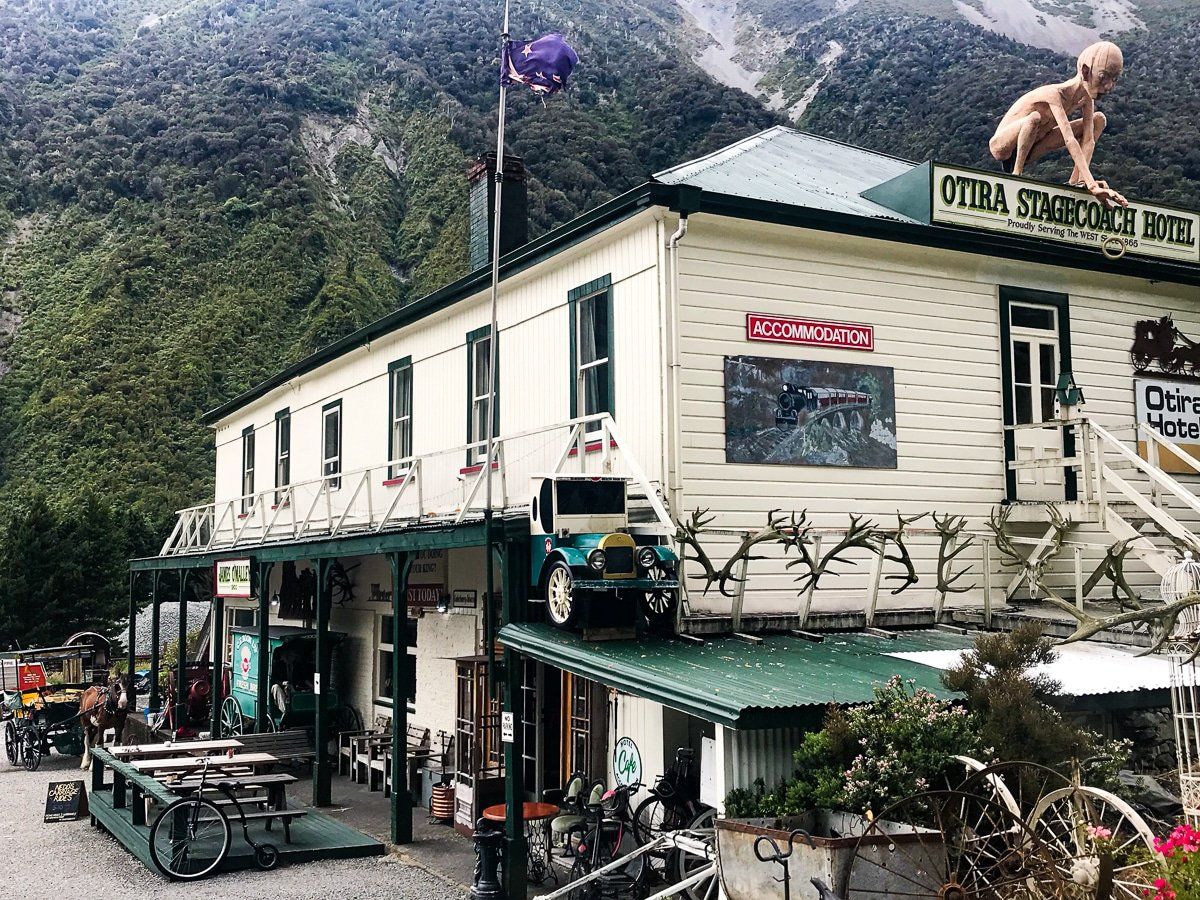
Continue on to the hamlet of Otira at the base of the climb up to Arthur’s Pass. The Otira Hotel is a must visit; in addition to the external Lord of the Rings models, it has a great collection of historical items and a history of the area on its interior walls.
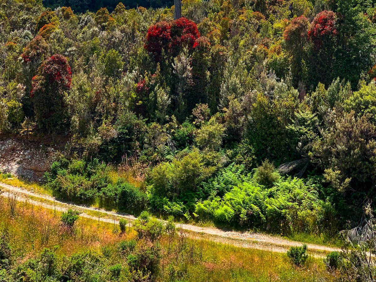
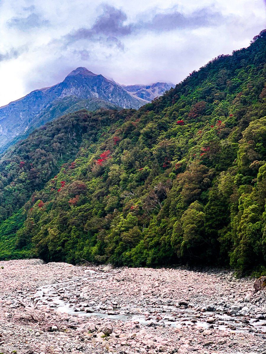
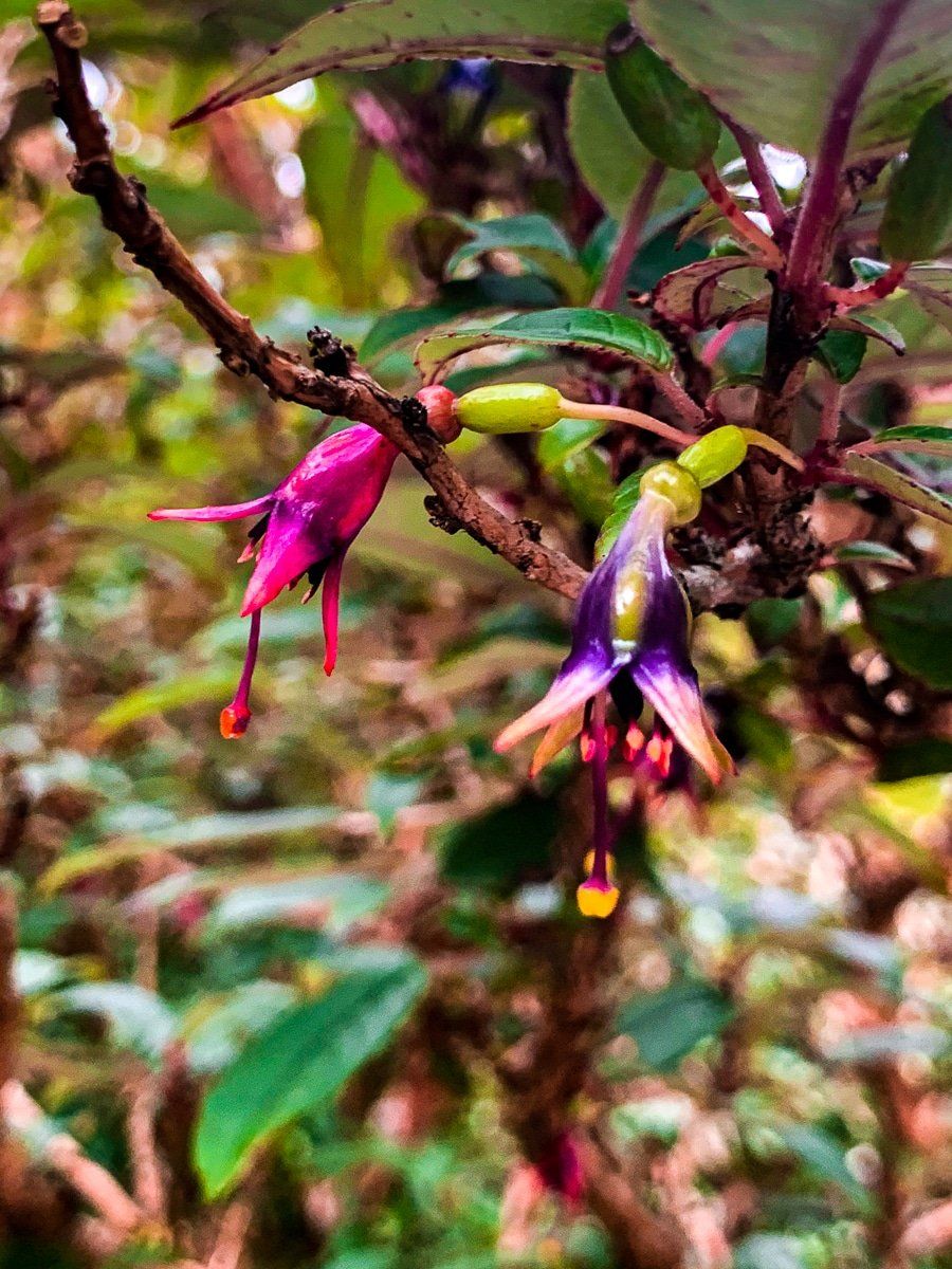
From the hamlet, the windy drive up the gorge to the pass begins. There are a couple of places where it’s safe to stop for a photo. The best times to do this drive are in winter, when there’s snow on the mountain peaks, or mid-January when the rata trees along the valley flower. Rata is similar to pohutukawa, and the massed presence of red in the Otira valley amongst the green forest is stunning.
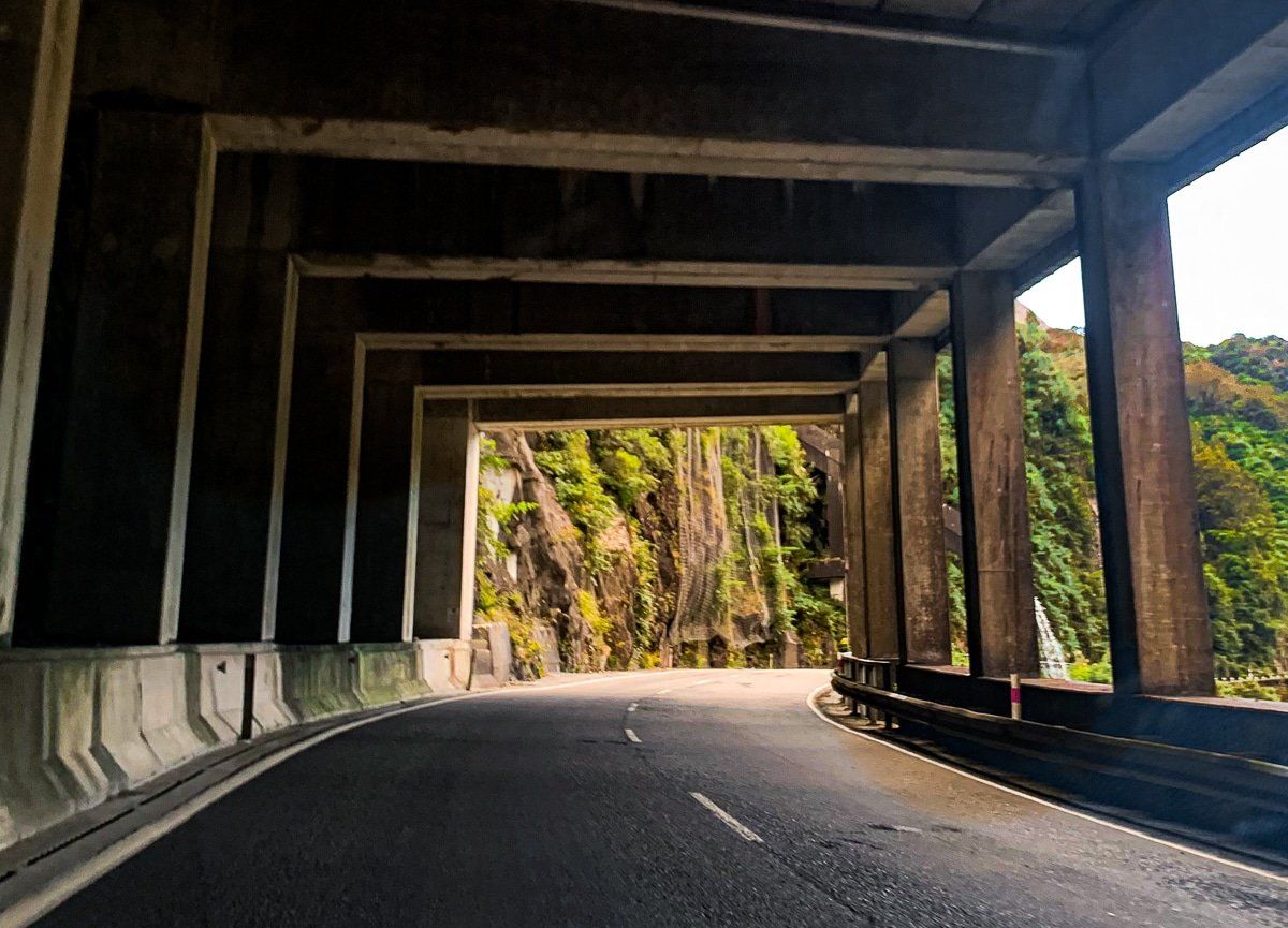
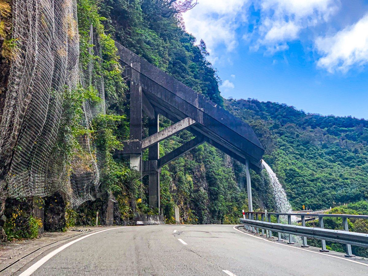
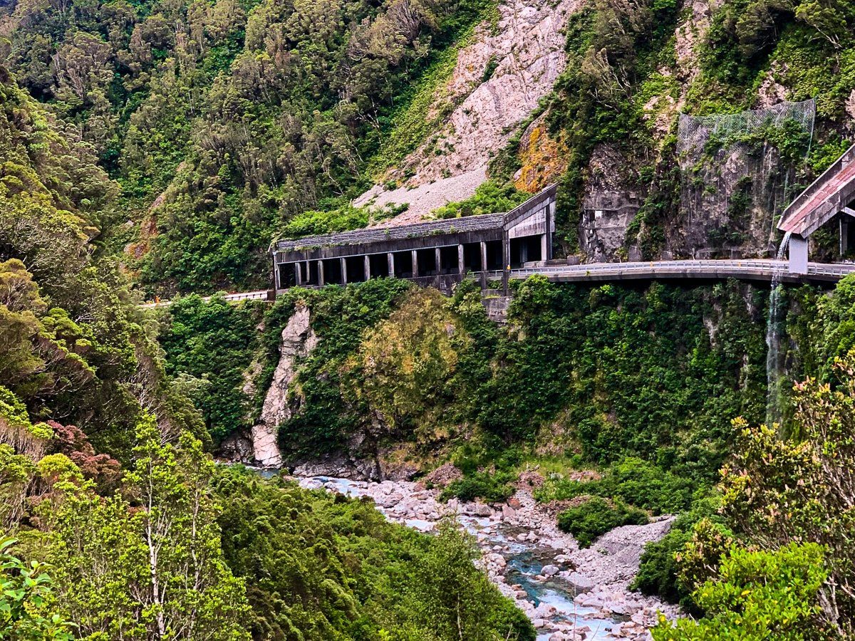
Candys Bend and Deaths Corner
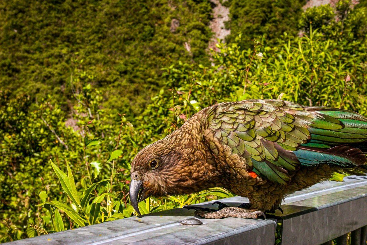
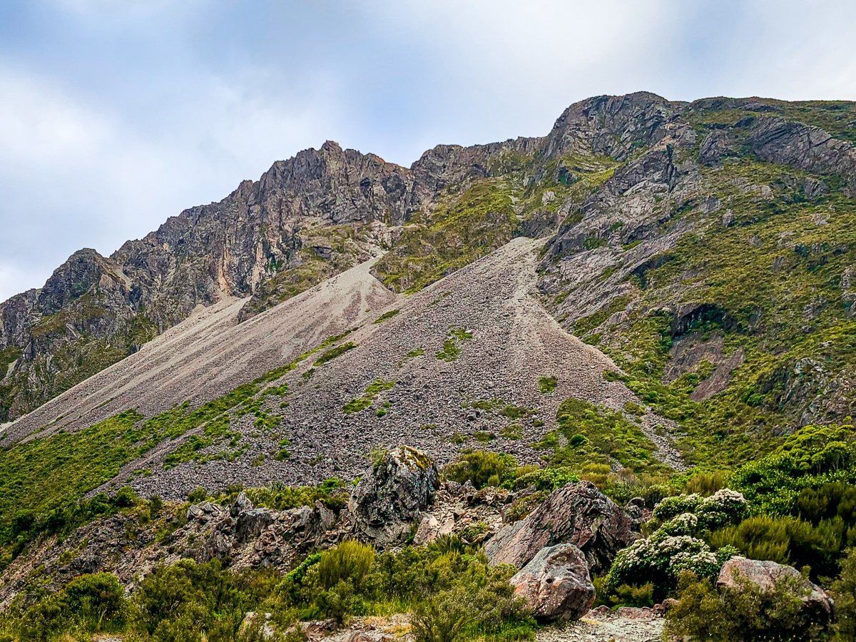
As you near the top of the Arthur’s Pass, you meet the sections of the road which were most difficult to build and maintain. One brief section passes under a rockfall shelter, then a flume which divert the Reid Falls. You then hit Candys Bend, where you can take photos of the gorge, shelter, and flume, and possibly a kea or two.
Then you will cross the Otira Viaduct with another viewpoint on the south side at Deaths Corner. Today, with the viaduct, it is not so obvious how hard it was to build and maintain this road, but if you look at the mountain slip to the right of the viaduct from Deaths Corner and note that the road once ran across the top of the slip, with all the problems of snow water, you get an idea.
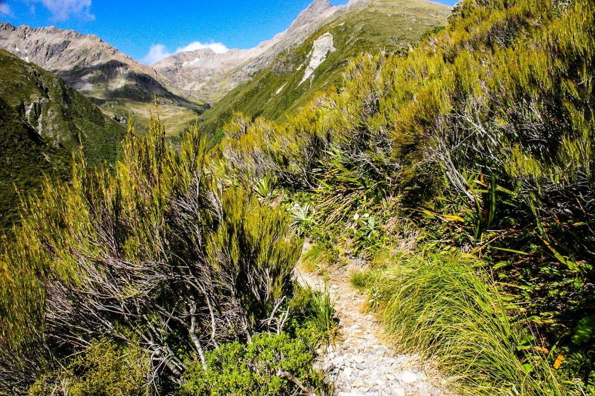
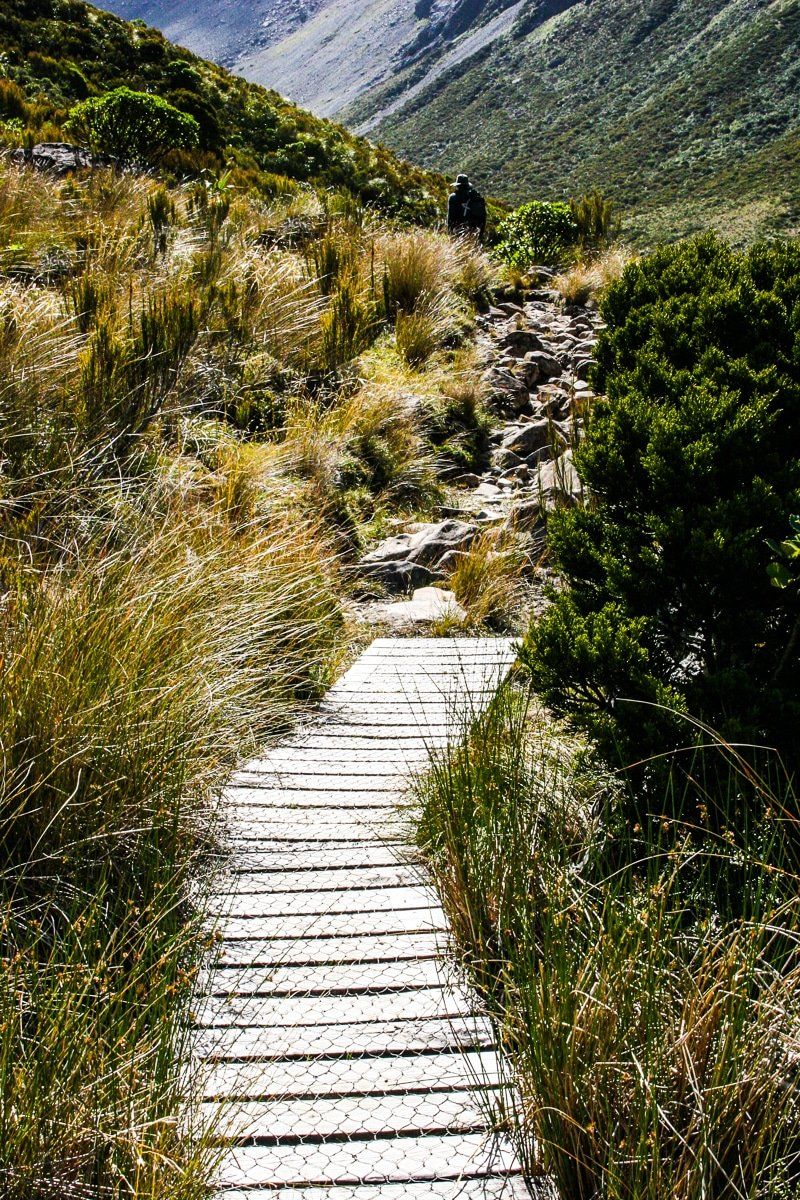
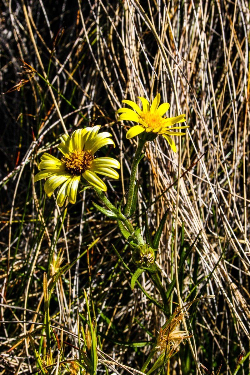
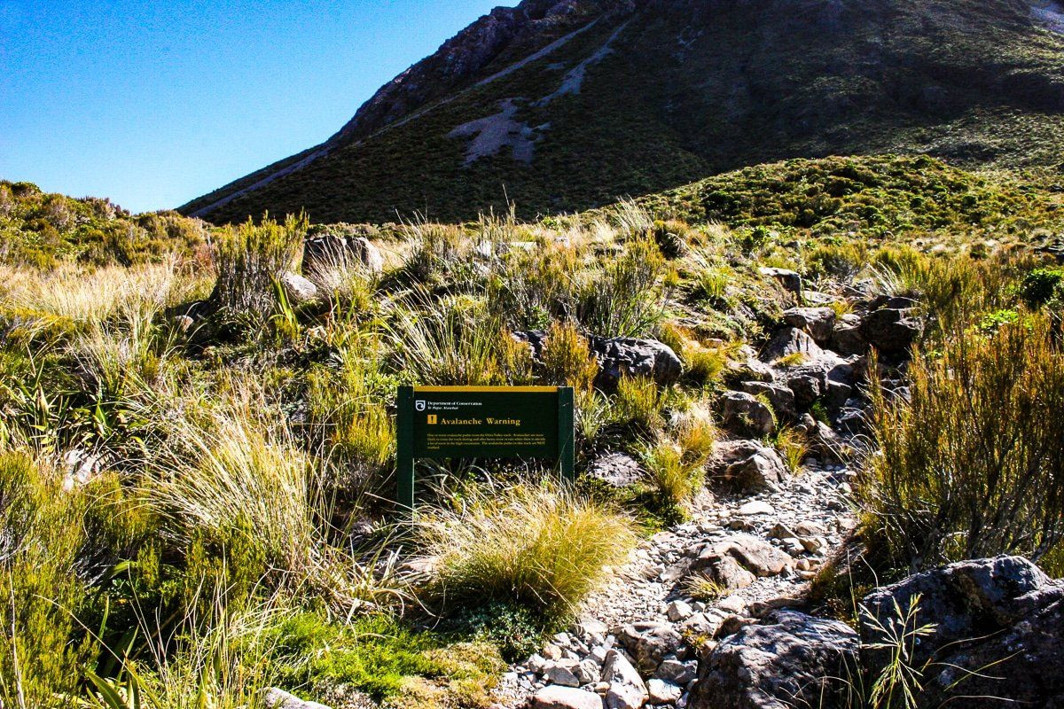
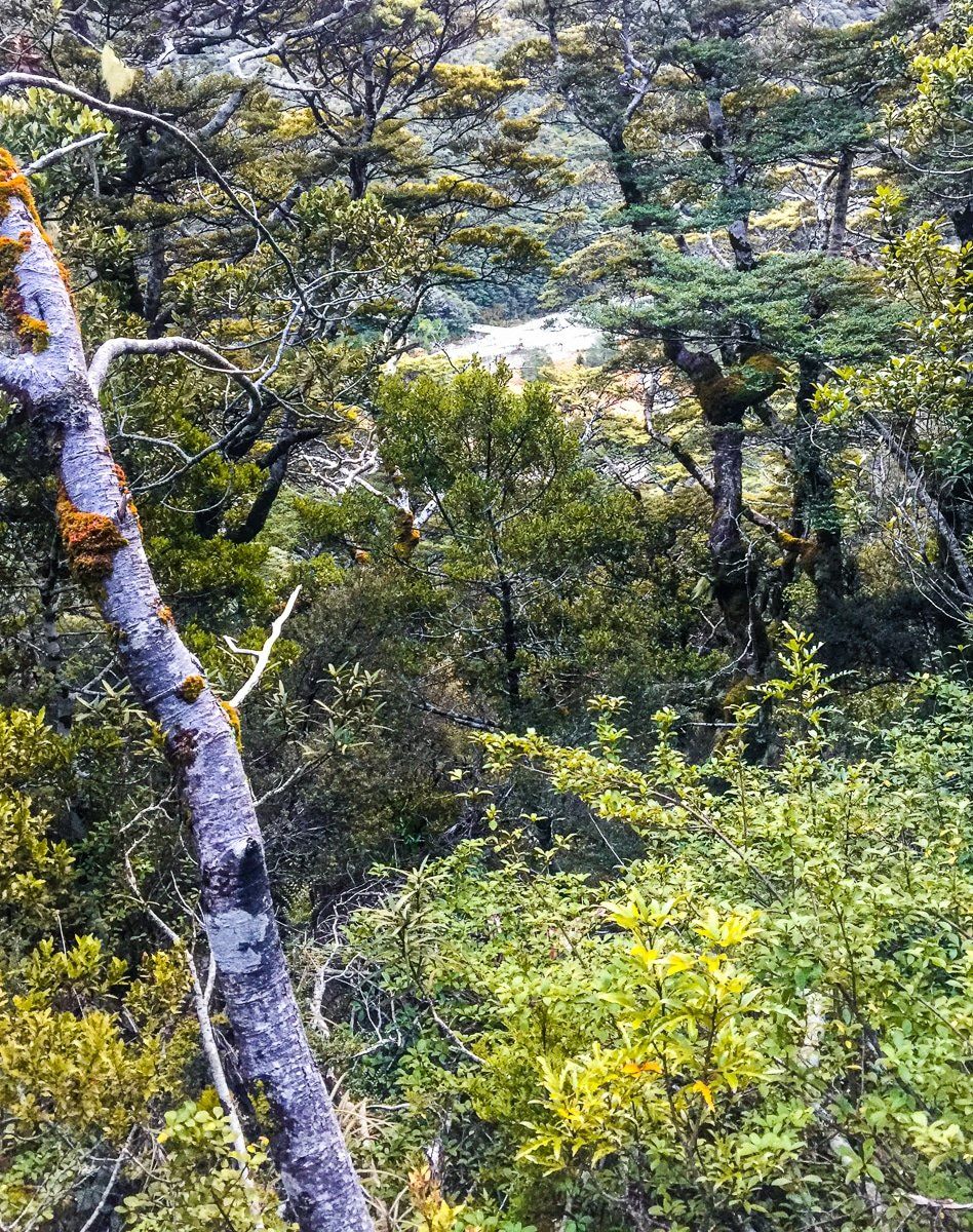
Otira Valley Track
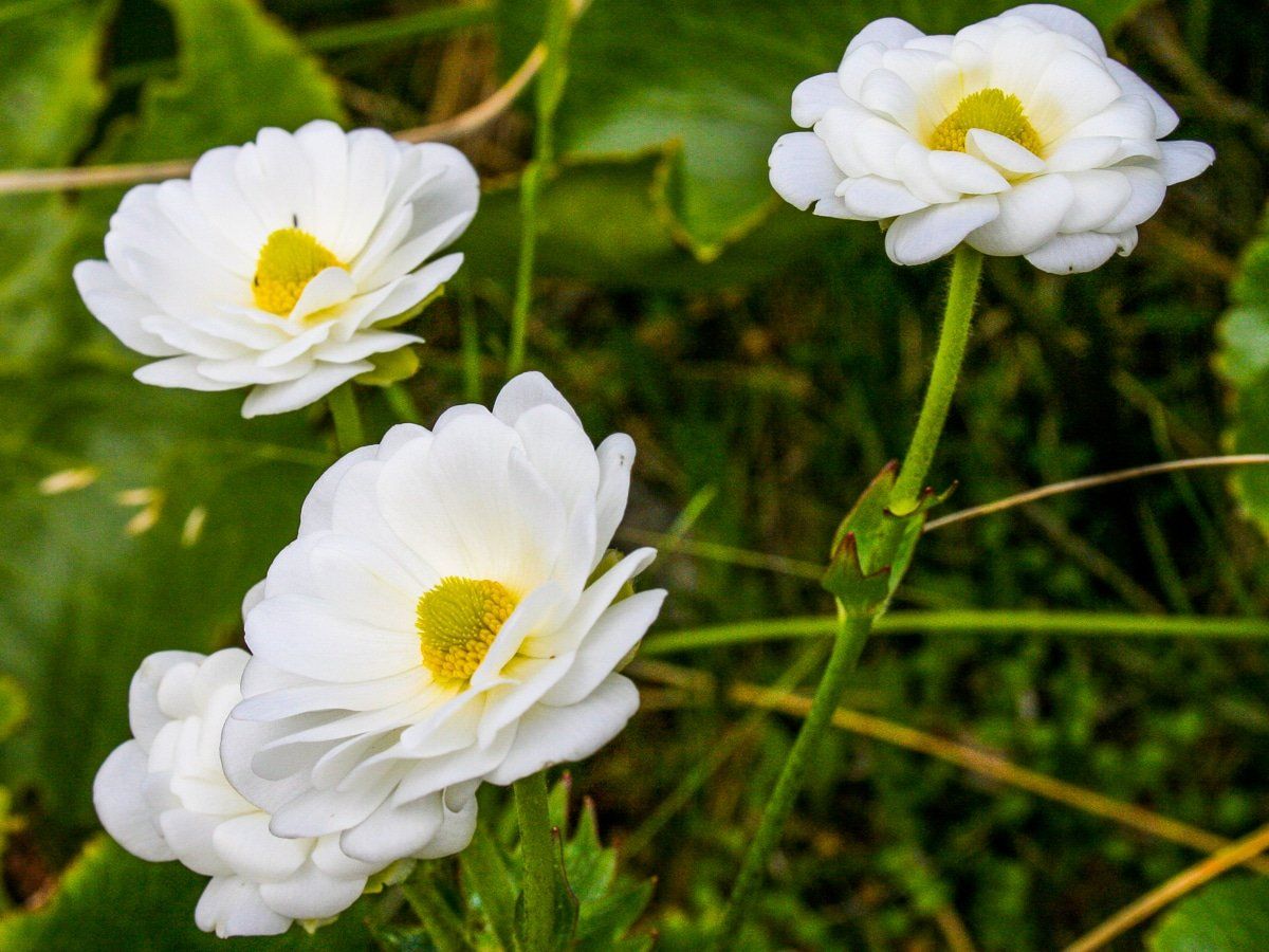
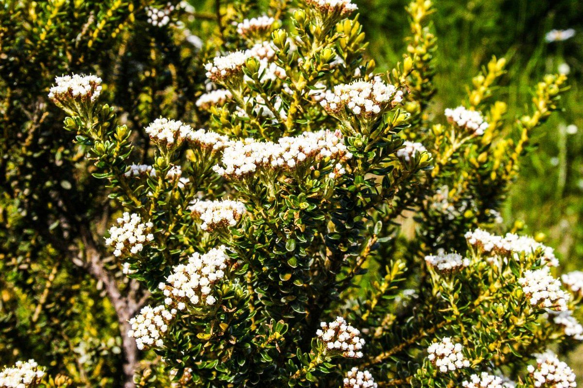
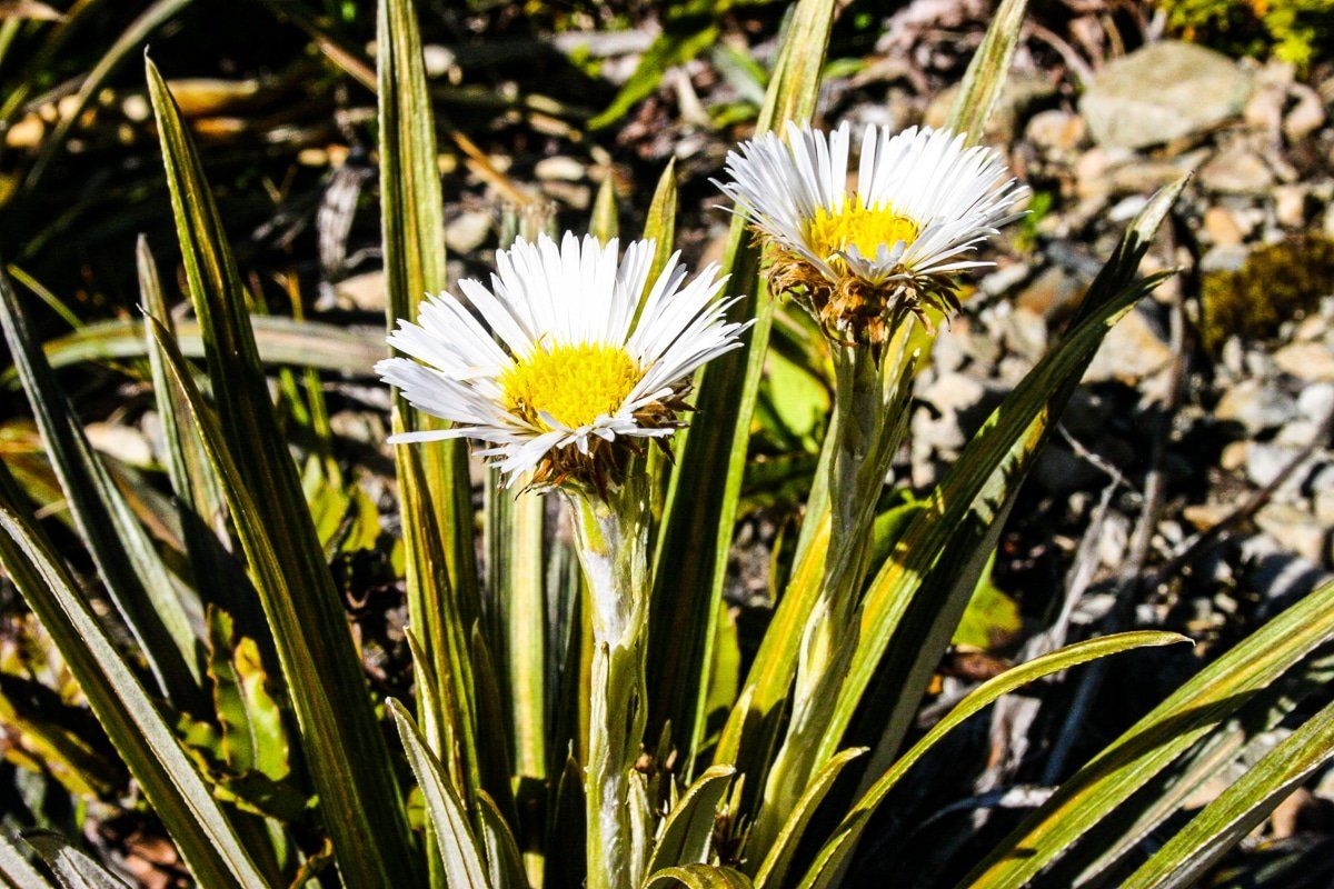
The car park for Otira Valley Track is near the top of Arthur’s Pass. The valley may be covered in snow during winter, and the steep valley sides can become avalanche-prone. But in spring and early summer, it’s full of mountain shrubs and wildflowers. This includes Mt Cook lilies until December, and it’s one of the few places you can see them. You will also find native giant mountain dragonflies – not the largest in the world, but still the size of a small bird.
Along with Lewis Pass and Hooker Valley near Mt Cook, this is the one of the easiest access points for a true “mountain garden” experience. There are several other moderate walking options near the Arthur’s Pass high point as well as in the drive down to the township.
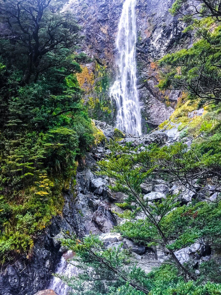
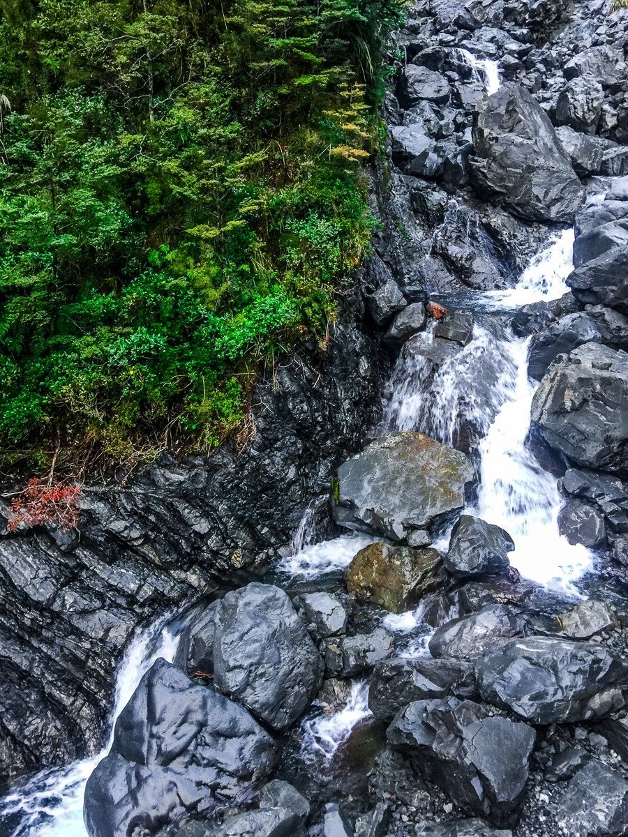
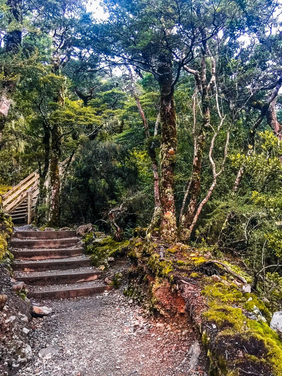
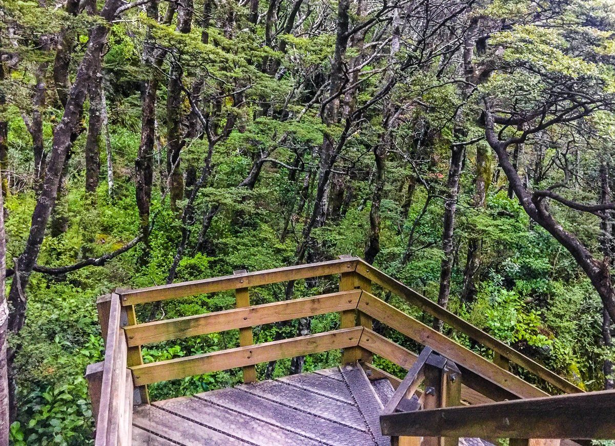
Devils Punchbowl
Just as you enter the north end of Arthur’s Pass township, there is a track to the Devils Punchbowl Falls. This is a relatively short walk through typically beautiful beech forest which leads to a 112 metre waterfall, one of the most easily accessible spectacular falls in the Southern Alps. The last section is steep, but it’s well benched with steps.
Across the road is one of the access points for the Avalanche Peak Track. If you are looking for your first peak to conquer (1833 metres high and 1,100 metres up from the town), this could be for you. Allow for most of a day to complete this hike.

Looking for more South Island trip ideas?
Check out our recent posts on Lewis Pass Road to Reefton, Kaikoura to Hanmer Springs and Hurunui Mouth, Gore Bay and Kaikoura.