Pohuehue Reserve
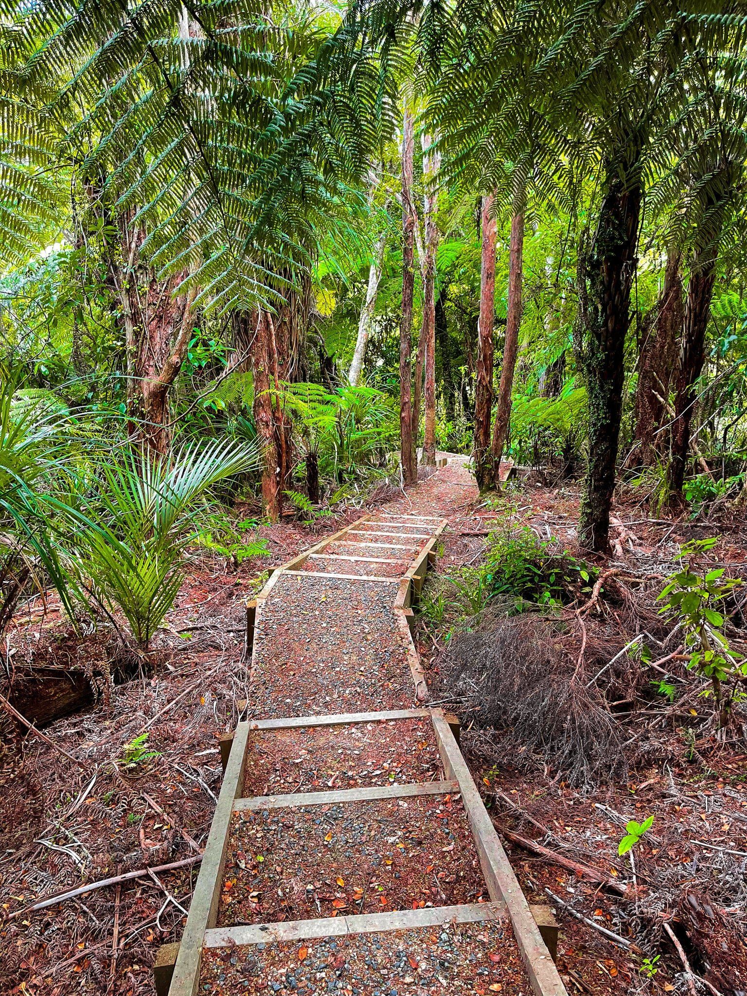
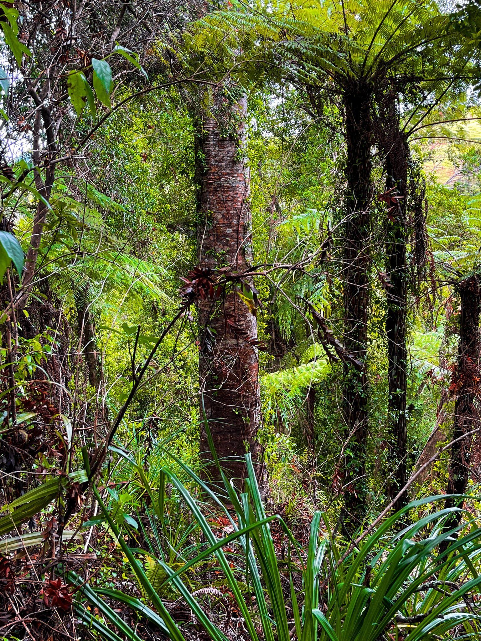
As you head north from Auckland, there are scattered native forest remnants and some larger recovering regrowth areas. The Pohuehue Reserve has well-established tracks and is accessible immediately from the side of the highway. You will see a sign for the reserve and track almost immediately after the Pohuehue Viaduct heading north before you get to Warkworth.
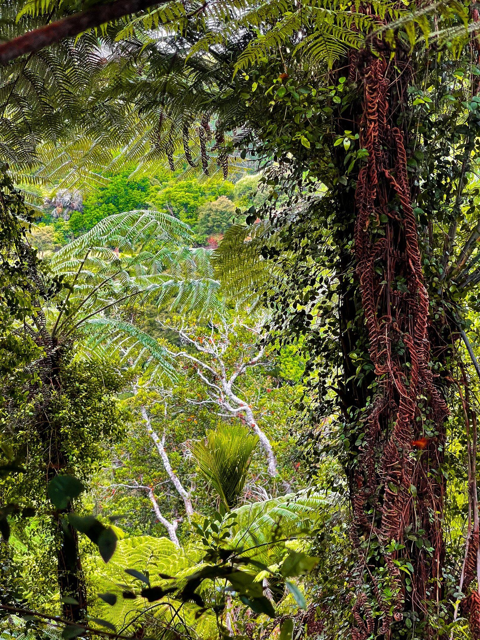
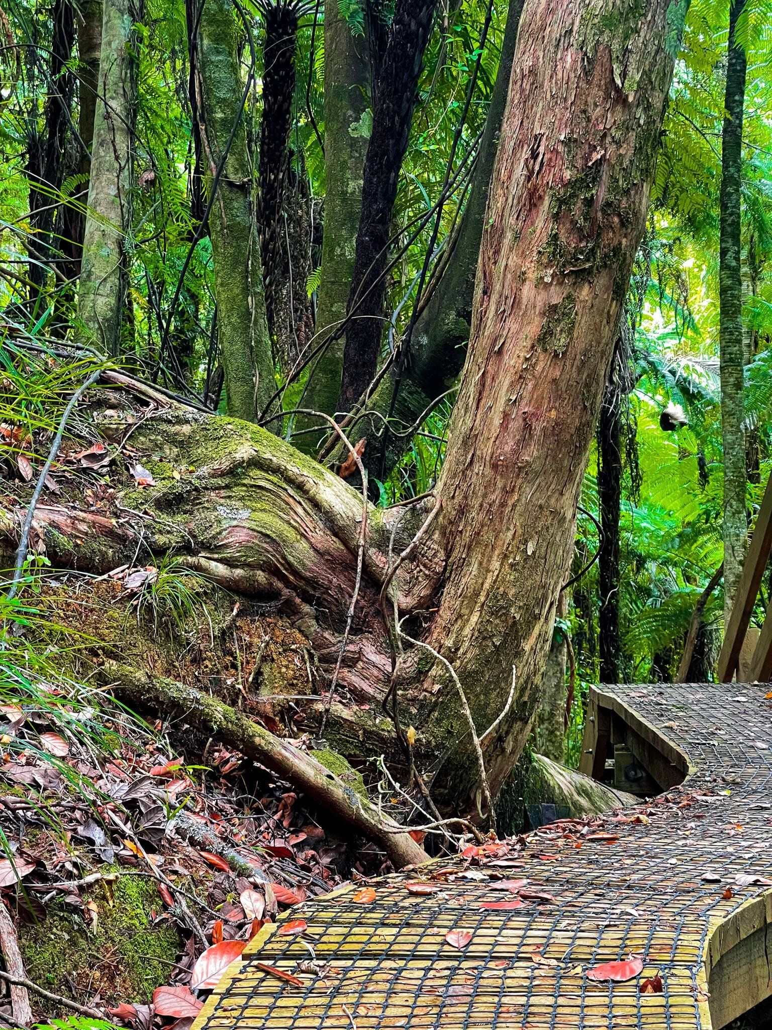
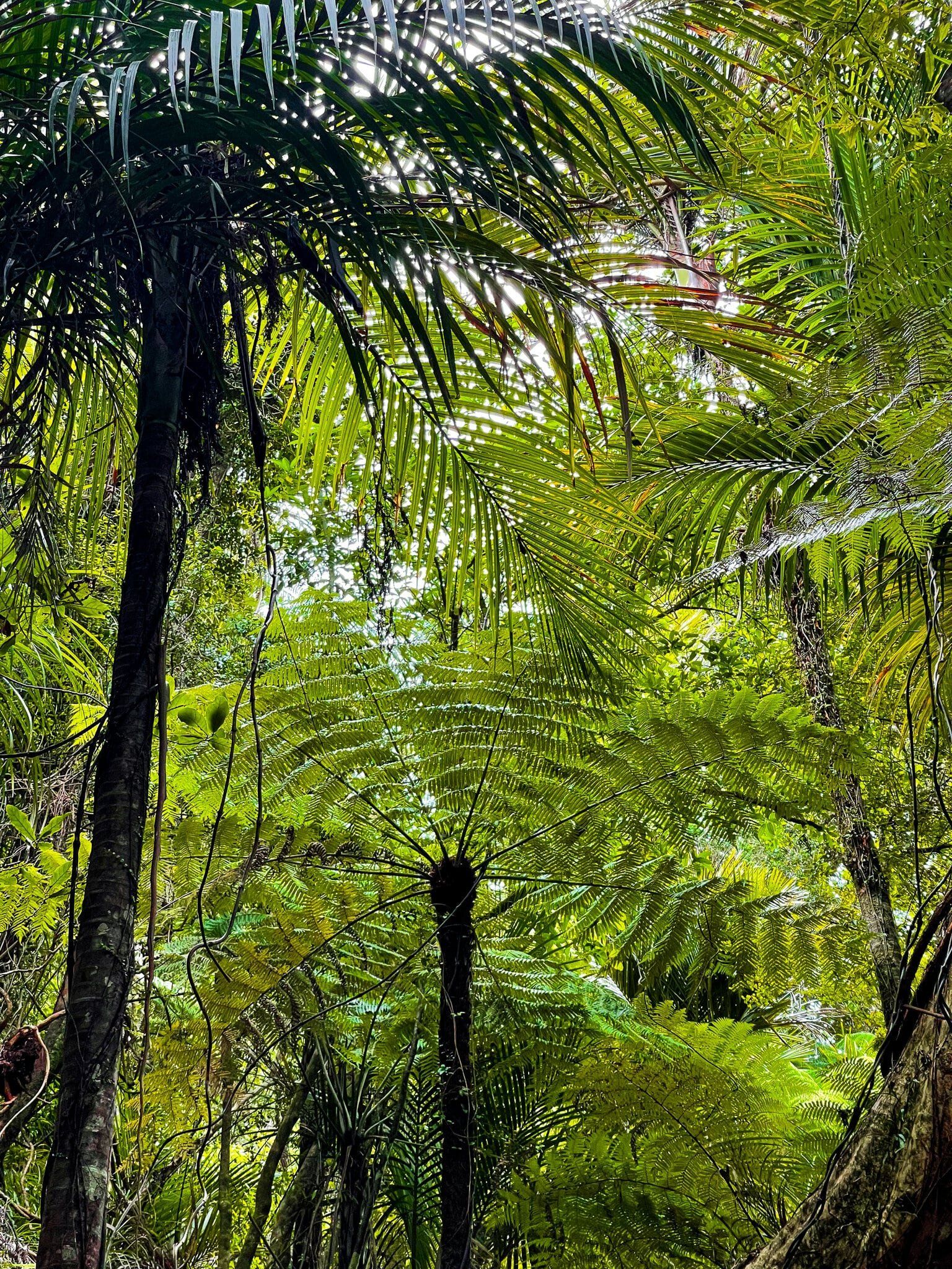
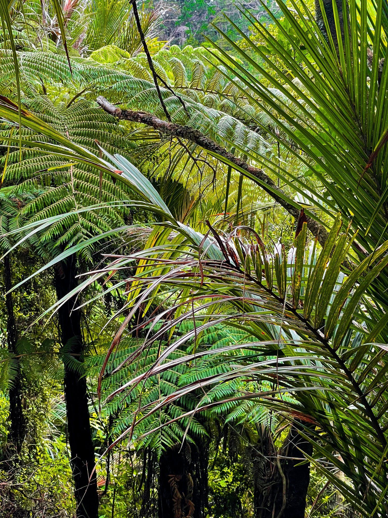
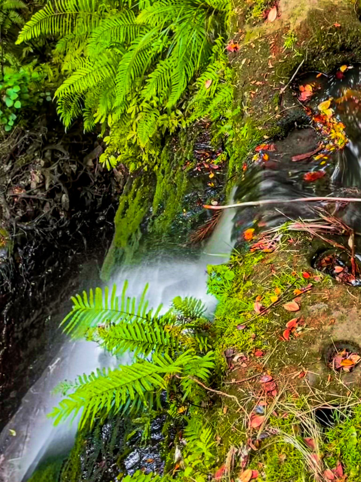
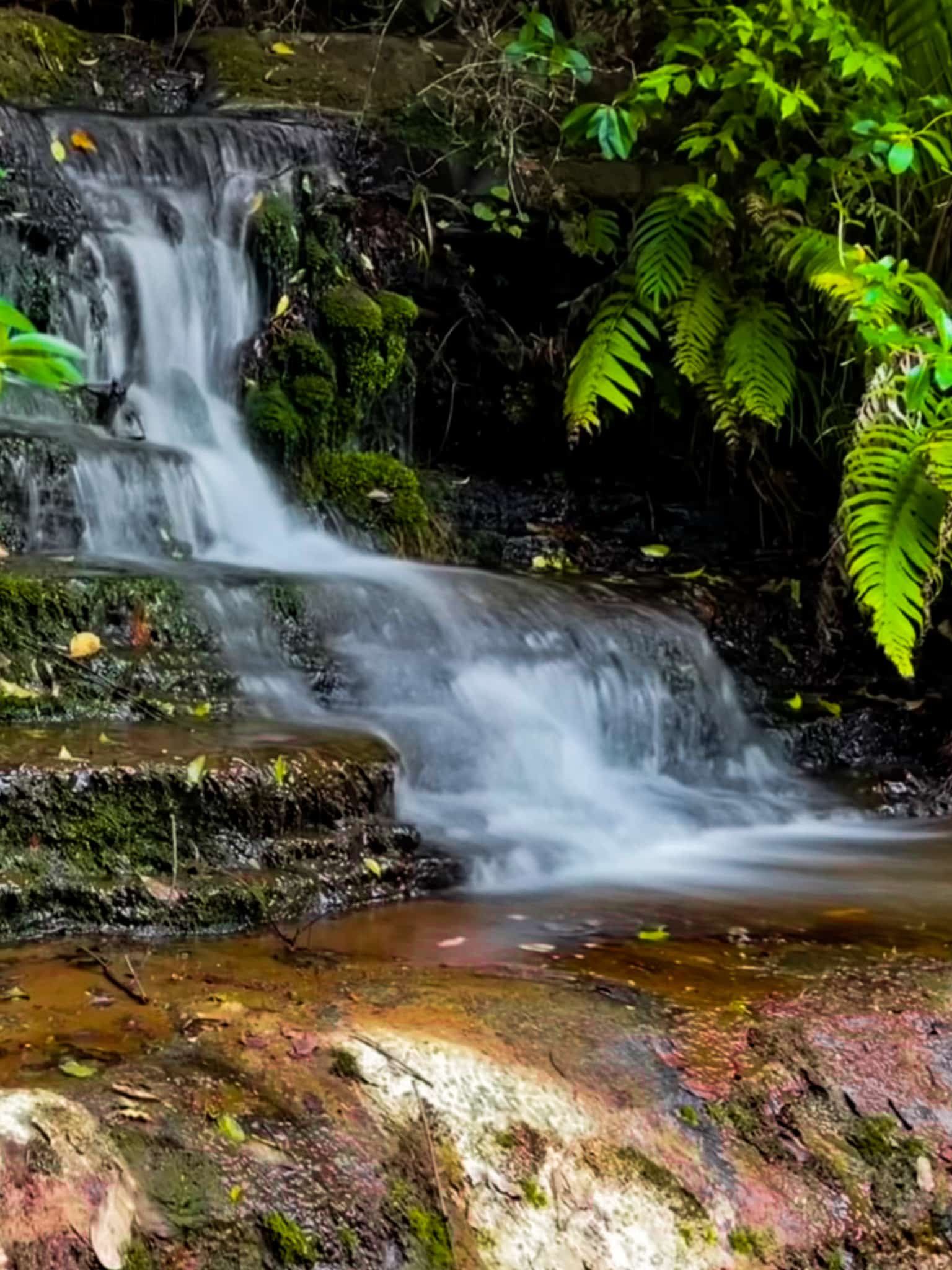
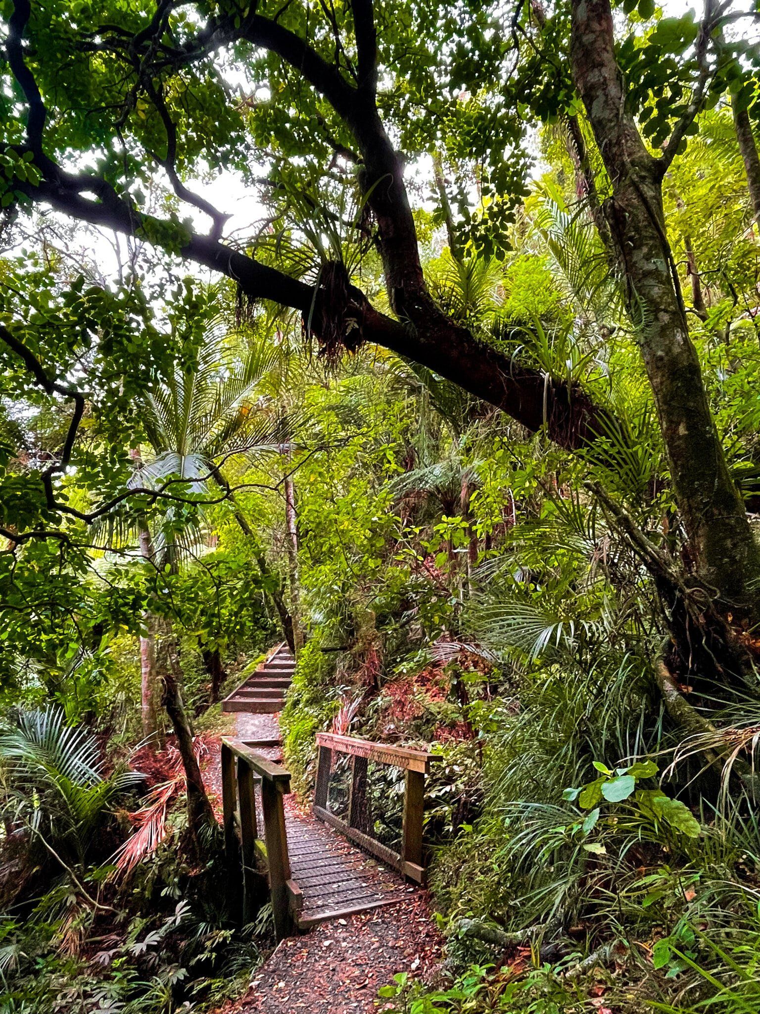
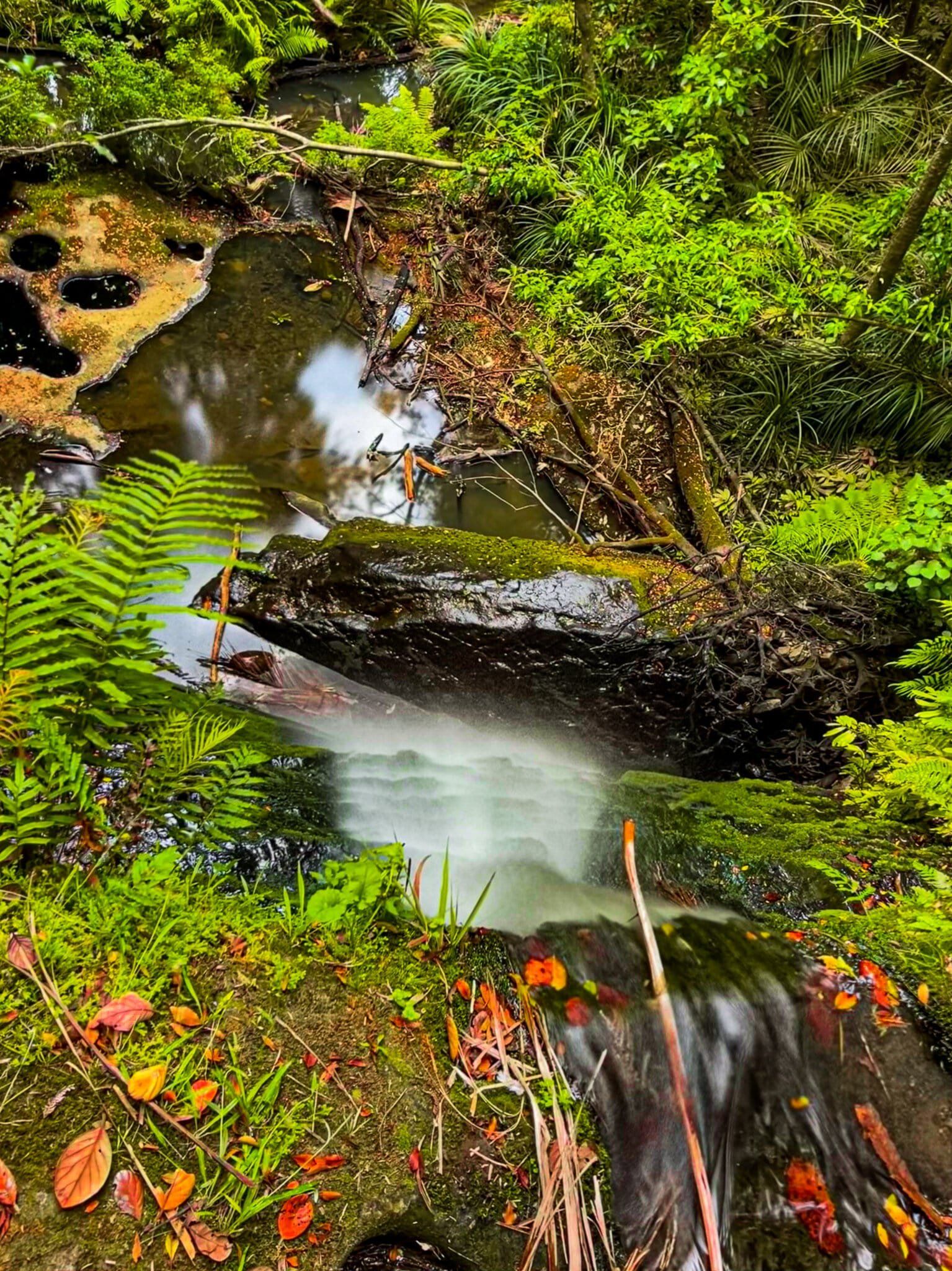
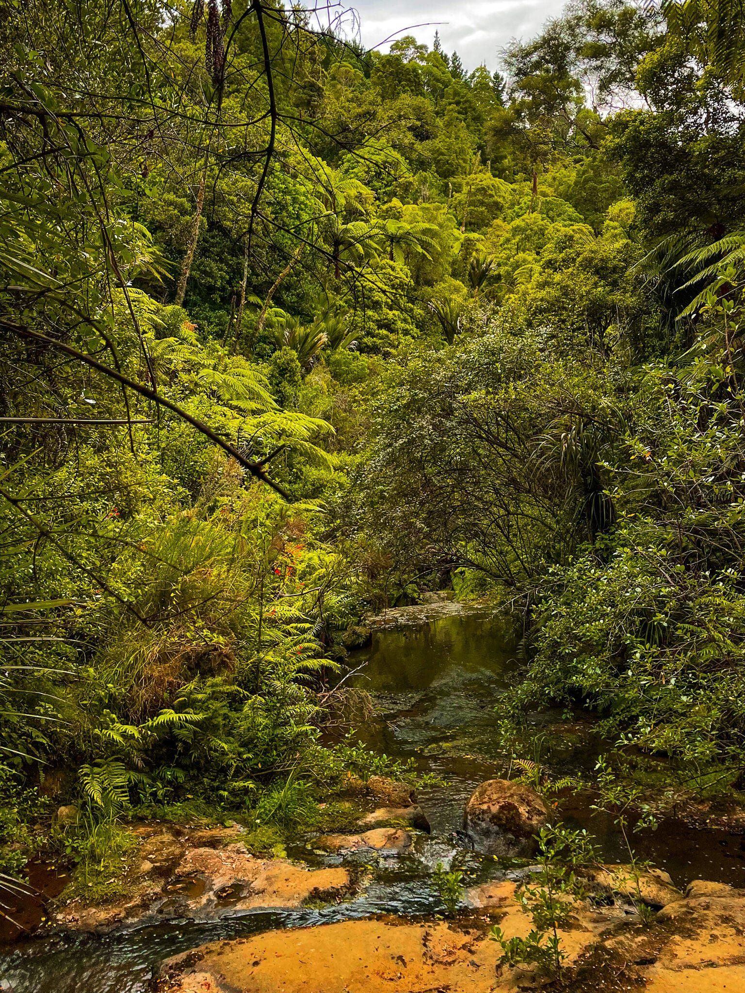
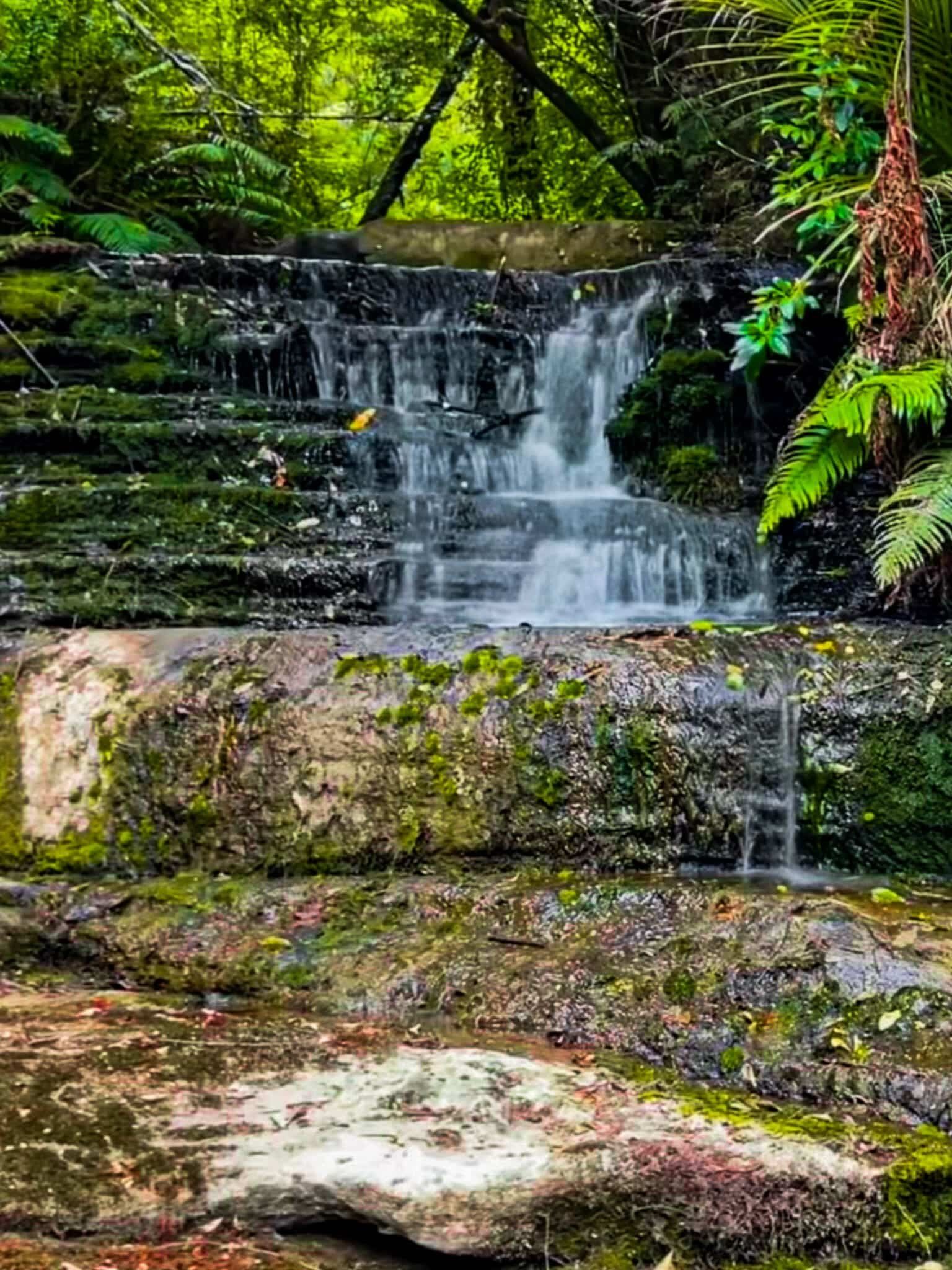
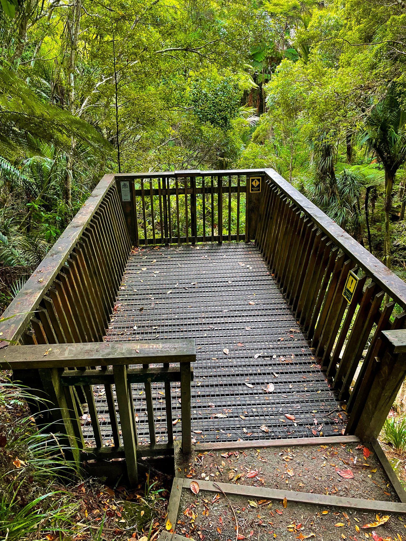
There are two tracks, the Waterfall Track and the Beverley Price Loop, although the latter was partly closed when we visited. The Waterfall Track is a pretty walk through mostly regenerating native forest. It starts with a bridge over a stream and terminates at a small platform above a waterfall. The track undulates around the edge of a gully above the stream. It is probably possible to scramble down to the stream below the falls a bit further back on the track, but there is no obvious path, and given the risk of spreading kauri dieback, it is best to stay on the path.
If you keep a close eye out for an access point down to the stream shortly after the start of the track, you will find a series of rock platforms that might be better suited as an access point to the water.
To walk to the waterfall and back takes about 30 to minutes or so.
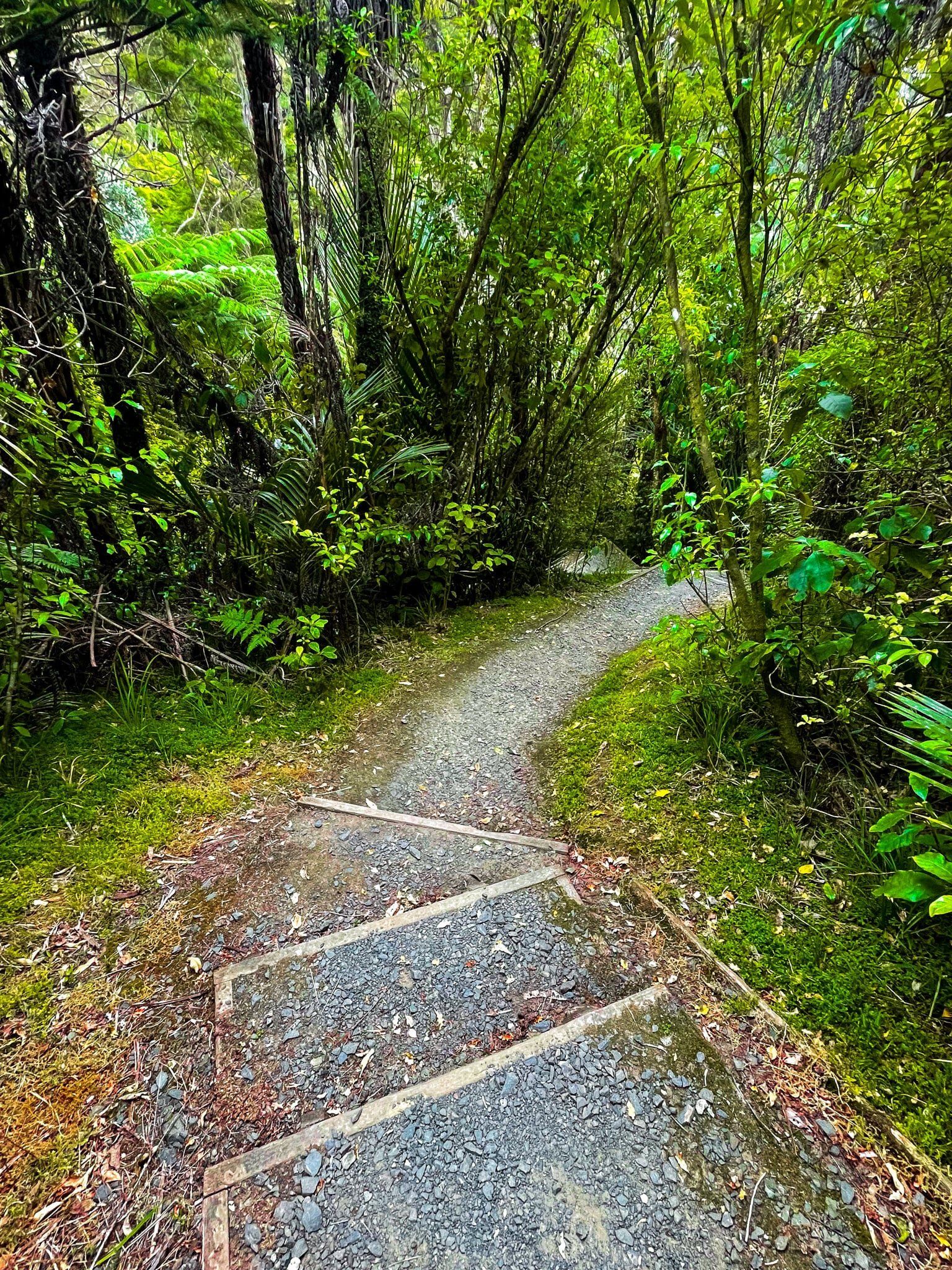
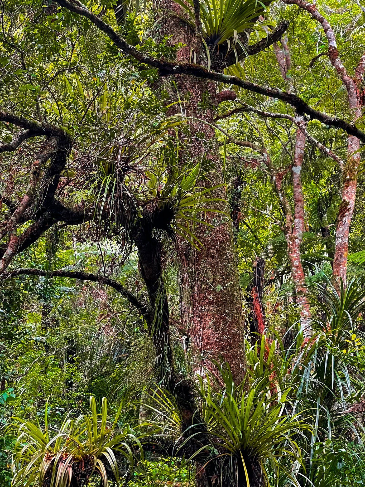

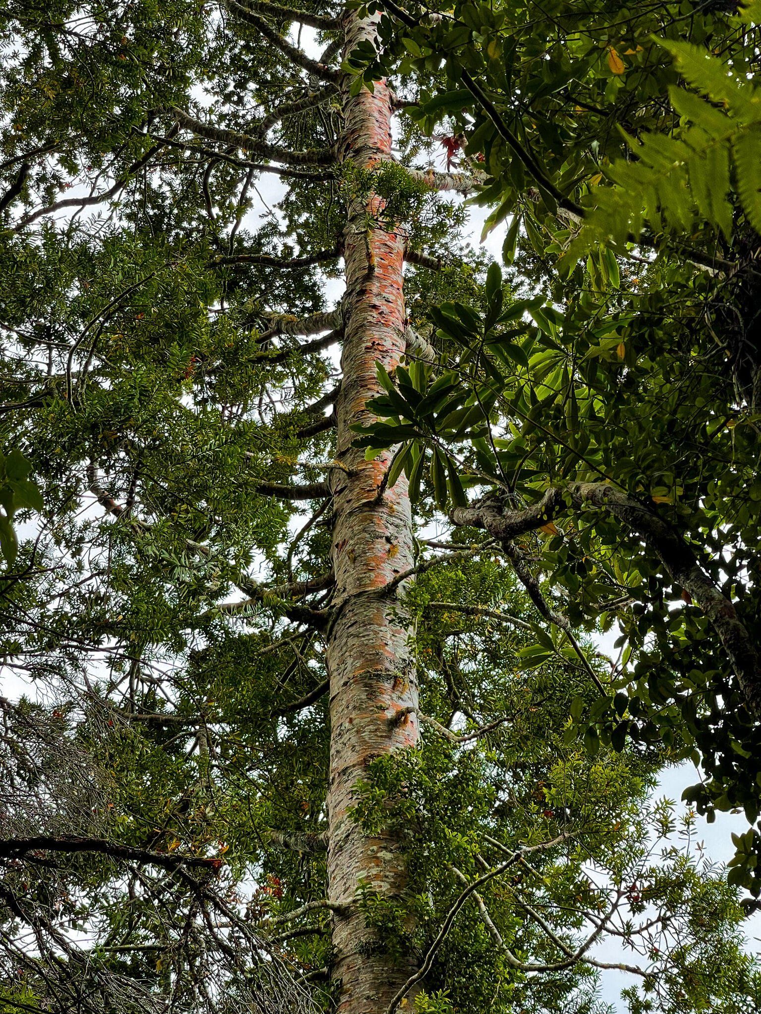
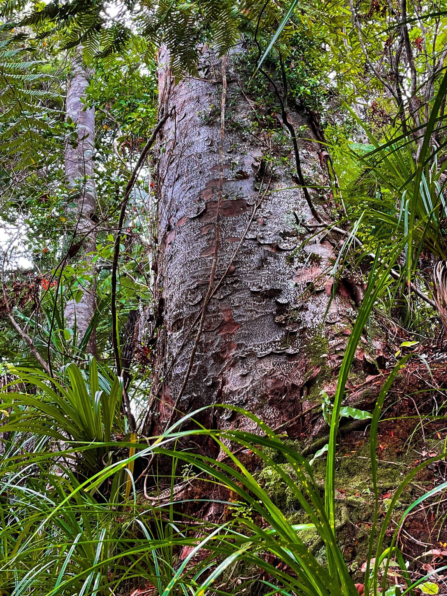
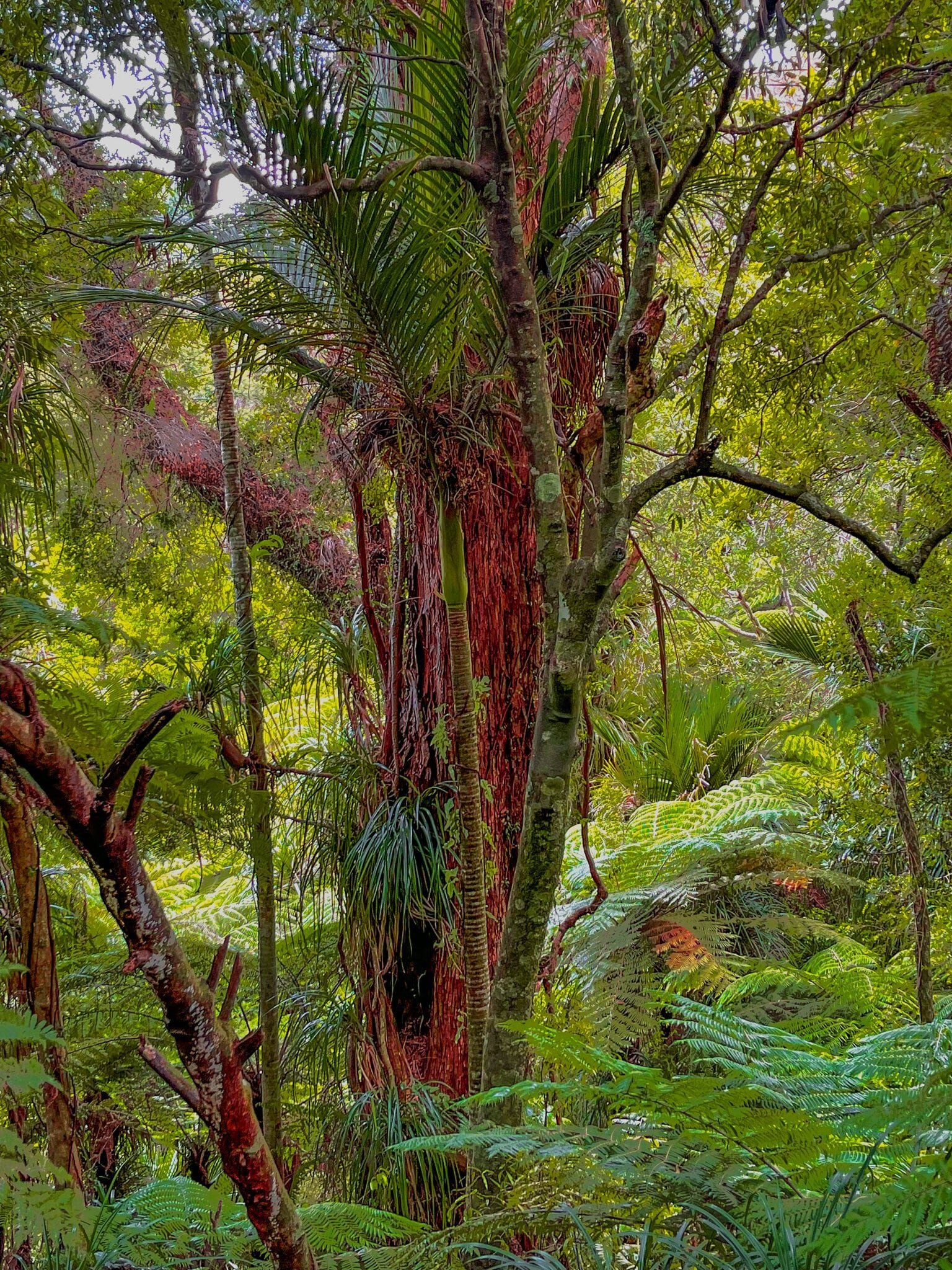
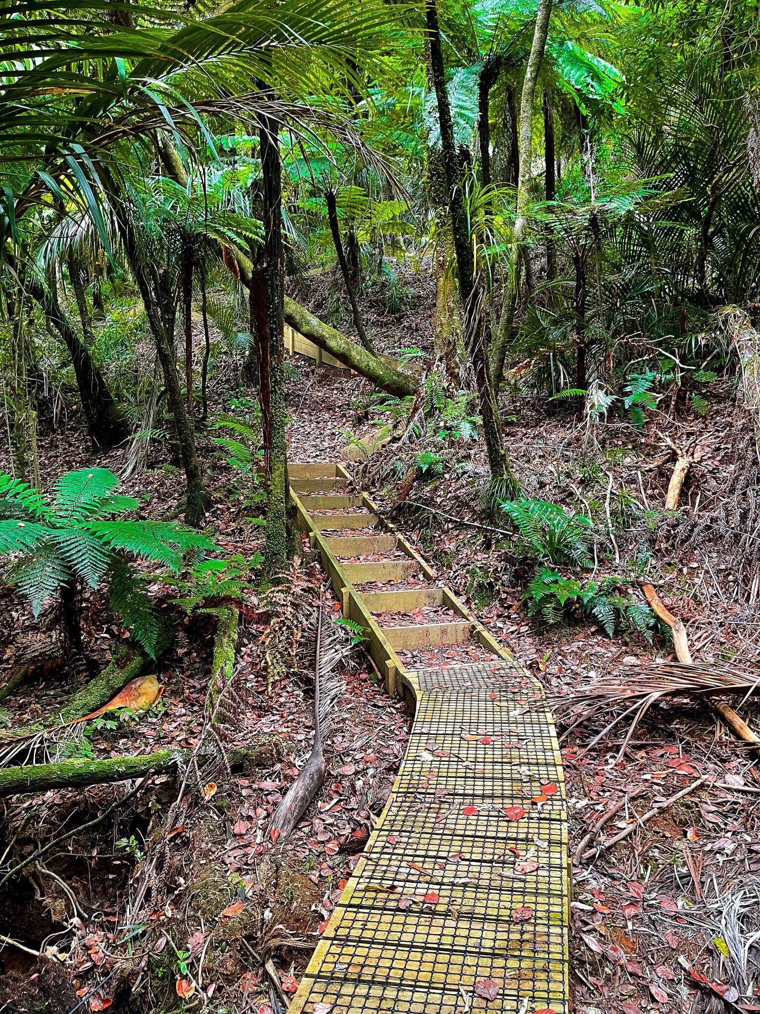
The Beverley Price Loop is a loop track that connects with the start and end of the Waterfall Track at Pohuehue Reserve and is somewhat rougher. The start point was closed, but you could walk up a series of steps to the top of the hill above the gully from the waterfall's end. The most interesting feature is a copse of kauri trees, about 100 years old, amongst the regrowth.
Allow about 30 minutes to get to the top and back or an hour to do the loop if it is open.