Exploring the Wilkinson Track, Kāpiti Island
The Wilkinson Track is a scenic hiking route on Kāpiti Island, offering a rewarding climb to Tuteremoana, the island's highest peak. This 3.8 km track ascends 500 metres through a regenerating forest, providing a less steep alternative to the Trig Track. The Wilkinson Track is also well-maintained, making it a preferable choice in wet conditions. You can expect to reach the intersection with the Trig Track in about 90 minutes, with an additional 15 minutes needed to reach the summit.
Features of the Track
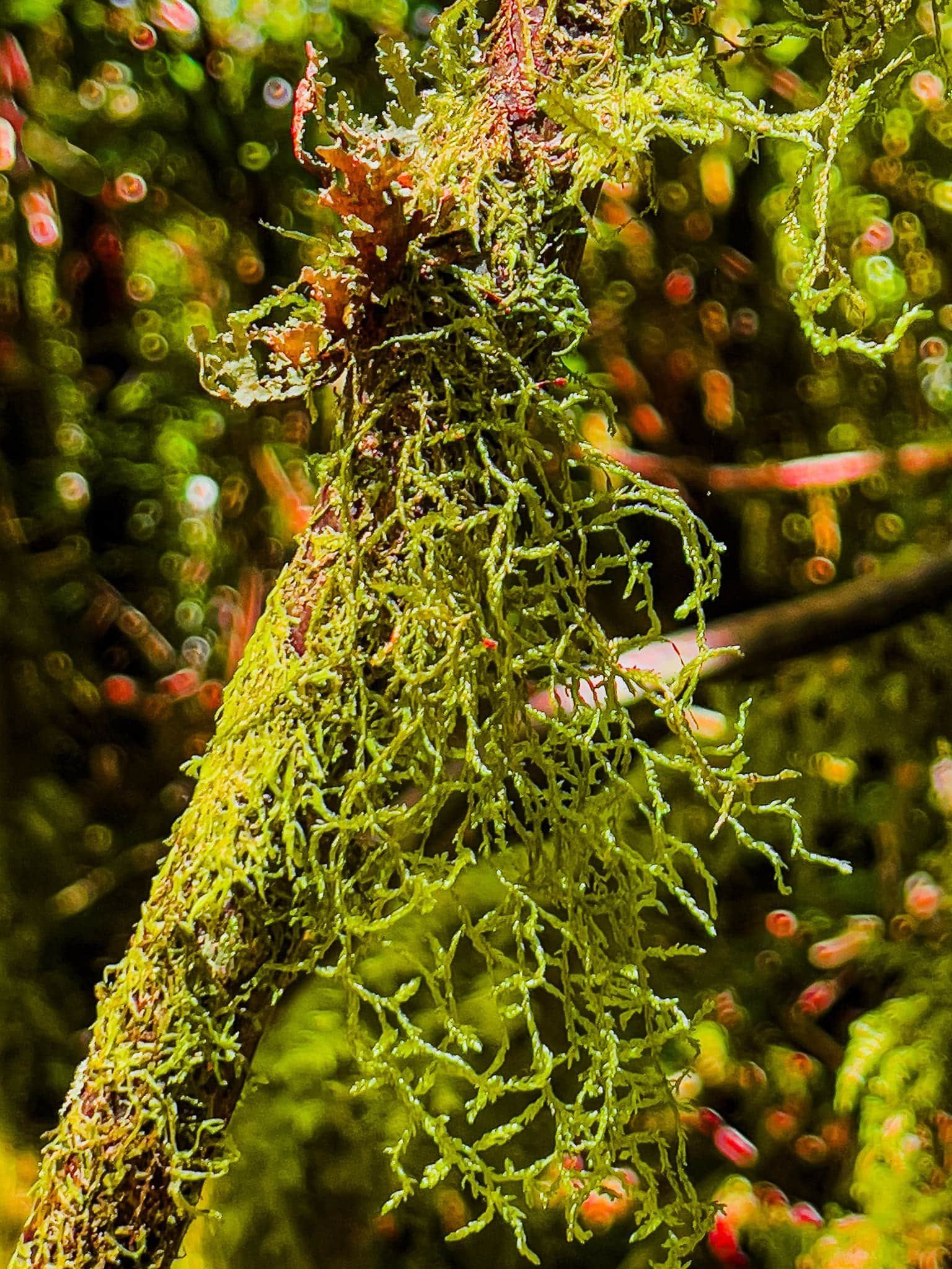
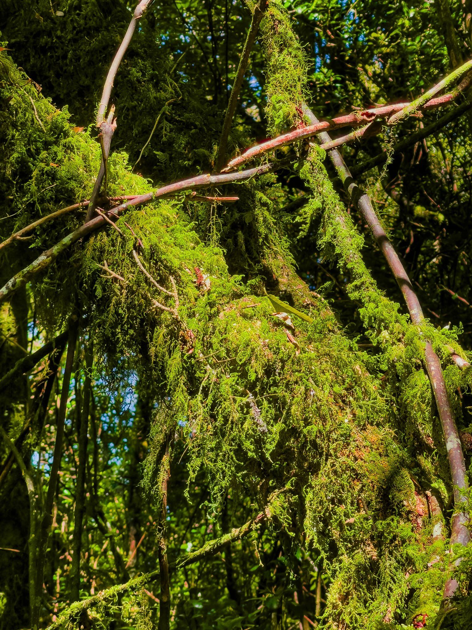
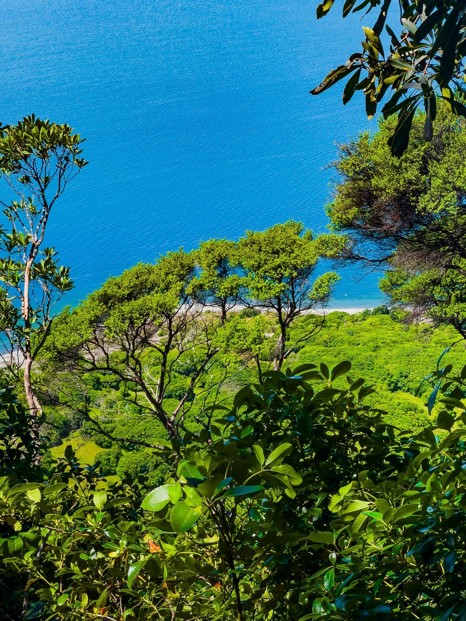
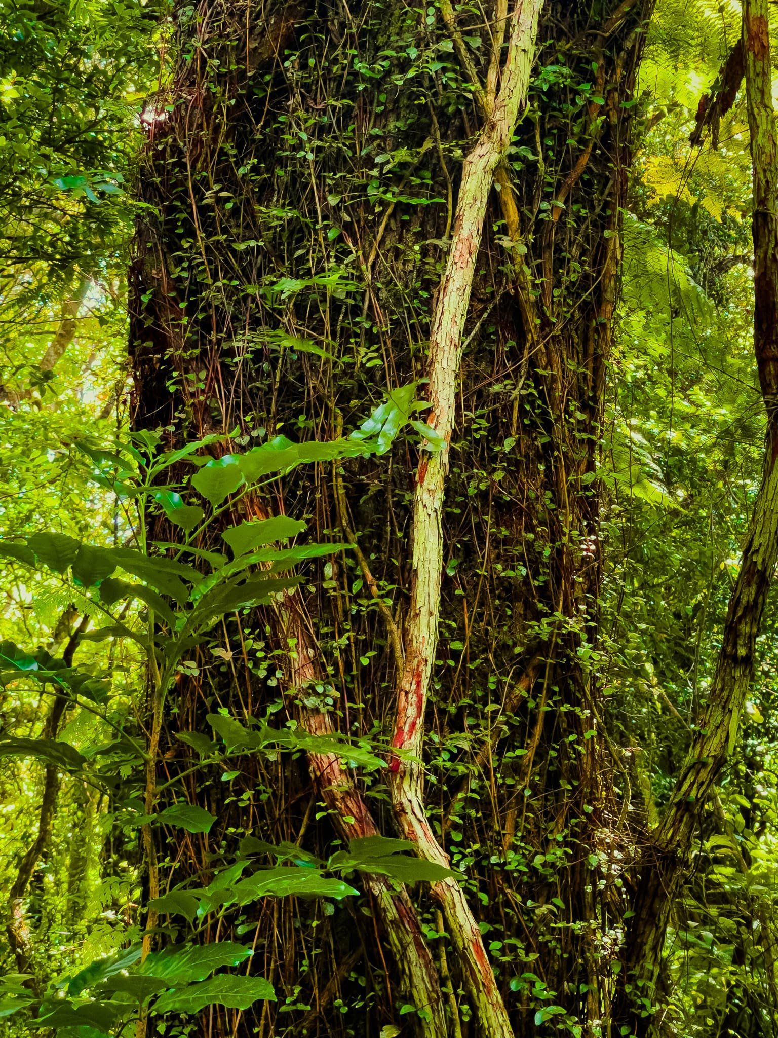
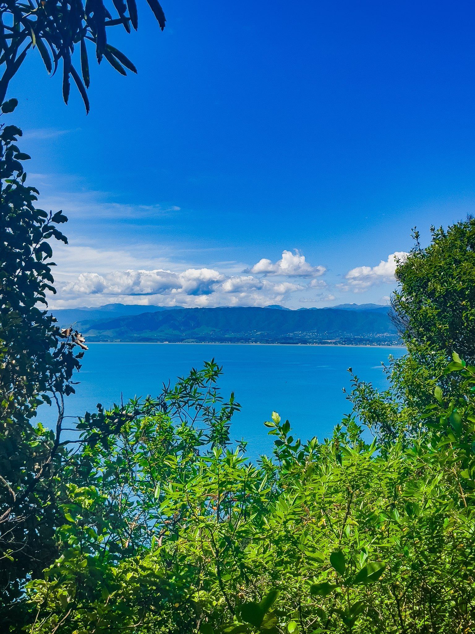
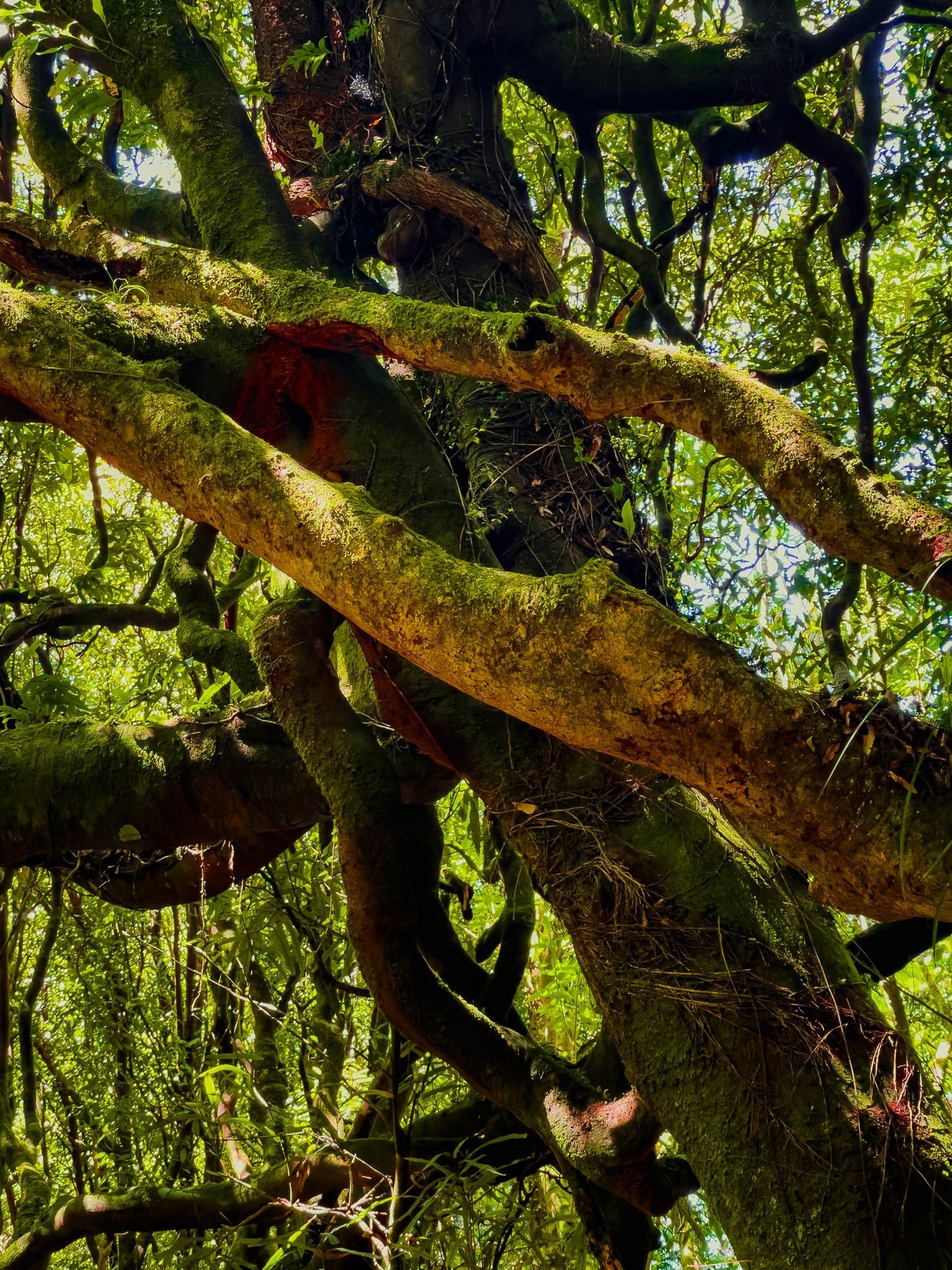
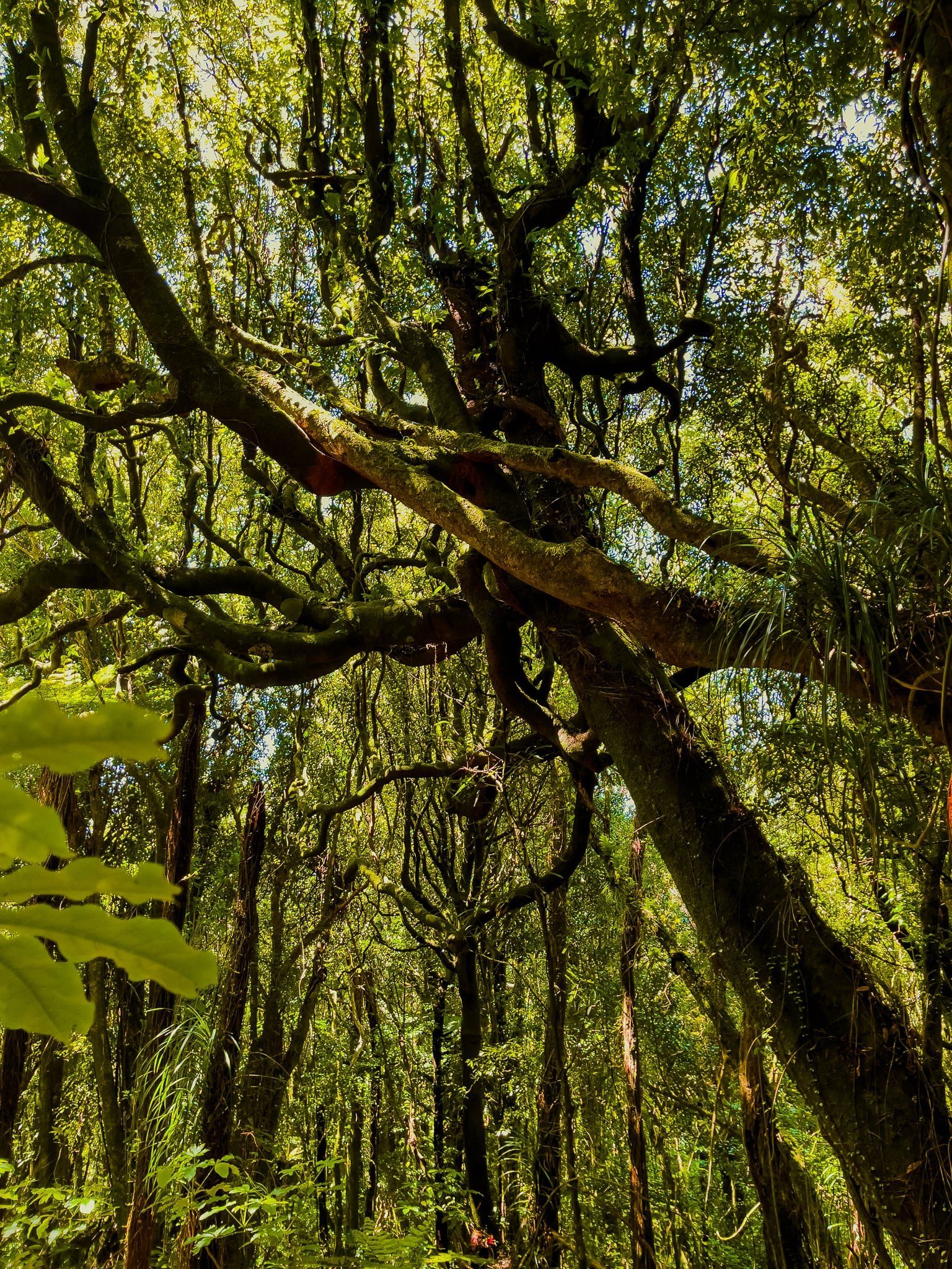
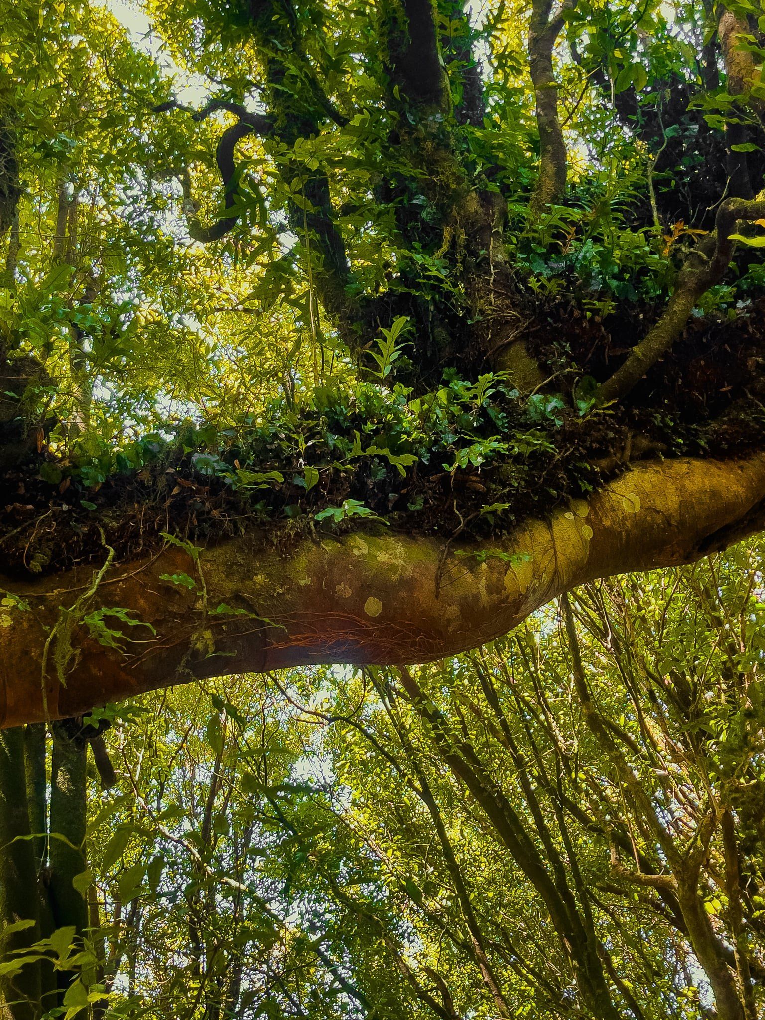
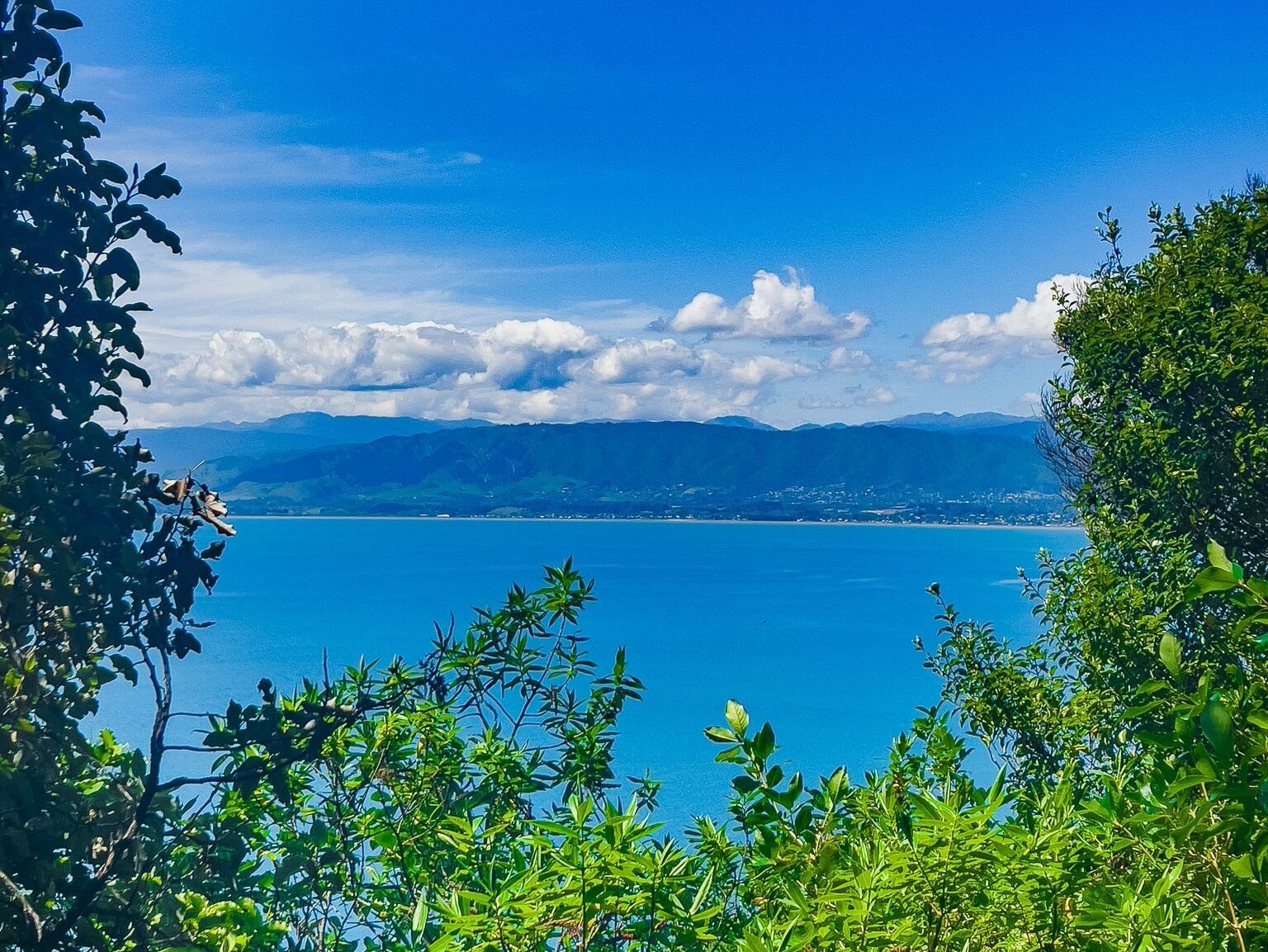
As you ascend the Wilkinson Track, you'll encounter a picnic area and a hīhī feeder about a third of the way up. This spot is perfect for a rest and offers a chance to observe native birdlife. Lower sections of the track provide breaks in the forest canopy, revealing views back to the Kāpiti Coast. As you climb higher, the environment transforms into a green rainforest, abundant with lichens, moss, and epiphytes.
Hiking Recommendations
For those with reasonable fitness, it is recommended to hike up the Trig Track and descend via the Wilkinson Track. This route allows you to experience the unique features of both tracks. Note that descending the Trig Track is not permitted.
Getting to the Wilkinson Track
To get to Kāpiti Island, take a ferry from Paraparaumu on the Kāpiti Coast, which requires prior booking due to limited visitor numbers. Once on the island, the track begins on the north side of the Rangatira Loop Track.
While on Kāpiti Island, explore the Visitor Centre, the Rangatira Loop Track and Rangatira Bay. You can also arrange to stay overnight with the chance of seeing kiwi and further walks at the north end of the island.