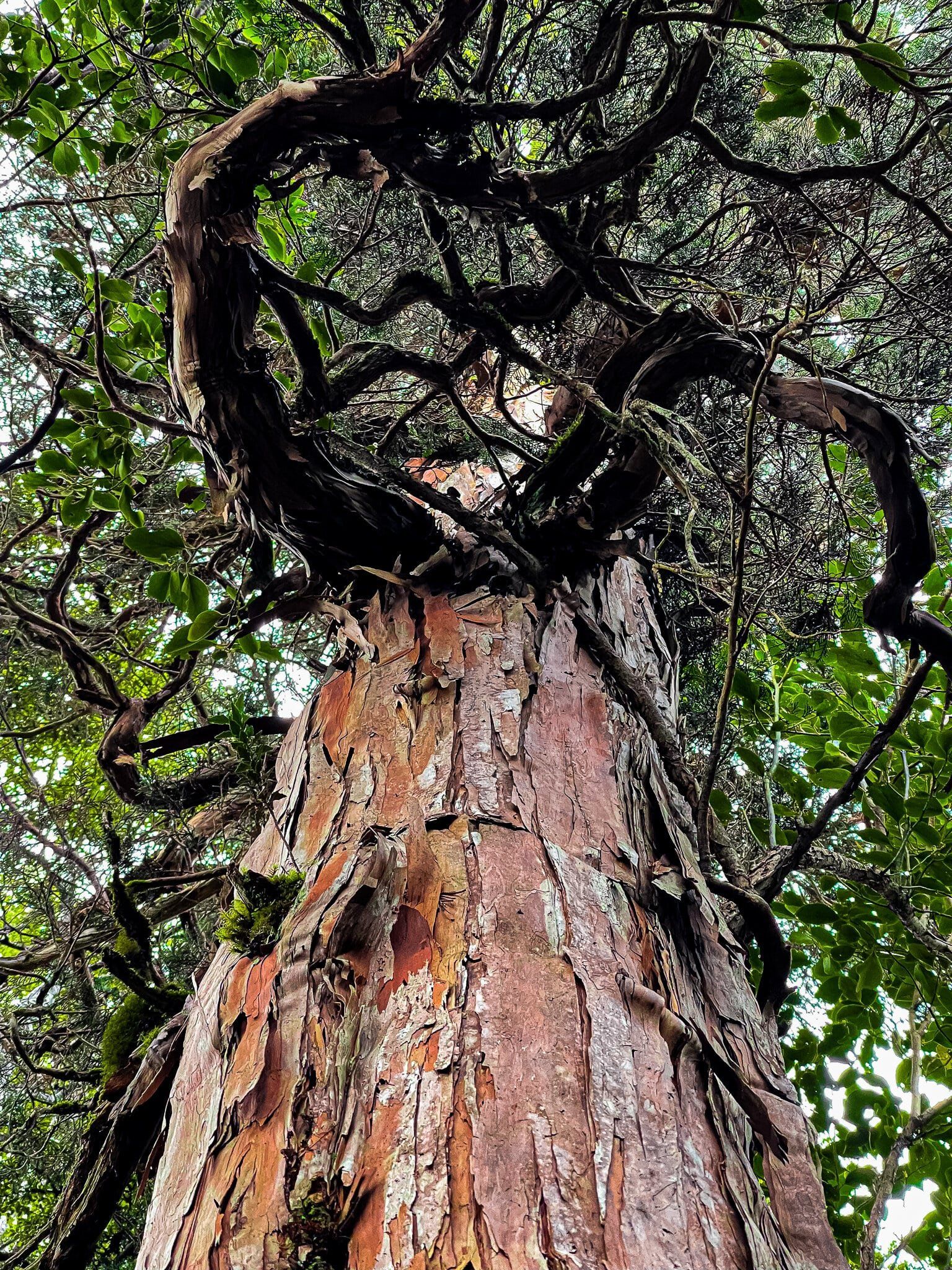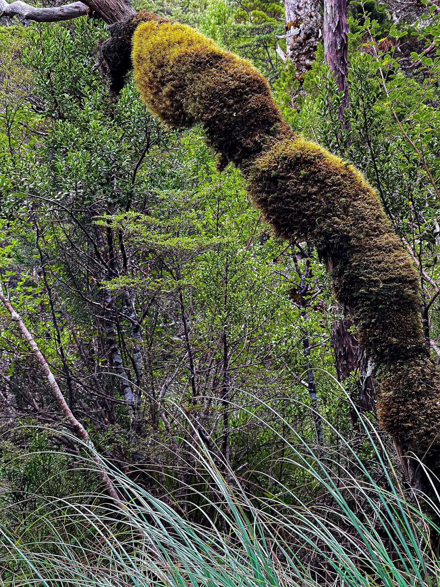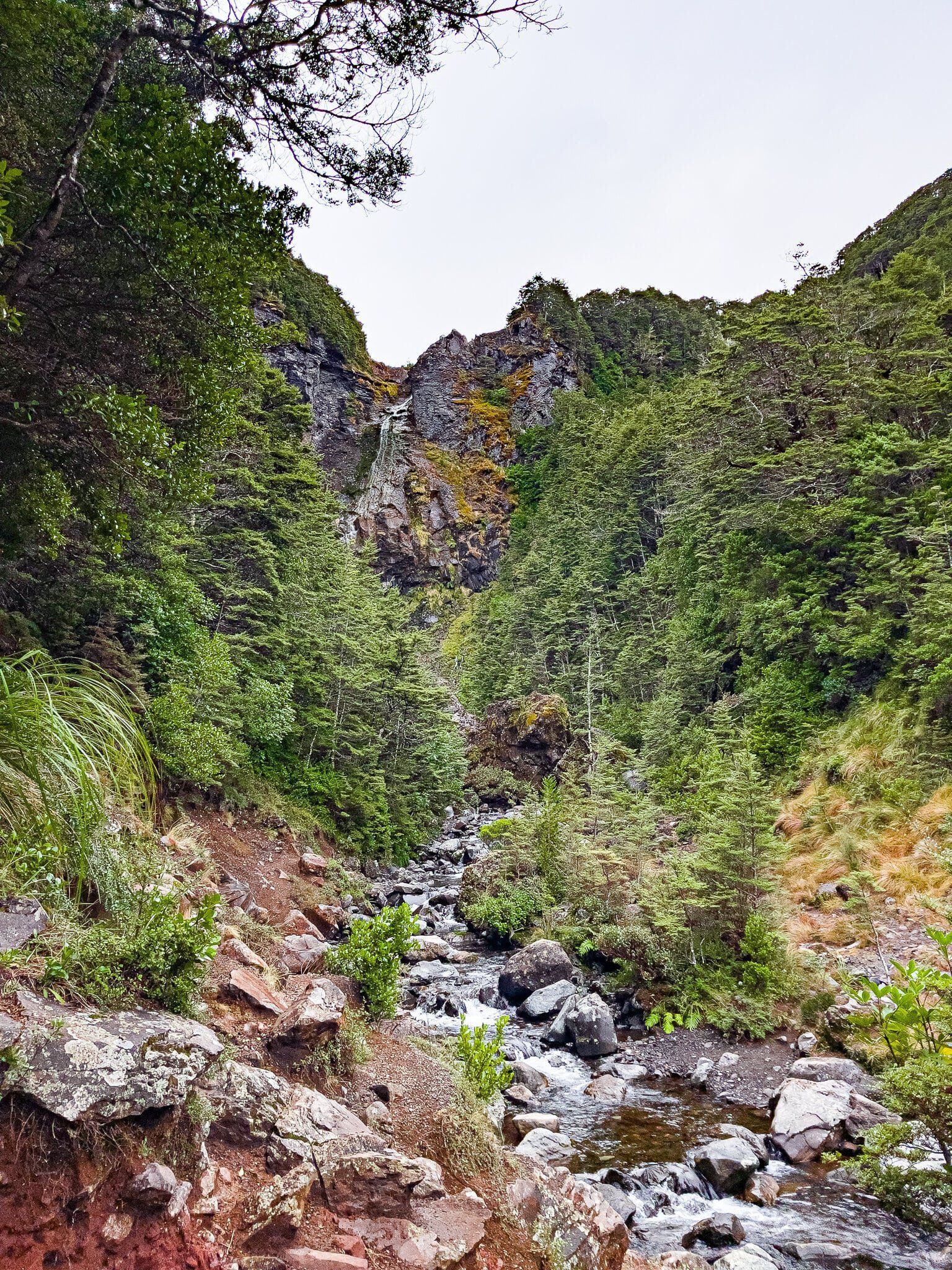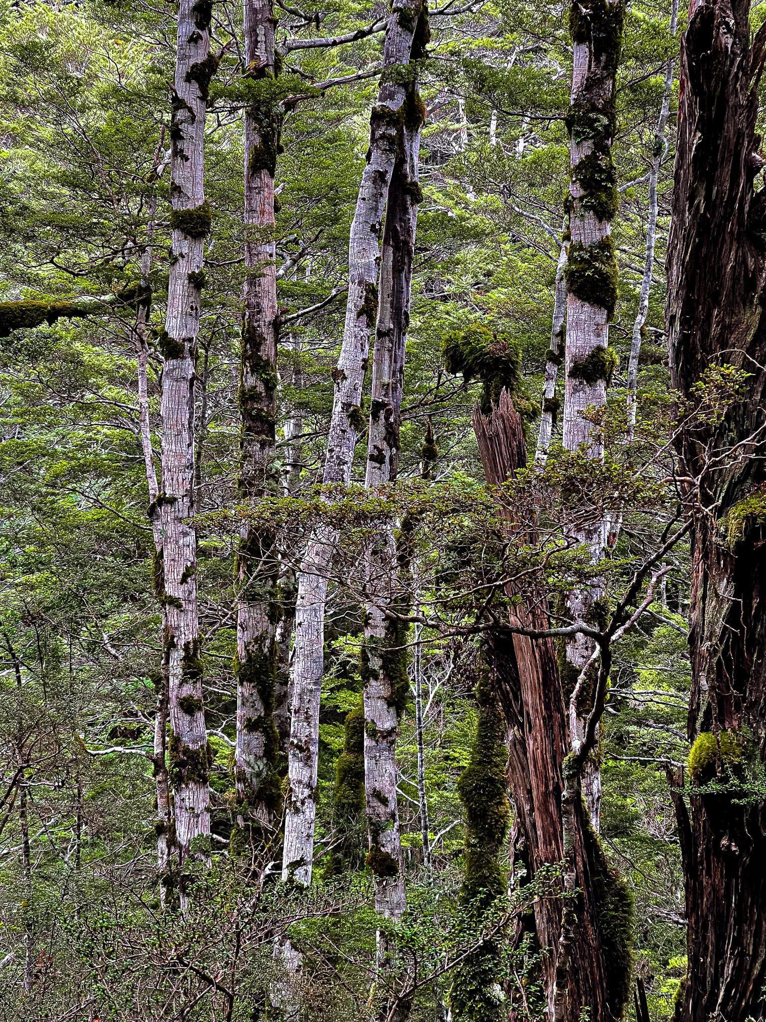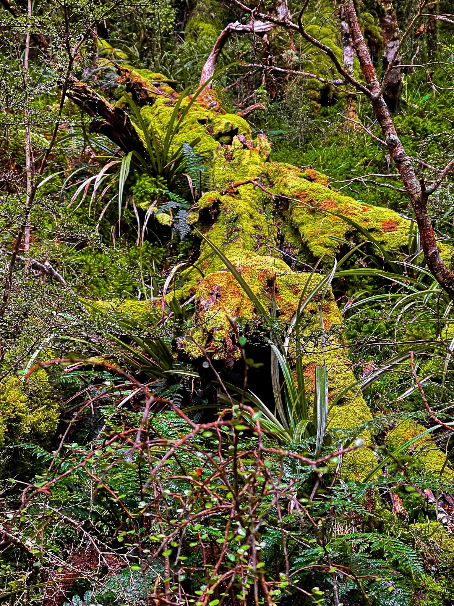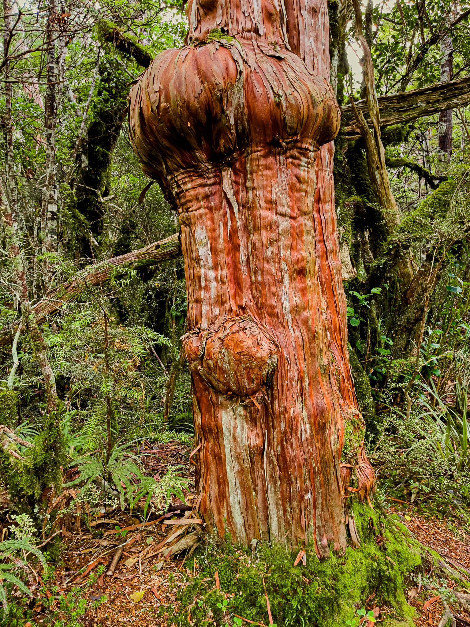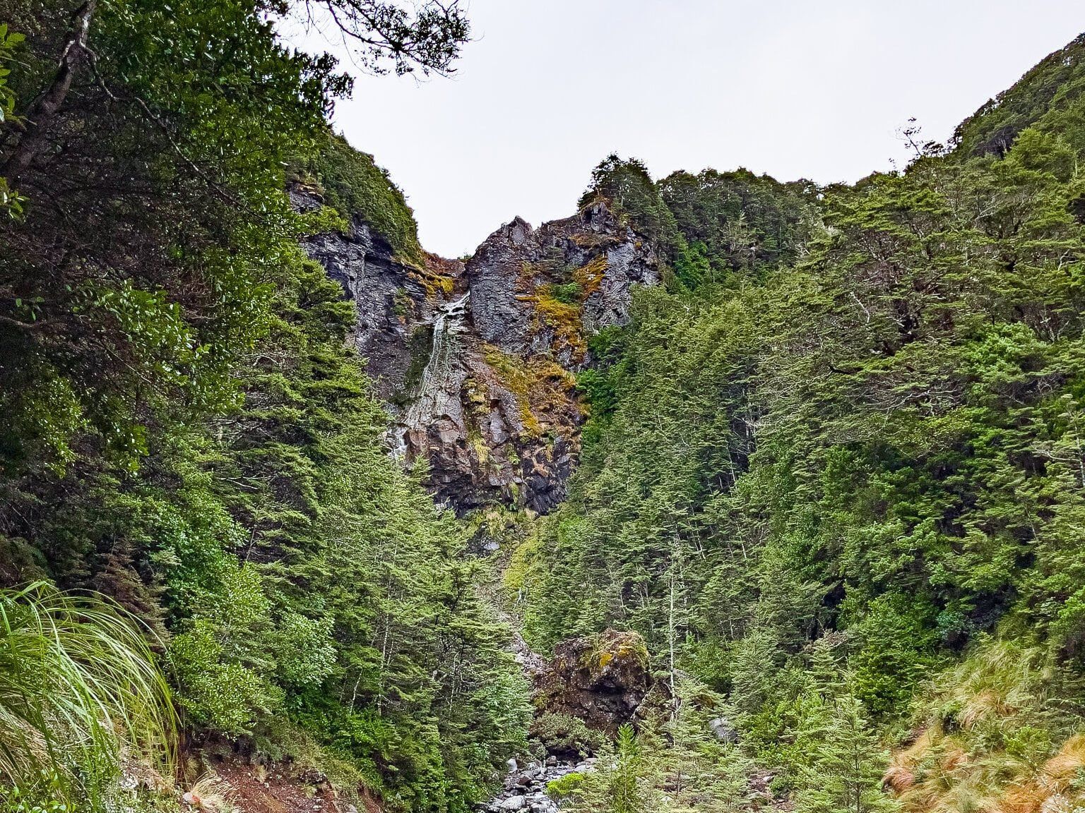
The Waitonga Falls Track starts at a car park on the side of Ohakune Mountain Road, about ¾ the way to the ski field on Ruapehu. This is a wonderful alpine forest walk on a well-maintained track to the Waitonga Falls, at 39 metres, the highest falls in National Park. The track is around 1,200 metres above sea level, almost as high up as native trees will grow in NZ. The forest is mainly a mix of mountain beech and kaikawaka (mountain cedar), with a lush rainforest feel.
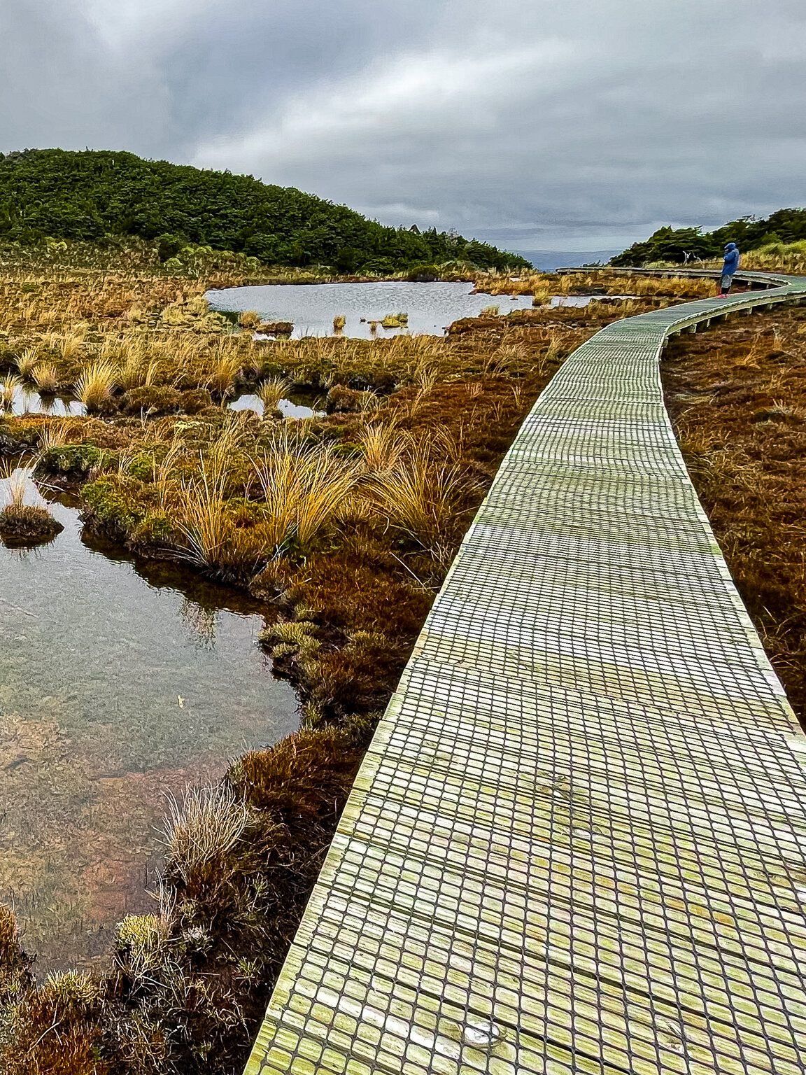
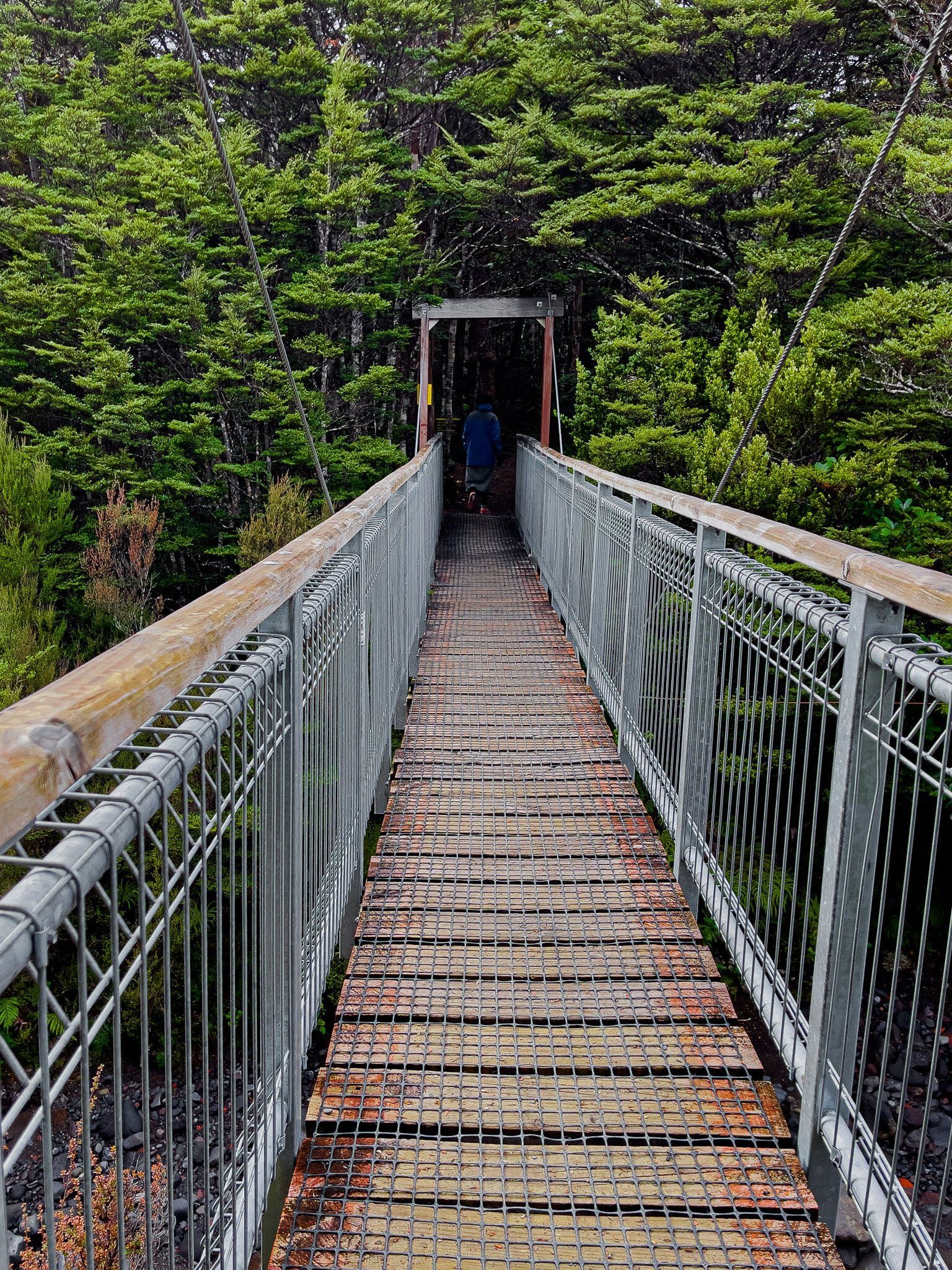
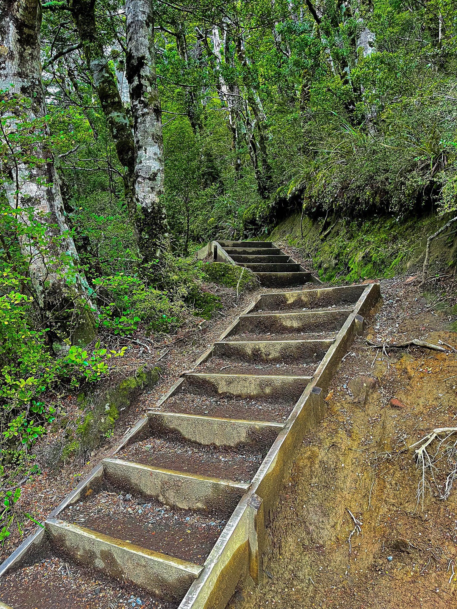
The first half of the track is easy, and about halfway along, you will exit the forest onto a boardwalk that crosses a mountain wetland, including the small lake Rotokawa. On a nice day, you will see the top of Ruapehu reflected in the lake (I’ve yet to see this!). Once you reenter the forest, there is a steeper downhill section with a number of steps that take you to the stream below the falls. You can see only one section of the top from here. To get a better sense of the falls, you must pick your way up the side of the stream.
If you follow the path downstream, you can continue on the Round the Mountain tramping track (it takes several days to travel from hut to hut).
Allow about 90 minutes for the return trip at a meandering pace.